
St. Eustatius - Double Wreck

Part of the regional summary: St. Eustatius
More about this place: Sint Eustatius on Wikipedia
More info
Leeward Caribbean Islands (NOAA CRW virtual station) · Eastern Caribbean ecoregion mean=13.1°C-heating weeksA turtle-grass meadow broken by low ballast-and-rubble mounds, all that is left of the wrecks, plus an upright anchor crusted in coral and sponge. The mounds hold large brain corals and barrel sponges, and giant anemones hosting arrow crabs and cleaner shrimp are the highlight, along with a green turtle, a nurse shark, and a barracuda. Wreck and artificial-structure site: this cover value counts coral growing on man-made structure (steel, concrete, wreck debris) and the bottom around it, so it isn't comparable with natural-reef cover or with regional averages.
Seven independent survey stations shown with the program’s logo — click one to see how far it is from this site.
Three other CRD dive sites within 5 km shown in orange — click a marker to open its page.
11 of these 49 photographs are shown beside the text that discusses them under "Site description" below.
Site description
Setting
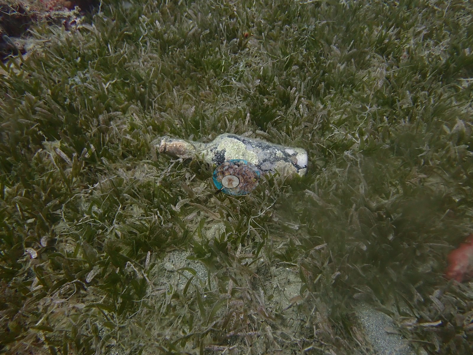
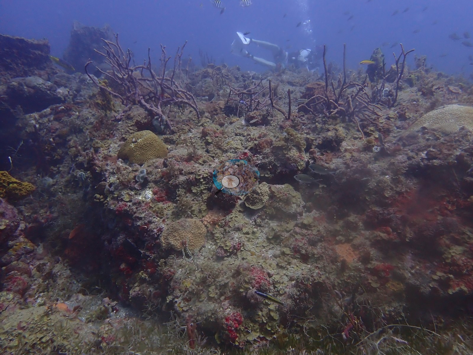
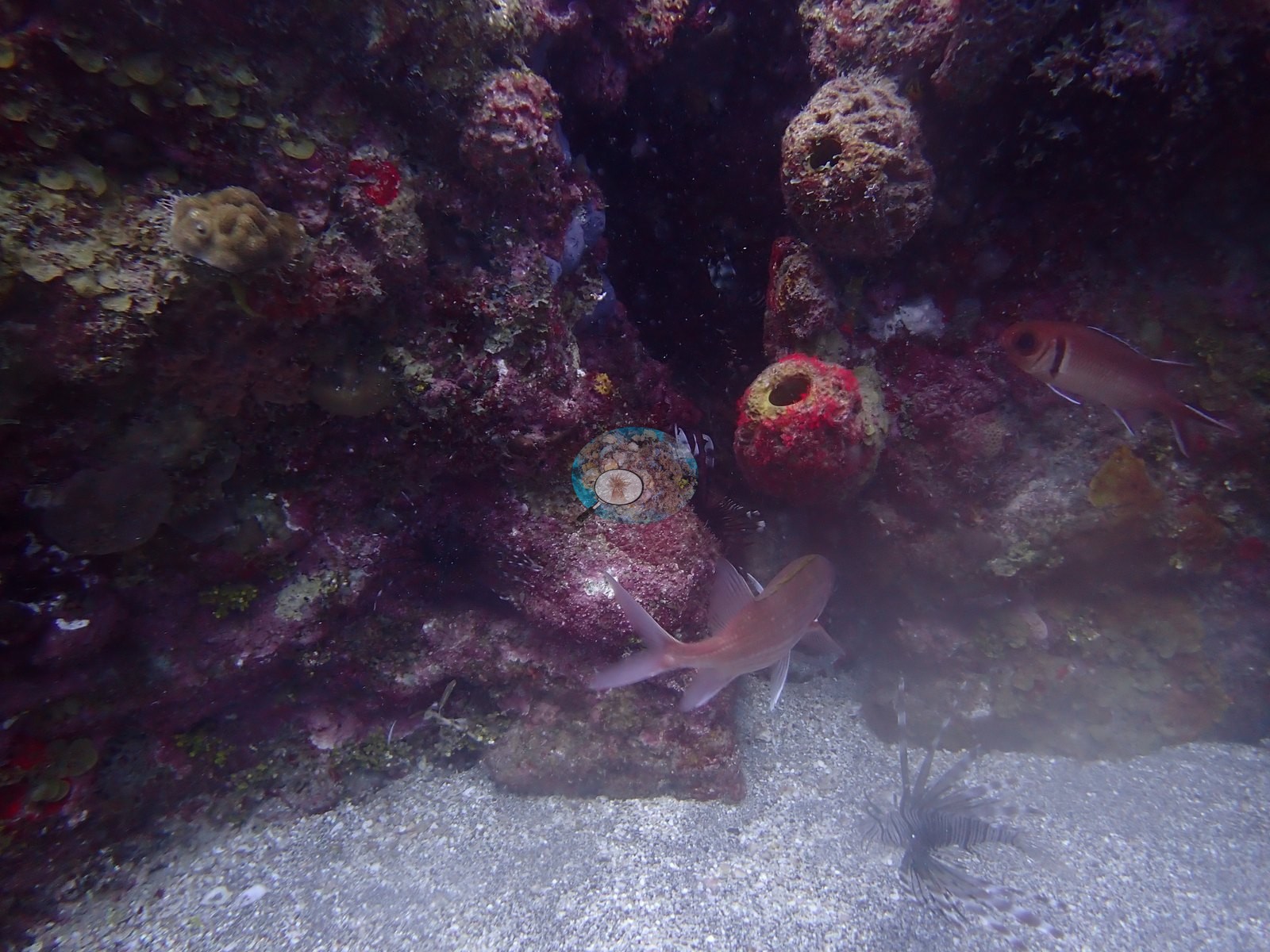
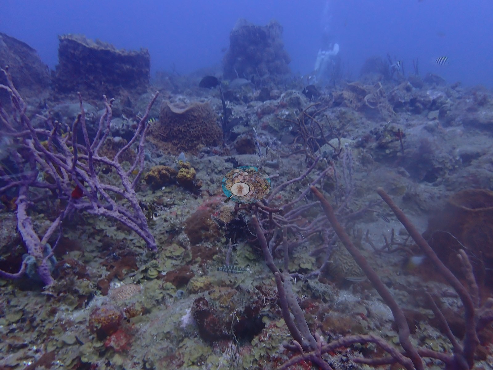
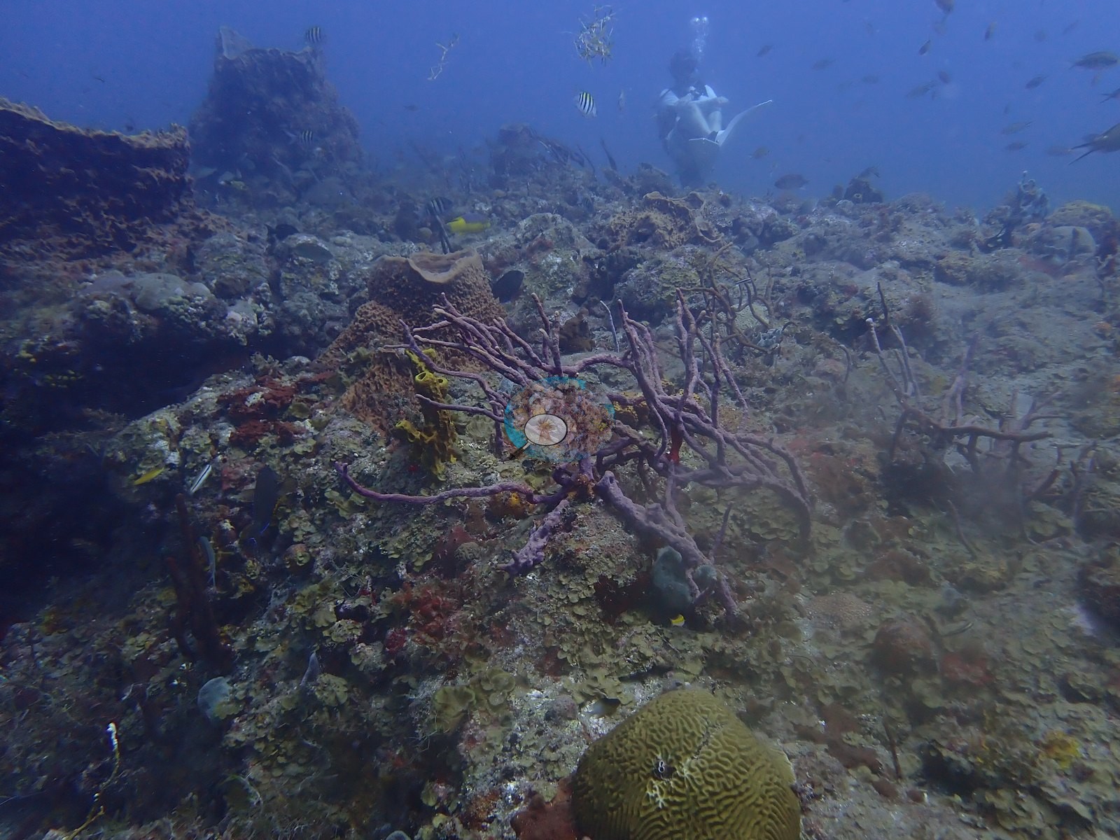
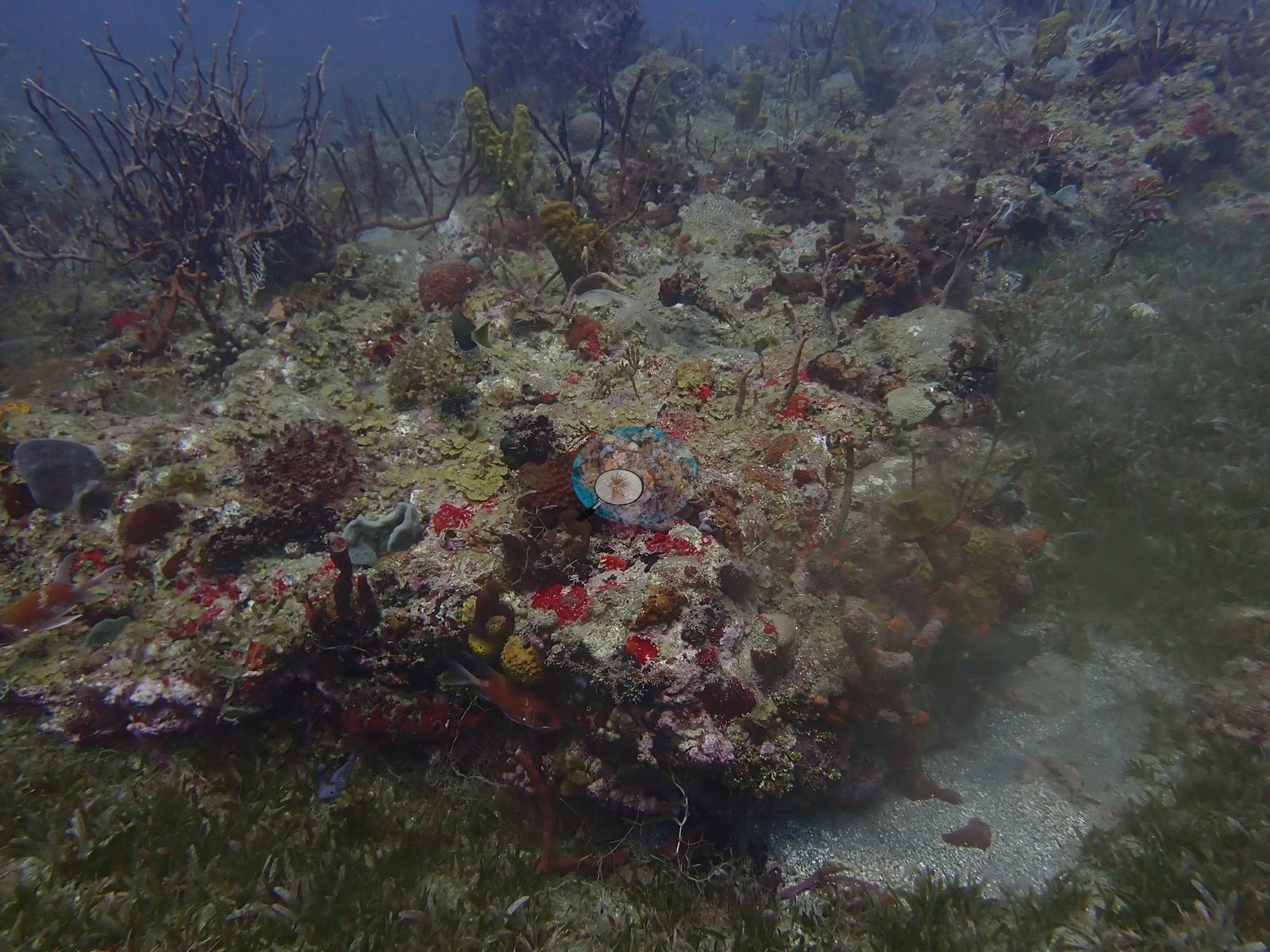
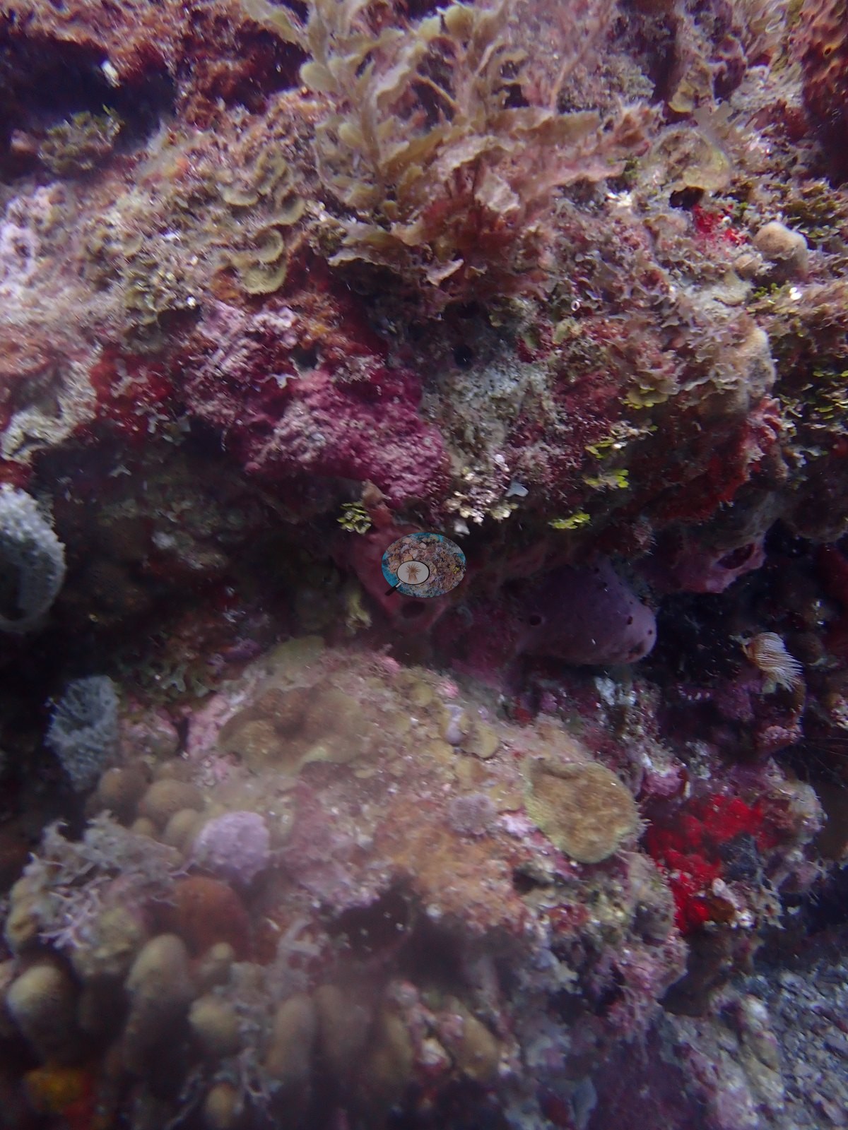
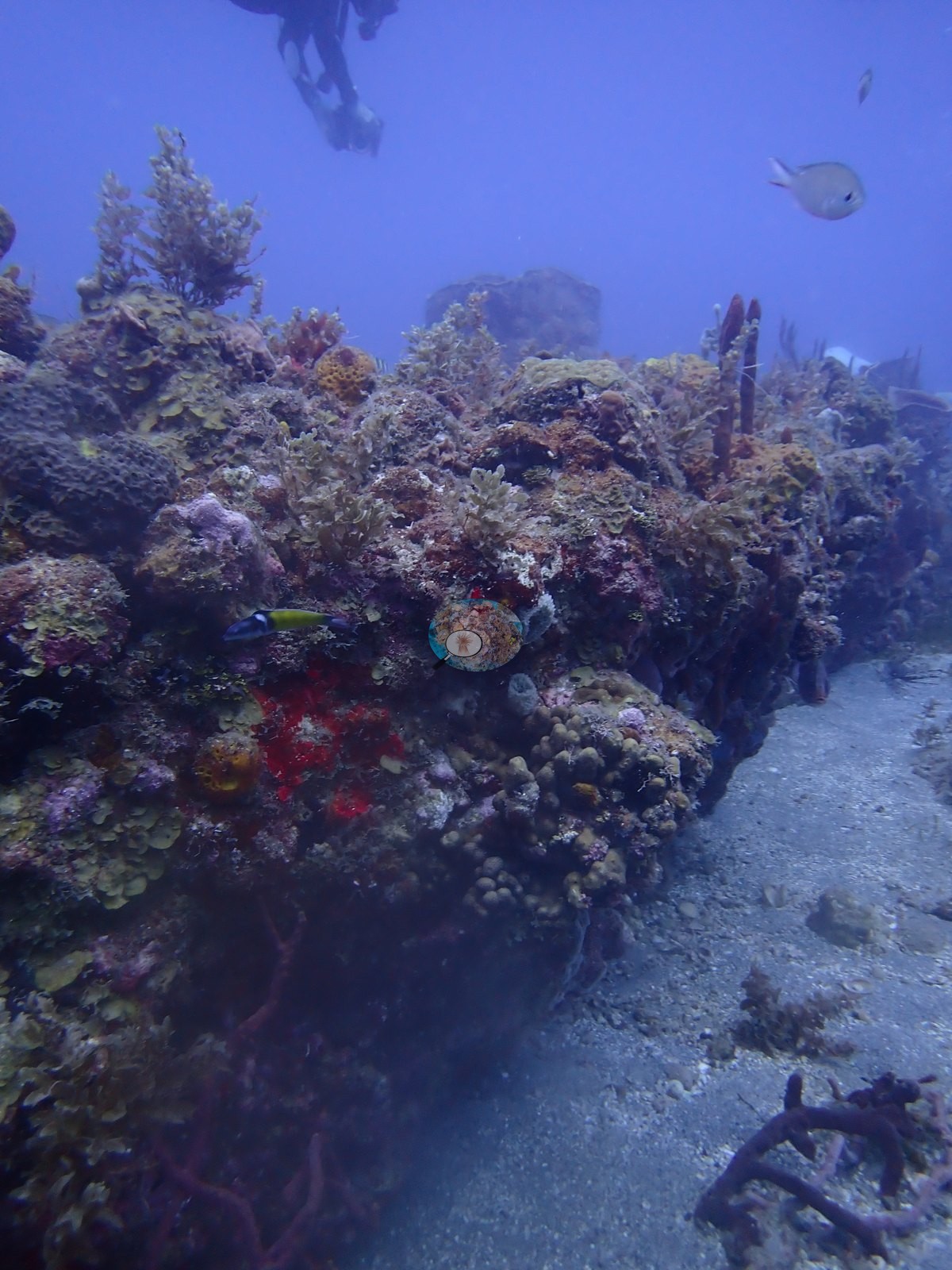
A mixed seagrass, patch-reef, and sponge-garden habitat; no wreck structure appears in this 12-frame sample despite the site name, which may reflect the sample missing the wreck itself or the wreck lying in a separate part of the dive. Visibility is workable but hazy/particulate throughout, consistent with a site with fine sediment and seagrass nearby (e.g., Image 7).
General benthic features
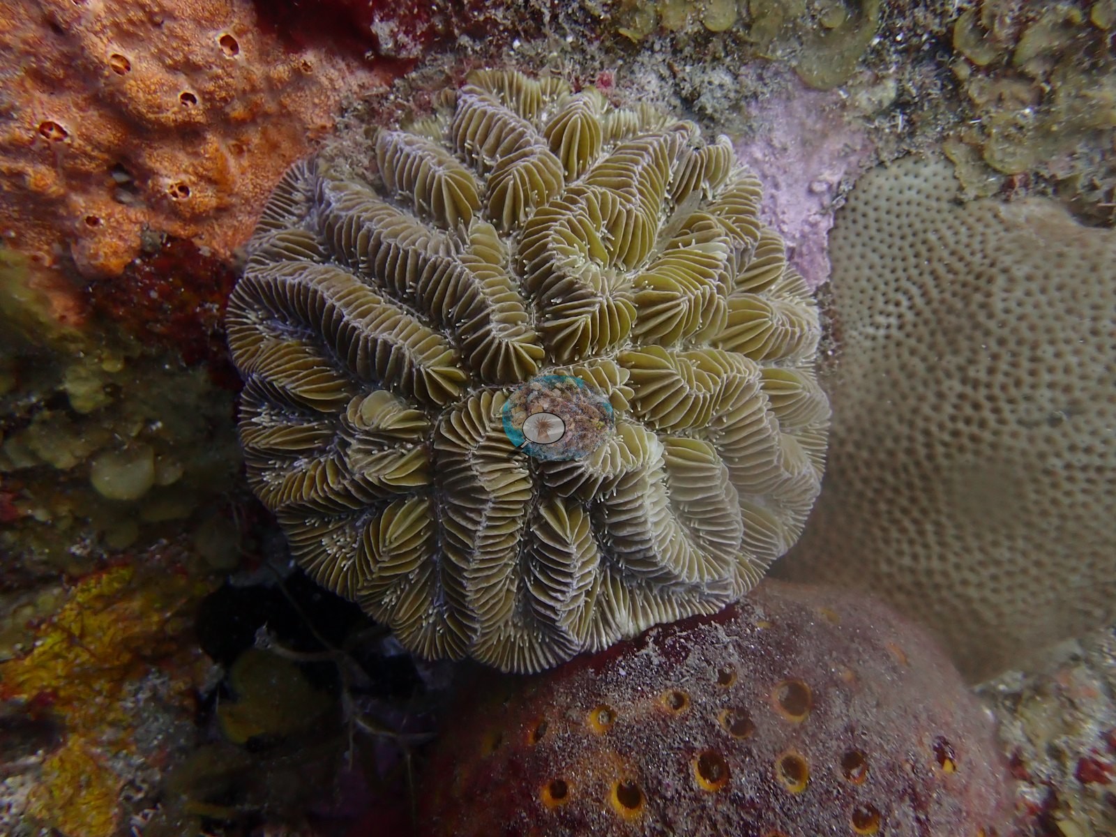
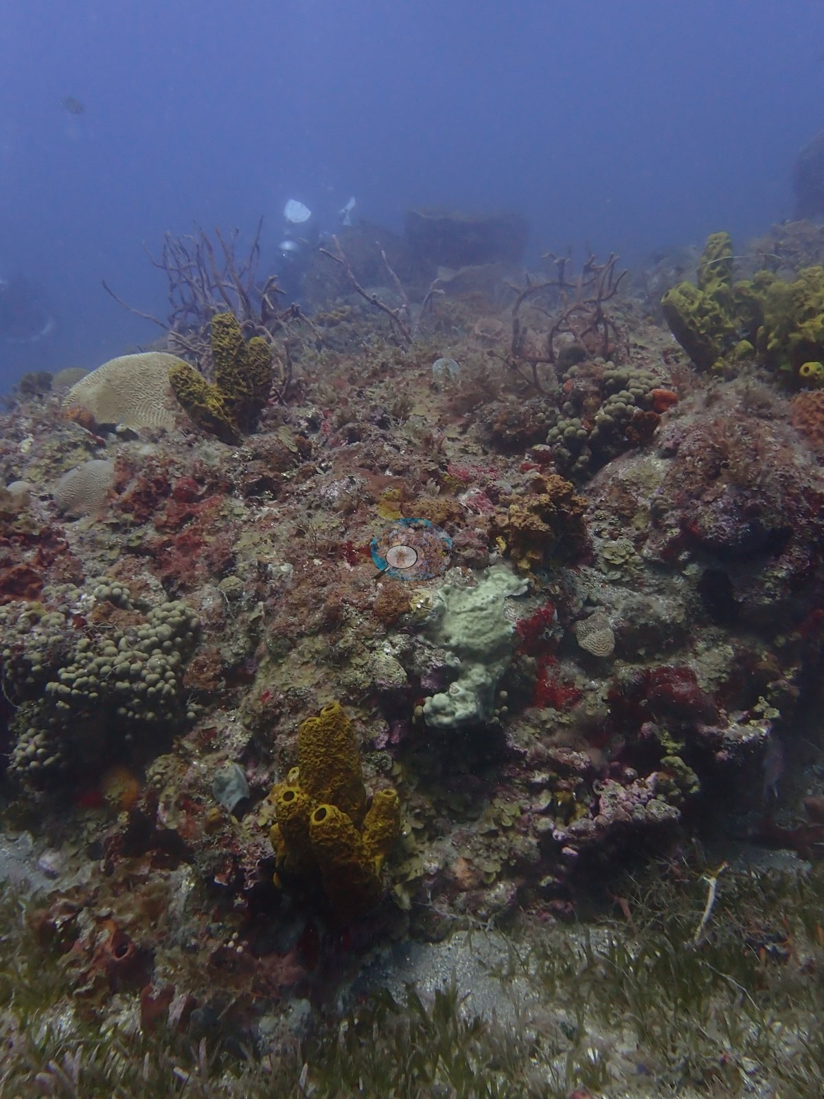
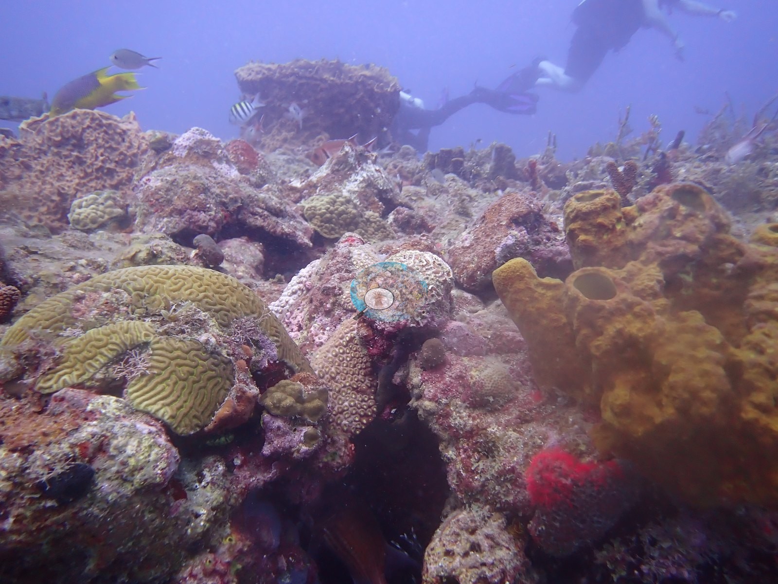
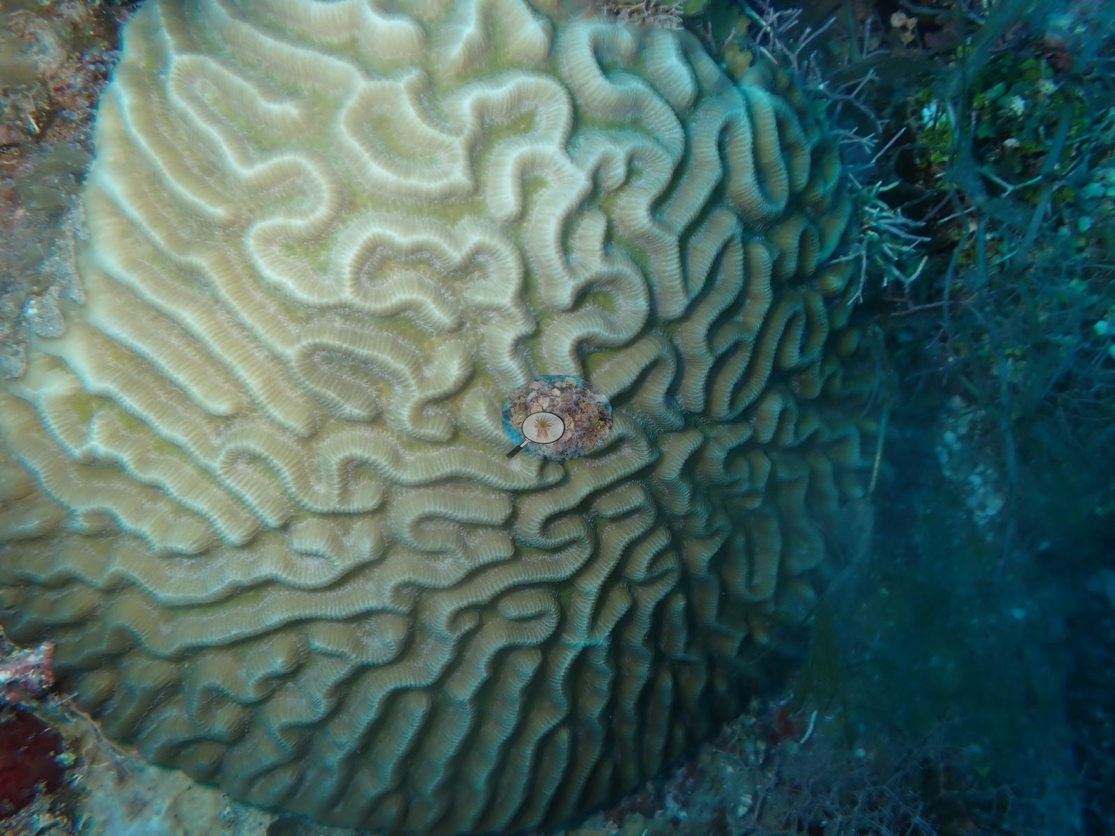
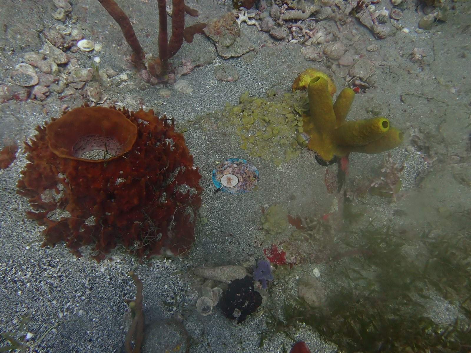
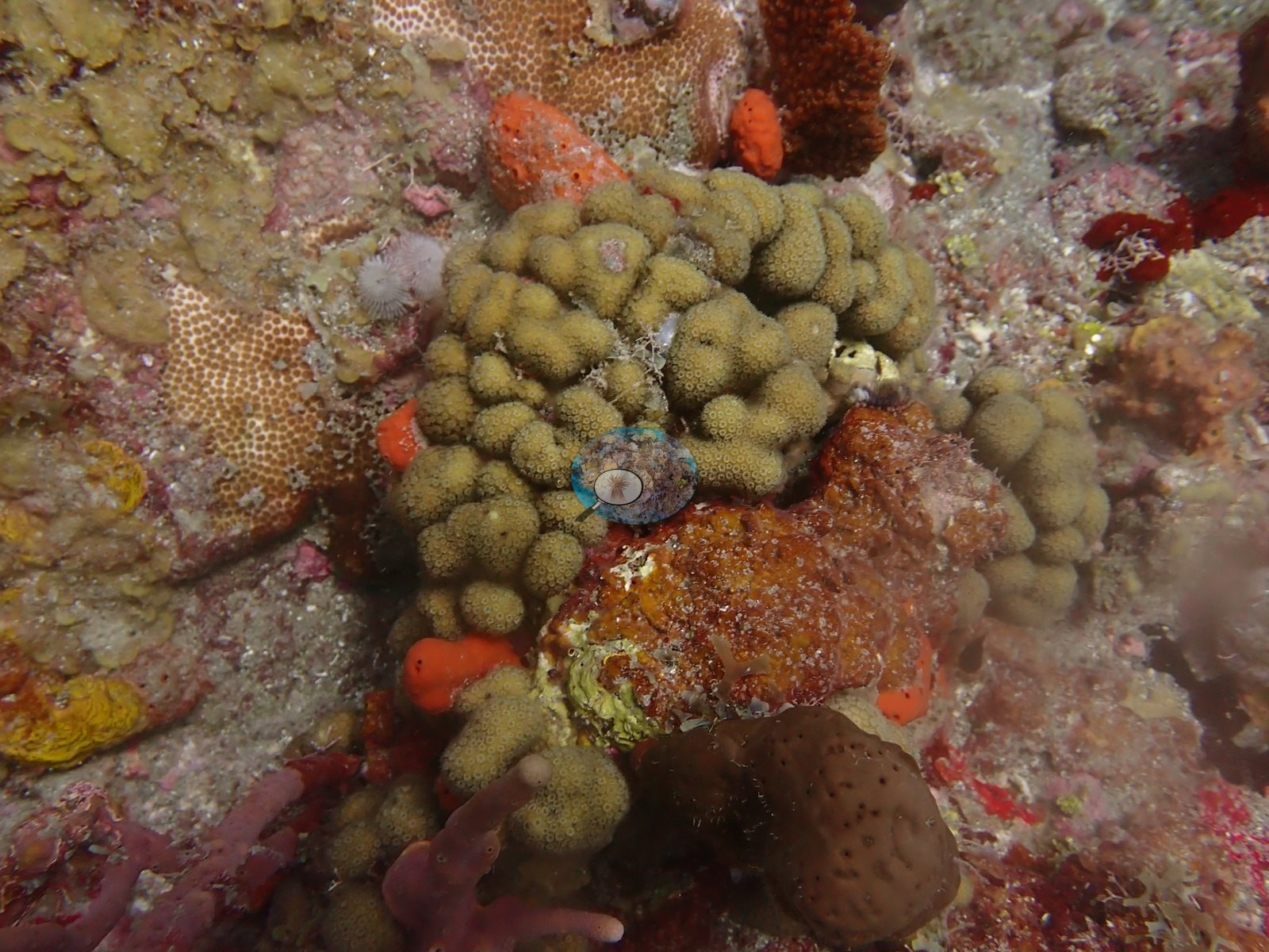
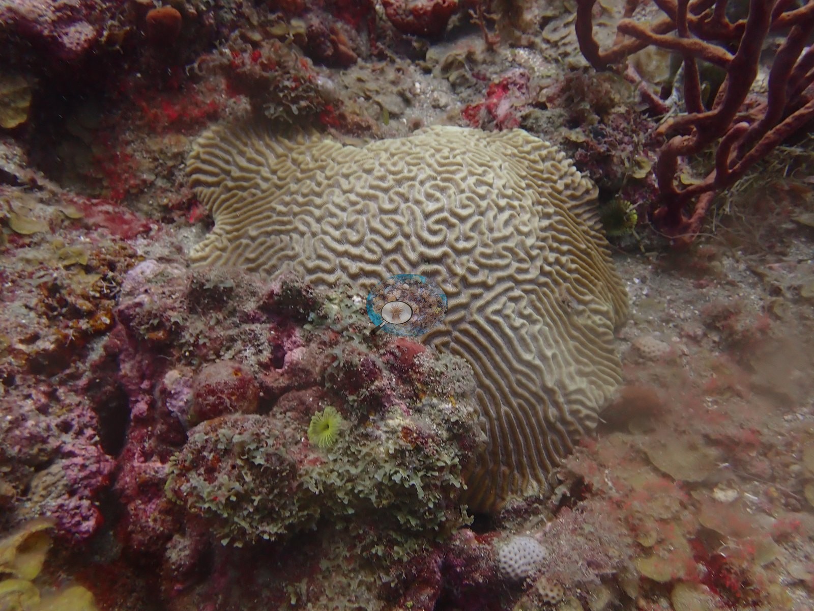
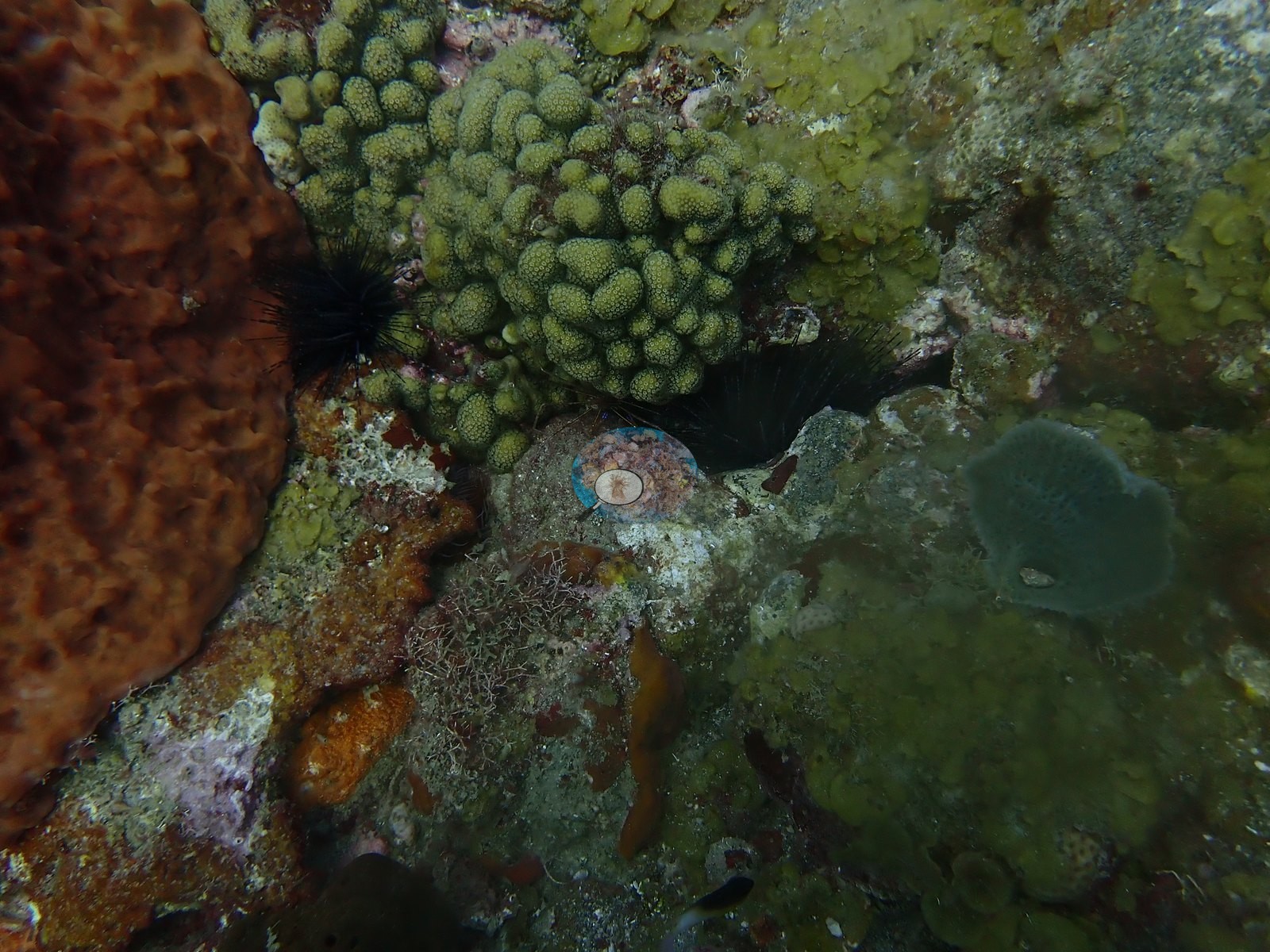
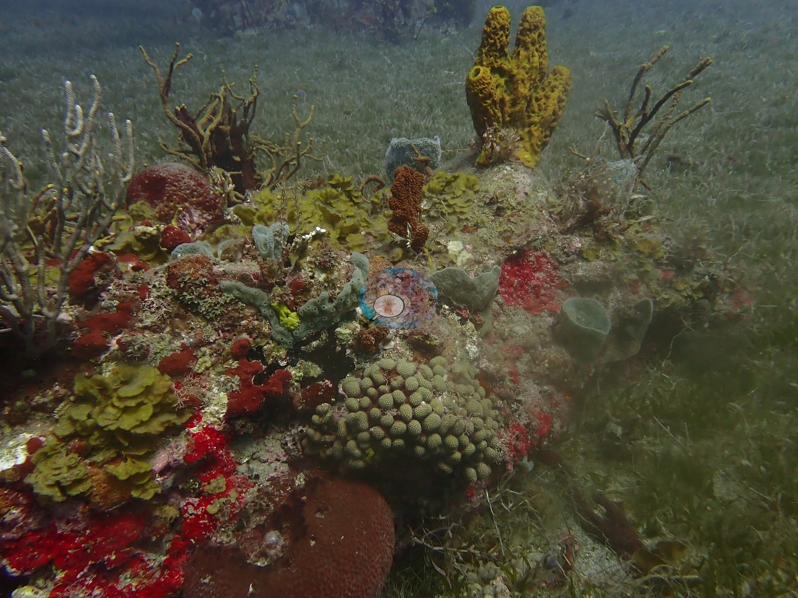
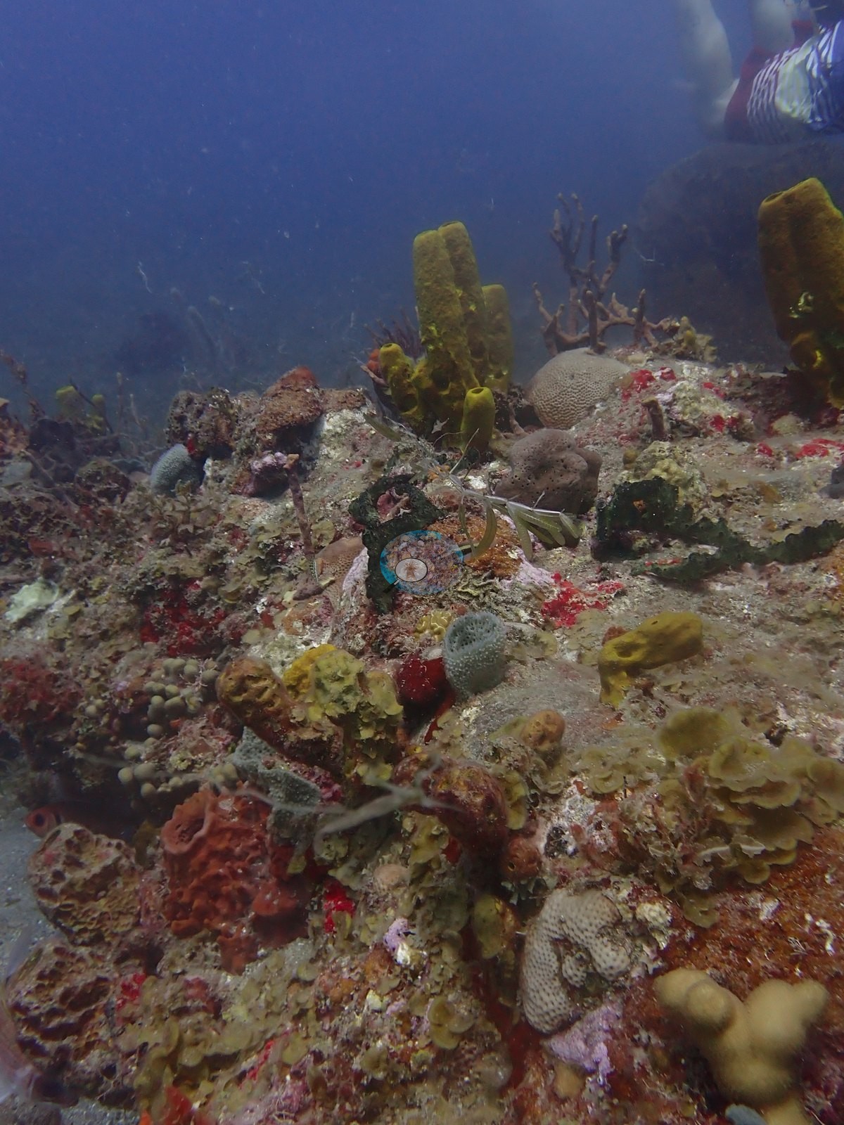
Elsewhere, low coral/rock outcrops rising from the seagrass are thickly colonized by sponges: a prominent cluster of bright yellow tube sponges, red and orange encrusting sponges, pale blue-gray vase-type sponges, and a green branching gorgonian/sea rod, with a small mustard-hill-type coral head (olive-green encrusting mounds) and a khaki brain/star coral head nearby (e.g., Image 3, Image 26).
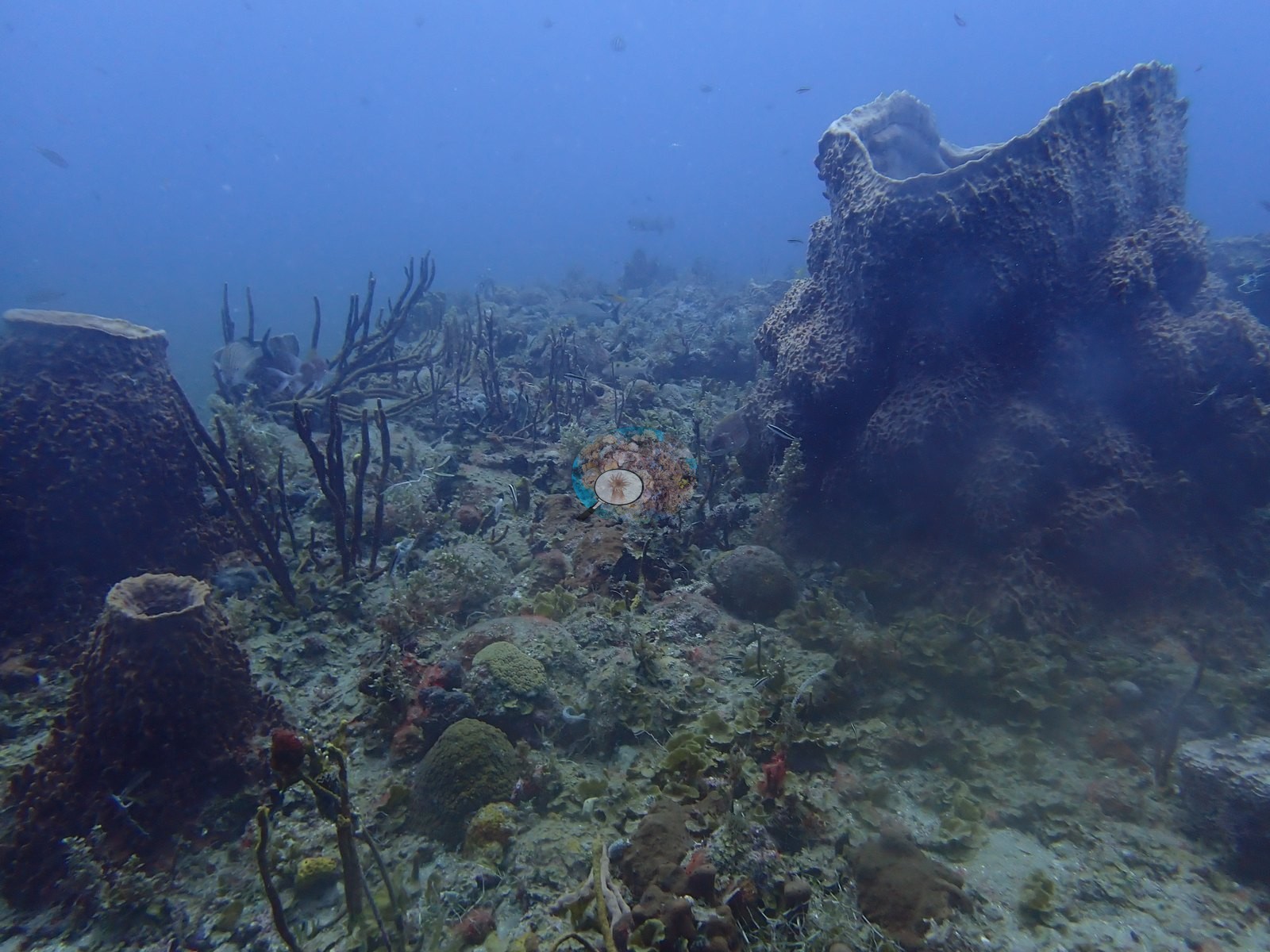
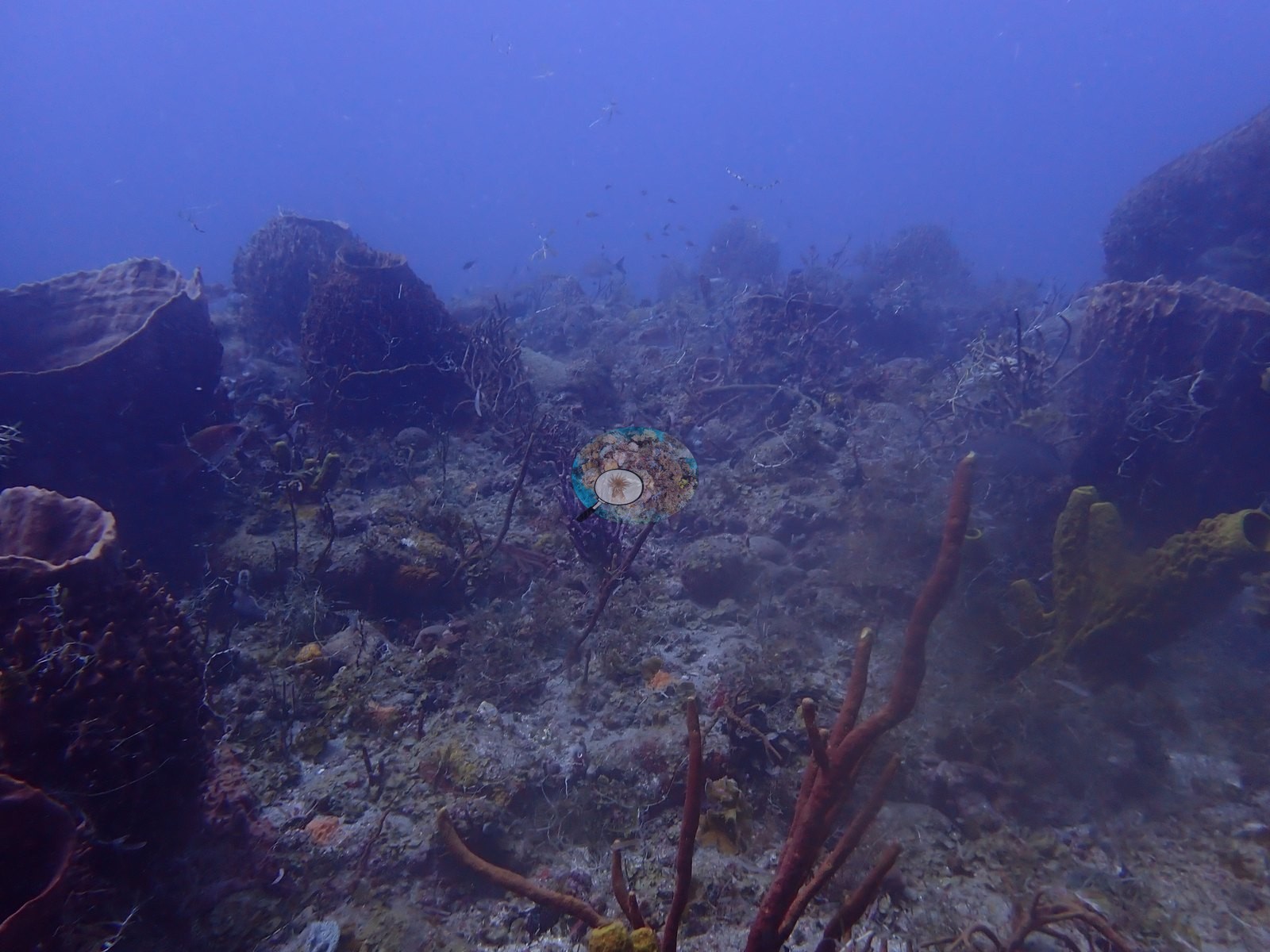
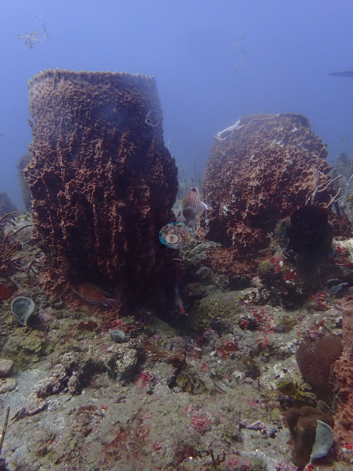
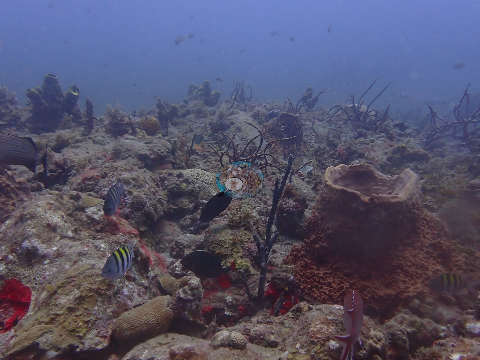
A separate pair of large barrel sponges (one with a striped fish sheltering in its mouth, plus sergeant majors and a spotted trunkfish/boxfish visible) frames a cleaning-station-like scene with schooling reef fish; black wire coral and a small round dark sponge sit at their base (e.g., Image 36, Image 39).
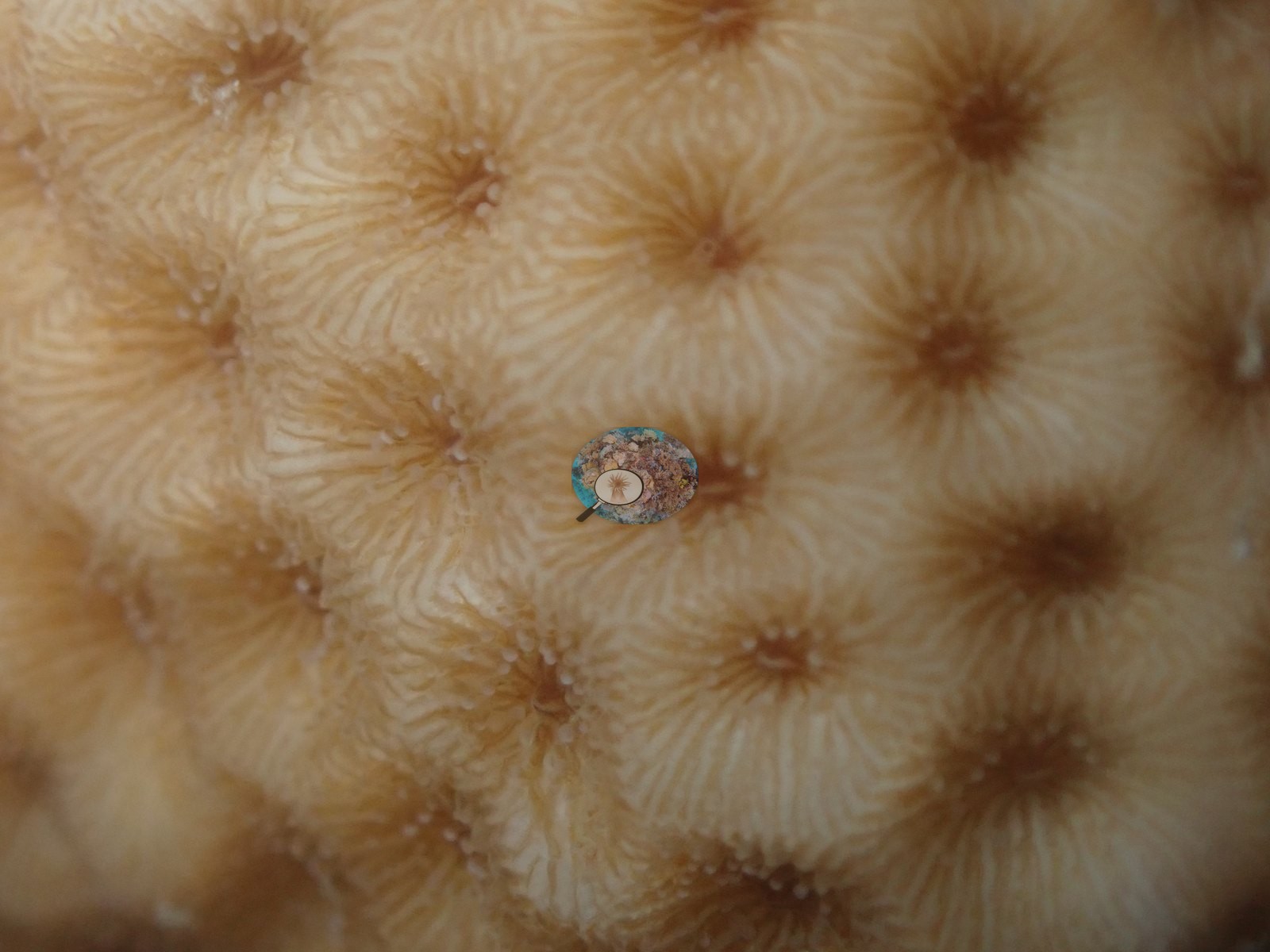
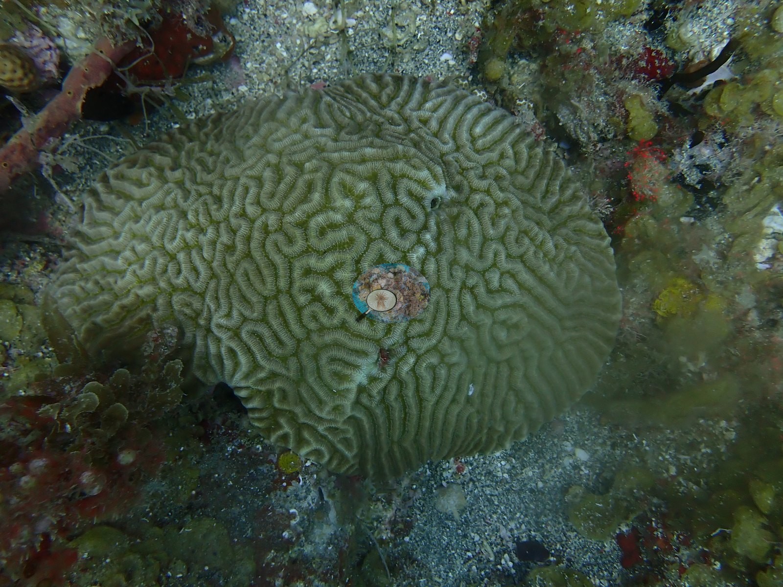
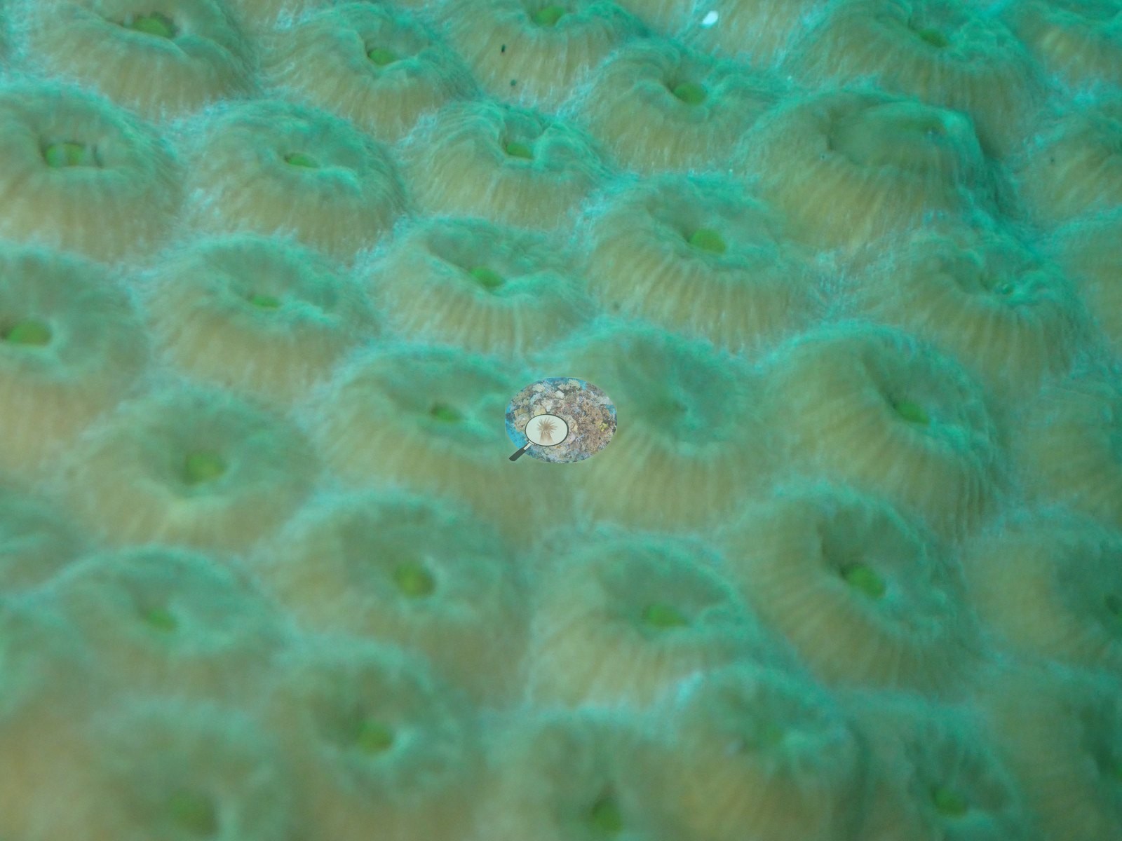
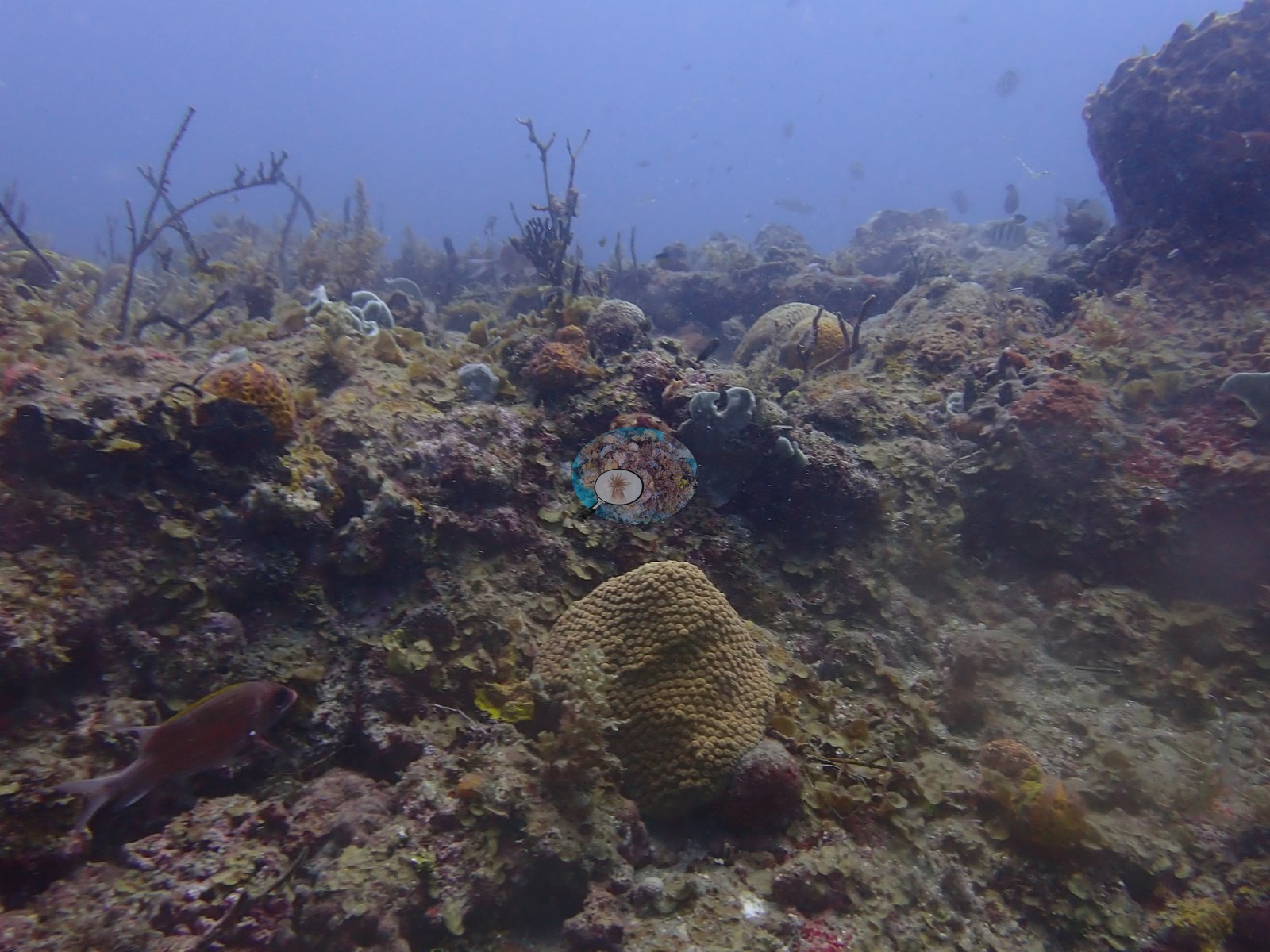
One frame shows a solitary massive star-coral colony (tan, evenly pored, healthy-looking) on the seabed among rubble and low-growing sponges (e.g., Image 31).
Coral cover
Coral cover: 5.6% — a blind Claude computer-vision point count of 46 of Anderson's unedited photographs (20 points per photo; water, fish, and obstructions excluded). Other computer-vision methods are listed in the method table. Wreck and artificial-structure site: this cover value counts coral growing on man-made structure (steel, concrete, wreck debris) and the bottom around it, so it isn't comparable with natural-reef cover or with regional averages.
Stressors
No bleaching, disease, or physical damage is visible on any of the coral colonies photographed.
Fish and other fauna
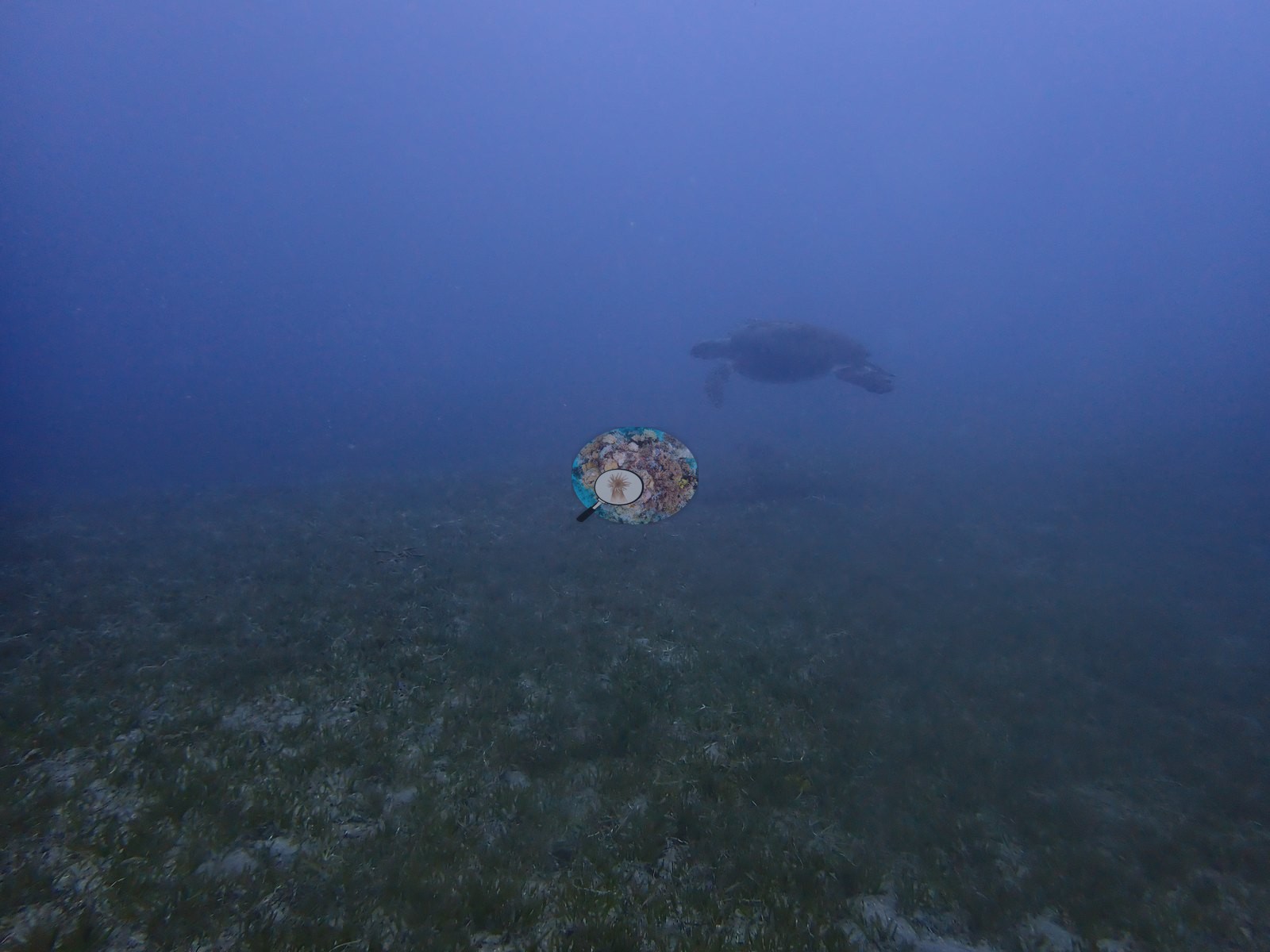
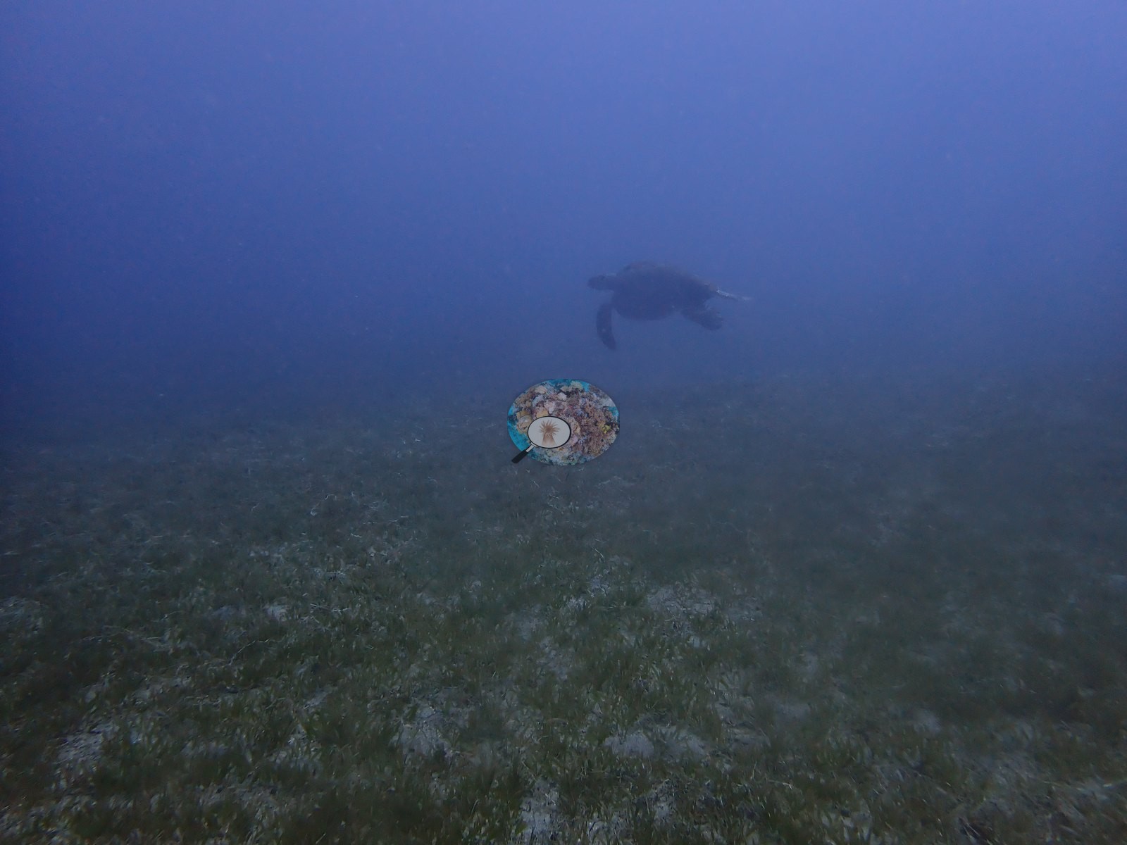
A green sea turtle is visible cruising over a seagrass meadow in hazy blue-green water in the opening frame (e.g., Image 27).
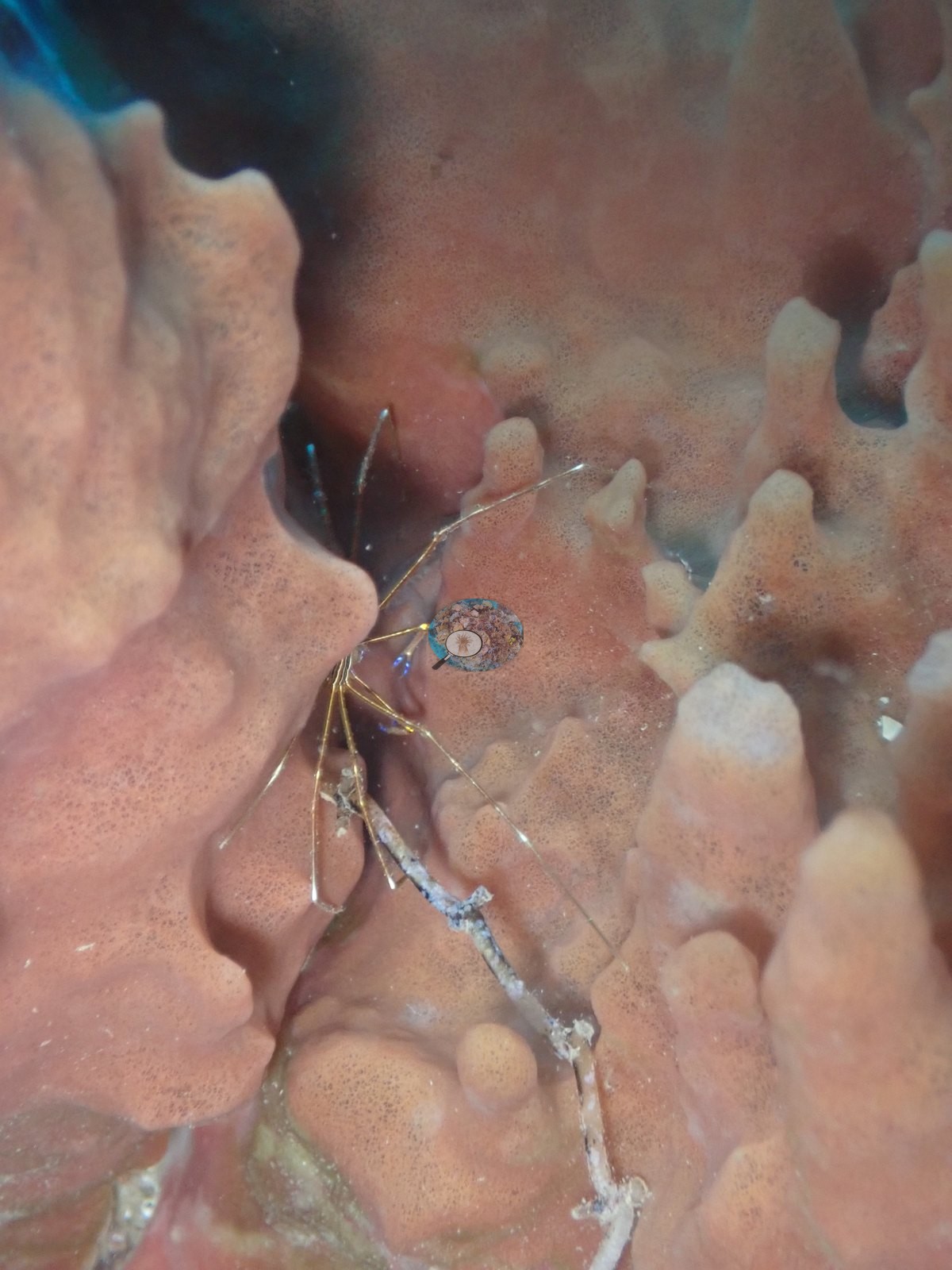
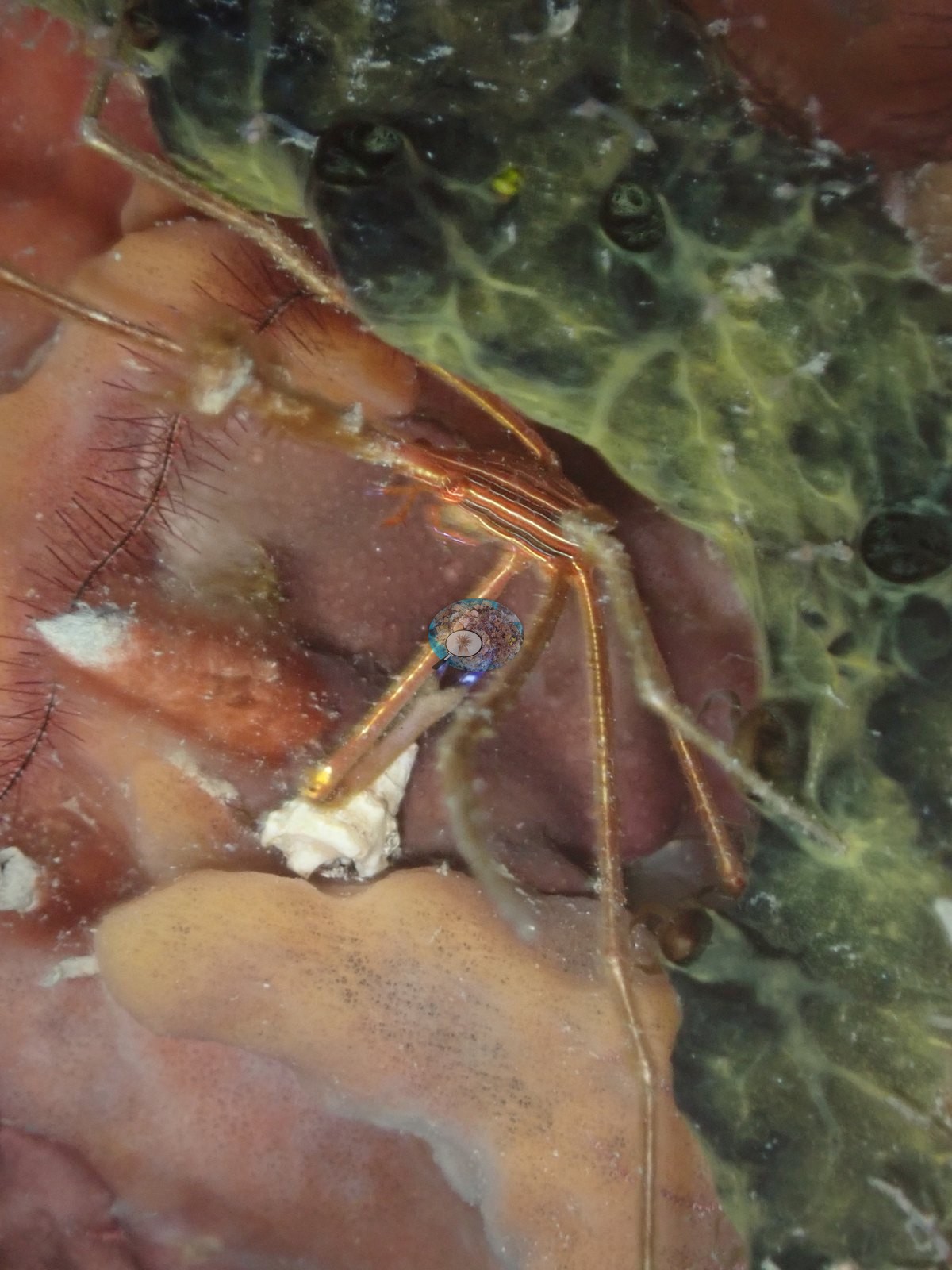
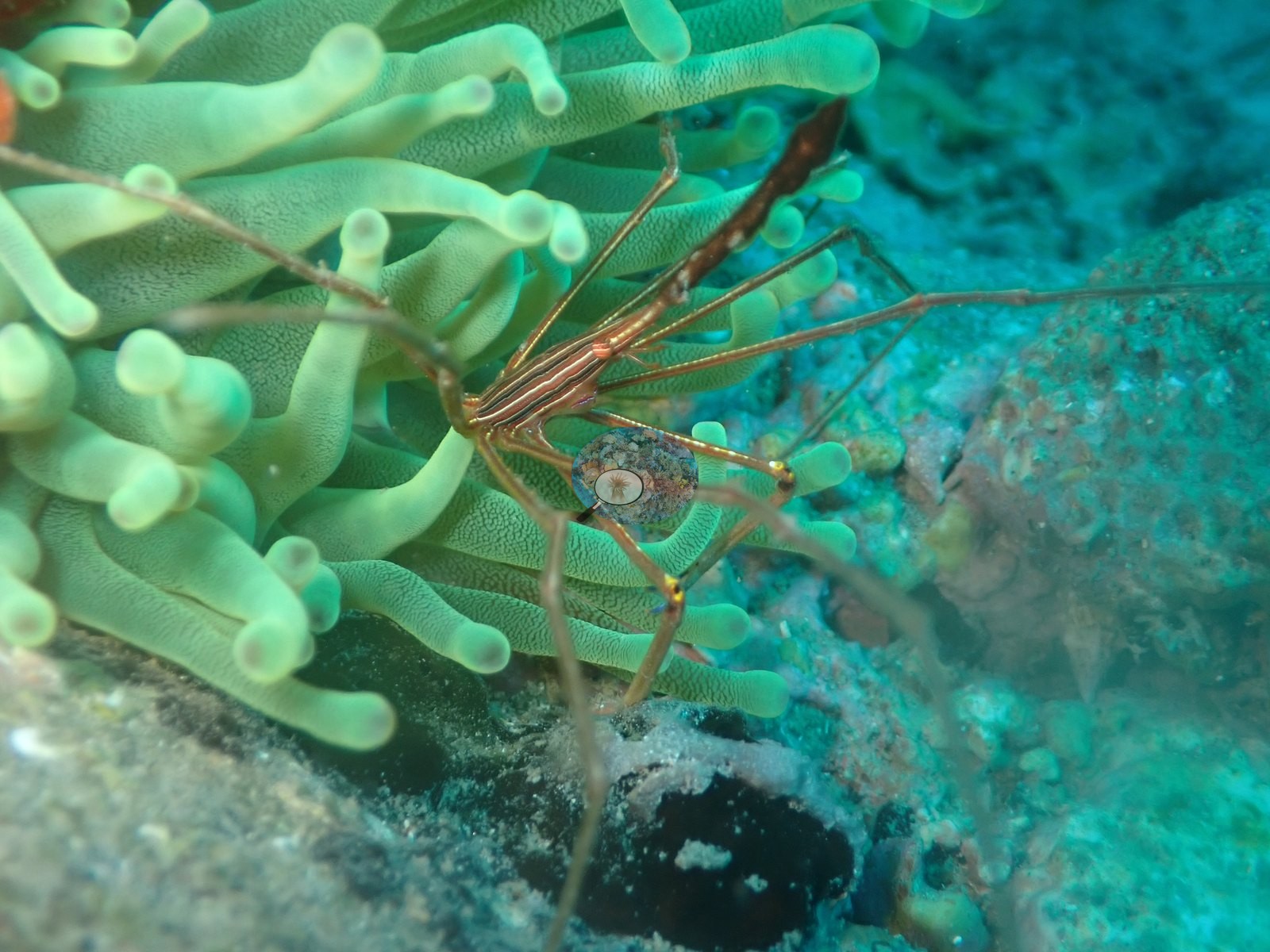
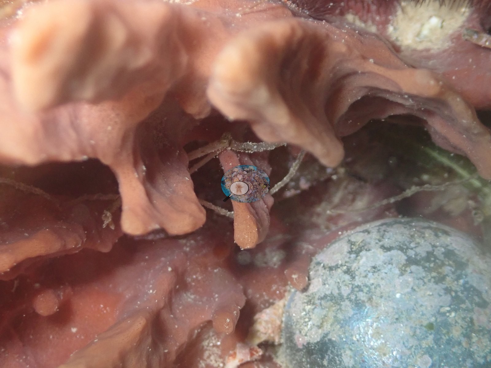
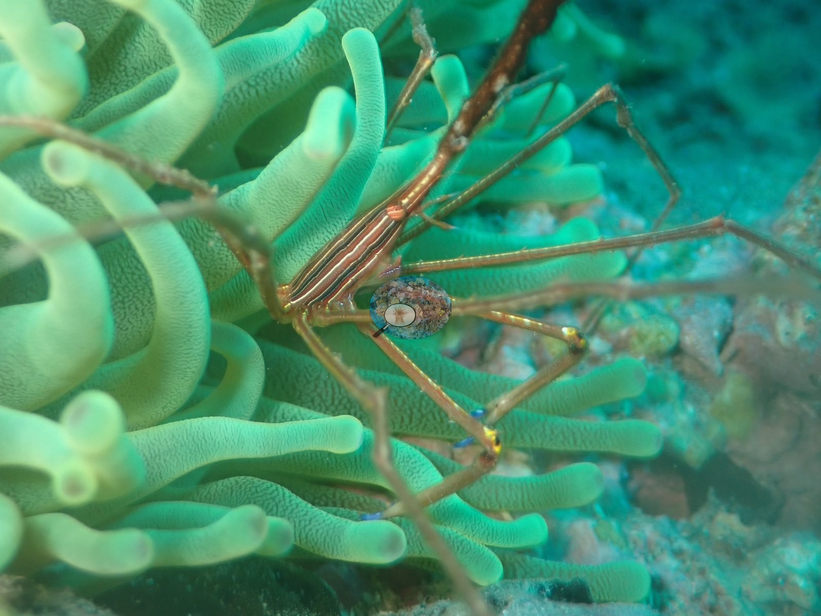
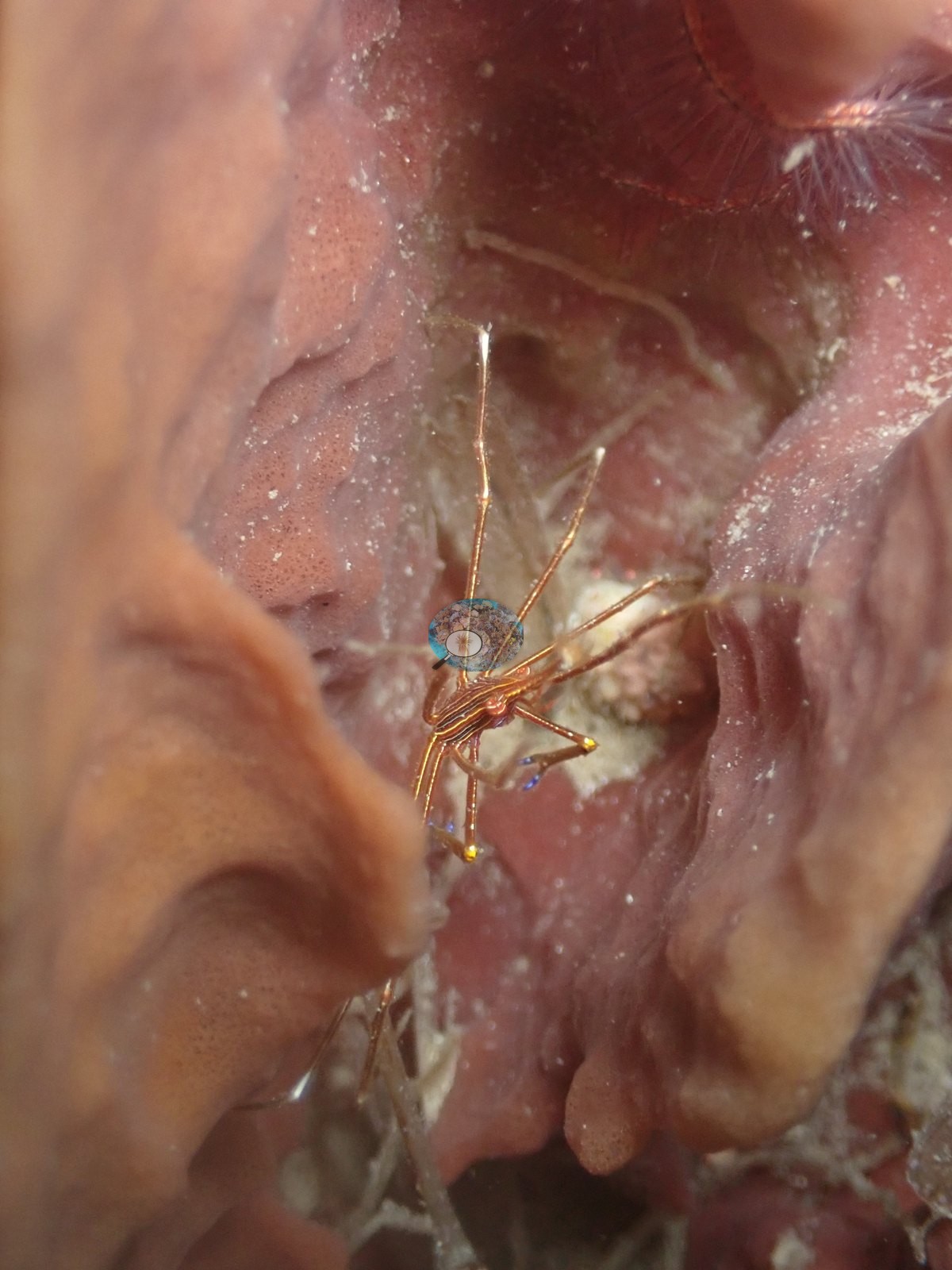
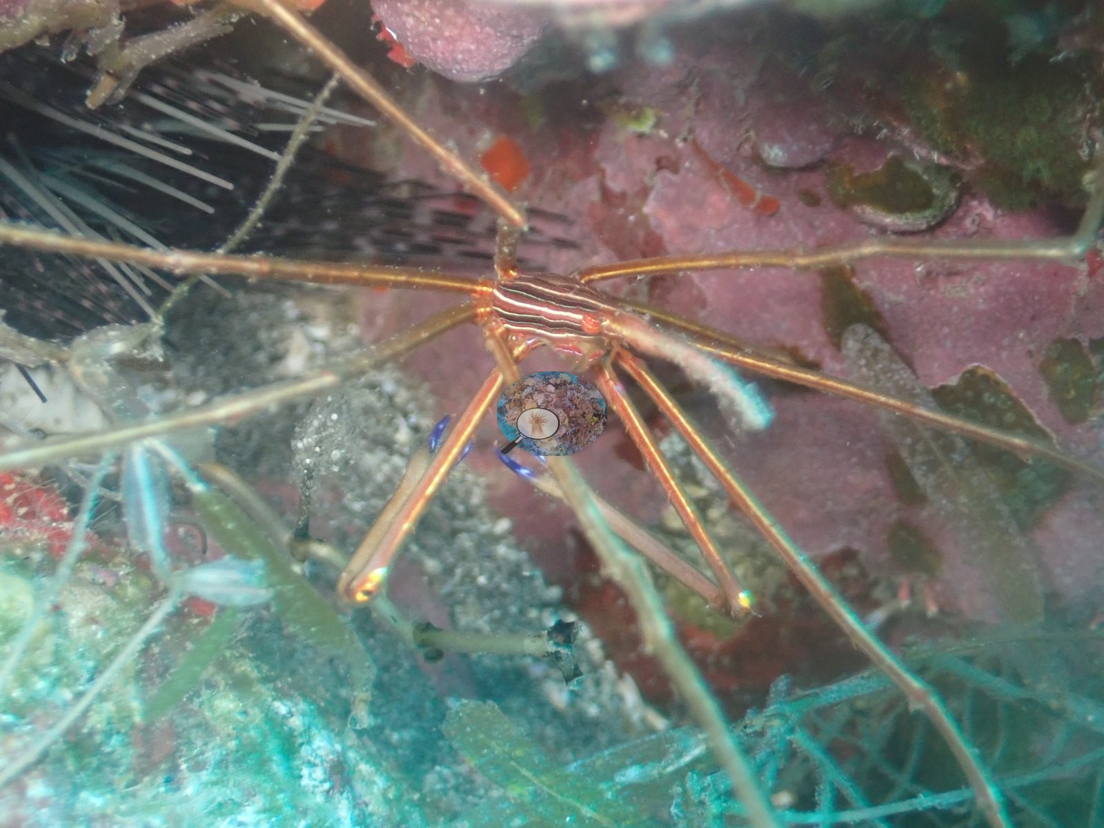
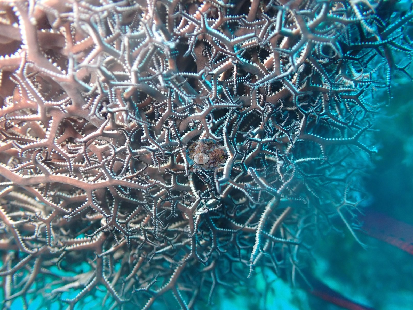
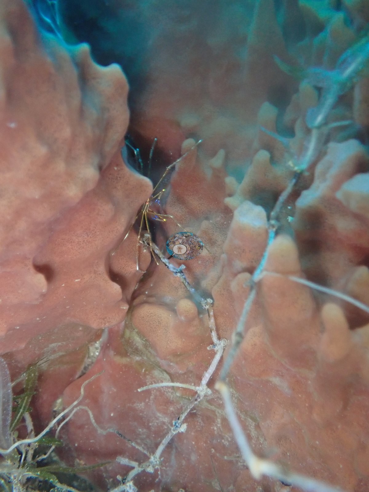
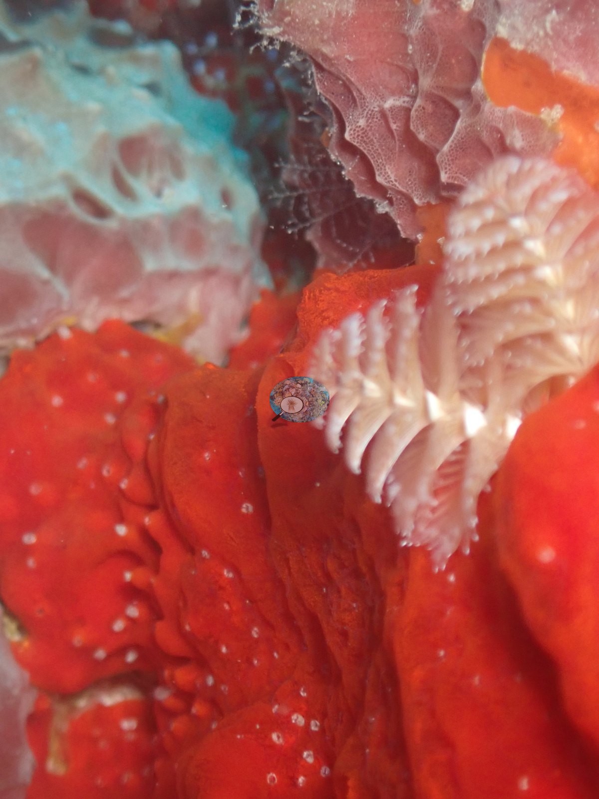
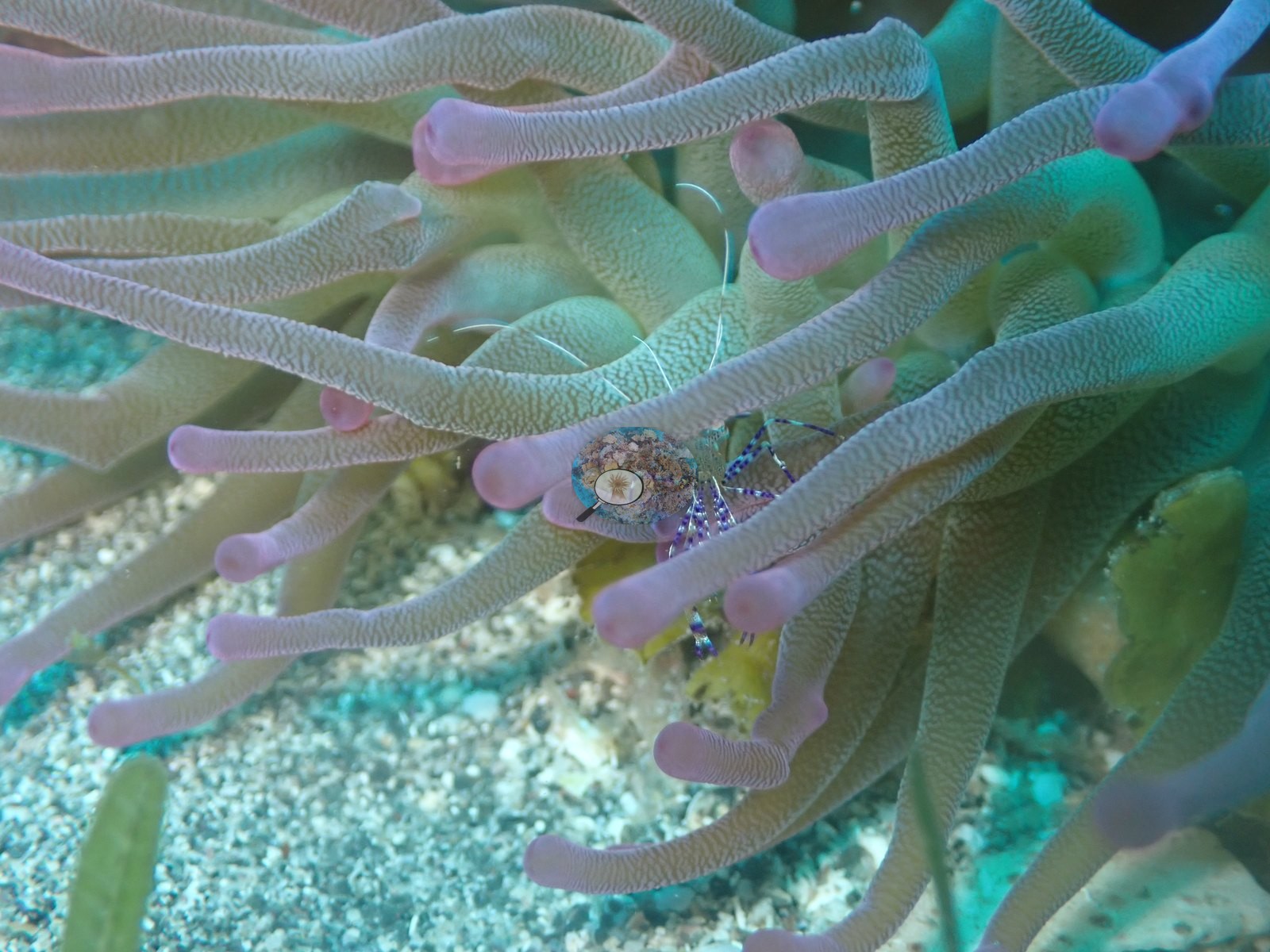
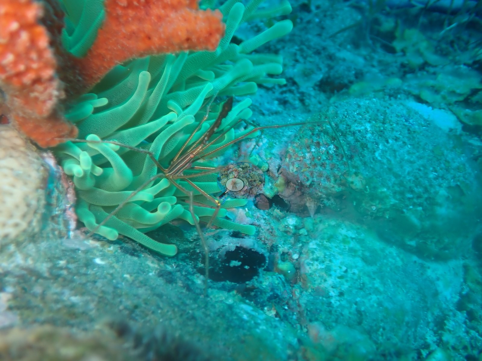
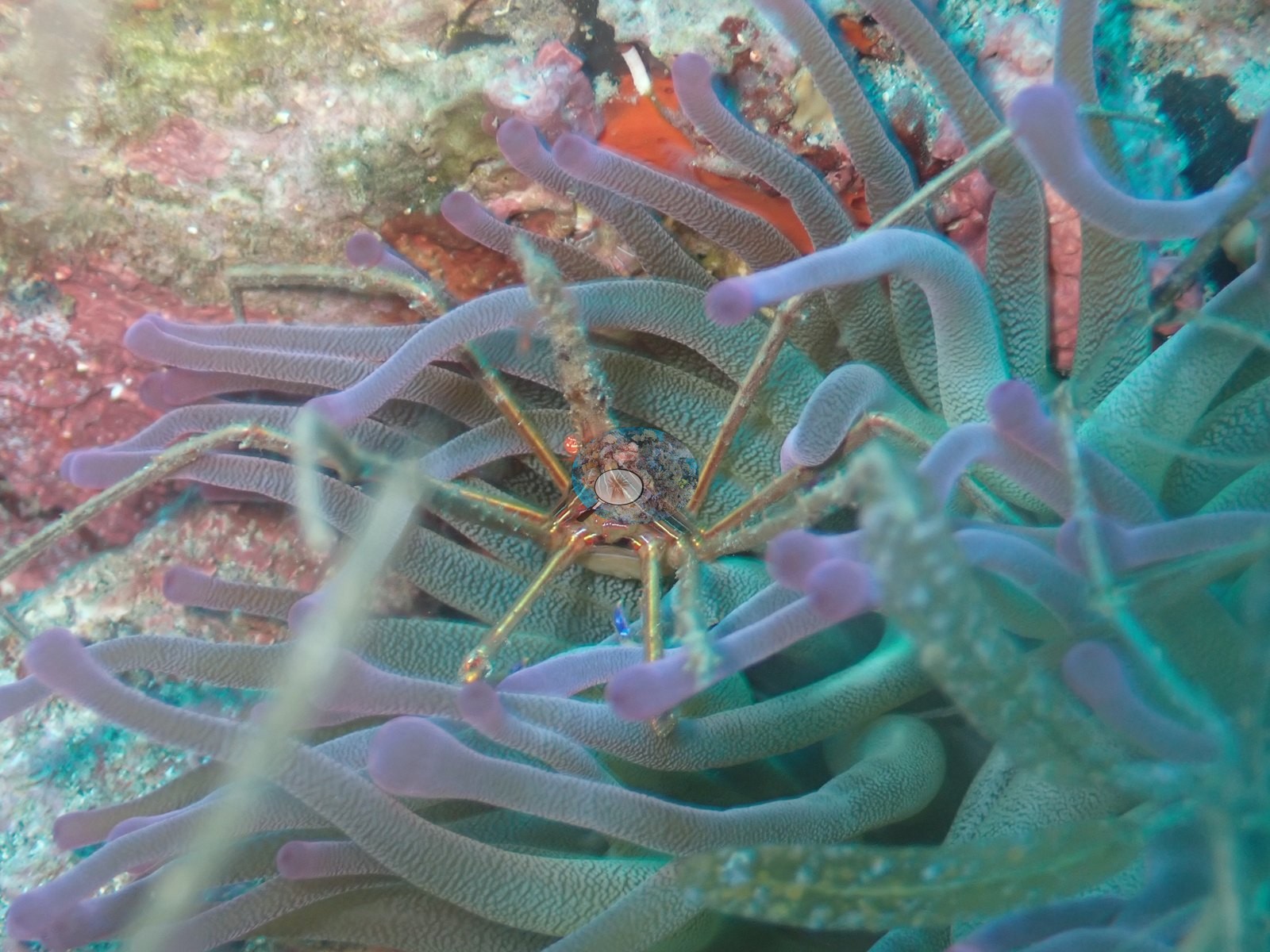
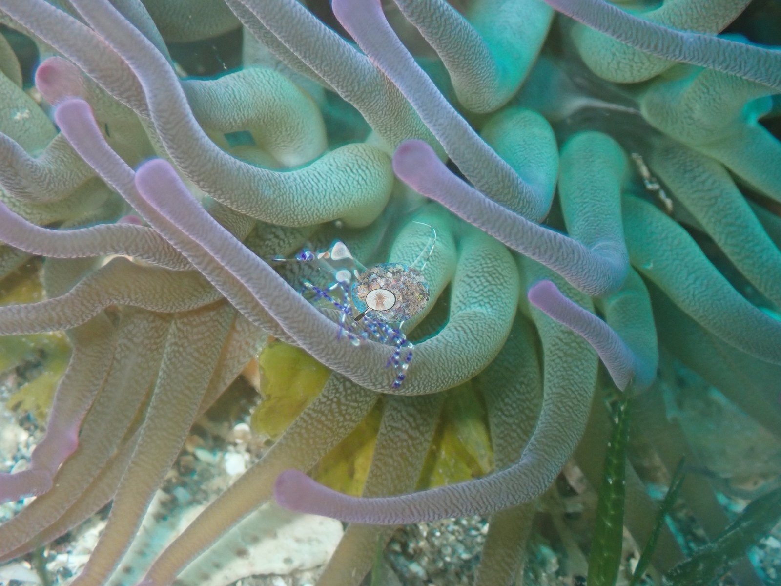
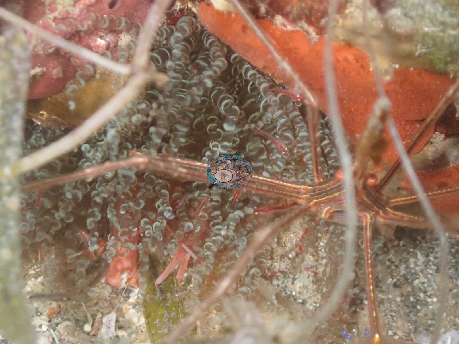
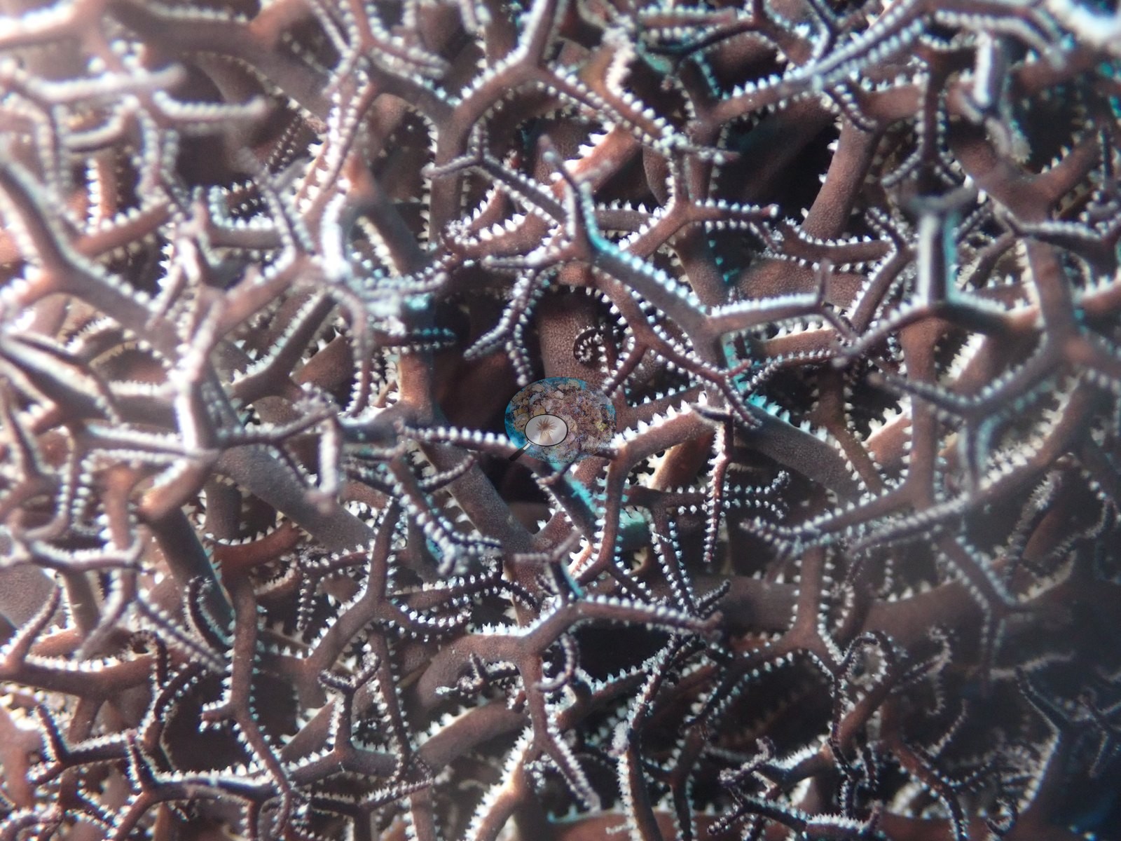
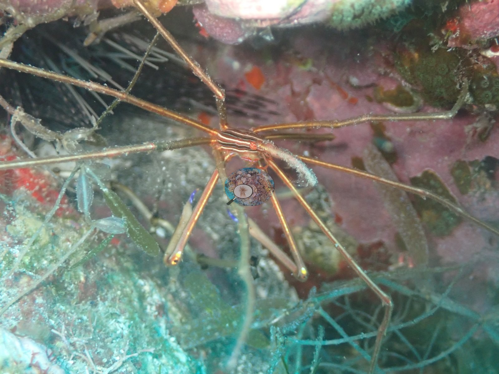
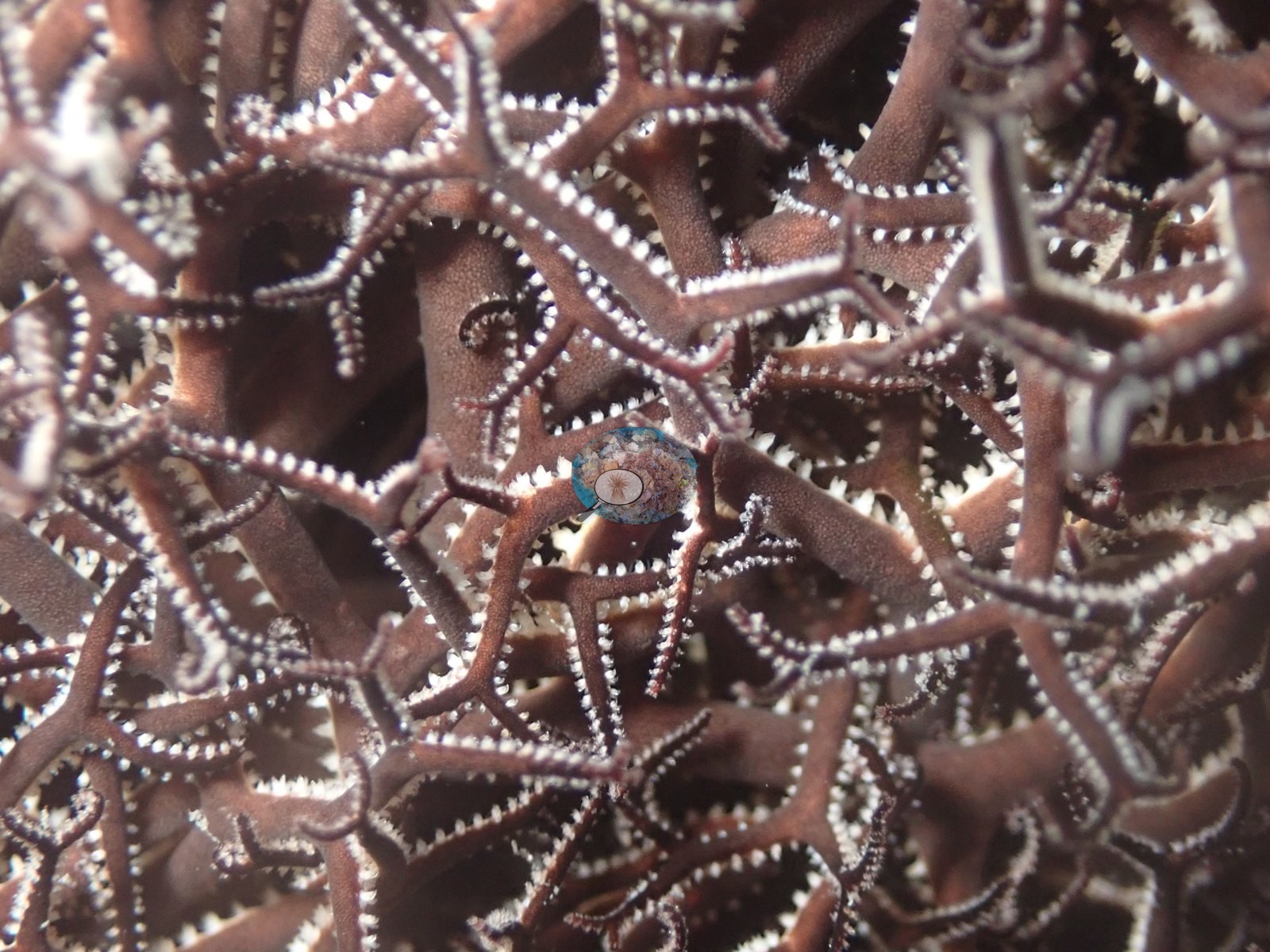
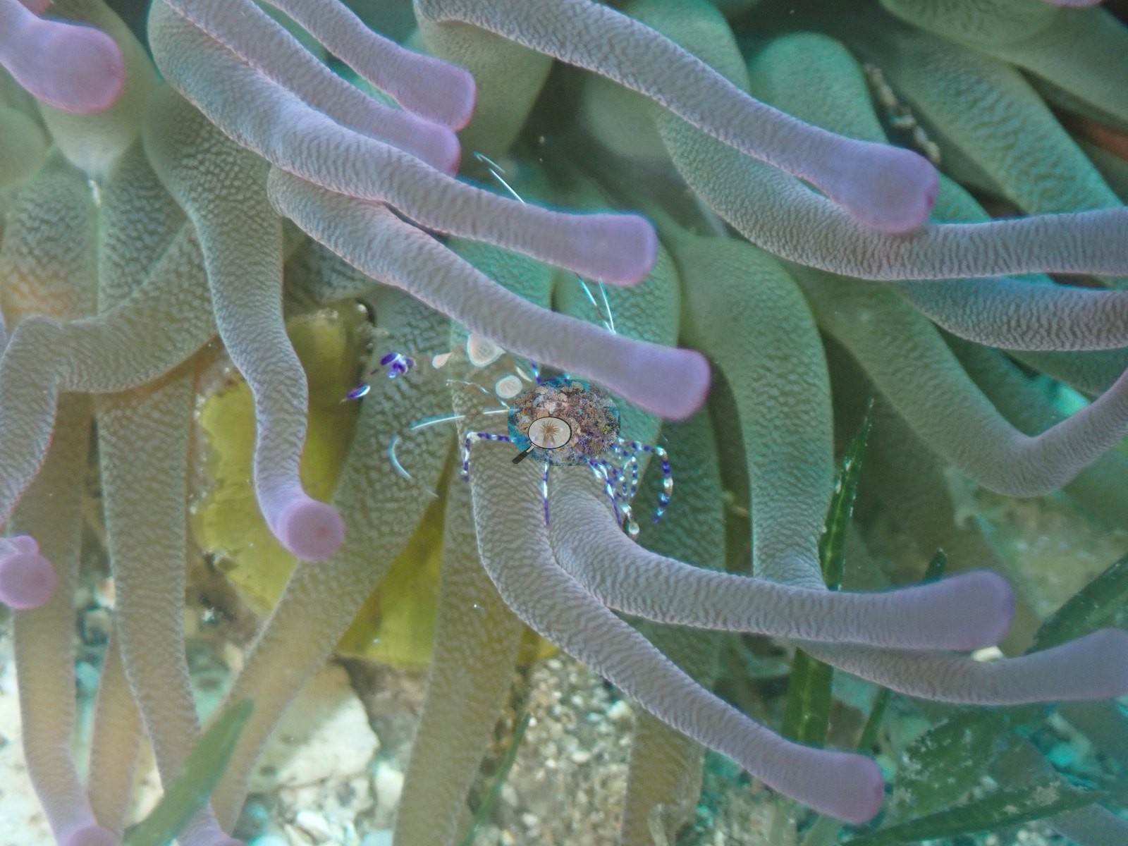
Macro frames show a yellowline arrow crab (Stenorhynchus seticornis) with long banded legs sheltering under an orange encrusting sponge, an aggregation of long-spined black brittle stars densely packed together in a crevice, and a Pederson/spotted cleaner shrimp (cf. Periclimenes) perched on the pale lavender-tipped tentacles of a corkscrew or giant anemone (e.g., Image 1, Image 17, Image 23).
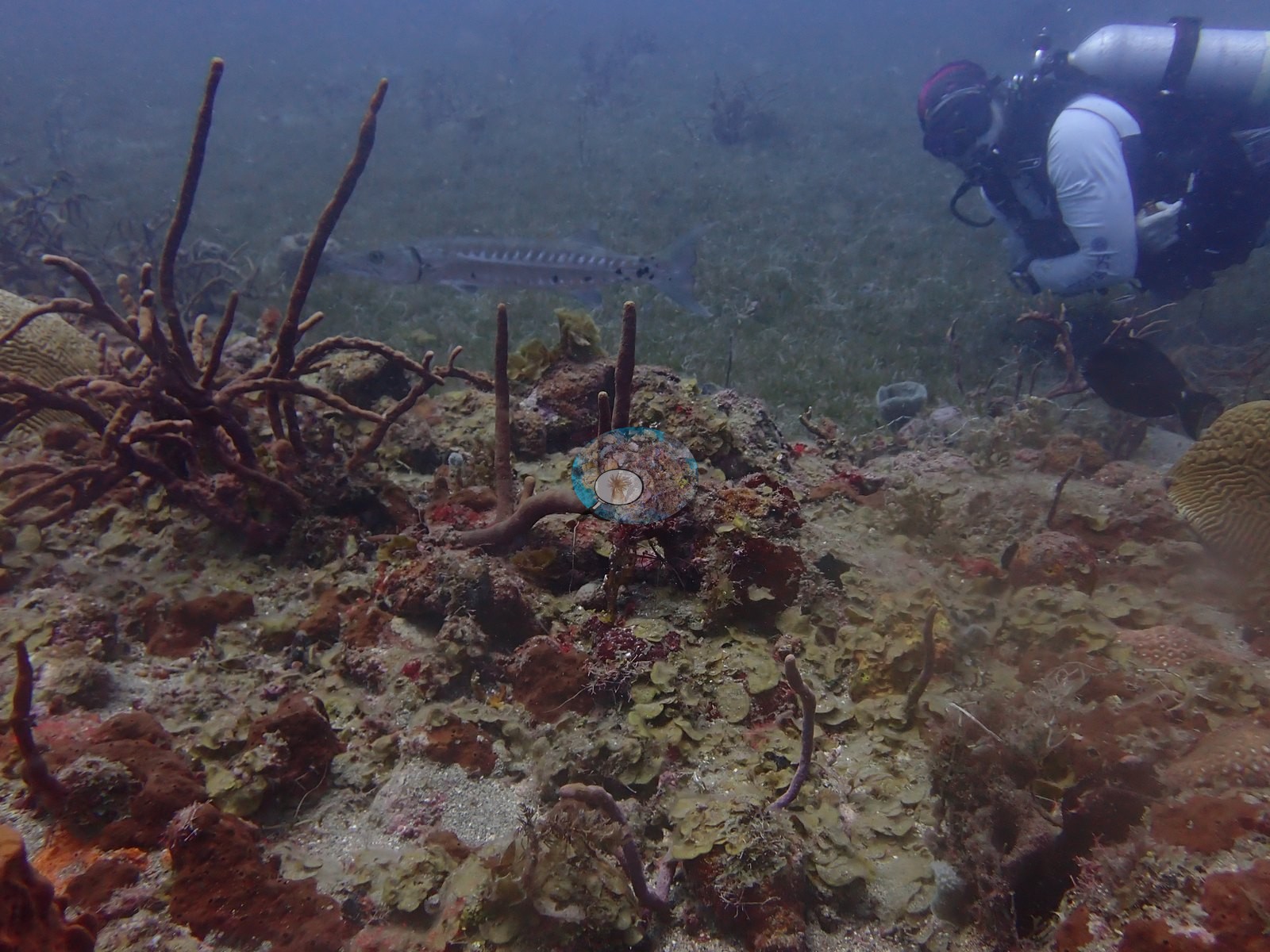
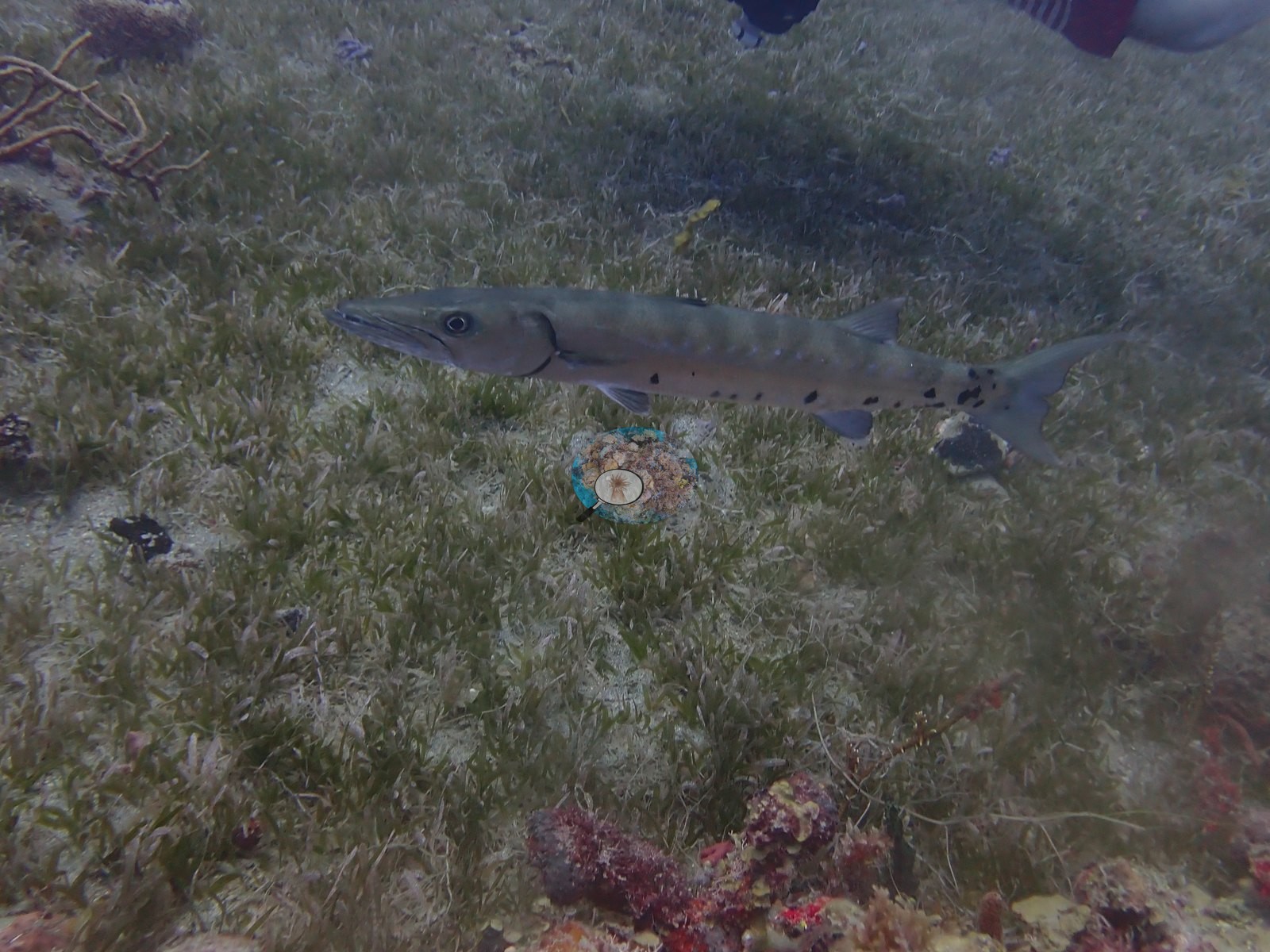
A great barracuda swims low over the seagrass in a separate frame, with a diver's fin visible at the frame edge (e.g., Image 8).
Comparisons with other data
No independent survey was made at this exact site; the nearest ones are listed in the table below.
CV model comparison
More info
DINOv3 and CoralSCOP were run on the same photos and are listed for comparison. Coralscapes v2 and v1 were also run but are not shown: Anderson does not consider Coralscapes reliable for these photos. No diver transect exists for this trip, so agreement between the rows is not accuracy, and as of September 2026 no computer-vision method estimates coral cover accurately on new images; treat every row as indicative.| Method | Hard-coral cover (%) |
|---|---|
| In-house DINOv3 | 15.6 |
| CoralSCOP unedited | 26.5 |
| Claude | 5.6 |
Independent surveys nearby
| Agency / program | Year(s) | Stations / distance | Link |
|---|---|---|---|
| Reef Check | 2005–2010 | 5 stations, 1.43–4.35 km | Records ↓ |
| XL Catlin Seaview Survey | 2013 | 2 stations, 1.02–1.06 km | Records ↓ |
 Dr. Coral (CRD)
Within 5 km, 7 independent survey stations recorded hard coral cover in 17 records between 2005 and 2013. Of the 4 stations surveyed in more than one year, 1 declined, 1 increased, and 2 changed by less than 5 percentage points between their first and latest surveys. The longest record, Barracuda Reef Line 1 (Reef Check, 1.43 km away), went from 28% in 2005 to 26% in 2010. The most recent nearby survey is from 2013, so these values predate recent heat stress. This site's own estimate (5.6%) sits within the range of these surveys (0.7–38%); the methods differ, so the comparison is context, not a like-for-like test.
Collected by other programs using different methods (Reef Check uses point-intercept transects; the XL Catlin Seaview Survey uses photo-transects with automated image annotation), so these are context for the figures above, not a like-for-like comparison. Where a station was surveyed more than once the range is shown. Station names are not dive-site names.
| Agency | Site / location | Date | Hard coral cover (%) | Distance | Link |
|---|---|---|---|---|---|
| Reef Check | Barracuda Reef Line 1 | 2005–2010 | 11–28% (6 surveys) | 1.43 km | — |
| Reef Check | Barracuda Reef Line 2 | 2005–2007 | 24–25% (2 surveys) | 1.43 km | — |
| Reef Check | Mushroom Garden Line 1 | 2005–2009 | 9.4–33% (4 surveys) | 2.58 km | — |
| Reef Check | Mushroom Garden Line 2 | 2005–2007 | 24–38% (2 surveys) | 2.58 km | — |
| Reef Check | Twin Sisters | 2009 | 16% | 4.35 km | — |
| XL Catlin Seaview Survey | transect 25015 | 2013 | 2.0% | 1.02 km | — |
| XL Catlin Seaview Survey | transect 25016 | 2013 | 0.7% | 1.06 km | — |
Data & links
All images from Coral Reef Diagnostics. Data are from Coral Reef Diagnostics and the organizations named in the data-sources table above.
© Coral Reef Diagnostics.