
St. Eustatius - Chien Tong wreck

Part of the regional summary: St. Eustatius
More about this place: Sint Eustatius on Wikipedia
More info
Leeward Caribbean Islands (NOAA CRW virtual station) · Eastern Caribbean ecoregion mean=13.1°C-heating weeksAn intact steel cargo ship sitting upright on sand, its railings, masts, winch, and cargo hatches still in place and patrolled by a great barracuda. The vertical steel is crusted with sponges and hydroids while the flat decks stay bare, and young brain, maze, and star coral colonies are just beginning to settle on the hull. Wreck and artificial-structure site: this cover value counts coral growing on man-made structure (steel, concrete, wreck debris) and the bottom around it, so it isn't comparable with natural-reef cover or with regional averages.
Eight independent survey stations shown with the program’s logo — click one to see how far it is from this site.
Three other CRD dive sites within 5 km shown in orange — click a marker to open its page.
32 of these 50 photographs are shown beside the text that discusses them under "Site description" below.
Site description
Setting
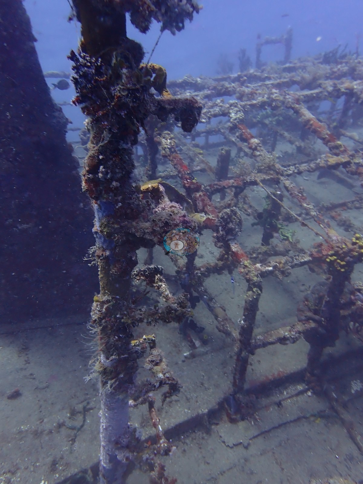
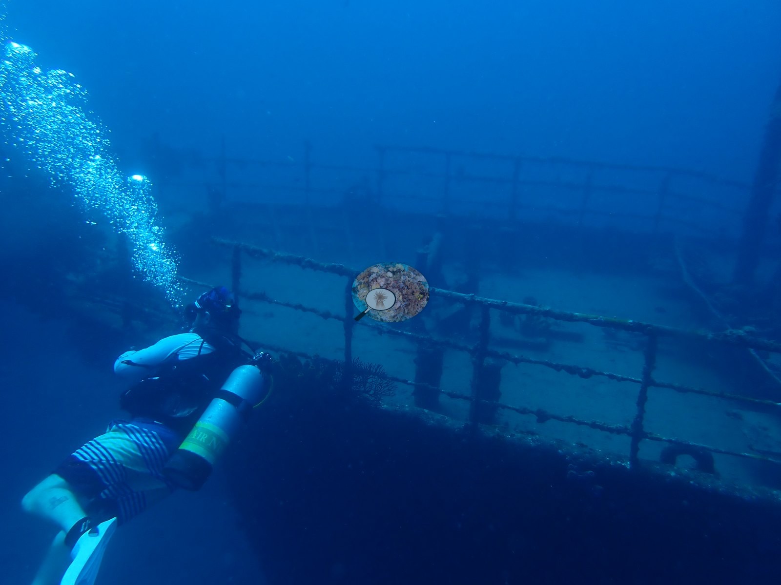
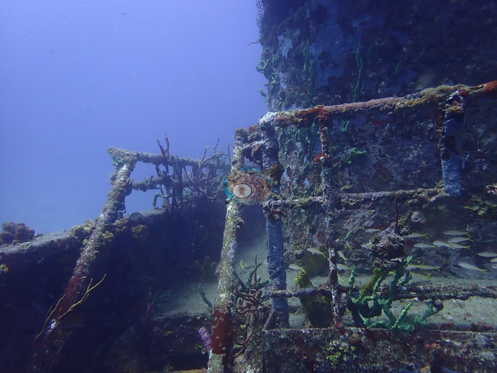
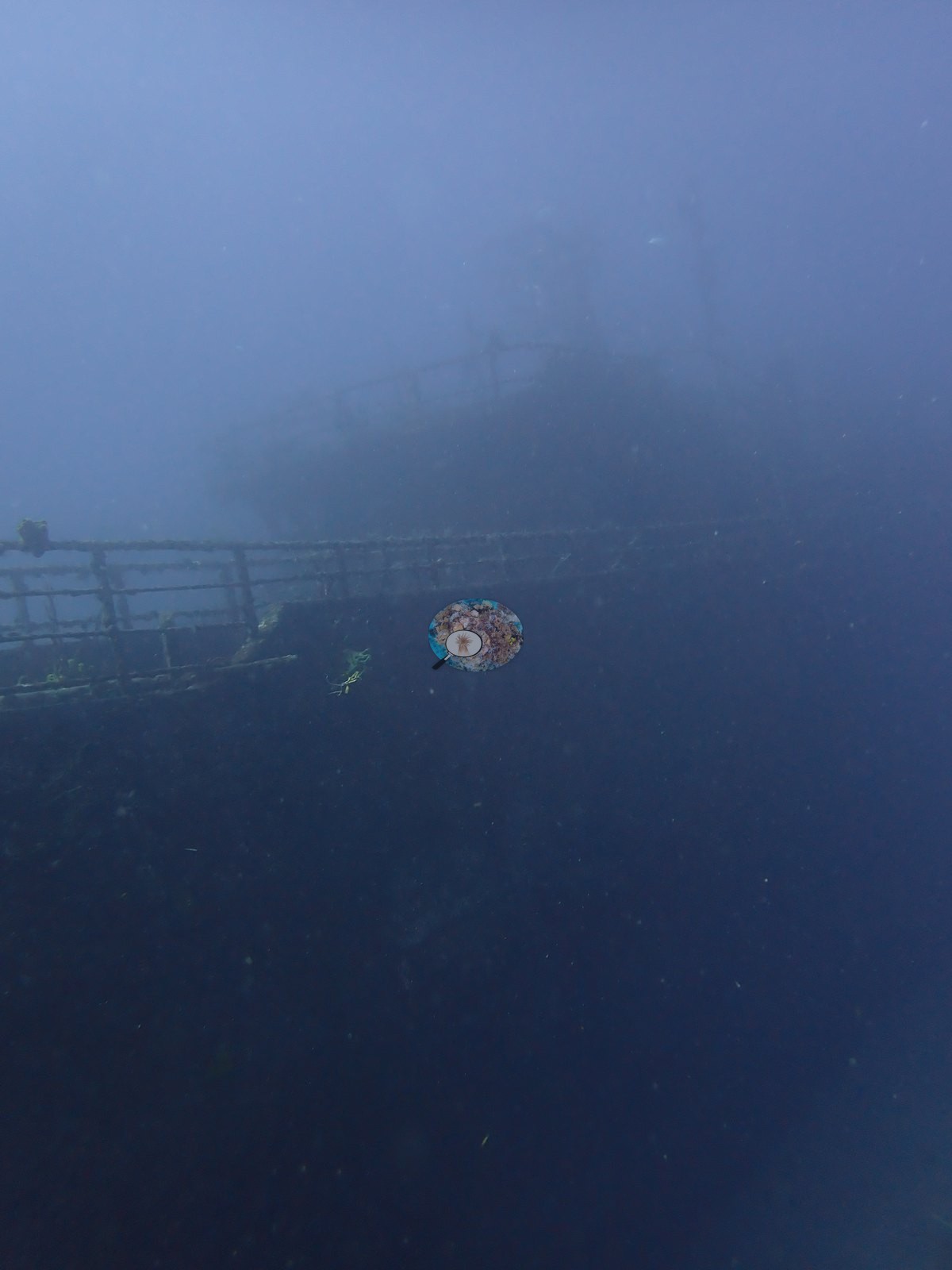
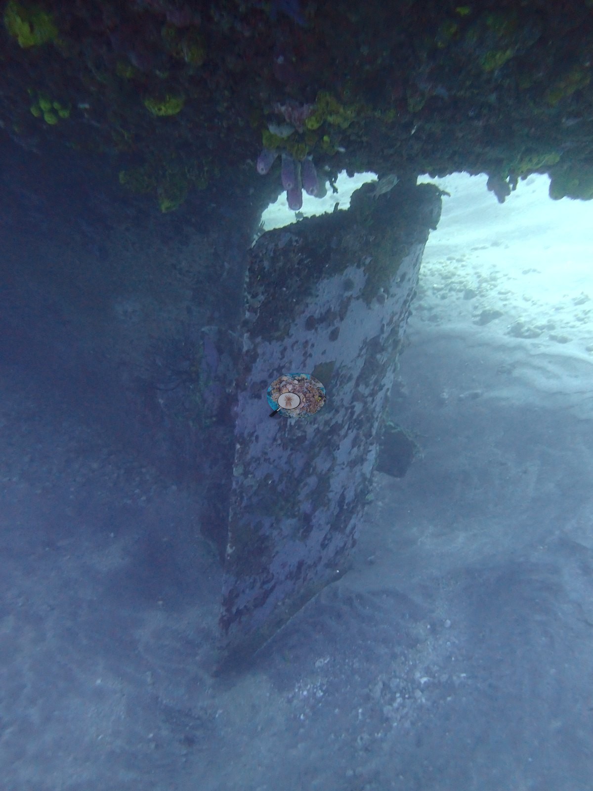
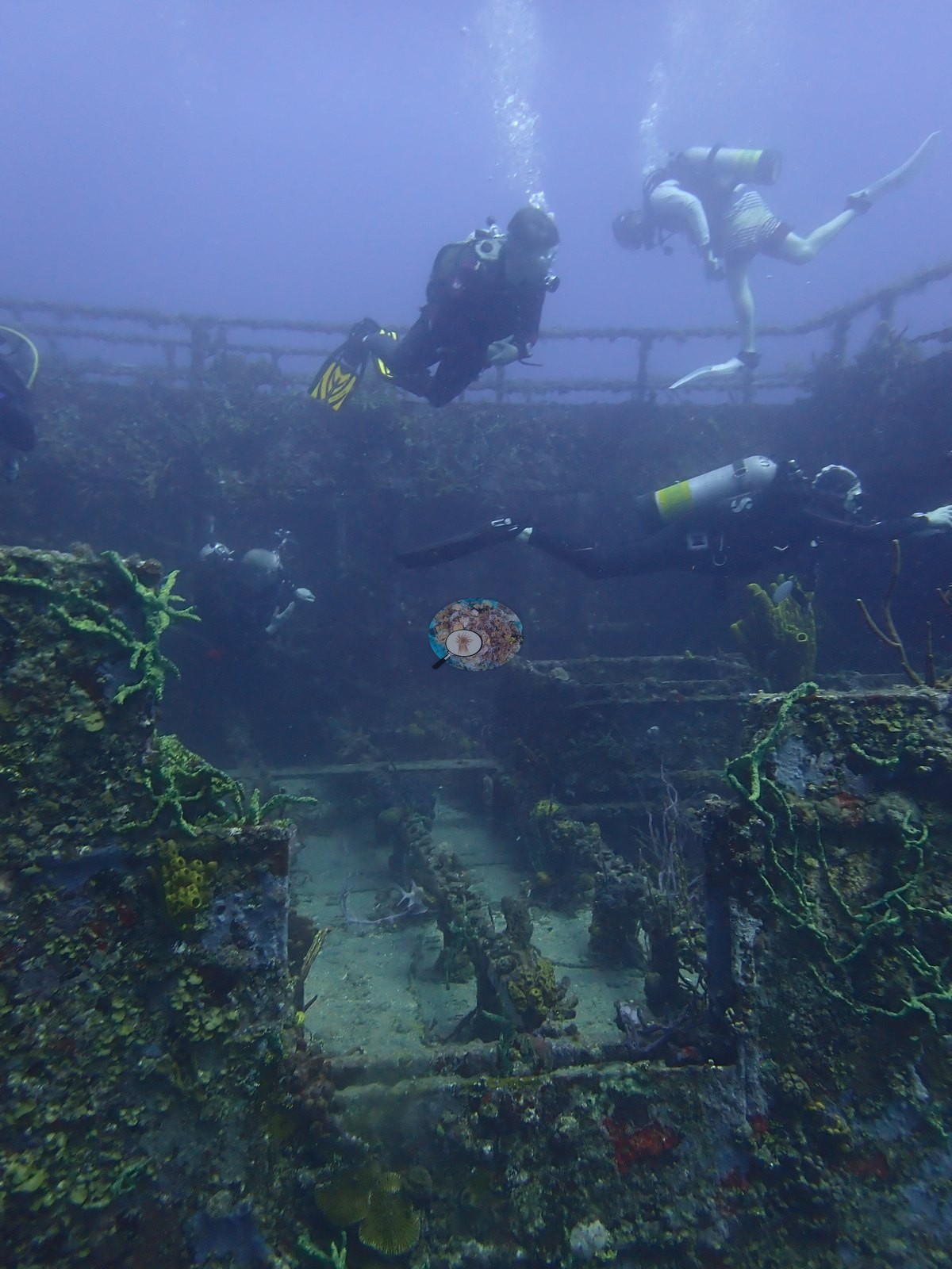
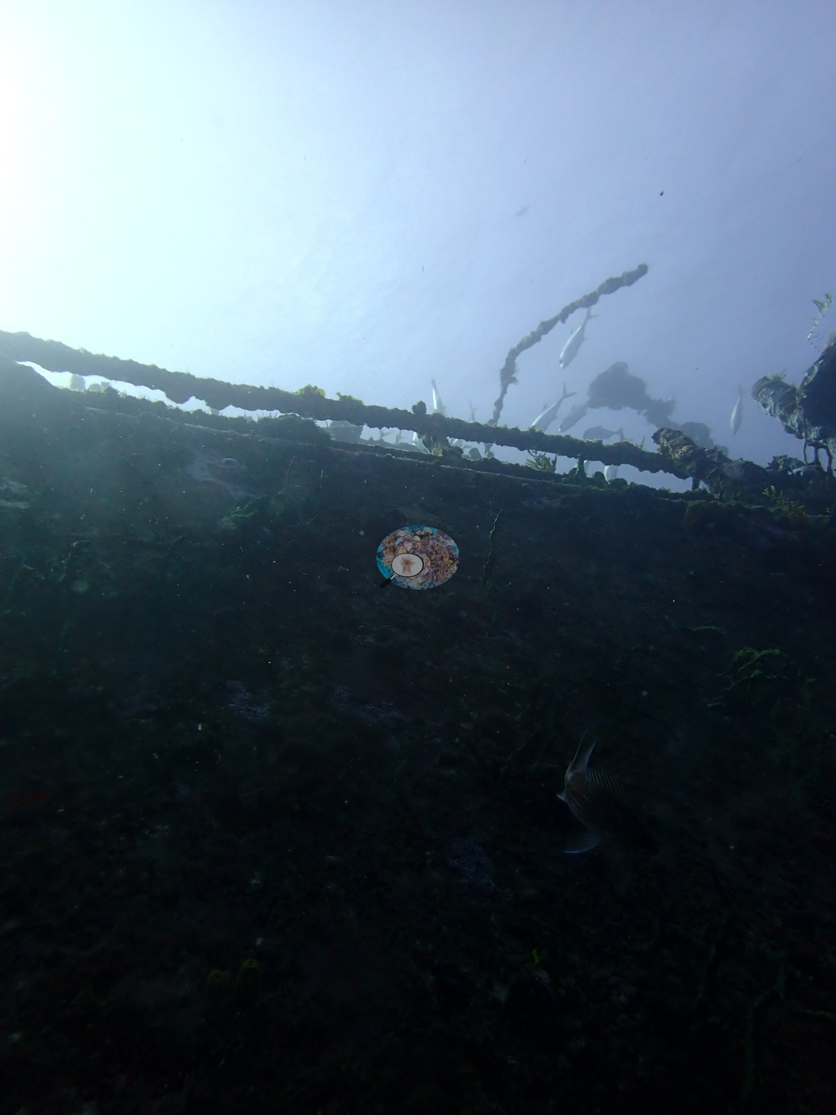
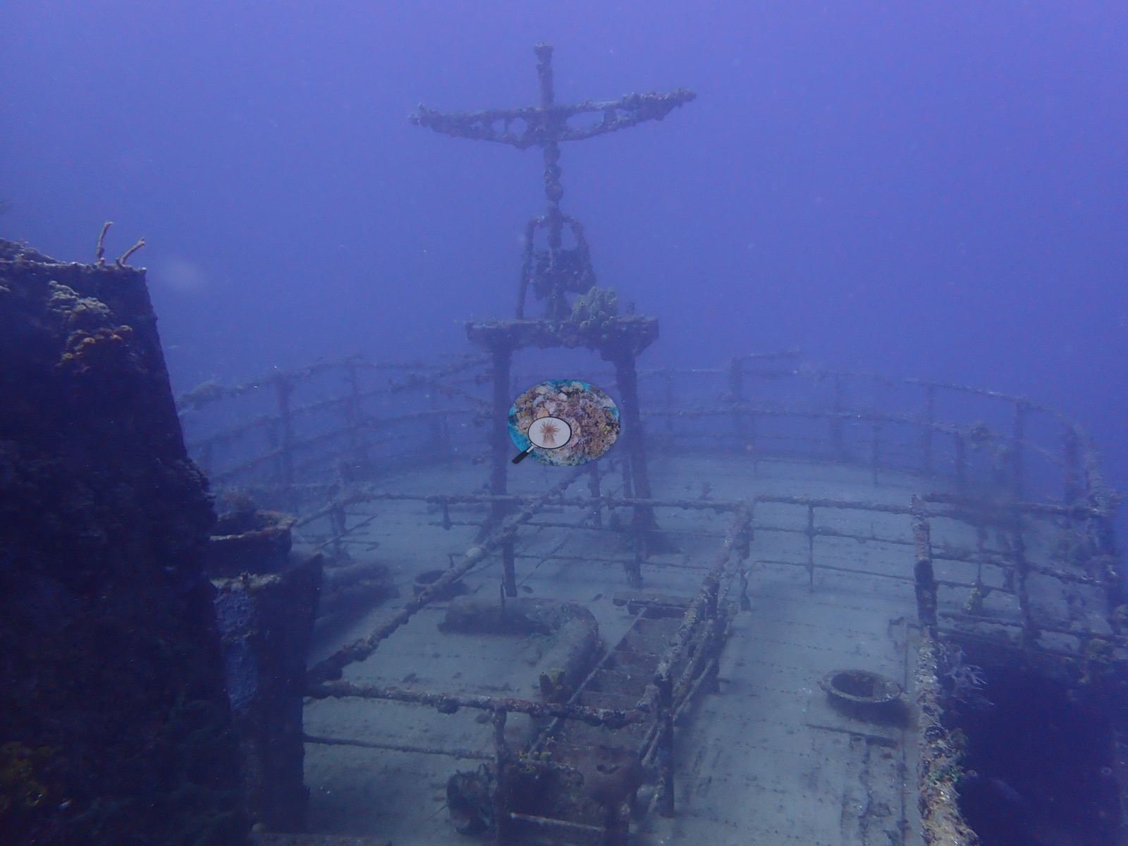
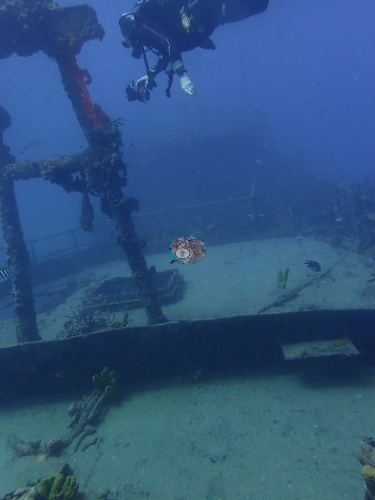
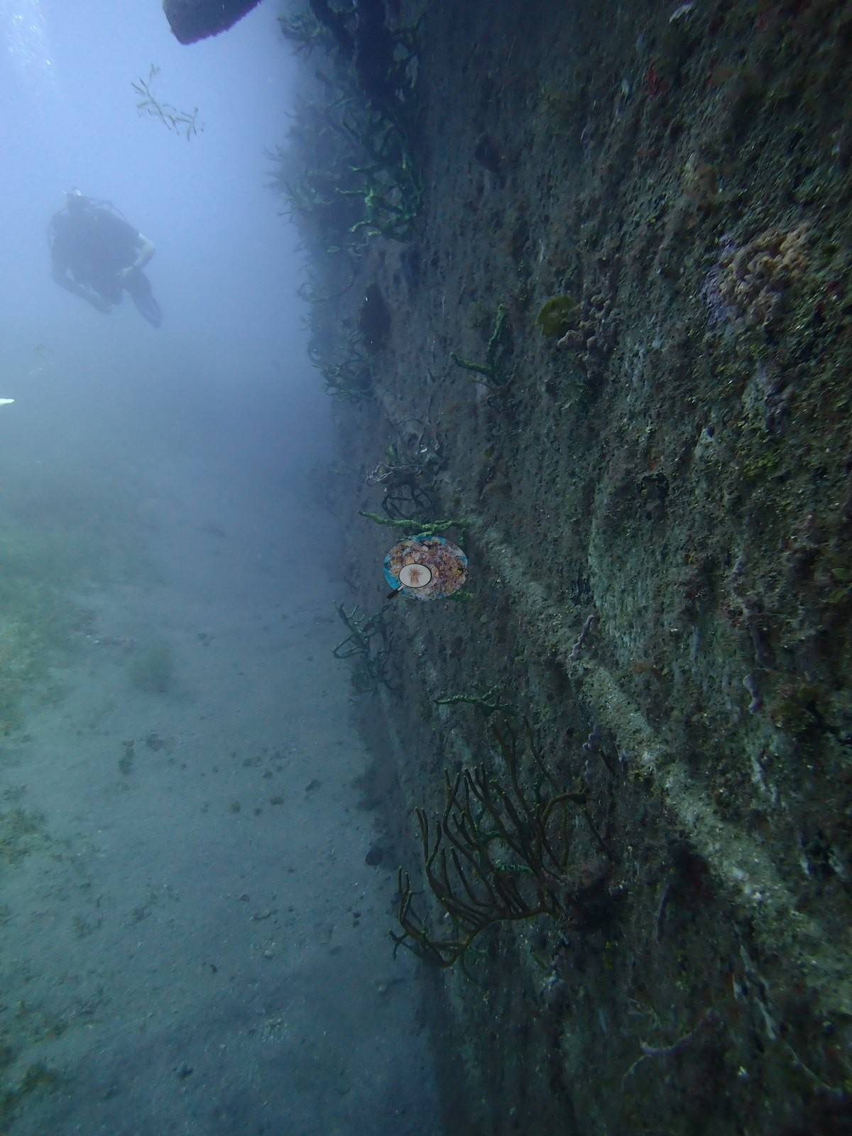
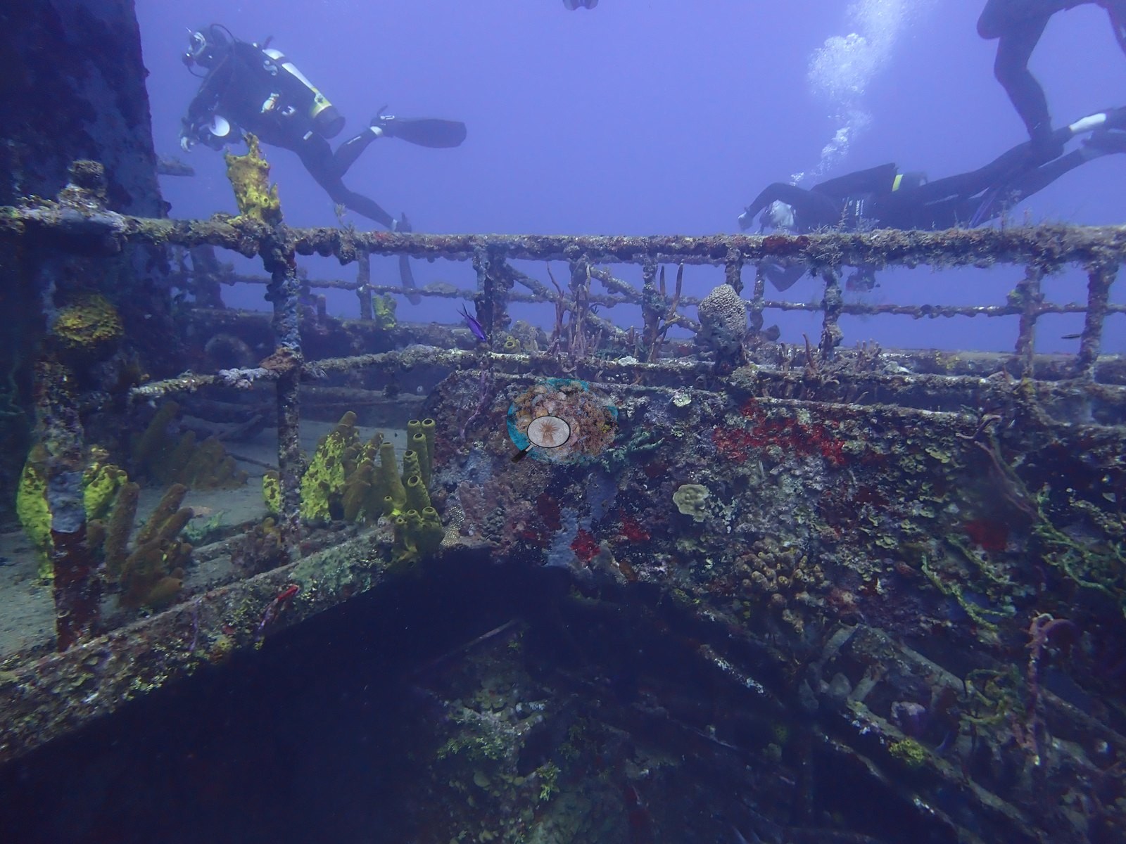
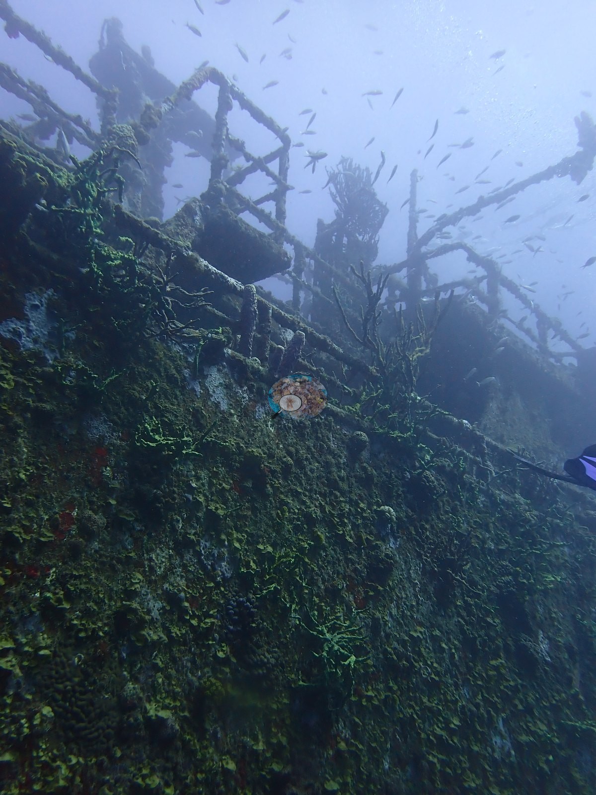
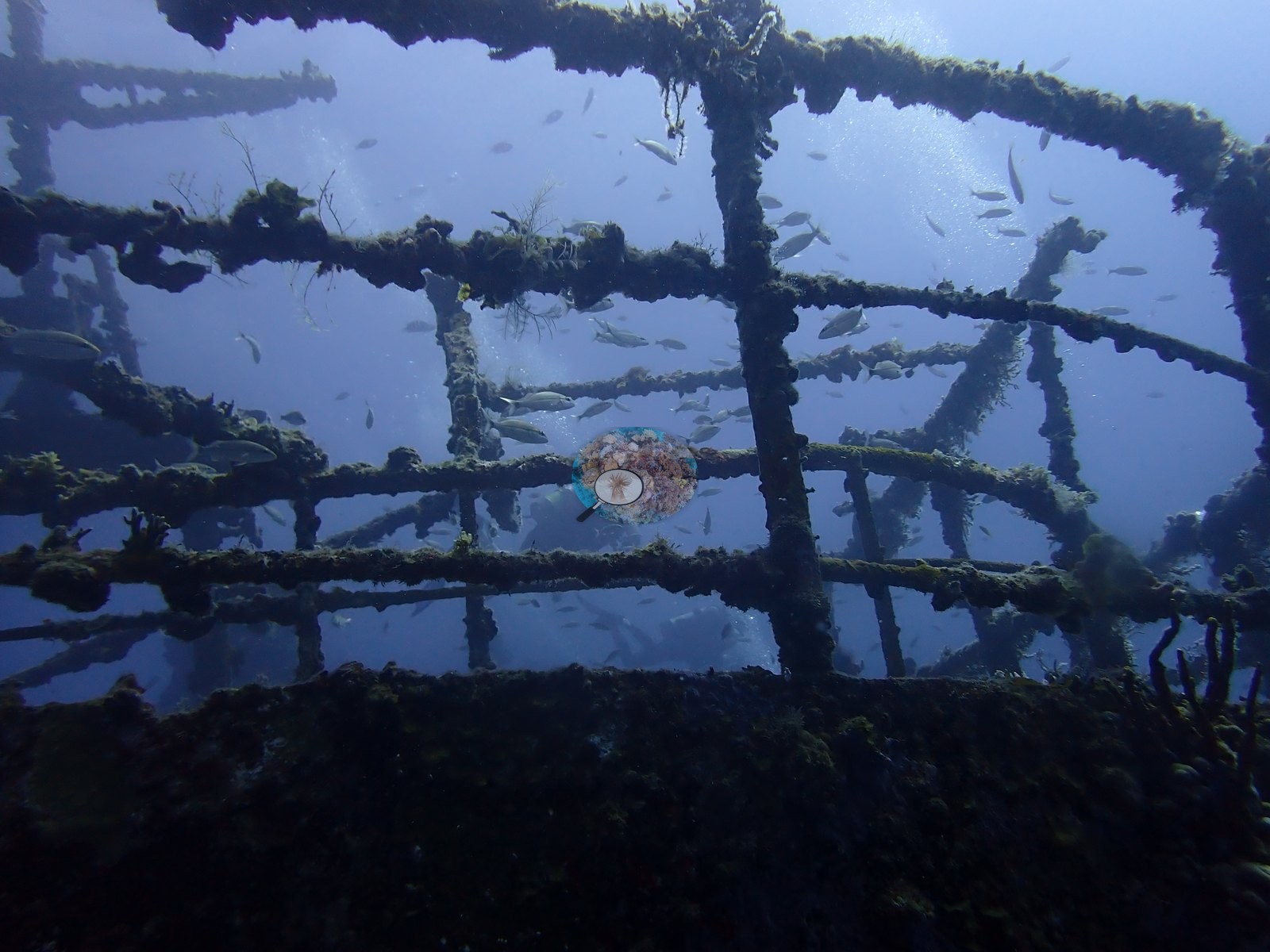
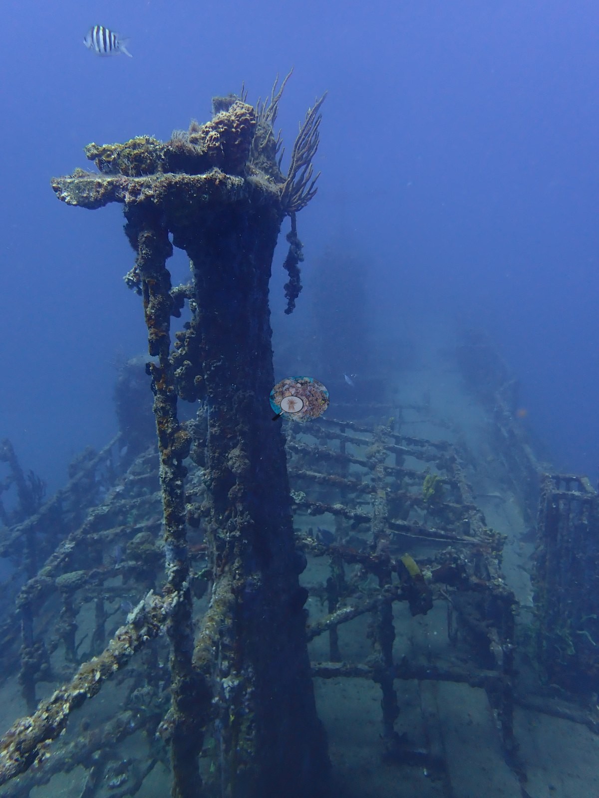
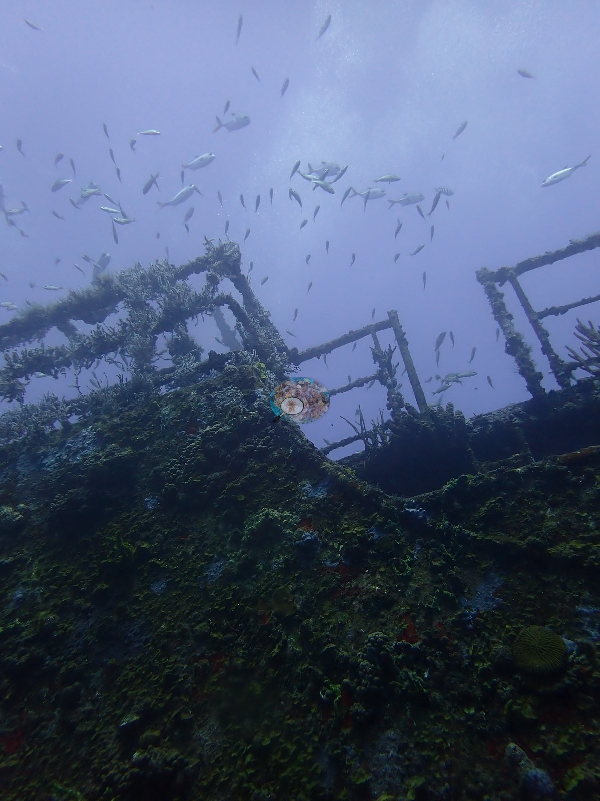
The Chien Tong, St. Eustatius, dived 25 February 2026 as the first dive of the day. The wreck is a steel cargo vessel sitting upright and essentially intact on sand, and the frames read as a tour of a ship rather than of a reef: pipe railings running the full length of the bulwarks, a flat expanse of deck plating with rectangular cargo hatches still square-edged, a horizontal winch drum on its bed, an upright derrick or mast frame with a diver silhouetted through it, and a clean sweep of bow rail shot from below against the surface light (e.g., Image 3, Image 12, Image 13, Image 21, Image 25, Image 26, Image 32, Image 33, Image 39, Image 42, Image 43).
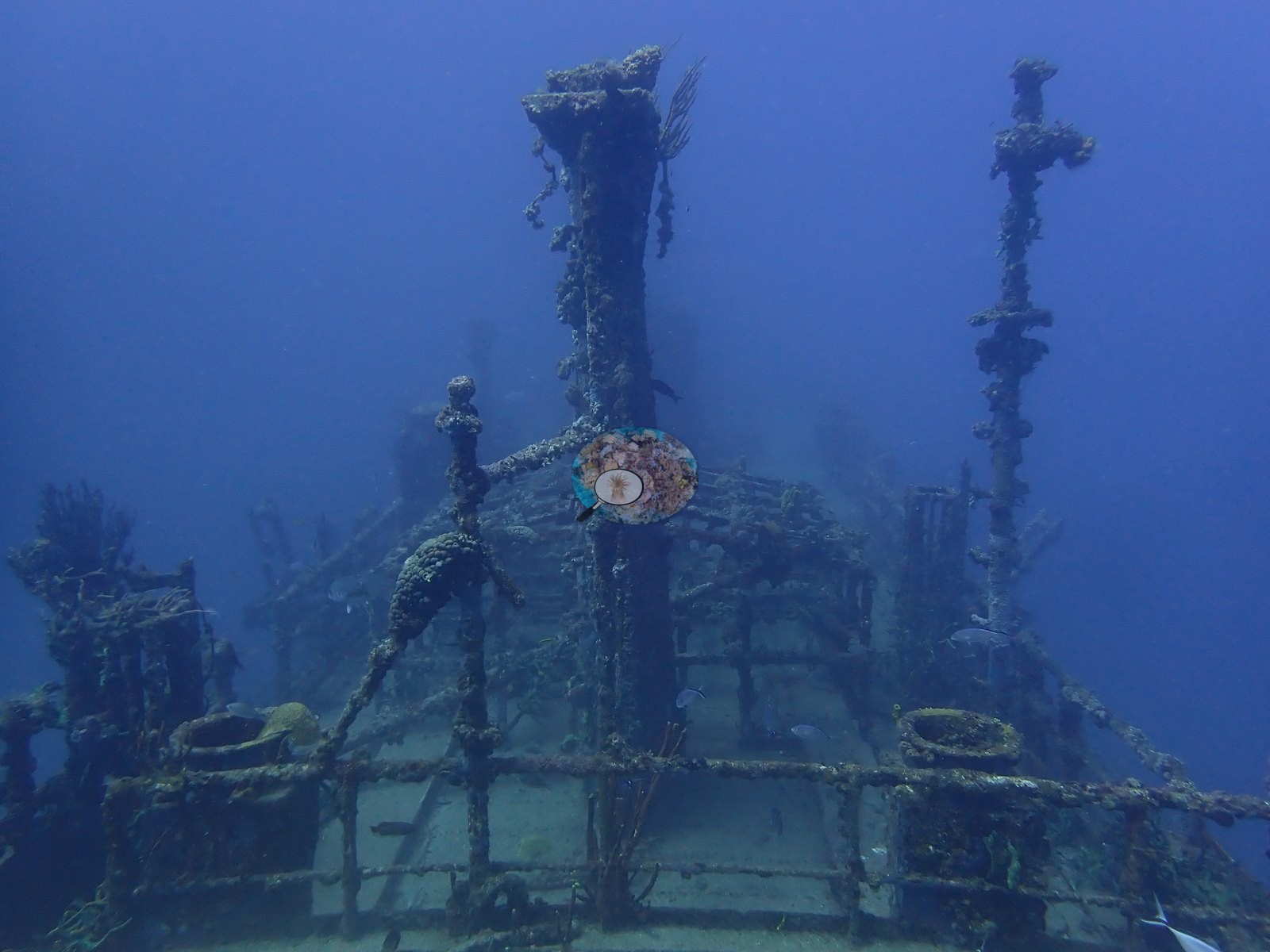
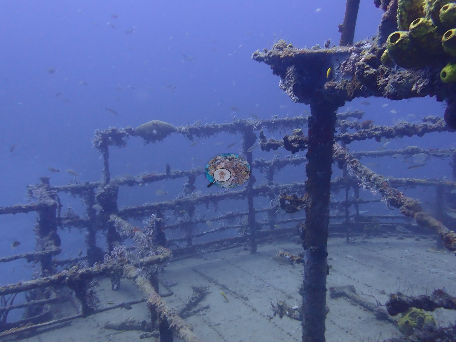
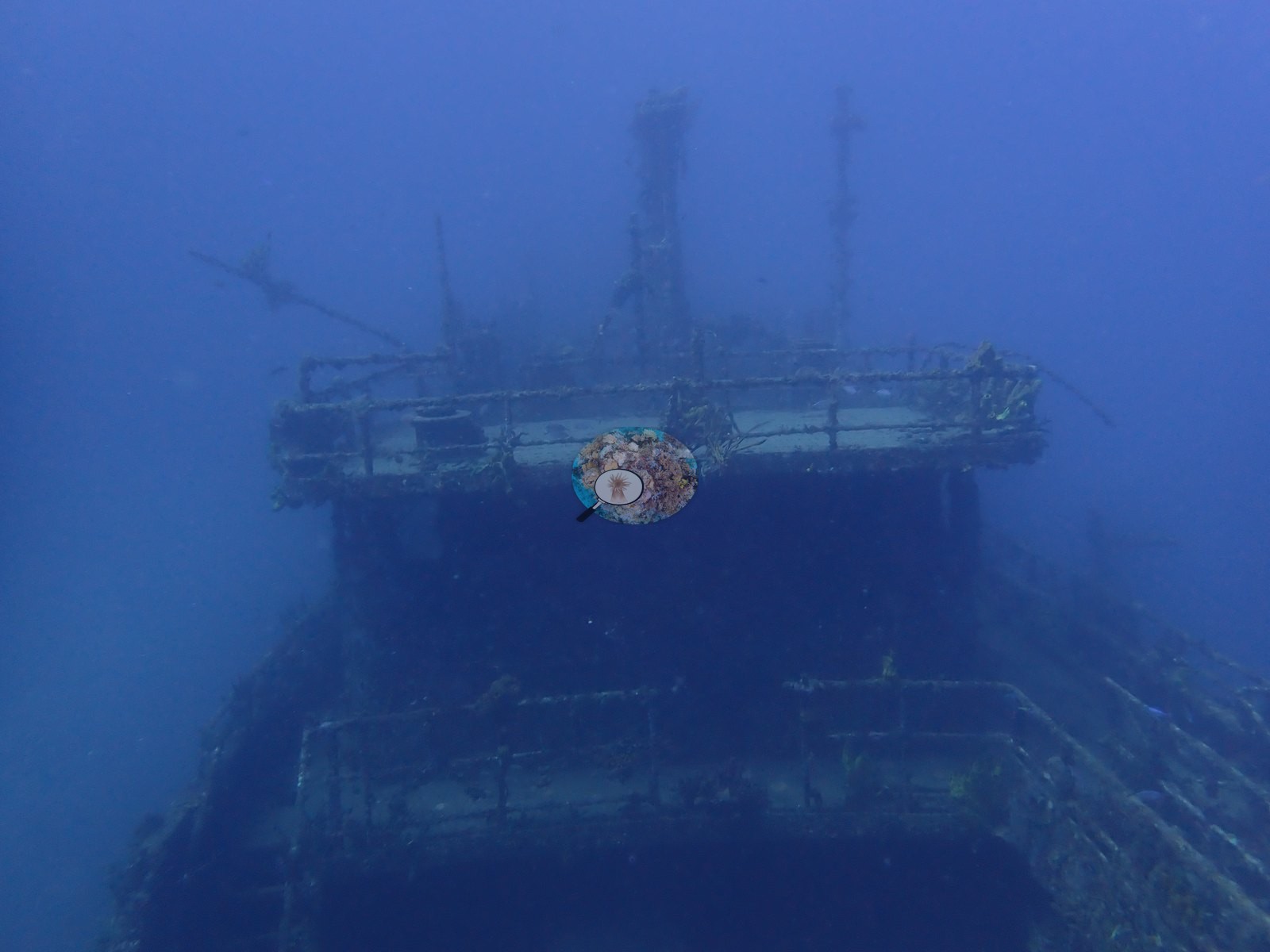
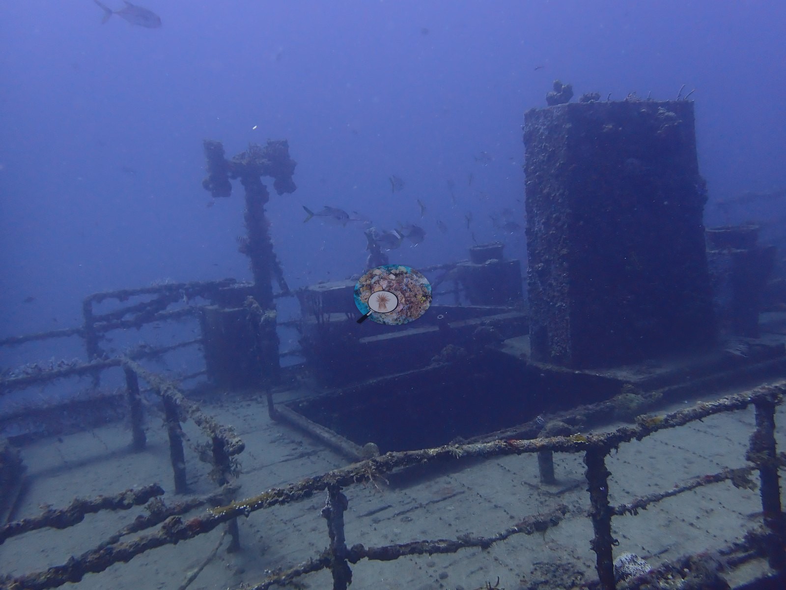
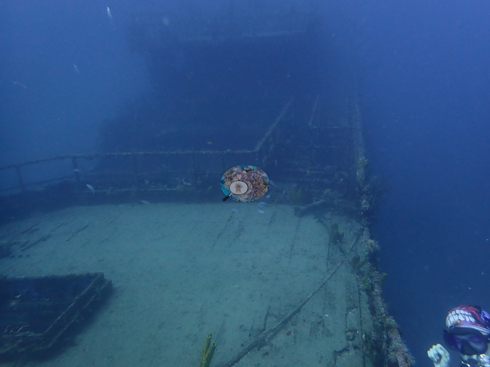
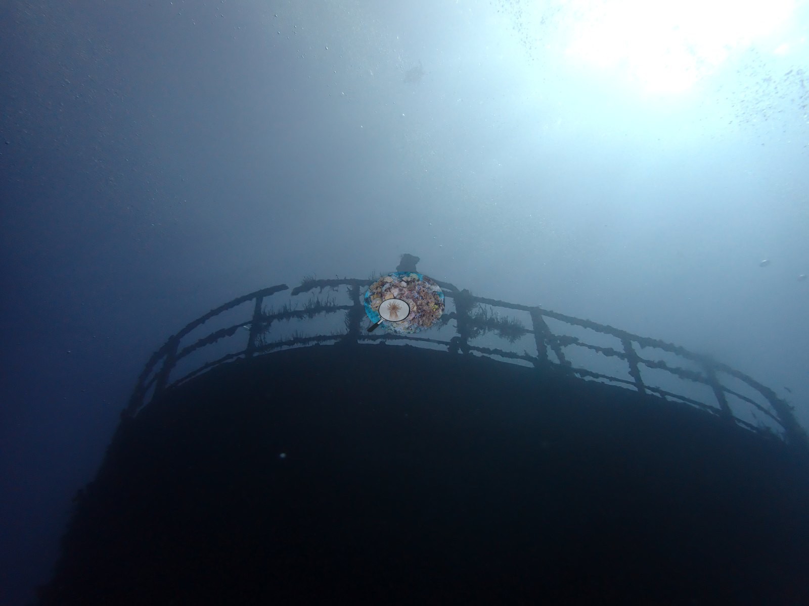
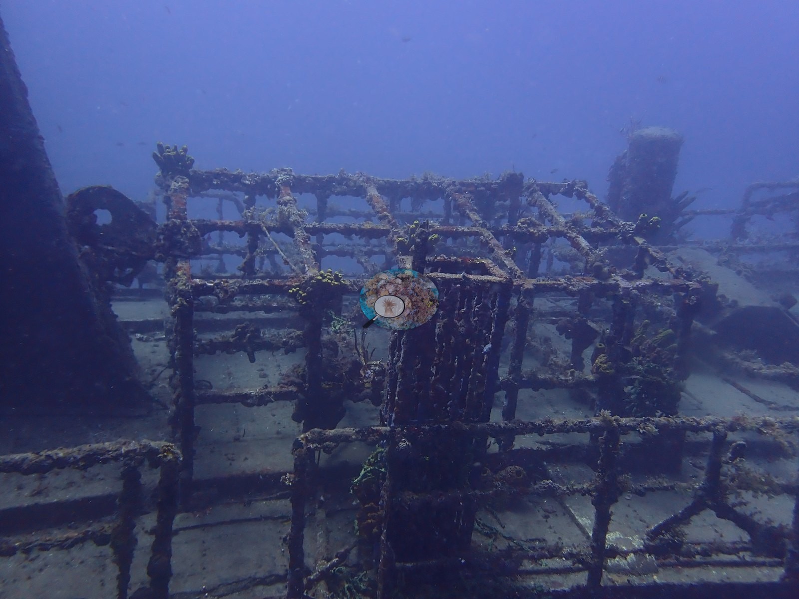
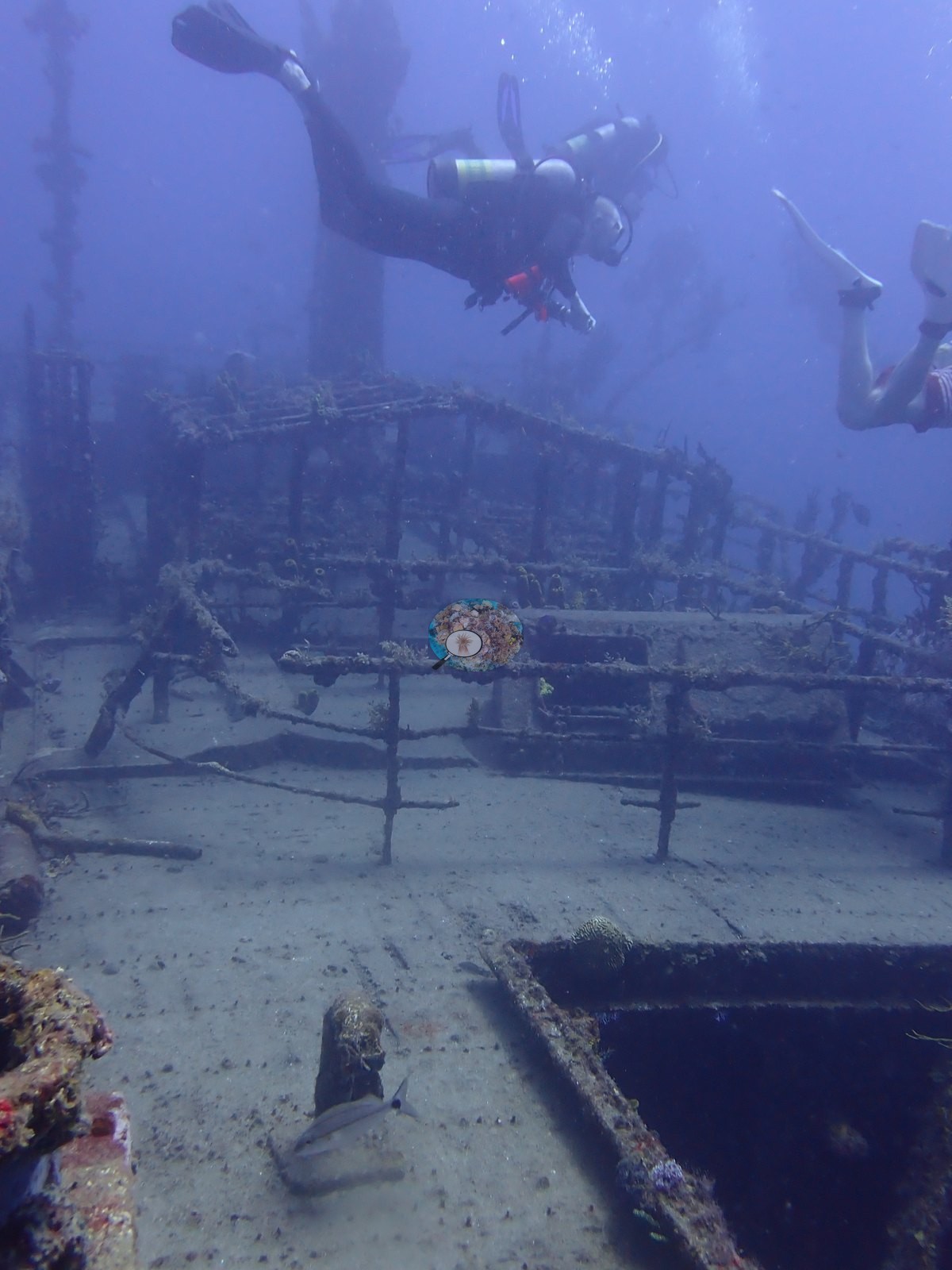
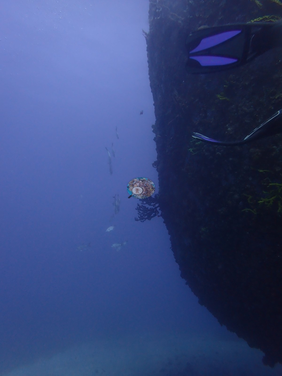
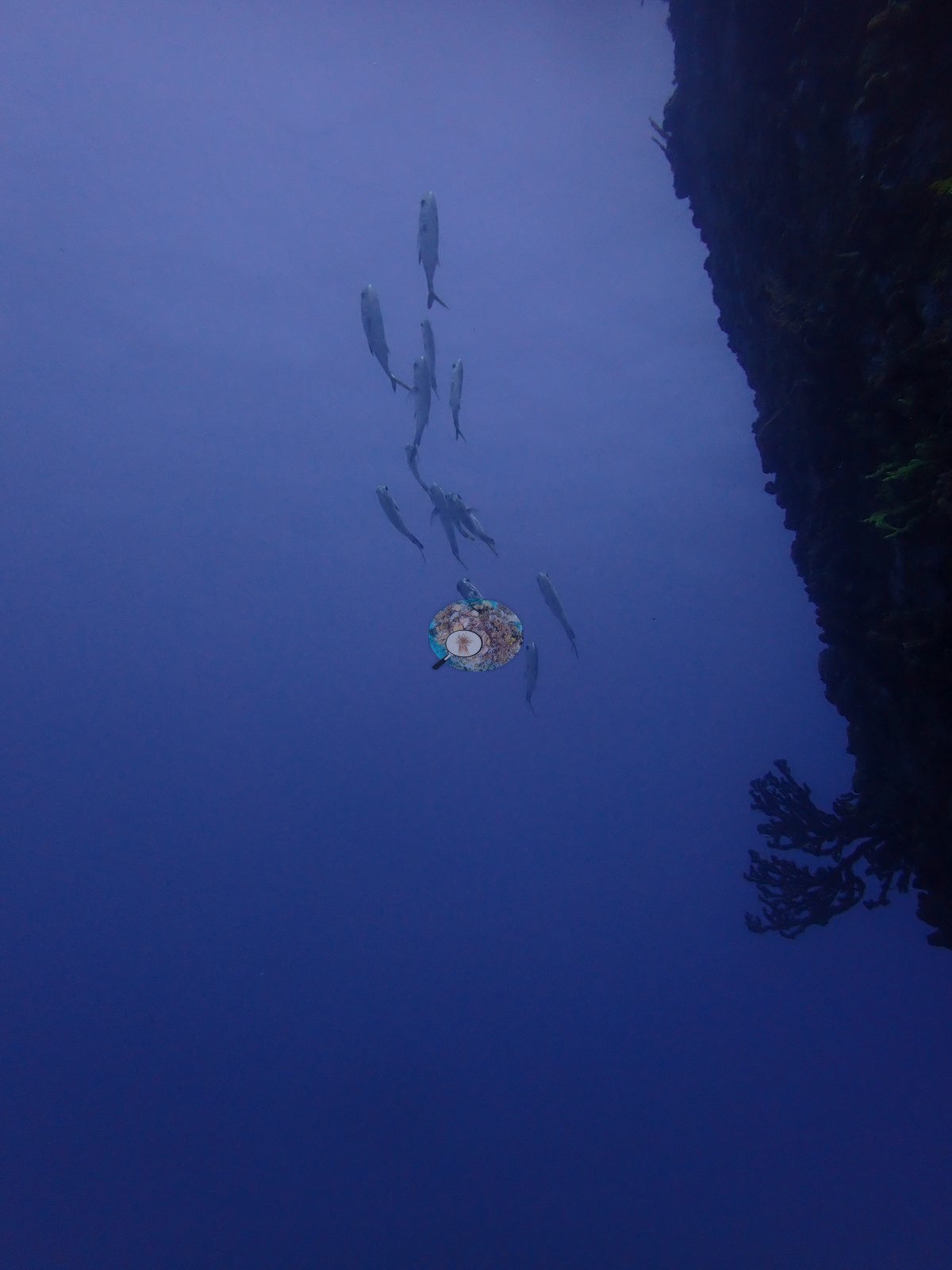
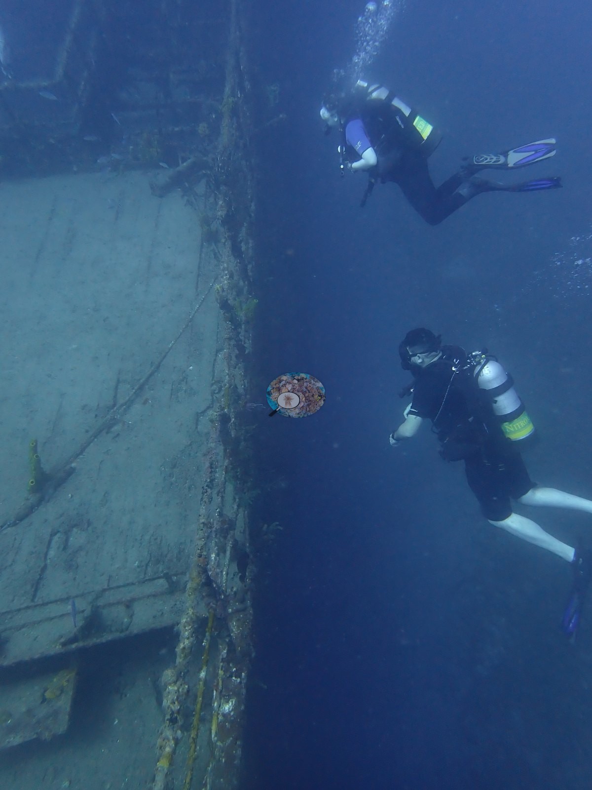
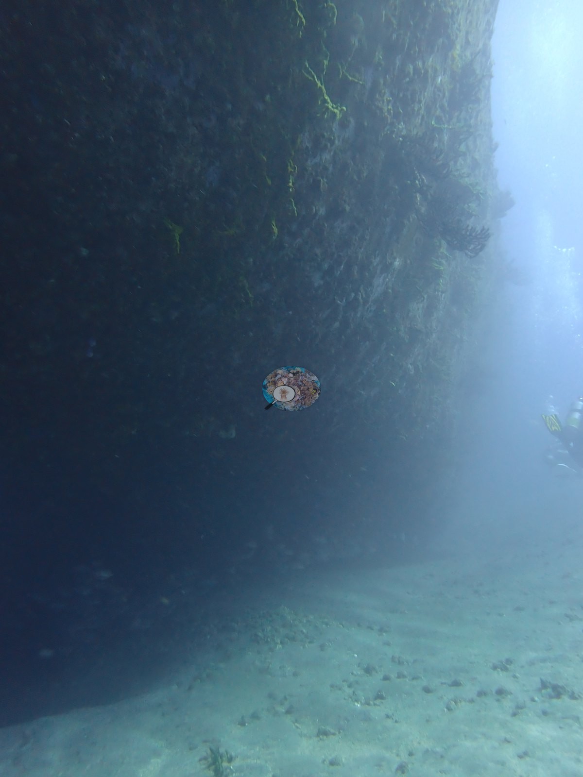
Depth and structure are legible throughout — the hull sides drop straight into dark blue and one frame looks along the sheer line with two divers finning off the plating (e.g., Image 8, Image 9, Image 45).
General benthic features
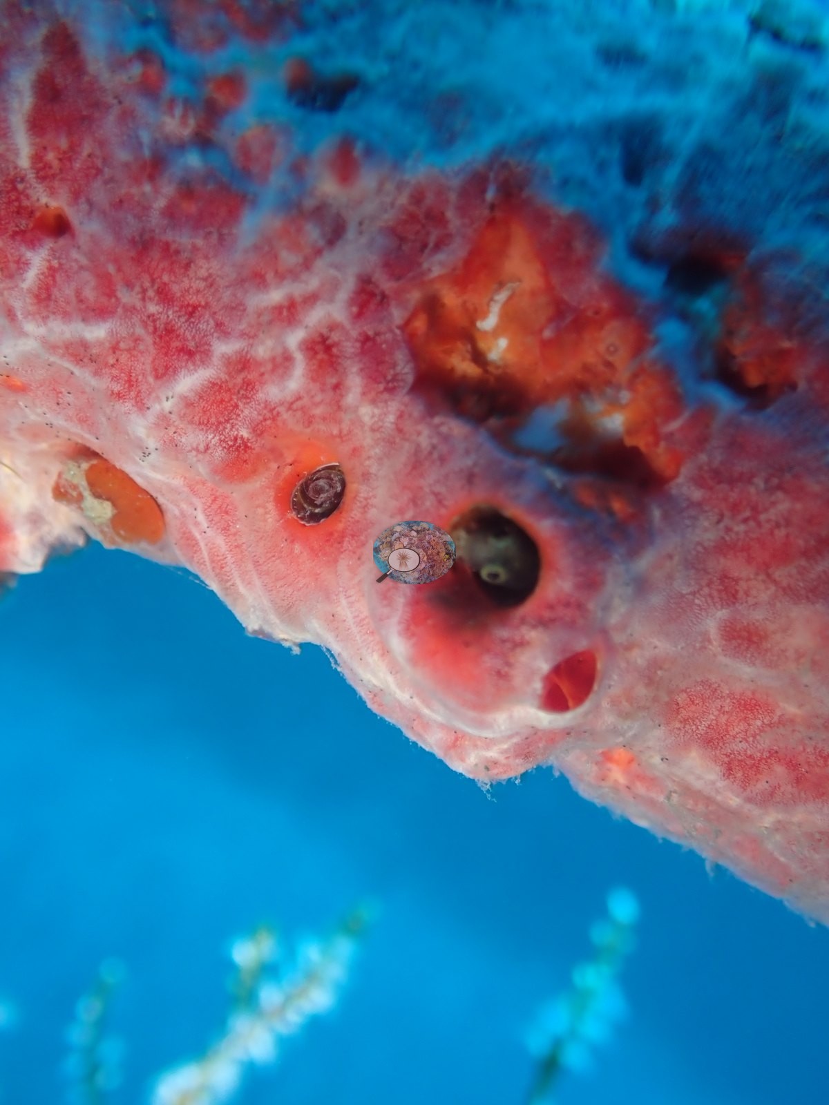
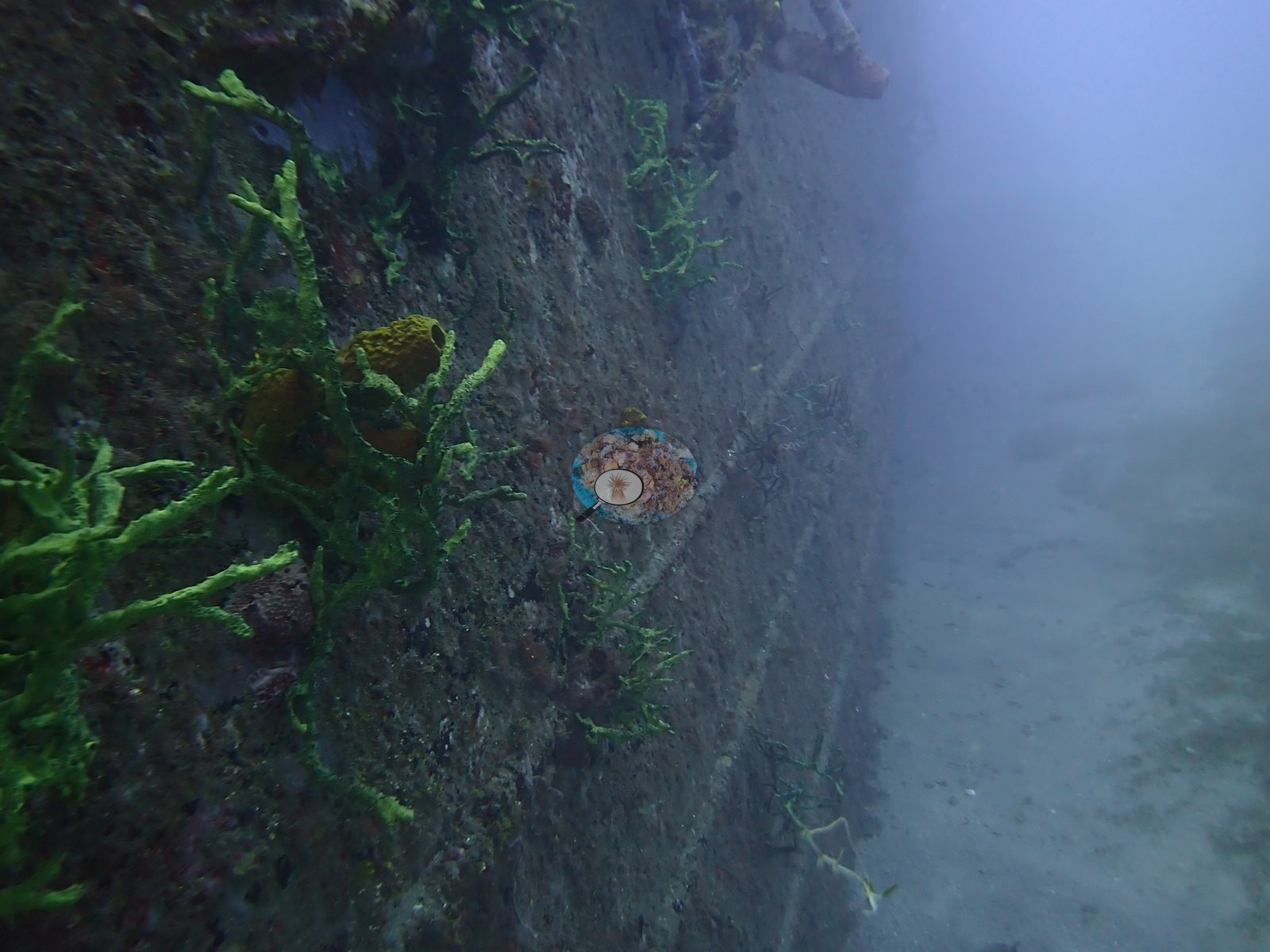
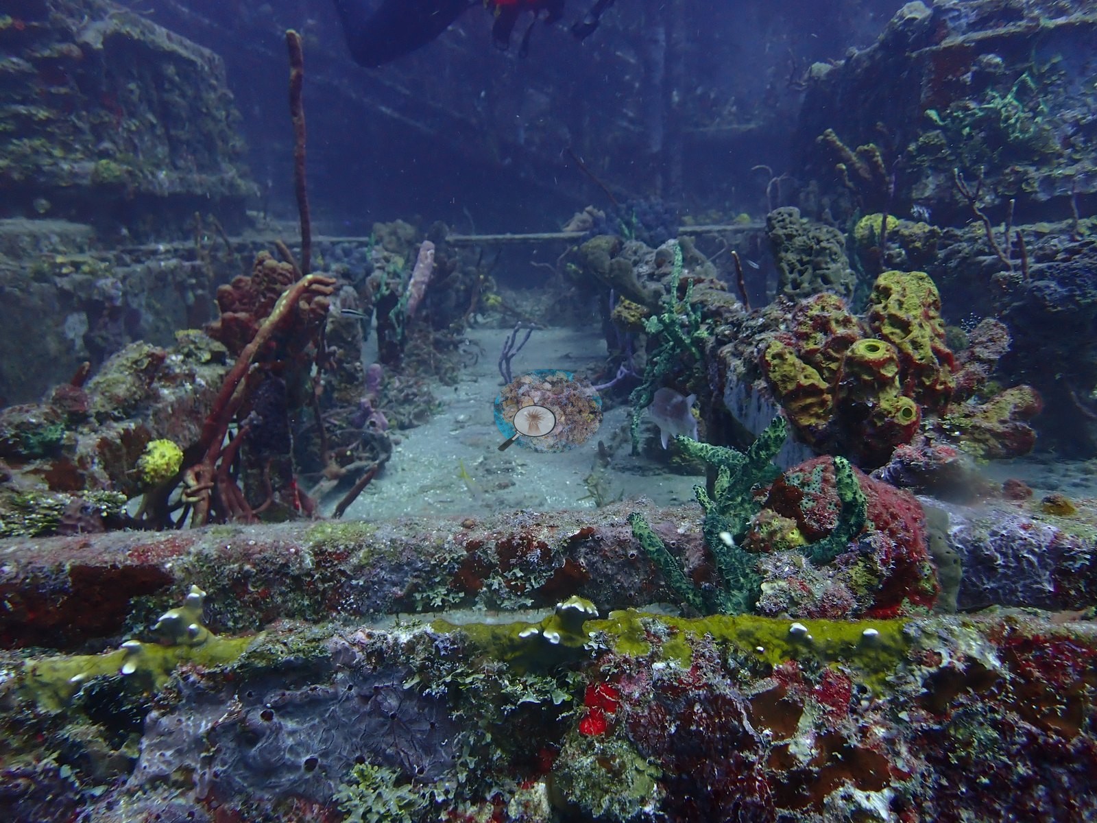
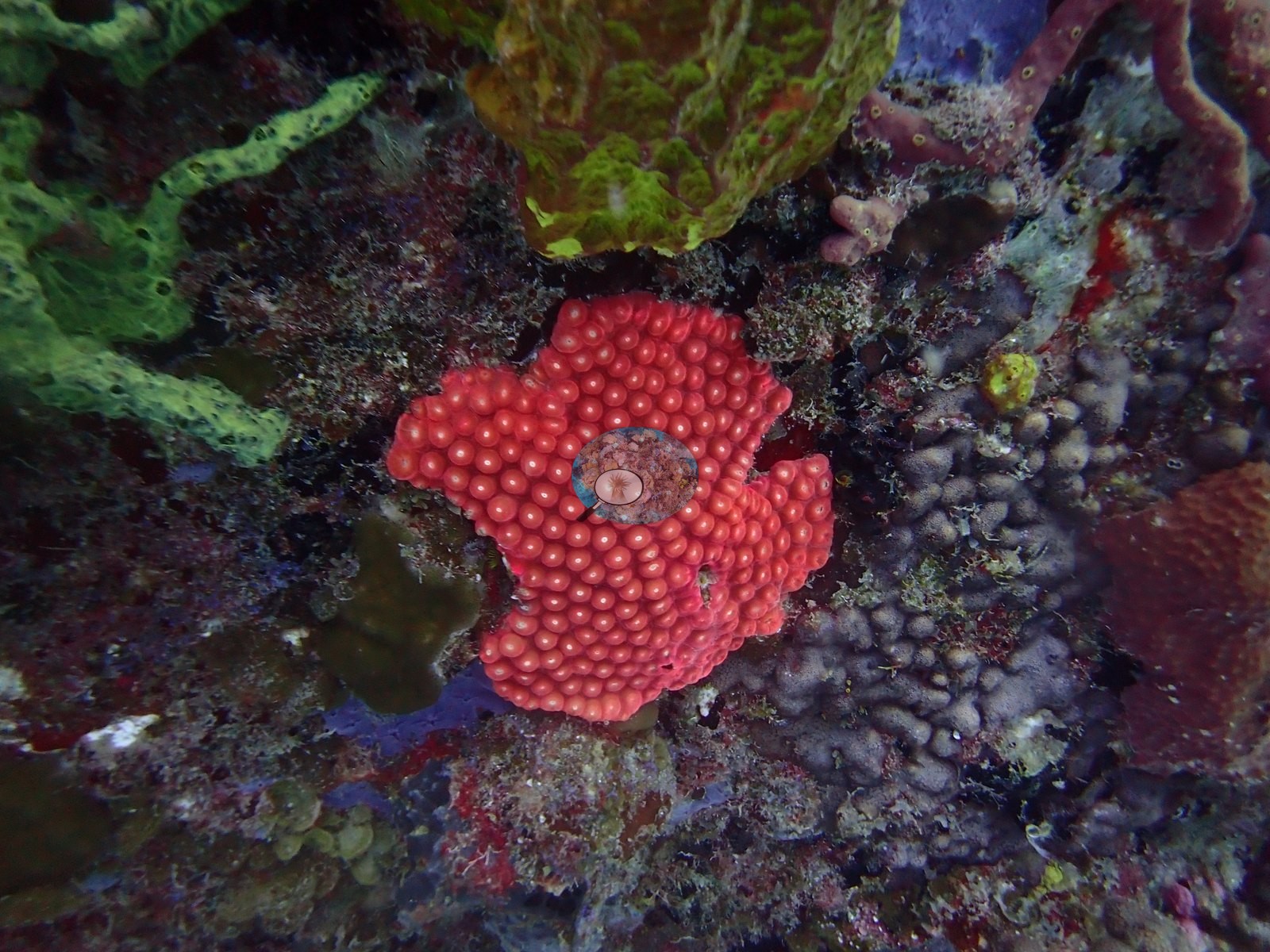
Colonization is strongly patterned by orientation. The horizontal deck plates are only thinly filmed, still gray and bare-looking, while the vertical hull sides, bulwark edges, railings, and ironwork carry a dense encrusting community: lime-green branching rope sponge, yellow tube sponges (Aplysina-type), a scarlet strawberry-textured sponge, maroon and vermilion encrusting sheets, purple and blue films, filamentous turf, and pink coralline algae (e.g., Image 2, Image 5, Image 17, Image 38, Image 46, Image 49).
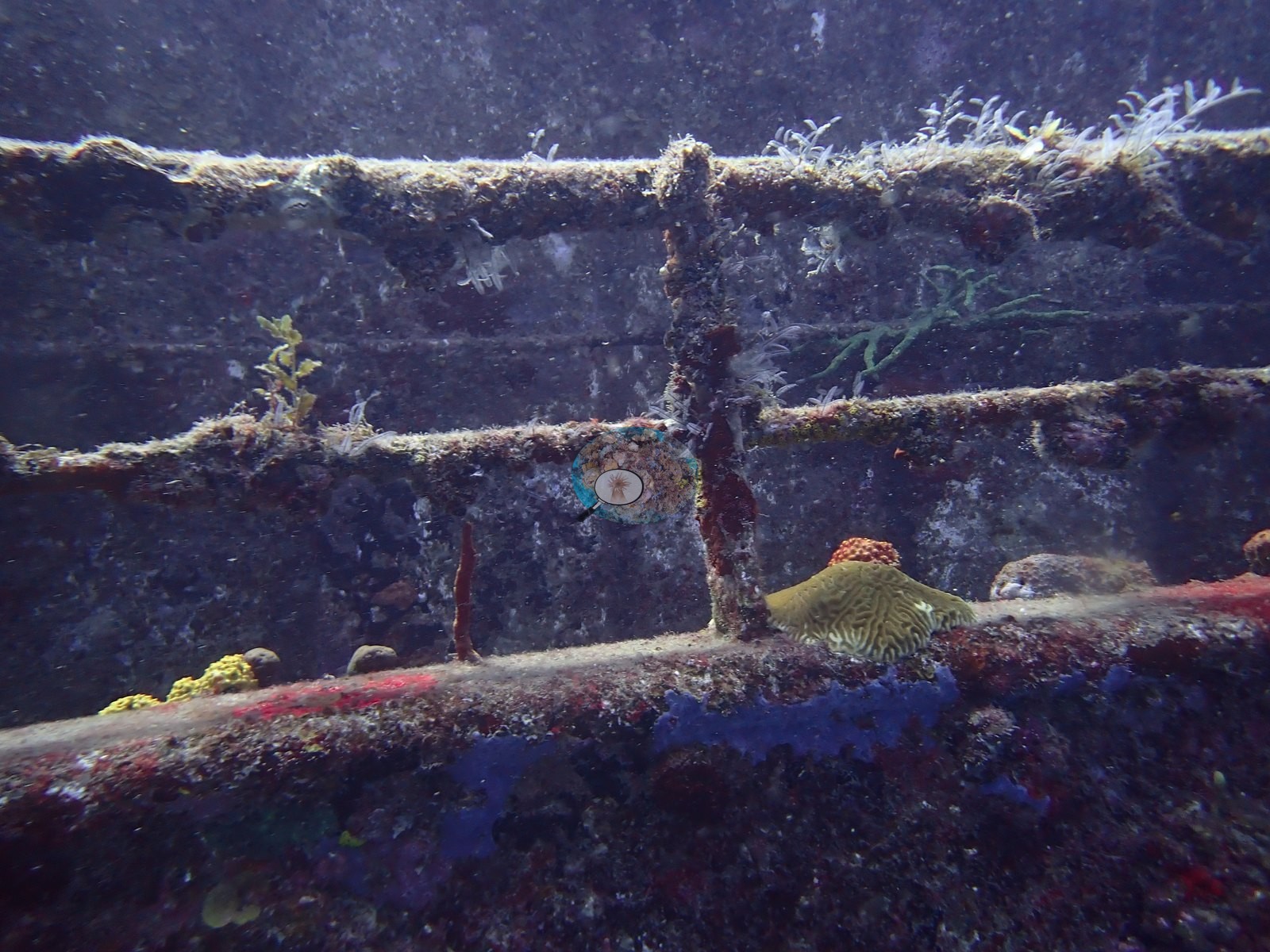
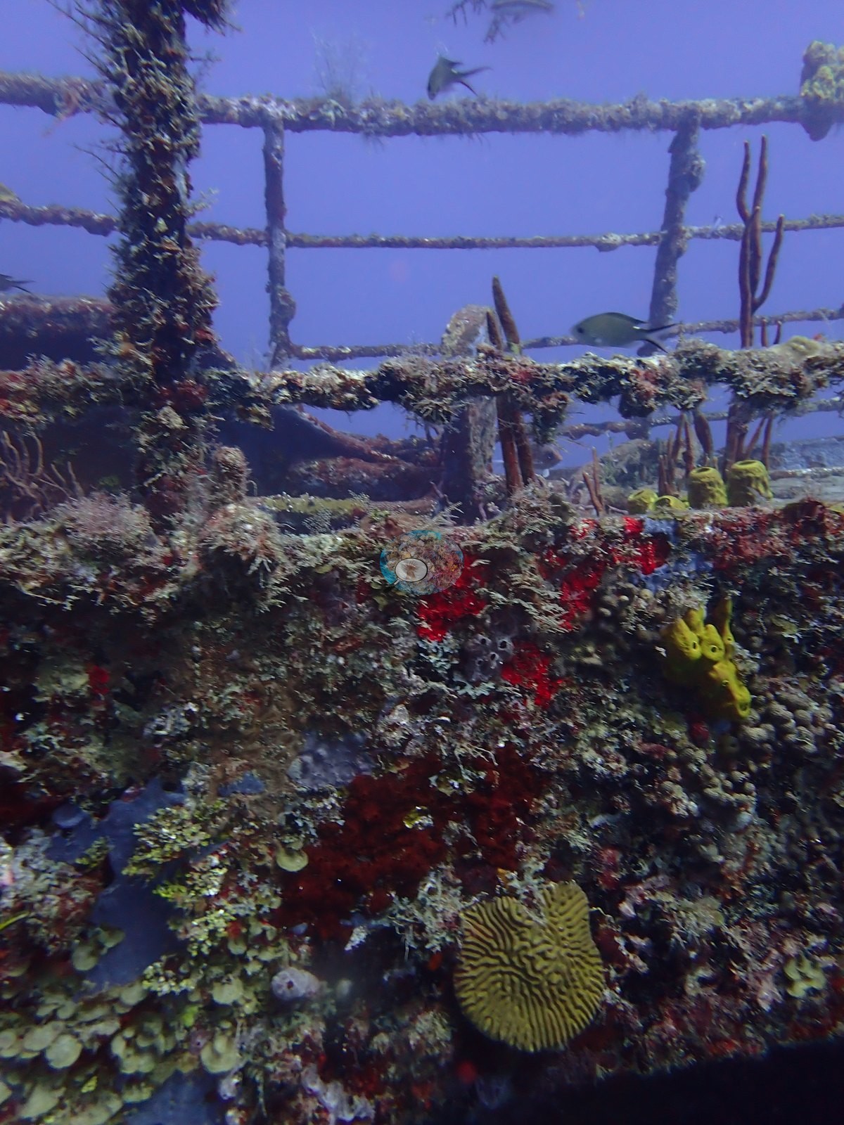
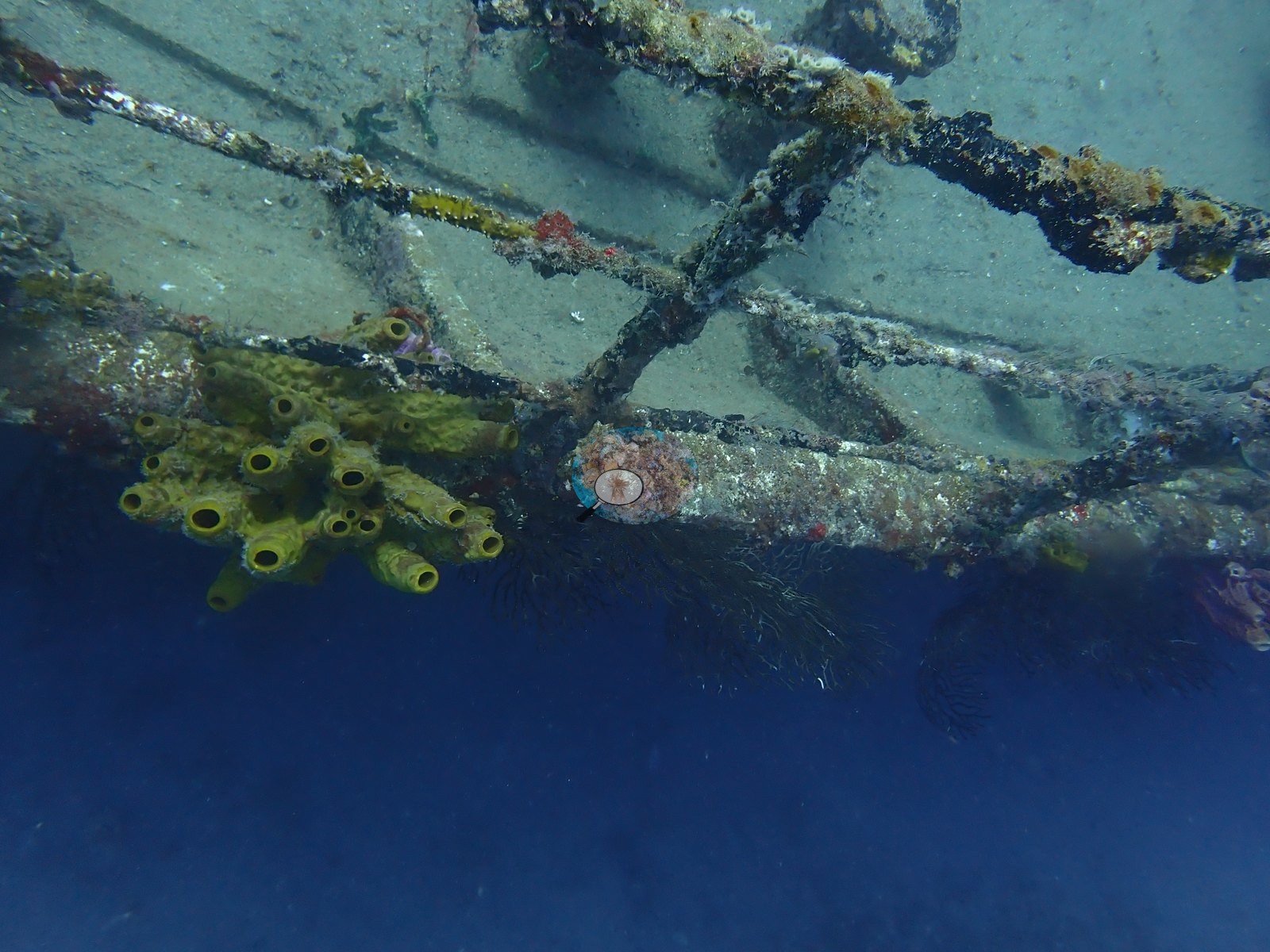
Cream-yellow button-like cup corals (Tubastraea-type, likely the introduced orange cup coral so common on Caribbean wrecks — not confirmable from the frame) crust the winch and its bed (e.g., Image 30).
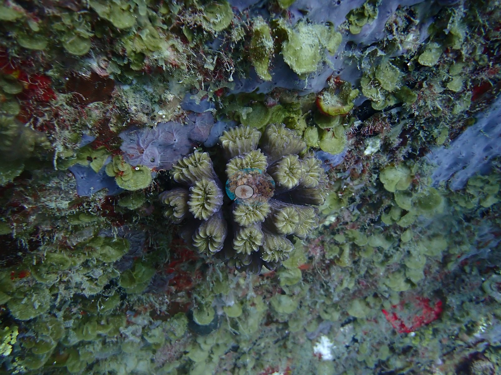
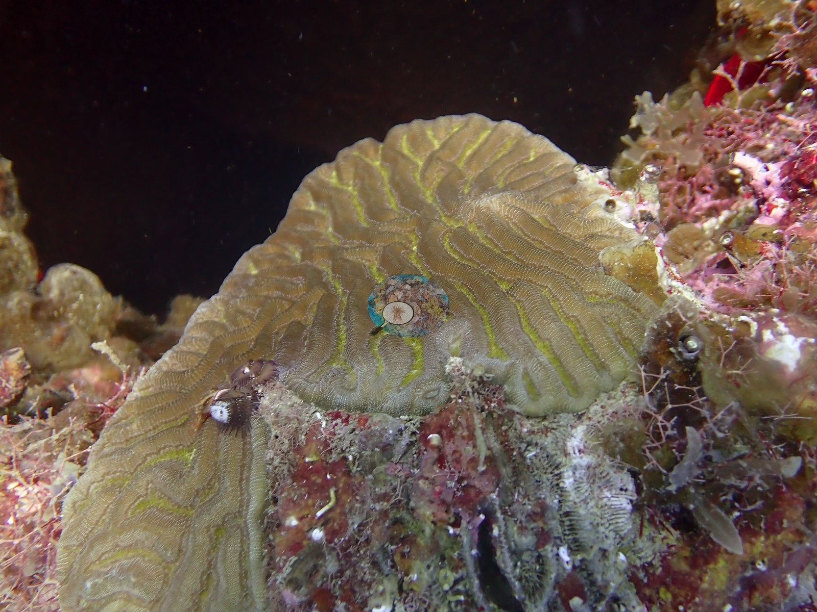
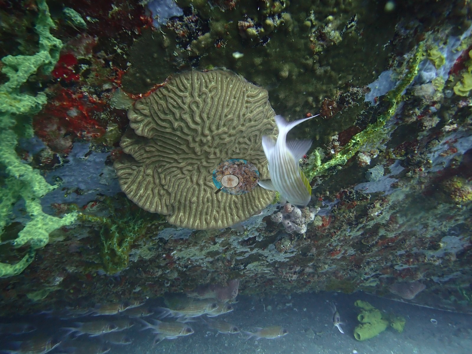
Stony-coral recruitment onto the hull is the interesting part. One frame catches a clean pairing on bare plating: a yellow-green maze coral (Meandrina meandrites-type) roughly the size of a coaster beside a tan colony with large, deeply cupped, well-separated corallites consistent with Montastraea cavernosa (e.g., Image 48).
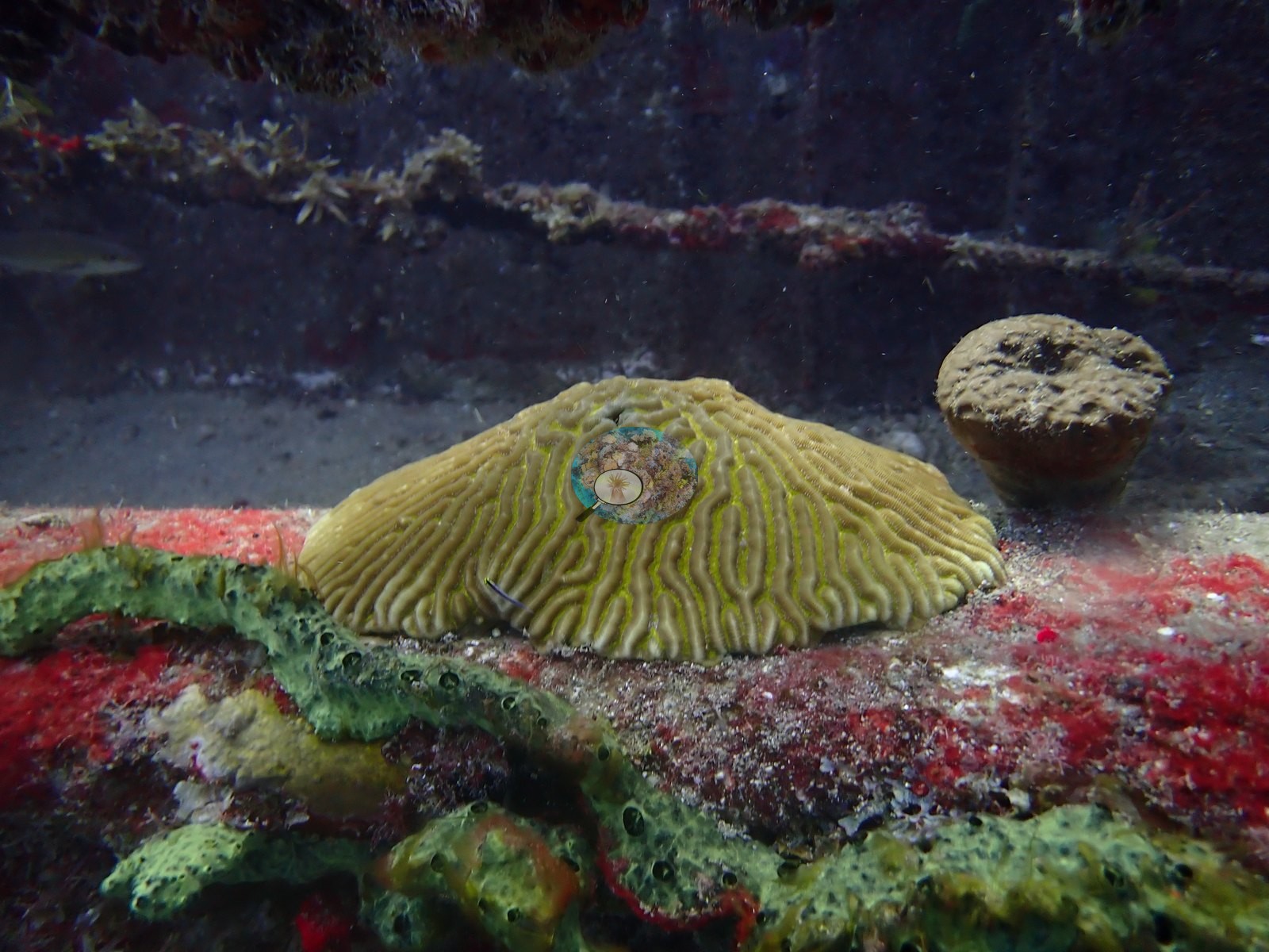
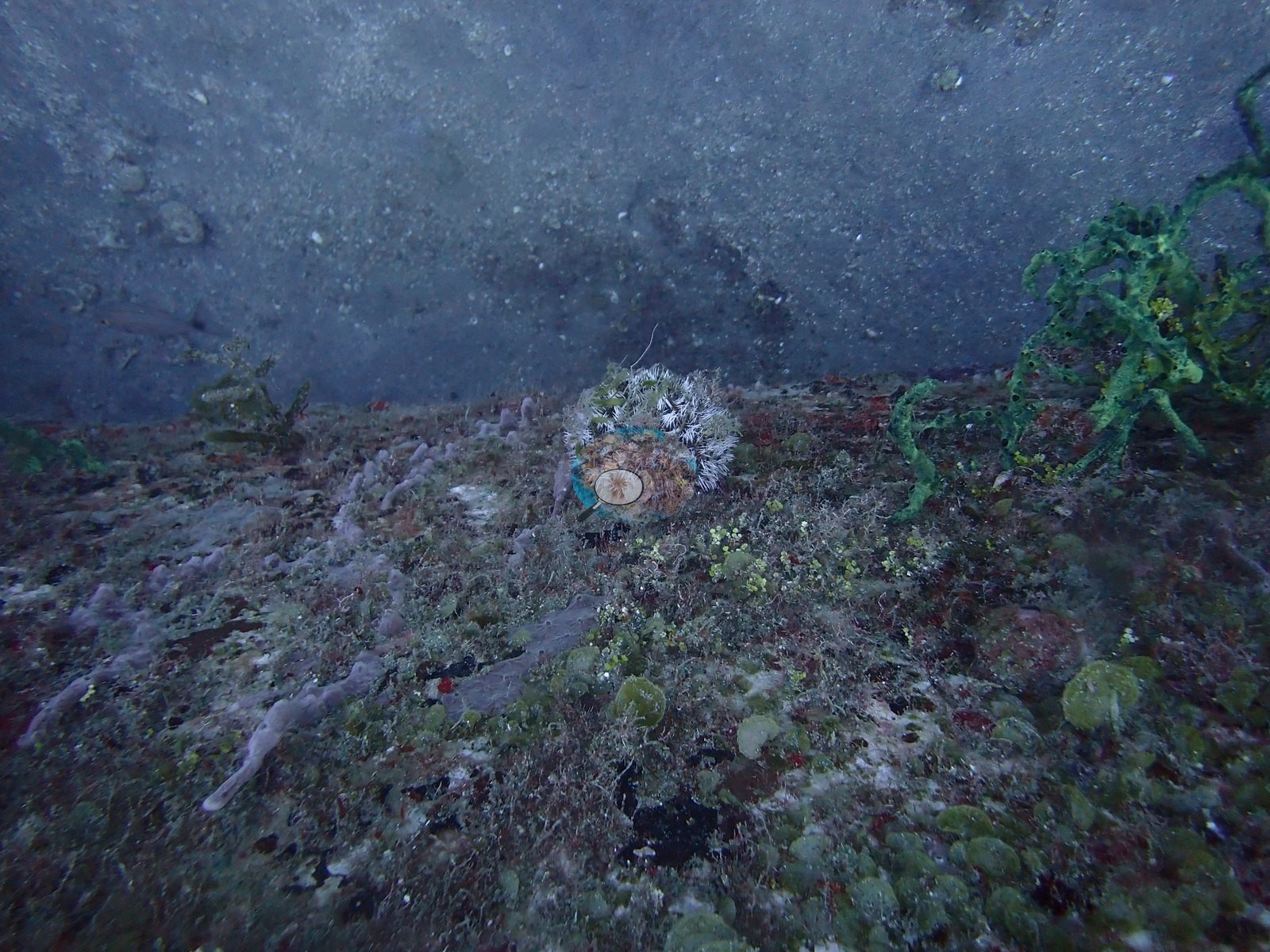
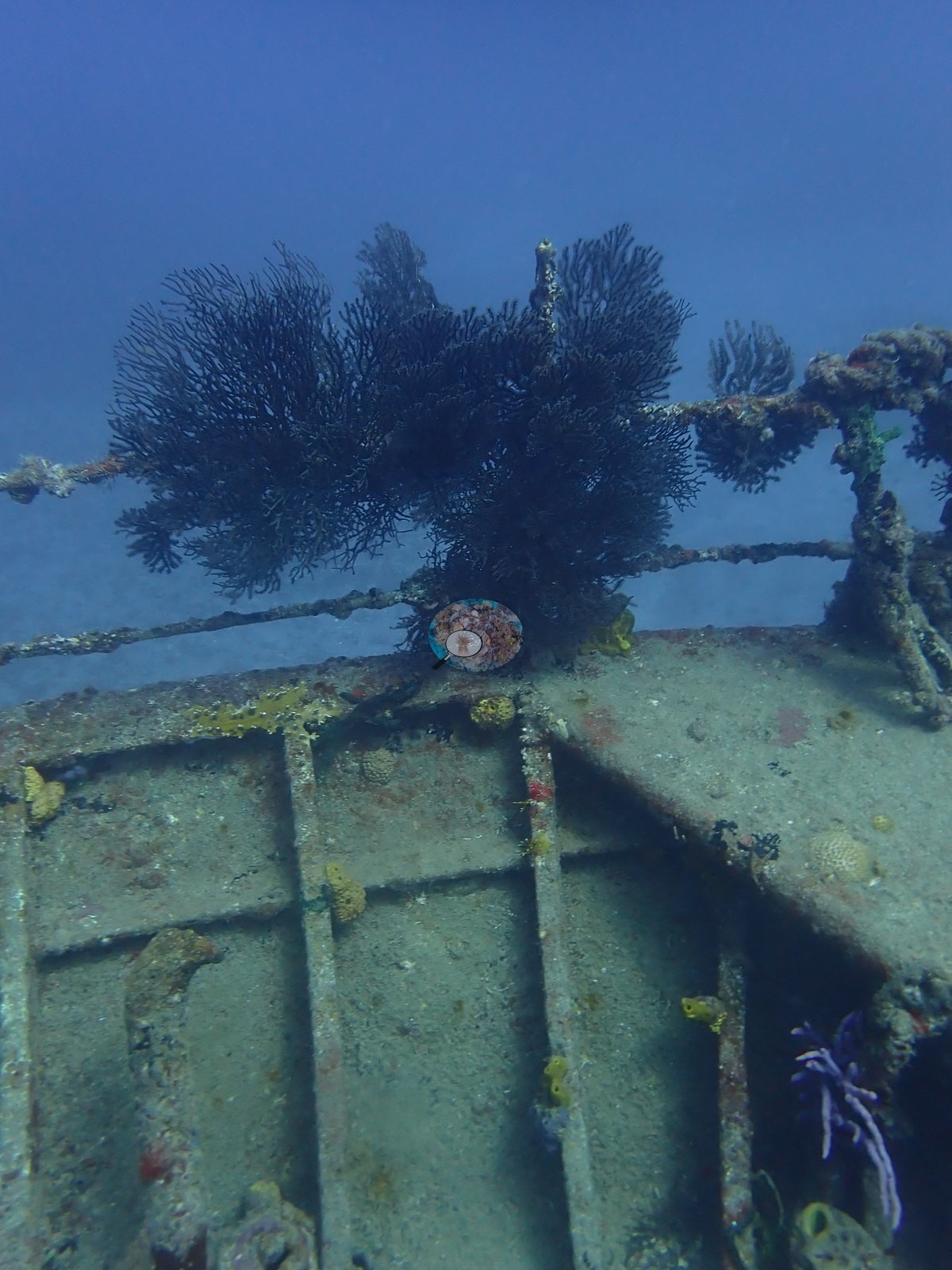
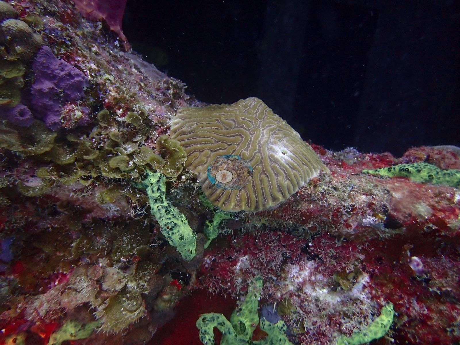
Elsewhere a small fleshy-polyped mussid (Isophyllia/Mussa-type) sits in a turf-and-coralline mosaic, and a low domed brain-type colony perches on a bulwark rail (e.g., Image 4).
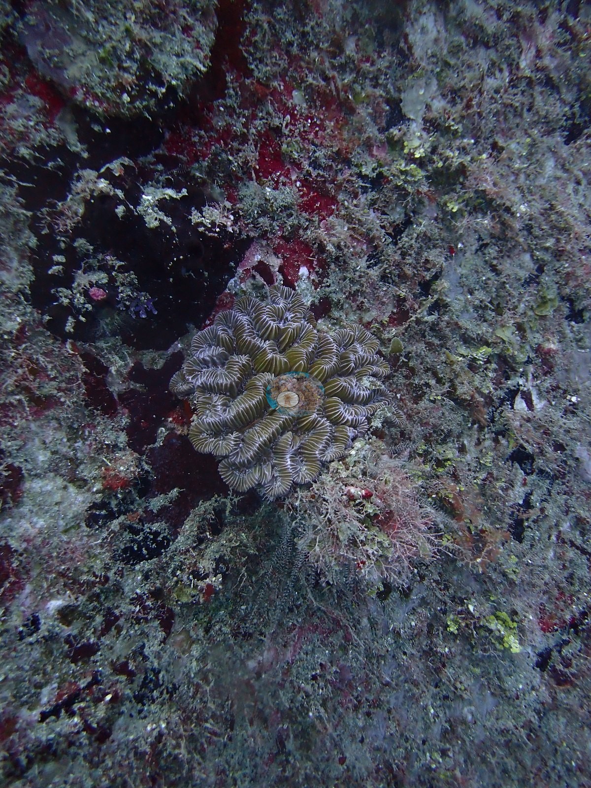
All are small, young colonies — the wreck is being colonized rather than overgrown (e.g., Image 15, Image 22, Image 37, Image 40, Image 50).
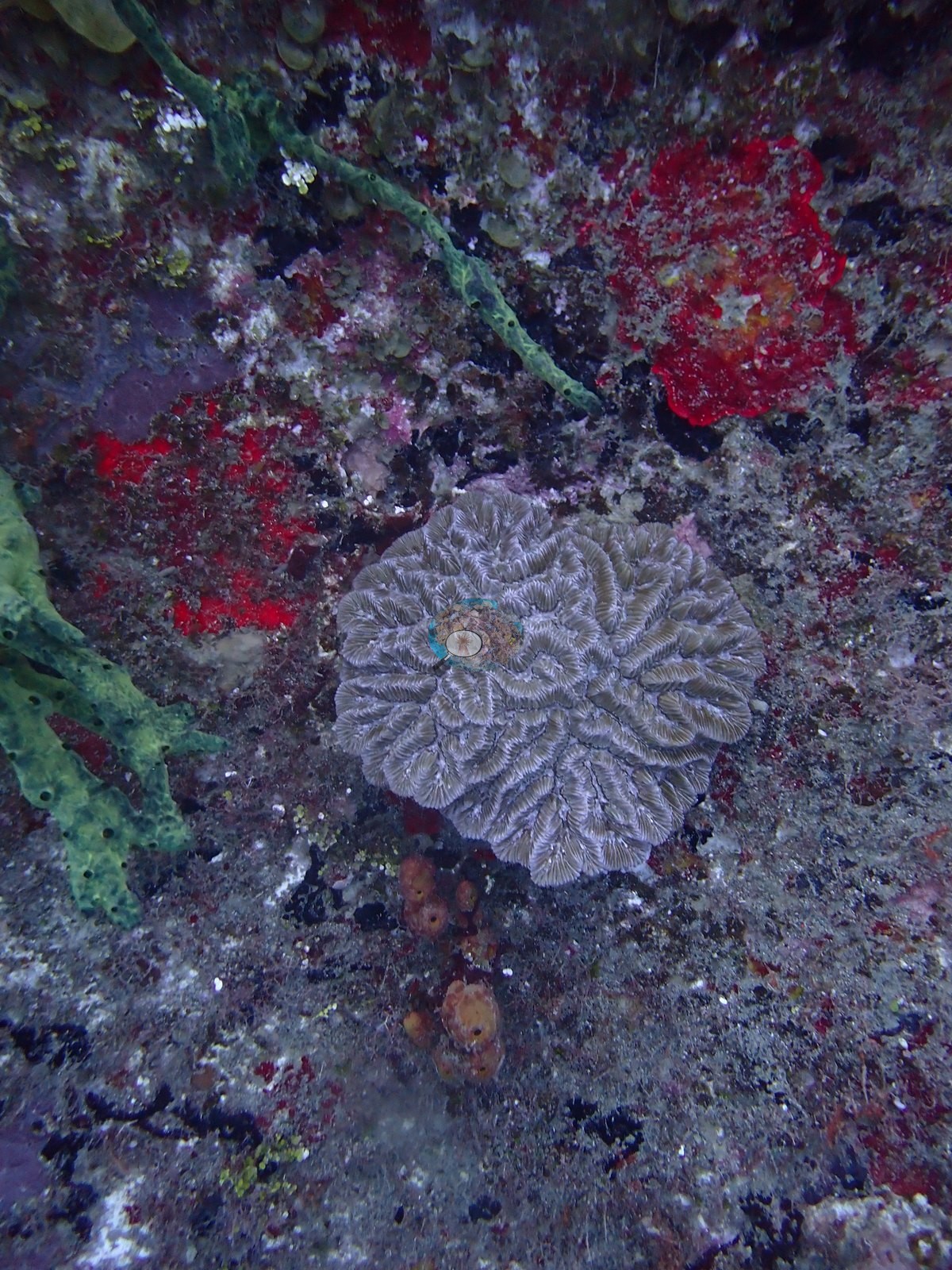
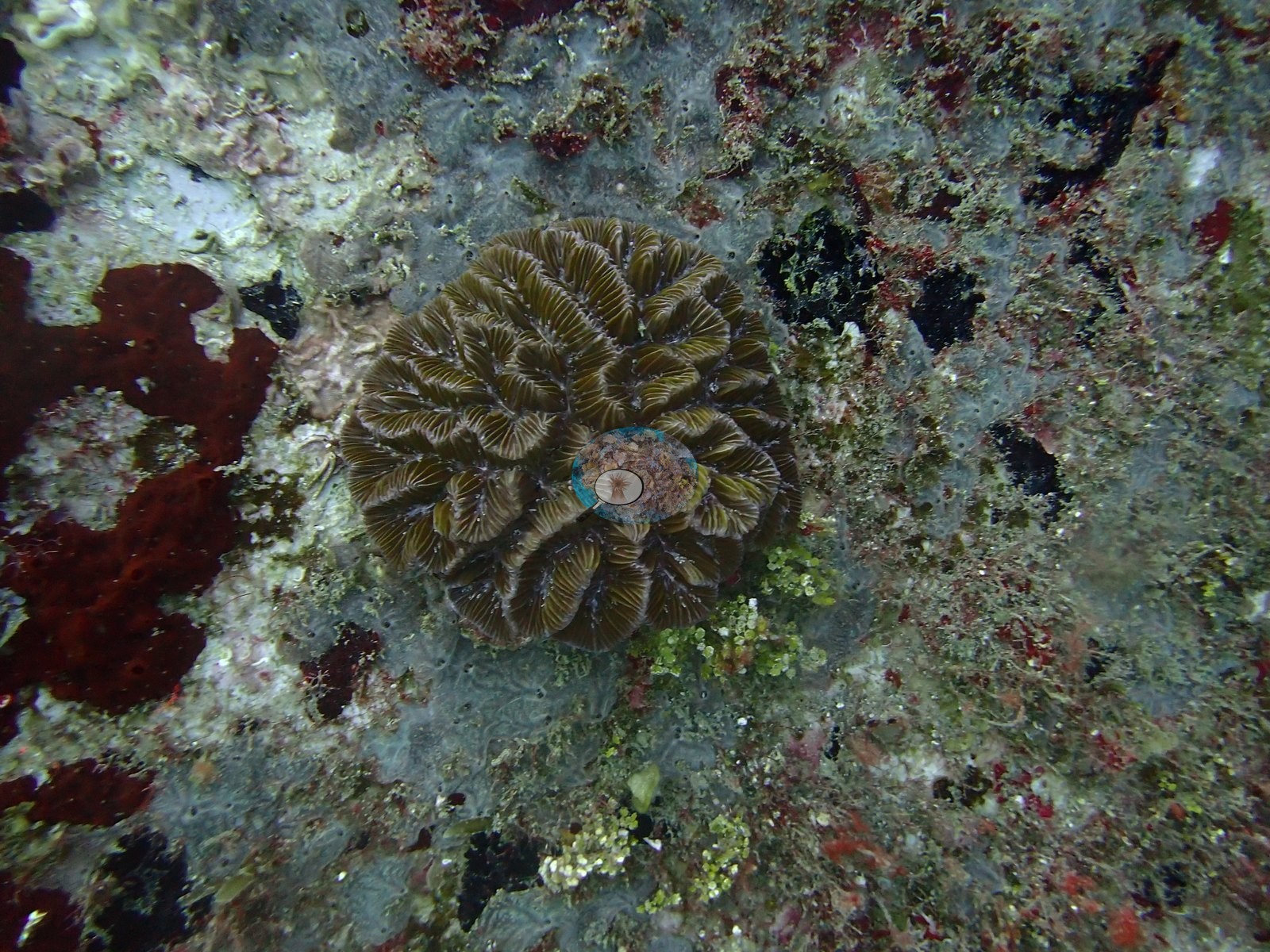
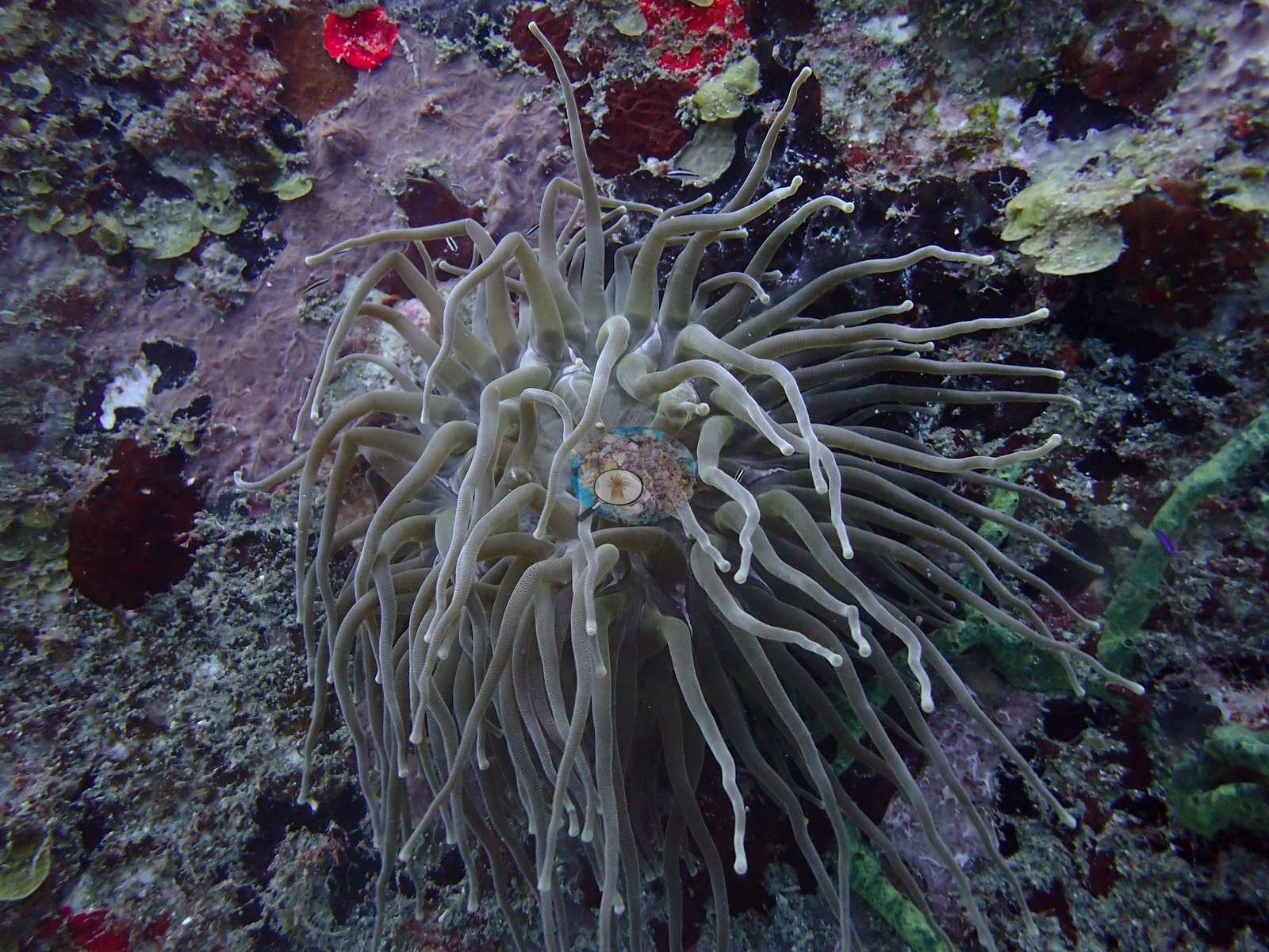
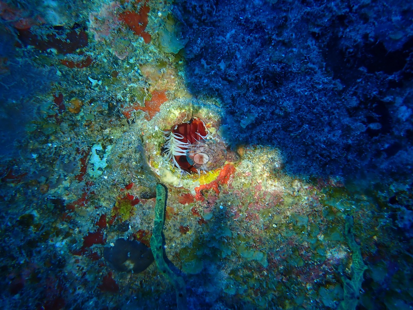
A small red anemone or corallimorph with white tentacles occupies a hole in the encrusted plating (e.g., Image 47).
Coral cover
Coral cover: 3.8% — a blind Claude computer-vision point count of 62 of Anderson's unedited photographs (20 points per photo; water, fish, and obstructions excluded). Other computer-vision methods are listed in the method table. Wreck and artificial-structure site: this cover value counts coral growing on man-made structure (steel, concrete, wreck debris) and the bottom around it, so it isn't comparable with natural-reef cover or with regional averages.
Fish and other fauna
Fauna: a great barracuda hangs behind the winch, a bar jack cruises the open water off the hull, sergeant majors and small baitfish work the superstructure, and a lone schooling fish shelters in the winch housing (e.g., Image 6, Image 18, Image 35).
Comparisons with other data
No independent survey was made at this exact site; the nearest ones are listed in the table below.
CV model comparison
More info
DINOv3 and CoralSCOP were run on the same photos and are listed for comparison. Coralscapes v2 and v1 were also run but are not shown: Anderson does not consider Coralscapes reliable for these photos. No diver transect exists for this trip, so agreement between the rows is not accuracy, and as of September 2026 no computer-vision method estimates coral cover accurately on new images; treat every row as indicative.| Method | Hard-coral cover (%) |
|---|---|
| In-house DINOv3 | 16.6 |
| CoralSCOP unedited | 13.3 |
| Claude | 3.8 |
Independent surveys nearby
| Agency / program | Year(s) | Stations / distance | Link |
|---|---|---|---|
| Reef Check | 2005–2010 | 5 stations, 1.99–3.81 km | Records ↓ |
| XL Catlin Seaview Survey | 2013 | 3 stations, 1.58–4.75 km | Records ↓ |
 Dr. Coral (CRD)
Within 5 km, 8 independent survey stations recorded hard coral cover in 18 records between 2005 and 2013. Of the 4 stations surveyed in more than one year, 1 declined, 1 increased, and 2 changed by less than 5 percentage points between their first and latest surveys. The longest record, Barracuda Reef Line 1 (Reef Check, 1.99 km away), went from 28% in 2005 to 26% in 2010. The most recent nearby survey is from 2013, so these values predate recent heat stress. This site's own estimate (3.8%) sits within the range of these surveys (0.7–38%); the methods differ, so the comparison is context, not a like-for-like test.
Collected by other programs using different methods (Reef Check uses point-intercept transects; the XL Catlin Seaview Survey uses photo-transects with automated image annotation), so these are context for the figures above, not a like-for-like comparison. Where a station was surveyed more than once the range is shown. Station names are not dive-site names.
| Agency | Site / location | Date | Hard coral cover (%) | Distance | Link |
|---|---|---|---|---|---|
| Reef Check | Barracuda Reef Line 1 | 2005–2010 | 11–28% (6 surveys) | 1.99 km | — |
| Reef Check | Barracuda Reef Line 2 | 2005–2007 | 24–25% (2 surveys) | 1.99 km | — |
| Reef Check | Mushroom Garden Line 1 | 2005–2009 | 9.4–33% (4 surveys) | 3.16 km | — |
| Reef Check | Mushroom Garden Line 2 | 2005–2007 | 24–38% (2 surveys) | 3.16 km | — |
| Reef Check | Twin Sisters | 2009 | 16% | 3.81 km | — |
| XL Catlin Seaview Survey | transect 25015 | 2013 | 2.0% | 1.58 km | — |
| XL Catlin Seaview Survey | transect 25016 | 2013 | 0.7% | 1.65 km | — |
| XL Catlin Seaview Survey | transect 25017 | 2013 | 4.4% | 4.75 km | — |
Data & links
All images from Coral Reef Diagnostics. Data are from Coral Reef Diagnostics and the organizations named in the data-sources table above.
© Coral Reef Diagnostics.