
Orion shipwreck (Key Biscayne)
Part of the regional summary: USA - Florida
More info
Southeast Florida (NOAA CRW virtual station)The Orion is a steel shipwreck sitting upright on sand off Key Biscayne, its superstructure still intact enough to swim through and its rails fringed with thick hedges of sea rods and sea plumes. Stony corals are only small scattered recruits on the plating; the real show is the dense schools of grunts and snapper packed around the hull. Dive operators and press reports describe the wreck: the Orion, a steel-hulled tug scuttled off Key Biscayne in 1981 as an artificial reef. On a wreck, low coral cover is expected.
22 independent survey stations shown with the program’s logo — click one to see how far it is from this site.
Five other CRD dive sites with their own pages within 5 km shown in orange — click a marker to open its page.
This page shows 61 of the 88 photographs from this site, including every one the text cites.
Site description
Setting
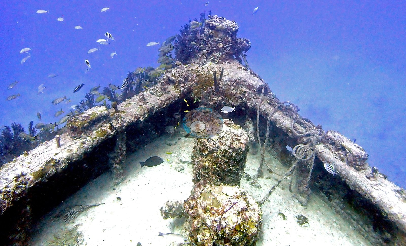
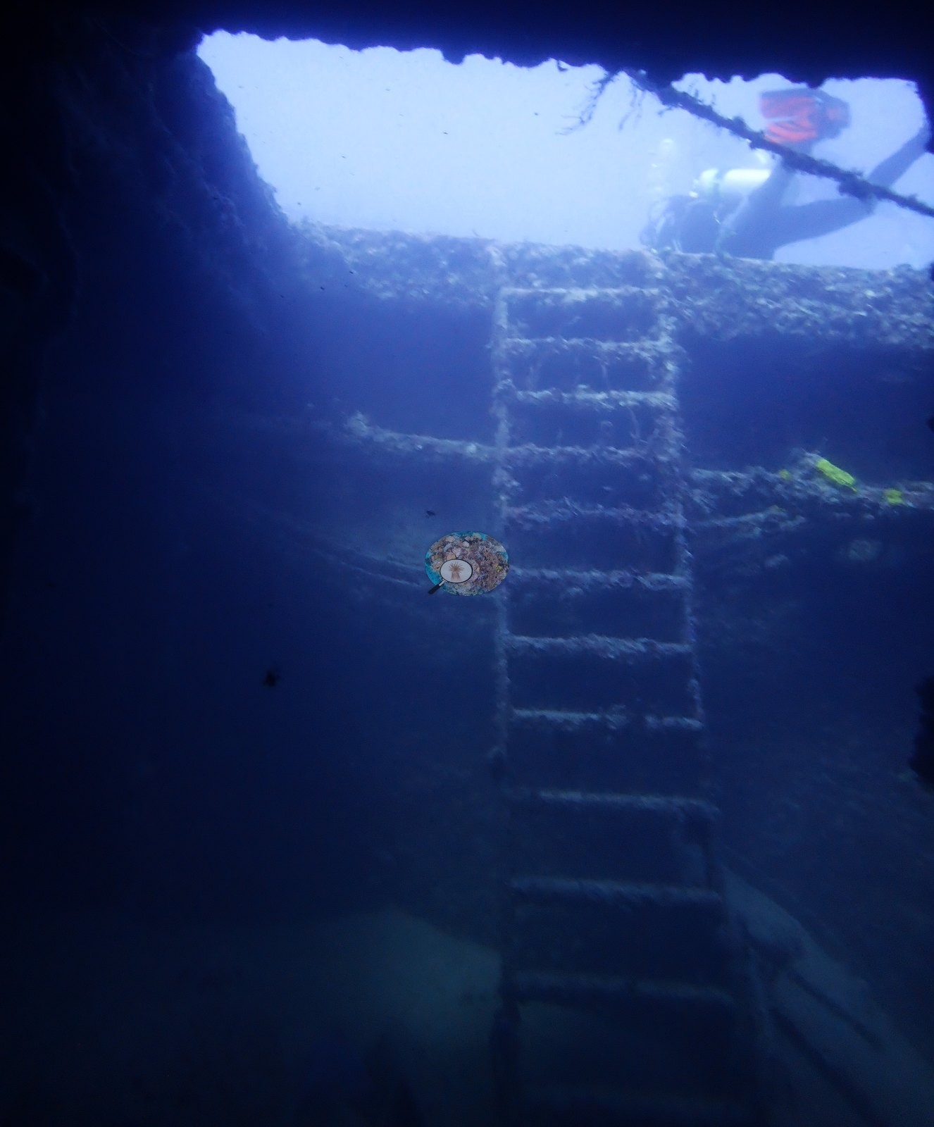
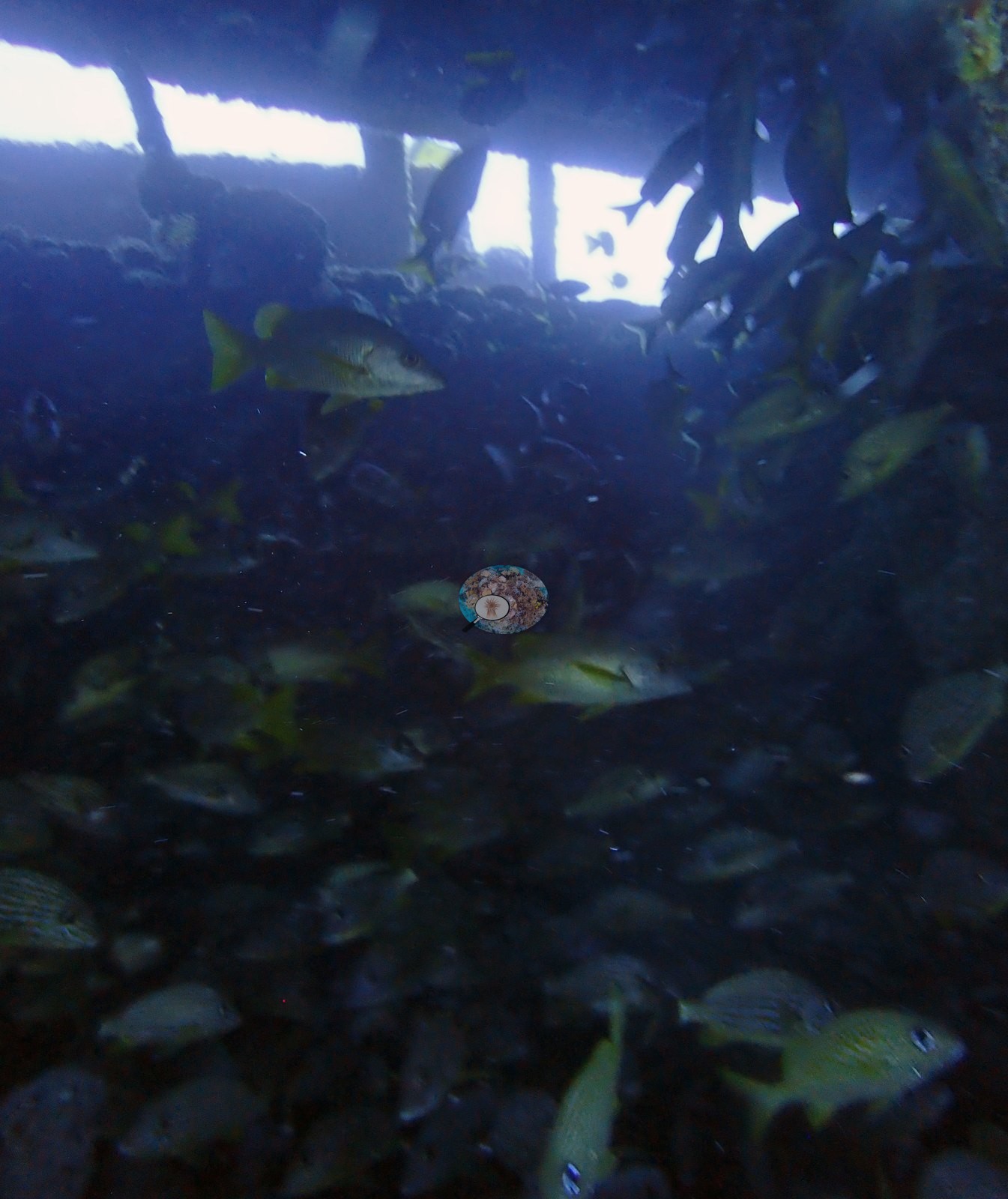
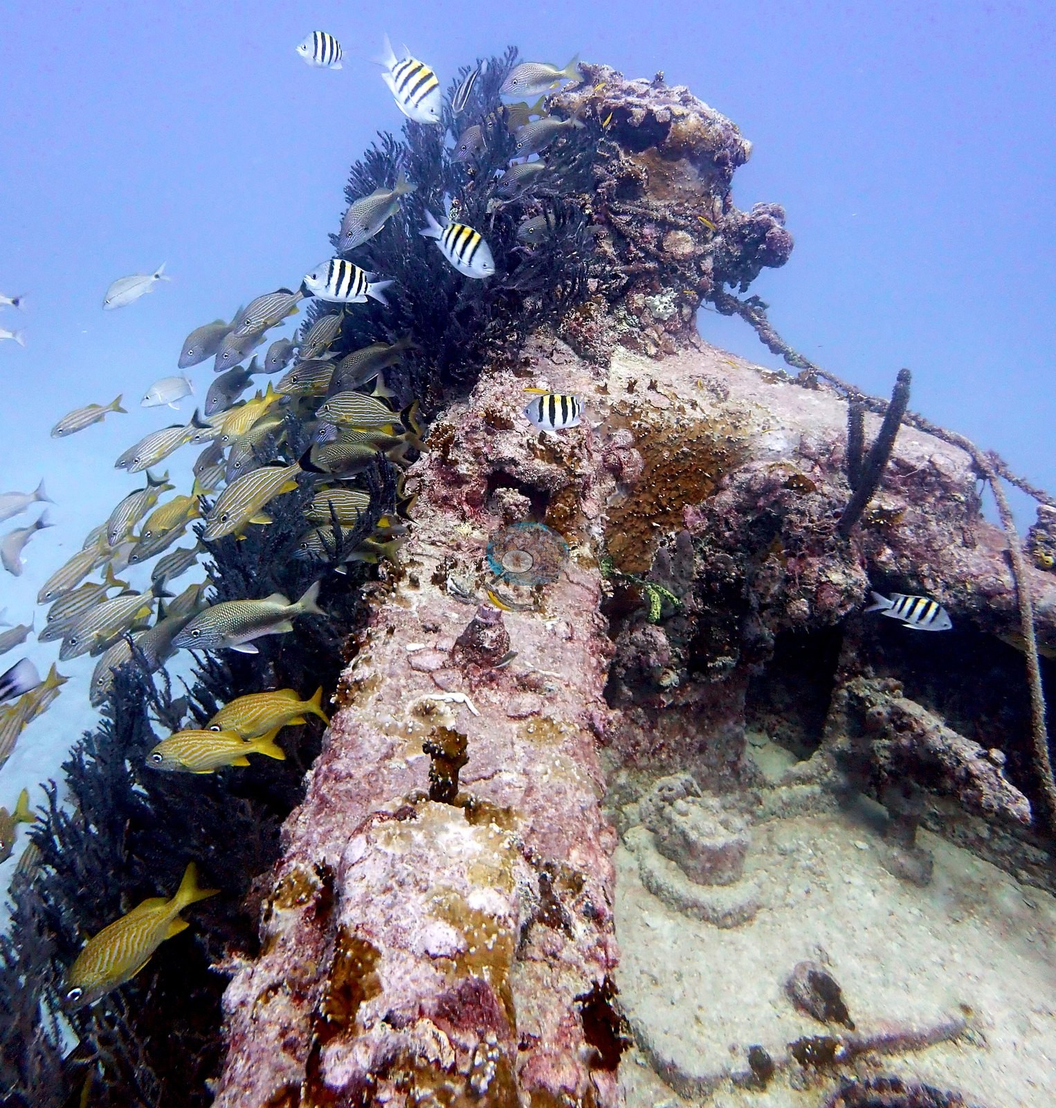
Orion is a steel shipwreck sitting upright on a flat sand bottom off Key Biscayne, and the frames from this dive document a wreck that now works as an artificial reef, not a natural reef. The hull is still largely coherent: a long run of deck plating and framing (e.g., Image 72, Image 10 bow, Image 75), a multi-level superstructure whose window and door openings are still square and passable (e.g., Image 20, Image 49, Image 17, Image 22), an interior compartment with an intact ladder (e.g., Image 59), and a second interior view crowded with fish (e.g., Image 37), plus a fallen mast or boom lying over the deck (e.g., Image 15, Image 71, Image 28).
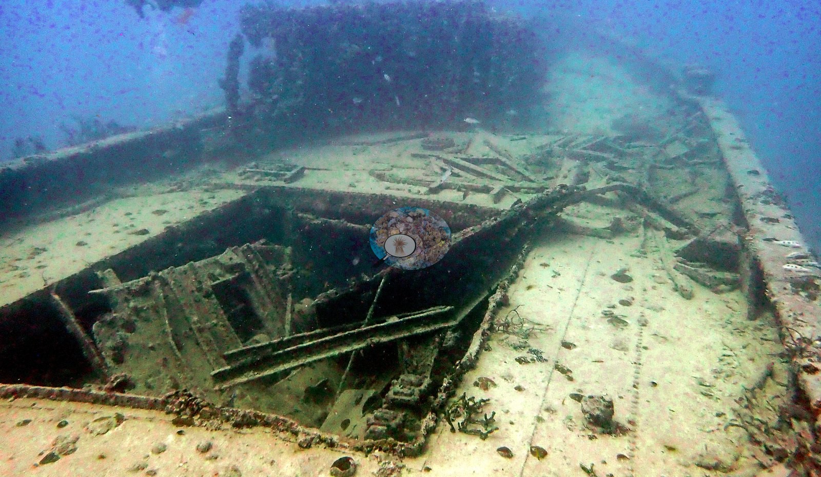
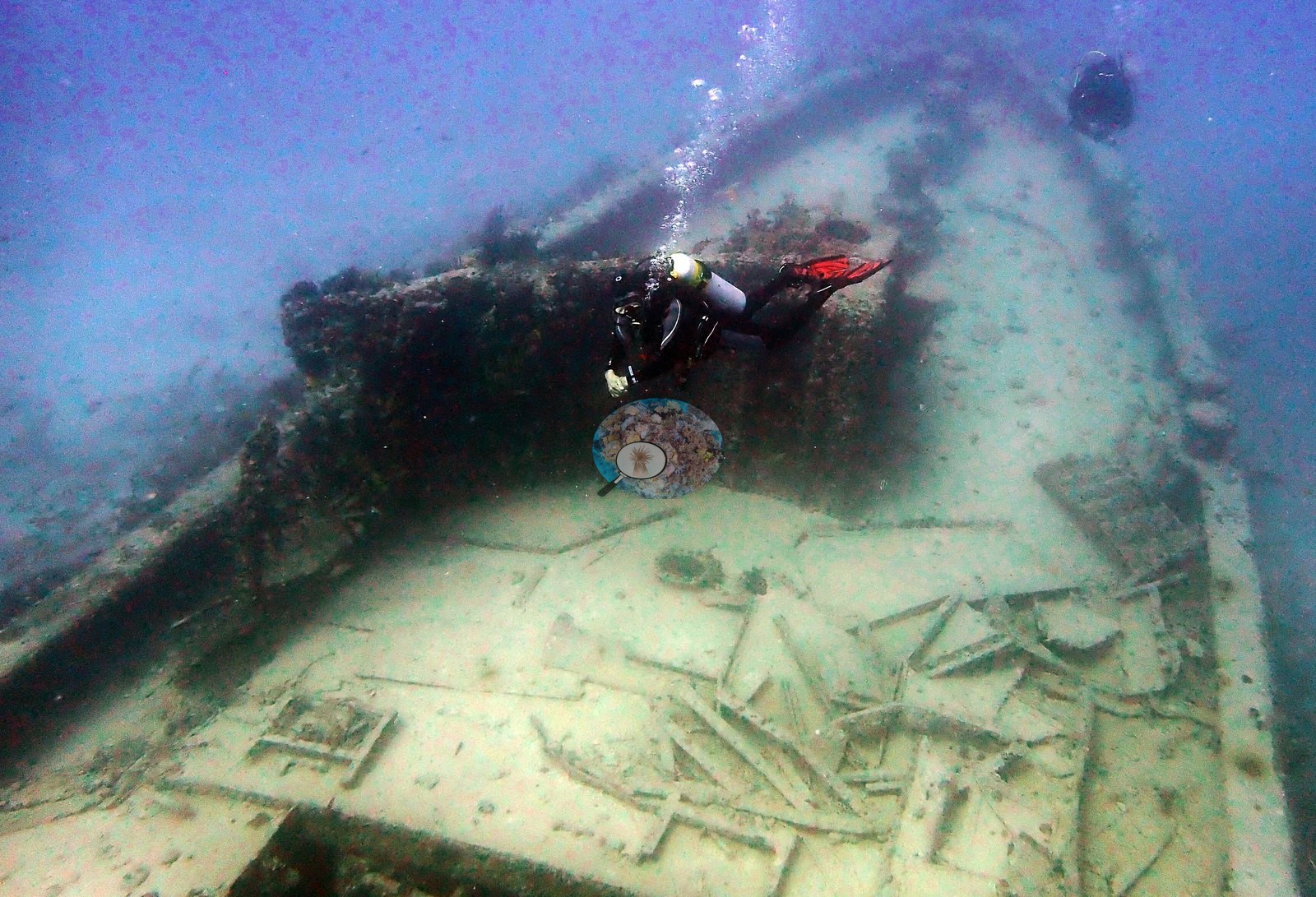
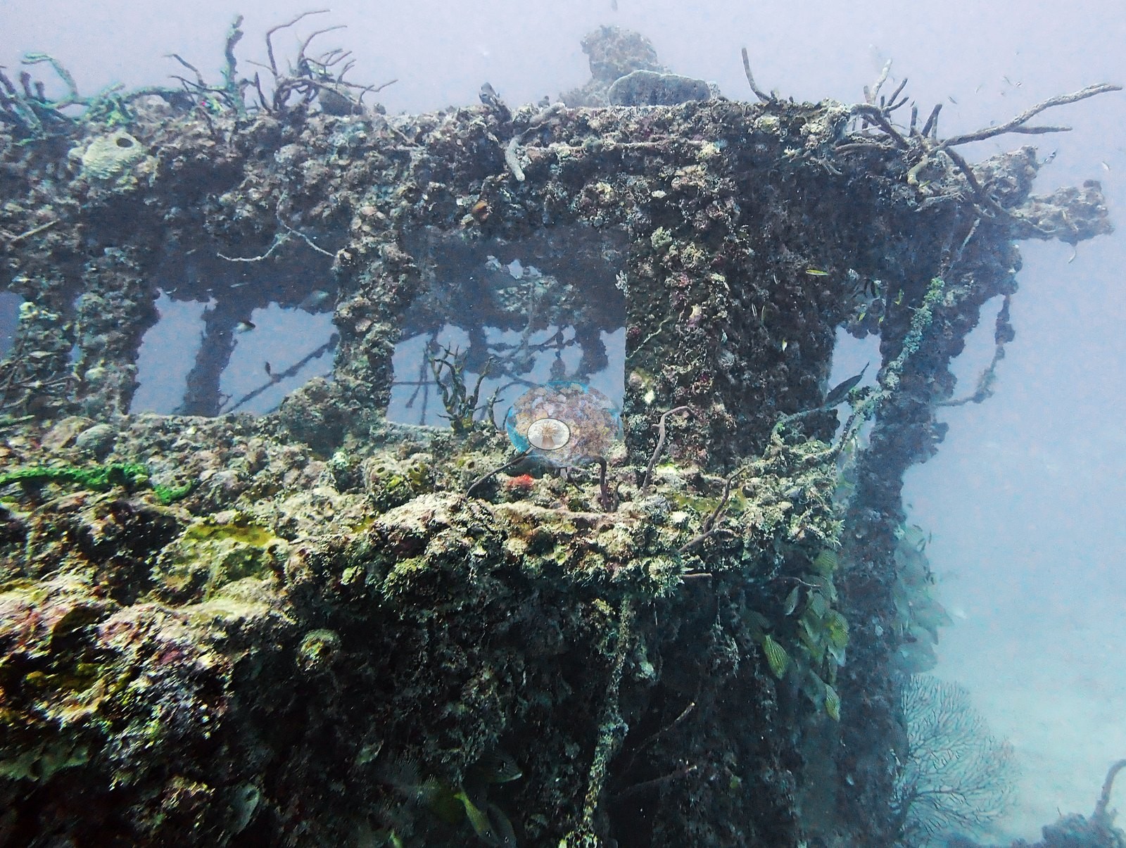
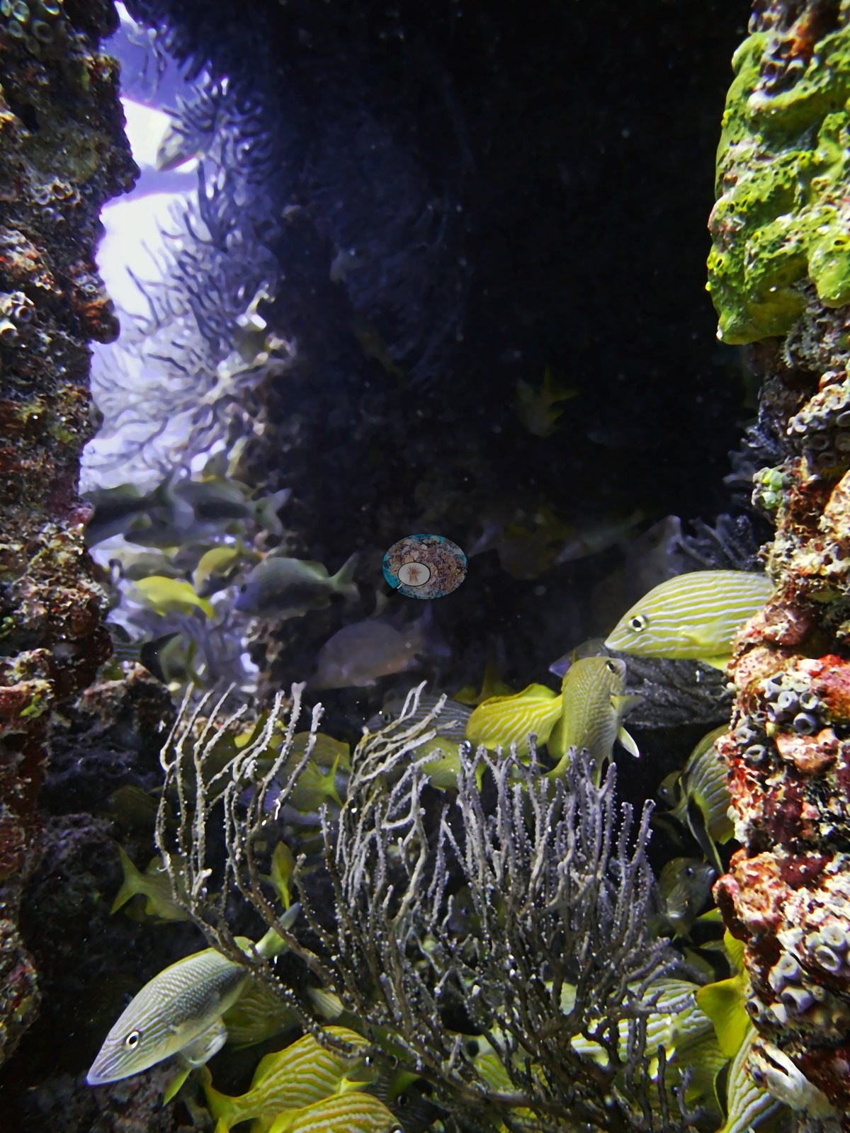
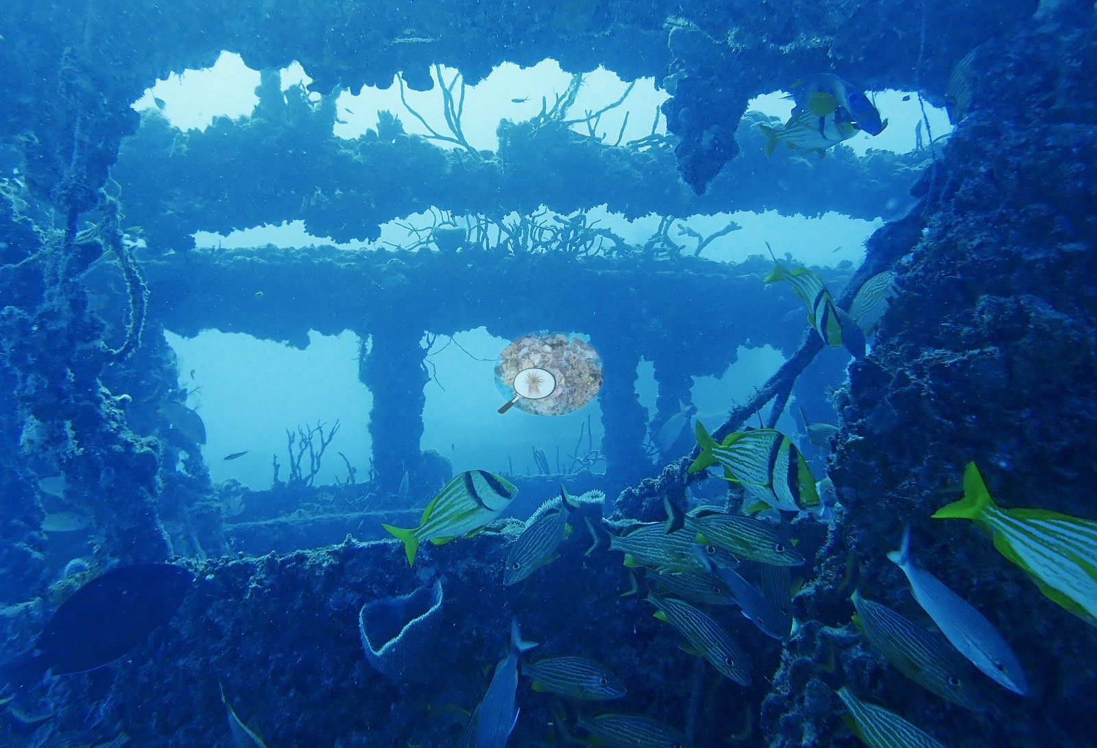
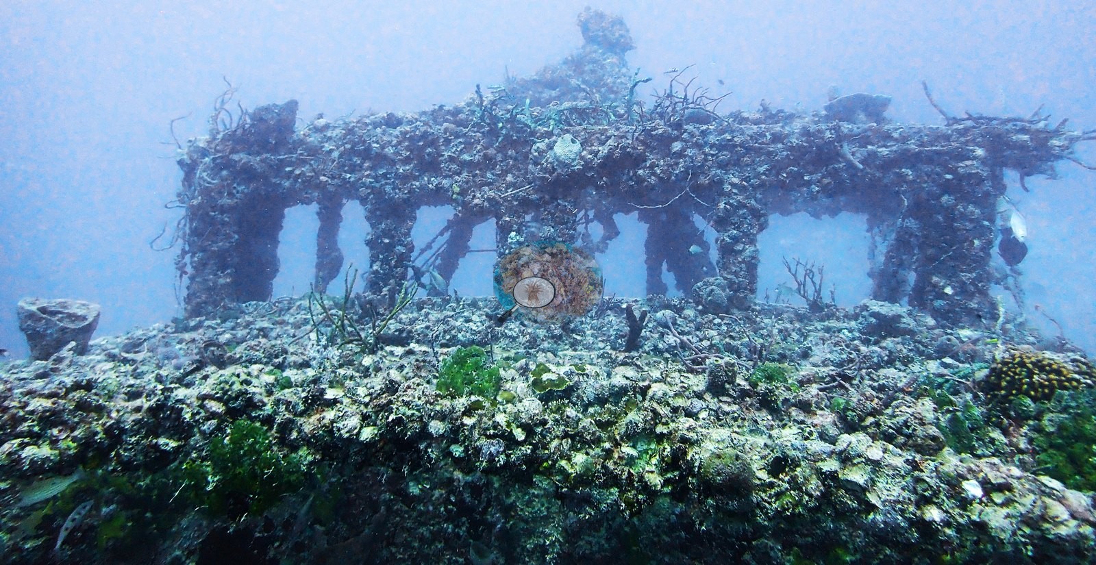
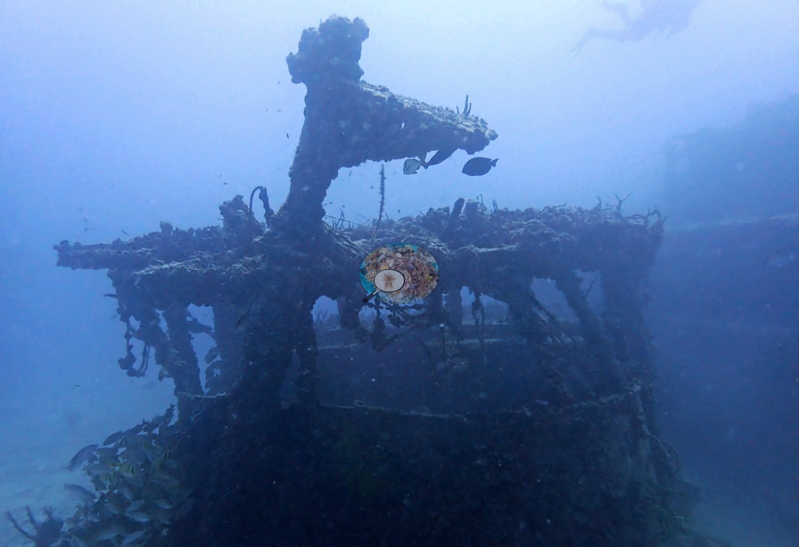
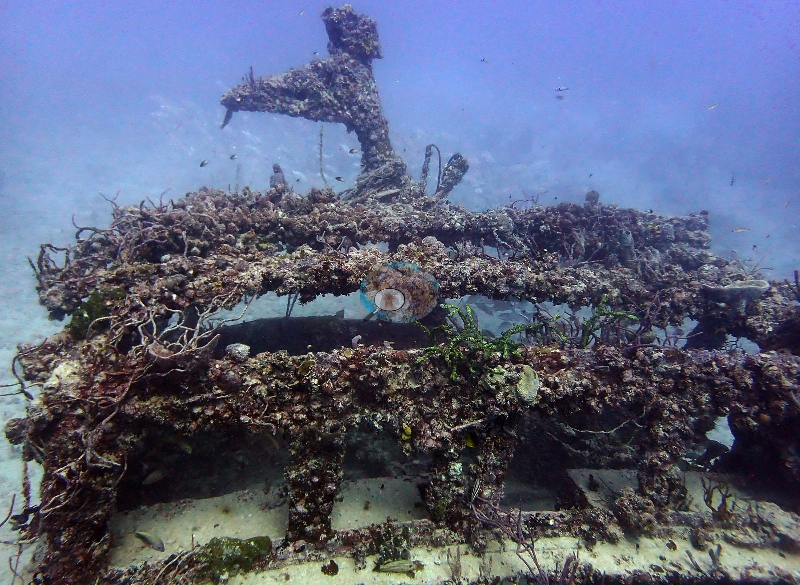
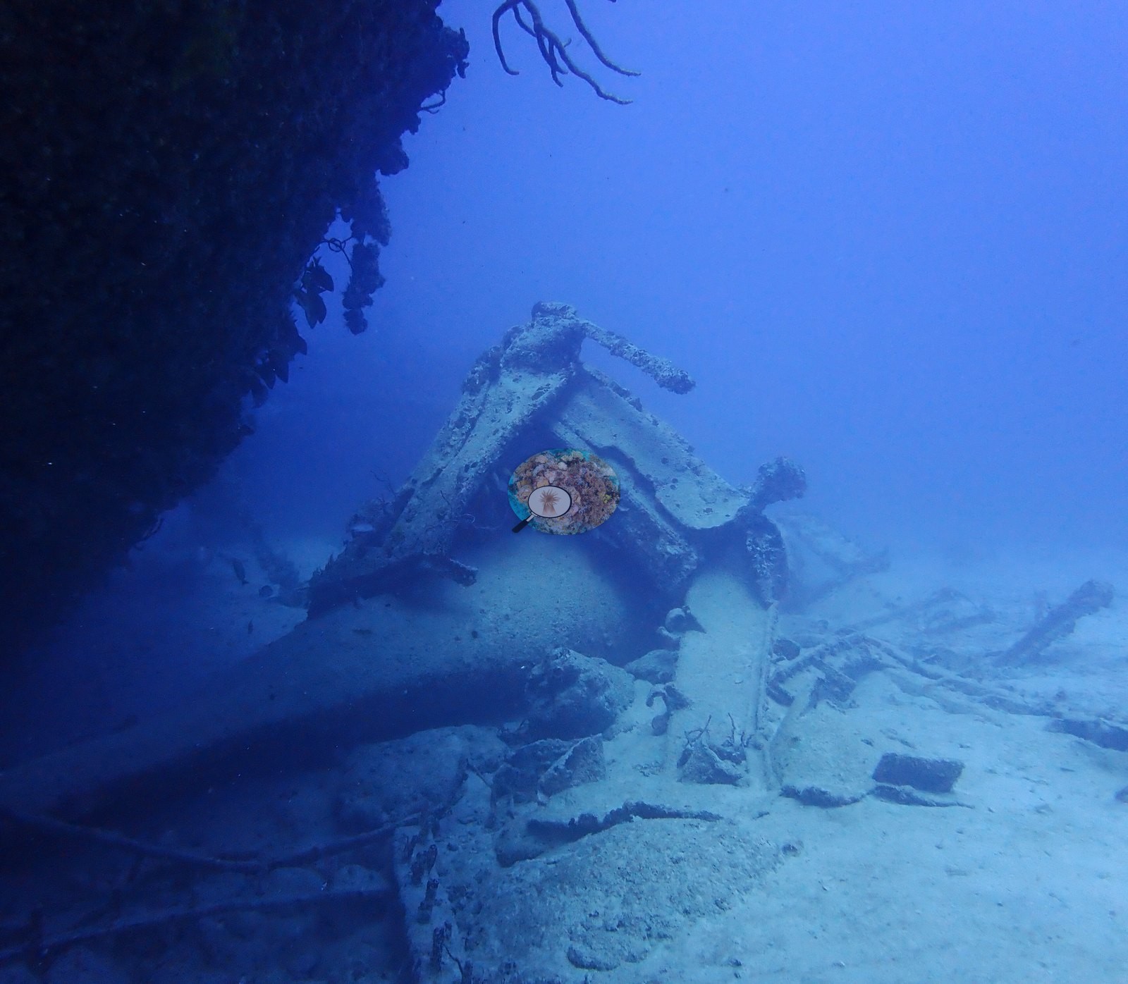
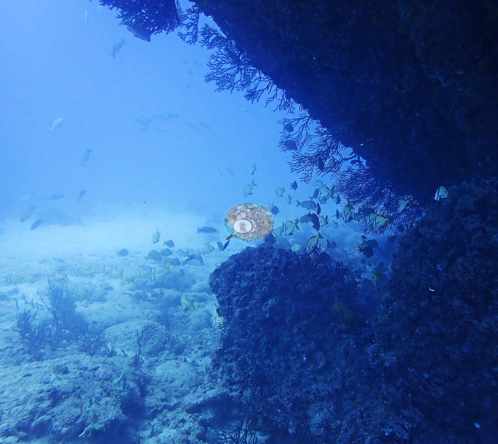
Several wide frames put the whole hulk in blue water at range and show how much relief it carries above the sand (e.g., Image 5, Image 7, Image 18, Image 4, Image 77).
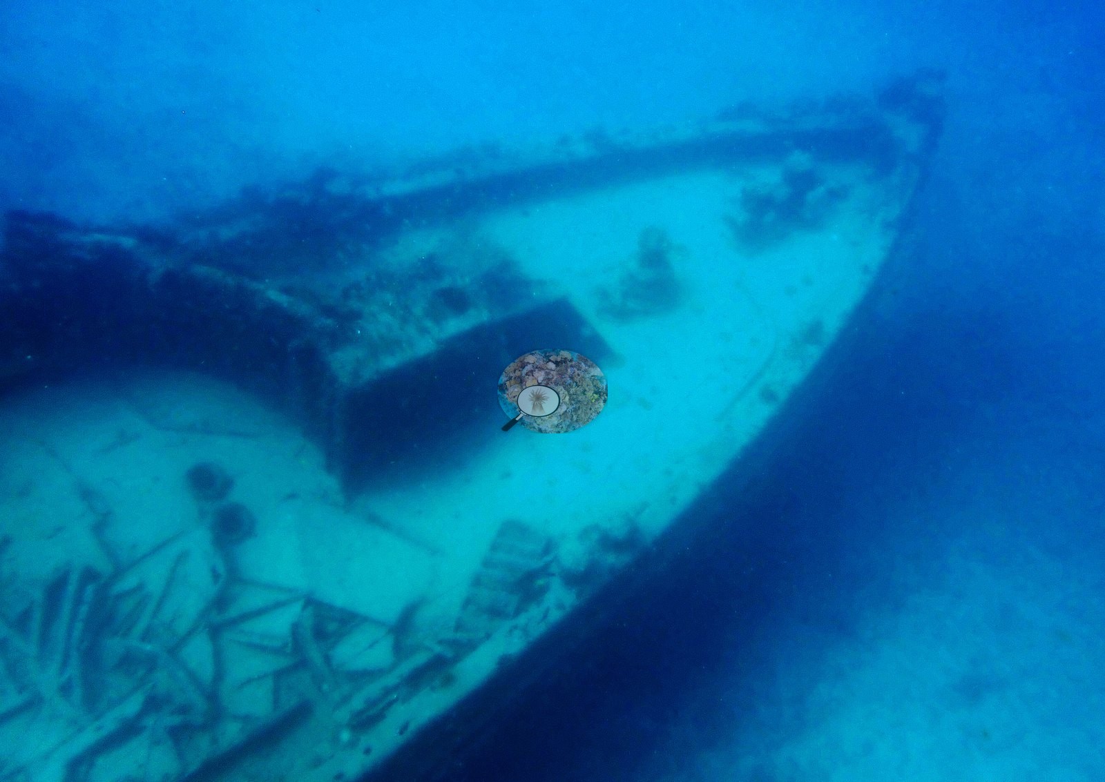
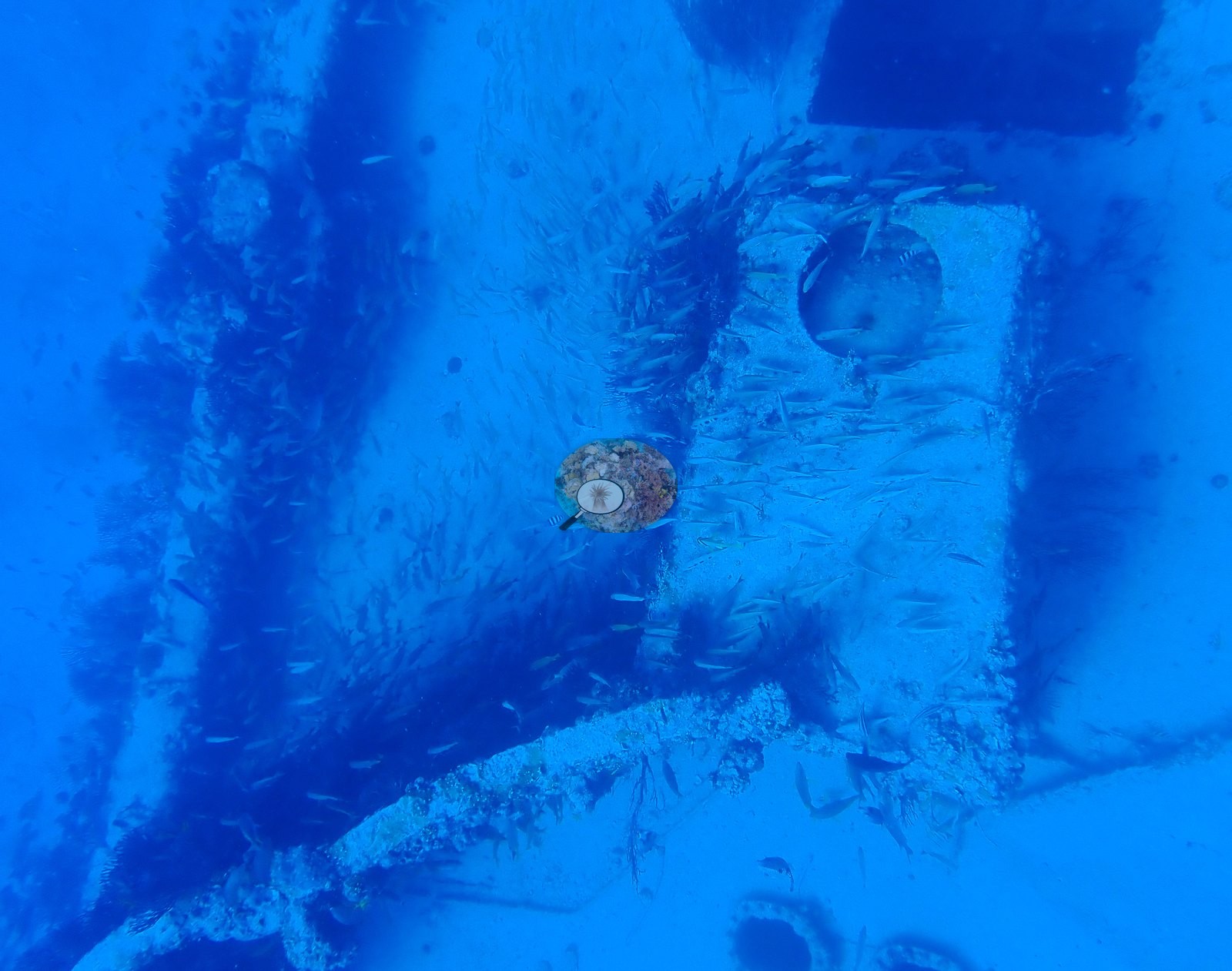
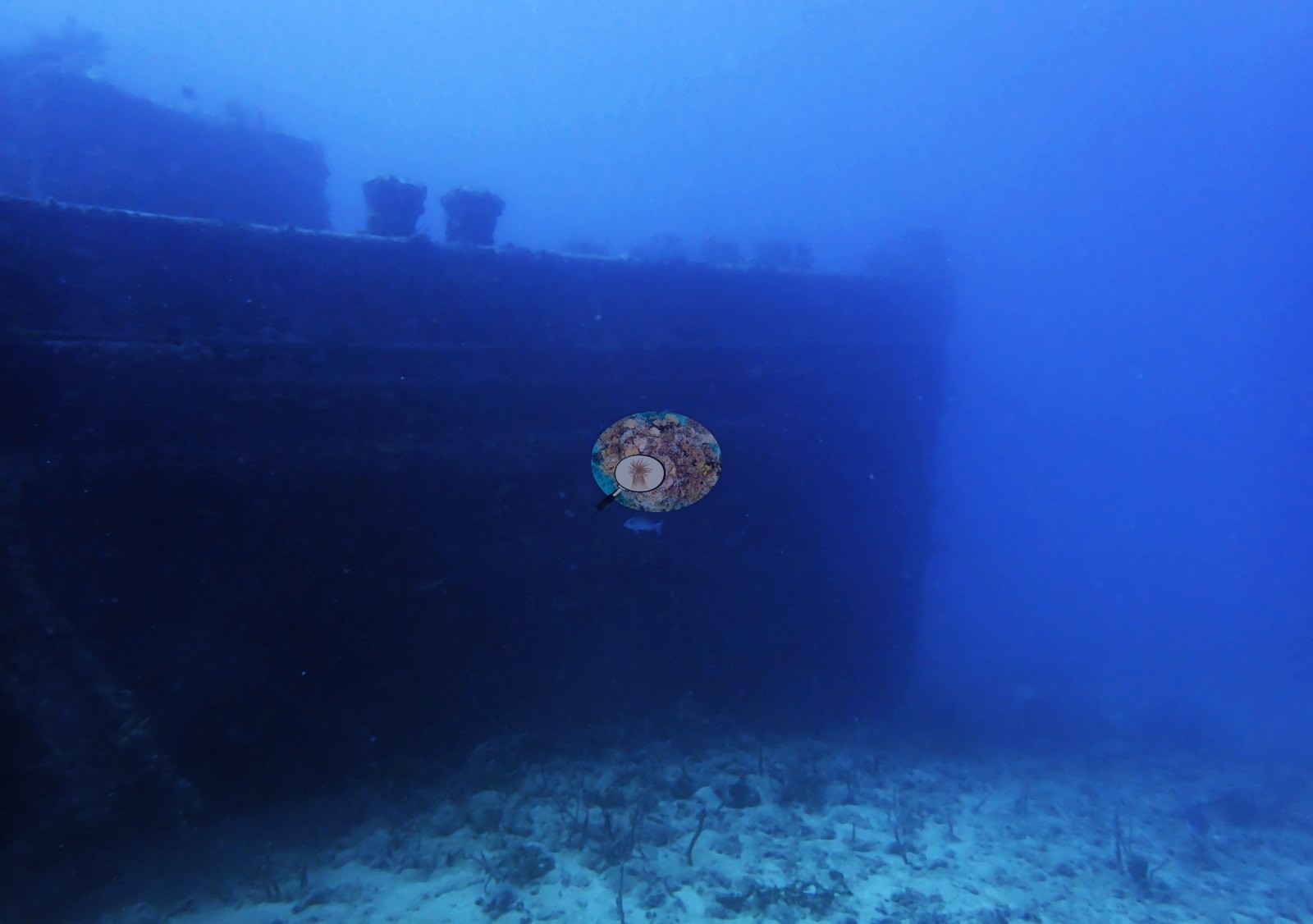
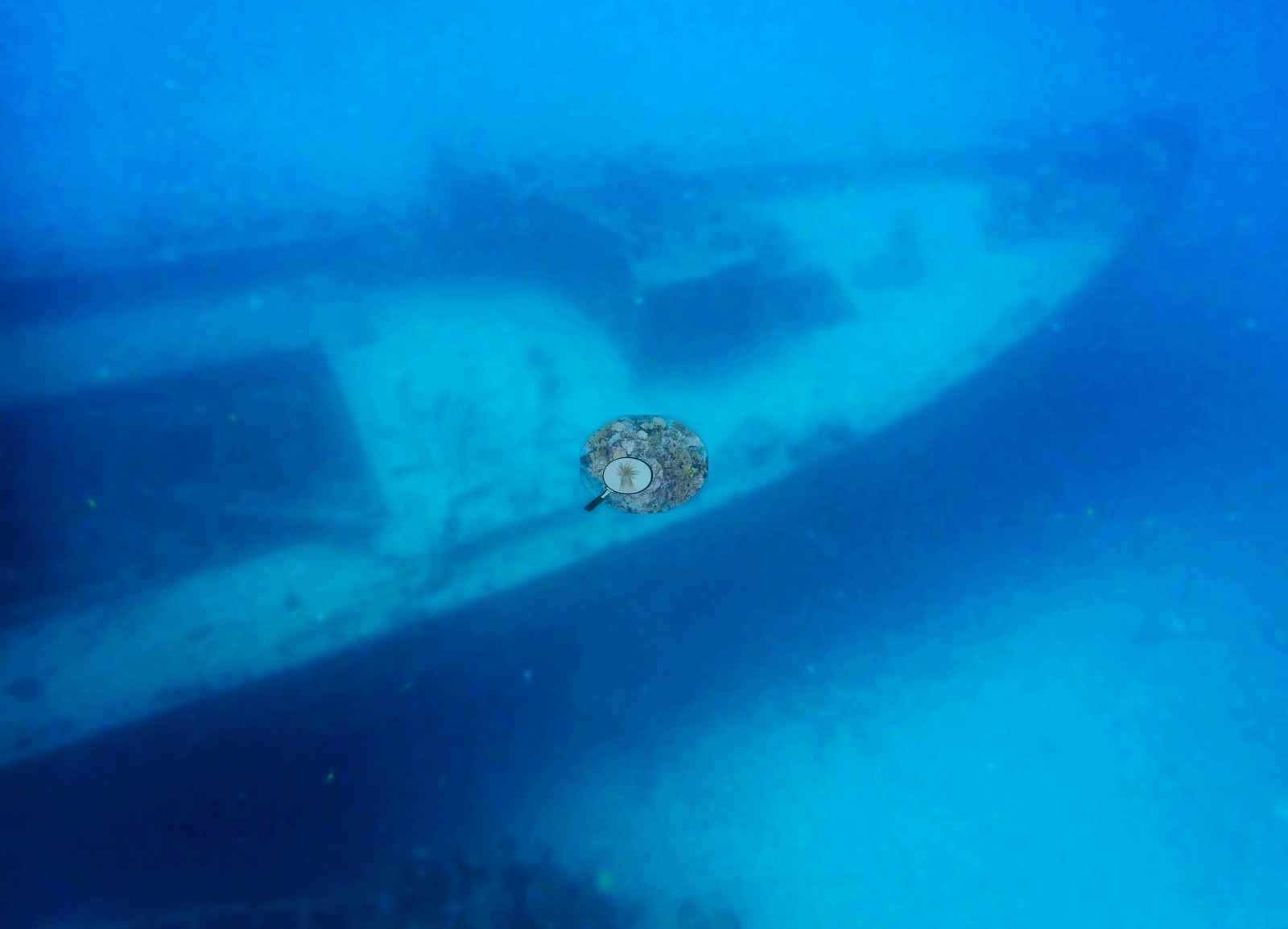
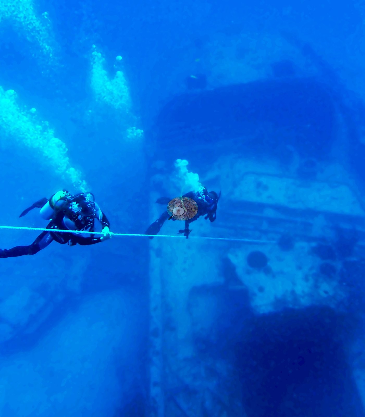
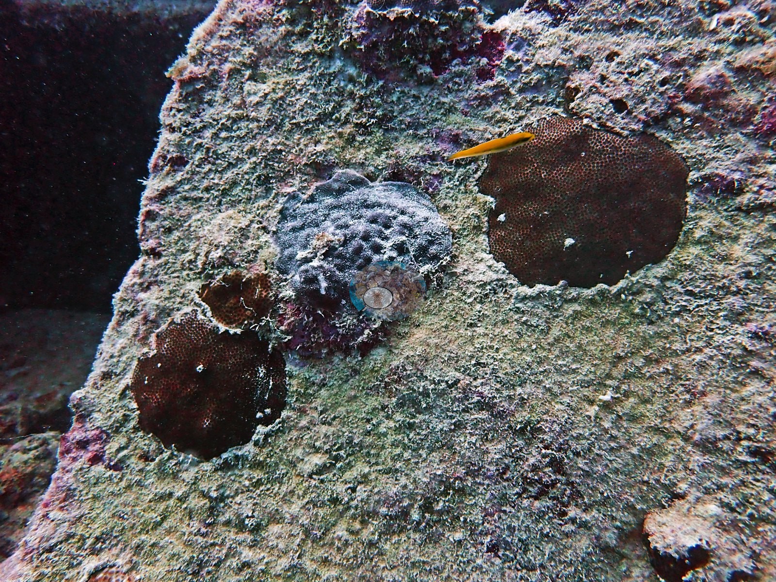
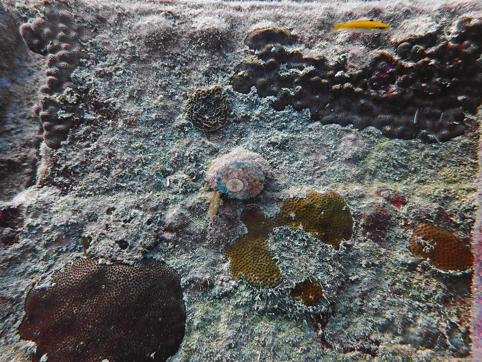
Water clarity clearly varied through the dive, with crisp foreground frames (e.g., Image 54, Image 55, Image 58, Image 70, Image 65) alternating with hazy long shots.
General benthic features
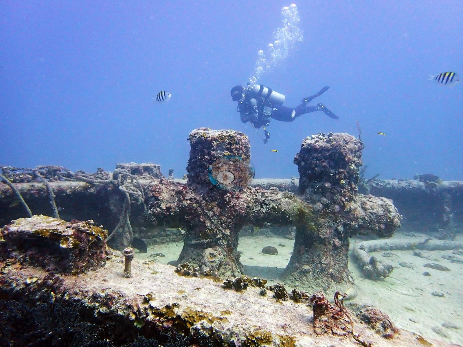
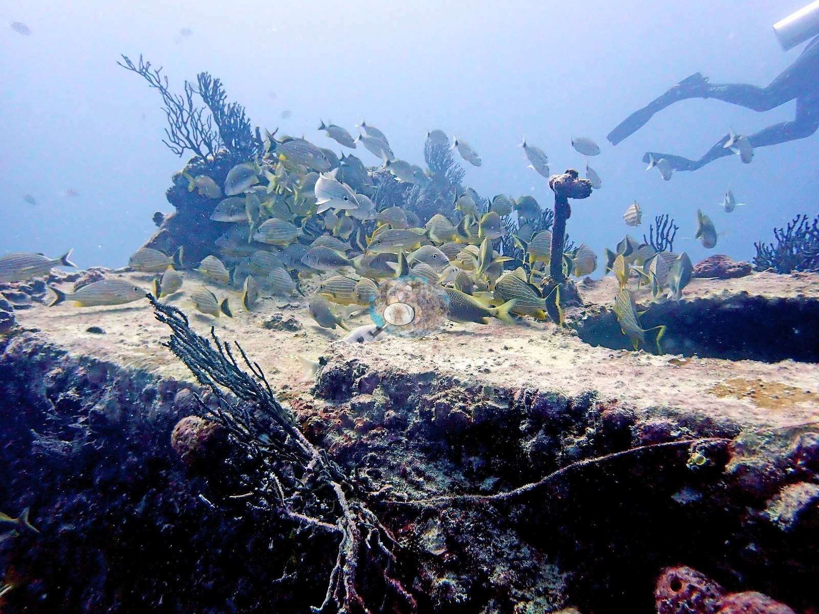
Bollards on the deck appear in Image 13, and the sand plain immediately off the wreck is visible in Image 56, Image 57, and Image 72 with scattered debris, isolated small colonies, and gorgonians rooted directly in sediment.
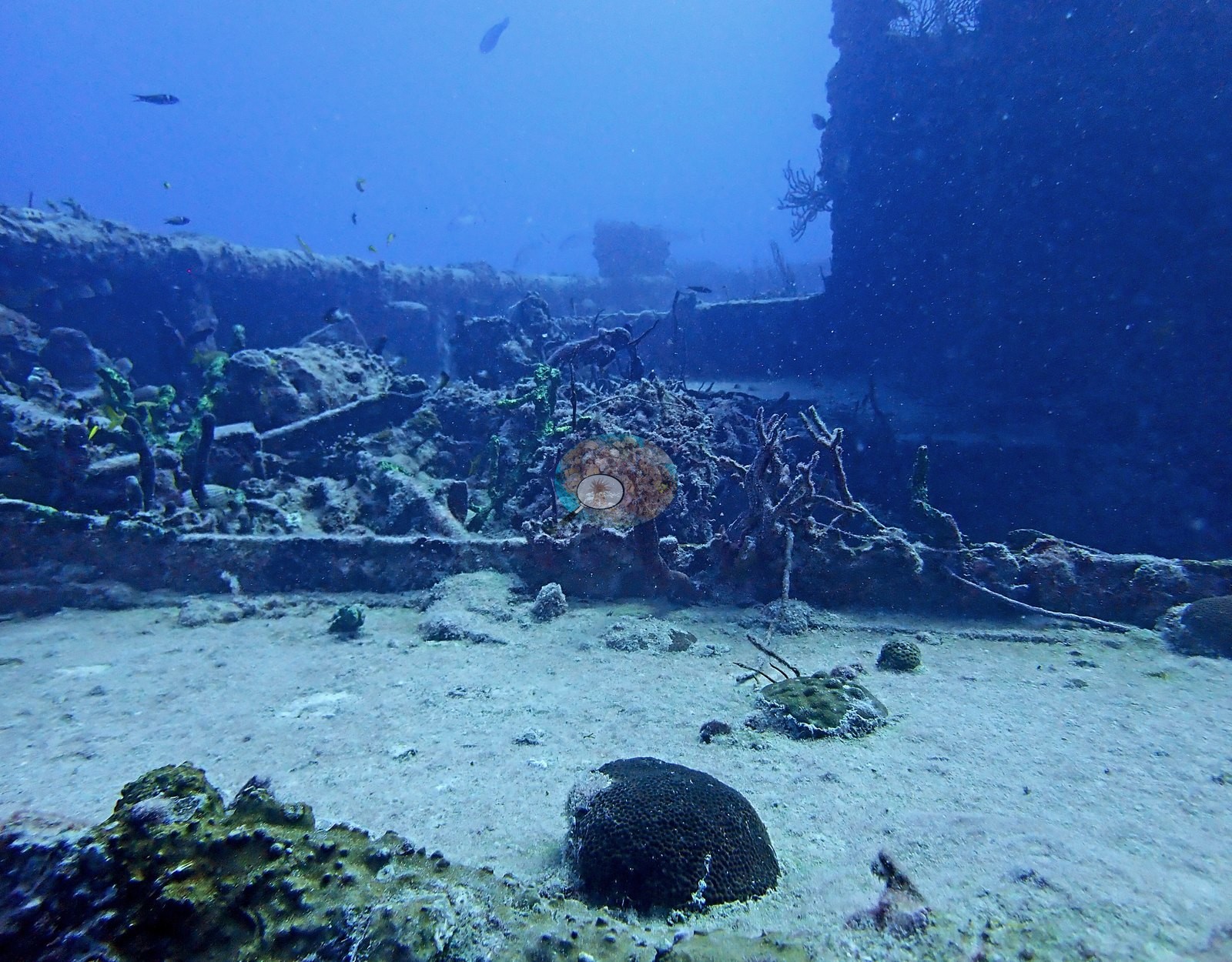
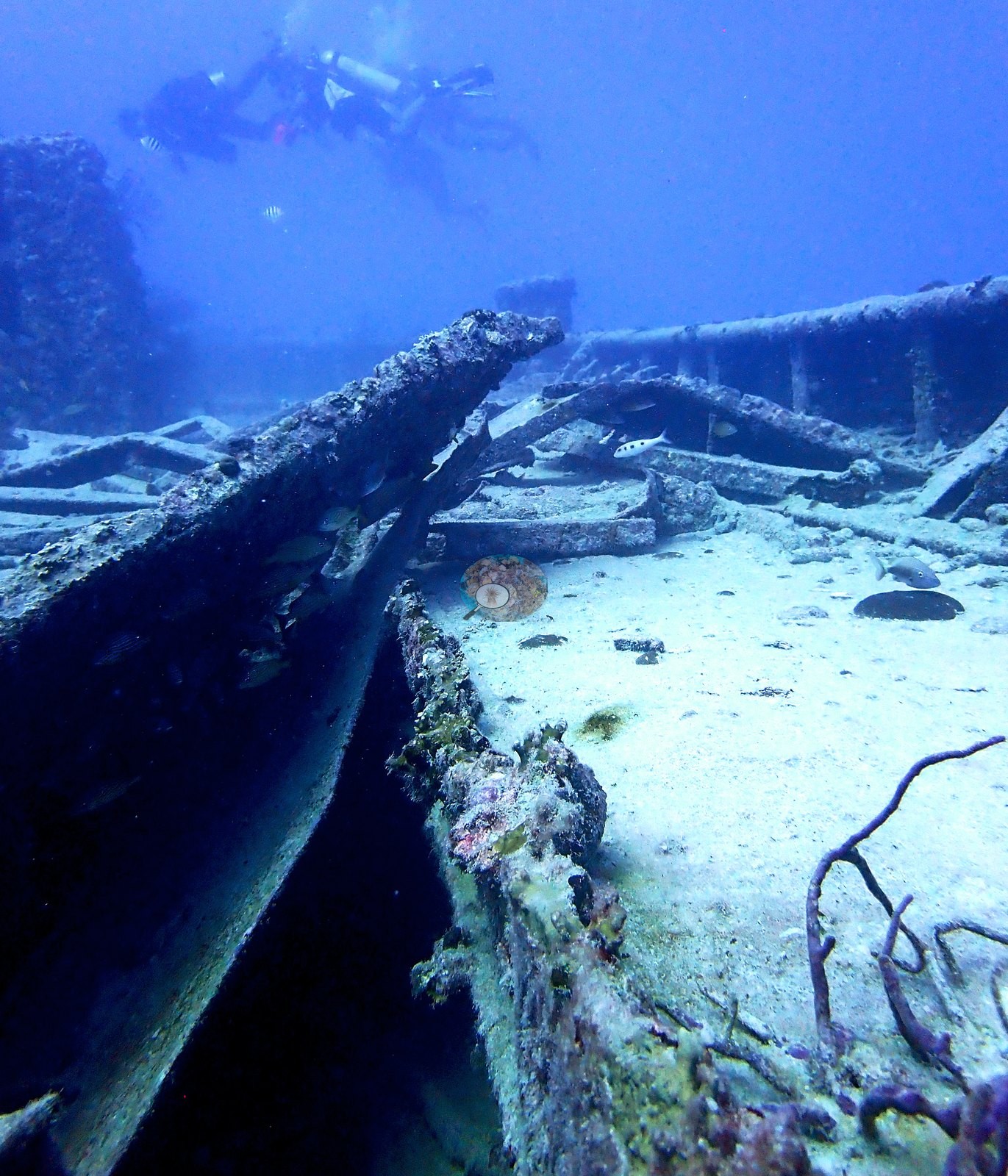
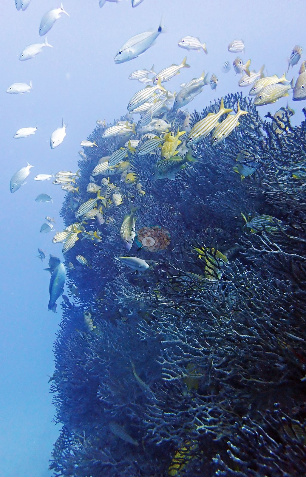
What has recruited onto the structure is a mixed fouling and sessile community rather than anything reef-like in organization. The single most conspicuous element across the sheets is gorgonian growth: dense bushy sea rods and sea plumes fringing every horizontal edge, rail, and deck lip (e.g., Image 11, Image 14, Image 30, Image 32, Image 34, Image 39, Image 42, Image 51, Image 74, Image 46), in places thick enough to read as a hedge along the gunwale.
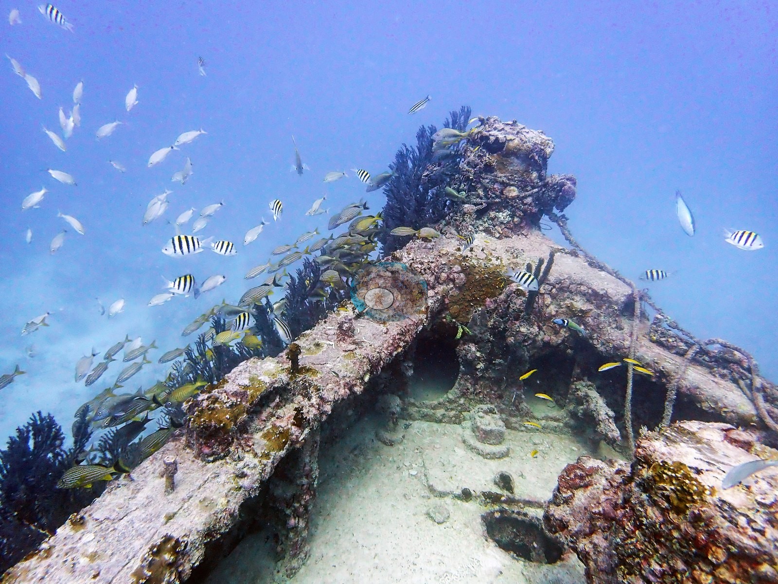
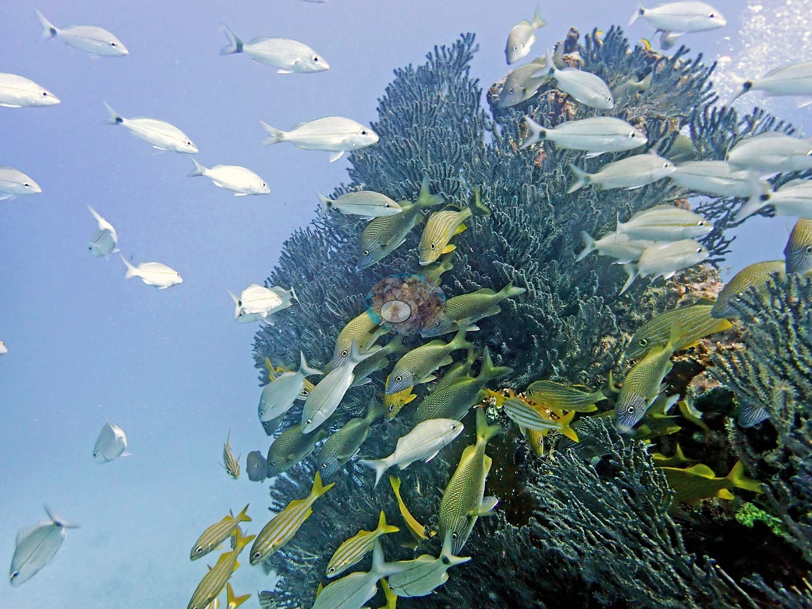
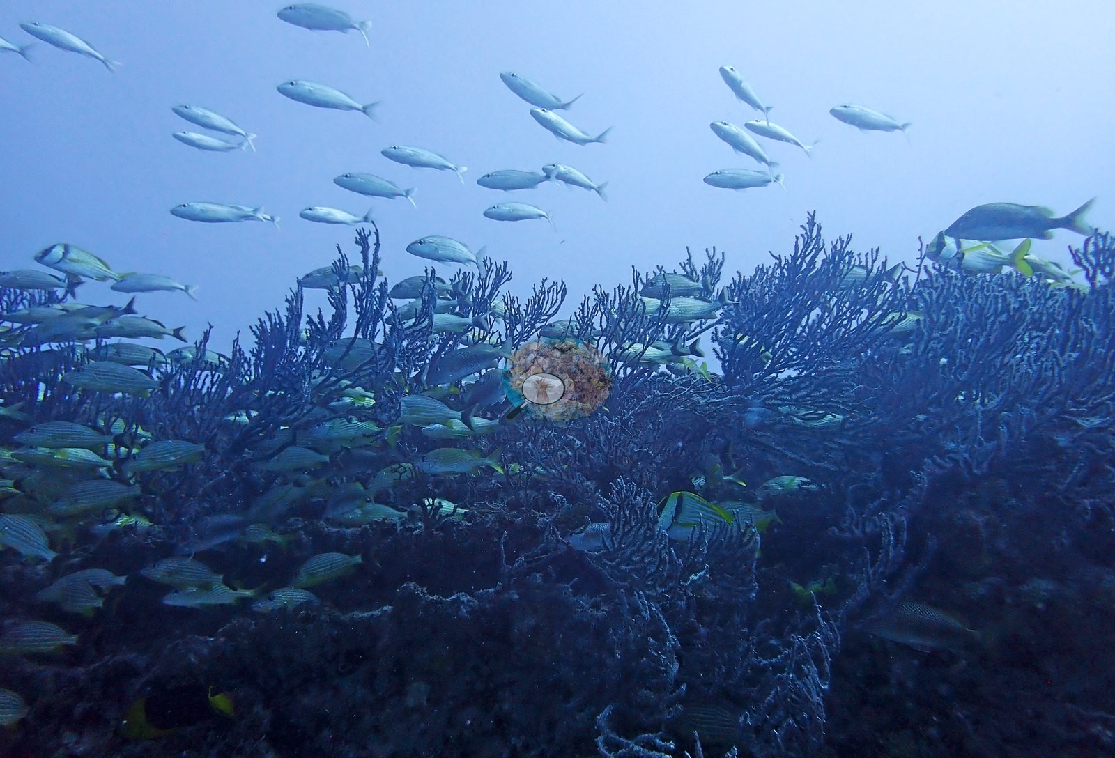
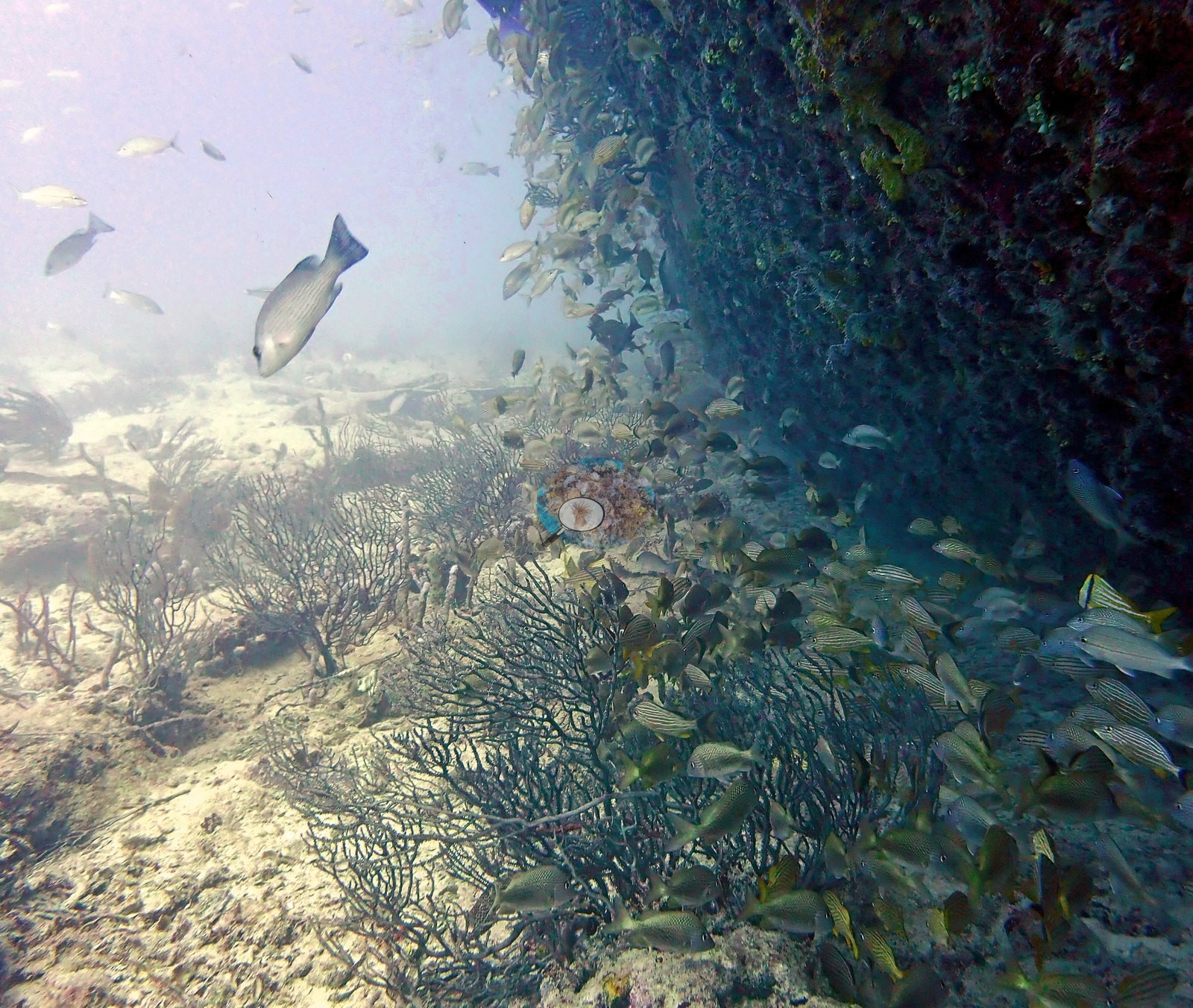
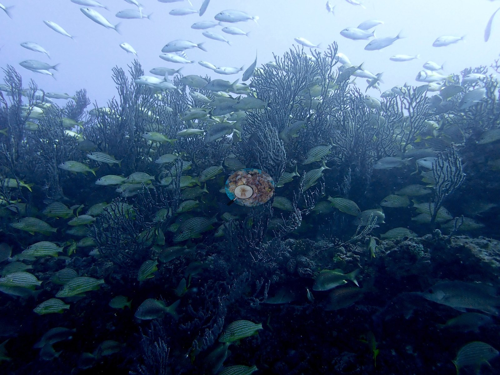
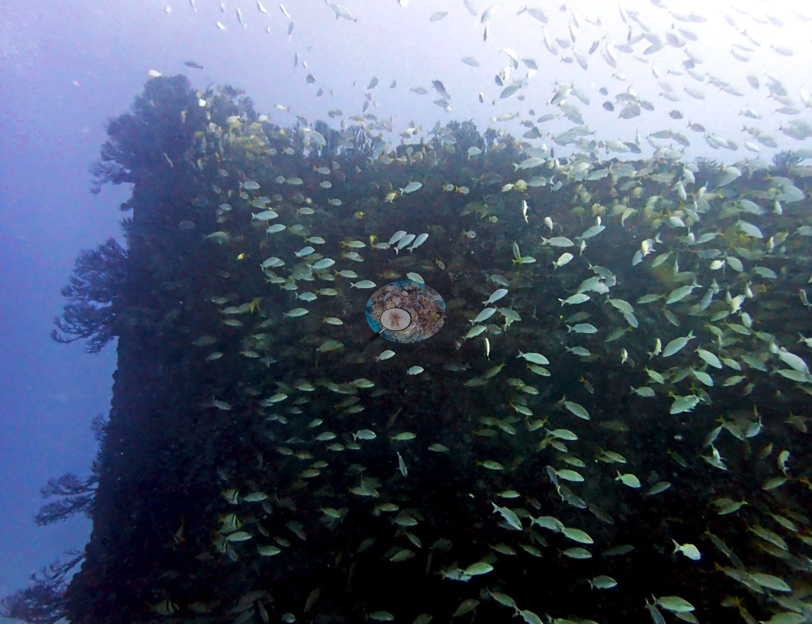
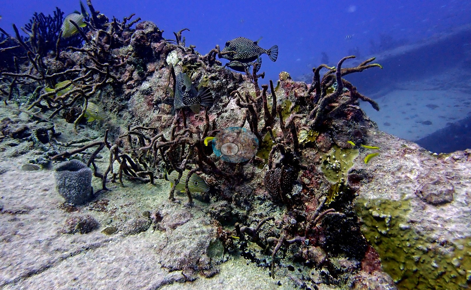
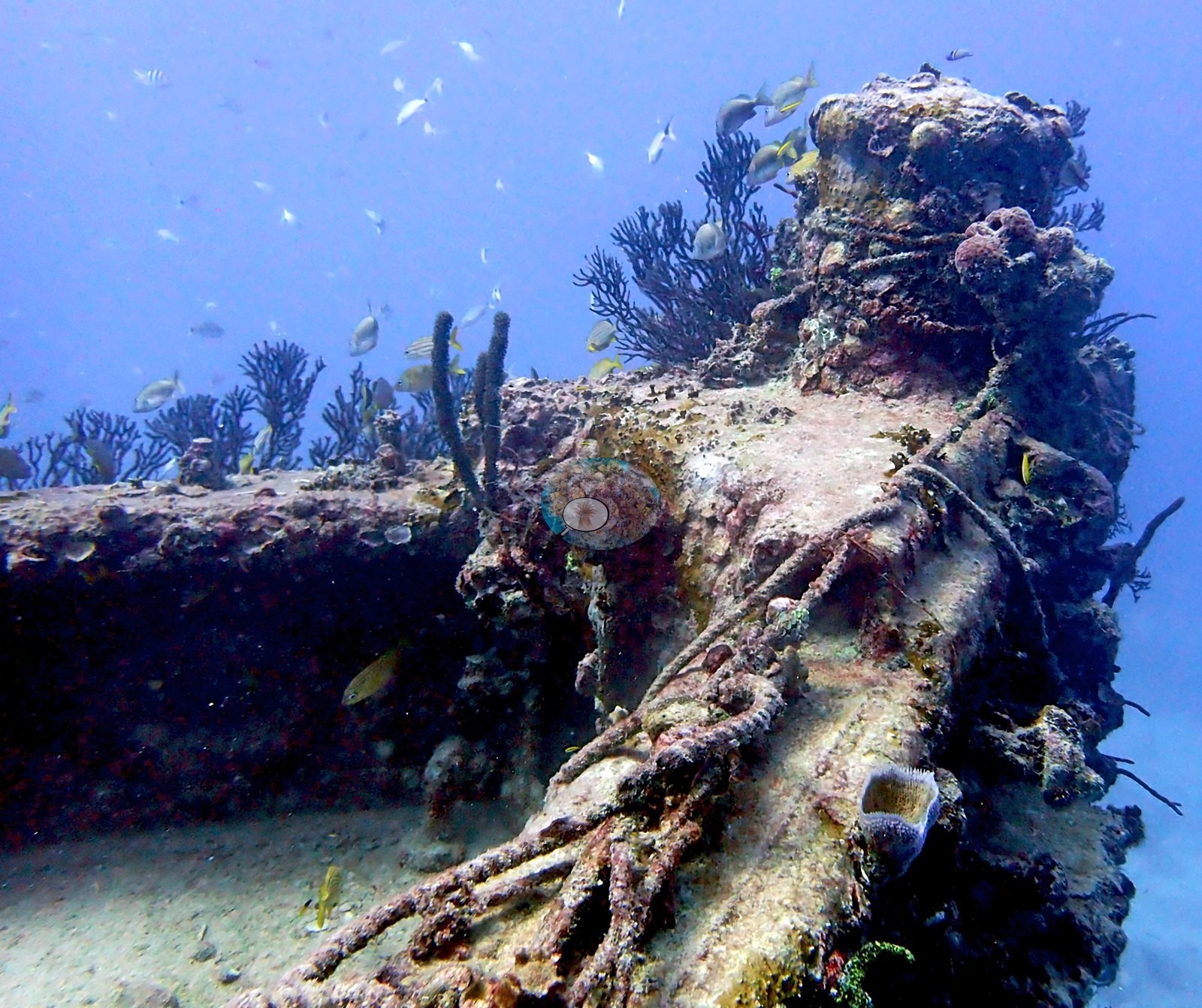
Turf and filamentous algae, encrusting coralline pink, and sponges fill the plating between them — a knobbly yellow sponge and a low orange sponge on the same steel face in Image 25, and yellow encrusting sponge along a deck seam in Image 44.
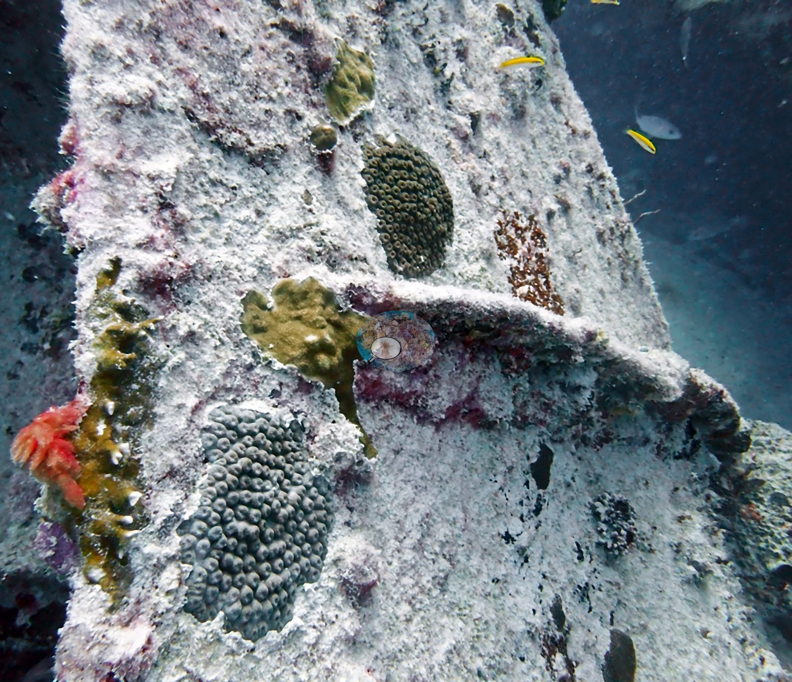
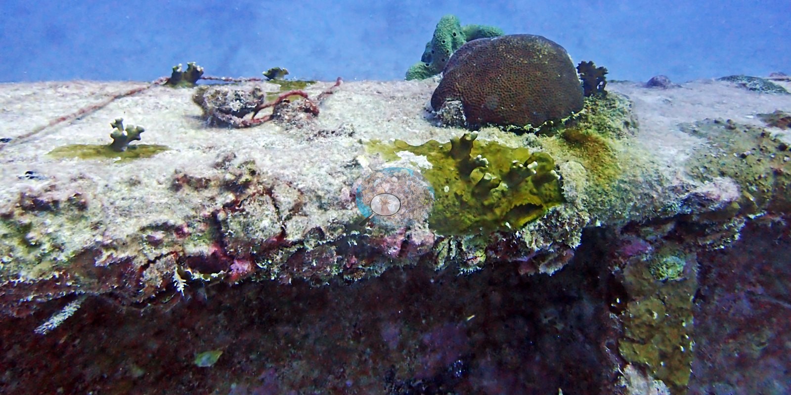
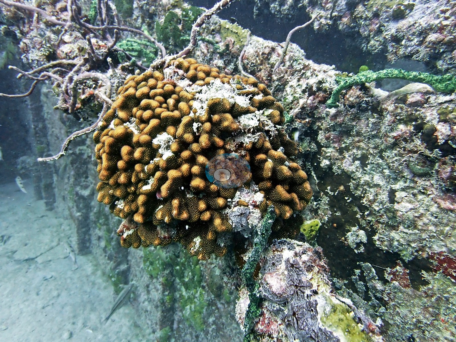
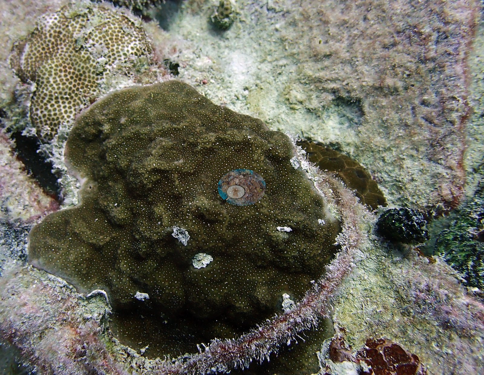
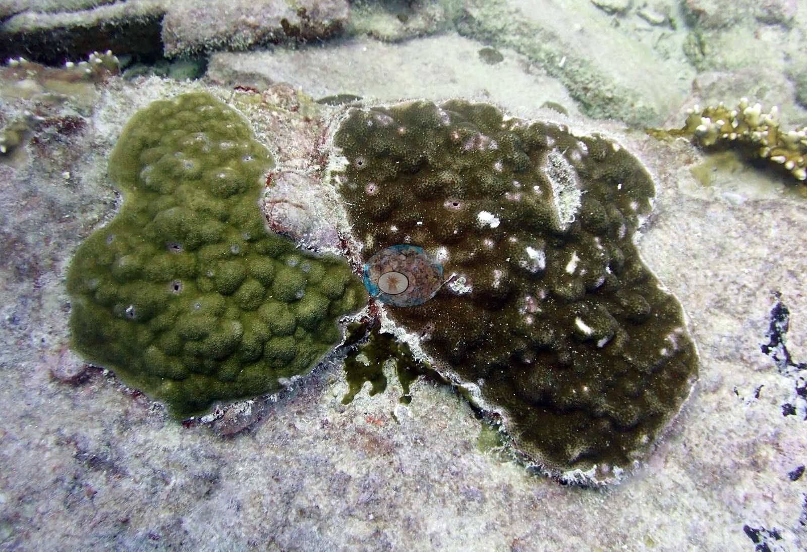
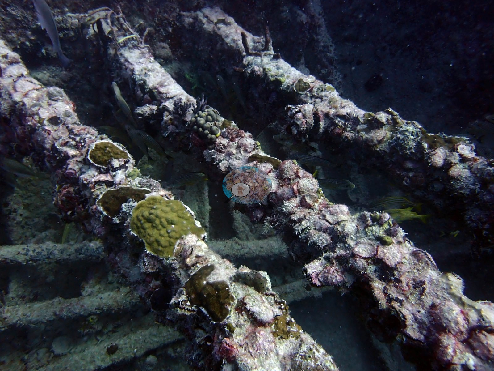
Scleractinian recruits are present but occur as small, scattered, individual colonies on flat steel and concrete surfaces, not as a continuous veneer: Image 54 and Image 55 each show four to six discrete encrusting/dome colonies a hand-span apart on otherwise bare plating; Image 58 and Image 70 show olive-green lobed encrusting colonies (consistent with Porites astreoides, though a photograph cannot separate it from other encrusting candidates); Image 62 shows a broad gray plating colony whose margins cannot be confidently called coral versus sponge; Image 53 shows small domed colonies on pipework; Image 73 is a circular hull opening with a ring of small colonies recruited around the rim.
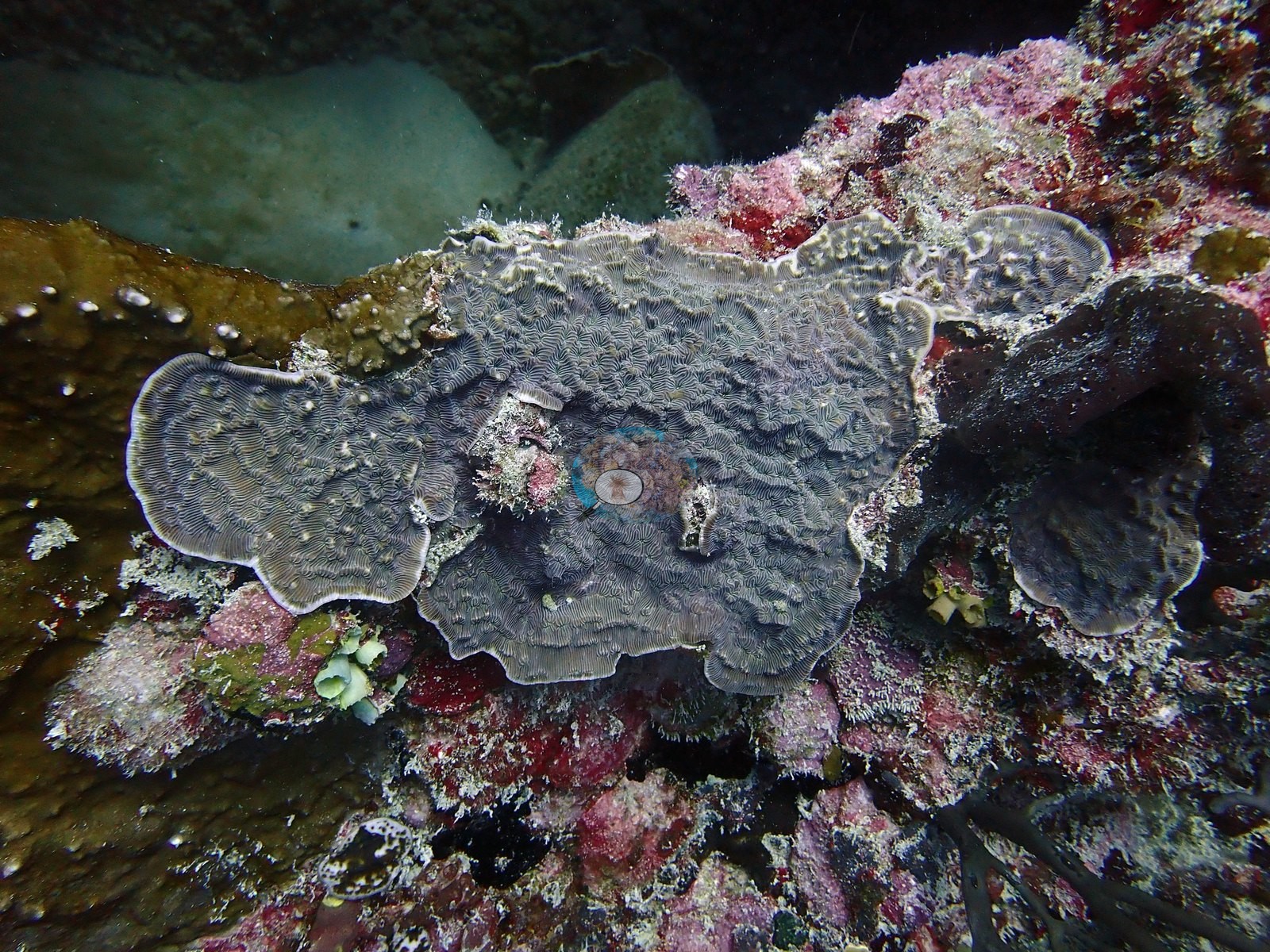
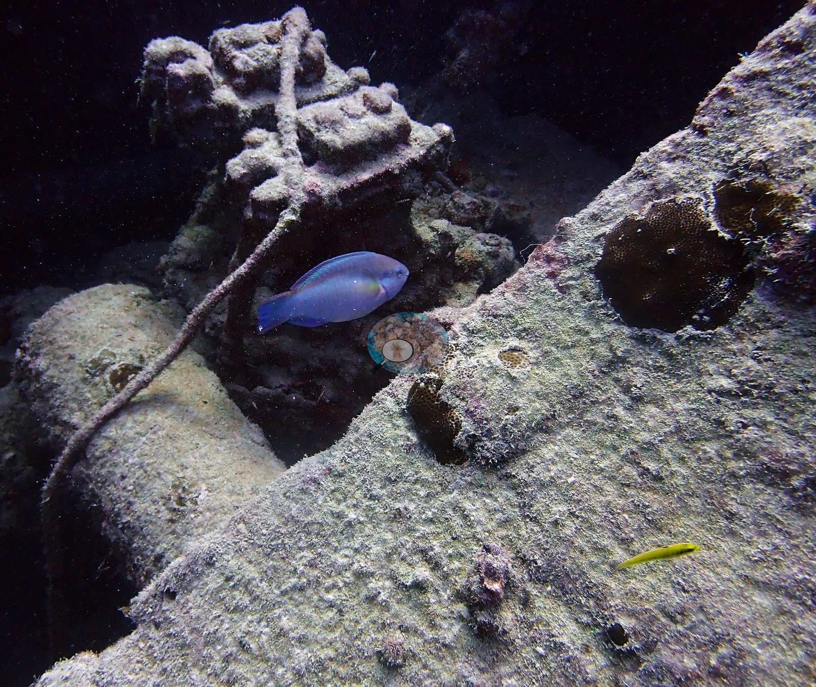
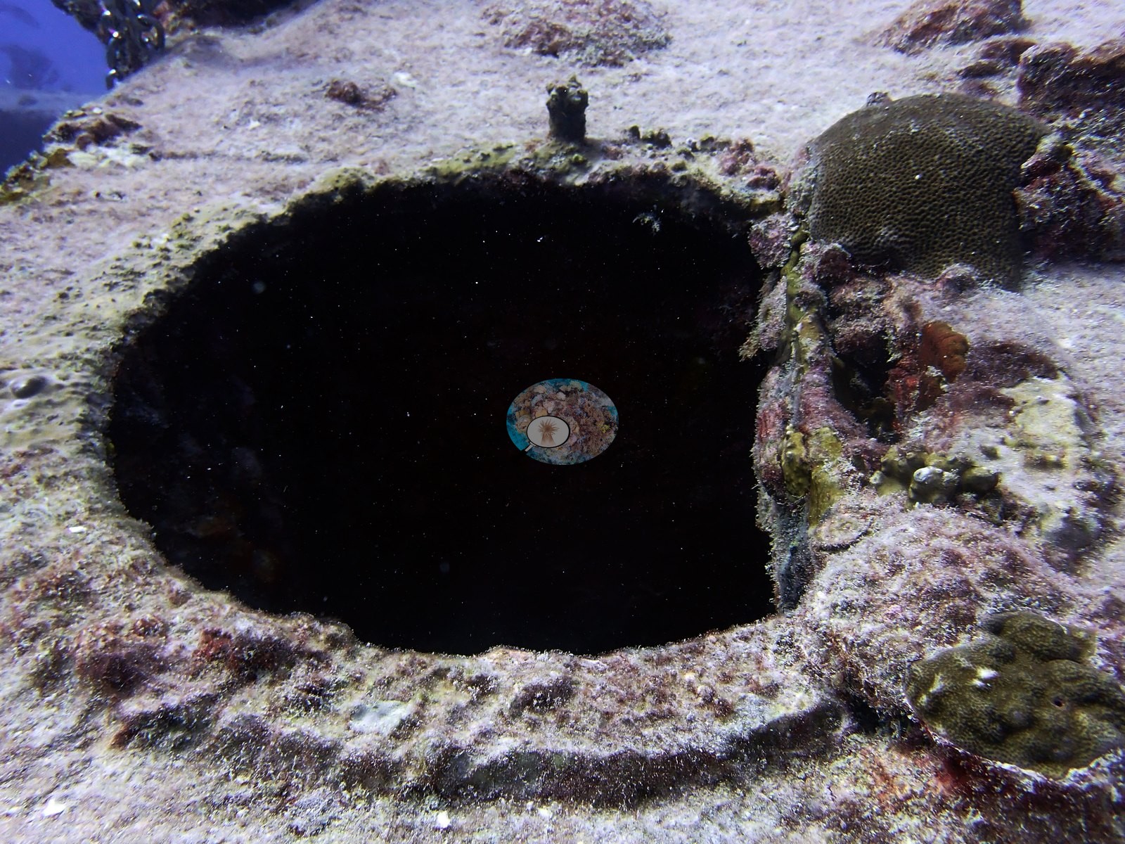
Two frames are dedicated close-ups of a foliose, meander-ridged colony that Anderson identified as Agaricia (e.g., Image 26, and the same morphology again in Image 35) — a field call, reported as such. Image 60 is a colony Anderson identified as fire coral: a mustard-brown encrusting colony with a central hole, i.e.
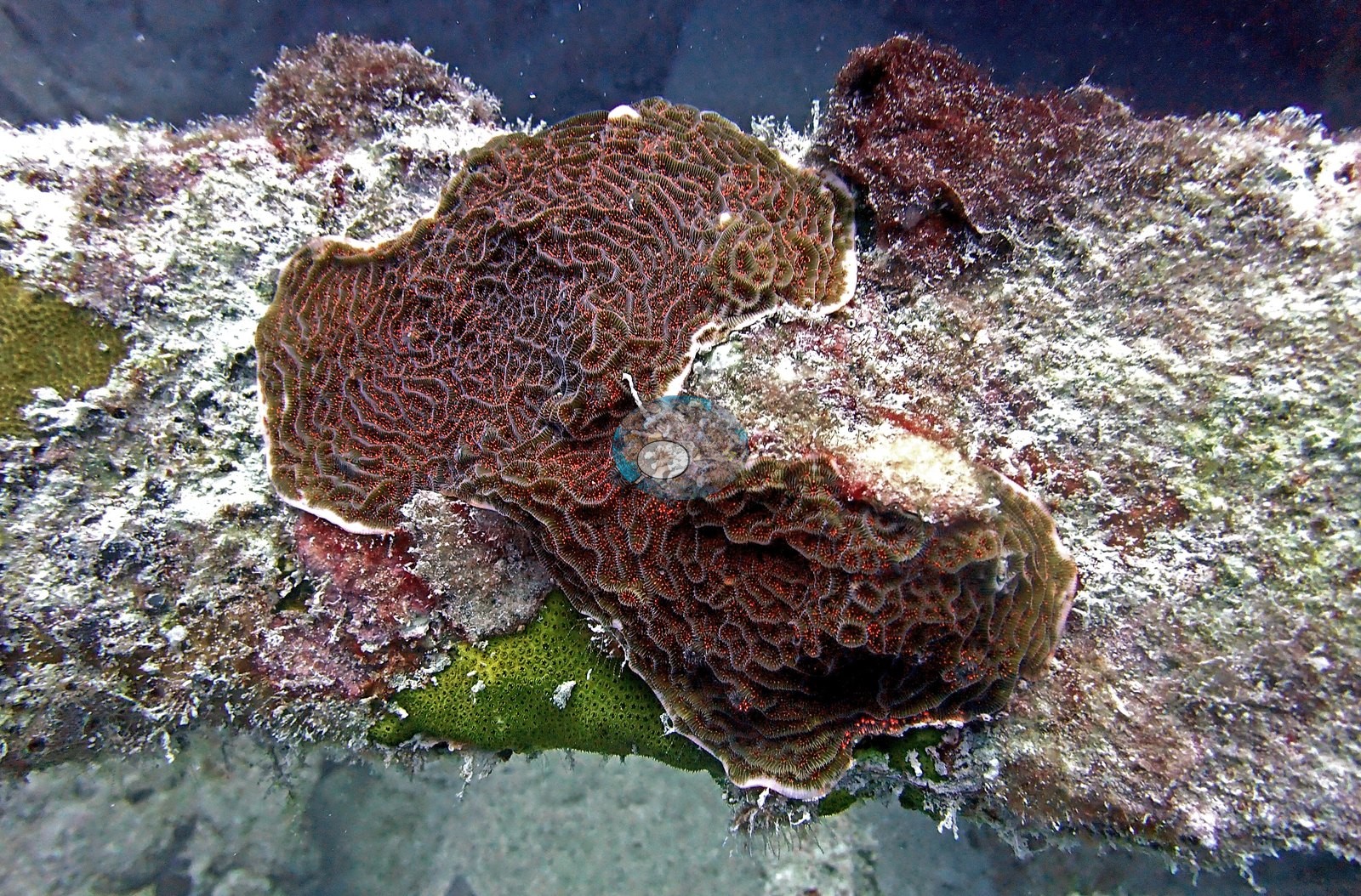
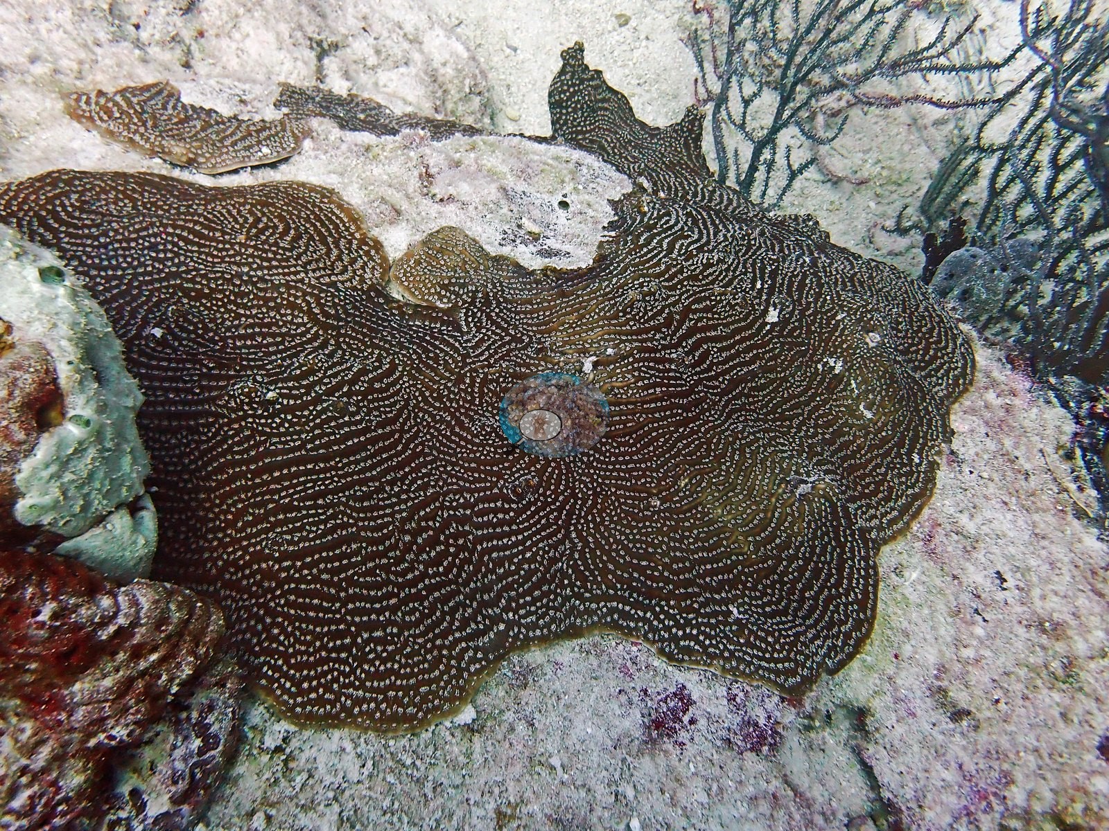
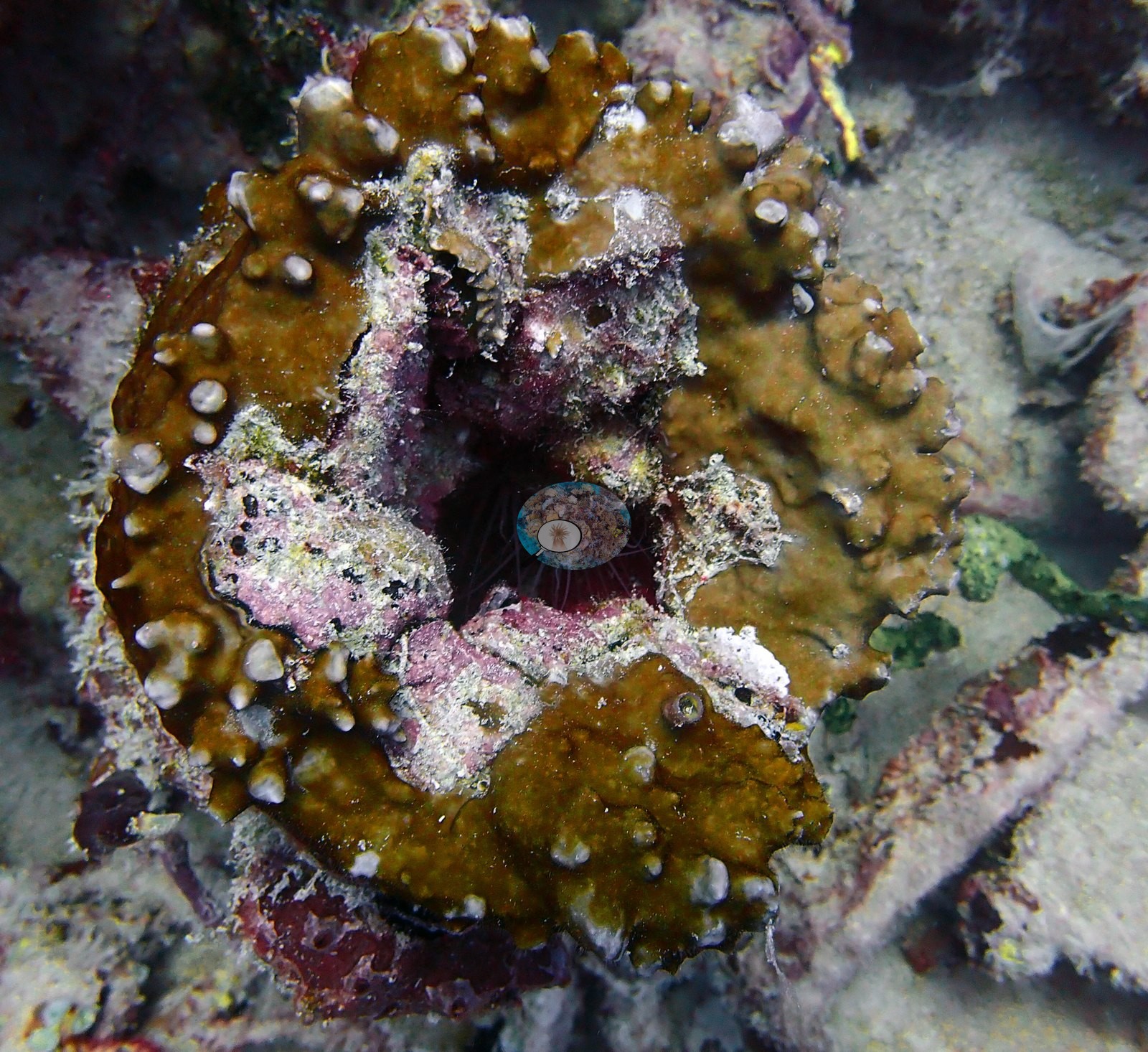
Millepora, and a similar knobby mustard colony appears in Image 21. Image 65 shows the general case well — recruits distributed sparsely along a length of railing and pipe, interspersed with turf, sponge, and coralline.
What the frames do support qualitatively is a structure with high vertical relief, heavy gorgonian and turf/sponge fouling on exposed edges, sparse and individually distinguishable stony-coral recruits on flat plating, and a very large resident fish aggregation.
Coral cover
- Reference: Claude CV point count (this site's photos)
- Coral cover: 4.2% — a blind Claude computer-vision point count of 65 of Anderson's edited photographs (20 points per photo; water, fish, and obstructions excluded). Other computer-vision methods are listed in the method table. On a wreck, low coral cover is expected.
Stressors
No corallivores were evident.
Fish and other fauna
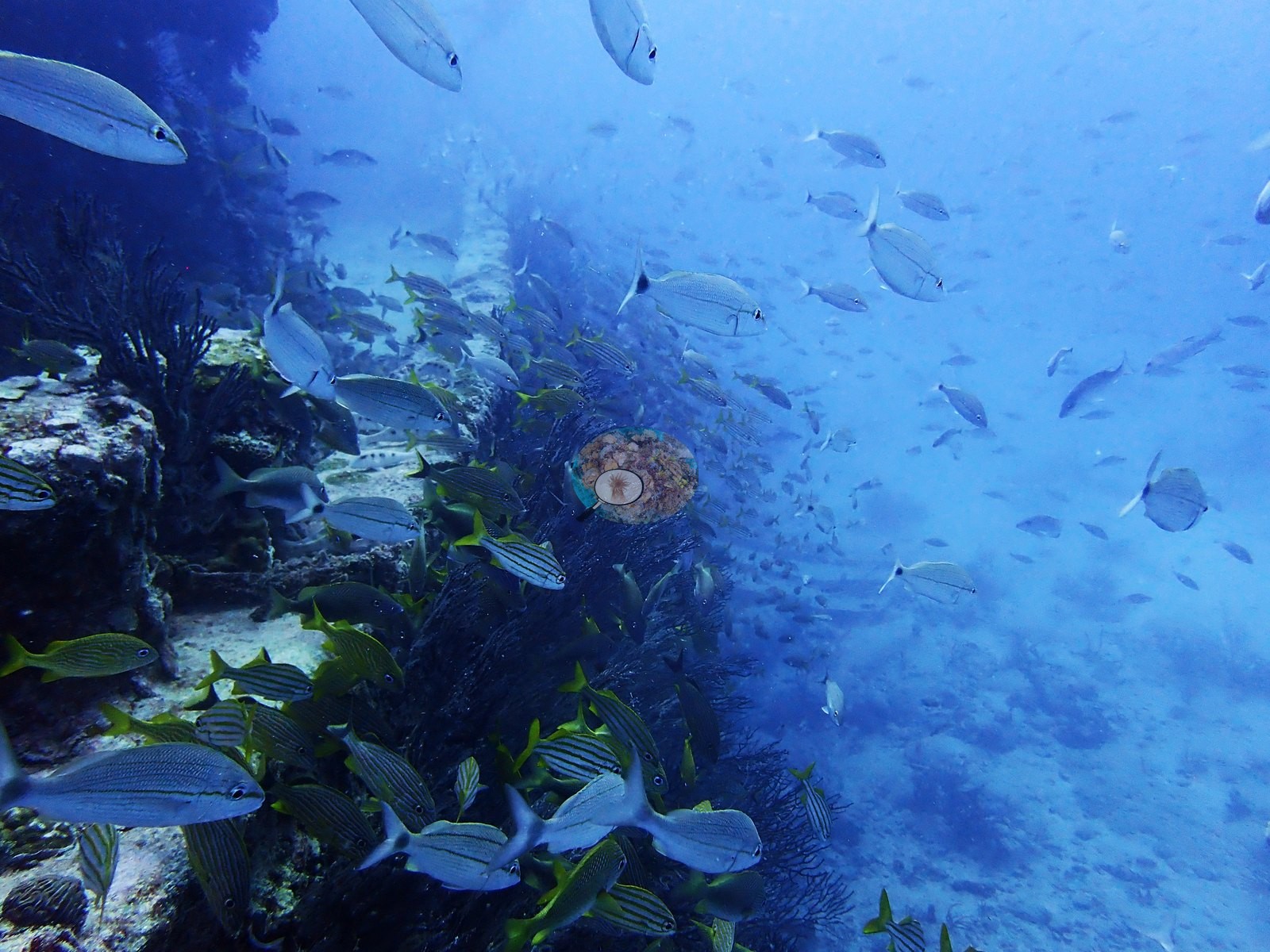
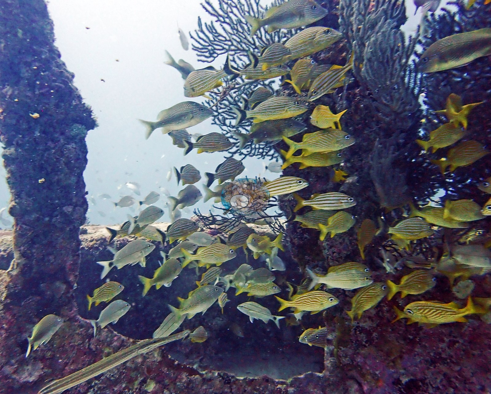
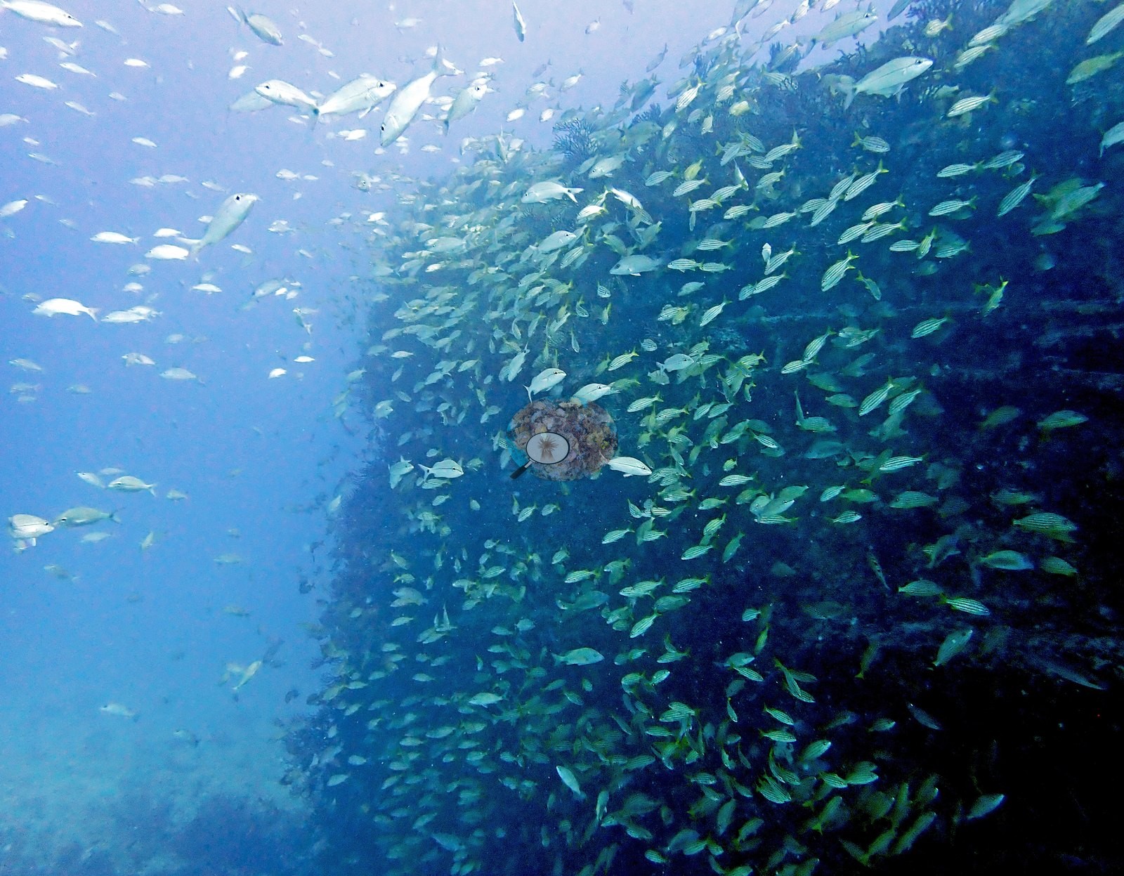
Fish aggregation around the relief is the dominant biological signal on these sheets and is documented far more heavily than the sessile cover. Multiple frames are effectively wall-to-wall fish: dense mixed schools of grunts and snapper packed against the superstructure and hull (e.g., Image 16, Image 39, Image 43, Image 48, Image 50, Image 51, Image 52, Image 68, Image 69), with yellow-and-silver striped grunts and yellowtail-type snapper the recognizable bulk.
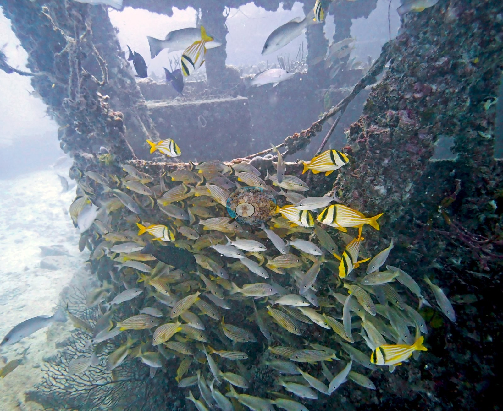
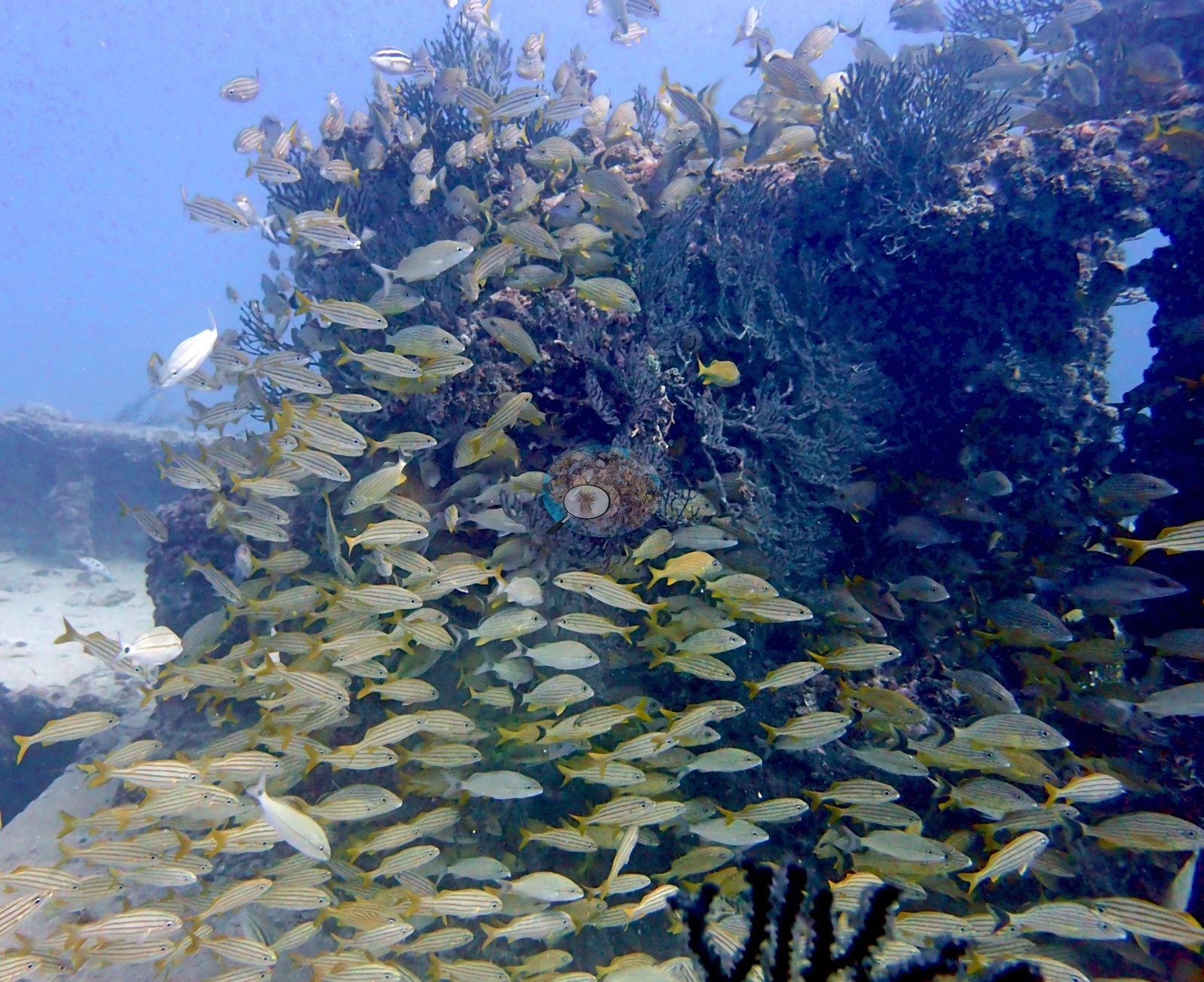
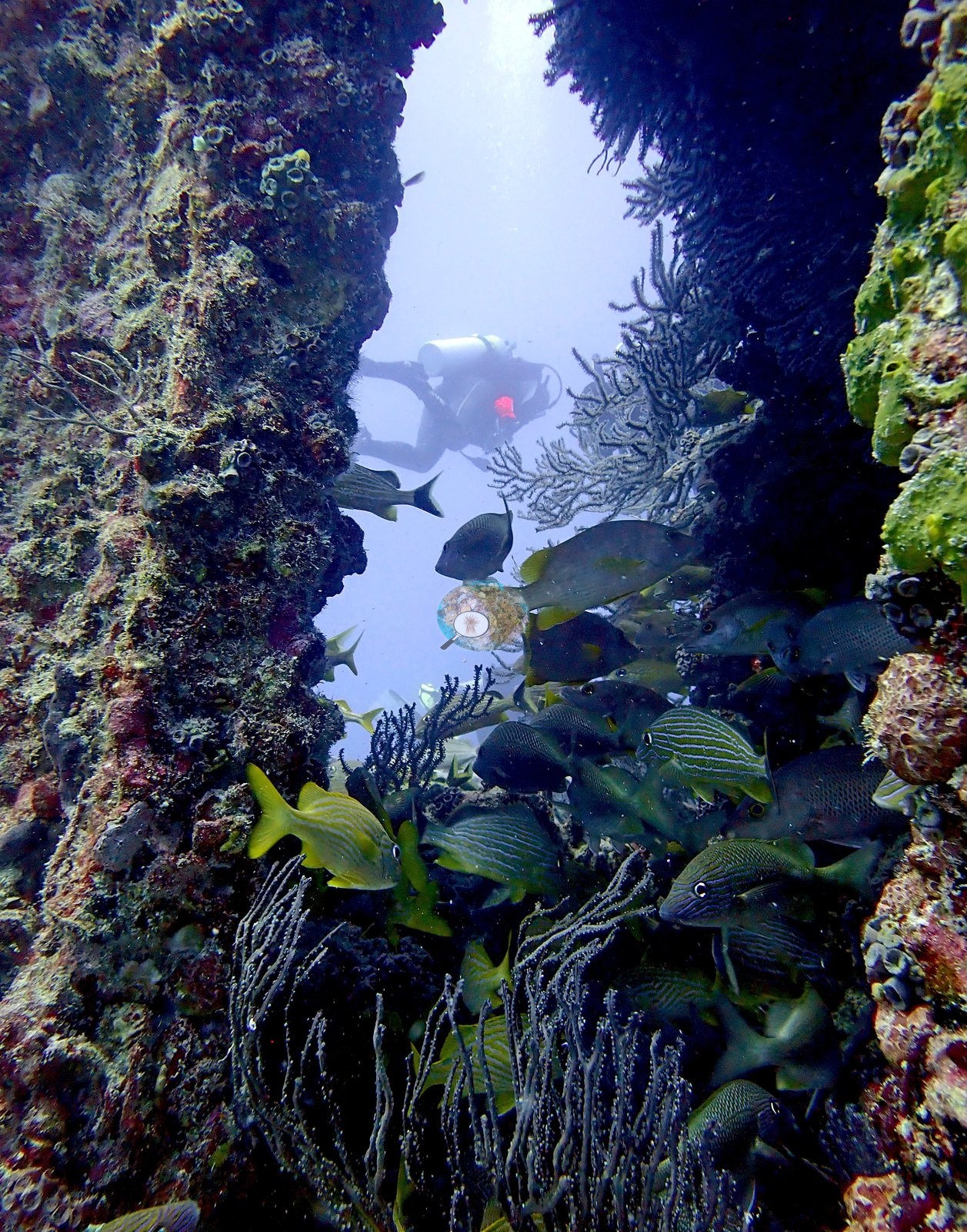
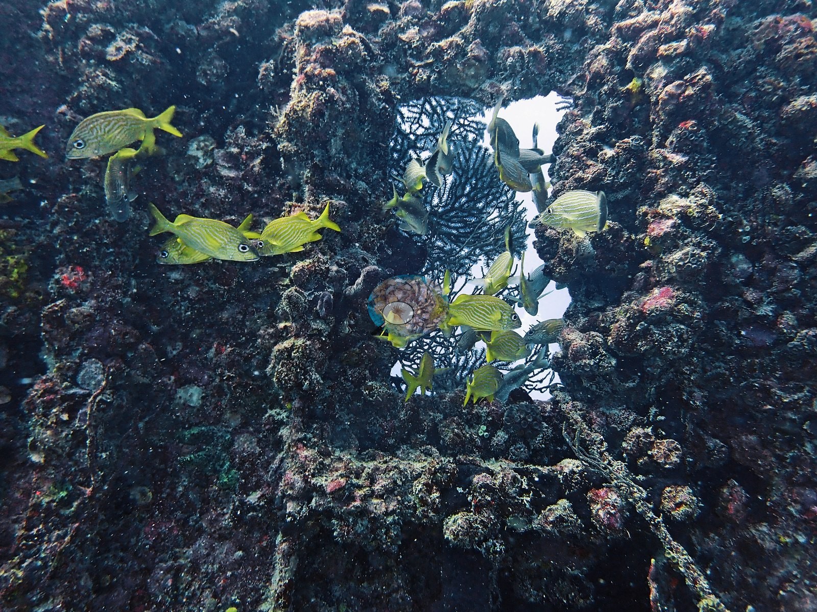
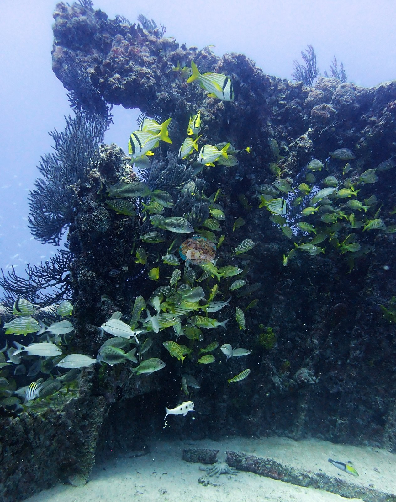
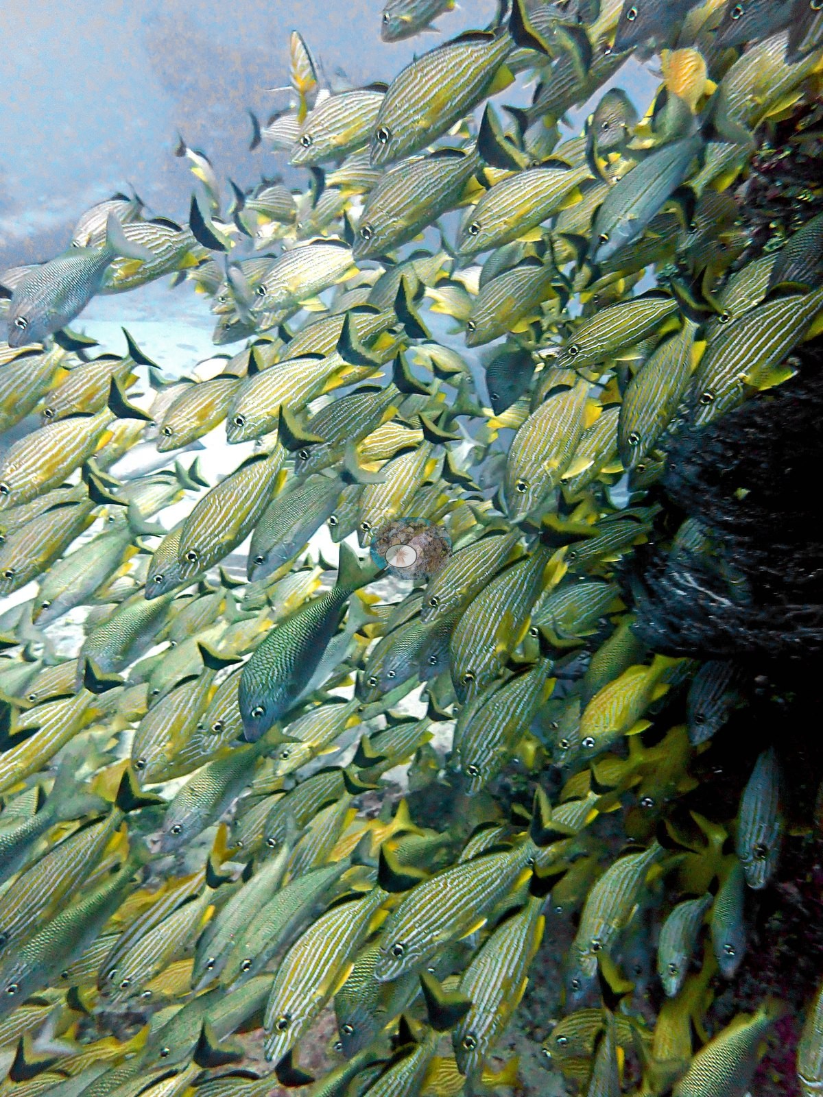
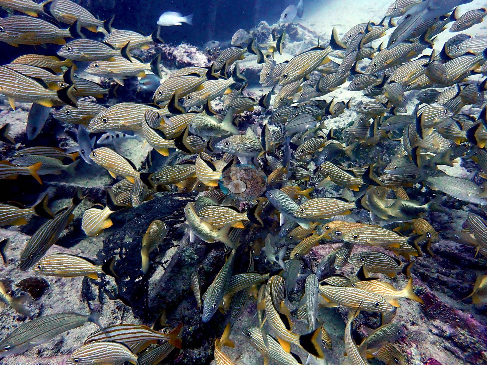
Sergeant majors hold station on the upper structure in Image 12 and at the deck bollards in Image 13, and gray/silver mid-water schools stack off the hull in Image 29, Image 34, Image 41, and Image 47. Image 38 shows fish crowding a hull edge in open blue, the kind of relief that is driving the aggregation.
Comparisons with other data
NOAA NCRMP Florida surveyed a nearby station (FLK PSU 1287-1), 0.32 km from the pin; we could not confirm that it is the same reef. Within 5 km, 22 independent stations recorded station-year means of 0.0–5.8% hard coral cover between 2004 and 2024; the nearest, NOAA NCRMP Florida at FLK PSU 1287-1, 0.32 km away, read 2.0% in 2024.
Other notes
Divers and surface context make up part of the set and are not reef: divers in open blue water on the descent, a diver over the deck (e.g., Image 75), and a topside frame of the boat's wake. Image 6 is a black-and-white conversion of a deck view — the same subject, processed, so it should not be treated as an independent sample.
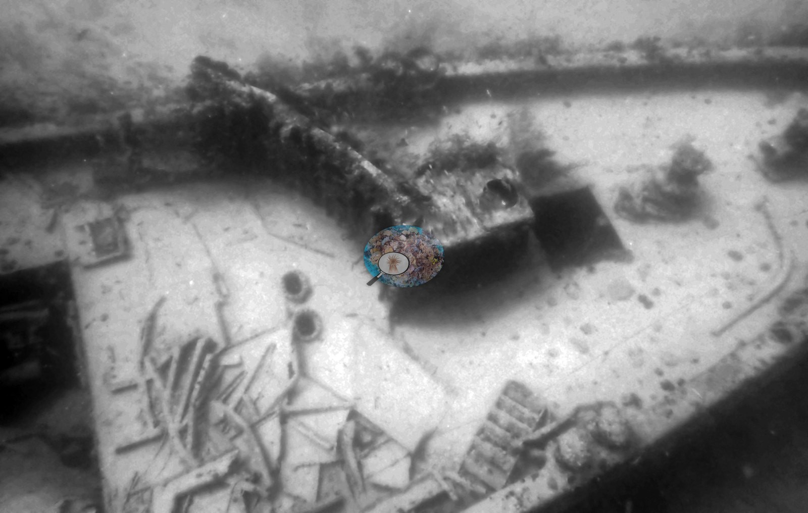
Image quality is uneven: Image 18, Image 31, and Image 40 are largely featureless blue water with the hull as a dark mass; Image 7, Image 5, and Image 4 are soft and backscattered at distance; Image 19 is dim and low-information; and Image 27 is a small, murky mid-water frame.
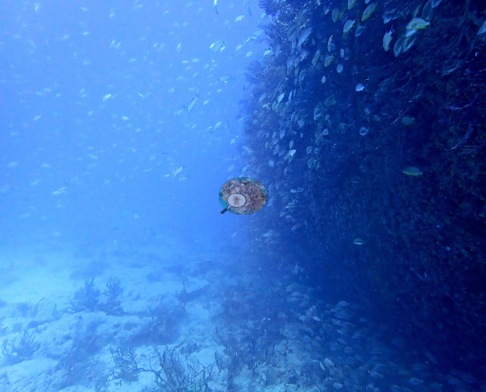
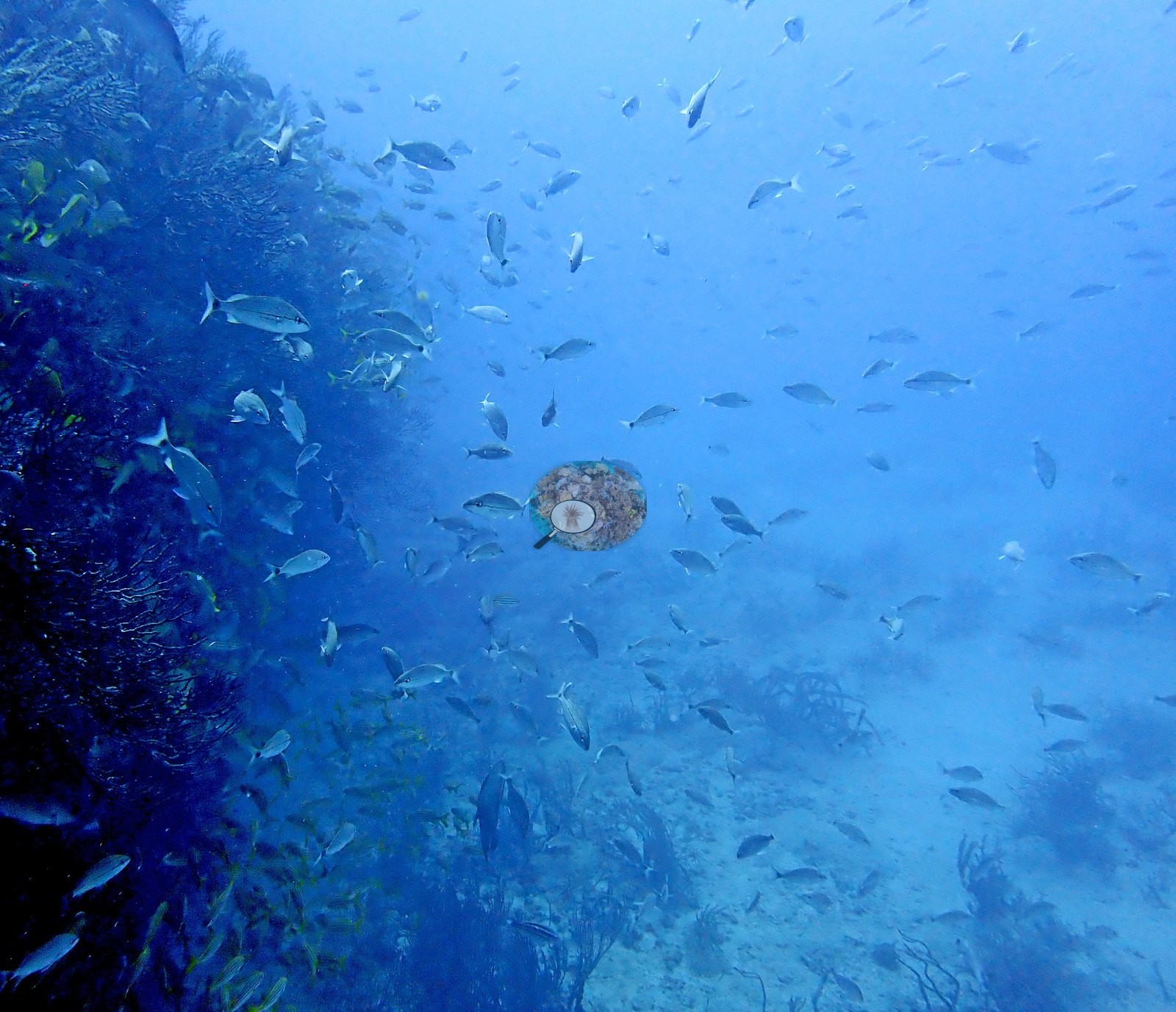
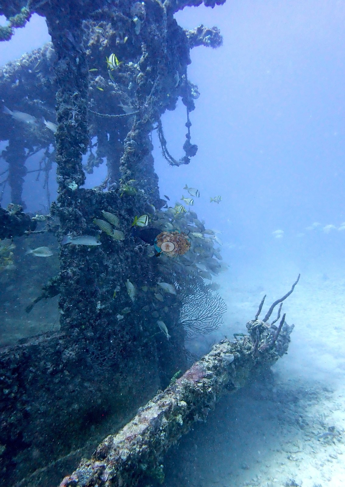
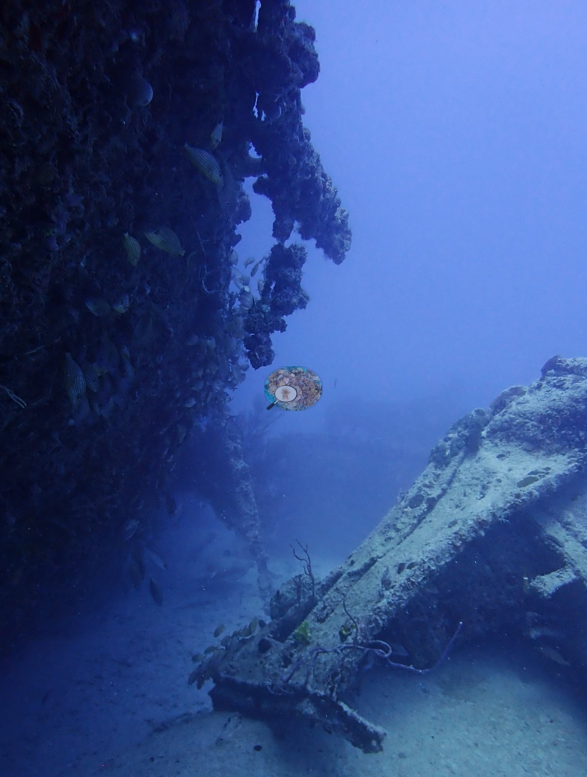
Context (dive-operator and press sources): the Orion is a steel-hulled tugboat, built in 1928 for the Panama Canal Company and sunk off Key Biscayne in 1981 as an artificial reef; Hurricane Andrew tore the wheelhouse off, and it now lies about 50 ft from the main structure. Anderson dived it on 16 April 2022 (10:06 in, 29.3 m maximum, 21.3 m average, 38 minutes, 26.1°C average, dive-computer minimum 25.6°C) — a descent down a line into blue water, the hull materializing as a dark slab below. The photographs show a wreck functioning as reef. Every steel surface is encrusted: pink and lavender coralline crusts, chartreuse-yellow and orange encrusting sponges, red sponge sheets, serpulid, and vermetid tubes, and bushy gray-lavender gorgonians and wire corals rooted straight into the plating and standing out through the window frames of the collapsed superstructure. Stony coral is present and healthy, though as scattered colonies rather than framework: a plating lettuce coral (Agaricia, Anderson's identification) sheeting along a girder with clean pale growing margins; several great star coral (Montastraea cavernosa) colonies, one photographed close in strobe light with deep red tissue and every corallite crisp, another with polyps fully expanded by day and green fluorescent oral discs; and encrusting fire coral (Millepora) growing over a circular metal fitting. The fish are the reason the wreck is dived. Dense mixed schools of French and bluestriped grunts, porkfish and tomtate pack the doorways and the lee of the hull, and one frame off the flank holds several hundred grunts and snapper streaming over open sand.
CV model comparison
More info
A few colony-focused photos raise the mean; the median is the typical photo. No computer-vision method yet estimates coral cover accurately on new images, so treat this as indicative rather than a measurement; it is revised as the methods improve.More info
Other rows are for comparison only and are never averaged. No diver transect exists for these photos, so agreement between rows is not accuracy.| Method | Hard coral cover (%) | Photos (n) ± SE |
|---|---|---|
| CoralSCOP edited | 14.6 | n = 78 |
| Claude (edited photos) | 4.2 | n = 65 · SE 1.3 |
CoralSCOP (edited photos) reads 14.6%, 10.4 pp above Claude's blind point count (4.2%); the headline stays Claude's blind point count because no transect or manual count exists here.
See a more detailed, stand-alone version of this table.
Independent surveys nearby
| Agency / program | Year(s) | Stations / distance | Link |
|---|---|---|---|
| FWC CREMP (Southeast Florida, SECREMP) | 2010–2024 | 12 stations, 2.06–4.44 km | Records ↓ |
| Lirman et al. (2007) | 2004 | 1 station, 1.84 km | Records ↓ |
| NOAA NCRMP | 2016 | 1 station, 3.47 km | Records ↓ |
| NOAA NCRMP Florida | 2024 | 8 stations, 0.32–4.63 km | Records ↓ |
 Coral Reef DiagnosticsYear-average (illustrative only, programs differ)
Within 5 km, 22 independent survey stations recorded hard coral cover in 178 records between 2004 and 2024. Of the 12 stations surveyed in more than one year, 10 declined (by 0.2–2.2 points) and 2 increased (by 0.2–0.5 points) between their first and latest surveys. 8 stations share the longest span (2010–2024); one, Dade County 4 #991 (FWC CREMP (Southeast Florida, SECREMP), 2.06 km away), went from 0.9% in 2010 to 1.1% in 2024. Since 2021, station-year means average 1.2% (range 0.0–5.0%; n = 56 station-years from 56 records). This site's own estimate (4.2%) sits 2.2 points above the recent value up to 2 km away (2.0%), inside the 7-point method-noise floor (inconclusive); the methods differ, so the comparison is context, not a like-for-like test.
Collected by other programs using different methods (NOAA rows come from NOAA monitoring programs (NCRMP, PIFSC, NCCOS), and each row's method is in its hover text; FWC-FWRI uses fixed-station point counts), so these are context for the figures above, not a like-for-like comparison. Where a station was surveyed more than once, the cell shows either the range of its values or, as a single value, the mean of surveys made in one year. Station names are not dive-site names.
Show all 178 independent survey records
| Agency | Site / location | Date | Hard coral cover (%) | Distance | Link |
|---|---|---|---|---|---|
| Lirman et al. (2007) | Key Biscayne | 2004 | 1.4% | 1.84 km | doi:10.1007/s10661-006-9239-0 |
| FWC CREMP (Southeast Florida, SECREMP) | Dade County 4 #991 | 2010–2024 | 0.5–1.9% (15 surveys) | 2.06 km | — |
| FWC CREMP (Southeast Florida, SECREMP) | Dade County 4 #992 | 2010–2024 | 0.5–1.5% (15 surveys) | 2.06 km | — |
| FWC CREMP (Southeast Florida, SECREMP) | Dade County 4 #993 | 2010–2024 | 1.1–3.0% (15 surveys) | 2.06 km | — |
| FWC CREMP (Southeast Florida, SECREMP) | Dade County 4 #994 | 2010–2024 | 0.2–1.9% (15 surveys) | 2.06 km | — |
| FWC CREMP (Southeast Florida, SECREMP) | Dade County 5 #1 | 2010–2024 | 0.3–2.8% (15 surveys) | 4.44 km | — |
| FWC CREMP (Southeast Florida, SECREMP) | Dade County 5 #2 | 2010–2024 | 0.4–1.7% (15 surveys) | 4.44 km | — |
| FWC CREMP (Southeast Florida, SECREMP) | Dade County 5 #3 | 2010–2024 | 0.3–5.8% (15 surveys) | 4.44 km | — |
| FWC CREMP (Southeast Florida, SECREMP) | Dade County 5 #4 | 2010–2024 | 0.4–3.5% (15 surveys) | 4.44 km | — |
| FWC CREMP (Southeast Florida, SECREMP) | Dade County 8 #61 | 2013–2024 | 1.2–3.1% (12 surveys) | 3.52 km | — |
| FWC CREMP (Southeast Florida, SECREMP) | Dade County 8 #62 | 2013–2024 | 0.4–1.0% (12 surveys) | 3.52 km | — |
| FWC CREMP (Southeast Florida, SECREMP) | Dade County 8 #63 | 2013–2024 | 0.1–2.4% (12 surveys) | 3.52 km | — |
| FWC CREMP (Southeast Florida, SECREMP) | Dade County 8 #64 | 2013–2024 | 0.2–1.1% (12 surveys) | 3.52 km | — |
| NOAA NCRMP | FLK-408 | 2016 | 3.0% | 3.47 km | — |
| NOAA NCRMP Florida | FLK PSU 1287-1 | 2024 | 2.0% | 0.32 km | NCEI 0306238 |
| NOAA NCRMP Florida | FLK PSU 1177-1 | 2024 | 3.0% | 2.10 km | NCEI 0306238 |
| NOAA NCRMP Florida | FLK PSU 1246-1 | 2024 | 3.0% | 2.25 km | NCEI 0306238 |
| NOAA NCRMP Florida | FLK PSU 1233-1 | 2024 | 4.0% | 3.95 km | NCEI 0306238 |
| NOAA NCRMP Florida | FLK PSU 1180-1 | 2024 | 5.0% | 4.12 km | NCEI 0306238 |
| NOAA NCRMP Florida | FLK PSU 1010-1 | 2024 | 0.0% | 4.20 km | NCEI 0306238 |
| NOAA NCRMP Florida | FLK PSU 1148-1 | 2024 | 1.0% | 4.33 km | NCEI 0306238 |
| NOAA NCRMP Florida | FLK PSU 1803-1 | 2024 | 1.0% | 4.63 km | NCEI 0306238 |
Data & links
All images from Coral Reef Diagnostics. Data are from Coral Reef Diagnostics and the organizations named in the data sources above.
© Coral Reef Diagnostics.