
Oman - Jissah Point (Muscat)

Part of the regional summary: Oman
More info
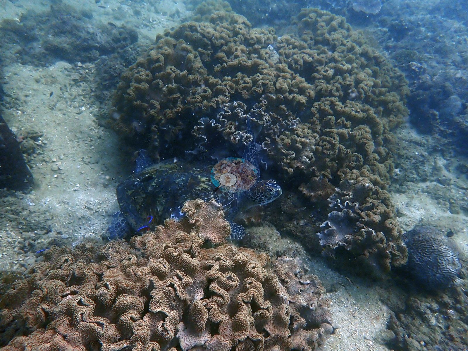
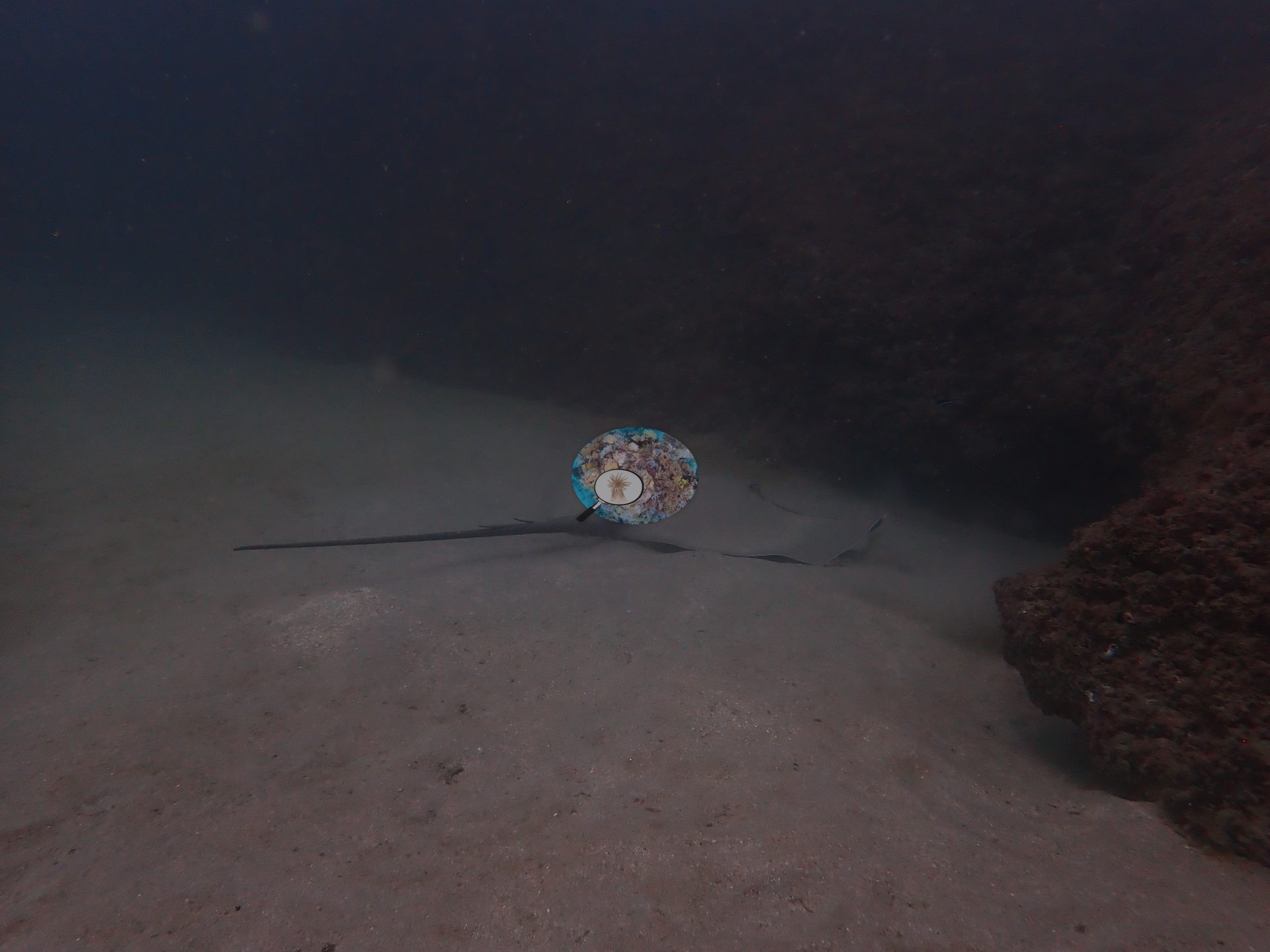
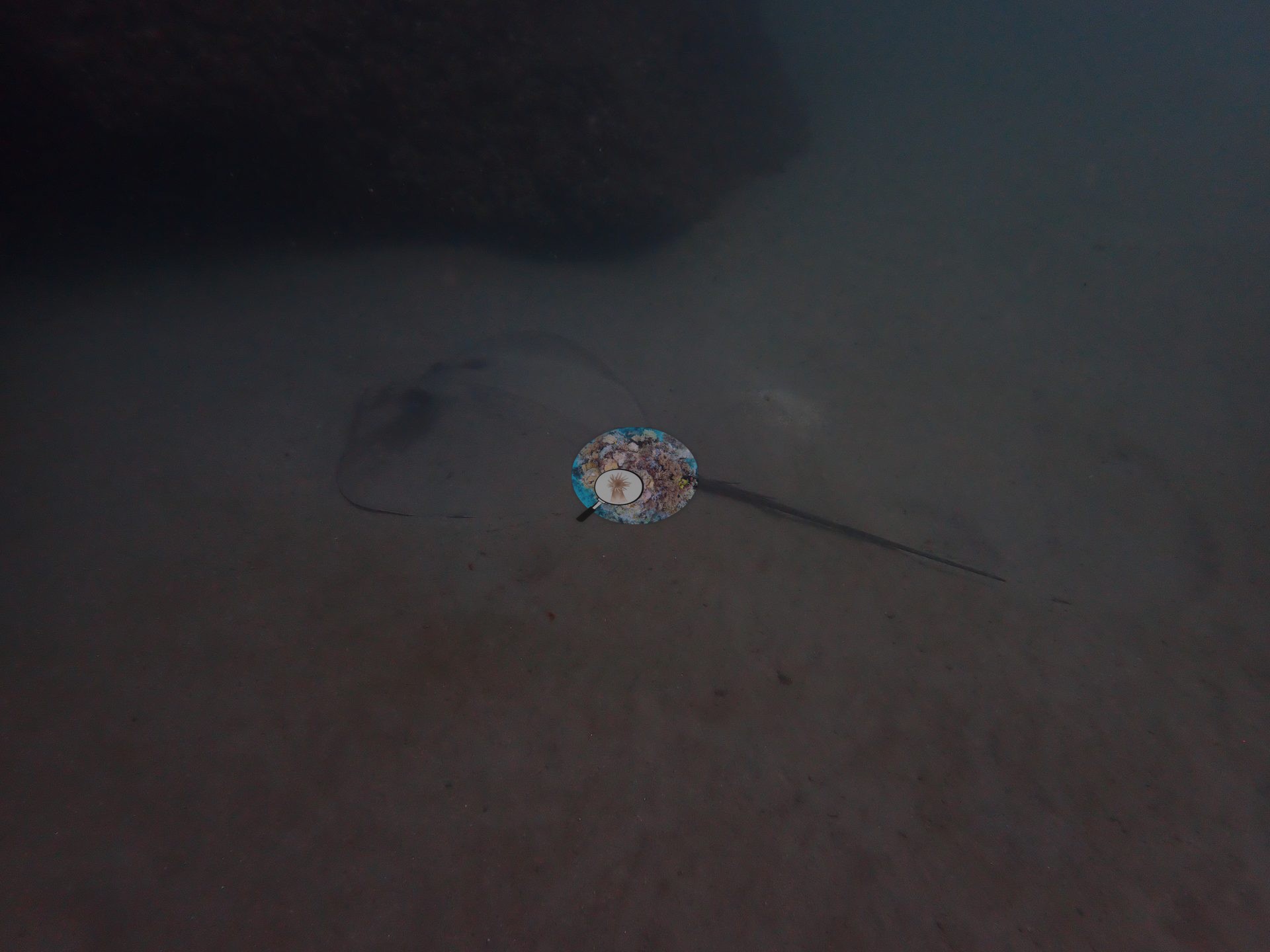
Gulf of Oman (NOAA CRW virtual station)Jissah Point is the turf-dominated outlier of the 2024 Oman survey - a low-relief pavement where algal turf (37.8%) outranks hard coral (39.5%), with leather-coral banks and scattered brain corals rather than a coral-built framework. It had the richest macrofauna of the trip, though: a resting green turtle, a whipray, a free-swimming moray, a red frogfish, and a porcupinefish.
من بين الإطارات الأربعة المرفقة بهذا الدبوس، تُقرأ ثلاثة منها كموطن (habitat)، وجميعها تعزز سمعة الموقع بوصفه الحالة الشاذة التي تهيمن عليها الطحالب العشبية (turf) في مسح عُمان لعام 2024.
ترجمة هذا الملخص بالذكاء الاصطناعي؛ النص الإنجليزي هو المعتمد. Translated from the site’s shorter map summary.
Two independent survey stations shown with the program’s logo — click one to see how far it is from this site.
13 of these 20 photographs are shown beside the text that discusses them under "Site description" below.
Site description
Setting
The green haze in all four is normal for this coast, where seasonal upwelling keeps the water turbid and plankton-rich; it is not evidence of a degraded site.
General benthic features
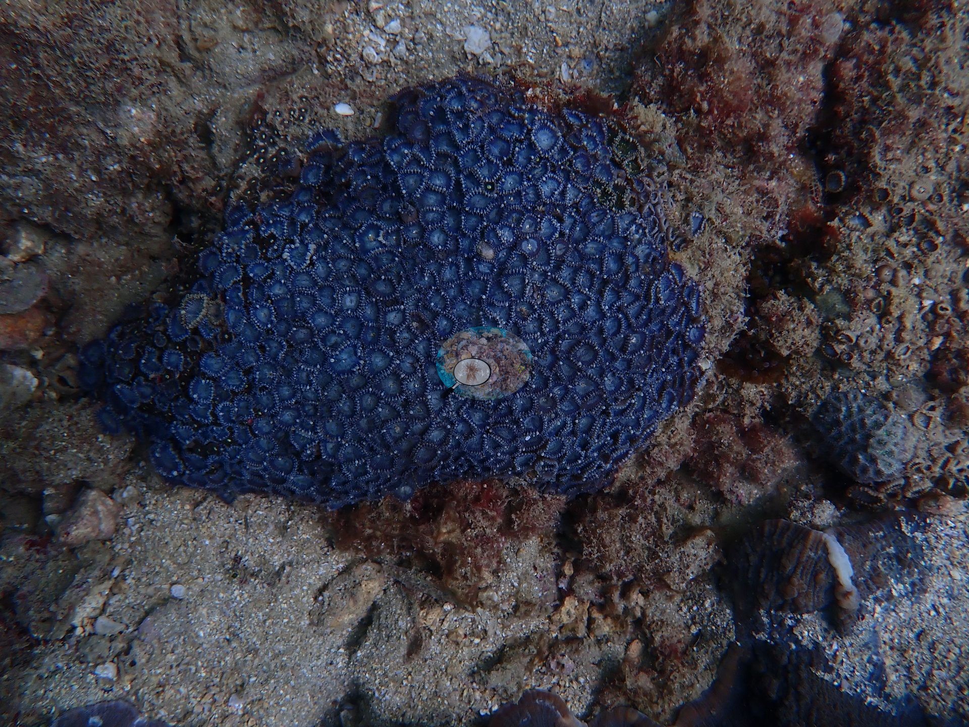
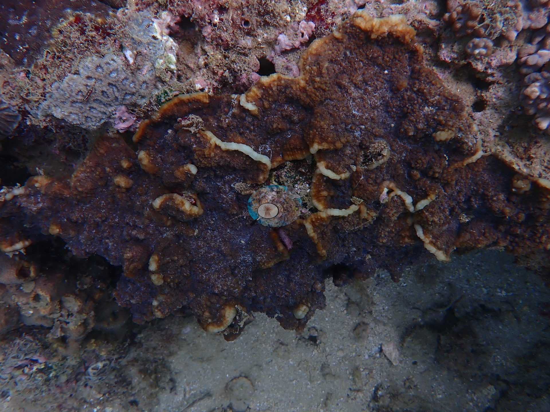
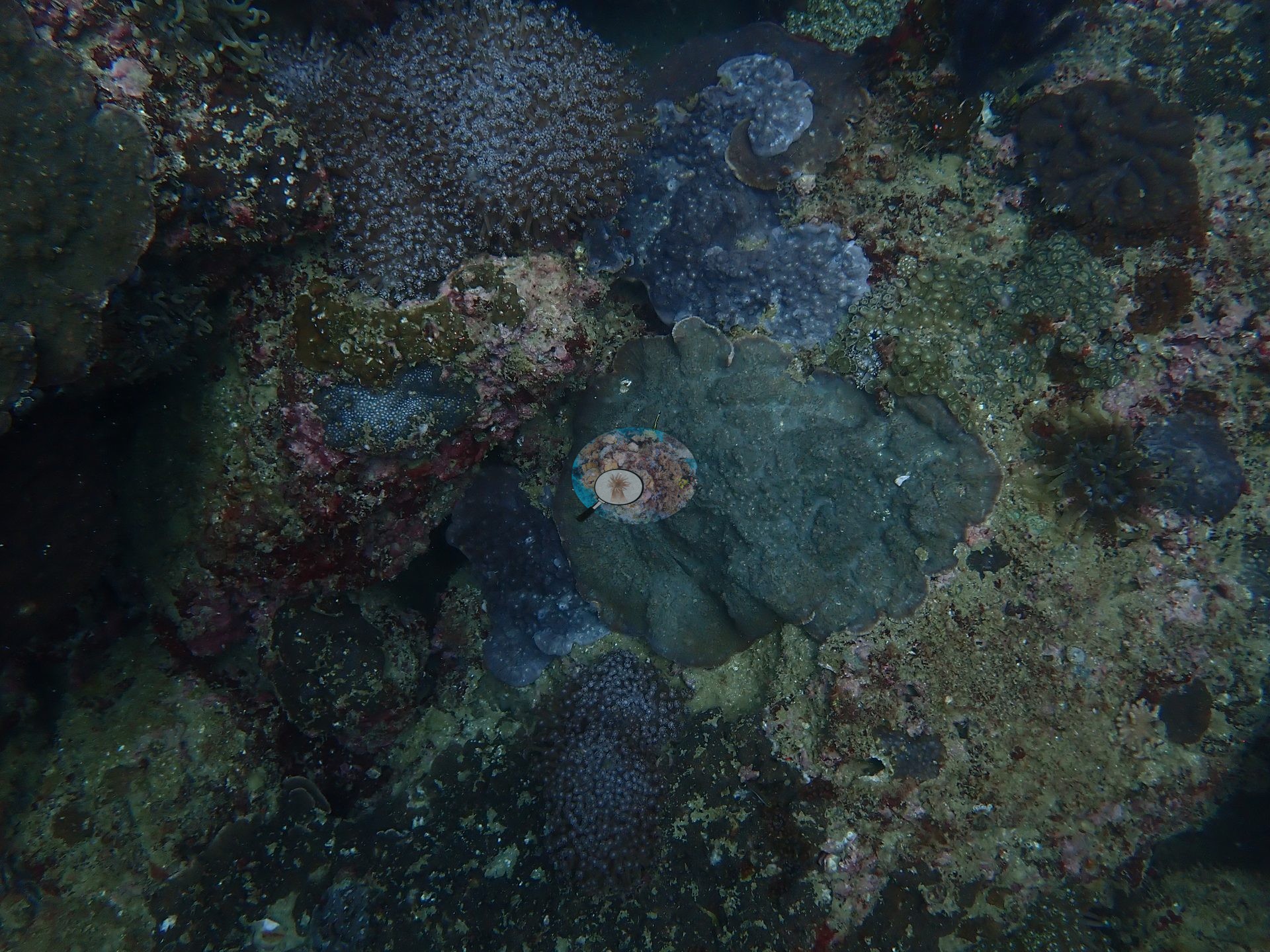
Of the four frames this account was written from, three read as habitat and all of them back up the site's reputation as the turf-dominated outlier of the 2024 Oman survey. Frame 1 has a green turtle settled among big banks of ruffled leather coral (Sarcophyton type) growing over low-relief, sediment-dusted pavement and coarse sand, with one small gray meandroid brain coral at the frame edge and a cleaner-wrasse-sized blue fish working the turtle's shell; relief here is centimeters, not meters (e.g., Image 1).
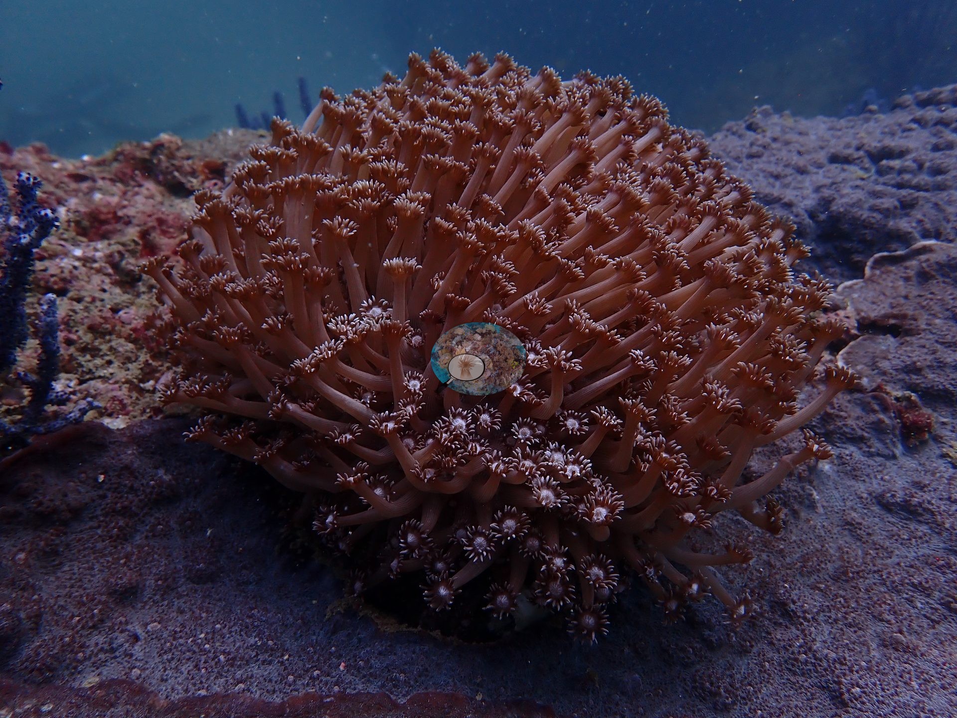
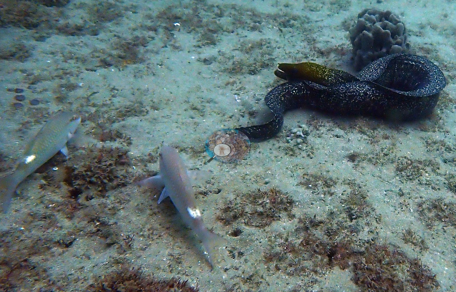
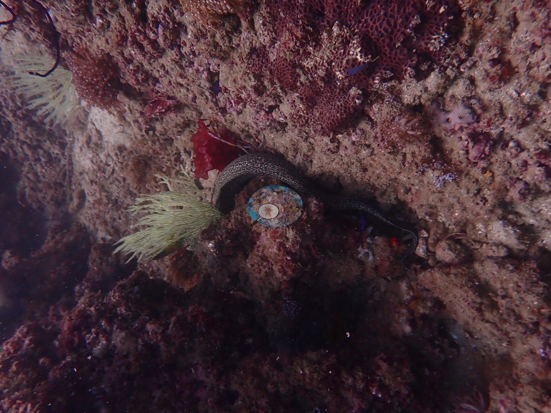
Frame 2 is almost pure sand plain: a black-and-white speckled moray out of its hole and coiled on the open bottom, two silvery goatfish-type fish nosing the sediment, tufts of turf and small red macroalgae, and one gray knobby coral head at the top corner (e.g., Image 2).
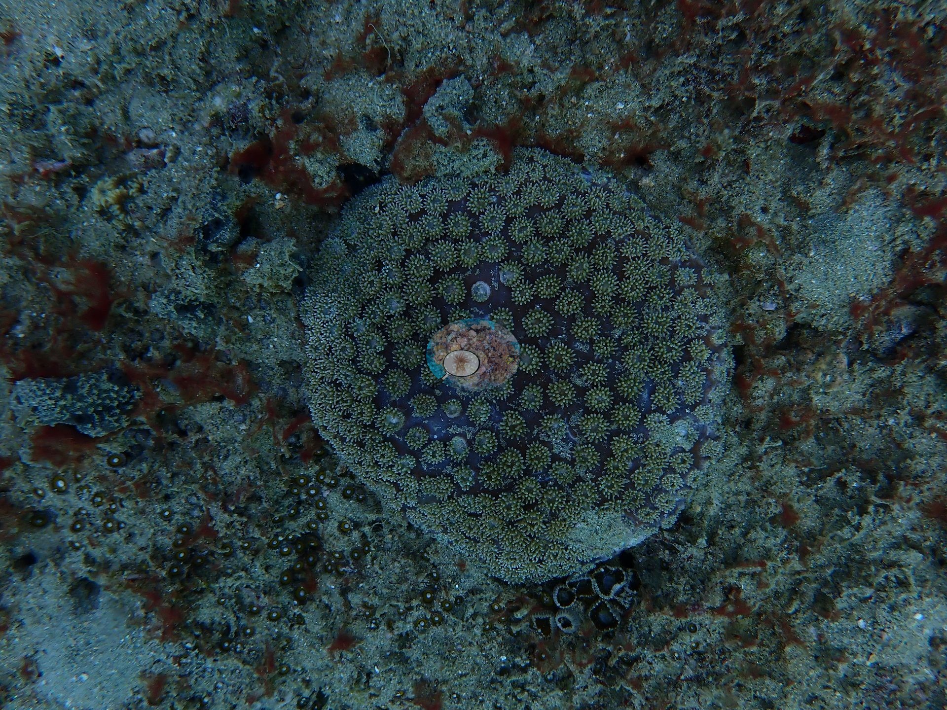
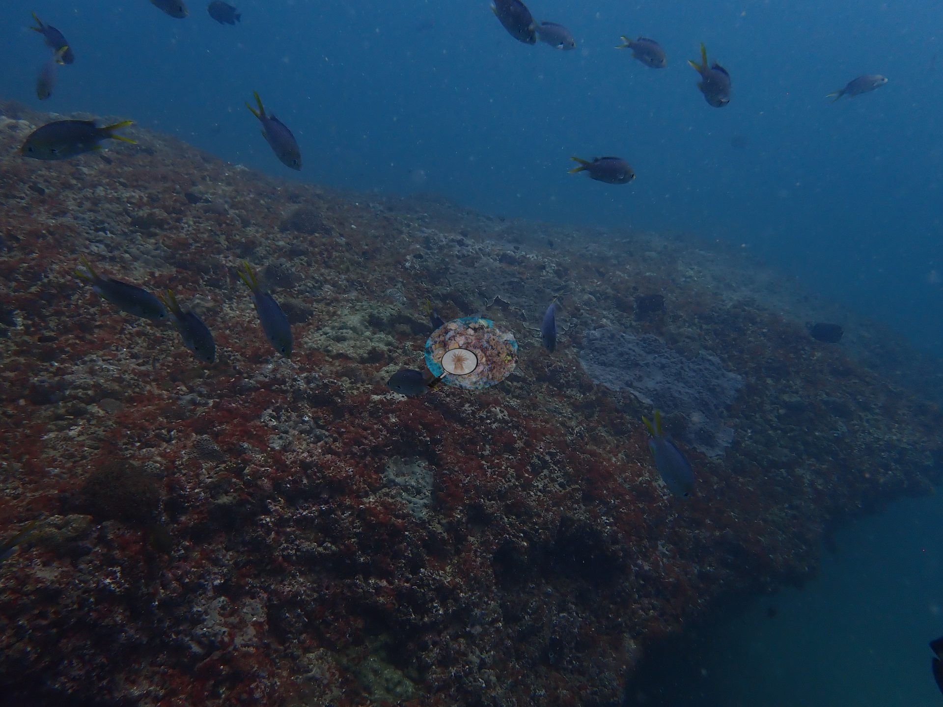
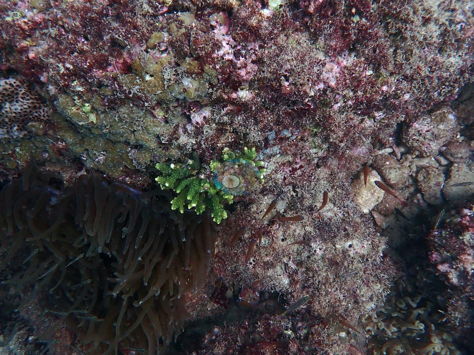
Frame 4 is the closest look at the bottom and the most informative on cover: pavement almost entirely sheathed in maroon turf and crustose coralline algae, with a single small bright-green fine-branched colony, a large brown long-tentacled anemone, and a patch of pale massive coral in the corner (e.g., Image 4).
Coral cover
Published hard coral cover is 40% — manual CoralNet point counts from Mayfield (2025, Platax), a diver-scored value rather than a computer vision estimate, against 37.8% turf.
Stressors
No crown-of-thorns starfish (COTS) or other corallivores evident.
Fish and other fauna
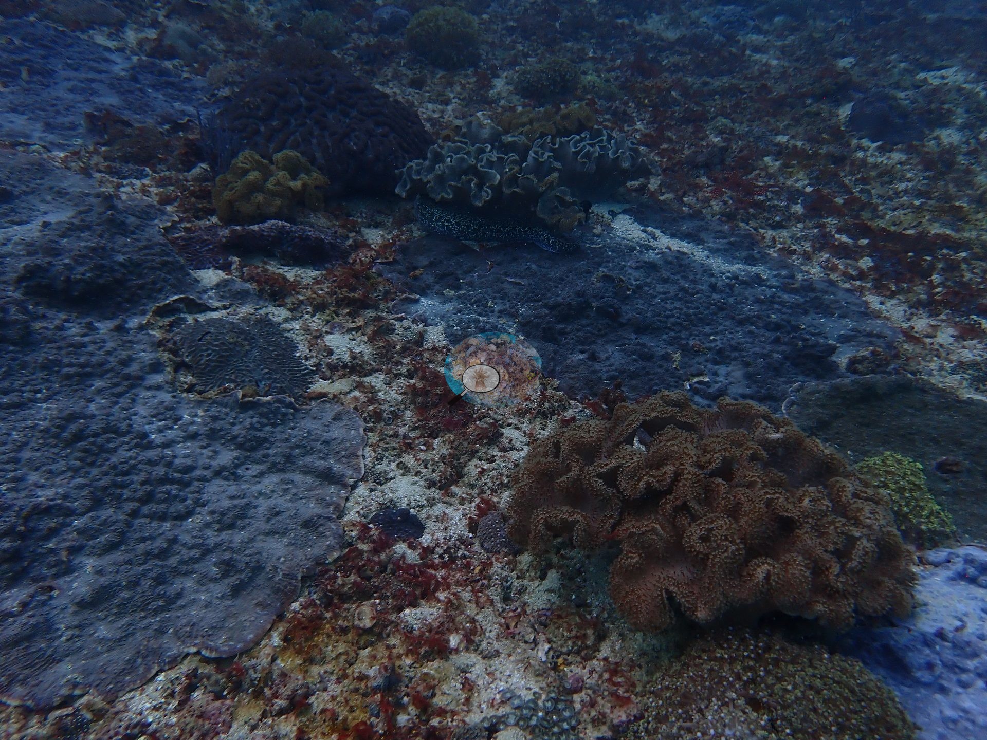
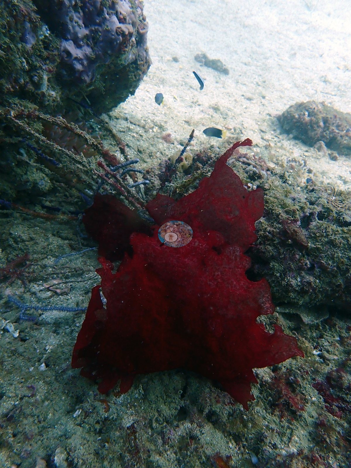
Frame 3 is the frogfish — a deep blood-red Antennarius-type sitting on turfed rock beside slate-blue sea whips that lie low across the sediment, with bright sand behind (e.g., Image 3).
Comparisons with other data
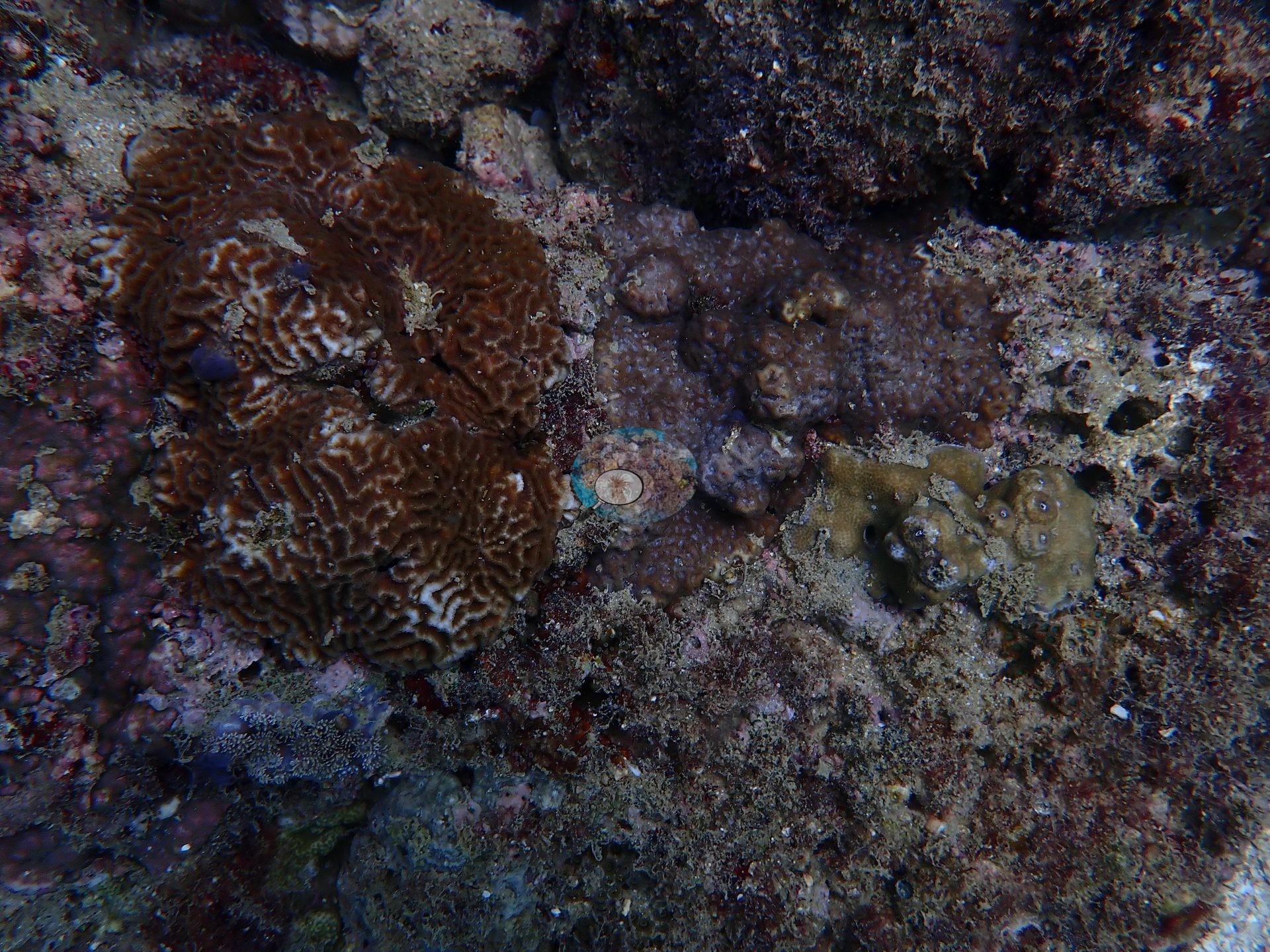
Also on record for this site: A gently sloping, low-relief pavement off Muscat's rocky headlands where algal turf outranks hard coral — the turf-dominated outlier of the 2024 survey — with scattered plating Montipora/Turbinaria-type colonies, brain corals, leather-coral banks, and blue-violet sea whips rising from the turf (e.g., Image 5, Image 8, Image 12, Image 14, Image 18).
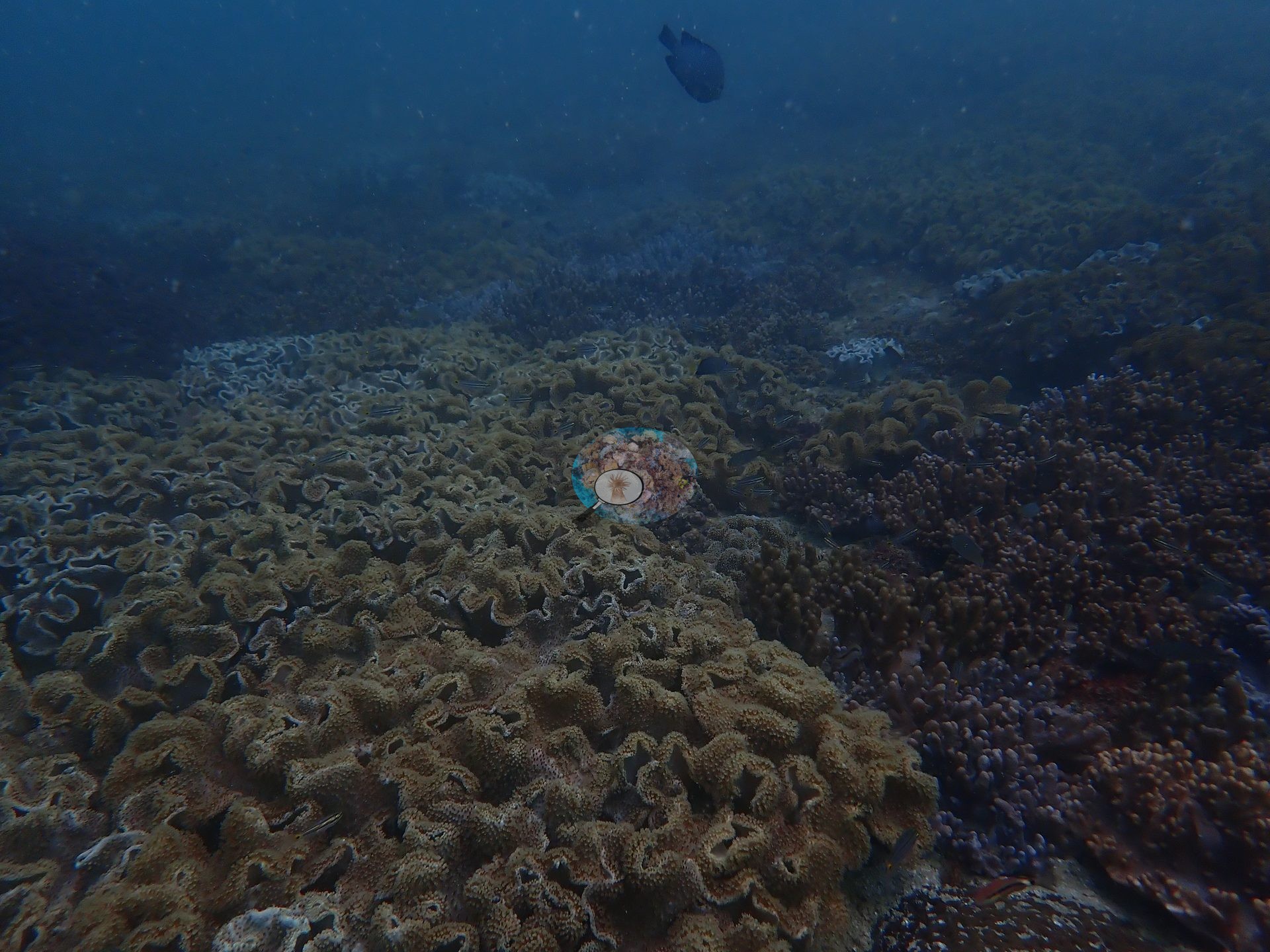
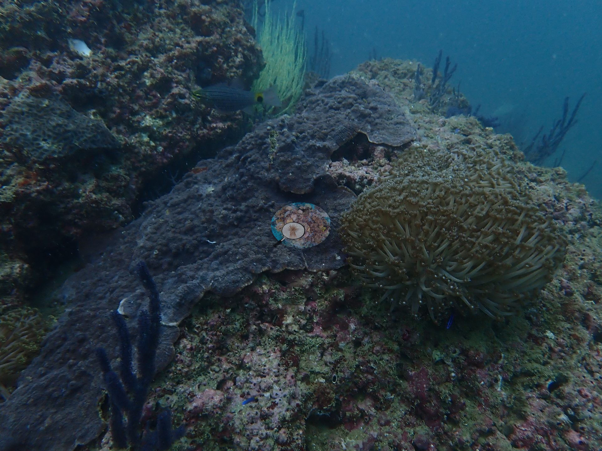
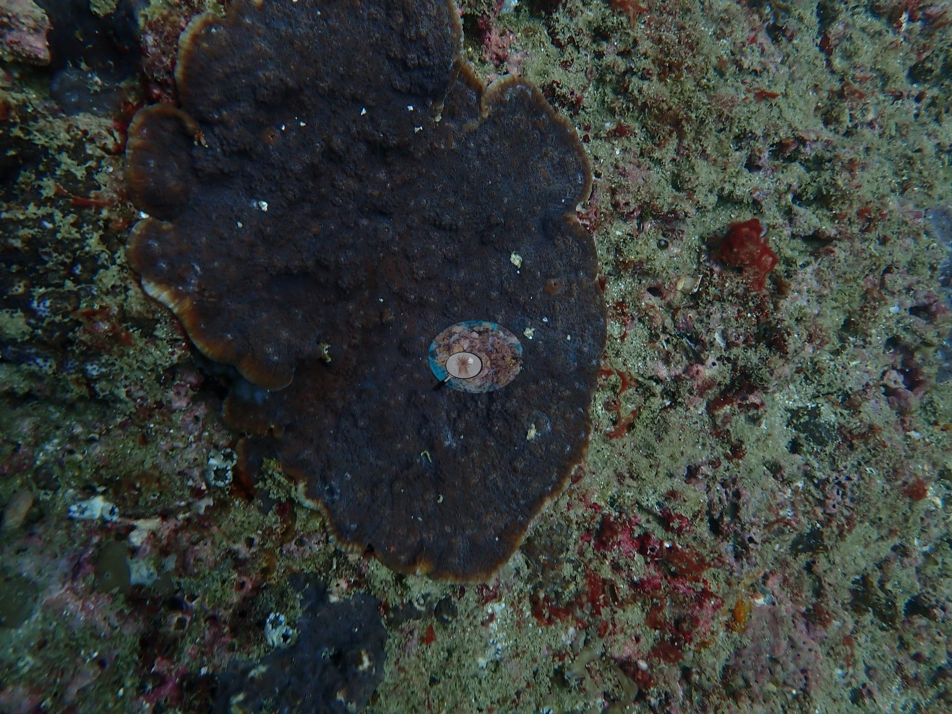
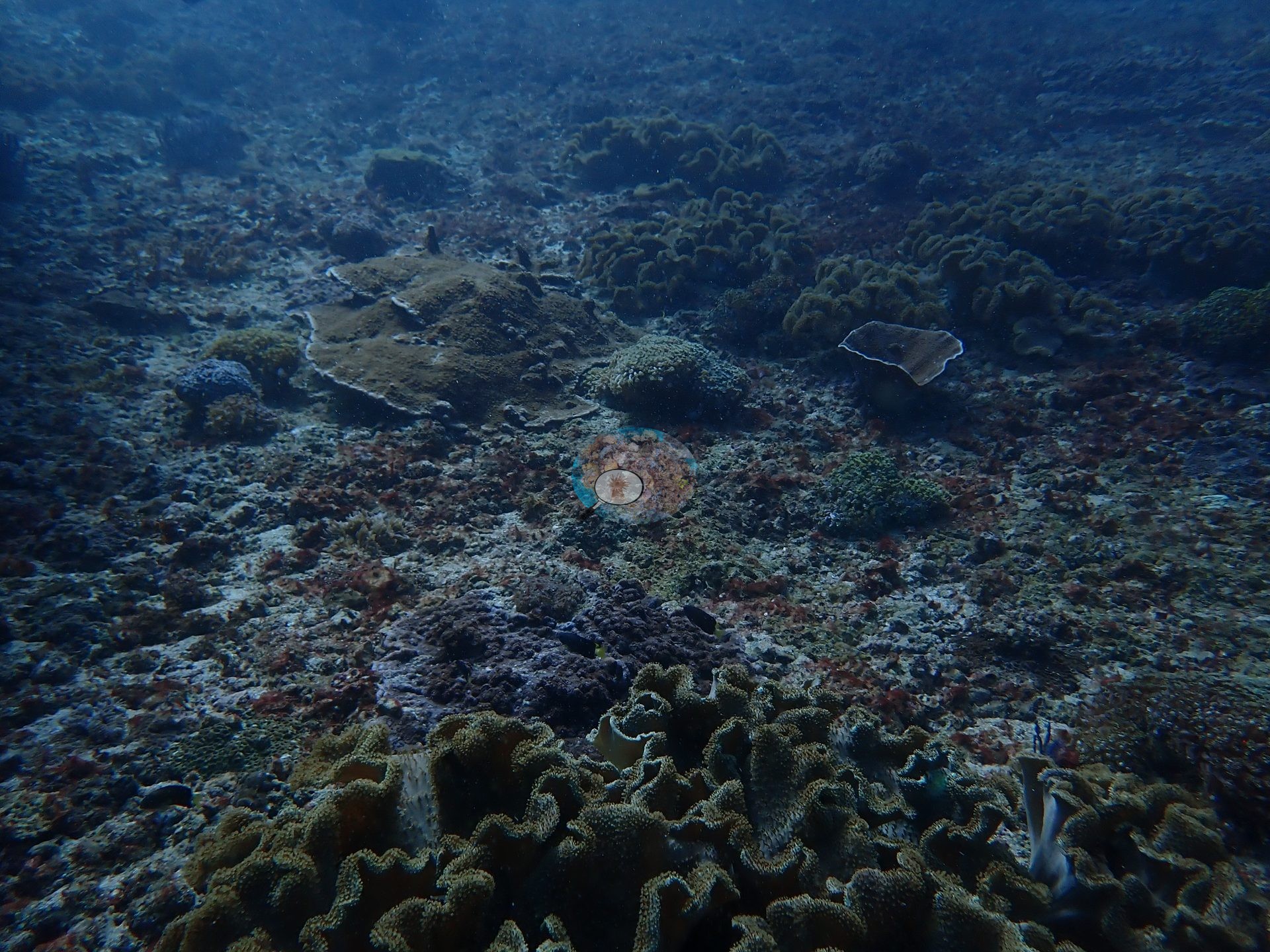
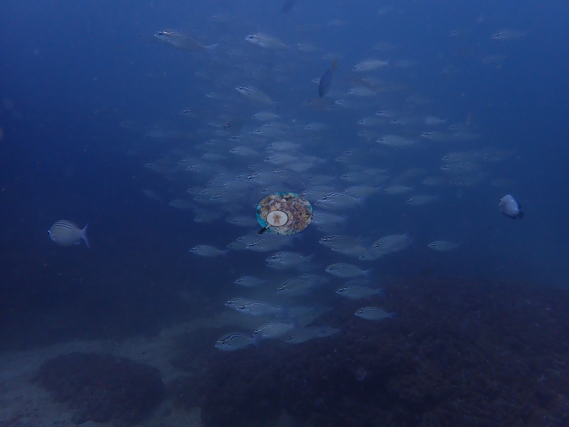
The macrofauna was the richest of the trip: a resting green turtle, a whipray, a free-swimming moray, a red frogfish, a porcupinefish, and massed schools of grunt-type fish (e.g., Image 10, Image 13, Image 15, Image 17).
No bleaching observed during these May 2024 surveys, before the seasonal SST peak; NOAA CRW recorded Alert Level 2 heat stress and bleaching was reported along this coast from July 2024, weeks after the surveys. It carries the provenance of the paper it appears in and is not subject to the CoralSCOP/DINOv3 caveats applied elsewhere on this map. Anderson keeps an eye out for newer CV models and will refresh this CoralSCOP and DINOv3 figure once a more trustworthy option is available.
CV model comparison
More info
Cave Site is the ONLY real CoralNet comparison in this region. The two CoralSCOP columns are PAIRED — a frame counts only if the same stem was scored in both runs, so edited minus unedited is not a frame-selection artifact. CoralSCOP cover is a mask-sum AREA fraction; no point denominator applies to it. The Claude column is the edited-photo blind arm (15 frames/site, 13 at Daymaniyat site 3). The harder unedited fair test is a separate, non-interchangeable number.| Method | Hard-coral cover (%) |
|---|---|
| Manual (published) | 33.3 |
| CoralNet | 33.3 |
| In-house DINOv3 | 16.0 |
| CoralSCOP unedited | 34.9 |
| CoralSCOP edited | 38.1 |
| Claude | 26.3 |
Independent surveys nearby
Within 5 km, 2 independent survey stations recorded hard coral cover in 2025. Surveys since 2021 average 39% (range 25–53%, n=2). This site's own estimate (33%) sits within the recent range (25–53%); the methods differ, so the comparison is context, not a like-for-like test.
Collected by other programs using different methods, so these are context for the figures above, not a like-for-like comparison. Where a station was surveyed more than once the range is shown. Station names are not dive-site names.
| Agency | Site / location | Date | Hard coral cover (%) | Distance | Link |
|---|---|---|---|---|---|
| Sultan Qaboos University | Qantab Main Beach (Deep) | 2025 | 53% | 2.85 km | Al Asfoor S. Assessing the distribution, diversity, and ecological impact of Drupella snails on coral reefs in Oman |
| Sultan Qaboos University | Qantab Main Beach ( Shallow) | 2025 | 25% | 2.88 km | Al Asfoor S. Assessing the distribution, diversity, and ecological impact of Drupella snails on coral reefs in Oman |
Data & links
- CoralNet image repository for this region ↗
- Photo portfolio ↗
- Coral Reef Diagnostics page for this area ↗
All images from Coral Reef Diagnostics. Data are from Coral Reef Diagnostics and the organizations named in the data-sources table above.
© Coral Reef Diagnostics.