

Oman - Daymaniyat Site 3

Part of the regional summary: Oman
More info
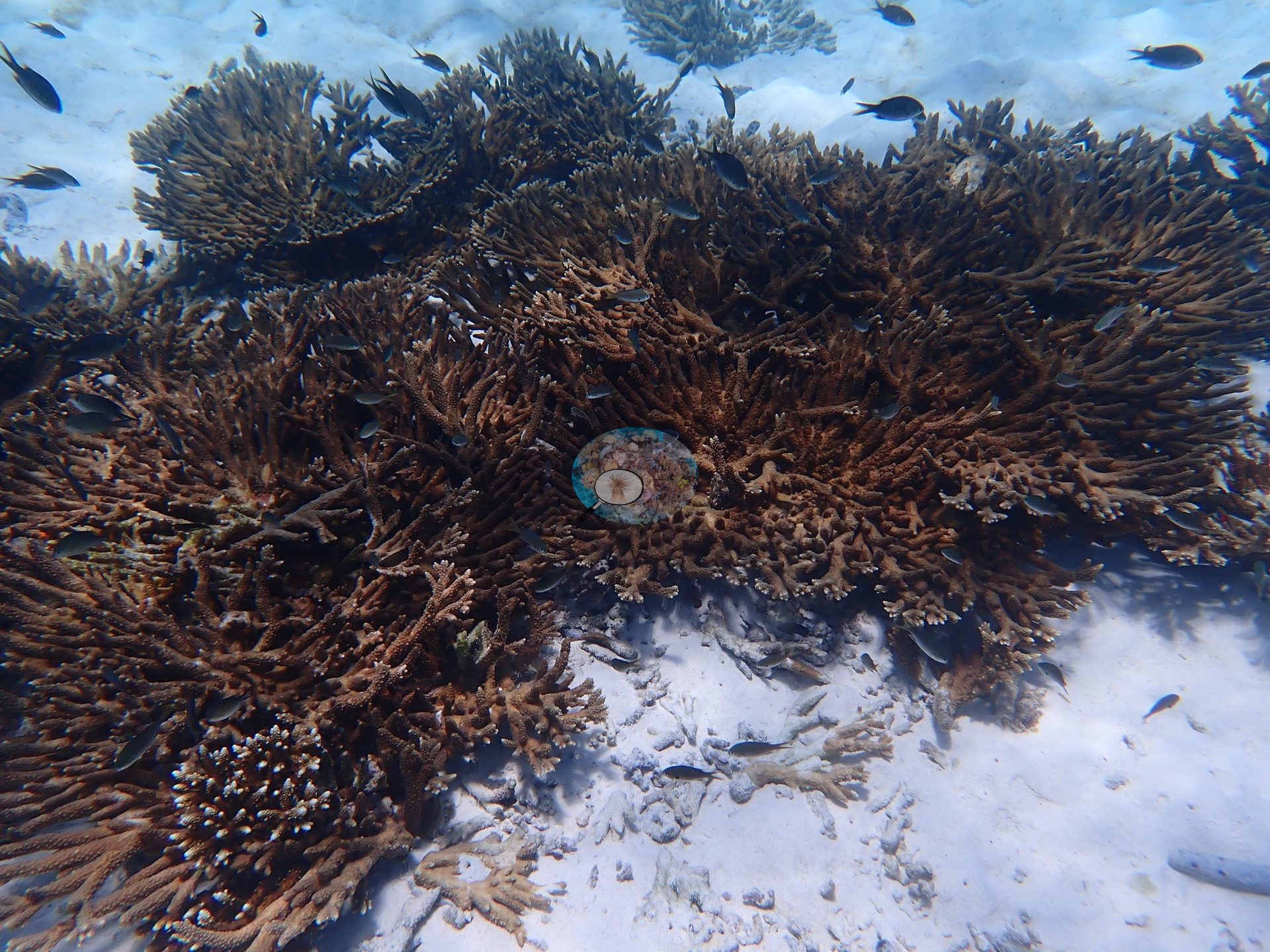
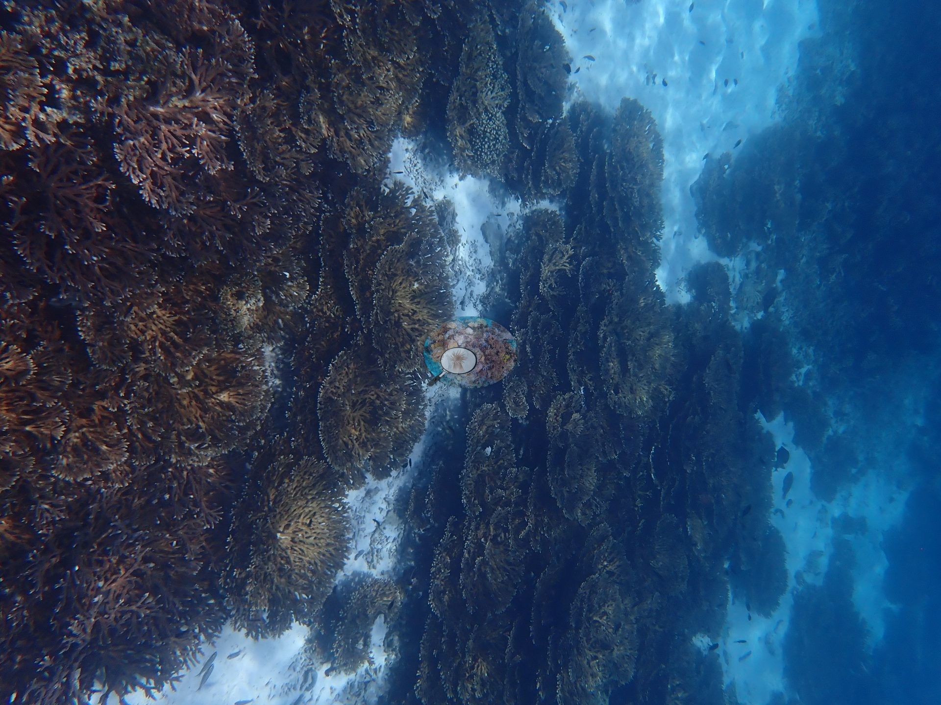
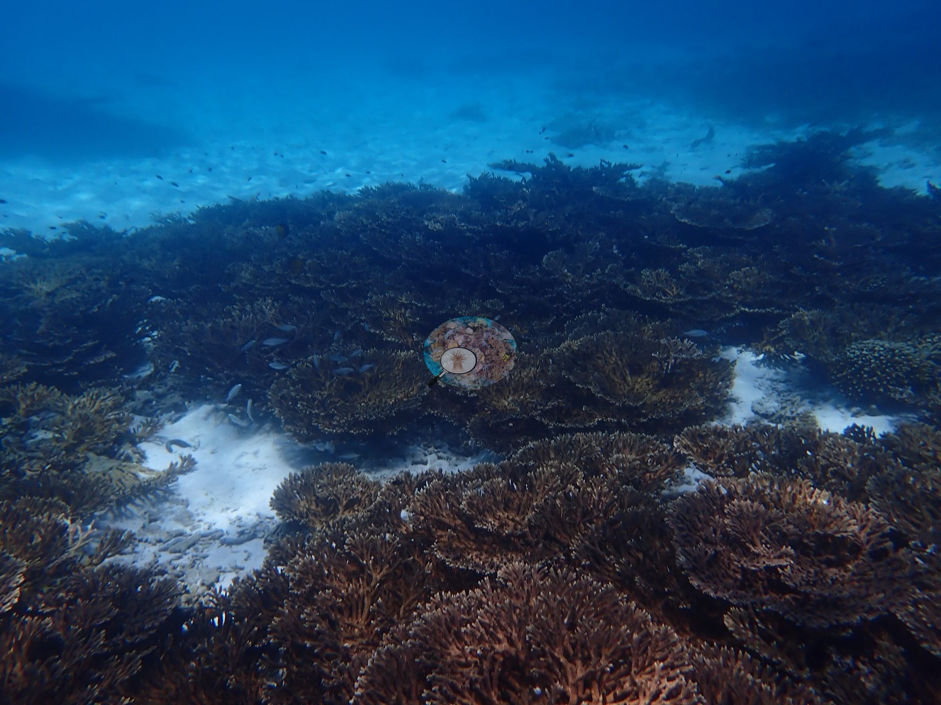
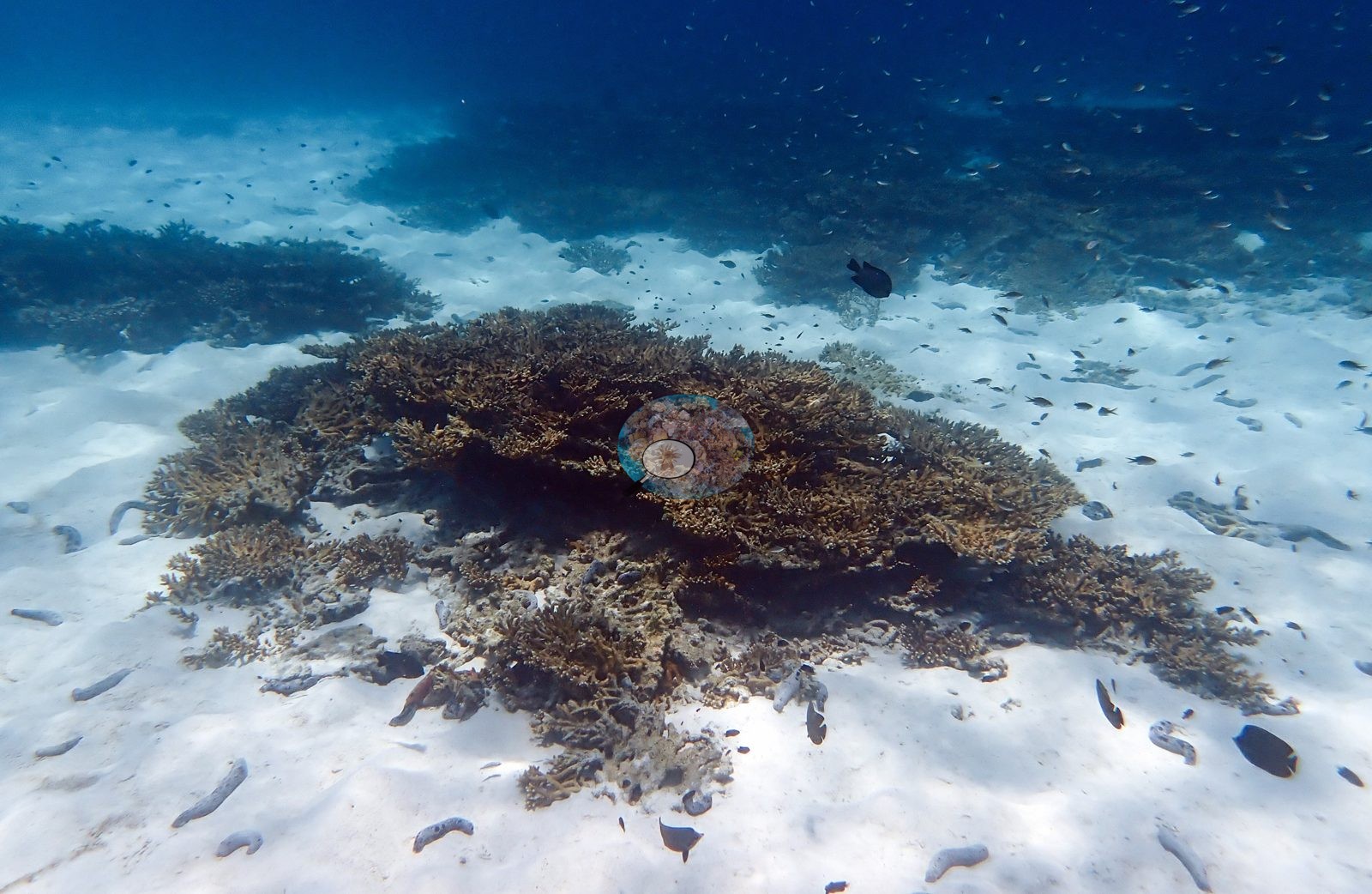
Gulf of Oman (NOAA CRW virtual station)Daymaniyat Site 3 is dominated almost wall-to-wall by fine-branched tabular and branching hard corals rising from bright white sand - dense enough that a classifier misread much of the tabular Acropora canopy as soft coral, and effective hard coral cover once corrected runs near 88% against a published 41.5%. Damselfish swarmed over the canopy and sea cucumbers scattered the sand between stands; a patch of old, turf-covered dead framework beside living tables was the one sign of past mortality, with no bleaching observed in this pre-heat-event May 2024 survey.
تُظهر جميع اللقطات الأربع الشعبة المرجانية نفسها والقصة نفسها: مرجان Acropora دقيق التفرع على خلفية من الرمال البيضاء الناصعة، وما يكاد شيء آخر يُذكر.
ترجمة هذا الملخص بالذكاء الاصطناعي؛ النص الإنجليزي هو المعتمد. Translated from the site’s shorter map summary.
Seven independent survey stations shown with the program’s logo — click one to see how far it is from this site.
Two other CRD dive sites within 5 km shown in orange — click a marker to open its page.
14 of these 20 photographs are shown beside the text that discusses them under "Site description" below.
Site description
Setting
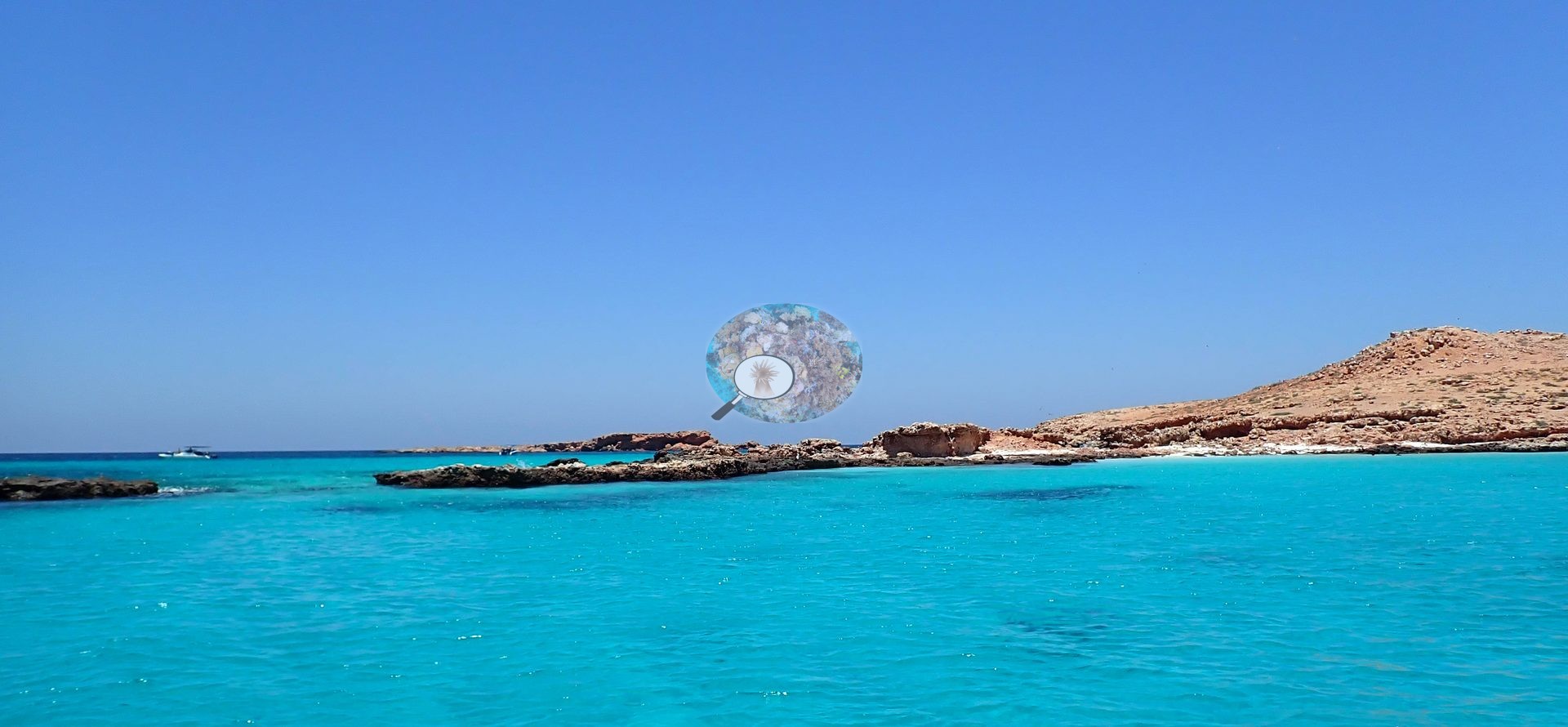
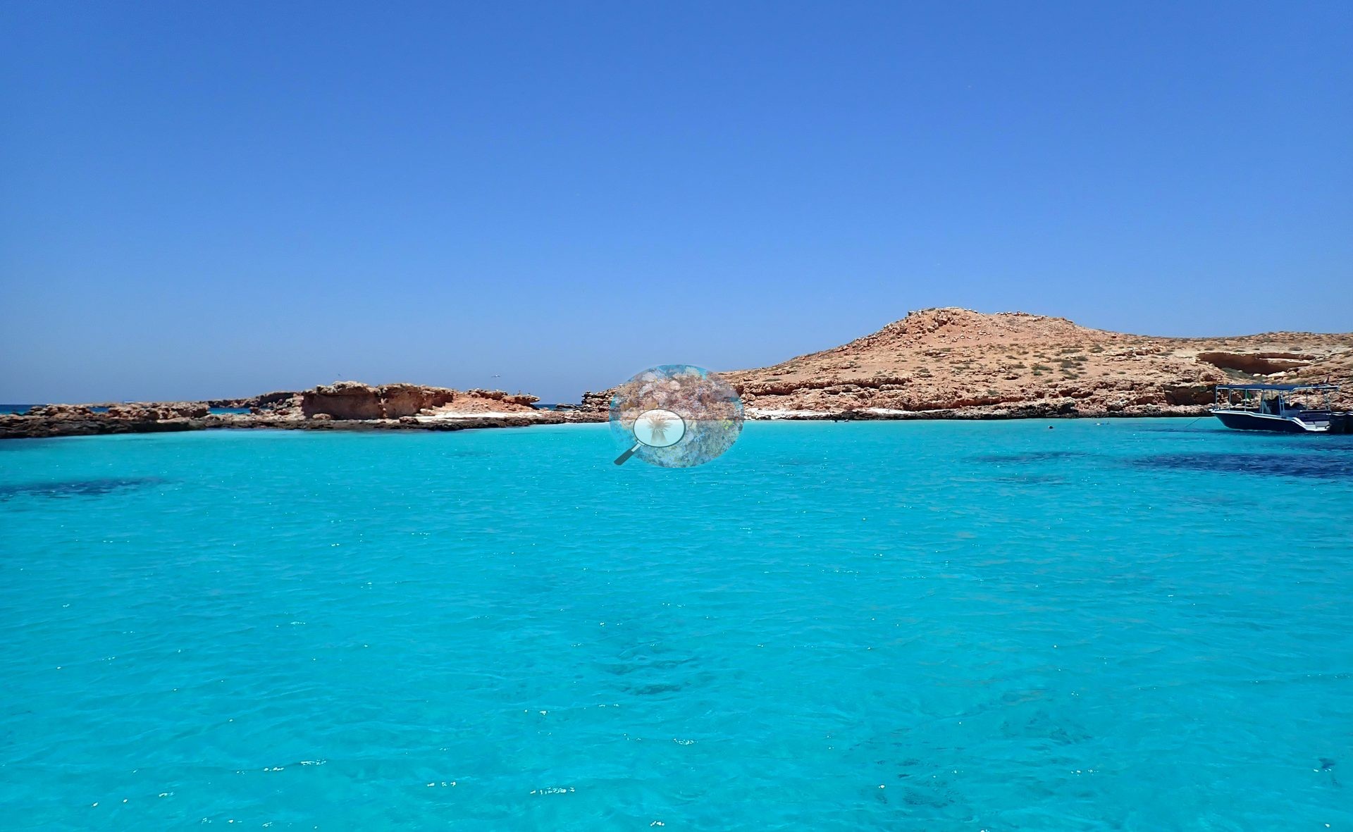
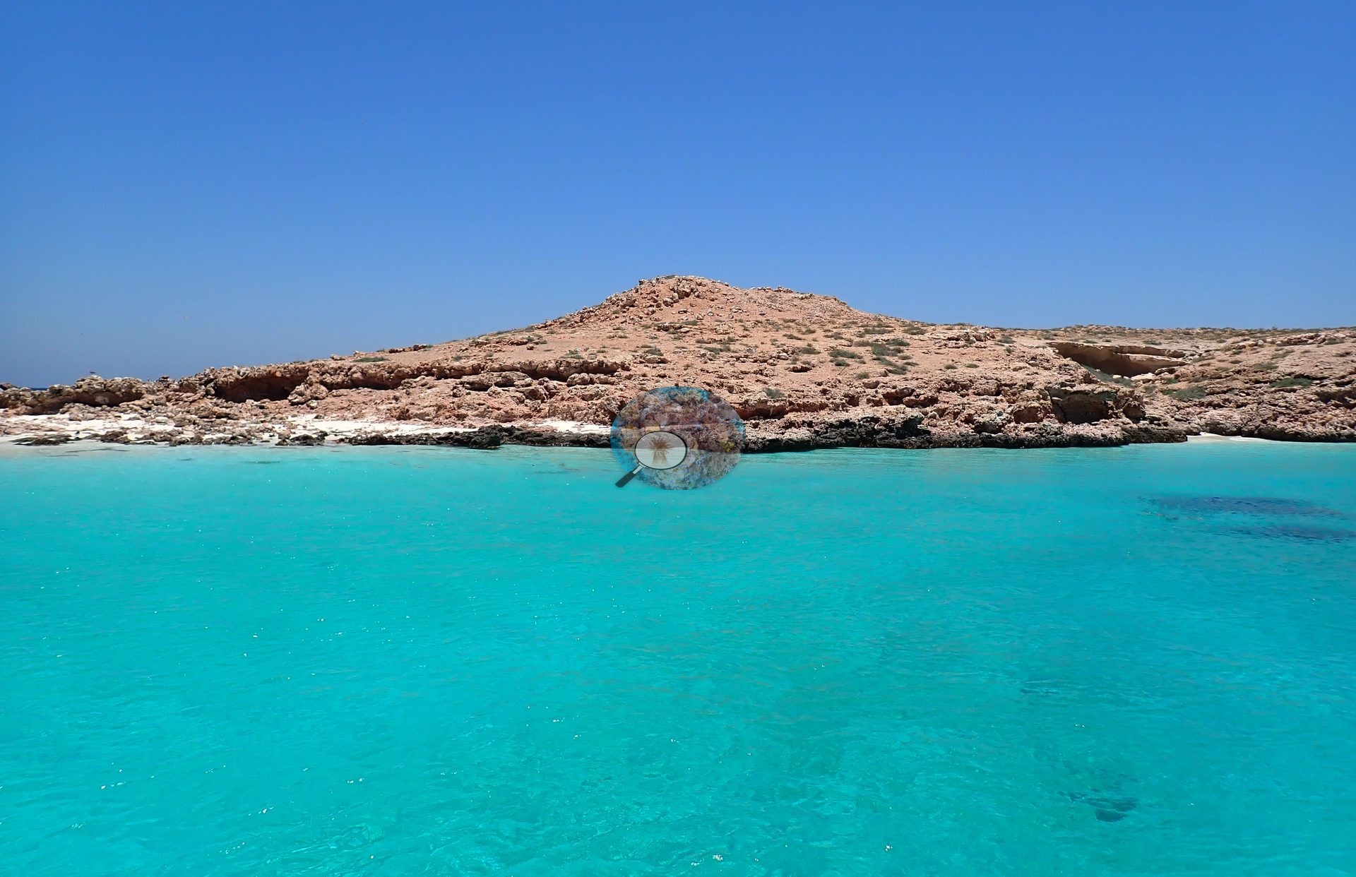
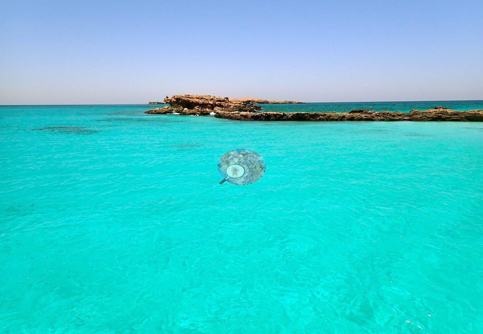
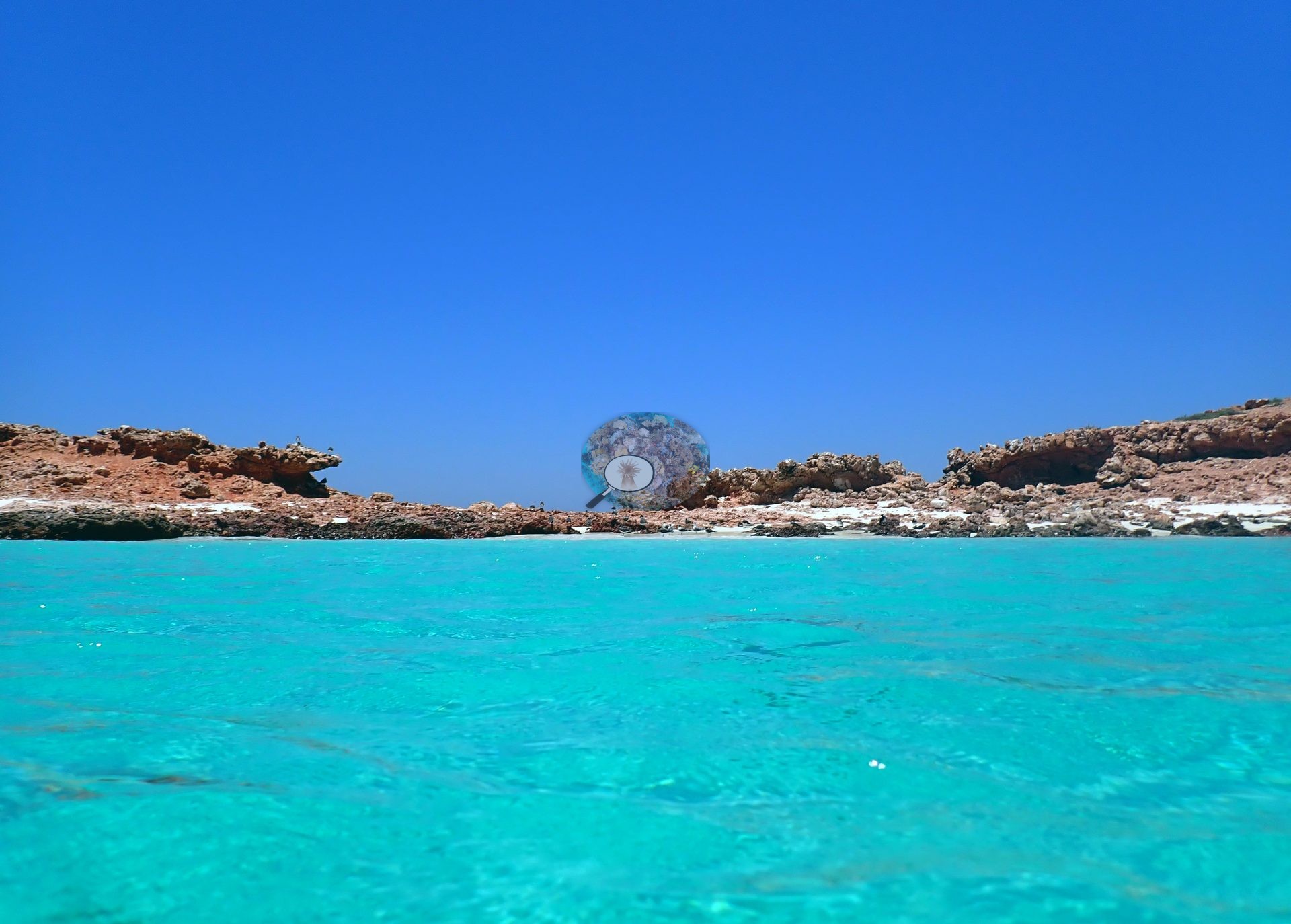
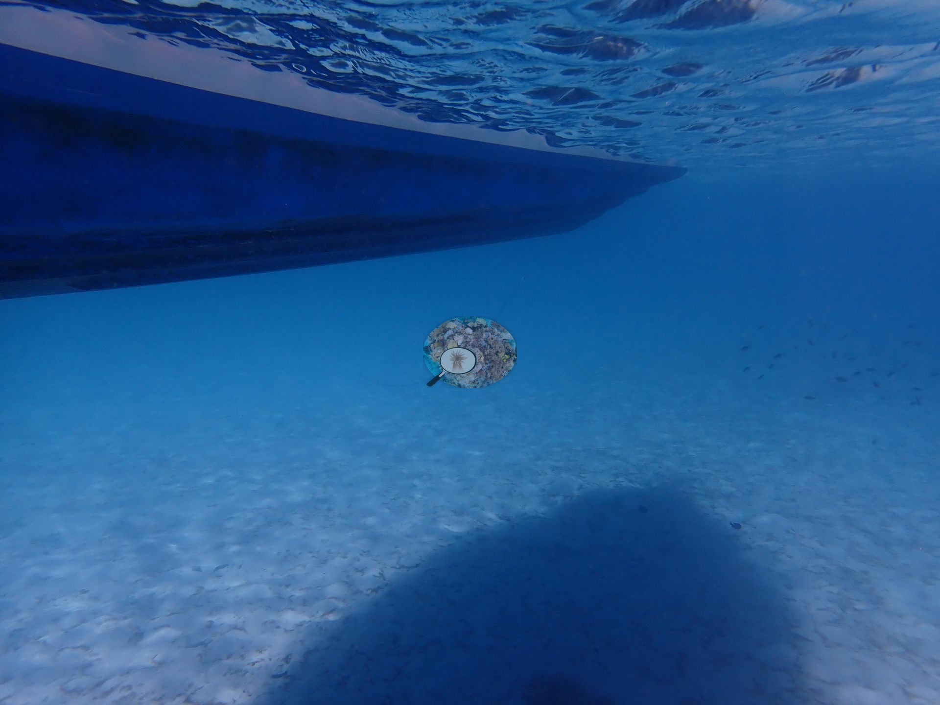
Daymaniyat Site 3 is a shallow reef in the Daymaniyat Islands off northern Oman, where hard coral stands rise straight out of brilliant white sand. The water was clear and blue, and the reef is plainly shallow.
General benthic features
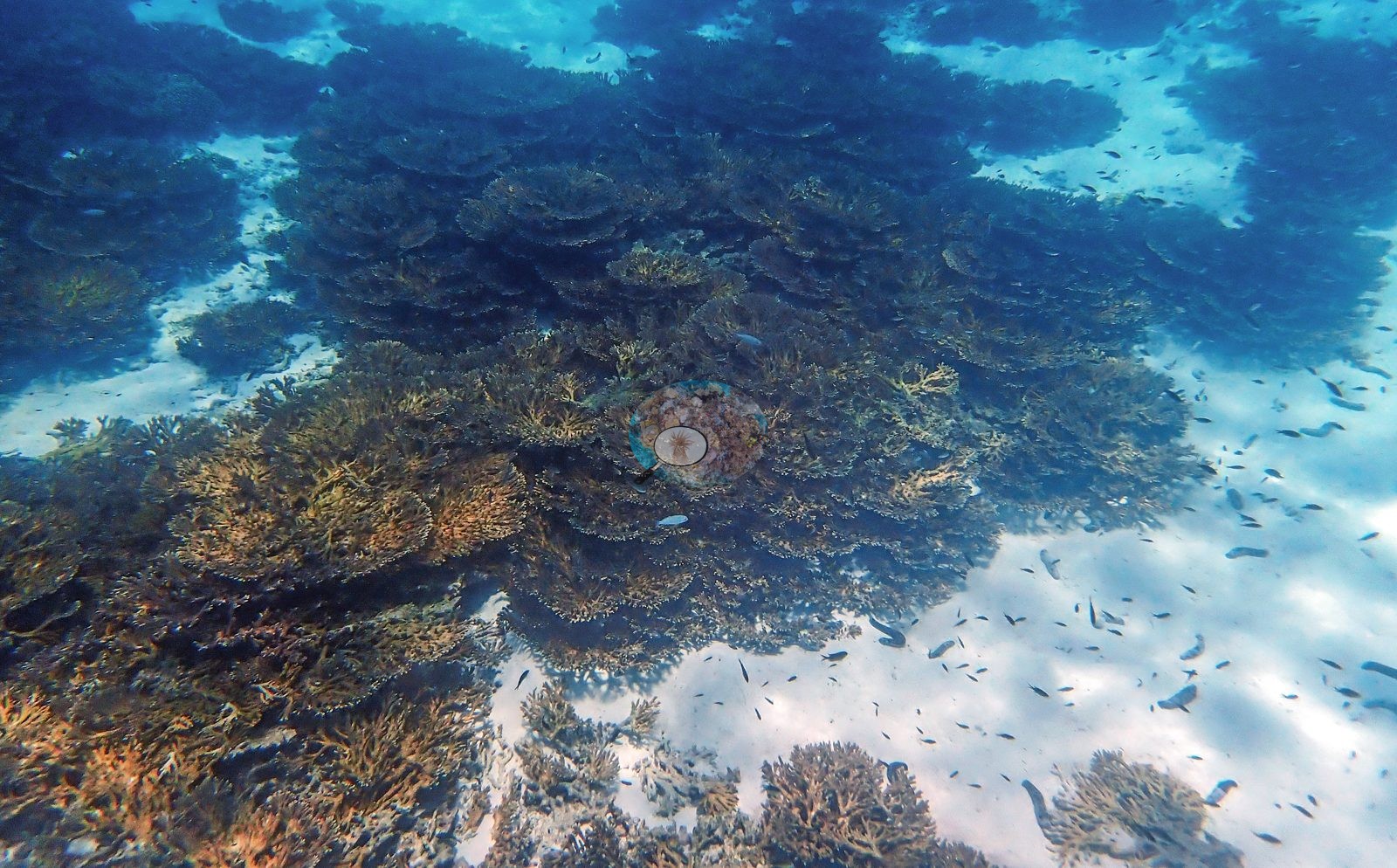
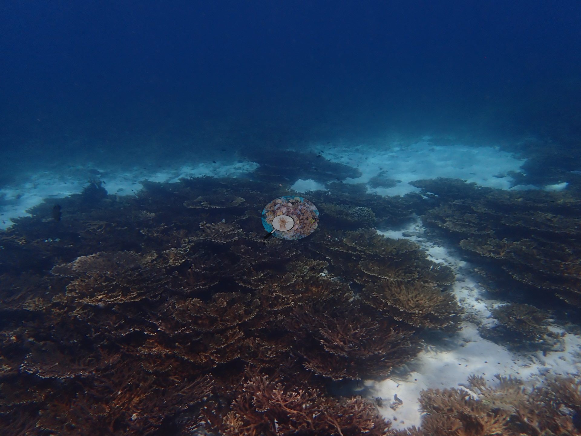
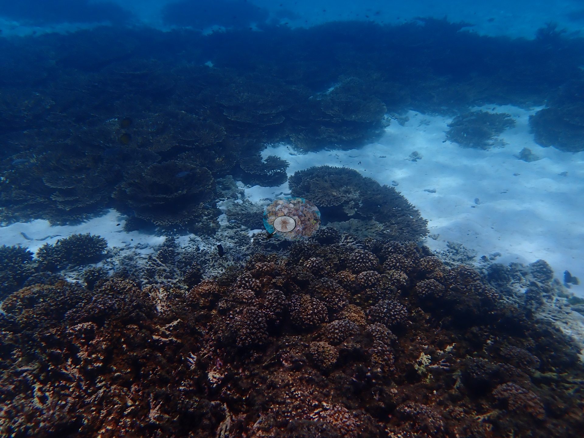
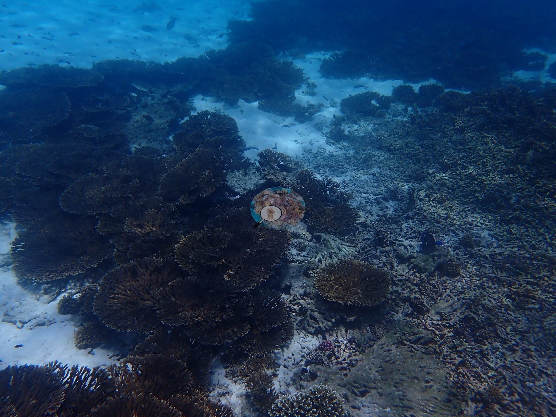
Fine-branched tabular and branching hard corals dominated almost every underwater frame, and almost nothing else competed with them for space. The widest view looked down over an unbroken canopy of tiered, overlapping fan- and rosette-shaped tables running away to the top of the frame, thinning at the right edge into clean rippled sand where clouds of small planktivores hung in mid-water (e.g., Image 3).
A cropped panorama caught the reef edge head-on: a solid ridge of branching thicket meeting bare white sand in a clean line across the frame (e.g., Image 2).
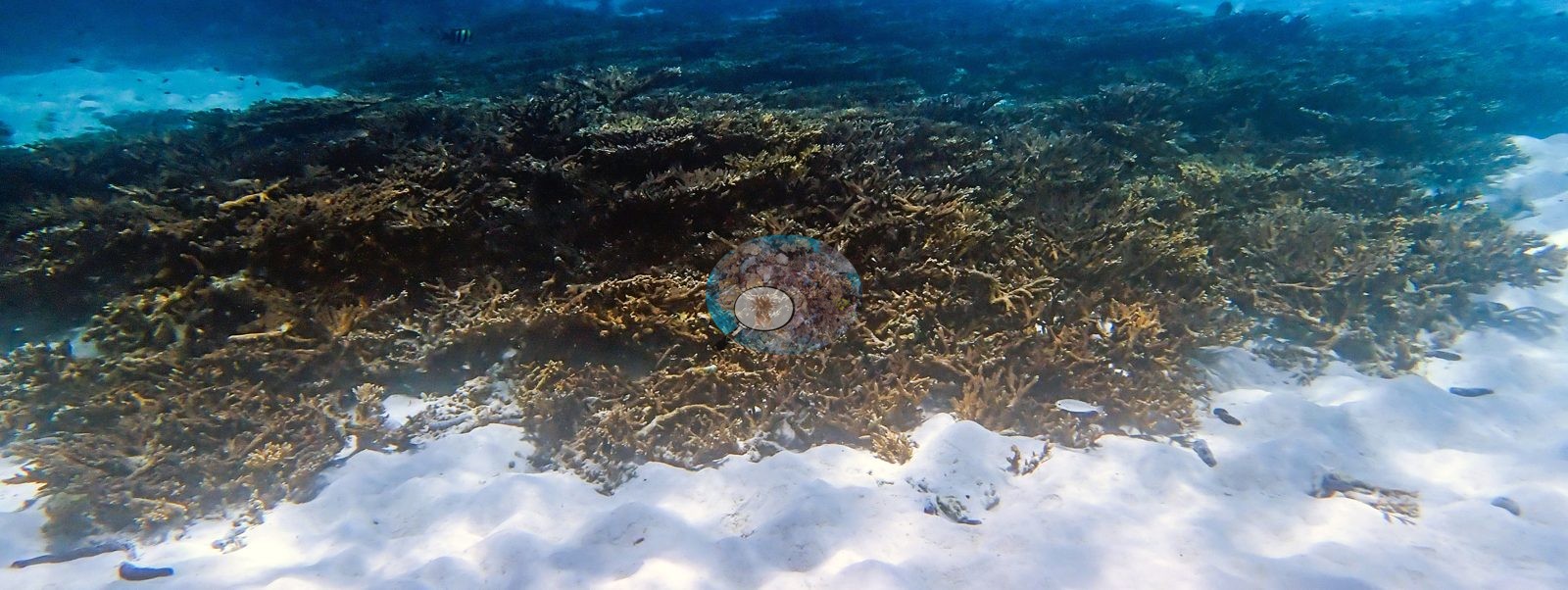
Farther along, the tables formed a continuous field over a gently sloping bottom, cut by winding sand channels and fading into deeper blue water (e.g., Image 16).
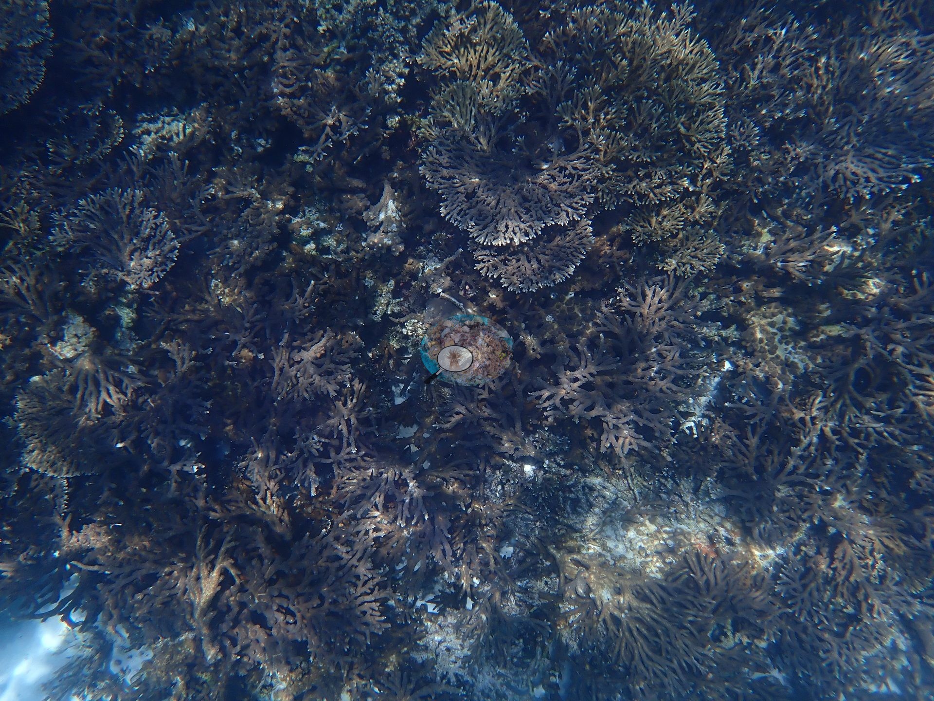
Seen from directly above, the canopy was a dense lattice of stacked plates and fine branches with barely a gap down to the substrate (e.g., Image 19).
Along the edges of the sand strips, the tables were stacked in overlapping tiers several colonies deep (e.g., Image 14, Image 20).
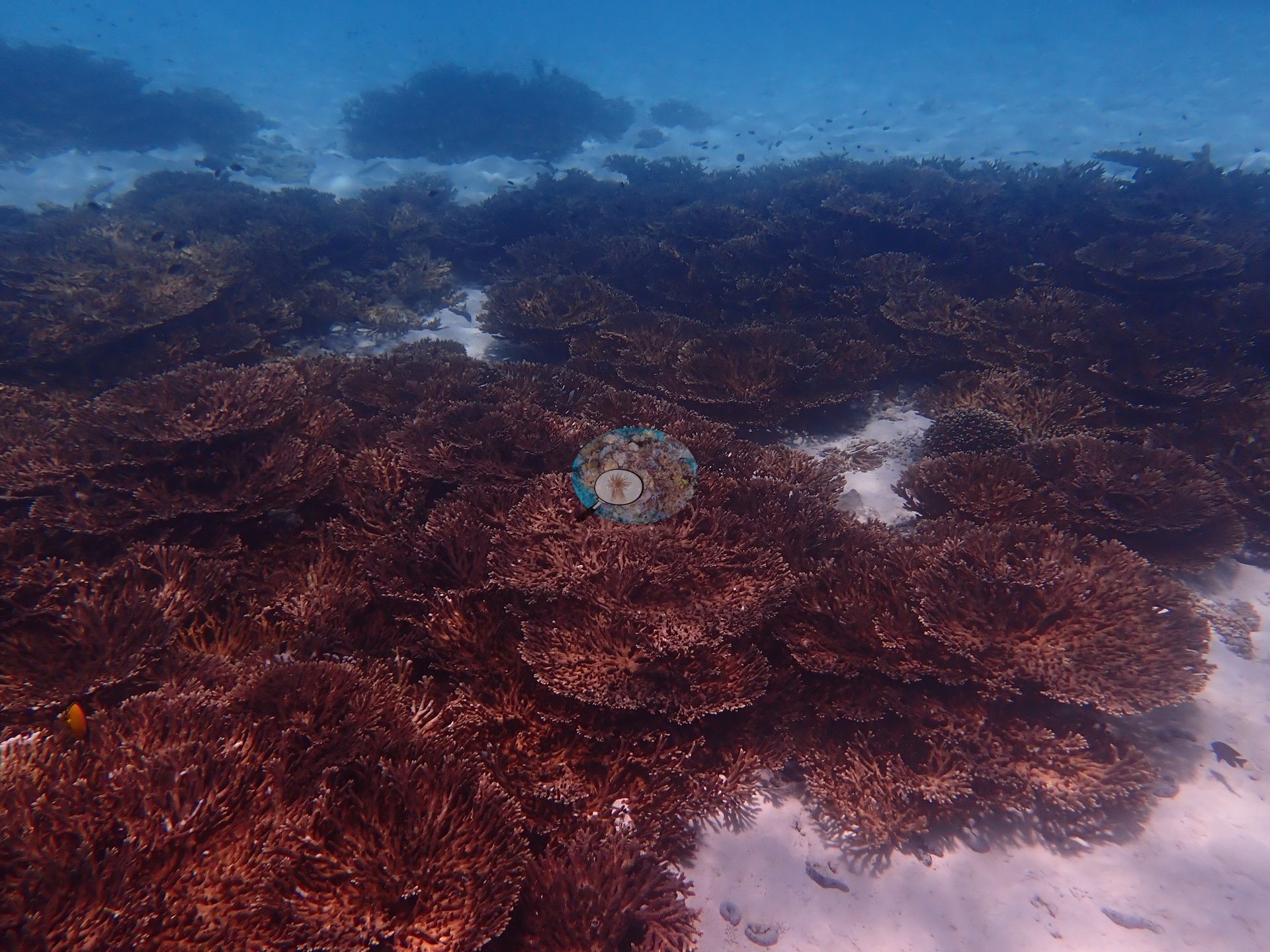
Dense canopy, broken only by small sand patches, extended across much of the reef (e.g., Image 10).
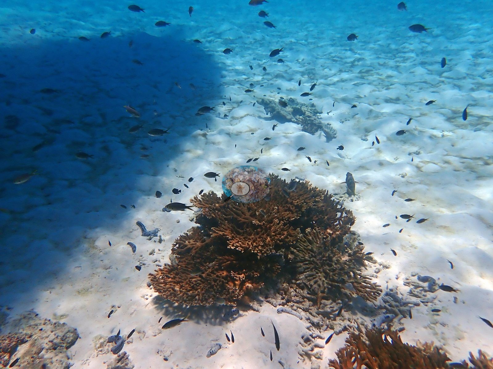
At colony scale, single isolated tables stood alone on rippled sand, a rosette of fine, open branches in one frame and a broader brown corymbose table with damselfish swarming over it in another, with more thicket in the background of both (e.g., Image 1, Image 4).
Other stands were built of taller, arborescent branches, forming staghorn-like thickets over the sand, with broken, pale branch rubble scattered on the sand below (e.g., Image 18).
In another area, a field of compact, knobby corymbose colonies packed shoulder to shoulder in front of the table zone (e.g., Image 13).
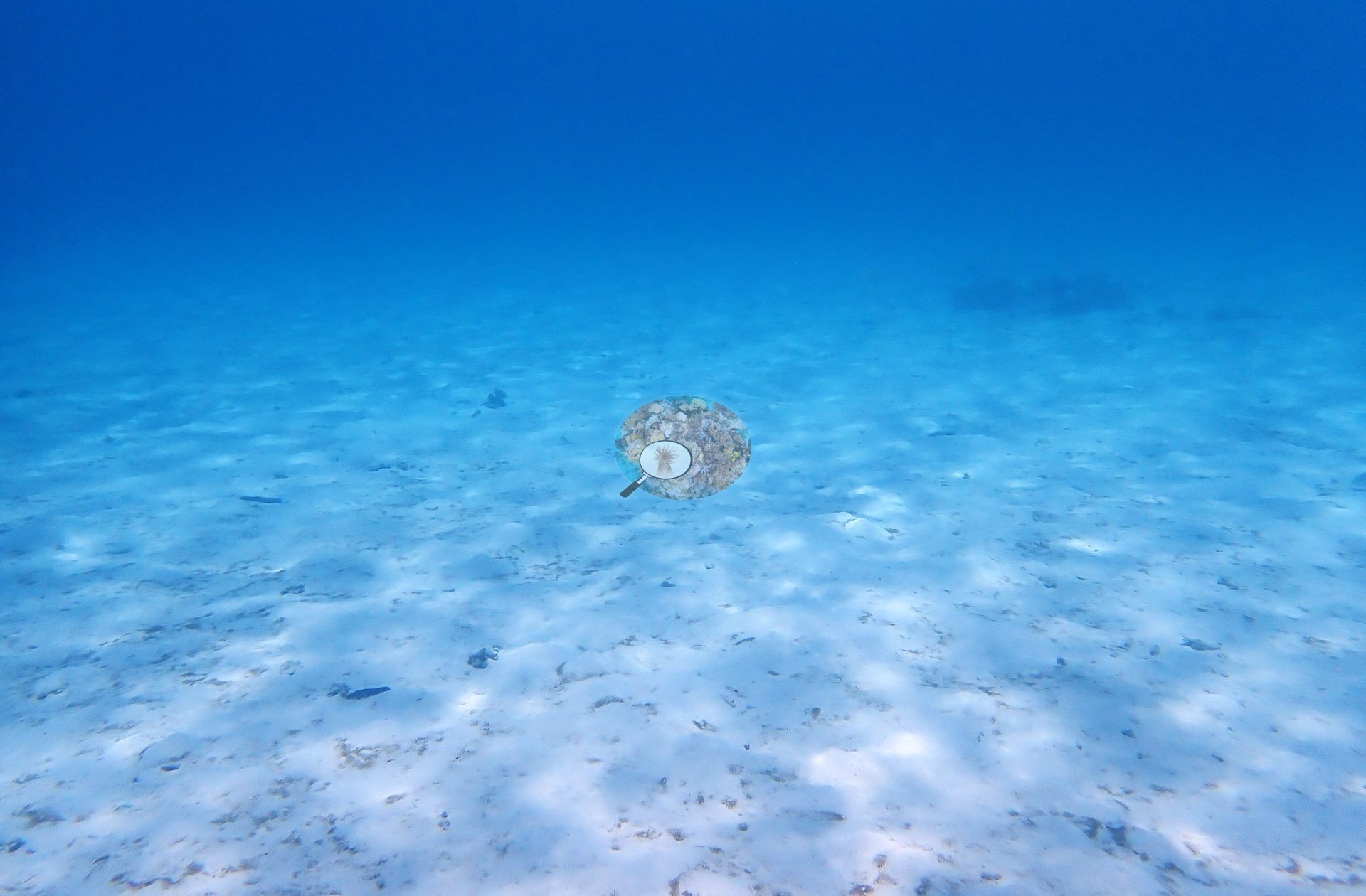
Between the coral stands, the sand was bare, clean, and rippled (e.g., Image 9).
Coral cover
Published hard coral cover is 42% as scored, from manual CoralNet point counts on 28 photographs (Mayfield 2025, Platax), a diver-scored value rather than a computer vision estimate. A further 44.4% of points was scored as soft coral, which photo review attributes to tabular Acropora being misclassified; the wide canopy frames are why that correction was made, and it puts effective hard coral cover near 88%. The published figure carries the provenance of the paper it appears in and is not subject to the CoralSCOP/DINOv3 caveats applied elsewhere on this map.
Stressors
No bleaching was observed during these May 2024 surveys, which came before the seasonal SST peak; NOAA CRW recorded Alert Level 2 heat stress and bleaching was reported along this coast from July 2024, weeks after the surveys. No macroalgae, bleached branches, or sediment veneer were seen on the living coral. Mortality was not absent, however: one frame showed a patch of old, dead branching framework, gray, and furred with turf, lying beside living tables (e.g., Image 11).
Typical recent thermal stress here is a mean annual maximum of 11.0°C-weeks (Degree Heating Weeks, 2021-2025, NOAA CRW; Gulf of Oman ecoregion). No crown-of-thorns starfish (COTS) or other corallivores evident.
Fish and other fauna
Small damselfish and other planktivores swarmed over the coral in clouds, and a loose shoal hung in mid-water just beneath the surface (e.g., Image 15).
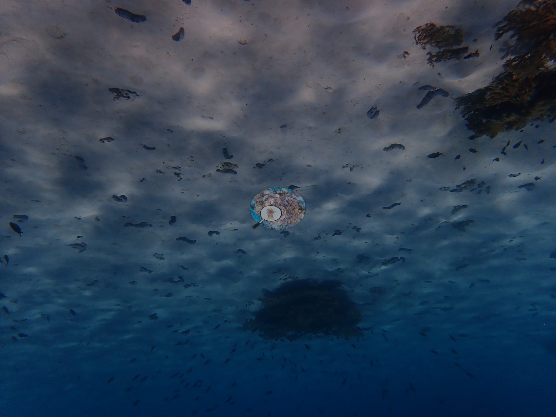
Sea cucumbers lay scattered across the sand between the coral stands.
Comparisons with other data
No independent survey was made at this exact site; the nearest ones are listed in the table below.
Dive record
The site was dived on 25 May 2024, on a short dive of about 20 minutes.
CV model comparison
More info
Cave Site is the ONLY real CoralNet comparison in this region. The two CoralSCOP columns are PAIRED — a frame counts only if the same stem was scored in both runs, so edited minus unedited is not a frame-selection artifact. CoralSCOP cover is a mask-sum AREA fraction; no point denominator applies to it. The Claude column is the edited-photo blind arm (15 frames/site, 13 at Daymaniyat site 3). The harder unedited fair test is a separate, non-interchangeable number.| Method | Hard-coral cover (%) |
|---|---|
| Manual (published) | 33.0 |
| CoralNet | 33.0 |
| In-house DINOv3 | 34.2 |
| CoralSCOP unedited | 17.6 |
| CoralSCOP edited | 13.3 |
| Claude | 33.8 |
Independent surveys nearby
| Agency / program | Year(s) | Stations / distance | Link |
|---|---|---|---|
| Environment Authority-Oman | 2026 | 1 station, 1.99 km | Records ↓ |
| MERMAID project “coral cover BK”* | 2025 | 2 stations, 1.68–2.21 km | Records ↓ |
| Sultan Qaboos University | 2026 | 4 stations, 1.58–2.19 km | Records ↓ |
 Dr. Coral (CRD)Year-average (no detectable trend)
Within 5 km, 7 independent survey stations recorded hard coral cover in 23 images between 2025 and 2026. Surveys since 2021 average 12% (range 0.0–35%, n=13). This site's own estimate (33%) sits within the recent range (0.0–35%); the methods differ, so the comparison is context, not a like-for-like test.
Collected by other programs using different methods (MERMAID is a data platform: each MERMAID row names the organization that did the survey, and its method is in the row's hover text. *Conducted by citizen scientists), so these are context for the figures above, not a like-for-like comparison. Where a station was surveyed more than once the range is shown. Station names are not dive-site names.
Data & links
- CoralNet image repository for this region ↗
- Photo portfolio ↗
- Coral Reef Diagnostics page for this area ↗
All images from Coral Reef Diagnostics. Data are from Coral Reef Diagnostics and the organizations named in the data-sources table above.
© Coral Reef Diagnostics.