

Oman - Daymaniyat Site 2

Part of the regional summary: Oman
More info
Gulf of Oman (NOAA CRW virtual station)Daymaniyat Site 2 is a shallow fringing reef off a low rocky islet where coral cover is nearly unbroken - rounded bommies wrapped in knobby coral and tiered laminar plates rising straight from white sand, with turf reduced to just 5.3%. Published hard coral cover is 51%, and sea turtles were seen cruising above the mound field; no bleaching was observed during this pre-heat-event May 2024 survey.
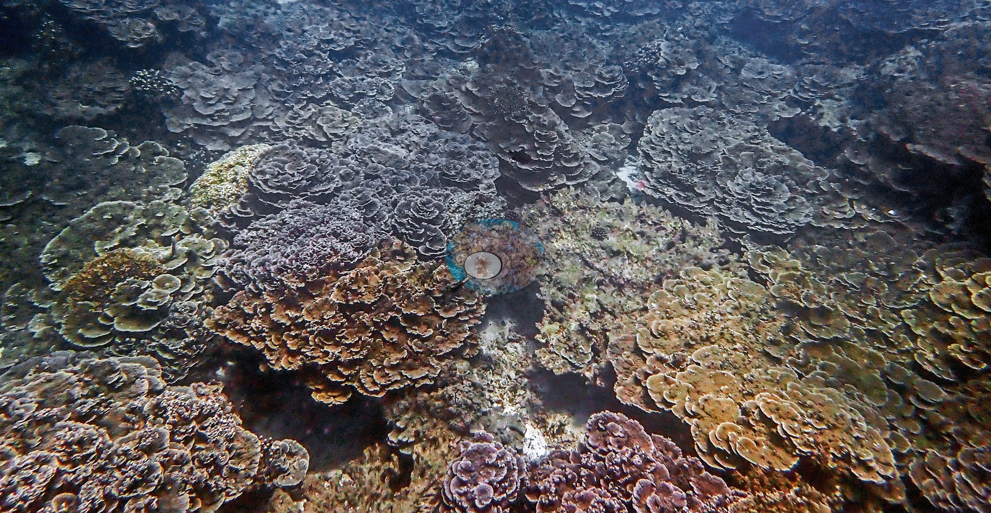
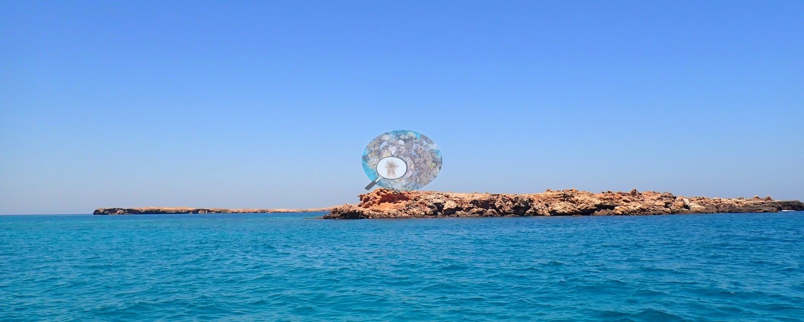
يُظهر الإطار 1 المشهد من السطح: كتلة طويلة ومنخفضة وخالية من النباتات من الحجر الجيري البُنّي المتآكل، ترقد في مياه فيروزية تحت سماء صافية بلا غيوم — الجزيرة الصخرية التي يُحيط بها هذا الشعب المرجاني.
ترجمة هذا الملخص بالذكاء الاصطناعي؛ النص الإنجليزي هو المعتمد. Translated from the site’s shorter map summary.
Seven independent survey stations shown with the program’s logo — click one to see how far it is from this site.
Two other CRD dive sites within 5 km shown in orange — click a marker to open its page.
9 of these 20 photographs are shown beside the text that discusses them under "Site description" below.
Site description
Setting
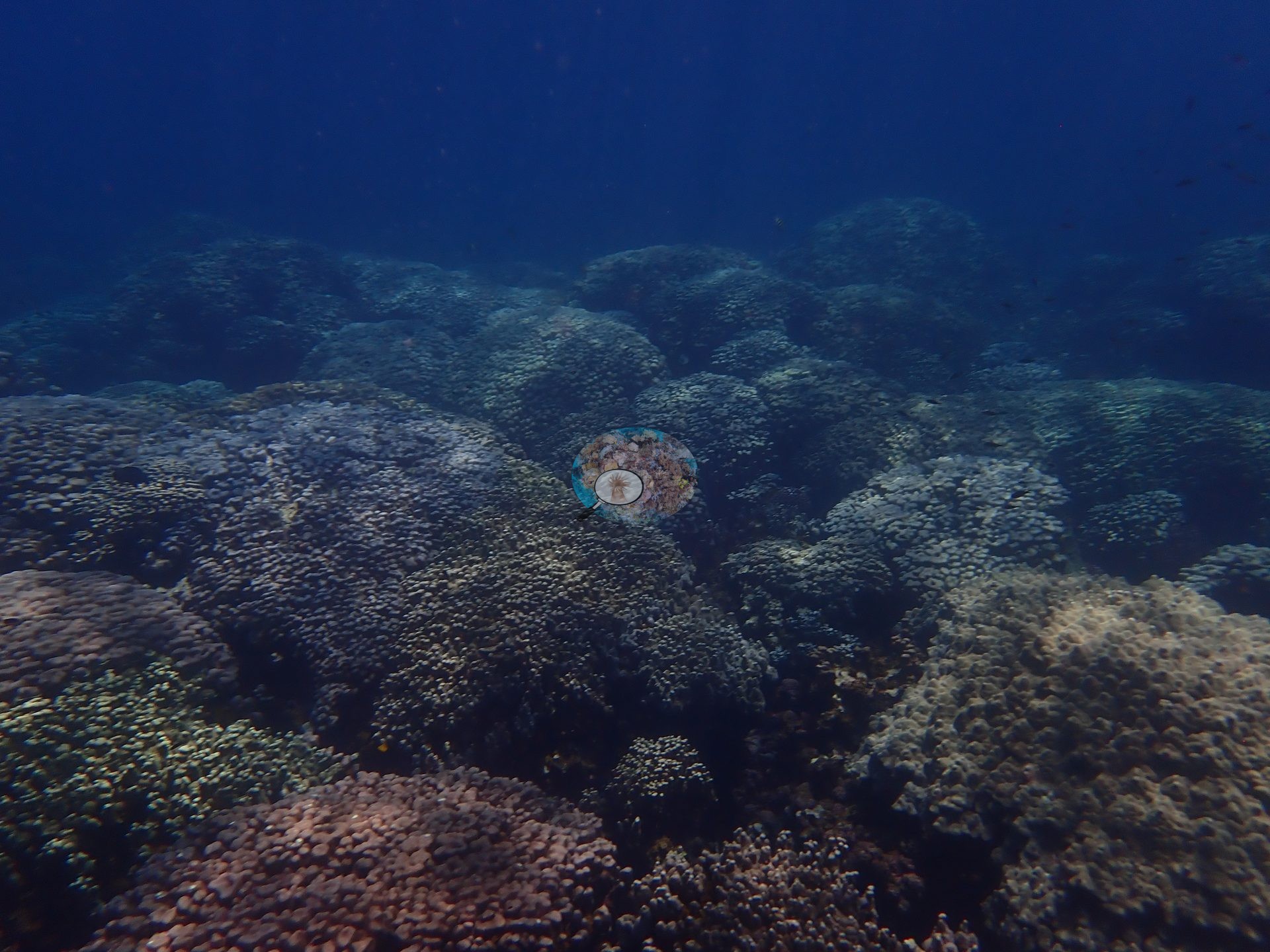
Frame 1 sets the scene from the surface: a long, low, unvegetated slab of weathered tan limestone lying in turquoise water under a cloudless sky — the rocky islet this reef fringes (e.g., Image 1).
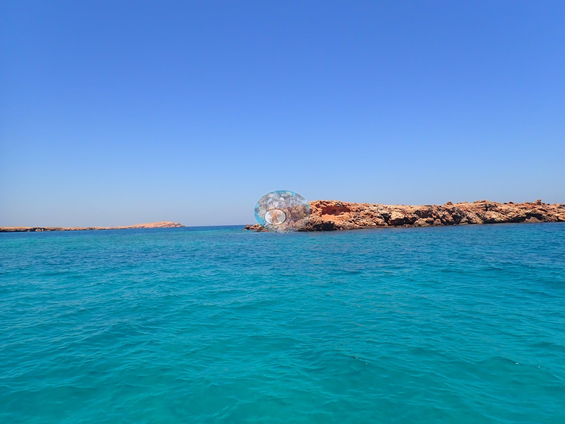
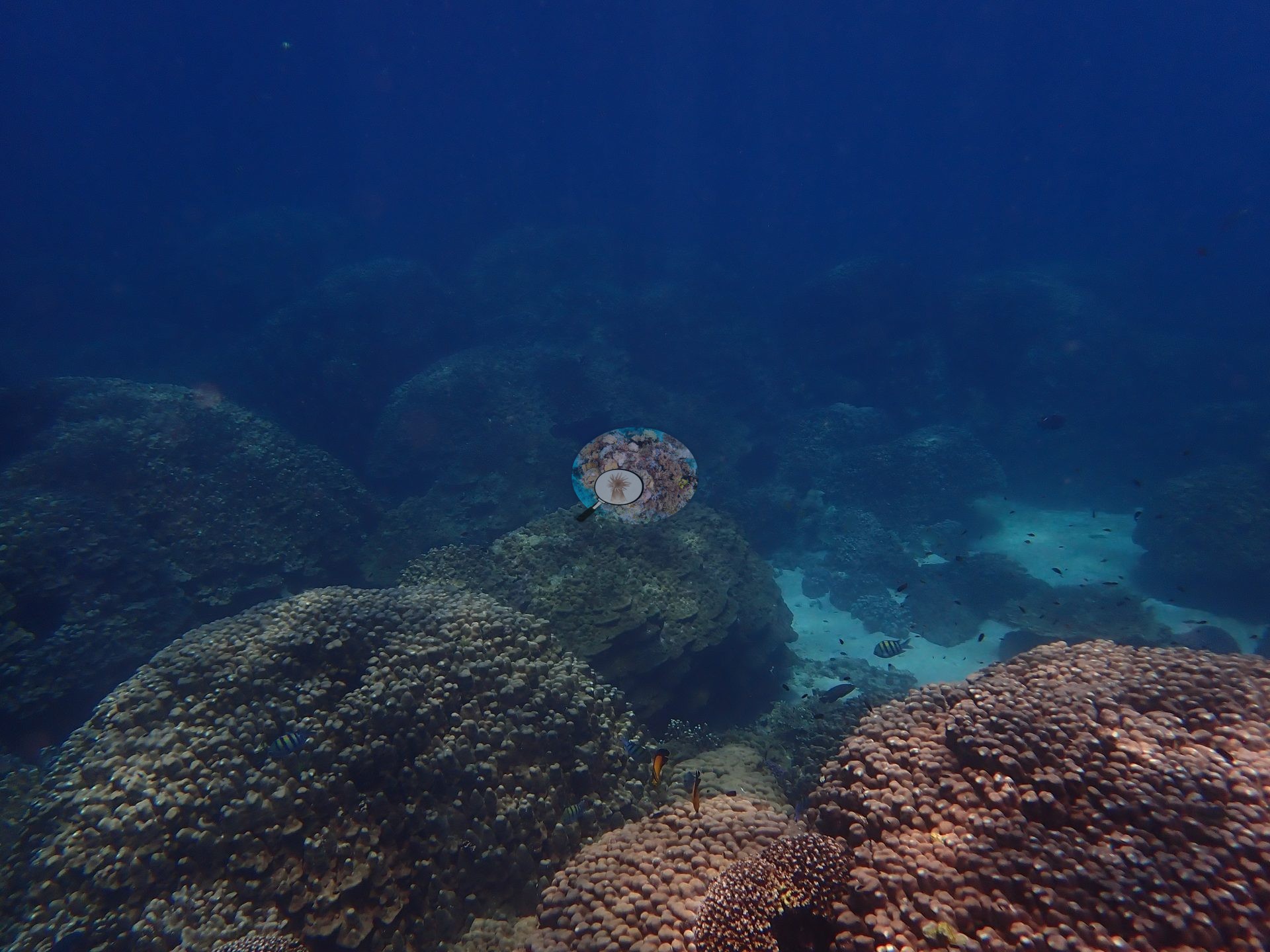
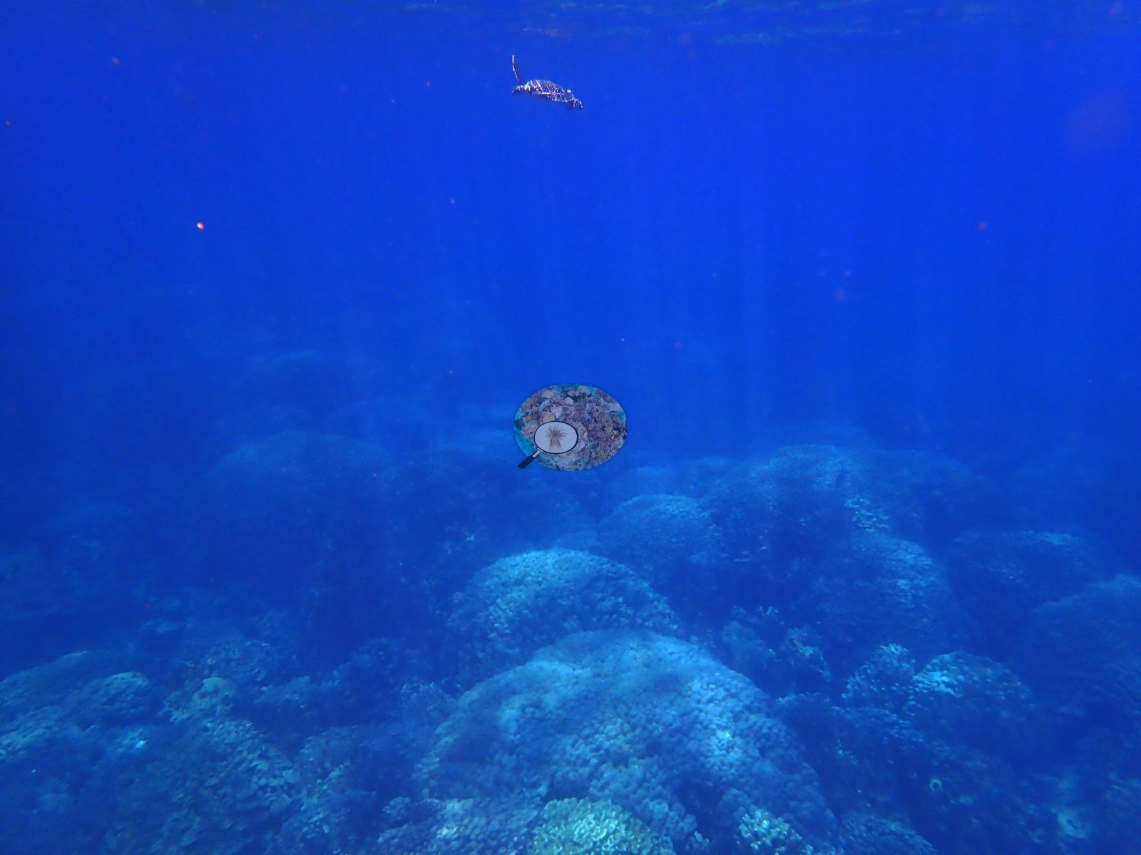
Frame 2 is taken from high in the water column, a turtle finning along just beneath a sunlit surface with a field of large rounded bommies laid out below in blue shadow; it fixes the reef as shallow and the water as clear, but nothing on the bottom is resolvable in it (e.g., Image 2).
General benthic features
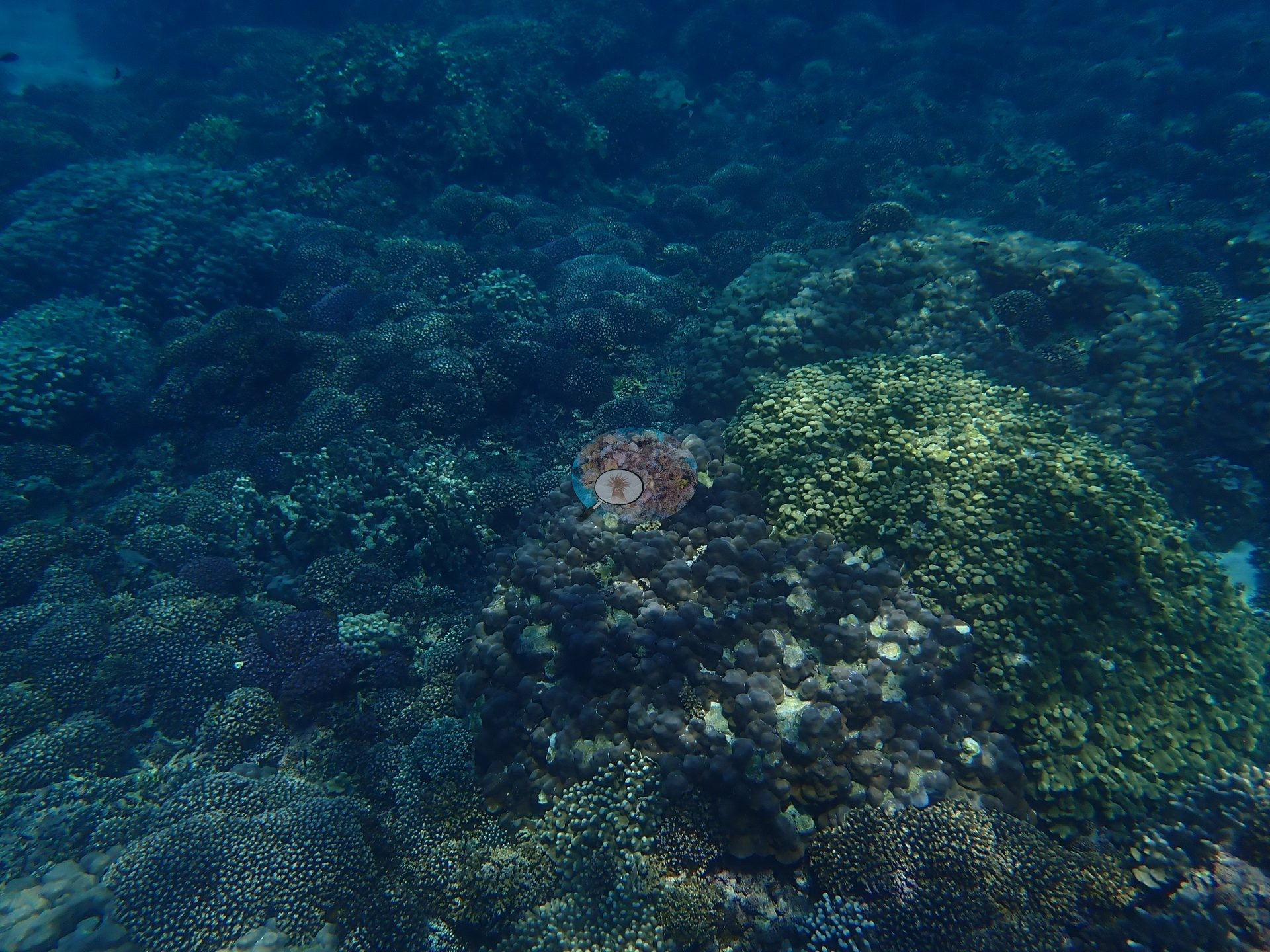
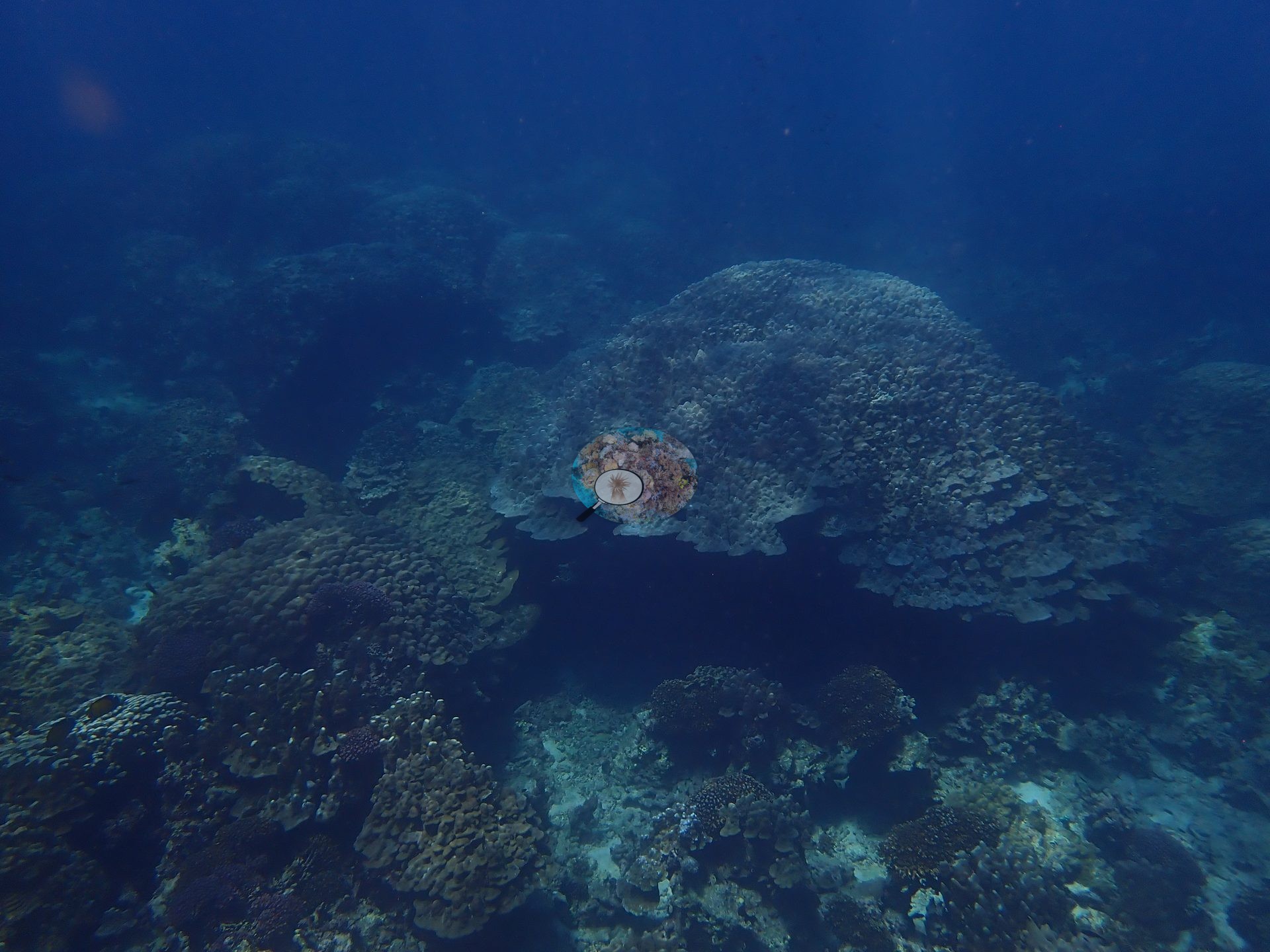
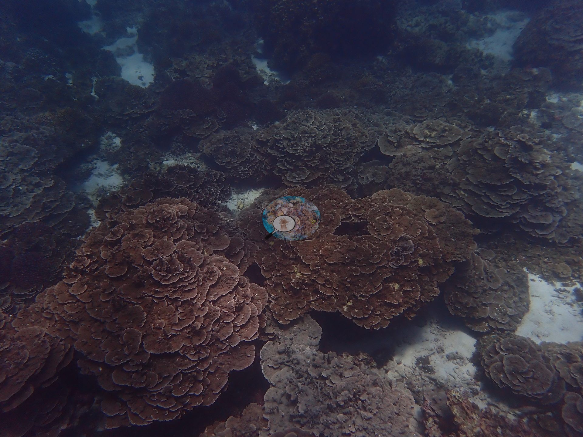
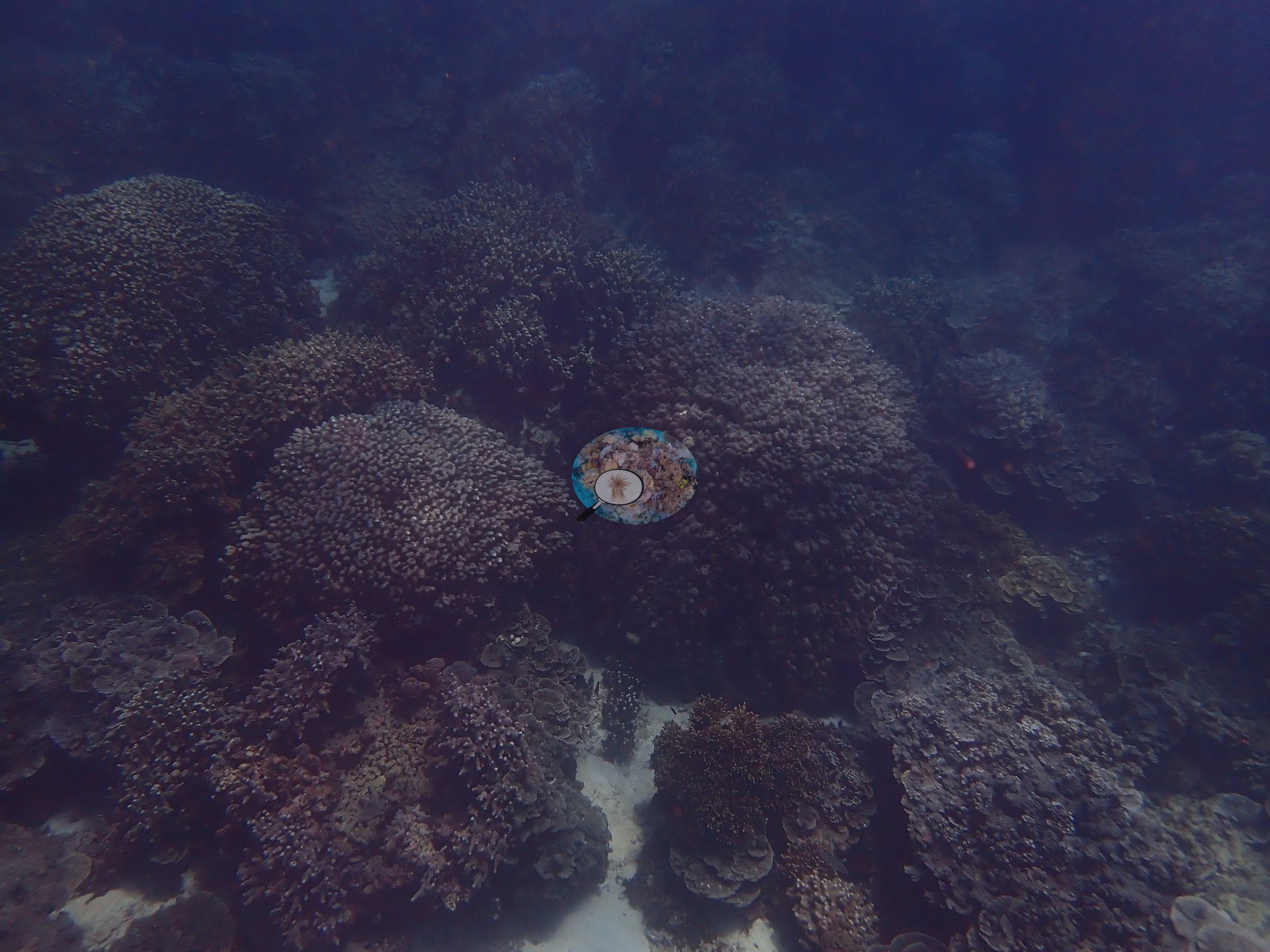
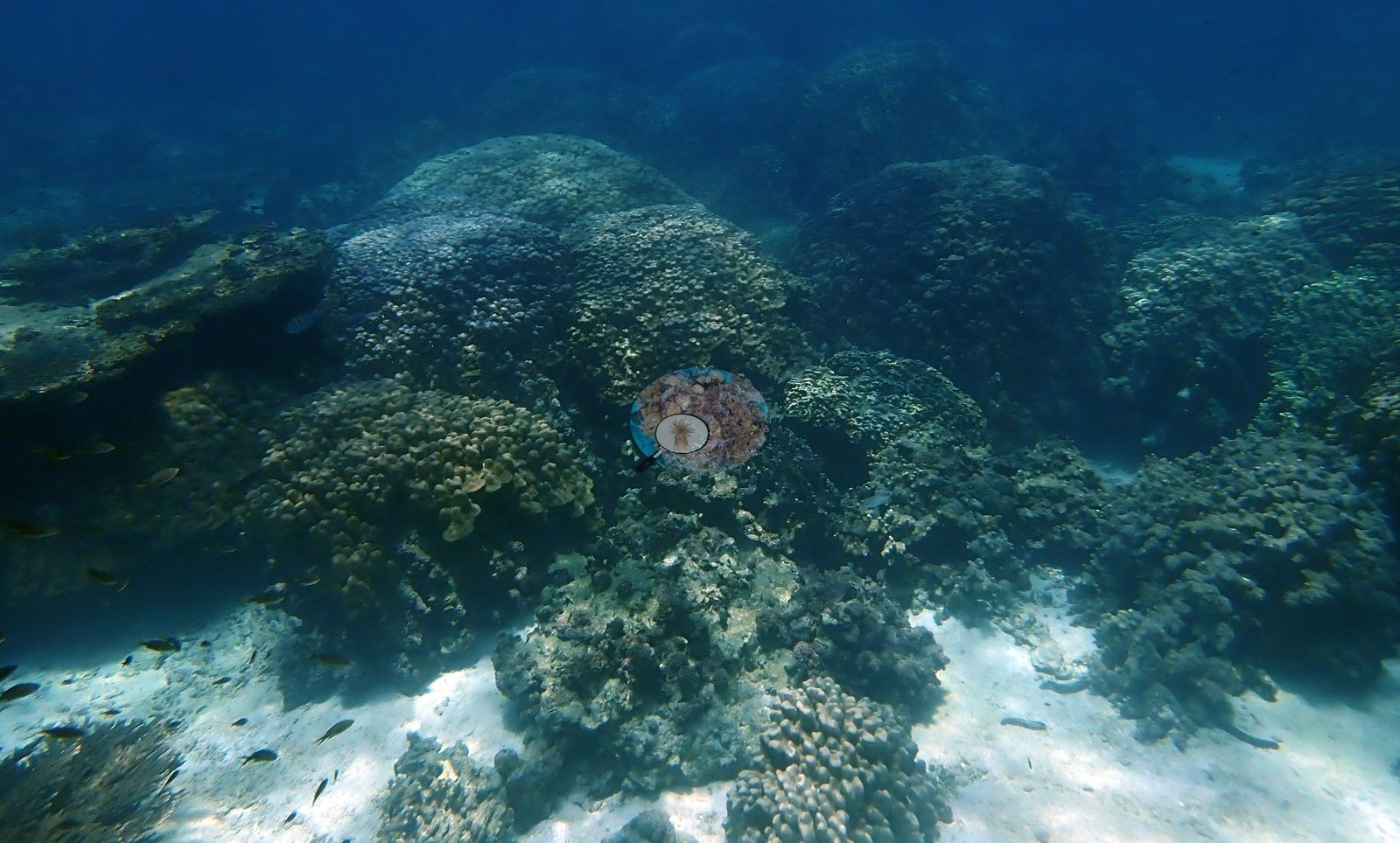
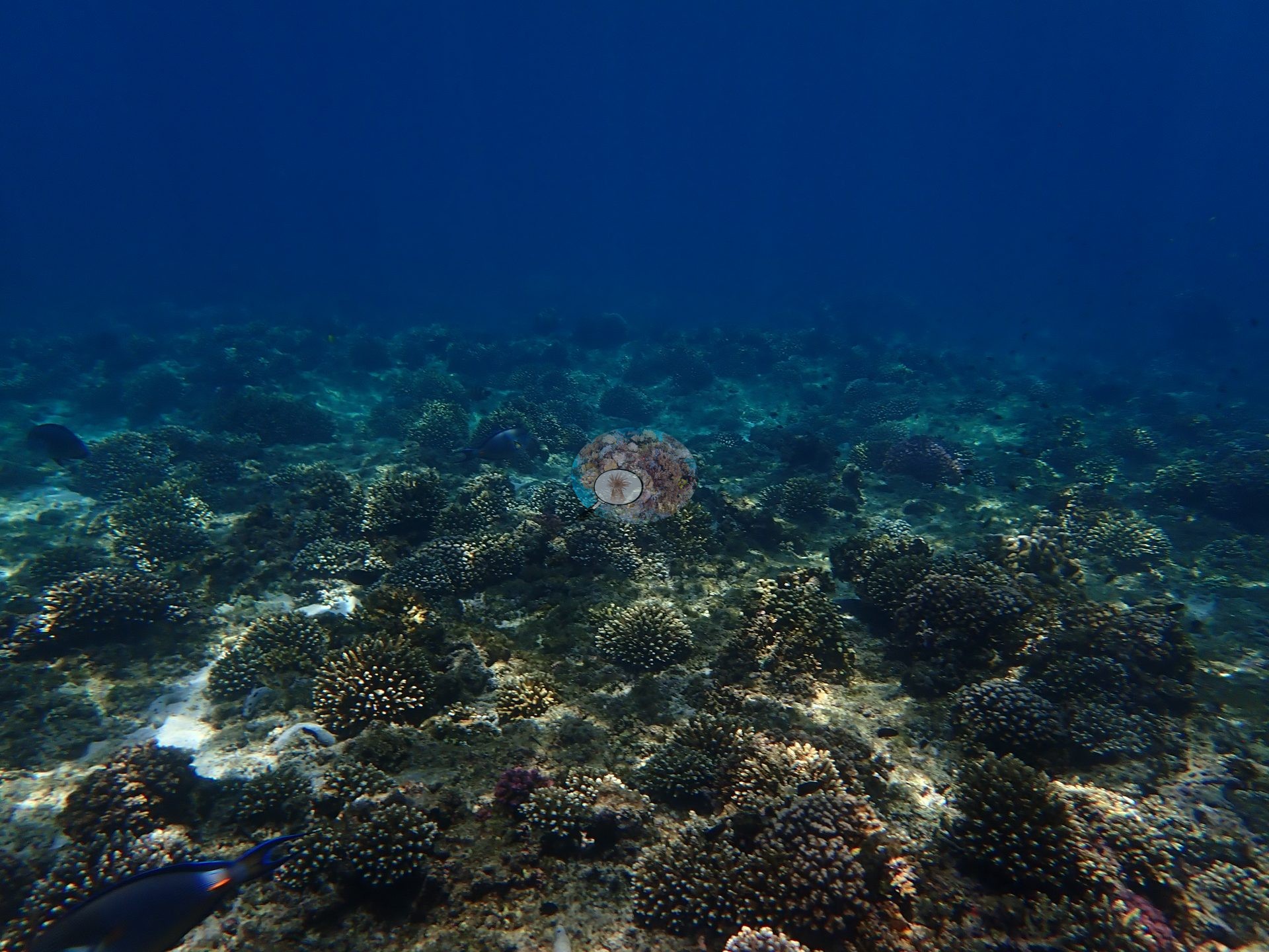
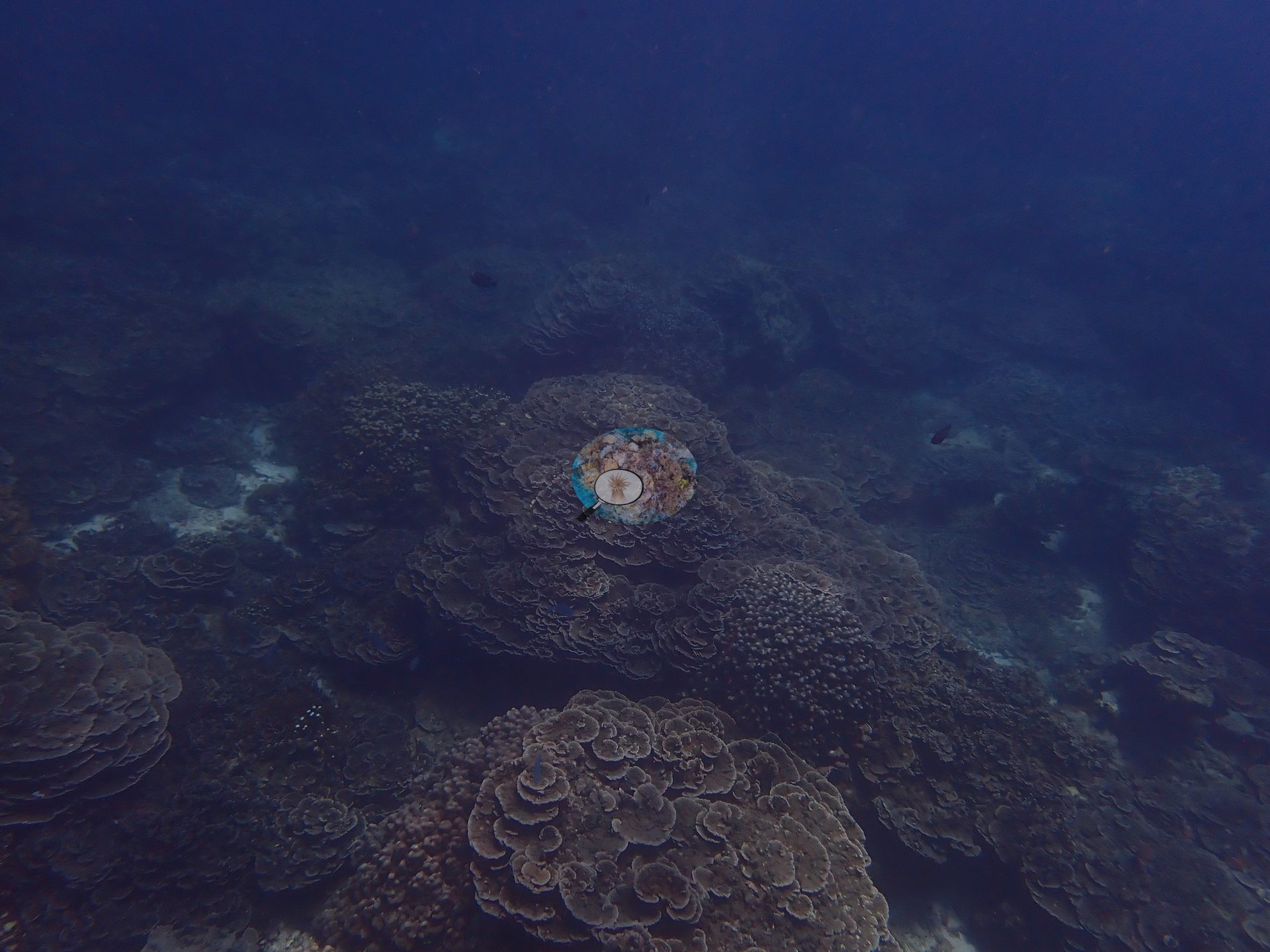
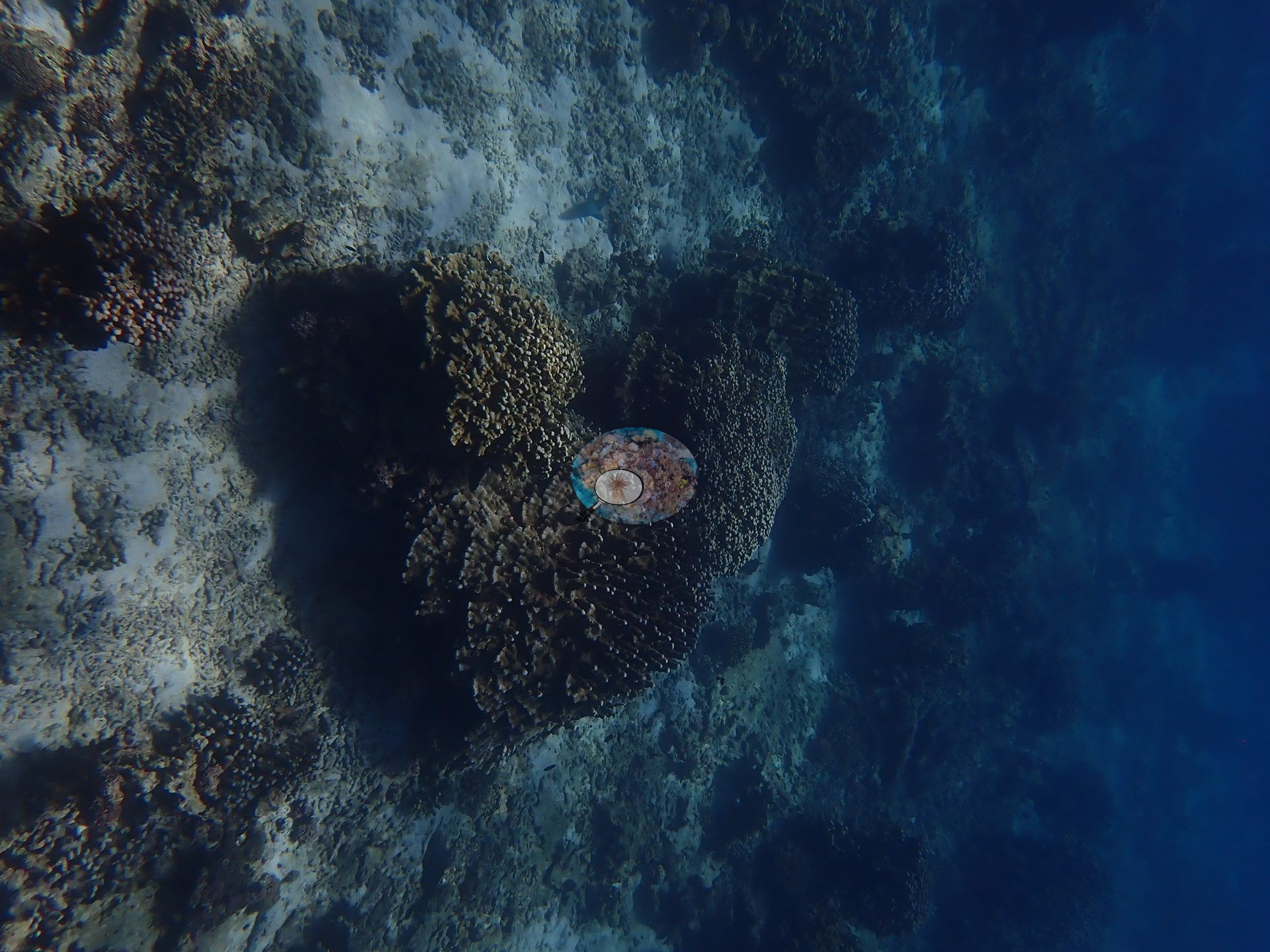
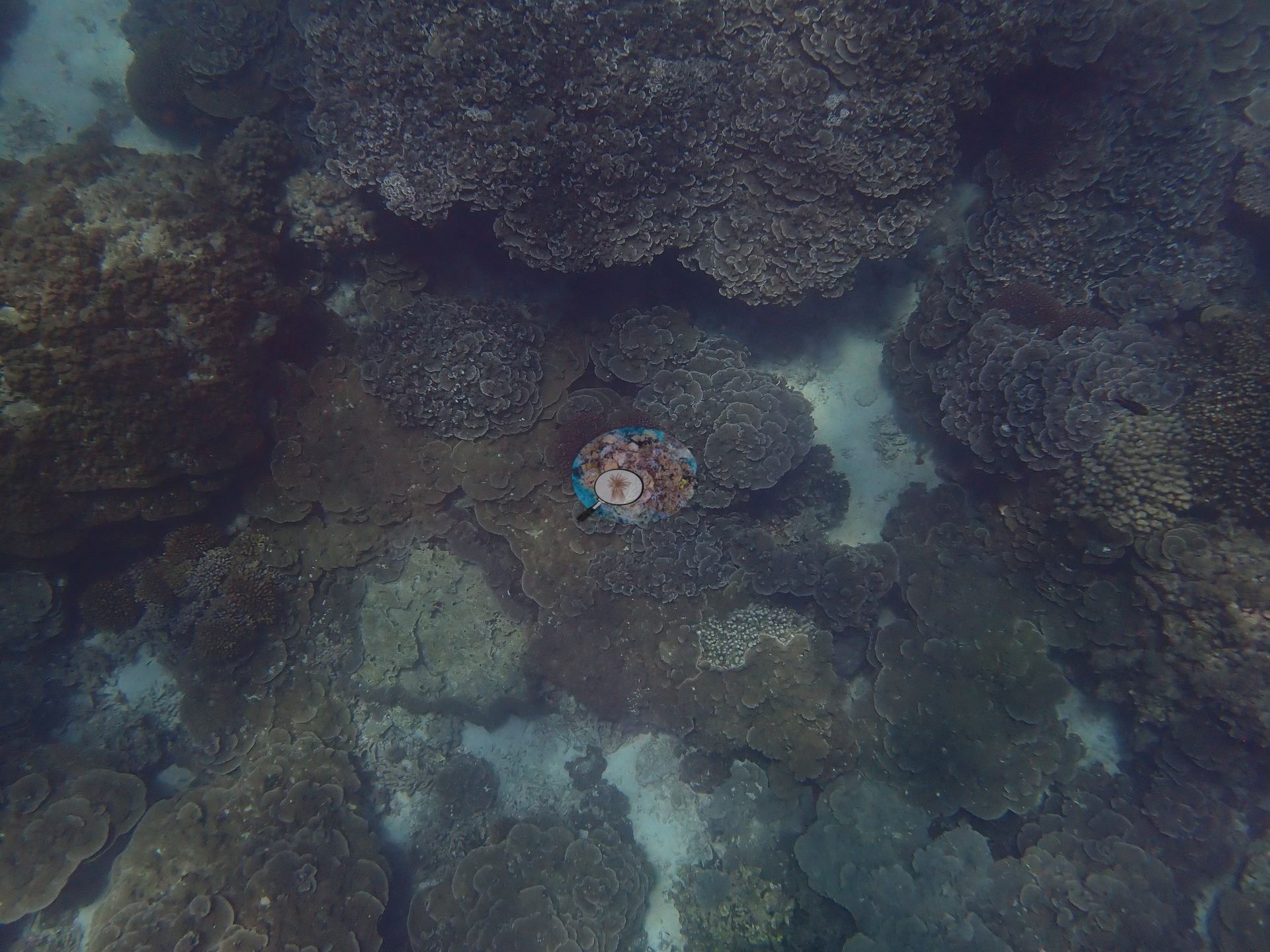
The two frames that carry real benthic information are 3 and 4, and both show the same thing: a mound field rather than a branching thicket. In frame 3, big rounded bommies sheathed in knobby, nodular coral rise straight out of bright white sand lanes, one dark undercut ledge at the left edge, damselfish scattered over the tops (e.g., Image 3).
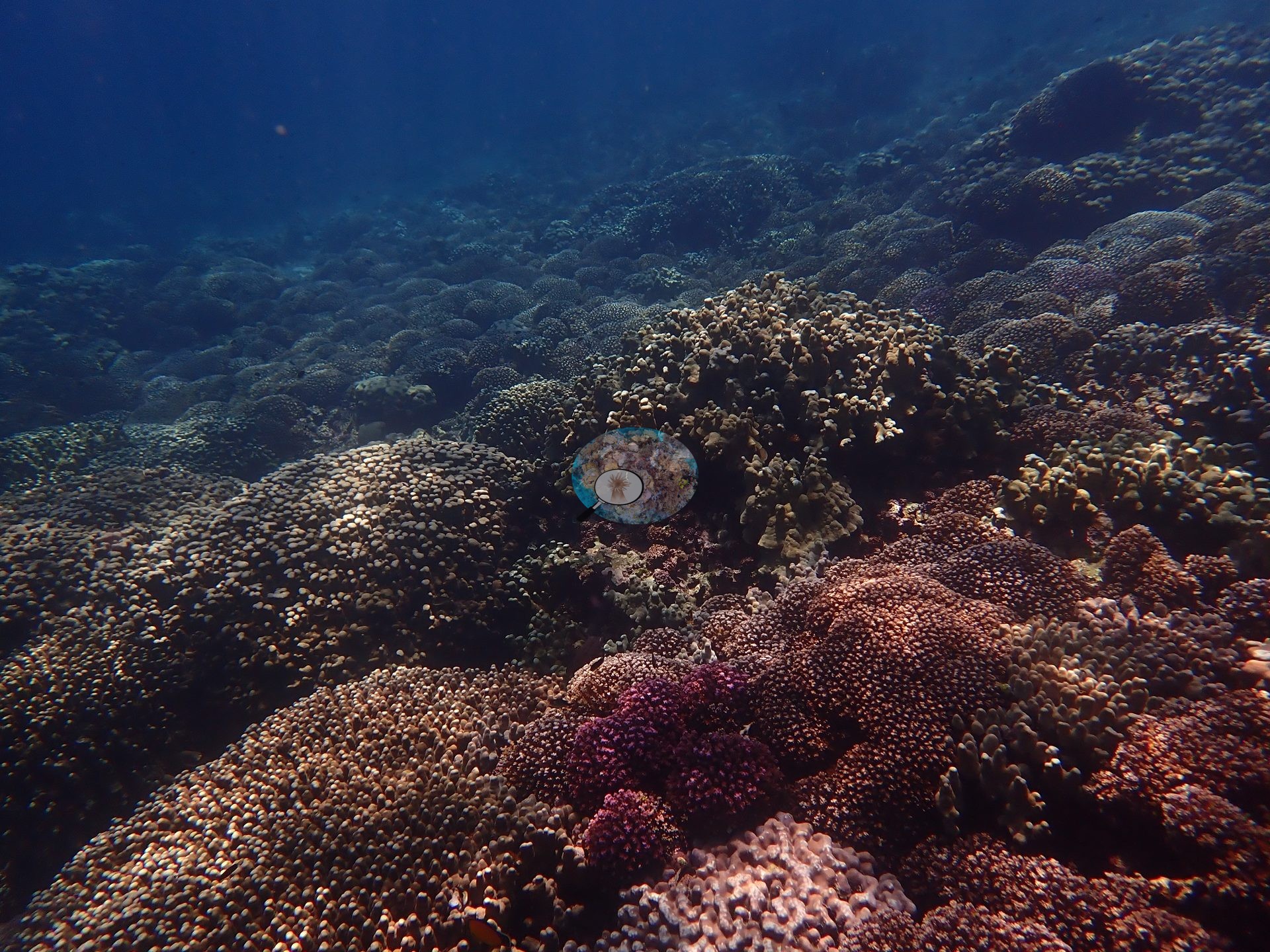
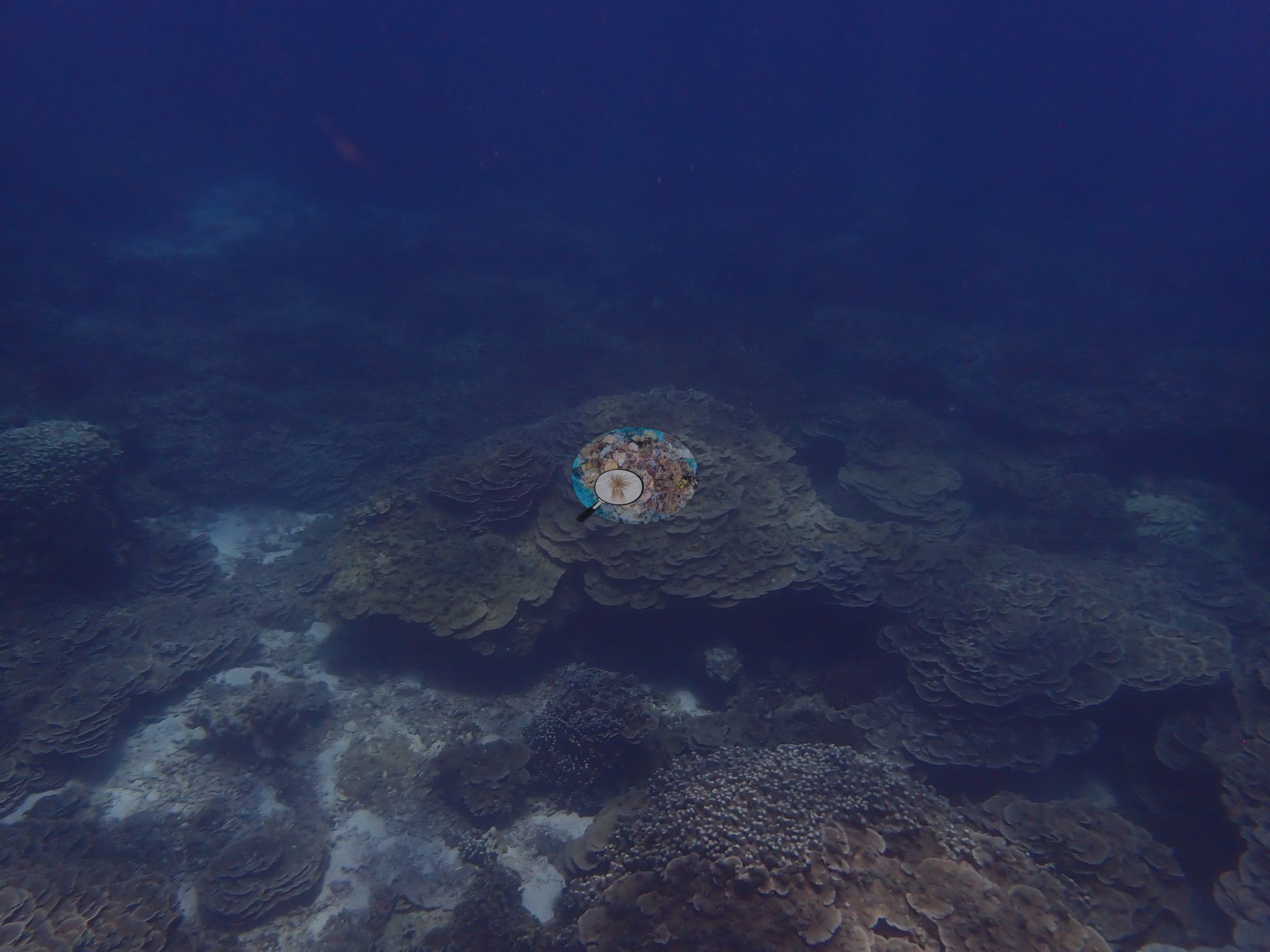
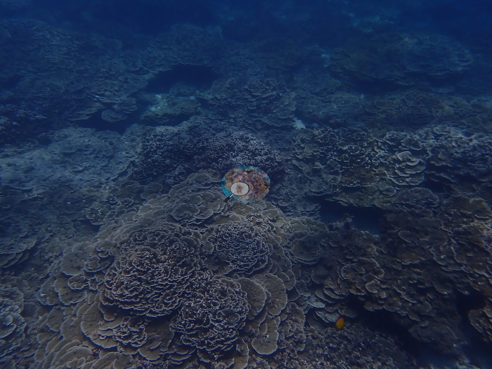
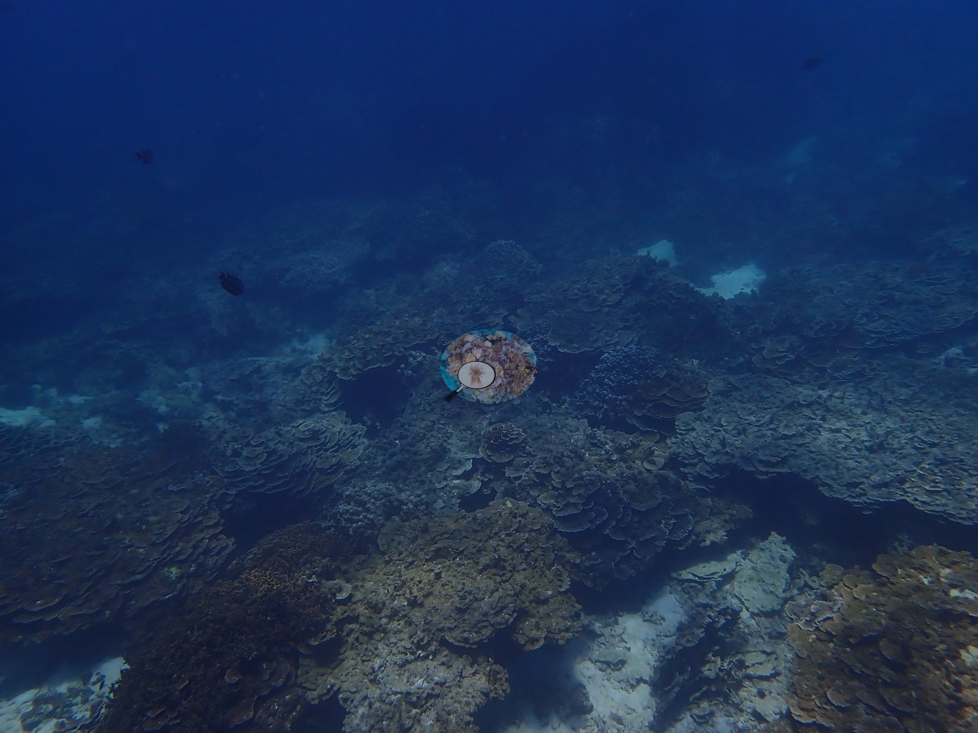
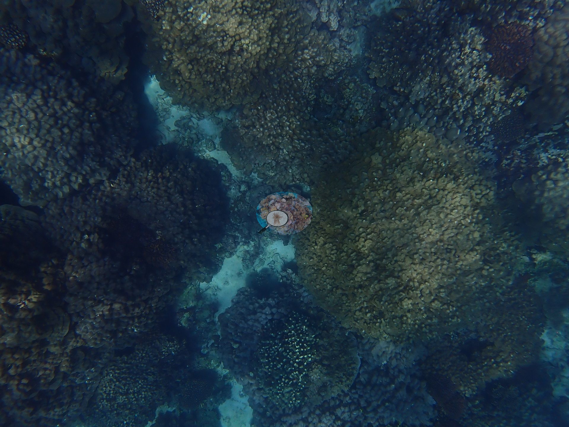
Frame 4 is the closest look and the best of the set — a single large mound wrapped in tiered, overlapping laminar plates of a pale cream-yellow coral, stacked like a collapsed pile of dishes, with knobby colonies in pink, lilac, and buff crowding right up against it on every side and more mounds receding into blue behind (e.g., Image 4).
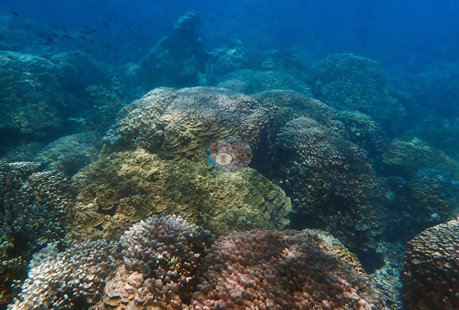
Coral covers essentially all the hard bottom in both frames; sand, not algae, is what interrupts it.
Coral cover
Published hard coral cover is 51% — manual CoralNet point counts from Mayfield (2025, Platax), a diver-scored value rather than a computer vision estimate — with turf algae at only 5.3%, which is exactly what these two frames look like. It carries the provenance of the paper it appears in and is not subject to the CoralSCOP/DINOv3 caveats applied elsewhere on this map.
Stressors
No crown-of-thorns starfish (COTS) or other corallivores evident.
Comparisons with other data
Also on record for this site: A shallow fringing reef off a low rocky islet where the coral is nearly unbroken: bushy Acropora meadows (e.g., Image 7), tiered plate stands (e.g., Image 16), and massive Porites domes (e.g., Image 6) roll between narrow sand channels (e.g., Image 13), with entire bommie tops sheathed in knobby soft-coral carpets (e.g., Image 14).
Sea turtles cruise above the mound field, and clouds of damselfish and sergeant majors hang over the coral heads. No bleaching observed during these May 2024 surveys, before the seasonal SST peak; NOAA CRW recorded Alert Level 2 heat stress and bleaching was reported along this coast from July 2024, weeks after the surveys.
CV model comparison
More info
Cave Site is the ONLY real CoralNet comparison in this region. The two CoralSCOP columns are PAIRED — a frame counts only if the same stem was scored in both runs, so edited minus unedited is not a frame-selection artifact. CoralSCOP cover is a mask-sum AREA fraction; no point denominator applies to it. The Claude column is the edited-photo blind arm (15 frames/site, 13 at Daymaniyat site 3). The harder unedited fair test is a separate, non-interchangeable number.| Method | Hard-coral cover (%) |
|---|---|
| Manual (published) | 38.1 |
| CoralNet | 38.1 |
| In-house DINOv3 | 46.5 |
| CoralSCOP unedited | 42.2 |
| CoralSCOP edited | 50.4 |
| Claude | 49.3 |
Independent surveys nearby
| Agency / program | Year(s) | Stations / distance | Link |
|---|---|---|---|
| Environment Authority-Oman | 2026 | 1 station, 2.13 km | Records ↓ |
| MERMAID project “coral cover BK”* | 2025 | 2 stations, 1.83–2.08 km | Records ↓ |
| Sultan Qaboos University | 2026 | 4 stations, 1.48–2.04 km | Records ↓ |
 Dr. Coral (CRD)Year-average (no detectable trend)
Within 5 km, 7 independent survey stations recorded hard coral cover in 23 images between 2025 and 2026. Surveys since 2021 average 12% (range 0.0–35%, n=13). This site's own estimate (38%) is indistinguishable from the recent range (0.0–35%): the 3.6-point gap is inside the ±7 percentage-point noise between methods; the methods differ, so the comparison is context, not a like-for-like test.
Collected by other programs using different methods (MERMAID is a data platform: each MERMAID row names the organization that did the survey, and its method is in the row's hover text. *Conducted by citizen scientists), so these are context for the figures above, not a like-for-like comparison. Where a station was surveyed more than once the range is shown. Station names are not dive-site names.
Data & links
- CoralNet image repository for this region ↗
- Photo portfolio ↗
- Coral Reef Diagnostics page for this area ↗
All images from Coral Reef Diagnostics. Data are from Coral Reef Diagnostics and the organizations named in the data-sources table above.
© Coral Reef Diagnostics.