

Oman - Daymaniyat Site 1

Part of the regional summary: Oman
More info
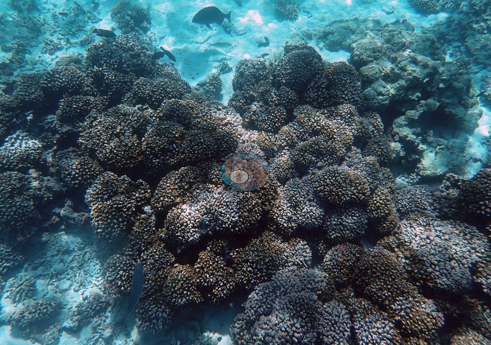
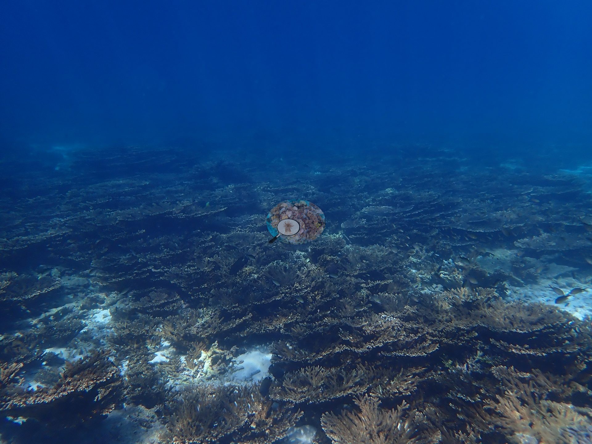
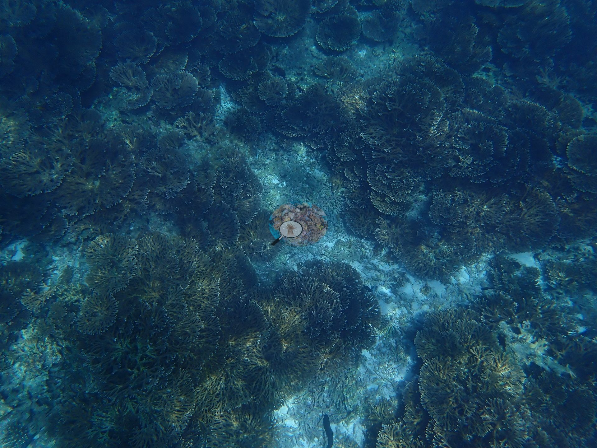
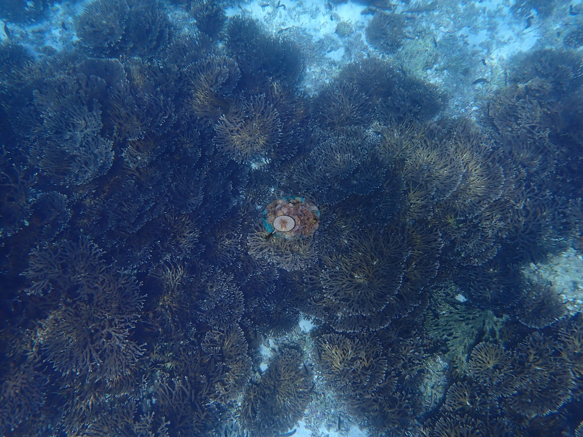
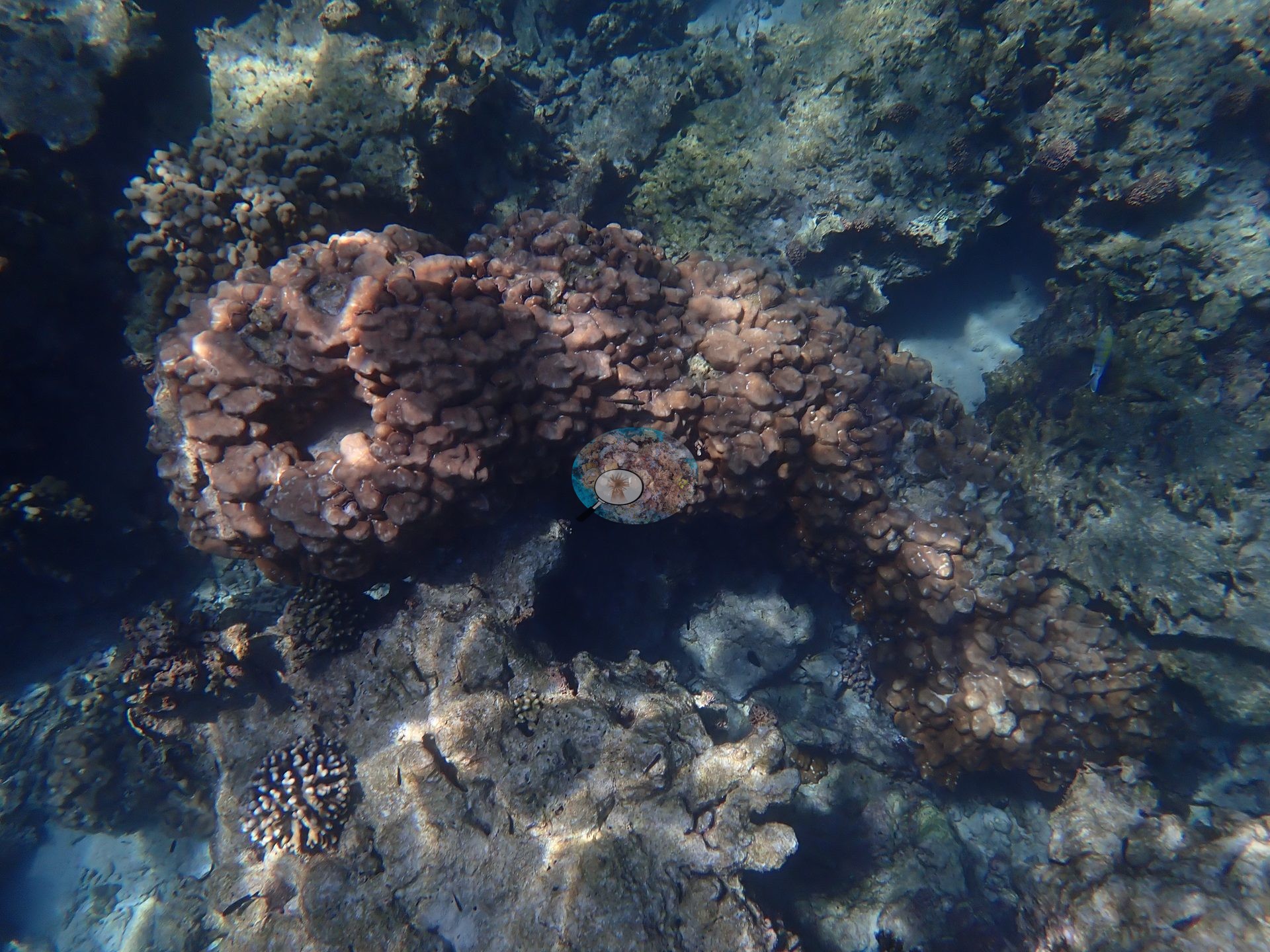
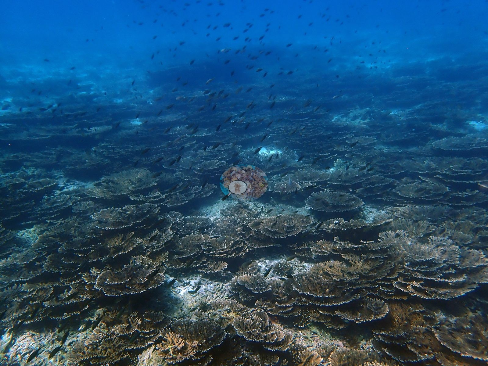
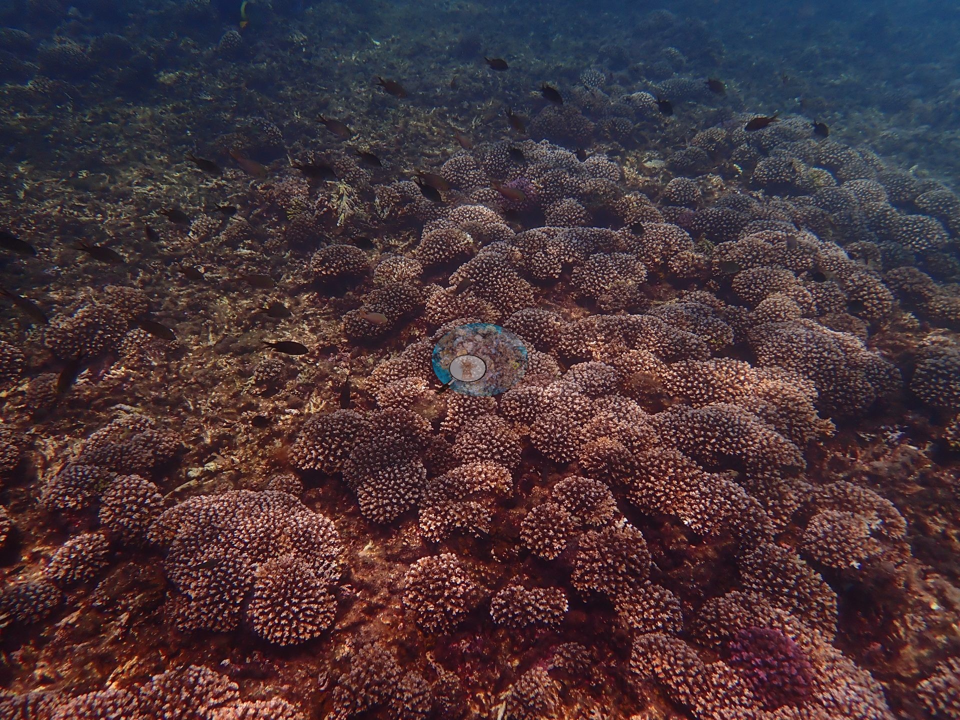
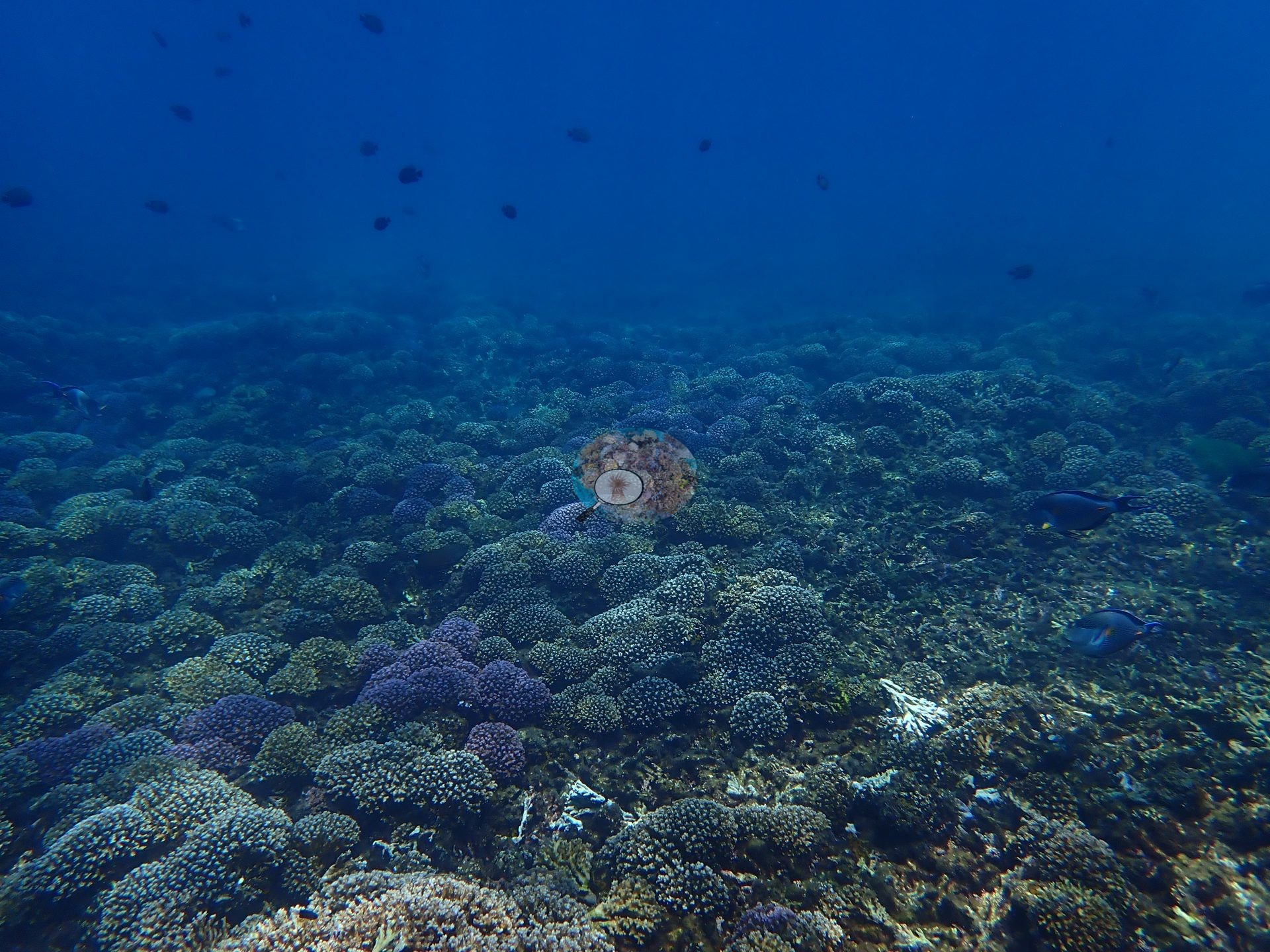
Gulf of Oman (NOAA CRW virtual station)Daymaniyat Site 1 is a shallow, strongly zoned reef complex - near-monospecific meadows of tabular Acropora and dense Pocillopora fields separated by white sand channels and Porites bommies, with sea turtles photographed repeatedly and a stingray resting on the sand plain. Published hard coral cover is 51%, but photo review found a classifier error scoring live tabular Acropora as soft coral, putting effective hard coral cover closer to 79%; no bleaching was seen, though a heat event arrived just six to eight weeks after these photographs were taken, and a reef this dominated by two heat-sensitive genera has little redundancy if it does.
الموقع 1 في جزر الديمانيات (Daymaniyat) عبارة عن مجمع شعاب مرجانية ضحل وشديد التمايز - مروج شبه أحادية النوع من مرجان Acropora الطاولي وحقول كثيفة من Pocillopora يفصل بينها قنوات رملية بيضاء وكتل صخرية من Porites، مع سلاحف بحرية تم تصويرها مرارًا وسمكة راي لاسعة مستريحة على السهل الرملي.
ترجمة هذا الملخص بالذكاء الاصطناعي؛ النص الإنجليزي هو المعتمد. Translated from the site’s shorter map summary.
Seven independent survey stations shown with the program’s logo — click one to see how far it is from this site.
Two other CRD dive sites within 5 km shown in orange — click a marker to open its page.
13 of these 19 photographs are shown beside the text that discusses them under "Site description" below.
Site description
Setting
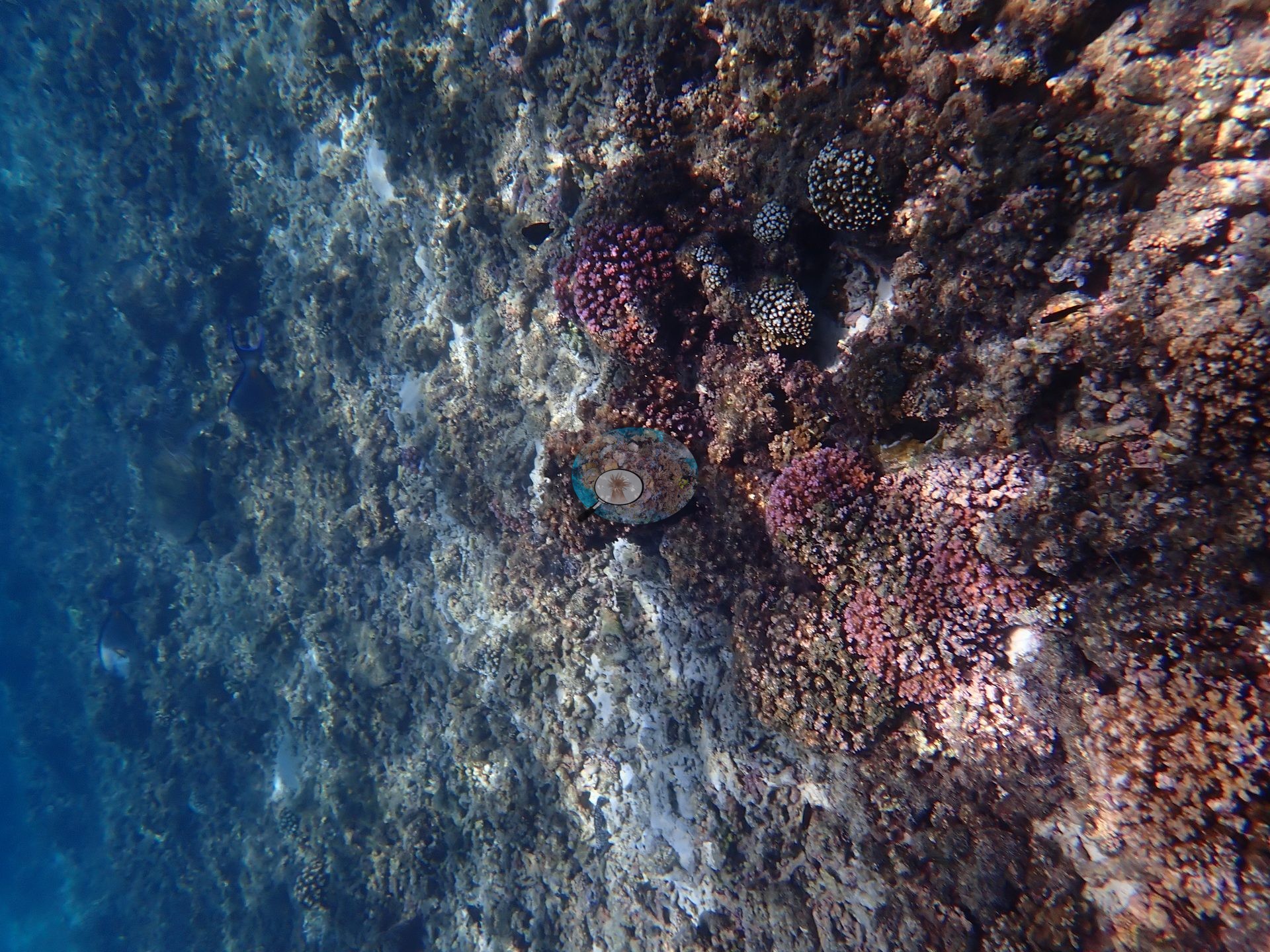
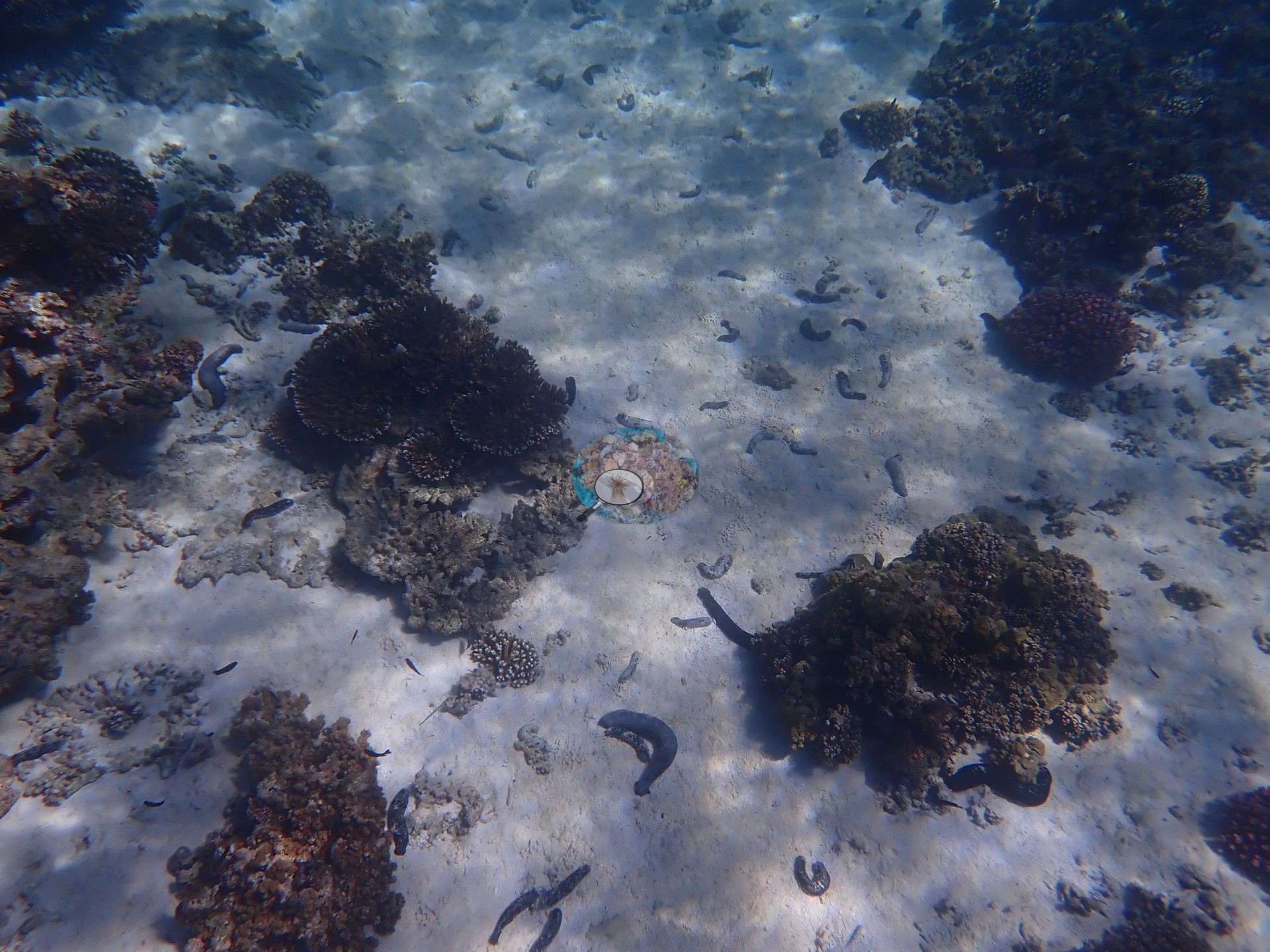
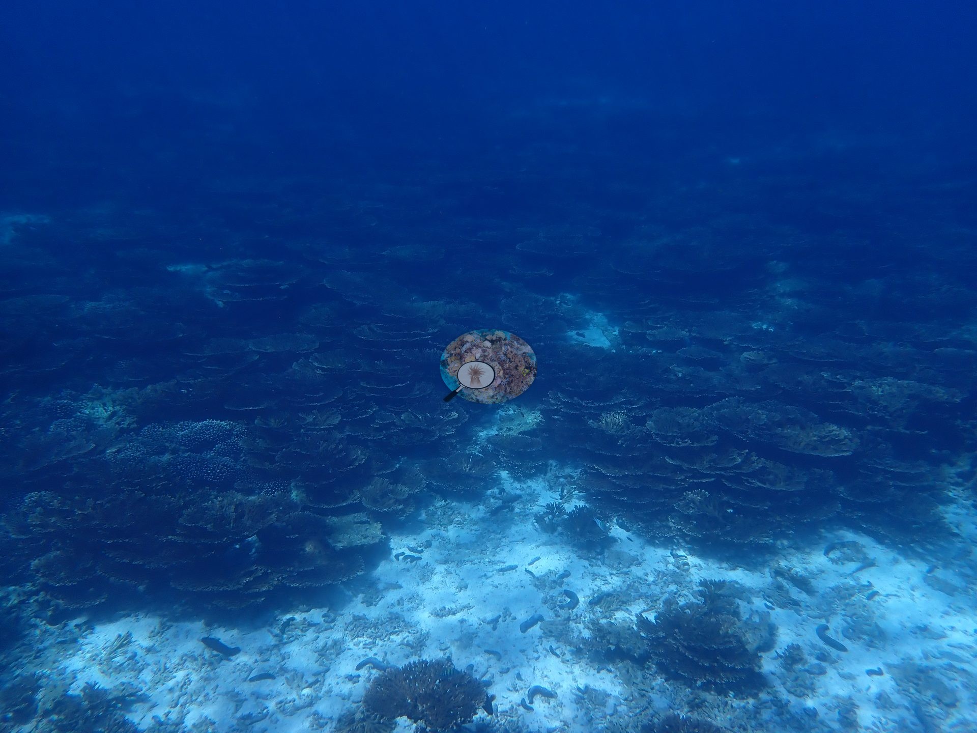
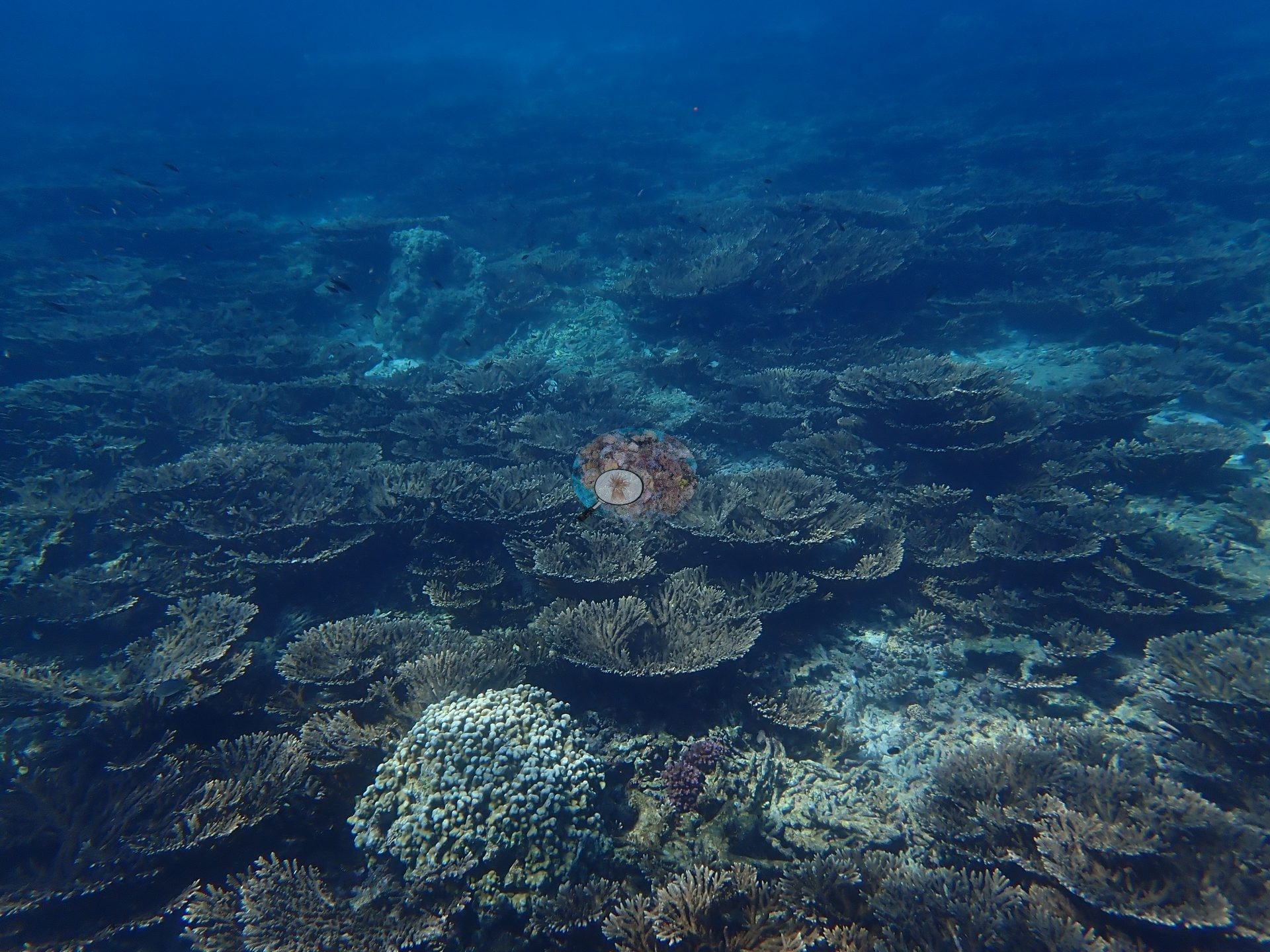
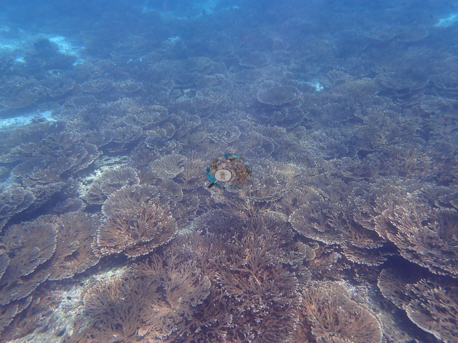
A shallow, strongly zoned patch-reef complex in the Daymaniyat Islands: near-monospecific meadows of tabular Acropora, dense corymbose Pocillopora fields, and large massive Porites bommies stand on white sand threaded with open channels (e.g., Image 3, Image 4, Image 5, Image 9, Image 10, Image 14, Image 19, Image 20).
Coral cover
Hard coral cover 51% as scored (manual CoralNet point counts, 2025 re-analysis; Mayfield 2025, Platax), plus 26.1% scored as soft coral — a known classifier error on this site's tabular Acropora (photo review confirmed); effective hard coral cover is ~79%. Published hard coral cover 51% (Mayfield 2025, Platax; manual CoralNet point counts, benthic denominator). Sample sizes: manual 79 photos · CoralNet 79 · DINOv3 56 · CoralSCOP 79. Multi-method mean 36.2% ± 14. Coral cover — published point-count value. This figure is a manual CoralNet point count from Anderson Mayfield's own published work, not a computer vision estimate. It carries the provenance of the paper it appears in and is not subject to the CoralSCOP/DINOv3 caveats applied elsewhere on this map.
Stressors
No bleaching observed during these May 2024 surveys, before the seasonal SST peak; NOAA CRW recorded Alert Level 2 heat stress and bleaching was reported along this coast from July 2024, weeks after the surveys. No crown-of-thorns starfish (COTS) or other corallivores evident.
Fish and other fauna
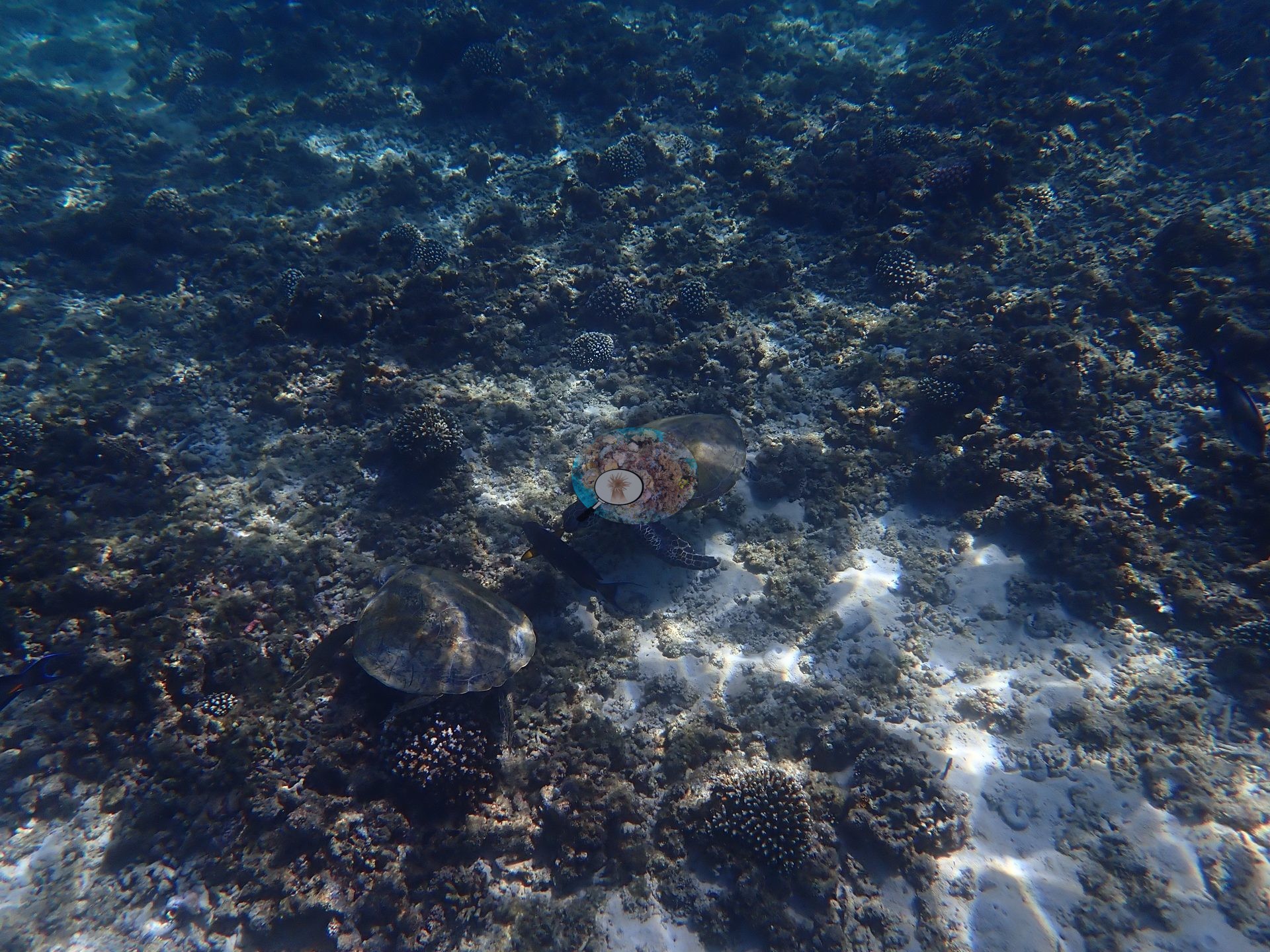
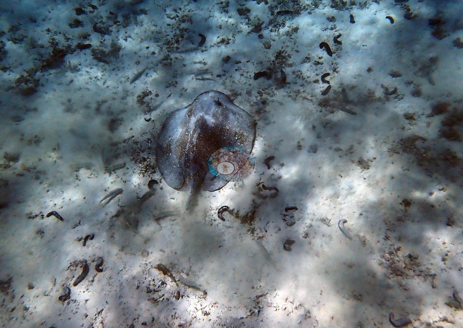
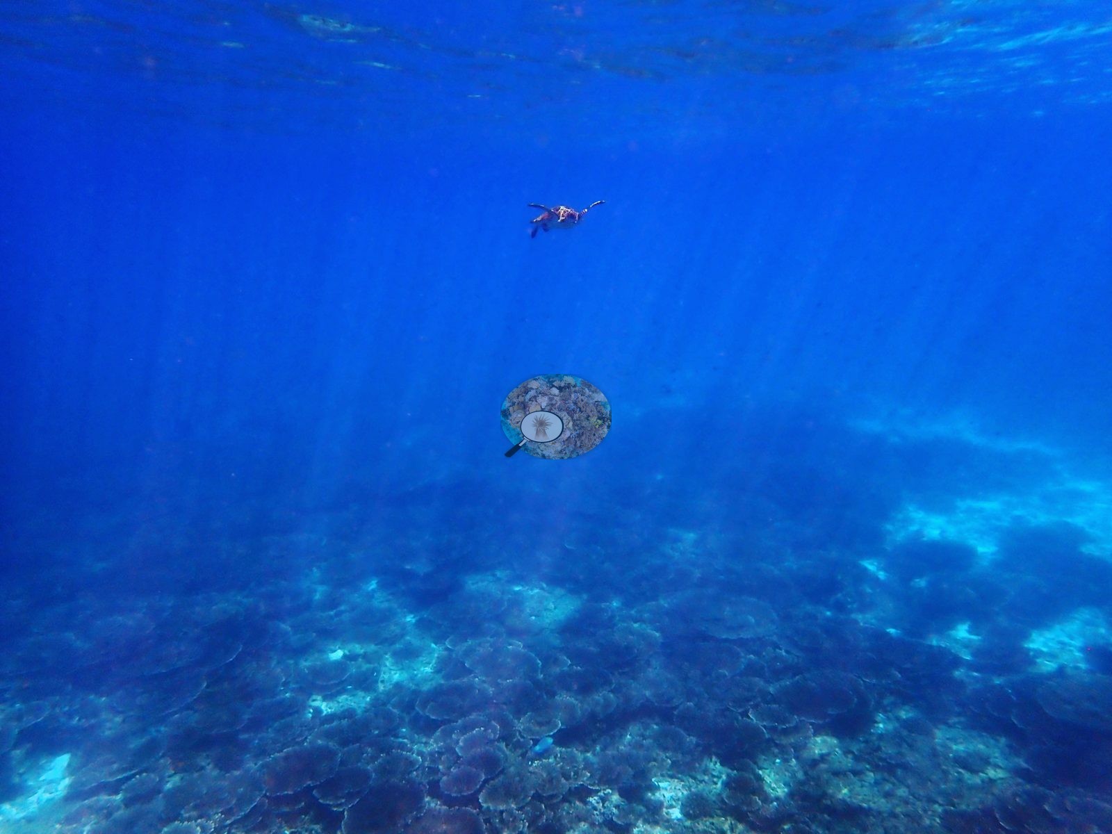
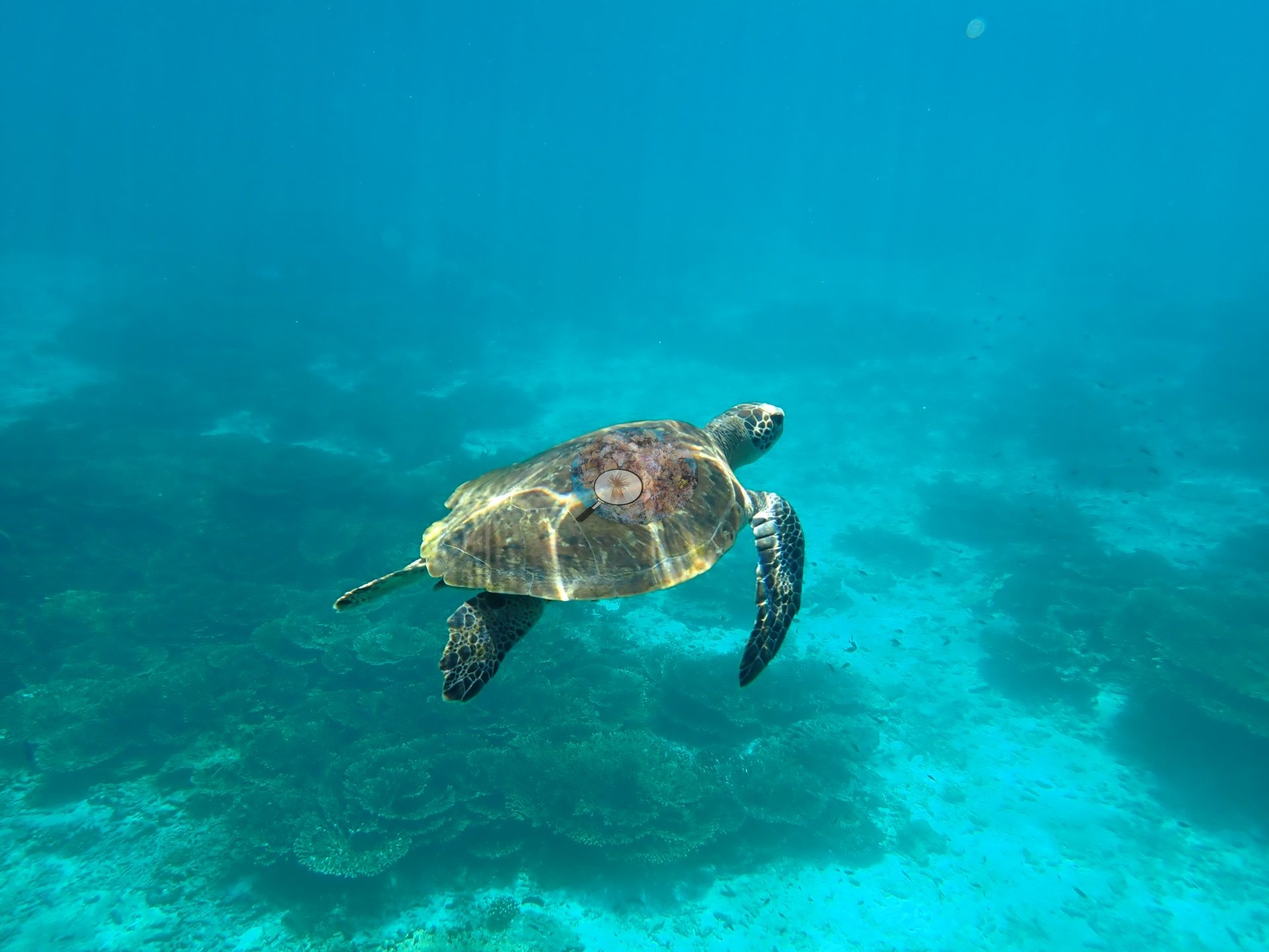
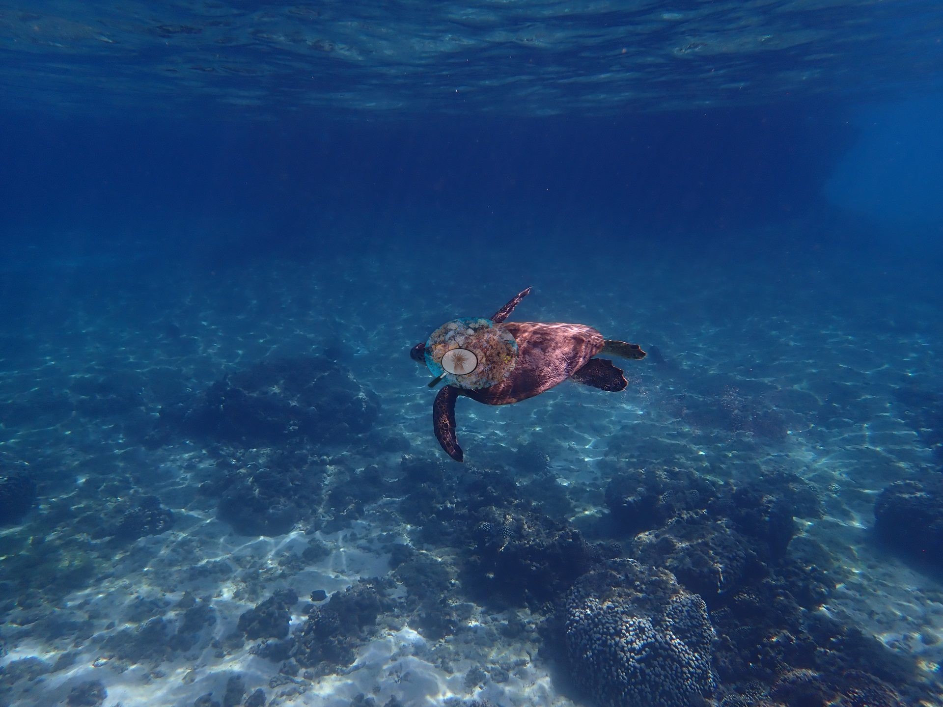
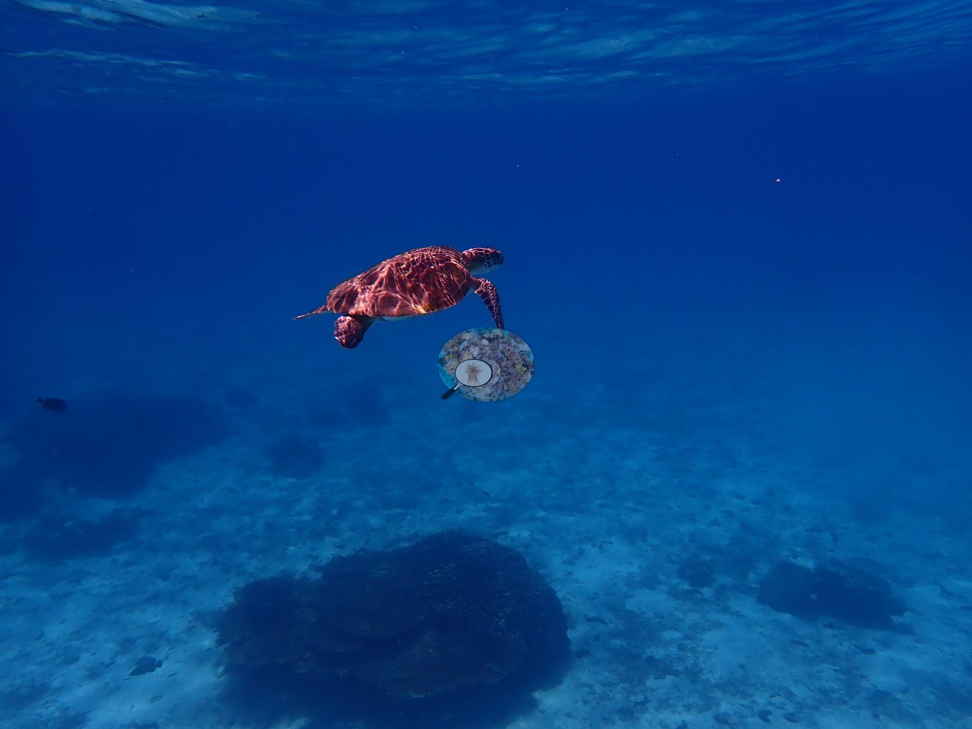
Sea turtles were photographed repeatedly in the water column, a large stingray rested on the sand plain, and the sand carried abundant sea cucumbers, with sohal surgeonfish, sergeant majors, and damselfish clouds over the coral stands (e.g., Image 1, Image 2, Image 15, Image 16, Image 18).
Comparisons with other data
No independent survey was made at this exact site; the nearest ones are listed in the table below.
CV model comparison
More info
Cave Site is the ONLY real CoralNet comparison in this region. The two CoralSCOP columns are PAIRED — a frame counts only if the same stem was scored in both runs, so edited minus unedited is not a frame-selection artifact. CoralSCOP cover is a mask-sum AREA fraction; no point denominator applies to it. The Claude column is the edited-photo blind arm (15 frames/site, 13 at Daymaniyat site 3). The harder unedited fair test is a separate, non-interchangeable number.| Method | Hard-coral cover (%) |
|---|---|
| Manual (published) | 41.7 |
| CoralNet | 41.7 |
| In-house DINOv3 | 34.4 |
| CoralSCOP unedited | 23.2 |
| CoralSCOP edited | 24.6 |
| Claude | 51.2 |
Independent surveys nearby
| Agency / program | Year(s) | Stations / distance | Link |
|---|---|---|---|
| Environment Authority-Oman | 2026 | 1 station, 3.74 km | Records ↓ |
| MERMAID project “coral cover BK”* | 2025 | 2 stations, 0.46–3.44 km | Records ↓ |
| Sultan Qaboos University | 2026 | 4 stations, 0.10–0.54 km | Records ↓ |
 Dr. Coral (CRD)Year-average (no detectable trend)
Within 5 km, 7 independent survey stations recorded hard coral cover in 23 images between 2025 and 2026. Surveys since 2021 average 12% (range 0.0–35%, n=13). This site's own estimate (42%) sits 7.2 points above the recent range (0.0–35%); the methods differ, so the comparison is context, not a like-for-like test.
Collected by other programs using different methods (MERMAID is a data platform: each MERMAID row names the organization that did the survey, and its method is in the row's hover text. *Conducted by citizen scientists), so these are context for the figures above, not a like-for-like comparison. Where a station was surveyed more than once the range is shown. Station names are not dive-site names.
Data & links
- CoralNet image repository for this region ↗
- Photo portfolio ↗
- Coral Reef Diagnostics page for this area ↗
All images from Coral Reef Diagnostics. Data are from Coral Reef Diagnostics and the organizations named in the data-sources table above.
© Coral Reef Diagnostics.