

Oman - Cave Site (Muscat)

Part of the regional summary: Oman
More info
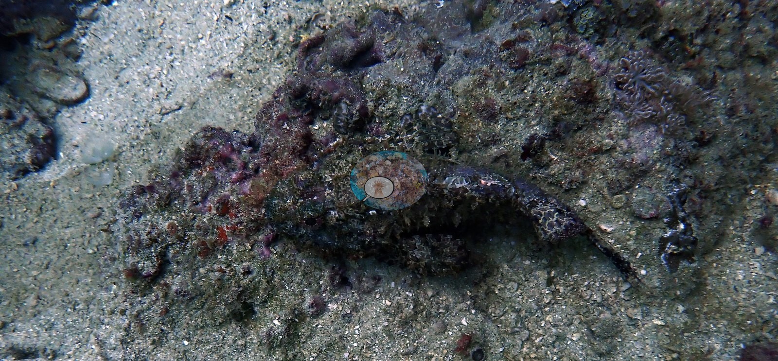
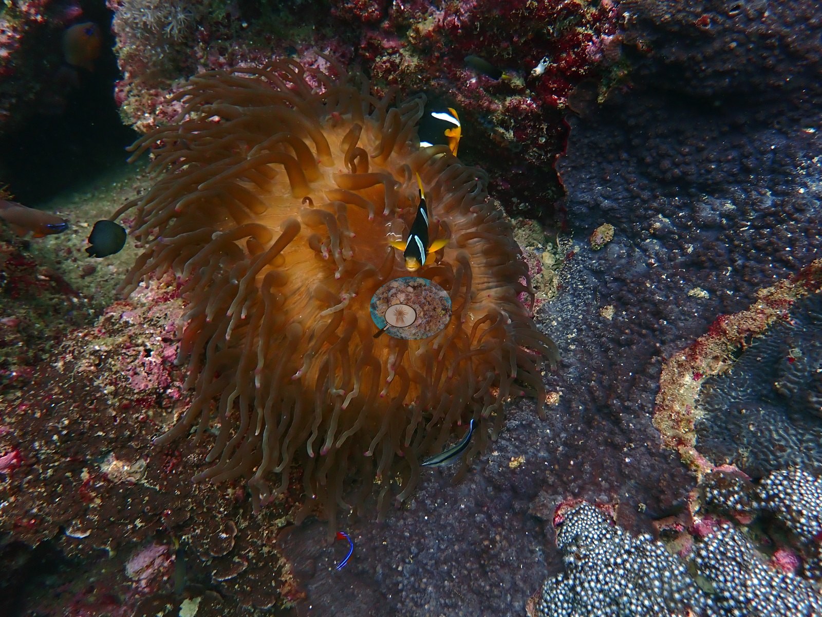
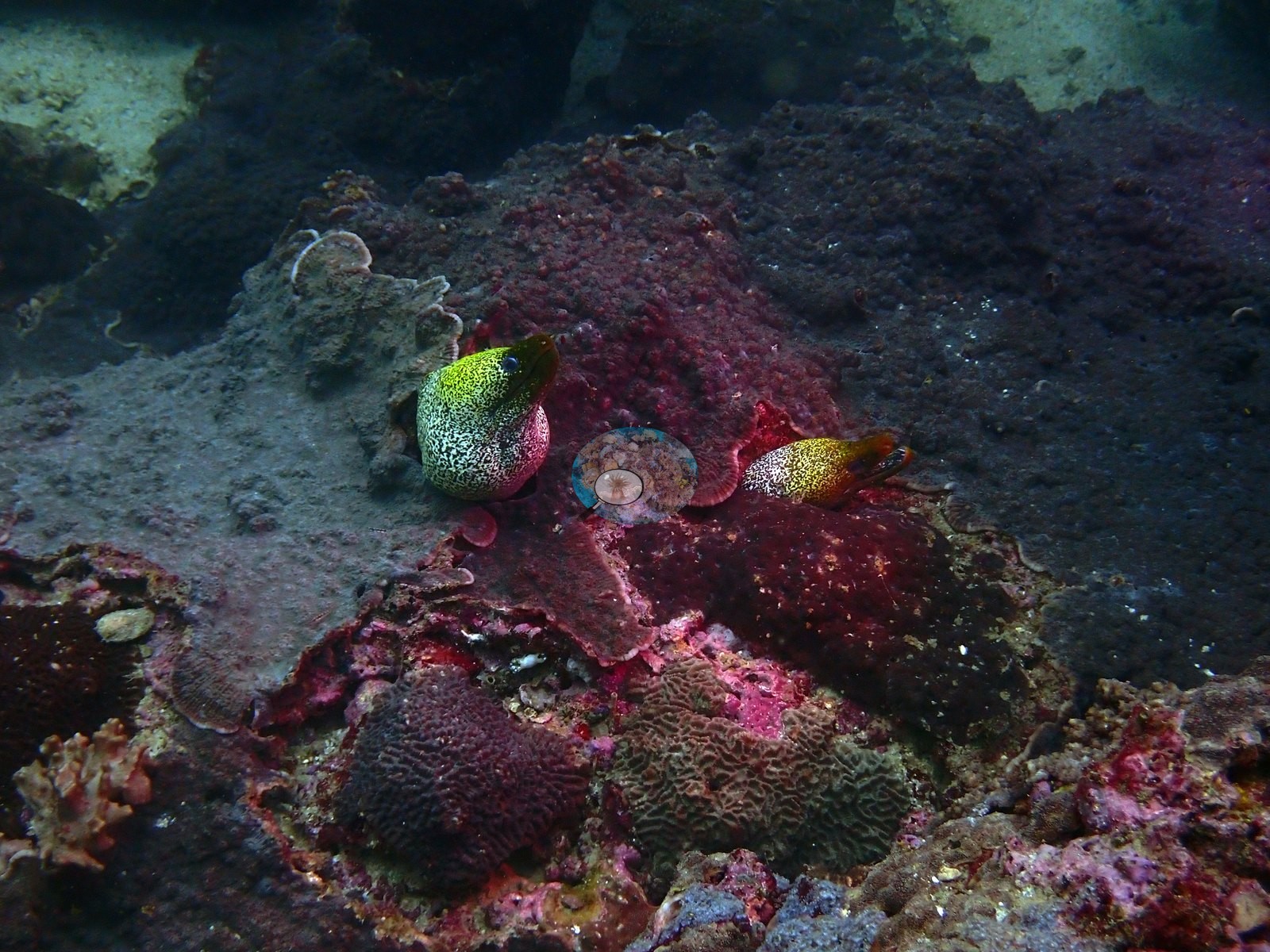
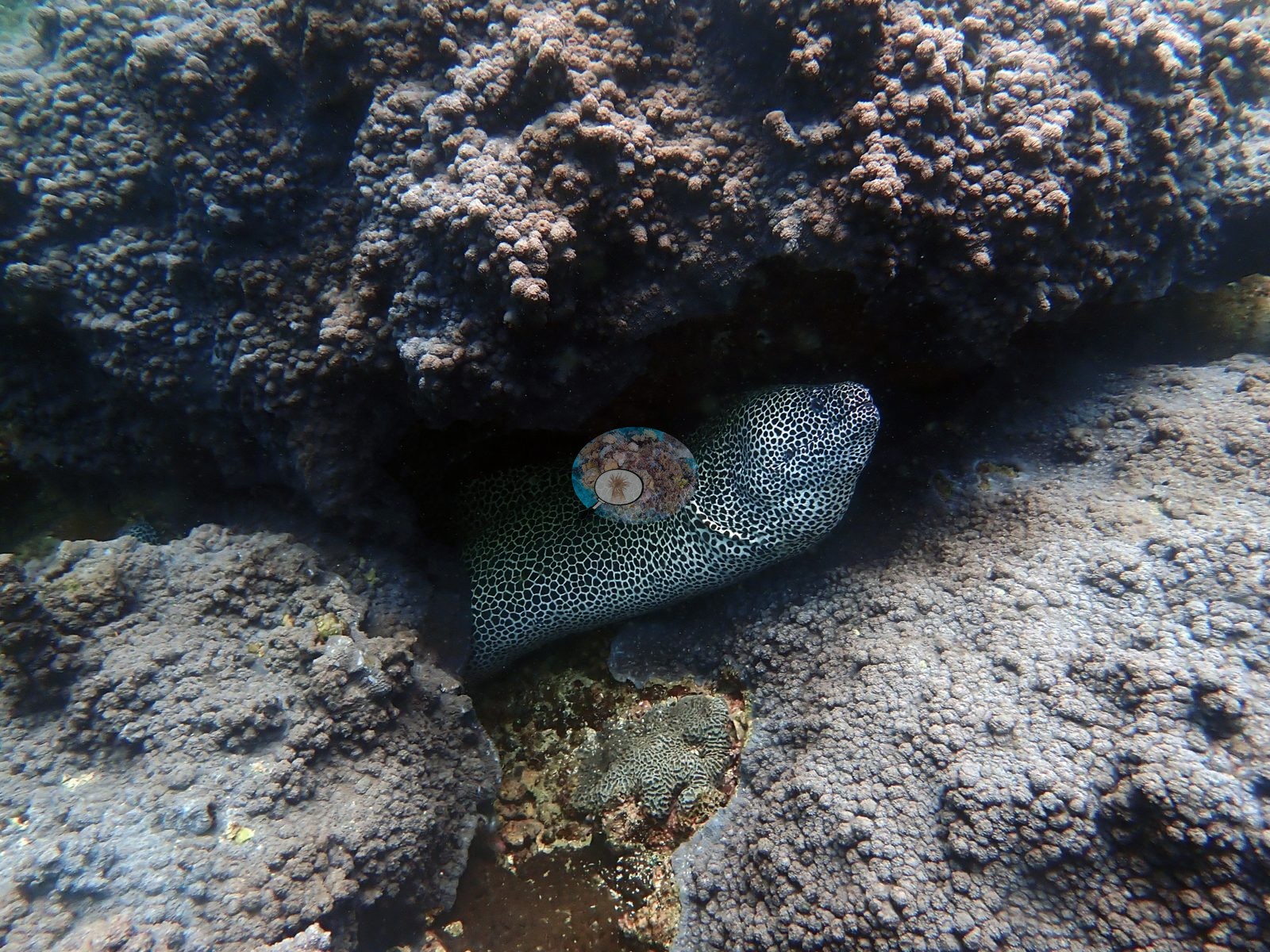
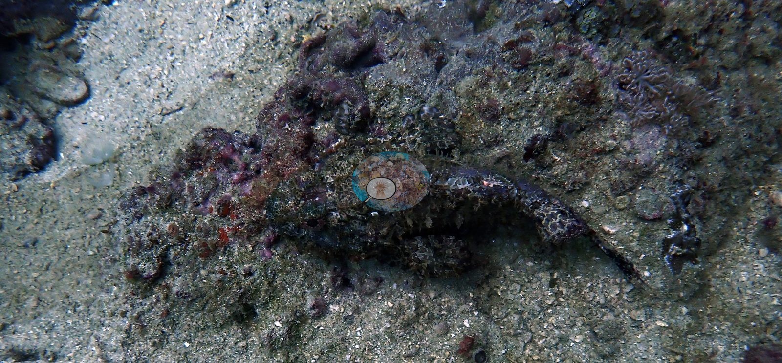
Gulf of Oman (NOAA CRW virtual station)Cave Site, named for the sand gullies and overhangs cutting through its coral framework, had the highest measured cover of the seven 2024 Oman survey sites - 62.7% hard coral from manual point counts, with colonies packed so tightly that coral-on-coral contact is the norm rather than bare rock. Clark's anemonefish, a honeycomb moray, and a camouflaged scorpionfish were among the fauna, and no bleaching was observed, a pre-stress baseline recorded weeks before the region's July 2024 bleaching event.
موقع الكهف (Cave Site)، الذي سُمي بهذا الاسم نسبة إلى الأخاديد الرملية والنتوءات الصخرية المتدلية التي تخترق هيكله المرجاني، سجّل أعلى نسبة تغطية مقاسة من بين مواقع المسح السبعة في عُمان لعام 2024 - بنسبة 62.7% من المرجان الصلب وفق العد النقطي اليدوي، حيث تتكدس المستعمرات بكثافة تجعل تلامس المرجان مع المرجان هو القاعدة وليس الصخر العاري.
ترجمة هذا الملخص بالذكاء الاصطناعي؛ النص الإنجليزي هو المعتمد. Translated from the site’s shorter map summary.
Six independent survey stations shown with the program’s logo — click one to see how far it is from this site.
One other CRD dive site within 5 km shown in orange — click a marker to open its page.
18 of these 49 photographs are shown beside the text that discusses them under "Site description" below.

Site description
Setting
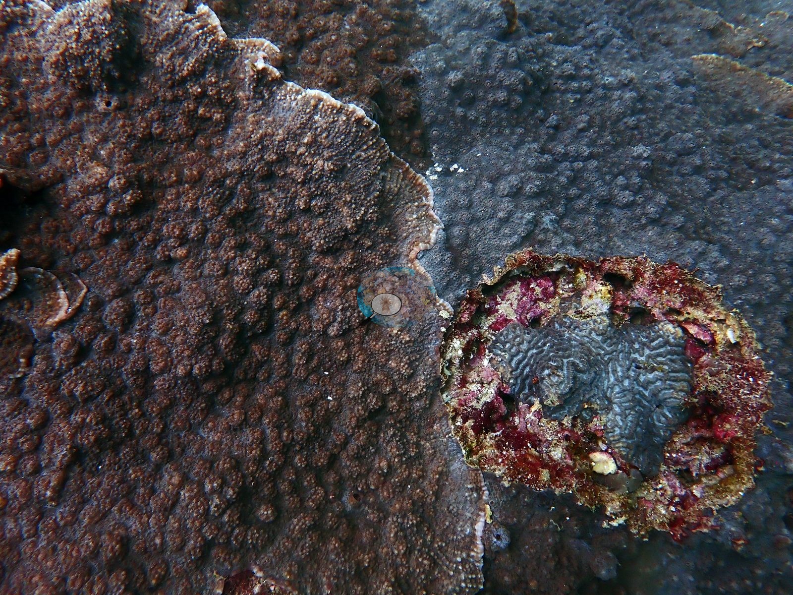
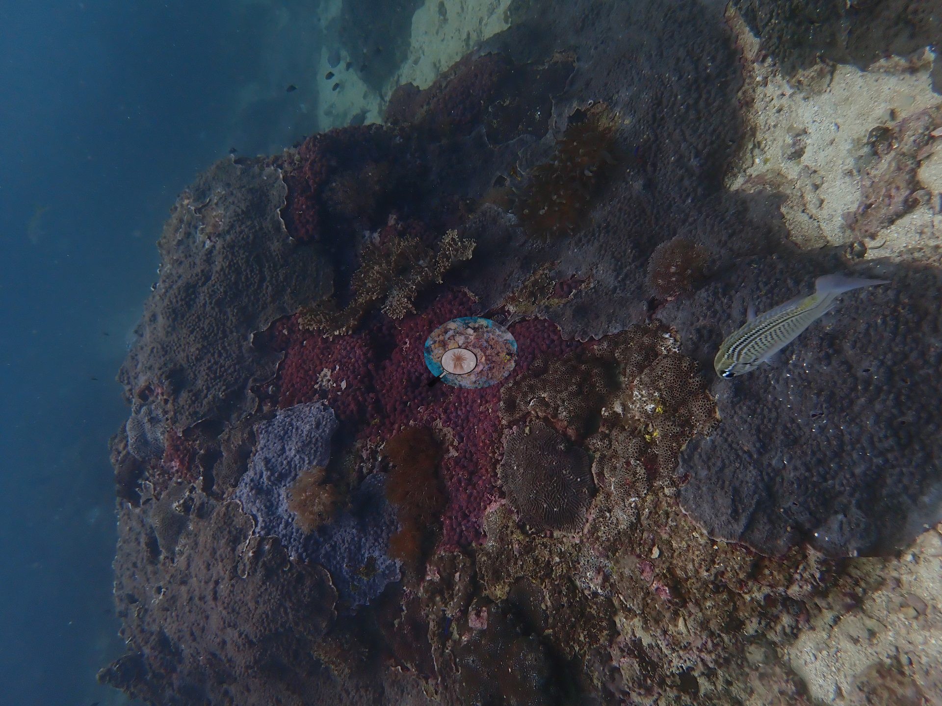
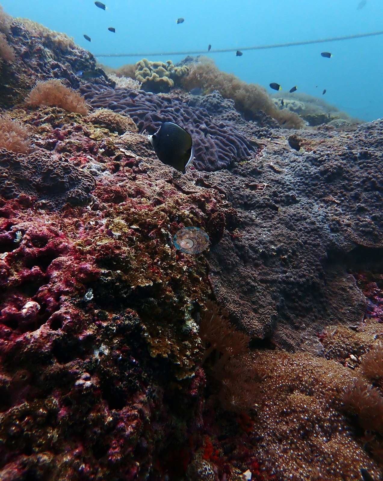
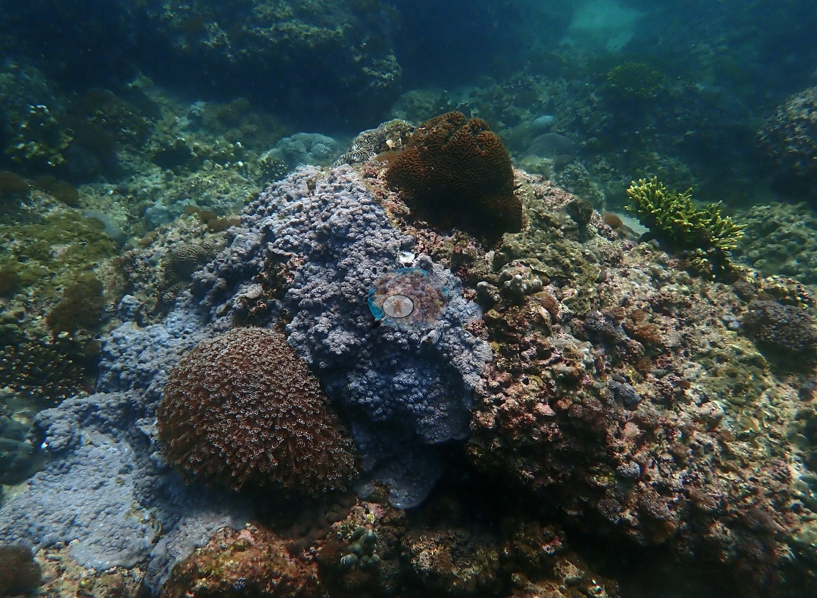
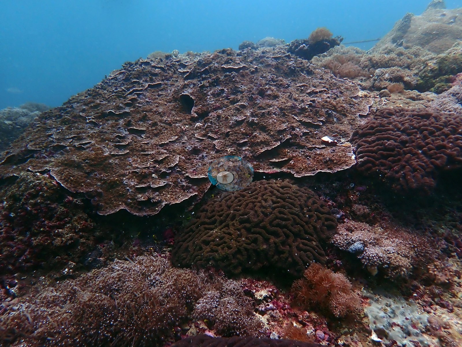
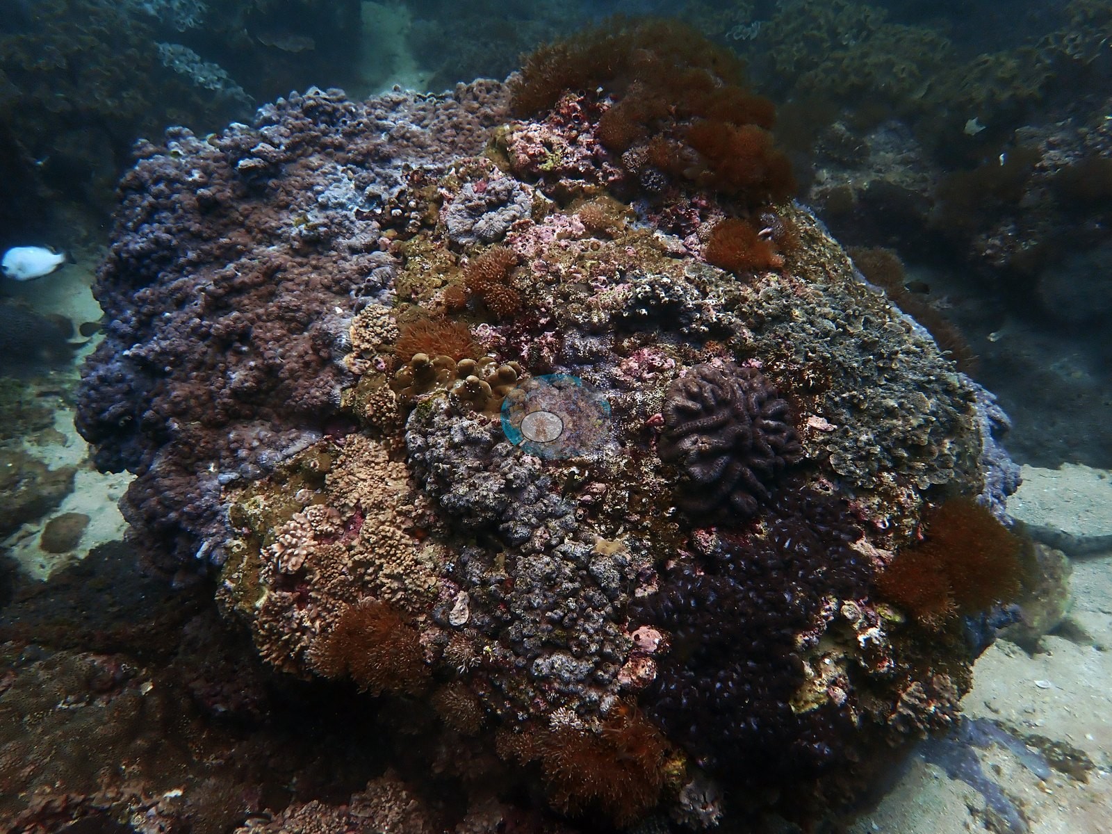
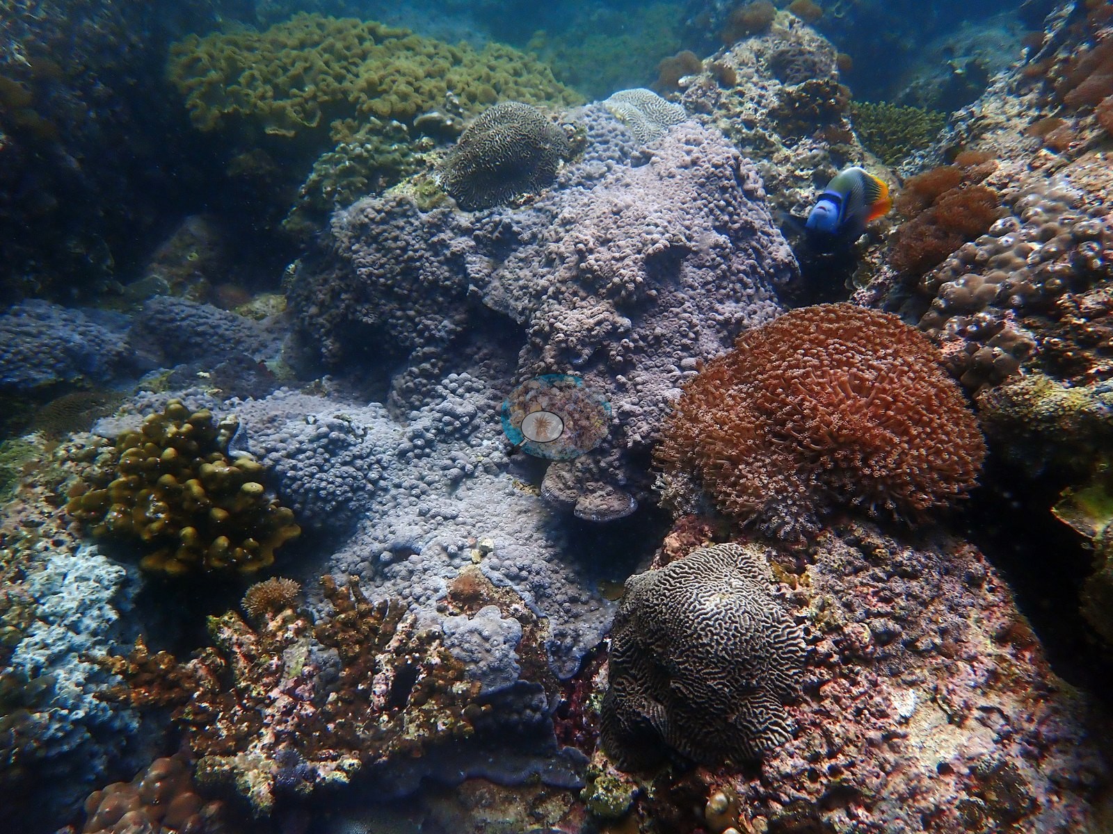
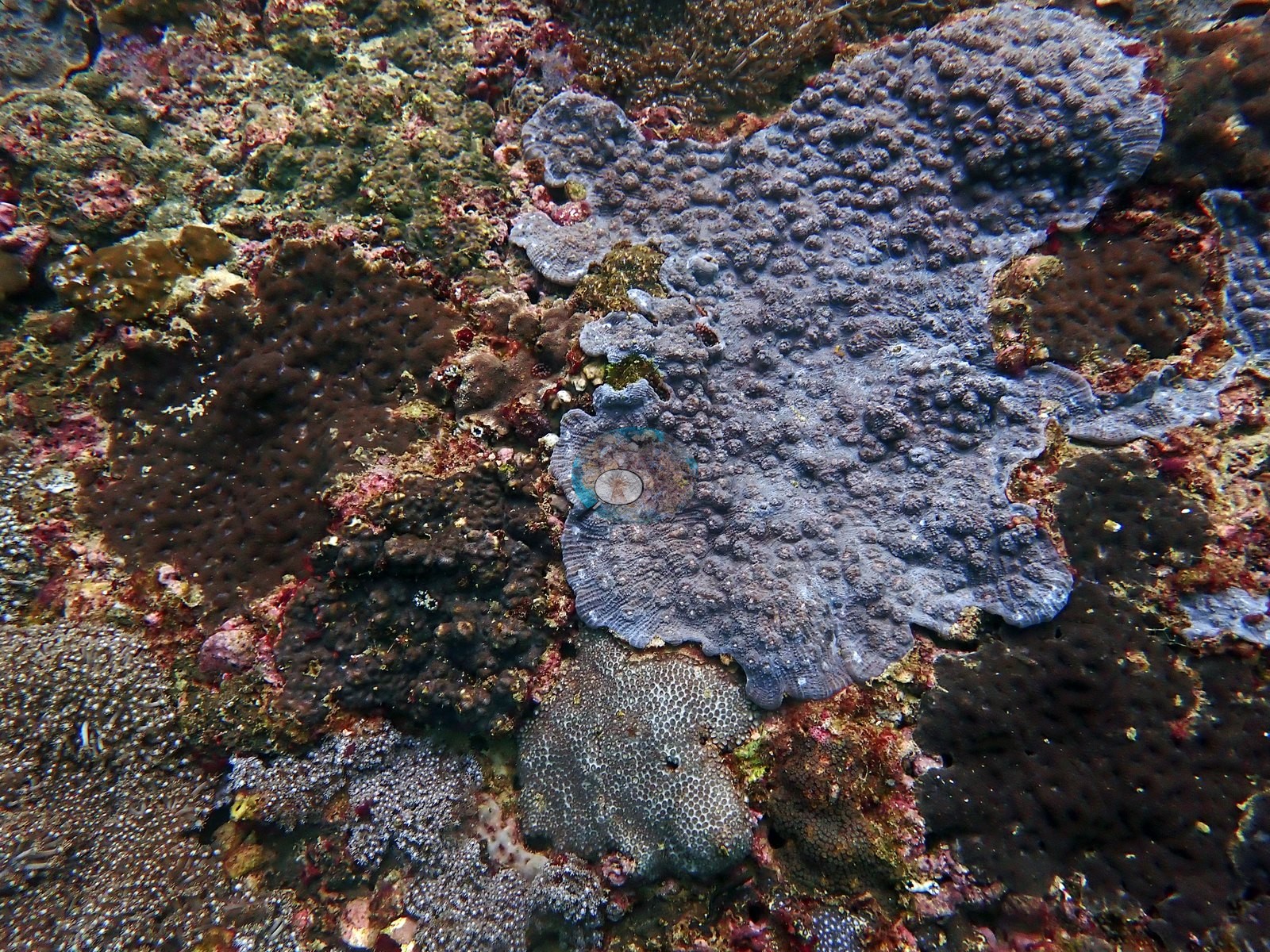
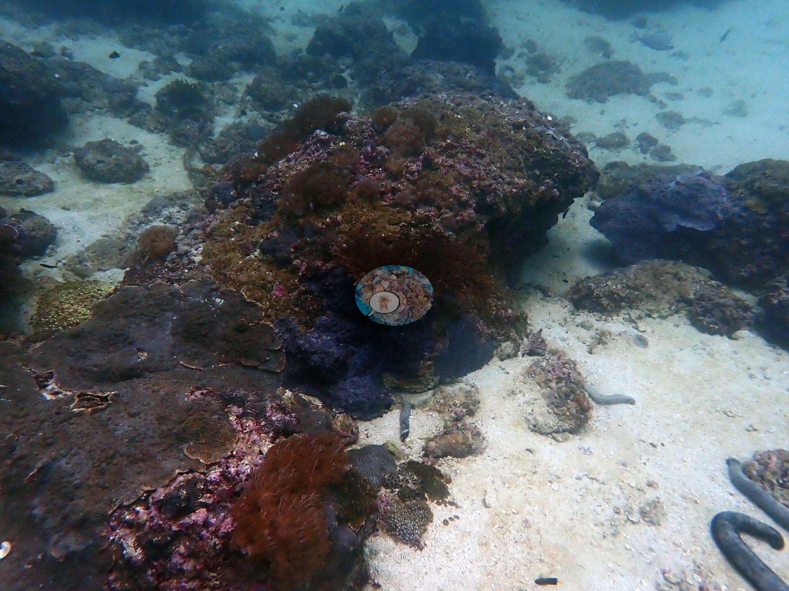
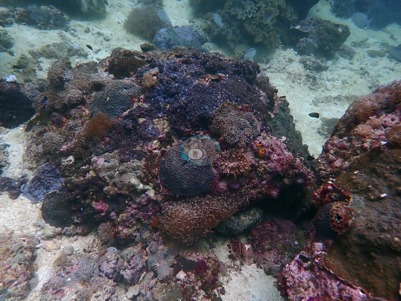
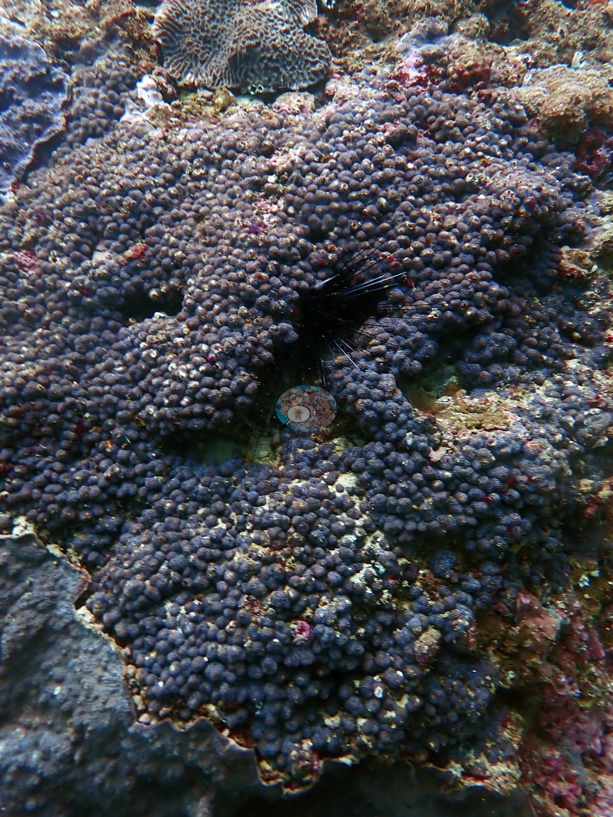
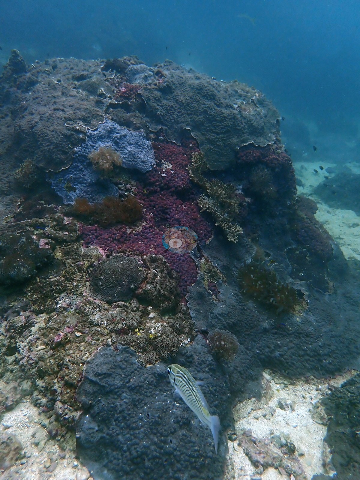
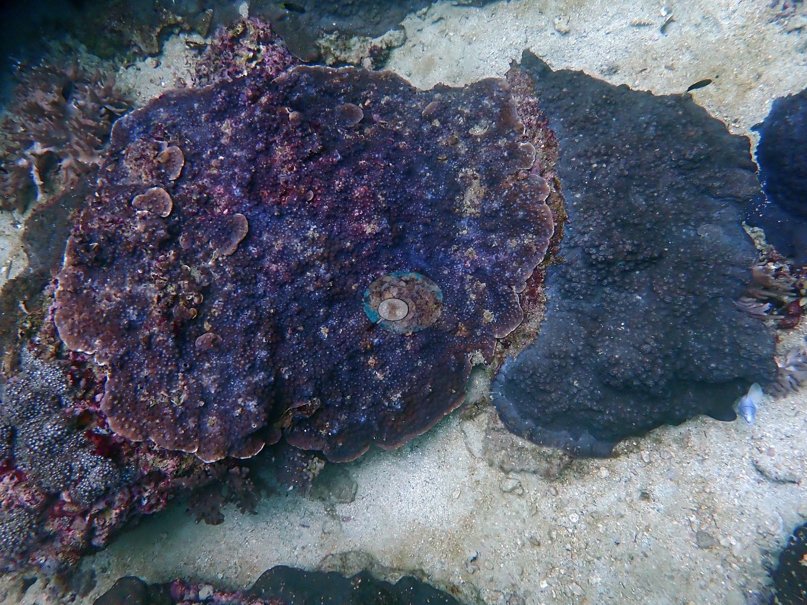
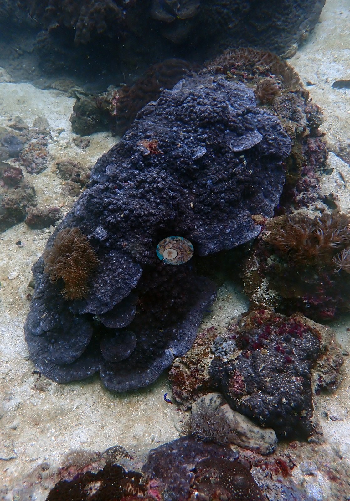
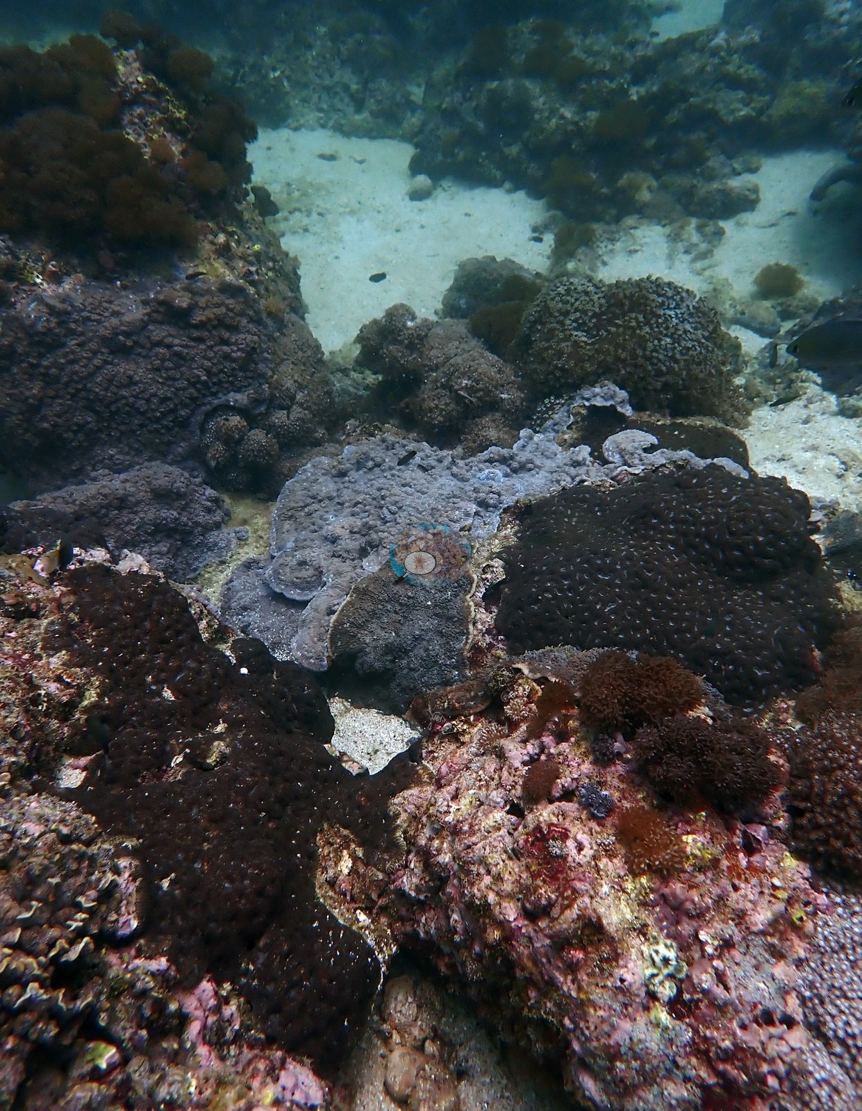
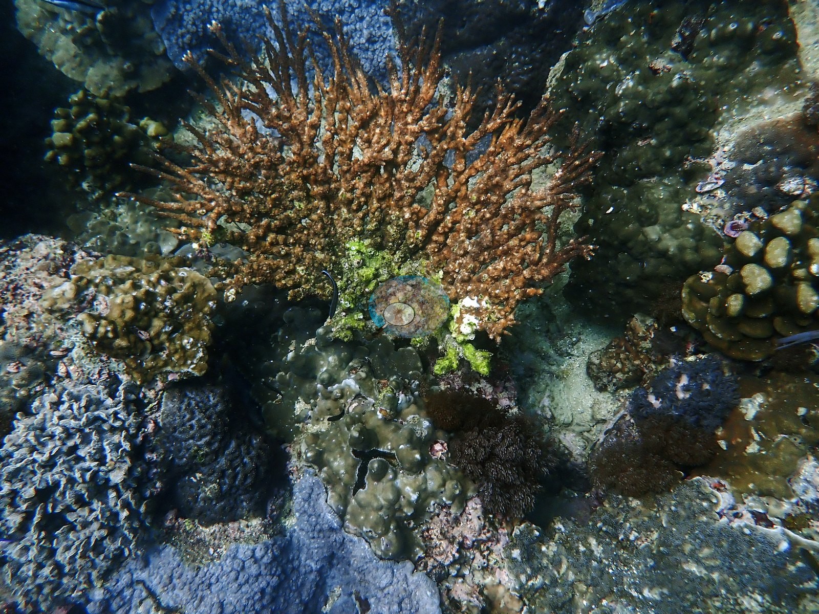
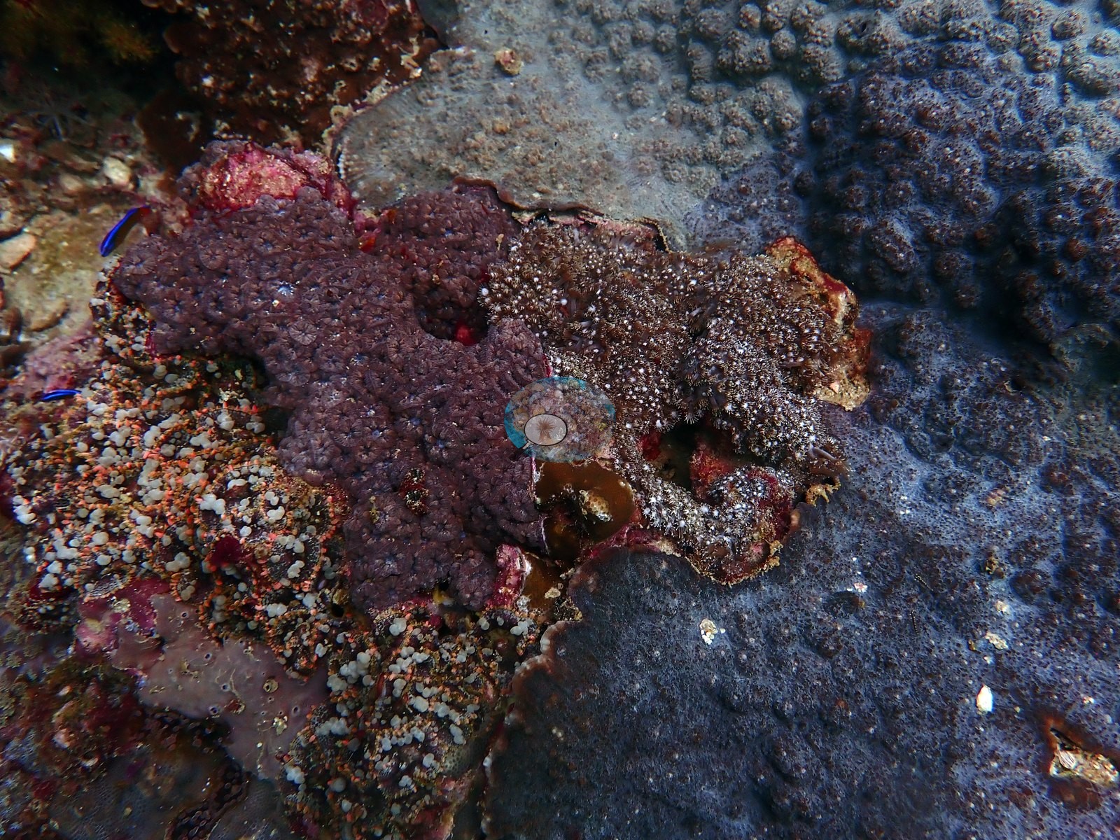
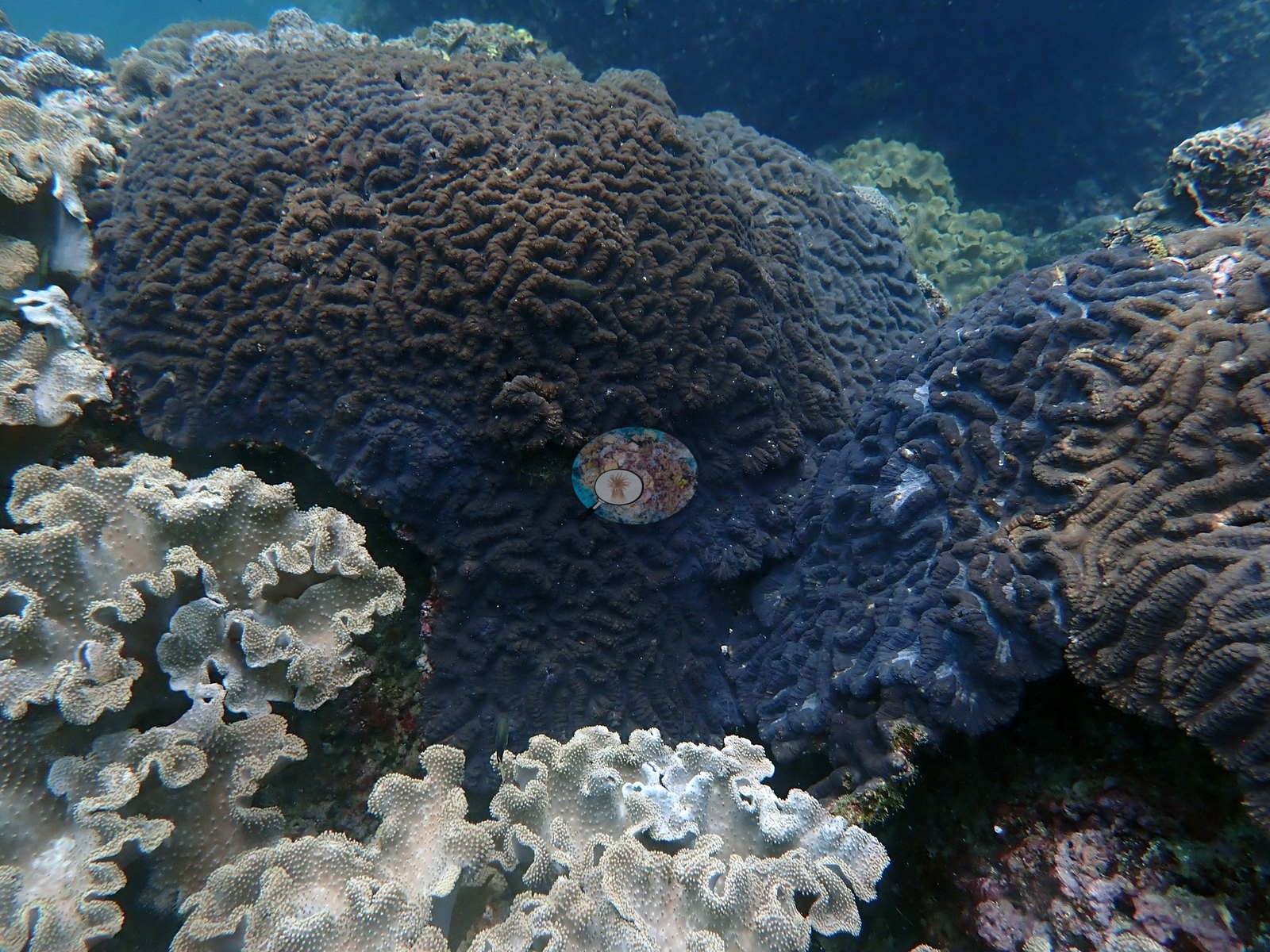
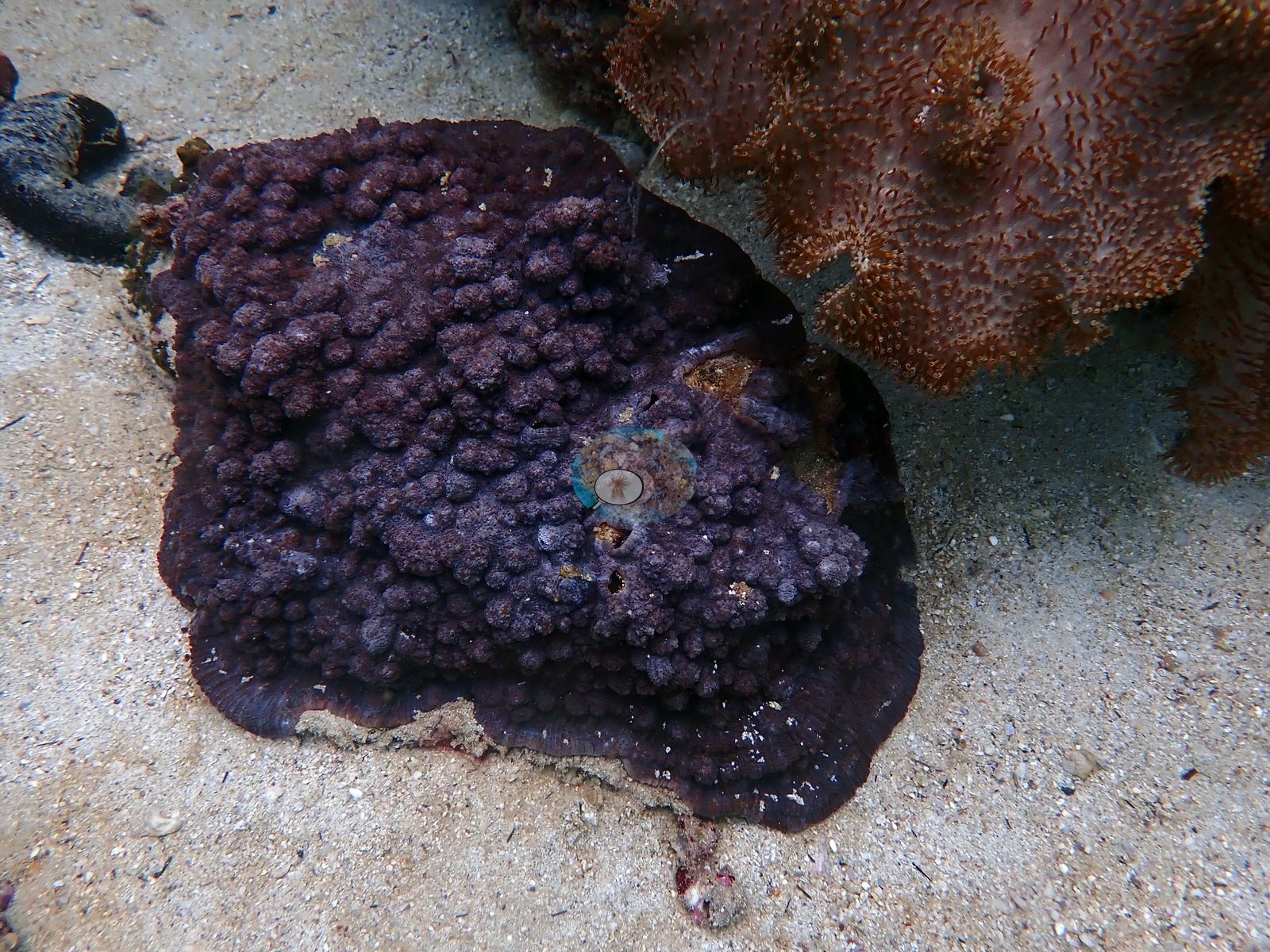
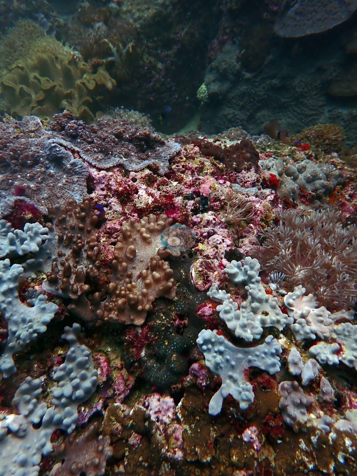
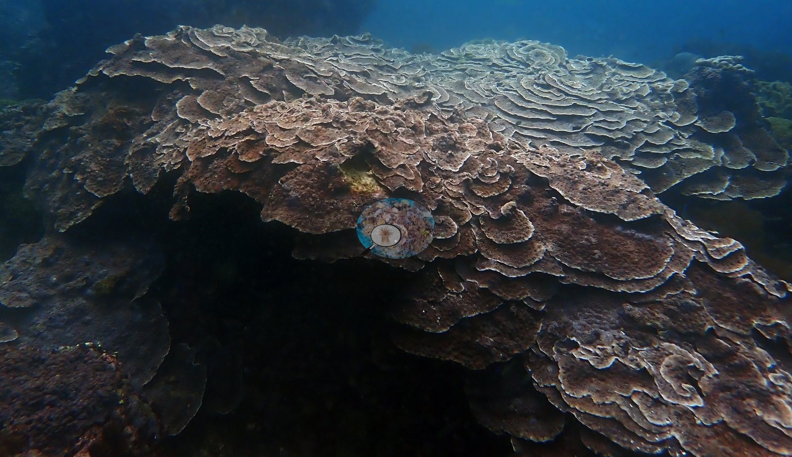
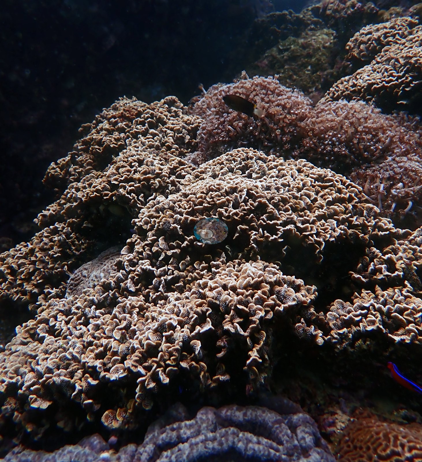
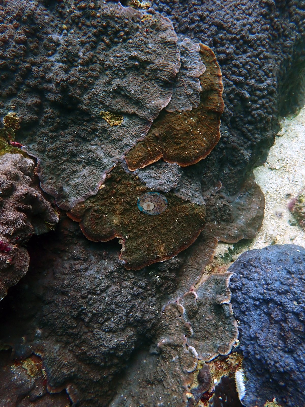
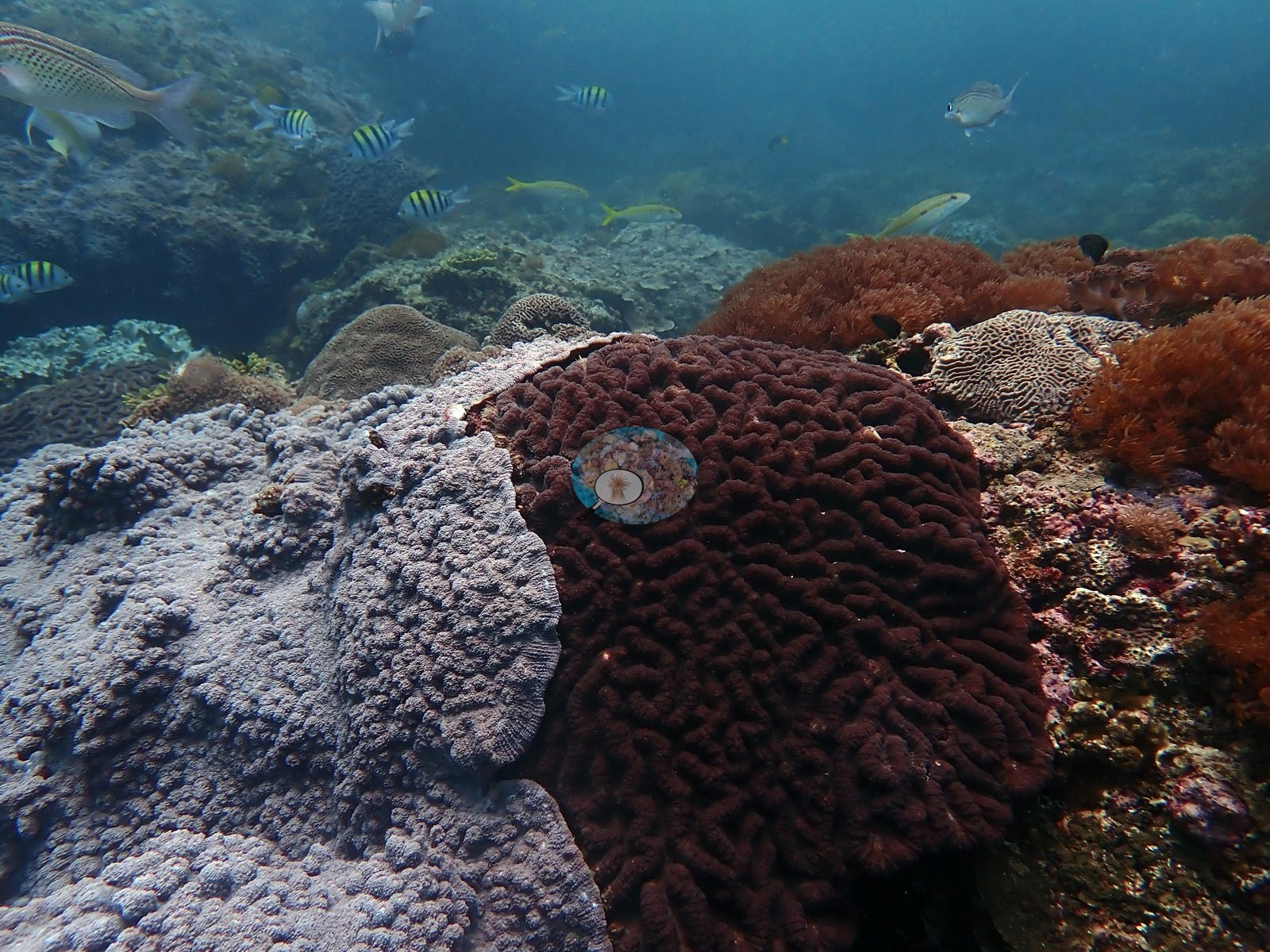
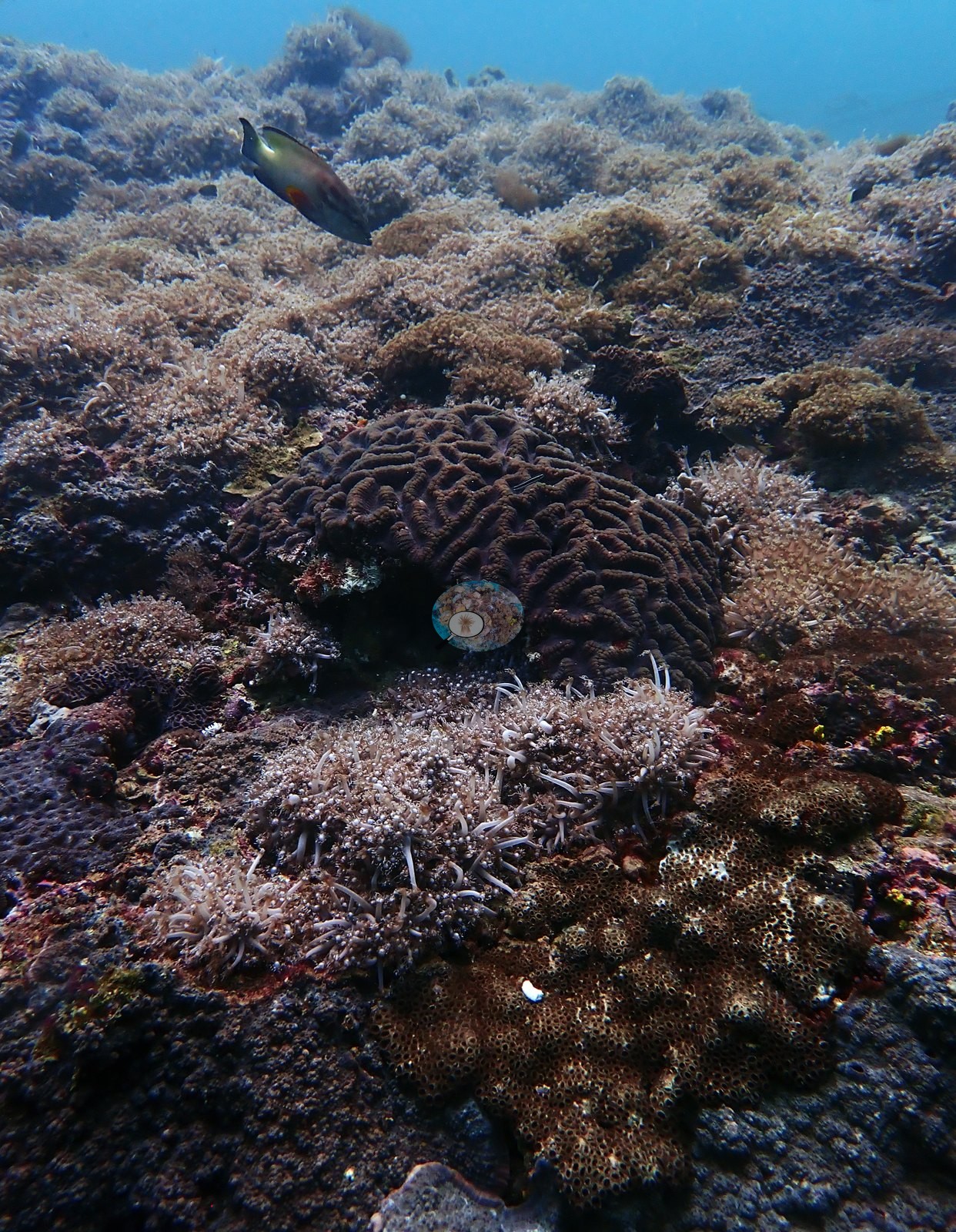
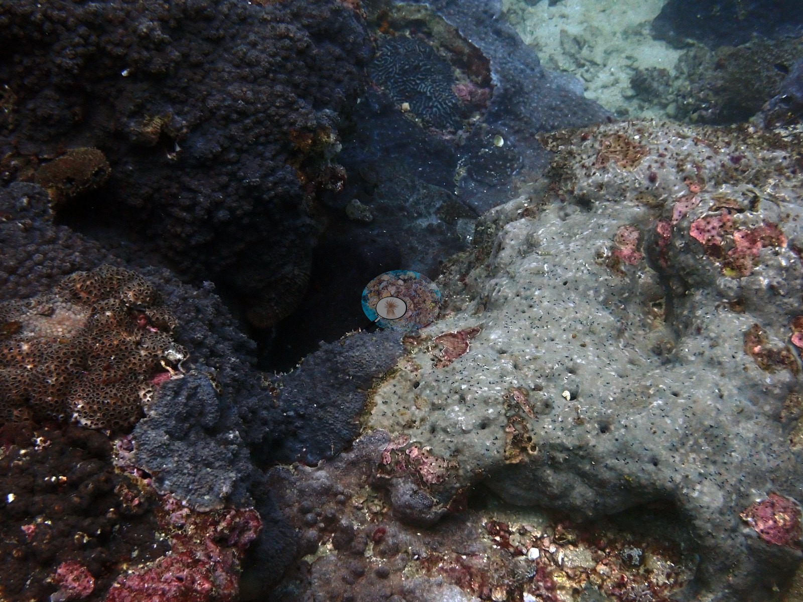
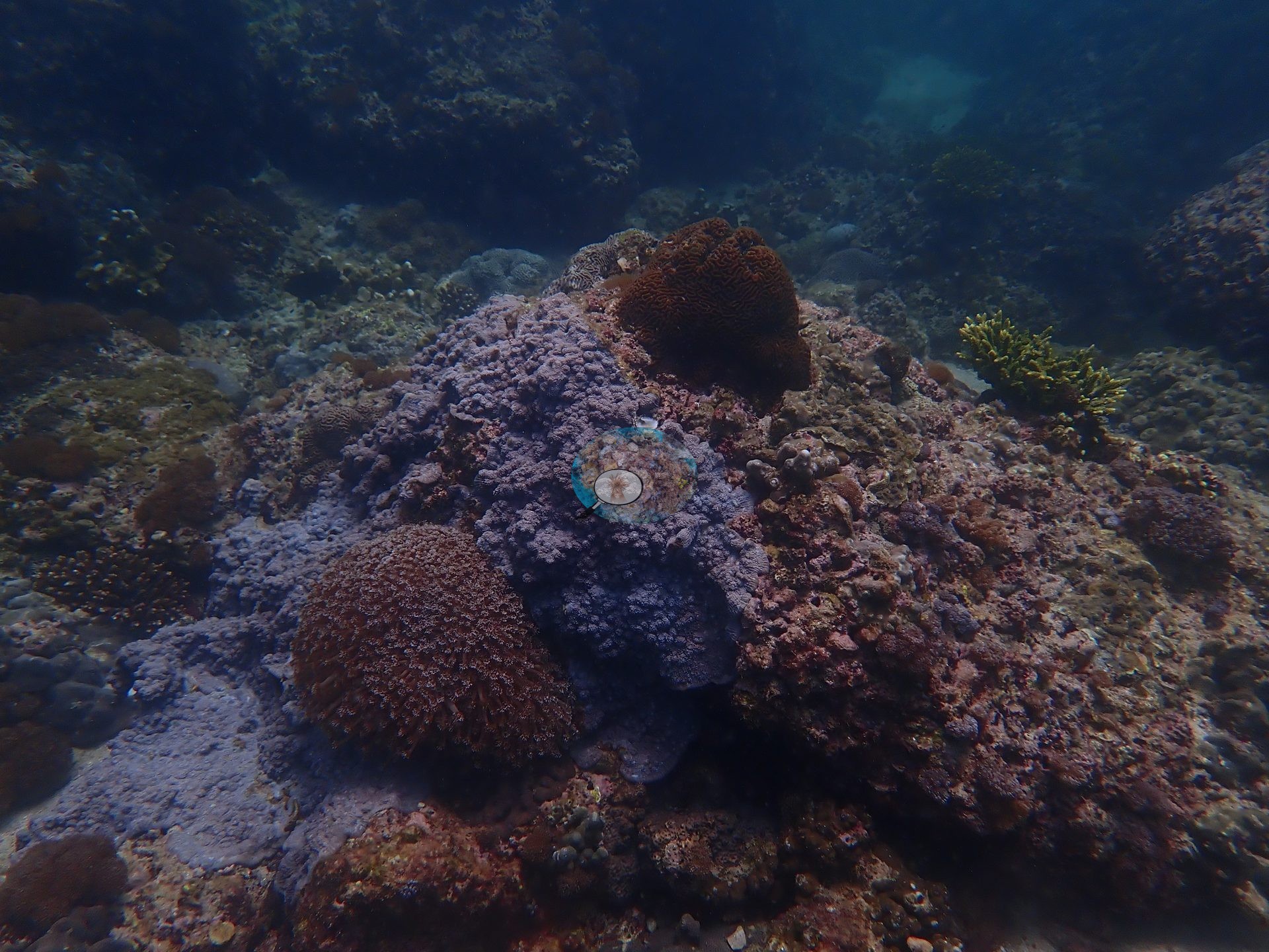
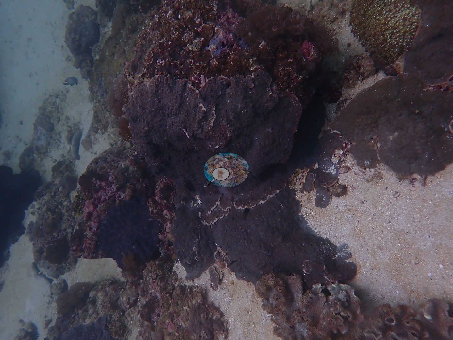
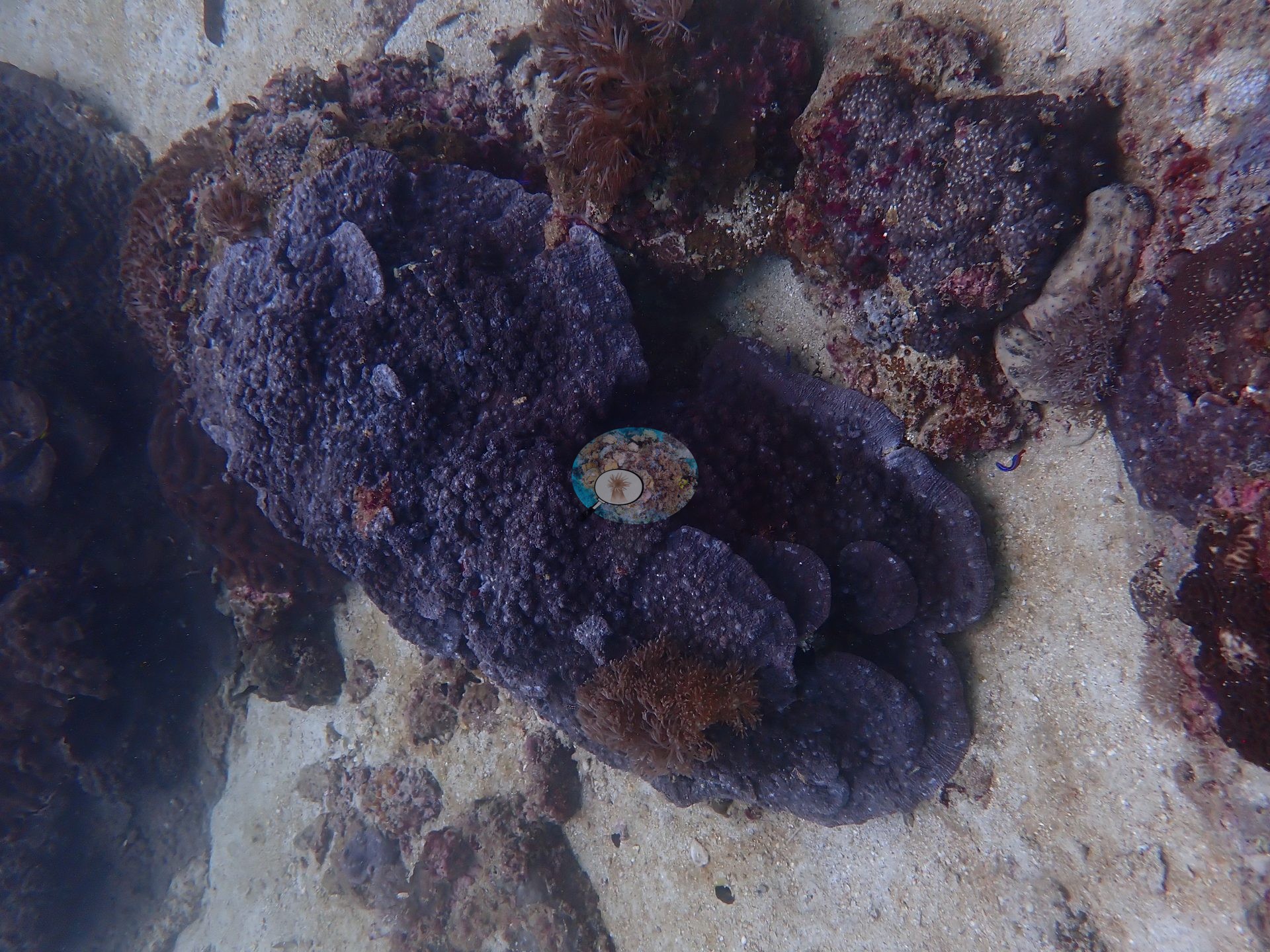
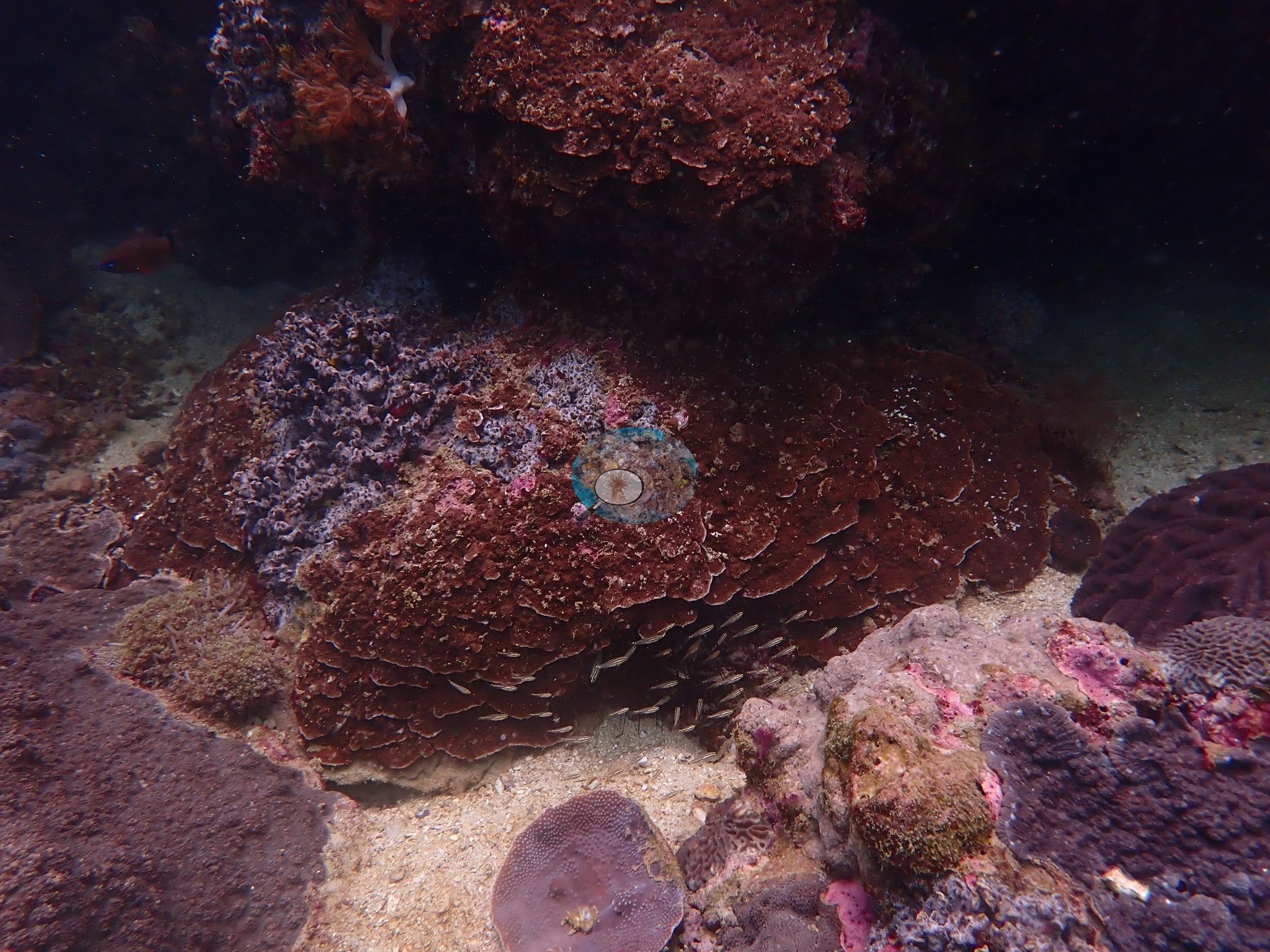
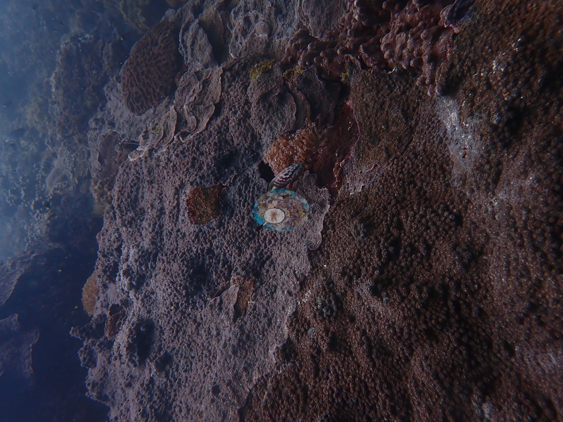
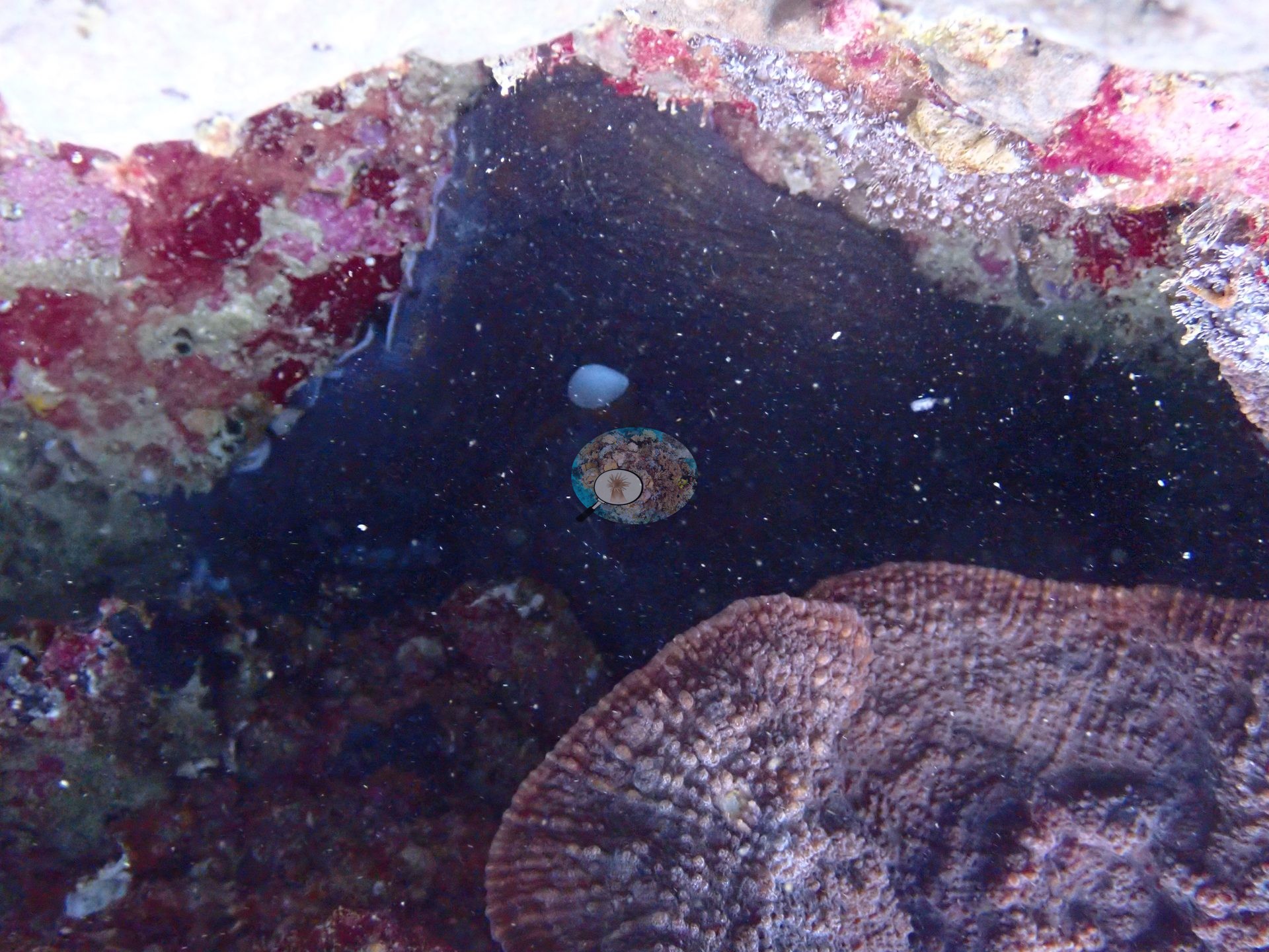
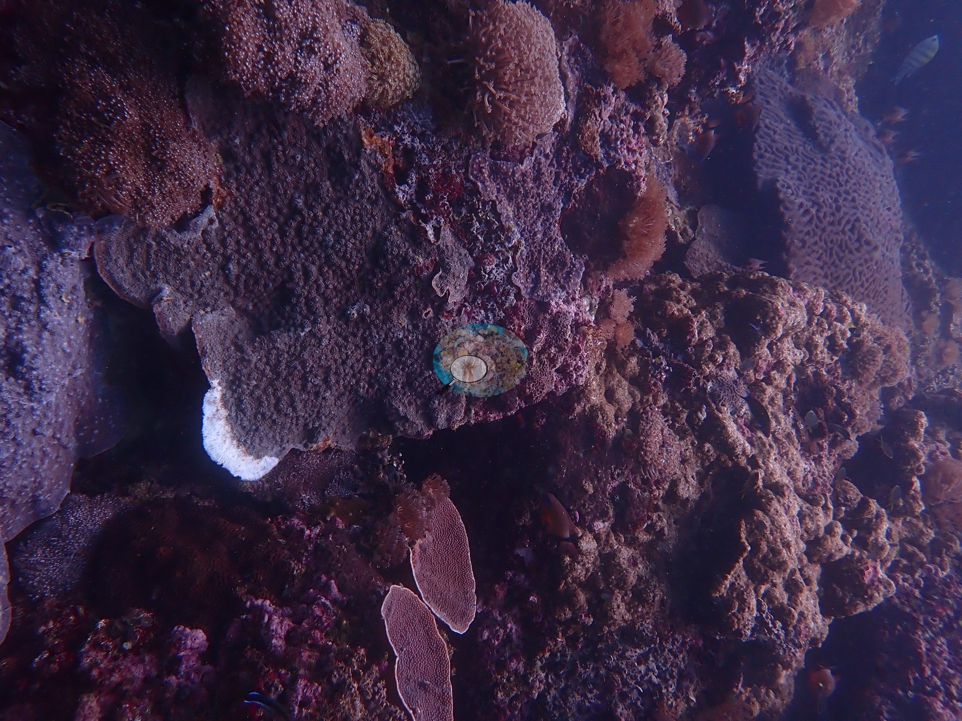
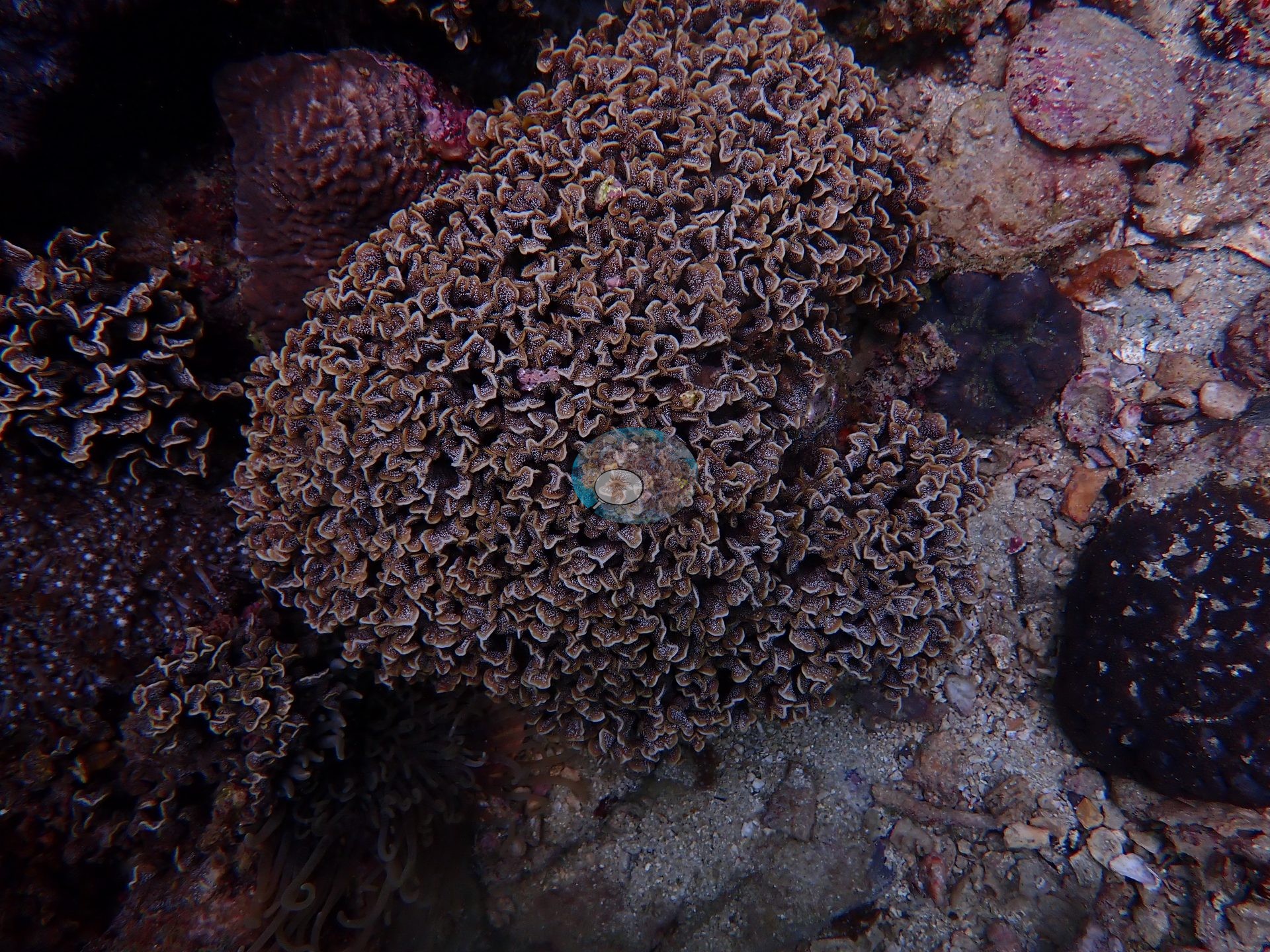
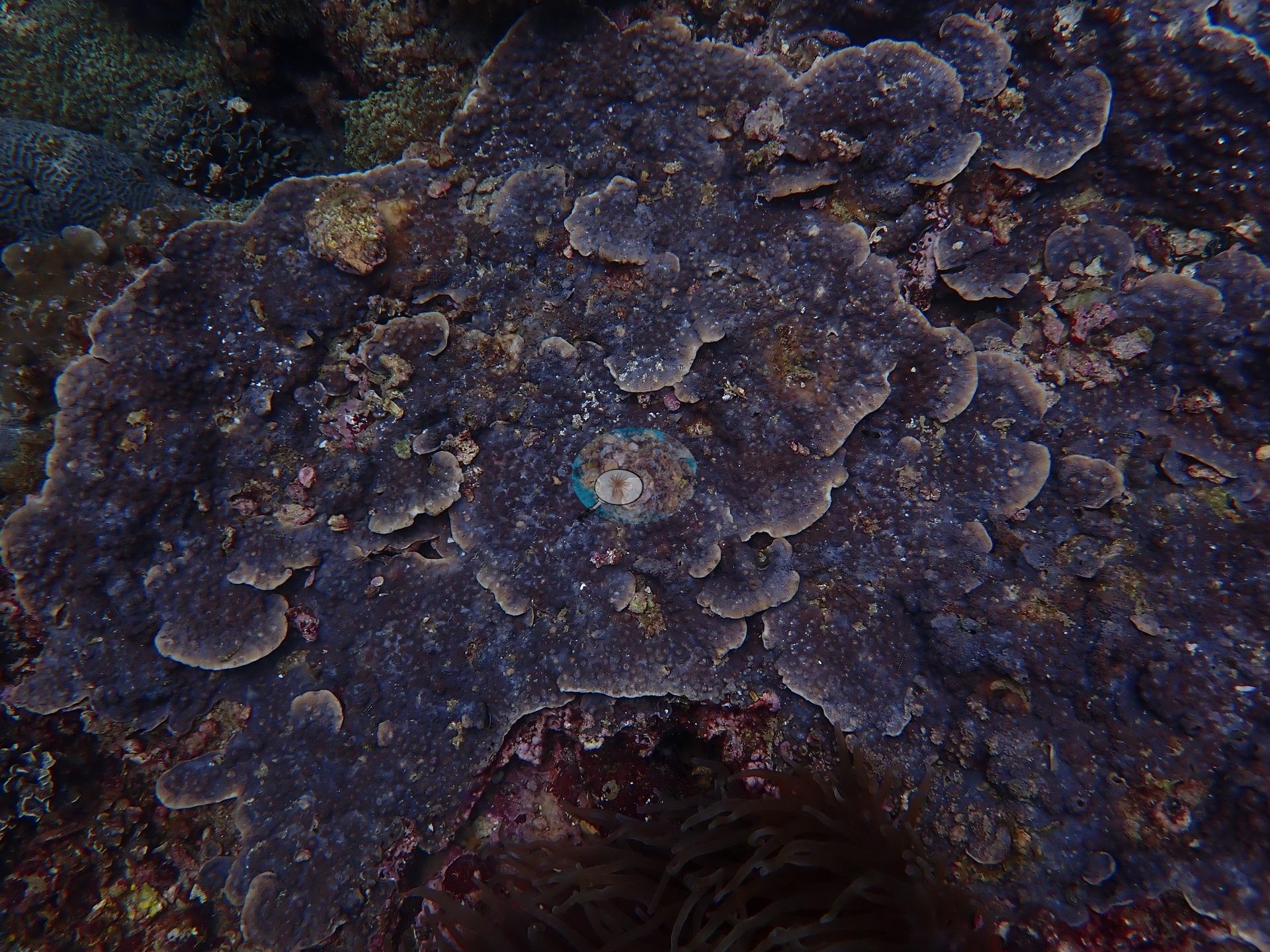
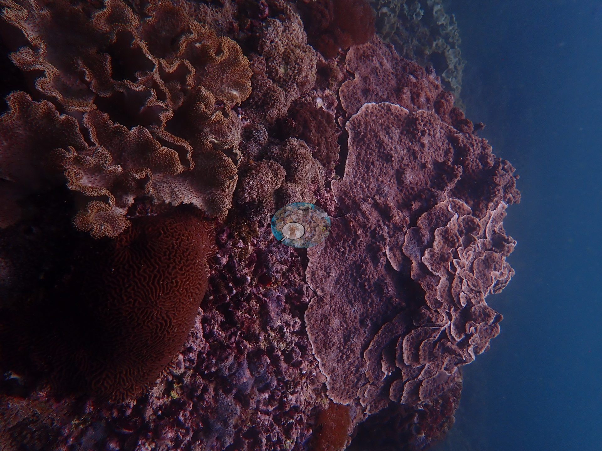
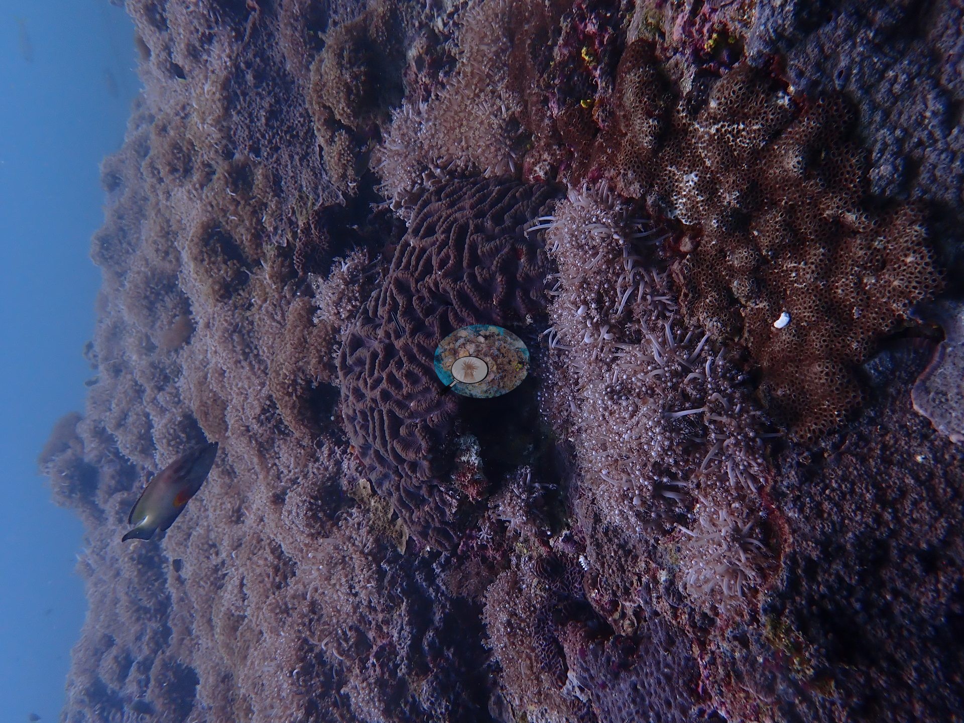
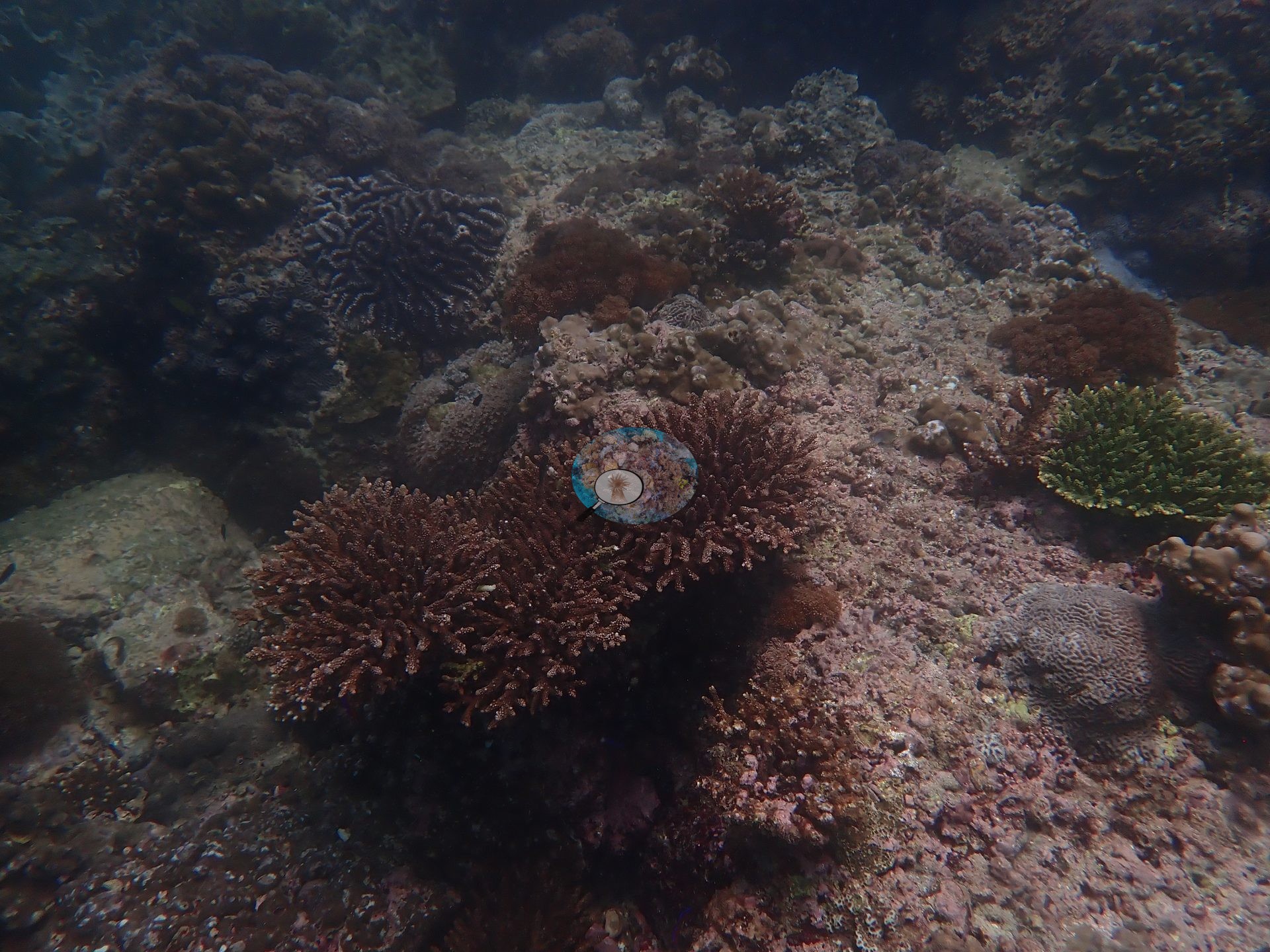
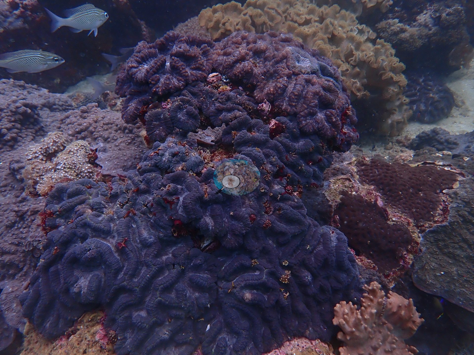
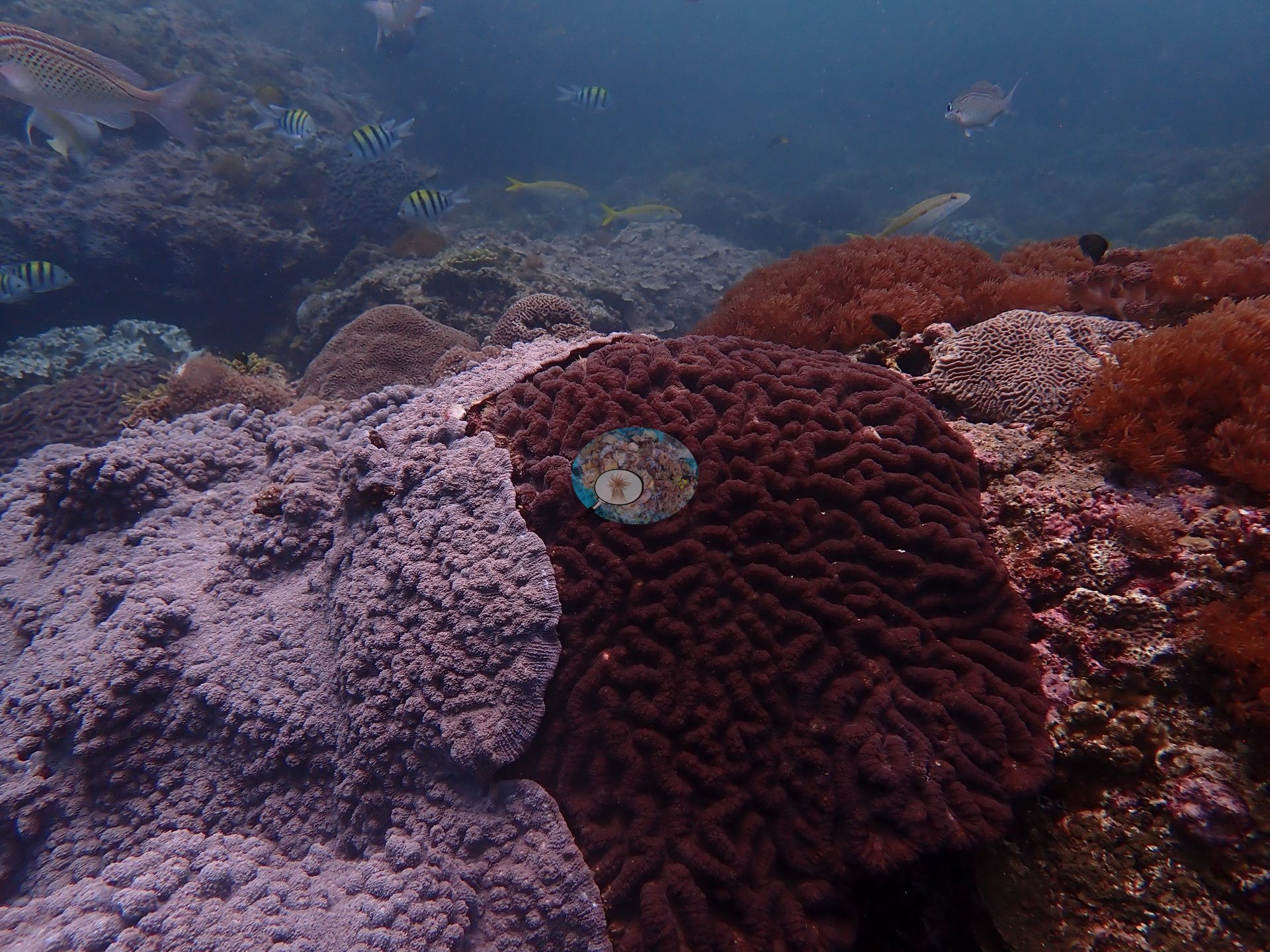
A high-cover fringing reef beneath a rocky Muscat headland, where encrusting and tiered foliose Montipora, brain corals, massive Porites, and green branching Acropora form a nearly continuous framework cut by sand gullies, shaded crevices, and small overhangs (e.g., Image 5, Image 6, Image 7, Image 9, Image 11, Image 12, Image 13, Image 15, Image 16, Image 17, Image 19, Image 20).
General benthic features
Coral-on-coral contact margins are everywhere — space, not substrate, is the limiting resource (e.g., Image 1).
Coral cover
The highest as-scored coral cover of the seven 2024 Oman survey sites: 68.6% hard coral (manual CoralNet point counts, 2025 re-analysis; Mayfield 2025, Platax), with soft coral 8.1% and turf algae 10.8%. Published hard coral cover 63% (Mayfield 2025, Platax; manual CoralNet point counts, benthic denominator). Sample sizes: manual 171 photos · CoralNet 171 · DINOv3 151 · CoralSCOP 169. Multi-method mean 50.9% ± 14. This CoralSCOP and DINOv3 estimate is a placeholder while Anderson searches for a stronger coral-cover model; expect it to be updated if he finds one.
Stressors
No bleaching observed during these May 2024 surveys, before the seasonal SST peak; NOAA CRW recorded Alert Level 2 heat stress and bleaching was reported along this coast from July 2024, weeks after the surveys.
Fish and other fauna
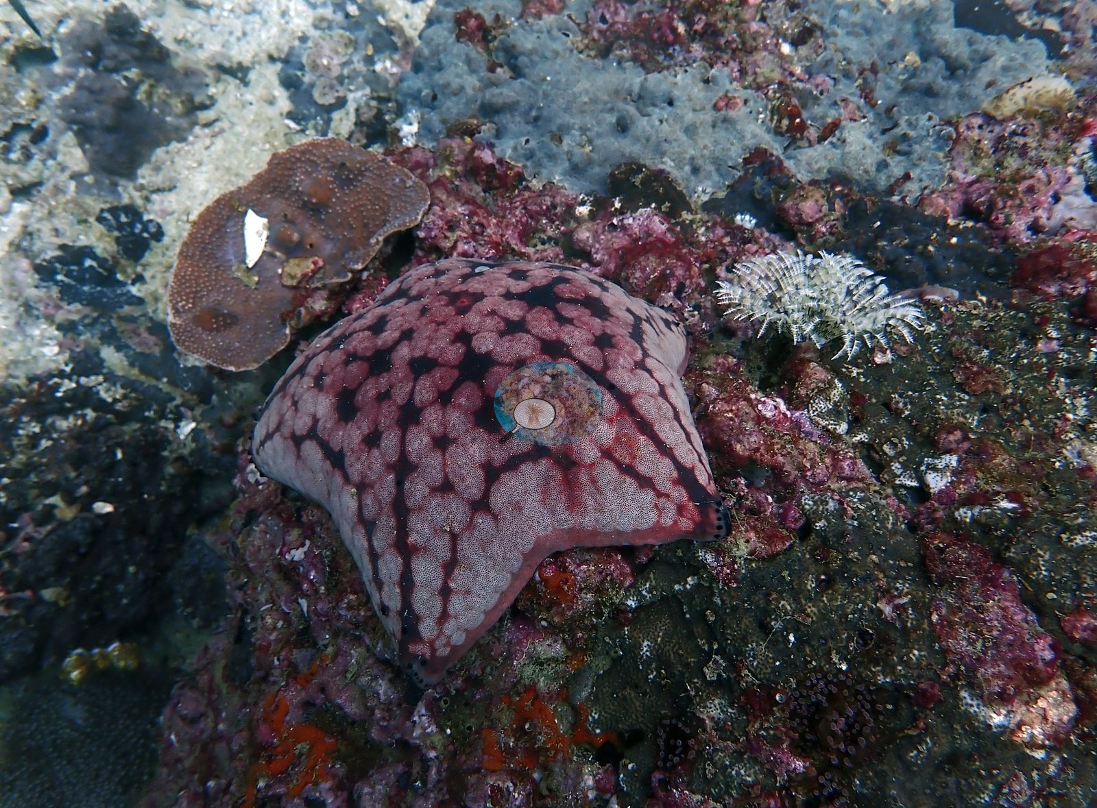
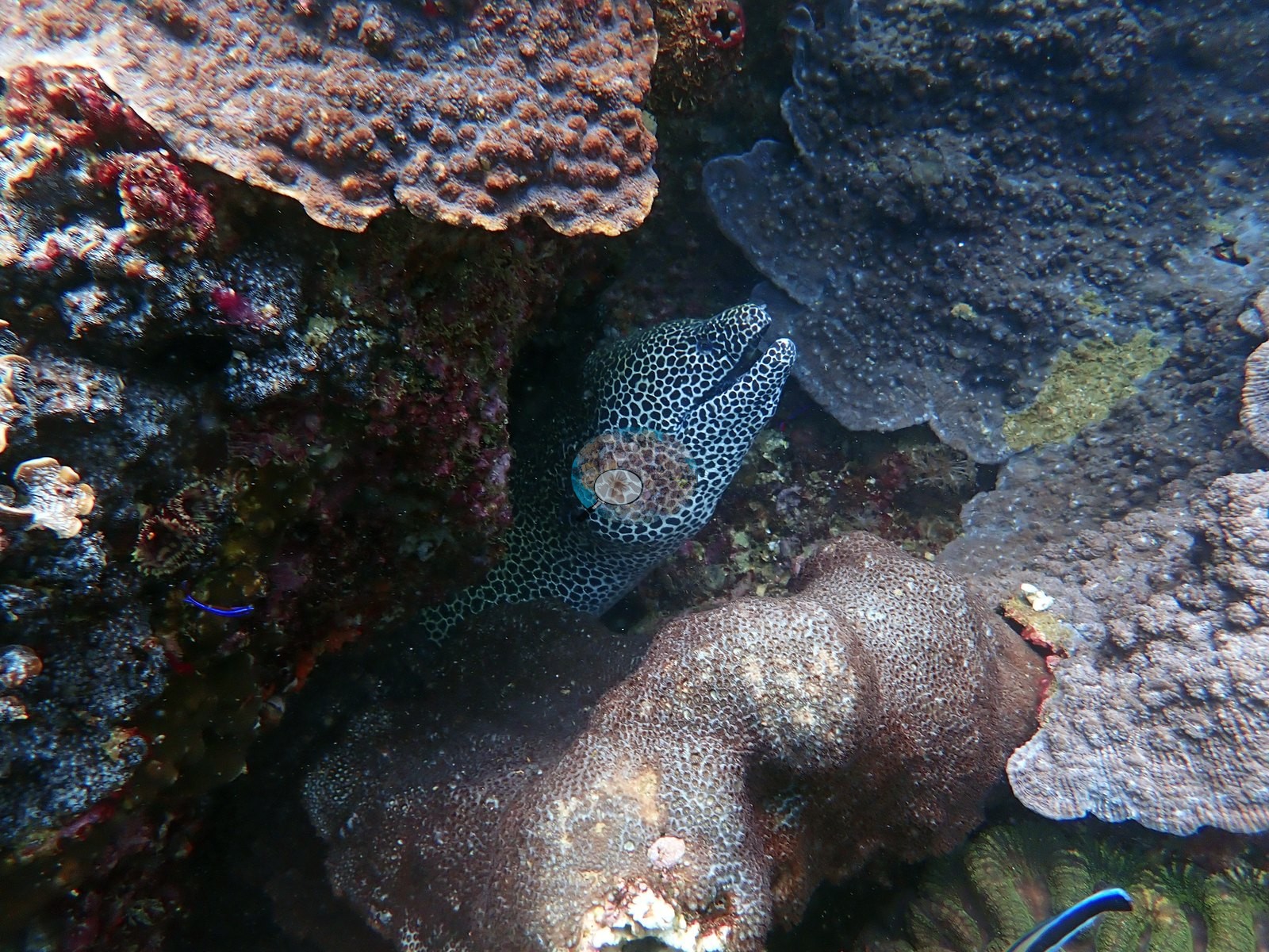
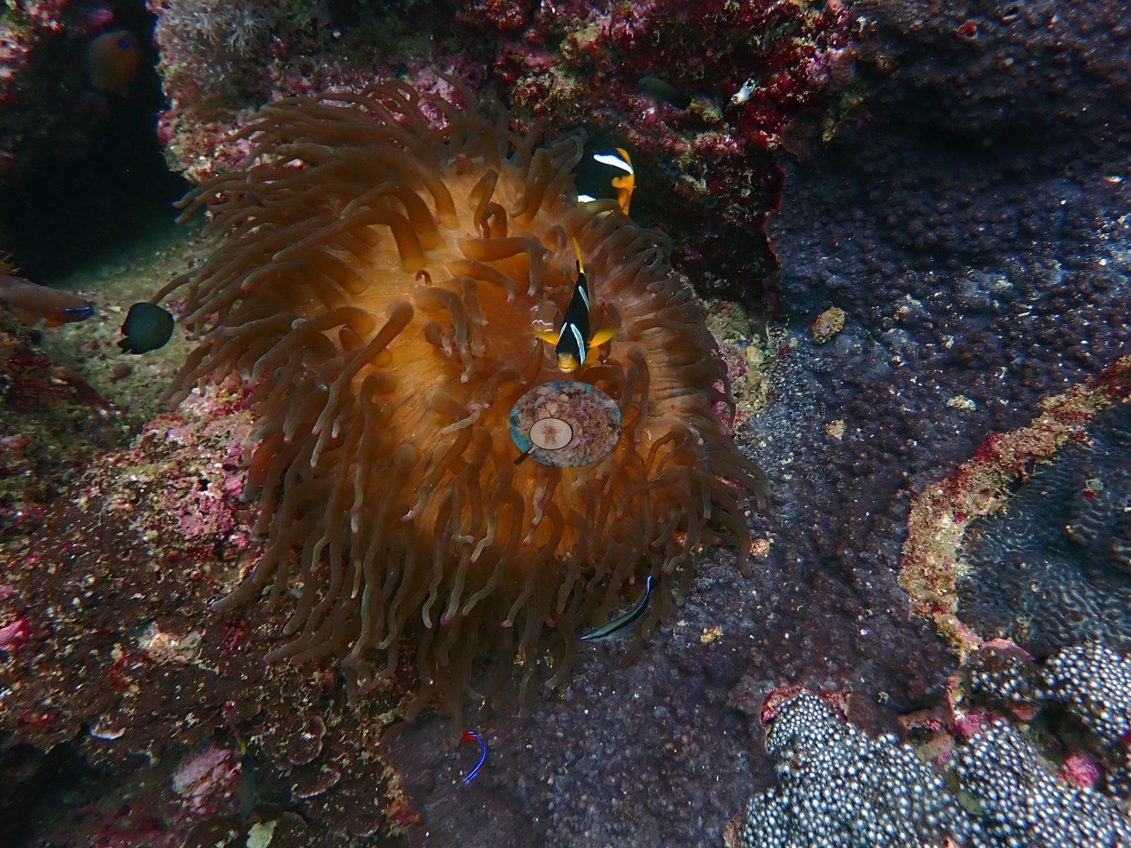
Clark's anemonefish in their host anemones, a honeycomb moray, a camouflaged scorpionfish, and schooling grunts headline the fauna (e.g., Image 2, Image 3, Image 4, Image 8, Image 14).
Comparisons with other data
Coral cover — external cross-reference (Reef Check). Two independent measurements, reported side by side and deliberately not averaged. Anderson Mayfield / CRD: 50.9% hard coral (2024). The two are 7 years apart (CRD later). Methods differ (CRD photographic/point-count index vs Reef Check point-intercept transect). Reef Check site positions are approximate; at 0.93 km apart the two surveys may have sampled different patches of the same reef, which is the main caveat on this comparison. Different station, different observers: a near-concurrent cross-check, not a repeat of this site.
CV model comparison
More info
Cave Site is the ONLY real CoralNet comparison in this region. The two CoralSCOP columns are PAIRED — a frame counts only if the same stem was scored in both runs, so edited minus unedited is not a frame-selection artifact. CoralSCOP cover is a mask-sum AREA fraction; no point denominator applies to it. The Claude column is the edited-photo blind arm (15 frames/site, 13 at Daymaniyat site 3). The harder unedited fair test is a separate, non-interchangeable number.| Method | Hard-coral cover (%) |
|---|---|
| Manual (published) | 51.4 |
| CoralNet | 48.7 |
| In-house DINOv3 | 31.2 |
| CoralSCOP unedited | 49.0 |
| CoralSCOP edited | 50.5 |
| Claude | 69.9 |
Independent surveys nearby
| Agency / program | Year(s) | Stations / distance | Link |
|---|---|---|---|
| Environment Authority-Oman | 2026 | 1 station, 2.36 km | Records ↓ |
| MERMAID project “coral cover BK”* | 2024–2025 | 4 stations, 0.43–3.08 km | Records ↓ |
| Reef Check | 2017 | 1 station, 0.93 km | Records ↓ |
 Dr. Coral (CRD)Year-average (no detectable trend)
Within 5 km, 6 independent survey stations recorded hard coral cover in 31 records between 2017 and 2026. Of the 1 station surveyed in more than one year, 1 increased between their first and latest surveys. The longest record, BK big mount (MERMAID project “coral cover BK”*, 0.43 km away), went from 60% in 2024 to 70% in 2025. Surveys since 2021 average 47% (range 34–70%, n=8). This site's own estimate (51%) sits within the recent range (34–70%); the methods differ, so the comparison is context, not a like-for-like test.
Collected by other programs using different methods (Reef Check uses point-intercept transects; MERMAID is a data platform: each MERMAID row names the organization that did the survey, and its method is in the row's hover text. *Conducted by citizen scientists), so these are context for the figures above, not a like-for-like comparison. Where a station was surveyed more than once the range is shown. Station names are not dive-site names.
| Agency | Site / location | Date | Hard coral cover (%) | Distance | Link |
|---|---|---|---|---|---|
| Reef Check | Novice Bay, Bandar Khayran | 2017 | 14% | 0.93 km | — |
| MERMAID project “coral cover BK”* | BK big mount | 2024–2025 | 60–70% (2 images) | 0.43 km | Alhussaini A. 2025. coral cover BK. MERMAID |
| MERMAID project “coral cover BK”* | BK big mount (mean of 2 surveys, 2024–2025) | 2025 | 65% (4 images) | 0.43 km | Alhussaini A. 2025. coral cover BK. MERMAID |
| MERMAID project “coral cover BK”* | BK small mount | 2025 | 34% (18 images) | 1.19 km | Alhussaini A. 2025. coral cover BK. MERMAID |
| MERMAID project “coral cover BK”* | BK miad | 2025 | 34% (4 images) | 3.08 km | Alhussaini A. 2025. coral cover BK. MERMAID |
| Environment Authority-Oman | BK 1 | 2026 | 45% (2 images) | 2.36 km | Alhussaini A. 2026. EA survey. MERMAID |
Data & links
- CoralNet image repository for this region ↗
- Photo portfolio ↗
- Coral Reef Diagnostics page for this area ↗
All images from Coral Reef Diagnostics. Data are from Coral Reef Diagnostics and the organizations named in the data-sources table above.
© Coral Reef Diagnostics.