
Oman - Cat Island (Muscat)

Part of the regional summary: Oman
More info
Gulf of Oman (NOAA CRW virtual station)Cat Island is a rocky islet reef off Muscat where hard coral, soft coral, and turf split the bottom almost evenly (32.9%/22.6%/25.9% by point count), with compact branching colonies packed shoulder to shoulder on boulder tops giving way to leather-coral stands and dense corallimorph carpets lower down. A crown-of-thorns starfish and a buried stingray are on record for this site from an earlier review, though neither appears in the reviewed photographs, which instead feature a pair of orange-spotted nudibranchs and two well-camouflaged scorpionfish.
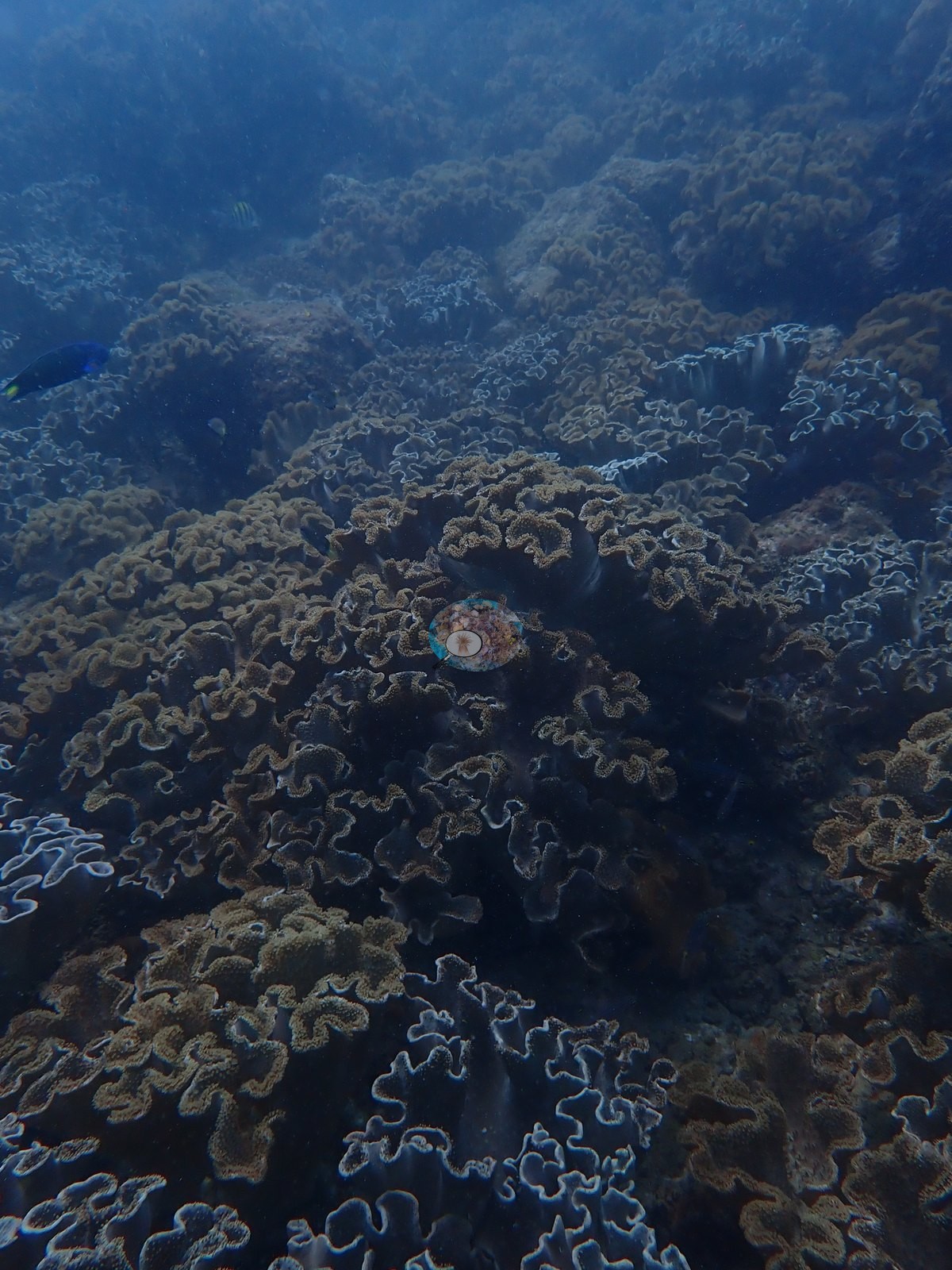
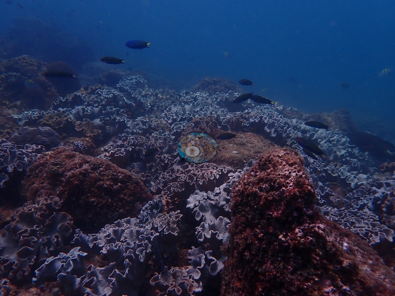
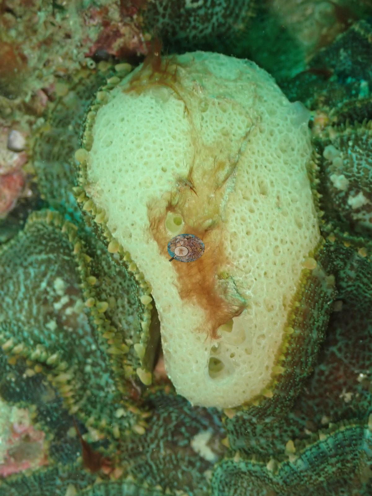
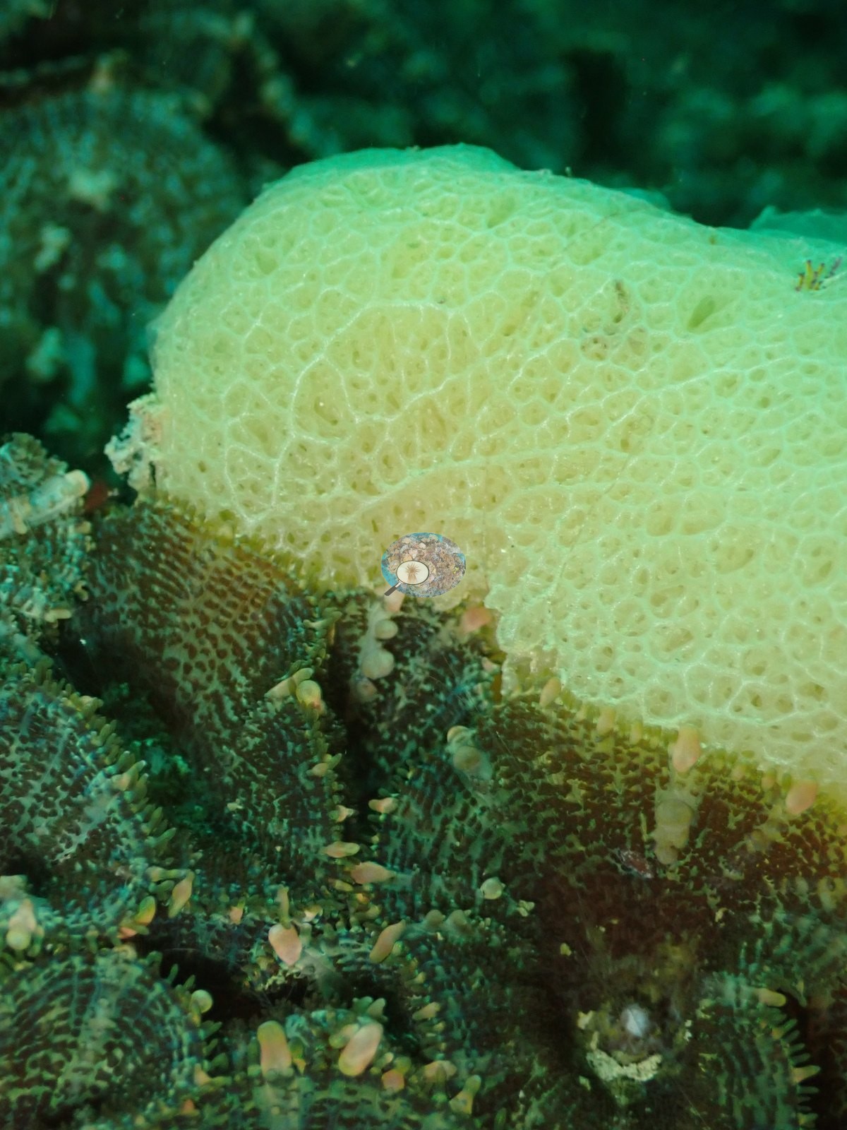
الصور الأربع على هذا الموقع لقطات قريبة، وما تُظهره هو النصف الرخو المنخفض التضاريس من قاع تقسمه الإحصاءات المنشورة بالتساوي تقريباً بين المرجان الصلب والمرجان الرخو والطحالب الخيطية.
ترجمة هذا الملخص بالذكاء الاصطناعي؛ النص الإنجليزي هو المعتمد. Translated from the site’s shorter map summary.
Four independent survey stations shown with the program’s logo — click one to see how far it is from this site.
17 of these 28 photographs are shown beside the text that discusses them under "Site description" below.
Site description
Setting
Cat Island is a small islet reef off Muscat, where rock outcrops and boulders rise from a bottom of coarse, shelly sand.
General benthic features
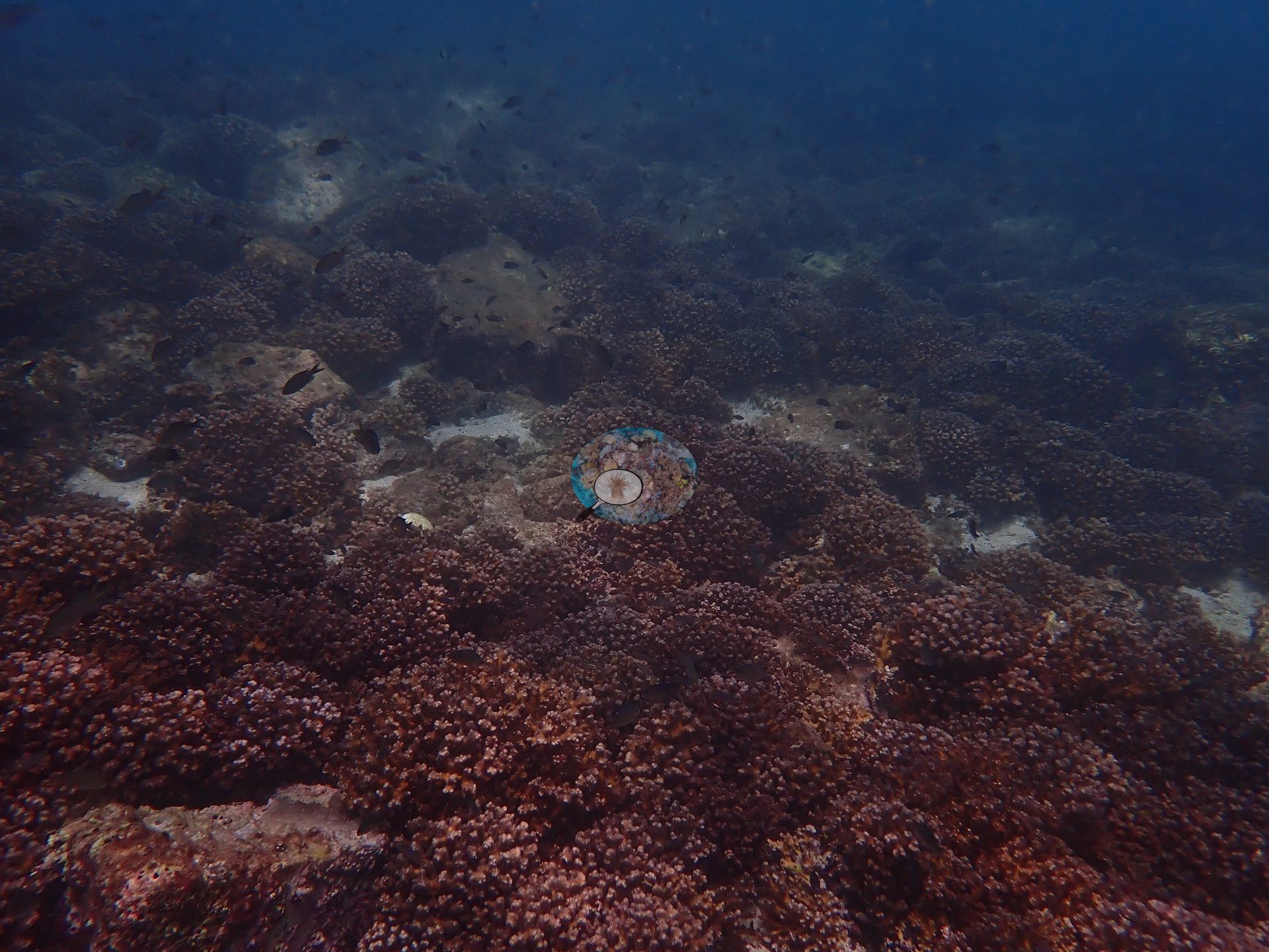
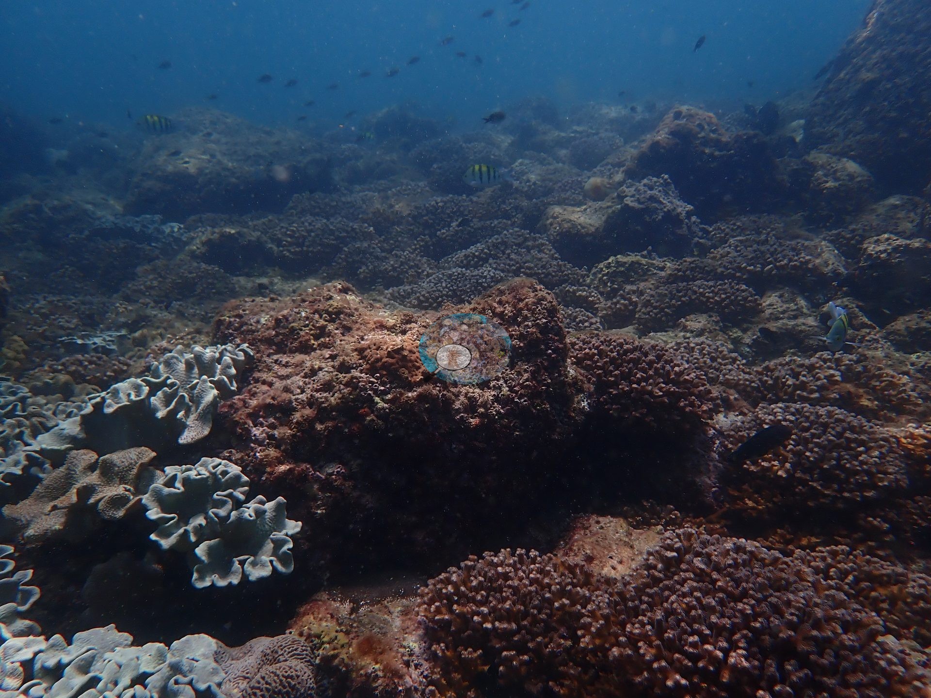
The published counts split the bottom almost evenly between hard coral, soft coral, and turf, and the photographs show each of those three habitats in turn. Hard coral was most abundant on the boulder tops and slopes, which were covered in fields of compact, corymbose branching colonies packed shoulder to shoulder under clouds of small fish (e.g., Image 5, Image 20).
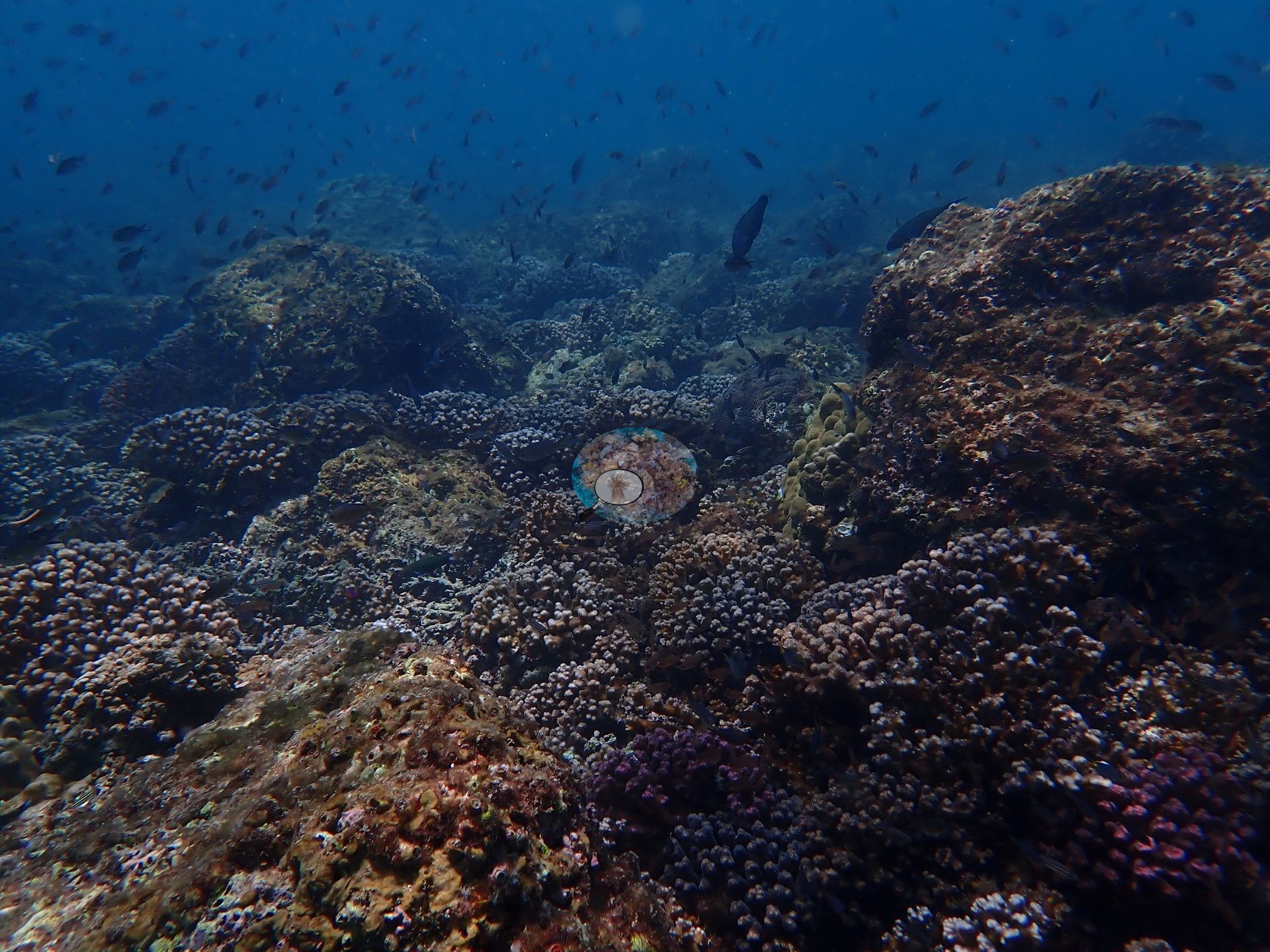
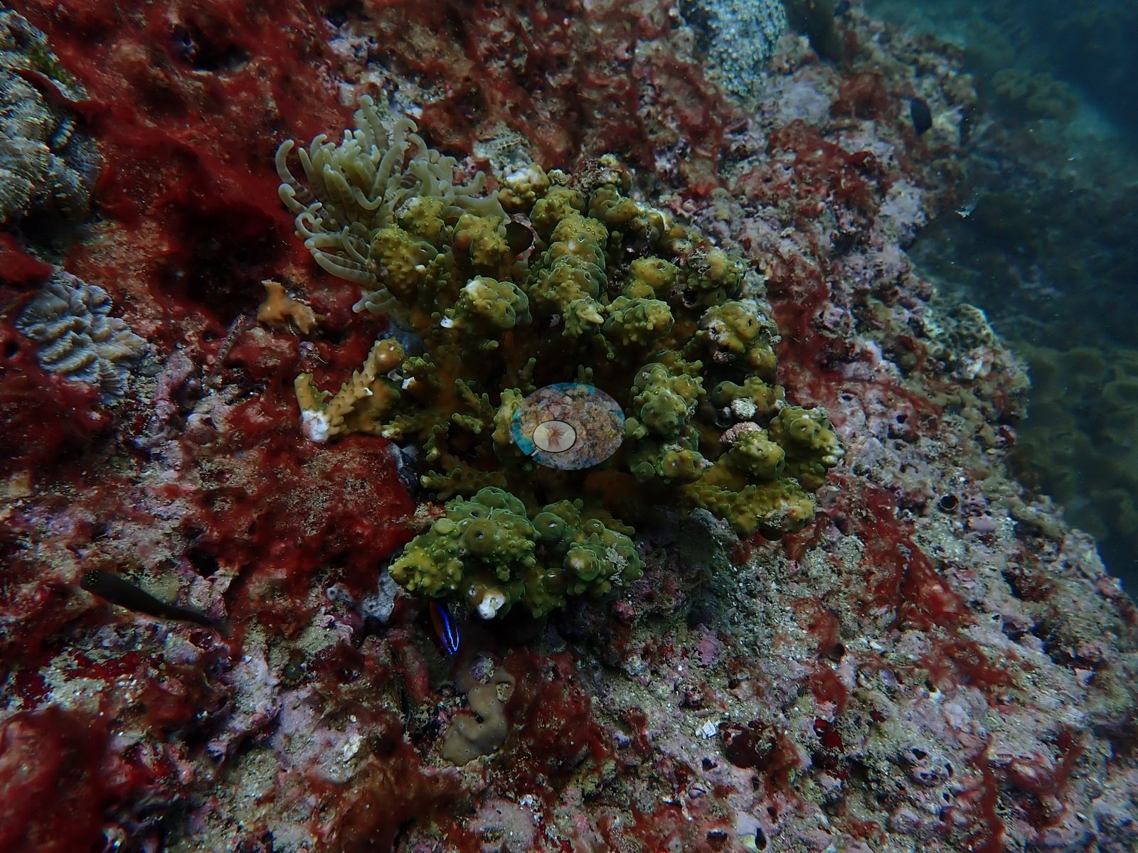
Seen close up, these colonies had short, knobby branches and grew into one another with little bare rock between them (e.g., Image 6).
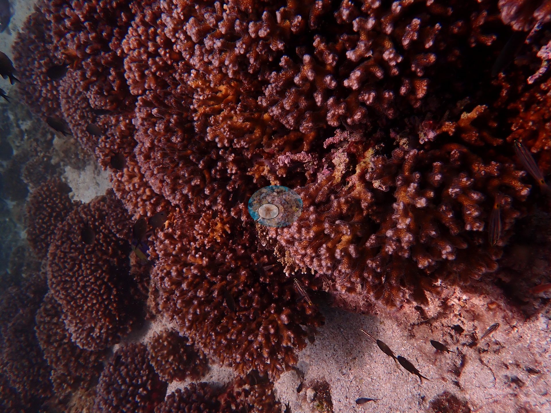
On the steeper boulder faces, the same branching colonies covered the rock almost completely, grading into leather corals lower down (e.g., Image 19).
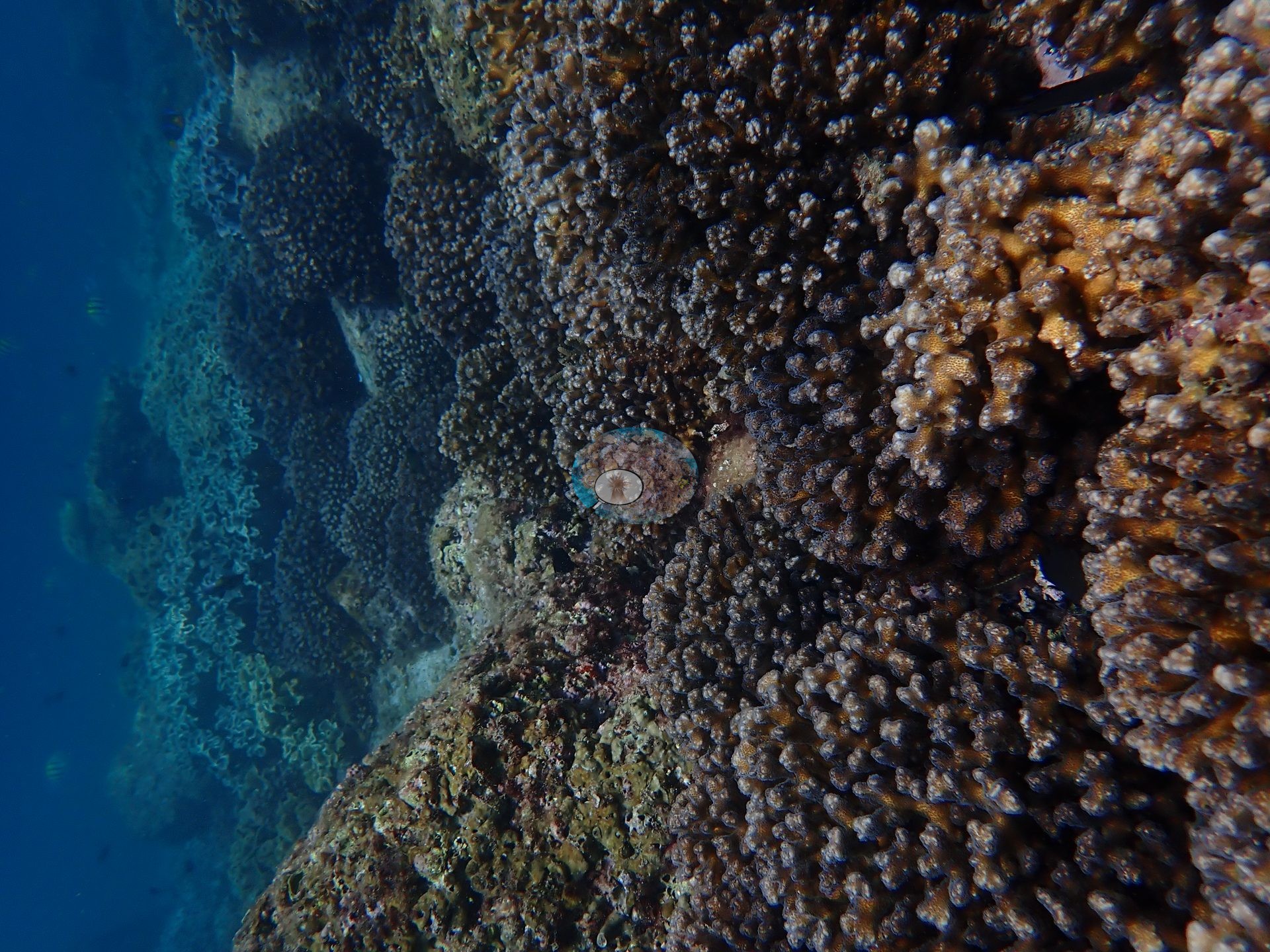
Soft coral formed its own stands: ruffled, lobed leather corals, some brown, and some pale gray, carpeted a whole stretch of slope beside a large boulder (e.g., Image 17).
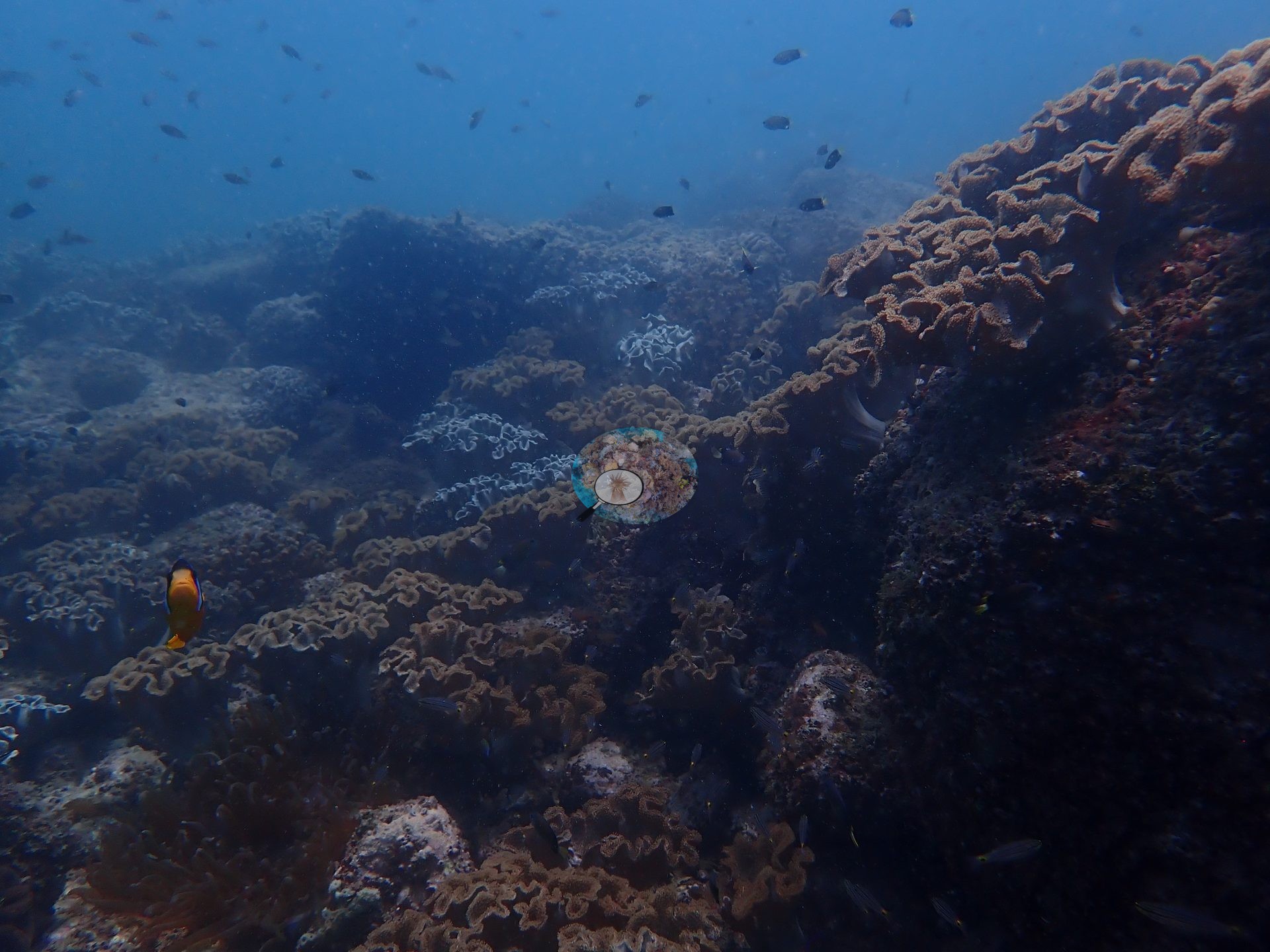
Elsewhere, pale gray leather corals grew right alongside the branching field on the same boulders (e.g., Image 18).
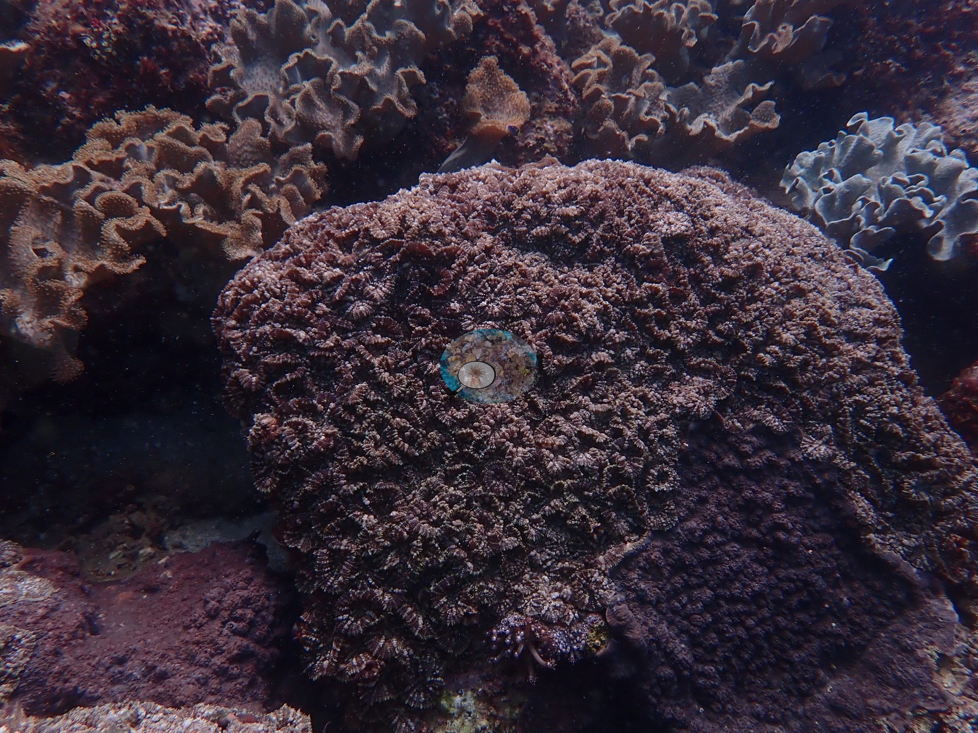
Large massive colonies stood among them, including one with crowded, flower-like corallites flanked by ruffled leather corals (e.g., Image 8).
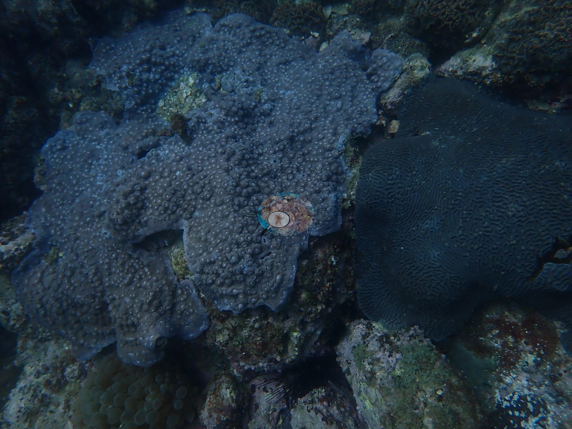
A broad, gray-blue plating colony with raised, bumpy corallites lay beside a dark, tightly meandering massive colony, with a bulb-tentacled anemone at its base (e.g., Image 16).
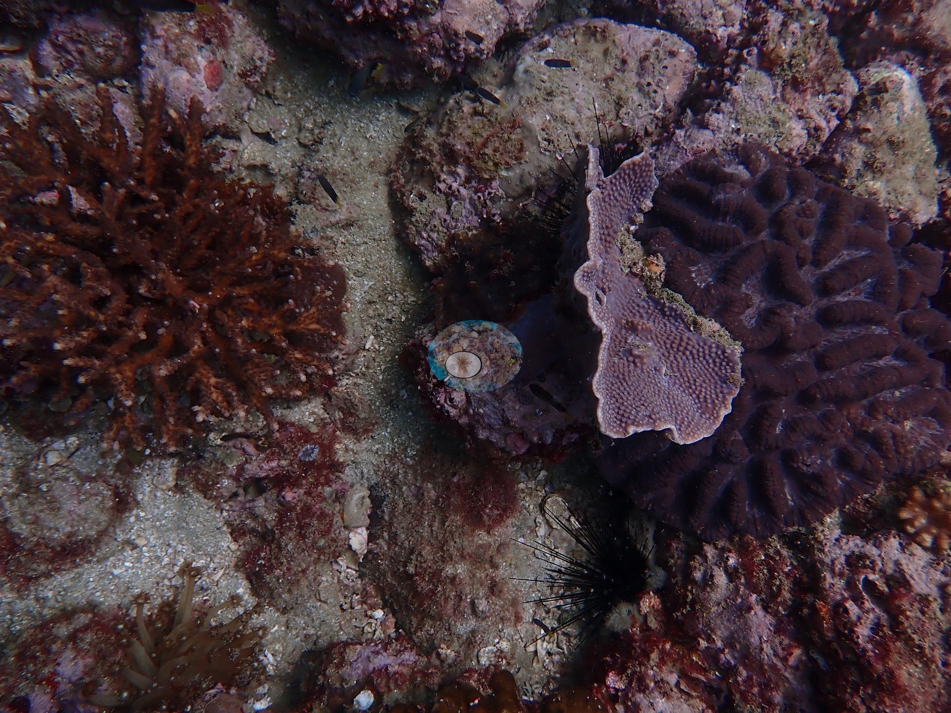
In another patch, a rust-colored branching colony, a mauve, lumpy plate standing on edge, and a dark meandroid massive colony shared the rock with two long-spined urchins (e.g., Image 9).
Rock faces and overhangs carried a patchy crust of encrusting organisms, with tan, lobed leather corals at their base (e.g., Image 7).
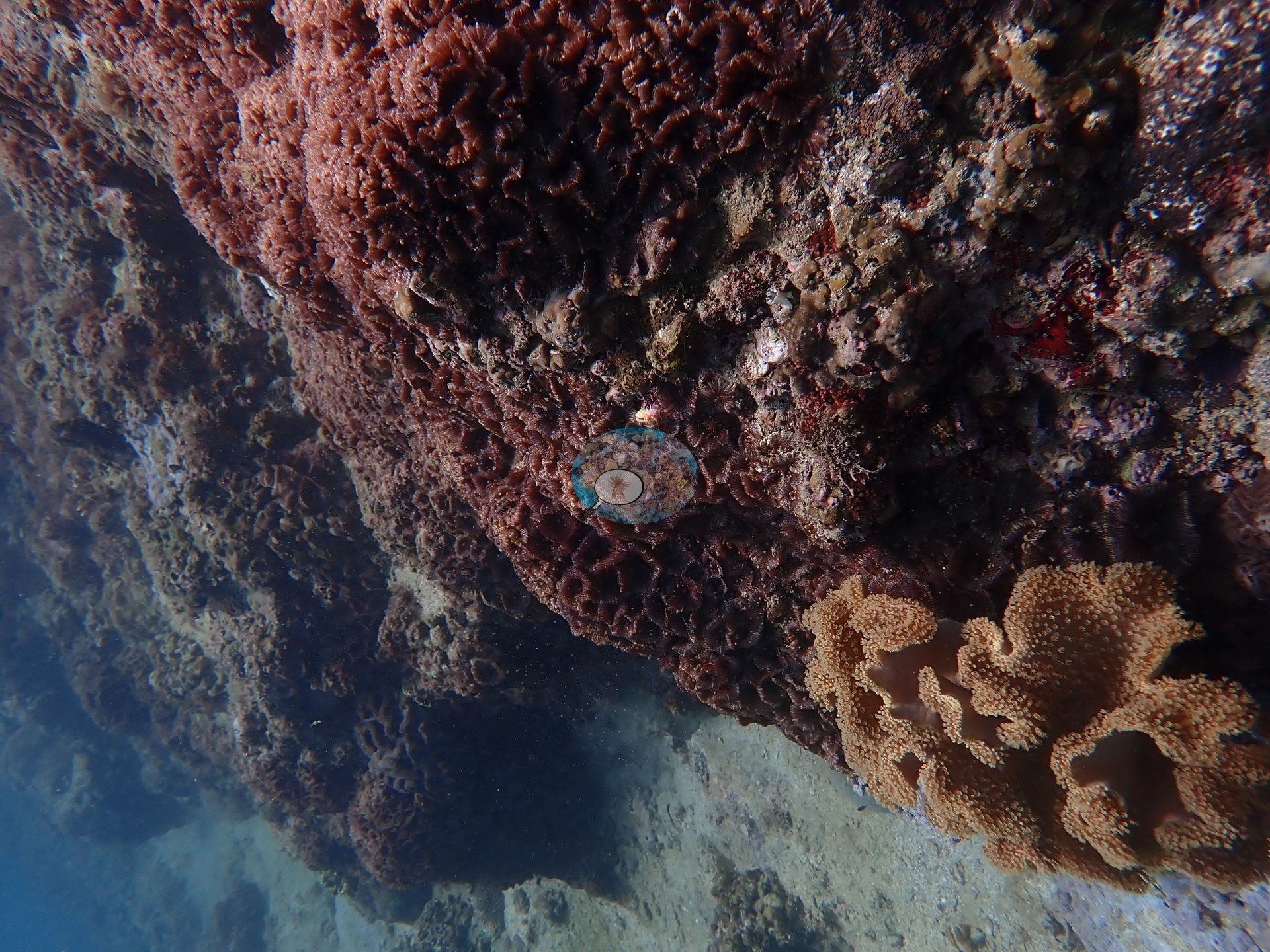
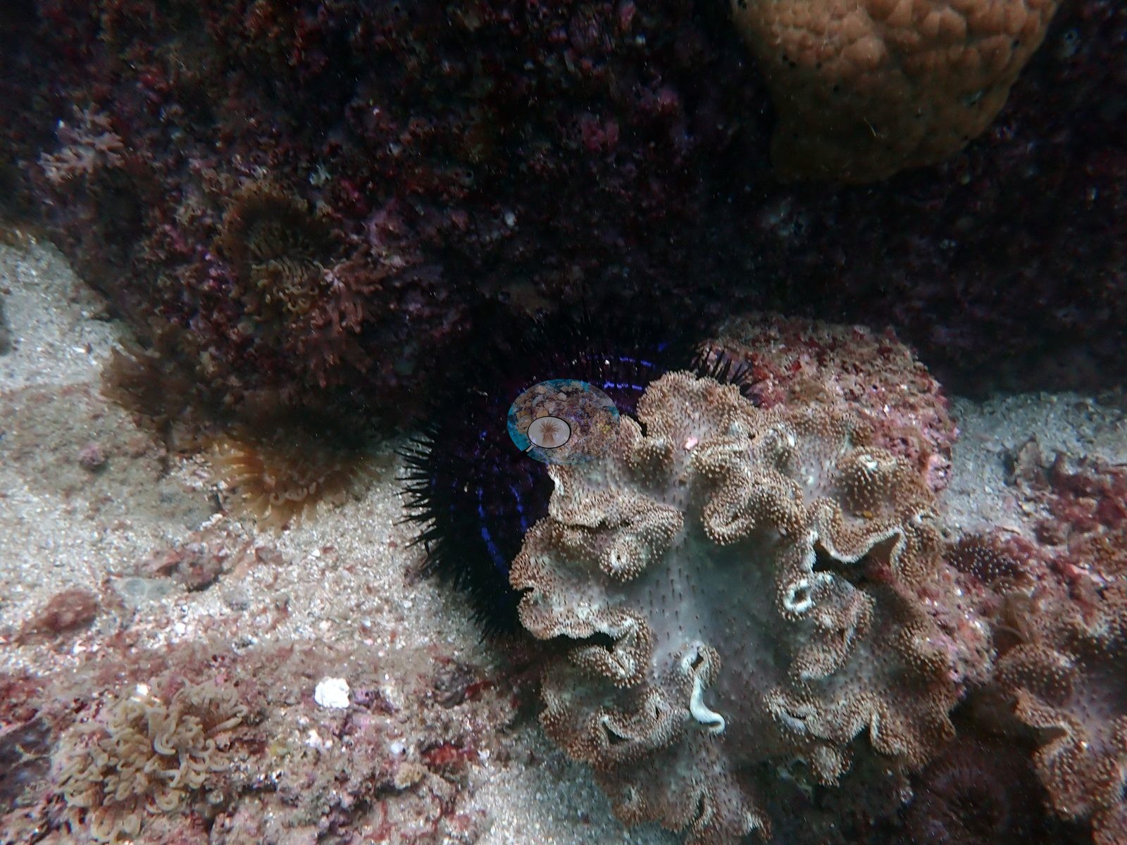
Lower down, the rock was thoroughly bored, turfed, and plated in coralline algae; a long-spined urchin was wedged into one crevice beside a big pale gray-brown leather coral with its polyps out, a smooth tan massive colony sat at the top of the frame, and small tentacled polyp clusters were scattered over the sand veneer (e.g., Image 1).
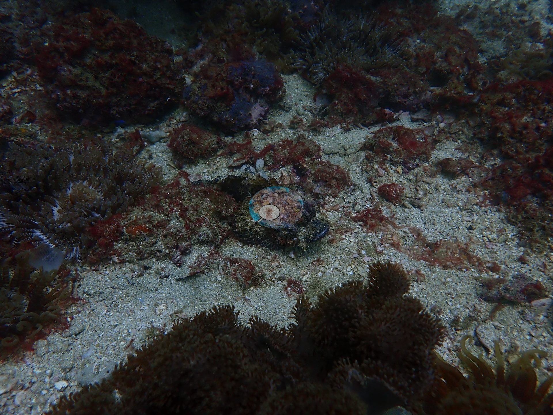
The softest, lowest-relief ground was coarse shelly sand and low rubble mounds furred in dark red macroalgae and turf, edged with carpets of tentacled polyps, with a well-camouflaged scorpionfish lying flat in the middle of the sand (e.g., Image 10).
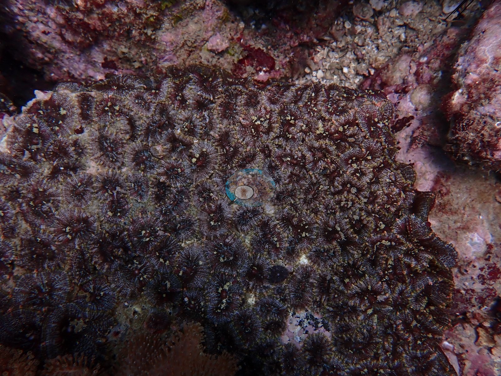
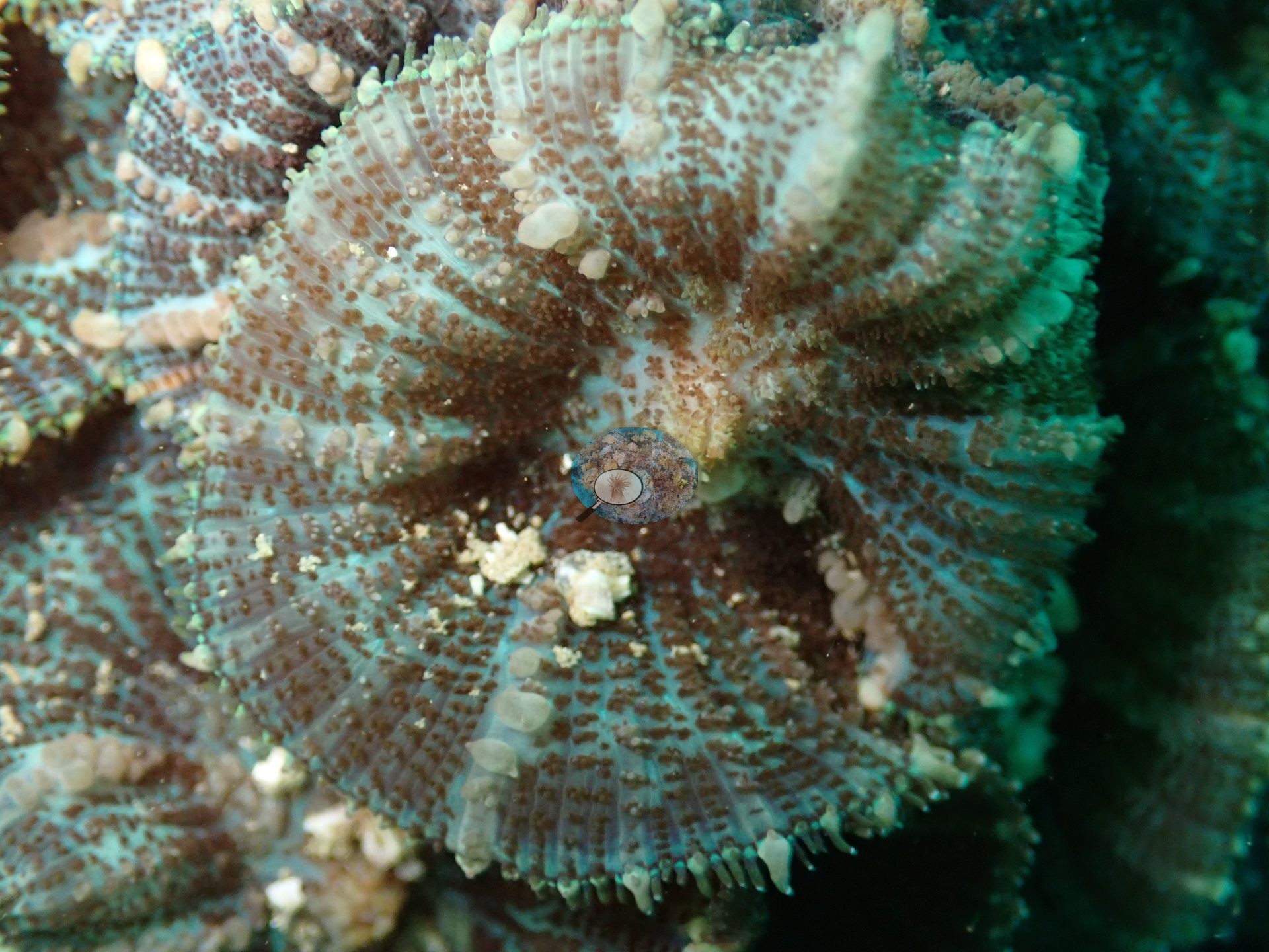
Corallimorphs formed dense carpets, their striped oral discs packed edge to edge, which is the cover class the point counts flag here (e.g., Image 13).
Coral cover
Published hard coral cover is 33%, from manual CoralNet point counts on 81 photographs (Mayfield 2025, Platax), a diver-scored value rather than a computer vision estimate. The same counts scored soft coral at 22.6% and turf algae at 25.9%. The published figure carries the provenance of the paper it appears in and is not subject to the CoralSCOP/DINOv3 caveats applied elsewhere on this map.
Stressors
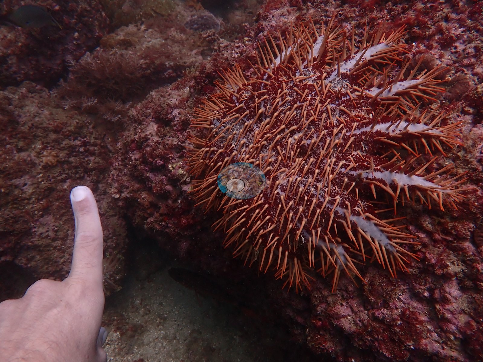
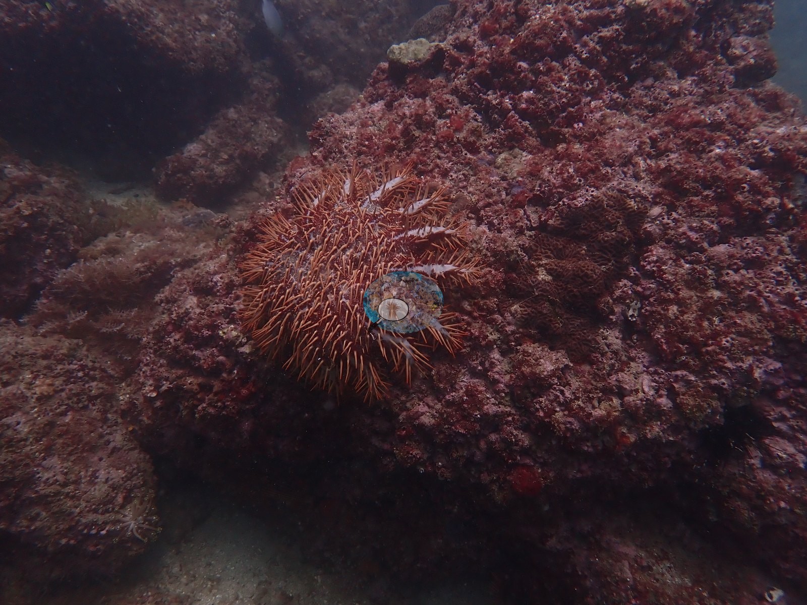
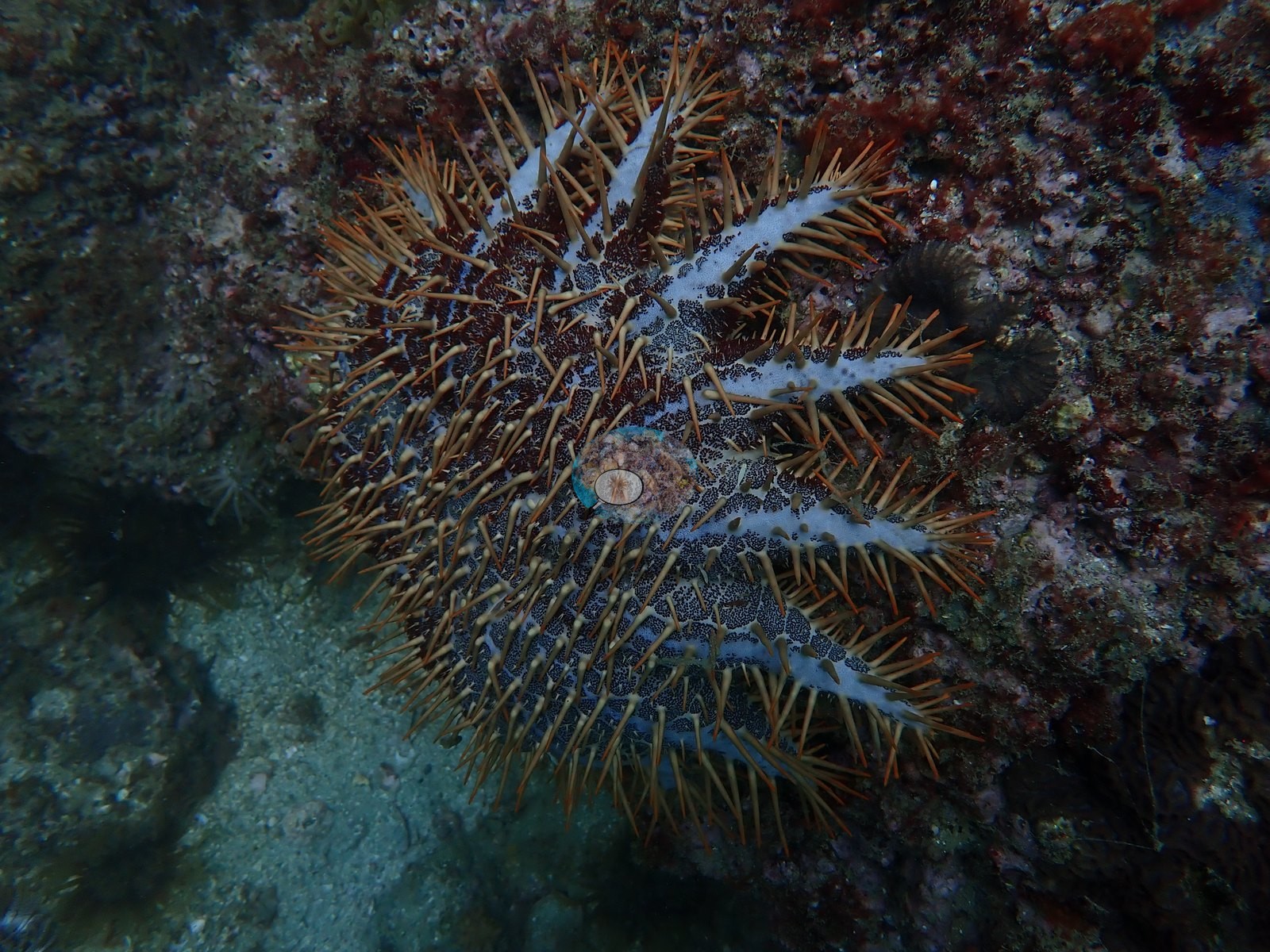
No bleaching was observed during these May 2024 surveys, which came before the seasonal SST peak; NOAA CRW recorded Alert Level 2 heat stress and bleaching was reported along this coast from July 2024, weeks after the surveys. No bleached tissue, disease, or fresh mortality was seen in any of the frames shown here. A crown-of-thorns seastar is on record for this site from an earlier review, although it does not appear in these photographs. Typical recent thermal stress here is a mean annual maximum of 11.0°C-weeks (Degree Heating Weeks, 2021-2025, NOAA CRW; Gulf of Oman ecoregion).
Fish and other fauna
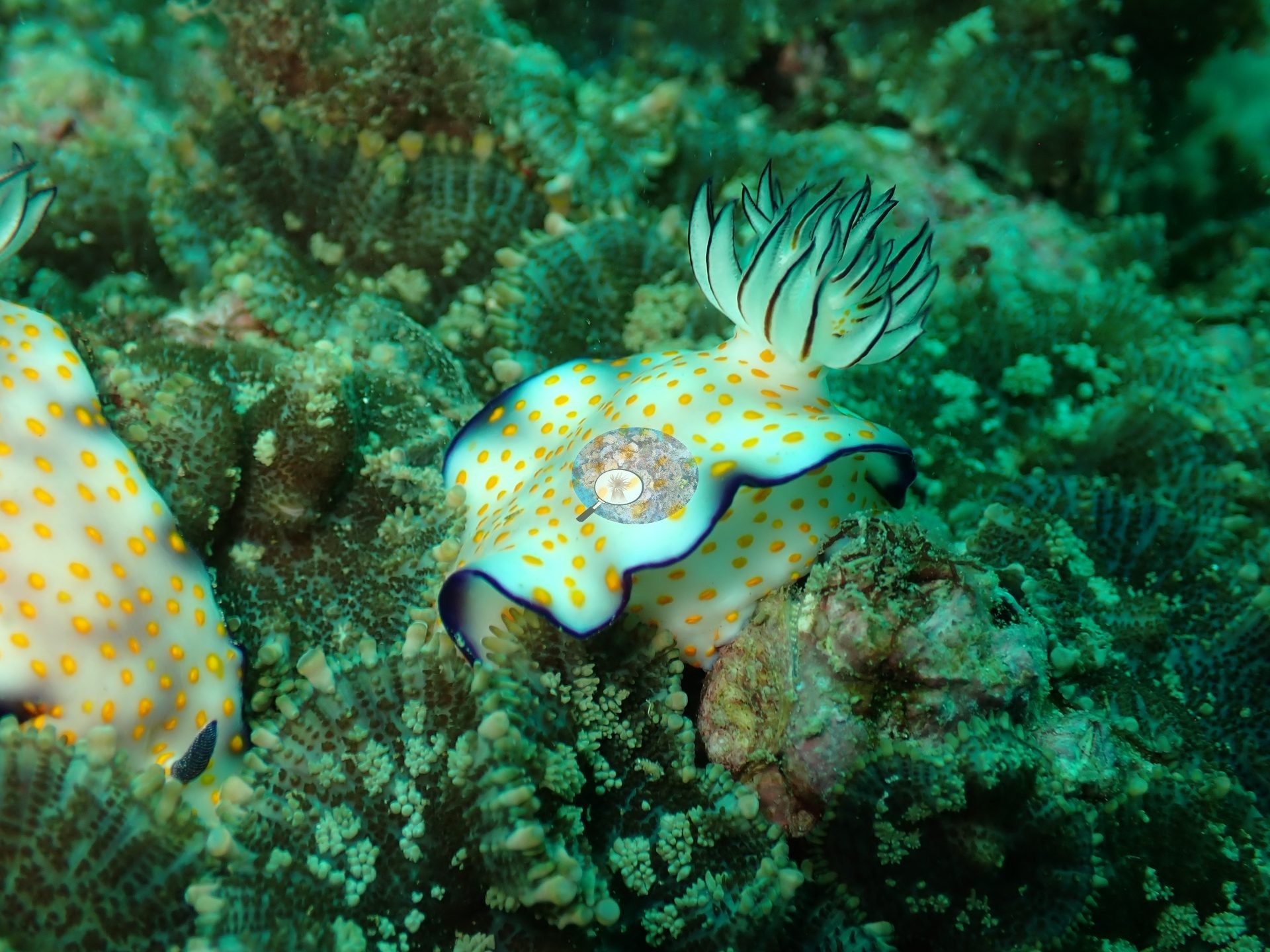
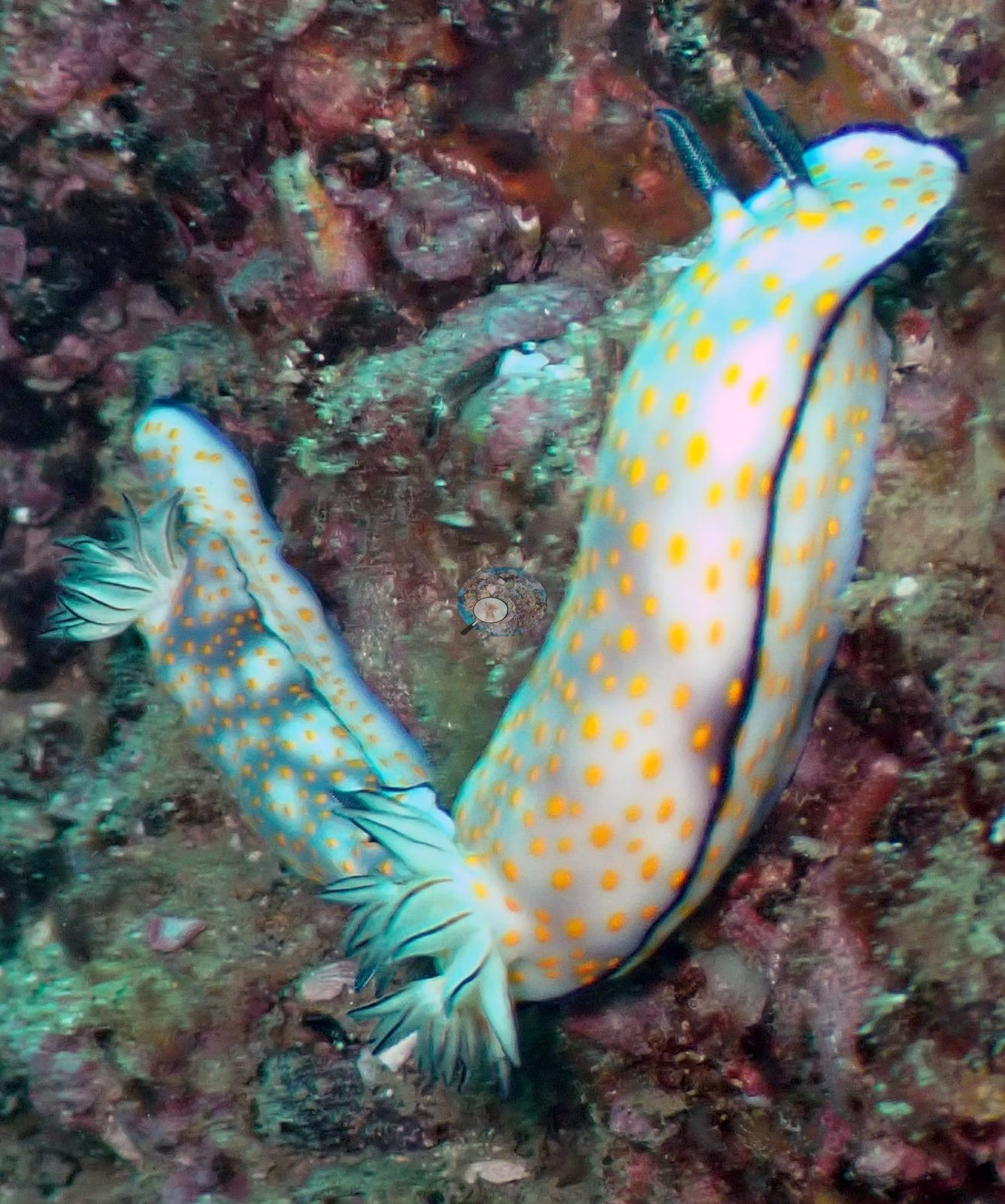
The macro life is the draw: a pair of white, orange-spotted dorid nudibranchs with dark mantle margins and open gill plumes crawled over coralline rock (e.g., Image 2).
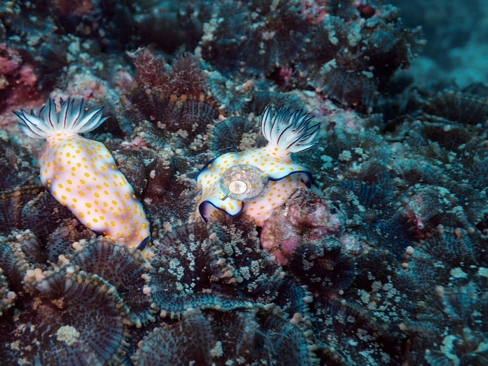
The same pair was photographed again crossing a dense carpet of corallimorph polyps (e.g., Image 3).
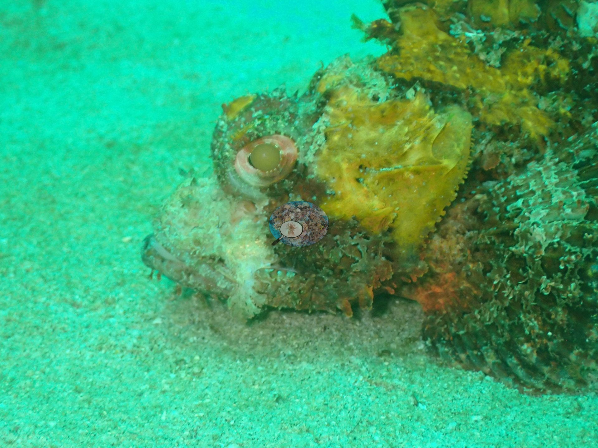
A second scorpionfish, seen close up, showed the frilled, mottled skin flaps and yellow blotches that hide it against the sand (e.g., Image 15).
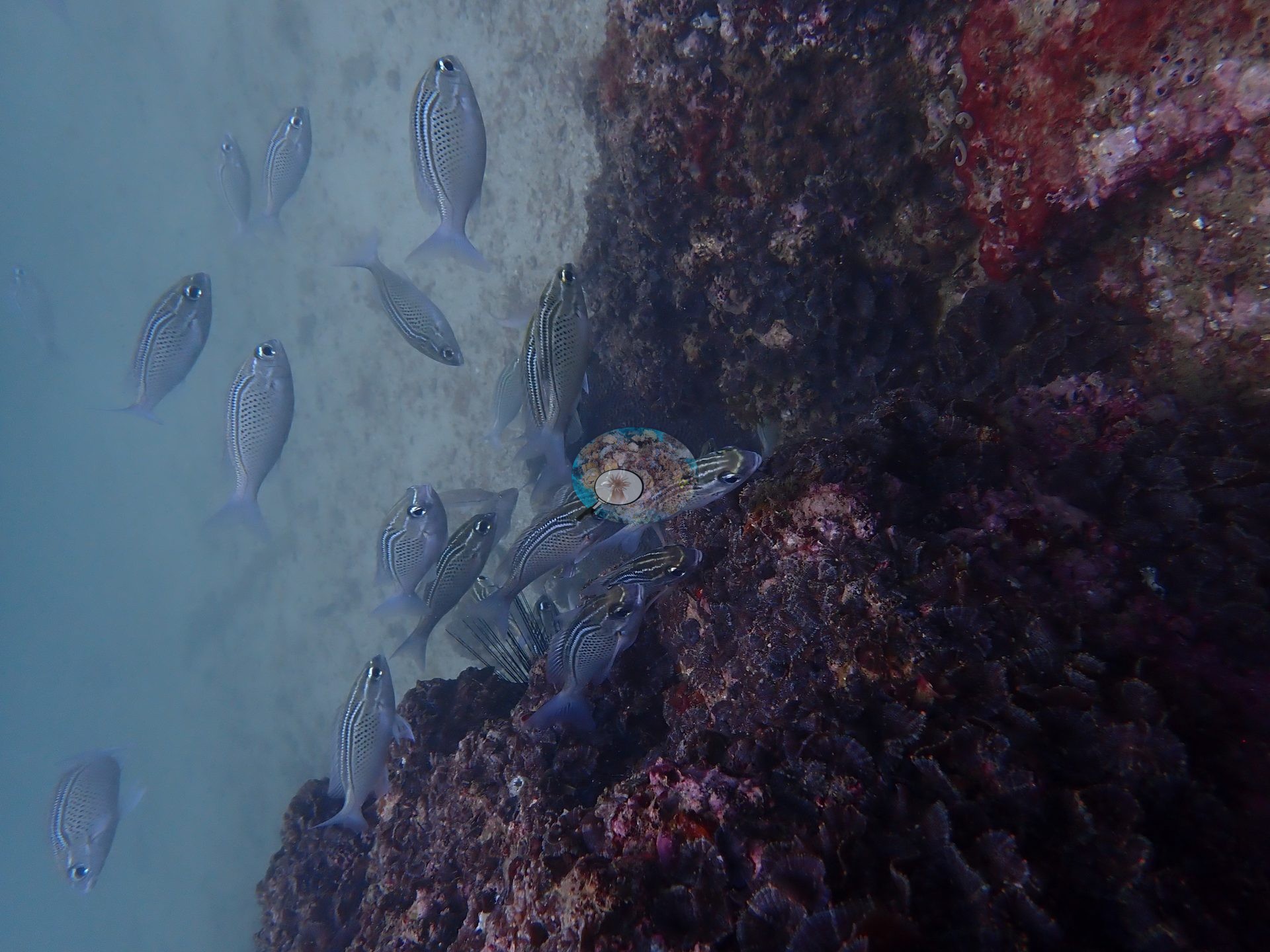
A small school of striped fish worked along a rock face (e.g., Image 11).
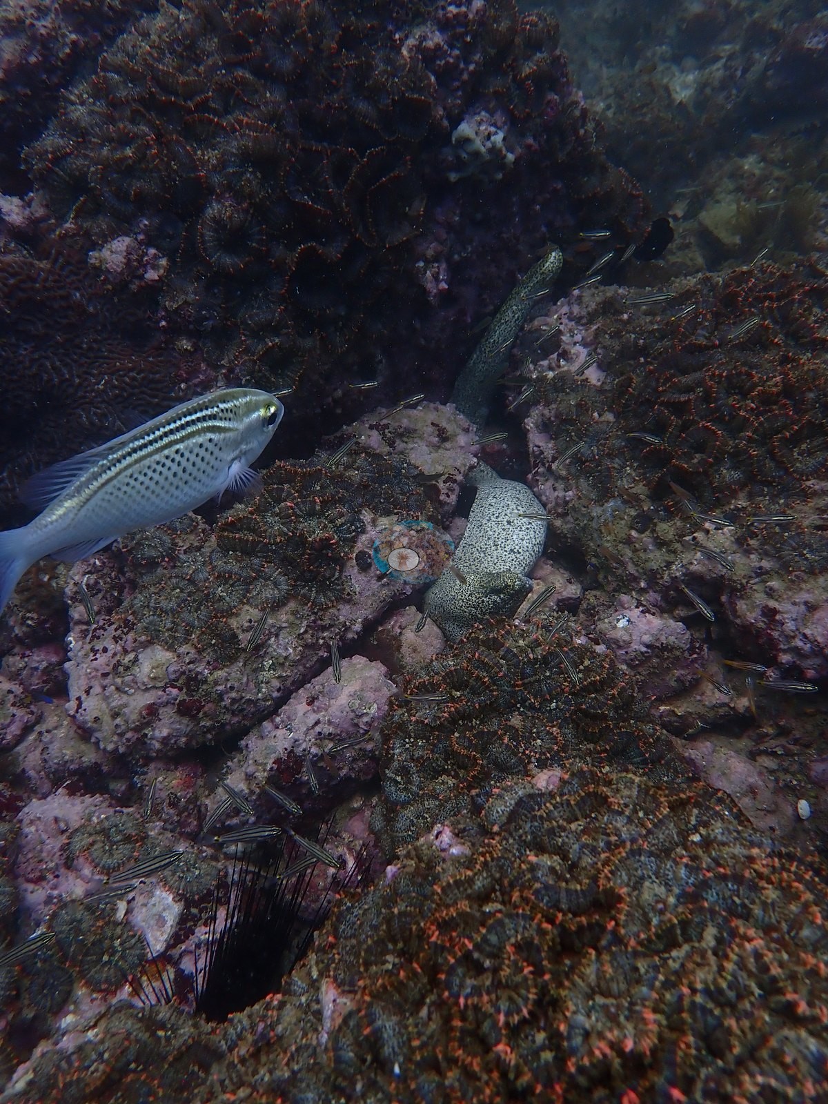
Planktivorous damselfish hung in loose clouds above the branching field, an anemonefish patrolled the leather-coral slope, and barred sergeant-type damselfish crossed the boulders. A buried stingray is also on record for this site from an earlier review, though it is not among these frames.
Comparisons with other data
No independent survey was made at this exact site; the nearest ones are listed in the table below.
Dive record
The site was dived on 21 May 2024.
CV model comparison
More info
Cave Site is the ONLY real CoralNet comparison in this region. The two CoralSCOP columns are PAIRED — a frame counts only if the same stem was scored in both runs, so edited minus unedited is not a frame-selection artifact. CoralSCOP cover is a mask-sum AREA fraction; no point denominator applies to it. The Claude column is the edited-photo blind arm (15 frames/site, 13 at Daymaniyat site 3). The harder unedited fair test is a separate, non-interchangeable number.| Method | Hard-coral cover (%) |
|---|---|
| Manual (published) | 24.9 |
| CoralNet | 24.9 |
| In-house DINOv3 | 24.9 |
| CoralSCOP unedited | 33.3 |
| CoralSCOP edited | 36.5 |
| Claude | 36.1 |
Independent surveys nearby
Within 5 km, 4 independent survey stations recorded hard coral cover in 2025. Surveys since 2021 average 19% (range 4.2–53%, n=6). This site's own estimate (25%) sits within the recent range (4.2–53%); the methods differ, so the comparison is context, not a like-for-like test.
Collected by other programs using different methods, so these are context for the figures above, not a like-for-like comparison. Where a station was surveyed more than once the range is shown. Station names are not dive-site names.
| Agency | Site / location | Date | Hard coral cover (%) | Distance | Link |
|---|---|---|---|---|---|
| Sultan Qaboos University | CAYC (Deep) | 2025 | 12% (2 images) | 0.45 km | Al Asfoor S. Assessing the distribution, diversity, and ecological impact of Drupella snails on coral reefs in Oman |
| Sultan Qaboos University | CAYC (Shallow) | 2025 | 4.2% (2 images) | 0.50 km | Al Asfoor S. Assessing the distribution, diversity, and ecological impact of Drupella snails on coral reefs in Oman |
| Sultan Qaboos University | Qantab Main Beach (Deep) | 2025 | 53% | 3.56 km | Al Asfoor S. Assessing the distribution, diversity, and ecological impact of Drupella snails on coral reefs in Oman |
| Sultan Qaboos University | Qantab Main Beach ( Shallow) | 2025 | 25% | 3.58 km | Al Asfoor S. Assessing the distribution, diversity, and ecological impact of Drupella snails on coral reefs in Oman |
Data & links
- CoralNet image repository for this region ↗
- Photo portfolio ↗
- Coral Reef Diagnostics page for this area ↗
All images from Coral Reef Diagnostics. Data are from Coral Reef Diagnostics and the organizations named in the data-sources table above.
© Coral Reef Diagnostics.