
North Dry Rocks (Key Largo)

Part of the regional summary: USA - Florida
More info
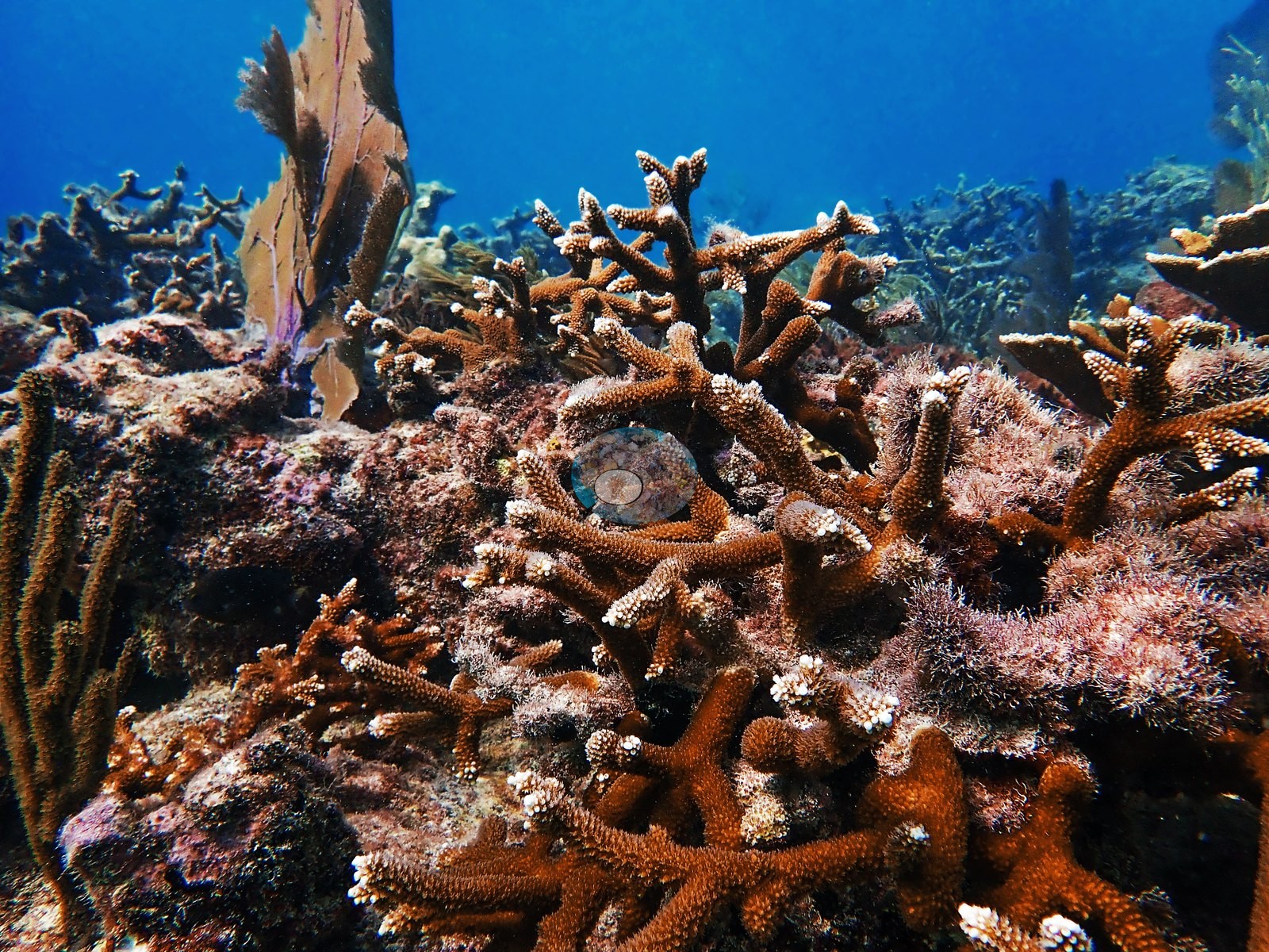
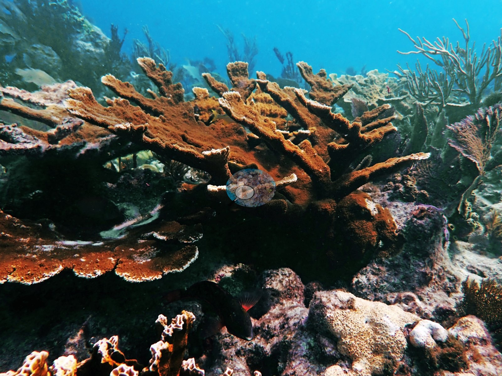
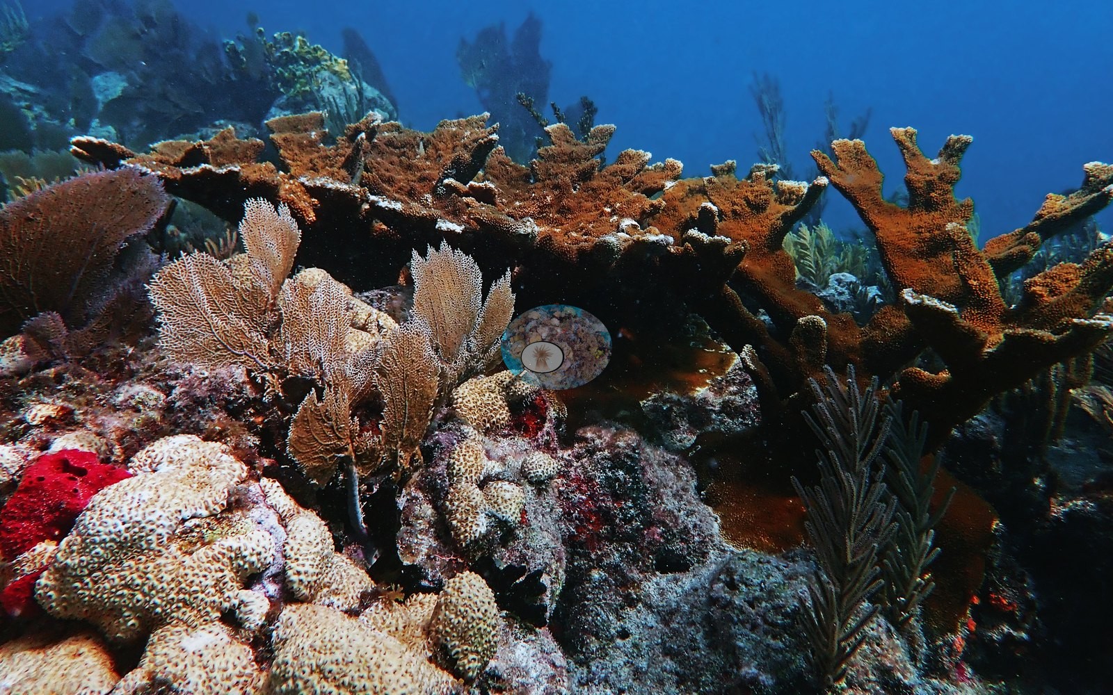
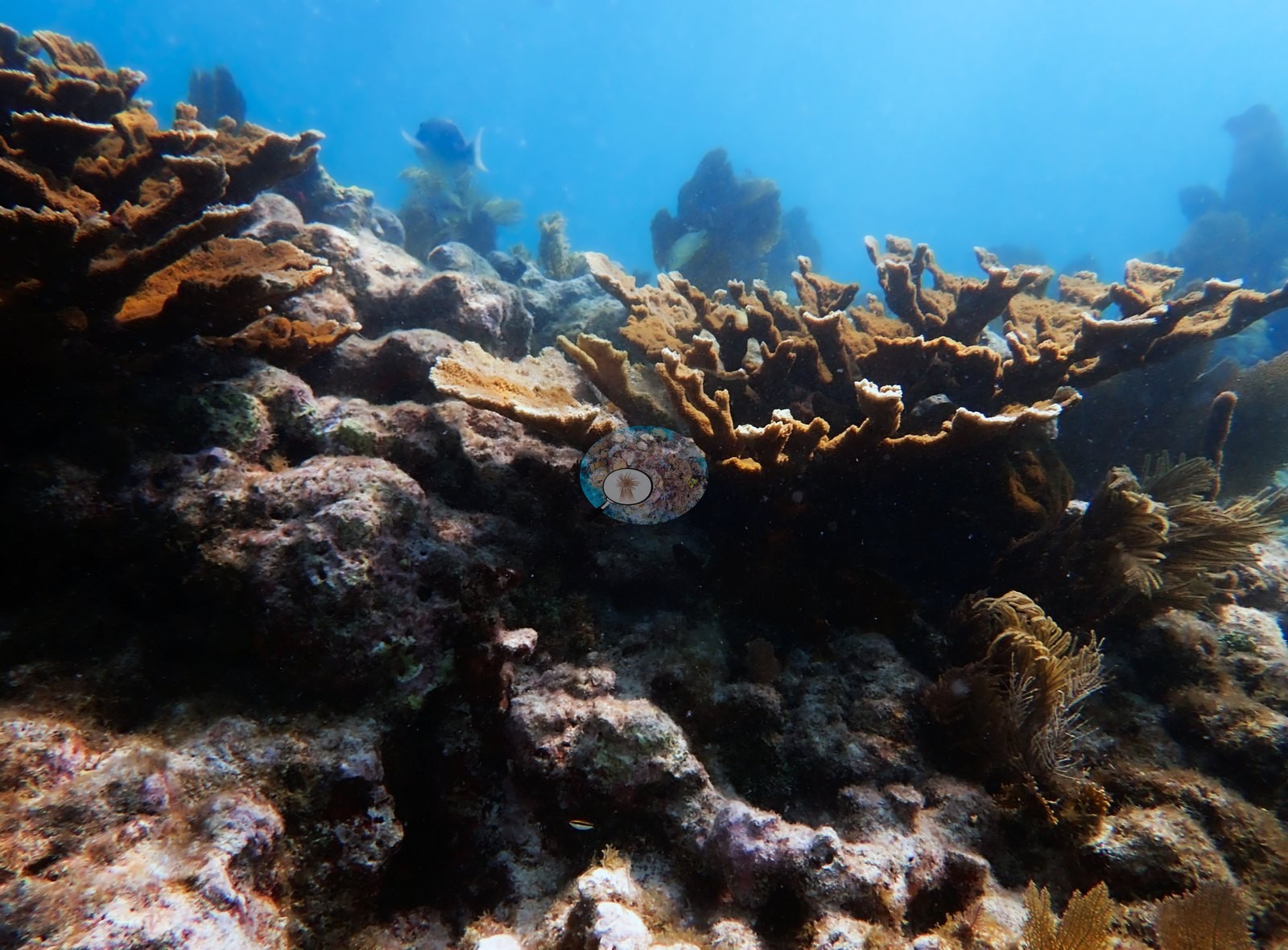
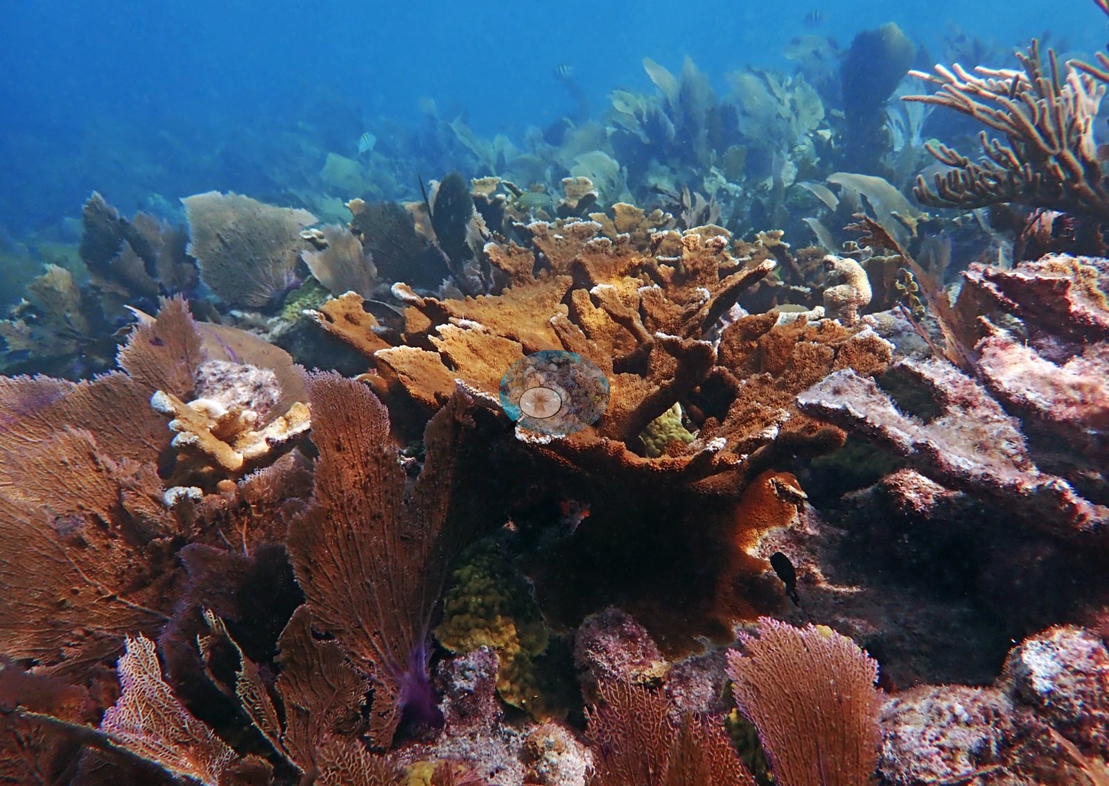
Florida Keys (NOAA CRW virtual station)A shallow spur-and-groove reef in John Pennekamp Coral Reef State Park whose headline feature is standing Acropora: large, intact, meter-scale elkhorn colonies as well as dense staghorn thickets, both now rare in the Keys. Some elkhorn show pale or partly bare patches at their bases and blade edges, and octocorals fill the pavement between.
58 independent survey stations shown with the program’s logo — click one to see how far it is from this site.
One other CRD dive site with its own page within 5 km shown in orange — click a marker to open its page.
This page shows 101 of the 134 photographs from this site, including every one the text cites.
Site description
Setting
North Dry Rocks, inside John Pennekamp Coral Reef State Park off Key Largo, photographed across 118 edited frames in a single dive. The set reads as a shallow, high-light Florida Keys spur-and-groove reef top: low-relief pinkish coralline pavement and rubble aprons carrying discrete, widely spaced coral structures, with octocorals doing most of the visual work between them (e.g., Image 101).
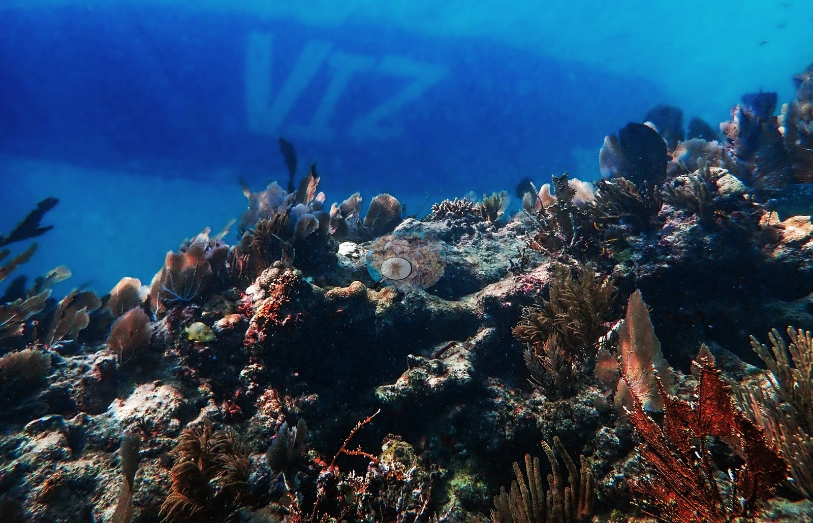
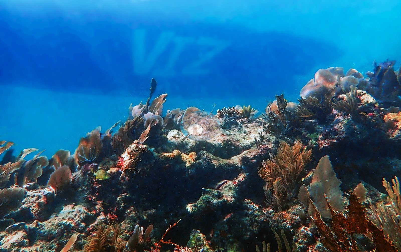
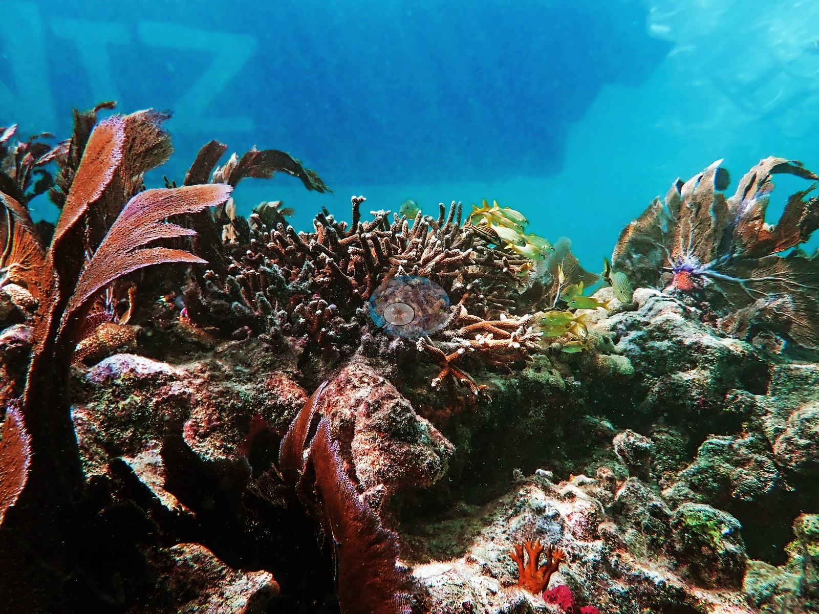
Depth is clearly shallow throughout — surface light, sun glitter, and blue water are visible in most wide frames, and in Image 70, Image 71, and Image 74 a vessel hull with painted lettering sits directly overhead at the surface, so the reef top is within easy sight of a moored boat.
General benthic features
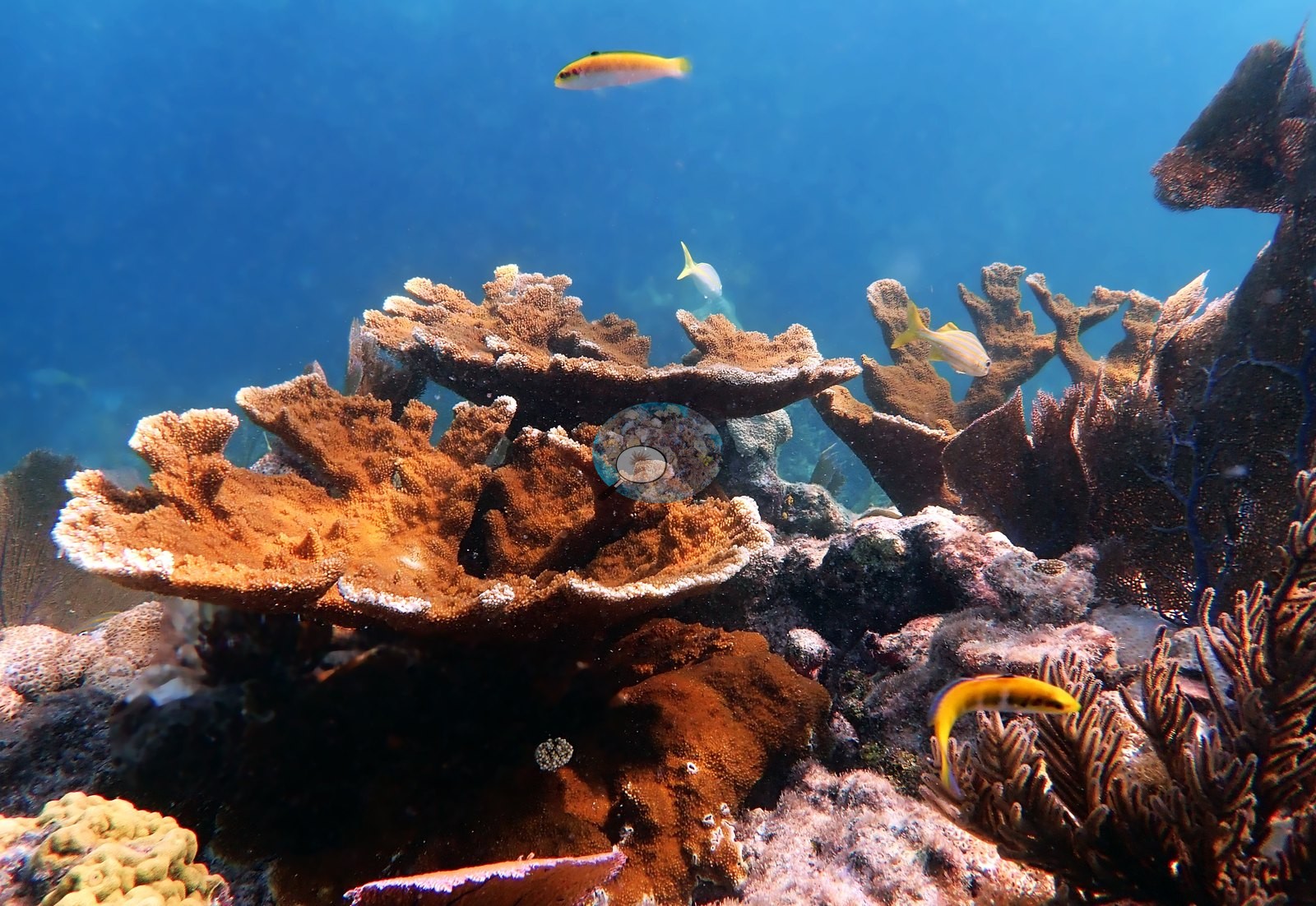
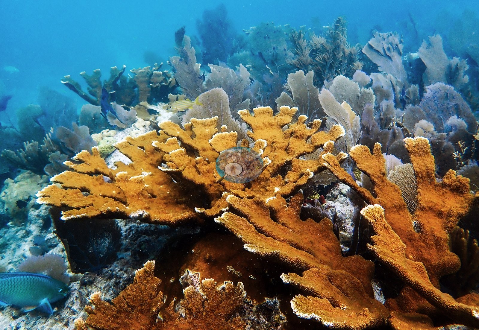
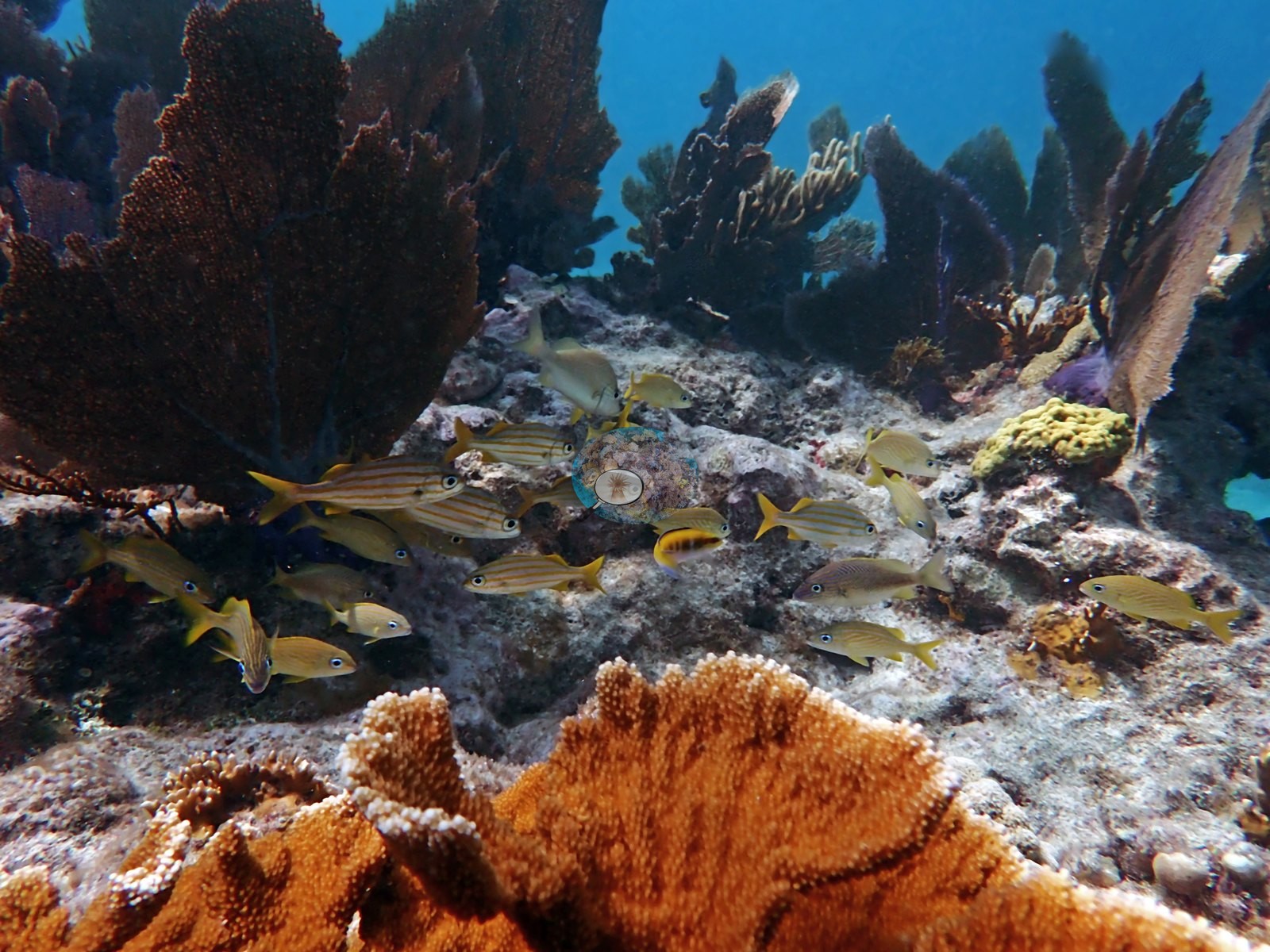
The headline feature of this set is standing Acropora. Elkhorn (A. palmata, Anderson's identification on Image 2, Image 141, and Image 137) appears as large, intact, plated colonies in a substantial share of frames — Image 4, Image 5, Image 6, Image 7, Image 24, Image 25, Image 26, Image 32, Image 33, Image 34, Image 77, Image 82, Image 117, Image 118, Image 120, Image 121, Image 122, Image 131, Image 134, Image 139, Image 142, Image 143, Image 144, Image 145, Image 141, and Image 137 all show plating elkhorn structures, several of them meter-scale with multiple overlapping blades.
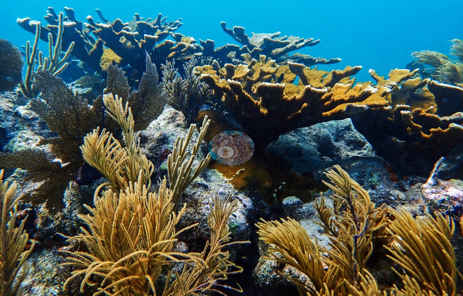
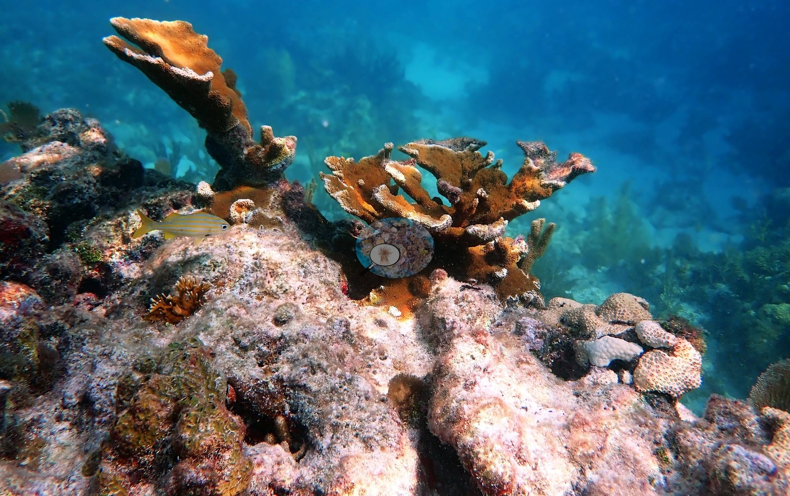
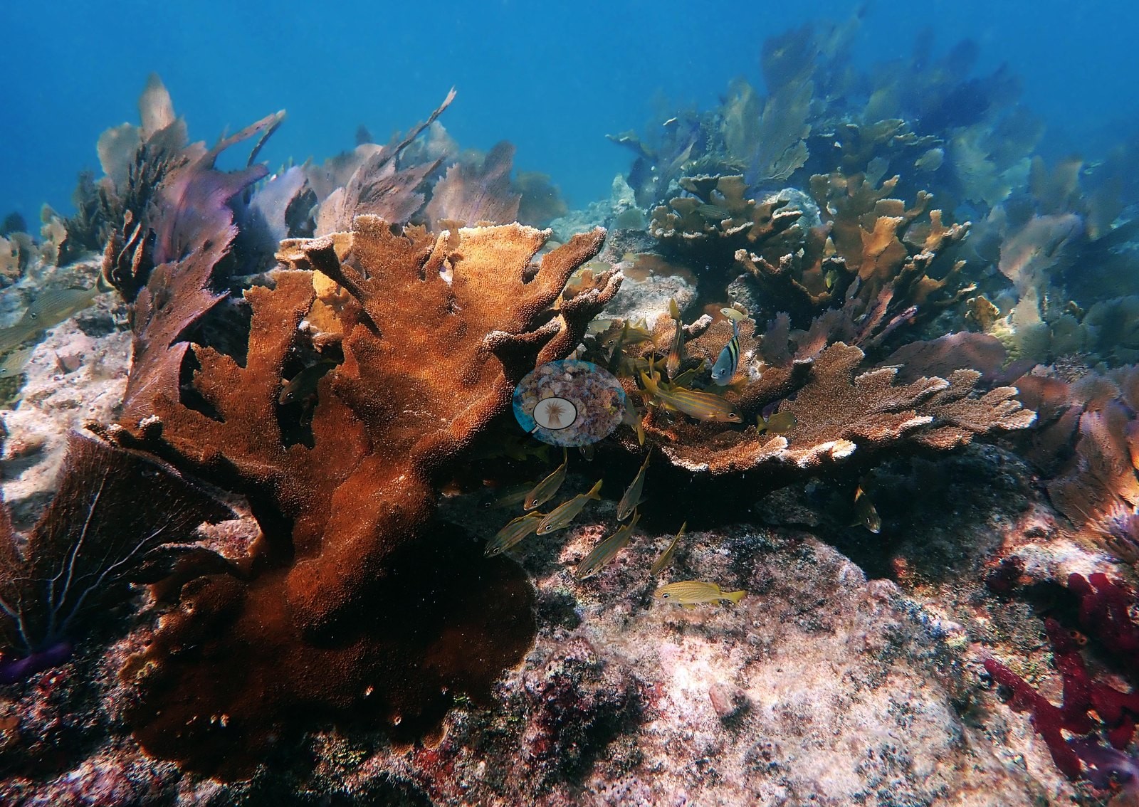
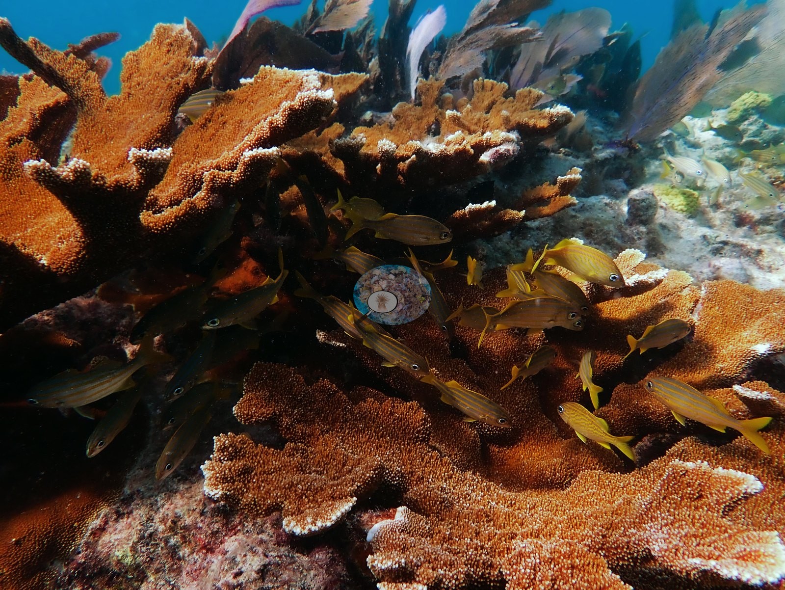
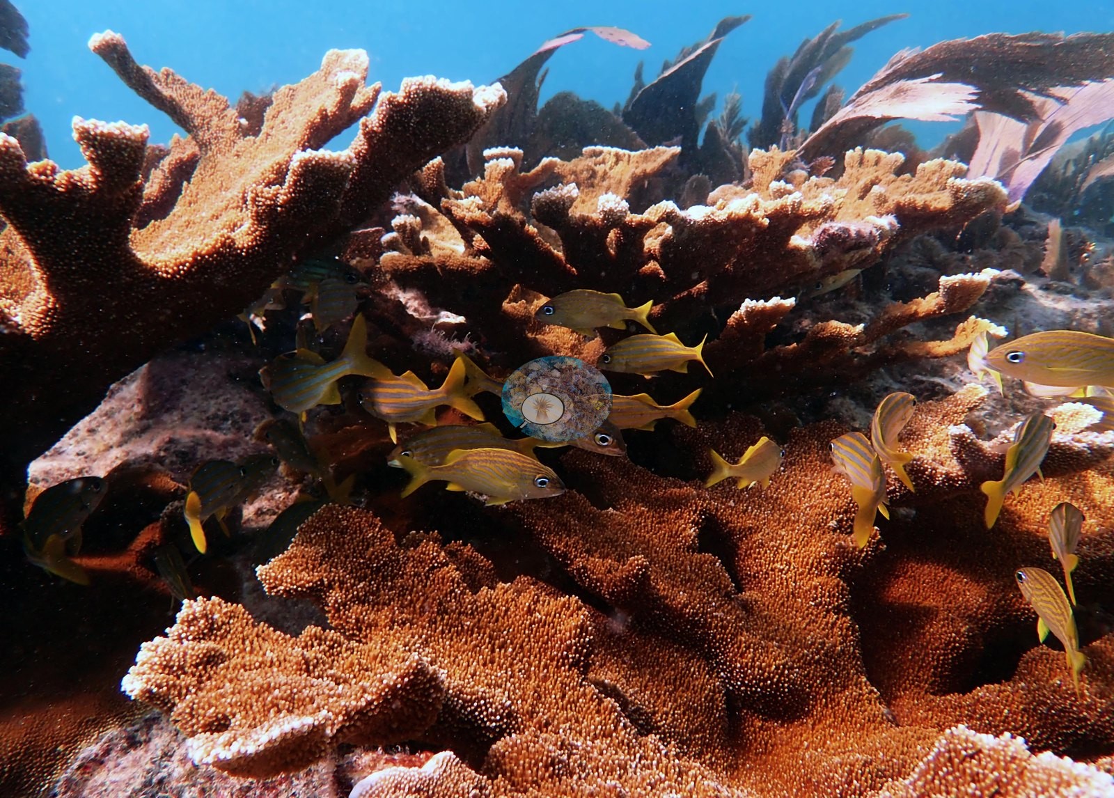
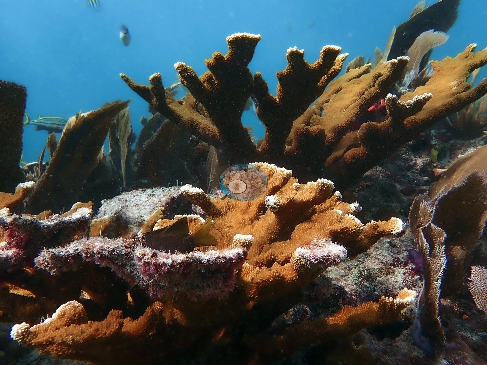
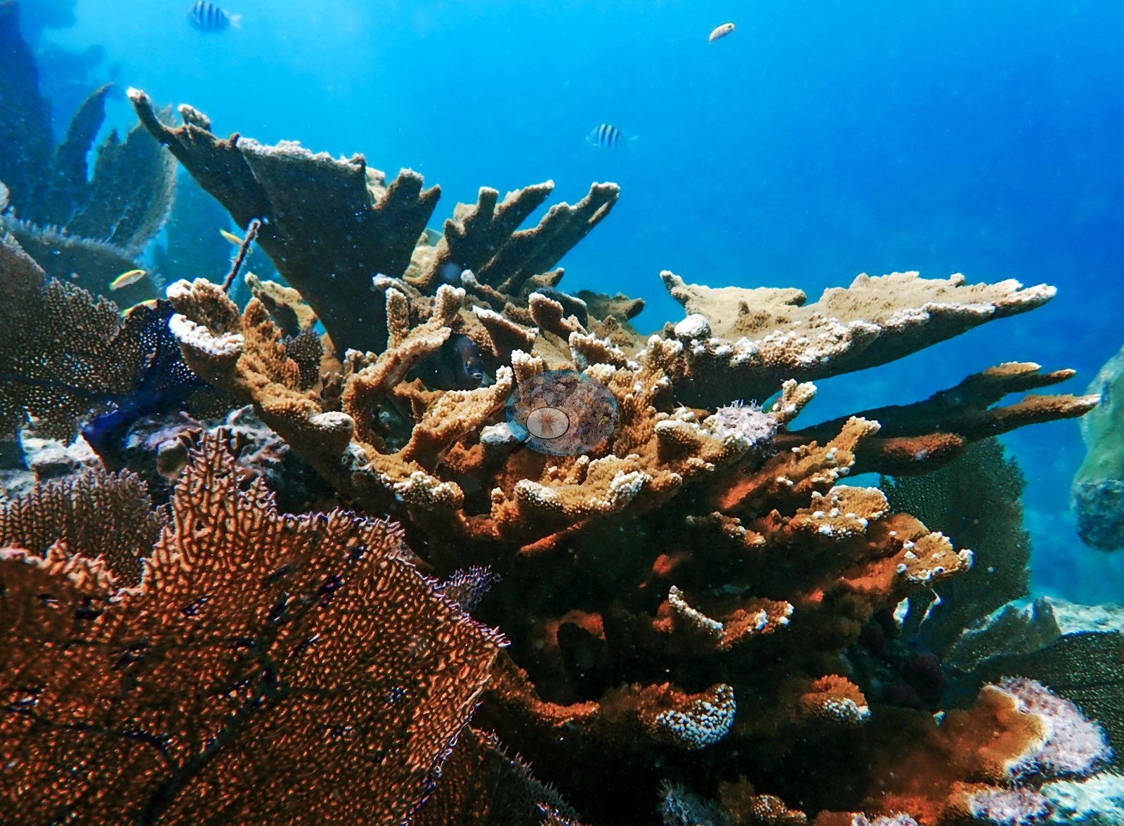
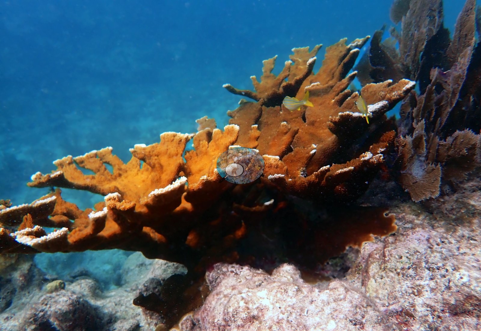
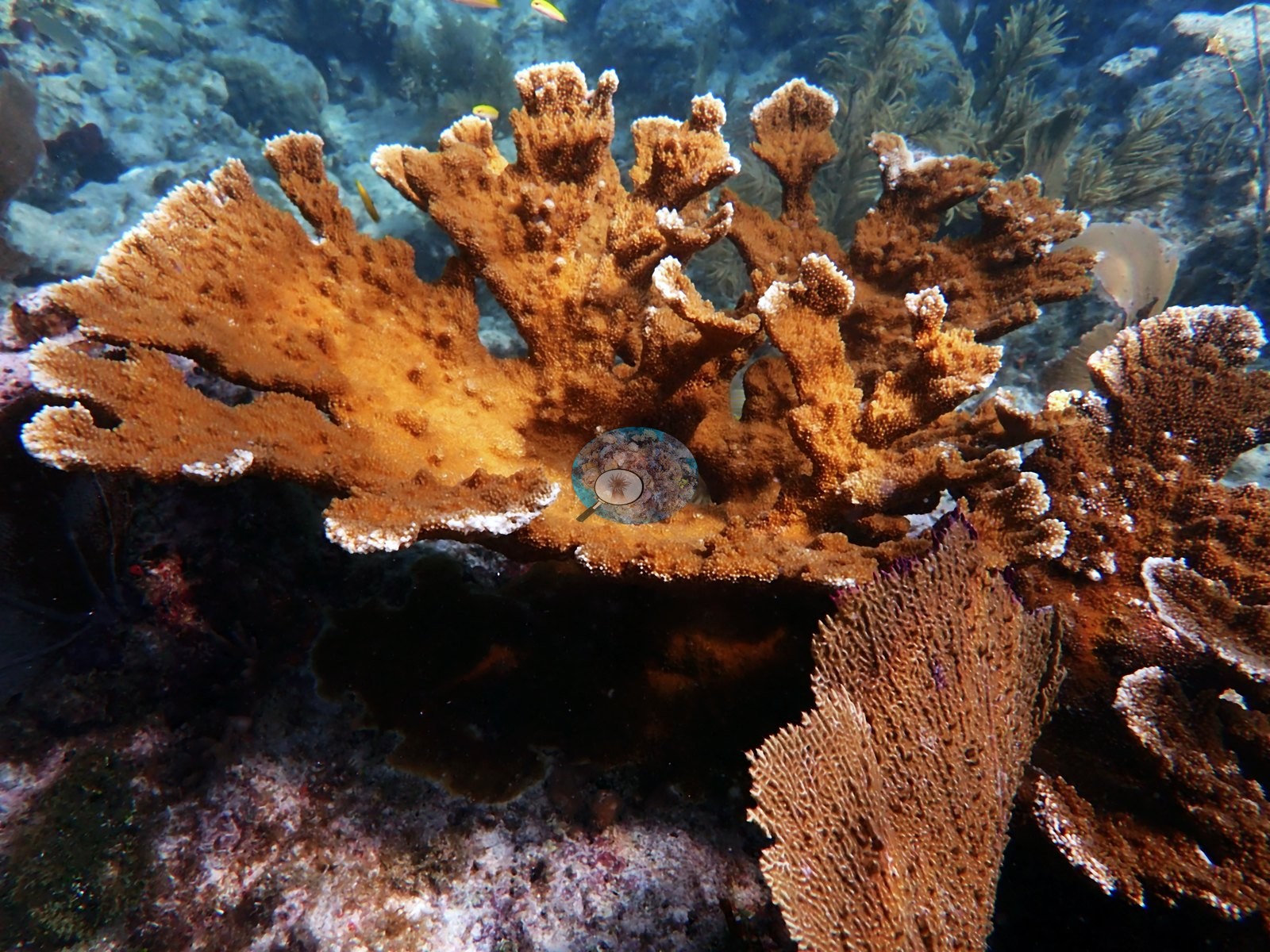
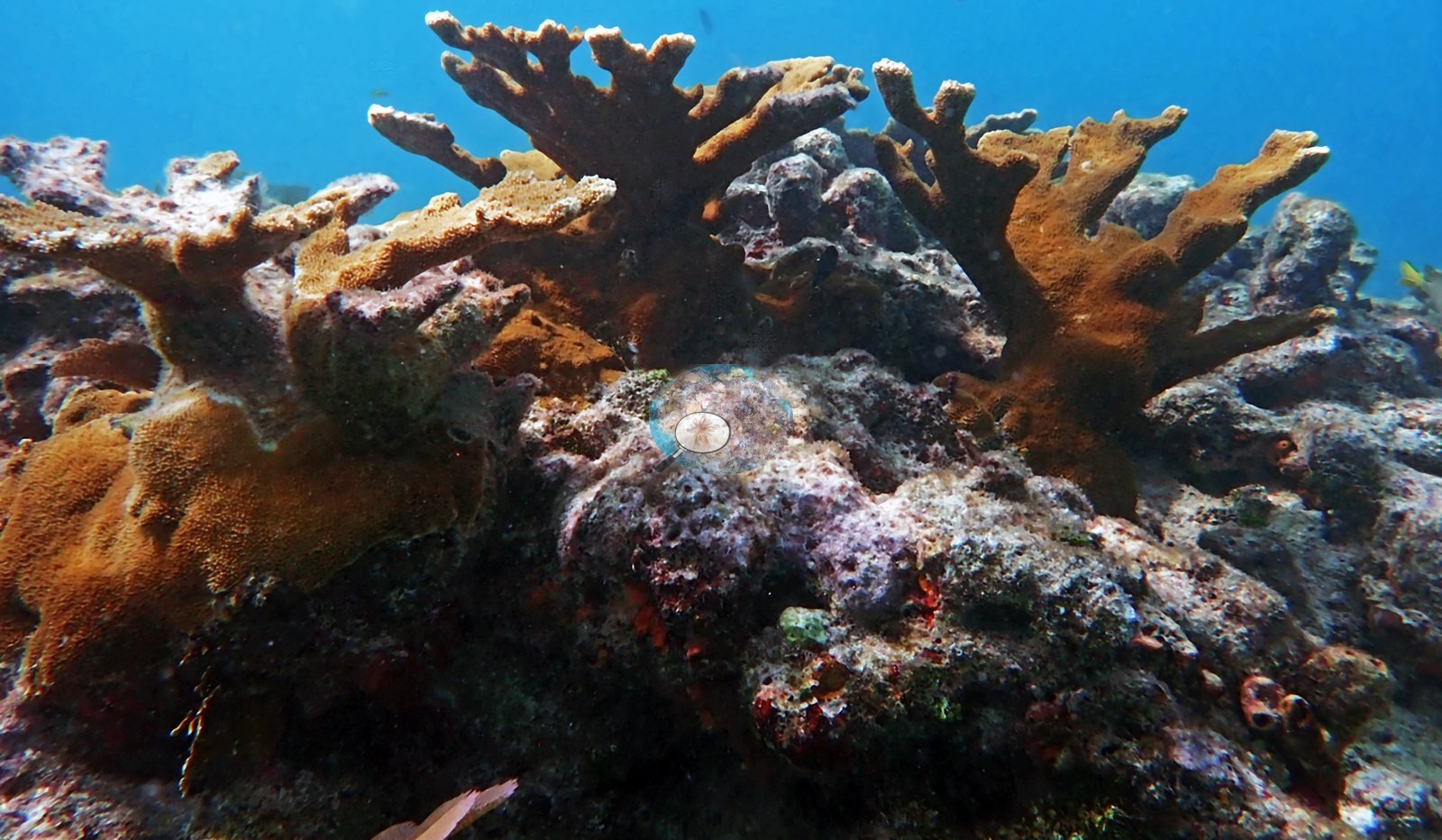
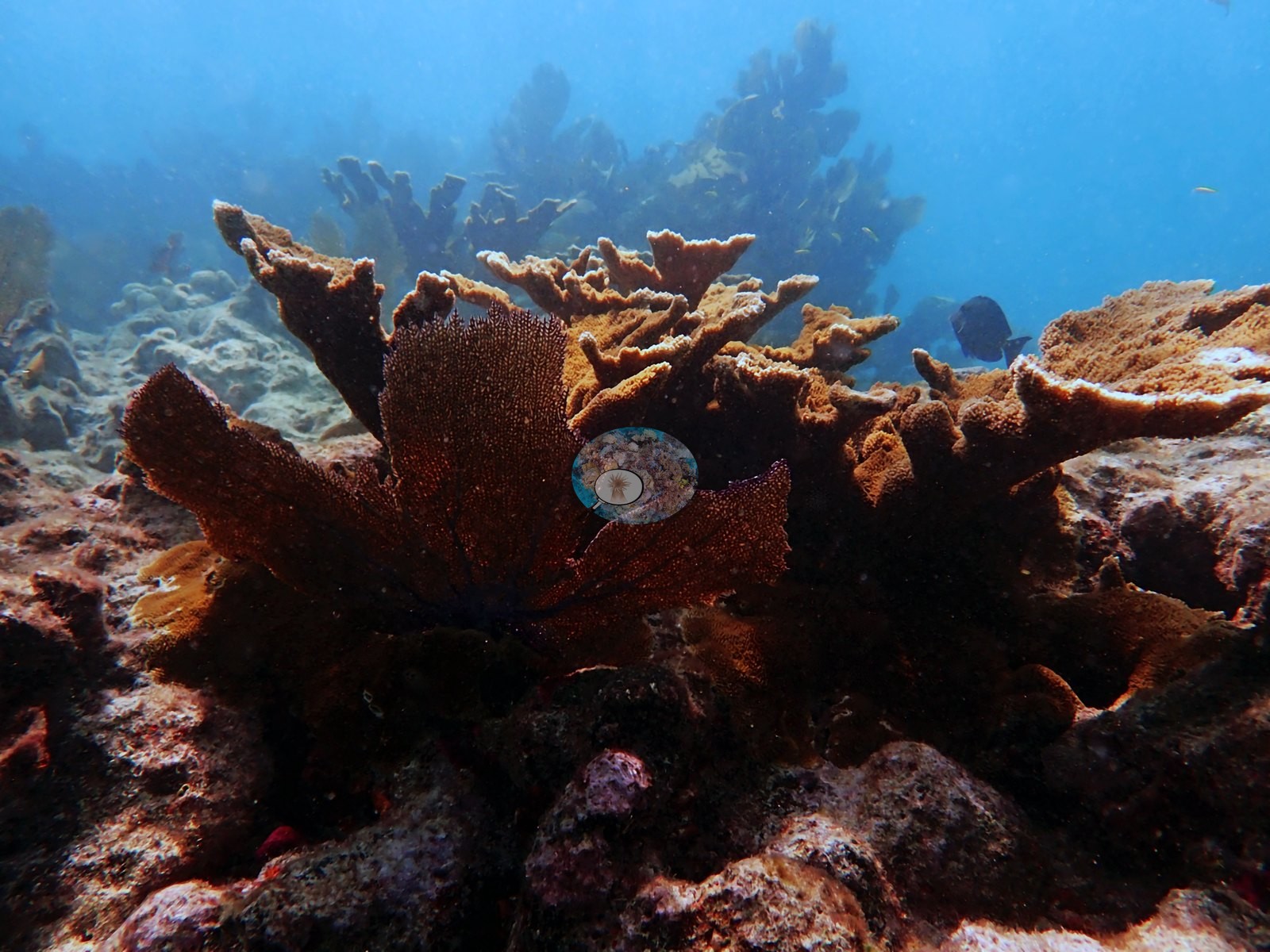
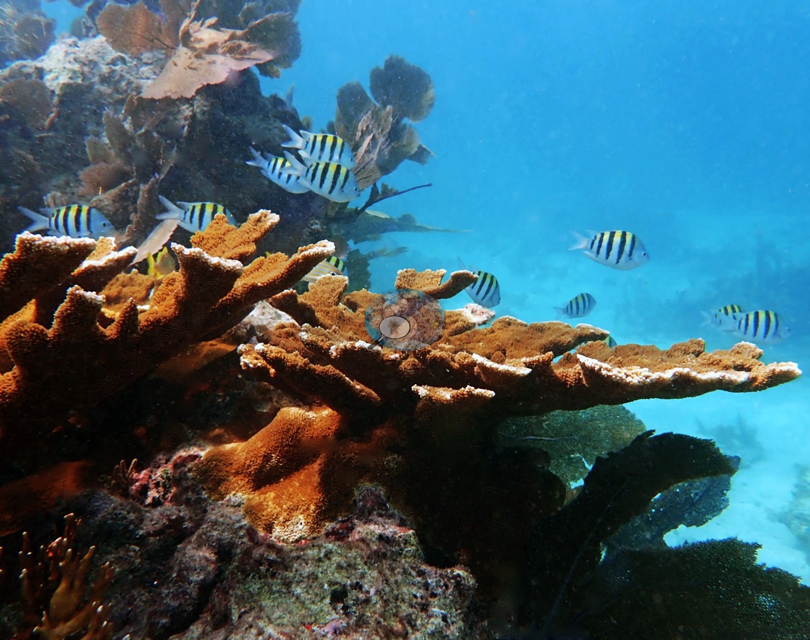
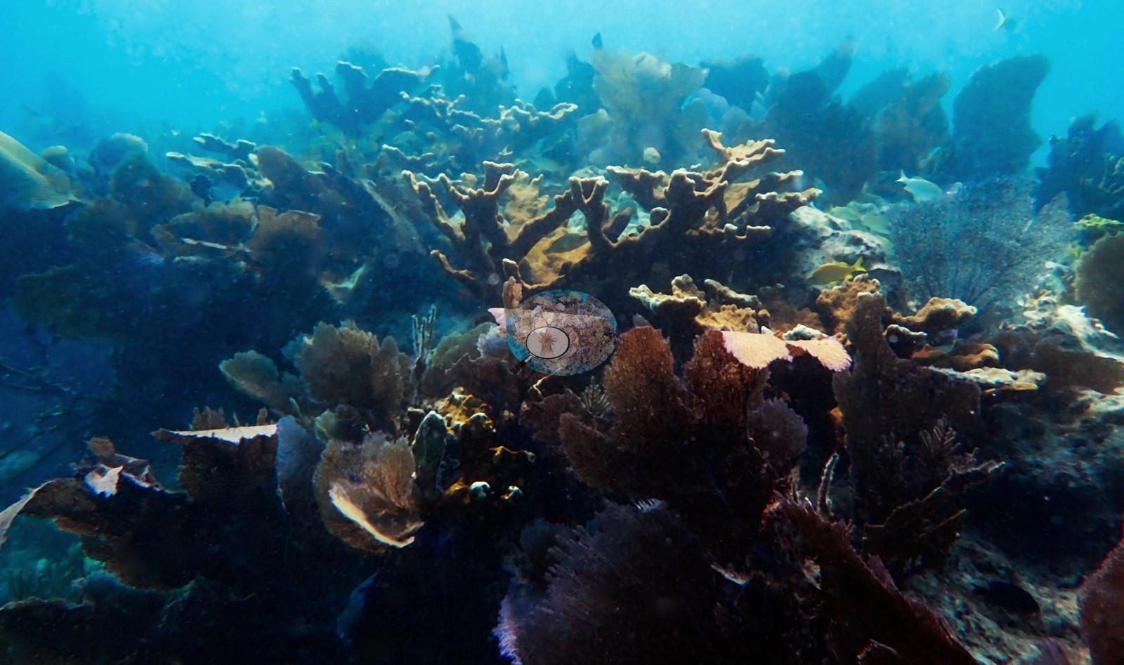
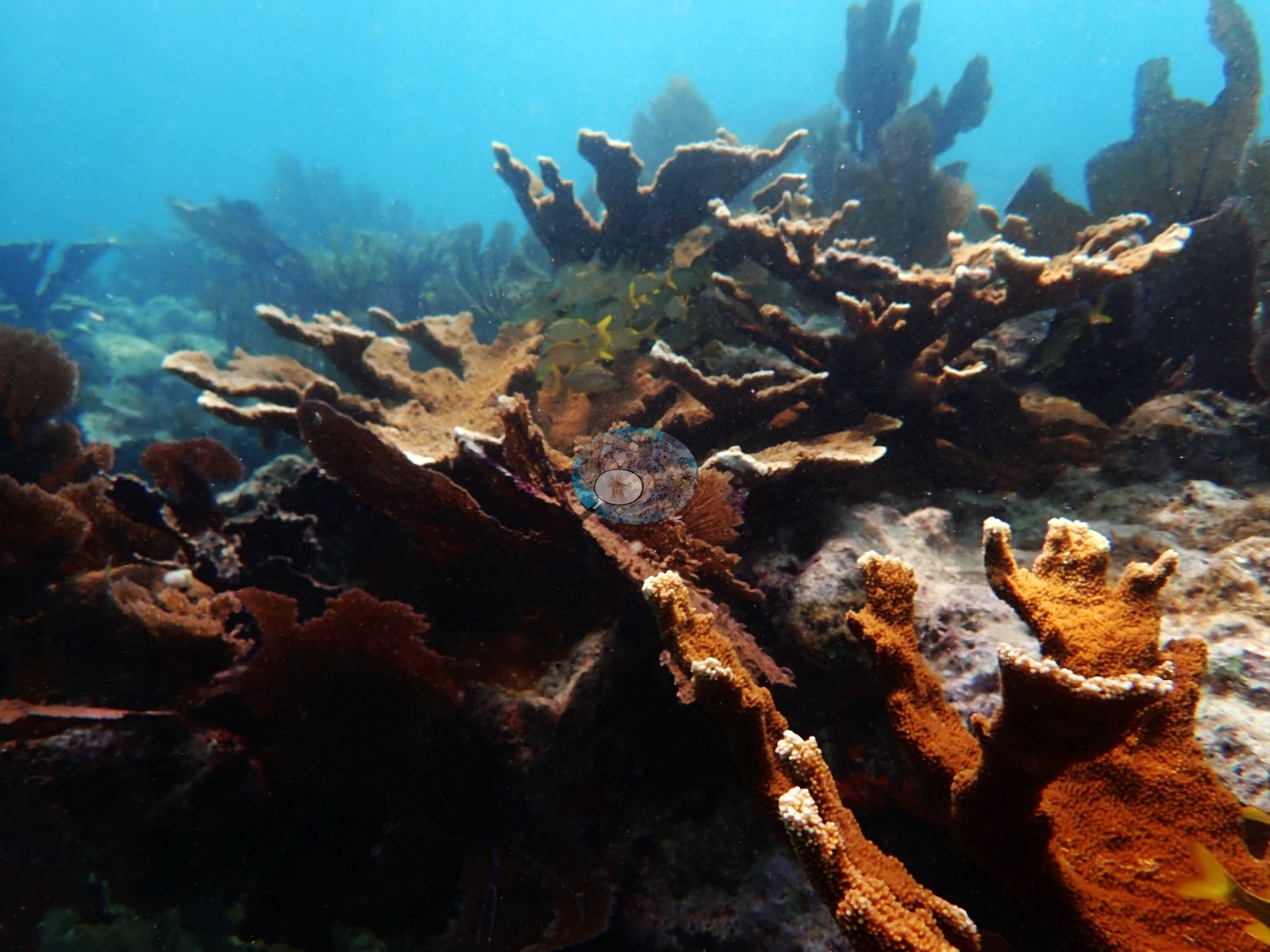
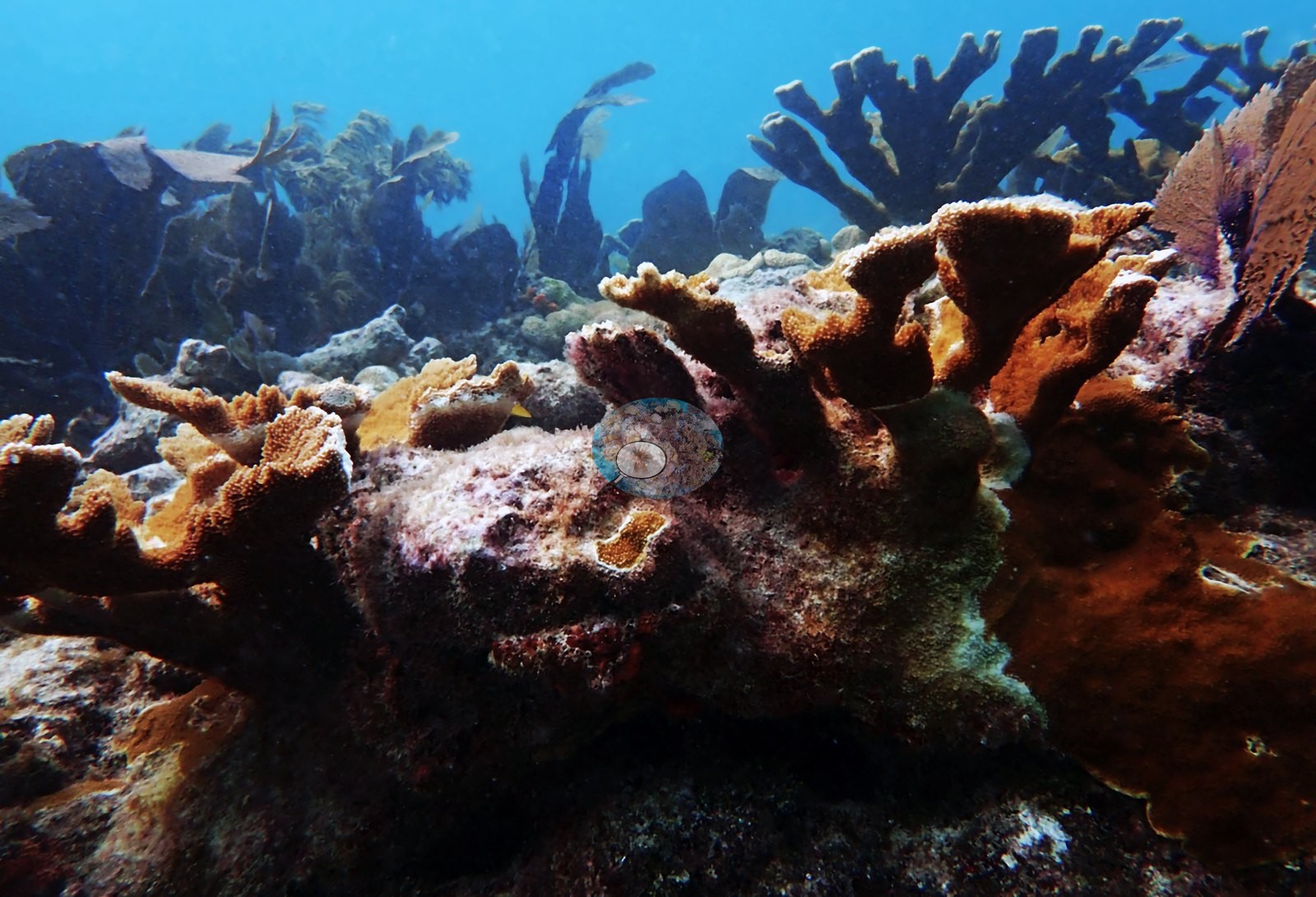
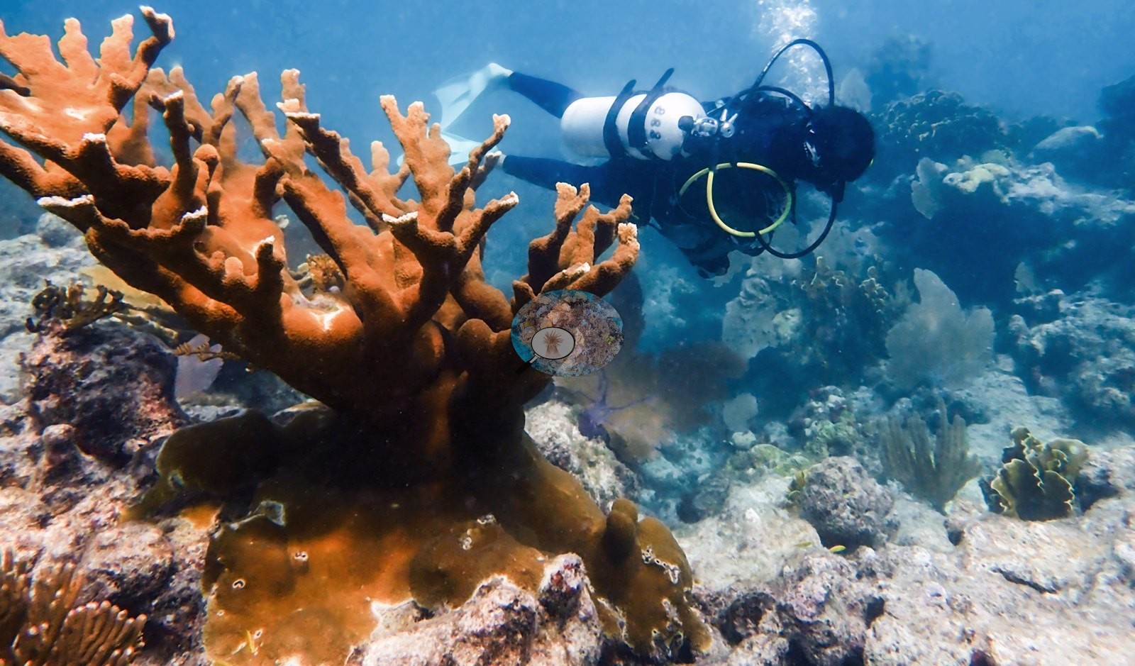
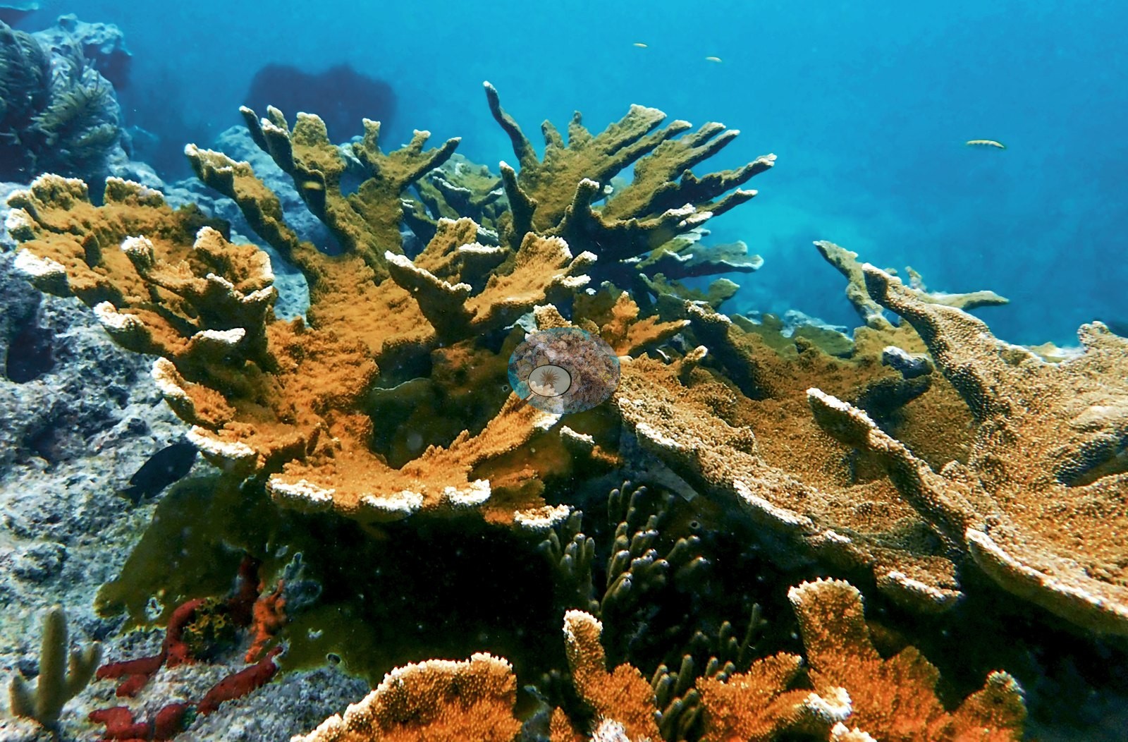
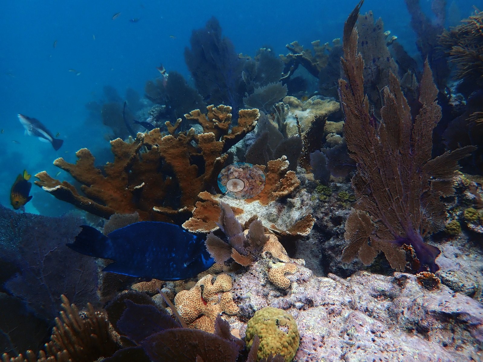
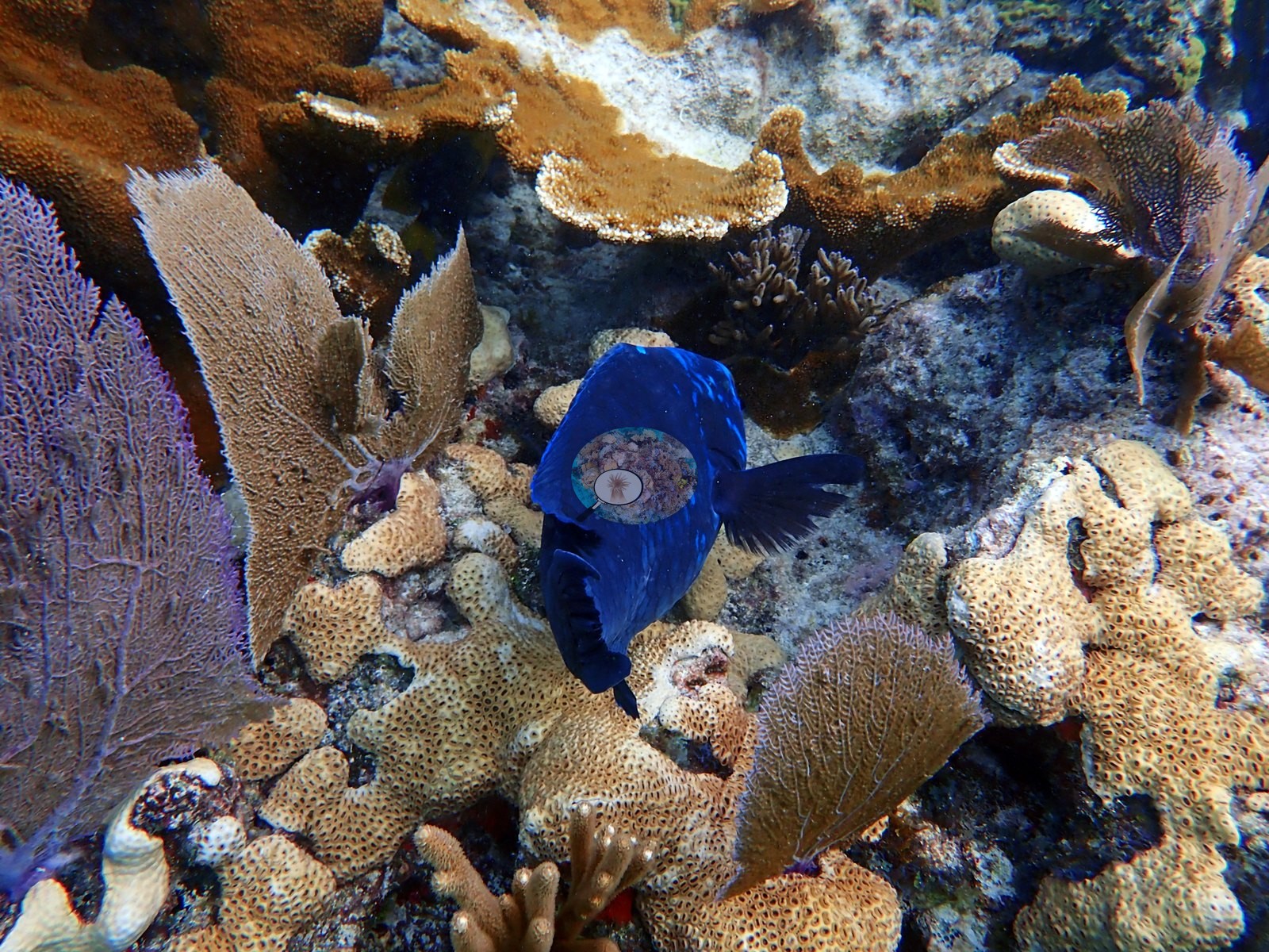
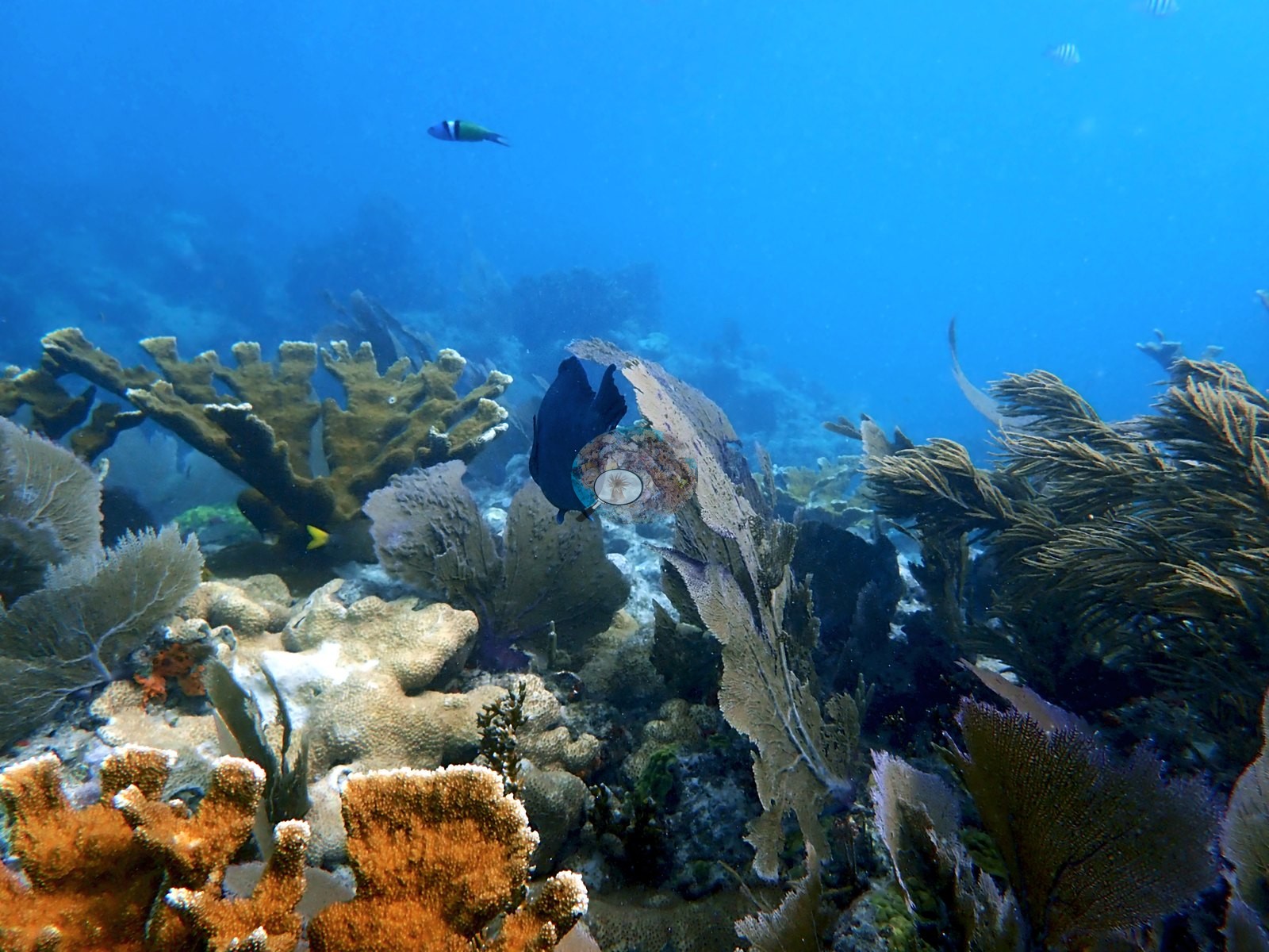
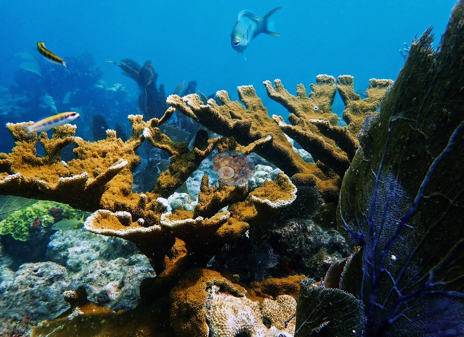
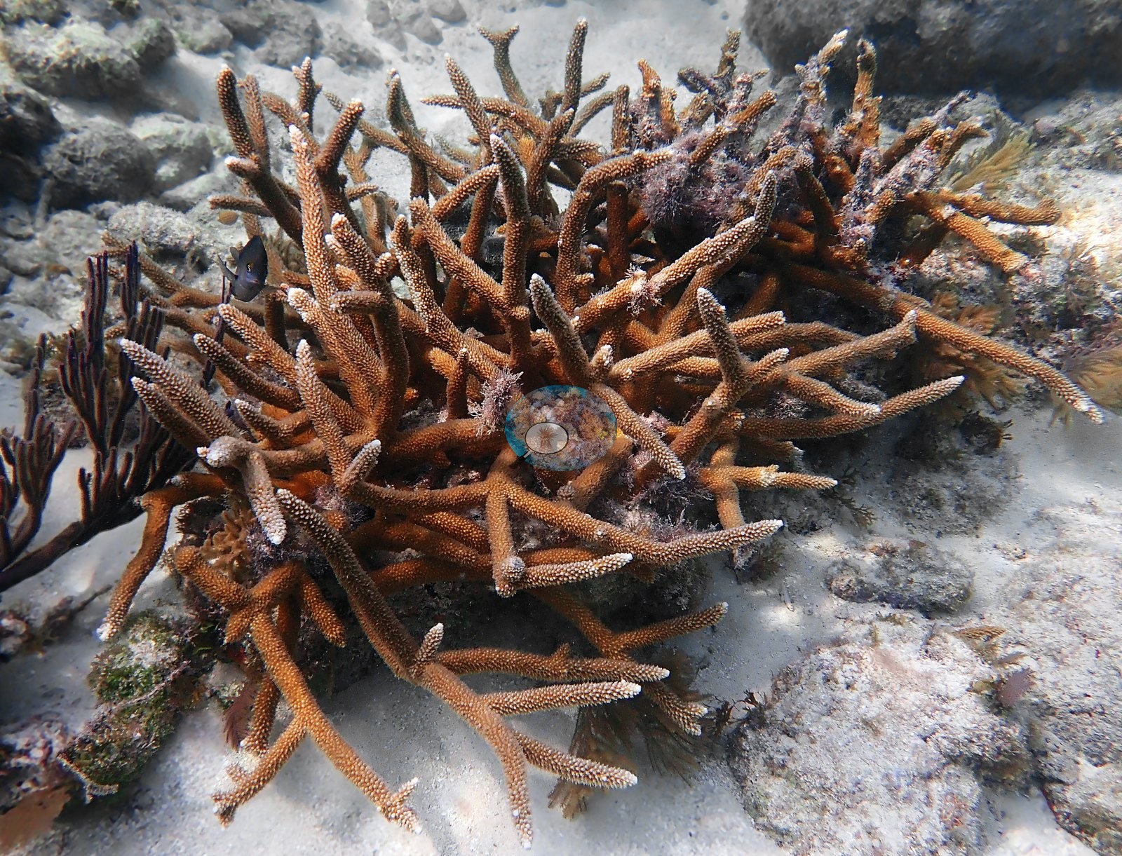
Staghorn (A. cervicornis, Anderson's identification on Image 101, Image 105, and Image 52) is the other dominant framework element, appearing as discrete dense thickets sitting on sand and rubble rather than as continuous cover: Image 101, Image 105, Image 52, Image 43, Image 44, Image 45, Image 48, Image 57, Image 58, Image 59, Image 98, Image 104, Image 107, Image 109, Image 110, Image 111, and Image 114.
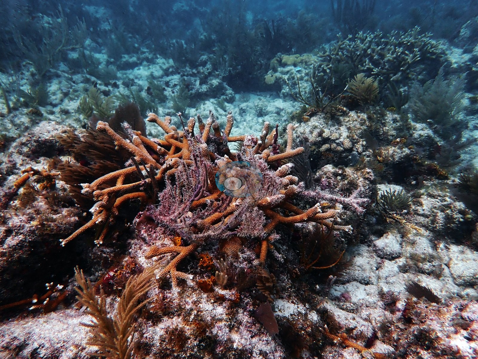
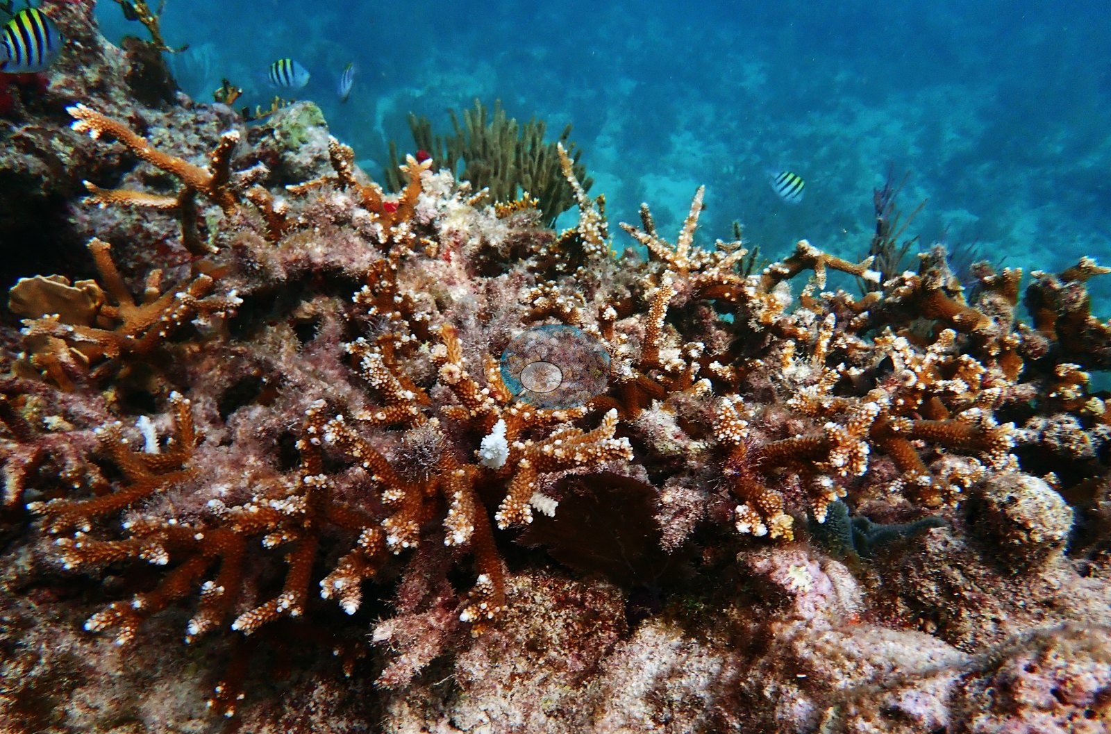
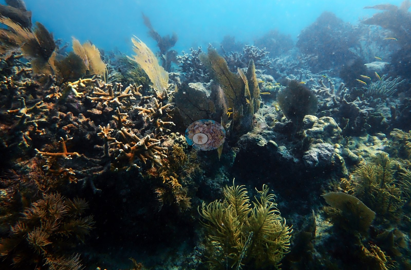
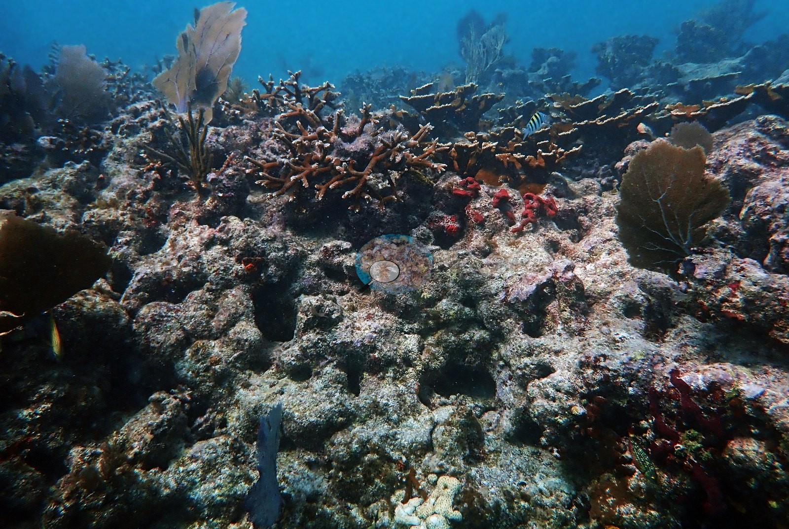
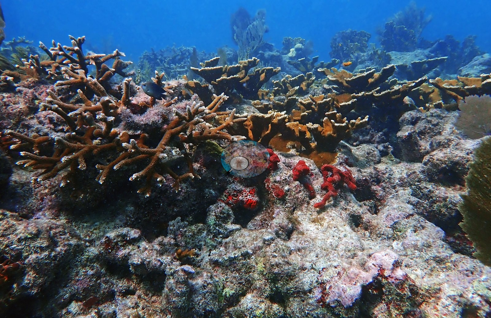
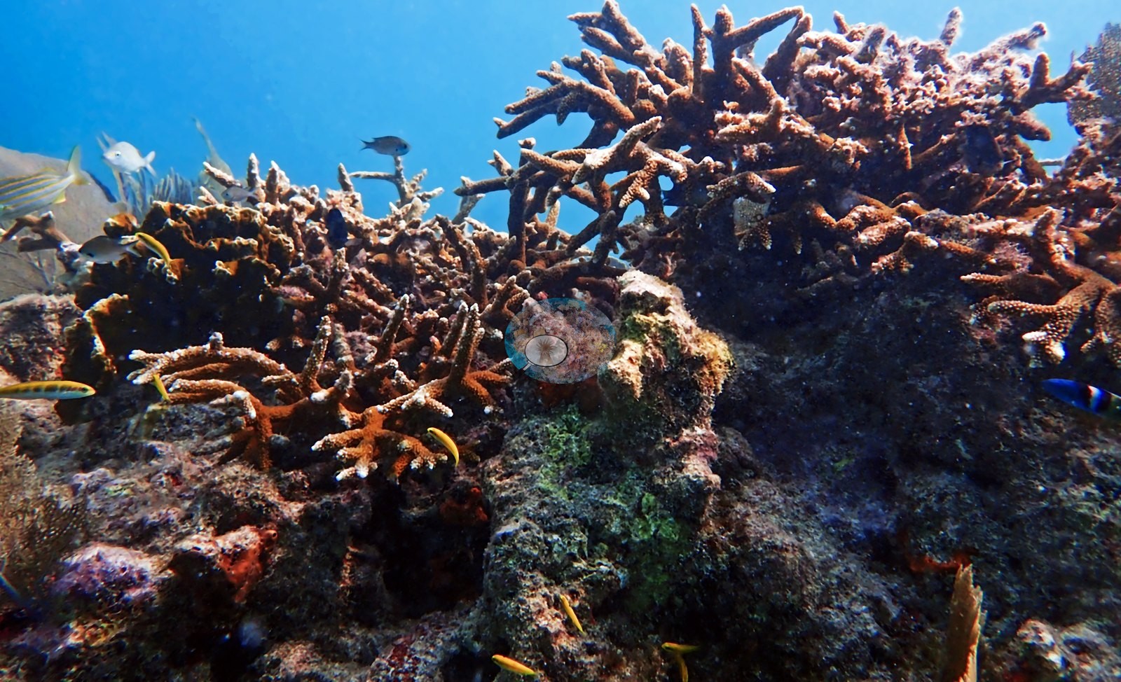
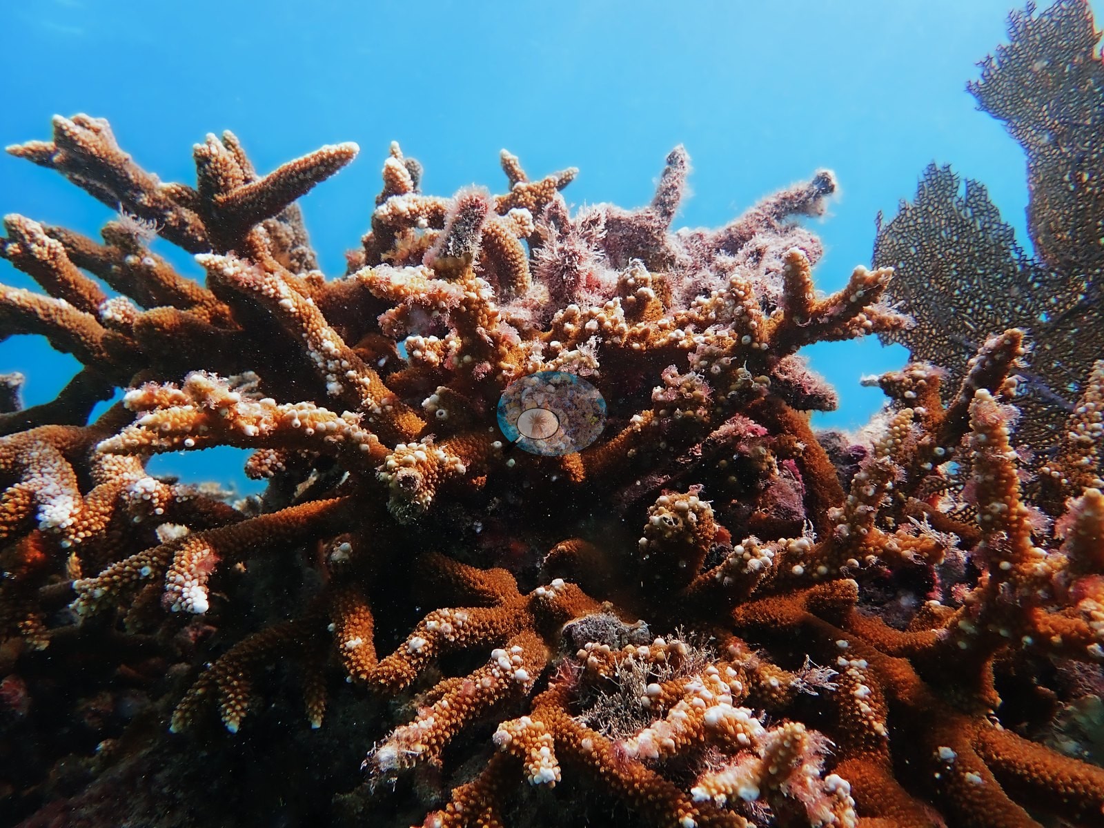
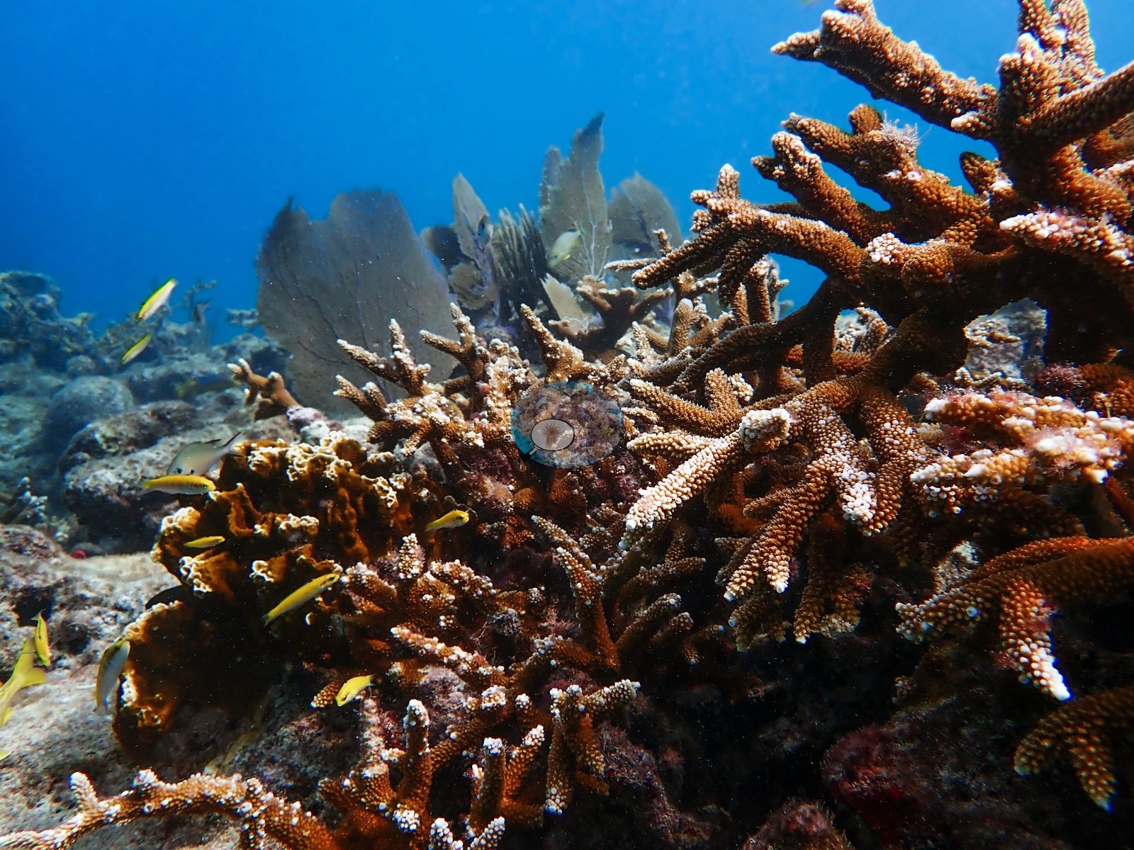
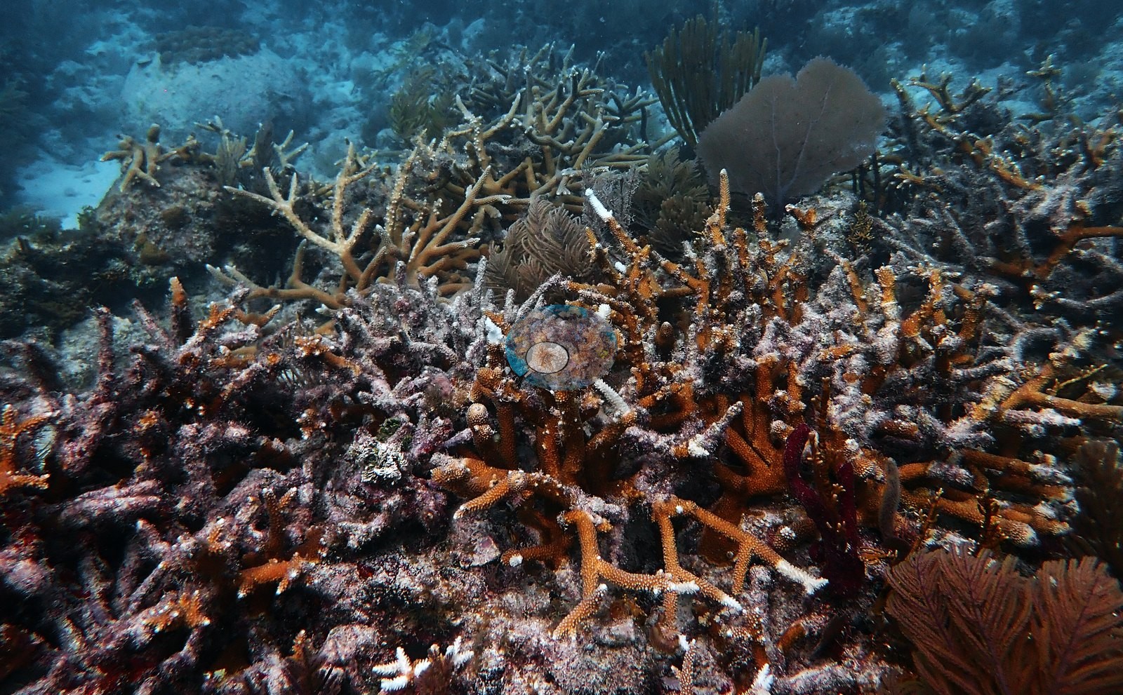
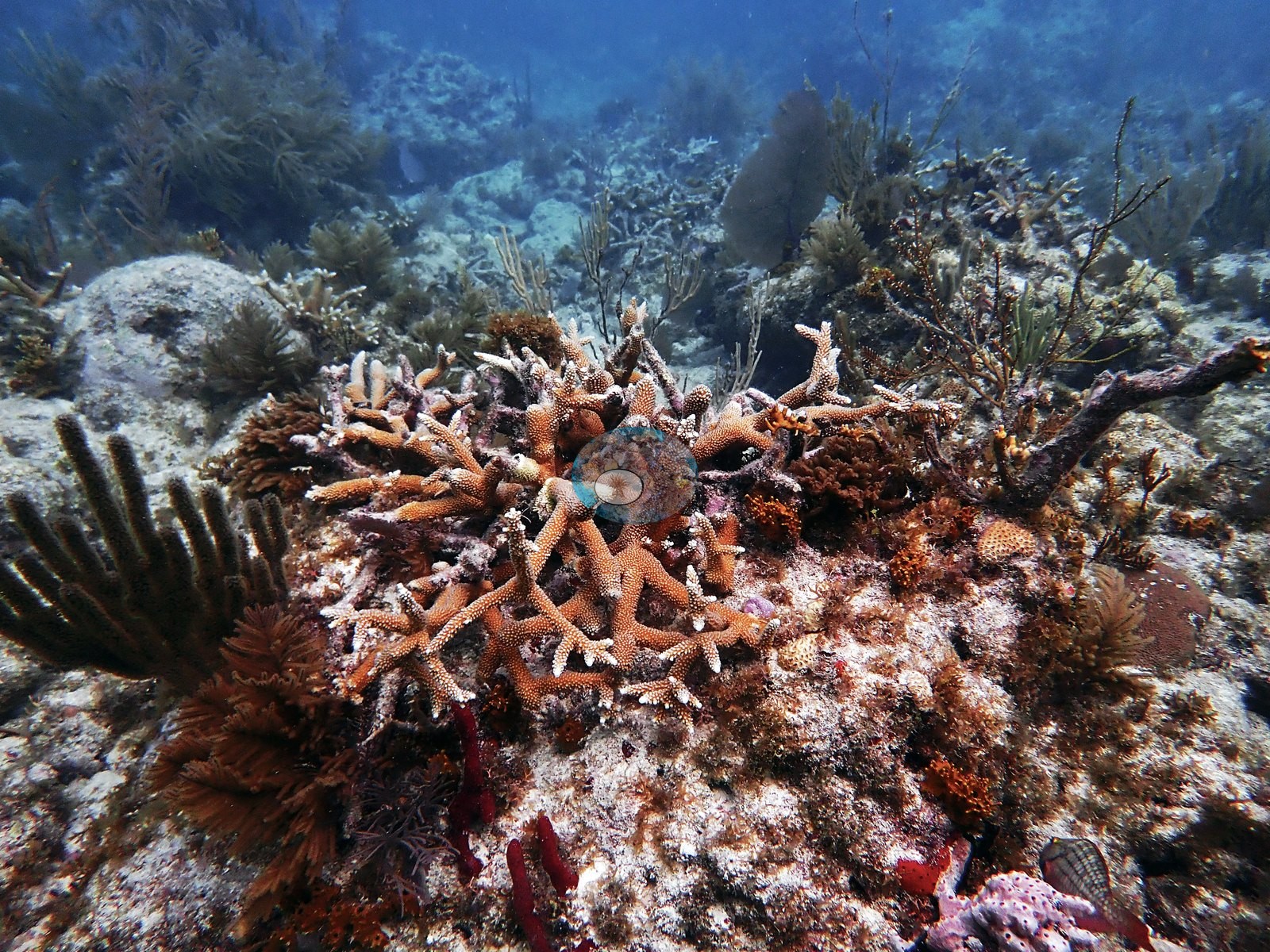
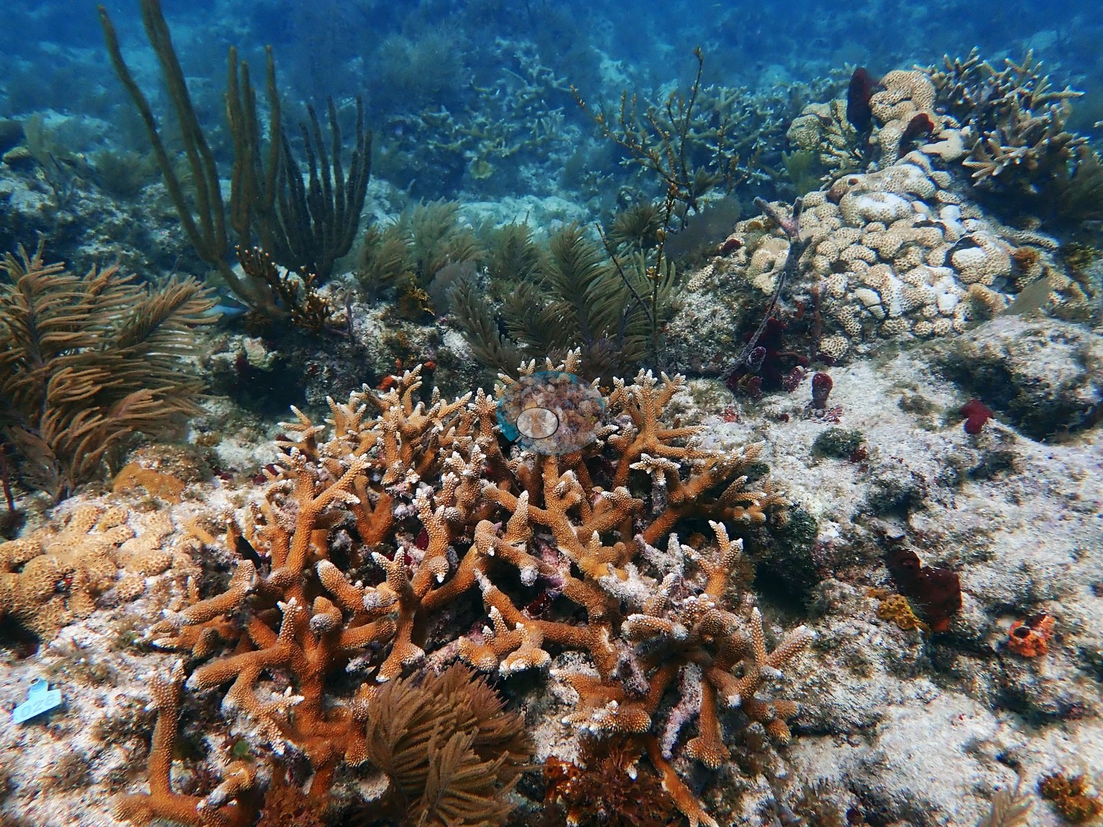
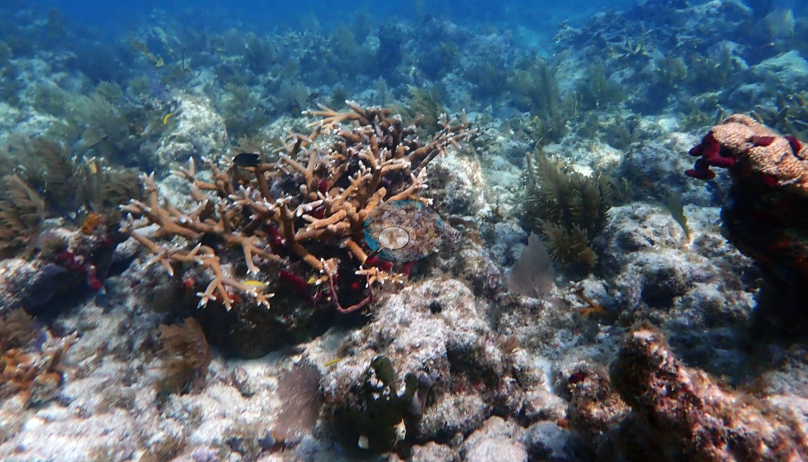
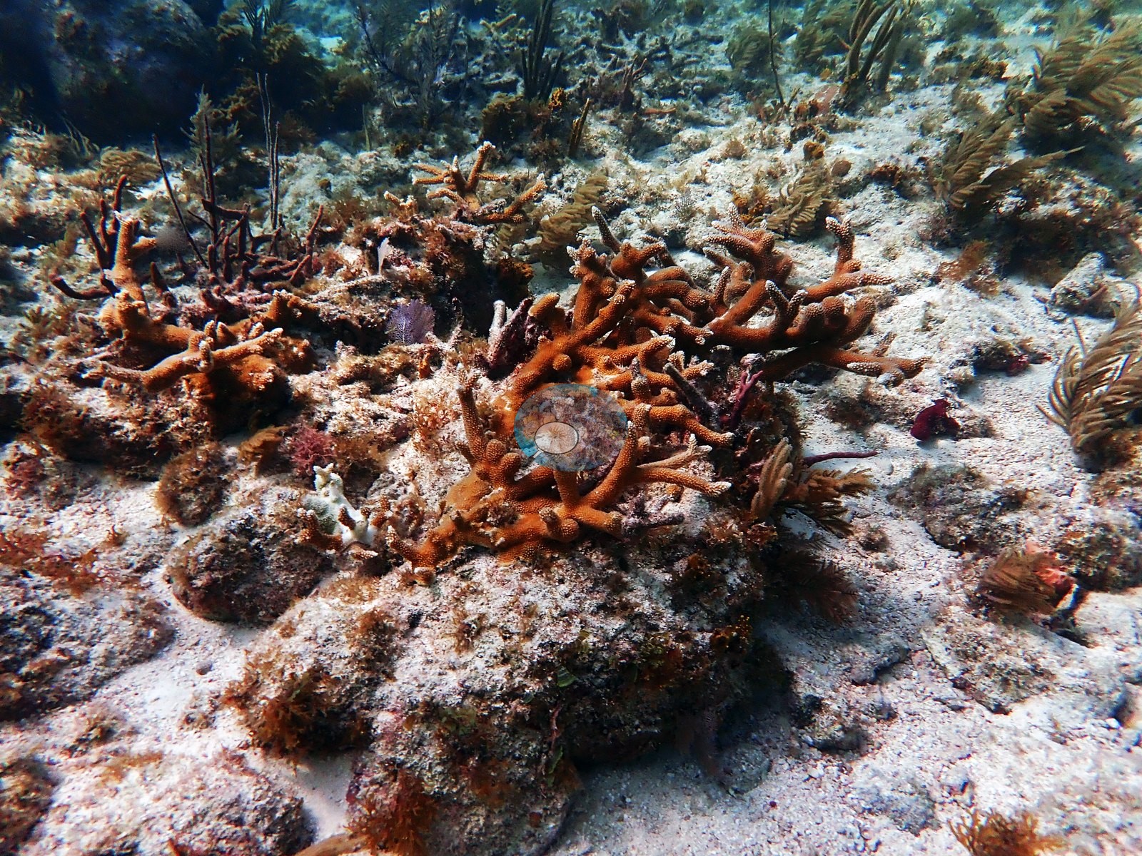
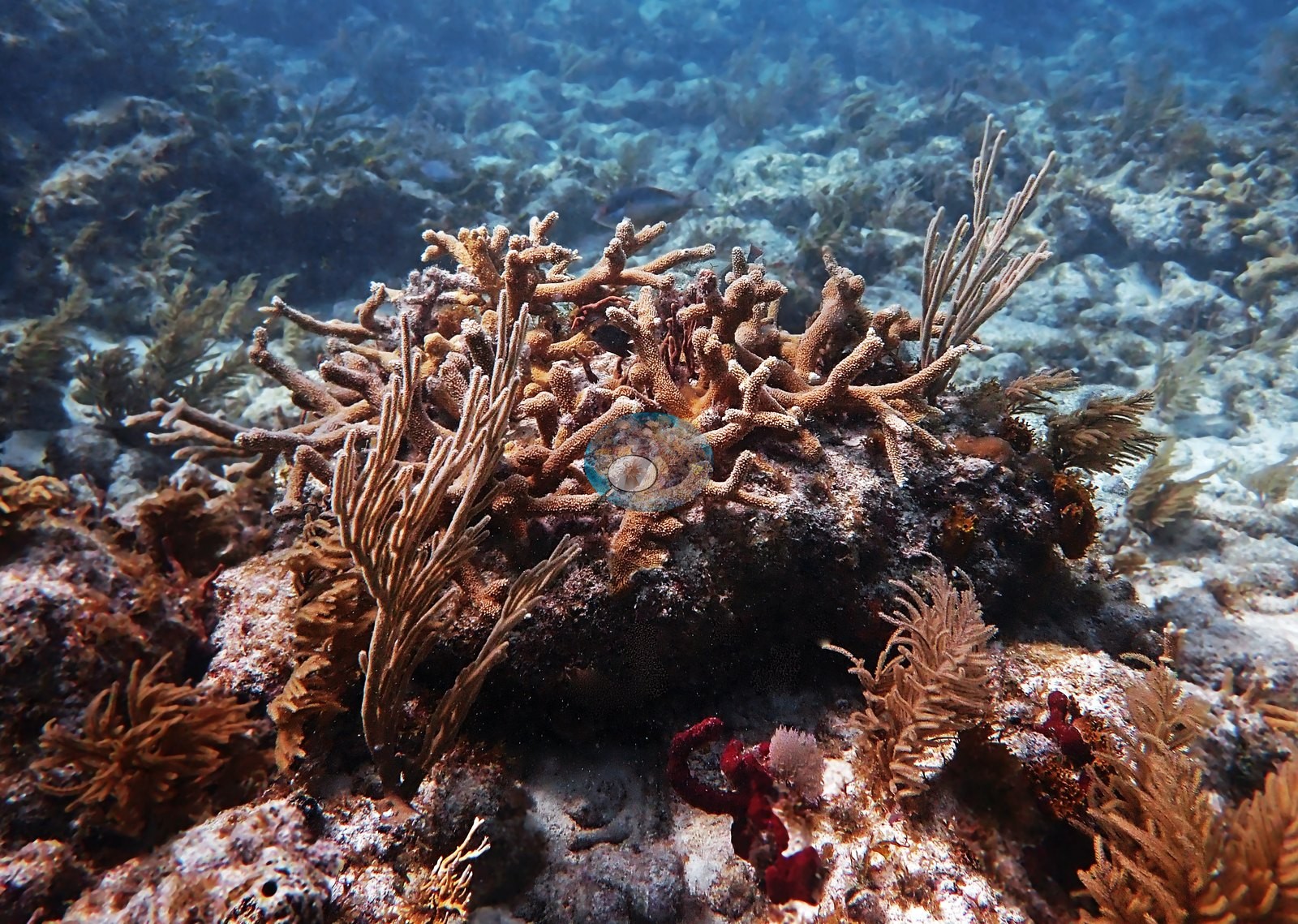
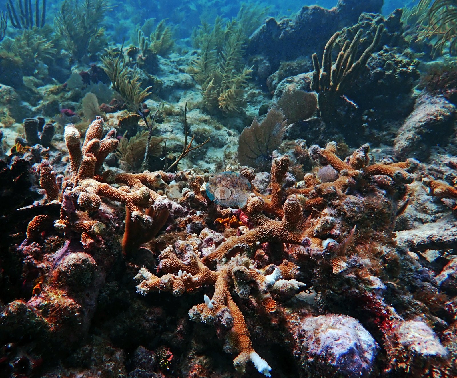
The best of these (Image 101, Image 48, Image 58) are tightly interlocking thickets of live tan branches with pale growing tips. Massive and mounding corals are present but scattered, and they are structurally secondary to the acroporids and octocorals in this set (e.g., Image 40).
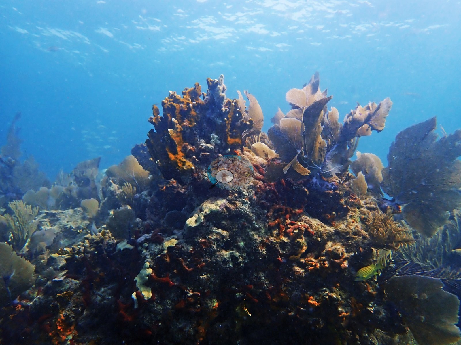
Image 31 is a large lobed, yellow-tan Orbicella faveolata head framed by sea fans.
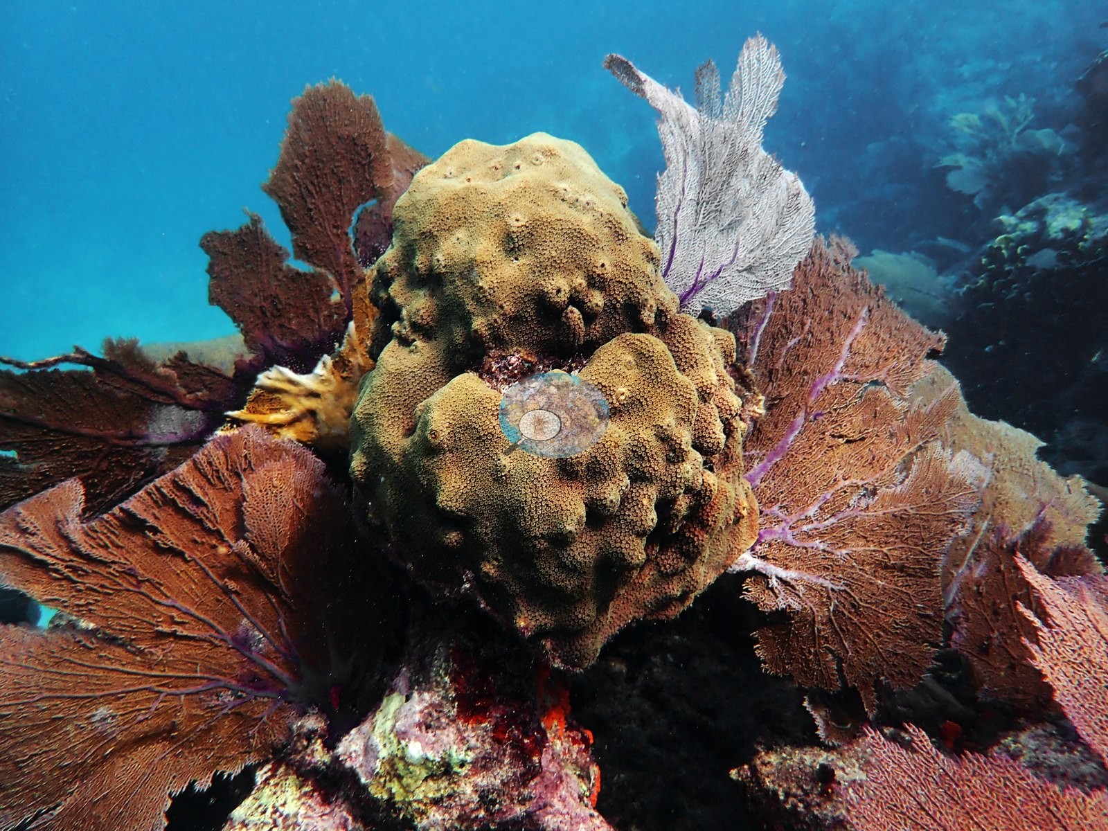
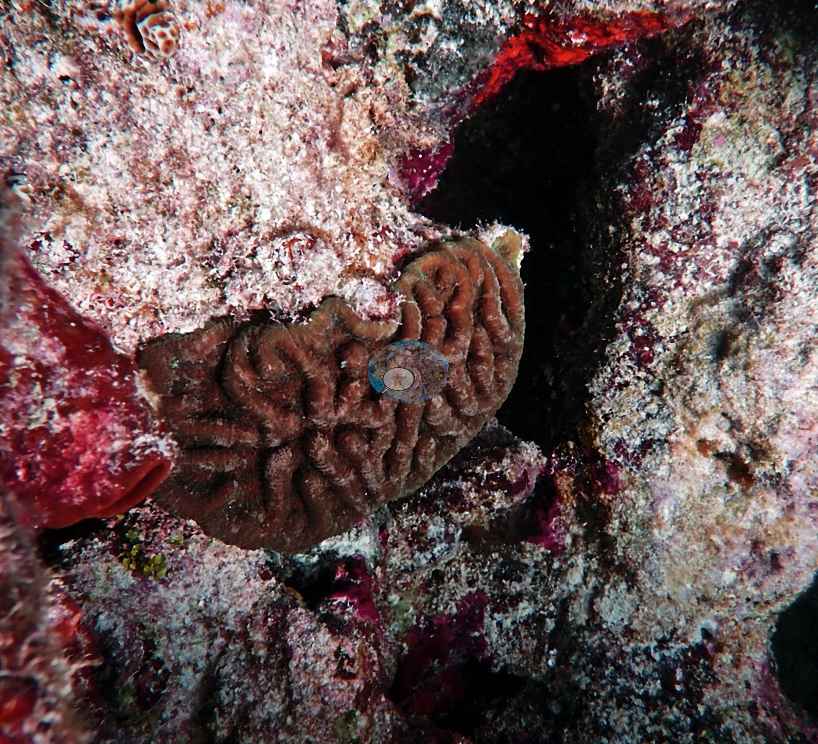
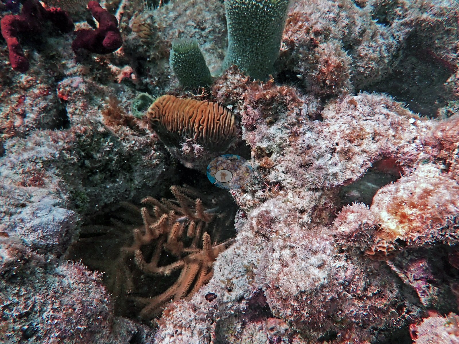
Image 51 and Image 116 each show a meandroid brain coral in a pavement crevice — the meandering valley pattern is consistent with either Colpophyllia natans or Pseudodiploria, and the frames do not separate them, so neither is asserted.
Porites is present in two forms Anderson identified: Image 62, identified as Porites porites, is a gray-brown clump of finger coral, and Image 22 (the mustard-hill coral) plus Image 124 show mustard-hill coral, Porites astreoides, as compact yellow-green colonies, Image 22 growing on pink-tan coralline-encrusted framework.
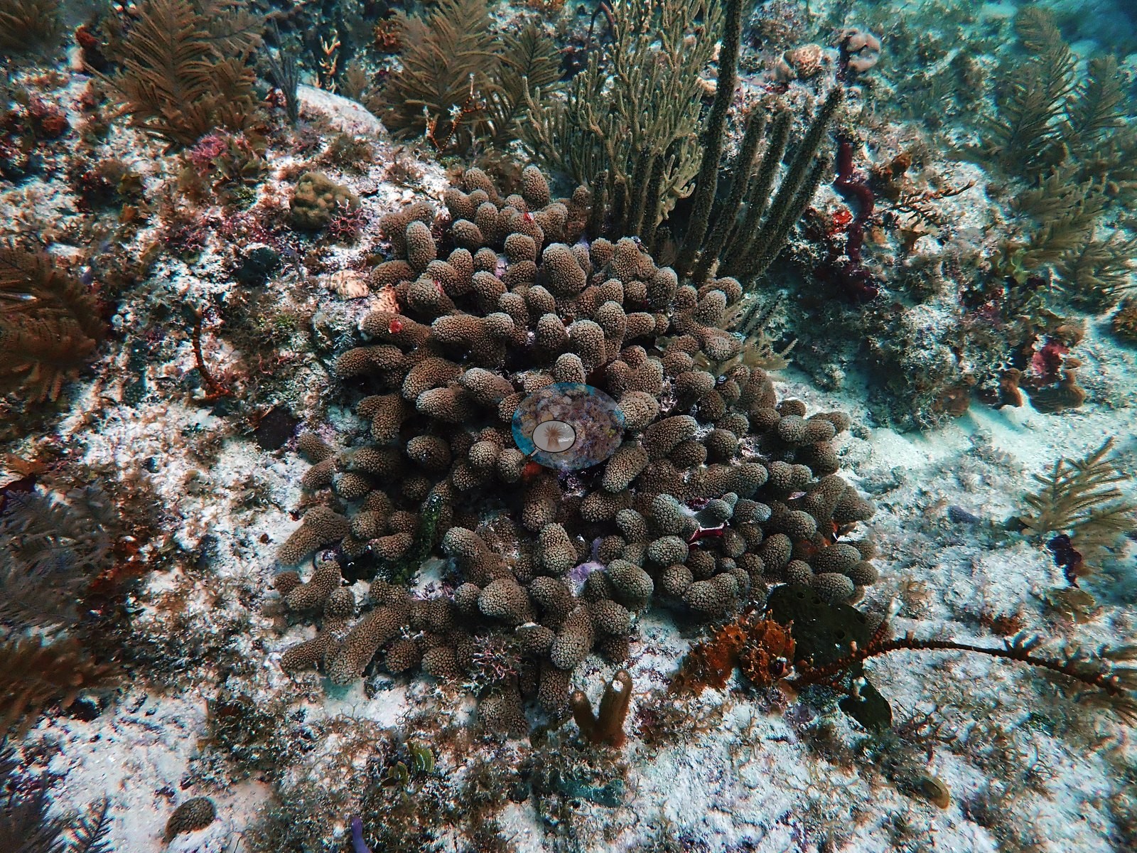
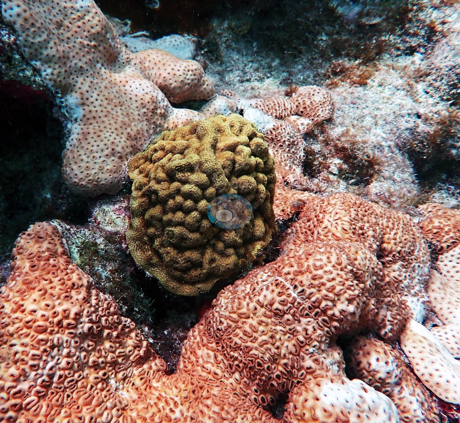
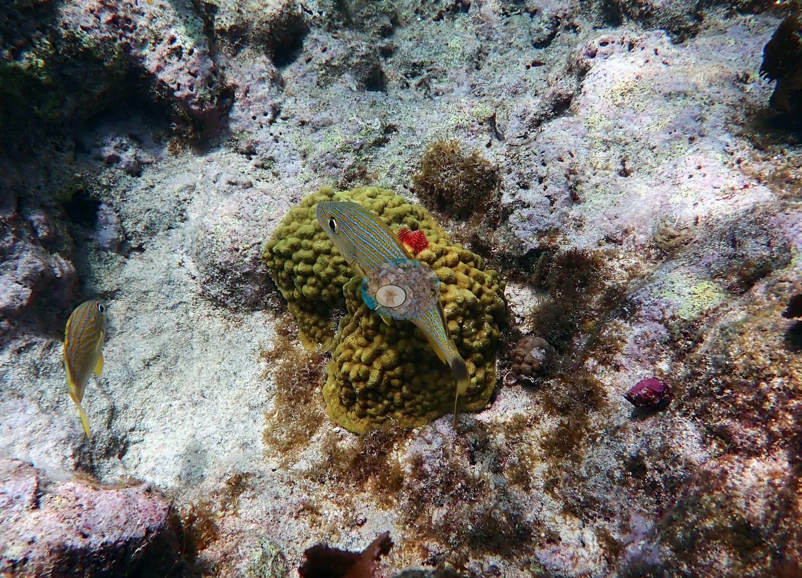
Image 28 has a pale pinkish finger-coral clump beneath an elkhorn plate.
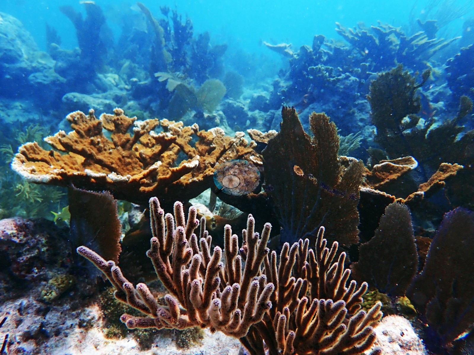
Several frames (Image 49, Image 50, Image 135, Image 136, Image 148, Image 149) show low, orange-to-mustard plating and encrusting colonies that could be either fire coral (Millepora complanata) or small plating acroporid — at the working distance and color balance of those frames the two cannot be separated, so neither call is made.
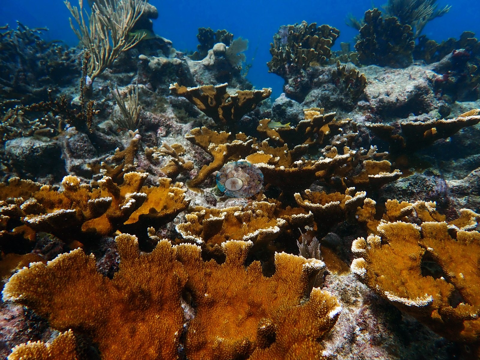
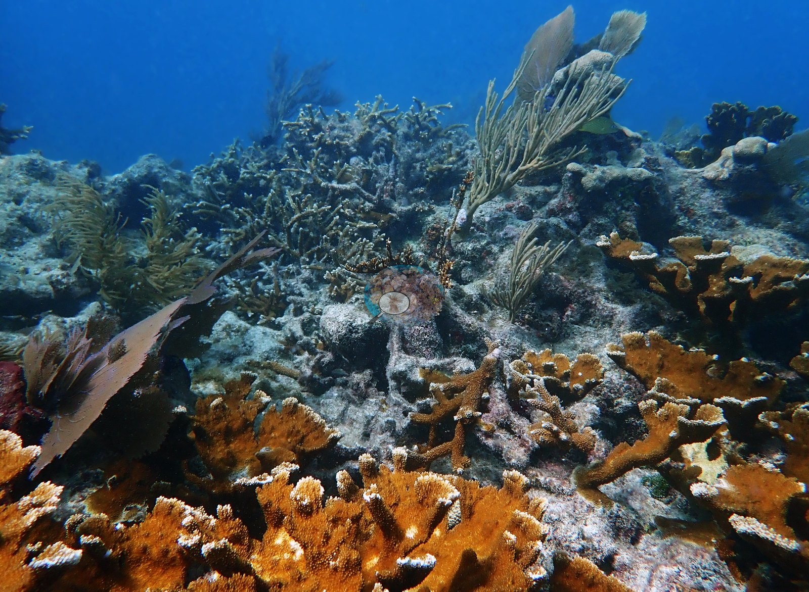
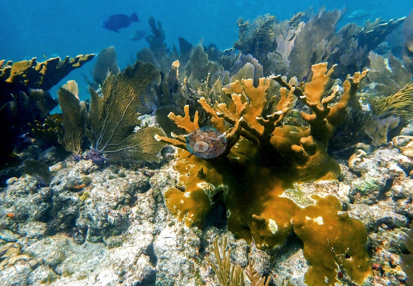
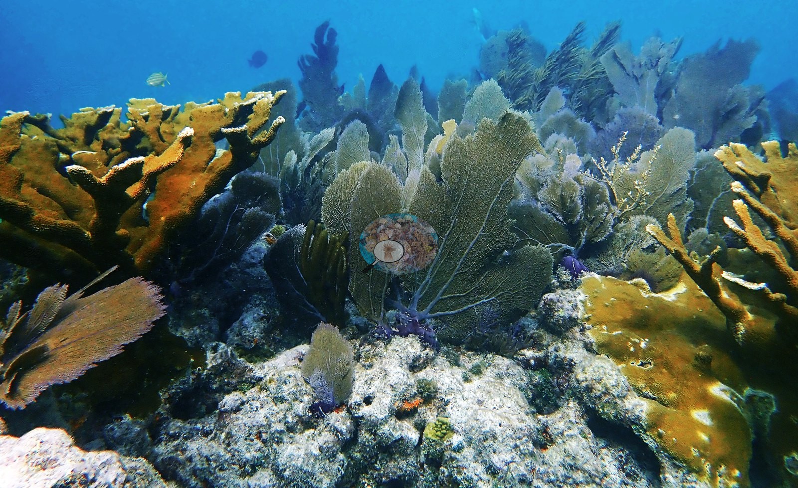
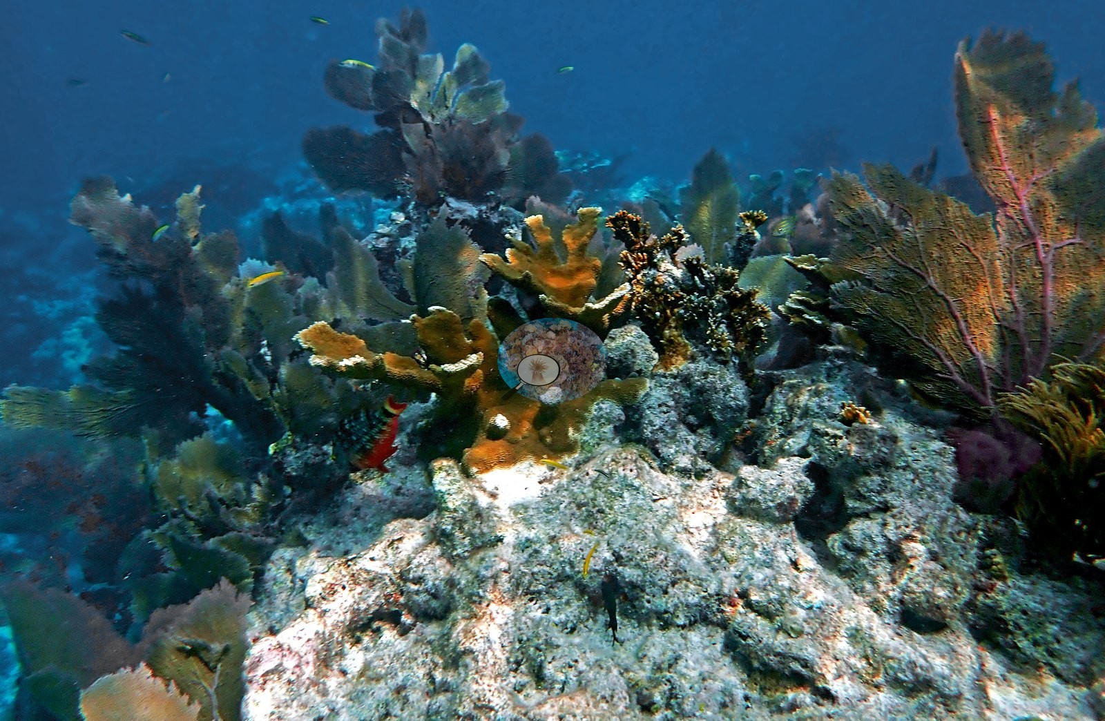
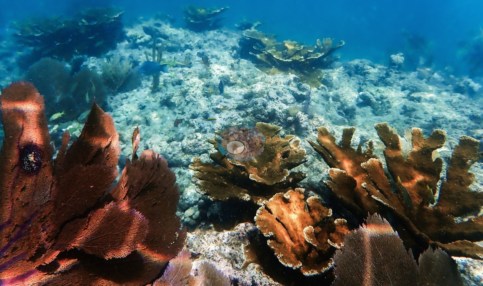
Octocorals and sponges are the most continuous living element on the reef top. Sea fans (Gorgonia) and a dense mixture of sea plumes and sea rods dominate Image 86, Image 112, Image 16, Image 21, Image 27, Image 41, Image 60, Image 66, Image 78, Image 83, Image 84, Image 89, Image 123, Image 93, and Image 91; Image 91 in particular is a full gorgonian garden with overlapping fans and plumes and no continuous stony coral in frame.
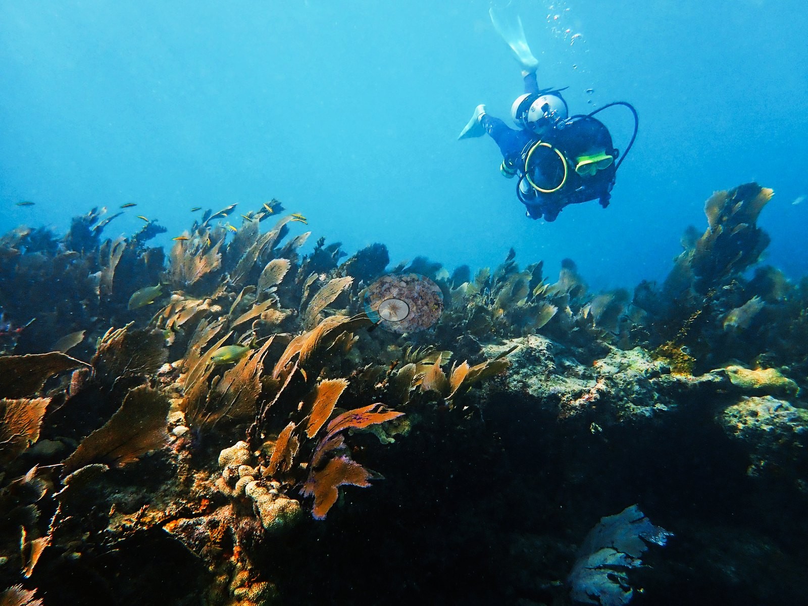
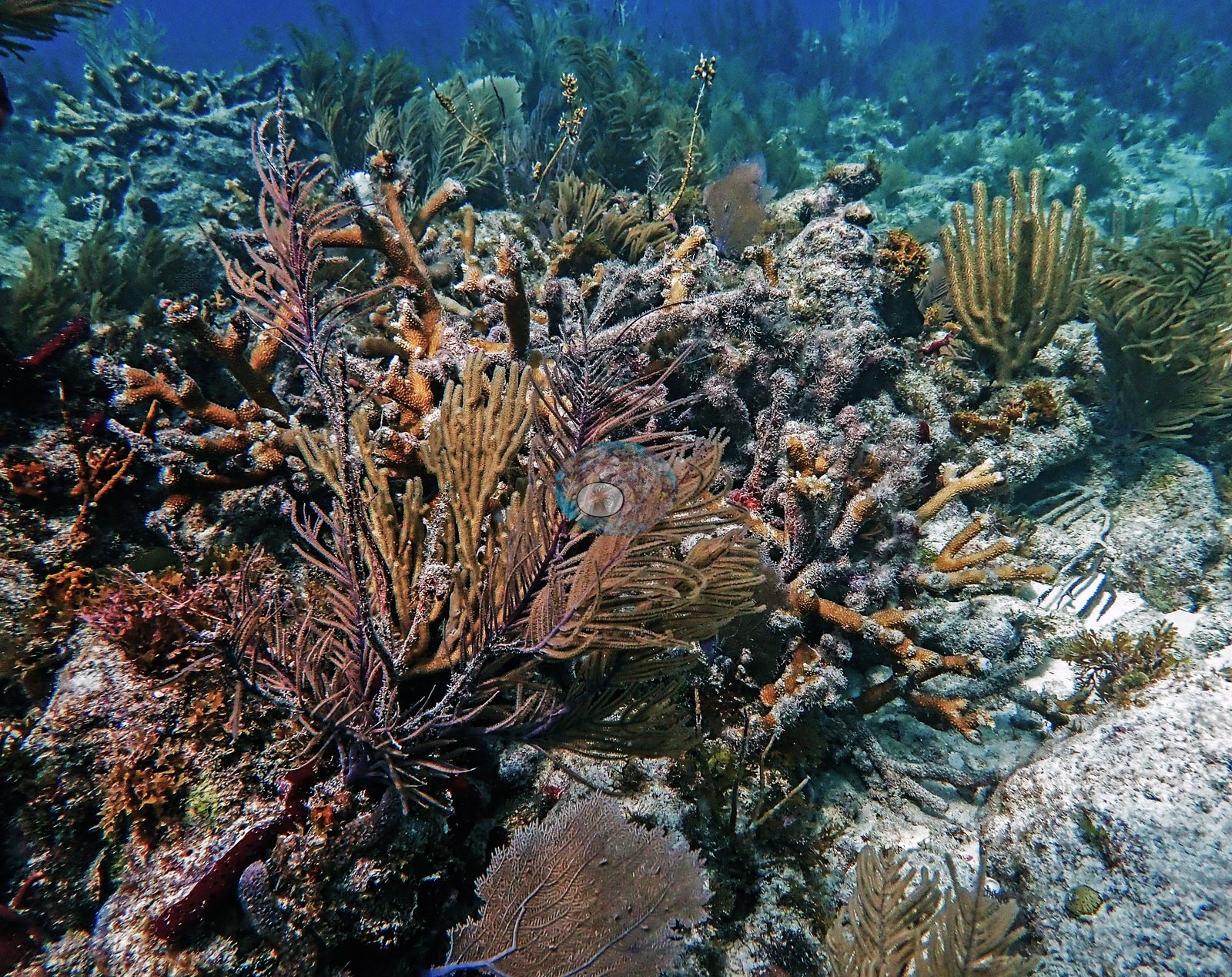
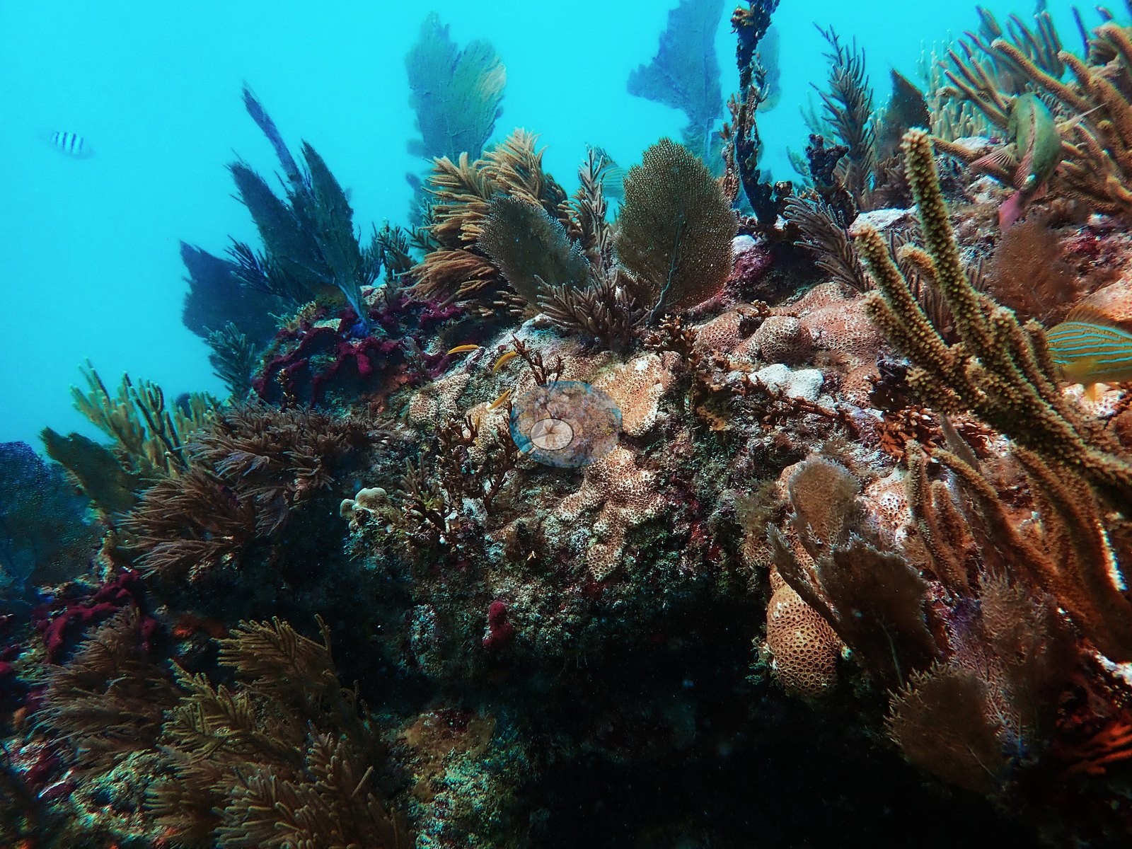
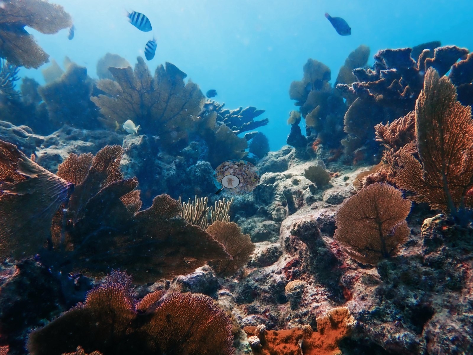
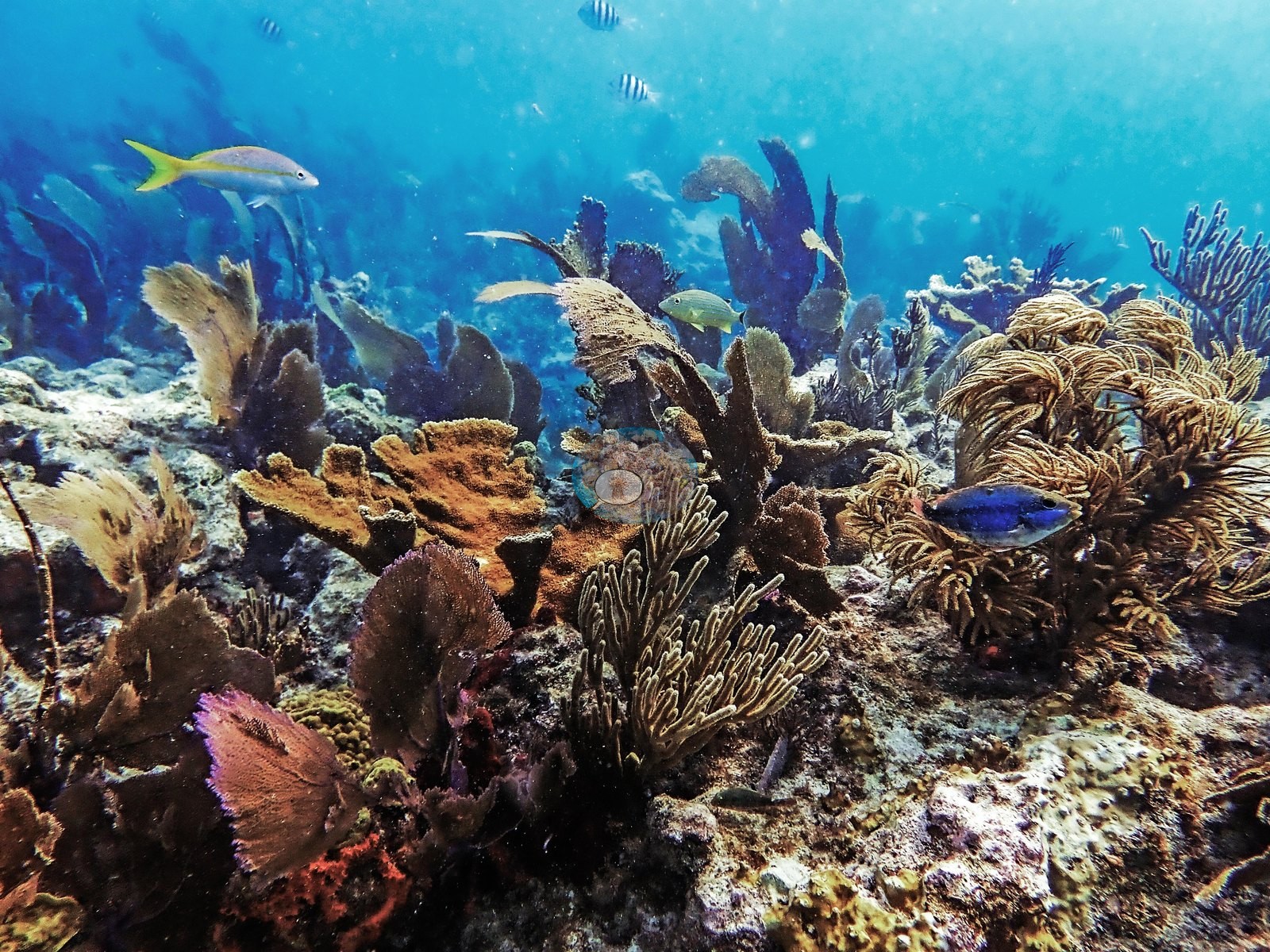
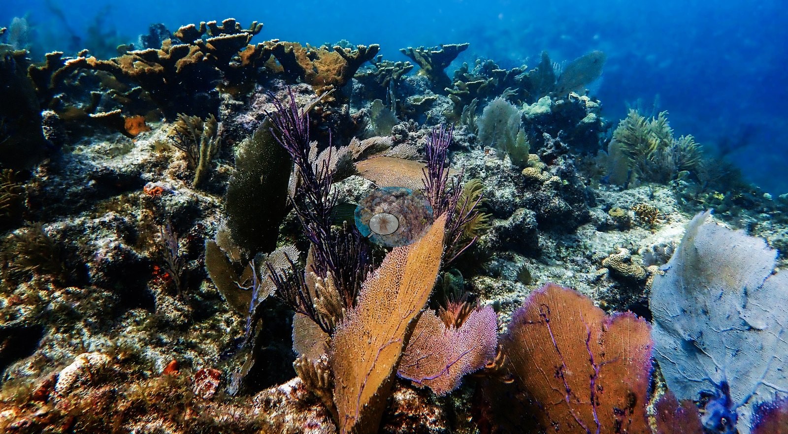
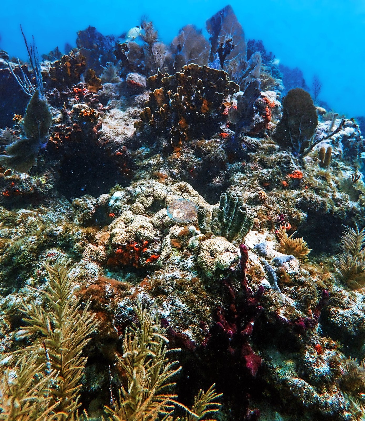
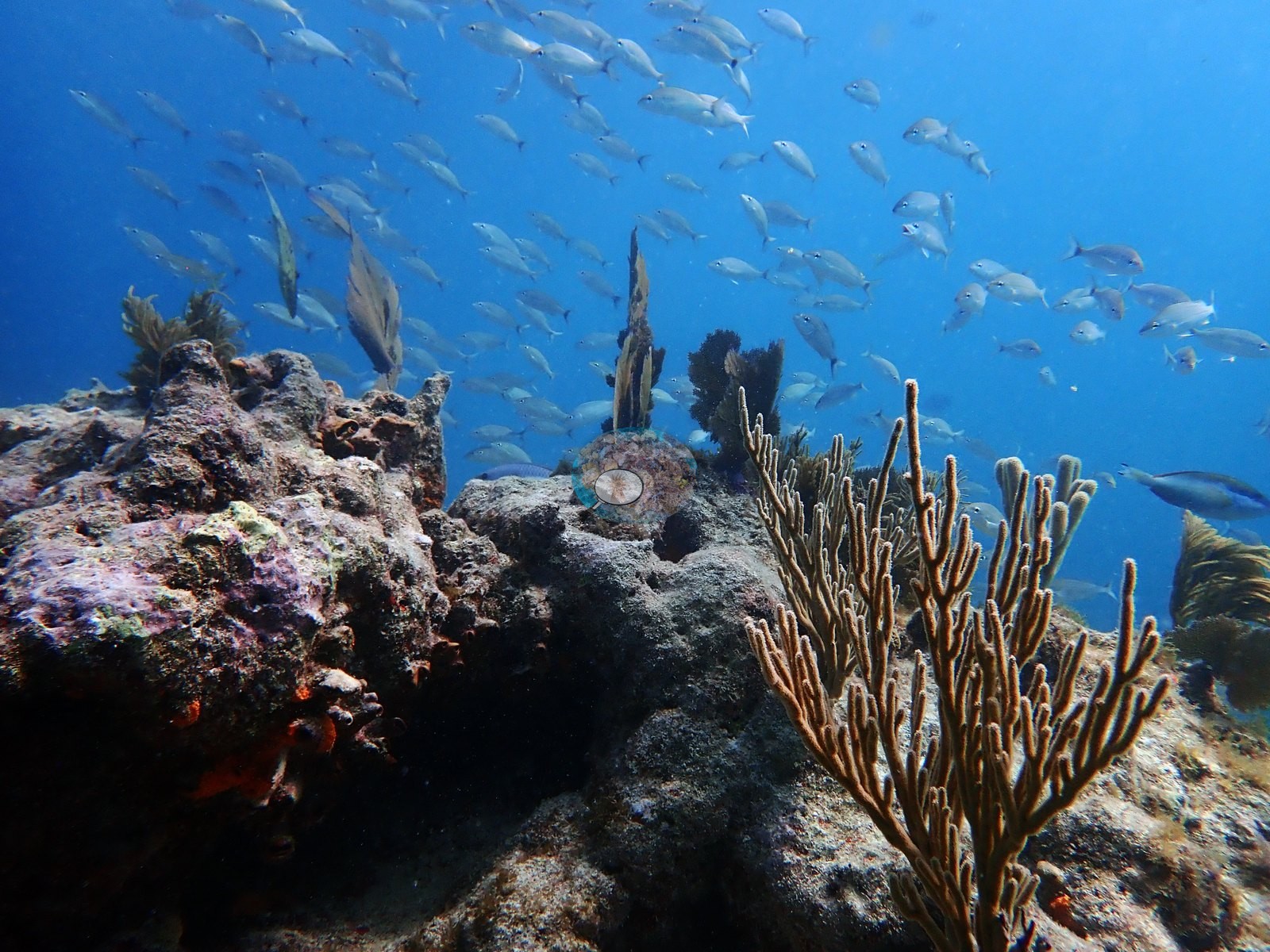
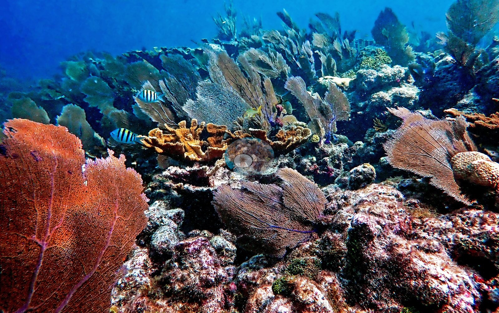
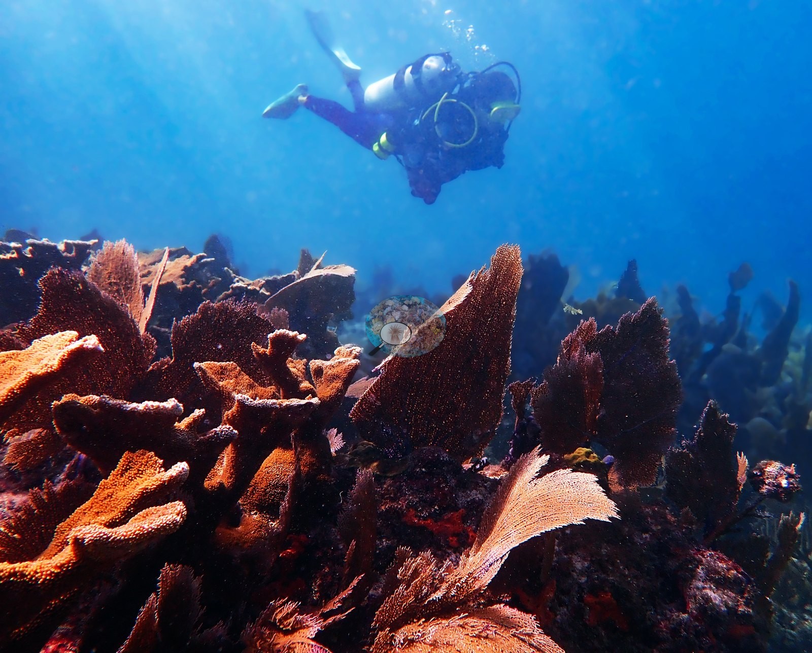
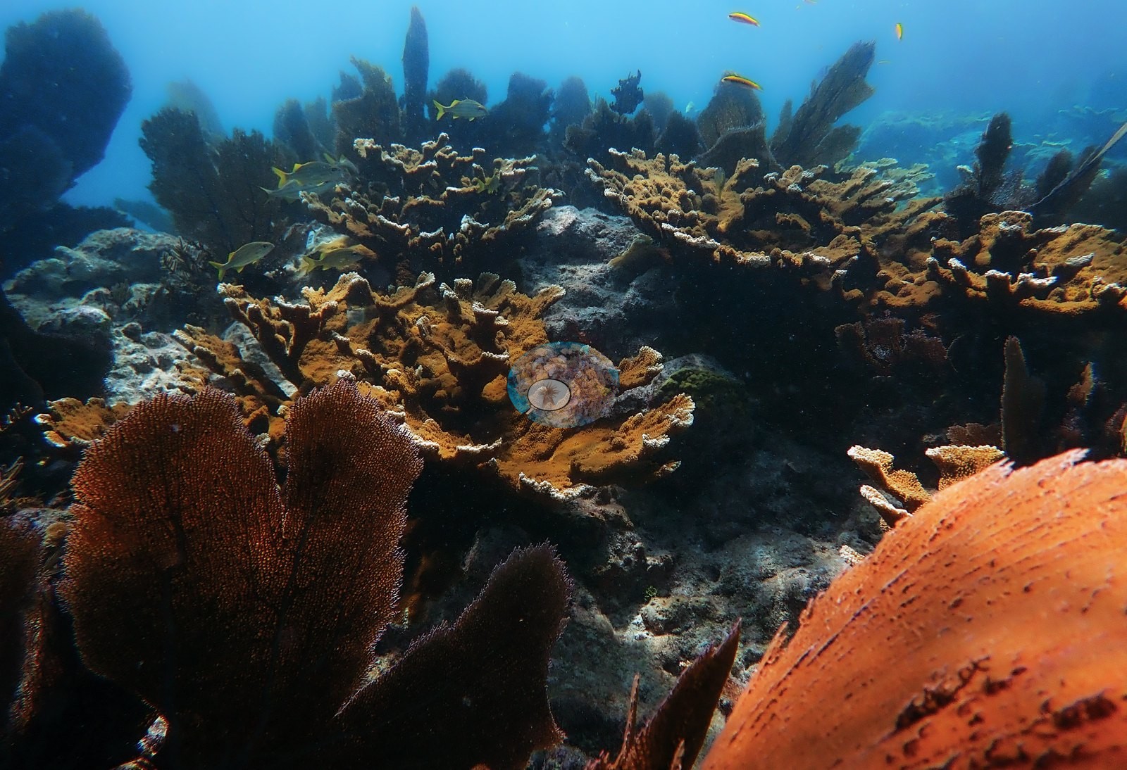
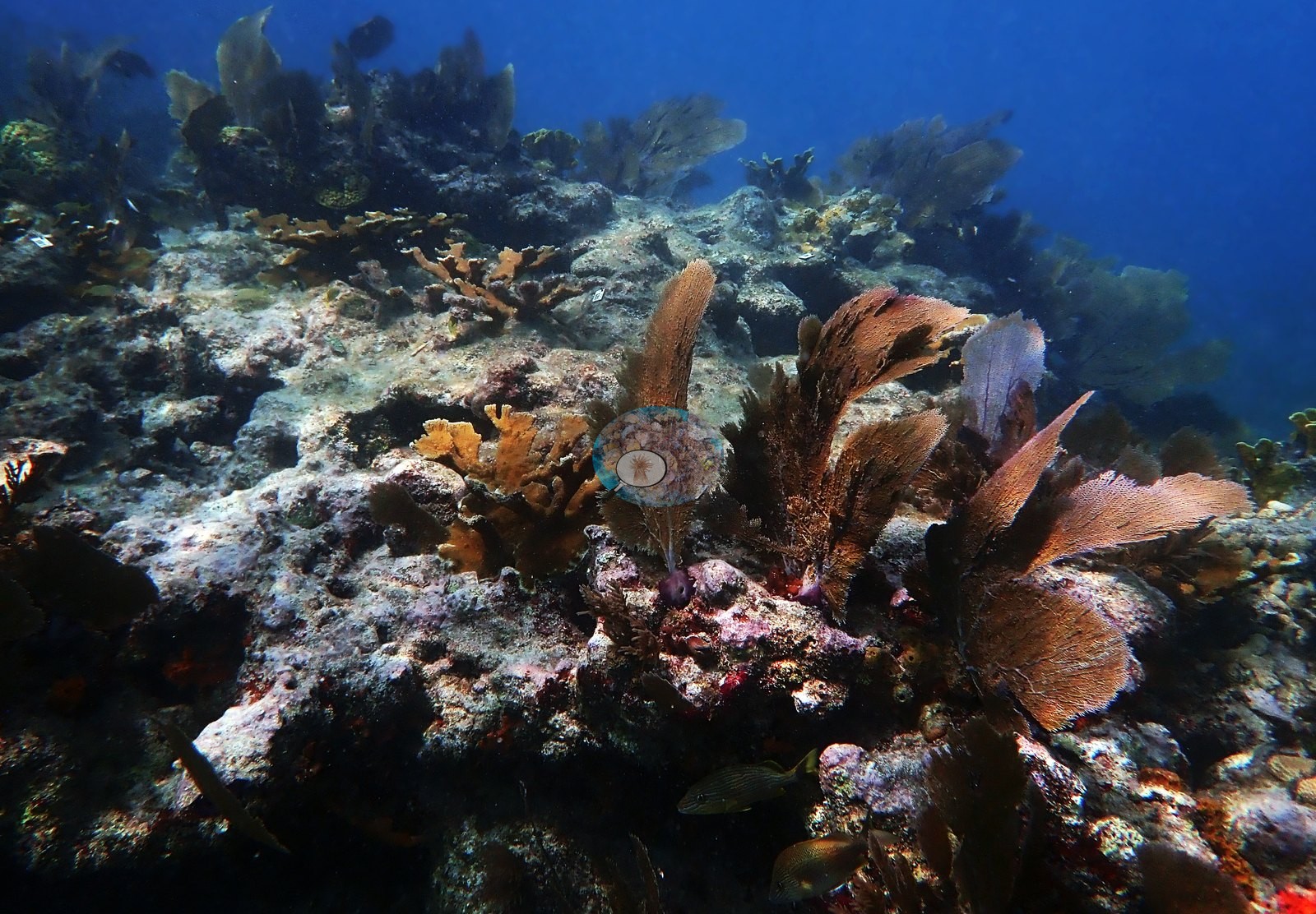
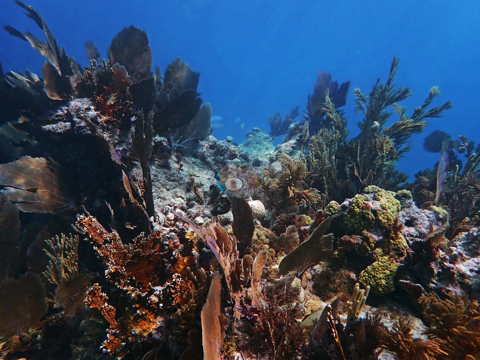
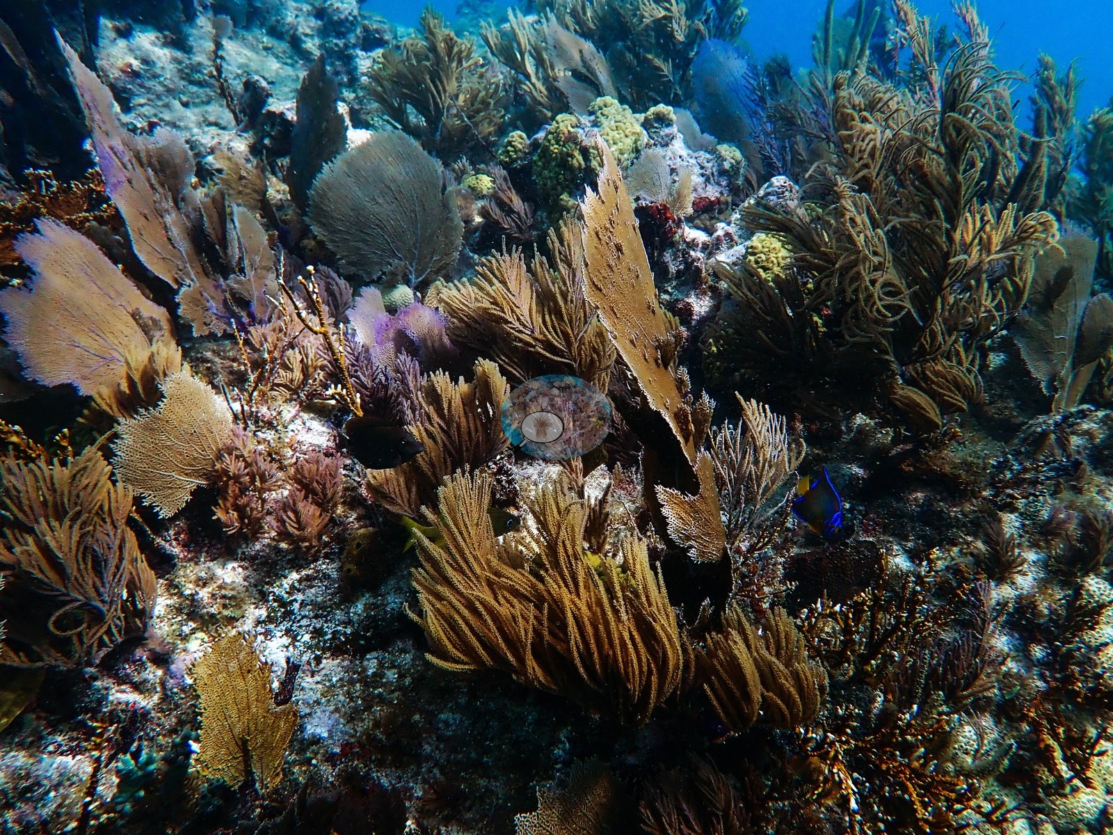
Sponges recur throughout: large orange-brown fan and lobate sponges (Image 68, Image 74, Image 84, Image 122, Image 123), red and maroon encrusting and rope sponges (Image 44, Image 45, Image 130, Image 109), purple encrusting sponge (Image 111, Image 114, Image 125), and a green tubular sponge in Image 116.
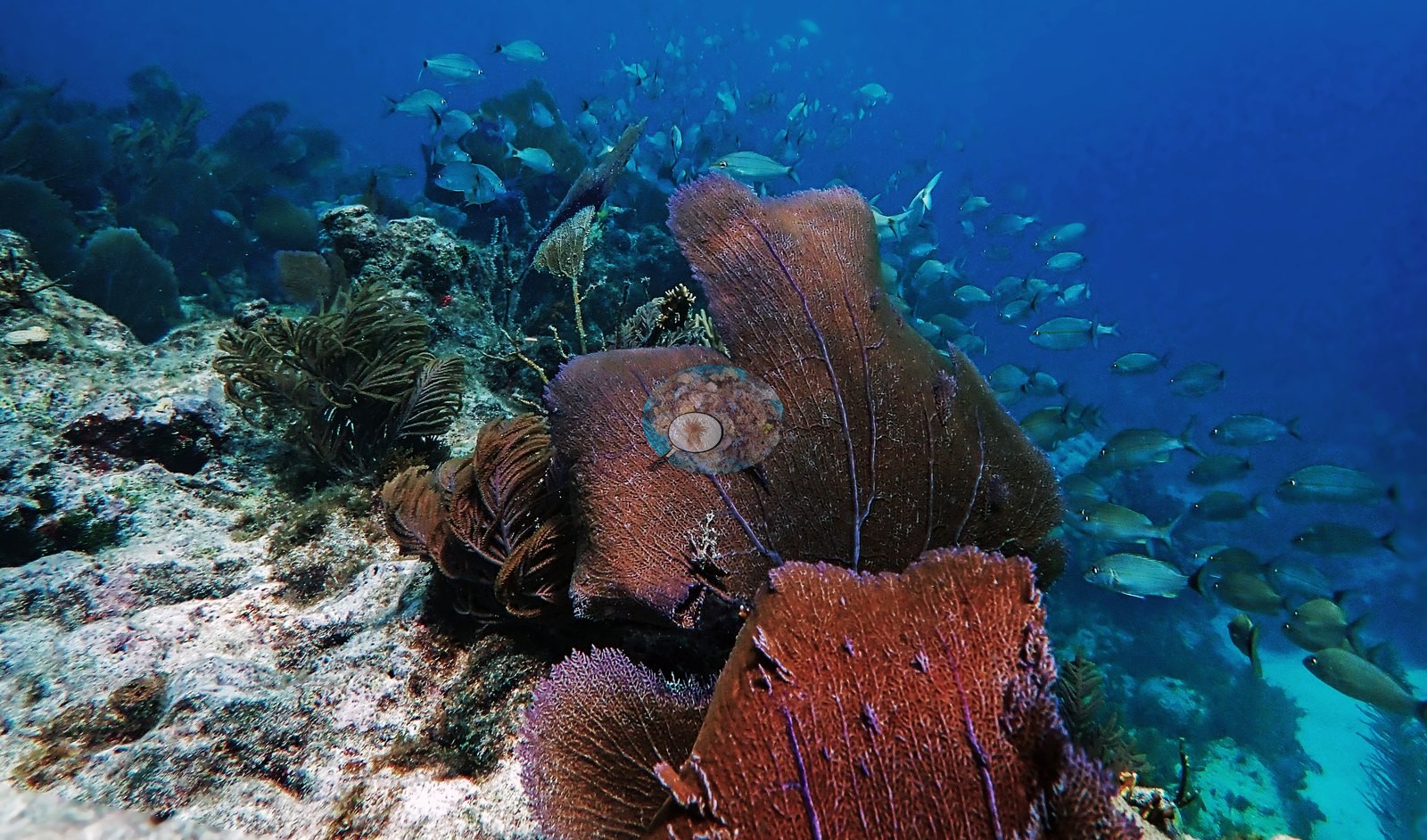
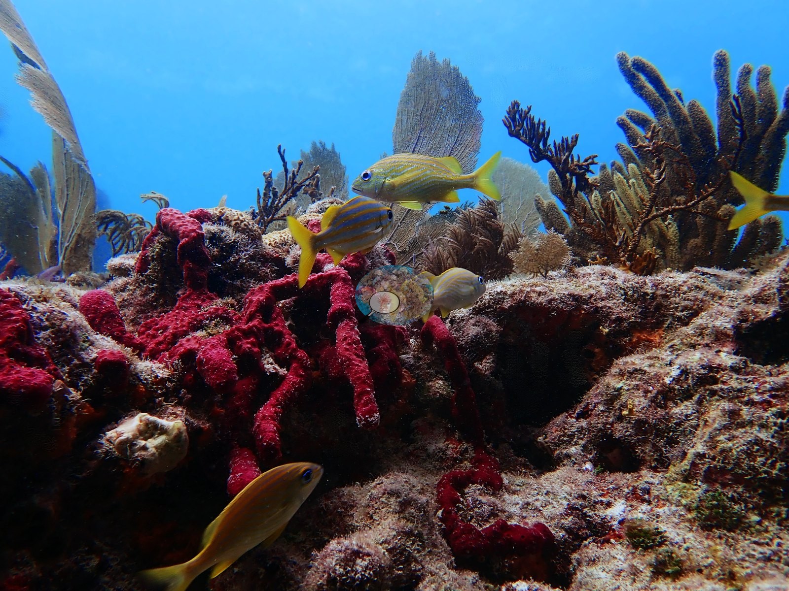
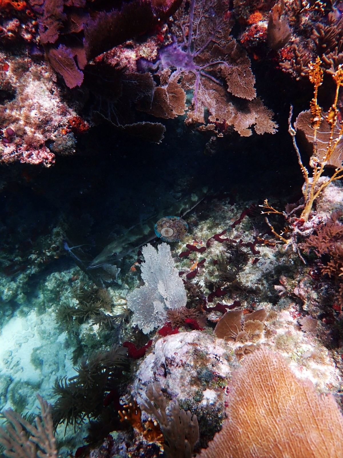
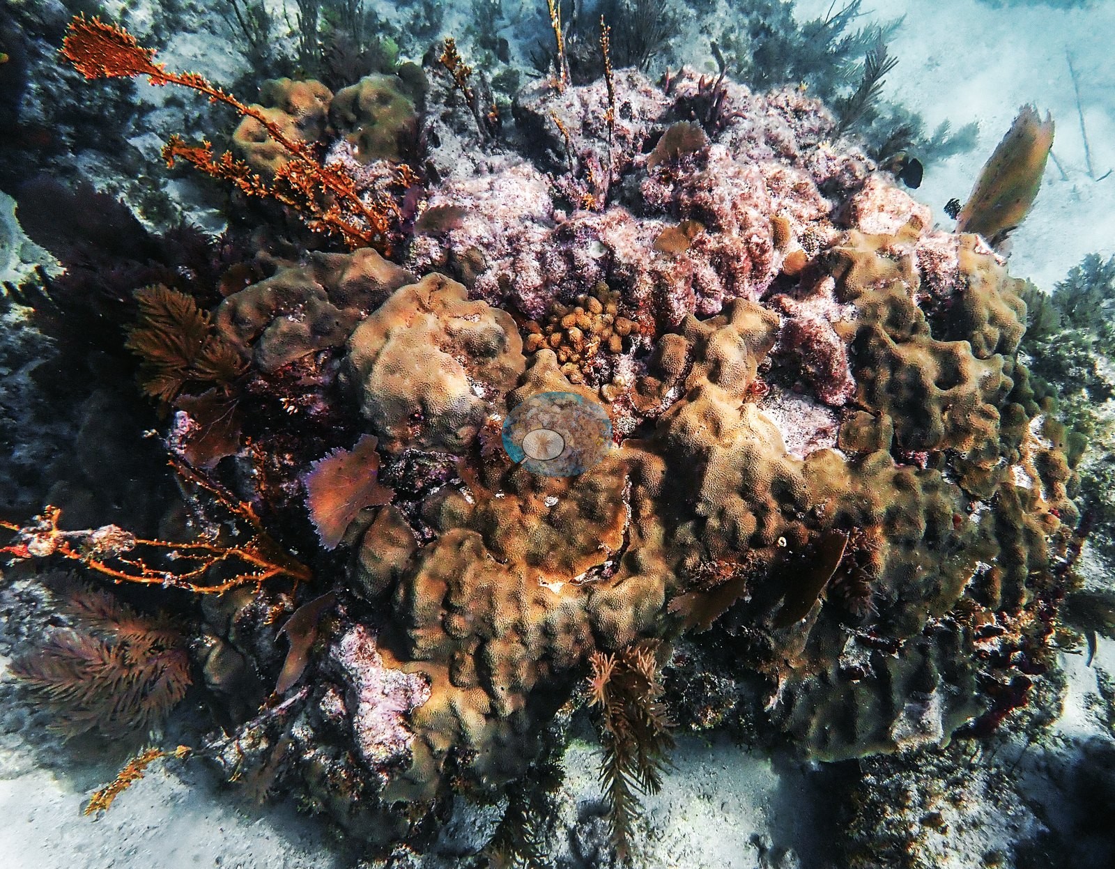
Image 85, Image 53, Image 94, and Image 116 are down-looking frames over pinkish coralline pavement, algal turf, and rubble with only small scattered colonies — the between-structure matrix of this reef, and a useful counterweight to the hero shots.
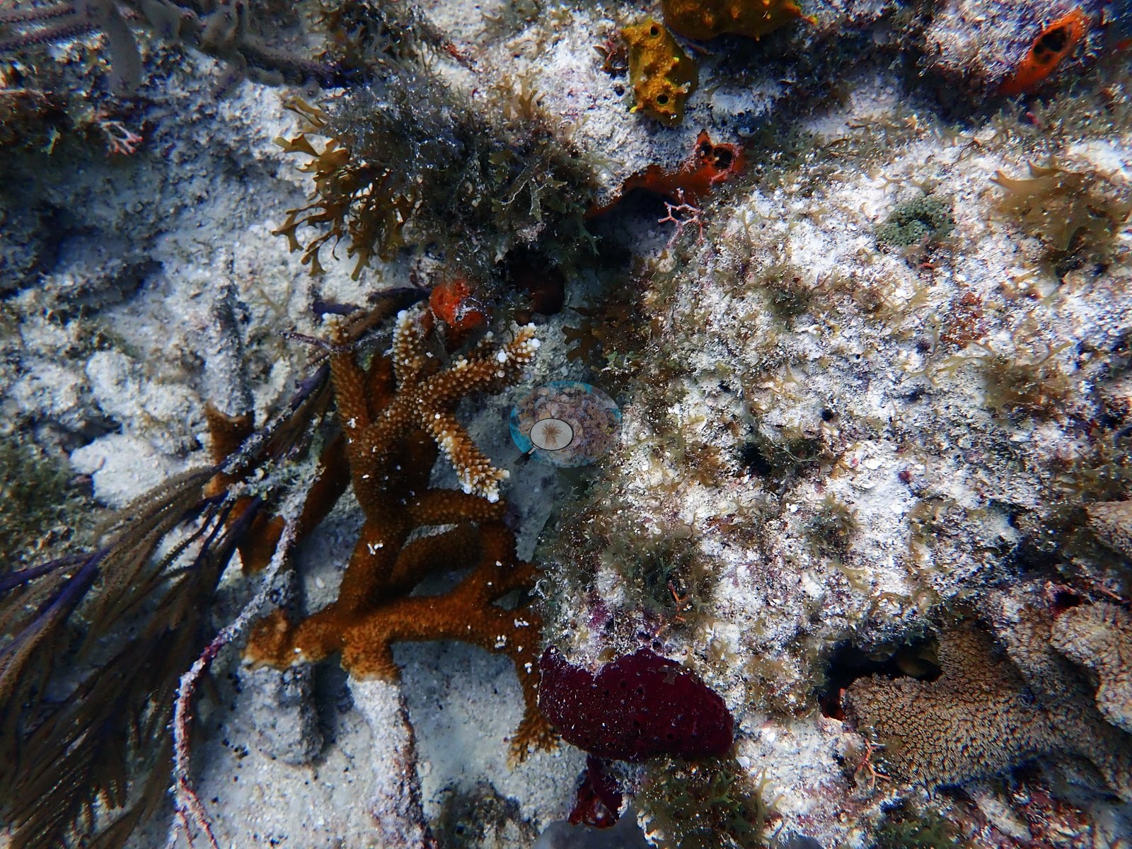
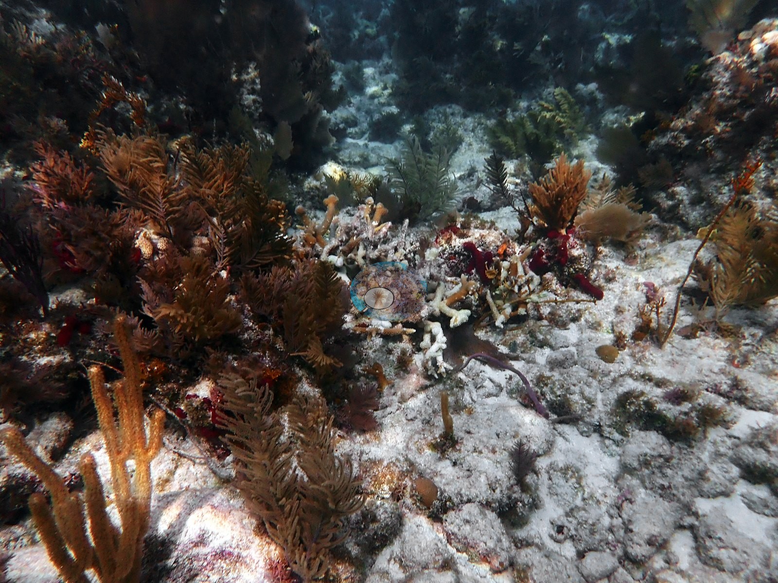
Coral cover
- Reference: Claude CV point count (this site's photos)
- Coral cover: 20% — a blind Claude computer-vision point count of 113 of Anderson's edited photographs (20 points per photo; water, fish, and obstructions excluded). Other computer-vision methods are listed in the method table.
Stressors
Tissue on these colonies is mostly warm tan to golden brown; pale to white patches at colony bases and along blade margins are visible in Image 18, Image 24, Image 33, and Image 143 and are described here as pale/partly denuded skeleton, not quantified.
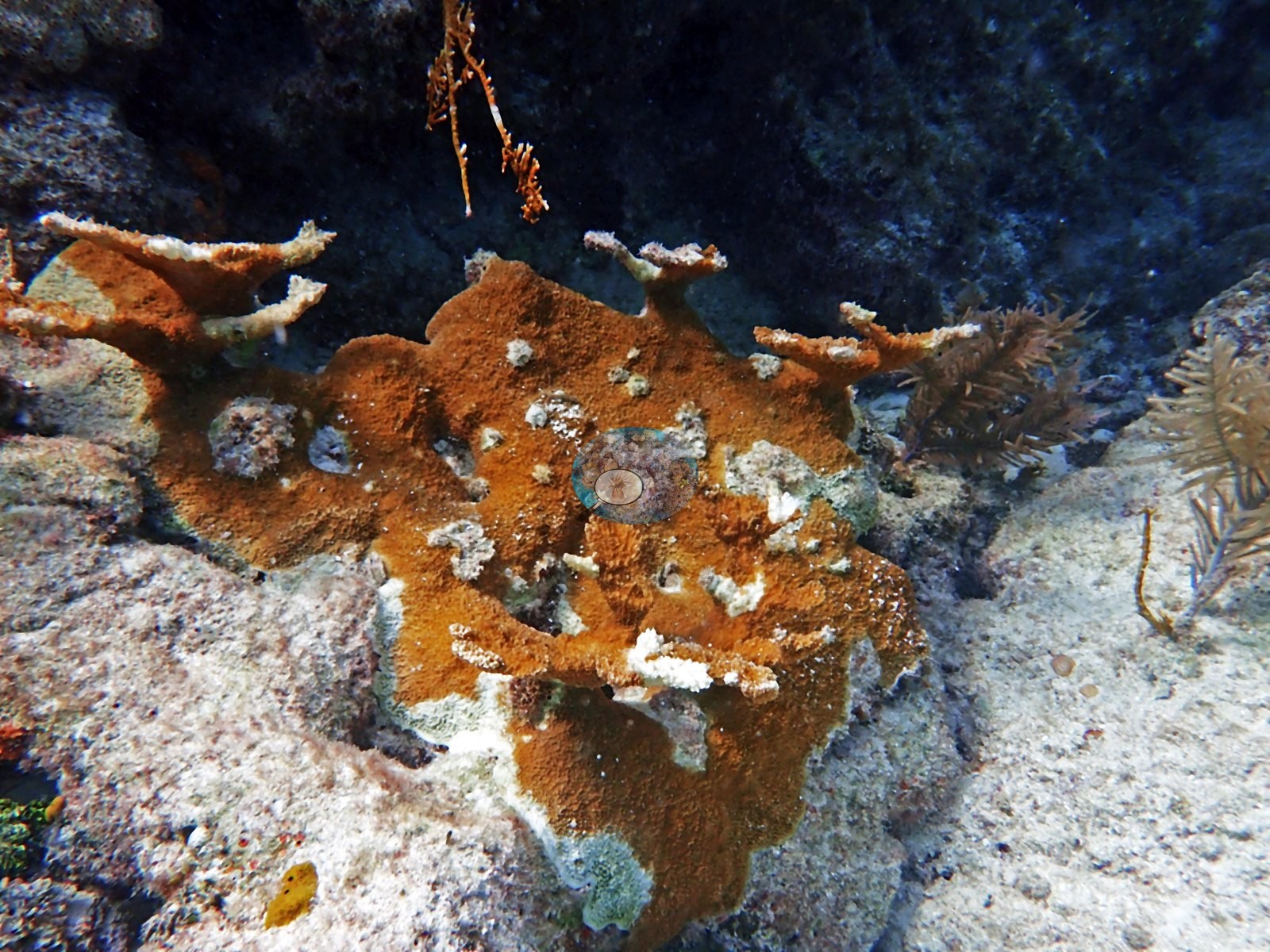
Other staghorn thickets are visibly mixed — Image 98 carries live tan branches interspersed with whitened branches in the same thicket, and Image 97, Image 100, and Image 103 show standing dead branch skeletons and loose branch rubble over pavement with macroalgae, i.e. former thicket footprint without live tissue (e.g., Image 16).
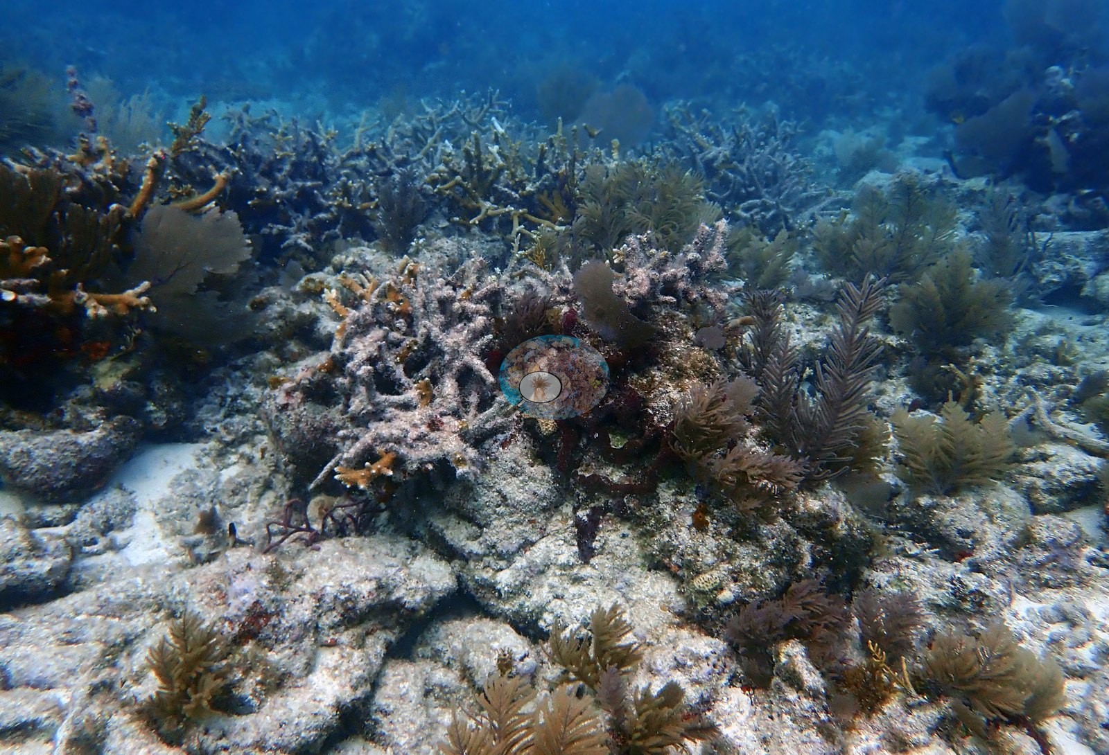
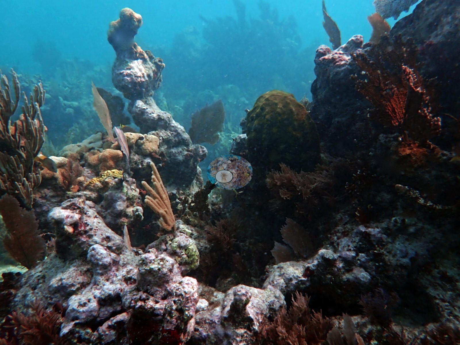
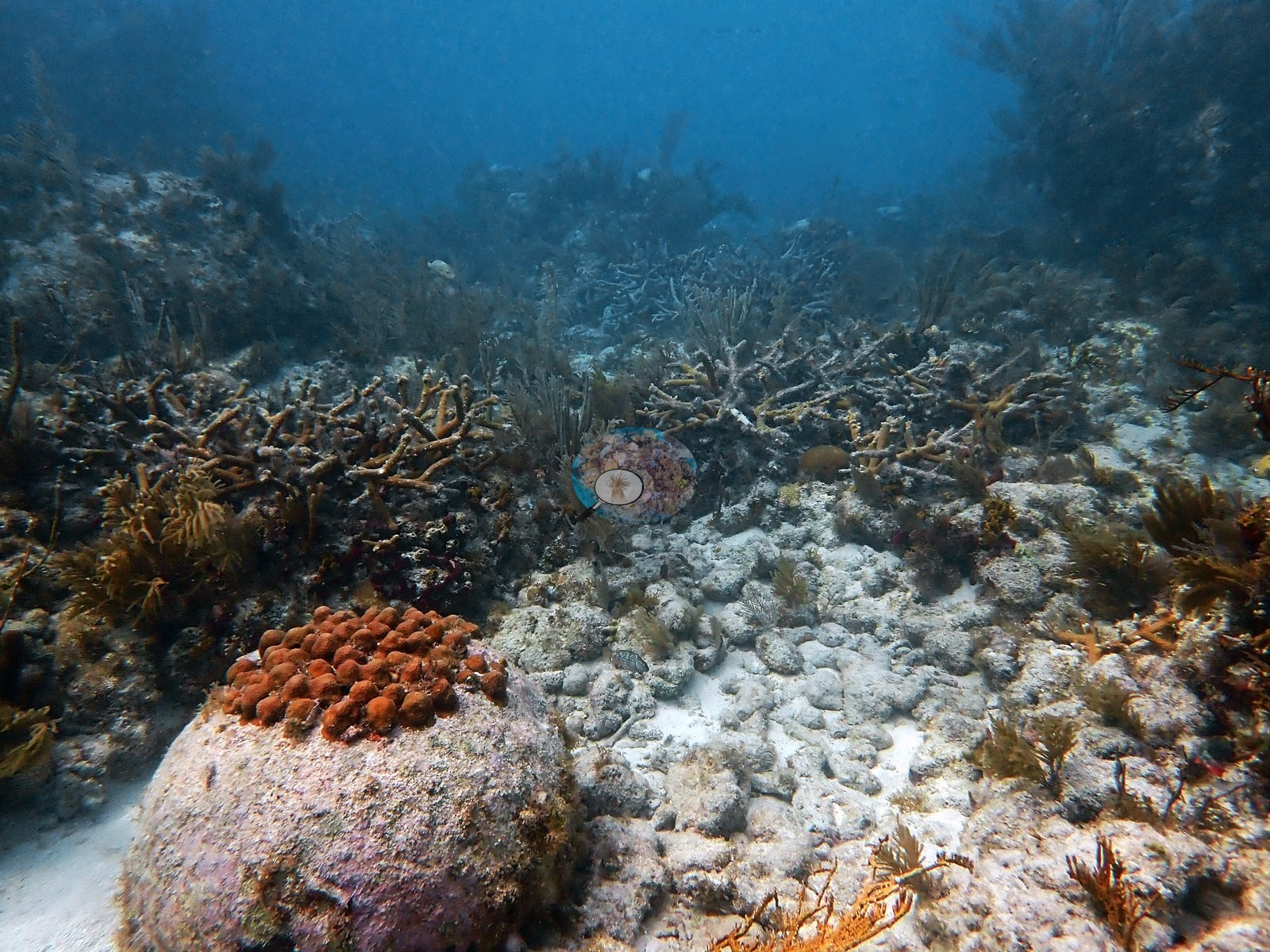
Both live thickets and dead branch fields occur within the same dive. Image 88 is a knobby massive colony on sand with old partial mortality: the dead patches between its lobes are crusted in pink-lavender coralline algae and turf.
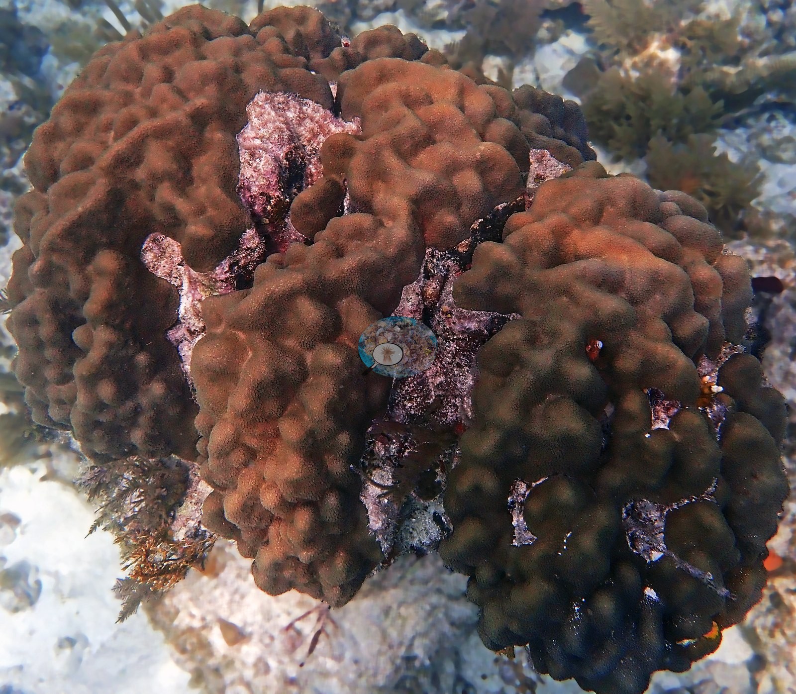
Image 65 shows a lobed massive colony on sand, split by a crack, with a whitish patch of partial mortality of uncertain age on its left lobe.
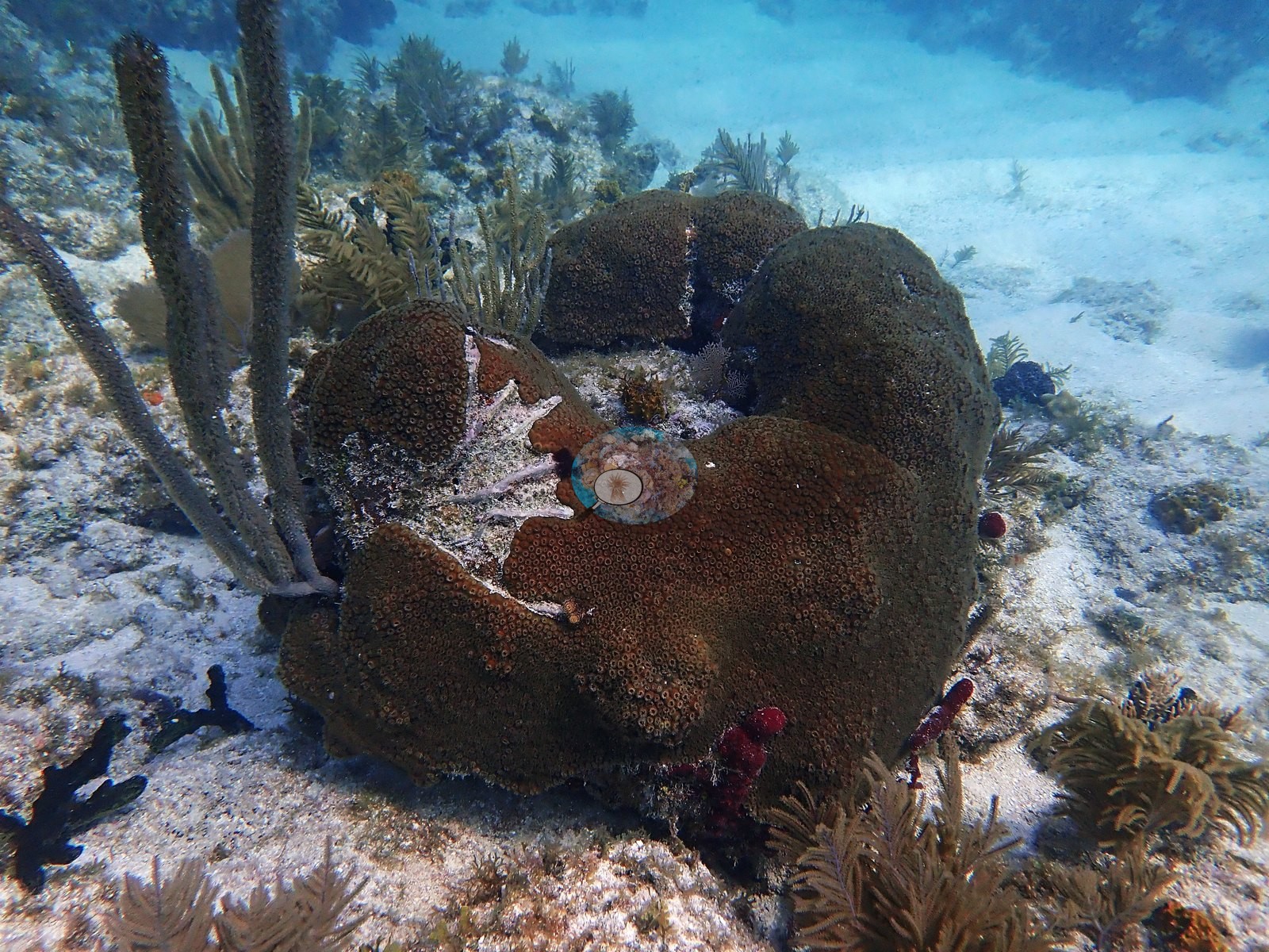
Image 75 is a large dark mound whose surface is entirely turf and octocoral, i.e. a dead massive-coral framework now colonized by other taxa (e.g., Image 21).
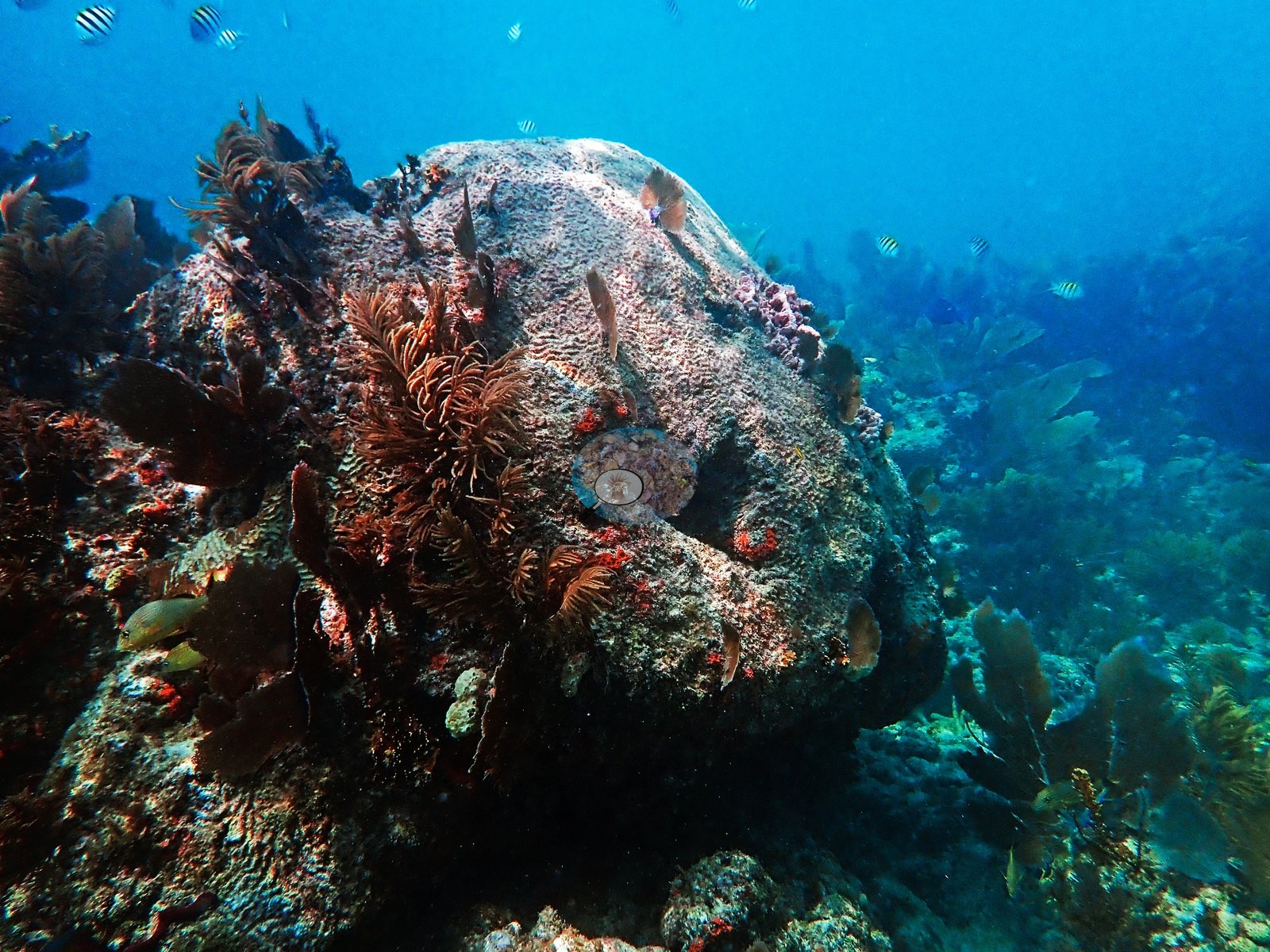
No trash, fishing gear, or anchor damage is visible in any frame. No corallivores were evident.
Fish and other fauna
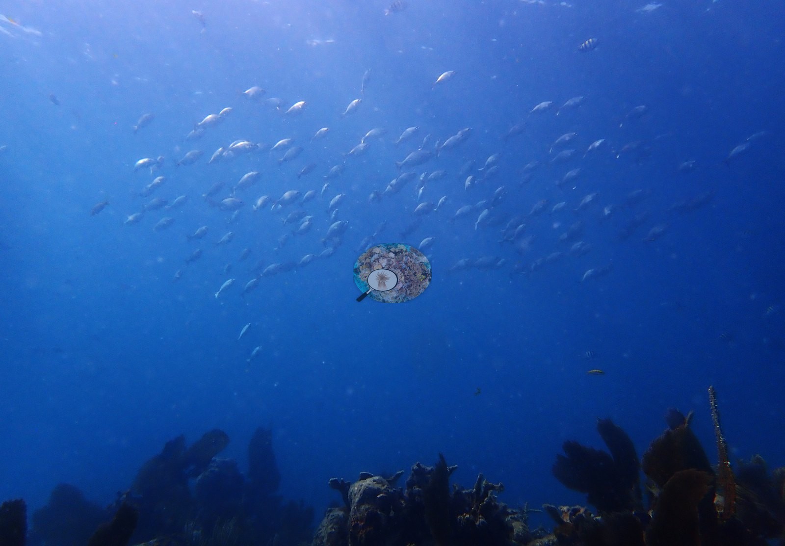
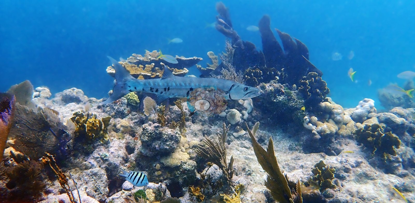
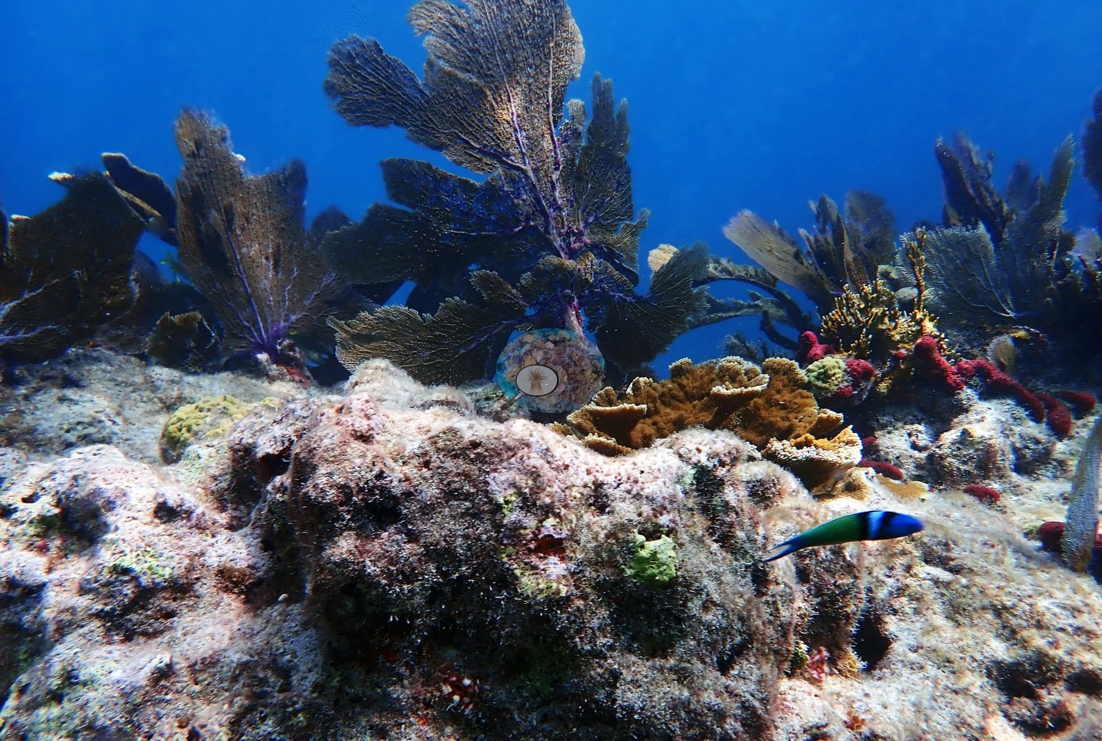
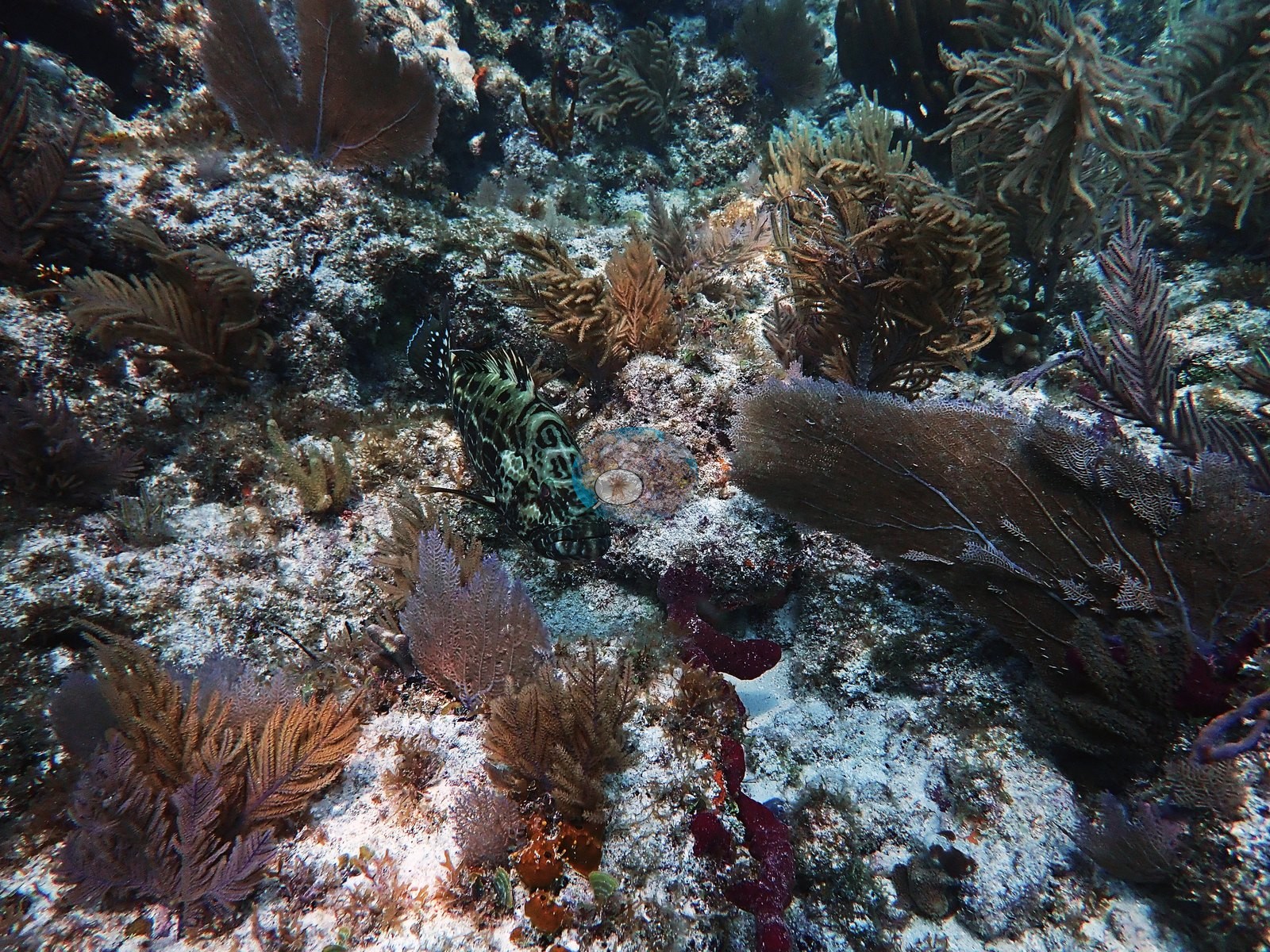
Fish and other mobile fauna are well represented and indicate a functioning shallow assemblage: schools of yellow-striped grunts or schoolmaster snapper sheltering directly under elkhorn plates (Image 6, Image 7, Image 123, Image 130), larger midwater schools of grunts or jacks (Image 42, Image 54, Image 55, Image 66), silversides and baitfish in blue water (Image 46), sergeant majors (Image 78, Image 120, Image 146), blue tangs and creole wrasse (Image 21, Image 142, Image 145), a large blue parrotfish alongside elkhorn in Image 143 and Image 144, a stoplight-type parrotfish beneath the elkhorn in Image 141, bluehead wrasse in Image 27 and Image 147, a great barracuda hovering over the reef in Image 146 (Anderson's identification), and a grouper in Image 73 (also Anderson's identification — the fish is partly camouflaged against the substrate and the frame does not support a species call).
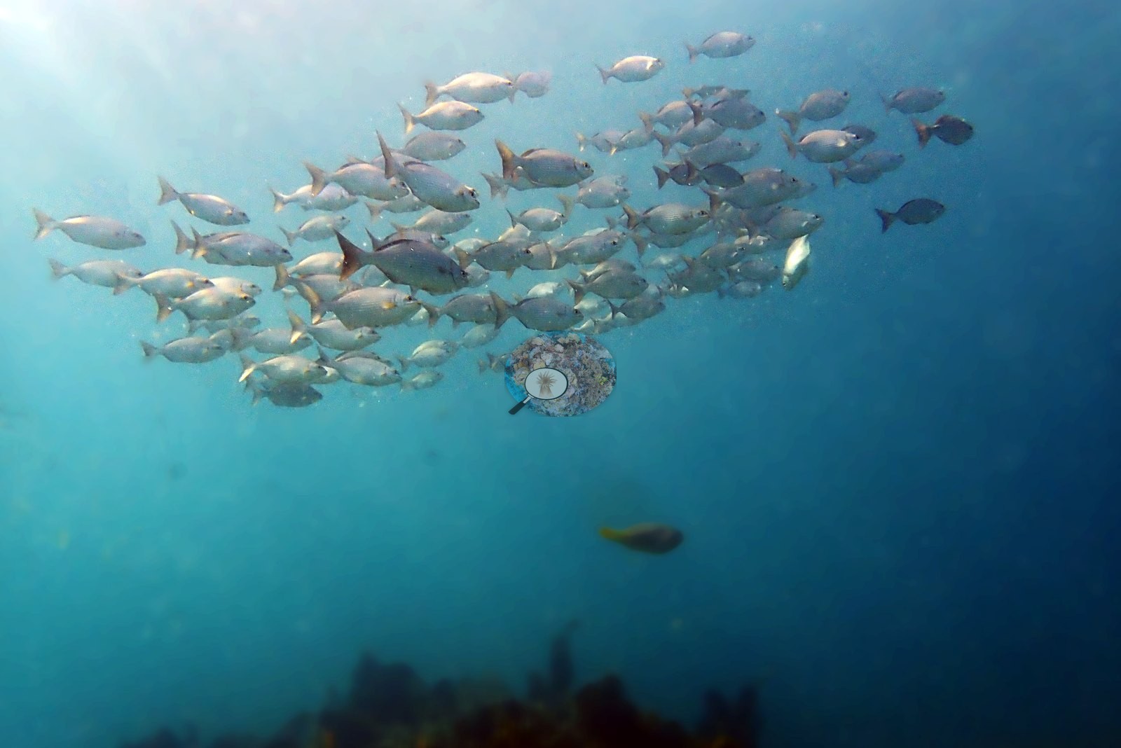
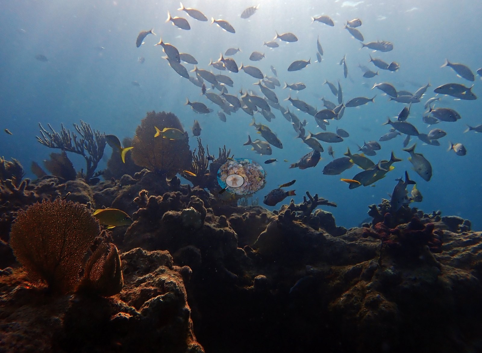
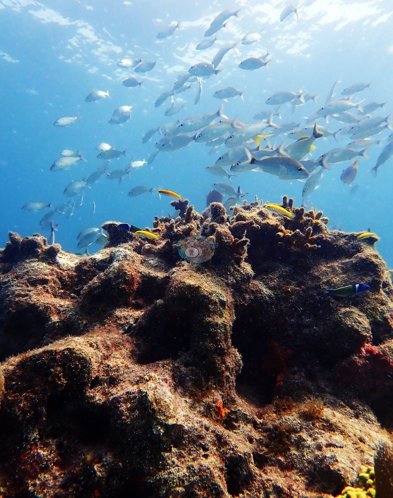
A dark spined urchin is visible in the lower right of Image 105.
Comparisons with other data
Reef Check surveyed this site (Dry Rocks) in 1997, 0.13 km from the pin. Within 5 km, 58 independent stations recorded station-year means of 0.0–41% hard coral cover between 1996 and 2024; the nearest, Reef Check at Dry Rocks, 0.13 km away, read 11% in 1997.
Other notes
Active restoration is unambiguous in this set and is documented rather than inferred. Image 64 and Image 9, labeled as Orbicella faveolata fragments and outplants, show tight clusters of small, evenly spaced hemispherical Orbicella faveolata frags cemented onto bare pavement — roughly two dozen individuals per cluster, arranged in the regular arrays characteristic of outplanting rather than natural recruitment.
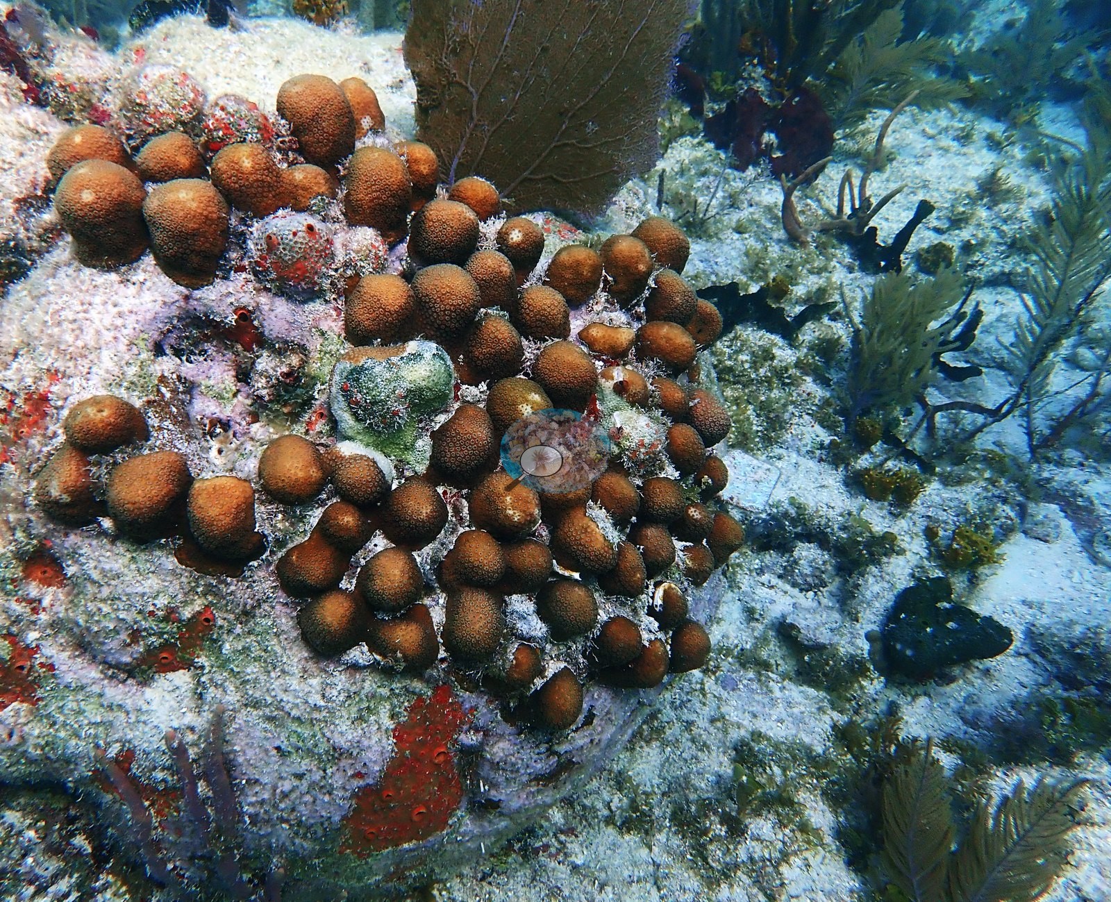
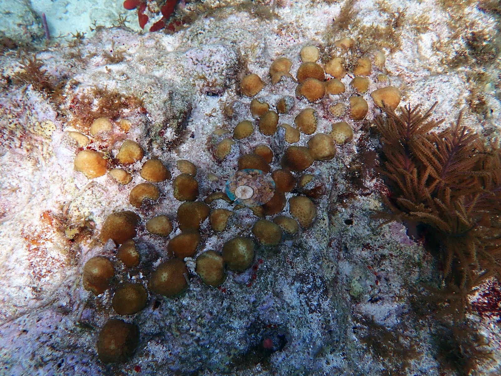
Image 35 and Image 39 show two more such clusters, Image 39 on the crown of a pavement mound.
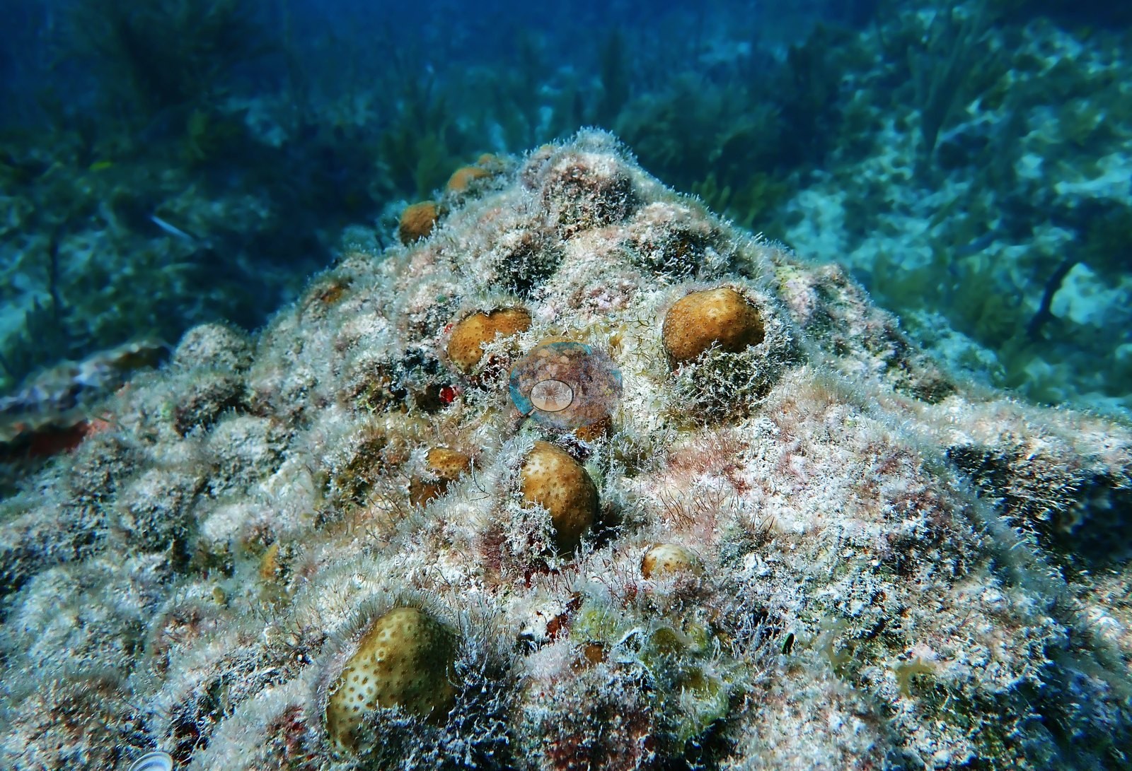
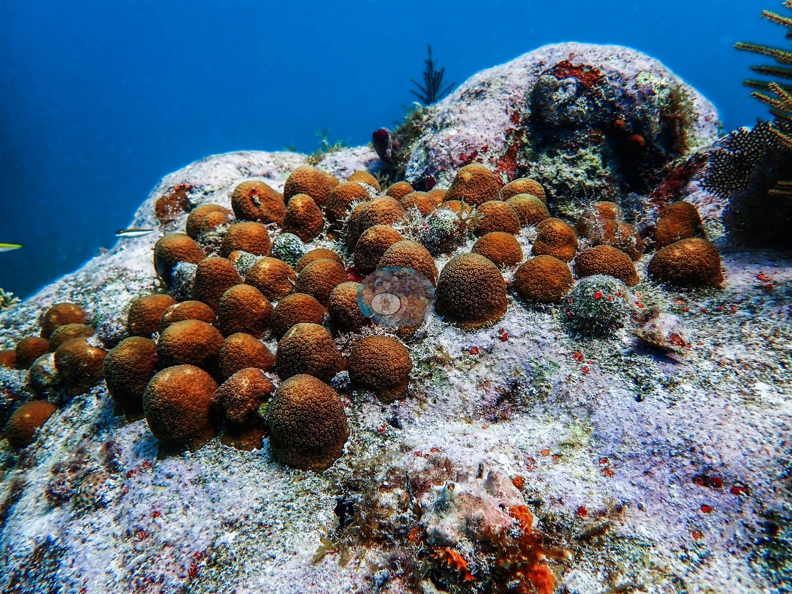
Image 80 is a close-up of a numbered plastic monitoring tag pinned to the substrate beside a pink-tan branching colony — a restoration-monitoring identifier, and the reason the site should be treated as a managed/outplanted reef, not a purely natural assemblage.
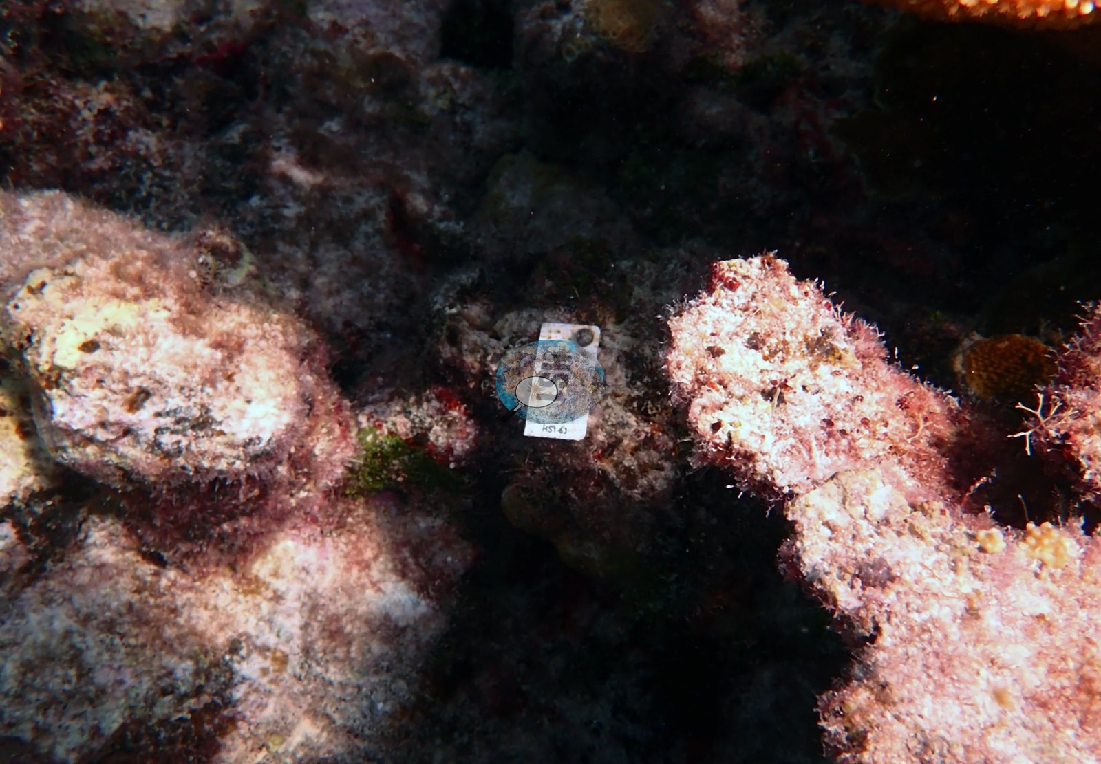
Note explicitly what the frames cannot settle: the large staghorn and elkhorn thickets are not individually tagged in these photographs, so which of them are outplants of restoration origin and which are natural colonies is undetermined here. Human context in the frames, which is context and not reef: Anderson's dive buddy appears over the gorgonians and elkhorn of the reef top in Image 83 and Image 86, another diver in Image 134; the boat hull overhead in Image 70, Image 71, and Image 74; and the restoration tag in Image 80. North Dry Rocks, Key Largo — the shallower, first dive of 15 April 2023 (09:47 in, 8.5 m maximum, 4.3 m average, 55 minutes, 26.9°C average, dive-computer minimum 26.1°C). The site is a low spur-and-groove reef in which most of the framework is relict: pale pavement and meter-scale former coral heads now uniformly crusted in pink and lavender crustose coralline algae and turf, with sea plumes, sea rods, and large purple and brown sea fans (Gorgonia ventalina) rooted through it. On top of that relict framework, much of the coral is living. Multiple separate stands of elkhorn coral (Acropora palmata) occupy the shallow crest — not one relict colony but a rank of them, rust-orange to golden-tan, blades a meter and more across, with pale growing margins and clean tissue, receding into the distance in one frame. Substantial staghorn (A. cervicornis) thickets stand behind them. Alongside the natural population there are at least two coral restoration outplant plots: cleared patches of pavement carrying dozens of small dome-shaped colonies set out in a regular array, some already beginning to fuse — the fine even corallites of one plot and the large widely spaced corallites of the other suggest two different massive-coral taxa were planted. Elsewhere the stony coral is scattered: mustard-yellow Porites astreoides mounds and knobby Porites porites finger clusters on sand and rubble. Fish are dominated by sergeant majors over the ridges and by mixed grunt schools sheltering under the sea fans; blue tang, bluehead wrasse, and small snapper are also present.
CV model comparison
More info
A few colony-focused photos raise the mean; the median is the typical photo. No computer-vision method yet estimates coral cover accurately on new images, so treat this as indicative rather than a measurement; it is revised as the methods improve.More info
Other rows are for comparison only and are never averaged. No diver transect exists for these photos, so agreement between rows is not accuracy.| Method | Hard coral cover (%) | Photos (n) ± SE |
|---|---|---|
| CoralSCOP edited | 26.9 | n = 118 |
| Claude (edited photos) | 19.6 | n = 113 · SE 1.8 |
| Reef Check 1997 (same site, mean of 2 same-day surveys) | 10.9 |
CoralSCOP (edited photos) reads 26.9%, 7.3 pp above Claude's blind point count (19.6%); the headline stays Claude's blind point count because no transect or manual count exists here.
See a more detailed, stand-alone version of this table.
Independent surveys nearby
| Agency / program | Year(s) | Stations / distance | Link |
|---|---|---|---|
| FWC CREMP (Florida Keys) | 1996–2024 | 8 stations, 2.87–4.29 km | Records ↓ |
| NOAA NCRMP | 2014–2016 | 27 stations, 1.32–4.95 km | Records ↓ |
| NOAA NCRMP Florida | 2024 | 11 stations, 0.92–4.73 km | Records ↓ |
| Reef Check | 1997–2018 | 11 stations, 0.13–4.48 km | Records ↓ |
| Wallace (2011) | 2009 | 1 station, 2.19 km | Records ↓ |
 Coral Reef DiagnosticsYear-average (illustrative only, programs differ)
Within 5 km, 58 independent survey stations recorded hard coral cover in 289 records between 1996 and 2024. Of the 13 stations surveyed in more than one year, 9 declined (by 0.3–28 points), 3 increased (by 0.8–10 points), and 1 changed by less than 1 point between their first and latest surveys. 8 stations share the longest span (1996–2024); one, Grecian Rocks #511 (FWC CREMP (Florida Keys), 2.87 km away), went from 38% in 1996 to 10% in 2024. Since 2021, station-year means average 3.6% (range 0.0–15%; n = 43 station-years from 43 records). This site's own estimate (20%) sits 18.0 points above the recent range of station-year means up to 2 km away (0.0–2.0%); the methods differ, so the comparison is context, not a like-for-like test.
Collected by other programs using different methods (Reef Check uses point-intercept transects; NOAA rows come from NOAA monitoring programs (NCRMP, PIFSC, NCCOS), and each row's method is in its hover text; FWC-FWRI uses fixed-station point counts), so these are context for the figures above, not a like-for-like comparison. Where a station was surveyed more than once, the cell shows either the range of its values or, as a single value, the mean of surveys made in one year. Station names are not dive-site names.
Show all 289 independent survey records
| Agency | Site / location | Date | Hard coral cover (%) | Distance | Link |
|---|---|---|---|---|---|
| FWC CREMP (Florida Keys) | Grecian Rocks #511 | 1996–2024 | 10–39% (29 surveys) | 2.87 km | — |
| FWC CREMP (Florida Keys) | Grecian Rocks #512 | 1996–2024 | 0.1–11% (29 surveys) | 2.87 km | — |
| FWC CREMP (Florida Keys) | Grecian Rocks #513 | 1996–2024 | 4.5–12% (29 surveys) | 2.87 km | — |
| FWC CREMP (Florida Keys) | Grecian Rocks #514 | 1996–2024 | 1.3–12% (29 surveys) | 2.87 km | — |
| FWC CREMP (Florida Keys) | Porter Patch #321 | 1996–2024 | 1.1–5.1% (29 surveys) | 4.29 km | — |
| FWC CREMP (Florida Keys) | Porter Patch #322 | 1996–2024 | 3.0–7.4% (29 surveys) | 4.29 km | — |
| FWC CREMP (Florida Keys) | Porter Patch #323 | 1996–2024 | 0.4–5.2% (29 surveys) | 4.29 km | — |
| FWC CREMP (Florida Keys) | Porter Patch #324 | 1996–2024 | 1.3–4.1% (19 surveys) | 4.29 km | — |
| Reef Check | Dry Rocks | 1997 | 11%, mean of 2 surveys (3 m and 10 m) | 0.13 km | — |
| Reef Check | Grecian Dry Rocks | 1997–2006 | 16–25% (range of yearly means; 5 surveys) | 2.42 km | — |
| Reef Check | Horseshoe Reef | 1998 | 6.3% | 0.97 km | — |
| Reef Check | Elbow Reef | 1998–2006 | 3.1–26% (4 surveys) | 3.63 km | — |
| Reef Check | Grecian Rocks Buoy G12 | 2001 | 28% (2 surveys) | 2.45 km | — |
| Reef Check | The Elbow | 2004 | 18% | 3.40 km | — |
| Wallace (2011) | — | 2009 | 10% | 2.19 km | — |
| Reef Check | Grecian (Banana) Reef | 2010 | 13% | 2.90 km | — |
| Reef Check | The Elbow | 2010–2017 | 9.4–41% (6 surveys) | 3.88 km | — |
| Reef Check | Elbow | 2011 | 5.0% | 4.48 km | — |
| NOAA NCRMP | FLK-27 | 2014 | 11% | 1.32 km | — |
| NOAA NCRMP | FLK-24 | 2014 | 3.5% | 1.32 km | — |
| NOAA NCRMP | FLK-26 | 2014 | 1.5% | 1.32 km | — |
| NOAA NCRMP | FLK-23 | 2014 | 14% | 1.32 km | — |
| NOAA NCRMP | FLK-28 | 2014 | 3.5% | 1.87 km | — |
| NOAA NCRMP | FLK-33 | 2014 | 8.0% | 2.37 km | — |
| NOAA NCRMP | FLK-32 | 2014 | 5.0% | 2.37 km | — |
| NOAA NCRMP | FLK-29 | 2014 | 17% | 2.59 km | — |
| NOAA NCRMP | FLK-30 | 2014 | 14% | 2.59 km | — |
| NOAA NCRMP | FLK-35 | 2014 | 4.0% | 2.79 km | — |
| NOAA NCRMP | FLK-34 | 2014 | 4.0% | 2.79 km | — |
| NOAA NCRMP | FLK-48 | 2014 | 2.5% | 3.26 km | — |
| NOAA NCRMP | FLK-53 | 2014 | 0.0% | 3.26 km | — |
| NOAA NCRMP | FLK-52 | 2014 | 13% | 3.29 km | — |
| NOAA NCRMP | FLK-51 | 2014–2016 | 2.0–6.0% (range of yearly means; 2 records) | 3.29 km | — |
| NOAA NCRMP | FLK-54 | 2014 | 1.0% | 3.46 km | — |
| NOAA NCRMP | FLK-50 | 2014 | 6.0% | 3.57 km | — |
| NOAA NCRMP | FLK-31 | 2014 | 9.5% | 3.59 km | — |
| NOAA NCRMP | FLK-47 | 2014 | 2.0% | 3.61 km | — |
| NOAA NCRMP | FLK-46 | 2014 | 6.0% | 3.61 km | — |
| NOAA NCRMP | FLK-43 | 2014 | 0.0% | 4.07 km | — |
| NOAA NCRMP | FLK-44 | 2014 | 0.0% | 4.07 km | — |
| NOAA NCRMP | FLK-36 | 2014 | 5.5% | 4.28 km | — |
| NOAA NCRMP | FLK-49 | 2014 | 0.5% | 4.61 km | — |
| NOAA NCRMP | FLK-38 | 2014 | 0.0% | 4.79 km | — |
| NOAA NCRMP | FLK-45 | 2014 | 2.5% (2 records) | 4.95 km | — |
| Reef Check | North North Dry Rocks | 2016–2017 | 5.6–16% (2 surveys) | 0.86 km | — |
| NOAA NCRMP | FLK-411 | 2016 | 8.0% | 2.45 km | — |
| Reef Check | Grecian - Banana (G1) | 2018 | 5.0% | 2.85 km | — |
| NOAA NCRMP Florida | FLK PSU 8246-1 | 2024 | 1.0% | 0.92 km | NCEI 0306238 |
| NOAA NCRMP Florida | FLK PSU 8252-1 | 2024 | 2.0% | 1.03 km | NCEI 0306238 |
| NOAA NCRMP Florida | FLK PSU 8126-1 | 2024 | 0.0% | 1.08 km | NCEI 0306238 |
| NOAA NCRMP Florida | FLK PSU 1139-1 | 2024 | 1.0% | 2.80 km | NCEI 0306238 |
| NOAA NCRMP Florida | FLK PSU 1367-1 | 2024 | 2.0% | 2.87 km | NCEI 0306238 |
| NOAA NCRMP Florida | FLK PSU 1337-1 | 2024 | 1.0% | 3.60 km | NCEI 0306238 |
| NOAA NCRMP Florida | FLK PSU 1277-1 | 2024 | 1.0% | 3.66 km | NCEI 0306238 |
| NOAA NCRMP Florida | FLK PSU 1336-1 | 2024 | 0.0% | 3.72 km | NCEI 0306238 |
| NOAA NCRMP Florida | FLK PSU 1224-1 | 2024 | 2.0% | 3.79 km | NCEI 0306238 |
| NOAA NCRMP Florida | FLK PSU 1366-1 | 2024 | 0.0% | 3.84 km | NCEI 0306238 |
| NOAA NCRMP Florida | FLK PSU 1082-1 | 2024 | 8.0% | 4.73 km | NCEI 0306238 |
Data & links
All images from Coral Reef Diagnostics. Data are from Coral Reef Diagnostics and the organizations named in the data sources above.
© Coral Reef Diagnostics.