
NOAA - Black Coral Rock, Dry Tortugas
Part of the regional summary: USA - Dry Tortugas
More info
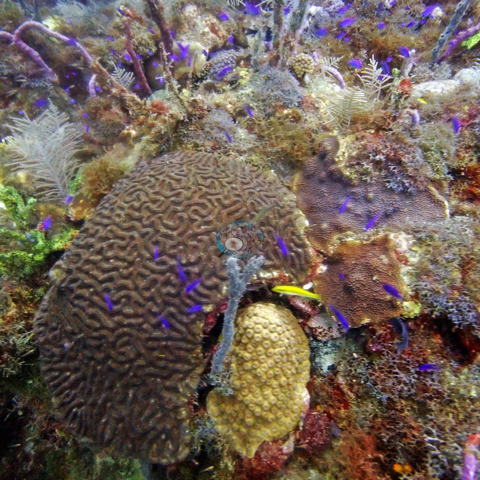
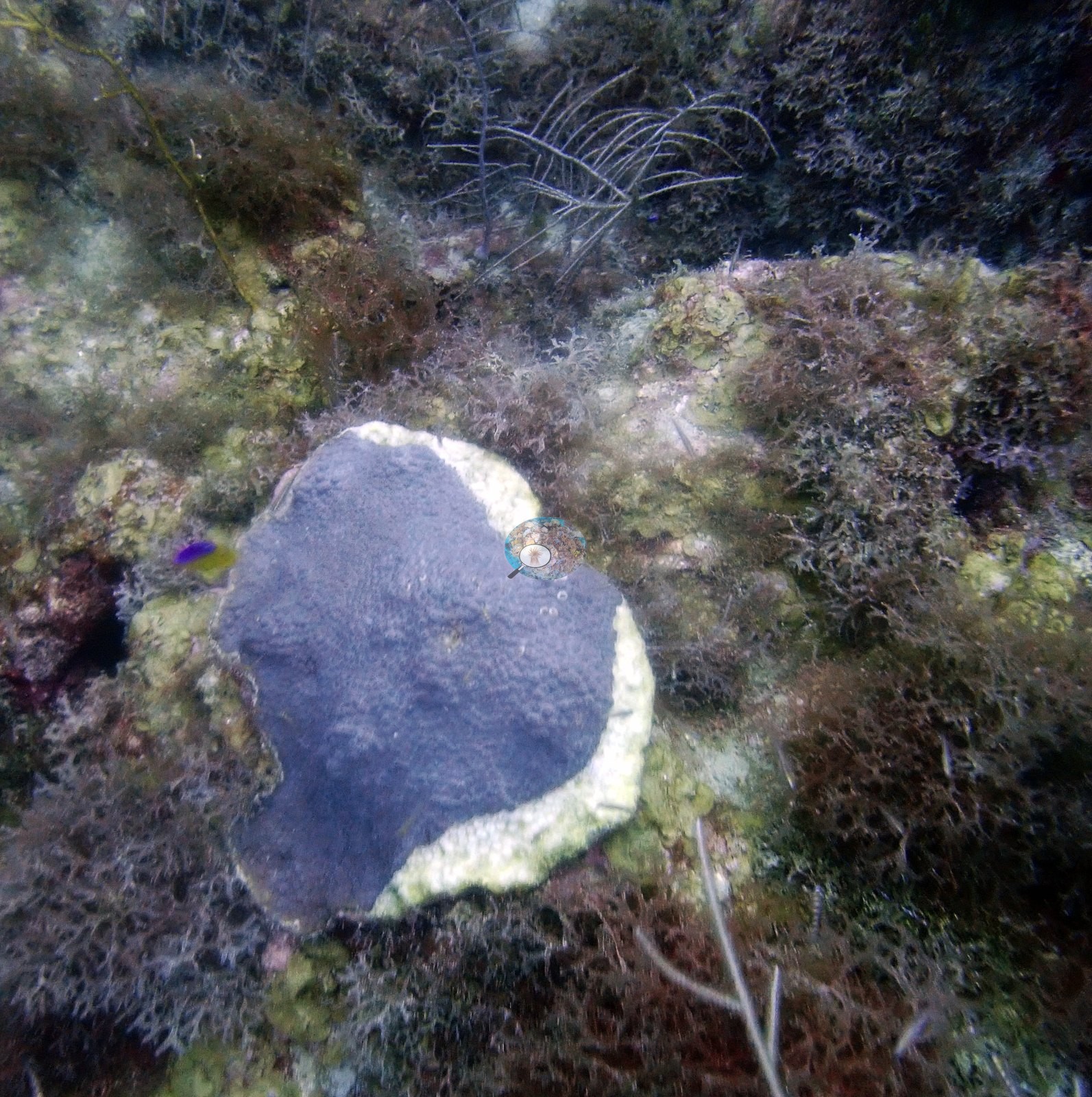
Florida Keys (NOAA CRW virtual station)A NOAA Dry Tortugas monitoring station on an open-ocean pinnacle (Anderson's log: 'a beautiful pinnacle in the middle of the open ocean'), with rubble-and-turf hard-bottom dotted with brain corals and mounding heads, and one colony showing a tissue-loss front consistent with SCTLD. Coral cover is 12%, the mean of four FWC-FWRI CREMP 2021 point-count stations at this monitoring site (range 9.5–17%), not a count of Anderson's own images.
88 independent survey stations shown with the program’s logo — click one to see how far it is from this site.
19 of the 25 photographs on this page are shown beside the text that discusses them under "Site description" below.
Site description
Setting
Black Coral Rock is a NOAA Dry Tortugas monitoring station on what Anderson's log calls 'a beautiful pinnacle in the middle of the open ocean'; the dive here on 28 June 2021, a temperature-logger swap, reached 25.6 m.
General benthic features
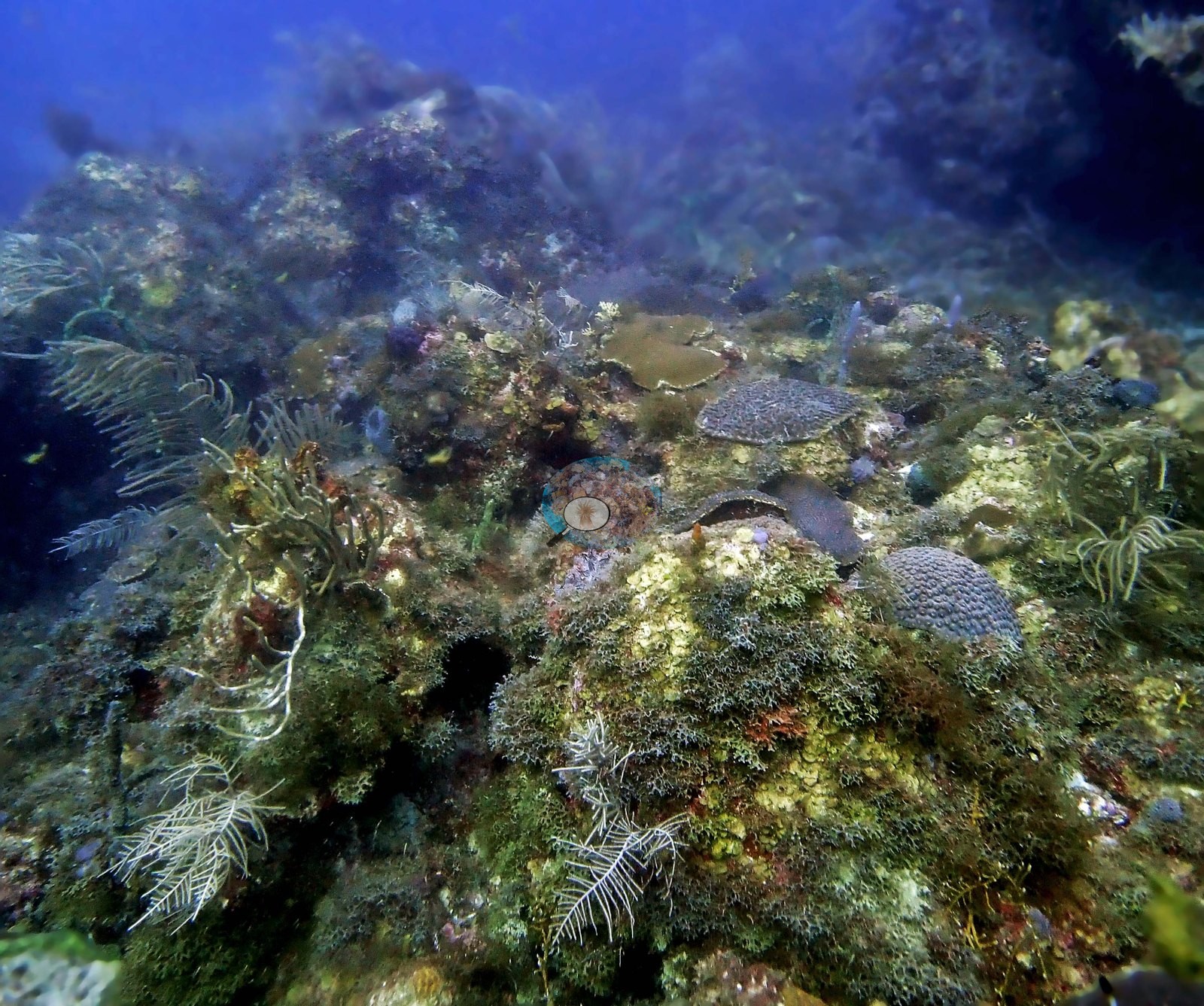
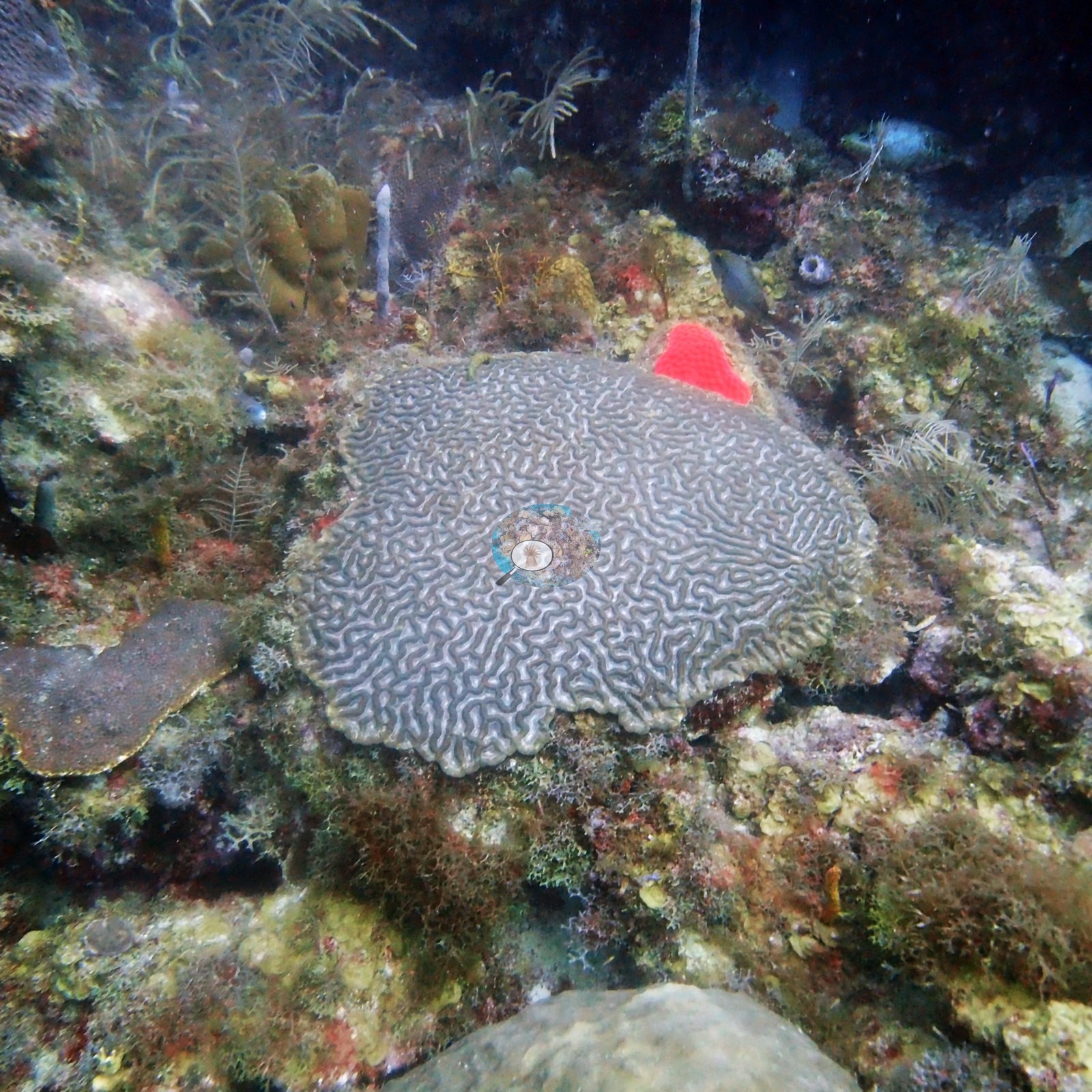
Many of the photographs show rubble-and-turf hard-bottom rather than a coral-crowded reef (e.g., Image 4, Image 12, Image 15, Image 19): brain corals and mounding heads shelter small yellow fish (e.g., Image 16, Image 18), a purple gorgonian and pale barrel sponge add color (e.g., Image 10, Image 17, Image 20), and loose schools of silvery reef fish drift through frame after frame (e.g., Image 3, Image 5, Image 6, Image 7, Image 21).
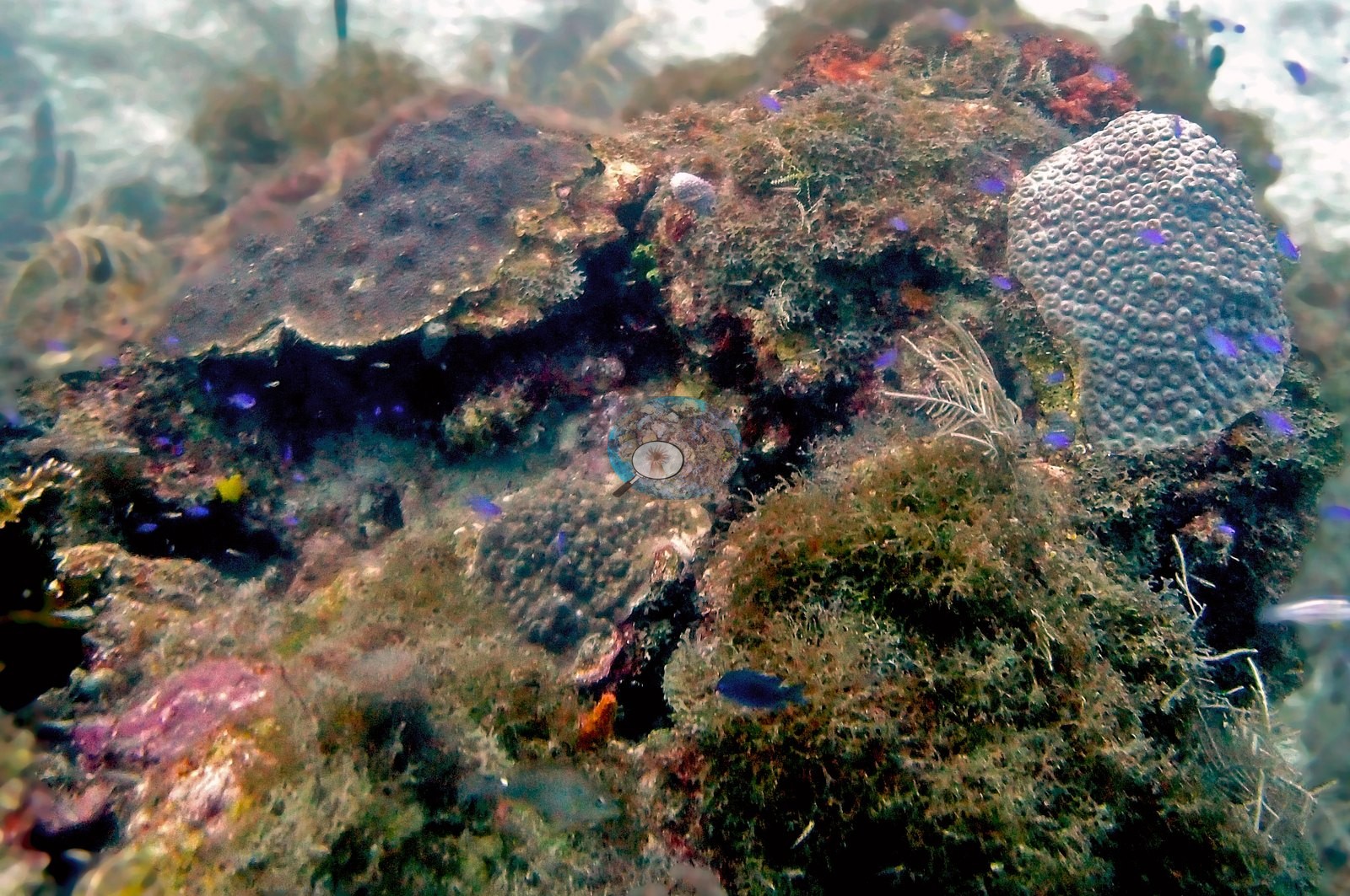
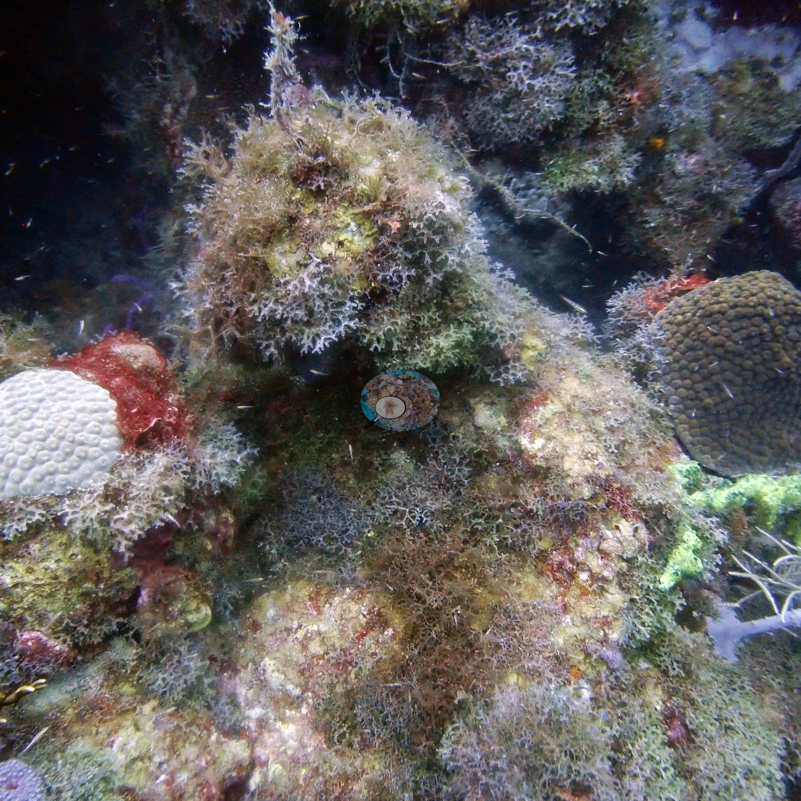
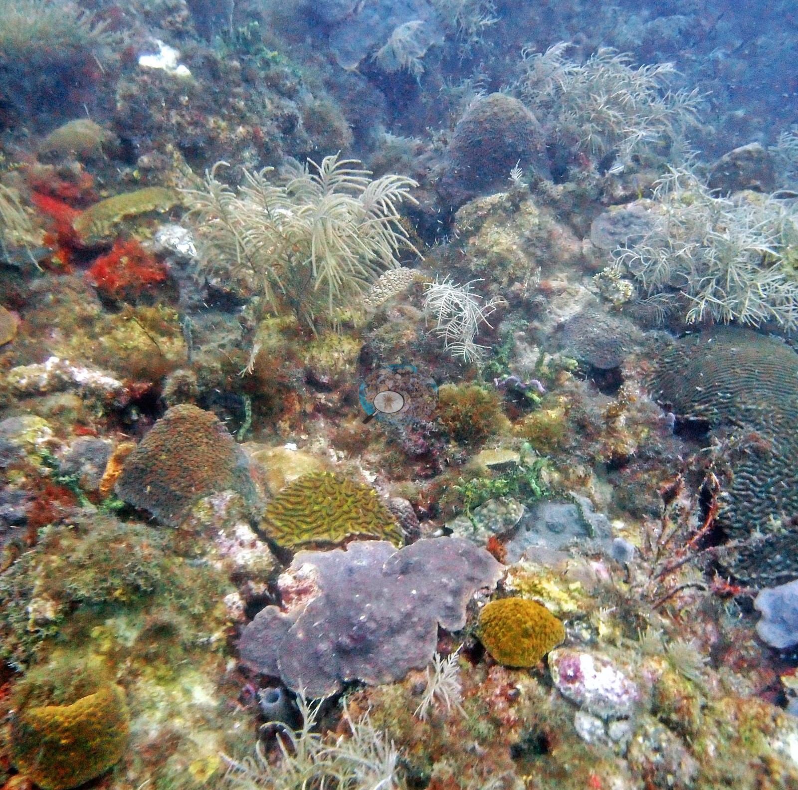
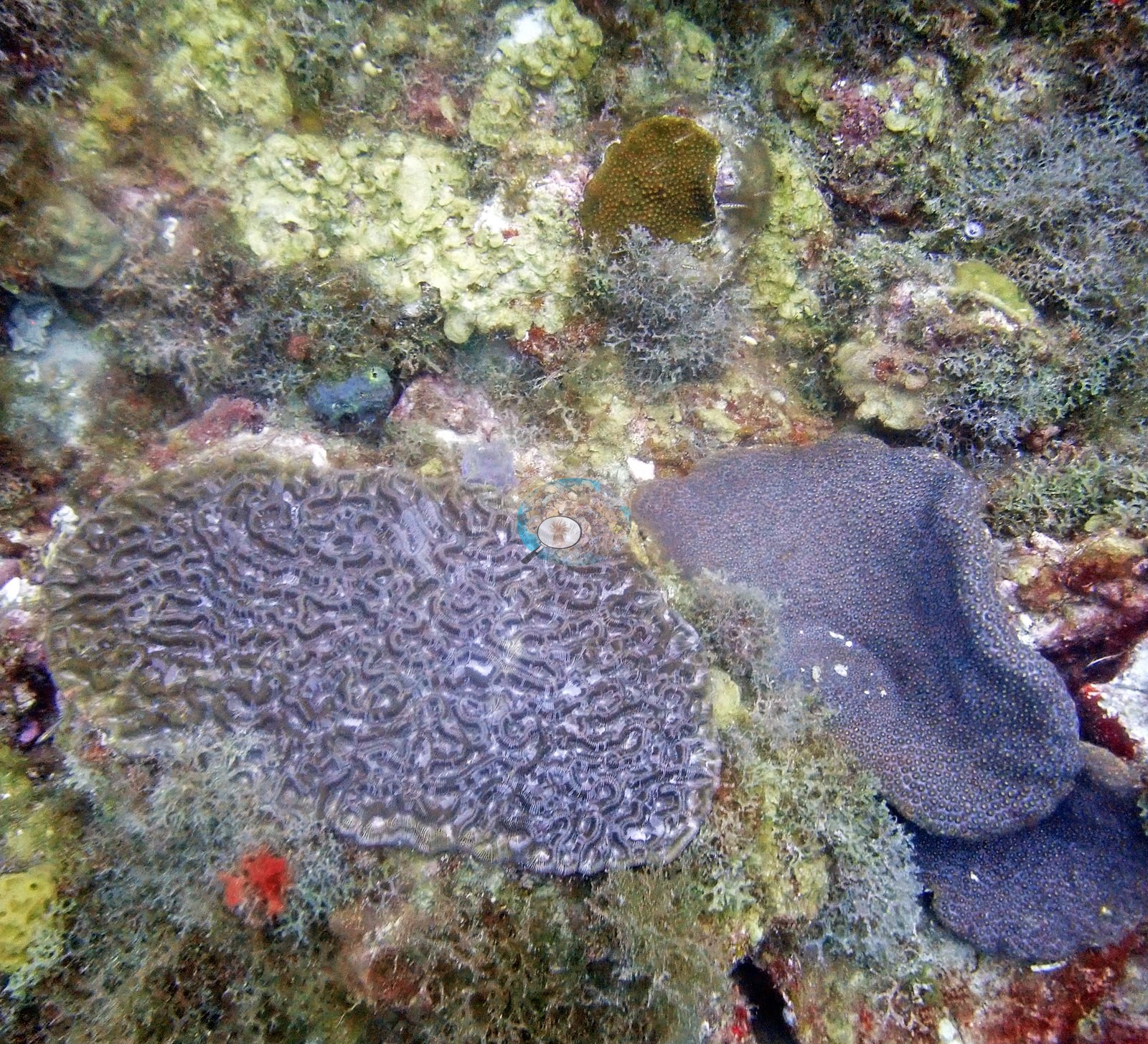
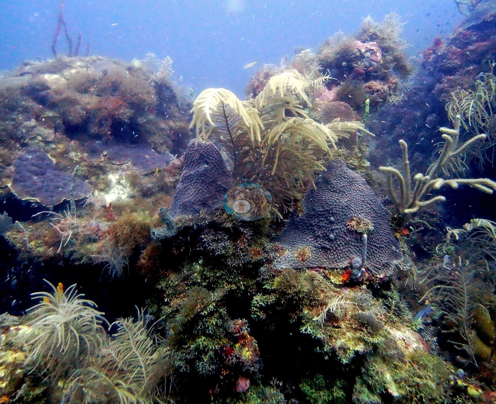
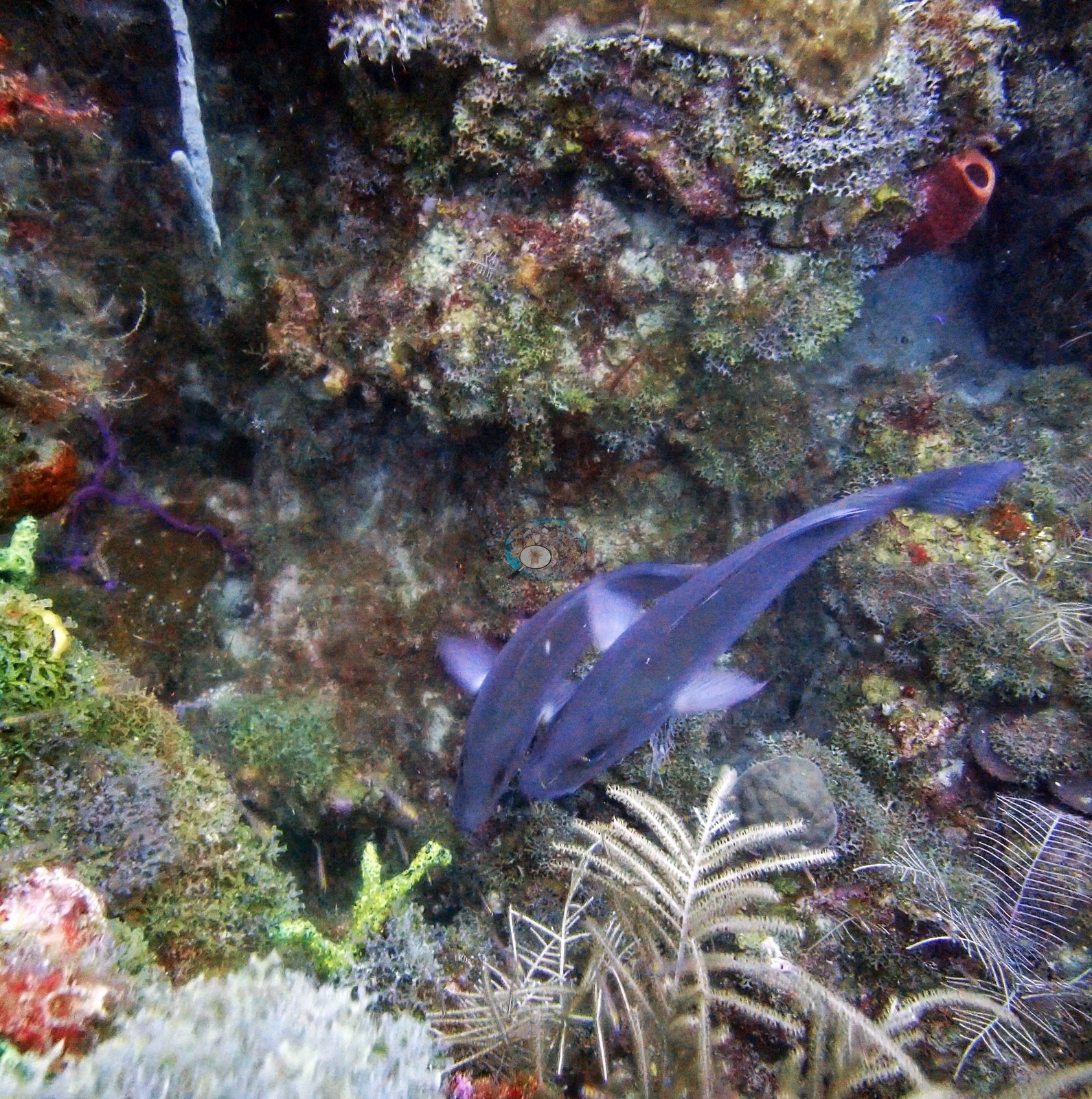
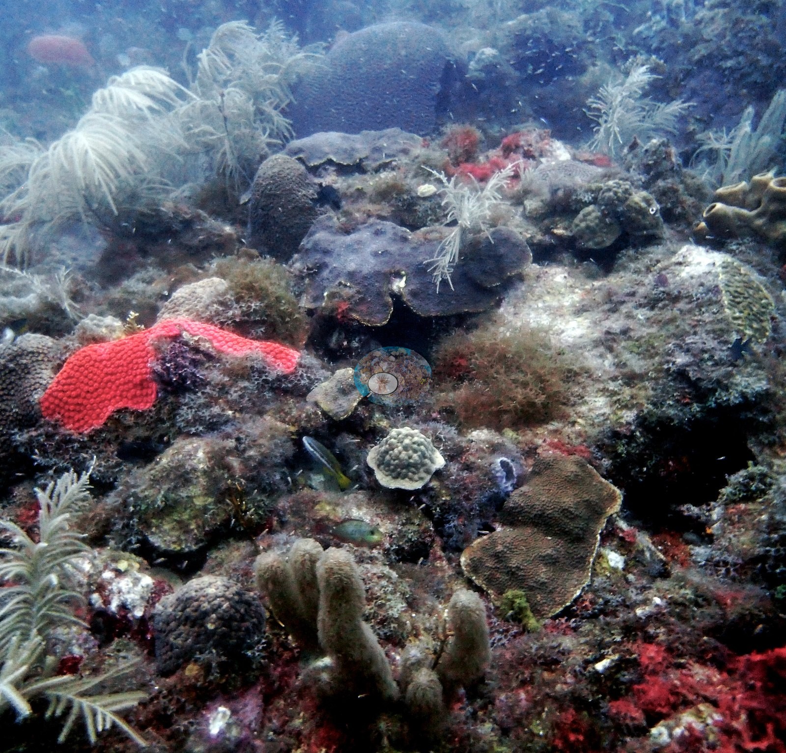
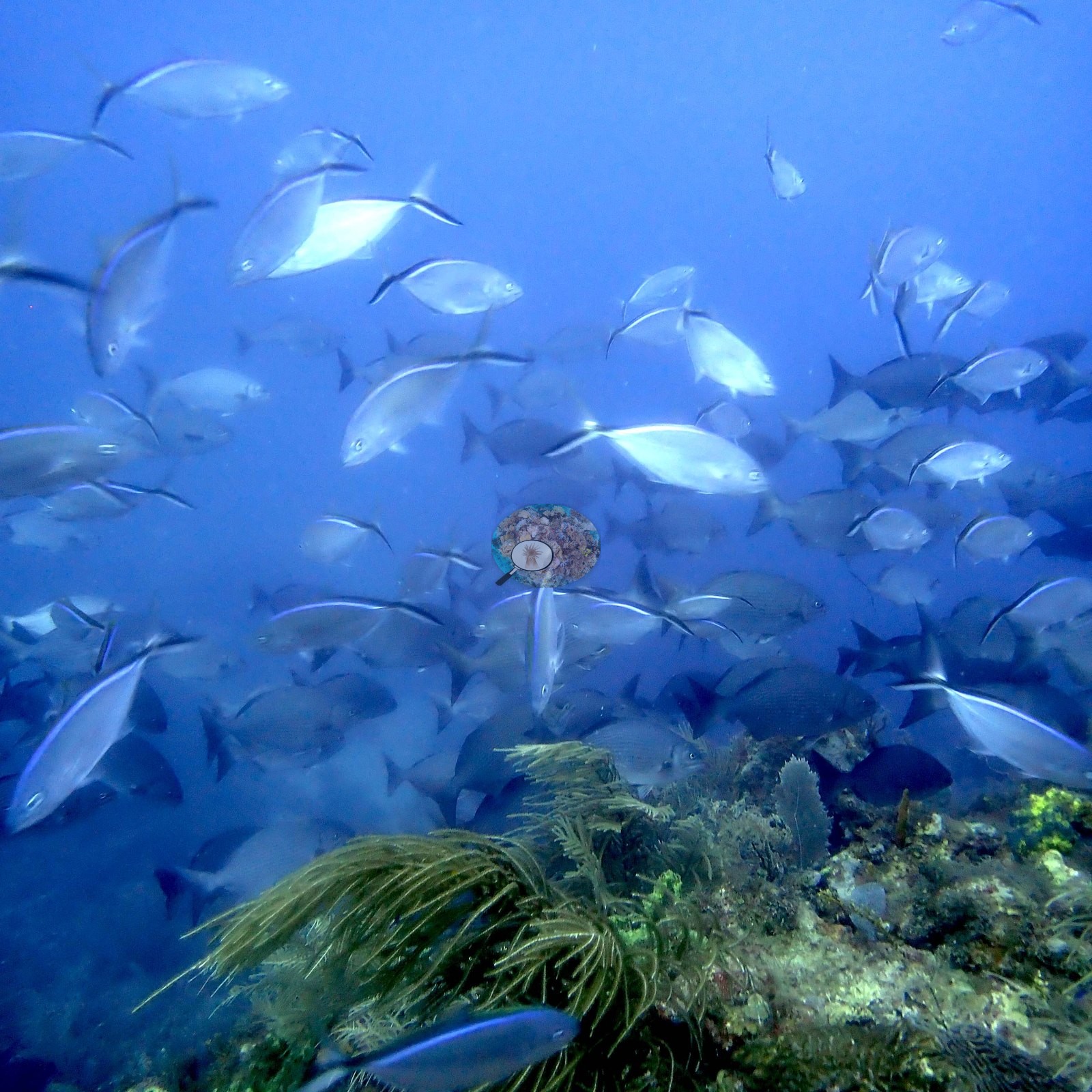
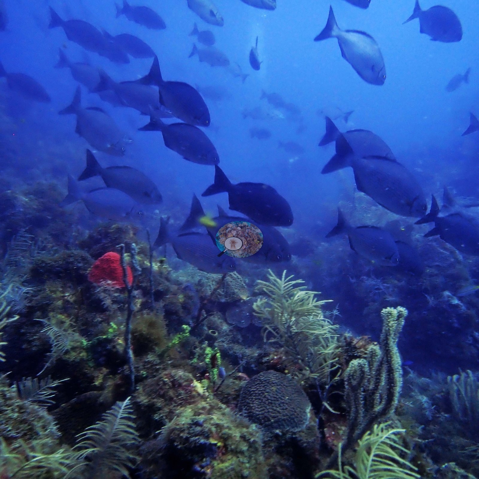
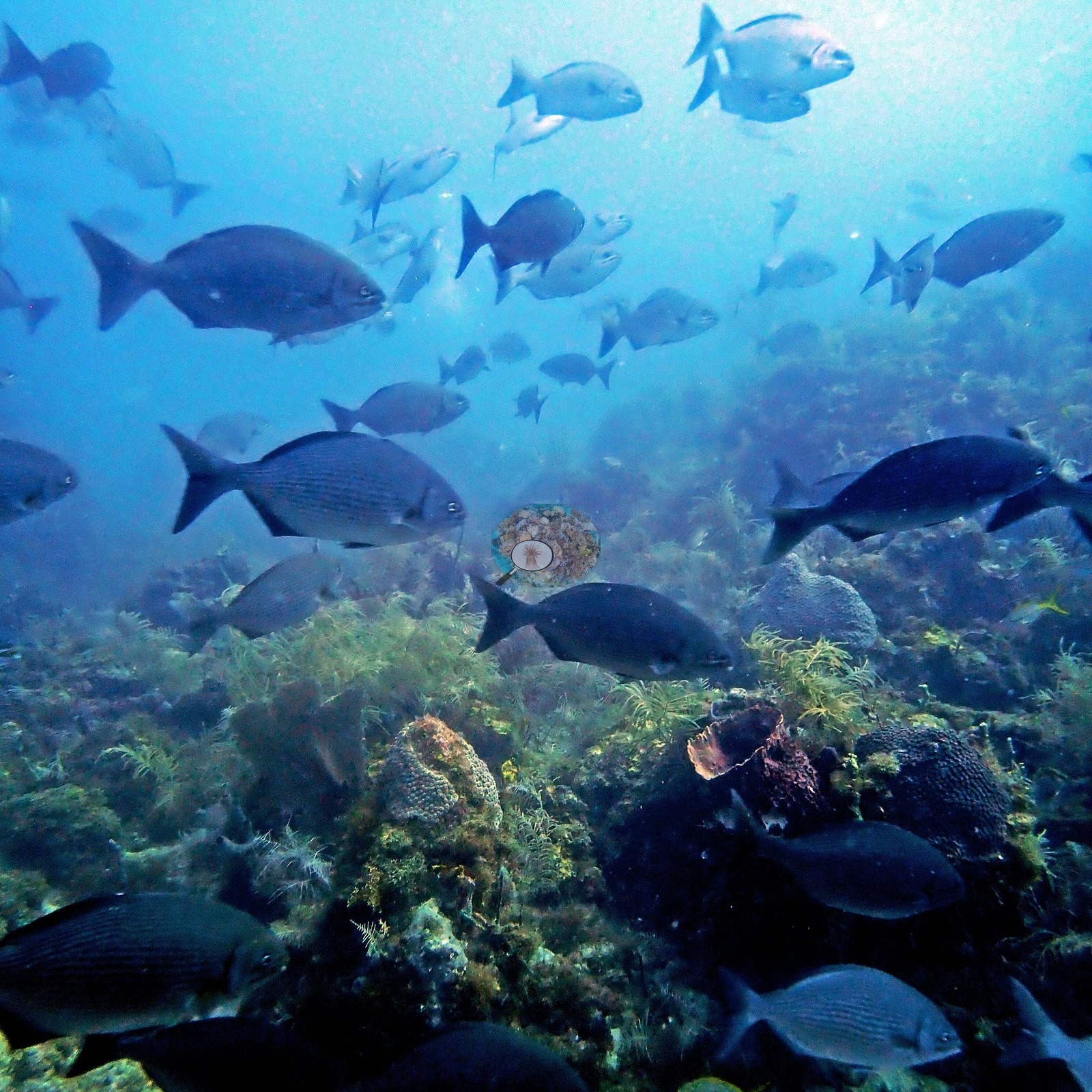
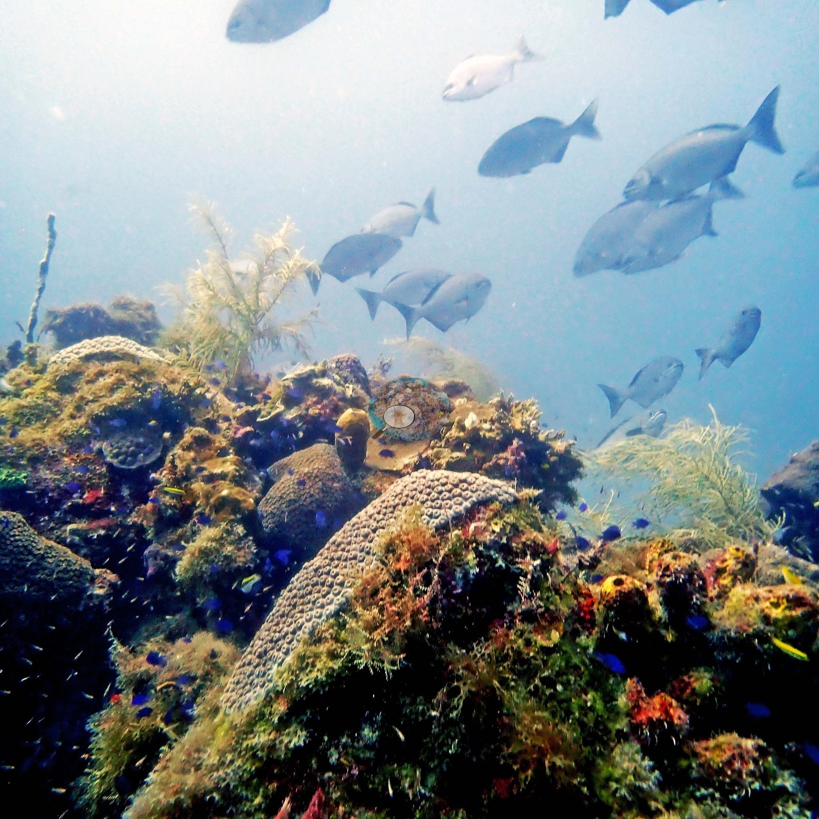
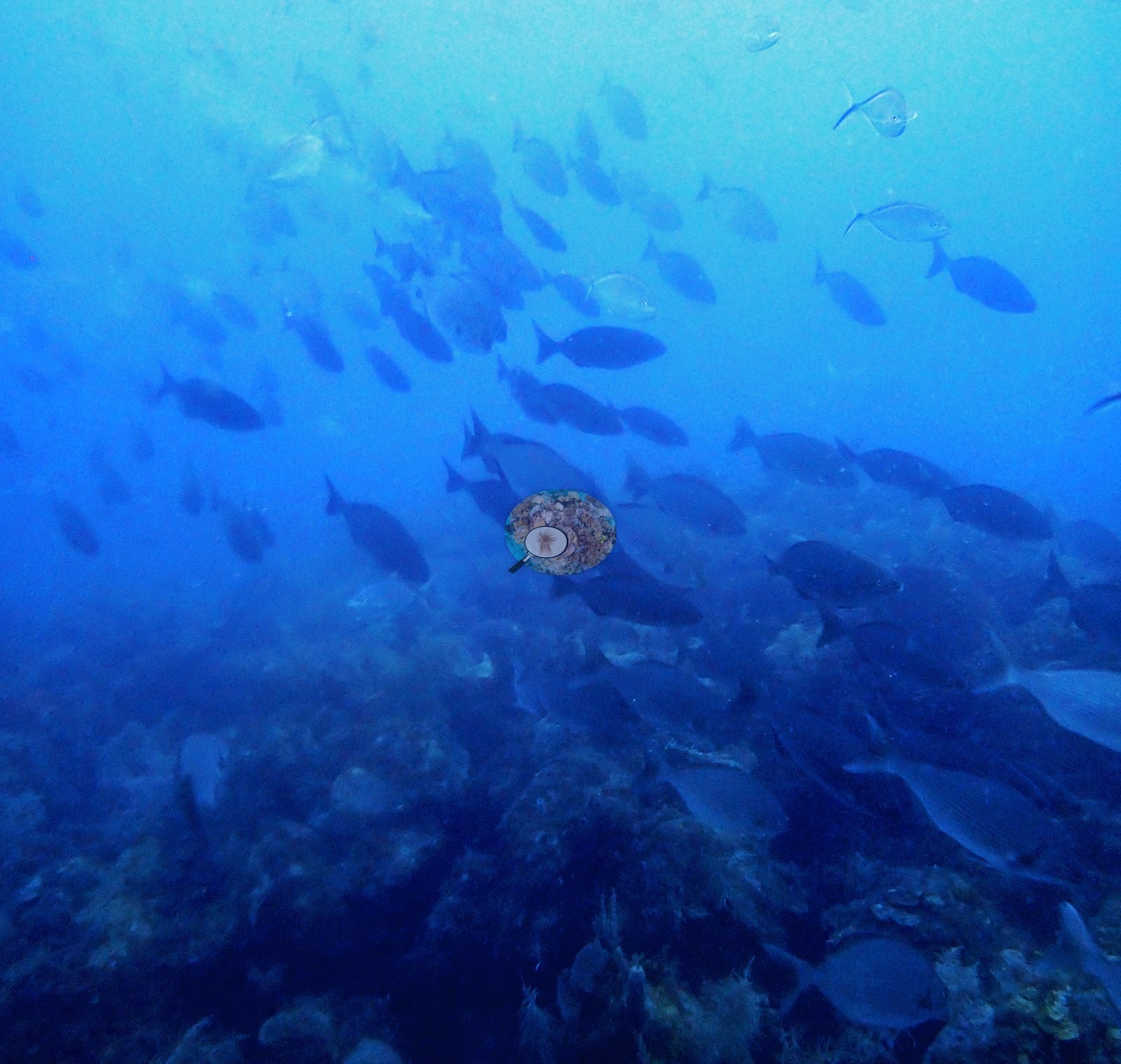
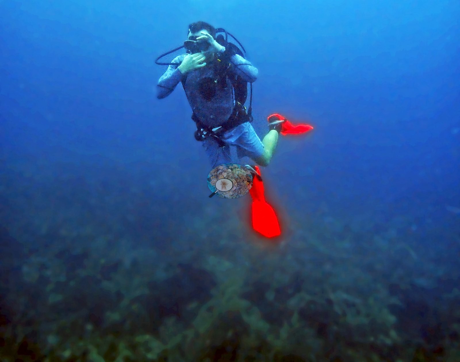
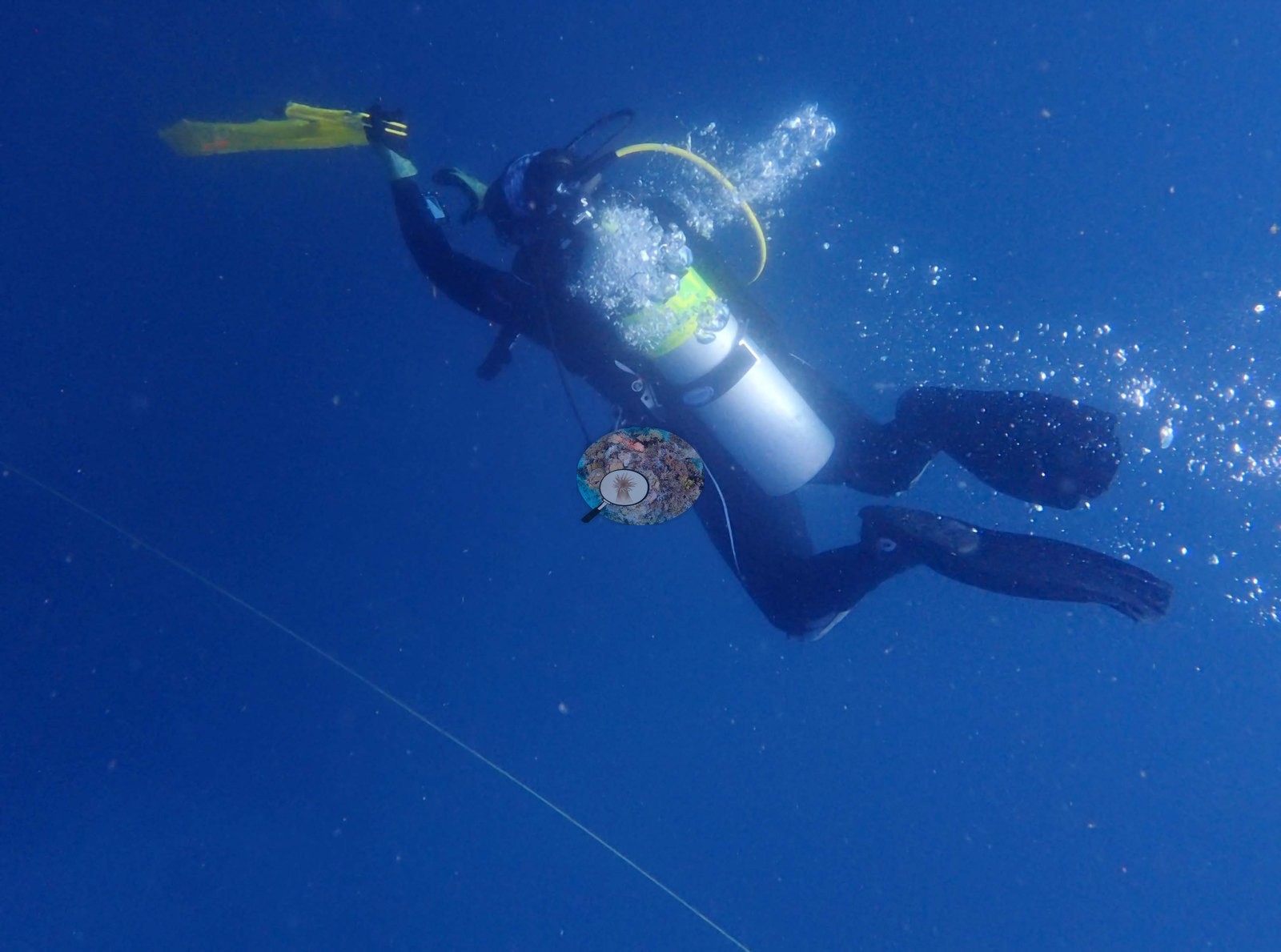
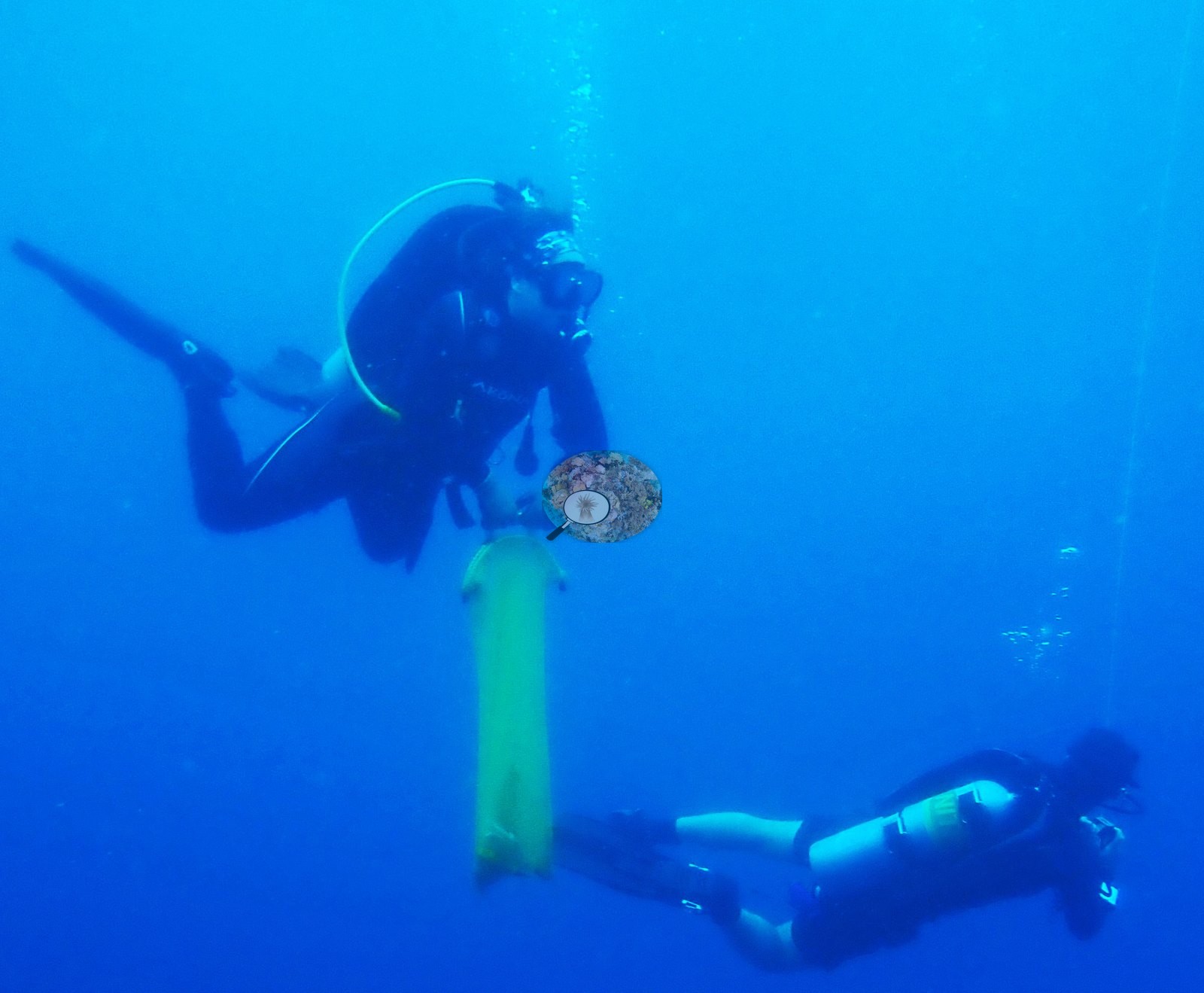
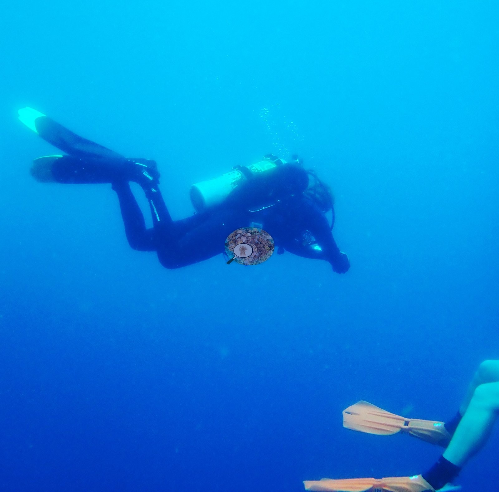
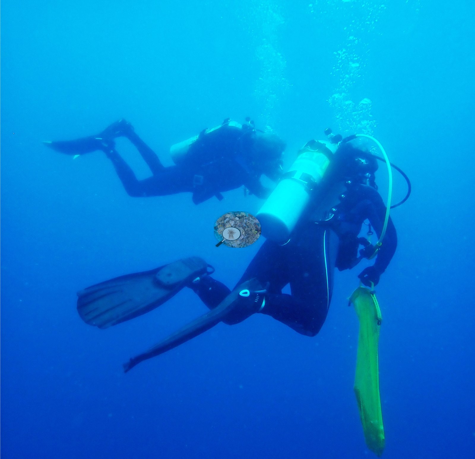
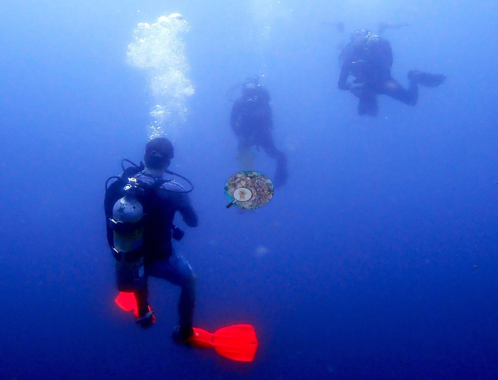
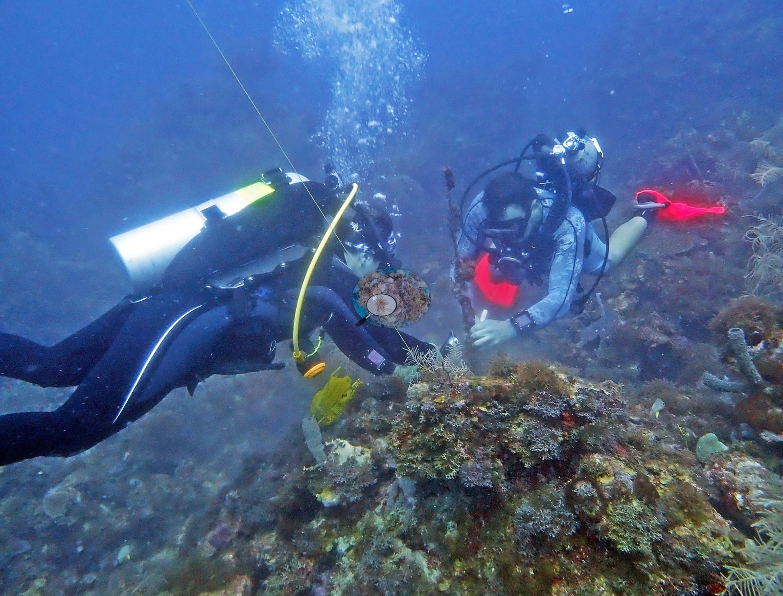
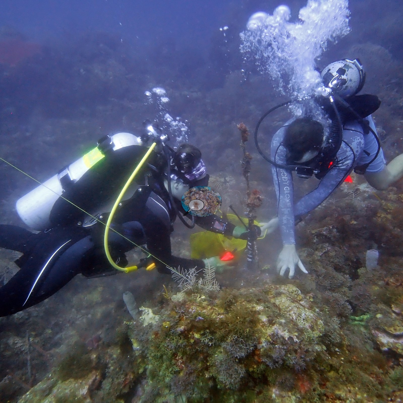
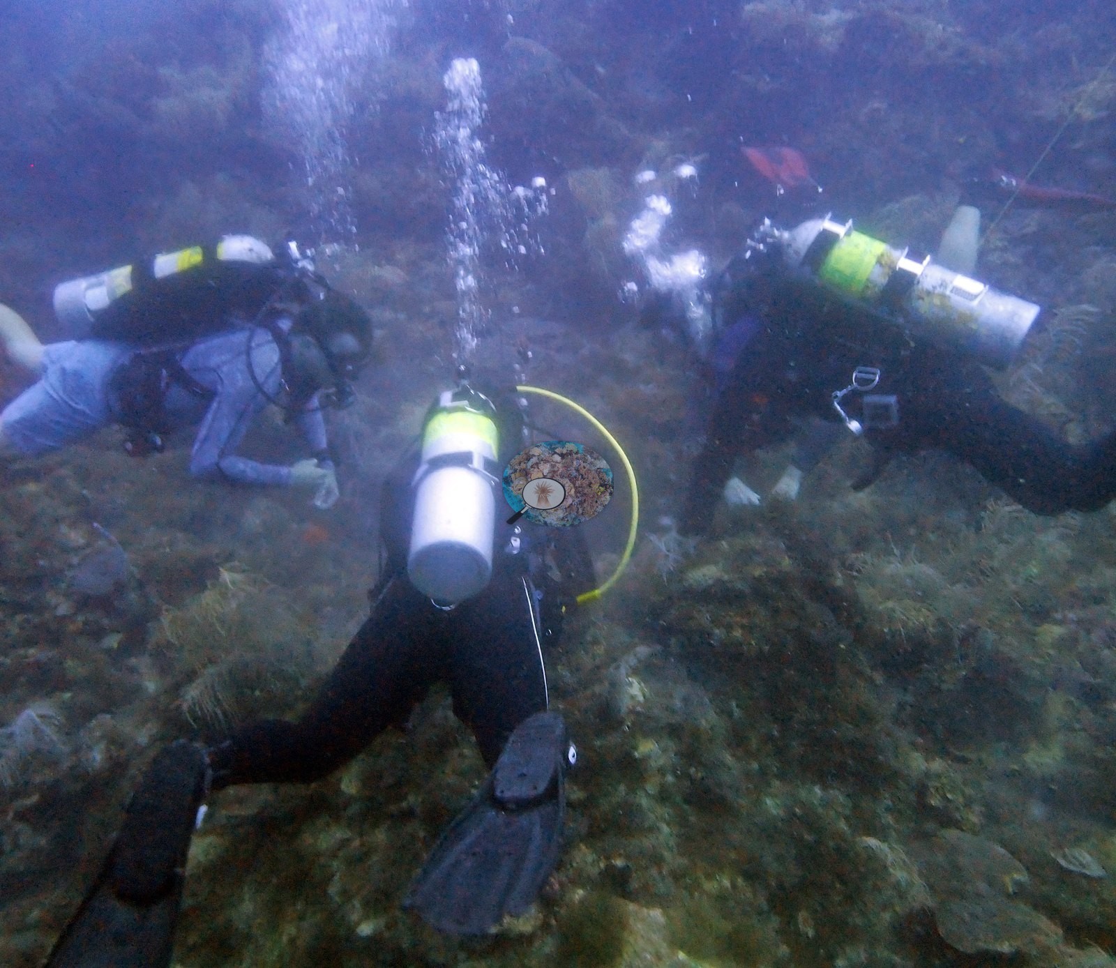
A red tag is visible on one colony (e.g., Image 11), and divers can be seen at work in three frames (e.g., Image 8, Image 9, Image 13); the dive was a temperature-logger swap (Anderson's log).
Coral cover
- Coral cover: 12% in 2021, from the FWC-FWRI Dry Tortugas CREMP point-count survey of the site's 4 permanent stations (831-834), the year Anderson dived here; the same 4 stations read 4.8% in 2024.
- The figure comes from the station values of the DTCREMP 2024 data release (9.5, 17, 12, and 11%).
- The four stations span 9.5% to 17%, so the site mean hides real patchiness.
- In August 2024 the same 4 stations read 3.7, 4.5, 5.9, and 4.9% (FWC-FWRI DTCREMP 2024 data release).
- For comparison only, computer vision on Anderson's own June 2021 photographs reads higher than the agency survey (method table below) because the photographs concentrate on coral heads rather than a systematic transect view; the agency survey is the site's cover.
- That figure does not agree with the transect data even after allowing for CoralSCOP's known over-read; the CREMP/NCRMP transect data remain the more defensible cover figures for this station.
Stressors
One massive colony shows a tissue-loss front: gray-purple live tissue, then a broad cream-white band of recently bare skeleton, then turf-covered skeleton, consistent with stony coral tissue loss disease (SCTLD) (e.g., Image 14).
No corallivores were evident.
Comparisons with other data
FWC CREMP (Dry Tortugas, DTCREMP) surveyed this site (Black Coral Rock #831) in 2024, 0.00 km from the pin. Within 5 km, 88 independent stations recorded station-year means of 0.0–36% hard coral cover between 1999 and 2024; the nearest, FWC CREMP (Dry Tortugas, DTCREMP) at Black Coral Rock #831, 0.00 km away, read 2.0–25% between 1999 and 2024.
CV model comparison
More info
Like-for-like change at the same 4 permanent stations; do not compare with the CoralSCOP index.More info
Claude CV and CoralSCOP on Anderson's June 2021 photos are comparisons only and are never averaged.| Method | Hard coral cover (%) | Photos (n) ± SE |
|---|---|---|
| Transect (published) | 12.4 | |
| CoralSCOP unedited | 34.6* | n = 15 |
| Claude (edited photos) | 17.6 | n = 25 · SE 3.9 |
The two computer-vision methods disagree by 17.0 pp (17.6–34.6%) and read 5.2–22.2 pp above the in-water transect (12.4%); the headline is the in-water transect because a diver transect is independent of the photographs.
*Based on only 15 reef-habitat photos; this estimate is less certain.
See a more detailed, stand-alone version of this table.
Independent surveys nearby
| Agency / program | Year(s) | Stations / distance | Link |
|---|---|---|---|
| FWC CREMP (Dry Tortugas, DTCREMP) | 1999–2024 | 4 stations, 0.00 km | Records ↓ |
| NOAA NCRMP | 2014–2016 | 33 stations, 0.24–4.83 km | Records ↓ |
| NOAA NCRMP Florida | 2024 | 30 stations, 0.26–4.75 km | Records ↓ |
| NOAA NCRMP Florida (NCEI 0253452) | 2021 | 21 stations, 0.69–4.13 km | Records ↓ |
Within 5 km, 88 independent survey stations recorded hard coral cover in 188 records between 1999 and 2024. Of the 4 stations surveyed in more than one year, 4 declined (by 15–26 points) between their first and latest surveys. Four stations share the longest span (1999–2024); one, Black Coral Rock #831 (FWC CREMP (Dry Tortugas, DTCREMP), 0.00 km away), went from 19% in 1999 to 3.7% in 2024. Since 2021, station-year means average 5.8% (range 0.0–21%; n = 67 station-years from 67 records). This site's headline survey value (12%) sits within the recent range of station-year means up to 2 km away (0.0–17%); the methods differ, so the comparison is context, not a like-for-like test.
Collected by other programs using different methods (NOAA rows come from NOAA monitoring programs (NCRMP, PIFSC, NCCOS), and each row's method is in its hover text; FWC-FWRI uses fixed-station point counts), so these are context for the figures above, not a like-for-like comparison. Where a station was surveyed more than once, the cell shows either the range of its values or, as a single value, the mean of surveys made in one year. Station names are not dive-site names.
Show all 188 independent survey records
| Agency | Site / location | Date | Hard coral cover (%) | Distance | Link |
|---|---|---|---|---|---|
| FWC CREMP (Dry Tortugas, DTCREMP) | Black Coral Rock #831 | 1999–2024 | 2.0–25% (26 surveys) | 0.00 km | — |
| FWC CREMP (Dry Tortugas, DTCREMP) | Black Coral Rock #832 | 1999–2024 | 4.5–30% (26 surveys) | 0.00 km | — |
| FWC CREMP (Dry Tortugas, DTCREMP) | Black Coral Rock #833 | 1999–2024 | 3.5–26% (26 surveys) | 0.00 km | — |
| FWC CREMP (Dry Tortugas, DTCREMP) | Black Coral Rock #834 | 1999–2024 | 3.8–27% (26 surveys) | 0.00 km | — |
| NOAA NCRMP | Tortugas-33 | 2014 | 4.0% | 0.79 km | — |
| NOAA NCRMP | Tortugas-45 | 2014 | 1.0% | 1.30 km | — |
| NOAA NCRMP | Tortugas-44 | 2014 | 0.0% | 1.61 km | — |
| NOAA NCRMP | Tortugas-31 | 2014 | 2.0% | 1.71 km | — |
| NOAA NCRMP | Tortugas-32 | 2014 | 4.0% | 1.71 km | — |
| NOAA NCRMP | Tortugas-29 | 2014 | 7.0% | 2.61 km | — |
| NOAA NCRMP | Tortugas-46 | 2014 | 11% | 2.80 km | — |
| NOAA NCRMP | Tortugas-30 | 2014 | 4.0% | 3.21 km | — |
| NOAA NCRMP | Tortugas-48 | 2014 | 10% | 3.48 km | — |
| NOAA NCRMP | Tortugas-47 | 2014 | 9.0% | 3.48 km | — |
| NOAA NCRMP | Tortugas-35 | 2014 | 9.0% | 3.53 km | — |
| NOAA NCRMP | Tortugas-34 | 2014 | 9.0% | 3.53 km | — |
| NOAA NCRMP | Tortugas-107 | 2014 | 19% | 4.00 km | — |
| NOAA NCRMP | Tortugas-28 | 2014 | 1.0% | 4.38 km | — |
| NOAA NCRMP | Tortugas-49 | 2014 | 10% | 4.54 km | — |
| NOAA NCRMP | Tortugas-142 | 2016 | 9.0% | 0.24 km | — |
| NOAA NCRMP | Tortugas-141 | 2016 | 0.0% | 0.24 km | — |
| NOAA NCRMP | Tortugas-139 | 2016 | 1.2% | 0.79 km | — |
| NOAA NCRMP | Tortugas-140 | 2016 | 3.0% | 1.30 km | — |
| NOAA NCRMP | Tortugas-138 | 2016 | 3.0% | 1.43 km | — |
| NOAA NCRMP | Tortugas-144 | 2016 | 3.0% | 1.71 km | — |
| NOAA NCRMP | Tortugas-147 | 2016 | 4.0% | 2.16 km | — |
| NOAA NCRMP | Tortugas-148 | 2016 | 2.0% | 2.29 km | — |
| NOAA NCRMP | Tortugas-145 | 2016 | 22% | 2.47 km | — |
| NOAA NCRMP | Tortugas-146 | 2016 | 14% | 2.47 km | — |
| NOAA NCRMP | Tortugas-137 | 2016 | 1.0% | 2.47 km | — |
| NOAA NCRMP | Tortugas-143 | 2016 | 5.0% | 2.61 km | — |
| NOAA NCRMP | Tortugas-150 | 2016 | 18% | 2.80 km | — |
| NOAA NCRMP | Tortugas-218 | 2016 | 17% | 2.81 km | — |
| NOAA NCRMP | Tortugas-149 | 2016 | 19% | 3.53 km | — |
| NOAA NCRMP | Tortugas-151 | 2016 | 36% | 3.72 km | — |
| NOAA NCRMP | Tortugas-152 | 2016 | 5.0% | 4.73 km | — |
| NOAA NCRMP | Tortugas-219 | 2016 | 18% | 4.83 km | — |
| NOAA NCRMP Florida (NCEI 0253452) | Tortugas PSU 2119-1 | 2021 | 4.0% | 0.69 km | NCEI 0253452 |
| NOAA NCRMP Florida (NCEI 0253452) | Tortugas PSU 2505-1 | 2021 | 1.0% | 0.79 km | NCEI 0253452 |
| NOAA NCRMP Florida (NCEI 0253452) | Tortugas PSU 2548-1 | 2021 | 4.0% | 0.83 km | NCEI 0253452 |
| NOAA NCRMP Florida (NCEI 0253452) | Tortugas PSU 2073-1 | 2021 | 3.0% | 0.83 km | NCEI 0253452 |
| NOAA NCRMP Florida (NCEI 0253452) | Tortugas PSU 2478-1 | 2021 | 3.0% | 1.39 km | NCEI 0253452 |
| NOAA NCRMP Florida (NCEI 0253452) | Tortugas PSU 2111-1 | 2021 | 6.0% | 1.44 km | NCEI 0253452 |
| NOAA NCRMP Florida (NCEI 0253452) | Tortugas PSU 2145-1 | 2021 | 6.0% | 1.45 km | NCEI 0253452 |
| NOAA NCRMP Florida (NCEI 0253452) | Tortugas PSU 2076-1 | 2021 | 2.0% | 1.48 km | NCEI 0253452 |
| NOAA NCRMP Florida (NCEI 0253452) | Tortugas PSU 2088-1 | 2021 | 8.0% | 1.58 km | NCEI 0253452 |
| NOAA NCRMP Florida (NCEI 0253452) | Tortugas PSU 2113-1 | 2021 | 2.0% | 1.76 km | NCEI 0253452 |
| NOAA NCRMP Florida (NCEI 0253452) | Tortugas PSU 2136-1 | 2021 | 1.0% | 2.00 km | NCEI 0253452 |
| NOAA NCRMP Florida (NCEI 0253452) | Tortugas PSU 2143-1 | 2021 | 12% | 2.37 km | NCEI 0253452 |
| NOAA NCRMP Florida (NCEI 0253452) | Tortugas PSU 2138-1 | 2021 | 3.0% | 2.42 km | NCEI 0253452 |
| NOAA NCRMP Florida (NCEI 0253452) | Tortugas PSU 2150-1 | 2021 | 2.0% | 2.48 km | NCEI 0253452 |
| NOAA NCRMP Florida (NCEI 0253452) | Tortugas PSU 2545-1 | 2021 | 4.0% | 2.54 km | NCEI 0253452 |
| NOAA NCRMP Florida (NCEI 0253452) | Tortugas PSU 2561-1 | 2021 | 0.0% | 2.72 km | NCEI 0253452 |
| NOAA NCRMP Florida (NCEI 0253452) | Tortugas PSU 2164-1 | 2021 | 1.0% | 2.75 km | NCEI 0253452 |
| NOAA NCRMP Florida (NCEI 0253452) | Tortugas PSU 2147-1 | 2021 | 1.0% | 2.95 km | NCEI 0253452 |
| NOAA NCRMP Florida (NCEI 0253452) | Tortugas PSU 2529-1 | 2021 | 2.0% | 3.19 km | NCEI 0253452 |
| NOAA NCRMP Florida (NCEI 0253452) | Tortugas PSU 2152-1 | 2021 | 0.0% | 3.78 km | NCEI 0253452 |
| NOAA NCRMP Florida (NCEI 0253452) | Tortugas PSU 2551-1 | 2021 | 13% | 4.13 km | NCEI 0253452 |
| NOAA NCRMP Florida | Tortugas PSU 2498-1 | 2024 | 7.0% | 0.26 km | NCEI 0306238 |
| NOAA NCRMP Florida | Tortugas PSU 2725-1 | 2024 | 1.0% | 0.35 km | NCEI 0306238 |
| NOAA NCRMP Florida | Tortugas PSU 2063-1 | 2024 | 9.0% | 0.46 km | NCEI 0306238 |
| NOAA NCRMP Florida | Tortugas PSU 2134-1 | 2024 | 0.0% | 0.57 km | NCEI 0306238 |
| NOAA NCRMP Florida | Tortugas PSU 2120-1 | 2024 | 6.0% | 0.86 km | NCEI 0306238 |
| NOAA NCRMP Florida | Tortugas PSU 2477-1 | 2024 | 5.0% | 0.99 km | NCEI 0306238 |
| NOAA NCRMP Florida | Tortugas PSU 2114-1 | 2024 | 0.0% | 1.19 km | NCEI 0306238 |
| NOAA NCRMP Florida | Tortugas PSU 2090-1 | 2024 | 3.0% | 1.32 km | NCEI 0306238 |
| NOAA NCRMP Florida | Tortugas PSU 2118-1 | 2024 | 2.0% | 1.53 km | NCEI 0306238 |
| NOAA NCRMP Florida | Tortugas PSU 2721-1 | 2024 | 4.0% | 1.78 km | NCEI 0306238 |
| NOAA NCRMP Florida | Tortugas PSU 2128-1 | 2024 | 0.0% | 1.82 km | NCEI 0306238 |
| NOAA NCRMP Florida | Tortugas PSU 2480-1 | 2024 | 0.0% | 2.04 km | NCEI 0306238 |
| NOAA NCRMP Florida | Tortugas PSU 2722-1 | 2024 | 6.0% | 2.11 km | NCEI 0306238 |
| NOAA NCRMP Florida | Tortugas PSU 2723-1 | 2024 | 1.0% | 2.12 km | NCEI 0306238 |
| NOAA NCRMP Florida | Tortugas PSU 2479-1 | 2024 | 4.0% | 2.13 km | NCEI 0306238 |
| NOAA NCRMP Florida | Tortugas PSU 2119-1 | 2024 | 0.0% | 2.28 km | NCEI 0306238 |
| NOAA NCRMP Florida | Tortugas PSU 2125-1 | 2024 | 13% | 2.44 km | NCEI 0306238 |
| NOAA NCRMP Florida | Tortugas PSU 2151-1 | 2024 | 4.0% | 2.59 km | NCEI 0306238 |
| NOAA NCRMP Florida | Tortugas PSU 2123-1 | 2024 | 15% | 2.80 km | NCEI 0306238 |
| NOAA NCRMP Florida | Tortugas PSU 2116-1 | 2024 | 0.0% | 2.85 km | NCEI 0306238 |
| NOAA NCRMP Florida | Tortugas PSU 2137-1 | 2024 | 4.0% | 3.16 km | NCEI 0306238 |
| NOAA NCRMP Florida | Tortugas PSU 2515-1 | 2024 | 21% | 3.17 km | NCEI 0306238 |
| NOAA NCRMP Florida | Tortugas PSU 2117-1 | 2024 | 4.0% | 3.28 km | NCEI 0306238 |
| NOAA NCRMP Florida | Tortugas PSU 2133-1 | 2024 | 7.0% | 3.30 km | NCEI 0306238 |
| NOAA NCRMP Florida | Tortugas PSU 2127-1 | 2024 | 12% | 3.66 km | NCEI 0306238 |
| NOAA NCRMP Florida | Tortugas PSU 2129-1 | 2024 | 9.0% | 3.68 km | NCEI 0306238 |
| NOAA NCRMP Florida | Tortugas PSU 2155-1 | 2024 | 16% | 3.80 km | NCEI 0306238 |
| NOAA NCRMP Florida | Tortugas PSU 2153-1 | 2024 | 16% | 4.09 km | NCEI 0306238 |
| NOAA NCRMP Florida | Tortugas PSU 2145-1 | 2024 | 13% | 4.59 km | NCEI 0306238 |
| NOAA NCRMP Florida | Tortugas PSU 2720-1 | 2024 | 8.0% | 4.75 km | NCEI 0306238 |
Data & links
All images from Coral Reef Diagnostics. Data are from Coral Reef Diagnostics and the organizations named in the data sources above.
© Coral Reef Diagnostics.