
Neptune Memorial Reef
Part of the regional summary: USA - Florida
More about this place: Neptune Memorial Reef (official site)
More info
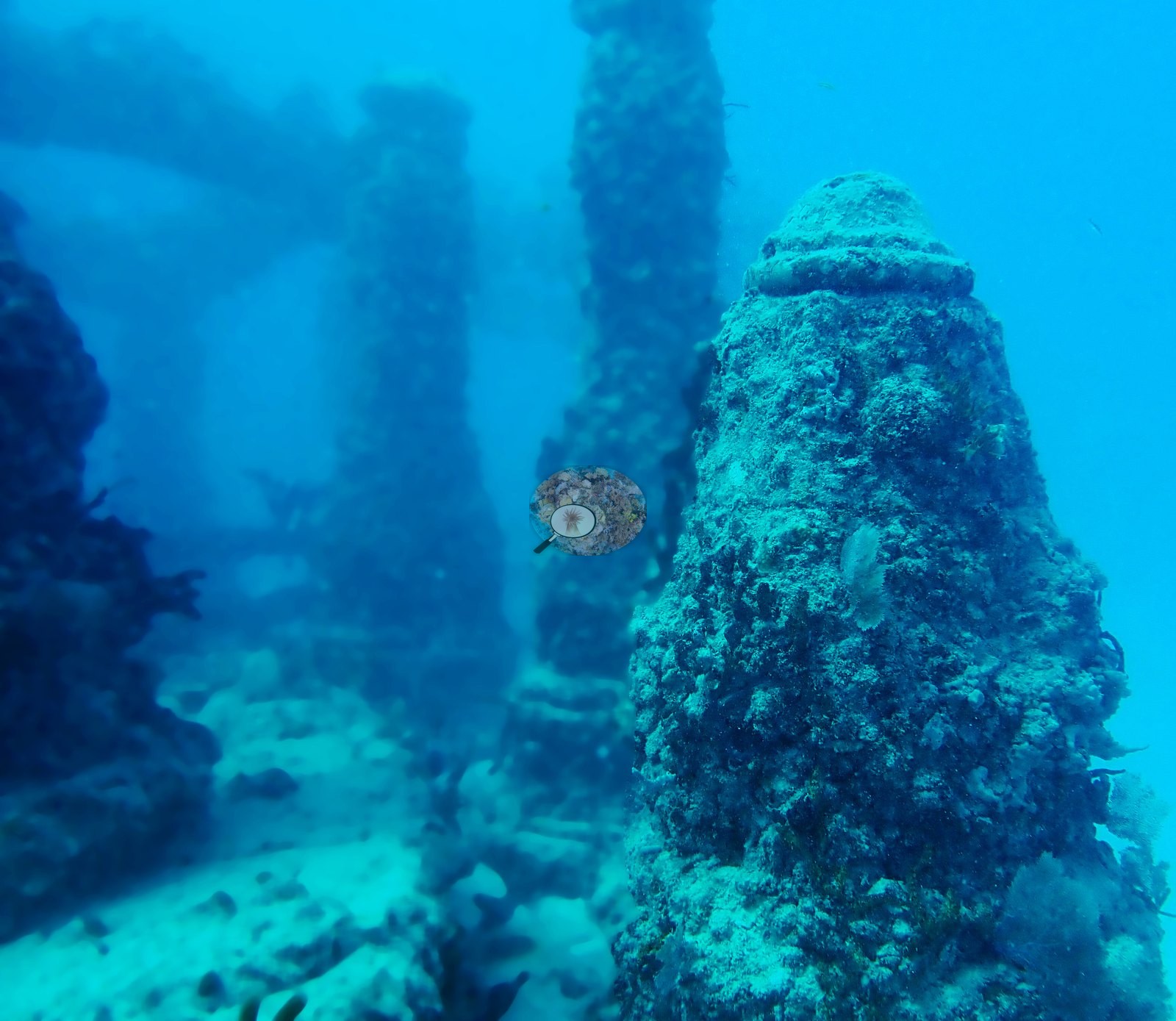
Southeast Florida (NOAA CRW virtual station)Neptune Memorial Reef is an underwater cemetery off Key Biscayne, where concrete columns, archways, sculptures such as a lion, and memorial plaques stand on open sand. The structures are crusted with algae, coralline, and sponges plus a few small coral recruits, and they draw a lot of fish, especially barracuda.
Eighteen independent survey stations shown with the program’s logo — click one to see how far it is from this site.
Five other CRD dive sites with their own pages within 5 km shown in orange — click a marker to open its page.
This page shows 50 of the 61 photographs from this site, including every one the text cites.
44 of the 50 photographs on this page are shown beside the text that discusses them under "Site description" below.
Site description
Setting
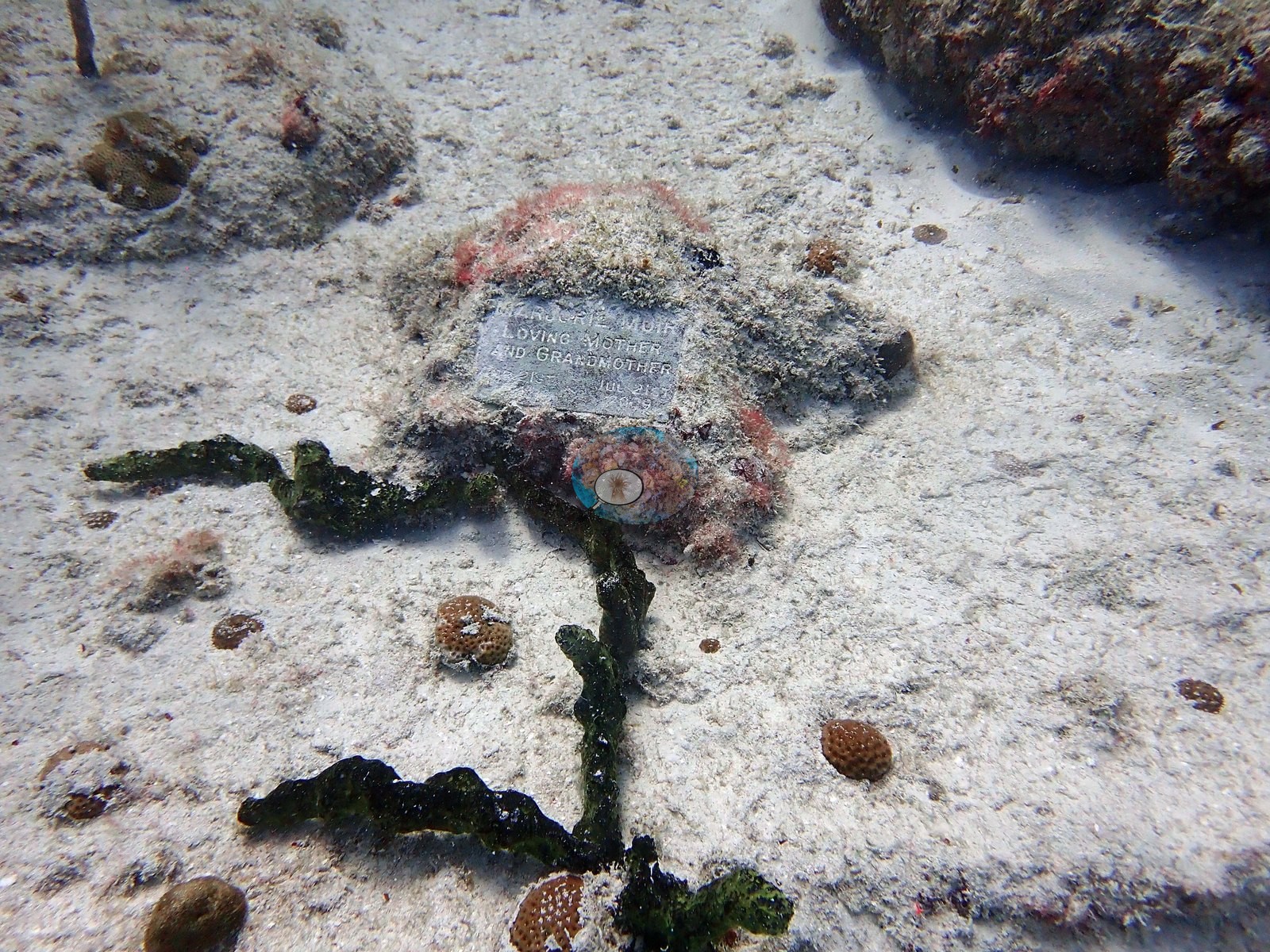
Neptune Memorial Reef is an engineered installation, not a reef, and the frames should be read that way. It is a cemetery: cast concrete columns, arches, gateways, benches, urn-like cylinders, and figurative sculptures placed on an open carbonate sand plain off Key Biscayne, with cremated remains incorporated into the castings and named memorial plaques bolted to the structures. Several frames show the plaques directly — a white rectangular plate set into a fouled horizontal beam (e.g., Image 54), plaques mounted on a column in a barracuda frame (e.g., Image 22), and a plaque set flush in the sand surrounded by algae and small recruits (e.g., Image 4).
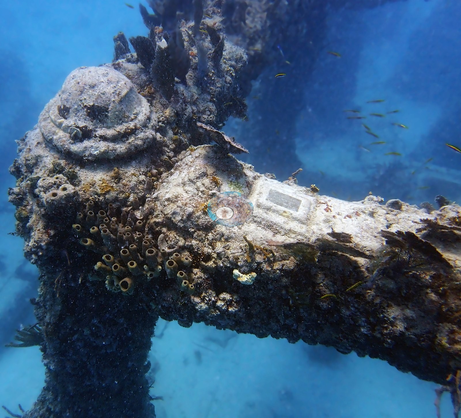
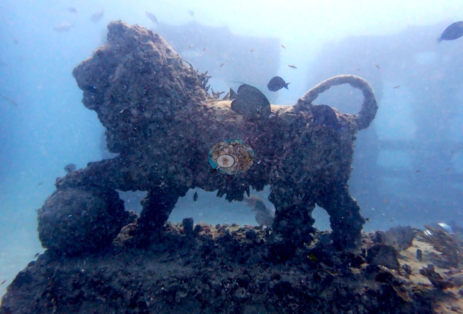
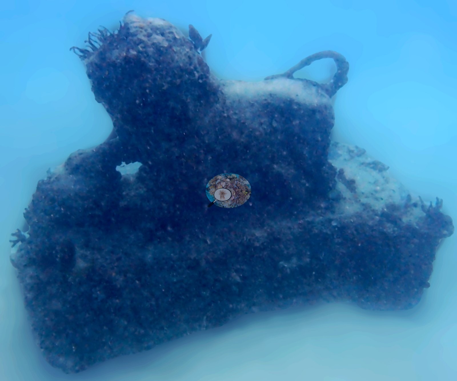
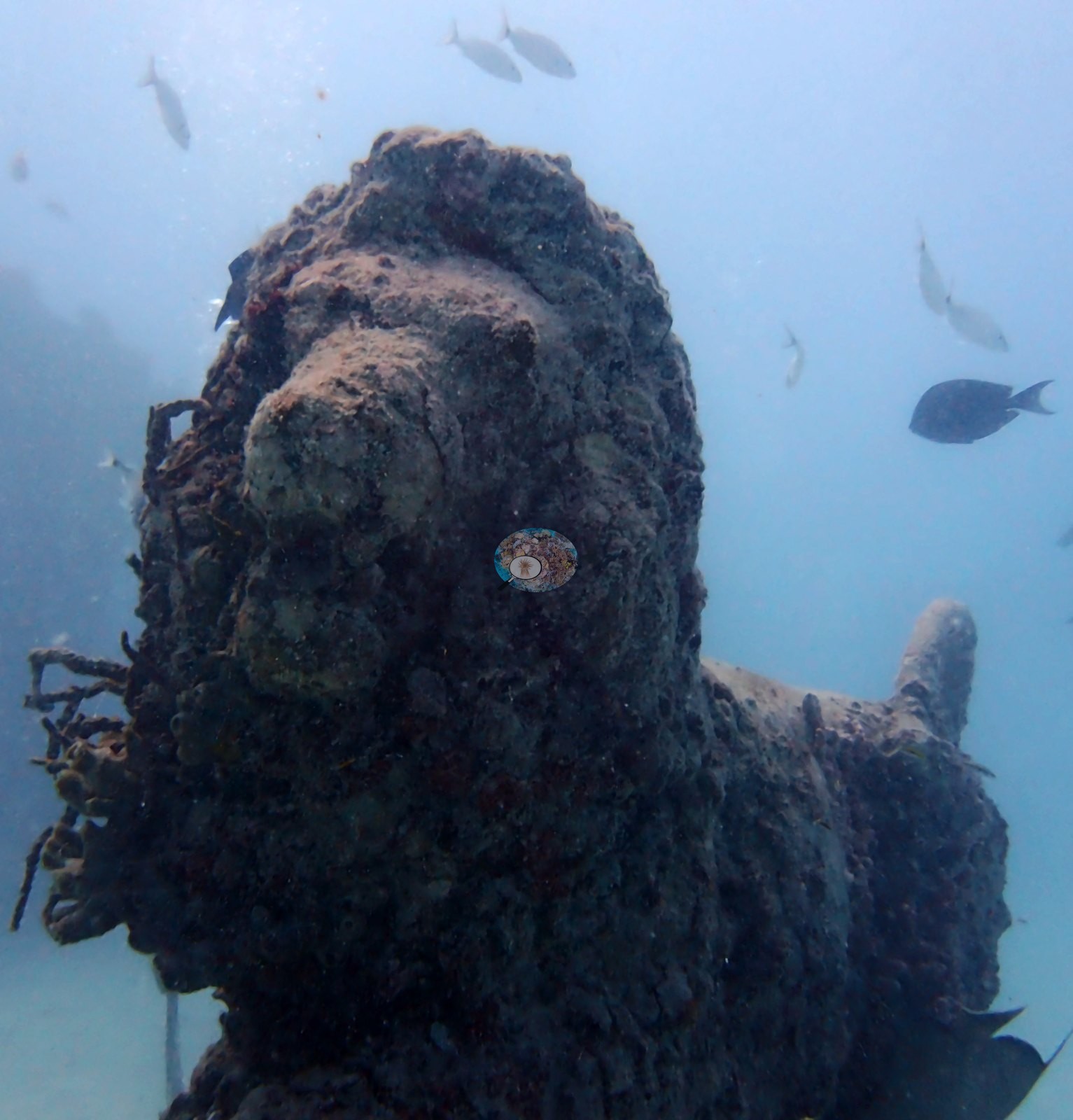
The figurative pieces appear in Image 28 (a lion sculpture, heavily overgrown, standing on a plinth), Image 47 (the same lion seen from another side), Image 29, and Image 1.
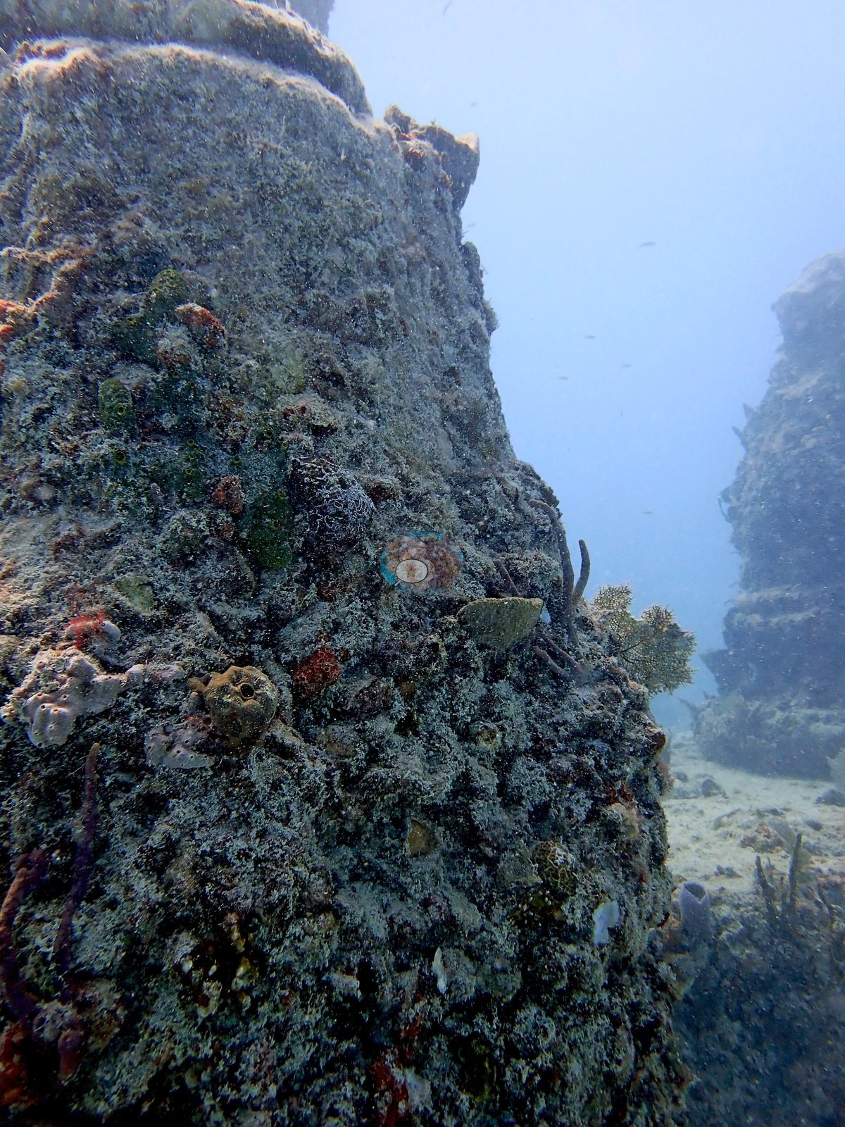
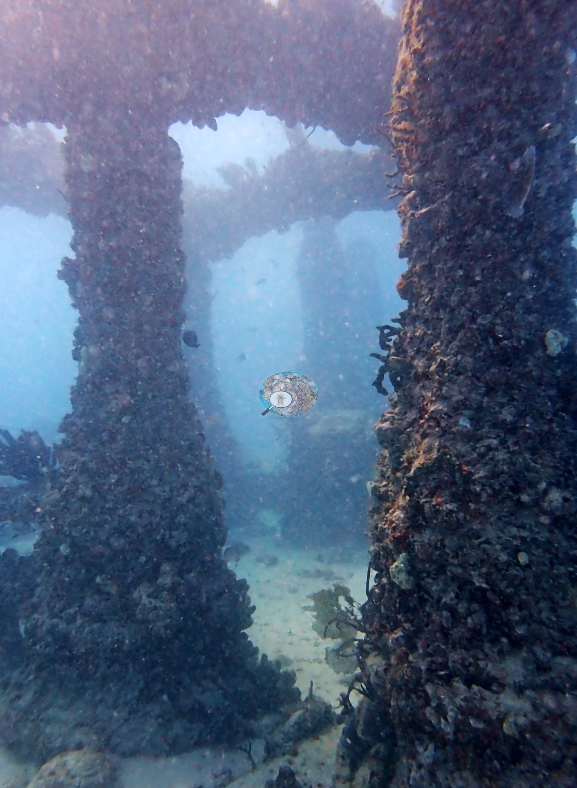
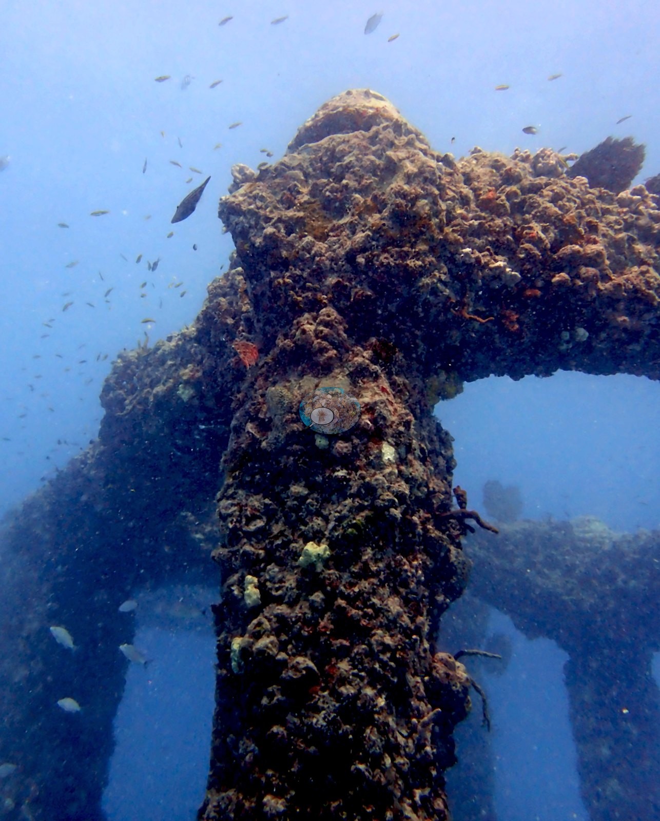
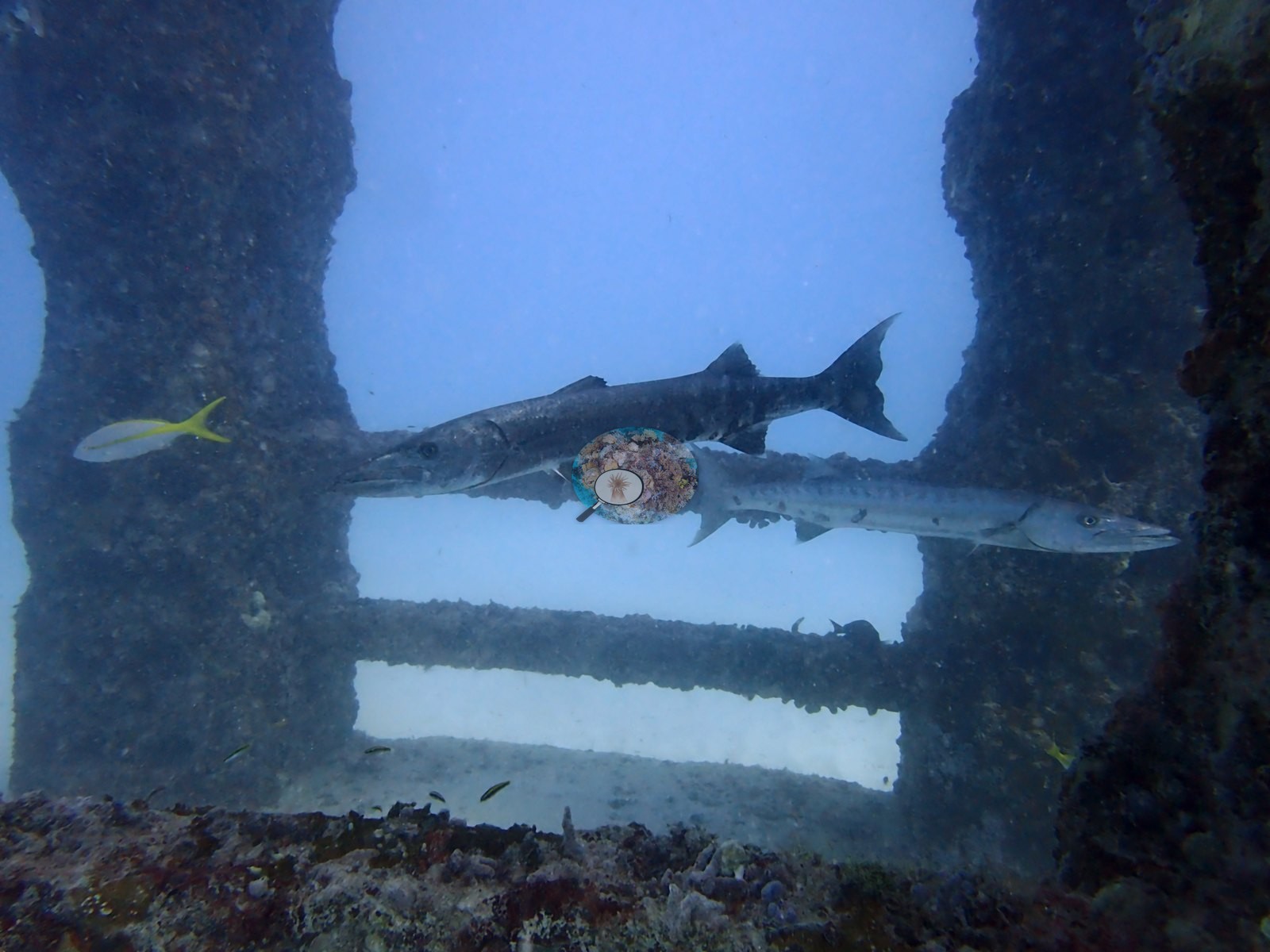
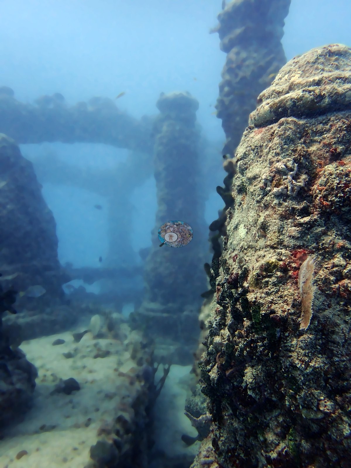
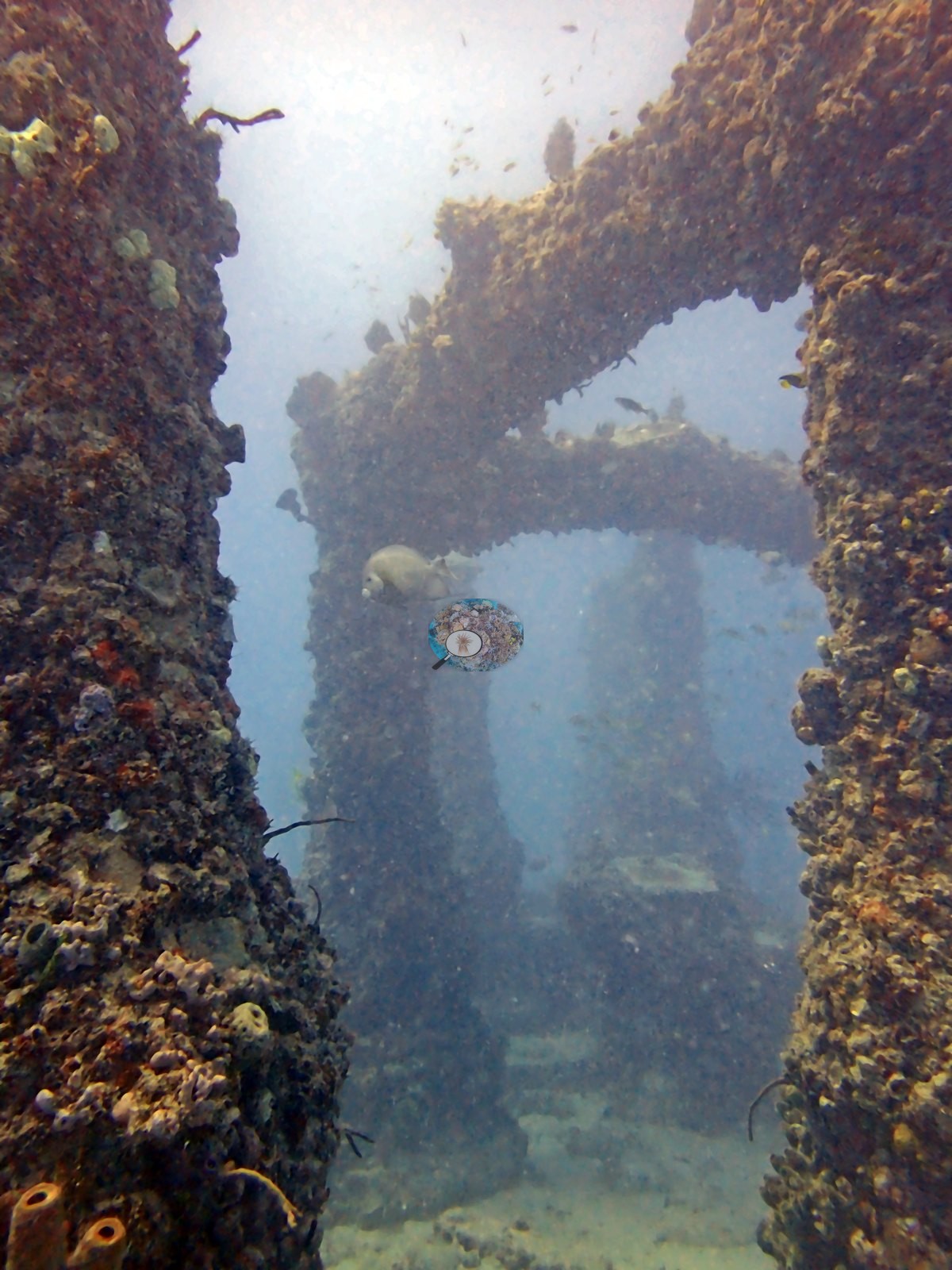
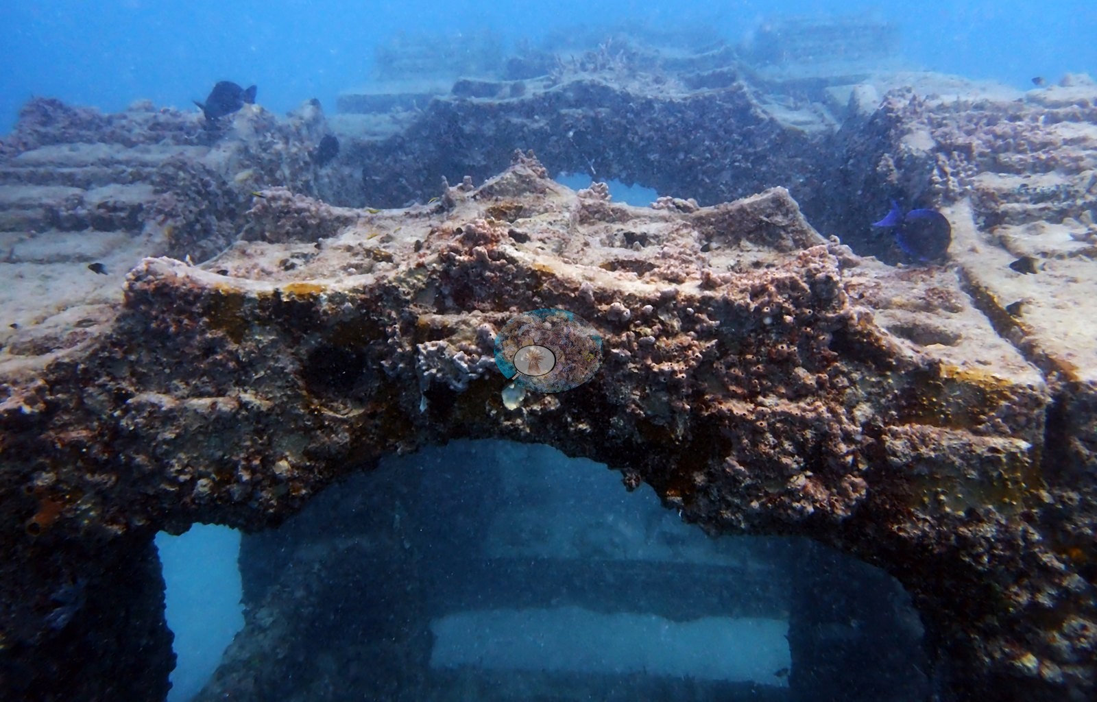
Structural layout is legible across the wide frames: paired and ranked columns with clear sand alleys between them (e.g., Image 2, Image 8, Image 33, Image 48, Image 53), arched gateways that can be swum through (e.g., Image 9, Image 10, Image 13, Image 18, Image 31, Image 35, Image 46), and long horizontal beams spanning between uprights (e.g., Image 7, Image 54).
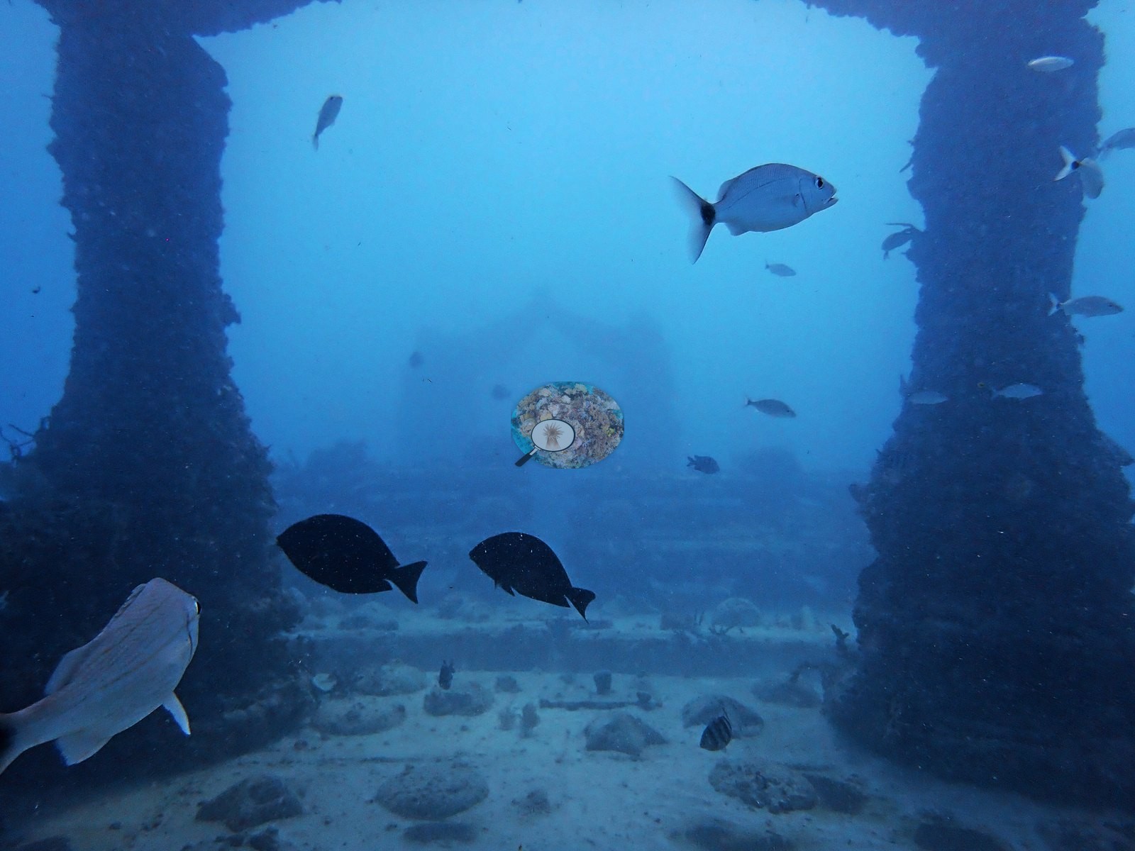
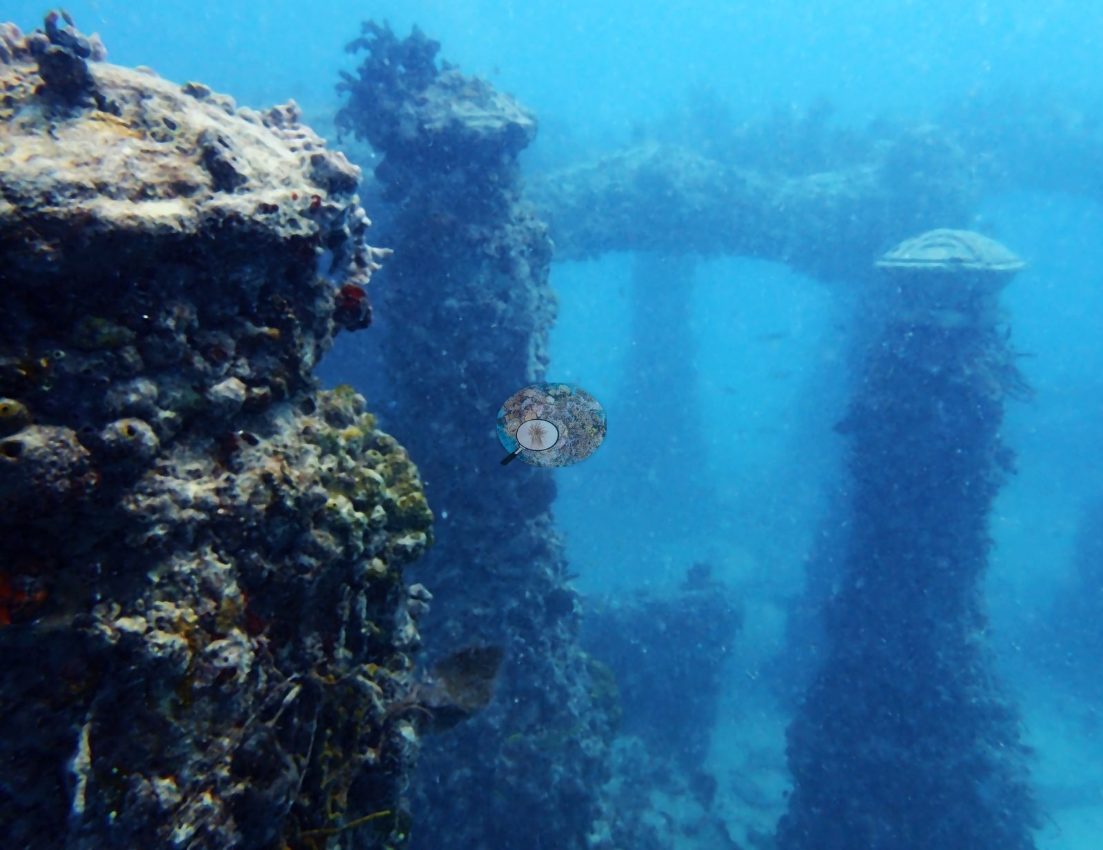
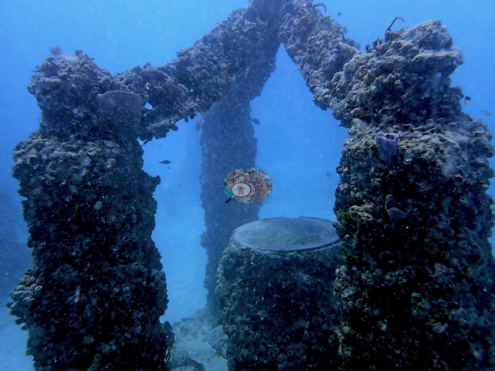
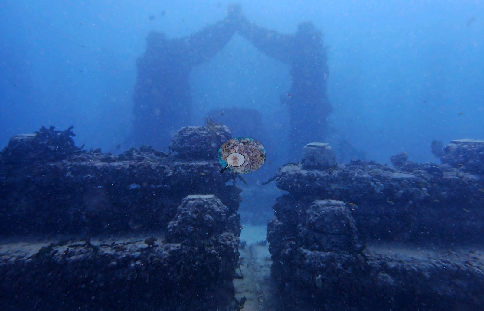
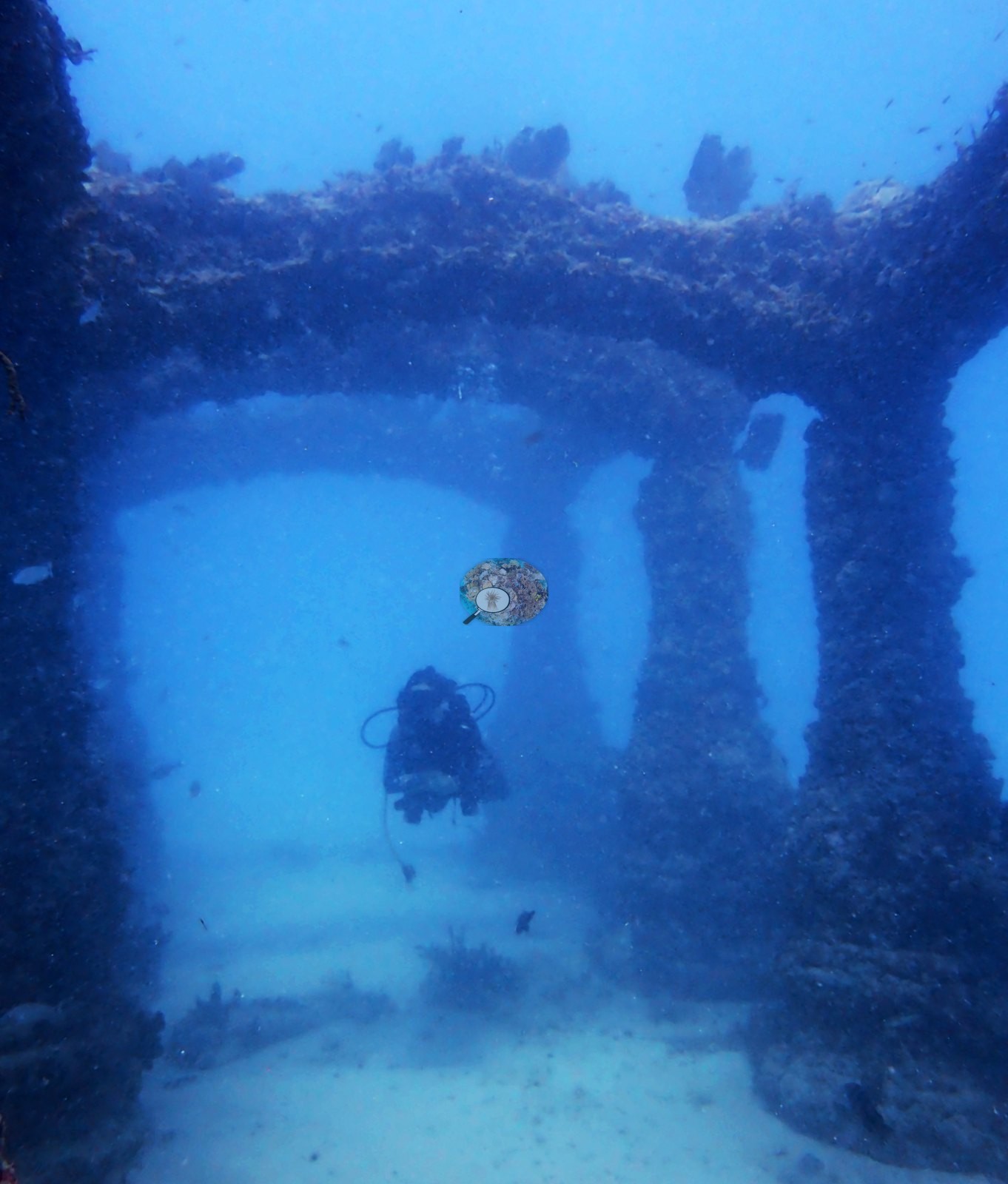
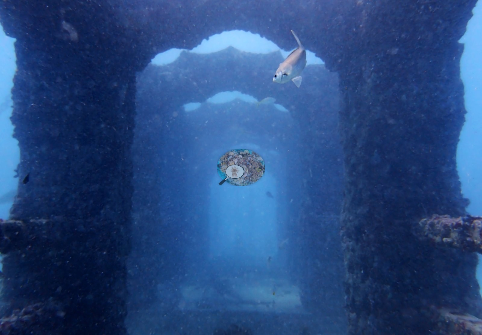
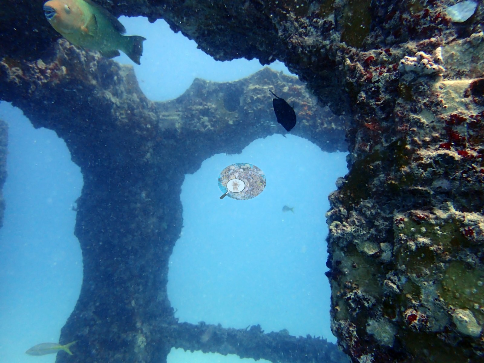
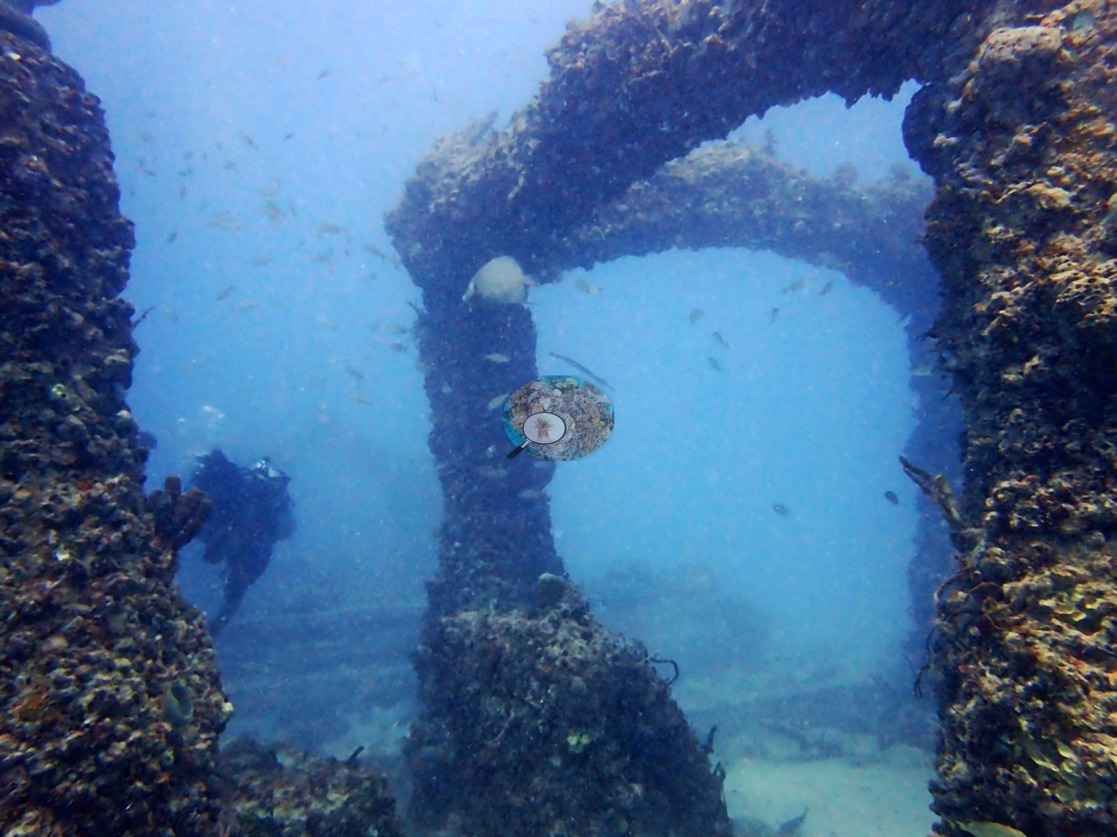
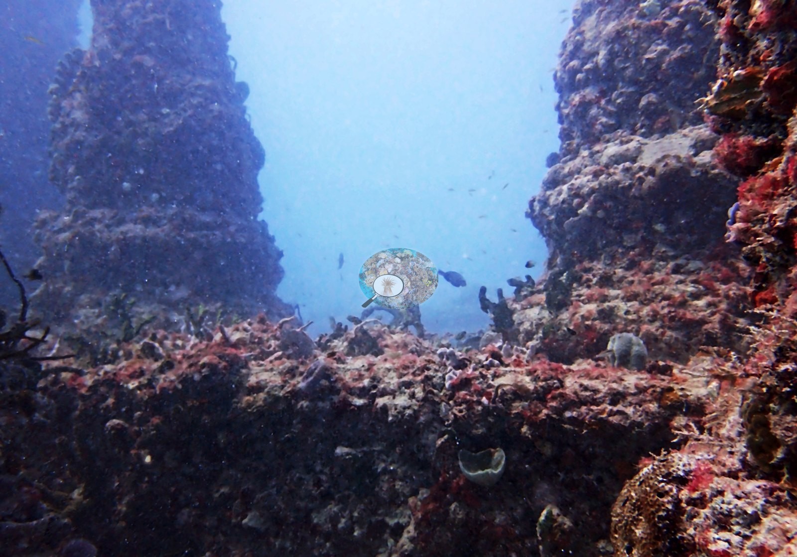
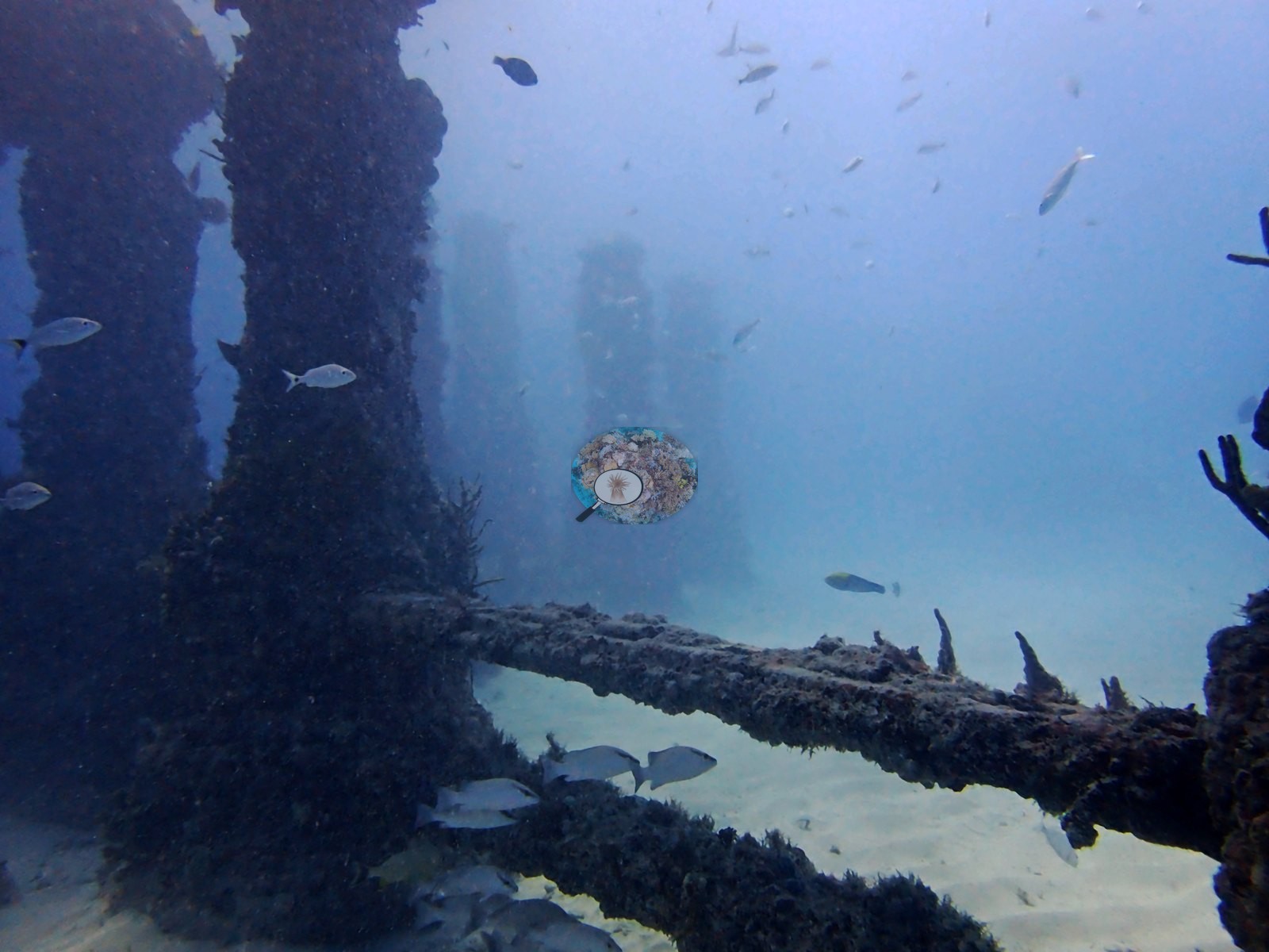
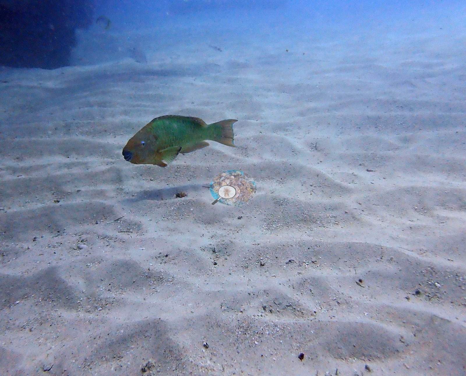
There is no natural hard bottom in any frame — the surrounding substrate is rippled fine sand (e.g., Image 24, Image 41, Image 51, Image 23, Image 50, Image 52), so all relief at this site is manufactured.
General benthic features
The recruited community on that concrete is a fouling assemblage dominated by encrusting and turf-forming organisms rather than by stony coral. Column faces and arch soffits carry a dense, visually continuous crust of turf algae, pink and red crustose coralline, and small encrusting sponges — clearest in the close-framed structure shots (e.g., Image 19, Image 20, Image 32, Image 35, Image 46, Image 53) where the concrete surface is essentially obscured.
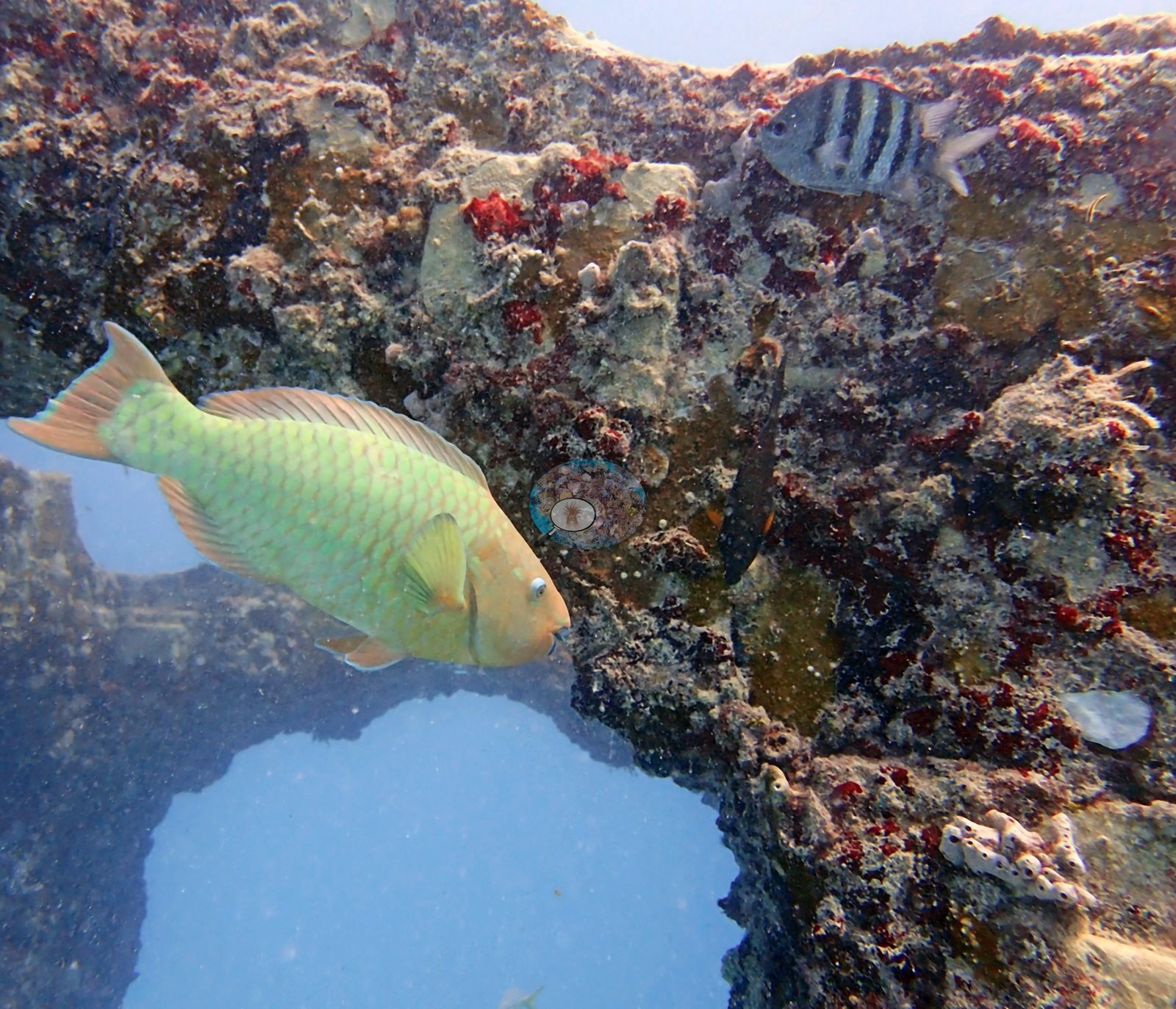
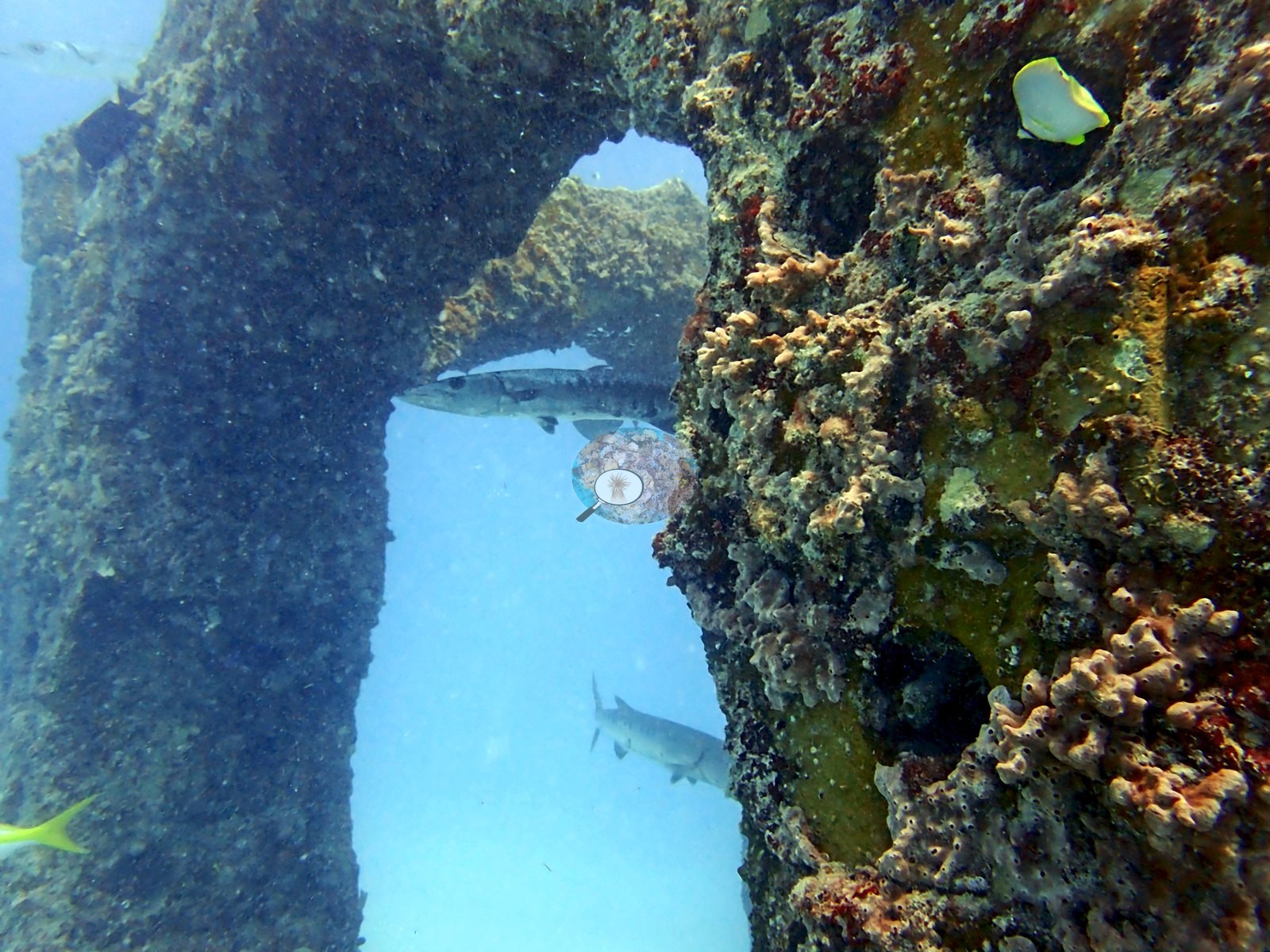
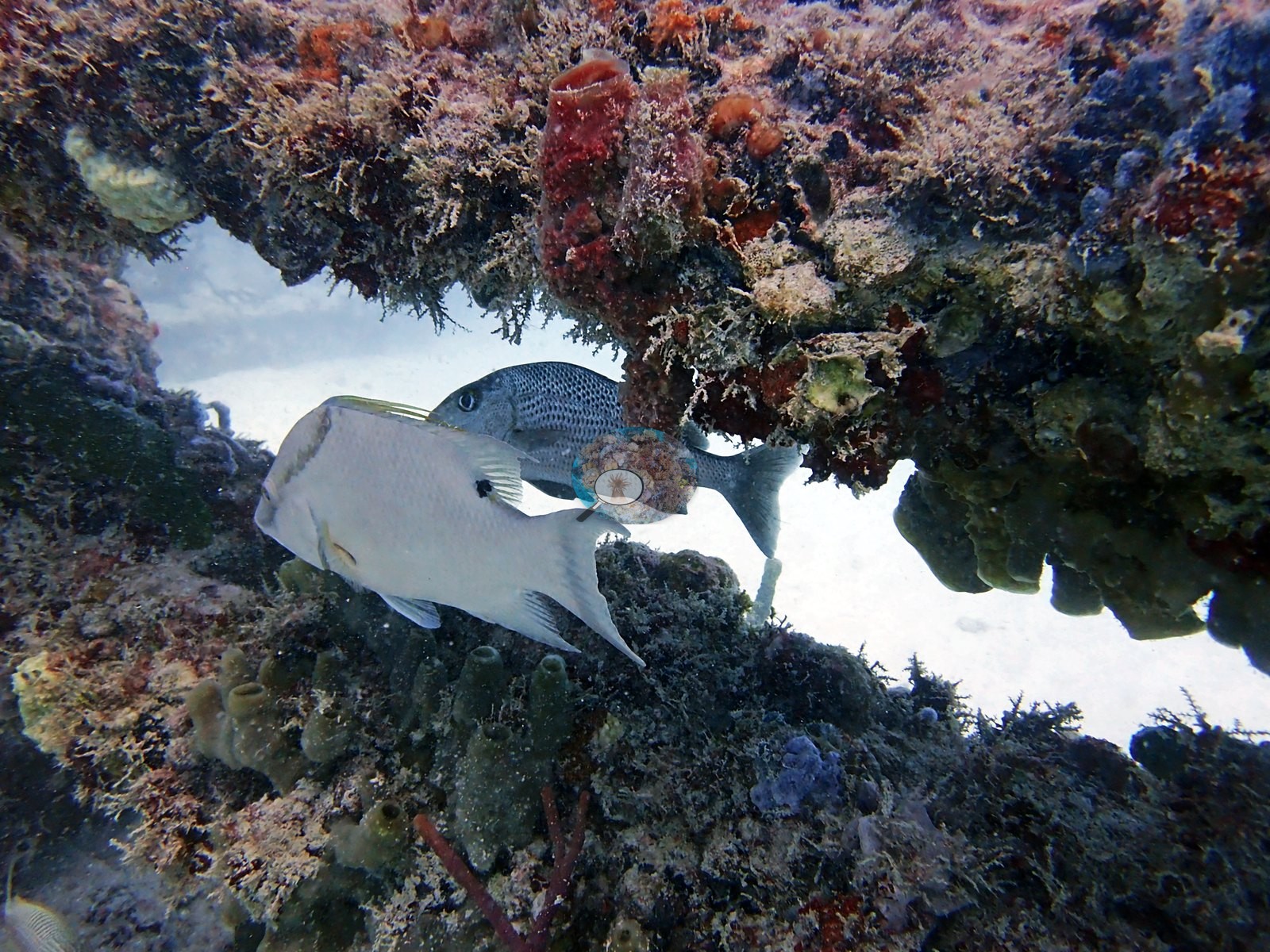
Sponges are conspicuous and varied: orange tubular or lobed sponges on a column in Image 6, yellow encrusting sponge around an arch opening in Image 20 and Image 54, red encrusting patches on rubble and sand-edge in Image 12, Image 36, and Image 49.
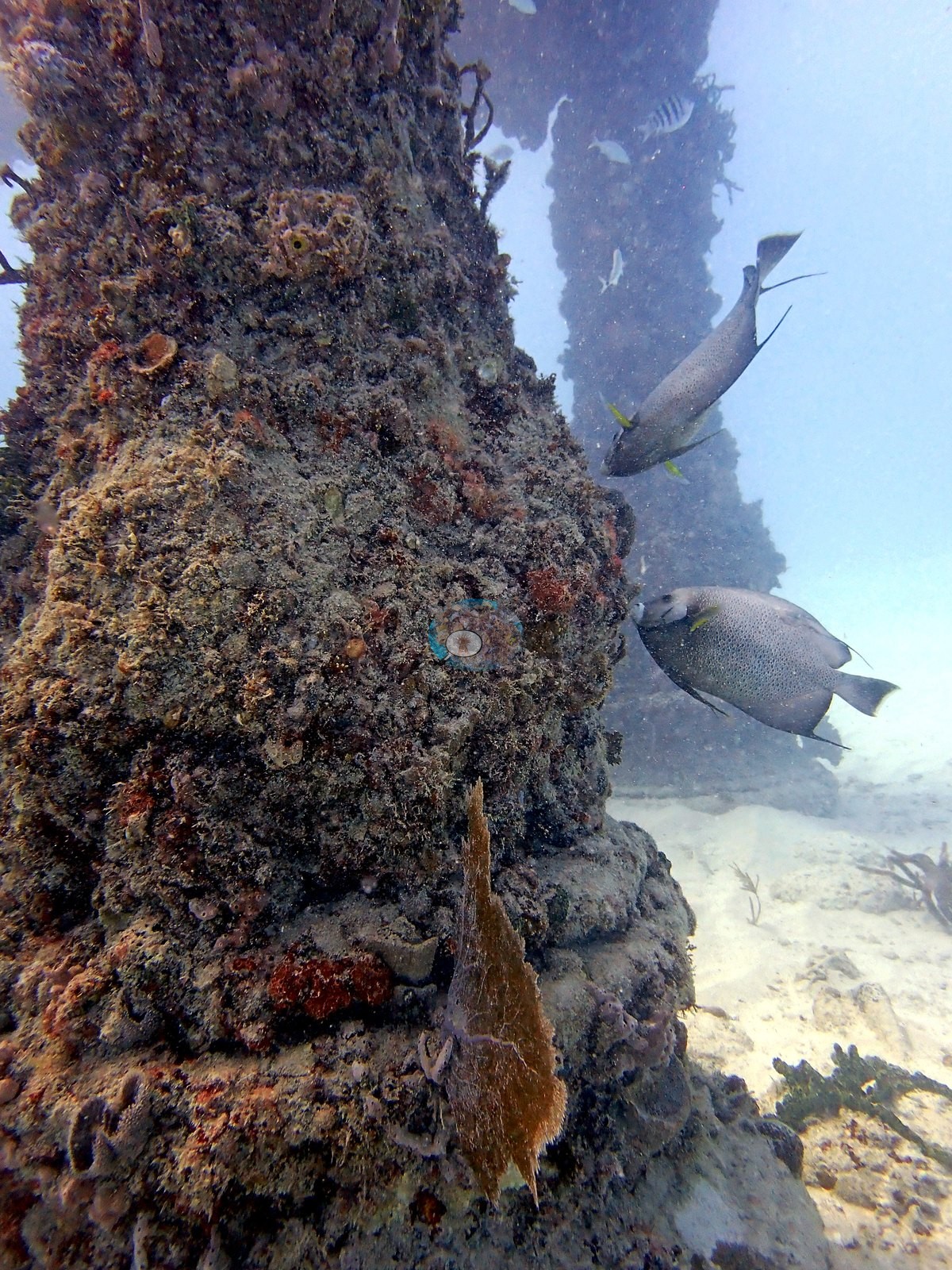
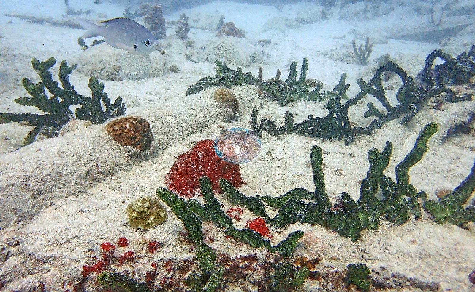
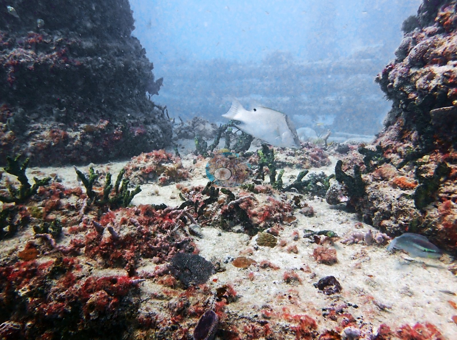
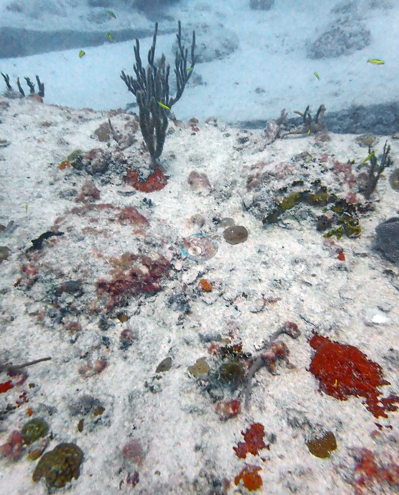
Gorgonians are present but sparse — a stand of sea rods rooted at a structure base in Image 38 and a sparser set on a column in the hazy Image 40.
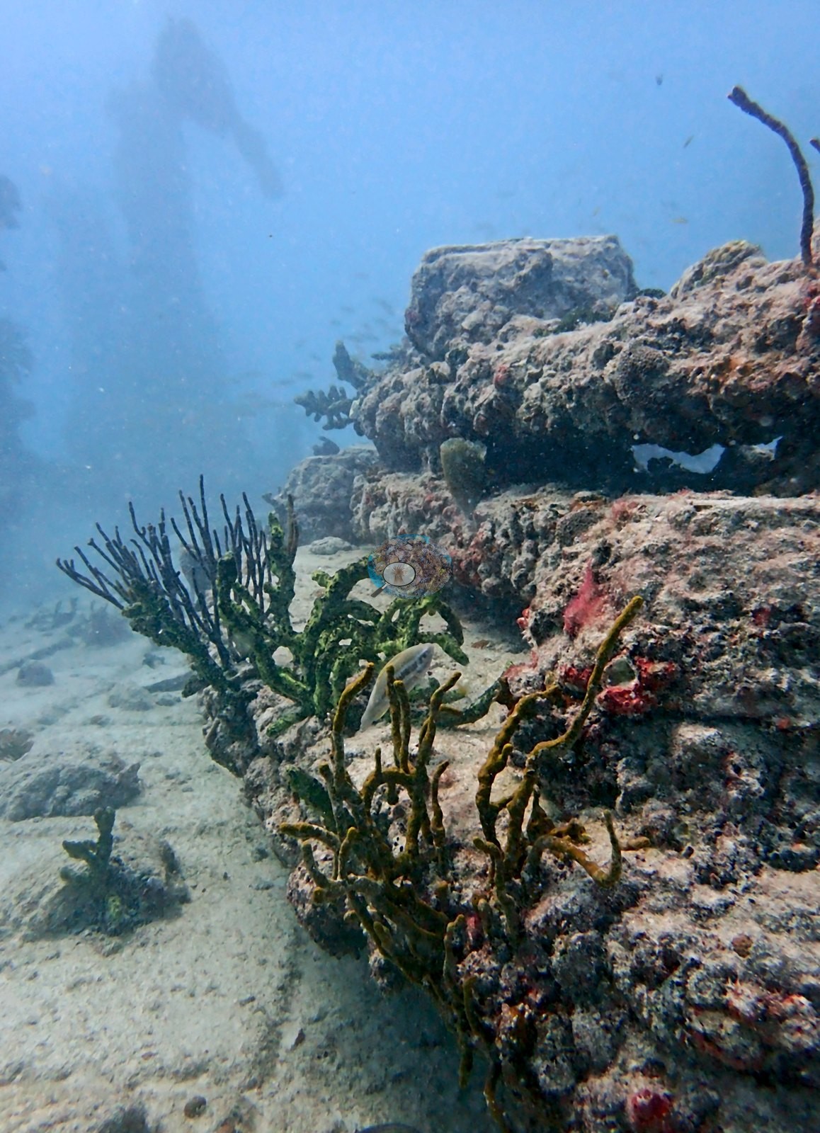
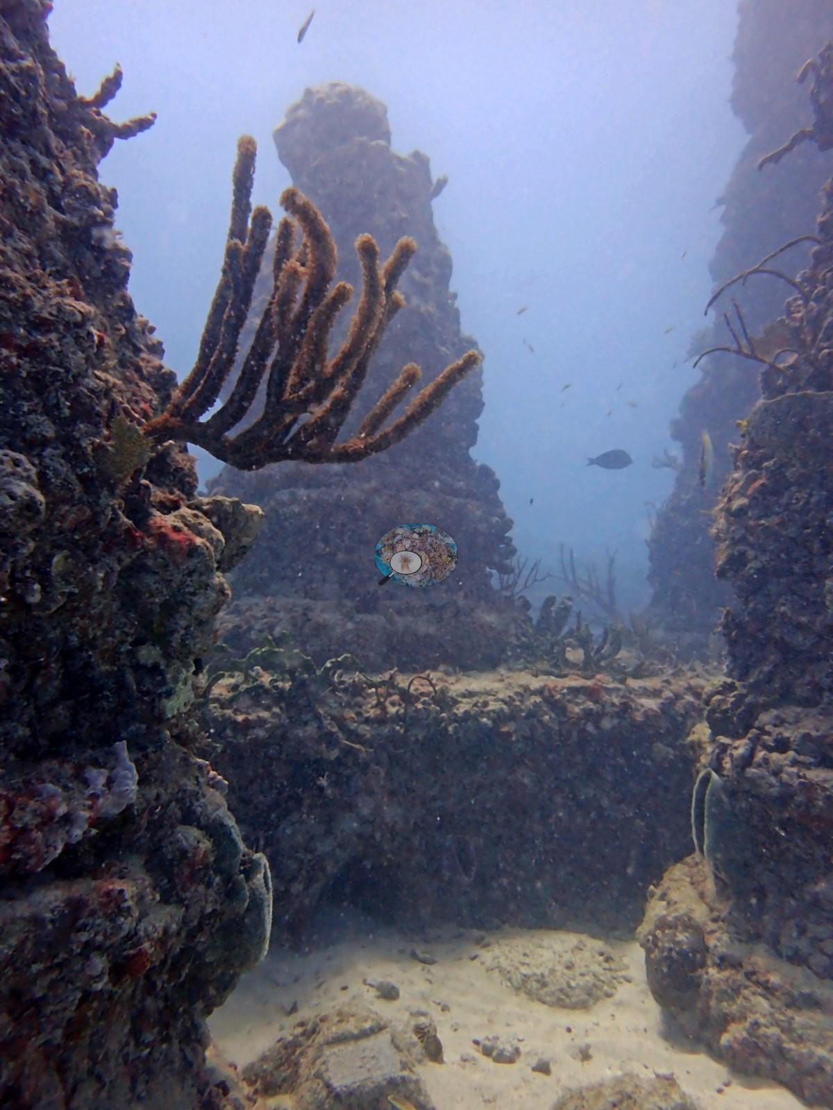
Scleractinian recruitment is genuinely visible but occurs as small, discrete, individually countable colonies: Image 34 is a single tan-brown encrusting colony a few centimeters across on otherwise bare concrete; Image 37 is a clean close-up of one rounded dome colony ringed by pink coralline; and Image 39, which Anderson labeled as Siderastrea siderea recruits, shows several small brown dome recruits scattered on a pale surface — a field call of Siderastrea siderea, reported as such and not re-identified from imagery.
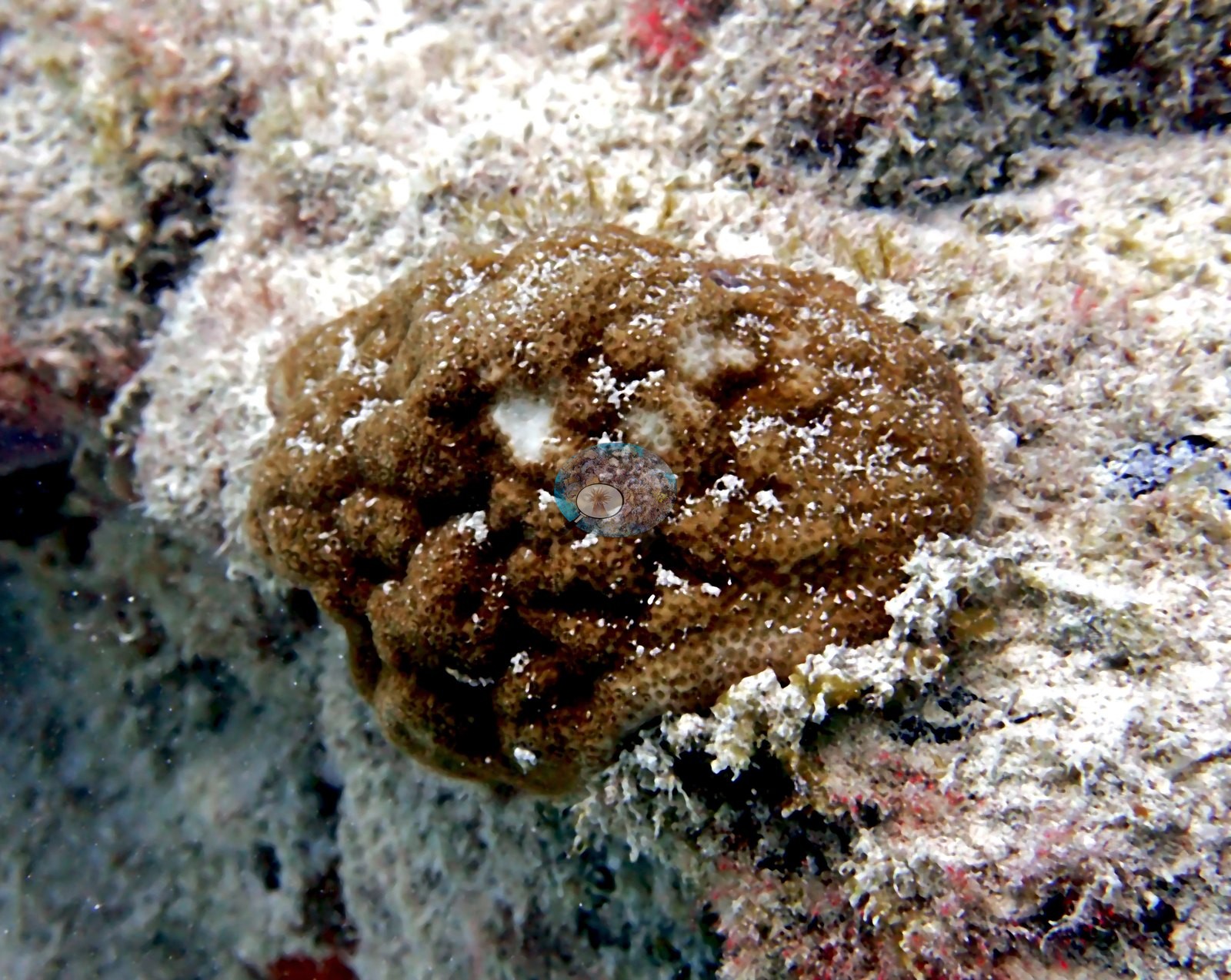
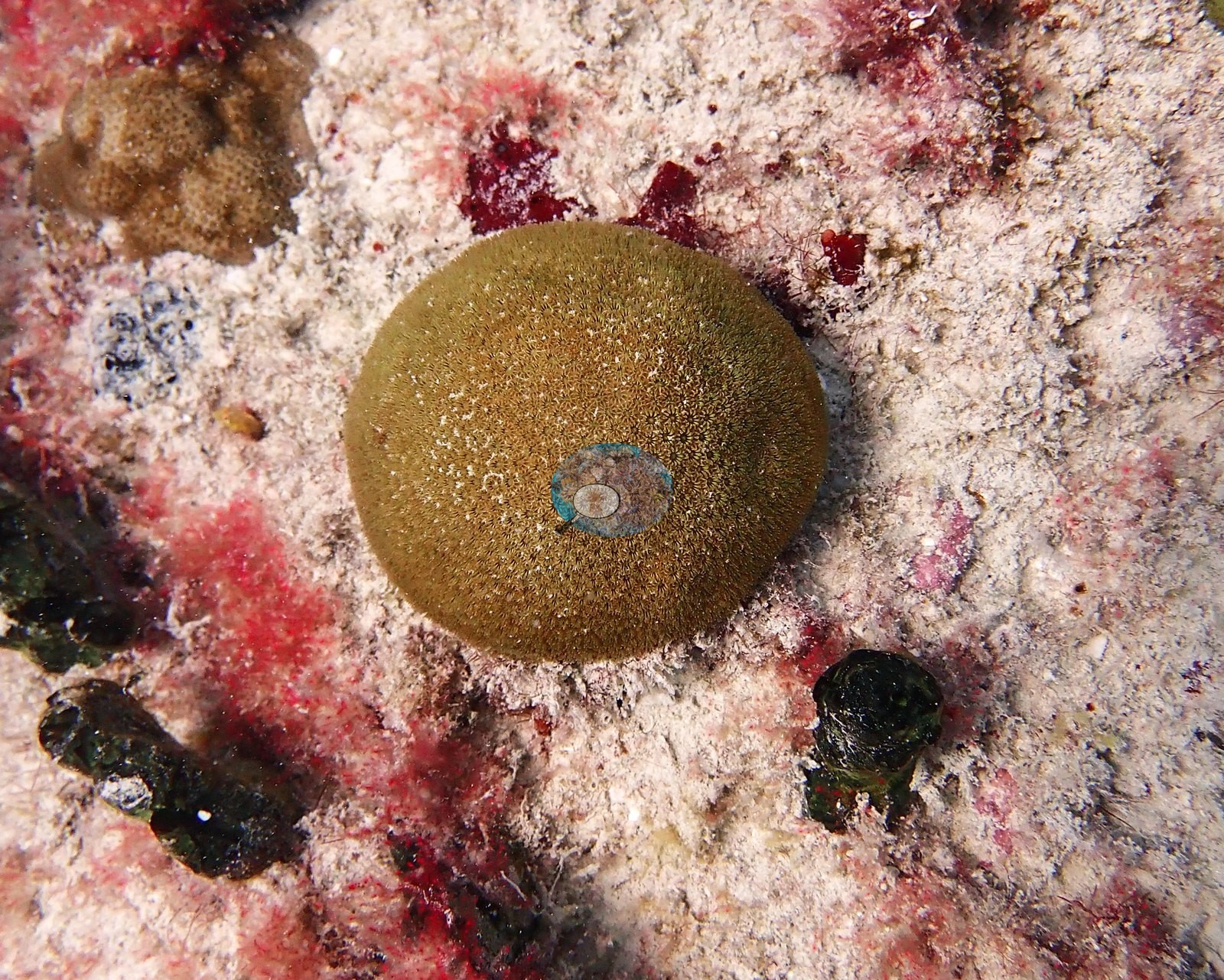
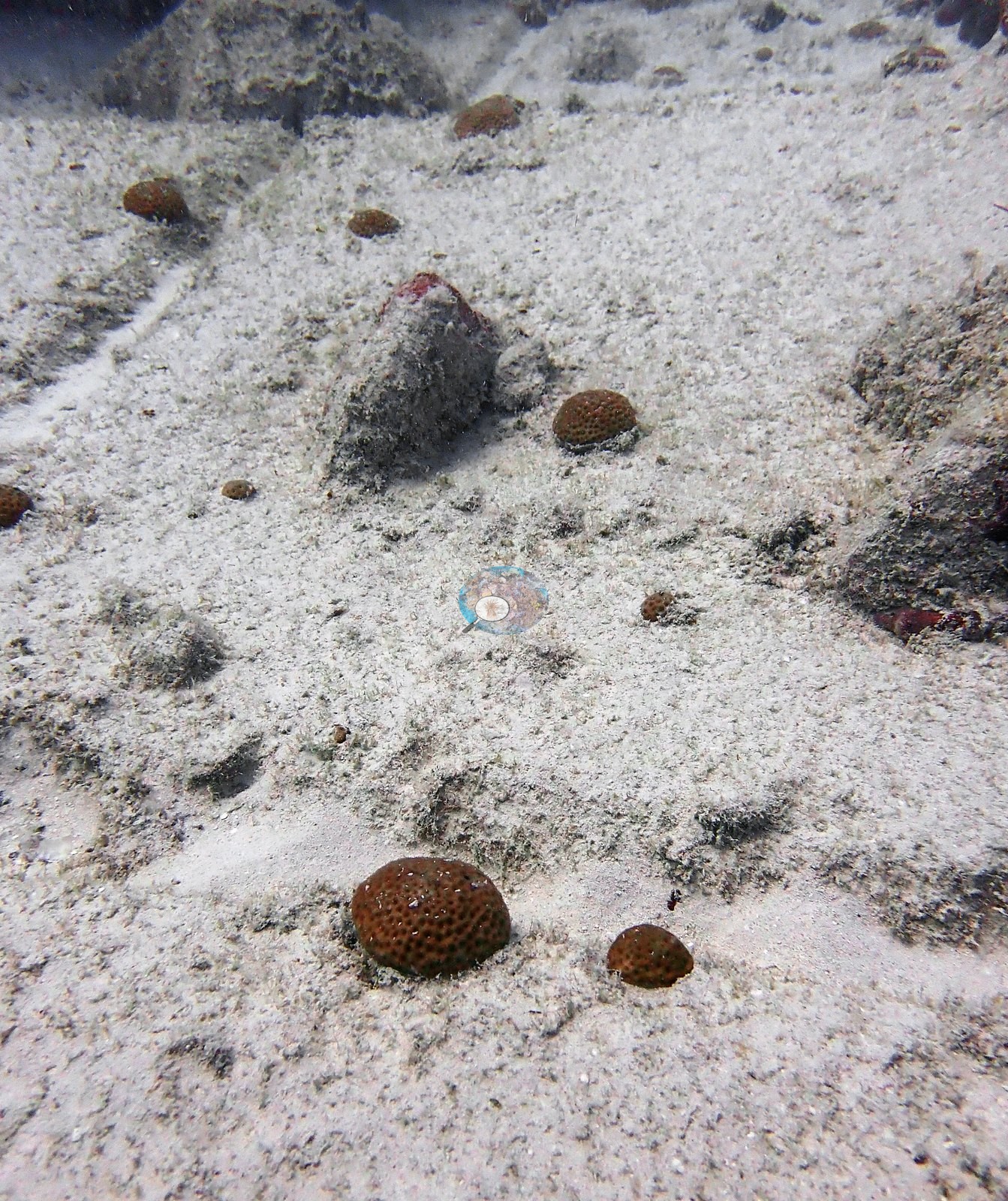
The colonies in Image 34 and Image 37 share that dome/encrusting morphology and are consistent with the same call, though a photograph cannot separate Siderastrea from other small encrusting candidates. No large reef-building colonies, no Acropora, and no massive Orbicella-type heads appear anywhere in the 55 frames. The soft-bottom frames (e.g., Image 12, Image 30, Image 36, Image 49, Image 4) are worth noting separately: they show the sand and rubble apron rather than the structure, with branching green algae, red encrusting sponge, and small sessile growth, and they are a different habitat from the columns.
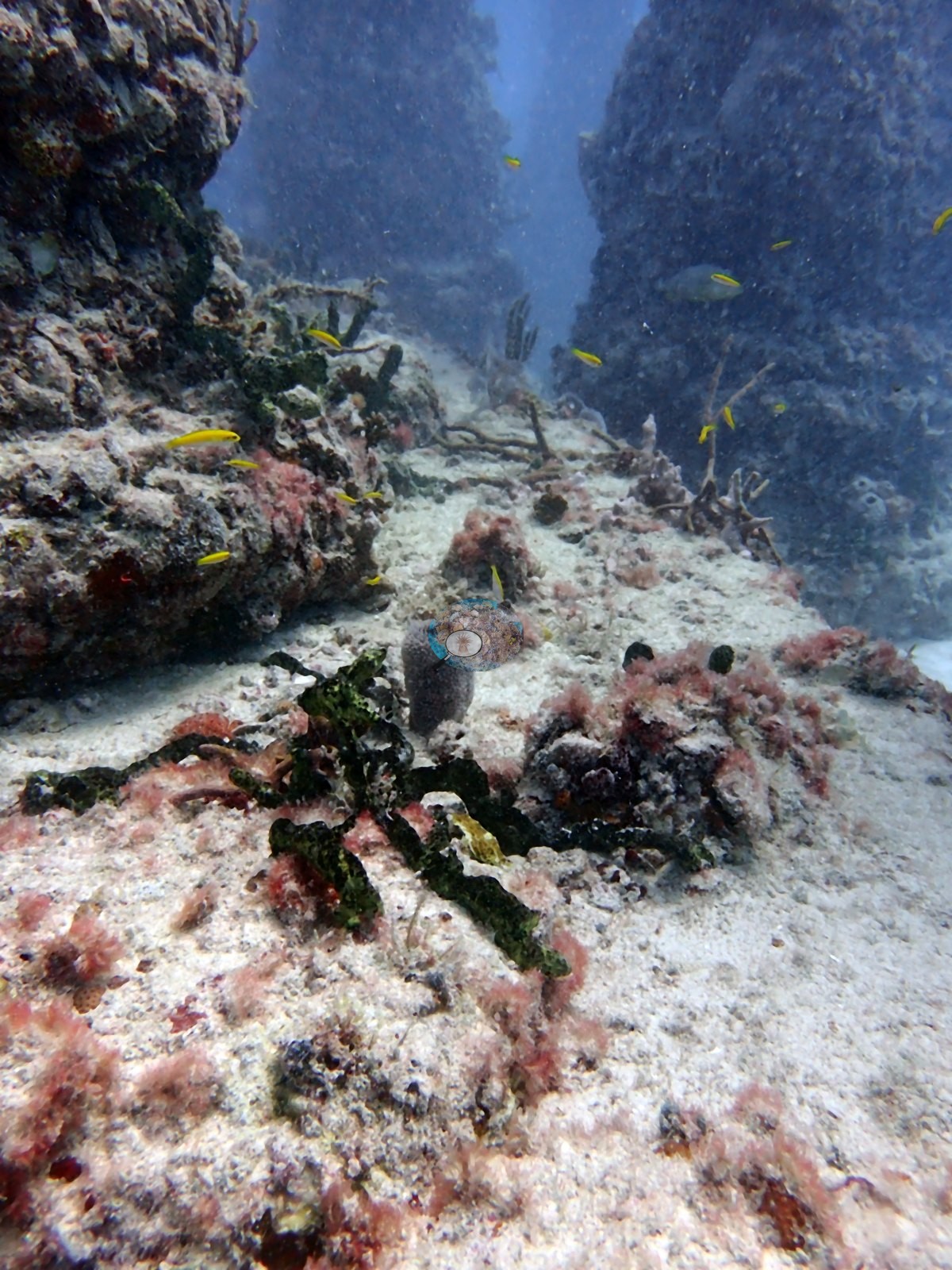
What the frames support qualitatively is heavy turf/coralline/sponge fouling on all engineered surfaces, sparse and individually distinguishable stony-coral recruits, modest gorgonian development, and a substantial fish aggregation — notably barracuda — around relief that would otherwise be flat sand.
Coral cover
- Reference: Claude CV point count (this site's photos)
- Coral cover: 1.6% — a blind Claude computer-vision point count of 35 of Anderson's edited photographs (20 points per photo; water, fish, and obstructions excluded).
Stressors
No corallivores were evident.
Fish and other fauna
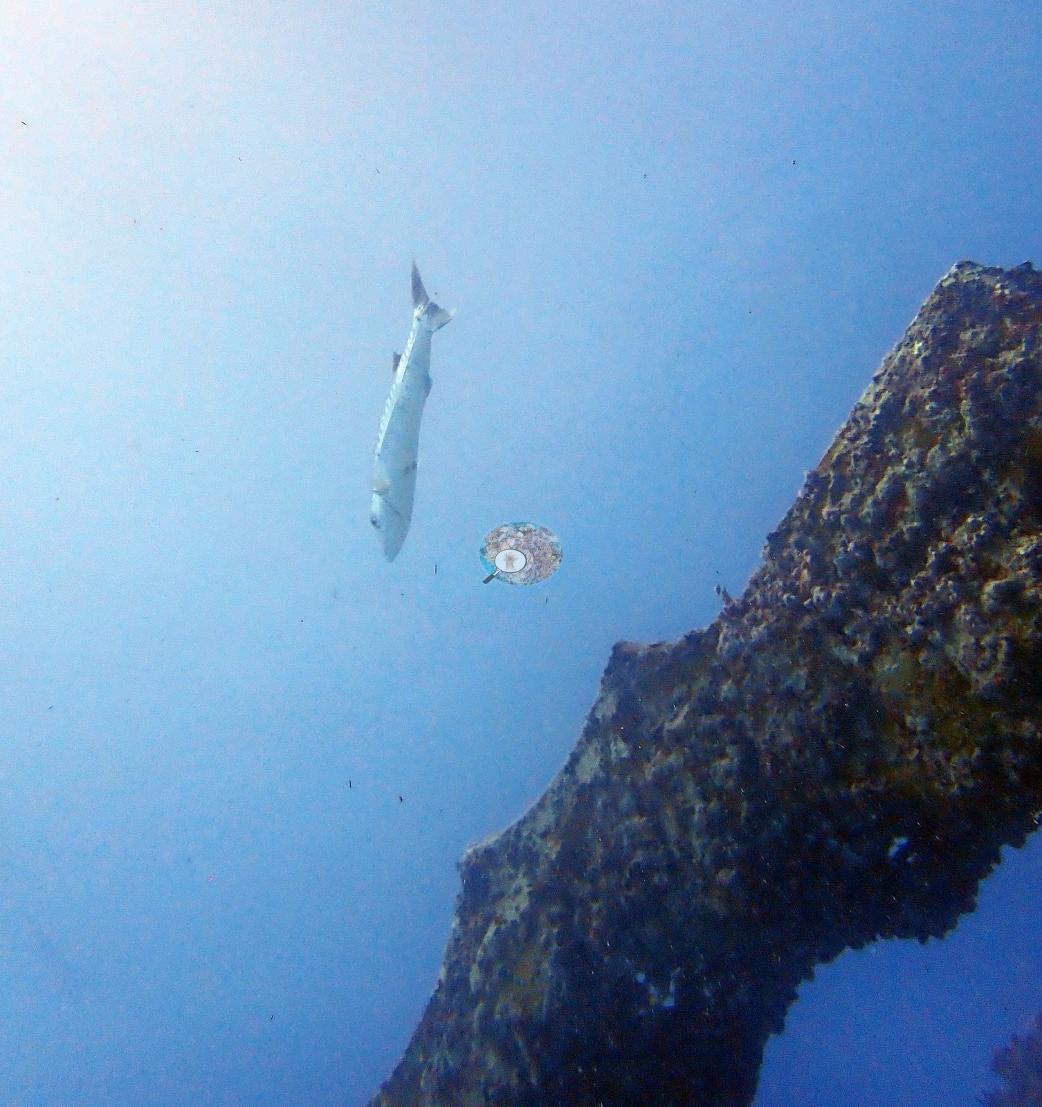
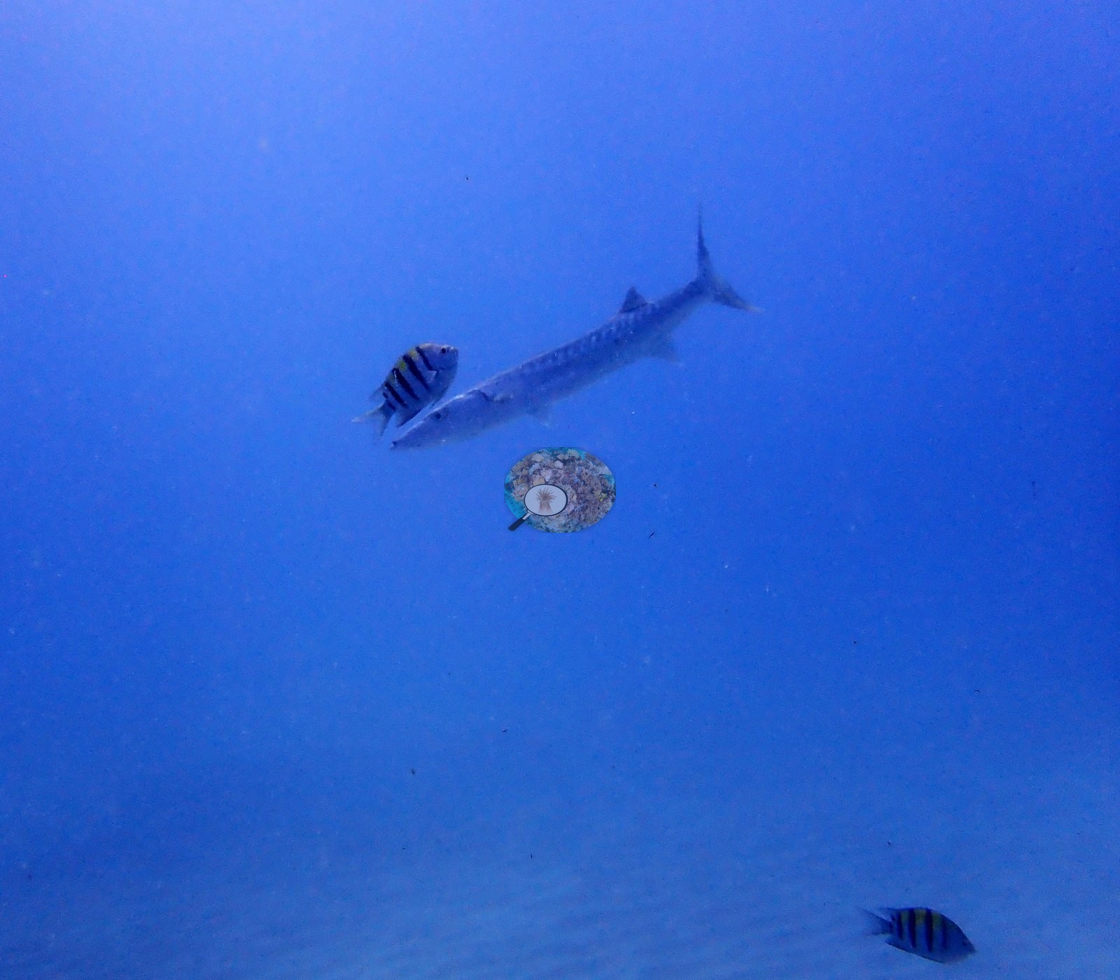
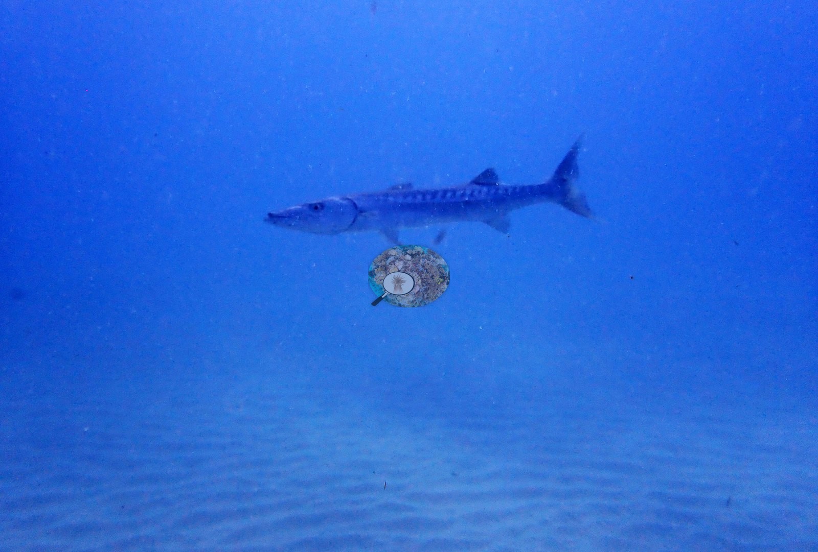
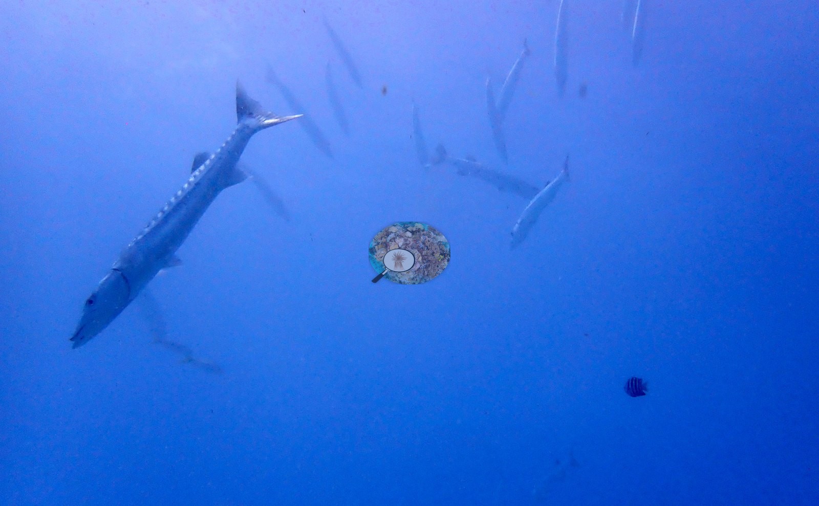
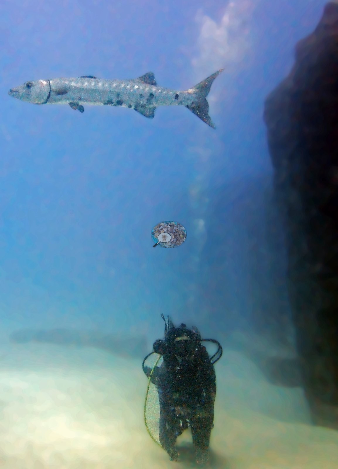
Fish use of the structure is the most striking biological signal, and barracuda in particular are prominent: a loose group hangs in the open blue above the installation in Image 15, and others swim between the columns in Image 22 and Image 45.
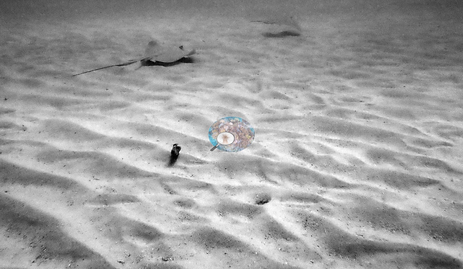
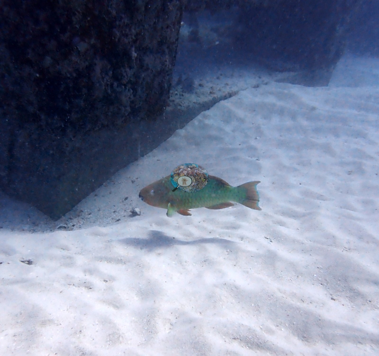
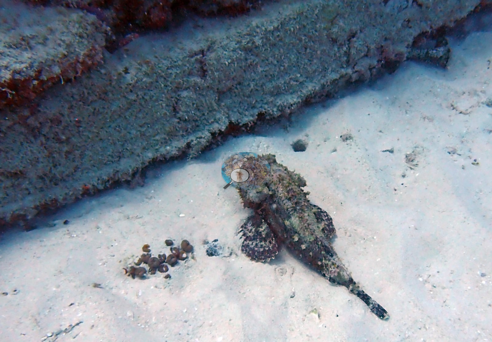
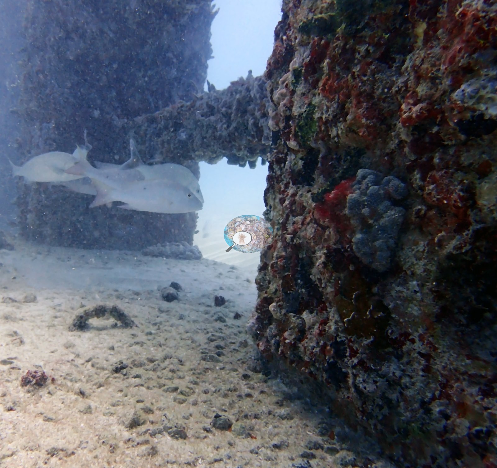
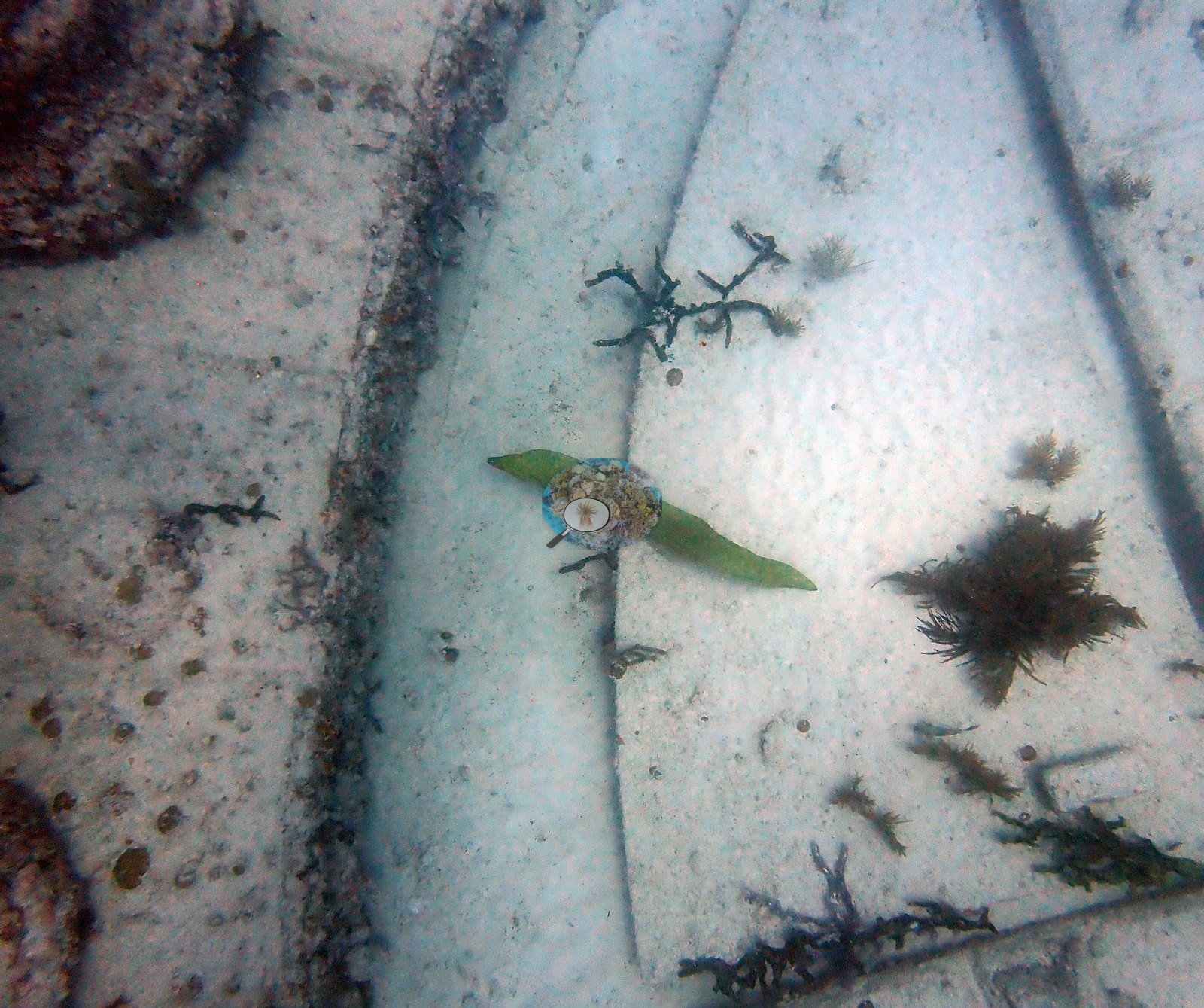
Otherwise the assemblage is the standard South Florida structure-associated mix: a parrotfish in Image 24 and another at an arch in Image 19, a butterflyfish at an arch edge, two pale, deep-bodied bony fish (porgy type) at a column in Image 25, and a ray over sand in a black-and-white frame (e.g., Image 51). Image 55 shows a green moray (Anderson's ID) lying across a sand-covered slab.
Comparisons with other data
We found no other surveys at this site as of 2026. Within 5 km, eighteen independent stations recorded station-year means of 0.0–5.0% hard coral cover between 2004 and 2024; the nearest, NOAA NCRMP Florida at FLK PSU 1287-1, 0.82 km away, read 2.0% in 2024.
Other notes
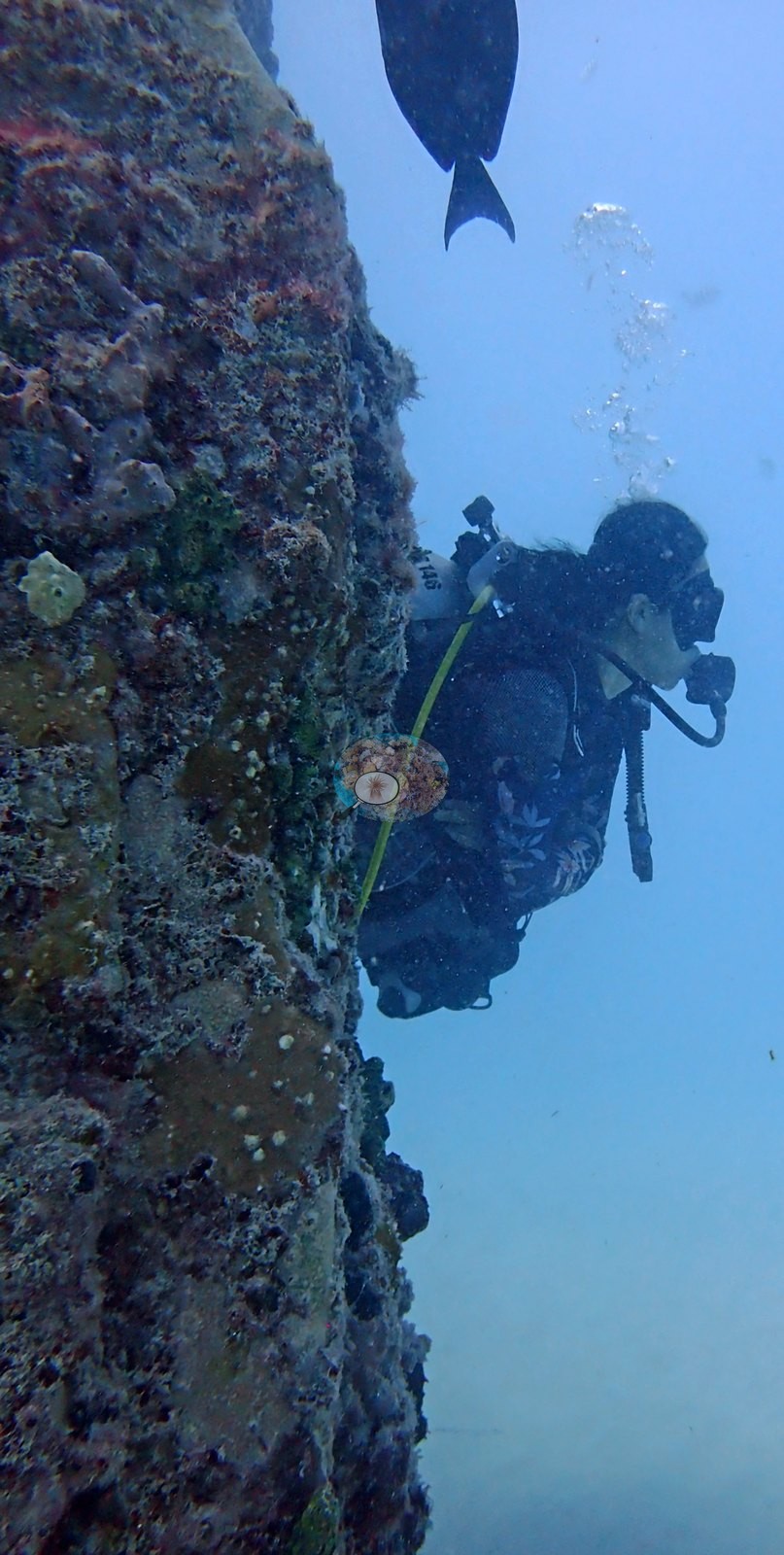
Visibility was poor on this dive, which limits what the wide frames show. Image 9, Image 10, Image 40, and Image 7 are heavily backscattered and hazy, and Image 48 and Image 1 carry a strong teal cast. One frame is an edited image rather than a field frame: Image 51 is a black-and-white conversion of a ray over sand. Image 45 and Image 26 are diver frames.
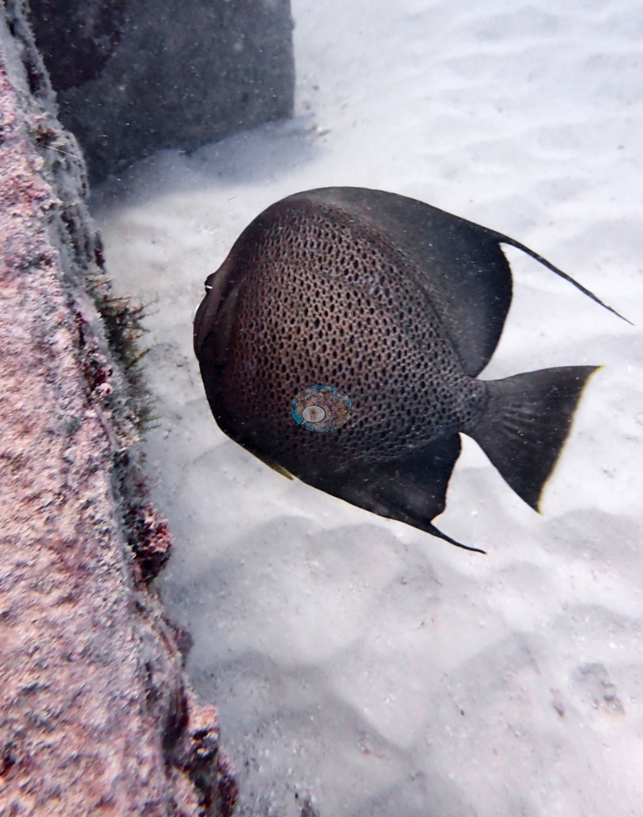
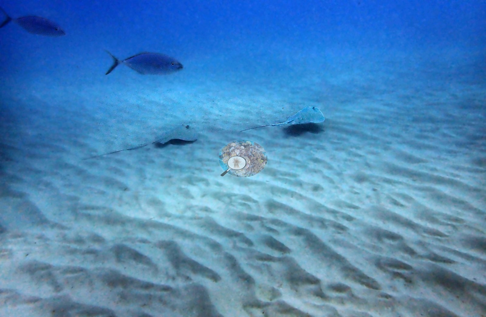
Neptune Memorial Reef lies about 3.25 miles off Key Biscayne in 13–14 m of water. It is an underwater columbarium: sculpted gates, columns, lintels, pathways, and benches cast from concrete mixed with cremated human remains, laid out to suggest a lost city. Context (dive-operator and press sources): Neptune Memorial Reef opened in 2007, holds on the order of 1,500 interments, and is planned to expand to some 16 acres (6.5 ha). Anderson dived it on 16 April 2022 as the second dive of the day (11:12 in, 13.7 m maximum, 10.7 m average, 44 minutes, 26.4°C average, dive-computer minimum 25.6°C), in murky water. The photographs show the architecture doing what it was built to do. Every concrete surface is fully colonized — columns and archways carry a thick, lumpy crust of turf and coralline algae, yellow, orange, and red encrusting sponges, small tube and ball sponges, bivalves, and tube-building worms, dense enough that the original smooth casting is nowhere visible. Bushy gorgonians and sea rods have taken root on the lintels and along the pathways. Stony coral is present chiefly as natural recruitment: one frame, of what Anderson recorded as recruits, shows dozens of small brown domed juvenile Siderastrea siderea colonies settled across a sediment-veneered slab, from a few centimeters down to coin-sized, with more scattered across the surrounding pavement. That is a self-recruiting coral population on a fifteen-year-old structure, not an outplant. Fish around the structure include gray angelfish, small snapper and grunts drifting through the arches, bar jacks over the sand, and two rays cruising the rippled sediment beyond the structure.
CV model comparison
More info
A few colony-focused photos raise the mean; the median is the typical photo. No computer-vision method yet estimates coral cover accurately on new images, so treat this as indicative rather than a measurement; it is revised as the methods improve.More info
Other rows are for comparison only and are never averaged. No diver transect exists for these photos, so agreement between rows is not accuracy.| Method | Hard coral cover (%) | Photos (n) ± SE |
|---|---|---|
| Claude (edited photos) | 1.6 | n = 35 · SE 1.1 |
See a more detailed, stand-alone version of this table.
Independent surveys nearby
| Agency / program | Year(s) | Stations / distance | Link |
|---|---|---|---|
| FWC CREMP (Southeast Florida, SECREMP) | 2010–2024 | 8 stations, 3.12–3.76 km | Records ↓ |
| Lirman et al. (2007) | 2004 | 1 station, 2.49 km | Records ↓ |
| NOAA NCRMP | 2016 | 1 station, 4.51 km | Records ↓ |
| NOAA NCRMP Florida | 2024 | 8 stations, 0.82–3.56 km | Records ↓ |
 Coral Reef DiagnosticsYear-average (illustrative only, programs differ)
Within 5 km, 18 independent survey stations recorded hard coral cover in 118 records between 2004 and 2024. Of the 8 stations surveyed in more than one year, 6 declined (by 0.2–1.6 points) and 2 increased (by 0.2–0.5 points) between their first and latest surveys. Four stations share the longest span (2010–2024); one, Dade County 4 #991 (FWC CREMP (Southeast Florida, SECREMP), 3.12 km away), went from 0.9% in 2010 to 1.1% in 2024. Since 2021, station-year means average 1.2% (range 0.0–5.0%; n = 40 station-years from 40 records). This site's own estimate (1.6%) sits 0.4 points below the recent range of station-year means up to 2 km away (2.0–3.0%), inside the 7-point method-noise floor (inconclusive); the methods differ, so the comparison is context, not a like-for-like test.
Collected by other programs using different methods (NOAA rows come from NOAA monitoring programs (NCRMP, PIFSC, NCCOS), and each row's method is in its hover text; FWC-FWRI uses fixed-station point counts), so these are context for the figures above, not a like-for-like comparison. Where a station was surveyed more than once, the cell shows either the range of its values or, as a single value, the mean of surveys made in one year. Station names are not dive-site names.
Show all 118 independent survey records
| Agency | Site / location | Date | Hard coral cover (%) | Distance | Link |
|---|---|---|---|---|---|
| Lirman et al. (2007) | Key Biscayne | 2004 | 1.4% | 2.49 km | doi:10.1007/s10661-006-9239-0 |
| FWC CREMP (Southeast Florida, SECREMP) | Dade County 4 #991 | 2010–2024 | 0.5–1.9% (15 surveys) | 3.12 km | — |
| FWC CREMP (Southeast Florida, SECREMP) | Dade County 4 #992 | 2010–2024 | 0.5–1.5% (15 surveys) | 3.12 km | — |
| FWC CREMP (Southeast Florida, SECREMP) | Dade County 4 #993 | 2010–2024 | 1.1–3.0% (15 surveys) | 3.12 km | — |
| FWC CREMP (Southeast Florida, SECREMP) | Dade County 4 #994 | 2010–2024 | 0.2–1.9% (15 surveys) | 3.12 km | — |
| FWC CREMP (Southeast Florida, SECREMP) | Dade County 8 #61 | 2013–2024 | 1.2–3.1% (12 surveys) | 3.76 km | — |
| FWC CREMP (Southeast Florida, SECREMP) | Dade County 8 #62 | 2013–2024 | 0.4–1.0% (12 surveys) | 3.76 km | — |
| FWC CREMP (Southeast Florida, SECREMP) | Dade County 8 #63 | 2013–2024 | 0.1–2.4% (12 surveys) | 3.76 km | — |
| FWC CREMP (Southeast Florida, SECREMP) | Dade County 8 #64 | 2013–2024 | 0.2–1.1% (12 surveys) | 3.76 km | — |
| NOAA NCRMP | FLK-408 | 2016 | 3.0% | 4.51 km | — |
| NOAA NCRMP Florida | FLK PSU 1287-1 | 2024 | 2.0% | 0.82 km | NCEI 0306238 |
| NOAA NCRMP Florida | FLK PSU 1177-1 | 2024 | 3.0% | 1.05 km | NCEI 0306238 |
| NOAA NCRMP Florida | FLK PSU 1233-1 | 2024 | 4.0% | 2.81 km | NCEI 0306238 |
| NOAA NCRMP Florida | FLK PSU 1180-1 | 2024 | 5.0% | 2.98 km | NCEI 0306238 |
| NOAA NCRMP Florida | FLK PSU 1148-1 | 2024 | 1.0% | 3.19 km | NCEI 0306238 |
| NOAA NCRMP Florida | FLK PSU 1010-1 | 2024 | 0.0% | 3.21 km | NCEI 0306238 |
| NOAA NCRMP Florida | FLK PSU 1246-1 | 2024 | 3.0% | 3.31 km | NCEI 0306238 |
| NOAA NCRMP Florida | FLK PSU 1803-1 | 2024 | 1.0% | 3.56 km | NCEI 0306238 |
Data & links
All images from Coral Reef Diagnostics. Data are from Coral Reef Diagnostics and the organizations named in the data sources above.
© Coral Reef Diagnostics.