
Mauritius - Aquarium / Big Rock

Part of the regional summary: Mauritius
More info
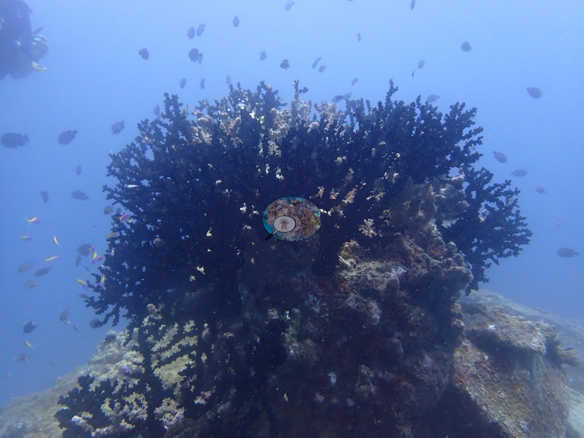
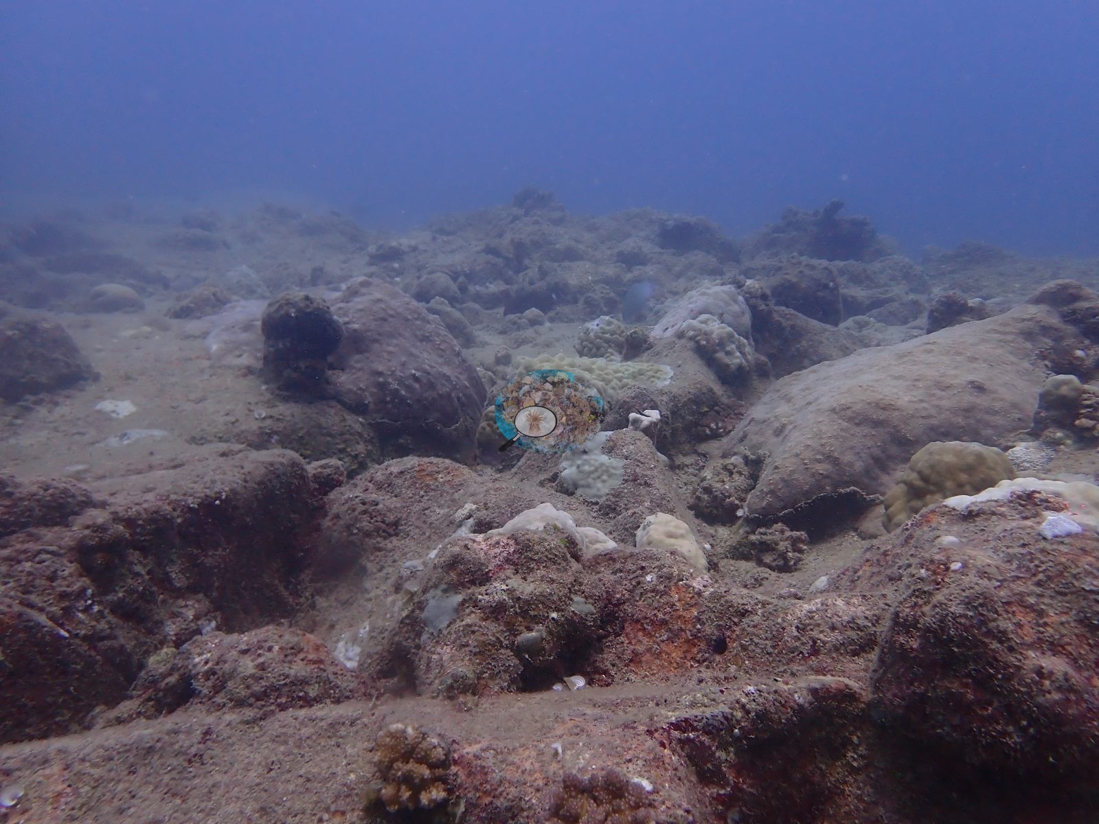
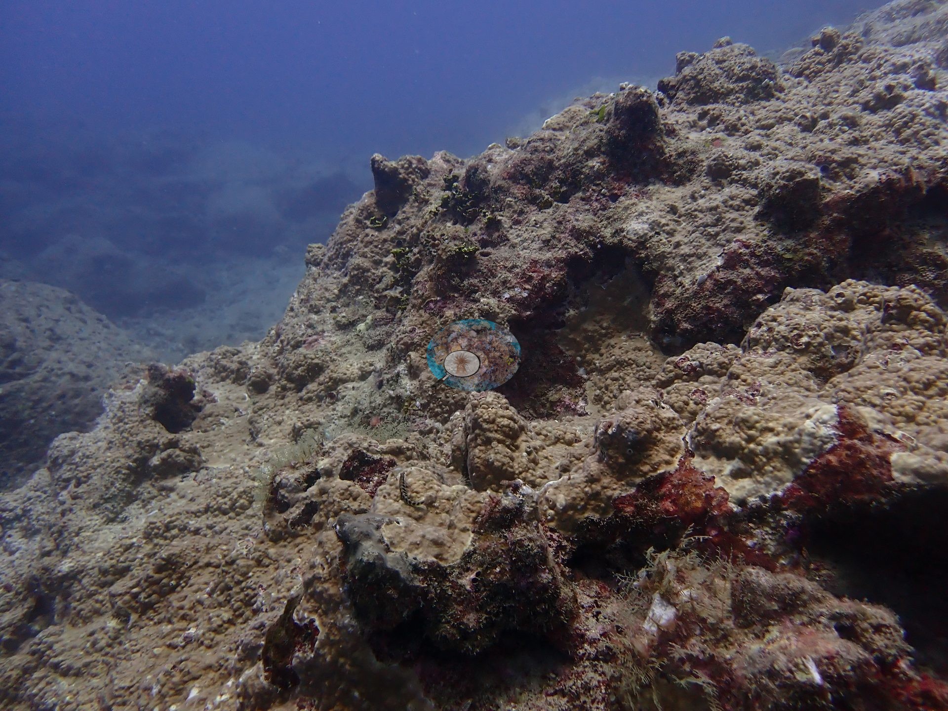
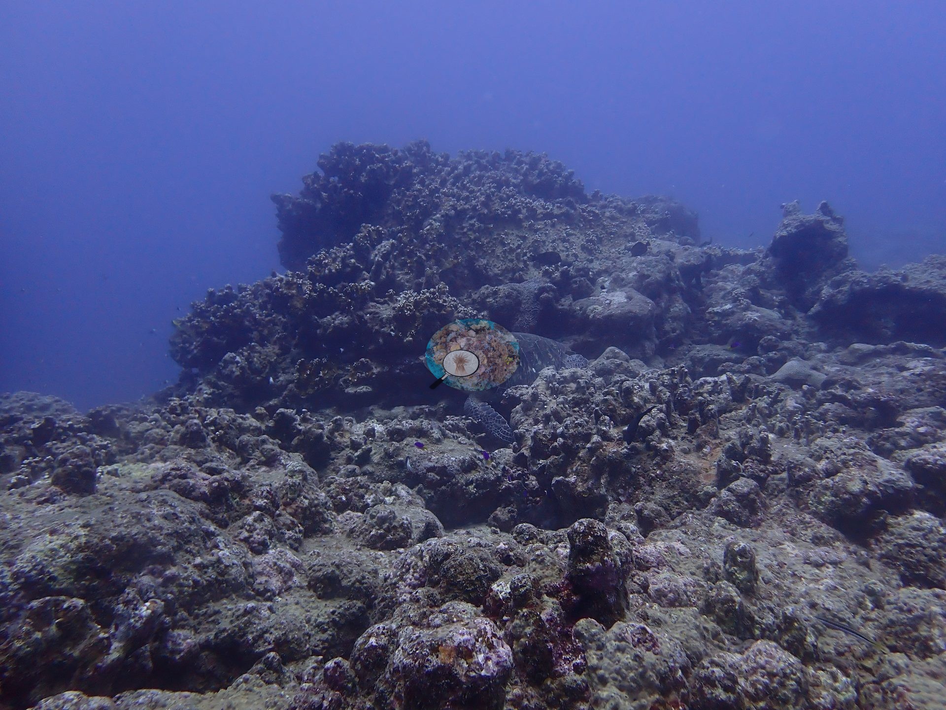
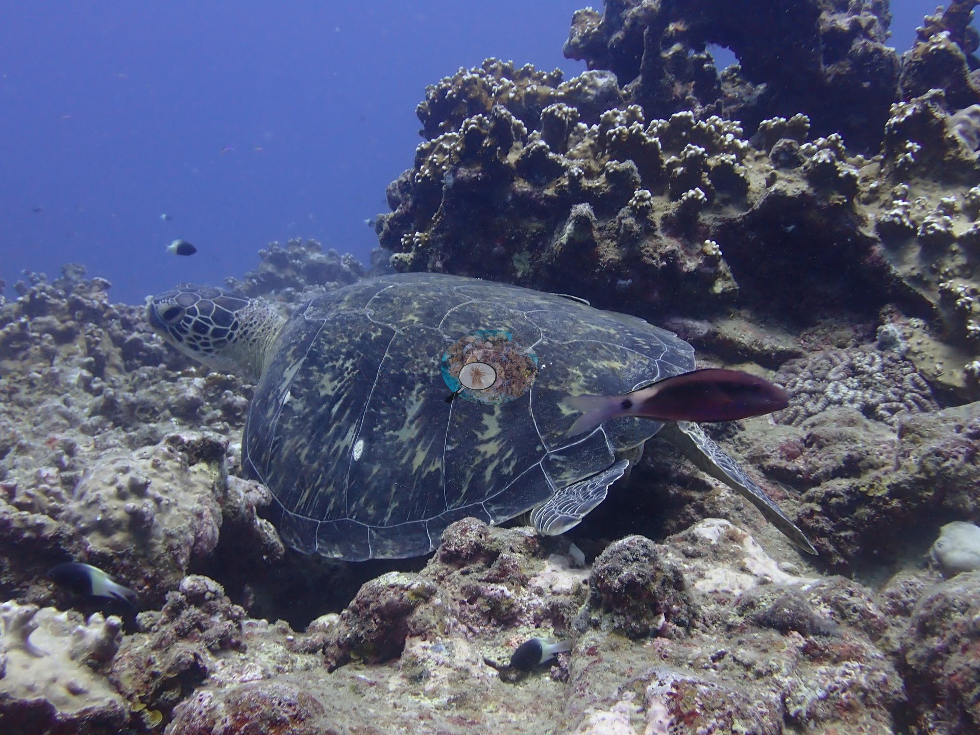
Southern Mauritius (NOAA CRW virtual station)Two adjacent sites off Le Morne dived together, built from huge volcanic boulders and rock spurs separated by pavement and dead coral framework, mostly covered in turf, brown algae, and coralline crust. Coral is sparse, mainly Porites and Pocillopora with one large table coral, and highlights included a day octopus and a resting sea turtle.
Deux sites adjacents au large du Morne, plongés ensemble, constitués d'énormes blocs volcaniques et d'éperons rocheux séparés par de la dalle et une charpente corallienne morte, majoritairement recouverte de gazon algal, d'algues brunes et de croûtes corallines. Le corail est rare, surtout Porites et Pocillopora avec un grand corail de table ; un poulpe diurne et une tortue au repos figurent parmi les observations.
Traduction par IA de ce résumé ; la version anglaise fait foi.
Twenty independent survey stations shown with the program’s logo — click one to see how far it is from this site.
One other CRD dive site within 5 km shown in orange — click a marker to open its page.
11 of these 50 photographs are shown beside the text that discusses them under "Site description" below.
Site description
Setting
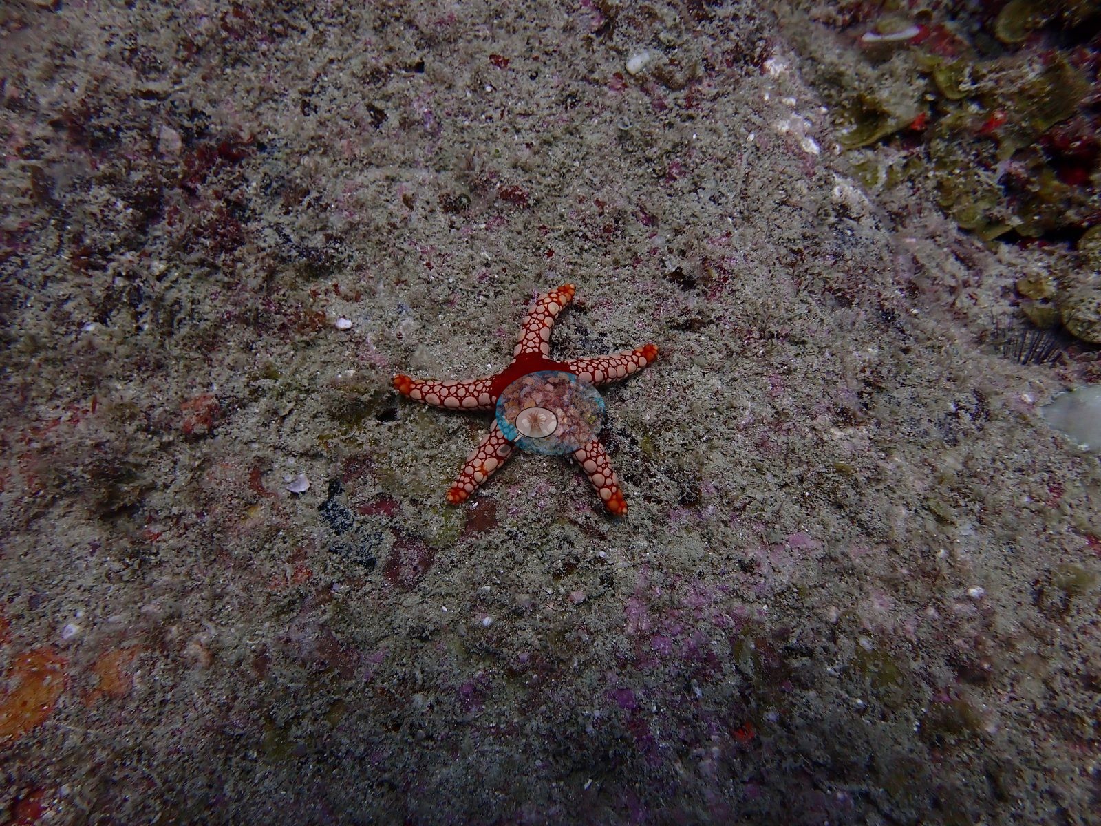
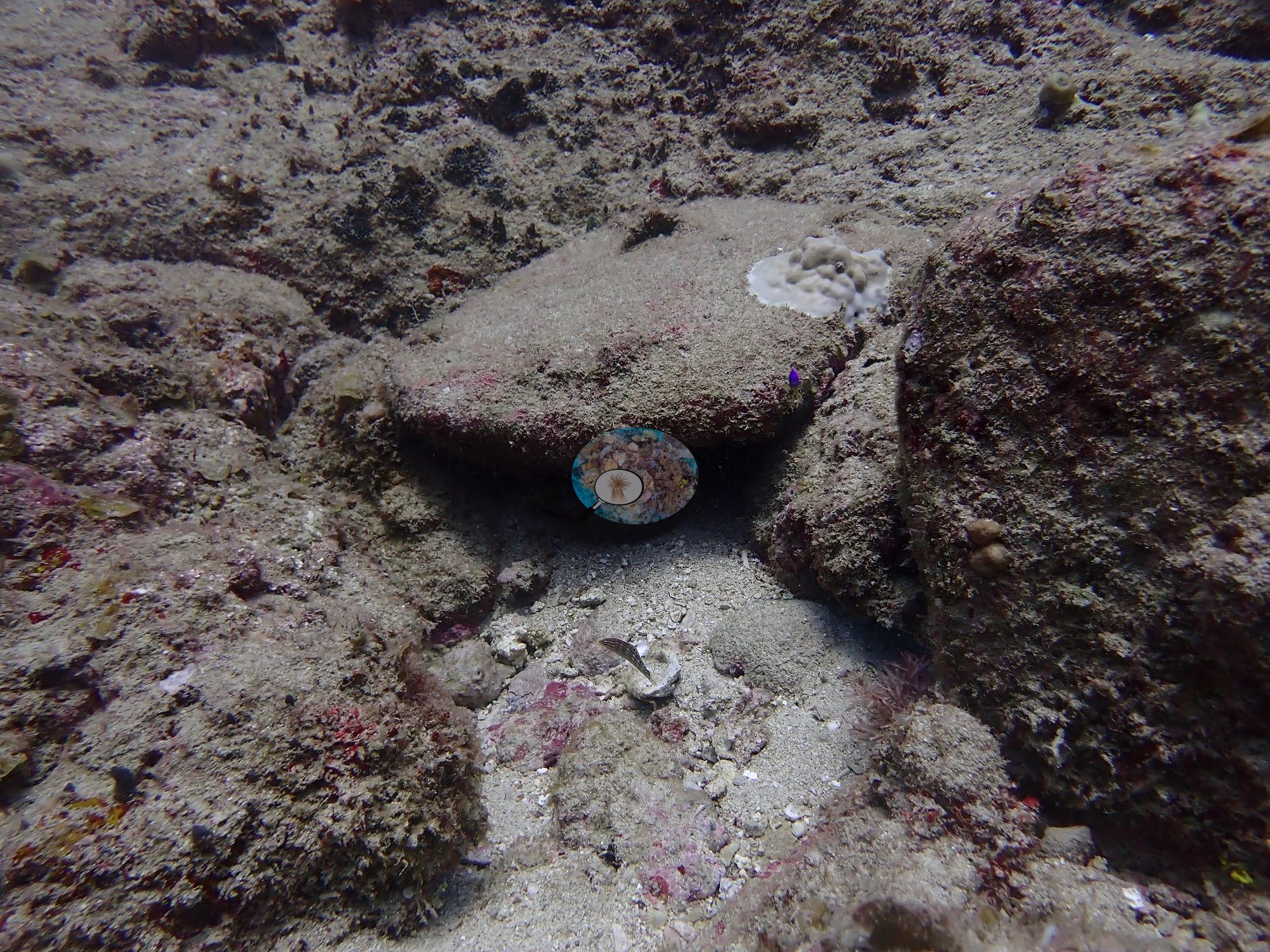
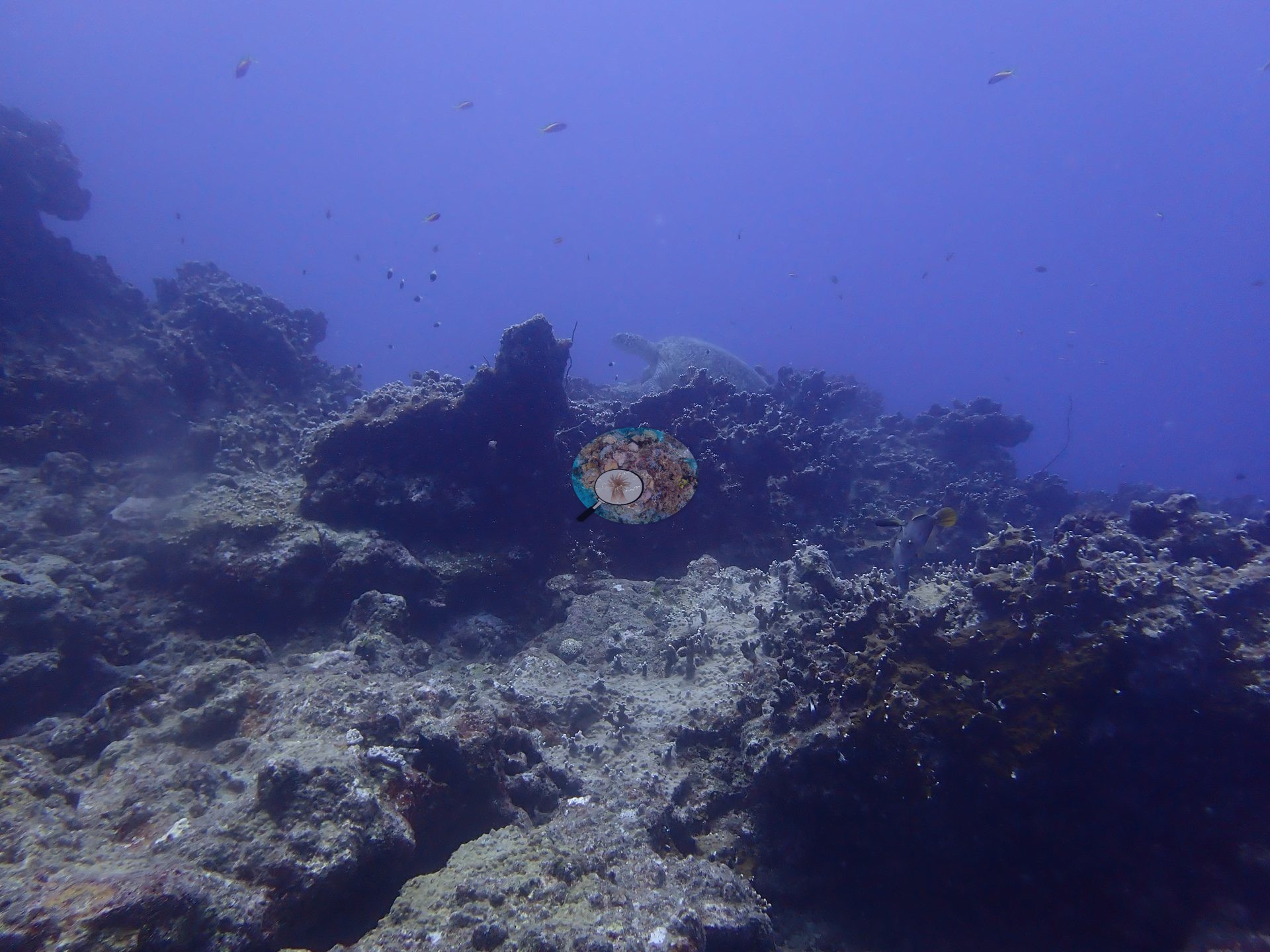
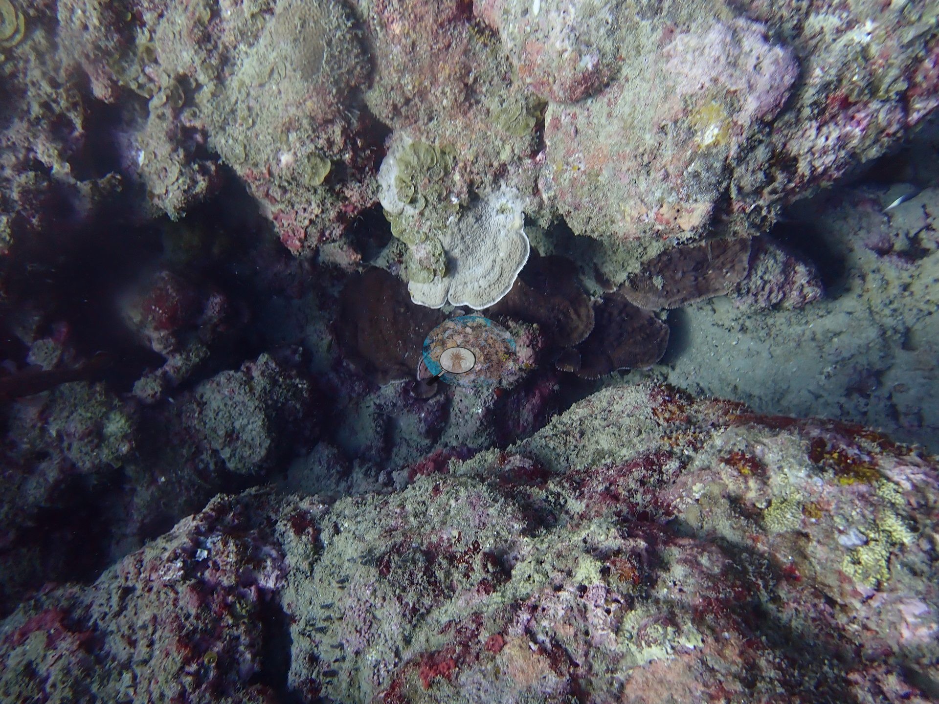
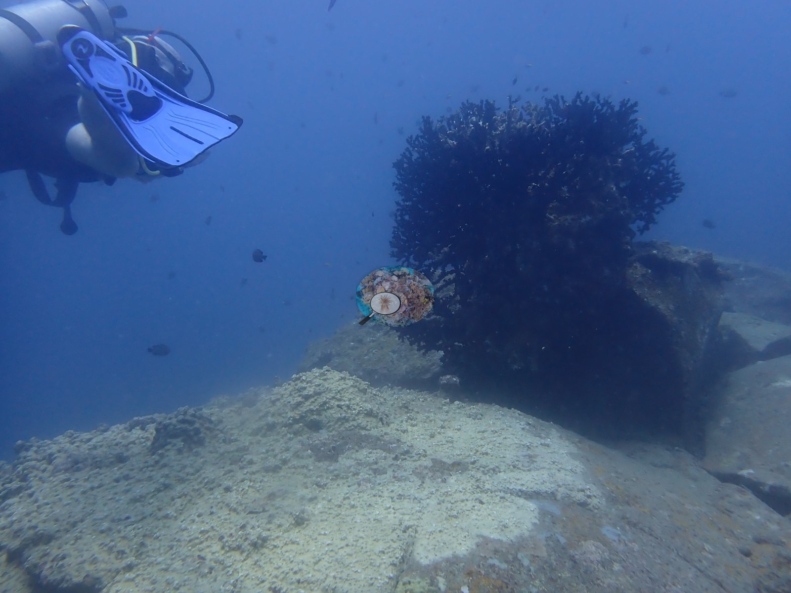
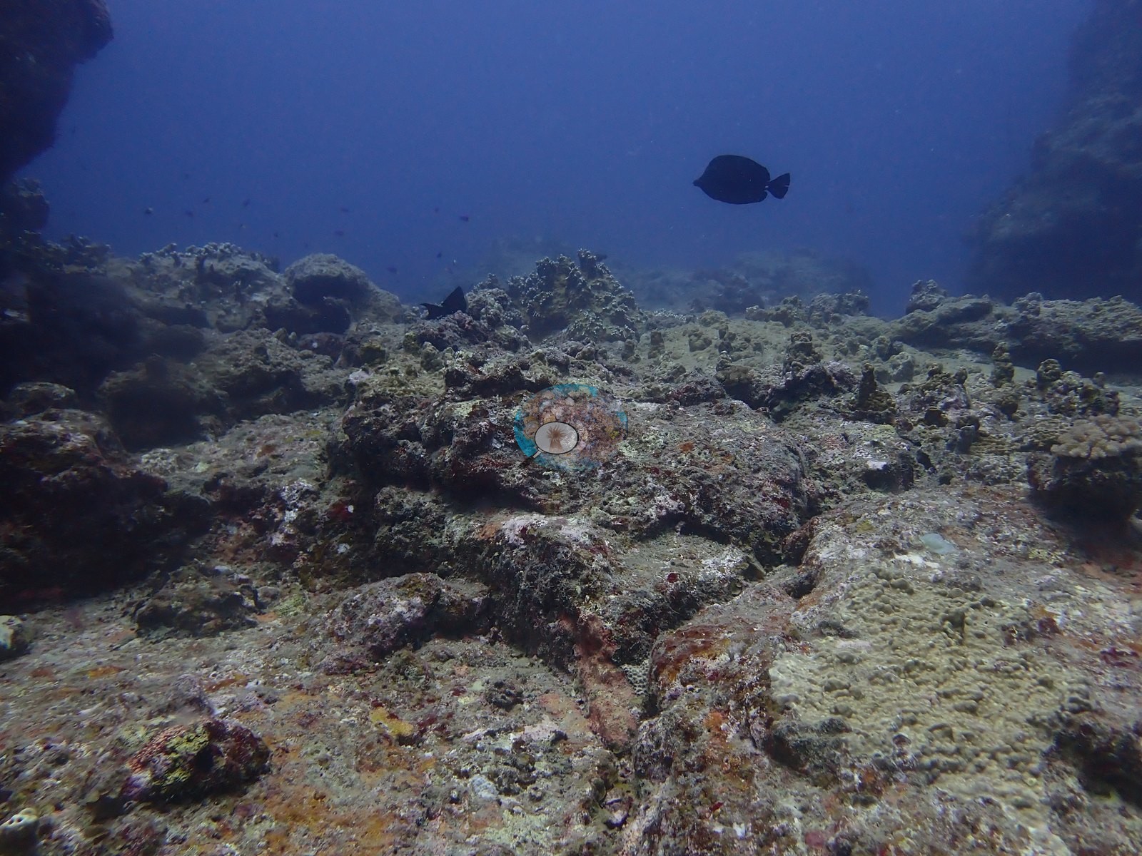
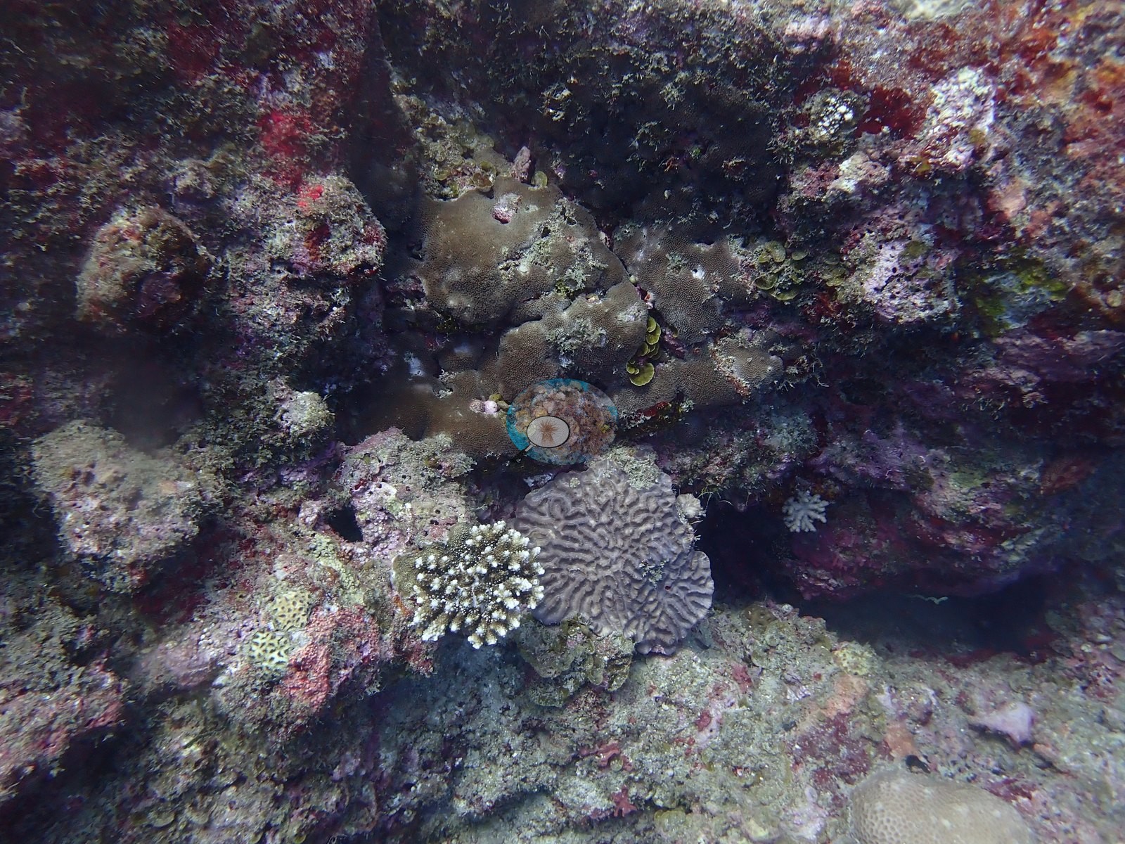
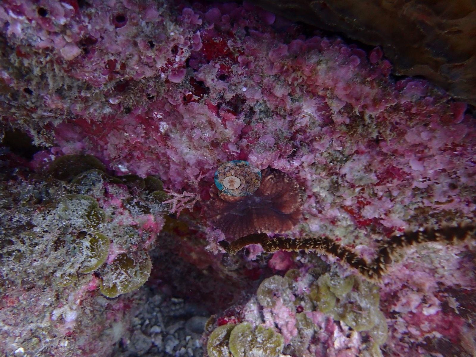
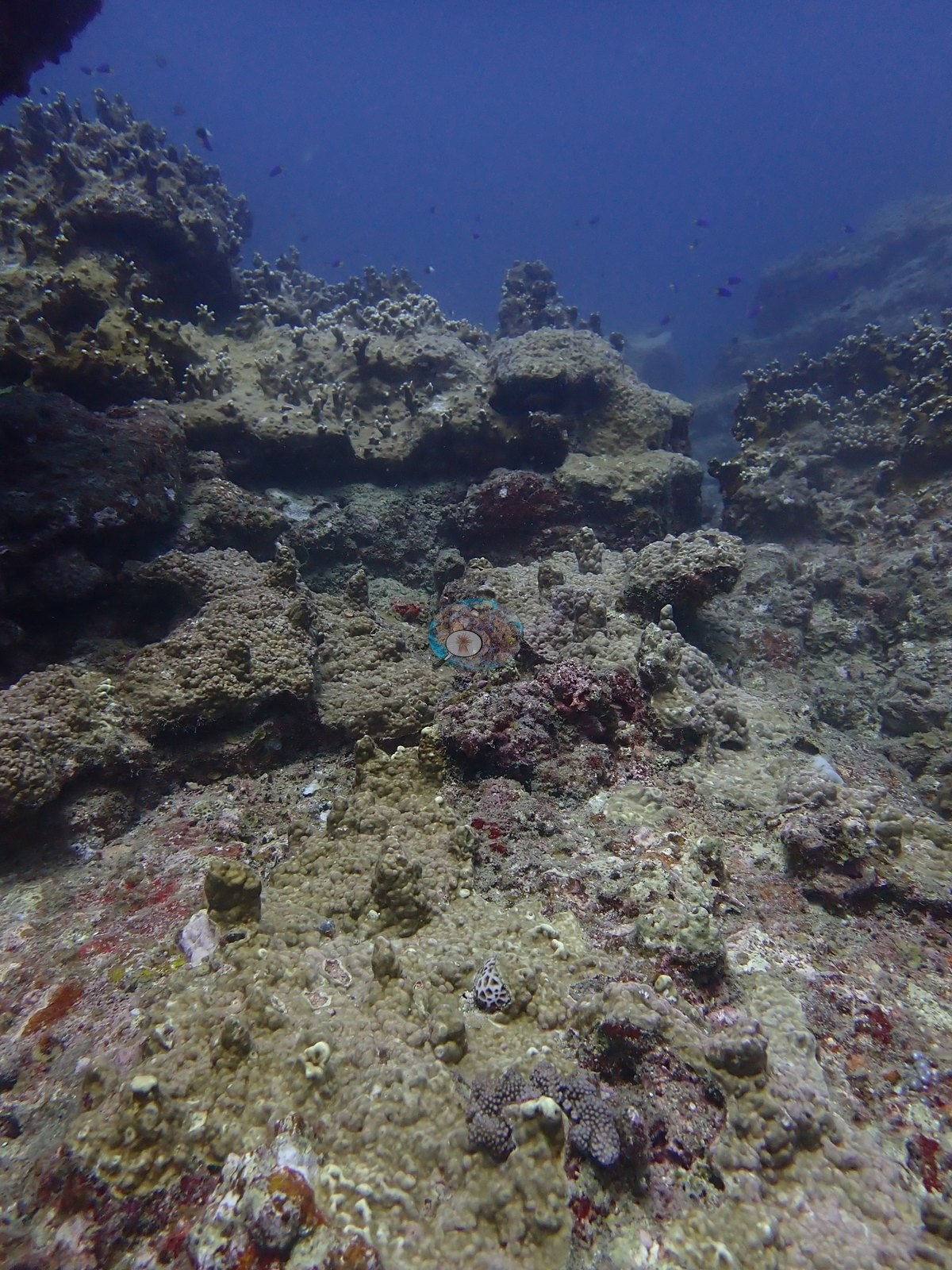
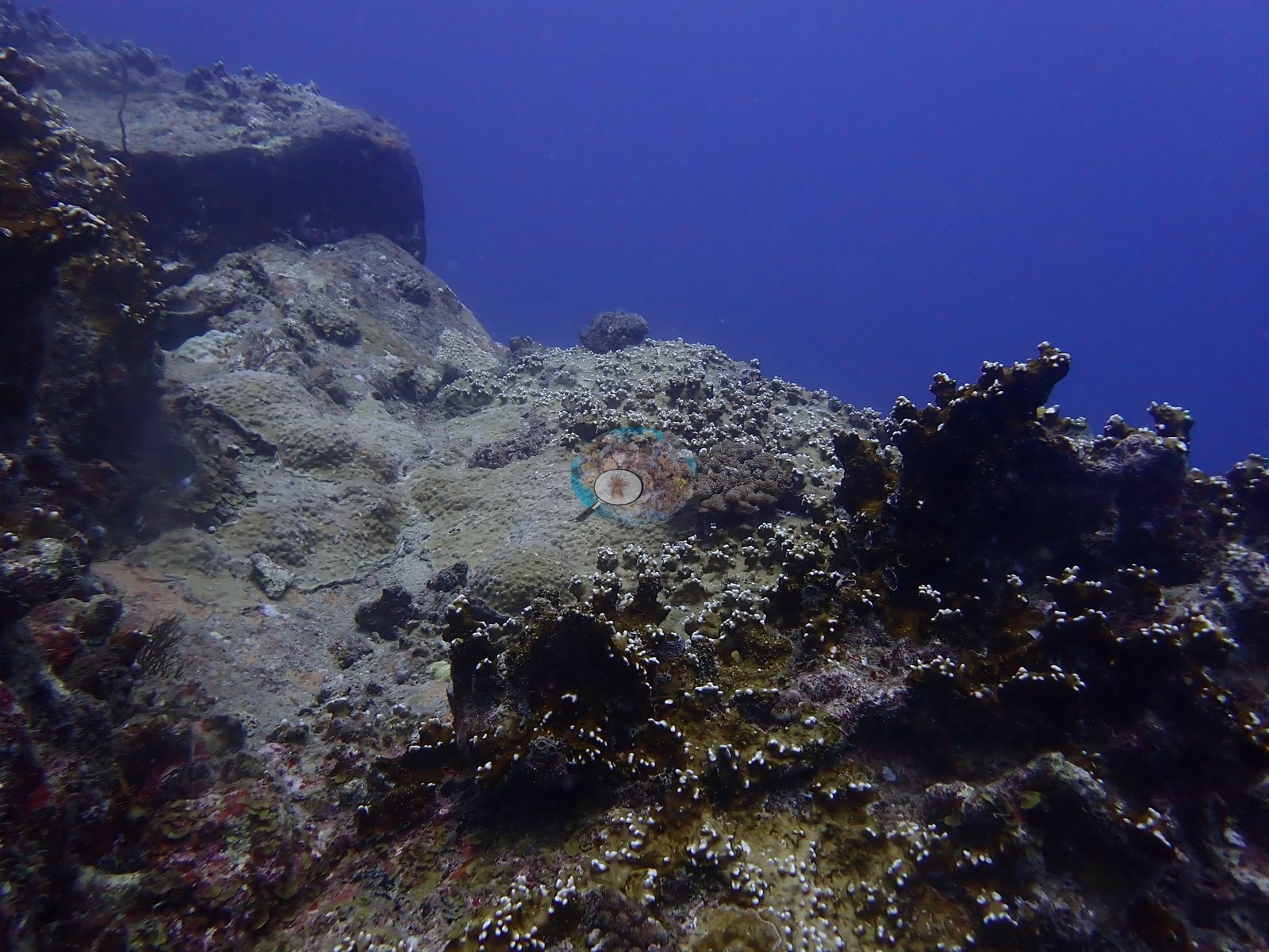
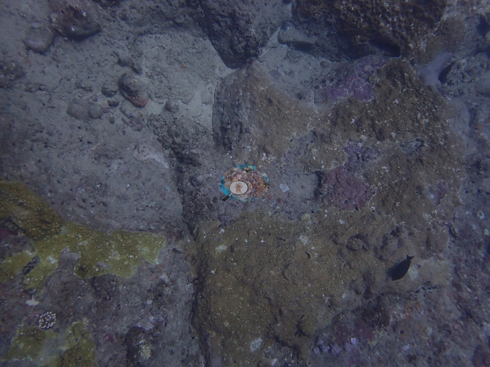
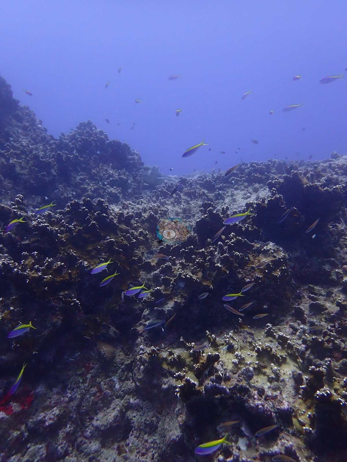
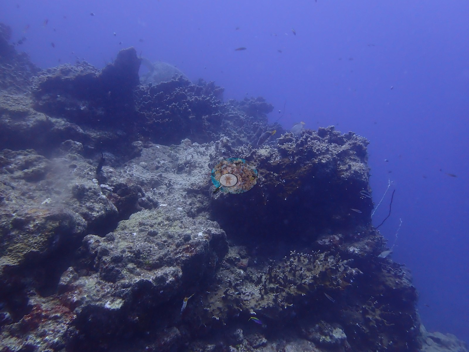
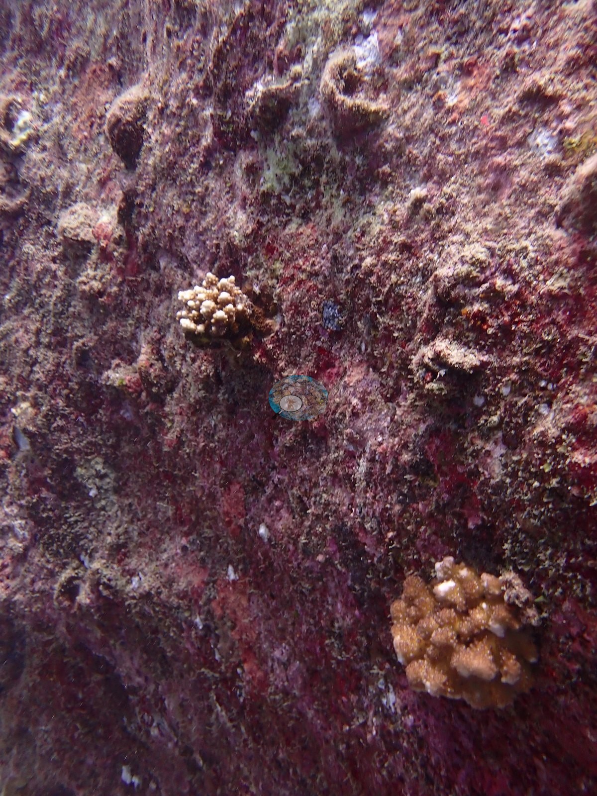
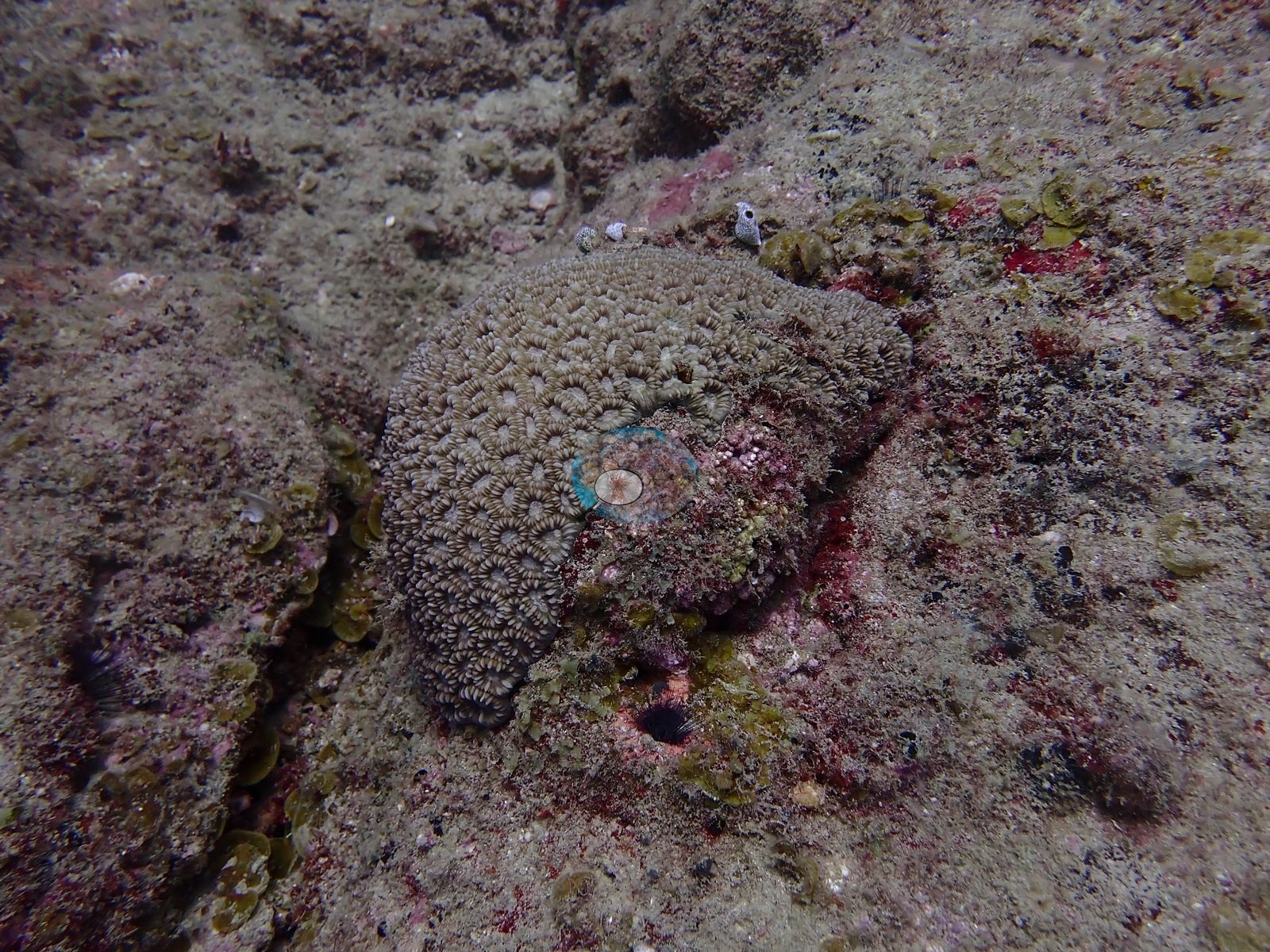
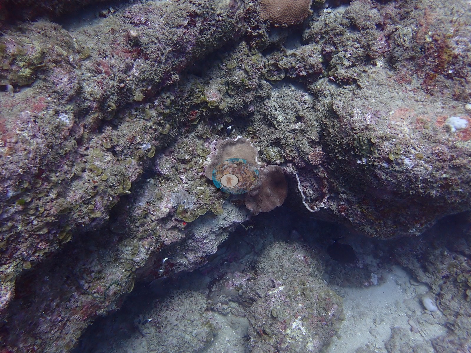
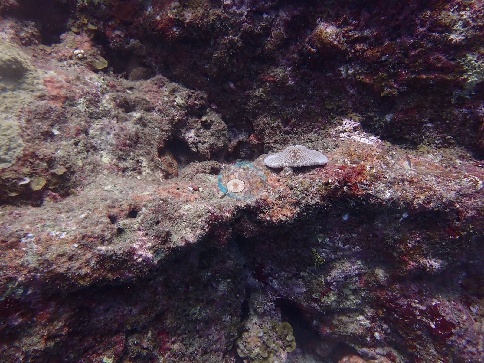
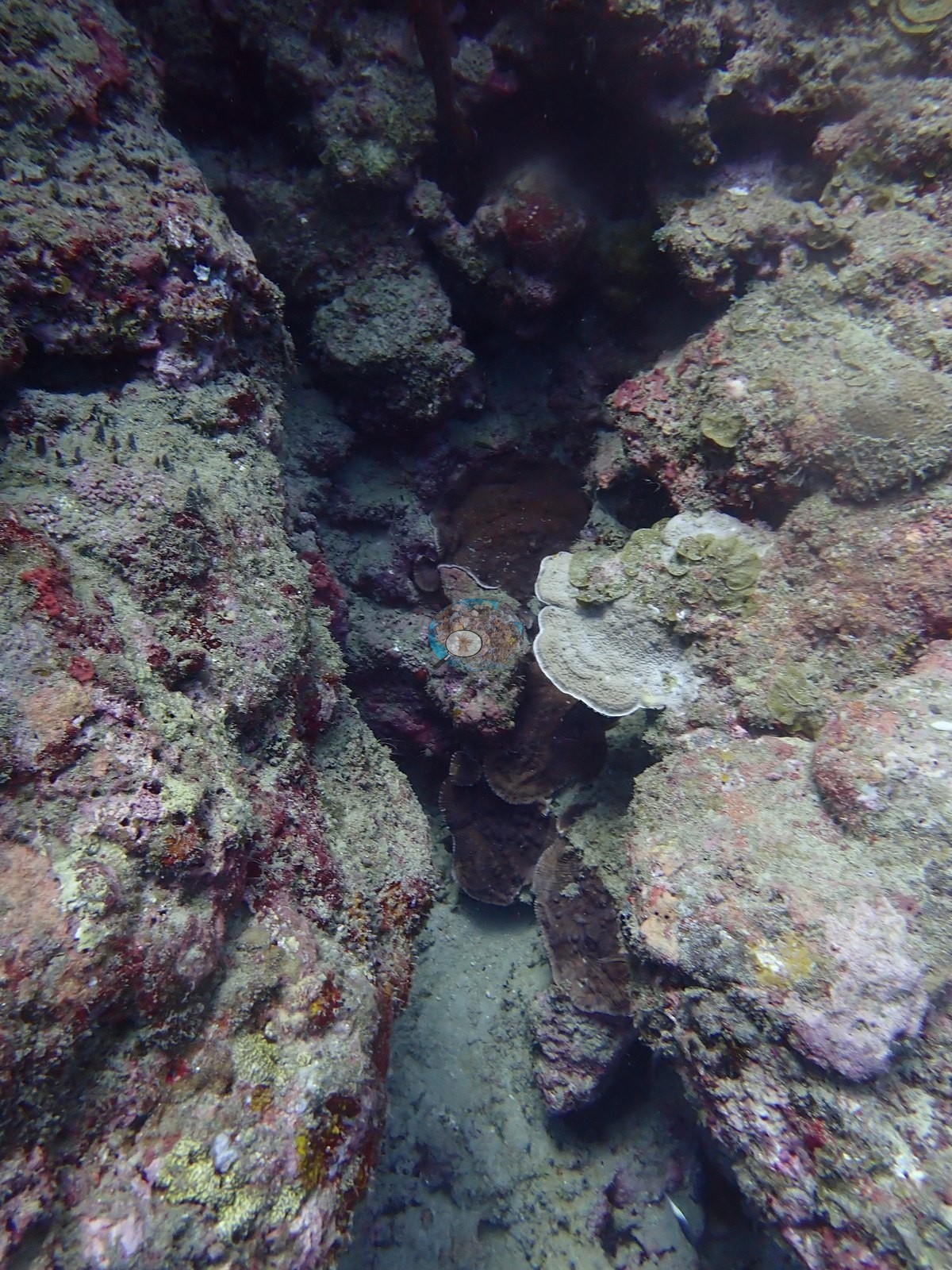
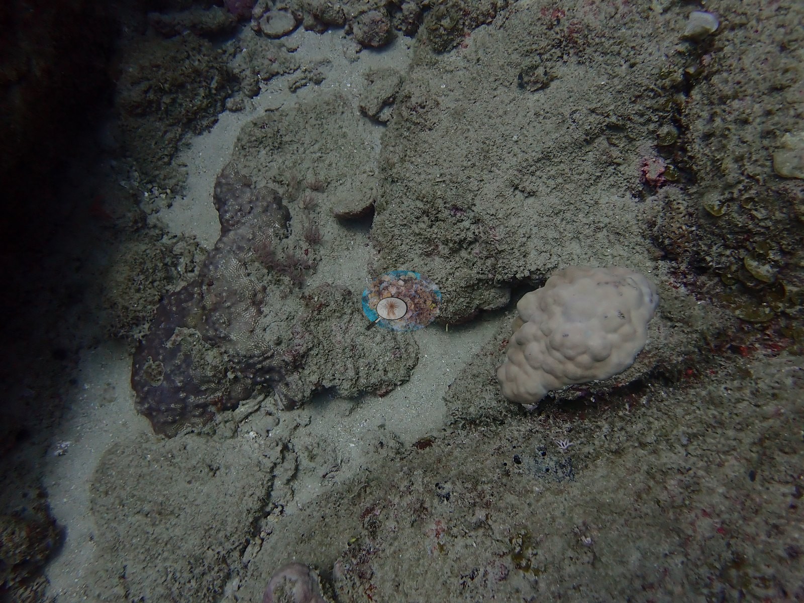
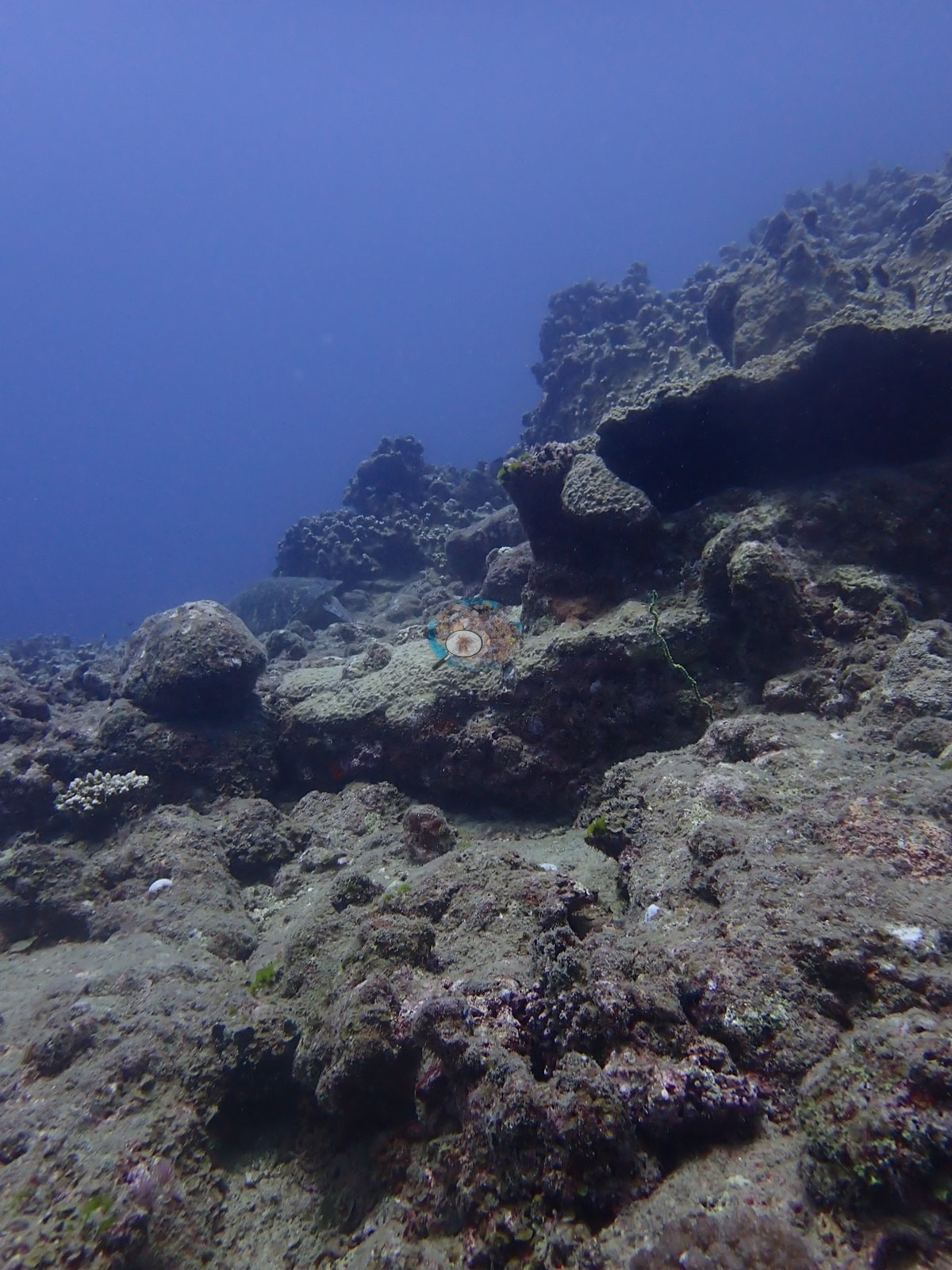
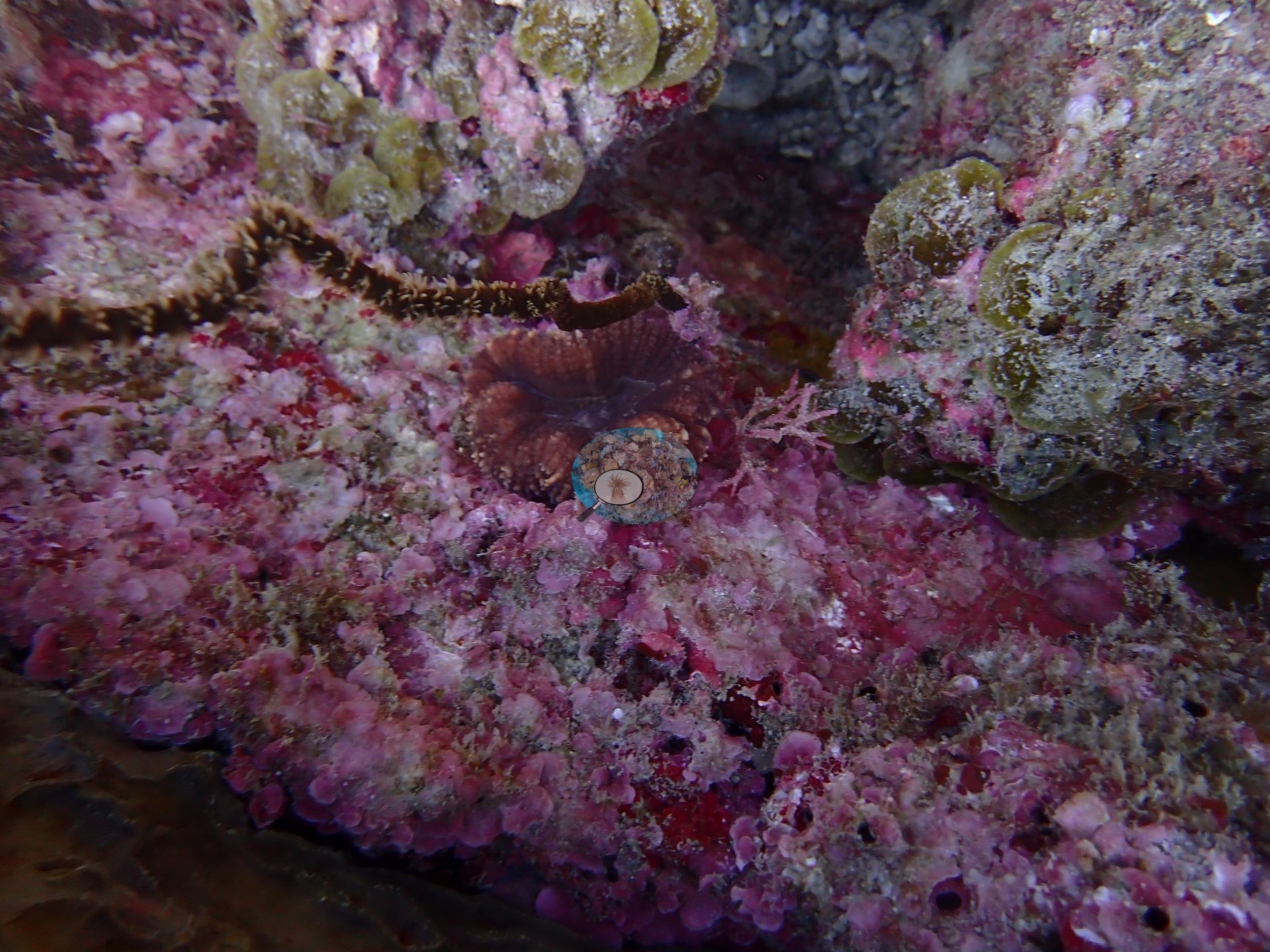
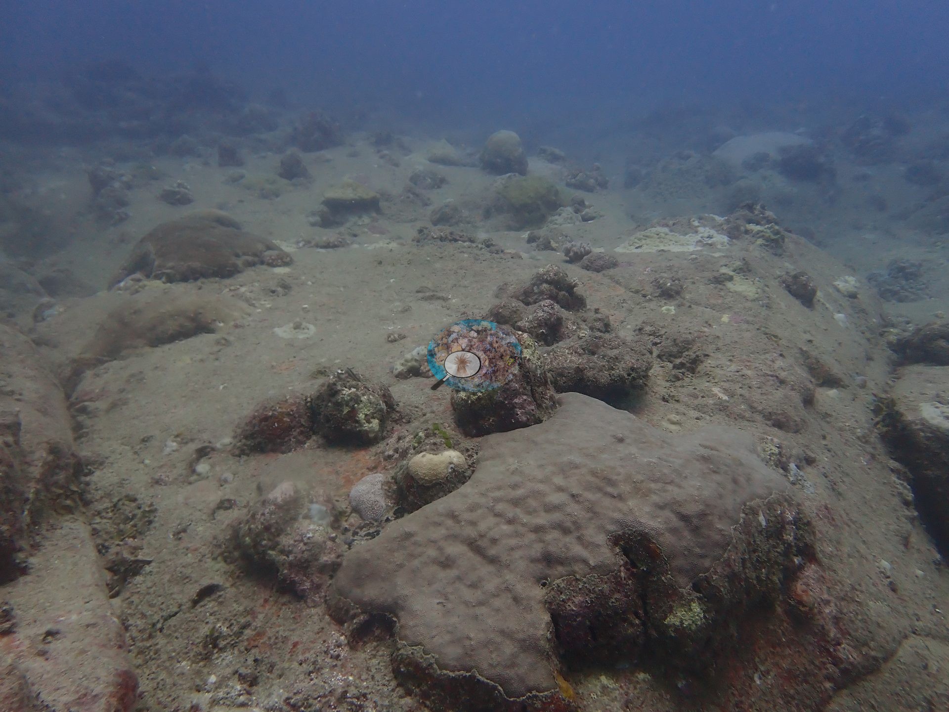
Two adjacent sites dived together off Le Morne: huge volcanic boulders and rock spurs separated by low pavement and dead coral framework, most of it covered in turf, foliose brown algae, and coralline algae (e.g., Image 2, Image 4, Image 6, Image 7, Image 11, Image 18).
General benthic features
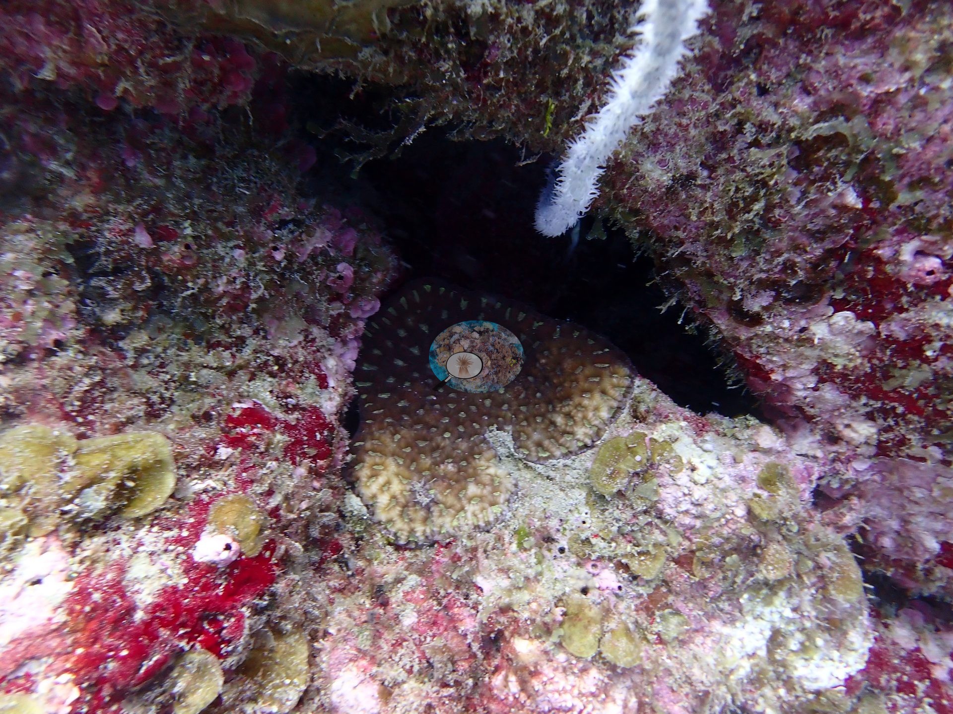
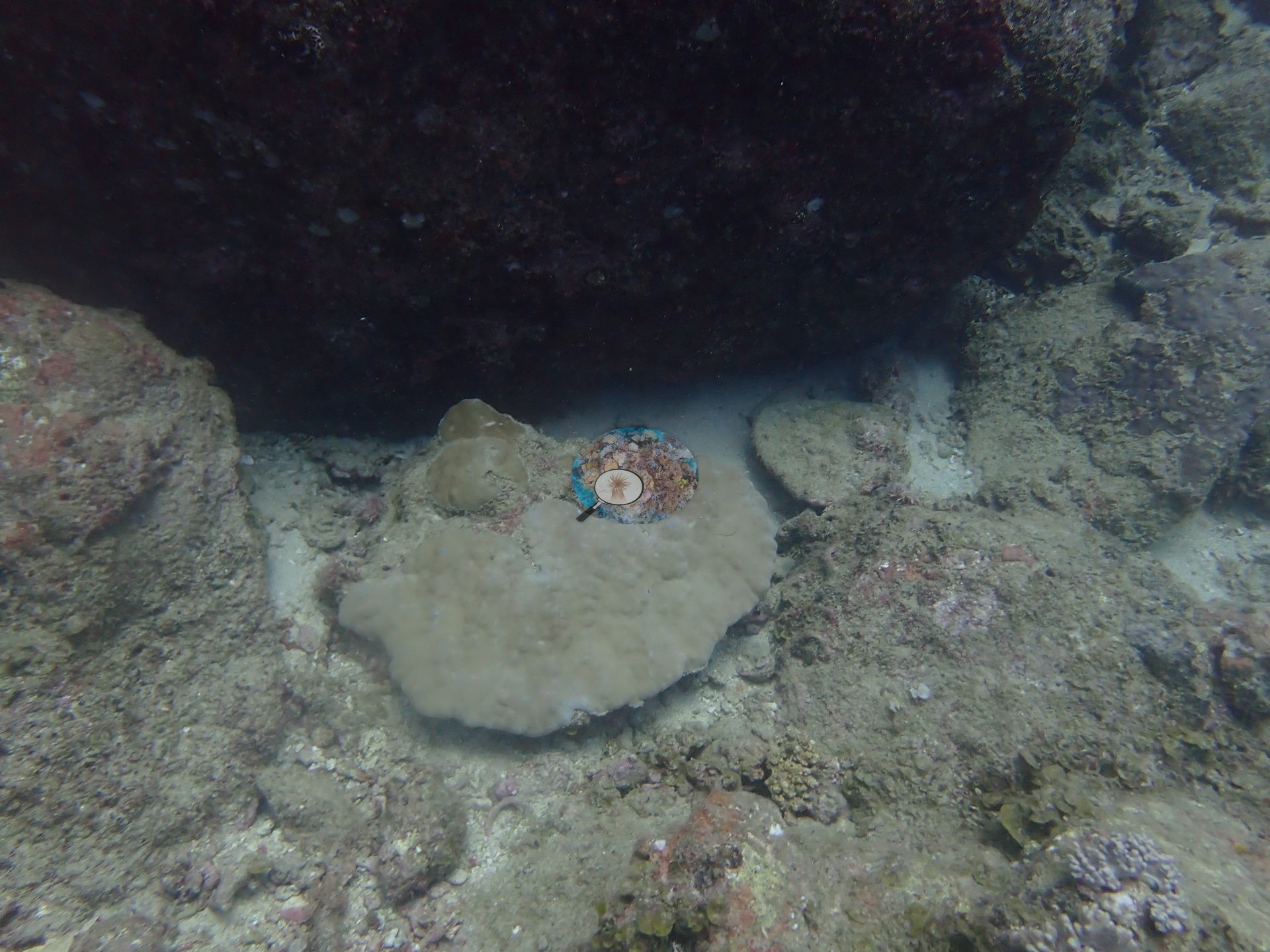
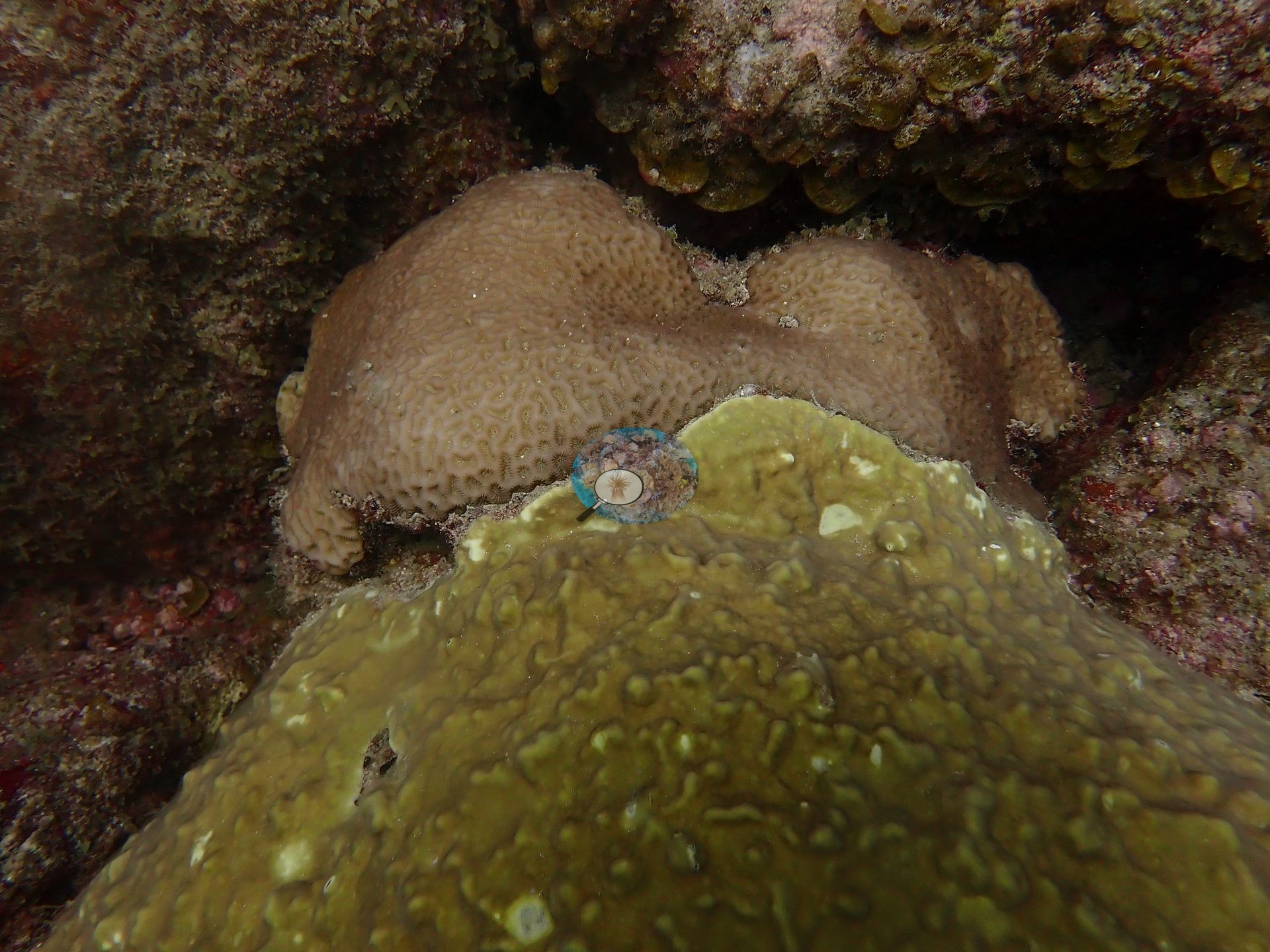
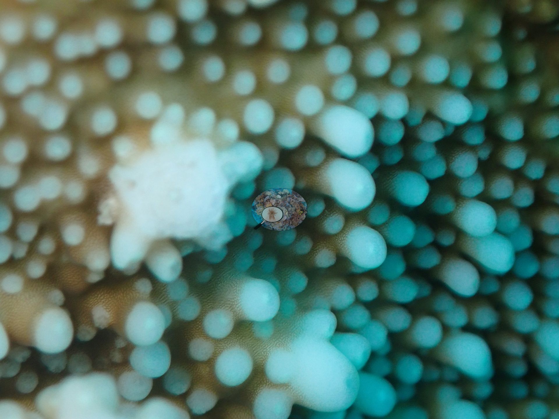
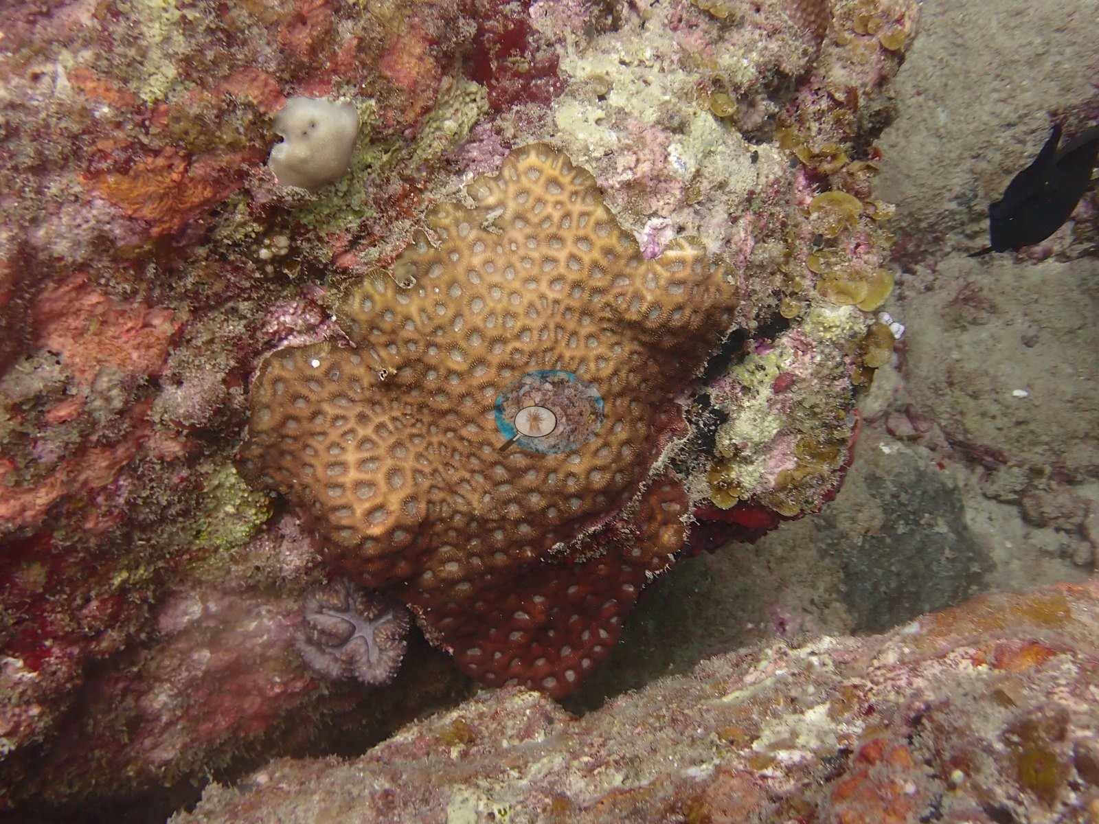
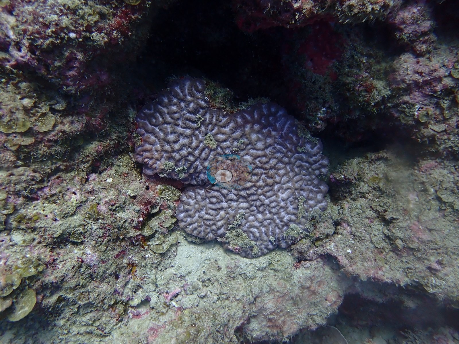
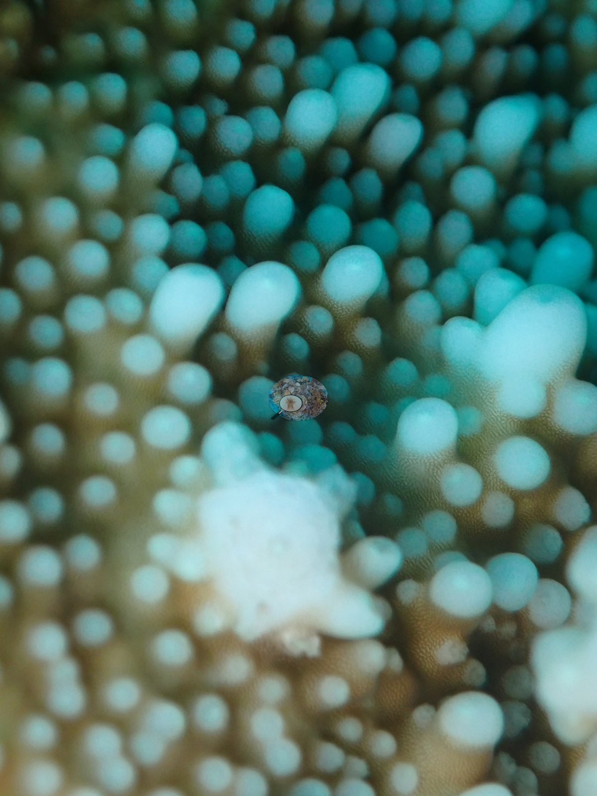
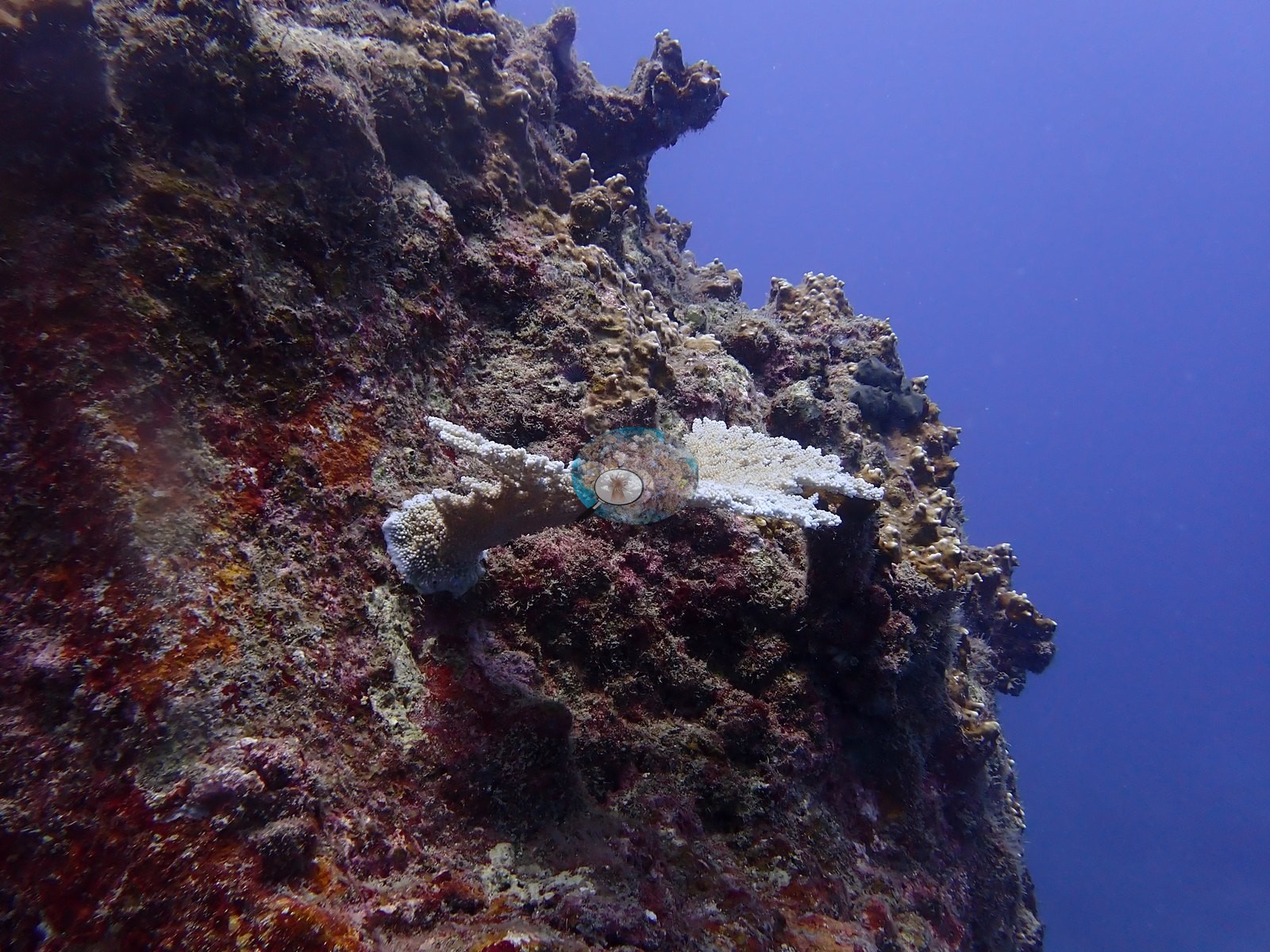
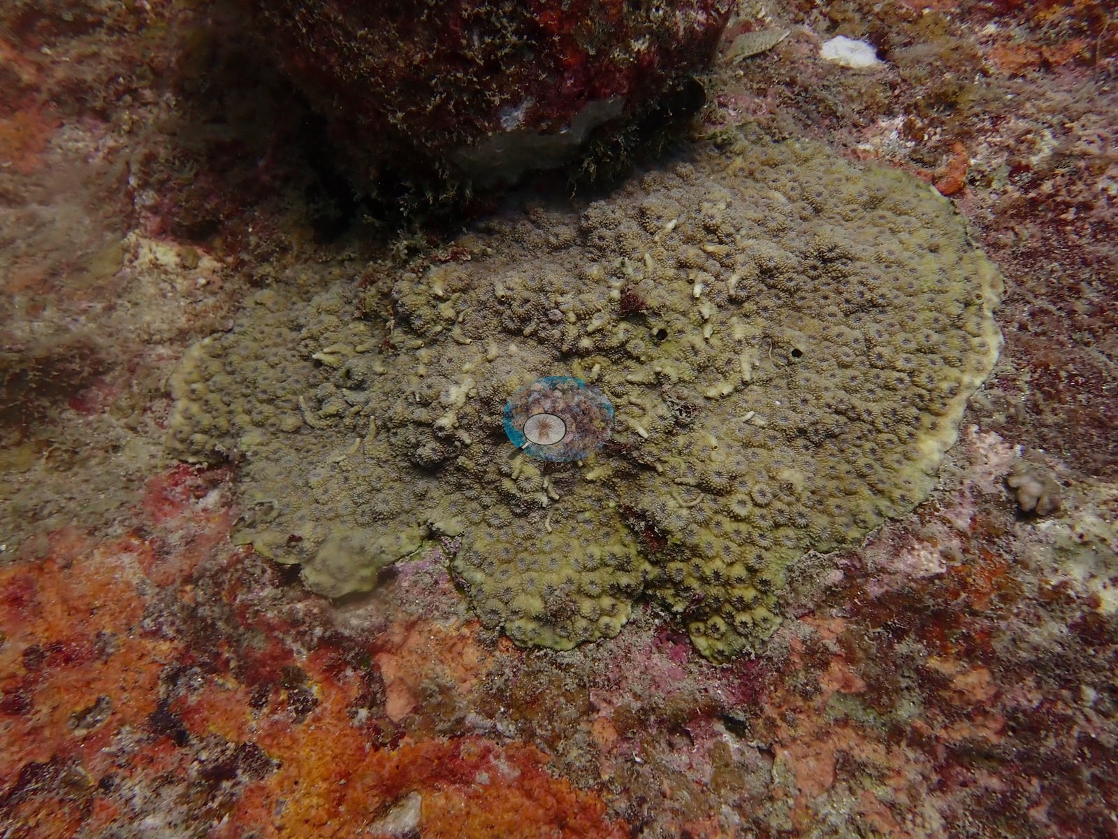
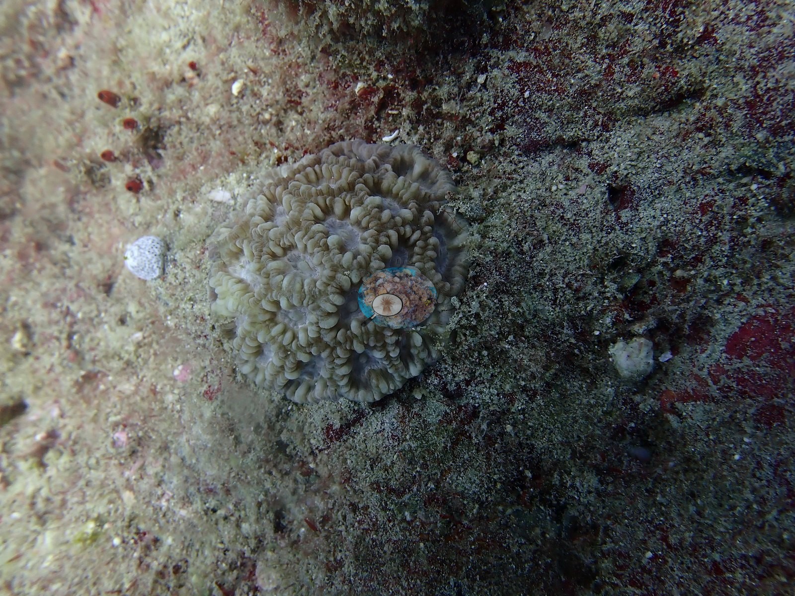
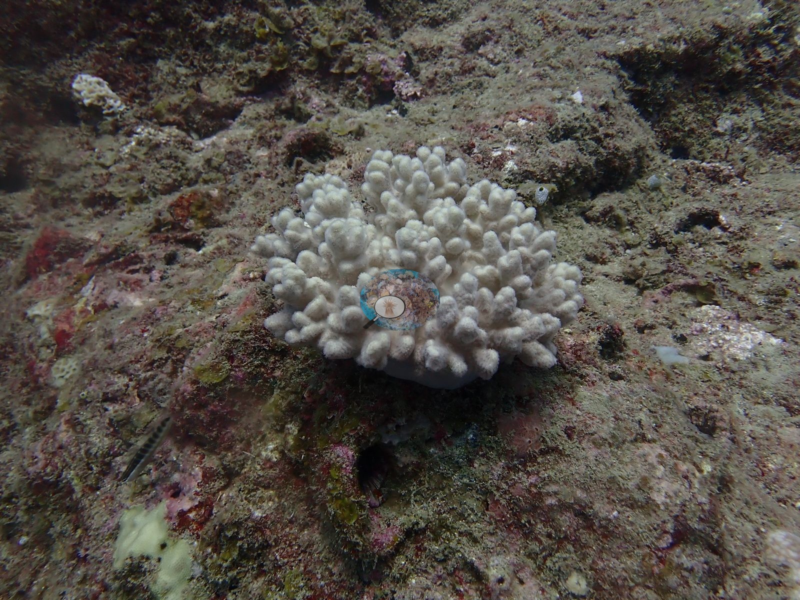
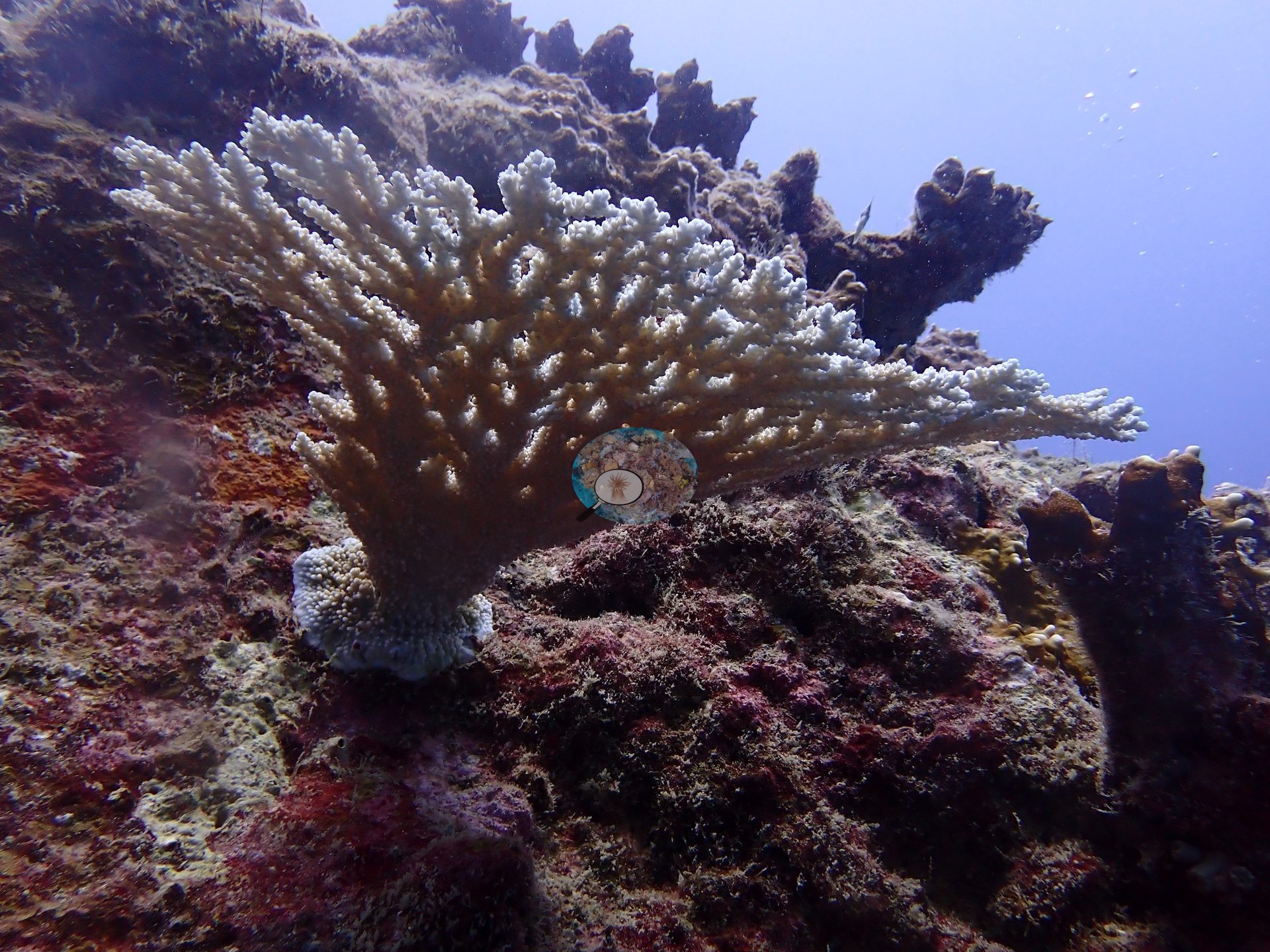
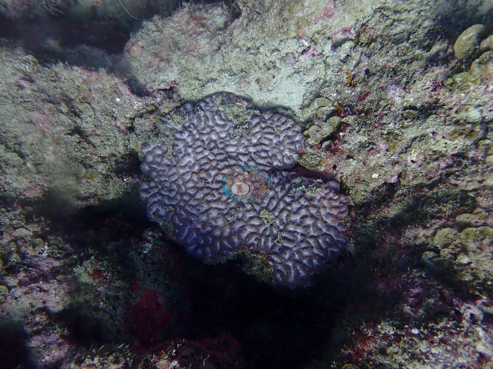
Manually-scored point-count cover was 14% hard coral, dominated by massive Porites, Pocillopora, a large tabular Acropora, and scattered encrusting faviid-type colonies (e.g., Image 3, Image 9, Image 13).
Coral cover
Coral cover: 17% — the site cover estimate from Anderson Mayfield's Mauritius manuscript (his manual point count and CoralNet, weighted equally); the manual point count alone is 14%. The earlier four-method average for this site was 12.3%; every method is compared in the table below. Anderson is still evaluating other computer vision models for coral-cover work and plans to regenerate this CoralSCOP and DINOv3 figure once he finds one that performs better.
Stressors
No crown-of-thorns starfish (COTS) or other corallivores evident.
Fish and other fauna
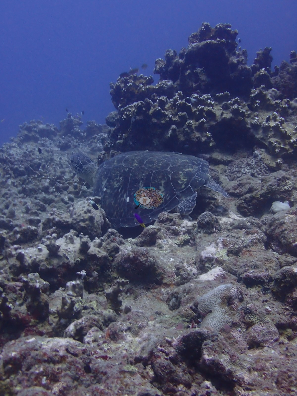
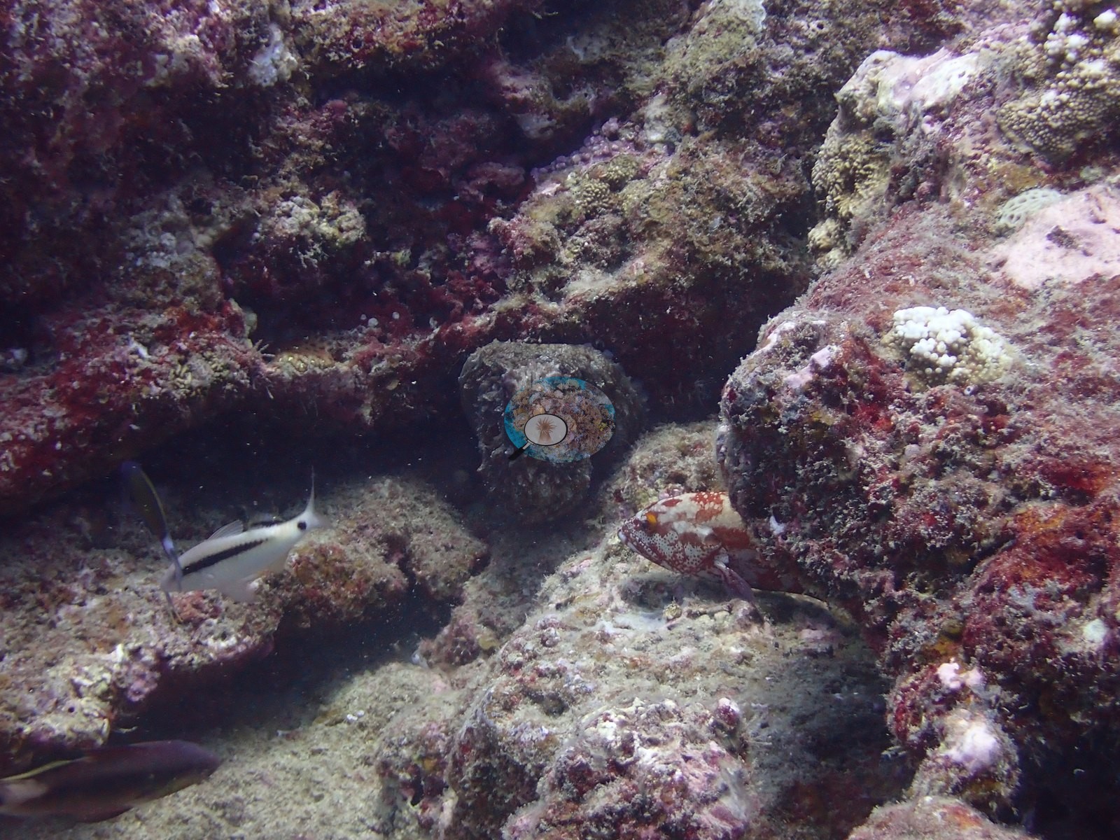
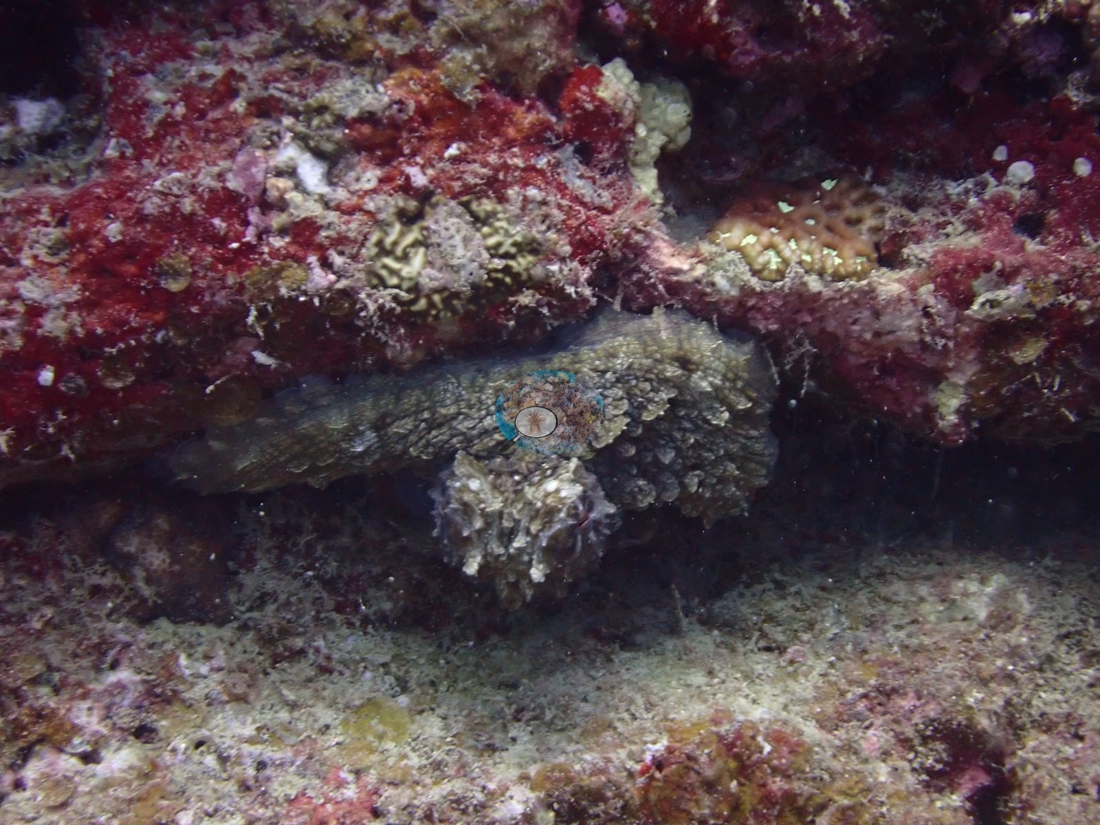
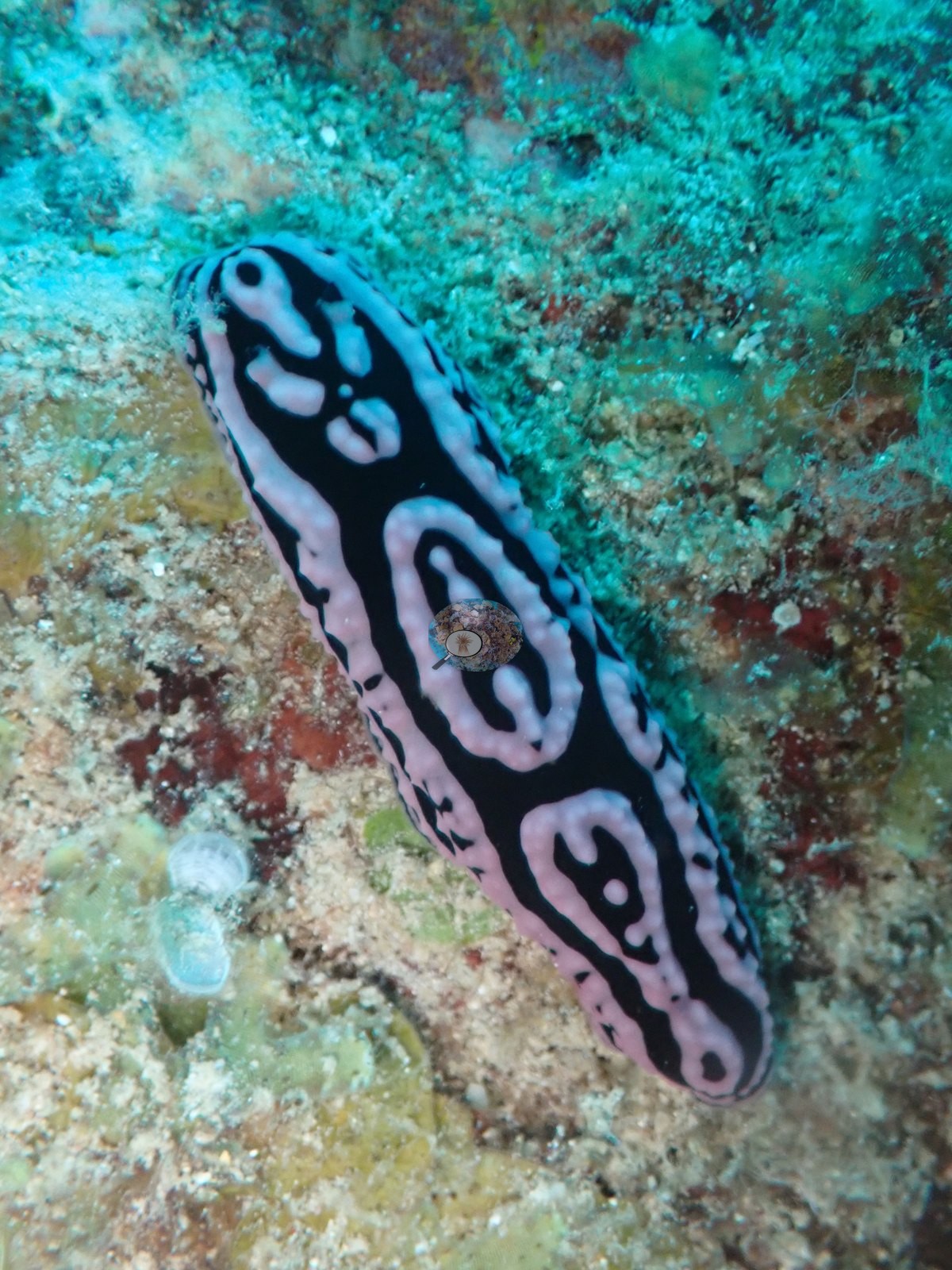
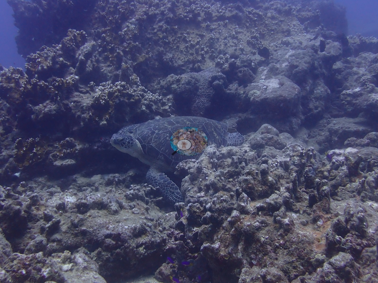
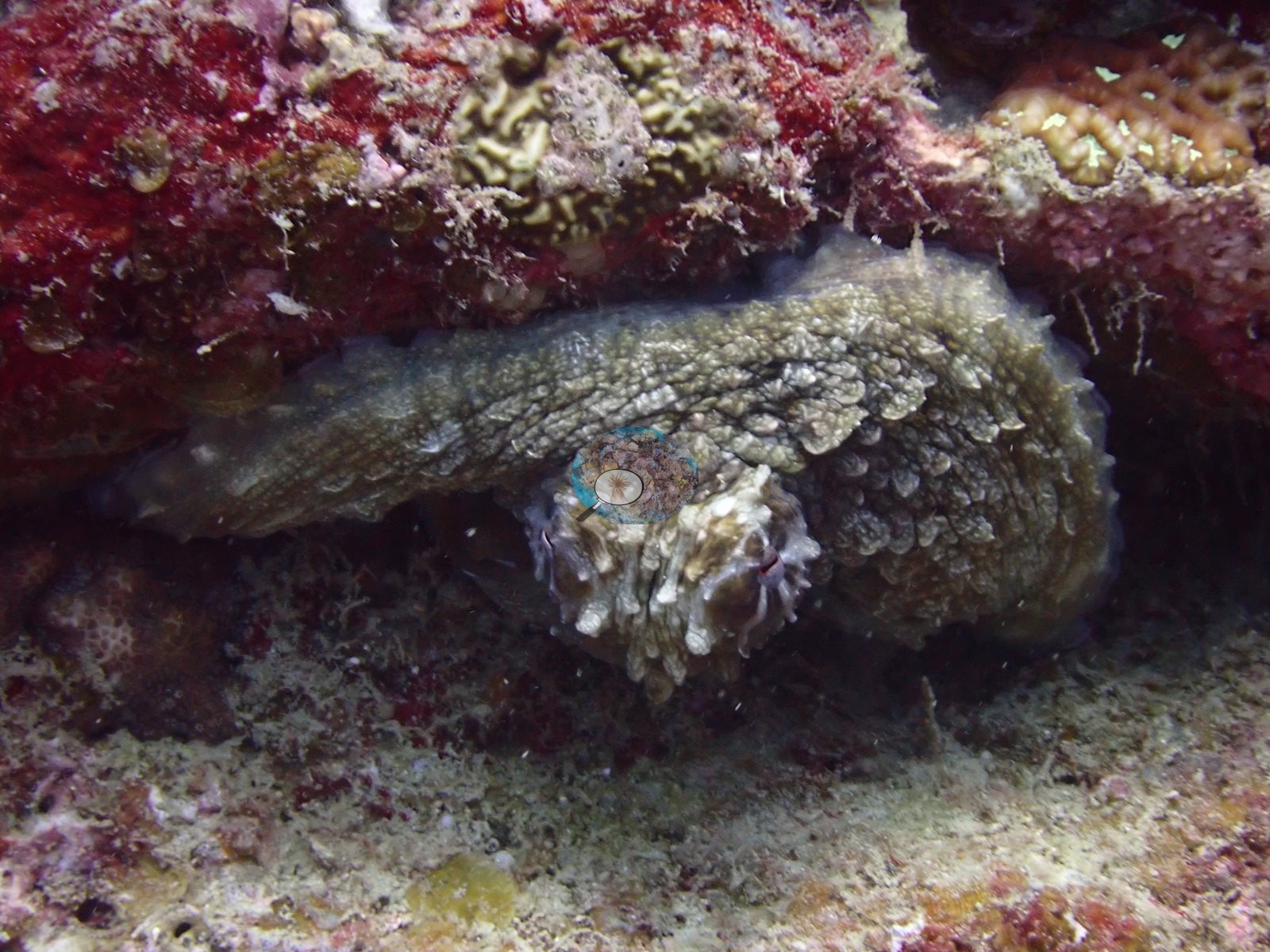
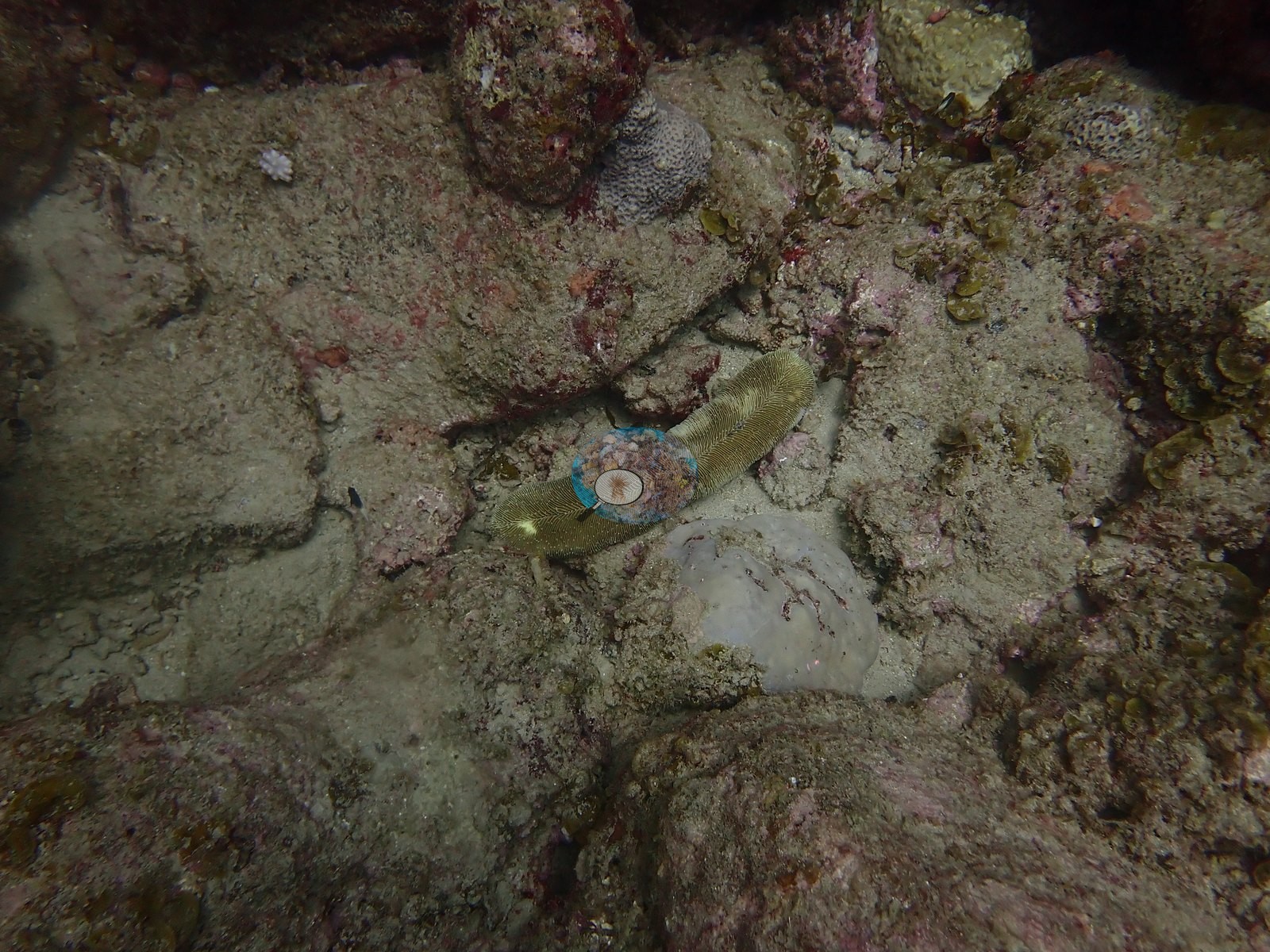
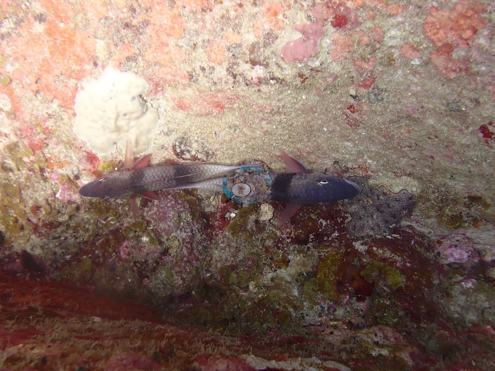
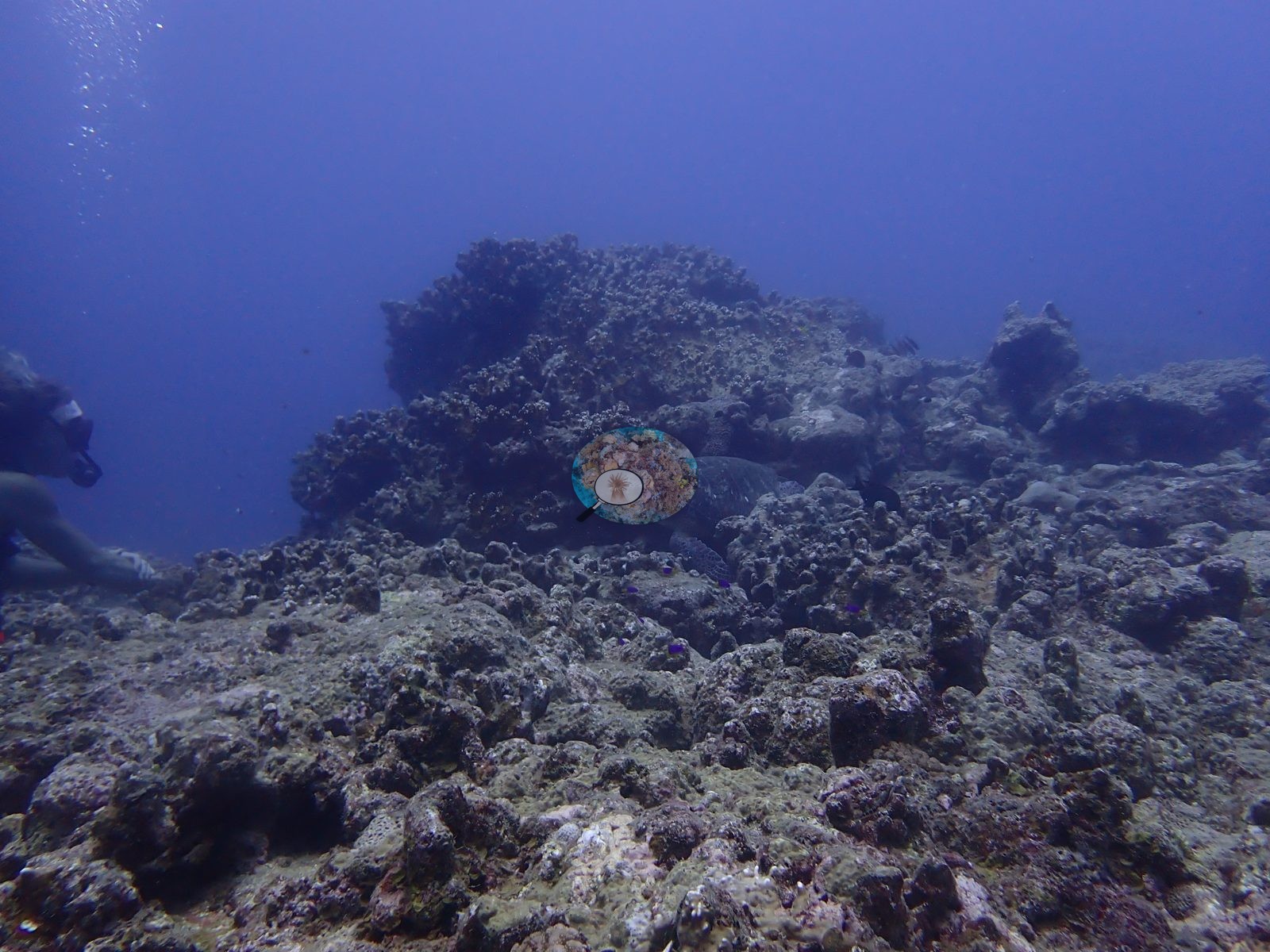
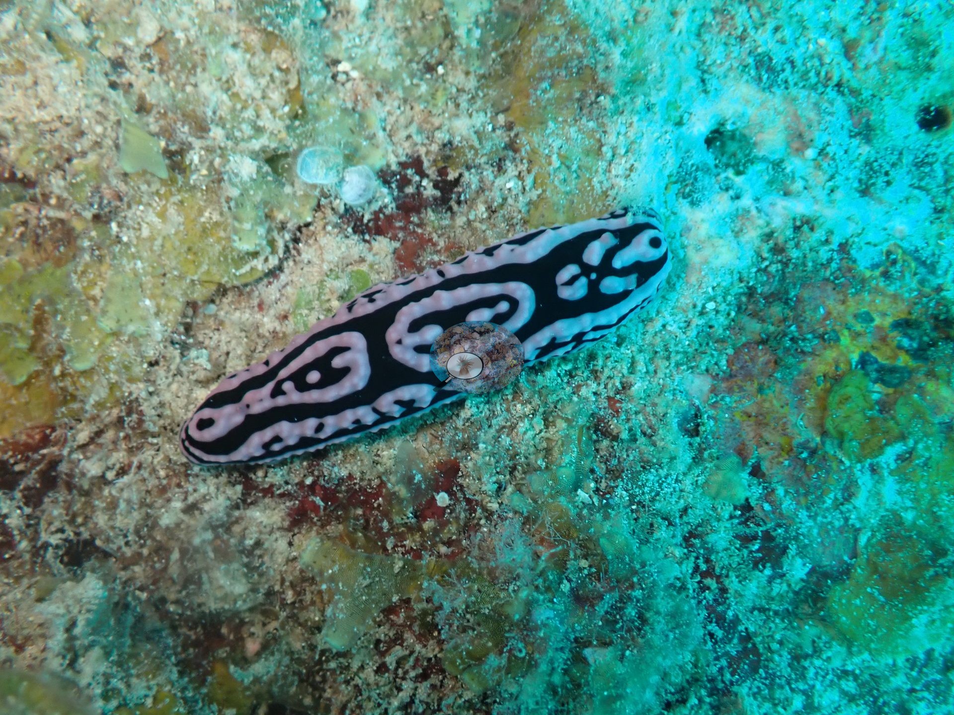
Highlights included a large day octopus, a resting sea turtle, a phyllidiid nudibranch, and a pair of double-barred goatfish (e.g., Image 12, Image 19).
Comparisons with other data
No independent survey was made at this exact site; the nearest ones are listed in the table below.
CV model comparison
More info
The settled rule would raise every Mauritius site by 0–3.7 pp. Awaiting Anderson's ruling. The Claude row is the manuscript's Claude (with image context) value, scored on the same manual-reference frames as the manual count (v42 Table 3); the last of its five context batches had been seen before, so it is not fully blind. Anemone Garden is flagged non-reef in the source (anemone habitat); its manual value stands but carries no error term. CoralSCOP (SAM-based mask-sum), edited photos: n/a — no edited copies exist; EDITED_UNEDITED_RULES.md records Mauritius as verified 347/347 unedited| Method | Hard-coral cover (%) |
|---|---|
| Site cover estimate | 16.8 |
| Manual (draft manuscript) | 14.0 |
| CoralNet | 7.0 |
| In-house DINOv3 | 15.3 |
| CoralSCOP unedited | 13.0 |
| Claude | 8.3 |
Independent surveys nearby
| Agency / program | Year(s) | Stations / distance | Link |
|---|---|---|---|
| Pisternick et al. 2020 (PANGAEA) | 2018 | 17 stations, 0.02–1.59 km | Records ↓ |
| WCS Kenya / University of Mauritius via MERMAID | 2019 | 3 stations, 1.29 km | Records ↓ |
 Dr. Coral (CRD)Year-average (no detectable trend)
Within 5 km, 20 independent survey stations recorded hard coral cover in 20 records between 2018 and 2019. The most recent nearby survey is from 2019, so these values predate recent heat stress. This site's own estimate (17%) sits within the range of these surveys (0.0–30%); the methods differ, so the comparison is context, not a like-for-like test.
Collected by other programs using different methods (MERMAID is a data platform: each MERMAID row names the organization that did the survey, and its method is in the row's hover text), so these are context for the figures above, not a like-for-like comparison. Where a station was surveyed more than once the range is shown. Station names are not dive-site names.
Show all 20 independent survey records
| Agency | Site / location | Date | Hard coral cover (%) | Distance | Link |
|---|---|---|---|---|---|
| Pisternick et al. 2020 (PANGAEA) | FEF_C_9_1 (Flic en Flac, Control) | 2018 | 0.0% | 0.02 km | — |
| Pisternick et al. 2020 (PANGAEA) | FEF_C_15_1 (Flic en Flac, Control) | 2018 | 0.0% | 0.09 km | — |
| Pisternick et al. 2020 (PANGAEA) | FEF_C_3_1 (Flic en Flac, Control) | 2018 | 0.0% | 0.10 km | — |
| Pisternick et al. 2020 (PANGAEA) | FEF_C_7_1 (Flic en Flac, Control) | 2018 | 0.0% | 0.18 km | — |
| Pisternick et al. 2020 (PANGAEA) | FEF_C_13_1 (Flic en Flac, Control) | 2018 | 0.0% | 0.20 km | — |
| Pisternick et al. 2020 (PANGAEA) | FEF_C_1_1 (Flic en Flac, Control) | 2018 | 0.0% | 0.21 km | — |
| Pisternick et al. 2020 (PANGAEA) | FEF_C_11_1 (Flic en Flac, Control) | 2018 | 0.0% | 0.21 km | — |
| Pisternick et al. 2020 (PANGAEA) | FEF_C_5_1 (Flic en Flac, Control) | 2018 | 0.0% | 0.24 km | — |
| Pisternick et al. 2020 (PANGAEA) | FEF_C_17_1 (Flic en Flac, Control) | 2018 | 0.0% | 0.24 km | — |
| Pisternick et al. 2020 (PANGAEA) | FEF_SGD_9_1 (Flic en Flac, SGD) | 2018 | 29% | 1.19 km | — |
| Pisternick et al. 2020 (PANGAEA) | FEF_SGD_13_1 (Flic en Flac, SGD) | 2018 | 0.0% | 1.19 km | — |
| Pisternick et al. 2020 (PANGAEA) | FEF_SGD_1_1 (Flic en Flac, SGD) | 2018 | 0.0% | 1.21 km | — |
| Pisternick et al. 2020 (PANGAEA) | FEF_SGD_11_1 (Flic en Flac, SGD) | 2018 | 4.0% | 1.39 km | — |
| Pisternick et al. 2020 (PANGAEA) | FEF_SGD_15_1 (Flic en Flac, SGD) | 2018 | 13% | 1.39 km | — |
| Pisternick et al. 2020 (PANGAEA) | FEF_SGD_3_1 (Flic en Flac, SGD) | 2018 | 12% | 1.41 km | — |
| Pisternick et al. 2020 (PANGAEA) | FEF_SGD_7_1 (Flic en Flac, SGD) | 2018 | 4.0% | 1.59 km | — |
| Pisternick et al. 2020 (PANGAEA) | FEF_SGD_17_1 (Flic en Flac, SGD) | 2018 | 0.0% | 1.59 km | — |
| WCS Kenya / University of Mauritius via MERMAID | Flic&Flac Reef lagoon | 2019 | 17% | 1.29 km | Darling E, McClanahan T, Muthiga N. 2019. Mauritius 2019-2020. MERMAID |
| WCS Kenya / University of Mauritius via MERMAID | Flic and Flac | 2019 | 30% | 1.29 km | Darling E, McClanahan T, Muthiga N. 2019. Mauritius 2019-2020. MERMAID |
| WCS Kenya / University of Mauritius via MERMAID | Flic&Flac ReefSlope | 2019 | 13% | 1.29 km | Darling E, McClanahan T, Muthiga N. 2019. Mauritius 2019-2020. MERMAID |
Data & links
- CoralNet image repository for this region ↗
- Photo portfolio ↗
- Coral Reef Diagnostics page for this area ↗
All images from Coral Reef Diagnostics. Data are from Coral Reef Diagnostics and the organizations named in the data-sources table above.
© Coral Reef Diagnostics.