
Mauritius - Anemone Garden

Part of the regional summary: Mauritius
More info
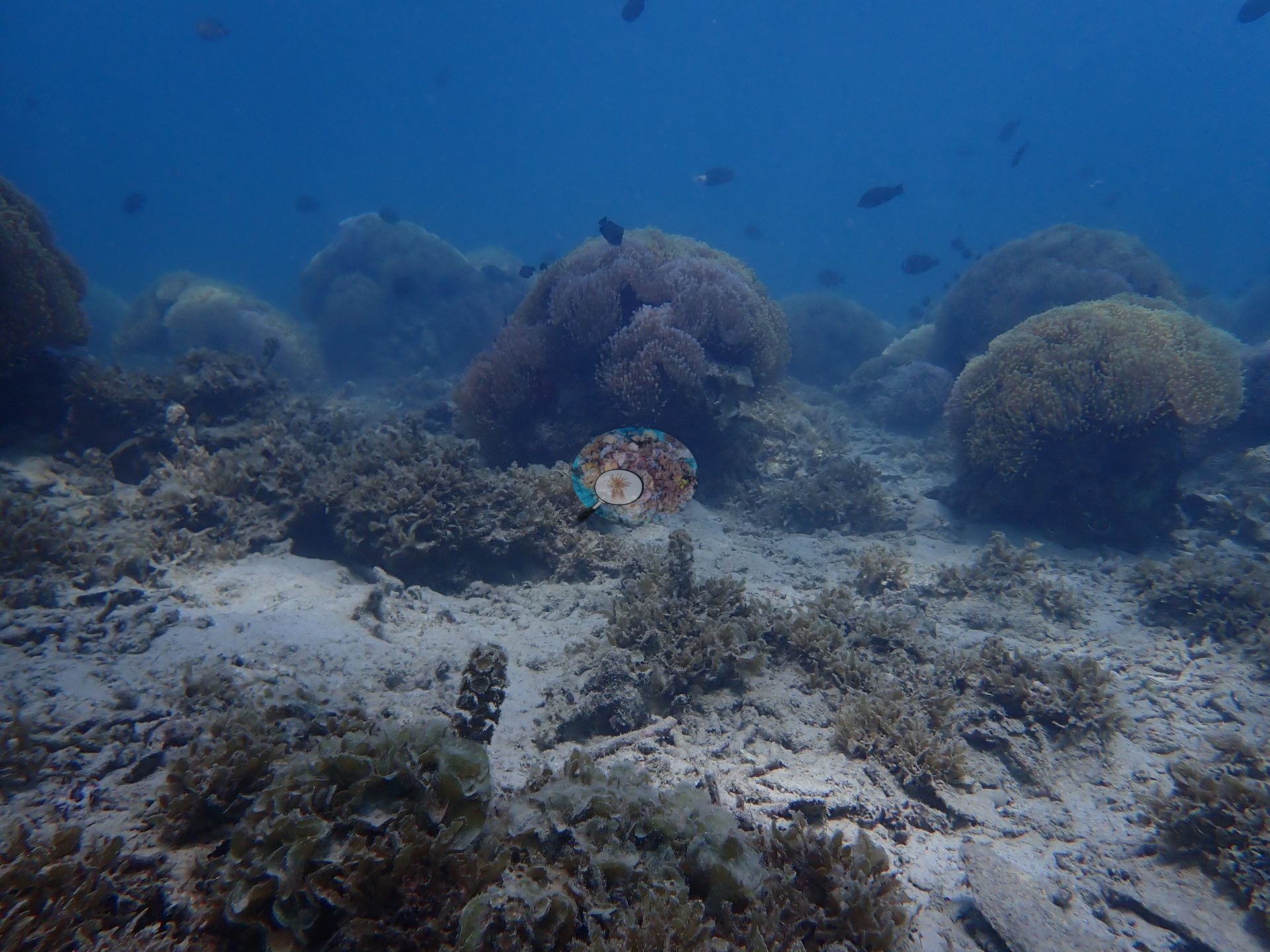
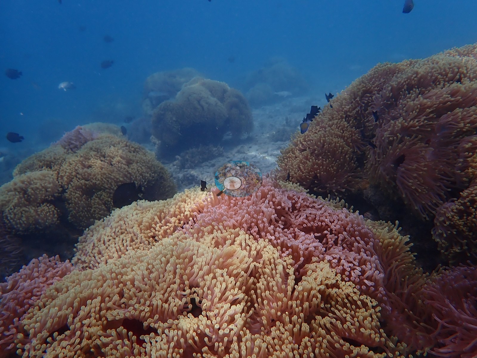
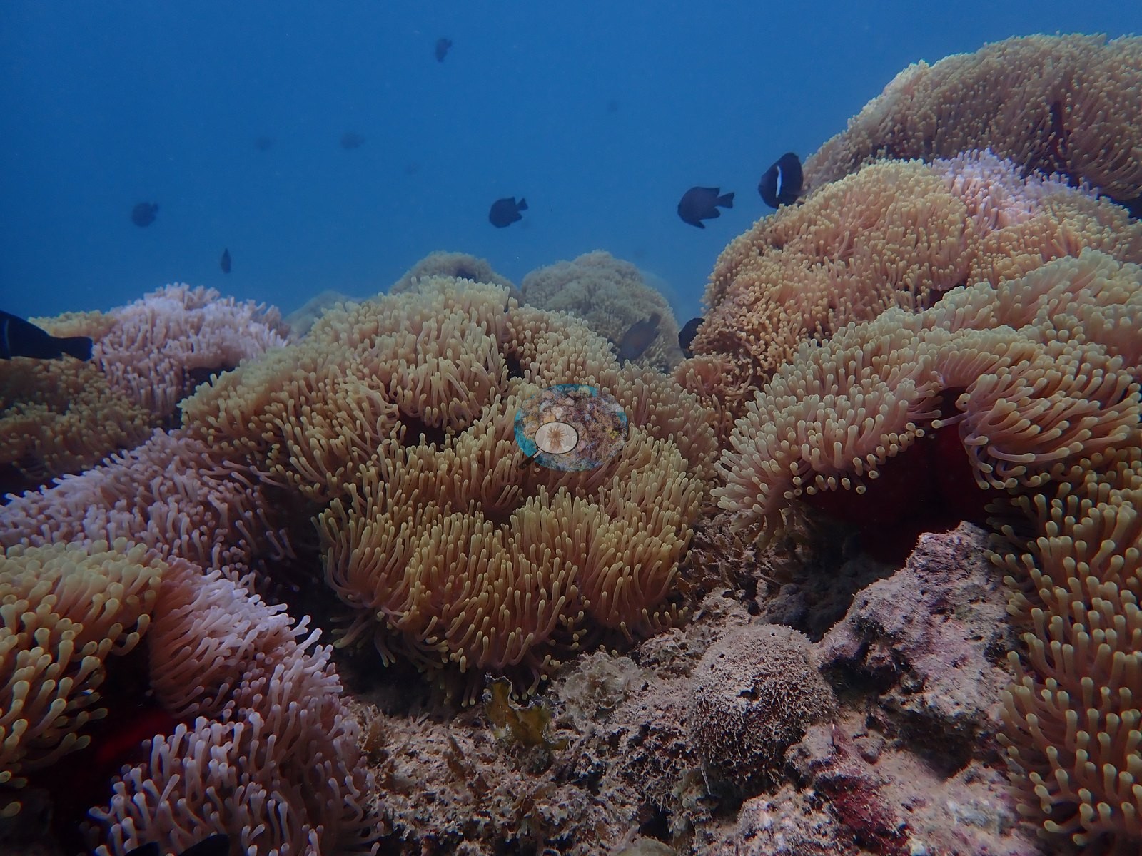
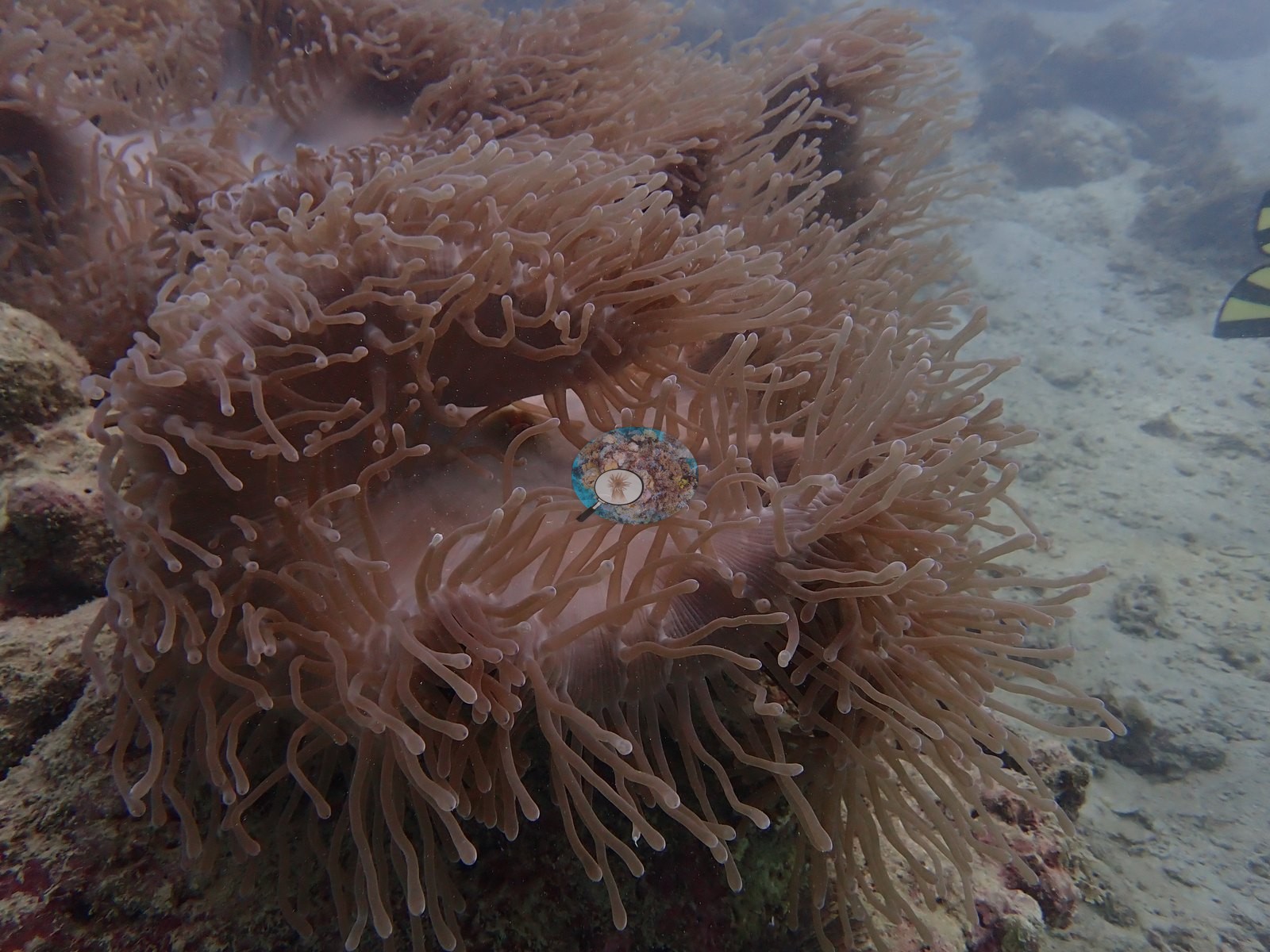
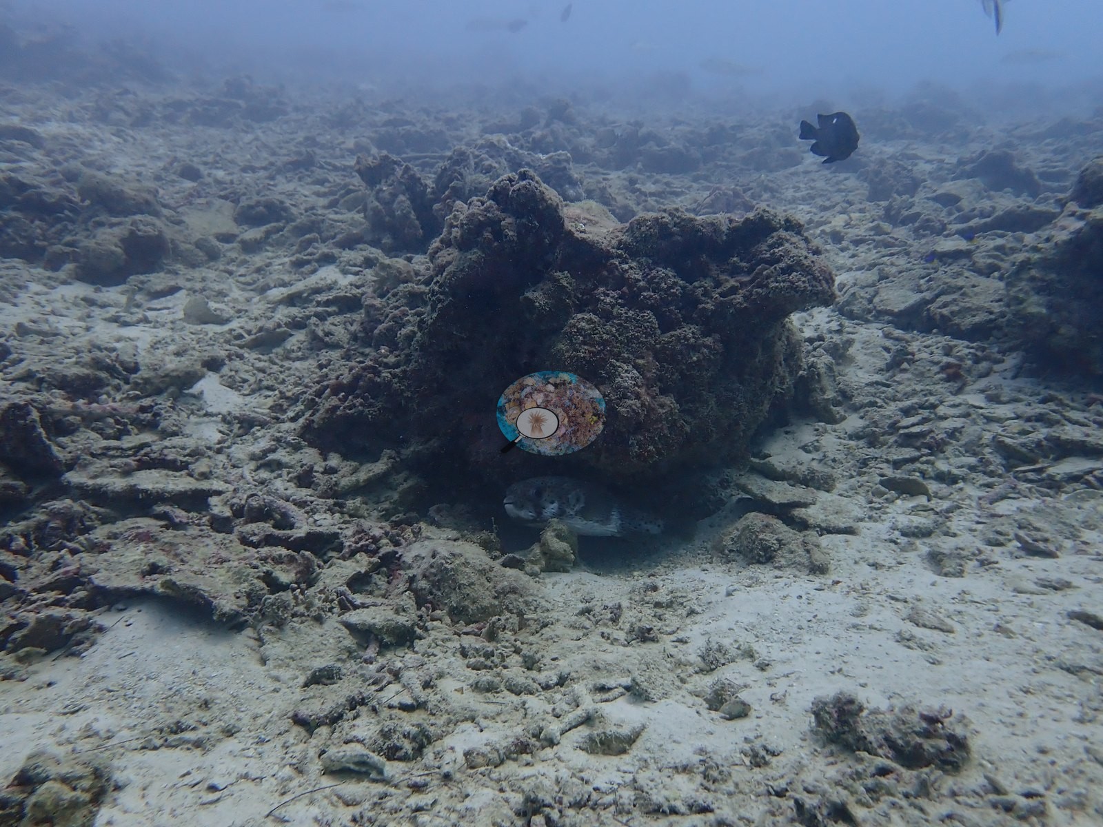
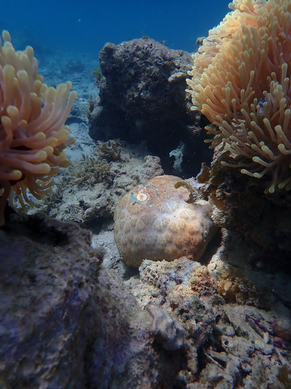
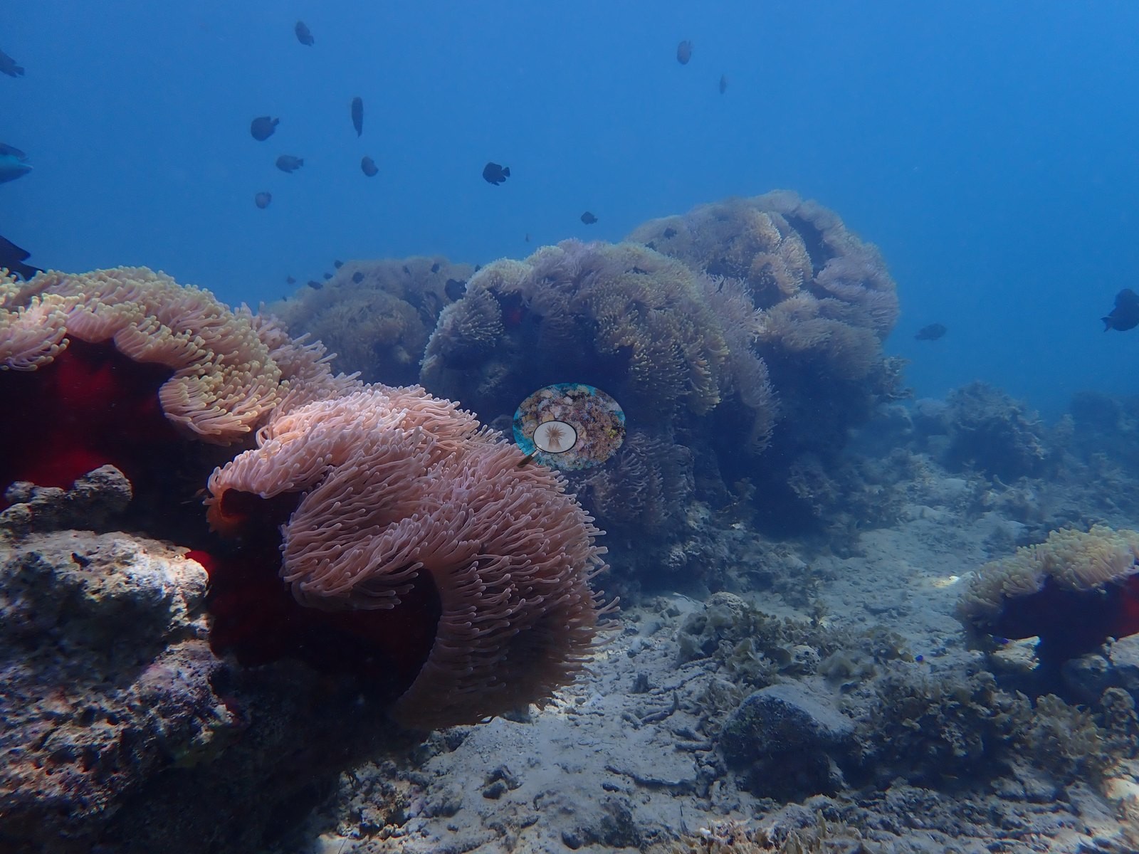
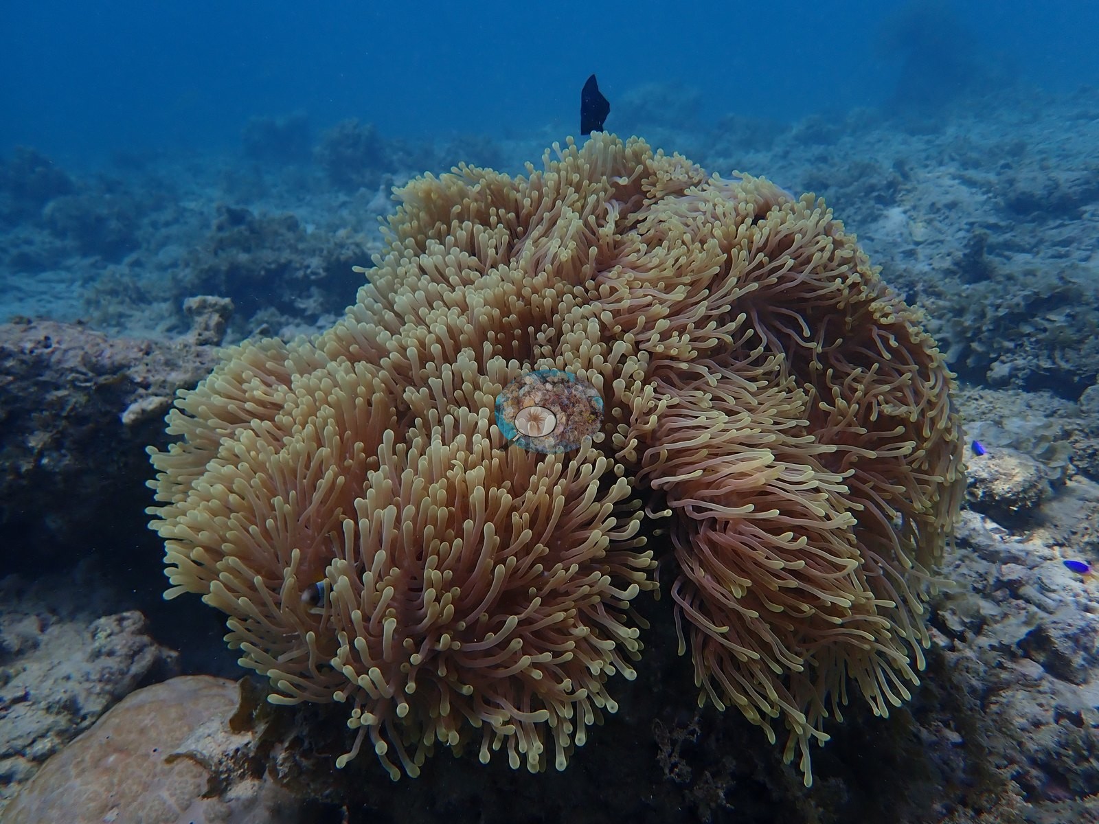
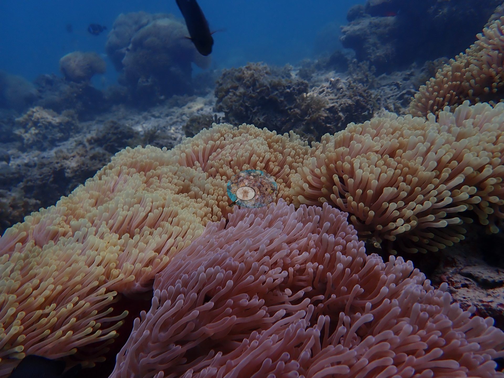
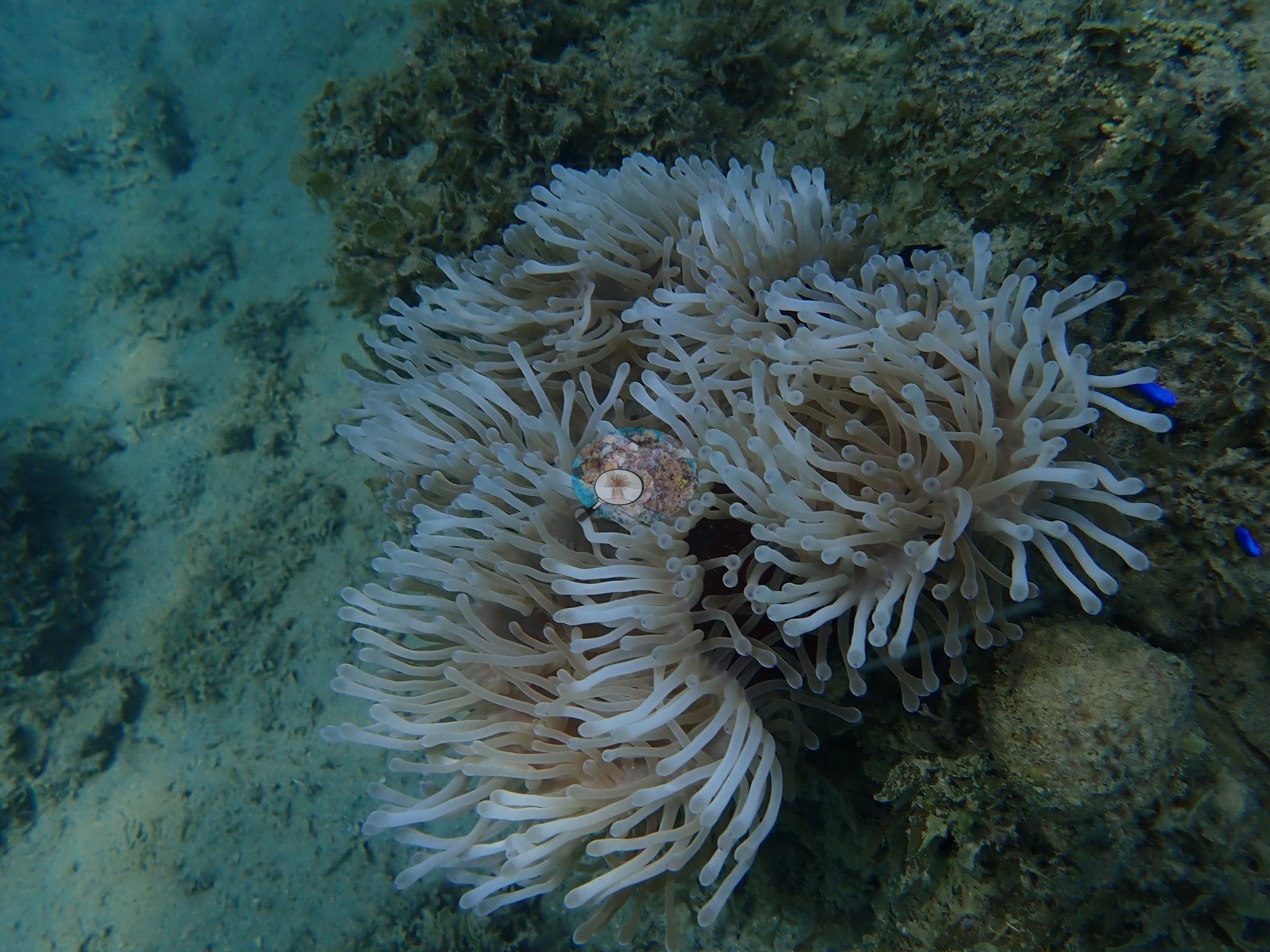
Southern Mauritius (NOAA CRW virtual station)Not a coral reef but a true anemone garden: large bommies on a Mauritius lagoon flat carpeted almost entirely by magnificent-type sea anemones, attended by clouds of damselfish, with hard coral at just 2.9%. Trumpetfish, honeycomb grouper, a whitemouth moray, and bannerfish were also seen.
Non pas un récif corallien mais un véritable jardin d'anémones : de grandes patates sur un platier lagunaire mauricien, tapissées presque entièrement d'anémones de mer de type magnifica, entourées de nuées de poissons-demoiselles, avec seulement 2,9 % de corail dur. Un poisson-trompette, un mérou nid d'abeille, une murène à bouche blanche et des poissons-cochers ont également été observés.
Traduction par IA de ce résumé ; la version anglaise fait foi.
Two independent survey stations shown with the program’s logo — click one to see how far it is from this site.
13 of these 50 photographs are shown beside the text that discusses them under "Site description" below.
Site description
Setting
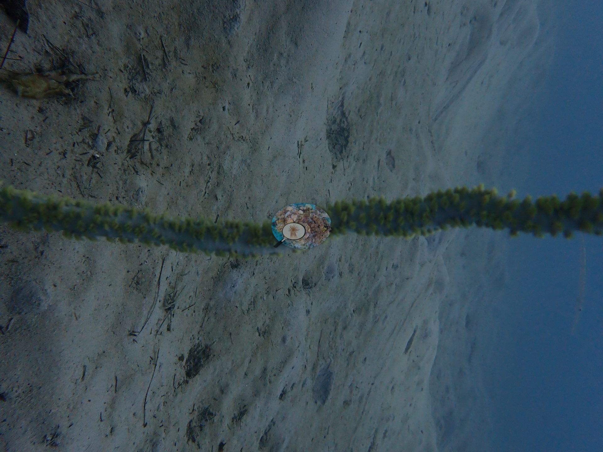
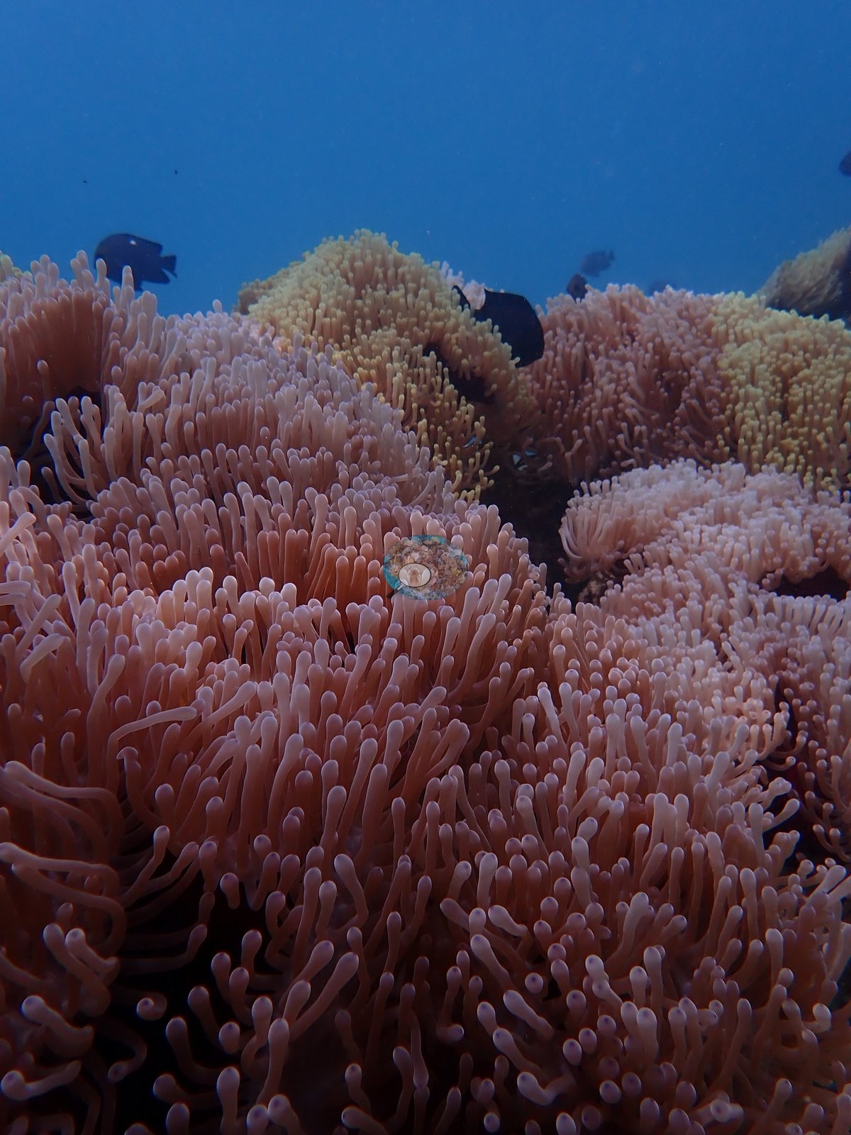
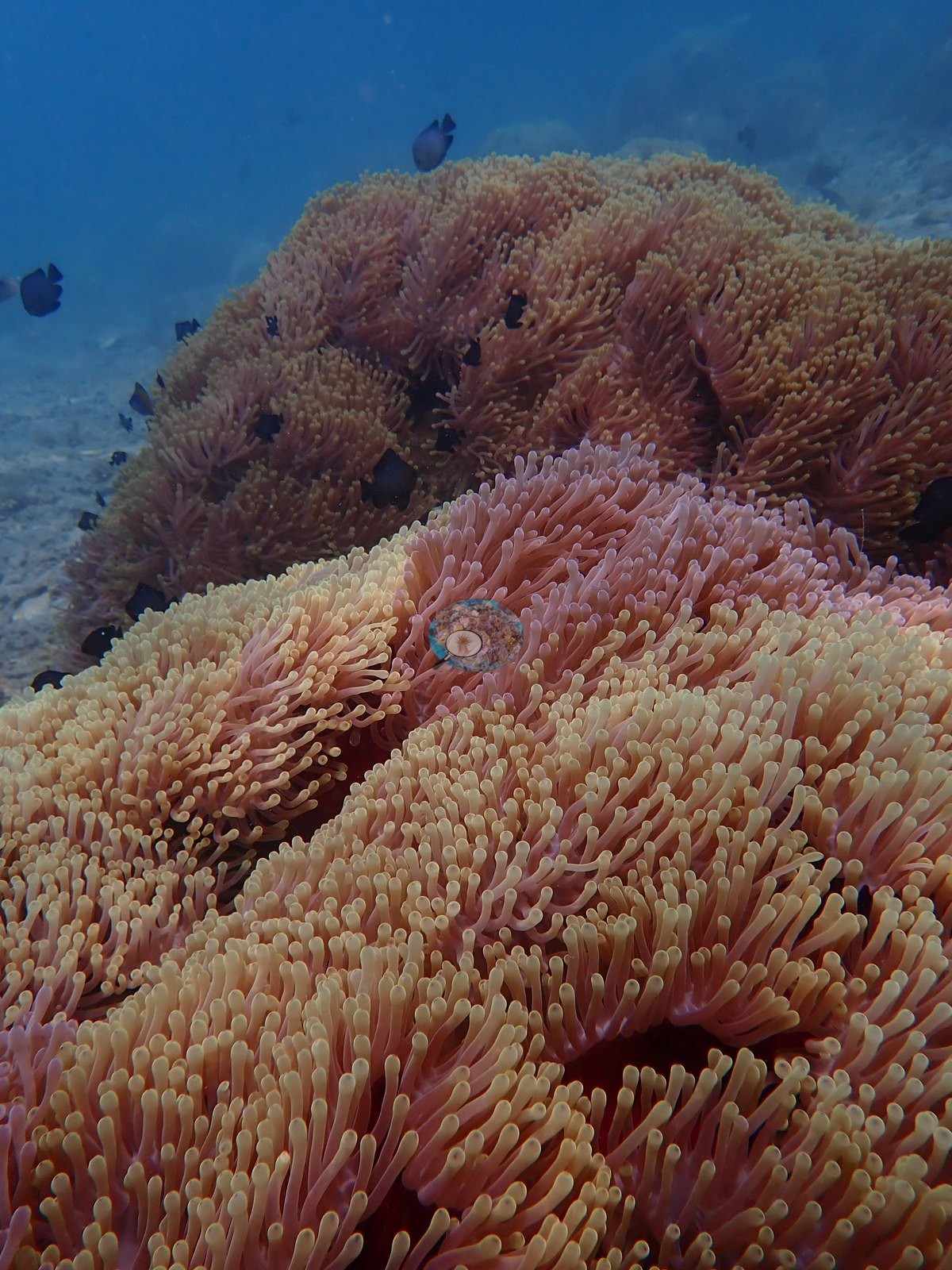
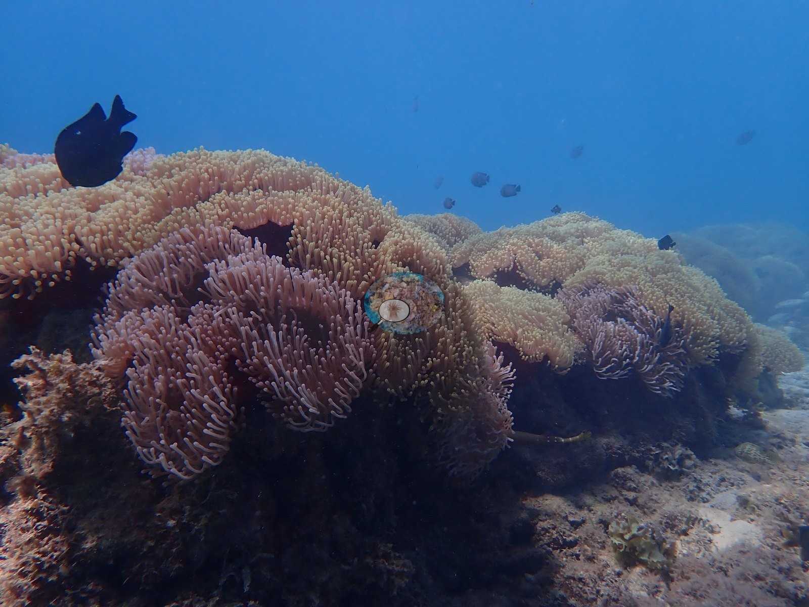
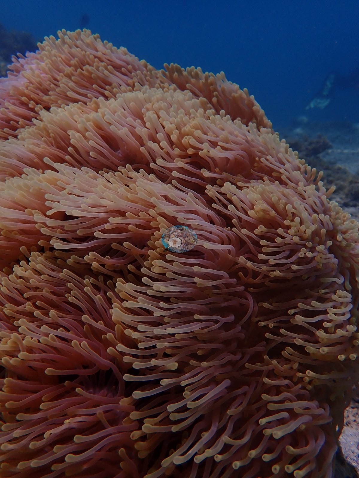
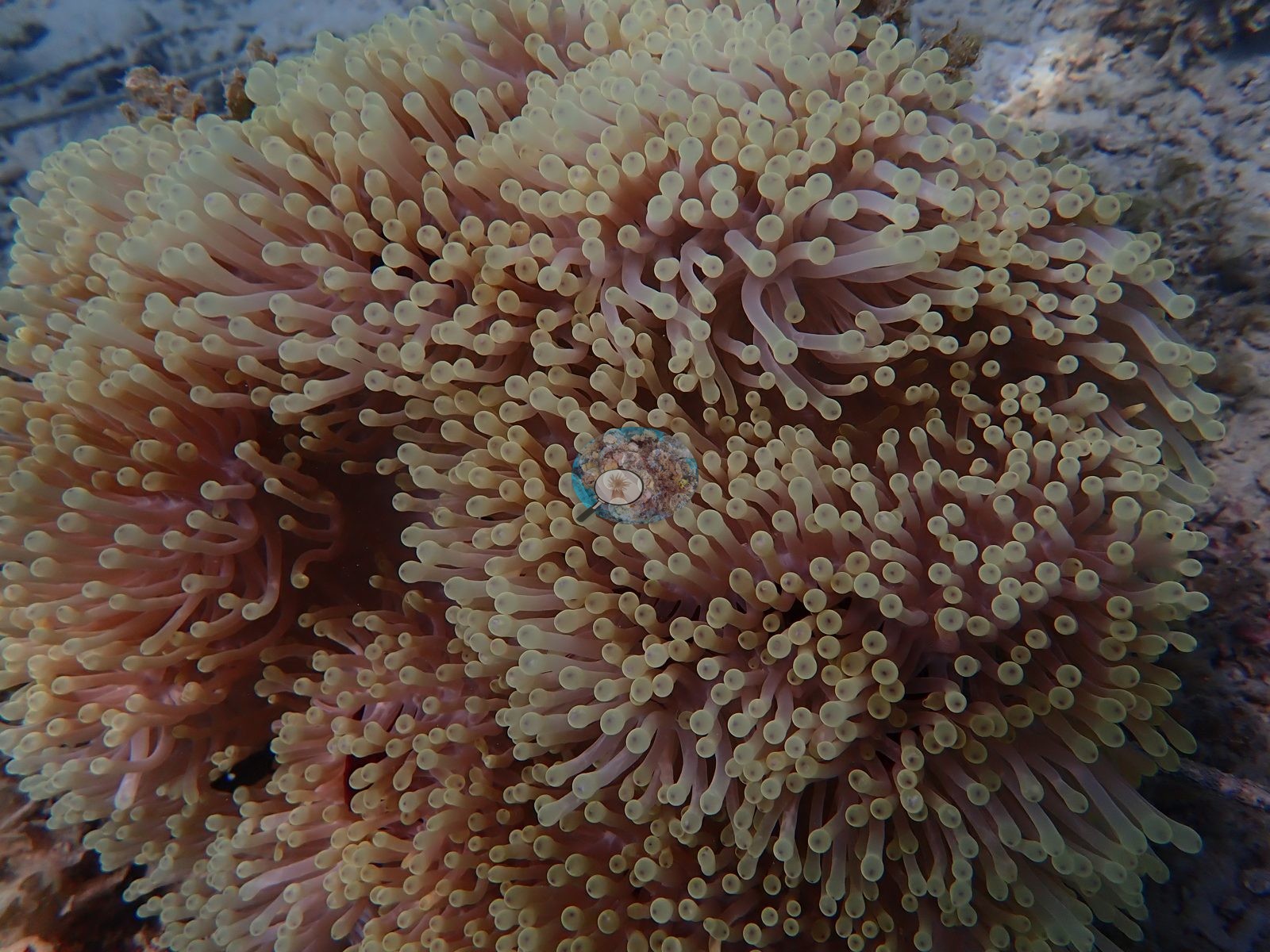
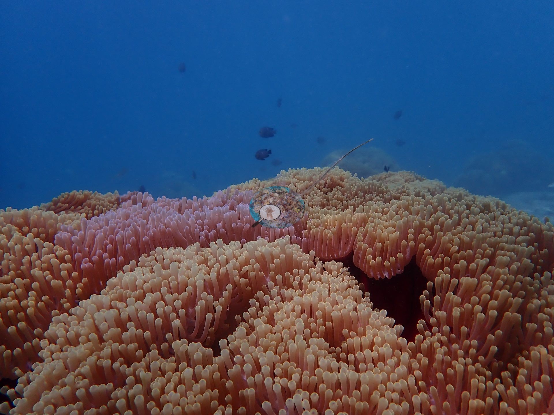
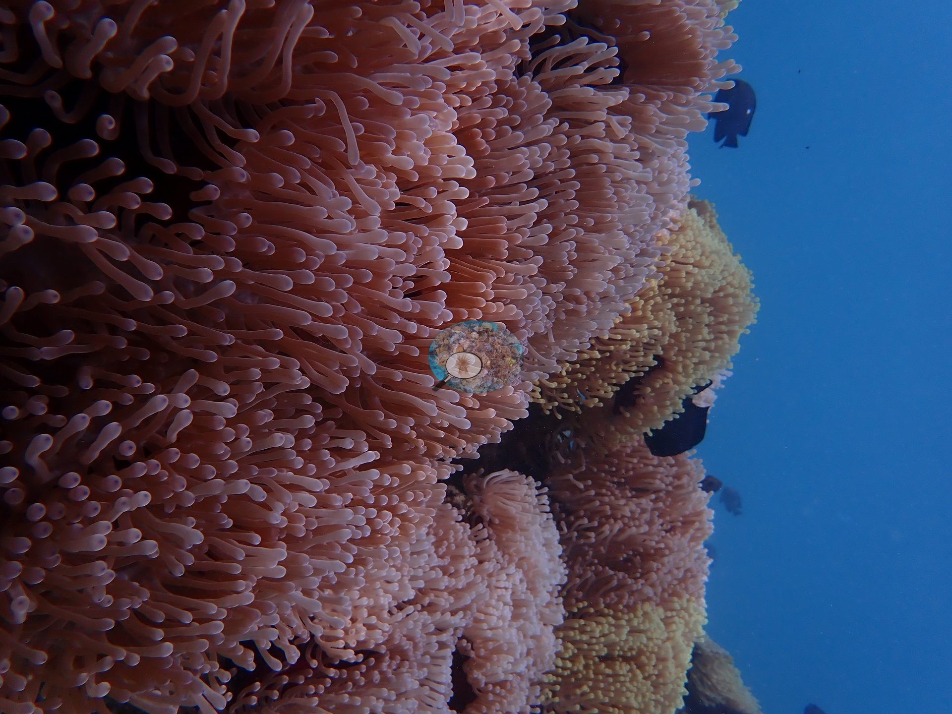
Not a coral reef but a true anemone garden: large bommies on a sand-and-algae lagoon flat carpeted nearly wholesale by magnificent-type sea anemones (consistent with Heteractis magnifica), attended by clouds of dark Dascyllus-type damselfish (e.g., Image 3, Image 11, Image 12, Image 13, Image 14, Image 16).
Coral cover
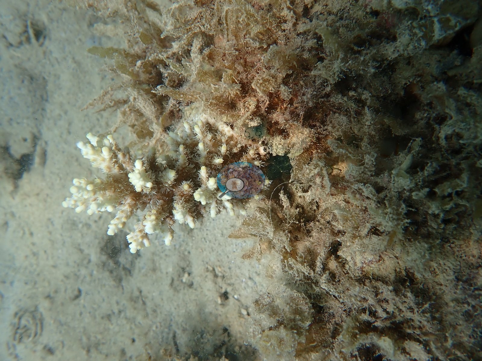
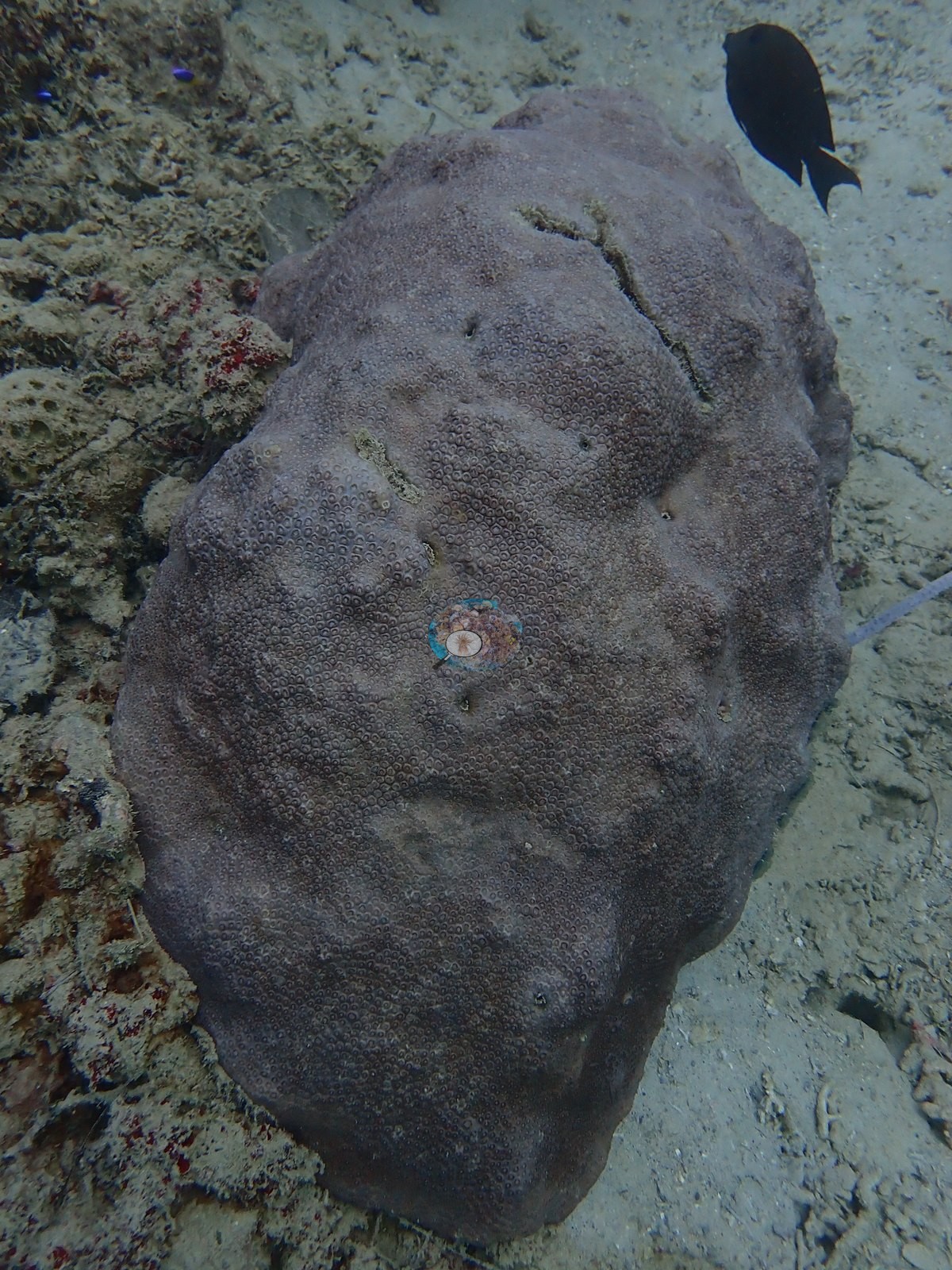
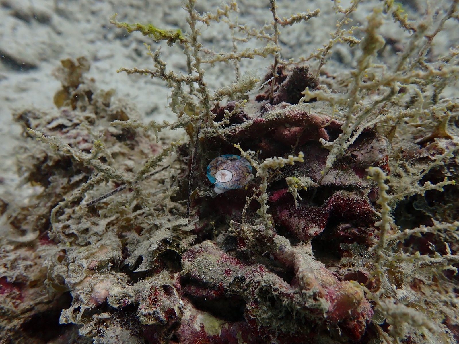
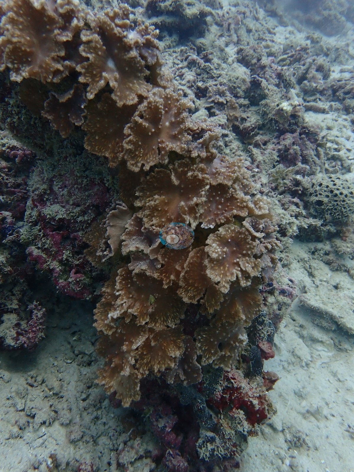
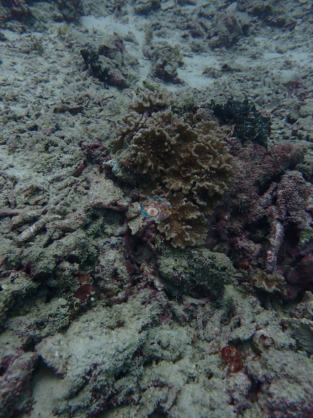
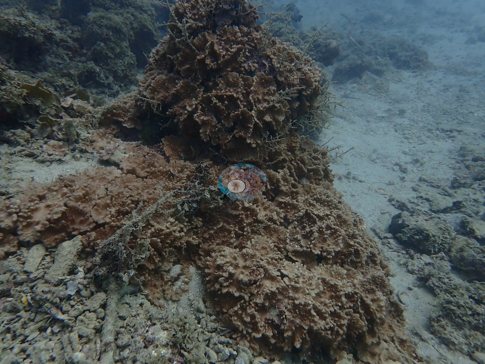
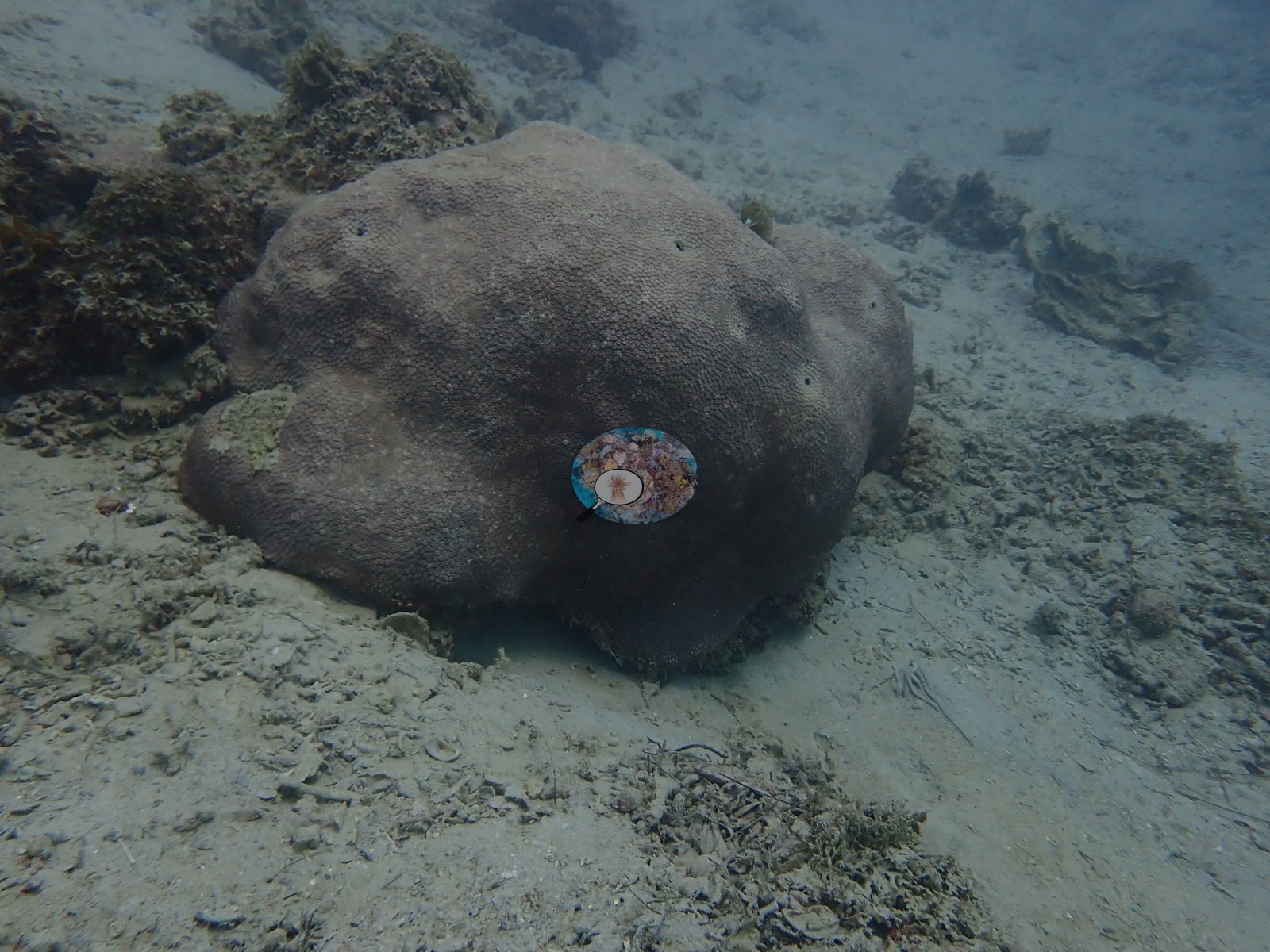
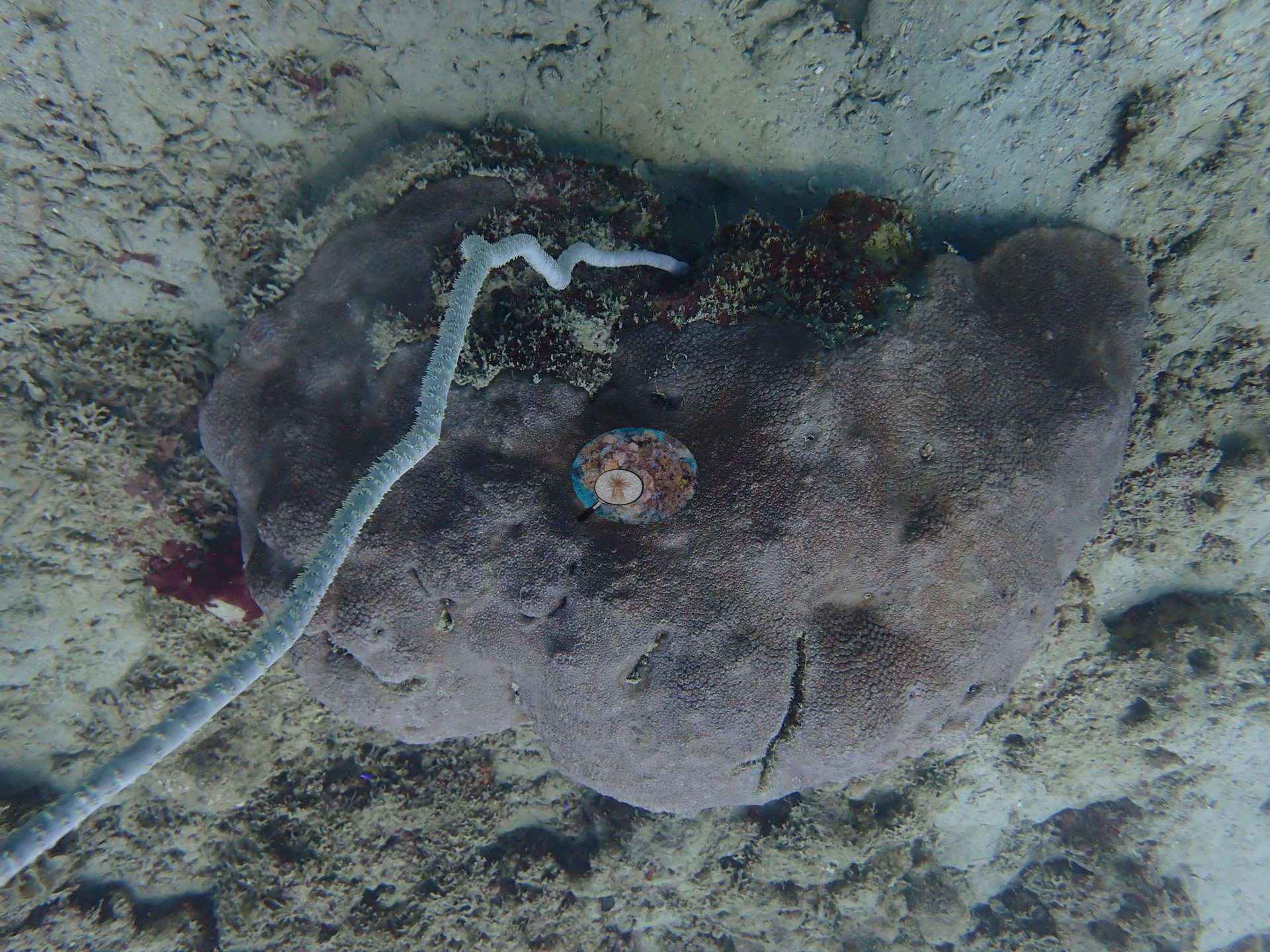
Manually scored hard coral cover was just 2.7%, limited to scattered Pocillopora and massive Porites-type colonies (e.g., Image 4, Image 7, Image 18).
No error terms since neither CoralScop nor DinoNet could reliably distinguish anemone from scleractinian corals. Coral cover — site cover estimate (manual point count and CoralNet, weighted equally); the other automated methods are rejected here. The published 2.9% is the site cover estimate from Anderson Mayfield's Mauritius manuscript: his manual point count (2.7%) and CoralNet, weighted equally. A DINOv3 cross-check was not run for this site, so there is no second estimate to compare it against and no way to tell from this record alone whether the two models would have agreed. Both models have known weaknesses, and they are different weaknesses. CoralSCOP computer vision reads HIGH on low-cover reefs: across twelve sites with a Reef Check diver survey within 1 km, the median CoralSCOP figure is 1.68x the survey value and the worst case is 4.6x. The DINOv3 point classifier is strong on reefs resembling its training data (6-class macro-F1 0.62, hard coral recall 0.82) but degrades badly on an unseen reef — cross-domain point accuracy measured at 0.17-0.25 against Anderson Mayfield's own annotations, with a documented ceiling near 35-50%. Neither is a diver survey, neither is a benthic transect, and both should be read as provisional indices that a better model would supersede. Anderson keeps an eye out for newer CV models and will refresh this CoralSCOP and DINOv3 figure once a more trustworthy option is available.
Fish and other fauna
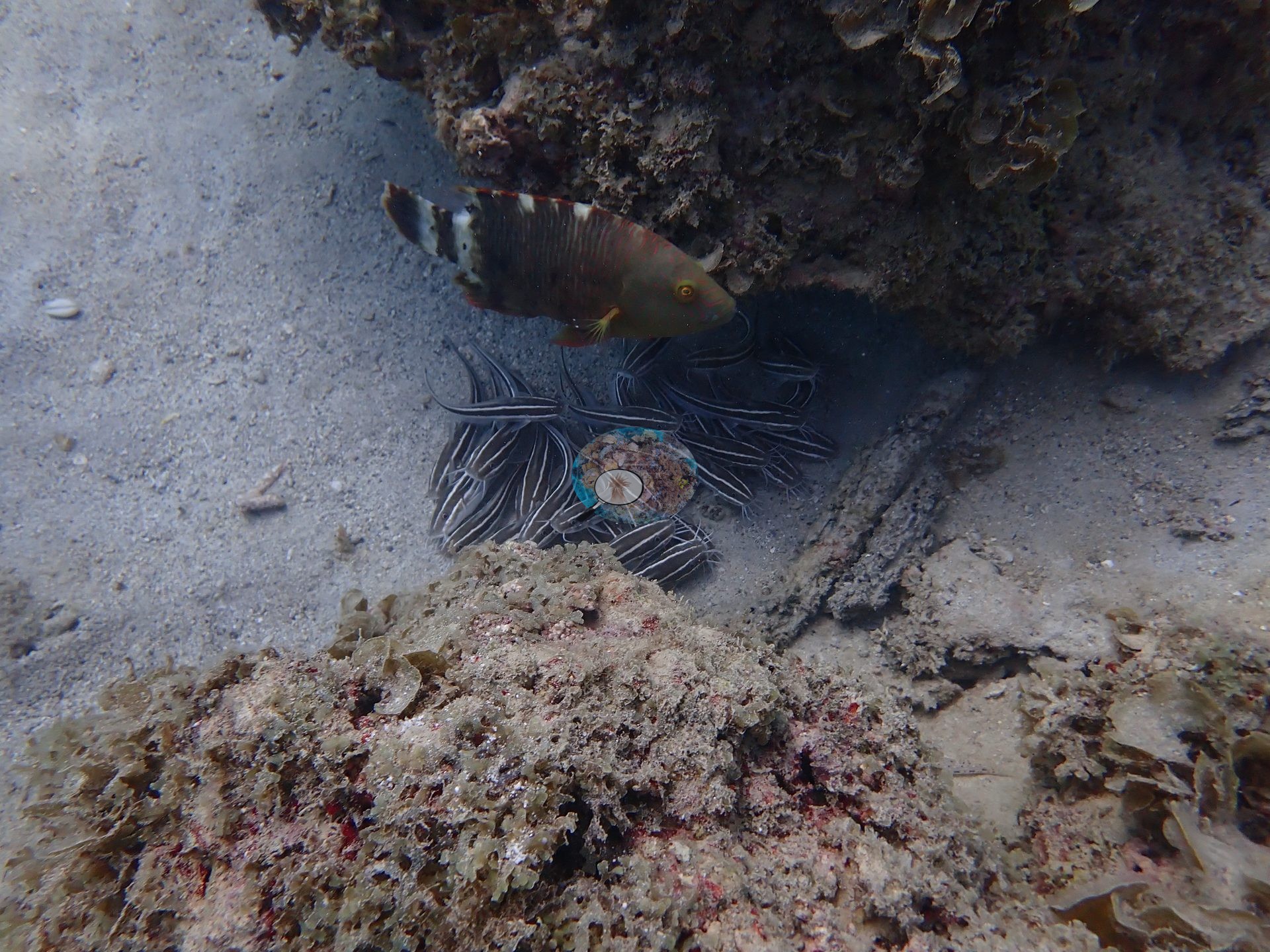
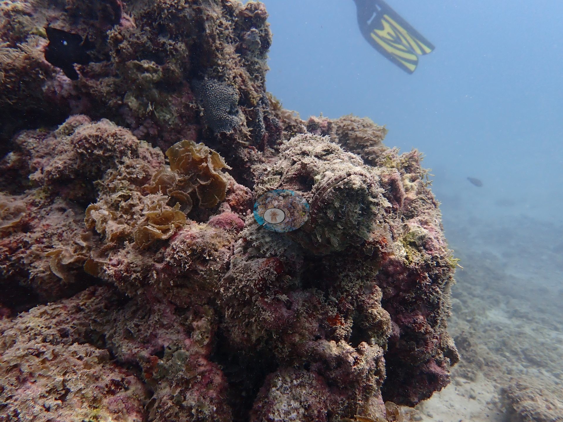
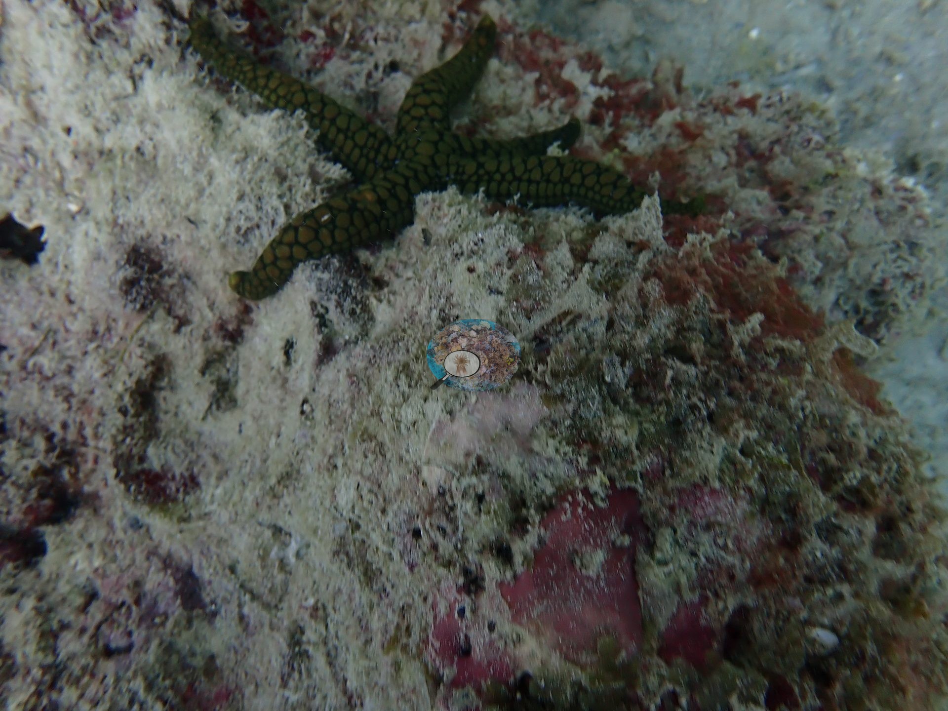
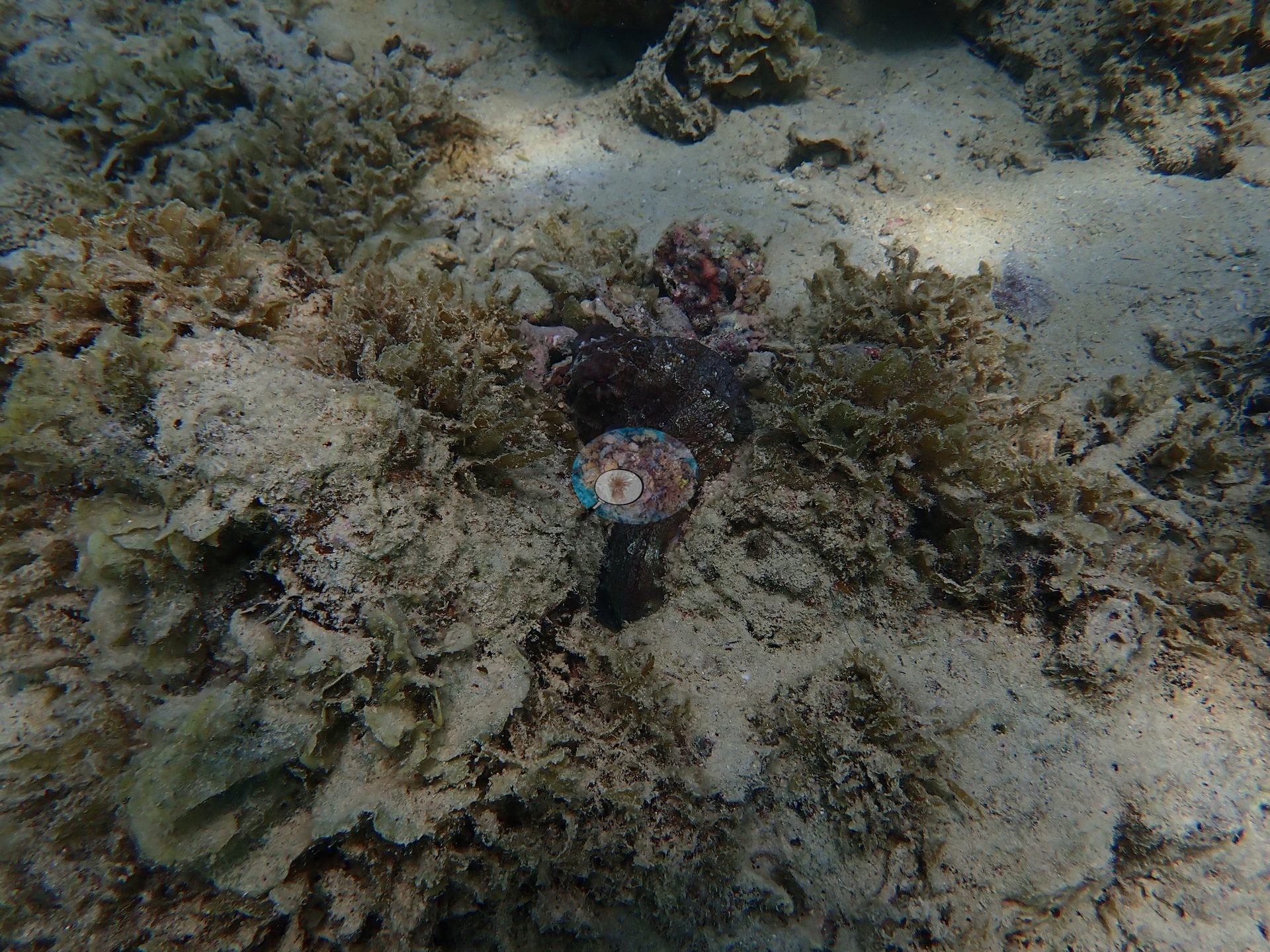
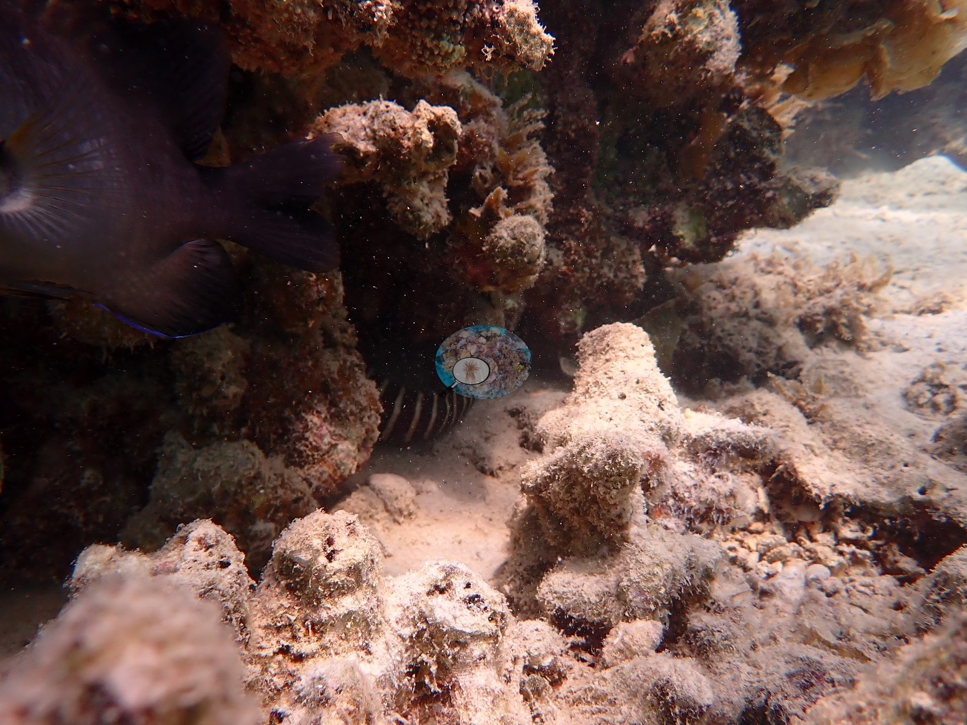
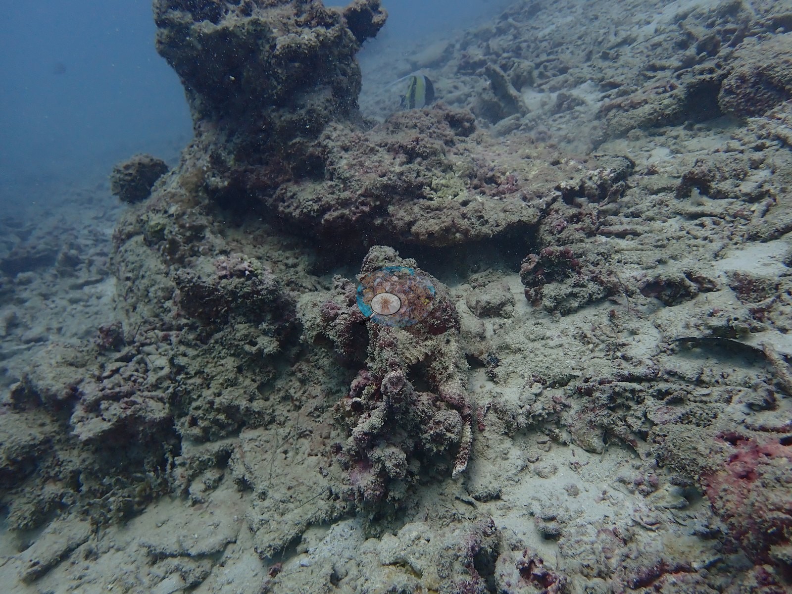
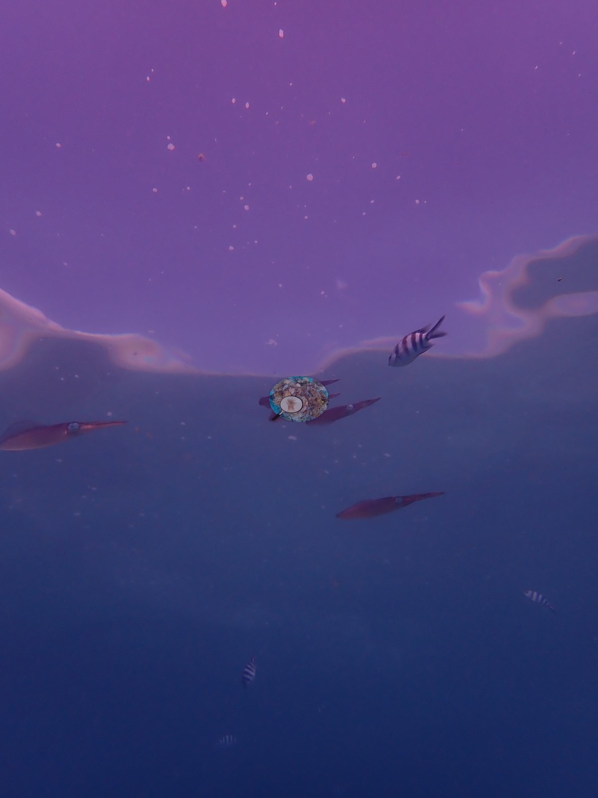
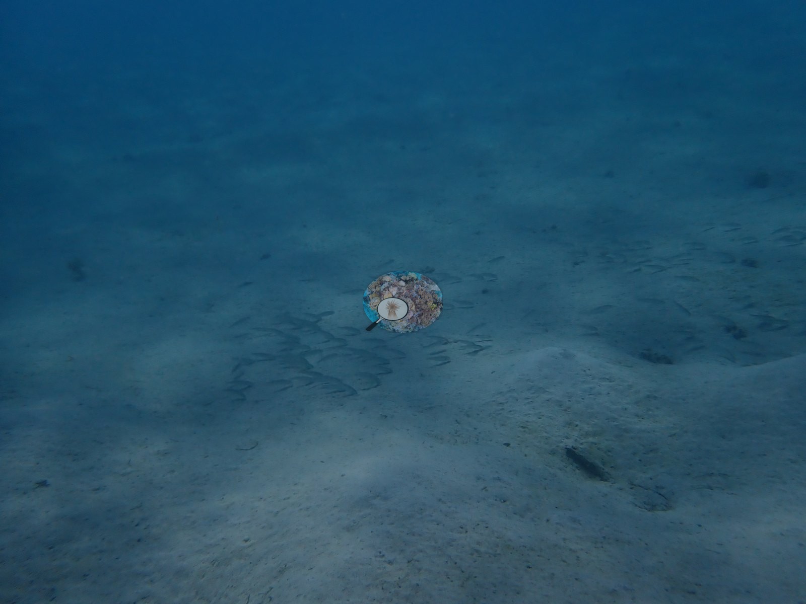
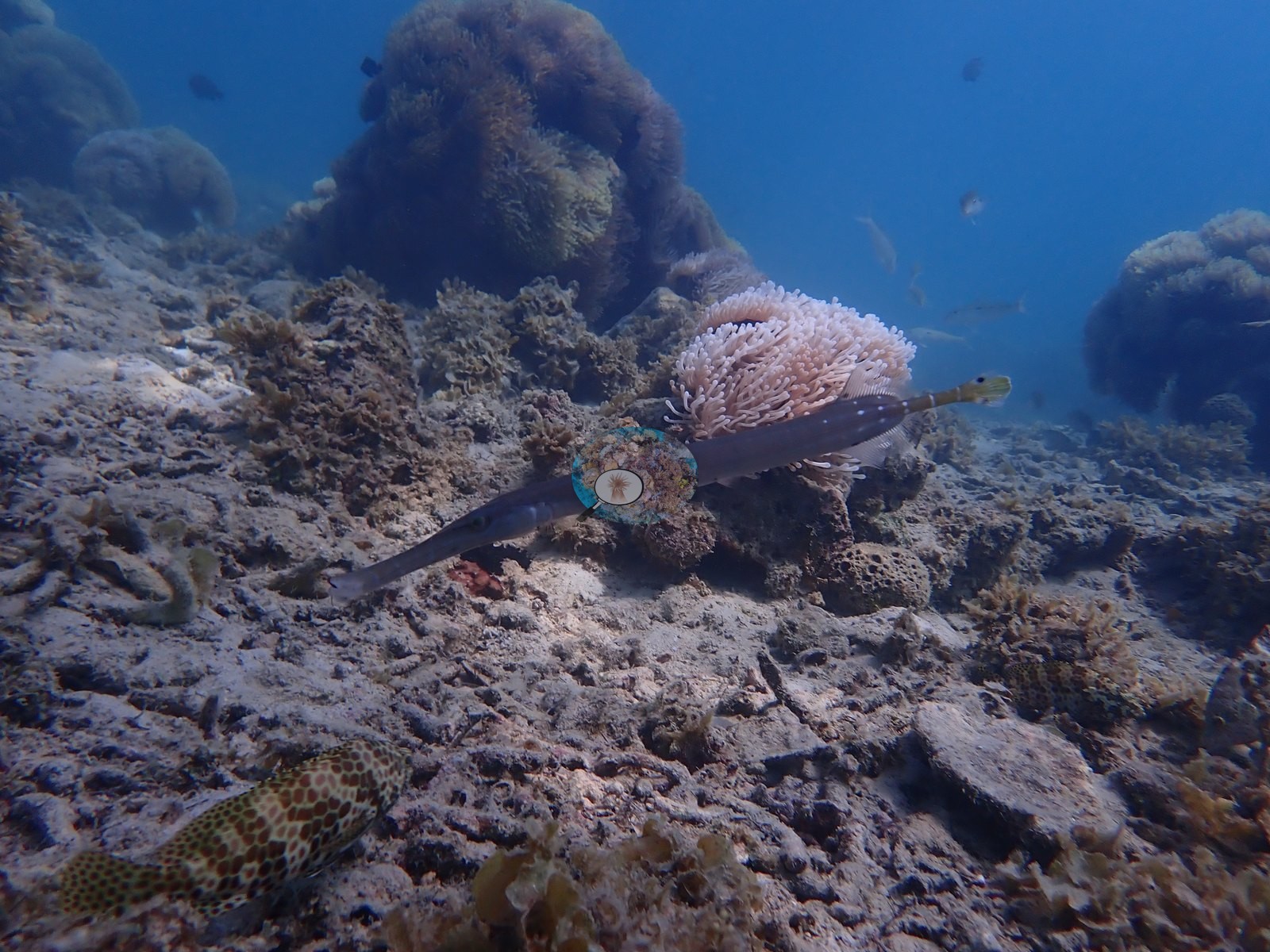
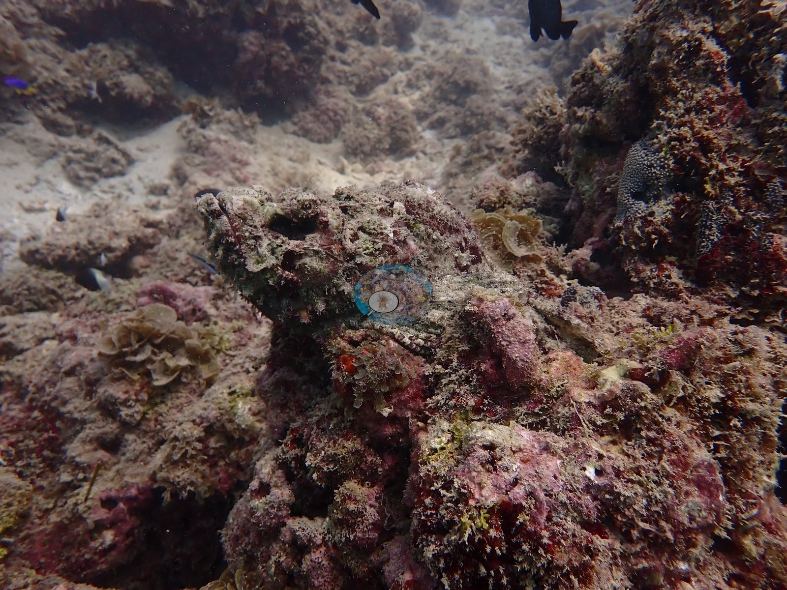
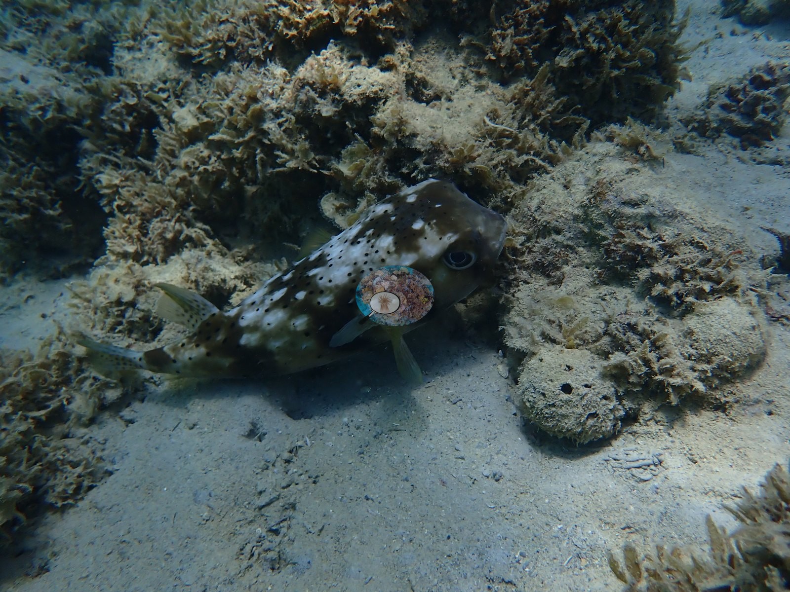
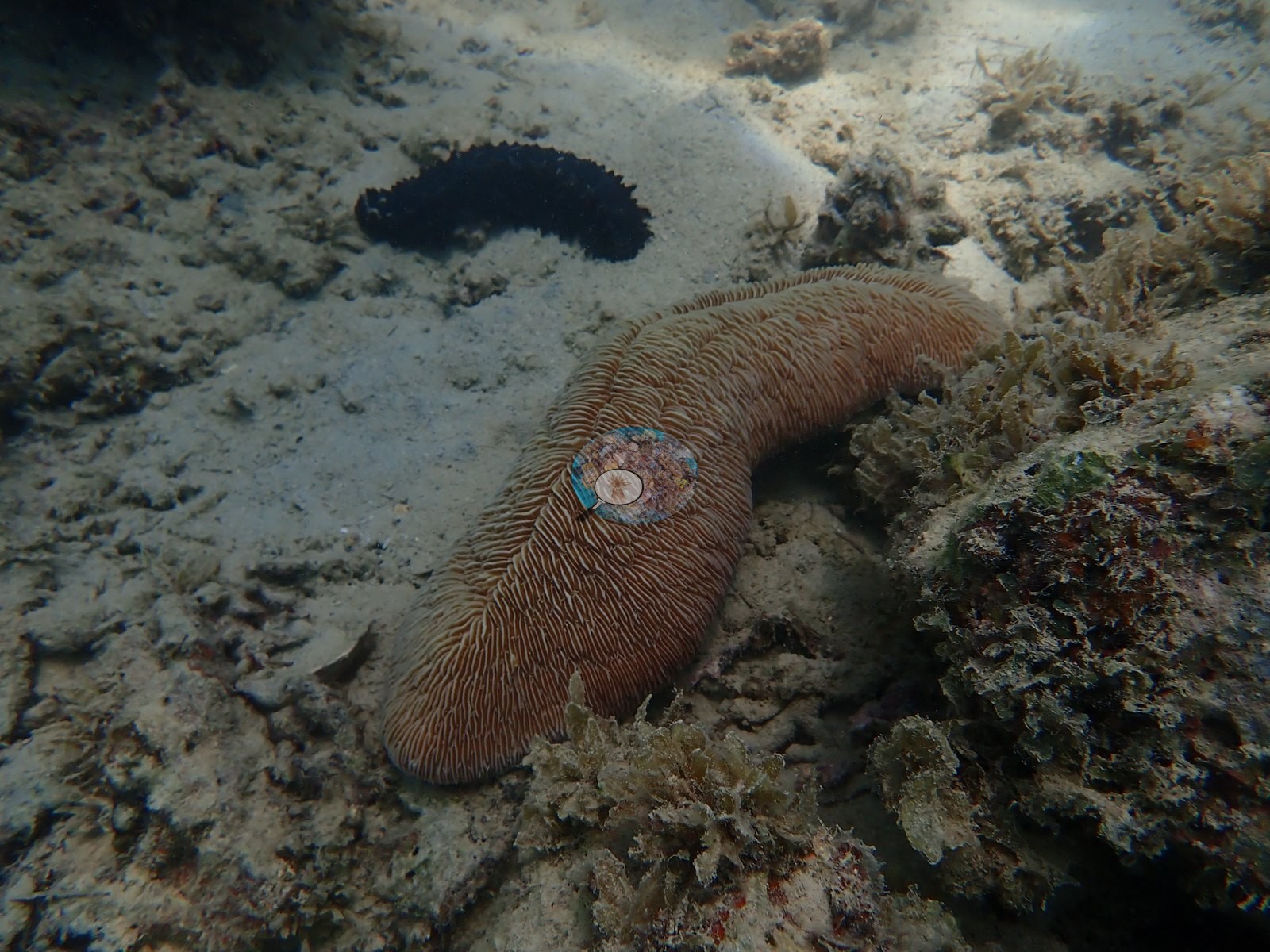
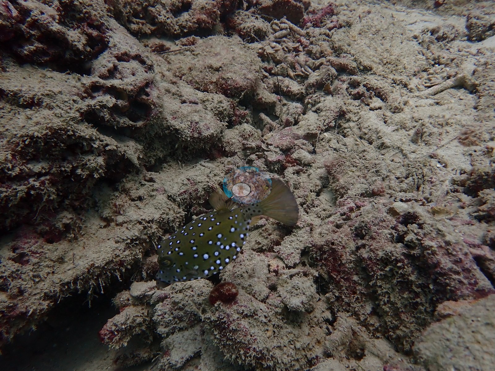
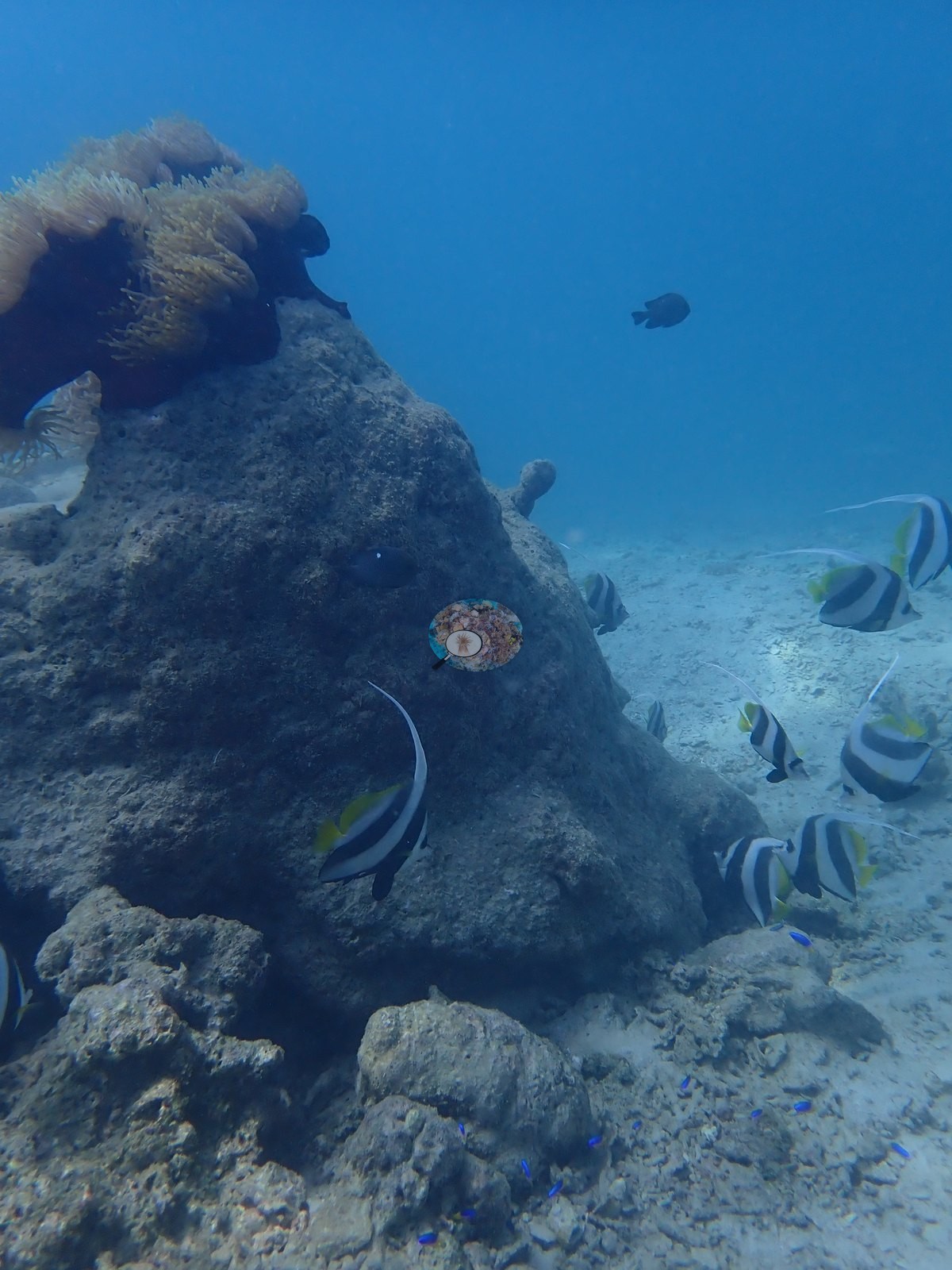
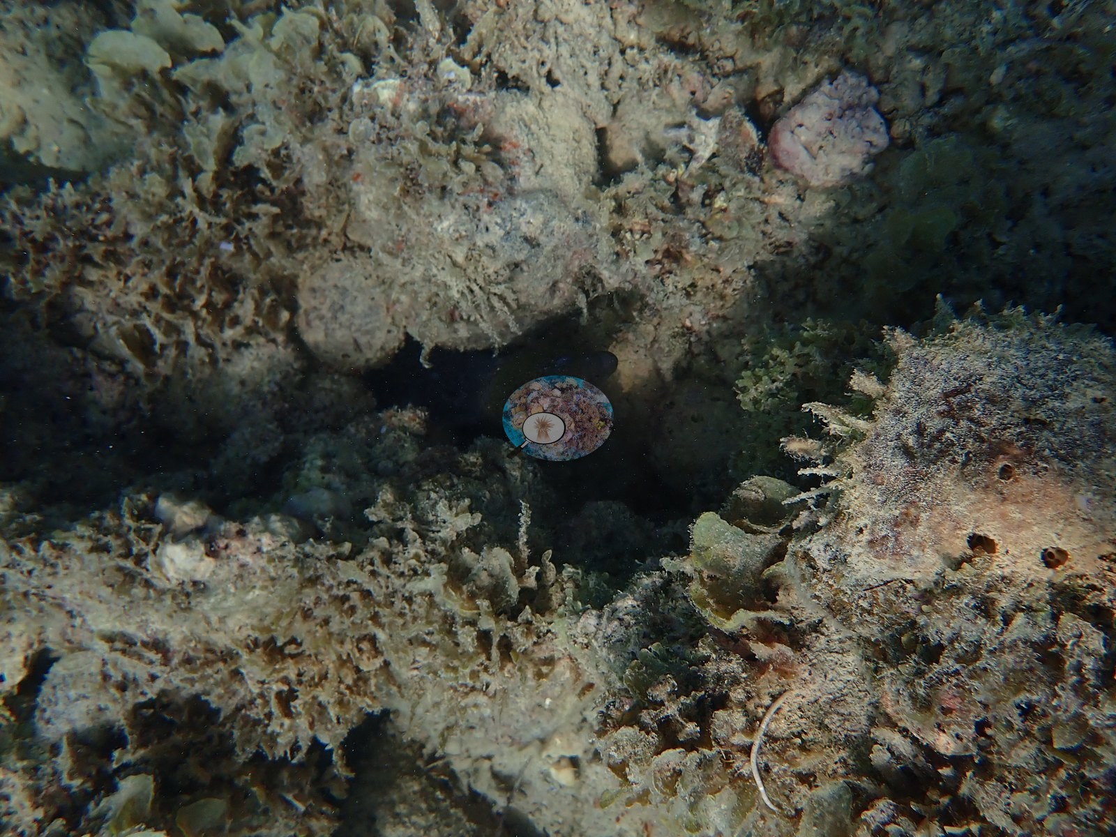
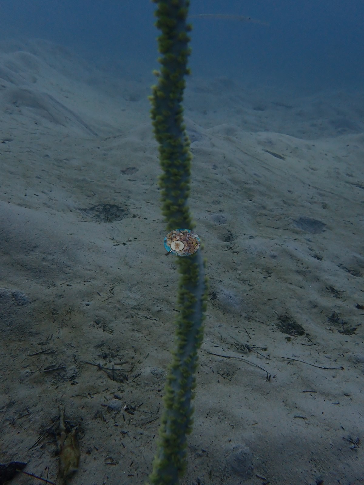
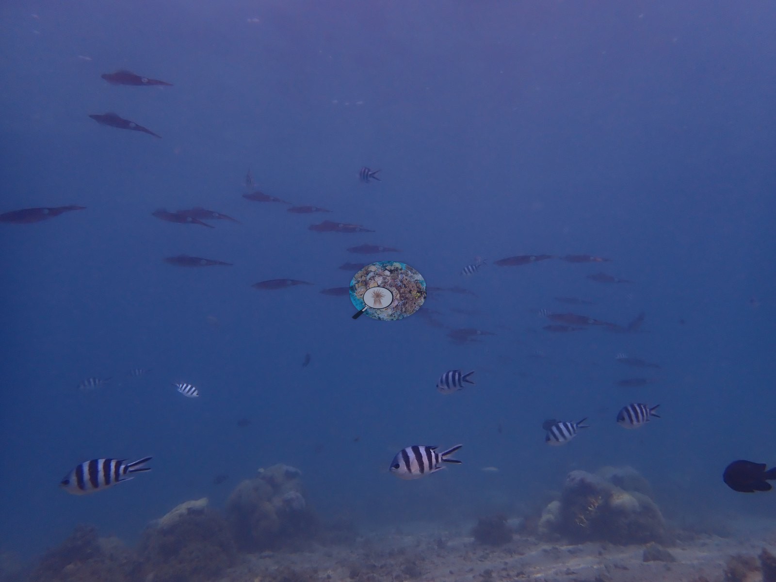
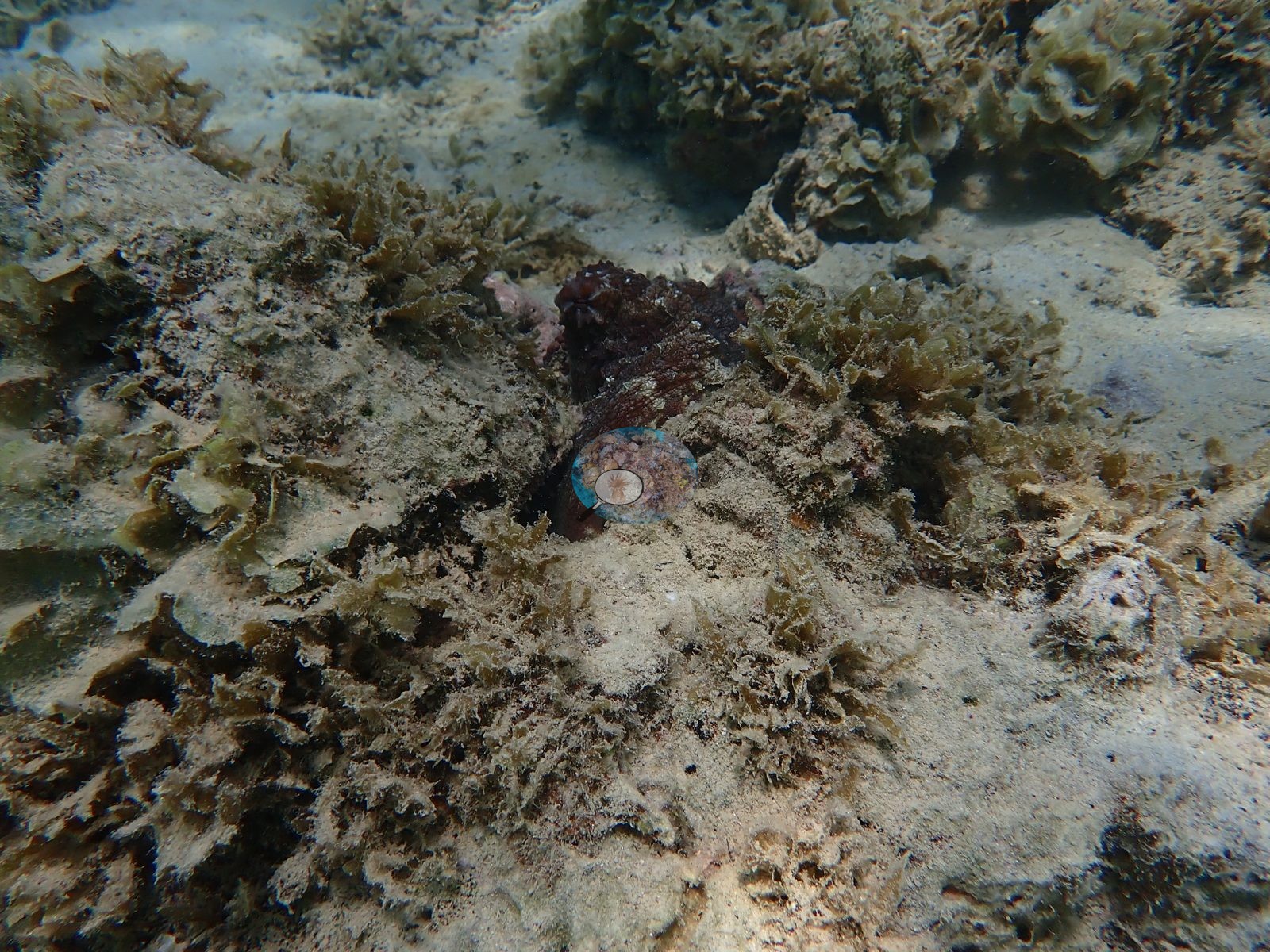
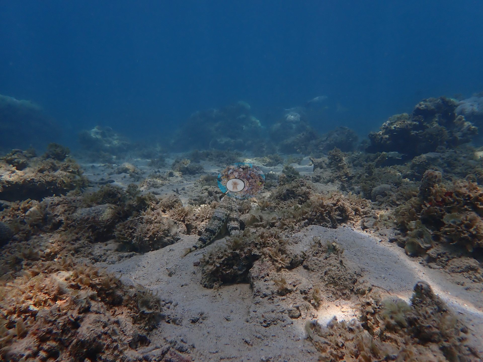
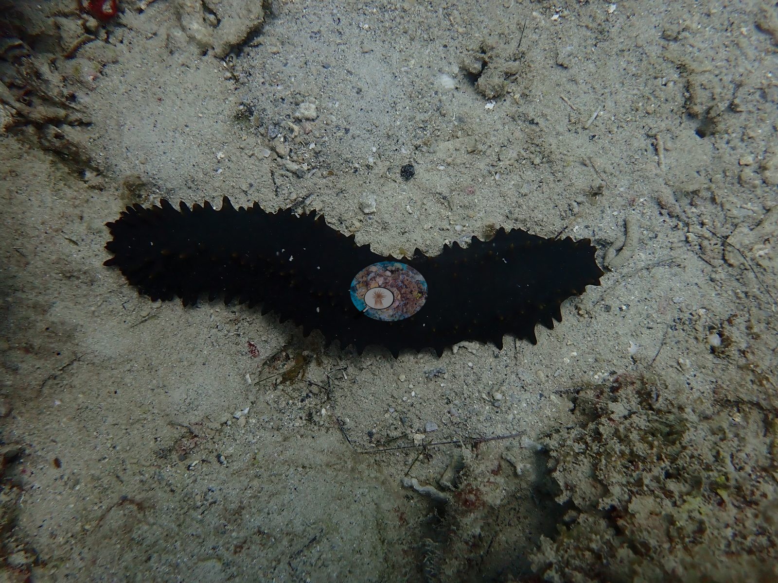
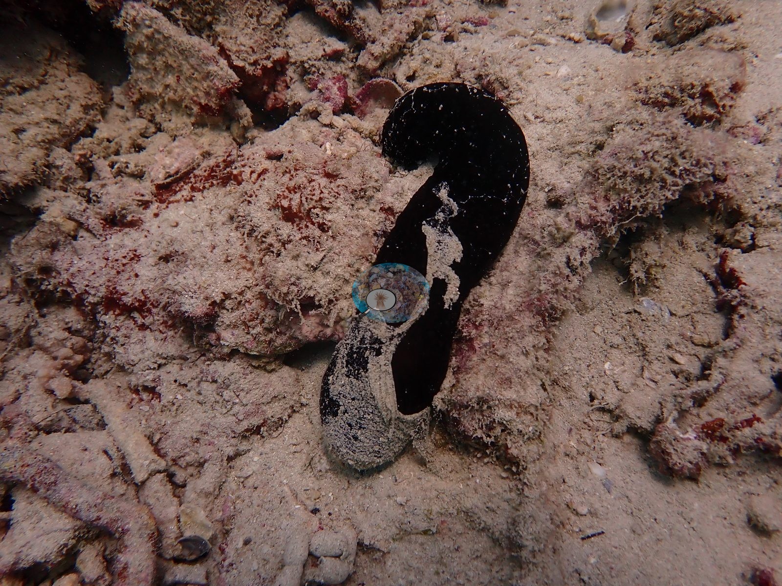
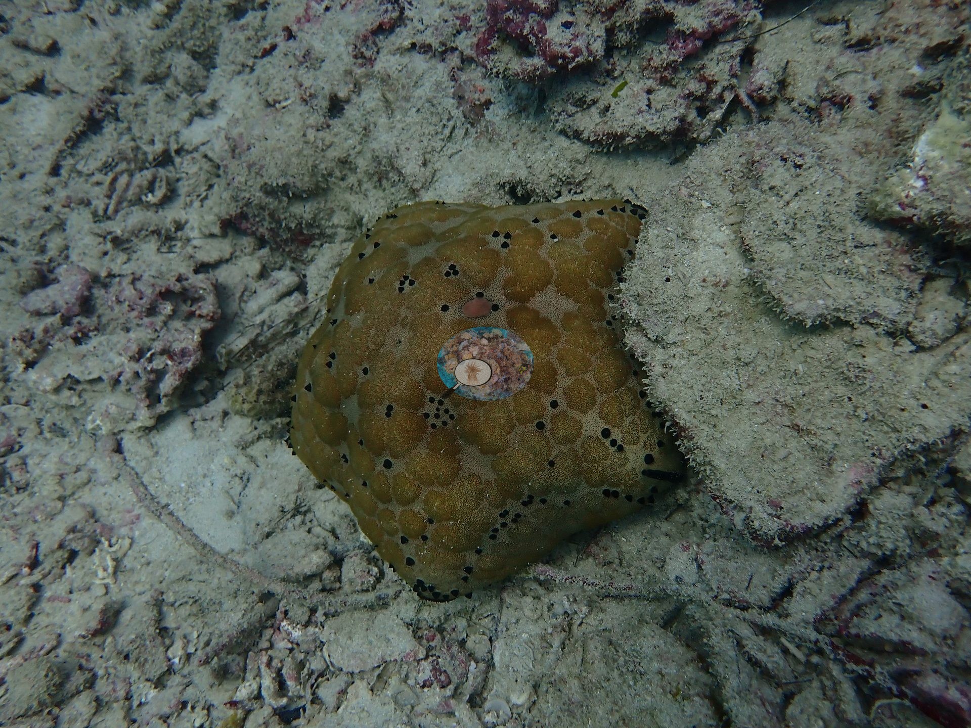
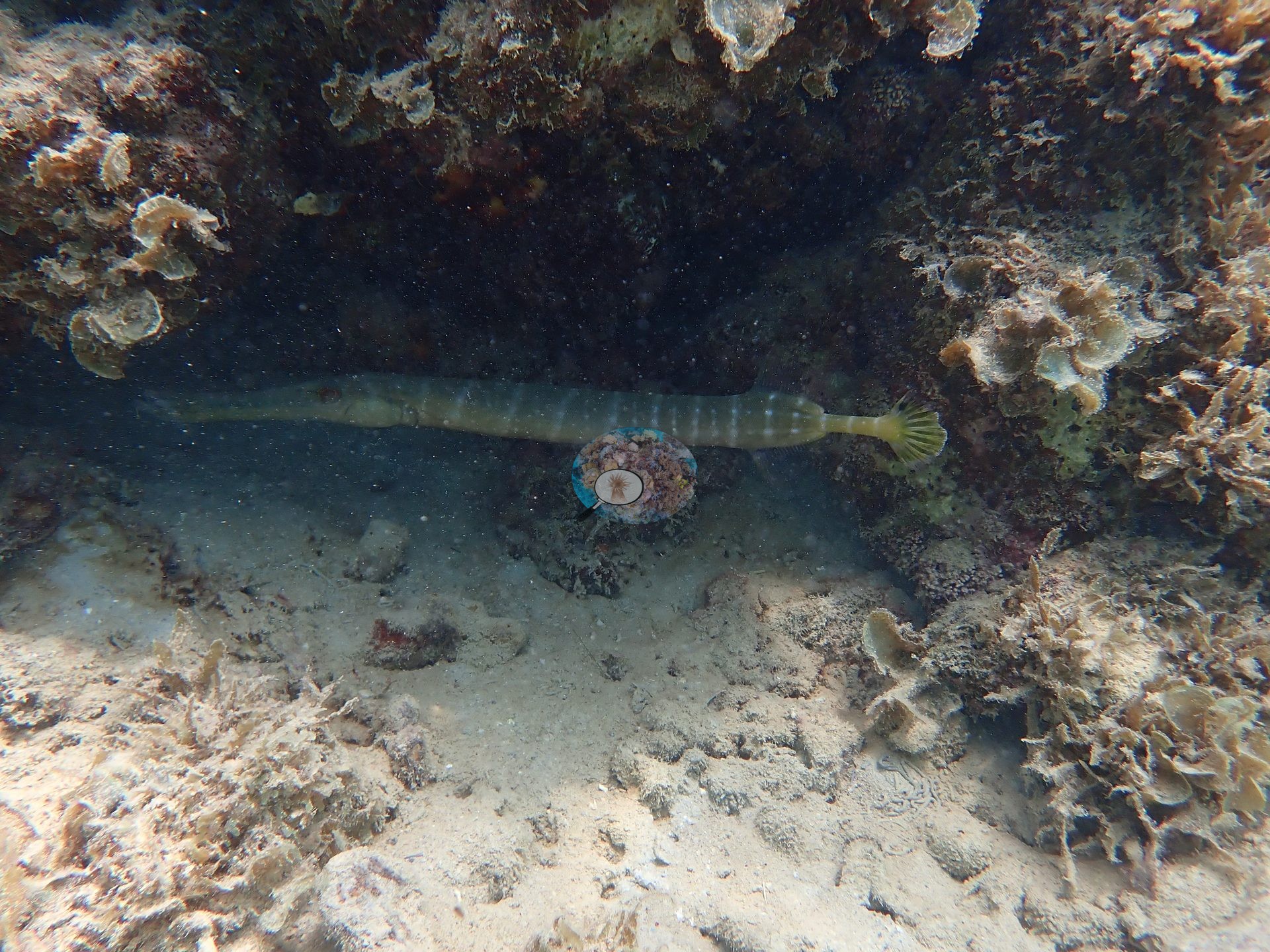
Highlights included a trumpetfish, honeycomb grouper, whitemouth moray, longfin bannerfish, spiny cushion stars, and sea cucumbers (e.g., Image 1, Image 2, Image 10, Image 17).
Comparisons with other data
A published figure above about 70% usually reflects the surveyors choosing the most coral-rich part of the reef, so read it as a best-patch number rather than a site mean.
CV model comparison
More info
The settled rule would raise every Mauritius site by 0–3.7 pp. Awaiting Anderson's ruling. The Claude row is the manuscript's Claude (with image context) value, scored on the same manual-reference frames as the manual count (v42 Table 3); the last of its five context batches had been seen before, so it is not fully blind. Anemone Garden is flagged non-reef in the source (anemone habitat); its manual value stands but carries no error term. CoralSCOP (SAM-based mask-sum), edited photos: n/a — no edited copies exist; EDITED_UNEDITED_RULES.md records Mauritius as verified 347/347 unedited| Method | Hard-coral cover (%) |
|---|---|
| Site cover estimate | 2.9 |
| Manual (draft manuscript) | 2.7 |
| CoralNet | 7.7 |
| In-house DINOv3 | 33.3 |
| CoralSCOP unedited | 30.5 |
| Claude | 2.9 |
Independent surveys nearby
| Agency / program | Year(s) | Stations / distance | Link |
|---|---|---|---|
| Global bleaching + environmental database | 2016 | 1 station, 1.78 km | Records ↓ |
| WCS Kenya / University of Mauritius via MERMAID | 2019 | 1 station, 0.04 km | Records ↓ |
| WCS via MERMAID | 2016 | 1 station, 1.78 km | Records ↓ |
 Dr. Coral (CRD)Year-average (no detectable trend)
Within 5 km, 3 independent survey stations recorded hard coral cover in 3 records between 2016 and 2019. The most recent nearby survey is from 2019, so these values predate recent heat stress. This site's own estimate (2.9%) sits 15.0 points below the range of these surveys (18%, excluding 2 best-patch values above 70% that are not a site mean); the methods differ, so the comparison is context, not a like-for-like test.
Collected by other programs using different methods (MERMAID is a data platform: each MERMAID row names the organization that did the survey, and its method is in the row's hover text), so these are context for the figures above, not a like-for-like comparison. Where a station was surveyed more than once the range is shown. Station names are not dive-site names. Values marked best patch exceed 70%: surveyors usually chose the richest area, so they are not site means.
| Agency | Site / location | Date | Hard coral cover (%) | Distance | Link |
|---|---|---|---|---|---|
| WCS via MERMAID | Pointe D'Esny | 2016 | 73% best patch | 1.78 km | Briand J, Darling E. 2016. 2016 bleaching surveys. MERMAID |
| Global bleaching + environmental database | Pointe D'Esny | 2016-03-13 | 73% best patch | 1.78 km | — |
| WCS Kenya / University of Mauritius via MERMAID | Anenome/Mahebourg | 2019 | 18% | 0.04 km | Darling E, McClanahan T, Muthiga N. 2019. Mauritius 2019-2020. MERMAID |
Data & links
- CoralNet image repository for this region ↗
- Photo portfolio ↗
- Coral Reef Diagnostics page for this area ↗
All images from Coral Reef Diagnostics. Data are from Coral Reef Diagnostics and the organizations named in the data-sources table above.
© Coral Reef Diagnostics.