
Maldives - Lux Beyru

Part of the regional summaries: Maldives - Central (Male Atolls / Ari / Vaavu) and Maldives
More info
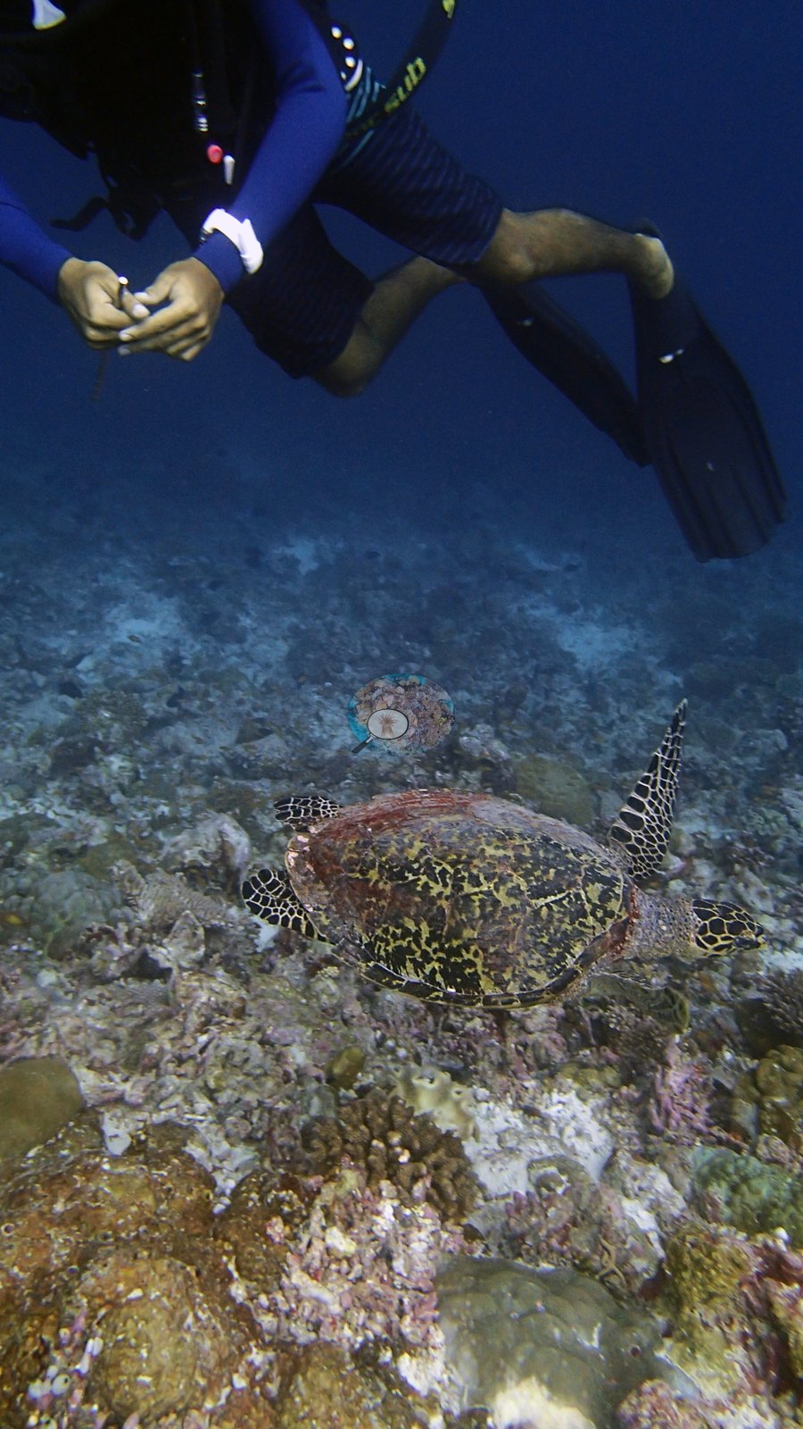
Maldives (NOAA CRW virtual station)A dive at the southern tip of Ari Atoll on 24 May 2017 to 30.8 m, where Anderson's field sheet records a whale shark, seen first while snorkeling and then at 30 m for 30-60 seconds.
އަރި އަތޮޅުގެ ދެކުނު ކޮޅުގައި، 24 މެއި 2017 ގައި 30.8 m އަށް ކުރި ފީނުމެކެވެ. Anderson ގެ ފީލްޑް ޝީޓުގައި ފެހުރިހިއެއް (whale shark) ރެކޯޑްކޮށްފައިވެއެވެ. އެ ފެހުރިހި ފުރަތަމަ ފެނުނީ ސްނޯކަލް ކުރަމުން ދަނިކޮށެވެ. ދެން 30 m ގައި 30-60 ސިކުންތު ވަންދެން ފެނުނެވެ.
AI translation of this summary; the English is authoritative. (low confidence)
Two independent survey stations shown with the program’s logo — click one to see how far it is from this site.
One other CRD dive site with its own page within 5 km shown in orange — click a marker to open its page.
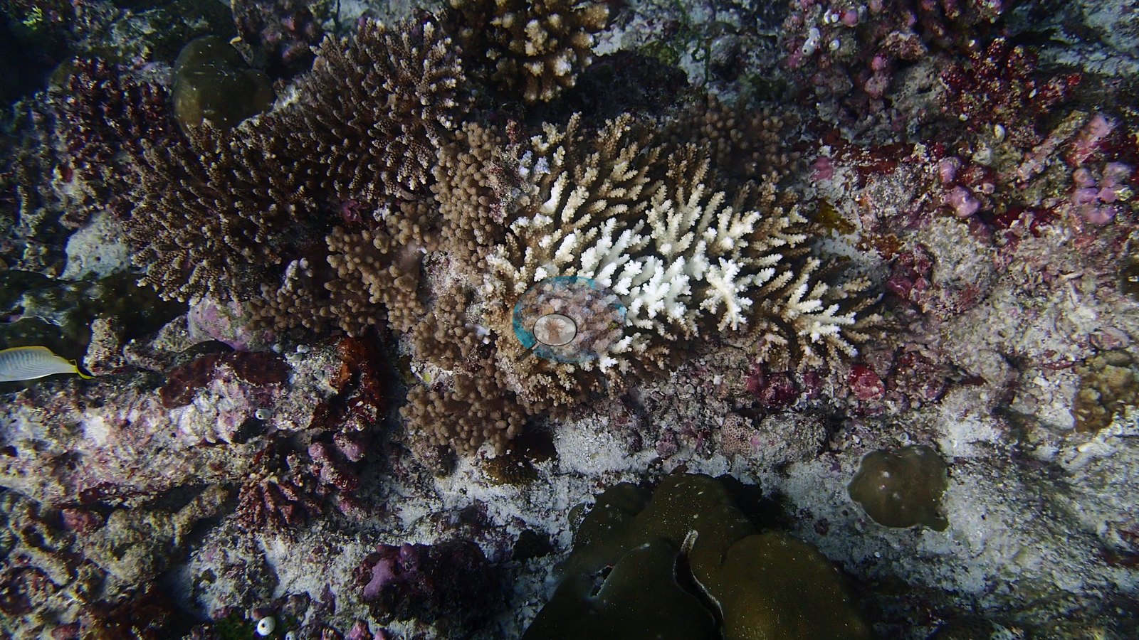
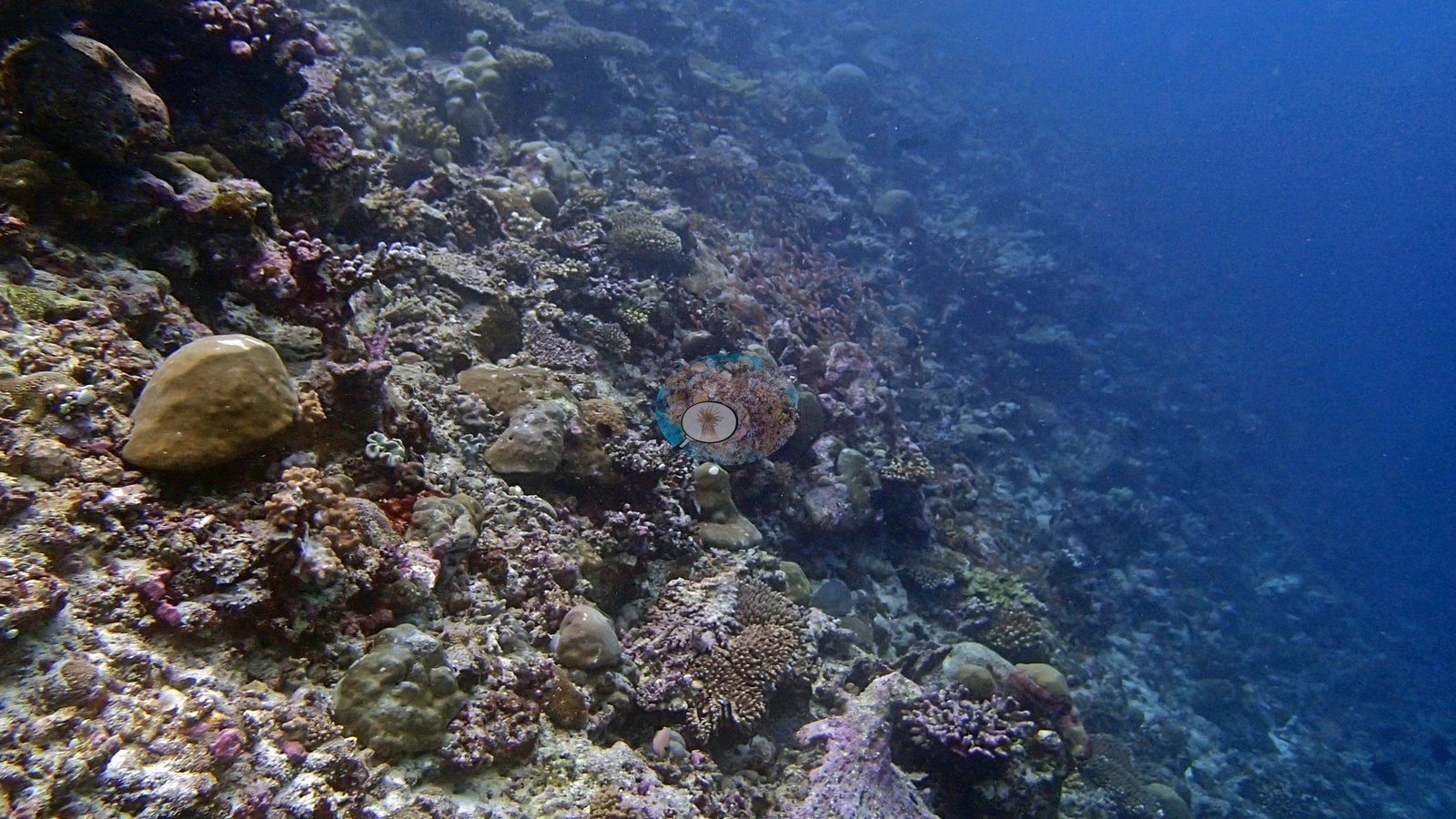
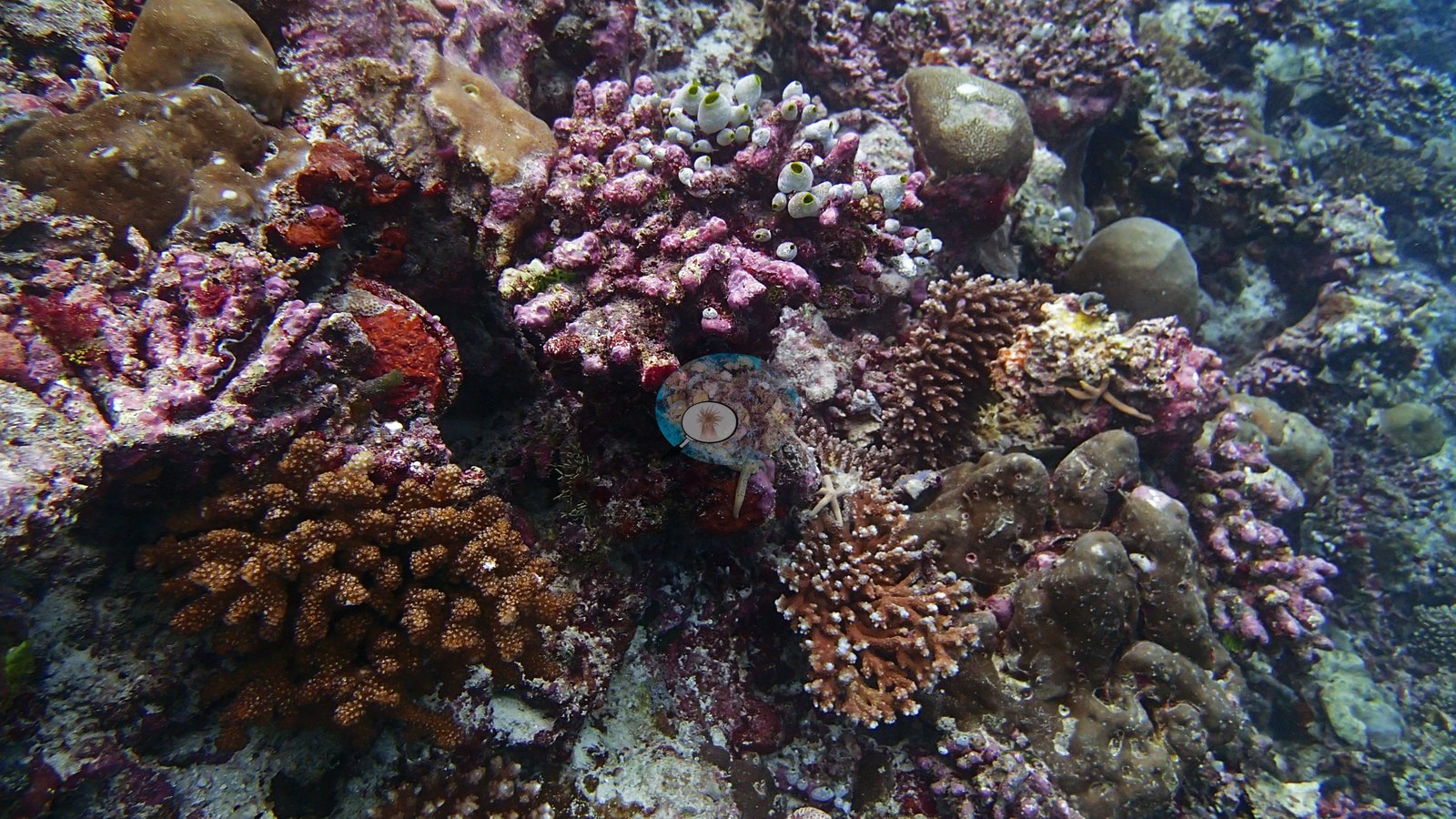
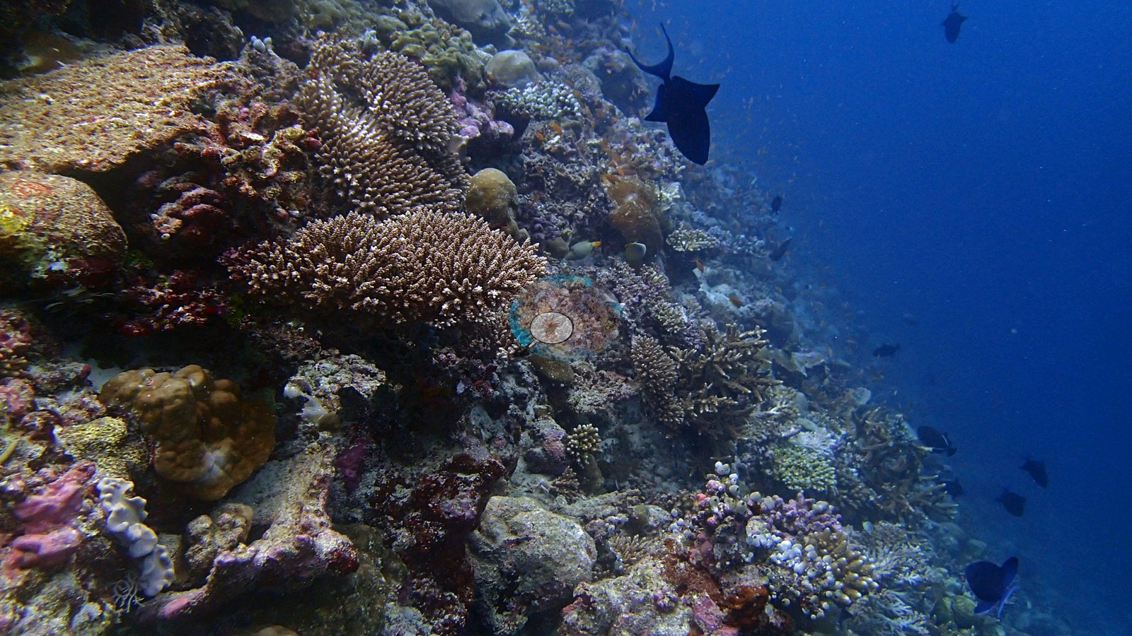
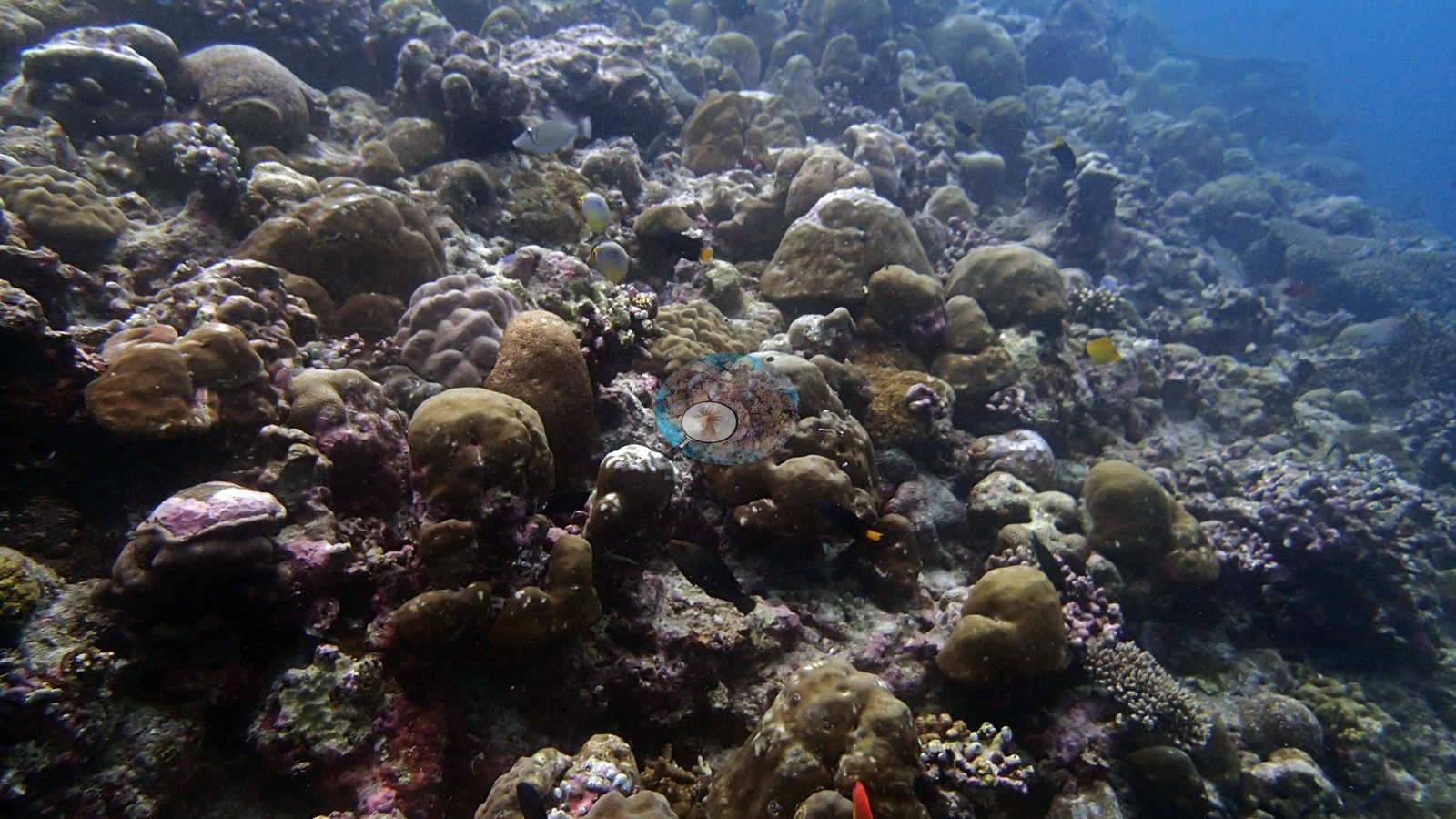
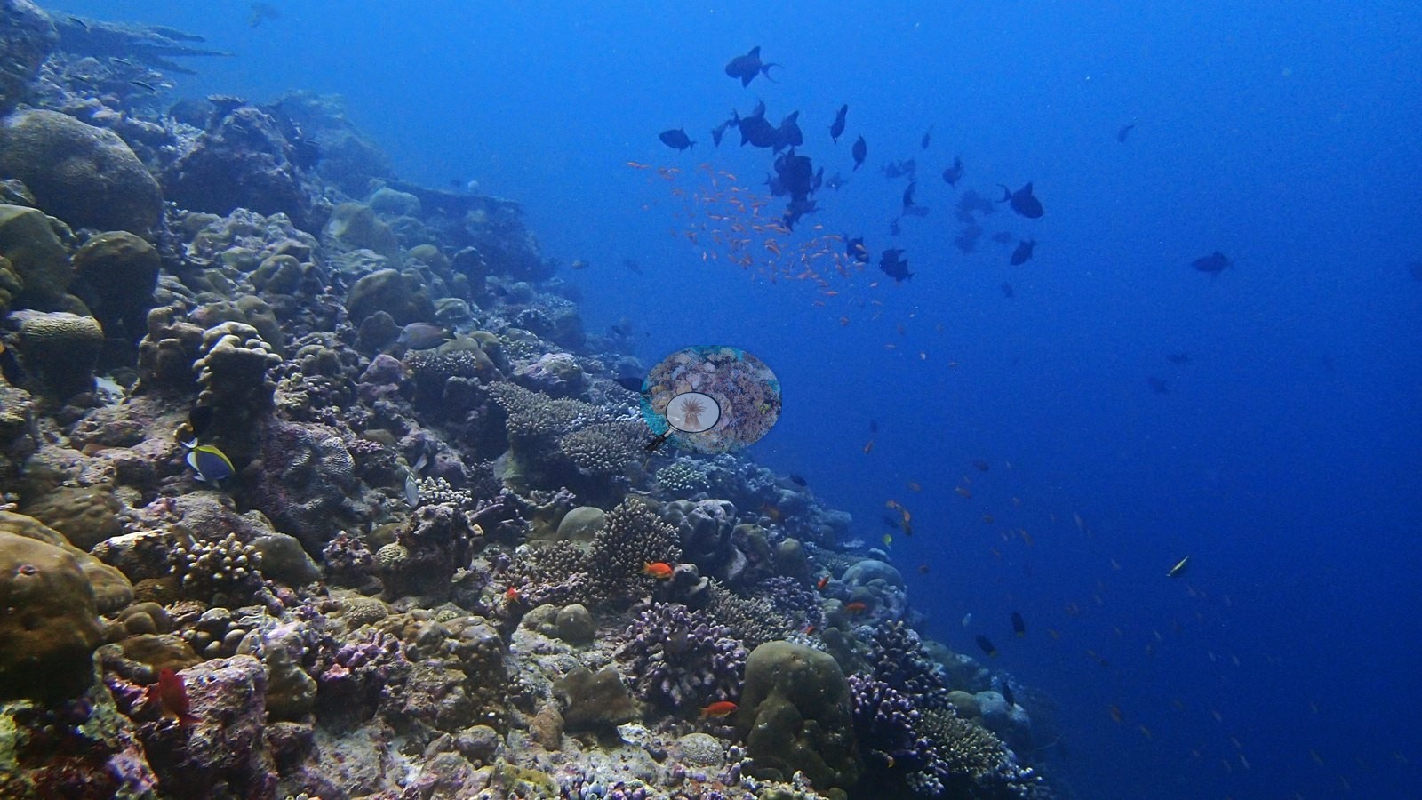
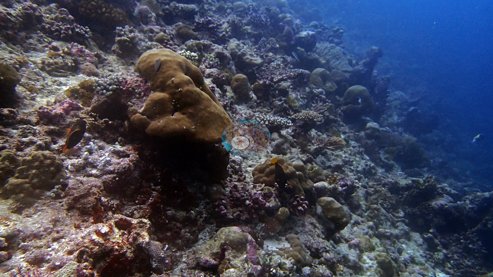
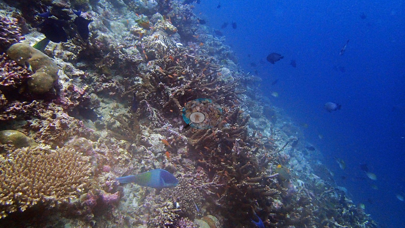
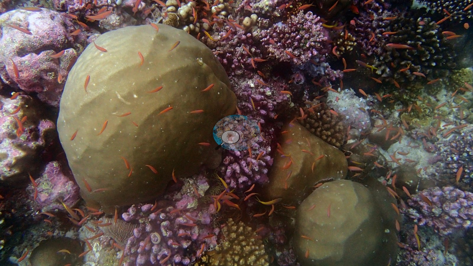
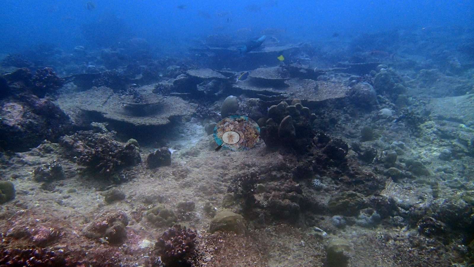
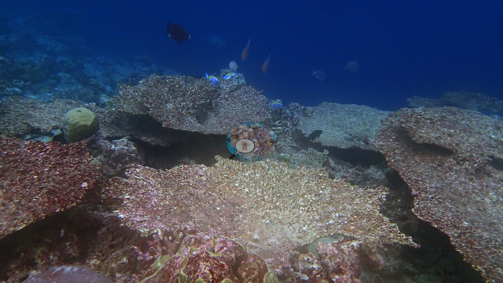
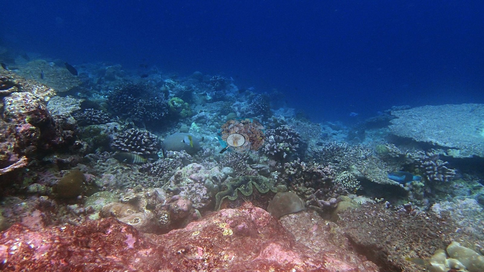
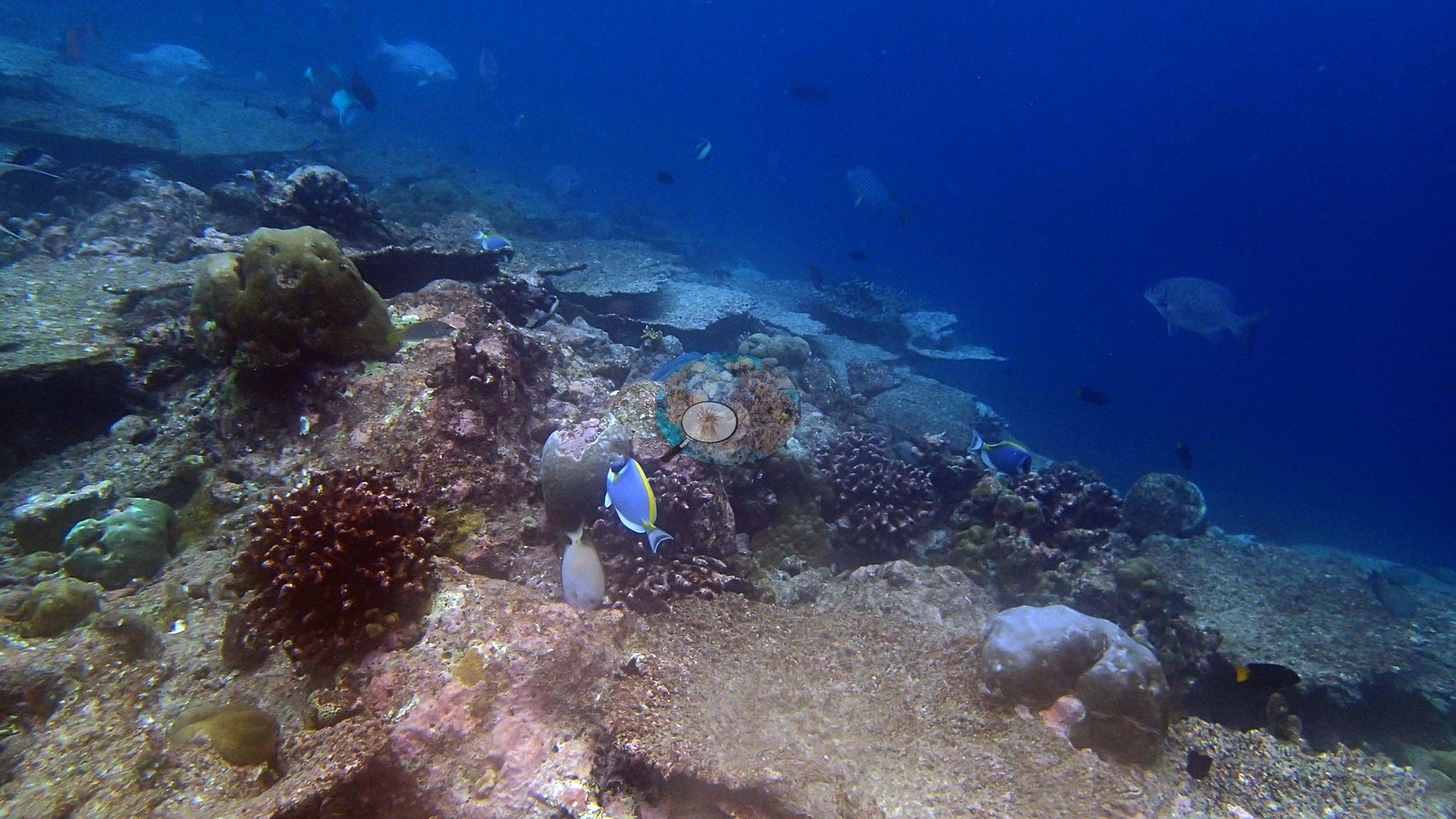
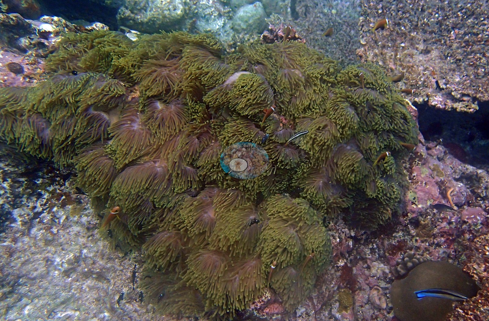
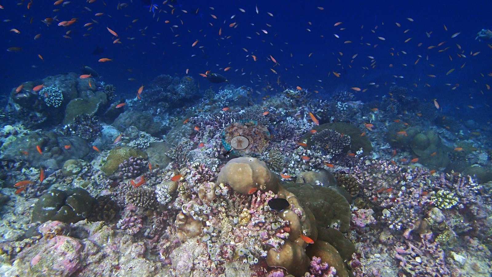
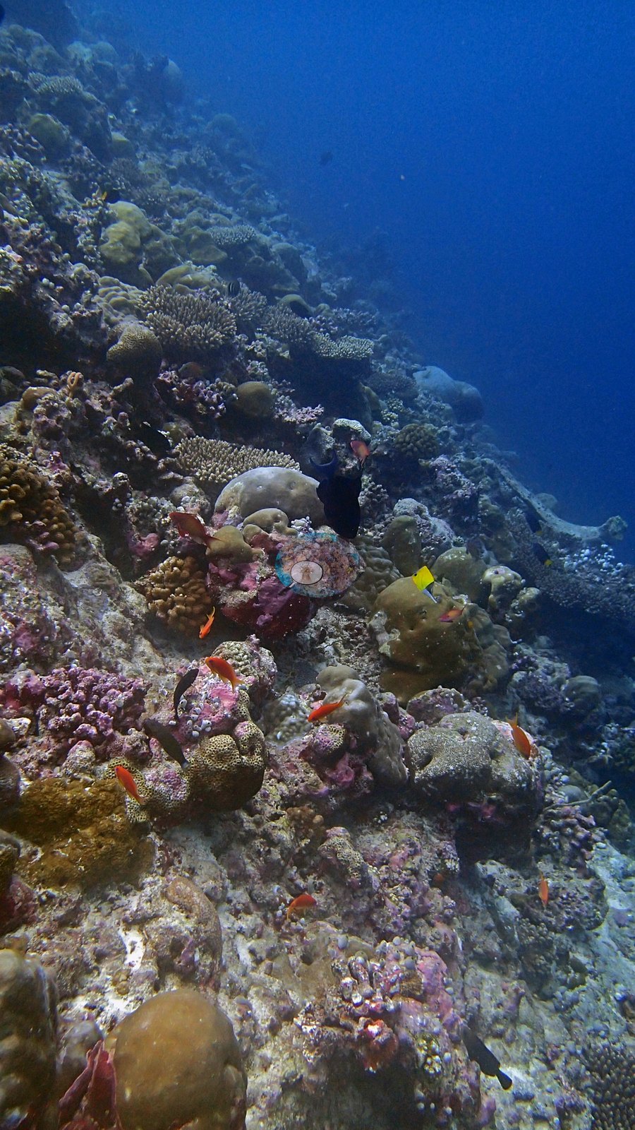
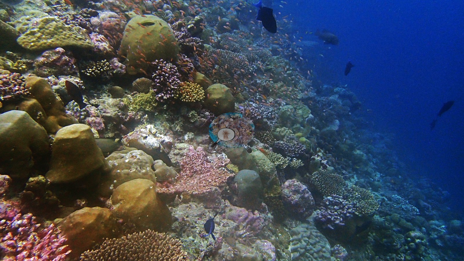
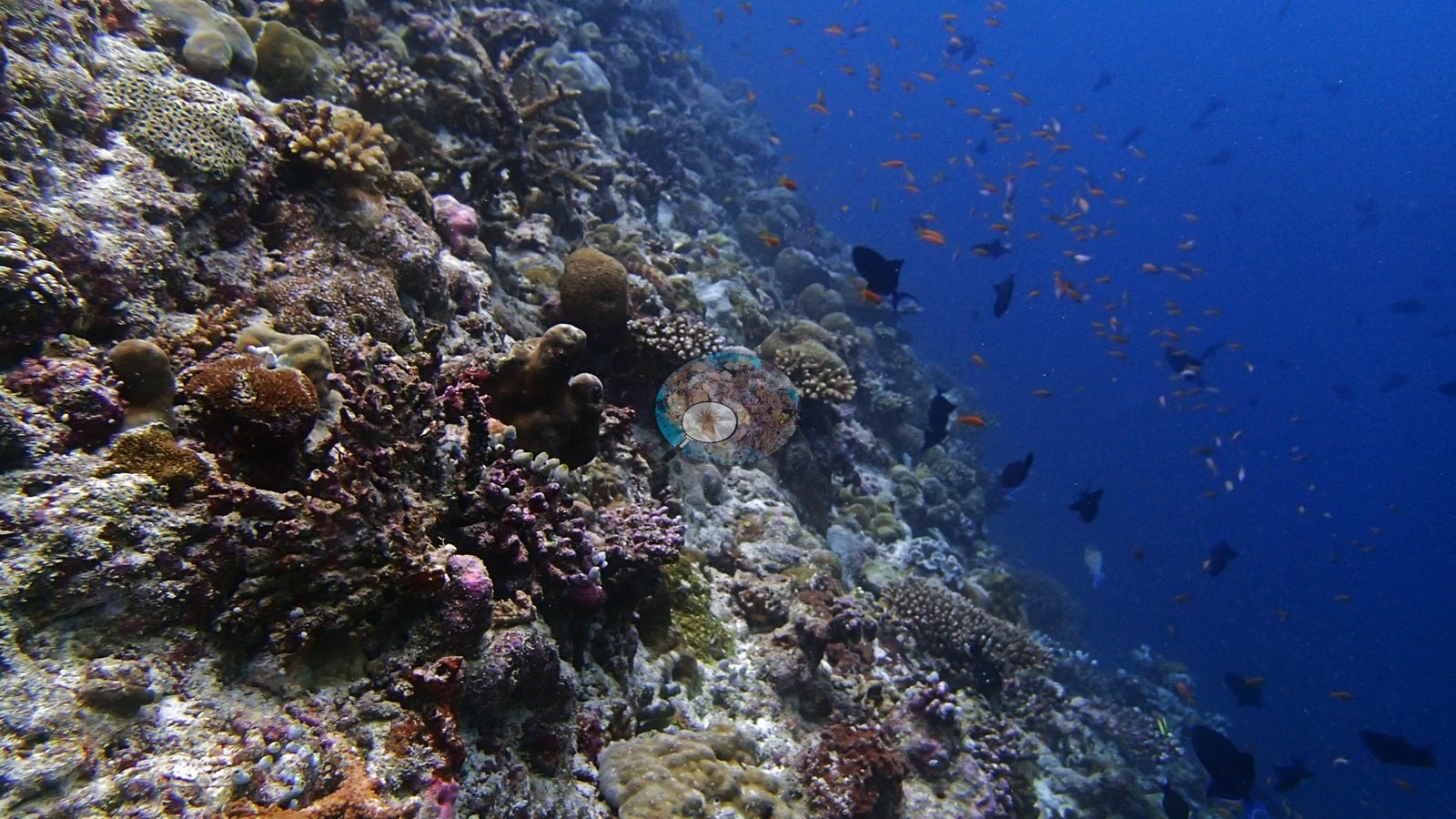
Site description
Coral cover
- Reference: Claude CV point count (this site's photos)
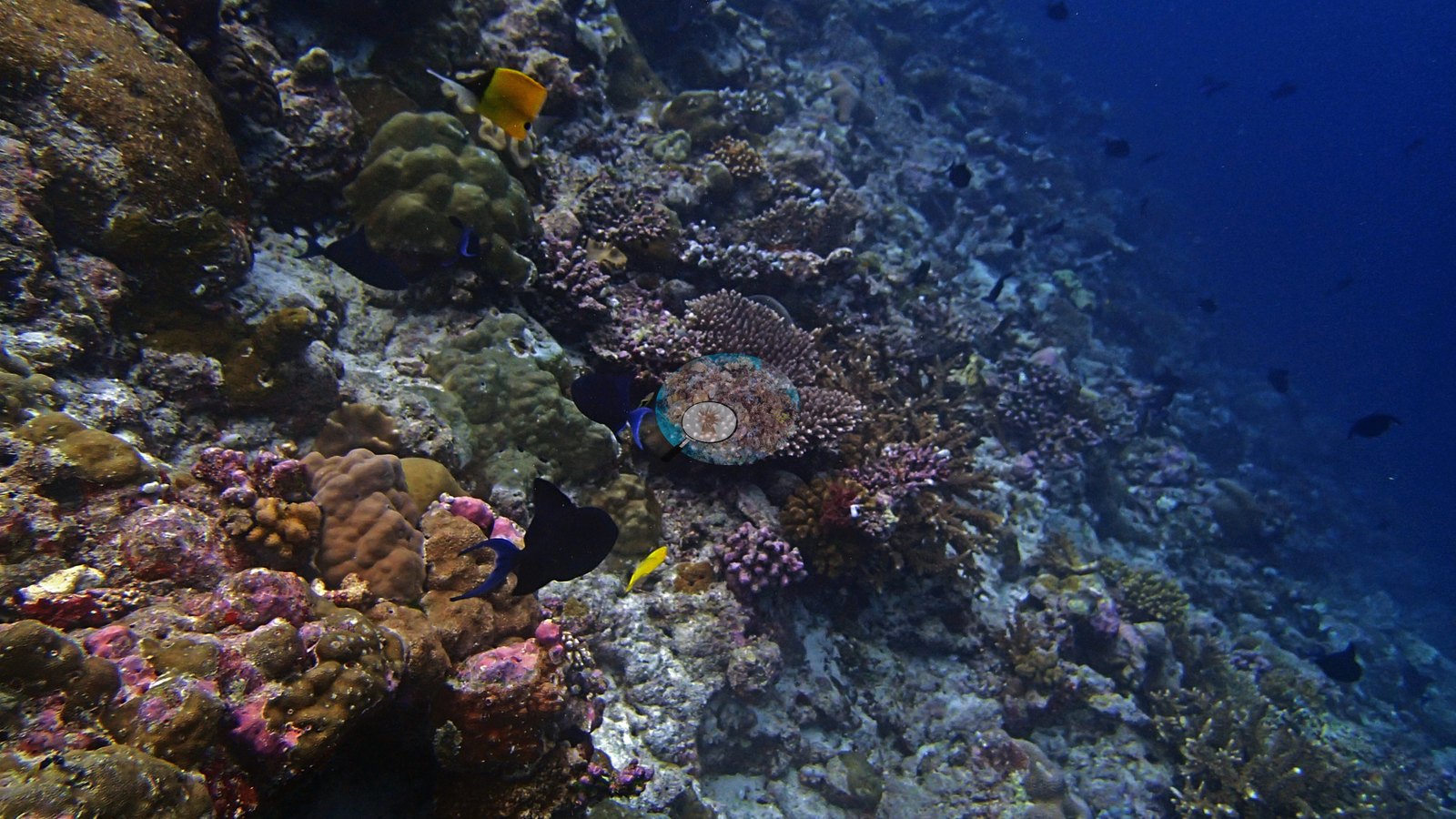
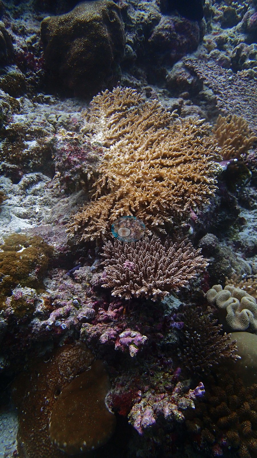
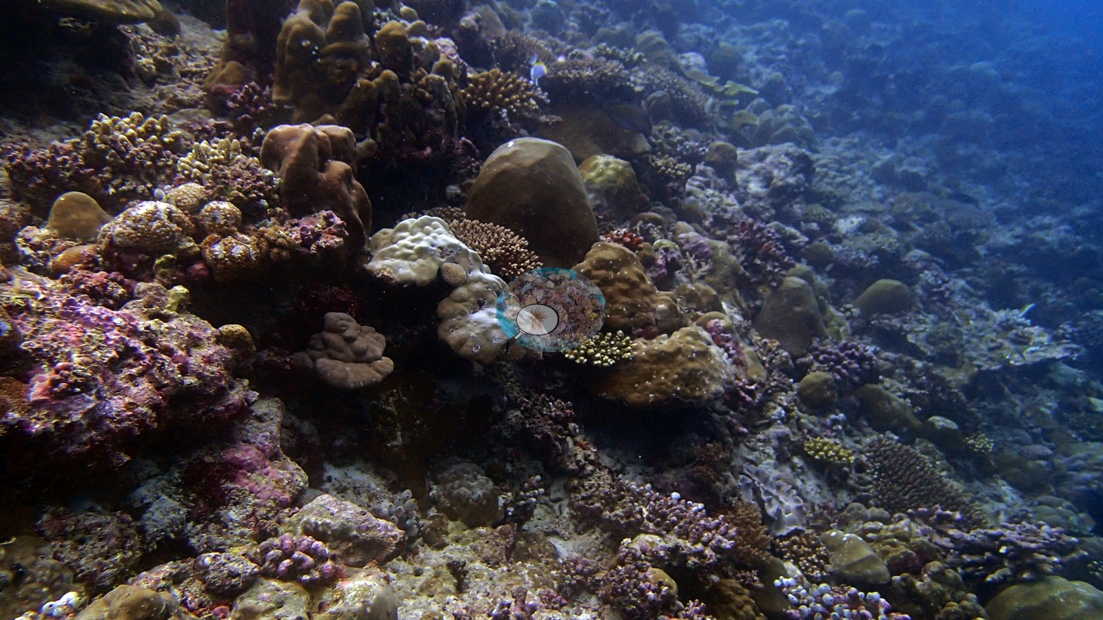
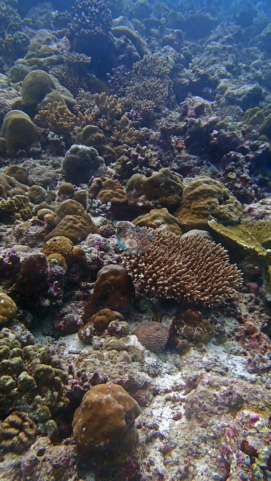
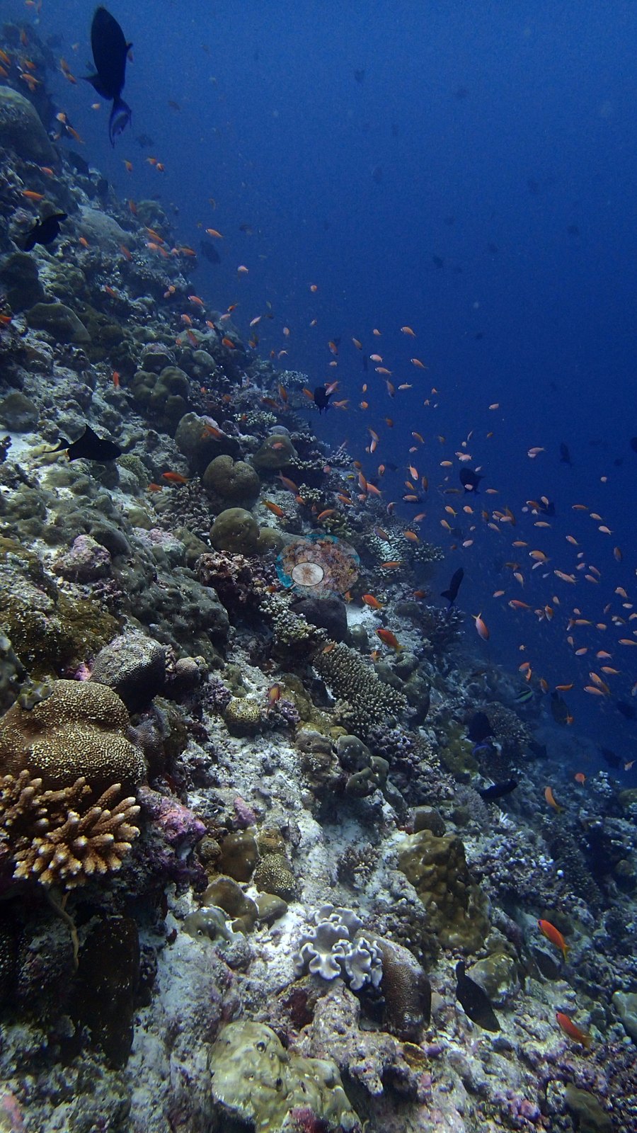
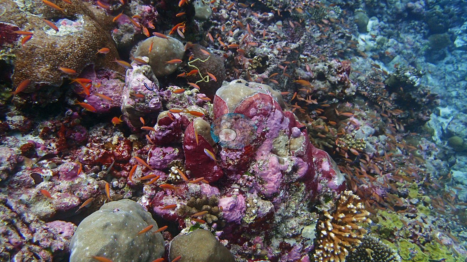
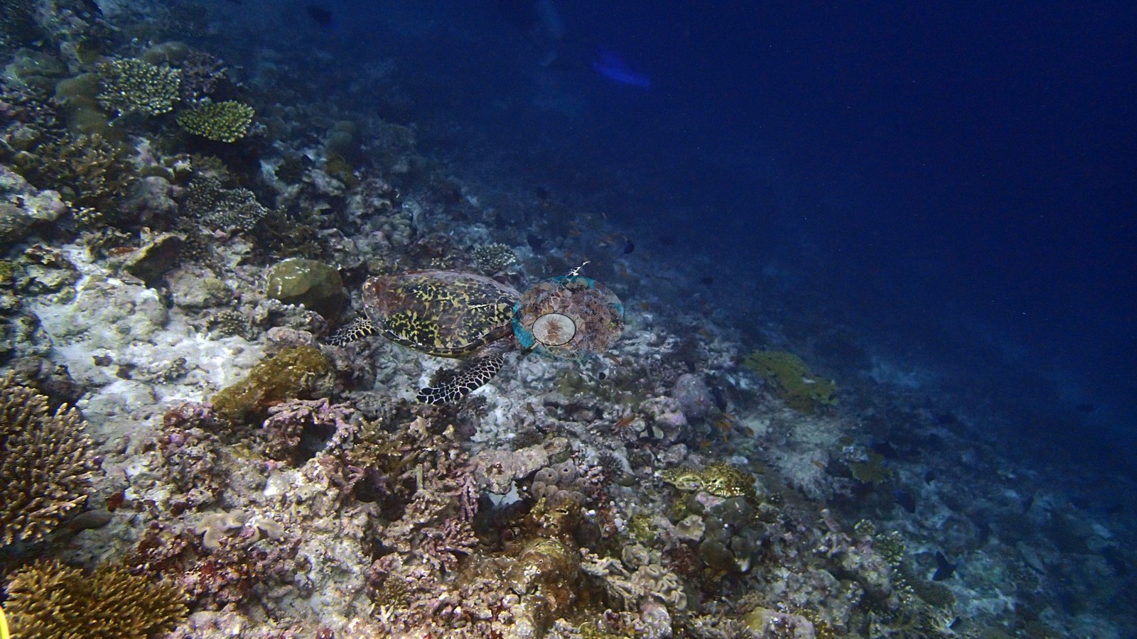
- Coral cover: 21% — a blind Claude computer-vision point count of 26 of Anderson's edited photographs (20 points per photo; water, fish, and obstructions excluded).
Stressors
Anderson's Maldives sample sheet for this dive (24 May 2017) records no crown-of-thorns starfish collected and notes no bleaching or disease; its only note is a whale shark.
Fish and other fauna
Anderson's field sheet records a whale shark on this dive, seen first while snorkeling and then at 30 m for 30-60 seconds. Anderson's Maldives sample sheet for this dive (24 May 2017) records no crown-of-thorns starfish collected and notes no bleaching or disease; its only note is a whale shark.
Comparisons with other data
We found no other surveys at this site as of 2026. Within 5 km, two Reef Check stations recorded station-year means of 19–63% hard coral cover between 2016 and 2023; the nearest, Reef Check at Dhigurah Wall, 3.14 km away, read 22–39% between 2016 and 2023.
CV model comparison
More info
A few colony-focused photos raise the mean; the median is the typical photo. No computer-vision method yet estimates coral cover accurately on new images, so treat this as indicative rather than a measurement; it is revised as the methods improve.More info
Other rows are for comparison only and are never averaged. No diver transect exists for these photos, so agreement between rows is not accuracy.| Method | Hard coral cover (%) | Photos (n) ± SE |
|---|---|---|
| Claude (edited photos) | 21.3 | n = 26 · SE 2.8 |
See a more detailed, stand-alone version of this table.
Independent surveys nearby
 Coral Reef Diagnostics
Within 5 km, 2 independent survey stations recorded hard coral cover in 8 surveys between 2016 and 2023. Of the 2 stations surveyed in more than one year, 2 declined (by 12–44 points) between their first and latest surveys. The longest record, Dhigurah Wall (Reef Check, 3.14 km away), went from 39% in 2016 to 27% in 2023 (mean of 2 surveys). Since 2021, station-year means average 23% (range 19–27%; n = 2 station-years from 4 surveys). This site's own estimate (21%) is not compared with these surveys: none lies within 2 km.
Collected by other programs using different methods (Reef Check uses point-intercept transects), so these are context for the figures above, not a like-for-like comparison. Where a station was surveyed more than once, the cell shows either the range of its values or, as a single value, the mean of surveys made in one year. Station names are not dive-site names.
| Agency | Site / location | Date | Hard coral cover (%) | Distance |
|---|---|---|---|---|
| Reef Check | Dhigurah Wall | 2016–2023 | 22–39% (range of yearly means; 5 surveys) | 3.14 km |
| Reef Check | Coral Garden | 2016–2022 | 19–63% (range of yearly means; 3 surveys) | 3.24 km |
Data & links
All images from Coral Reef Diagnostics. Data are from Coral Reef Diagnostics and the organizations named in the data sources above.
© Coral Reef Diagnostics.