
Maldives - Lankan Faru

Part of the regional summaries: Maldives - Central (Male Atolls / Ari / Vaavu) and Maldives
2017-05-22
More info
Maldives (NOAA CRW virtual station) · Maldives ecoregion mean=2.9°C-heating weeksA dawn manta cleaning station where reef mantas queued for service and eagle rays cruised past, while on the reef itself crown-of-thorns starfish were caught active amid fresh white feeding scars. Computer vision cover estimate is 9.0-22%, averaging 15.8%.
Three independent survey stations shown with the program’s logo — click one to see how far it is from this site.
Two other CRD dive sites within 5 km shown in orange — click a marker to open its page.
8 of these 23 photographs are shown beside the text that discusses them under "Site description" below.
Site description
Coral cover
Coral cover: 16% — photo-derived, and the two methods disagree by 13.1 pp; treat cover as a range (9.2–22%). This site's figure is the mean of two independent computer vision passes over Anderson's own frames: a DINOv3 calibrated point classifier reads 9.2% and a CoralSCOP computer vision reads 22.3%, a spread of 13.1 percentage points. The map publishes the mean so sites can be sorted against one another, but the honest statement of what is known here is the 9.2–22% range: the two products have different denominators and should not be treated as one measurement.
Stressors
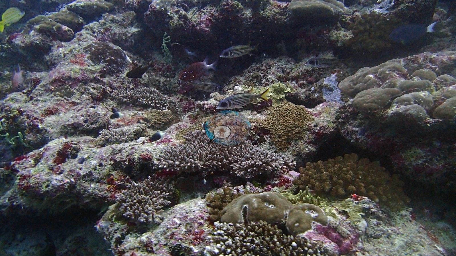
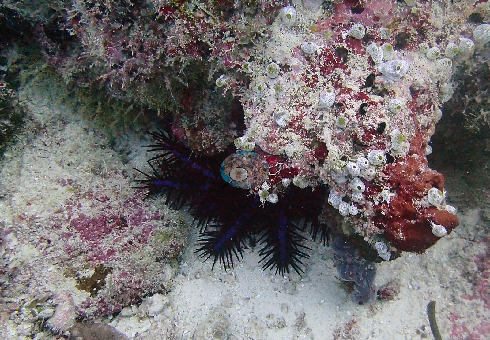
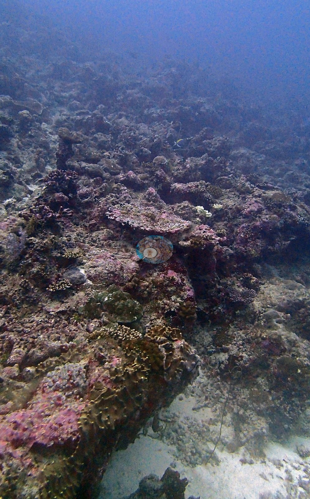
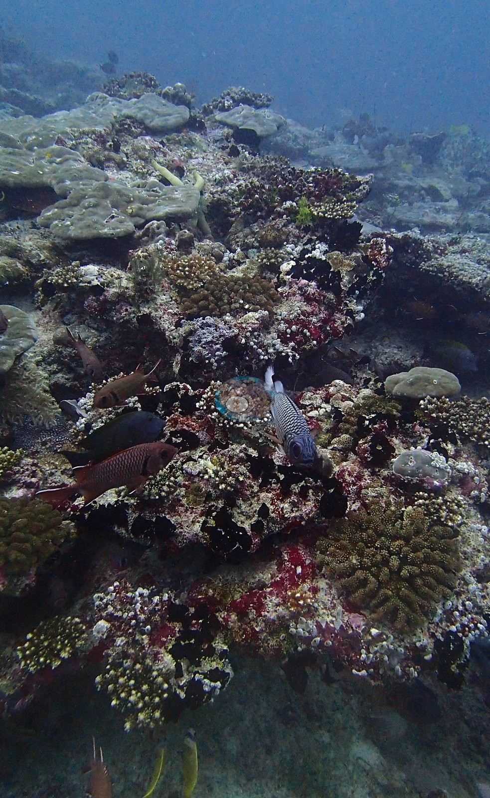
Down on the reef a quieter drama played out: crown-of-thorns starfish lurking in crevices — one caught red-handed under a plate coral — beside the fresh white feeding scars they'd left, while striped sweetlips watched it all from under a ledge (e.g., Image 2, Image 3, Image 8).
Fish and other fauna
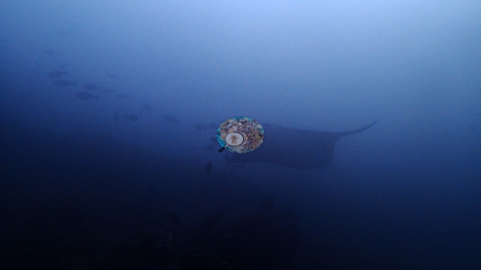
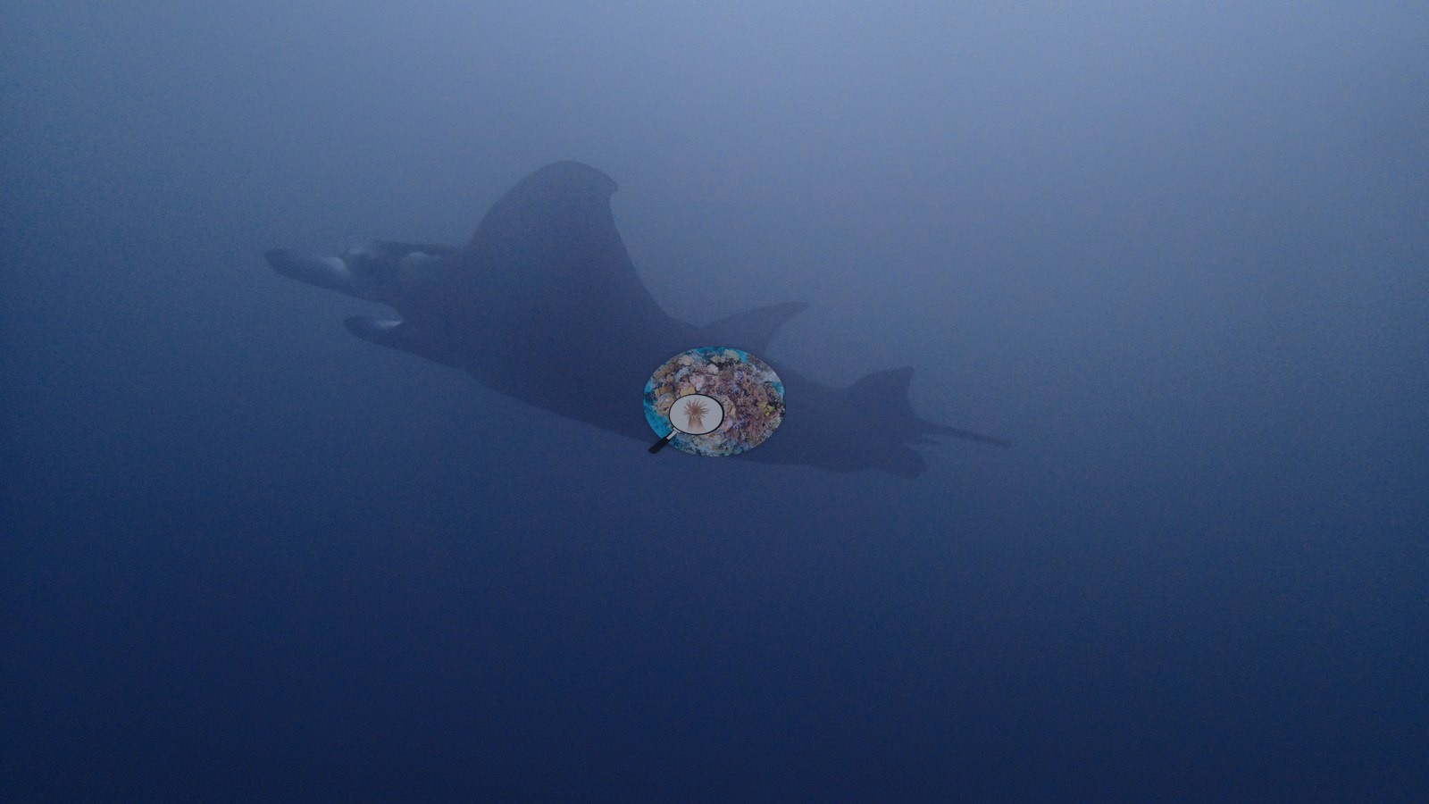
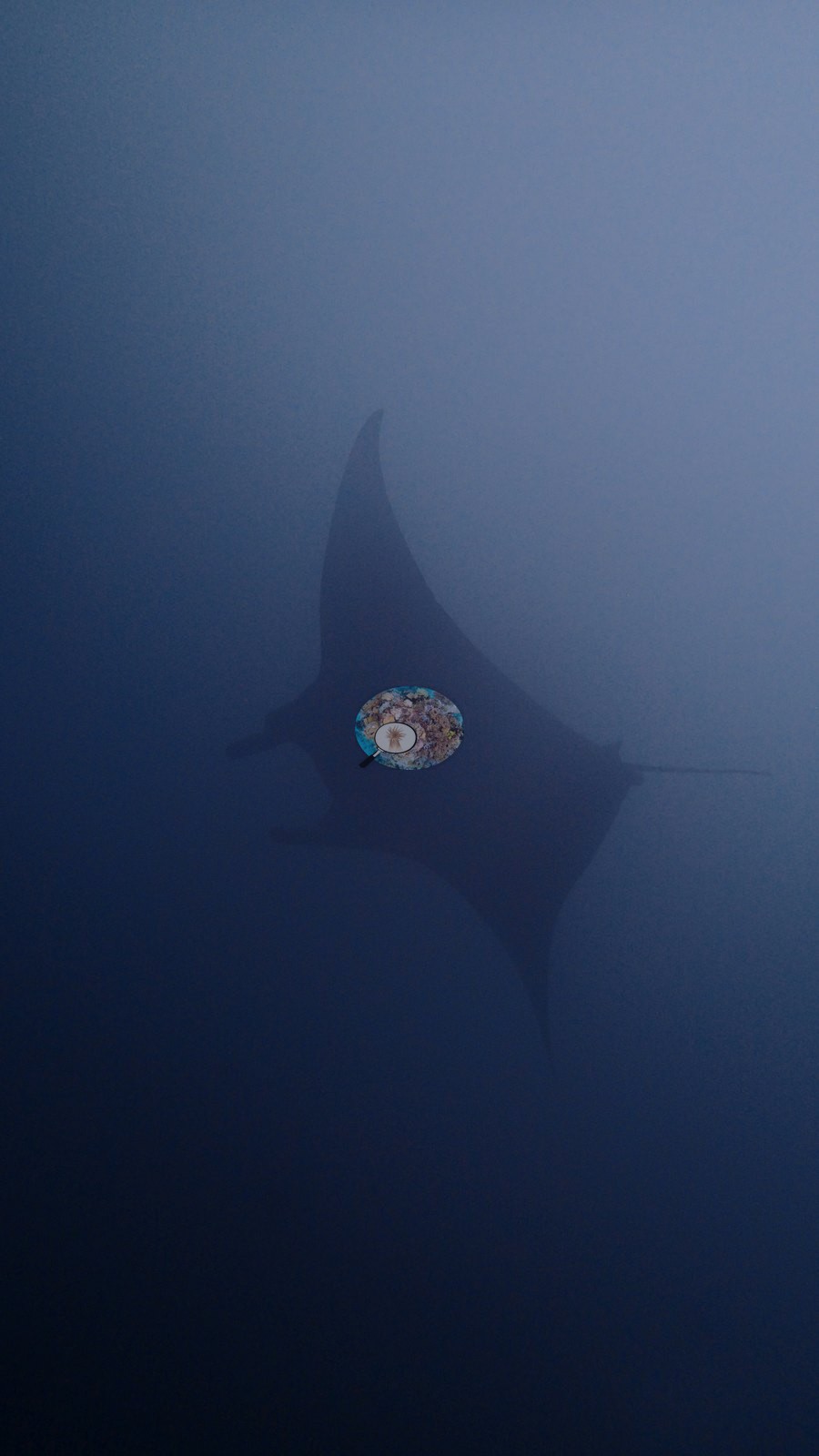
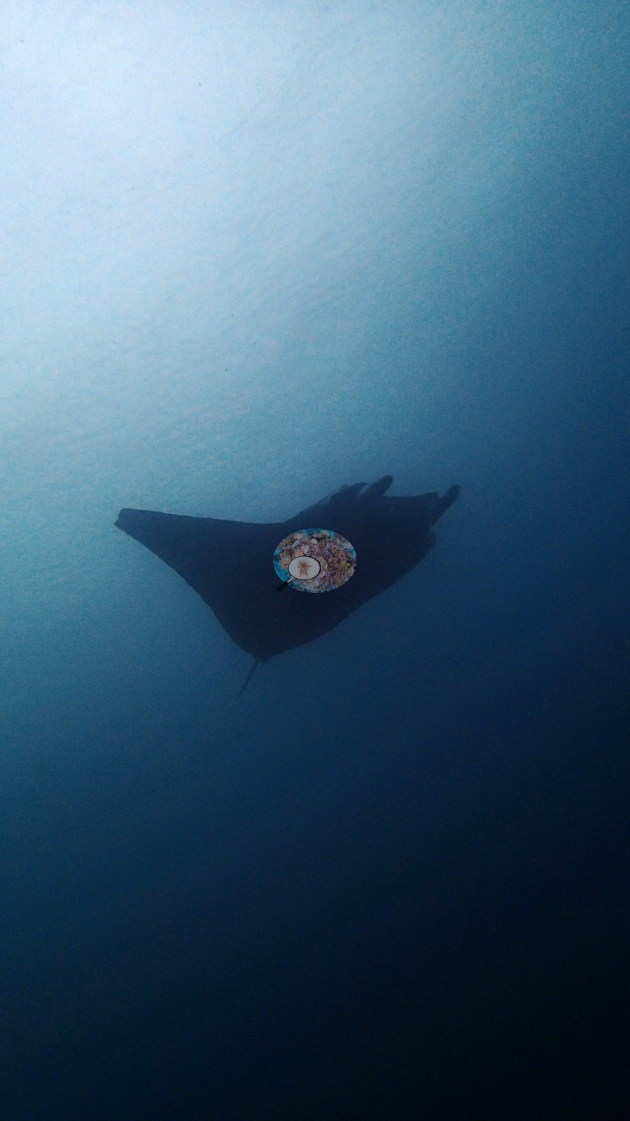
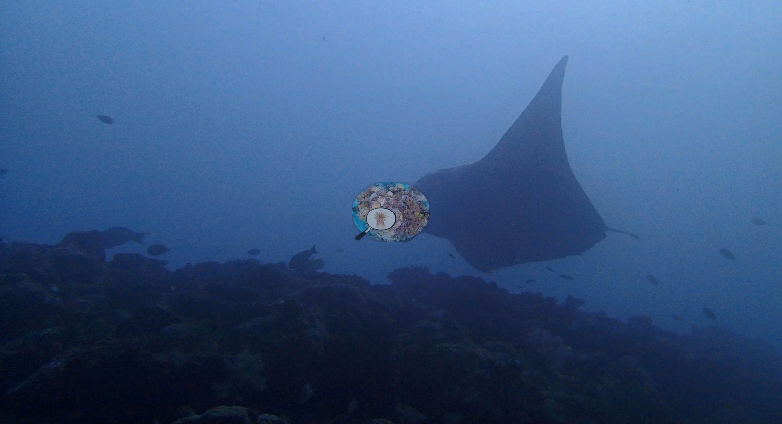
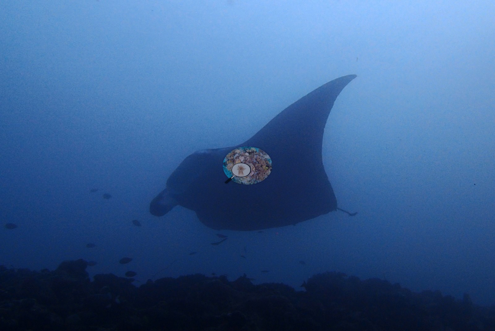
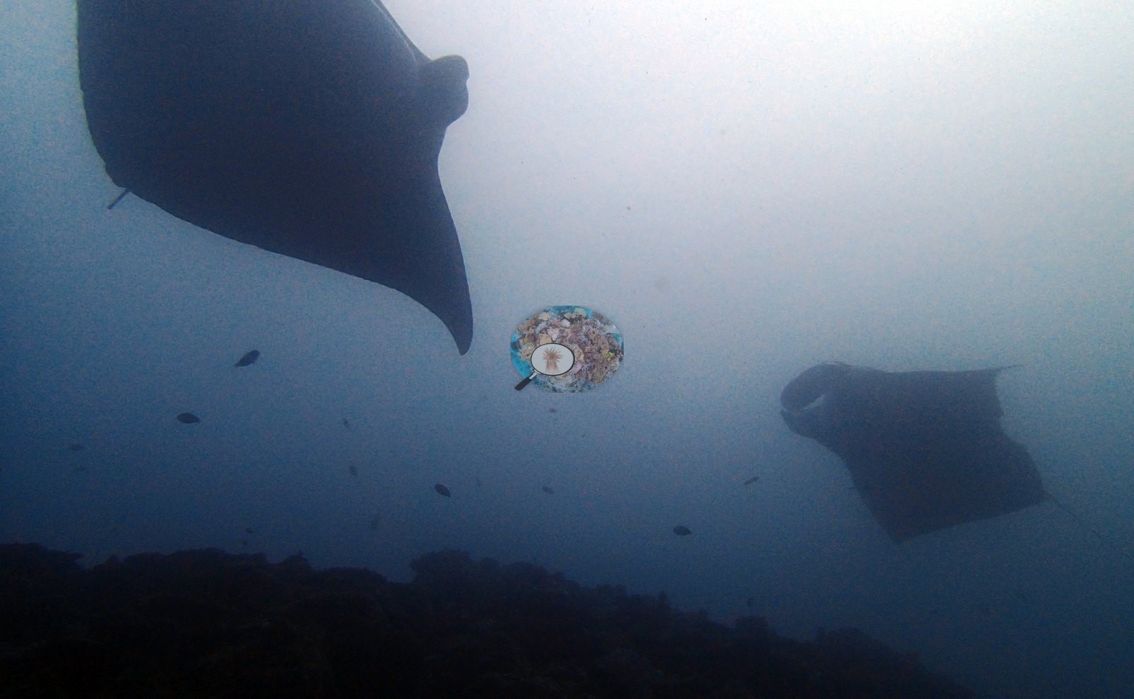
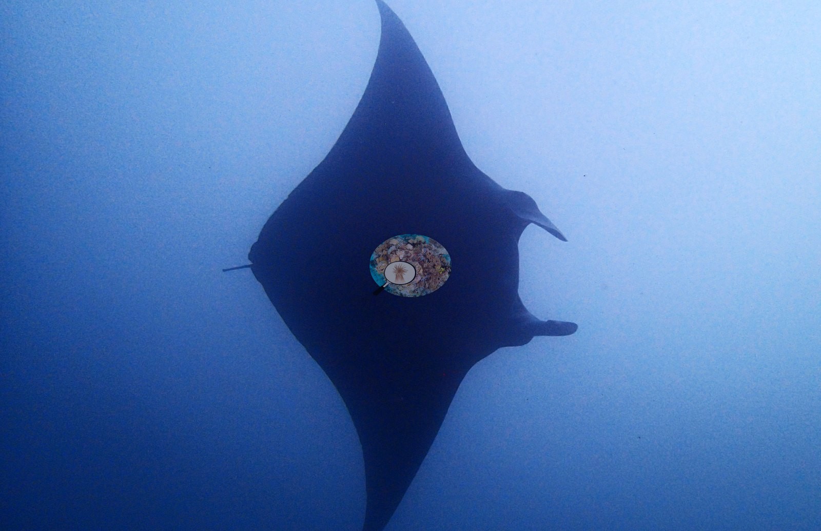
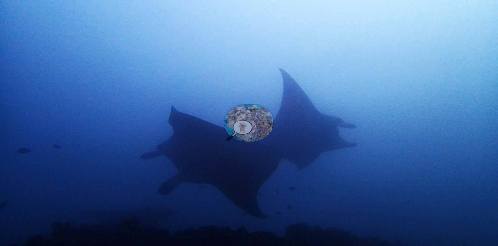
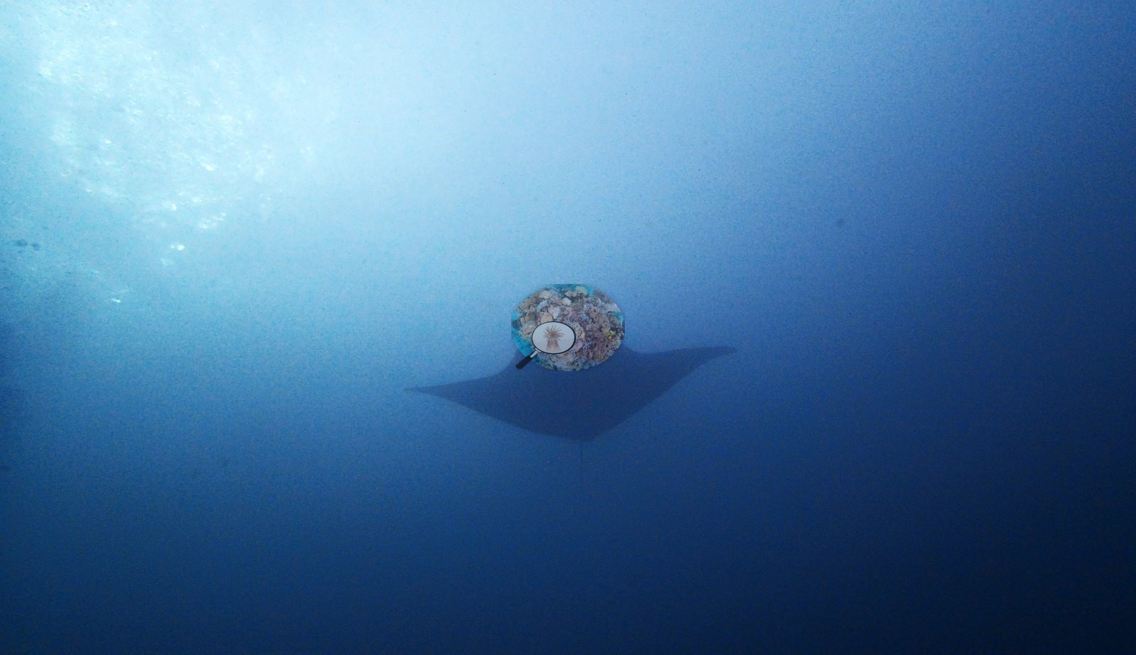
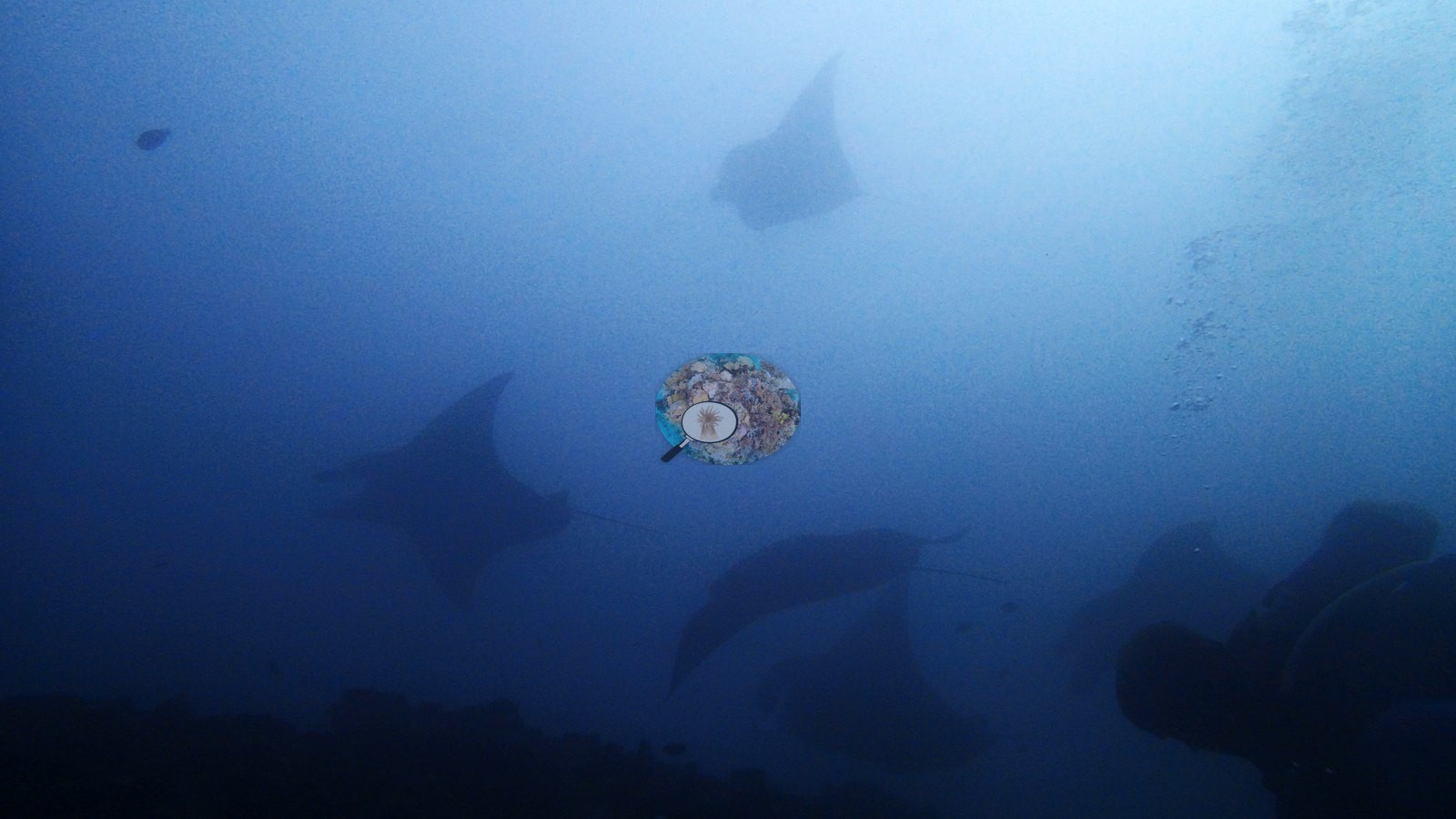
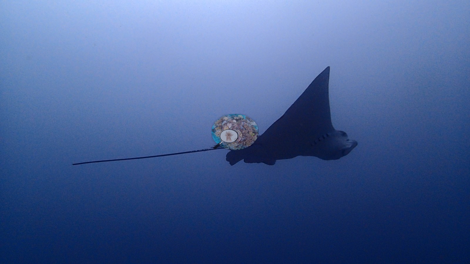
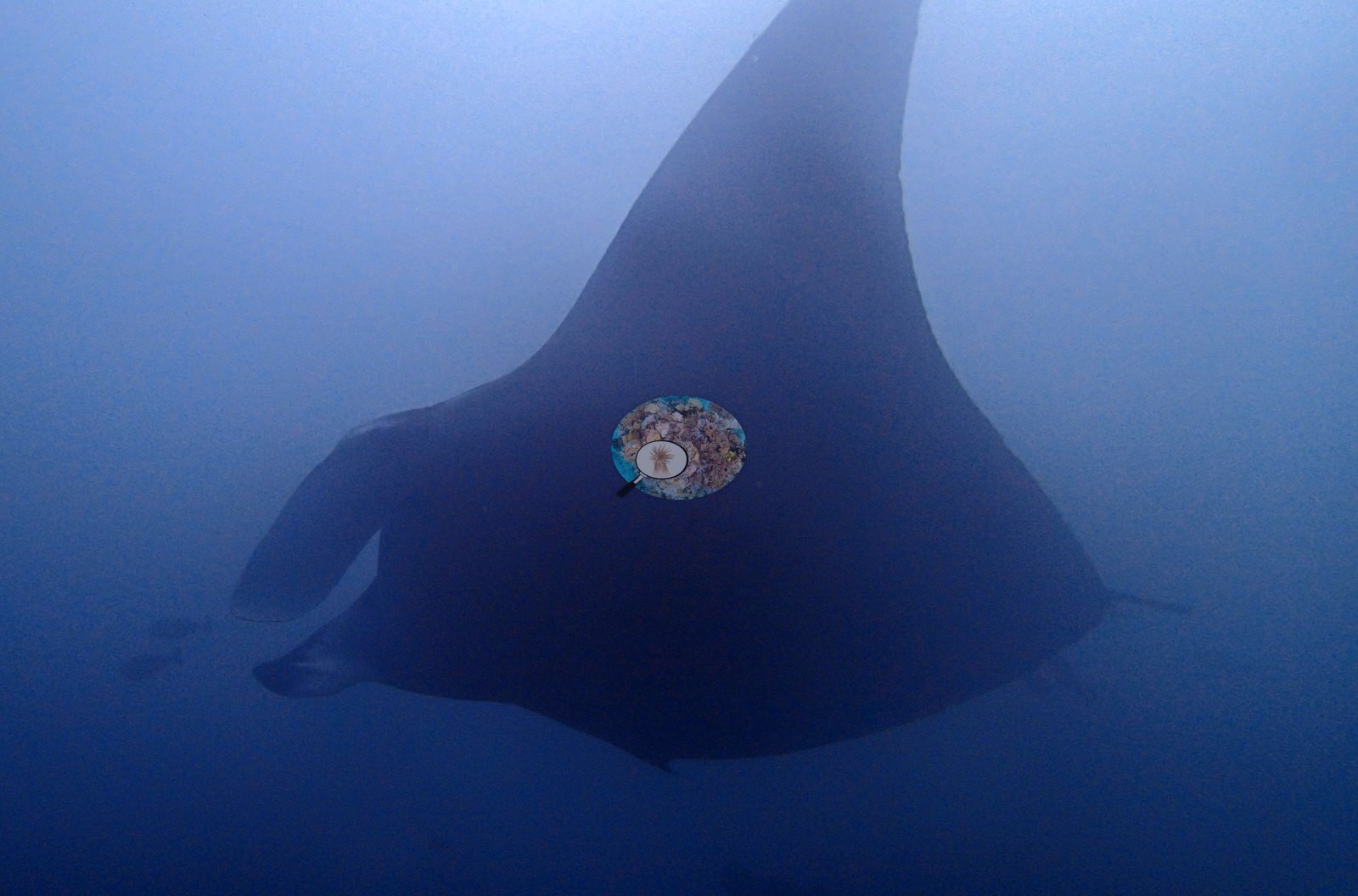
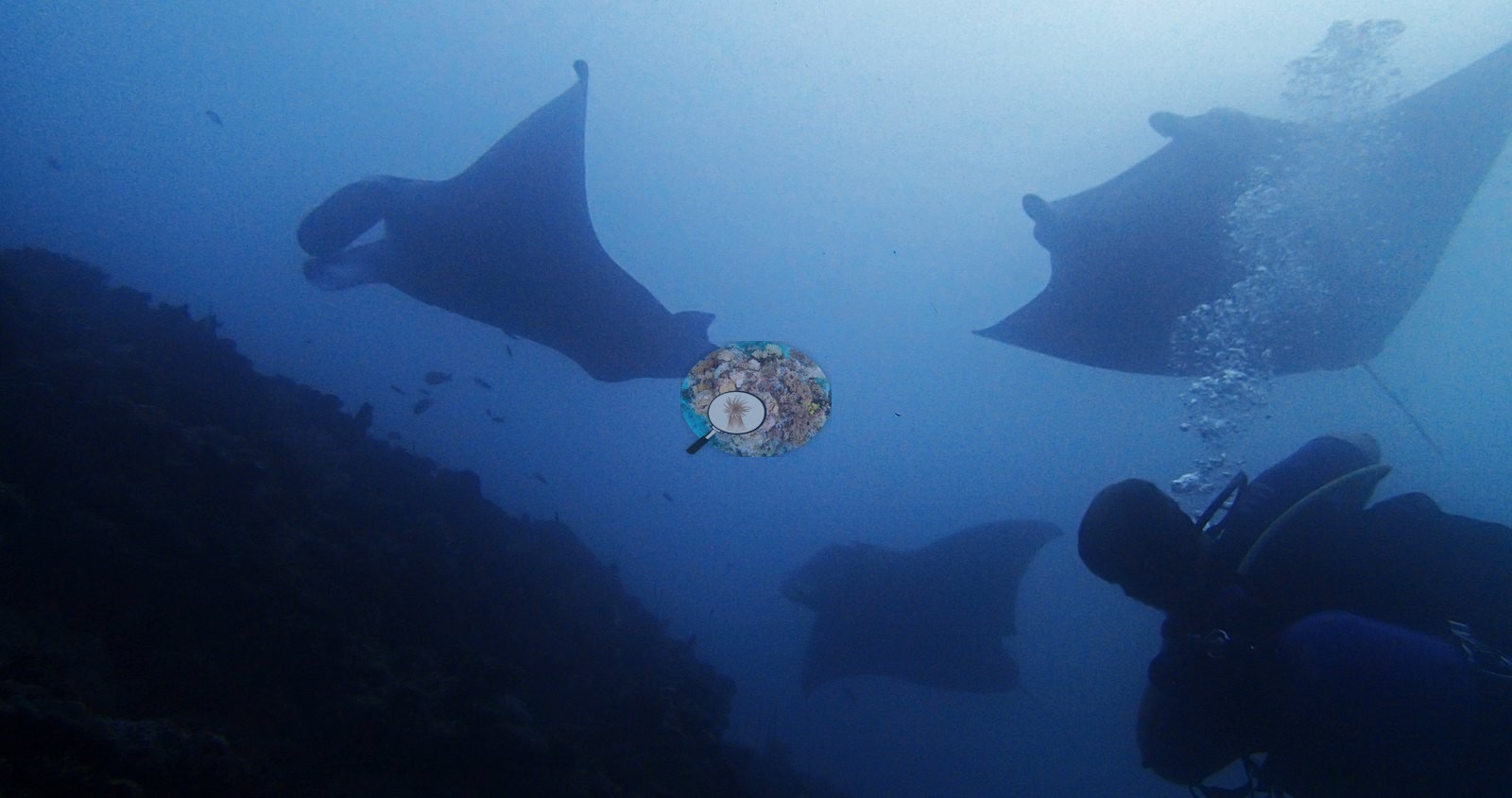
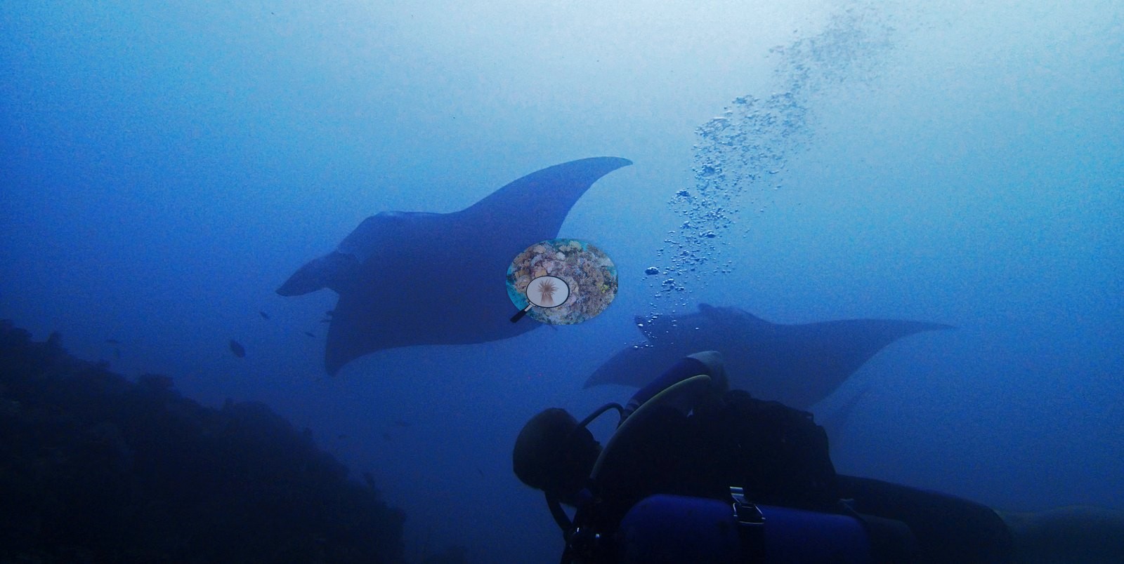
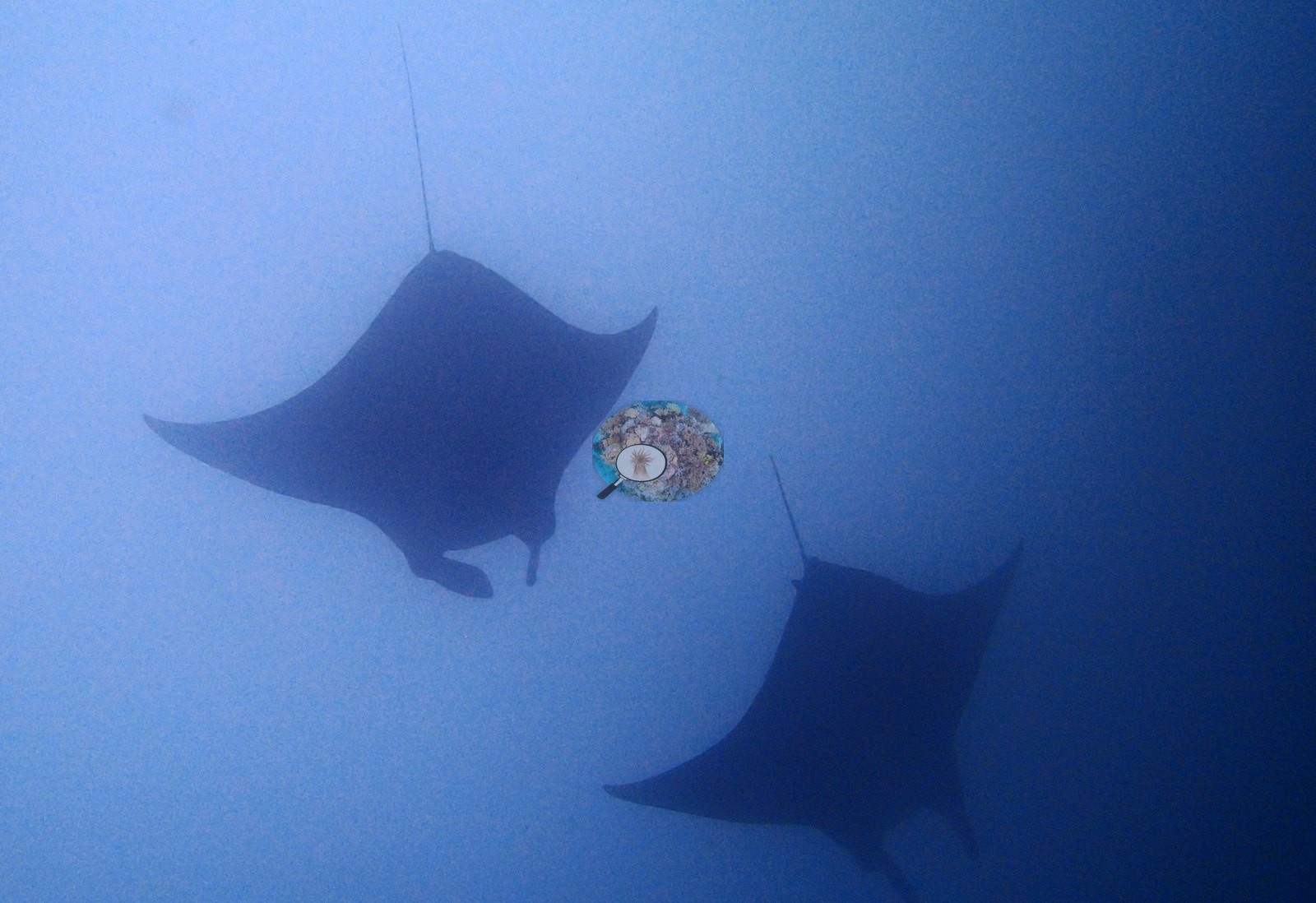
Two dawn visits to a working manta cleaning station, and the mantas kept office hours both days. Divers tucked in low behind a rubble ridge — one frame shows a reef hook doing its job — while reef mantas queued overhead: singles hovering with head-fins unfurled as cleaner fish serviced them, then pairs, then three in frame at once, some gliding close enough to pass through rising bubbles (e.g., Image 1, Image 10, Image 14, Image 19).
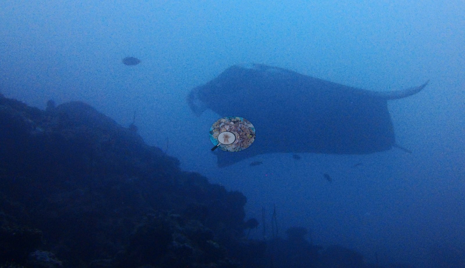
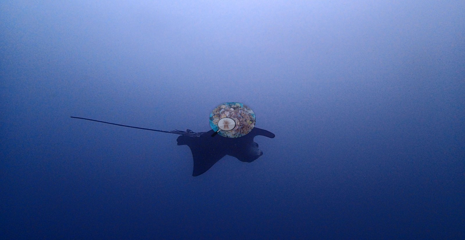
Spotted eagle rays crashed the party too, one sweeping by with its absurdly long tail streaming like a banner (e.g., Image 21).
Comparisons with other data
No independent survey was made at this exact site; the nearest ones are listed in the table below.
CV model comparison
More info
As of September 2026 no computer-vision method estimates coral cover accurately on new images, so treat this as indicative rather than a measurement; it is revised as the methods improve.More info
The published figure is the mean of the two methods.| Method | Hard-coral cover (%) |
|---|---|
| In-house DINOv3 | 9.2 |
| CoralSCOP | 22.3 |
| Mean (± SD) | 15.8 ± 9.3 |
| Range | 9.2–22.3 |
Mean ± SD and range are across the computer-vision methods shown.
Independent surveys nearby
 Dr. Coral (CRD)
Within 5 km, 3 independent survey stations recorded hard coral cover in 6 surveys between 2001 and 2007. Of the 1 station surveyed in more than one year, 1 increased between their first and latest surveys. The longest record, HP Reef (Reef Check, 4.15 km away), went from 18% in 2006 to 37% in 2007. The most recent nearby survey is from 2007, so these values predate recent heat stress. This site's own estimate (16%) sits within the range of these surveys (7.8–37%); the methods differ, so the comparison is context, not a like-for-like test.
Collected by other programs using different methods (Reef Check uses point-intercept transects), so these are context for the figures above, not a like-for-like comparison. Where a station was surveyed more than once the range is shown. Station names are not dive-site names.
| Agency | Site / location | Date | Hard coral cover (%) | Distance | Link |
|---|---|---|---|---|---|
| Reef Check | Honkey's | 2001 | 7.8% (2 surveys) | 4.81 km | — |
| Reef Check | Sultans | 2001 | 7.8% (2 surveys) | 4.95 km | — |
| Reef Check | HP Reef | 2006–2007 | 18–37% (2 surveys) | 4.15 km | — |
Data & links
All images from Coral Reef Diagnostics. Data are from Coral Reef Diagnostics and the organizations named in the data-sources table above.
© Coral Reef Diagnostics.