
Maldives - Four Seasons Landaa Giraavaru

Part of the regional summaries: Maldives - North (Haa Alif to Baa / Lhaviyani) and Maldives
More info
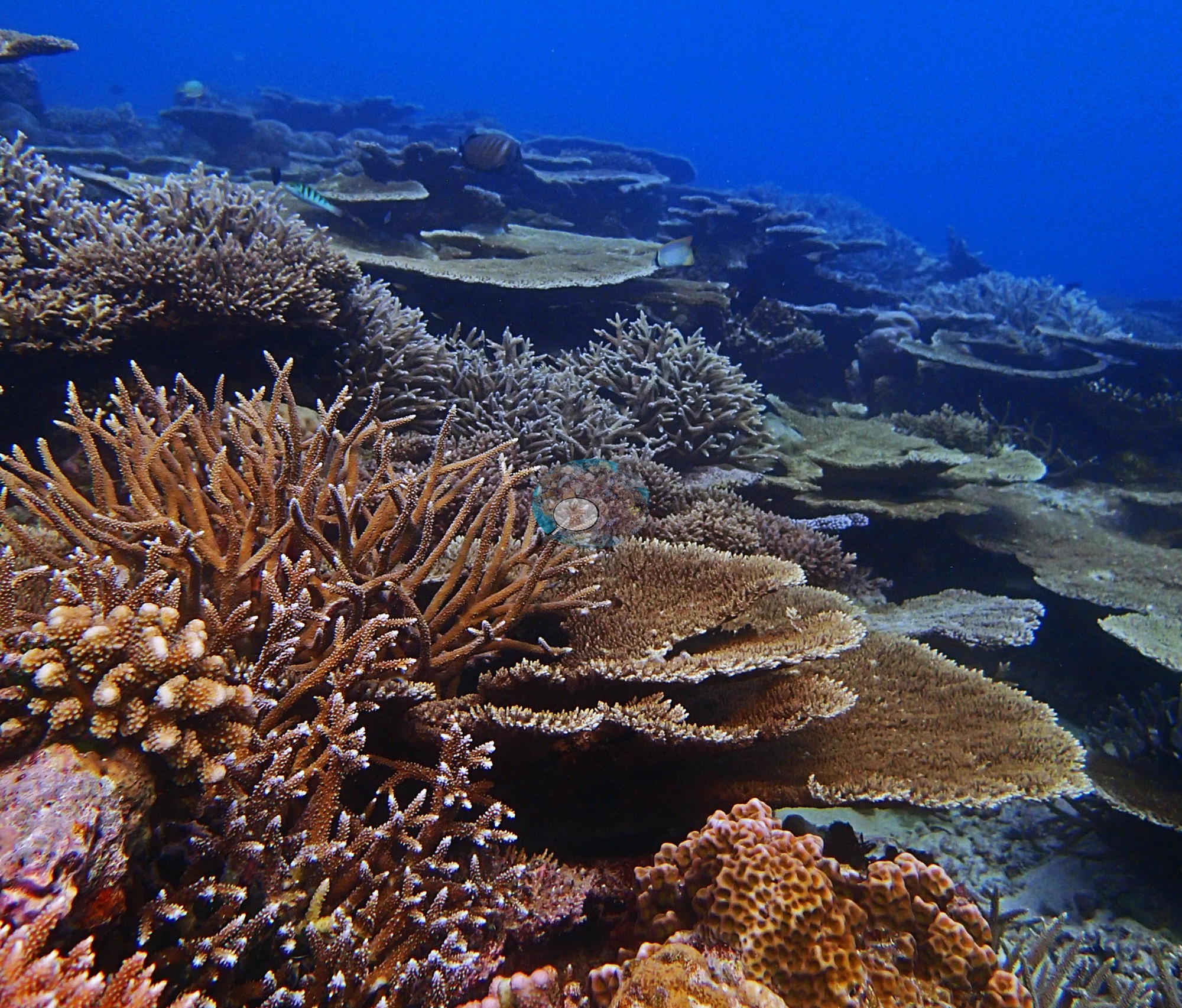
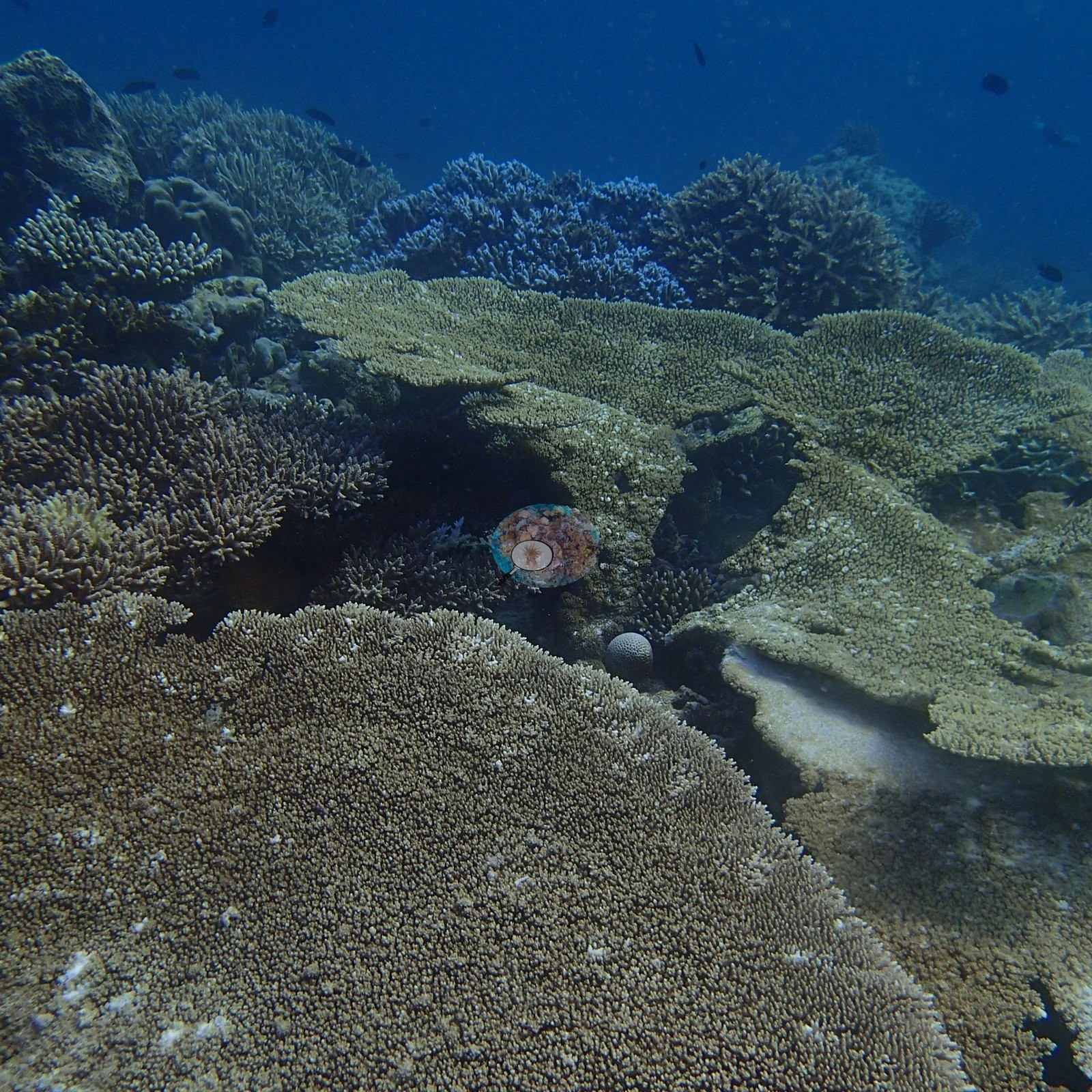
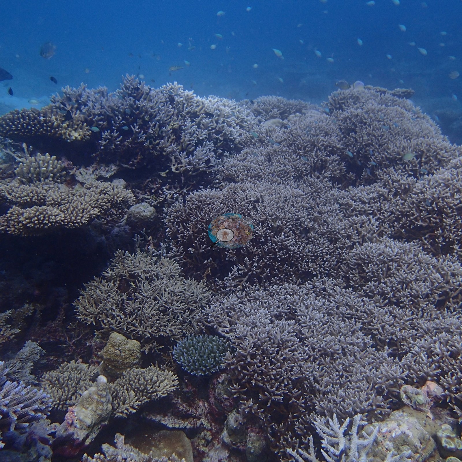
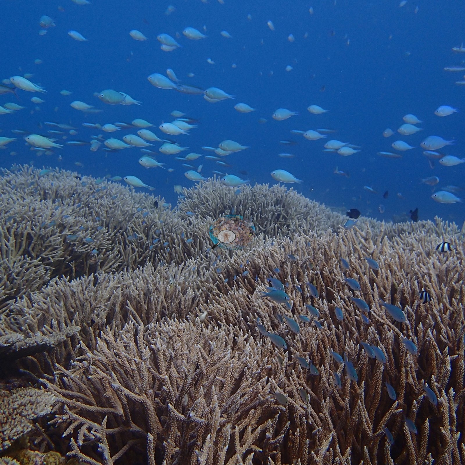
Maldives (NOAA CRW virtual station) · Maldives ecoregion mean=2.9°C-heating weeksAn unbroken carpet of staghorn and tabletop corals off Landaa Giraavaru, dense enough to hide a diver's shadow, photographed three months before the 2016 El Nino turned Baa Atoll's reefs bone-white. Computer vision cover estimate is 30-45%, averaging 37.1%.
Four independent survey stations shown with the program’s logo — click one to see how far it is from this site.
7 of these 25 photographs are shown beside the text that discusses them under "Site description" below.
Site description
General benthic features
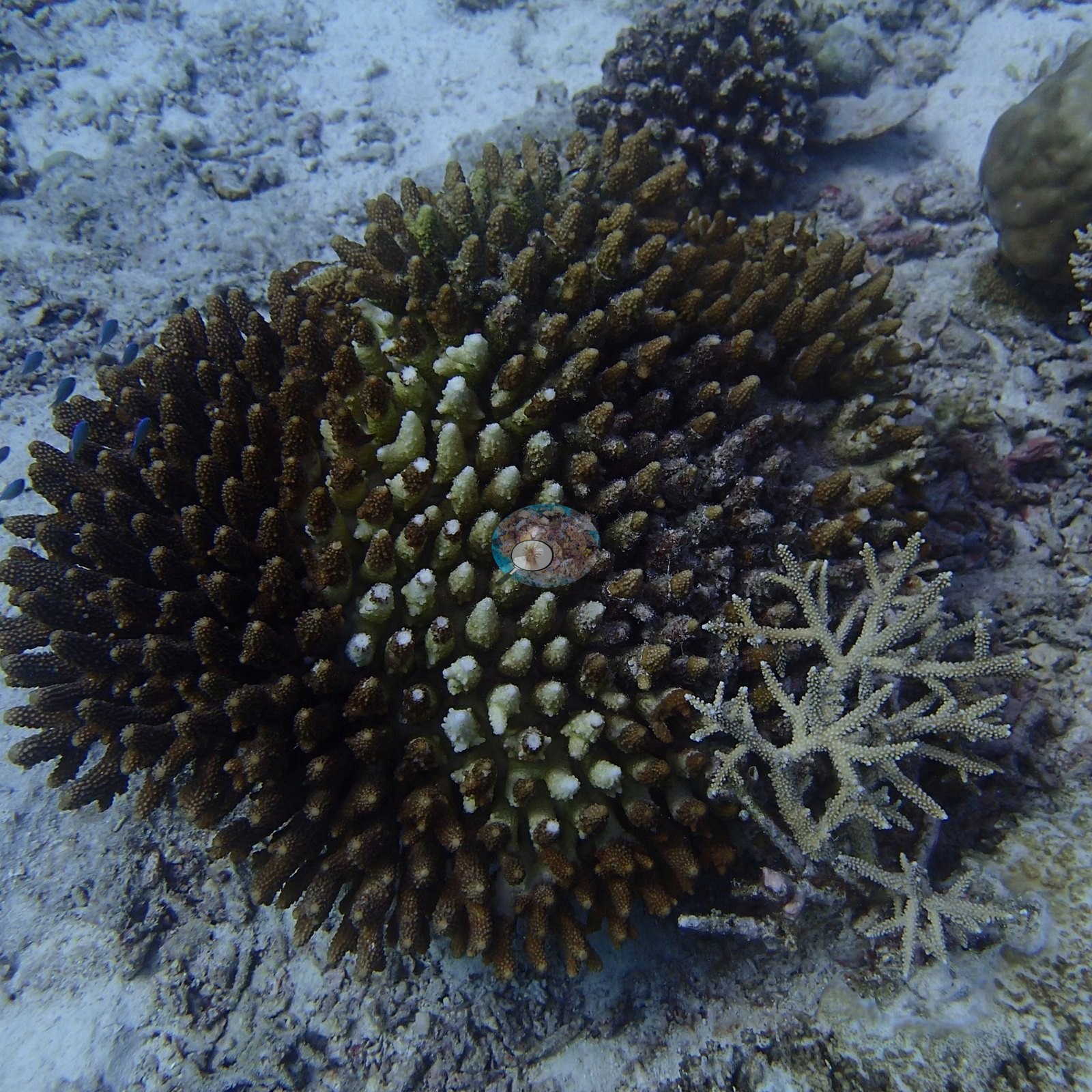
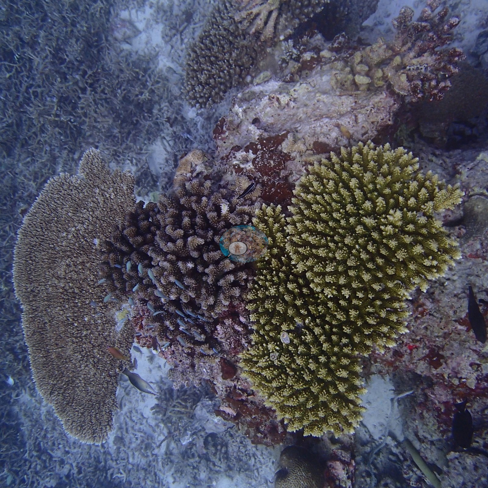
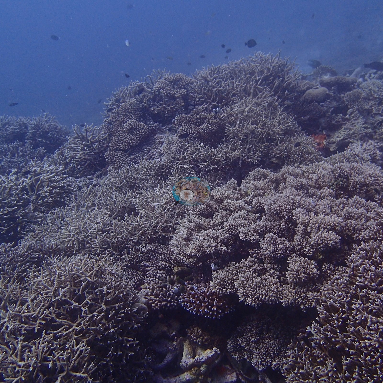
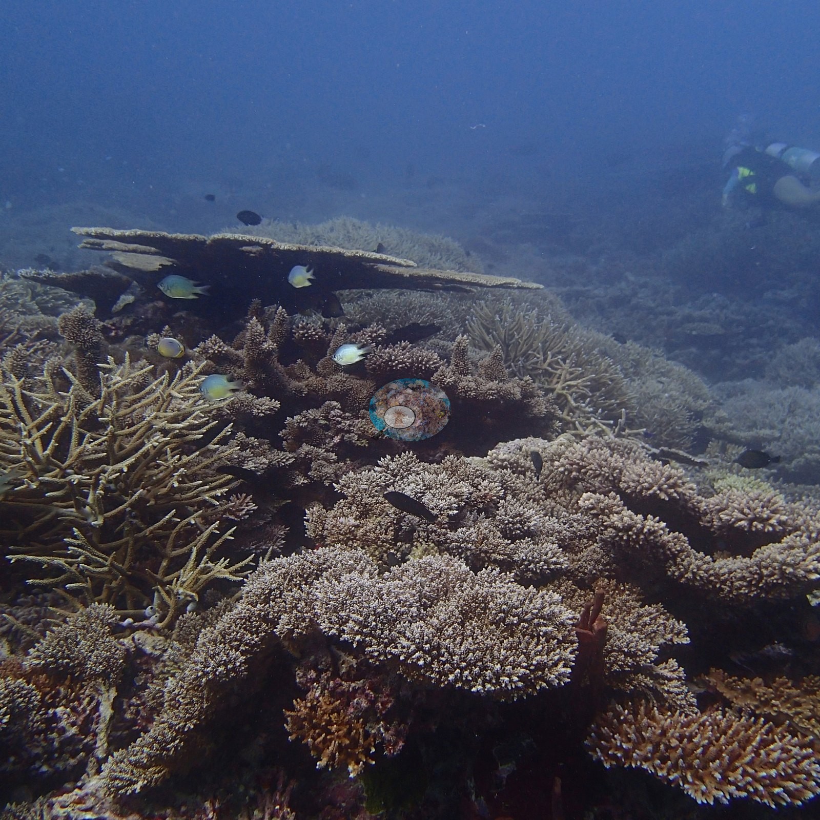
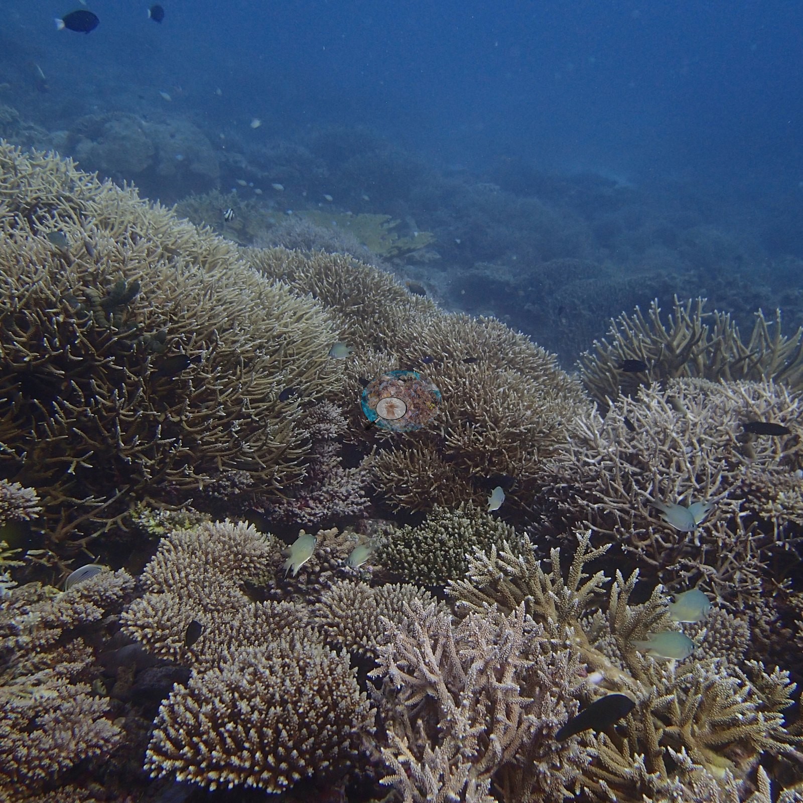
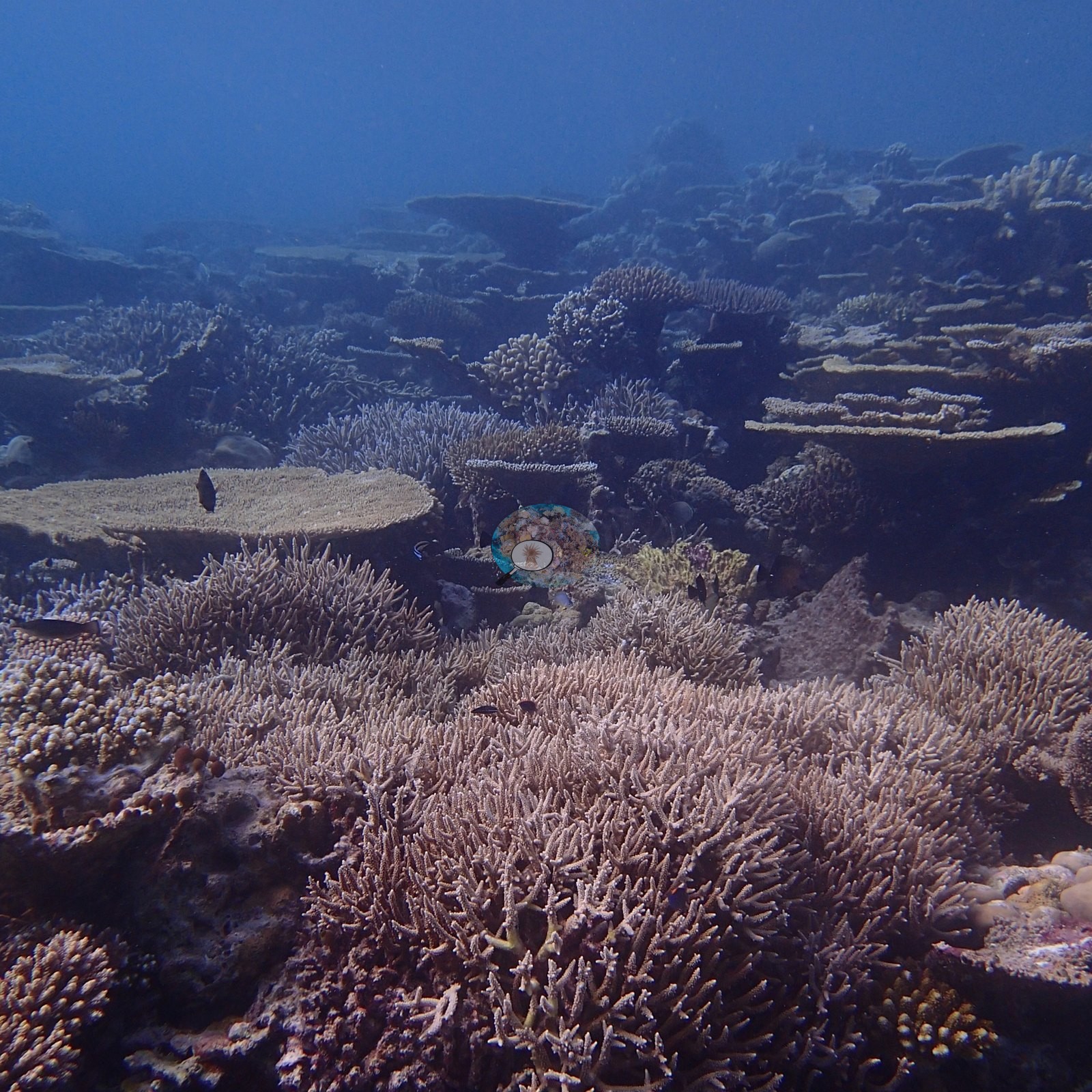
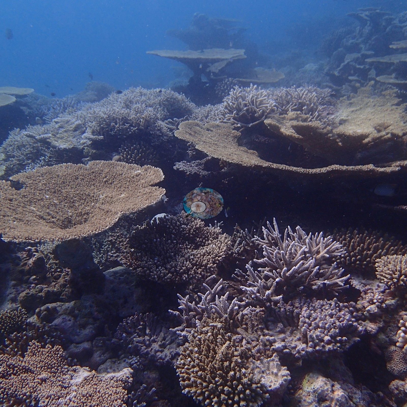
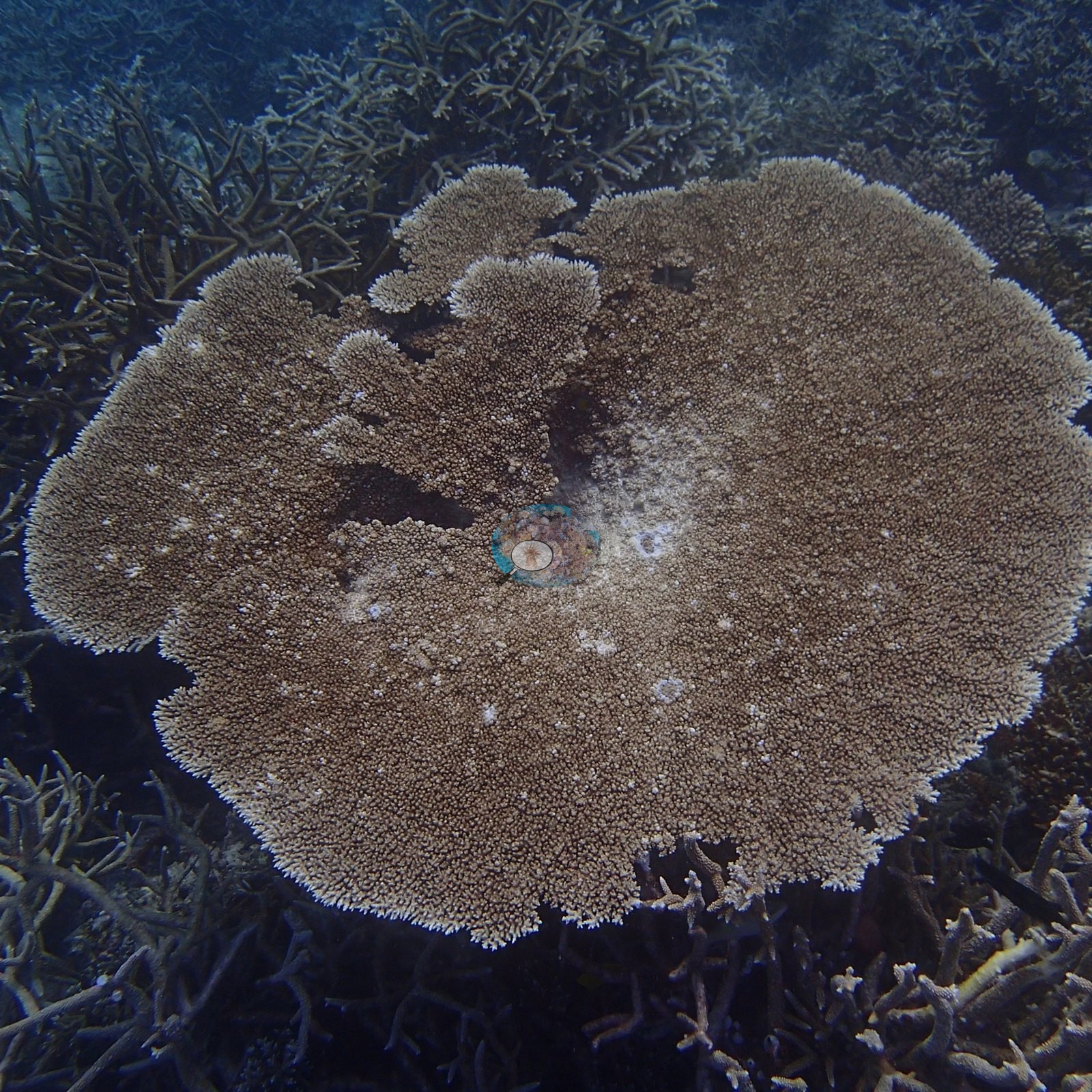
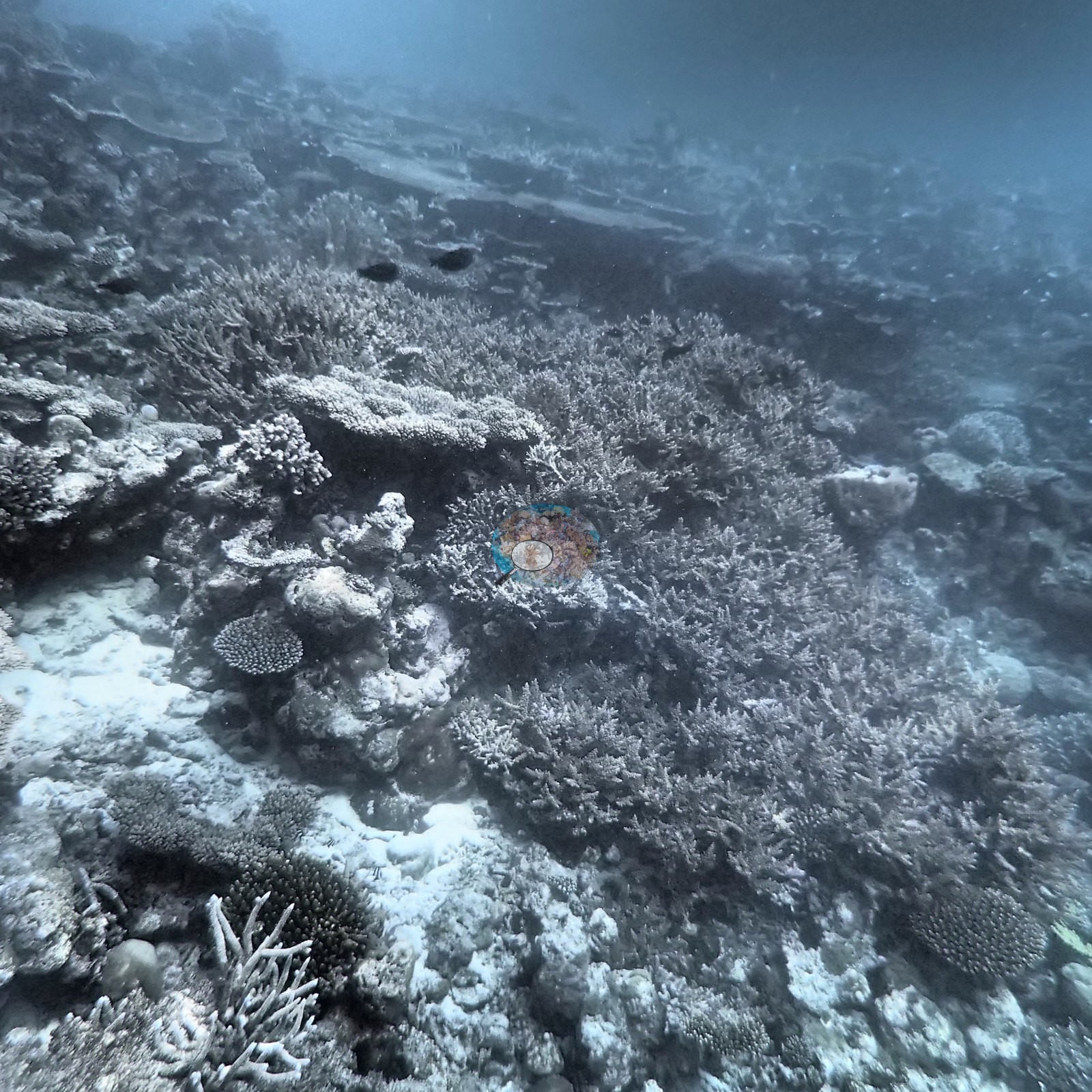
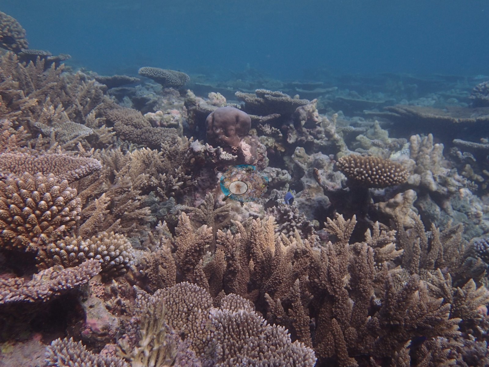
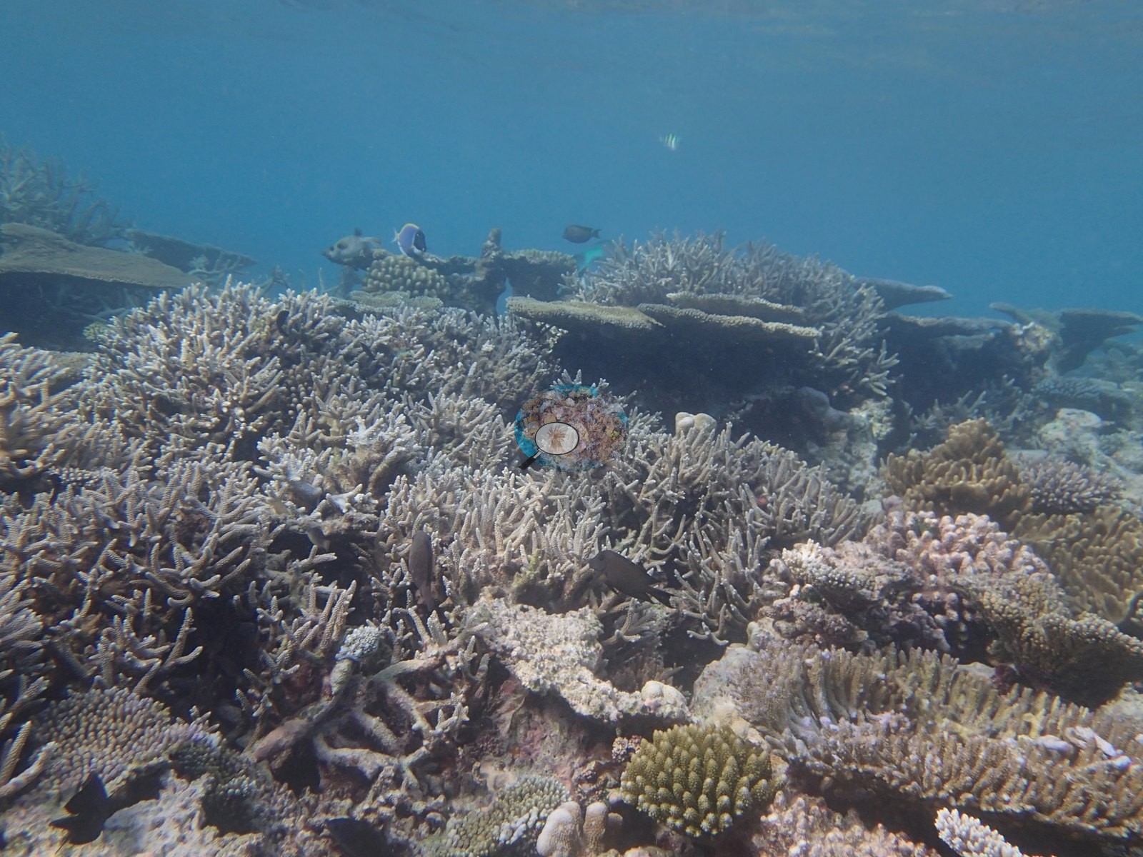
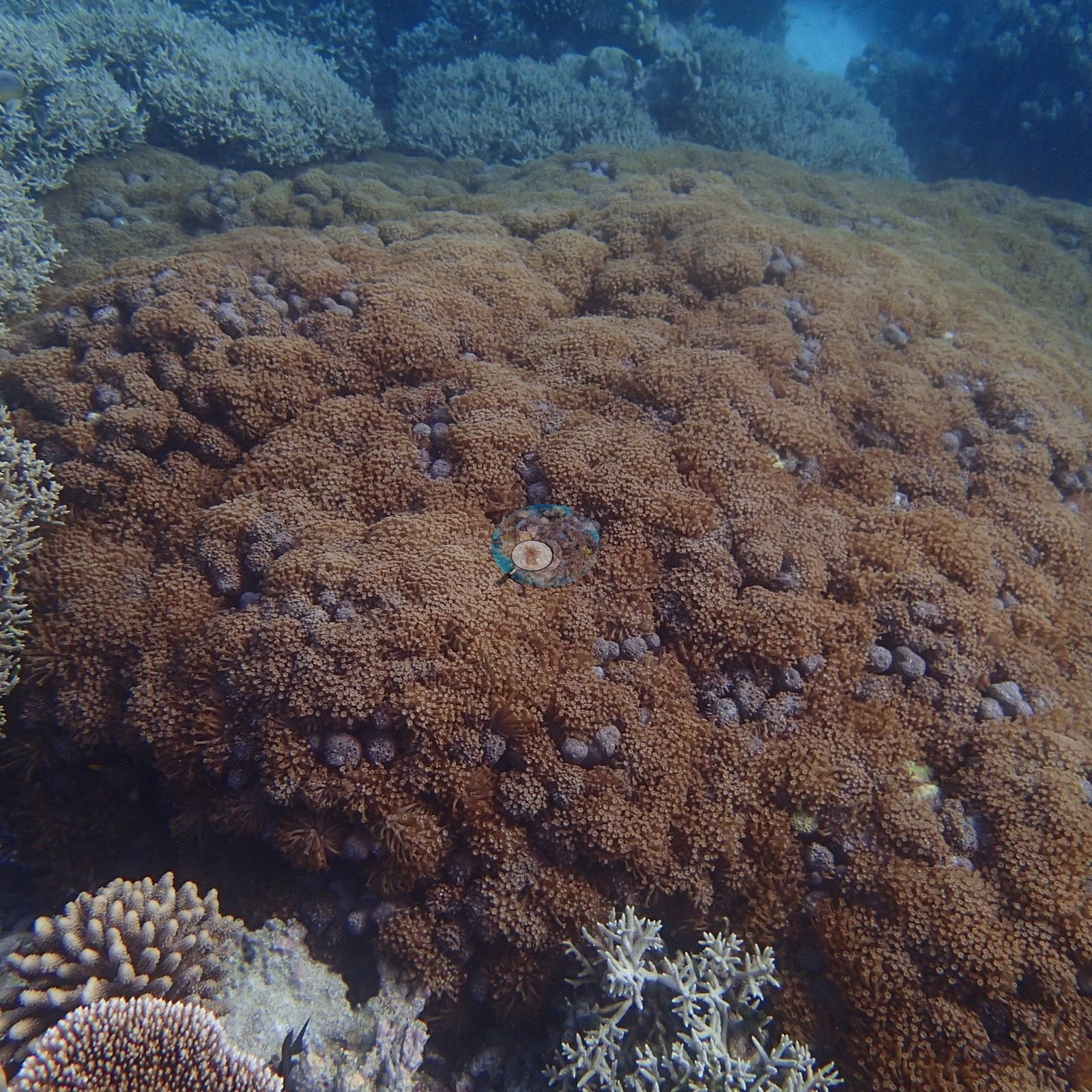
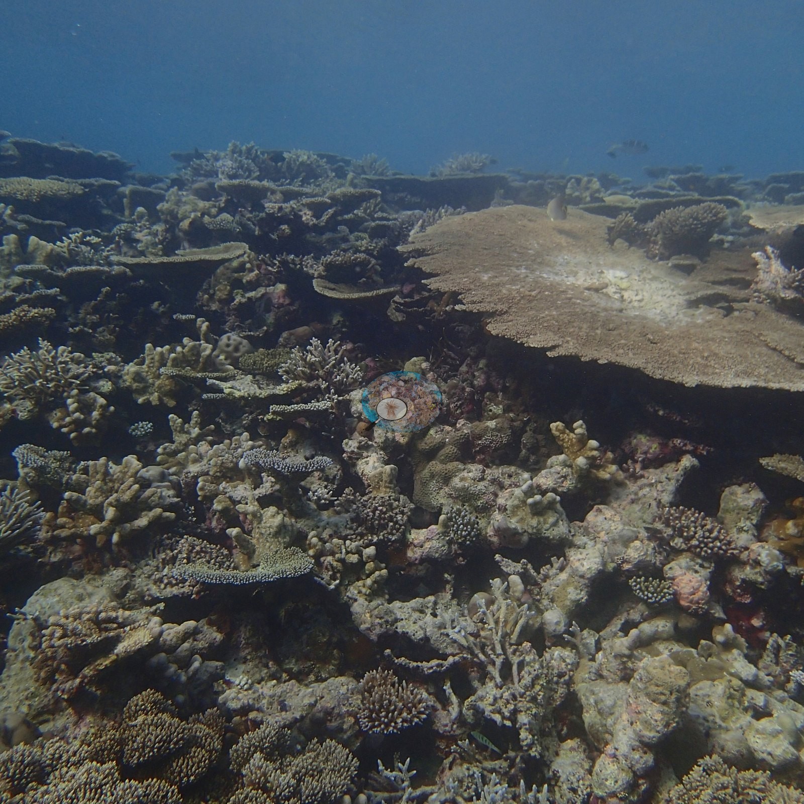
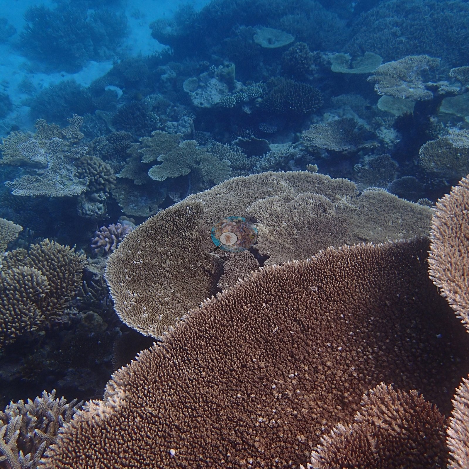
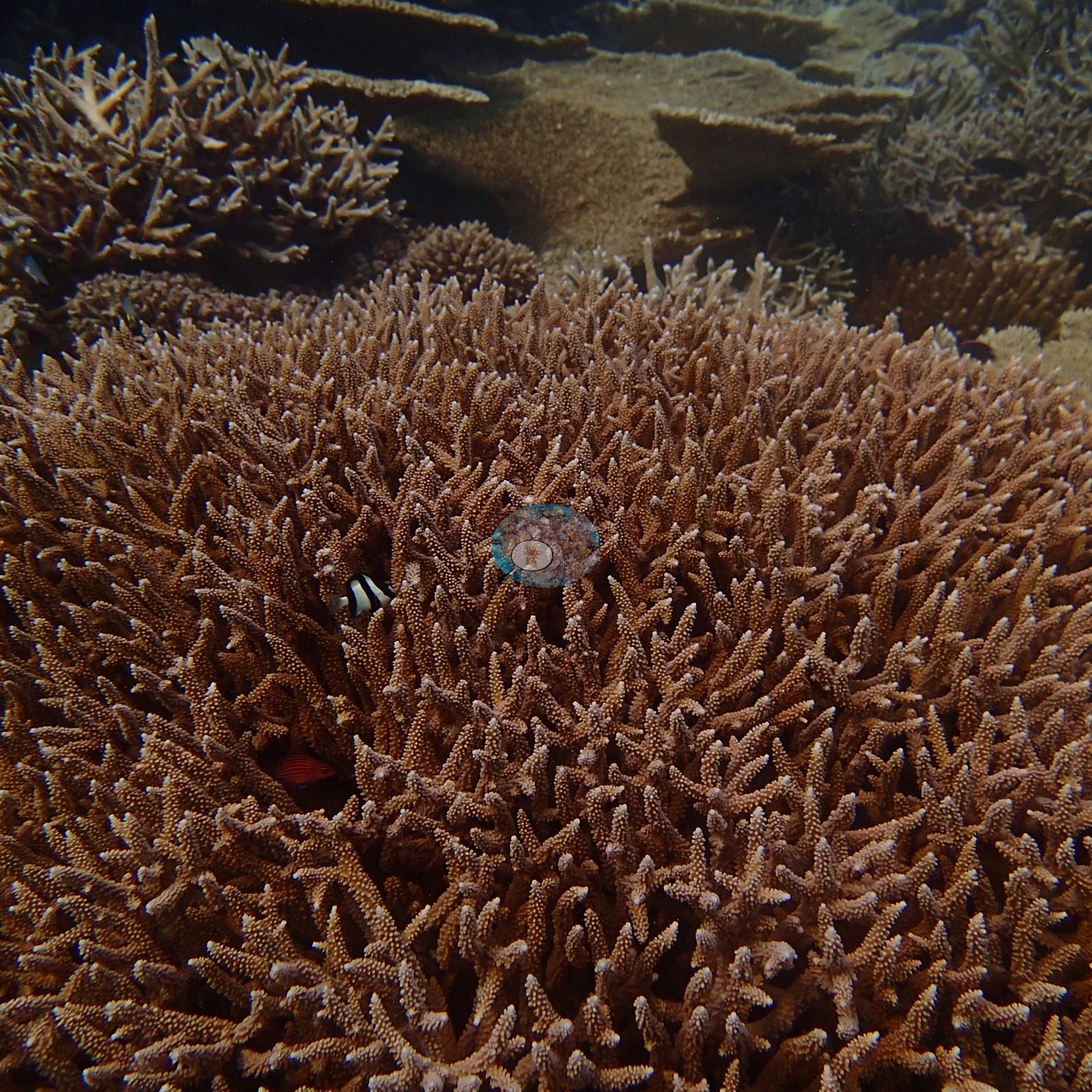
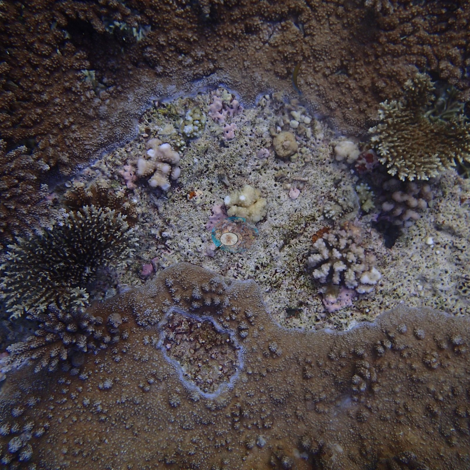
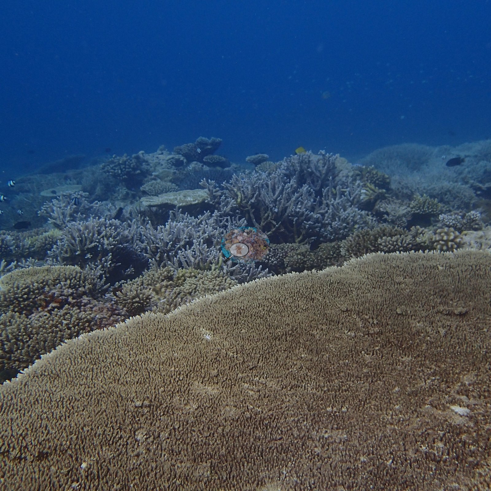
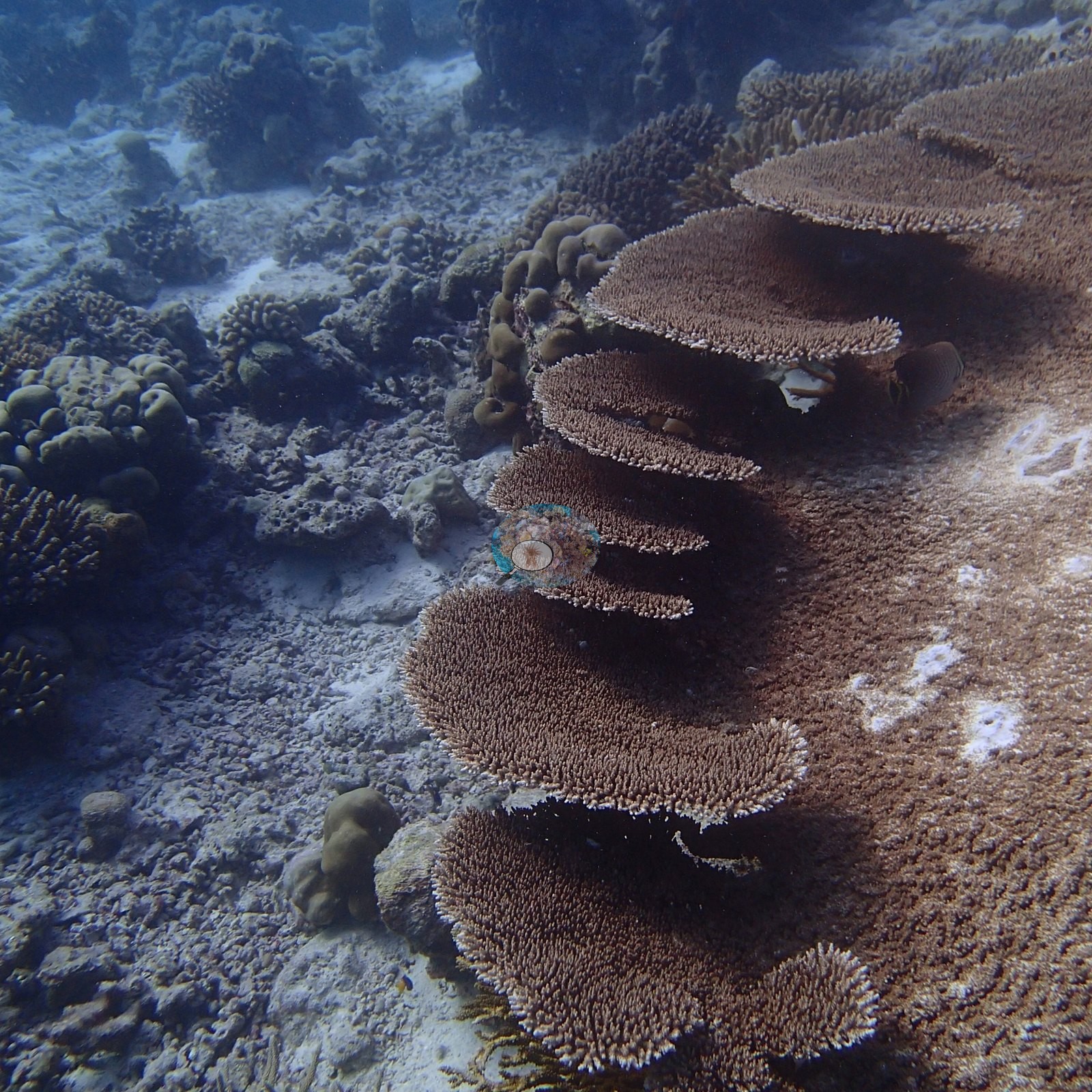
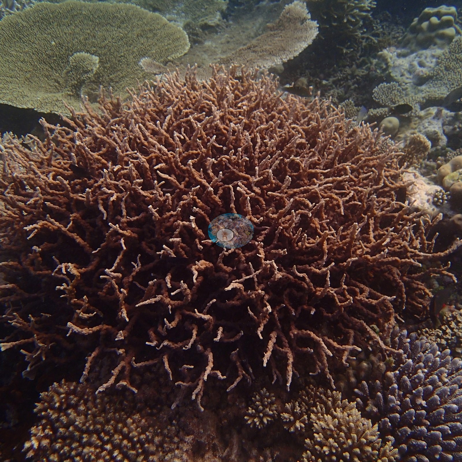
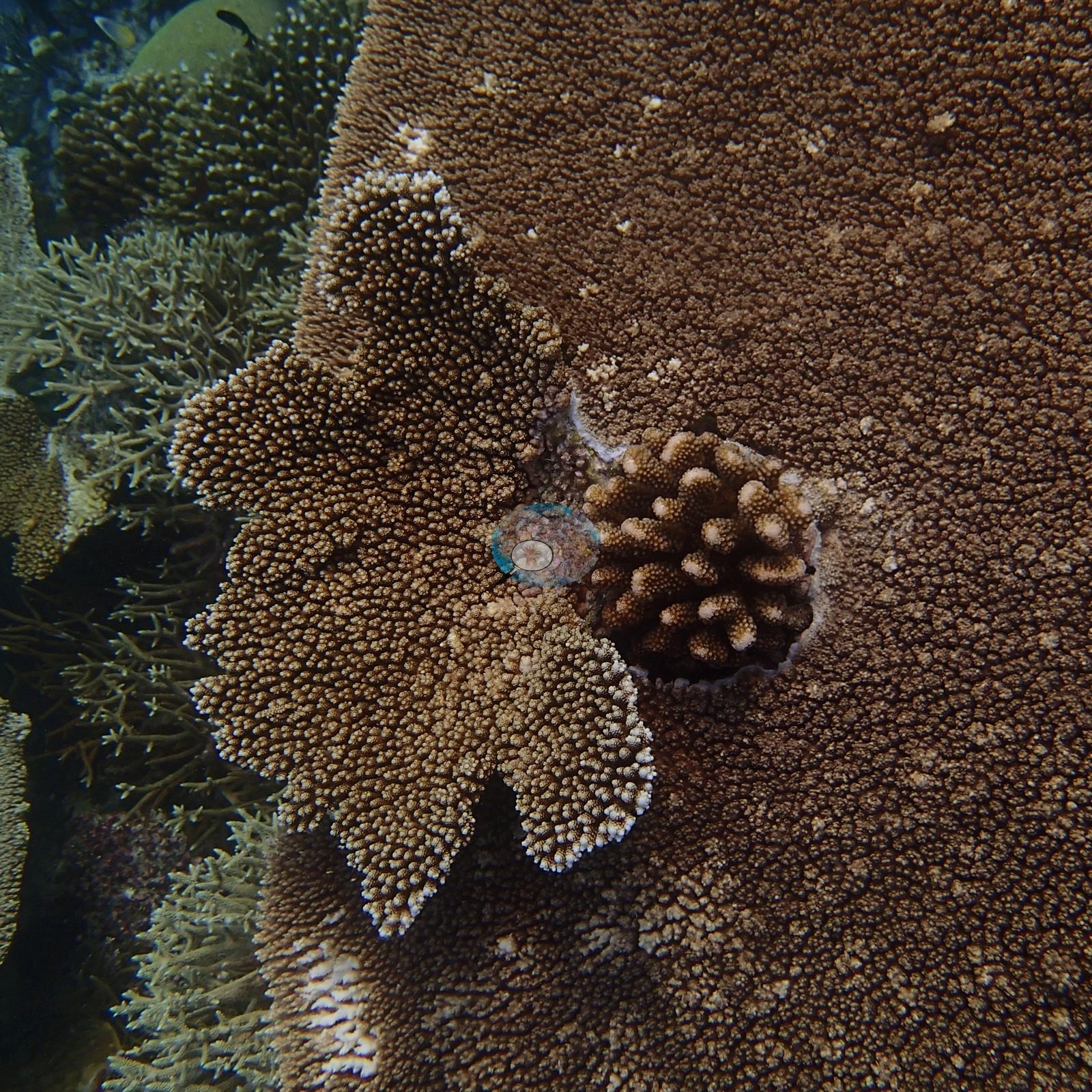
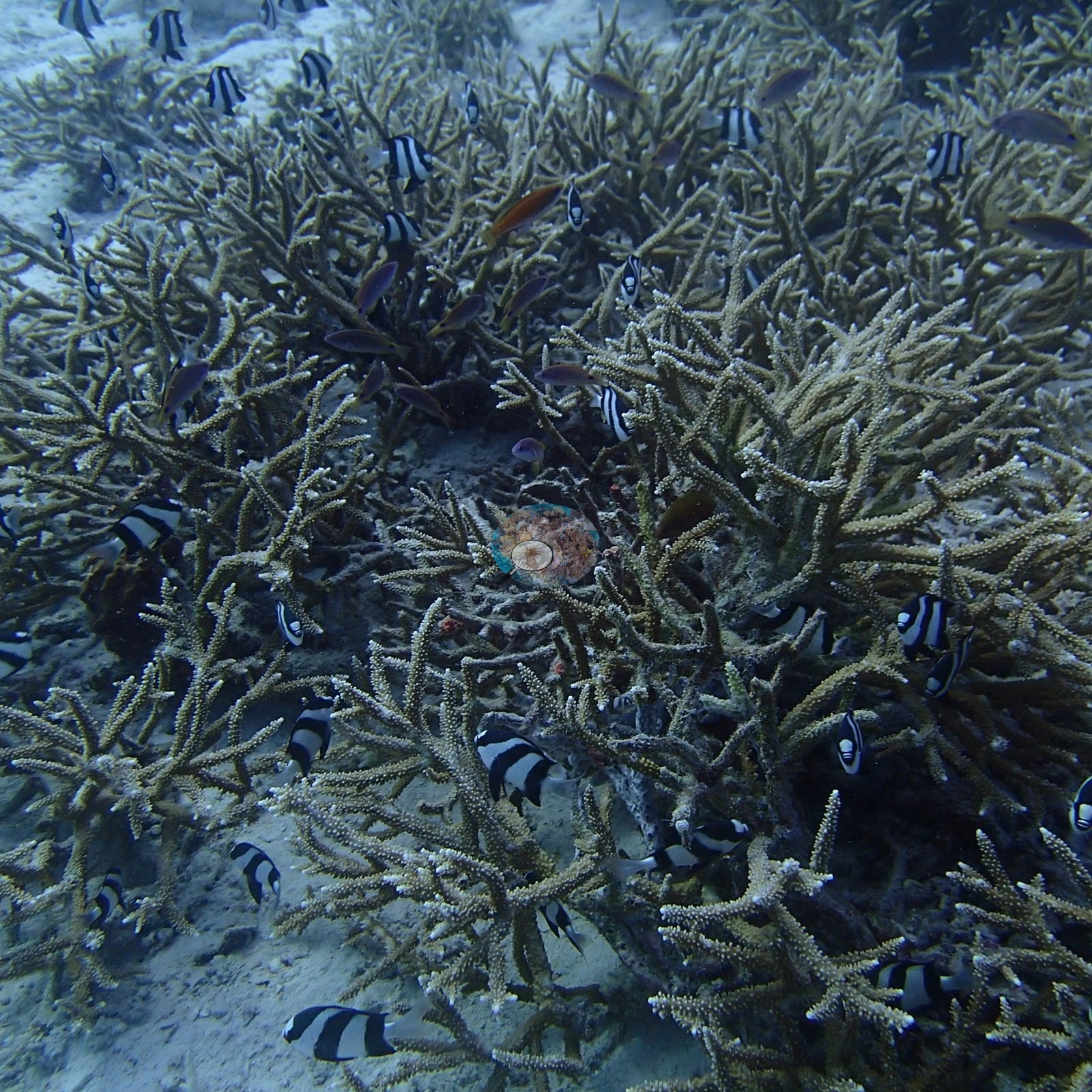
Some reefs have coral gardens; this one is a coral continent. Off Landaa Giraavaru in January 2016, the bottom disappears under an unbroken carpet of staghorn and tabletop corals — thickets dense enough to swallow your shadow, tables a meter wide stacked in tiers, one growing like a bonsai from the crown of a massive dome coral (e.g., Image 2, Image 8, Image 13, Image 20).
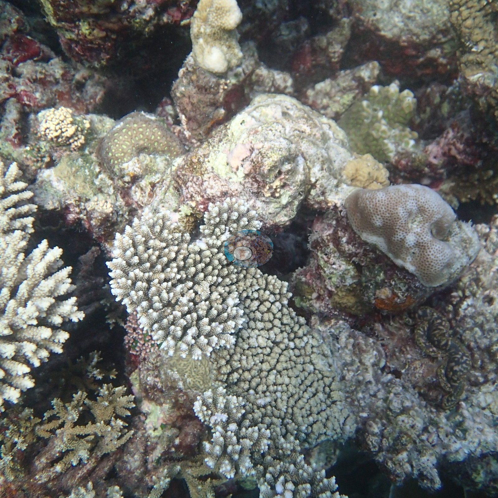
Look closely and you'll find daisy-like polyps waving from a coral head like a field of tiny anemones (e.g., Image 21).
Coral cover
Coral cover: 37% — photo-derived, and the two methods disagree by 15.2 pp; treat cover as a range (30–45%). This site's figure is the mean of two independent computer vision passes over Anderson's own frames: a DINOv3 calibrated point classifier reads 29.5% and a CoralSCOP computer vision reads 44.7%, a spread of 15.2 percentage points. The map publishes the mean so sites can be sorted against one another, but the honest statement of what is known here is the 30–45% range: the two products have different denominators and should not be treated as one measurement.
Stressors
Taken three months before the 2016 El Niño turned Baa Atoll's reefs bone-white, these photos preserve a coral empire at its zenith. No crown-of-thorns starfish (COTS) or other corallivores evident.
Fish and other fauna
Humbug damselfish hang in dithering columns over the branches, ducking in as one when anything looms; blue chromis scatter like confetti over the thicket tops; powder-blue tangs cruise the lanes between tables; and a spotted grouper keeps watch from a table's shade (e.g., Image 1, Image 25).
Comparisons with other data
No independent survey was made at this exact site; the nearest ones are listed in the table below.
CV model comparison
More info
As of September 2026 no computer-vision method estimates coral cover accurately on new images, so treat this as indicative rather than a measurement; it is revised as the methods improve.More info
The published figure is the mean of the two methods.| Method | Hard-coral cover (%) |
|---|---|
| In-house DINOv3 | 29.5 |
| CoralSCOP | 44.7 |
| Mean (± SD) | 37.1 ± 11 |
| Range | 29.5–44.7 |
Mean ± SD and range are across the computer-vision methods shown.
Independent surveys nearby
 Dr. Coral (CRD)
Within 5 km, 4 independent survey stations recorded hard coral cover in 28 surveys between 2007 and 2009. Of the 4 stations surveyed in more than one year, 3 increased and 1 changed by less than 5 percentage points between their first and latest surveys. The longest record, LGT4 (Reef Check, 0.18 km away), went from 10% in 2007 to 21% in 2009. The most recent nearby survey is from 2009, so these values predate recent heat stress. This site's own estimate (37%) sits within the range of these surveys (10–48%); the methods differ, so the comparison is context, not a like-for-like test.
Collected by other programs using different methods (Reef Check uses point-intercept transects), so these are context for the figures above, not a like-for-like comparison. Where a station was surveyed more than once the range is shown. Station names are not dive-site names.
| Agency | Site / location | Date | Hard coral cover (%) | Distance | Link |
|---|---|---|---|---|---|
| Reef Check | LGT4 | 2007–2009 | 10–21% (7 surveys) | 0.18 km | — |
| Reef Check | LGT3 | 2007–2009 | 21–36% (7 surveys) | 0.21 km | — |
| Reef Check | LGT2 | 2007–2009 | 25–48% (7 surveys) | 0.25 km | — |
| Reef Check | LGT1 | 2007–2009 | 27–44% (7 surveys) | 0.27 km | — |
Data & links
All images from Coral Reef Diagnostics. Data are from Coral Reef Diagnostics and the organizations named in the data-sources table above.
© Coral Reef Diagnostics.