
Maldives - Fesdhoo wreck

Part of the regional summaries: Maldives - Central (Male Atolls / Ari / Vaavu) and Maldives
More info
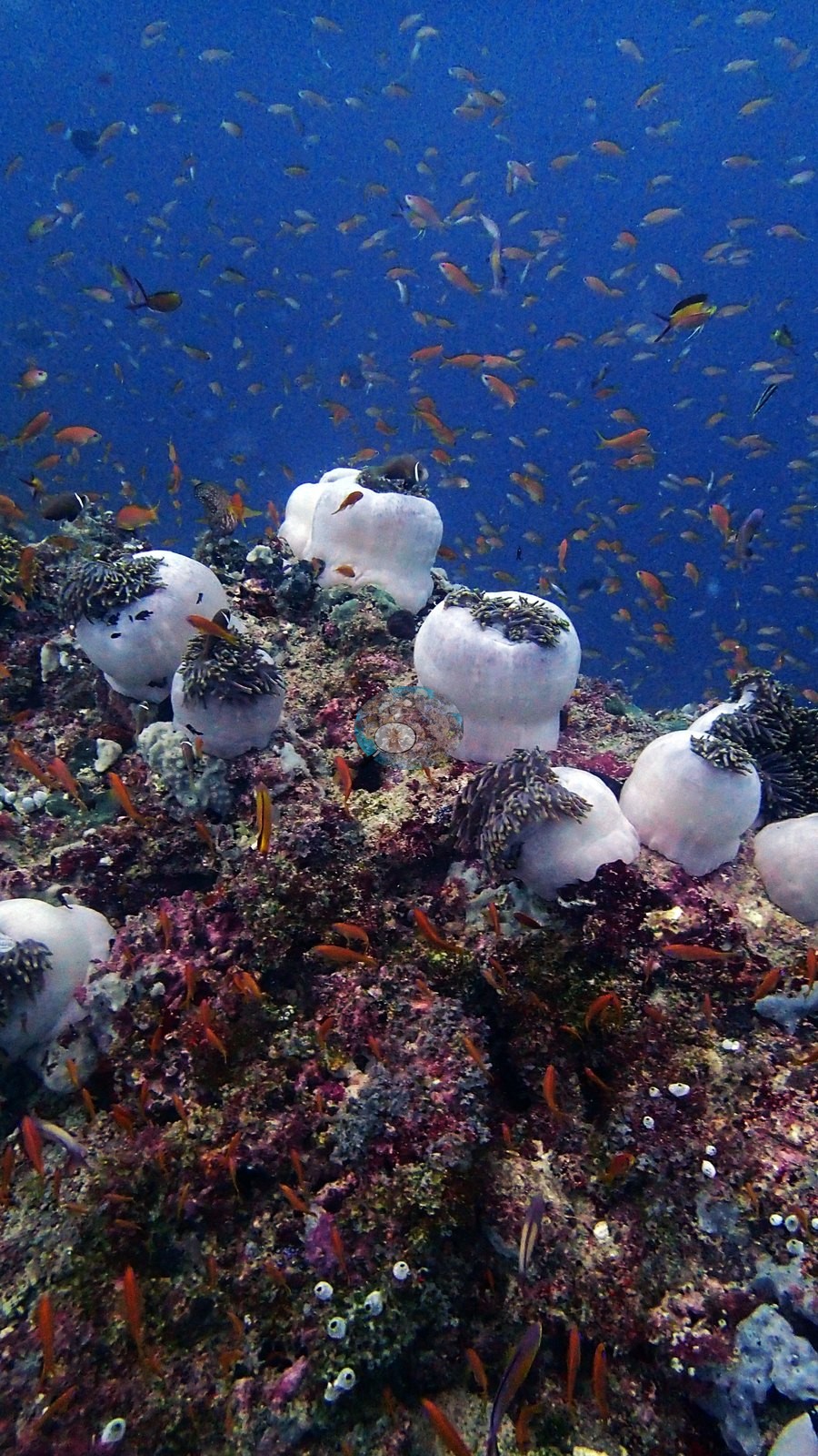
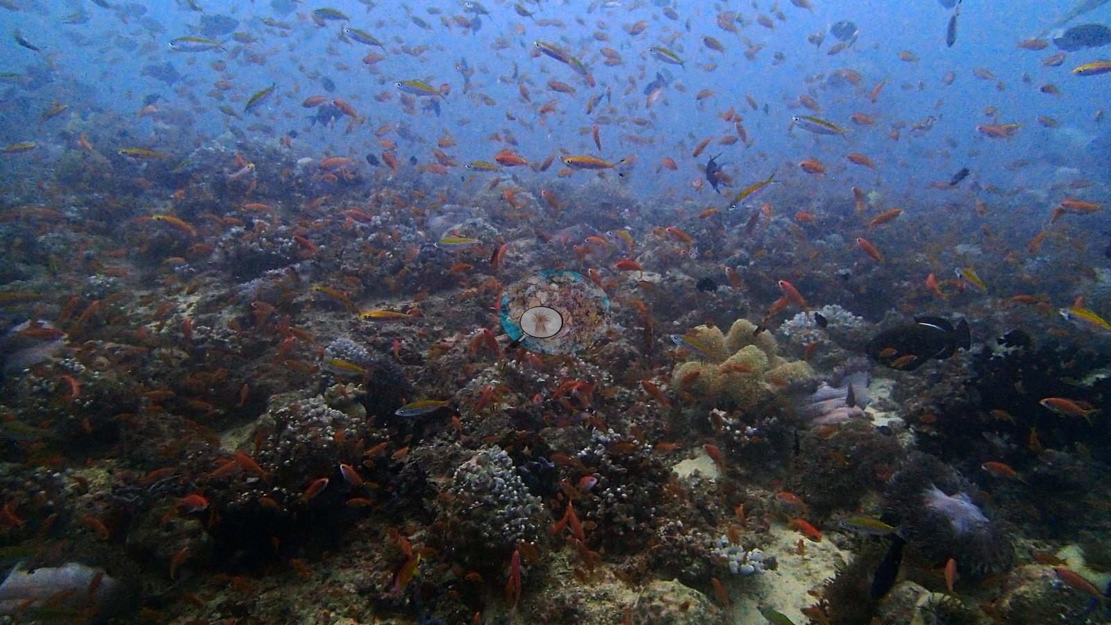
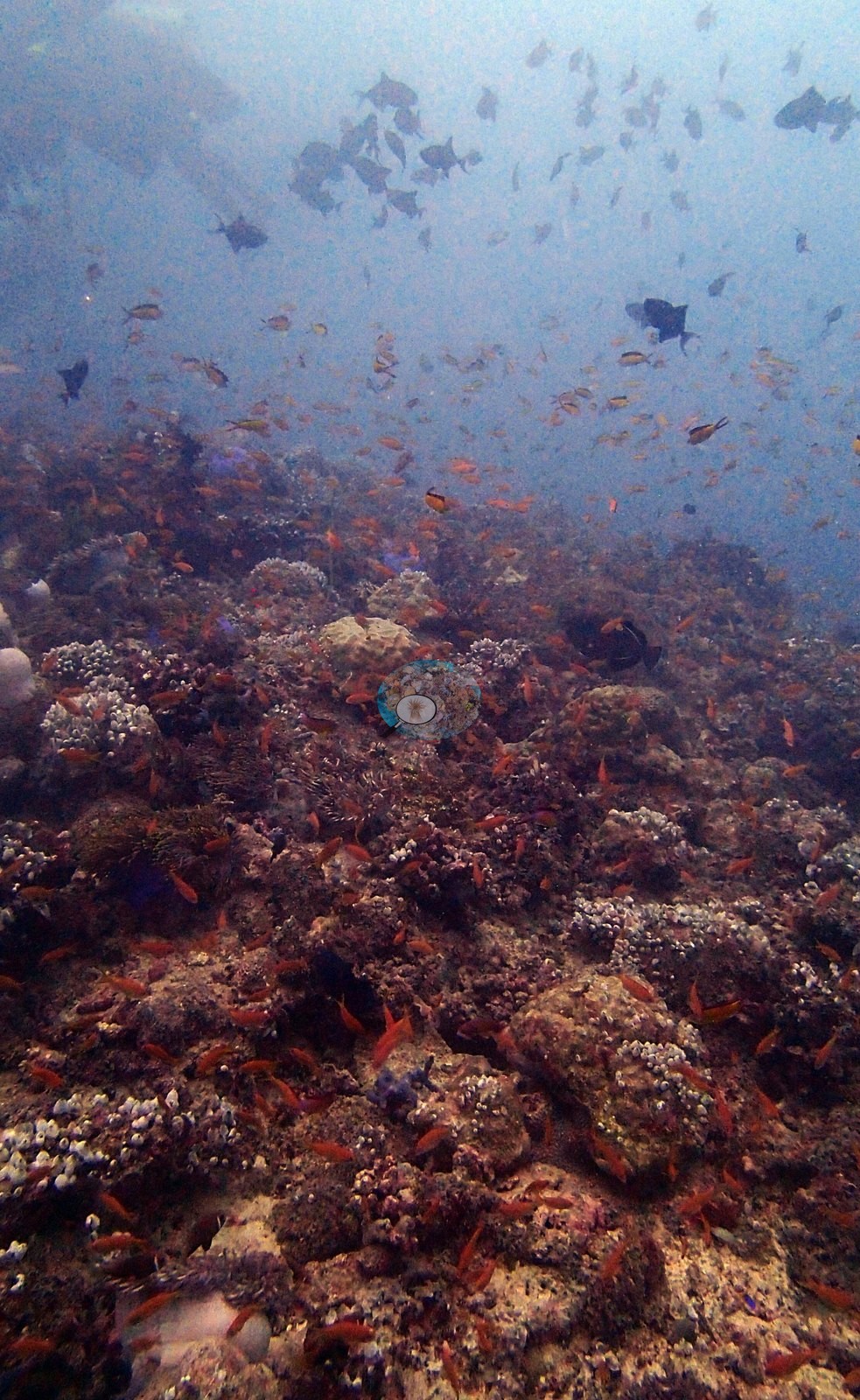
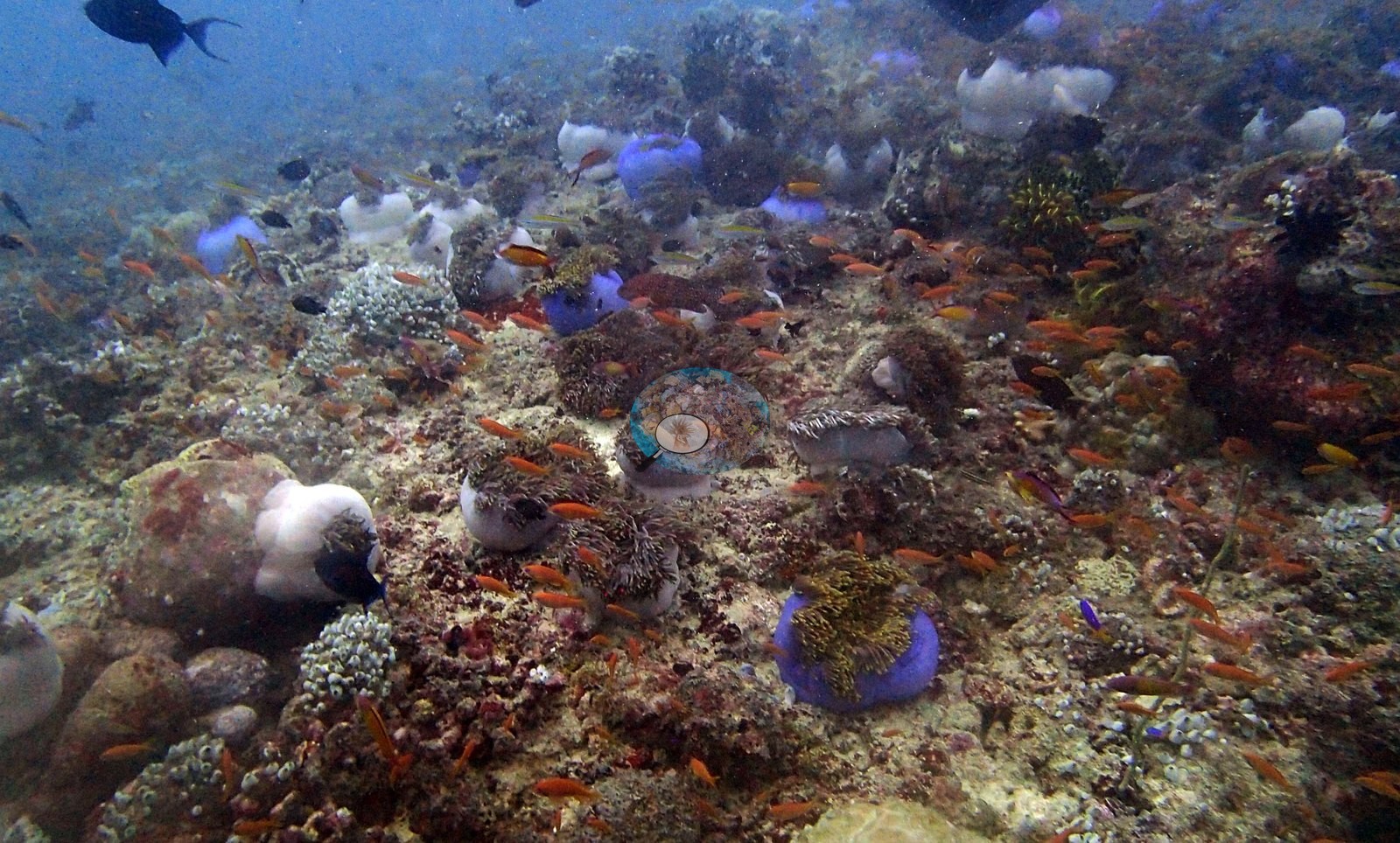
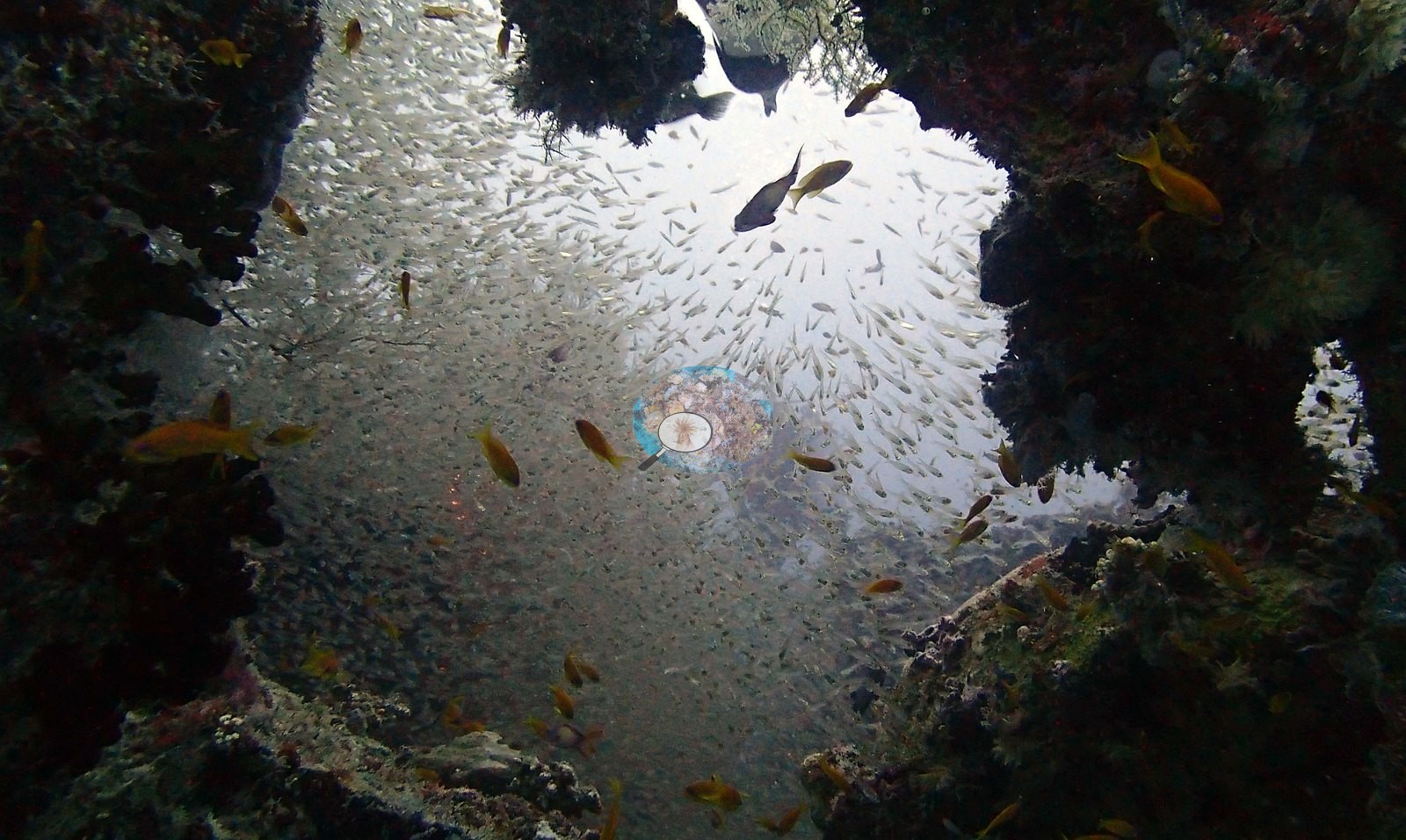
Maldives (NOAA CRW virtual station) · Maldives ecoregion mean=2.9°C-heating weeksA thoroughly feral wreck, its structure grown over with sponges, hydroids, and a doorway-sized sea fan, its hold filled with a single shifting mass of glassy sweepers and garden eels swaying on the sand nearby. Computer vision cover estimate is around 14.4%.
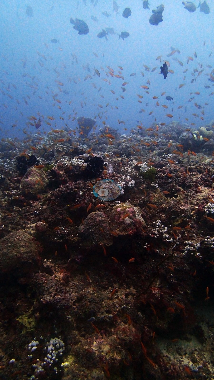
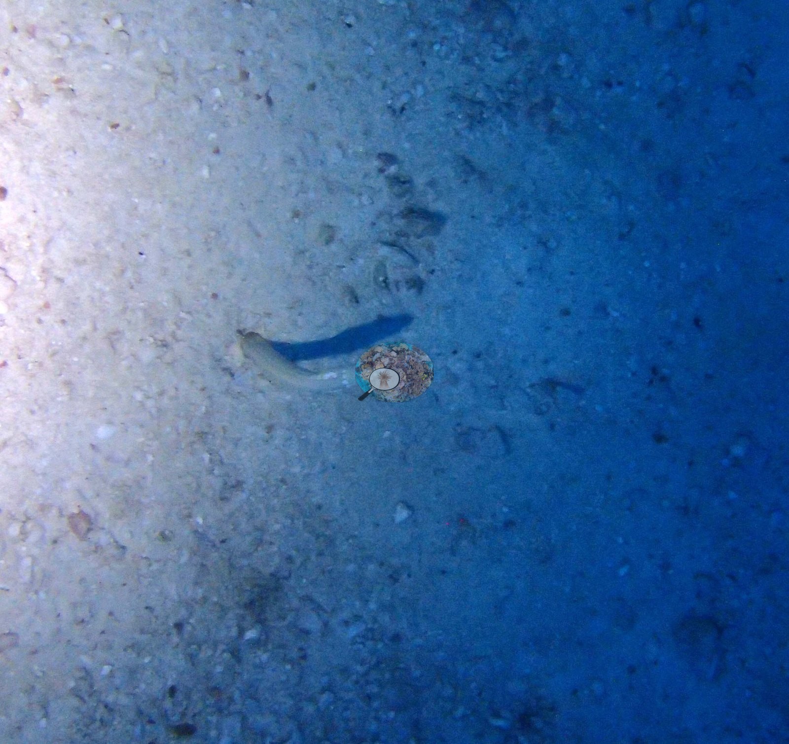
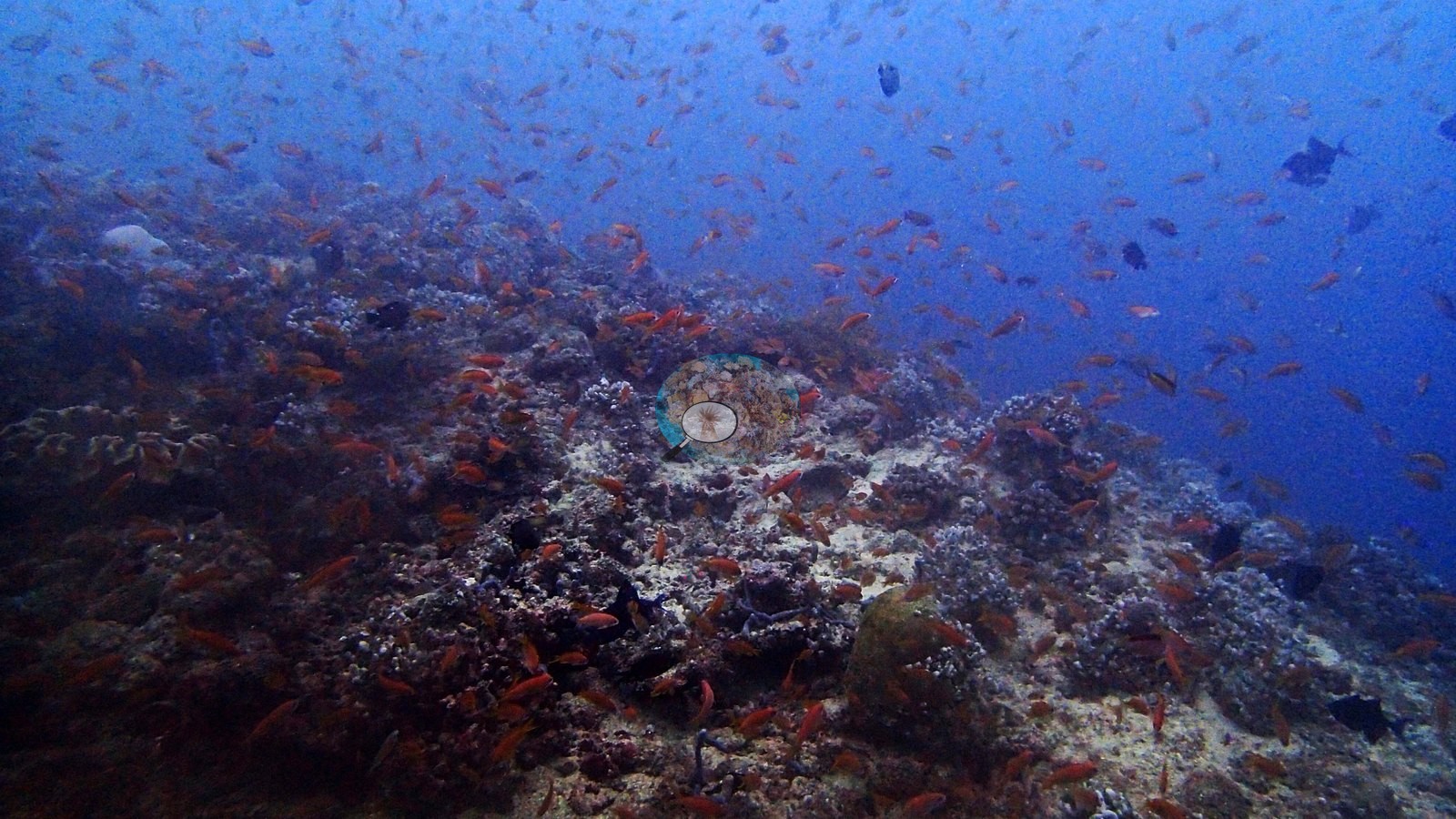
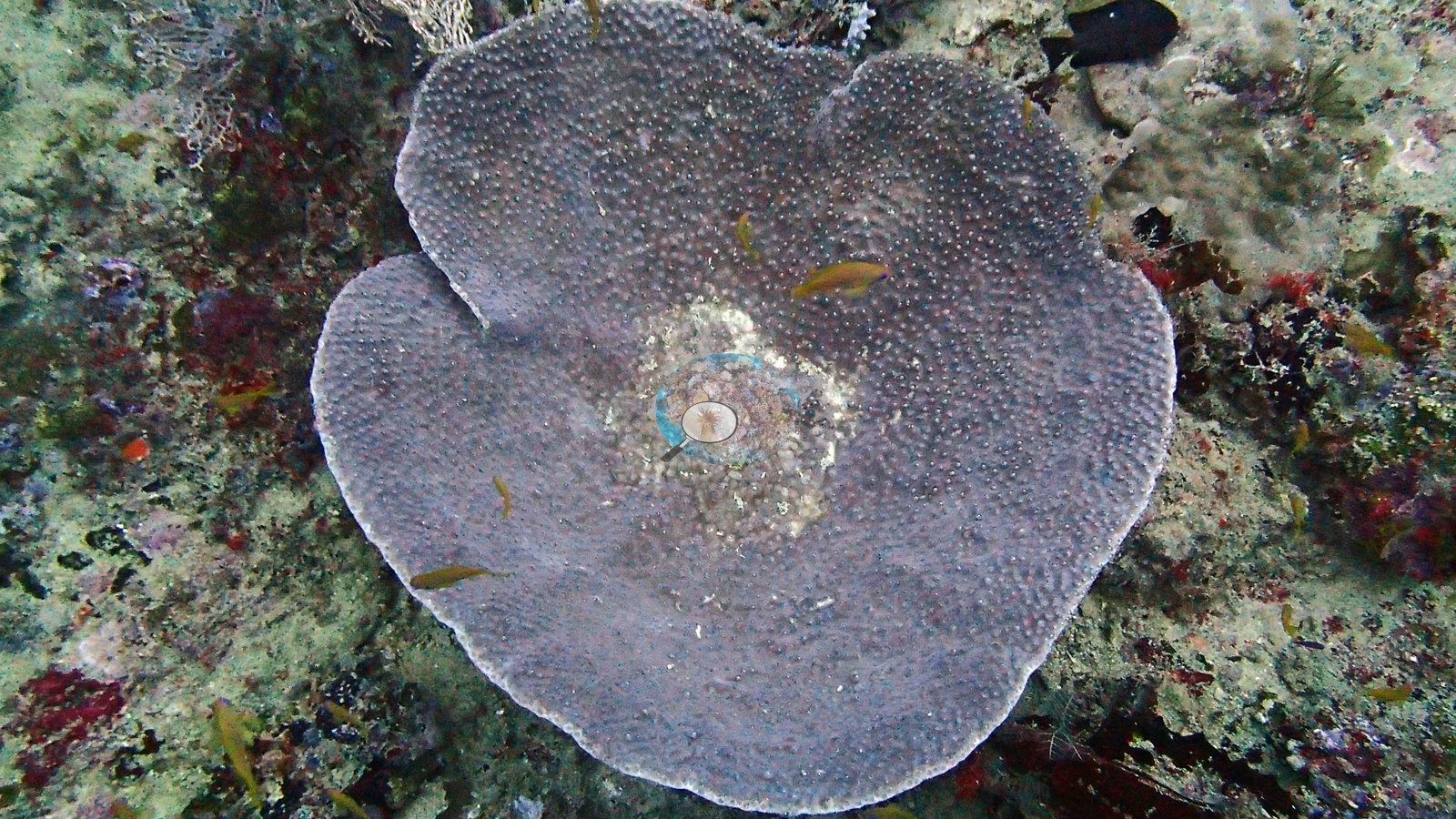
Five independent survey stations shown with the program’s logo — click one to see how far it is from this site.
17 of these 32 photographs are shown beside the text that discusses them under "Site description" below.
Site description
Setting
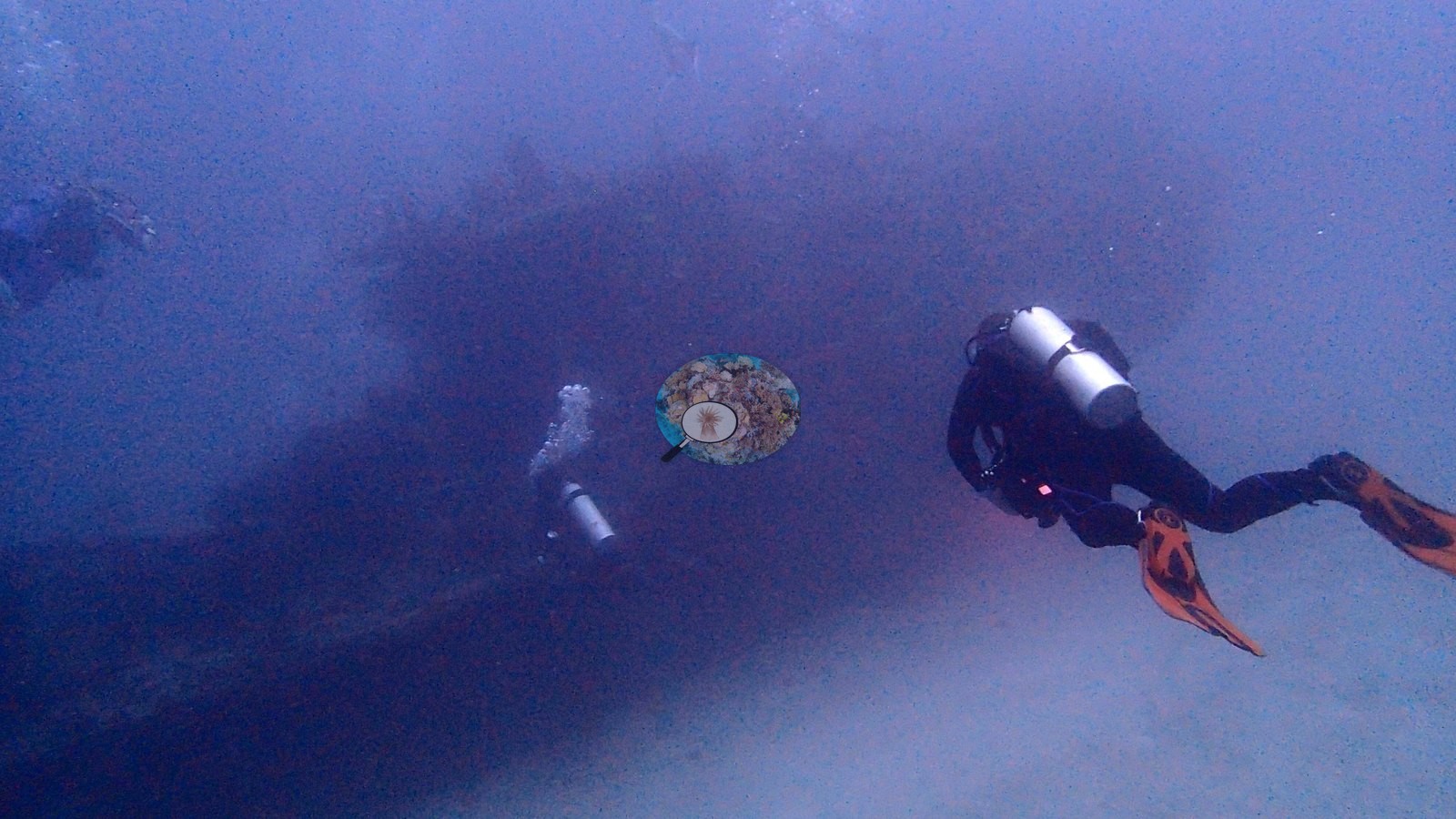
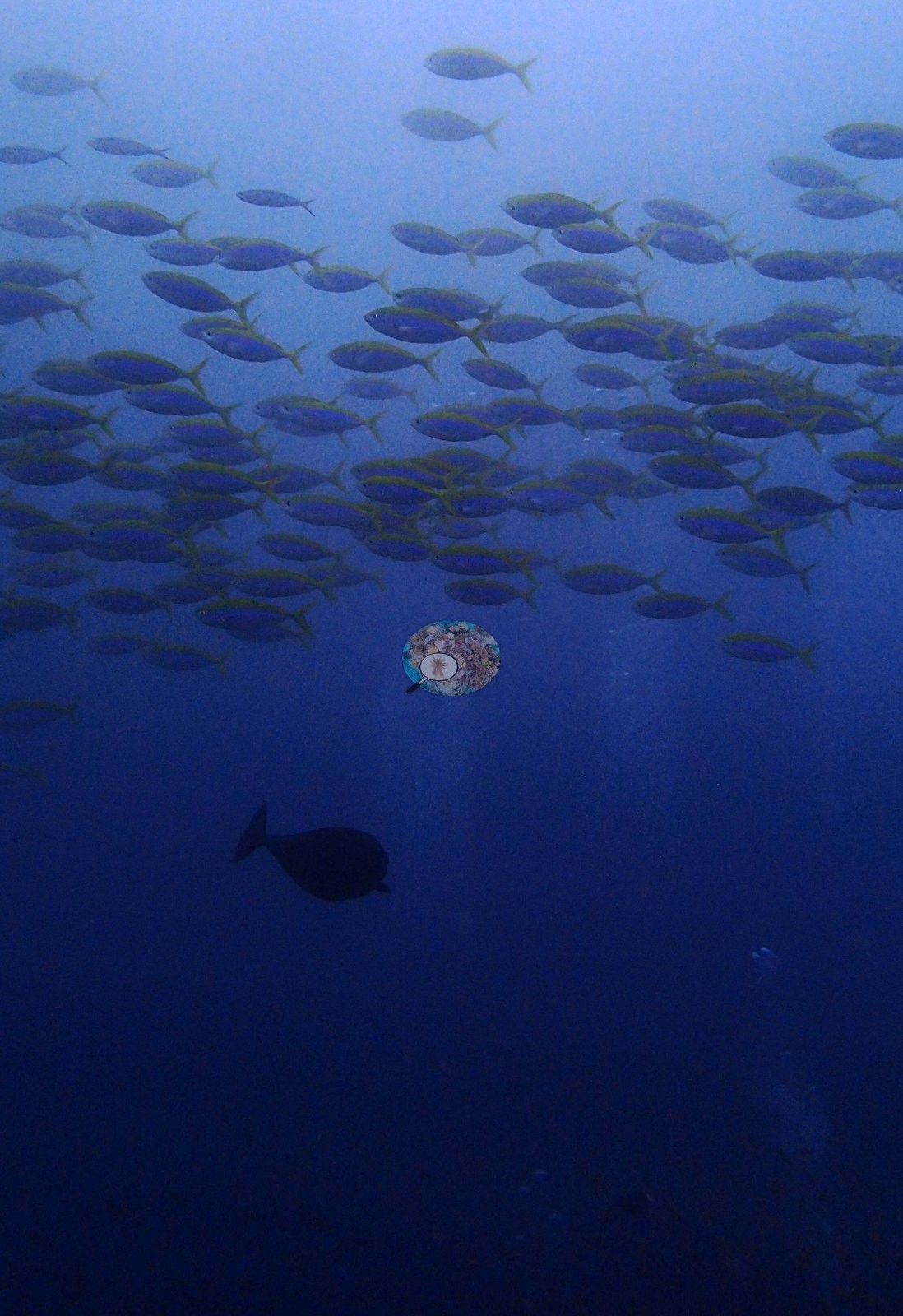
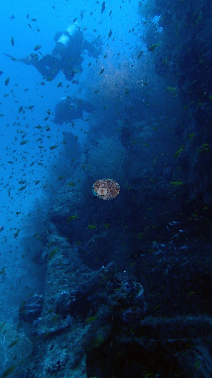
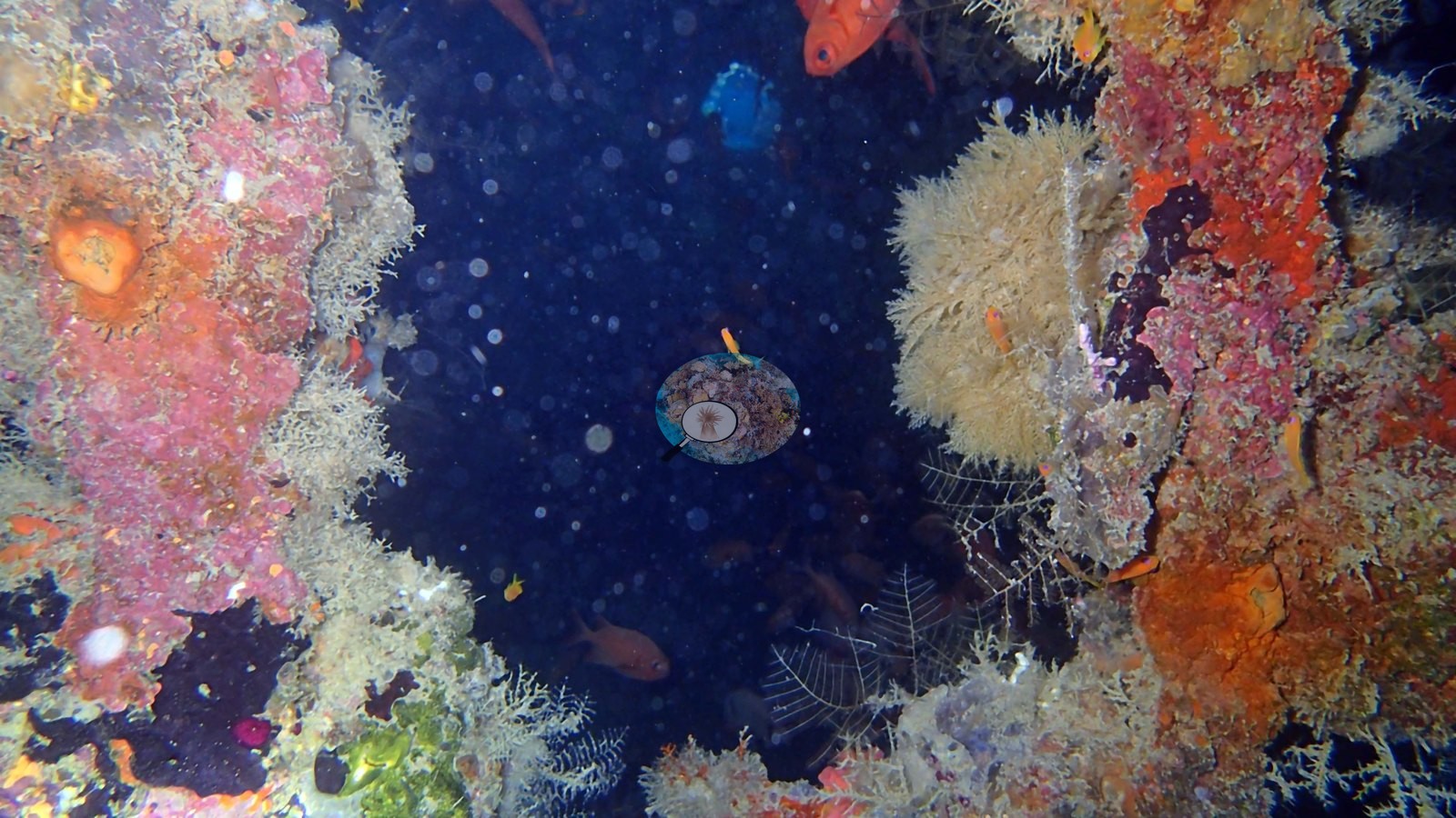
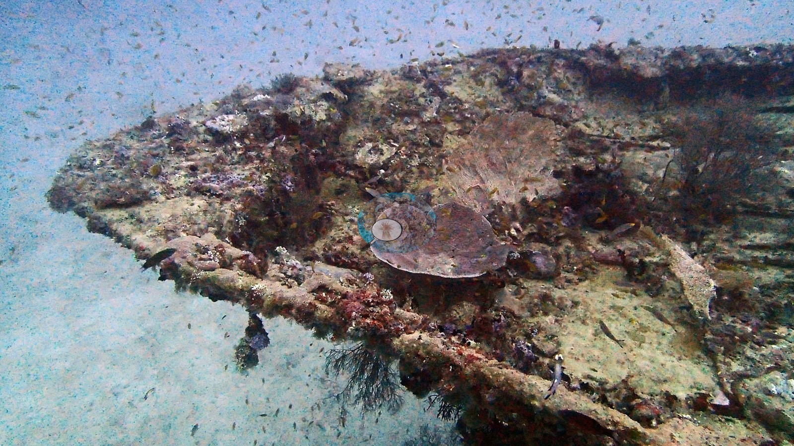
A small sunken ship gone thoroughly feral. In the gloom of the deeper frames the whole scene earns the photographer's own caption: ghost ship (e.g., Image 1, Image 17).
General benthic features
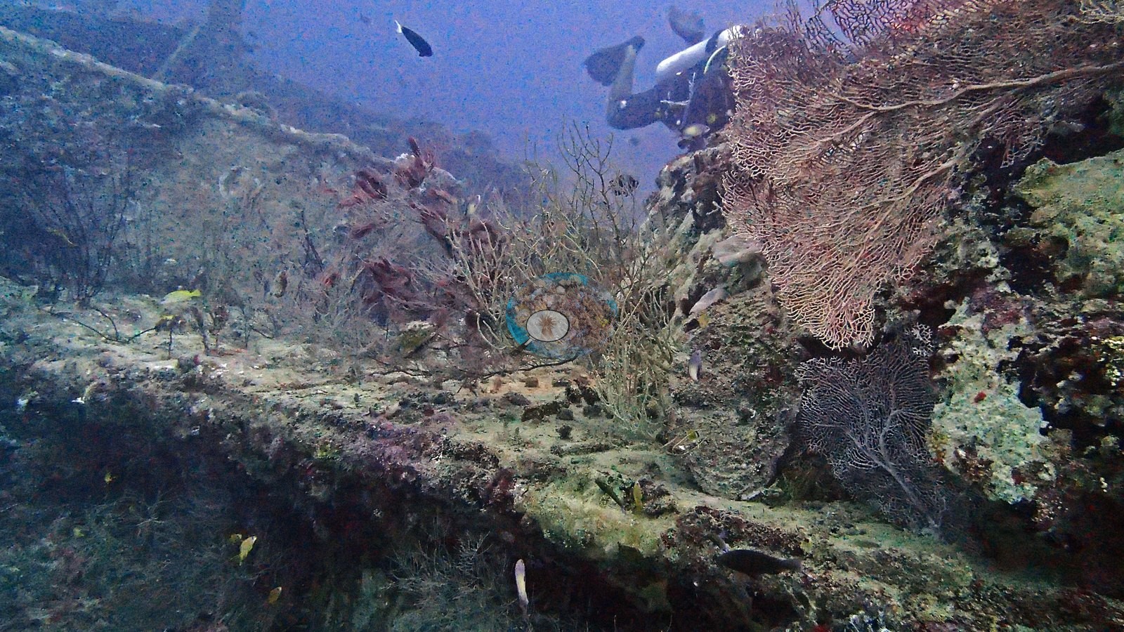
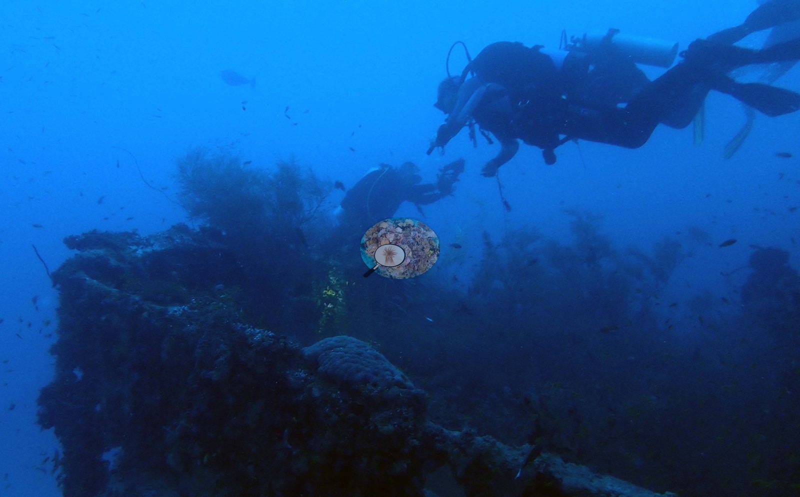
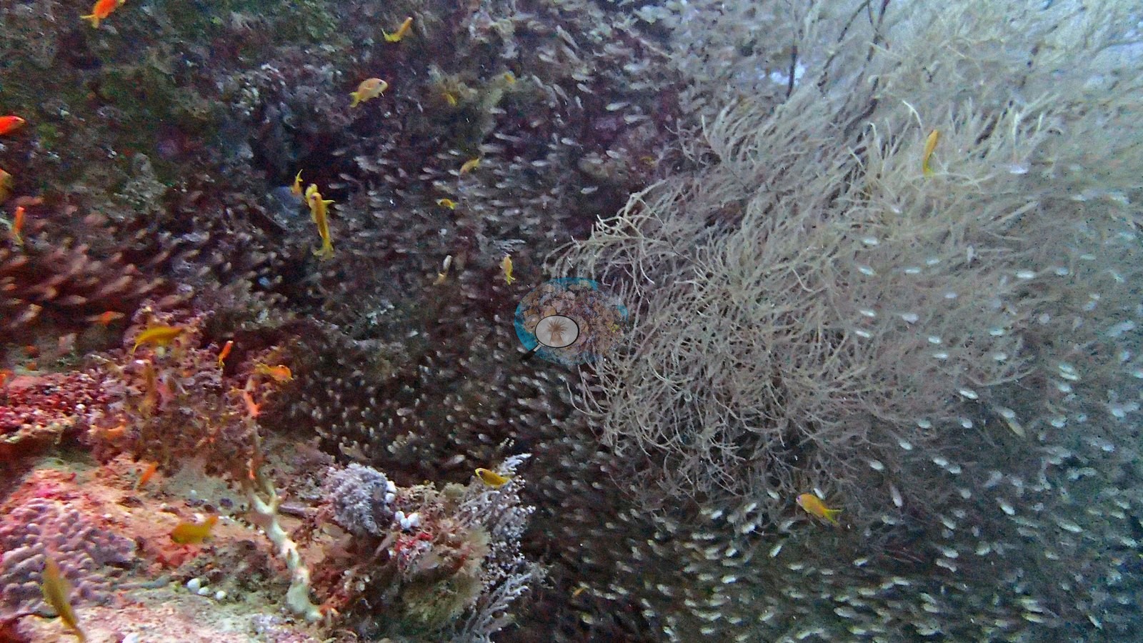
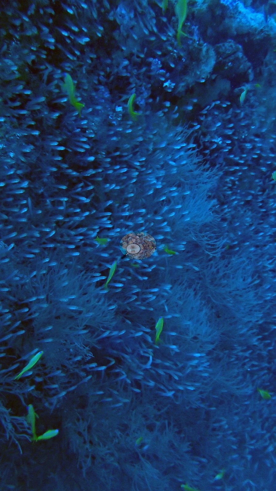
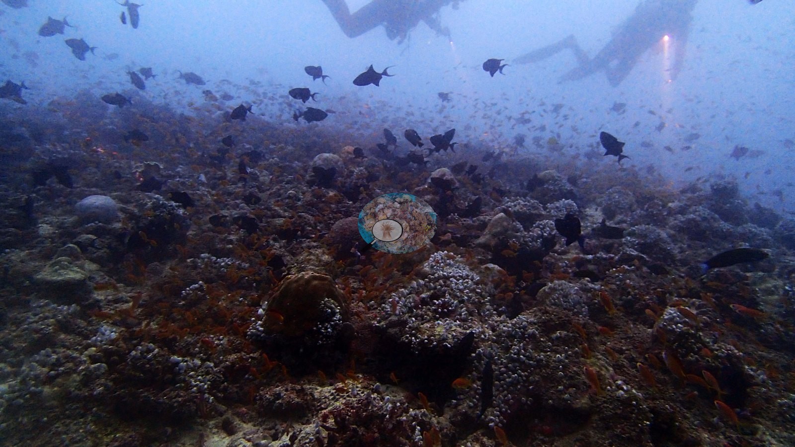
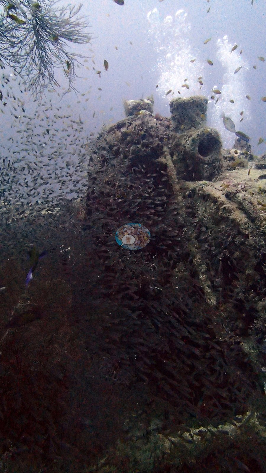
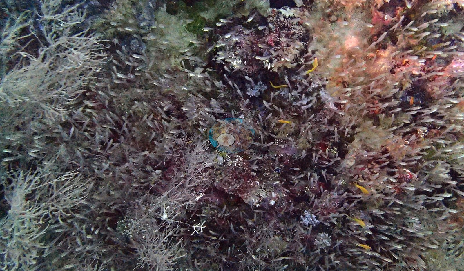
Its masts and bollards have swelled into shaggy pillars of sponge and hydroid, a tan sea fan the size of a door spreads from the hull, and inside, the hold breathes with a single organism-like mass of glassy sweepers — thousands of translucent fish that part and reseal around a diver's light (e.g., Image 7, Image 11, Image 14, Image 22, Image 25, Image 2, Image 5, Image 8).
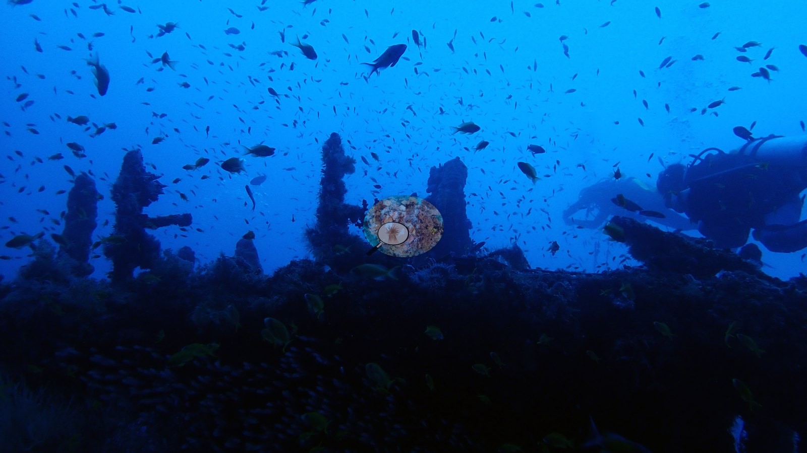
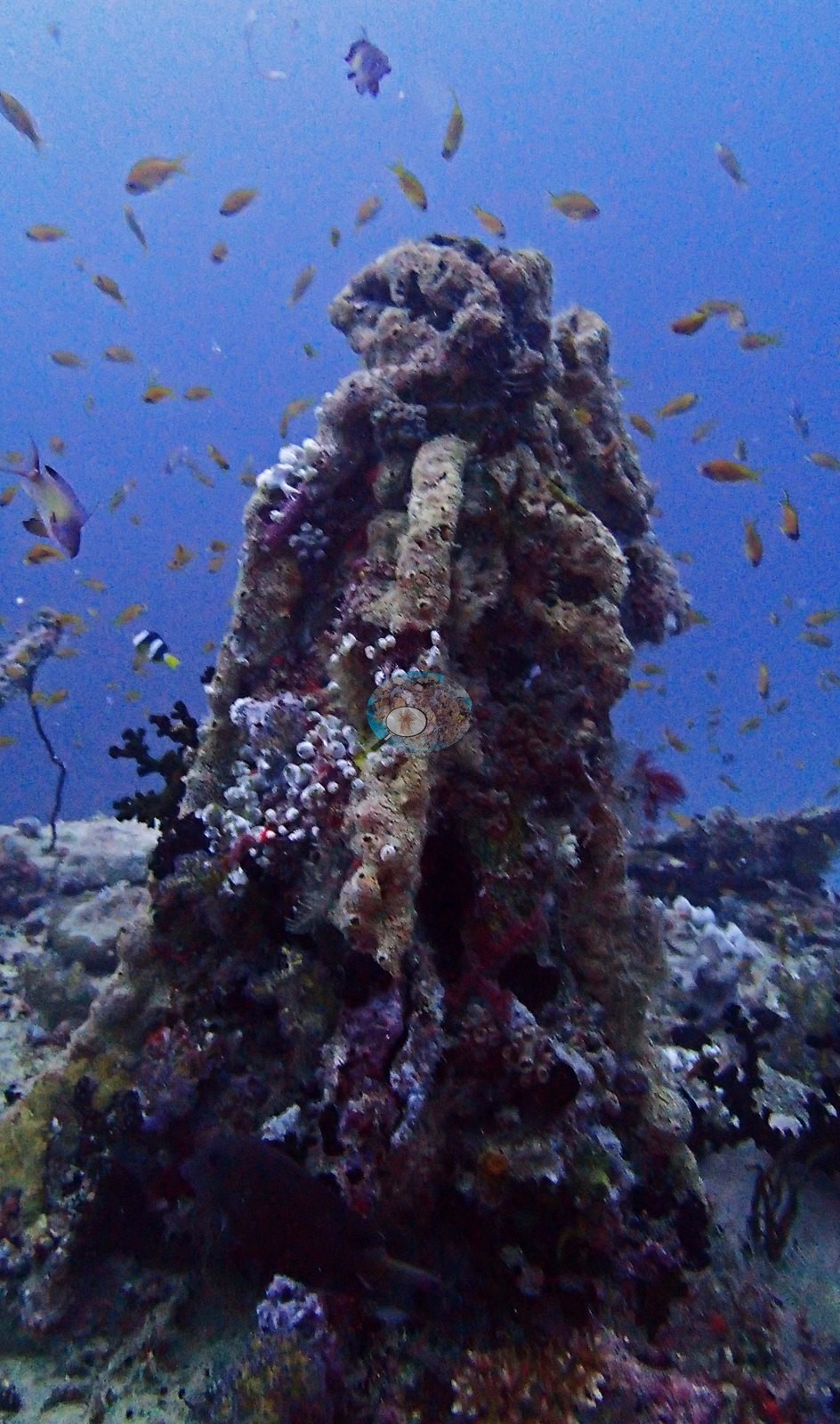
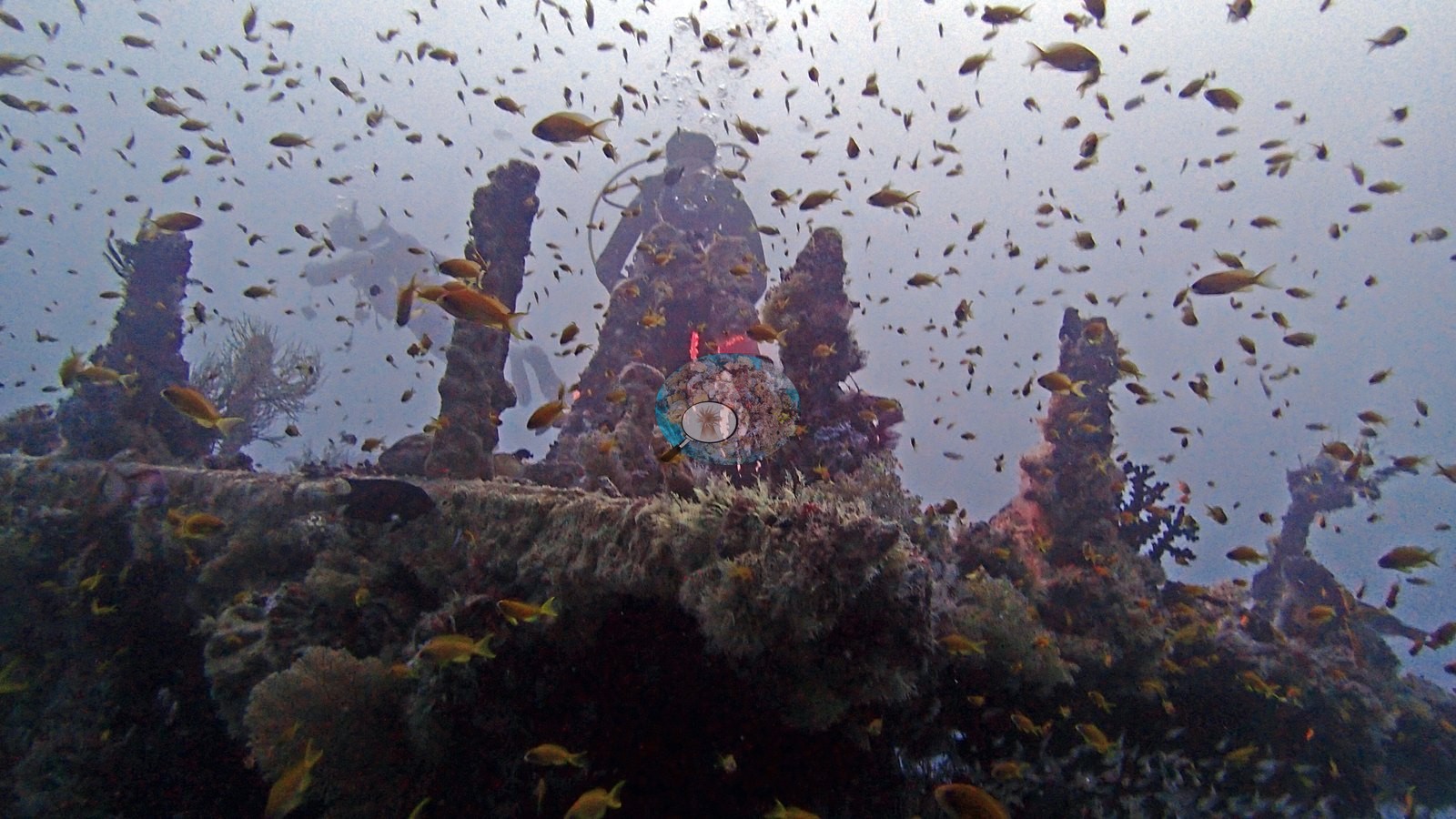
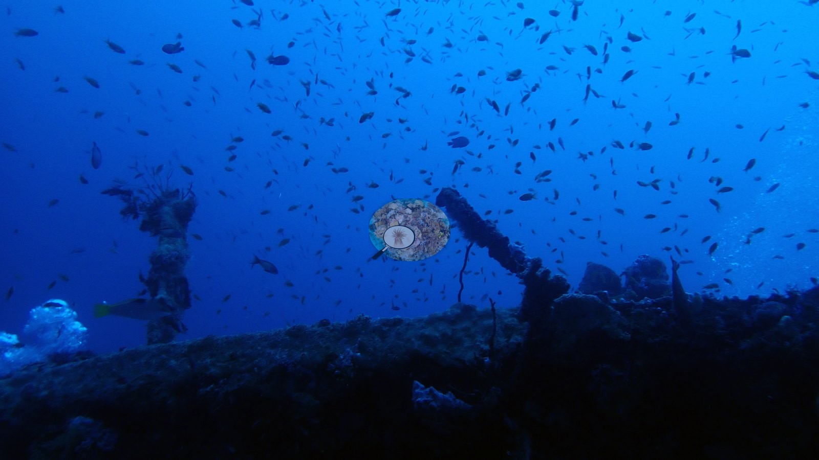
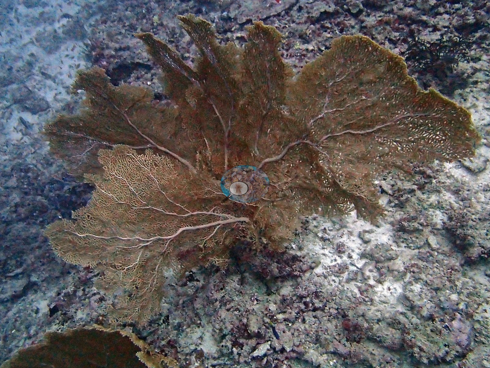
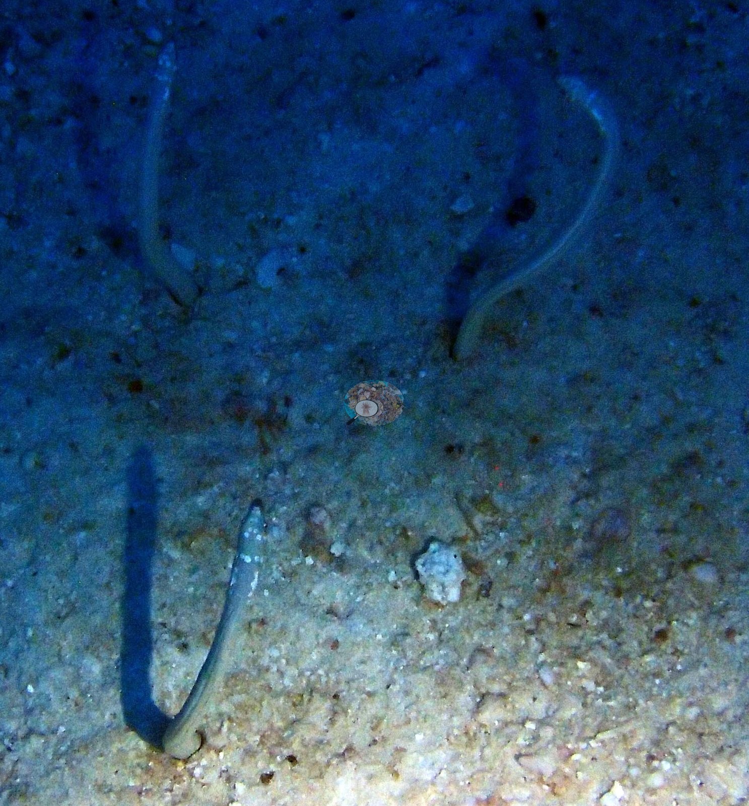
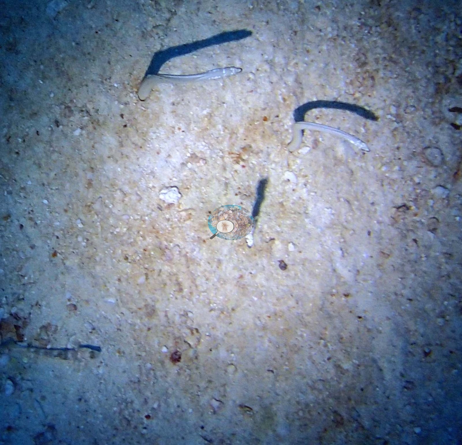
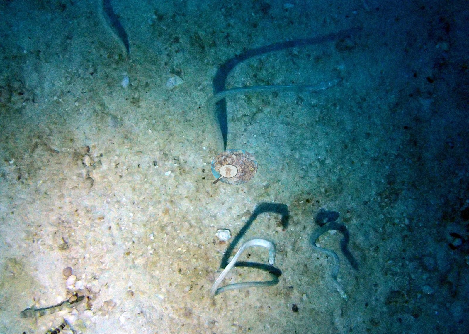
Orange cup corals and crimson sponges paint the sheltered steel, a gray table coral has claimed the bow like a flag, and out on the sand a colony of garden eels sways half-out of their burrows, sinking away as divers drift near (e.g., Image 12, Image 13, Image 4, Image 10, Image 23, Image 24).
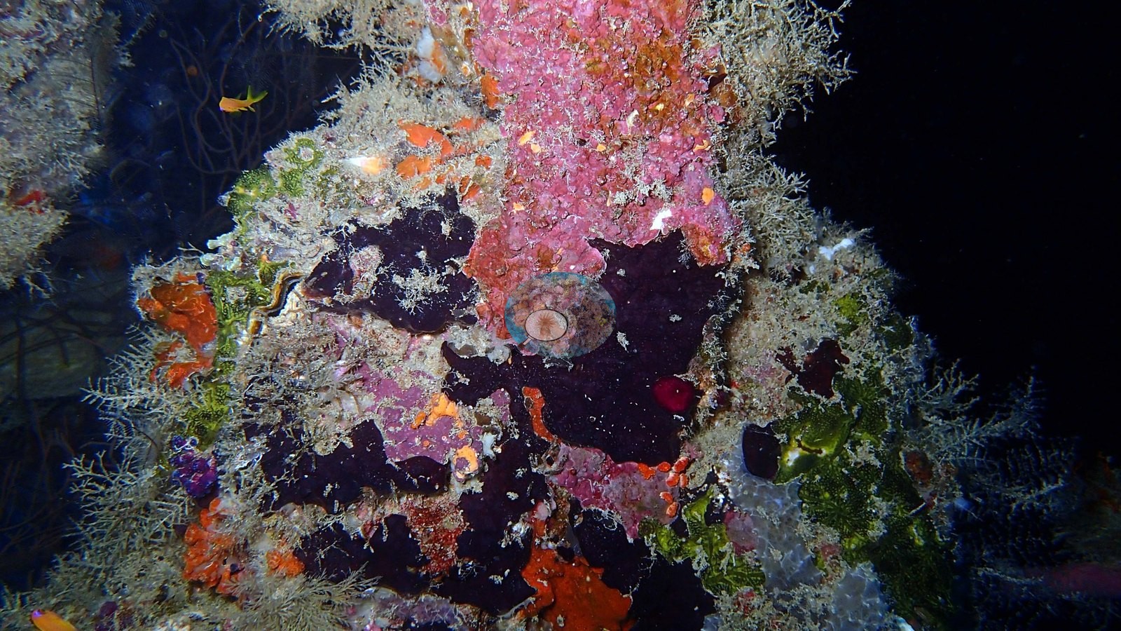
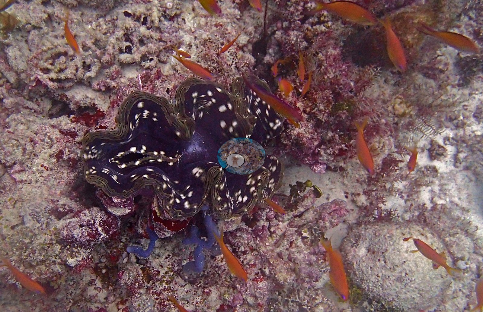
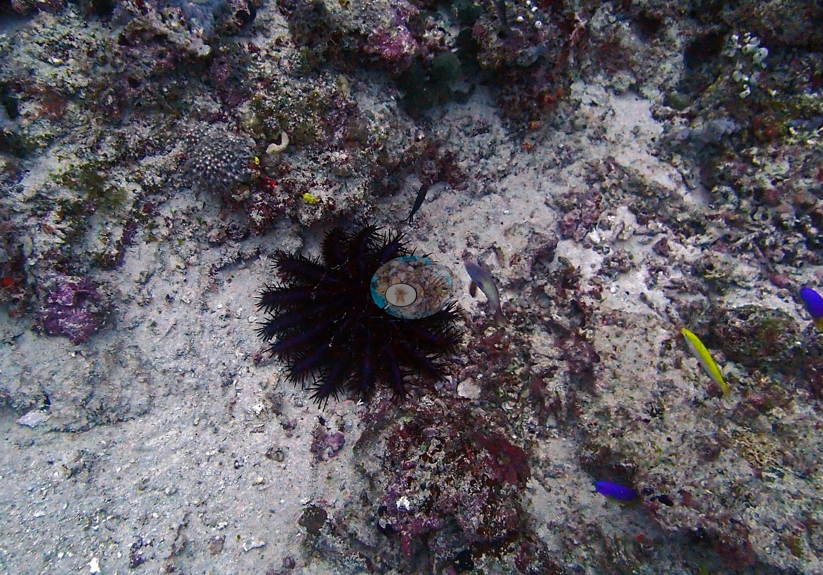
Look for the giant clam's spotted mantle among the coralline-pink rubble, and the long black spines of an urchin tucked into the wreckage (e.g., Image 20).
Coral cover
Coral cover: 14% — photo-derived, and the two methods broadly agree (15% vs 14%). This site's figure is the mean of two independent computer vision passes over Anderson's own frames: a DINOv3 calibrated point classifier reads 15.1% and a CoralSCOP computer vision reads 13.8%, a spread of 1.3 percentage points. The map publishes the mean so sites can be sorted against one another, but the honest statement of what is known here is the 14–15% range: the two products have different denominators and should not be treated as one measurement. Anderson keeps an eye out for newer CV models and will refresh this CoralSCOP and DINOv3 figure once a more trustworthy option is available.
Stressors
No crown-of-thorns starfish (COTS) or other corallivores evident.
Comparisons with other data
No independent survey was made at this exact site; the nearest ones are listed in the table below.
CV model comparison
More info
As of September 2026 no computer-vision method estimates coral cover accurately on new images, so treat this as indicative rather than a measurement; it is revised as the methods improve.More info
The published figure is the mean of the two methods.| Method | Hard-coral cover (%) |
|---|---|
| In-house DINOv3 | 15.1 |
| CoralSCOP | 13.8 |
| Mean (± SD) | 14.4 ± 0.9 |
| Range | 13.8–15.1 |
Mean ± SD and range are across the computer-vision methods shown.
Independent surveys nearby
| Agency / program | Year(s) | Stations / distance | Link |
|---|---|---|---|
| Montefalcone et al. (2020) | 2016 | 1 station, 3.94 km | Records ↓ |
| Quinn NJ | 2000–2009 | 1 station, 1.00 km | Records ↓ |
| Reef Check | 2011–2025 | 3 stations, 1.11–2.19 km | Records ↓ |
| XL Catlin Seaview Survey | 2015–2017 | 1 station, 0.19 km | Records ↓ |
 Dr. Coral (CRD)Year-average (no detectable trend)
Within 5 km, 6 independent survey stations recorded hard coral cover in 23 records between 2009 and 2025. Of the 3 stations surveyed in more than one year, 2 declined and 1 increased between their first and latest surveys. The longest record, Kudafalhu (Reef Check, 1.31 km away), went from 5.8% in 2016 to 40% in 2025. Surveys since 2021 average 33% (range 25–40%, n=2). This site's own estimate (14%) sits 10.9 points below the recent range (25–40%); the methods differ, so the comparison is context, not a like-for-like test.
Collected by other programs using different methods (Reef Check uses point-intercept transects; the XL Catlin Seaview Survey uses photo-transects with automated image annotation), so these are context for the figures above, not a like-for-like comparison. Where a station was surveyed more than once the range is shown. Station names are not dive-site names.
| Agency | Site / location | Date | Hard coral cover (%) | Distance | Link |
|---|---|---|---|---|---|
| Quinn NJ | Fesdhoo reef, Ari Atoll (NCRMS lagoonal reef monitoring station) | March-October 2009 (series also 2000, 2005) | 65% | 1.00 km | — |
| Reef Check | Kudafalu | 2011–2017 | 1.9–44% (7 surveys) | 2.19 km | — |
| Reef Check | Kuda Falhu | 2013 | 44% (3 surveys) | 1.11 km | — |
| XL Catlin Seaview Survey | transect 37008 | 2015–2017 | 8.1–14% (2 images) | 0.19 km | — |
| Reef Check | Kudafalhu | 2016–2025 | 1.9–40% (9 surveys) | 1.31 km | — |
| Montefalcone et al. (2020) | Fesdu Wreck | 2016 | 21% | 3.94 km | HeatCRD database |
Data & links
All images from Coral Reef Diagnostics. Data are from Coral Reef Diagnostics and the organizations named in the data-sources table above.
© Coral Reef Diagnostics.