
Key Largo Dry Rocks (Christ of the Abyss)

Part of the regional summary: USA - Florida
More info
Florida Keys (NOAA CRW virtual station)A shallow spur reef in John Pennekamp Coral Reef State Park, known for the bronze Christ of the Abyss statue on its concrete plinth. The reef itself is low-relief pavement cut by sand channels, dominated by a near-continuous waving canopy of sea plumes, sea rods, and sea fans, with colorful sponges and scattered mounding corals.
56 independent survey stations shown with the program’s logo — click one to see how far it is from this site.
One other CRD dive site with its own page within 5 km shown in orange — click a marker to open its page.
37 of the 38 photographs on this page are shown beside the text that discusses them under "Site description" below.
Site description
Setting
Key Largo Dry Rocks is a natural shallow patch/spur reef inside John Pennekamp Coral Reef State Park, and it is known for the "Christ of the Abyss" bronze (often called the Christ of the Deep), which appears in four frames: a wide silhouette on its concrete plinth (e.g., Image 1), a backlit upward view (e.g., Image 2), a closer view of the statue (e.g., Image 3), and a hazier distant view (e.g., Image 5).
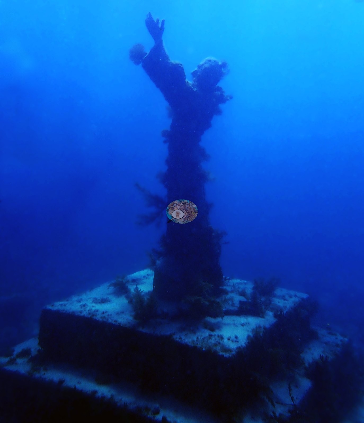
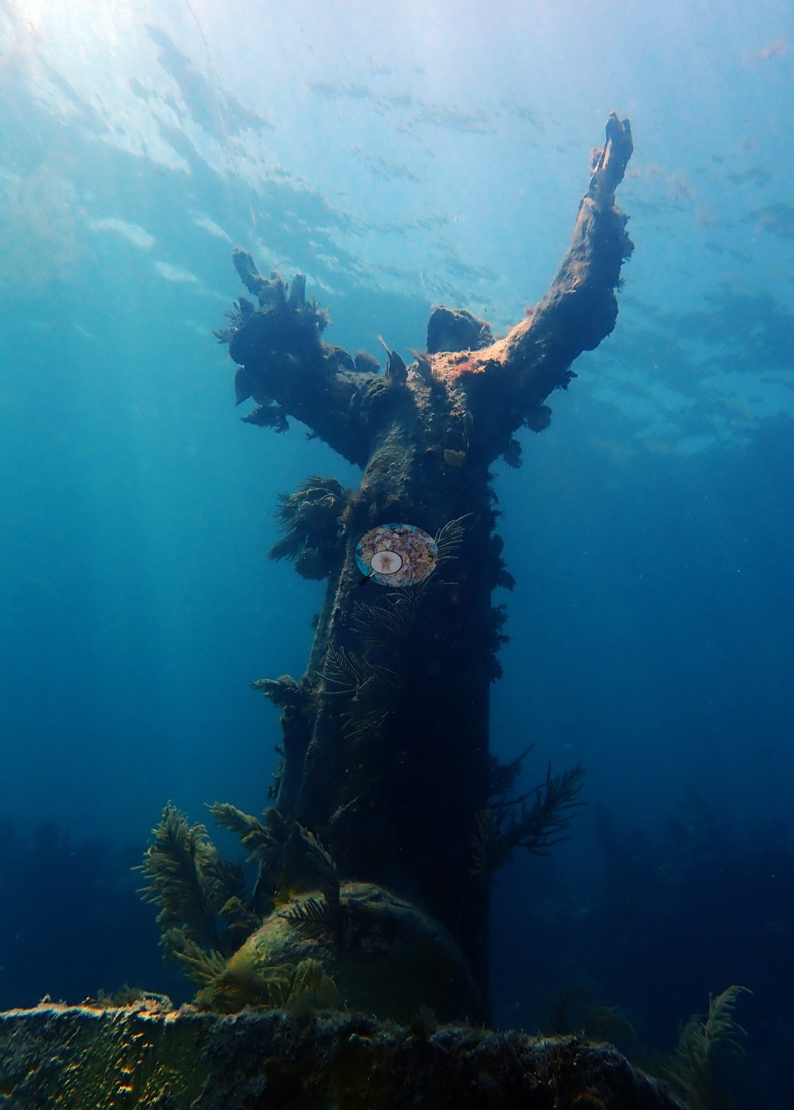
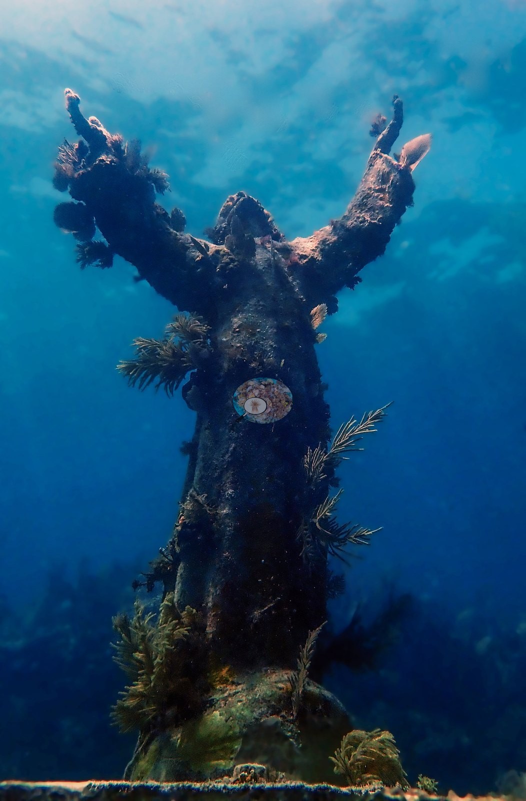
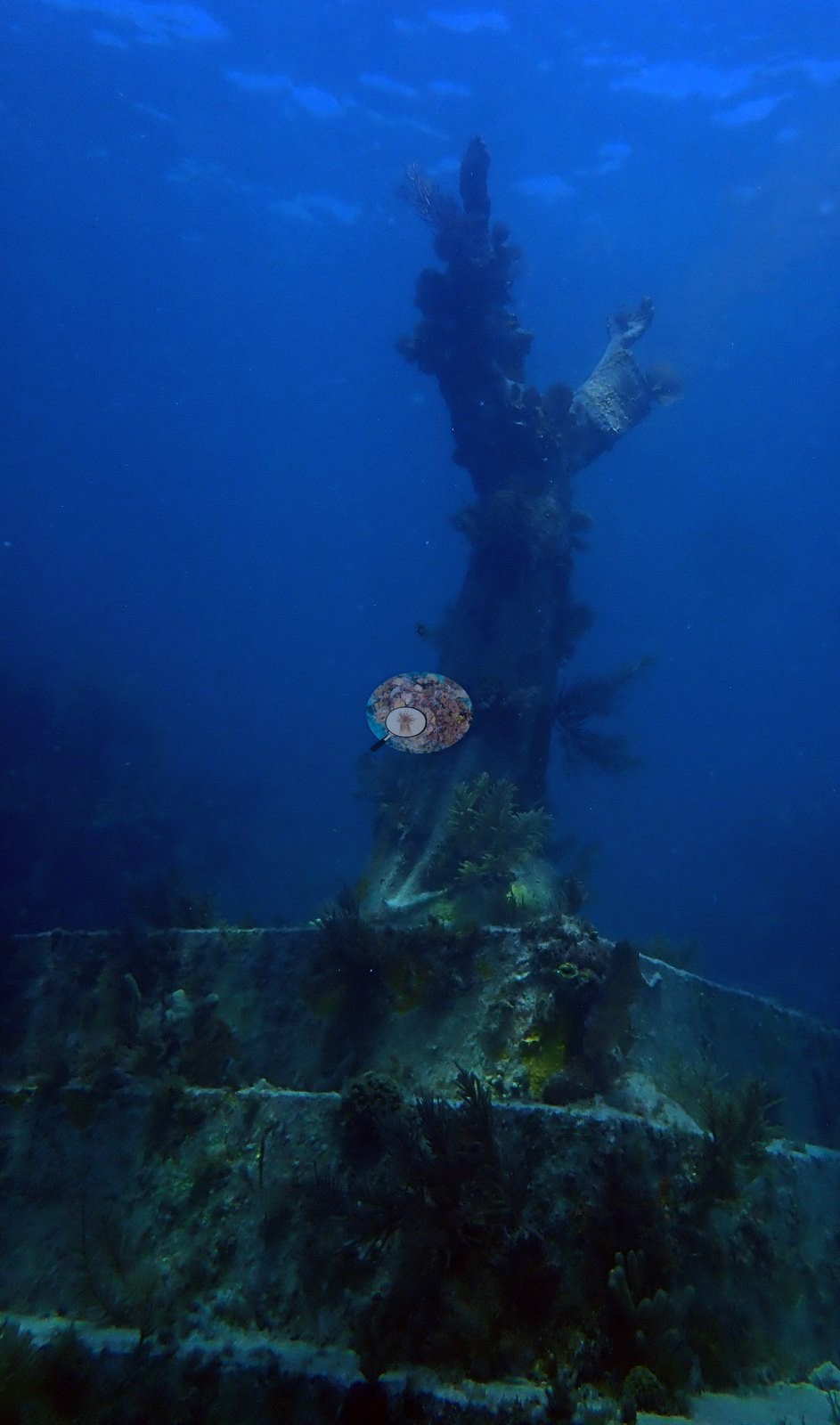
The statue is the only artificial element in the set; everything else is natural hardbottom.
General benthic features
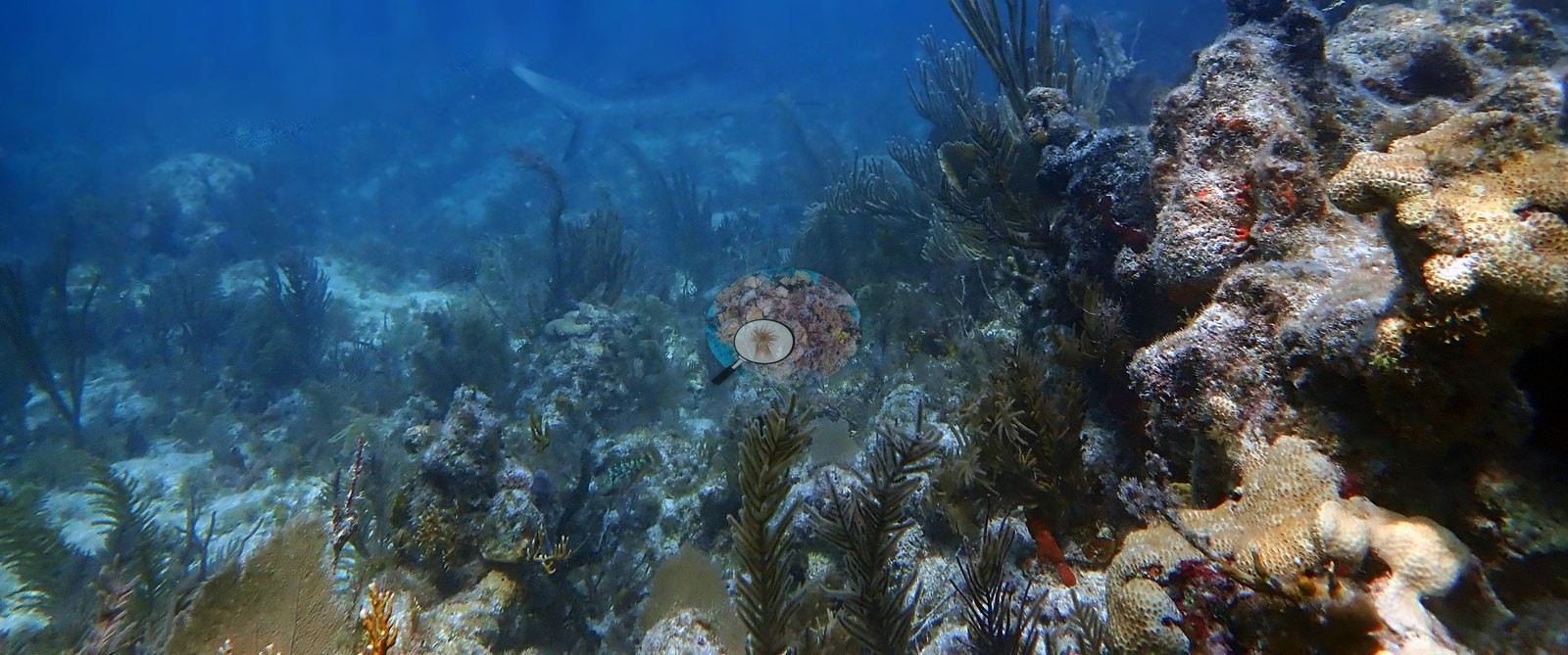
Reef structure across the wide frames is low-relief spur-and-pavement rather than high coral framework: broad turf- and coralline-covered limestone pavement with scattered mounding colonies, cut by sand channels and sand flats that occupy a large share of the frames (e.g., Image 15, Image 22, Image 23, Image 24, Image 21, Image 17, Image 16, Image 19, Image 14, Image 18).
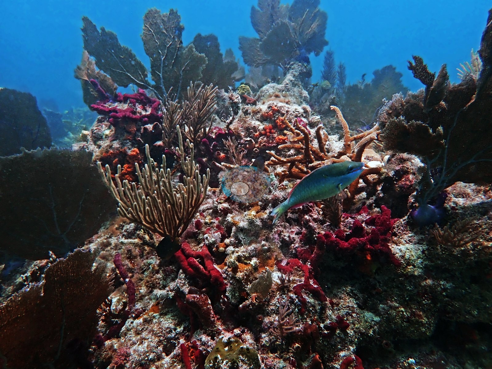
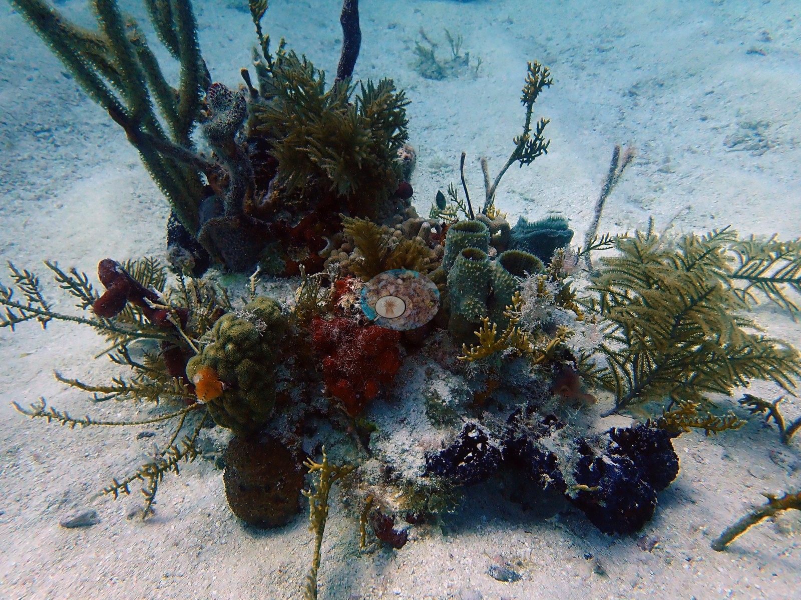
The overwhelming impression from the reef frames is that this is a gorgonian-dominated bottom. Sea plumes, sea rods, and sea fans form a near-continuous waving canopy over the pavement in Image 25, Image 26, Image 28, Image 29, Image 30, Image 31, Image 33, Image 38, Image 27, Image 9, Image 34, and Image 37, with the erect octocorals rather than stony coral providing most of the vertical structure.
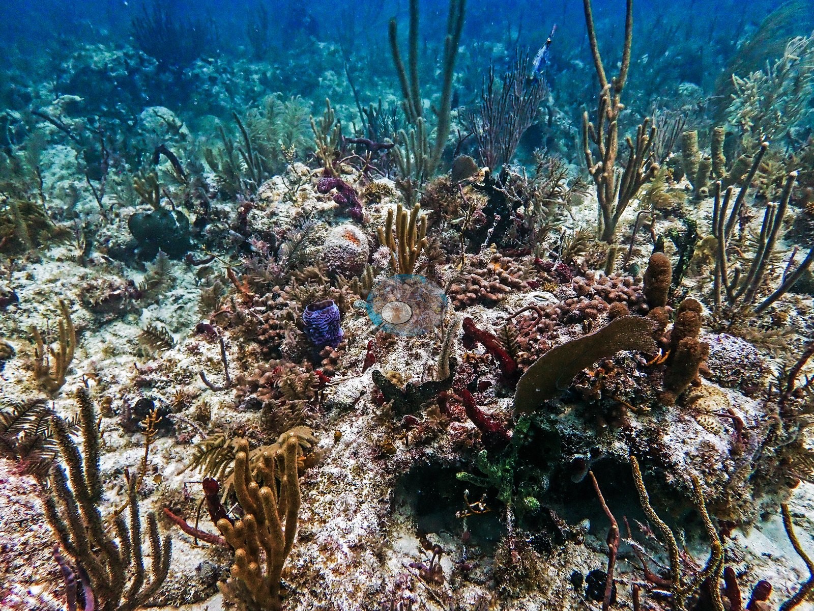
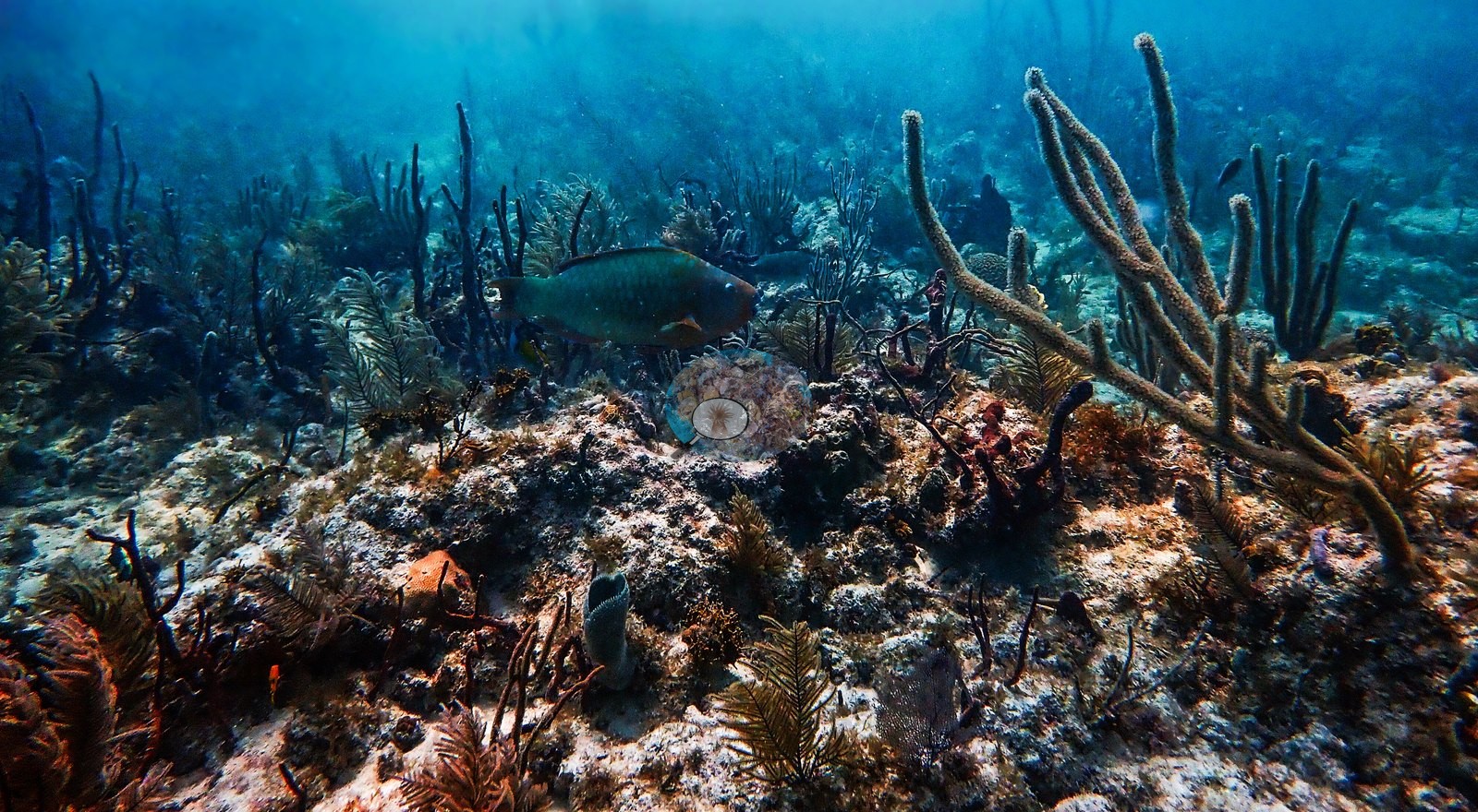
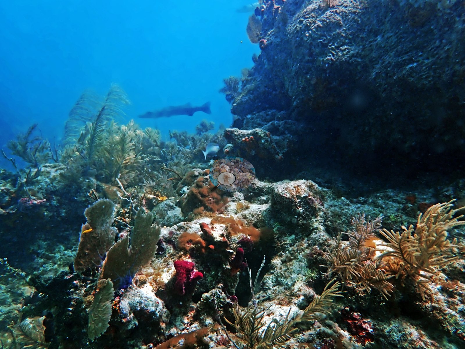
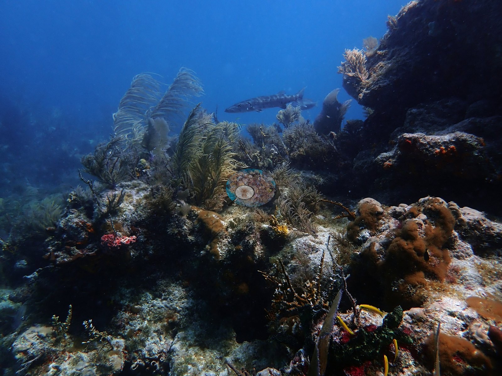
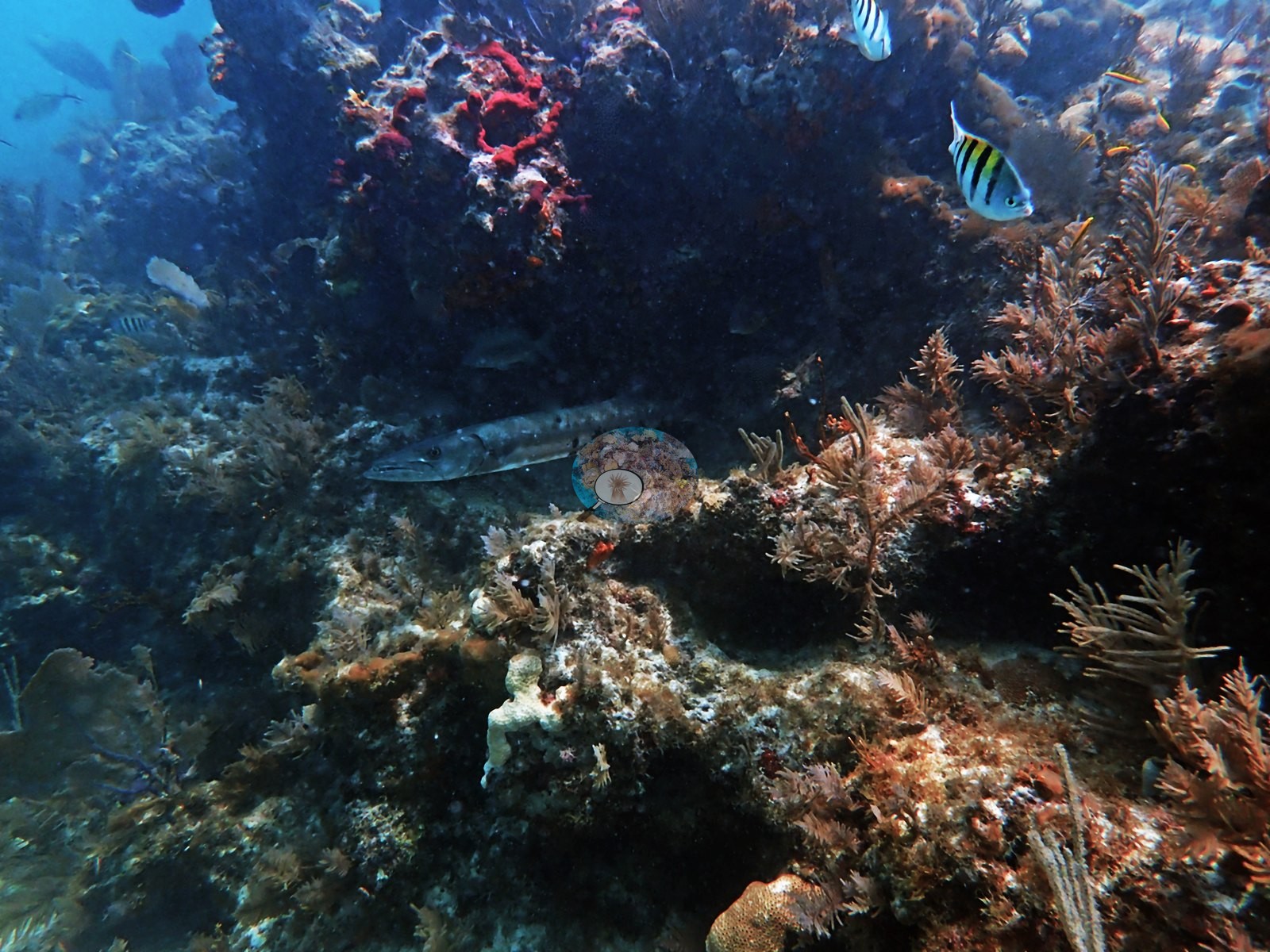
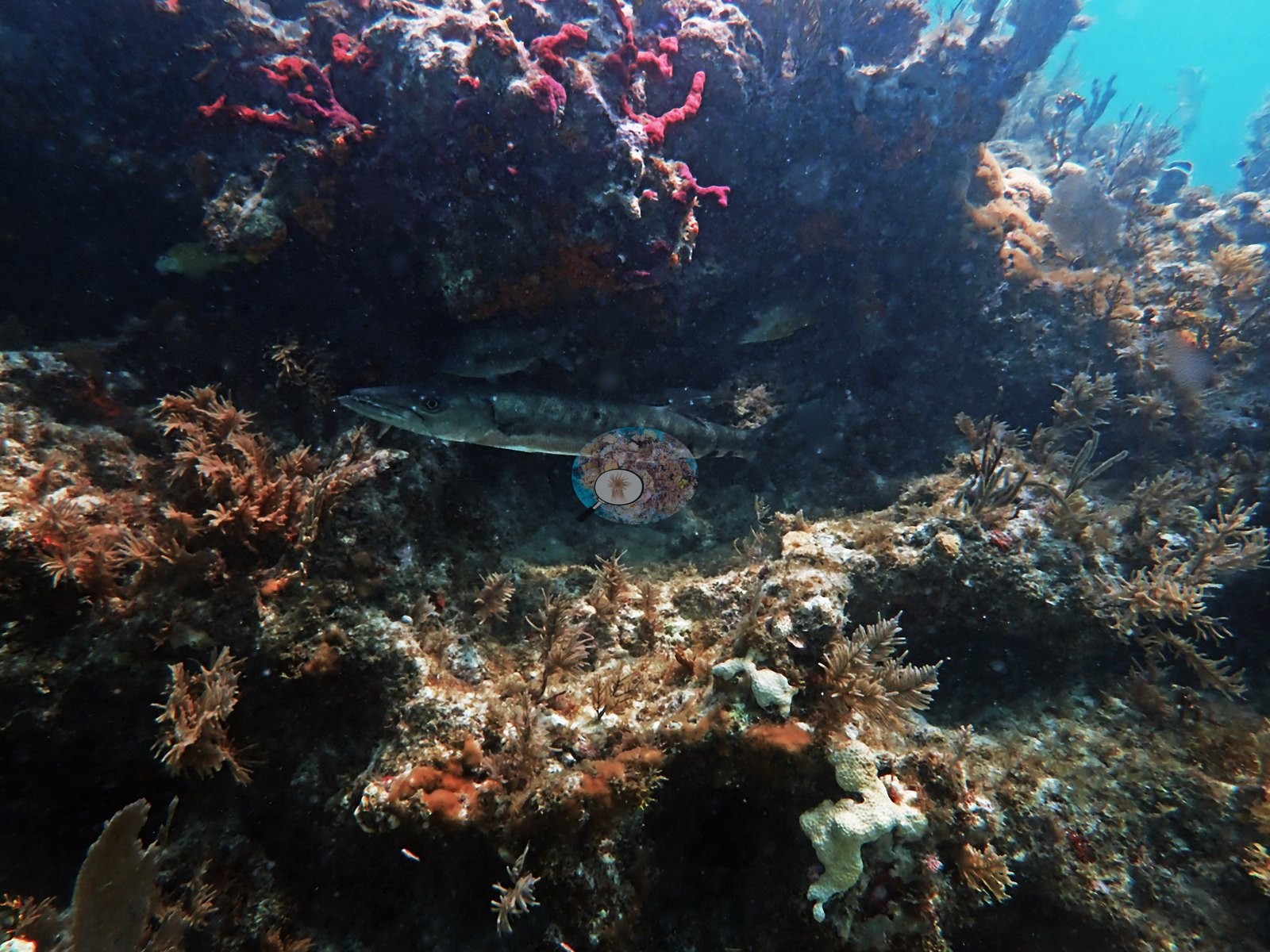
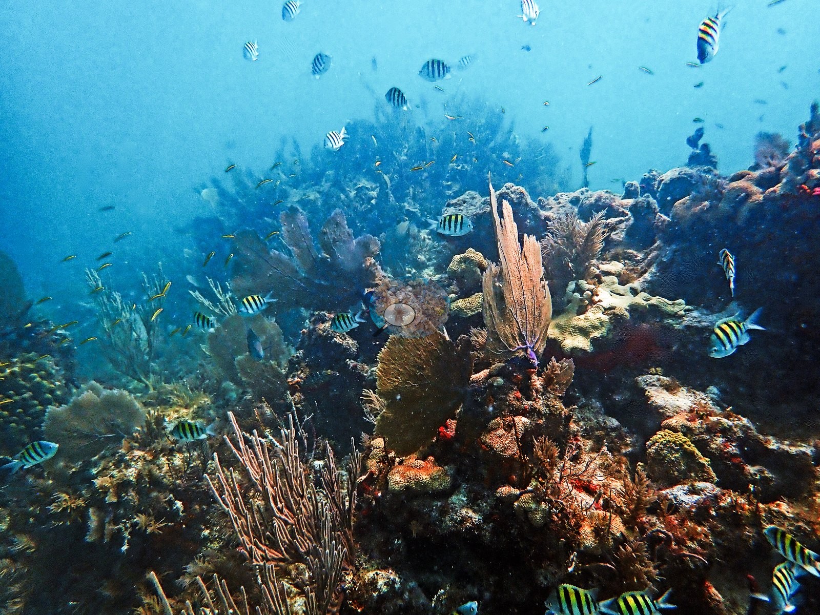
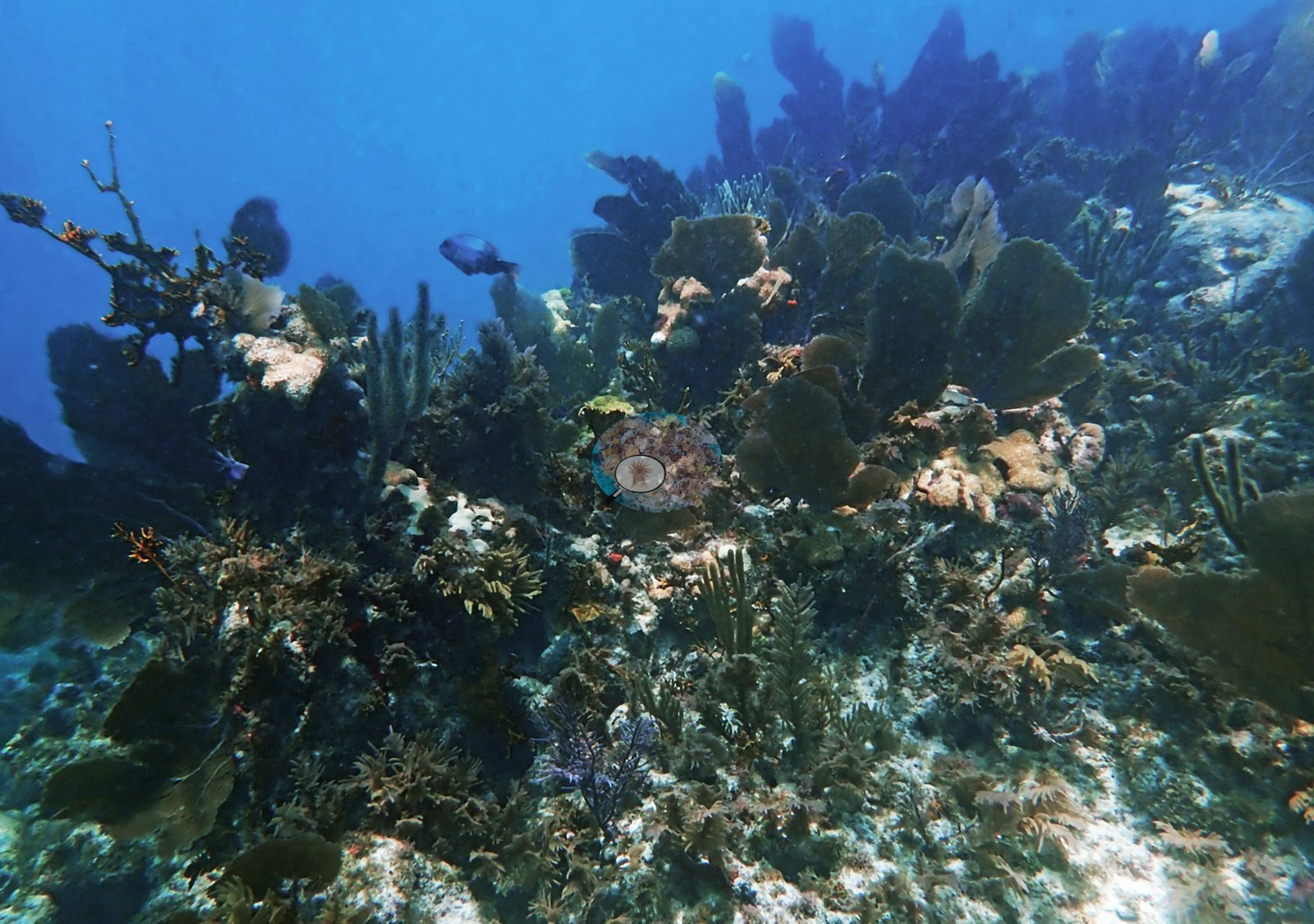
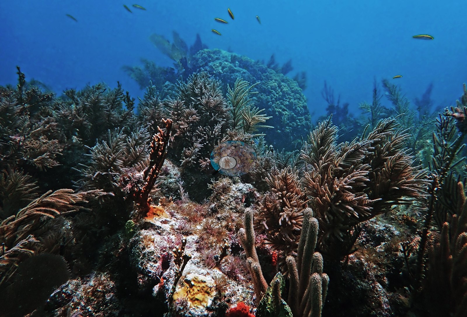
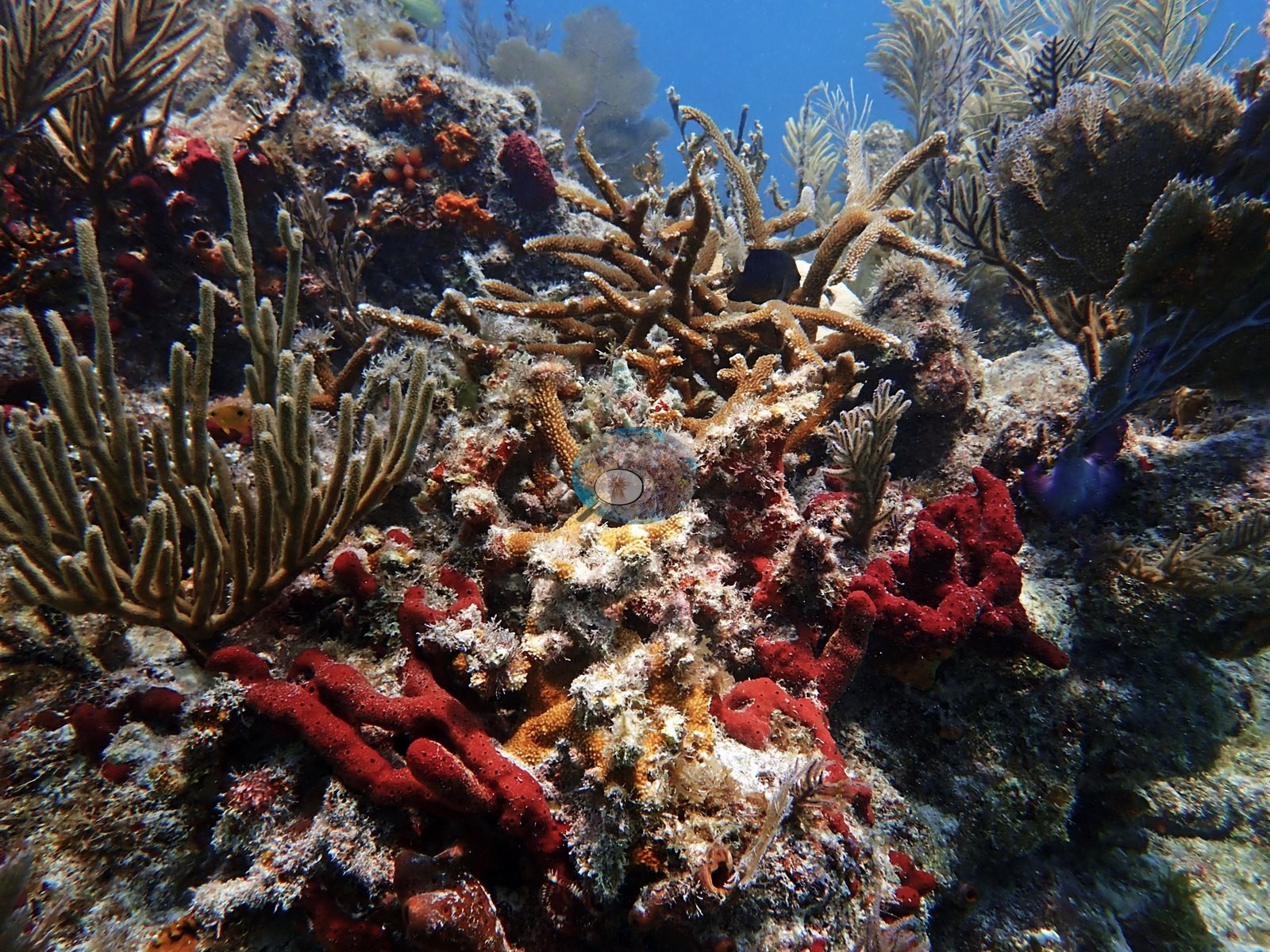
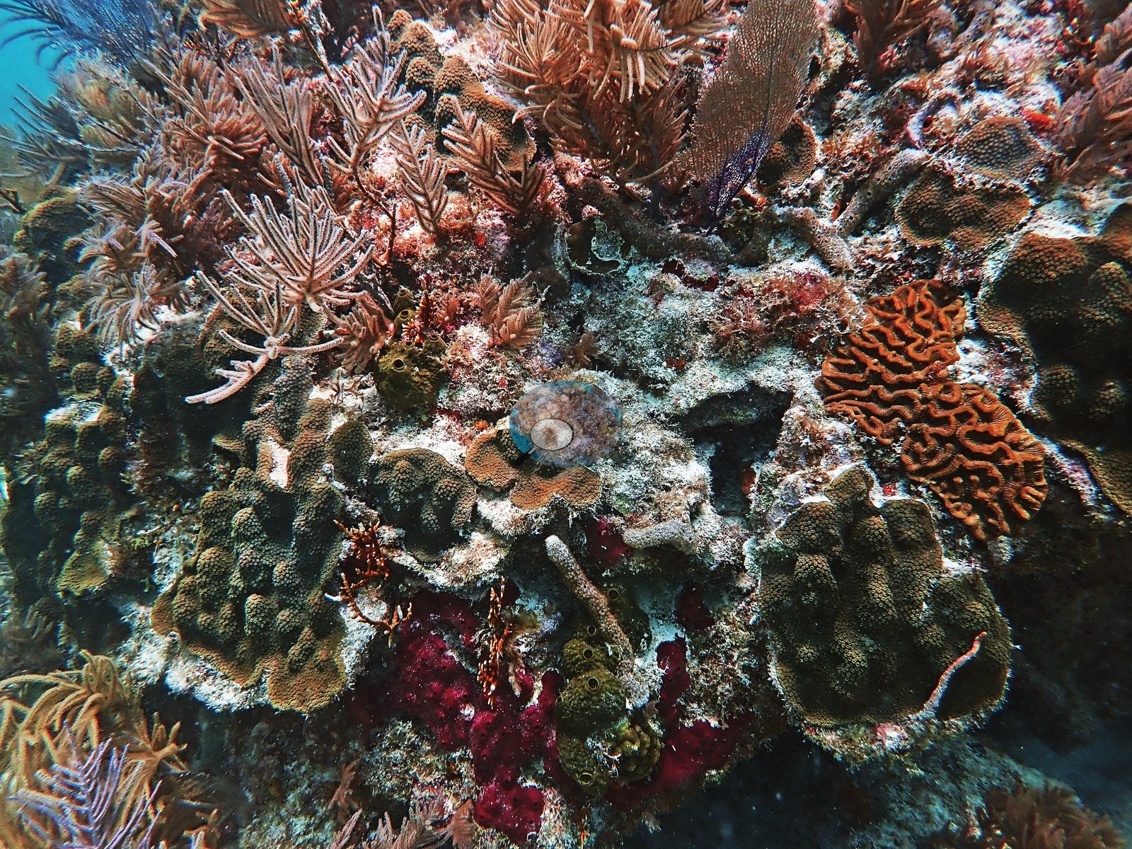
Sponges are the next most conspicuous element: red and maroon rope and encrusting sponges throughout (e.g., Image 8, Image 30, Image 31, Image 9, Image 34), bright orange encrusting sponge (e.g., Image 9, Image 34), and assorted small tube and lobate sponges scattered on the pavement. Image 8 is the fullest single frame for this — sea fans, sea plumes, red rope sponge, orange encrusting sponge, and small reef fish stacked together on one spur.
Between the spurs, one frame (Image 13) shows a small isolated patch of gorgonians, sponge, and turf standing alone on open sand, which is the characteristic pattern here.
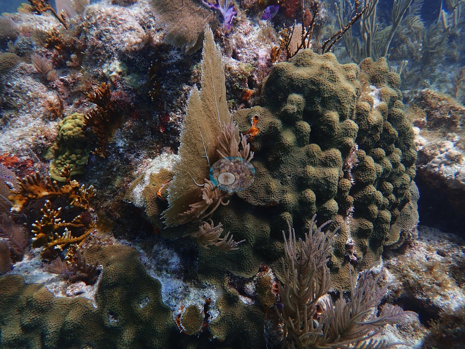
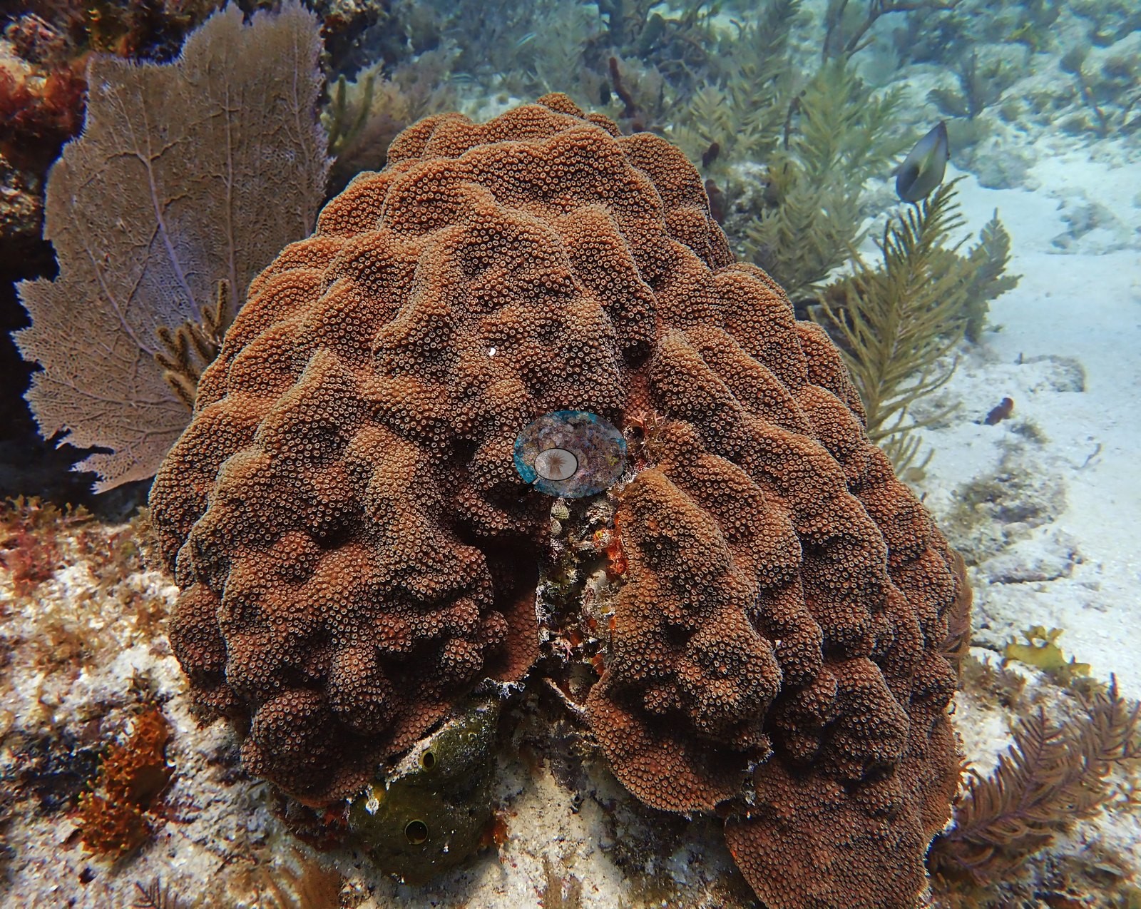
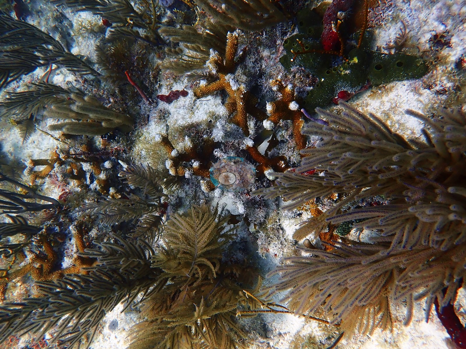
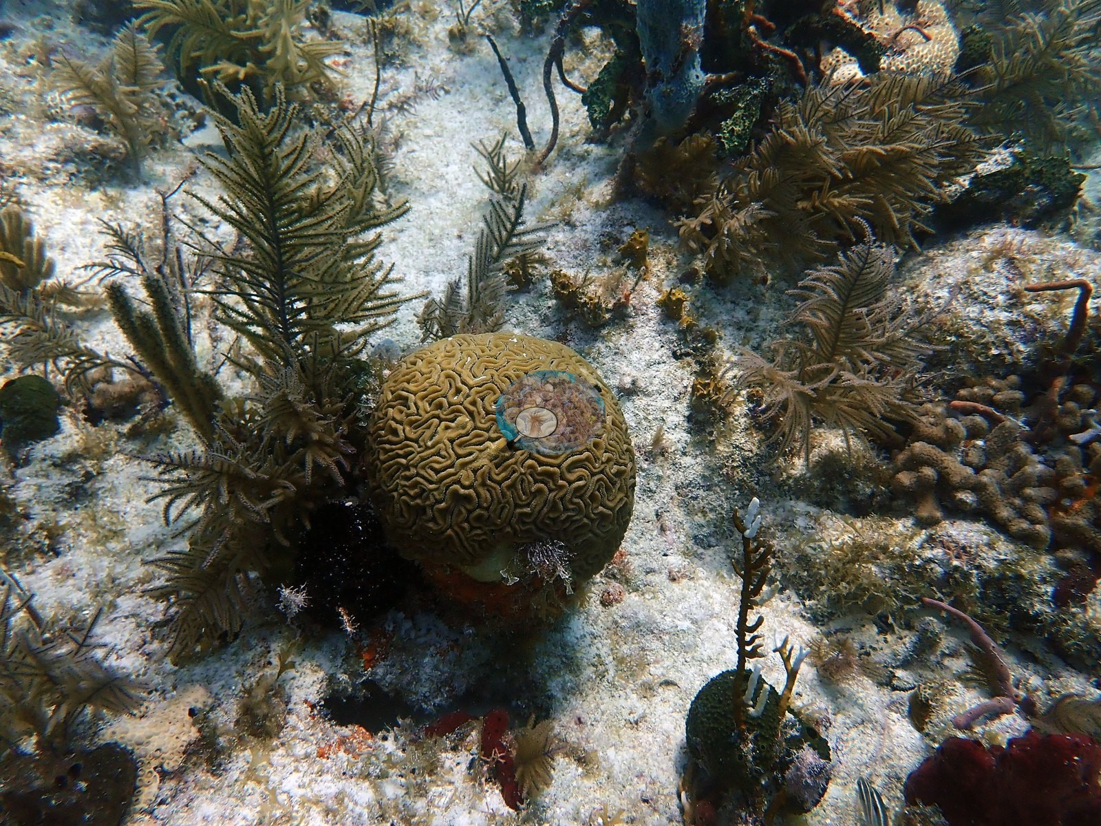
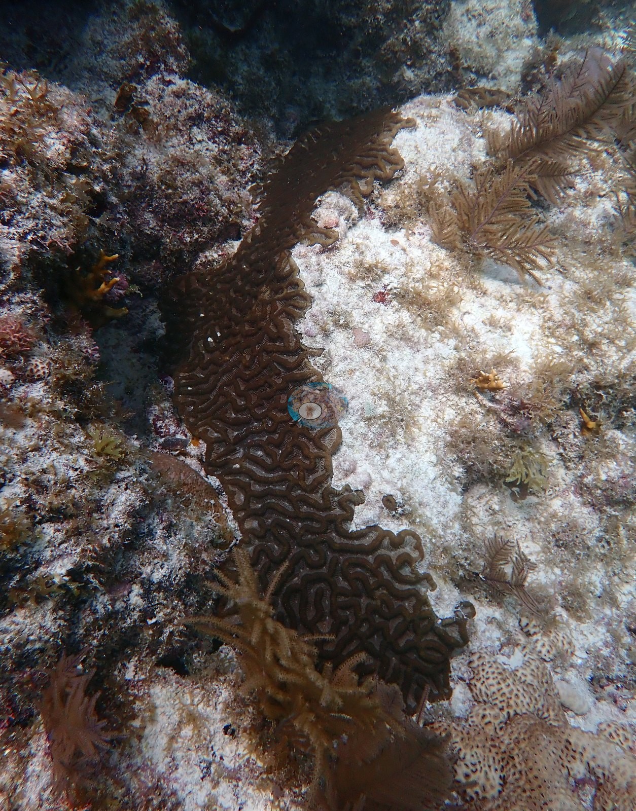
Stony corals are present as discrete mounding and encrusting heads rather than as continuous framework, and the close-up frames are what resolve them. Image 32, a colony Anderson identified as Orbicella faveolata, shows a large lobed brown mound beside a sea fan, fully pigmented with no visible paling or recent mortality on the colony. Image 11 is a stand of staghorn among sea plumes (Anderson's identification: Acropora). Image 12 shows a rounded meandroid colony, evenly yellow-brown, sitting on pavement among gorgonians, which Anderson recorded as a healthy brain coral; the colony surface in that frame is intact and uniformly colored. Image 10 shows a large knobby/lobed mounding head with gorgonians and crinoid-like feather growth around it — the same general Orbicella/Montastraea-type habit, but a photograph cannot separate those genera. Image 6 is a big rust-brown mounded organism on pavement whose surface texture in this frame does not settle coral versus a massive sponge. Image 7 is a lower encrusting brown colony on pale pavement.
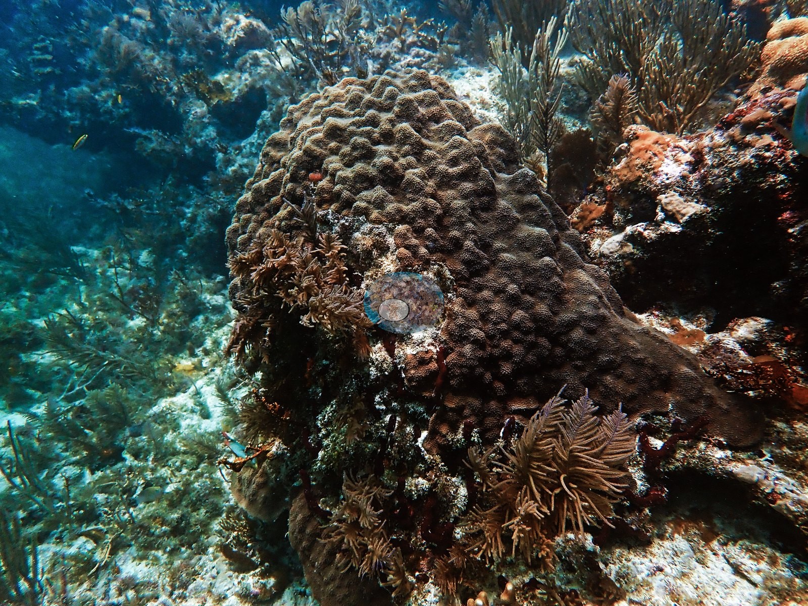
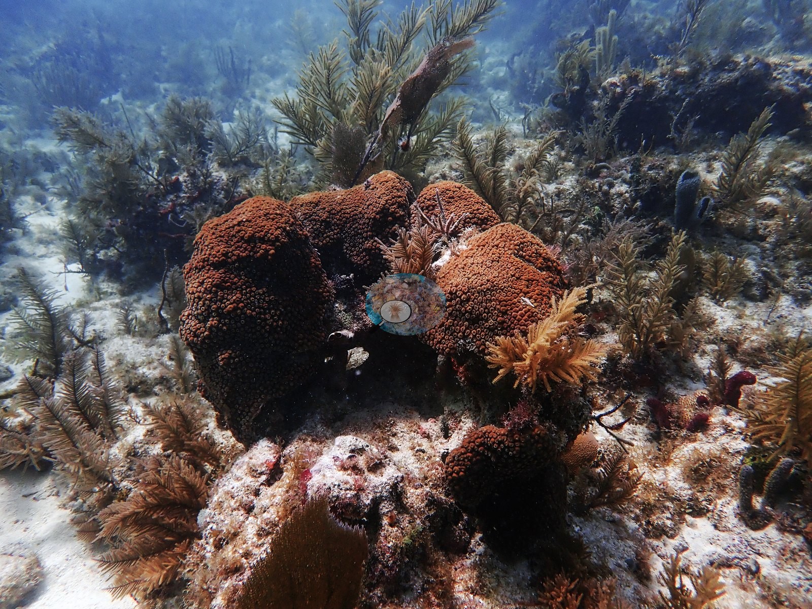
Smaller encrusting and plating colonies appear scattered through the wide frames (e.g., Image 9, Image 34) but are not individually resolvable in these photographs. Qualitatively, the frames support a gorgonian- and sponge-dominated low-relief hardbottom with scattered mounding stony colonies and a substantial sand-channel component; a large fraction of the set is sand and open-water frames rather than hard substrate, which any per-frame analysis will have to account for.
Coral cover
- Reference: Claude CV point count (this site's photos)
- Coral cover: 8.3% — a blind Claude computer-vision point count of 23 of Anderson's edited photographs (20 points per photo; water, fish, and obstructions excluded). Other computer-vision methods are listed in the method table.
Stressors
First, condition: no widespread bleaching or paling is apparent, and the colonies that are imaged closely (e.g., Image 32, Image 12, Image 10) are fully pigmented; these photographs were taken on 15 April 2023, before Florida's 2023 summer marine heatwave. In one frame, some staghorn tips appear recently dead and overgrown by fine algae (e.g., Image 11). The pale surfaces that dominate the pavement in frames like Image 4, Image 7, and Image 12 are sand, turf, and crustose coralline, not bleached tissue.
No corallivores were evident.
Fish and other fauna
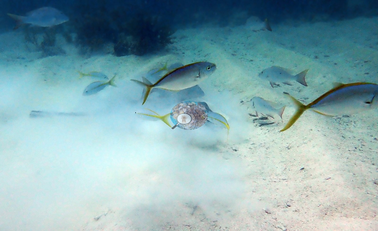
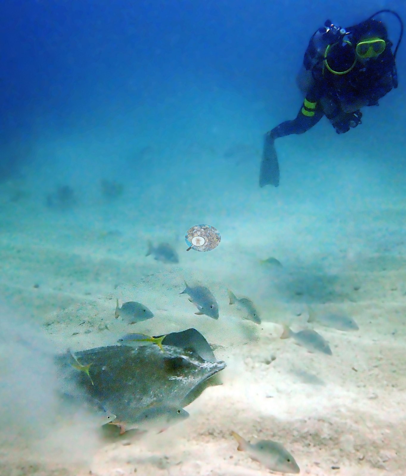
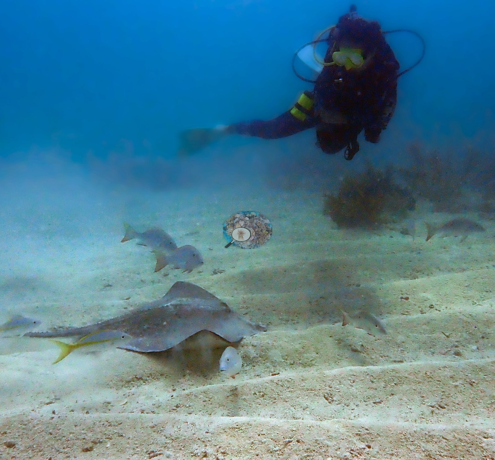
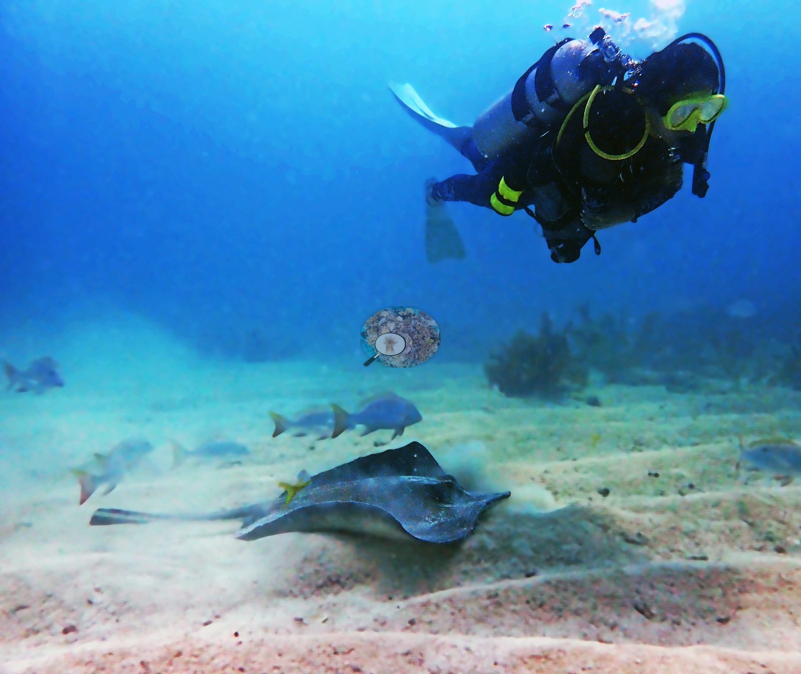
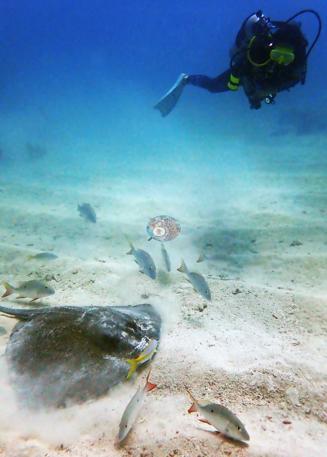
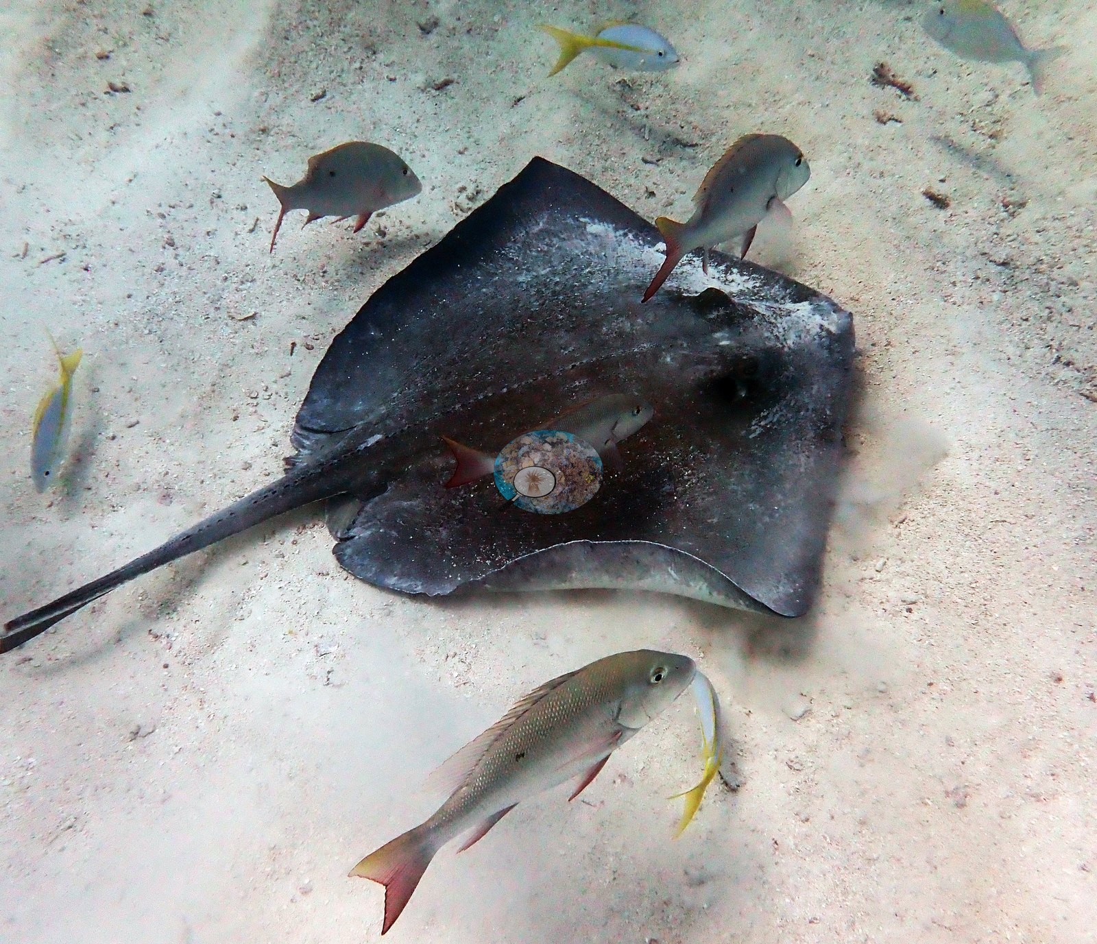
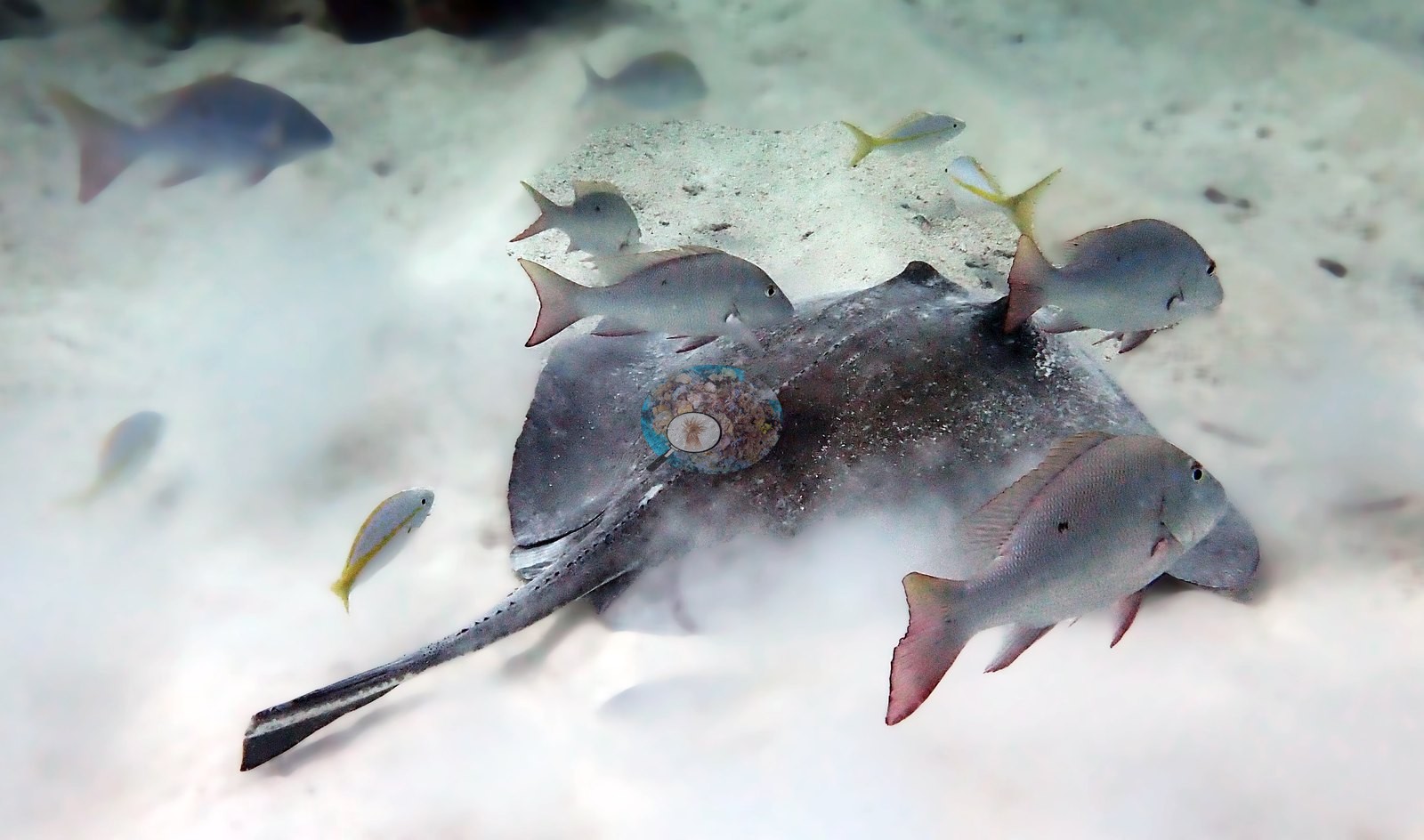
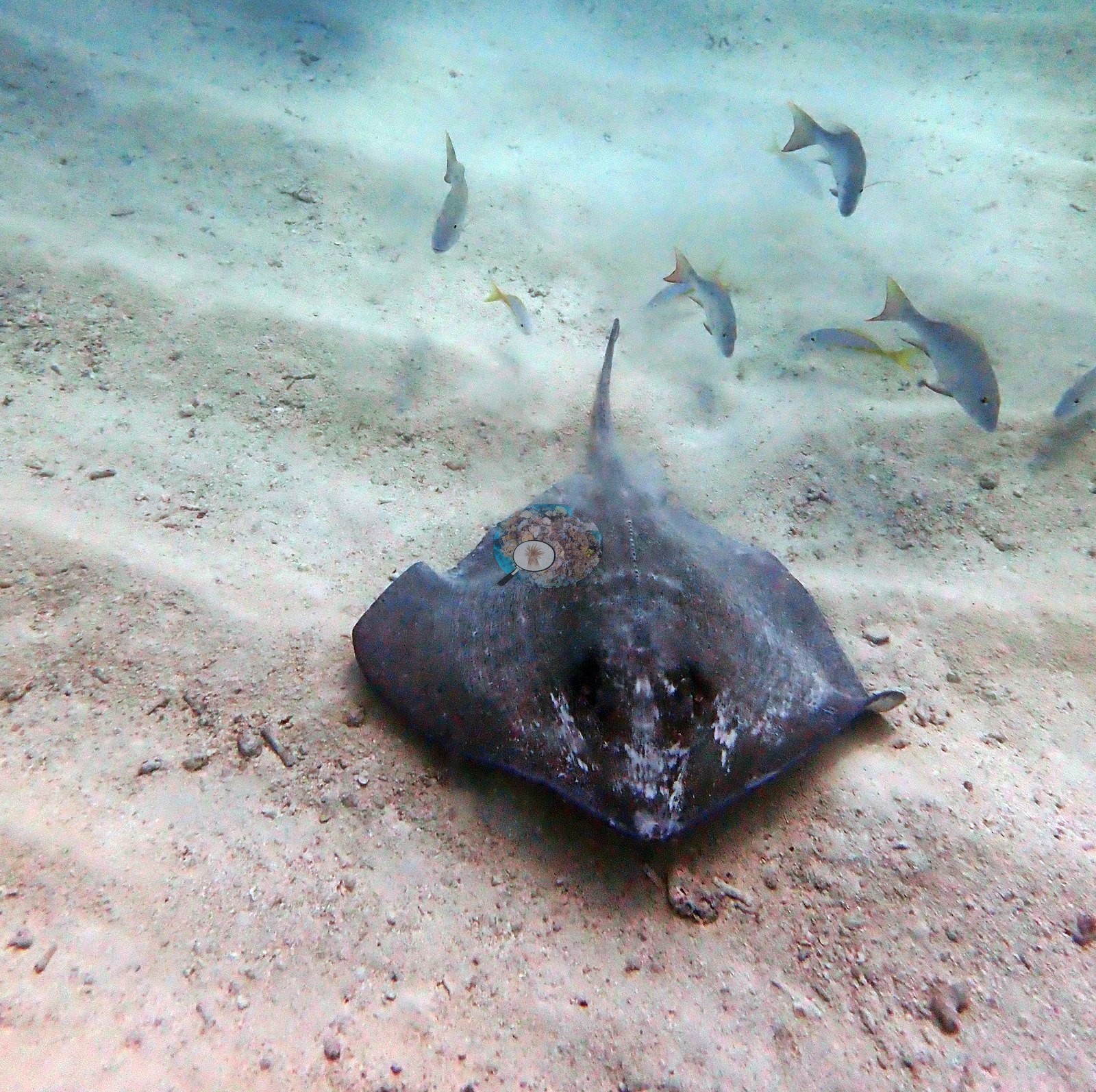
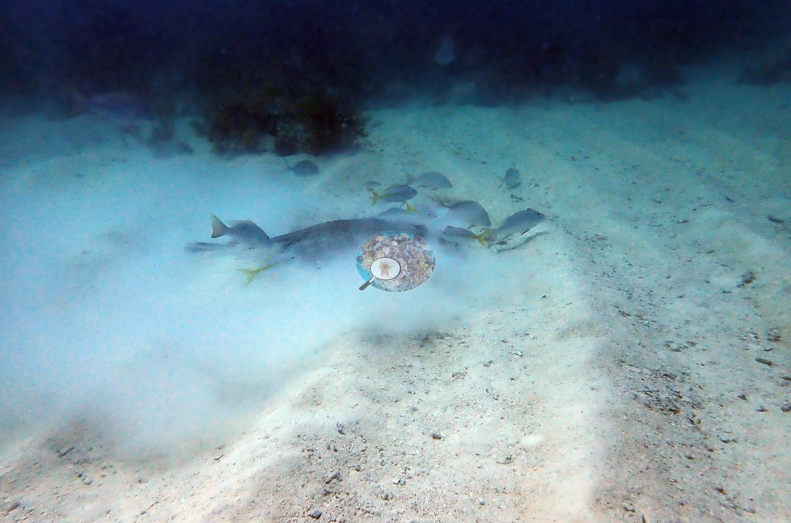
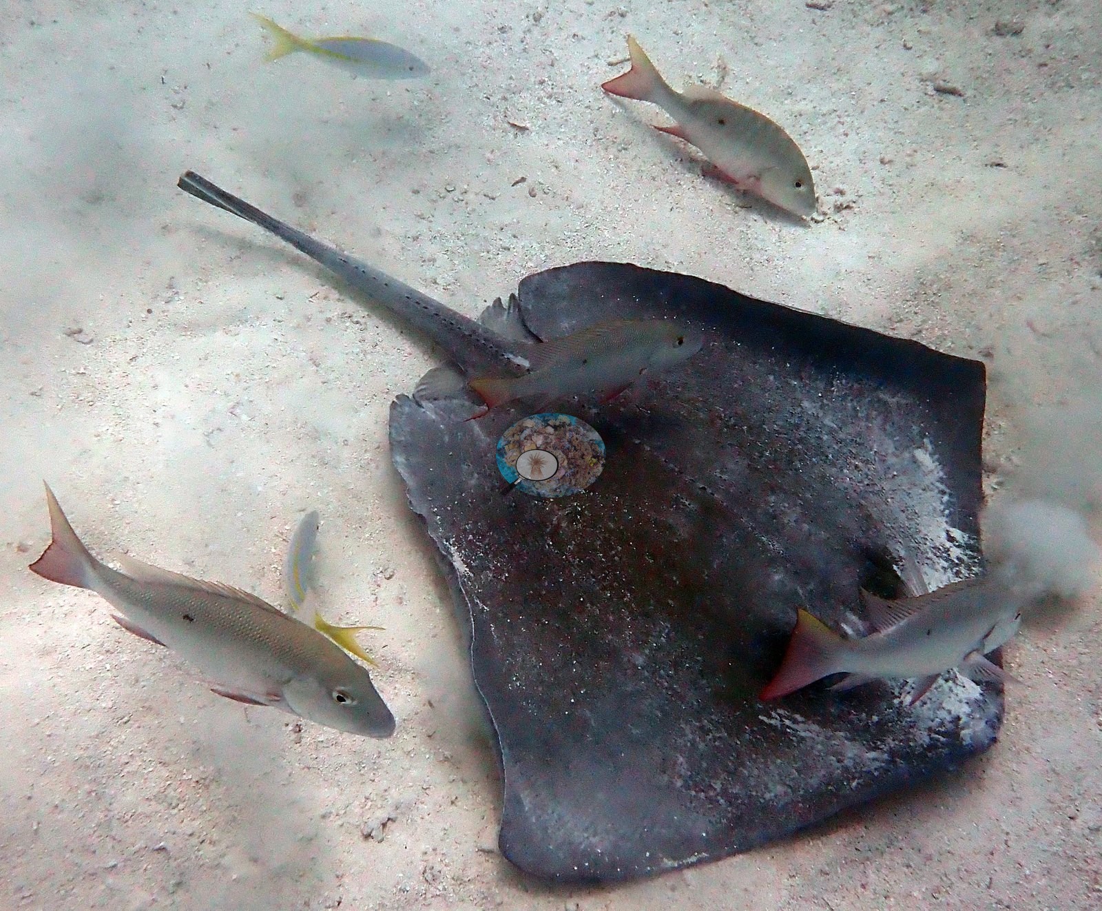
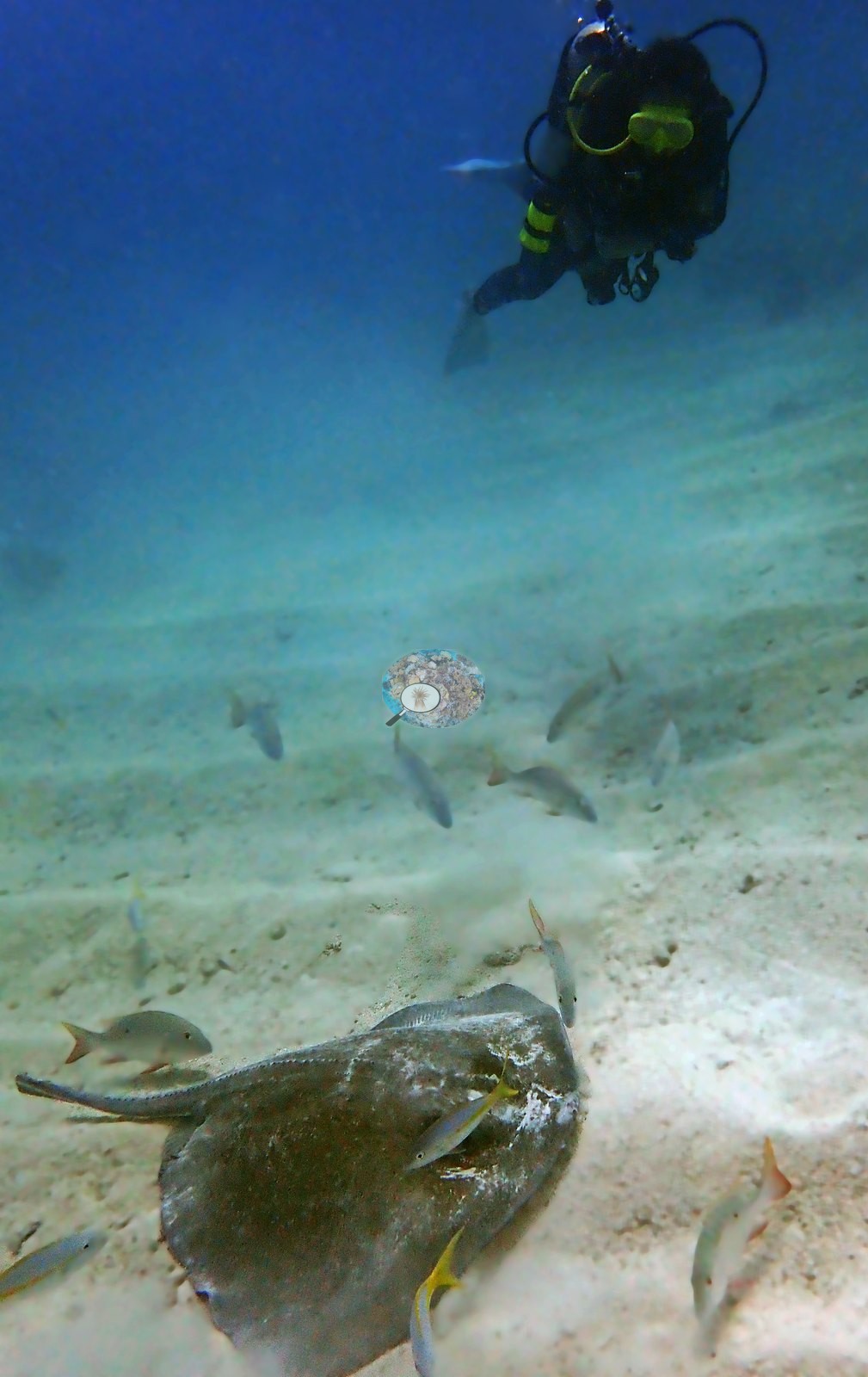
Fish and megafauna are well covered. Southern stingrays are the signature of this dive: Anderson's ray frames run from Image 14 to Image 24, several with a diver over the ray (e.g., Image 20, Image 21, Image 23).
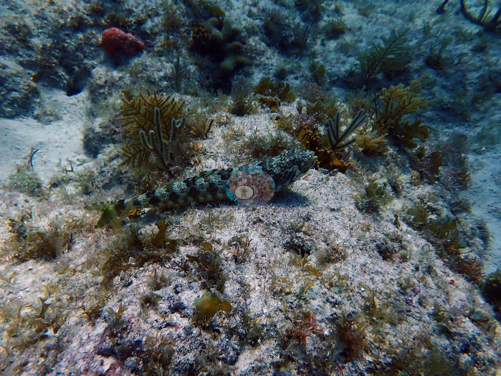
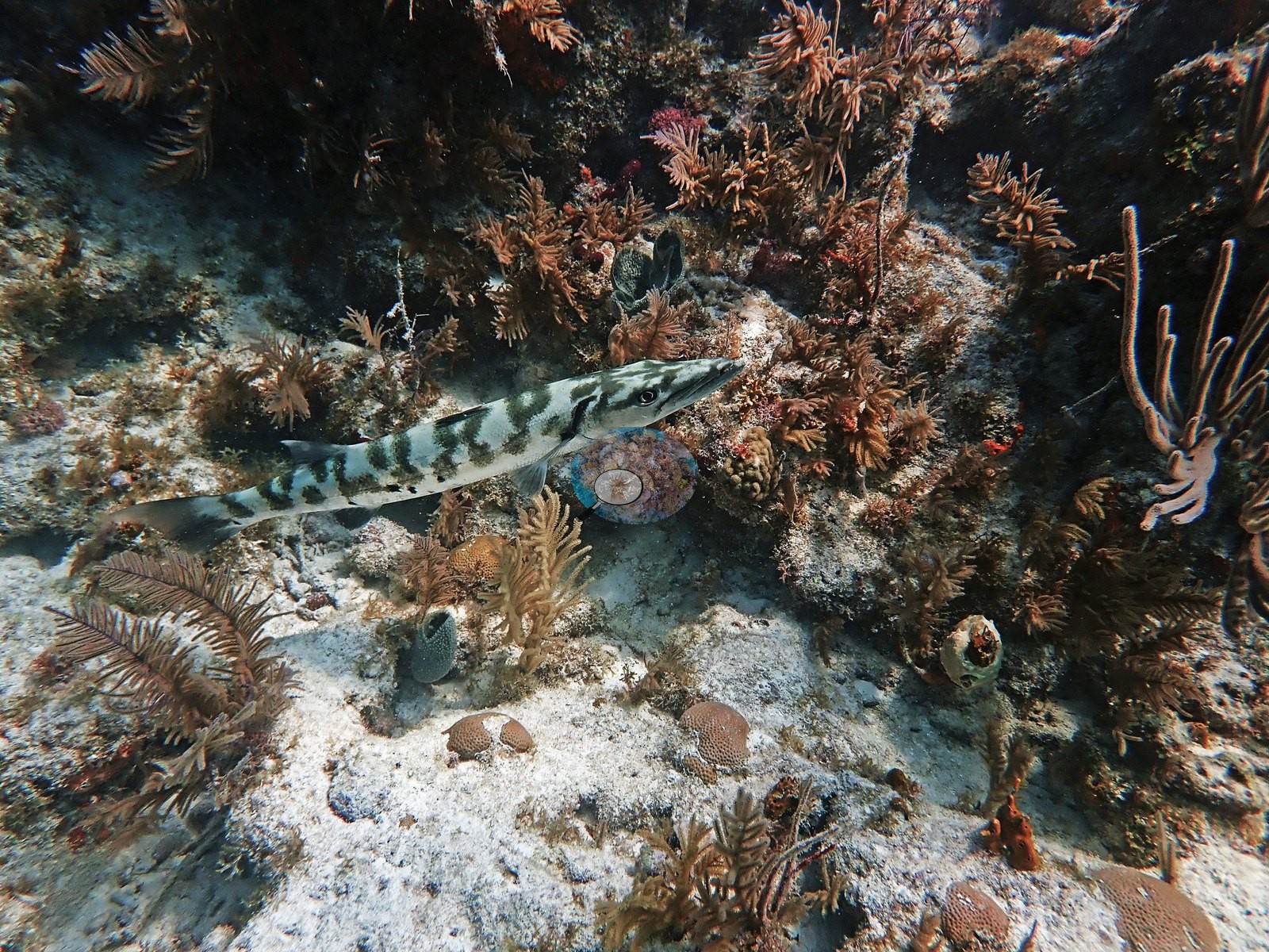
A spotted barracuda-type fish hangs over the reef in Image 35, and a lizardfish rests on rubble in Image 4.
A parrotfish works the gorgonian reef in Image 8. In one frame (e.g., Image 37) Anderson recorded a shark, which is not resolvable in that frame.
Comparisons with other data
Williams et al. (2014) surveyed this site (Key Largo Dry Rocks), 0.09 km from the pin. Within 5 km, 56 independent stations recorded station-year means of 0.0–41% hard coral cover between 1996 and 2024; the nearest of these, NOAA NCRMP at FLK-27, 0.40 km away, read 11% in 2014.
Other notes
Key Largo Dry Rocks, John Pennekamp Coral Reef State Park and Florida Keys National Marine Sanctuary — the home of the Christ of the Abyss statue, dived on 15 April 2023 (11:21 in, 10.4 m maximum, 58 minutes, 26.8°C average). The statue stands on its concrete plinth in about 8 m of water, the bronze now dark and fully skinned in turf and encrusting growth with small sea plumes rooted along the plinth edge and up the robe. Away from it the site is a gorgonian-and-sponge hardbottom rather than a coral-framework reef: broad pale pavement crusted in coralline algae and turf, carrying dense forests of sea plumes, sea rods, and sea fans; red rope sponges, purple vase sponges, and orange encrusting sponges; and brown fleshy macroalgae. Stony coral is present as discrete colonies within that matrix — meter-scale olive lobed colonies, rust-brown mounding colonies with large open corallites, mustard-yellow mounds — and, importantly, as several separate stands of staghorn coral (Acropora cervicornis), some of them substantial thickets with living golden-tan upper branches. Fish were unremarkable in variety but locally dense: sergeant majors over the ridges, bluehead and yellowhead wrasse, blue tang, and a great barracuda hanging in a groove under a sponge-covered overhang. Twice a southern stingray was photographed digging in the sand with a following escort of snapper and hogfish-type fish taking what it turned up.
CV model comparison
More info
A few colony-focused photos raise the mean; the median is the typical photo. No computer-vision method yet estimates coral cover accurately on new images, so treat this as indicative rather than a measurement; it is revised as the methods improve.More info
Other rows are for comparison only and are never averaged. No diver transect exists for these photos, so agreement between rows is not accuracy.| Method | Hard coral cover (%) | Photos (n) ± SE |
|---|---|---|
| CoralSCOP edited | 22.0 | n = 39 |
| Claude (edited photos) | 8.3 | n = 23 · SE 2.7 |
CoralSCOP (edited photos) reads 22.0%, 13.7 pp above Claude's blind point count (8.3%); the headline stays Claude's blind point count because no transect or manual count exists here.
See a more detailed, stand-alone version of this table.
Independent surveys nearby
| Agency / program | Year(s) | Stations / distance | Link |
|---|---|---|---|
| FWC CREMP (Florida Keys) | 1996–2024 | 8 stations, 1.94–3.47 km | Records ↓ |
| NOAA NCRMP | 2014–2016 | 26 stations, 0.40–4.84 km | Records ↓ |
| NOAA NCRMP Florida | 2024 | 11 stations, 1.83–4.46 km | Records ↓ |
| Reef Check | 1997–2018 | 10 stations, 1.01–4.54 km | Records ↓ |
| Wallace (2011) | 2009 | 1 station, 3.13 km | Records ↓ |
 Coral Reef DiagnosticsYear-average (illustrative only, programs differ)
Within 5 km, 56 independent survey stations recorded hard coral cover in 286 records between 1996 and 2024. Of the 13 stations surveyed in more than one year, 9 declined (by 0.3–28 points), 3 increased (by 0.8–10 points), and 1 changed by less than 1 point between their first and latest surveys. 8 stations share the longest span (1996–2024); one, Grecian Rocks #511 (FWC CREMP (Florida Keys), 1.94 km away), went from 38% in 1996 to 10% in 2024. Since 2021, station-year means average 3.5% (range 0.0–15%; n = 43 station-years from 43 records). This site's own estimate (8.3%) sits within the recent range of station-year means up to 2 km away (0.0–15%); the methods differ, so the comparison is context, not a like-for-like test.
Collected by other programs using different methods (Reef Check uses point-intercept transects; NOAA rows come from NOAA monitoring programs (NCRMP, PIFSC, NCCOS), and each row's method is in its hover text; FWC-FWRI uses fixed-station point counts), so these are context for the figures above, not a like-for-like comparison. Where a station was surveyed more than once, the cell shows either the range of its values or, as a single value, the mean of surveys made in one year. Station names are not dive-site names.
Show all 286 independent survey records
| Agency | Site / location | Date | Hard coral cover (%) | Distance | Link |
|---|---|---|---|---|---|
| FWC CREMP (Florida Keys) | Grecian Rocks #511 | 1996–2024 | 10–39% (29 surveys) | 1.94 km | — |
| FWC CREMP (Florida Keys) | Grecian Rocks #512 | 1996–2024 | 0.1–11% (29 surveys) | 1.94 km | — |
| FWC CREMP (Florida Keys) | Grecian Rocks #513 | 1996–2024 | 4.5–12% (29 surveys) | 1.94 km | — |
| FWC CREMP (Florida Keys) | Grecian Rocks #514 | 1996–2024 | 1.3–12% (29 surveys) | 1.94 km | — |
| FWC CREMP (Florida Keys) | Porter Patch #321 | 1996–2024 | 1.1–5.1% (29 surveys) | 3.47 km | — |
| FWC CREMP (Florida Keys) | Porter Patch #322 | 1996–2024 | 3.0–7.4% (29 surveys) | 3.47 km | — |
| FWC CREMP (Florida Keys) | Porter Patch #323 | 1996–2024 | 0.4–5.2% (29 surveys) | 3.47 km | — |
| FWC CREMP (Florida Keys) | Porter Patch #324 | 1996–2024 | 1.3–4.1% (19 surveys) | 3.47 km | — |
| Reef Check | Dry Rocks | 1997 | 11%, mean of 2 surveys (3 m and 10 m) | 1.01 km | — |
| Reef Check | Grecian Dry Rocks | 1997–2006 | 16–25% (range of yearly means; 5 surveys) | 1.48 km | — |
| Reef Check | Horseshoe Reef | 1998 | 6.3% | 1.89 km | — |
| Reef Check | Elbow Reef | 1998–2006 | 3.1–26% (4 surveys) | 4.25 km | — |
| Reef Check | Grecian Rocks Buoy G12 | 2001 | 28% (2 surveys) | 1.51 km | — |
| Reef Check | The Elbow | 2004 | 18% | 4.15 km | — |
| Wallace (2011) | — | 2009 | 10% | 3.13 km | — |
| Reef Check | Grecian (Banana) Reef | 2010 | 13% | 1.98 km | — |
| Reef Check | The Elbow | 2010–2017 | 9.4–41% (6 surveys) | 4.54 km | — |
| NOAA NCRMP | FLK-27 | 2014 | 11% | 0.40 km | — |
| NOAA NCRMP | FLK-24 | 2014 | 3.5% | 0.40 km | — |
| NOAA NCRMP | FLK-26 | 2014 | 1.5% | 0.40 km | — |
| NOAA NCRMP | FLK-23 | 2014 | 14% | 0.40 km | — |
| NOAA NCRMP | FLK-33 | 2014 | 8.0% | 1.43 km | — |
| NOAA NCRMP | FLK-32 | 2014 | 5.0% | 1.43 km | — |
| NOAA NCRMP | FLK-28 | 2014 | 3.5% | 1.77 km | — |
| NOAA NCRMP | FLK-35 | 2014 | 4.0% | 1.90 km | — |
| NOAA NCRMP | FLK-34 | 2014 | 4.0% | 1.90 km | — |
| NOAA NCRMP | FLK-29 | 2014 | 17% | 2.42 km | — |
| NOAA NCRMP | FLK-30 | 2014 | 14% | 2.42 km | — |
| NOAA NCRMP | FLK-31 | 2014 | 9.5% | 3.38 km | — |
| NOAA NCRMP | FLK-36 | 2014 | 5.5% | 3.40 km | — |
| NOAA NCRMP | FLK-38 | 2014 | 0.0% | 3.85 km | — |
| NOAA NCRMP | FLK-54 | 2014 | 1.0% | 3.85 km | — |
| NOAA NCRMP | FLK-48 | 2014 | 2.5% | 4.10 km | — |
| NOAA NCRMP | FLK-53 | 2014 | 0.0% | 4.10 km | — |
| NOAA NCRMP | FLK-52 | 2014 | 13% | 4.22 km | — |
| NOAA NCRMP | FLK-51 | 2014–2016 | 2.0–6.0% (range of yearly means; 2 records) | 4.22 km | — |
| NOAA NCRMP | FLK-47 | 2014 | 2.0% | 4.23 km | — |
| NOAA NCRMP | FLK-46 | 2014 | 6.0% | 4.23 km | — |
| NOAA NCRMP | FLK-37 | 2014 | 0.0% | 4.29 km | — |
| NOAA NCRMP | FLK-50 | 2014 | 6.0% | 4.50 km | — |
| NOAA NCRMP | FLK-43 | 2014 | 0.0% | 4.84 km | — |
| NOAA NCRMP | FLK-44 | 2014 | 0.0% | 4.84 km | — |
| Reef Check | North North Dry Rocks | 2016–2017 | 5.6–16% (2 surveys) | 1.77 km | — |
| NOAA NCRMP | FLK-411 | 2016 | 8.0% | 2.87 km | — |
| Reef Check | Grecian - Banana (G1) | 2018 | 5.0% | 1.92 km | — |
| NOAA NCRMP Florida | FLK PSU 8246-1 | 2024 | 1.0% | 1.83 km | NCEI 0306238 |
| NOAA NCRMP Florida | FLK PSU 1367-1 | 2024 | 2.0% | 1.93 km | NCEI 0306238 |
| NOAA NCRMP Florida | FLK PSU 8252-1 | 2024 | 2.0% | 1.94 km | NCEI 0306238 |
| NOAA NCRMP Florida | FLK PSU 8126-1 | 2024 | 0.0% | 1.99 km | NCEI 0306238 |
| NOAA NCRMP Florida | FLK PSU 1139-1 | 2024 | 1.0% | 3.26 km | NCEI 0306238 |
| NOAA NCRMP Florida | FLK PSU 1277-1 | 2024 | 1.0% | 4.19 km | NCEI 0306238 |
| NOAA NCRMP Florida | FLK PSU 1337-1 | 2024 | 1.0% | 4.25 km | NCEI 0306238 |
| NOAA NCRMP Florida | FLK PSU 1224-1 | 2024 | 2.0% | 4.37 km | NCEI 0306238 |
| NOAA NCRMP Florida | FLK PSU 1145-1 | 2024 | 0.0% | 4.38 km | NCEI 0306238 |
| NOAA NCRMP Florida | FLK PSU 1336-1 | 2024 | 0.0% | 4.42 km | NCEI 0306238 |
| NOAA NCRMP Florida | FLK PSU 1366-1 | 2024 | 0.0% | 4.46 km | NCEI 0306238 |
Long-term monitoring nearby: FWC Coral Reef Evaluation and Monitoring Project
One FWC monitoring site lies within 2 km of this site.
Stony coral cover
Stony coral covered 4.2% ± 2.2 at Grecian Rocks in 2024 (mean ± SE of 4 stations; 16% in 1996).
What covers the bottom (2024)
| Group | Grecian Rocks |
|---|---|
| Stony coral | 4.2% ± 2.2 |
| Octocorals | 15% ± 4.7 |
| Macroalgae | 15% ± 4.2 |
| Sponges | 1.7% ± 0.6 |
| Zoanthids | 2.8% ± 2.5 |
| Cyanobacteria | 1.3% ± 0.5 |
| Bare substrate | 60% ± 8.9 |
Mean ± SE percentage of bottom area. Most common stony corals by cover: Grecian Rocks: Orbicella annularis complex 3.1%; Siderastrea siderea 0.4%; Millepora alcicornis 0.2%.
Coral colonies: number, size, and recruits
| Grecian Rocks | |
|---|---|
| Colonies per m² | 4.0 (2011) → 2.8 ± 0.9 (2024) |
| Juvenile colonies per station | 10 (2018) → 21 ± 4 colonies (2024) |
Living stony coral tissue area, m² per station (estimated from colony size)
Grecian Rocks: 5.7 m² per station in 2011, 3.5 m² in 2024.
Bleaching and disease in surveyed colonies
| Year | Grecian Rocks | |
|---|---|---|
| Bleached or pale | Diseased | |
| 2011 | 2% Jun | 2% |
| 2012 | 3% Aug | 3% |
| 2013 | 0% Jun | 2% |
| 2014 | 3% Jul | 6% |
| 2015 | 8% Jul | 2% |
| 2016 | 6% Jul | 5% |
| 2017 | 36% Jul | 16% (SCTLD 12) |
| 2018 | 37% Jul | 6% (SCTLD 3) |
| 2019 | 8% Jun | 5% (SCTLD 2) |
| 2020 | 2% Jun | 0% |
| 2021 | 13% Jun | 0% |
| 2022 | 16% Jul | 1% |
| 2023 | 13% Jul | 0% |
| 2024 | 14% Jul | 0% |
Share of surveyed stony coral colonies that FWC recorded as bleached, partly bleached, or pale, and with any disease; the survey month is beside each bleaching value, because FWC's survey month varies between years and bleaching shares are comparable only within a season. SCTLD = stony coral tissue loss disease (number of colonies).
Water temperature at the reef (in-situ loggers)
Mean temperature of the warmest month each year, complete logger years only. Averaged over 2003–2023, the annual mean was 26.9°C at Grecian Rocks.
Surveys and data: Florida Fish and Wildlife Conservation Commission's Fish and Wildlife Research Institute (FWC), Coral Reef Evaluation and Monitoring Project (CREMP); FWC CREMP 2024 data release (2025), gis.myfwc.com. Each FWC site is shown on its own and is not combined with other programs' surveys.
Data & links
All images from Coral Reef Diagnostics. Data are from Coral Reef Diagnostics and the organizations named in the data sources above.
© Coral Reef Diagnostics.
References
- Wallace A (2011). Dynamics of stony coral assemblages on patch reefs of the Upper Florida Reef Tract, including Biscayne National Park. MS thesis, College of Marine Science, University of South Florida.
- Williams DE, Miller MW, Bright AJ, Cameron CM (2014). Removal of corallivorous snails as a proactive tool for the conservation of acroporid corals. PeerJ 2:e680. DOI