
Indonesia - Komodo NP: Tatawa Kecil

Part of the regional summary: Indonesia - Komodo
More info
East Nusa Tenggara (NOAA CRW virtual station) · Lesser Sunda ecoregion mean=6.9°C-heating weeksA genuinely rich but visibly disturbed Acropora reef in Komodo: healthy tables and colorful thickets of branching coral stand beside and on top of beds of bone-white broken Acropora rubble. Anderson lost his slate on this dive, so the photographs are the main record, and they show many small reef fish.
Anderson menyelami lokasi ini satu kali, pada 27 Januari 2019 (07:34, 60 menit, kedalaman maksimum 22.3 m, rata-rata 7.9 m, 26.1 derajat C), dan kehilangan papan catatannya, sehingga kelima foto itulah catatan yang paling mendekati.
Terjemahan ringkasan ini oleh AI; versi bahasa Inggris yang berlaku. Translated from the site’s shorter map summary.
Six independent survey stations shown with the program’s logo — click one to see how far it is from this site.
Seven other CRD dive sites within 5 km shown in orange — click a marker to open its page.
5 of these 50 photographs are shown beside the text that discusses them under "Site description" below.
Site description
General benthic features
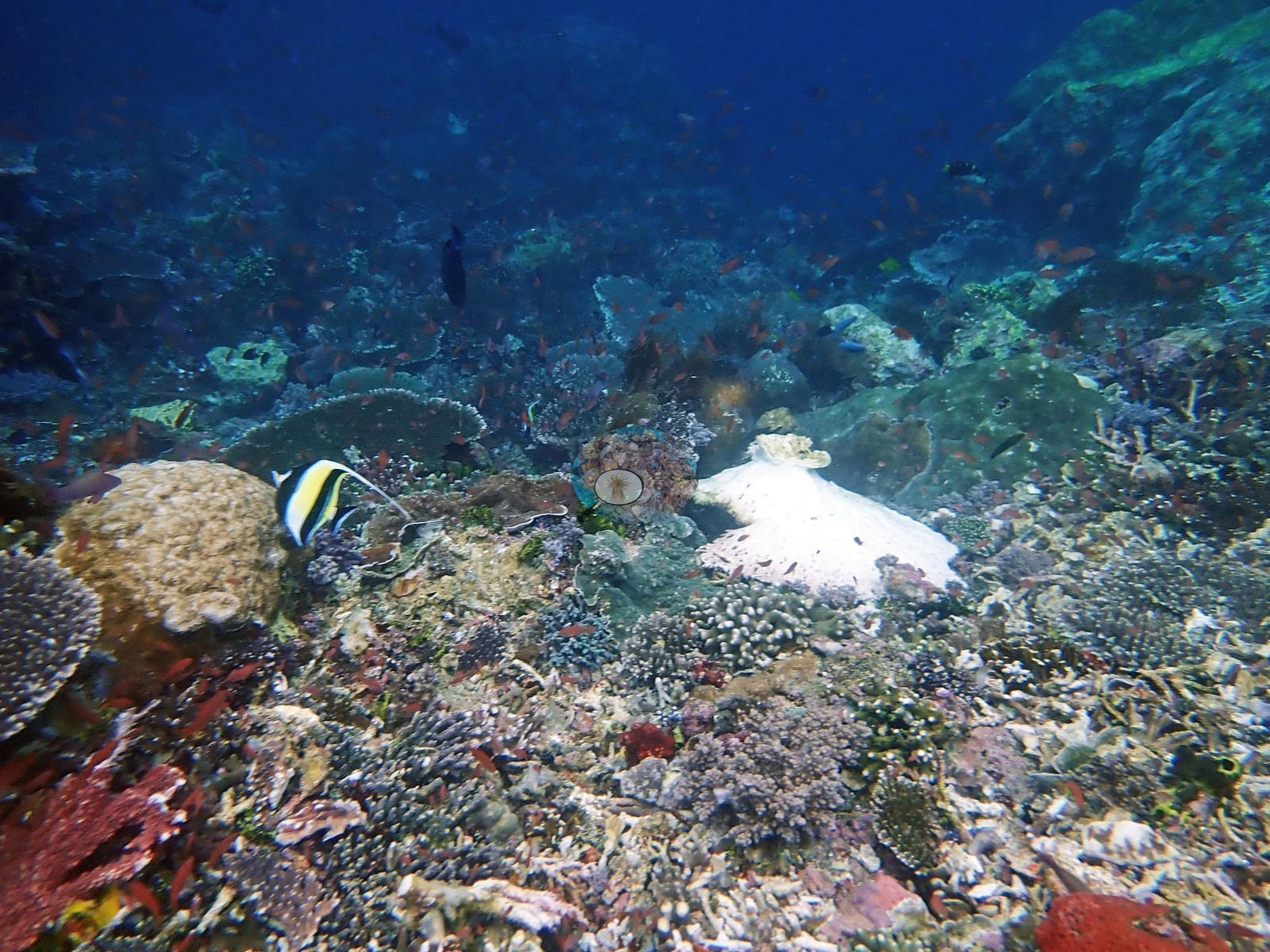
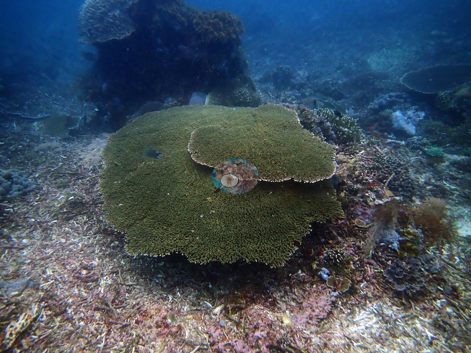
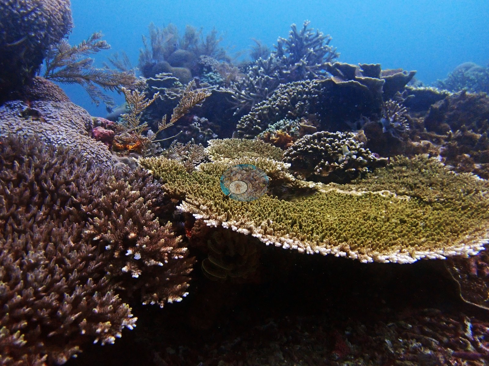
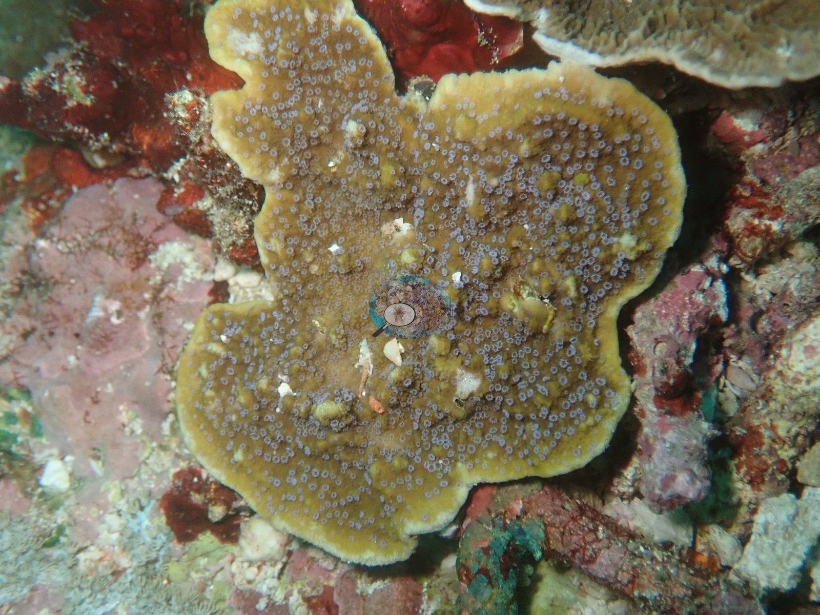
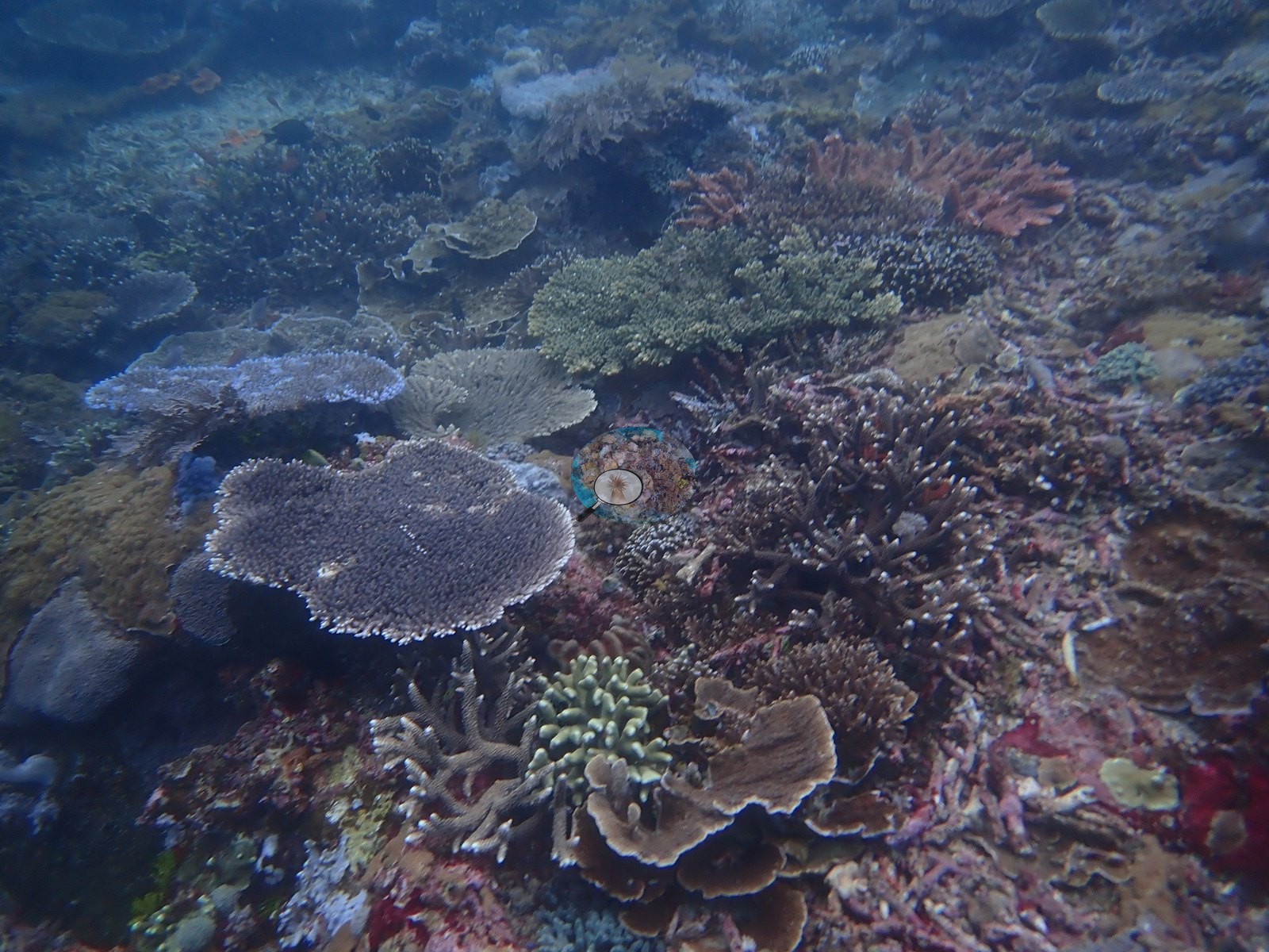
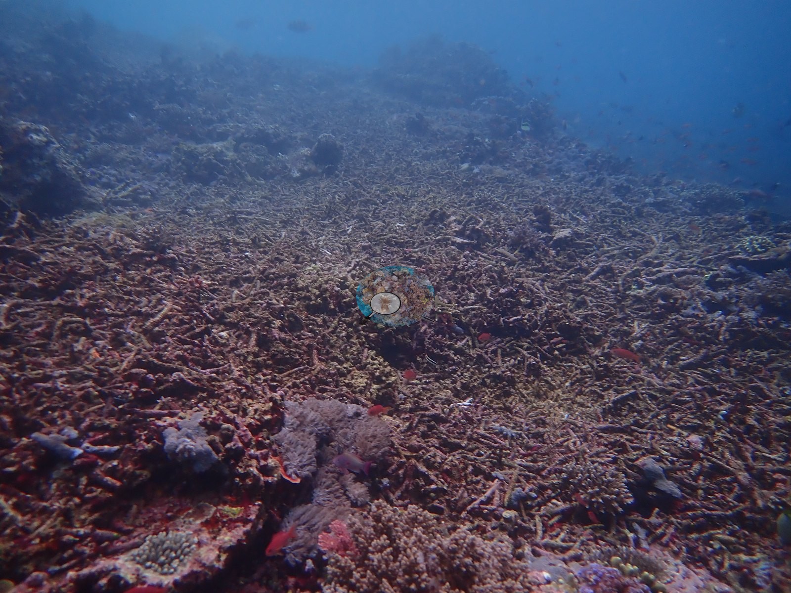
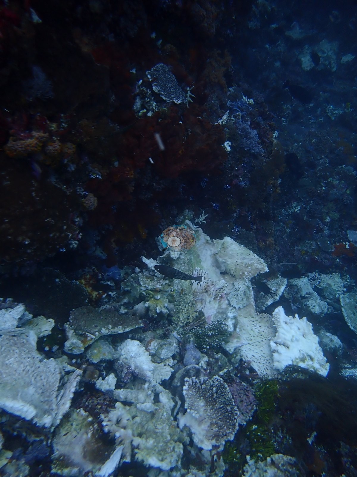
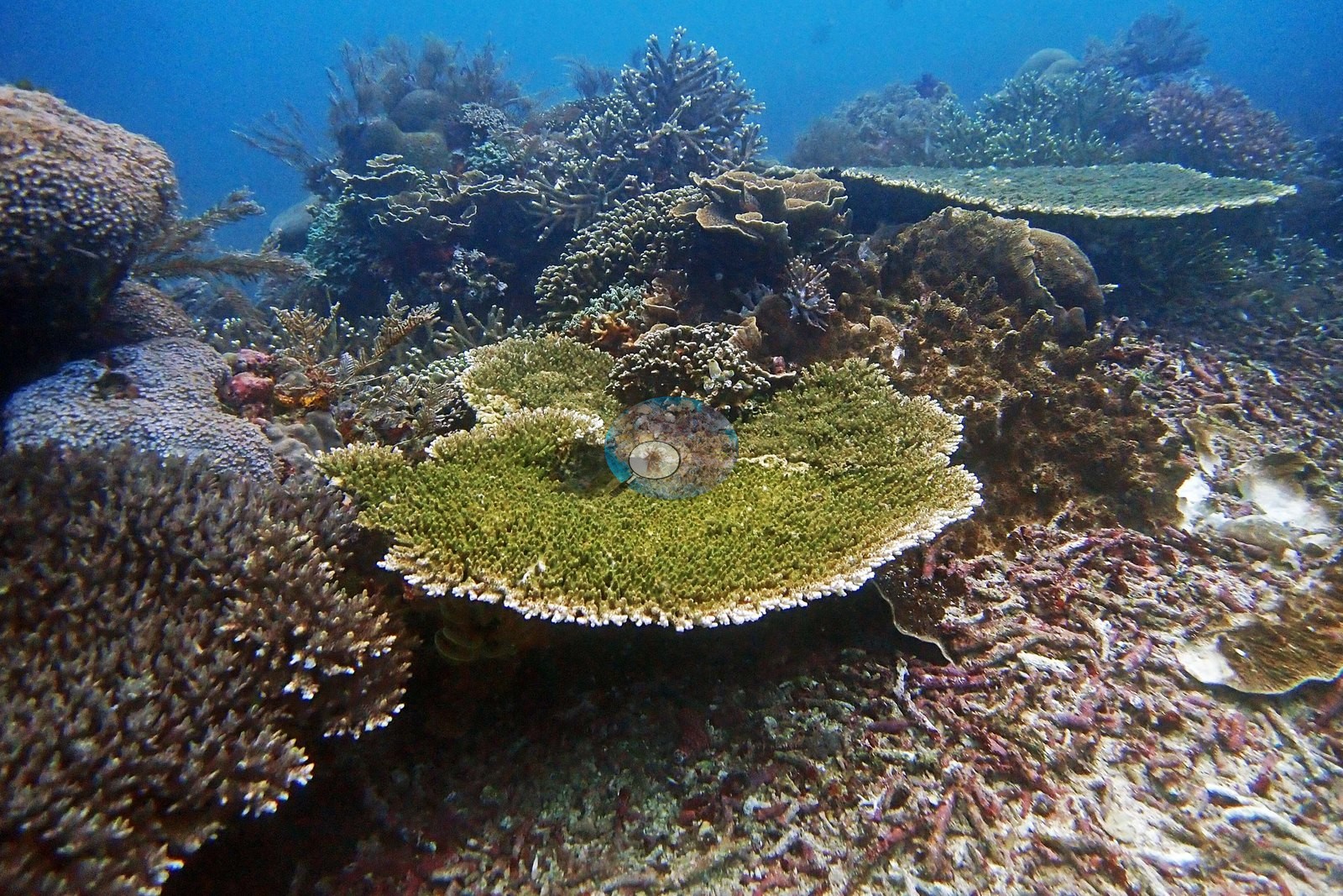
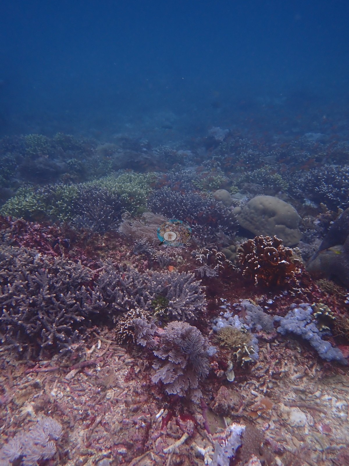
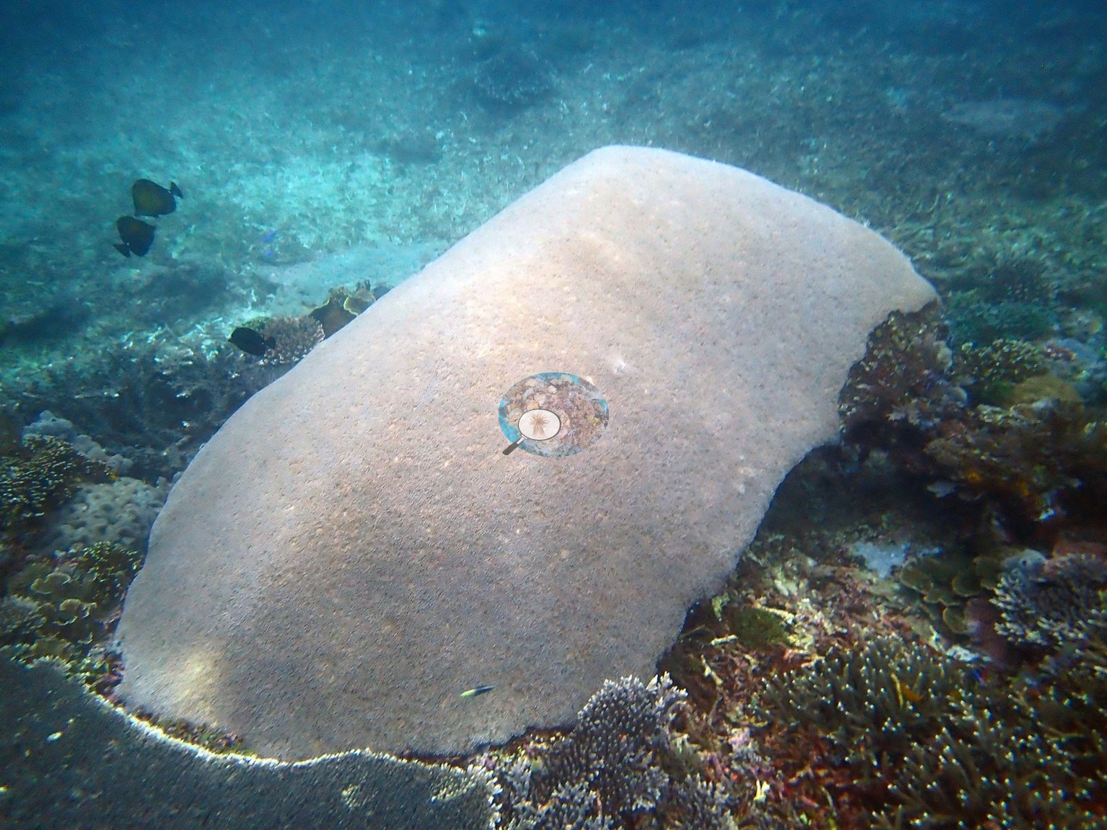
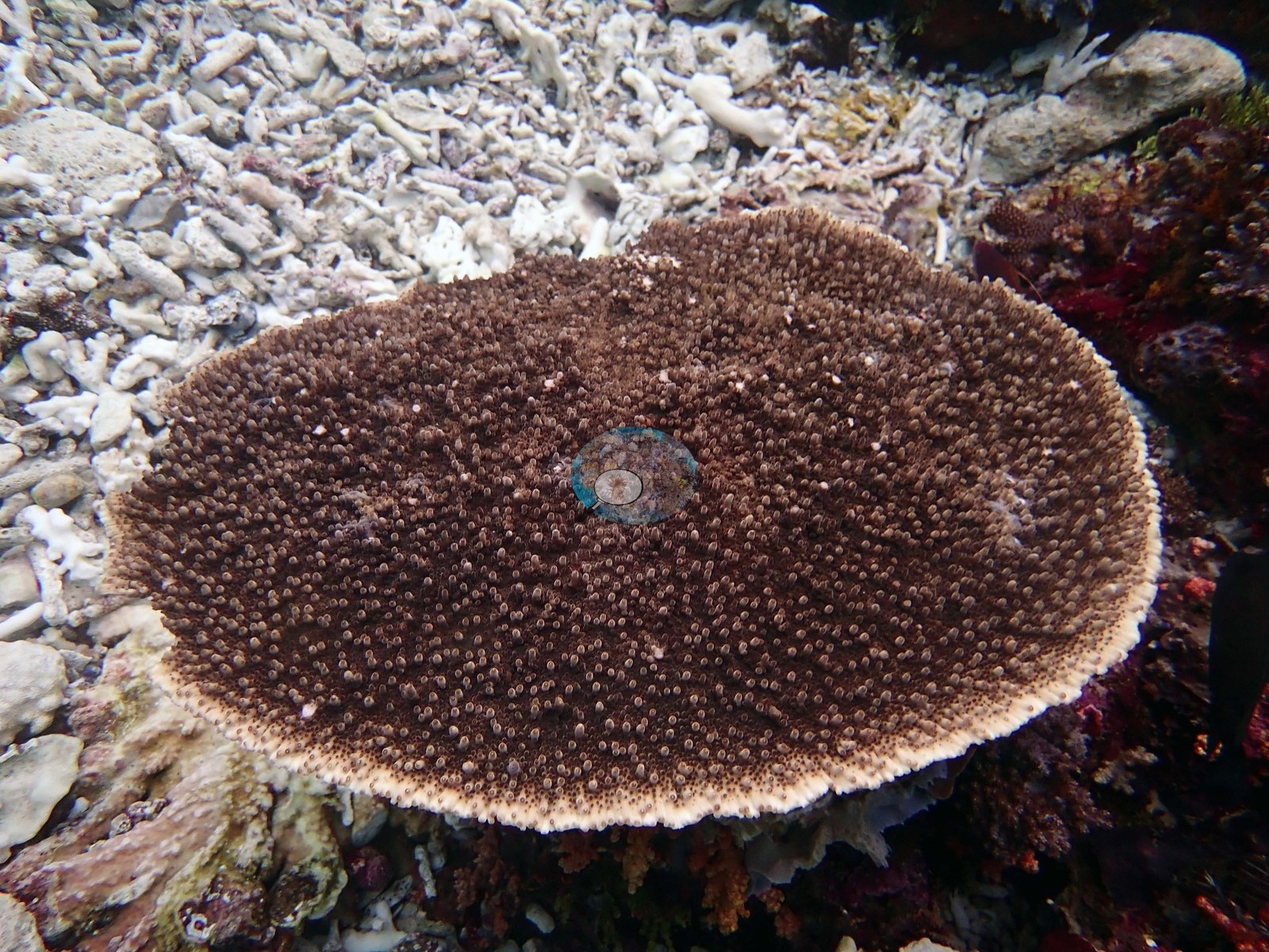
They show a genuinely rich but visibly disturbed acroporid reef. One frame is a single large Acropora table, roughly a meter across, dark brown with a pale living rim, sitting directly on a bed of bone-white broken Acropora branches - the table is healthy, the ground it stands on is dead skeleton (e.g., Image 2).
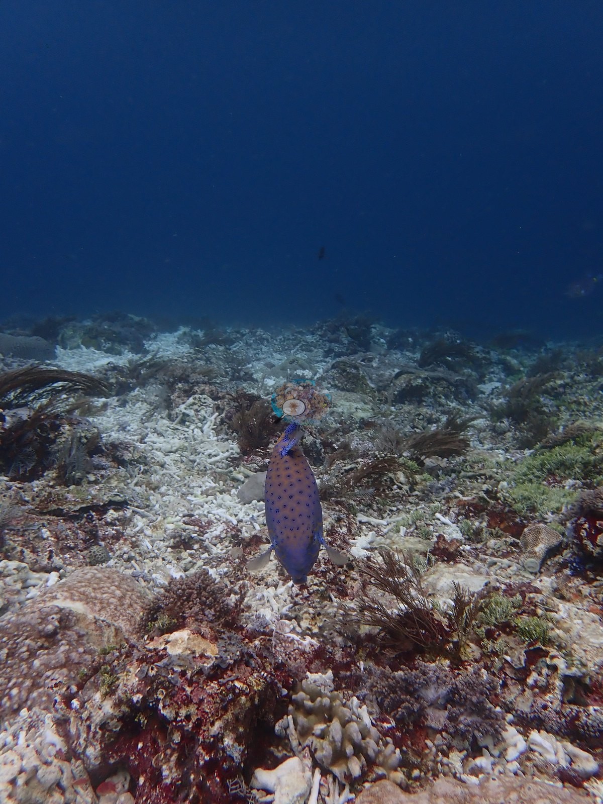
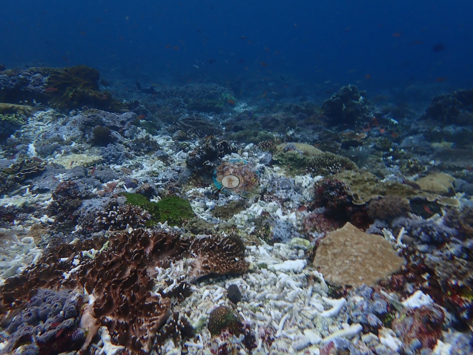
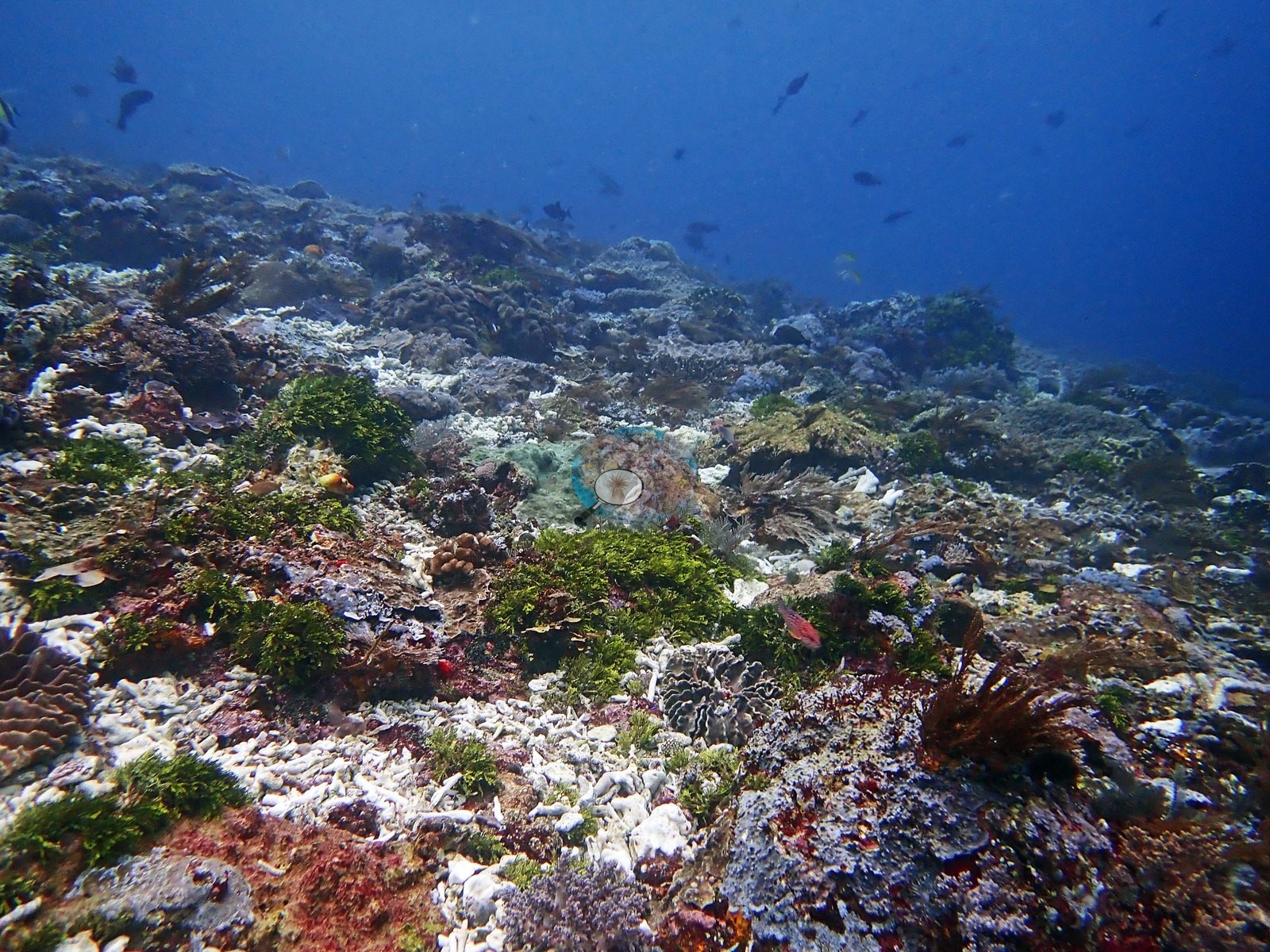
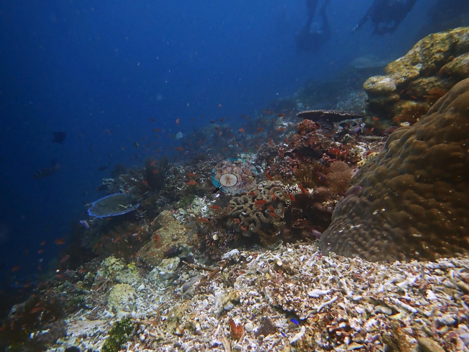
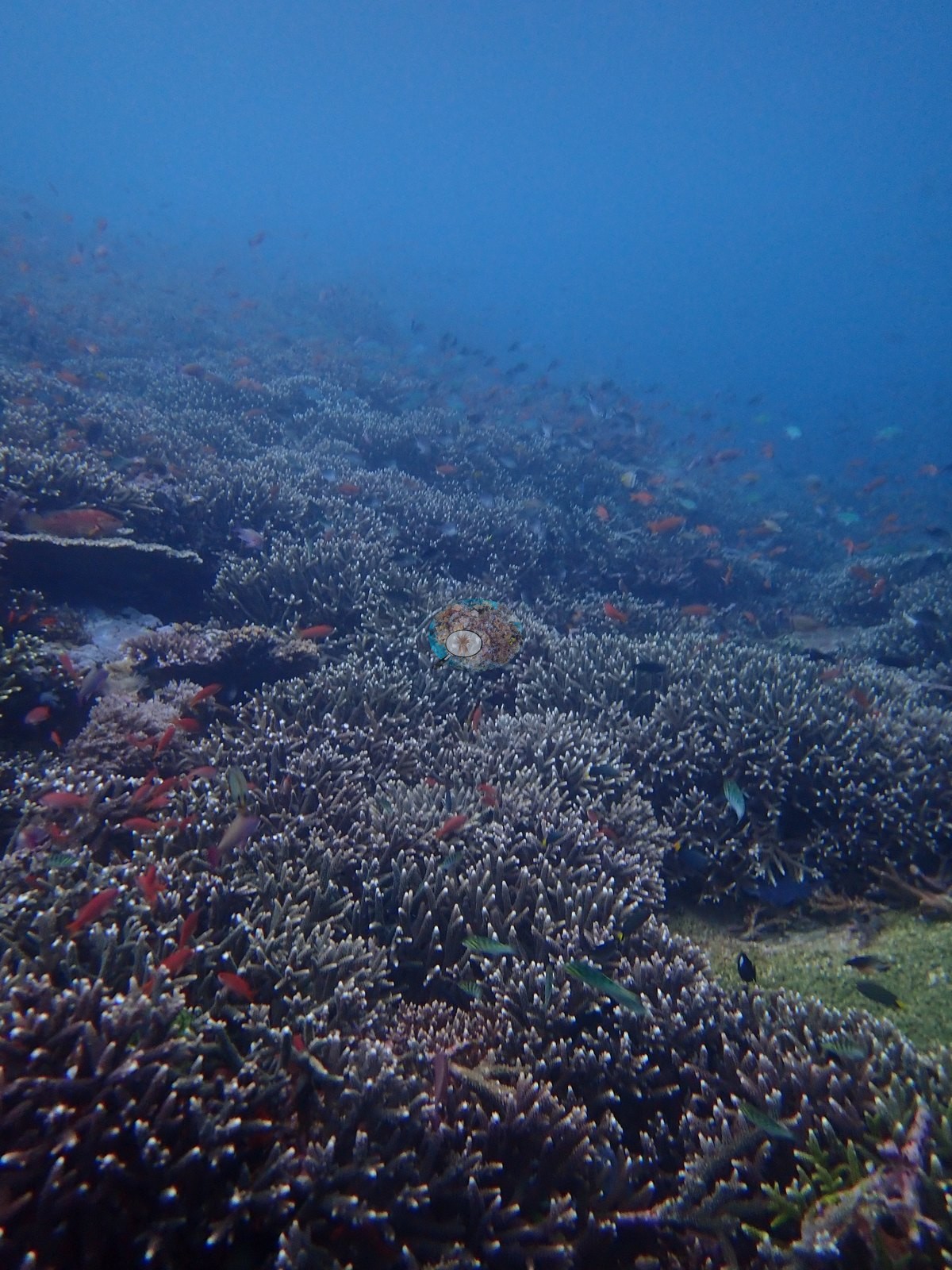
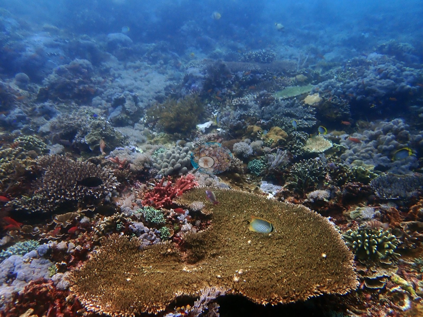
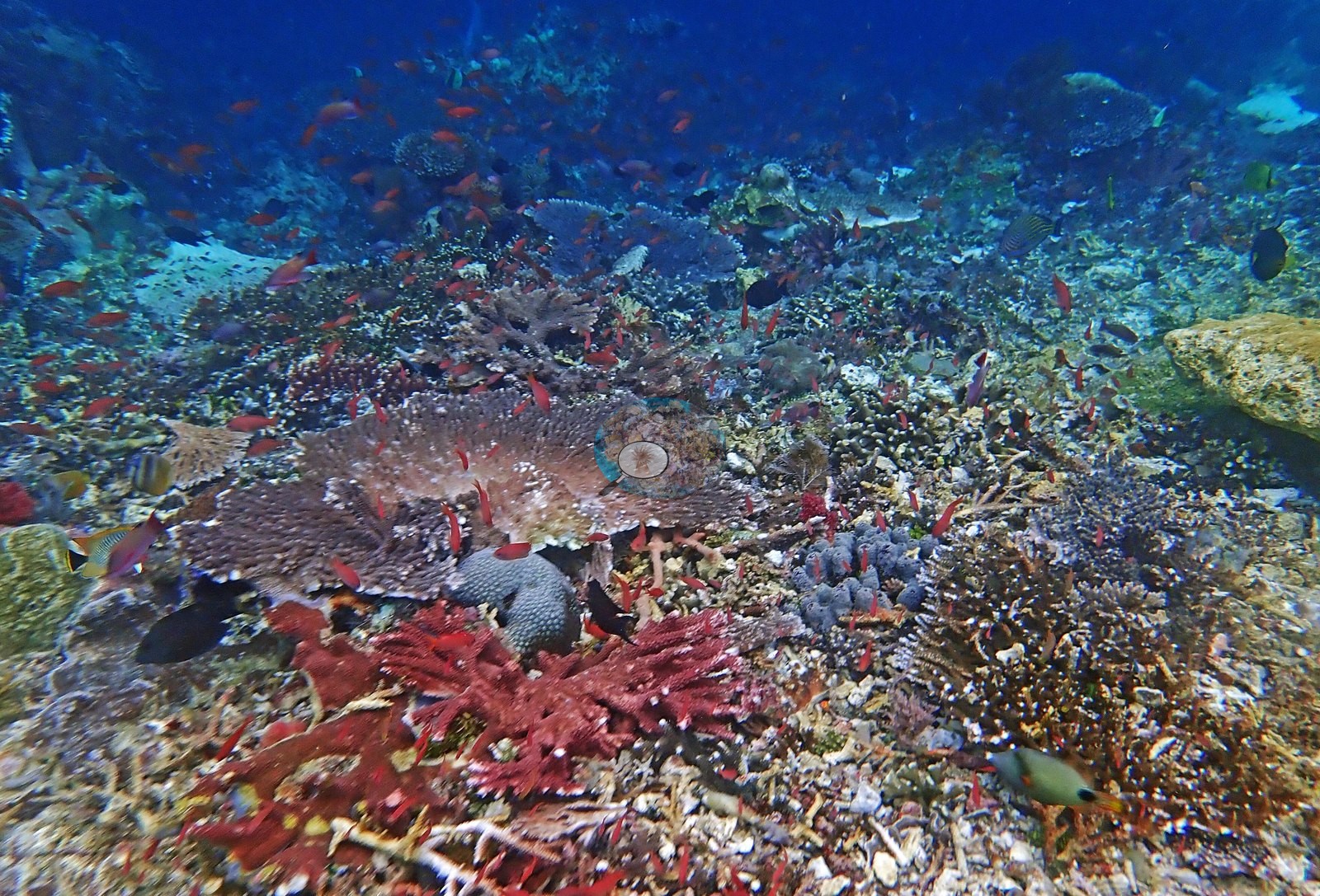
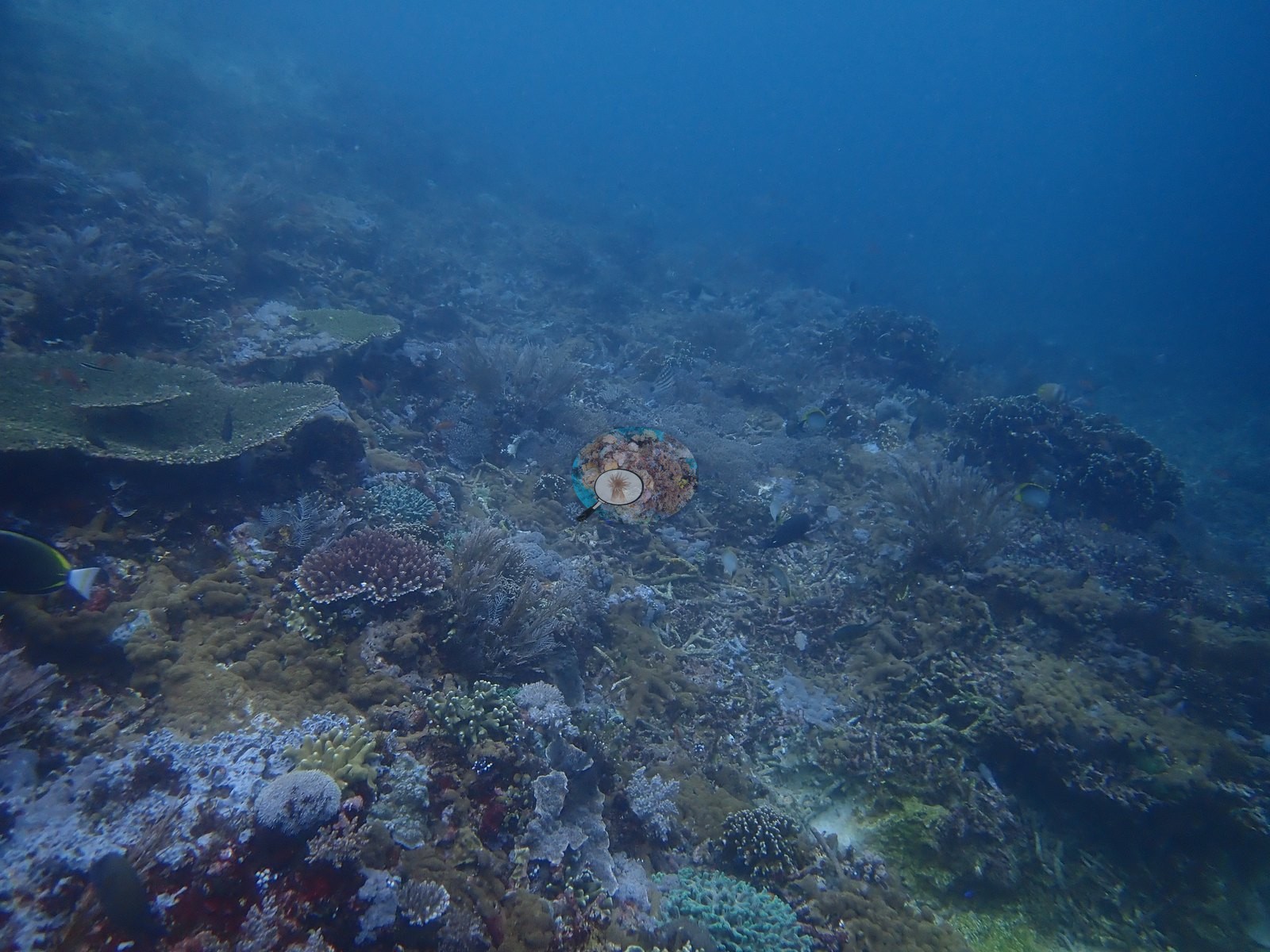
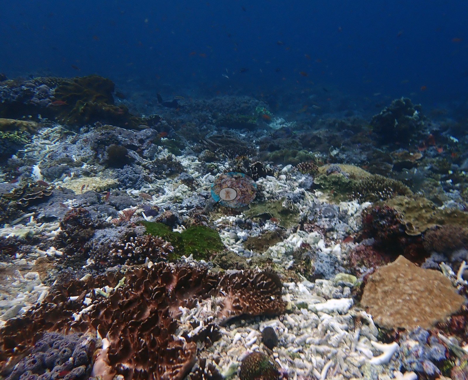
A wide slope frame repeats that pattern at scale: a pavement of white branch rubble and old consolidated skeleton with scattered live brown foliose colonies, a tan plating colony, and low green algal turf, dropping into blue water with small planktivores above it (e.g., Image 3).
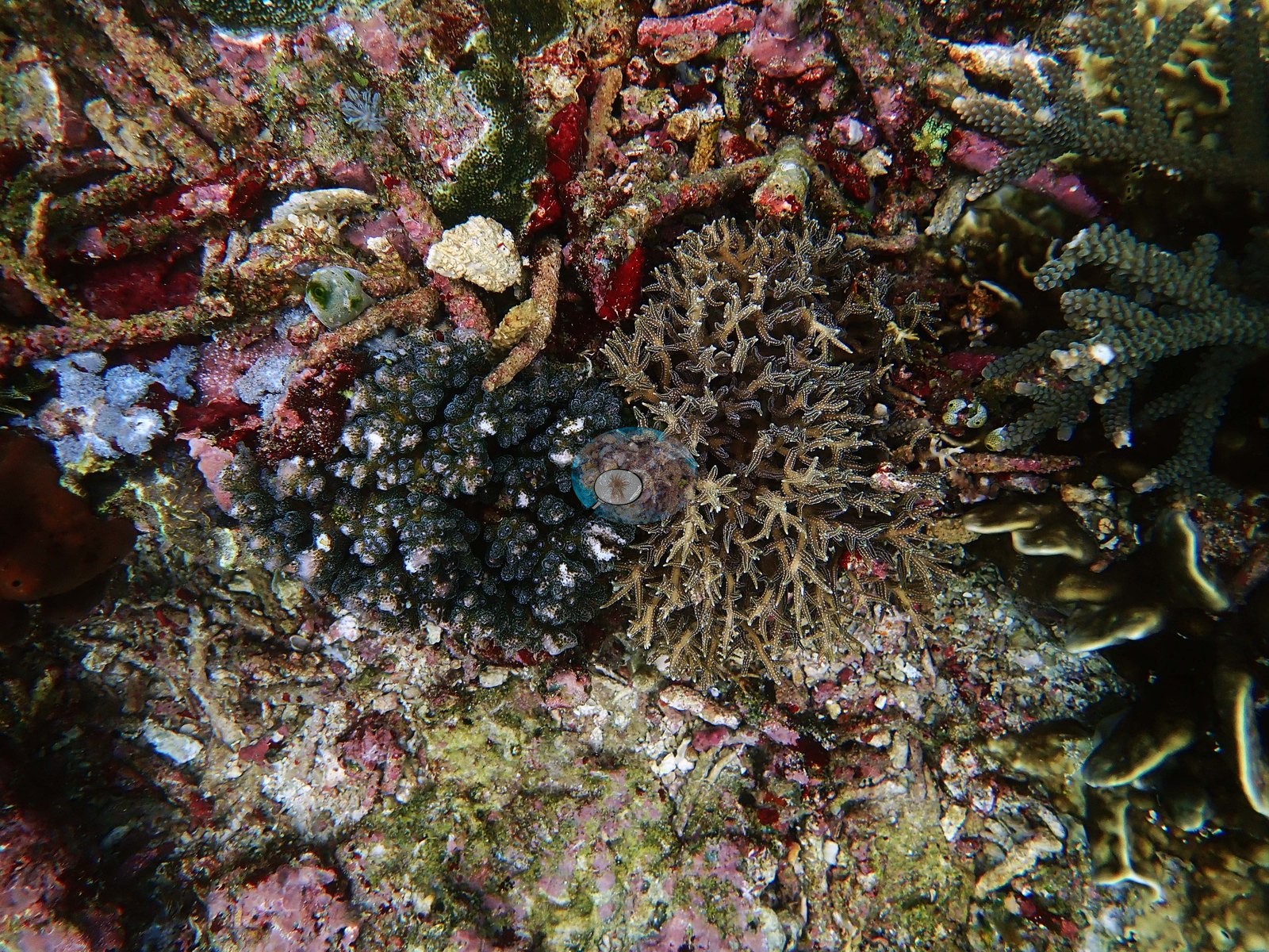
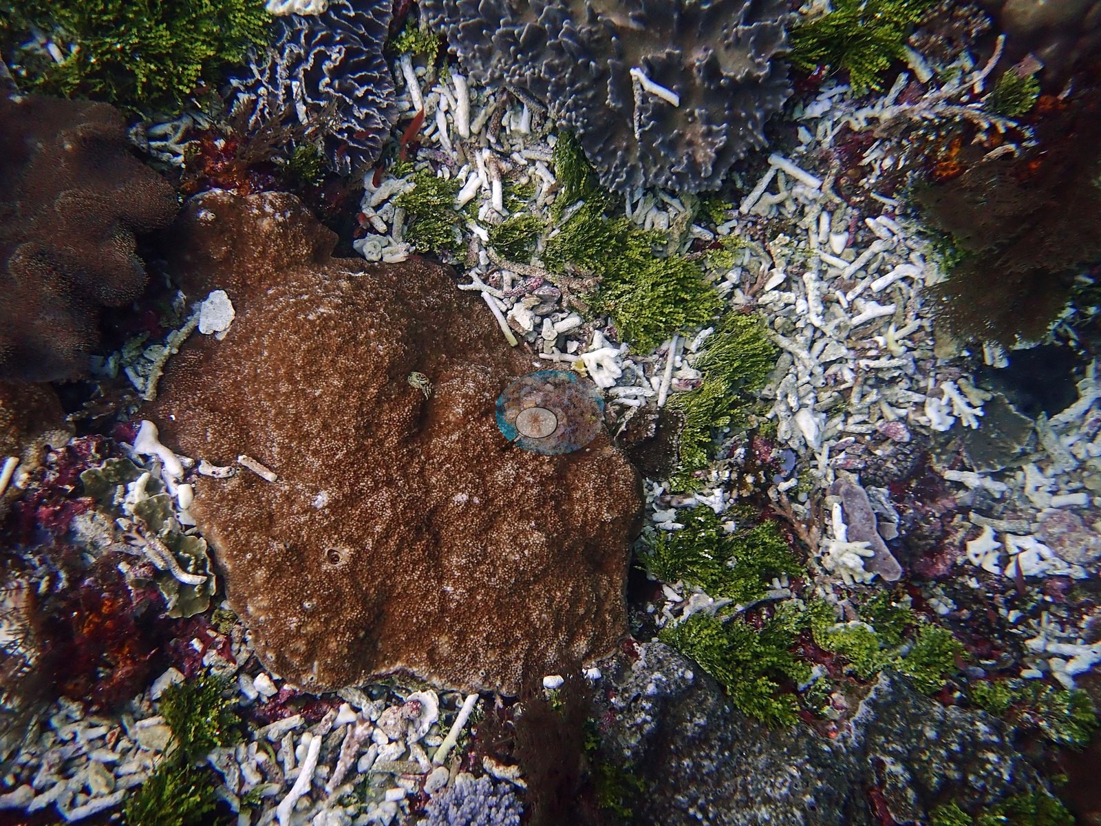
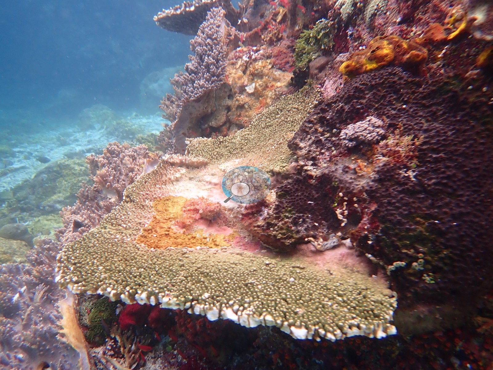
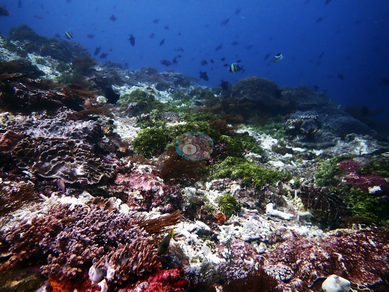
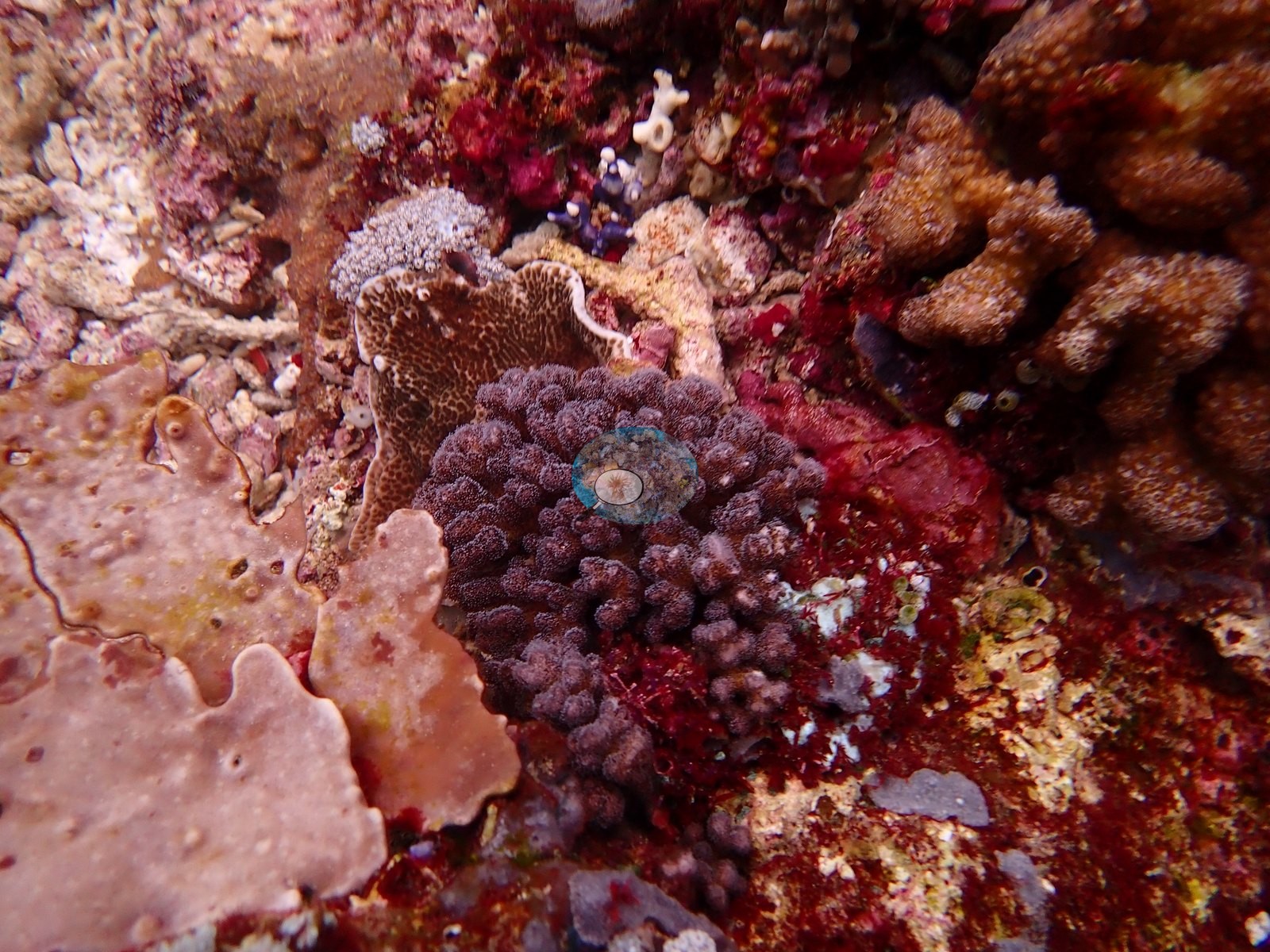
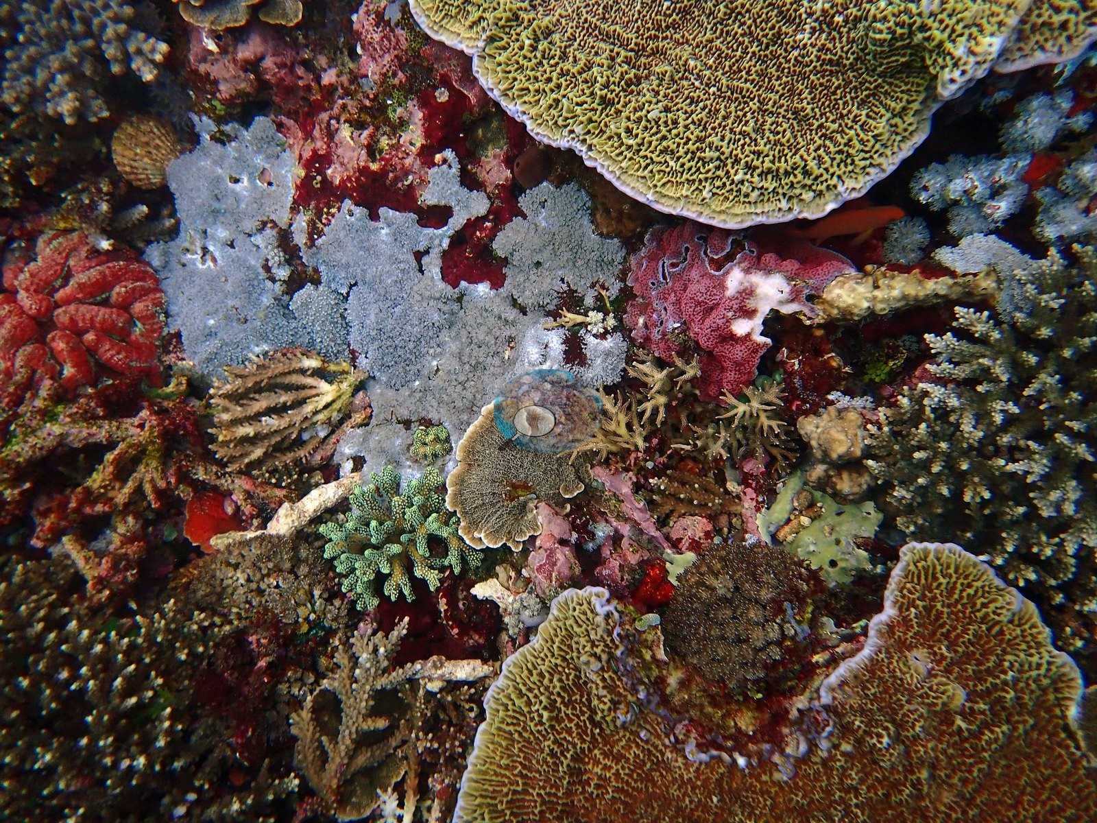
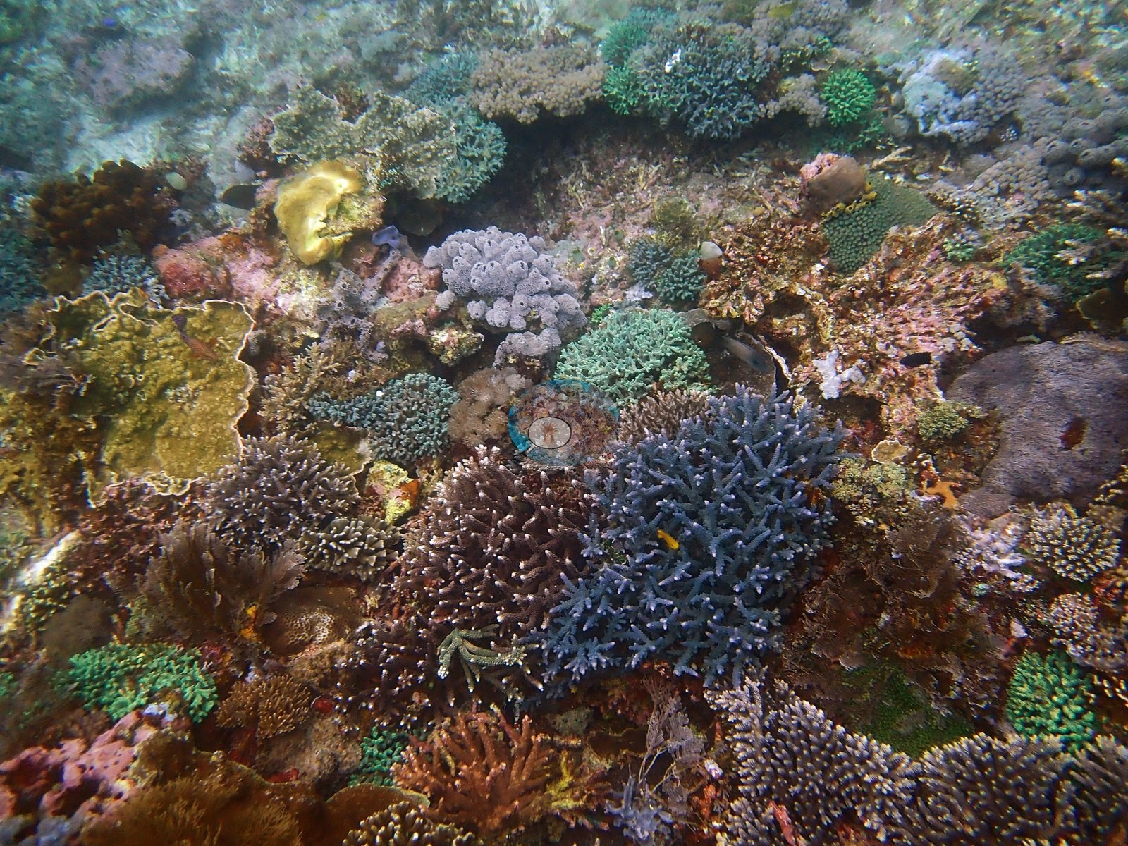
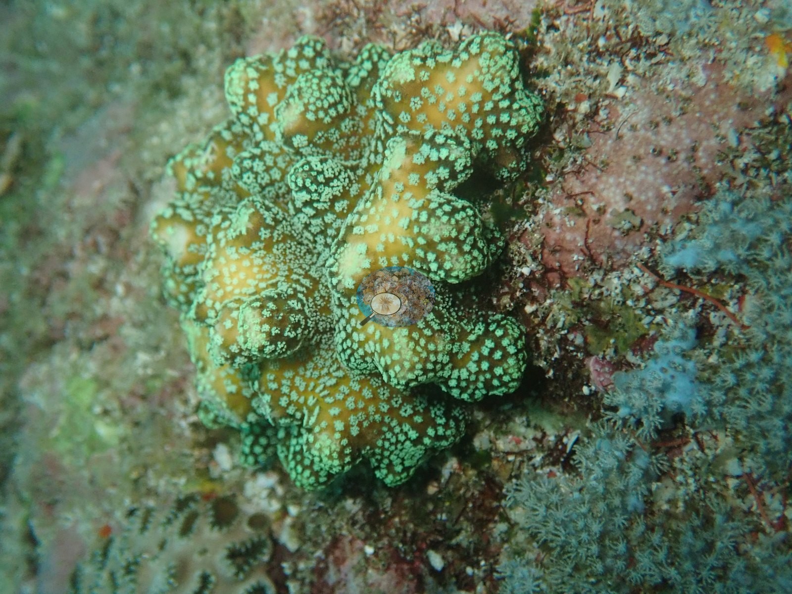
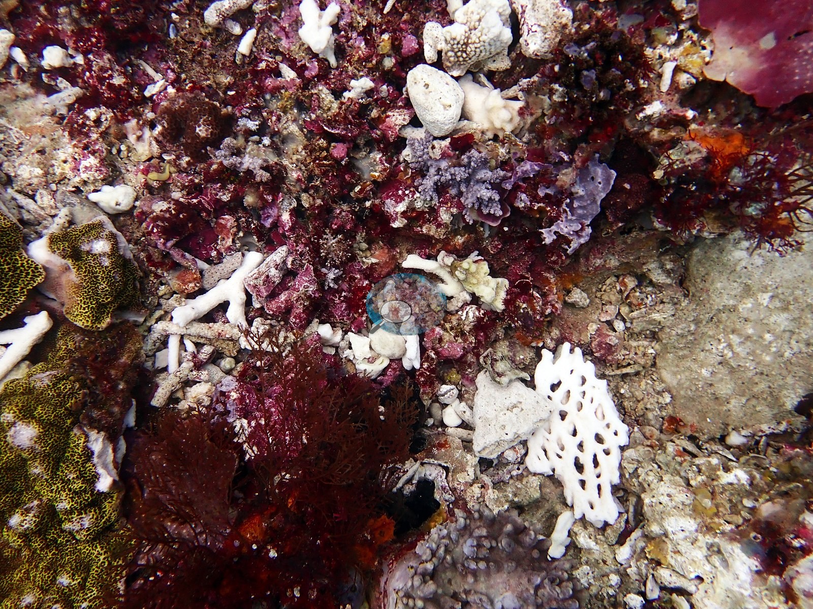
A substrate close-up in the same vein is mostly white Acropora fragments, dark red foliose macroalgae, pink and lavender crustose coralline algae, a yellow-polyped plating coral, and a small lavender soft coral (e.g., Image 1).
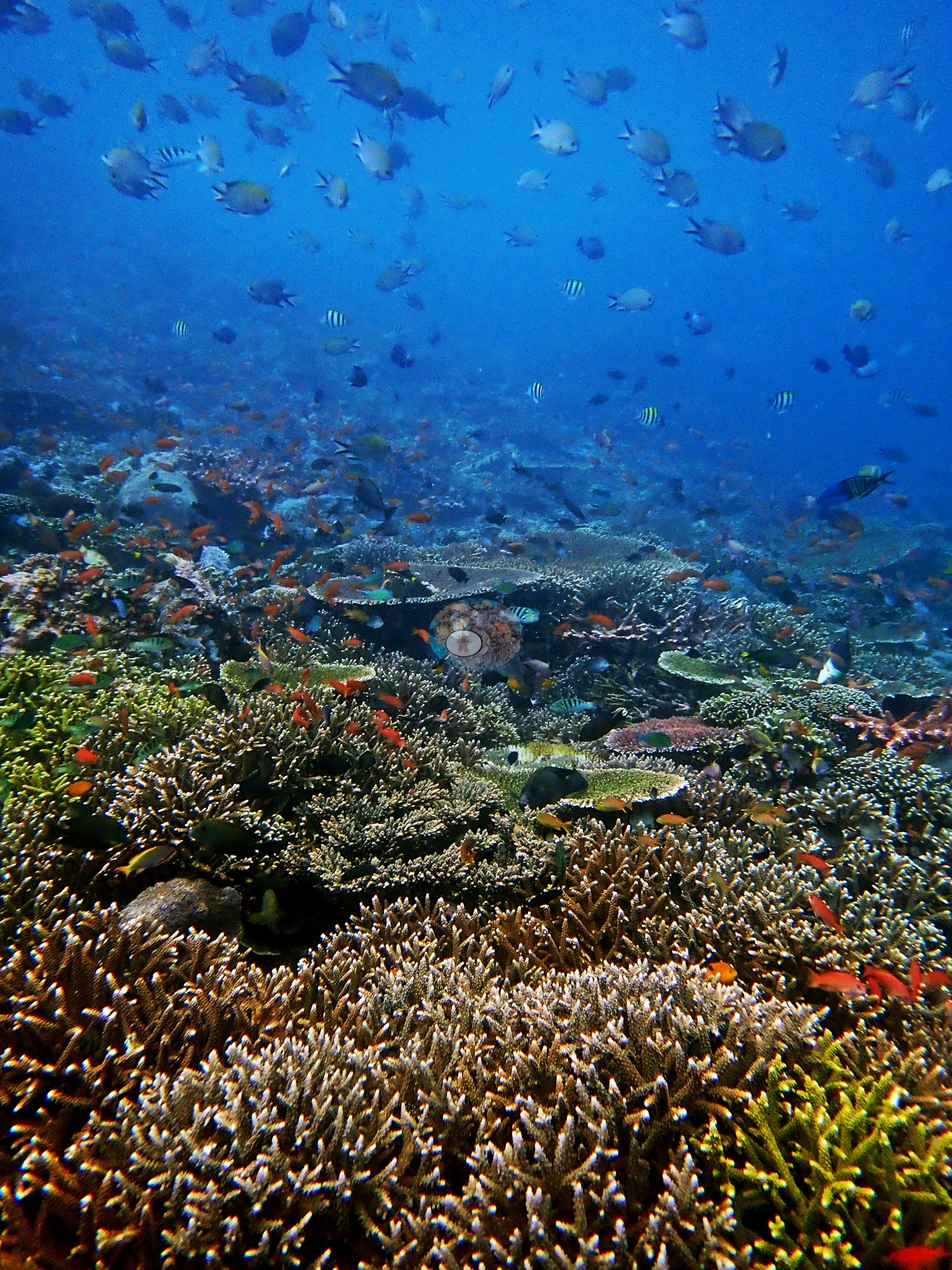
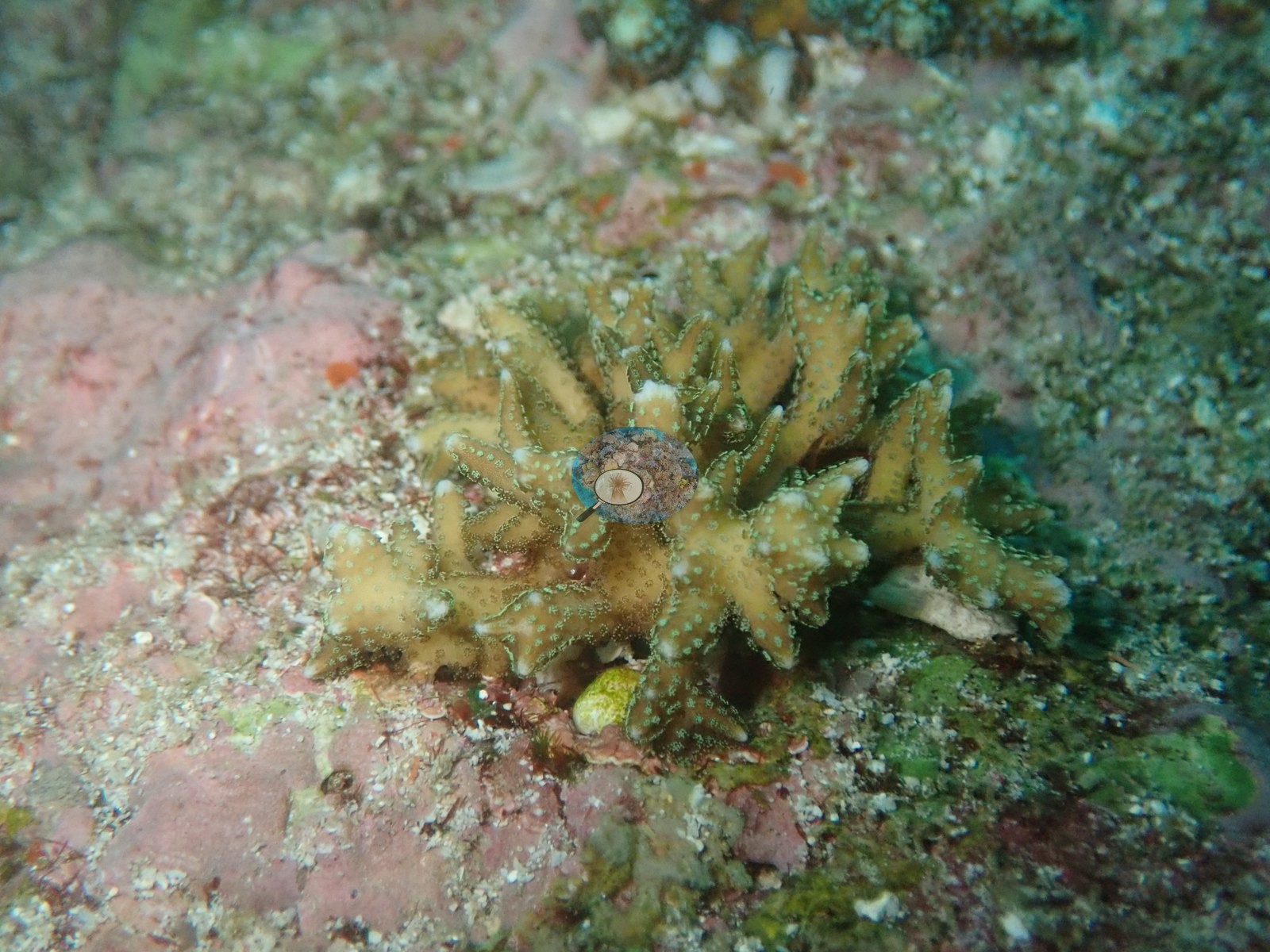
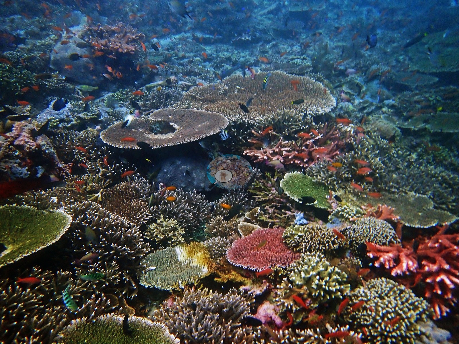
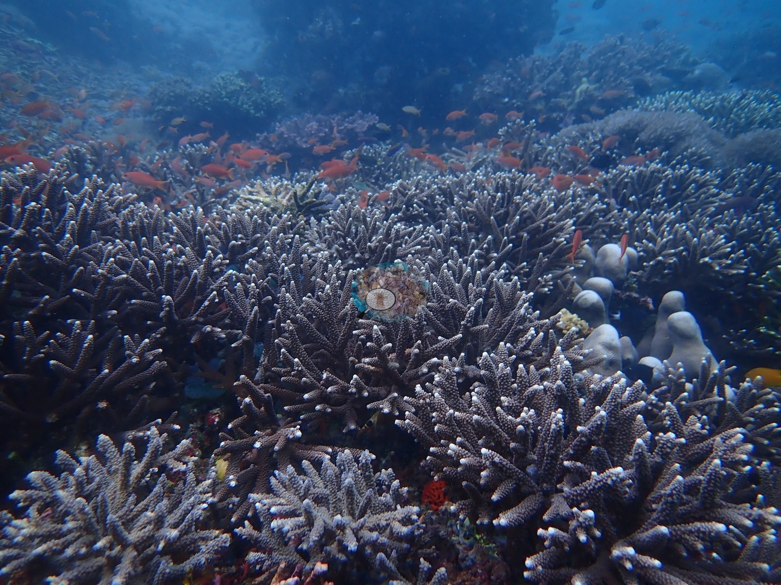
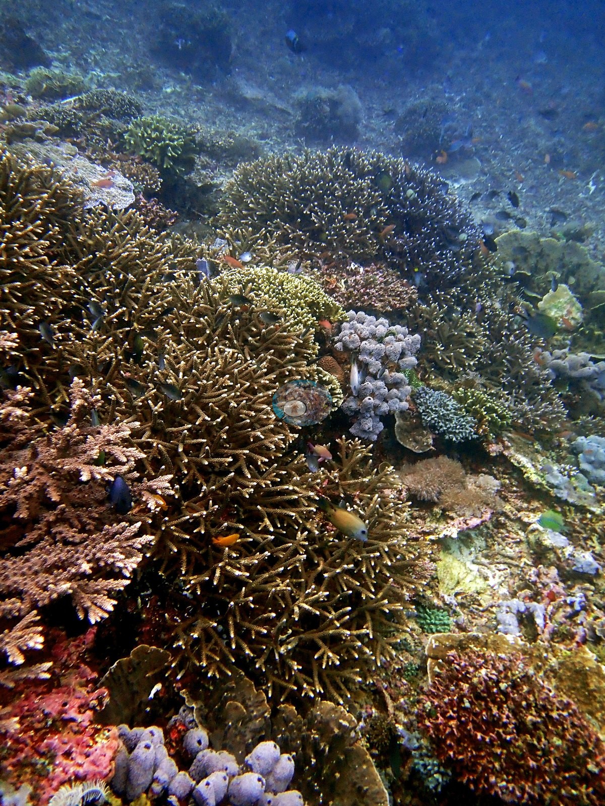
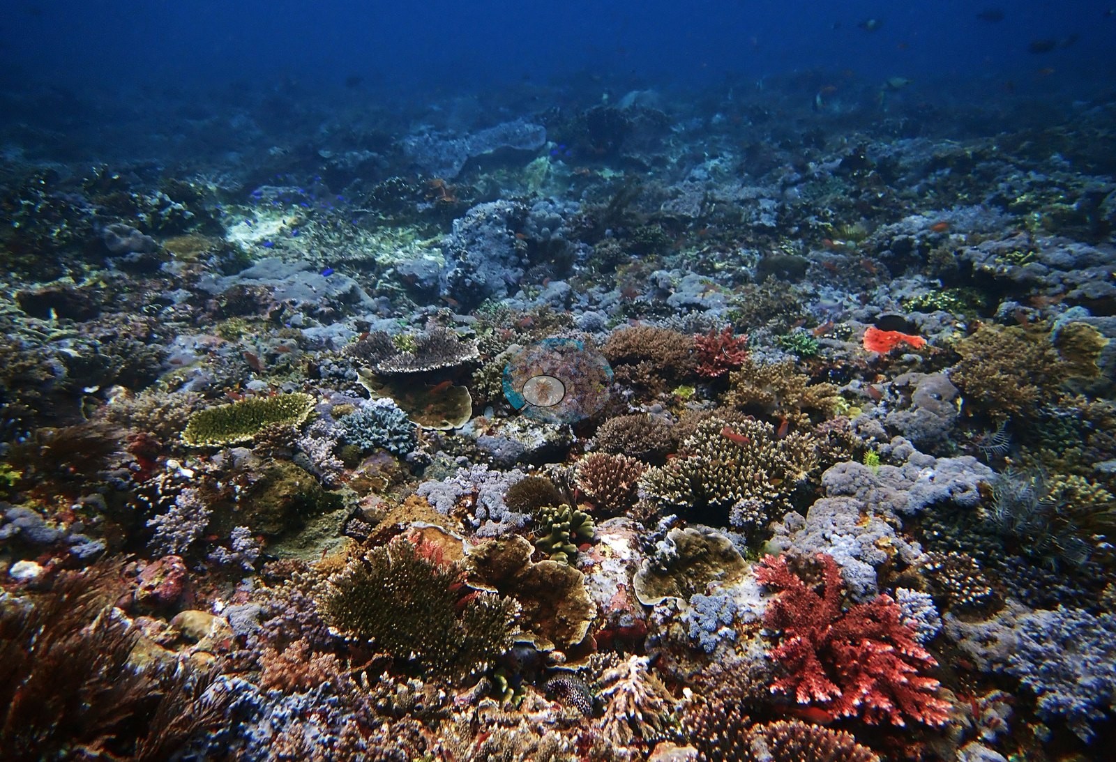
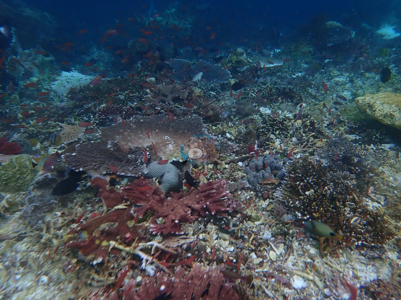
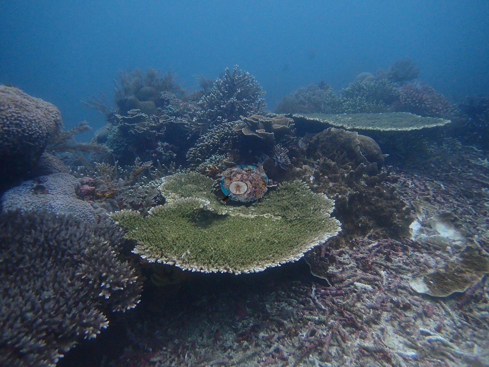
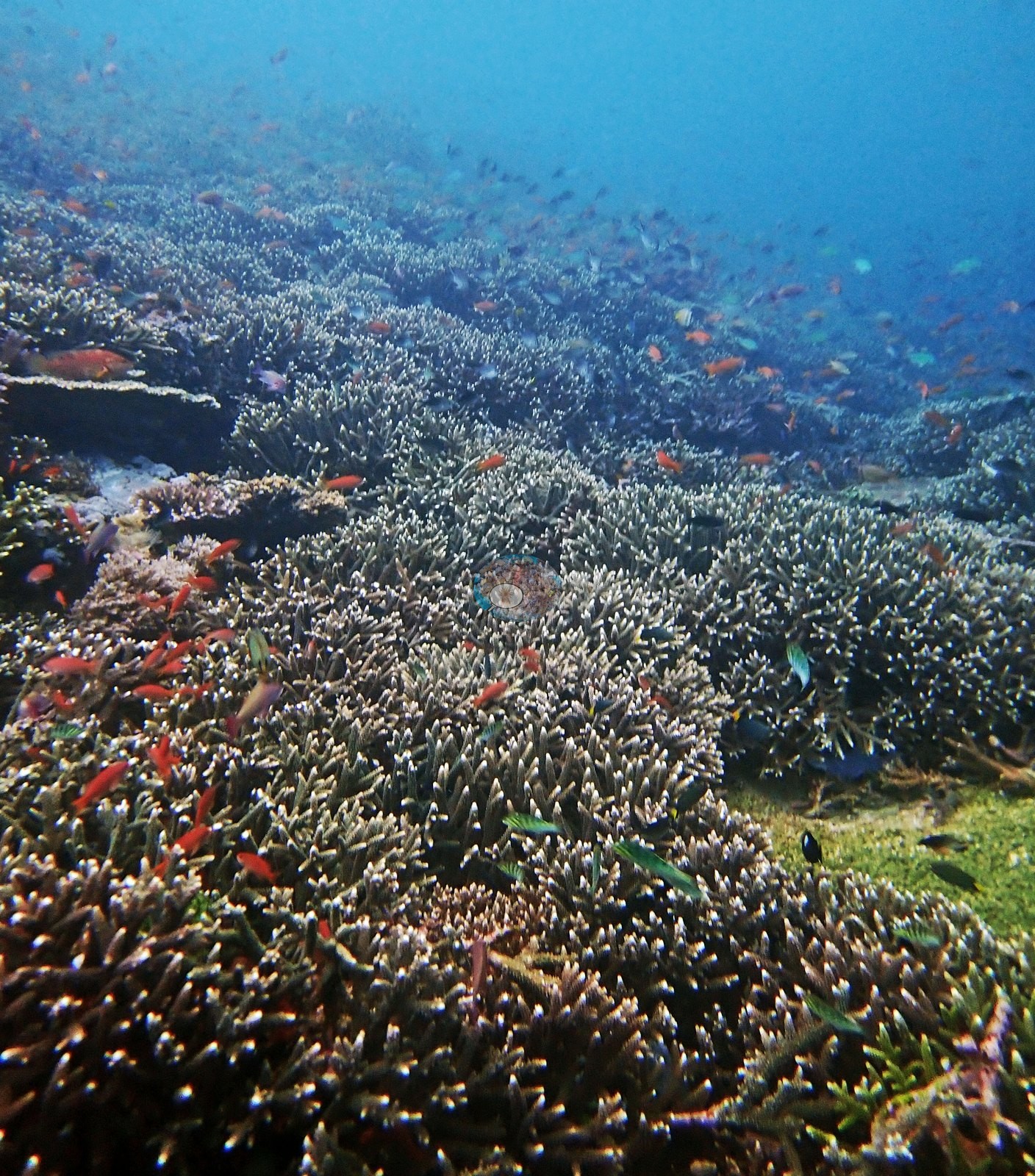
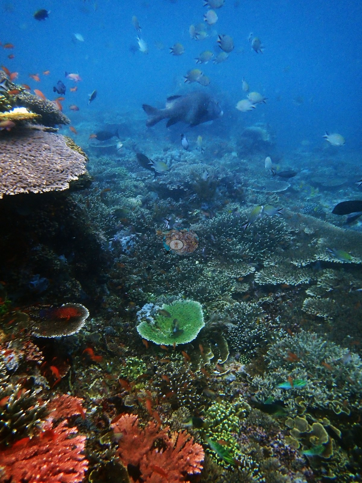
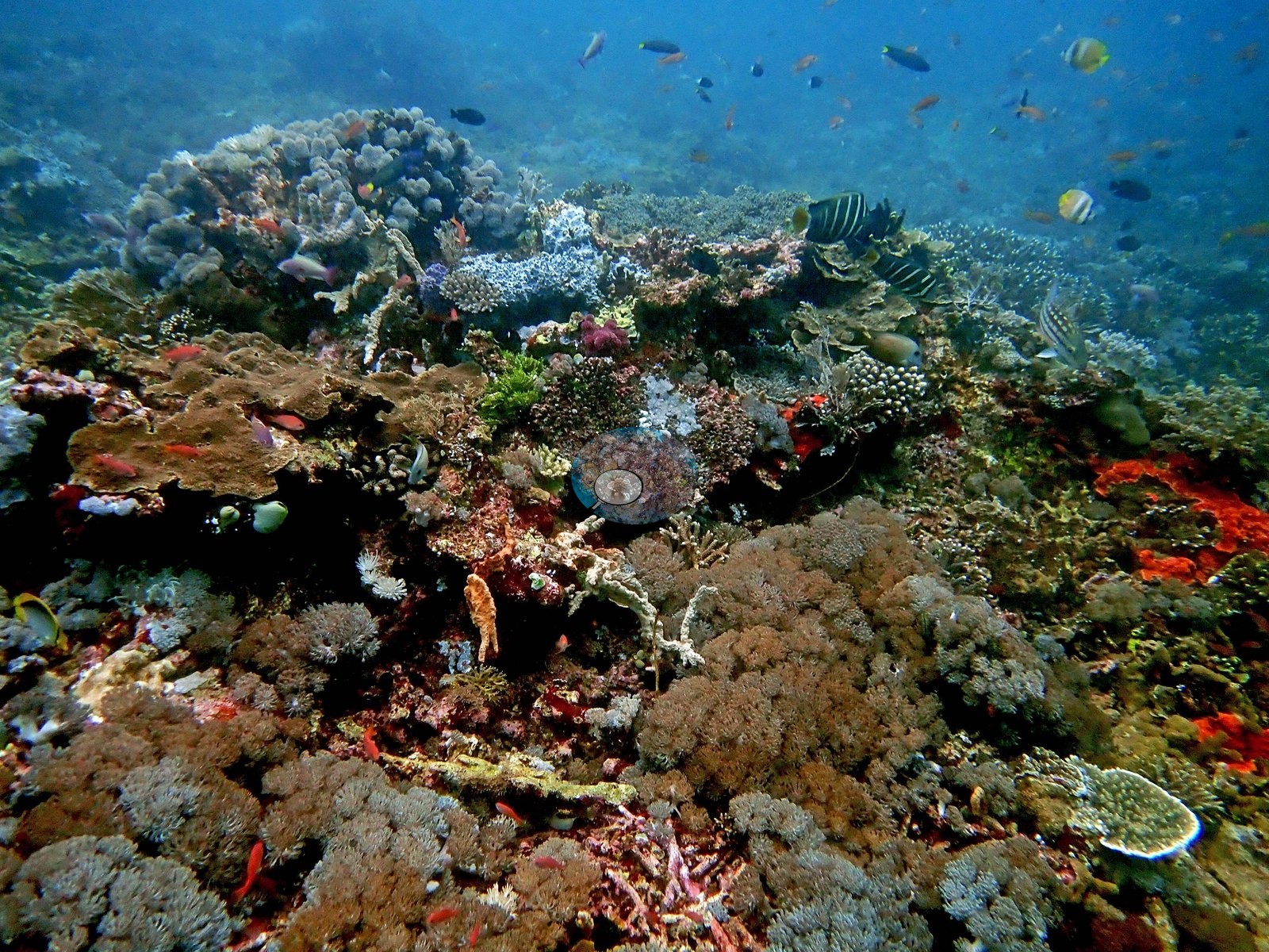
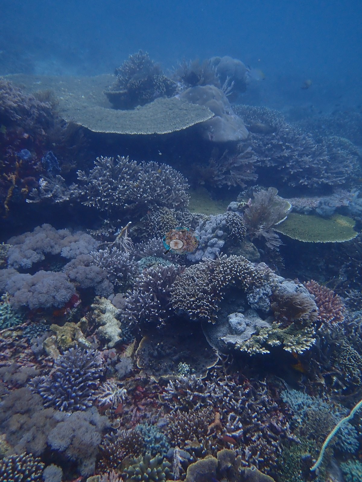
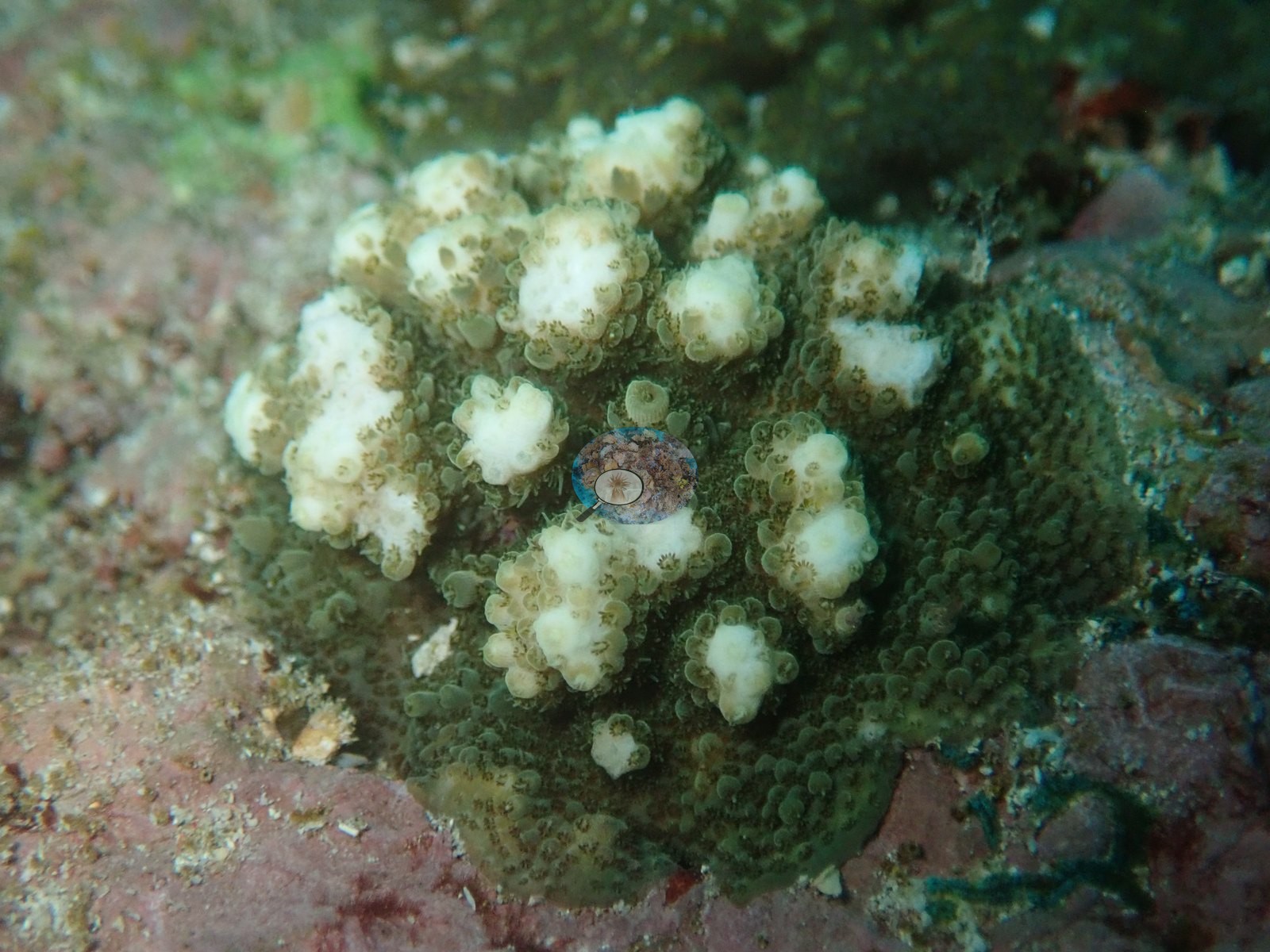
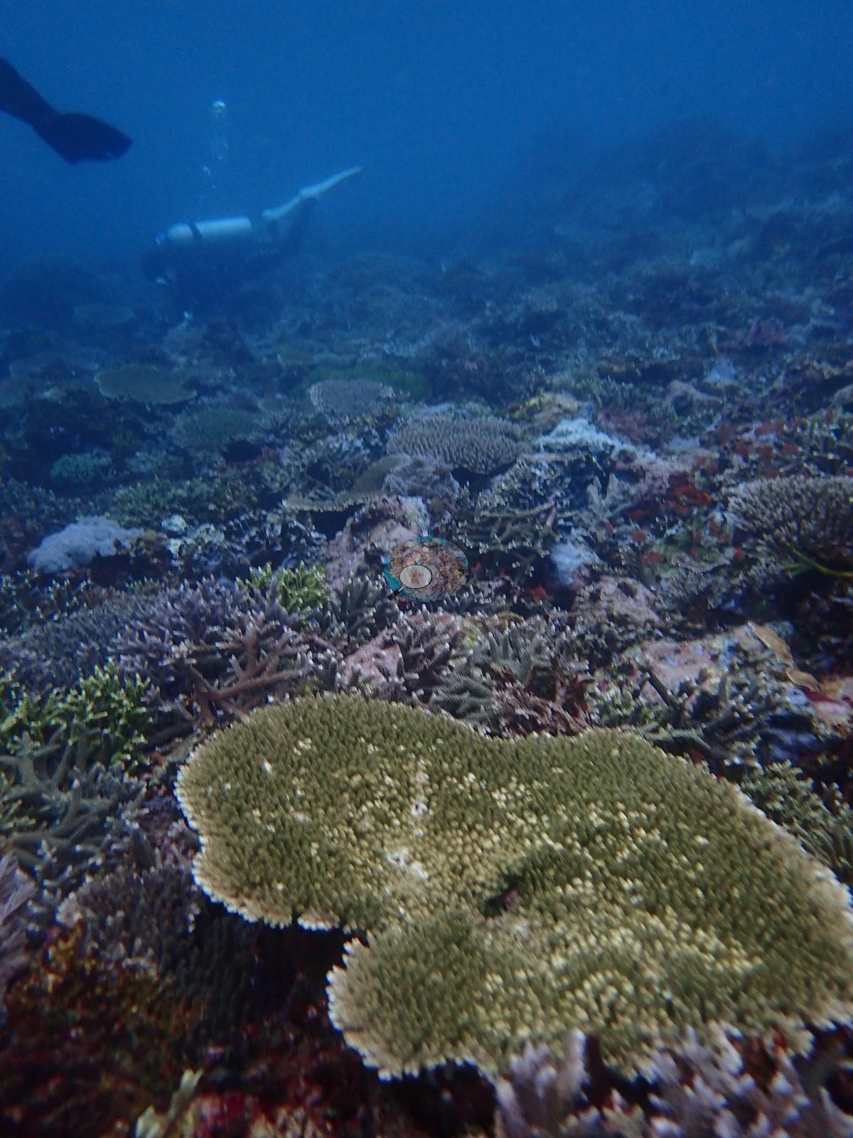
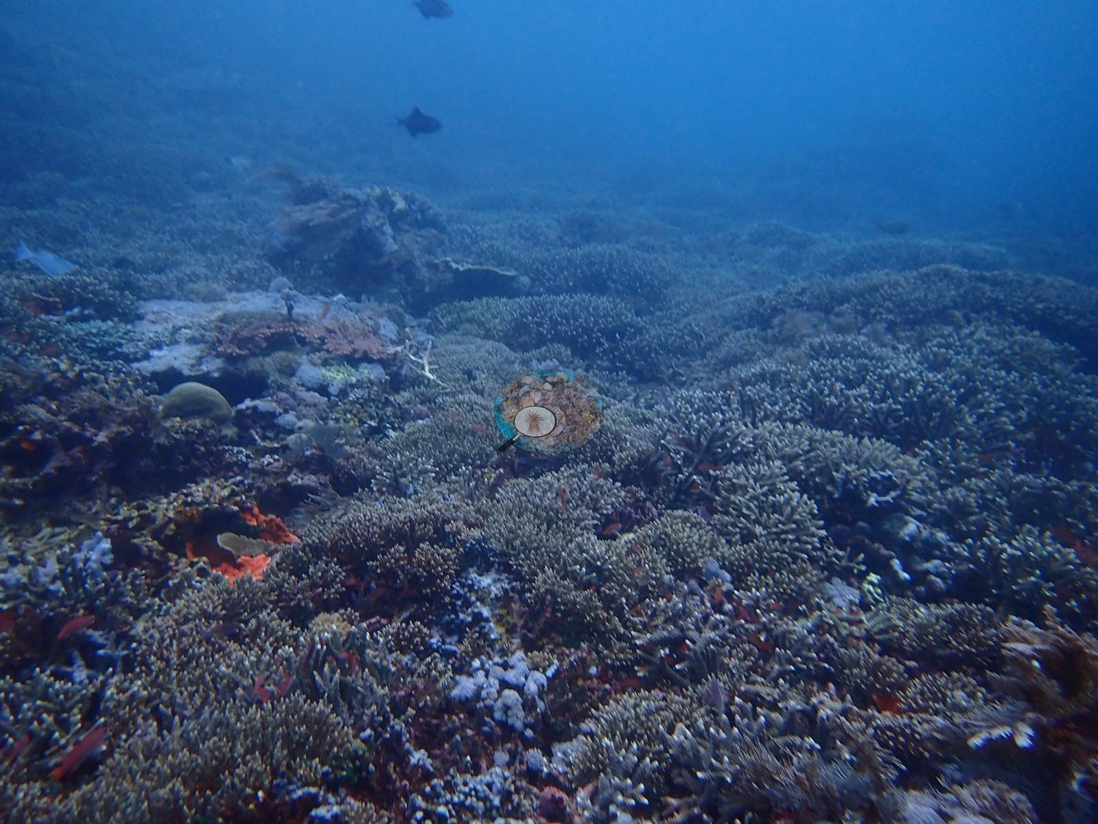
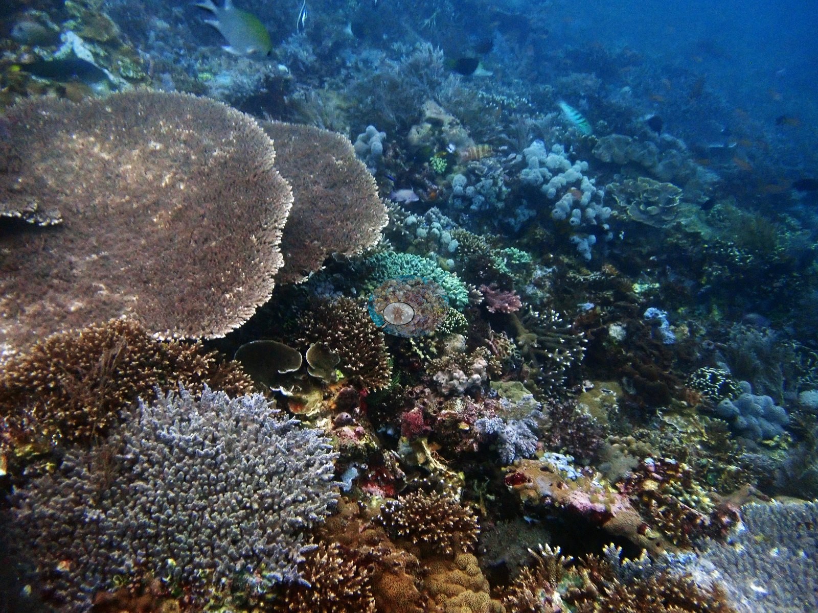
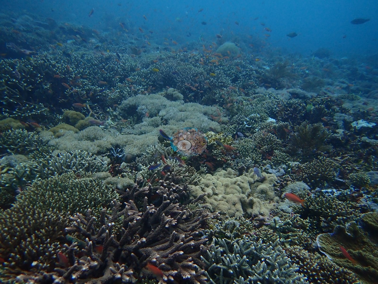
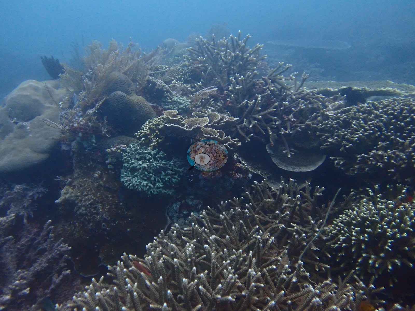
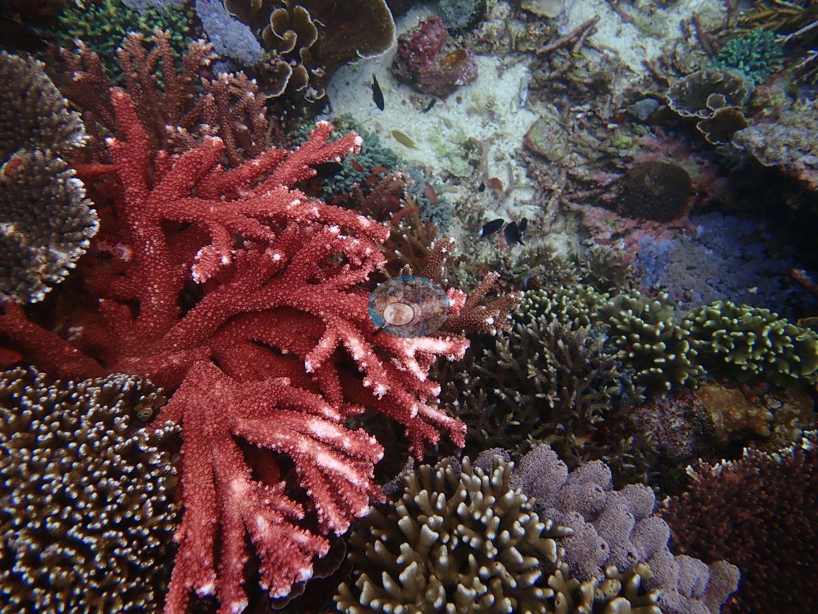
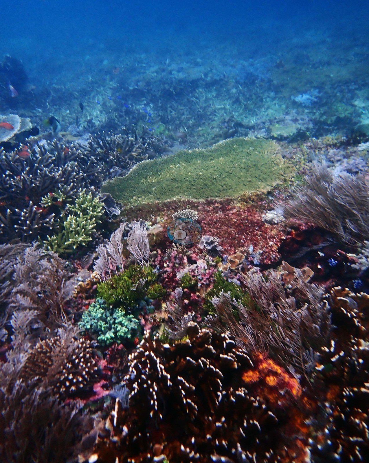
Against that, the two remaining frames are the reef he described: a vivid salmon-red branching Acropora with white-tipped branchlets, framed by green digitate Acropora, mustard finger coral, a purple encrusting colony, and gray-brown corymbose colonies at near-continuous cover; and a mid-range garden of Acropora thickets, feathery soft corals, a broad green encrusting sheet, and orange cup coral (e.g., Image 4, Image 5).
Coral cover
Coral cover: 32% — a blind Claude computer-vision point count of 83 of Anderson's edited photographs (20 points per photo; water, fish, and obstructions excluded). Other computer-vision methods are listed in the method table. These are computer-vision indices over photographs, not a diver transect.
Stressors
No bleaching, disease lesions, or predation scars are resolvable, and nothing man-made appears. Read the rubble as physical breakage on a current-swept slope, not as a diagnosed mortality event; these frames cannot date it.
Fish and other fauna
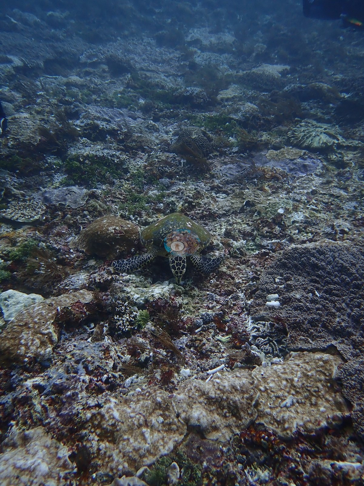
Reef fish in frame are small - damselfish and anthias - matching his note that diversity was high but mean size small.
Comparisons with other data
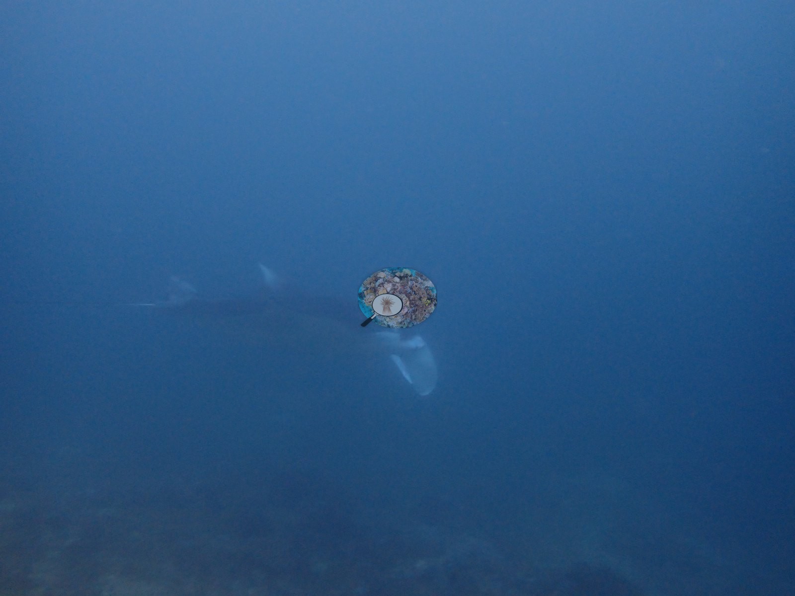
Also on record for this site: 2019-1-27 dive 1: Tatawa Kecil (#32): 7:34-8:34 (60 min). I didn’t take my slate, so going entirely on memory. Saw 2-3 turtles (green) and the biggest Napoleon wrasse of the trip. Also saw a manta ray towards the end of the dive. Encountered large areas from 5-9 m with 80-90% coral cover, including low-lying acroporids and finger poritids.
Dive record
Anderson dived this site once, on 27 January 2019 (07:34, 60 min, max 22.3 m, average 7.9 m, 26.1 degrees C), and lost his slate, so the five photographs are the closest thing to a record.
CV model comparison
More info
DINOv3 and CoralSCOP were run on the same photos and are listed for comparison. Coralscapes v2 and v1 were also run but are not shown: Anderson does not consider Coralscapes reliable for these photos. No diver transect exists for this trip, so agreement between the rows is not accuracy, and as of September 2026 no computer-vision method estimates coral cover accurately on new images; treat every row as indicative.| Method | Hard-coral cover (%) |
|---|---|
| In-house DINOv3 | 28.8 |
| CoralSCOP edited | 37.9 |
| Claude (edited photos) | 32.1 |
Independent surveys nearby
| Agency / program | Year(s) | Stations / distance | Link |
|---|---|---|---|
| Reef Check | 2020 | 5 stations, 0.49–2.86 km | Records ↓ |
| WWF-US / WWF-Indonesia | 2016 | 1 station, 2.25 km | Records ↓ |
 Dr. Coral (CRD)
Within 5 km, 6 independent survey stations recorded hard coral cover in 11 surveys between 2016 and 2020. The most recent nearby survey is from 2020, so these values predate recent heat stress. This site's own estimate (32%) sits within the range of these surveys (8.8–51%); the methods differ, so the comparison is context, not a like-for-like test.
Collected by other programs using different methods (Reef Check uses point-intercept transects), so these are context for the figures above, not a like-for-like comparison. Where a station was surveyed more than once the range is shown. Station names are not dive-site names.
| Agency | Site / location | Date | Hard coral cover (%) | Distance | Link |
|---|---|---|---|---|---|
| WWF-US / WWF-Indonesia | TNK06 | 2016 | 40% (2 surveys) | 2.25 km | Amkieltiela, Abdillah T, Amkieltiela A, Andradi-Brown D, Lazuardi E. 2016. Komodo MPA. MERMAID |
| Reef Check | Siaba Besar (Sector 1) | 2020 | 51% (2 surveys) | 0.49 km | — |
| Reef Check | Siaba Besar (Sector 2) | 2020 | 47% (2 surveys) | 0.49 km | — |
| Reef Check | Mawan (Sector 1) | 2020 | 10% (2 surveys) | 1.25 km | — |
| Reef Check | Mawan (Sector 2) | 2020 | 8.8% | 1.25 km | — |
| Reef Check | Pengah Kecil (Sector 1) SW Side | 2020 | 48% (2 surveys) | 2.86 km | — |
Data & links
All images from Coral Reef Diagnostics. Data are from Coral Reef Diagnostics and the organizations named in the data-sources table above.
© Coral Reef Diagnostics.