
Indonesia - Komodo NP: Siaba Kecil

Part of the regional summary: Indonesia - Komodo
2019-01-19
2019-01-26
More info
East Nusa Tenggara (NOAA CRW virtual station) · Lesser Sunda ecoregion mean=6.9°C-heating weeksSiaba Kecil in Komodo National Park is a current-flattened reef almost entirely plastered in living coral, with vast Acropora meadows and tables that Anderson ranked among the best hard coral of the trip, plus carpets of soft coral. Turtles, a small manta, and the largest anemone he has ever seen add to the dive, though few large fish suggest overfishing, and the currents on the northeast side can be ferocious.
Siaba Kecil di Taman Nasional Komodo adalah terumbu yang diratakan arus dan nyaris seluruhnya berselimut karang hidup, dengan padang dan meja Acropora yang luas — yang Anderson nilai termasuk karang keras terbaik sepanjang perjalanan — ditambah hamparan karang lunak. Penyu, seekor pari manta kecil, dan anemon terbesar yang pernah ia lihat menambah nilai penyelaman ini, meskipun sedikitnya ikan besar mengisyaratkan penangkapan berlebih, dan arus di sisi timur laut bisa sangat ganas.
Terjemahan ringkasan ini oleh AI; versi bahasa Inggris yang berlaku.
Four independent survey stations shown with the program’s logo — click one to see how far it is from this site.
Five other CRD dive sites within 5 km shown in orange — click a marker to open its page.
5 of these 50 photographs are shown beside the text that discusses them under "Site description" below.
Site description
General benthic features
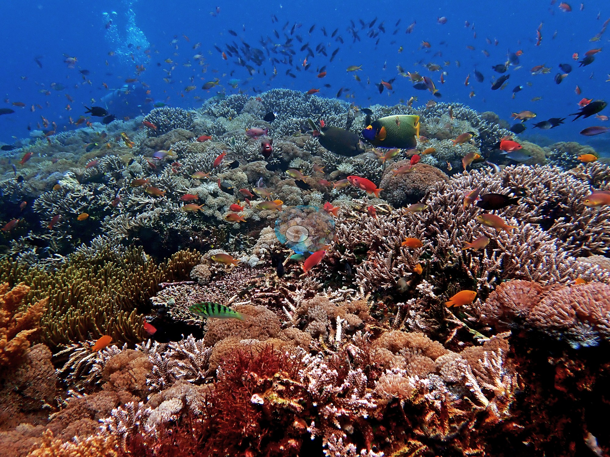
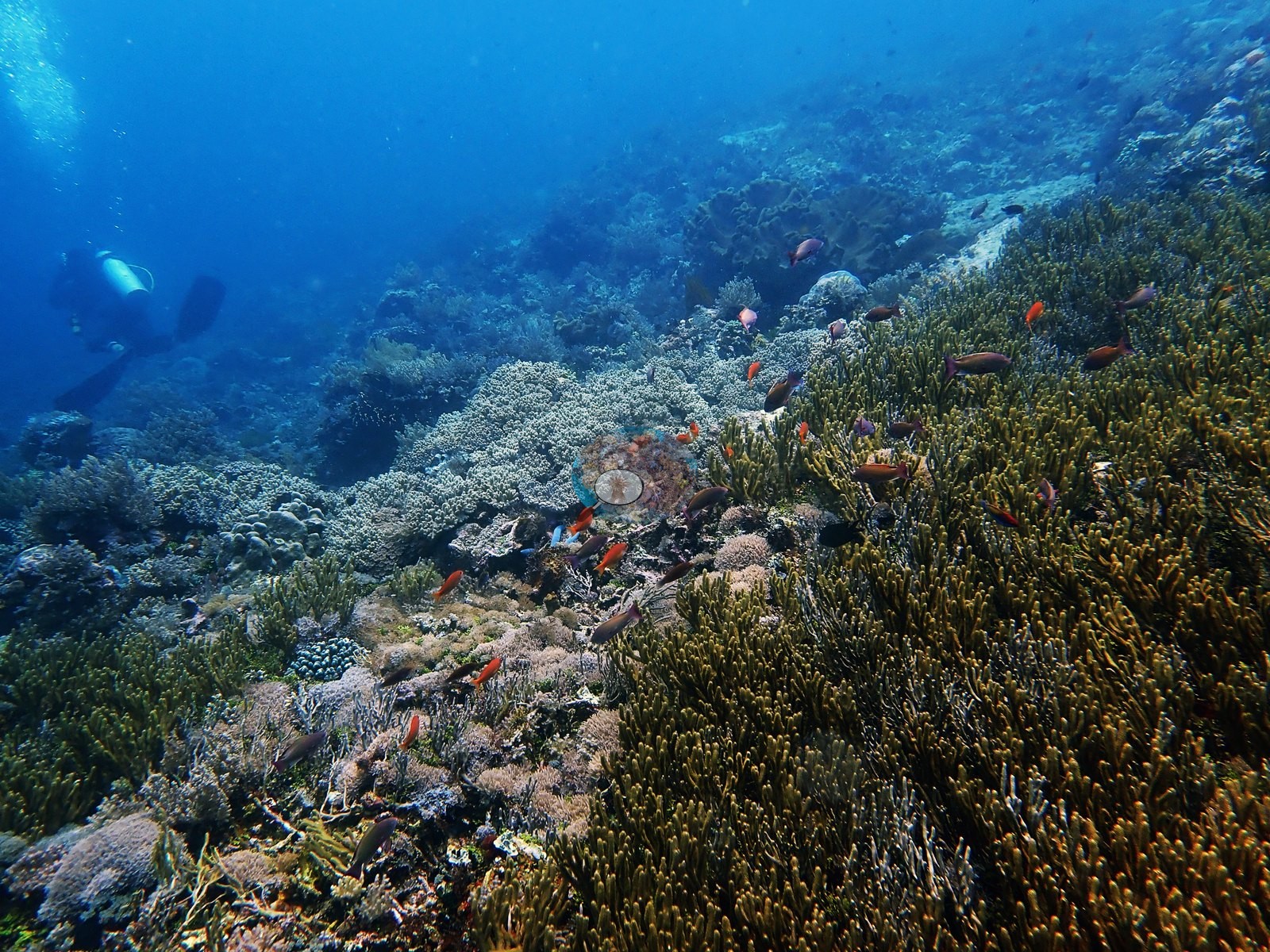
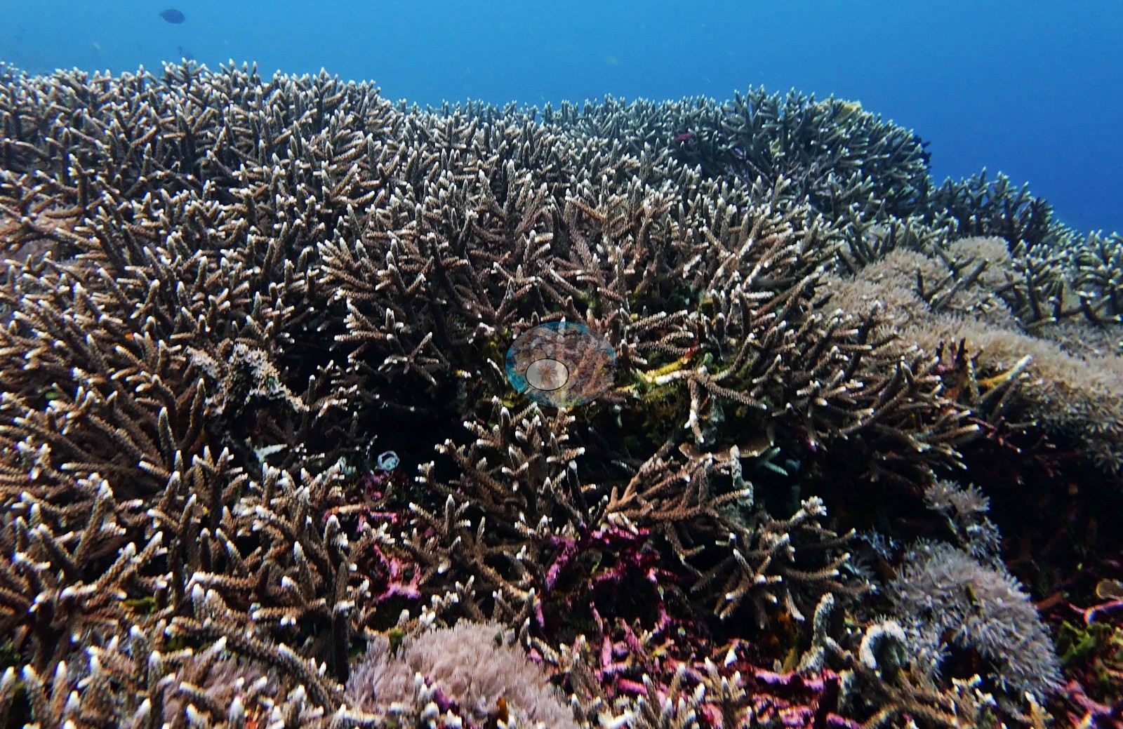
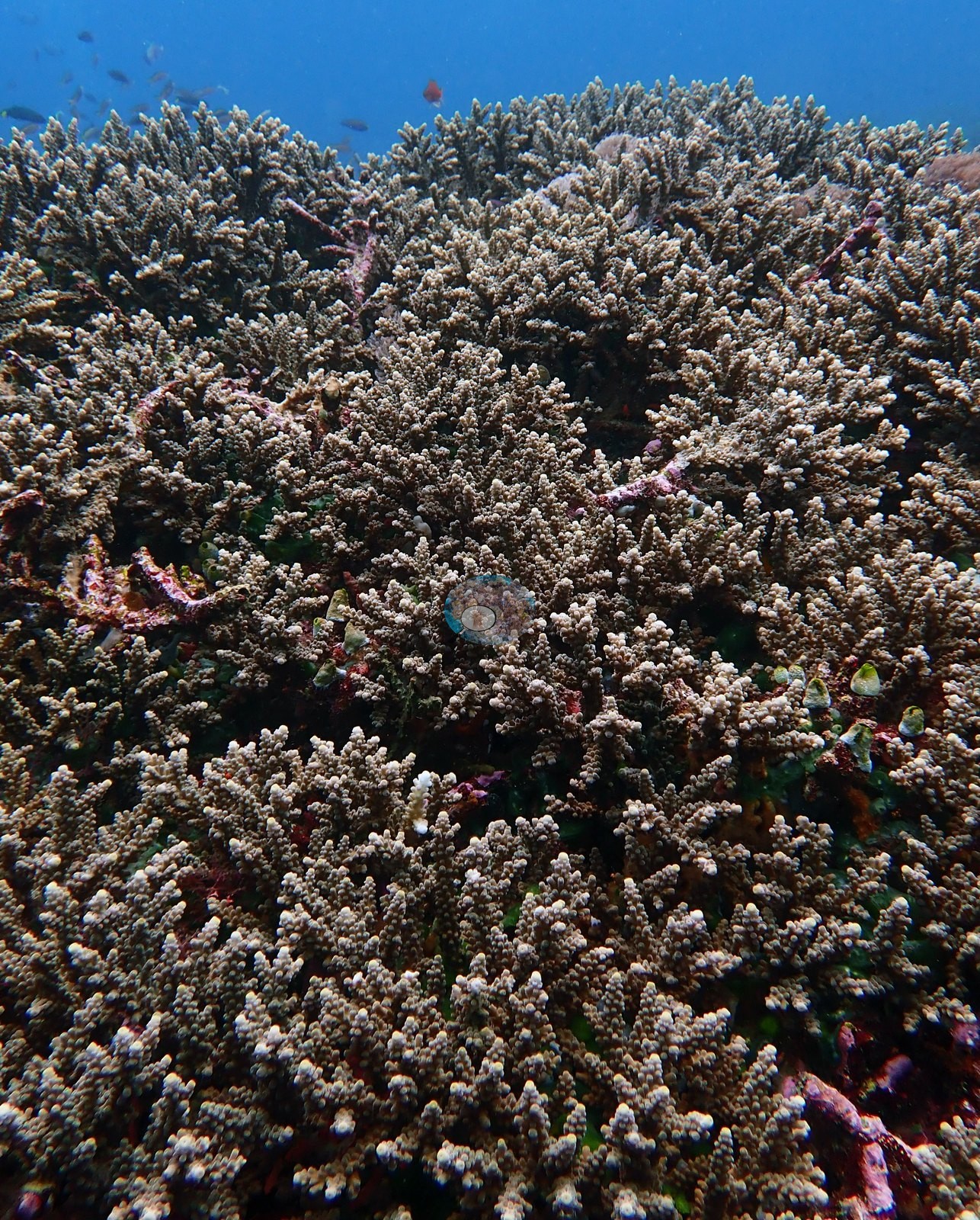
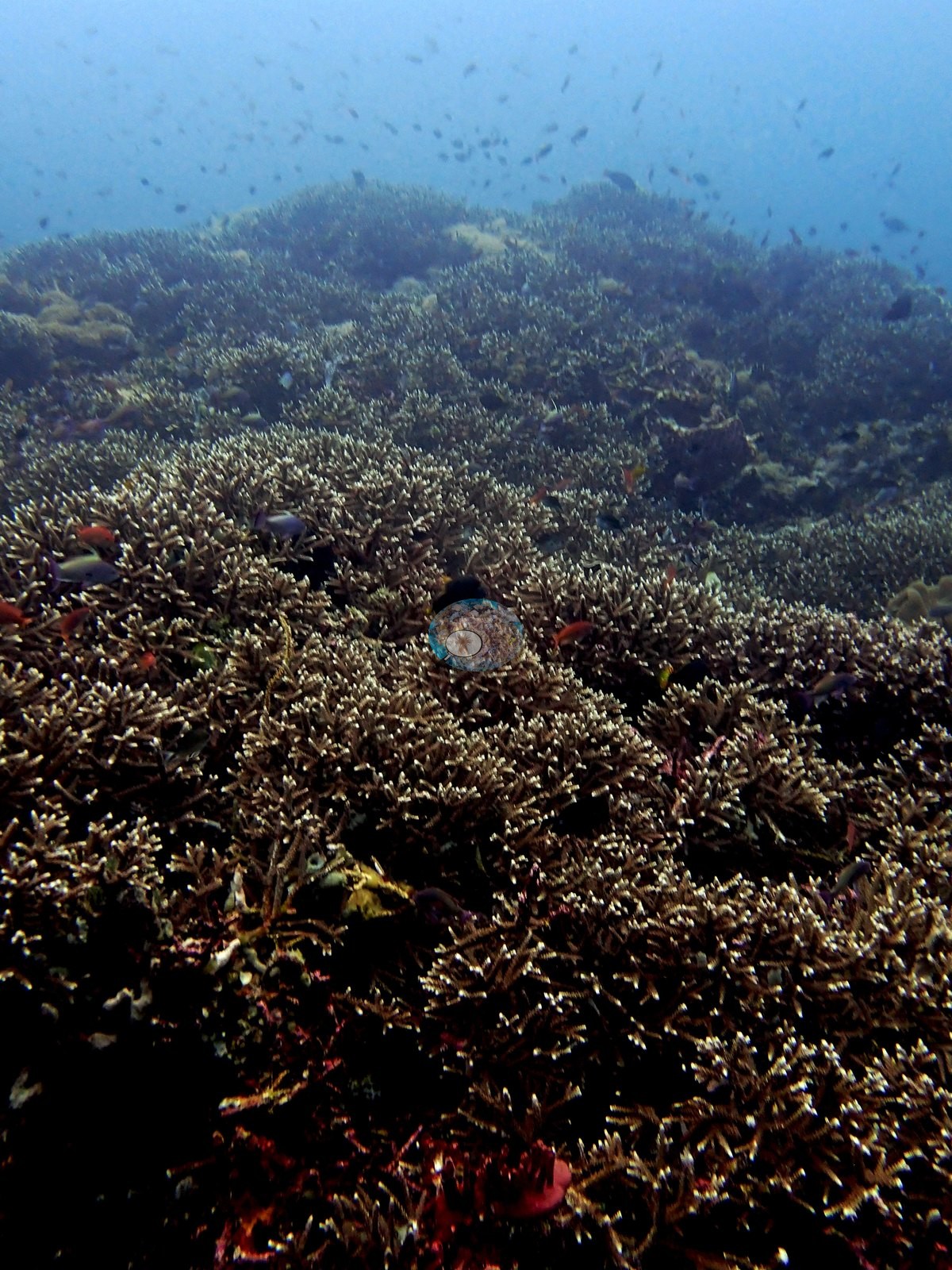
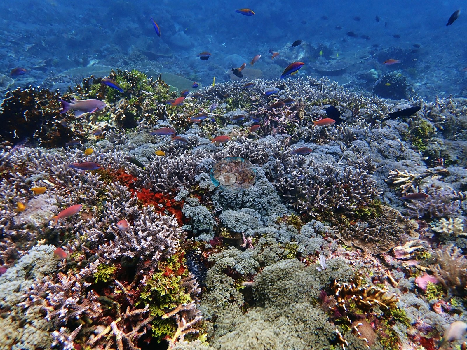
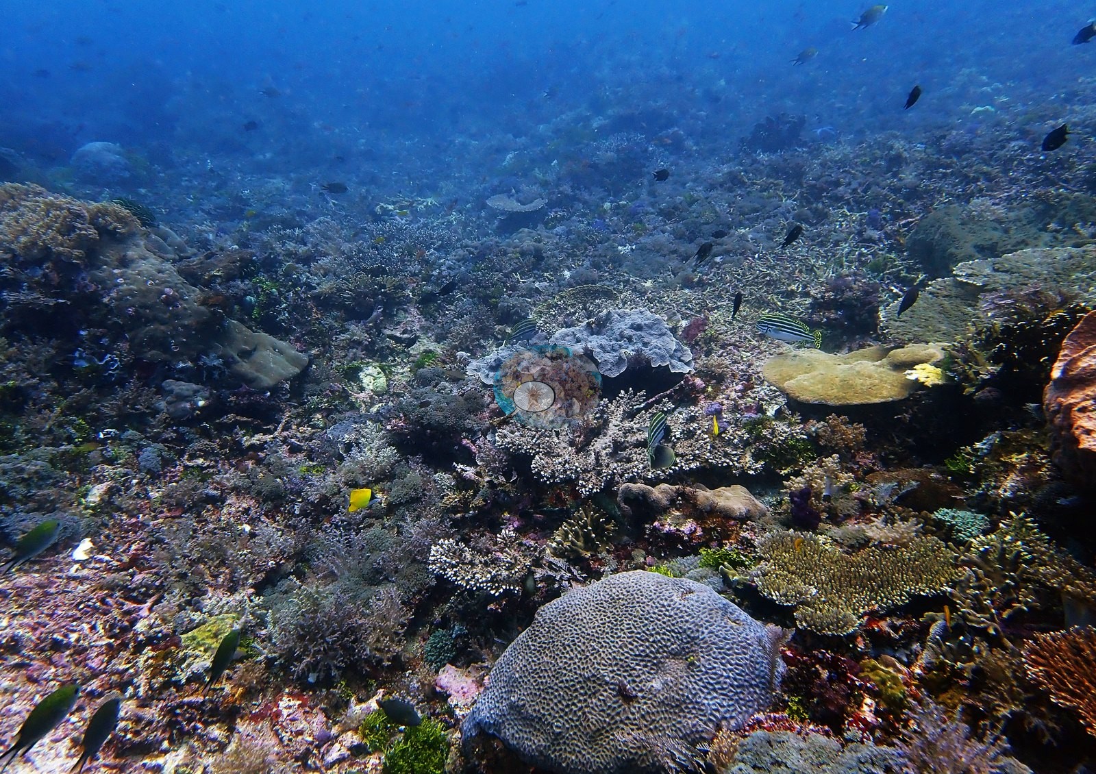
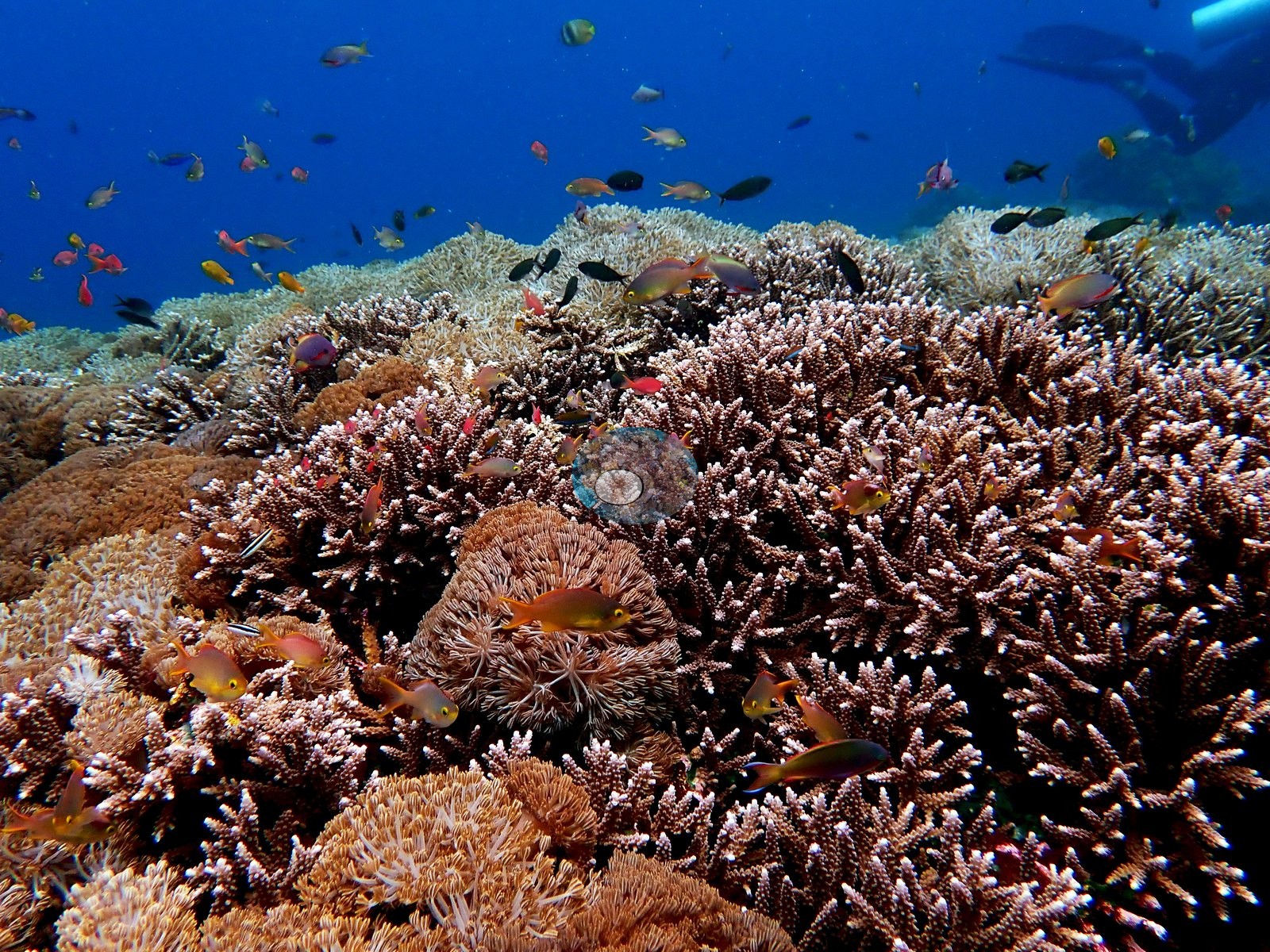
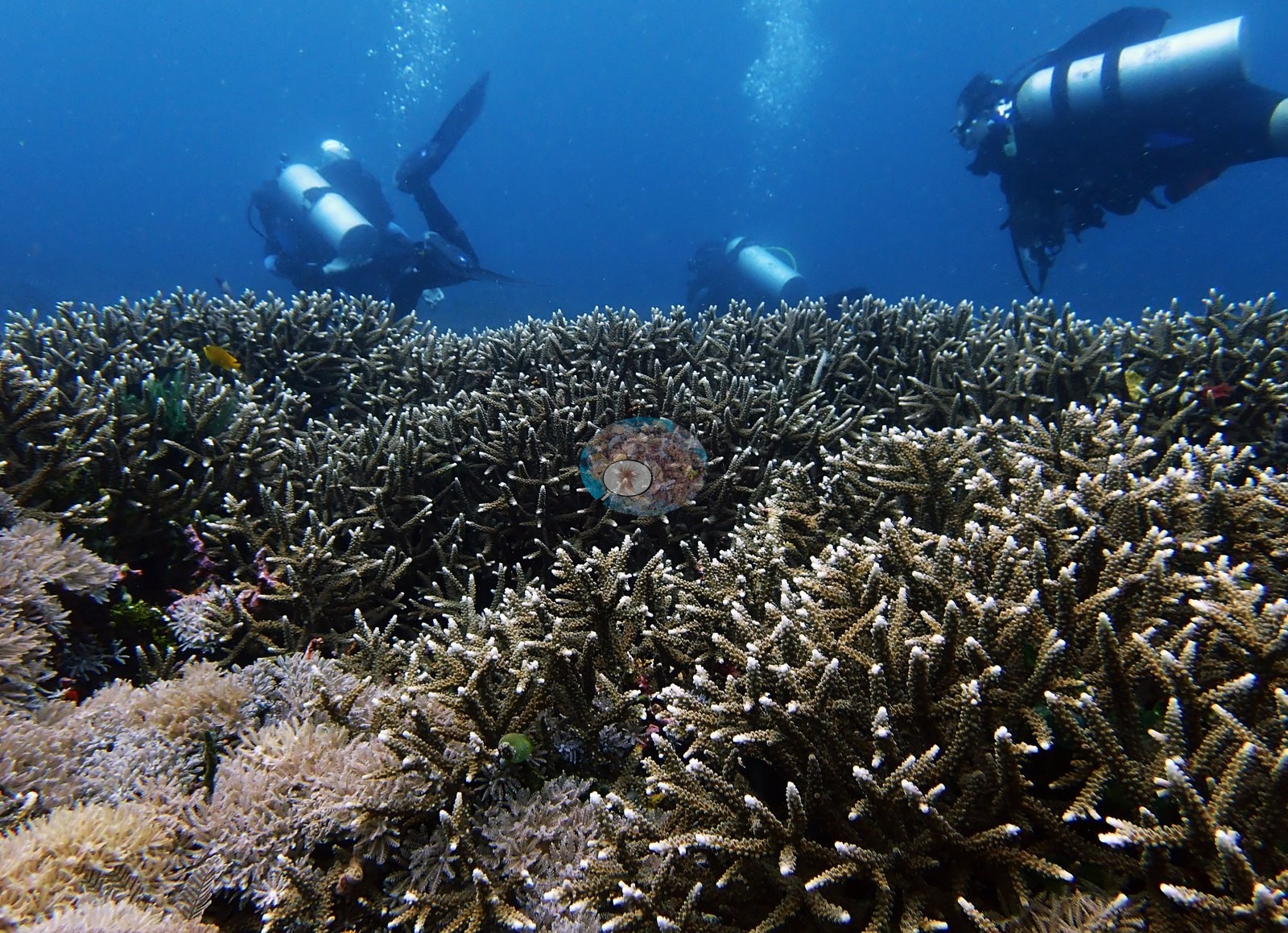
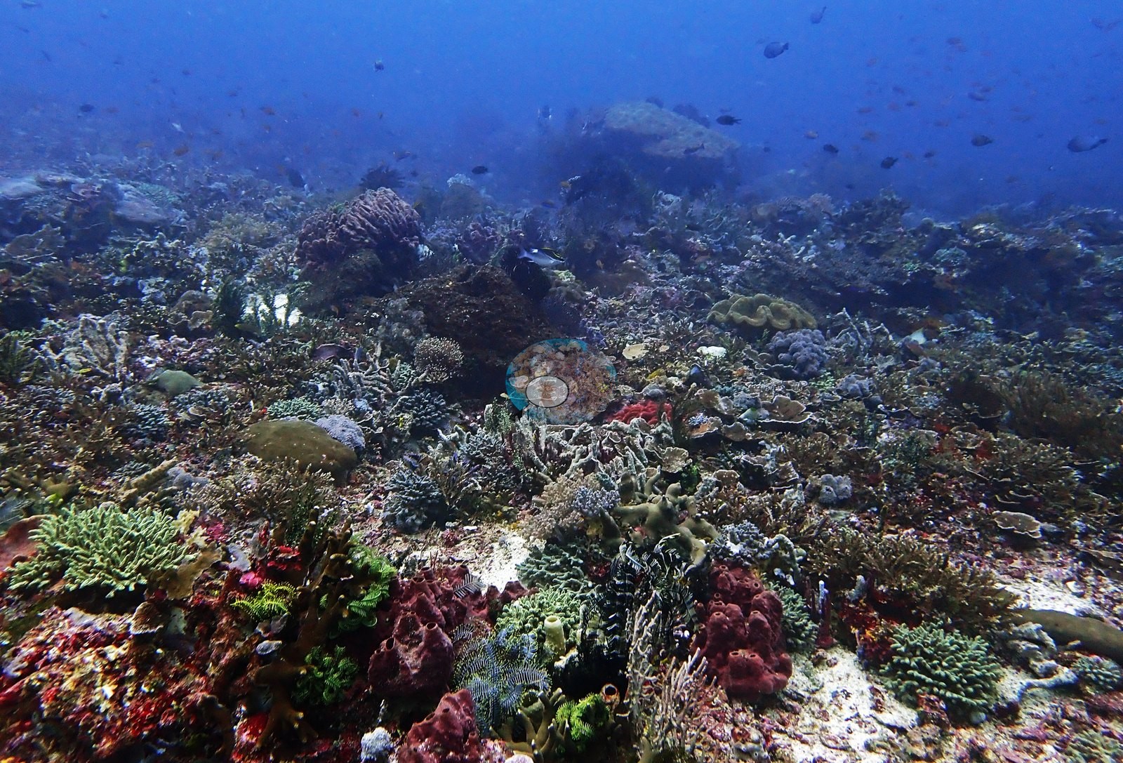
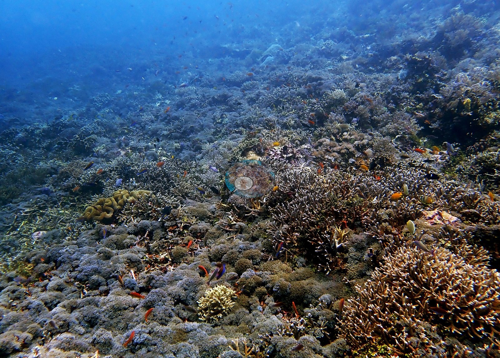
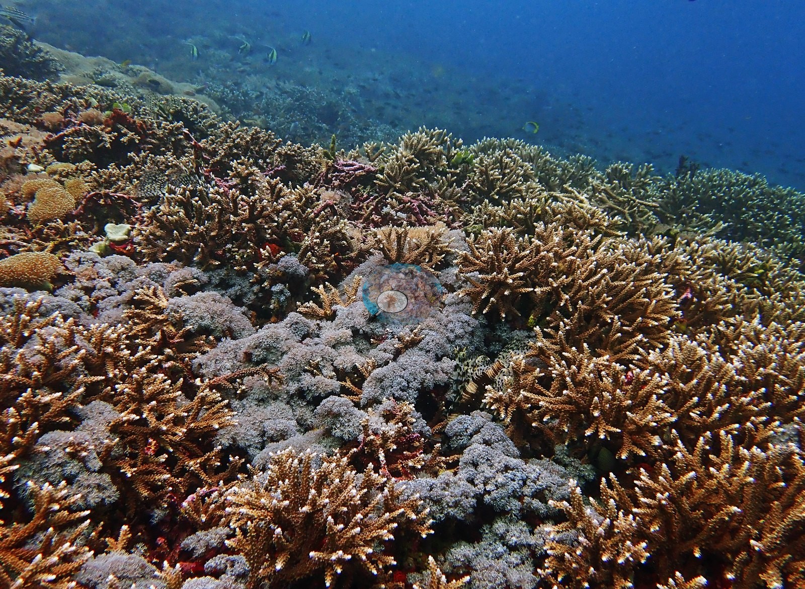
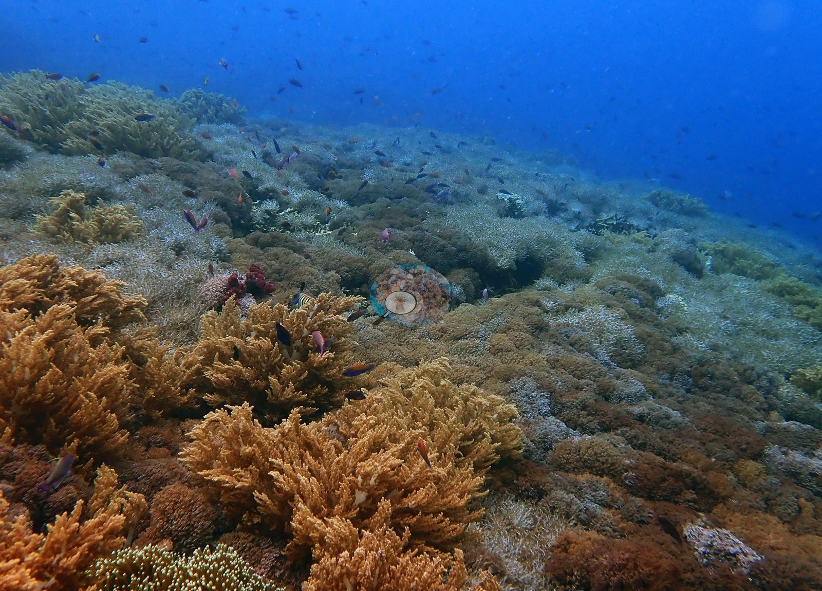
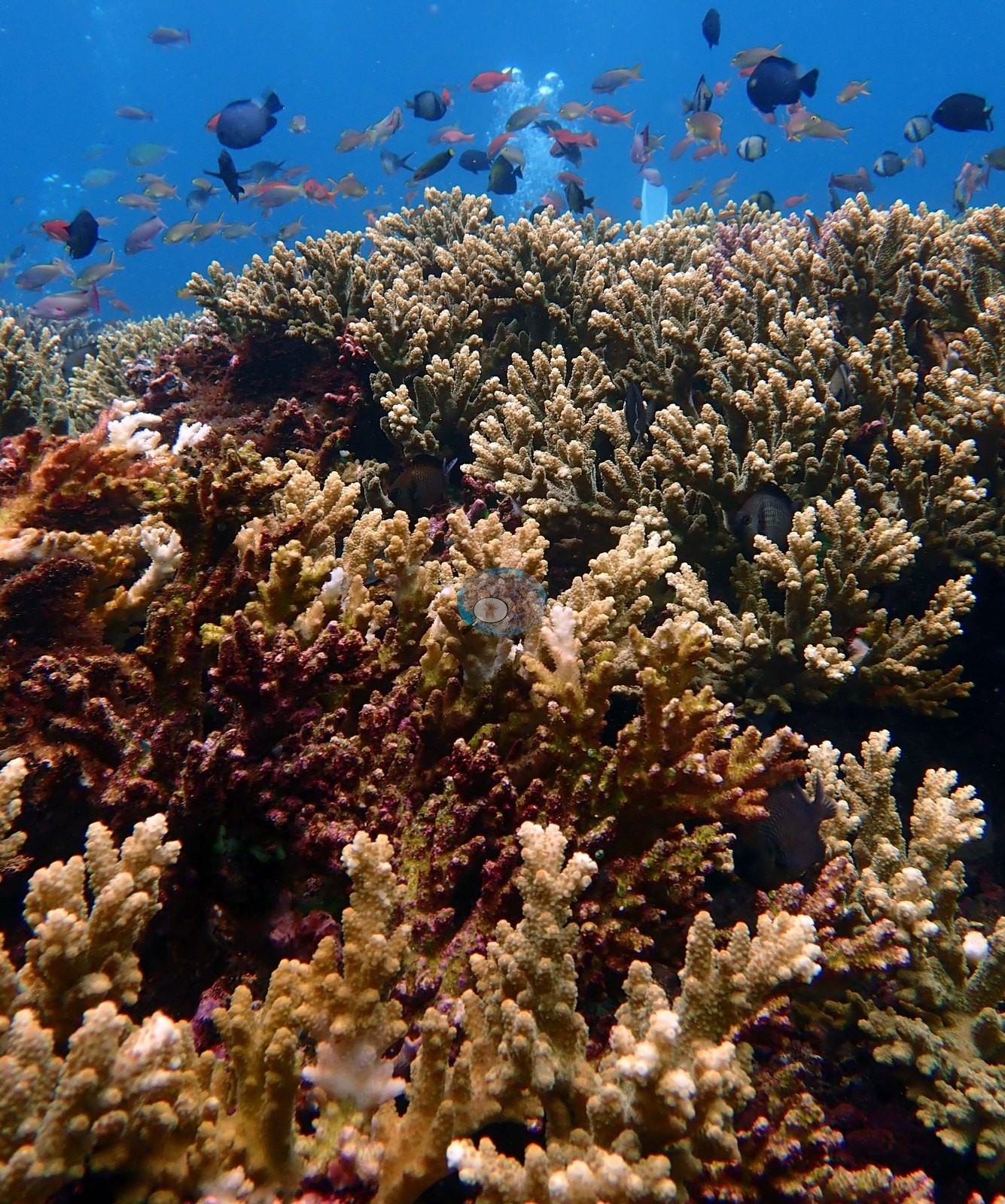
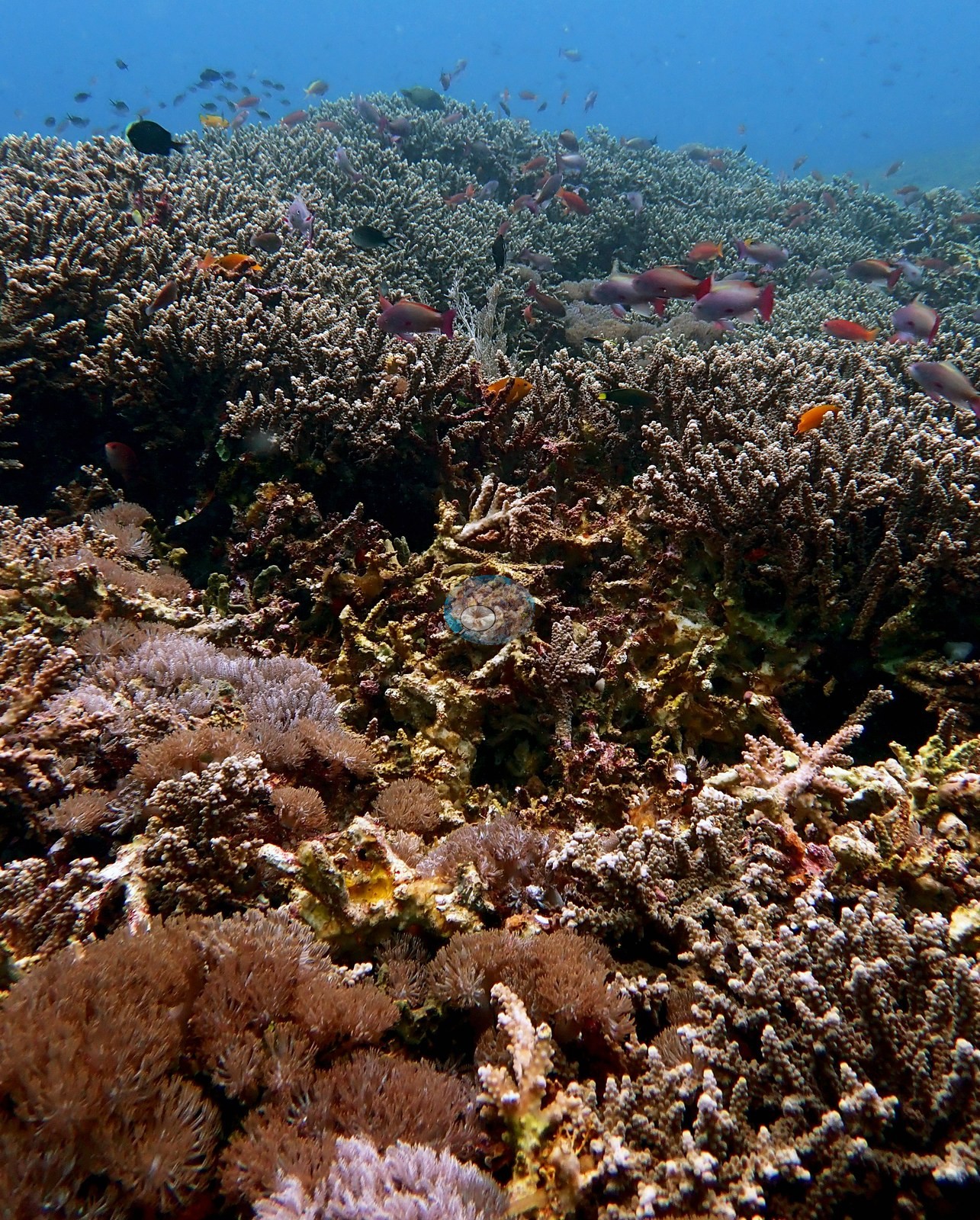
A low-rugosity reef — flattened by the high current — but almost completely plastered in living cover. Anderson recorded extremely high coral cover at 15 m, maybe 80–90%, and 50–60% cover at 15 m on the second dive. Acropora is the defining genus. Large areas of 100% Acropora cover at 15 m, massive swaths at 7–8 m, beautiful Acropora meadows in the shallows, and high Acropora diversity overall. One wide frame is a continuous branching Acropora thicket running to the limit of visibility (e.g., Image 5).
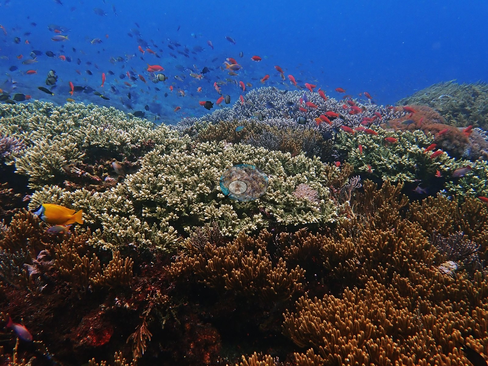
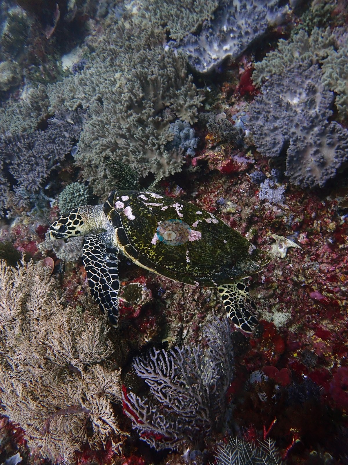
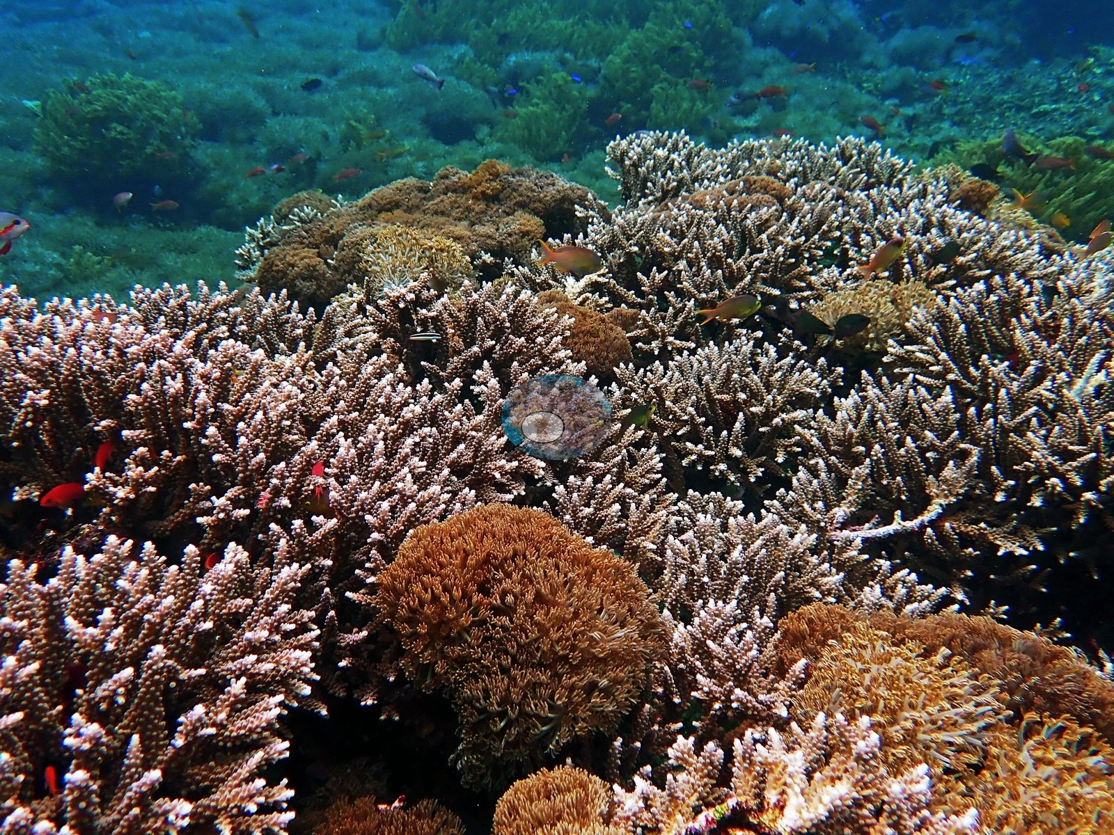
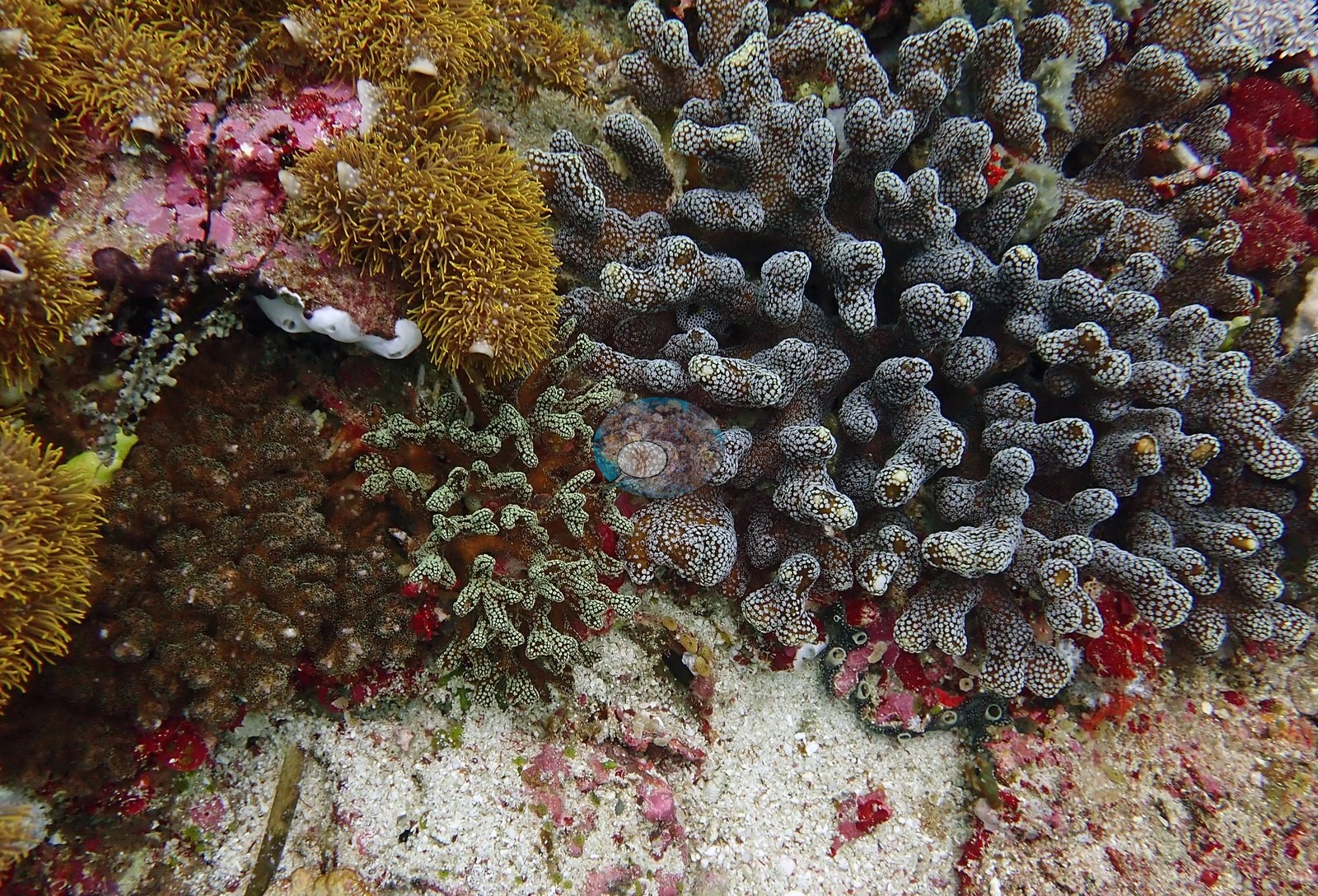
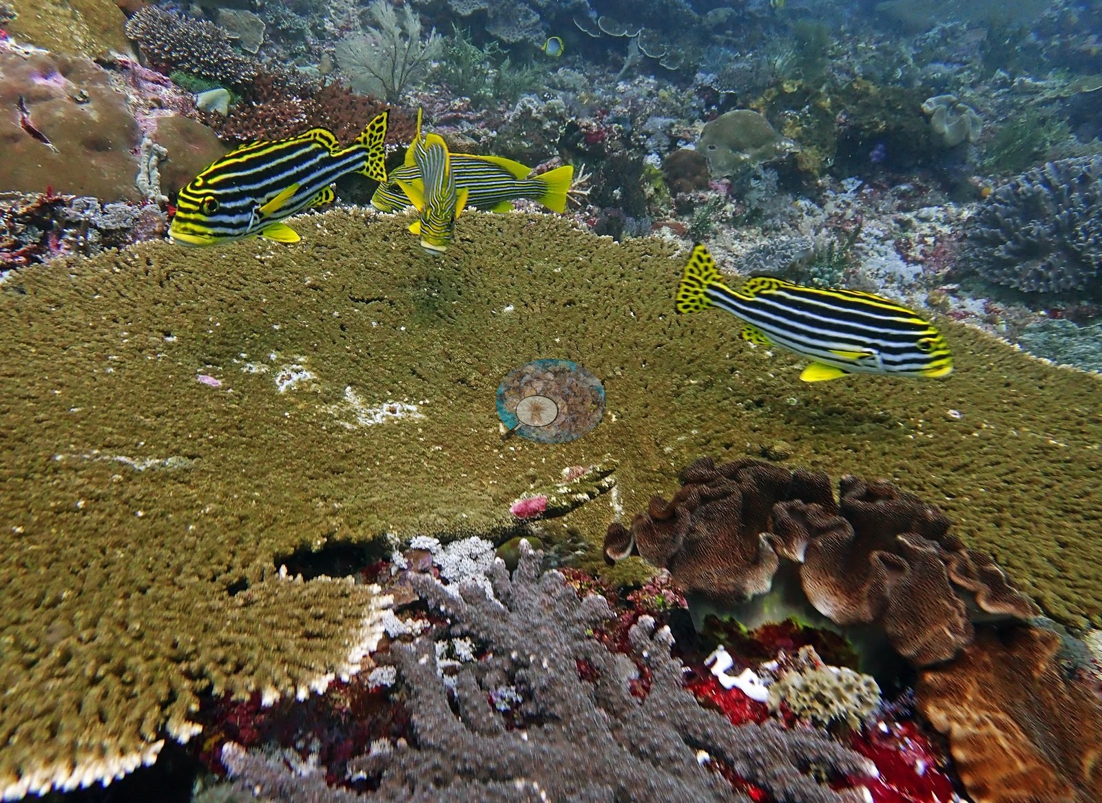
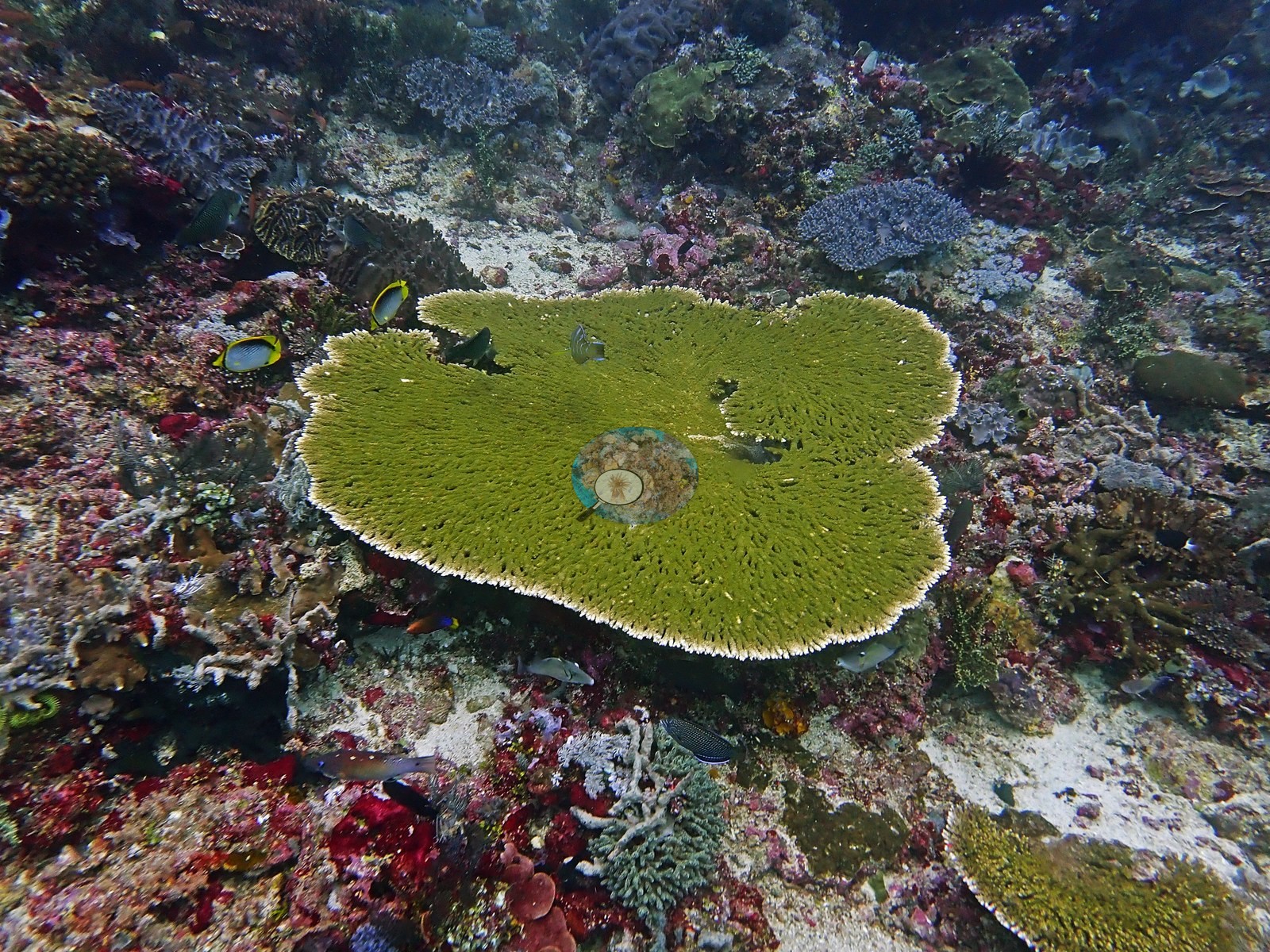
Some areas are dominated by plating Acropora, with occasional large Acropora tables — one photographed table is over a meter across, olive-green with a clean white growing margin and structurally intact (e.g., Image 2).
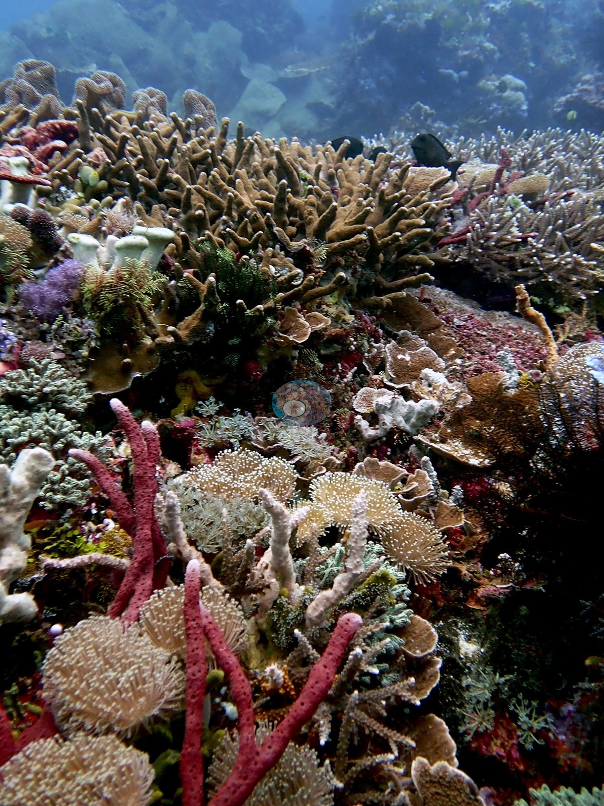
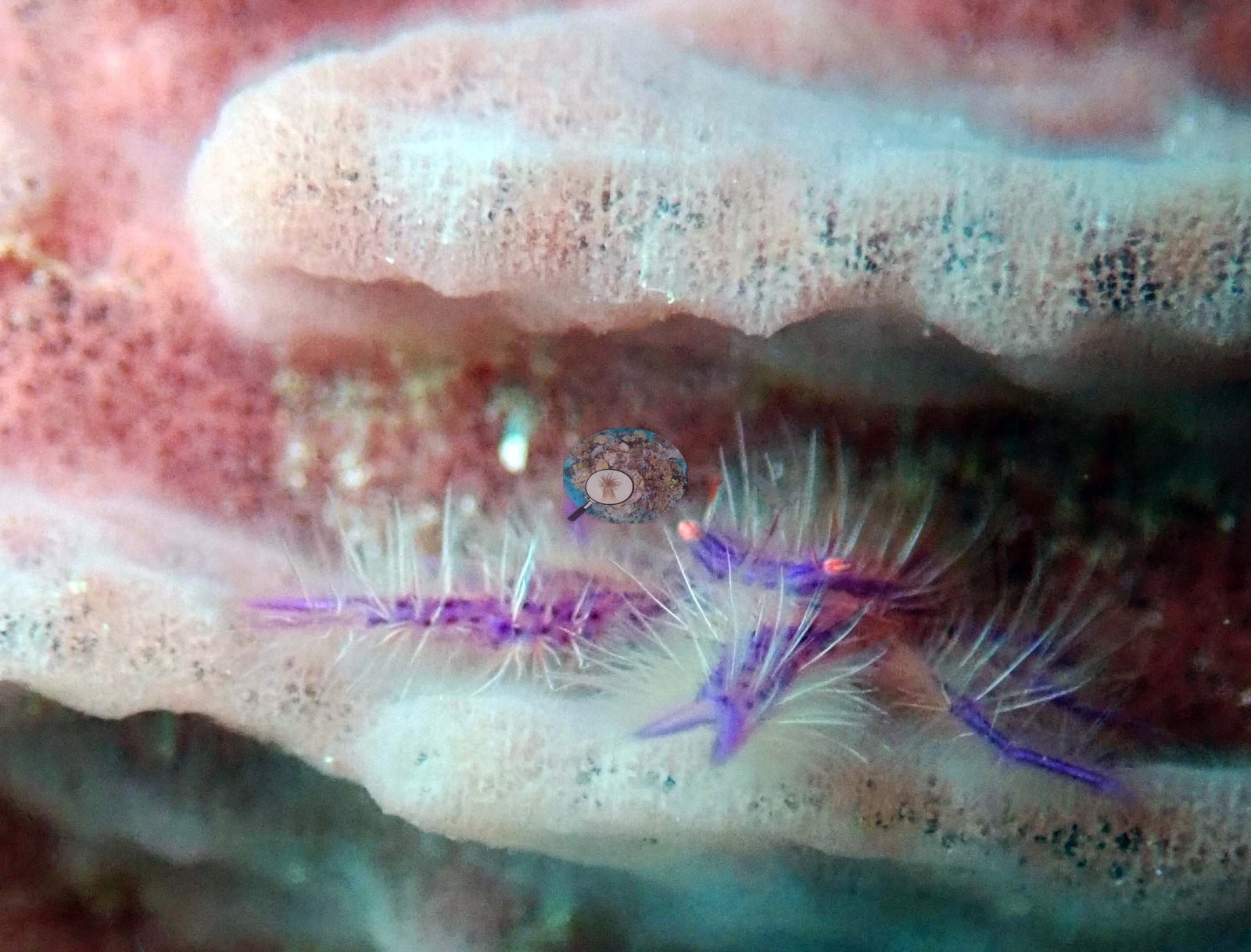
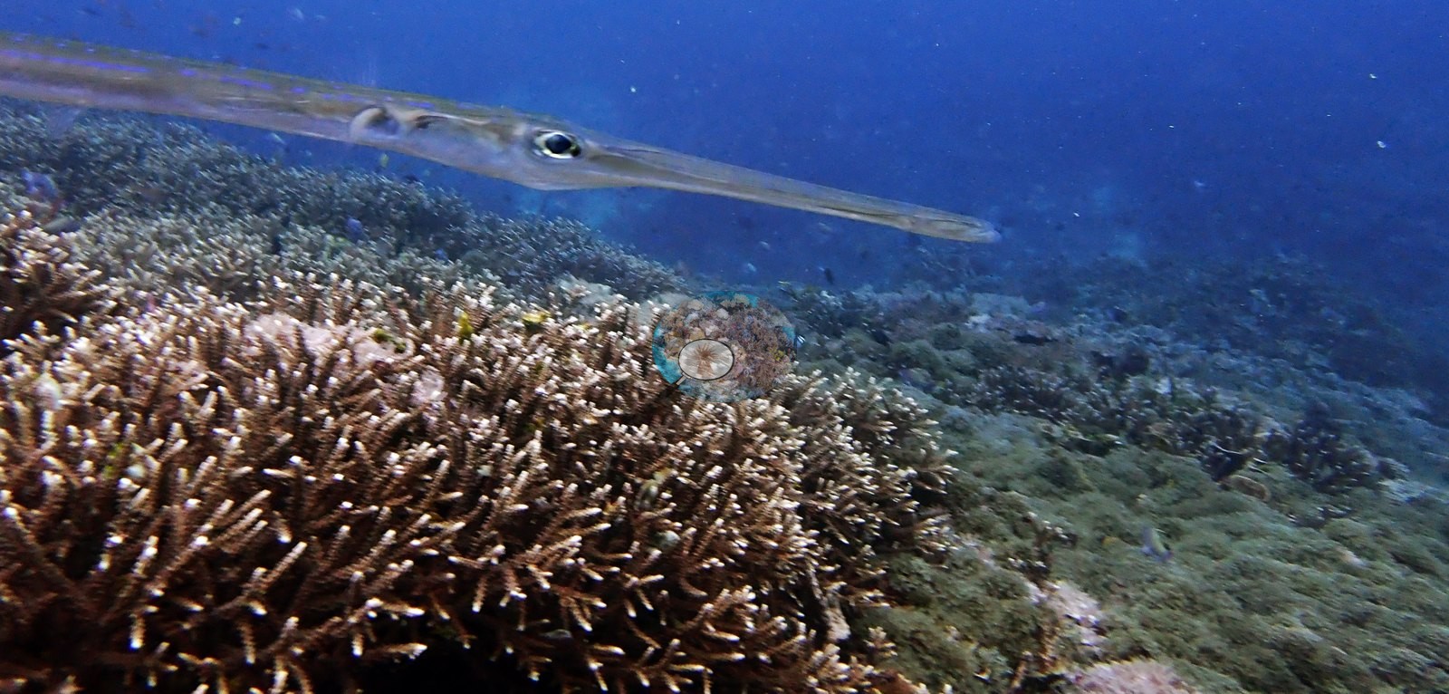
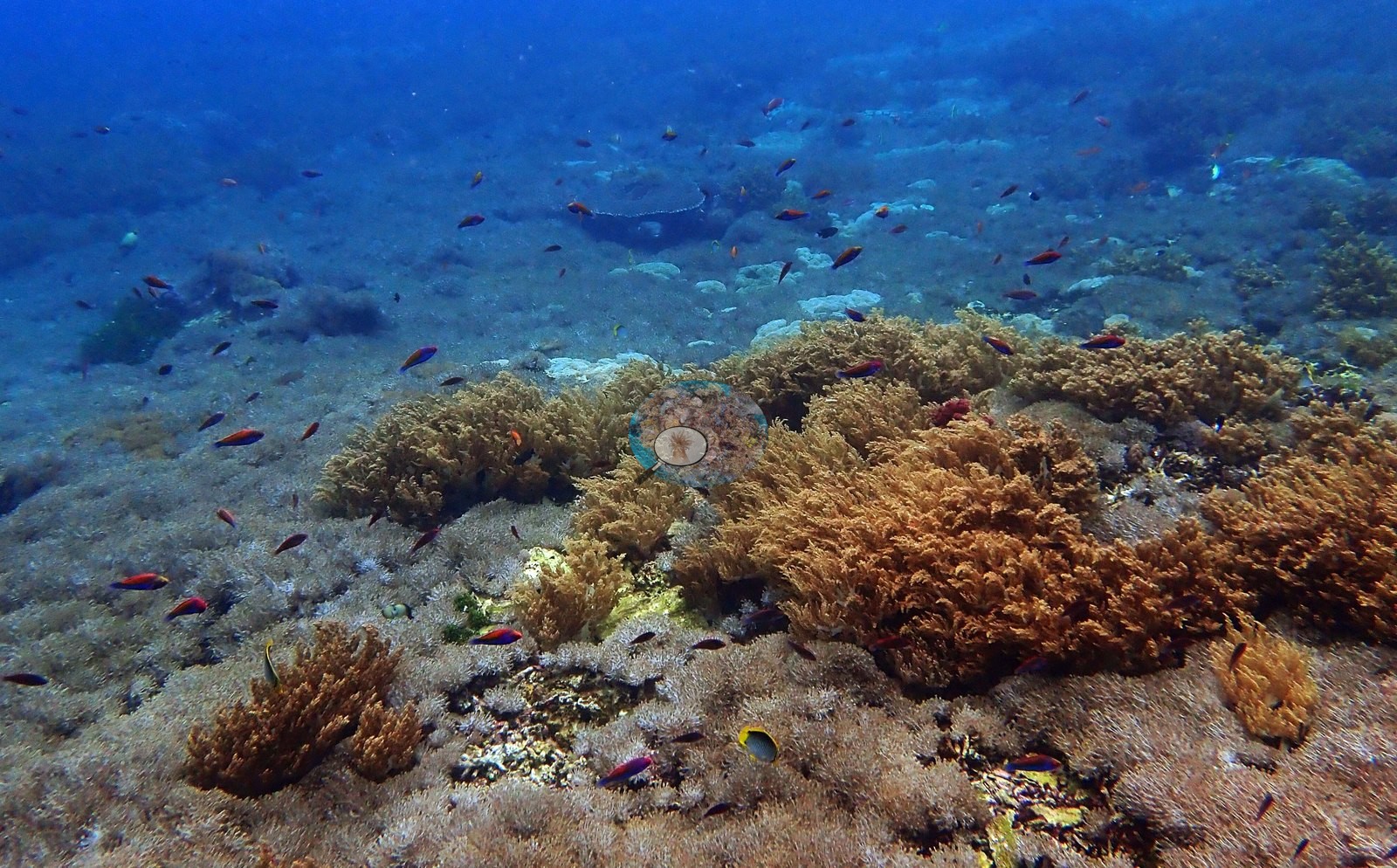
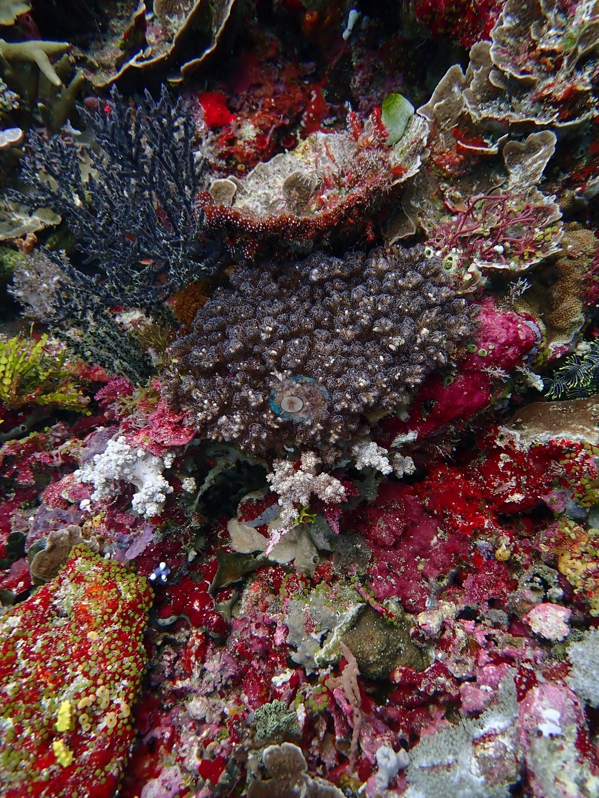
Large areas of Acropora crusts (encrusting basal plates) are noted, and encrusting Isopora (species uncertain) was recorded. Pocilloporids are well represented: Pocillopora verrucosa, Pocillopora eydouxi, Stylophora pistillata, small Seriatopora hystrix (common on the second dive), and Seriatopora caliendrum. The first Pocillopora acuta of the trip was seen here and several more followed as the dive progressed; it was relatively common in places. Pigmentation was very dark. A close-up frame shows a pocilloporid so heavily pigmented it reads near-black, its verrucae picked out only by pale polyp tips (e.g., Image 1).
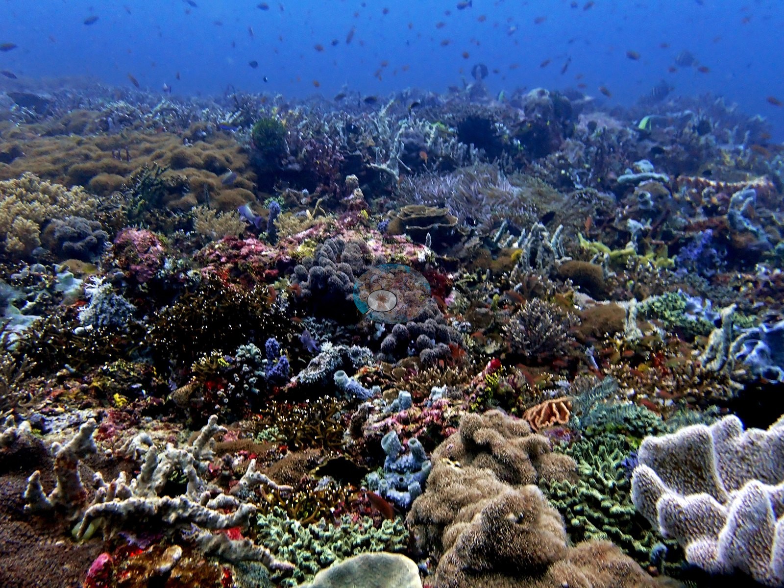
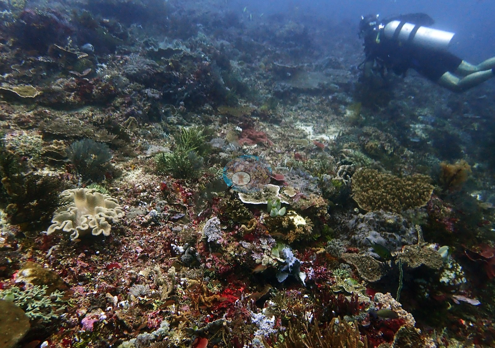
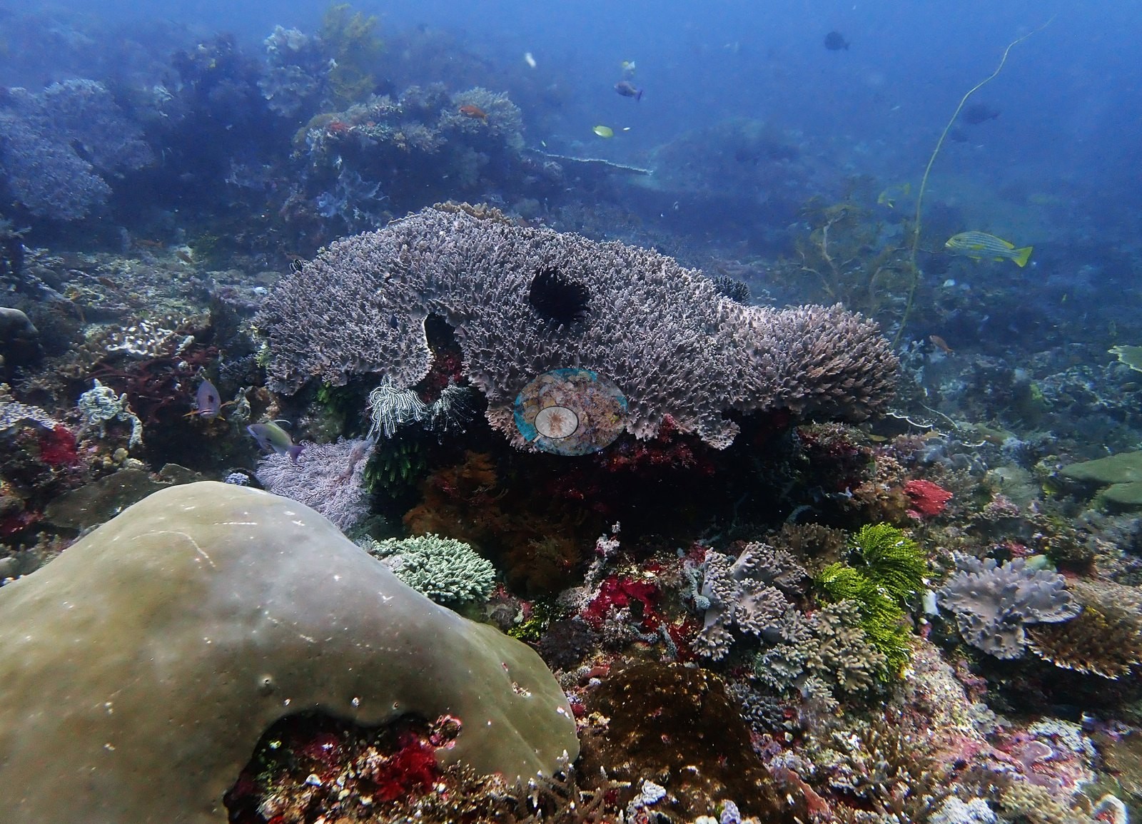
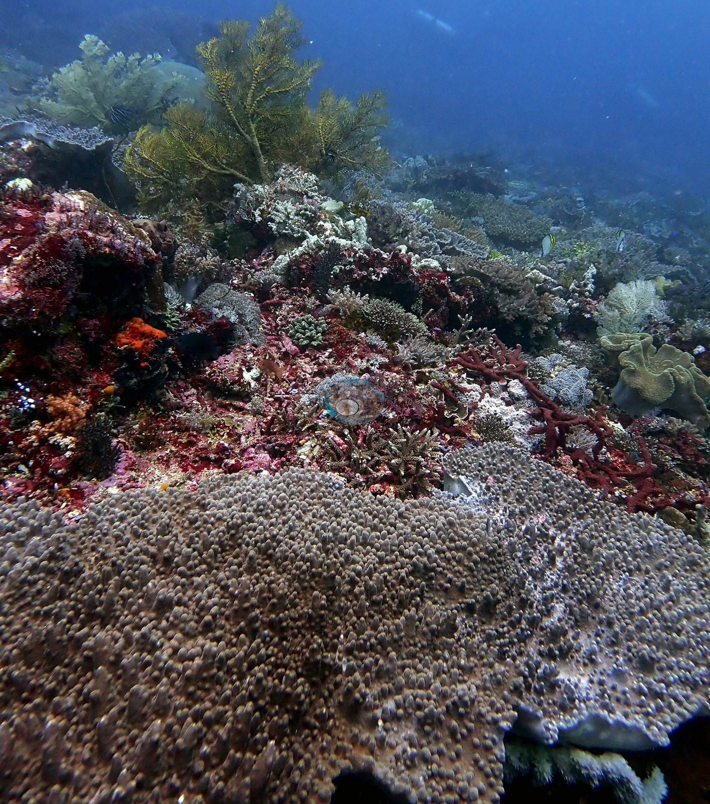
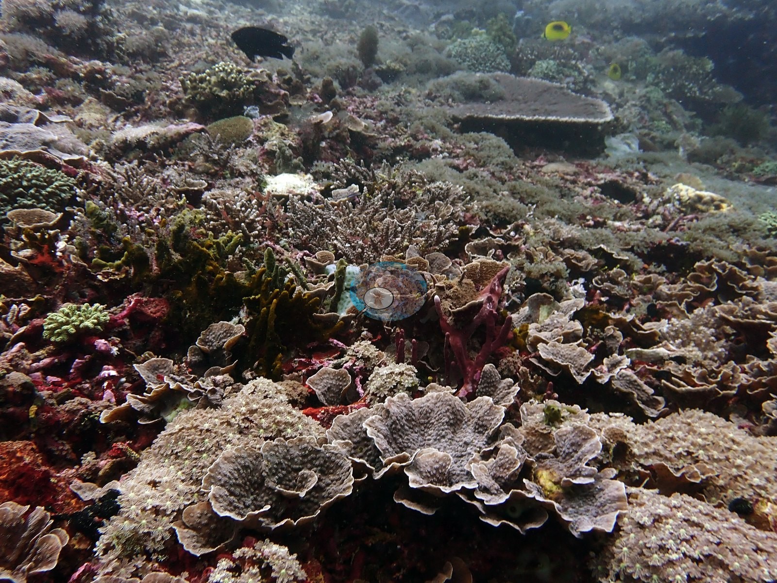
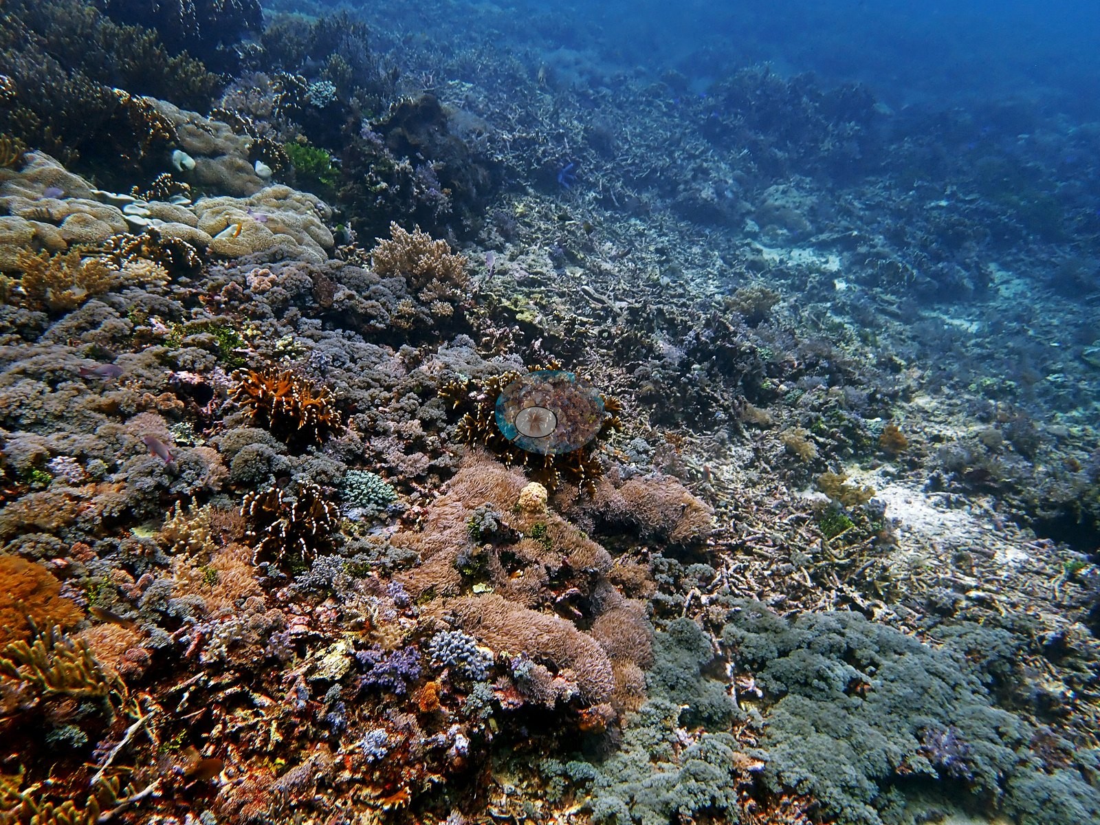
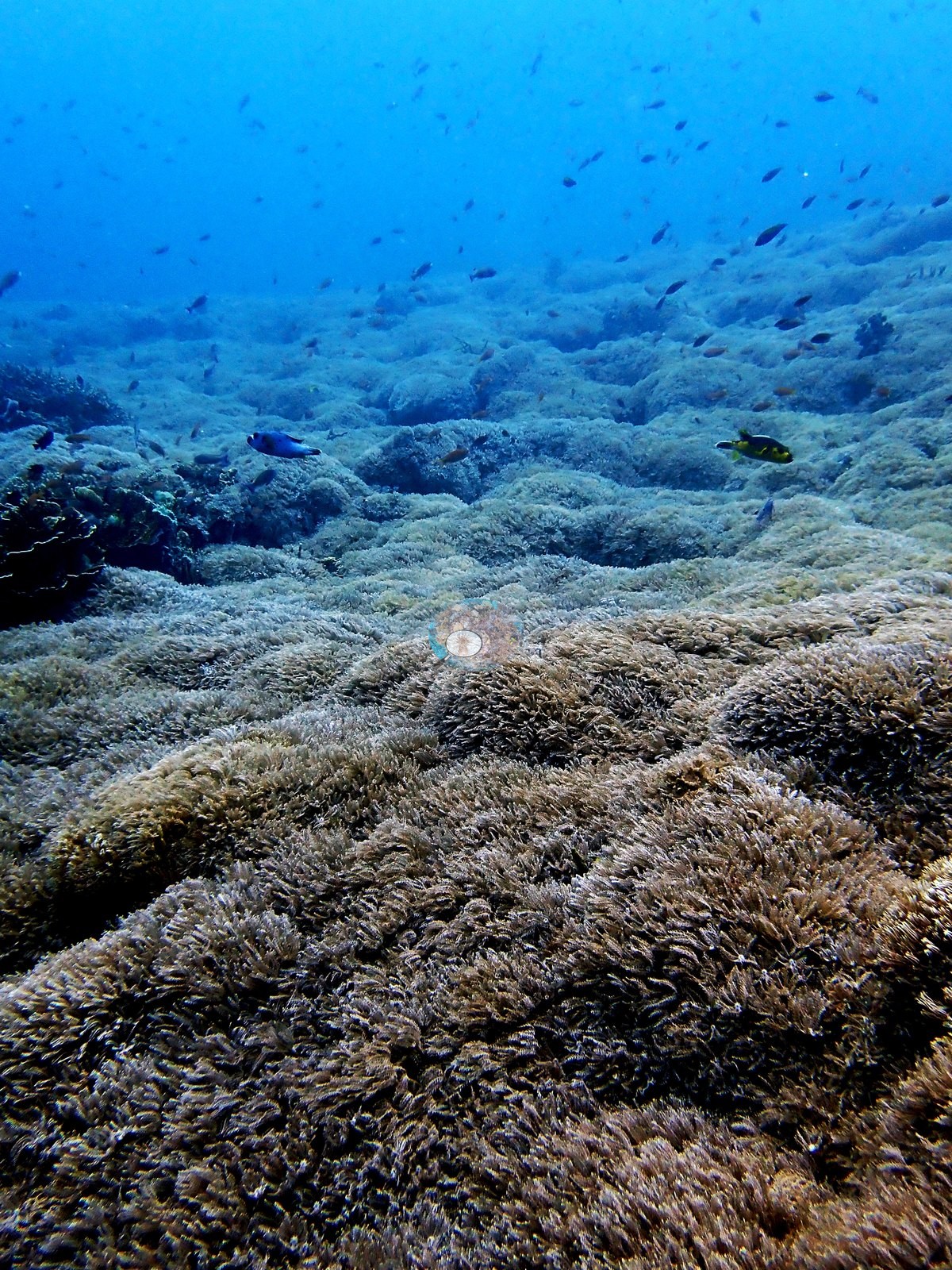
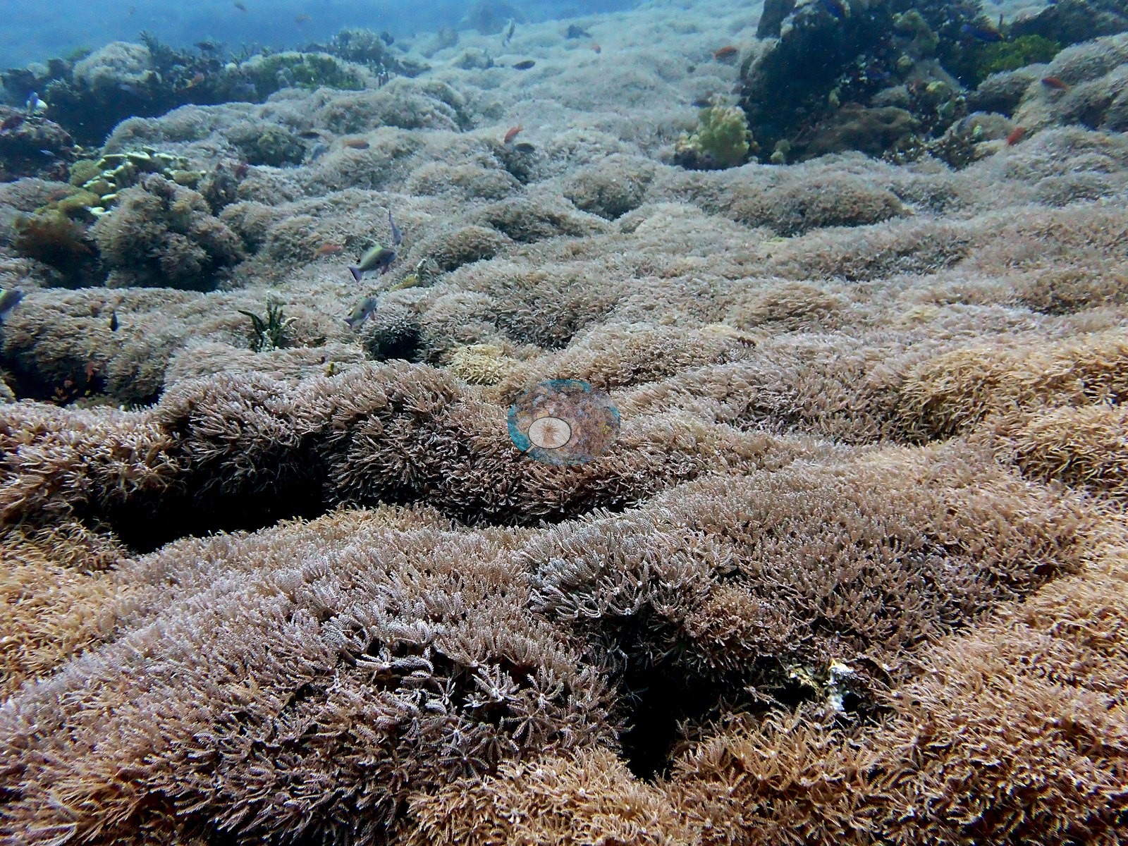
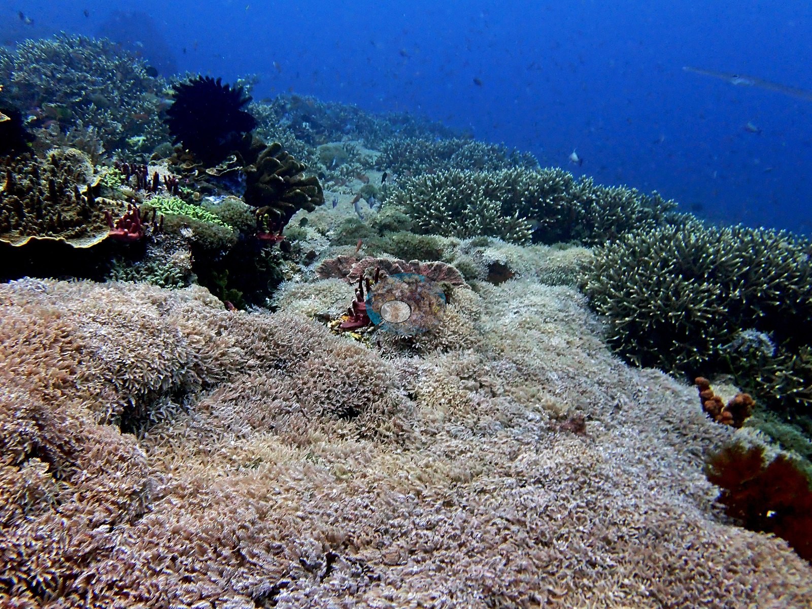
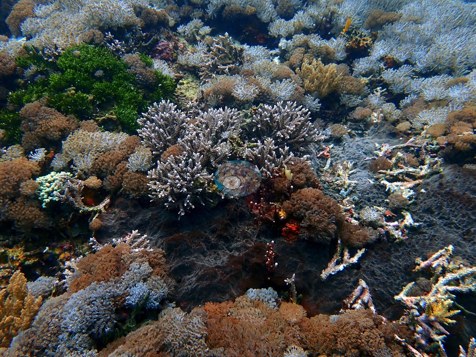
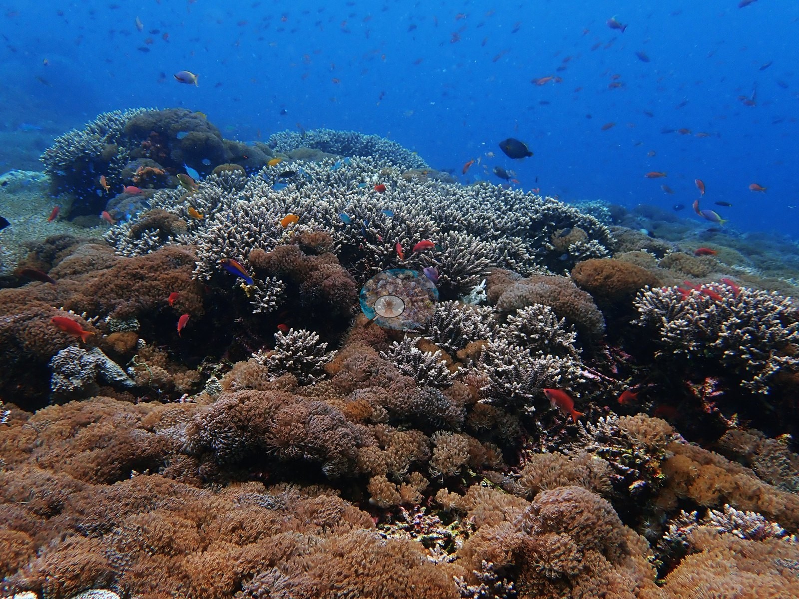
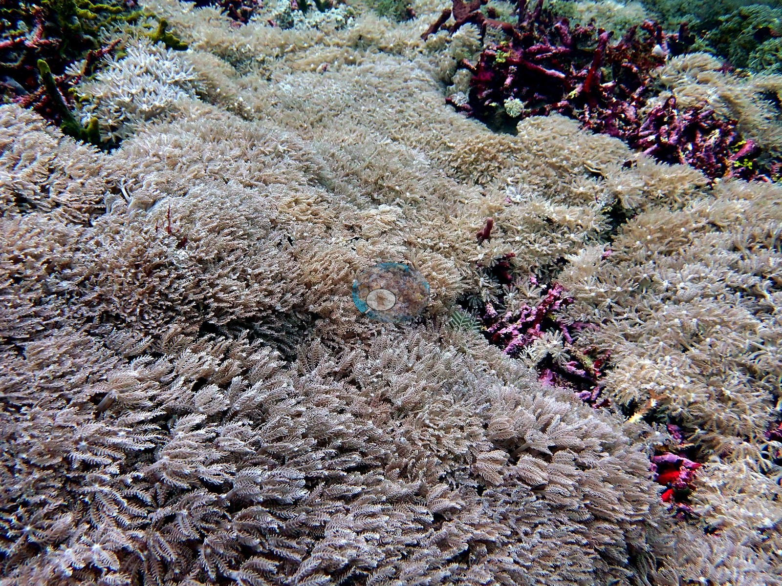
Nearly all Seriatopora caliendrum colonies were fluorescent green. Also recorded: Montipora, finger Porites, Porites rus, Pachyseris, Plerogyra, Galaxea, and meandroid brain corals visible in the wide frames. Most of this hard coral is overgrowing crustose-coralline-algae-consolidated rubble rather than sitting on solid reef framework — the pavement between colonies is visibly pink and magenta with coralline crusts. There is an interesting mix of hard and soft coral at 20 m, and several areas are blanketed by soft corals. One frame is an unbroken carpet of pulsing xeniid soft coral filling the entire field of view; at 3–4 m there was soft coral as far as the eye could see, at 11 m soft-coral carpets, and at 5–6 m large areas dominated by soft corals with only some Acropora (e.g., Image 4).
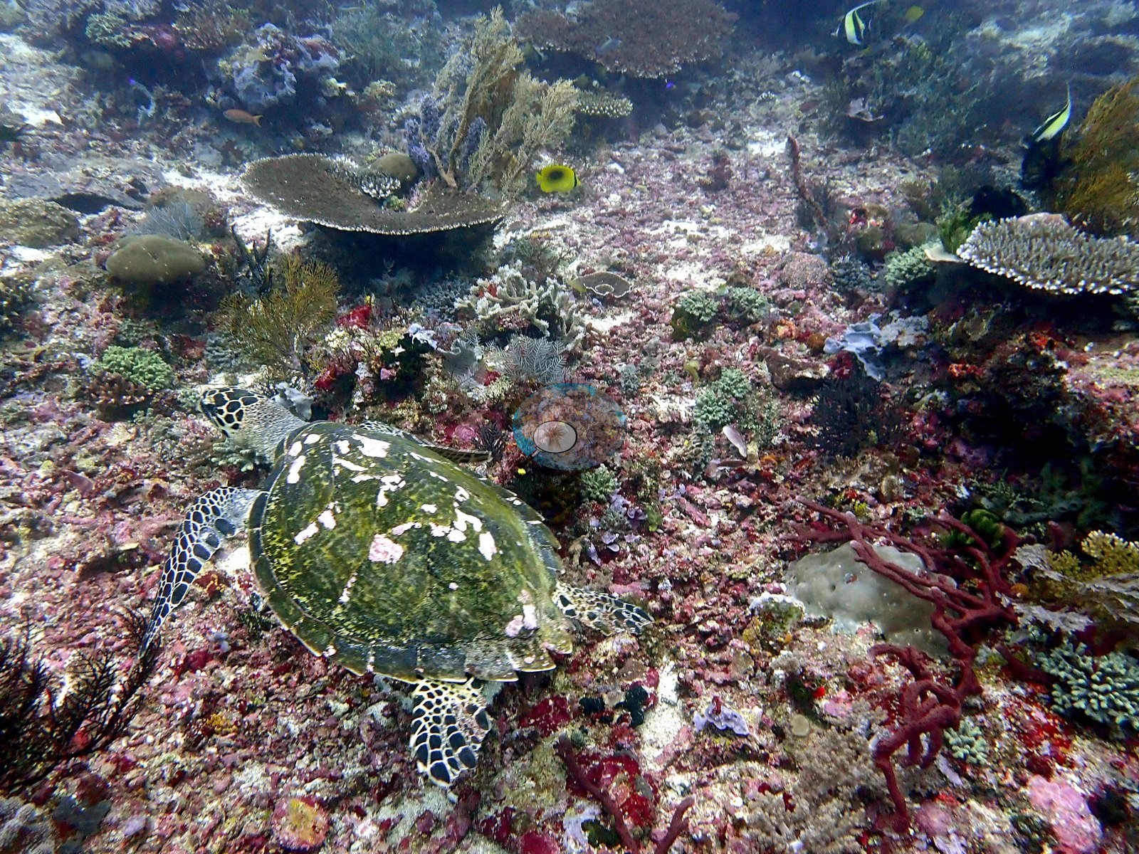
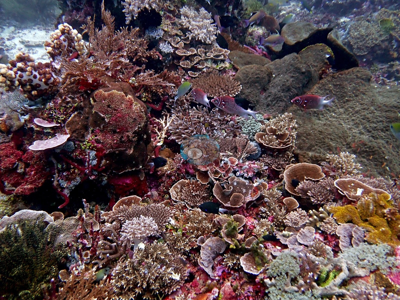
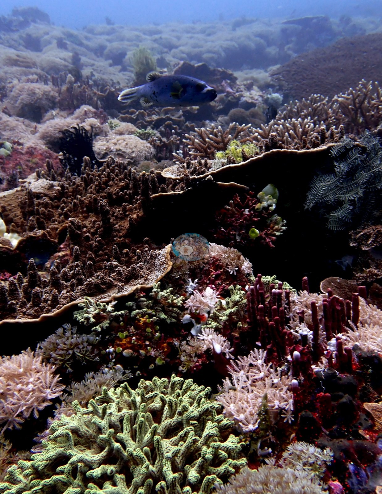
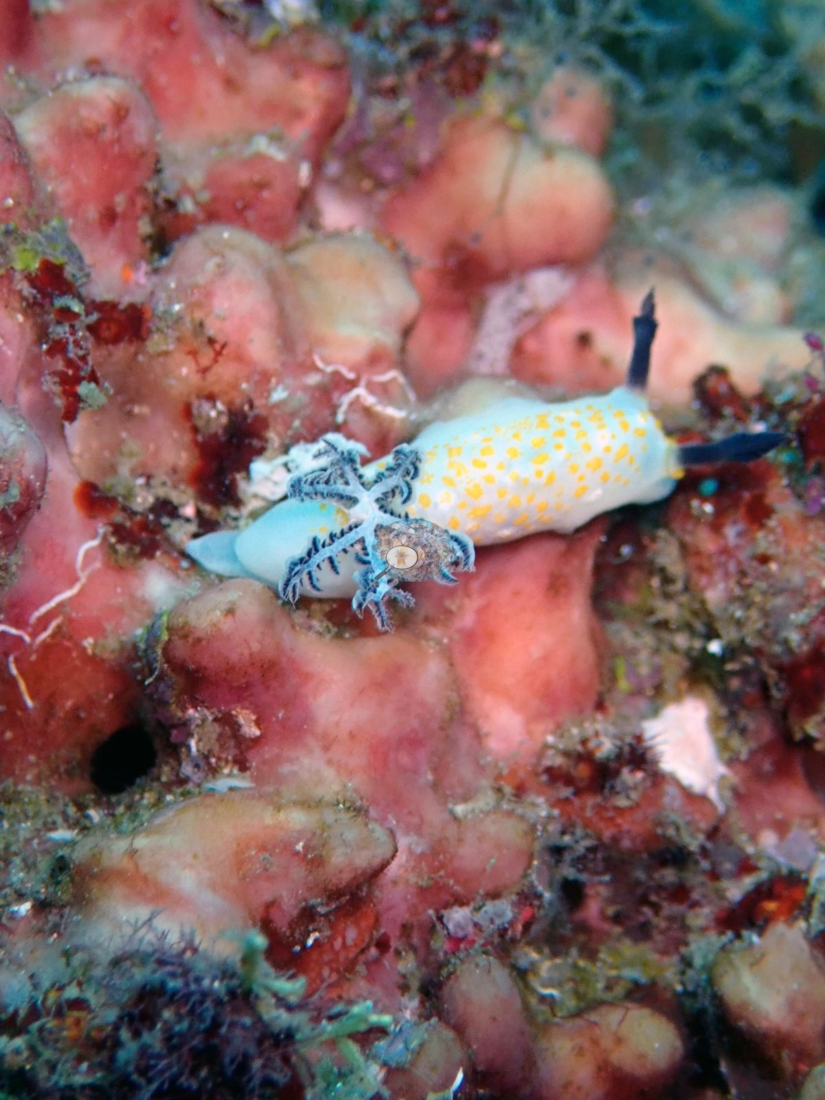
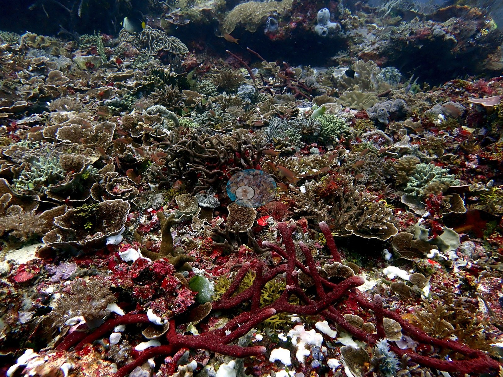
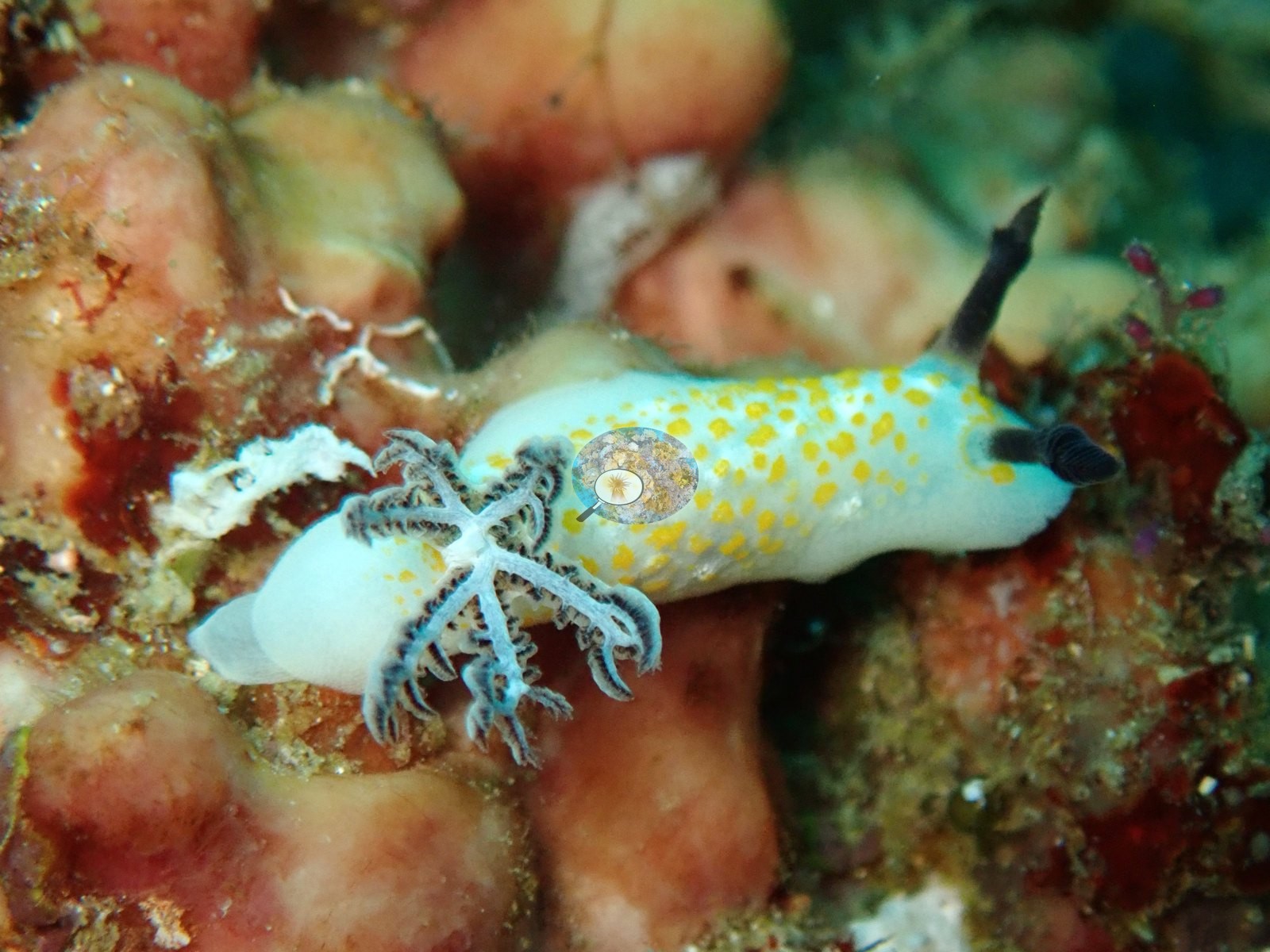
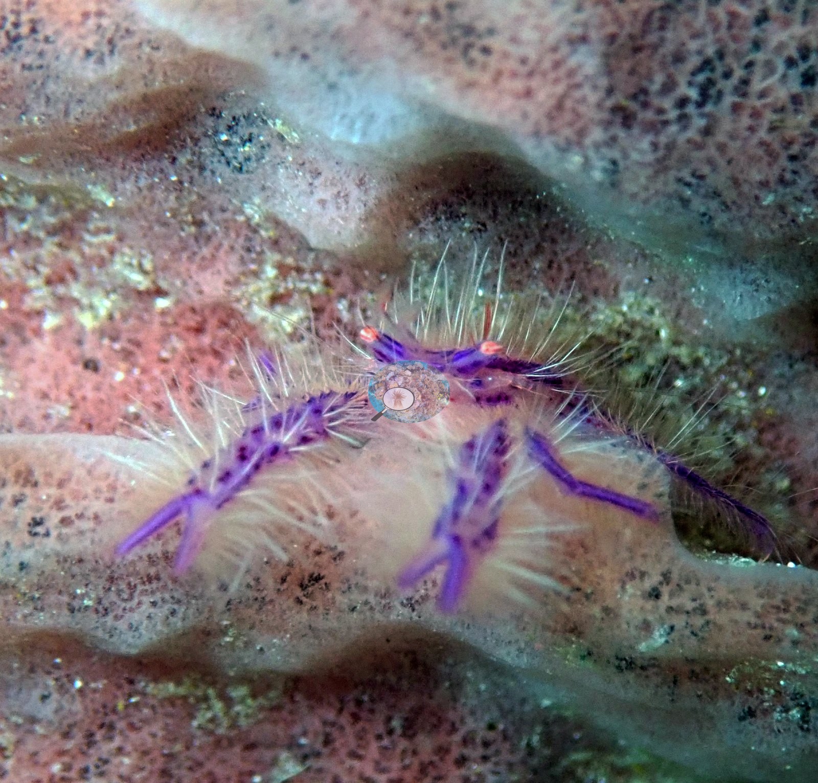
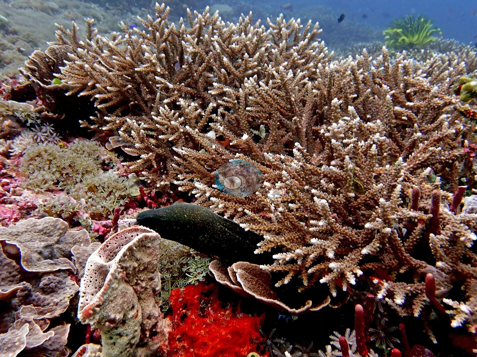
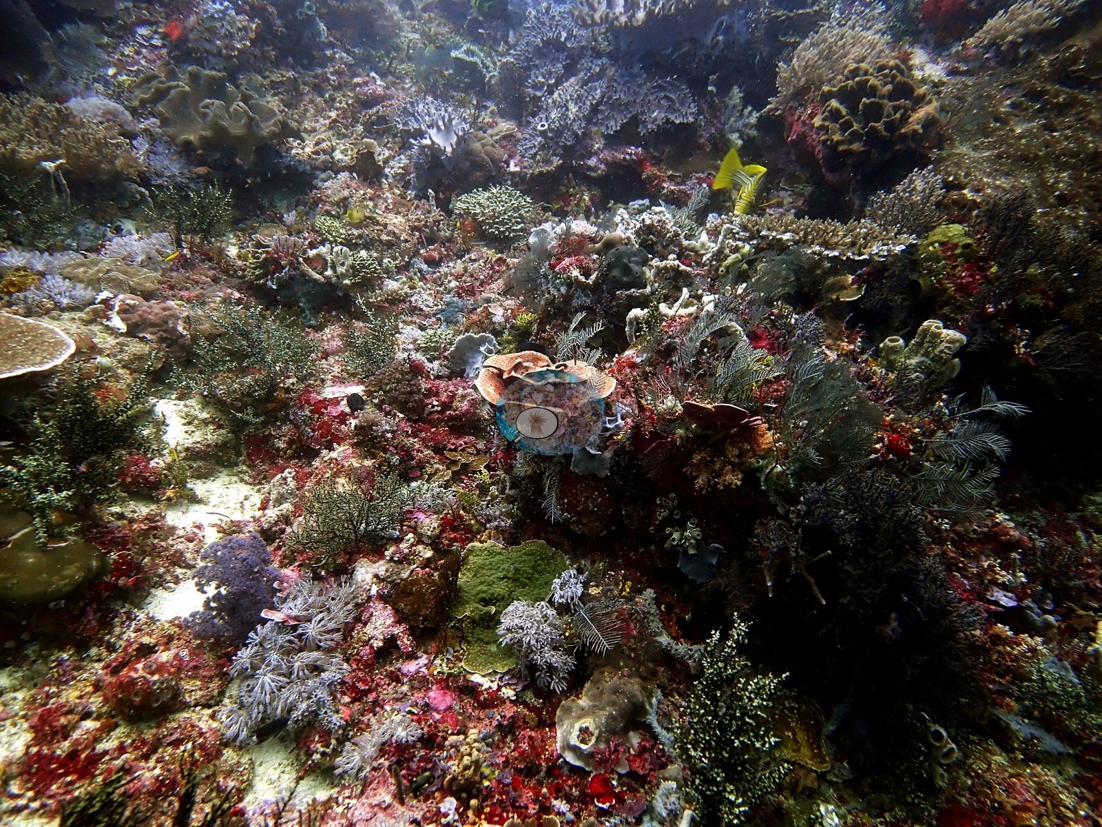
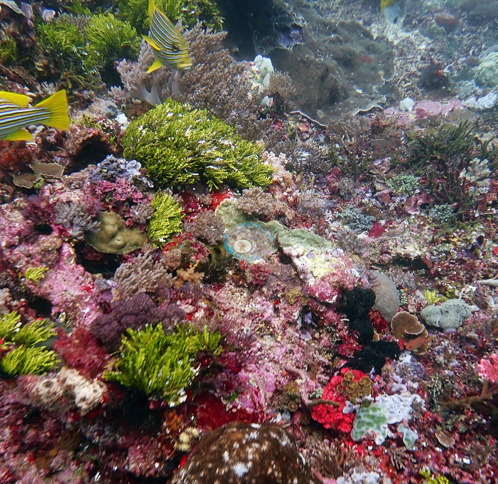
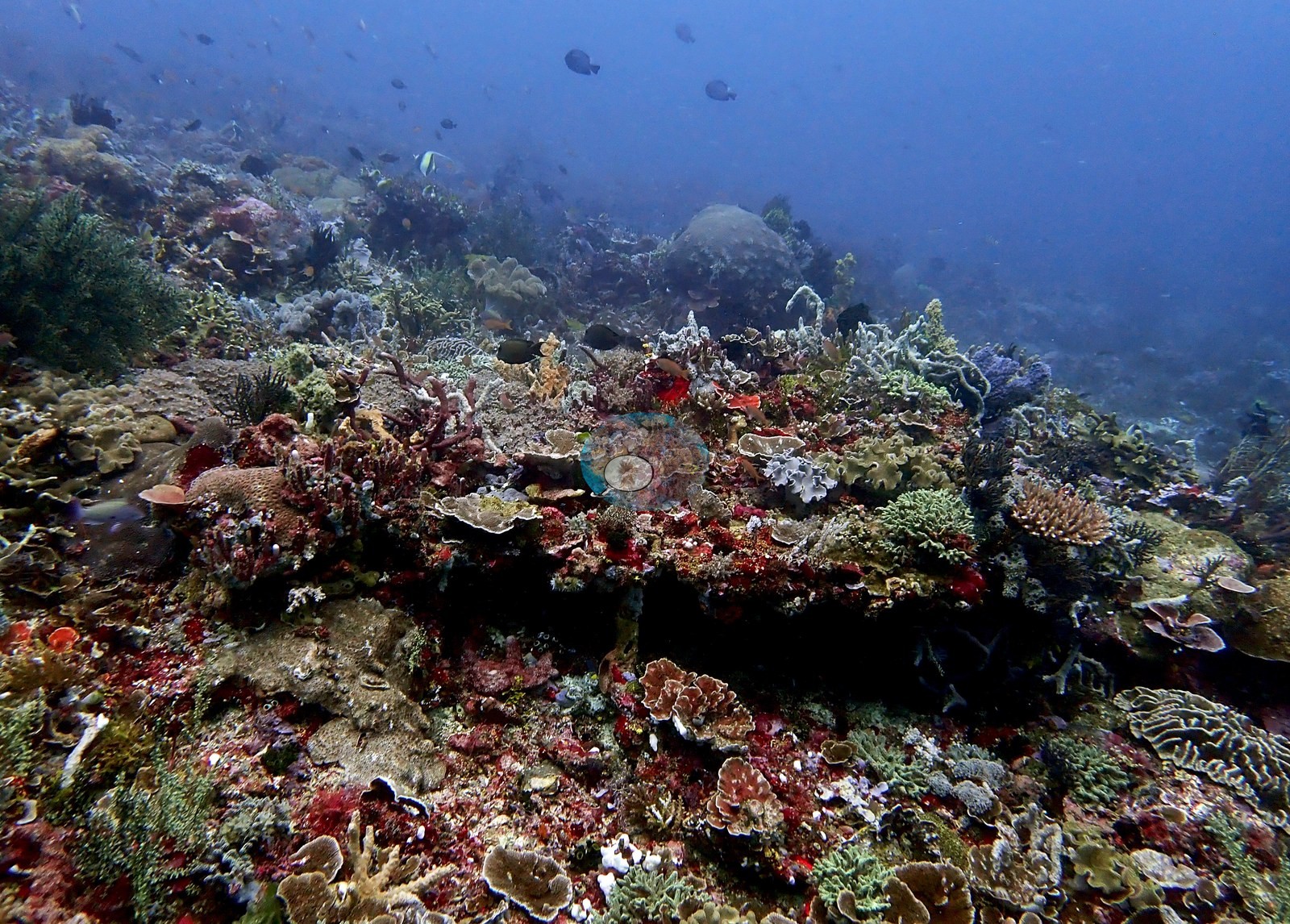
The reef was very colorful, albeit scoured: the cryptic substrate carries vivid crimson and magenta encrusting sponges, tunicates, bushy black hydroids or gorgonians, and green calcareous algae, and the coral is interspersed with beautiful sponges including maroon tube sponges (e.g., Image 3).
Coral cover
Coral cover: 25% — a blind Claude computer-vision point count of 72 of Anderson's edited photographs (20 points per photo; water, fish, and obstructions excluded). Other computer-vision methods are listed in the method table. The Claude value sits well below Anderson's own in situ impression of 80–90% cover at 15 m and large areas of 100% Acropora at 15 m. Anderson is still comparing computer-vision models, and these figures will be updated as the methods improve.
Stressors
Physical scour by current is the dominant shaping force. The reef is explicitly low-rugosity on account of high current, and the site was described as scoured. Slimy algae, potentially cyanobacteria, characterized some areas at 3–6 m on the northeast side. Red and brown algae were present in some areas. Stinging hydroids are present. Evidence of over-fishing was noted — many small reef fish but few large ones, with a single large barracuda the exception. Standing dead Acropora skeleton is visible in the wide frames, still holding branch shape but overgrown with yellow-green turf and encrusting growth, sitting immediately below the living thicket. Small reef fish were seen living in Acropora with what appeared to be isopod parasites attached to the head. No bleaching was recorded on any of these dives. No crown-of-thorns starfish (COTS) or other corallivores evident.
Fish and other fauna
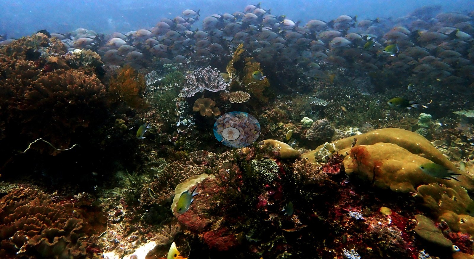
Large angelfish and giant trevally on the first dive; one large barracuda on the second. Turtles on both dives, and a small manta ray on 26 Jan. The largest anemone Anderson has ever seen — roughly 1 m in diameter. Lionfish, very common here. The first moray of the trip was seen on this dive. A giant clam, and spectacular small reef-fish life at 4 m. The wide frames are busy with anthias, small damselfish, and butterflyfish working the Acropora meadow, plus a loose school of red-and-white fish over the thicket. Tubastraea (the non-symbiotic orange cup coral) is rare here.
Comparisons with other data
No independent survey was made at this exact site; the nearest ones are listed in the table below.
Dive record
Island site in Komodo National Park, dived on 16 Aug 2009 and twice in January 2019 — 19 Jan 2019 (11:02–11:59, 57 min, max depth 21.9 m, 31% oxygen) and 26 Jan 2019 (07:48–08:46, 58 min, max depth 18.3 m, 30% oxygen). Water 25.6°C on both 2019 dives. The 19 Jan dive was, in Anderson's words, a great hard coral dive, with very high average live coral cover at 5–15 m but limited visibility that varied with depth. On 26 Jan the northeast side was dived instead, which evidently experiences much stronger currents depending on the tides — near-Lembongan-like current at the start and easily the fastest current of the trip. Air drained quickly because of it. Current increased with depth on the first dive, with a coincident drop in visibility; after turning the corner on the second dive, visibility went from 5 m to 20 m and the water warmed. The SD card malfunctioned on 26 Jan, so no photographs exist from that dive; the images on this site are from the other visits. Ranked by Anderson as among the best hard coral of the trip.
CV model comparison
More info
DINOv3 and CoralSCOP were run on the same photos and are listed for comparison. Coralscapes v2 and v1 were also run but are not shown: Anderson does not consider Coralscapes reliable for these photos. No diver transect exists for this trip, so agreement between the rows is not accuracy, and as of September 2026 no computer-vision method estimates coral cover accurately on new images; treat every row as indicative.| Method | Hard-coral cover (%) |
|---|---|
| In-house DINOv3 | 30.0 |
| CoralSCOP edited | 39.3 |
| Claude (edited photos) | 25.4 |
Independent surveys nearby
| Agency / program | Year(s) | Stations / distance | Link |
|---|---|---|---|
| Reef Check | 2014–2020 | 3 stations, 3.14–4.93 km | Records ↓ |
| WWF-US / WWF-Indonesia | 2016 | 1 station, 3.25 km | Records ↓ |
 Dr. Coral (CRD)
Within 5 km, 4 independent survey stations recorded hard coral cover in 6 surveys between 2014 and 2020. The most recent nearby survey is from 2020, so these values predate recent heat stress. This site's own estimate (25%) sits within the range of these surveys (8.8–55%); the methods differ, so the comparison is context, not a like-for-like test.
Collected by other programs using different methods (Reef Check uses point-intercept transects), so these are context for the figures above, not a like-for-like comparison. Where a station was surveyed more than once the range is shown. Station names are not dive-site names.
| Agency | Site / location | Date | Hard coral cover (%) | Distance | Link |
|---|---|---|---|---|---|
| Reef Check | Sebayor Kecil | 2014 | 53% (2 surveys) | 3.14 km | — |
| WWF-US / WWF-Indonesia | TNK04 | 2016 | 55% | 3.25 km | Amkieltiela, Abdillah T, Amkieltiela A, Andradi-Brown D, Lazuardi E. 2016. Komodo MPA. MERMAID |
| Reef Check | Mawan (Sector 1) | 2020 | 10% (2 surveys) | 4.93 km | — |
| Reef Check | Mawan (Sector 2) | 2020 | 8.8% | 4.93 km | — |
Data & links
All images from Coral Reef Diagnostics. Data are from Coral Reef Diagnostics and the organizations named in the data-sources table above.
© Coral Reef Diagnostics.