
Indonesia - Komodo NP: Pengah Kecil

Part of the regional summary: Indonesia - Komodo
2019-01-25
More info
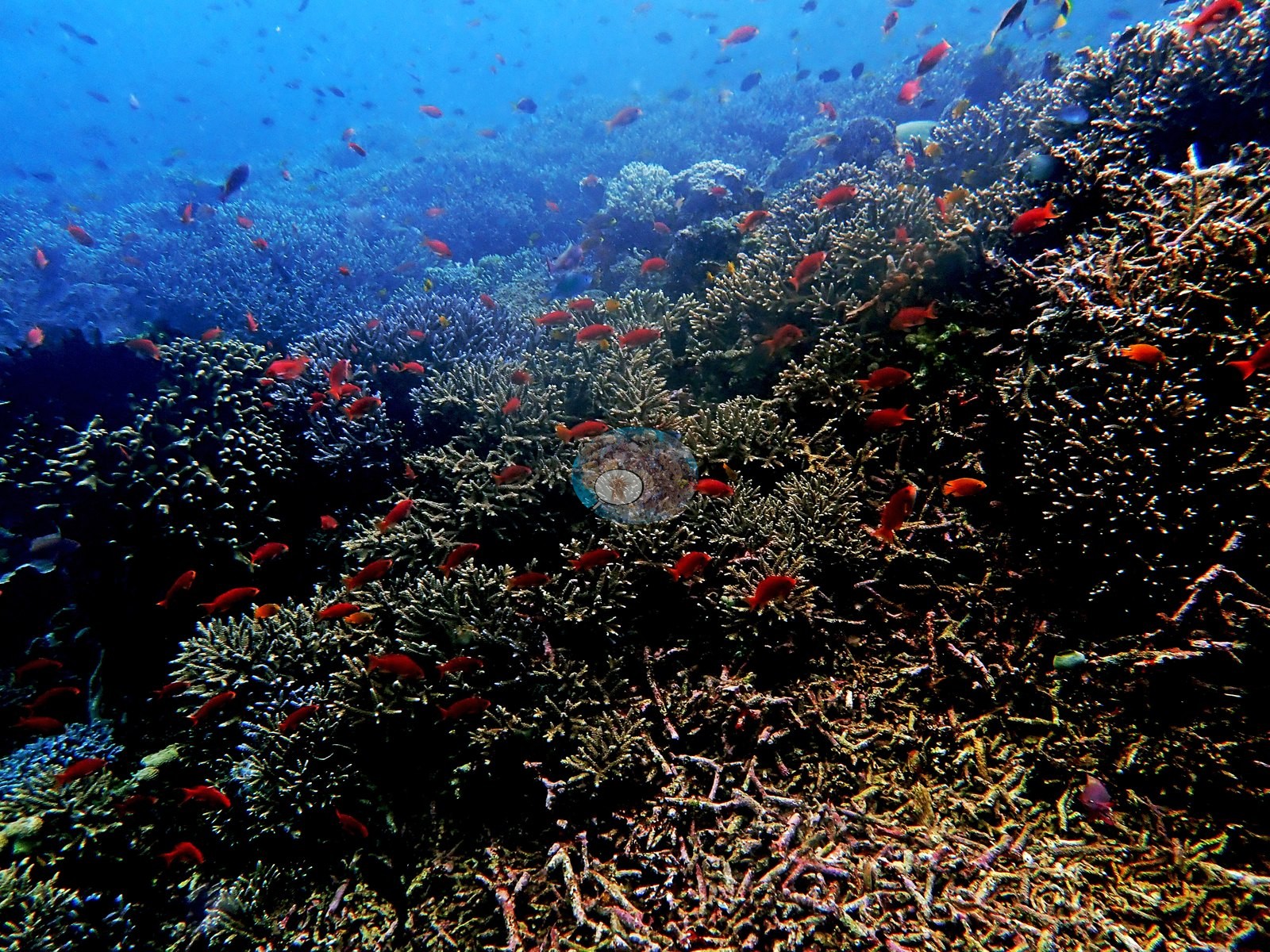
East Nusa Tenggara (NOAA CRW virtual station) · Lesser Sunda ecoregion mean=6.9°C-heating weeksPengah Kecil is a submerged pinnacle carrying near-continuous, densely packed digitate and corymbose Acropora with abundant anthias overhead - among the best coral of the trip, according to Anderson's own log, despite a 2019 dive aborted after 20 minutes in violent upwelling and rip currents. No bleaching or disease is visible. A blind Claude computer-vision point count puts coral cover around 30%.
Puncak batu terendam yang diselami Anderson pada Agustus 2009 (hingga 27.1 m) dan sekali lagi pada 25 Januari 2019, ketika ia harus membatalkan penyelaman setelah 20 menit dalam apa yang ia sebut segala macam gerakan air yang bisa dibayangkan — upwelling, downwelling, arus berputar seperti mesin cuci, alun, dan arus balik.
Terjemahan ringkasan ini oleh AI; versi bahasa Inggris yang berlaku. Translated from the site’s shorter map summary.
Six independent survey stations shown with the program’s logo — click one to see how far it is from this site.
Six other CRD dive sites within 5 km shown in orange — click a marker to open its page.
5 of these 37 photographs are shown beside the text that discusses them under "Site description" below.
Site description
Setting
A submerged pinnacle Anderson dived in August 2009 (to 27.1 m) and again on 25 January 2019, when he had to abort after 20 minutes in what he called every manner of water motion conceivable - upwelling, downwelling, washing-machine, surge, and rip.
General benthic features
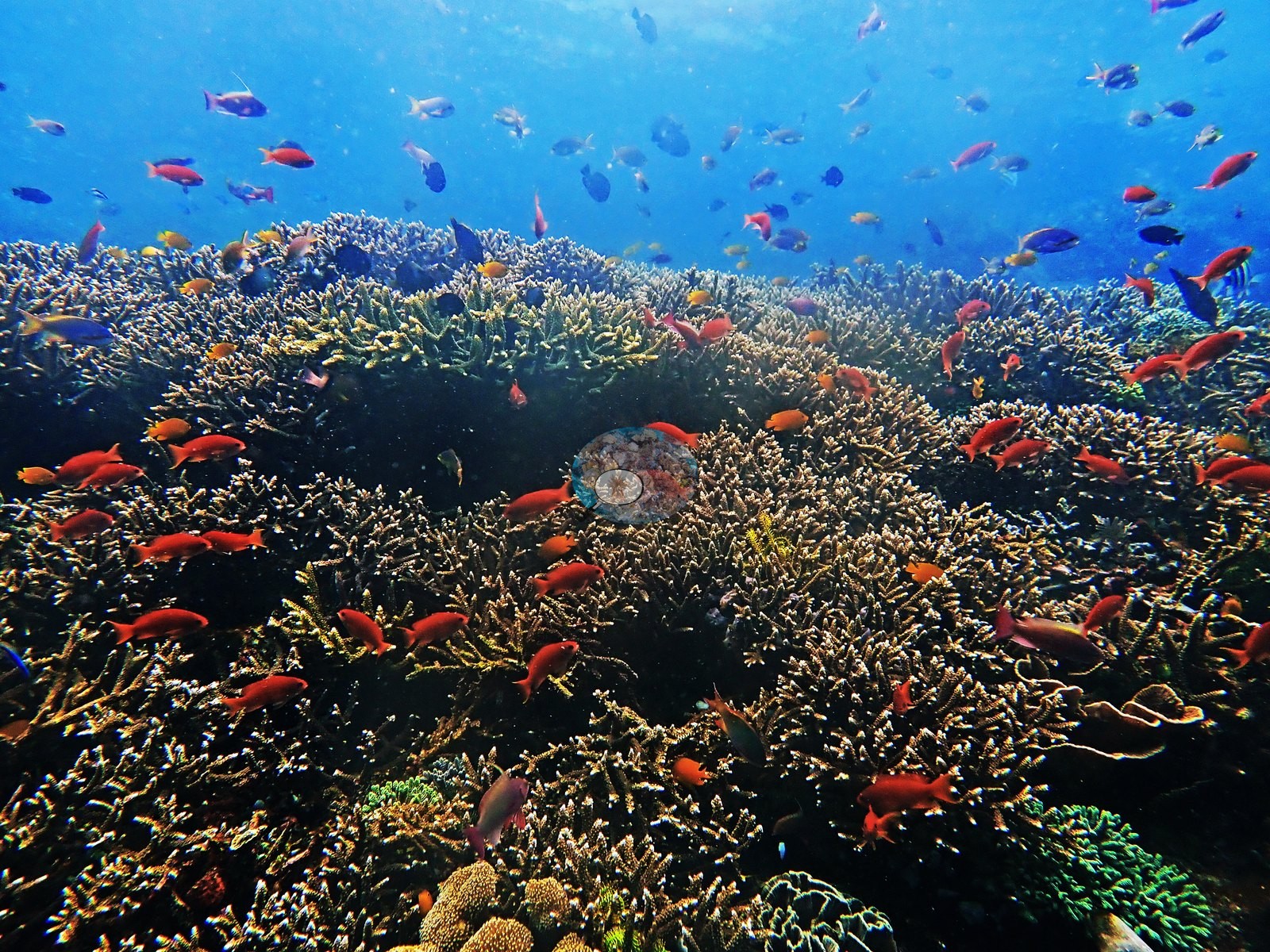
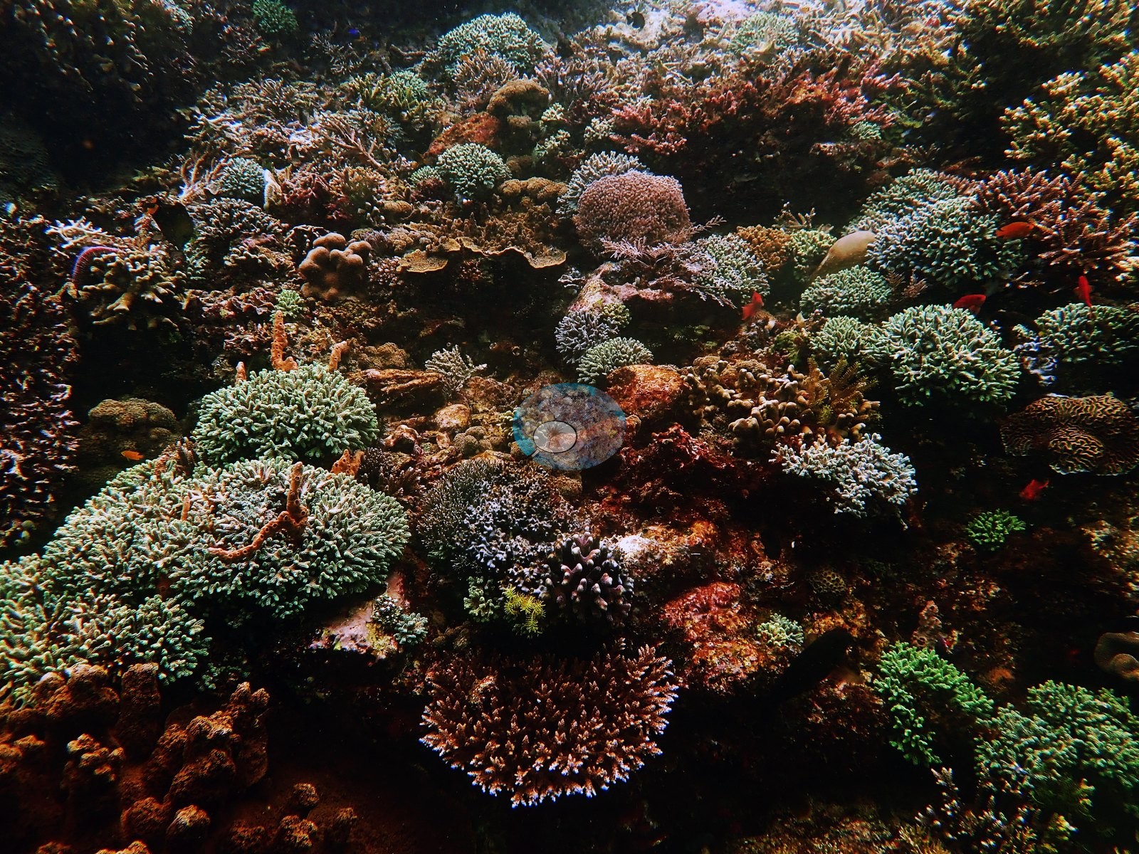
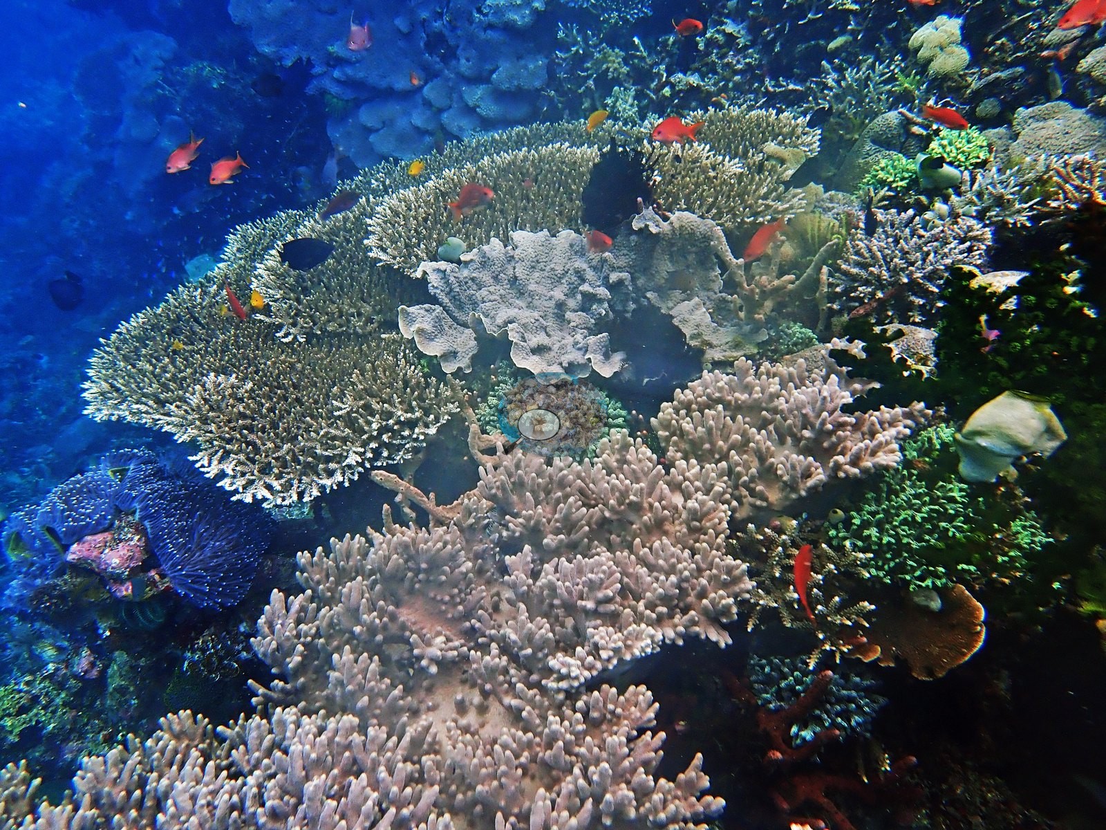
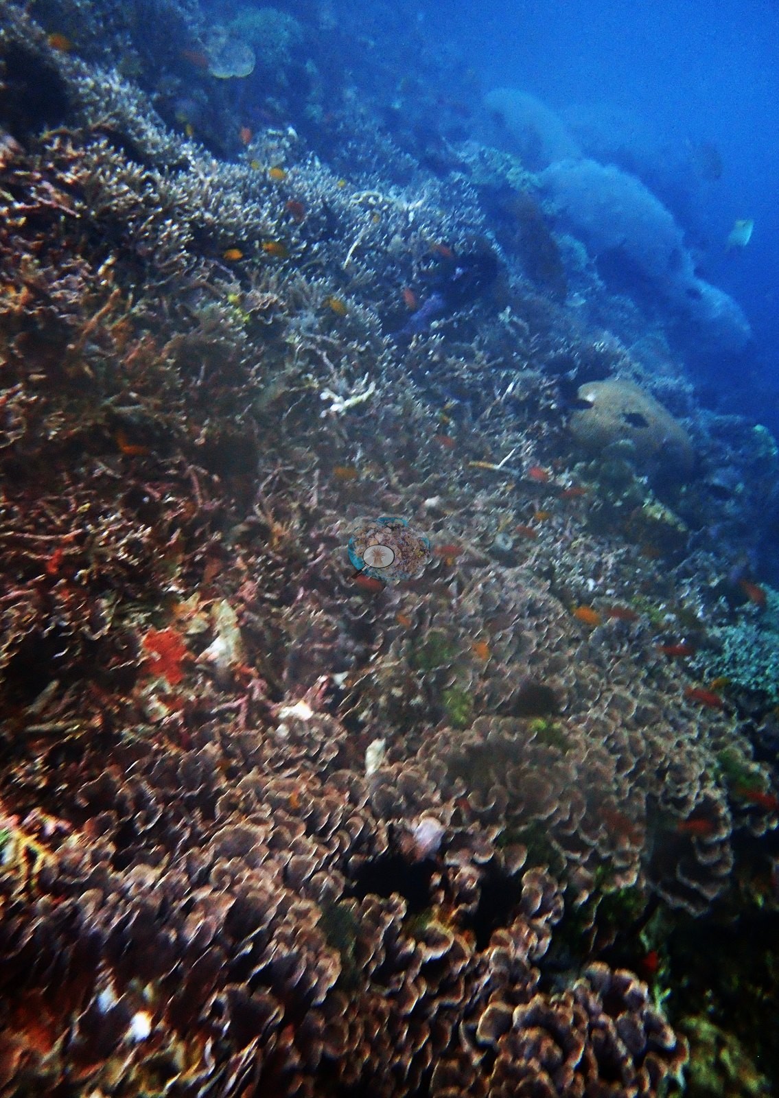
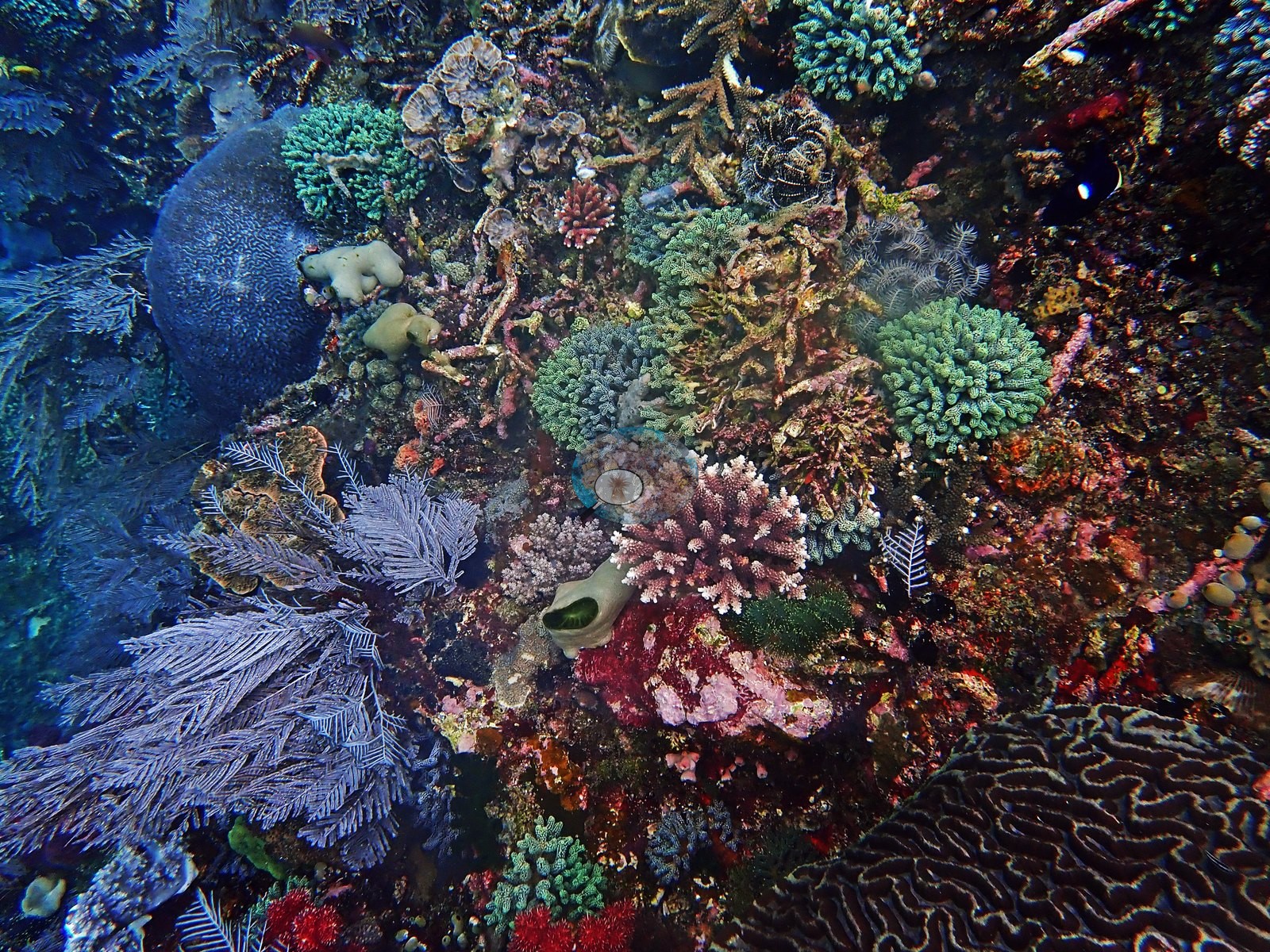
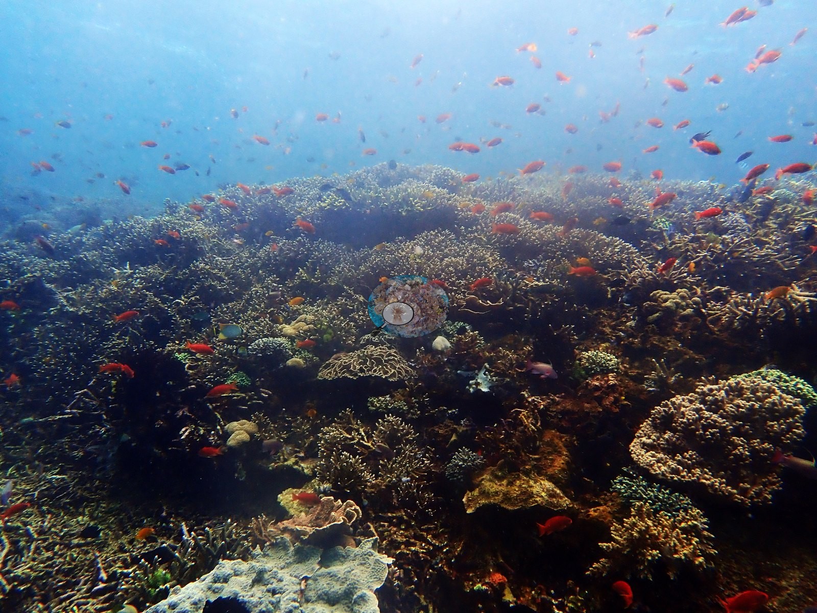
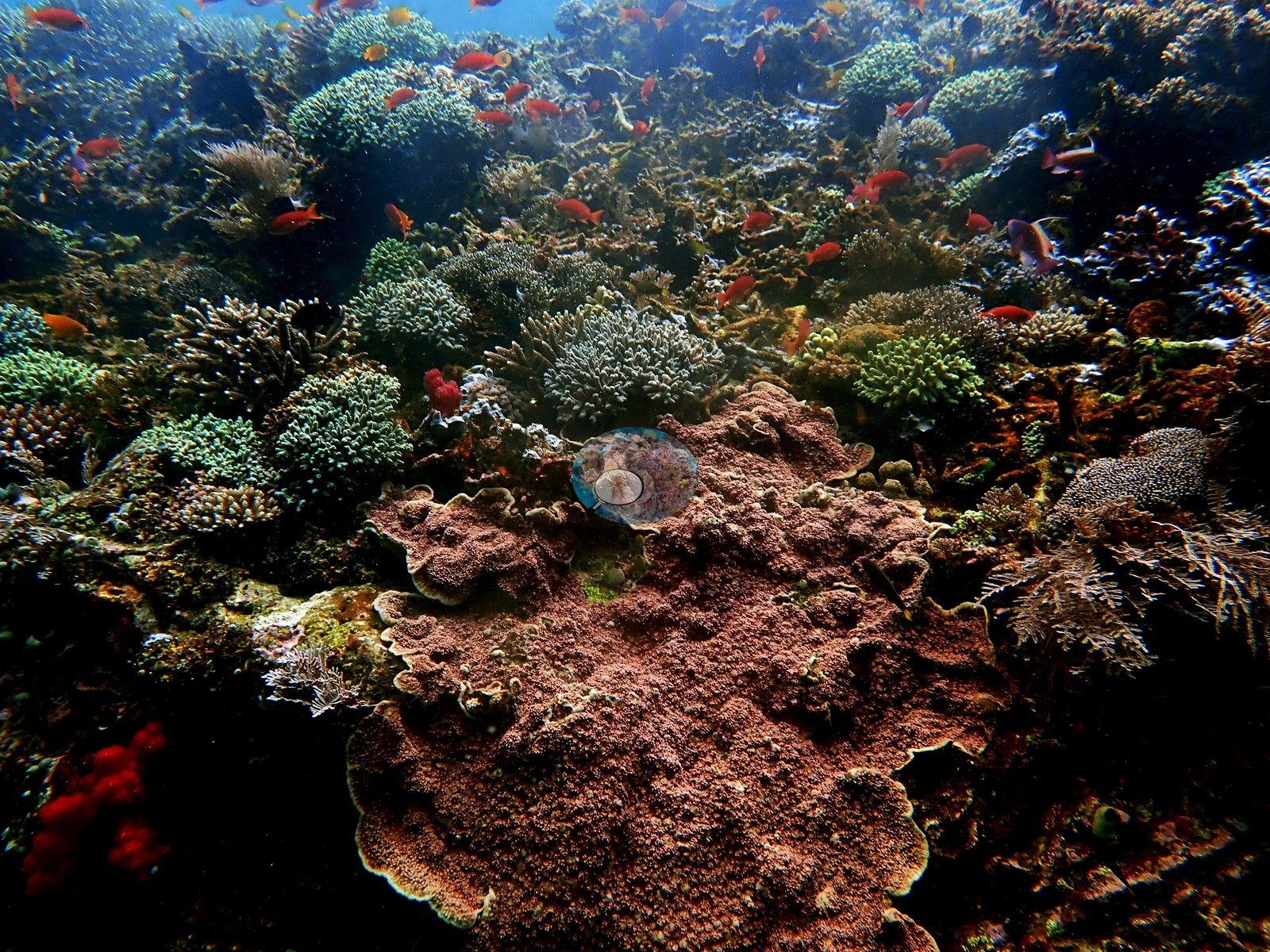
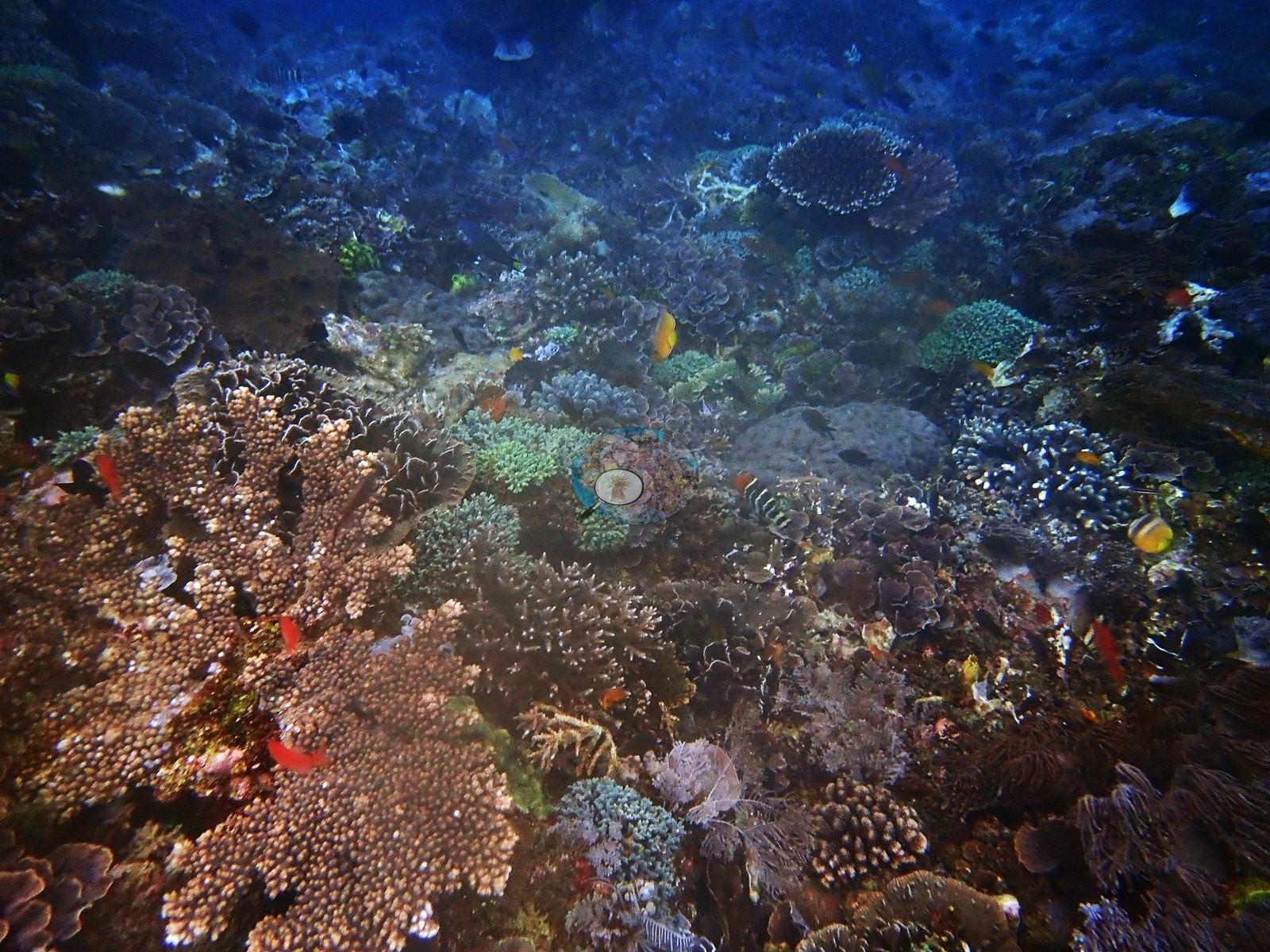
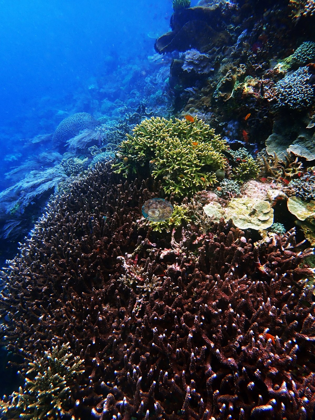
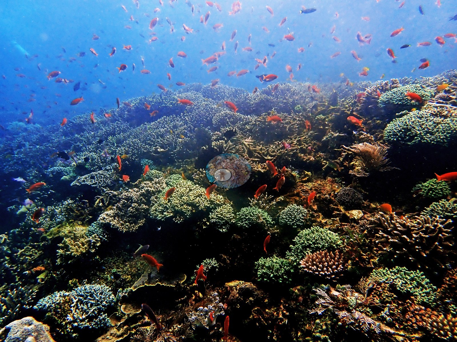
He wrote that he needed to check his pictures because the coral was among the best of the trip, and the frames settle it. The brightest frame is a slope at effectively continuous cover: mint-green, teal, and tan digitate and corymbose Acropora packed shoulder to shoulder with plating colonies and a lavender foliose plate, crinoids in the gaps, and dozens of orange anthias and a red bigeye in the water in front of it (e.g., Image 2).
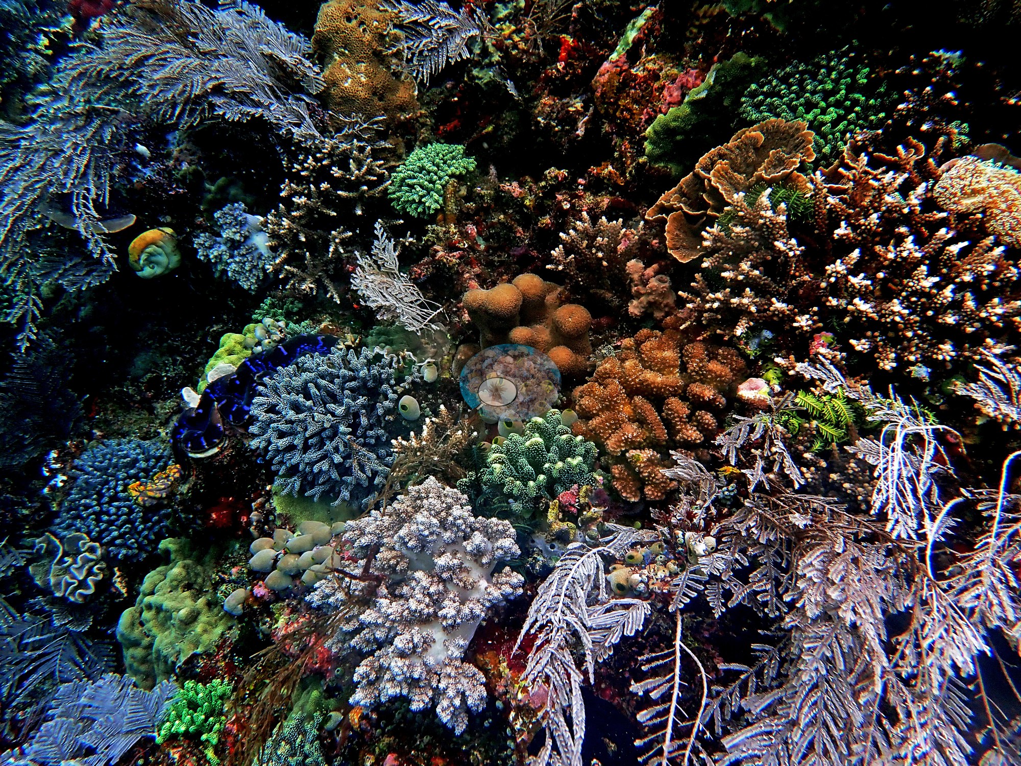
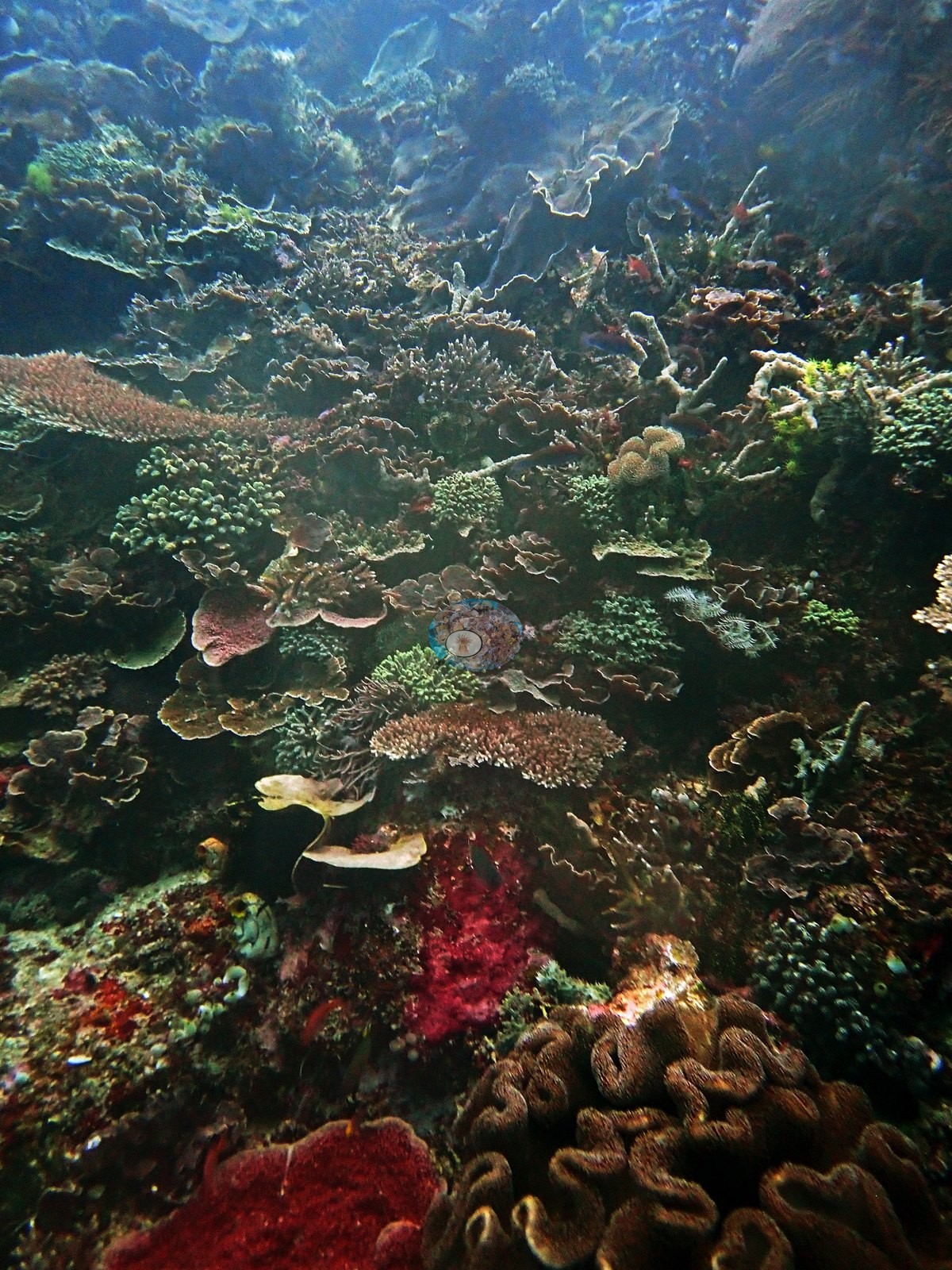
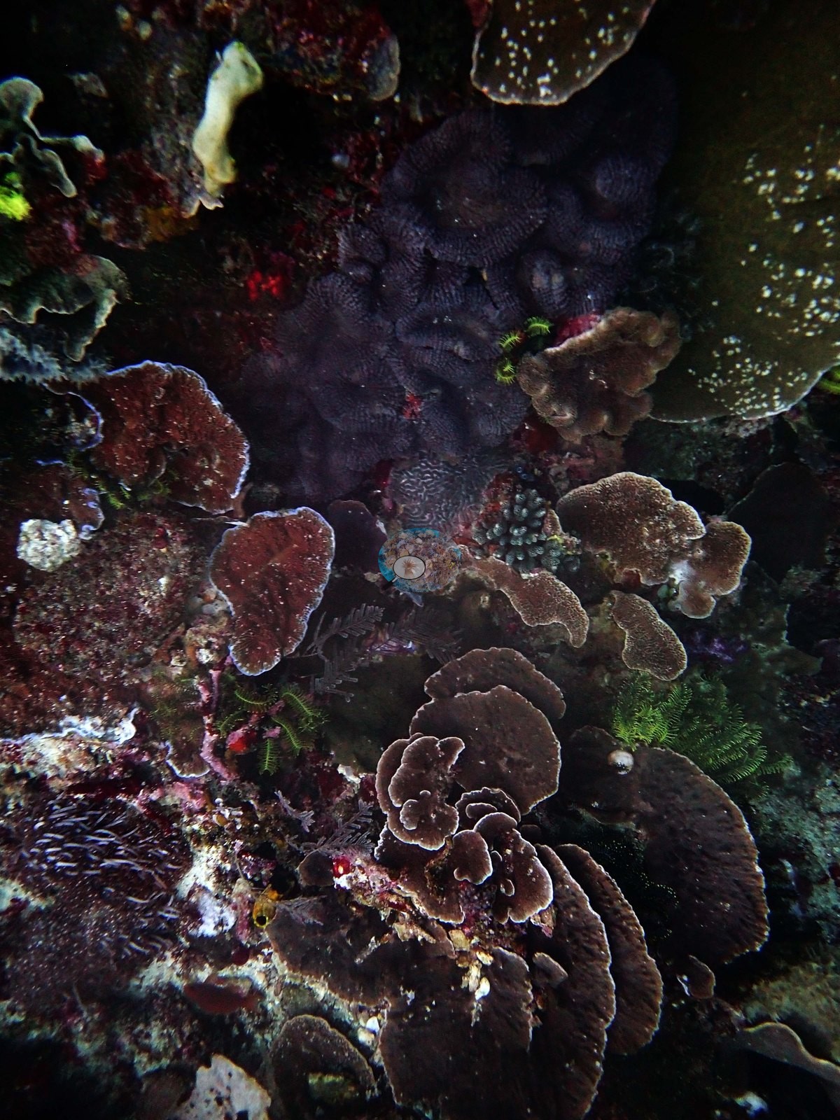
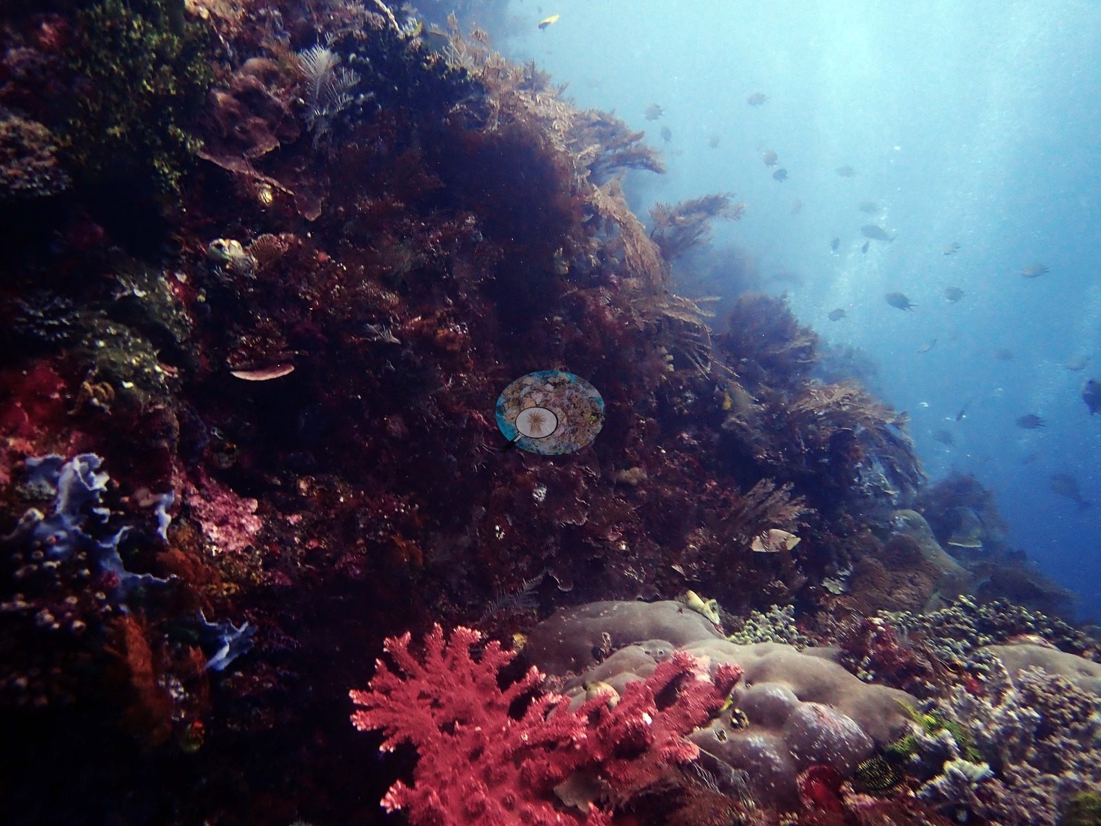
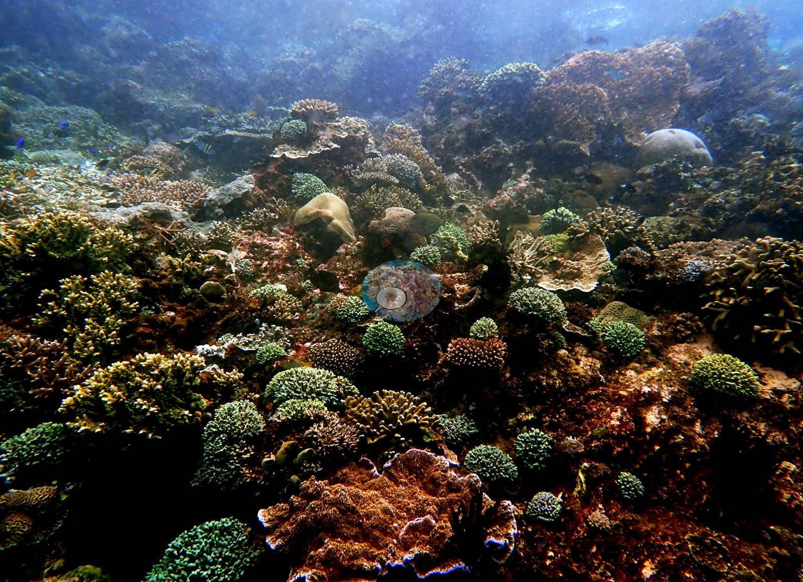
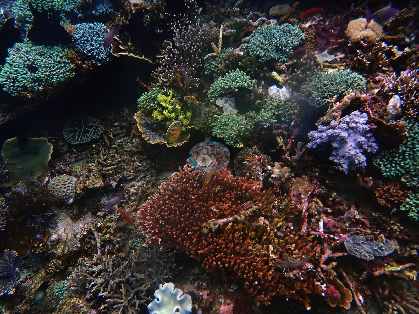
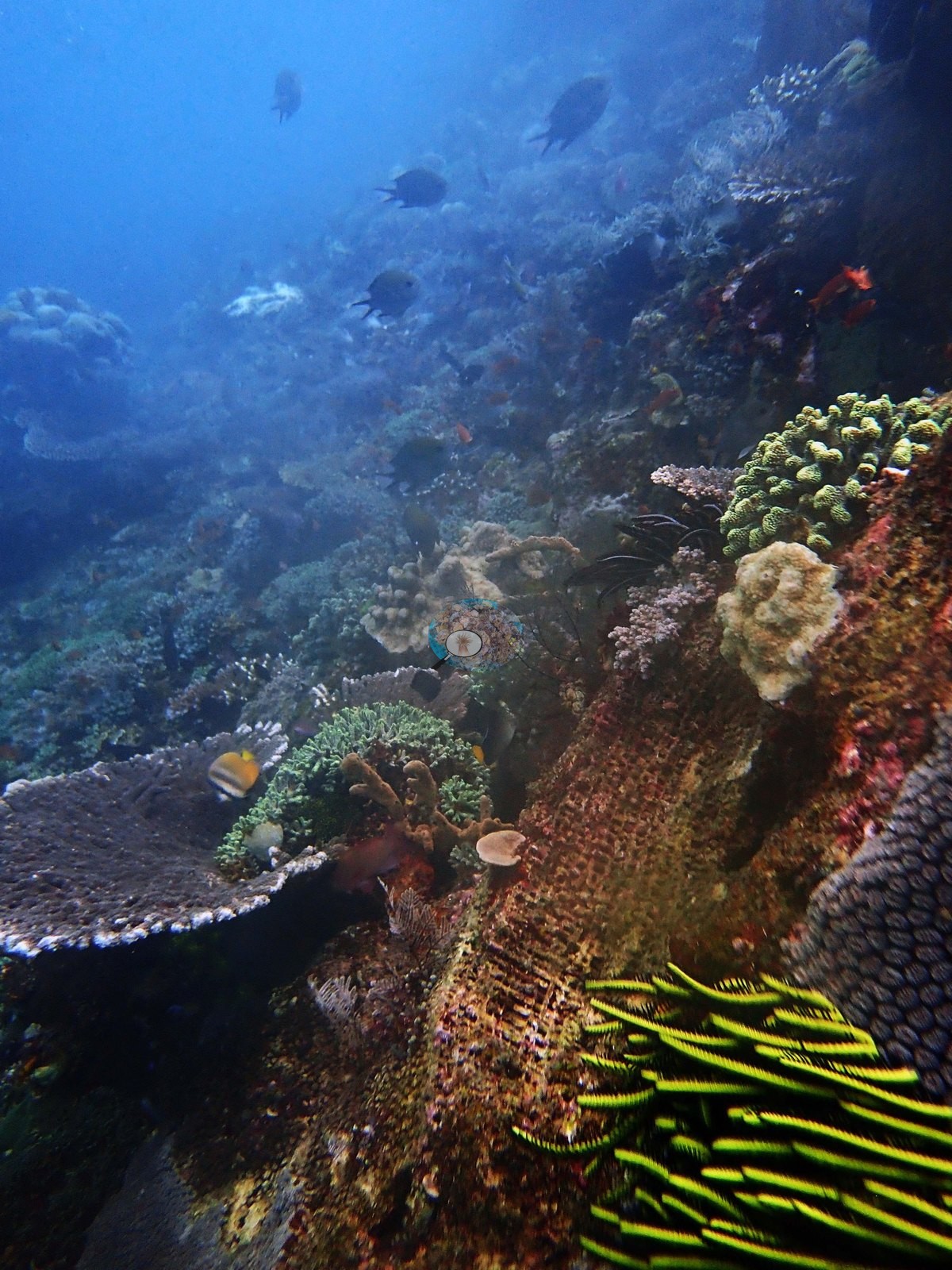
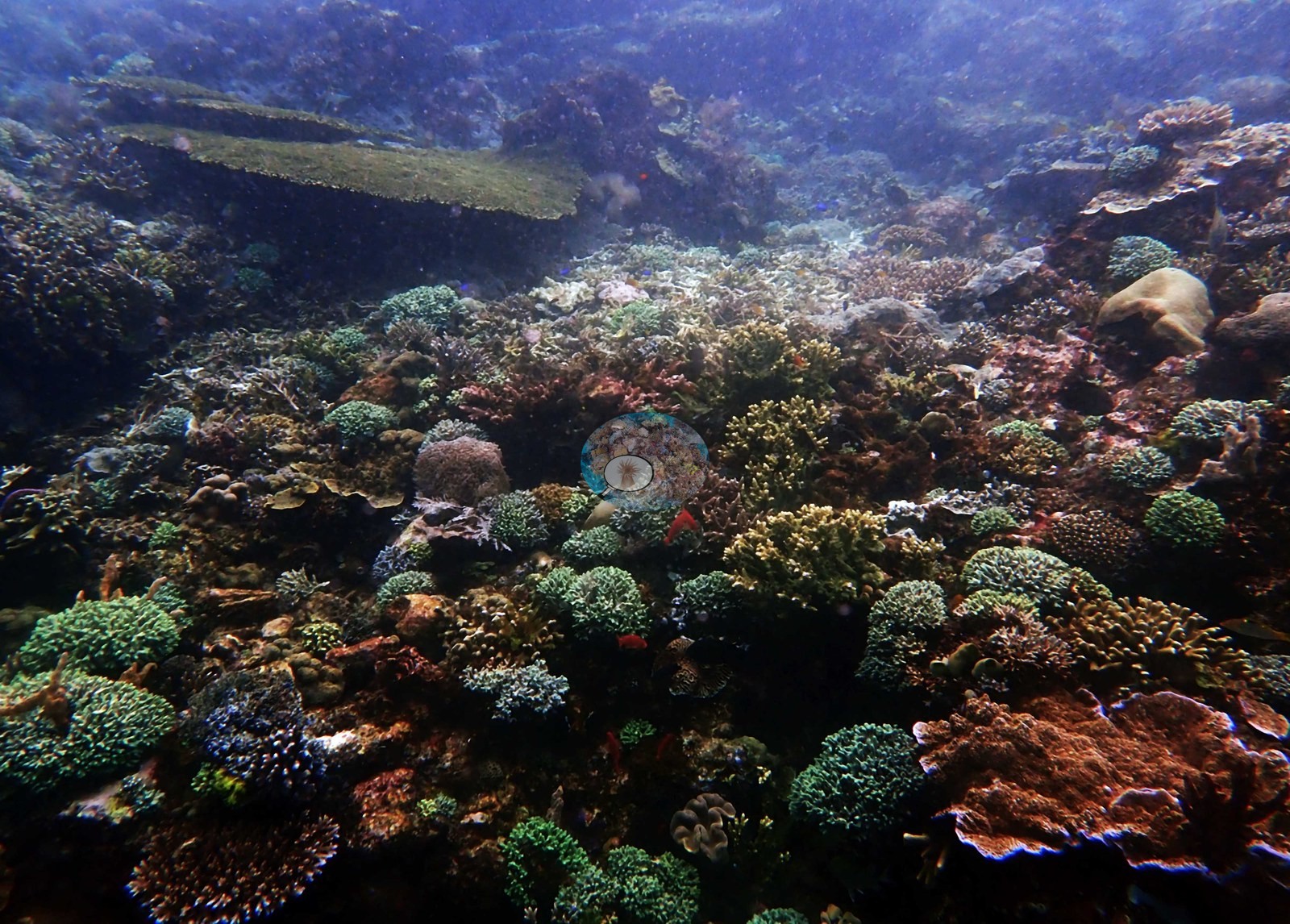
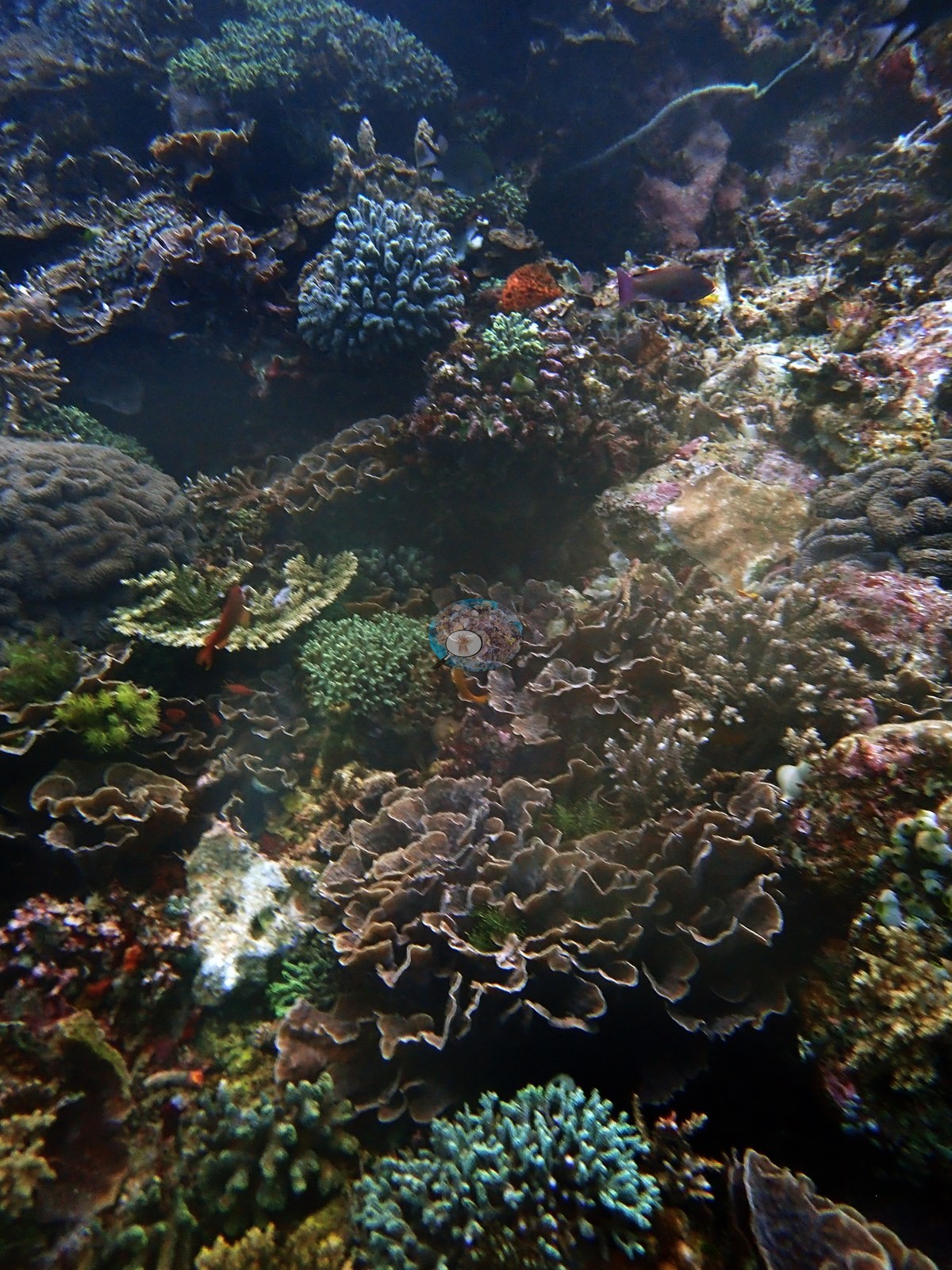
A dimmer wide frame is denser still and more varied: teal and mustard Acropora, purple-brown foliose plates, rust-red plating colonies with blue growing margins, a pale massive dome - with two long horizontal tabulate plates at the top of the frame that look dead and turf-covered, the only clear mortality in the set (e.g., Image 1).
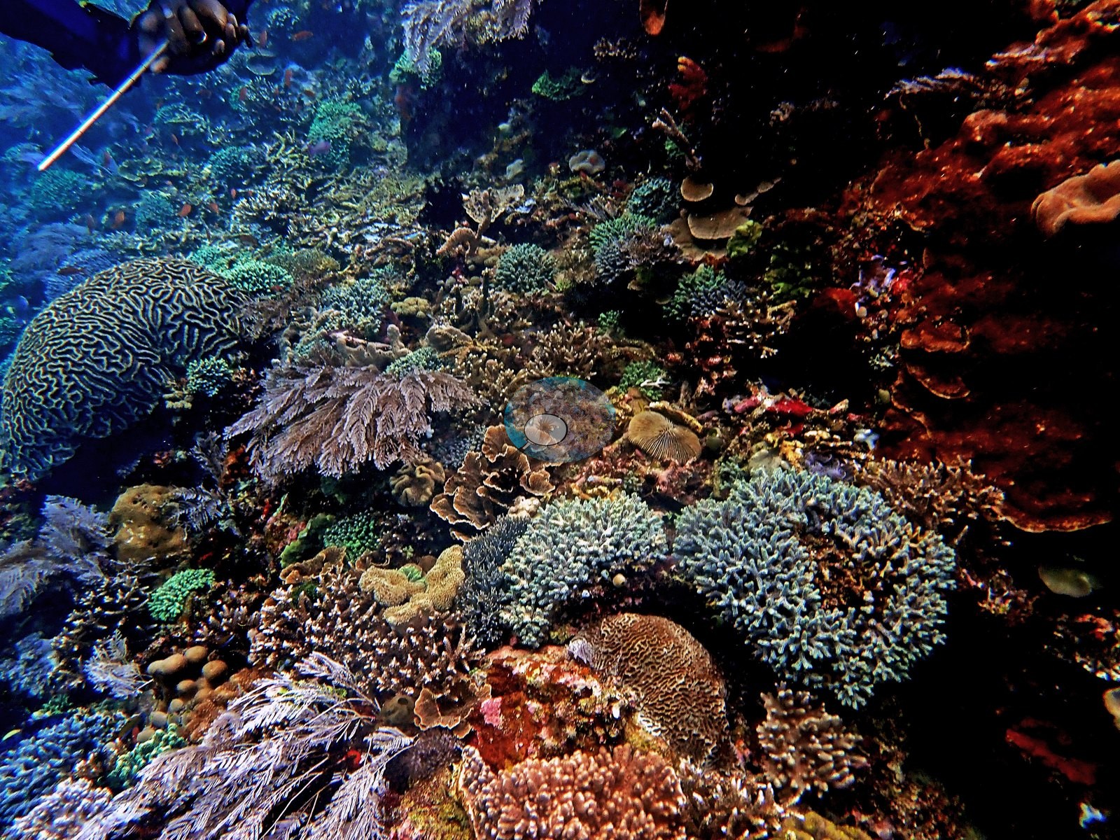
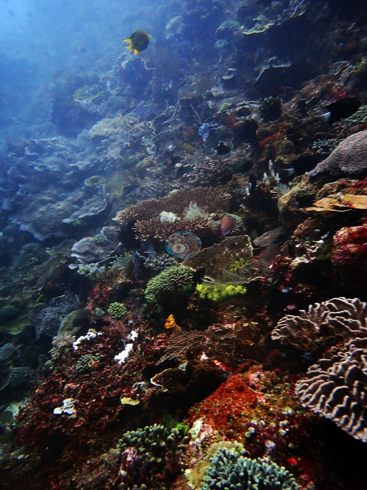
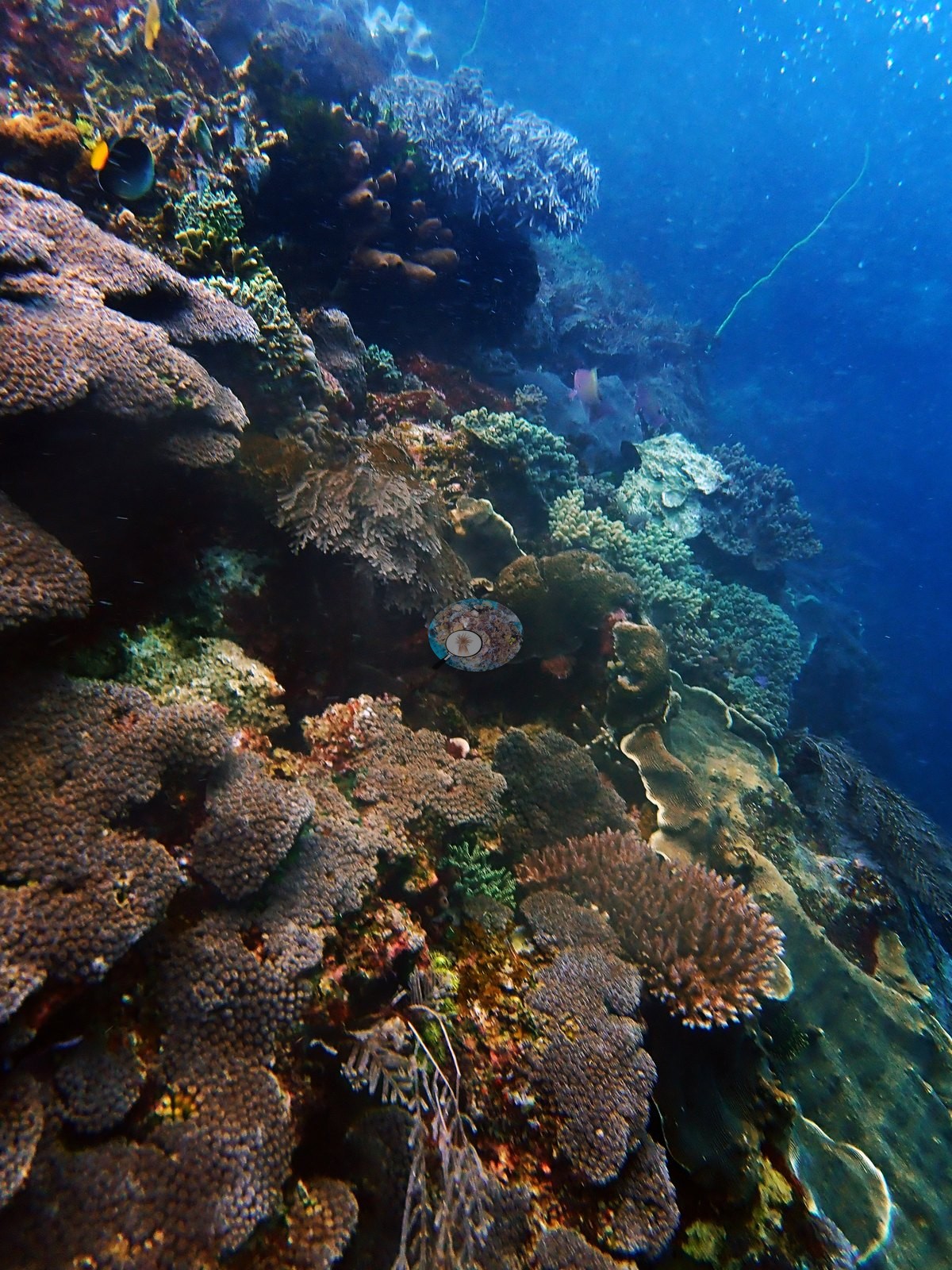
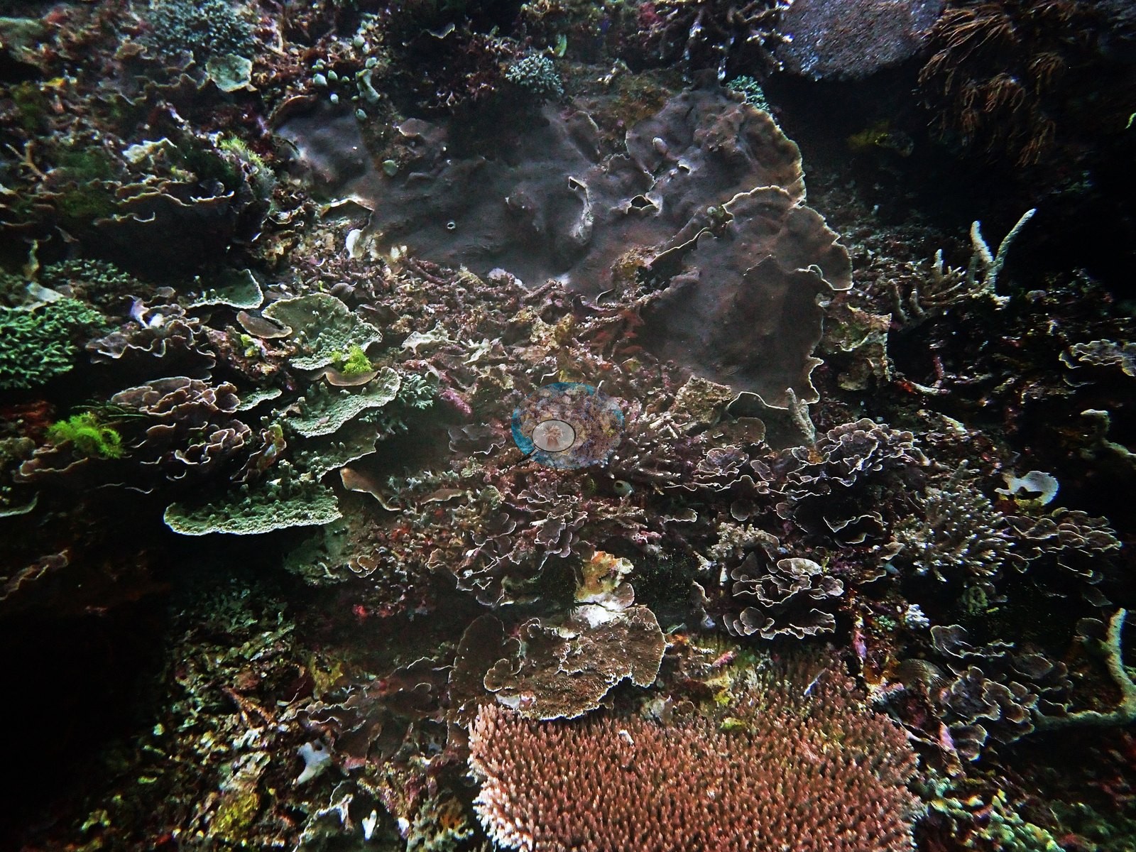
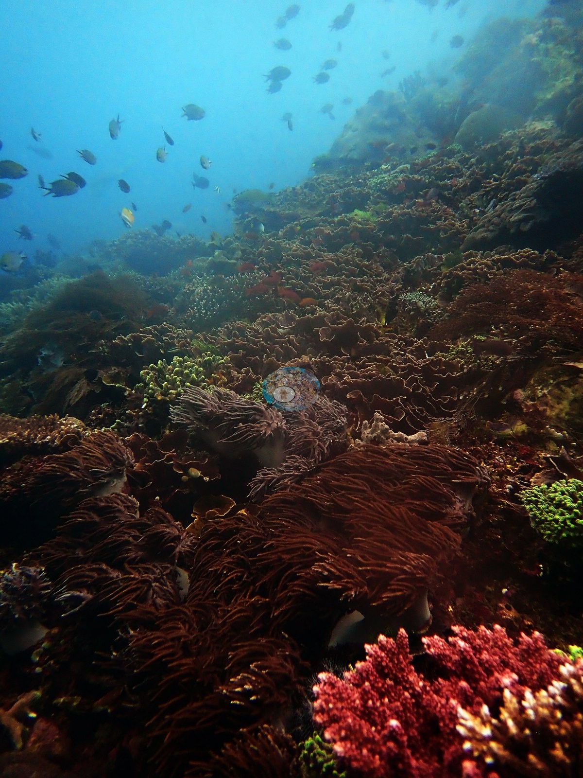
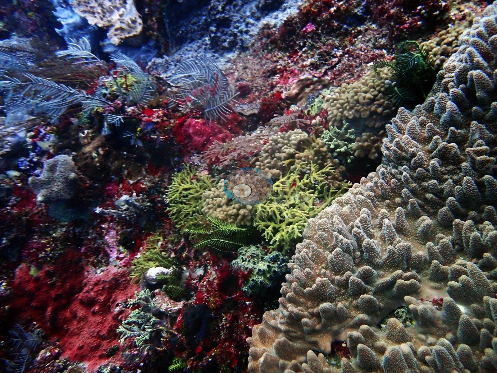
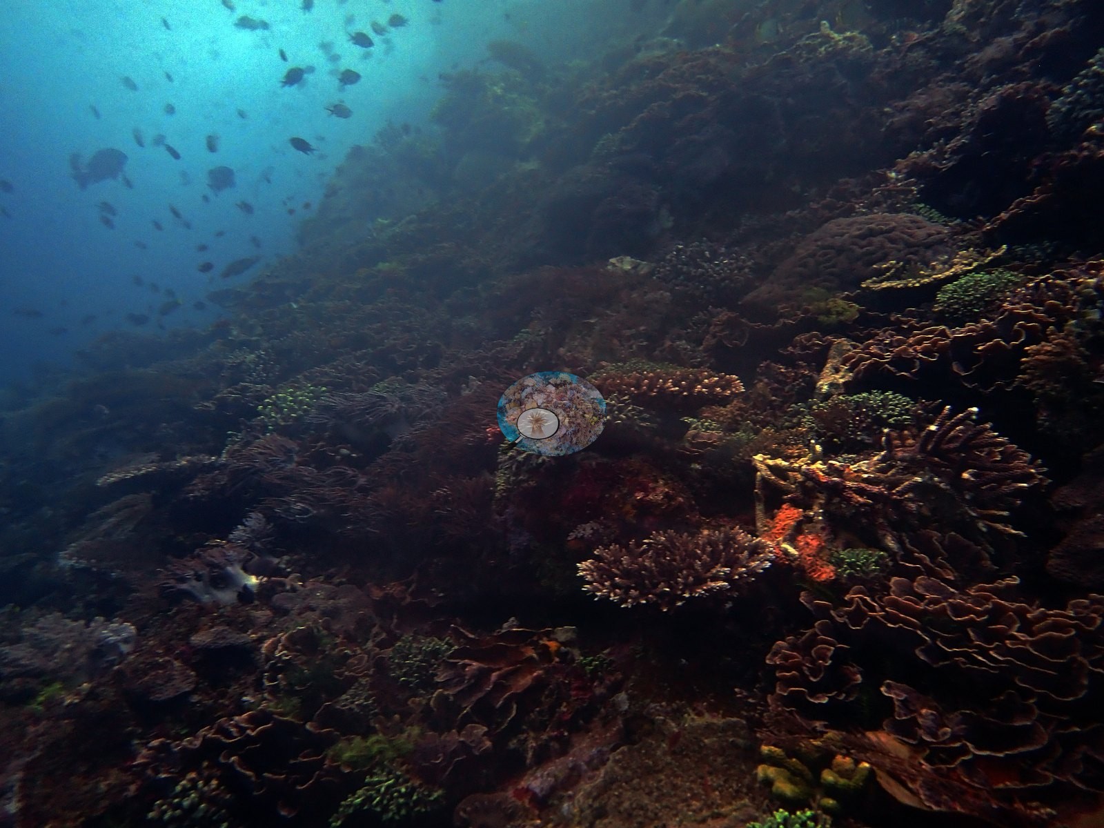
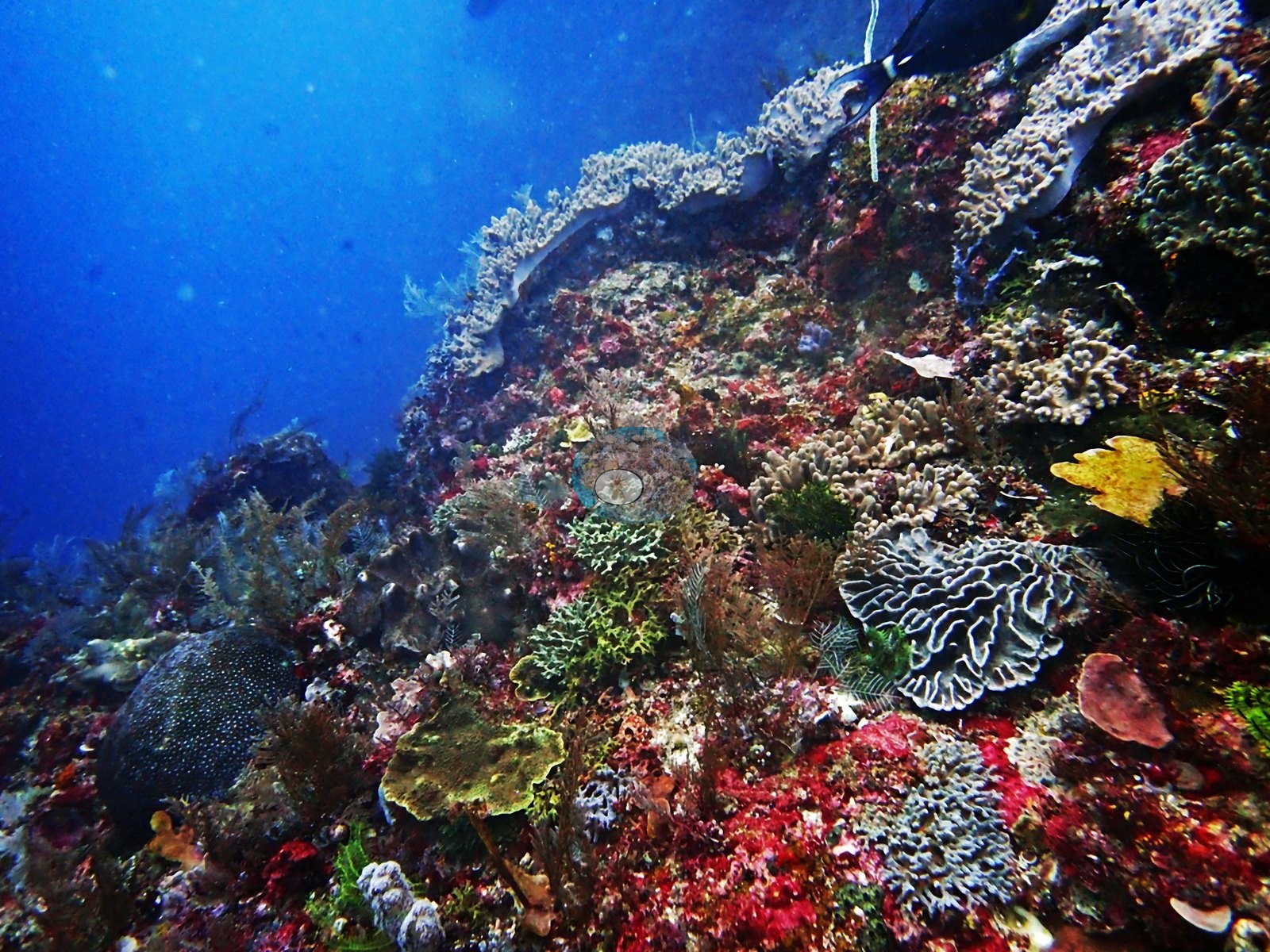
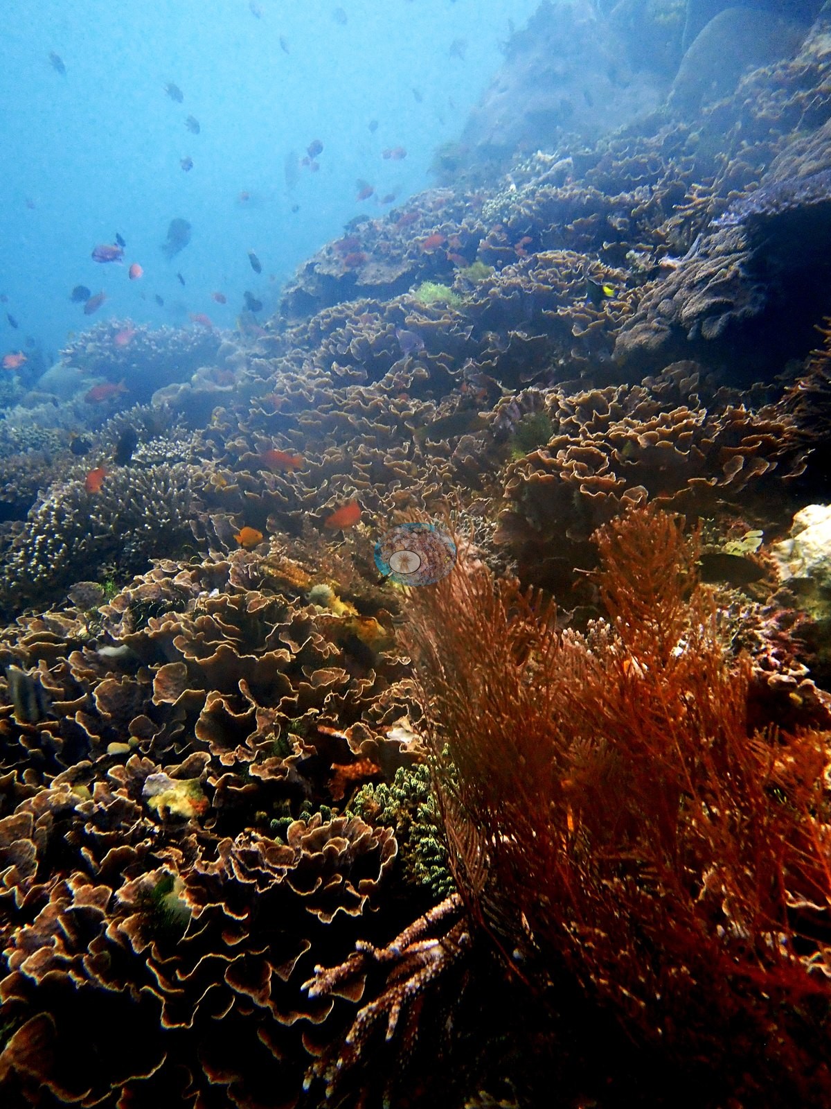
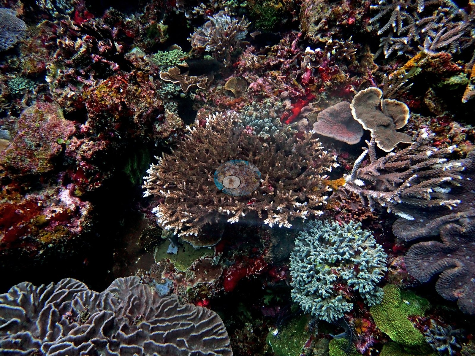
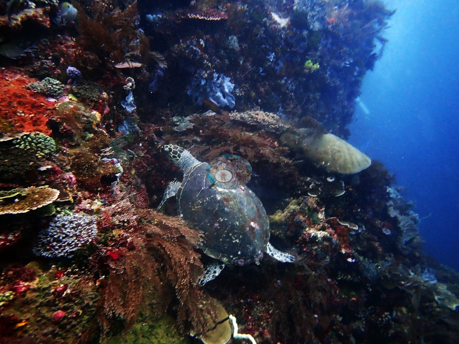
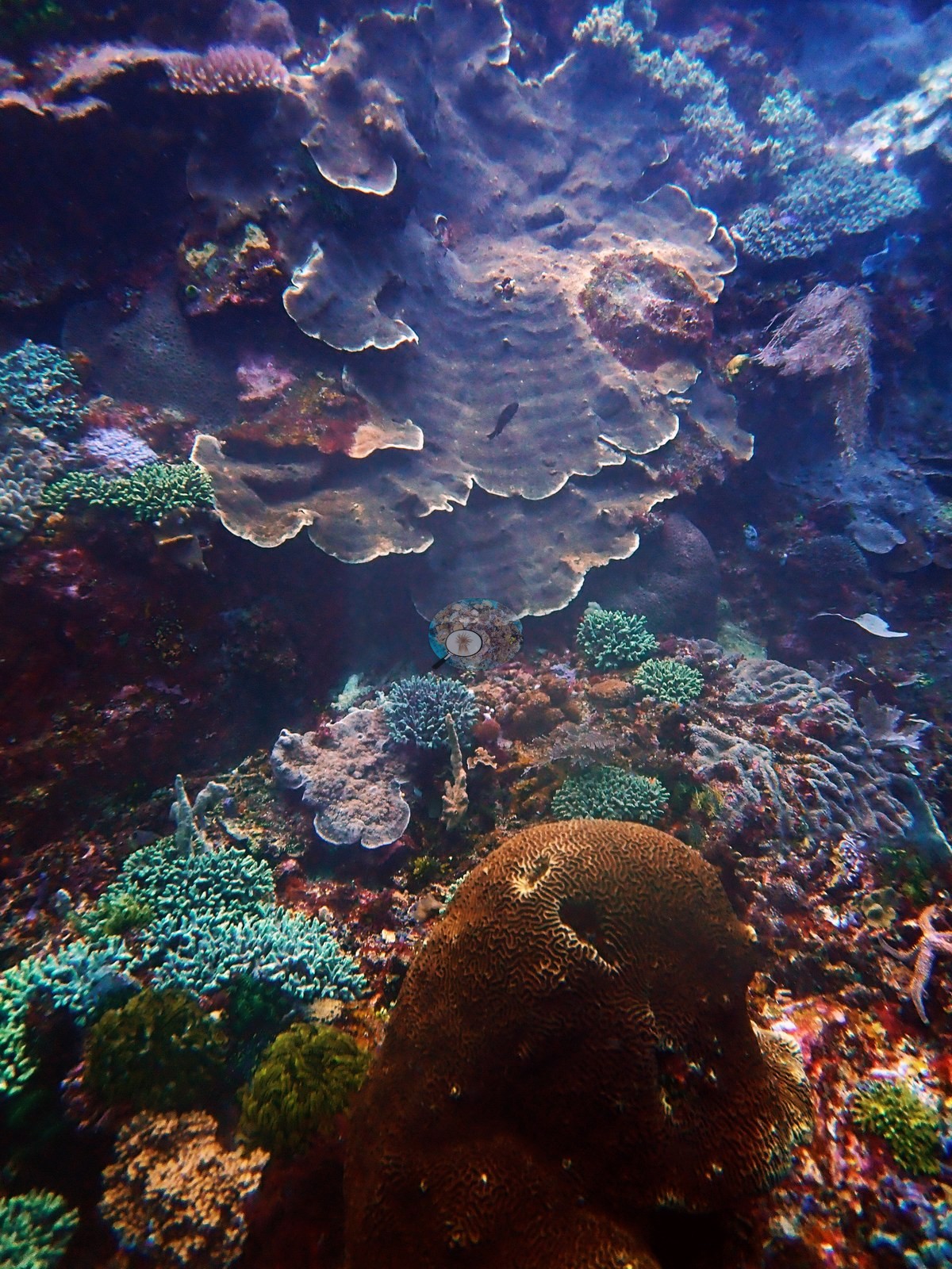
Foliose corals carry two frames: a wall of stacked pale gray-lavender foliose tiers above a teal corymbose Acropora and a brown meandroid brain coral, with a blue Linckia starfish alongside; and a frame whose lower half is ruffled brown foliose plates with a gray brain coral, a mustard tabulate plate, and chartreuse branching coral above - almost certainly the vase-like foliaceous corals he admired but could not name (e.g., Image 3, Image 5).
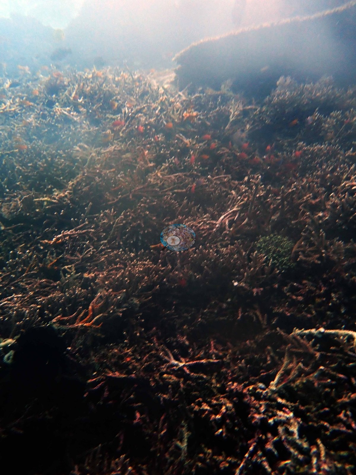
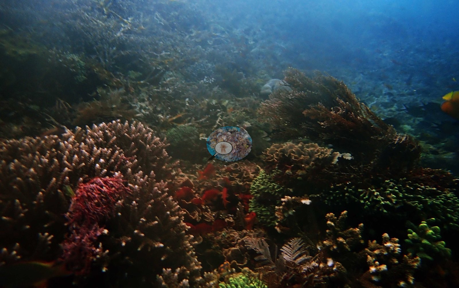
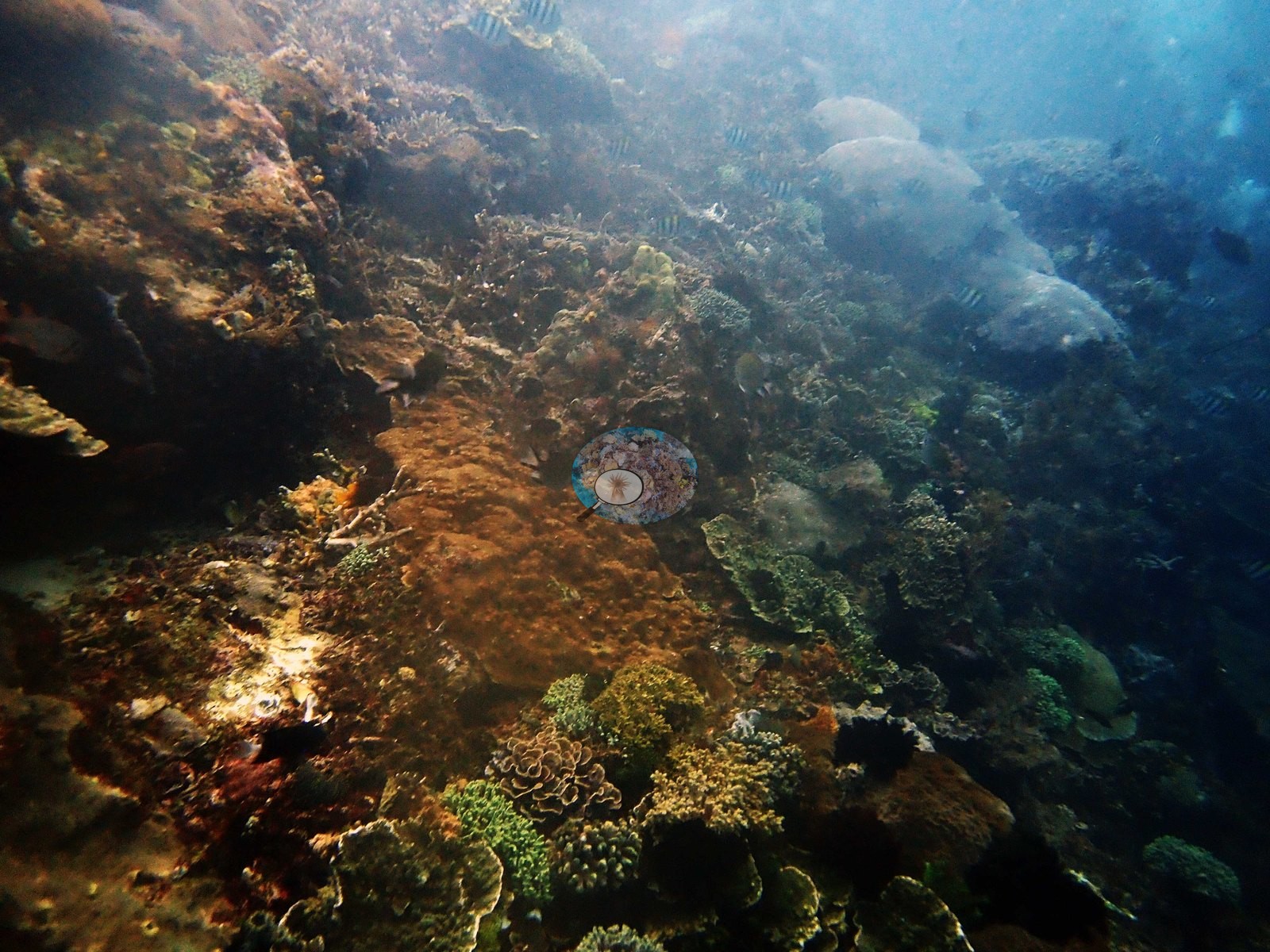
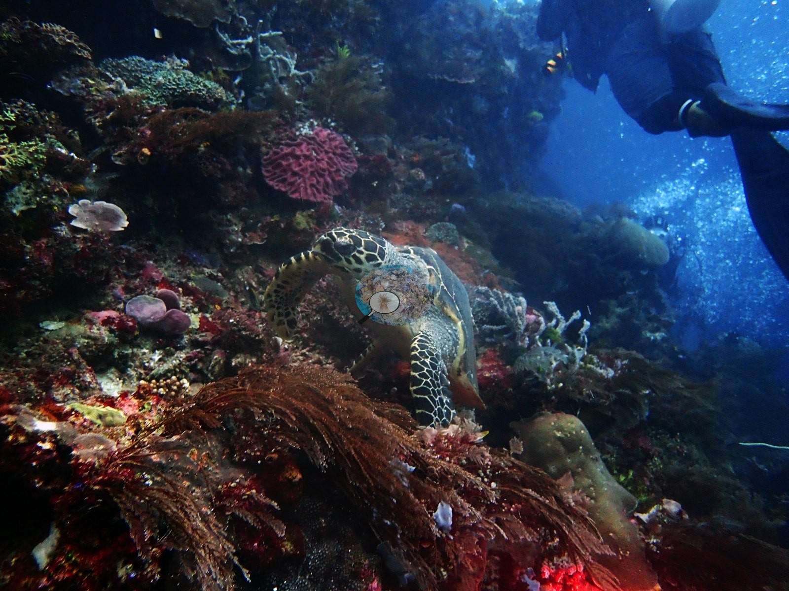
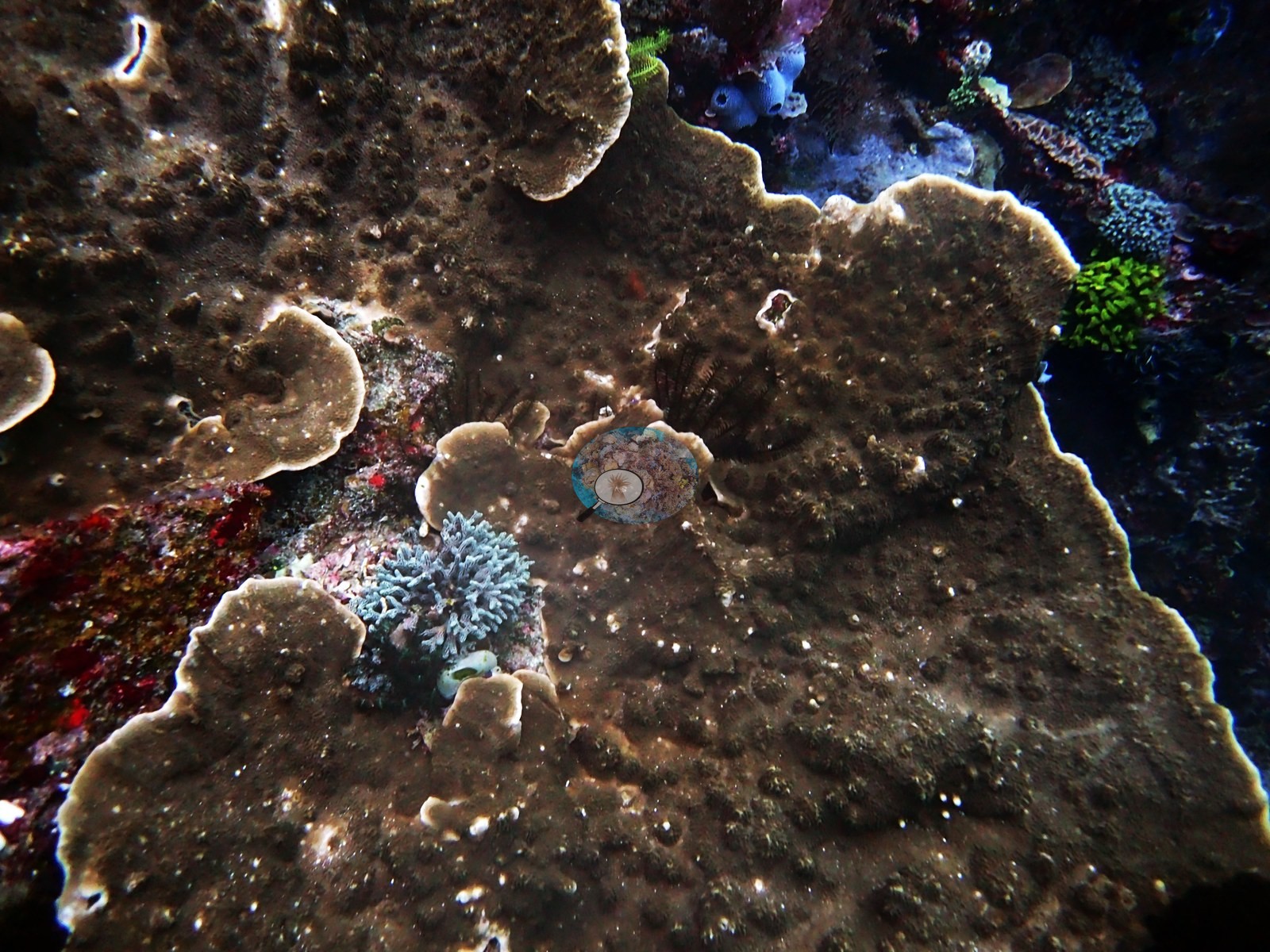
The close frame is broad brown plating sheets with white tubercles, a teal Acropora recruit, a blue vase sponge, and red encrusting sponge (e.g., Image 4).
Coral cover
Coral cover: 30% — a blind Claude computer-vision point count of 37 of Anderson's edited photographs (20 points per photo; water, fish, and obstructions excluded). Other computer-vision methods are listed in the method table. Anderson is still comparing computer-vision models, and these figures will be updated as the methods improve. As of September 2026 no computer-vision method estimates coral cover accurately on new images, so treat this as indicative rather than a measurement.
Stressors
No bleaching, disease, or man-made objects. No crown-of-thorns starfish (COTS) or other corallivores evident.
Comparisons with other data
Also on record for this site: 2019-1-25 dive 3: Pengeh Kecil (#26): 15:25-15:45 (20 min). Had to abort dive early on account of currents (20 minutes). Seriatopora hystrix, diverse and abundant Acropora, Montipora, stinging hydroids (got stung), vase-like foliaceous corals=beautiful (forgot name).
CV model comparison
More info
DINOv3 and CoralSCOP were run on the same photos and are listed for comparison. Coralscapes v2 and v1 were also run but are not shown: Anderson does not consider Coralscapes reliable for these photos. No diver transect exists for this trip, so agreement between the rows is not accuracy, and as of September 2026 no computer-vision method estimates coral cover accurately on new images; treat every row as indicative.| Method | Hard-coral cover (%) |
|---|---|
| In-house DINOv3 | 30.5 |
| CoralSCOP edited | 36.2 |
| Claude (edited photos) | 29.9 |
Independent surveys nearby
| Agency / program | Year(s) | Stations / distance | Link |
|---|---|---|---|
| Reef Check | 2020 | 5 stations, 1.75–2.05 km | Records ↓ |
| WWF-US / WWF-Indonesia | 2016 | 1 station, 3.66 km | Records ↓ |
 Dr. Coral (CRD)
Within 5 km, 6 independent survey stations recorded hard coral cover in 11 surveys between 2016 and 2020. The most recent nearby survey is from 2020, so these values predate recent heat stress. This site's own estimate (30%) sits within the range of these surveys (8.8–51%); the methods differ, so the comparison is context, not a like-for-like test.
Collected by other programs using different methods (Reef Check uses point-intercept transects), so these are context for the figures above, not a like-for-like comparison. Where a station was surveyed more than once the range is shown. Station names are not dive-site names.
| Agency | Site / location | Date | Hard coral cover (%) | Distance | Link |
|---|---|---|---|---|---|
| WWF-US / WWF-Indonesia | TNK06 | 2016 | 40% (2 surveys) | 3.66 km | Amkieltiela, Abdillah T, Amkieltiela A, Andradi-Brown D, Lazuardi E. 2016. Komodo MPA. MERMAID |
| Reef Check | Pengah Kecil (Sector 1) SW Side | 2020 | 48% (2 surveys) | 1.75 km | — |
| Reef Check | Mawan (Sector 1) | 2020 | 10% (2 surveys) | 1.79 km | — |
| Reef Check | Mawan (Sector 2) | 2020 | 8.8% | 1.79 km | — |
| Reef Check | Siaba Besar (Sector 1) | 2020 | 51% (2 surveys) | 2.05 km | — |
| Reef Check | Siaba Besar (Sector 2) | 2020 | 47% (2 surveys) | 2.05 km | — |
Data & links
All images from Coral Reef Diagnostics. Data are from Coral Reef Diagnostics and the organizations named in the data-sources table above.
© Coral Reef Diagnostics.