
Indonesia - Komodo NP: Makassar Reef / Manta Point

Part of the regional summary: Indonesia - Komodo
More info
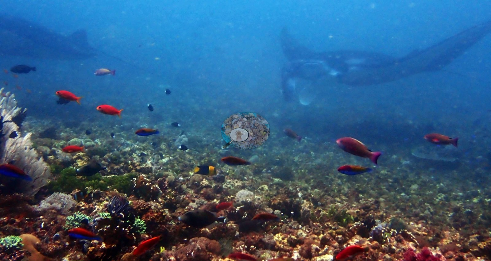
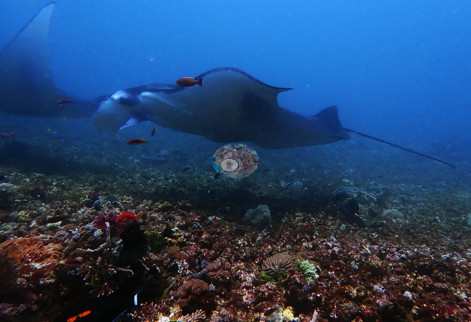
East Nusa Tenggara (NOAA CRW virtual station) · Lesser Sunda ecoregion mean=6.9°C-heating weeksKomodo's famous manta cleaning station is a shallow, gently domed plain of turf-covered rubble with almost no hard coral, where mantas appeared in most of the photographs, up to three at once and several feeding. A bommie ridge breaks the plain with 30-50% live coral, and no bleaching, disease, or crown-of-thorns were seen.
Makassar Reef (Manta Point), 10:53–11:56 pada 2019-01-22, kedalaman maksimum 9.3 m pada 26.1°C dengan nitroks 30%. Penghitungan titik buta visi komputer Claude memperkirakan tutupan karang sekitar 3.3% — angka terendah dalam kumpulan Komodo.
Terjemahan ringkasan ini oleh AI; versi bahasa Inggris yang berlaku. Translated from the site’s shorter map summary.
One independent survey station shown with the program’s logo — click one to see how far it is from this site.
5 of these 50 photographs are shown beside the text that discusses them under "Site description" below.

Site description
General benthic features
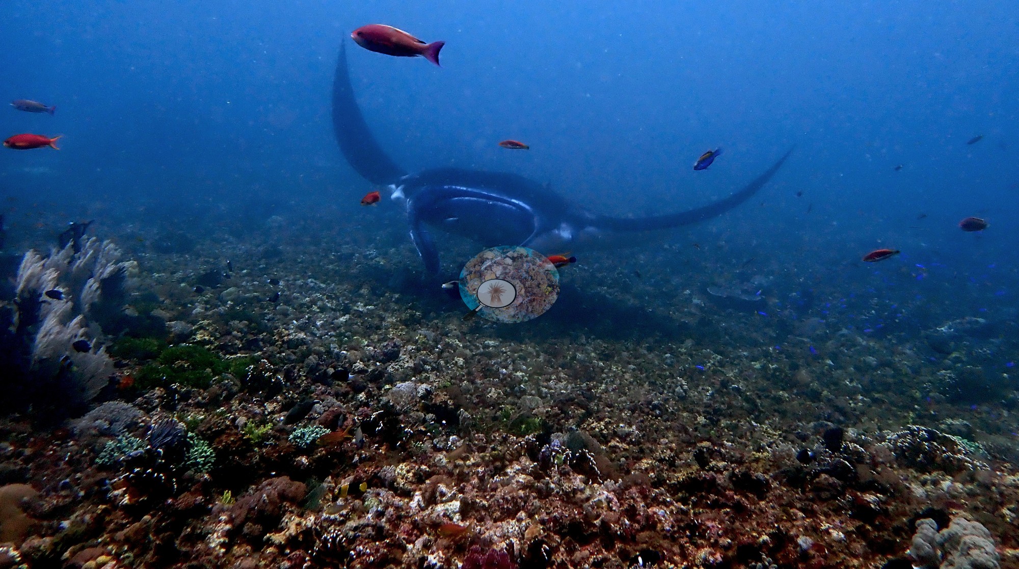
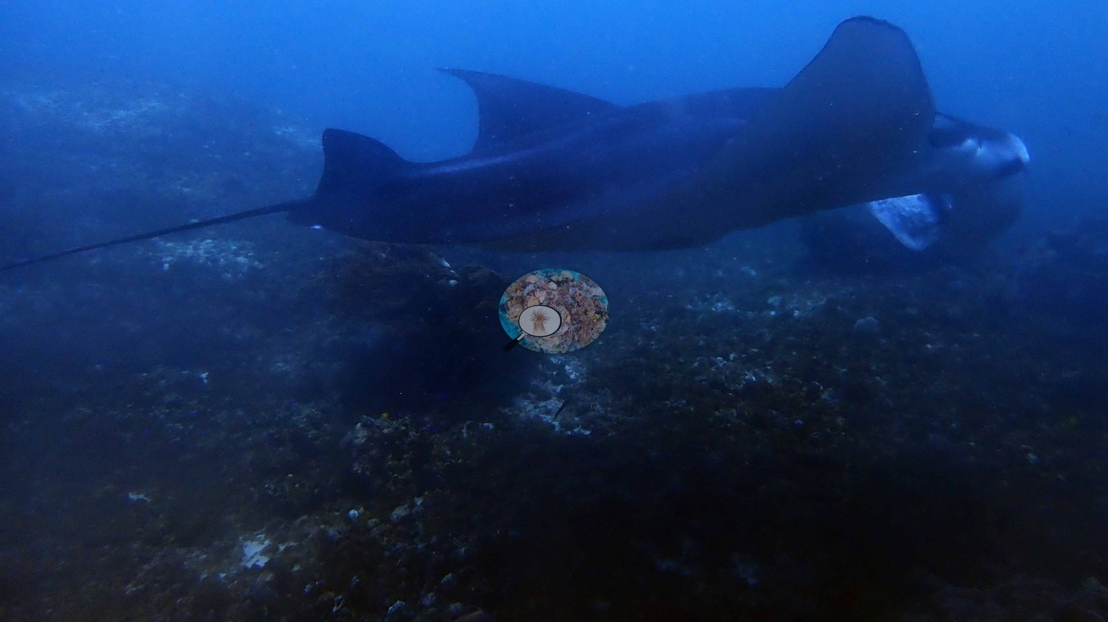
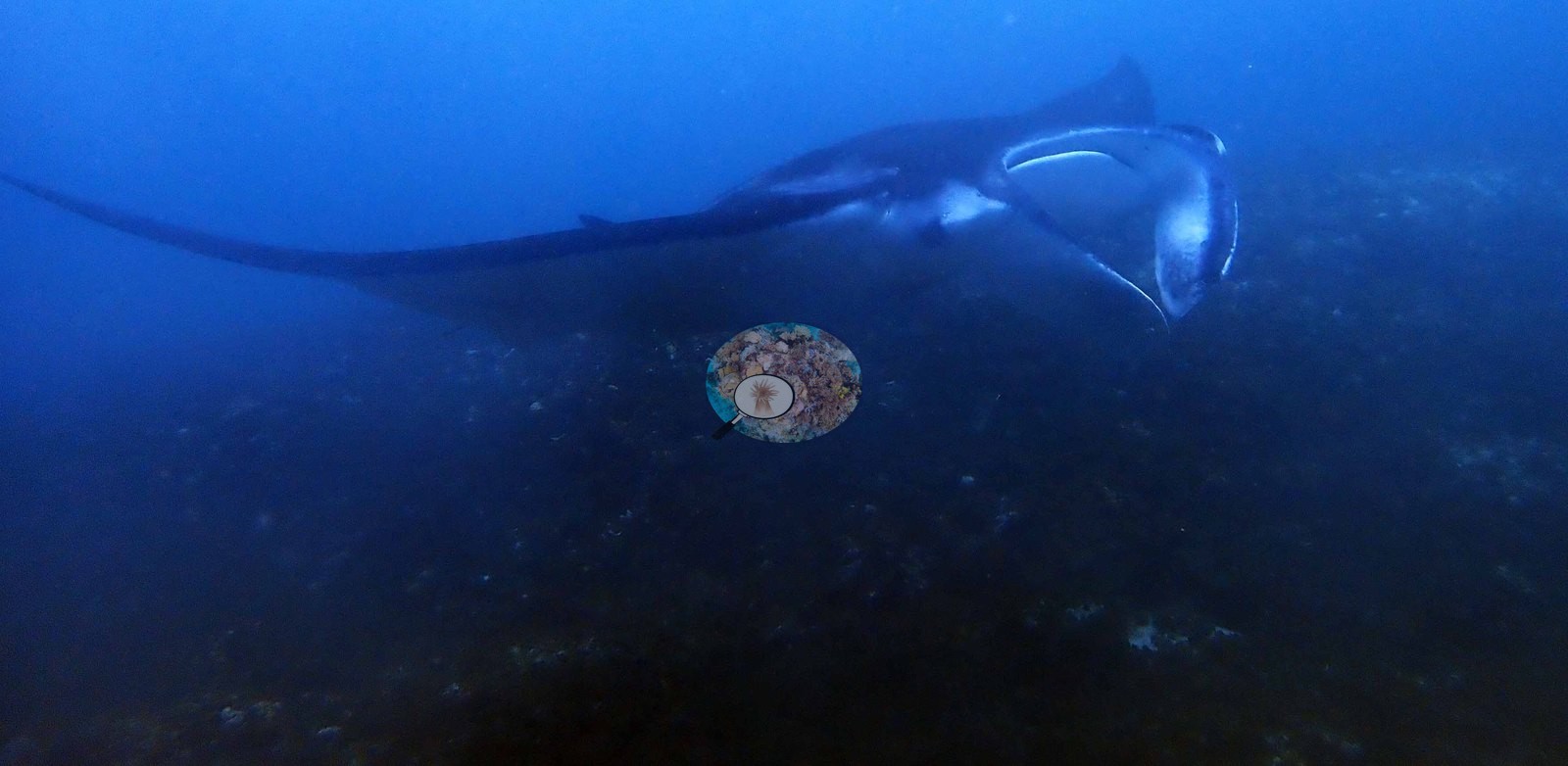
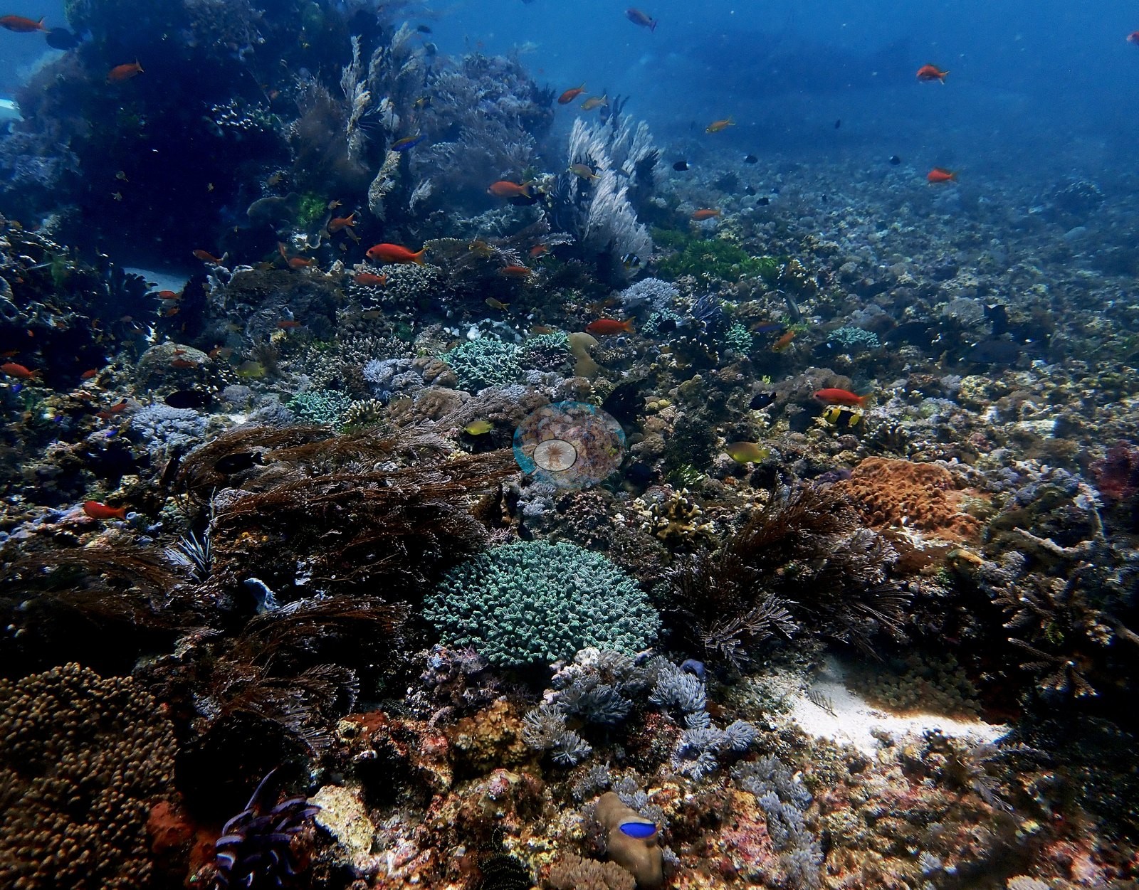
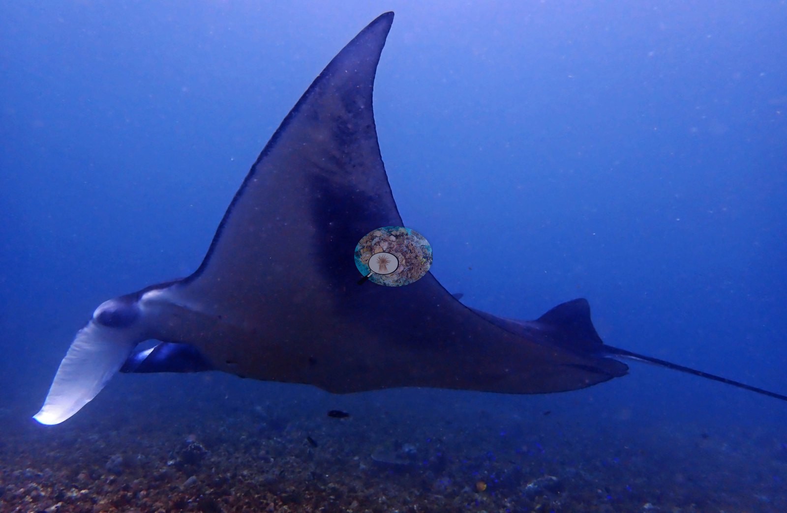
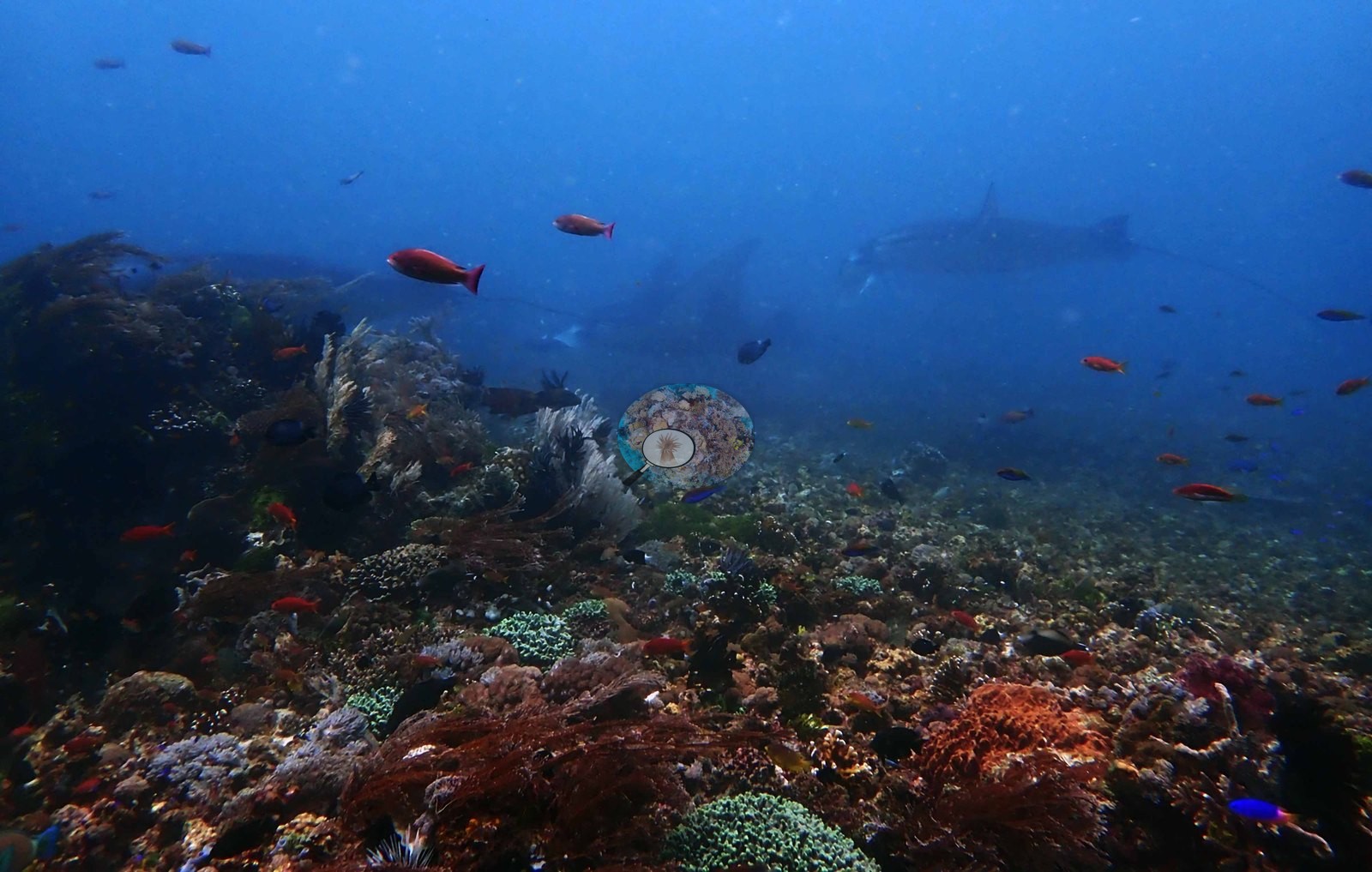
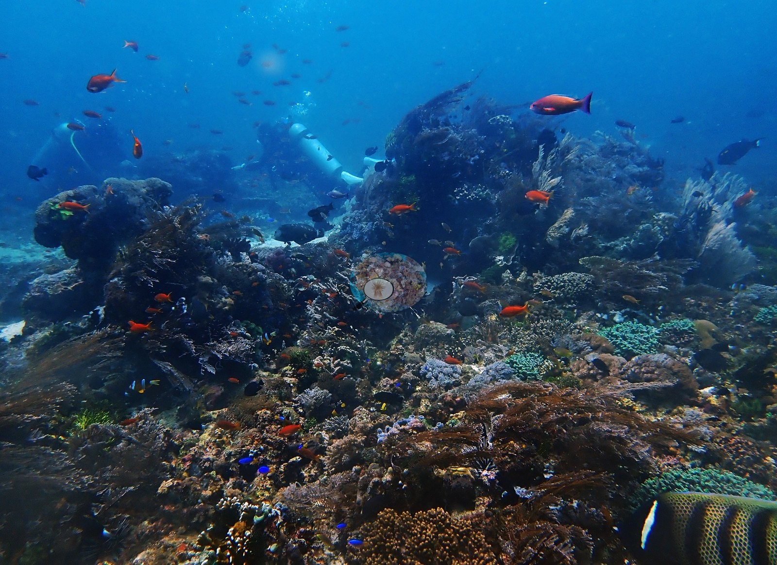
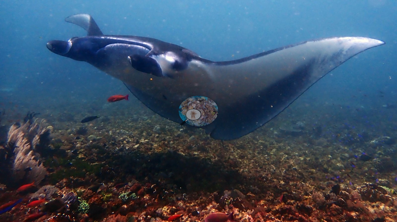
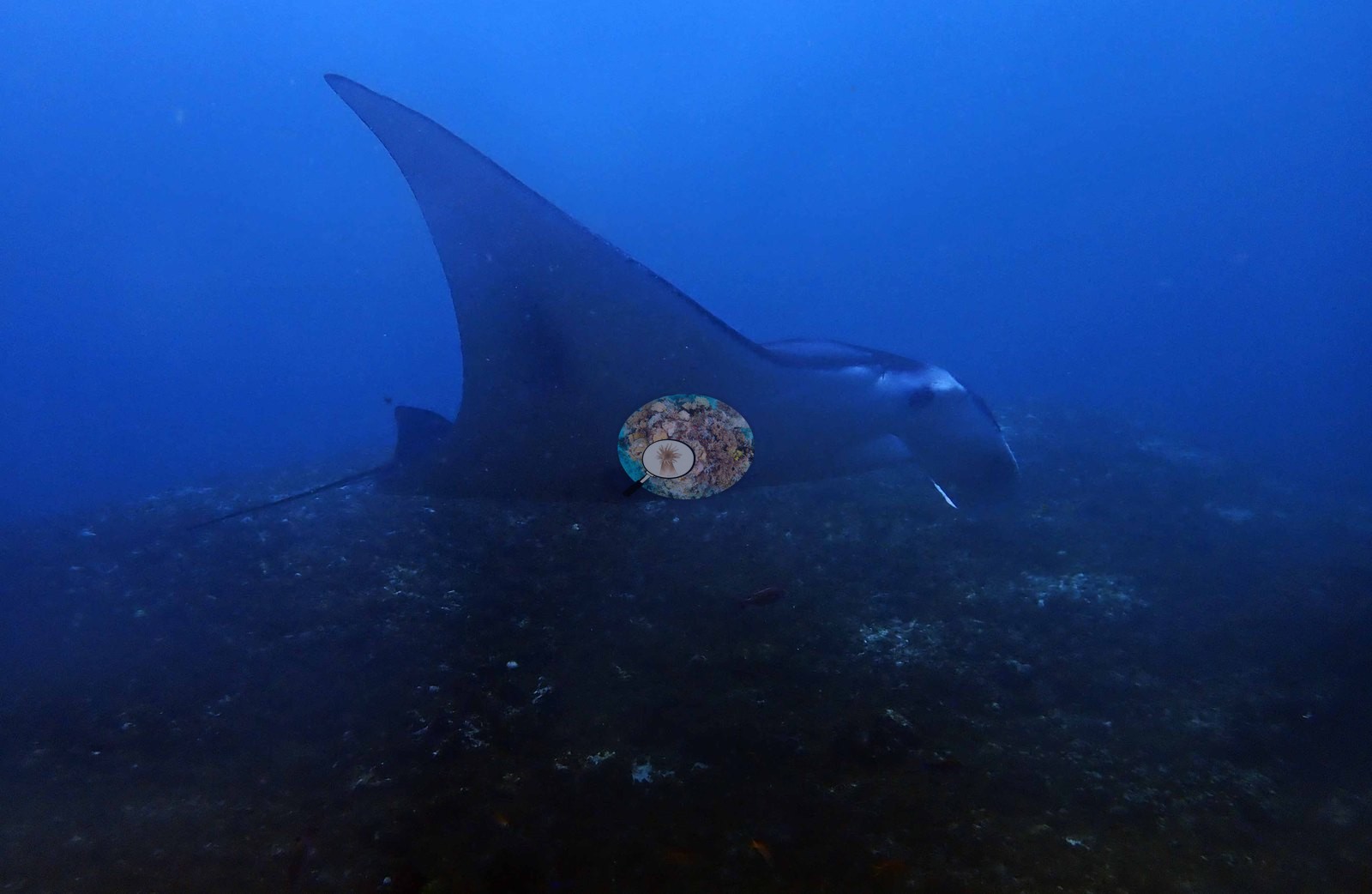
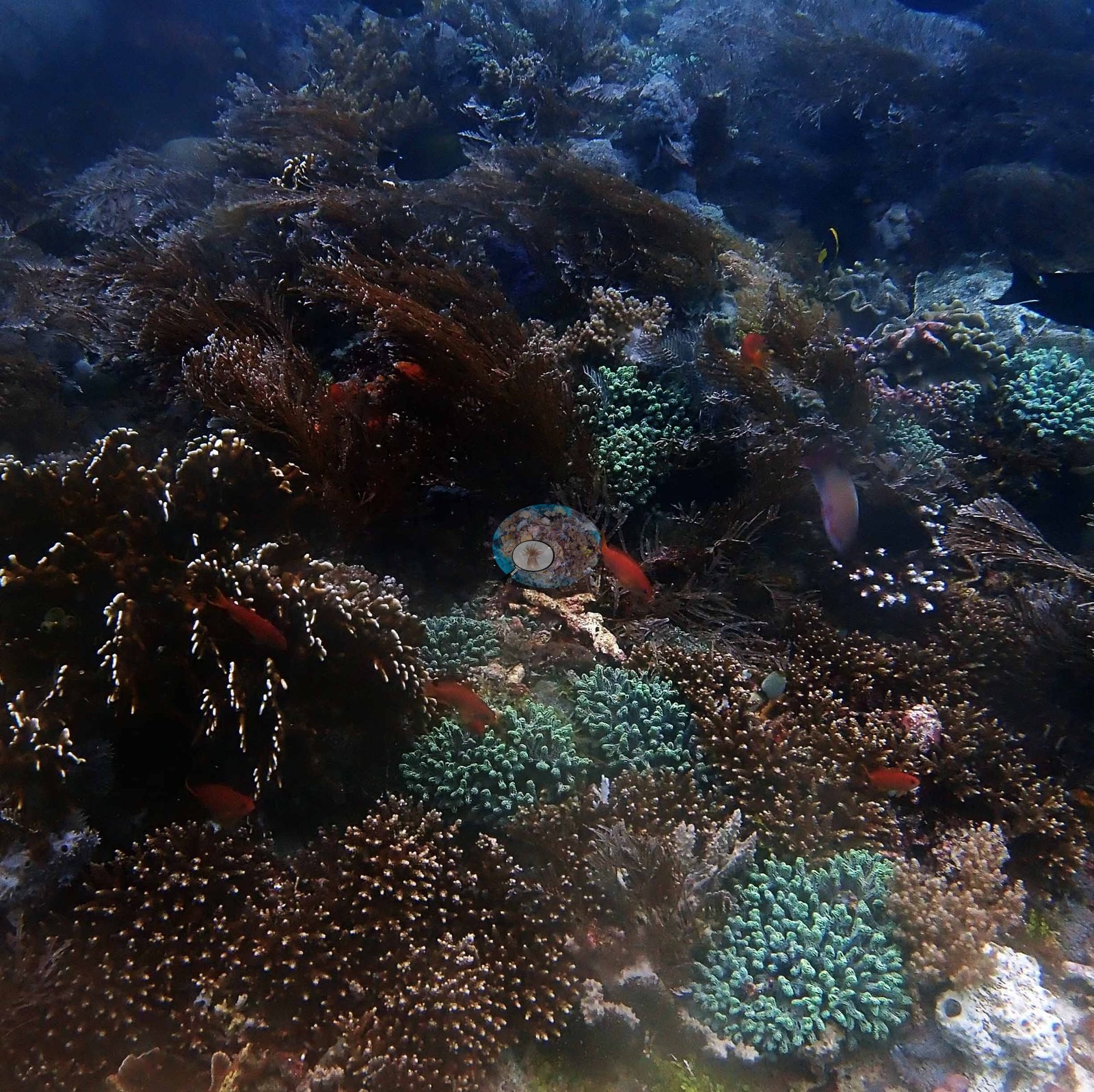
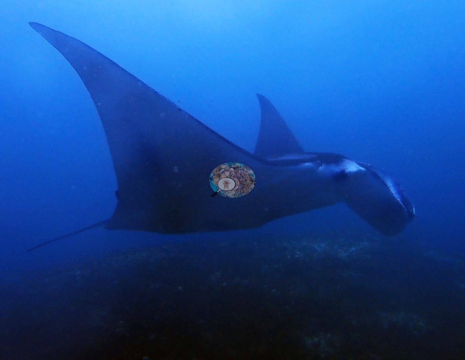
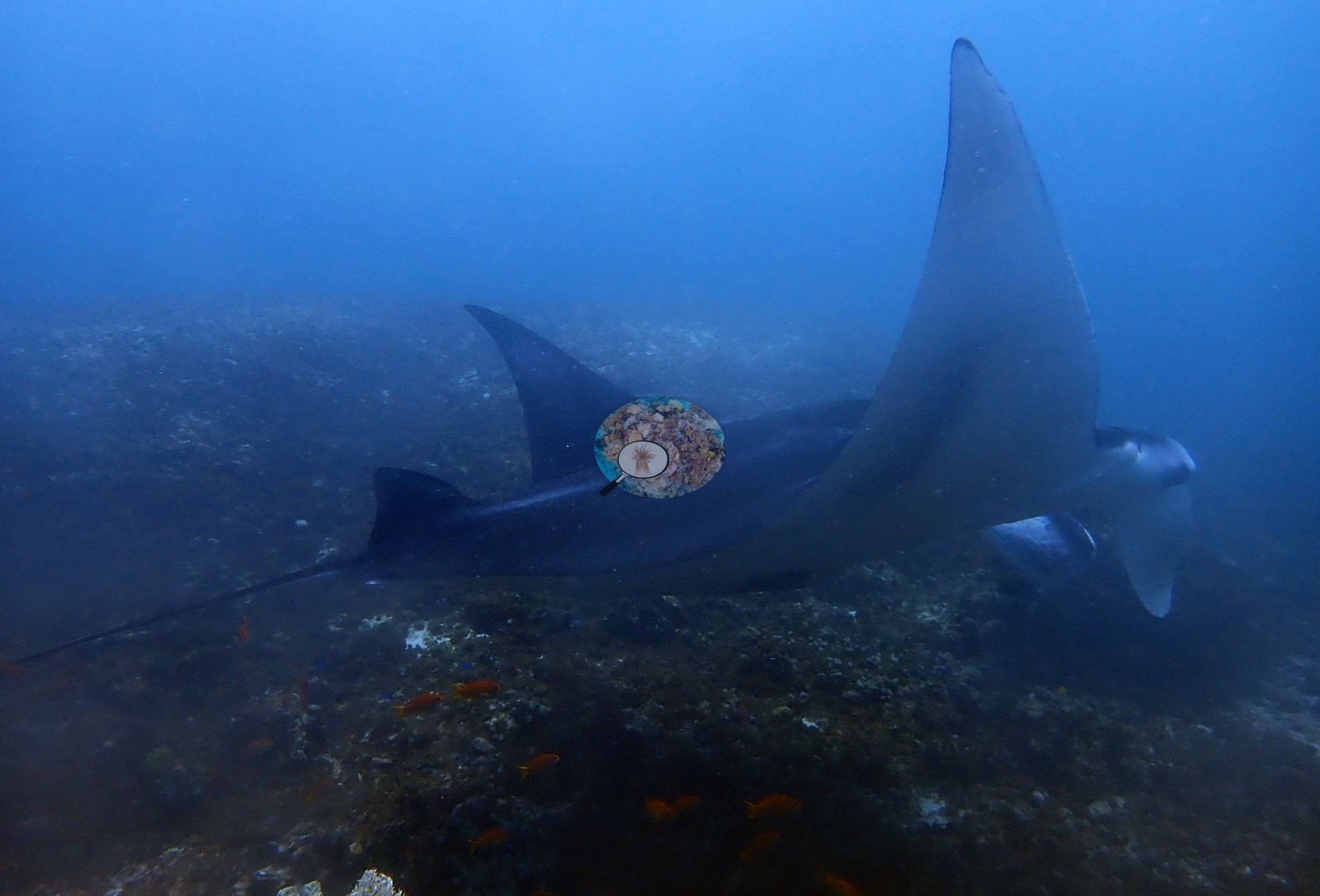
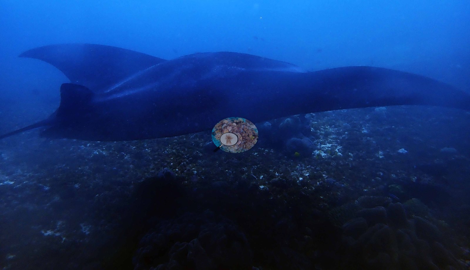
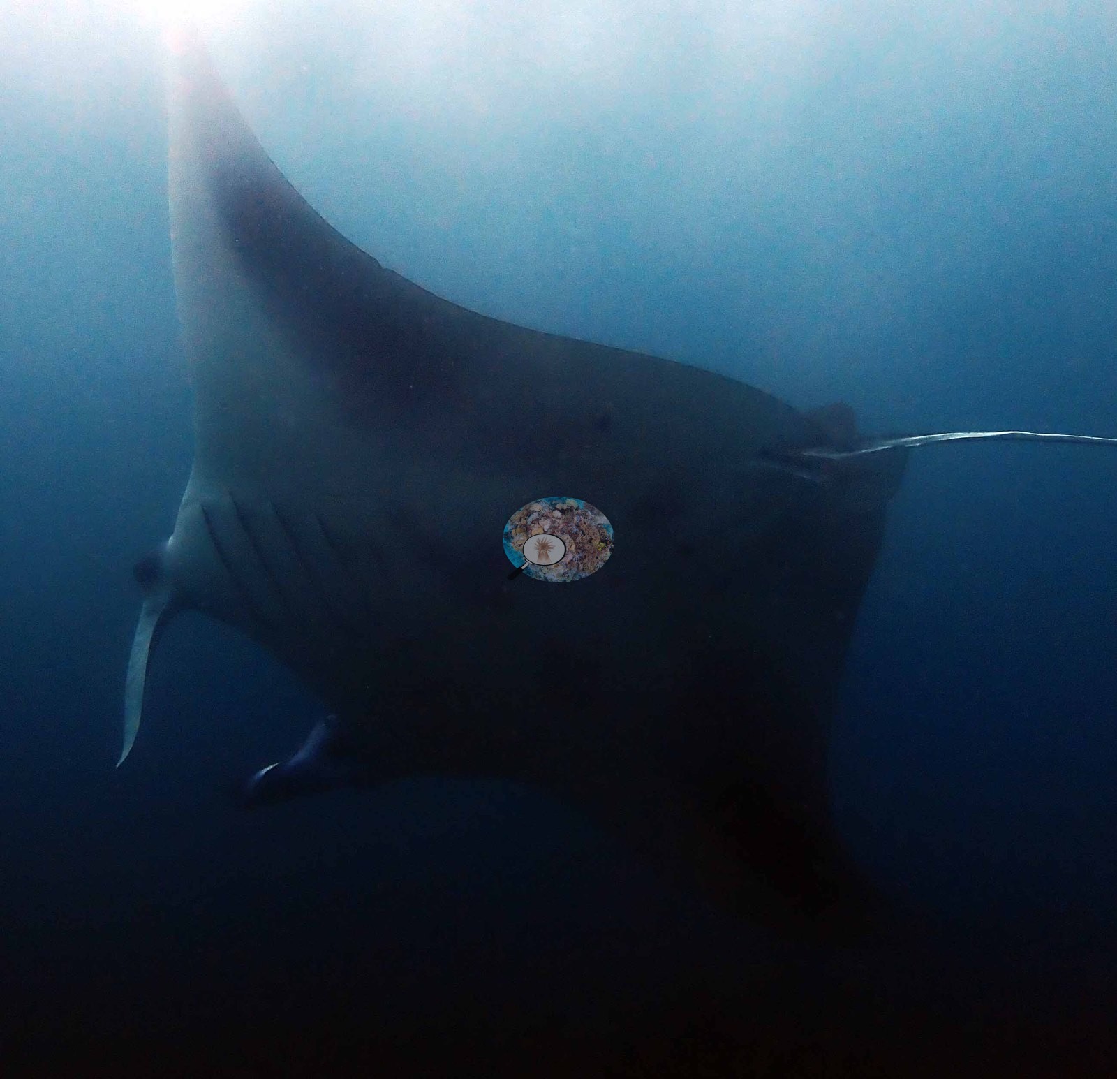
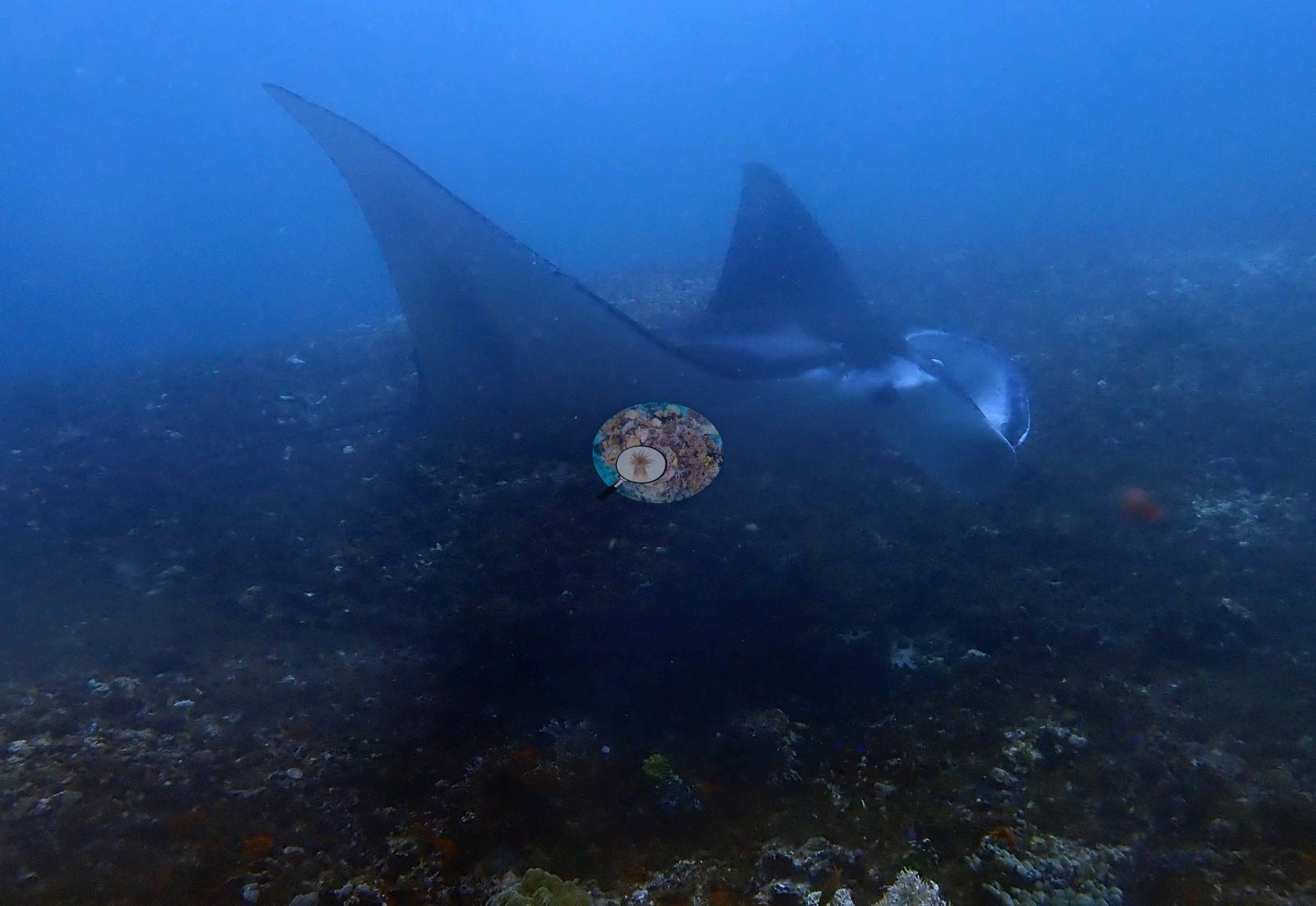
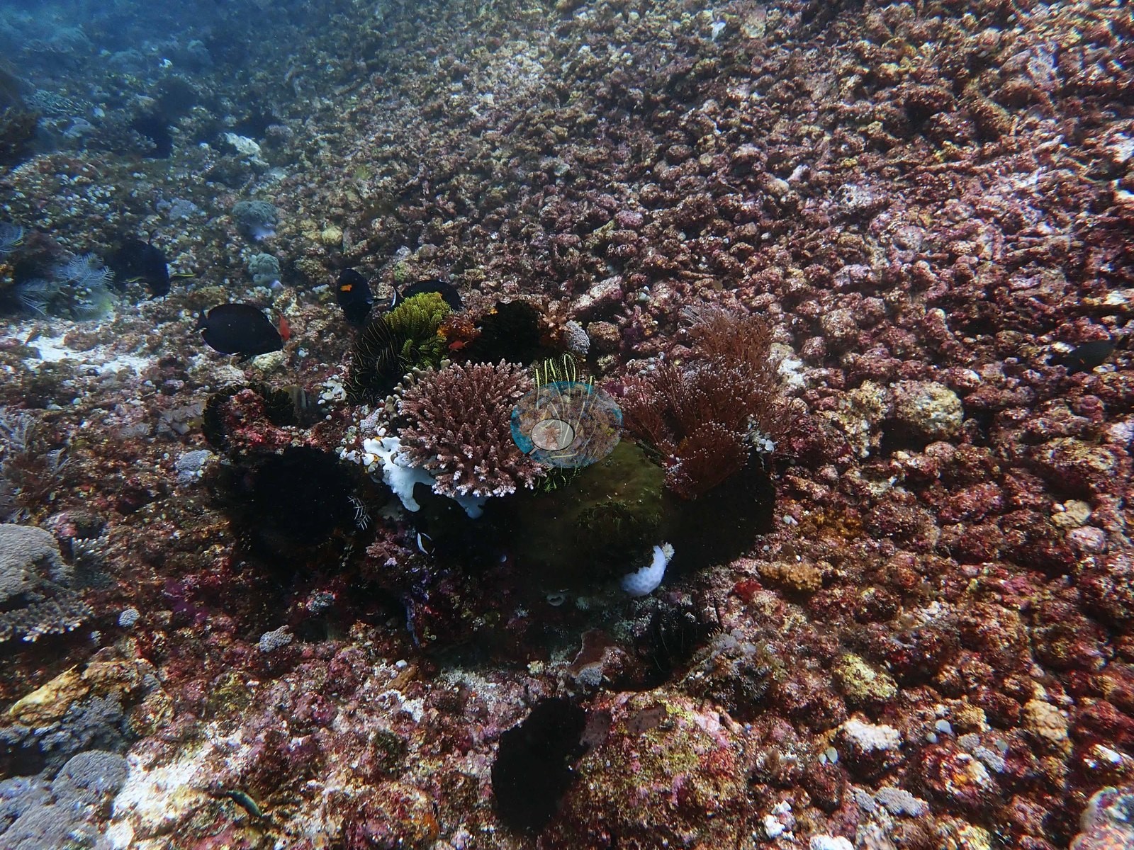
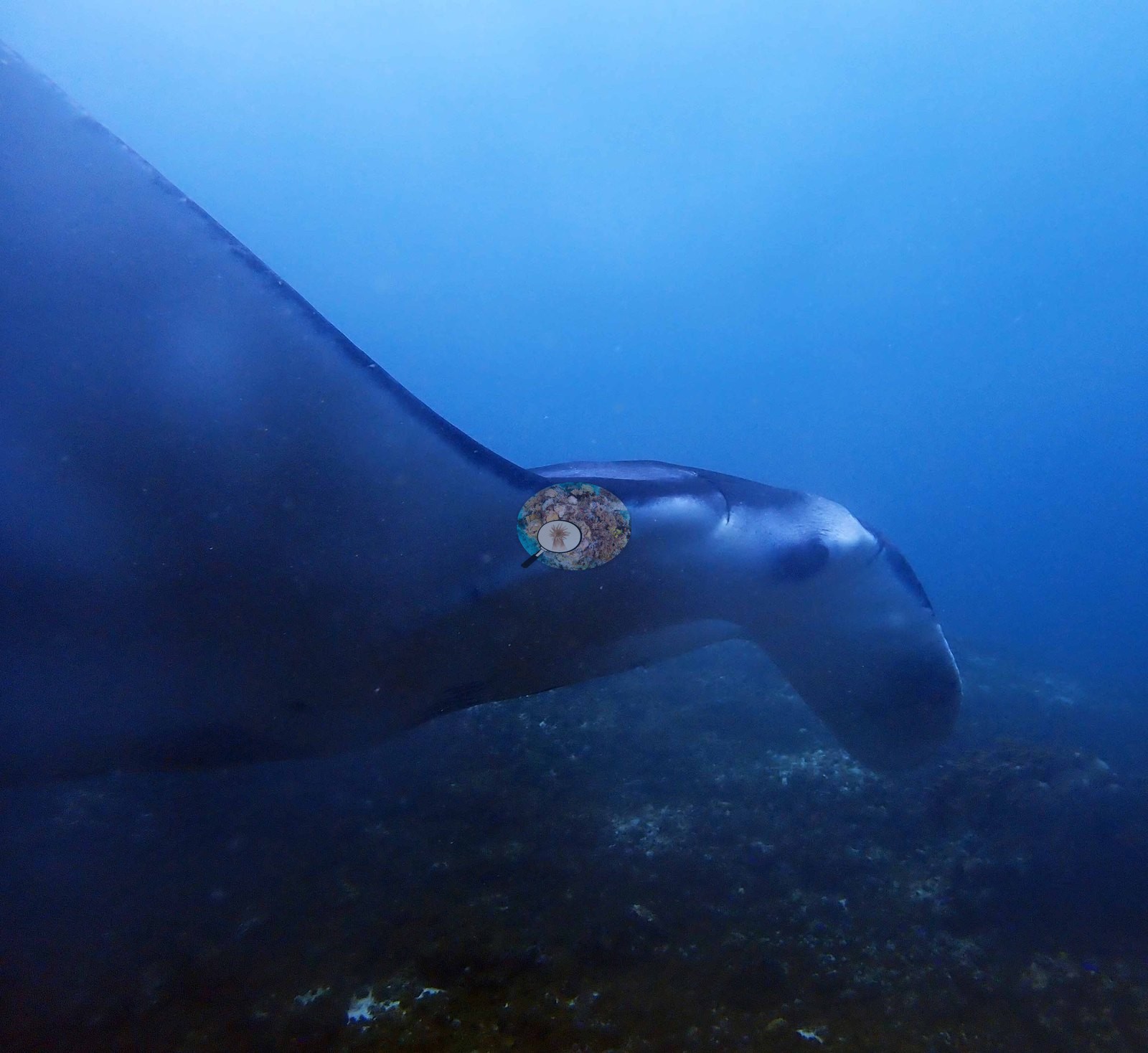
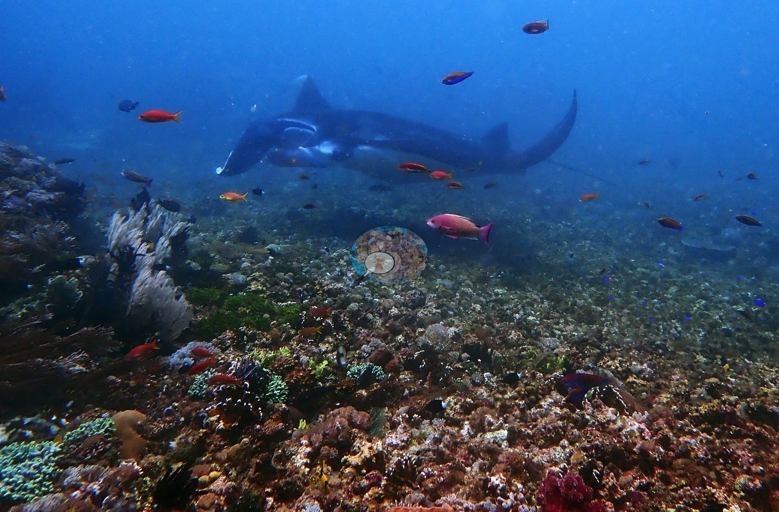
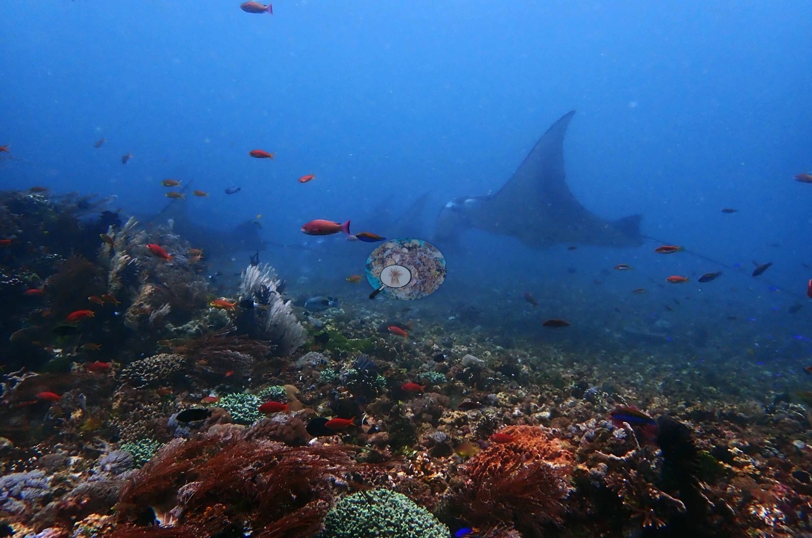
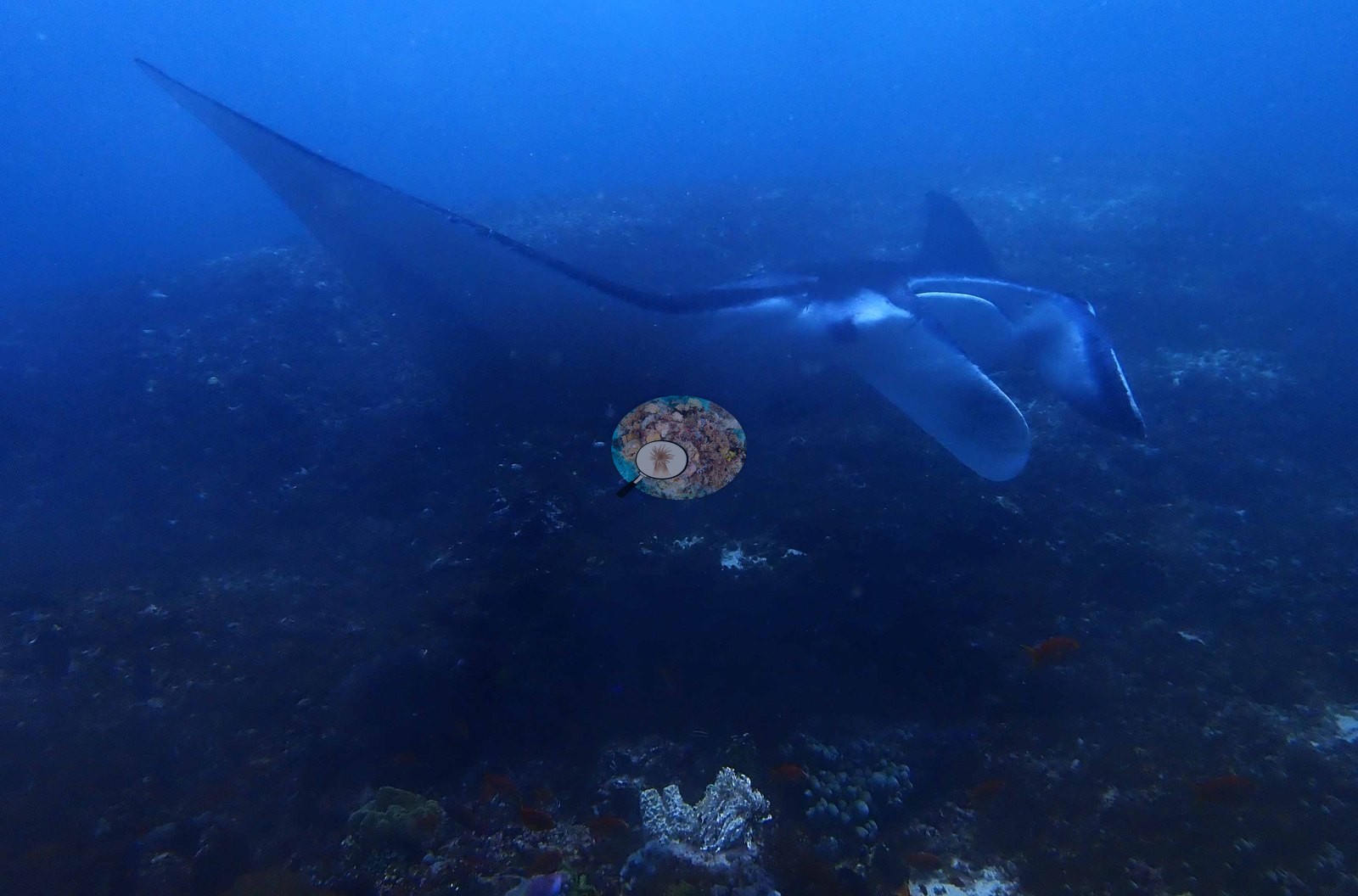
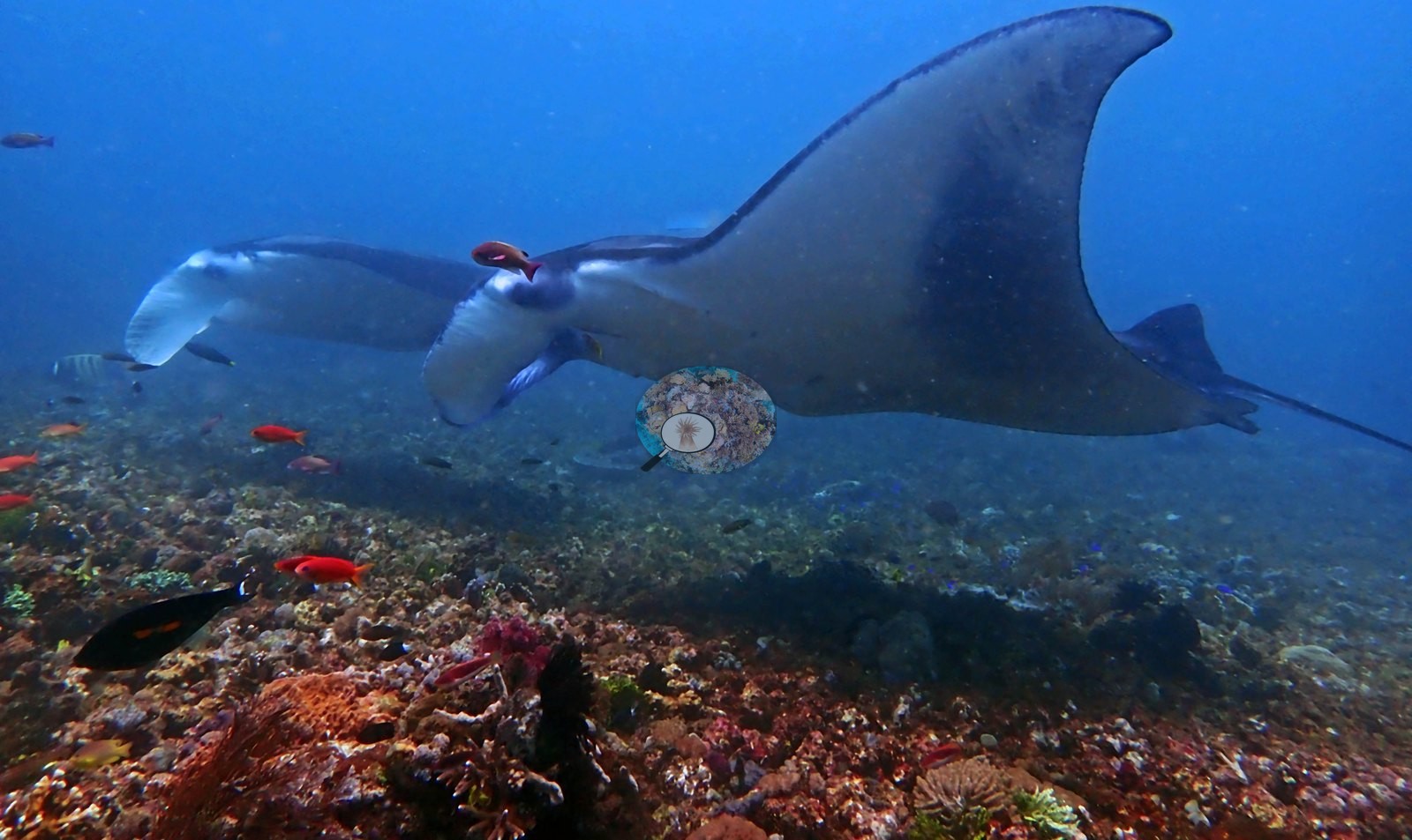
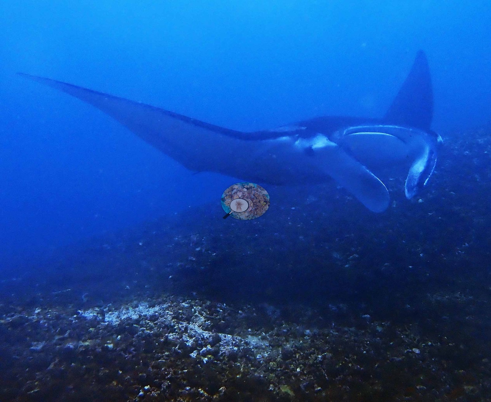
The manta cleaning station (48 of 67 frames, and the whole dive from 11:18 on) is a shallow, gently domed plain of algal-turf-covered rubble and pavement with almost no hard coral (e.g., Image 1, Image 4).
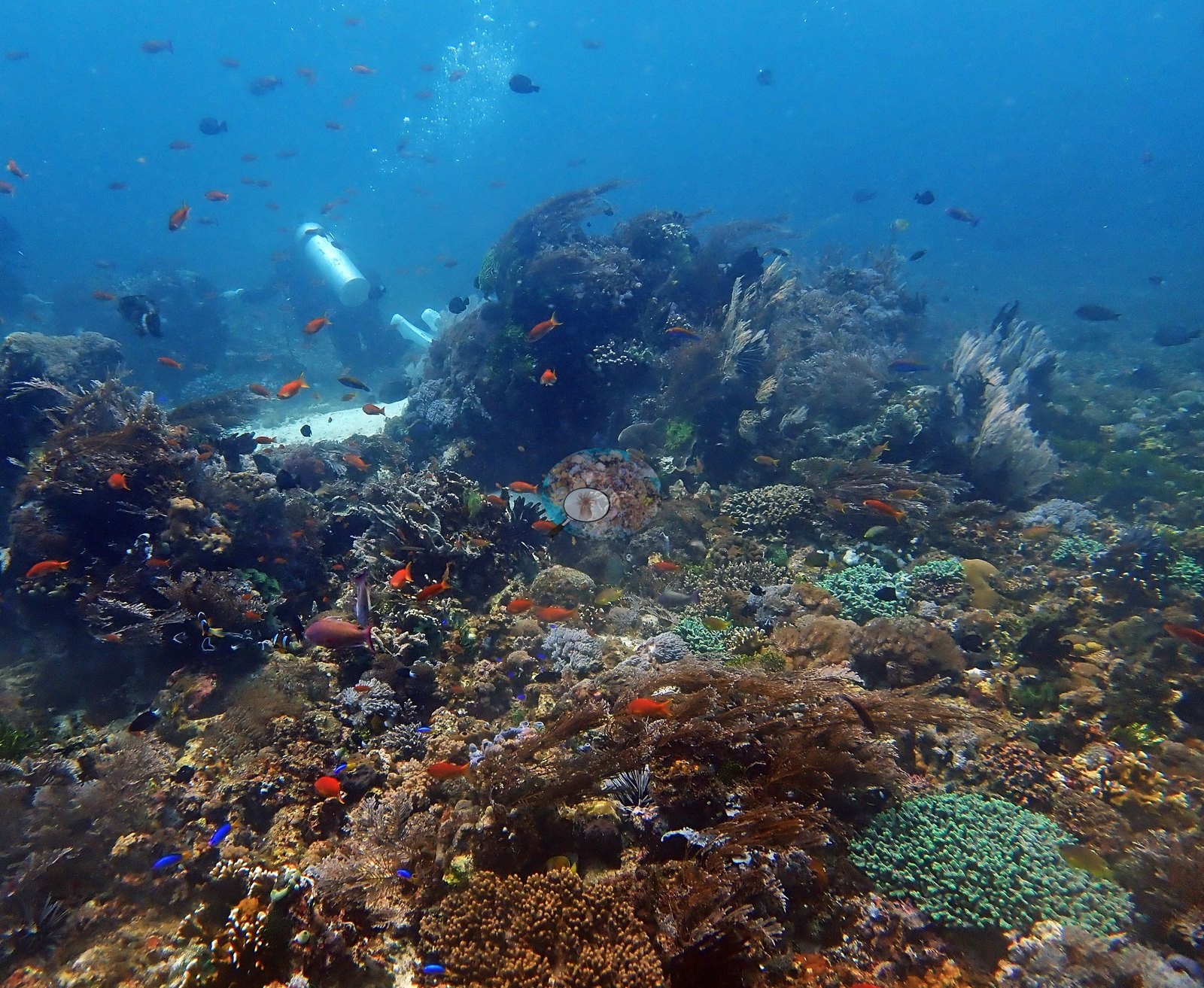
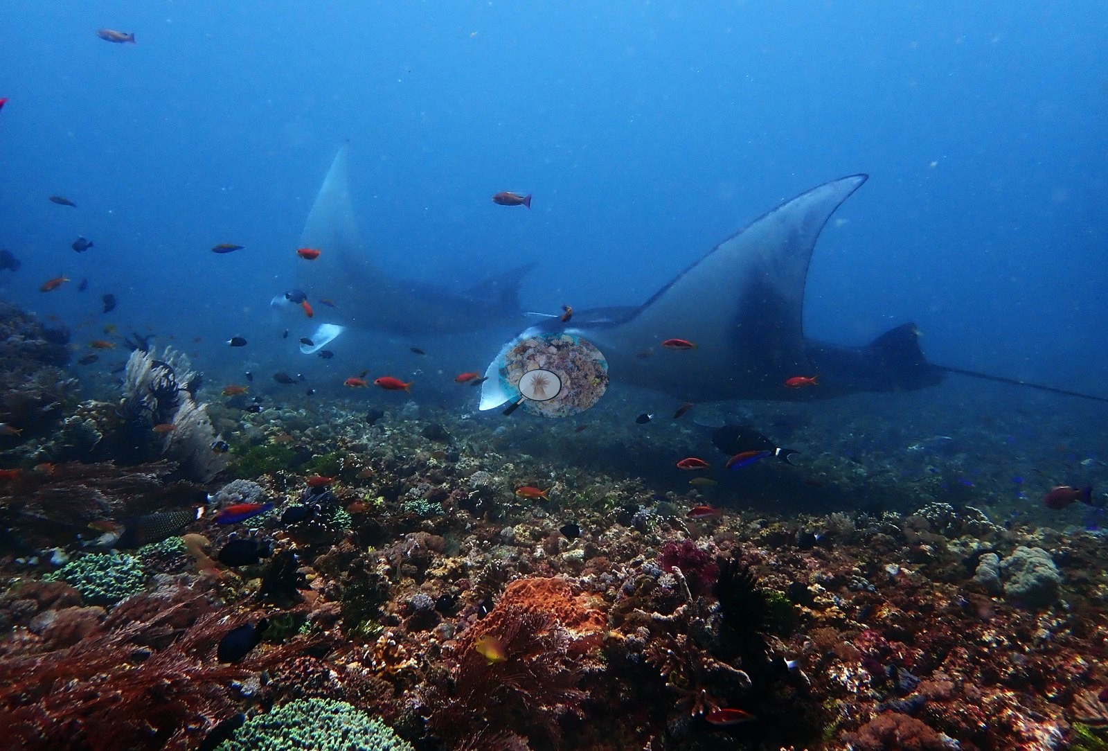
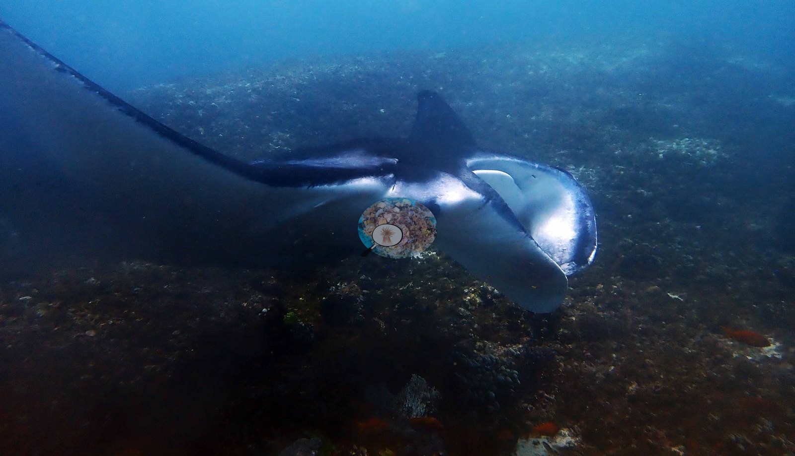
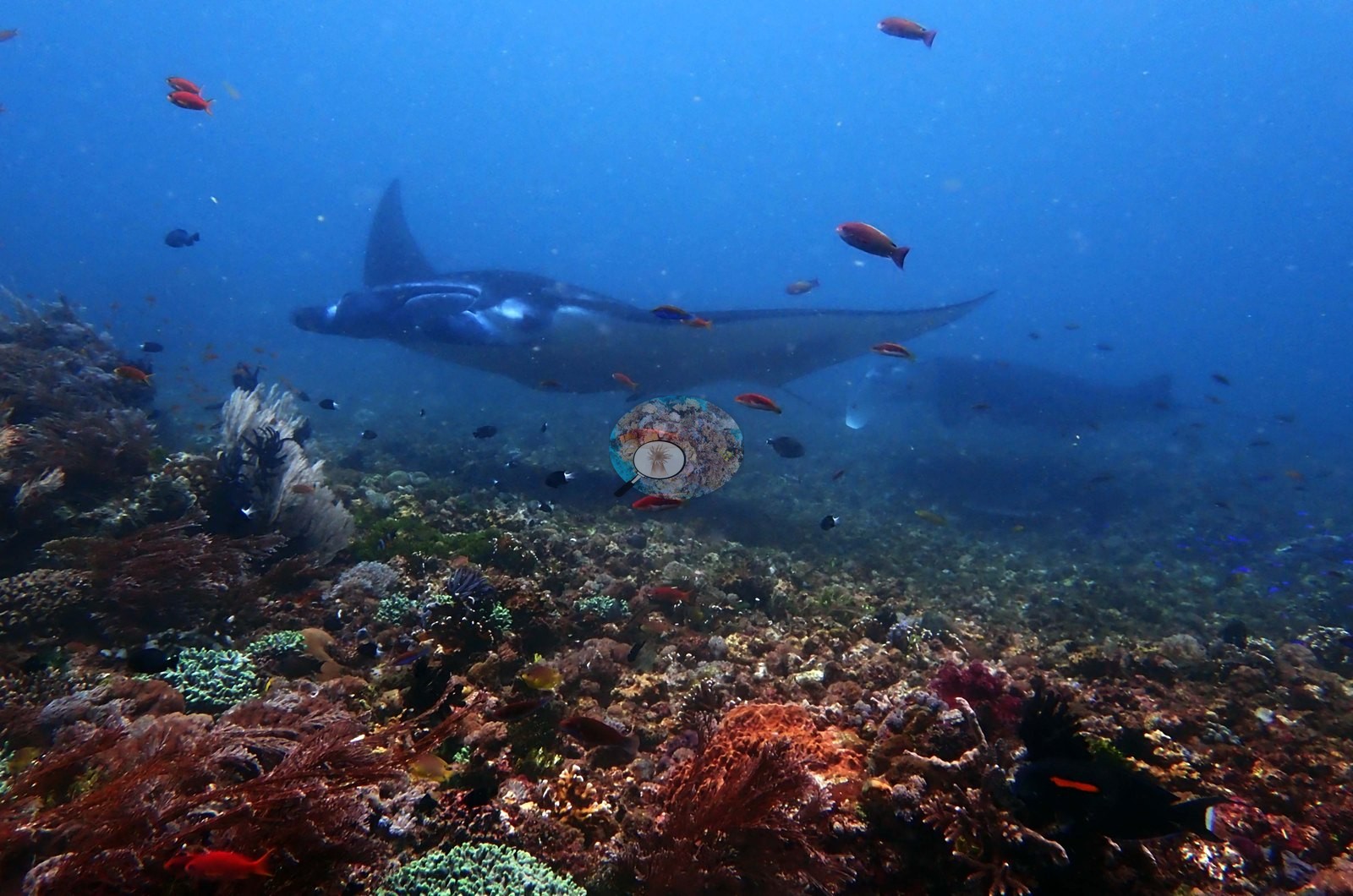
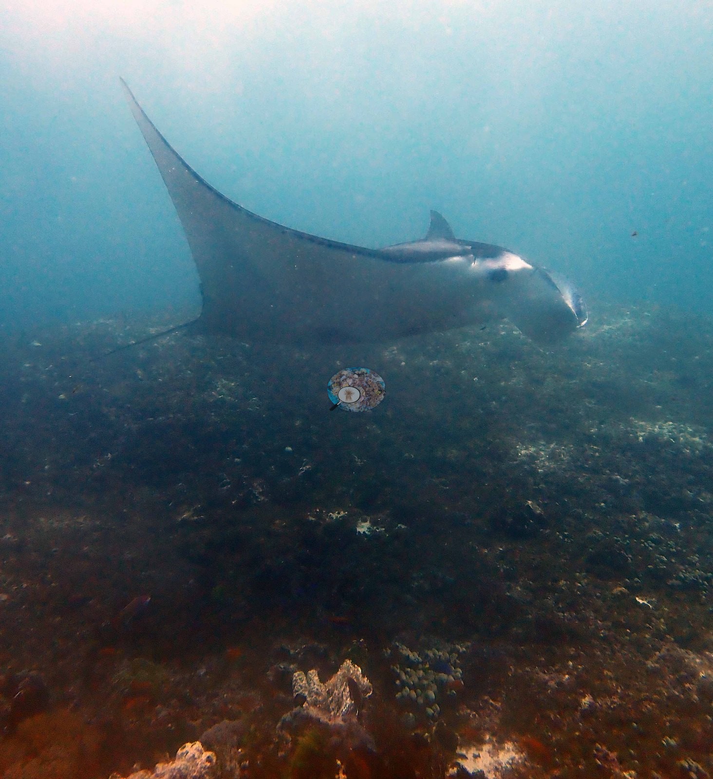
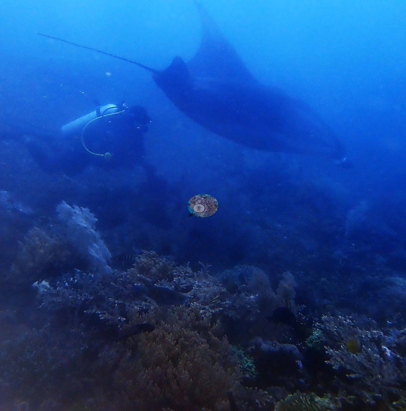
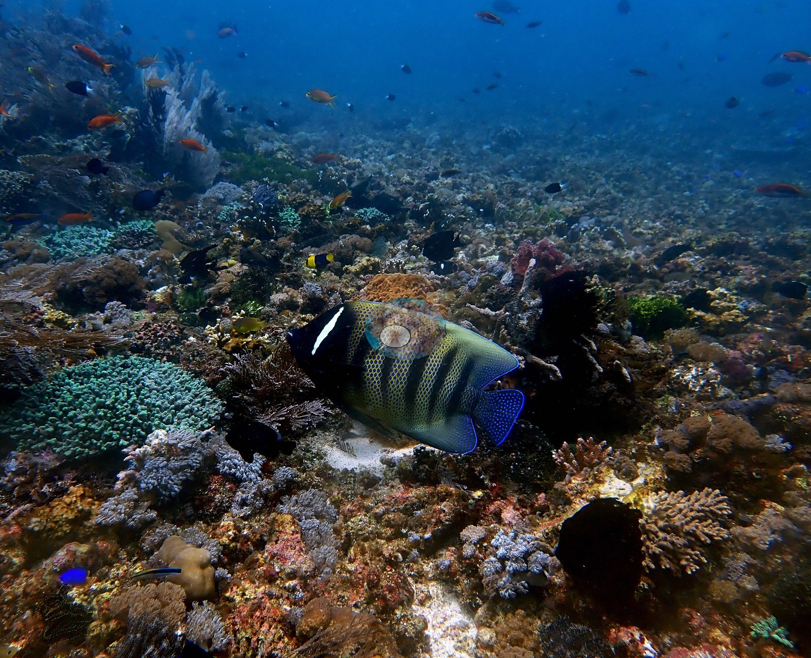
A bommie ridge (17 frames, 11:03–11:13 and 11:22) breaks that plain at 30–50% live cover: corymbose and digitate Acropora, mint-green Goniopora-type polyp corals, massive Porites-type heads, cream Sinularia-type leathers, gorgonian fans, and dense crinoids; a frame-filling Acropora thicket at 11:40 is 70–90% live coral (e.g., Image 3).
Coral cover
Coral cover: 3.3% — a blind Claude computer-vision point count of 59 of Anderson's edited photographs (20 points per photo; water, fish, and obstructions excluded). Other computer-vision methods are listed in the method table.
Stressors
No bleaching, disease, COTS, or predation anywhere — every white object was cropped at full resolution; one frame's is a lobed sponge, and the pale colonies in two other frames are naturally cream leathers.
Fish and other fauna
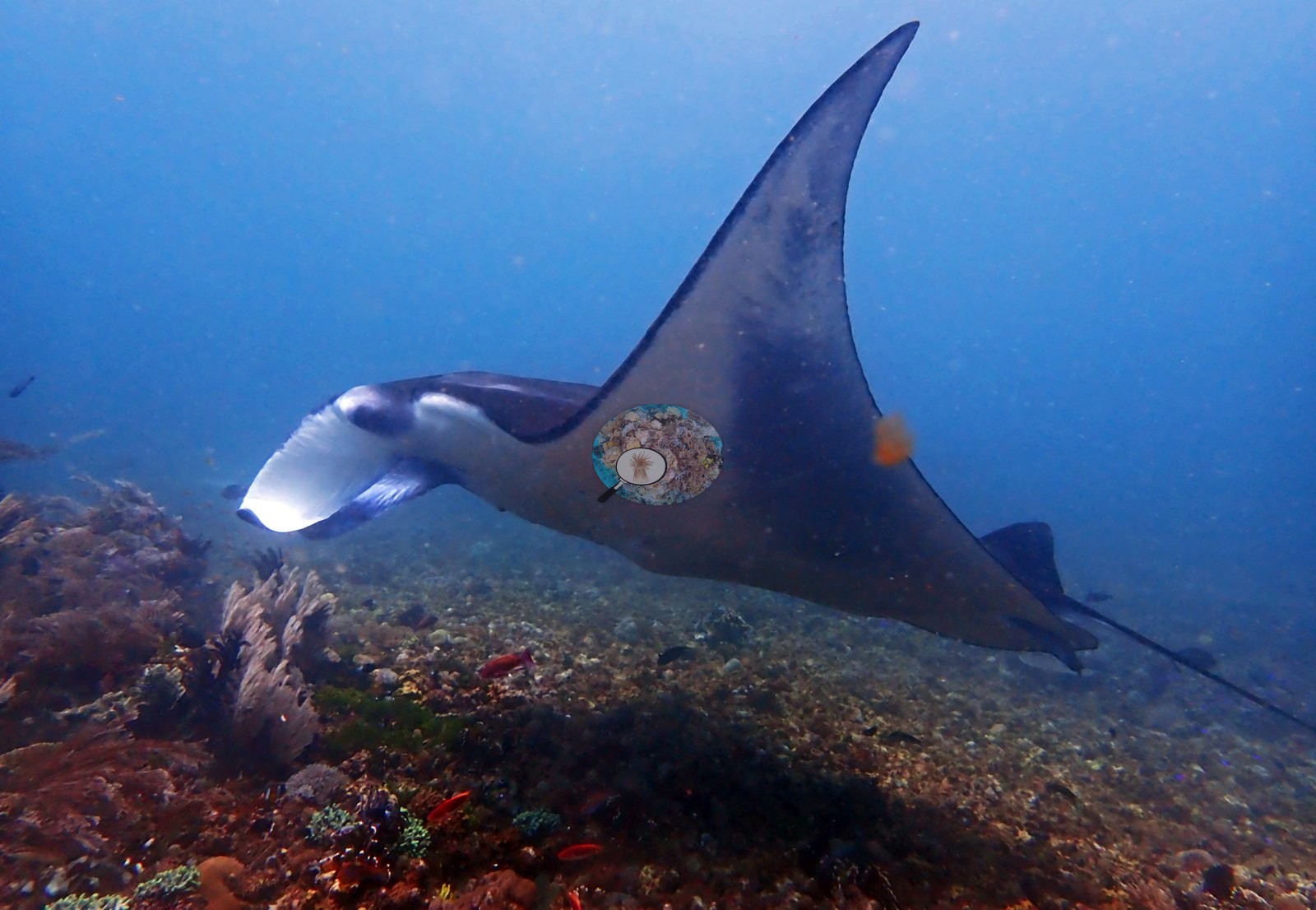
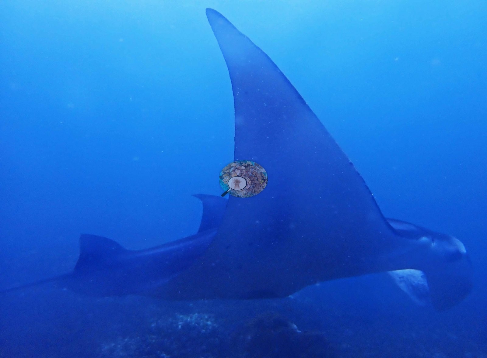
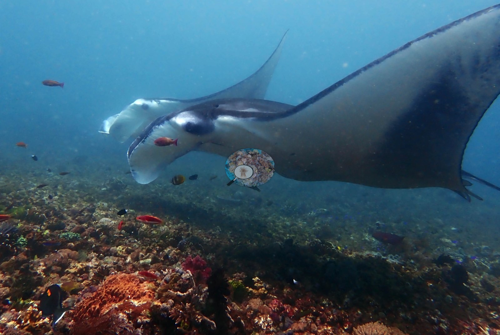
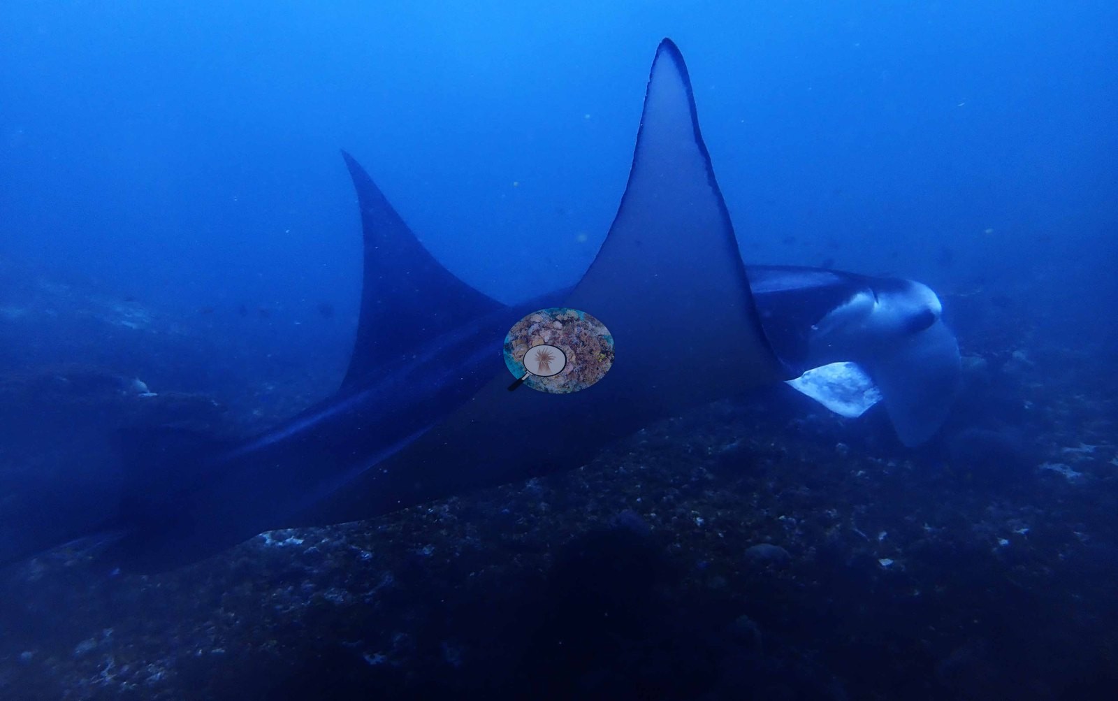
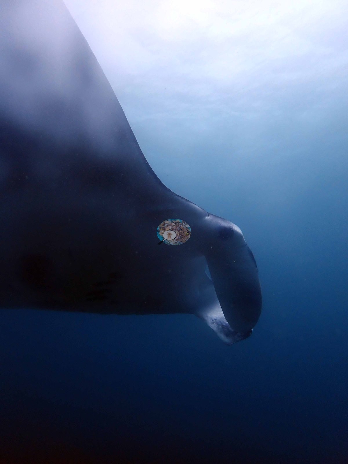
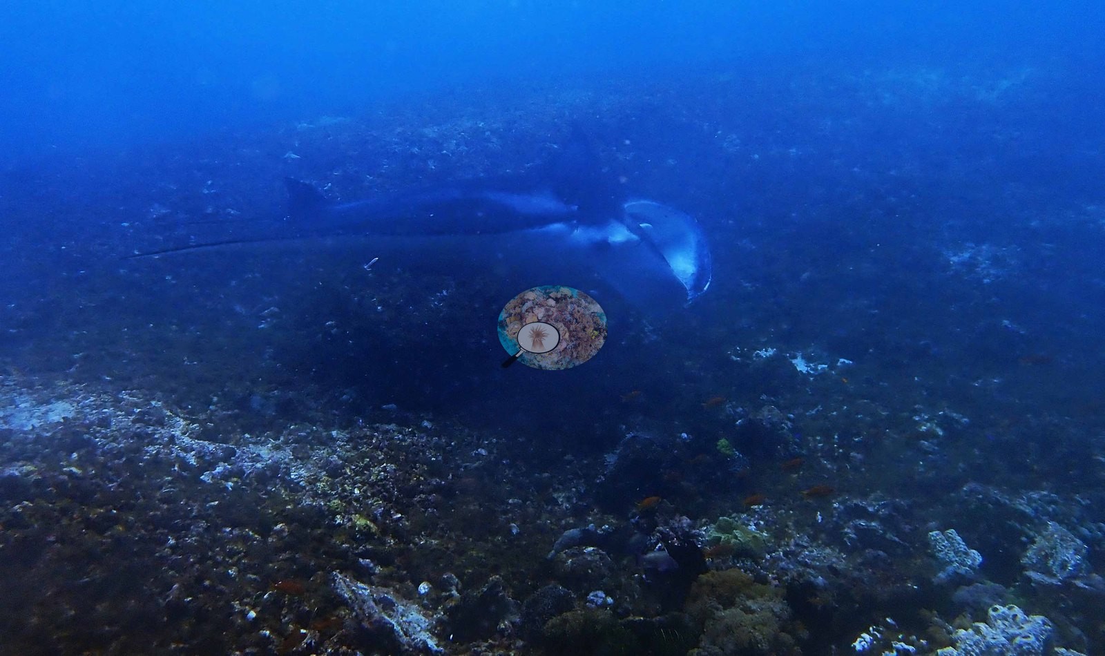
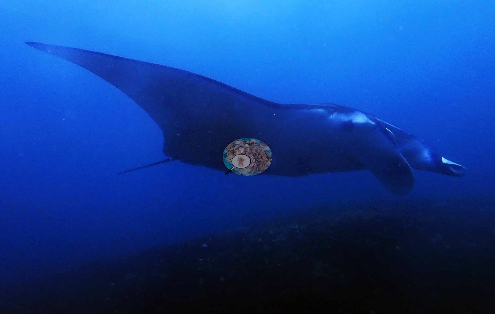
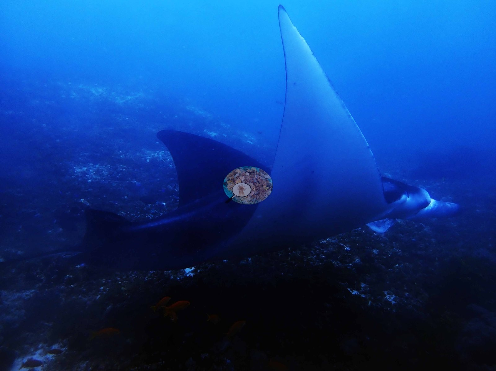
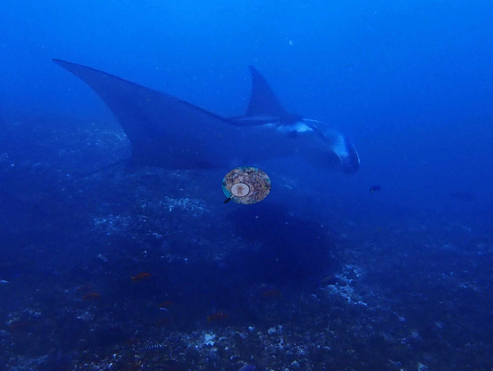
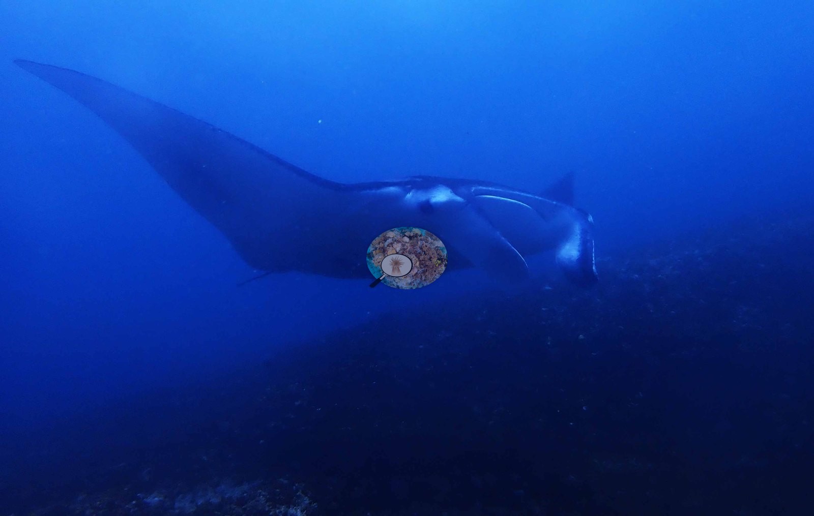
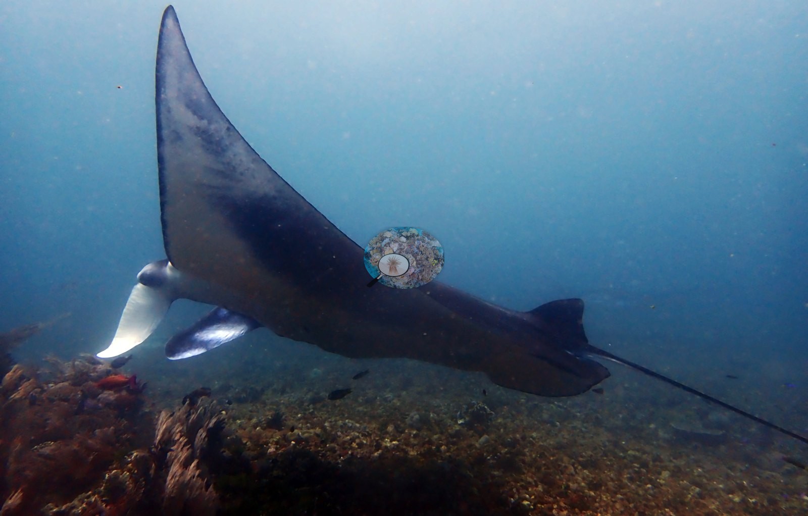
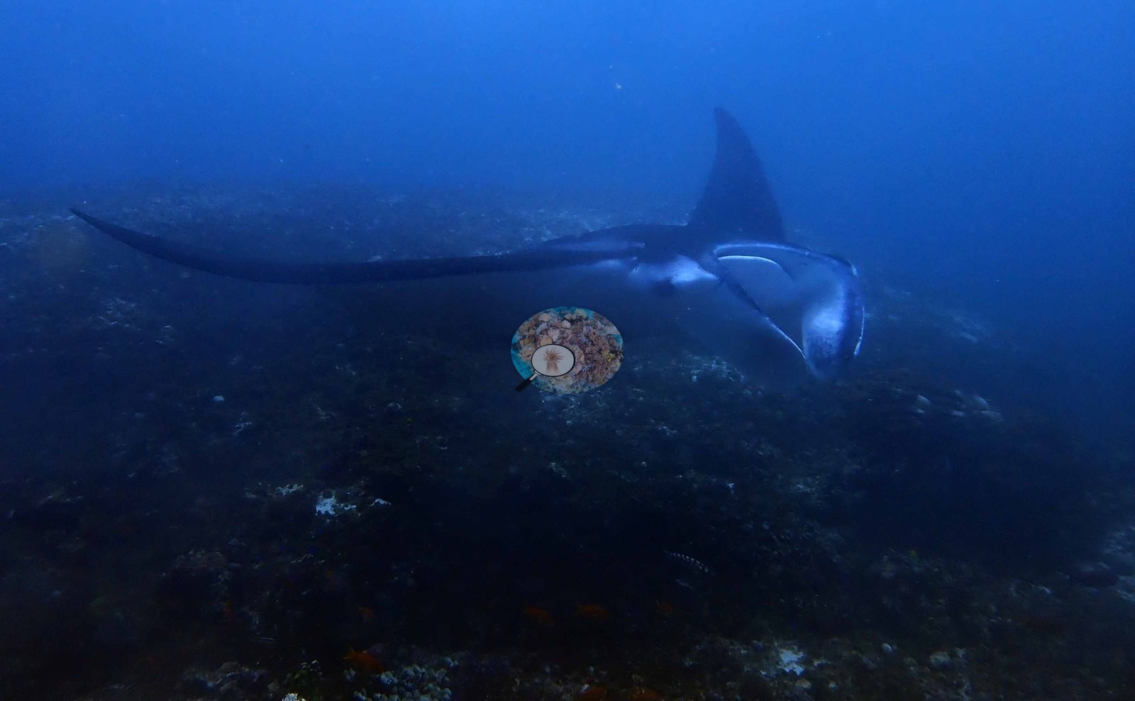
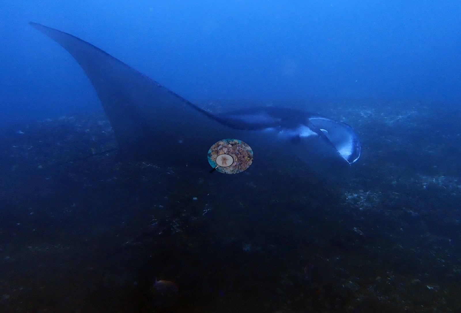
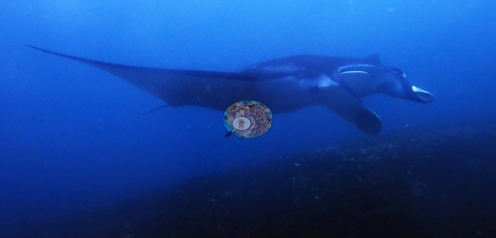
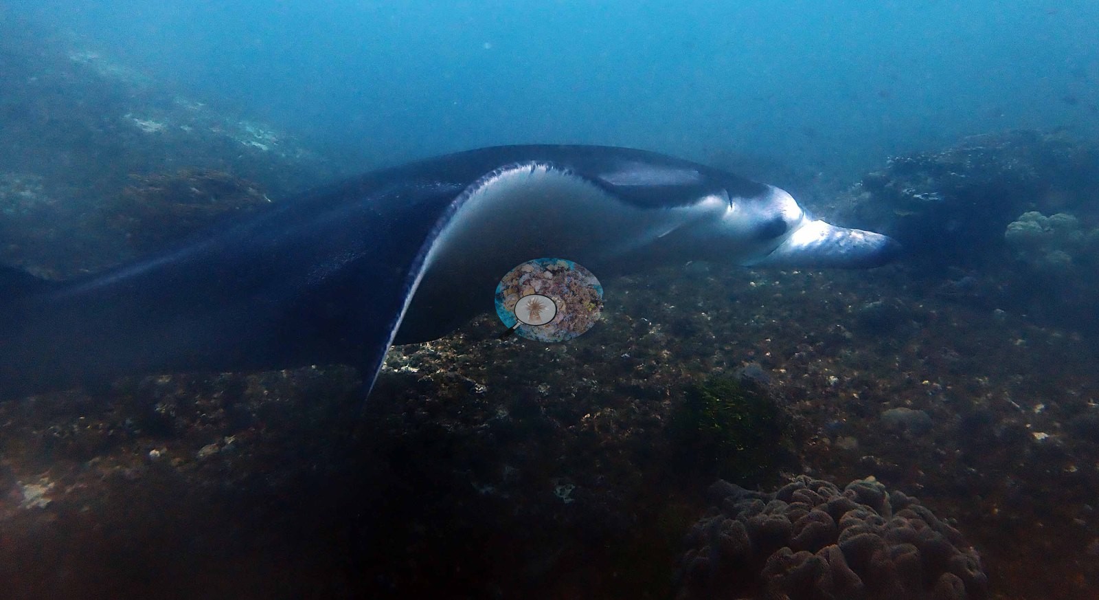
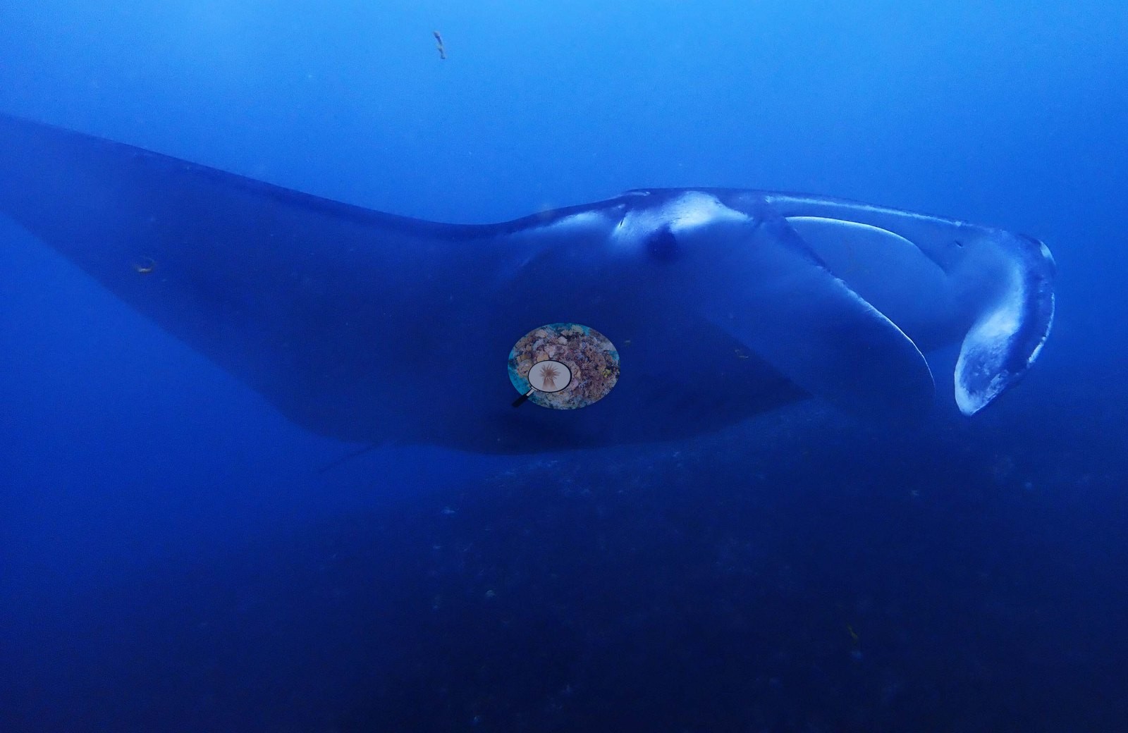
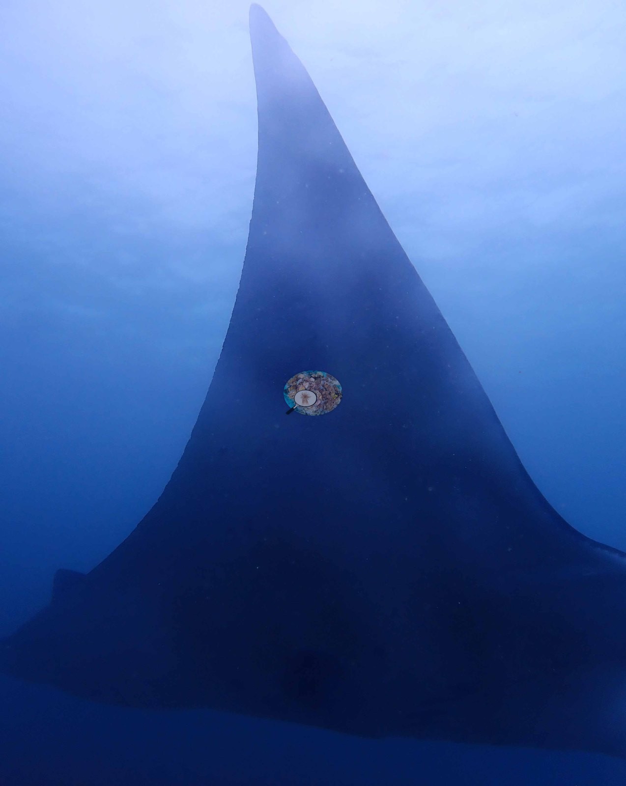
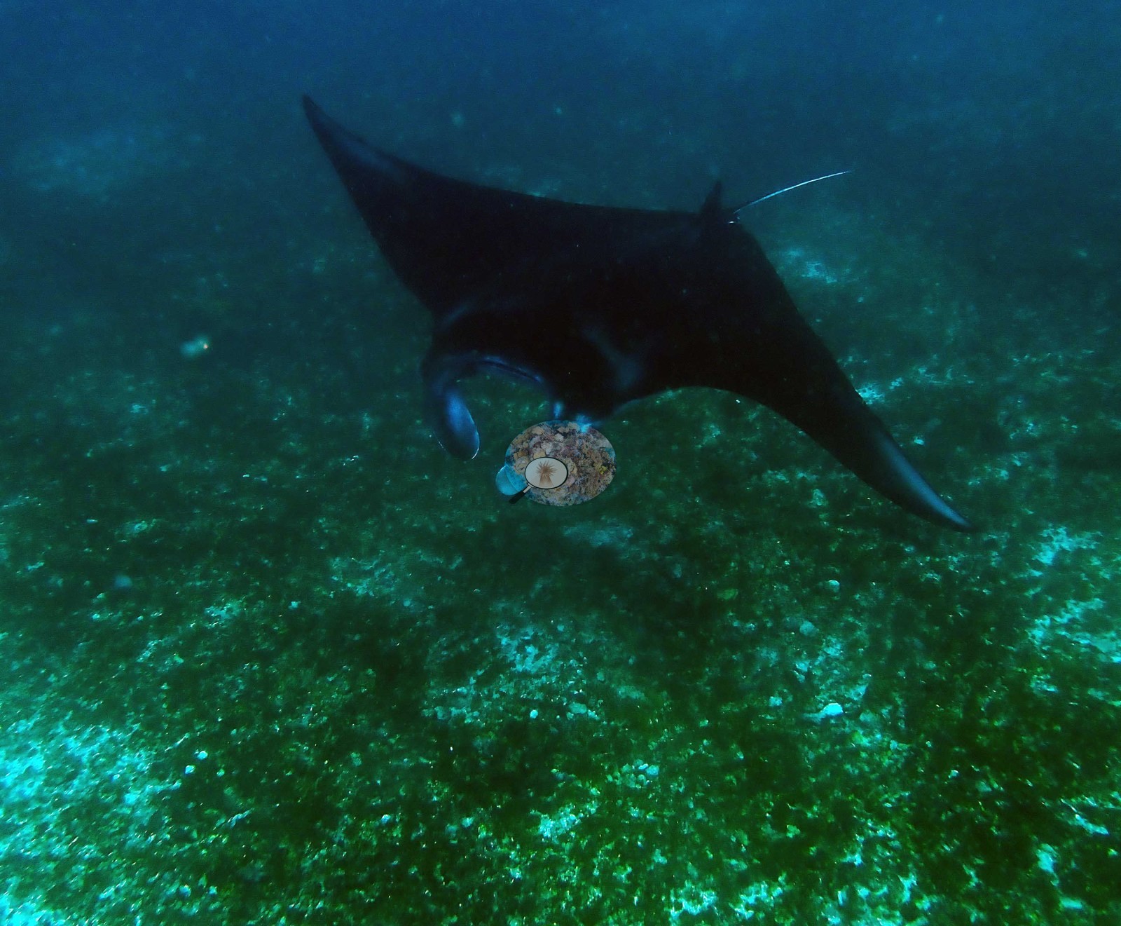
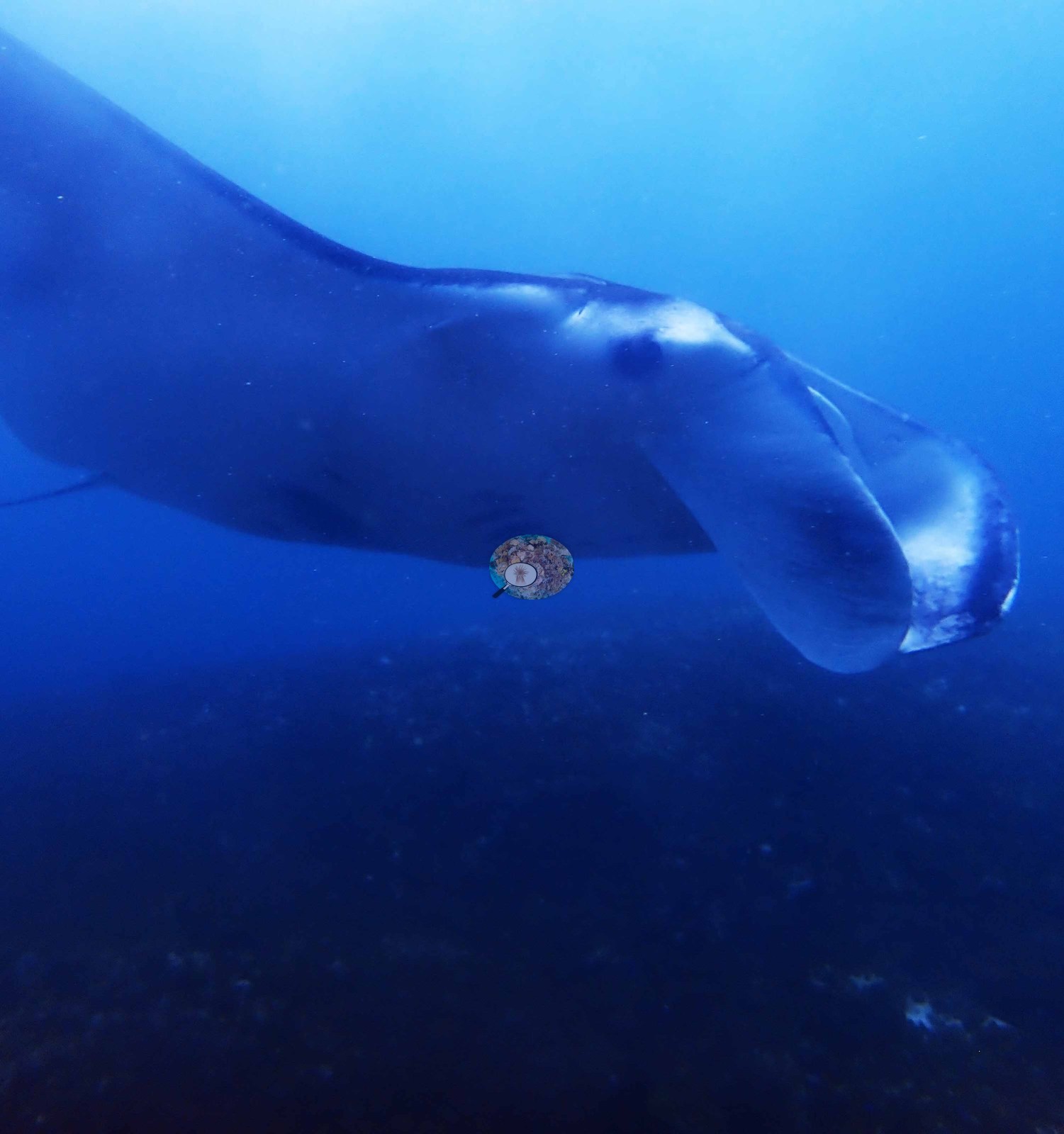
Mantas appear in 45 frames, up to three at once and several feeding with cephalic fins unfurled; also a green turtle and a six-banded angelfish (e.g., Image 2, Image 5).
Comparisons with other data
No independent survey was made at this exact site; the nearest ones are listed in the table below.
Dive record
Makassar Reef (Manta Point), 10:53–11:56 on 2019-01-22, max 9.3 m at 26.1°C on 30% nitrox. His log — little coral, about 20 mantas, a turtle — is confirmed frame for frame.
CV model comparison
More info
DINOv3 and CoralSCOP were run on the same photos and are listed for comparison. Coralscapes v2 and v1 were also run but are not shown: Anderson does not consider Coralscapes reliable for these photos. No diver transect exists for this trip, so agreement between the rows is not accuracy, and as of September 2026 no computer-vision method estimates coral cover accurately on new images; treat every row as indicative.| Method | Hard-coral cover (%) |
|---|---|
| In-house DINOv3 | 10.1 |
| CoralSCOP edited | 9.1 |
| Claude (edited photos) | 3.3 |
Independent surveys nearby
Within 5 km, 1 independent survey station recorded hard coral cover in 2020. The most recent nearby survey is from 2020, so these values predate recent heat stress. This site's own estimate (3.3%) sits 44.8 points below the range of these surveys (48%); the methods differ, so the comparison is context, not a like-for-like test.
Collected by other programs using different methods (Reef Check uses point-intercept transects), so these are context for the figures above, not a like-for-like comparison. Where a station was surveyed more than once the range is shown. Station names are not dive-site names.
| Agency | Site / location | Date | Hard coral cover (%) | Distance | Link |
|---|---|---|---|---|---|
| Reef Check | Pengah Kecil (Sector 1) SW Side | 2020 | 48% (2 surveys) | 4.79 km | — |
Data & links
All images from Coral Reef Diagnostics. Data are from Coral Reef Diagnostics and the organizations named in the data-sources table above.
© Coral Reef Diagnostics.