
Indonesia - Komodo NP: Bonsai Rock
Part of the regional summary: Indonesia - Komodo
More info
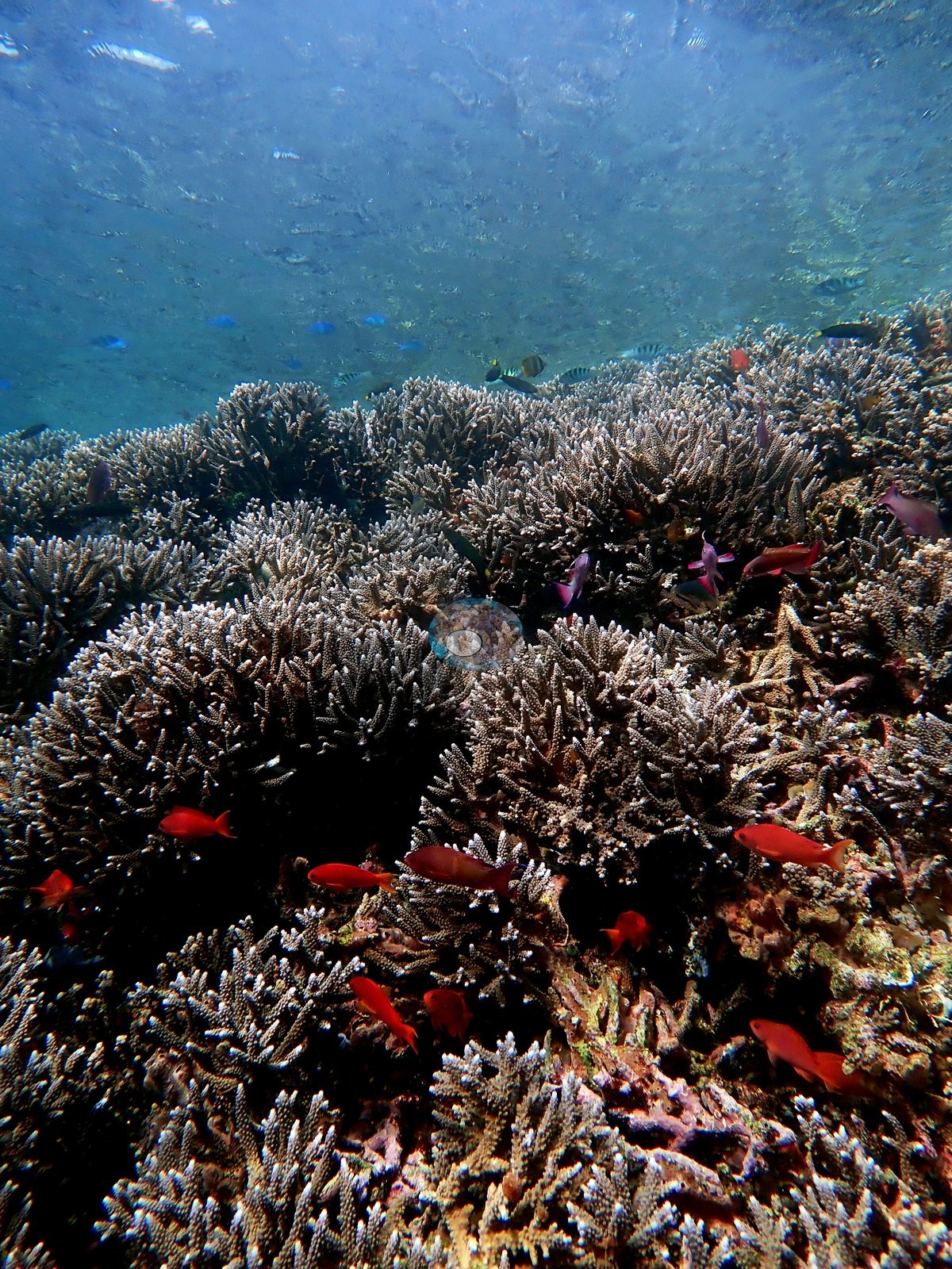
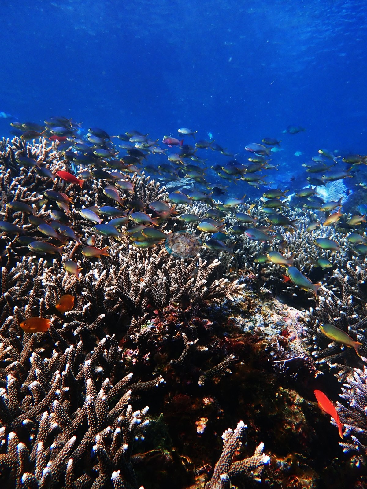
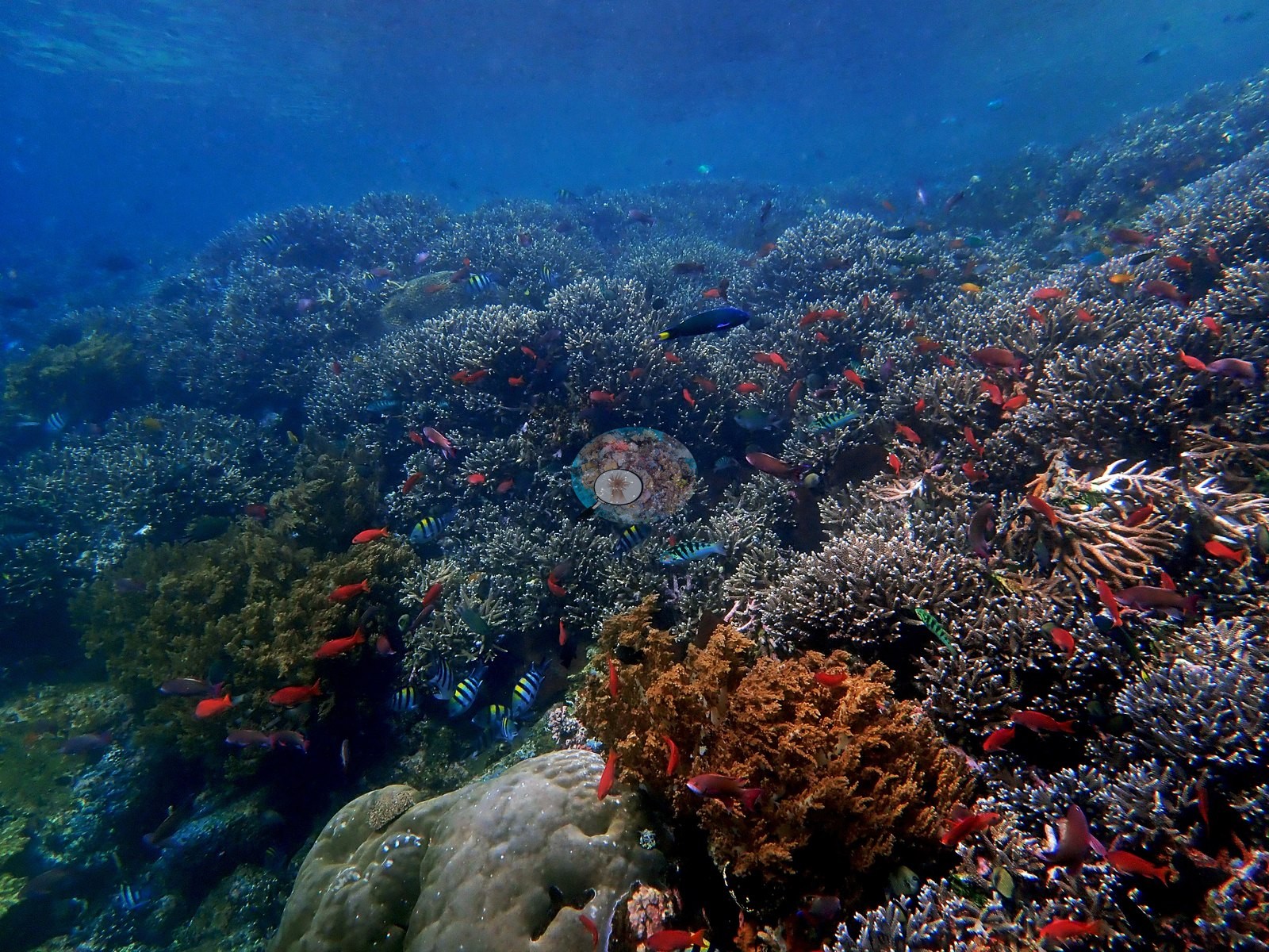
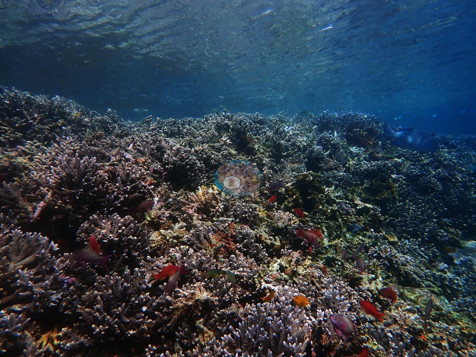
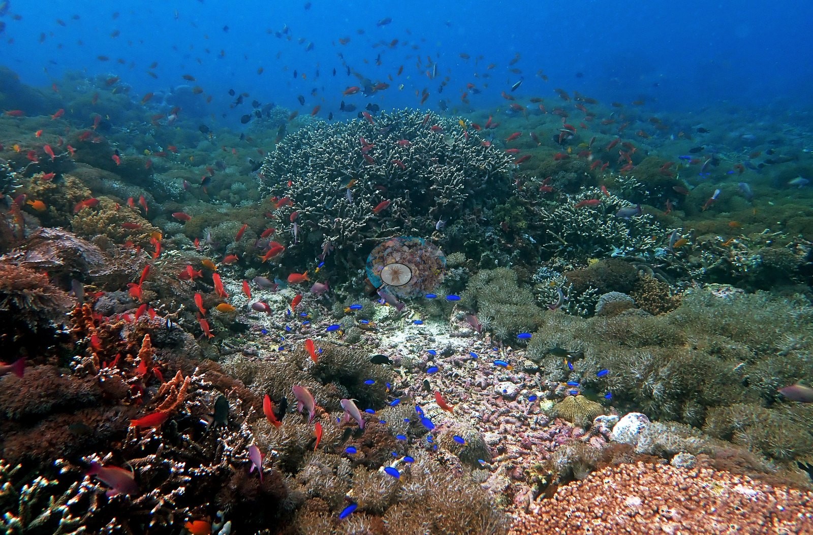
East Nusa Tenggara (NOAA CRW virtual station) · Lesser Sunda ecoregion mean=6.9°C-heating weeksBonsai Rock splits into two faces: a near-monospecific, unbroken field of pale lavender Acropora at 5 m, thick with red-orange anthias, giving way to a hazier, turf- and algae-dominated low-relief slope deeper down where strong current keeps coral sparse. No bleaching or disease. A blind Claude computer-vision point count puts coral cover around 18%.
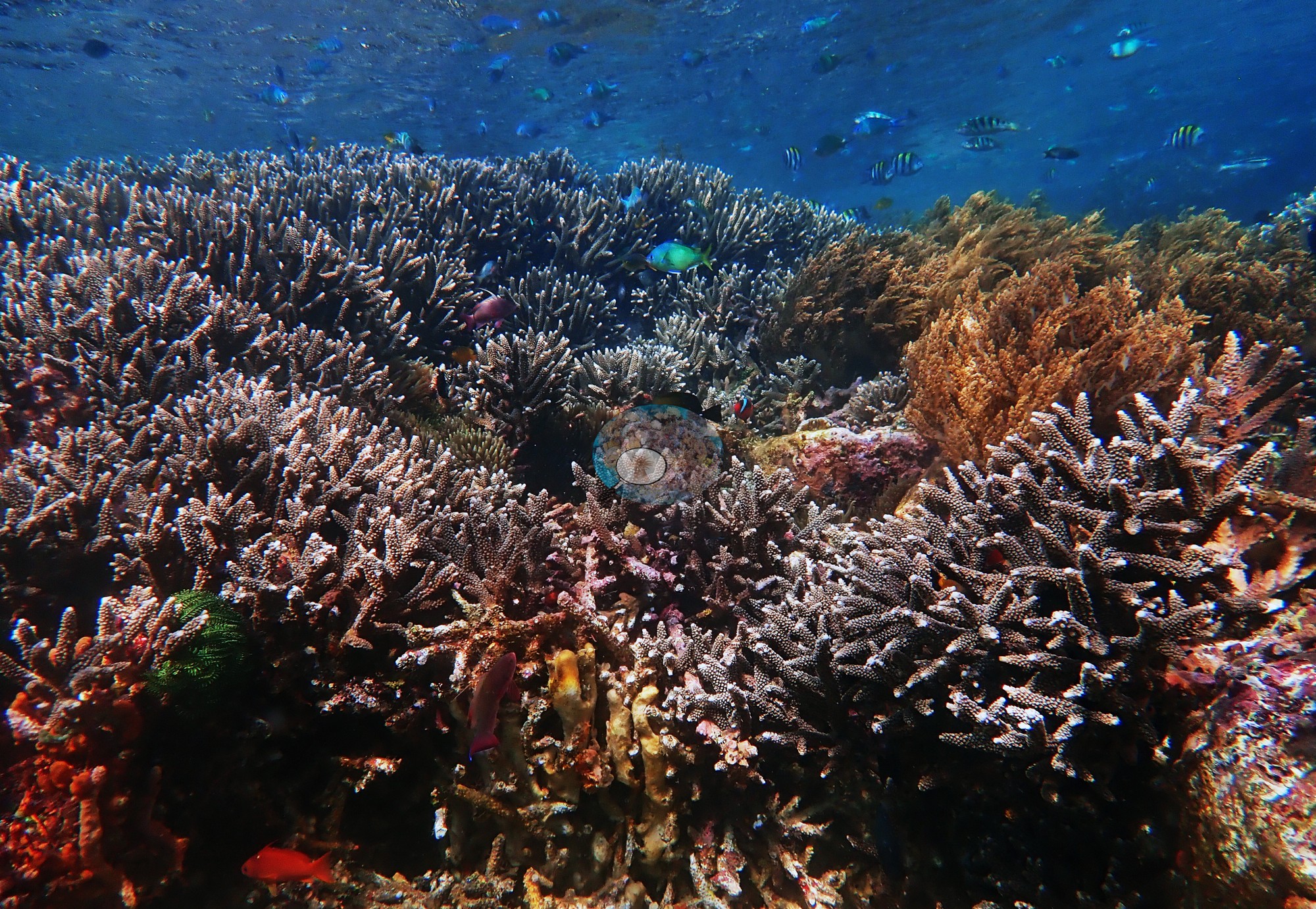
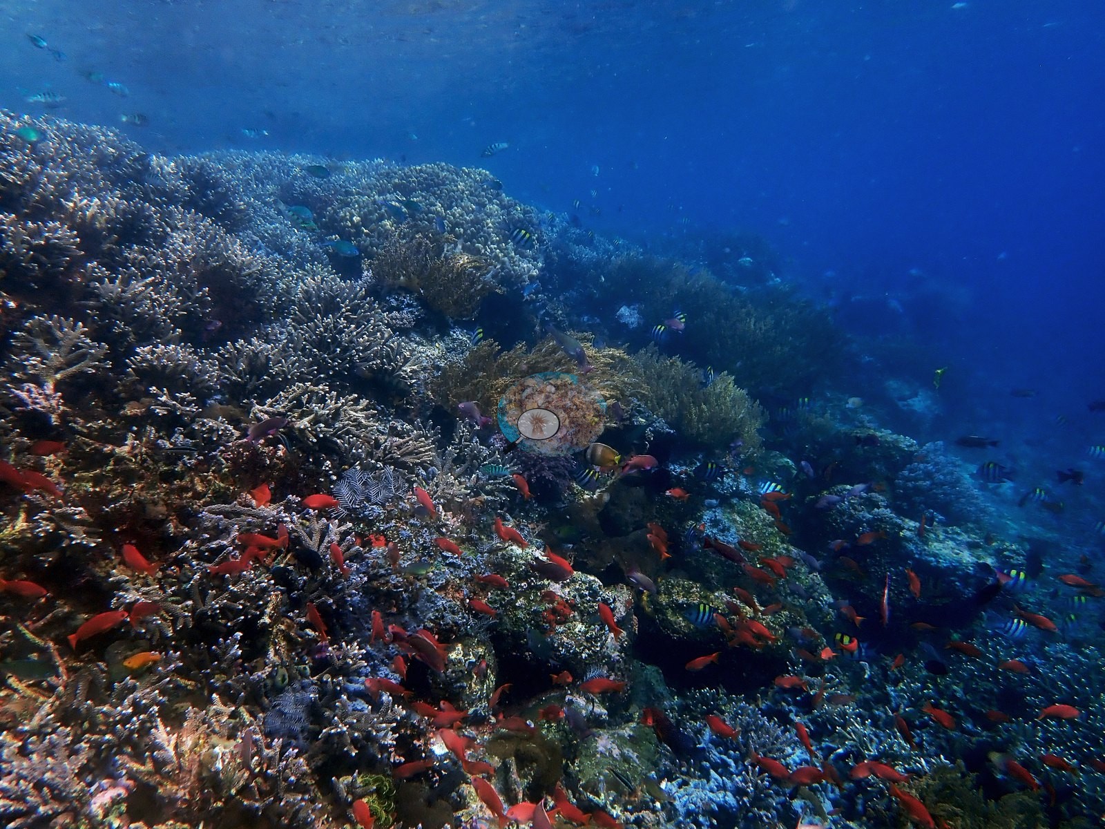
Satu penyelaman, 22 Januari 2019, 07:52, 58 menit, kedalaman maksimum 27.7 m menurut catatannya, 25-26 derajat C, dan jarak pandang 10 m, yang ia nilai buruk. Kedua foto bersudut lebarnya menangkap dua wajah terumbu ini seperti yang diuraikan catatannya.
Terjemahan ringkasan ini oleh AI; versi bahasa Inggris yang berlaku. Translated from the site’s shorter map summary.
One independent survey station shown with the program’s logo — click one to see how far it is from this site.
Four other CRD dive sites within 5 km shown in orange — click a marker to open its page.
5 of these 50 photographs are shown beside the text that discusses them under "Site description" below.
Site description
General benthic features
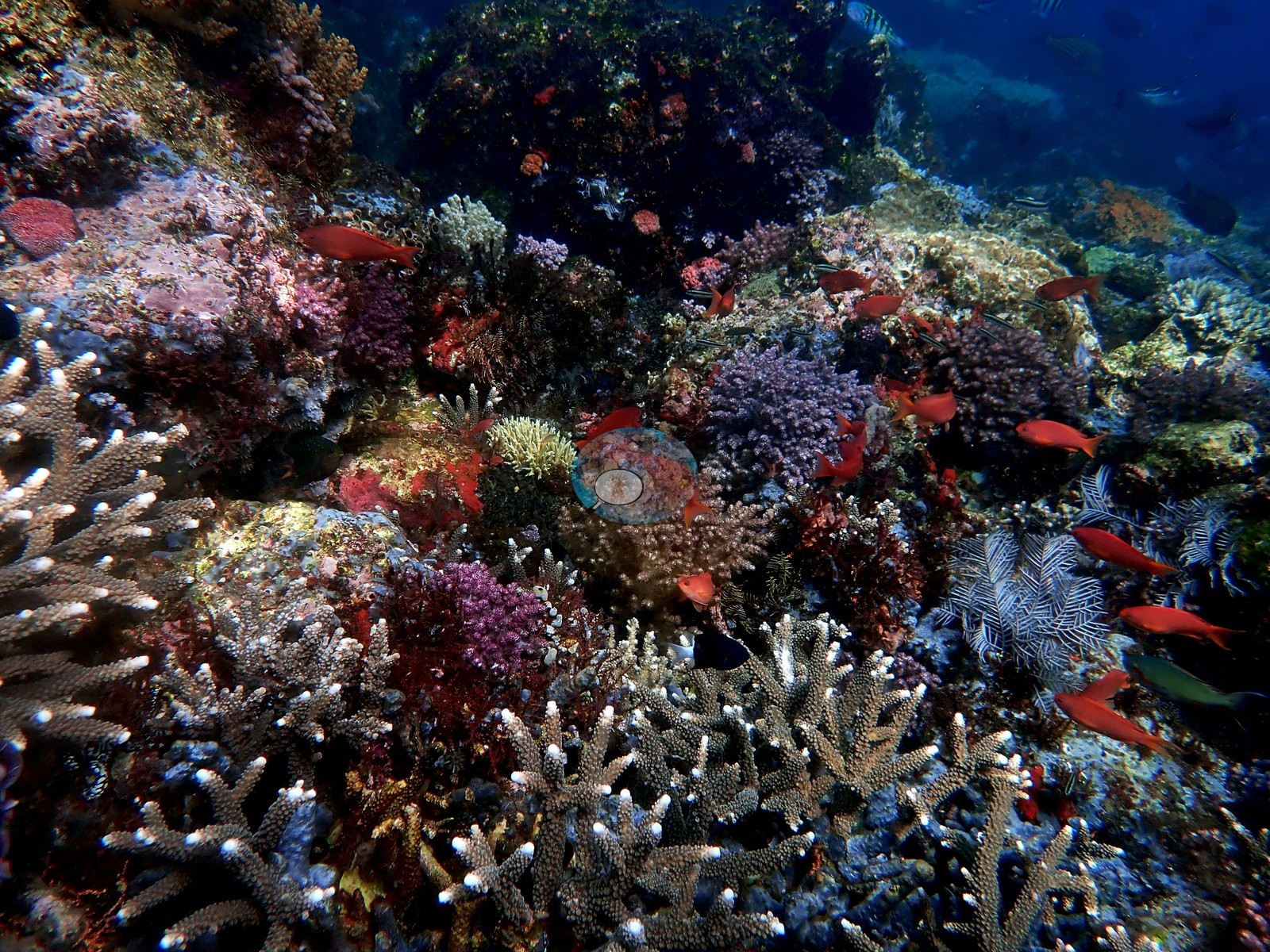
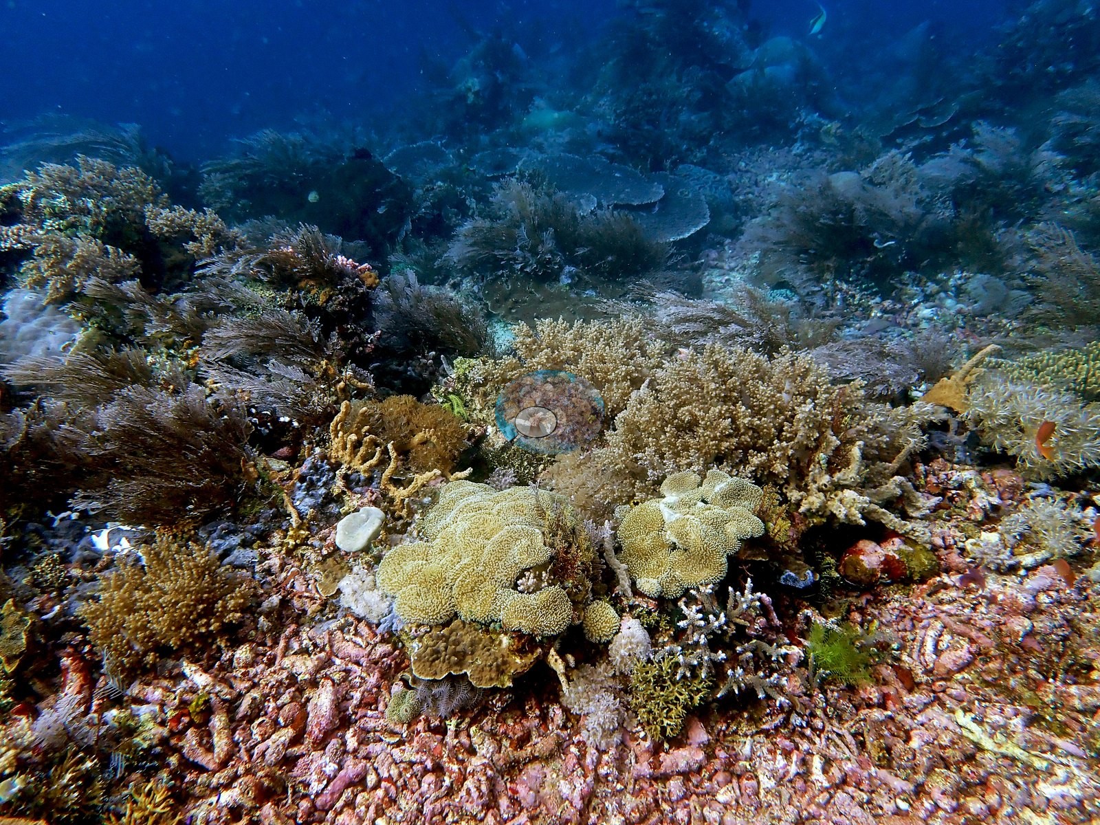
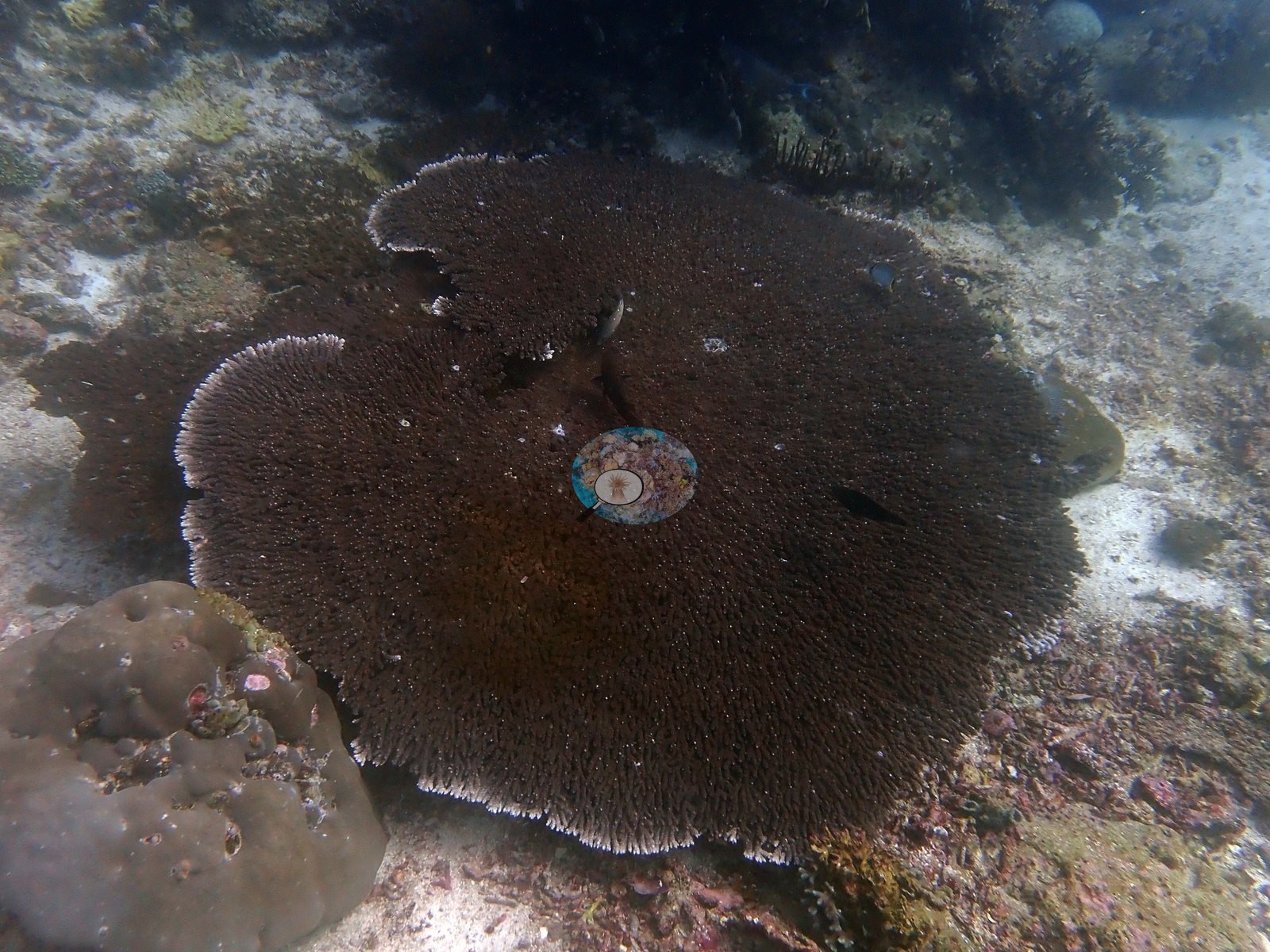
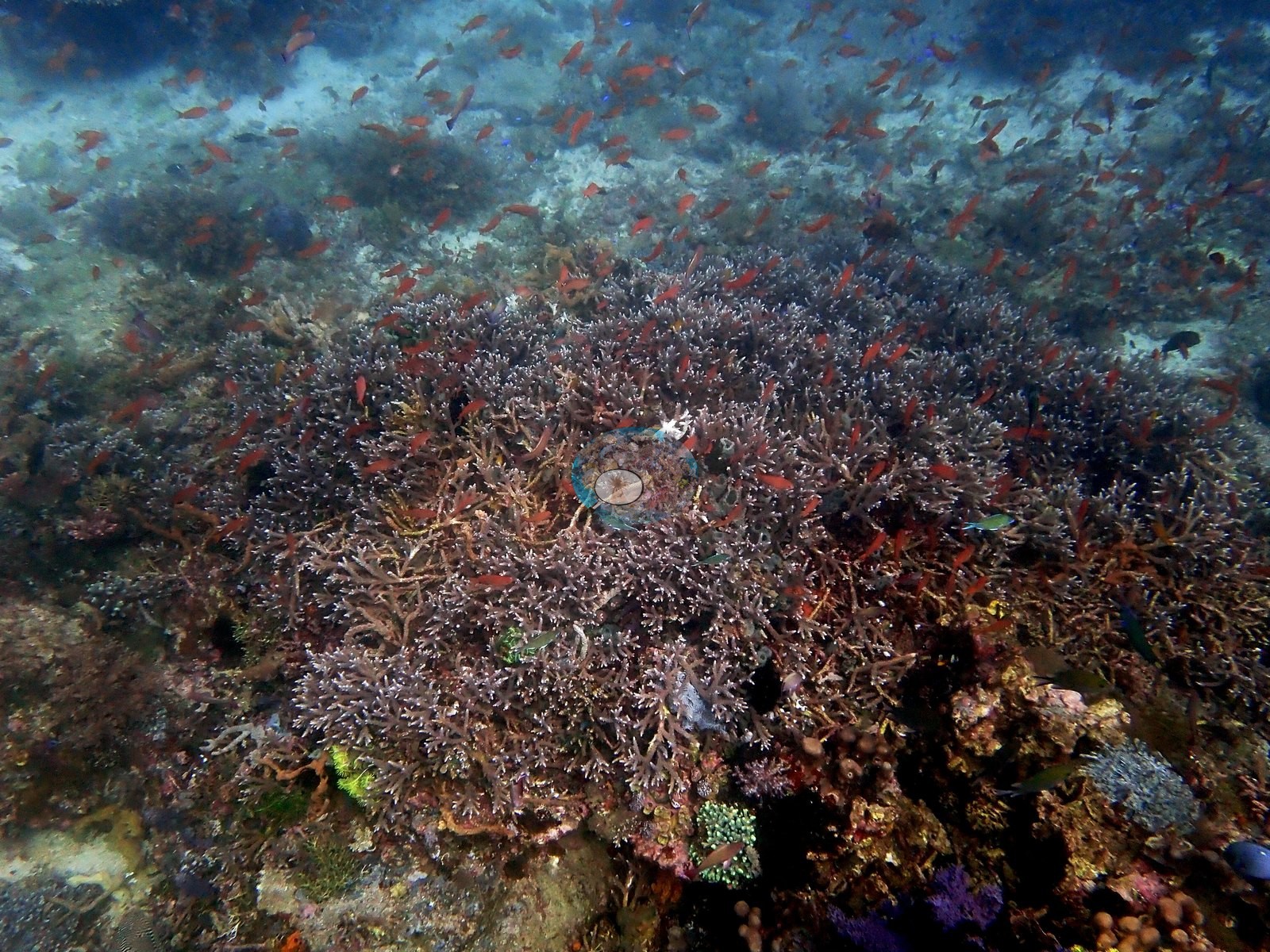
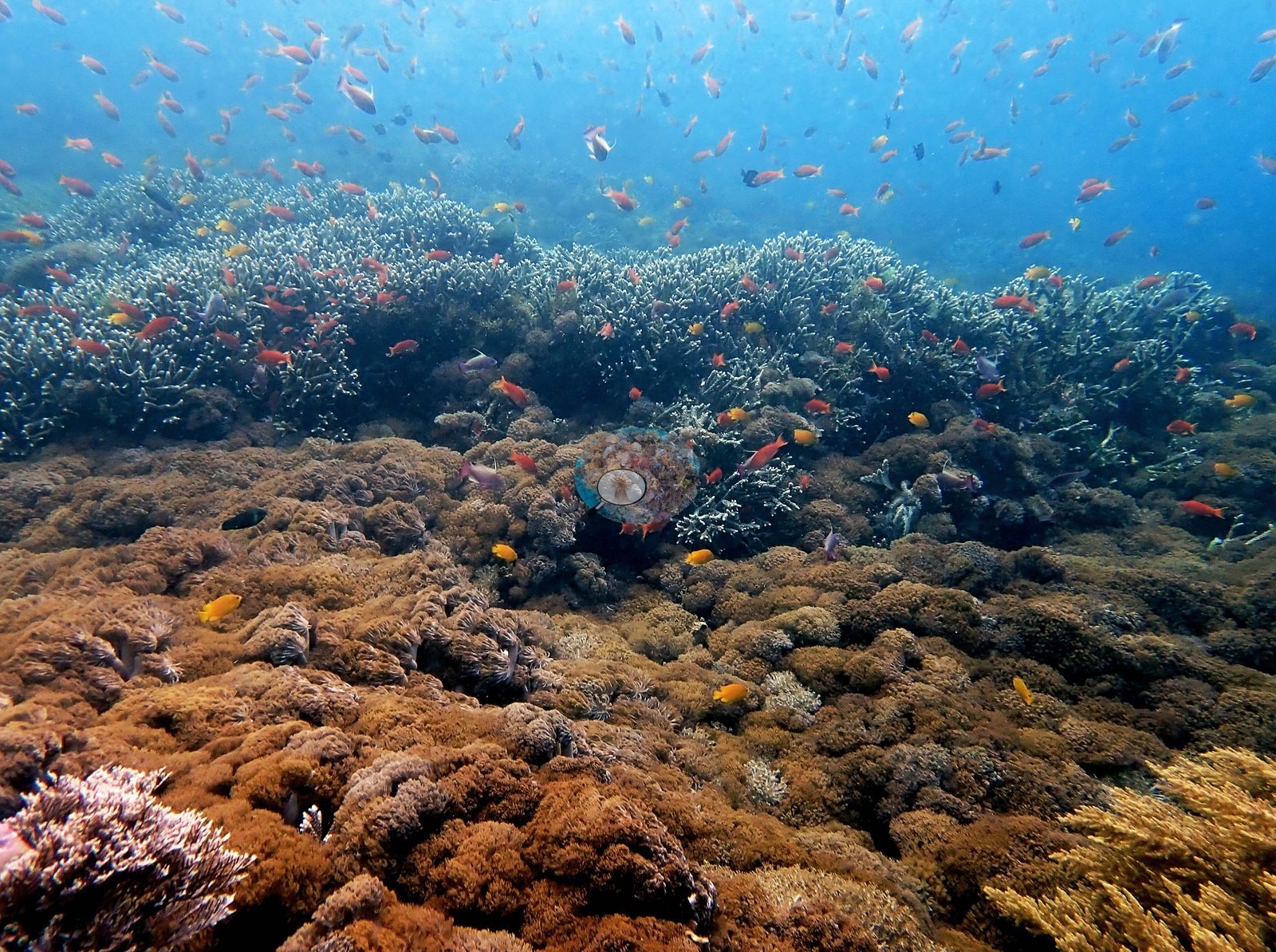
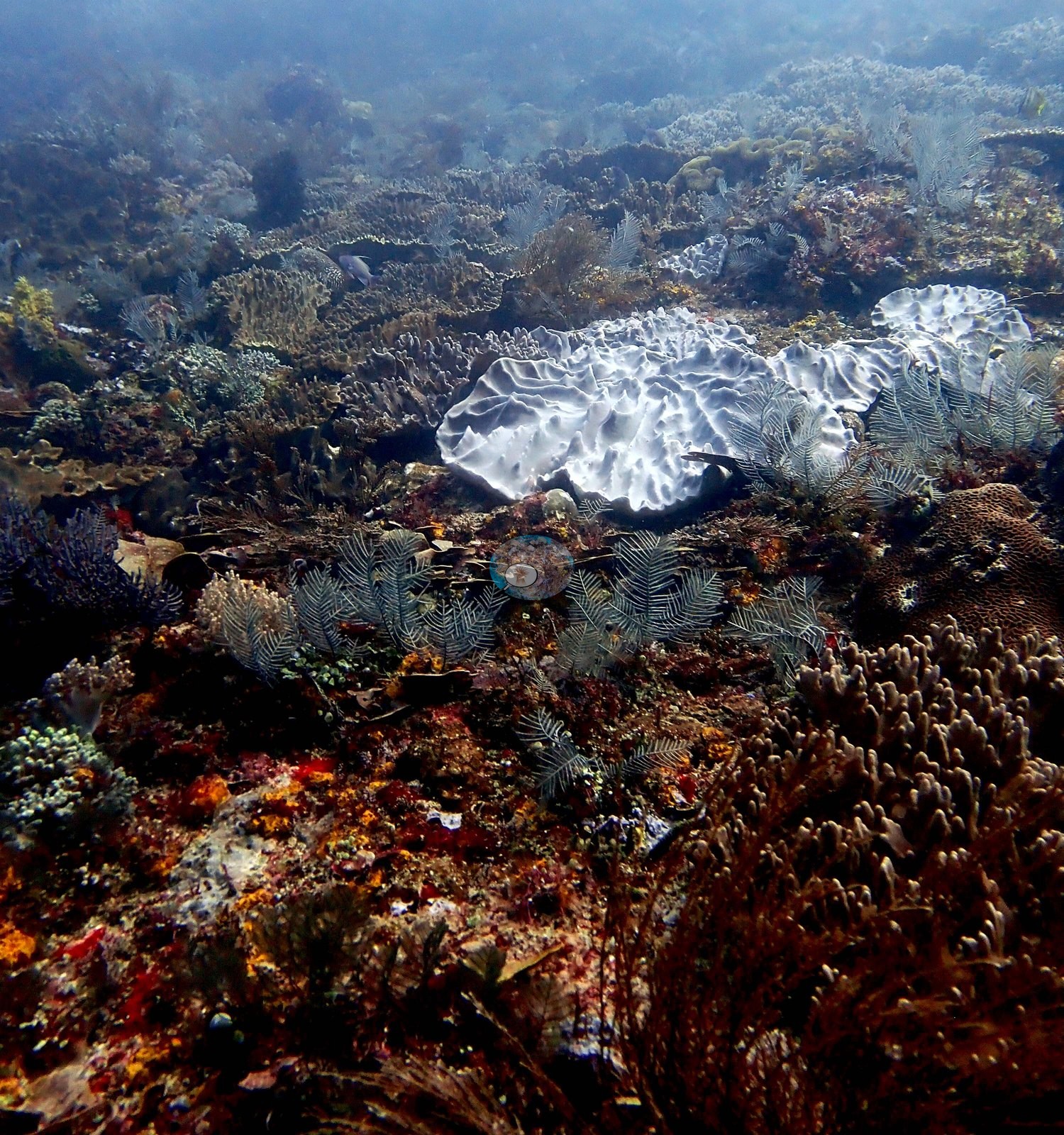
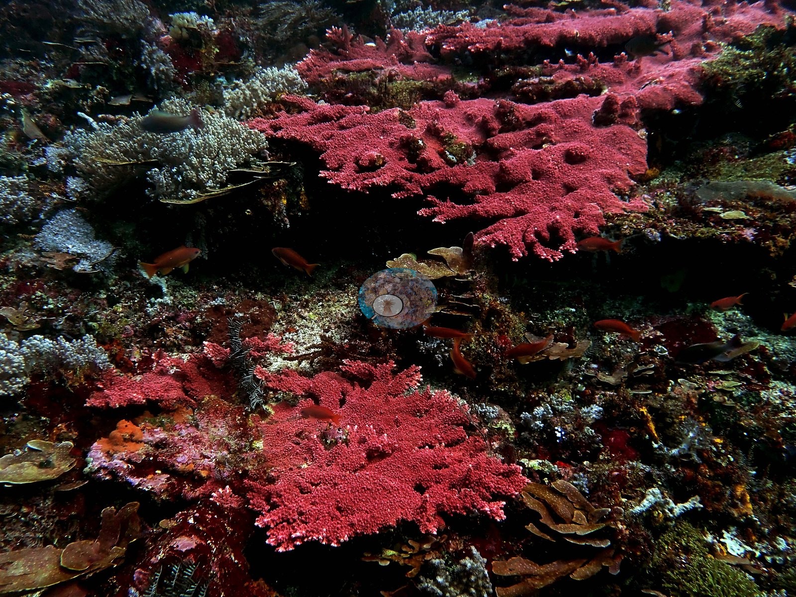
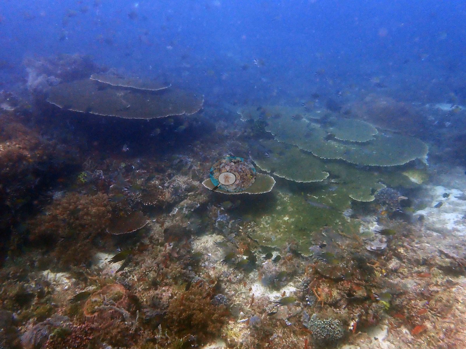
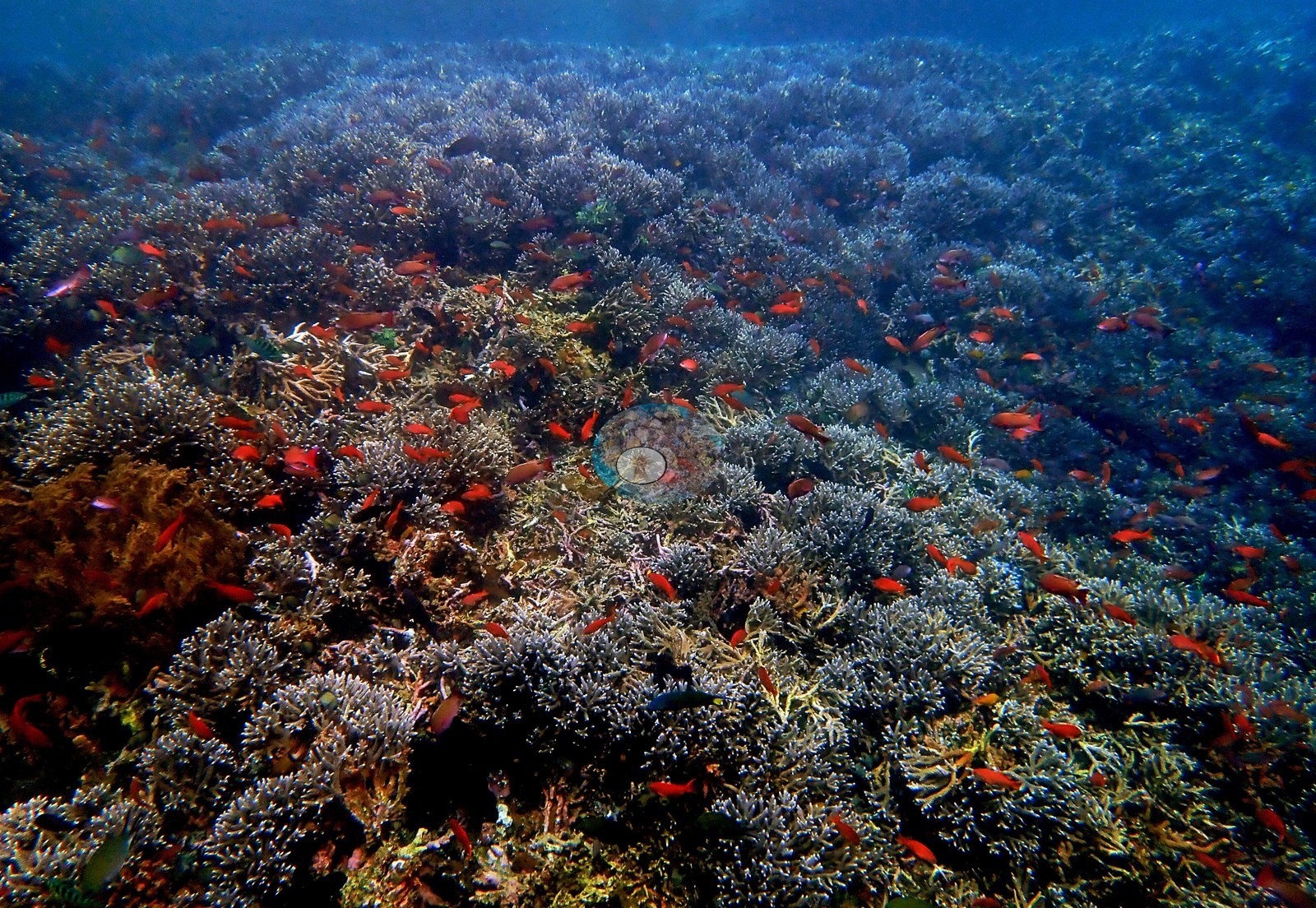
The two wide frames capture the two faces of this reef that his notes describe. The first is the spectacular one: a near-continuous field of pale lavender-gray corymbose and digitate Acropora, running unbroken to the limit of visibility, with hundreds of red-orange anthias hanging above it and a rust-brown soft-coral bush and chartreuse patches for contrast - his most impressive corals at 5 m, and effectively a monospecific stand at that scale (e.g., Image 5).
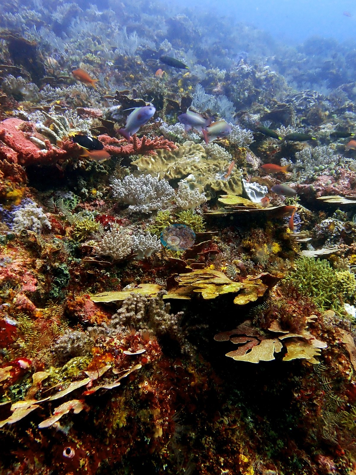
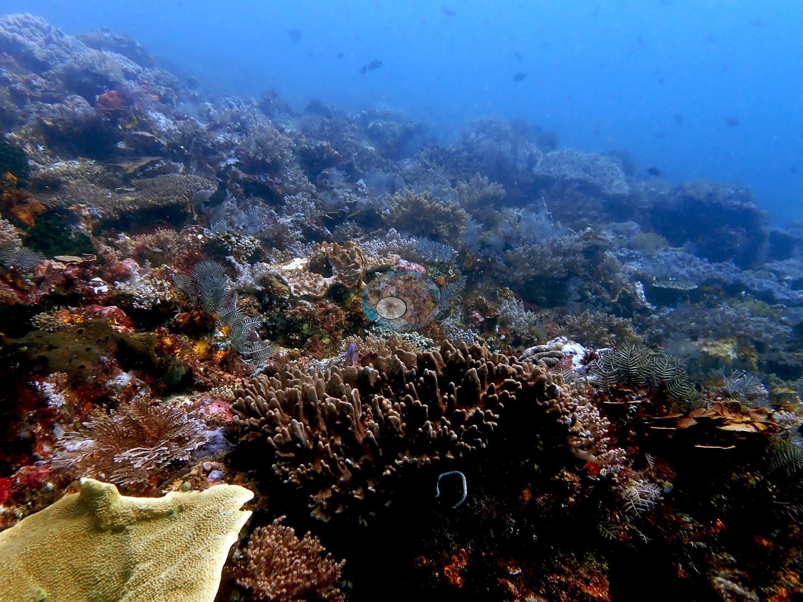
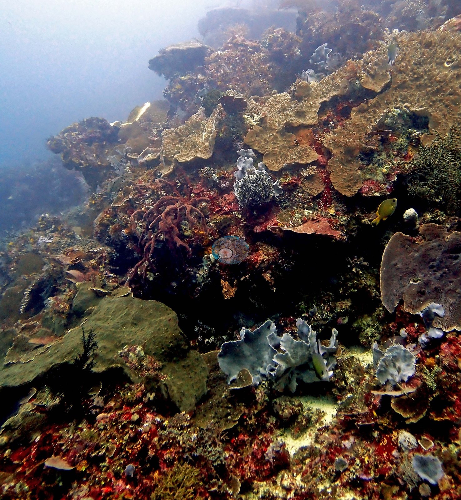
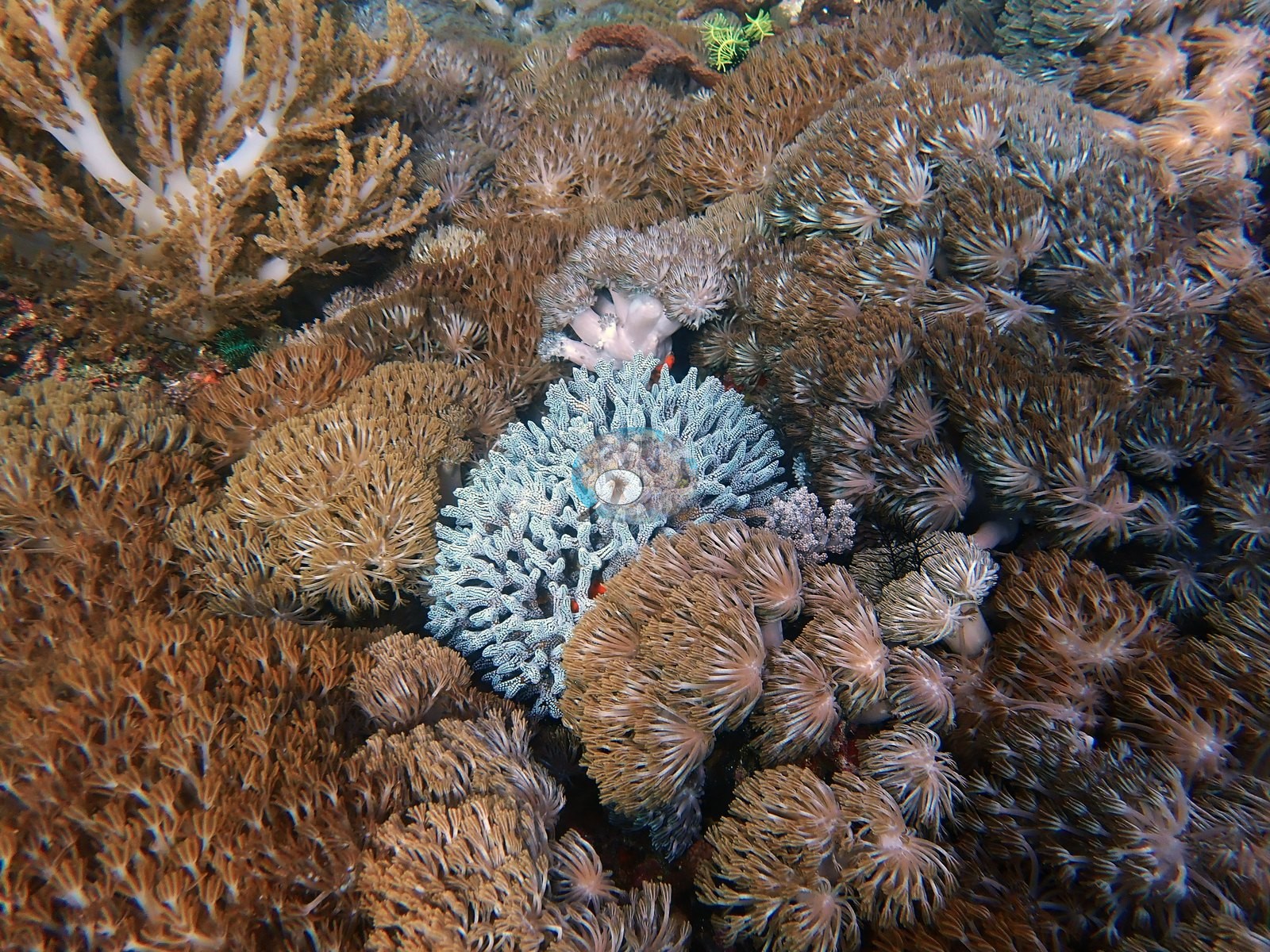
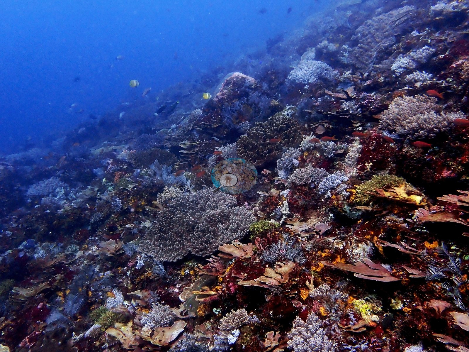
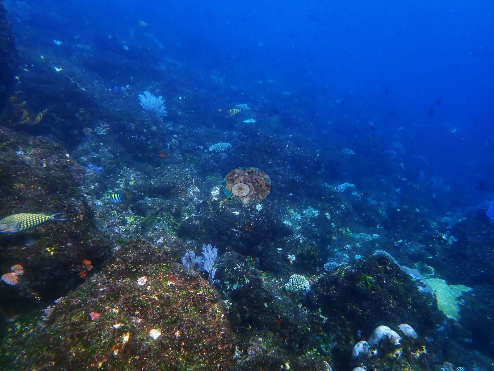
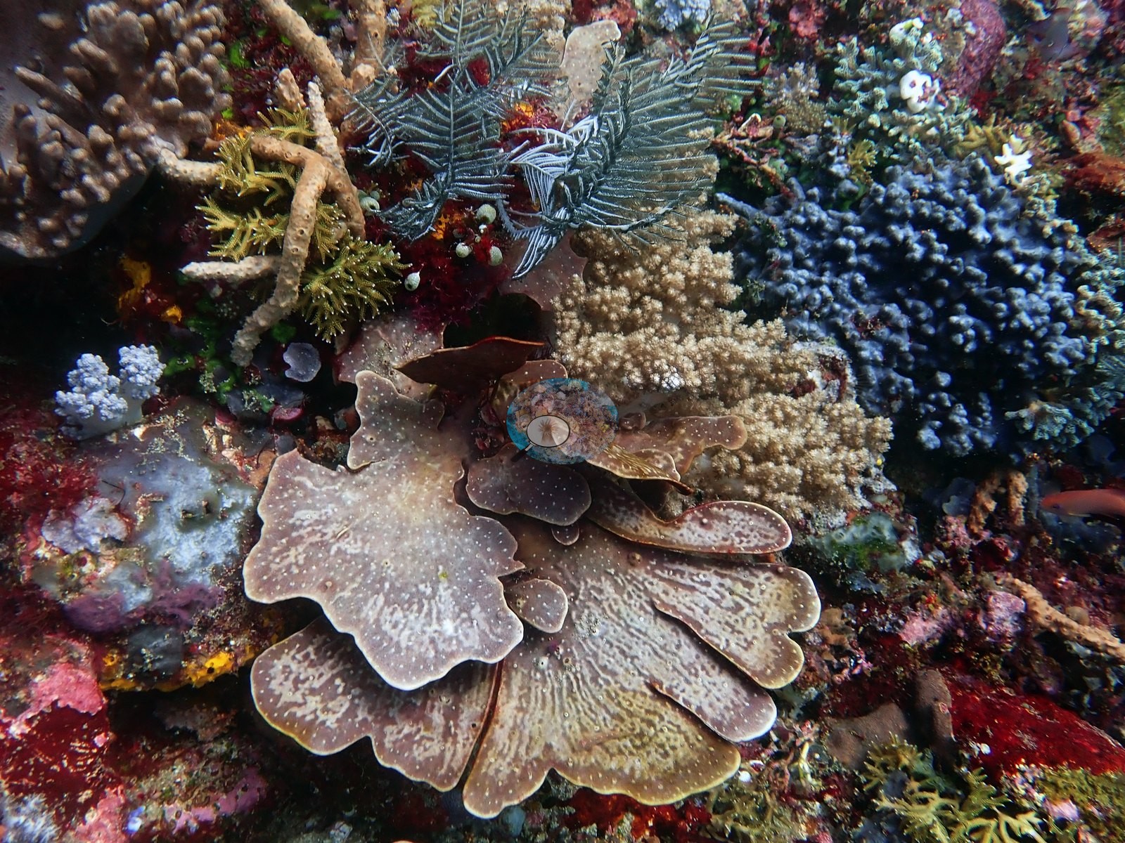
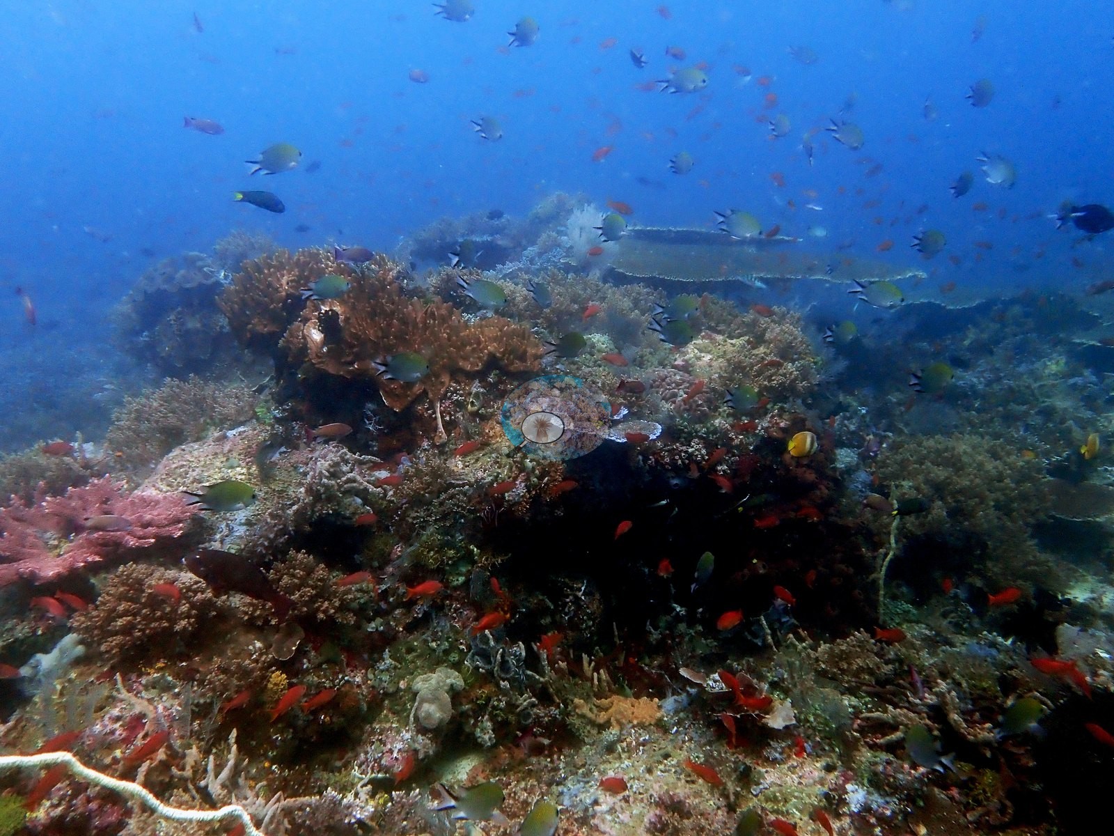
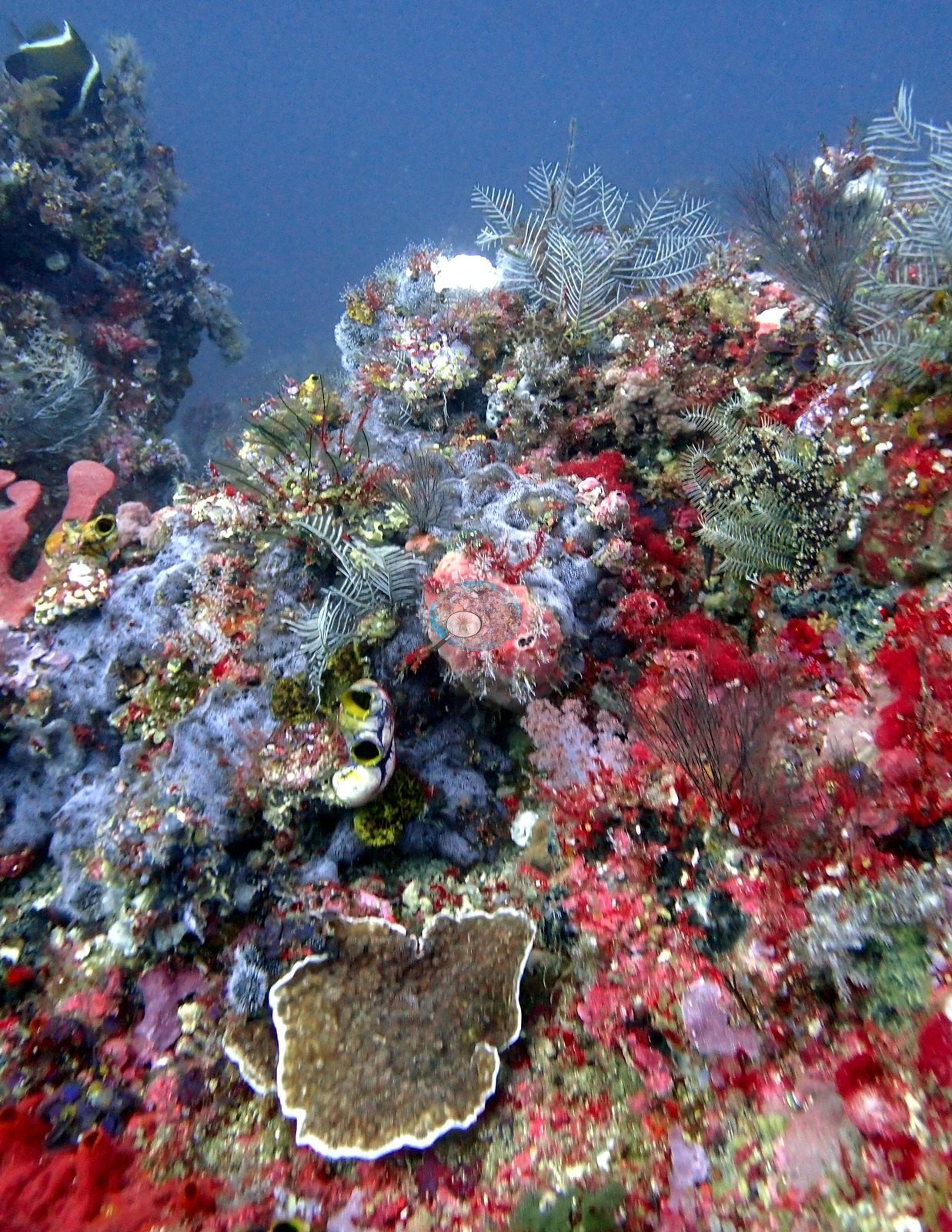
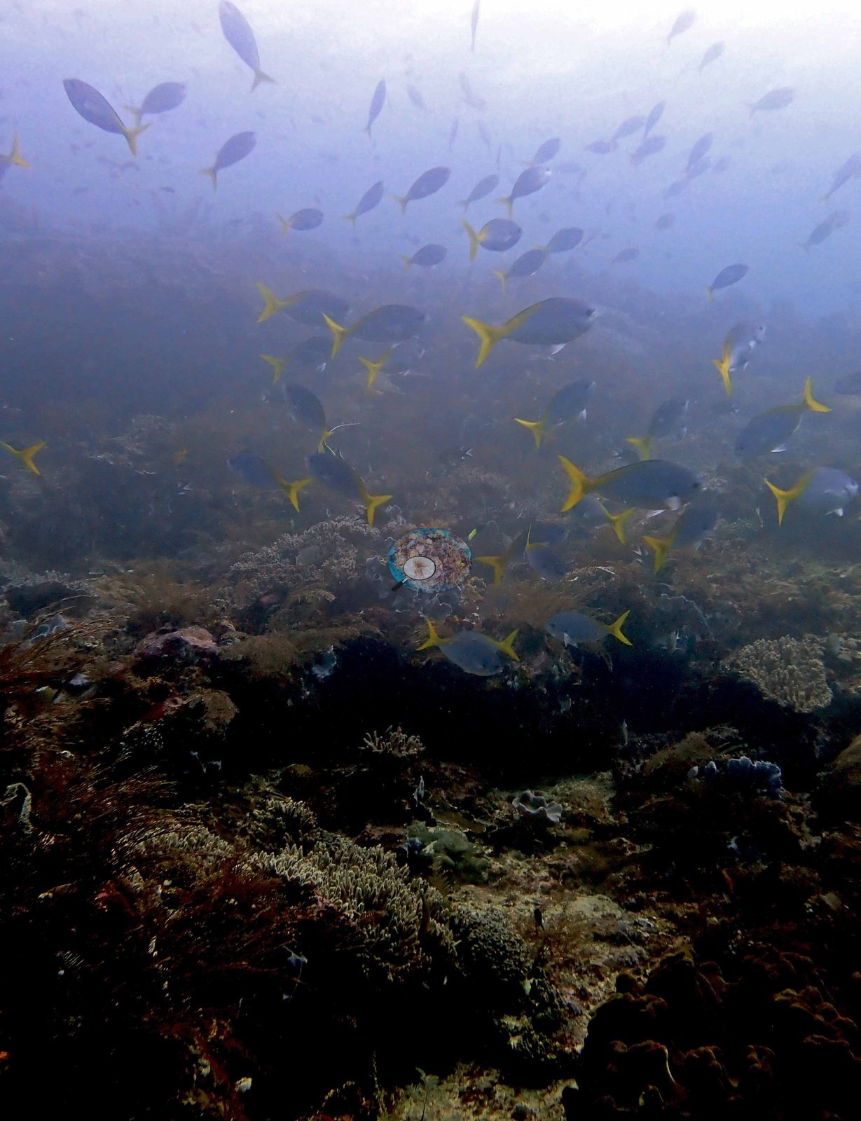
The second is the other end: a dim, hazy, low-relief slope under a school of yellowtail fusiliers, where the substrate is mostly dark red-brown turf and encrusting algae with only scattered cream corymbose Acropora, small foliose plates, and blue vase sponges - consistent with his note that the reef eventually became more algal-dominated, and with his reading that low relief here reflects strong current (e.g., Image 3).
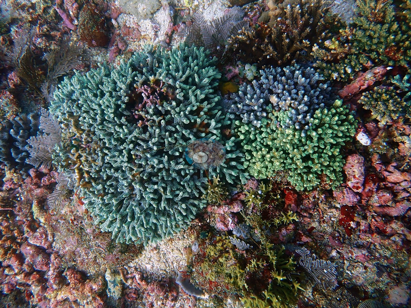
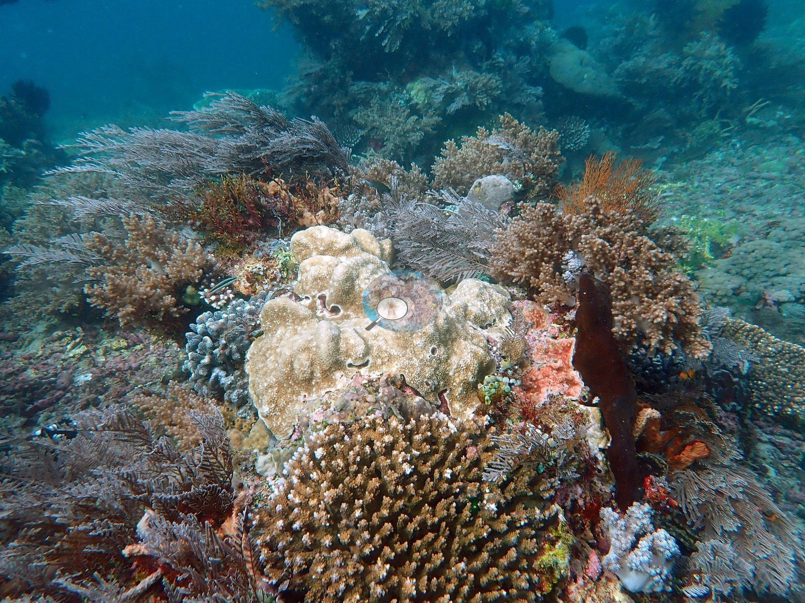
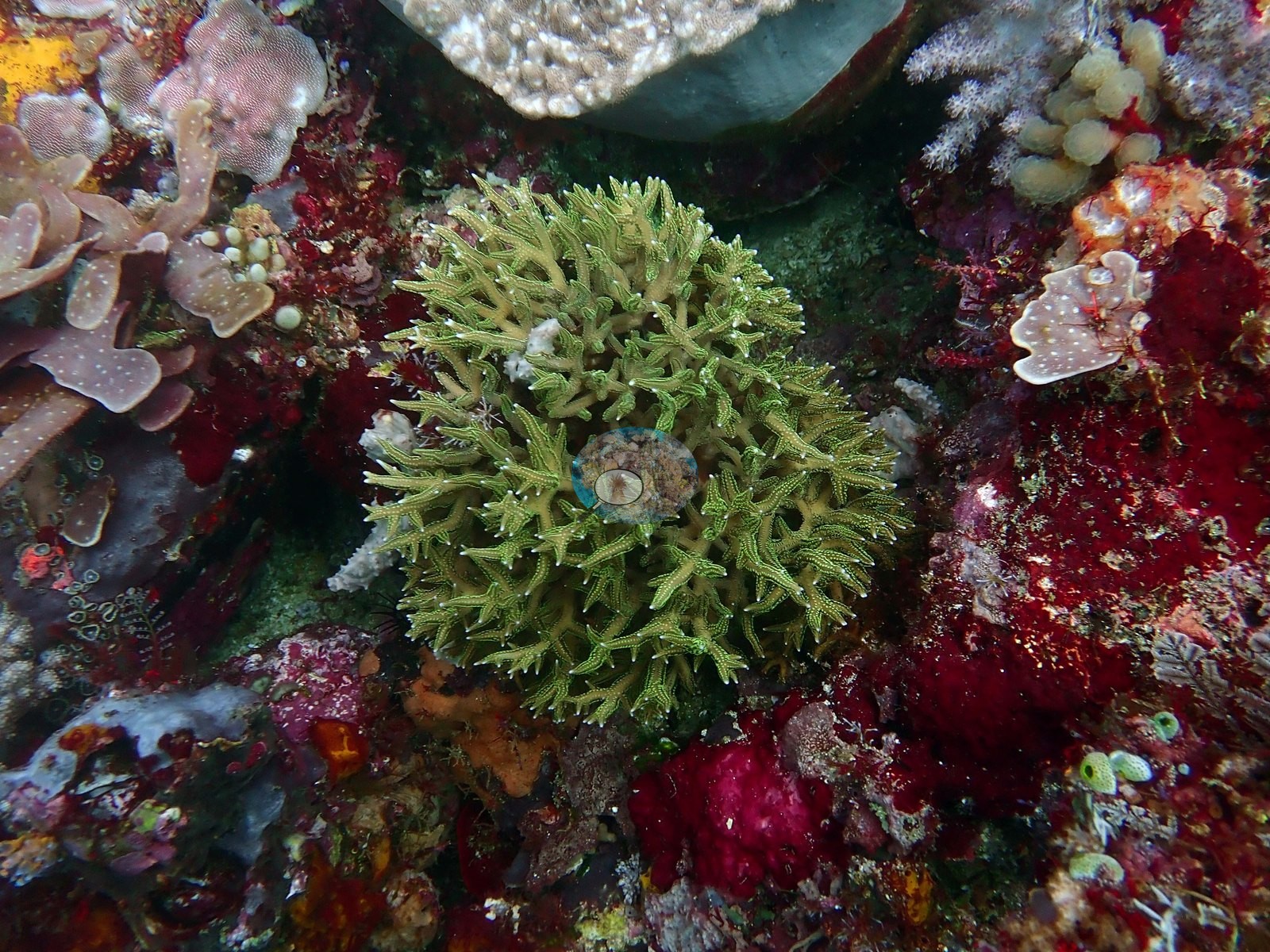
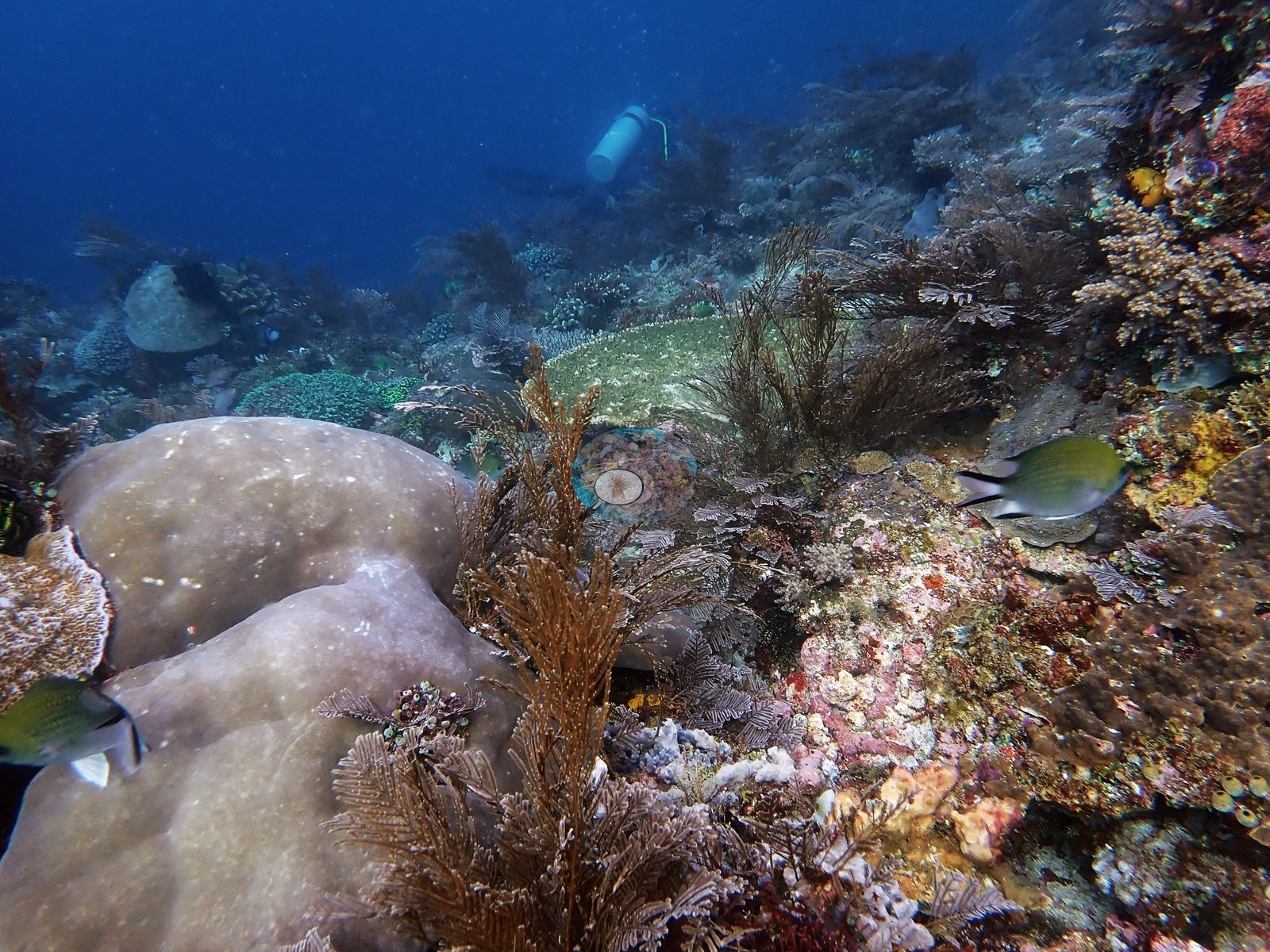
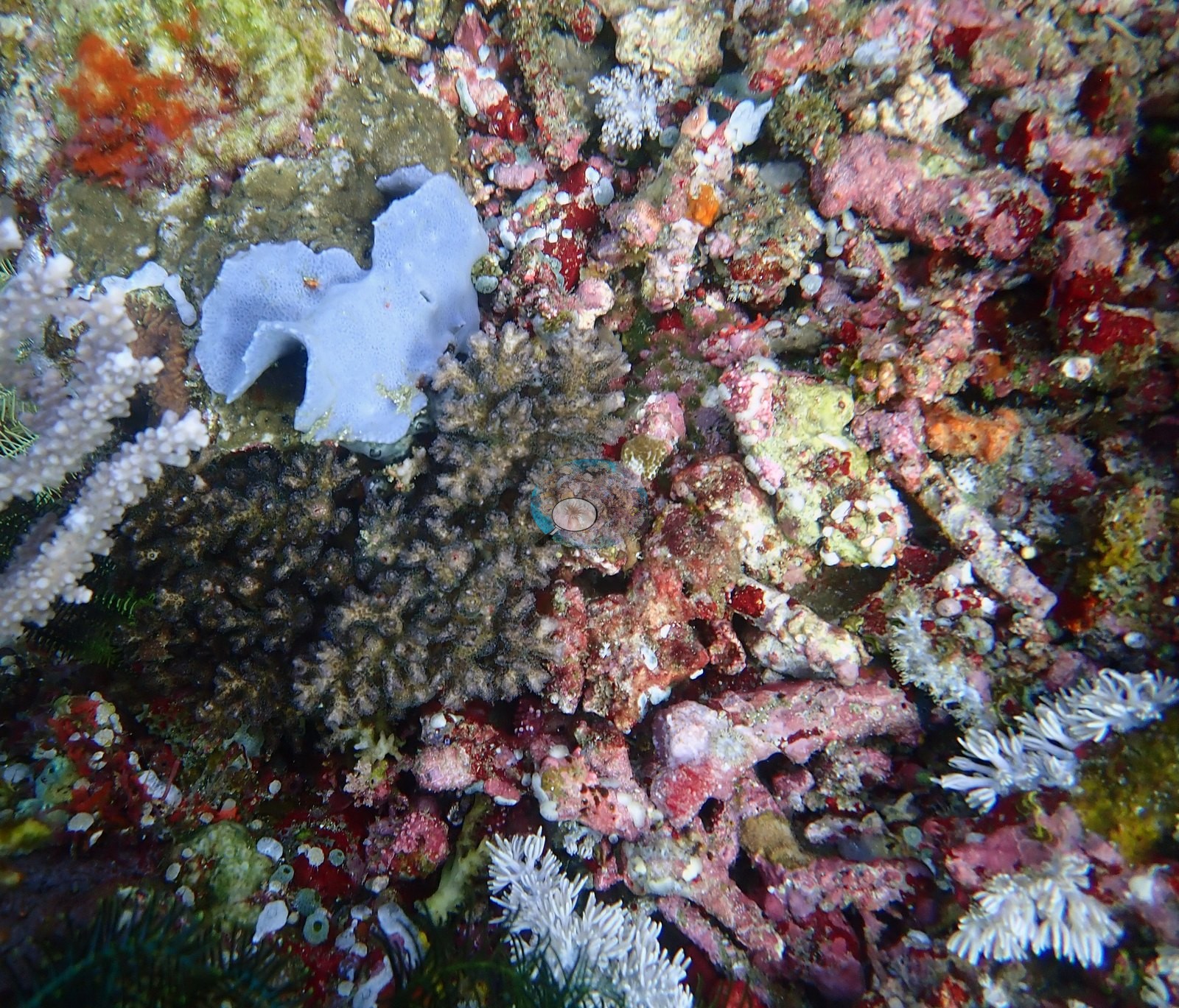
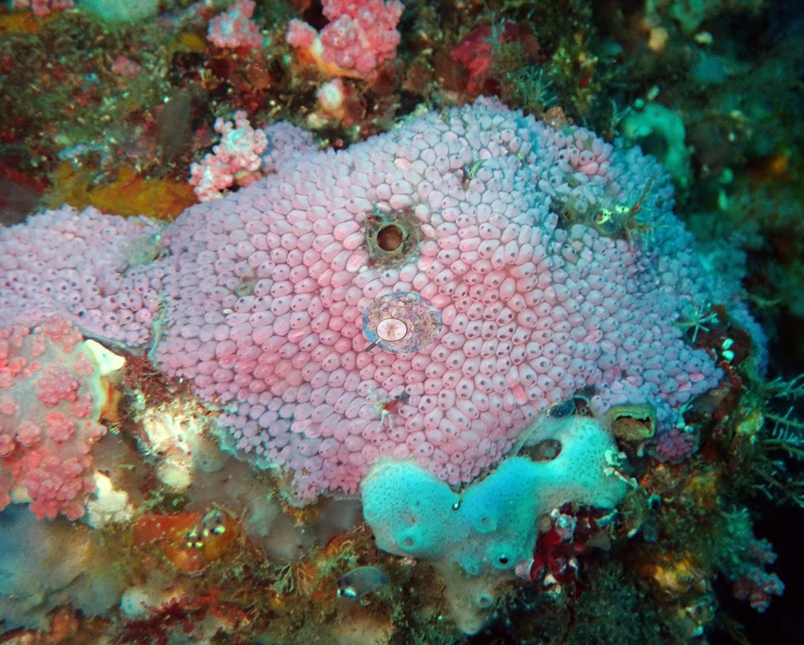
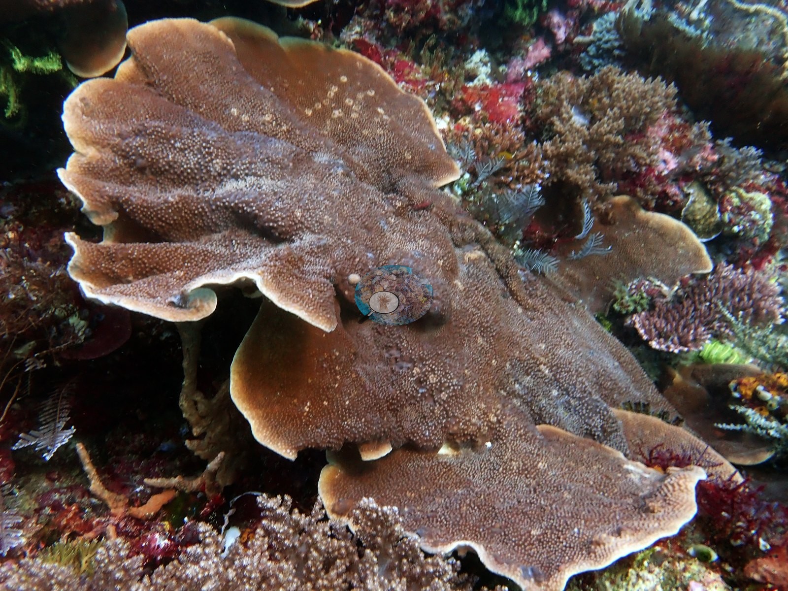
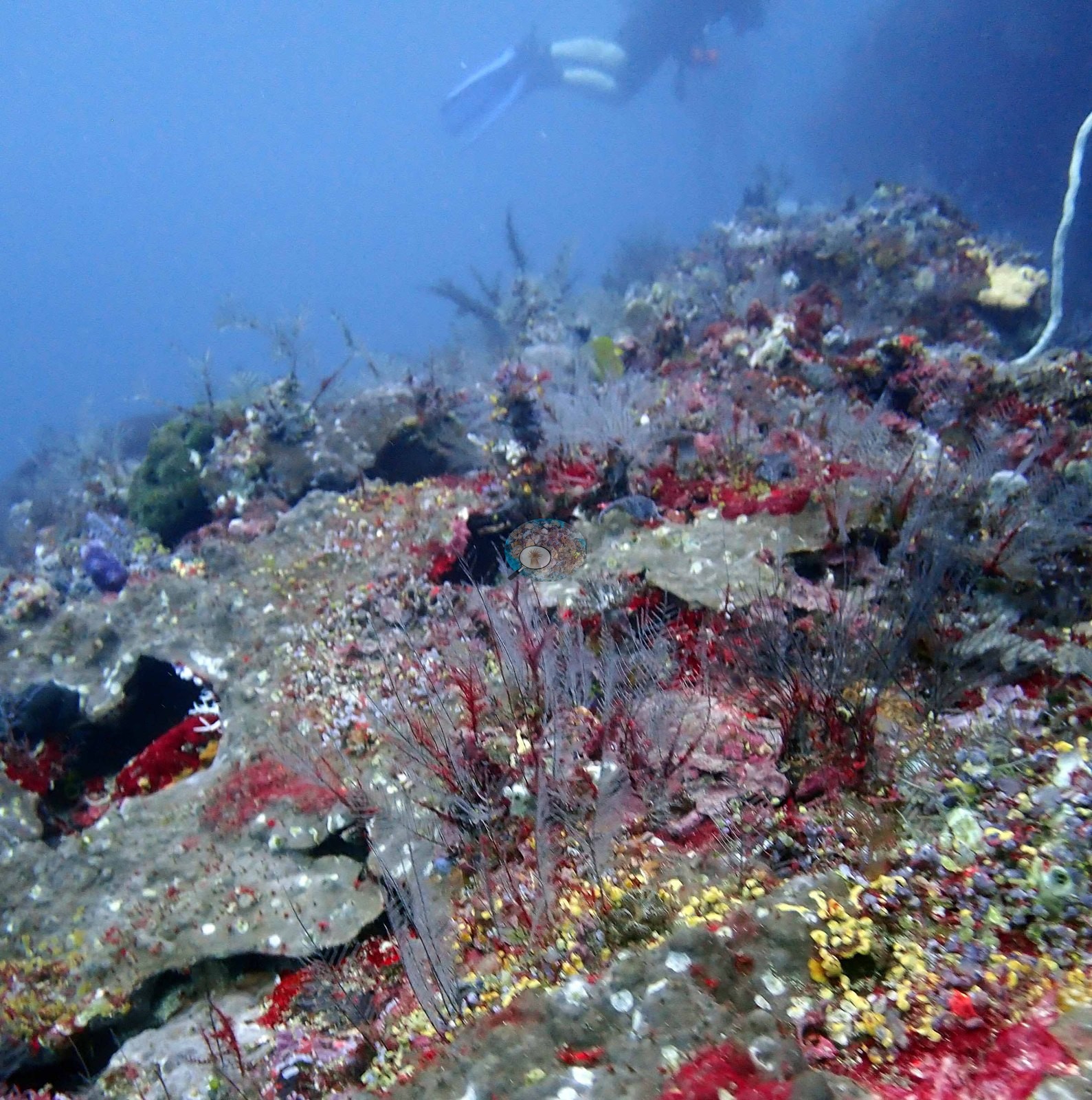
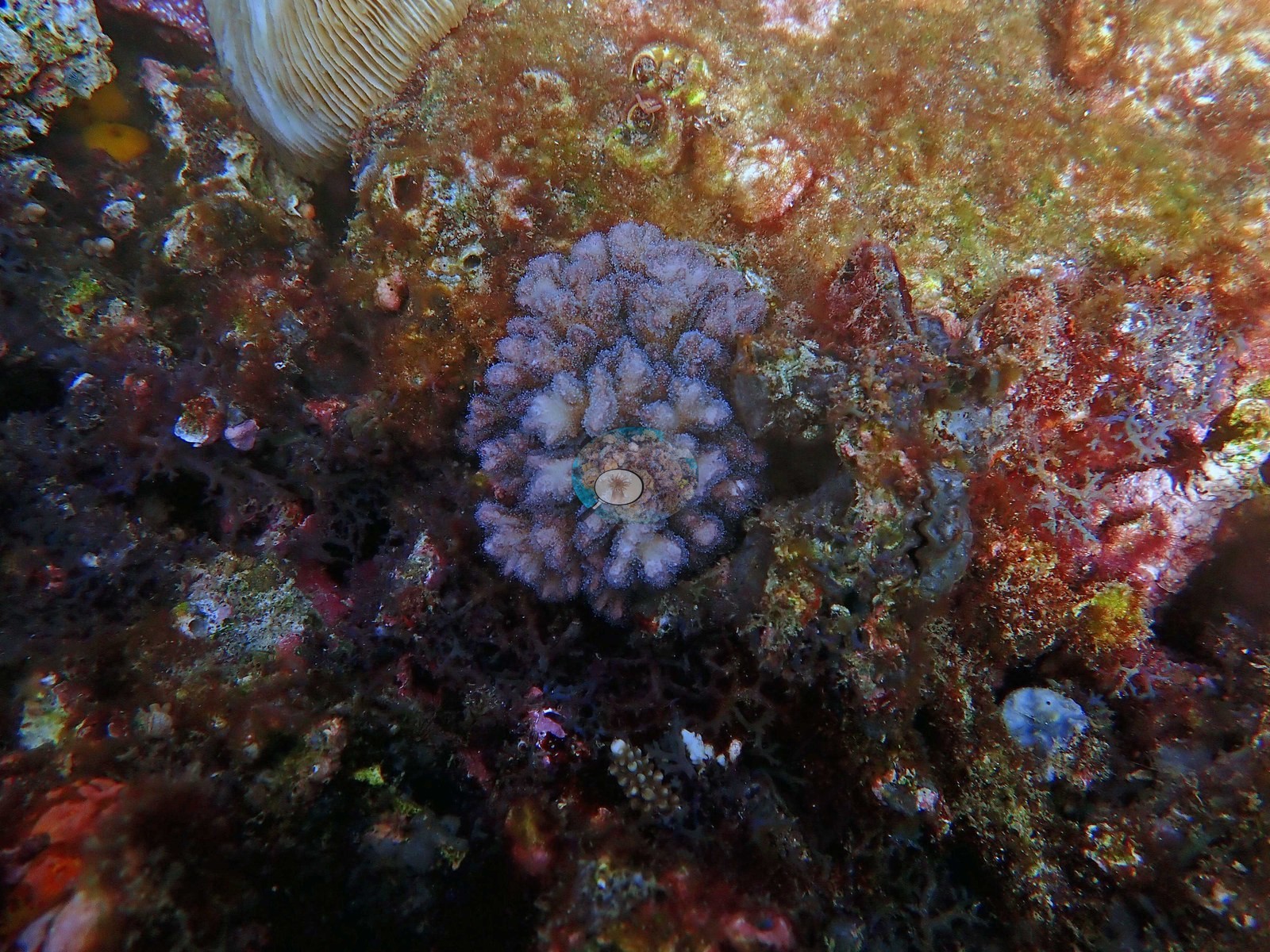
The close substrate frame says the same thing at 30 cm: a small lavender knobby pocilloporid colony surrounded by brown and orange encrusting algae and turf, red macroalgae, small tunicates, and one cream mushroom coral (e.g., Image 1).
Coral cover
Coral cover: 18% — a blind Claude computer-vision point count of 66 of Anderson's edited photographs (20 points per photo; water, fish, and obstructions excluded). Other computer-vision methods are listed in the method table. These are computer-vision indices over photographs, not a diver transect, and with one frame at near-total Acropora cover and another at heavy turf, the site average depends heavily on which frames went into the run. Anderson is still comparing computer-vision models, and these figures will be updated as the methods improve.
Stressors
No bleaching, no disease lesions, and nothing man-made. No crown-of-thorns starfish (COTS) or other corallivores evident.
Fish and other fauna
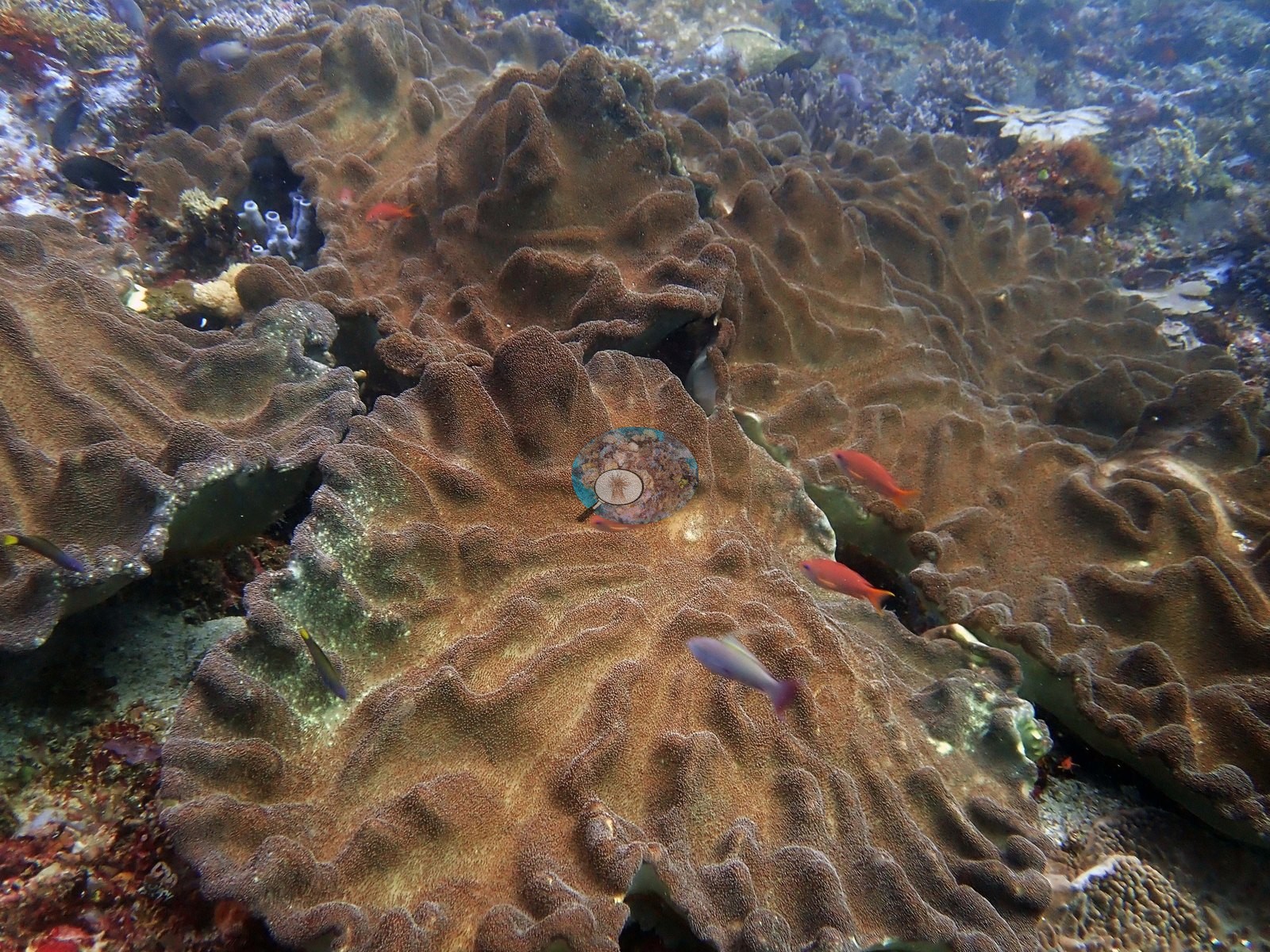
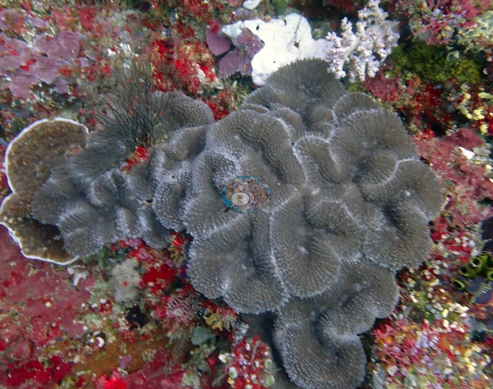
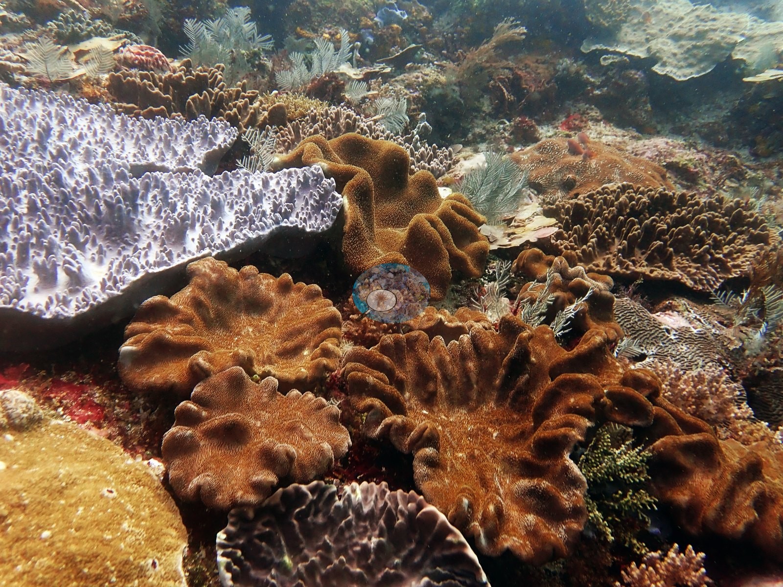
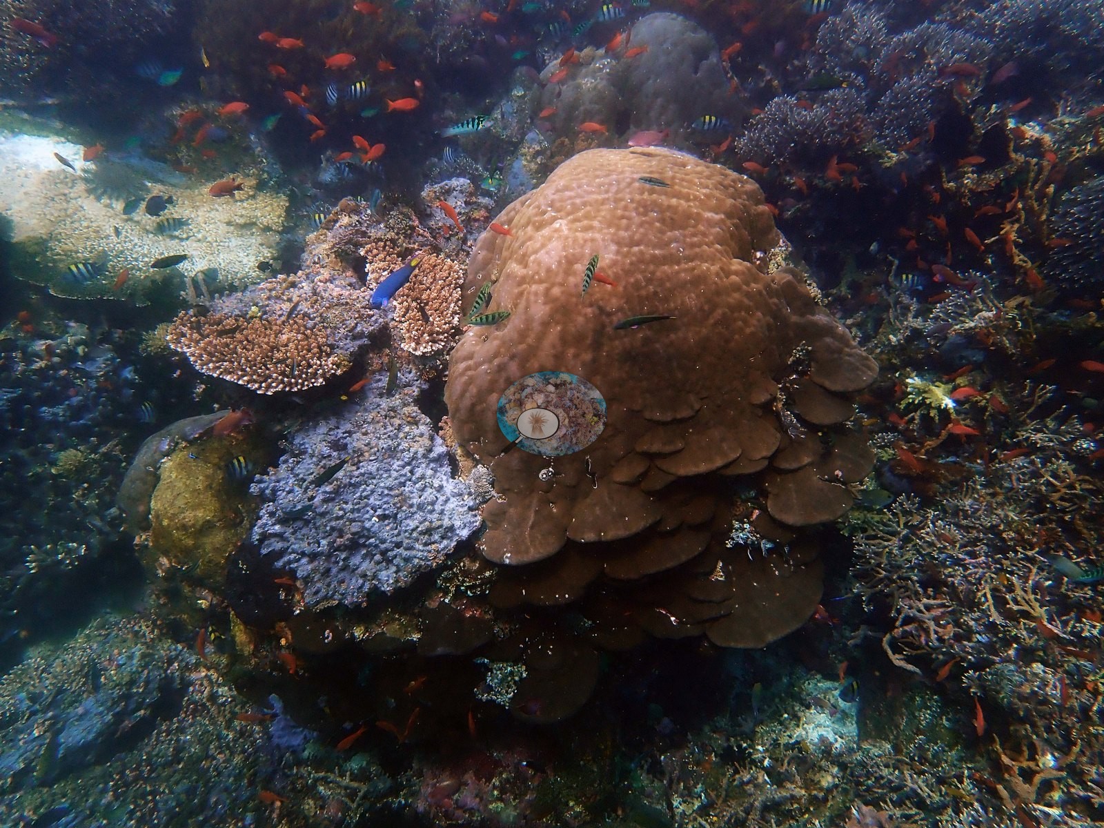
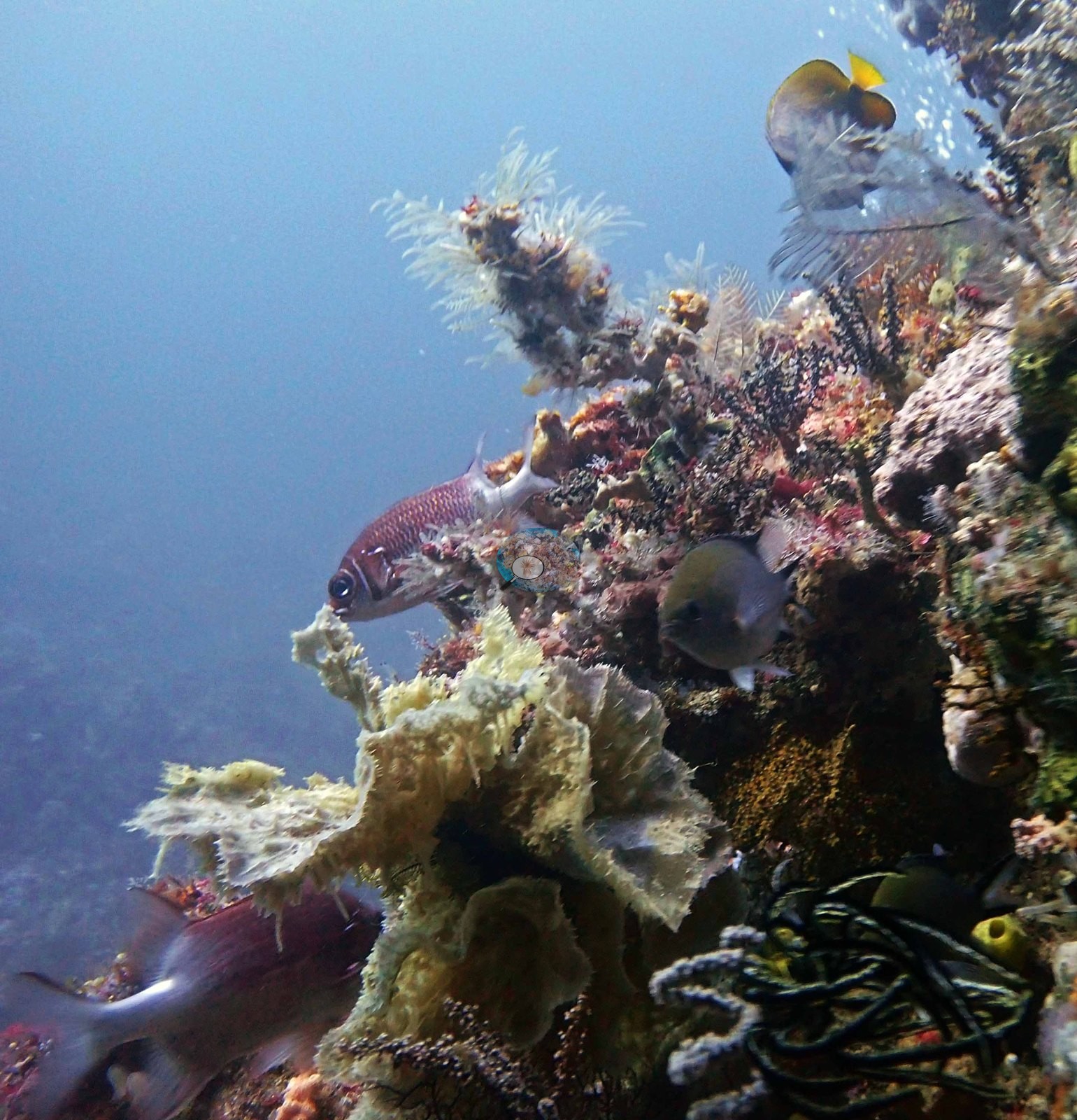
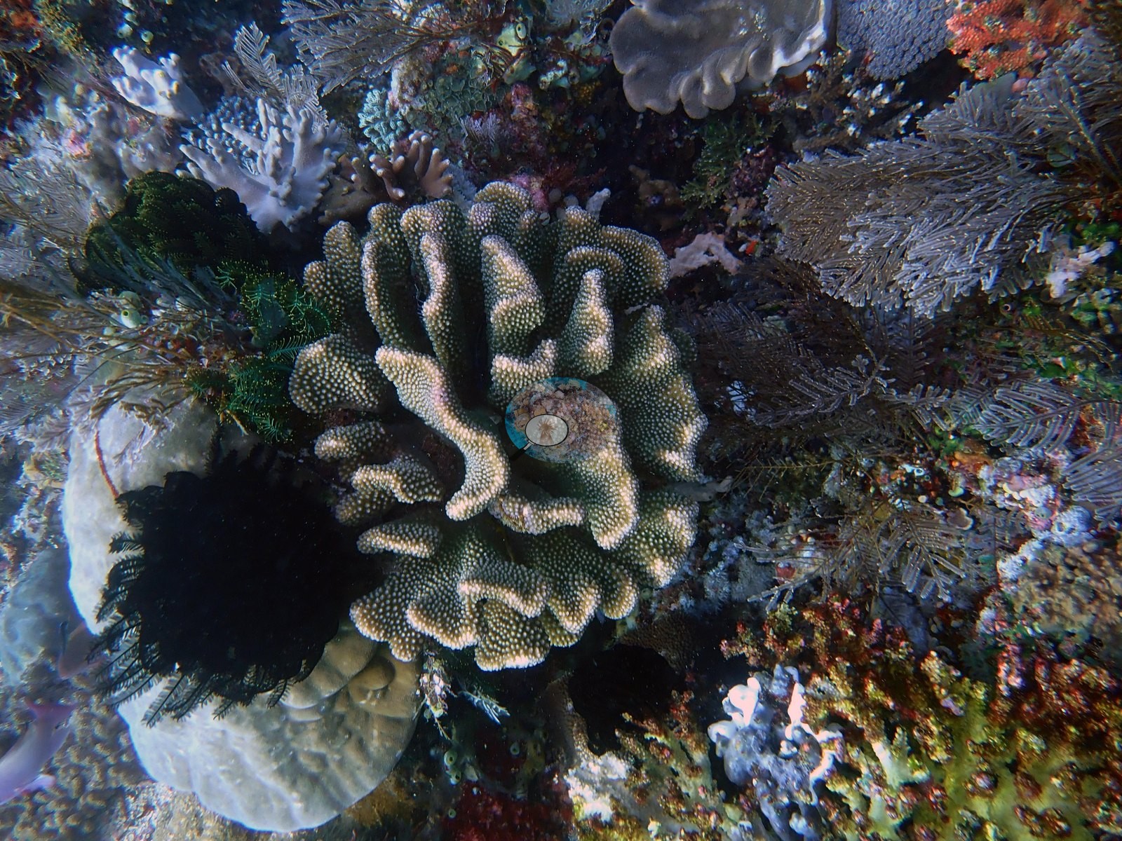
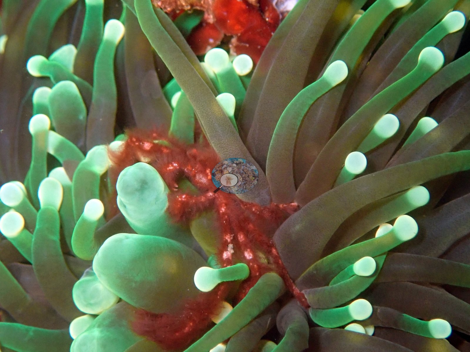
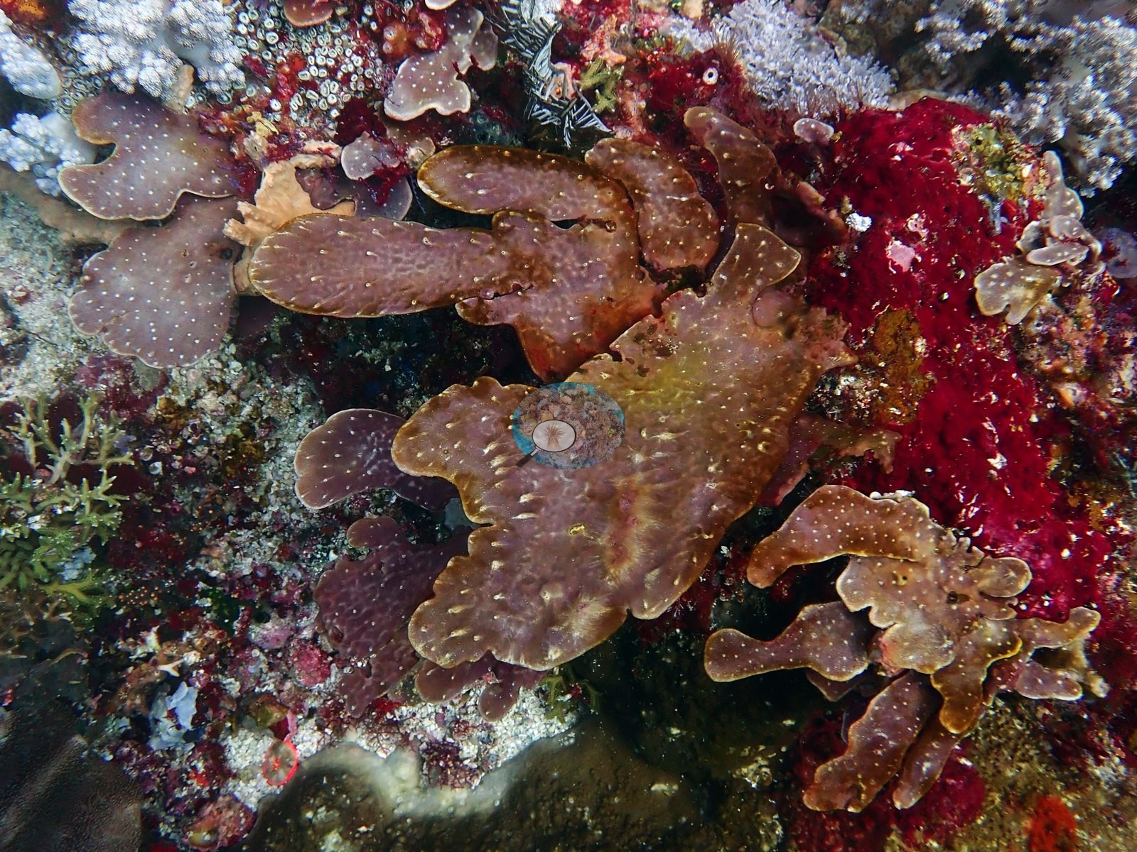
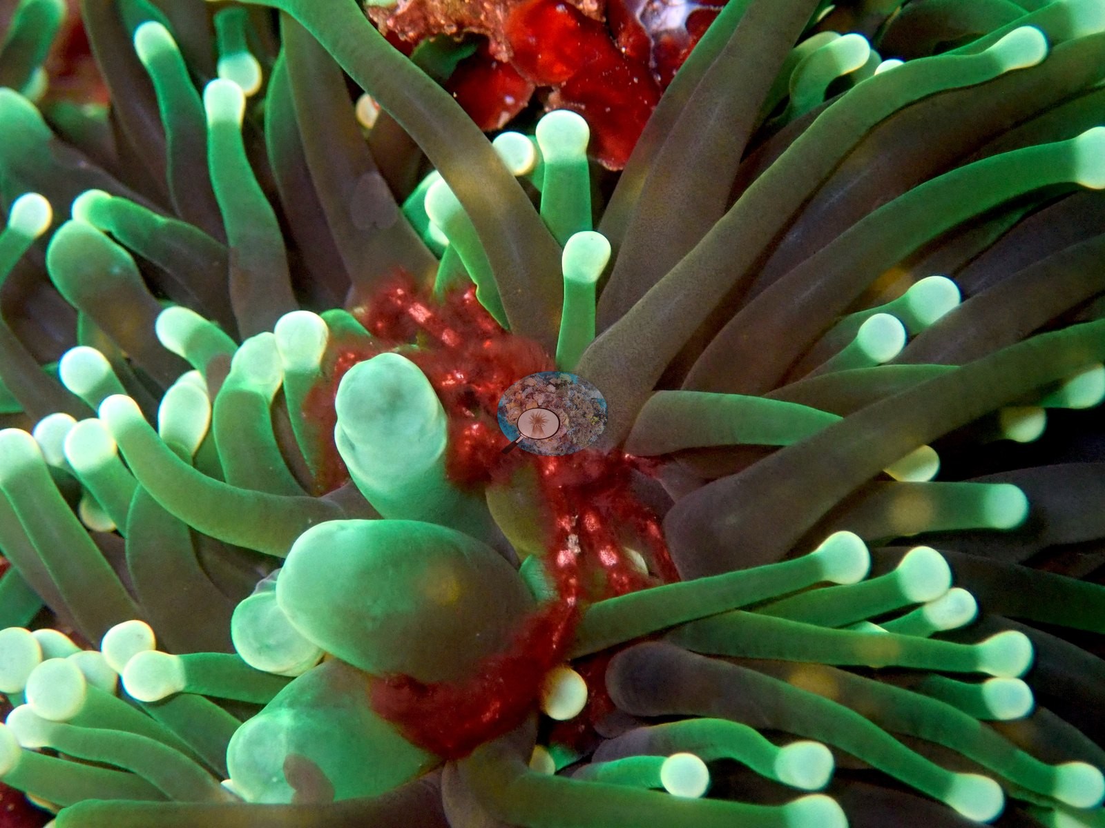
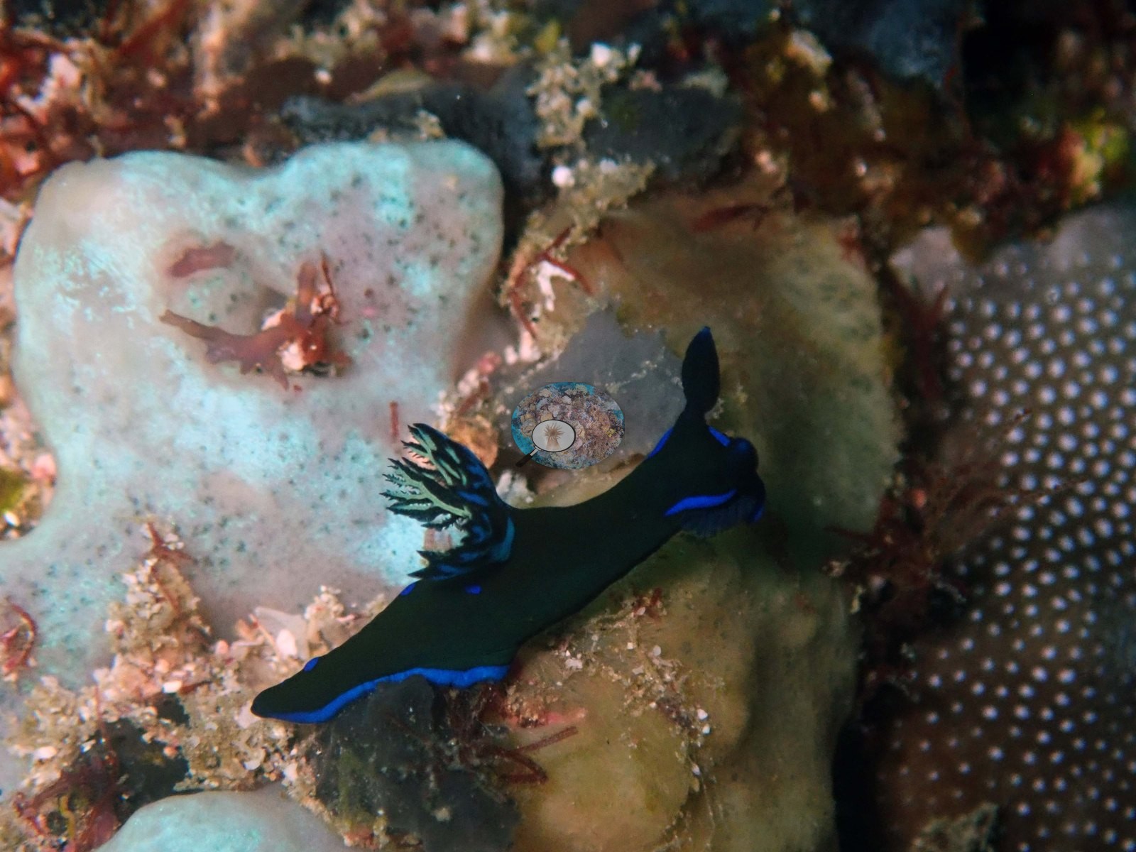
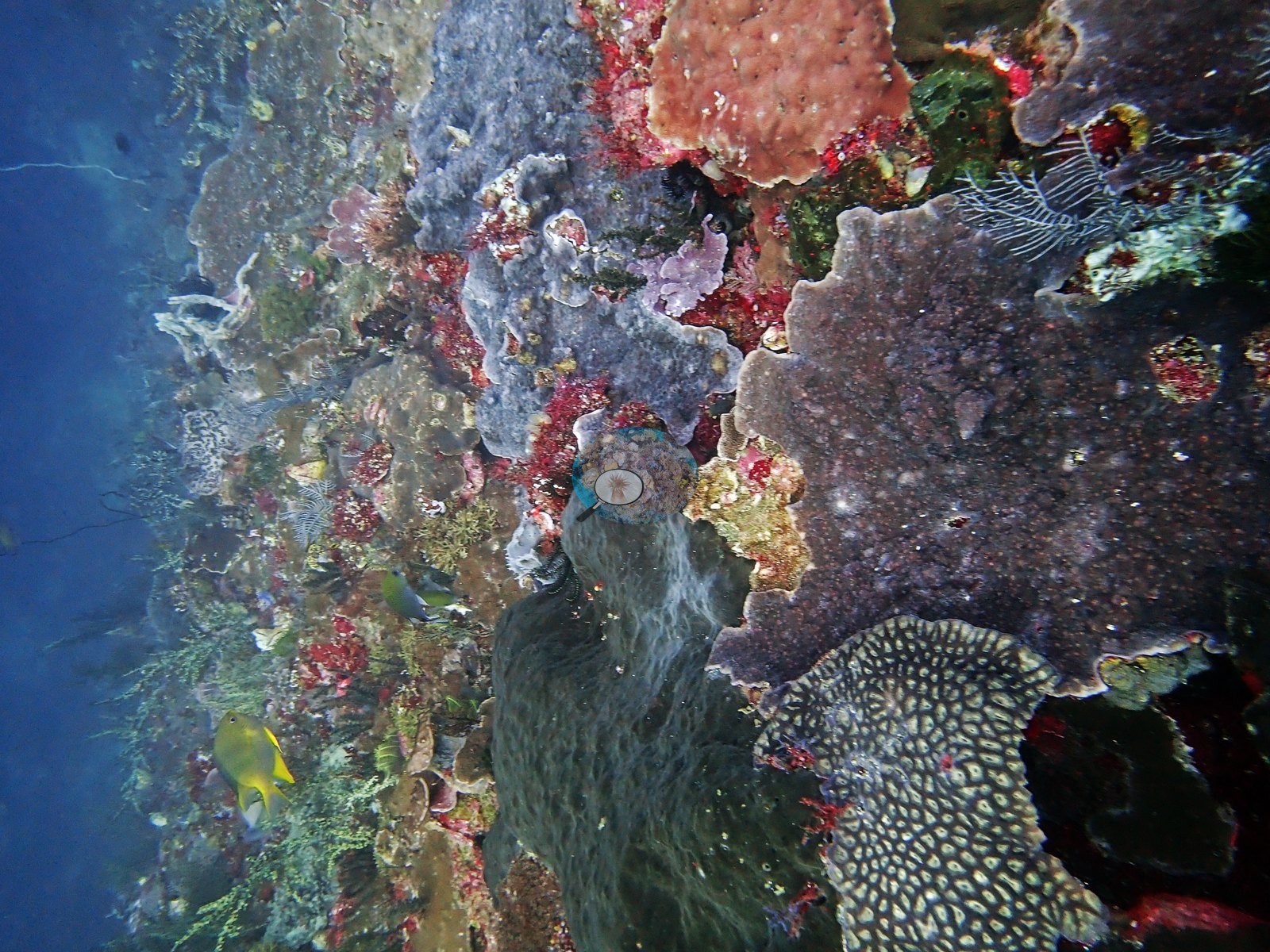
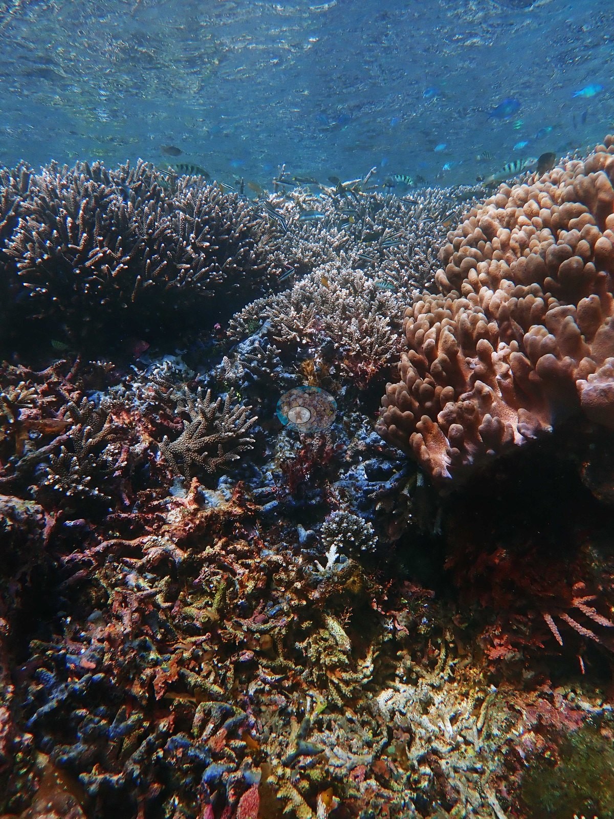
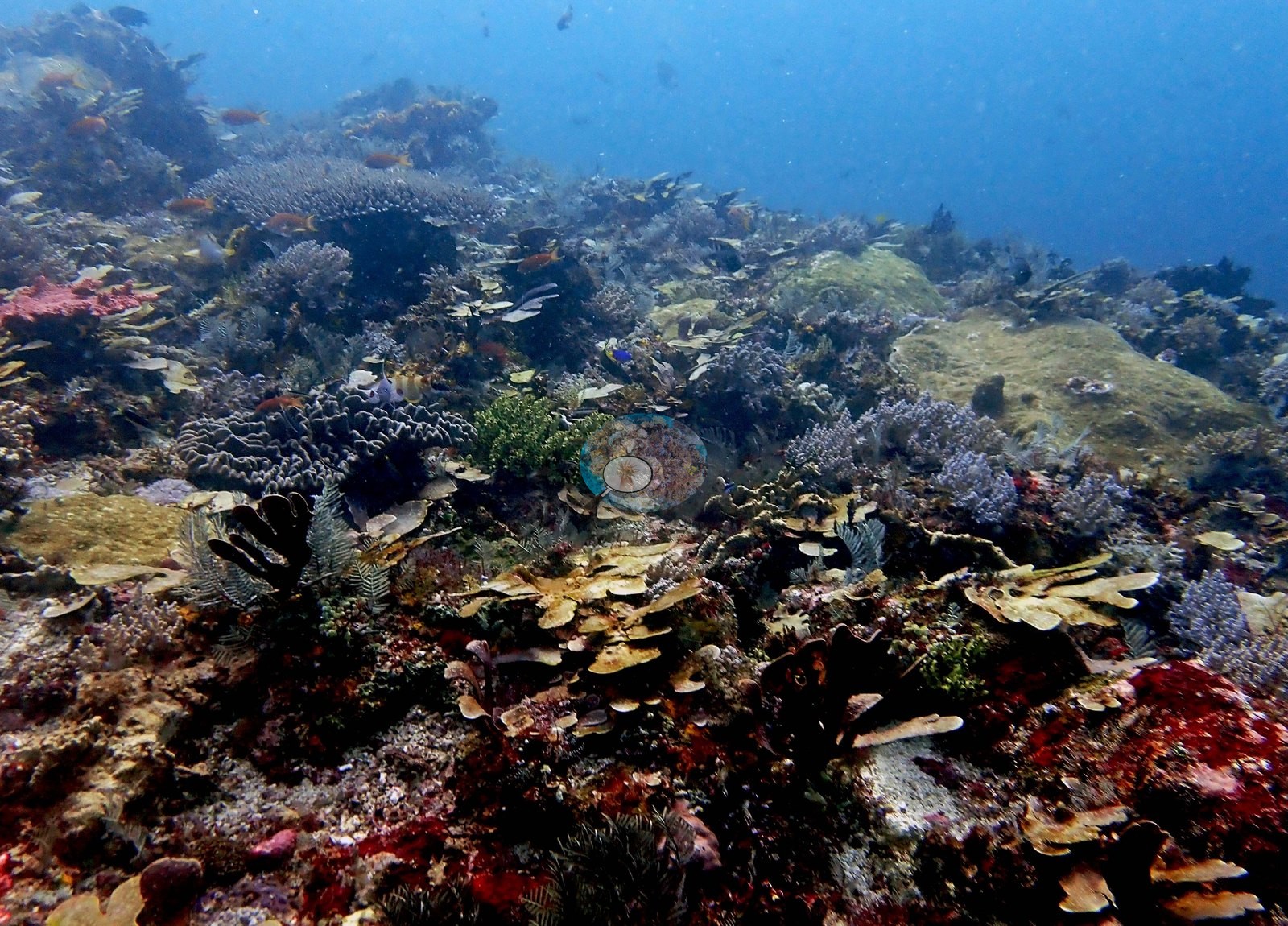
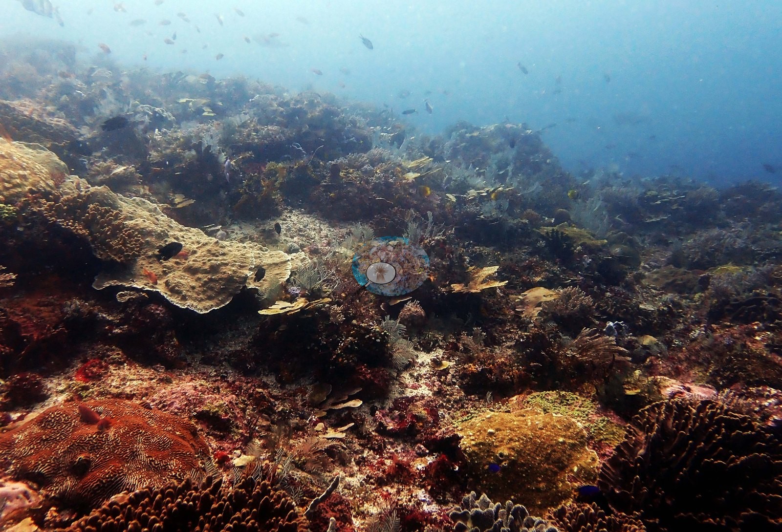
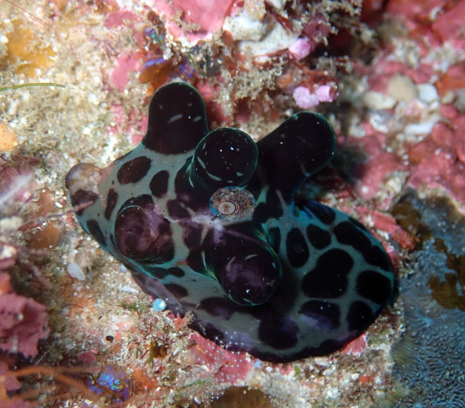
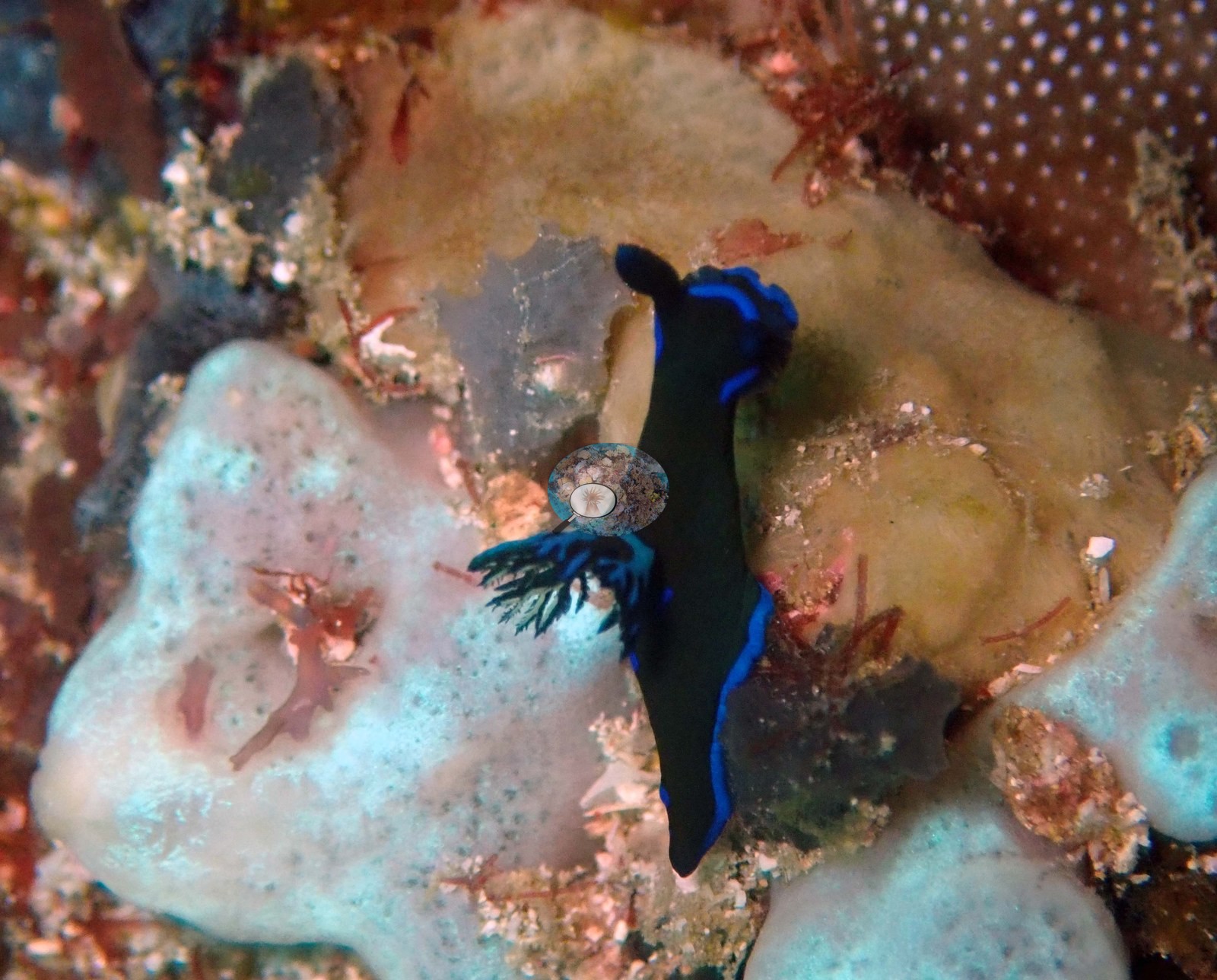
The two remaining frames are macros of the invertebrate life: a large nudibranch, teal with a bold black reticulate pattern and rounded tubercles, on pink crustose coralline algae; and a second, black with a brilliant blue marginal line and blue-tipped appendages, crossing pale sponges (e.g., Image 2, Image 4).
Comparisons with other data
Also on record for this site: At 5-10 m, the hard coral community became more complex: small massive poritids, Pocillopora eydouxi, Pocillopora acuta, Seriatopora hystrix, Diploastrea. average live coral cover still high @ 20-25 m, Pachyseris, few large fish, though occasional large snapper and batfish. Many never-before-seen plating coral species. Wall (deep) dominated by non-coral invertebrates in many places. Very high fish biomass in areas, albeit with low mean size. Acropora growing to just below surface (0.5 m).
Dive record
One dive, 22 January 2019, 07:52, 58 minutes, max 27.7 m by his log, 25-26 degrees C, and 10 m visibility, which he called poor.
CV model comparison
More info
DINOv3 and CoralSCOP were run on the same photos and are listed for comparison. Coralscapes v2 and v1 were also run but are not shown: Anderson does not consider Coralscapes reliable for these photos. No diver transect exists for this trip, so agreement between the rows is not accuracy, and as of September 2026 no computer-vision method estimates coral cover accurately on new images; treat every row as indicative.| Method | Hard-coral cover (%) |
|---|---|
| In-house DINOv3 | 26.5 |
| CoralSCOP edited | 37.7 |
| Claude (edited photos) | 17.5 |
Independent surveys nearby
Within 5 km, 1 independent survey station recorded hard coral cover in 2016. The most recent nearby survey is from 2016, so these values predate recent heat stress. This site's own estimate (18%) sits 49.8 points below the range of these surveys (67%); the methods differ, so the comparison is context, not a like-for-like test.
Collected by other programs using different methods, so these are context for the figures above, not a like-for-like comparison. Where a station was surveyed more than once the range is shown. Station names are not dive-site names.
| Agency | Site / location | Date | Hard coral cover (%) | Distance | Link |
|---|---|---|---|---|---|
| WWF-US / WWF-Indonesia | TNK05 | 2016 | 67% | 2.69 km | Amkieltiela, Abdillah T, Amkieltiela A, Andradi-Brown D, Lazuardi E. 2016. Komodo MPA. MERMAID |
Data & links
All images from Coral Reef Diagnostics. Data are from Coral Reef Diagnostics and the organizations named in the data-sources table above.
© Coral Reef Diagnostics.