
Hayr Bul Thamah (Bahrain)

Part of the regional summary: Bahrain
More info
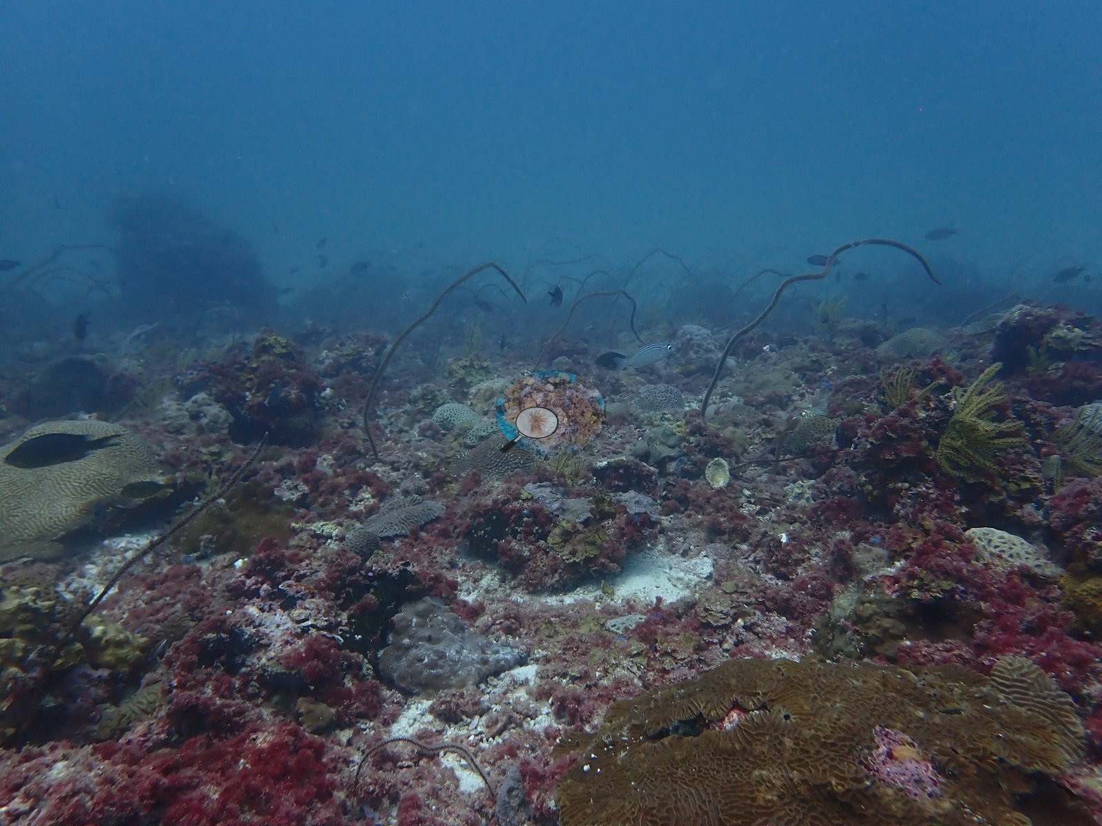
Bahrain (NOAA CRW virtual station)Hayr Bul Thamah is an offshore Arabian Gulf reef where red algal turf now covers most of the rock, with scattered brain corals, sea fans and whip corals, and a single golden branching colony. Reef Check surveys recorded 24-46% coral in 1998-1999 and about 12% in 2000, and later surveys about 15% in 2017-2018; a blind Claude computer-vision point count of the 2024 photographs puts it at 9.9%.
هير بو ثامة شعاب بحرية بعيدة في الخليج العربي يغطي الآن بساط الطحالب الحمراء معظم صخورها، مع مرجانيات دماغية متناثرة ومراوح بحرية ومرجانيات سوطية ومستعمرة متفرعة ذهبية واحدة. وسجلت مسوح Reef Check مرجانًا بنسبة 24-46% في 1998-1999 ونحو 12% في 2000، ومسوح لاحقة نحو 15% في 2017-2018؛ ويضعها عدّ نقاط أعمى بالرؤية الحاسوبية لـClaude لصور 2024 عند 9.9%.
ترجمة هذا الملخص بالذكاء الاصطناعي؛ النص الإنجليزي هو المعتمد.
Three independent survey stations shown with the program’s logo — click one to see how far it is from this site.
These are unedited originals; edited versions will replace them.
This page shows 50 of the 107 photographs from this site, including every one the text cites.
33 of the 50 photographs on this page are shown beside the text that discusses them under "Site description" below.
Site description
Setting
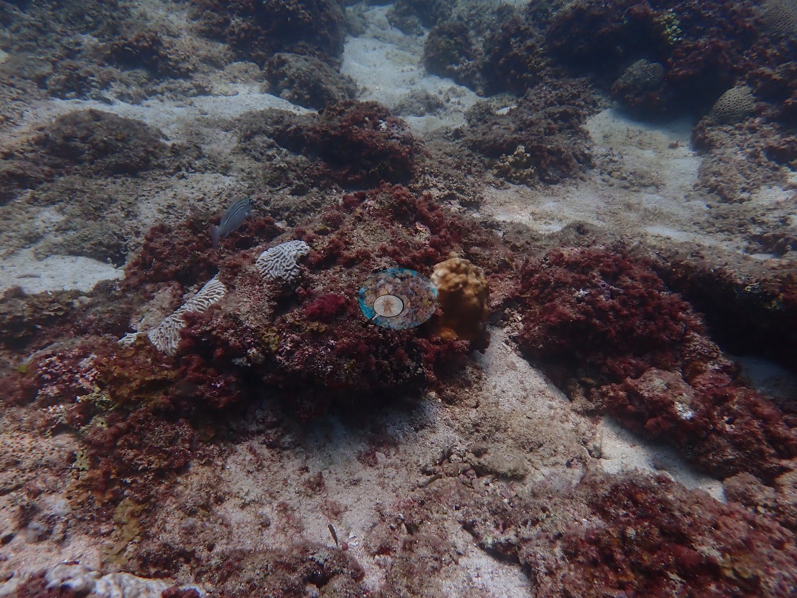
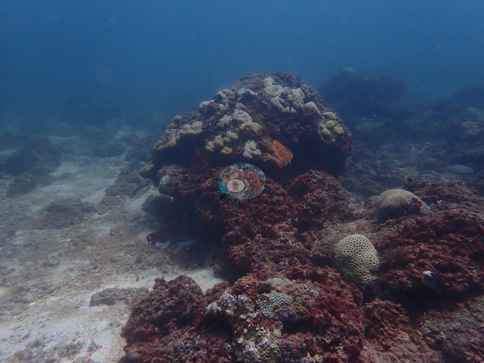
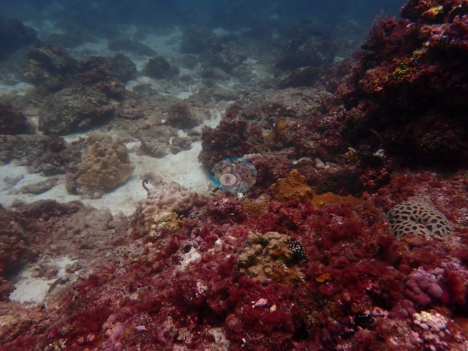
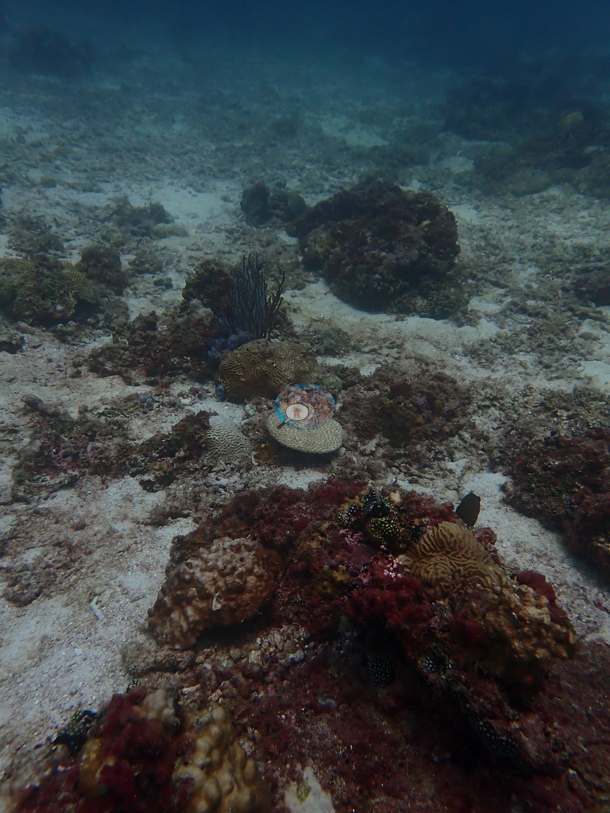
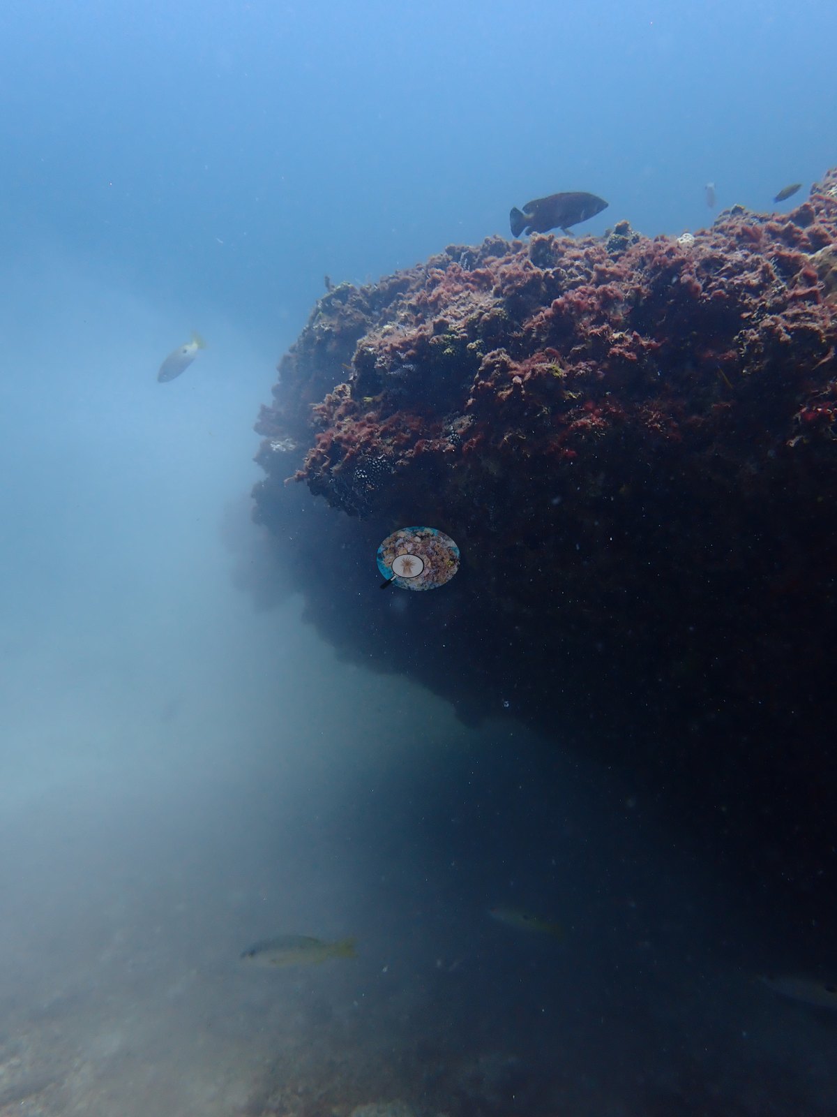
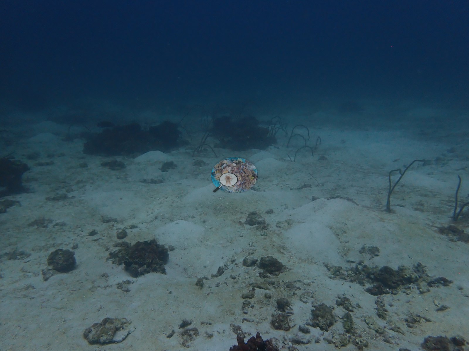
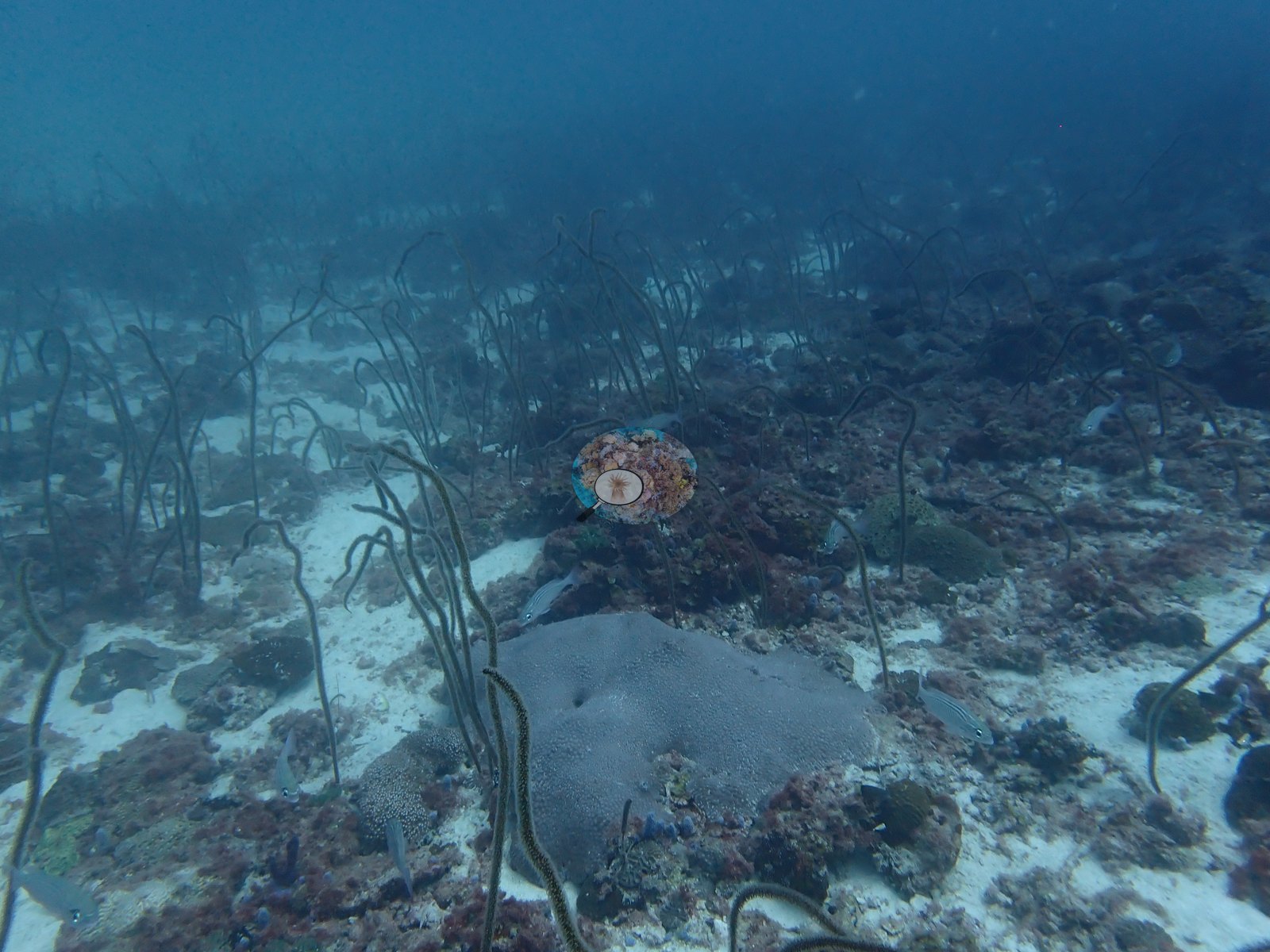
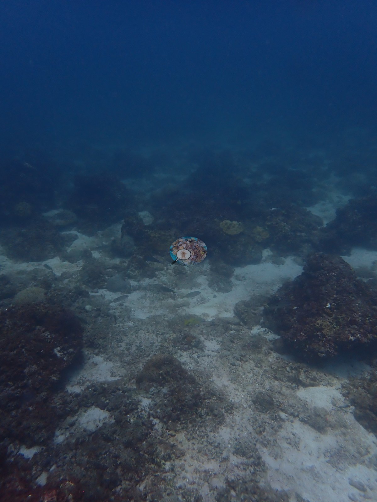
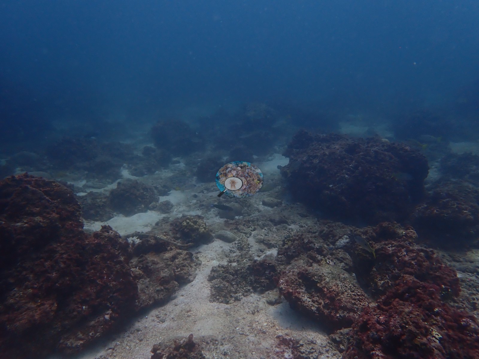
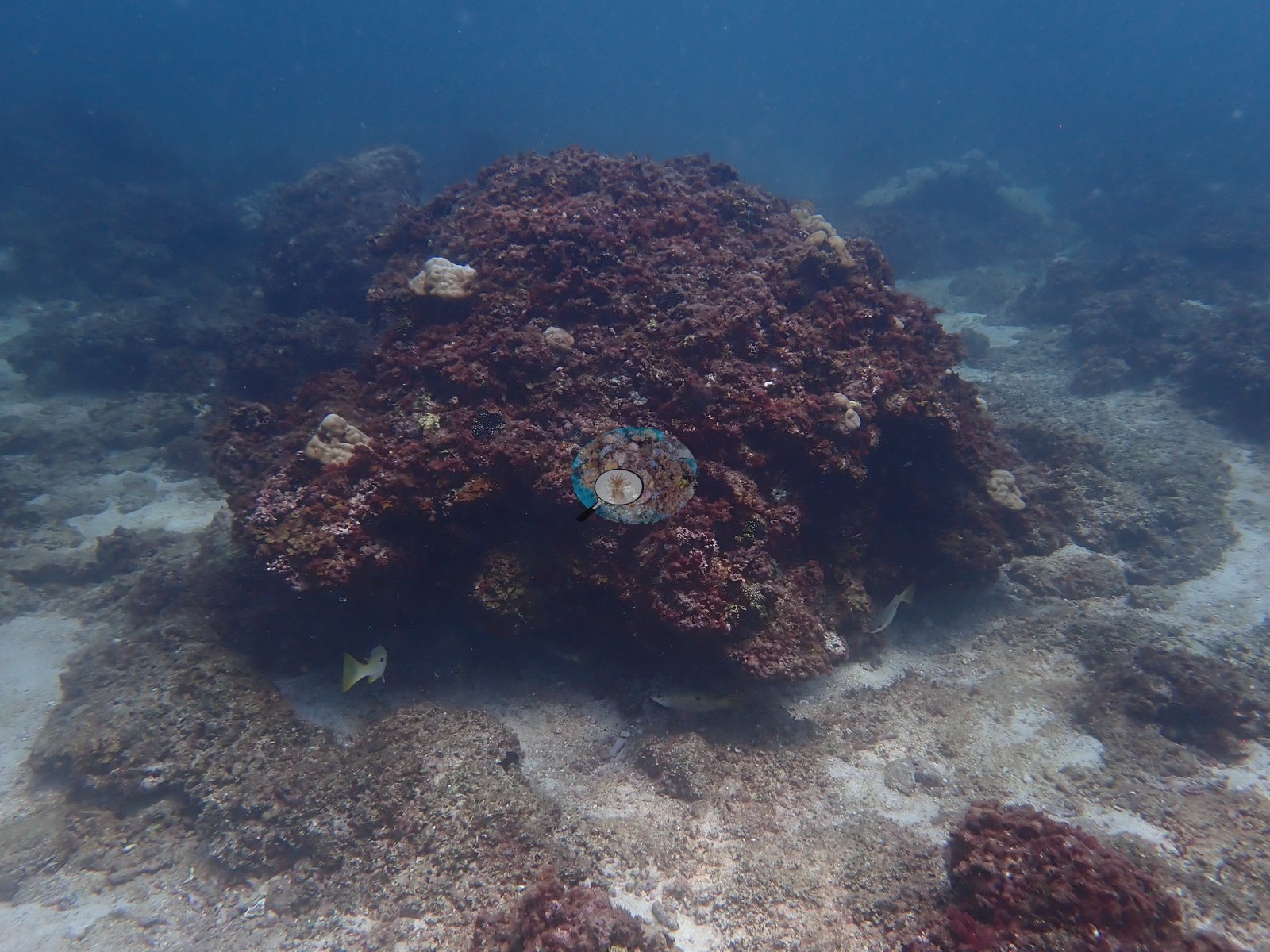
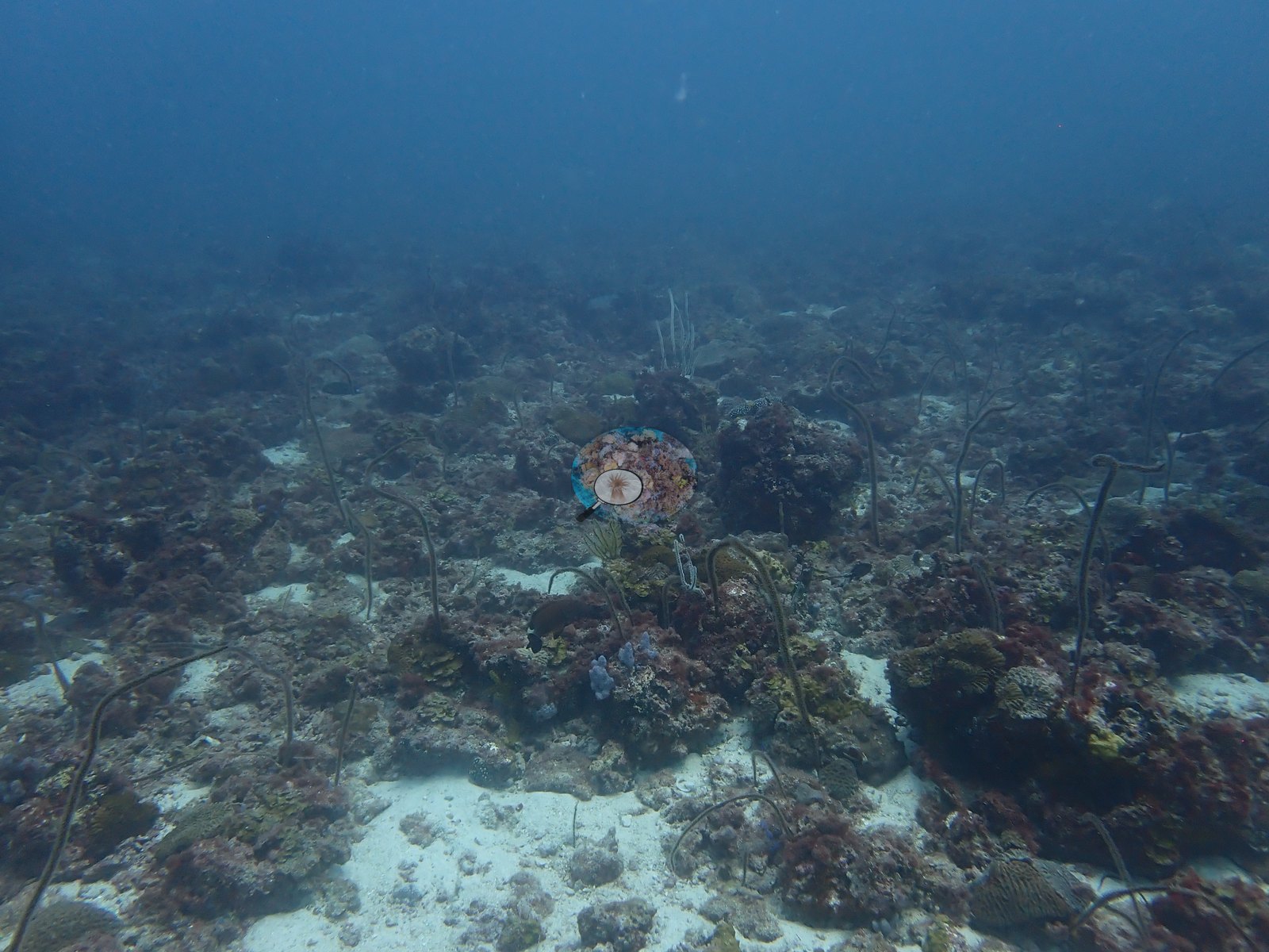
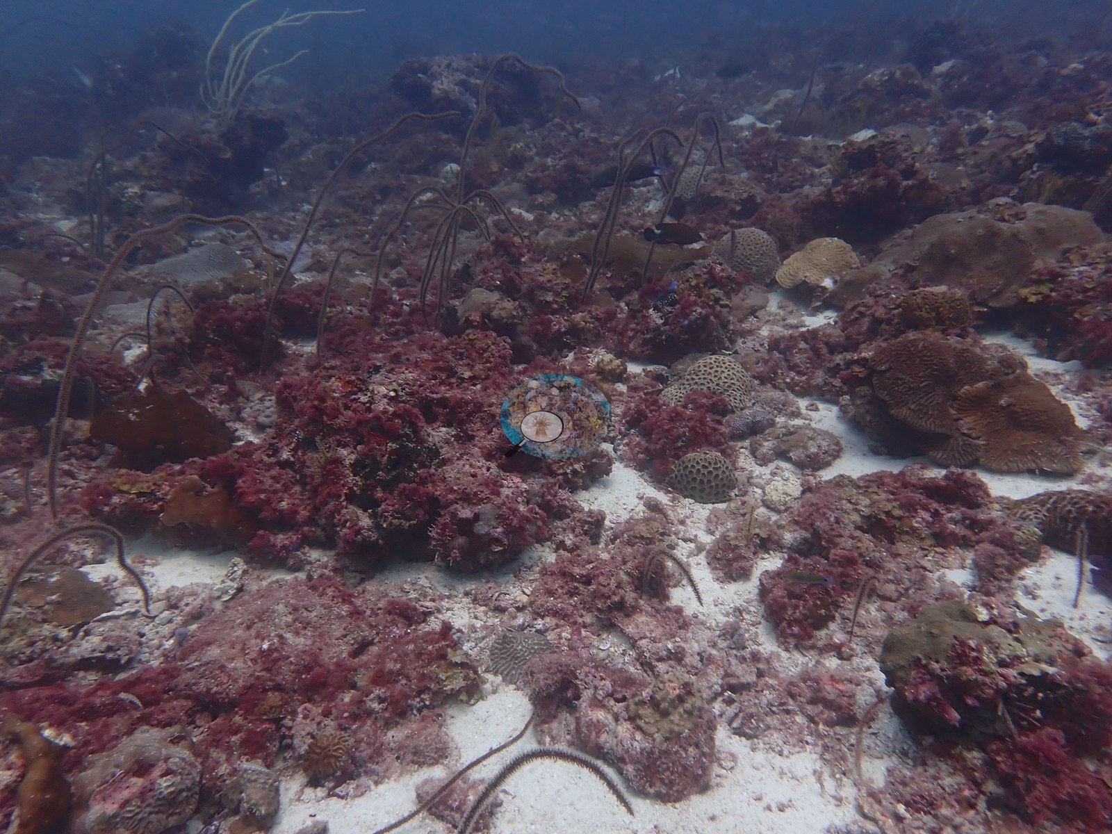
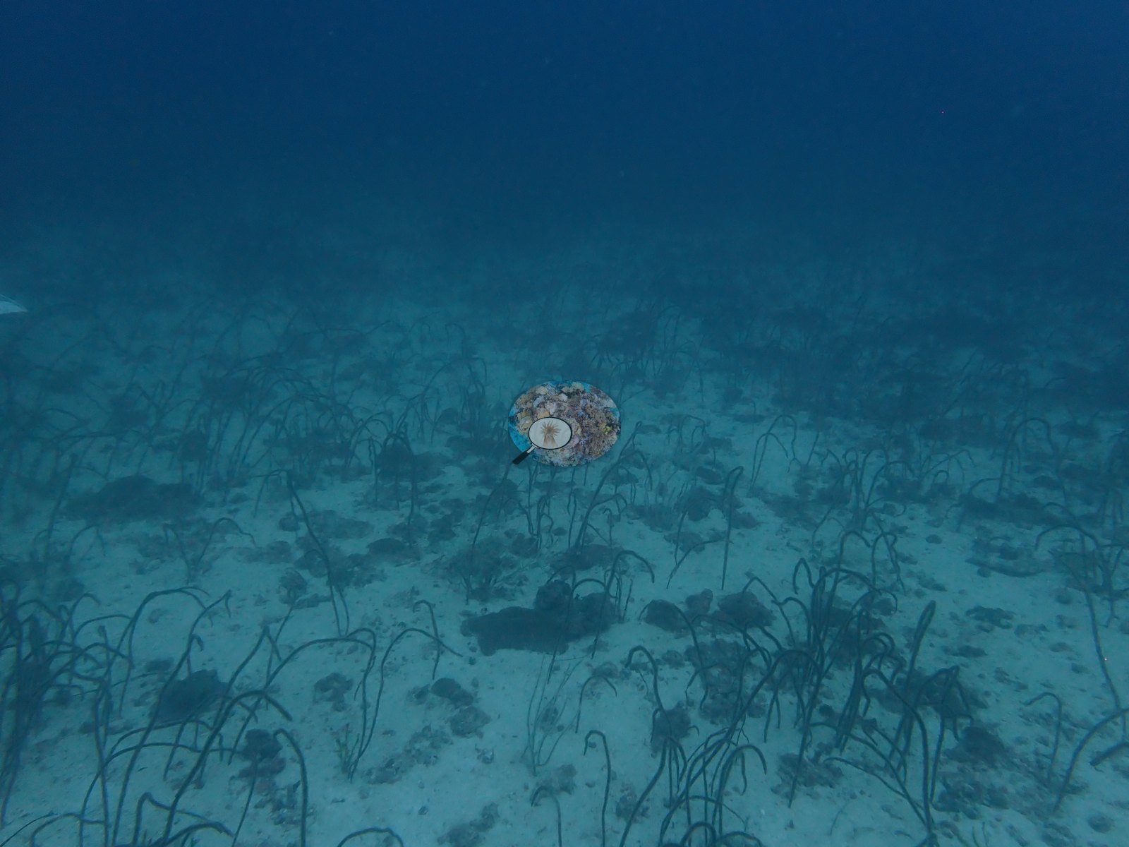
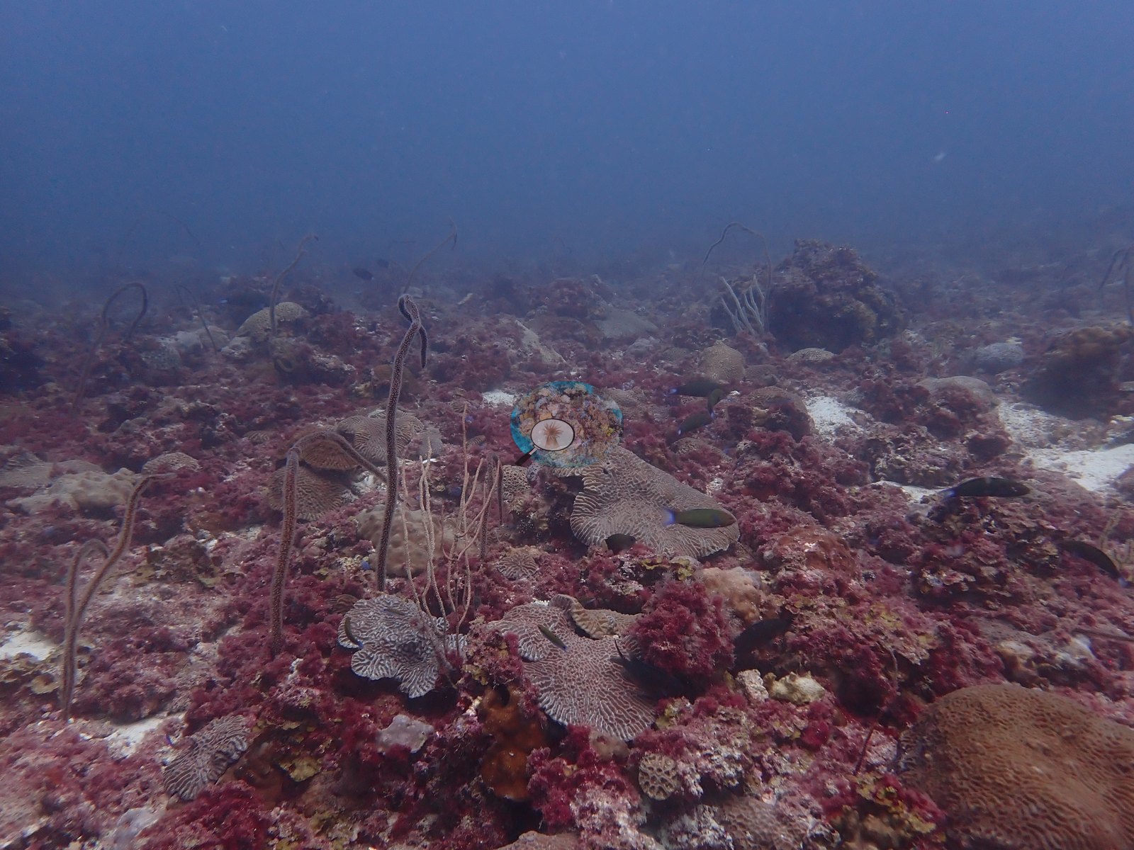
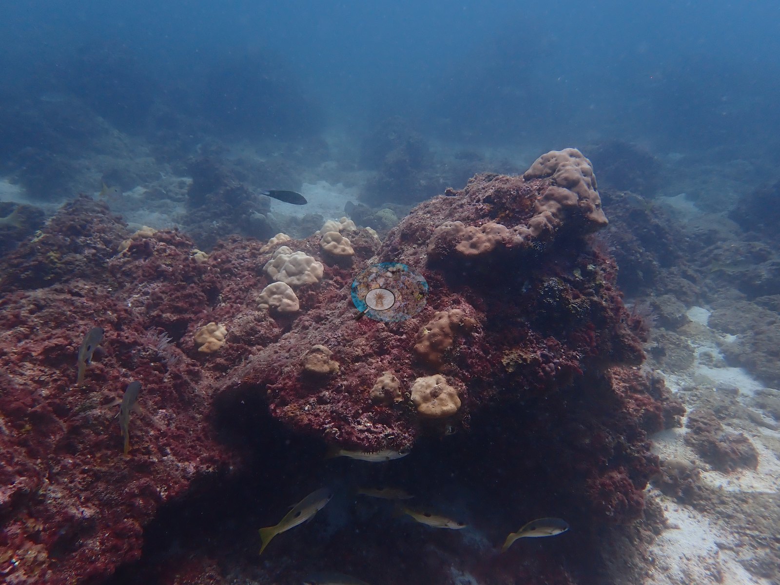
Hayr Bul Thamah (also written Bul Thamah, Bulthama, or Abul Thama) is an offshore reef in the Arabian Gulf, about 80 km northeast of Bahrain's main island, inside a marine protected national park (AlMealla et al. 2024). The map position (26.8878 N, 50.9725 E) is approximate: it is Reef Check's Abul Thama station, because no GPS fix was logged on the dive. The dive crossed two kinds of bottom: low outcrops and boulders separated by pale sand channels (e.g., Image 6, Image 9, Image 11), and a deeper, flatter bottom of rubble and sand with dense stands of whip corals (e.g., Image 5, Image 40, Image 51).
Sea Addicts, the dive center we dived with, describes its Abu Thalma trips as drift dives about 80 km from Amwaj Marina, averaging 10 m, in mild to strong current; that is the operator's published description, not a measurement from this dive.
General benthic features
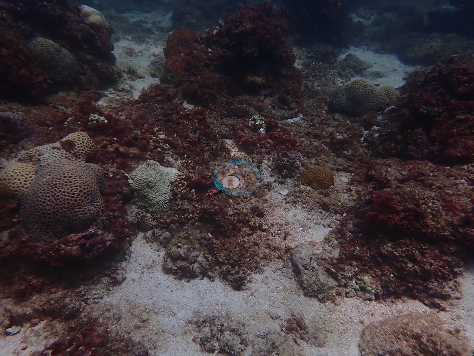
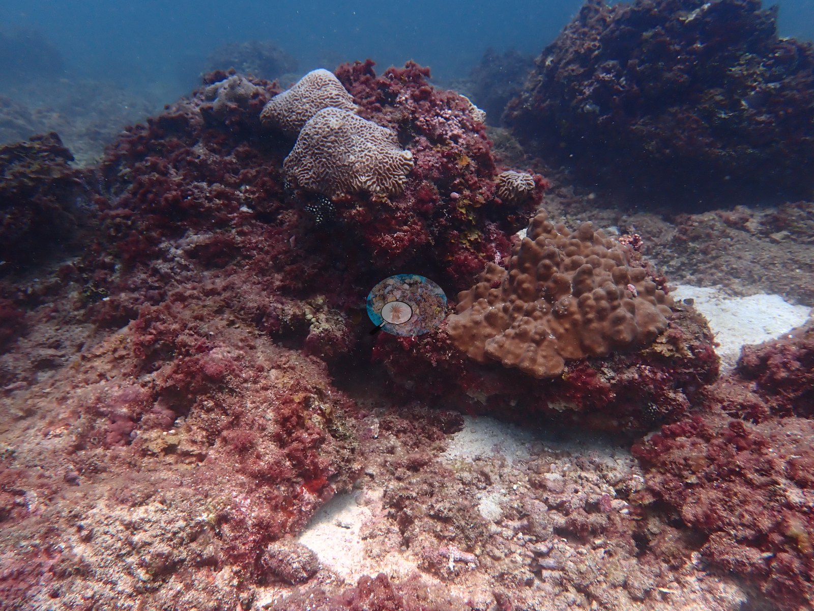
Red algal turf is the dominant cover; it carpets the outcrops and boulders, often so thickly that the rock beneath is hidden (e.g., Image 11, Image 13, Image 22).
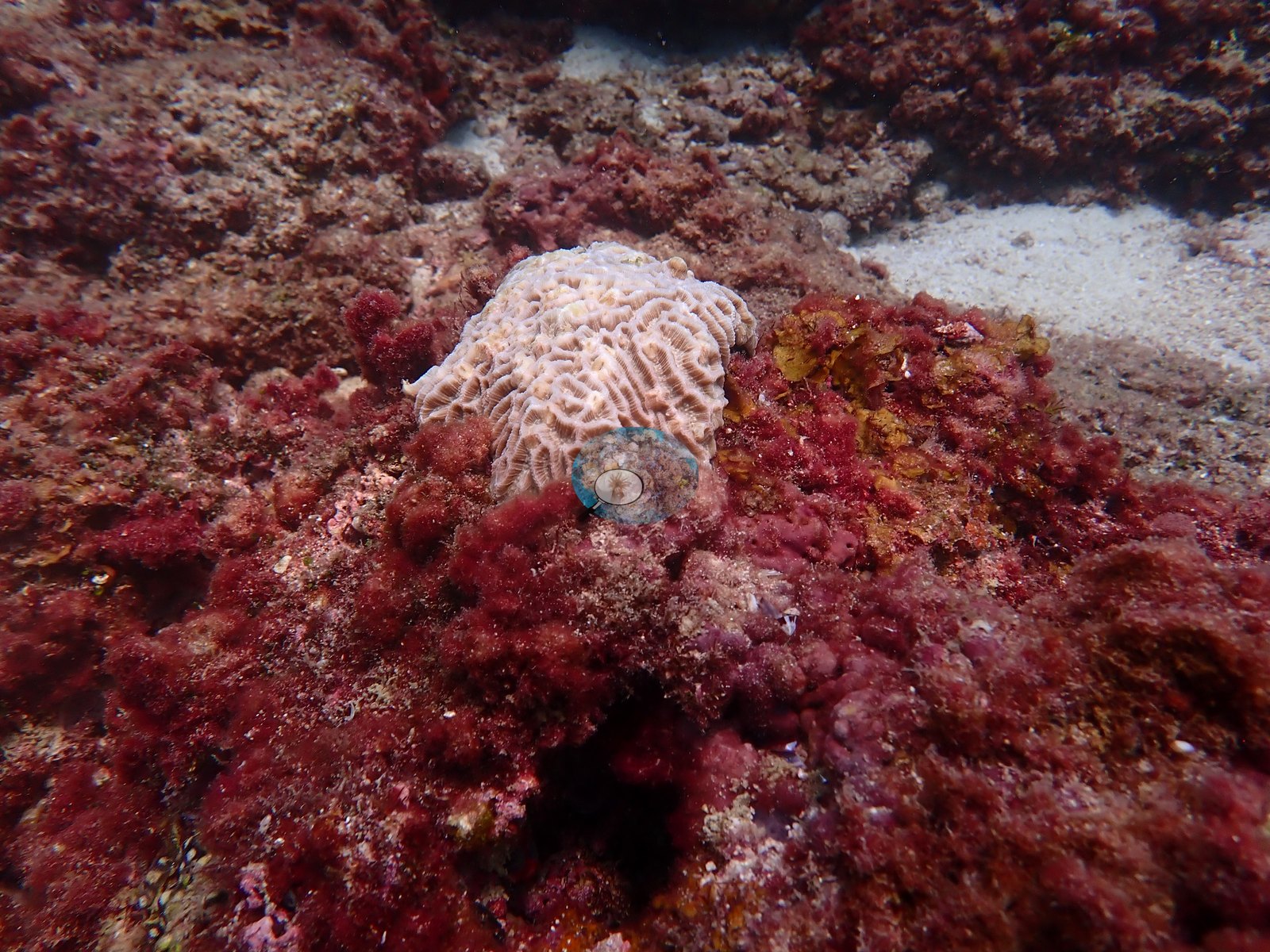
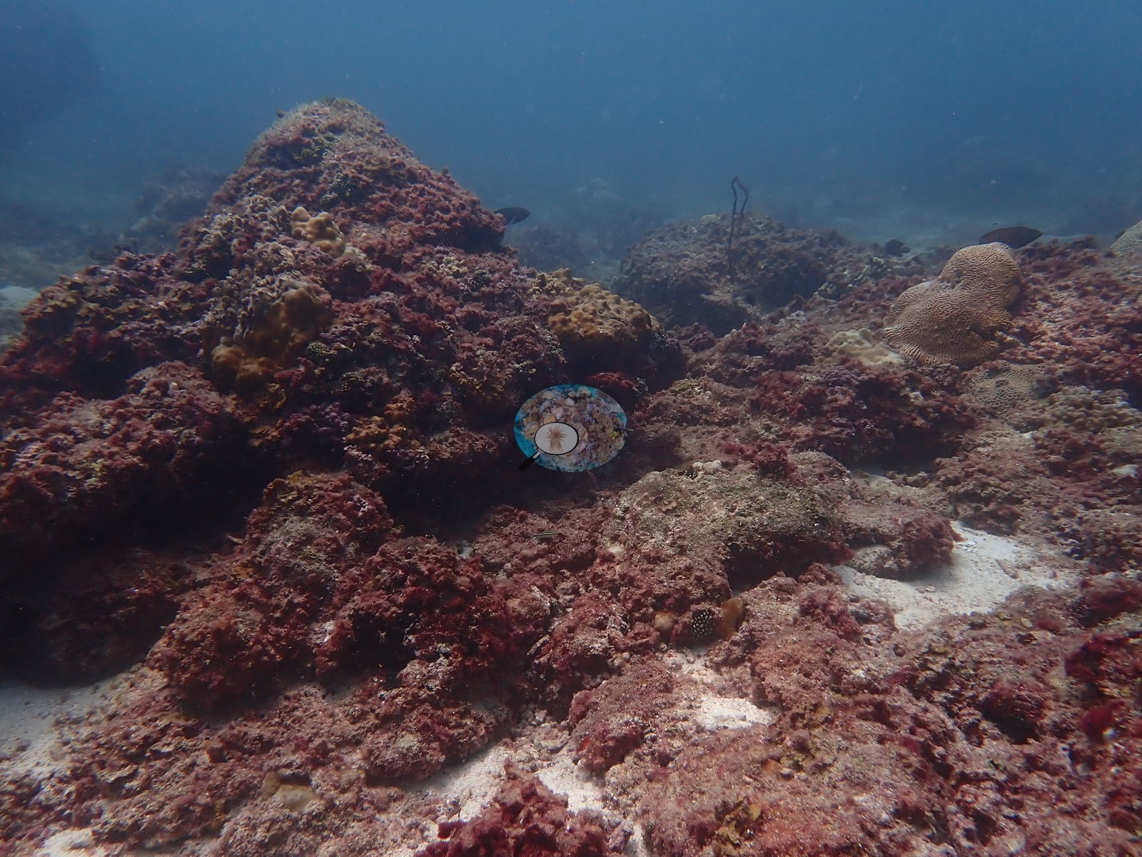
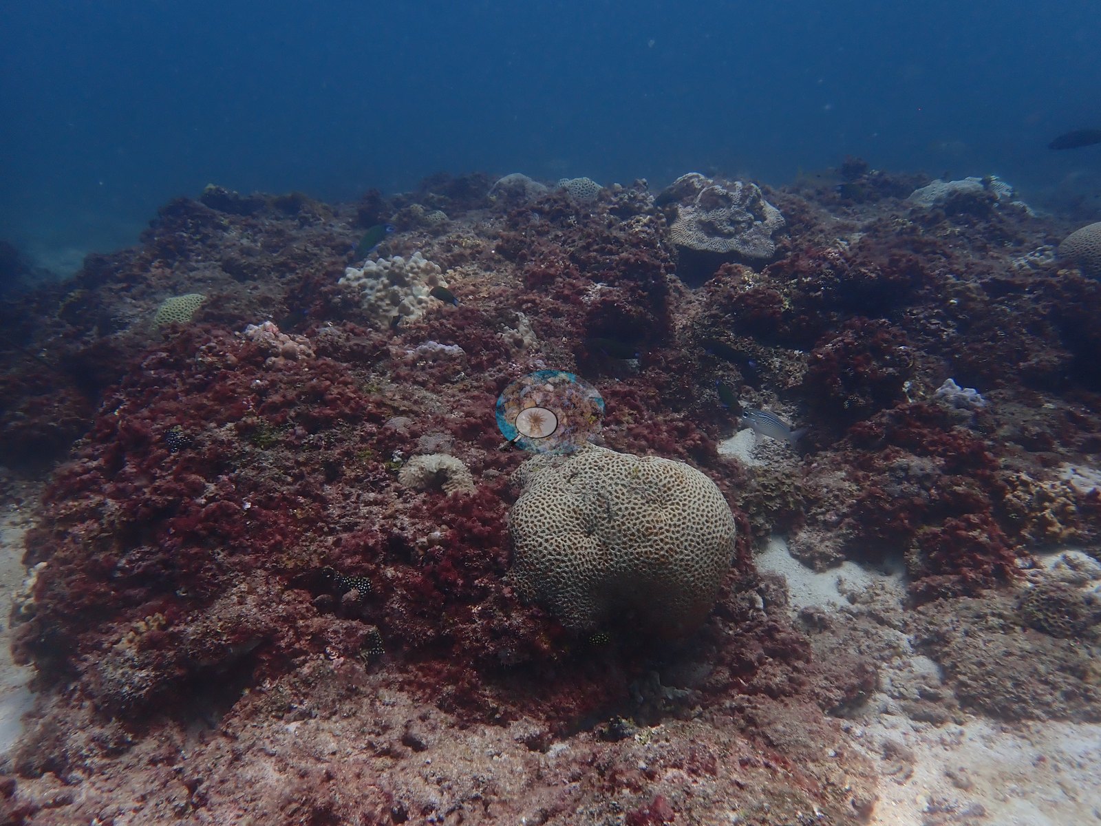
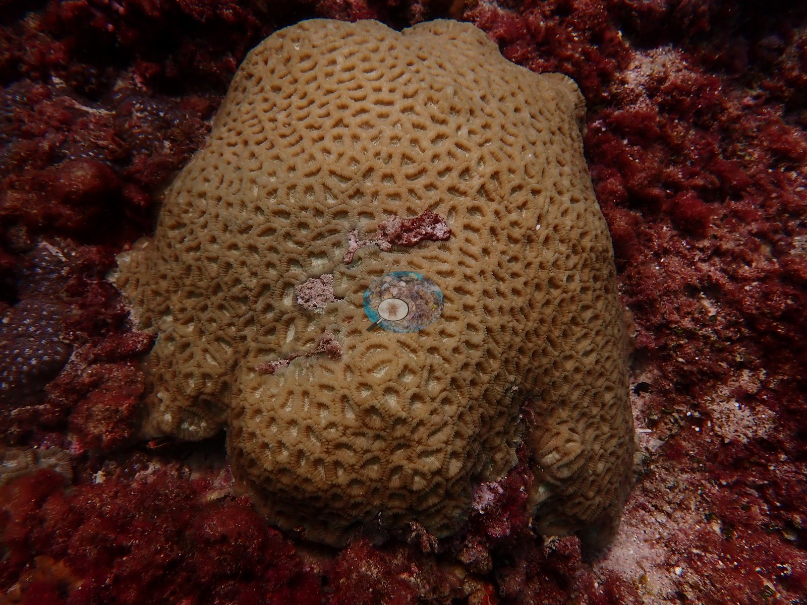
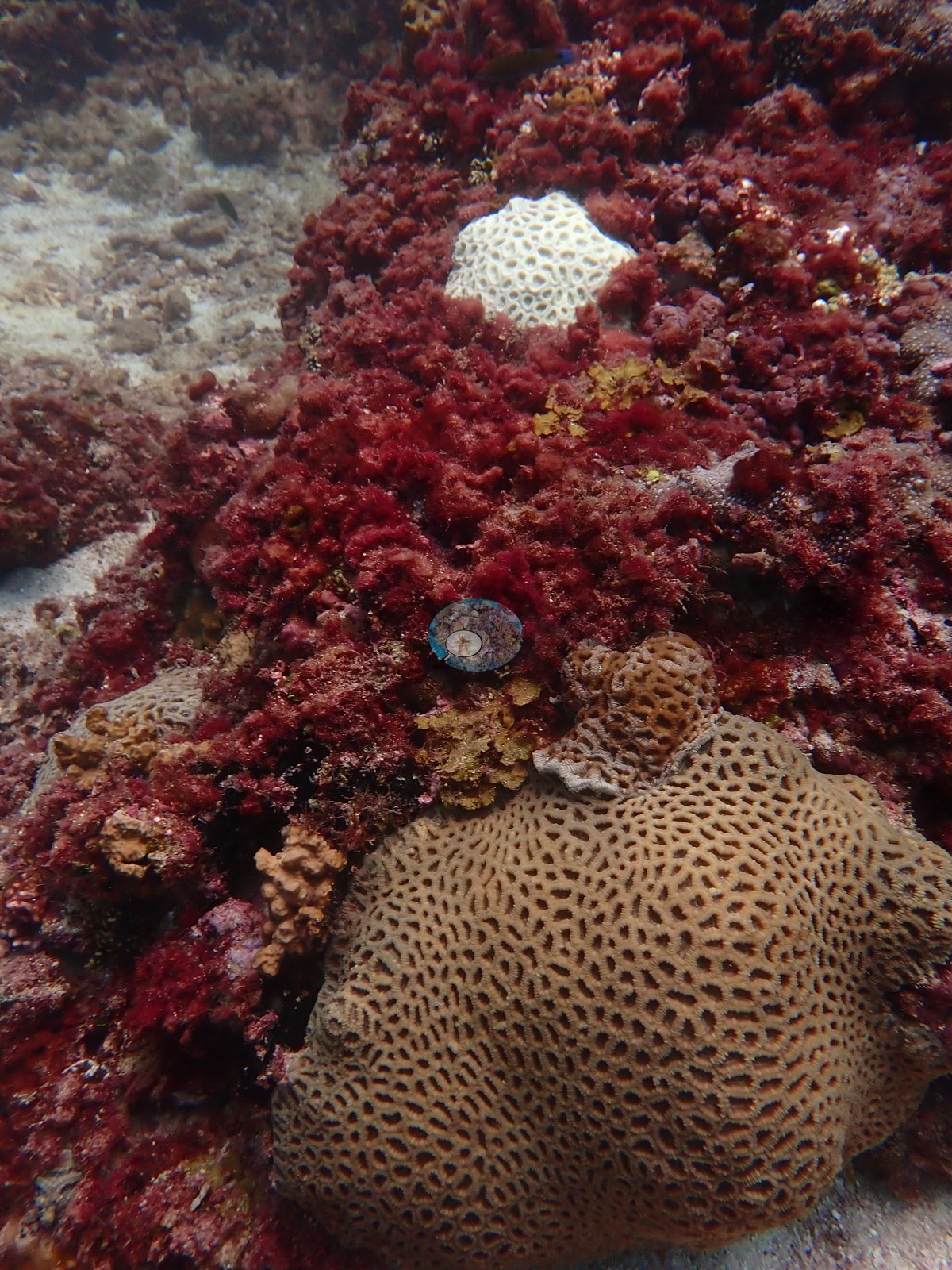
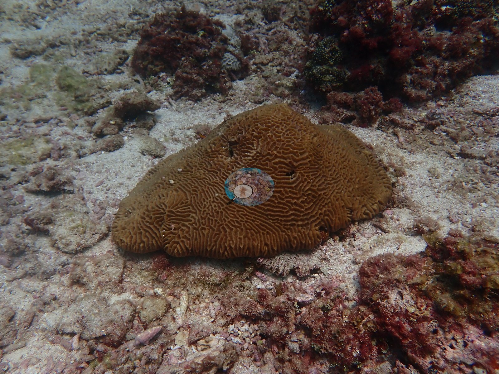
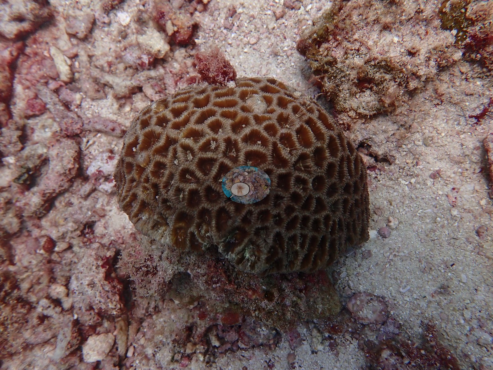
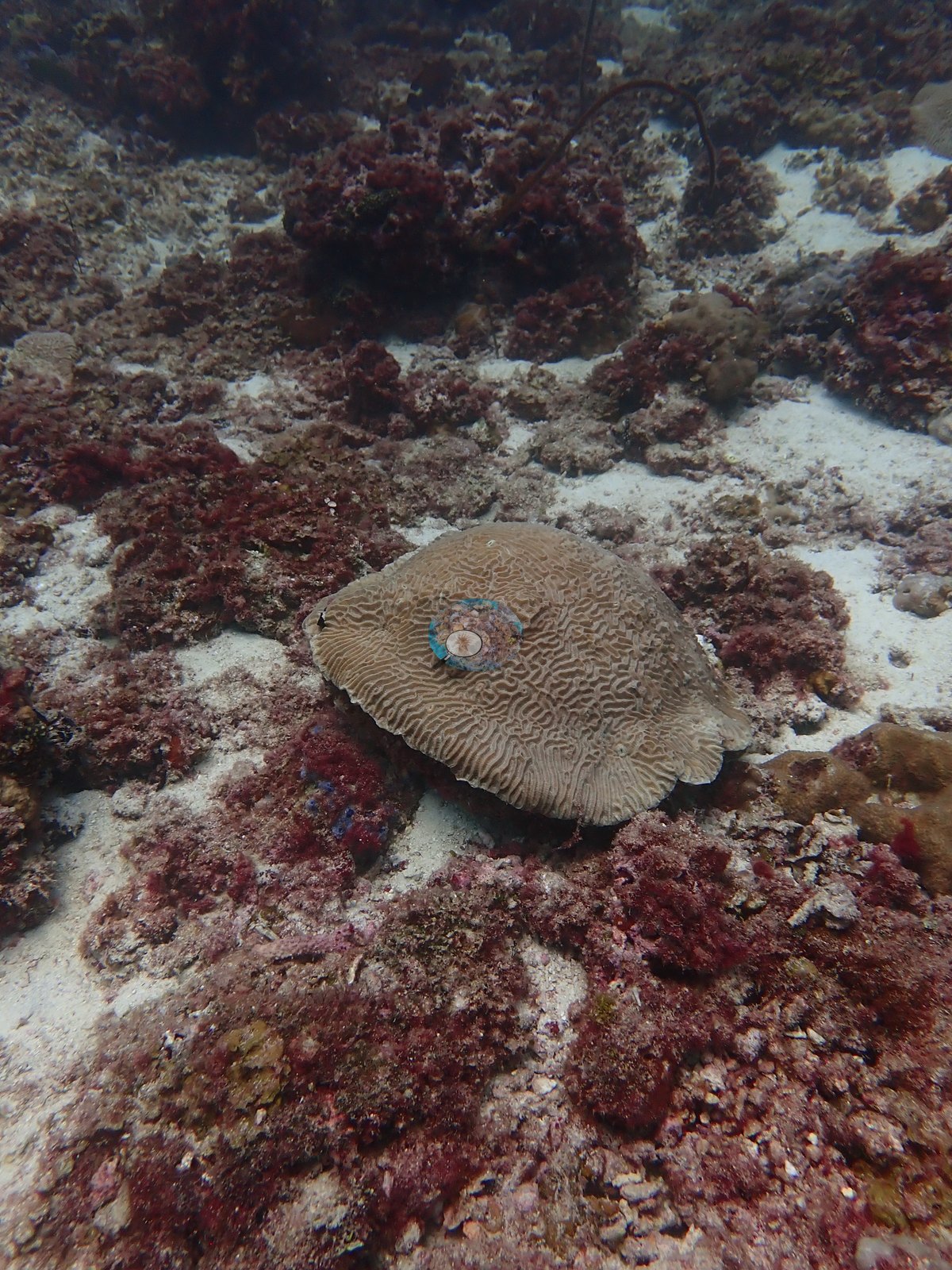
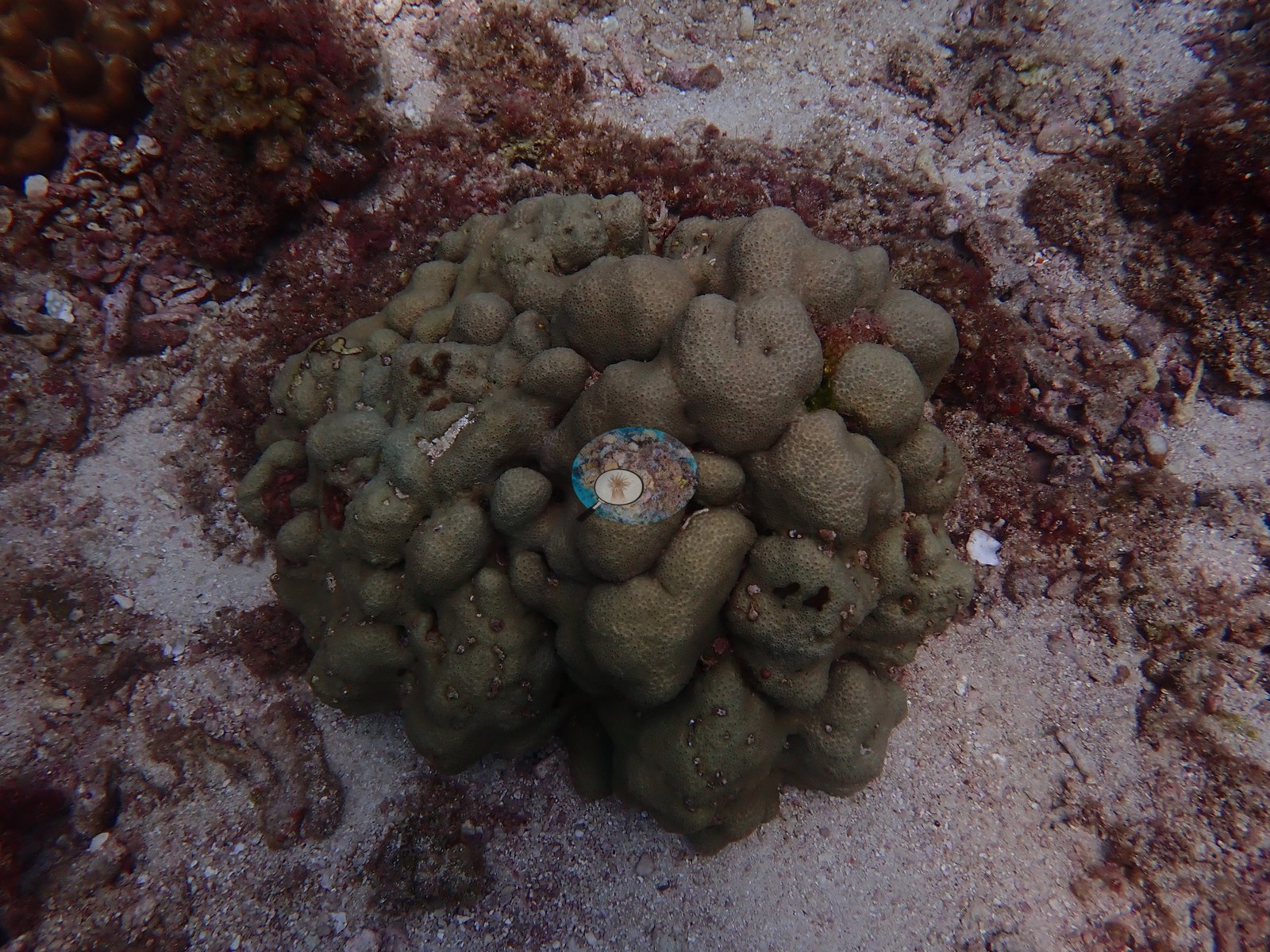
The hard corals are mostly scattered massive colonies: brain and meandroid forms, rounded heads with large polygonal corallites, and lobed or knobby colonies, set among the turf or on open sand (e.g., Image 3, Image 8, Image 10, Image 14, Image 17).
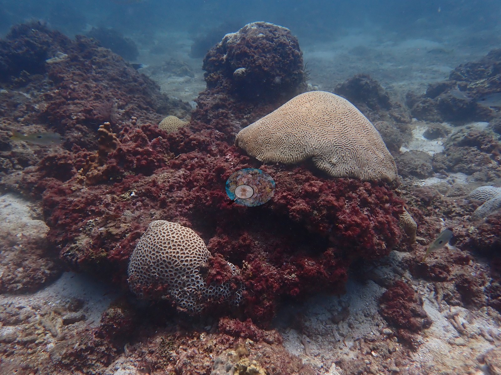
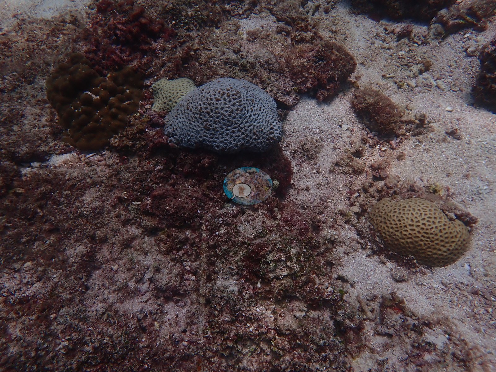
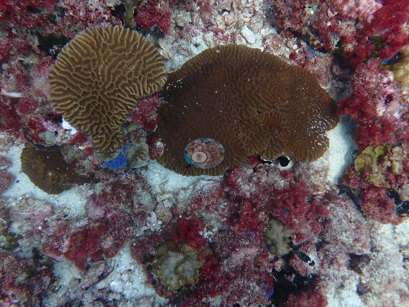
In the deeper zone, flatter plating and encrusting meandroid colonies cluster on the rubble between the whip corals (e.g., Image 4, Image 46, Image 48), and a few large encrusting colonies spread over the sand (e.g., Image 45, Image 52).
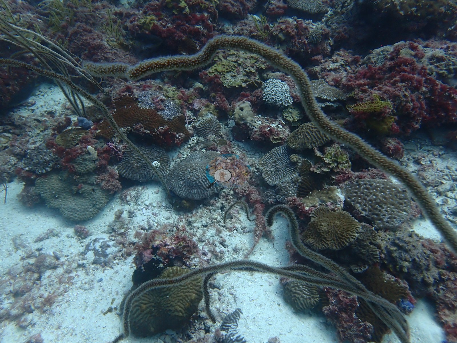
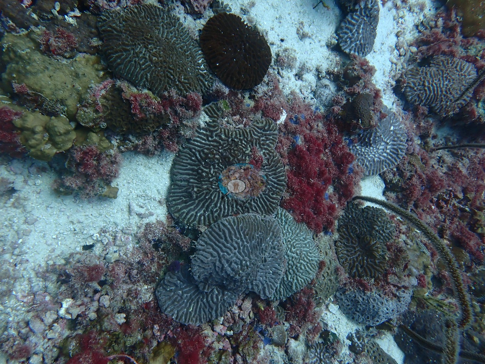
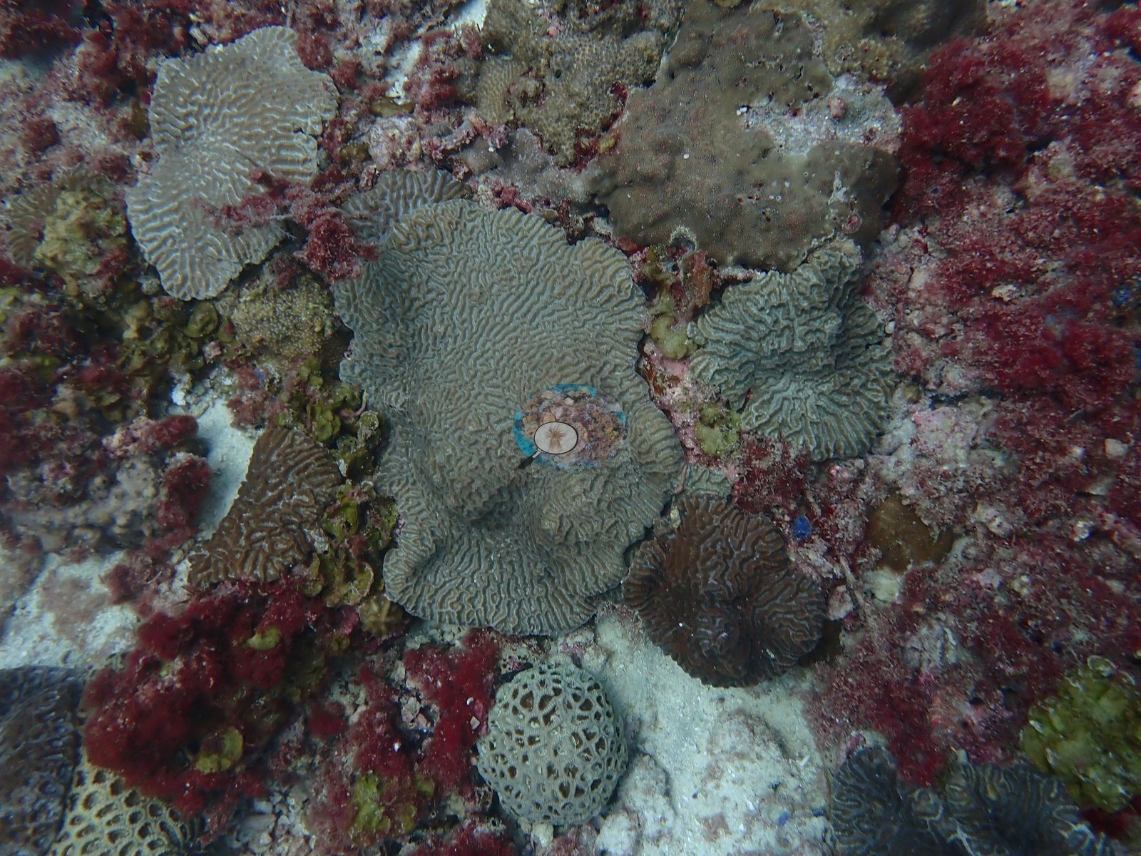
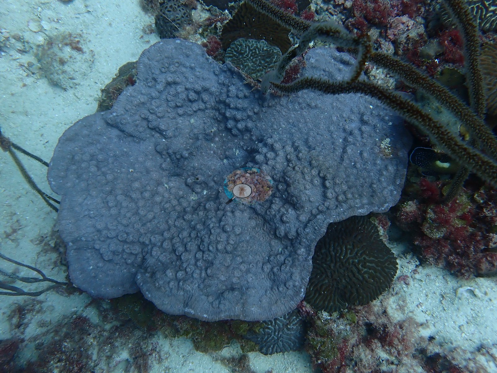
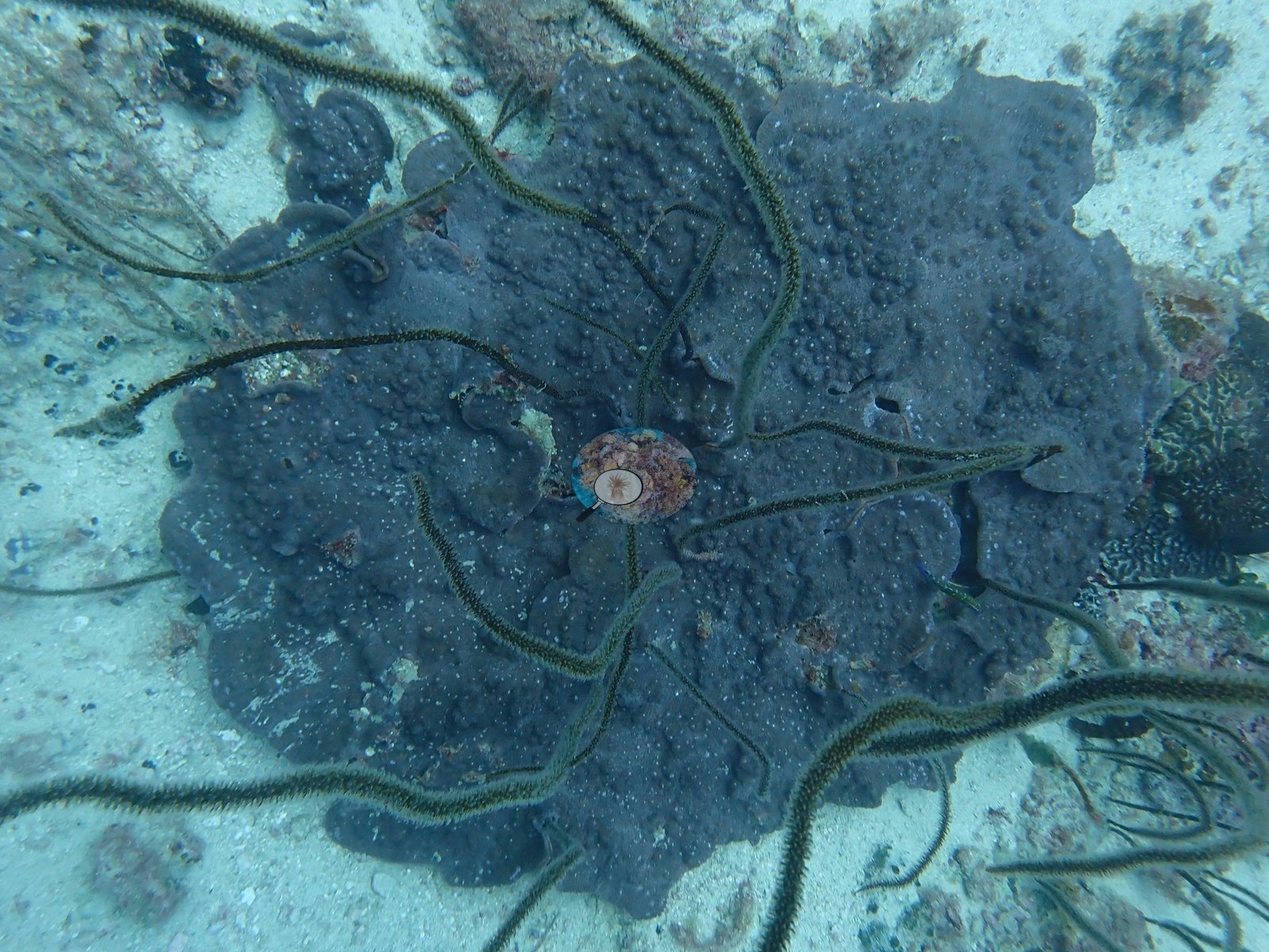
Sea fans and many whip corals add almost all of the vertical relief (e.g., Image 24, Image 41, Image 51).
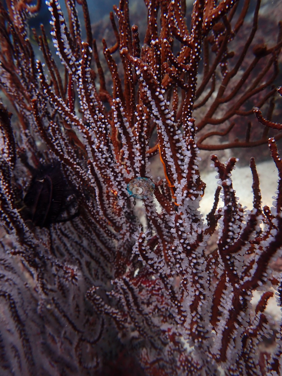
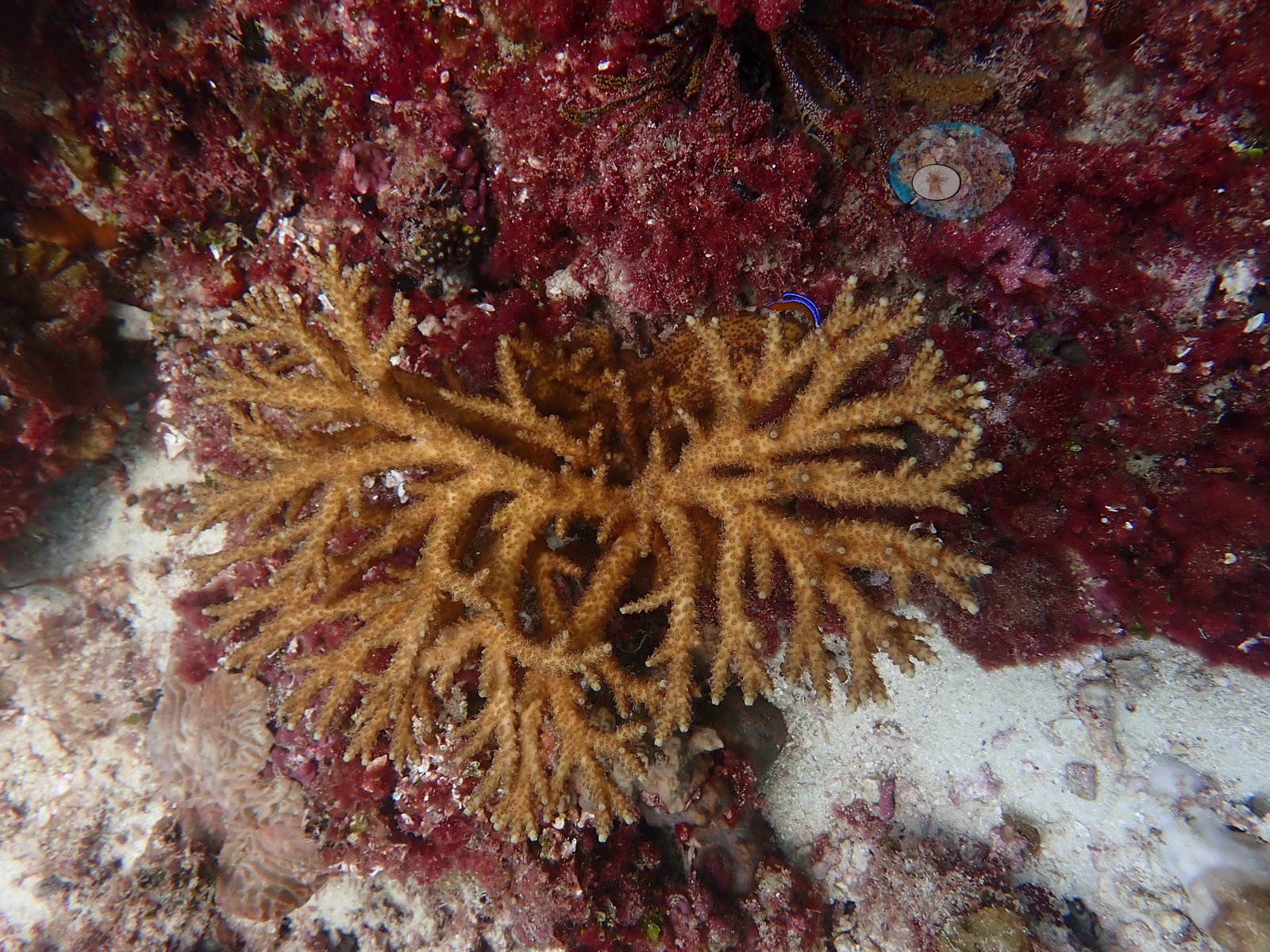
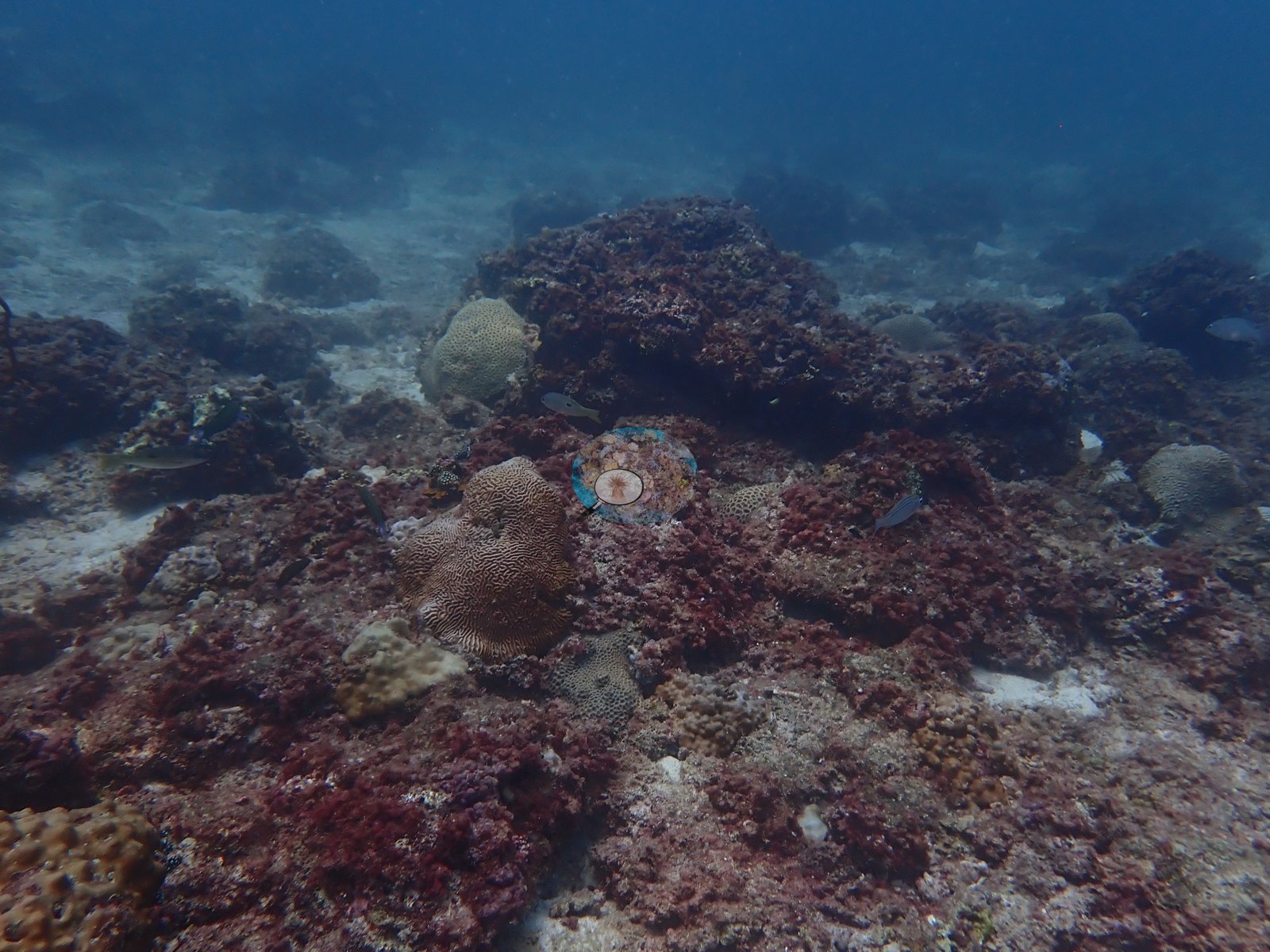
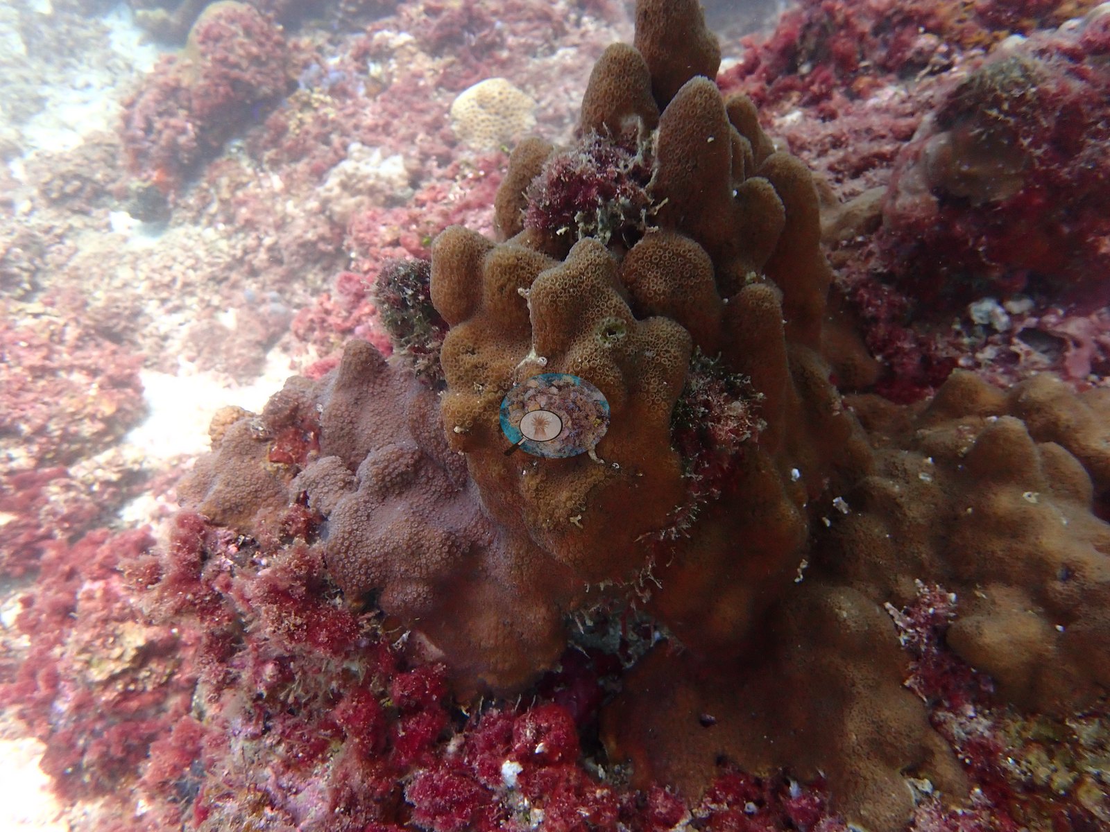
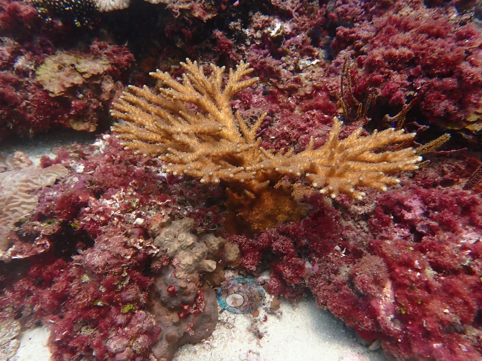
The most striking colony of the dive is a healthy-looking golden branching colony growing out of red algal turf (e.g., Image 1, Image 35).
Coral cover
- Reference: Claude CV point count (this site's photos)
- Coral cover: 9.9% — a blind Claude computer-vision point count of 72 of Anderson's unedited photographs (20 points per photo; water, fish, and obstructions excluded).
- Close-up photographs of single colonies were left out of this figure, because at a site with this little coral they would inflate it.
- Most of the benthos in these photographs is turf-covered rock, sand, and rubble rather than living coral.
Stressors
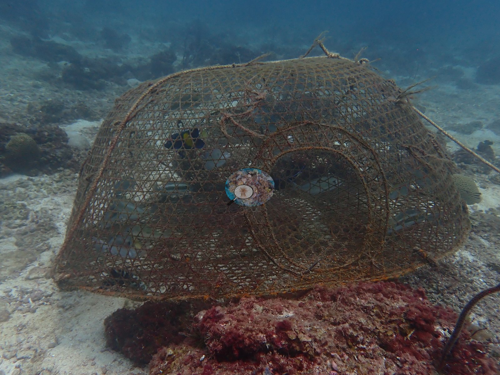
A large wire fish trap was resting on the reef with fish inside it (e.g., Image 28).
Some brain colonies appear to have lost tissue in patches that are now overgrown by algae (e.g., Image 15, Image 38).
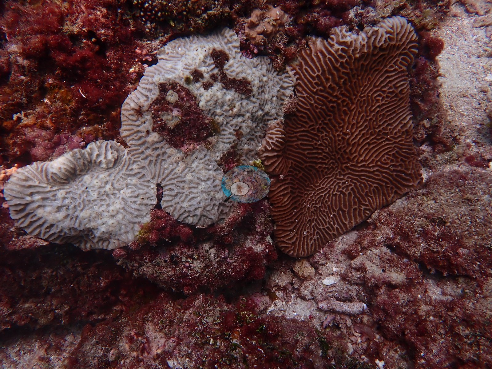
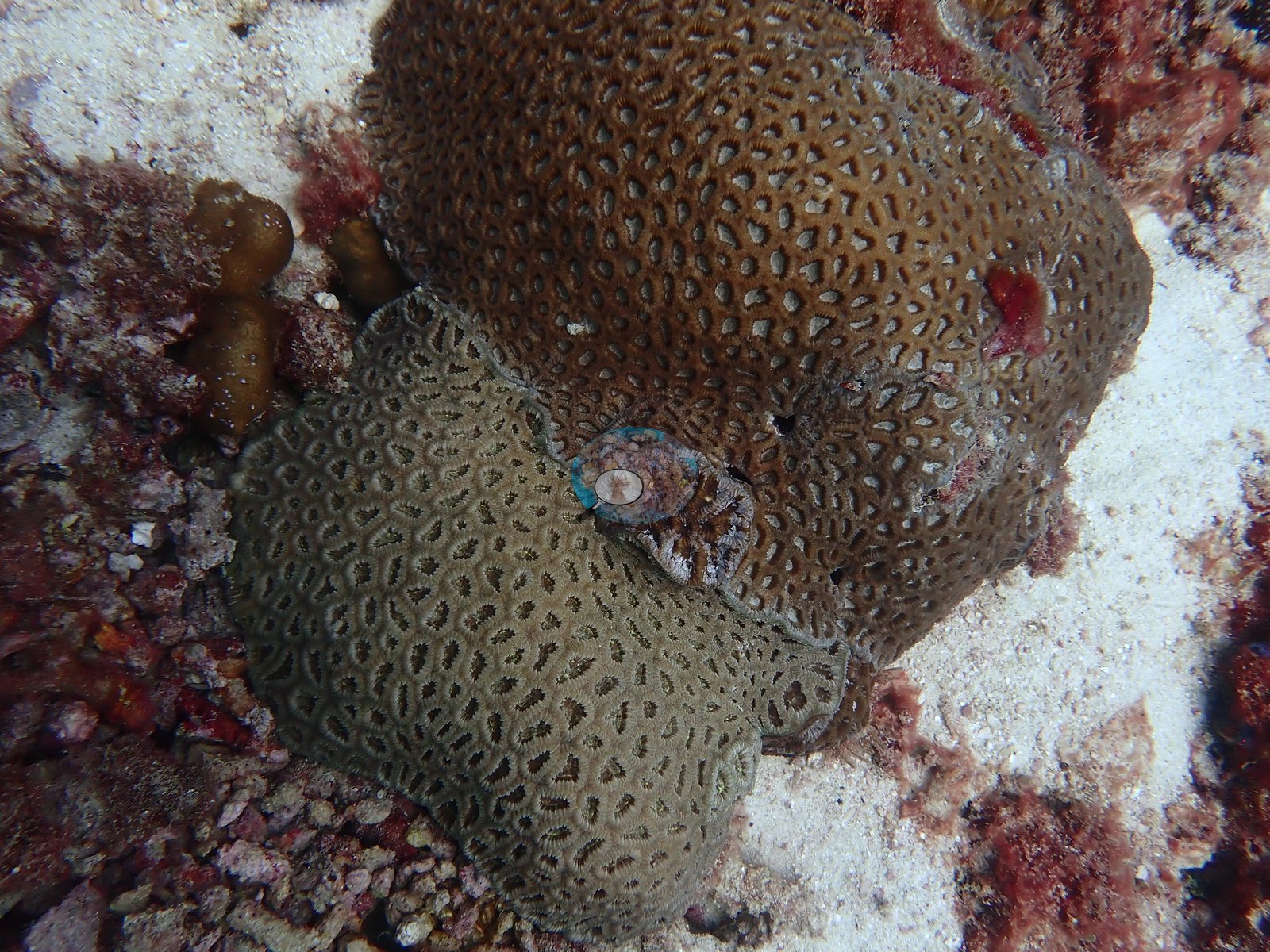
A few colonies are bleached: a small disc-shaped colony that appears to be a mushroom coral is stark white with its tentacles extended (e.g., Image 37), and small lumpy and meandroid colonies beside a tan brain colony are gray-white with live tissue (e.g., Image 26).
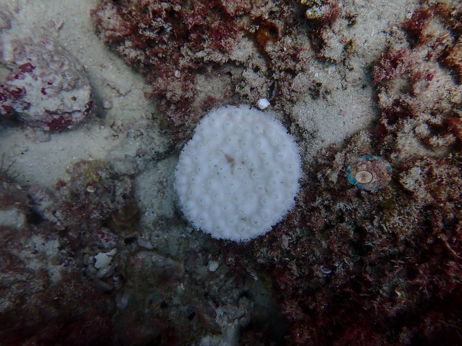
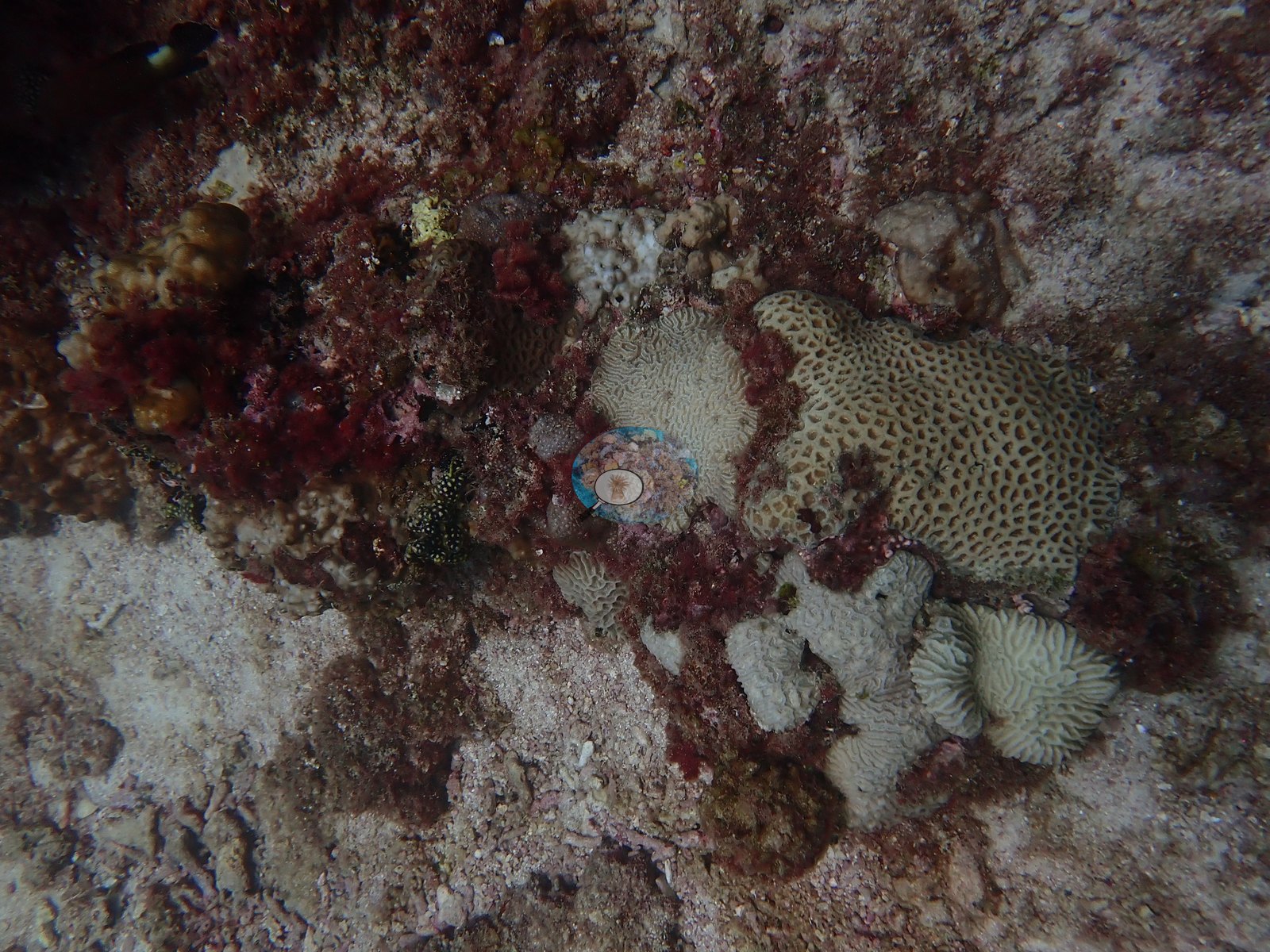
The dive was in late August, when Gulf water is at its warmest; a dive-computer display photographed at 12:05 read 34°C. No crown-of-thorns starfish (COTS) or other corallivores were evident.
Fish and other fauna
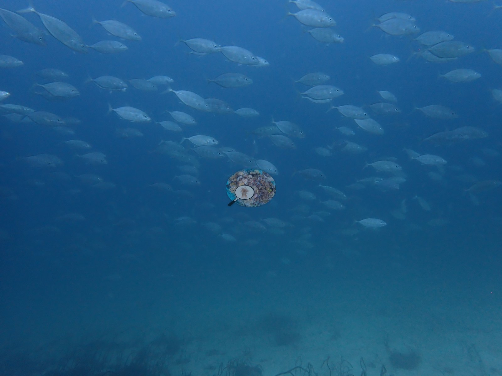
Small groups of yellow-and-silver fish that appear to be snappers shelter under the outcrops (e.g., Image 2), and a large school of silvery, jack-like fish passed over the sand (e.g., Image 47).
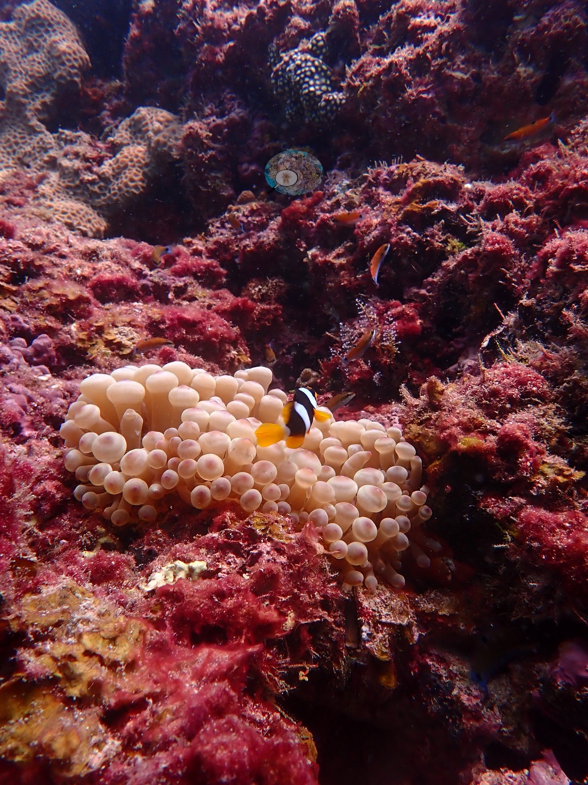
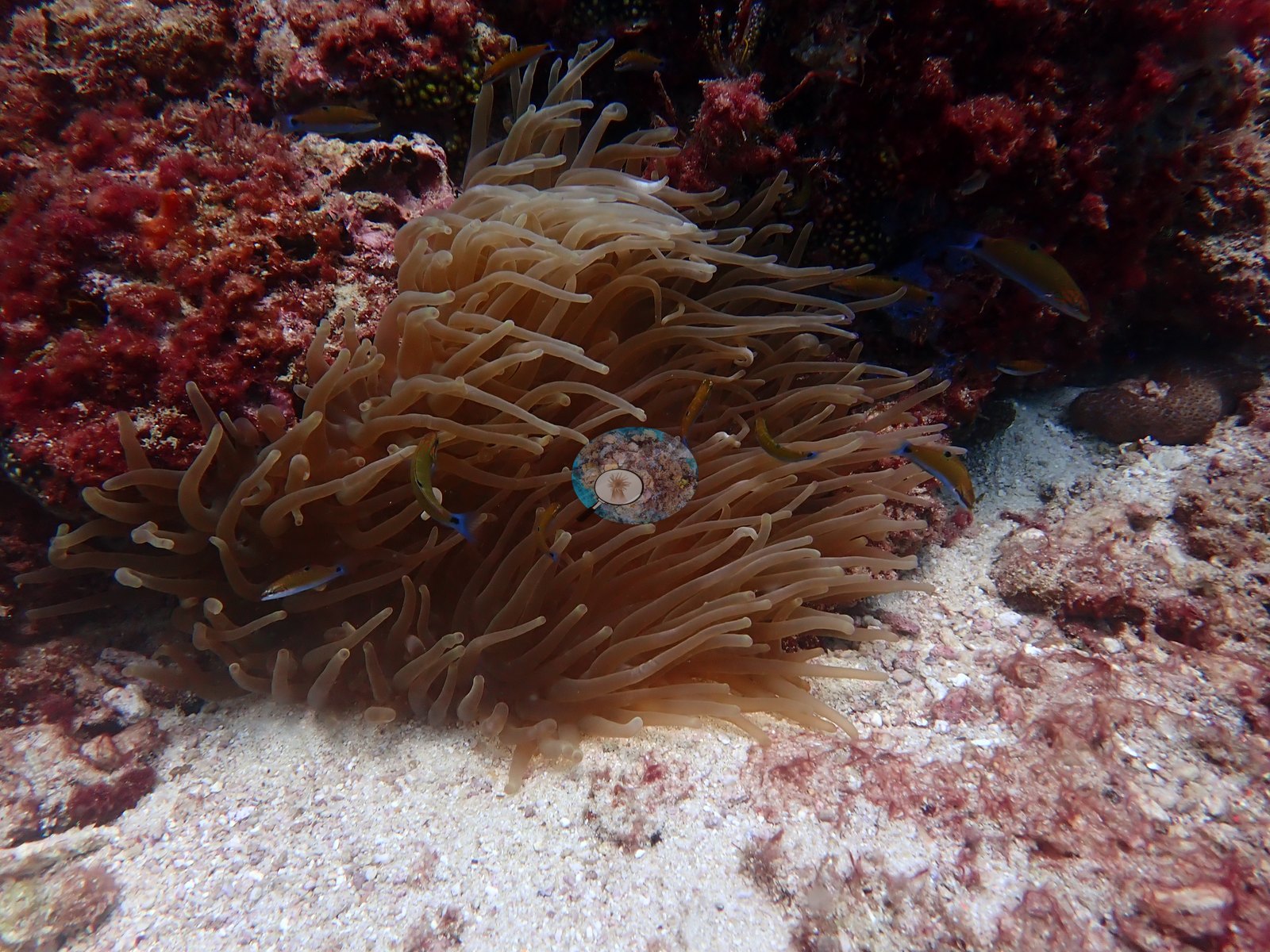
Anemonefish live in a bubble-tip anemone (e.g., Image 18), and a large long-tentacled anemone sits at the foot of an outcrop (e.g., Image 19).
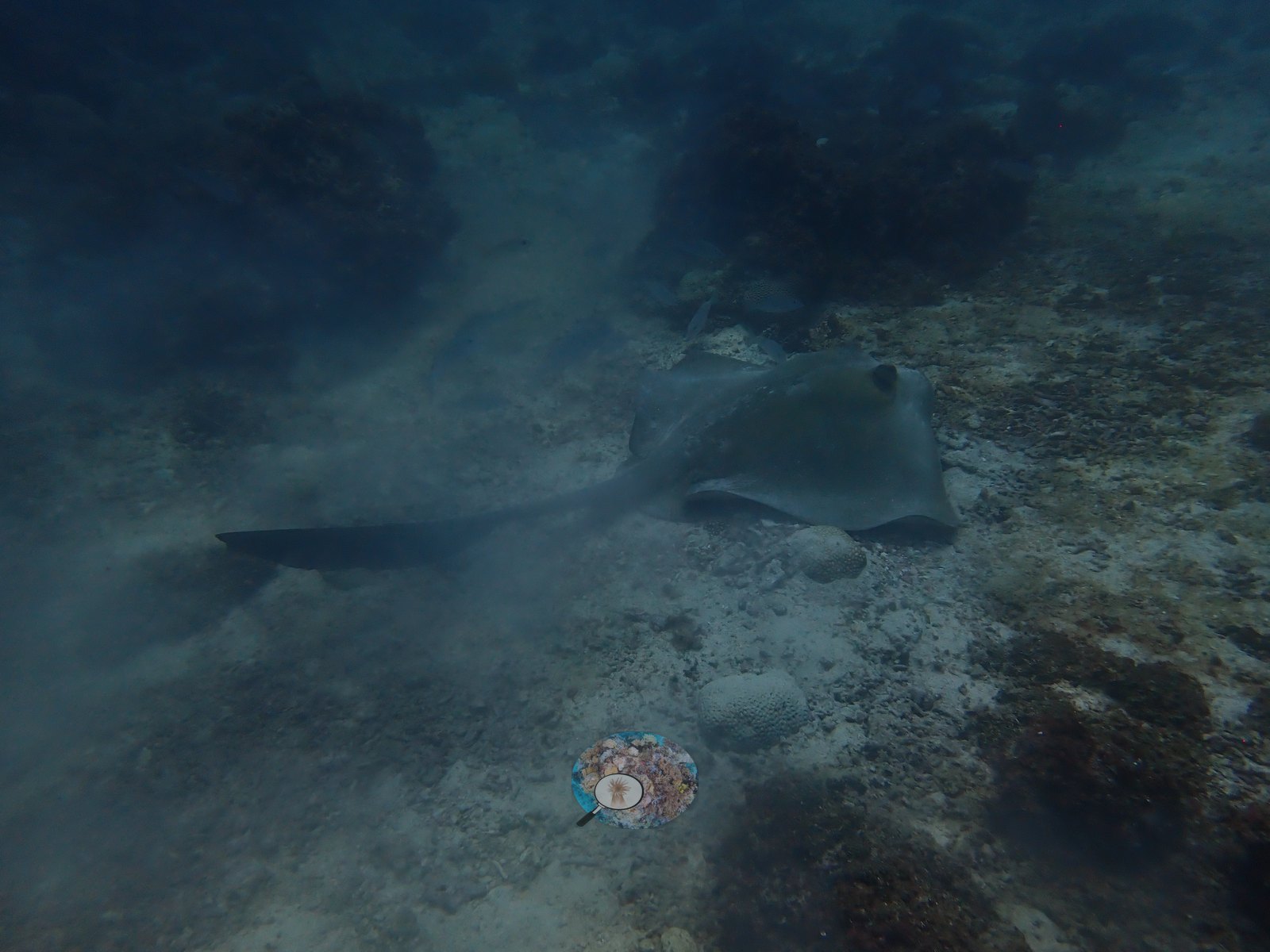
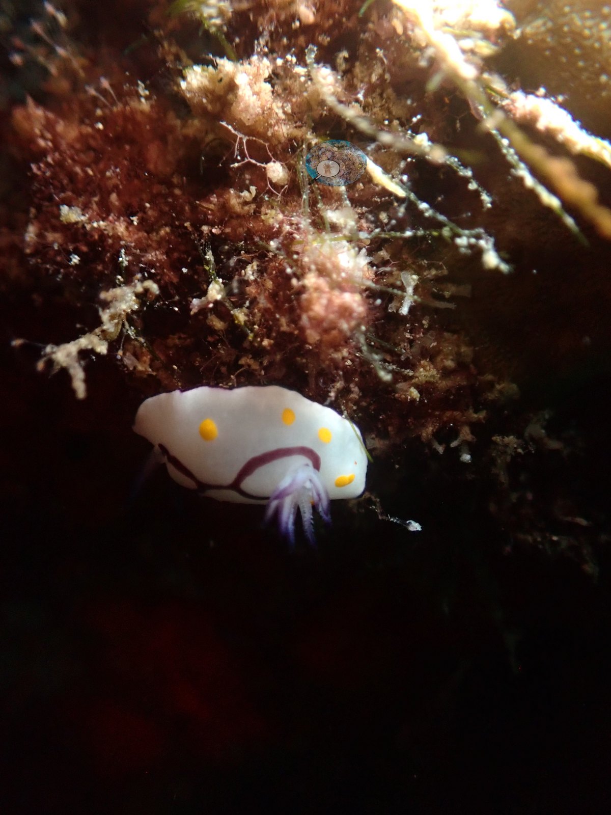
A stingray rested on the sand (e.g., Image 32), a second, smaller ray lay on the sand flat at the deep end, and a white nudibranch with yellow spots was found on the turf (e.g., Image 33).
Comparisons with other data
The surveys below are other programs' work, not Coral Reef Diagnostics data, and all of them are older than this dive. Reef Check teams ran six surveys at three Abul Thama stations on three dates: 24% and 36% hard coral on 7 August 1998 (9-10 m), 46% and 25% on 20 August 1999 (3 m), and 13% and 12% on 14 July 2000 (9-11 m); recently killed coral made up 29% and 35% of the benthos in 1999 and none in 2000, and the teams recorded about 50 fish traps near the site in 1999 and 2000. Burt et al. (2013, Marine Pollution Bulletin) reported 16% coral cover at Bulthama, with 22 of the 23 coral species recorded in Bahrain and 13 found nowhere else in the country. AlMealla et al. (2024, Marine Biology 171:39, doi:10.1007/s00227-023-04351-9) measured 14.8 ± 4.1% in 2017 and 15.5 ± 2.2% in 2018 at 10–12 m, found no branching corals in either year, and noted illegal destructive fishing. Burt (2024, Journal of Coastal Research) estimated that the 2010 bleaching event cost Bulthama about two-thirds of its coral. Anderson's 2024 photographs give 9.9%, lower than every one of these values, but it is a computer-vision count on photographs, not a diver transect, so the difference is indicative only. Because AlMealla et al. found no branching corals here in 2017 or 2018, the branching colony photographed in 2024 is worth noting (e.g., Image 1).
Dive record
We dived Hayr Bul Thamah on 23 August 2024 with Sea Addicts, the second of two dives that day: the boat left Amwaj Marina and stopped at the Al-Boom wreck on the way out. There is no logbook entry for this dive: the times come from the camera, whose photographs run from 11:44 to 12:39, and dive-computer displays photographed during the dive read between 12.4 m among the outcrops and 21.4 m on the sand at the deep end. The photographs were taken with an OM System TG-7; 107 are on file, and the gallery below shows a selection of them.
CV model comparison
More info
A few high-cover photos raise the mean; the median is the typical photo. No computer-vision method yet estimates coral cover accurately on new images, so treat this as indicative rather than a measurement; it is revised as the methods improve.More info
No diver transect exists for this trip, so treat the value as indicative: no computer-vision method yet estimates coral cover accurately on new images.| Method | Hard coral cover (%) | Photos (n) ± SE |
|---|---|---|
| Claude | 9.9 | n = 72 · SE 1.2 |
See a more detailed, stand-alone version of this table.
Independent surveys nearby
 Coral Reef Diagnostics
Within 5 km, 3 independent survey stations recorded hard coral cover in 6 surveys between 1998 and 2000. Of the 2 stations surveyed in more than one year, 2 declined (by 24–33 points) between their first and latest surveys. The longest record, Abul Thama 2 (Reef Check, 0.13 km away), went from 36% in 1998 to 12% in 2000. The most recent nearby survey is from 2000, so these values predate recent heat stress. This site's own estimate (9.9%) sits 2.1 points below the range of these station-year means (12–46%), inside the 7-point method-noise floor (inconclusive); the methods differ, so the comparison is context, not a like-for-like test.
Collected by other programs using different methods (Reef Check uses point-intercept transects), so these are context for the figures above, not a like-for-like comparison. Where a station was surveyed more than once, the cell shows either the range of its values or, as a single value, the mean of surveys made in one year. Station names are not dive-site names.
| Agency | Site / location | Date | Hard coral cover (%) | Distance |
|---|---|---|---|---|
| Reef Check | Abul Thama | 1998 | 24% | 0.00 km |
| Reef Check | Abul Thama 2 | 1998–2000 | 12–36% (3 surveys) | 0.13 km |
| Reef Check | Abul Thama 1 | 1999–2000 | 13–46% (2 surveys) | 0.44 km |
Data & links
All images from Coral Reef Diagnostics. Data are from Coral Reef Diagnostics and the organizations named in the data sources above.
© Coral Reef Diagnostics.