
Part of the regional summaries: Tonga - Vava'u and Tonga
More info
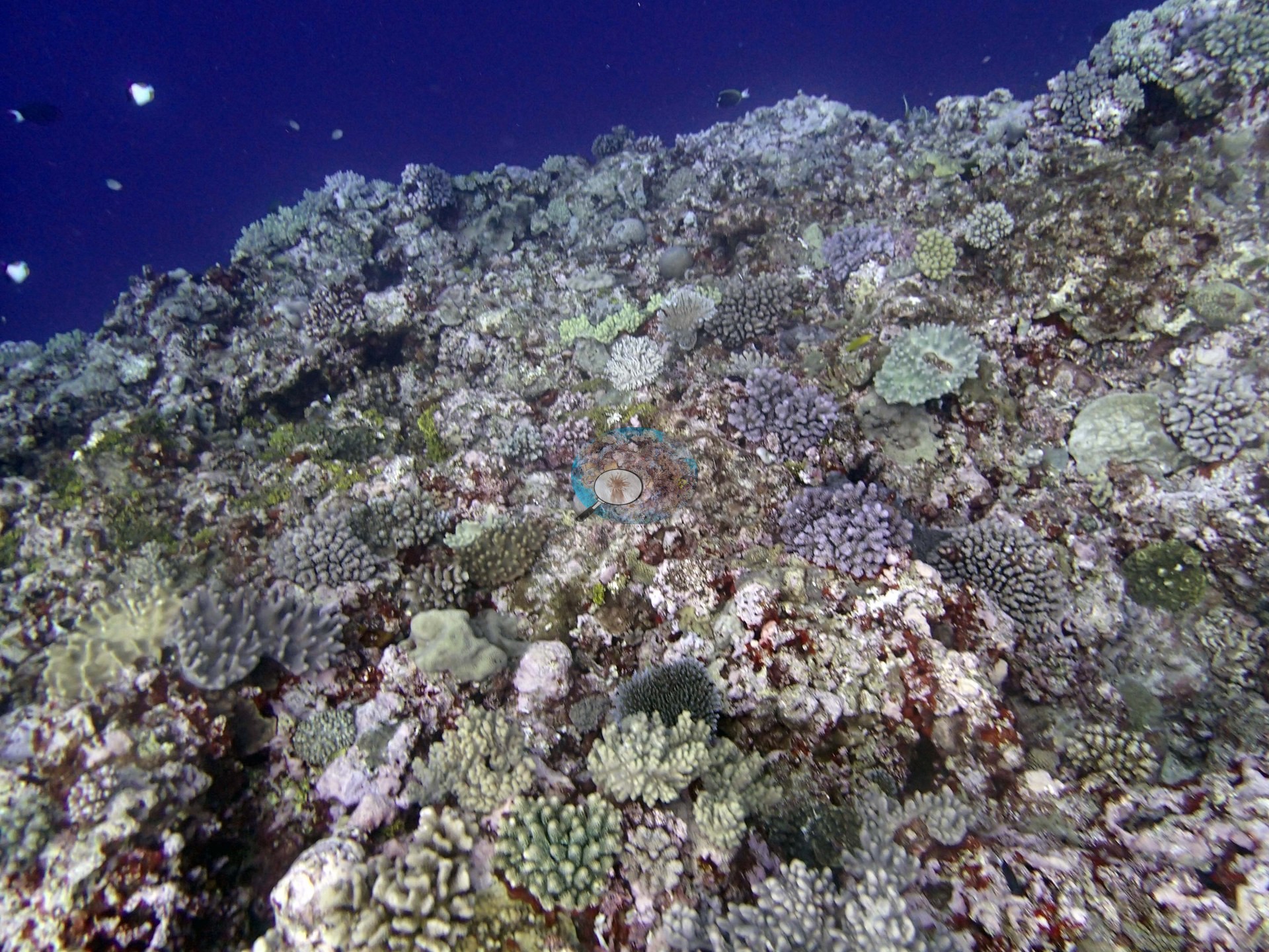
Southern Tonga (NOAA CRW virtual station)A steep wall on a submerged fore-reef pinnacle off Vava'u, where crustose coralline algae and turf cover most of the benthos and coral cover is 22%, nearly half of it Pocillopora. Anderson photographed the wall dropping into open blue water and a giant clam wedged into the reef. Surveyed on the Living Oceans Foundation's Global Reef Expedition.
Ko ha holisi tuʻu (steep wall) ʻi ha tumutumu hakau kuo melemo (submerged fore-reef pinnacle) ʻi Vavaʻu, ʻoku ʻufiʻufi ai ʻa e lahi taha ʻo e takele tahi (benthos) ʻe he limu feo pipiki (crustose coralline algae) mo e limu nounou (turf) pea ko e ʻufiʻufi ʻe he feo (coral cover) ko e 22%, ʻa ia ko e meimei vaeua ko e Pocillopora. Naʻe faitaaʻi ʻe Anderson ʻa e holisi ʻoku tō hifo ki he tahi lanu pulū ʻatā mo ha vāsuva (giant clam) kuo pipiki ki he hakau.
AI translation of this summary; the English is authoritative. (low confidence)
CTD-cast midpoint of 25.6–26.6°C
Two other CRD dive sites with their own pages within 5 km shown in orange — click a marker to open its page.
🗺 Detailed map of the Global Reef Expedition dive sites, Vava'u, Tonga (Khaled bin Sultan Living Oceans Foundation; opens in a new window)
4 of the 5 photographs on this page are shown beside the text that discusses them under "Site description" below.
Site description
Setting
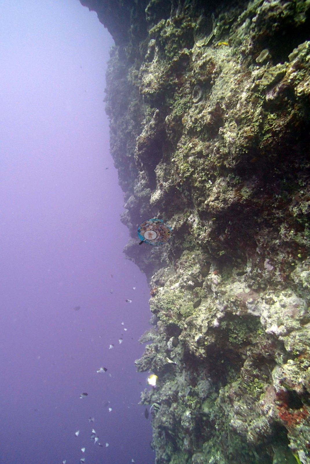
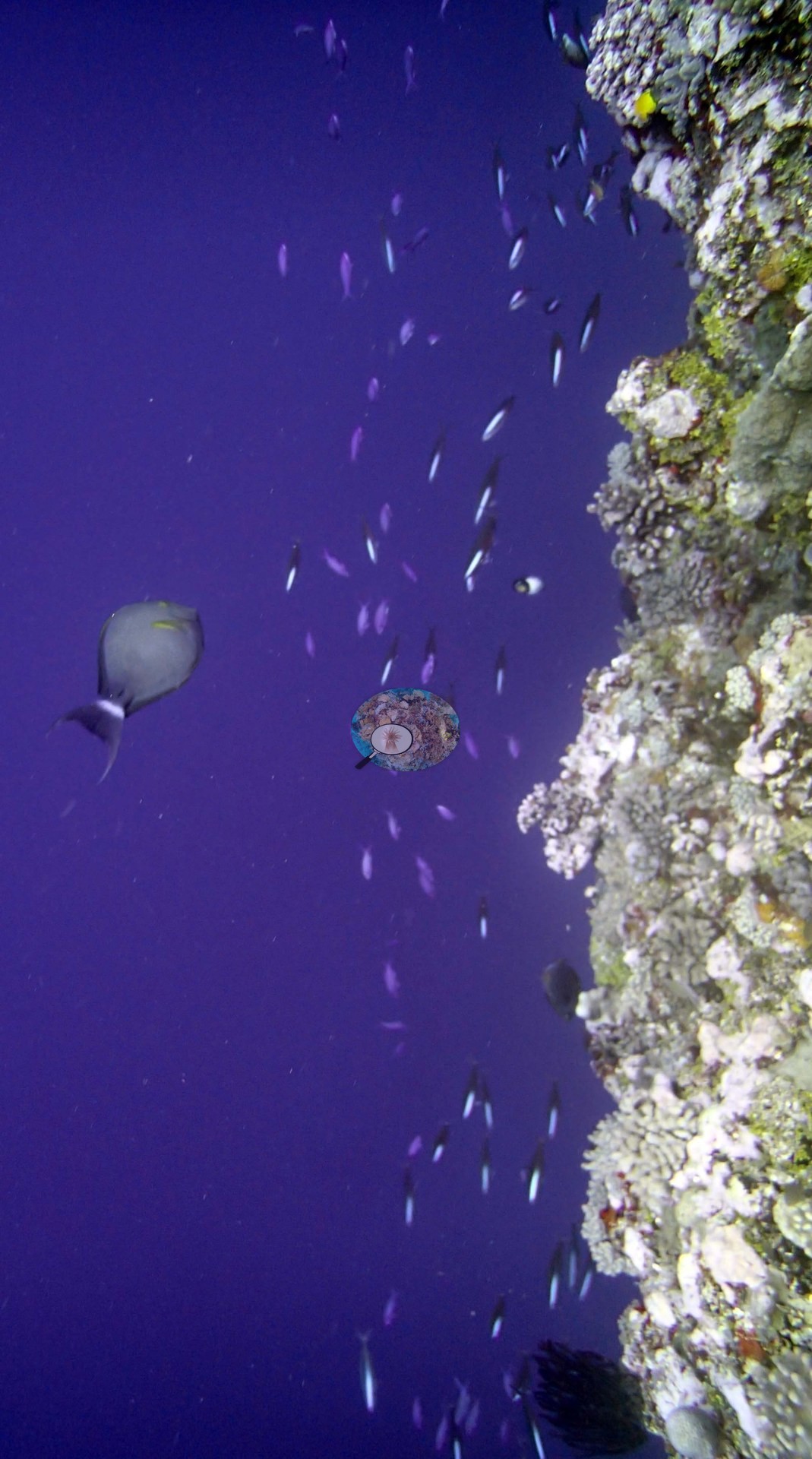
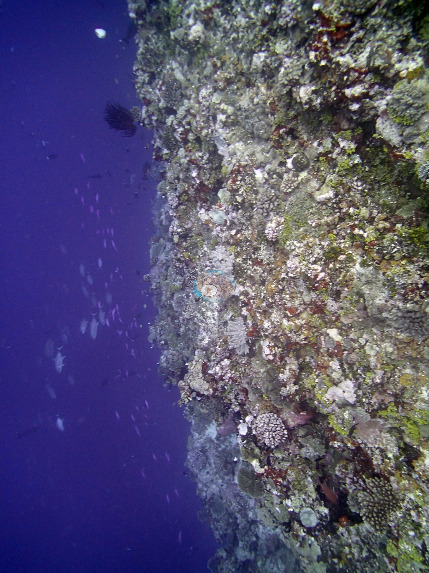
TOVA49 is a Global Reef Expedition station on a submerged fore-reef pinnacle outside the lagoon off Vava'u (Anderson's sample sheet: fore-reef pinnacles), surveyed on 27 September 2013. One of Anderson's frames shows a steep, near-vertical reef face dropping into open blue water, with small fish schooling along it (e.g., Image 4); another frame shows the same face crusted with coralline algae and turf (e.g., Image 3).
General benthic features
On the expedition's benthic transects, algae covered 76% of the benthos: crustose coralline algae led (52% of the benthos), followed by turf (12%), macroalgae (6.3%), erect algae (3.8%), and cyanobacteria (1.8%). Pocillopora was the most common coral genus on this station's transects (10% of the benthos), followed by Acropora (3.4%), Favia (1.7%), Goniastrea (1.5%), Porites (1.4%), and Montipora (1.1%). Anderson's wide frame of the slope shows many small branching colonies scattered over coralline-crusted rock (e.g., Image 1).
Coral cover
- Reference: Khaled bin Sultan Living Oceans Foundation, Global Reef Expedition (in situ transect)
- Coral cover: 22%.
- Live hard coral measured on in situ benthic transects during the Khaled bin Sultan Living Oceans Foundation Global Reef Expedition, against total algal cover (all algal groups) of 76% of the benthos.
- Transect data are this site's authoritative cover value; no computer vision or image-derived product overrides it.
- Transect mean 22 ± 4.7% SE (n = 5 transects; Living Oceans Foundation per-transect benthic data); the headline above is this all-transect mean.
Stressors
The Living Oceans Foundation transects here recorded 1.8% cyanobacteria and no recently dead coral, and they carry no bleaching, disease, or crown-of-thorns starfish field. Anderson's sample sheet records none of the target Pocillopora ('no Pdam') at this station, so no colony was sampled or scored for condition. Island-level context, not an observation at this station: the Living Oceans Foundation Tonga field report names Culcita sea stars and Drupella snails as Vava'u's main coral predators and notes localized crown-of-thorns starfish outbreaks in the central lagoon and around Treasure Island.
Fish and other fauna
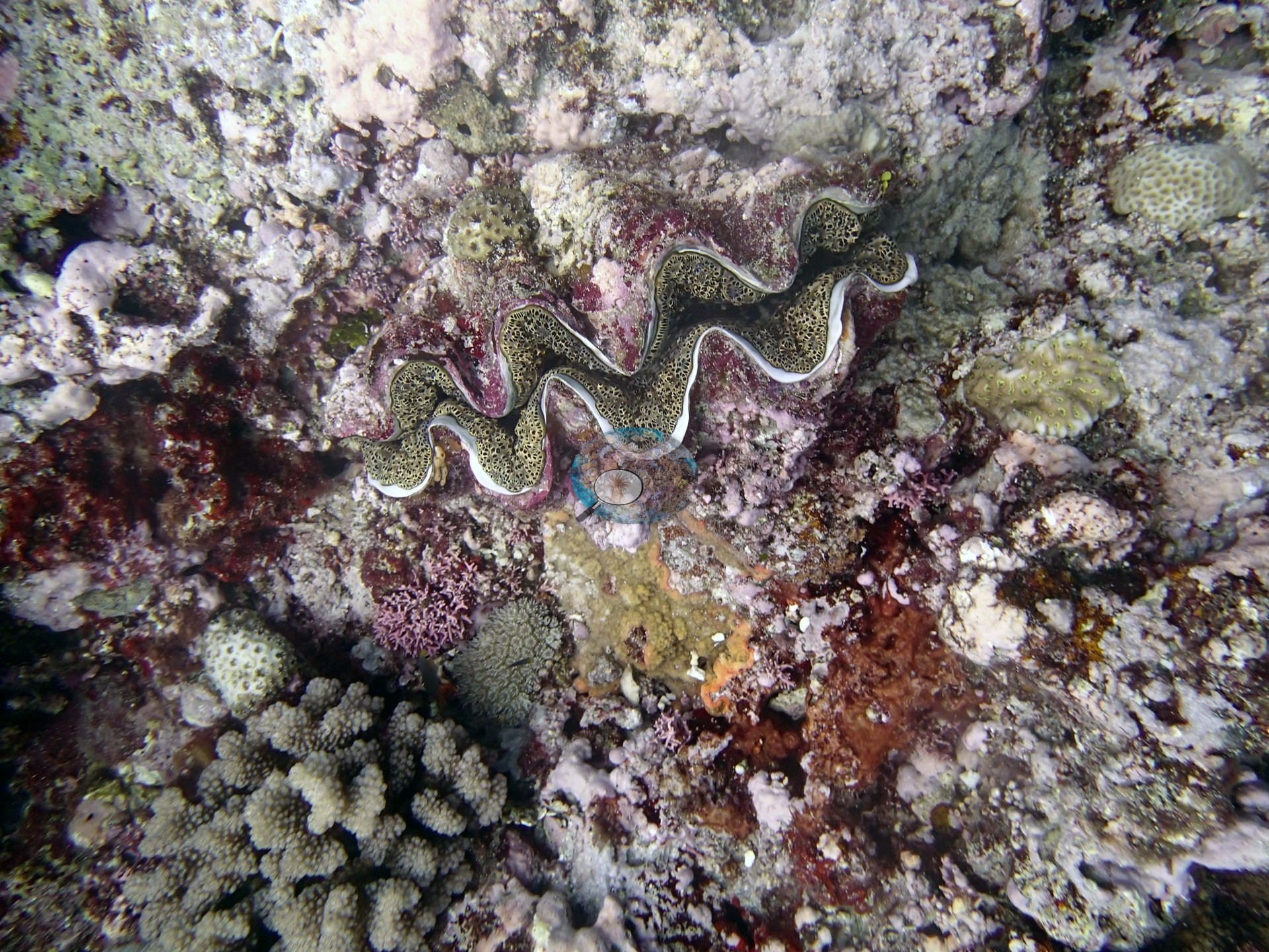
A giant clam is wedged into the reef beside a branching colony in one of Anderson's frames (e.g., Image 2).
Comparisons with other data
Apart from the Living Oceans Foundation survey shown here, we found no other surveys at this site as of 2026. If you would like to share yours, please email us.
Data & links
- Download benthic survey data (CSV) ↗
- Download all LOF-GRE data (933 sites) ↗
- Photo portfolio ↗
- Coral Reef Diagnostics region page ↗
All images from Coral Reef Diagnostics. Data are from the Khaled bin Sultan Living Oceans Foundation Global Reef Expedition and Coral Reef Diagnostics.
 © Coral Reef Diagnostics.