
Part of the regional summaries: Tonga - Vava'u and Tonga
More info
Southern Tonga (NOAA CRW virtual station)Known as Fingers, this Vava'u reef drops from an uplifted coastal cliff to sand scattered with tumbled boulders, then out to terraces and spurs with very little live coral. Most of the rock is coralline crust and turf with damselfish lawns, with extensive patches of hydroids at 25-30 m. Surveyed on the Living Oceans Foundation's Global Reef Expedition.
ʻOku ʻiloa ko Fingers, ko e hakau ko ʻeni ʻi Vavaʻu ʻoku tō hifo mei ha mato matātahi kuo hiki hake (uplifted coastal cliff) ki he ʻoneʻone ʻoku mafola ai ʻa e ngaahi maka lalahi kuo tō, pea aʻu atu ki he ngaahi tuʻunga (terraces) mo e spurs ʻoku siʻisiʻi ʻaupito ai ʻa e feo moʻui. Ko e lahi taha ʻo e maka ko e limu feo pipiki (coralline crust) mo e limu nounou (turf) mo e ngaahi ngoue limu ʻa e damselfish, mo e ngaahi konga fālahi ʻo e hydroid ʻi he 25-30 m.
AI translation of this summary; the English is authoritative. (low confidence)
CTD-cast midpoint of 26.5–26.6°C
Three other CRD dive sites with their own pages within 5 km shown in orange — click a marker to open its page.
🗺 Detailed map of the Global Reef Expedition dive sites, Vava'u, Tonga (Khaled bin Sultan Living Oceans Foundation; opens in a new window)
Site description
Setting
Fingers. Leeward fore reef, fringing reef. The coast is a near vertical uplifted reef that drops vertically to a sand flat at 10-12 m. About 50 m offshore is a terrace that slopes from the sand gradually to 8 m depth. The terrace drops near vertically on the sides and seaward edge to 15-18 m. There are also some spurs with 1-2 m deep narrow channels that extend out seaward, sloping gradually to the sandflat.
General benthic features
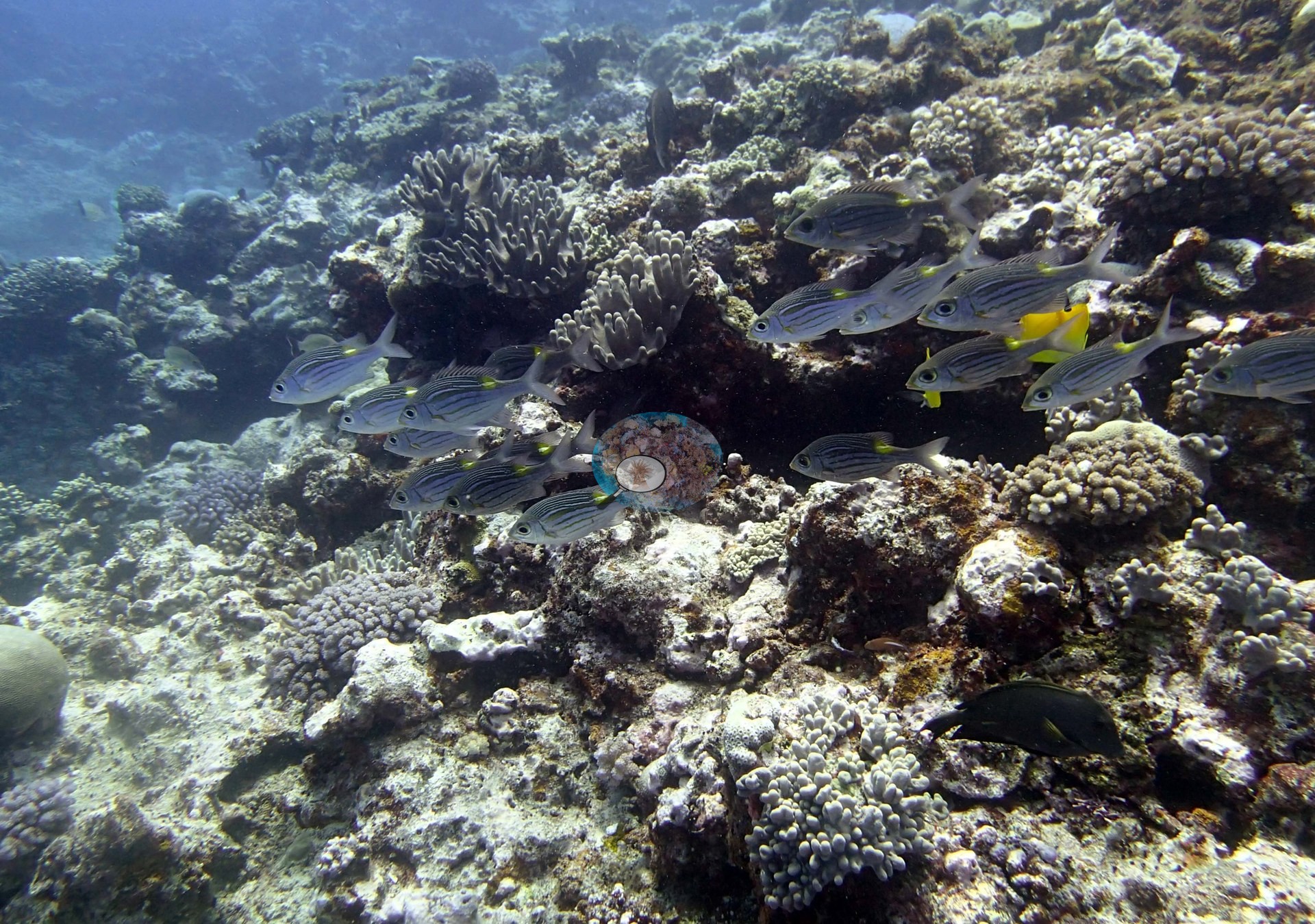
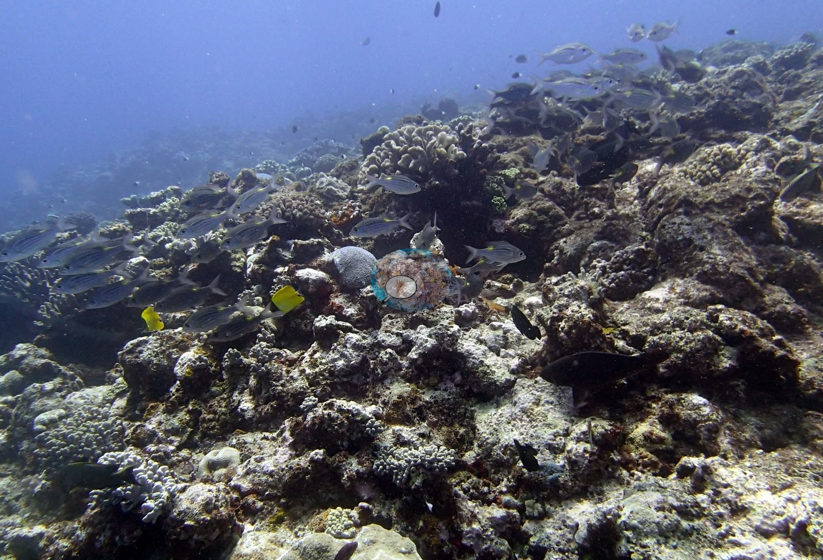
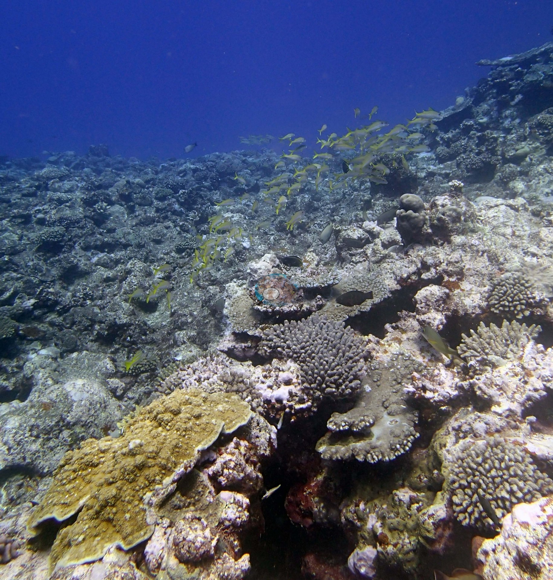
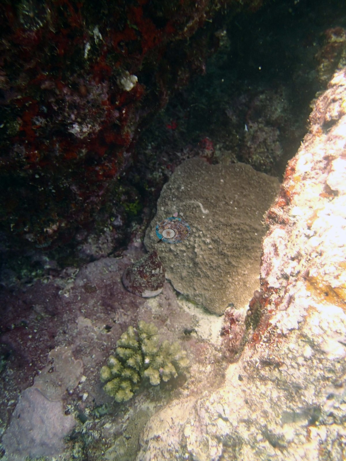
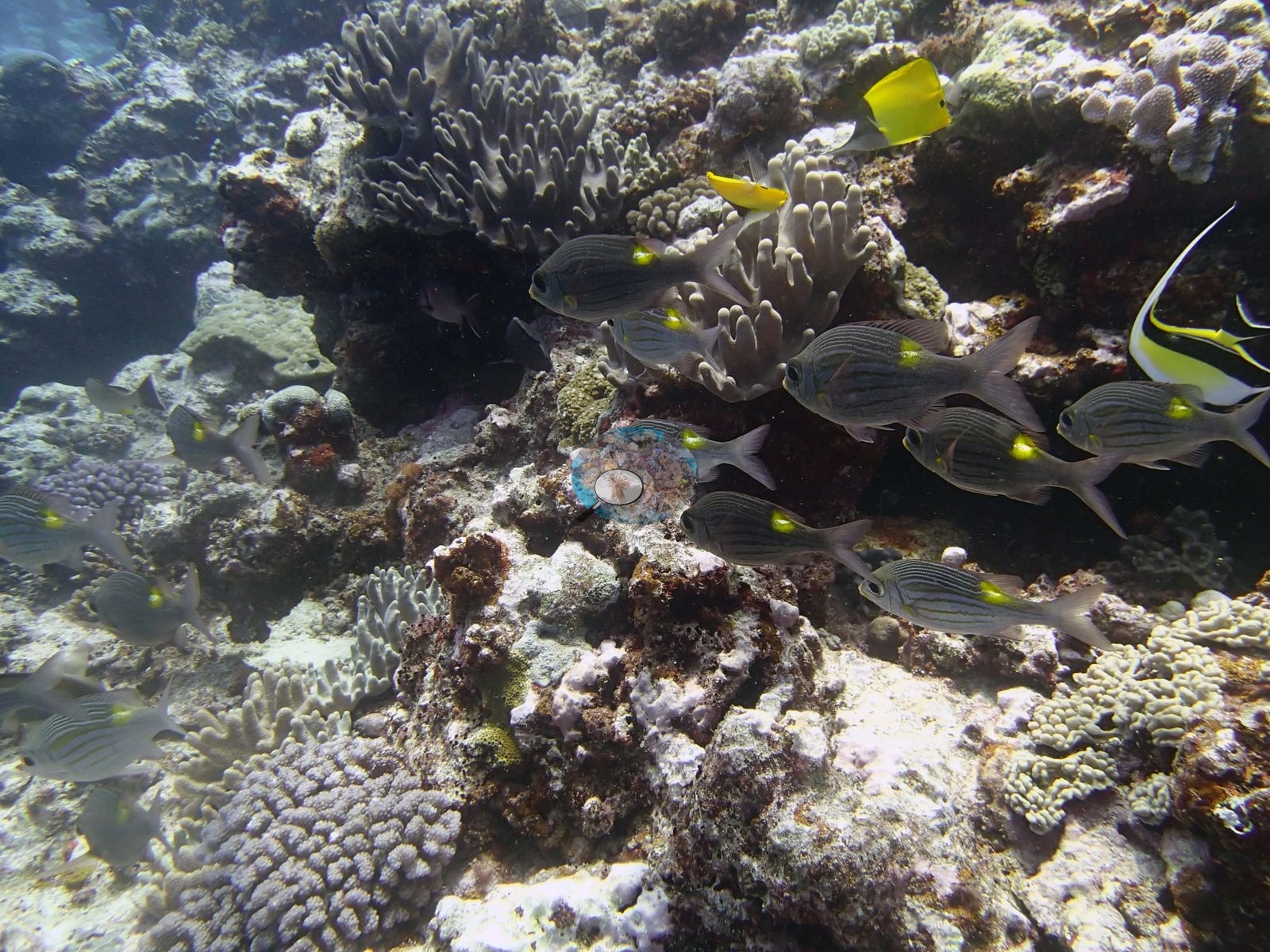
The habitat frames are of a low, worn, largely open reef surface. Image 1, Image 7, and Image 2 look across broad expanses of eroded, coralline-crusted and turf-filmed hardground and rubble, low mounding and encrusting heads, and scattered small branching and corymbose colonies spaced well apart, with a great deal of bare pale substrate between them and no framework of any height. Image 2 looks up a gently rising surface toward open blue water. Image 5 is a Trochus snail (Anderson's identification), photographed on a dark, shaded vertical face; the frame is low in contrast, but it records the shaded vertical habitat this site has.
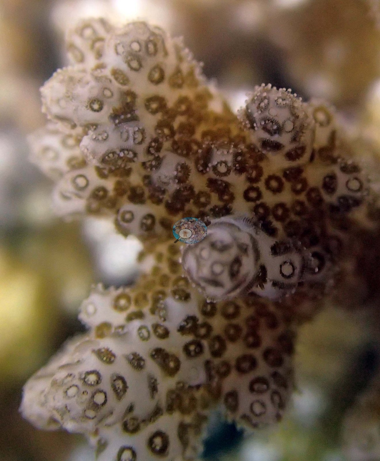
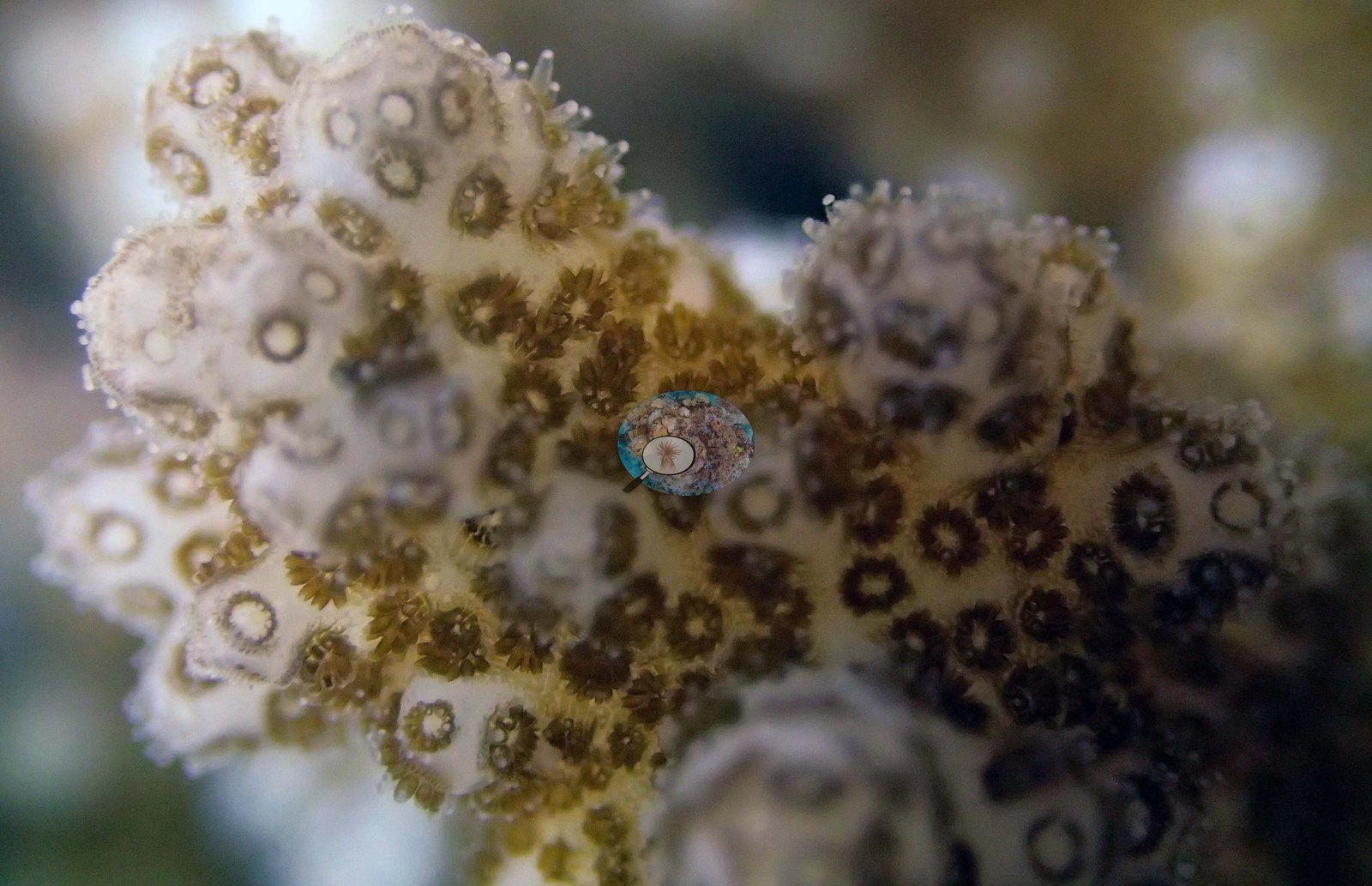
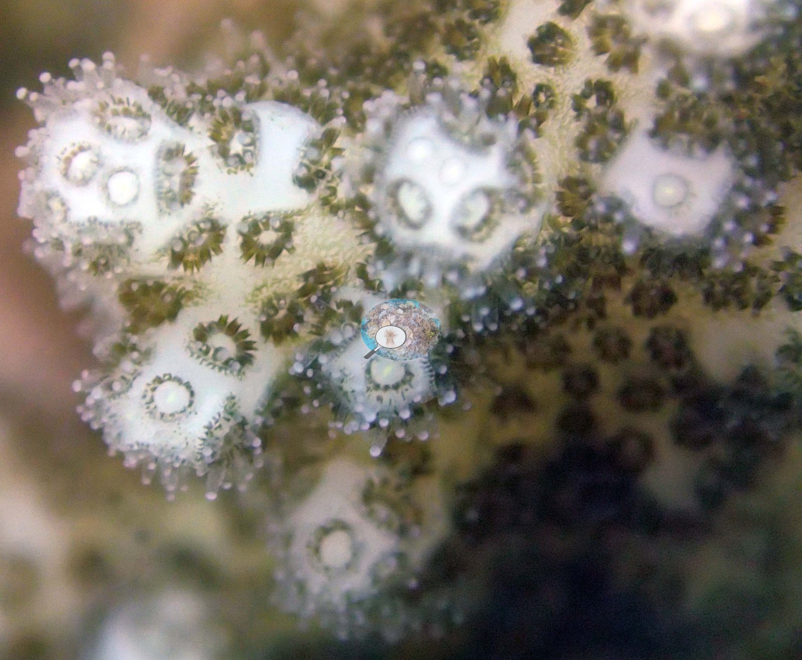
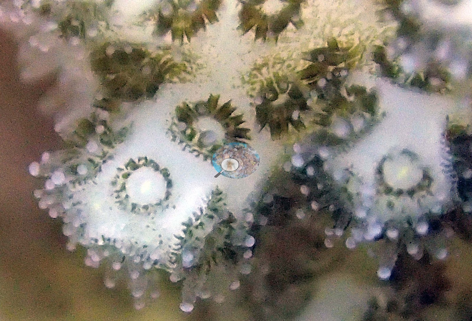
Four of the five colony frames (e.g., Image 8, Image 9, Image 10, Image 11) are macros of the same colony at successively higher magnification, and they are informative for polyp-level work — individual polyps resolve clearly as dark olive-brown rosettes of tentacles set into a pale cream corallum, with the verrucae and the granulated skeletal surface visible between them.
The sand flat has some large boulders that have tumbled into the water. This is low relief scoured hardground with low cover of mostly encrusting corals (Isopora, Montipora, some digitate acroporids, low-relief Pocillopora), large patches of turf with damselfish lawns, and large areas of relatively flat CCA encrusted rock. The shallow areas have 5.0–10% soft coral. A second series of large, low relief boulders, 10-15 m wide and up to 8 m tall extend from 15-20 m to 8 m. In deeper water are some small sections of framework, up to 1 m above the surrounding substrate. At 25-30 m are some extensive patches of hydroids. The entire area has very little live coral. There are some patches of coral on the spurs between 15-23 m with up to 20% cover, interspersed with large areas devoid of corals. The vertical sides of channels from 10-15 m have parts colonized by sheets of Pachyseris, Leptoseris, and Merulina, but most other areas have low cover, 30-50% CCA and up to 50% turf.
Coral cover
- Reference: Khaled bin Sultan Living Oceans Foundation, Global Reef Expedition (in situ transect)
- 15%, from the Khaled bin Sultan Living Oceans Foundation's in situ transect survey (Global Reef Expedition site data); the photographs illustrate the site.
- Nothing in the seven habitat frames suggests a dense or continuous coral cover, which is consistent with what the transect measured and with the surveyors' own account of an area with very little live coral.
- Transect mean 15 ± 6.0% SE (n = 6 transects; Living Oceans Foundation per-transect benthic data); the headline above is this all-transect mean.
Stressors
Anderson's sample sheet records the one colony sampled here (colony 67) as large and healthy, with pale coenosarc but dark pigmentation overall (0% bleached). The set cannot confirm a prominent finding of the survey narrative — the corallivorous snails and the associated white recent mortality on Stylophora, Pocillopora, Isopora, and digitate Acropora. No snail feeding scar is identifiable in any frame reviewed here, and no bleaching is claimed. Throughout the reef are many small Stylophora, Pocillopora, and Acropora that are white (dead) and about 20% of the Isopora, digitate Acropora, and Pocillopora have old and recent mortality, with most mortality due to snails. Also found snails on Montipora. Typical recent thermal stress: mean annual maximum of 8.1°C-weeks (Degree Heating Weeks, 2021-2025, NOAA CRW; Southern Tonga virtual station). The 2013 survey notes for this site record corallivorous snails, behind most of the mortality on about 20% of the Isopora, digitate Acropora, and Pocillopora, plus three Culcita cushion stars (Khaled bin Sultan Living Oceans Foundation expedition site notes, 2013; regional summary in Bruckner 2014). The Living Oceans Foundation transects here recorded 0.5% cyanobacteria and no recently dead coral on the transect lines.
Fish and other fauna
Fish are the conspicuous element rather than the corals: loose schools of silver, dark-striped and yellow-finned snapper-type fish work along the bottom in Image 1, Image 7, and Image 6, a stream of yellow-bodied fish runs along the rise in Image 2, and yellow butterflyfishes, a Moorish idol and dark surgeonfishes appear in Image 1, Image 7, and Image 6. Image 4 and Image 3 show what Anderson recorded as mating nudibranchs: a white nudibranch with fine dark longitudinal lines, crawling over pale pavement studded with deep-red sponge nodules, shot once at mid-range and once frame-filling.
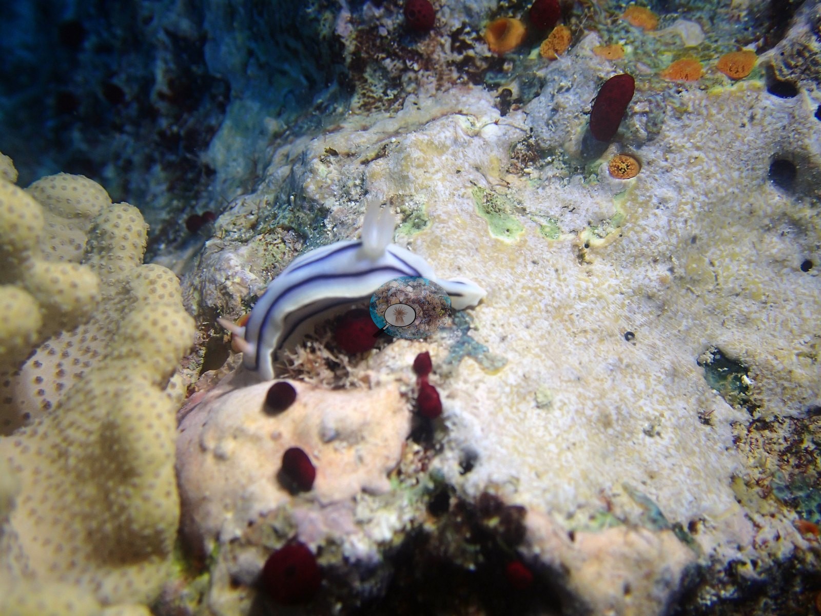
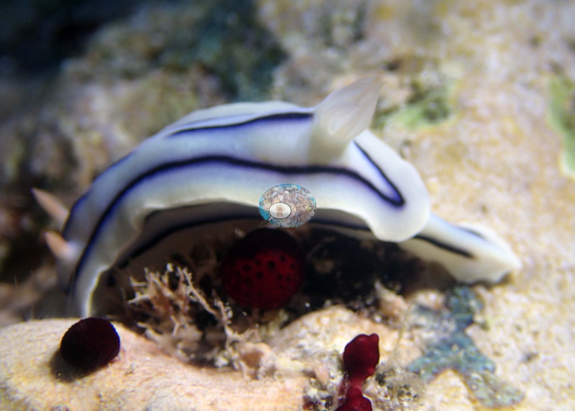
Anderson was not certain the behavior was mating. Found 1 pineapple cucumber and several giant clams.
Comparisons with other data
TOVA39 (Vava'u) was surveyed on 24 September 2013 during the Khaled bin Sultan Living Oceans Foundation Global Reef Expedition.
Other notes
Twelve frames survive from the Vava'u dive of 24 Sep 2013 — seven habitat frames and five of a single sampled colony (colony 67, which Anderson identified as P. verrucosa). Three habitat frames are subjects Anderson named. The five colony frames all show a single tagged colony, Anderson's colony 67, identified as Pocillopora verrucosa. The fifth colony frame is the whole-colony record: a gloved hand holding a numbered cattle tag, against a pale cream and olive branching colony on the reef. The species is Anderson's call and stands as recorded; these frames are a record of what was sampled and are not evidence about the reef. There is no scale object, quadrat or transect tape in any habitat frame, and the only scale anywhere in the set is the hand and cattle tag in that colony frame, so no colony dimension can be read. No frame carries depth information, so the site's terrace, its near-vertical drops, the Pachyseris, Leptoseris, and Merulina sheets on the channel walls and the deep hydroid patches the surveyors recorded are outside what these seven habitat frames can show.
Data & links
- Download benthic survey data (CSV) ↗
- Download all LOF-GRE data (933 sites) ↗
- Photo portfolio ↗
- Coral Reef Diagnostics region page ↗
All images from Coral Reef Diagnostics. Data are from the Khaled bin Sultan Living Oceans Foundation Global Reef Expedition and Coral Reef Diagnostics.
 © Coral Reef Diagnostics.