
Part of the regional summaries: Tonga - Vava'u and Tonga
More info
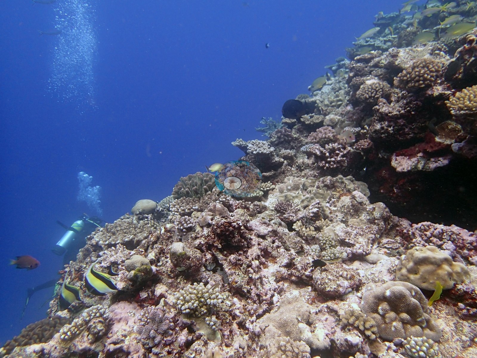
Southern Tonga (NOAA CRW virtual station)A north-shore Vava'u reef where a terrace drops near vertically onto spurs sloping past 35 m, with a 4 m Diploastrea on the wall and 1-2 m massive Porites filling the grooves below. About 10 to 20% of branching corals showed snail damage, and many small corals had been eaten by cushion stars. Surveyed on the Living Oceans Foundation's Global Reef Expedition.
Ko ha hakau ʻi he matātahi tokelau ʻo Vavaʻu ʻoku tō hifo ai ha tuʻunga (terrace) meimei hangatonu ki ha ngaahi spurs ʻoku hifo ʻo laka hake ʻi he 35 m, mo ha Diploastrea ʻo e 4 m ʻi he holisi (wall) pea mo e Porites lalahi (massive) ʻo e 1-2 m ʻoku fonu ʻi he ngaahi luo (grooves) ʻi lalo. Naʻe hā ʻi he meimei 10 ki he 20% ʻo e feo fakavaʻavaʻa ʻa e maumau ʻa e ʻelele (snail damage), pea naʻe kai ʻe he fetuʻu tahi (cushion stars) ha ngaahi kiʻi feo lahi.
AI translation of this summary; the English is authoritative. (low confidence)
CTD-cast midpoint of 26.4–26.5°C
Four other CRD dive sites with their own pages within 5 km shown in orange — click a marker to open its page.
🗺 Detailed map of the Global Reef Expedition dive sites, Vava'u, Tonga (Khaled bin Sultan Living Oceans Foundation; opens in a new window)
38 of the 43 photographs on this page are shown beside the text that discusses them under "Site description" below.
Site description
Setting
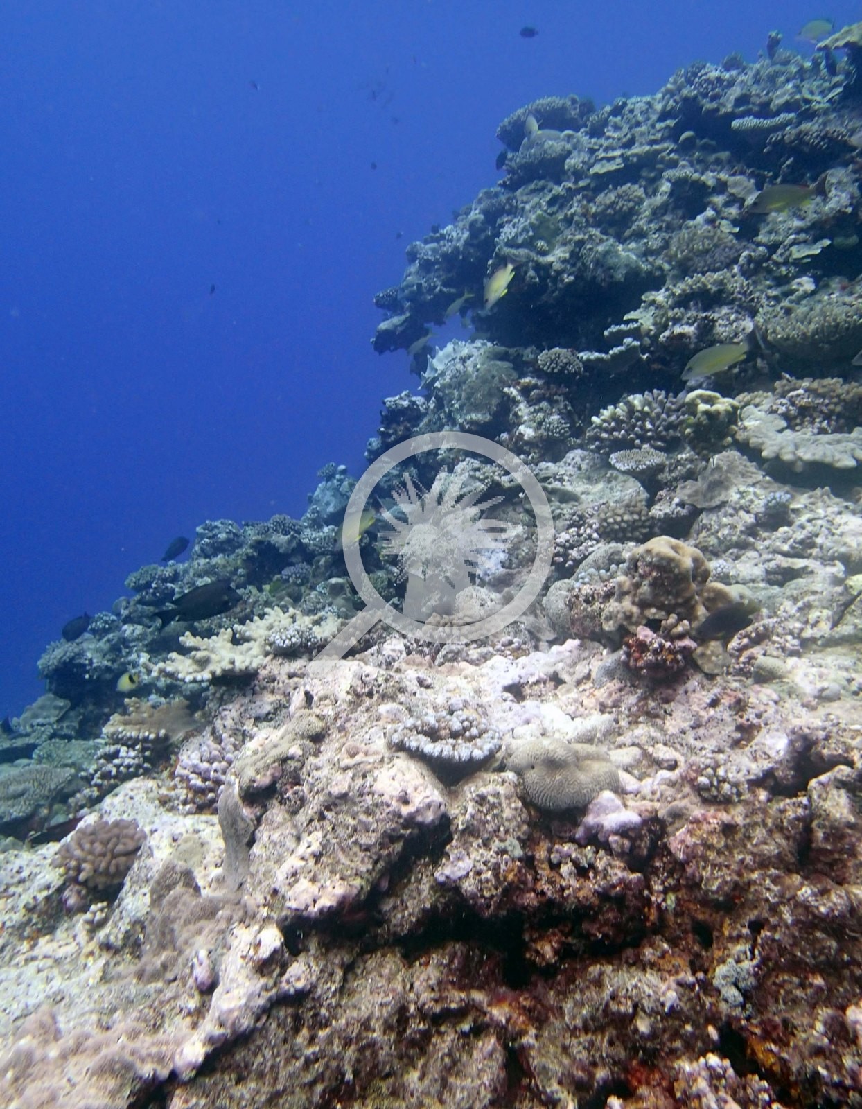
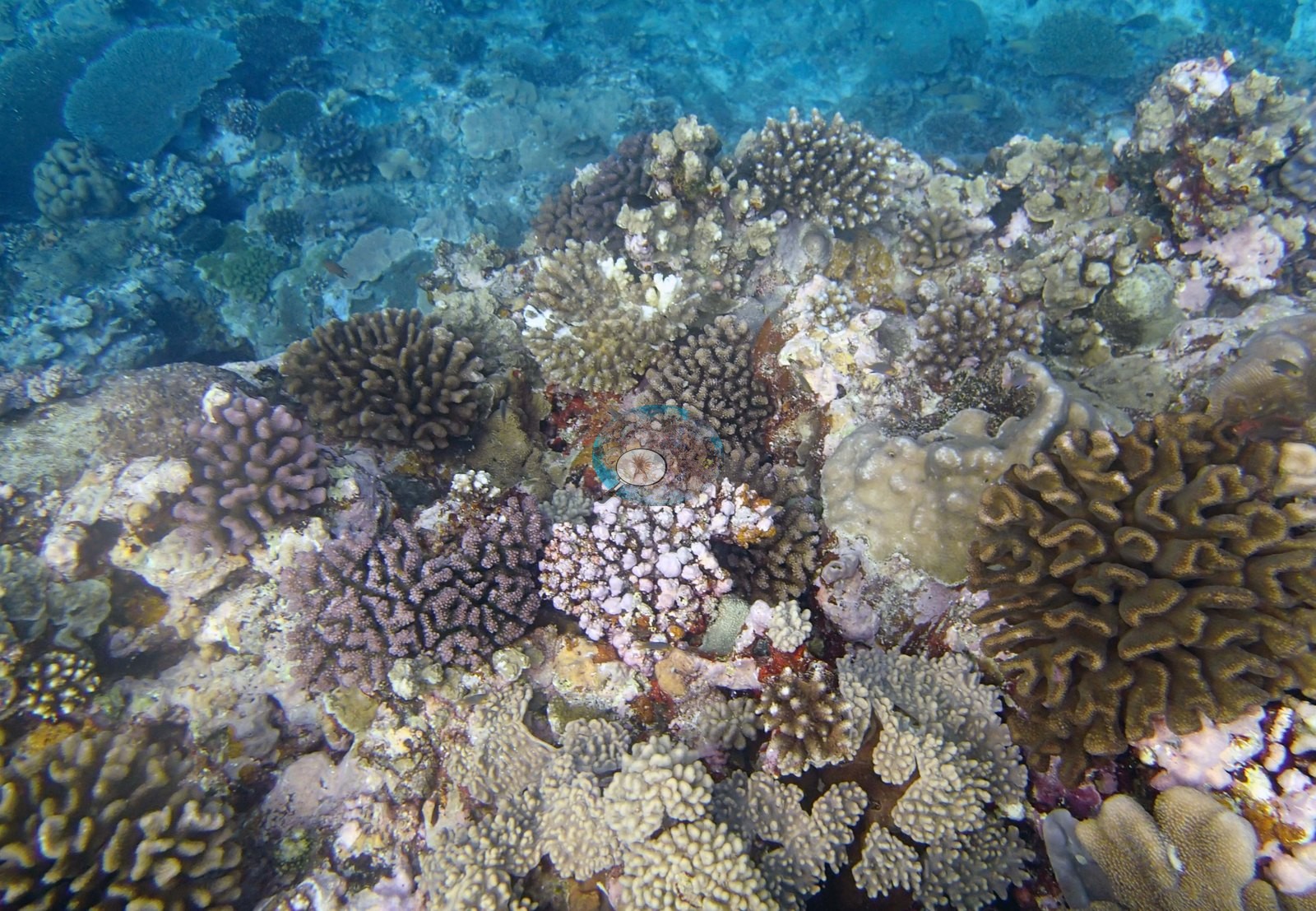
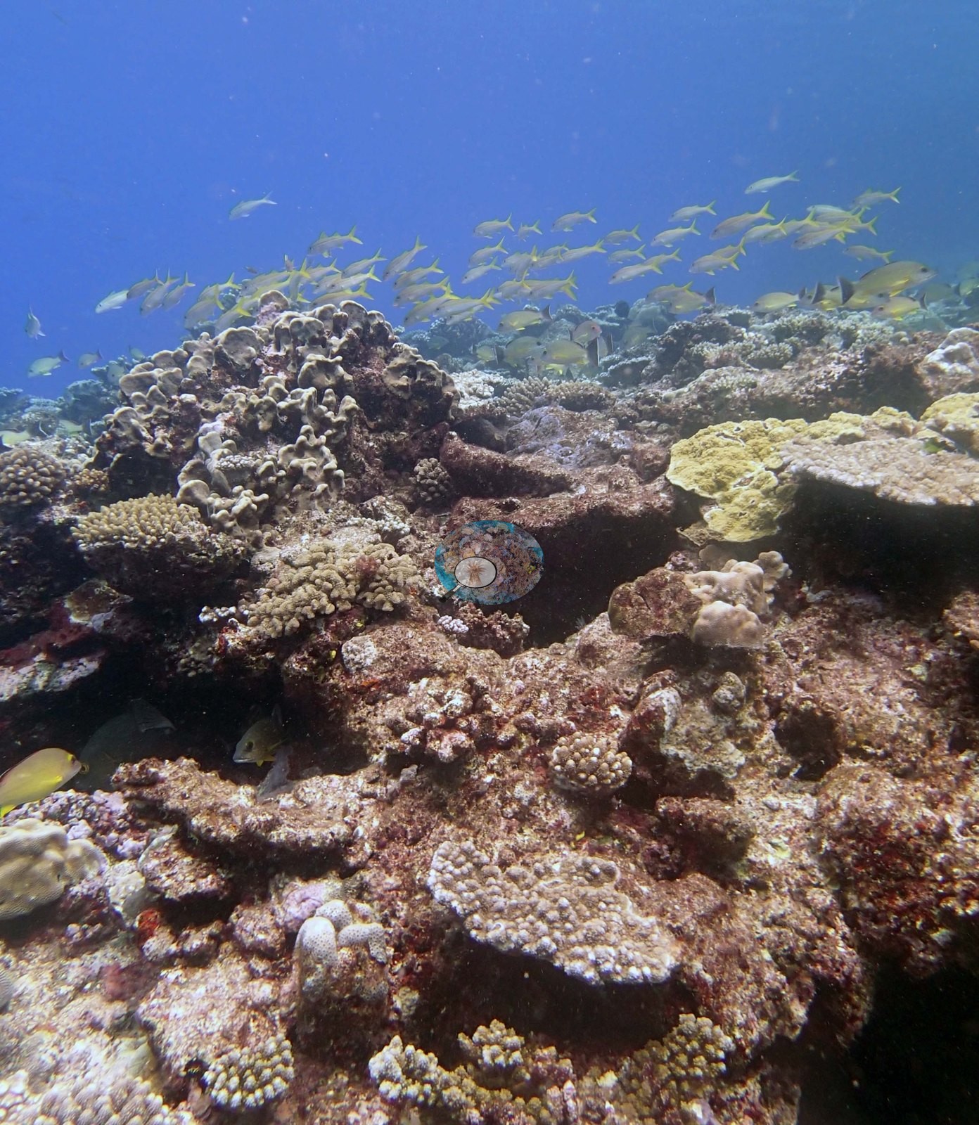
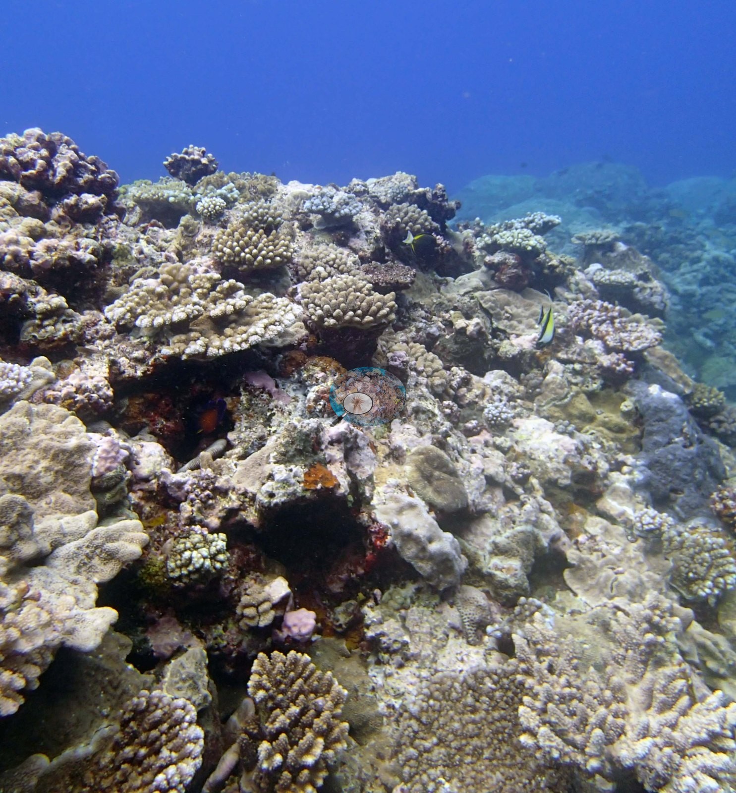
North shore. The reef platform had a terrace at 4-6 m dominated by small to medium digitate, table acroporids, Pocillopora, Astreopora, with 5.0-10% cover, large areas of hardground, and hardground areas with thick turf and damselfish lawns. The terrace dropped near vertically to 8-12 m and then a series of spurs sloped gradually to 35+ meters.
General benthic features
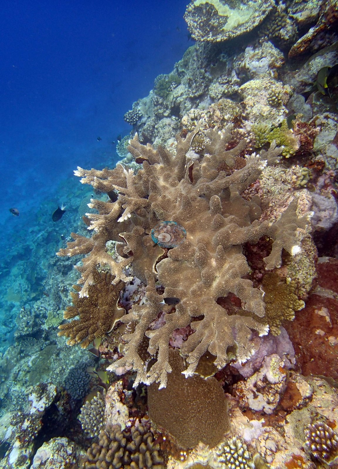
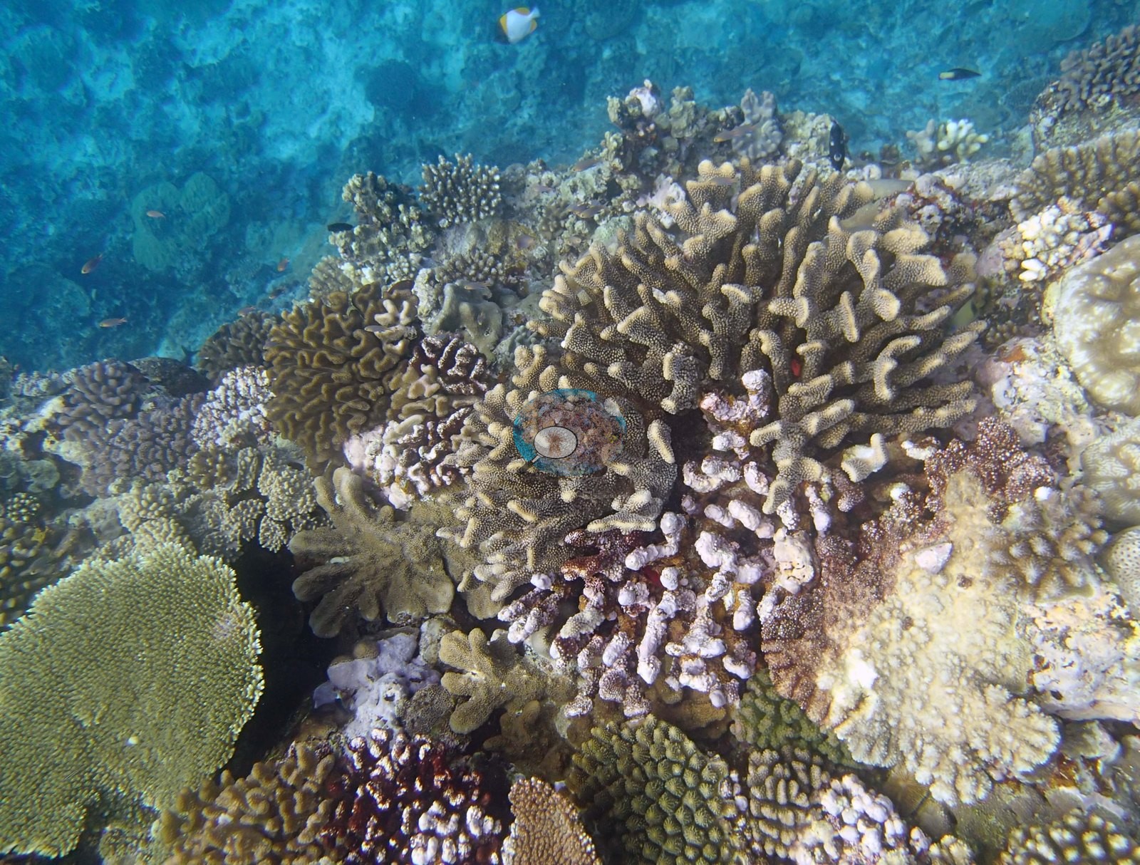
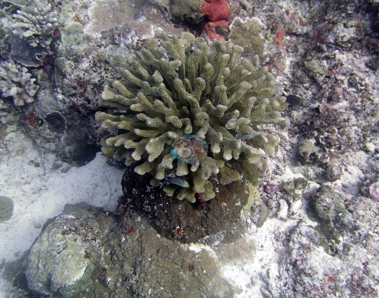
The frames track the profile the survey describes. A bright, shallow, high-diversity terrace appears in Image 3, Image 4, and Image 23 — dense small digitate and corymbose Acropora, lilac and purple-gray Pocillopora, cream branching colonies, small tan tables, a gold meandroid brain colony, and a big ruffled cream columnar colony — all in turquoise light.
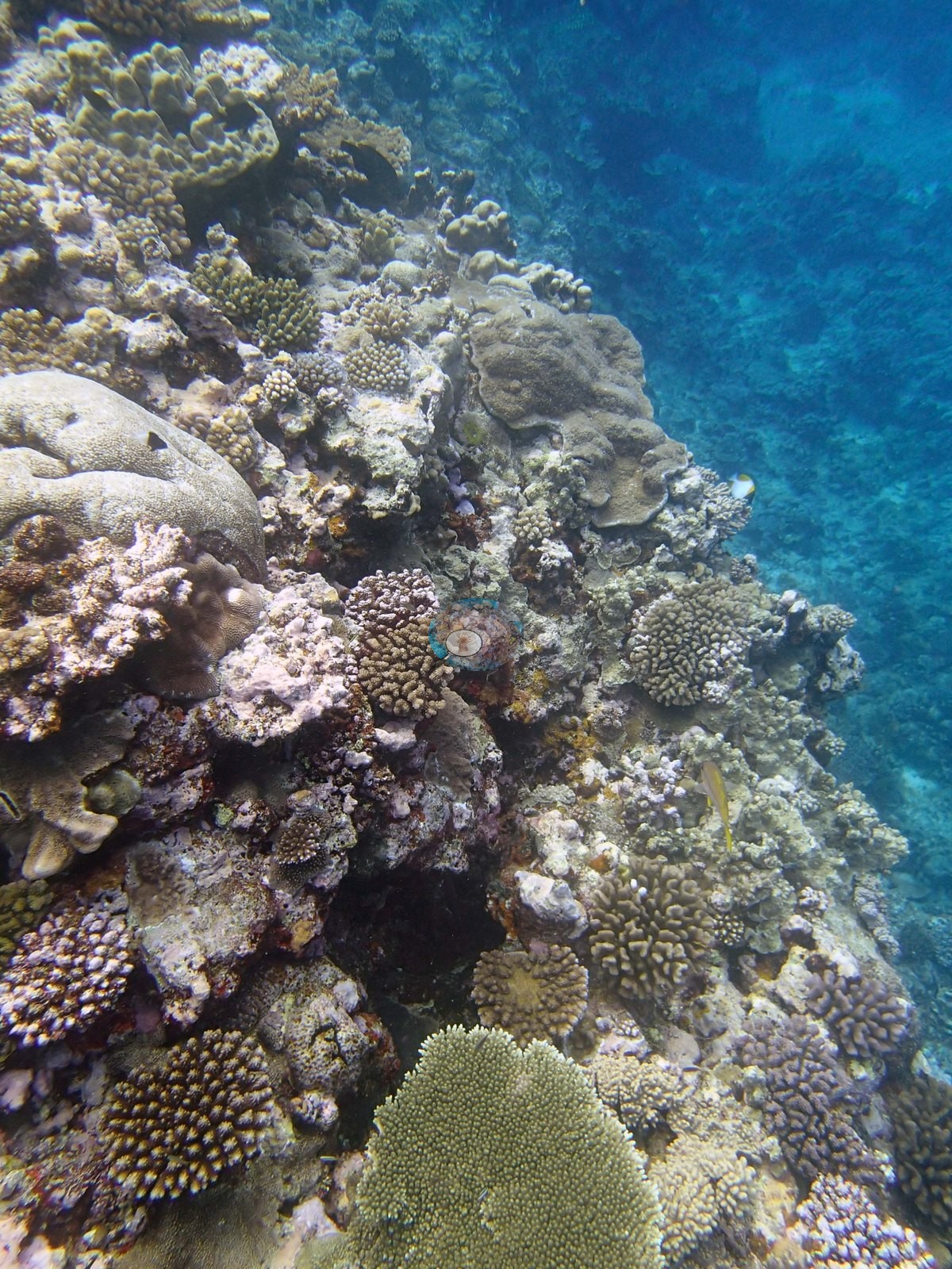
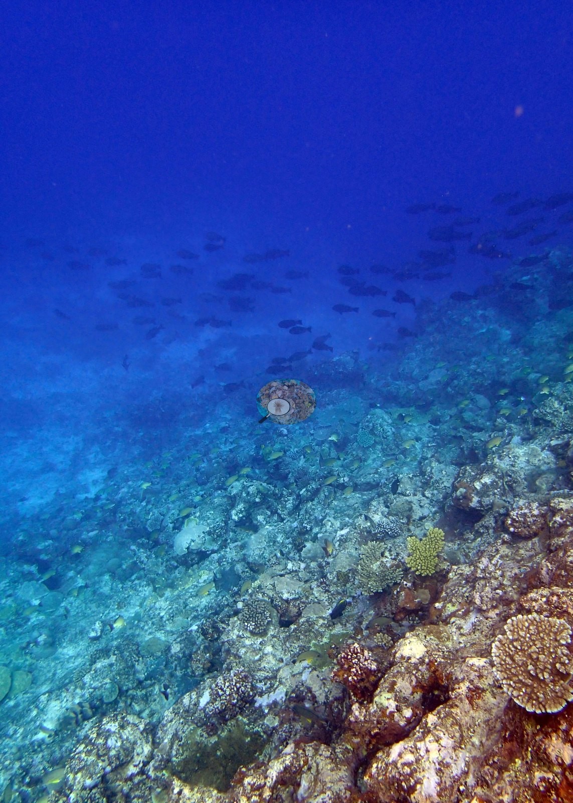
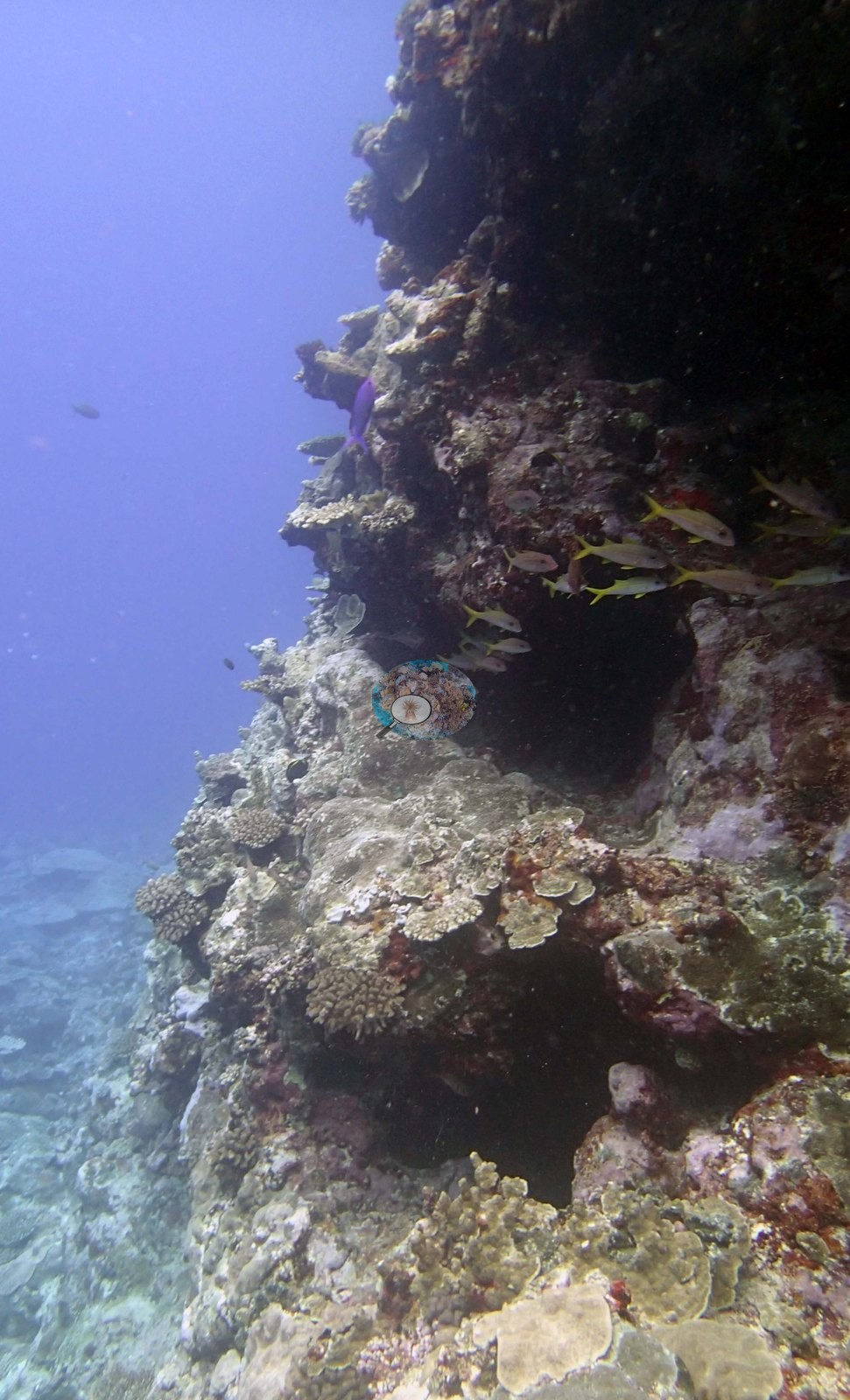
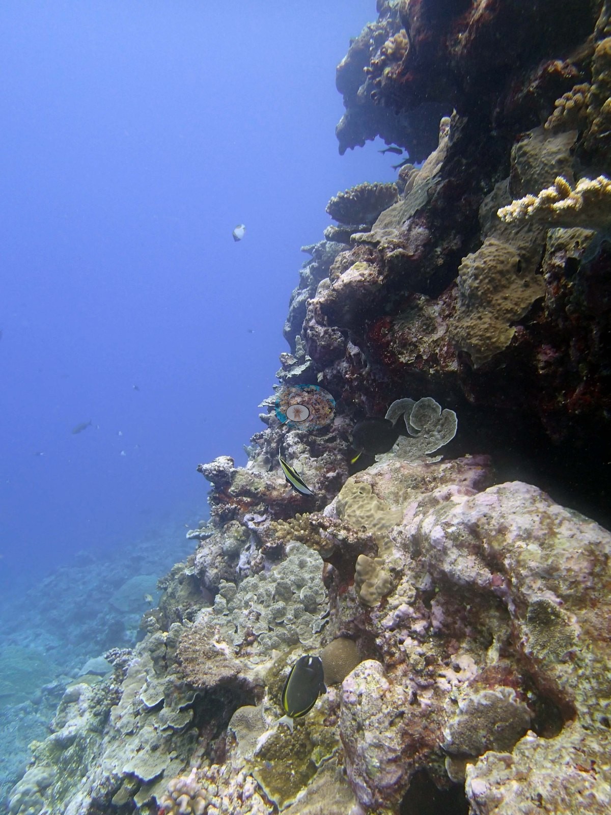
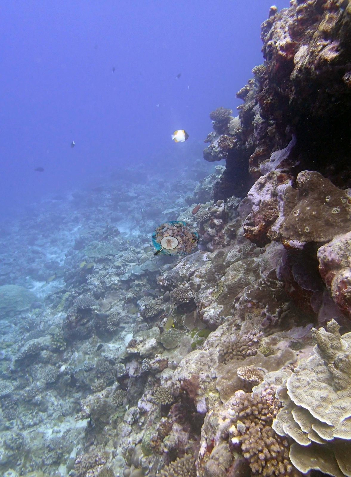
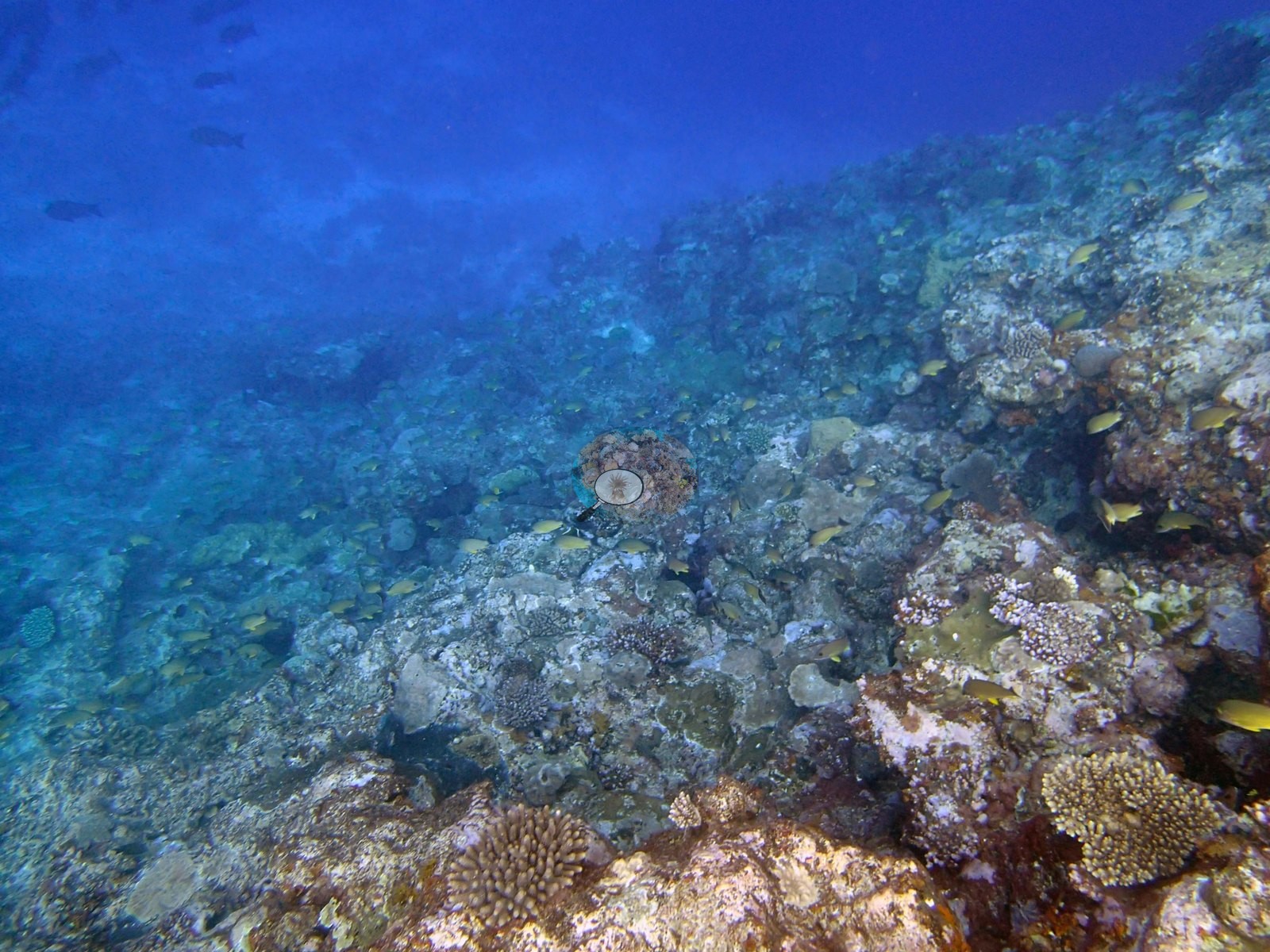
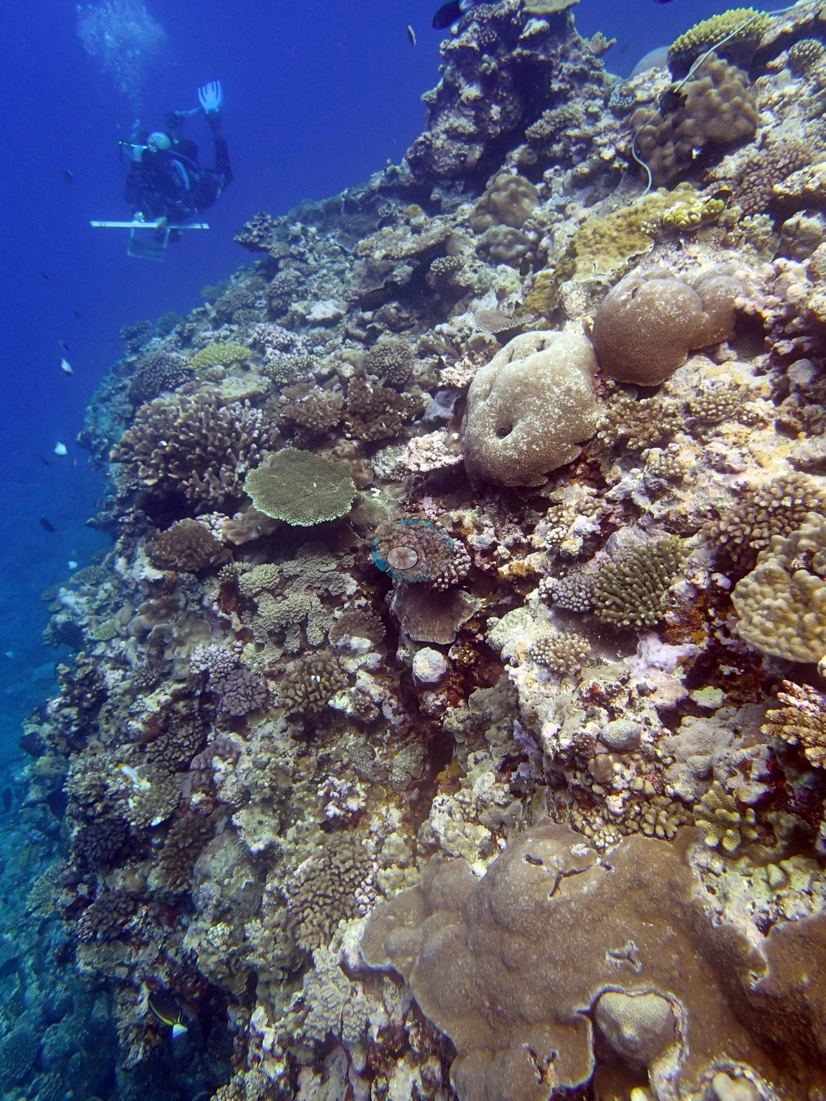
From there the camera works down a steep face: Image 14, Image 15, Image 16, Image 24, Image 25, Image 43, and Image 44 all look along or over a near-vertical wall or spur edge falling into deep blue, with plating and encrusting colonies clinging to it and clouds of planktivores strung out along the drop.
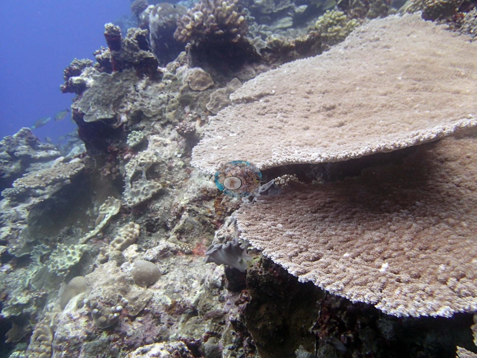
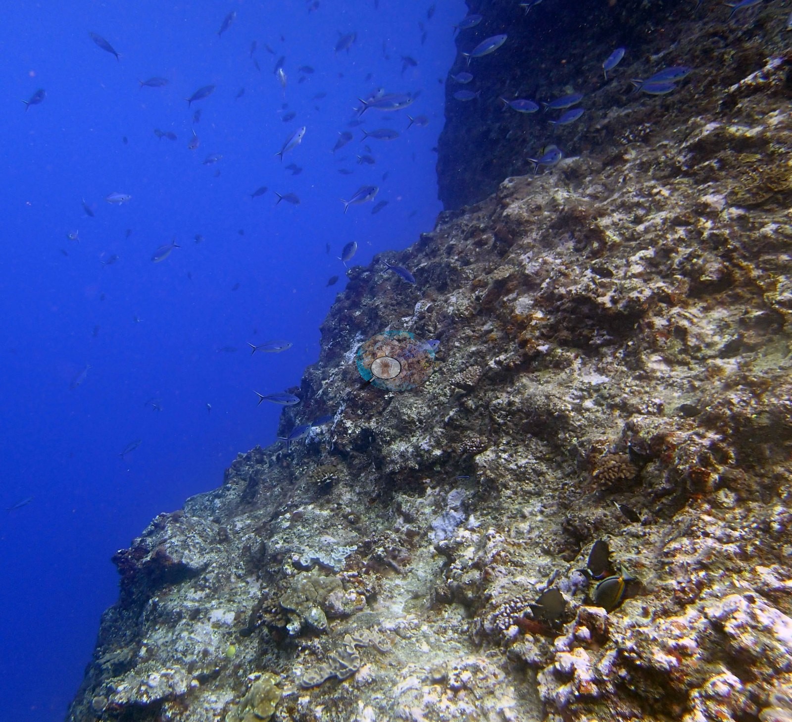
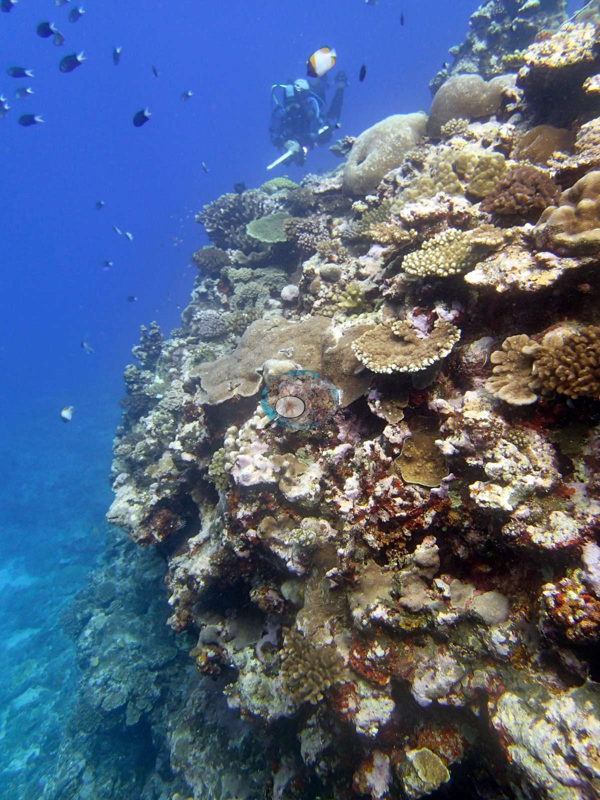
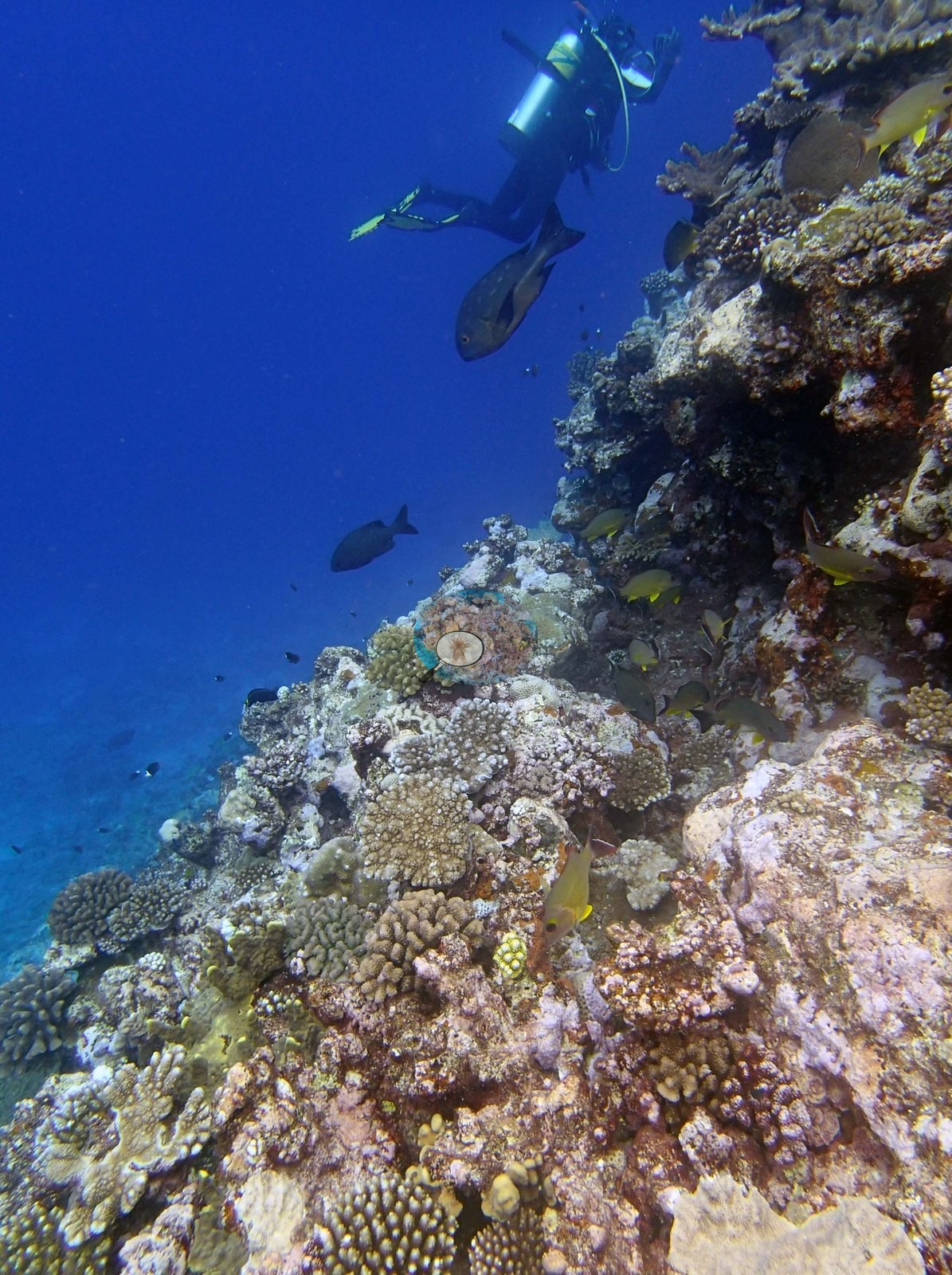
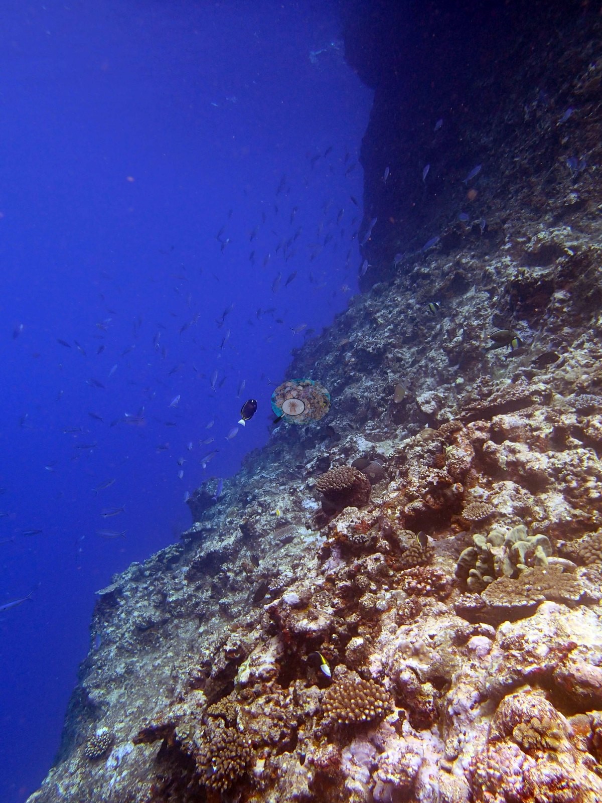
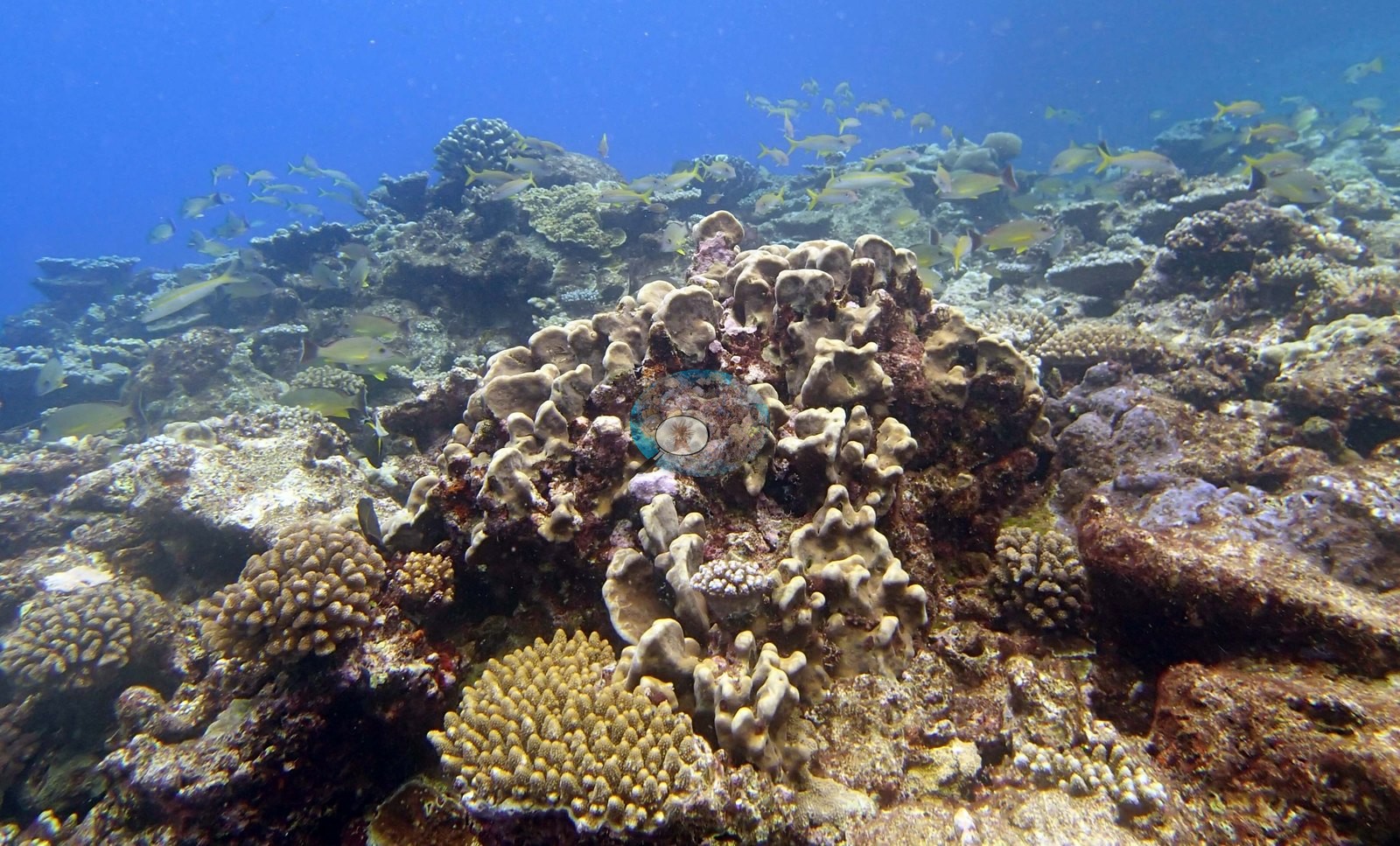
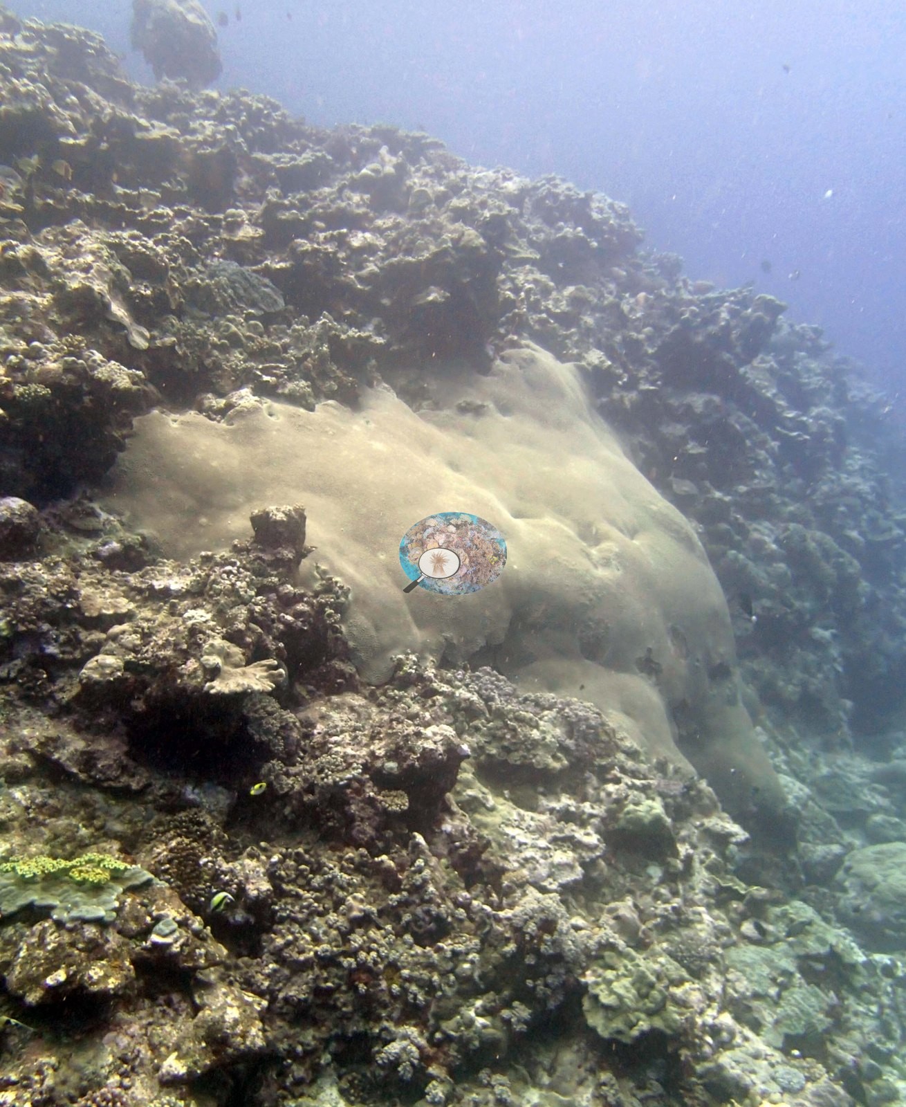
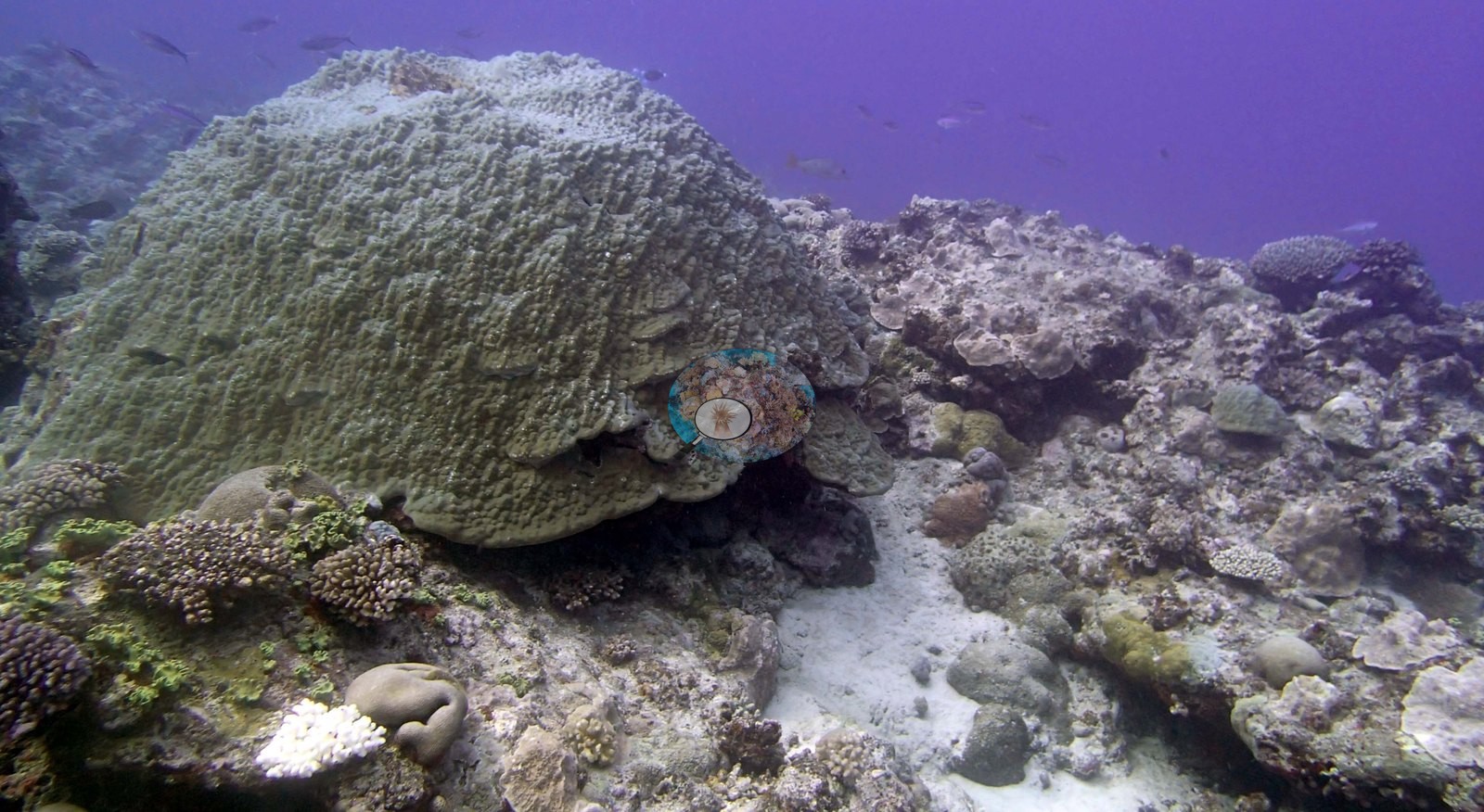
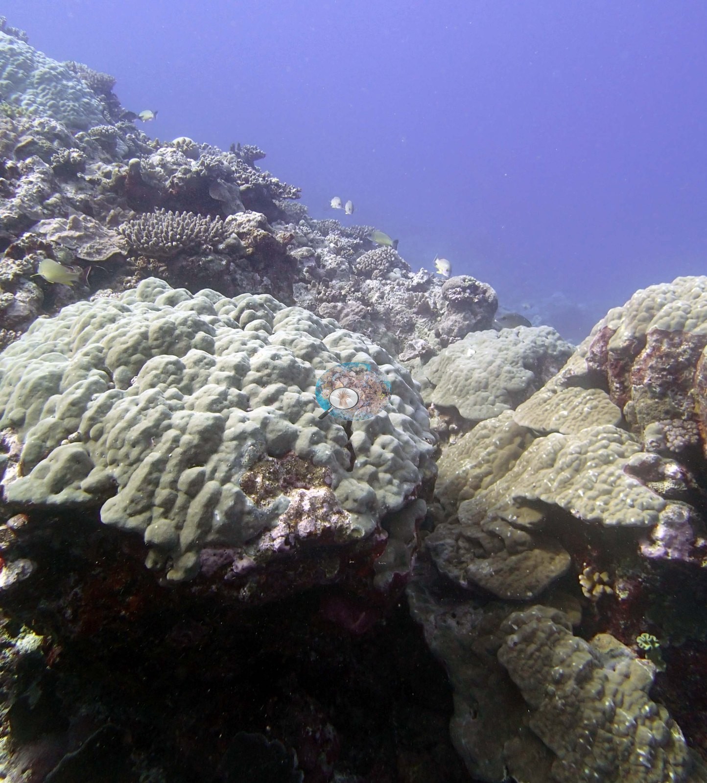
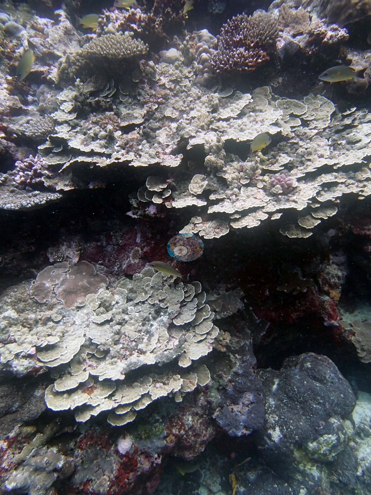
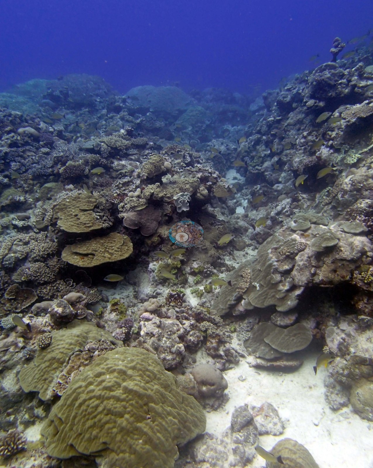
At the base and on the gentler slope the community becomes dominated by large pale gray-green mounding Porites (e.g., Image 13, Image 18, Image 31 is a single dome filling the frame) and by overlapping foliose sheets and plates (e.g., Image 9 is the best: tiered cream plating colonies stacked one over another; Image 35 and Image 38 show the same at range).
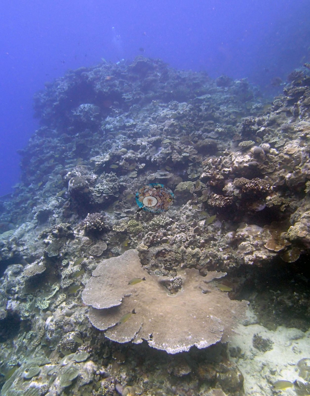
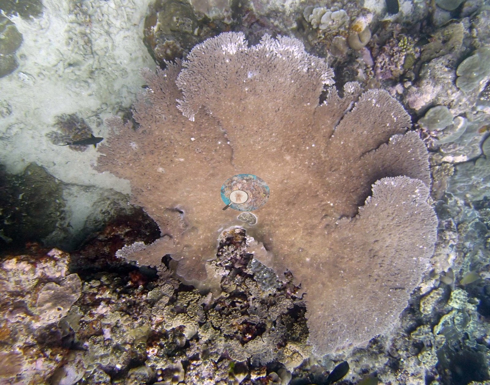
Broad tabular Acropora recur throughout; Image 15 and Image 37 each hold a broad table, and Image 10 is a tabular acroporid by Anderson's identification, its growing margin pale.
The deeper frames (e.g., Image 11, Image 19, Image 21, Image 34, Image 41, Image 42) are hazy, low-relief and purple-cast, and settle little beyond a general impression of lower relief and more sediment.
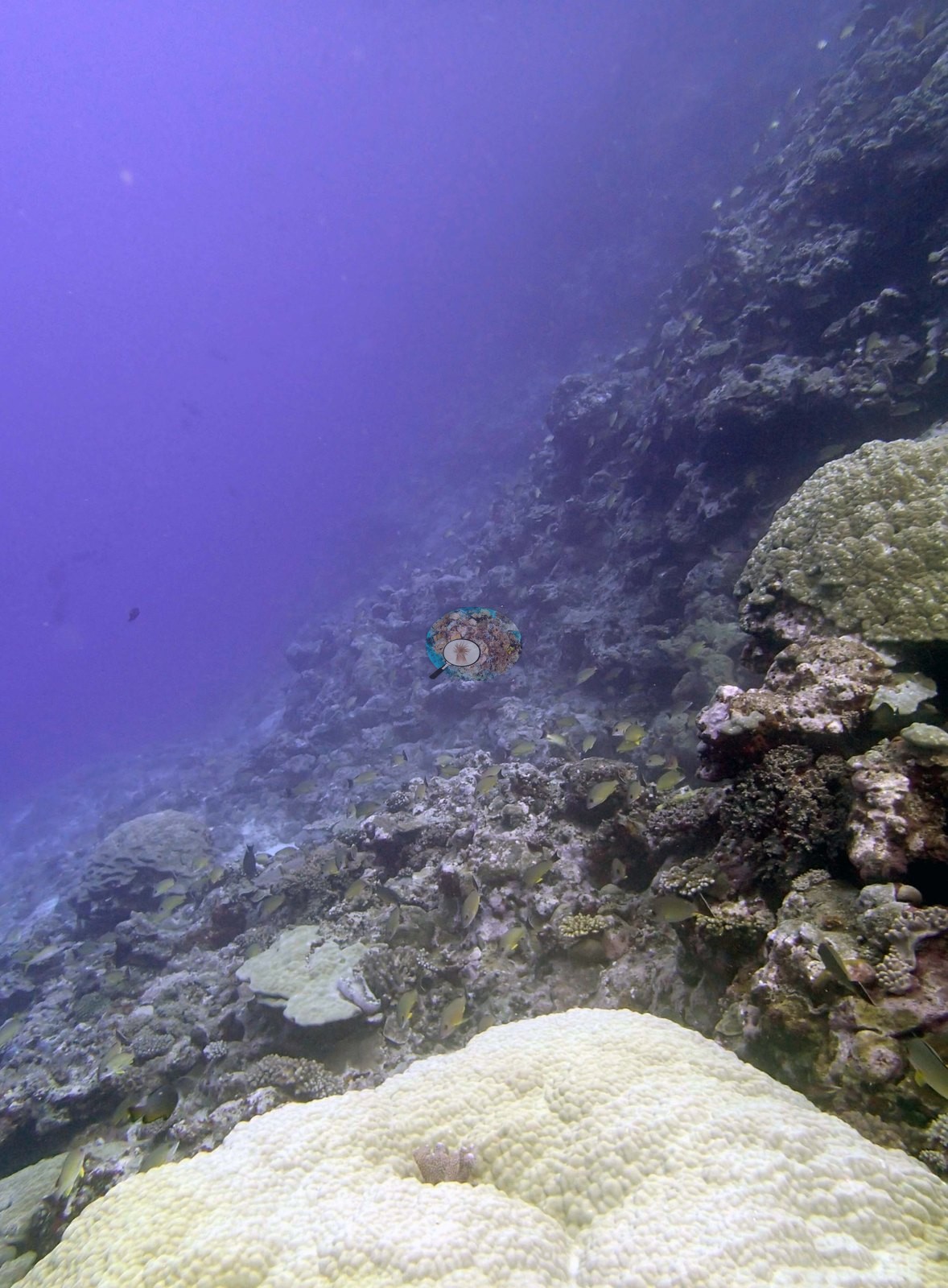
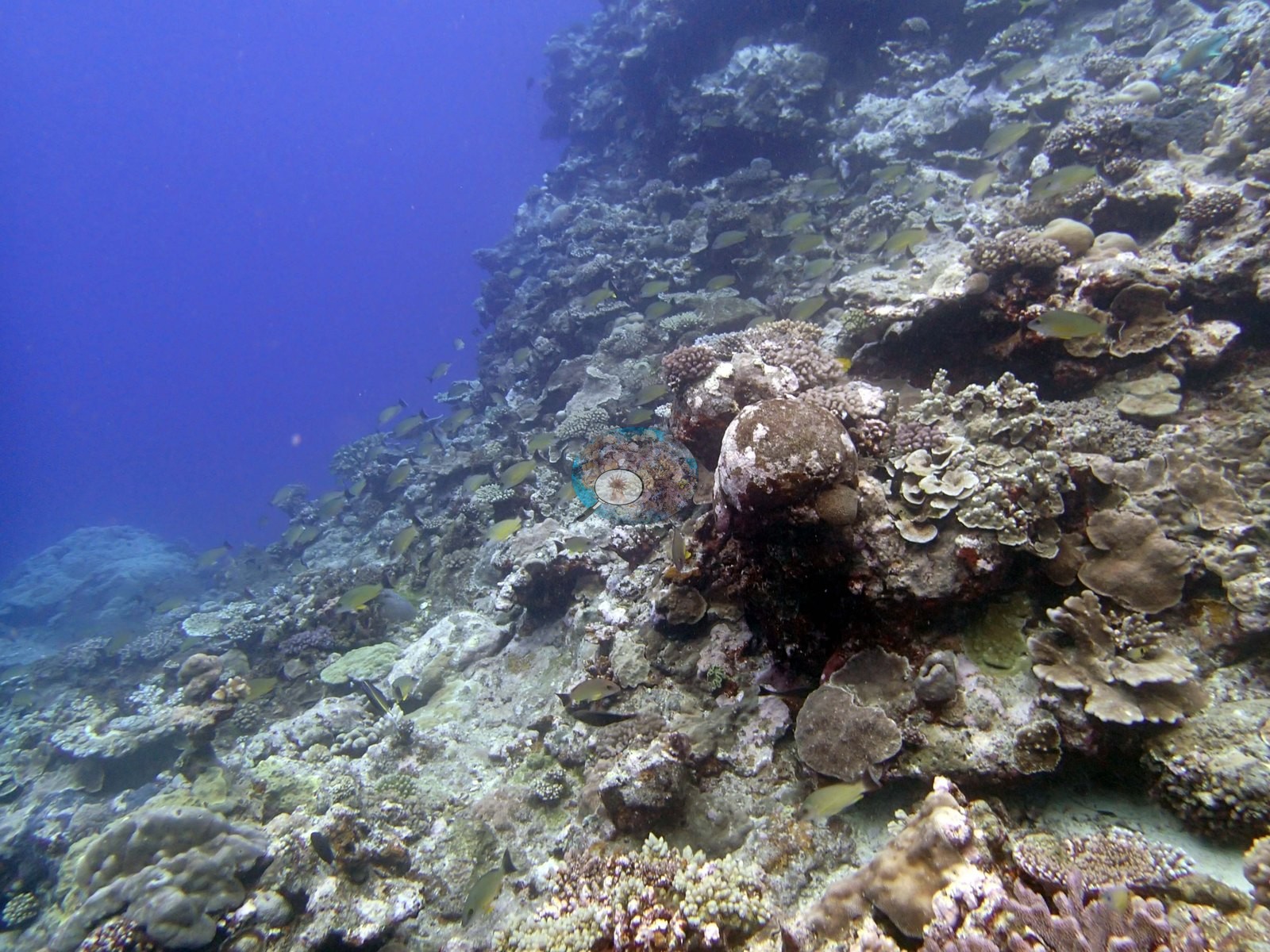
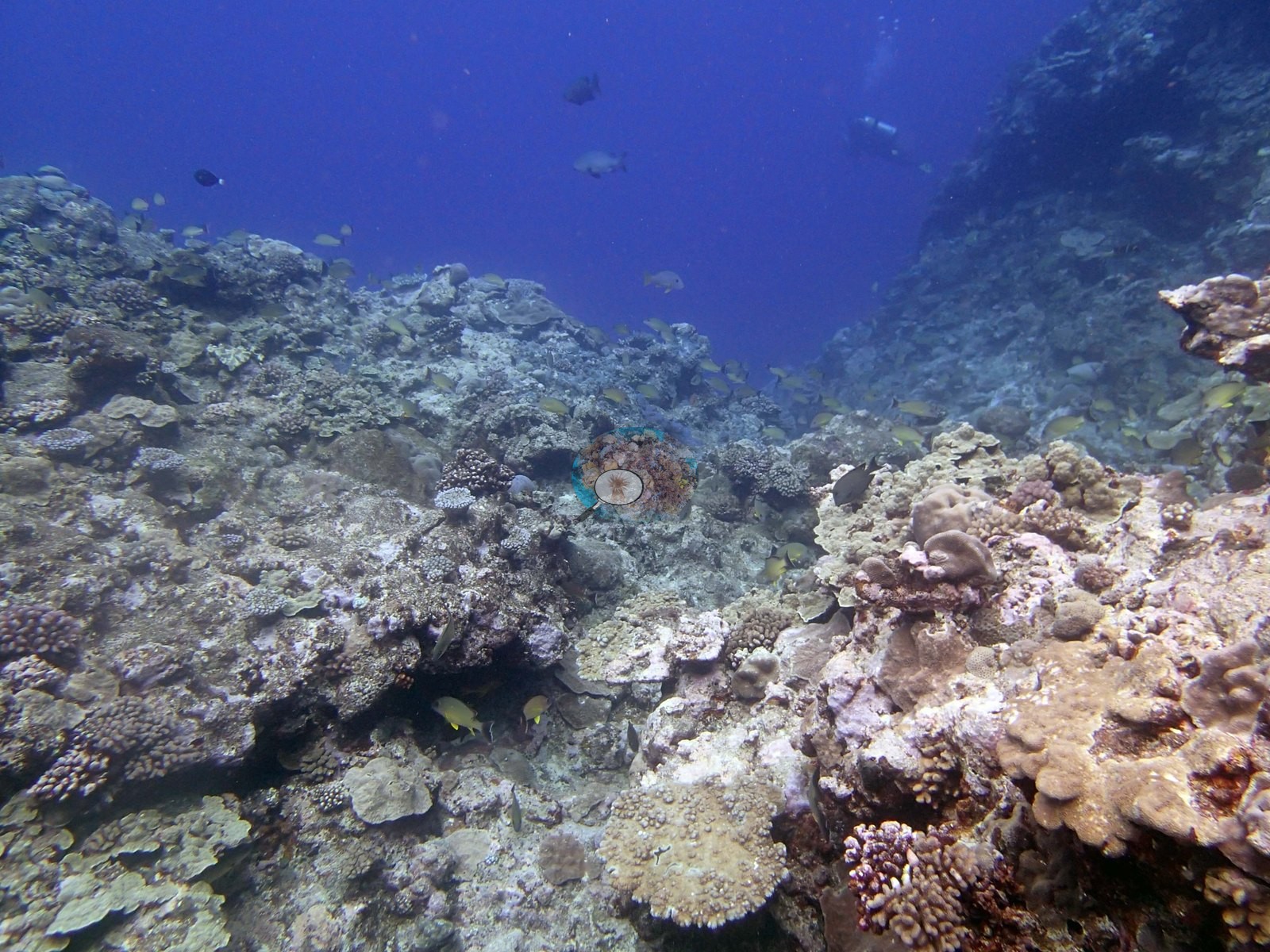
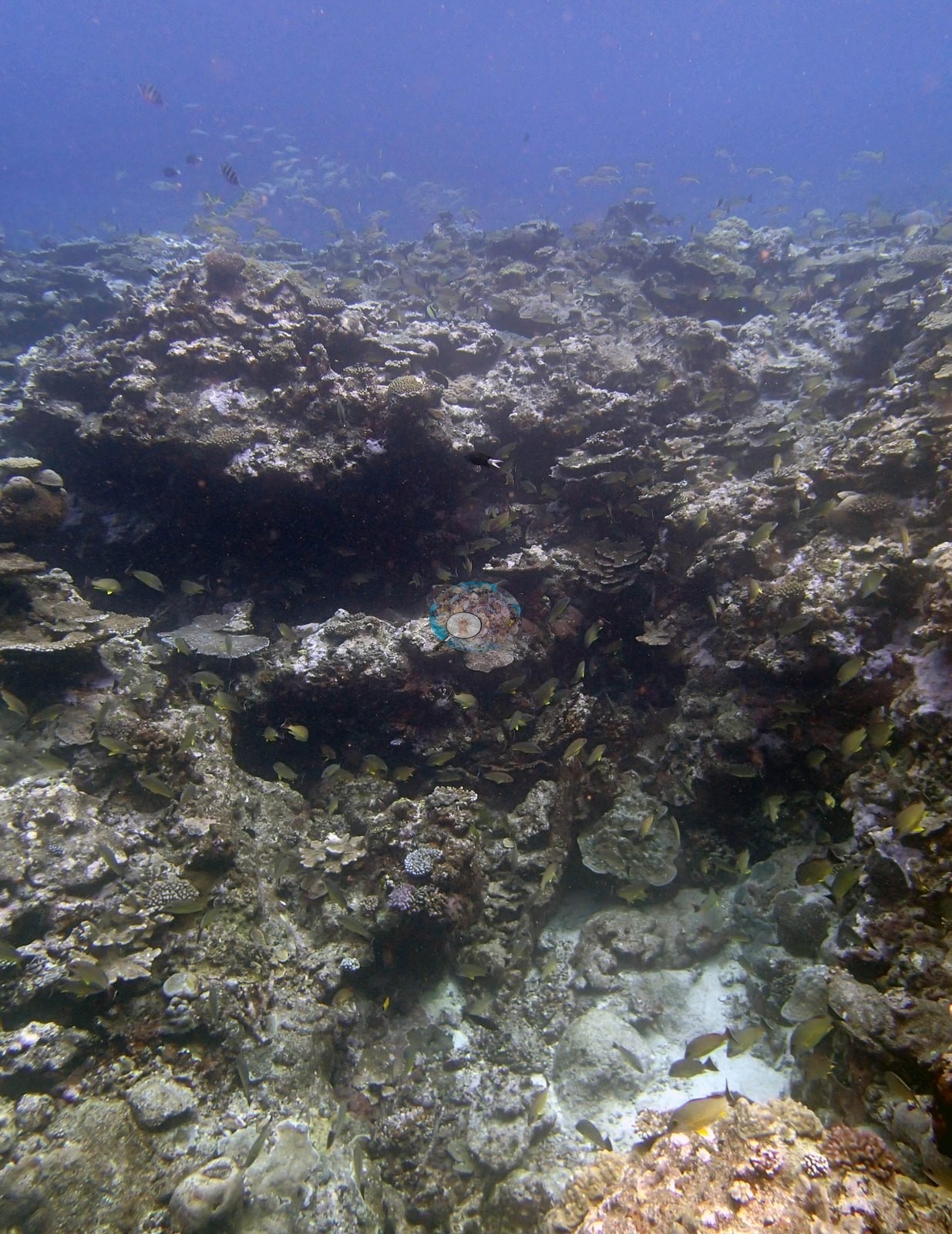
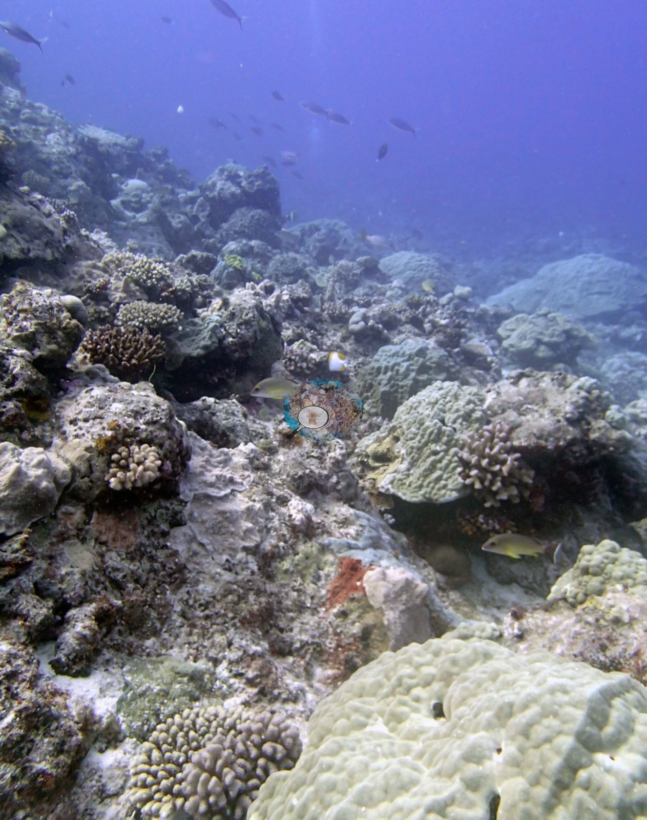
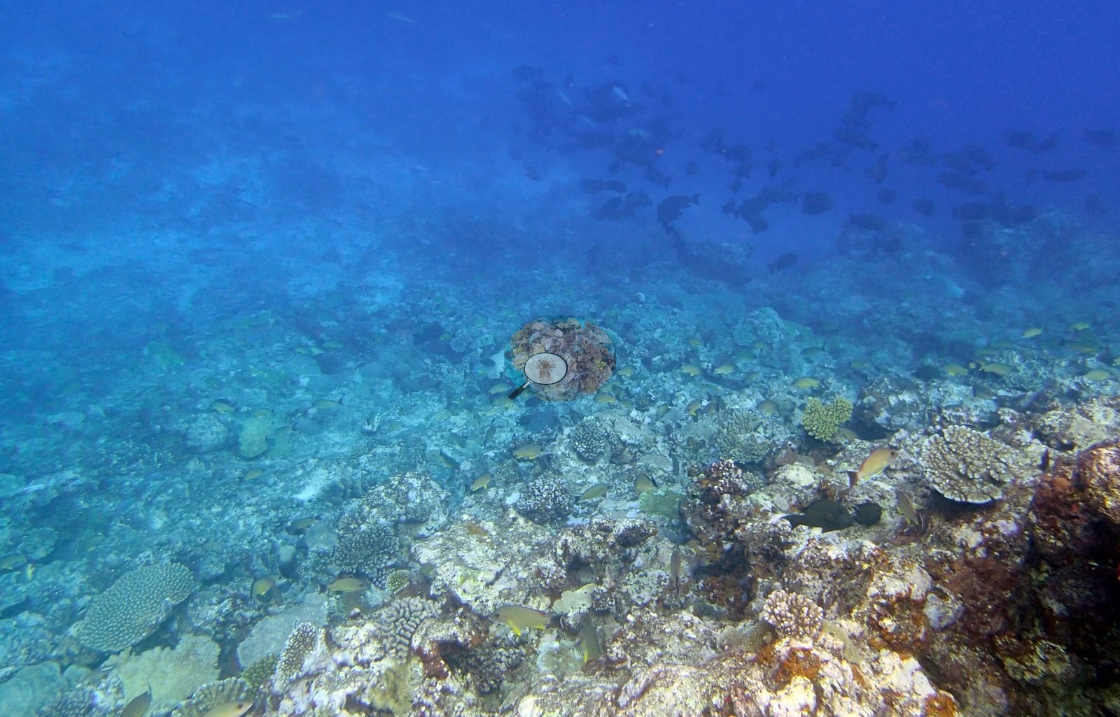
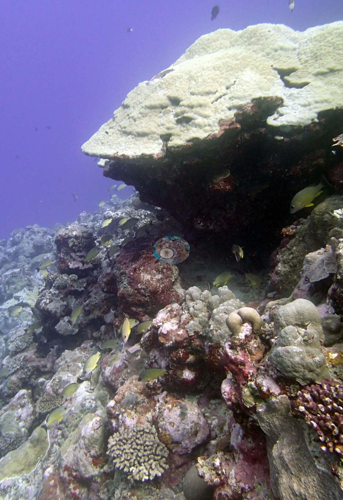
Image 7, Diploastrea?, is a tall vertical face of a very large, smooth, fine-textured massive colony with goatfish over it — Anderson's own tentative call, and consistent with the 4 m Diploastrea the surveyors logged on the side of the vertical terrace; the same colony (or a close counterpart) reappears in Image 5. Image 45, P. eydouxi, is an olive-green, thick-branched Pocillopora sitting on white sand.
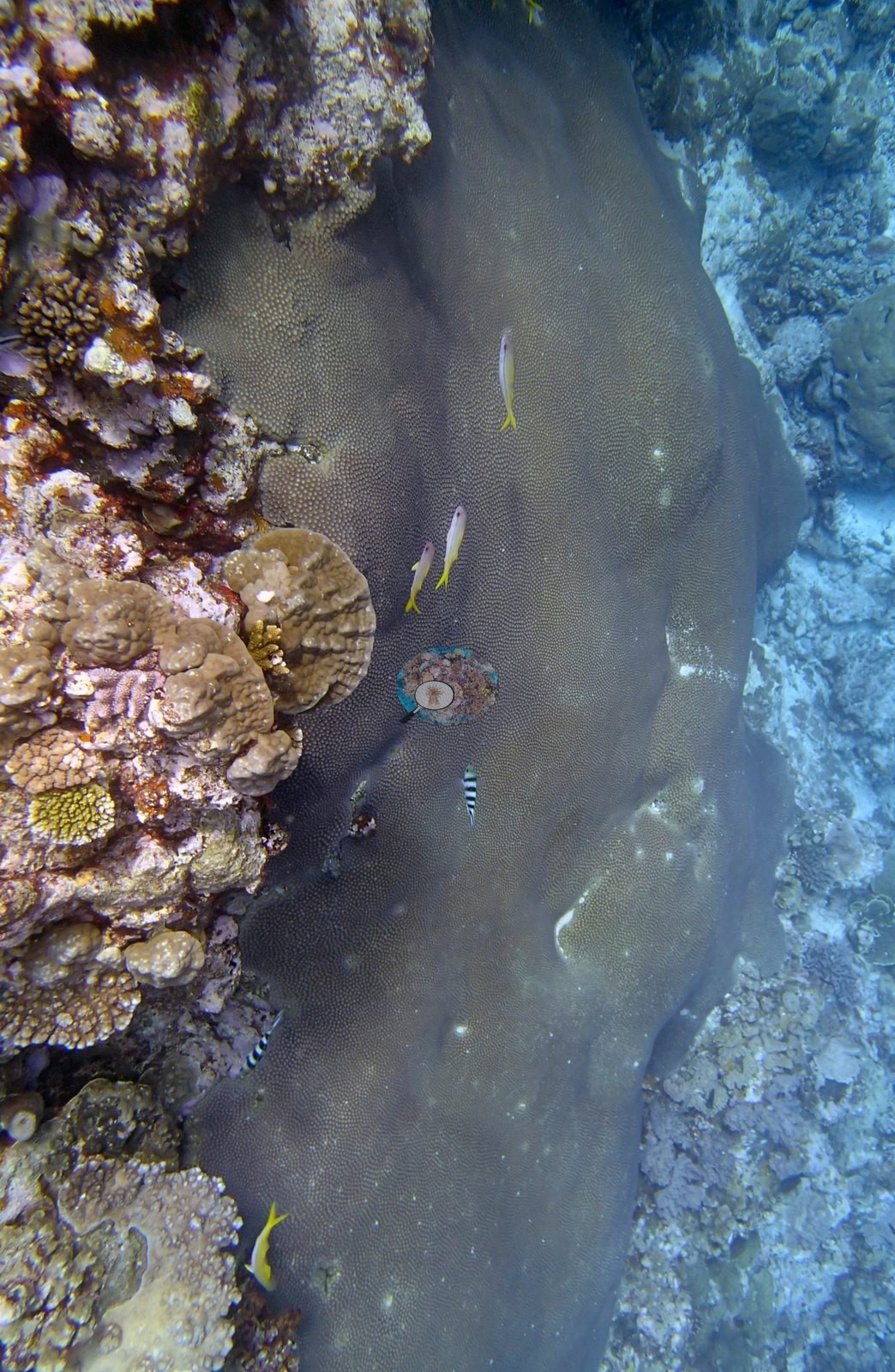
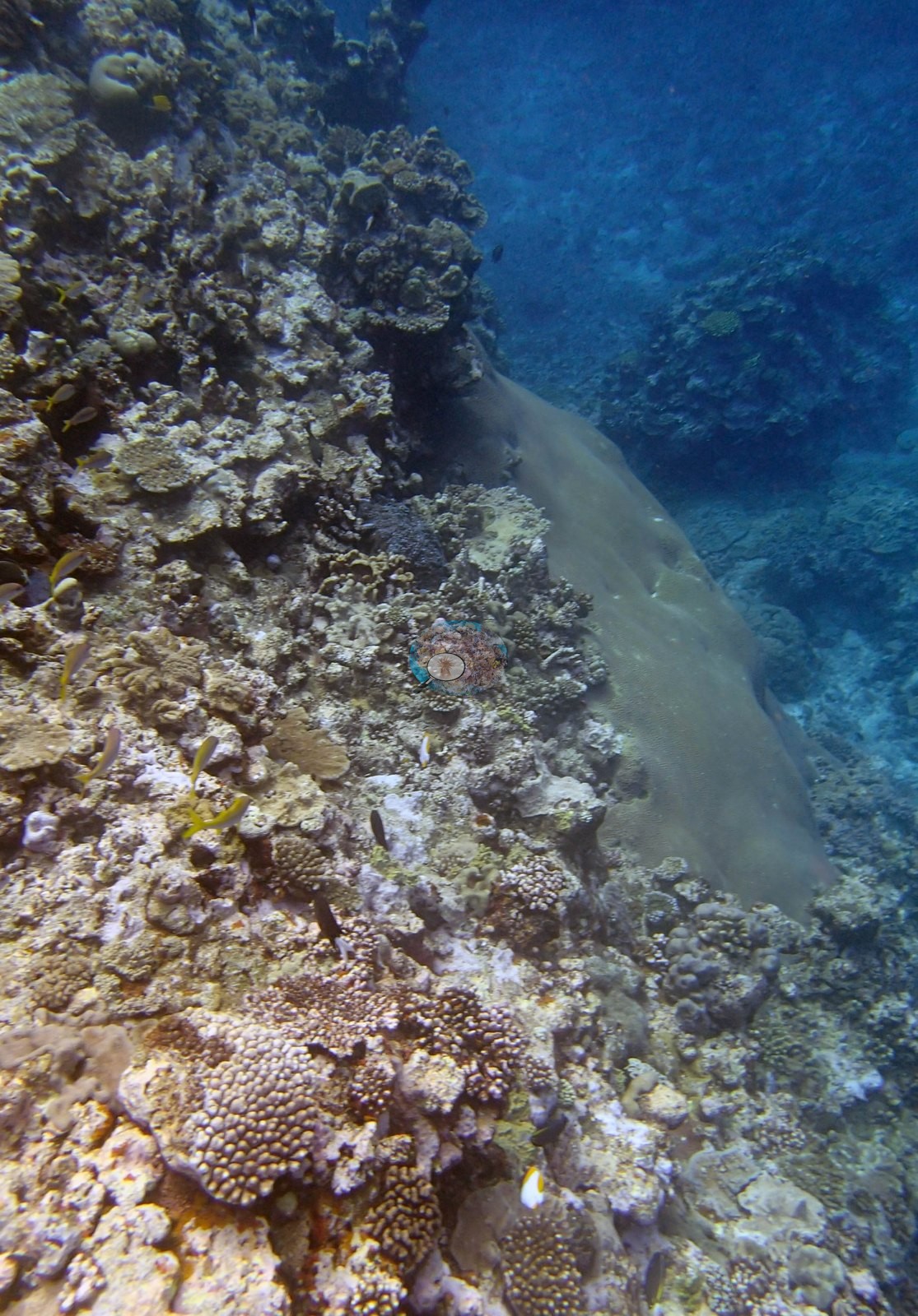
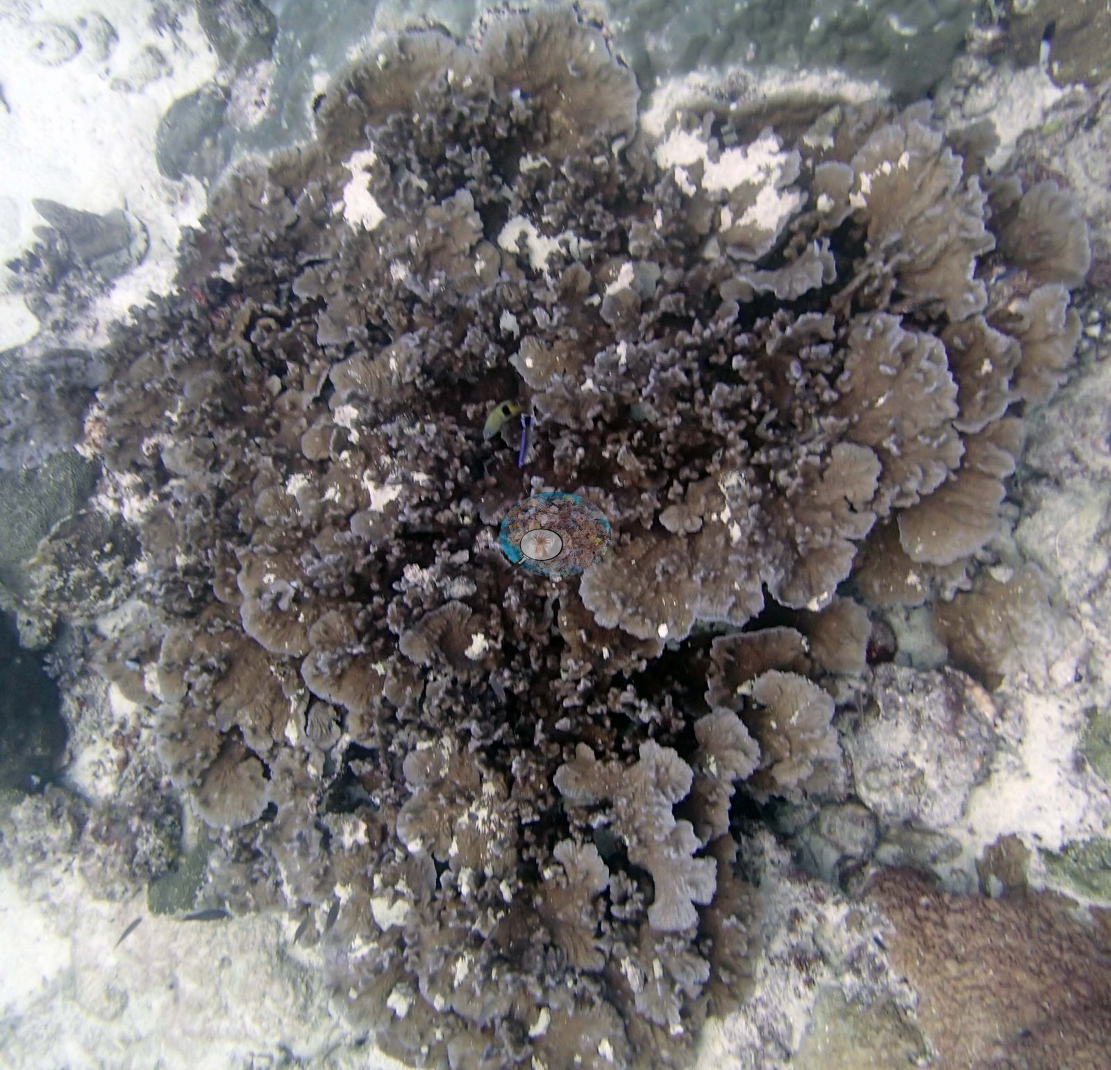
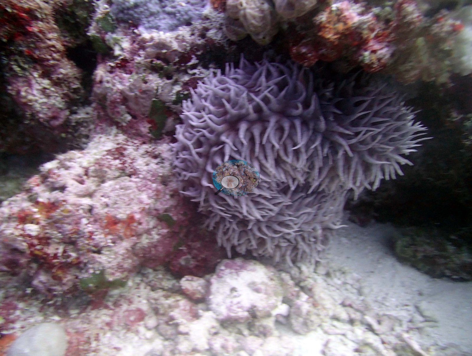
Neither is second-guessed here. Two further frames are left unidentified: Image 30, a mass of gray-brown ruffled foliose plating, and Image 33, a lavender long-tentacled anemone-like animal under a ledge.
On one side of the vertical terrace was a 4 m Diploastrea. The base of the terrace and in the wide grooves between the terrace, from 8-15 m is dominated by large massive Porites, 1-2 m diameter and up to 1 m tall, with 30-40% cover. Dead areas on Porites and surrounding substrate has many Pocillopora, digitate Acropora, Goniopora, and encrusting corals. The Porites colonies drop out below 15 m and cover also declines to 20% then 15% by 30 m. This section had lower relief (30-60 cm) with patches of hardground and sand interspersed with coral. The coral community was dominated by large encrusting Leptastrea, followed by Montipora, Isopora, and numerous branching Stylophora and Pocillopora with occasional Porites.
Coral cover
- Reference: Khaled bin Sultan Living Oceans Foundation, Global Reef Expedition (in situ transect)
- 41%, from the Khaled bin Sultan Living Oceans Foundation's in situ transect survey (Global Reef Expedition site data); the photographs illustrate the site.
- The photographs below are qualitative and illustrative only; they neither support nor qualify that figure.
- Transect mean 41 ± 5.9% SE (n = 6 transects; Living Oceans Foundation per-transect benthic data); the headline above is this all-transect mean.
Stressors
A handful of frames show small branching colonies with stark-white branch tips against pigmented neighbors: Image 48 most clearly, with Image 18 and Image 27 each holding one.
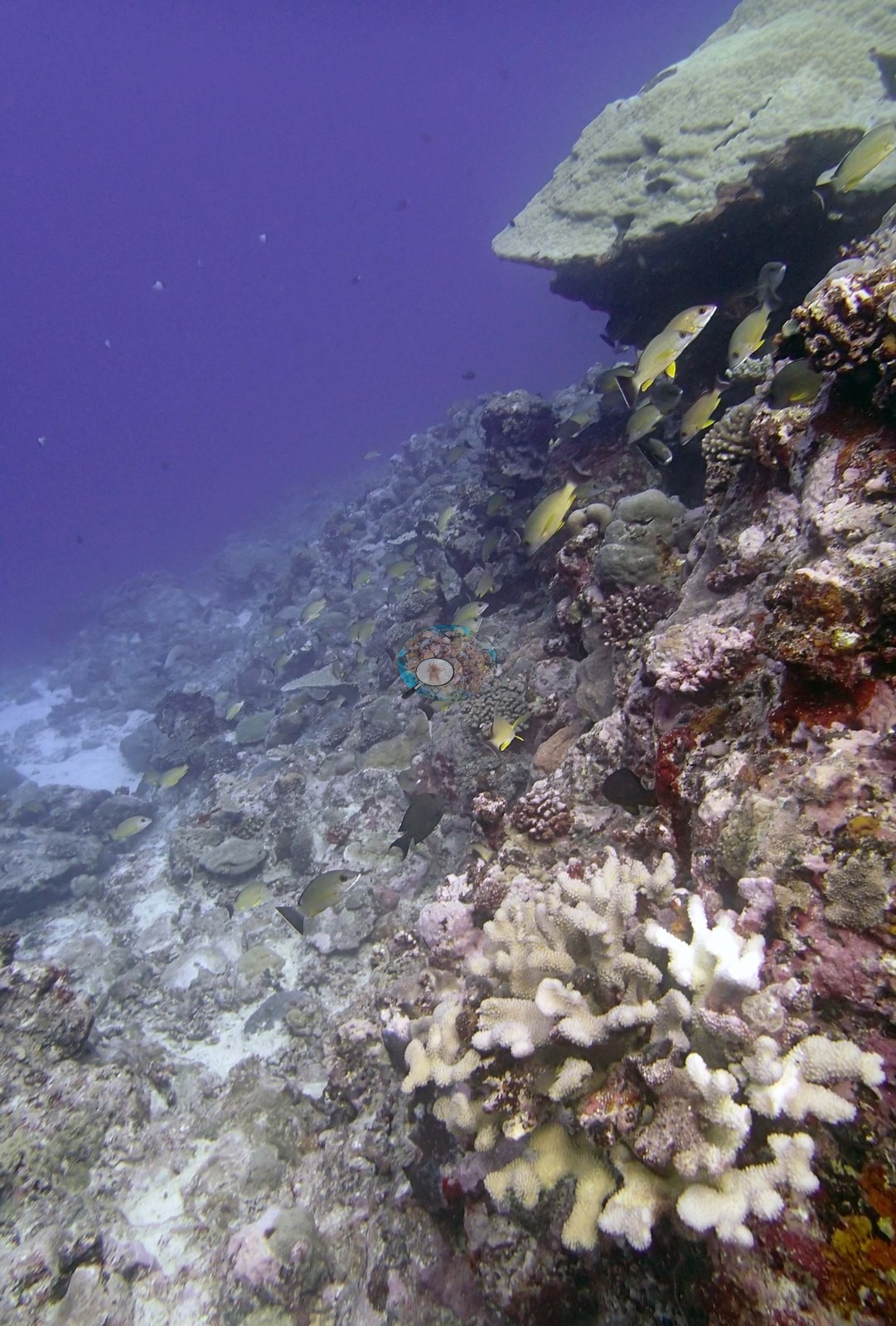
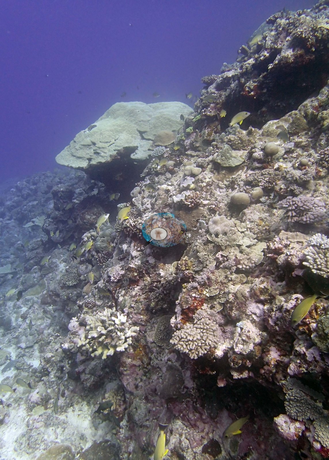
Anderson reads these white tips as fresh feeding scars, not bleaching, and the white patch in Image 23 as crustose coralline algae covering dead coral. That reading matches the survey record for this reef, which attributes the recent damage here to corallivory (snail feeding, and small Stylophora and acroporids eaten by Culcita). Image 47 is direct supporting evidence for the predation account — a large red cushion star (Culcita) sitting among pale digitate Acropora and Pocillopora.
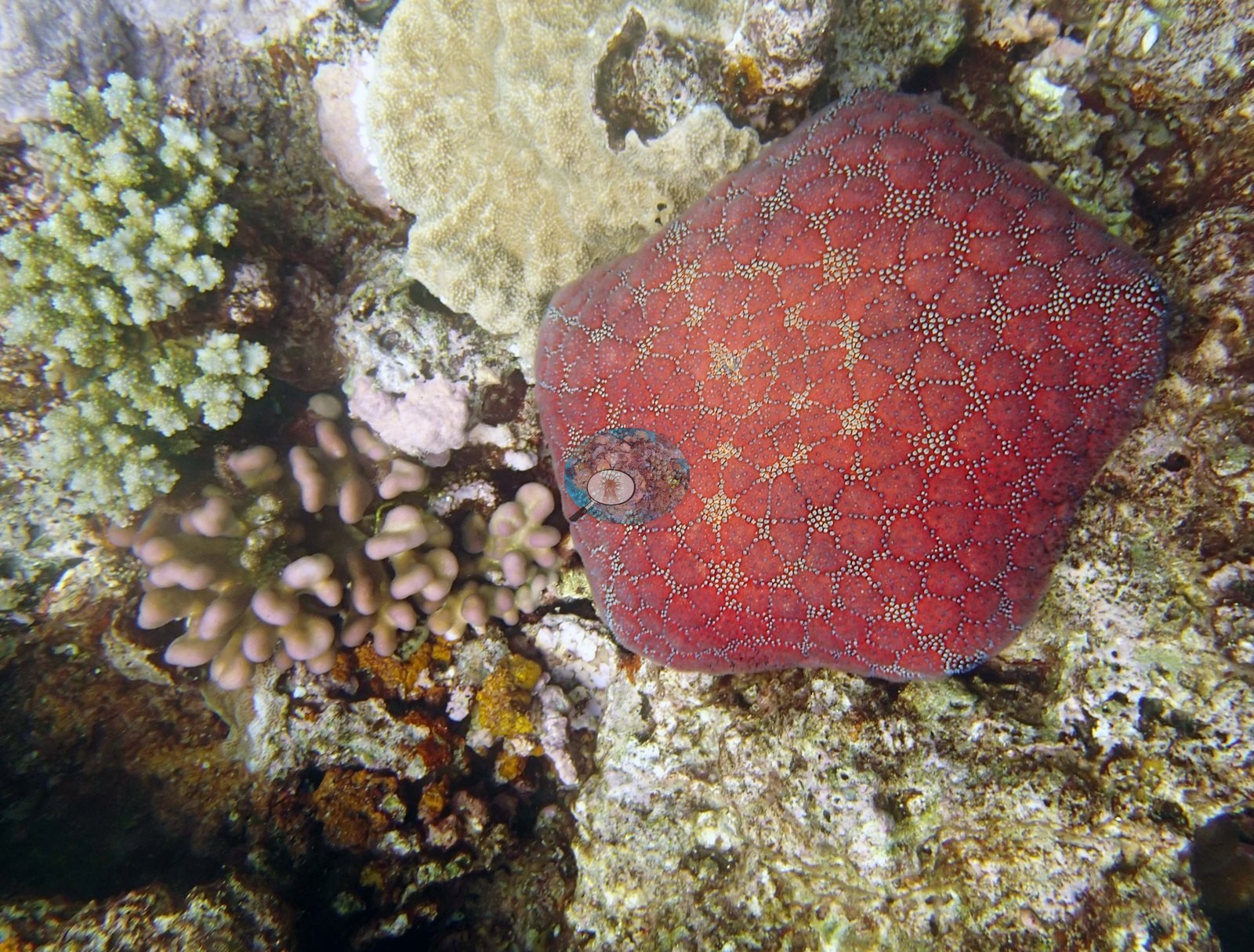
The 2013 survey notes for this site record recent snail feeding damage on 10 to 20% of the Acropora and Pocillopora, and numerous small corals eaten by Culcita cushion stars (Khaled bin Sultan Living Oceans Foundation expedition site notes, 2013; regional summary in Bruckner 2014). Throughout the reef were numerous small (5-10 cm) mostly Stylophora with some acroporids and pocilloporids that had been eaten by Culcita. Typical recent thermal stress: mean annual maximum of 8.1°C-weeks (Degree Heating Weeks, 2021-2025, NOAA CRW; Southern Tonga virtual station). The Living Oceans Foundation transects here recorded 5.9% cyanobacteria and no recently dead coral.
Fish and other fauna
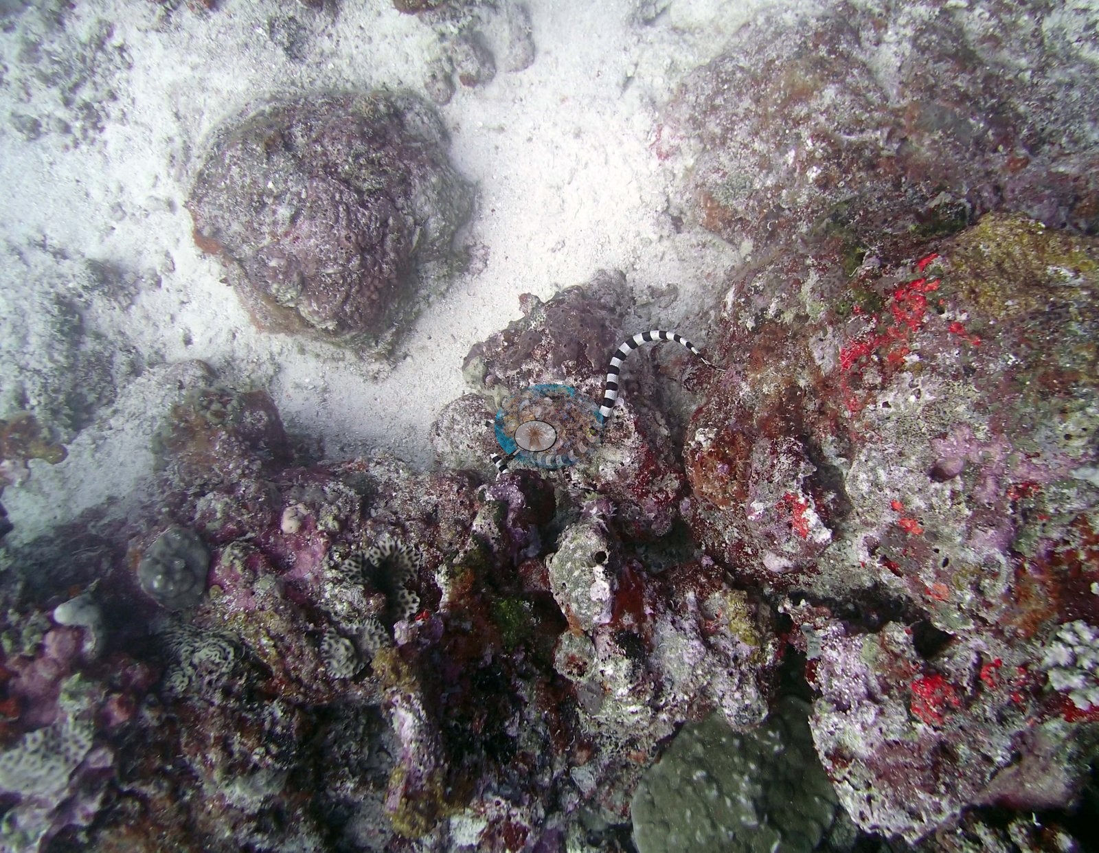
Elsewhere the fauna is quiet but consistent: yellow-and-blue striped snappers over the reef in Image 12, Image 14, and Image 38, chromis and yellow damselfish through most mid-water frames, Moorish idols in Image 1, Image 16, and Image 39, butterflyfishes on the wall in Image 16 and Image 35, a stream of planktivores in Image 28, and a black-and-white banded sea krait crossing pale coralline-crusted pavement in Image 40.
Comparisons with other data
TOVA38 (Vava'u) was surveyed on 24 September 2013 during the Khaled bin Sultan Living Oceans Foundation Global Reef Expedition.
Other notes
Forty-three habitat photographs from this Vava'u site, taken on 24 September 2013, are on file. Anderson noted that none of the target Pocillopora ('no Pdam') was taken here, so there are no sampled-colony close-ups from this site. No frame carries a scale bar, so colony dimensions cannot be read off the photographs. Divers appear in Image 1, Image 2, Image 25, and Image 43 with survey apparatus in hand, confirming these are survey-time frames.
What the imagery cannot settle is the depth partitioning of cover, the proportion of the benthos under turf and damselfish lawns, or any quantitative statement of condition; for those the transect record stands.
CV model comparison
More info
The photo row below is a methods comparison only: it is never averaged with the transect and never used as the headline. It compares site means only: the photos come from the same survey dive as the transect but not from the same points.| Method | Hard coral cover (%) | Photos (n) ± SE |
|---|---|---|
| Transect mean (all transects) | 40.7 | |
| CoralSCOP unedited | 30.7 | n = 41 · SE 2.8 |
| Claude (edited photos) | 30.2 | n = 41 · SE 3.3 |
The two computer-vision methods agree within 0.5 pp (30.2–30.7%) and read 10.0–10.5 pp below the in-water transect (40.7%); the headline is the in-water transect because a diver transect is independent of the photographs.
See a more detailed, stand-alone version of this table.
Data & links
- Download benthic survey data (CSV) ↗
- Download all LOF-GRE data (933 sites) ↗
- Photo portfolio ↗
- Coral Reef Diagnostics region page ↗
All images from Coral Reef Diagnostics. Data are from the Khaled bin Sultan Living Oceans Foundation Global Reef Expedition and Coral Reef Diagnostics.
 © Coral Reef Diagnostics.