
Part of the regional summaries: Tonga - Vava'u and Tonga
More info
Southern Tonga (NOAA CRW virtual station)A leeward reef behind a small Vava'u island at a channel entrance, with a large two-mouthed cave ringed by sea fans, soft corals, and sponges on its ceiling, and a second cave with black coral at the entrance. Coral cover was 28% overall; the second platform had very little coral, with snail damage and damselfish lawns, and the upper slope held piles of broken, mostly dead plating corals. Surveyed on the Living Oceans Foundation's Global Reef Expedition.
Ko ha hakau ʻi he tafaʻaki maluʻi mei he matangi (leeward) ʻi he mui ʻo ha kiʻi motu ʻi Vavaʻu ʻi he hūʻanga ʻo ha hala vai (channel), mo ha ʻana lahi ʻoku ua hono ngutu ʻoku takatakaiʻi ʻe he ngaahi sea fans, feo molū (soft corals), mo e ngaahi sponge ʻi hono ʻaofi, pea mo ha ʻana hono ua ʻoku ʻi ai ʻa e feo ʻuliʻuli (black coral) ʻi he hūʻanga. Ko e ʻufiʻufi ʻe he feo (coral cover) fakakātoa naʻe 28%; naʻe siʻisiʻi ʻaupito ʻa e feo ʻi he tuʻunga (platform) hono ua, mo e maumau ʻa e ʻelele (snail damage) mo e ngaahi ngoue limu ʻa e damselfish, pea naʻe ʻi he tafaʻaki ʻi ʻolunga ha ngaahi fokotuʻunga ʻo e ngaahi feo fakapaleti (plating) kuo fasifasi, ko hono lahi kuo mate.
AI translation of this summary; the English is authoritative. (low confidence)
CTD-cast midpoint of 26.0–26.2°C
Three other CRD dive sites with their own pages within 5 km shown in orange — click a marker to open its page.
🗺 Detailed map of the Global Reef Expedition dive sites, Vava'u, Tonga (Khaled bin Sultan Living Oceans Foundation; opens in a new window)
18 of the 24 photographs on this page are shown beside the text that discusses them under "Site description" below.
Site description
Setting
Leeward fringing reef on the back side of a small island at the entrance to the channel. In the shallows was a vertical drop from the cliffs to 4-5 m, then a relatively flat terrace from 4-7 m, a near vertical drop to 8 m then a steep sloping system of spurs. There was also a second platform that came up to 4 m depth and was separated from the island by a channel at 8-12 m depth. At the base of the terrace was a channel, mostly hardground with rubble, that led to a very large cave (5 m tall), with two openings.
General benthic features
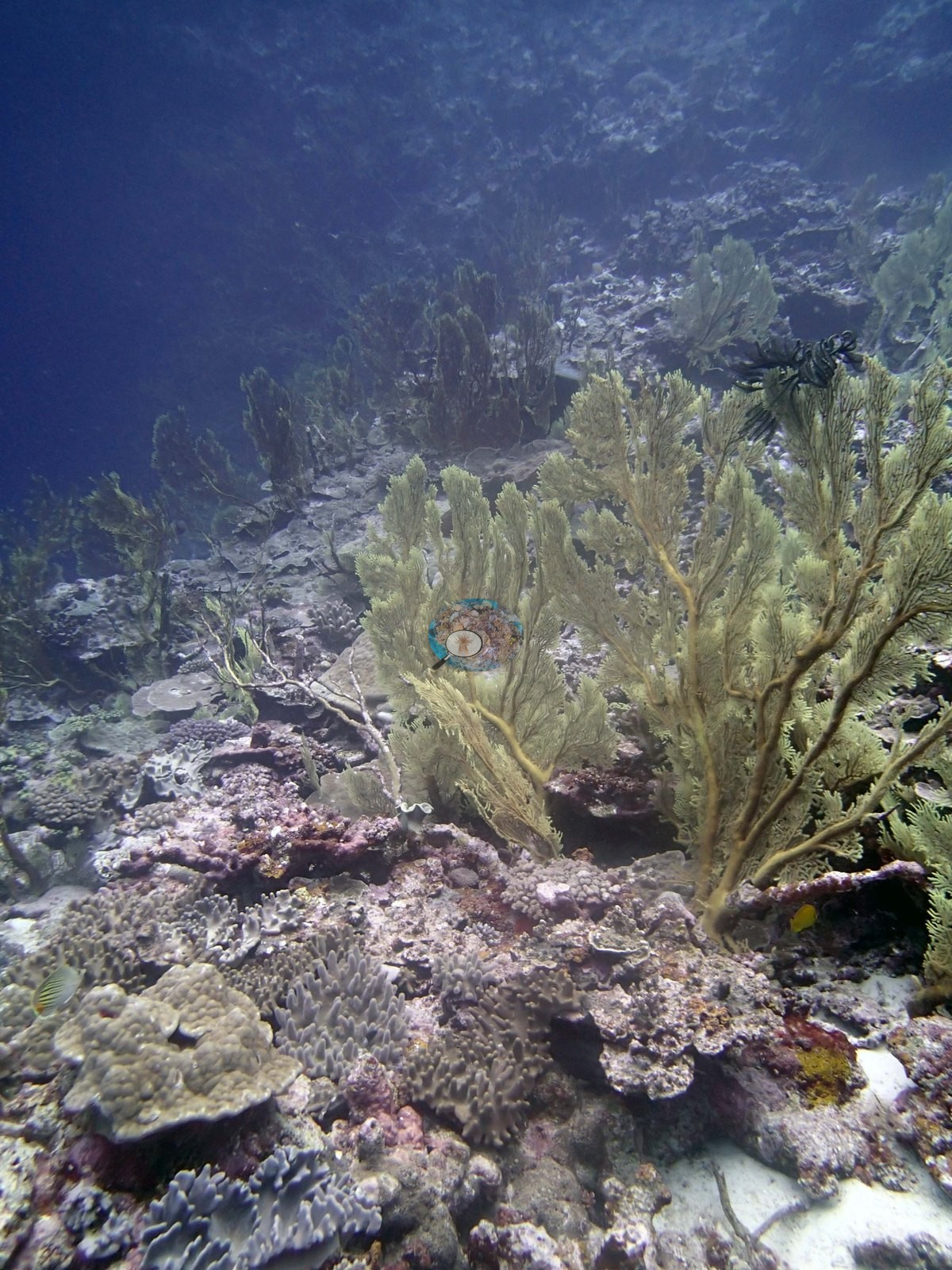
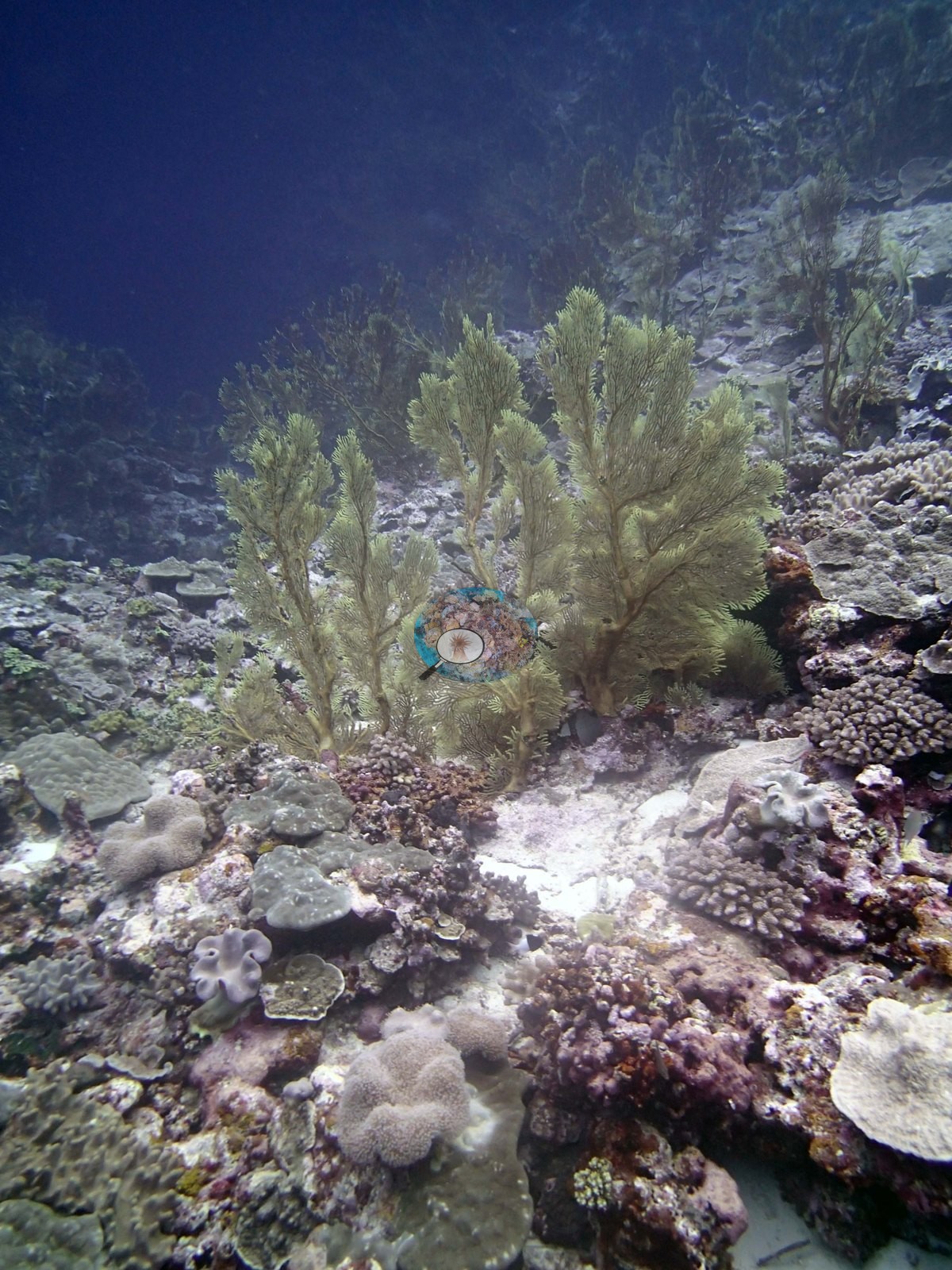
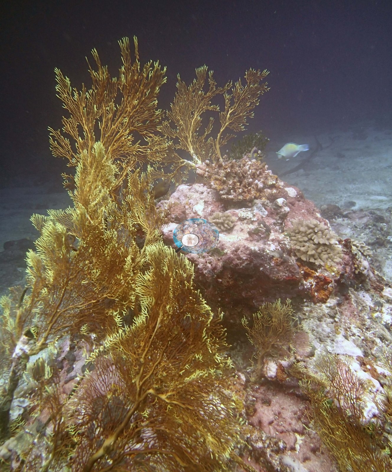
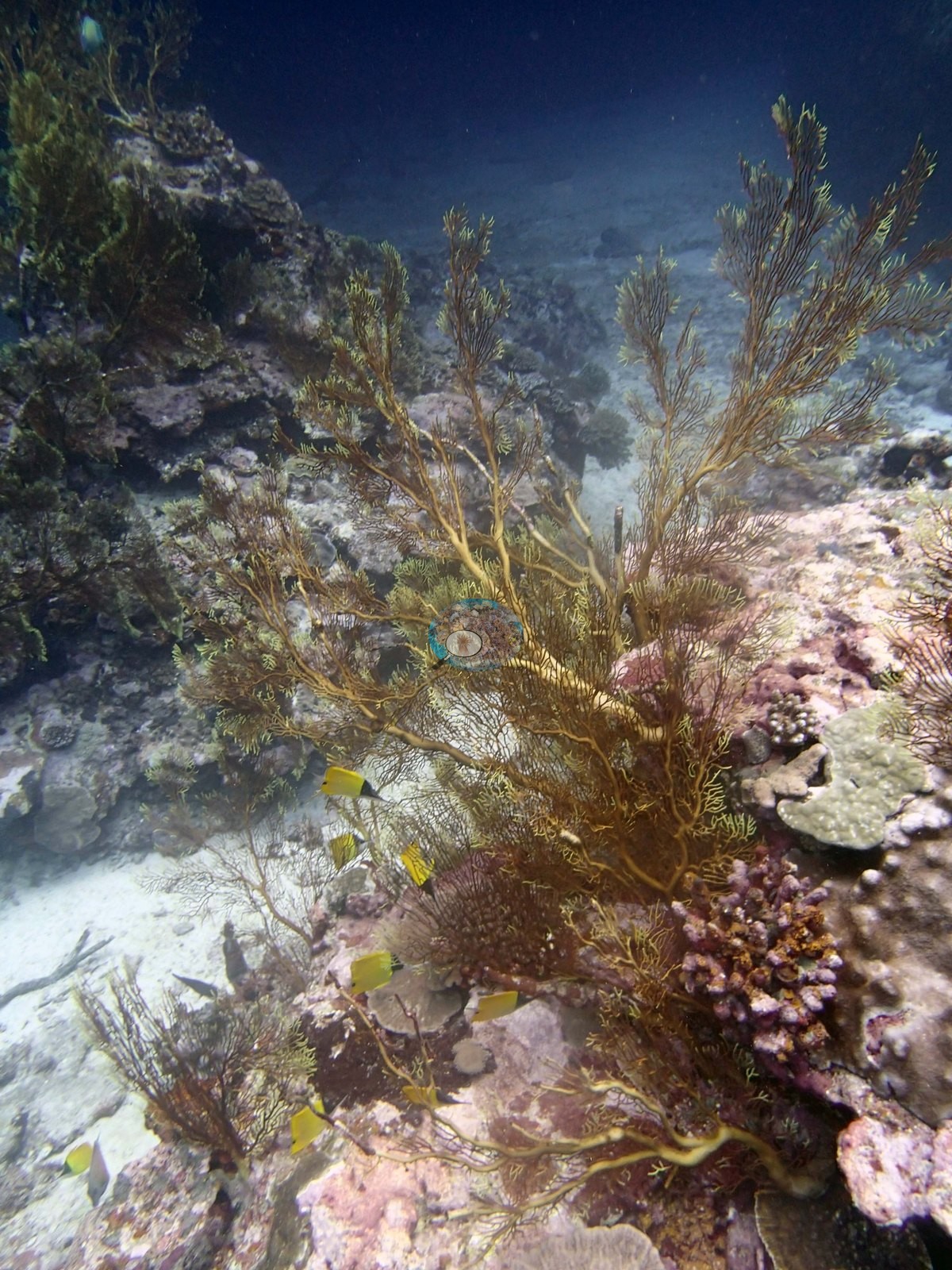
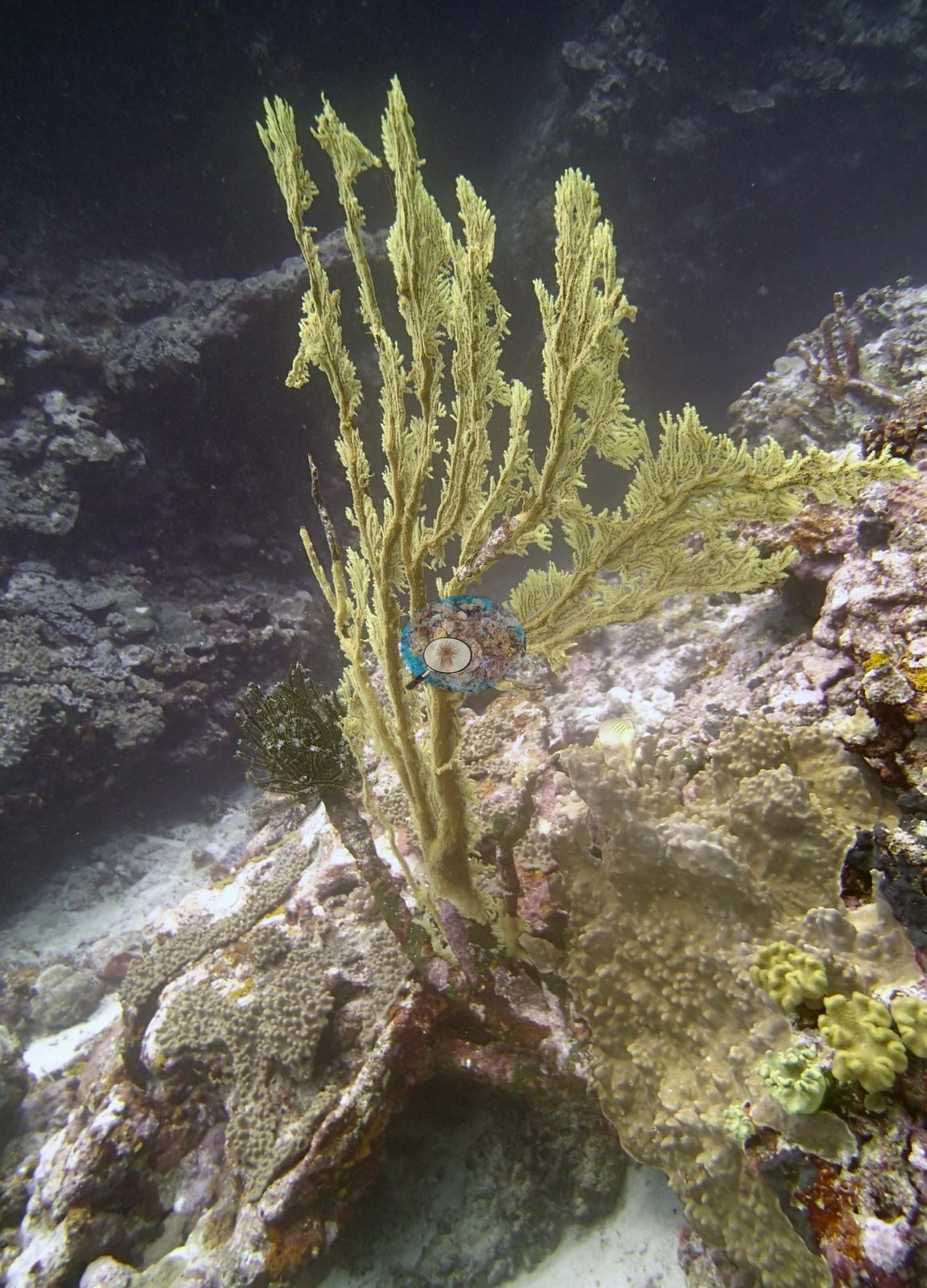
Tall branching sea fans and plumes stand up off the reef in five frames – pale sage-green in Image 1 and Image 10, deep golden-brown in Image 21 and Image 29, a soft lemon-yellow in Image 12 – rooted on coral-rock knolls and pink coralline-crusted pavement, several of them nearly as tall as the relief they sit on, with feather stars tucked among their bases and yellow butterflyfishes working around them.
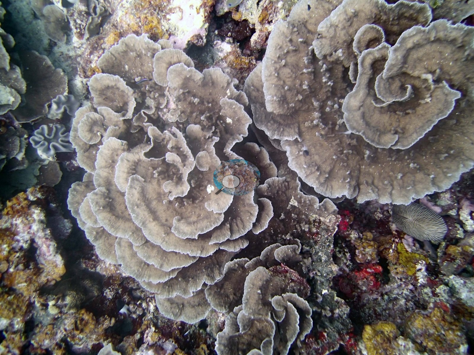
The stony assemblage in the usable benthic frames is dominated by gray-brown whorled foliose plates: Image 6 and Image 13 are close views of colonies spiraling in overlapping ruffled whorls, and Anderson identified the colony in Image 6 as Turbinaria.
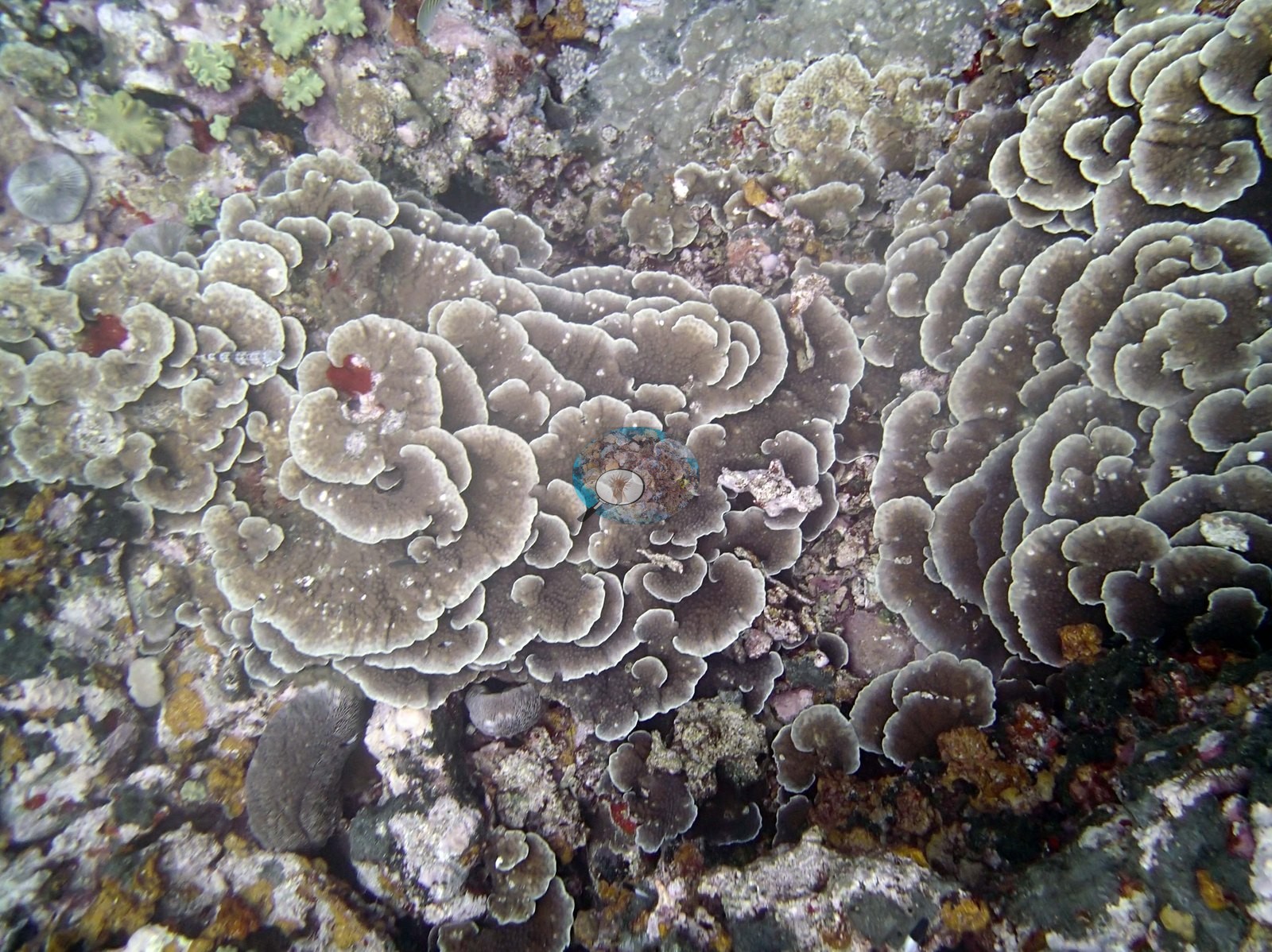
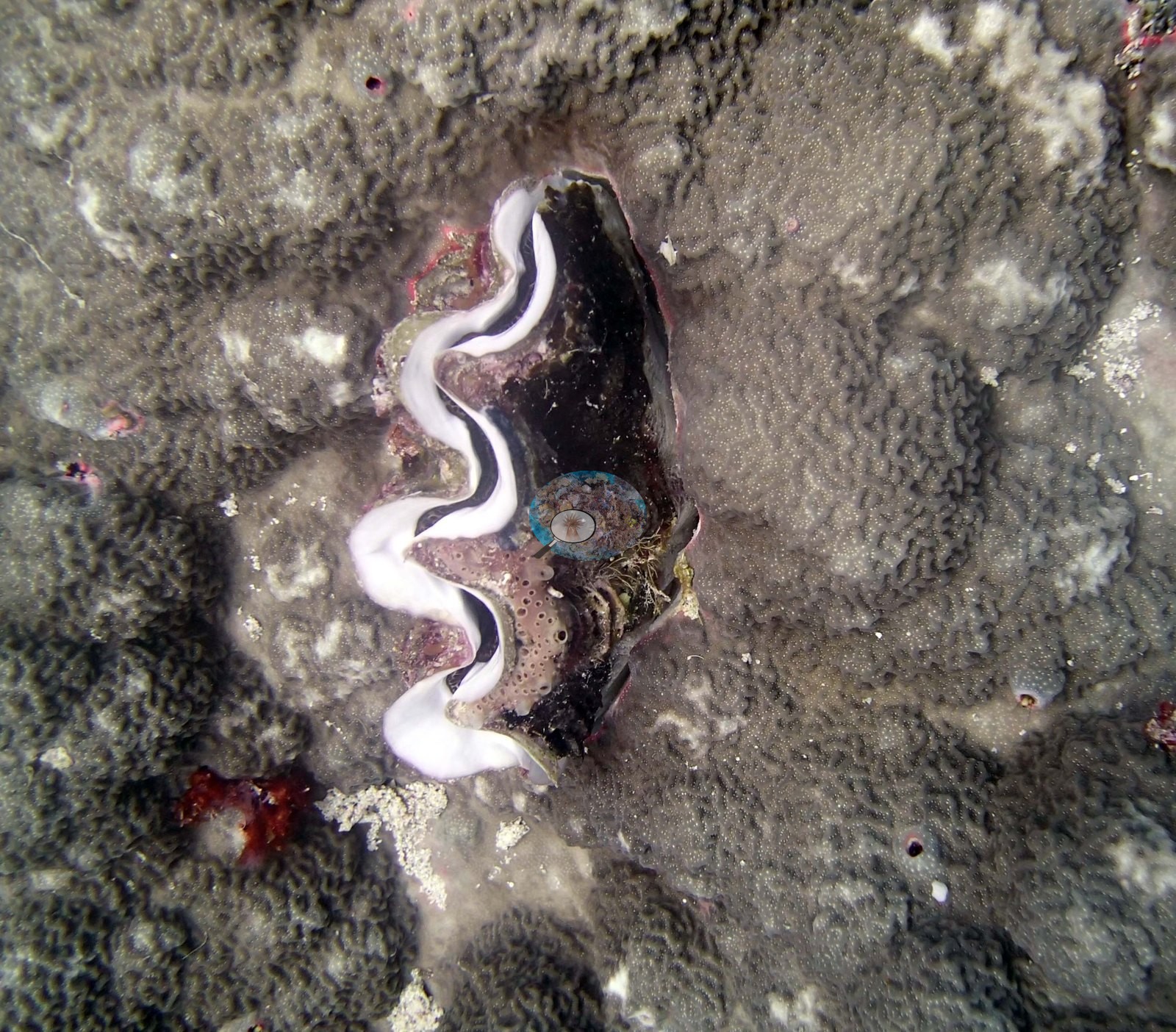
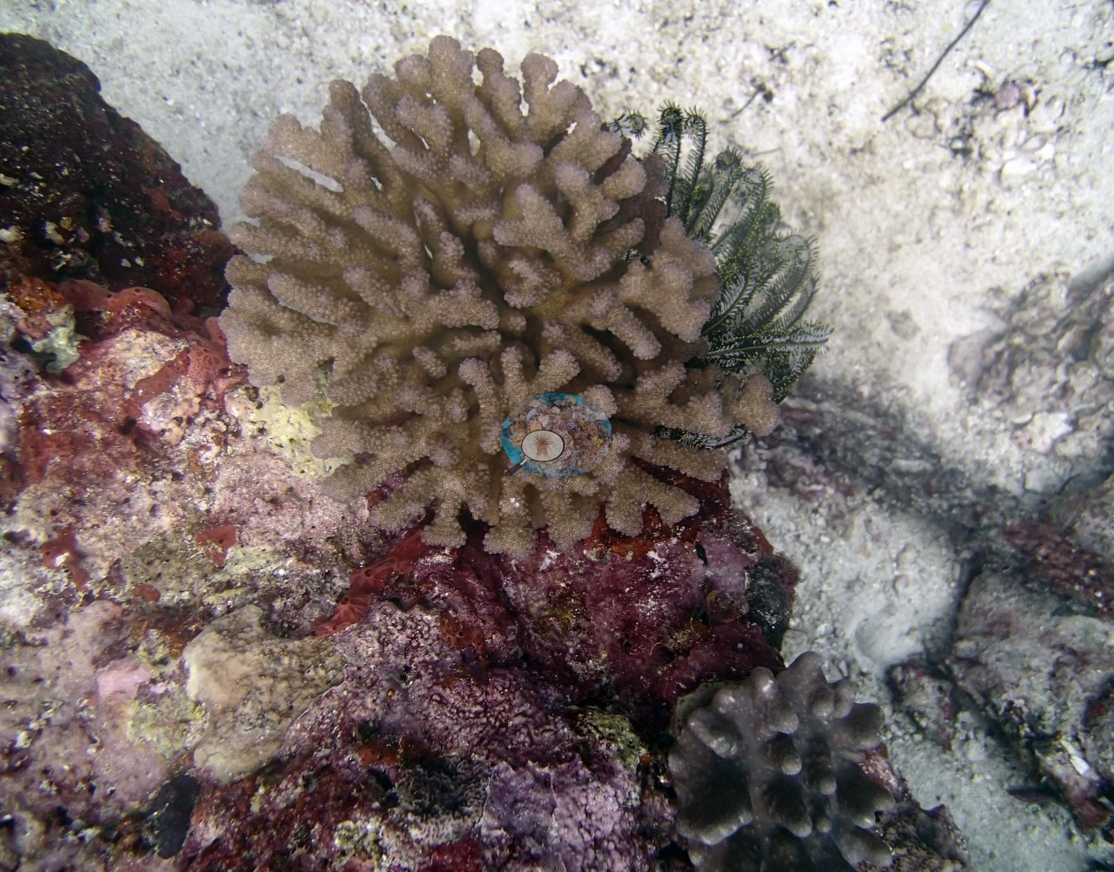
Around them the substrate is a mixed low-relief pavement of tan and gray massive colonies with meandering surfaces (one of them holds a giant clam set into the colony Image 16), small branching and digitate colonies, mauve and purple encrusting patches, red and yellow encrusting sponges, pink crustose coralline algae, and open sand pockets. Image 8, which Anderson left unidentified, is a close frame of a tan colony with blunt, anastomosing branches beside a black crinoid; the morphology is recorded here but not named.
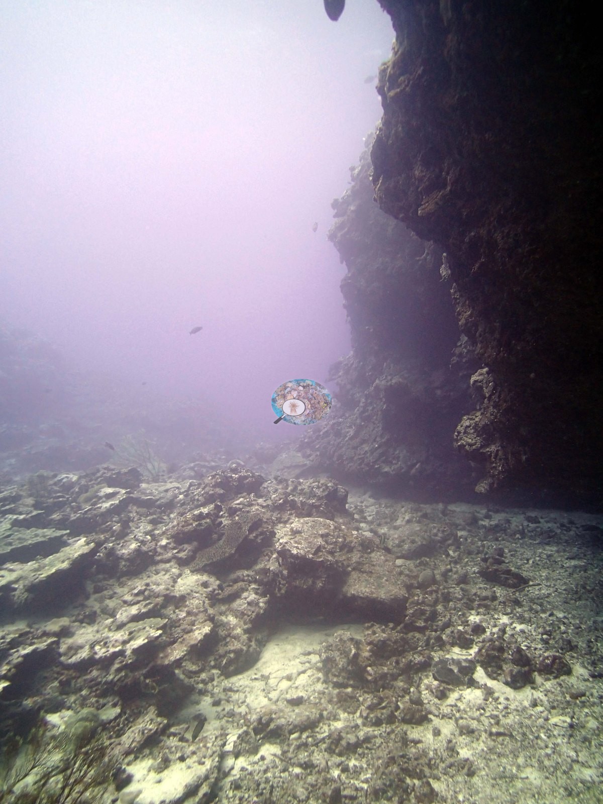
Structure is more varied than the coral alone suggests: Image 20 is the base of a large dark cave or overhang, its floor a hazy rubble-and-sand plain carrying almost no coral, and Image 3 looks up a clean sand channel running between two low rock ridges with a diver in the blue beyond. Image 11 and Image 24 are steep, near-vertical faces thick with yellow-tan colonies, with a diver working them and a banded measuring rod against the rock.
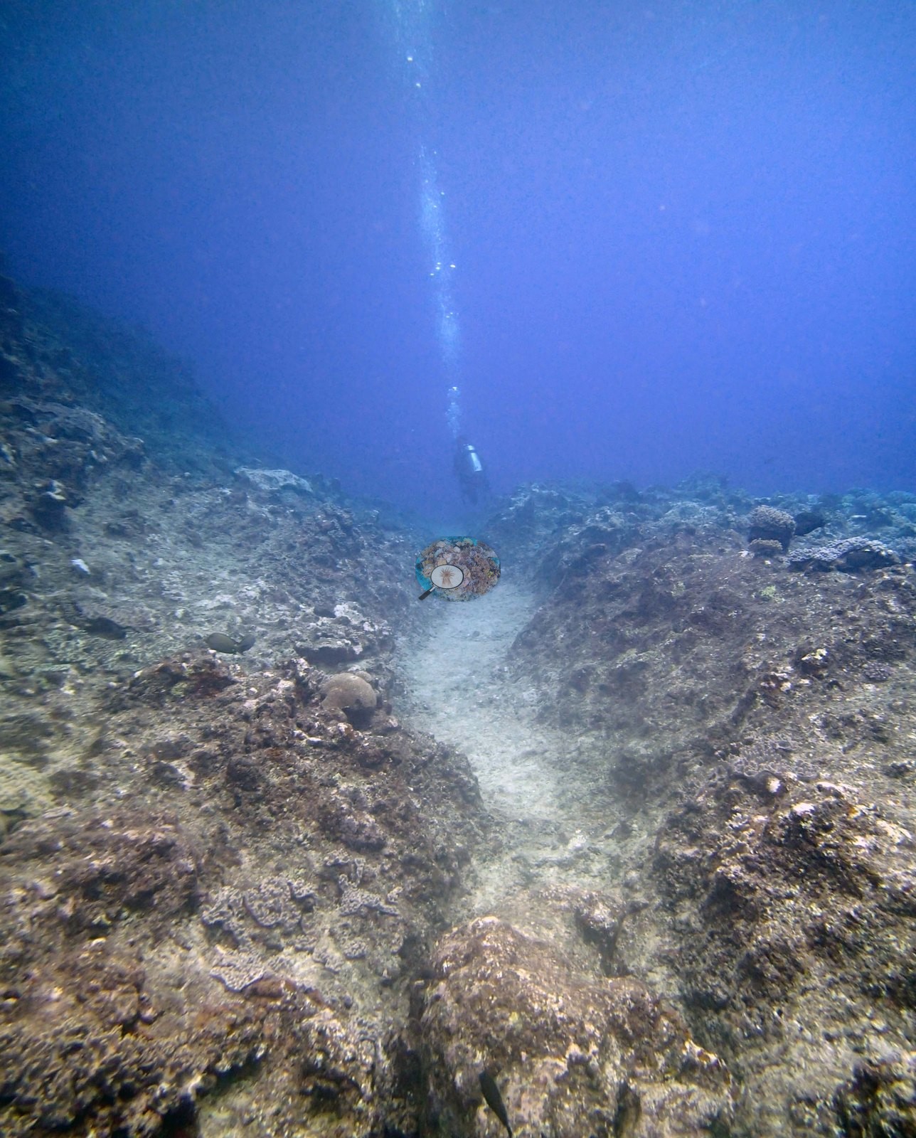
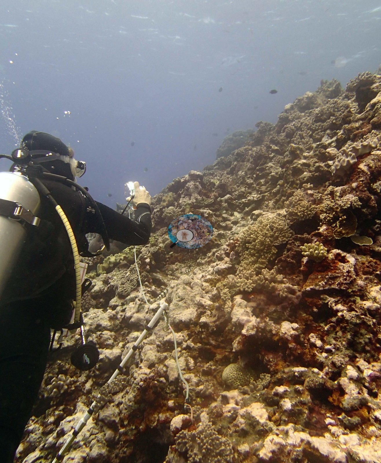
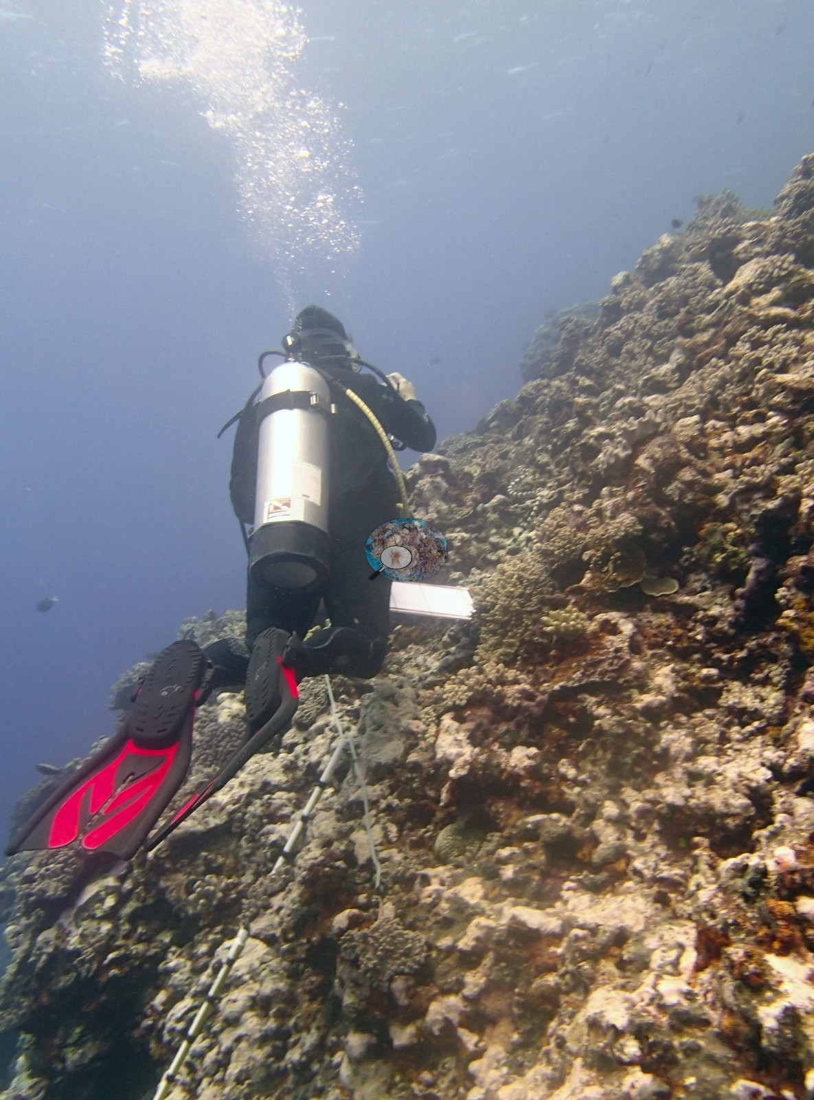
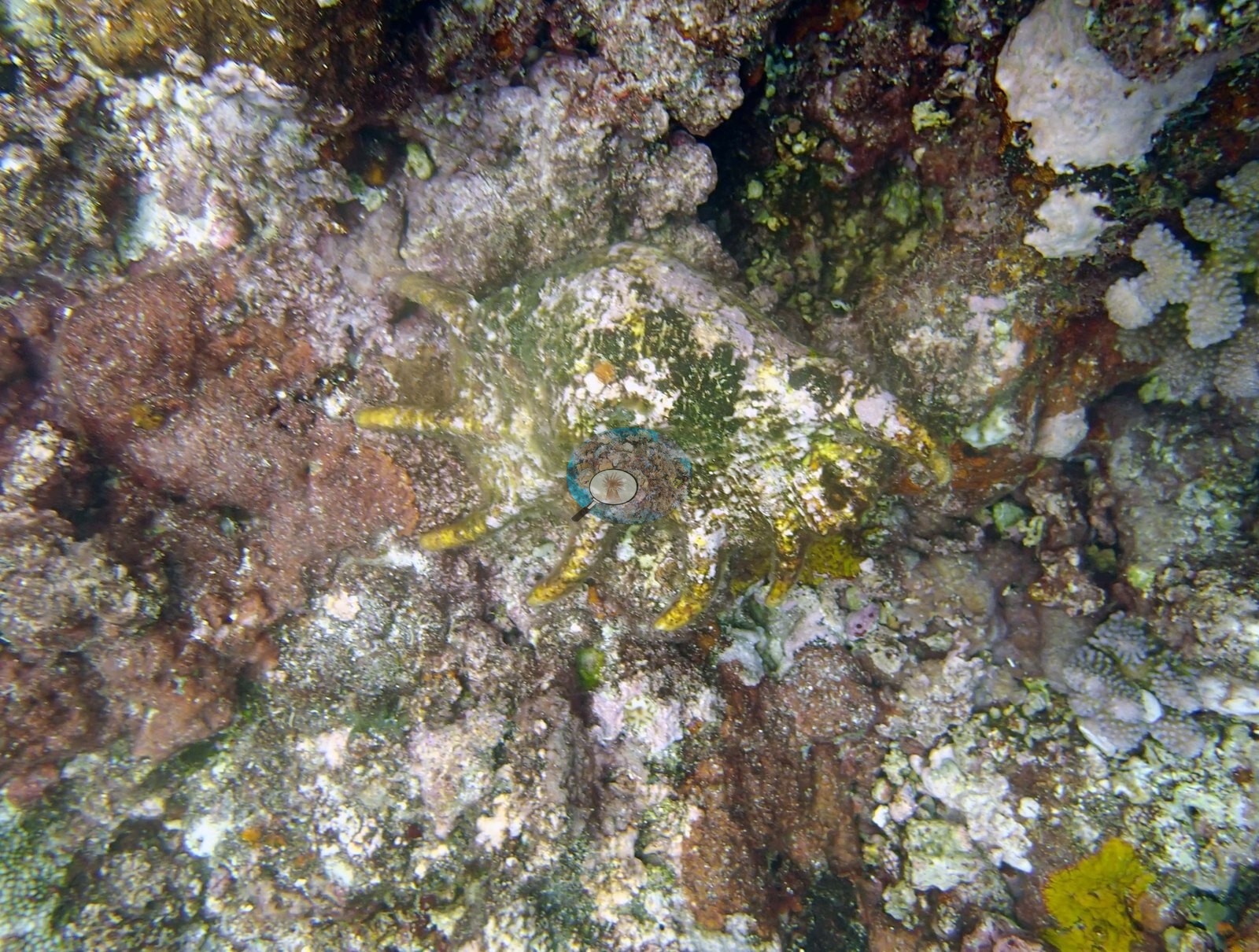
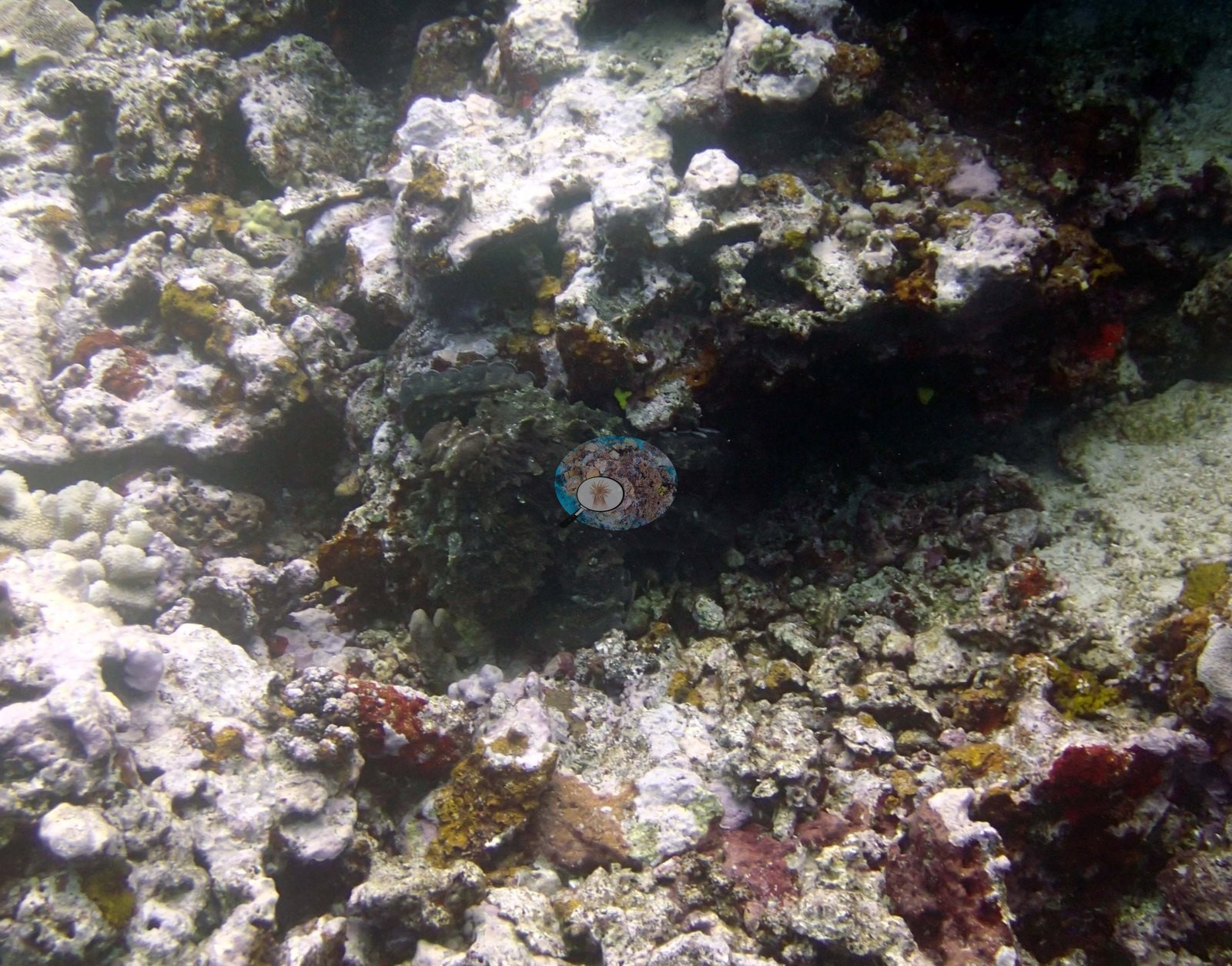
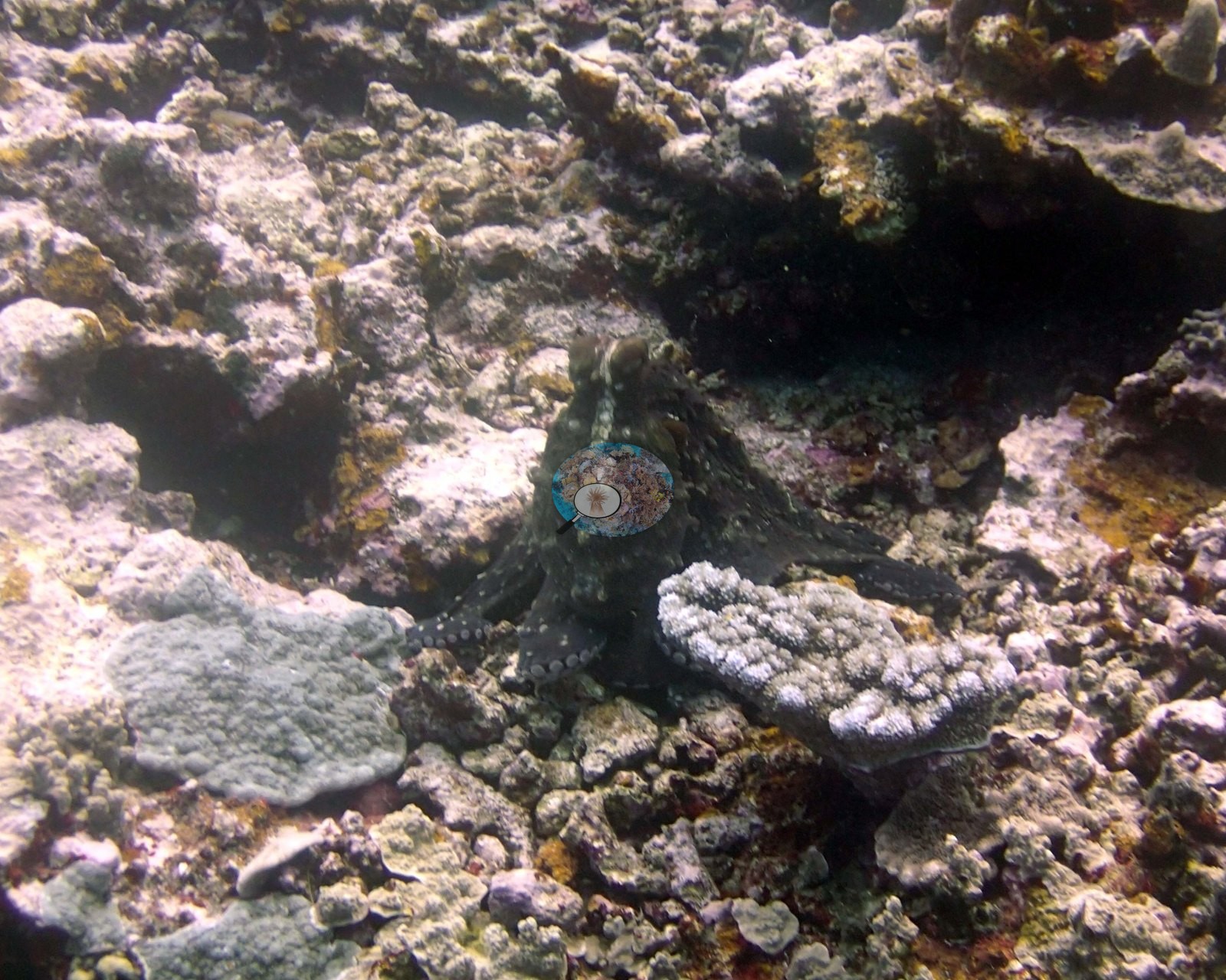
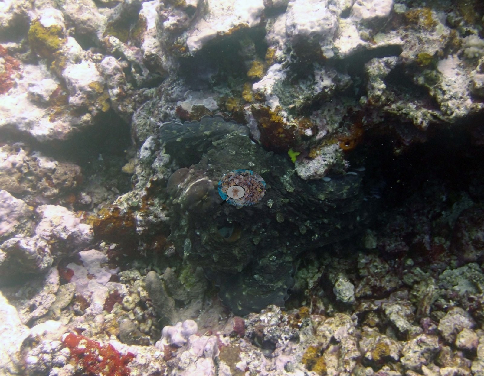
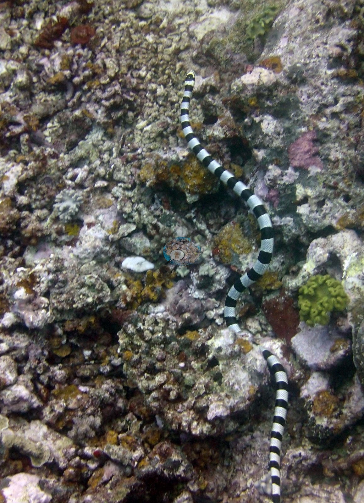
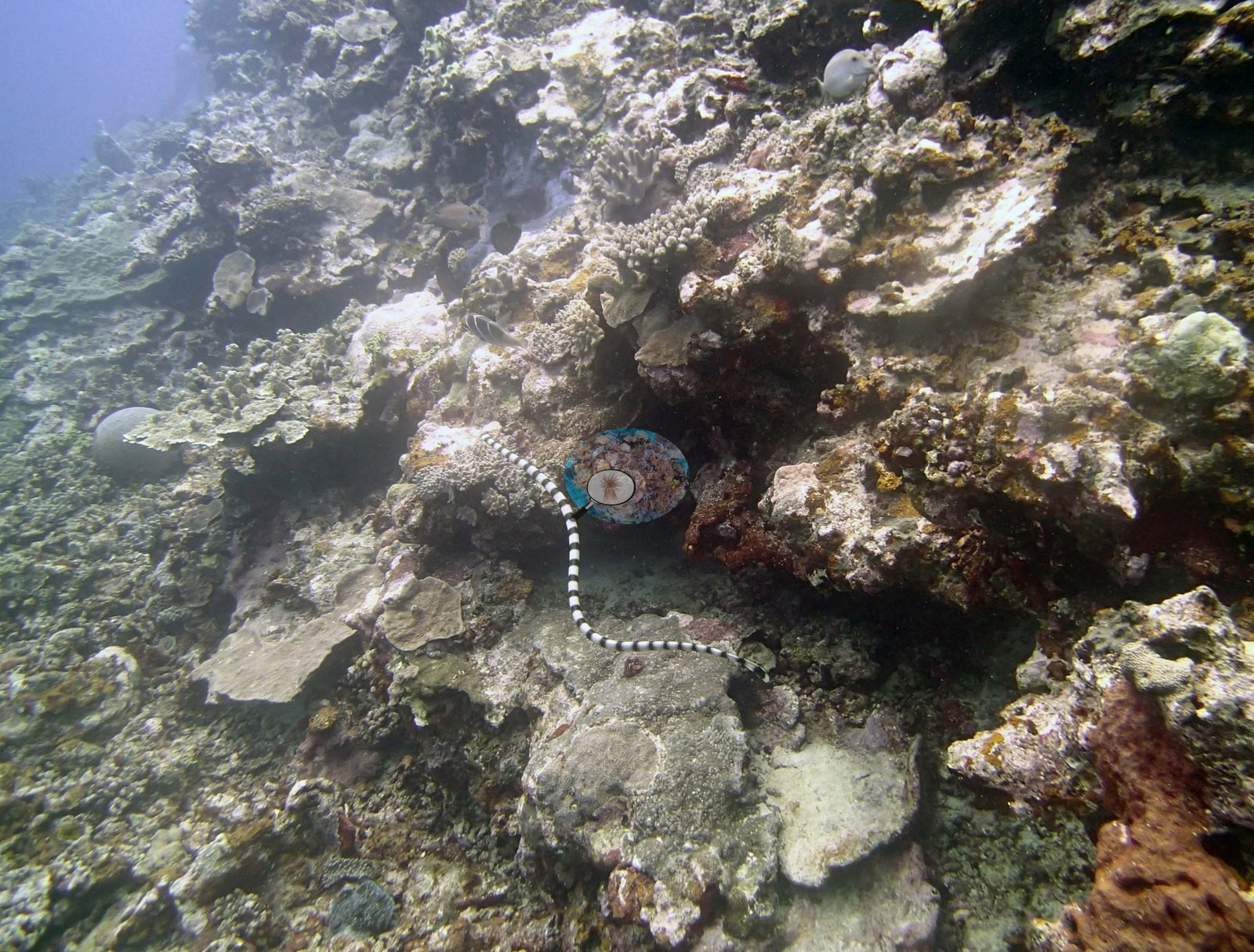
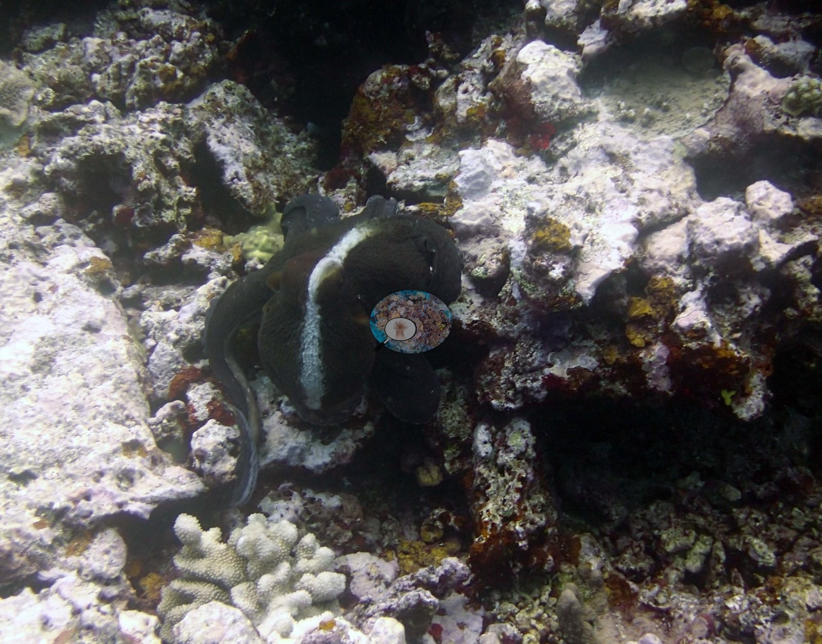
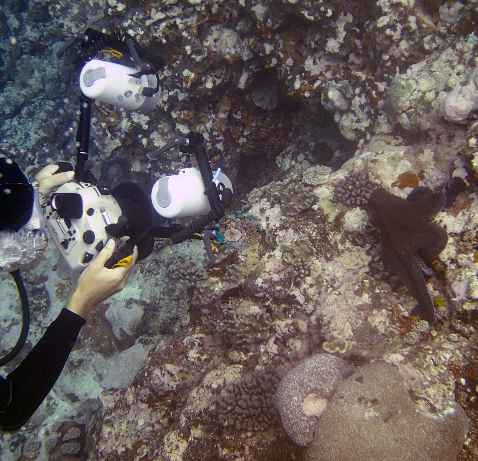
What the photo set does document well is the gorgonian-and-plate character of the shallower terrace, the cave and channel structure, and a good run of macrofauna (two sea snakes, an octopus, and a giant clam). Numerous gorgonians surround the cave. Inside was an area with many small soft corals, hydrozoans, and small sponges on the ceiling. A second cave had black coral at the entrance. There were also several larger (3-4 m) P. rus colonies. The terrace closest to the island had little coral near the island (mostly a scoured hardground with CCA and some turf) and 10-20% at the edge, dominated by small Porites, Montipora, small digitate and tabular acroporids, Pocillopora, and Coscinaraea with other small corals and 10-20% soft coral. This part of the reef was dominated by Porites lobata, Montipora crusts, Lobophyllia, small Goniastrea, Astreopora, small to medium branching acroporids, Pocillopora, and Stylophora. Below 15 m about 10% of the benthos was covered in an encrusting/submassive black sponge. High numbers of damselfish algal lawns.
Coral cover
- Reference: Khaled bin Sultan Living Oceans Foundation, Global Reef Expedition (in situ transect)
- Coral cover 28%, from LOF-GRE in situ transects (the mean of all of this station's own transects in the expedition's per-transect benthic data) – a diver transect measurement, not a photographic or computer-vision estimate; the photographs here are qualitative only.
- Below 15 m cover was 20-30%, declining to 10% at 25 m and 2.0% at 30 m.
- Transect mean 28 ± 8.2% SE (n = 5 transects; Living Oceans Foundation per-transect benthic data); the headline above is this all-transect mean.
Stressors
The second platform was flat on top, with very little coral, most of which had partial mortality from snails and numerous damselfish algal lawns. The shallow part of the slope to 15 m had extensive areas of rubble and large broken plating corals in piles, mostly dead. The 2013 survey notes for this site record numerous Drupella feeding scars on branching corals, snail damage on most of the coral on the reef top, and several Culcita cushion stars (Khaled bin Sultan Living Oceans Foundation expedition site notes, 2013; regional summary in Bruckner 2014). Typical recent thermal stress: mean annual maximum of 8.1°C-weeks (Degree Heating Weeks, 2021-2025, NOAA CRW; Southern Tonga virtual station). The Living Oceans Foundation transects here recorded 0.7% cyanobacteria and no recently dead coral.
Fish and other fauna
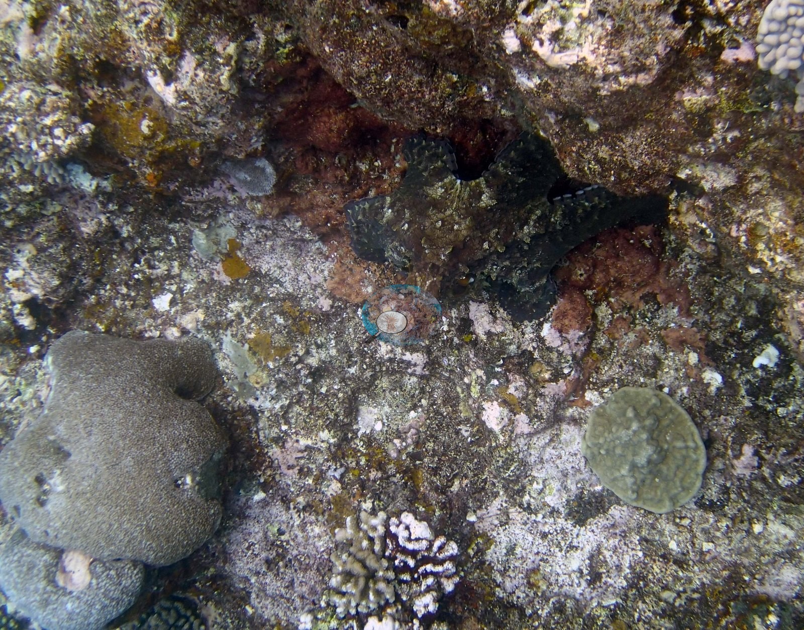
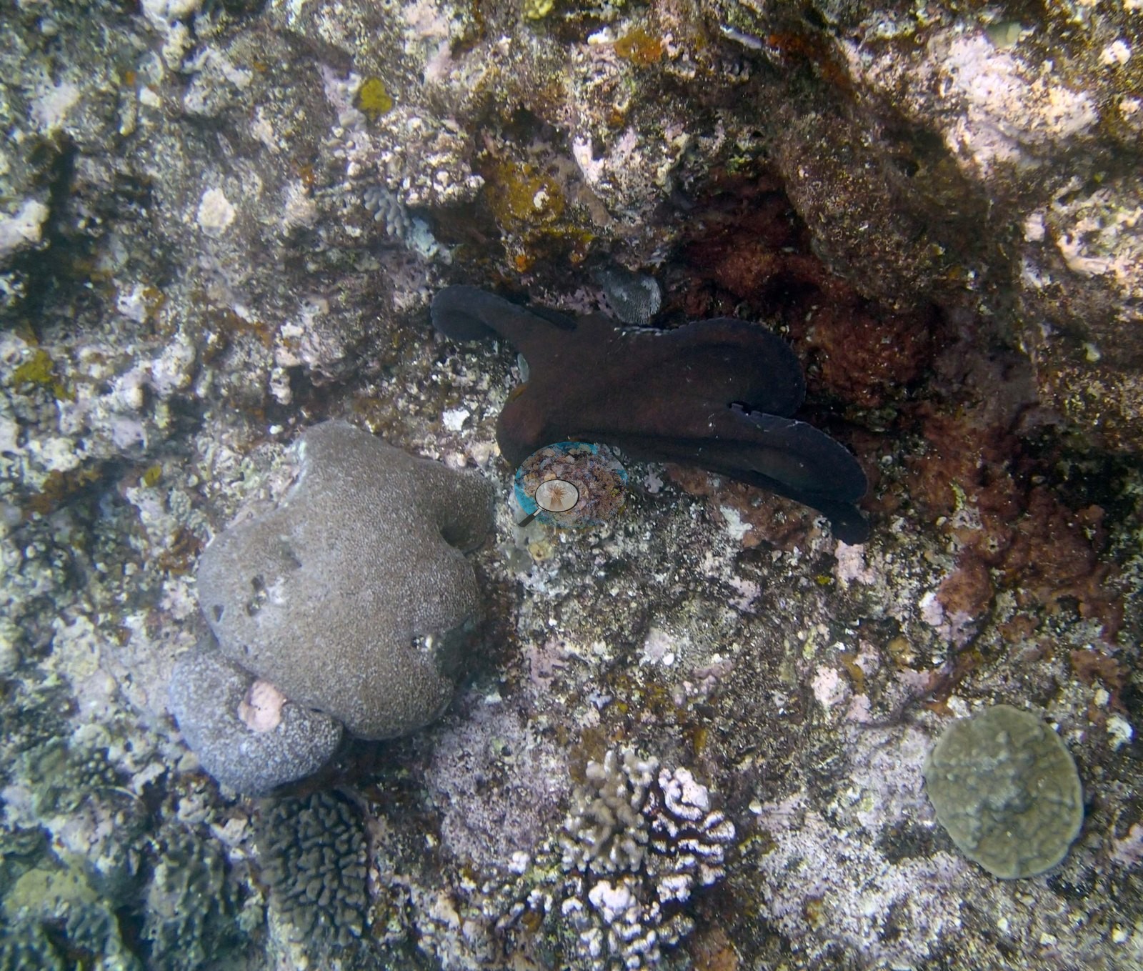
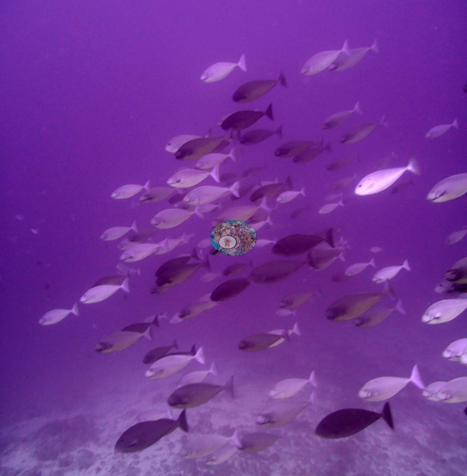
The fauna is the other half of this photo set. Two black-and-white banded sea snakes are photographed – a boldly black-and-white ringed animal moving over the pavement in Image 5, and a second in Image 18 – and an octopus is worked through seven consecutive frames (e.g., Image 15, Image 28), sitting in rubble with its mantle drawn up and its skin texture and color changing between shots; Image 28 catches a second photographer's twin-strobe housing being aimed at it. Image 27 is a loose school of surgeonfish in open water.
Comparisons with other data
TOVA37 (Vava'u) was surveyed on 23 September 2013 during the Khaled bin Sultan Living Oceans Foundation Global Reef Expedition.
Dive record
Photo review of 24 habitat frames (Vava'u, 23 September 2013).
Other notes
There are no sampled-colony frames at this site (Anderson noted that none of the target Pocillopora was taken here: 'no Pdam'), so the account on this page rests entirely on the wide and mid-range habitat set. Anderson recorded this as a sea-fan dive site, and the gorgonians are indeed the signature of the place. On condition, the photographs cannot settle much: nothing in the set is unambiguously bleached, but the frames are almost all mid-range or macro rather than survey-wide, several carry heavy color casts (e.g., Image 27 is strongly magenta, Image 3 and Image 20 are hazy and washed), and the photo set does not cover the deeper slope, the depth zonation, or the corallivore and damselfish-lawn damage the surveyors recorded.
CV model comparison
More info
The photo row below is a methods comparison only: it is never averaged with the transect and never used as the headline. It compares site means only: the photos come from the same survey dive as the transect but not from the same points.| Method | Hard coral cover (%) | Photos (n) ± SE |
|---|---|---|
| Transect mean (all transects) | 28.2 | |
| CoralSCOP unedited | 24.5* | n = 18 · SE 3.3 |
| Claude (edited photos) | 11.9* | n = 18 · SE 3.9 |
The two computer-vision methods disagree by 12.6 pp (11.9–24.5%) and read 3.7–16.3 pp below the in-water transect (28.2%); the headline is the in-water transect because a diver transect is independent of the photographs.
*Based on only 18 reef-habitat photos; this estimate is less certain.
See a more detailed, stand-alone version of this table.
Data & links
- Download benthic survey data (CSV) ↗
- Download all LOF-GRE data (933 sites) ↗
- Photo portfolio ↗
- Coral Reef Diagnostics region page ↗
All images from Coral Reef Diagnostics. Data are from the Khaled bin Sultan Living Oceans Foundation Global Reef Expedition and Coral Reef Diagnostics.
 © Coral Reef Diagnostics.