

Part of the regional summaries: Tonga - Vava'u and Tonga

2013-09-25
More info
Southern Tonga (NOAA CRW virtual station)Known as the Aquarium, this Vava'u lagoon patch reef has an extensive stand of massive Porites colonies up to 5 m across and 3 m tall, ringed by large staghorn thickets. Despite 41% cover, its Coral Health Index of 1.50 out of 5 marks it as stressed, with large dead patches taken over by damselfish algal lawns. Surveyed on the Living Oceans Foundation's Global Reef Expedition.
ʻOku ʻiloa ko e Aquarium, ko e kiʻi hakau ʻi he namo (lagoon patch reef) ko ʻeni ʻi Vavaʻu ʻoku ʻi ai ha vao fālahi ʻo e ngaahi kulupu Porites lalahi (massive) ʻoku aʻu ki he 5 m hono fālahi mo e 3 m hono māʻolunga, ʻoku takatakaiʻi ʻe he ngaahi vao staghorn lalahi. Neongo ʻa e ʻufiʻufi ʻo e 41%, ʻoku fakahā ʻe hono Coral Health Index ʻo e 1.50 mei he 5 ʻoku ʻi he faingataʻa (stressed), mo e ngaahi konga mate lalahi kuo puleʻi ʻe he ngaahi ngoue limu ʻa e damselfish.
AI translation of this summary; the English is authoritative. (low confidence)
CTD-cast midpoint of 25.8–26.2°C
One independent survey station shown with the program’s logo — click one to see how far it is from this site.
Three other CRD dive sites with their own pages within 5 km shown in orange — click a marker to open its page.
🗺 Detailed map of the Global Reef Expedition dive sites, Vava'u, Tonga (Khaled bin Sultan Living Oceans Foundation; opens in a new window)
Site description
Setting
Aquarium. Lagoonal patch reef. On the north side the reef slopes moderately from 5 m to 15-18 m, then gradually to 20-23 m before ending in sand.
General benthic features
The reef has a shallow terrace, mostly flat, 2-4 m deep that consists of scoured hardground in places, soft corals, and a mixed branching coral community. Off the southeast end in 6-12 m is an extensive Porites reef with massive Porites colonies, 2-5 m diameter and up to 3 m tall. These are surrounded by large staghorn coral thickets. The rest of the patch has a moderately steeply sloping community. There were numerous table acroporids and staghorn clumps running down the reef from 5-10 m depth. At mid depths there was a mix of massive corals, encrusting Favites, high numbers of crustose Isopora, table acroporids, Merulina, Goniastrea, and other species with 40-60 cm relief, small patches of rubble, and large 1-2 m dead patches with damselfish algal lawns (20-60% turf). At 20 m were 1-2 m clumps of Pachyseris rugosa, 20-60 cm table acroporids, columnar Isopora, medium Favia stelligera, high numbers of Stylophora, small Lobophora, Mycedium, Leptoseris, and Pachyseris plates with 20-40% cover, 30% turf, 20% CCA, 20% Peyssonnelia, and a lot of rubble in small sand patches between the corals. The sand flat at the base of the reef had some larger table acroporids at a low density (1 per 3-5 m²).
Coral cover
- Reference: Khaled bin Sultan Living Oceans Foundation, Global Reef Expedition (in situ transect)
- Coral cover 41% (the expedition's in situ transects).
- Transect mean 41 ± 3.1% SE (n = 5 transects; Living Oceans Foundation per-transect benthic data); the headline above is this all-transect mean.
Stressors
Anderson's sampling sheet records colony 64 as about 90% bleached and colony 63 as 20% bleached; on the 25 September return, one of the seven colonies sampled was 20-30% bleached and one 10% bleached. At mid depths the survey notes record large 1-2 m dead patches taken over by damselfish algal lawns. The Living Oceans Foundation transects here recorded 0.6% cyanobacteria and no recently dead coral.
Comparisons with other data
Coral Health Index 1.50/5 (Mayfield et al. 2021, Platax).
Dive record
TOVA35 (Vava'u): surveyed 22 and 25 Sep 2013 during the Khaled bin Sultan Living Oceans Foundation Global Reef Expedition.
Other notes
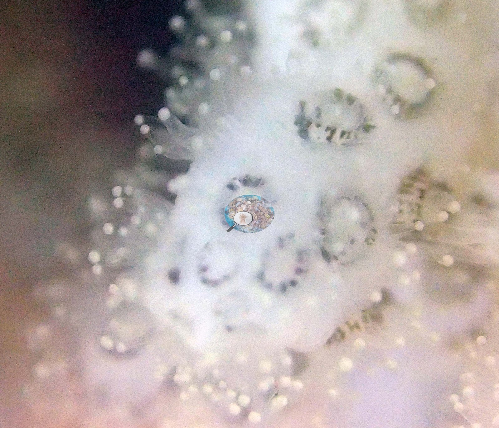
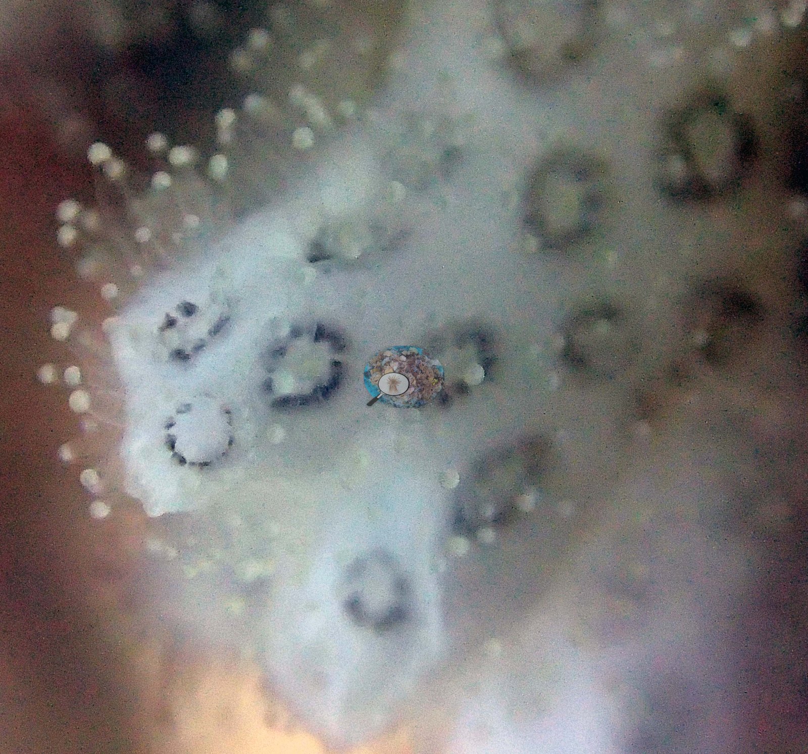
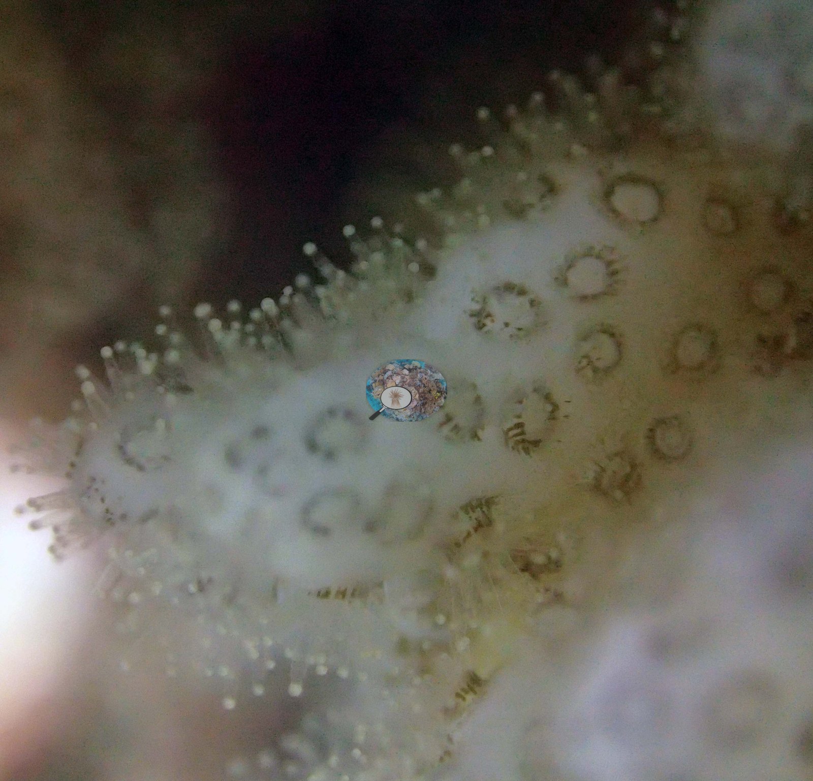
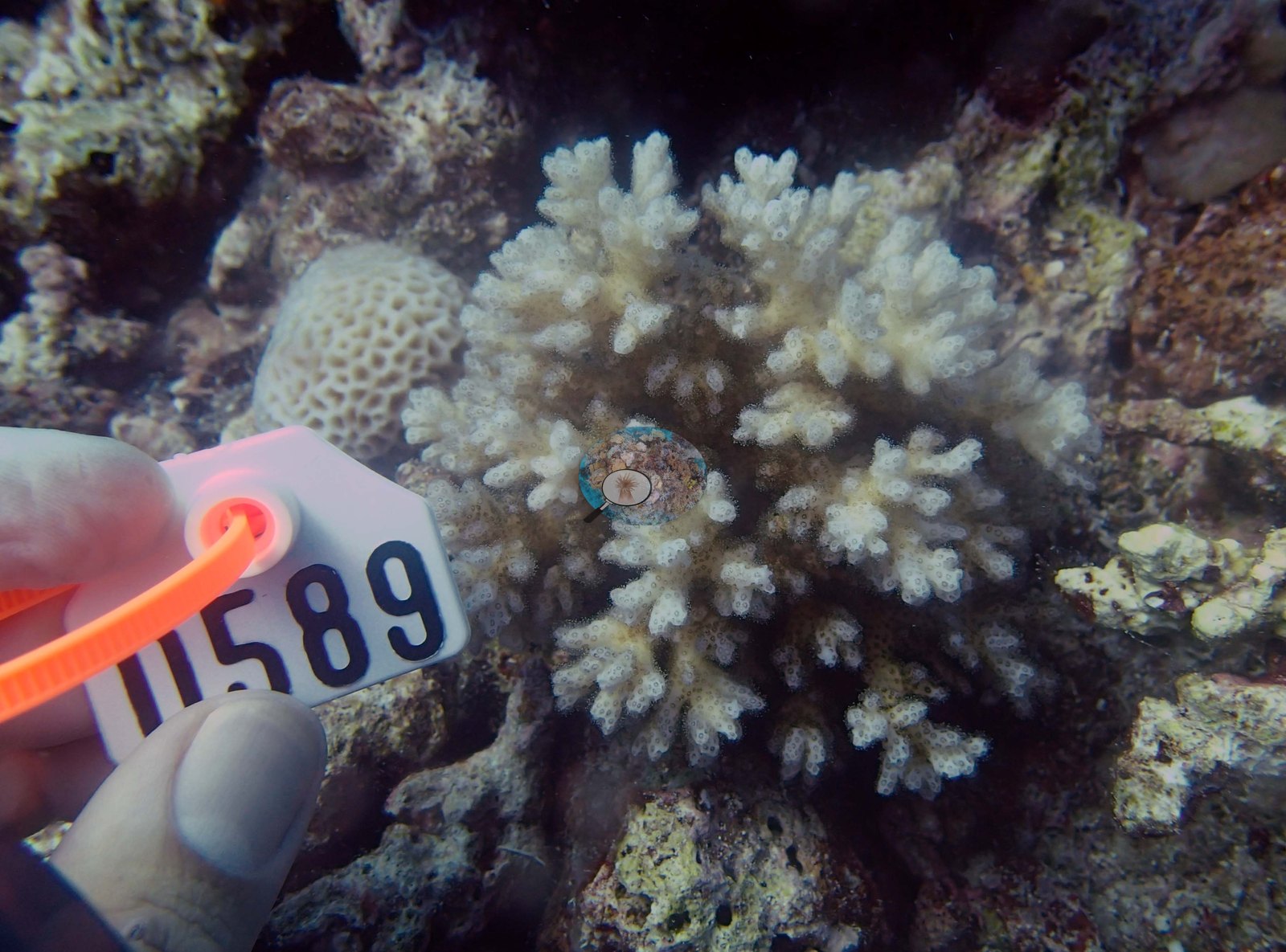
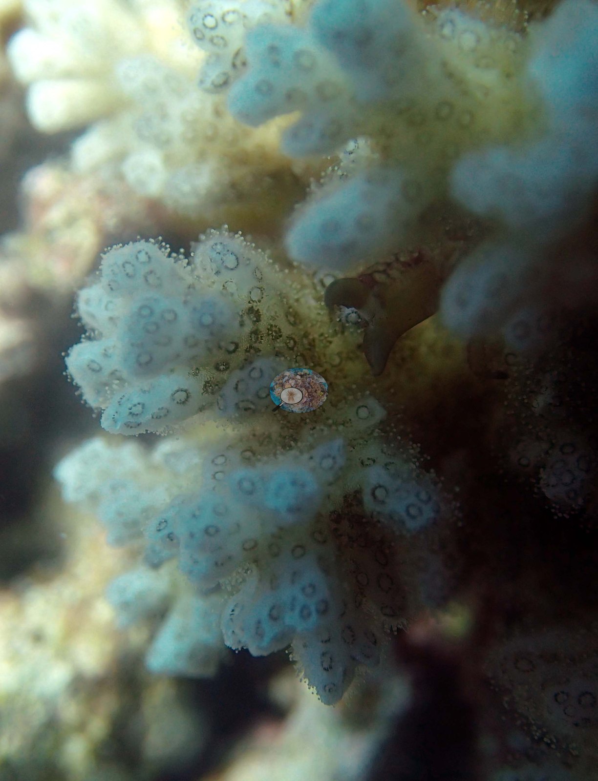
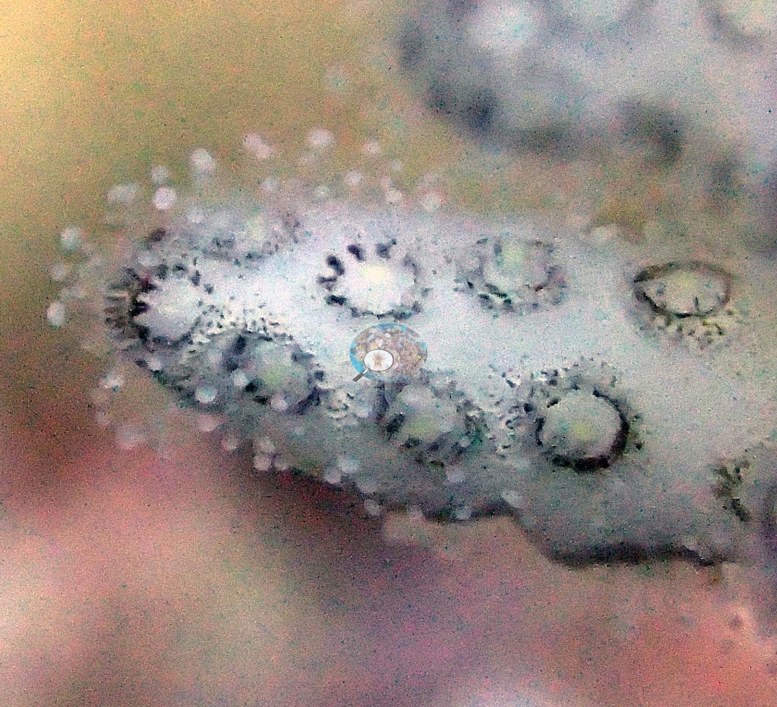
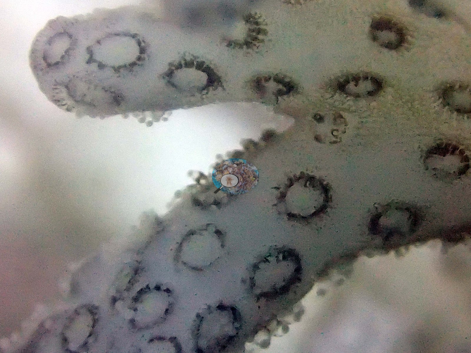
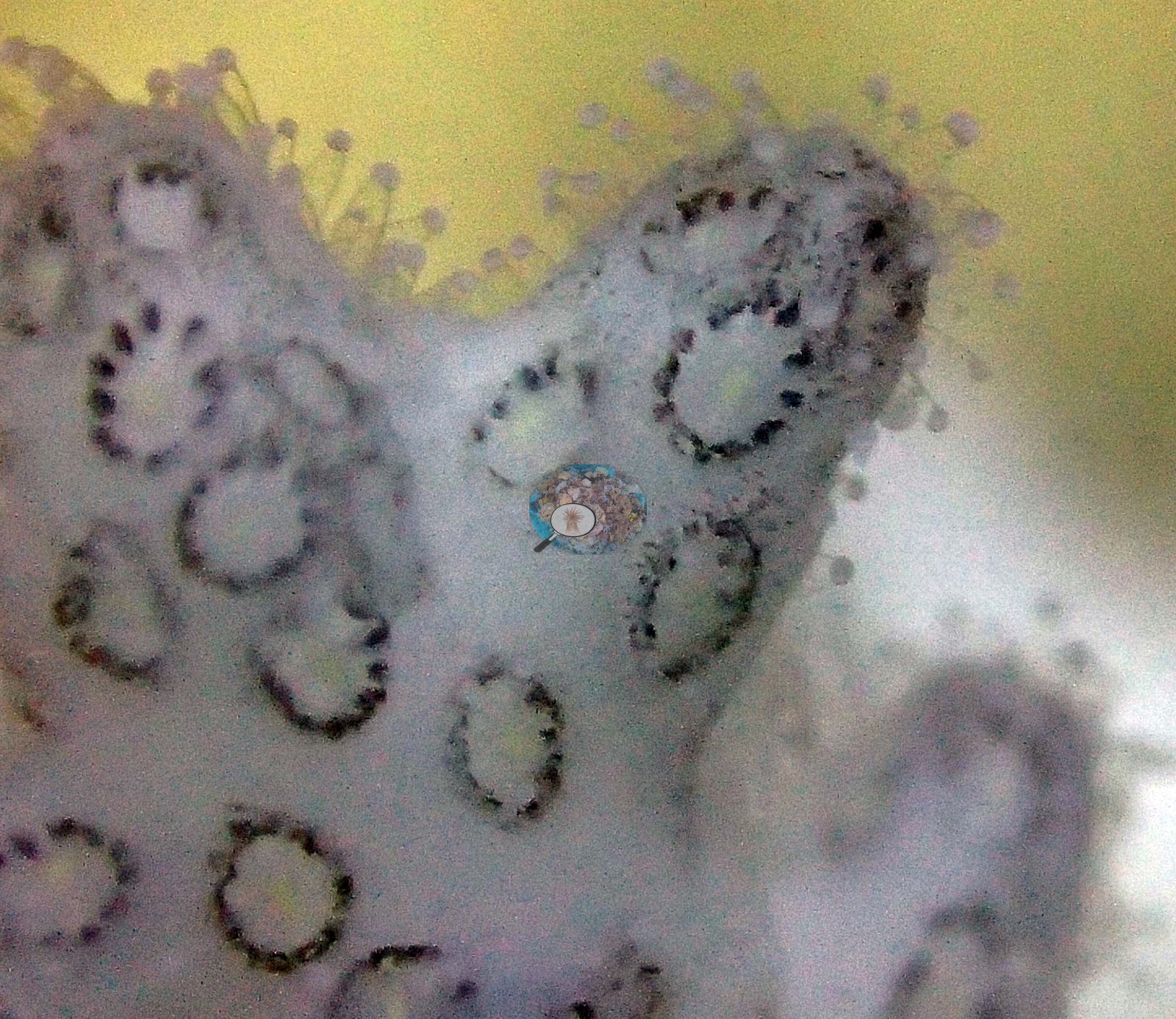
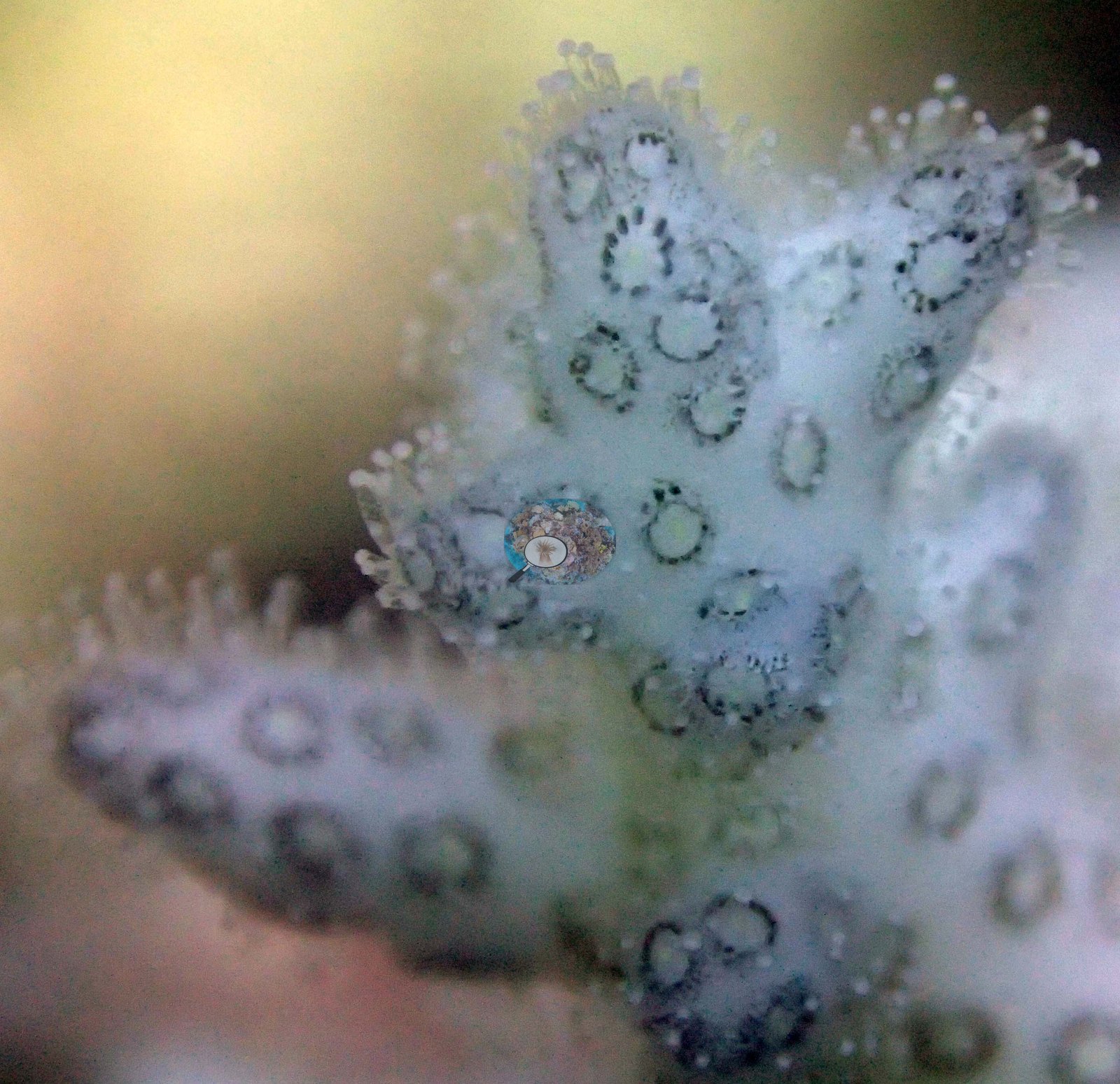
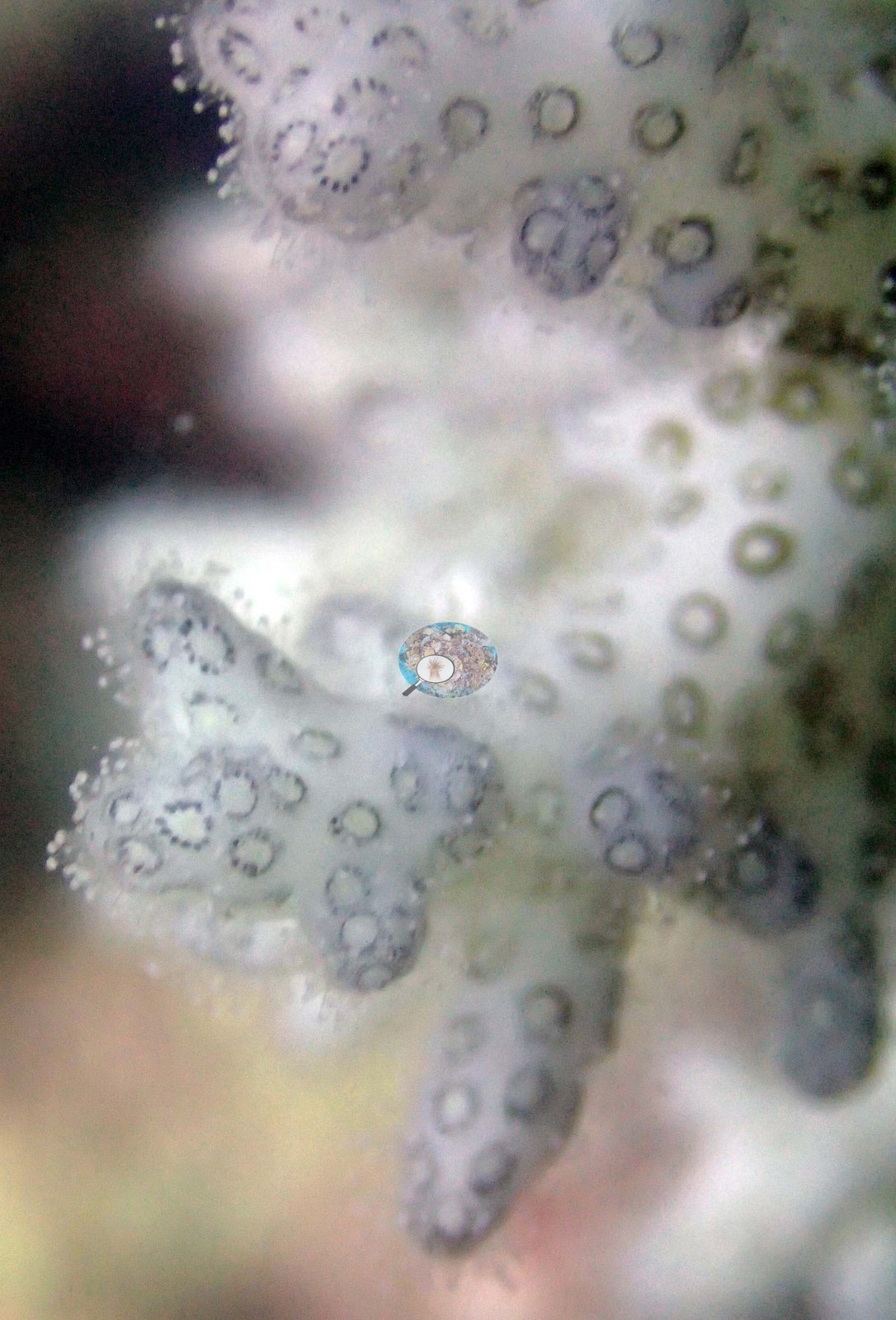
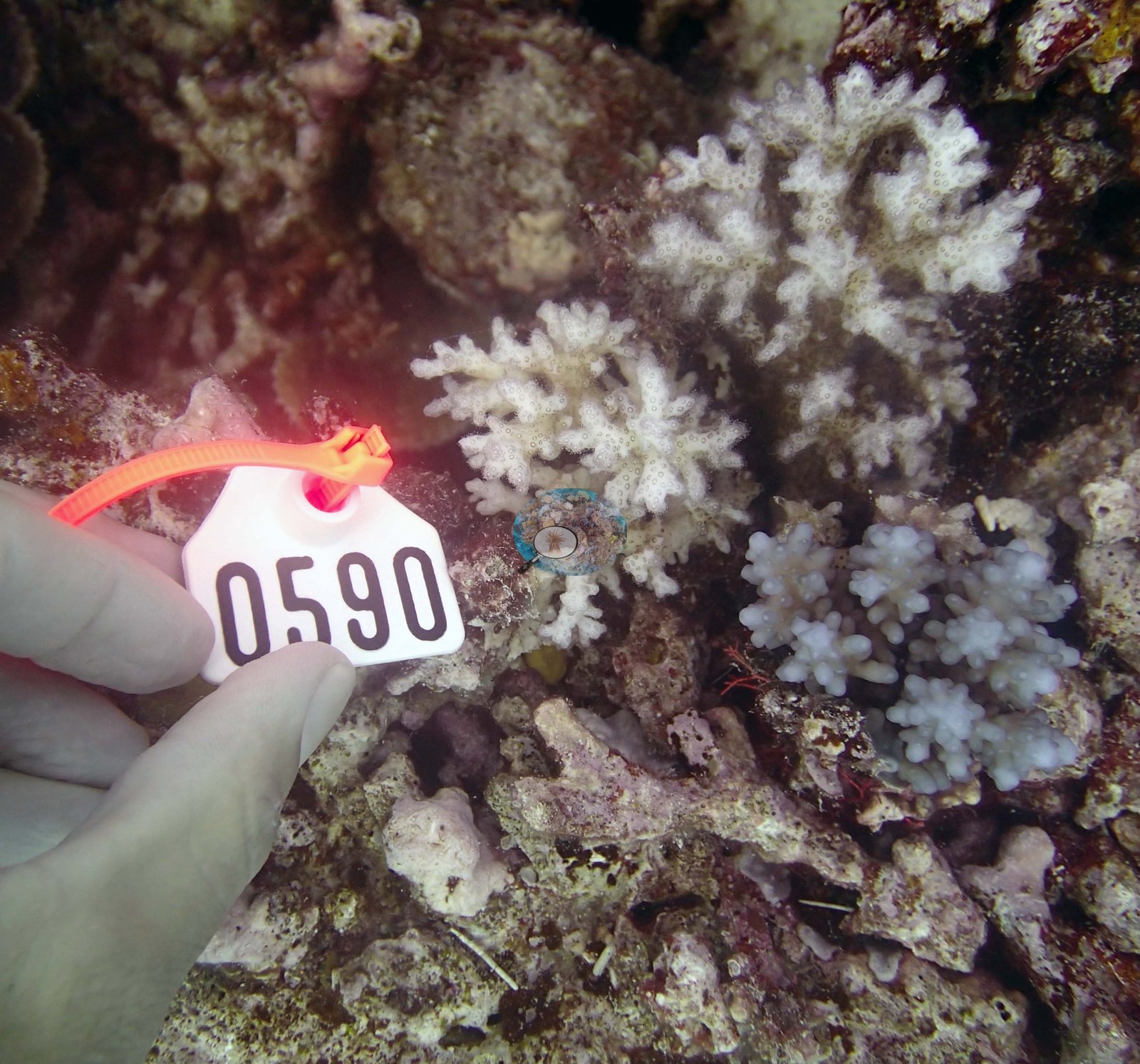
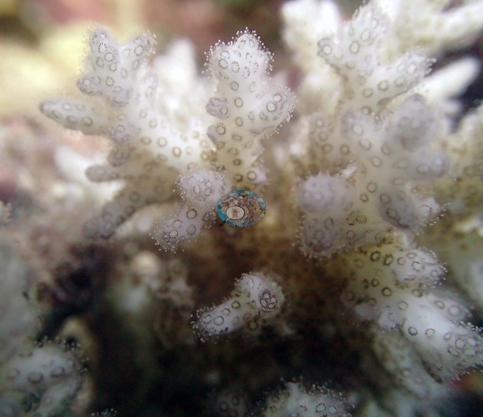
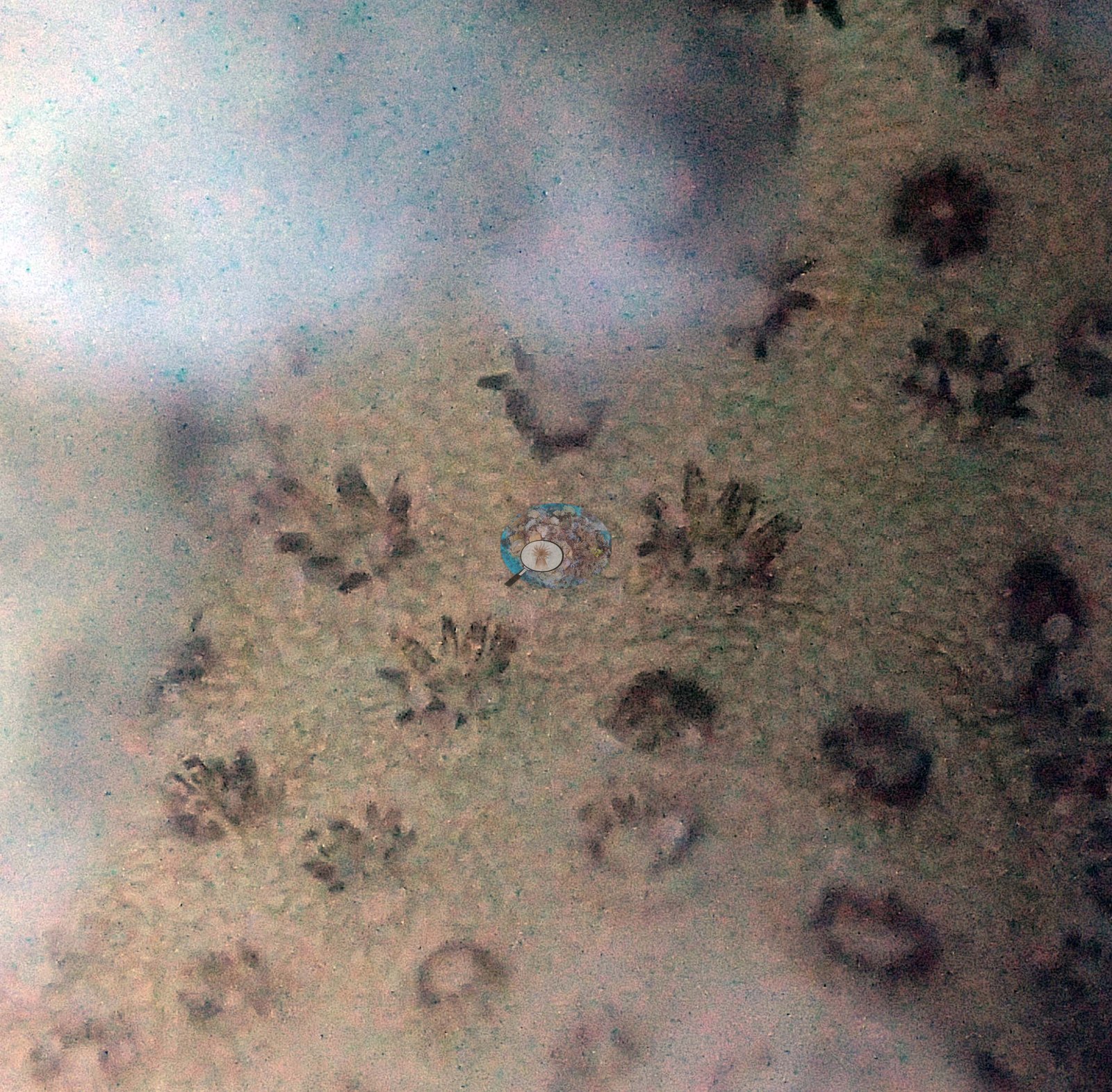
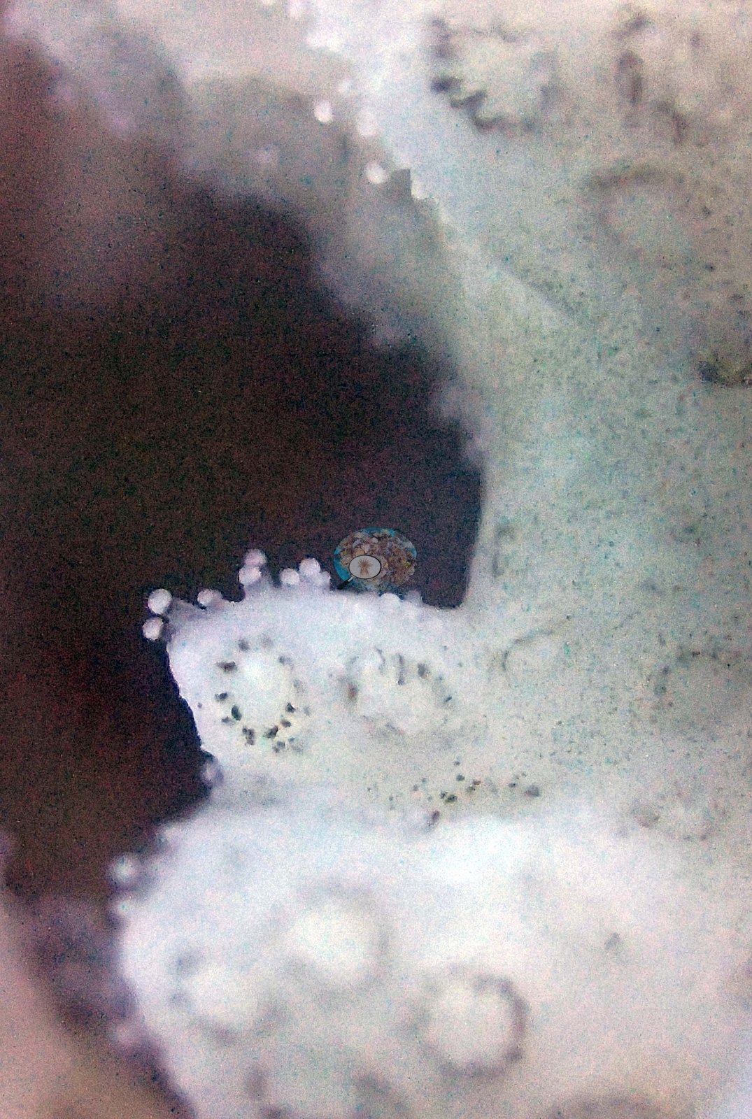
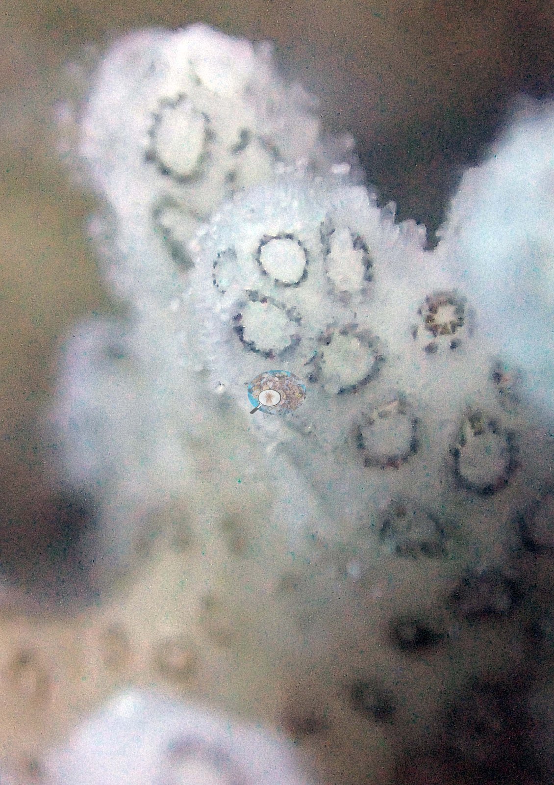
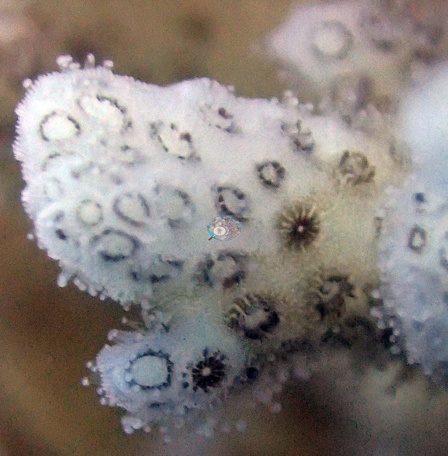
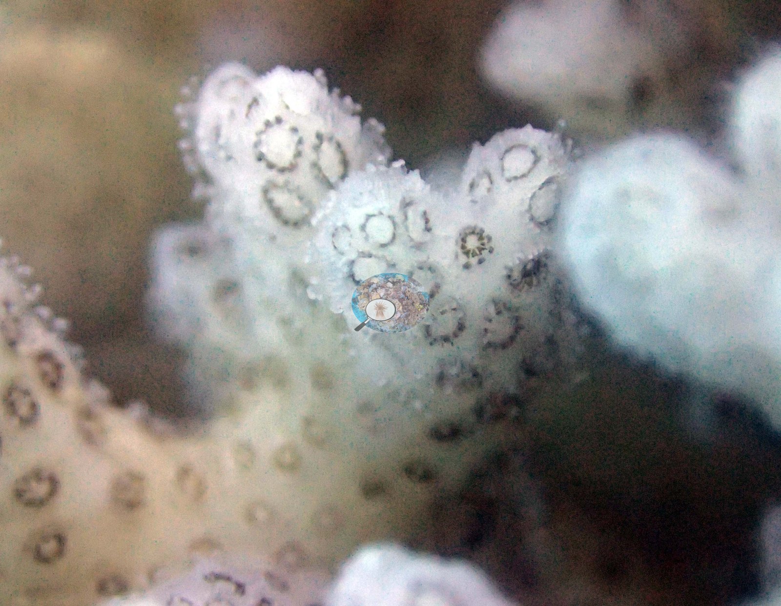
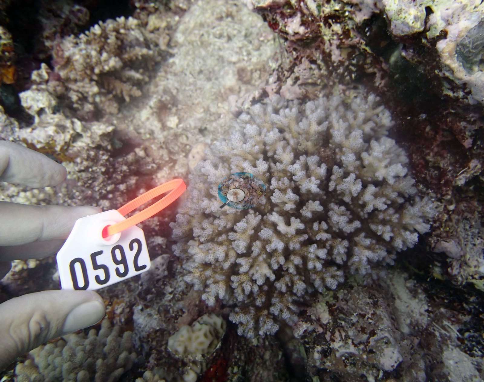
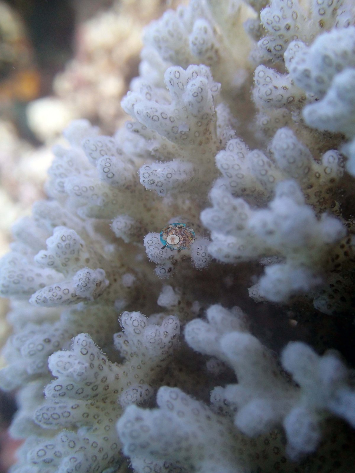
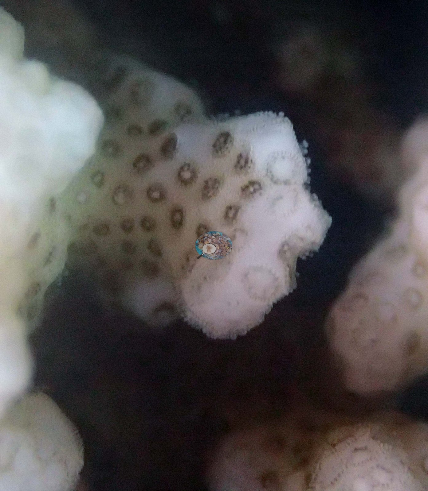
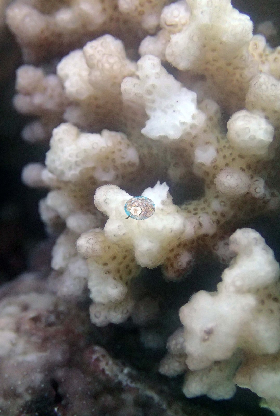
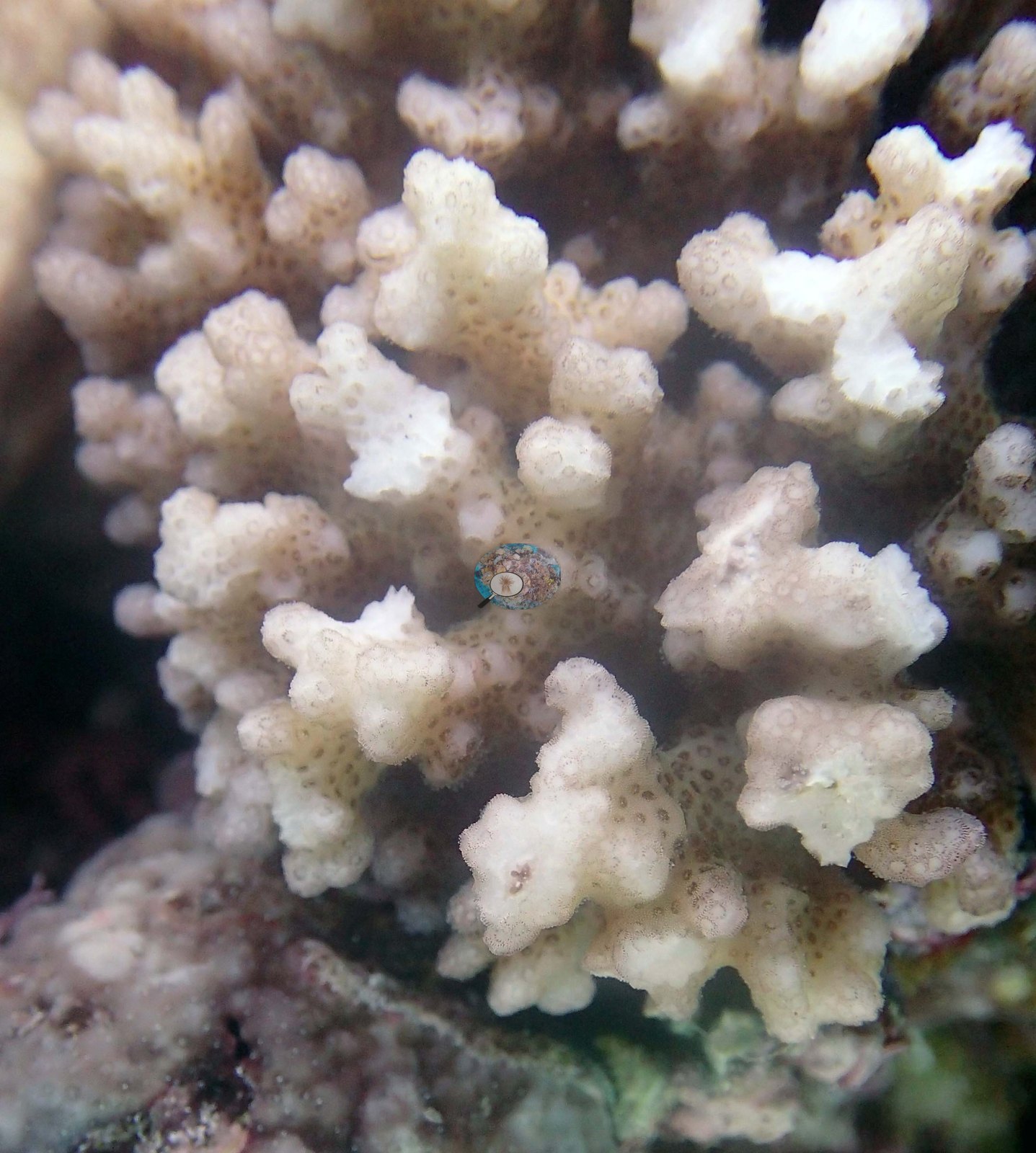
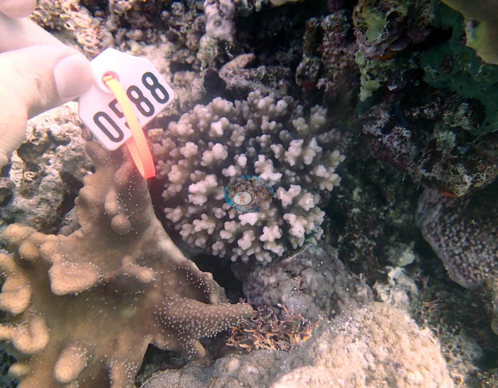
Anderson was busy sampling corals at this site, so the site description is derived from the Living Oceans Foundation survey team's site notes and benthic transect data. Those transects recorded 41% hard coral cover. Anderson sampled 4 Pocillopora colonies here (3 labeled Pocillopora acuta; 1 labeled Pocillopora damicornis), numbered 63, 64, 65, 66 in the expedition series; the sampling sheet records colony 64 as mostly (about 90%) bleached and possibly unhealthy and colony 63 as 20% bleached. Anderson returned on 25 Sep 2013 and sampled seven more colonies, numbered 77 to 83, one of them 20-30% bleached and one 10% bleached. The photographs shown for this site are close-ups of the colonies Anderson sampled, so nothing here describes the reef's habitat, structure, or condition from imagery.
Independent surveys nearby
Within 5 km, 1 independent survey station recorded hard coral cover in 2013. The most recent nearby survey is from 2013, so these values predate recent heat stress. This site's own estimate (41%) is not compared with these surveys: none lies within 2 km.
Collected by other programs using different methods (Reef Check uses point-intercept transects), so these are context for the figures above, not a like-for-like comparison. Where a station was surveyed more than once, the cell shows either the range of its values or, as a single value, the mean of surveys made in one year. Station names are not dive-site names.
| Agency | Site / location | Date | Hard coral cover (%) | Distance |
|---|---|---|---|---|
| Reef Check | The Coral Gardens | 2013 | 59% | 3.38 km |
Data & links
- Download benthic survey data (CSV) ↗
- Download all LOF-GRE data (933 sites) ↗
- Photo portfolio ↗
- Coral Reef Diagnostics region page ↗
All images from Coral Reef Diagnostics. Data are from the Khaled bin Sultan Living Oceans Foundation Global Reef Expedition, Coral Reef Diagnostics, and the organizations named in the data sources above.
© Coral Reef Diagnostics.