
Part of the regional summaries: Chagos Archipelago - Egmont / Danger Island / Cauvin Bank and Chagos Archipelago
More info
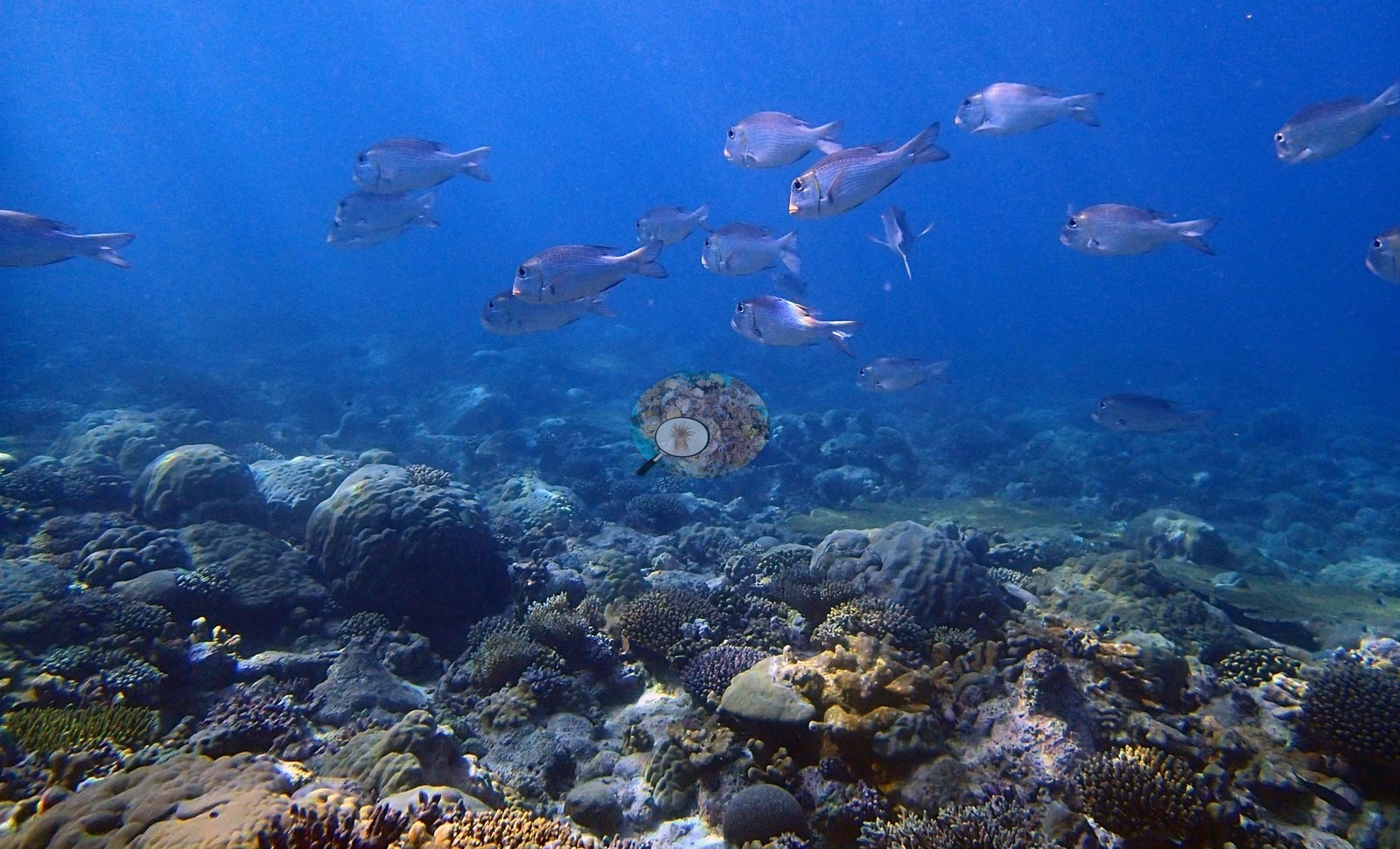
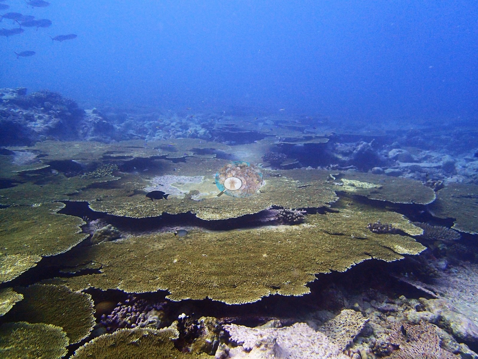
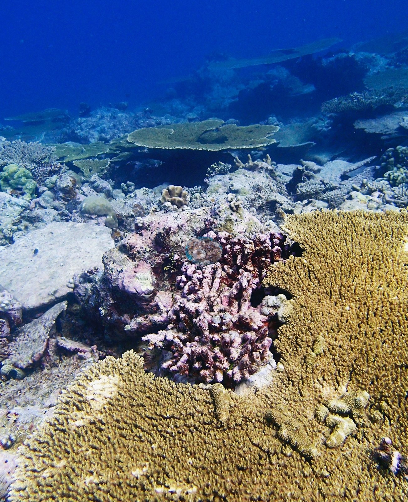
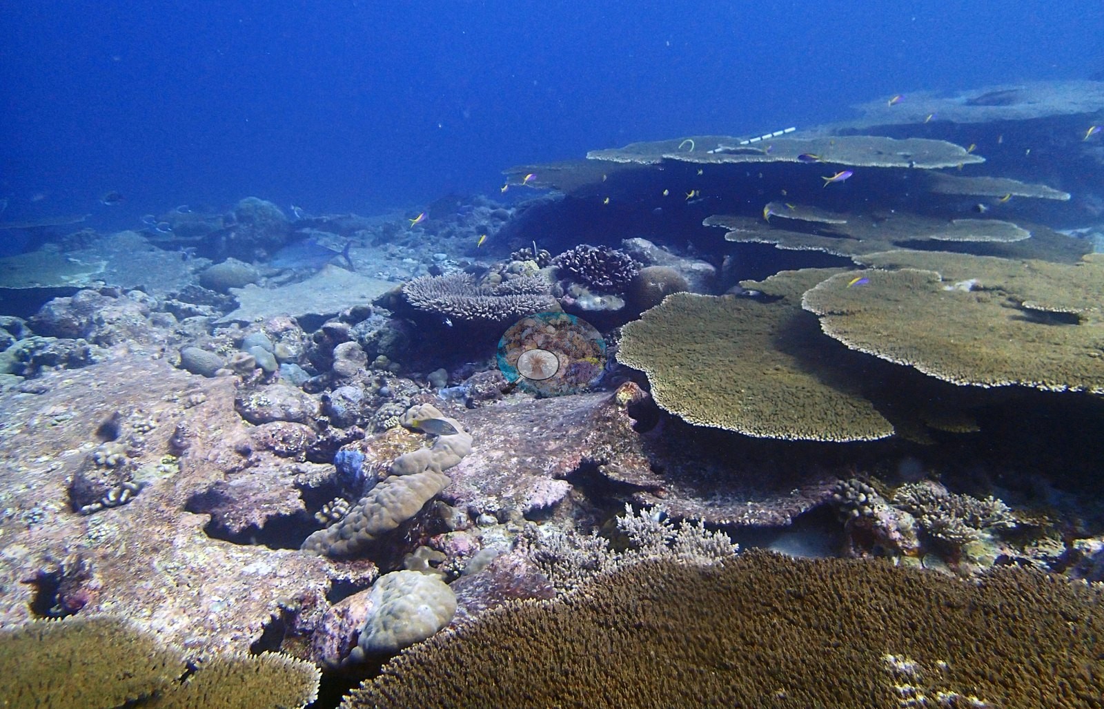
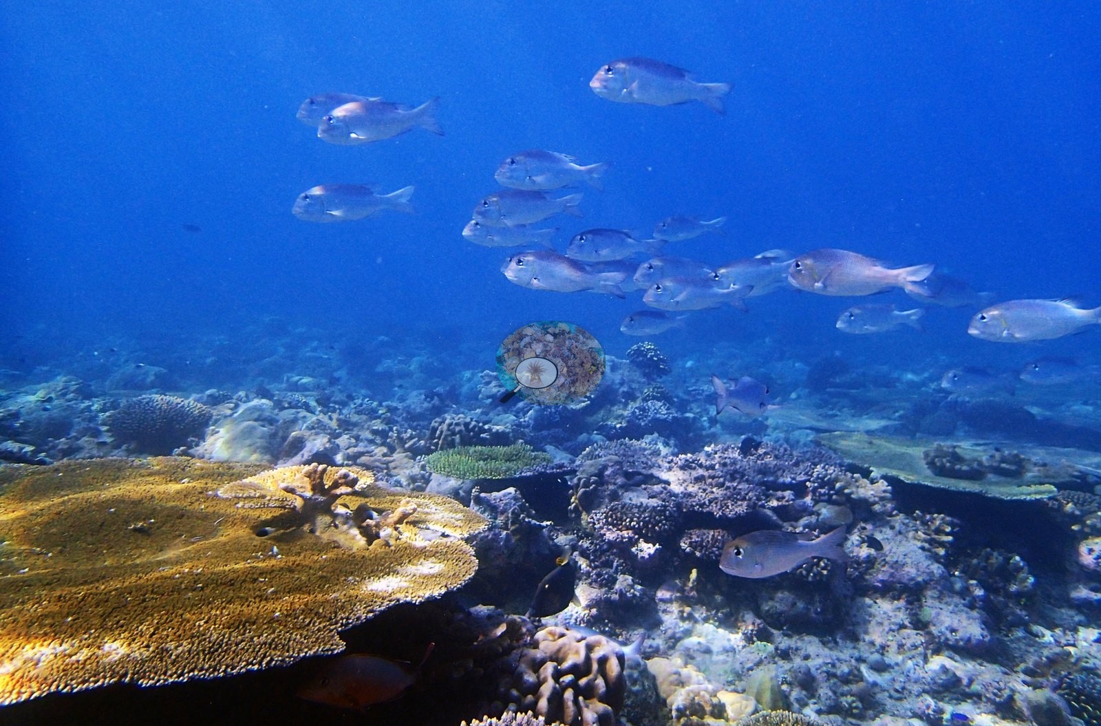
Chagos (NOAA CRW virtual station)BIEG05, at Egmont, has 47% coral cover, near the top of the whole Chagos range, and holds the clearest bleaching photo-record found anywhere in this survey: a single dive documents the full progression from healthy tissue through partial and full bleaching to freshly dead, algae-overgrown skeleton, all on tabular Acropora. Large schools of silvery emperor/bream fish are a distinctive feature here, along with a silvertip shark, an octopus, and a regal angelfish. Surveyed on the Living Oceans Foundation's Global Reef Expedition.
Six independent survey stations shown with the program’s logo — click one to see how far it is from this site.
One other CRD dive site within 5 km shown in orange — click a marker to open its page.
🗺 Detailed map of the Global Reef Expedition dive sites, Egmont Atoll, Chagos (Khaled bin Sultan Living Oceans Foundation; opens in a new window)
Site description
Setting
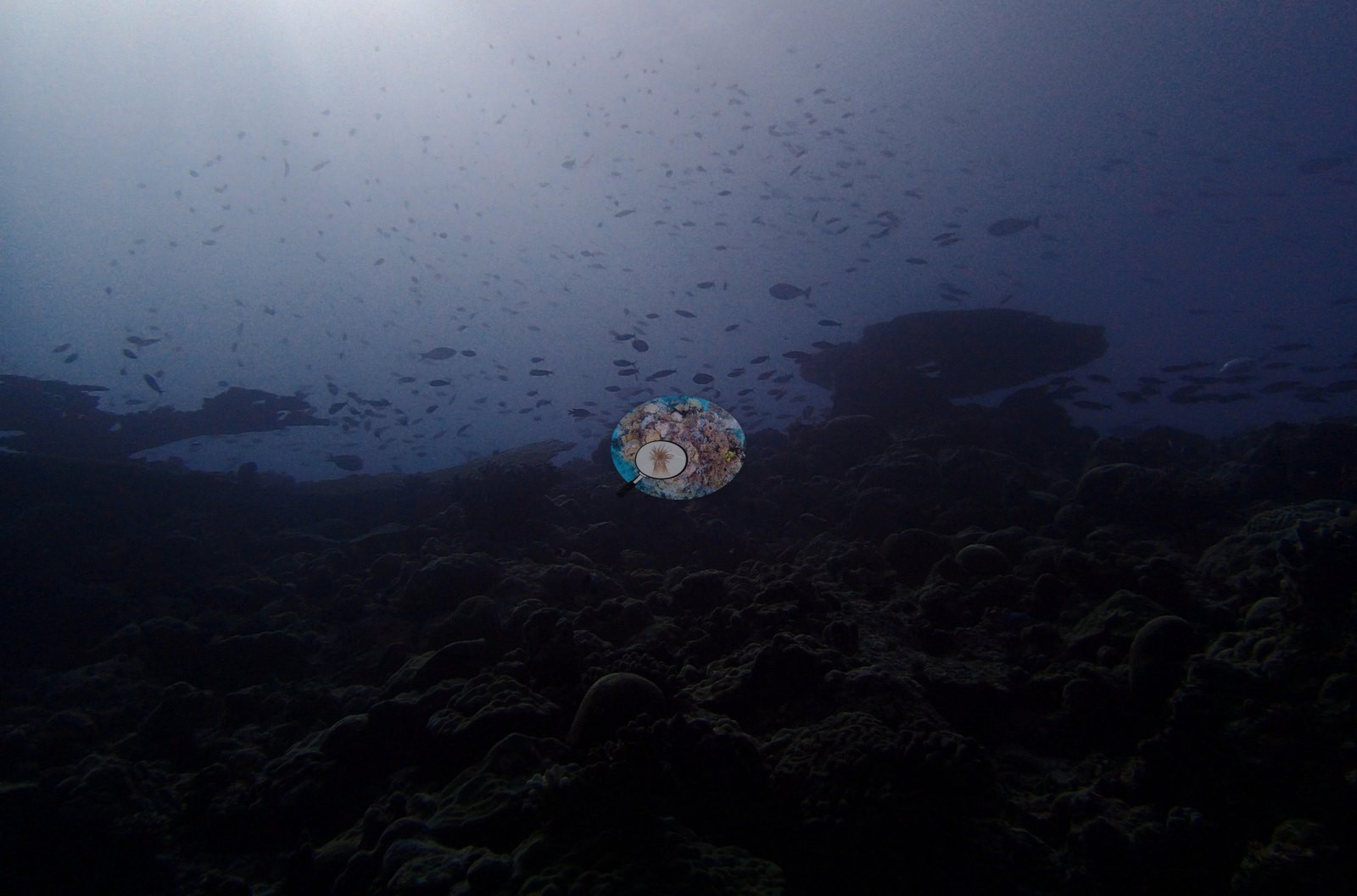
Quality is high by the standards of the corpus: most frames are well-exposed wide reef views on a clear-water day.
General benthic features
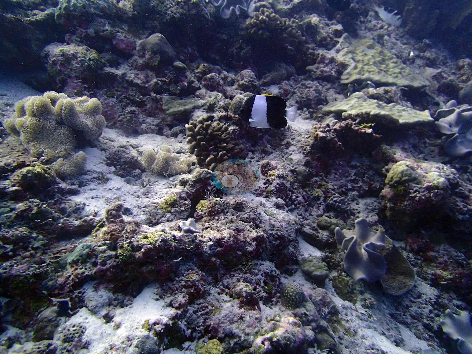
The assemblage is evenly co-dominated by two genera, unusually so: Acropora 16.18% of the benthos and Porites 15.86%, i.e. 34.6% and 33.9% of all live coral, together more than two-thirds of the reef's coral. Montipora follows at 2.77%, then Pocillopora 1.43%, Pavona 1.29%, Isopora 1.10%, Favia 1.06%, Leptastrea 1.03%, Favites 0.89%, Platygyra 0.86%, Cyphastrea 0.85%, Symphyllia 0.55%, Goniastrea 0.51%, Heliopora 0.43%, Montastrea 0.28%, Pachyseris 0.26%, Psammocora 0.25%, Galaxea 0.23%, Gardineroseris 0.19%, Astreopora 0.16%, Echinopora 0.12%, Stylophora 0.11%, Fungia 0.10%, then a tail of Leptoseris and Acanthastrea 0.05% each, Hydnophora and Turbinaria 0.04% each, Goniopora 0.018%, Podabacia 0.017%, and Lobophyllia and Leptoria 0.008% each. The Heliopora record is Anderson's own determination: the LOF codebook lists code HELI as Heliofungia, but the field data are Heliopora, blue coral — determined by A. Mayfield, expedition coral-physiology lead, 2026-08-25; HELI reaches 93% cover on one transect, impossible for a solitary free-living mushroom coral, while HEFU, the Heliopora code, has only three records across all 3,067 GRE transects. The non-coral substrate at BIEG05 is crustose-coralline-led: CCA 16.24%, bare substrate 13.46%, turf 12.51%, non-coral invertebrates 5.36%, erect algae 2.47%, macroalgae 1.72%, turf-with-sediment 1.33% and cyanobacteria 0.195%. That is a well-consolidated, low-fleshy-algae bottom — erect algae and macroalgae together hold under 4.2% — and it is the transect's own account of why this reef reads as the best of the Egmont series.
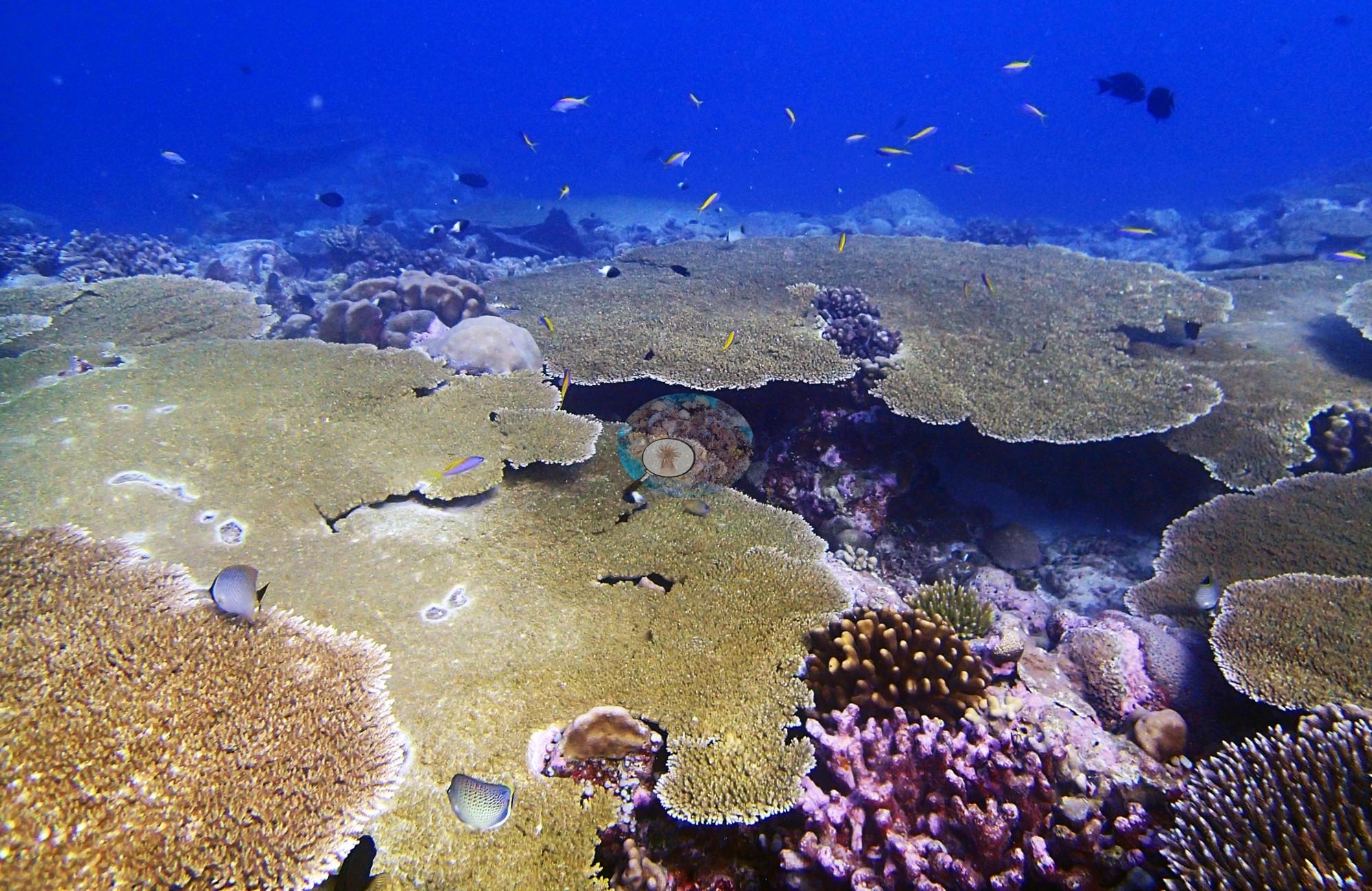
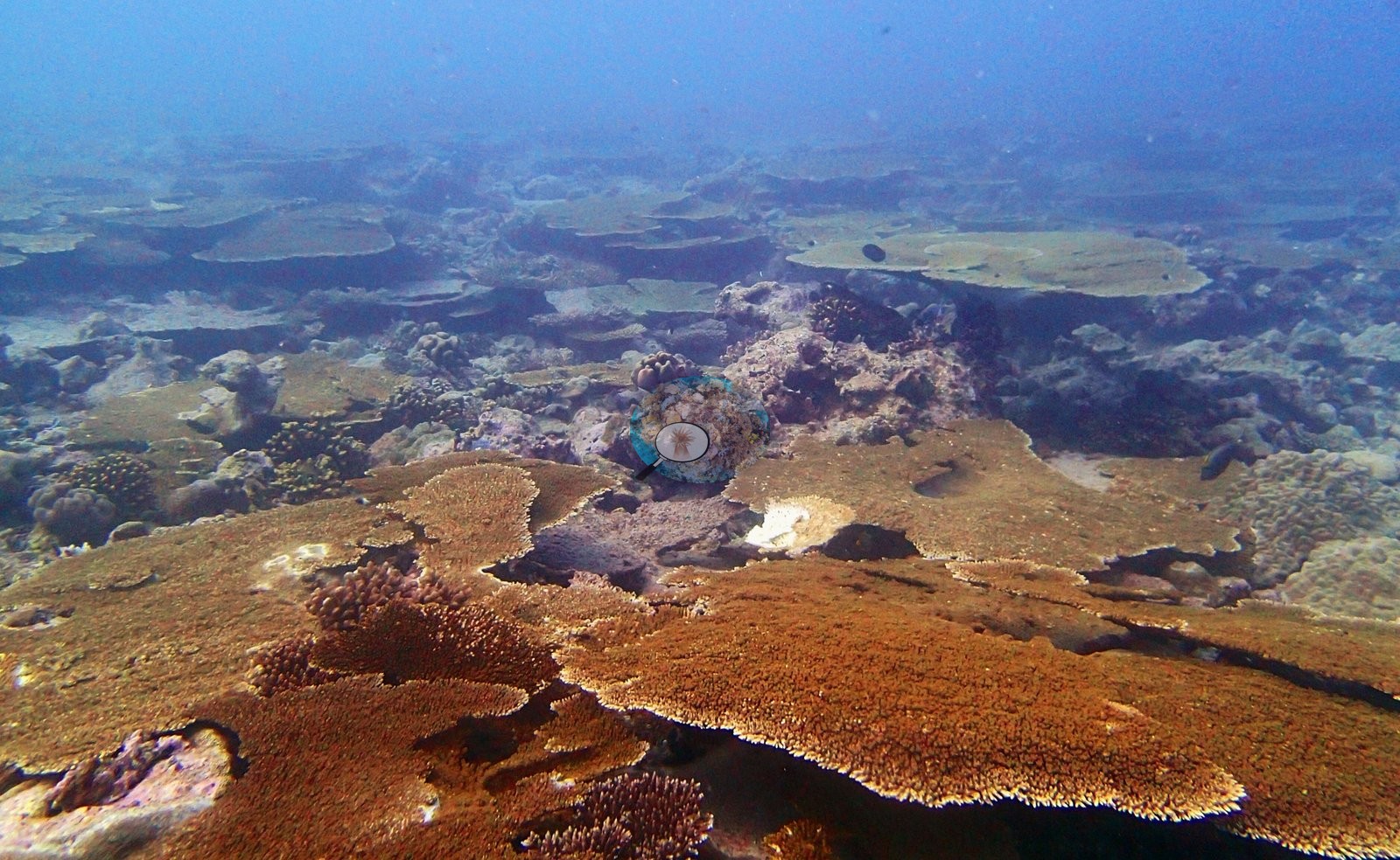
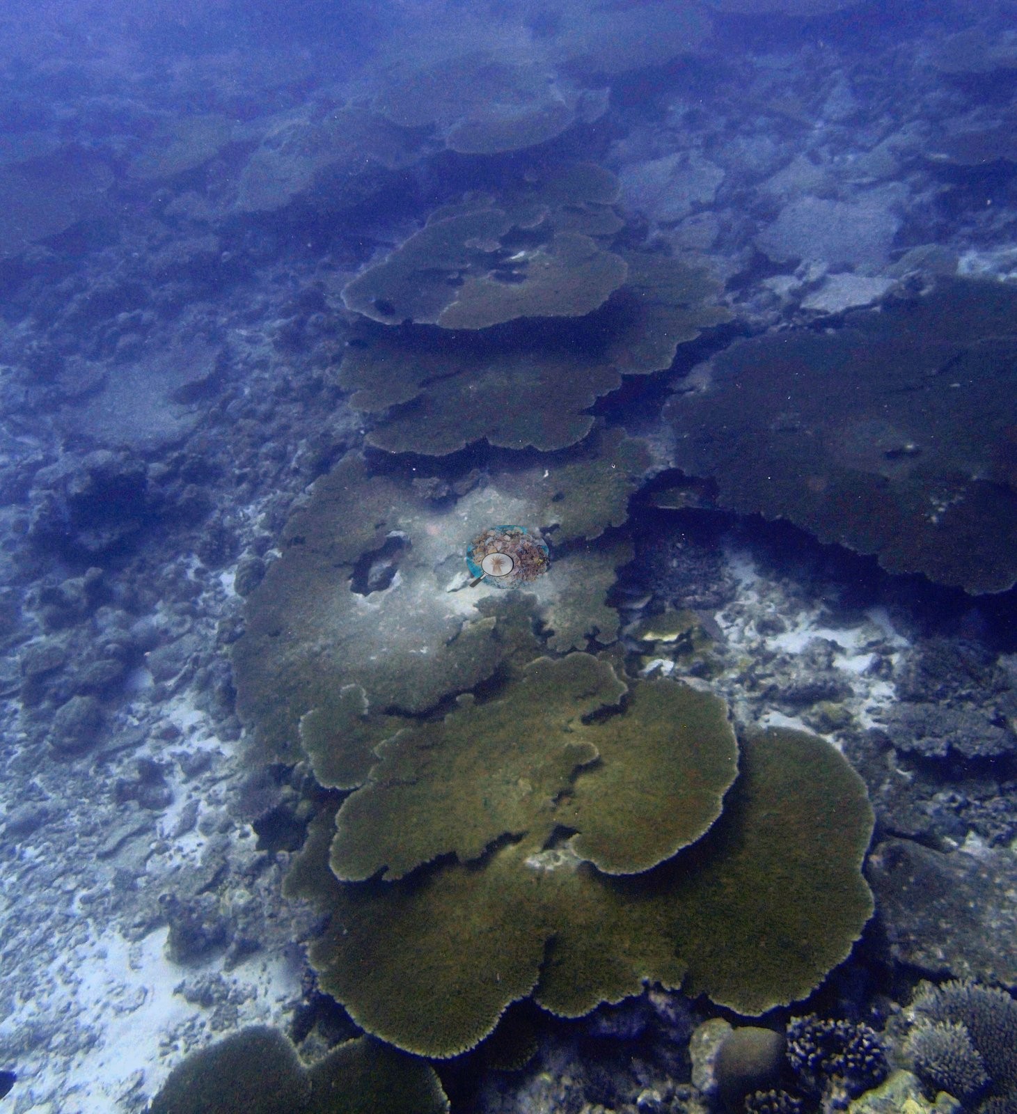
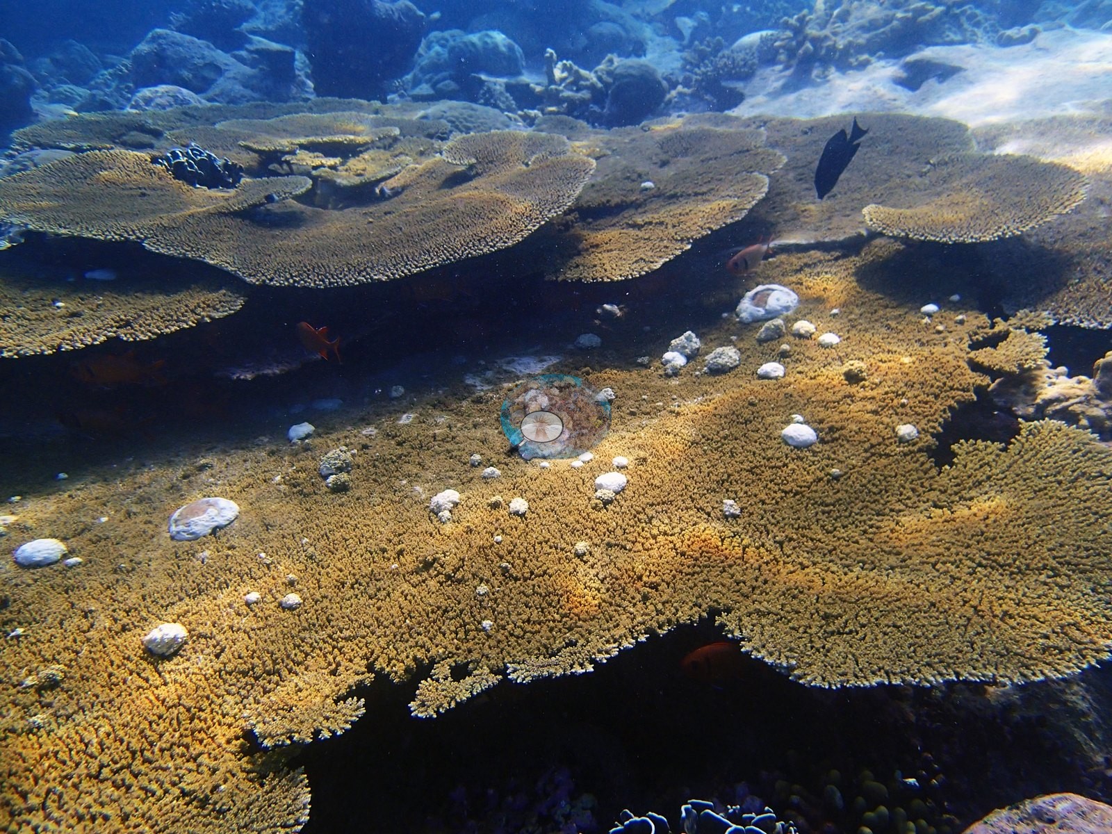
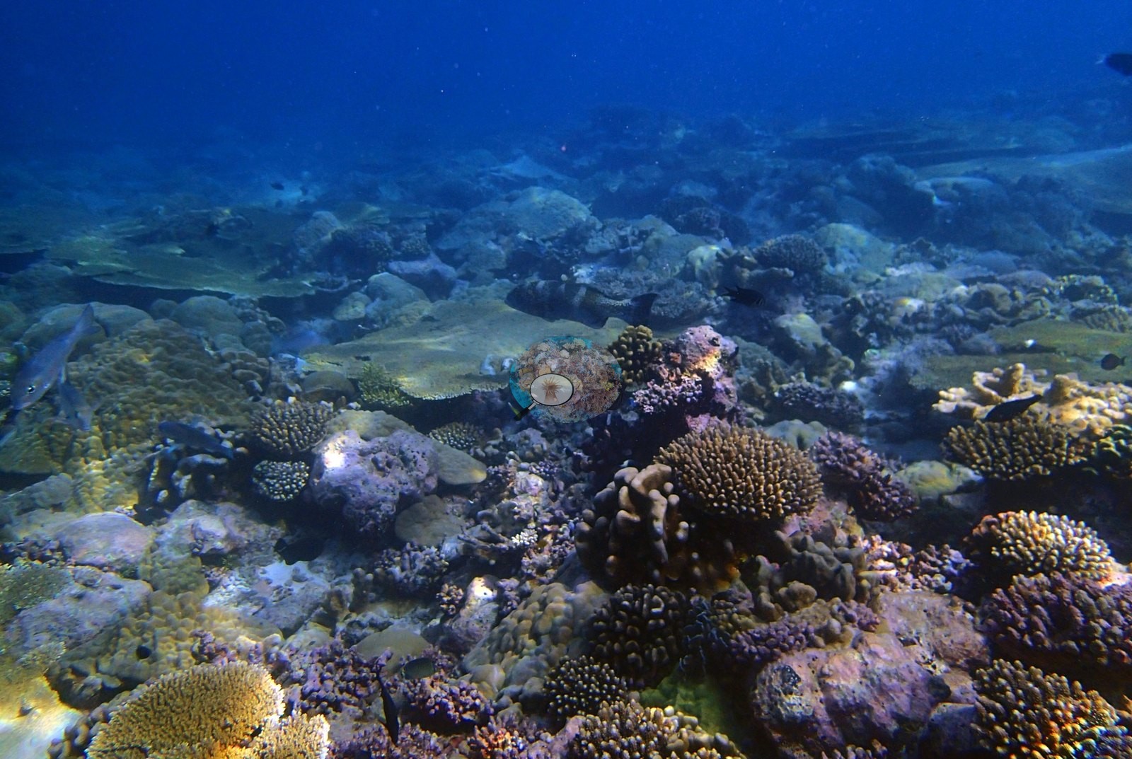
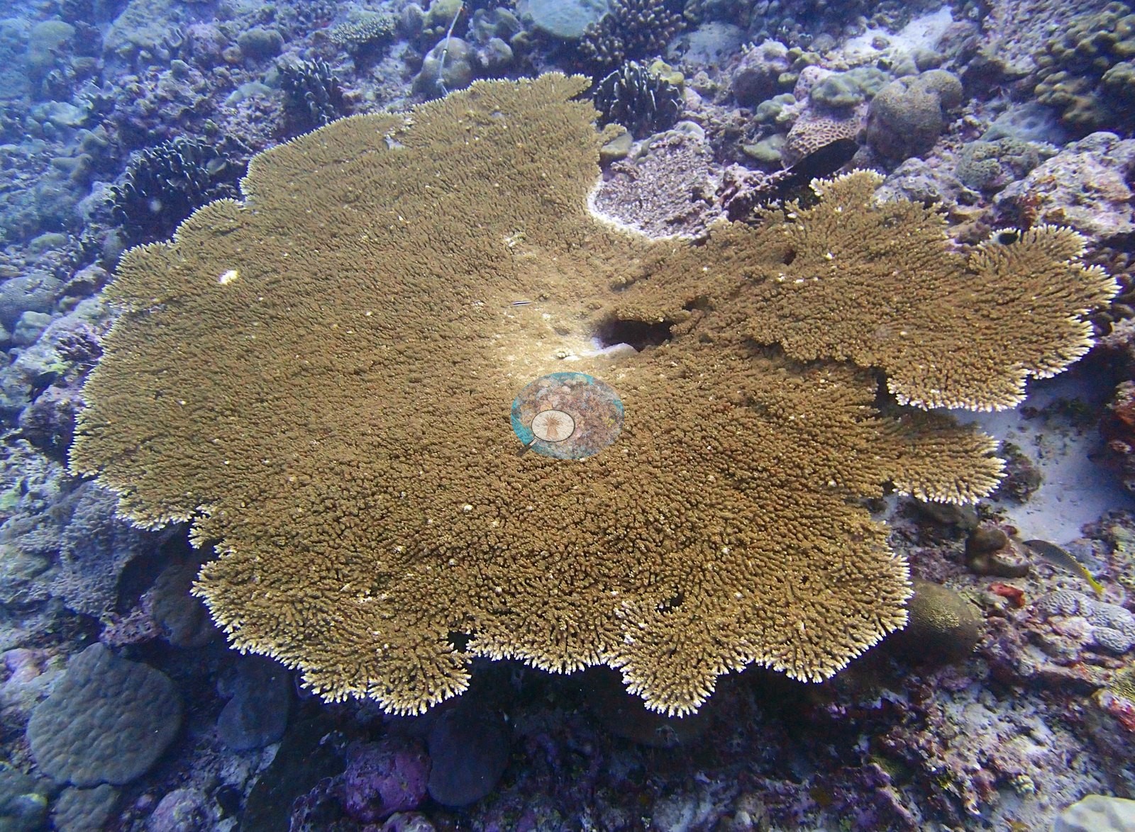
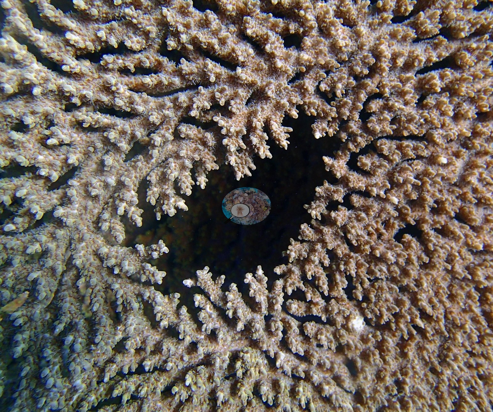
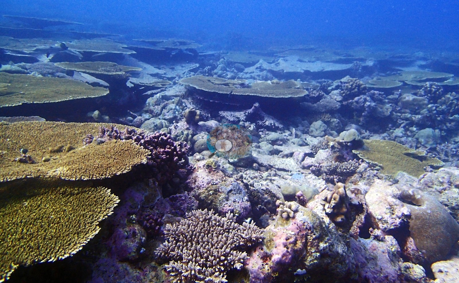
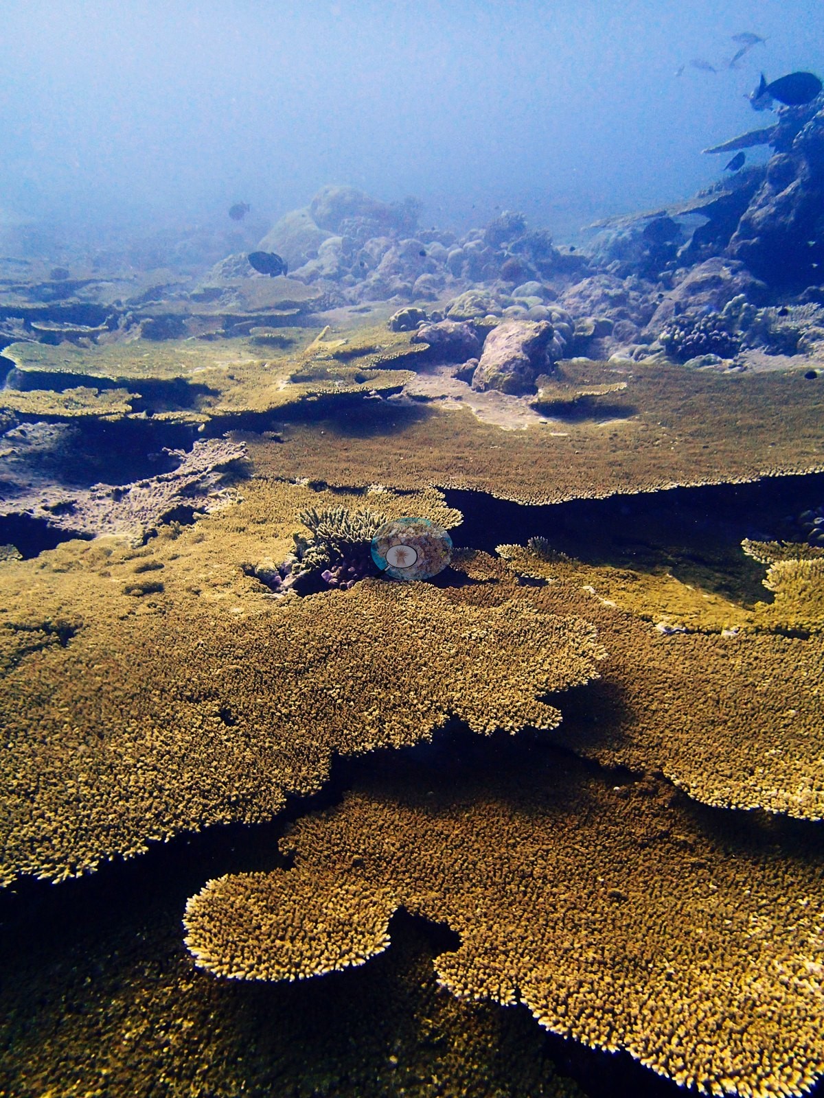
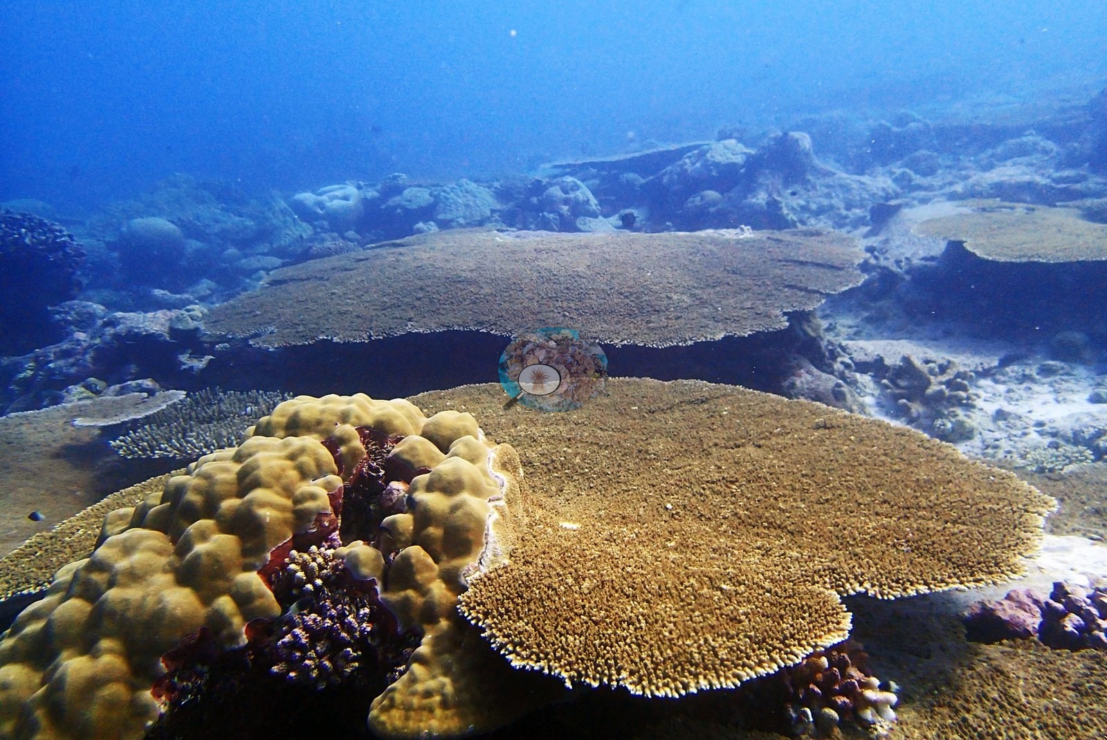
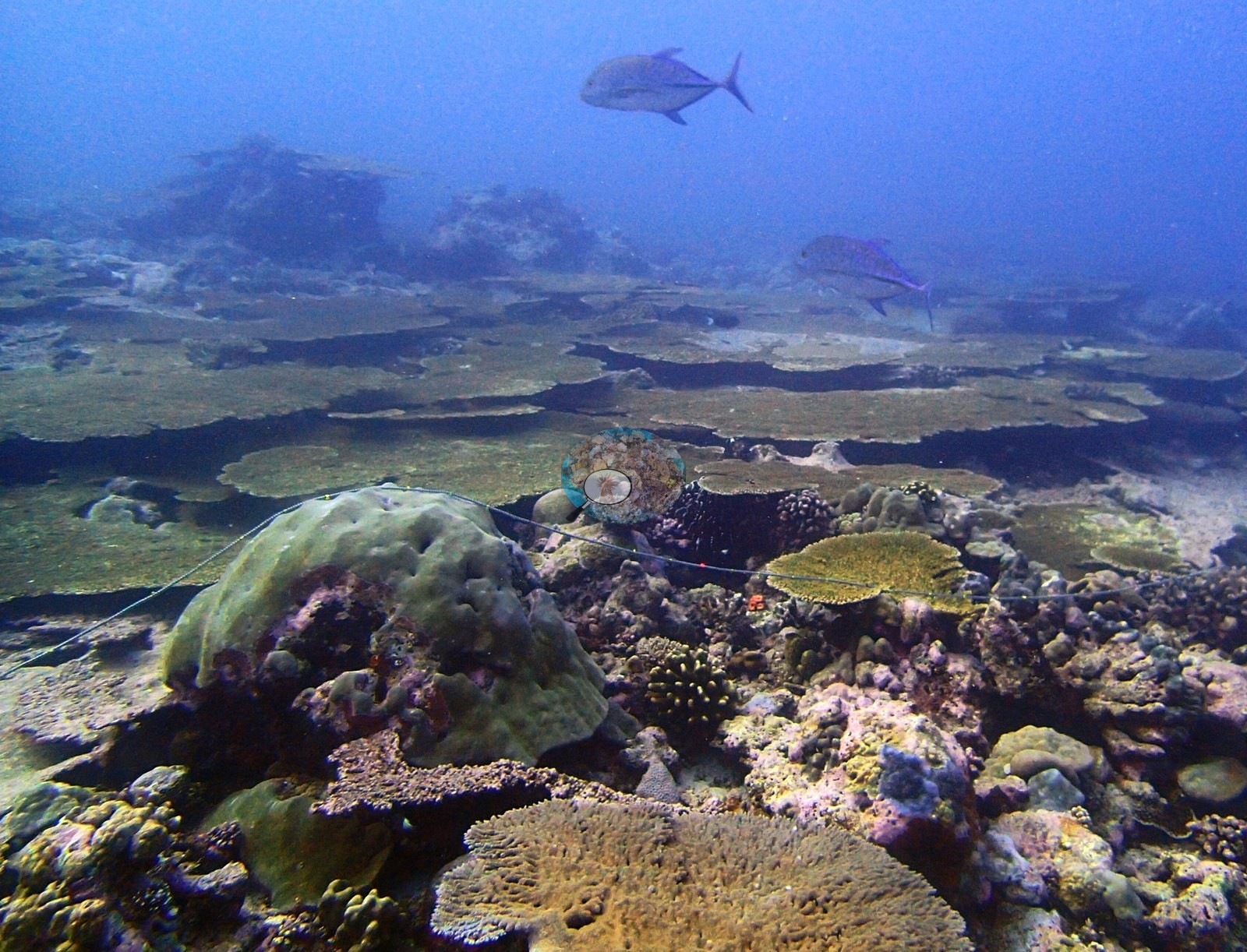
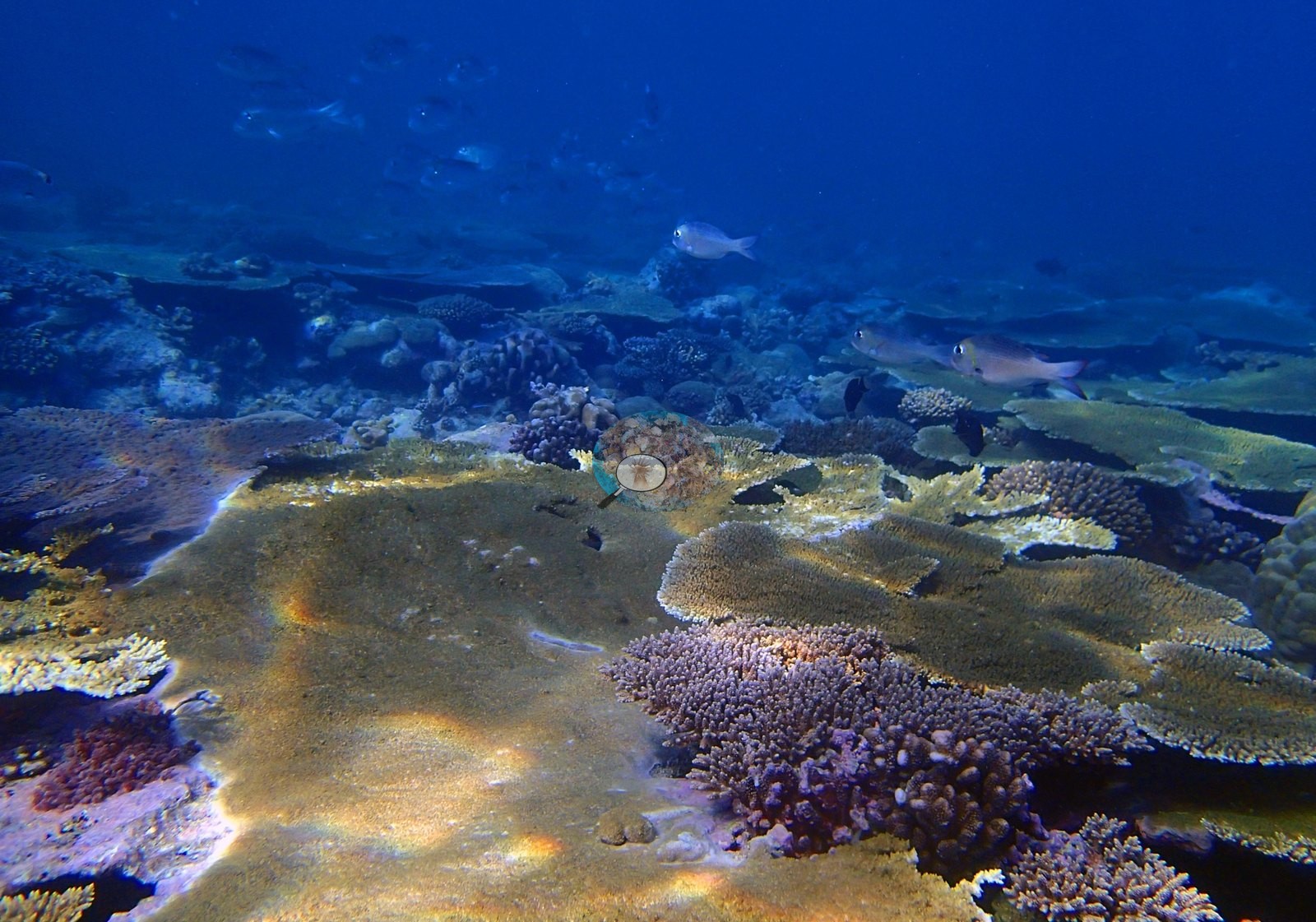
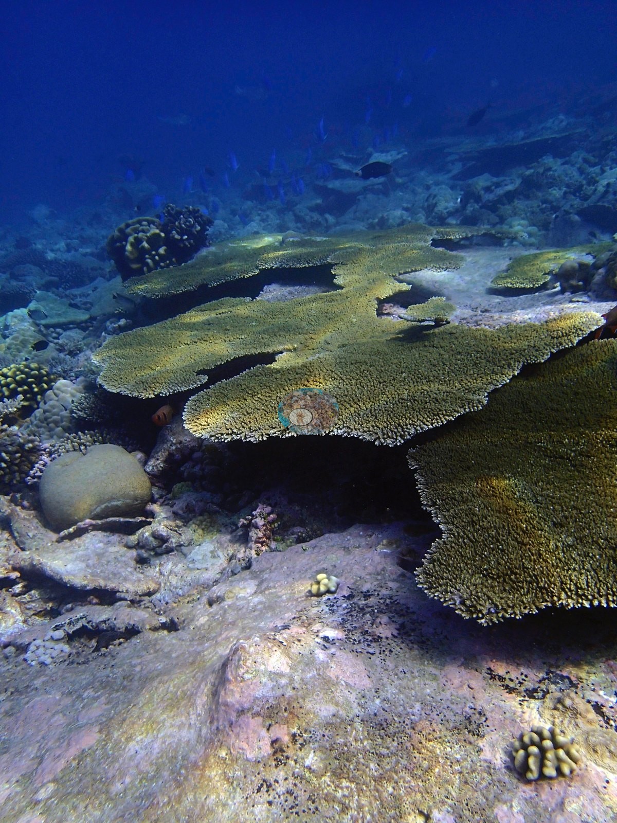
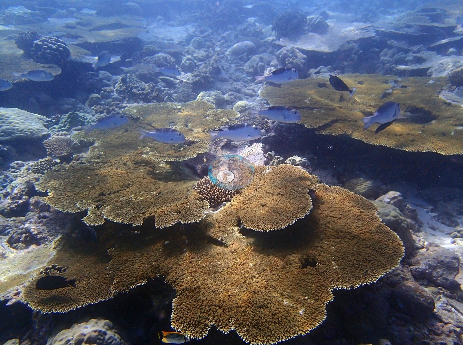
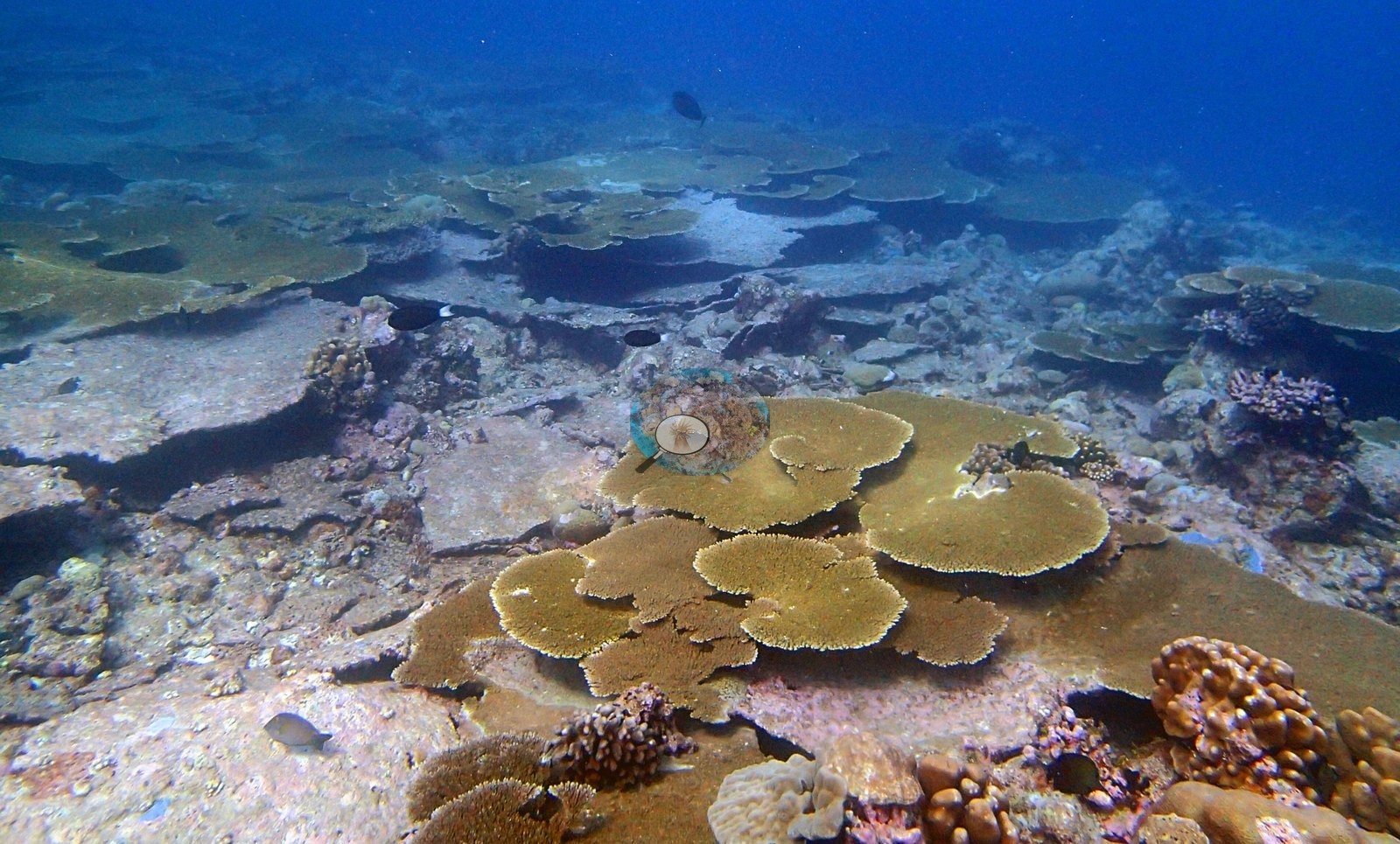
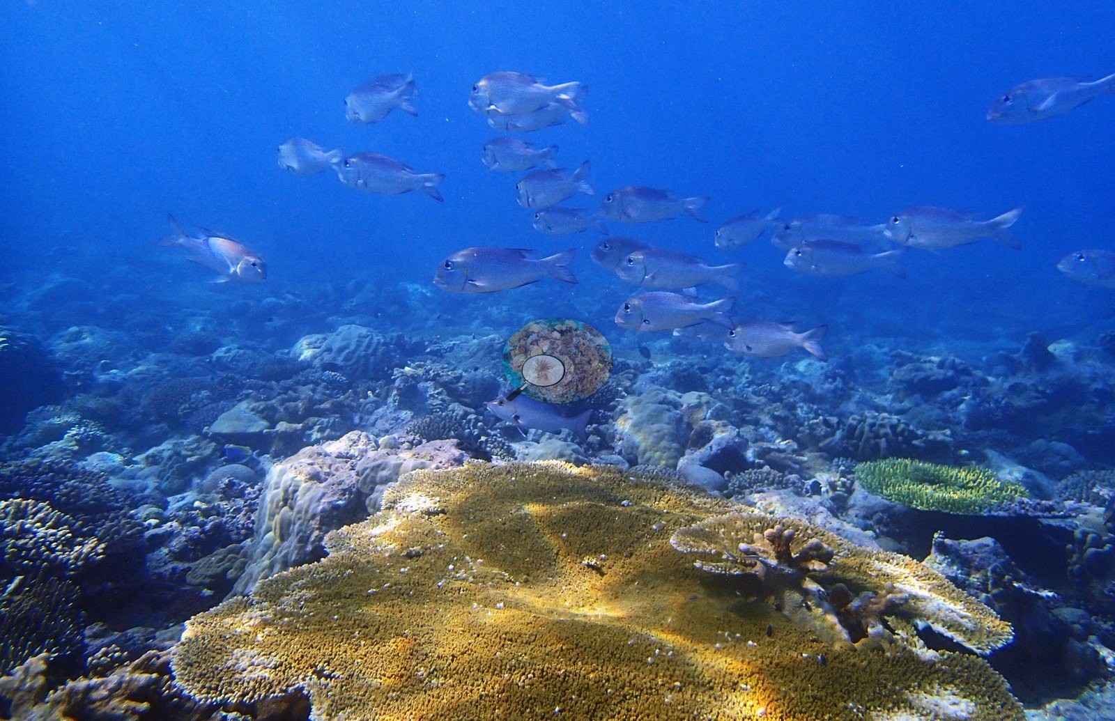
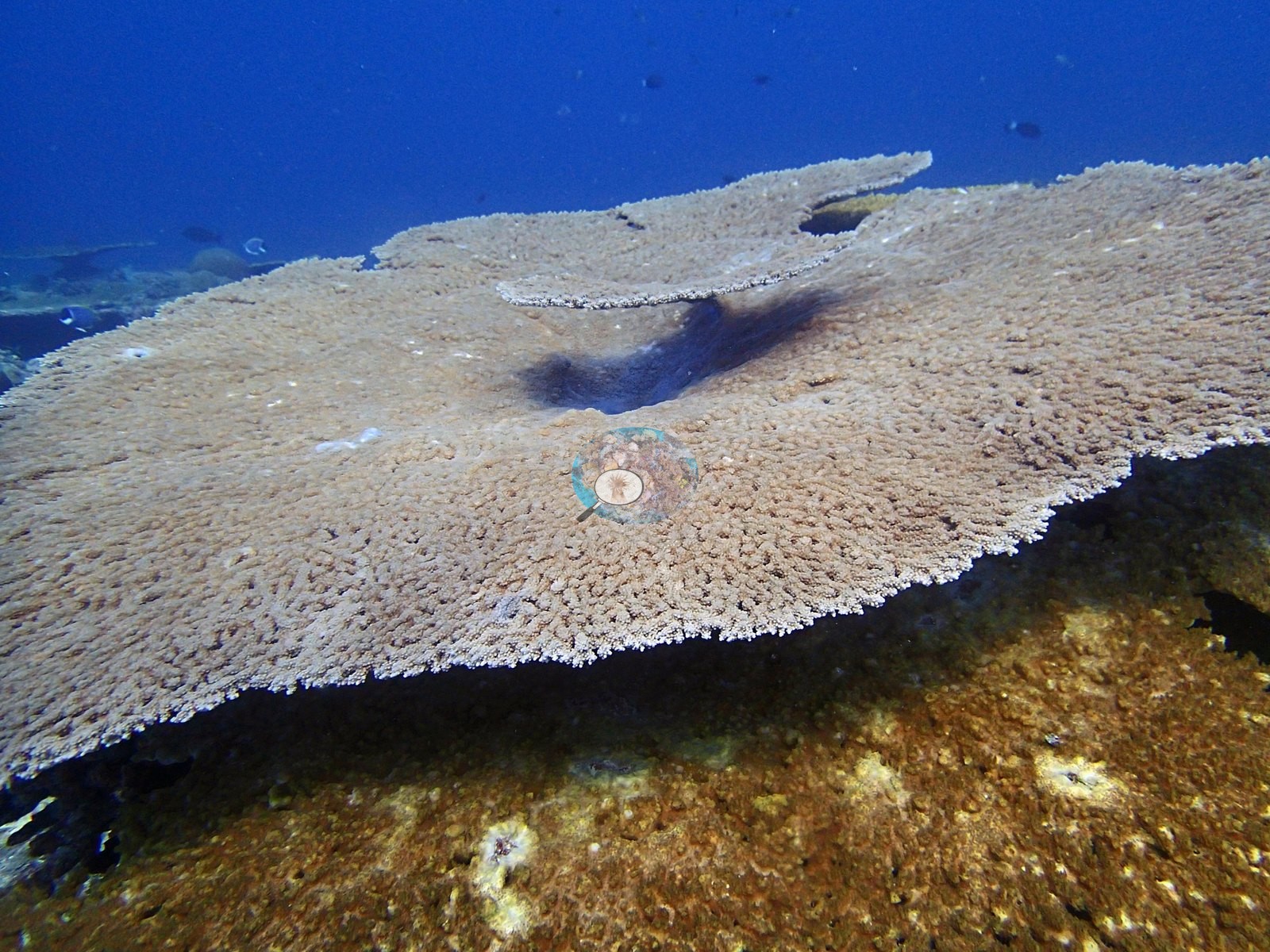
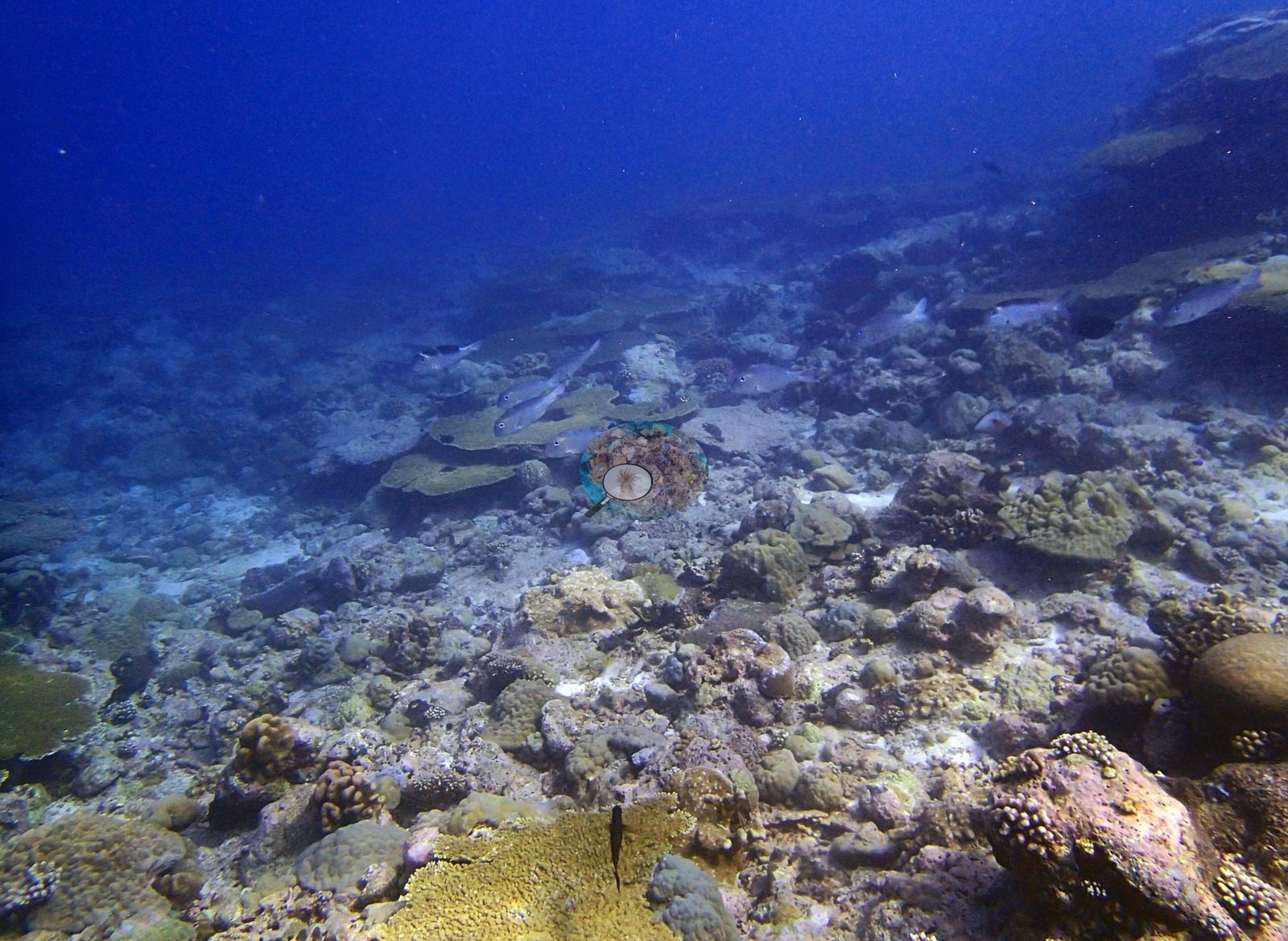
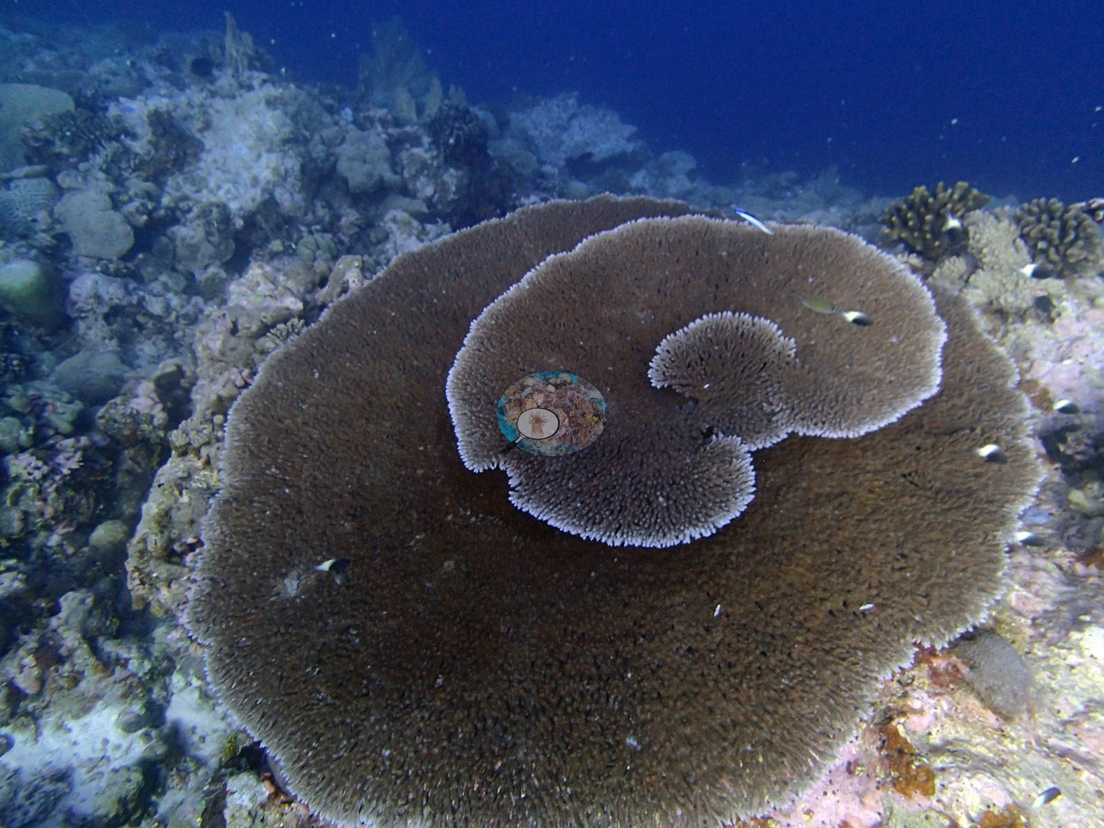
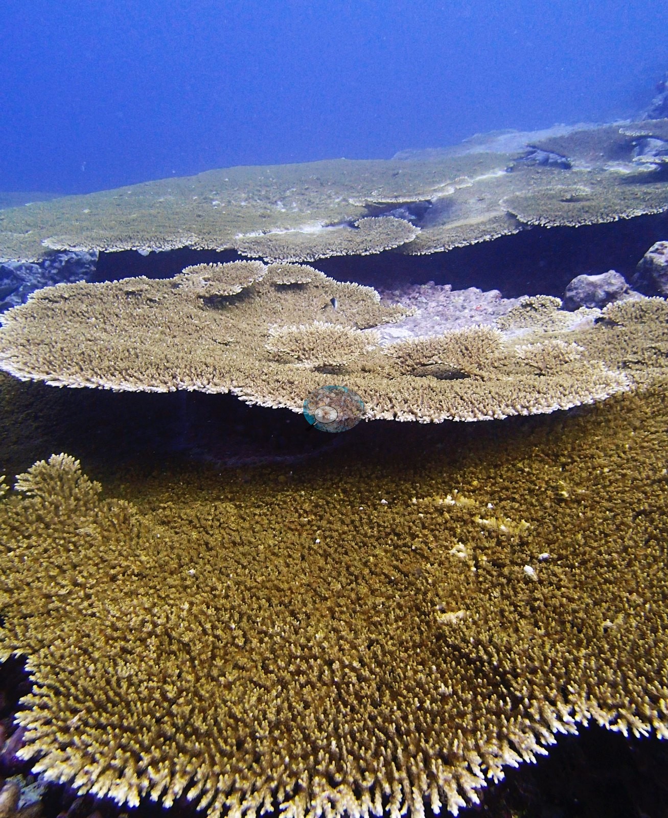
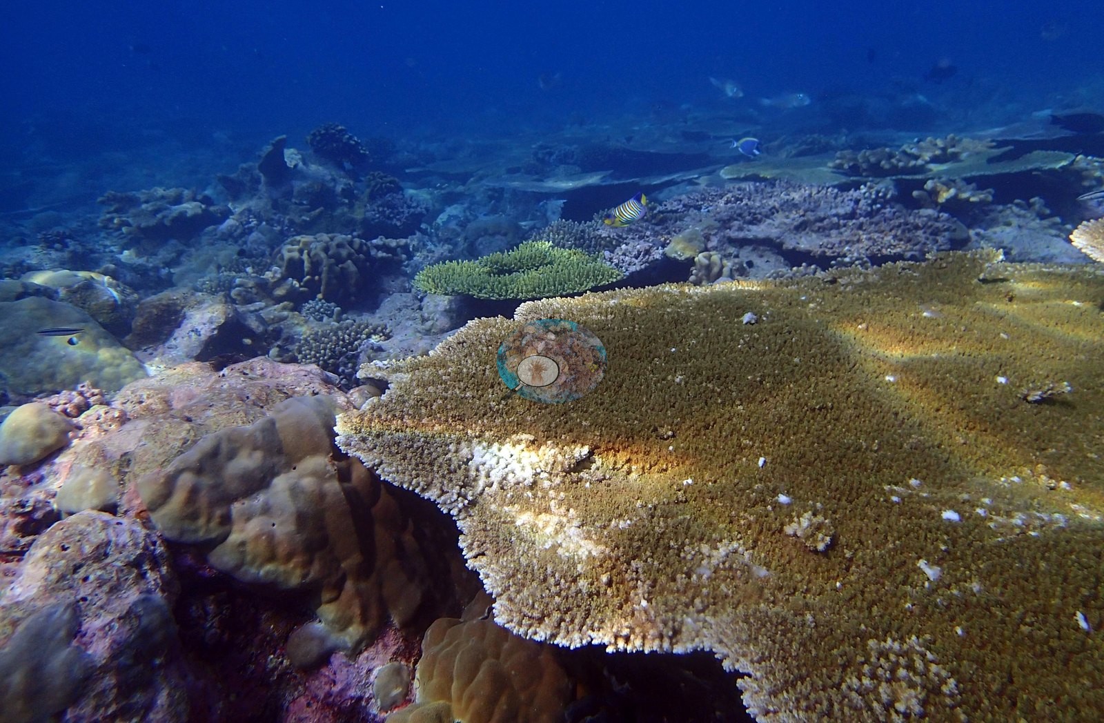
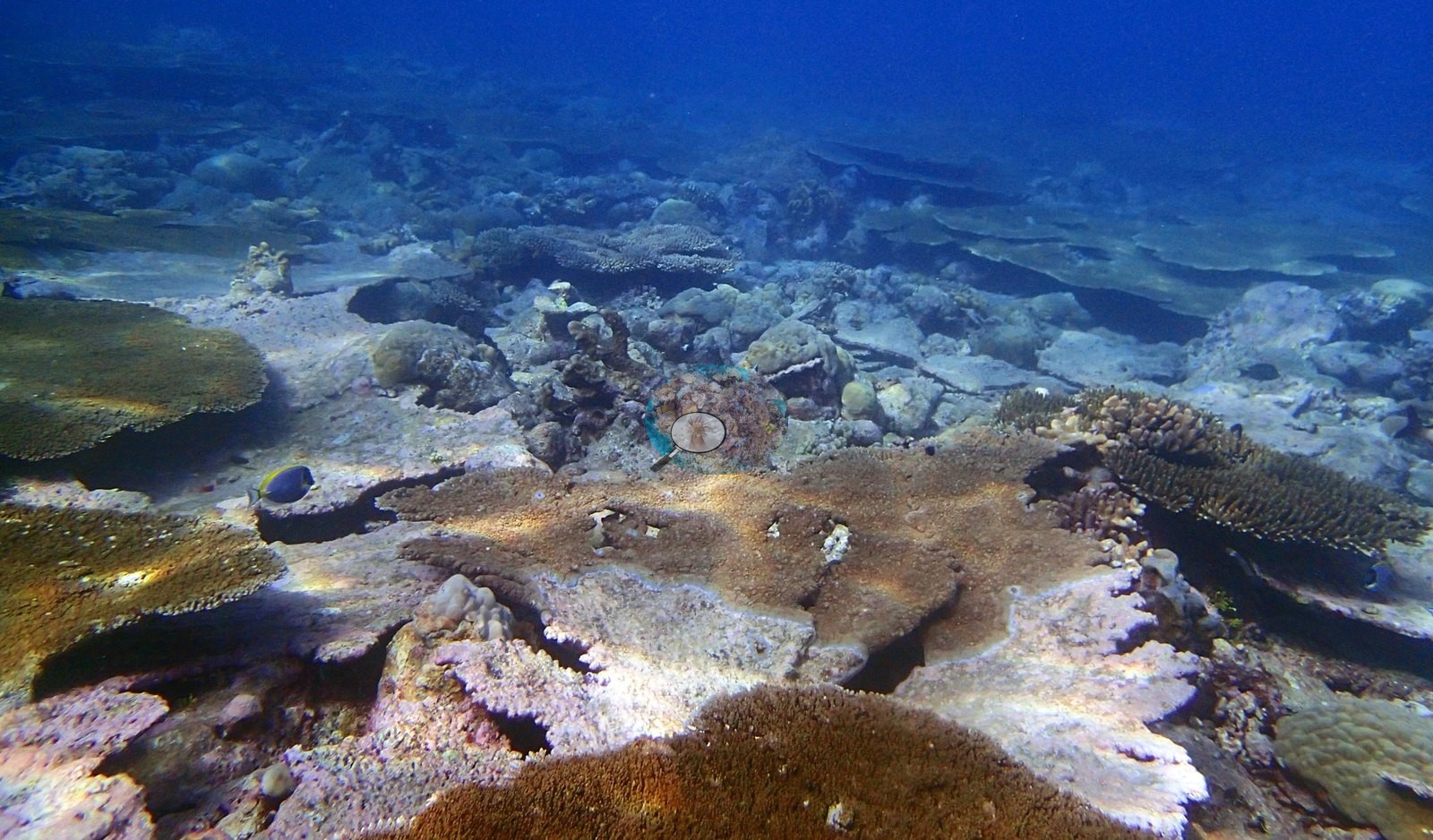
The defining structure is a tabular Acropora plain. Across P3110434, P3110439, P3110440, P3110442, P3110443, P3110448, P3110452, P3110454, P3110459, P3110478, and P3110485 the reef is carpeted in overlapping golden tables, some stacked plate-on-plate in tiers, running unbroken to the limit of visibility, with only narrow lanes of pale pavement and rubble between them — as close to a continuous plate canopy as anything in the reviewed set, and the photographic counterpart of the transect's 16.18% Acropora. P3110434 and P3110415 isolate single perfect A. cytherea/hyacinthus-type tables with clean white growth margins; individual tables also fill P3110386, P3110452 and P3110470, and P3110386 catches one growing in a whorled spiral. P3110480 records a startling lime-green corymbose colony — a natural fluorescent-pigment morph — beside a Moorish idol.
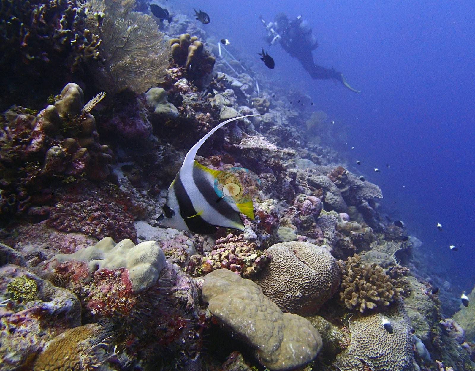
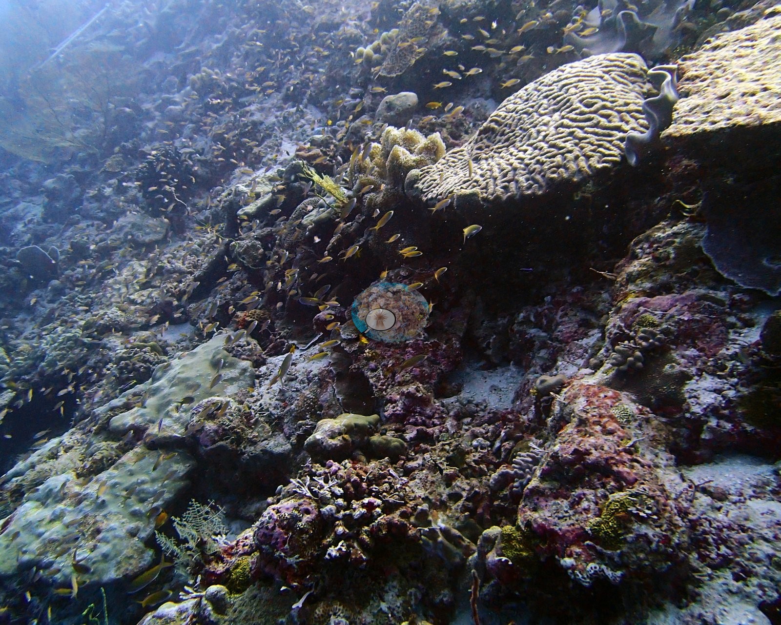
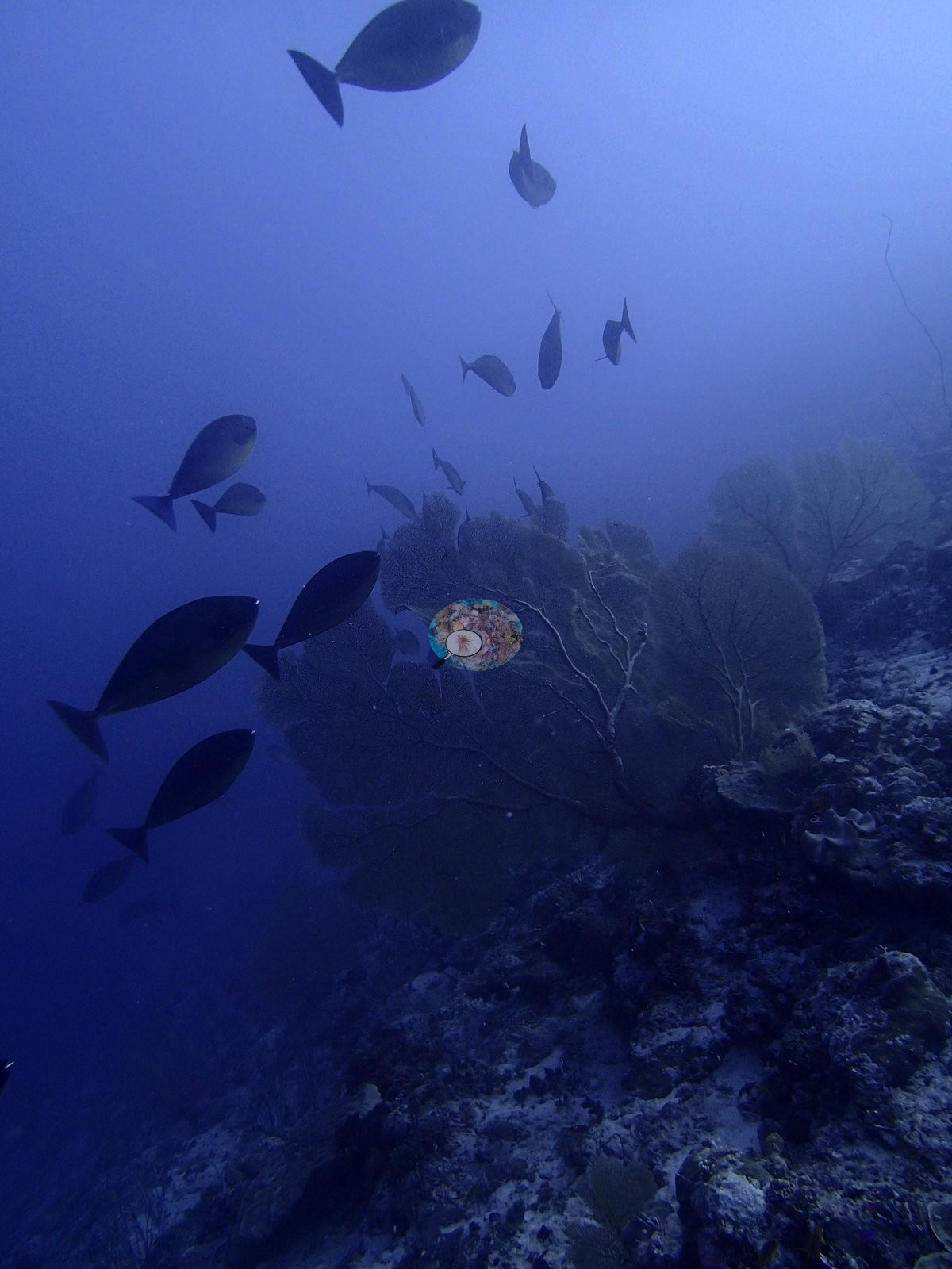
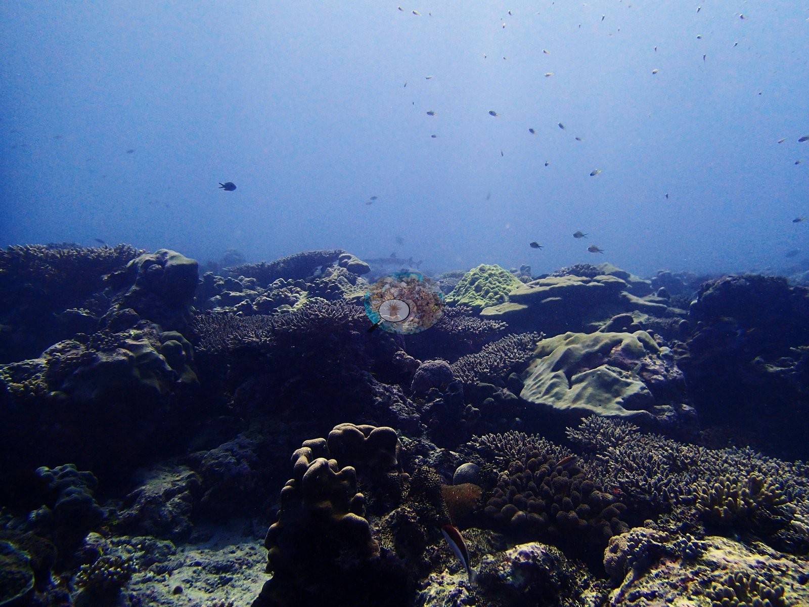
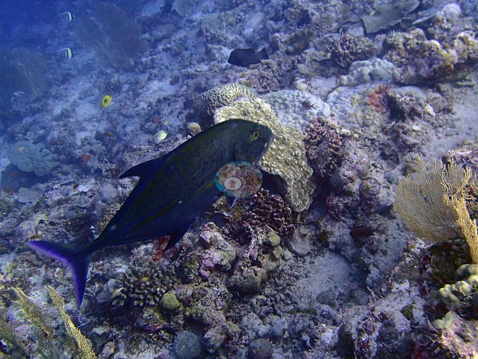
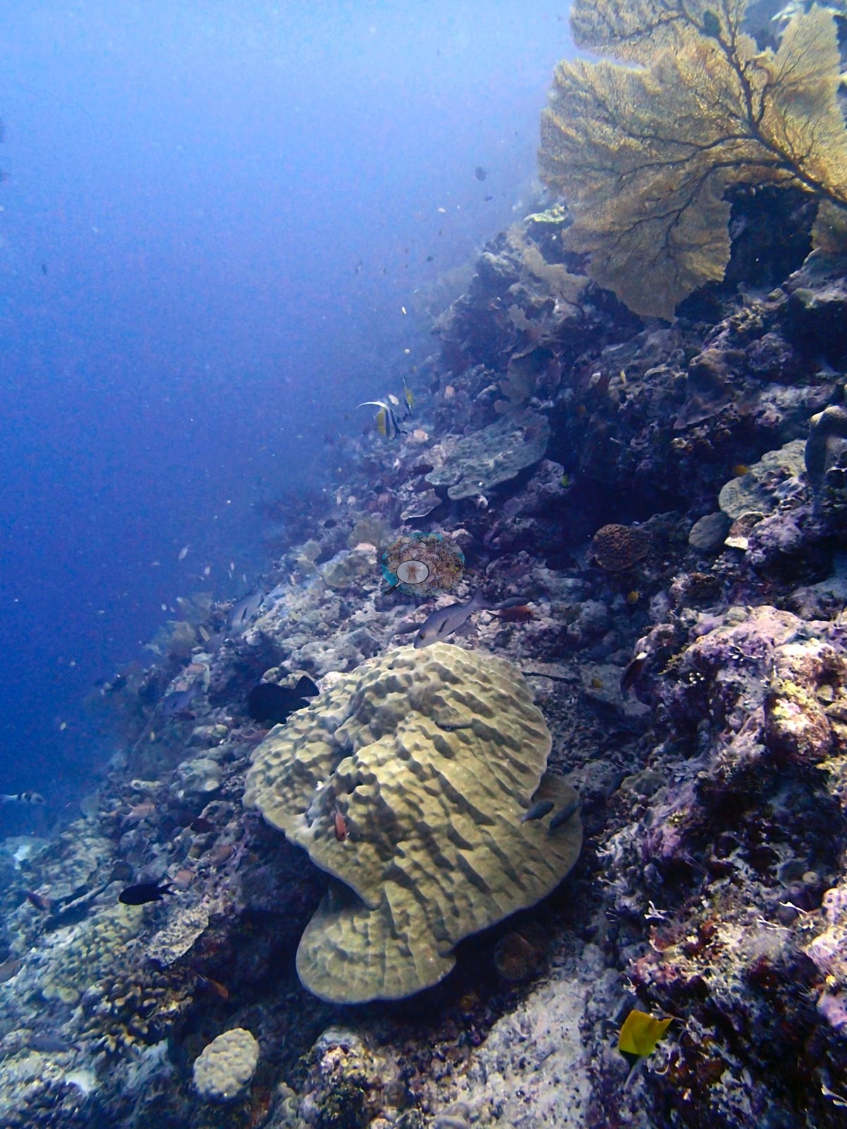
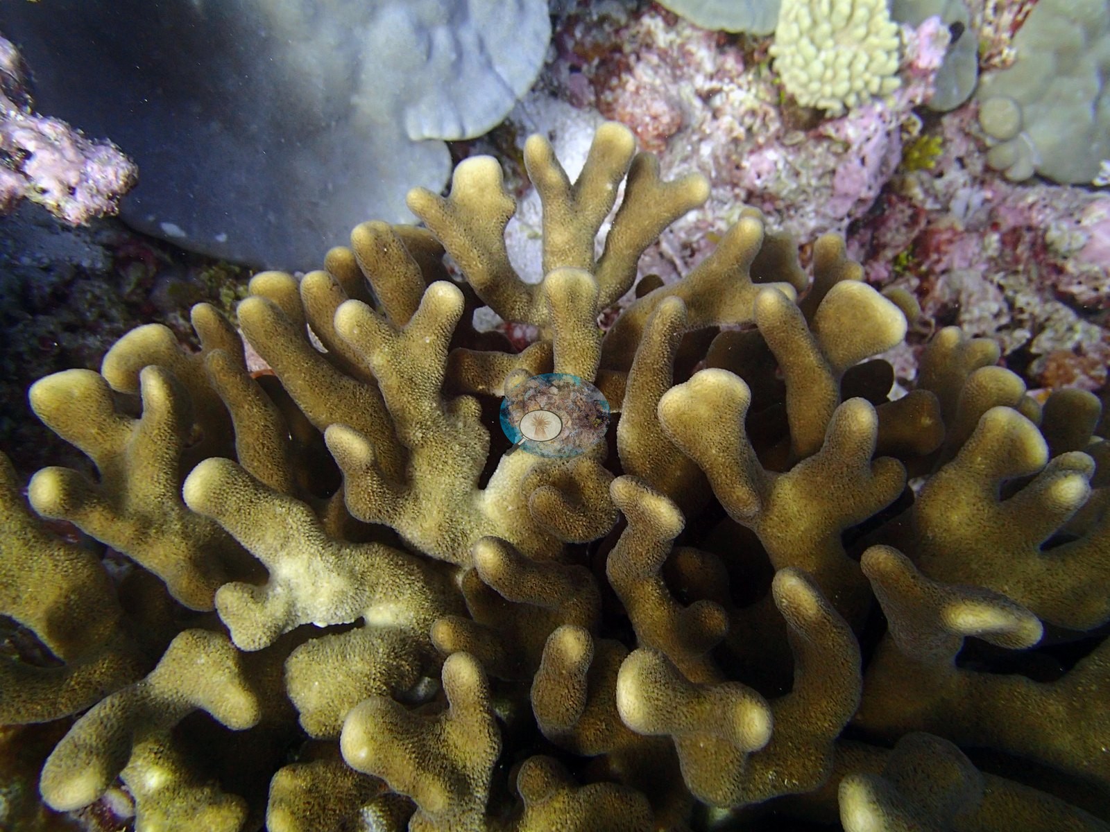
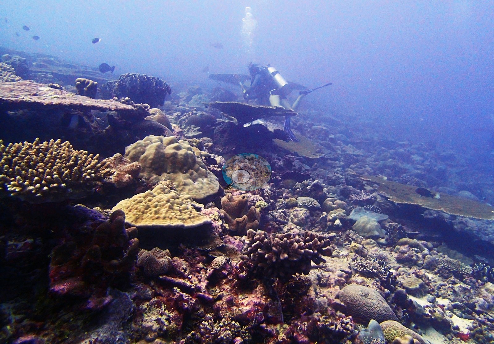
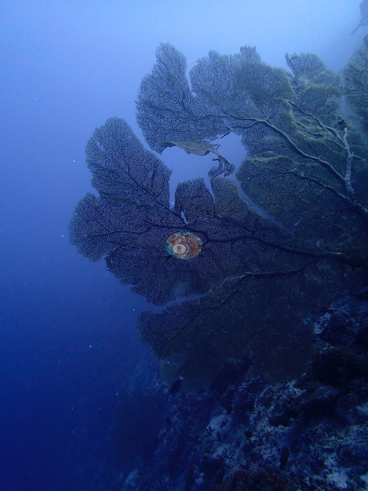
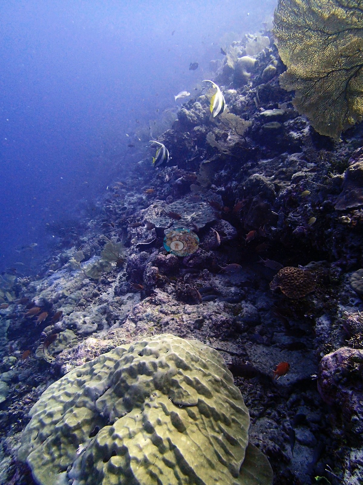
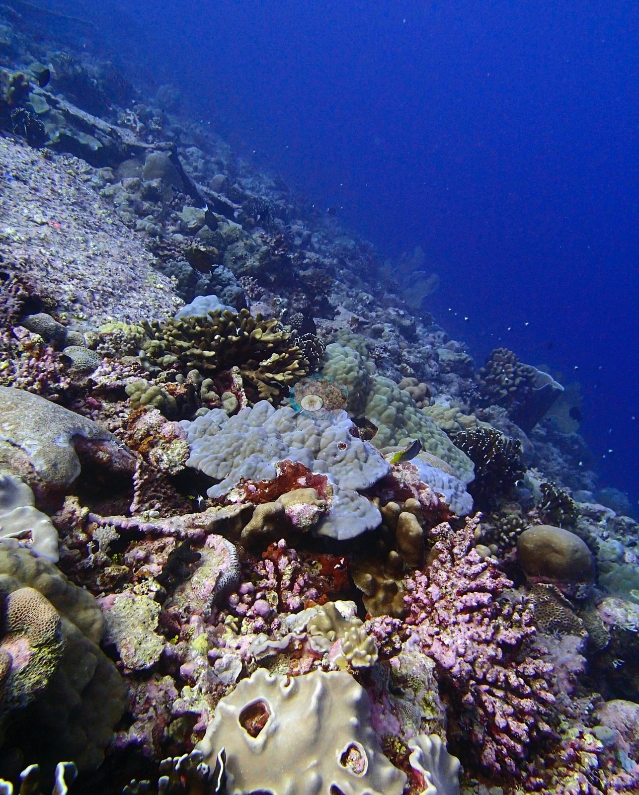
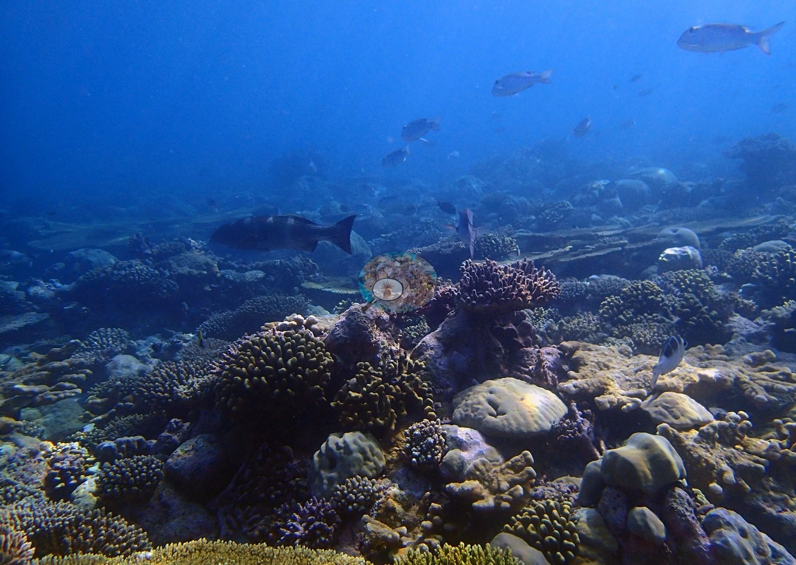
But the site is more than one habitat. The dive also crosses a deep wall or steep drop (P3110390, P3110404, P3110414, P3110415, P3110417) where the tabular corals give out and the community switches to large sea fans compatible with Annella or Subergorgia, big ridged massive Porites boulders, red and magenta encrusting sponge, wire corals compatible with Cirrhipathes, bannerfish compatible with Heniochus, and red soldierfish. P3110390 shows a fan silhouetted against open blue on the drop, with further fans in P3110404, P3110414 and P3110415 — the only site in this run where gorgonian fans are a structural feature. A third facies — mixed low-relief pavement with domal Porites, digitate Acropora and meandroid Platygyra — fills P3110403, P3110466, P3110467, P3110477, and P3110479. Beneath and between the tables the reef is genuinely mixed rather than monospecific: rounded massive Porites-type mounds in P3110414, P3110415, P3110454, P3110459, P3110470, P3110471, and P3110472; whorled foliose plating colonies in P3110478 and P3110485; digitate and staghorn branching stands in P3110450, P3110467, P3110468, and P3110469; Pocillopora-type bushes, faviid domes, encrusting Montipora, and thick pink and mauve crustose coralline crusts in P3110419, P3110461 and P3110472 — the photographic face of the transect's 16.24% CCA.
Fine-scale diversity comes from the macro frames. P3110420 is an unambiguous branched Millepora; P3110469 packs domal Porites, yellow meandroid Platygyra, digitate Acropora, and encrusting colonies into one crowded field; and P3110412 resolves honeycomb-corallite Favites/Goniastrea over CCA-crusted pavement.
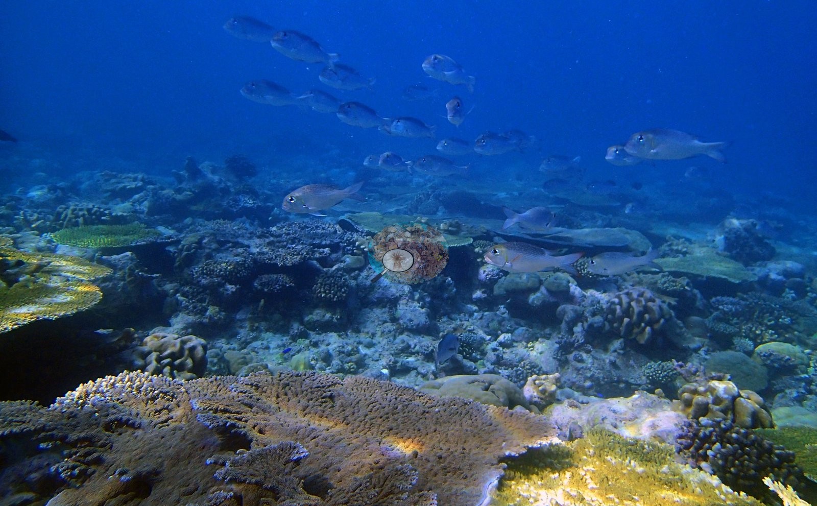
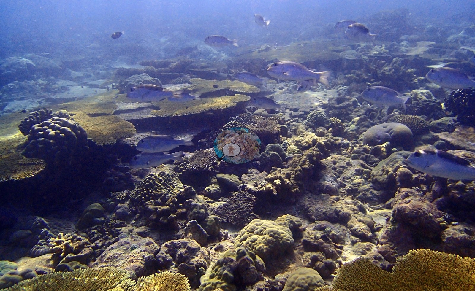
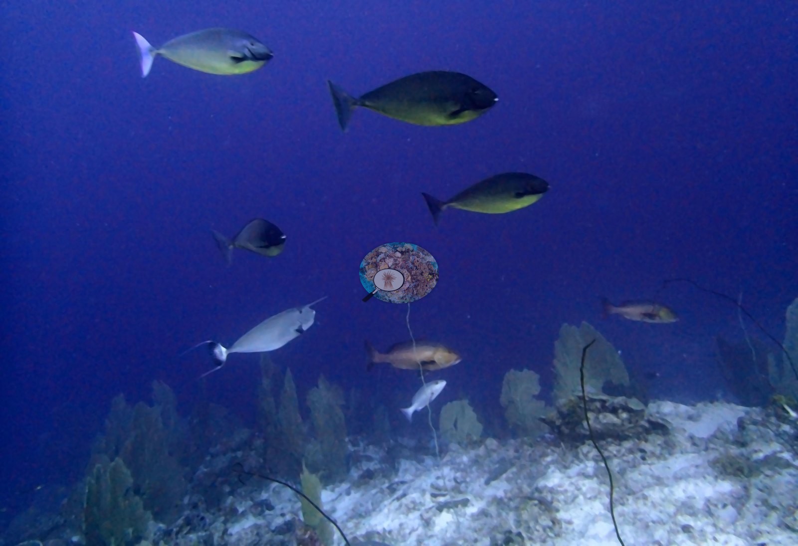
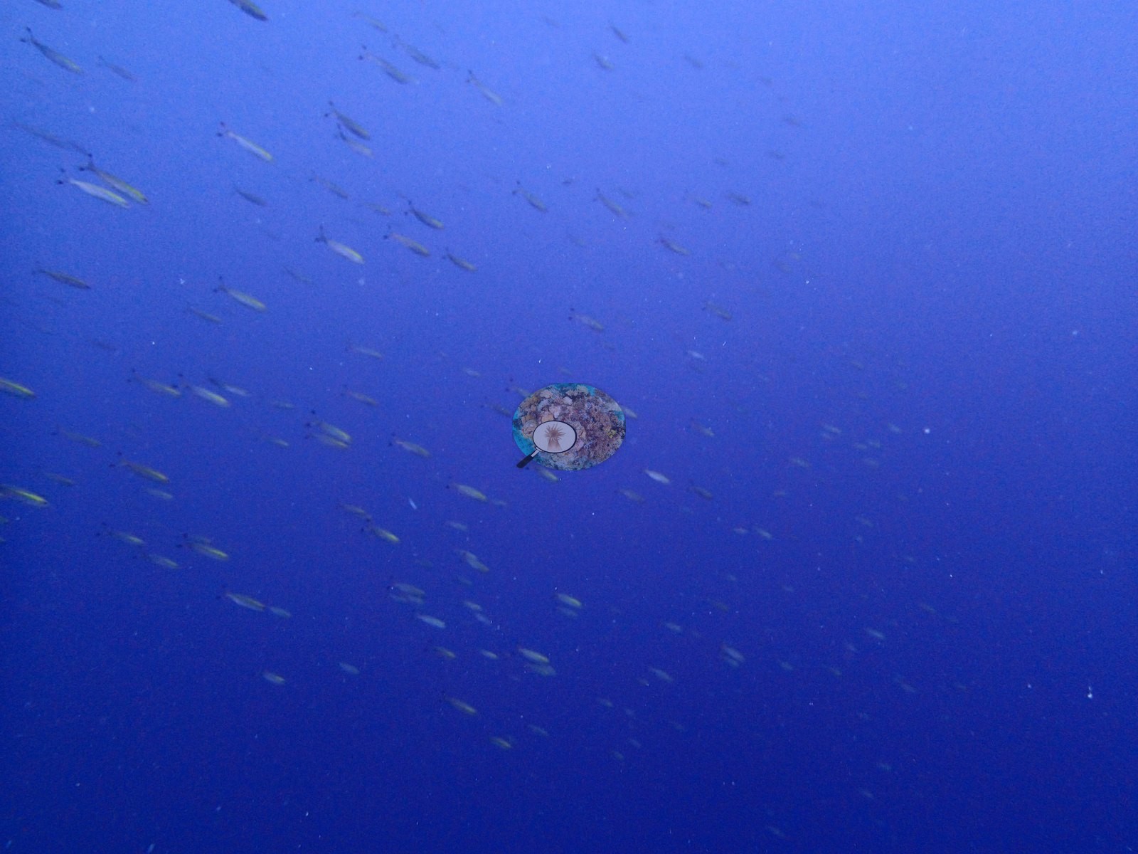
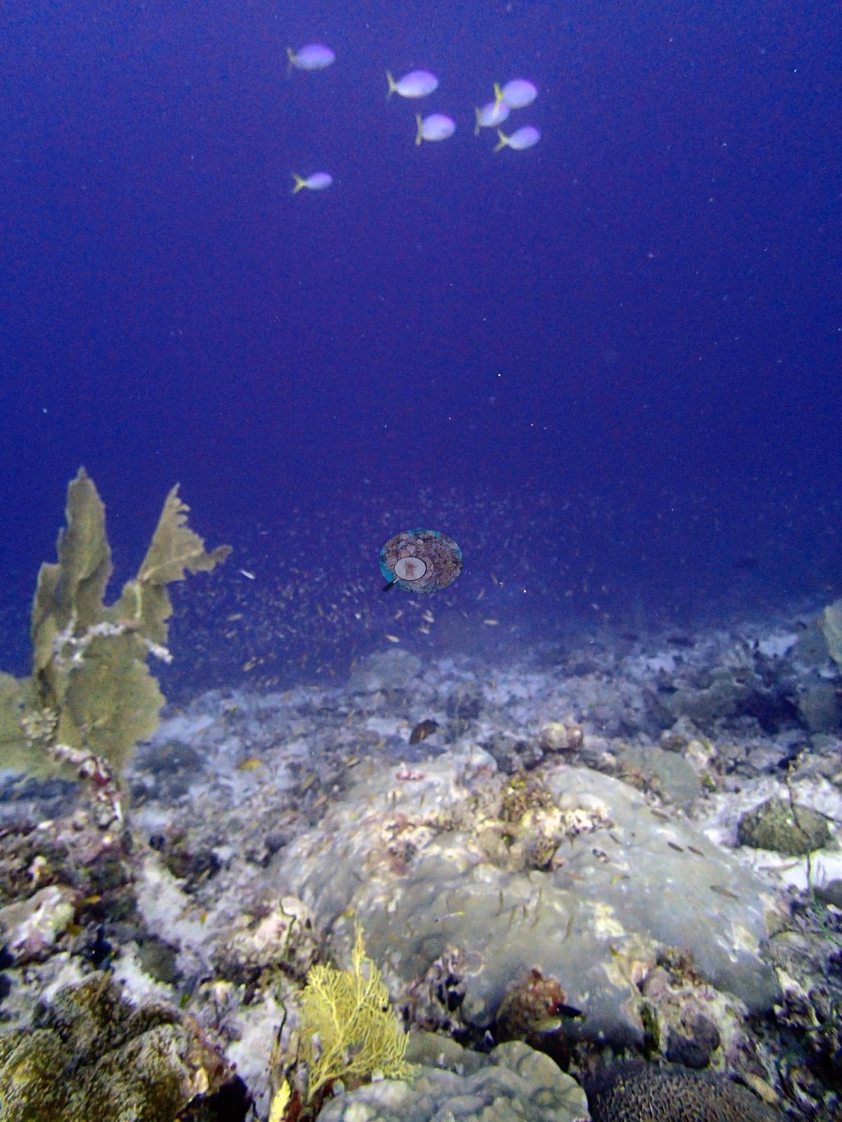
Fauna. The site is diverse and, in one respect, distinctive: BIEG05 is the emperor/bream site. Schools of large silvery Monotaxis- or Gnathodentex-type emperors dominate P3110455, P3110456, P3110457, P3110462, P3110463, and P3110464, sometimes twenty or more in frame hanging just above the table plain, a fish community structure not seen at BIEG02–04; the second read finds the same schools running on through P3110465 and P3110467. P3110484 puts diver and quadrat in the middle distance while blue fusiliers compatible with Caesio or Pterocaesio stream past. P3110470 and P3110472 catch the quadrat frame drifting at frame edge mid-deployment. P3110441 and P3110451 show the transect line itself running across the substrate, with line also visible over the bottom in P3110436.
Coral cover
The measurement at BIEG05 is the benthic transect survey. Coral cover 47%, from LOF BIOT-1 in situ transects (Mayfield & Dempsey 2026, Oceans, suppl. It is the highest transect cover in the reviewed Chagos set, and that diver transect figure is the authoritative record of cover and community here. The photographs described below supplement it; they are qualitative only, no cover value may be read off any of them, and where the imagery and the transect appear to disagree the transect governs.
What the transects recorded. Live hard coral 46.7% against algal cover 34.5% of the benthos, across 30 scleractinian genera plus the blue coral Heliopora — the richest generic inventory in this batch.
Computer-vision comparison — method against method, not against the transect. All 66 frames carry both products, so the paired-frame count is n = 66, the largest at any site in this batch. CoralNet point annotation returns 32.9% live hard coral and Coralscapes mask segmentation 32.2% of image area, against the transect's 46.7%: deviation −13.8 to −14.5 pp, mean of the three methods 37.3% ± 8.2 (that SD reflects systematic method bias between sampling designs, not measurement precision — photo methods read low at high cover; see CHAGOS_MULTIMETHOD_README.md). The two image methods agree with each other almost exactly — 0.7 pp apart — while both sit ~14 pp below the transect, which is the same systematic offset seen at every Egmont site and is best explained by sampling frame rather than by model error: an oblique photograph of a horizontal table plain foreshortens the tables and gives away area to water column and fish, whereas the transect samples points on the bottom. BIEG05 is also the one site in the set where the visual impression supports the high transect number — the tabular plain in P3110439, P3110442 and P3110478 is as close to continuous coral cover as anything in the Chagos collection. The three products have different footprints and denominators; neither image number corrects the transect, and they must not be averaged. These images tie this site's cover figure to the physical act that produced it and are the obvious candidates for any methods figure. Coral cover 47%, measured on the in situ benthic transects of the LOF BIOT-1 expedition (Mayfield & Dempsey 2026, Oceans, supplemental S1) — a diver transect measurement, not a photographic or computer-vision estimate. The transect figure is this site's authoritative cover value; the photographs above are qualitative and illustrative only.
Also on record for this site: Assemblage composition. The Coralscapes and CoralNet figures are given in the cover line above. At 32.9% and 32.2% the two photo methods agree almost exactly, and both sit ~14 pp below the transect — the same systematic offset seen at every Egmont site, and again best explained by sampling frame rather than model error. Notably, BIEG05 is the one site where the visual impression supports the high transect number: the tabular plain in P3110439/P3110442/P3110478 is as close to continuous coral cover as anything in the Chagos set. Coral cover: 47%. Live hard coral measured on the in situ benthic transects of the LOF BIOT-1 expedition (Mayfield & Dempsey 2026, Oceans, supplemental S1), against algal cover of 34.5% of the benthos. The transect figure is this site's authoritative cover value; no image-derived product overrides it. Across methods the same reef reads: transects 46.7% · CoralNet points 32.9% · Coralscapes masks 32.2% (66 frames). These products have different sampling footprints and denominators and should not be averaged.
Stressors
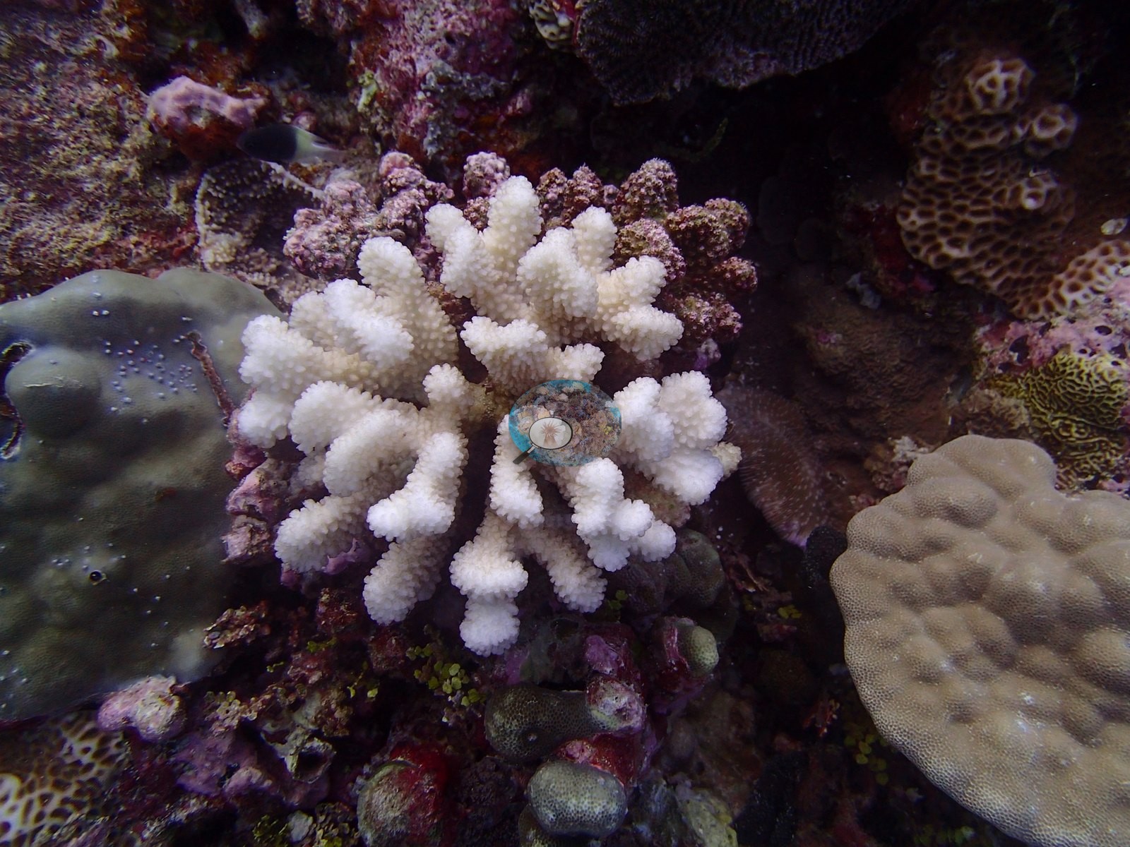
Condition — the fullest photographic record of bleaching in the reviewed set. P3110481 is the single most valuable bleaching image found so far: a full-frame macro of one large tabular Acropora in which broad patches of bone-white branches are interleaved with fully pigmented brown branches on the same colony — an unmistakable record of partial-colony bleaching caught mid-progression, and the obvious candidate for any partial-bleaching-from-photographs analysis. P3110438 shows a small branching Pocillopora bleached completely white, stark against pigmented Porites, faviids and Montipora neighbors. P3110458, P3110460 and P3110461 add a subtler and arguably more important signal: broad areas of tabular Acropora whose surfaces are pale gray-white and dulled with algal film rather than bright bleach-white, which reads as recent post-bleaching mortality rather than active bleaching — and the second independent read of this set finds the same dulled cast on the table and plating surfaces in P3110439, P3110459, P3110466, and P3110485. The two states are logged separately so they are not pooled. P3110449 shows the end state: a branching colony now dead and overgrown by crustose coralline algae. Read together, the frames record the whole sequence on one reef — healthy, partially bleached, wholly bleached, freshly dead, CCA-overgrown. No percentage bleached is read from these photographs and none is offered here. This site's published per-site bleached fraction is a separate, authoritative number from Anderson's own annotation record; the images illustrate what bleaching looked like at BIEG05, they do not measure how much of it there was, and they neither confirm nor revise the published figure. Elsewhere the reef looks structurally intact — no storm-scoured rubble fields, no cyanobacterial mats, no crown-of-thorns scars in any of the 66 frames. The small round white objects scattered across one table's surface in P3110460 are unresolved — possible early bleaching foci, predation scars, or settled organisms — and should not be scored either way without closer inspection at full resolution.
Fish and other fauna
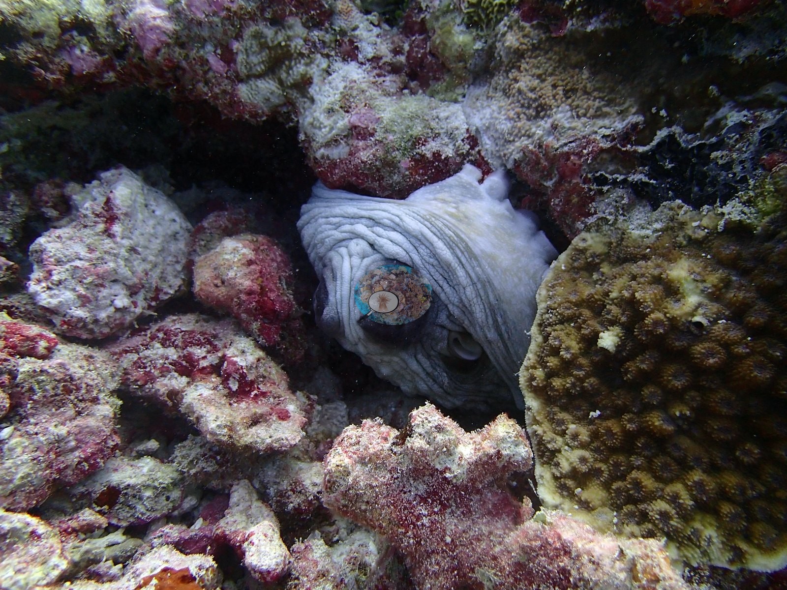
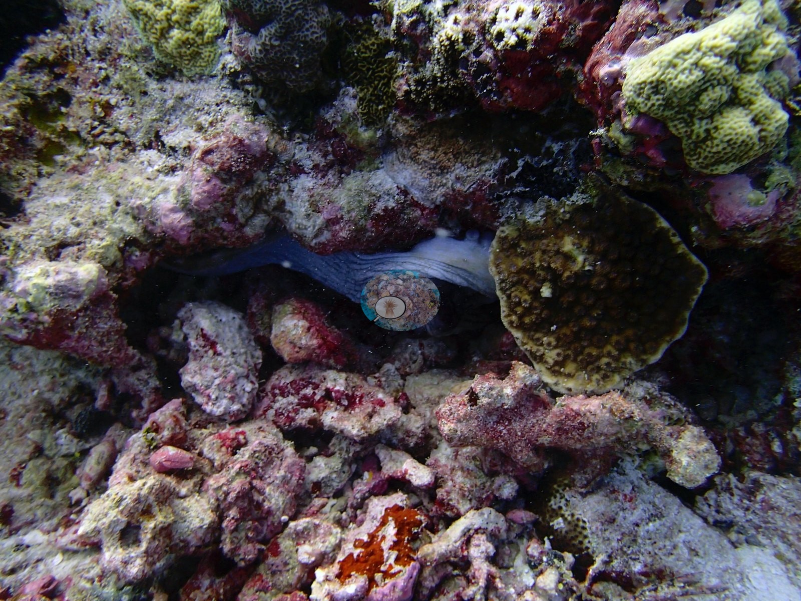
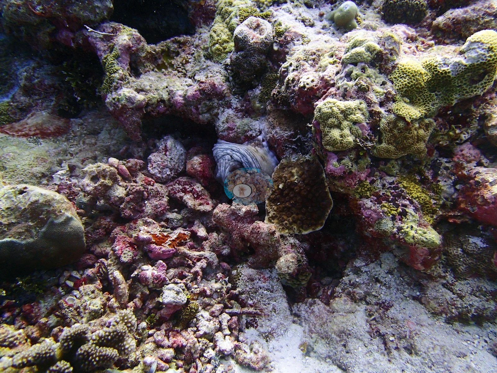
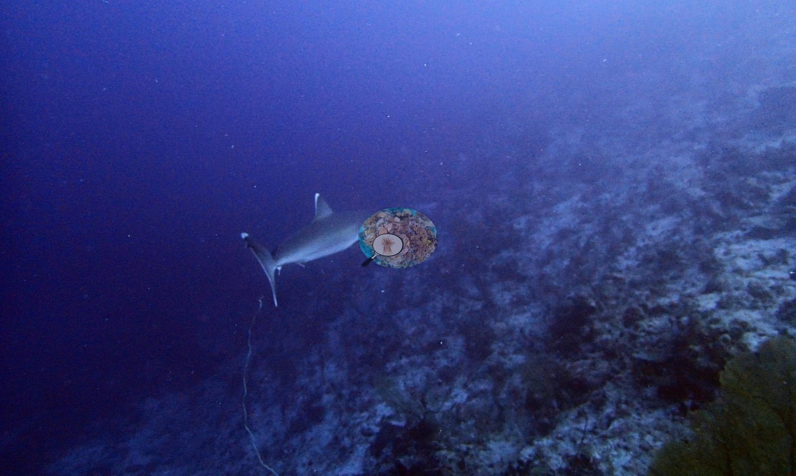
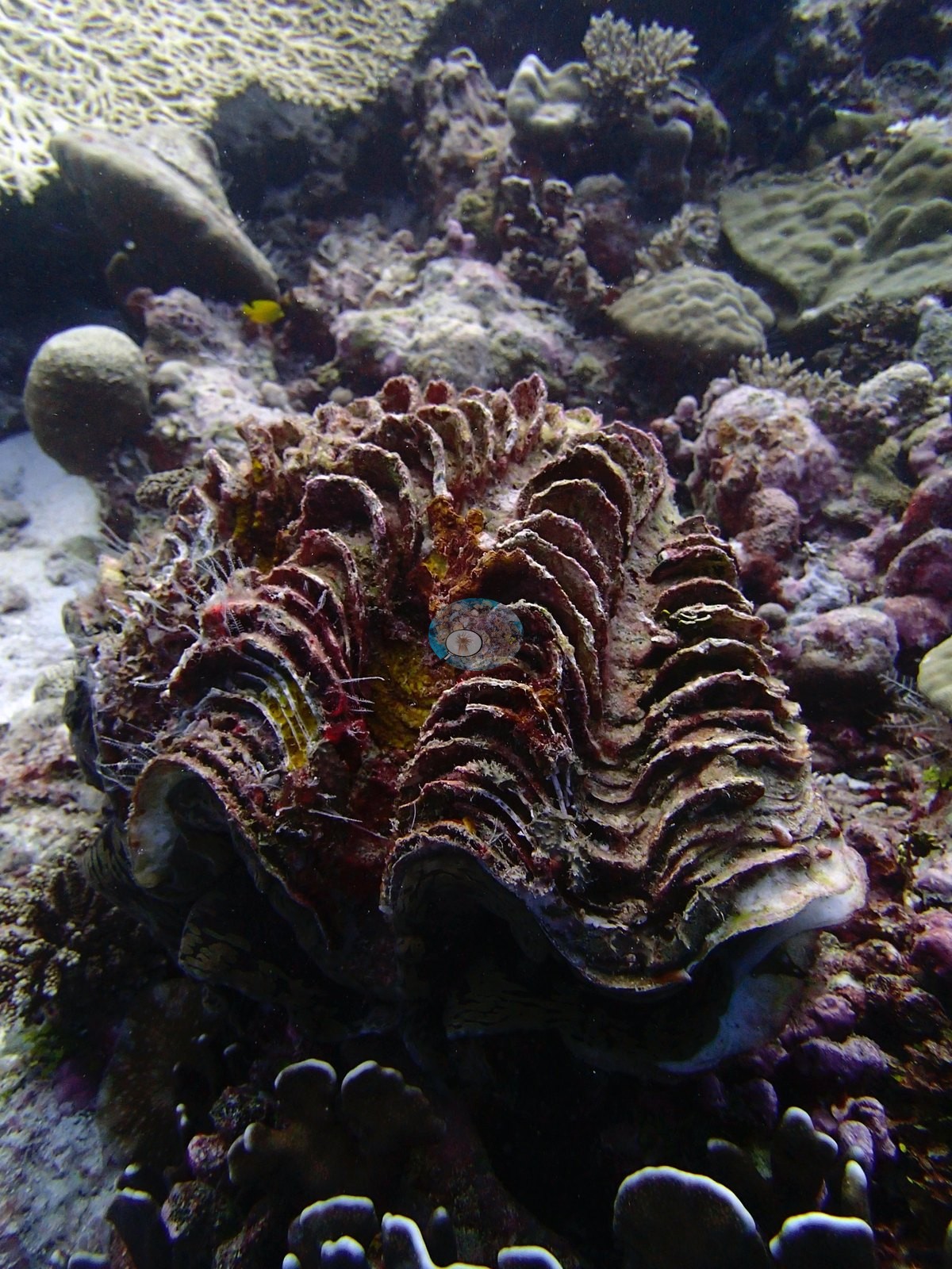
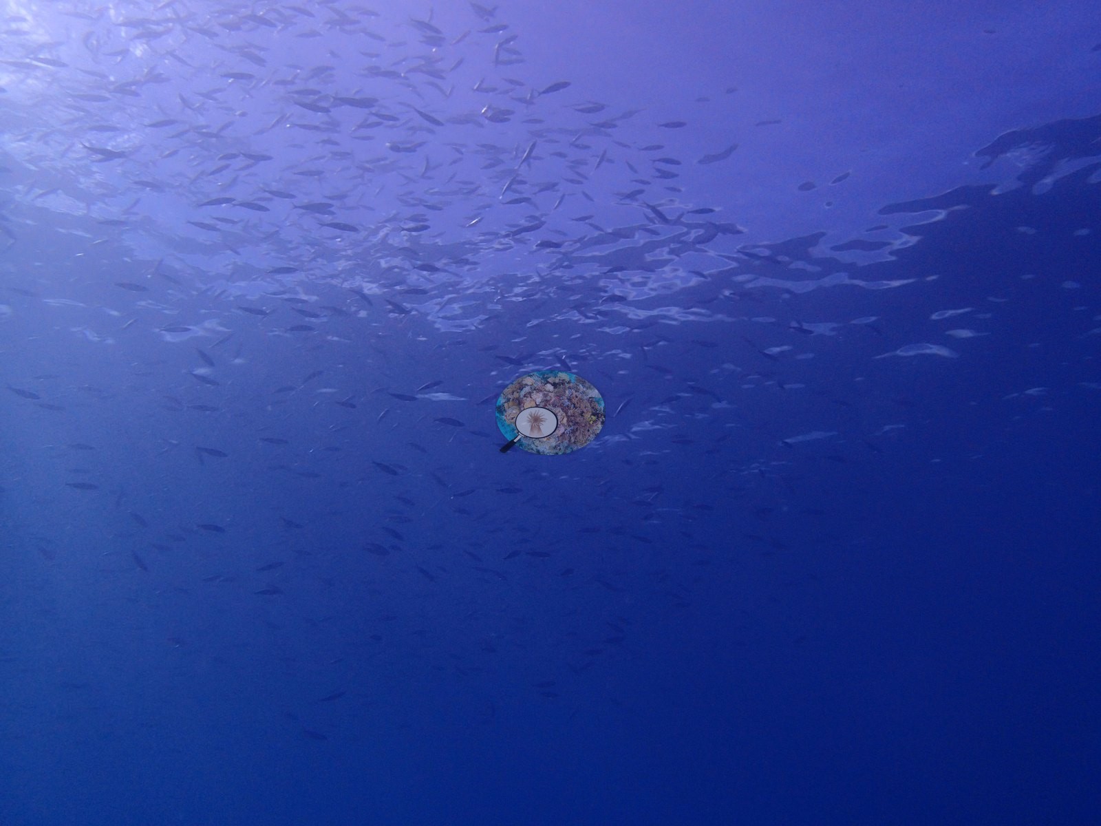
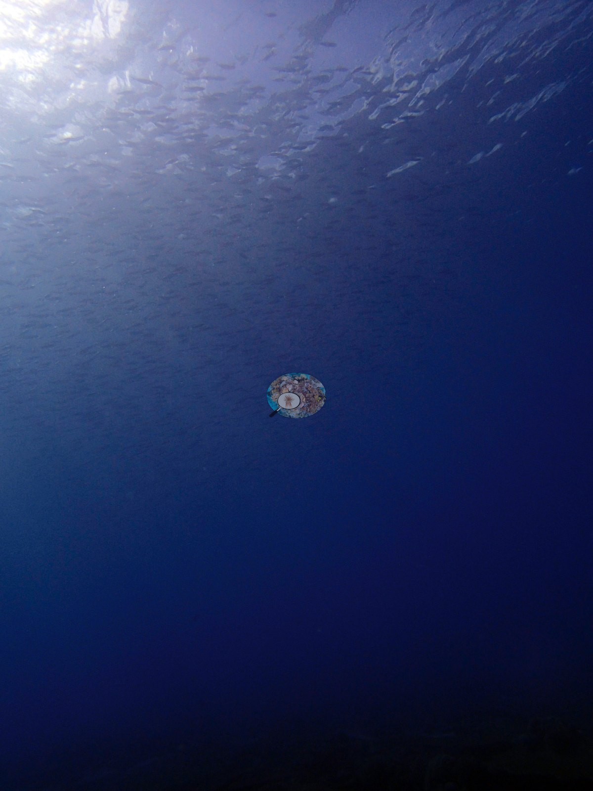
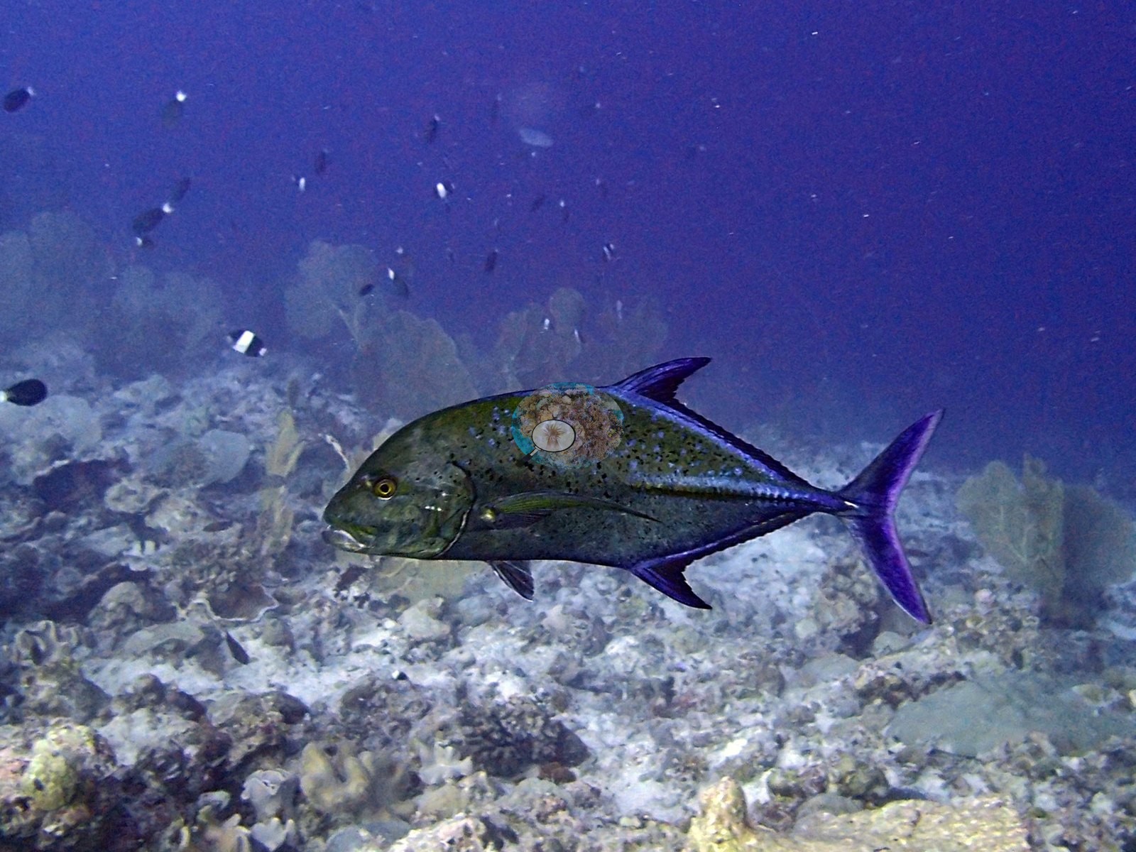
Four carry no benthic information at all — P3110424 is a severely backlit silhouette, P3110446 and P3110447 are water-column fish schools, P3110423 is open blue — and P3110439, P3110455, P3110457, and P3110485 run hazy or blue-cast. Roughly 50 of the 66 are usable benthic views. The genus pair is left unresolved — the diagnostic head markings are not readable in these frames. Parrotfishes compatible with Scarus or Chlorurus, red-brown with green-yellow tails, work the reef in P3110471, P3110474, P3110475, and P3110477 (both reads agree frame for frame). A silvertip shark (Carcharhinus albimarginatus-type) patrols the drop in P3110388; a bluefin trevally (Caranx melampygus) hunts in P3110425, with a further trevally working the bottom in P3110417; jack schools cross the blue in P3110479. An octopus is wedged into rubble beside a Pocillopora, mantle and eye clearly visible, in P3110413 and P3110422, with P3110412 logged as a probable third — the second read finds the animal in all three. Whether these are one animal revisited or separate individuals cannot be determined. A large giant clam compatible with Tridacna, fluted scaly shell and dark maroon-and-green mantle showing, occupies P3110435. Reef fish include a regal angelfish (Pygoplites diacanthus) in P3110465 and P3110476, powder-blue surgeonfish (Acanthurus leucosternon), schooling unicornfish in P3110391 and P3110451, Moorish idols, bannerfish, and butterflyfishes in P3110415, P3110456, P3110476, and P3110480, soldierfish compatible with Myripristis, and a large spotted grouper compatible with Plectropomus in P3110466 and P3110467. Dense clouds of small planktivores fill P3110446 and P3110447 and the upper water in P3110423 and P3110424, and a tight file of electric-blue fusiliers streams across the tables in P3110484. The second read additionally notes an elongate mottled animal resting on a dead plate in P3110476 that could not be settled as moray or holothurian at that range.
Comparisons with other data
No independent survey was made at this exact site; the nearest ones are listed in the table below.
Dive record
S1) — Anderson's own published value, surveyed 11 March 2015 at Egmont Atoll (6.64248°S, 71.31116°E; in situ temperature 29.0°C, salinity 34.1).
Other notes
Image-by-image. Sixty-six habitat frames — the largest photo set in this run and the third-largest in the Chagos collection — all from Anderson's own folder BiEg05-great dive, his own field annotation, and the frames bear it out. There are no sampled-colony frames, so this is a habitat account throughout. Note on dates: P3100317 is dated 10 March and the remaining 65 are 11 March, so the folder spans two days at Egmont; all of the condition frames discussed below are 11 March. Depth zonation is not resolvable from these frames — the set clearly spans a shallower table plain, a steeper wall and a rubblier slope, but no frame carries a depth stamp or scale bar and colony dimensions cannot be measured from any of them; the only scale objects are the divers and the PVC quadrat frame.
How the numbers were made — the most complete photographic record of the survey methodology anywhere in the Chagos set. P3110482 and P3110483 show a diver in yellow fins handling a large white PVC quadrat frame, P3110483 catching the frame laid directly onto a tabular Acropora.
CV model comparison
More info
Those are point counts on the photographs; this is a diver swimming a transect. The models and the reference never saw the same thing. ⚠ SITE-LEVEL ONLY. The 2,500 frames were not associated with any transect taken within 200 m of them, so transect-vs-image comparisons are site means, never frames. The transect value is already in the pin `cover` field (109 of 112 pins, sourced to the paper's suppl. S1) and is read from there, never re-imported. The transect is THE coral-cover value for this site and stands alone. The rows below it are a methods comparison only: no computer-vision value is averaged with it, feeds the headline, or carries over to the site's cover figure (Anderson, 2026-09-22).| Method | Hard-coral cover (%) |
|---|---|
| Transect (published) | 46.7 |
| CoralNet | 57.8 |
| In-house DINOv3 | 40.2 |
| CoralSCOP edited | 41.4 |
| Claude | 39.1 |
Independent surveys nearby
| Agency / program | Year(s) | Stations / distance | Link |
|---|---|---|---|
| Sheppard et al. (2008) | 2006 | 1 station, 1.01 km | Records ↓ |
| Spalding et al. (2024) | 2024 | 5 stations, 0.66–1.99 km | Records ↓ |
| Spalding et al. 2025 (Chagos 2024 bleaching report) | 2024 | 5 stations, 0.66–1.99 km | Records ↓ |
 Dr. Coral (CRD)Year-average (no detectable trend)
Within 5 km, 11 independent survey stations recorded hard coral cover in 14 surveys between 2006 and 2024. Surveys since 2021 average 40% (range 20–70%, n=6); 4 best-patch values above 70% are left out, as they are not site means. This site's own estimate (47%) sits within the recent range (20–70%); the methods differ, so the comparison is context, not a like-for-like test.
Collected by other programs using different methods, so these are context for the figures above, not a like-for-like comparison. Where a station was surveyed more than once the range is shown. Station names are not dive-site names. Values marked best patch exceed 70%: surveyors usually chose the richest area, so they are not site means.
Show all 11 independent survey records
| Agency | Site / location | Date | Hard coral cover (%) | Distance | Link |
|---|---|---|---|---|---|
| Sheppard et al. (2008) | Egmont | 2006 | 19% (4 surveys) | 1.01 km | HeatCRD database |
| Spalding et al. 2025 (Chagos 2024 bleaching report) | Egmont West (ocean, W aspect, 7-10 m) | 2024 | 30% | 0.66 km | — |
| Spalding et al. 2025 (Chagos 2024 bleaching report) | Egmont West (ocean, W aspect, 12-15 m) | 2024 | 20% | 0.66 km | — |
| Spalding et al. 2025 (Chagos 2024 bleaching report) | Egmont Outer reef North (ocean, N aspect, 5-8 m) | 2024 | 80% best patch | 1.94 km | — |
| Spalding et al. 2025 (Chagos 2024 bleaching report) | Egmont Outer reef North (ocean, N aspect, 8-10 m) | 2024 | 80% best patch | 1.94 km | — |
| Spalding et al. 2025 (Chagos 2024 bleaching report) | Egmont, NW Lagoon (lagoon, S aspect, 2-3 m) | 2024 | 70% | 1.99 km | — |
| Spalding et al. (2024) | Egmont West (ocean, W aspect, 7-10 m) | 2024 | 30% | 0.66 km | — |
| Spalding et al. (2024) | Egmont West (ocean, W aspect, 12-15 m) | 2024 | 20% | 0.66 km | — |
| Spalding et al. (2024) | Egmont Outer reef North (ocean, N aspect, 5-8 m) | 2024 | 80% best patch | 1.94 km | — |
| Spalding et al. (2024) | Egmont Outer reef North (ocean, N aspect, 8-10 m) | 2024 | 80% best patch | 1.94 km | — |
| Spalding et al. (2024) | Egmont, NW Lagoon (lagoon, S aspect, 2-3 m) | 2024 (Nov-Dec mortality survey; site also described in Annex 3) | 70% | 1.99 km | — |
Data & links
- Read the full site report ↗
- Download benthic survey data (CSV) ↗
- Download all LOF-GRE data (933 sites) ↗
- CoralNet image repository for this region ↗
- HeatCRD database ↗
- (reference) ↗
- Photo portfolio ↗
- Coral Reef Diagnostics page for this area ↗
All images from Coral Reef Diagnostics. Data are from Coral Reef Diagnostics and the organizations named in the data-sources table above.
 © Coral Reef Diagnostics.
References
- Mayfield AB, Dempsey AC (2026). Using tourist diver images to estimate coral cover and bleaching prevalence in a remote Indian Ocean coral reef system. Oceans 7(1):1. PDF
- Sheppard C, Harris A, Sheppard A (2008). Archipelago-wide coral recovery patterns since 1998 in the Chagos Archipelago, central Indian Ocean. Marine Ecology Progress Series 362:109-117. PDF
- Spalding M, Bourasseau M, et al. (2025). Coral bleaching and mortality in the Chagos Archipelago, 2024. British Indian Ocean Territory Administration report (gray literature). PDF