
Part of the regional summaries: Chagos Archipelago - Egmont / Danger Island / Cauvin Bank and Chagos Archipelago
More info
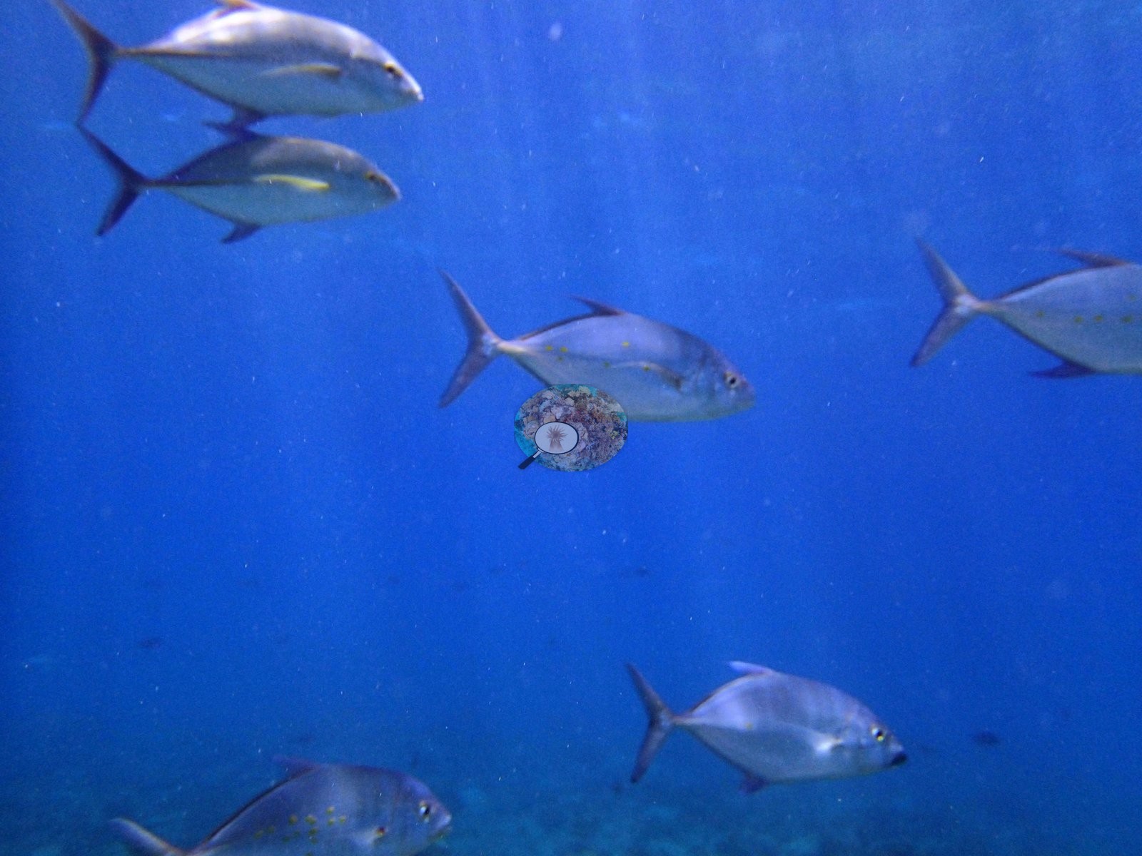
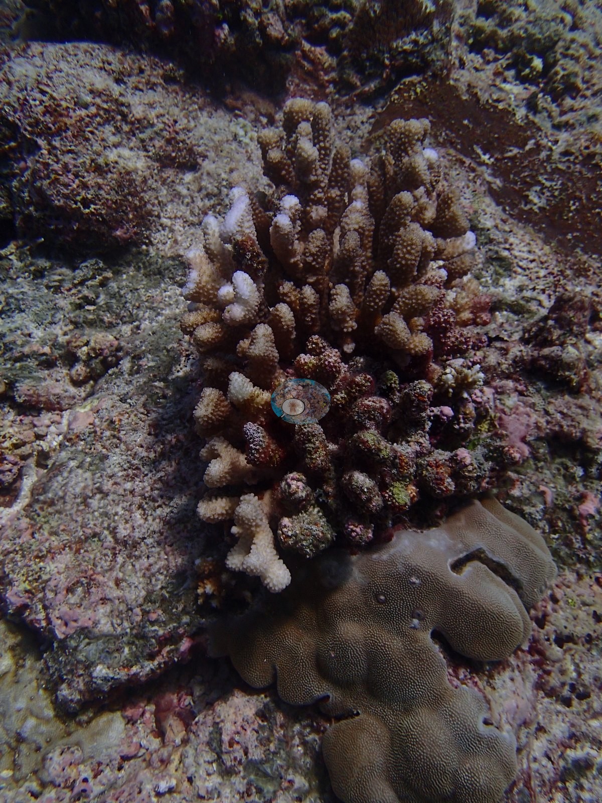
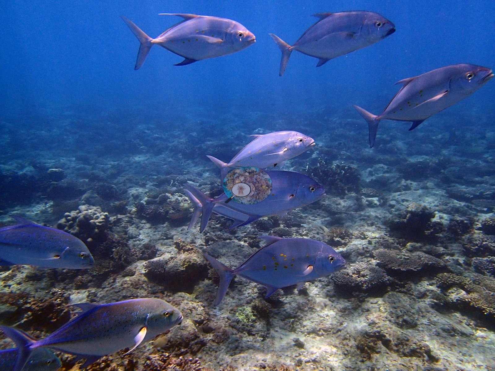
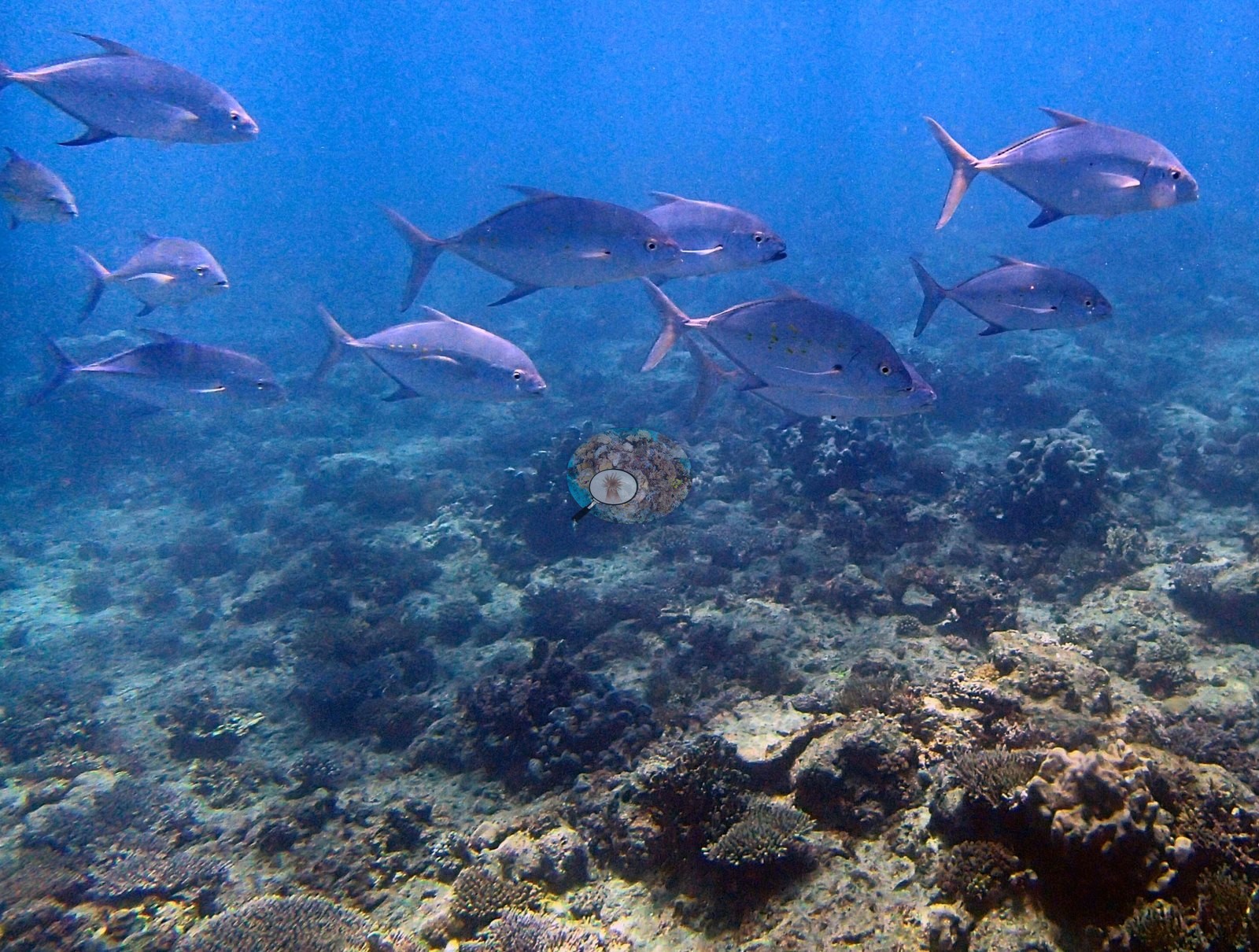
Chagos (NOAA CRW virtual station)BIEG03, at Egmont, has 37% coral cover and corrects an earlier undercount - a single reviewed frame actually shows four or five fully bleached branching Acropora colonies, following the same pattern seen elsewhere at Egmont where branching corals bleach first and massives don't. The dive is dominated by trevally, with loose hunting schools of bluefin trevally appearing across roughly fourteen frames. Surveyed on the Living Oceans Foundation's Global Reef Expedition.
Two independent survey stations shown with the program’s logo — click one to see how far it is from this site.
Two other CRD dive sites within 5 km shown in orange — click a marker to open its page.
🗺 Detailed map of the Global Reef Expedition dive sites, Egmont Atoll, Chagos (Khaled bin Sultan Living Oceans Foundation; opens in a new window)

Site description
Setting
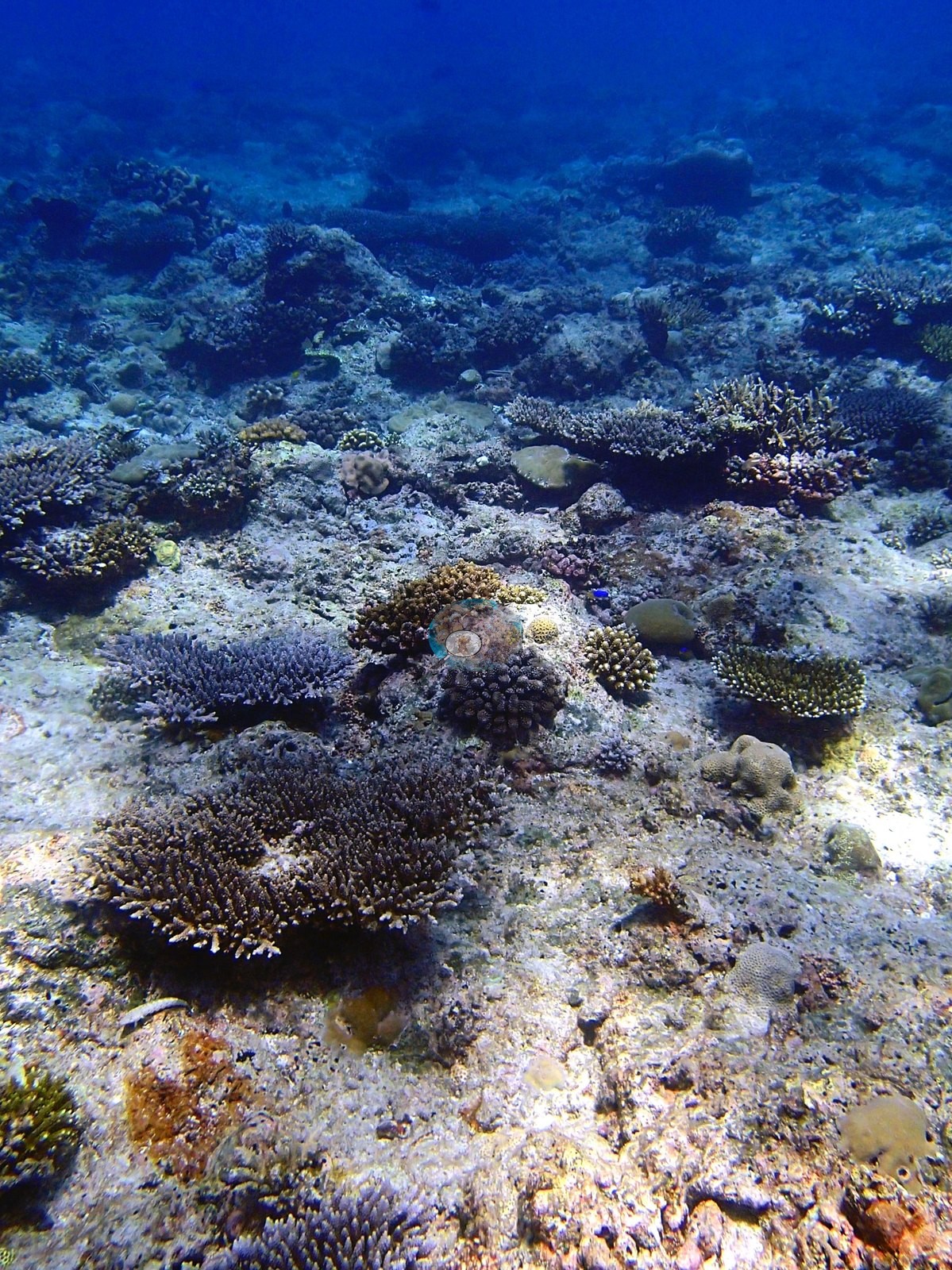
Setting: Egmont Atoll, 6.69394°S, 71.37862°E · in situ temperature 29.2°C · salinity 34. This is a strongly zoned reef, not the “dense reef flat” an earlier four-frame pass reported, and the full 42-frame review is what establishes it.
General benthic features
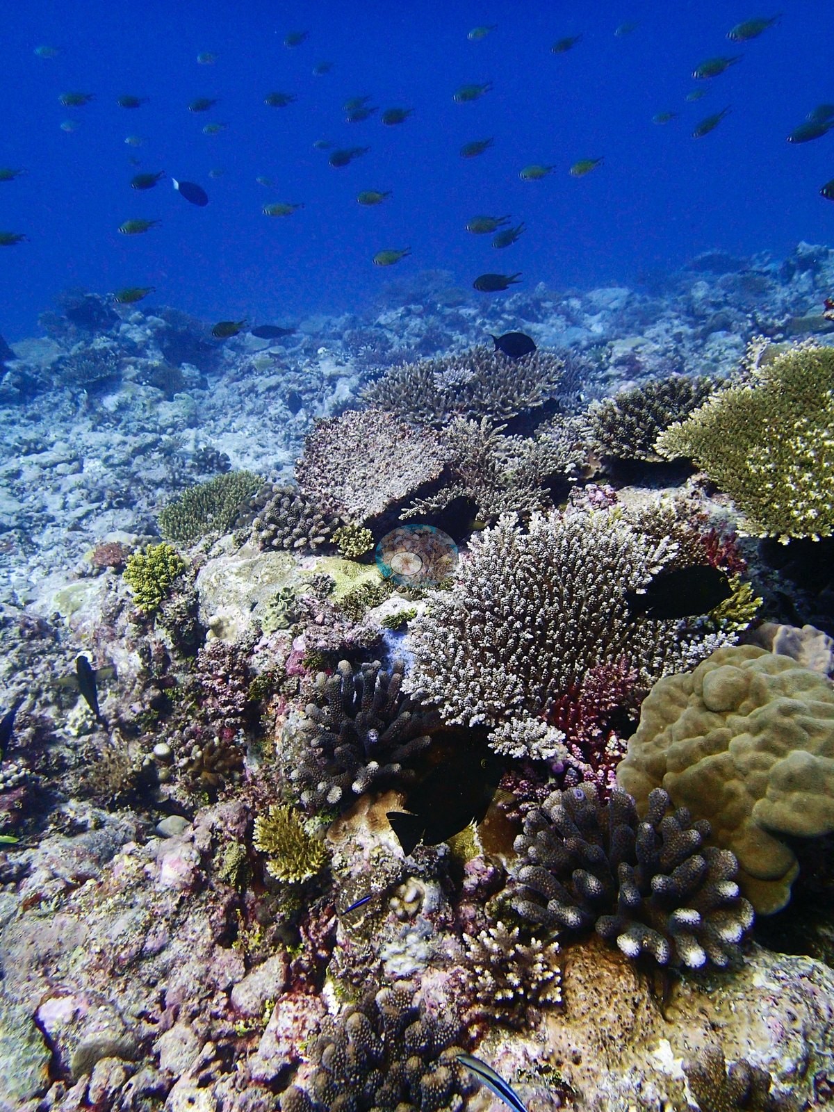
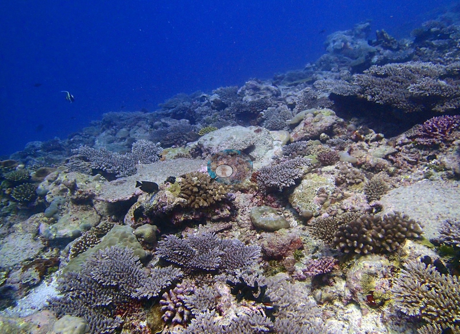
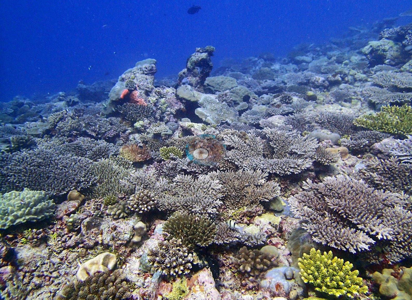
Assemblage composition from transect data — an Acropora reef with a genuinely deep tail. Twenty-four scleractinian genera are non-zero. Acropora leads at 15.59% of the benthos — on its own more than the whole coral assemblage of most low-cover Chagos sites — followed by Porites 7.91%, Montipora 3.71% and Pocillopora 3.05%. Behind them: Pavona 1.62%, Favia 1.05%, Favites 0.88%, the hydrocoral Millepora 0.80%, Montastrea 0.56%, Heliopora 0.50%, Leptastrea 0.42%, Psammocora 0.39%, Goniastrea 0.20%, Platygyra 0.19%, Echinopora 0.11%, Cyphastrea 0.08%, Hydnophora and Galaxea 0.05% each, Astreopora, Gardineroseris, Coscinarea, and Stylophora at 0.04% each, and Goniopora and Leptoseris at 0.01%. A note on the HELI code: it is recorded as Heliofungia in the LOF codebook, but the field data are Heliopora (blue coral) — determined by Anderson as expedition coral-physiology lead, on the evidence that HELI reaches 93% cover on one transect elsewhere in the dataset, impossible for a solitary free-living mushroom coral, while HEFU has only three records across all 3,067 GRE transects. It is labeled Heliopora here. On the substrate side the transects give crustose coralline algae 26.55% — more than half the total algal cover and the largest single non-coral category — turf 10.46%, bare substrate 9.77%, sediment-laden turf 8.78%, non-coral invertebrates 4.33%, erect algae 1.31%, macroalgae 1.15% and cyanobacteria 0.32%. Low fleshy-algal cover on a heavily coralline-bound hardground, with more than a third of the bottom living coral.
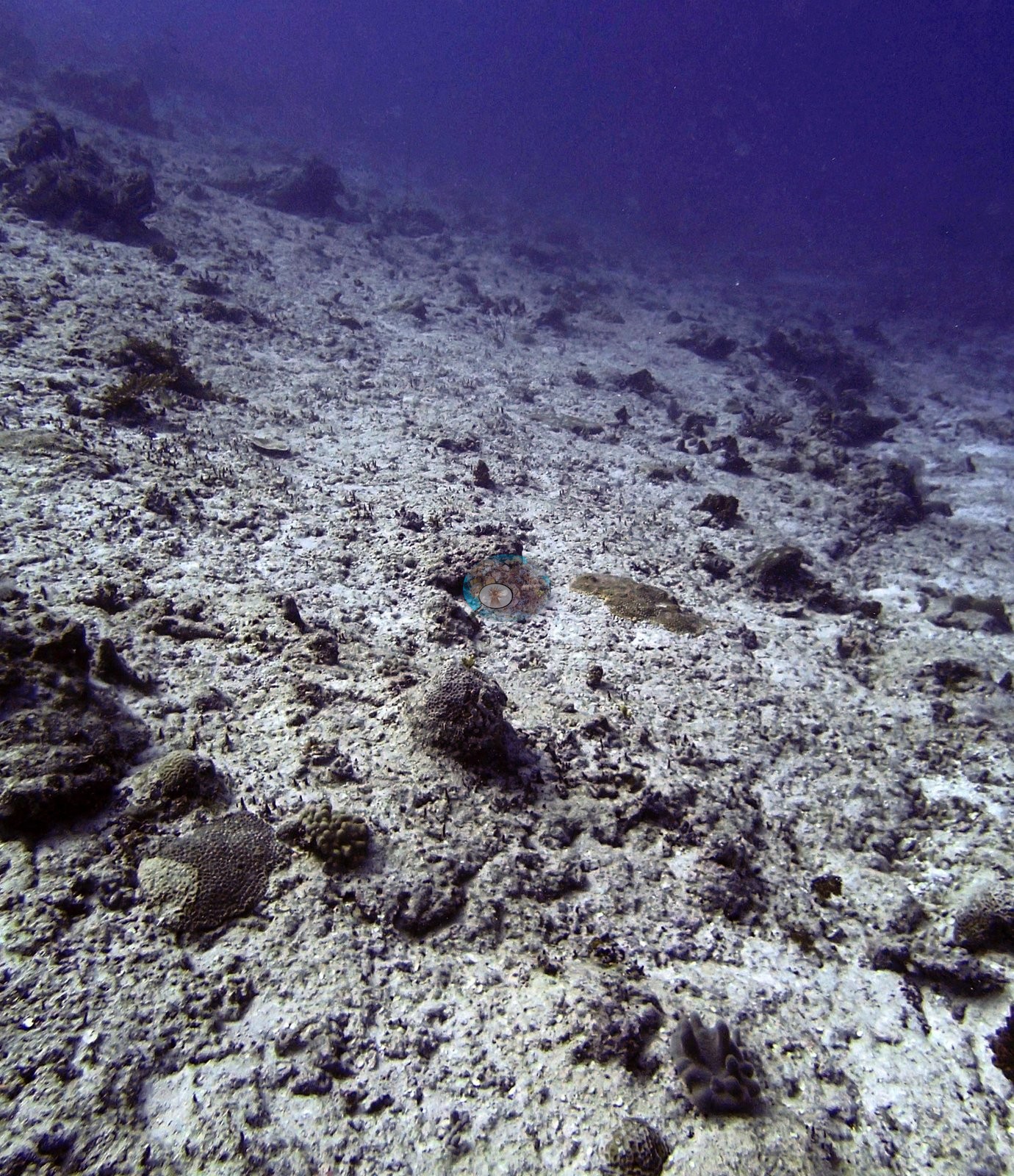
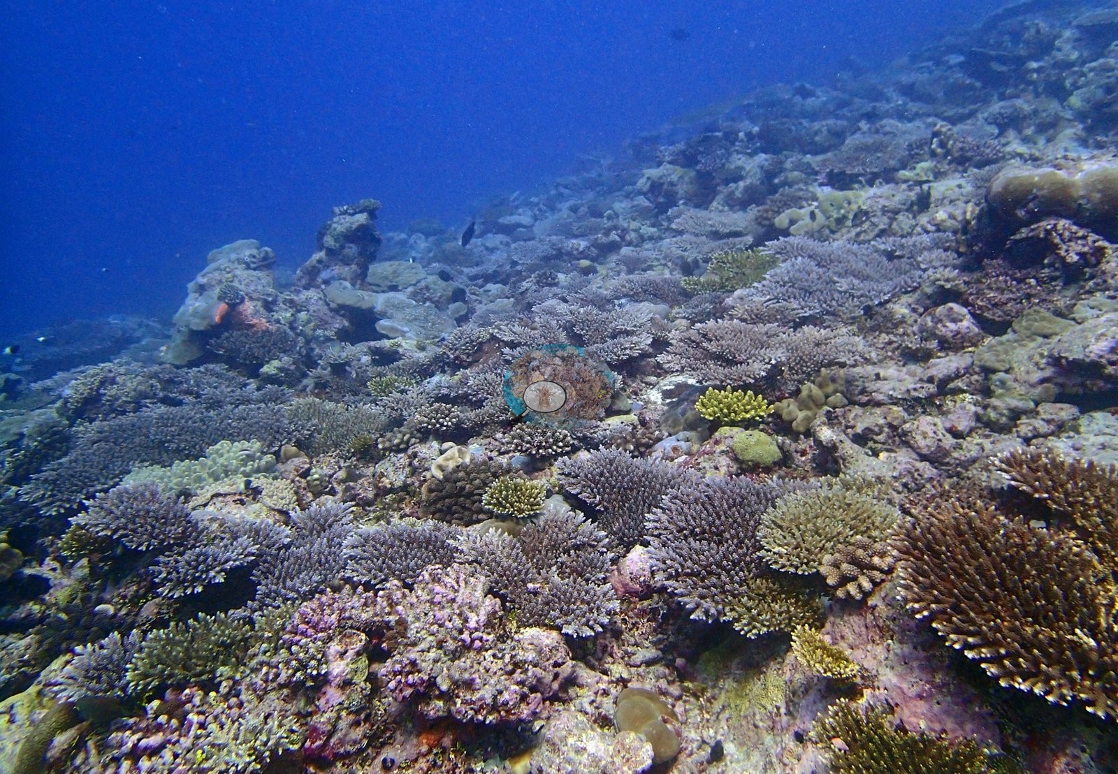
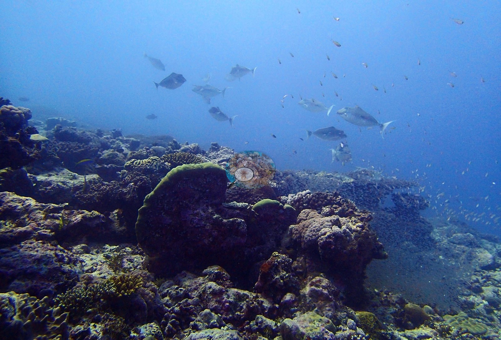
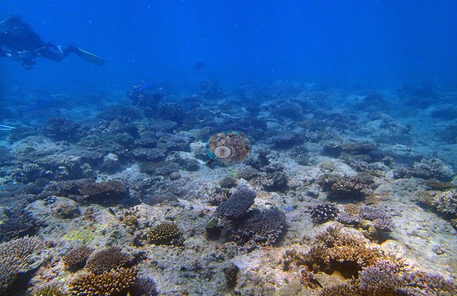
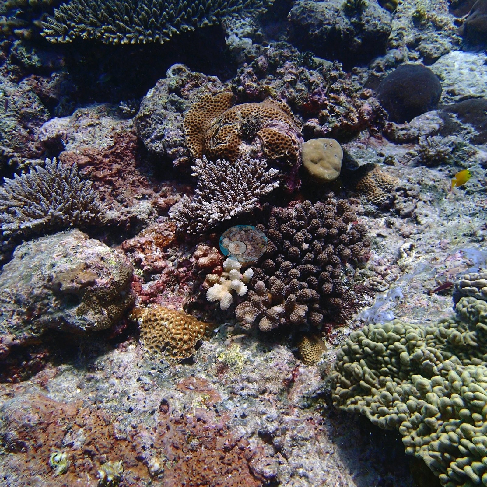
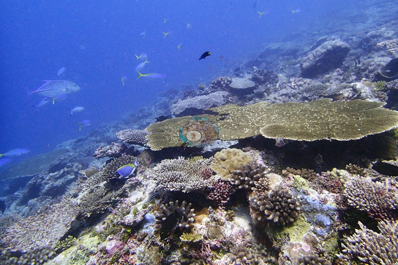
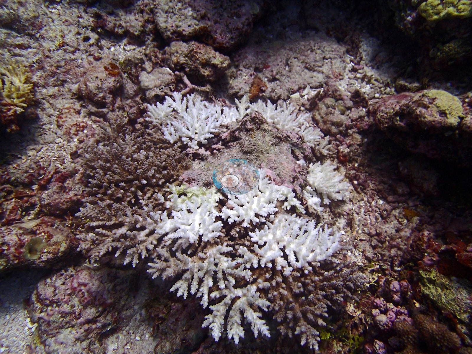
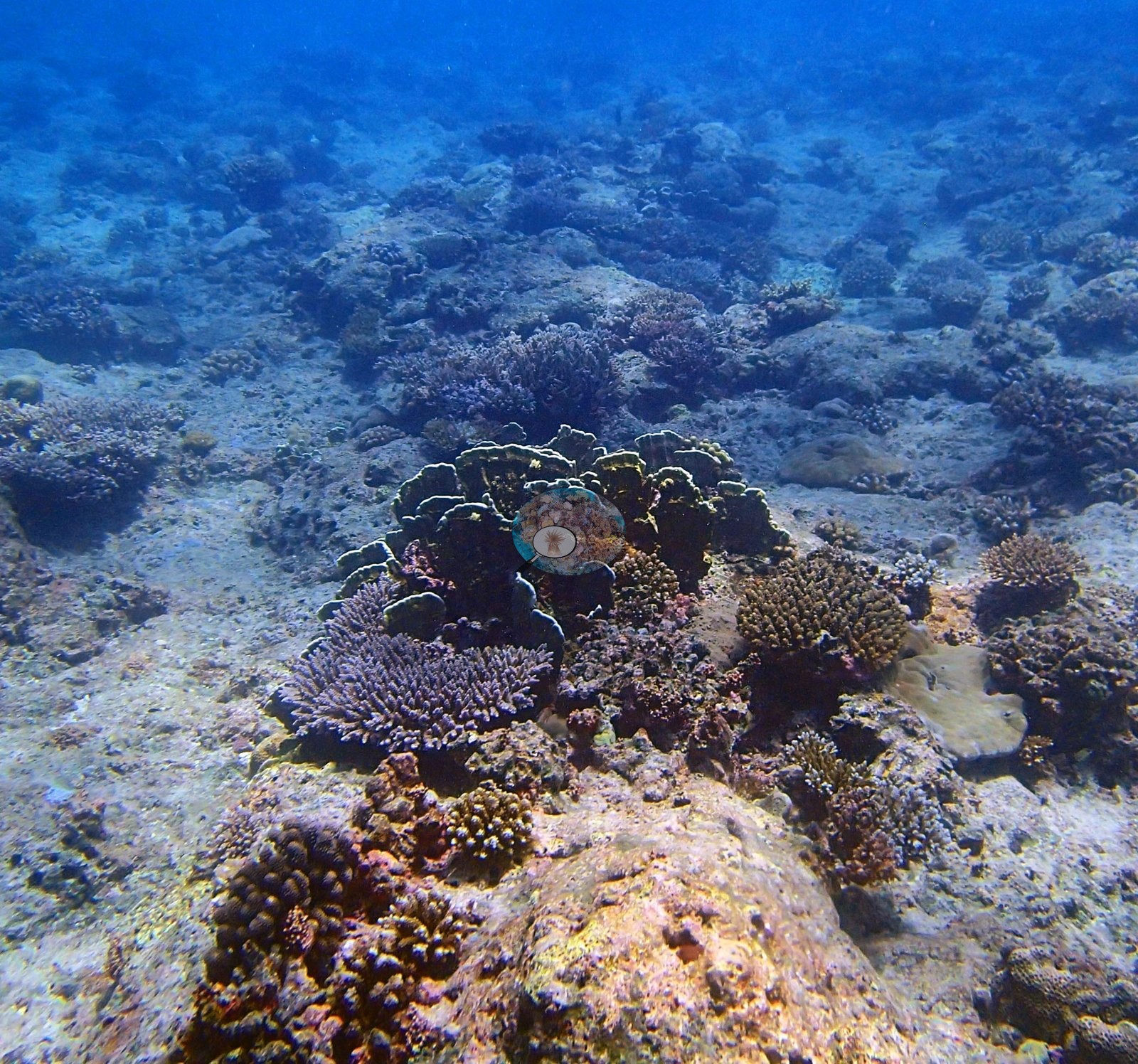
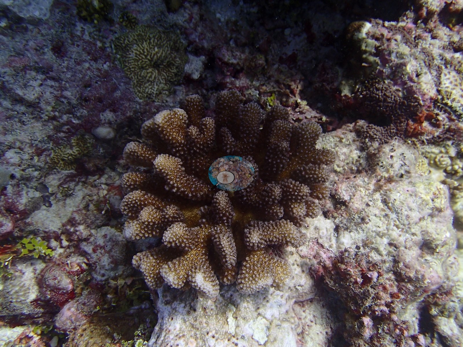
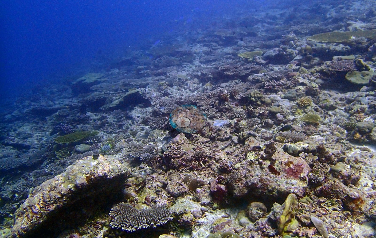
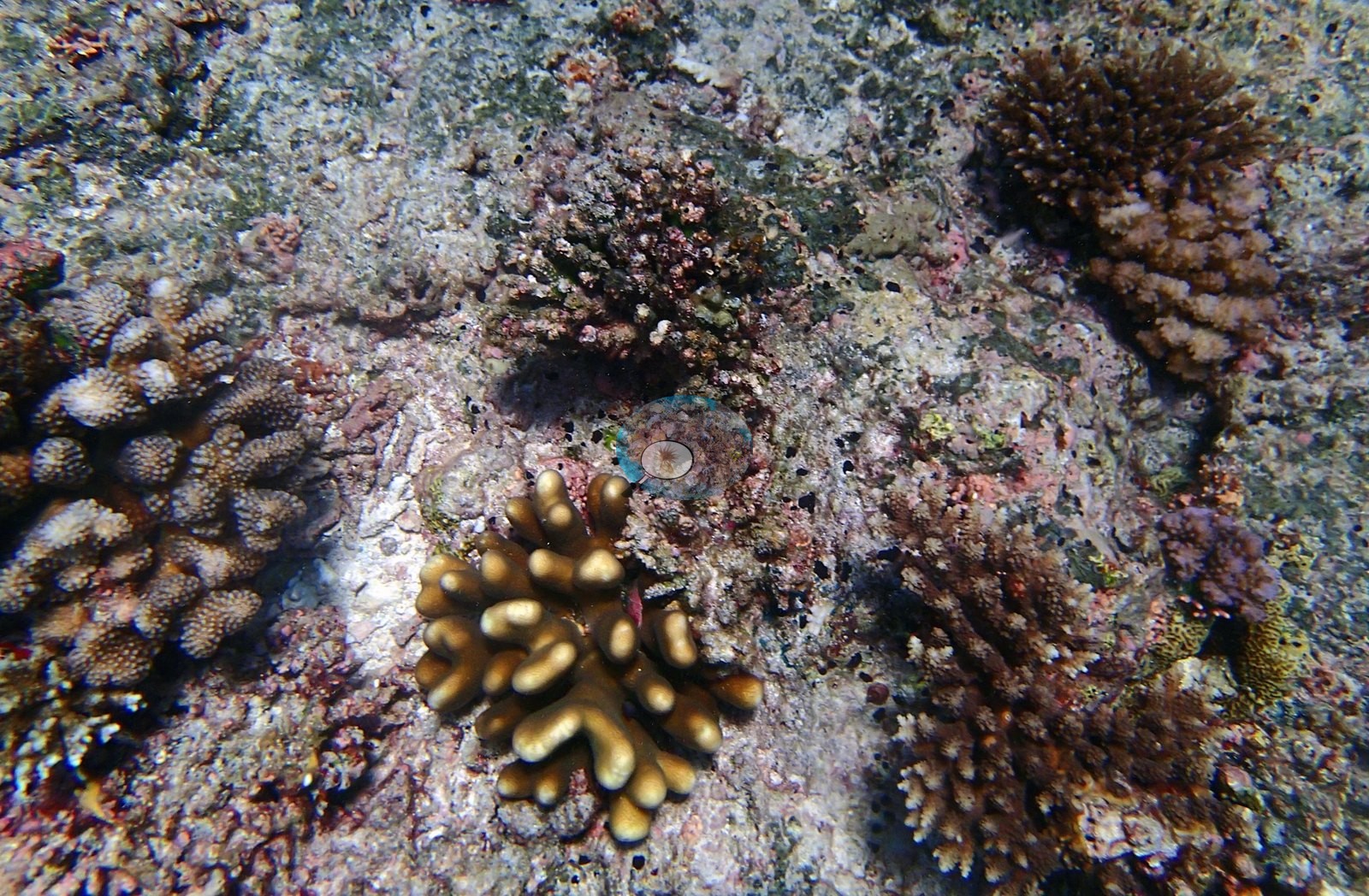
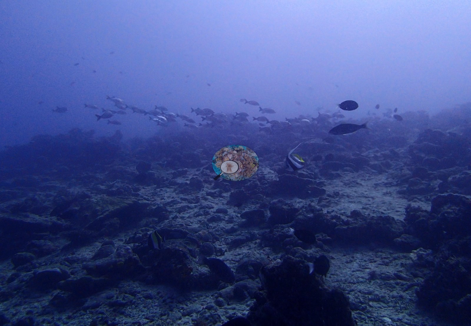
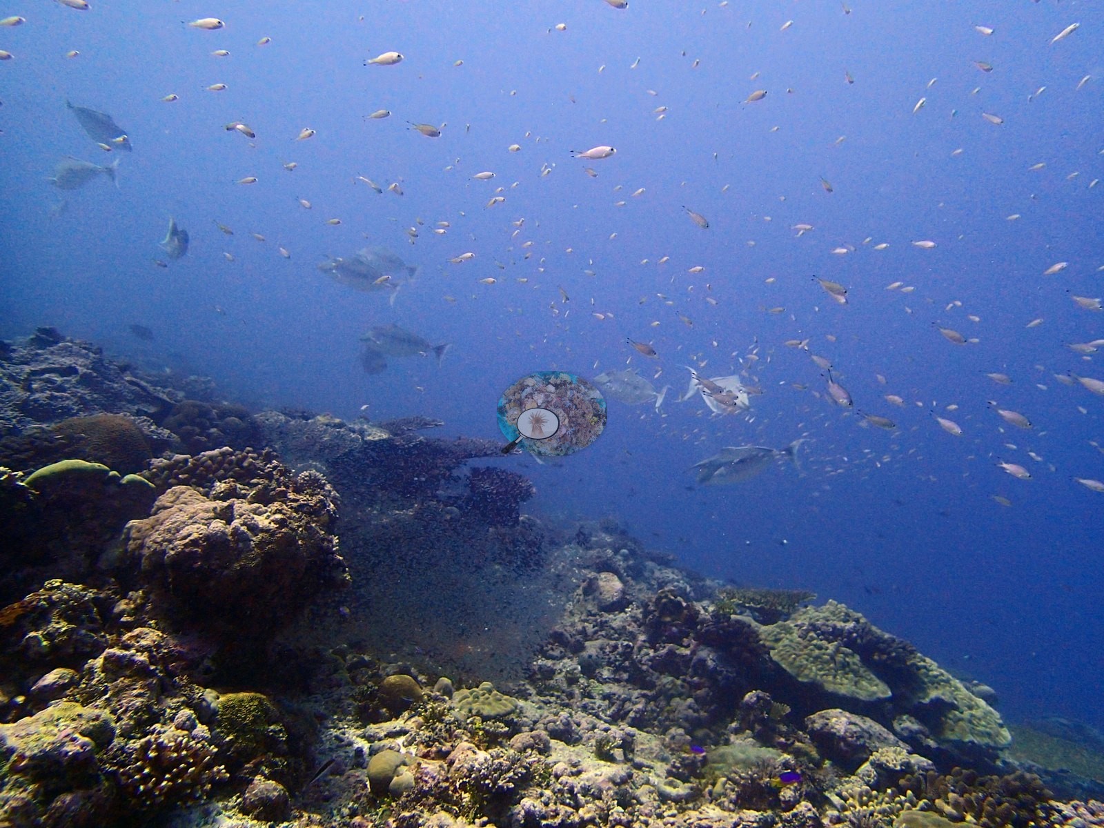
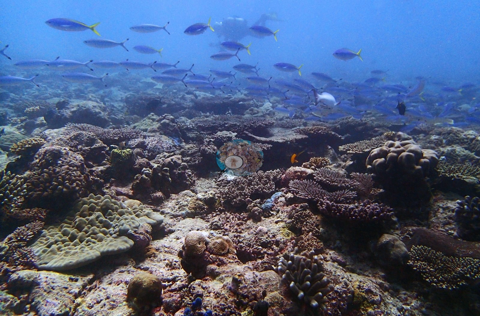
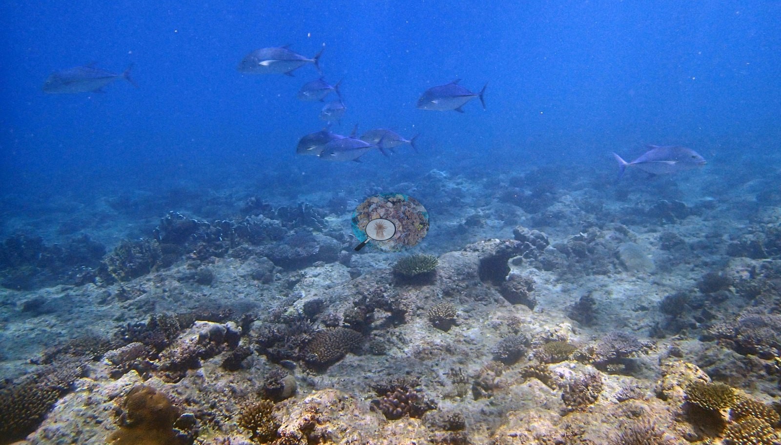
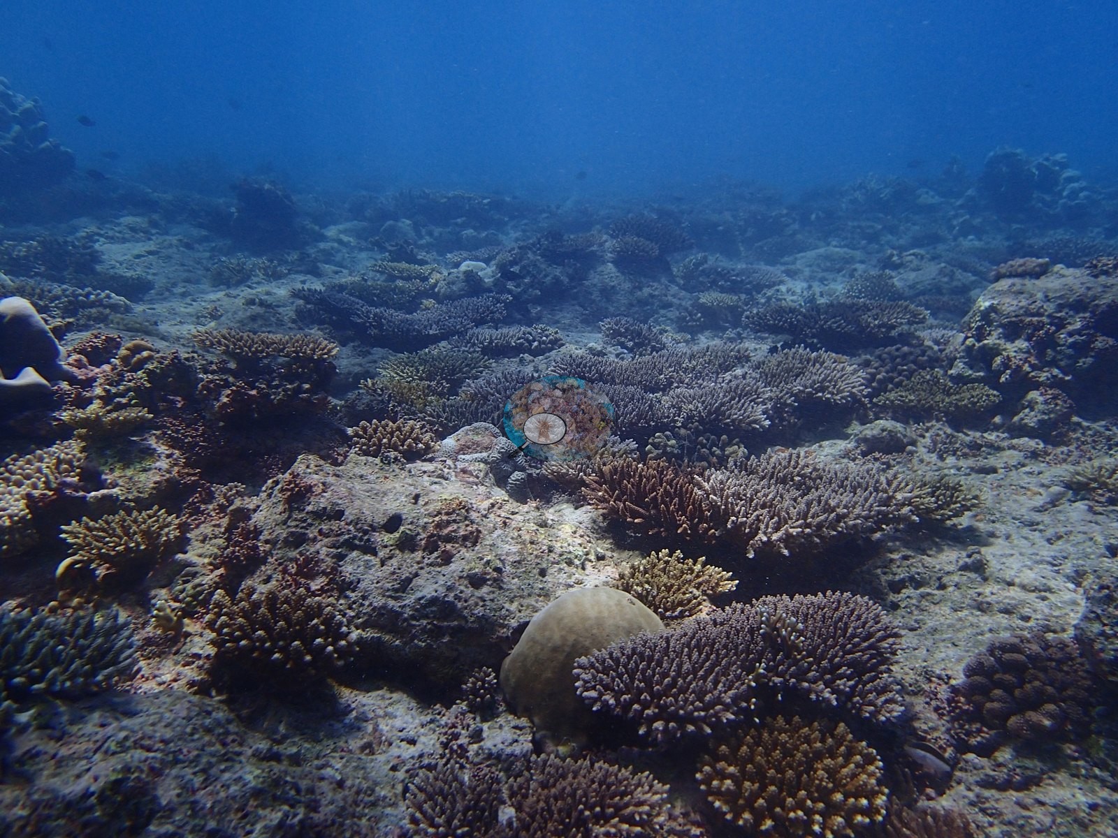
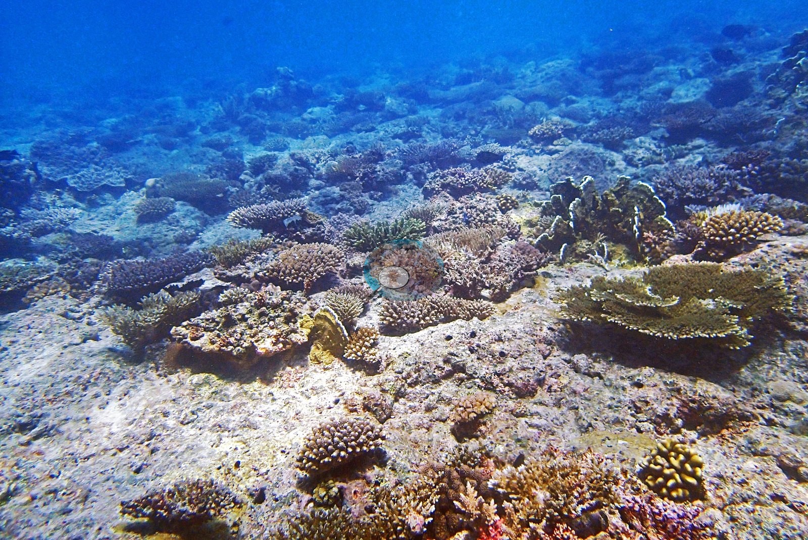
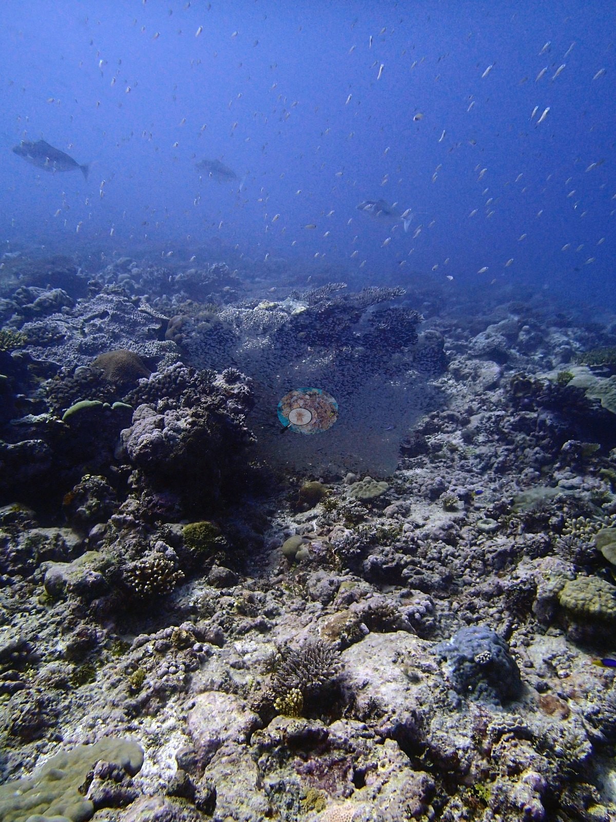
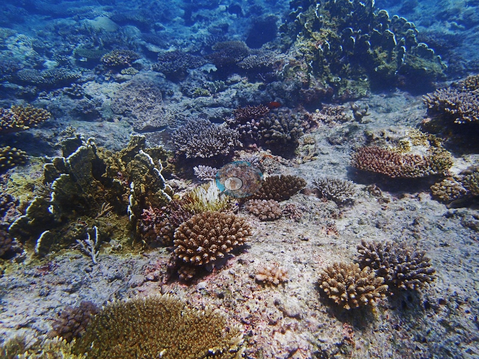
The rich end is unambiguous. P3100335, P3100336, P3100331, and P3100362 are wall-to-wall lilac, fawn and yellow-green corymbose and tabular Acropora with massive Porites domes wedged between them, and P3100329 adds a classic A. hyacinthus-type table with a powder-blue surgeonfish (Acanthurus leucosternon) working across it. P3100329 and P3100338 each hold a broad tan tabular Acropora plate well over a meter across, sitting above branching colonies. P3100331 is the best single mixed-community frame — corymbose and digitate Acropora, tan lobed Porites, encrusting faviids on maroon-crusted rock, with a cloud of Chromis-type damselfish in the blue above it. The impoverished end is equally clear: P3100300 is pale carbonate pavement carrying only scattered small faviid domes and a knobby Porites across most of the frame, and the long trevally sequence at the dive's end (P3100371, P3100372, P3100374, P3100379) is shot over low-relief rubble and turf-dusted hardground with coral confined to isolated clumps. The transect's 37.3% is the site's measurement across both of these states; the photo methods' 14–16% is what a frame set weighted toward the open half and the water column returns.
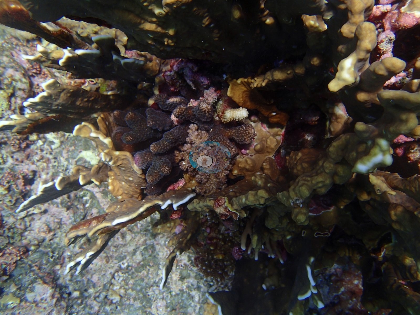
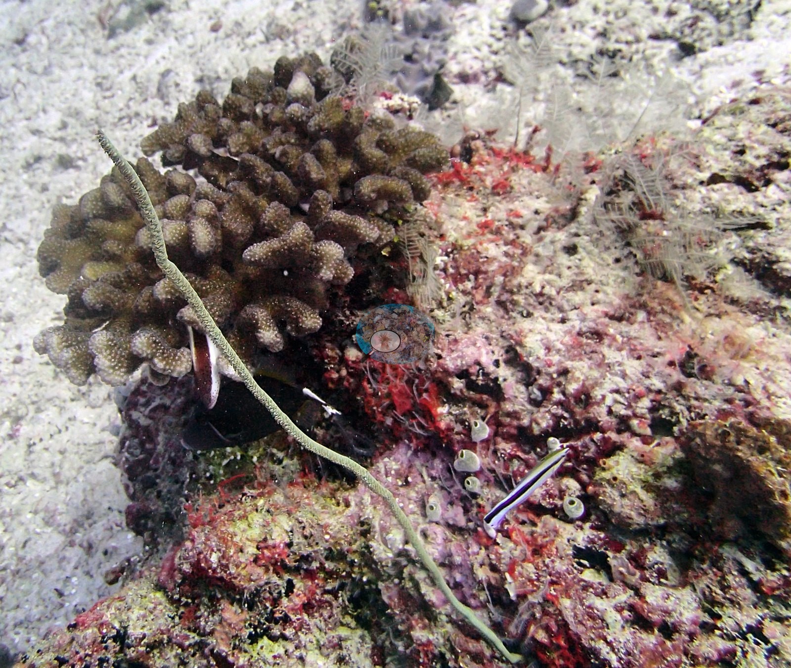
Structural variety within the coral-rich zone is real. P3100352, P3100354 and P3100357 all feature dark, whorled, pale-margined foliose stacks compatible with Echinopora or Turbinaria — a growth form absent from the neighboring sites, and one the frames cannot separate to genus. P3100356 records a distinctive golden blunt-fingered colony compatible with digitate Porites. P3100328 resolves green meandroid brains compatible with Platygyra behind a club-branched Pocillopora. P3100347 packs honeycomb-corallite Favites/Goniastrea, cream Porites, corymbose Acropora, and Pocillopora into one macro field. P3100301 is the fine-detail frame: a thick-branched Pocillopora with prominent verrucae, red encrusting sponge and coralline algae, white hydroid plumes compatible with Aglaophenia, a wire coral compatible with Cirrhipathes, and a cleaner wrasse compatible with Labroides dimidiatus, with pale feather stars and small ascidians on the pink and red coralline-crusted rock. P3100357 also looks in under a ledge at overlapping foliose plates with pale growing margins and maroon Pocillopora-type branching among them.
Coral cover
The transect is this site's measurement. Coral cover 37%, from LOF BIOT-1 in situ transects (Mayfield & Dempsey 2026, Oceans, suppl. S1) — diver transects run across the site on 10 March 2015, and the authoritative record of cover and community here. Algal cover is 48.6% of the benthos. Everything photographic and model-derived below supplements that measurement; the frames are illustrative and none of them qualifies, softens or disputes the 37.3%. Those four carry 30.3 of the 37.3 percentage points of live coral.
Computer-vision method comparison. Across the 42 paired frames the same reef reads transect 37.3% · CoralNet points 15.5% · Coralscapes masks 14.2% — deviation −23.1 to −21.8 pp, mean of 3 = 22.3% ± 13.0. The two image methods agree unusually closely with each other (15.5% against 14.2%) and both read far below the transect, which is the expected signature where the frame set is dominated by low-relief pavement on which both a point grid and a mask find the same near-absence of coral. The 13.0 pp spread is the largest of the Egmont sites and is driven almost entirely by the transect, consistent with the two-habitat structure described below: the transect samples the reef, while this folder's 42 frames spend roughly a third of their exposures on trevally in open blue and much of the rest on the impoverished half of the dive. The three products have different sampling footprints and denominators and must not be averaged; the transect is the measurement and the image products are a method comparison beside it. Nothing below is converted into a percentage from frames, and the photographic account is not offered as a check on that figure.
Assemblage composition. The Coralscapes and CoralNet figures for this site are given in the cover line above; the model-vs-human agreement at BIEG03 is unusually tight (15.5% vs 14.2%), which is expected given how much of the frame set is low-relief pavement where both methods find the same near-absence of coral. The 13.0 pp SD across all three methods is the largest of the Egmont sites and is driven almost entirely by the transect, consistent with the two-habitat structure described above. Coral cover: 37%. Live hard coral measured on the in situ benthic transects of the LOF BIOT-1 expedition (Mayfield & Dempsey 2026, Oceans, supplemental S1), against algal cover of 48.6% of the benthos. The transect figure is this site's authoritative cover value; no image-derived product overrides it. Across methods the same reef reads: transects 37.3% · CoralNet points 15.5% · Coralscapes masks 14.2% (42 frames). These products have different sampling footprints and denominators and should not be averaged.
Stressors
Several deeper frames (P3100303, P3100332, P3100351, P3100352) carry a strong blue-gray cast that makes pale tissue an unreliable condition signal at range, and no scale reference or quadrat appears in any of the benthic frames, so colony dimensions cannot be read off them. There are no per-frame depth data; the zonation above is inferred from framing and light.
Condition and bleaching. Anderson's published per-site figure — 4.0% of coral bleached (CoralNet analysis of informal survey images; Mayfield & Dempsey 2026, Oceans) — is the authoritative statement of condition at BIEG03. Bleaching is present, unevenly, and it partitions by growth form. P3100333 is the clearest frame: four to five fully bone-white branching colonies, interleaved with normally pigmented brown Acropora on the same substrate. Four further, independent signals appear elsewhere in the set: a white Pocillopora beside pigmented neighbors in P3100347; a partially bleached, partially dead Pocillopora in P3100346 whose branch tips are bone-white while its basal branches are dark and algal-fuzzed — a single colony caught mid-transition from bleached to dead; a pale-to-white branching colony in P3100354; and a conspicuous white colony on open pavement in P3100371. Massive and encrusting colonies in the same frames stay pigmented. The pattern is the same growth-form partitioning seen at BIEG02 and BIBL82: branching acroporids and pocilloporids whiten first, massives do not. For an early-March dive, ahead of the peak of the 2015 event, that reads as an early-warning signature rather than an impact. No crown-of-thorns, disease lesion or predation scar resolves in any of the 42 frames.
Fish and other fauna
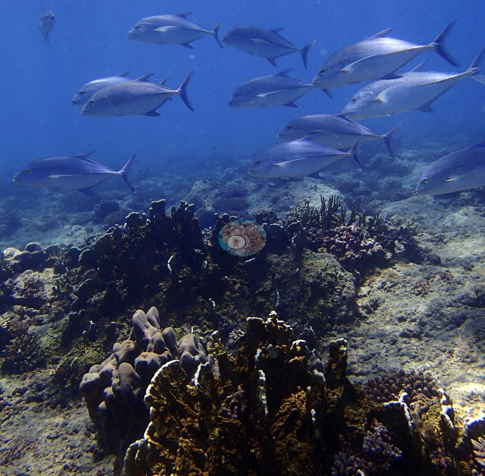
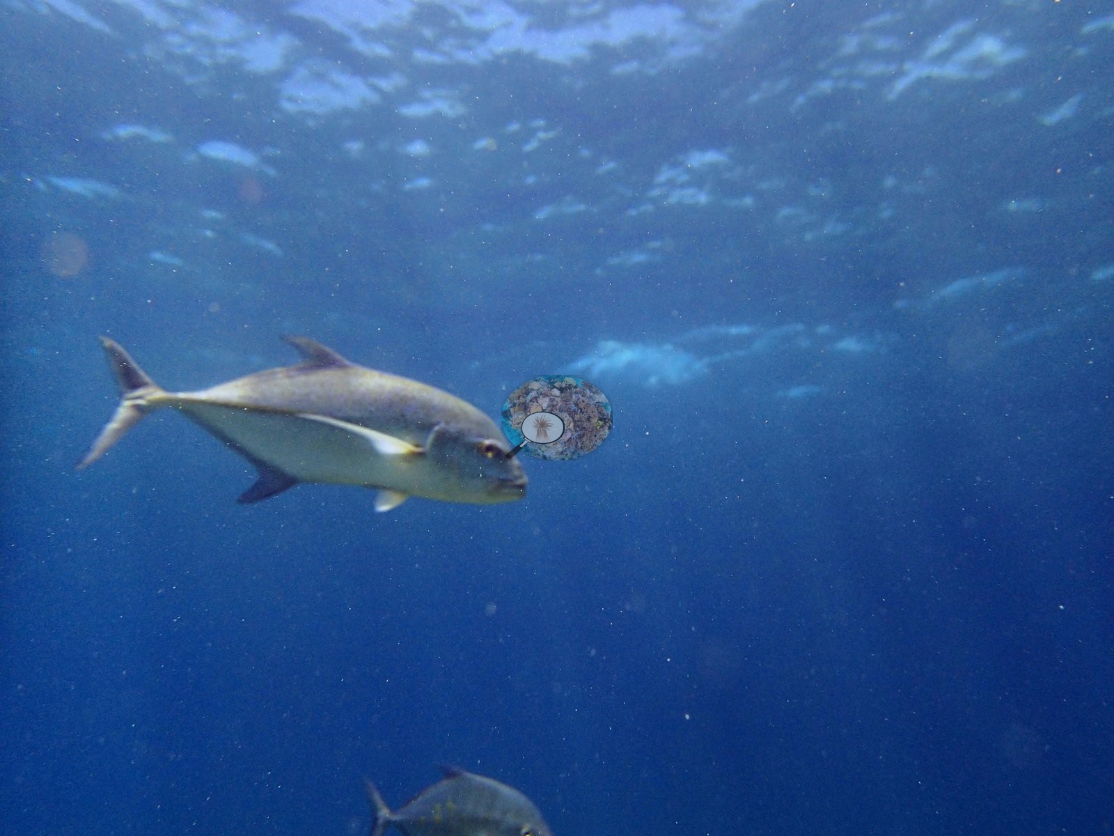
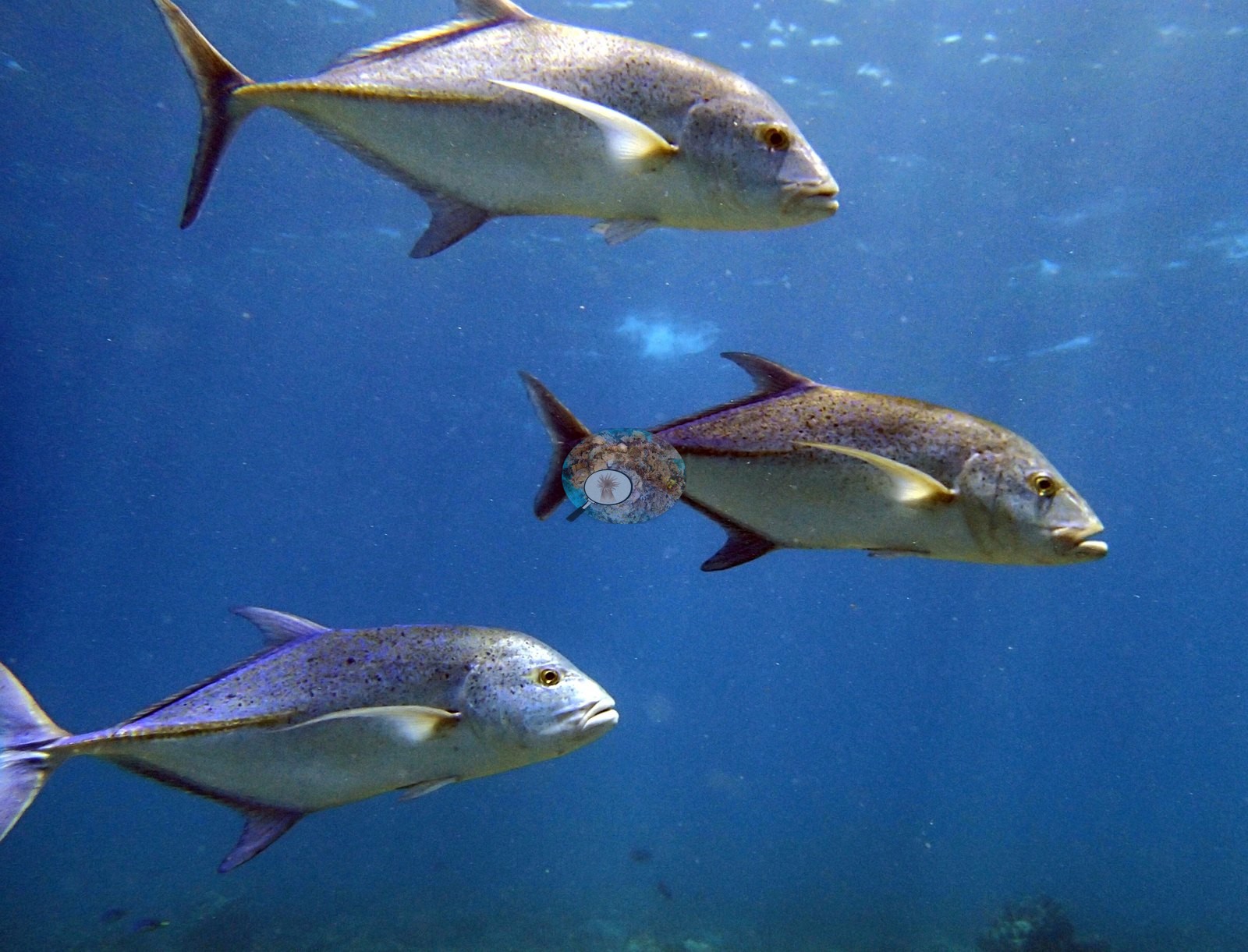
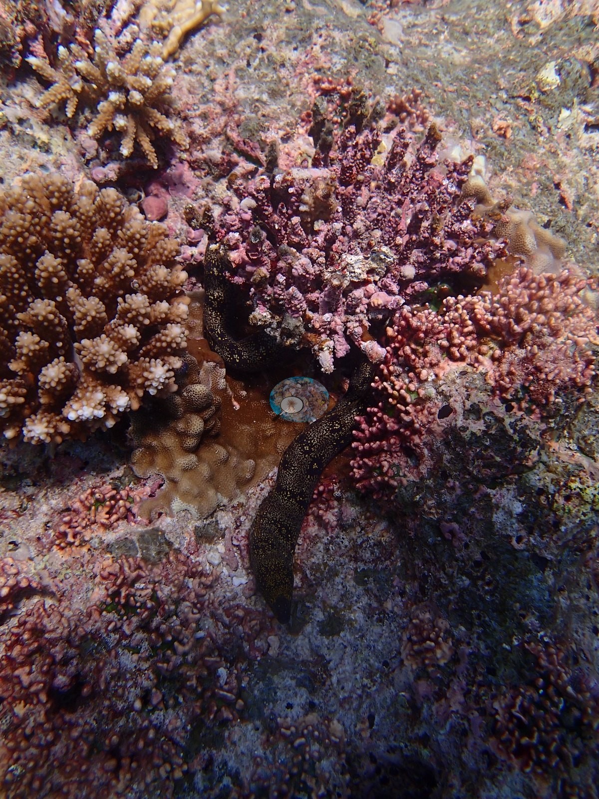
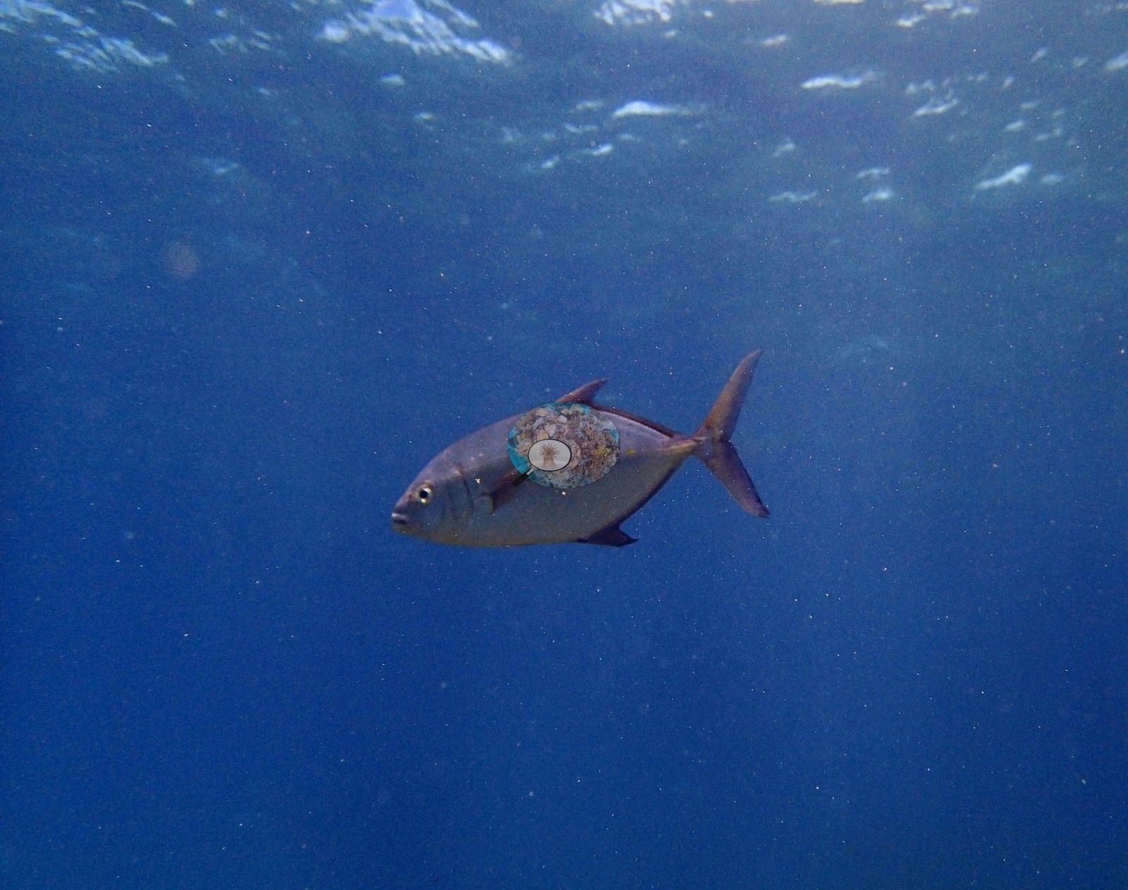
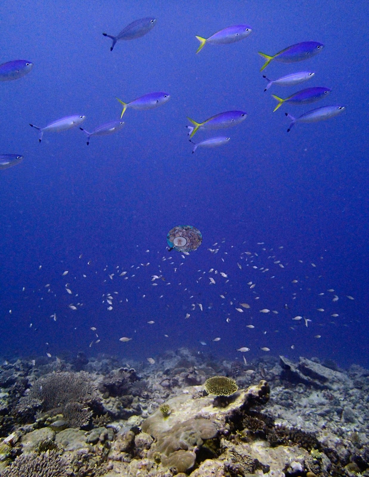
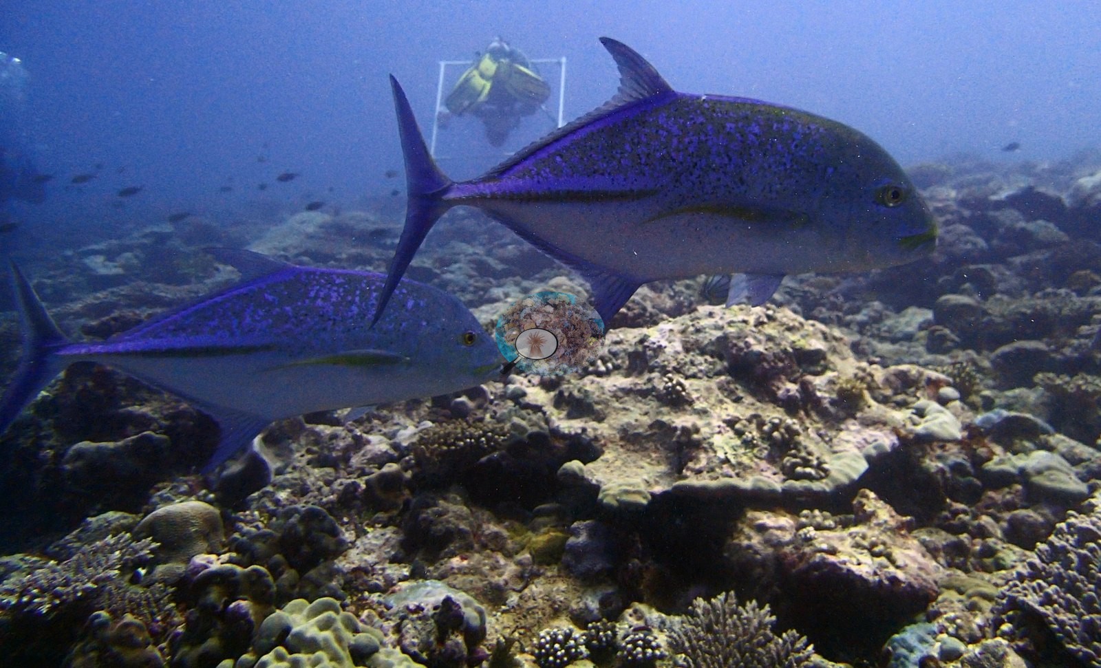
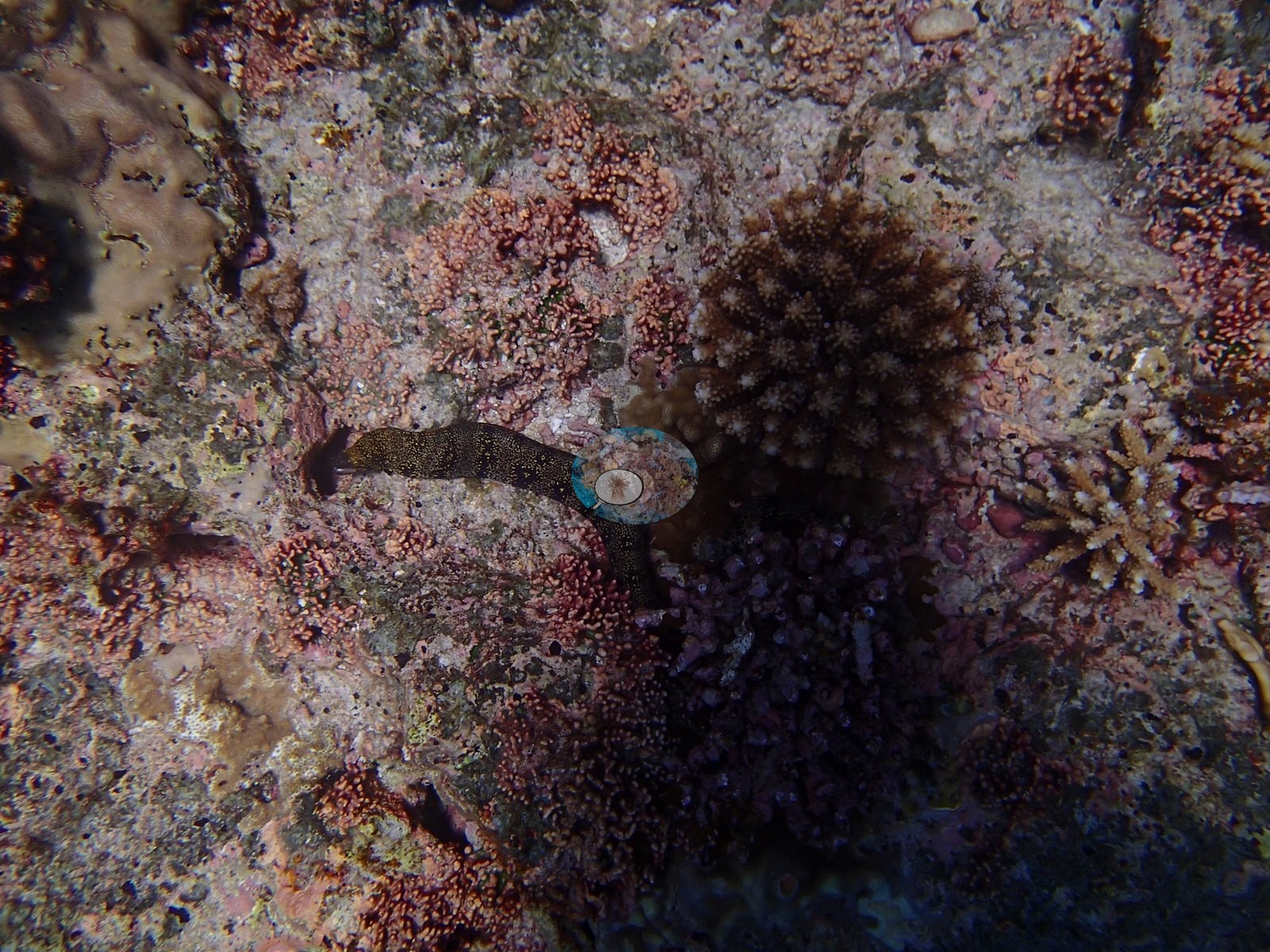
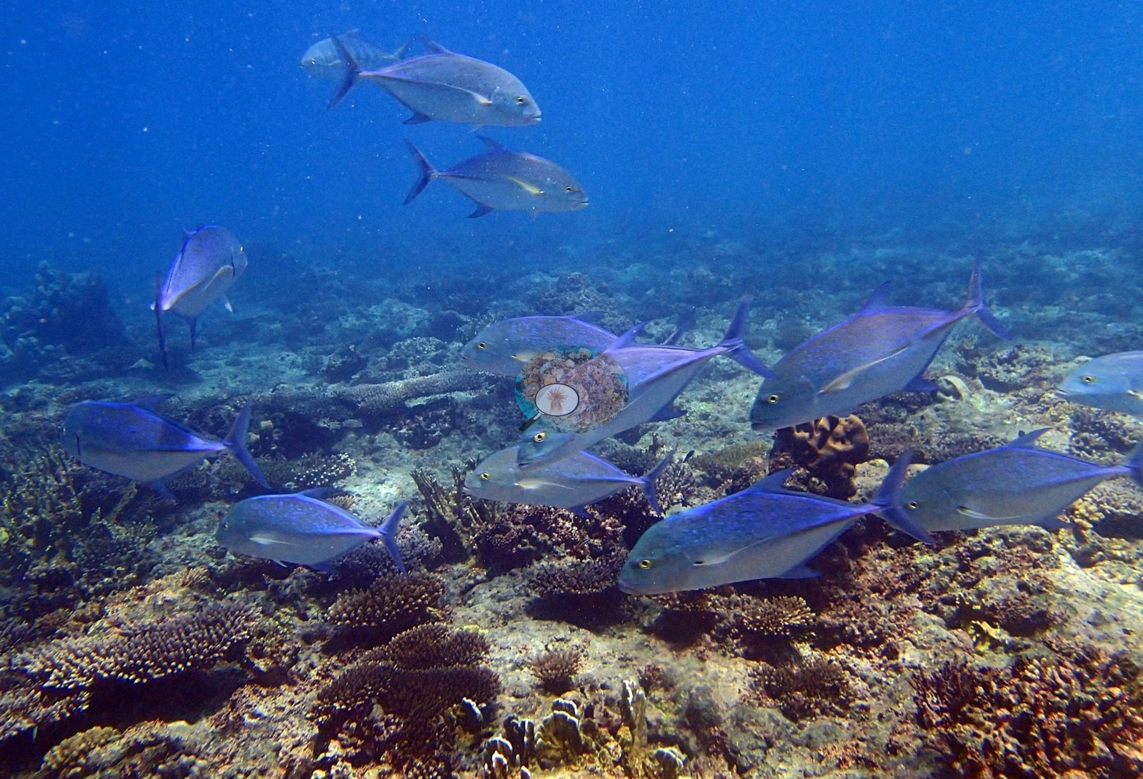
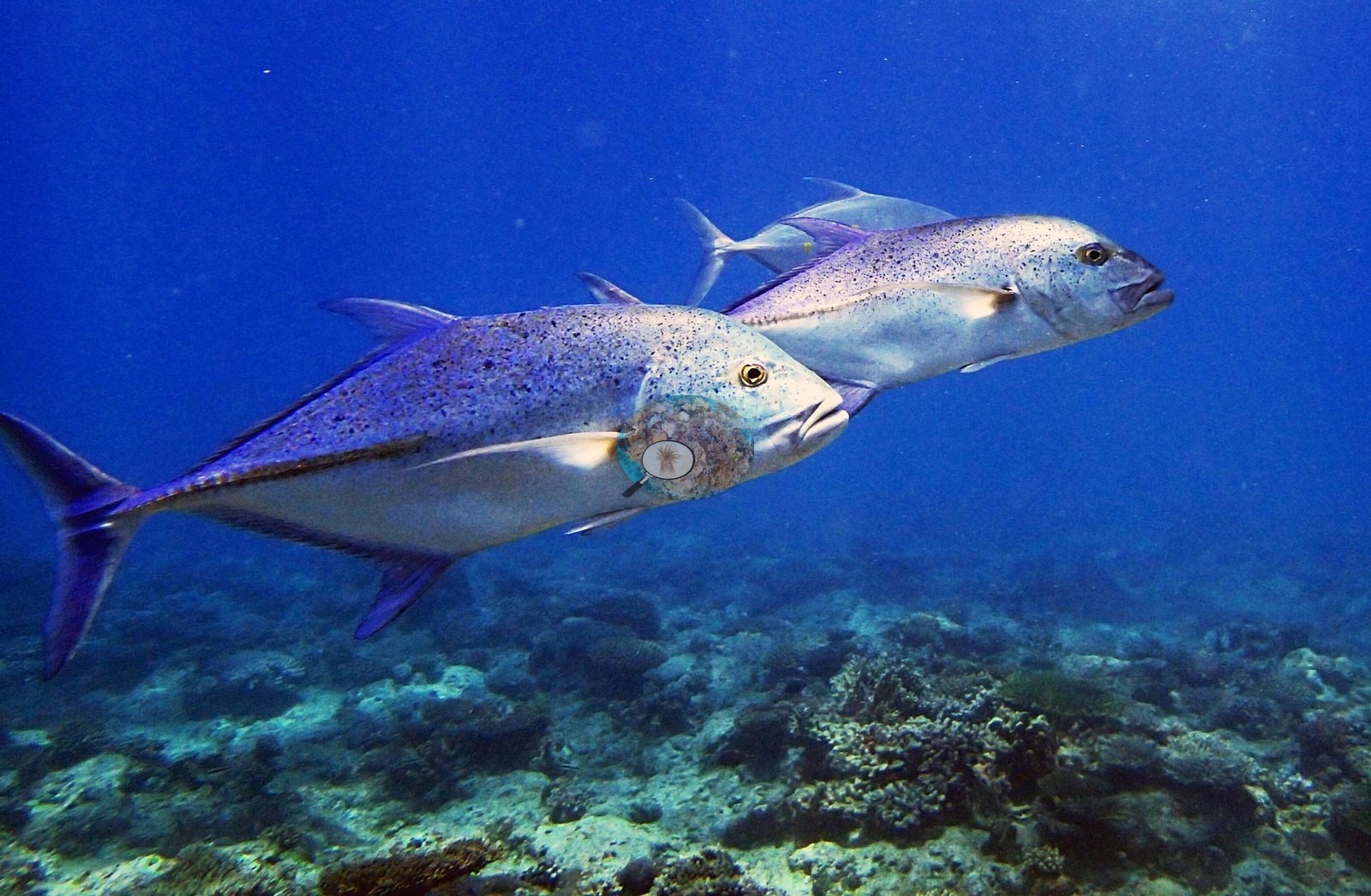
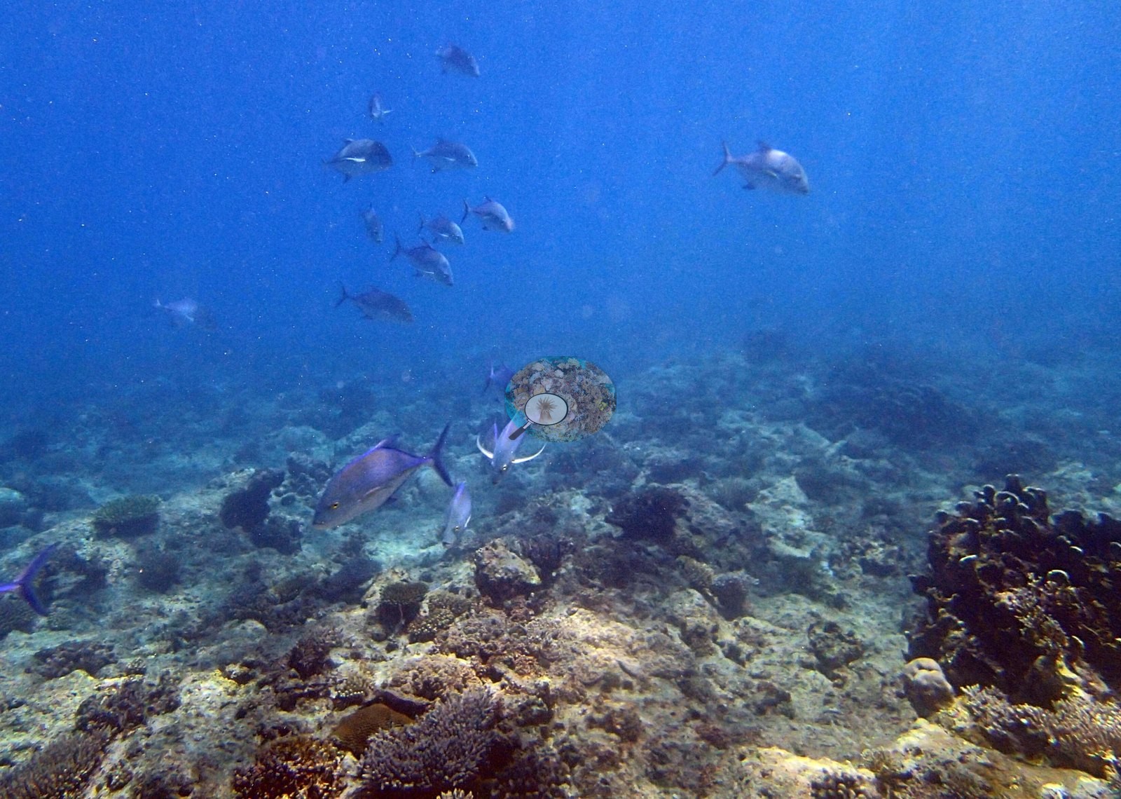
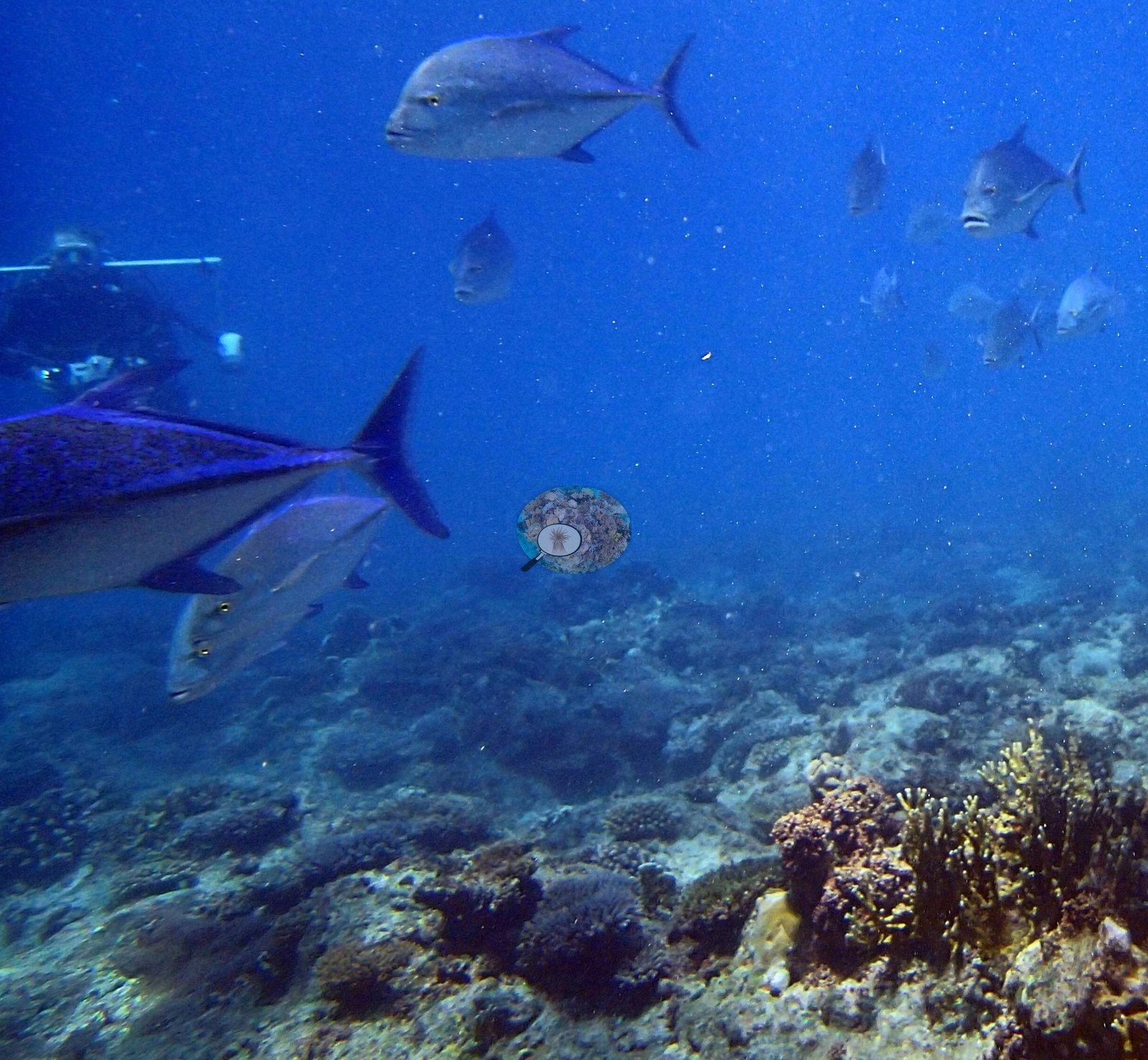
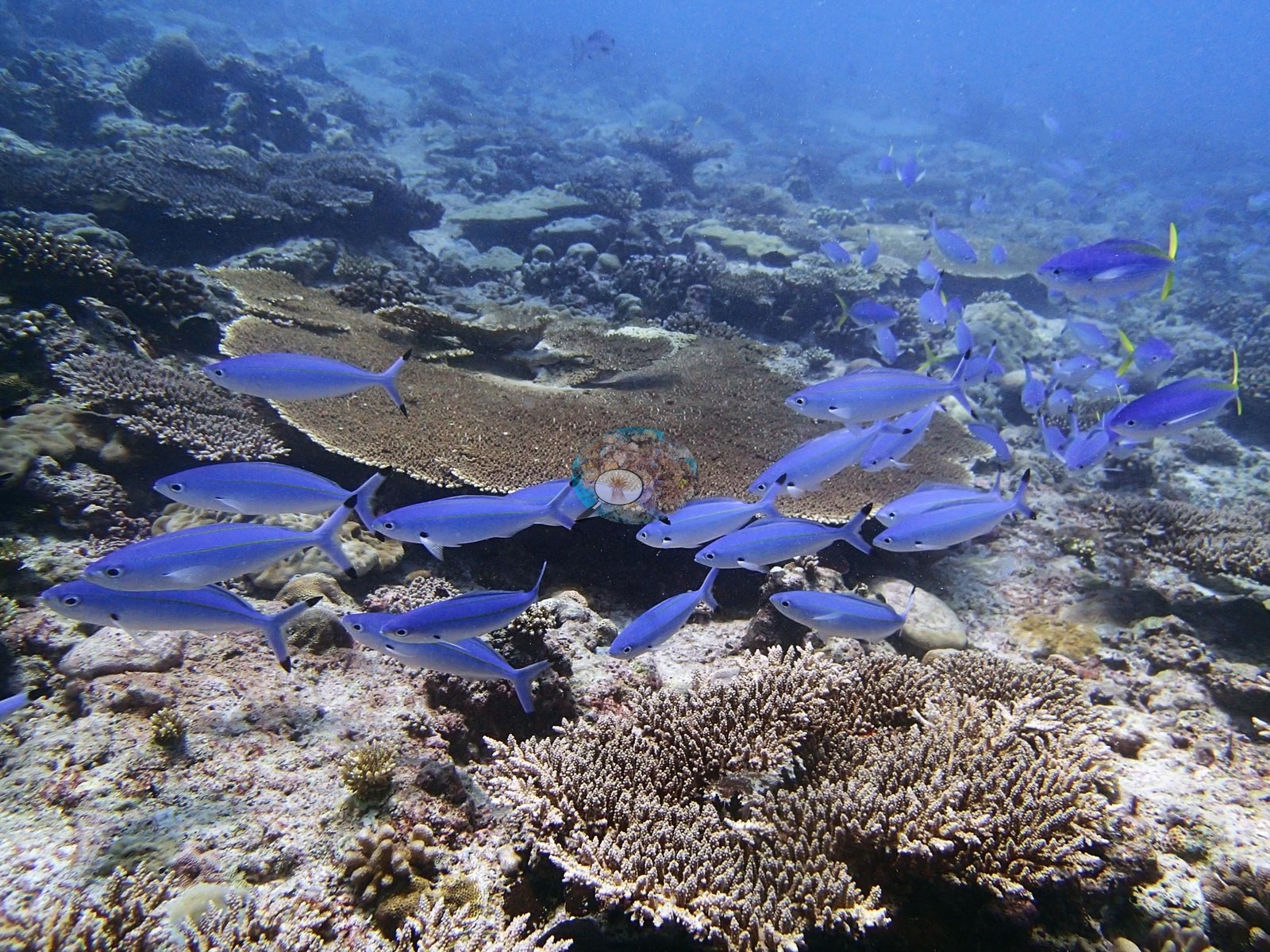
Faunally this is a trevally site. Blue-spotted bluefin trevally compatible with Caranx melampygus appear across roughly fourteen frames (P3100359–P3100361, P3100365, P3100366, P3100370–P3100374, P3100378–P3100380), in loose hunting groups of five to ten and repeatedly at close range — P3100360 is a textbook pair, purple-blue and black-speckled, and P3100370 and P3100378 show full schools moving low over the reef. Some individuals in the same frames are brassier and yellow-spotted, compatible with Carangoides, so the aggregation may well be mixed-species; the frames cannot settle it. Beneath the pelagics the reef holds dense baitfish and silverside clouds around bommies (P3100318–P3100321), fusiliers compatible with Caesio or Pterocaesio streaming over the tables (P3100337, P3100338), unicornfish compatible with Naso, Moorish idols compatible with Zanclus cornutus and assorted butterflyfishes (P3100303, P3100332), a surgeonfish on the plate in P3100329 and a yellow tang-type fish at the edge of P3100347. Two moray eels occupy the macro frames P3100363 and P3100364 — black with fine pale-yellow speckling, and best left at family level rather than assigned. A large scalloped bivalve shell compatible with Tridacna sits on the pavement in P3100353, mantle not visible.
Comparisons with other data
No independent survey was made at this exact site; the nearest ones are listed in the table below.
Other notes
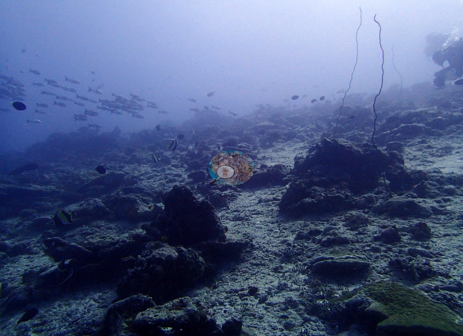
Image-by-image analysis — the dive crosses two very different bottoms, and that is the site's structure. All 42 frames come from Anderson's Egmont folder BiEg03-finished; there are no sampled-colony close-ups, so the photographic account rests entirely on the habitat set. Roughly 15 frames are benthic-dominant and usable for community description, about 15 are pelagic frames whose main content is trevally in blue, and 3 record divers and survey apparatus.
Three frames record the survey itself. P3100330 catches a diver holding a clear rectangular photoquadrat frame in the background while two bluefin trevally cross the foreground — direct evidence of the quadrat methodology behind this site's numbers — and P3100358 and P3100366 place a diver, one of them with a transect pole, in the same water as the jacks, confirming these are survey-time observations.
CV model comparison
More info
Those are point counts on the photographs; this is a diver swimming a transect. The models and the reference never saw the same thing. ⚠ SITE-LEVEL ONLY. The 2,500 frames were not associated with any transect taken within 200 m of them, so transect-vs-image comparisons are site means, never frames. The transect value is already in the pin `cover` field (109 of 112 pins, sourced to the paper's suppl. S1) and is read from there, never re-imported. The transect is THE coral-cover value for this site and stands alone. The rows below it are a methods comparison only: no computer-vision value is averaged with it, feeds the headline, or carries over to the site's cover figure (Anderson, 2026-09-22).| Method | Hard-coral cover (%) |
|---|---|
| Transect (published) | 37.3 |
| In-house DINOv3 | 18.4 |
| CoralSCOP edited | 25.7 |
| Claude | 16.6 |
Independent surveys nearby
Within 5 km, 2 independent survey stations recorded hard coral cover in 2015. The most recent nearby survey is from 2015, so these values predate recent heat stress. This site's own estimate (37%) sits 8.8 points above the range of these surveys (11–29%); the methods differ, so the comparison is context, not a like-for-like test.
Collected by other programs using different methods (the XL Catlin Seaview Survey uses photo-transects with automated image annotation), so these are context for the figures above, not a like-for-like comparison. Where a station was surveyed more than once the range is shown. Station names are not dive-site names.
| Agency | Site / location | Date | Hard coral cover (%) | Distance | Link |
|---|---|---|---|---|---|
| XL Catlin Seaview Survey | transect 36028 | 2015 | 11% | 2.17 km | — |
| XL Catlin Seaview Survey | transect 36029 | 2015 | 29% | 2.28 km | — |
Data & links
- Read the full site report ↗
- Download benthic survey data (CSV) ↗
- Download all LOF-GRE data (933 sites) ↗
- CoralNet image repository for this region ↗
- Photo portfolio ↗
- Coral Reef Diagnostics page for this area ↗
All images from Coral Reef Diagnostics. Data are from Coral Reef Diagnostics and the organizations named in the data-sources table above.
 © Coral Reef Diagnostics.