
Part of the regional summaries: Chagos Archipelago - Egmont / Danger Island / Cauvin Bank and Chagos Archipelago

More info
Chagos (NOAA CRW virtual station)BIEG02, at Egmont, was dived in early March 2015 before the bleaching event had fully developed, and its 3.6% bleaching figure shows up as a tight cluster of a few fully white Acropora colonies rather than diffuse whitening, plus one large dead, algae-covered Porites. The dive also documents two coral predators at once - a crown-of-thorns starfish photographed beside a collection tool, and two Culcita cushion stars - alongside gray reef sharks and dense fish schools. Published cover is 32%. Surveyed on the Living Oceans Foundation's Global Reef Expedition.
Five independent survey stations shown with the program’s logo — click one to see how far it is from this site.
Three other CRD dive sites within 5 km shown in orange — click a marker to open its page.
🗺 Detailed map of the Global Reef Expedition dive sites, Egmont Atoll, Chagos (Khaled bin Sultan Living Oceans Foundation; opens in a new window)
Site description
General benthic features
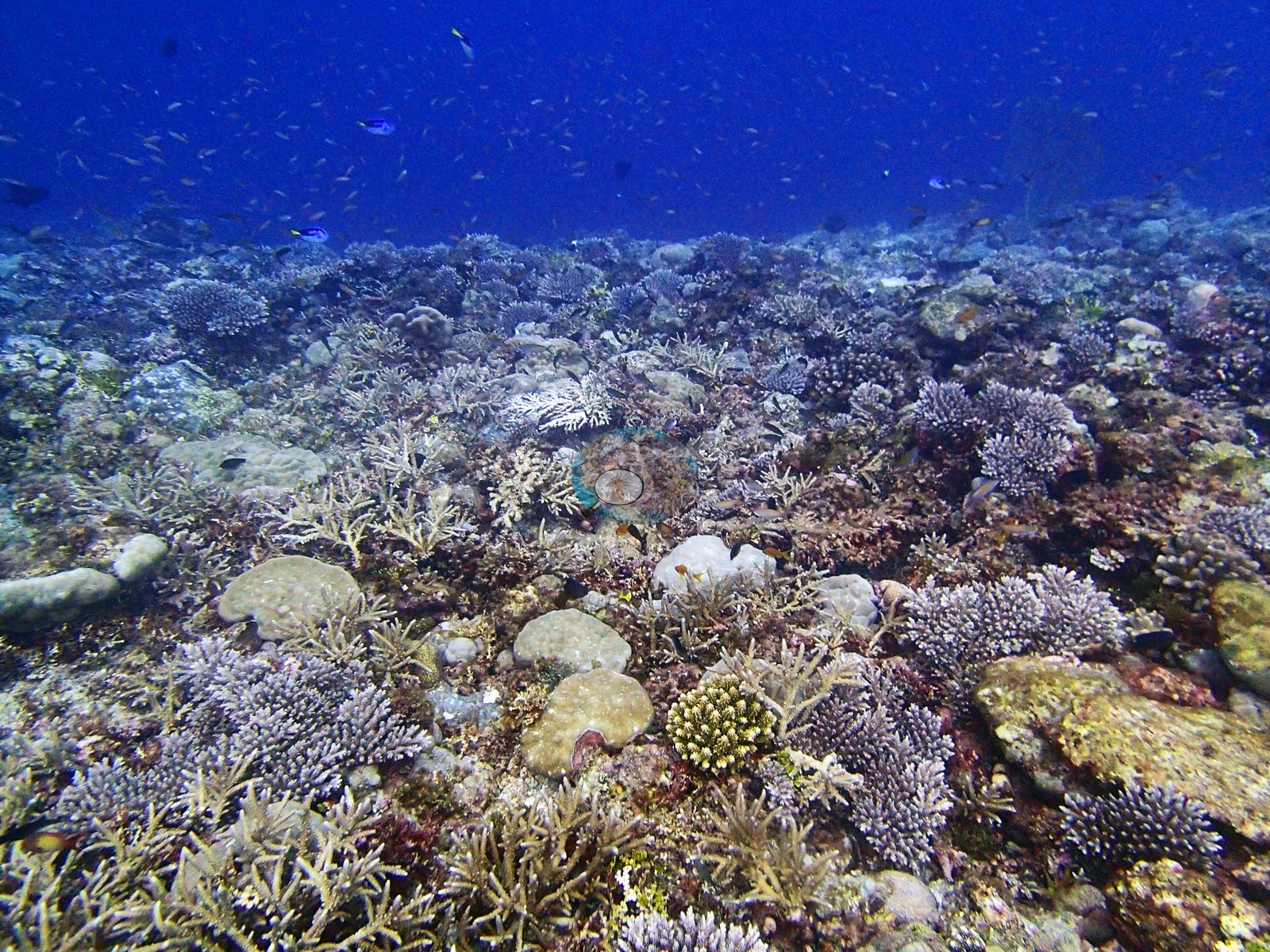
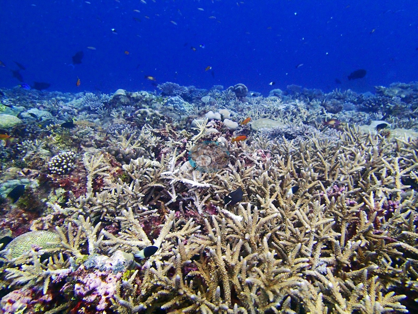
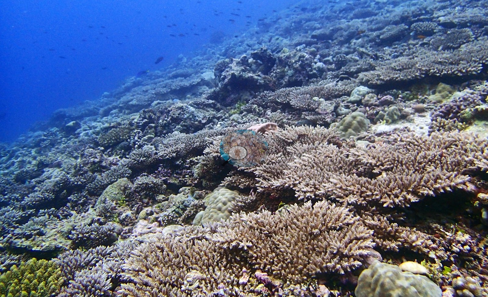
That is a genuinely Acropora-led assemblage by both methods. Non-coral cover is dominated by turf at 29.7% of all points, with crustose coralline algae 4.2% and Halimeda 2.5%; structural loss registers as dead coral 2.7% of image area and rubble 6.8%.
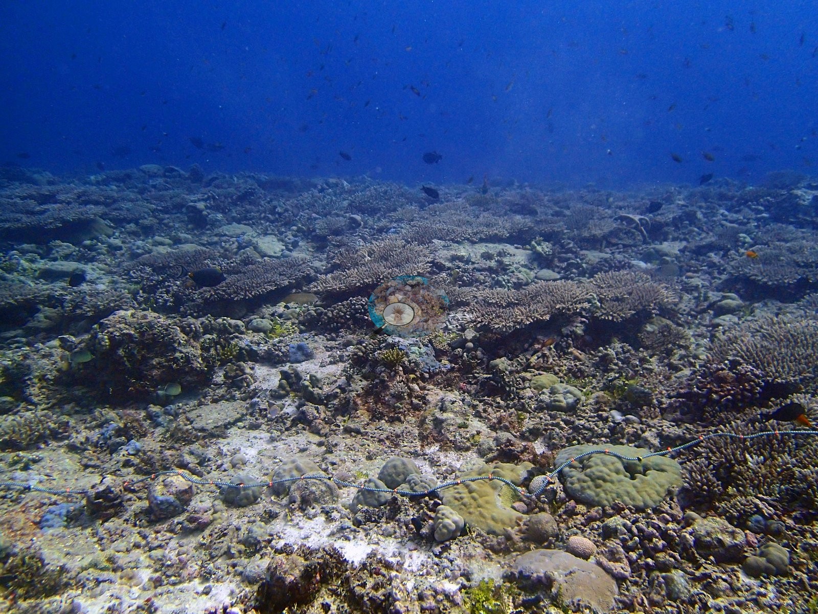
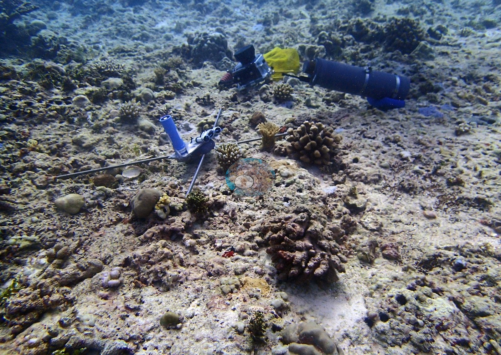
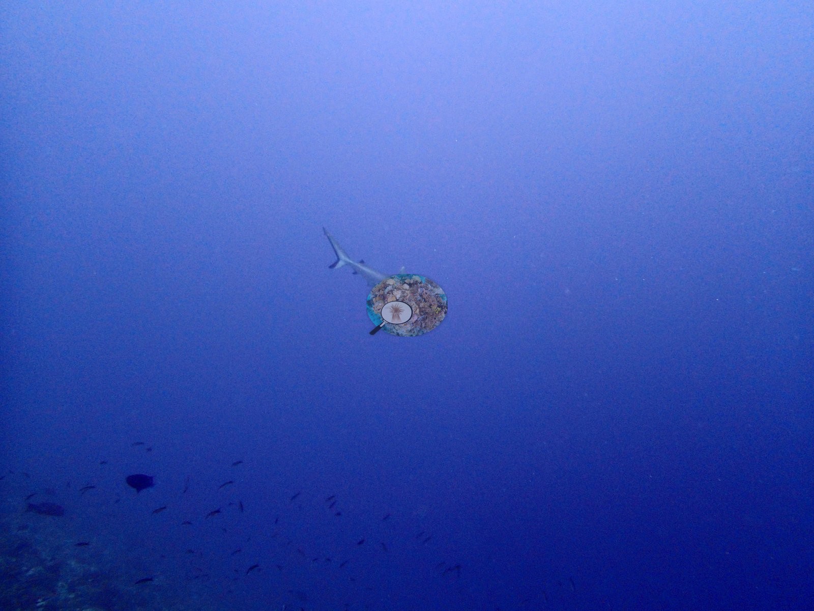
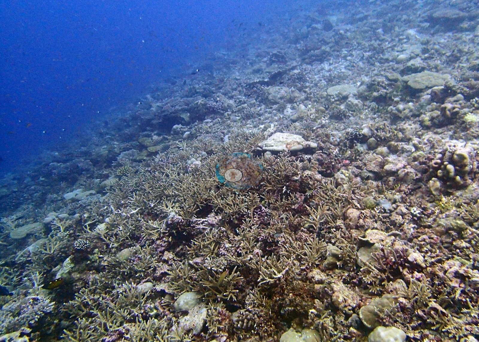
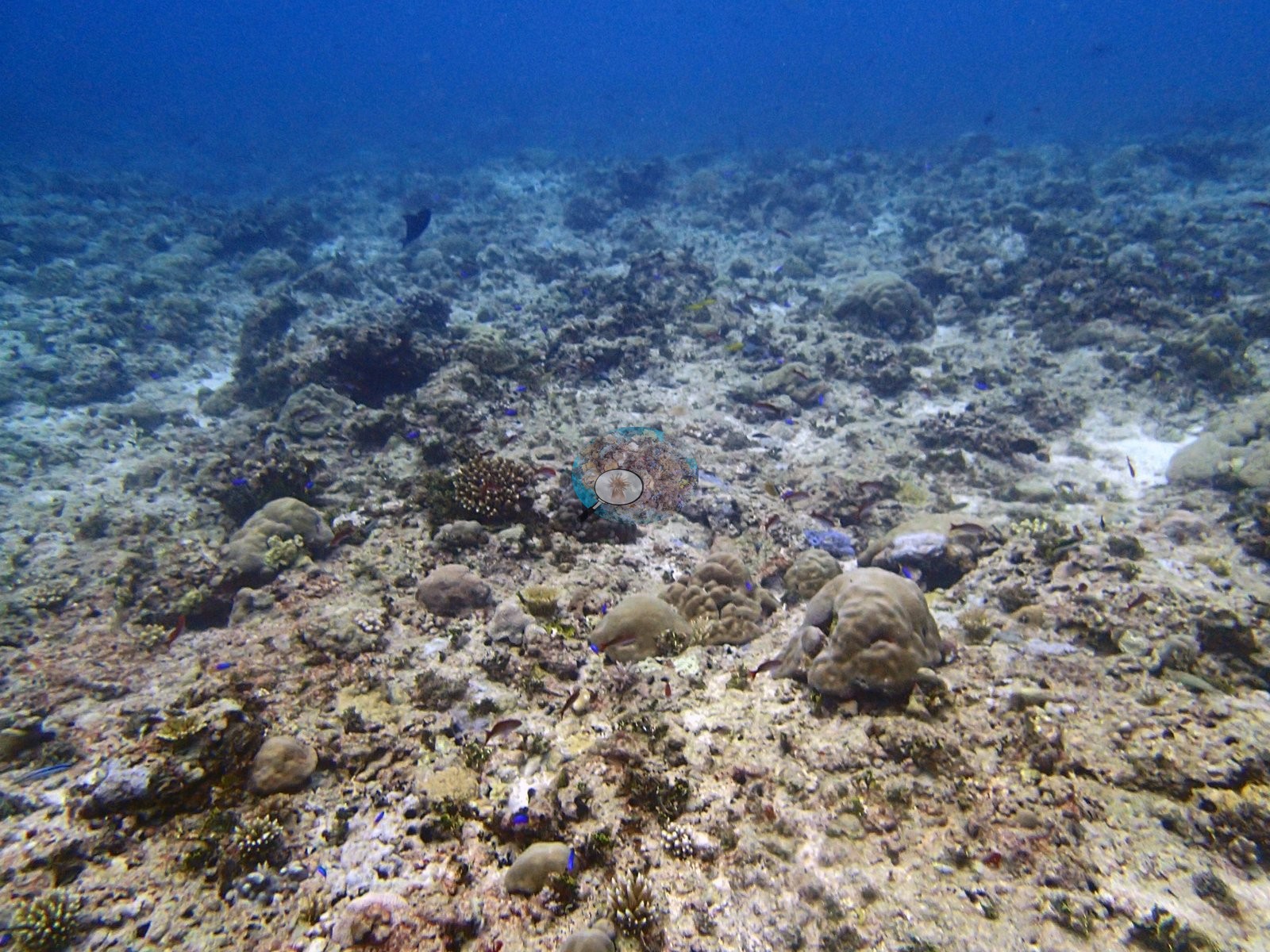
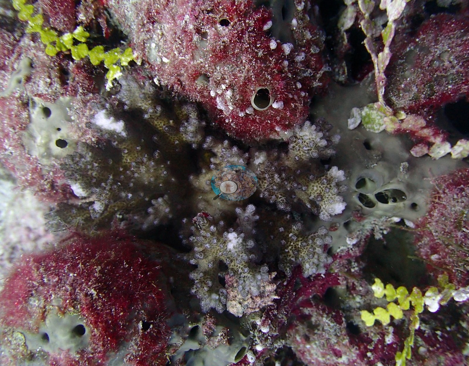
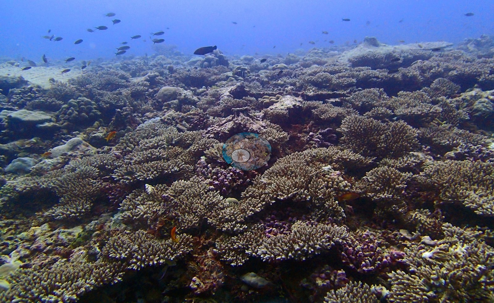
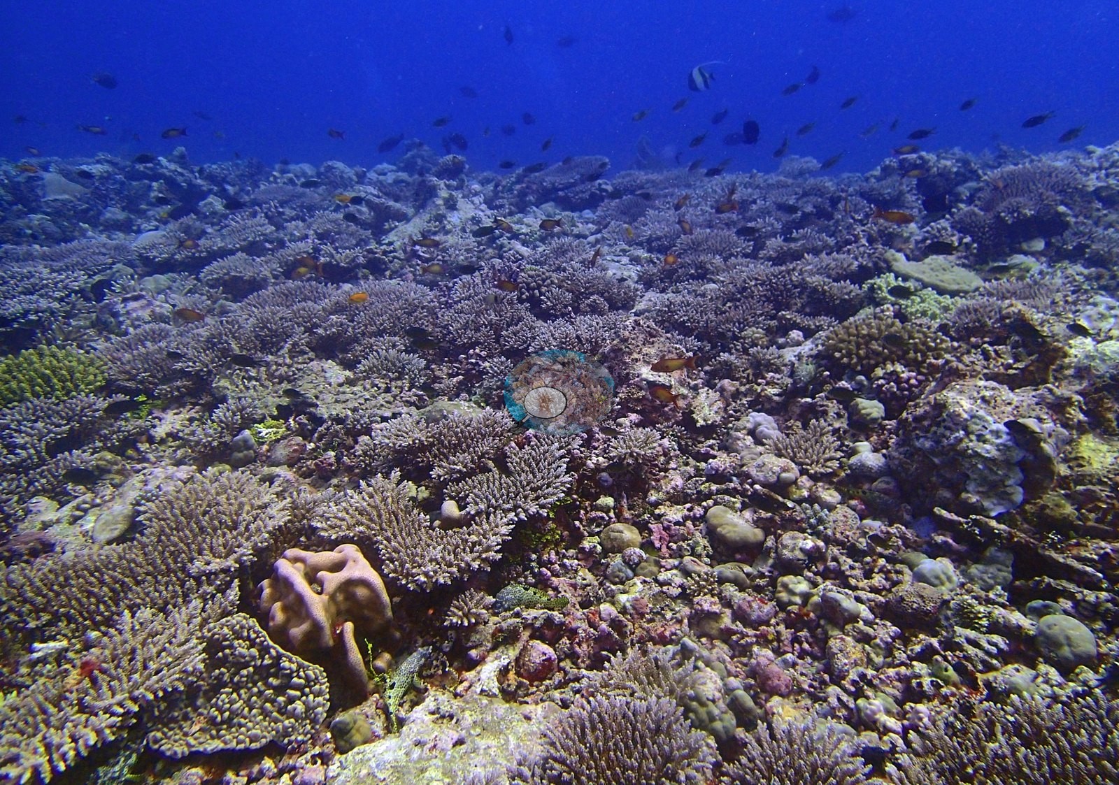
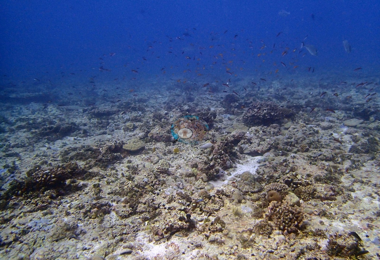
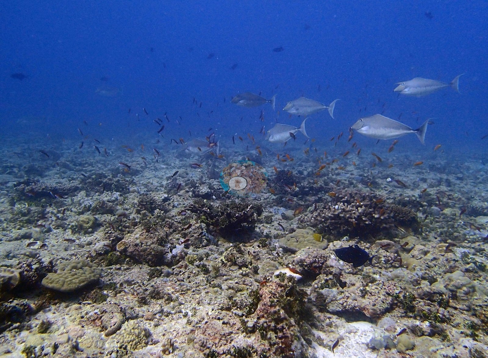
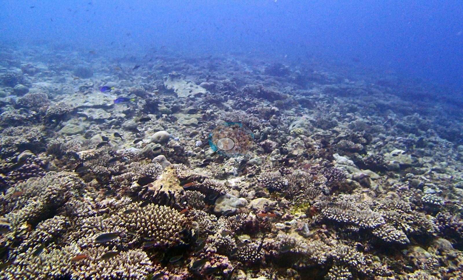
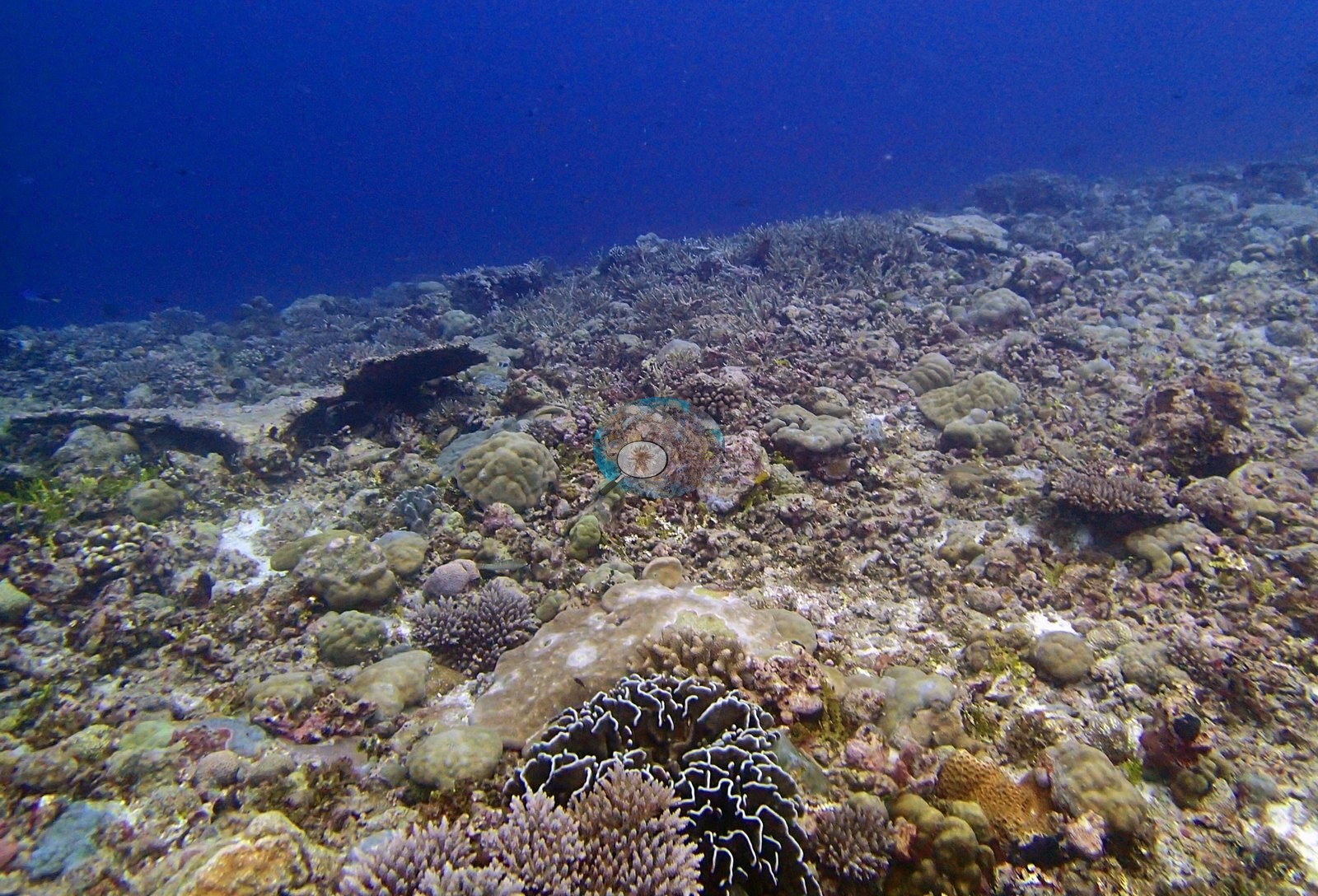
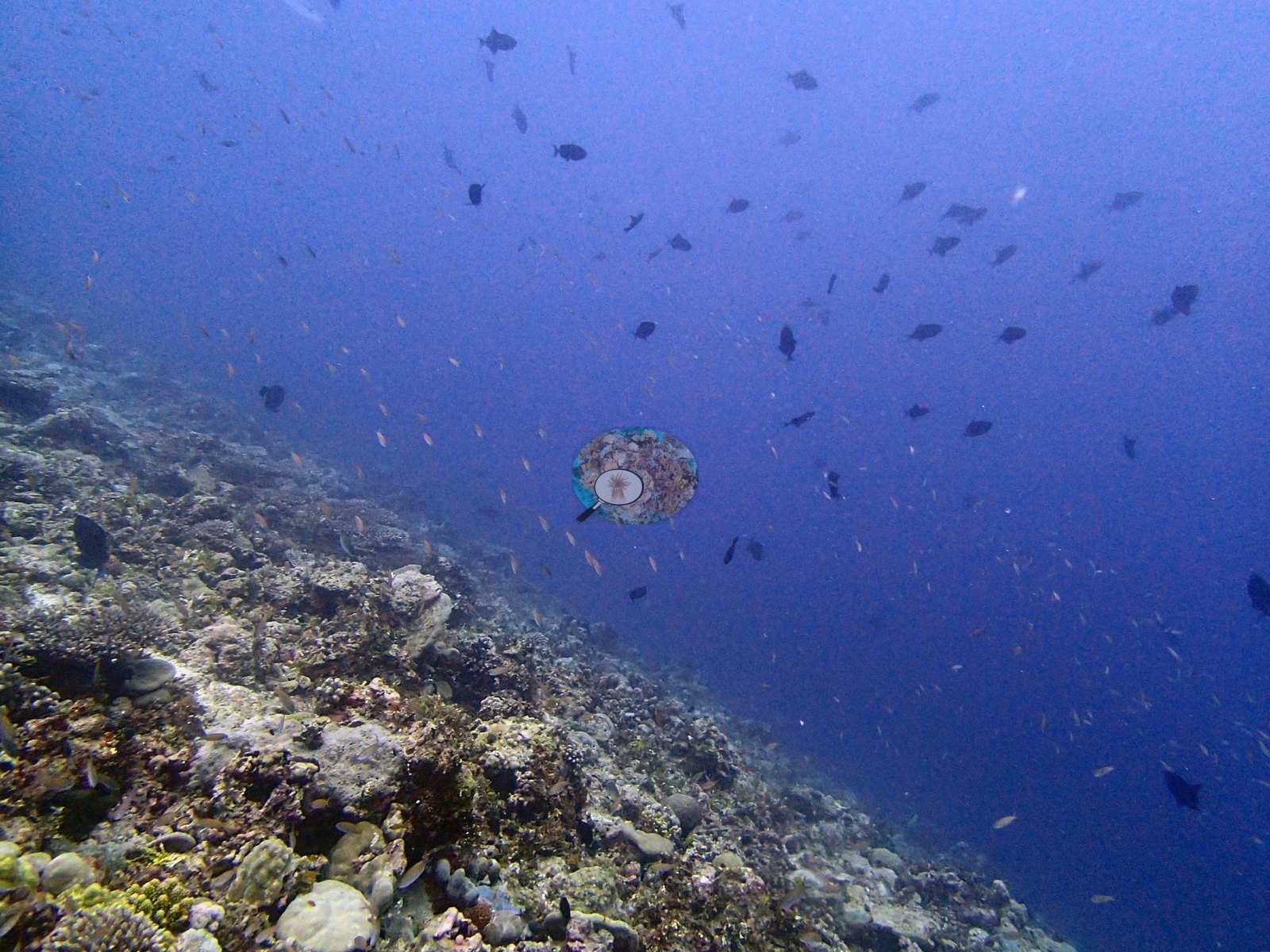
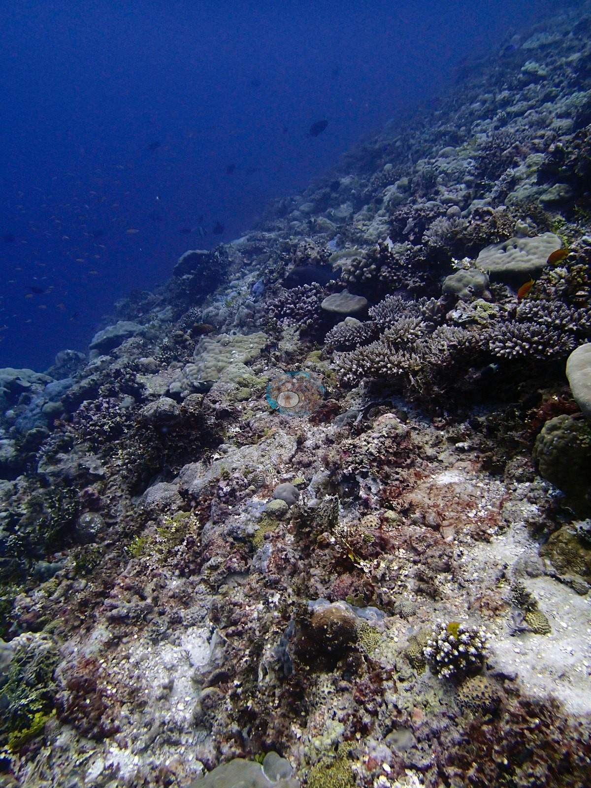
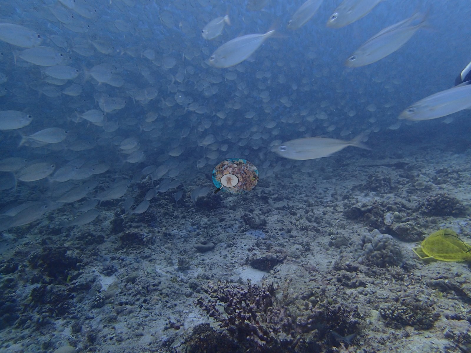
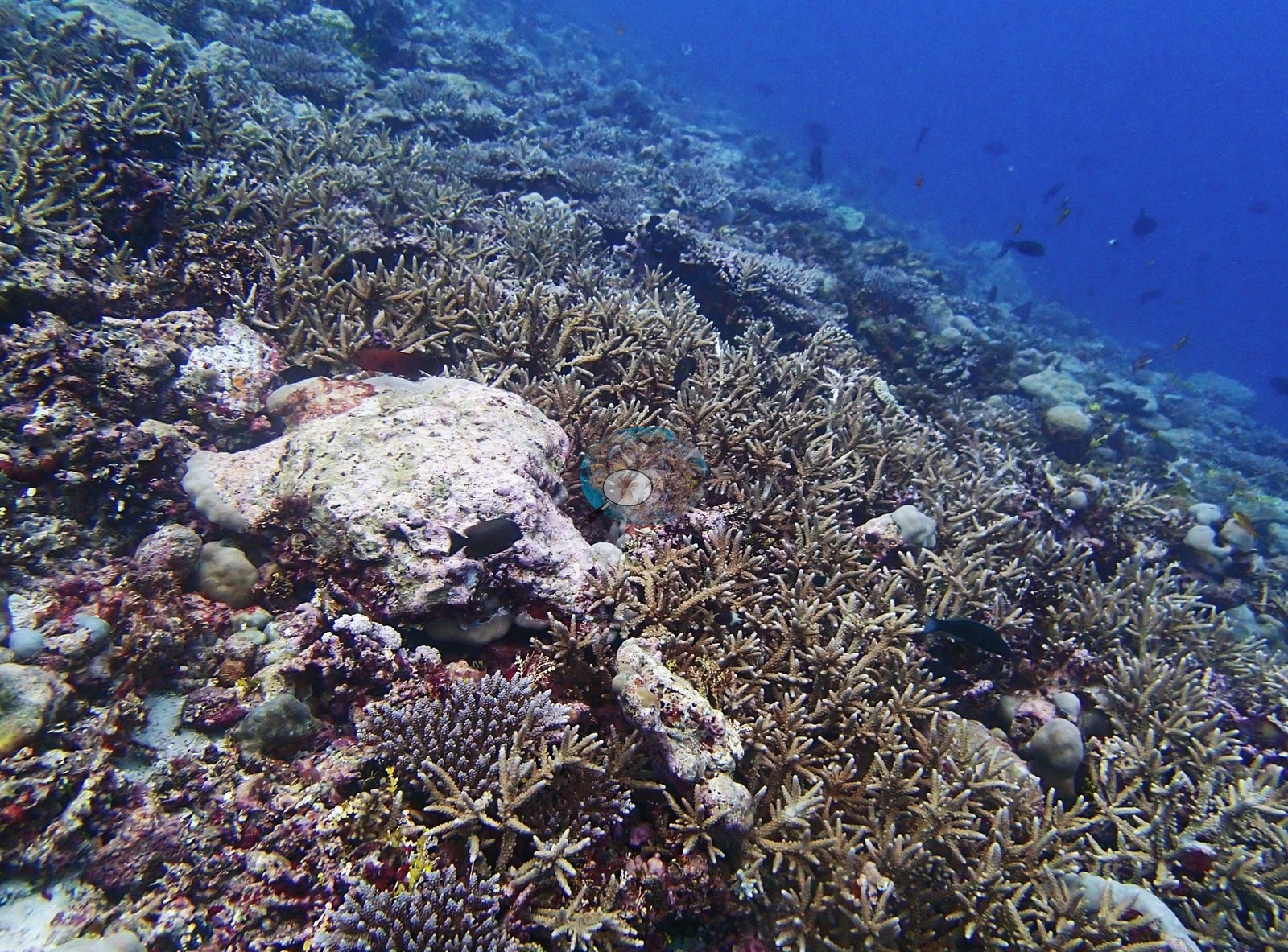
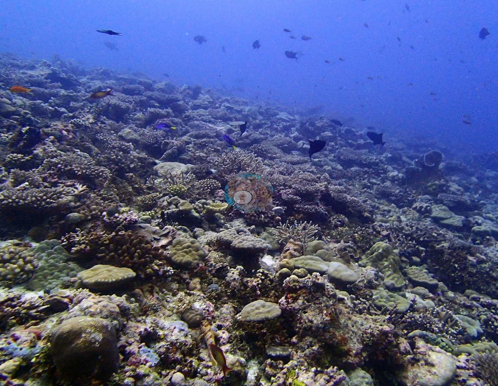
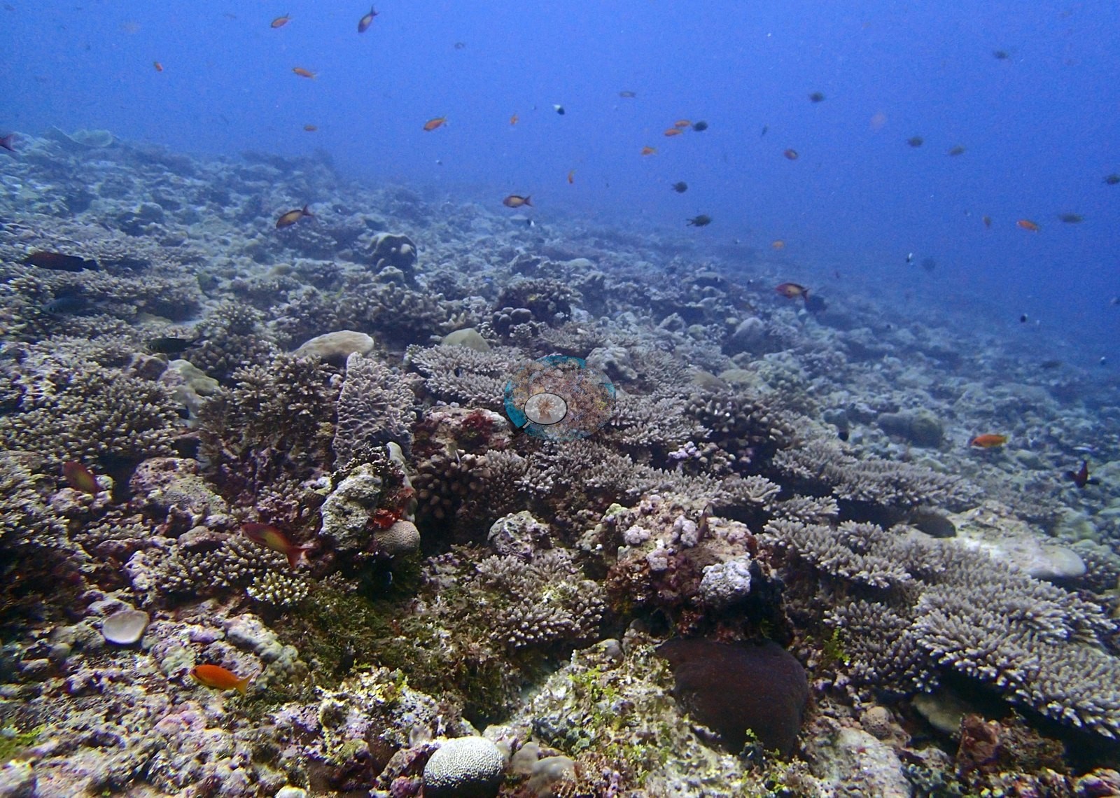
The site photographs as two habitats averaged together, and the split is obvious across the set. The poorer half is extensive low-relief pavement. P3100246, P3100252, P3100255, P3100256, P3100296, and P3100299 are wide views over consolidated, turf- and coralline-crusted hardground carrying only scattered small Porites knobs, small corymbose colonies and rubble; P3100299 in particular has almost no live coral above the plane of the substrate. P3100247 is the same ground seen downward – a mosaic of rubble, encrusting sponges, small massives, and coralline crusts. The richer half is a mound-and-thicket ground. P3100266 is the best of them – dense corymbose and digitate Acropora packed over a mound with pink crustose coralline algae and a mustard-yellow lobed colony in the foreground – and P3100283, P3100287 and P3100297 are comparable close-packed fields of branching and corymbose Acropora over pavement. P3100279, P3100281 and P3100282 sit between the two: mixed assemblages of small mauve corymbose Acropora, cream and fawn massive Porites, dark foliose colonies with pale growing margins, and yellow encrusting sheets. P3100278 and P3100280 look along and over the drop, with planktivores in the blue above the slope. P3100268 is the one close macro of the sessile community – maroon encrusting sponge with open oscula, a gray perforated sponge, pale branching coral tips and yellow-green Halimeda. Non-coral cover is dominated by crustose coralline algae 4.2%, turf 29.7%, Halimeda 2.5% of all points.
Coral cover
The LOF benthic transect is this site's measurement. Coral cover at BIEG02 (Egmont Atoll, dived 10 March 2015) is 31.8% live hard coral, from the LOF BIOT-1 in situ transects (Mayfield & Dempsey 2026, Oceans, suppl. S1), against algal cover of 58.2% of the benthos. That diver-transect survey is the authoritative record of cover and community here. The computer-vision products and the frame-by-frame account below supplement it. No cover value may be read off a photograph, no image-derived product overrides the transect, and nothing in the imagery qualifies or revises it – least of all at a site whose frames straddle two very different habitats.
Method comparison – transects, points and masks. All 23 frames were paired between the two image products. Across methods the same reef reads transects 31.8% · CoralNet points 17.8% · Coralscapes masks 15.2% (23 frames). Both image products read roughly half the transect value, the expected direction at a mid-to-high-cover site where wide oblique frames carry a large fraction of blue water and shadow that a downward transect point never samples. The two products agree closely on assemblage here, which is not always the case: Coralscapes makes non-tabular Acropora much its largest live component at 62.6% of live cover, then massive and meandroid 18.5% and other hard coral 9.3%; the independent 30-point annotation of the same frames (690 points) gives Acropora 61.8%, Porites 22%, other hard coral 8.9% and Pocillopora 7.3%. The very high turf figure is the strongest quantitative support for treating this site as two habitats averaged together – it matches the extensive low-relief pavement zone described below. One further method note: Coralscapes raised a probable-crown-of-thorns flag on P3100277 at 17.7% of frame area, and the photograph confirms it as a true positive – a rare case of the mask model being checkable against an unambiguous subject. These products have different sampling footprints and denominators and should not be averaged; the 31.8% transect stands as the site's cover value.
Also on record for this site: Assemblage composition. Across 23 analyzed frames the Coralscapes masks put live hard coral at 15.2% of image area, of which Acropora (non-tabular) is the largest component at 62.6%; the rest breaks down as massive and meandroid 18.5%, other hard coral 9.3% of live cover. The independent 30-point human annotation of the same frames (690 points) gives live hard coral as 17.8% of all points and apportions it Acropora 61.8%, Porites 22%, other hard coral 8.9%, Pocillopora 7.3% of live coral. The very high turf figure (29.7% of points) is consistent with the extensive low-relief pavement zone described above, and is the strongest quantitative support for treating this site as two habitats averaged together. Coral cover: 32%. Live hard coral measured on the in situ benthic transects of the LOF BIOT-1 expedition (Mayfield & Dempsey 2026, Oceans, supplemental S1), against algal cover of 58.2% of the benthos. The transect figure is this site's authoritative cover value; no image-derived product overrides it. Across methods the same reef reads: transects 31.8% · CoralNet points 17.8% · Coralscapes masks 15.2% (23 frames). These products have different sampling footprints and denominators and should not be averaged.
Stressors
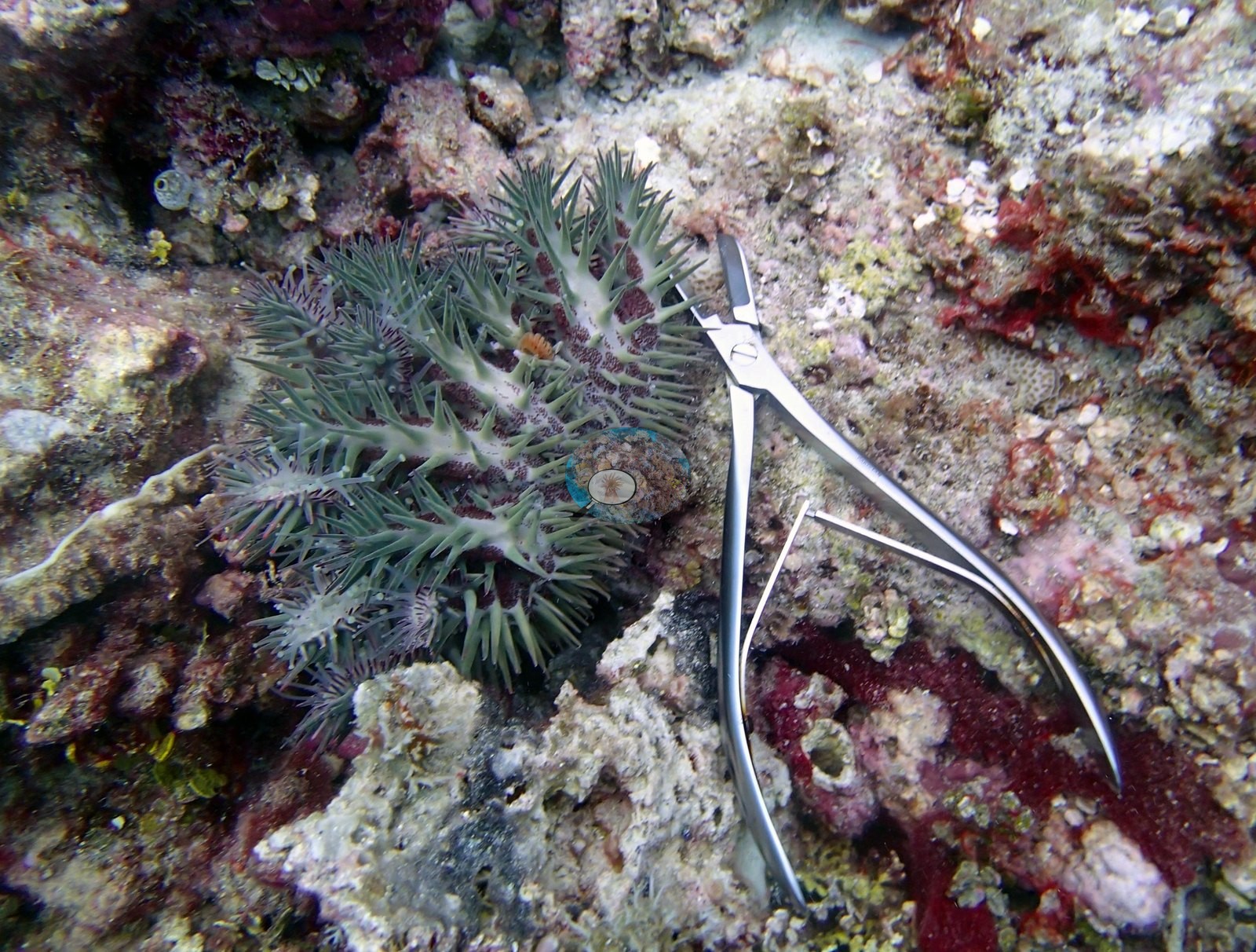
Two coral-predator taxa are documented at this one site, and that is the most consequential content in the set. A crown-of-thorns starfish is unambiguously present in P3100277 – a full-frame Acanthaster with long gray-green spines over a maroon disc, photographed alongside a stainless steel bone rongeur laid on the substrate beside it, plainly a deliberate documentation or collection shot. Survey and collection gear appears in three frames – a stainless transect T-bar, camera rig and yellow mesh collecting bag on the pavement in P3100246; the bag again in P3100252; the rongeur beside the crown-of-thorns in P3100277 – fixing these as working survey images rather than pure scenics.
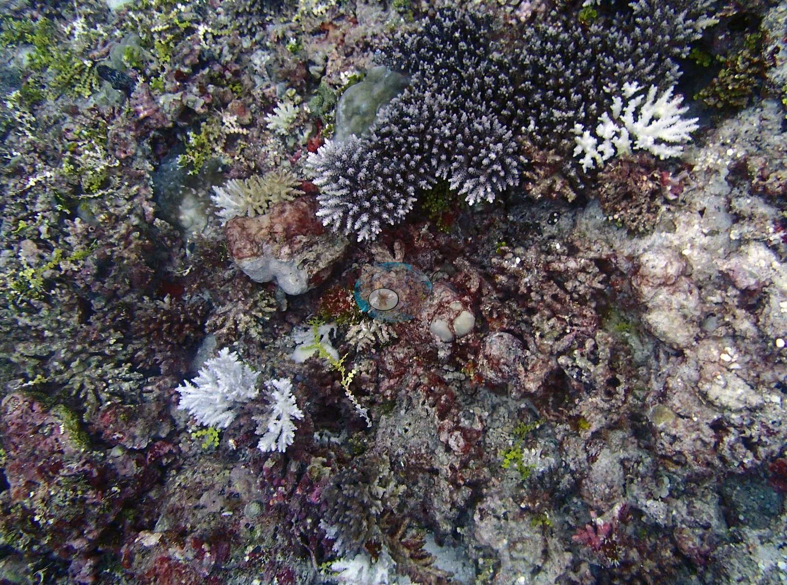
Condition. This is an early-March dive, before the 2015 bleaching had properly developed, and the reef in these frames is fully pigmented fawn, lilac, mauve, and olive throughout. Whitening is nevertheless present, it is not zero, and it is instructive. P3100286 is the key frame: four to five fully bone-white branching Acropora colonies stand out against pigmented dark neighbors in a single macro field, alongside several partially blanched colonies – a tight cluster of affected colonies rather than diffuse whitening across the frame. P3100288 adds a second, separable signal: a large massive Porites whose surface is chalk-white and algal-fuzzed across its entire upper face, sitting in the middle of an otherwise healthy staghorn thicket. That reads as recent mortality – a dead skeleton beginning to be colonized – rather than active bleaching, and the two should not be pooled. No bleaching percentage is estimated from these images and none is tested against them. Anderson's published per-site percentage bleached is the authoritative figure for this reef; the photographs record which colonies and which growth forms were affected, and that a distinct recent-mortality signal is present alongside them. Structural loss registers as dead coral 2.7% of image area and rubble 6.8%. Bleaching stands at 0.4% of annotated points, concentrated in Acropora 0.3%, other hard coral 0.1% of points. Crown-of-thorns detected in P3100277.jpg (17.7% of frame) — see the COTS log.
Fish and other fauna
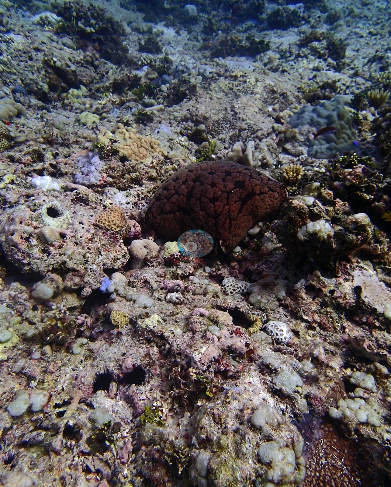
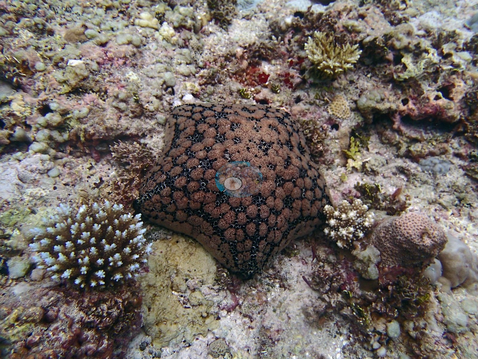
Separately, two pincushion sea stars compatible with Culcita novaeguineae appear – the brown, black-netted cushion in P3100247 and a second, very cleanly photographed individual in P3100298, the latter resting within centimeters of a small white-tipped Acropora. Culcita is itself a corallivore, so with the Acanthaster this dive documents two coral-predator taxa at one site.
Fauna. Two gray reef sharks compatible with Carcharhinus amblyrhynchos patrol the blue water off the drop in P3100269 and P3100270. Dense silver schools – bigeye scad or fusiliers compatible with Selar or Caesio – sweep the reef top in P3100252; unicornfish compatible with Naso hang over the slope in P3100256; orange anthias compatible with Pseudanthias cloud almost every coral-dominated frame (P3100255, P3100278, P3100279, P3100296); and two palette surgeonfish compatible with Paracanthurus hepatus are clearly visible in P3100282, with small blue surgeonfish also in P3100279. Sponges register in 7 of the paired frames, urchins in 1 and sea cucumbers in 1. Conspicuous fauna and sessile invertebrates appear as sponges in 7 frames, urchins in 1 frame, sea cucumbers in 1 frame.
Comparisons with other data
No independent survey was made at this exact site; the nearest ones are listed in the table below.
Other notes
Image-by-image. Twenty-three habitat frames, P3100246 to P3100299. Anderson's own folder tag for this dive is BiEg02-finished-great dive – his field annotation, and the frames show why: two coral-predator taxa, two sharks and the richest coral mound of the Egmont set all come from this one swim. There are no sampled-colony frames. Quality is generally good, with a few hazy blue-cast frames (P3100278, P3100280, P3100299) and two water-column-only shark frames carrying no benthic information. No quadrat or scale bar appears anywhere, so no colony dimension here should be treated as measured.
CV model comparison
More info
Those are point counts on the photographs; this is a diver swimming a transect. The models and the reference never saw the same thing. ⚠ SITE-LEVEL ONLY. The 2,500 frames were not associated with any transect taken within 200 m of them, so transect-vs-image comparisons are site means, never frames. The transect value is already in the pin `cover` field (109 of 112 pins, sourced to the paper's suppl. S1) and is read from there, never re-imported. The transect is THE coral-cover value for this site and stands alone. The rows below it are a methods comparison only: no computer-vision value is averaged with it, feeds the headline, or carries over to the site's cover figure (Anderson, 2026-09-22).| Method | Hard-coral cover (%) |
|---|---|
| Transect (published) | 31.8 |
| In-house DINOv3 | 23.7 |
| CoralSCOP edited | 23.7 |
| Claude | 18.2 |
Independent surveys nearby
| Agency / program | Year(s) | Stations / distance | Link |
|---|---|---|---|
| Spalding et al. 2025 (Chagos 2024 bleaching report) | 2024 | 3 stations, 2.97 km | Records ↓ |
| XL Catlin Seaview Survey | 2015 | 2 stations, 3.25–3.76 km | Records ↓ |
Within 5 km, 5 independent survey stations recorded hard coral cover in 5 records between 2015 and 2024. One survey since 2021 recorded 5.0%; 2 best-patch values above 70% are left out, as they are not site means. This site's own estimate (32%) sits 26.8 points above the recent value (5.0%); the methods differ, so the comparison is context, not a like-for-like test.
Collected by other programs using different methods (the XL Catlin Seaview Survey uses photo-transects with automated image annotation), so these are context for the figures above, not a like-for-like comparison. Where a station was surveyed more than once the range is shown. Station names are not dive-site names. Values marked best patch exceed 70%: surveyors usually chose the richest area, so they are not site means.
| Agency | Site / location | Date | Hard coral cover (%) | Distance | Link |
|---|---|---|---|---|---|
| XL Catlin Seaview Survey | transect 36028 | 2015 | 11% | 3.25 km | — |
| XL Catlin Seaview Survey | transect 36029 | 2015 | 29% | 3.76 km | — |
| Spalding et al. 2025 (Chagos 2024 bleaching report) | Egmont Manta Alley (ocean, NE aspect, 2-5 m) | 2024 | 5.0% | 2.97 km | — |
| Spalding et al. 2025 (Chagos 2024 bleaching report) | Egmont Manta Alley (ocean, NE aspect, 5-8 m) | 2024 | 80% best patch | 2.97 km | — |
| Spalding et al. 2025 (Chagos 2024 bleaching report) | Egmont Manta Alley (ocean, NE aspect, 8-10 m) | 2024 | 80% best patch | 2.97 km | — |
Data & links
- Read the full site report ↗
- Download benthic survey data (CSV) ↗
- Download all LOF-GRE data (933 sites) ↗
- CoralNet image repository for this region ↗
- Photo portfolio ↗
- Coral Reef Diagnostics page for this area ↗
All images from Coral Reef Diagnostics. Data are from Coral Reef Diagnostics and the organizations named in the data-sources table above.
© Coral Reef Diagnostics.
References
- Mayfield AB, Dempsey AC (2026). Using tourist diver images to estimate coral cover and bleaching prevalence in a remote Indian Ocean coral reef system. Oceans 7(1):1. PDF
- Spalding M, Bourasseau M, et al. (2025). Coral bleaching and mortality in the Chagos Archipelago, 2024. British Indian Ocean Territory Administration report (gray literature). PDF