
Flamingo Reef (Key Biscayne)
Part of the regional summary: USA - Florida
More info
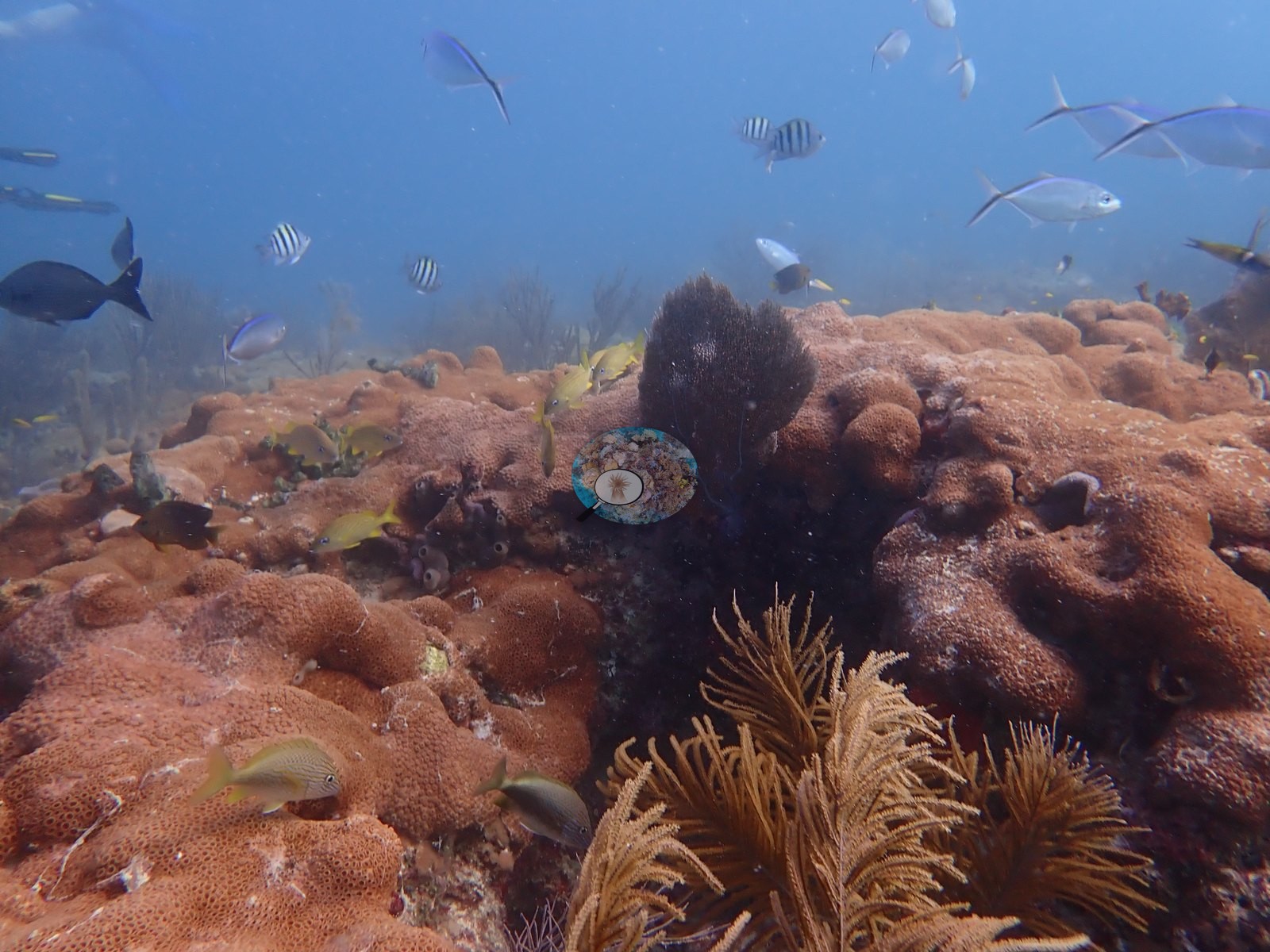
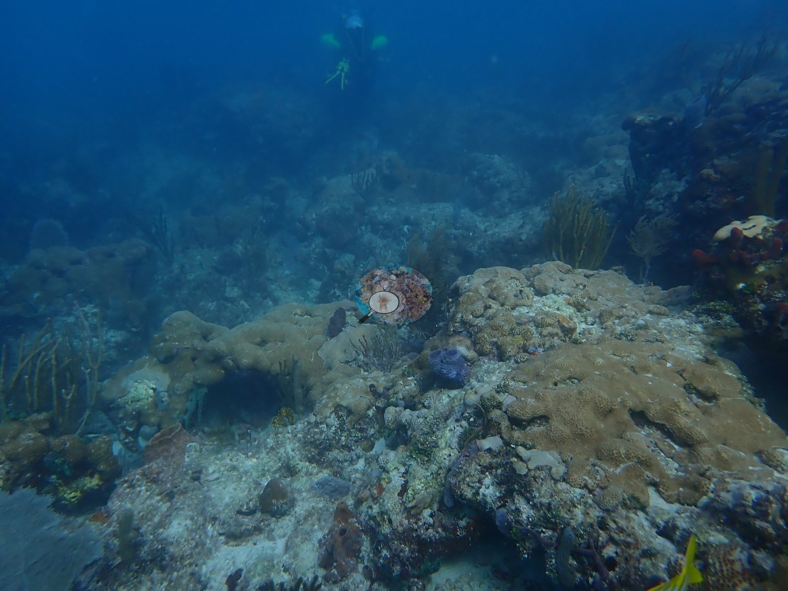
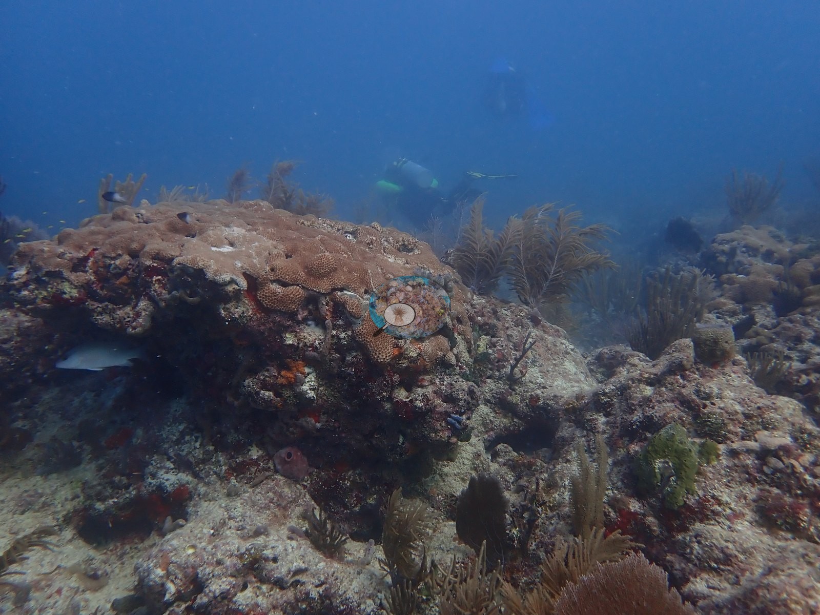
Southeast Florida (NOAA CRW virtual station)Flamingo Reef is a low, flat limestone hardbottom off Key Biscayne dotted with sea plumes, giant barrel sponges, and brain corals, with no branching Acropora anywhere; its large mounds are draped in the zoanthid Palythoa, which Anderson's log says has smothered the reef. Spiny lobsters crowd the ledges, and two colonies have stony coral tissue loss disease (SCTLD, Anderson's field call), and others show white patches or partial mortality.
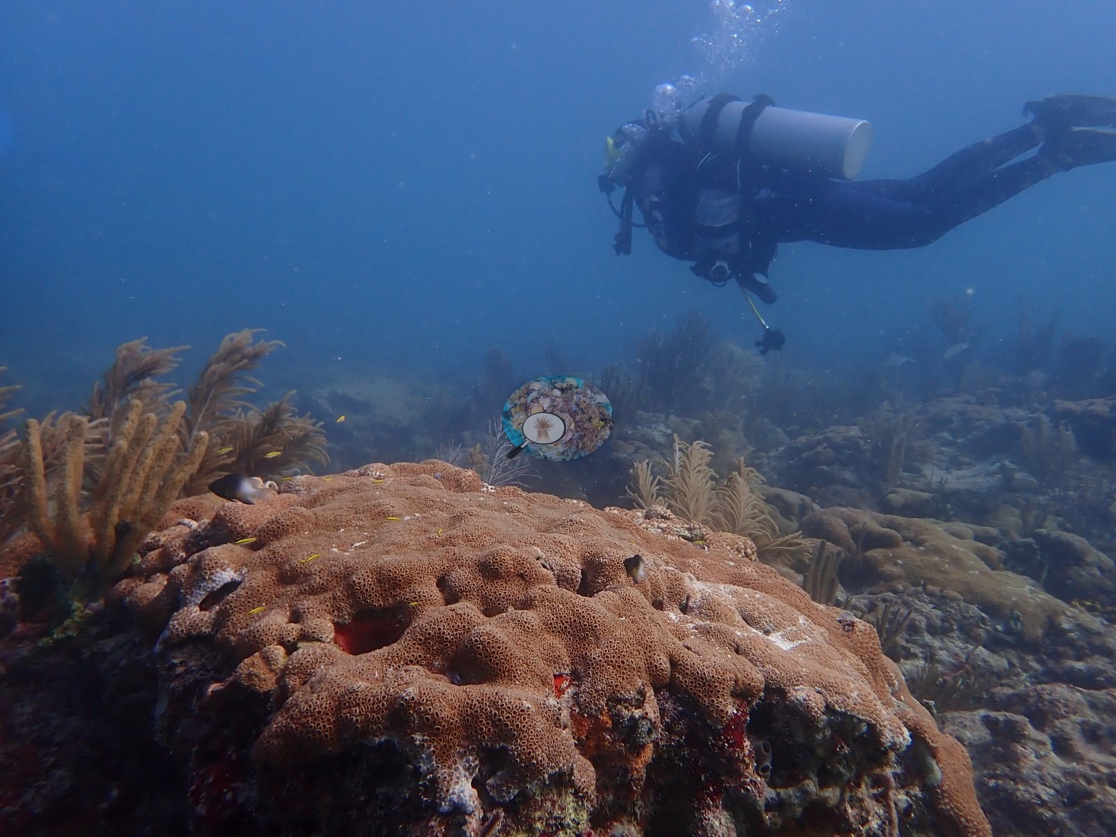
Eighteen independent survey stations shown with the program’s logo — click one to see how far it is from this site.
Five other CRD dive sites with their own pages within 5 km shown in orange — click a marker to open its page.
This page shows 52 of the 58 photographs from this site, including every one the text cites.
Site description
Setting
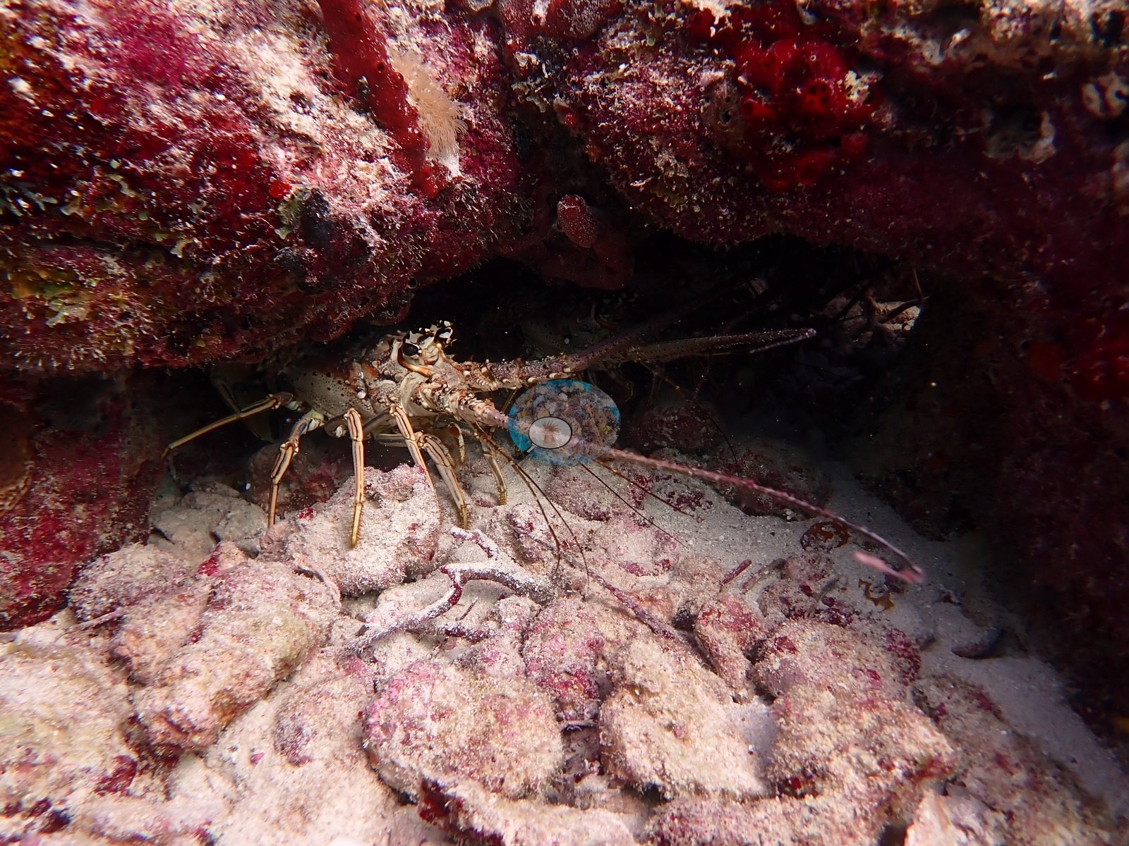
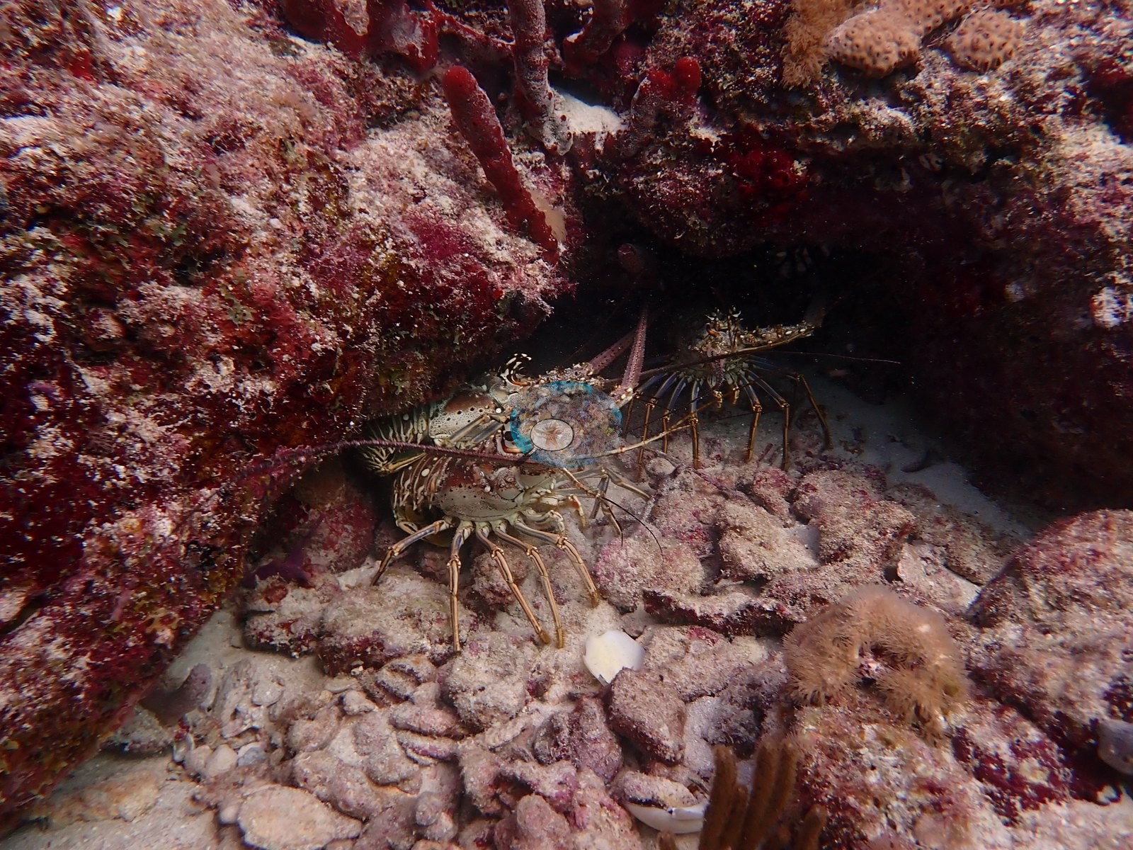
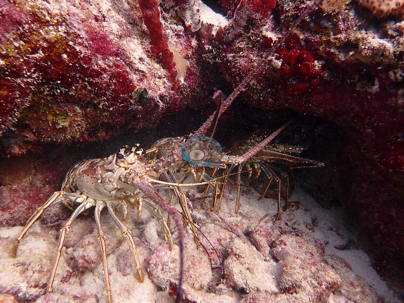
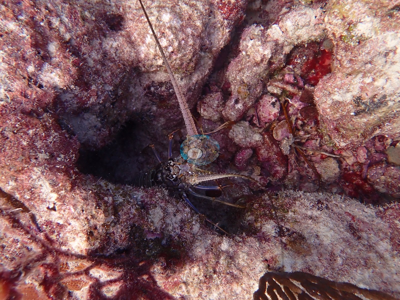
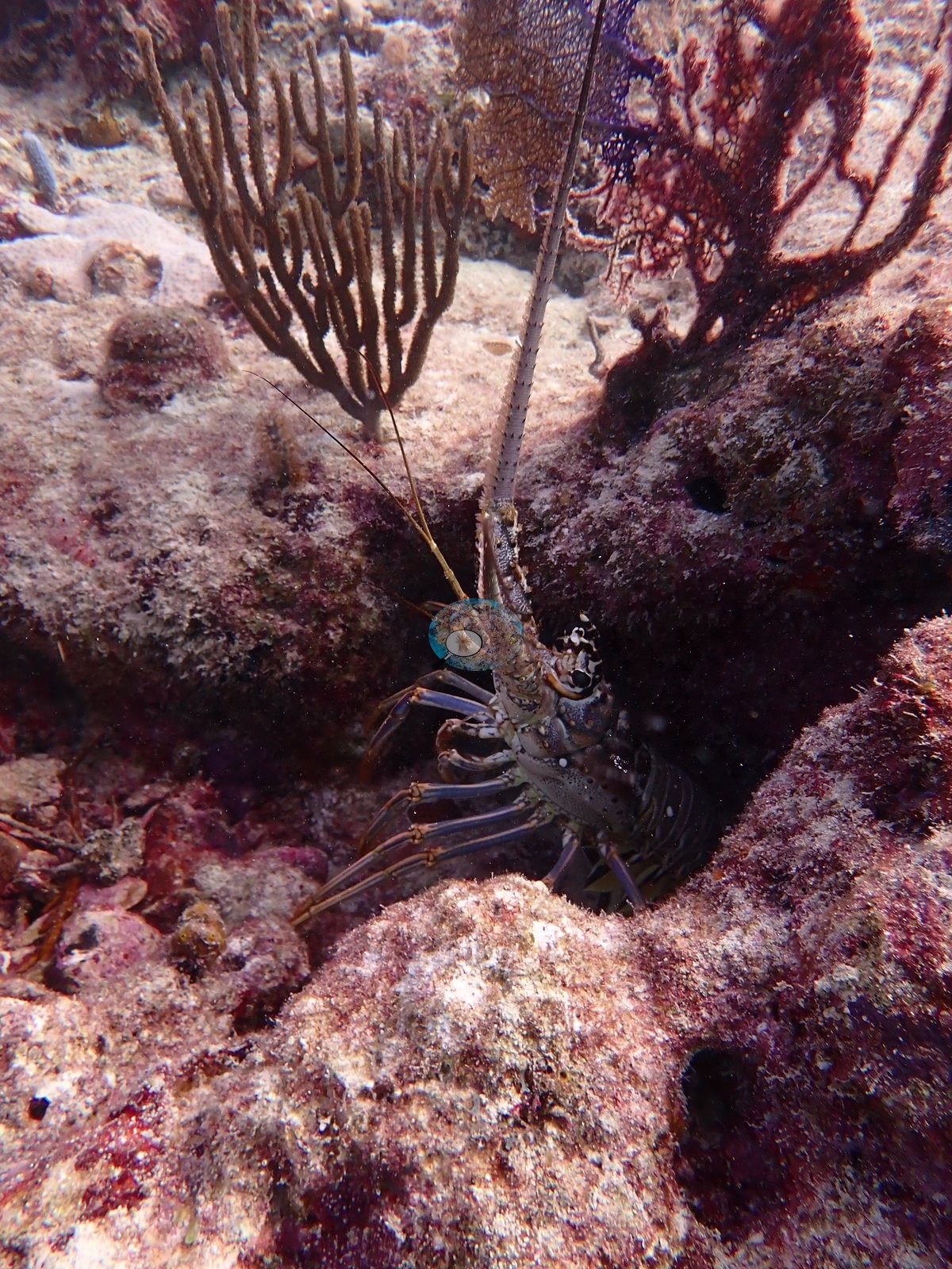
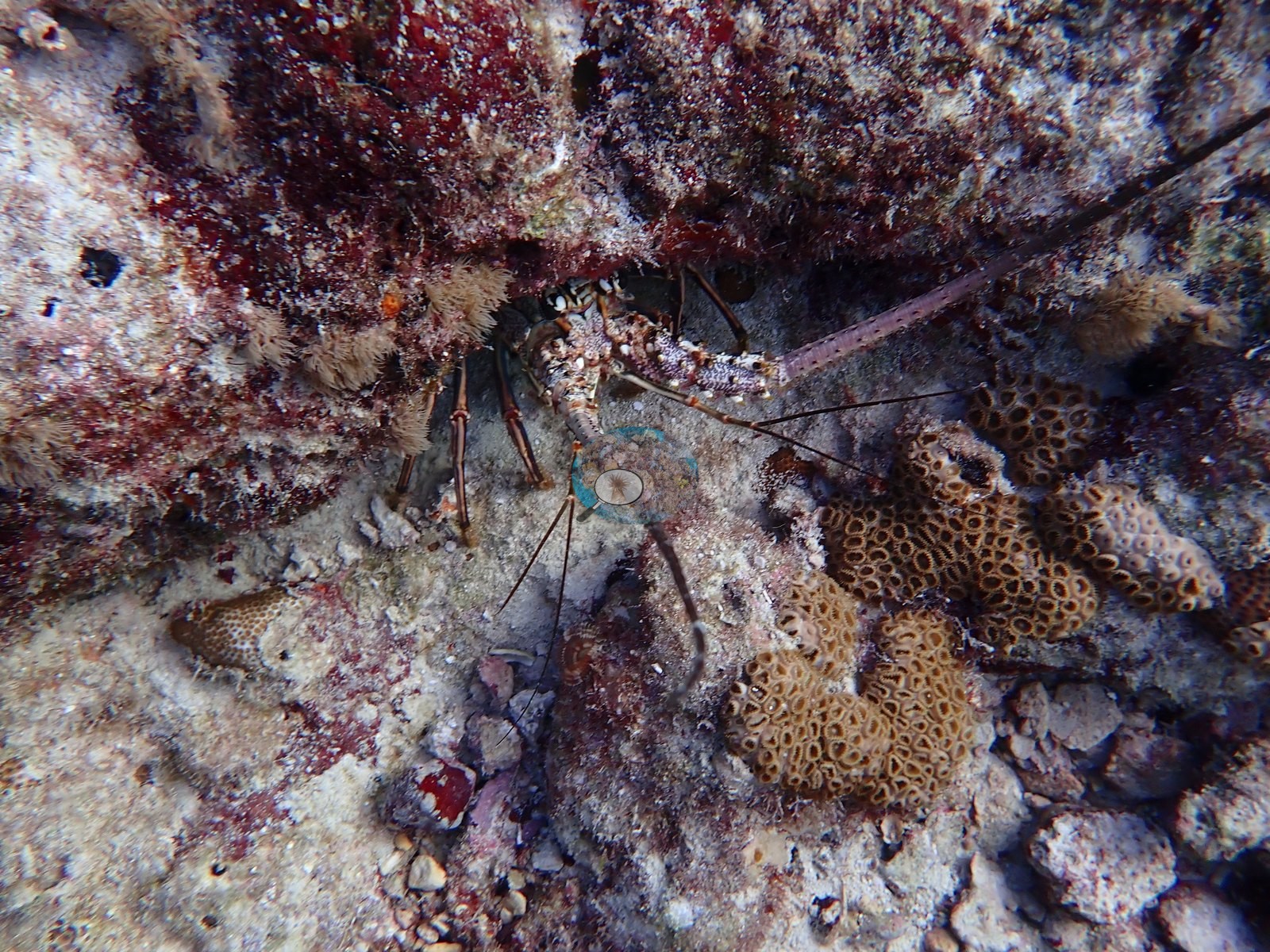
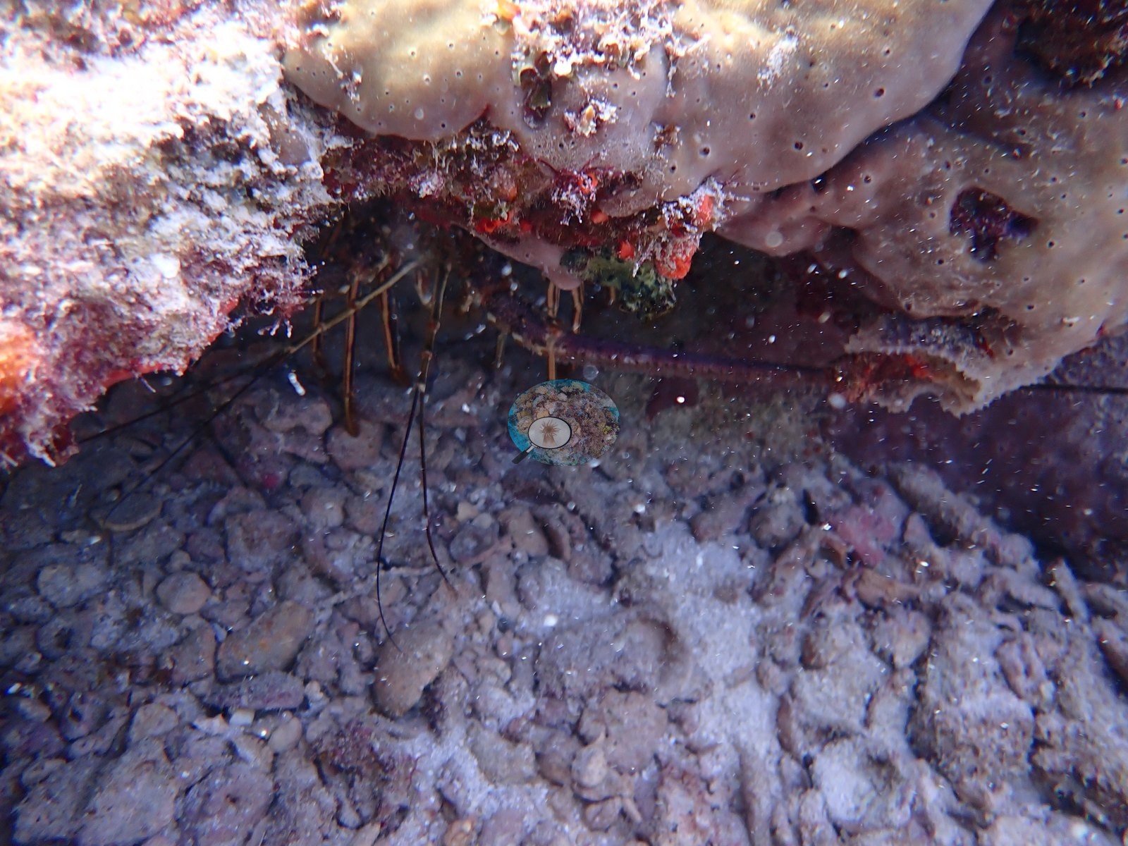
Flamingo Reef is natural reef: a low-relief Florida hardbottom/patch-reef system of flattened limestone pavement and spur-and-ledge. Undercut ledges and small overhangs are the other structural element, and they are where the mobile fauna is (e.g., Image 36, Image 38-Image 40, Image 42, Image 43, Image 55, Image 58).
General benthic features
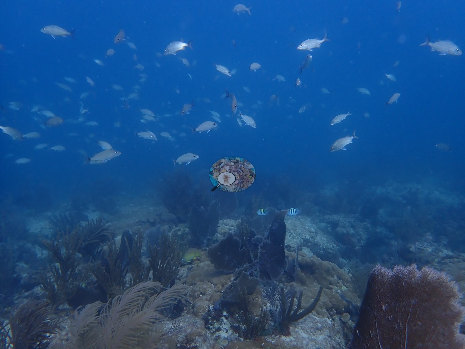
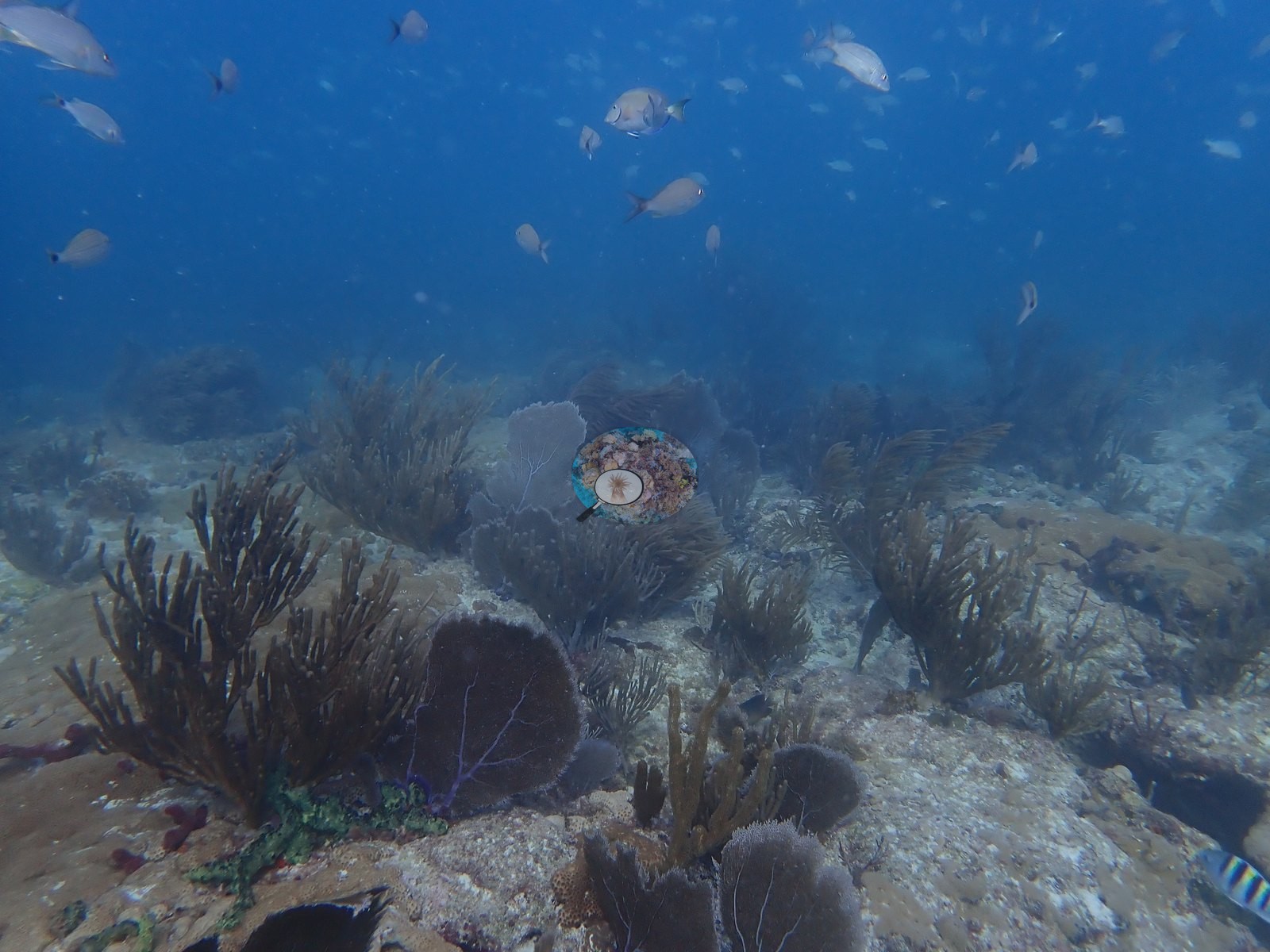
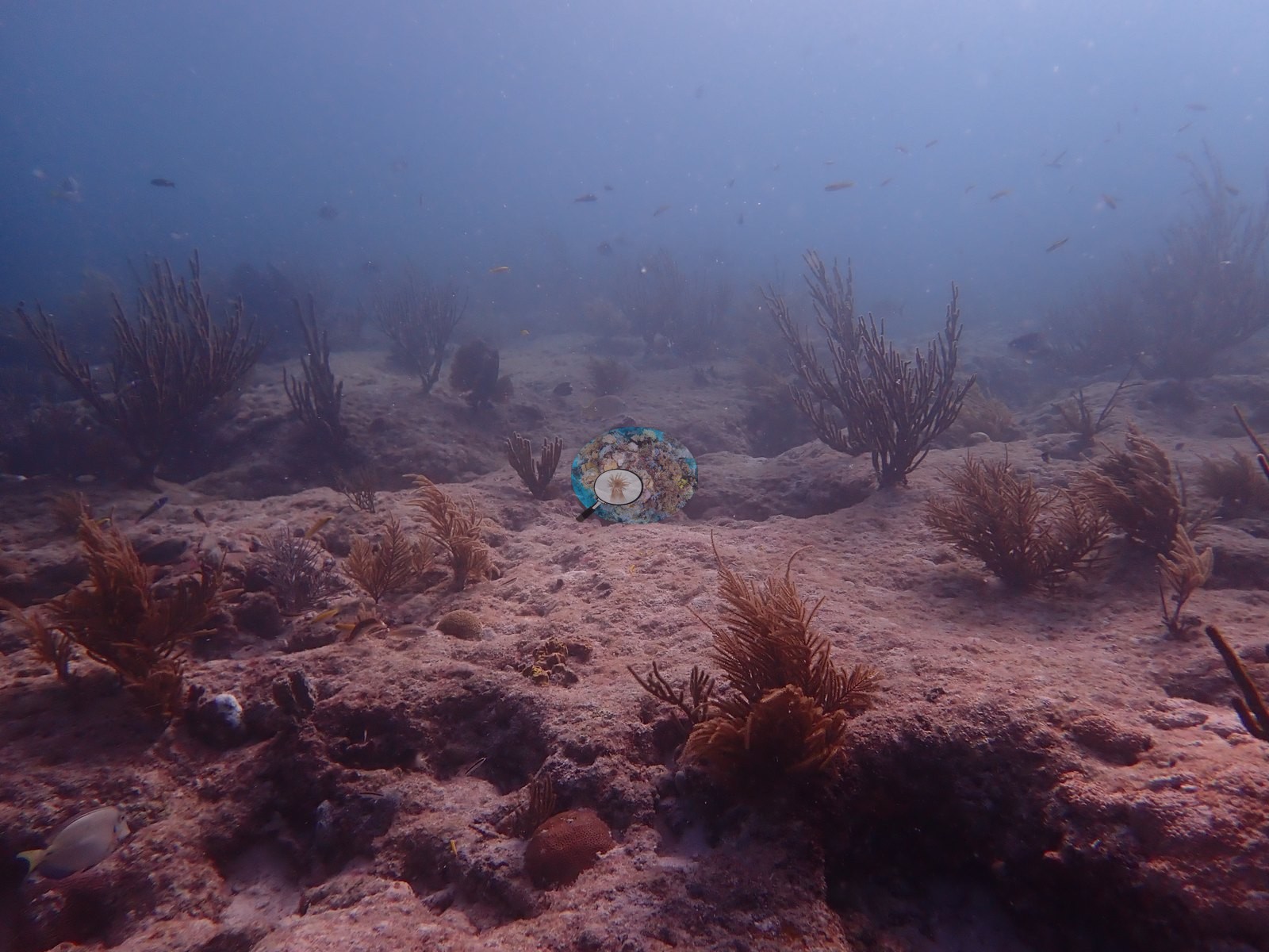
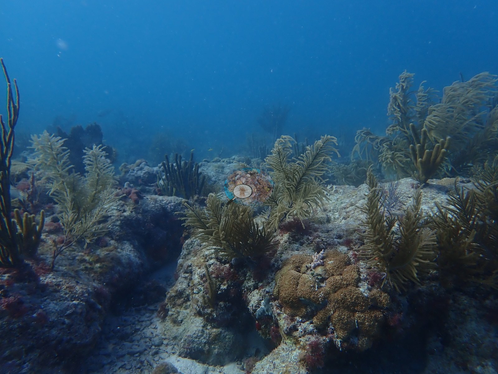
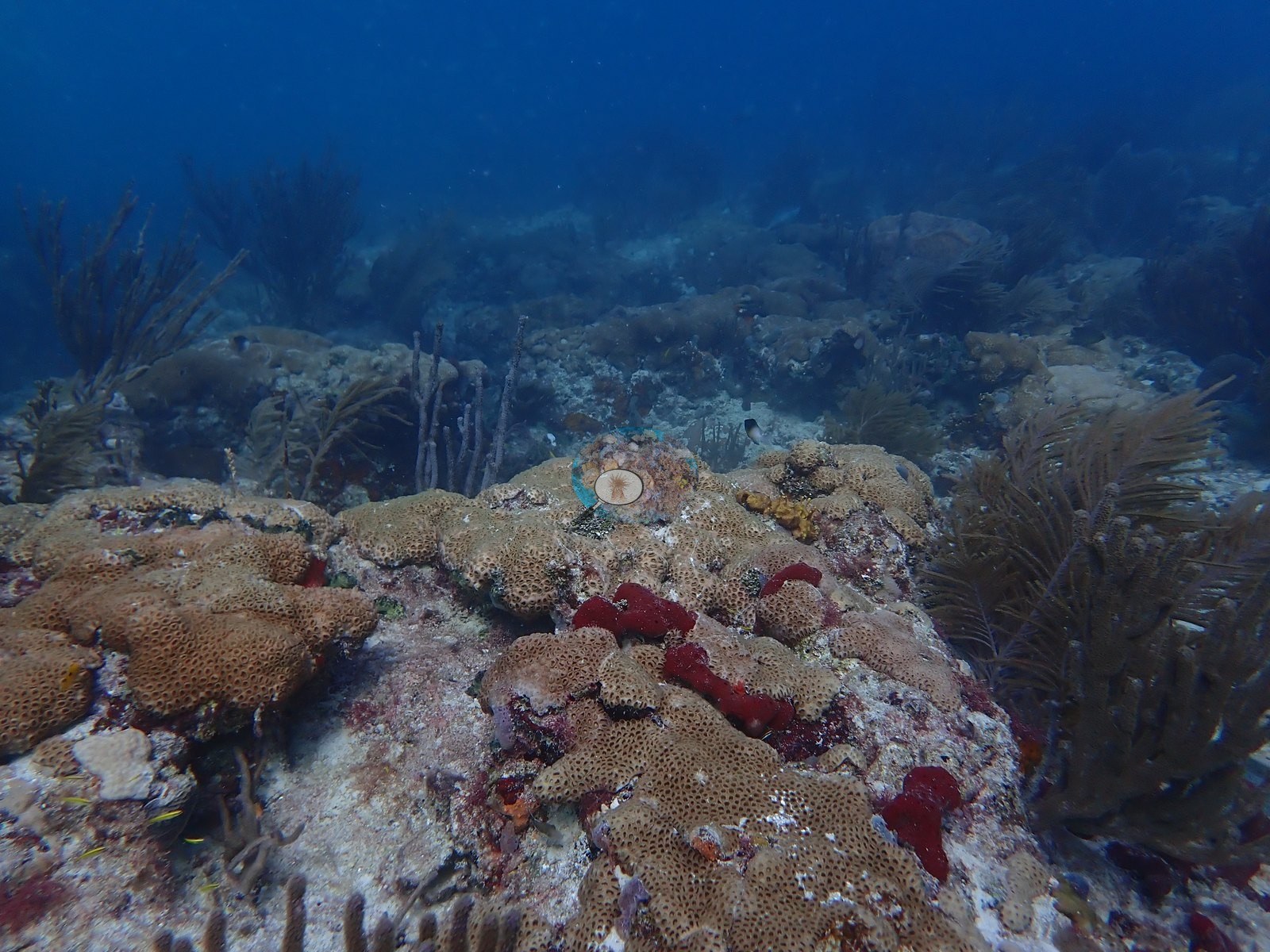
Image 2, Image 3, Image 10, Image 11, Image 24, Image 25, and Image 26 show a broadly flat, sediment-veneered pavement with only modest vertical relief, thinly to moderately populated with gorgonians — sea plumes, sea rods, and the occasional sea fan — and punctuated by discrete mounds, most of them draped in zoanthid mat (see below), sitting proud of the substrate rather than by any continuous reef framework. Image 41 and Image 47 are the most gorgonian-dense views, with bushy sea plumes and thick blunt-tipped sea rods standing over an encrusted pavement carrying sponges.
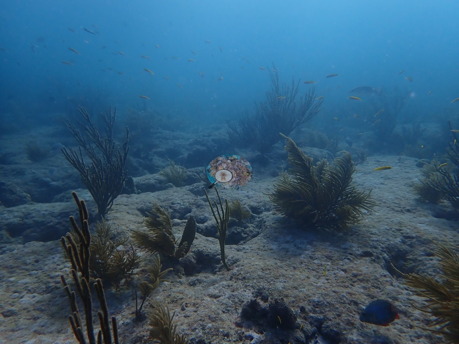
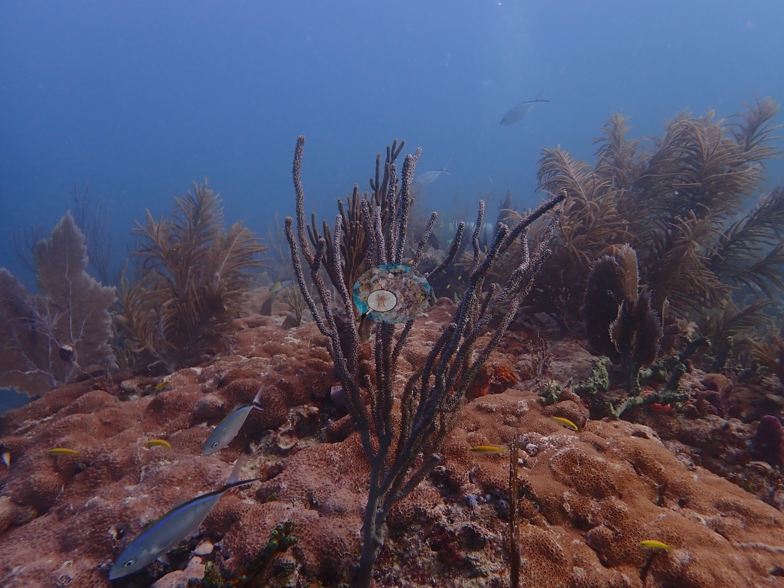
Sand and rubble patches lie between the outcrops (e.g., Image 21, Image 22, Image 50).
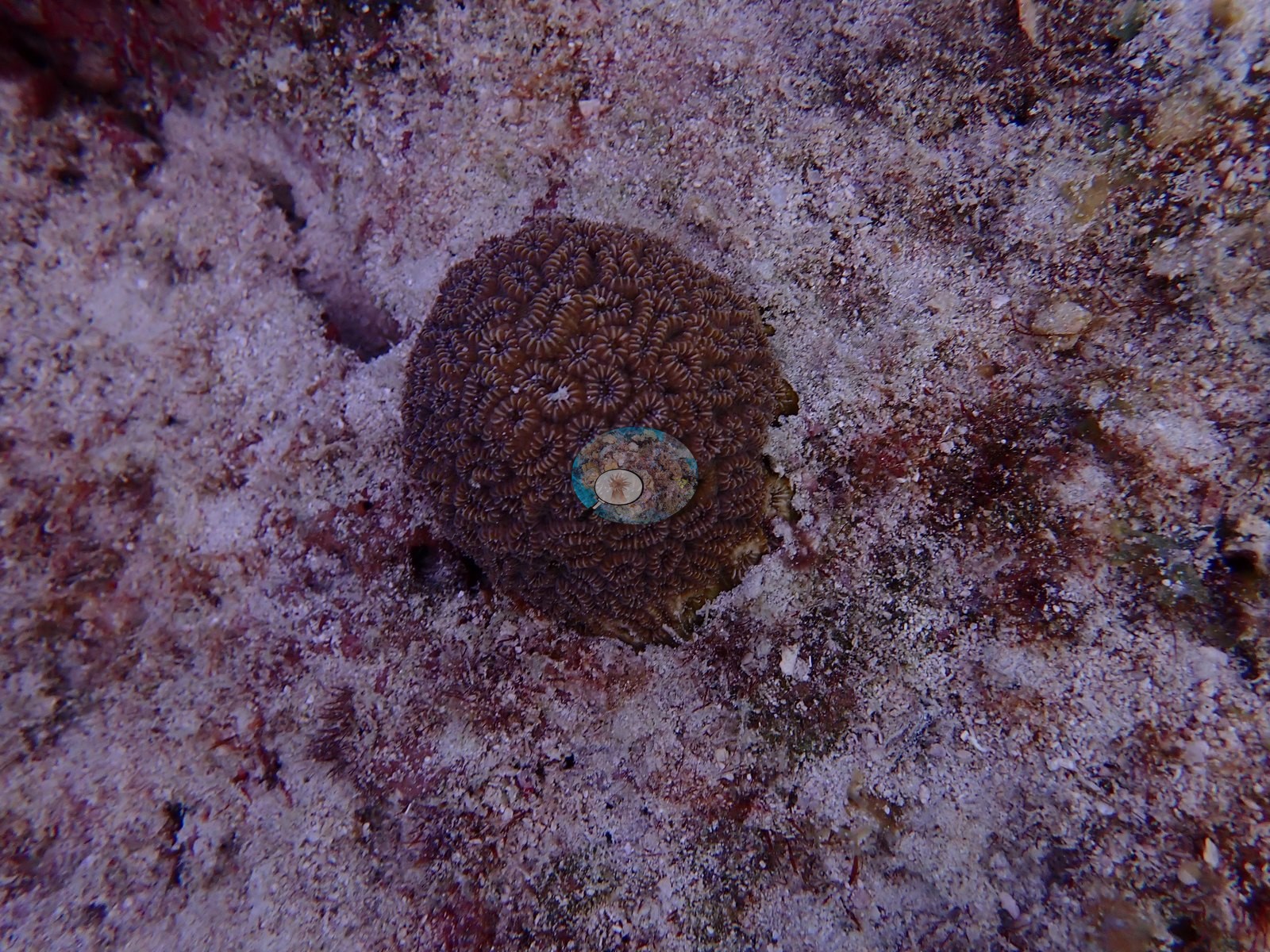
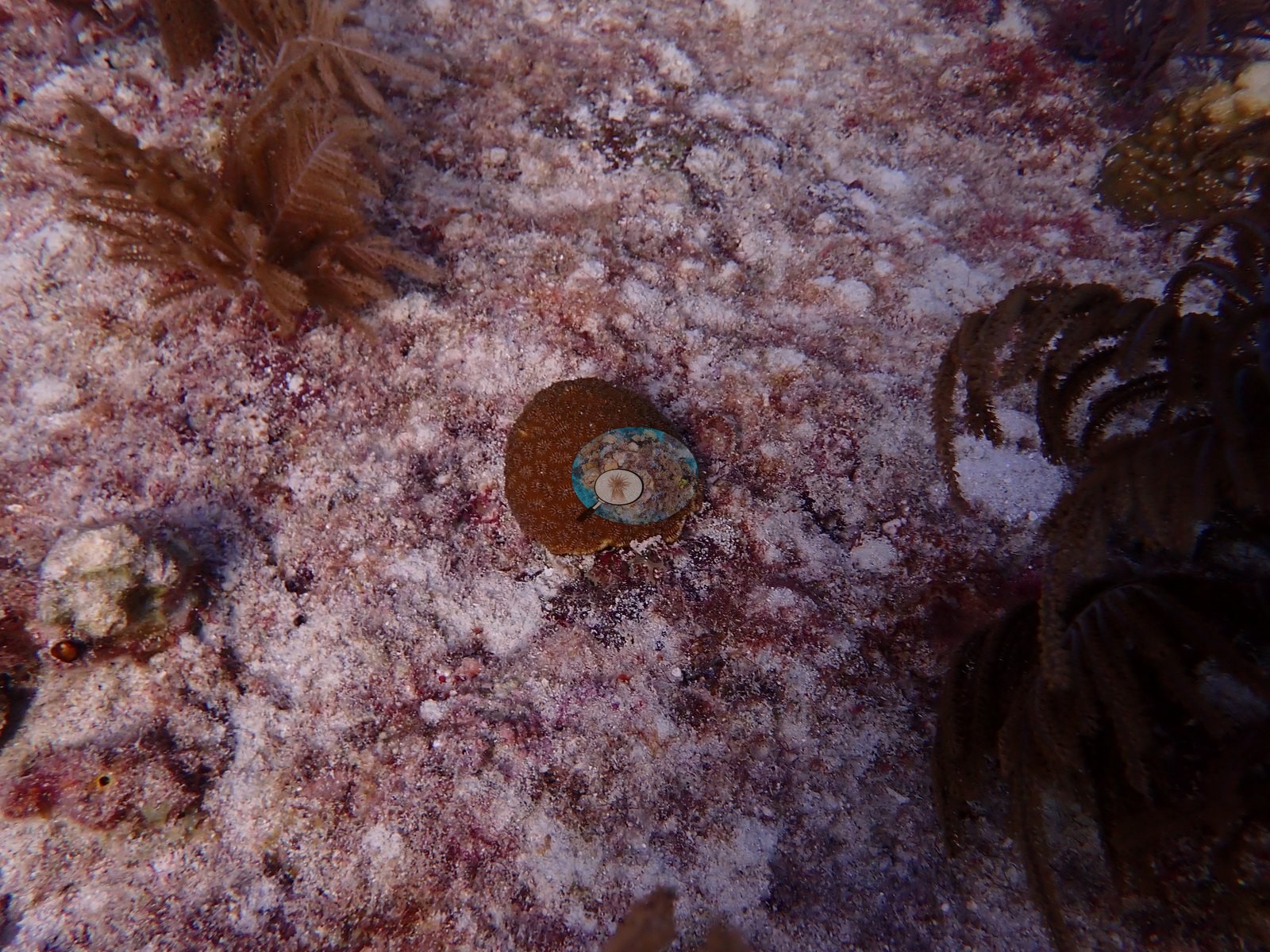
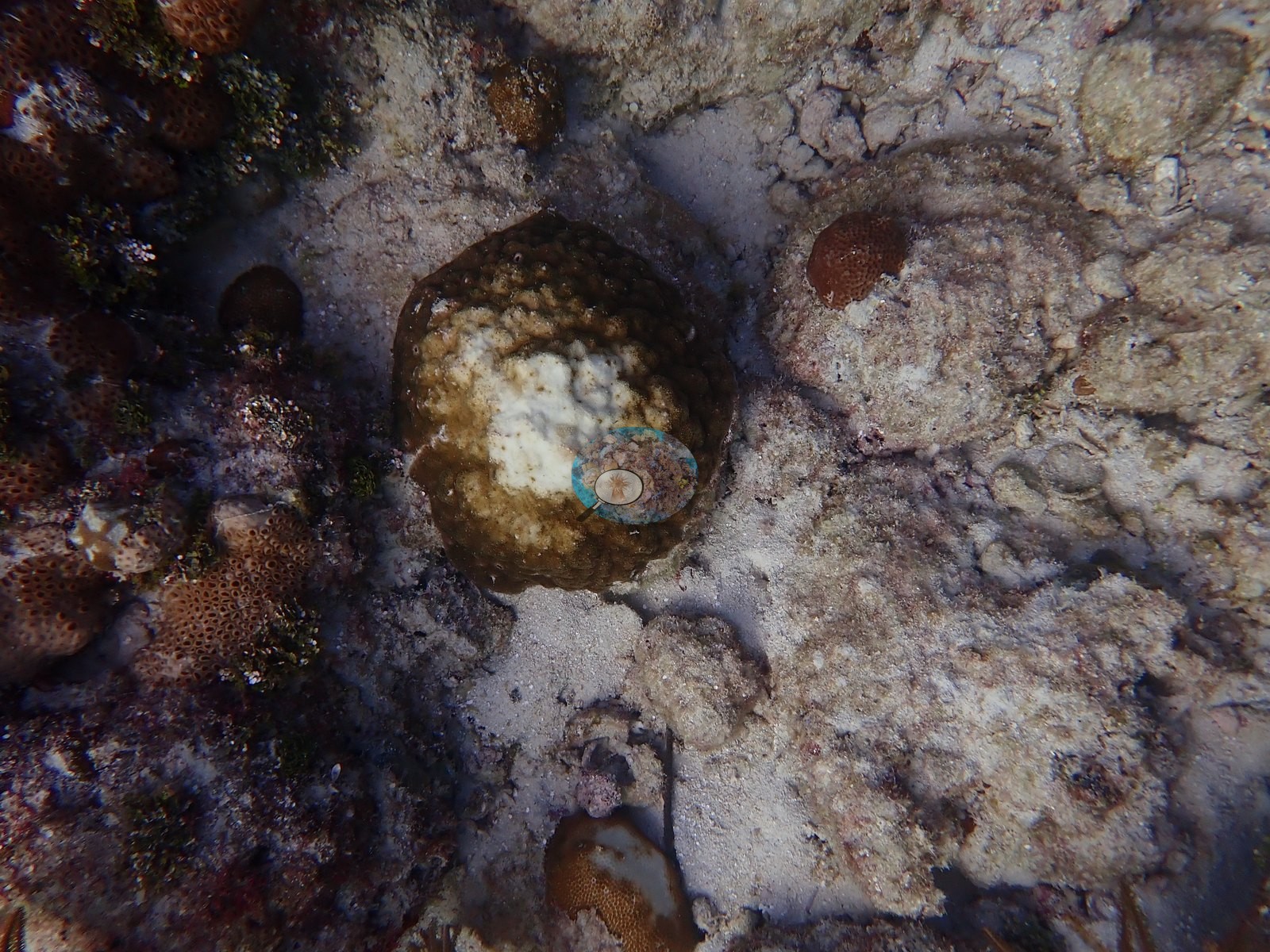
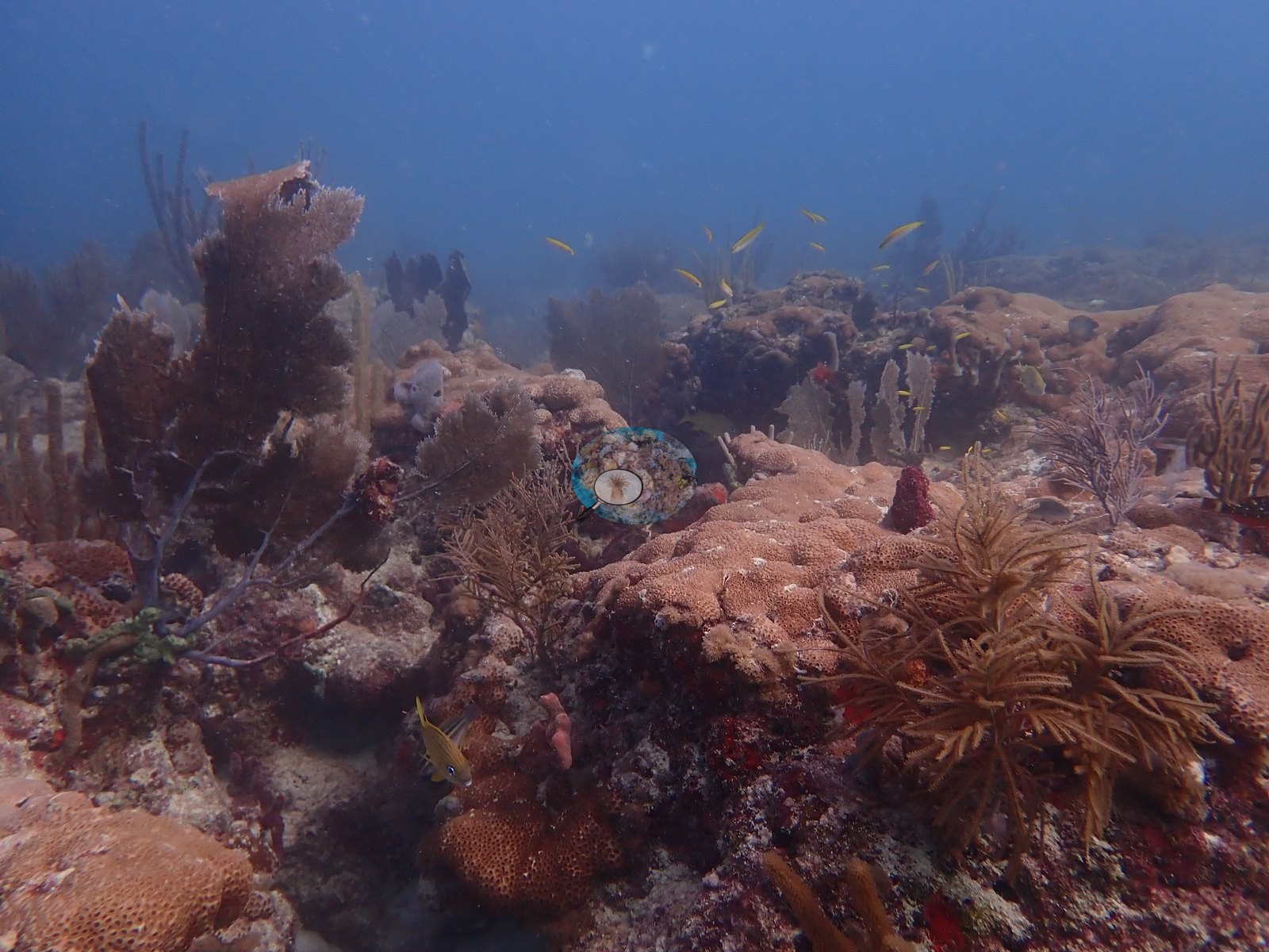
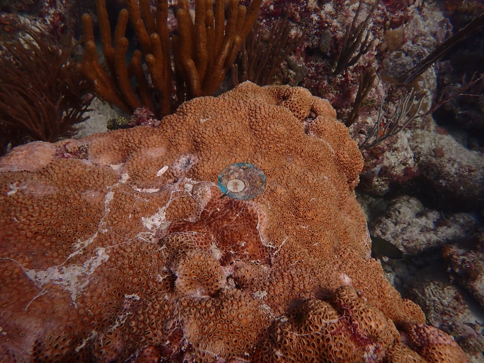
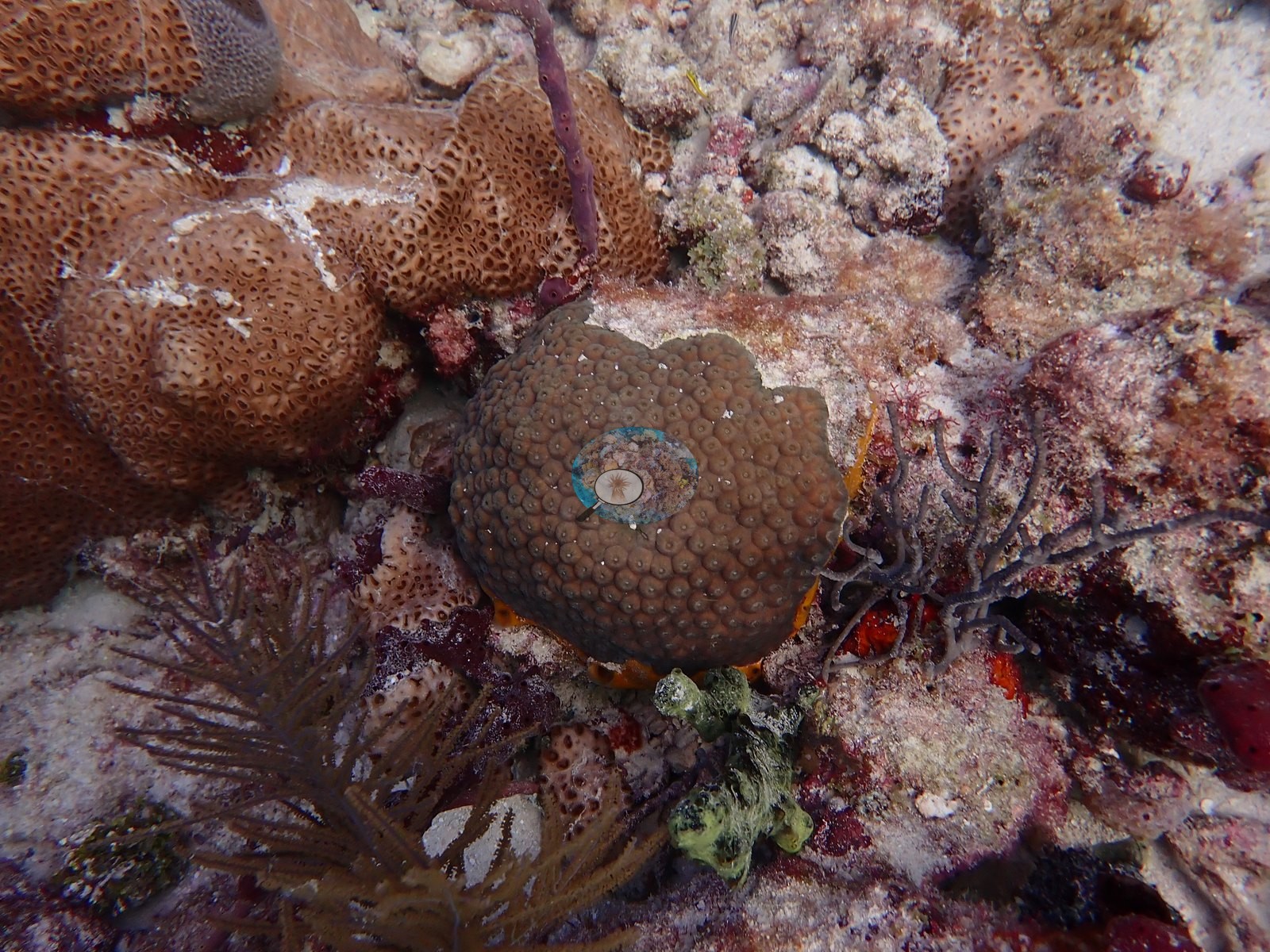
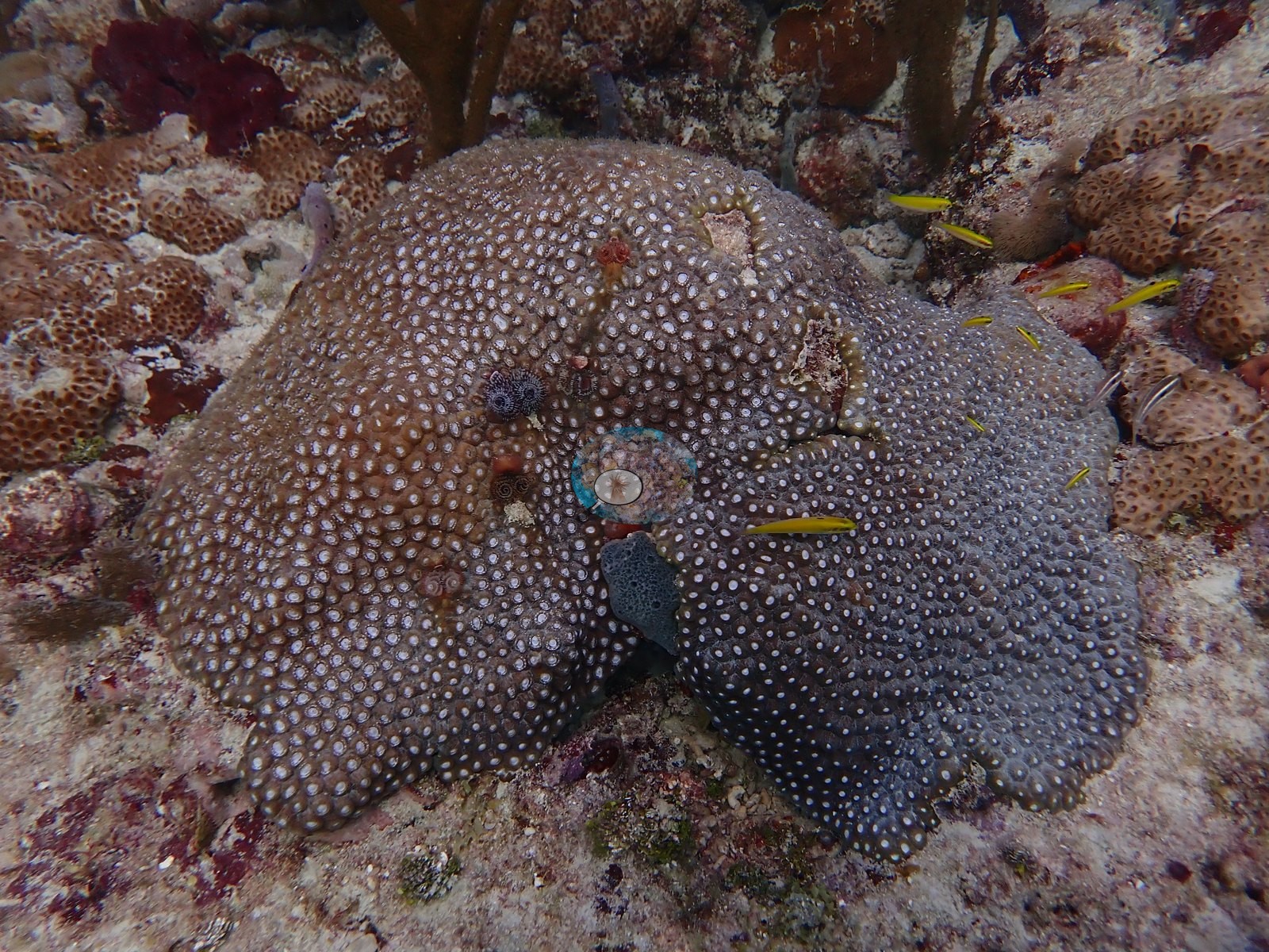
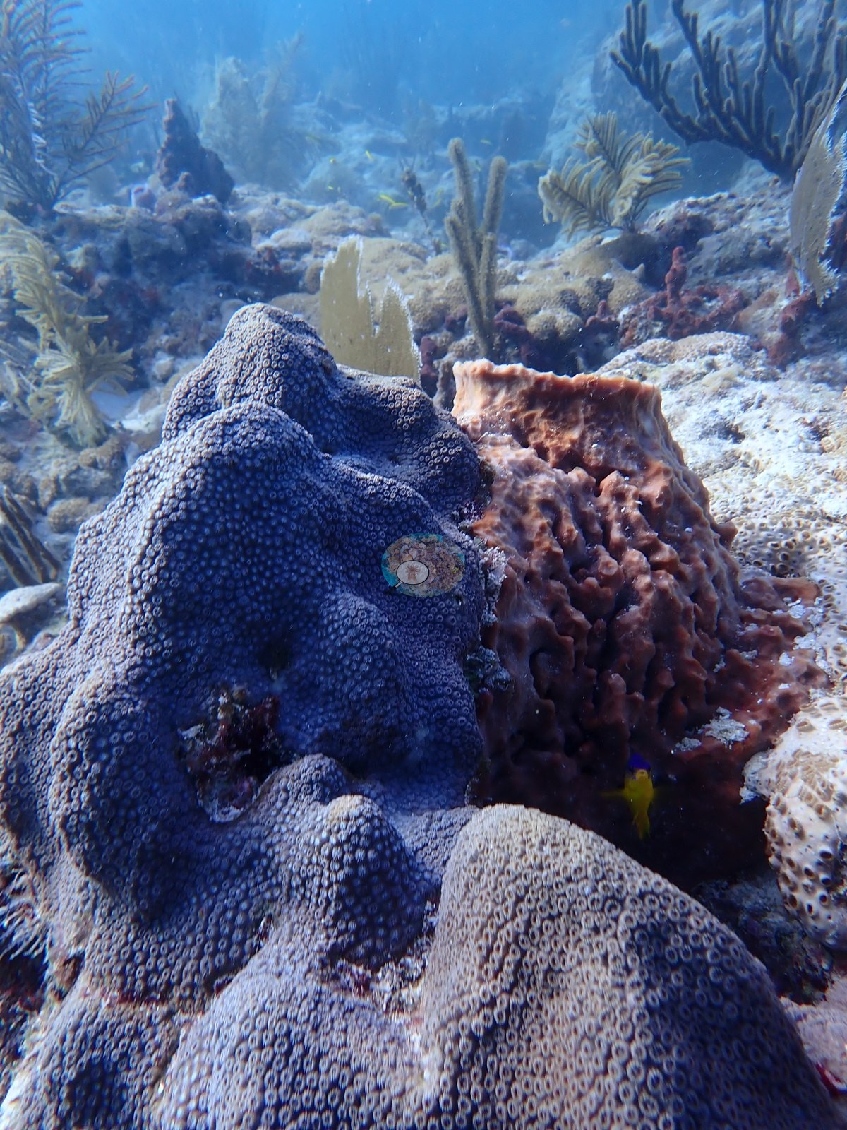
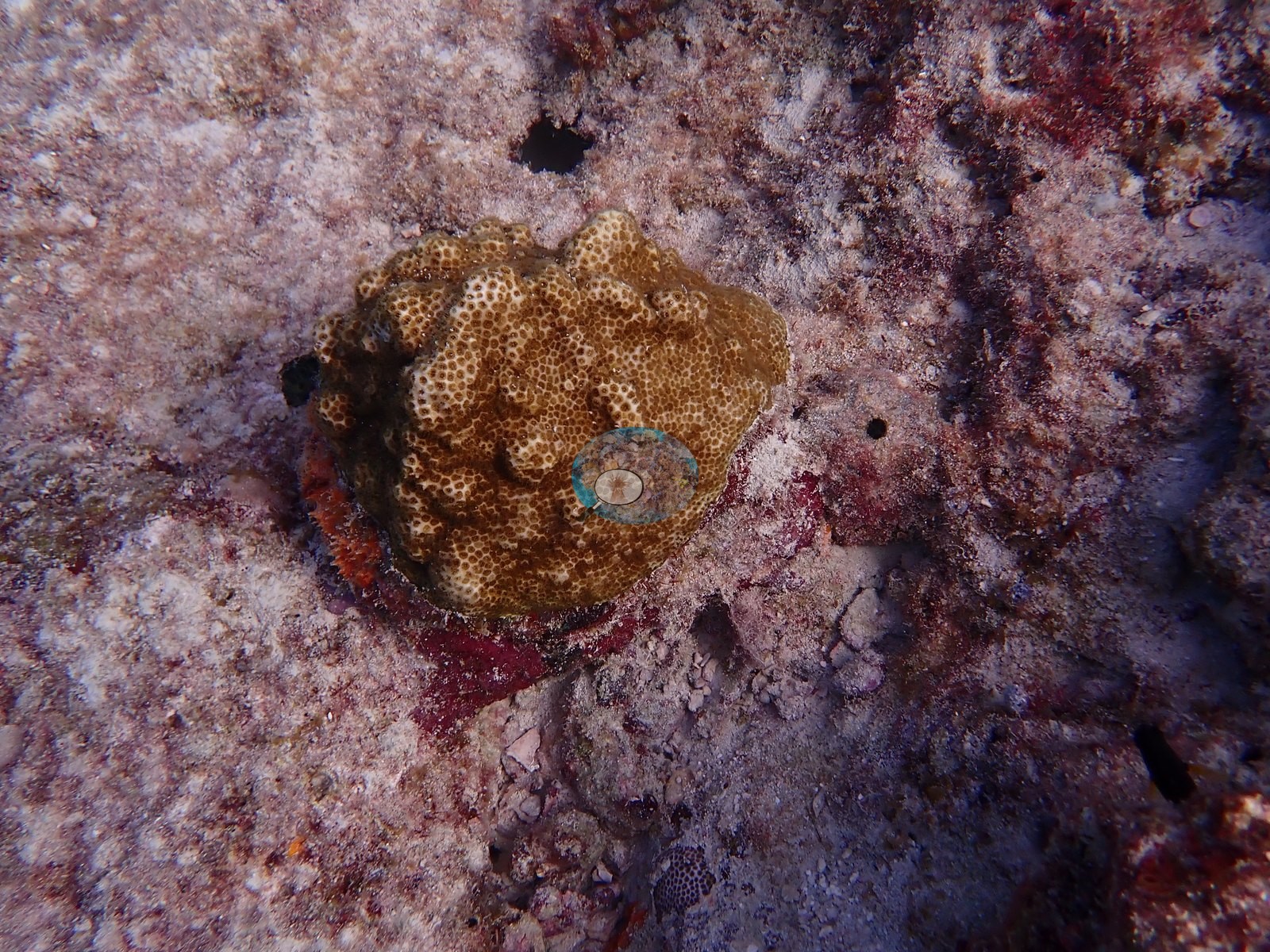
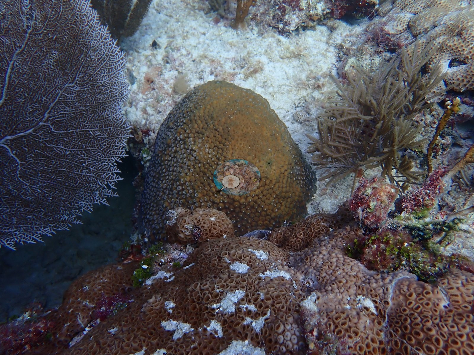
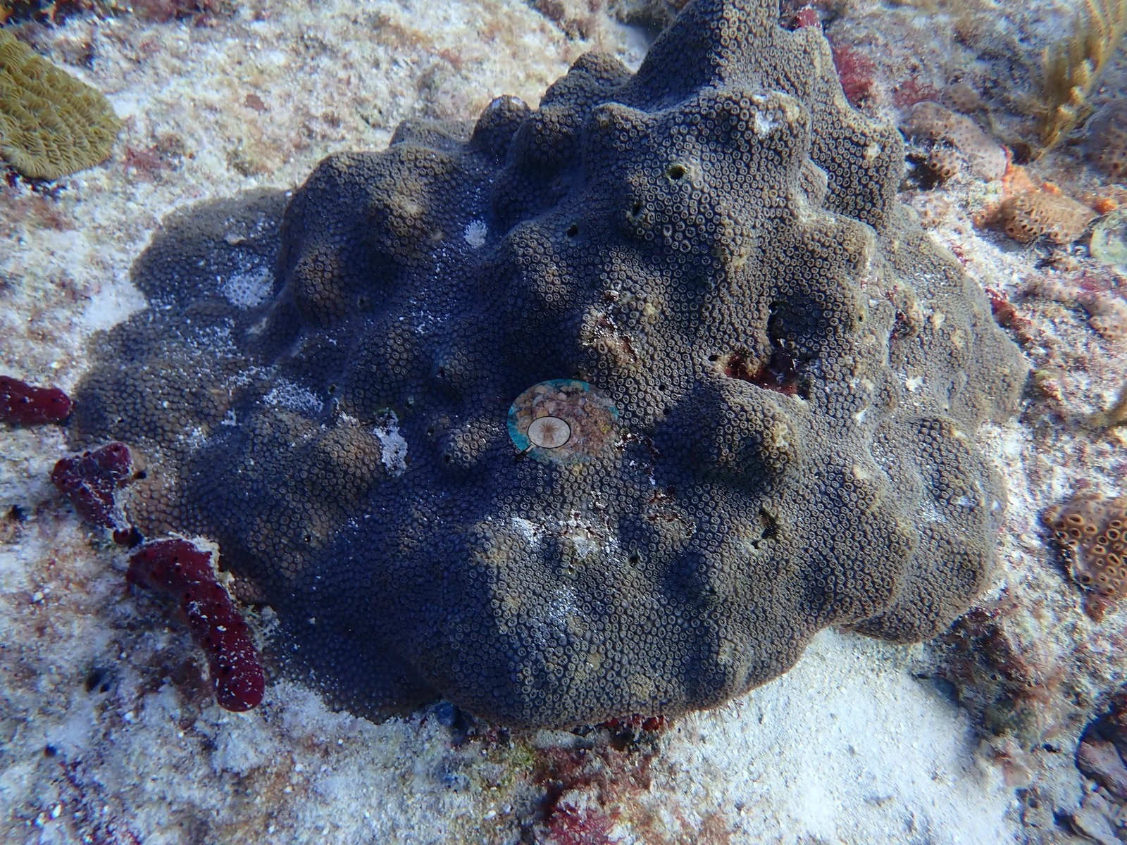
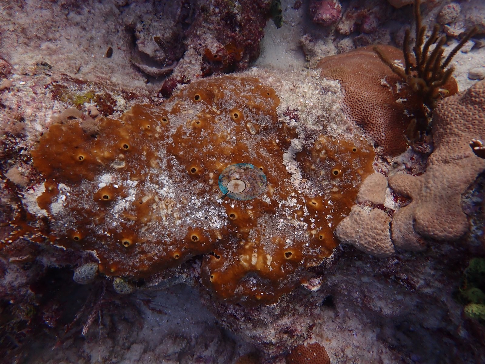
The stony-coral assemblage is dominated, in what the frames show, by large massive and plating colonies rather than branching taxa — and it is worth stating plainly that nothing in these 58 frames shows Acropora palmata or A. cervicornis. The single most conspicuous cover on the mounds is not stony coral but zoanthid mat, consistent with the Palythoa that Anderson's log records for this dive ("entire reef has been smothered by Palythoa"): the large orange-brown mounds in Image 2-Image 4, Image 6, Image 7, Image 9, Image 26, Image 41, and Image 47 resolve at full resolution into a continuous fleshy sheet of closed, slit-mouthed polyps that drapes over the underlying rock and overhangs it in lobes, and smaller patches of the same polyps appear in Image 48 and Image 55. Image 46 is a close-up of a broad lobed stony colony with large, well-separated, white-centered corallites in two adjoining color morphs (brown and gray-blue), attended by yellow-and-blue wrasses. Image 19 is a large lobed, shingled mass whose upper surface is a deep blue-purple and covered in small ringed polyps, with a maroon encrusting sponge beneath; whether it is stony coral or zoanthid mat in another color cannot be settled from the frame.
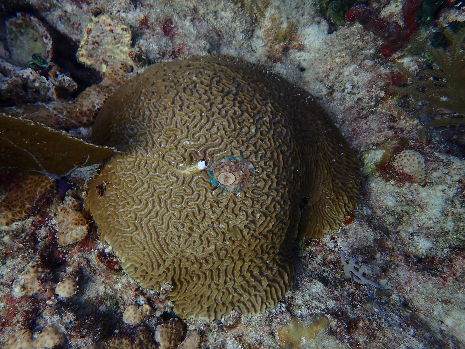
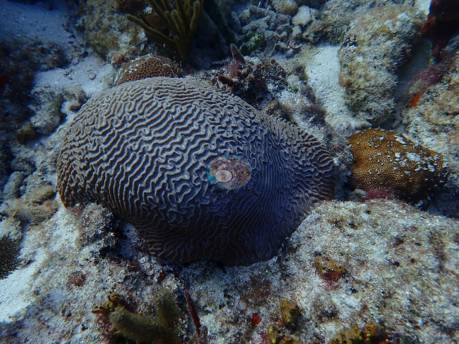
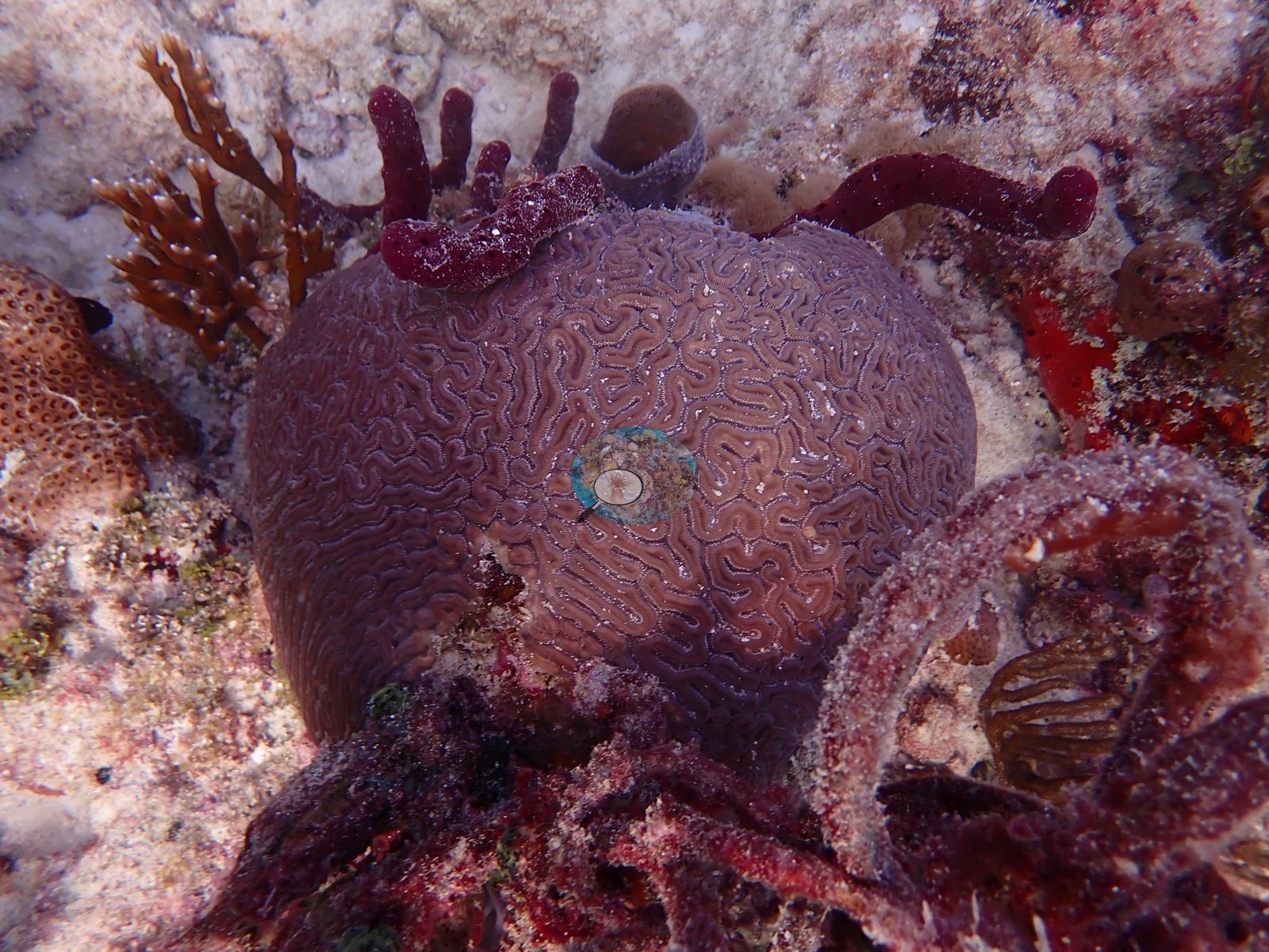
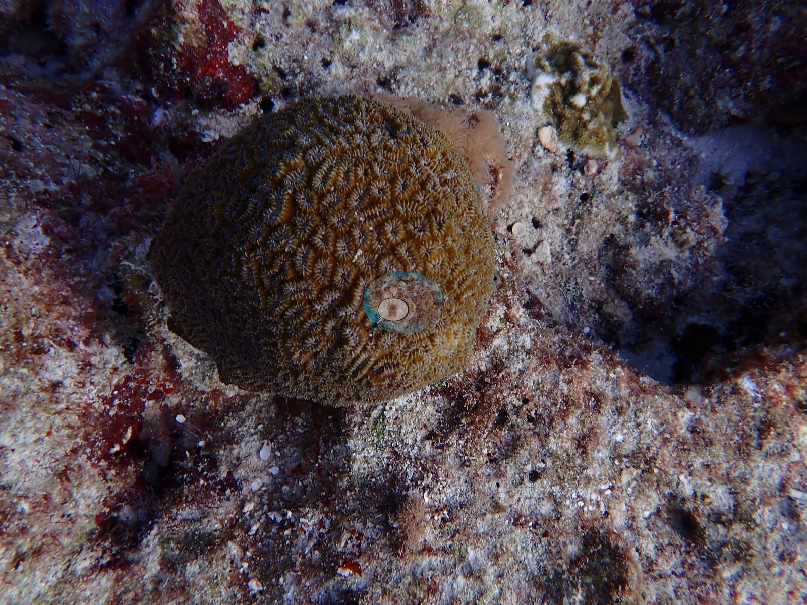
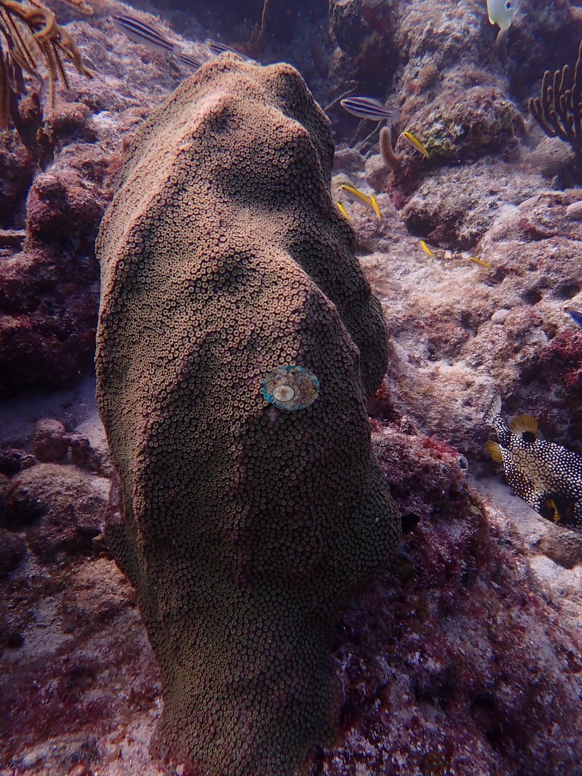
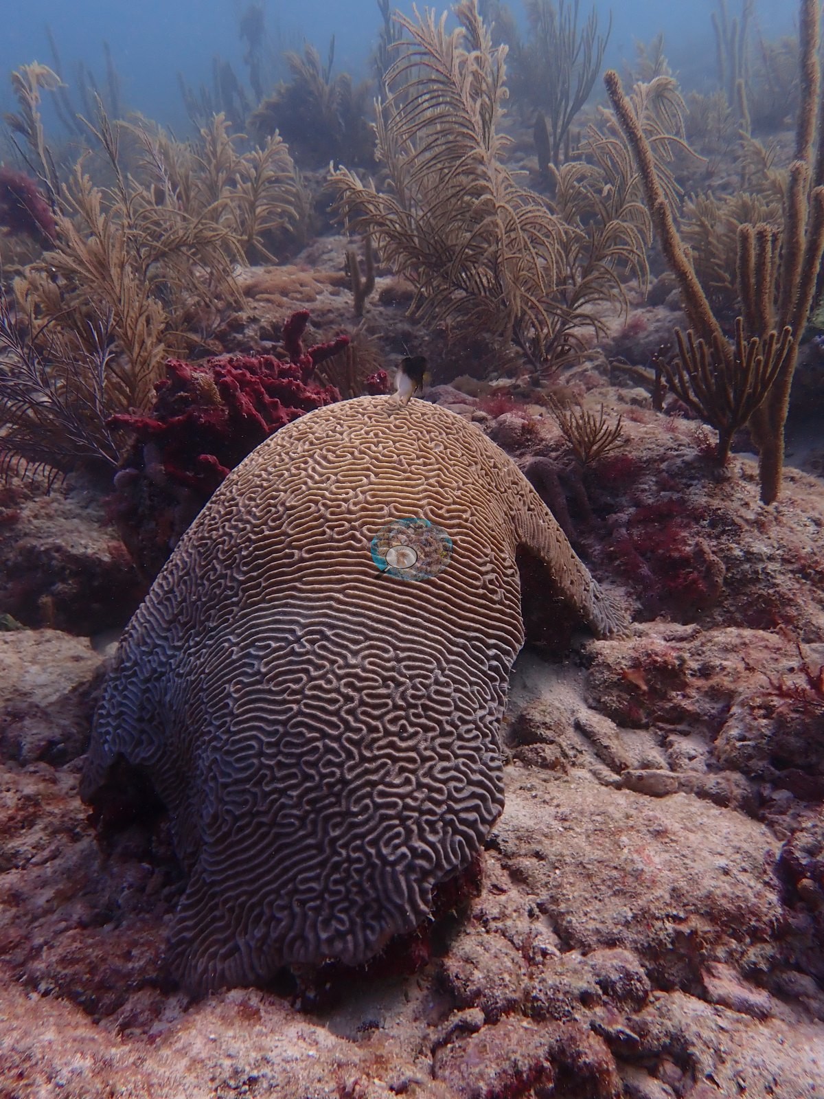
Brain corals are the next clear group, all meandroid, with several distinct individuals photographed: a golden-tan colony in Image 29, a gray-blue finely meandering colony in Image 30, a mauve/purple colony flanked by red-maroon rope sponges in Image 51, an olive-green colony in Image 56, and two large elongated dome colonies in Image 23 and Image 35 with broader valleys.
Green domed colonies with fine, densely packed corallites appear in Image 14 and Image 17.
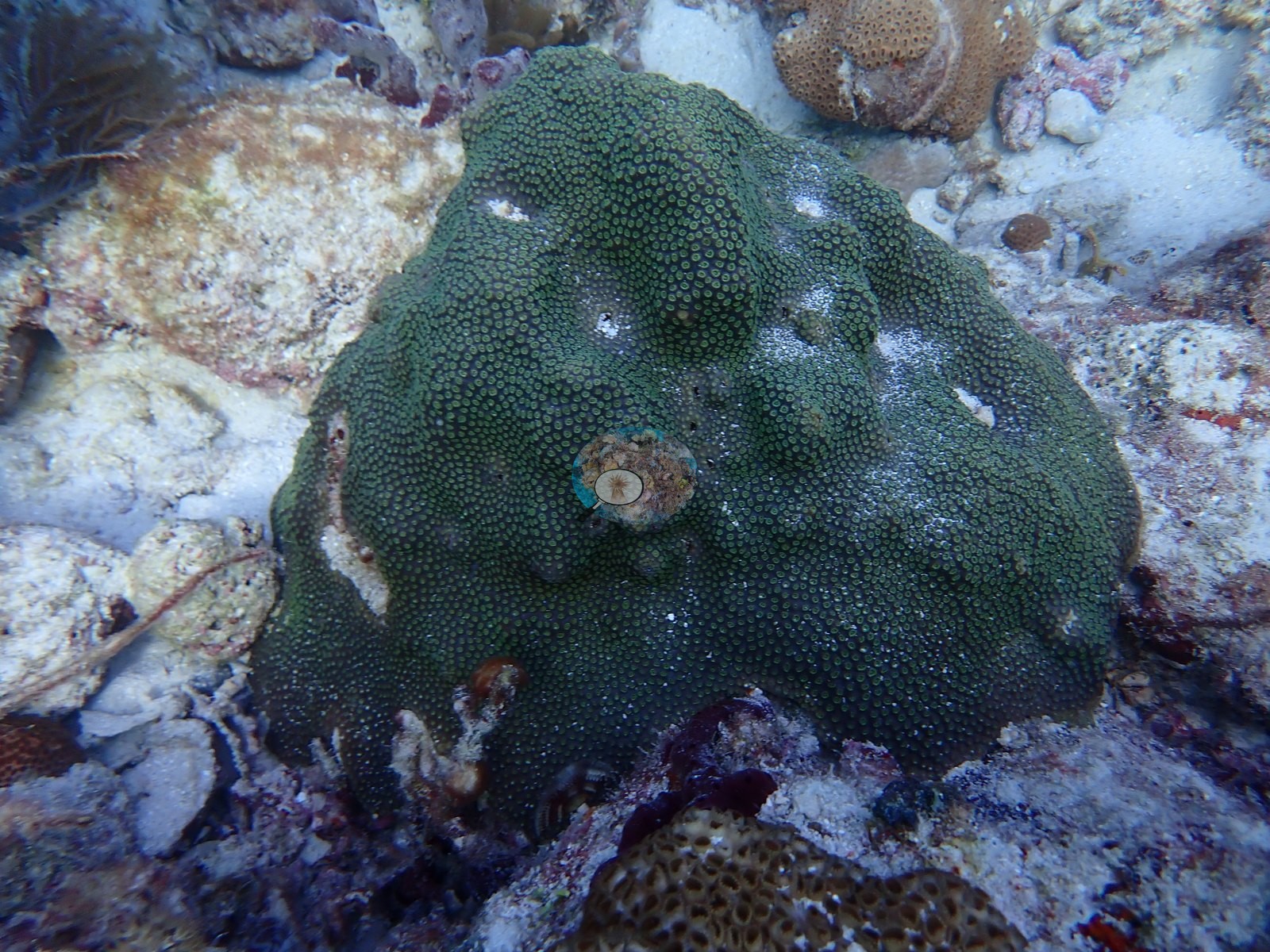
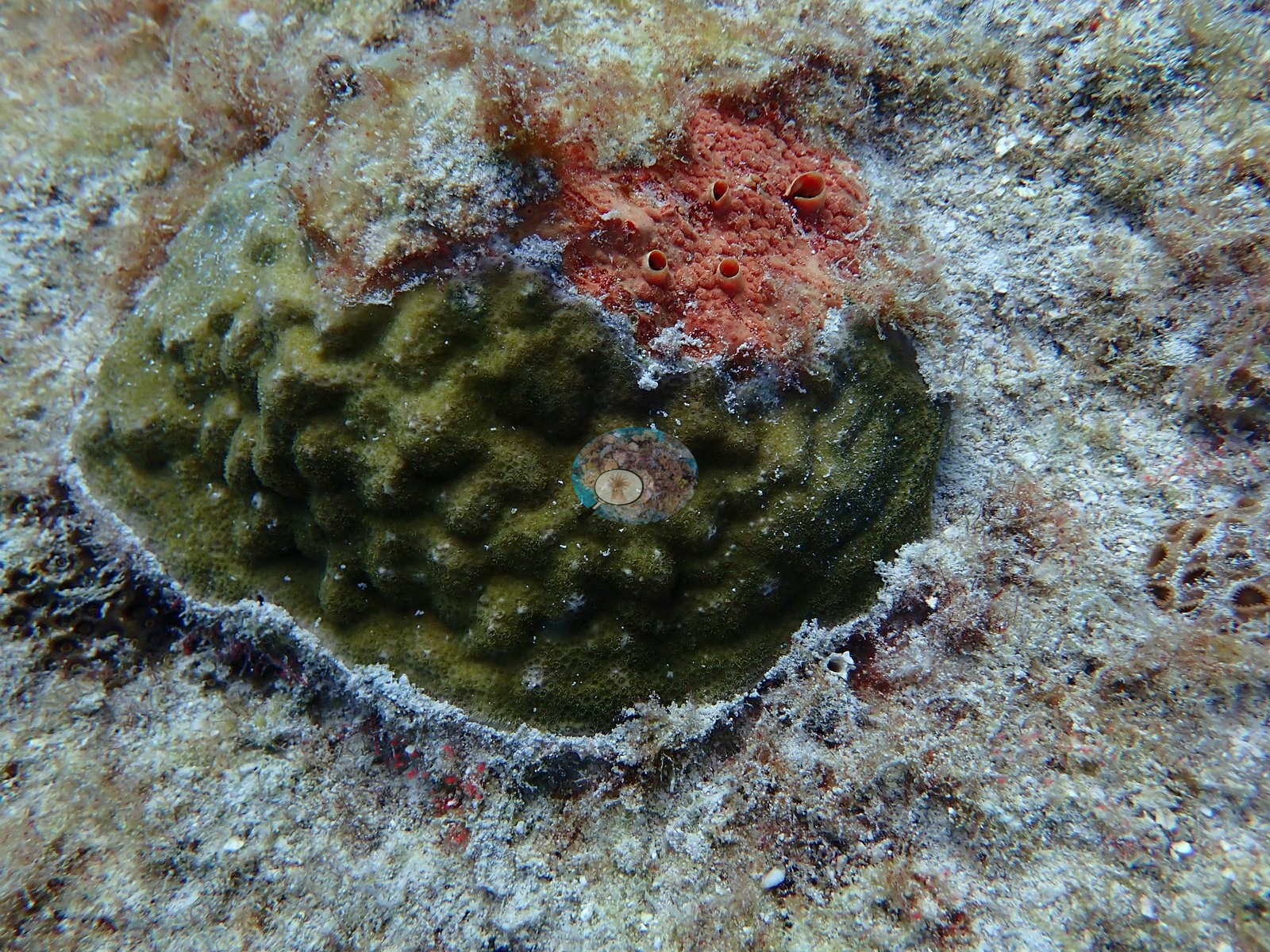
Smaller, discrete colonies are scattered through the close-ups: a dense brown dome with fine corallites on pavement in Image 52, mustard-yellow lumpy colonies in Image 15, small isolated recruits on sediment-veneered pavement in Image 20, Image 21, and Image 22, a mustard dome in Image 16, and a brown domed colony in Image 48. Image 12 is a dark, knobby, near-black mass whose margins cannot be confidently called coral versus sponge; Image 53 is a broad orange-brown encrusting mass with white patches that has the same ambiguity.
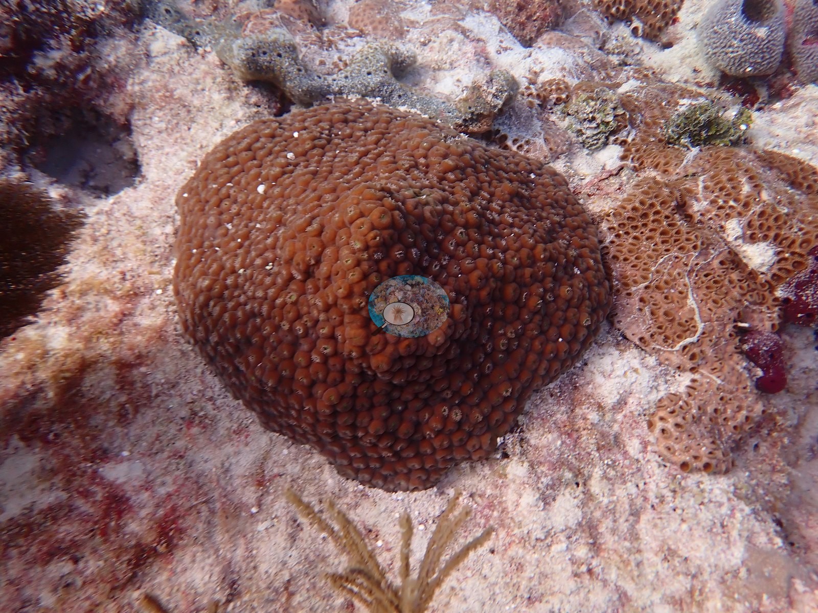
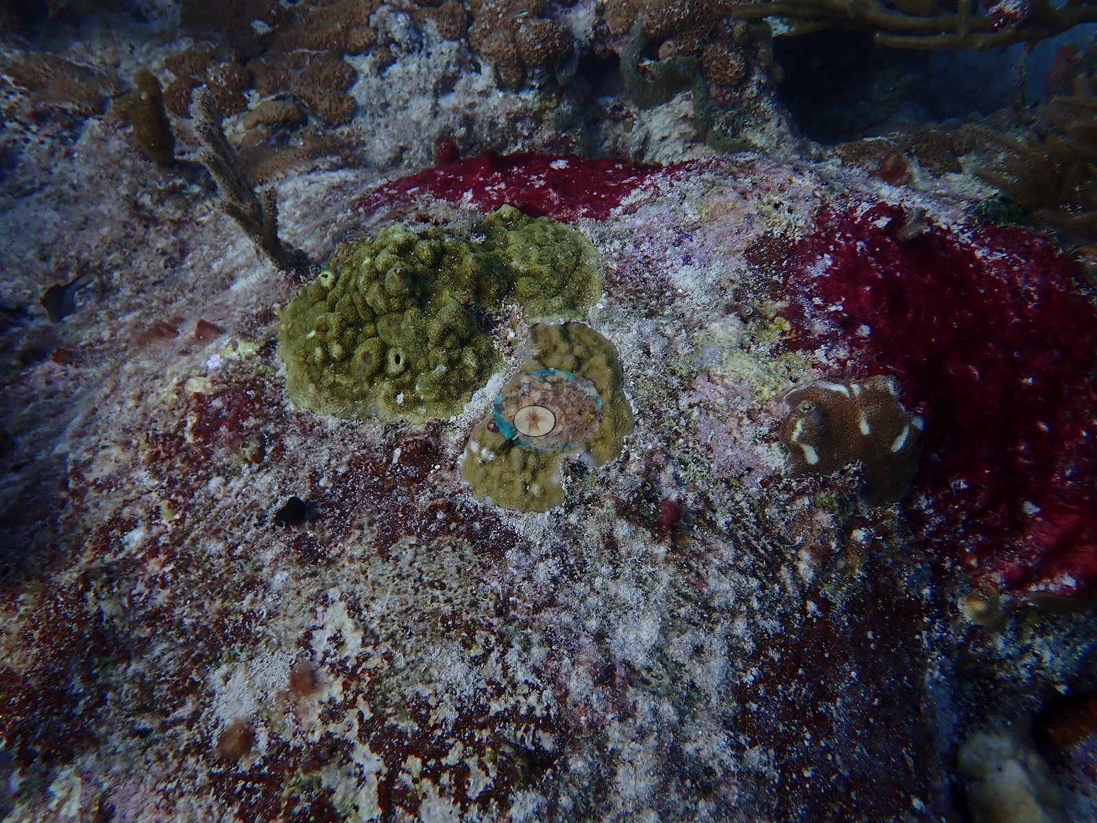
Sponges are a major component in their own right: giant barrel sponges in Image 28 and Image 45 and a large maroon-red individual in Image 49; brown barrel or tube sponges in Image 13 and Image 18; and bright red-orange encrusting sponge sheets across the pavement in Image 9, Image 15, and Image 53 and around the ledges in Image 36 and Image 38-Image 40.
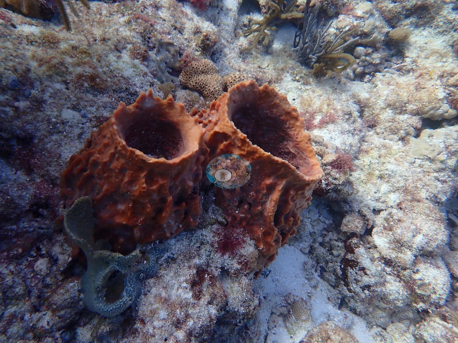
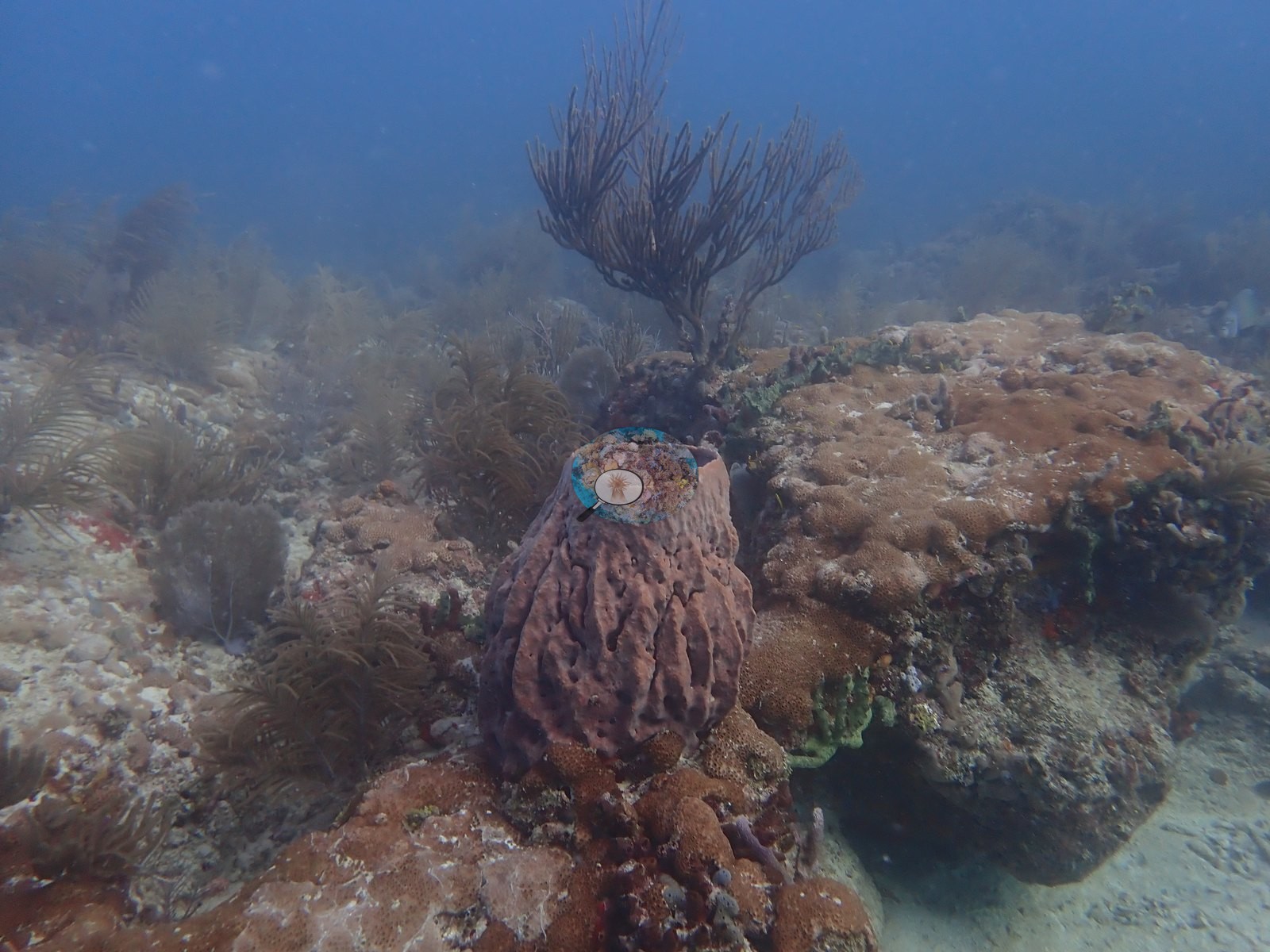
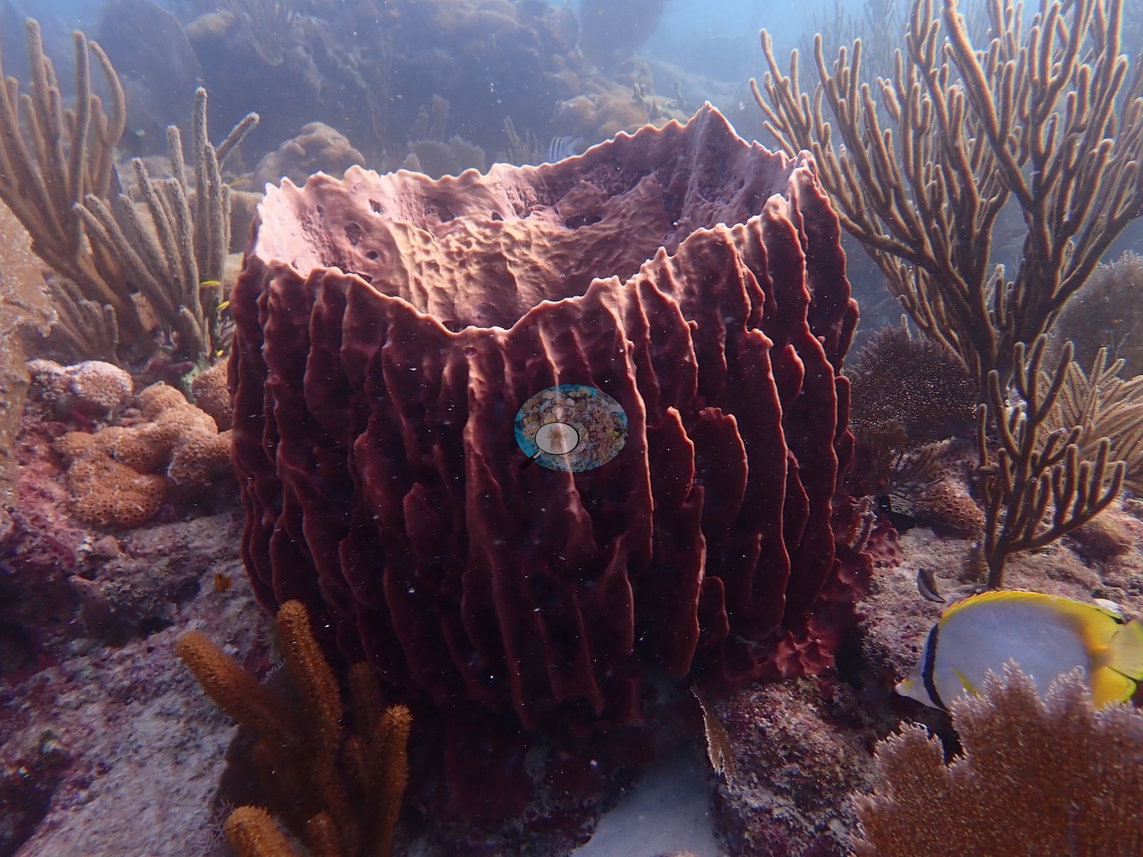
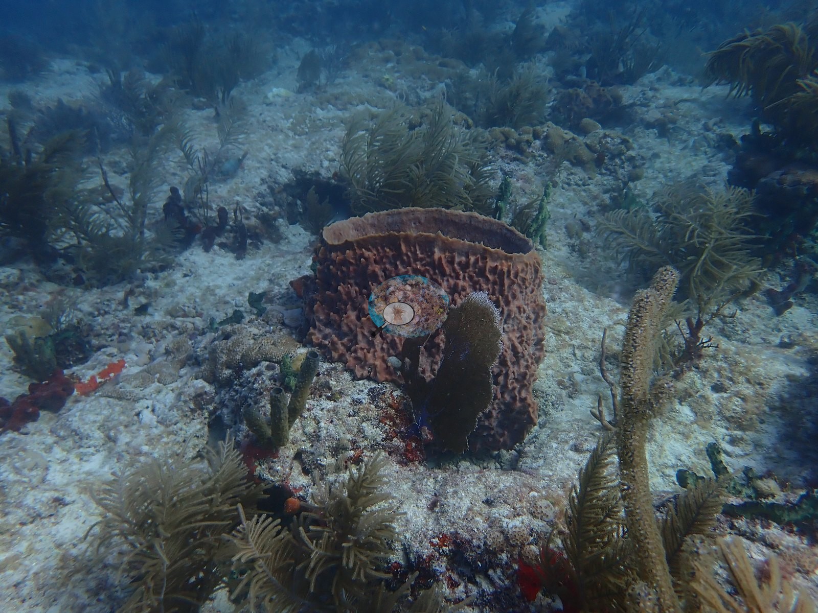
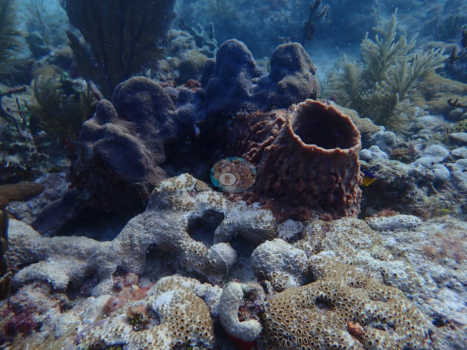
What the frames support qualitatively is a low-relief hardbottom reef whose large mounds are draped in zoanthid mat (the Palythoa of Anderson's log) and whose stony-coral component is carried by a modest number of massive colonies, chiefly several sizeable meandroid brain corals, set in a matrix of gorgonians, large barrel and encrusting sponges, and turf-covered pavement, with no branching Acropora anywhere in the set and with stony coral tissue loss disease on two colonies and white patches or partial mortality on others.
Coral cover
- Reference: Claude CV point count (this site's photos)
- Coral cover: 21% — a blind Claude computer-vision point count of 49 of Anderson's unedited photographs (20 points per photo; water, fish, and obstructions excluded). Other computer-vision methods are listed in the method table.
Stressors
Coral condition varies from colony to colony. Several individual colonies show clear white or discolored tissue, described here as seen and with no percentage attached. Image 27 is the most striking: a brain coral roughly the size of a football whose upper third is stark white from stony coral tissue loss disease (SCTLD), Anderson's field call, while the lower two-thirds keep normal pigment; the colony also carries patches of red-orange boring sponge and dark turf-colonized dead area at the margins of the white zone. Image 7 is a zoanthid mat, not a stony coral: at full resolution the thin, meandering white lines across it are strands of sediment or mucus lying on the polyps, with a few small pale patches where the mat is absent, and the darker zone is still covered in polyps.
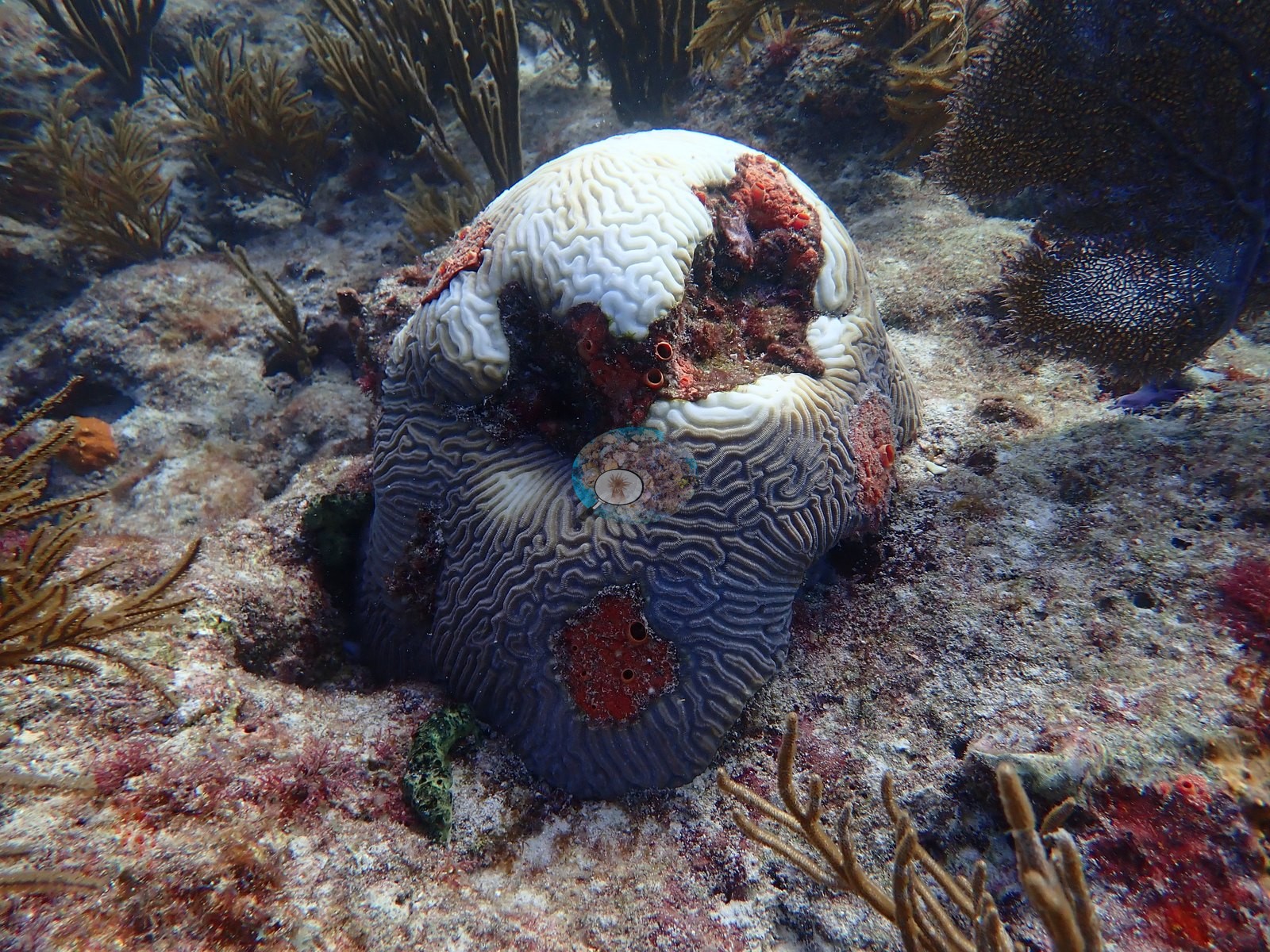
No lesion is called on it. Image 14 carries several small discrete white spots and pale mottled patches on an otherwise dark green colony. Image 50 shows a small colony with a white center, also SCTLD by Anderson's field call. Image 48 shows a brown domed colony with a bare, turf-covered strip along its upper margin; the white streaks in the same frame lie on the adjacent zoanthid mat. That is the honest inventory: a handful of named colonies across a 58-frame set, not a site-wide assessment, and nothing here supports inferring a bleaching event from the November date. No corallivores were evident.
Fish and other fauna
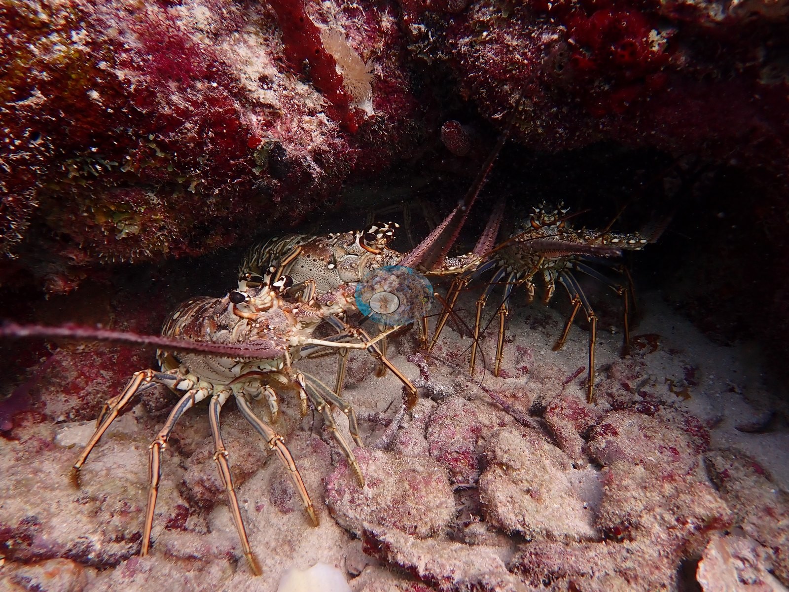
Mobile fauna is well documented. Caribbean spiny lobsters feature prominently — a long sequence under one or more ledges, with a single animal in Image 36, a pair in Image 38, two animals side by side in Image 39 and Image 40, further individuals wedged into crevices in Image 42, Image 43, and Image 55, and antennae protruding from an overhang in Image 58.
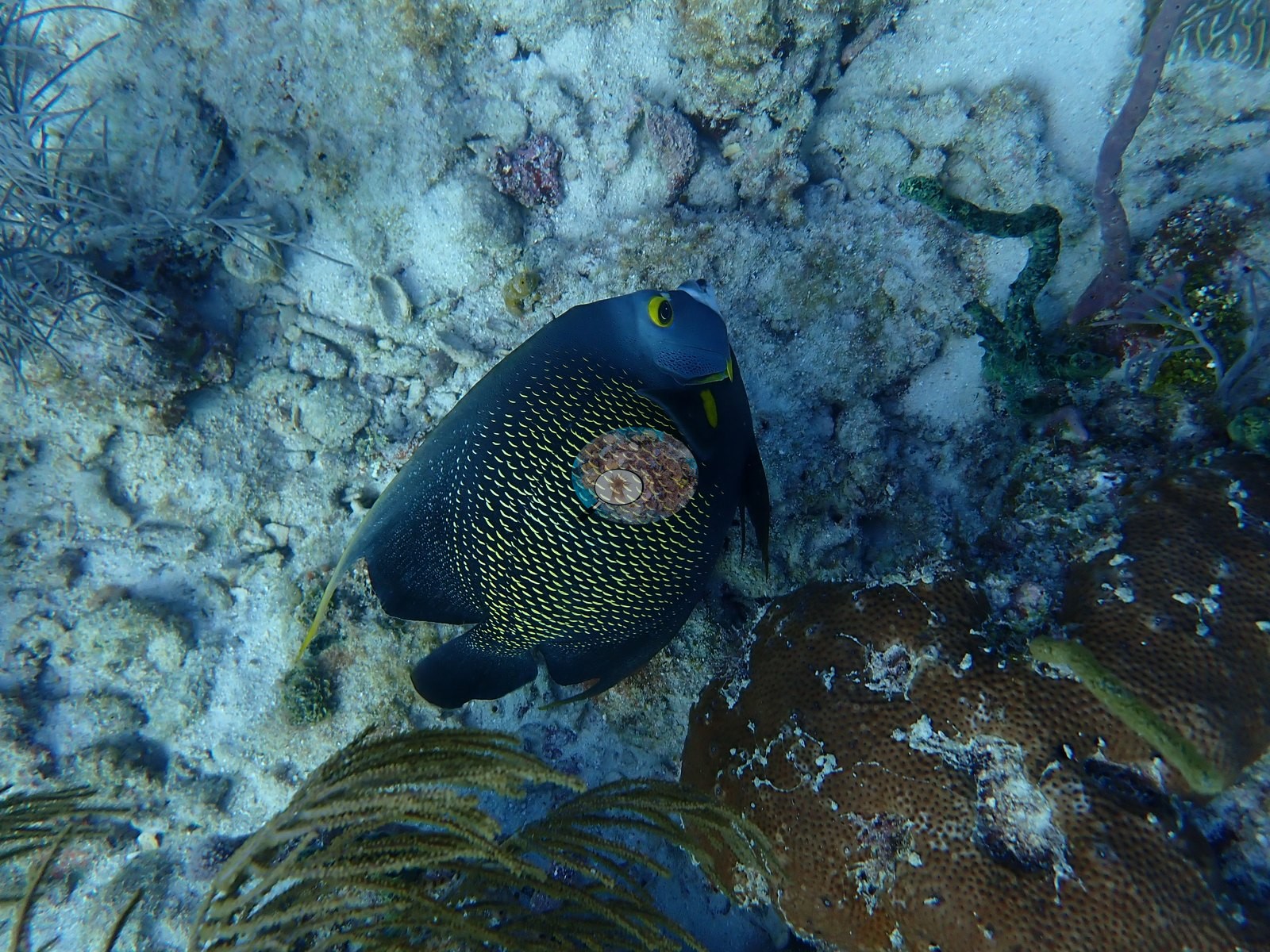
Two frames are dedicated portraits of a French angelfish over the pavement (e.g., Image 33, Image 34). Image 1 is a close-up of a mottled crab tucked against the rock; the species cannot be identified from the frame.
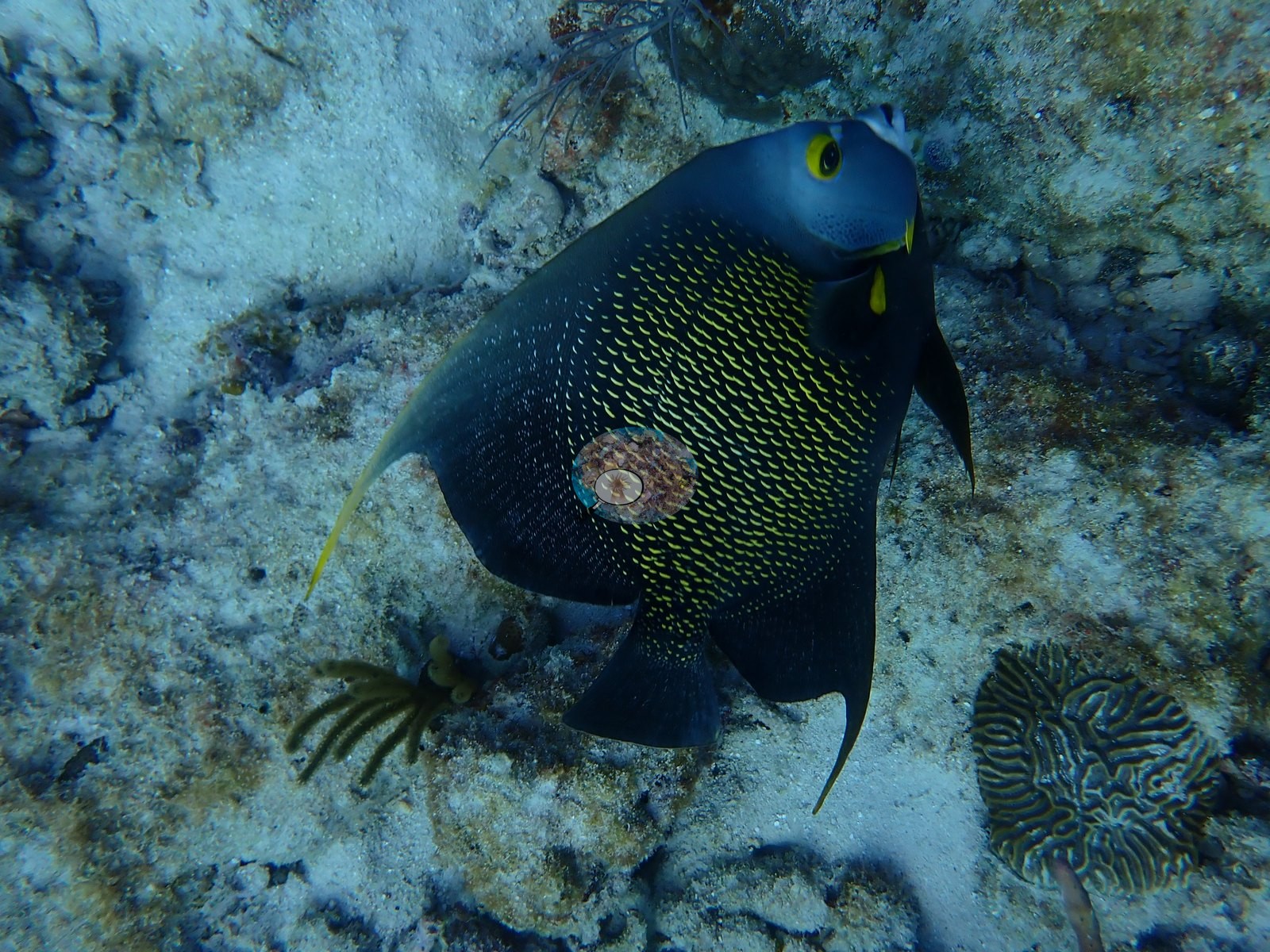
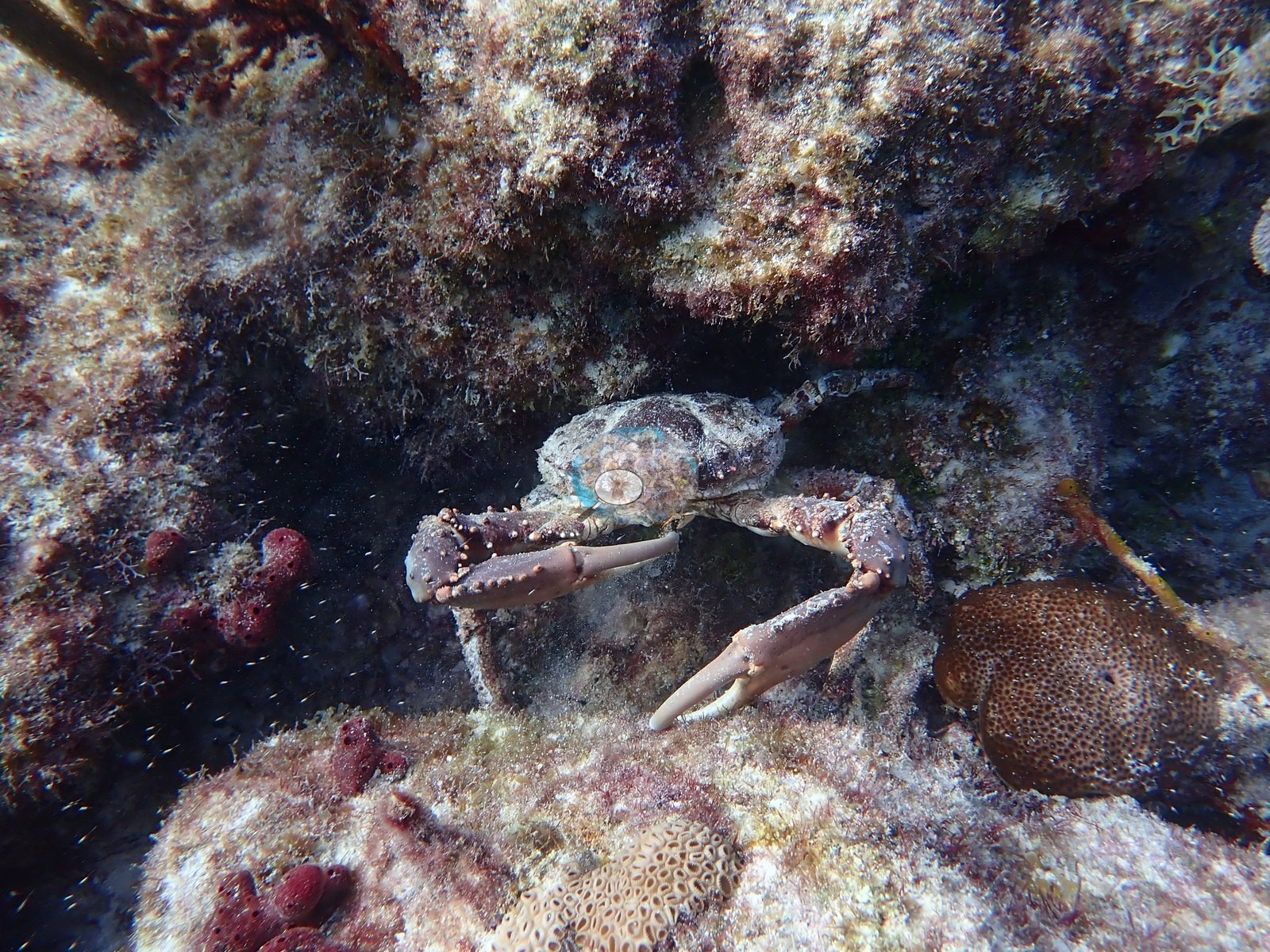
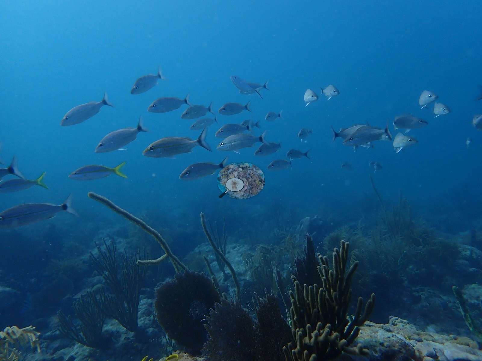
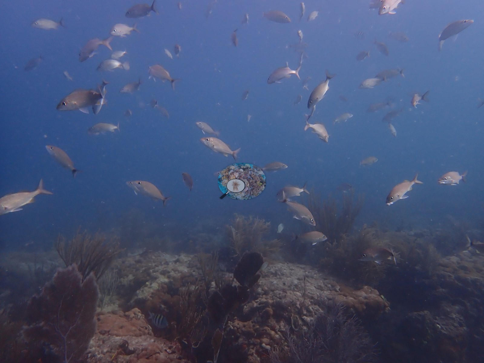
Schooling fish are present in loose aggregations: grunt- and snapper-type fish in mid-water in Image 31 and Image 54, scattered planktivores in Image 10 and Image 11, small wrasses on the coral in Image 46, a butterflyfish beside the barrel sponge in Image 49, and a diver crossing above the reef in Image 4.
Comparisons with other data
NOAA NCRMP Florida surveyed a nearby station (FLK PSU 1177-1), 0.49 km from the pin; we could not confirm that it is the same reef. Within 5 km, eighteen independent stations recorded station-year means of 0.0–5.0% hard coral cover between 2004 and 2024; the nearest, NOAA NCRMP Florida at FLK PSU 1177-1, 0.49 km away, read 3.0% in 2024.
Dive record
This was dive 2 of two on 2025-11-22 off Key Biscayne, the second dive of the day. Anderson's log note for this dive reads: "entire reef has been smothered by Palythoa".
CV model comparison
More info
A few colony-focused photos raise the mean; the median is the typical photo. No computer-vision method yet estimates coral cover accurately on new images, so treat this as indicative rather than a measurement; it is revised as the methods improve.More info
Other rows are for comparison only and are never averaged. No diver transect exists for these photos, so agreement between rows is not accuracy.| Method | Hard coral cover (%) | Photos (n) ± SE |
|---|---|---|
| CoralSCOP unedited | 31.1 | n = 58 |
| Claude | 20.9 | n = 49 · SE 2.7 |
CoralSCOP (unedited photos) reads 31.1%, 10.2 pp above Claude's blind point count (20.9%); the headline stays Claude's blind point count because no transect or manual count exists here.
See a more detailed, stand-alone version of this table.
Independent surveys nearby
| Agency / program | Year(s) | Stations / distance | Link |
|---|---|---|---|
| FWC CREMP (Southeast Florida, SECREMP) | 2010–2024 | 8 stations, 3.26–3.46 km | Records ↓ |
| Lirman et al. (2007) | 2004 | 1 station, 2.46 km | Records ↓ |
| NOAA NCRMP | 2016 | 1 station, 4.77 km | Records ↓ |
| NOAA NCRMP Florida | 2024 | 8 stations, 0.49–3.64 km | Records ↓ |
 Coral Reef DiagnosticsYear-average (illustrative only, programs differ)
Within 5 km, 18 independent survey stations recorded hard coral cover in 118 records between 2004 and 2024. Of the 8 stations surveyed in more than one year, 6 declined (by 0.2–1.6 points) and 2 increased (by 0.2–0.5 points) between their first and latest surveys. Four stations share the longest span (2010–2024); one, Dade County 4 #991 (FWC CREMP (Southeast Florida, SECREMP), 3.46 km away), went from 0.9% in 2010 to 1.1% in 2024. Since 2021, station-year means average 1.2% (range 0.0–5.0%; n = 40 station-years from 40 records). This site's own estimate (21%) sits 18.0 points above the recent range of station-year means up to 2 km away (2.0–3.0%); the methods differ, so the comparison is context, not a like-for-like test.
Collected by other programs using different methods (NOAA rows come from NOAA monitoring programs (NCRMP, PIFSC, NCCOS), and each row's method is in its hover text; FWC-FWRI uses fixed-station point counts), so these are context for the figures above, not a like-for-like comparison. Where a station was surveyed more than once, the cell shows either the range of its values or, as a single value, the mean of surveys made in one year. Station names are not dive-site names.
Show all 118 independent survey records
| Agency | Site / location | Date | Hard coral cover (%) | Distance | Link |
|---|---|---|---|---|---|
| Lirman et al. (2007) | Key Biscayne | 2004 | 1.4% | 2.46 km | doi:10.1007/s10661-006-9239-0 |
| FWC CREMP (Southeast Florida, SECREMP) | Dade County 4 #991 | 2010–2024 | 0.5–1.9% (15 surveys) | 3.46 km | — |
| FWC CREMP (Southeast Florida, SECREMP) | Dade County 4 #992 | 2010–2024 | 0.5–1.5% (15 surveys) | 3.46 km | — |
| FWC CREMP (Southeast Florida, SECREMP) | Dade County 4 #993 | 2010–2024 | 1.1–3.0% (15 surveys) | 3.46 km | — |
| FWC CREMP (Southeast Florida, SECREMP) | Dade County 4 #994 | 2010–2024 | 0.2–1.9% (15 surveys) | 3.46 km | — |
| FWC CREMP (Southeast Florida, SECREMP) | Dade County 8 #61 | 2013–2024 | 1.2–3.1% (12 surveys) | 3.26 km | — |
| FWC CREMP (Southeast Florida, SECREMP) | Dade County 8 #62 | 2013–2024 | 0.4–1.0% (12 surveys) | 3.26 km | — |
| FWC CREMP (Southeast Florida, SECREMP) | Dade County 8 #63 | 2013–2024 | 0.1–2.4% (12 surveys) | 3.26 km | — |
| FWC CREMP (Southeast Florida, SECREMP) | Dade County 8 #64 | 2013–2024 | 0.2–1.1% (12 surveys) | 3.26 km | — |
| NOAA NCRMP | FLK-408 | 2016 | 3.0% | 4.77 km | — |
| NOAA NCRMP Florida | FLK PSU 1177-1 | 2024 | 3.0% | 0.49 km | NCEI 0306238 |
| NOAA NCRMP Florida | FLK PSU 1287-1 | 2024 | 2.0% | 1.53 km | NCEI 0306238 |
| NOAA NCRMP Florida | FLK PSU 1010-1 | 2024 | 0.0% | 2.41 km | NCEI 0306238 |
| NOAA NCRMP Florida | FLK PSU 1233-1 | 2024 | 4.0% | 2.50 km | NCEI 0306238 |
| NOAA NCRMP Florida | FLK PSU 1180-1 | 2024 | 5.0% | 2.62 km | NCEI 0306238 |
| NOAA NCRMP Florida | FLK PSU 1148-1 | 2024 | 1.0% | 2.81 km | NCEI 0306238 |
| NOAA NCRMP Florida | FLK PSU 1803-1 | 2024 | 1.0% | 3.54 km | NCEI 0306238 |
| NOAA NCRMP Florida | FLK PSU 1246-1 | 2024 | 3.0% | 3.64 km | NCEI 0306238 |
Data & links
All images from Coral Reef Diagnostics. Data are from Coral Reef Diagnostics and the organizations named in the data sources above.
© Coral Reef Diagnostics.