
Egypt Red Sea - Shabrour-south (Wadi Lahami)

Part of the regional summaries: Egypt and Red Sea
2024-09-23
More info
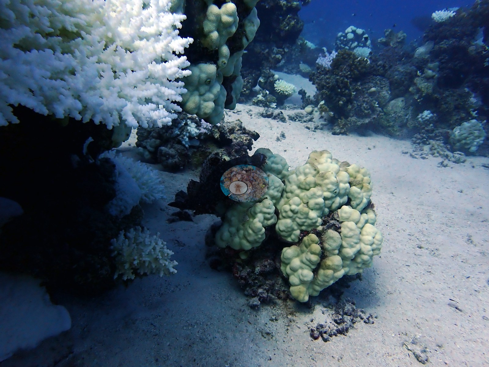
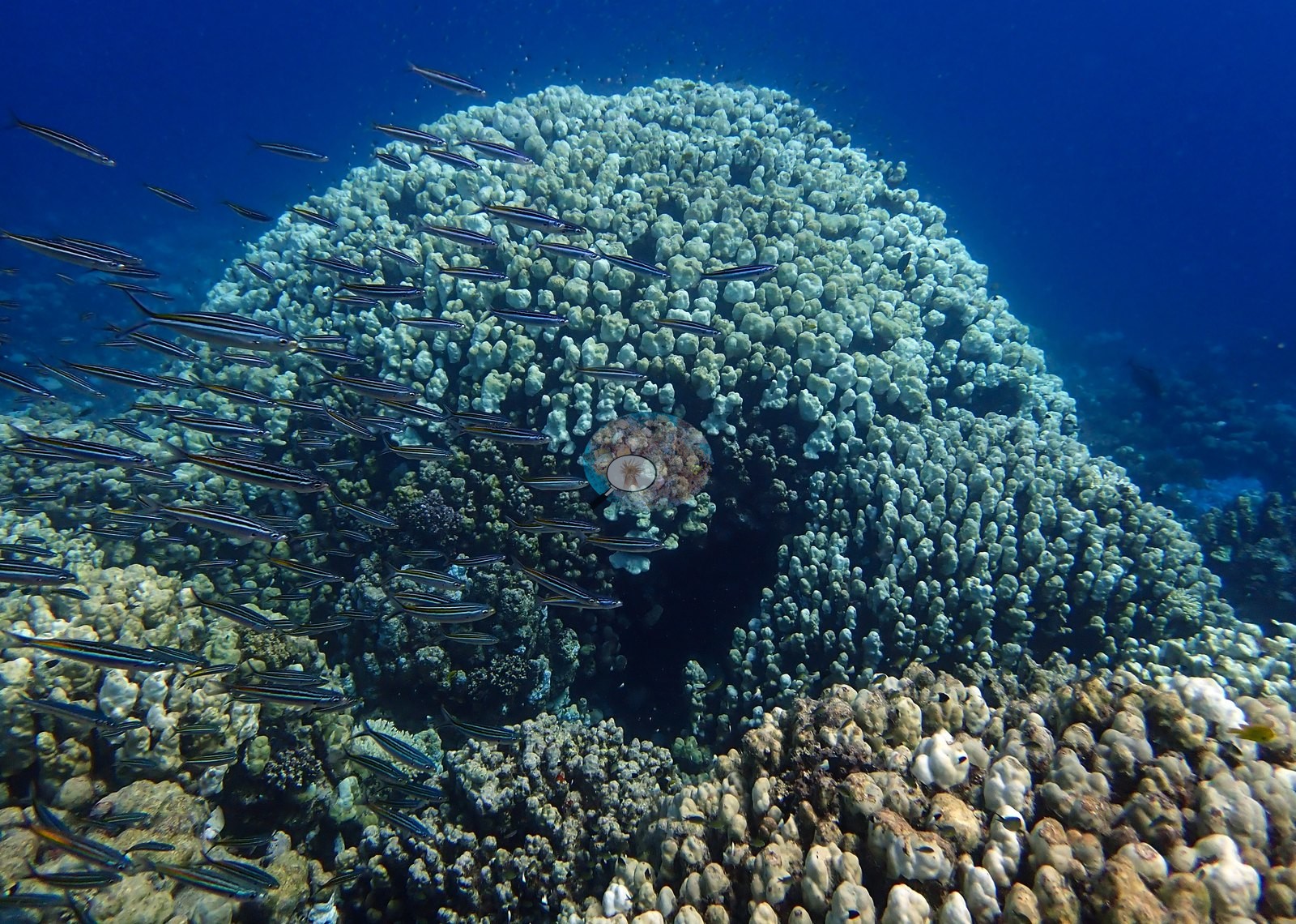
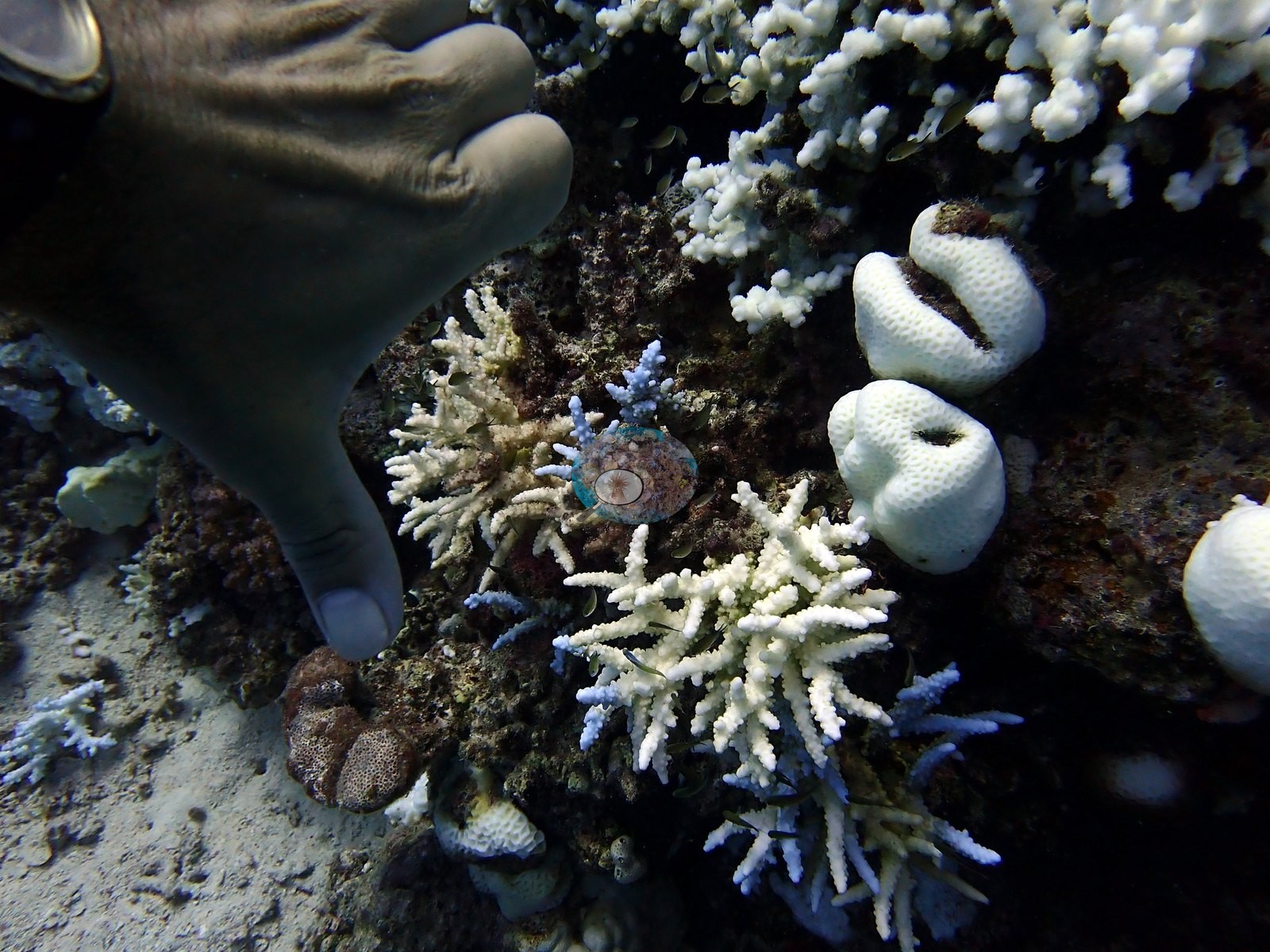
Egypt (NOAA CRW virtual station) · Northern and Central Red Sea ecoregion mean=12.2°C-heating weeksShabrour-south was dived twice on consecutive days, returning near-identical figures (23.4% and 26% cover, 62.7% and 63.7% bleached) - a useful check that this method reproduces tightly rather than a sign of overnight change. One of the most striking images of the whole Egypt leg comes from here: a thicket of intensely pigmented electric-blue Acropora growing immediately beside stark white bleached Acropora colonies on open sand, at a reef that has more than halved in cover compared to a nearby 2009 Reef Check reading (49.0%).
غُطس شبرور الجنوبي مرتين في يومين متتاليين، فأعطى أرقاماً شبه متطابقة (غطاء 23.4% و26%، وابيضاض 62.7% و63.7%) — وهو تحقق مفيد من أن هذه الطريقة تعيد إنتاج نتائجها بدقة، لا دليل على تغير بين ليلة وضحاها.
ترجمة هذا الملخص بالذكاء الاصطناعي؛ النص الإنجليزي هو المعتمد. Translated from the site’s shorter map summary.
Two independent survey stations shown with the program’s logo — click one to see how far it is from this site.
Four other CRD dive sites within 5 km shown in orange — click a marker to open its page.
6 of these 12 photographs are shown beside the text that discusses them under "Site description" below.
Site description
General benthic features
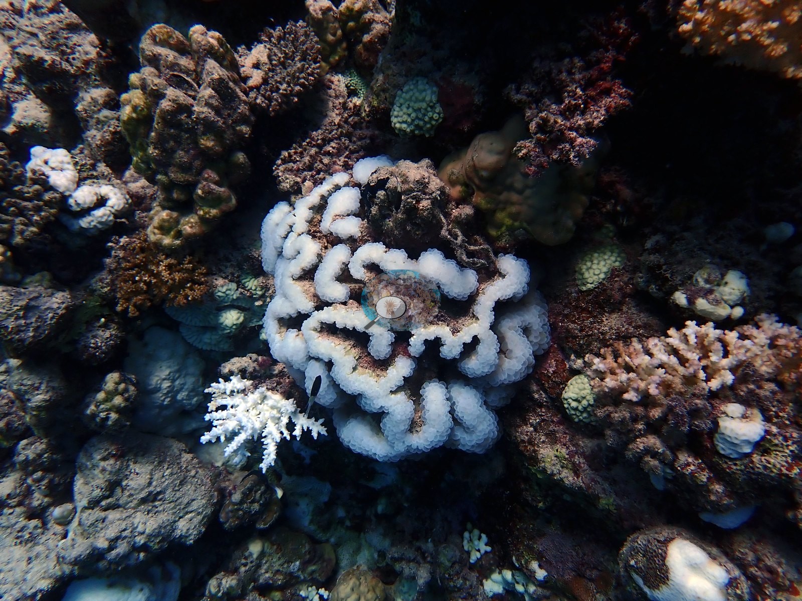
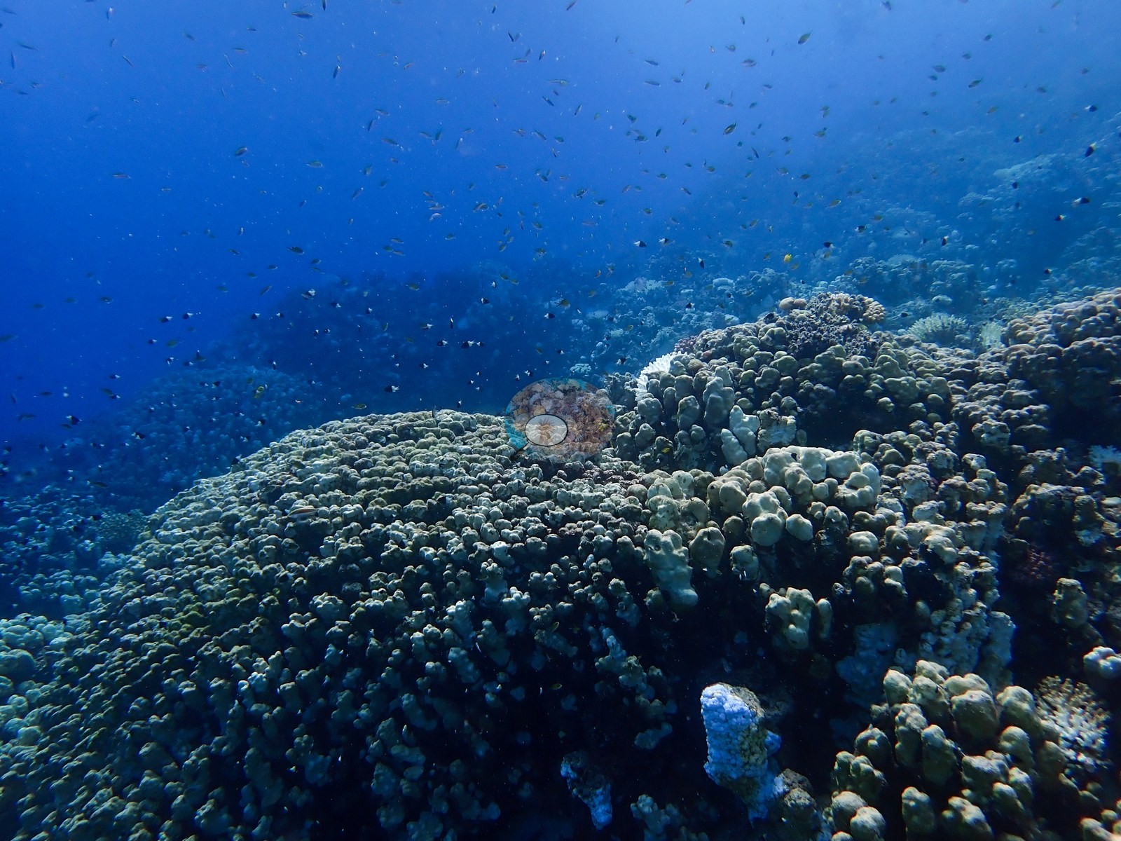
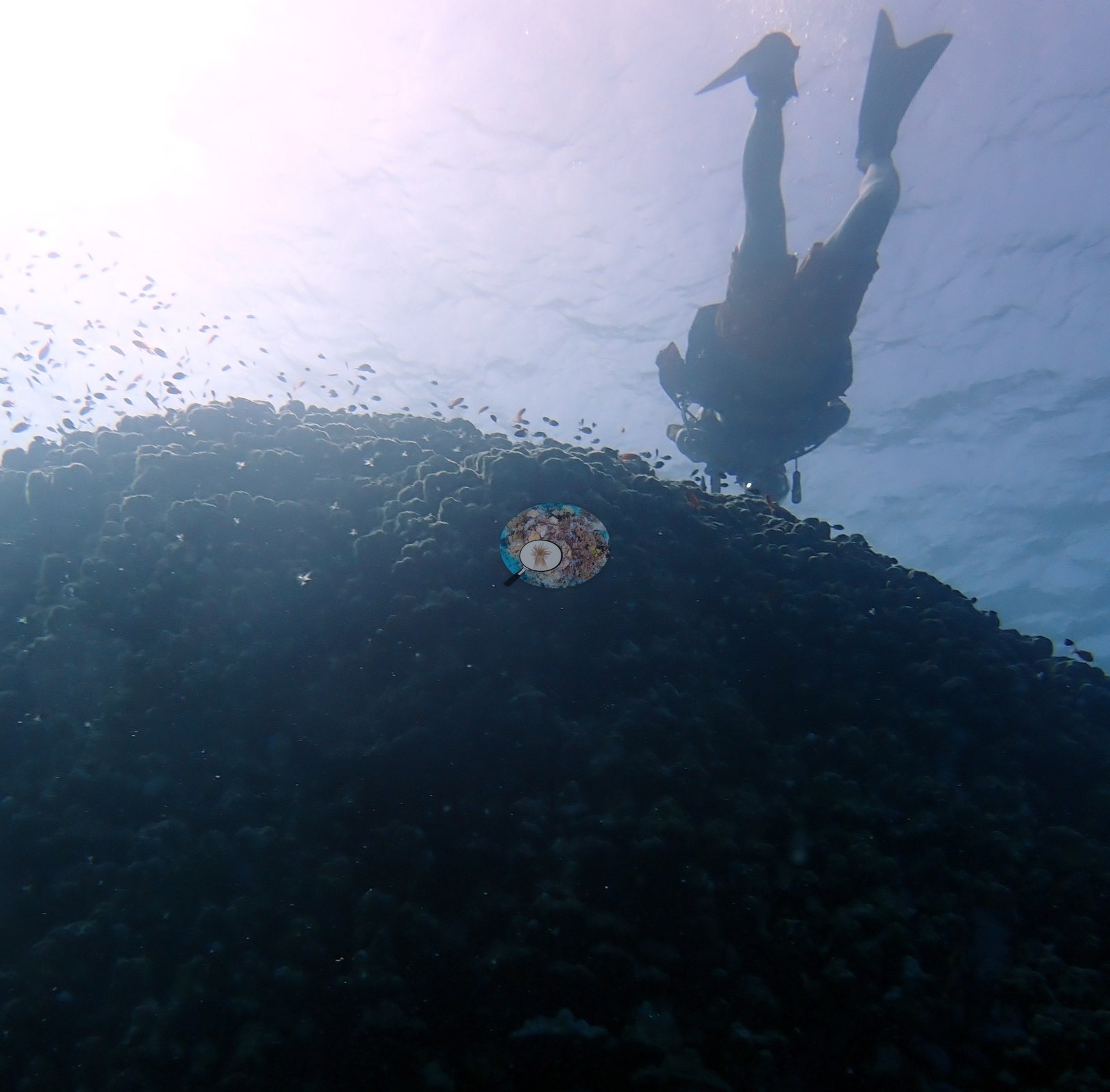
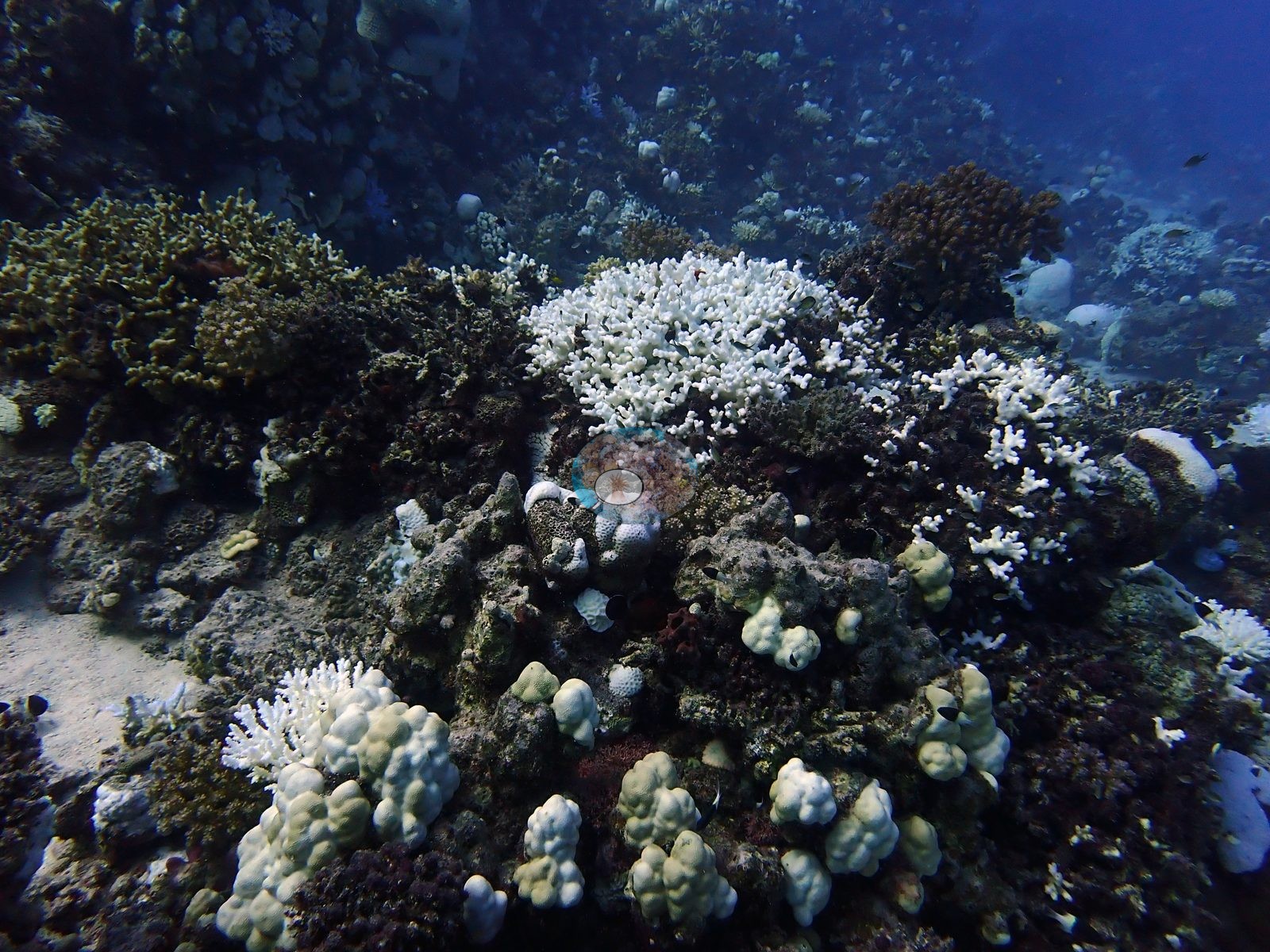
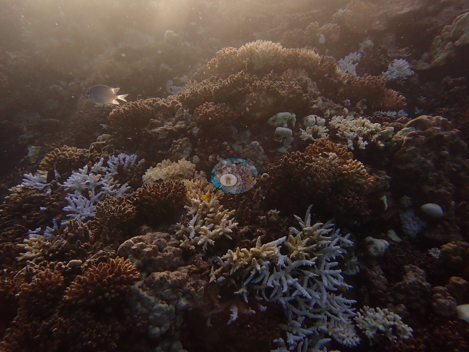
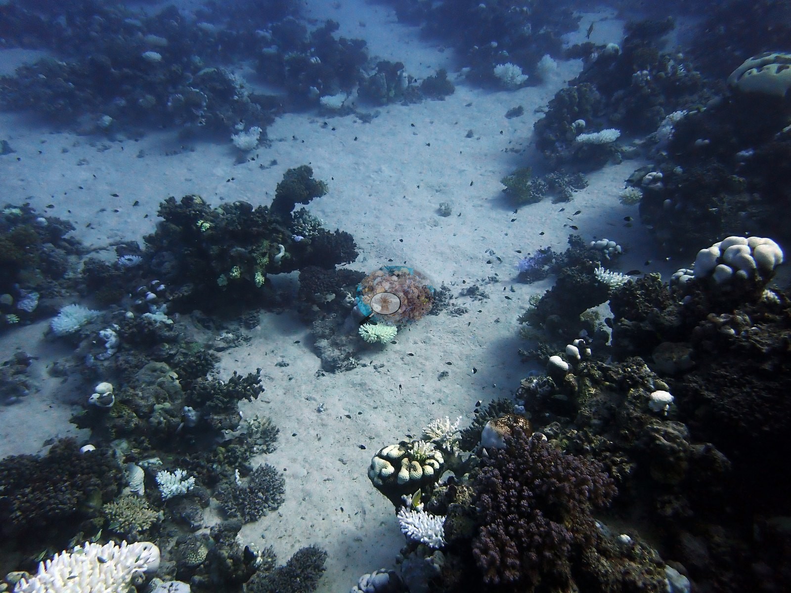
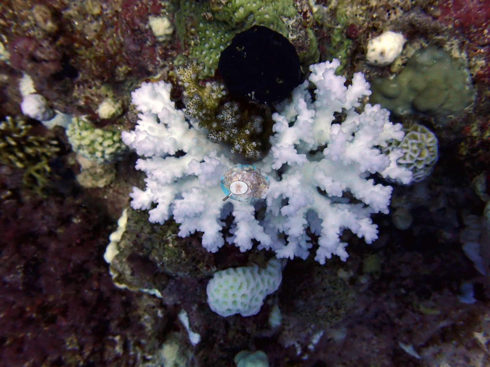
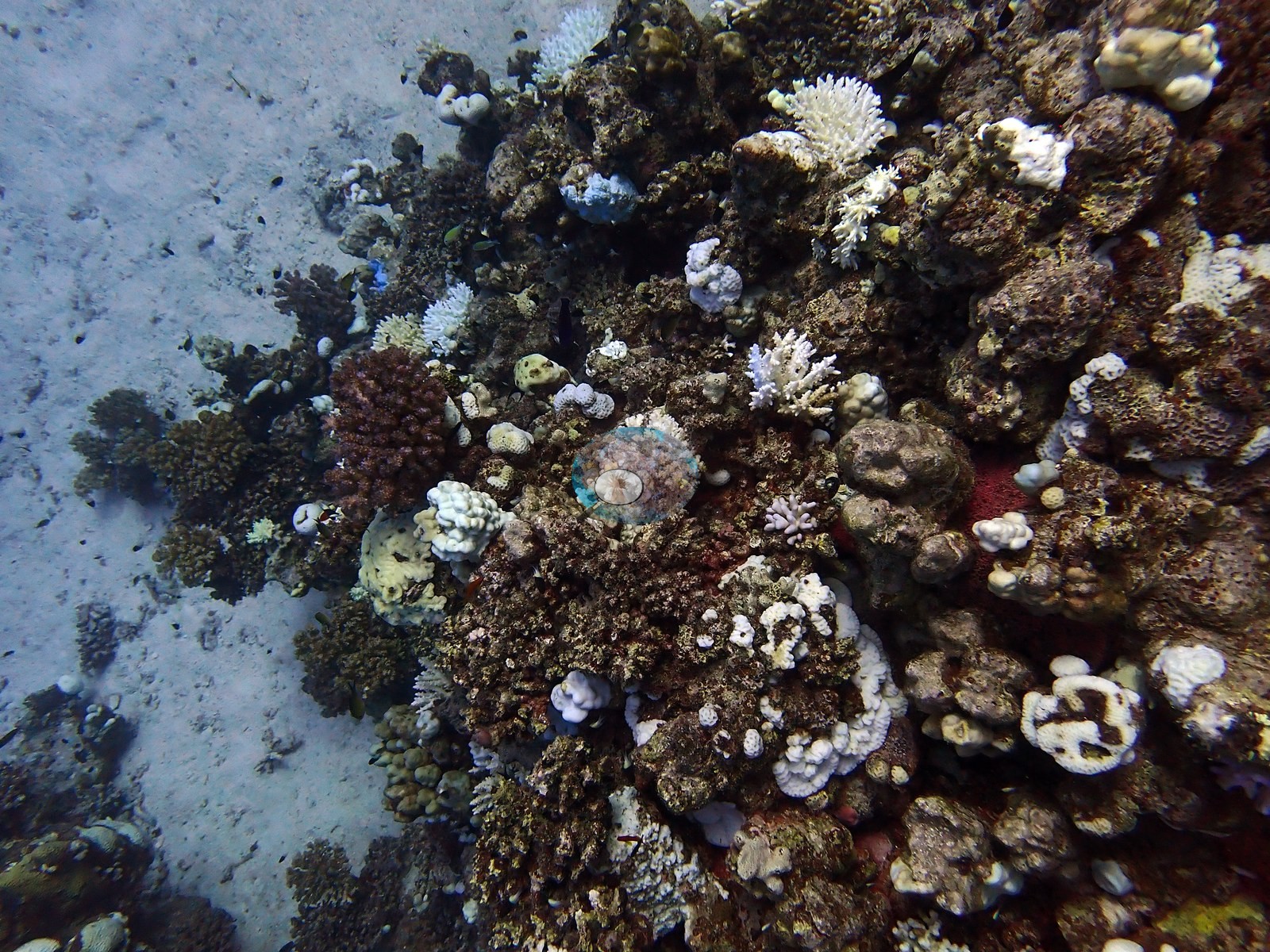
The reef is a mixed slope and sand system: coral patches and bommies over pale sand, giving onto a more continuous ridge with mixed Acropora, pocilloporids, meandroid, and bubble-type corals, and encrusting growth (e.g., Image 2, Image 4, Image 5, Image 7, Image 9).
Coral cover
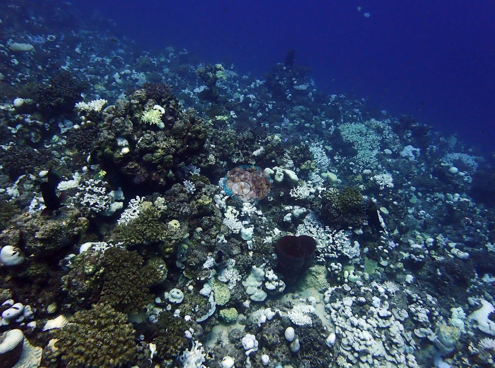
Site-level coral cover is 24.8% ± 15.2 across 223 photographs, quoted verbatim from Mayfield, A.B. (2025) Environments 12:248 — Red Sea 2023-24 bleaching; CoralNet point annotation, Appendix A — a manual, diver-annotated CoralNet point count from Anderson's own published work, not a computer vision output and not recomputed here. The site record carries the visits separately: 23% cover with 62.7% of coral tissue bleached on 22 September (DHW 21.9, 32°C) and 26.3% with 63.7% bleached on 23 September (DHW 21.8, 31°C). Two dives a day apart returned near-identical figures, which is a useful internal check on the method: the small difference in cover is sampling noise, not change.
Stressors
The 23 September frames include one of the most striking images of the whole Egypt leg — a thicket of electric-blue Acropora, holding intense pigment, growing immediately beside stark white bleached Acropora colonies on open sand (e.g., Image 3).
Comparisons with other data
The site record also carries external cross-references to two Reef Check stations 1.55–1.75 km away — Wadi Lahami House Reef 2 at 49.0% and House Reef 1 at 36.7% hard coral — reported side by side and deliberately not averaged.
Dive record
Dived twice on consecutive days with Red Sea Diving Safari, and the only Egyptian site in this set with a per-visit series.
Other notes
See flags.
Survey summary
Shabrour-south: surveyed 2 times, Sep 2024–Sep 2024 (CoralNet point counts; Mayfield 2025, Environments 12:248). Surveyed in partnership with Red Sea Diving Safari. Surveyed during the September 2024 Red Sea bleaching event, when nearly all corals at these Egyptian sites showed some degree of bleaching.
CV model comparison
More info
The reference row is this dive site's own published value (Mayfield 2025, Appendix A, 223 photos); the other rows are AREA-level (Wadi Lahami) comparisons, not run on this site's frames. ⚠ The comparison rows are REGIONS, not dive sites: the paper's main tables report cover by region, and this site's own value comes from its Appendix A. ⚠ The manual column and the CV columns are on DIFFERENT FRAME SETS: the published cover spans 674–1,180 frames, the CV arms ran on the 30- and 129-frame hand-scored reference subsets. CoralNet is n/a by design: the reference set IS the hand-scored set. DINOv3 is restricted to frames it never saw. CoralNet automated point classifier: n/a — the reference set IS the hand-scored set; these frames carry no independent CoralNet robot label to compare against CoralSCOP (SAM-based mask-sum), unedited photos: pending — CoralSCOP run: 370/747 images scored at build time CoralSCOP (SAM-based mask-sum), edited photos: pending — CoralSCOP run: 370/747 images scored at build time| Method | Hard-coral cover (%) |
|---|---|
| Manual (published) | 24.8 |
| In-house DINOv3 | 40.6 |
| Claude | 28.0 |
Dive history
Coral bleached: computer-vision (CoralNet) estimate from the survey images, per dive, as published in Mayfield (2025, Environments 12:248), Supplementary File S1.
| Date | Time in | Max depth (m) | Bottom time (min) | Coral bleached (%) |
|---|---|---|---|---|
| 2024-09-22 | — | — | — | 62.7 |
| 2024-09-23 | — | — | — | 63.7 |
Independent surveys nearby
 Dr. Coral (CRD)
Within 5 km, 2 independent survey stations recorded hard coral cover in 16 surveys between 2009 and 2023. Of the 2 stations surveyed in more than one year, 1 declined and 1 increased between their first and latest surveys. The longest record, Wadi Lahami House Reef 2 (Reef Check, 1.55 km away), went from 56% in 2009 to 44% in 2023. Surveys since 2021 average 43% (range 41–44%, n=2). This site's own estimate (25%) sits 16.4 points below the recent range (41–44%); the methods differ, so the comparison is context, not a like-for-like test.
Collected by other programs using different methods (Reef Check uses point-intercept transects), so these are context for the figures above, not a like-for-like comparison. Where a station was surveyed more than once the range is shown. Station names are not dive-site names.
| Agency | Site / location | Date | Hard coral cover (%) | Distance | Link |
|---|---|---|---|---|---|
| Reef Check | Wadi Lahami House Reef 2 | 2009–2023 | 44–56% (8 surveys) | 1.55 km | — |
| Reef Check | Wadi Lahami House Reef 1 | 2009–2023 | 30–46% (8 surveys) | 1.75 km | — |
Data & links
All images from Coral Reef Diagnostics. Data are from Coral Reef Diagnostics and the organizations named in the data-sources table above.
© Coral Reef Diagnostics.