
Egypt Red Sea - Habili Gazella (Wadi Lahami)

Part of the regional summaries: Egypt and Red Sea
More info
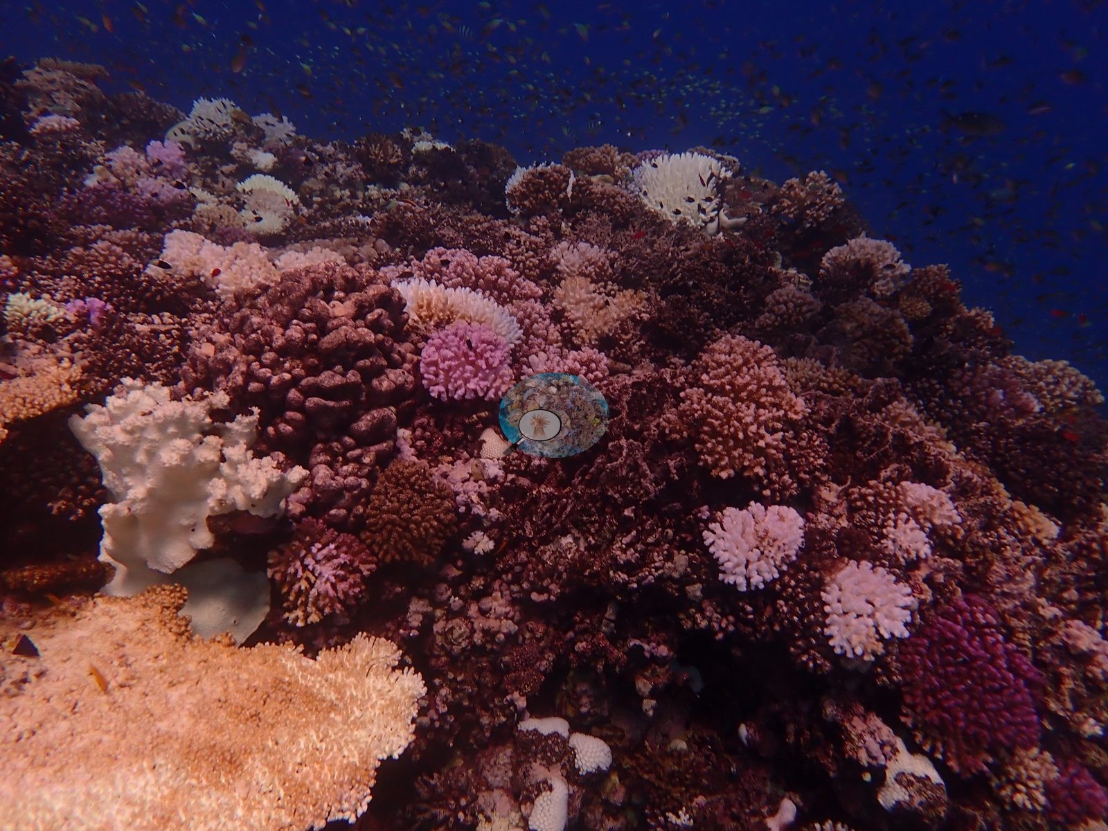
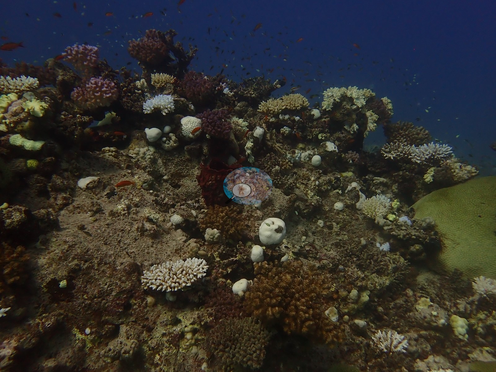
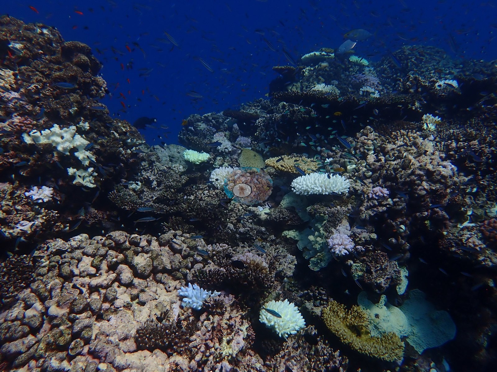
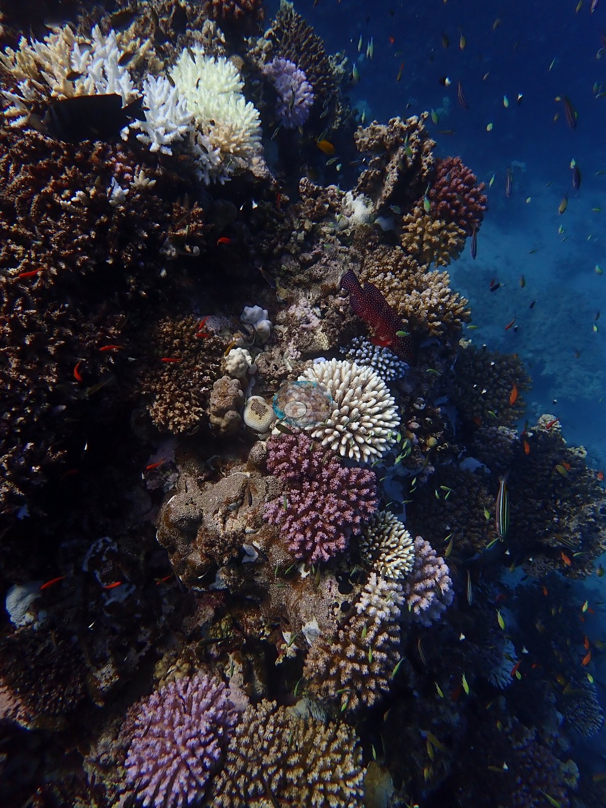
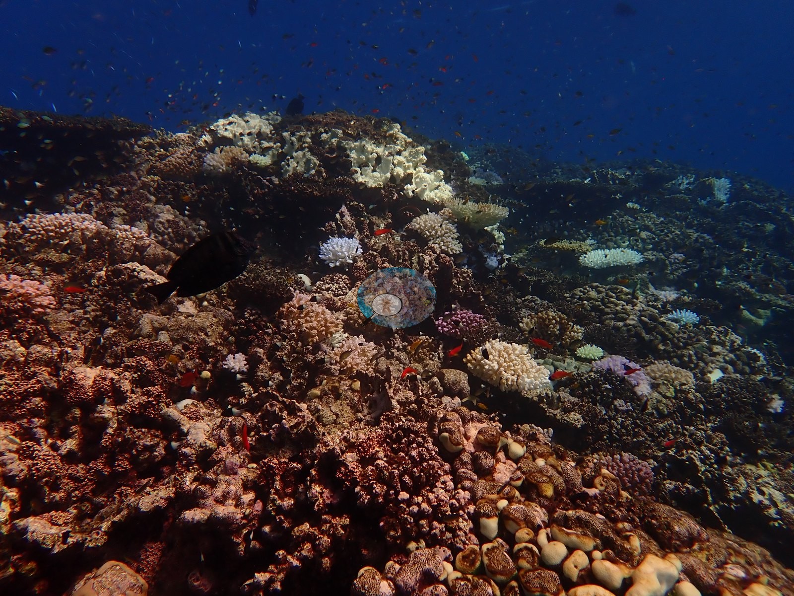
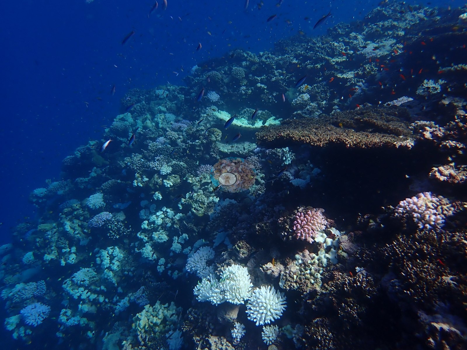
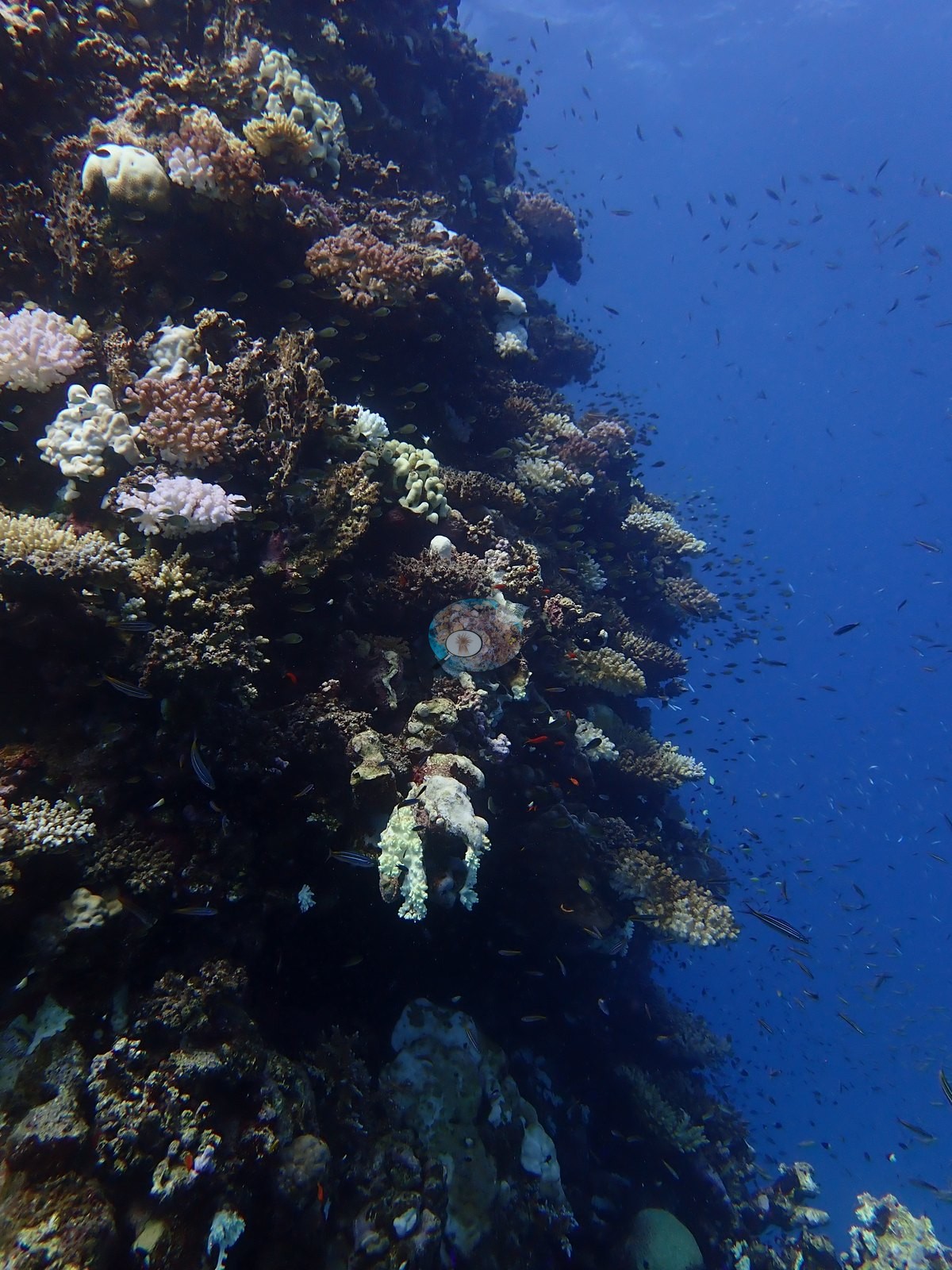
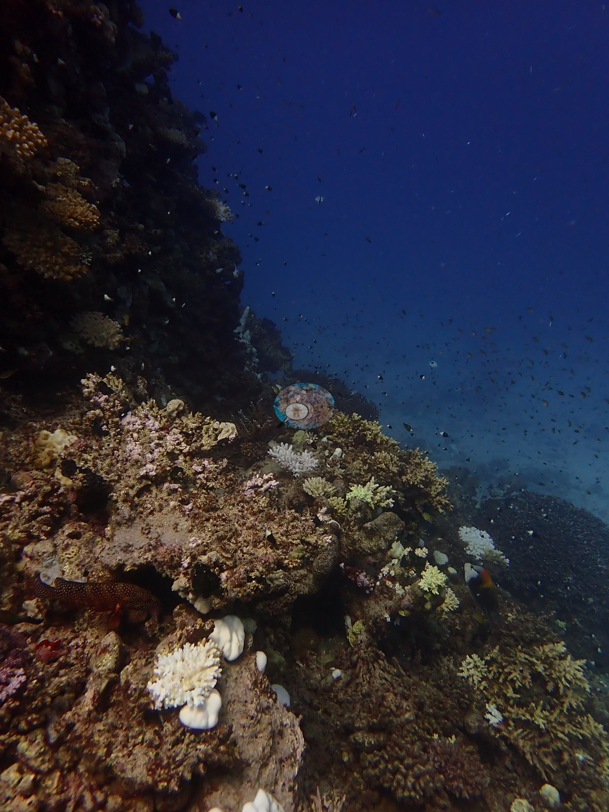
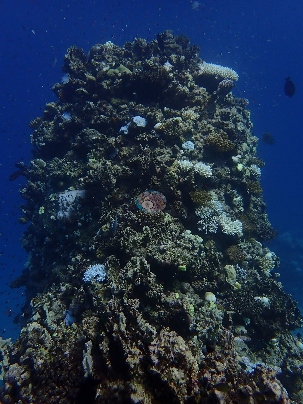
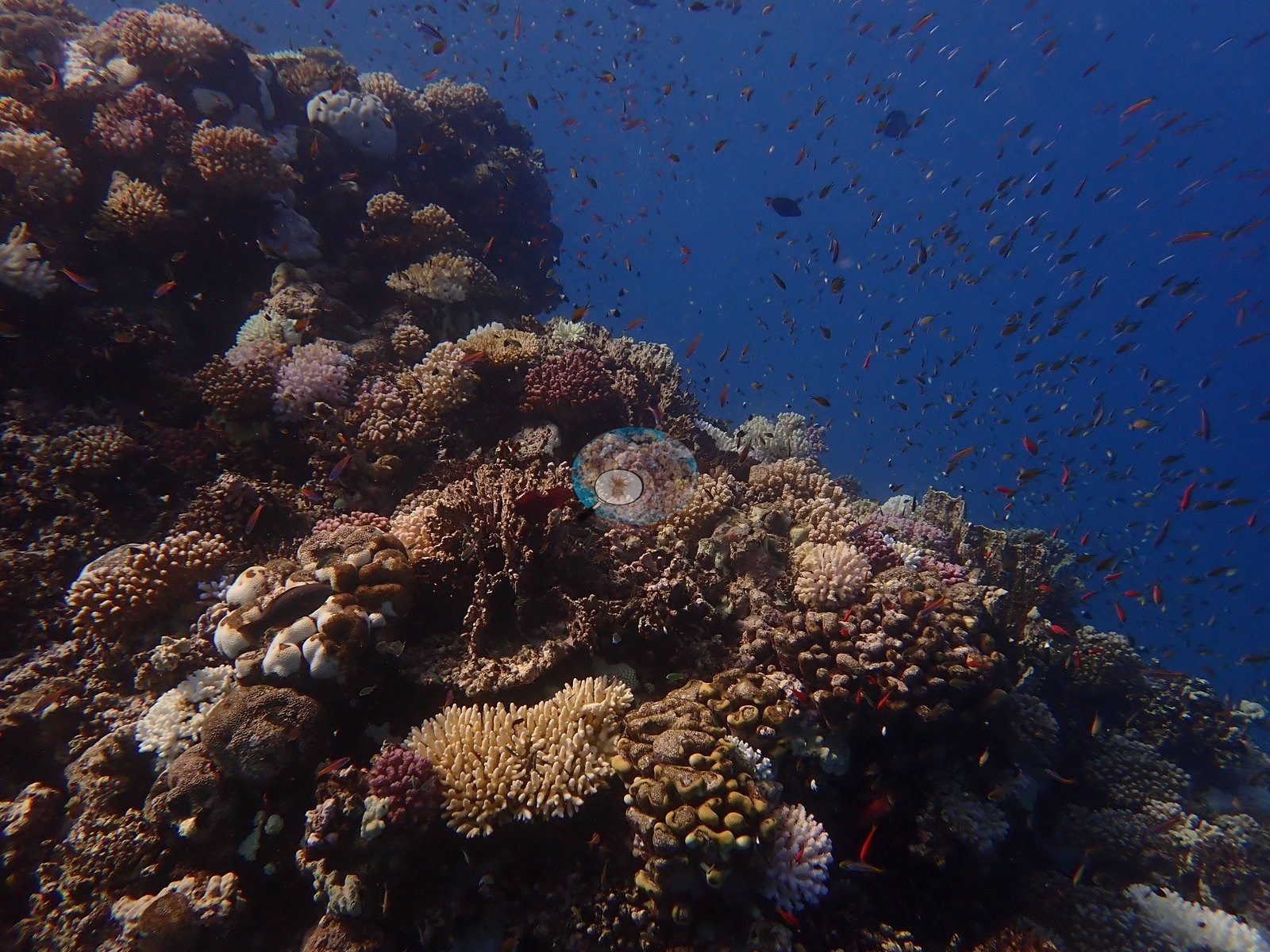
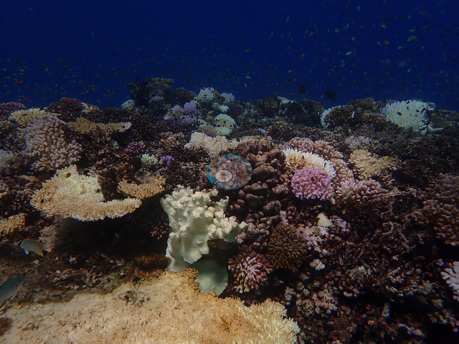
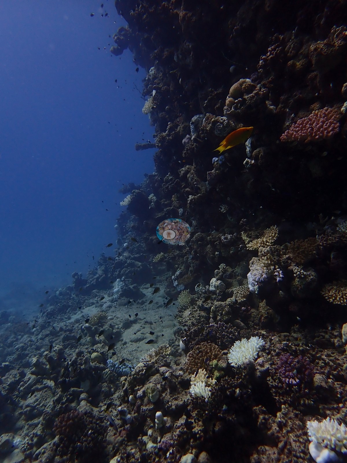
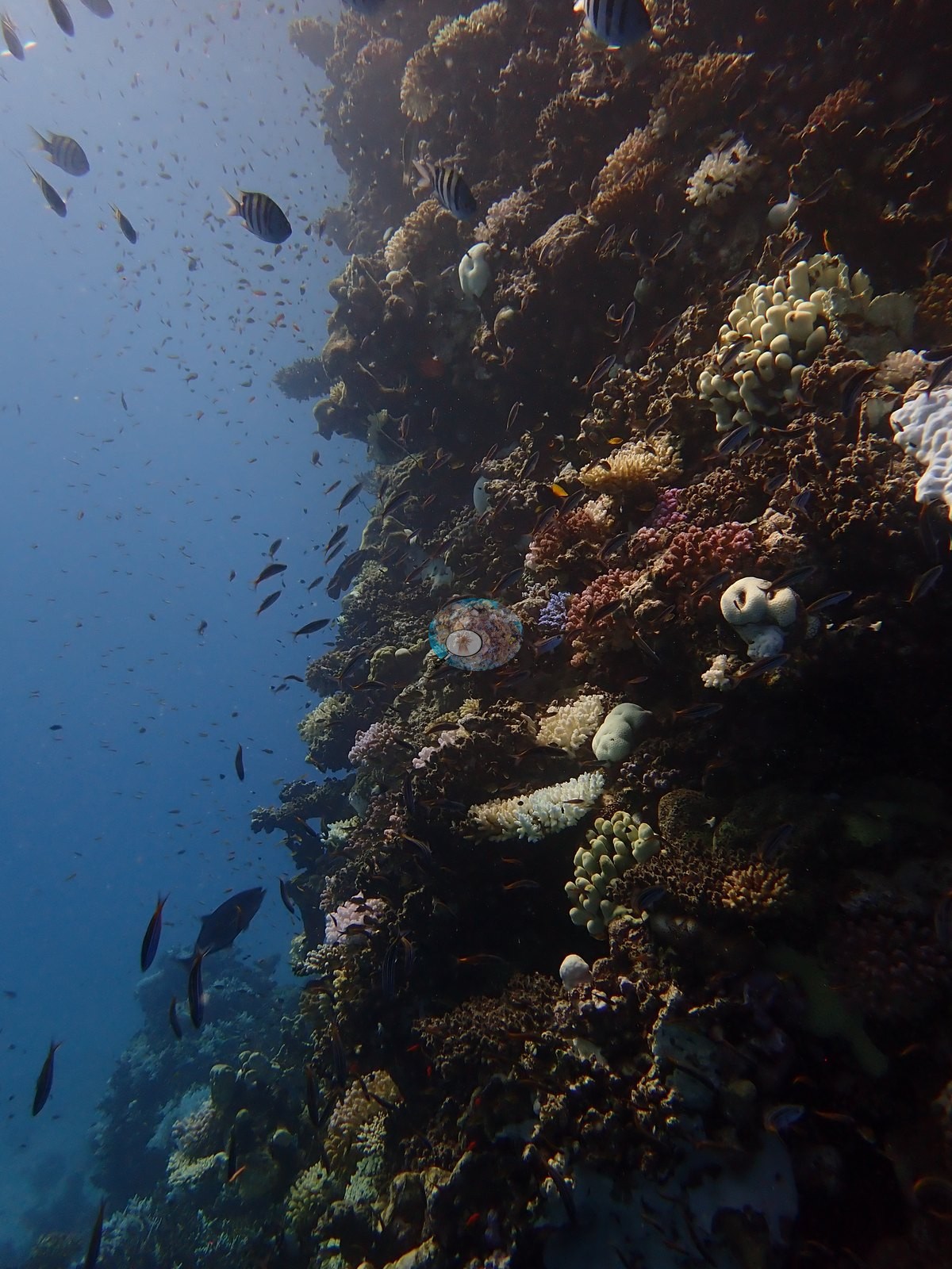
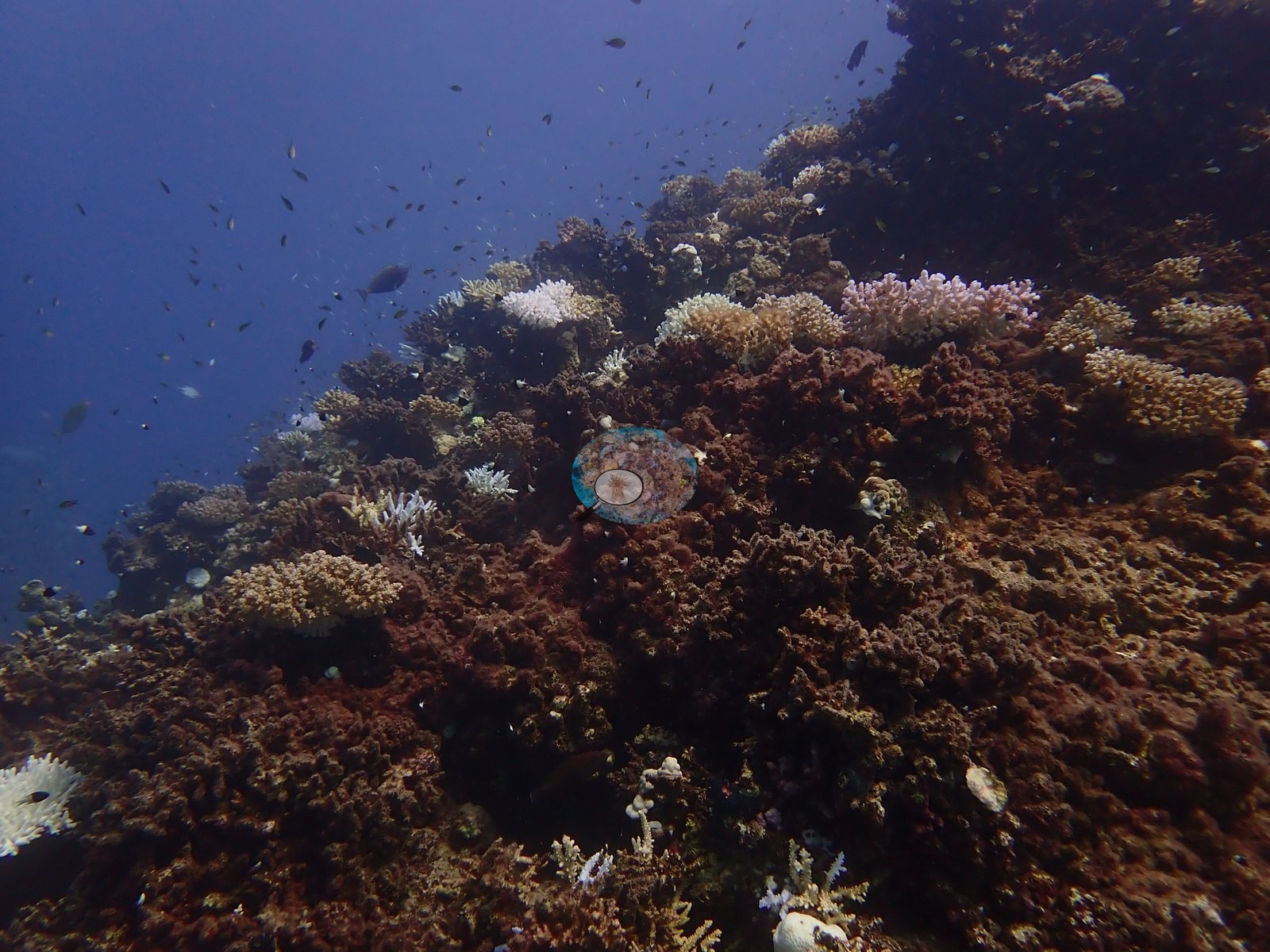
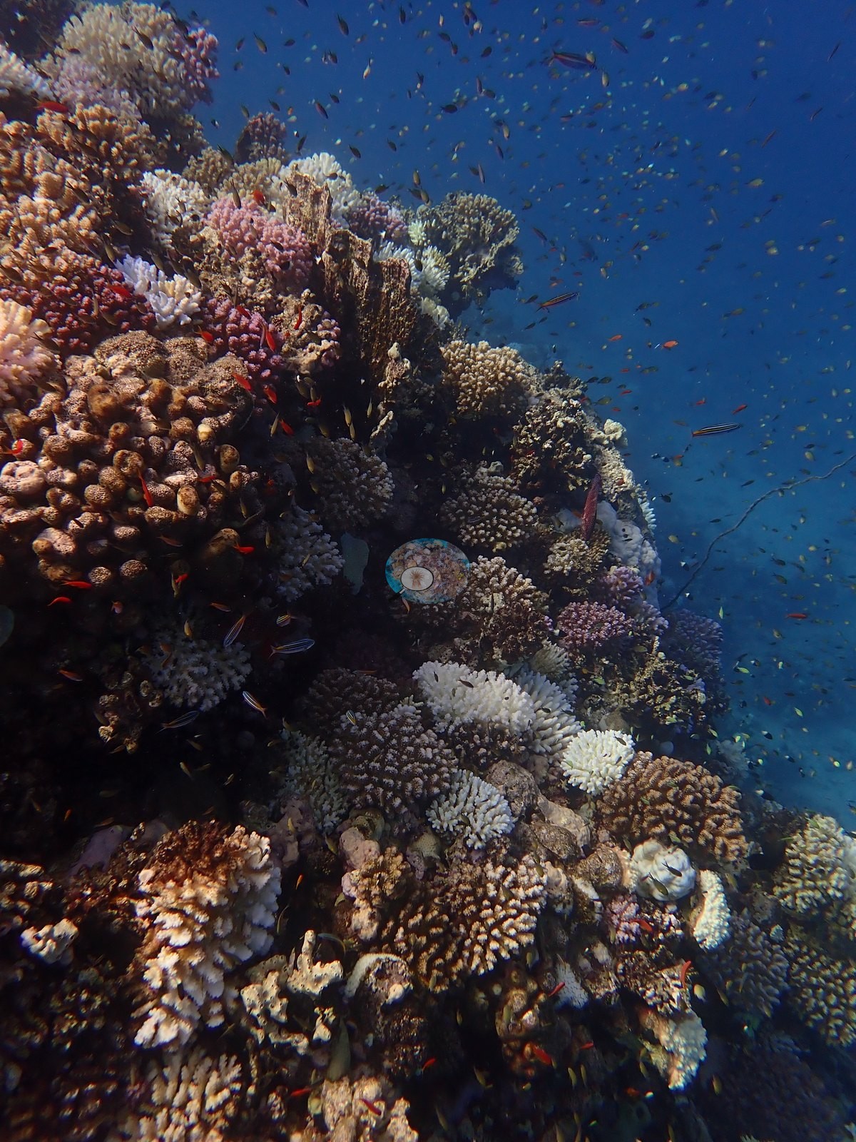
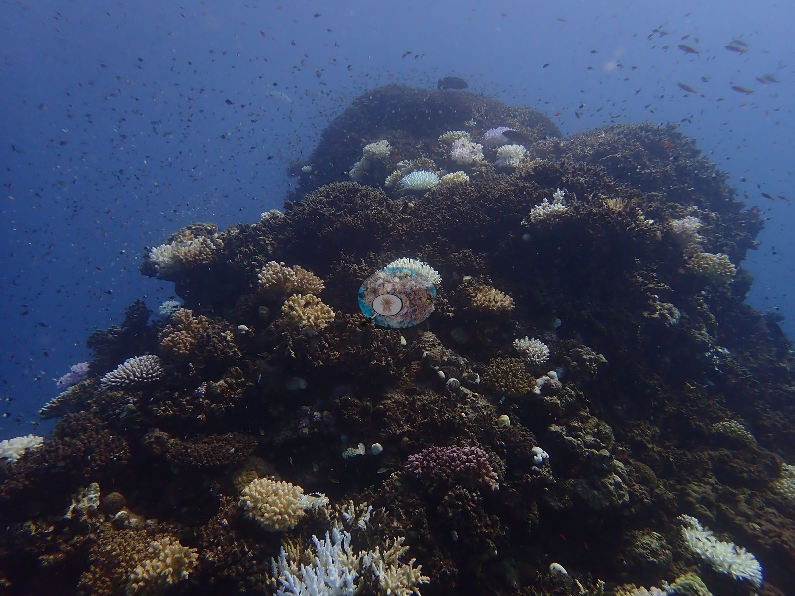
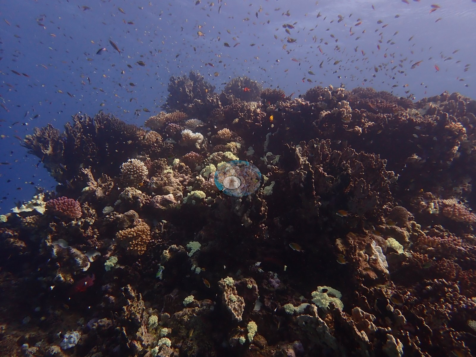
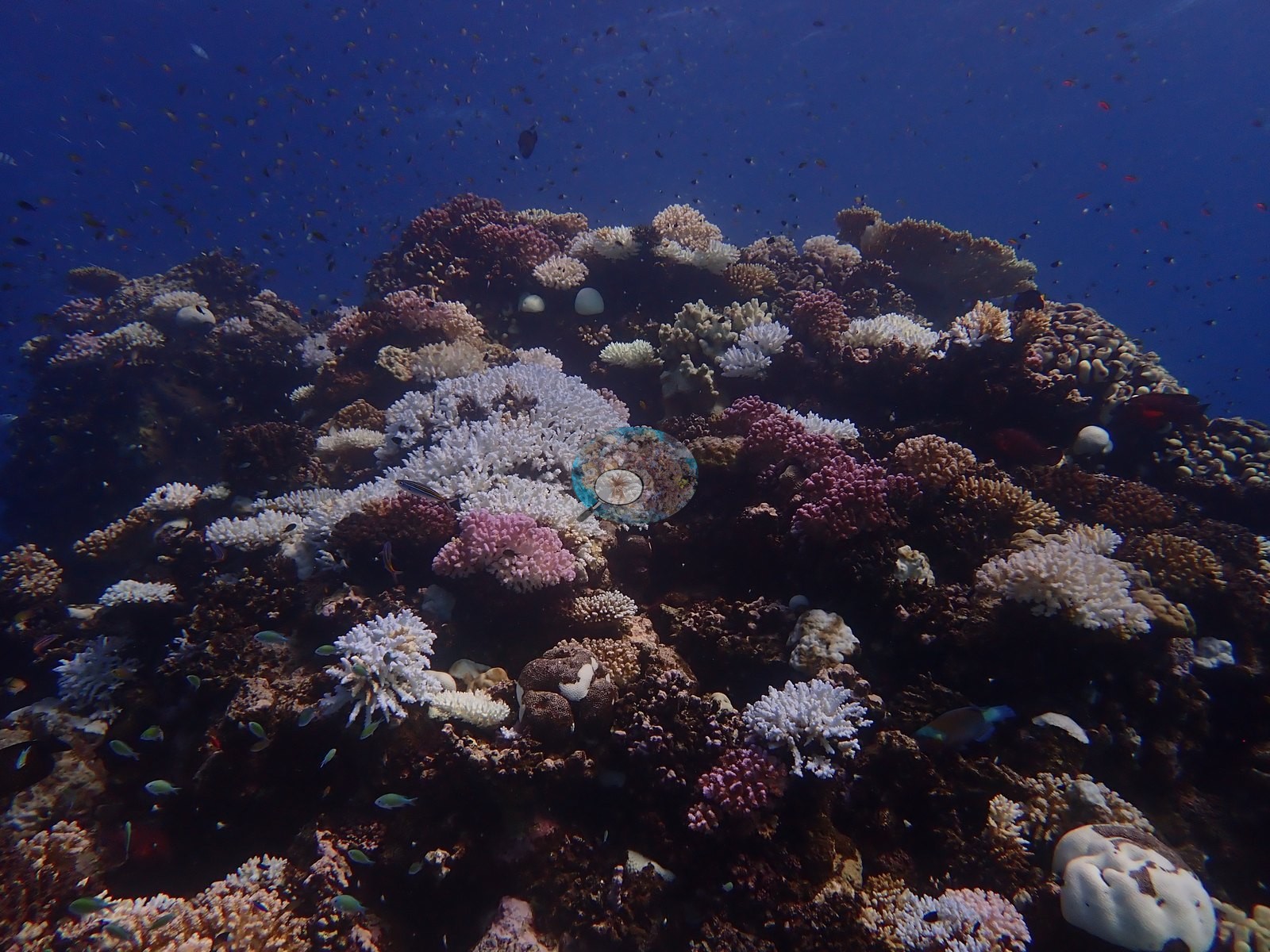
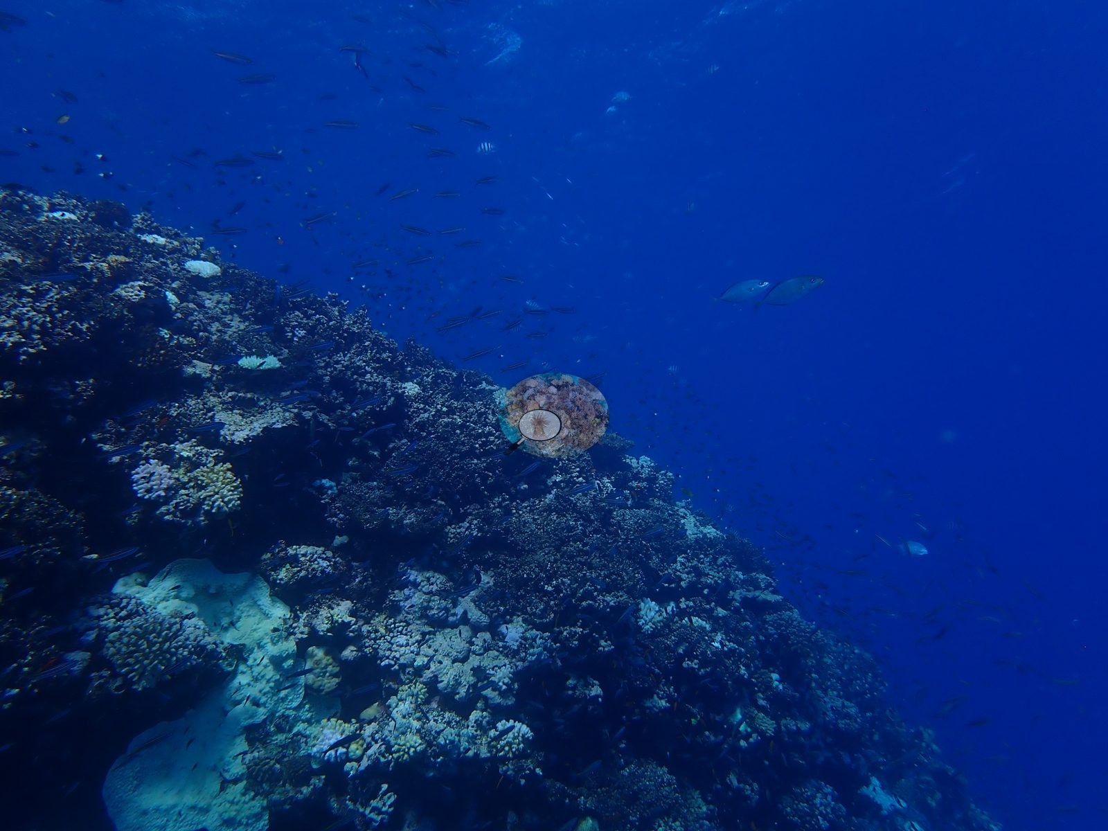
Egypt (NOAA CRW virtual station) · Northern and Central Red Sea ecoregion mean=12.2°C-heating weeksA submerged pinnacle near Gazella Reef whose shallow crest carries a dense, colorful framework of branching corals, fire coral, and brain domes, with streams of red and orange anthias and a pair of patrolling trevally. About 46% of coral tissue was bleached in September 2024, among the lower figures of the Egypt leg, and the marker position is offset about 200 m from its source coordinates.
قمة مغمورة قرب شعبة غزالة تحمل قمتها الضحلة هيكلاً كثيفاً وملوناً من مرجانيات متفرعة ومرجان النار وقباب مرجان الدماغ، مع أسراب من أسماك الأنثياس الحمراء والبرتقالية وزوج من أسماك التريفالي الجوالة. أُبيض نحو 46% من الأنسجة المرجانية في سبتمبر 2024، وهو من الأرقام الأدنى في مرحلة مصر، وموضع العلامة مزاح نحو 200 م عن إحداثياته الأصلية.
ترجمة هذا الملخص بالذكاء الاصطناعي؛ النص الإنجليزي هو المعتمد.
Two independent survey stations shown with the program’s logo — click one to see how far it is from this site.
Four other CRD dive sites within 5 km shown in orange — click a marker to open its page.
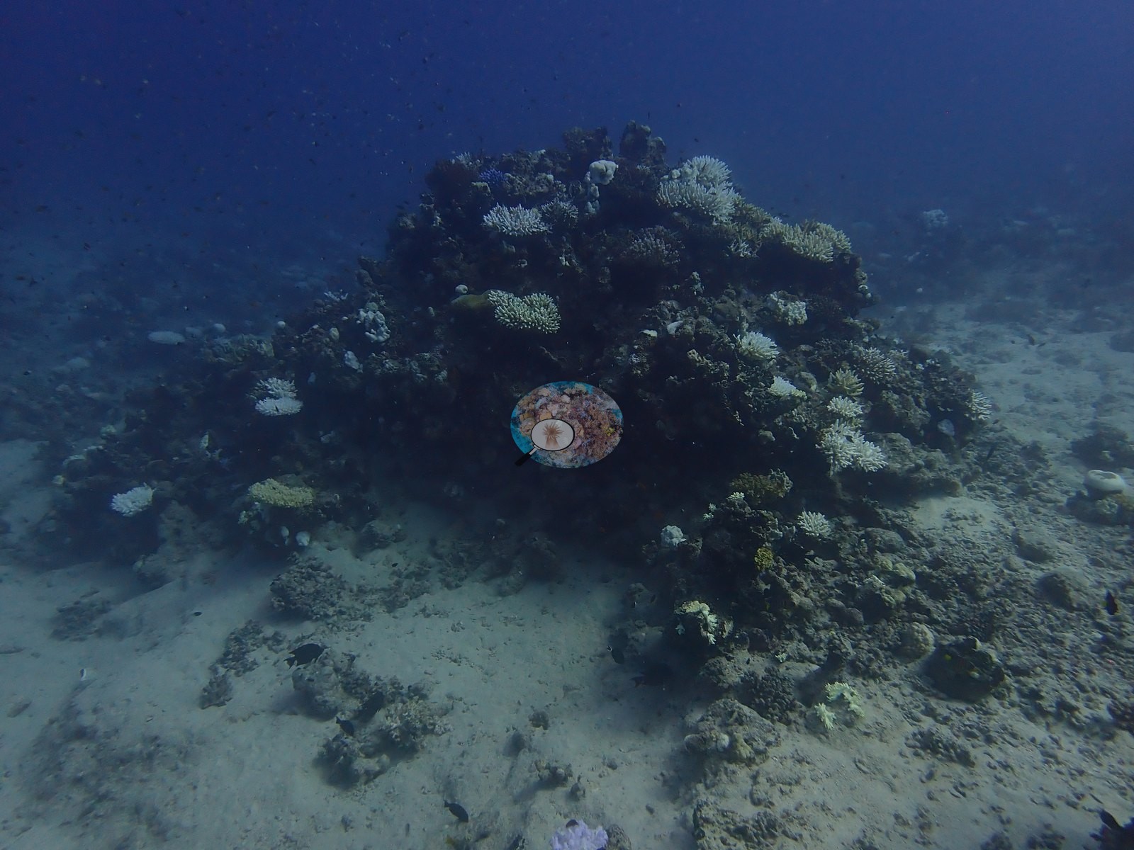
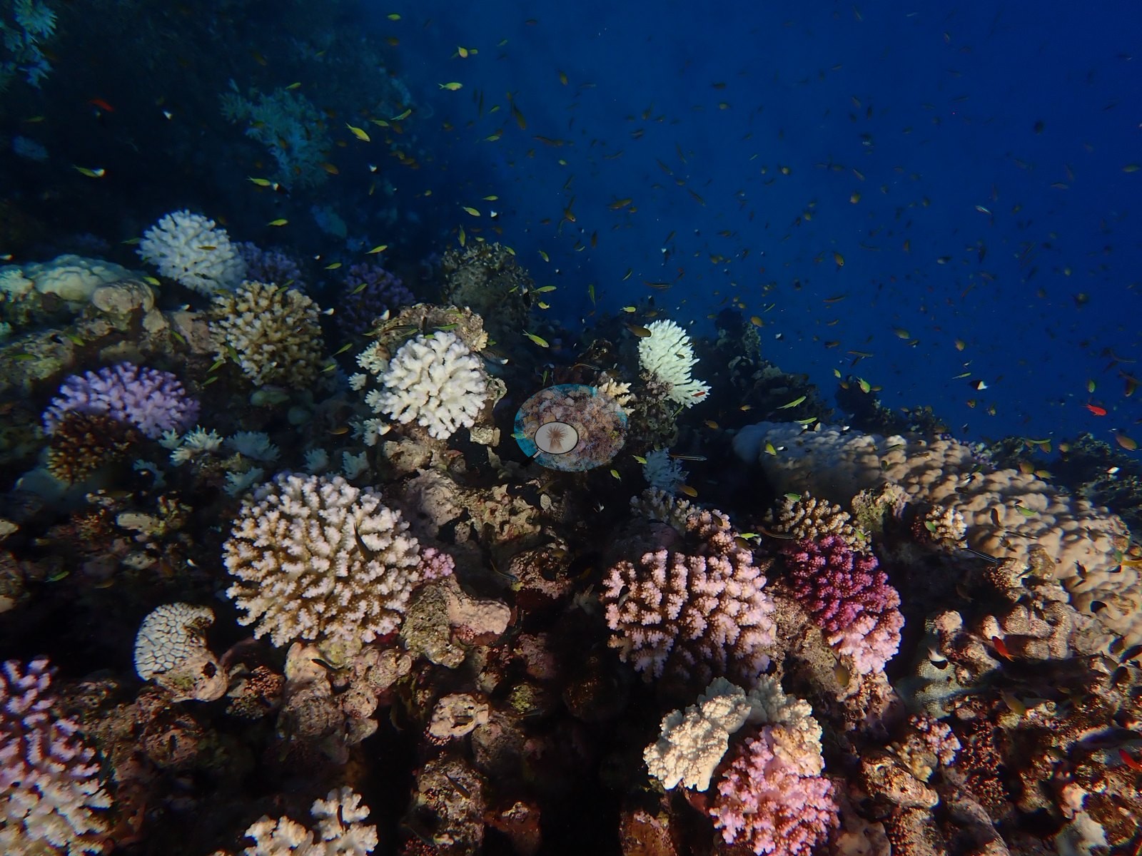
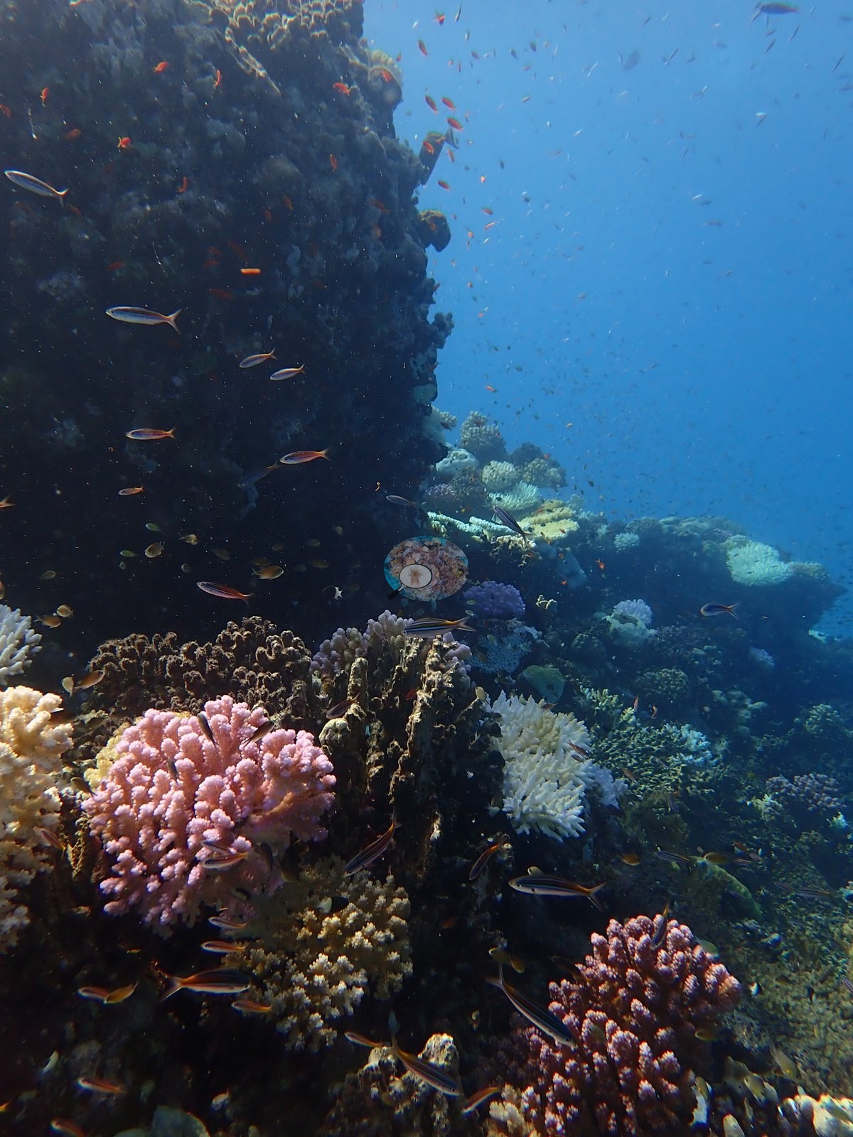
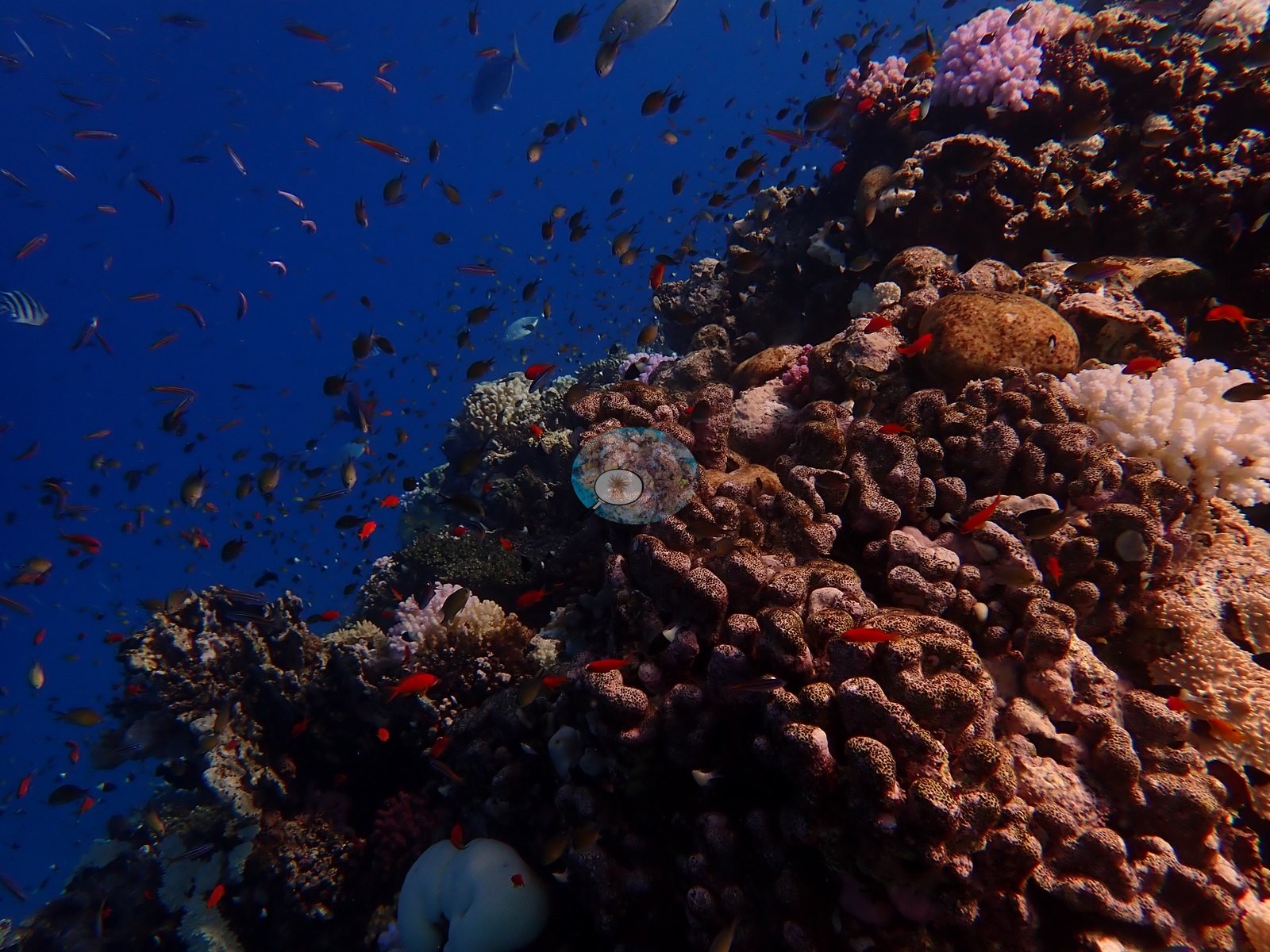
4 of these 50 photographs are shown beside the text that discusses them under "Site description" below.

Site description
General benthic features
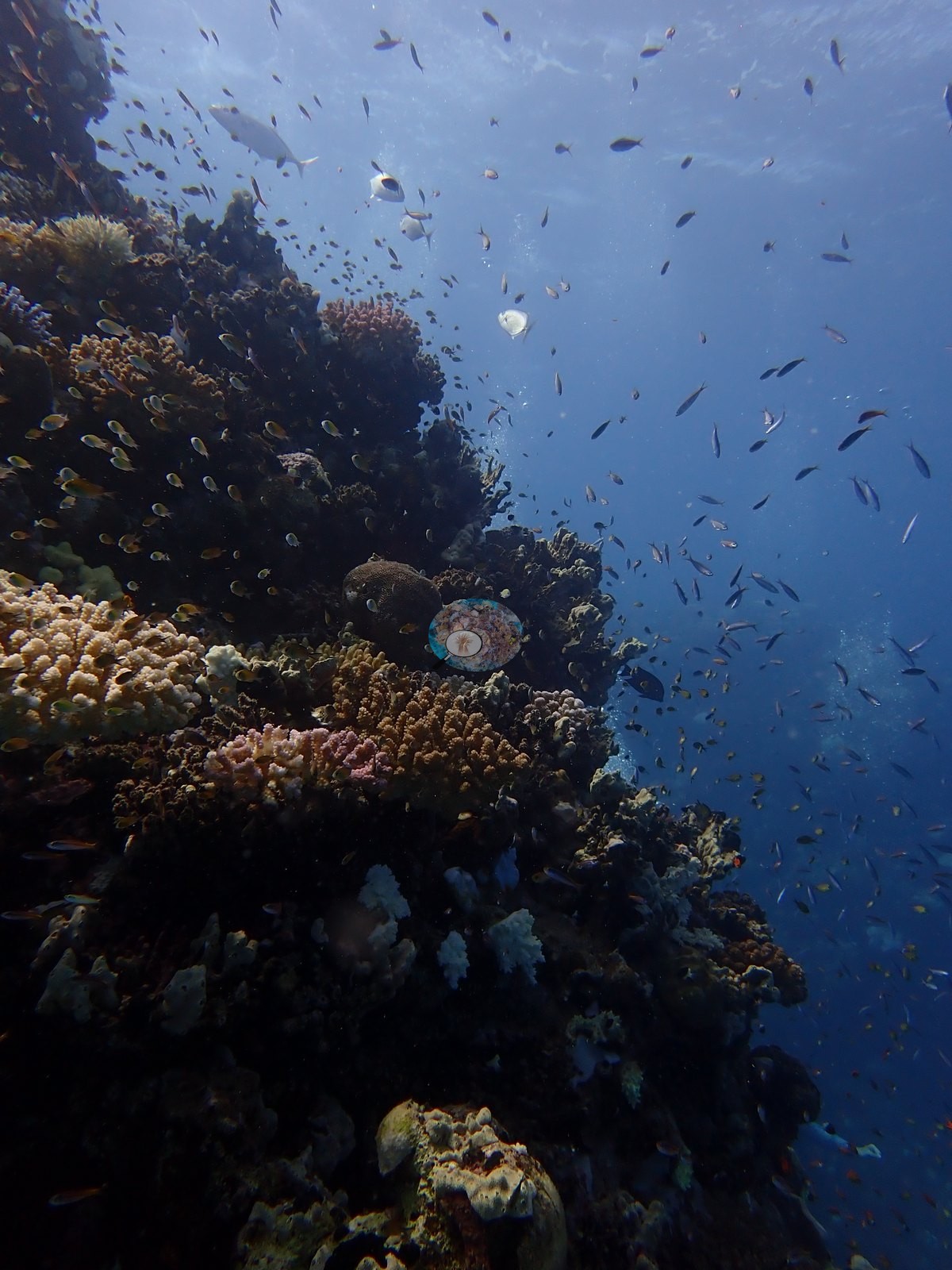
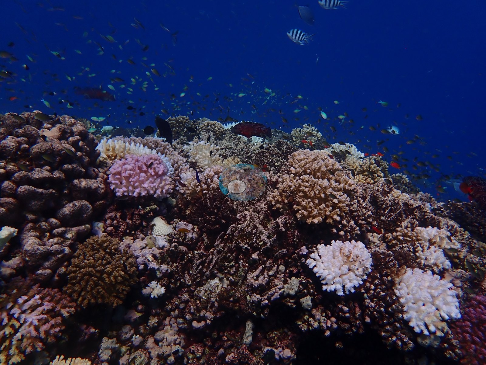
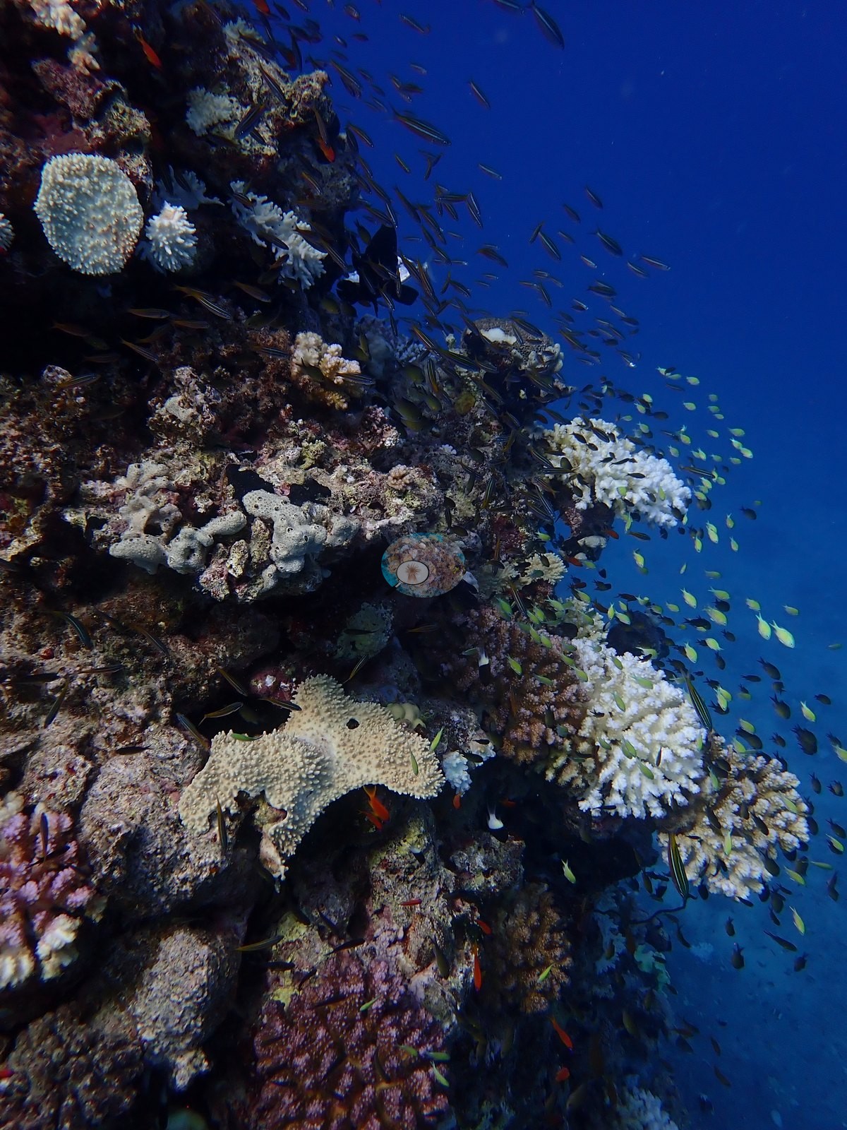
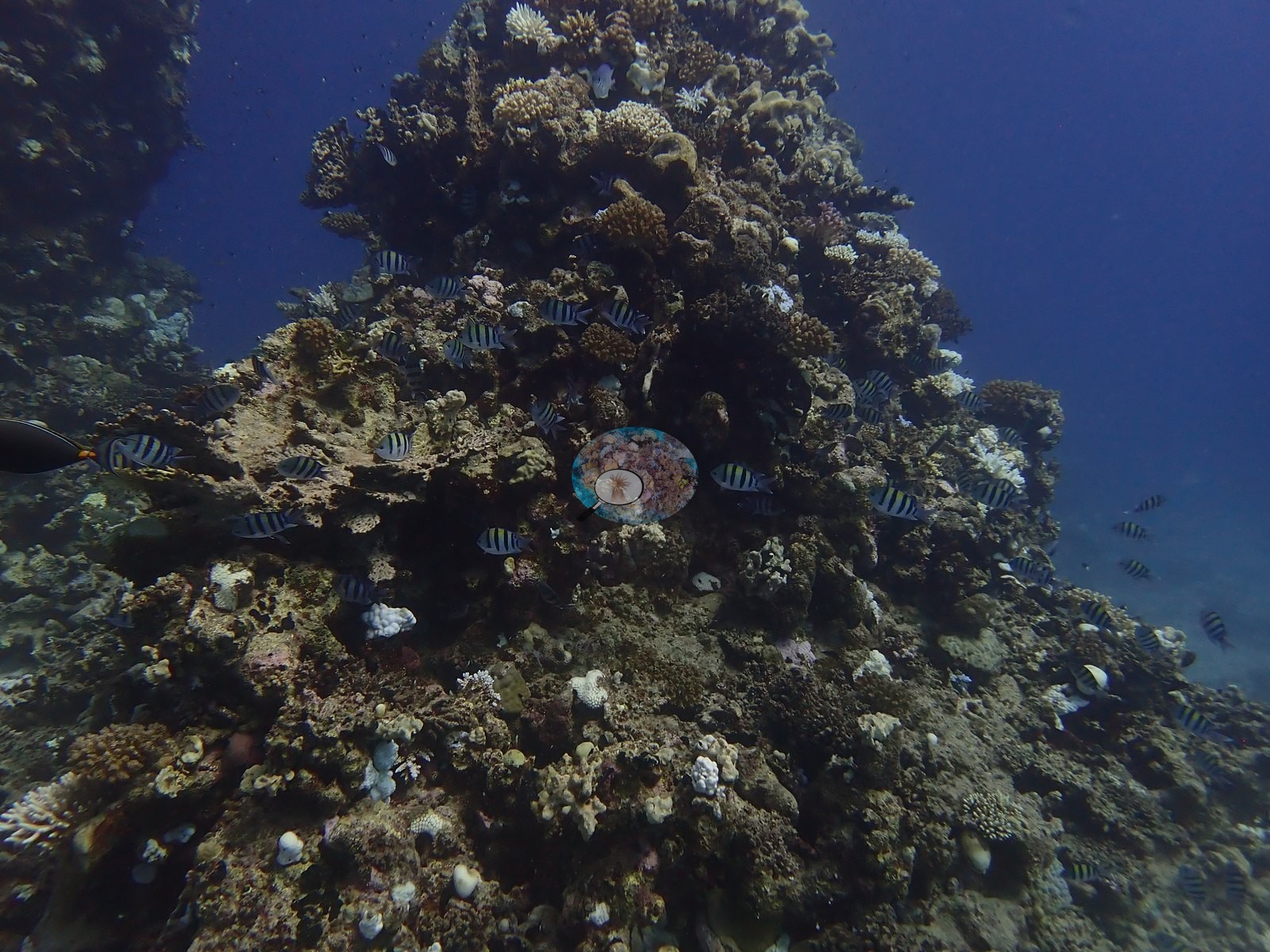
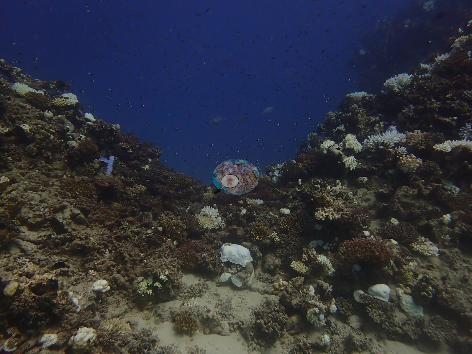
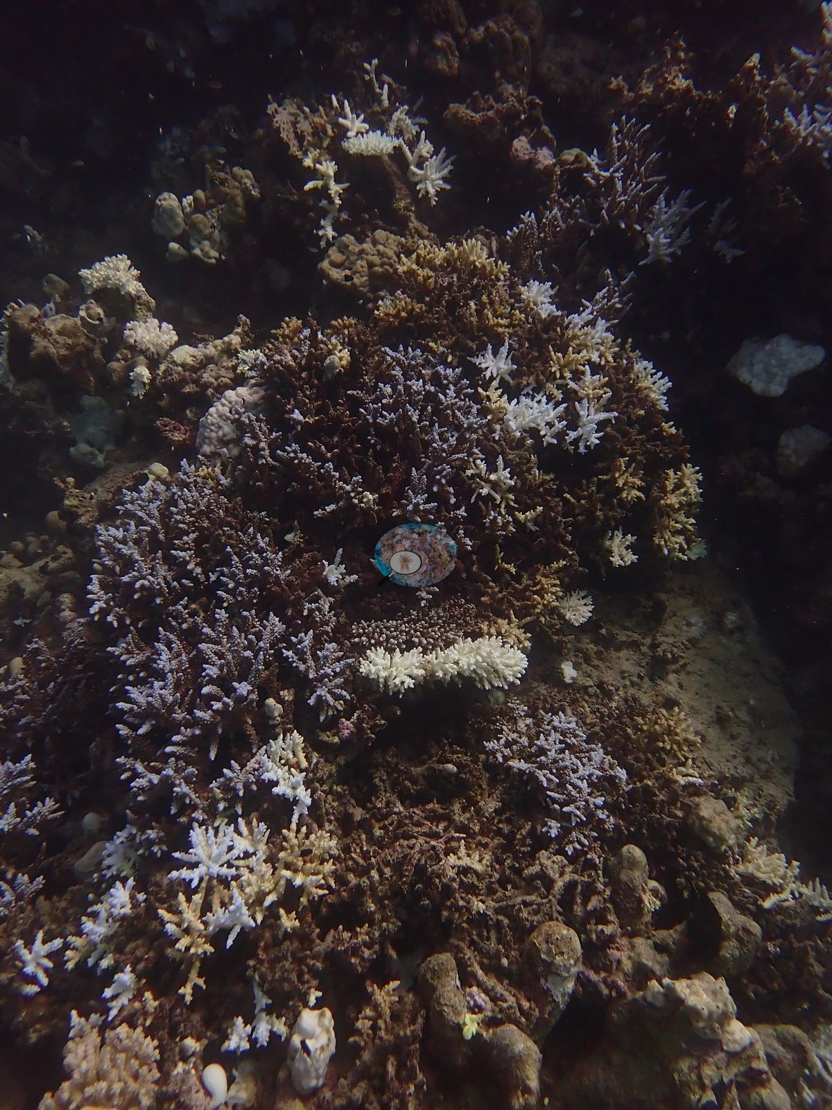
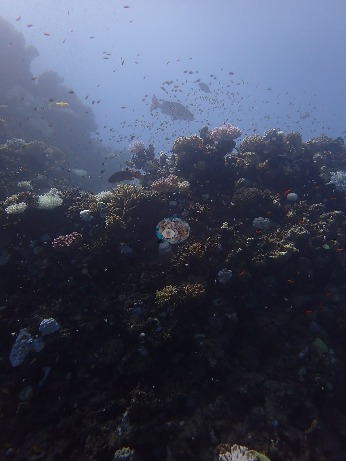
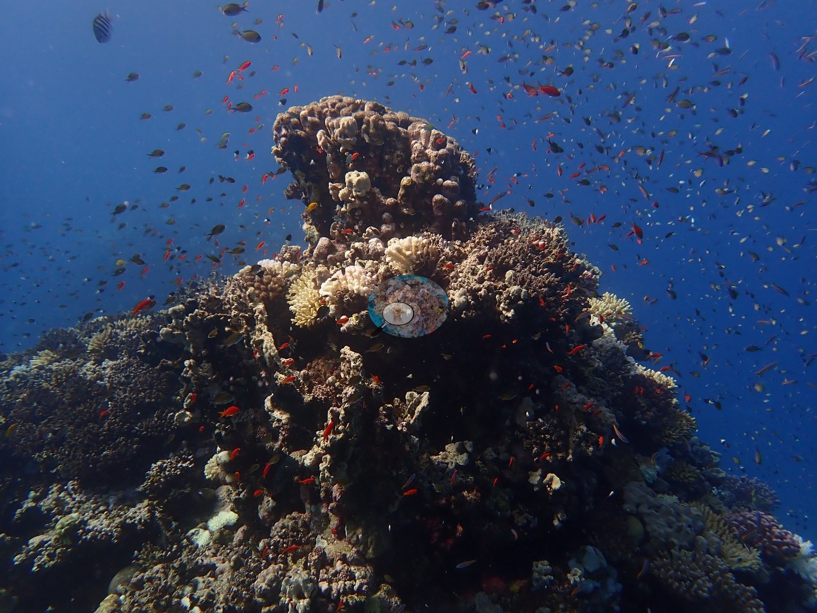
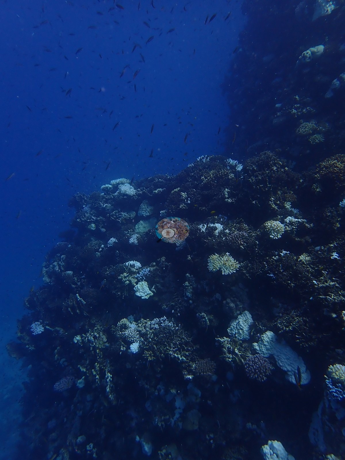
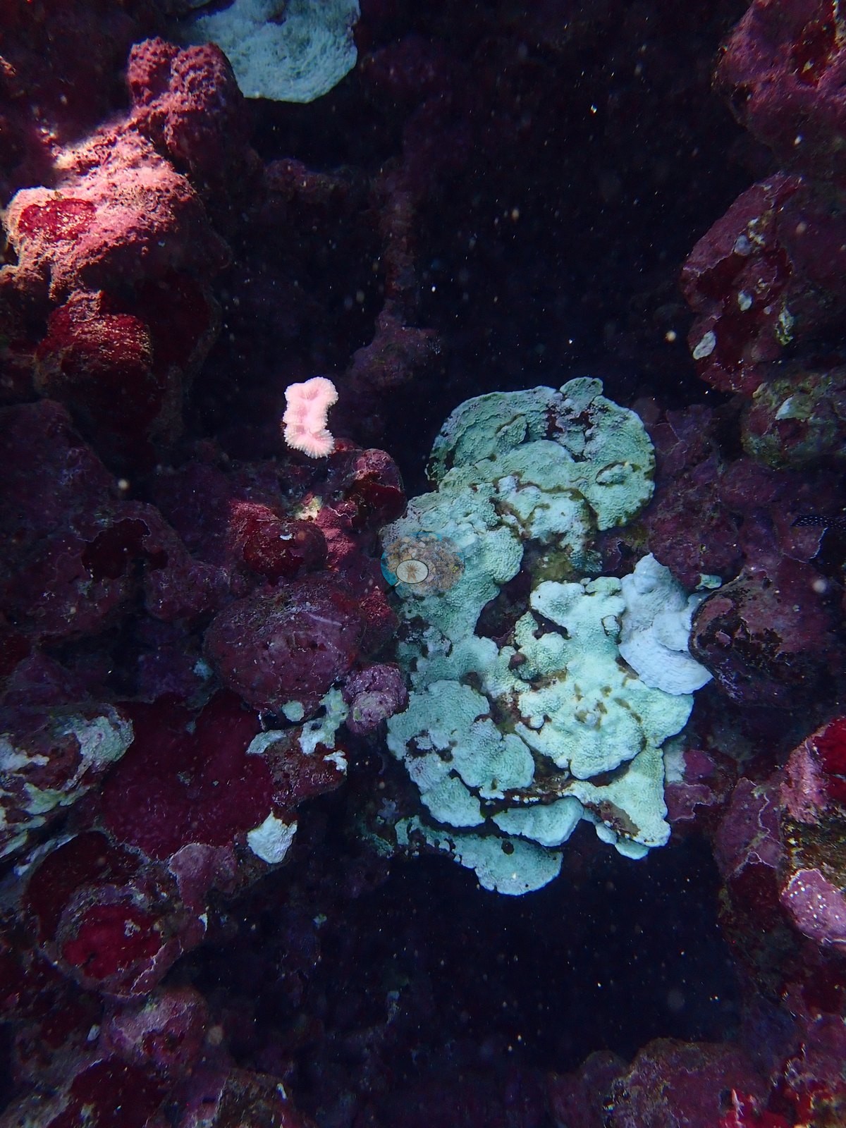
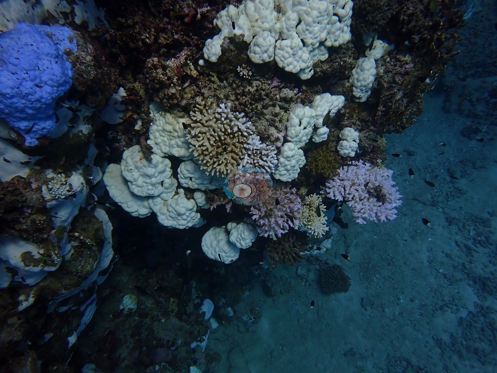
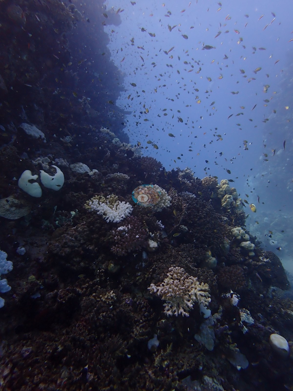
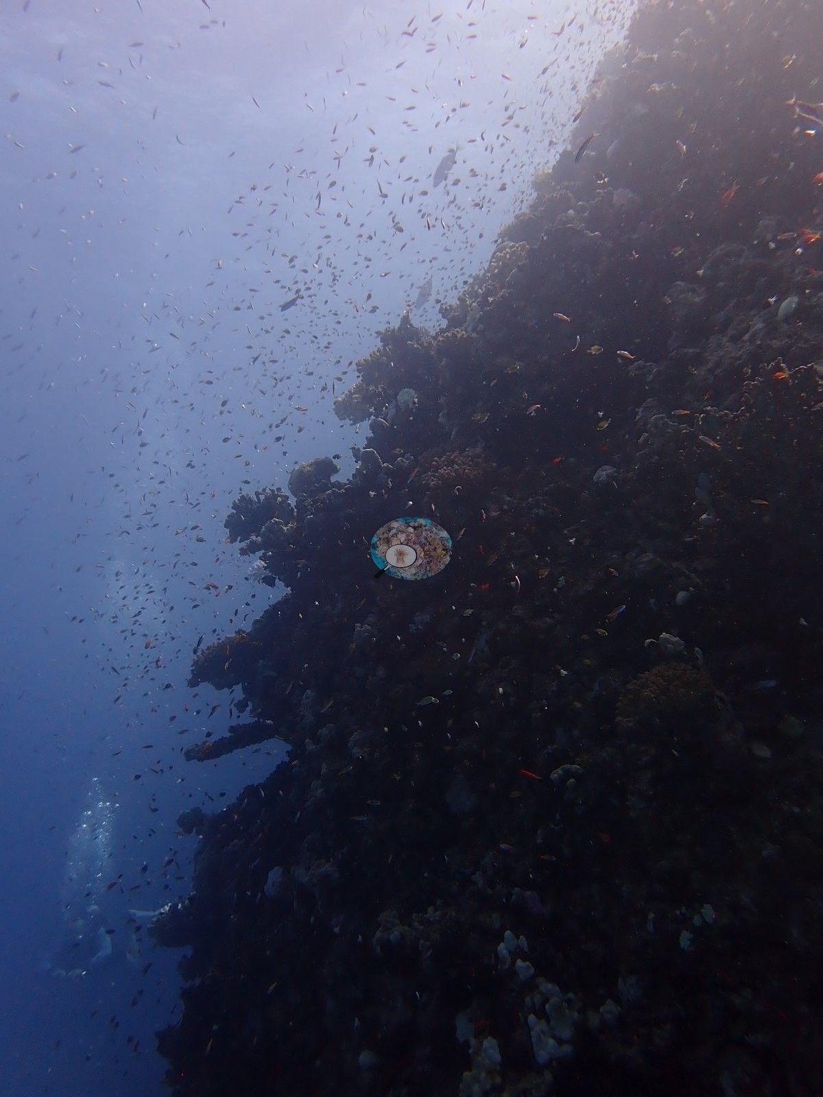
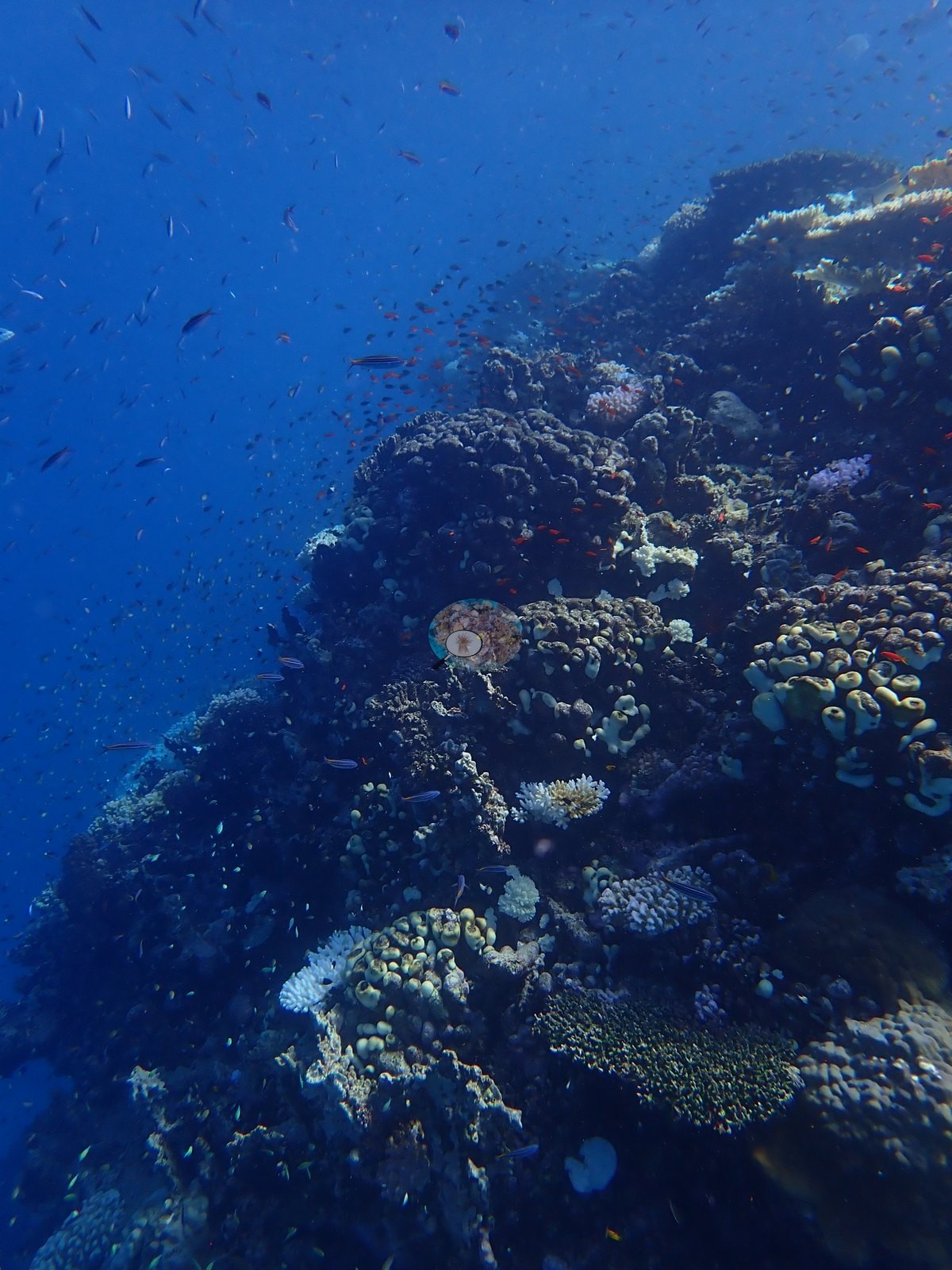
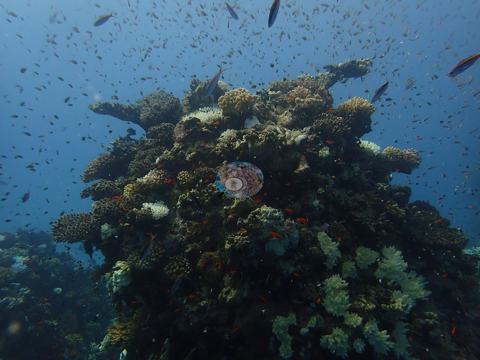
The pinnacle rises into a shallow crest carrying a dense, structurally rich framework — corymbose Acropora and cauliflower pocilloporids in cream, gold, pink, and lavender, mustard Millepora-type fire coral, olive faviid domes, tabulate plates, and encrusting growth packed close, with anthias in red and orange streams over it and a pair of trevally patrolling above (e.g., Image 1, Image 2, Image 3).
Coral cover
Coral cover is 17.7% ± 13.2 across 181 photographs, quoted verbatim from Mayfield, A.B. (2025) Environments 12:248 — Red Sea 2023-24 bleaching; CoralNet point annotation, Appendix A — a manual, diver-annotated CoralNet point count from Anderson's own published work, not a computer vision output and not recomputed here. The site record's prose gives the visit as 18% cover with 45.9% of coral tissue bleached at about 21.8°C-weeks DHW; the numeric fields carry 17.7% and 45.5%.
Stressors
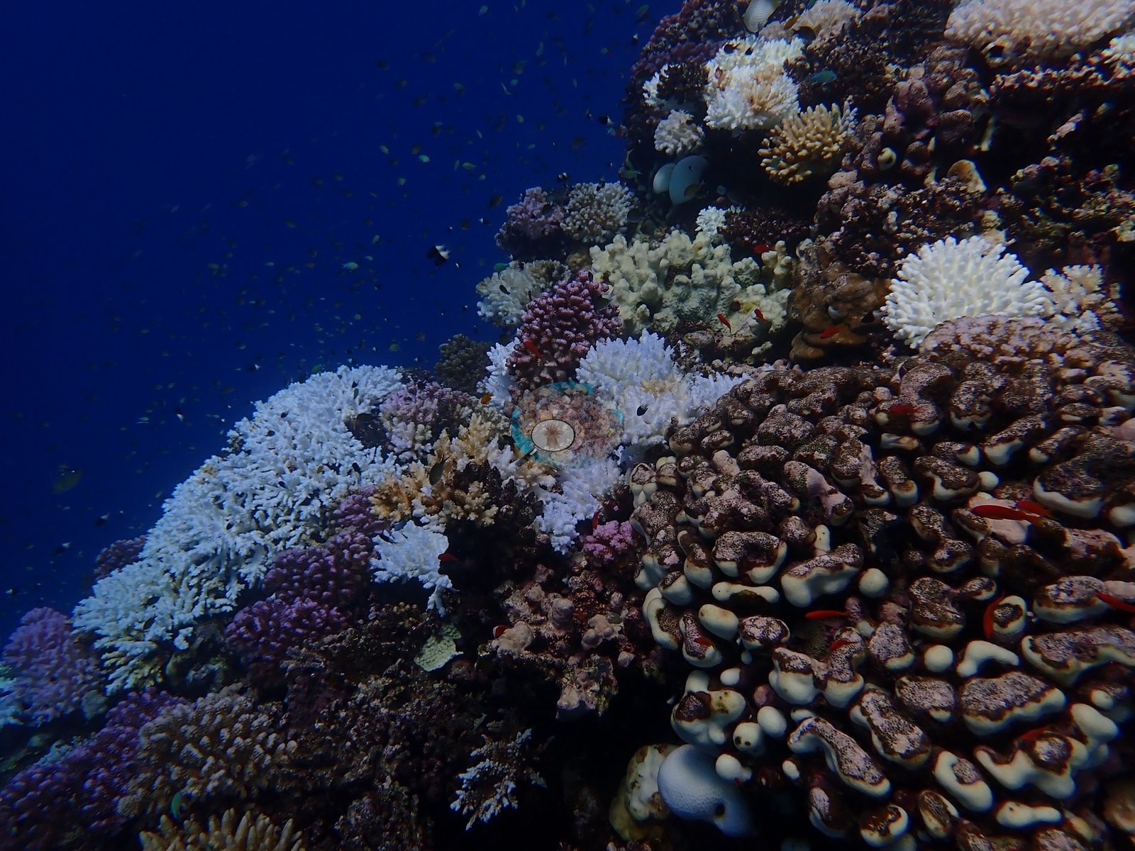
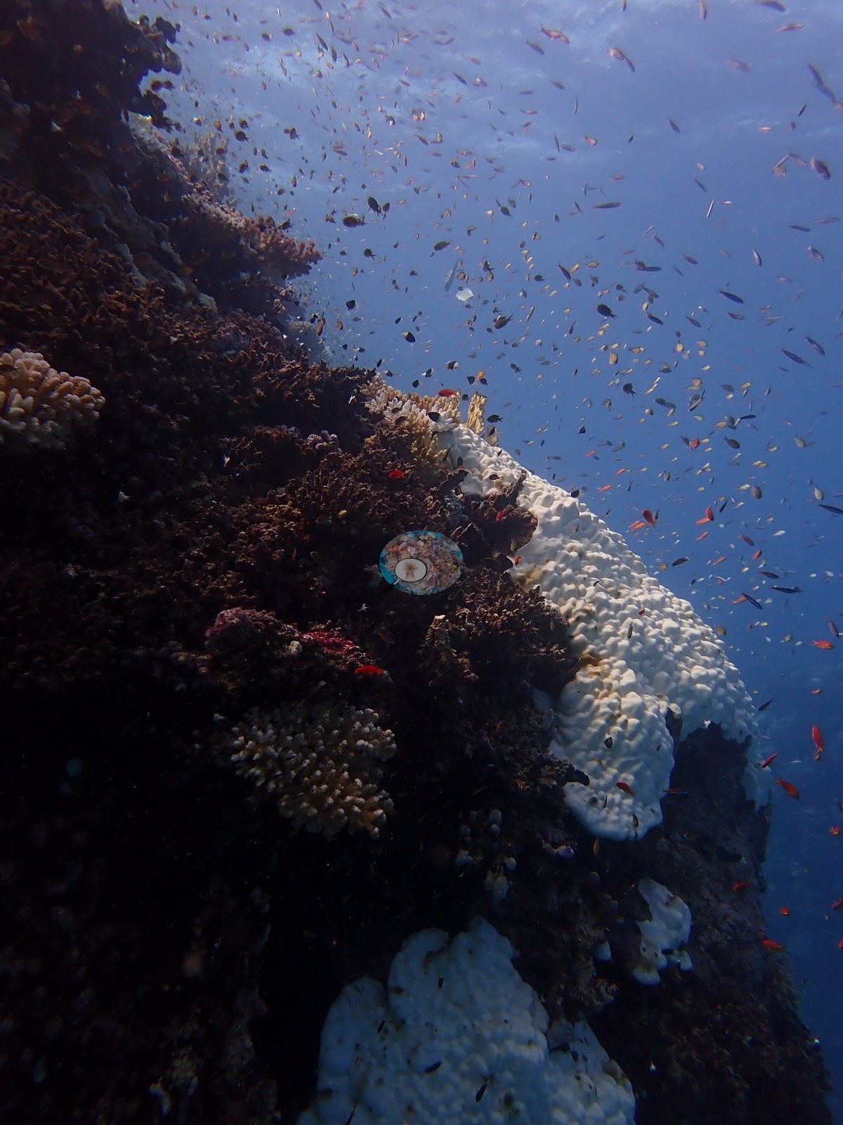
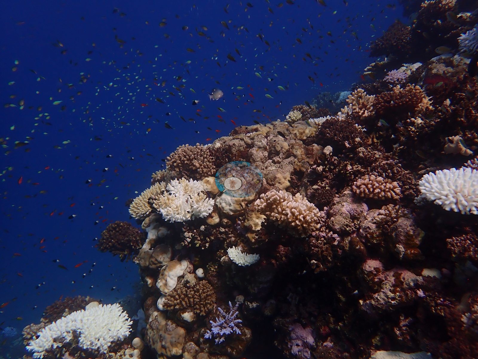
That is the second-lowest bleaching figure of the Egypt leg, behind Habili Gazella's own near neighbor Gazella Reef, and it is visibly lower in the photographs too.
Comparisons with other data
No independent survey was made at this exact site; the nearest ones are listed in the table below.
Dive record
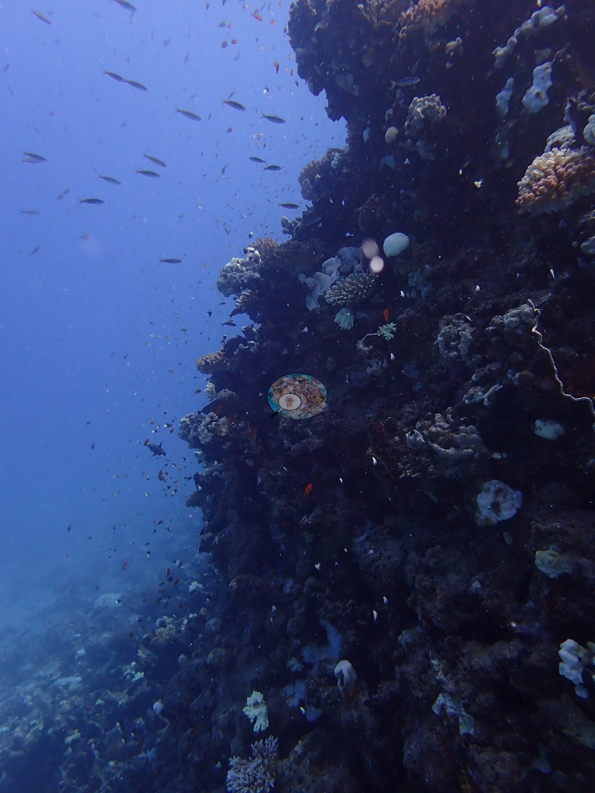
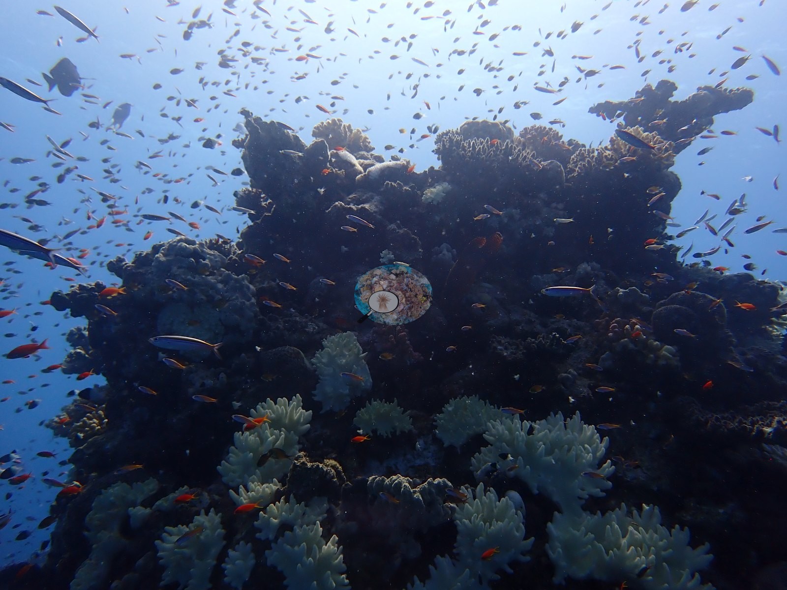
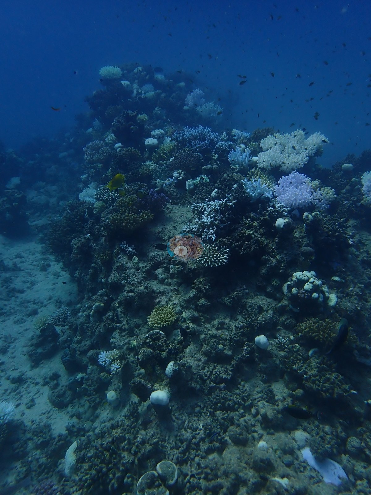
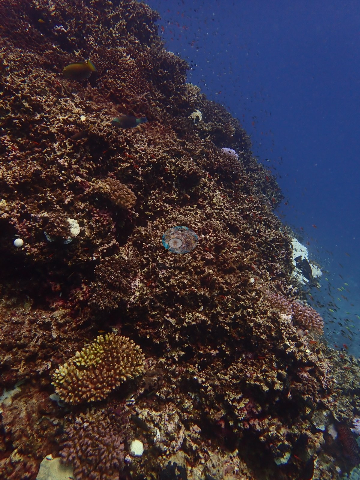
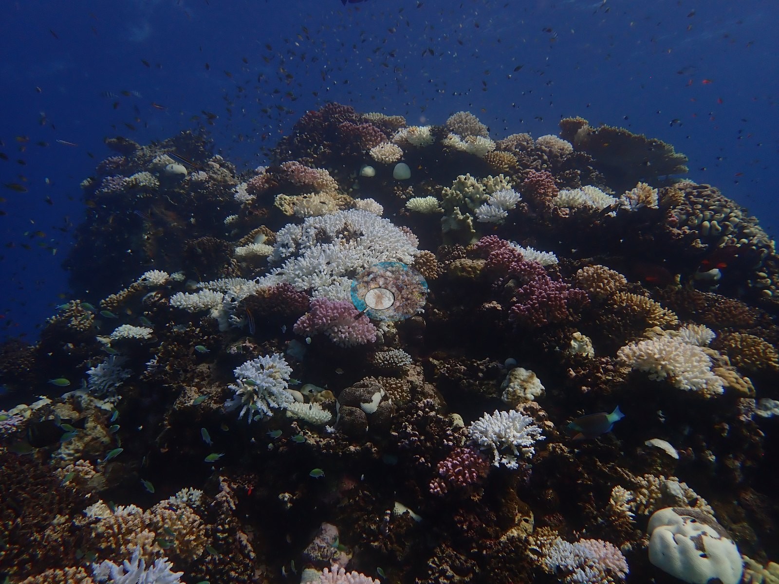
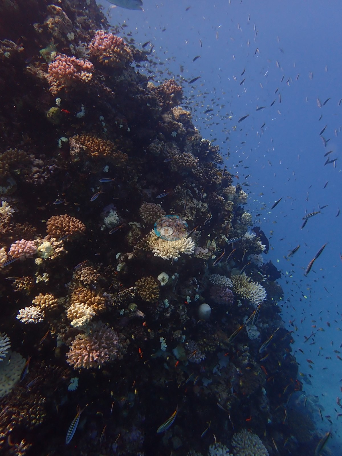
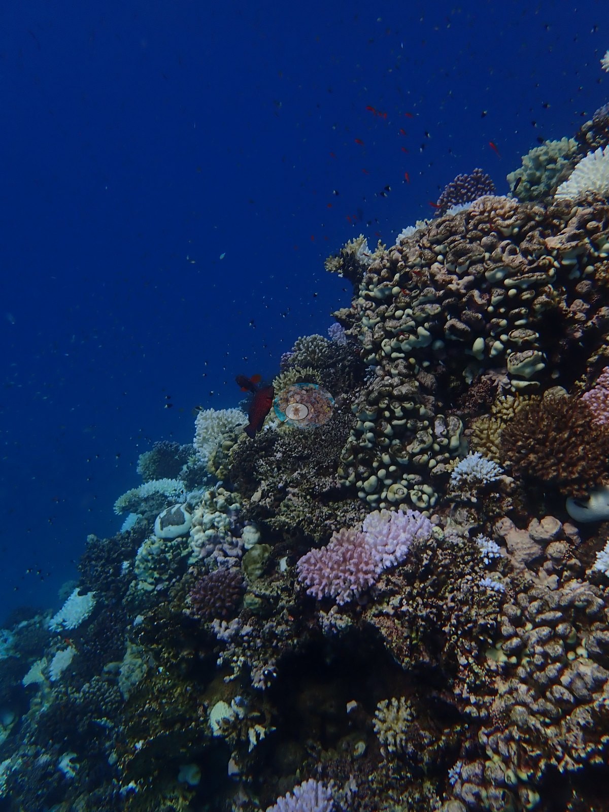
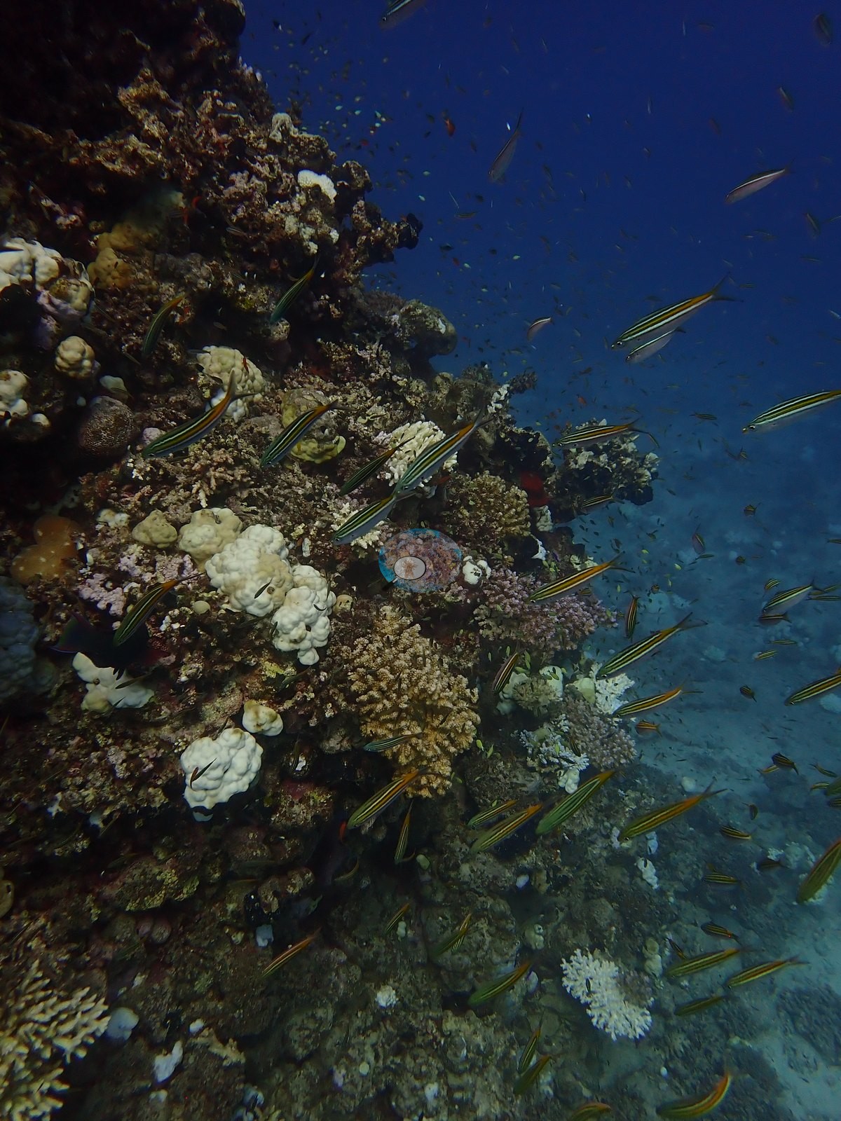
The third dive of 23 September 2024 with Red Sea Diving Safari, on the habili — the submerged pinnacle — associated with Gazella Reef (e.g., Image 4).
Other notes
A coordinate caveat travels with this site, recorded in the site record itself: the source sheet gave Habili Gazella the same coordinates as Gazella Reef, and an offset of roughly 200 m south has been applied so both markers are visible. The position should be corrected if better coordinates emerge. See flags.
CV model comparison
More info
The reference row is this dive site's own published value (Mayfield 2025, Appendix A, 181 photos); the other rows are AREA-level (Wadi Lahami) comparisons, not run on this site's frames. ⚠ The comparison rows are REGIONS, not dive sites: the paper's main tables report cover by region, and this site's own value comes from its Appendix A. ⚠ The manual column and the CV columns are on DIFFERENT FRAME SETS: the published cover spans 674–1,180 frames, the CV arms ran on the 30- and 129-frame hand-scored reference subsets. CoralNet is n/a by design: the reference set IS the hand-scored set. DINOv3 is restricted to frames it never saw. CoralNet automated point classifier: n/a — the reference set IS the hand-scored set; these frames carry no independent CoralNet robot label to compare against CoralSCOP (SAM-based mask-sum), unedited photos: pending — CoralSCOP run: 370/747 images scored at build time CoralSCOP (SAM-based mask-sum), edited photos: pending — CoralSCOP run: 370/747 images scored at build time| Method | Hard-coral cover (%) |
|---|---|
| Manual (published) | 17.7 |
| In-house DINOv3 | 40.6 |
| Claude | 28.0 |
Independent surveys nearby
 Dr. Coral (CRD)
Within 5 km, 2 independent survey stations recorded hard coral cover in 16 surveys between 2009 and 2023. Of the 2 stations surveyed in more than one year, 1 declined and 1 increased between their first and latest surveys. The longest record, Wadi Lahami House Reef 1 (Reef Check, 3.41 km away), went from 30% in 2009 to 41% in 2023. Surveys since 2021 average 43% (range 41–44%, n=2). This site's own estimate (18%) sits 23.5 points below the recent range (41–44%); the methods differ, so the comparison is context, not a like-for-like test.
Collected by other programs using different methods (Reef Check uses point-intercept transects), so these are context for the figures above, not a like-for-like comparison. Where a station was surveyed more than once the range is shown. Station names are not dive-site names.
| Agency | Site / location | Date | Hard coral cover (%) | Distance | Link |
|---|---|---|---|---|---|
| Reef Check | Wadi Lahami House Reef 1 | 2009–2023 | 30–46% (8 surveys) | 3.41 km | — |
| Reef Check | Wadi Lahami House Reef 2 | 2009–2023 | 44–56% (8 surveys) | 3.44 km | — |
Data & links
All images from Coral Reef Diagnostics. Data are from Coral Reef Diagnostics and the organizations named in the data-sources table above.
© Coral Reef Diagnostics.