
Dominica - Scott's Head Pinnacle

Part of the regional summary: Dominica
More info
Leeward Caribbean Islands (NOAA CRW virtual station) · Eastern Caribbean ecoregion mean: 13.1 degree heating weeksA steep volcanic pinnacle cut by narrow sand canyons, its walls clothed in barrel, tube, and rope sponges and thickets of black coral, with a fine pillar coral colony on the crest. Two great star coral colonies show bright white bands of active tissue loss consistent with disease; stony coral tissue loss disease was documented in Dominica in 2022, though photos alone cannot confirm it.
Six independent survey stations shown with the program’s logo — click one to see how far it is from this site.
Two other CRD dive sites within 5 km shown in orange — click a marker to open its page.
24 of the 42 photographs on this page are shown beside the text that discusses them under "Site description" below.
Site description
Setting
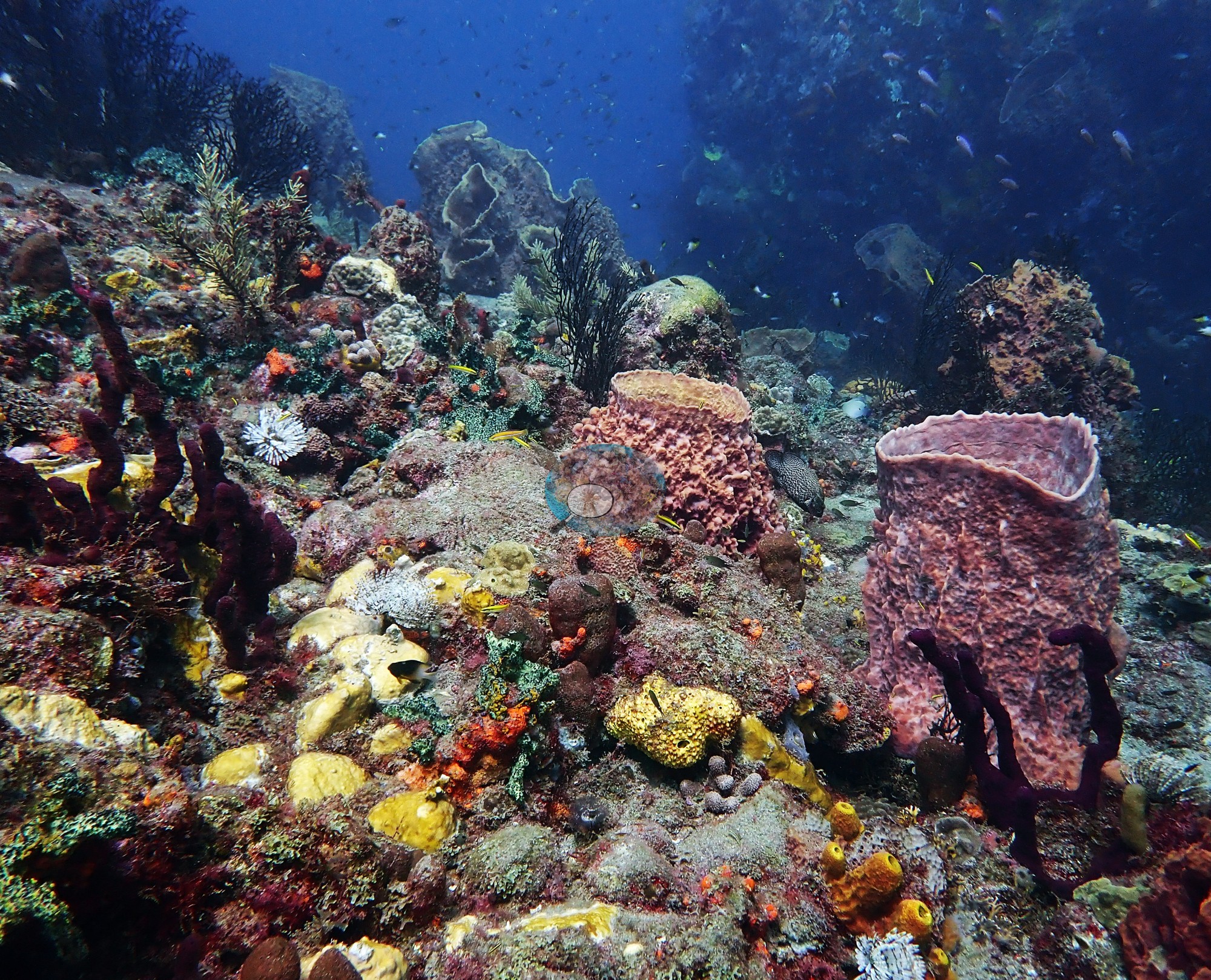
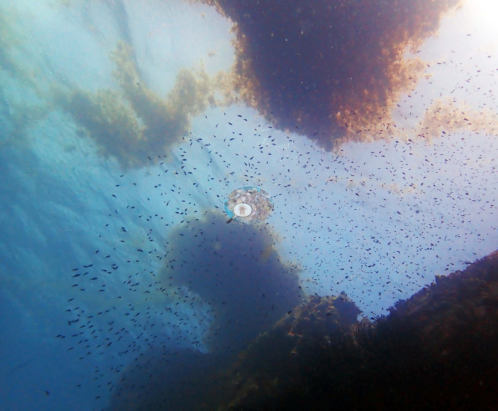
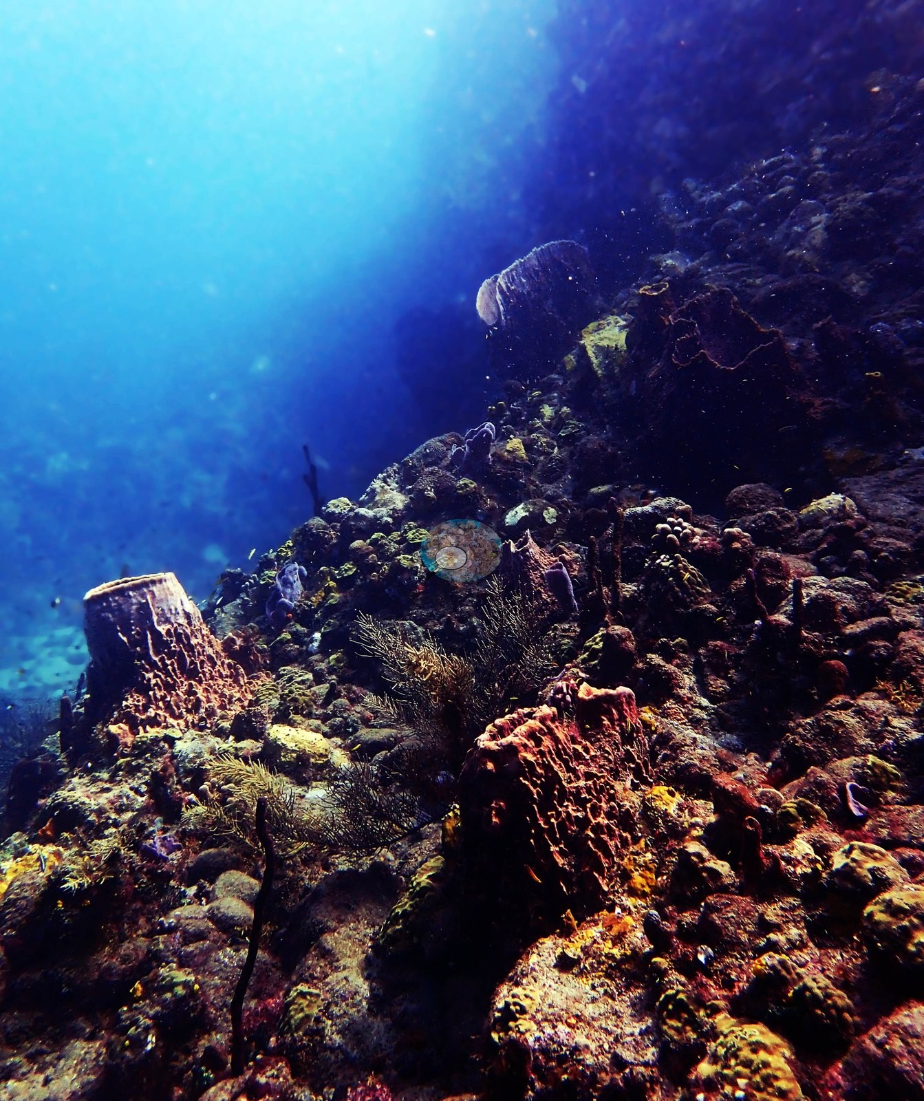
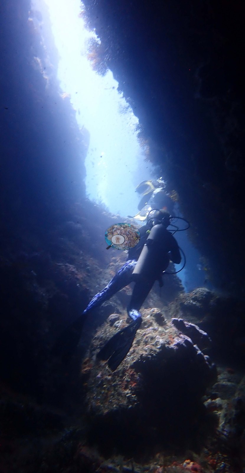
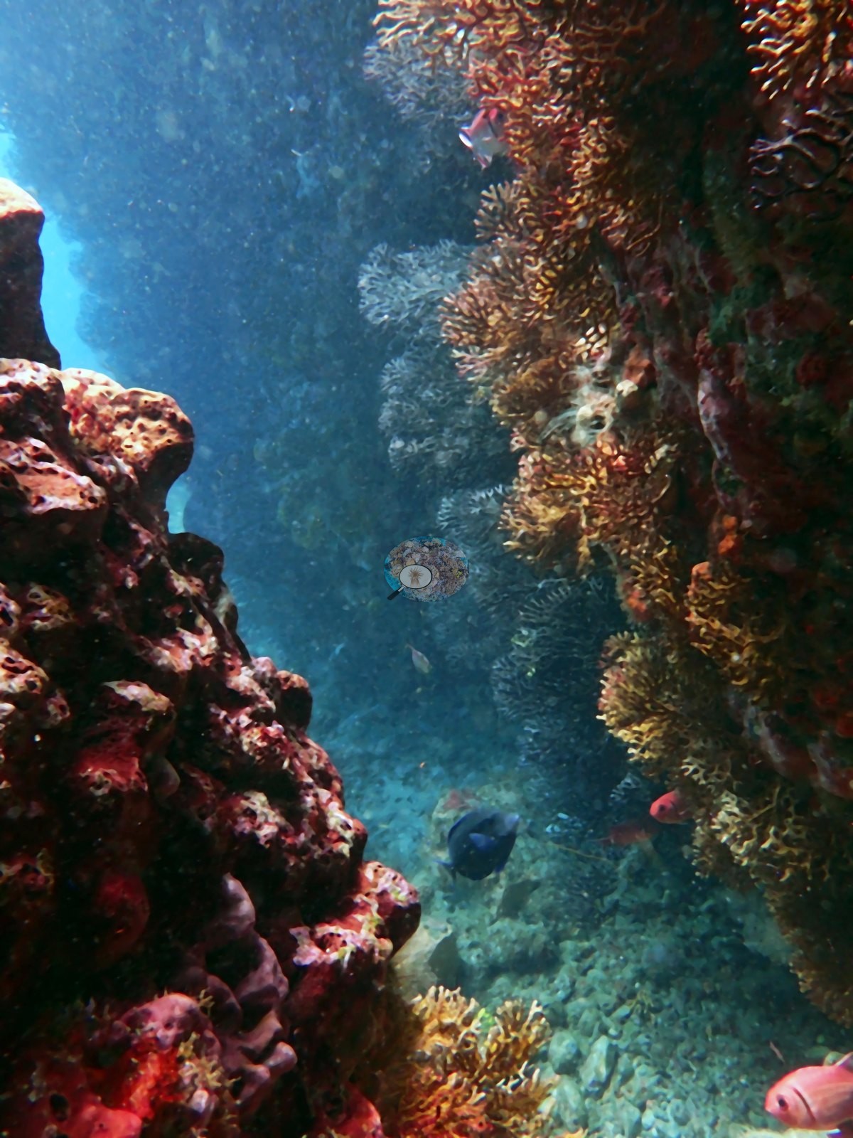
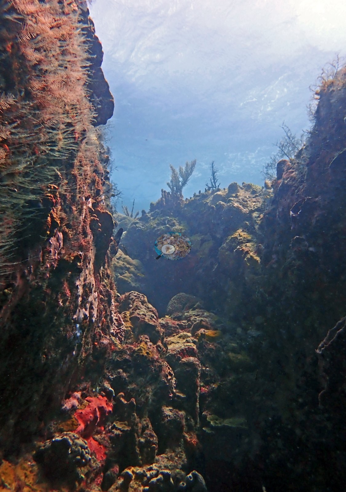
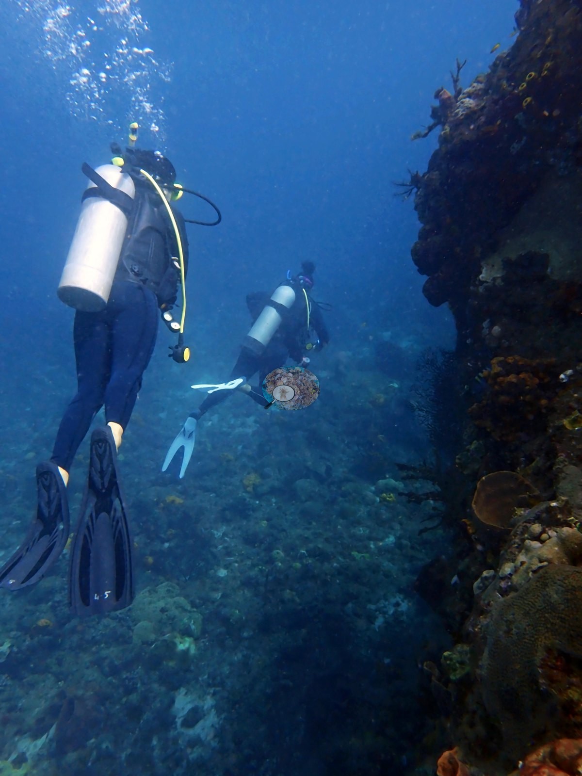
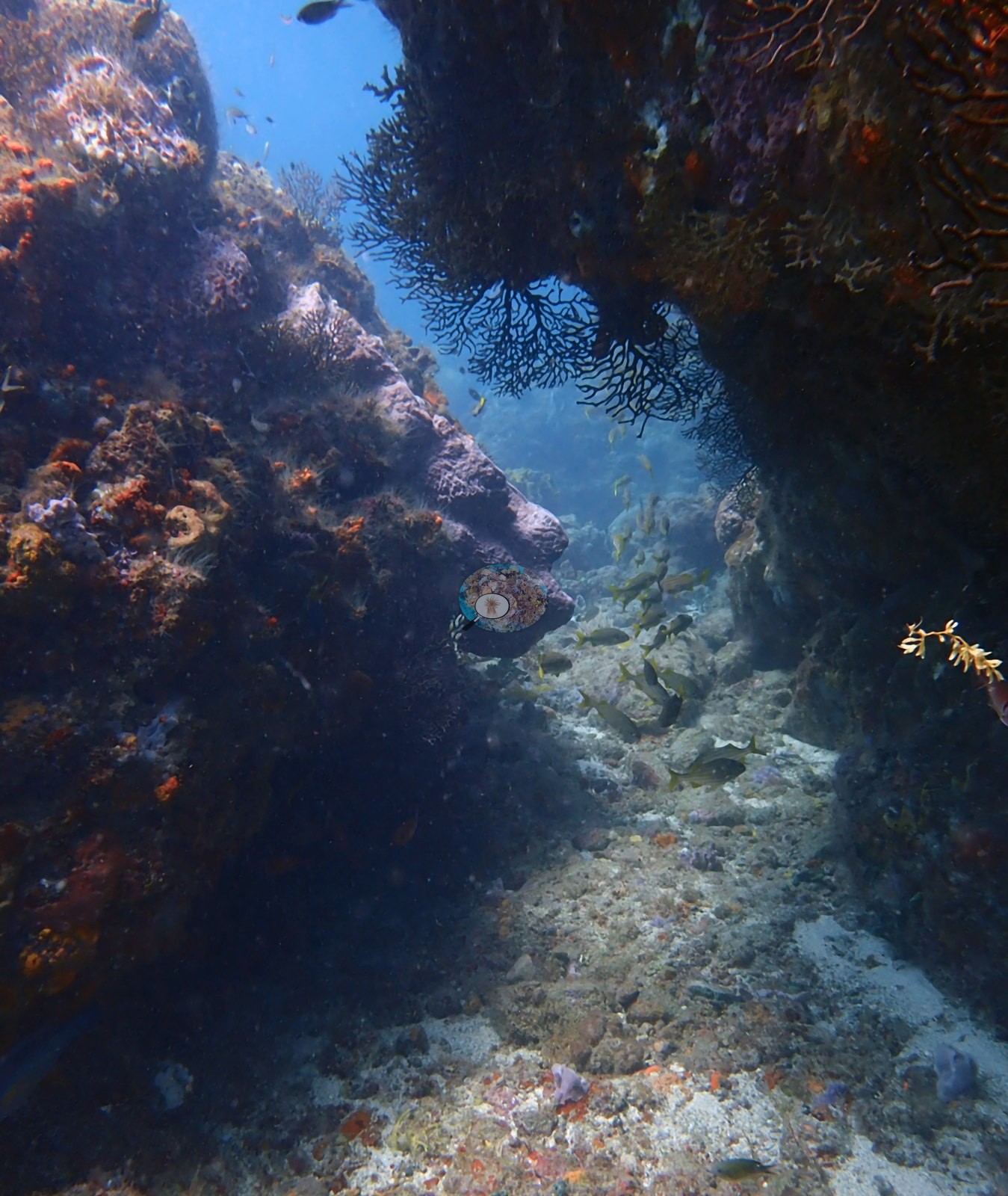
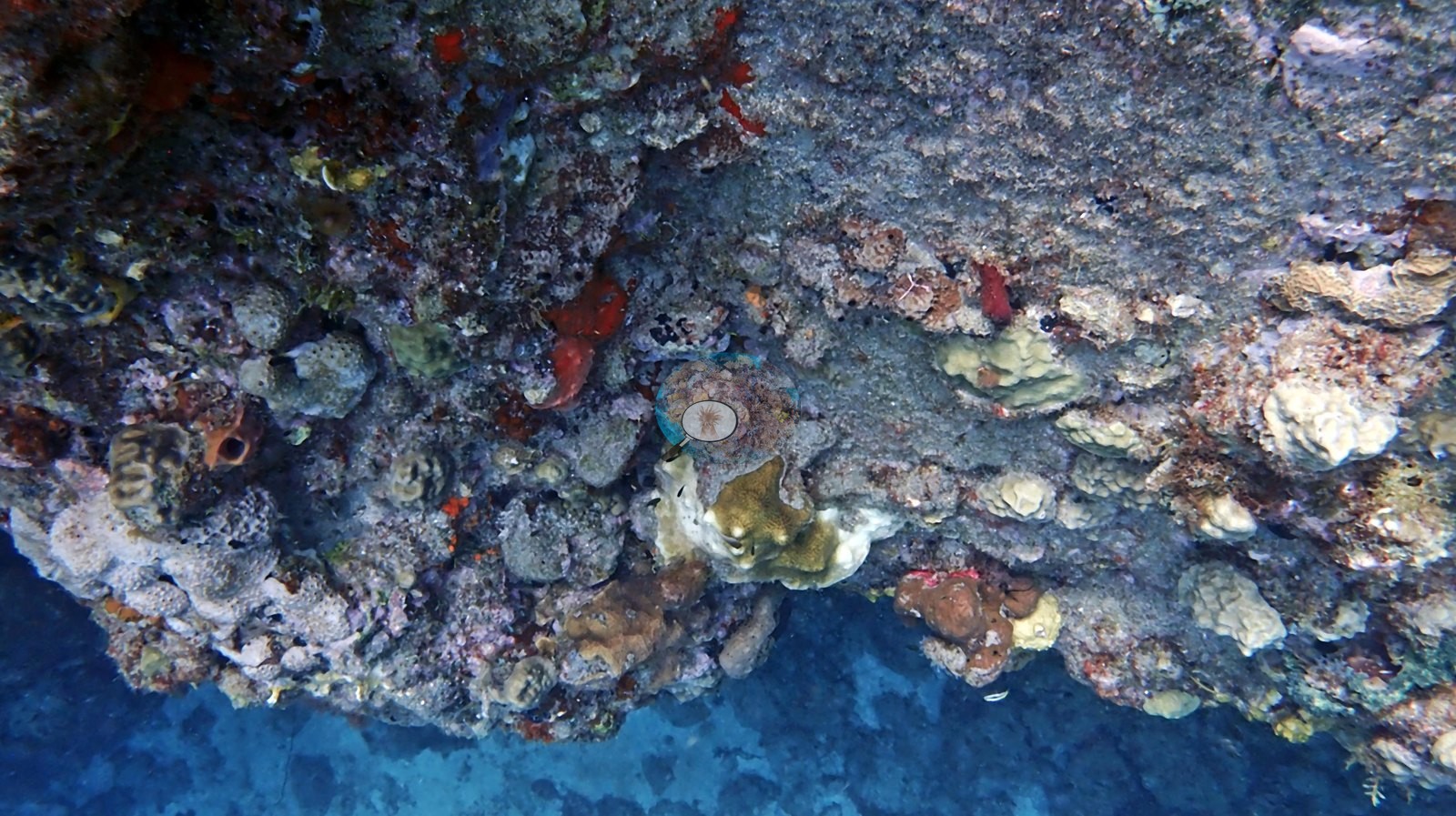
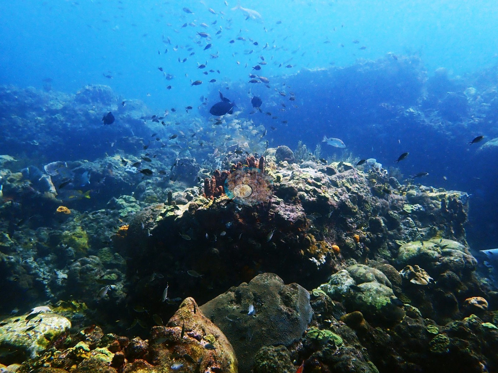
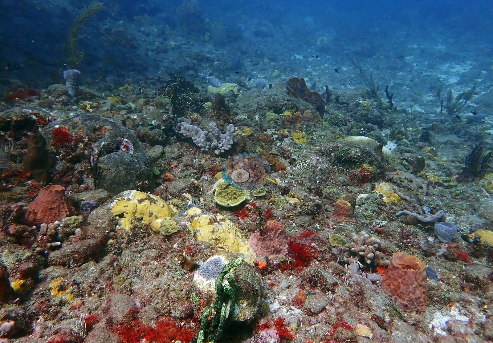
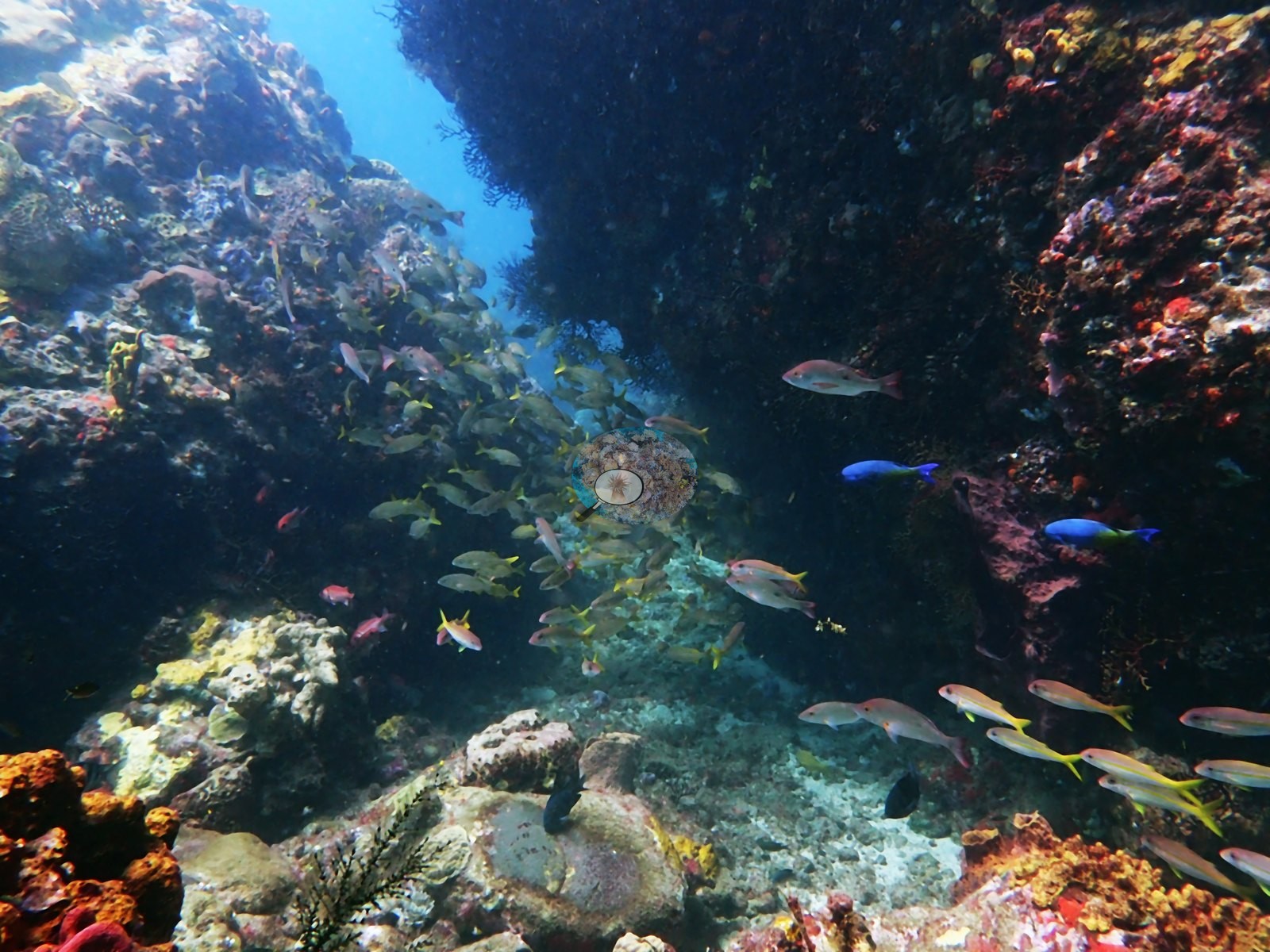
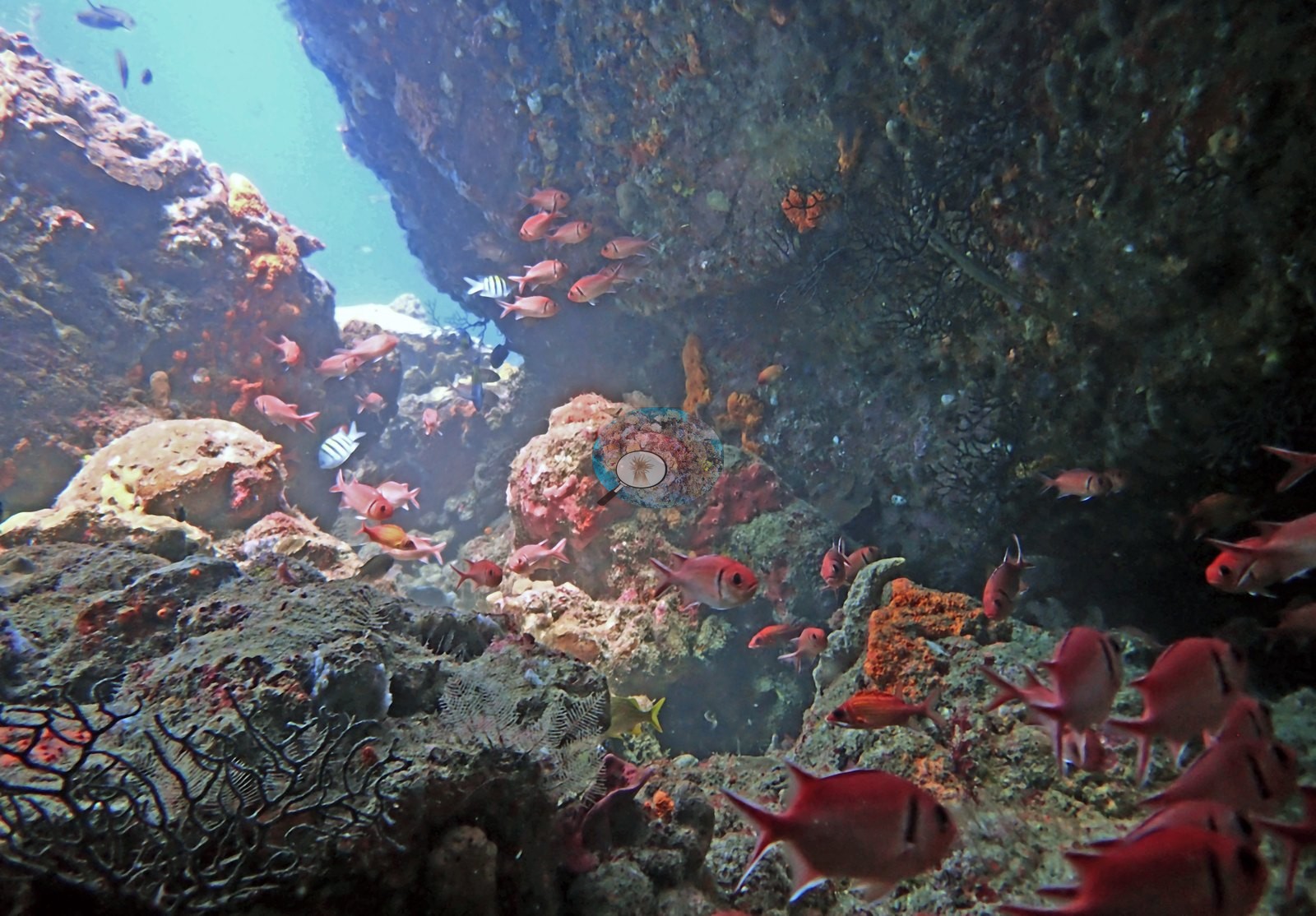
The topography matches the name: a steep volcanic pinnacle with vertical faces, at least three narrow sand-floored canyons between towers, an overhang looked out through into blue, and a shaded ledge (e.g., Image 3, Image 15, Image 19, Image 23).
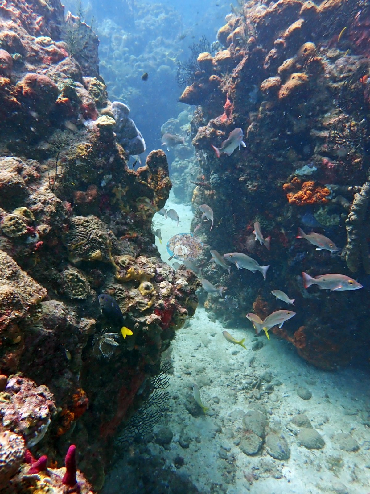
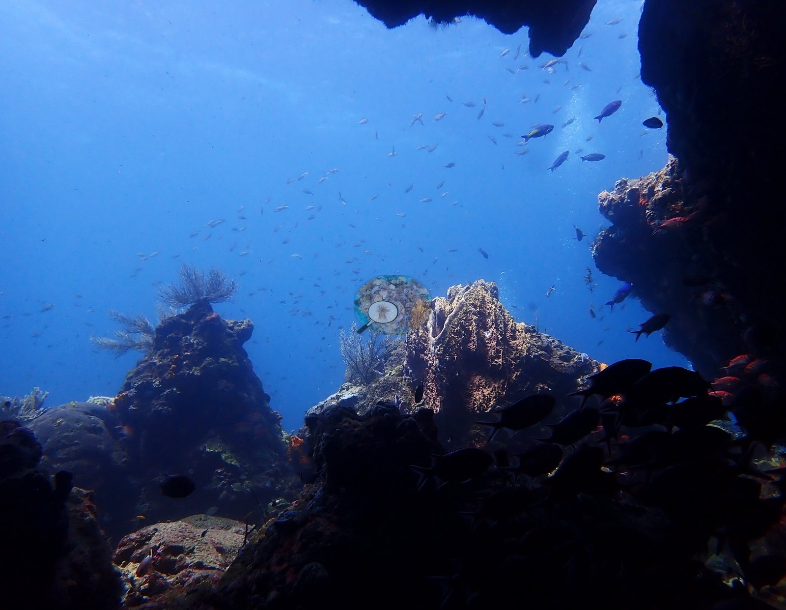
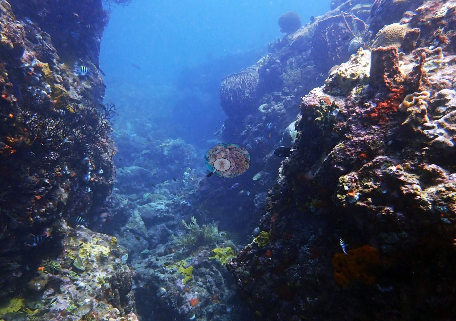
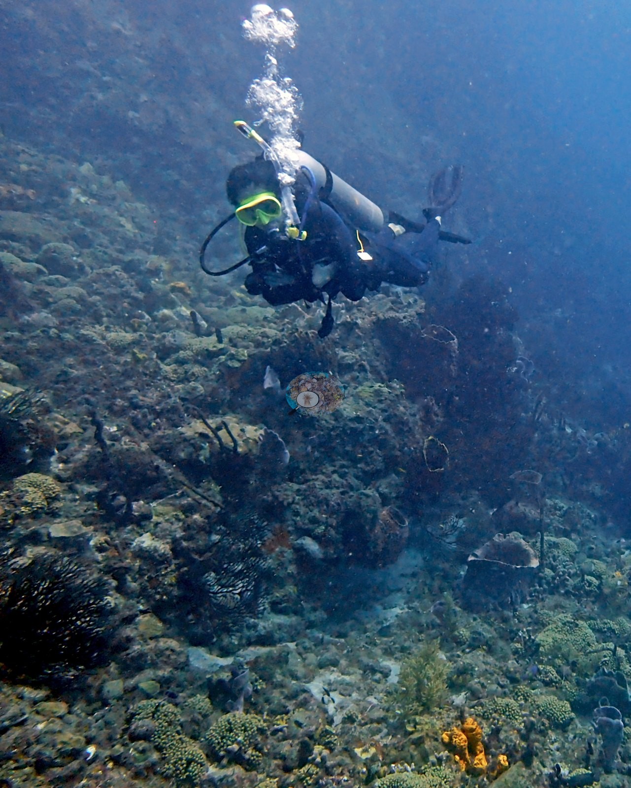
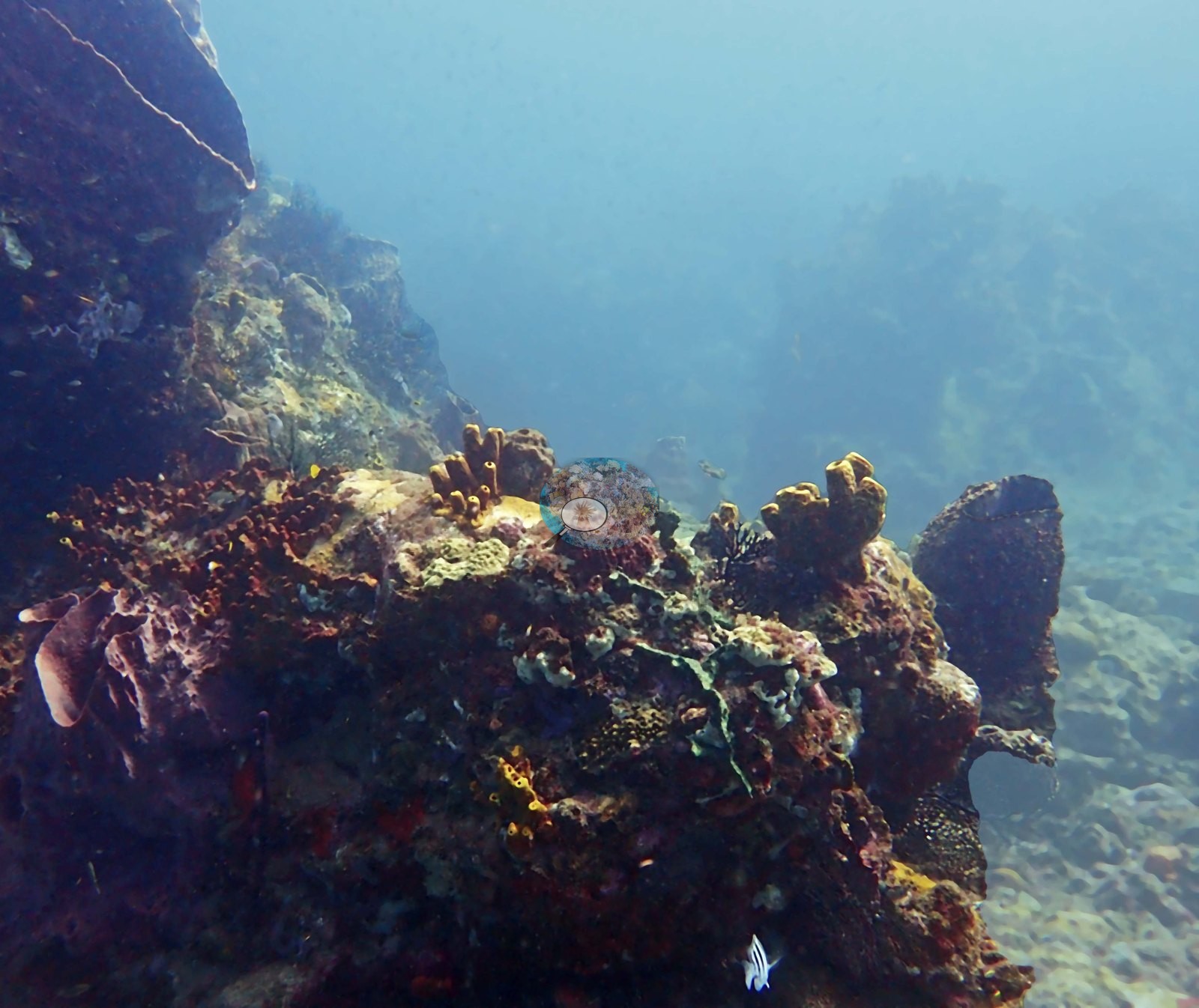
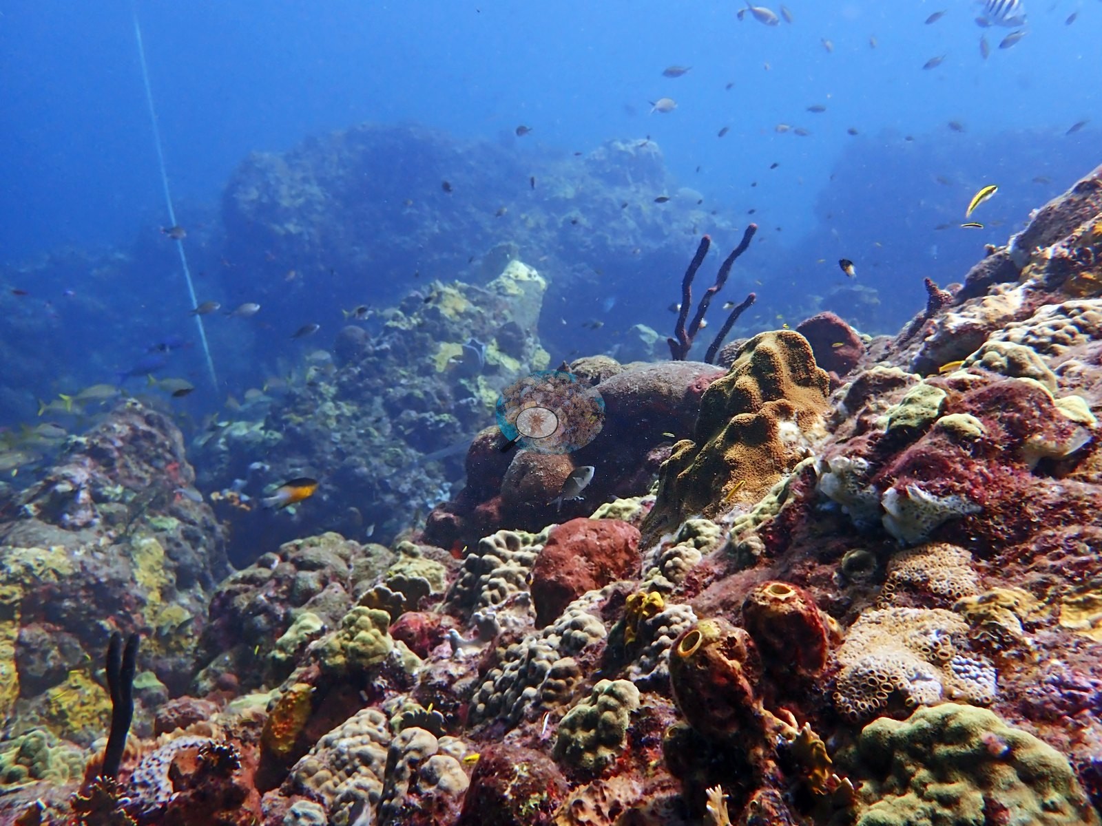
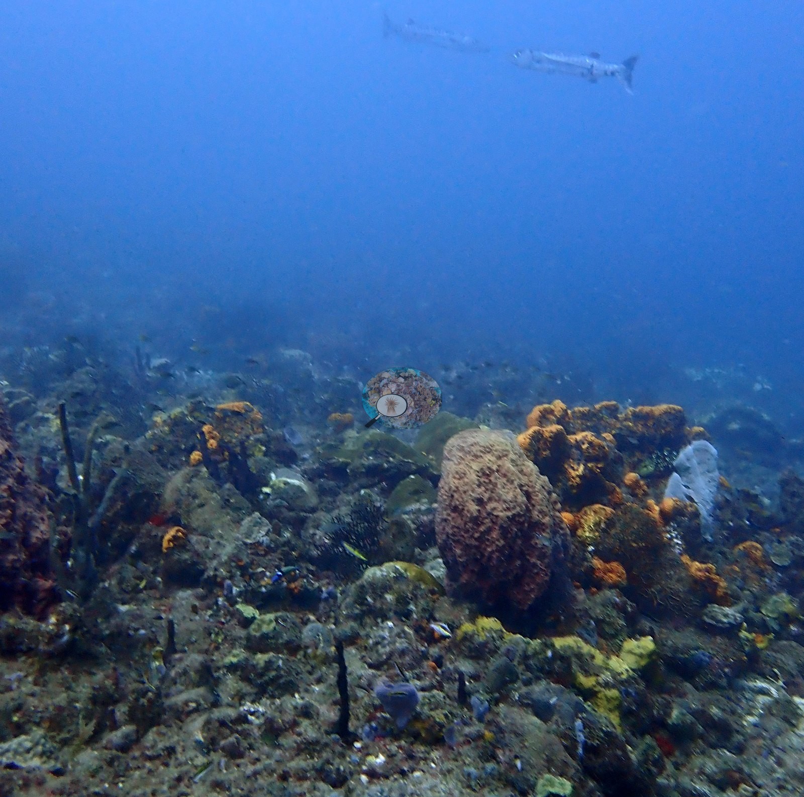
Visibility is moderate, the water hazy blue-gray in wide shots (e.g., Image 7, Image 17).
General benthic features
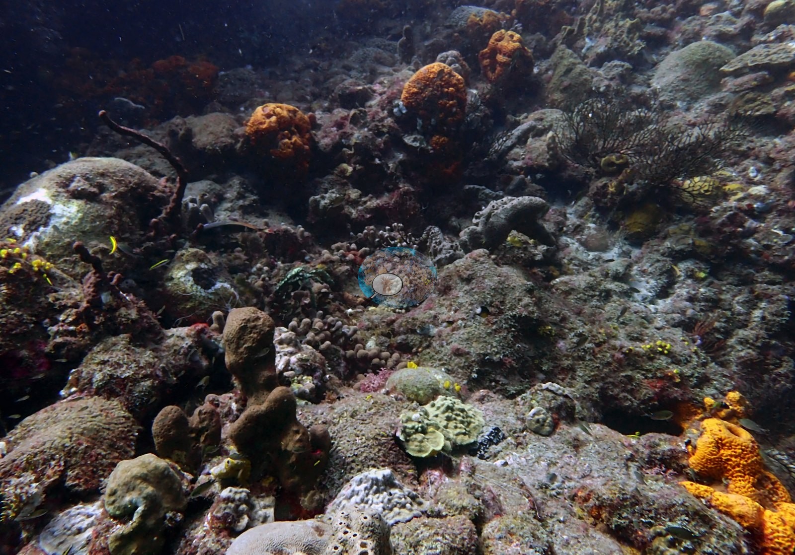
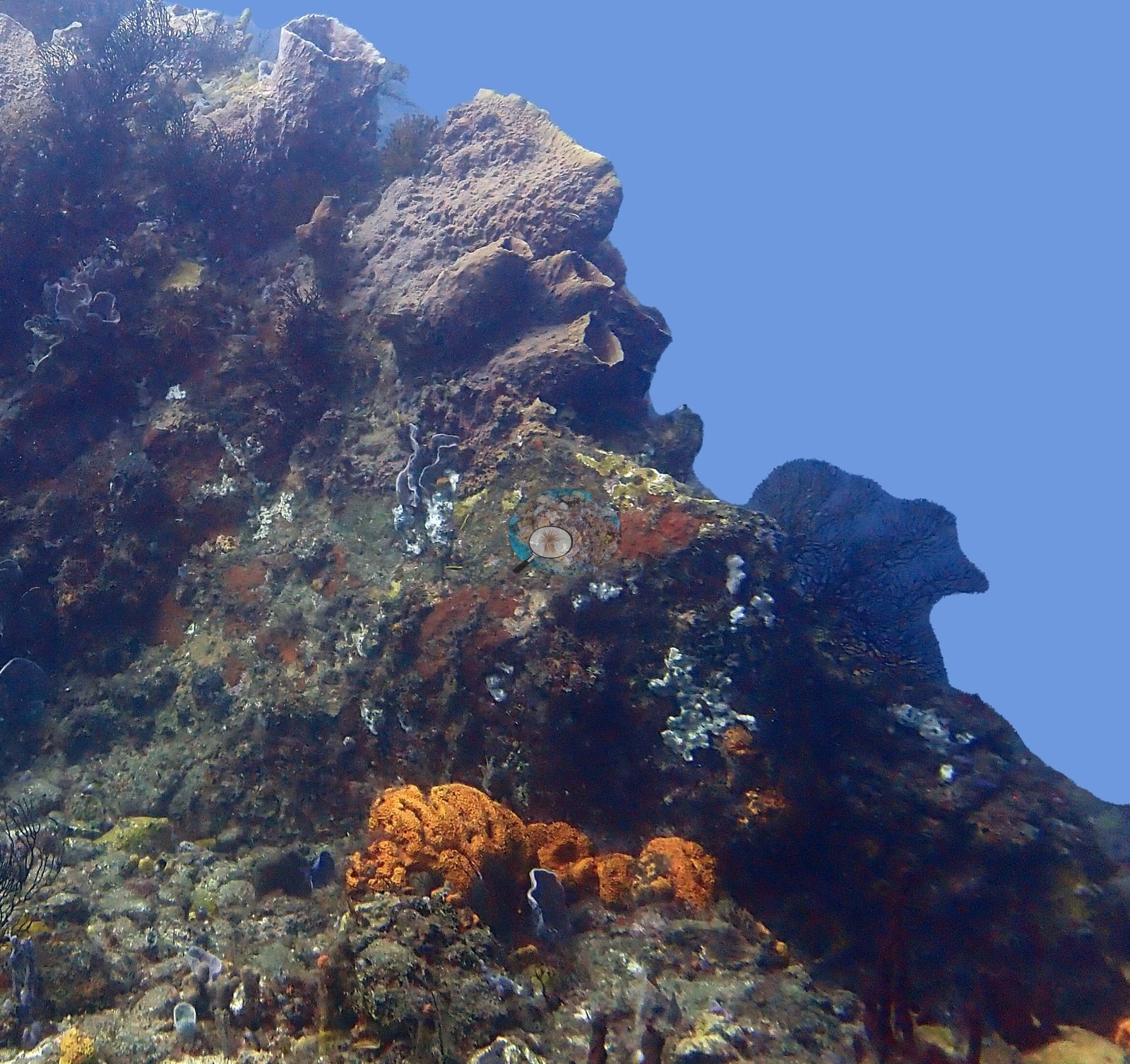
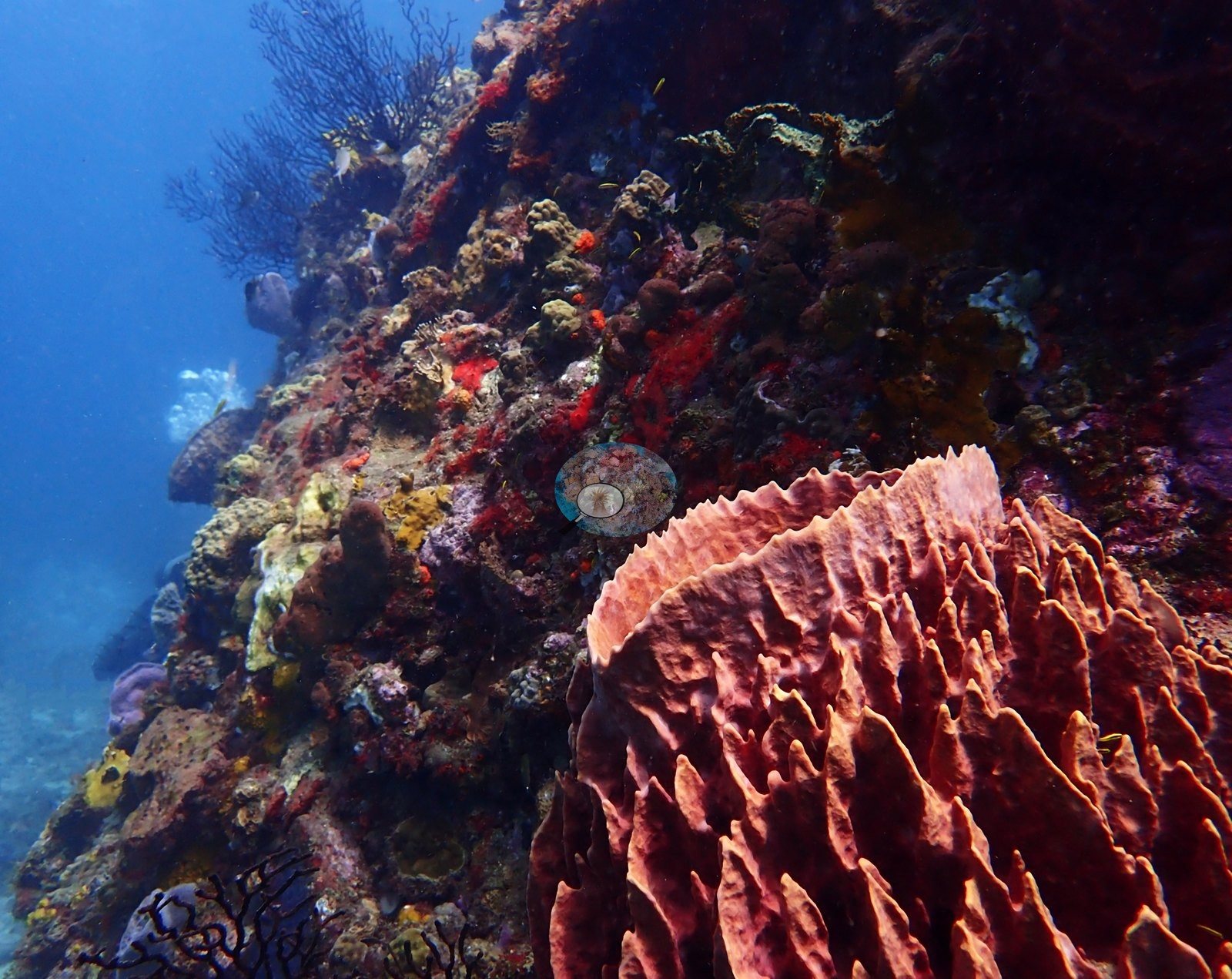
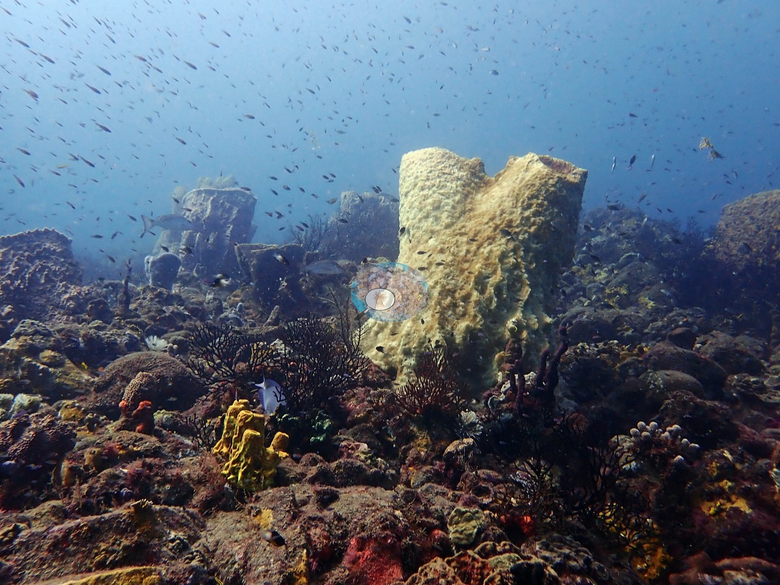
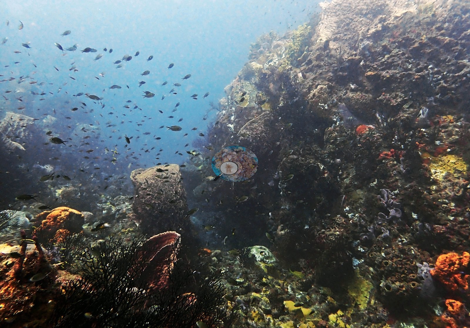
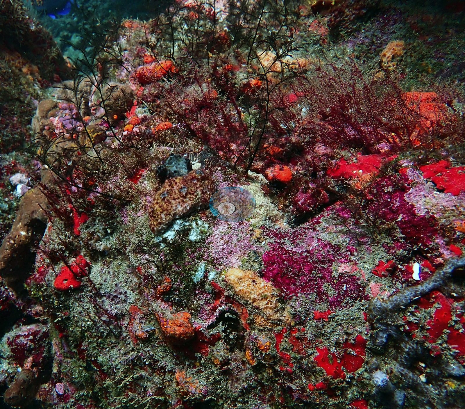
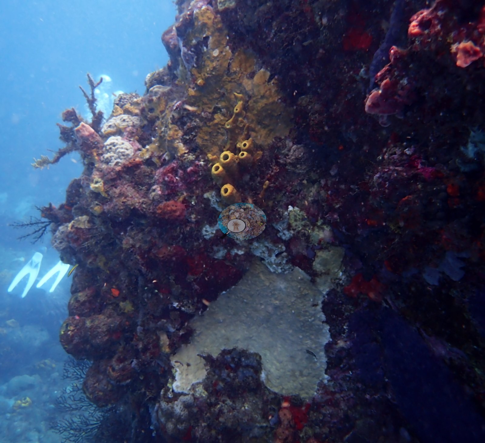
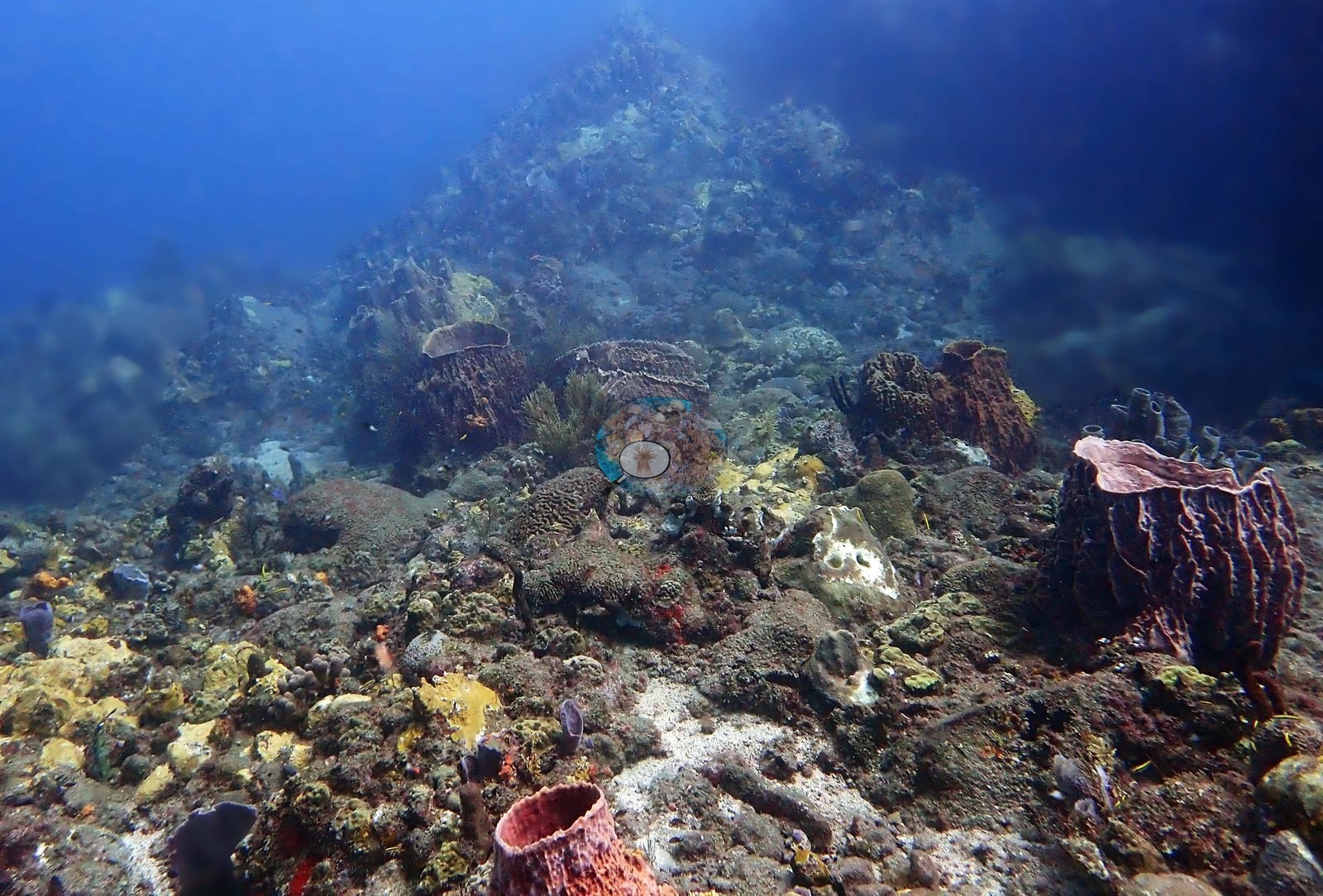
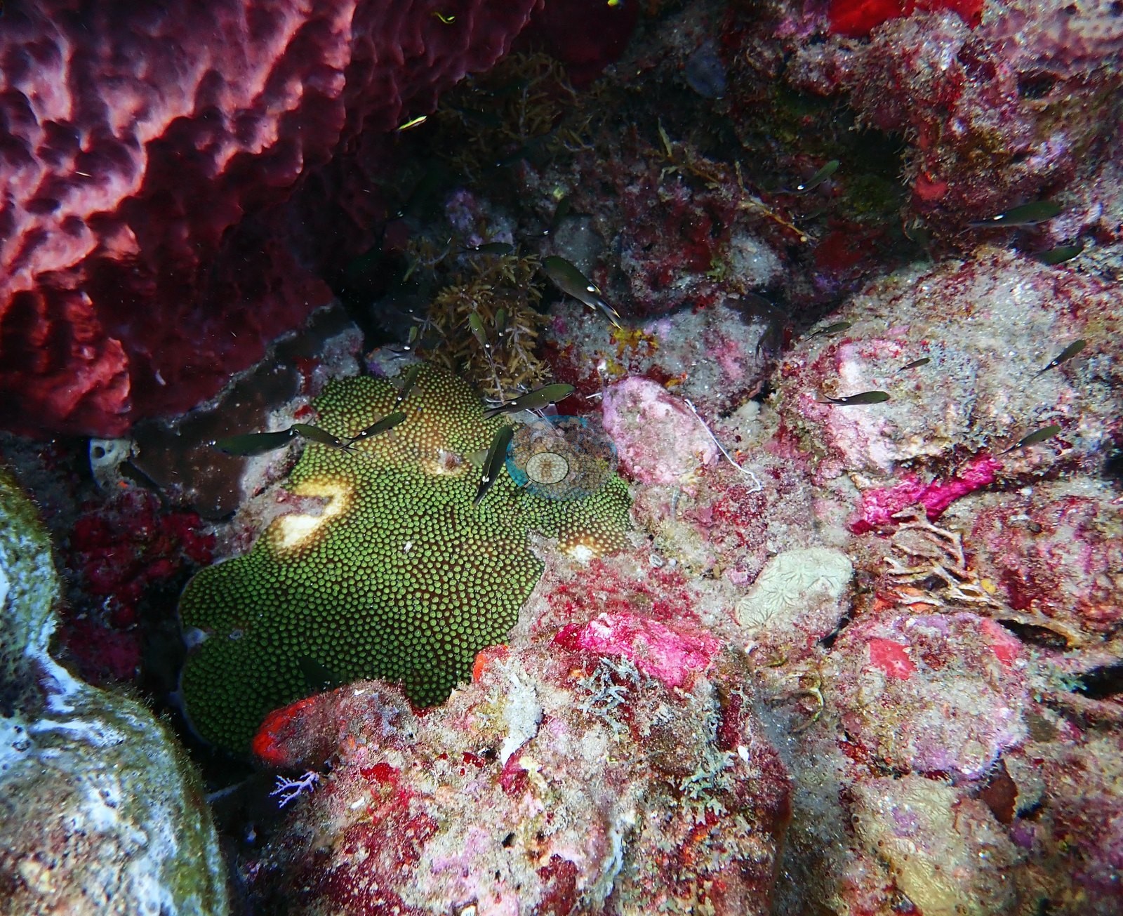
The walls are sponge-dominated, not coral-dominated (e.g., Image 12, Image 13, Image 21).
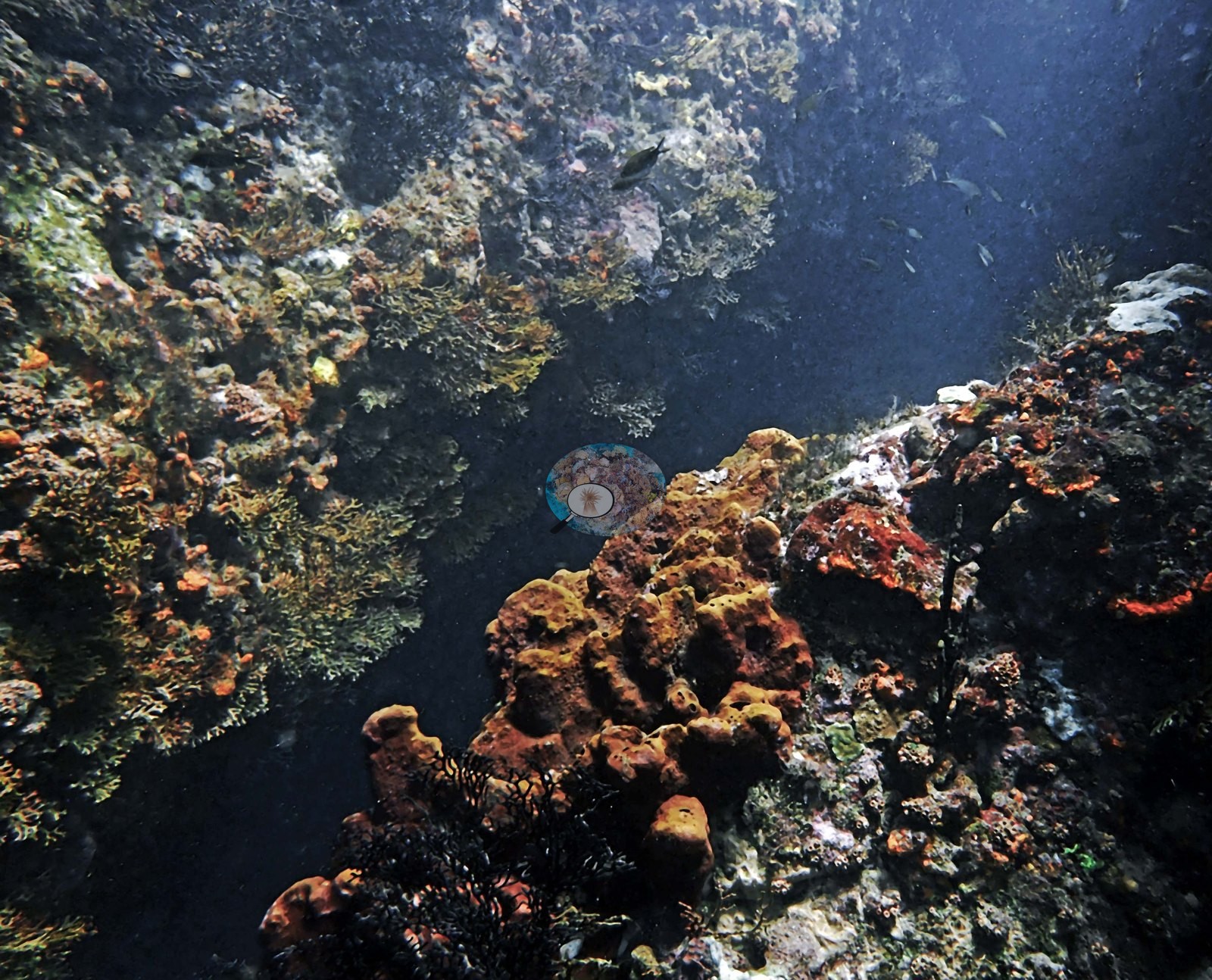
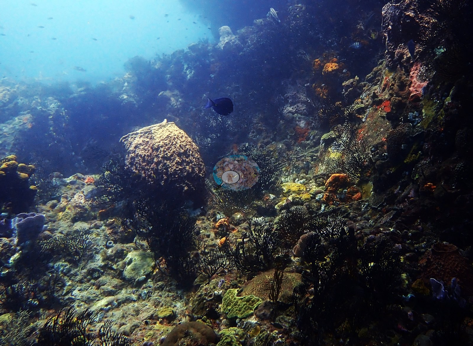
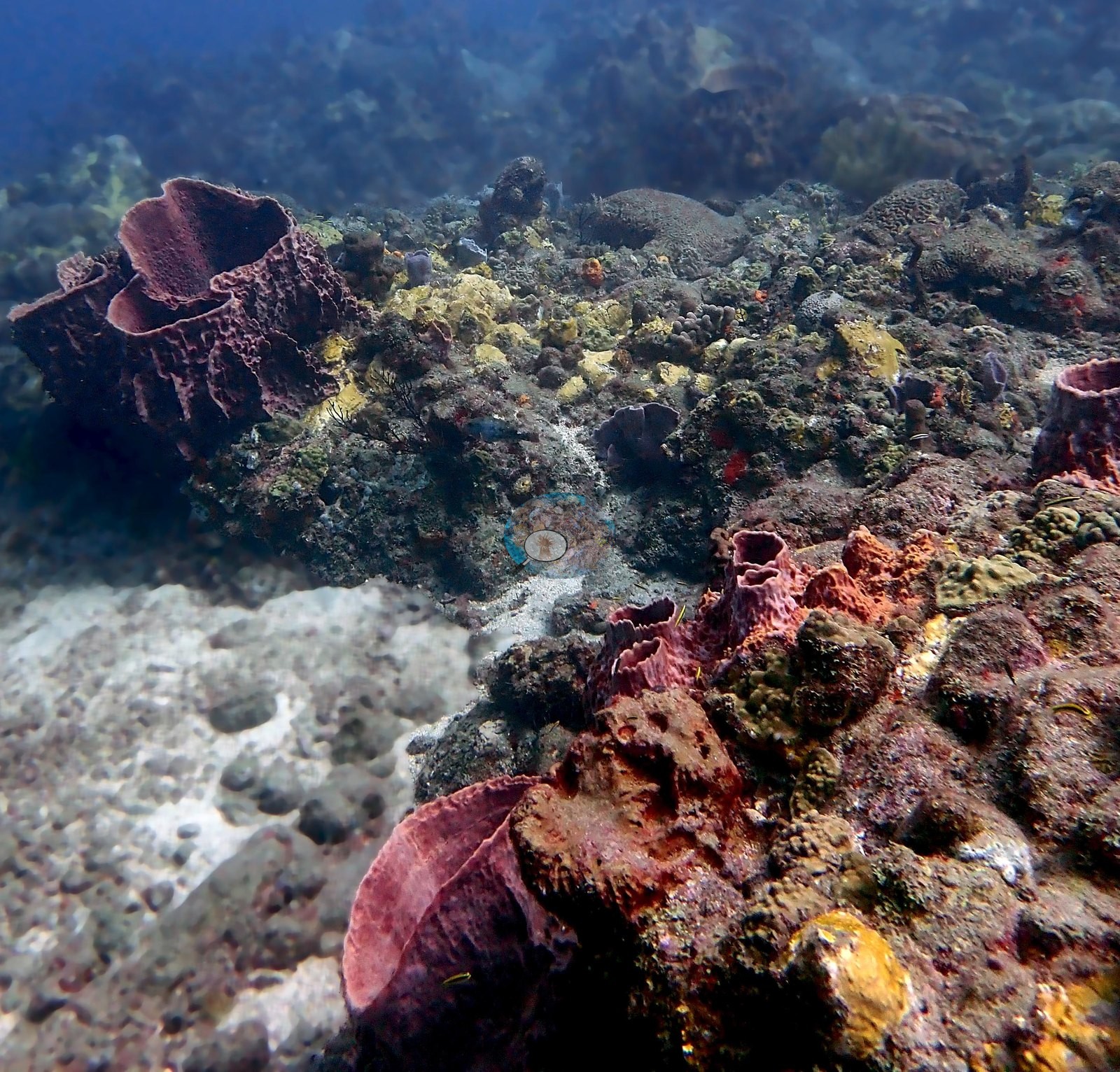
Giant barrel sponges (Xestospongia muta) recur in maroon and terracotta; yellow tube sponges crown the crest; orange, red, and mustard encrusting sheets, lavender ruffled and gray tube sponges, and red rope sponges fill the rest (e.g., Image 6, Image 8, Image 10).
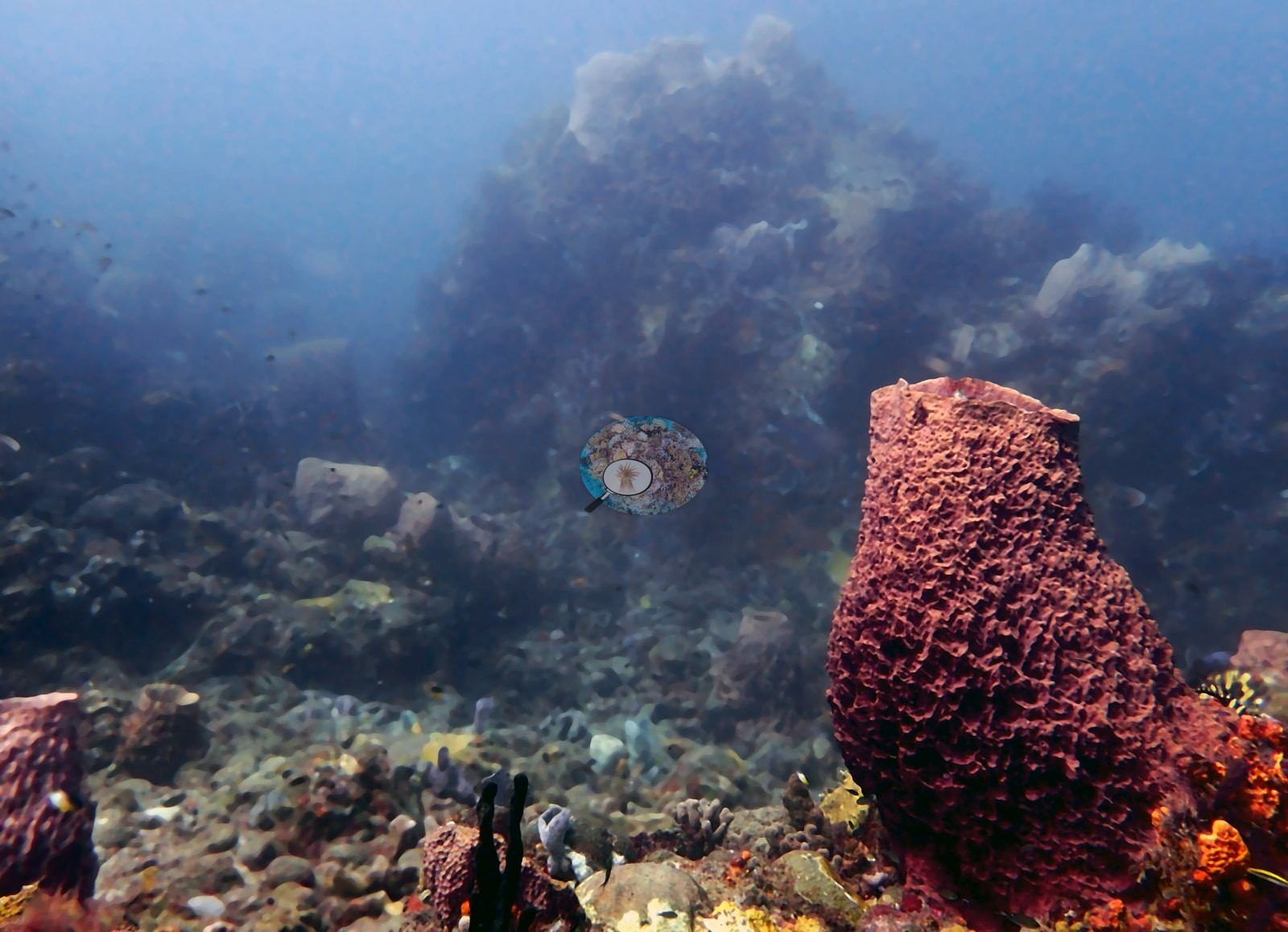
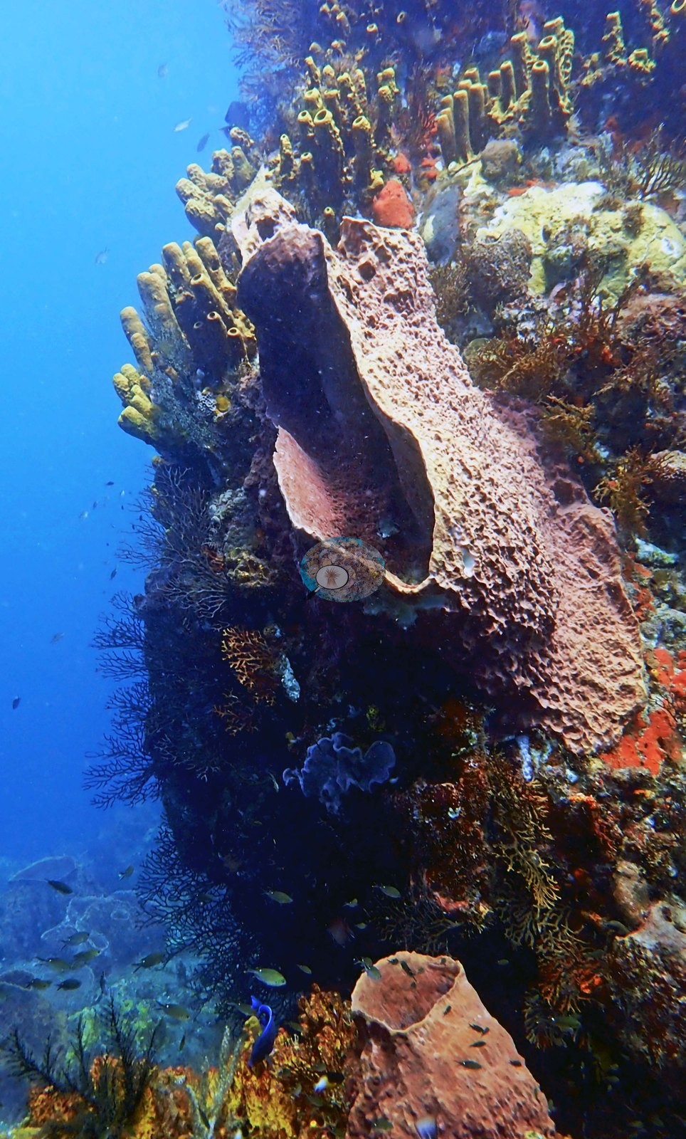
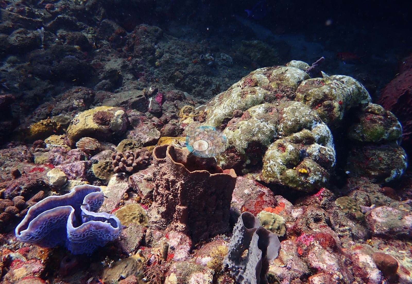
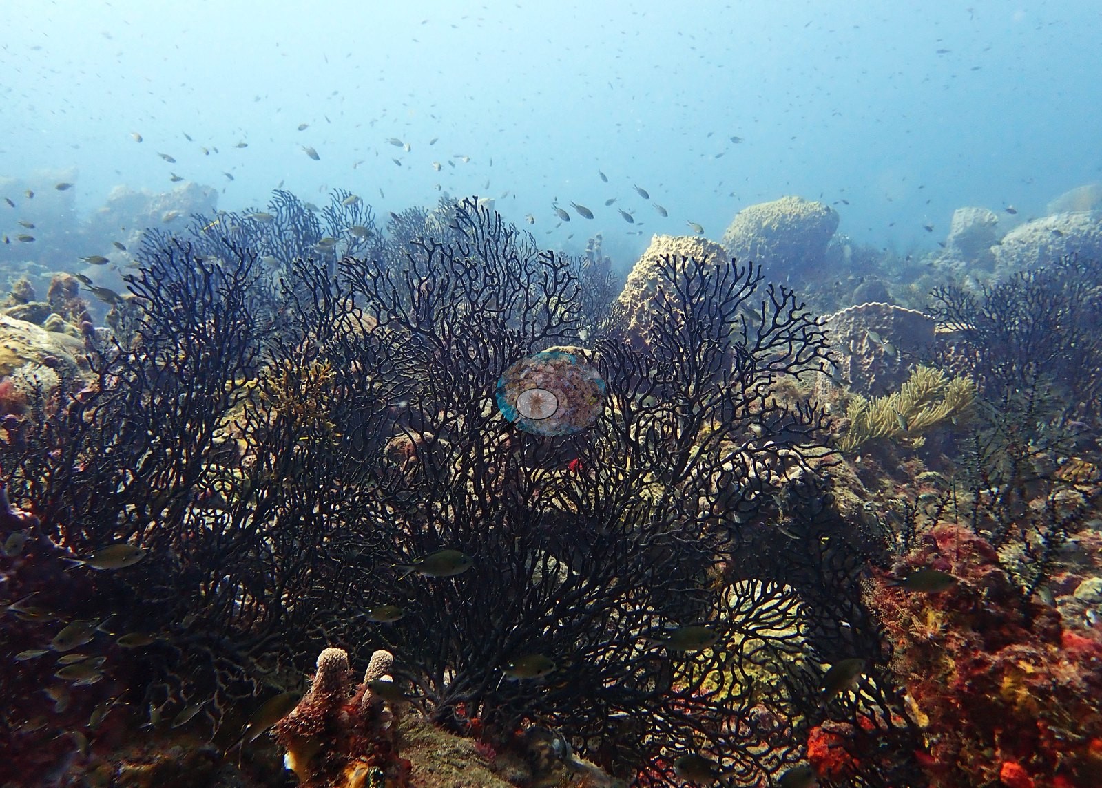
Black-coral bushes are everywhere - one frame is almost nothing but a thicket of them with chromis swarming through (e.g., Image 14).
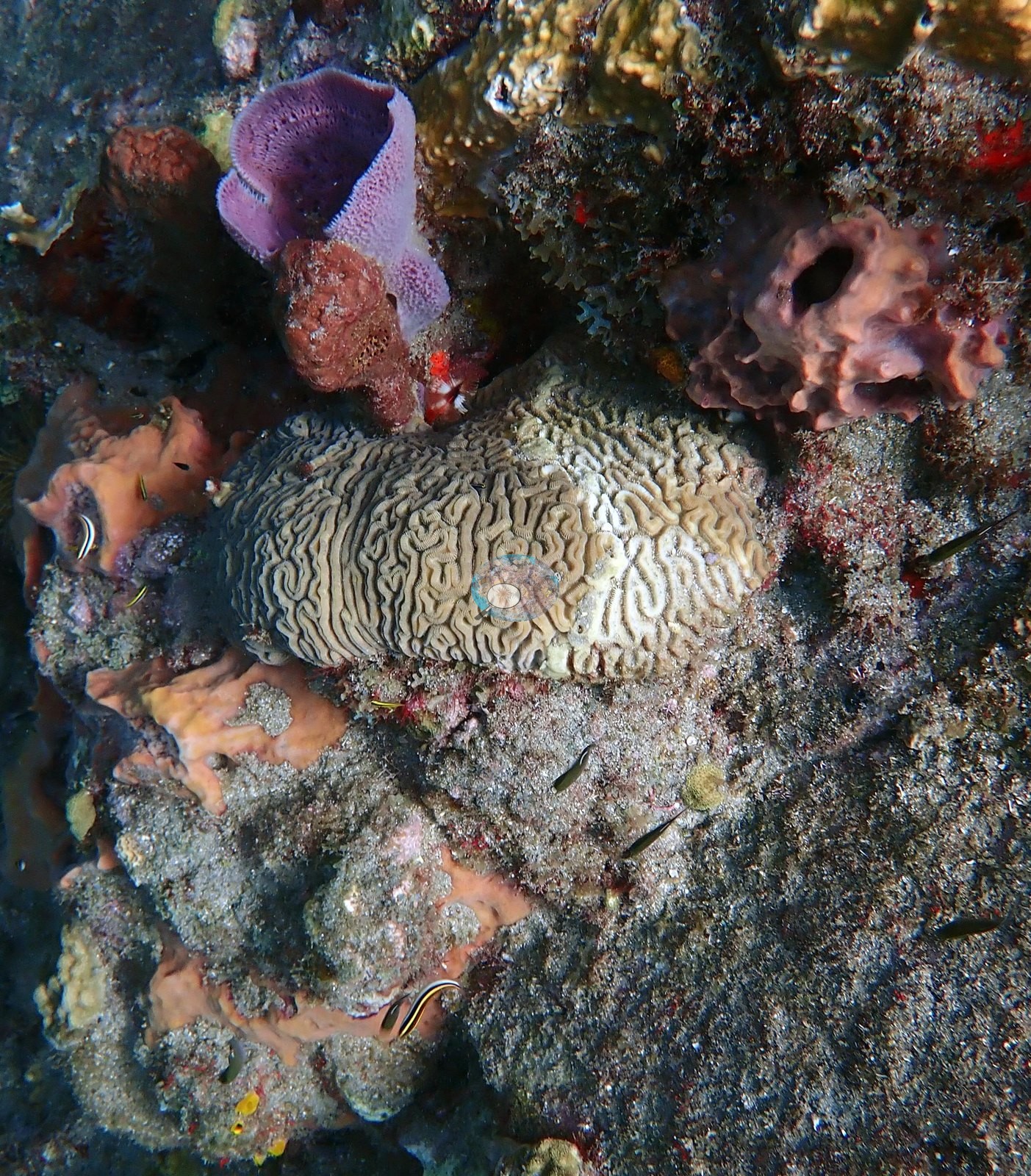
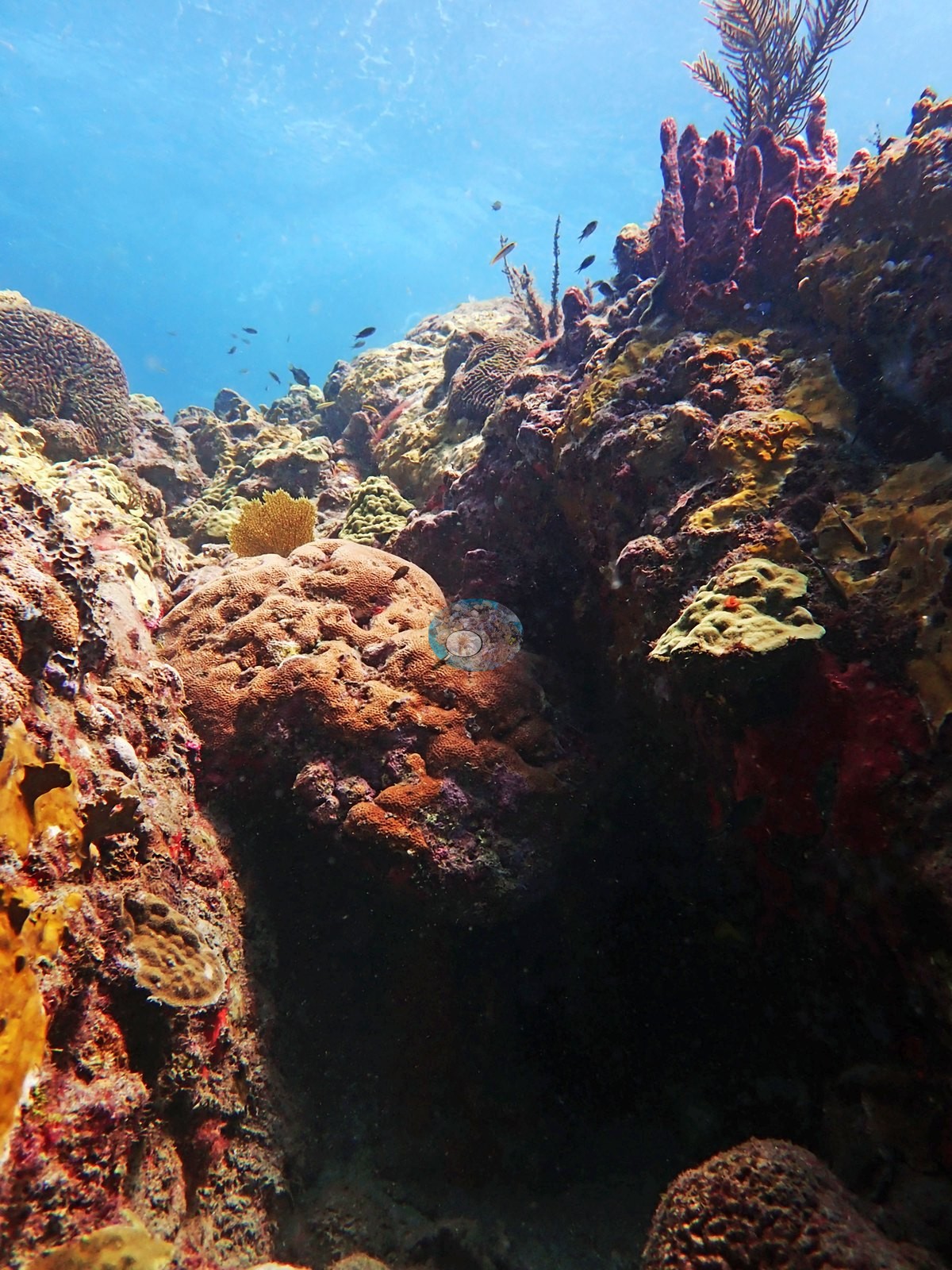
Stony coral is present as scattered small-to-medium colonies rather than continuous cover (e.g., Image 9, Image 18).
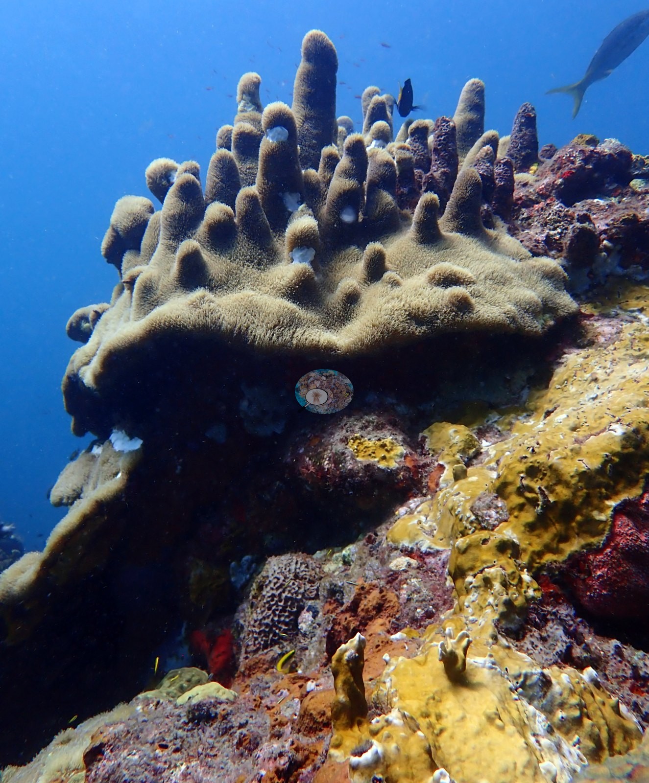
The set's best frame is a large Dendrogyra cylindrus pillar coral, tan spires with polyps extended, on the wall crest (e.g., Image 1).
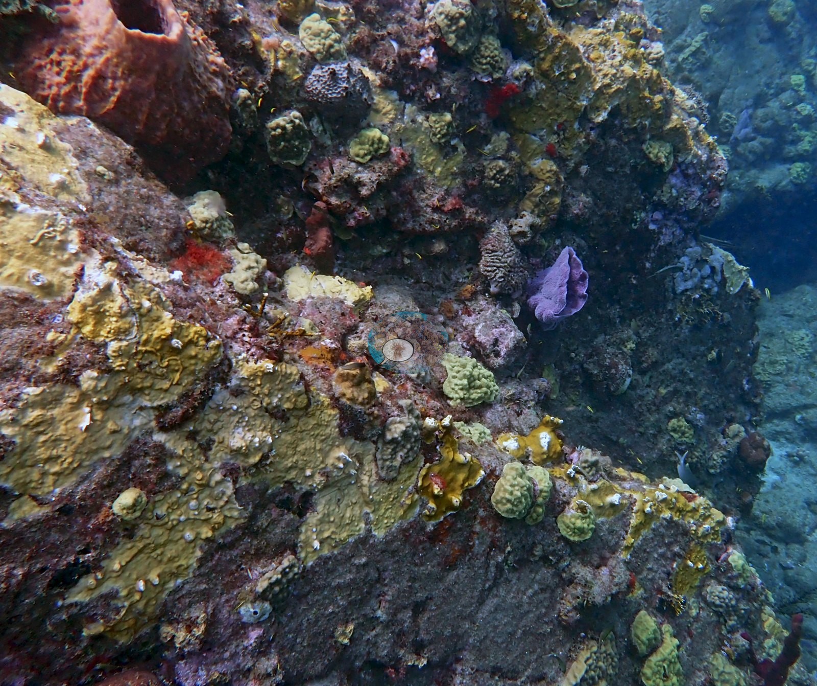
Elsewhere: mounding Montastraea cavernosa with its big plocoid corallites, grooved and labyrinthine brain corals (Pseudodiploria/Diploria), green and olive Porites astreoides, and pale Agaricia plates (e.g., Image 2, Image 11).
Coral cover
- Reference: Claude CV point count (this site's photos)
- Coral cover: 15% — a blind Claude computer-vision point count of 192 of Anderson's edited photographs (20 points per photo; water, fish, and obstructions excluded). Other computer-vision methods are listed in the method table.
Stressors
Coral condition is the thing worth recording. Two frames show unambiguous active tissue loss on M. cavernosa: a broad bright-white band separating live gray-purple tissue from freshly denuded skeleton already filming over with algae, and a second colony with irregular white lesion margins and dark exposed skeleton behind them (e.g., Image 24, Image 25).
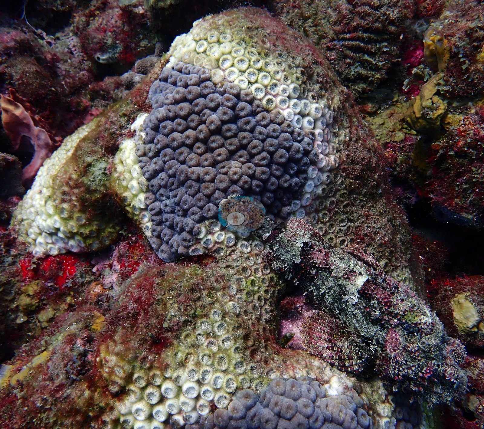
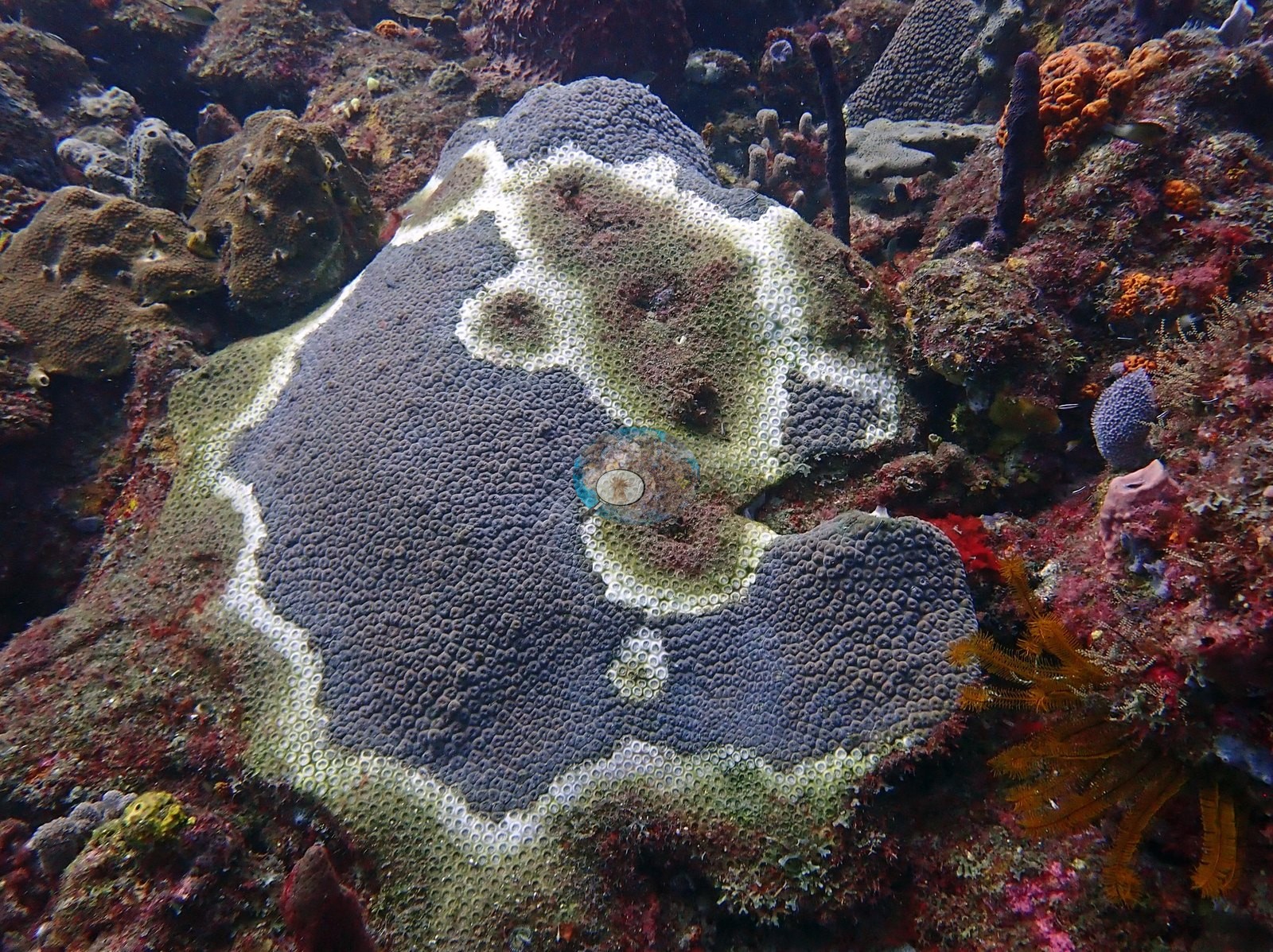
A third close-up puts starkly pale-cream tissue beside normal-colored tissue, and other frames carry bare white patches on mounding colonies (e.g., Image 22).
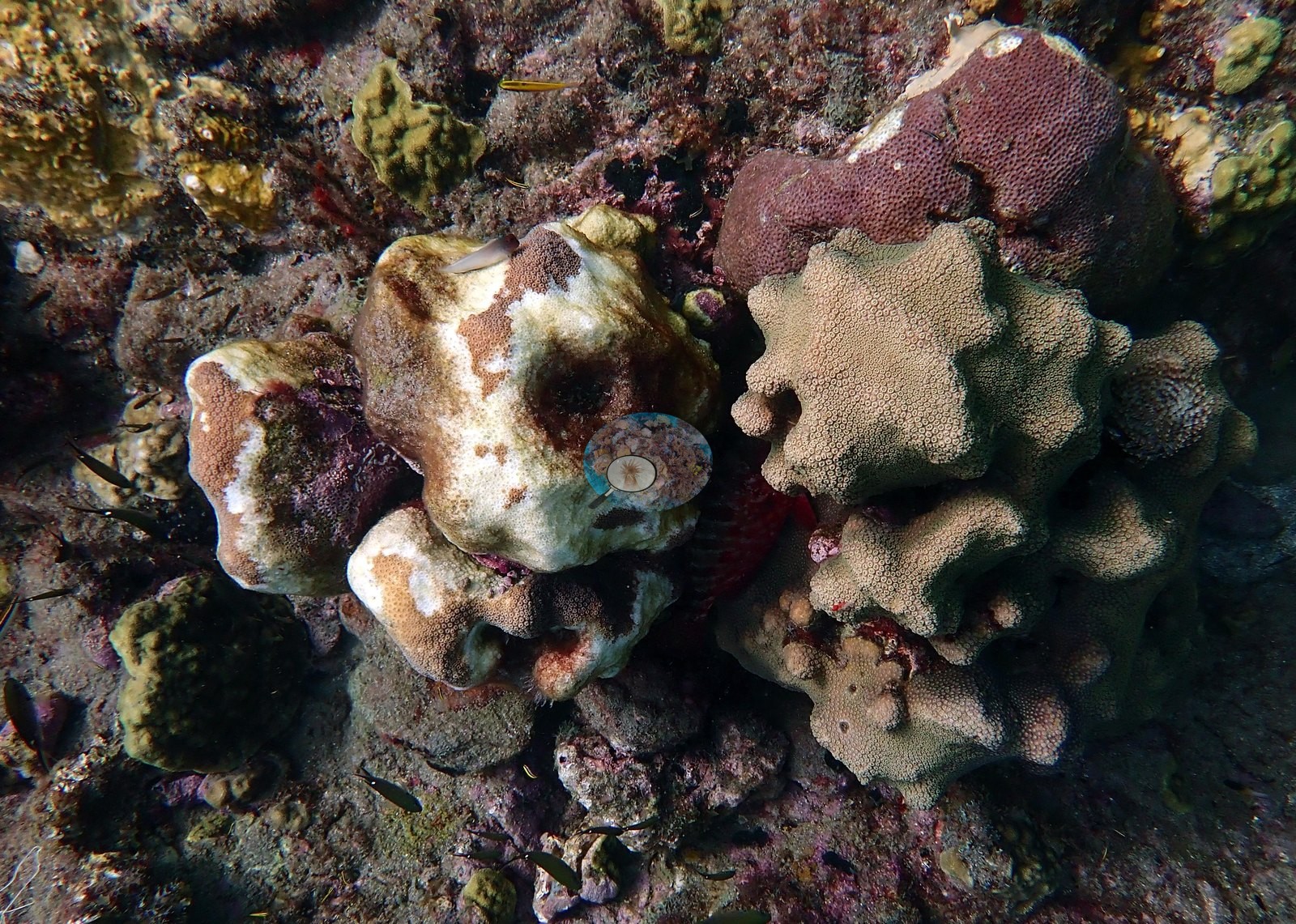
This is the appearance of tissue-loss disease, and SCTLD was documented in Dominica in 2022 - but photographs alone cannot name the agent. No corallivores evident.
Fish and other fauna
Fauna: two great barracuda in midwater, blackbar soldierfish under a ledge, snapper streaming through a canyon, goatfish, blue chromis, blue tang, sergeant majors, a camouflaged scorpionfish, and orange crinoids (e.g., Image 5, Image 16, Image 20).
Comparisons with other data
Scott's Head Pinnacle, Soufrière-Scotts Head Marine Reserve, Dominica.
Dive record
All 25 frames reviewed (dived 2022-06-22, 23.8 m max; the surface appears in several, so the set spans the whole profile).
Other notes
One frame holds a diver's fins, another a taut vertical line (mooring or descent line).
CV model comparison
More info
A few colony-focused photos raise the mean; the median is the typical photo. No computer-vision method yet estimates coral cover accurately on new images, so treat this as indicative rather than a measurement; it is revised as the methods improve.More info
Other rows are for comparison only and are never averaged. No diver transect exists for this trip, so agreement between rows is not accuracy.| Method | Hard-coral cover (%) |
|---|---|
| In-house DINOv3 | 26.1 |
| CoralSCOP edited | 44.5 |
| Claude (edited photos) | 15.1 |
See a more detailed, stand-alone version of this table.
Independent surveys nearby
 Coral Reef Diagnostics
Within 5 km, 6 independent survey stations recorded hard coral cover in 11 surveys between 2004 and 2018. Of the 3 stations surveyed in more than one year, 2 declined and 1 changed by less than 5 percentage points between their first and latest surveys. The longest record, La Bym (Reef Check, 2.48 km away), went from 20% in 2004 to 16% in 2018. The most recent nearby survey is from 2018, so these values predate recent heat stress. This site's own estimate (15%) sits within the range of these surveys (1.9–39%); the methods differ, so the comparison is context, not a like-for-like test.
Collected by other programs using different methods (Reef Check uses point-intercept transects), so these are context for the figures above, not a like-for-like comparison. Where a station was surveyed more than once the range is shown. Station names are not dive-site names.
| Agency | Site / location | Date | Hard coral cover (%) | Distance |
|---|---|---|---|---|
| Reef Check | La Bym | 2004–2018 | 9.2–20% (3 surveys) | 2.48 km |
| Reef Check | Champagne Outer | 2004–2006 | 20–39% (3 surveys) | 2.70 km |
| Reef Check | Scotts Head Dropoff - Tous Sable | 2014–2018 | 1.9–12% (2 surveys) | 0.61 km |
| Reef Check | Coral Gardens | 2018 | 17% | 2.43 km |
| Reef Check | La Sorciere | 2018 | 32% | 2.47 km |
| Reef Check | Inshore Suburbs | 2018 | 15% | 3.15 km |
Data & links
All images from Coral Reef Diagnostics. Data are from Coral Reef Diagnostics and the organizations named in the data sources above.
© Coral Reef Diagnostics.