
Dominica - Coral Gardens

Part of the regional summary: Dominica
More info
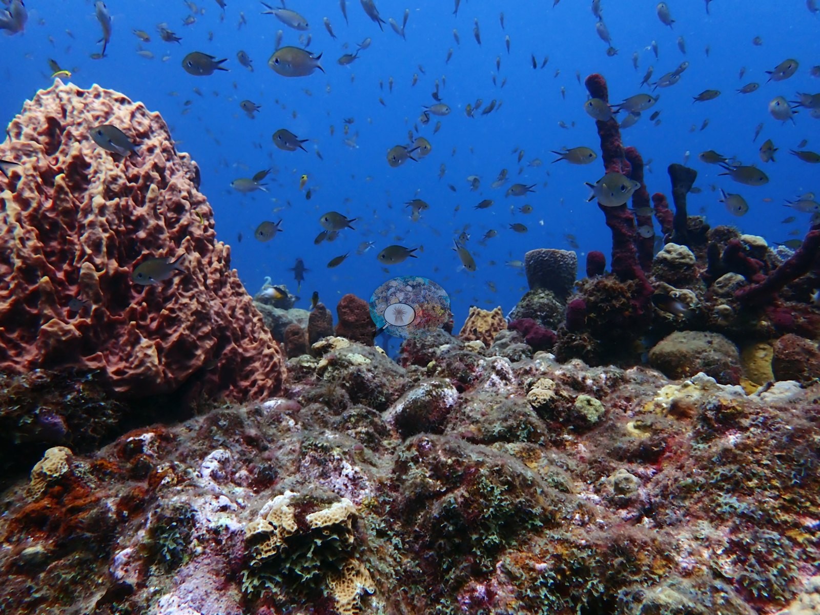
Leeward Caribbean Islands (NOAA CRW virtual station) · Eastern Caribbean ecoregion mean: 13.1 degree heating weeksLow rocky knolls in Dominica's Soufriere-Scotts Head Marine Reserve where sponges, not corals, provide the structure: meter-tall barrel sponges, thickets of red rope sponge, and yellow tube sponges over rubble and sand. Hard coral is limited to small scattered brain and plating colonies, much of the rock is turf-covered pavement, and dense clouds of chromis and creole wrasse stream over the mounds.
Ten independent survey stations shown with the program’s logo — click one to see how far it is from this site.
Two other CRD dive sites within 5 km shown in orange — click a marker to open its page.
Site description
Setting
Coral Gardens lies on Dominica's southwest coast inside the Soufriere-Scotts Head Marine Reserve, just north of Scott's Head Pinnacle; the mapped position is approximate. The dive crossed low rocky knolls and reef mounds rising from a sloping bottom into open blue water.
General benthic features
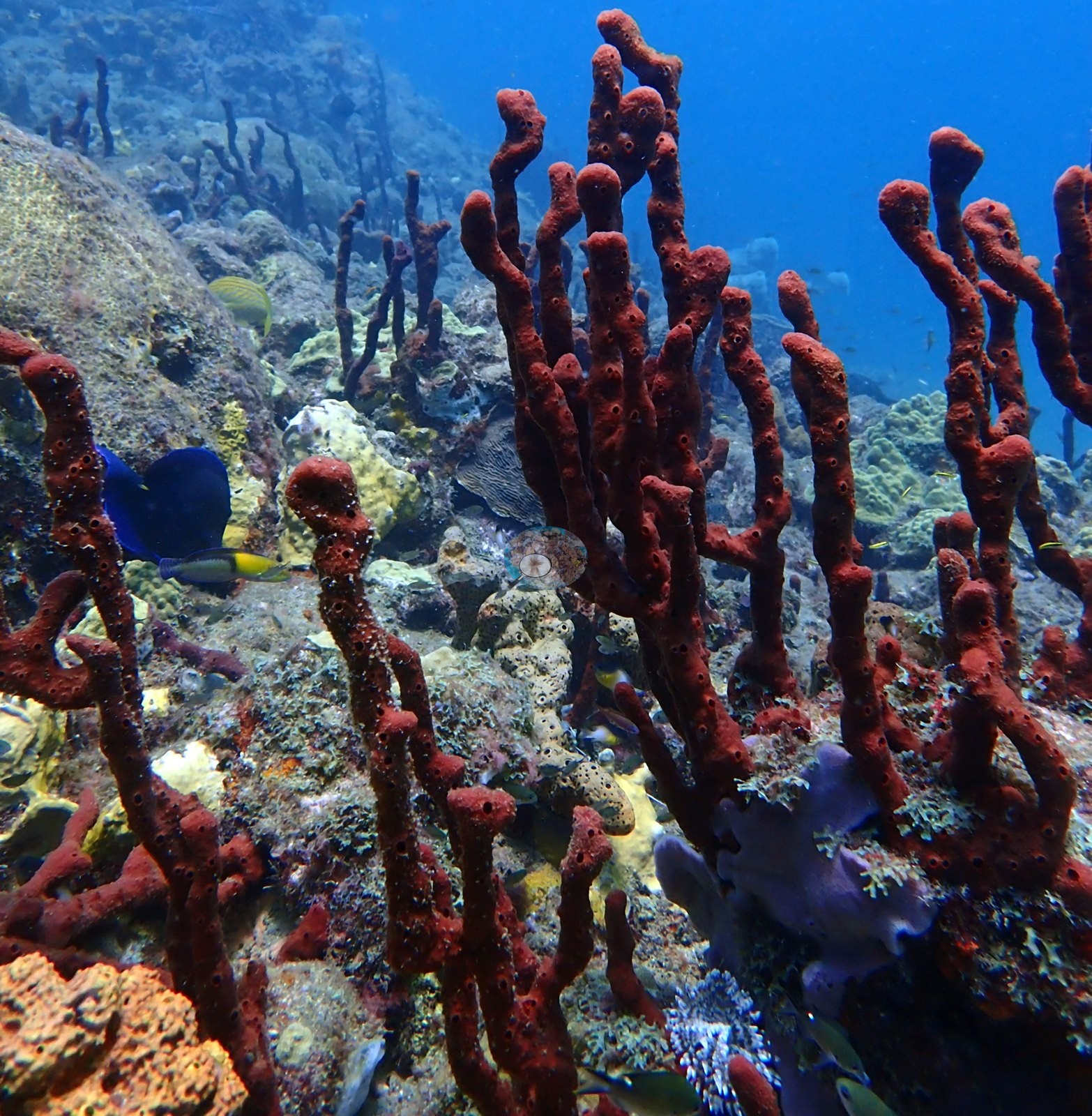
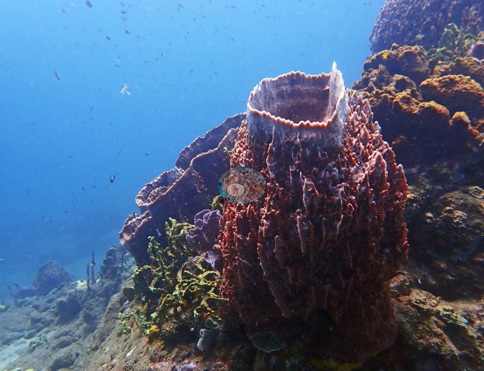
Sponges, not corals, supplied most of the vertical structure: meter-tall giant barrel sponges stood singly on the reef (e.g., Image 13), thickets of erect red rope sponge rose between the rocks (e.g., Image 2), and yellow tube sponges, orange sponges, and dark sea rods crowded the tops and flanks of the knolls (e.g., Image 8).
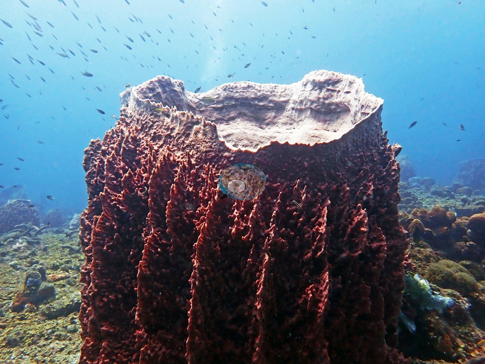
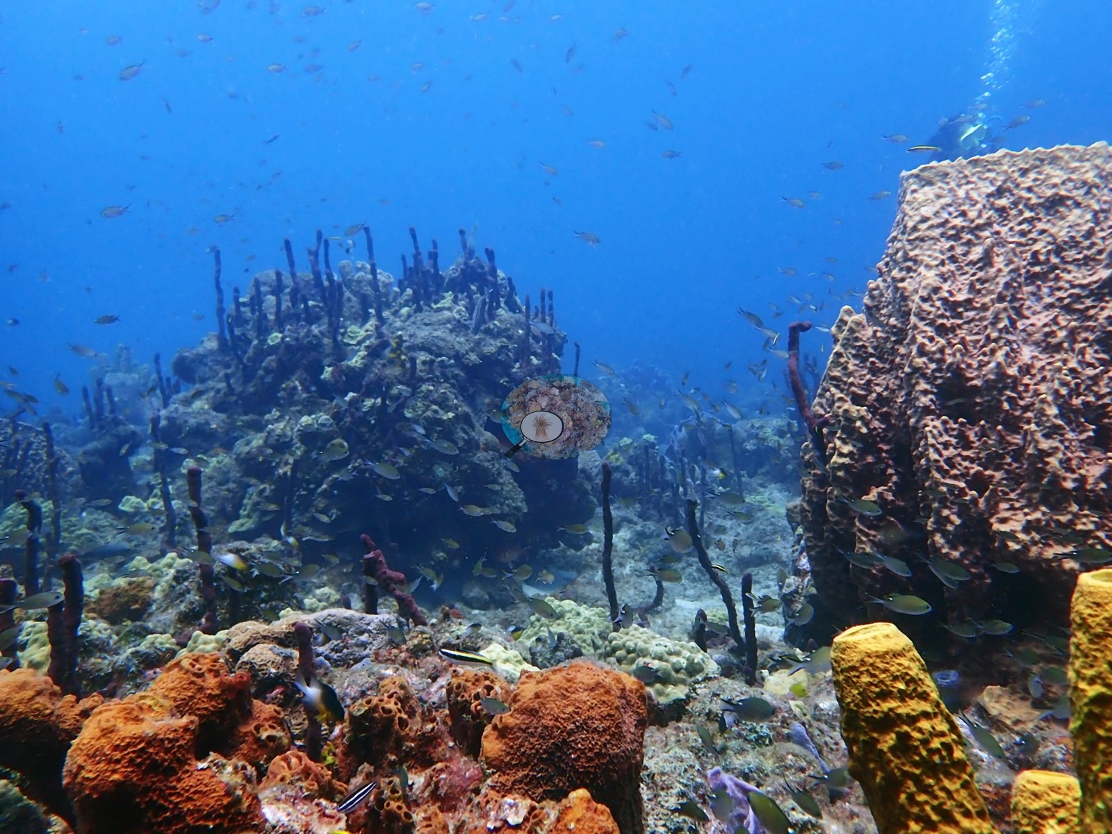
In the flatter stretches the bottom was a near-level plain of rubble and sand, with large sponges and small coral heads standing on it in isolation (e.g., Image 7).
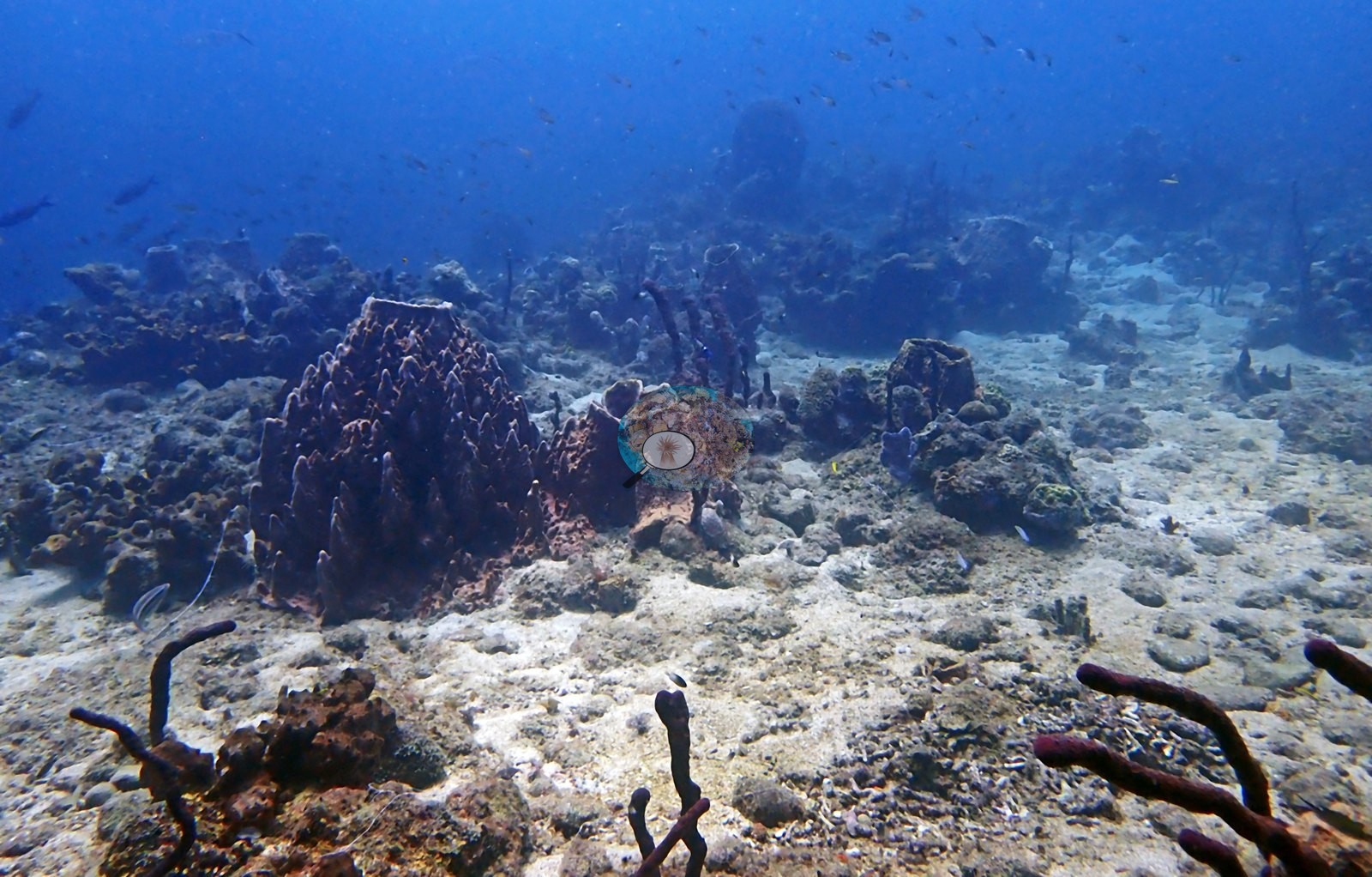
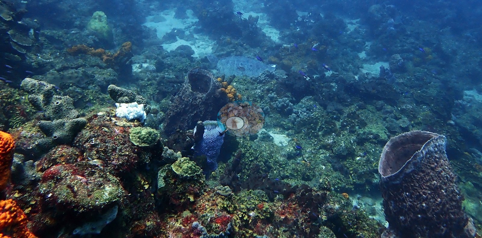
Hard coral appeared mainly as small green brain-coral domes, lobed massive heads, and thin plating colonies scattered between pale sand channels rather than forming continuous framework (e.g., Image 5).
The best-developed ground was on mounded knolls, where small coral colonies, encrusting sponges, coralline crusts, and algal turf formed a tightly interwoven mosaic beside a large dome-shaped massive coral (e.g., Image 10).
A bright yellow-green branching colony, possibly a fire coral, grew from the base of one barrel sponge (e.g., Image 9).
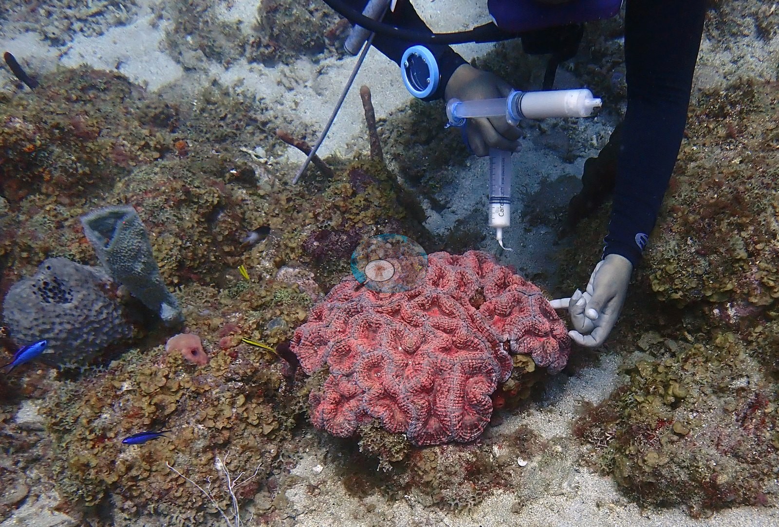
One frame recorded syringe sampling over a large, fleshy pink large-polyp coral set among turf-covered rock, sand, and gray vase sponges (e.g., Image 14).
Rock surfaces between colonies were largely covered by red turf algae and pink crustose coralline algae (e.g., Image 11).
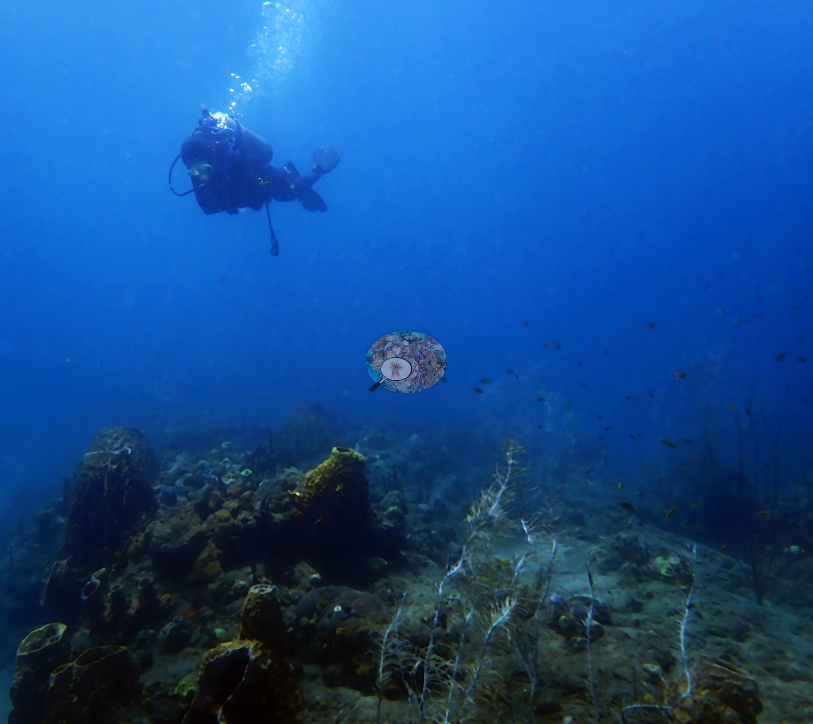
Low, pale sea whips and tube sponges extended across the deeper, sandier margin of the reef (e.g., Image 15).
Coral cover
- Reference: Claude CV point count (this site's photos)
- Coral cover: 11% — a blind Claude computer-vision point count of 145 of Anderson's edited photographs (20 points per photo; water, fish, and obstructions excluded). Other computer-vision methods are listed in the method table.
Stressors
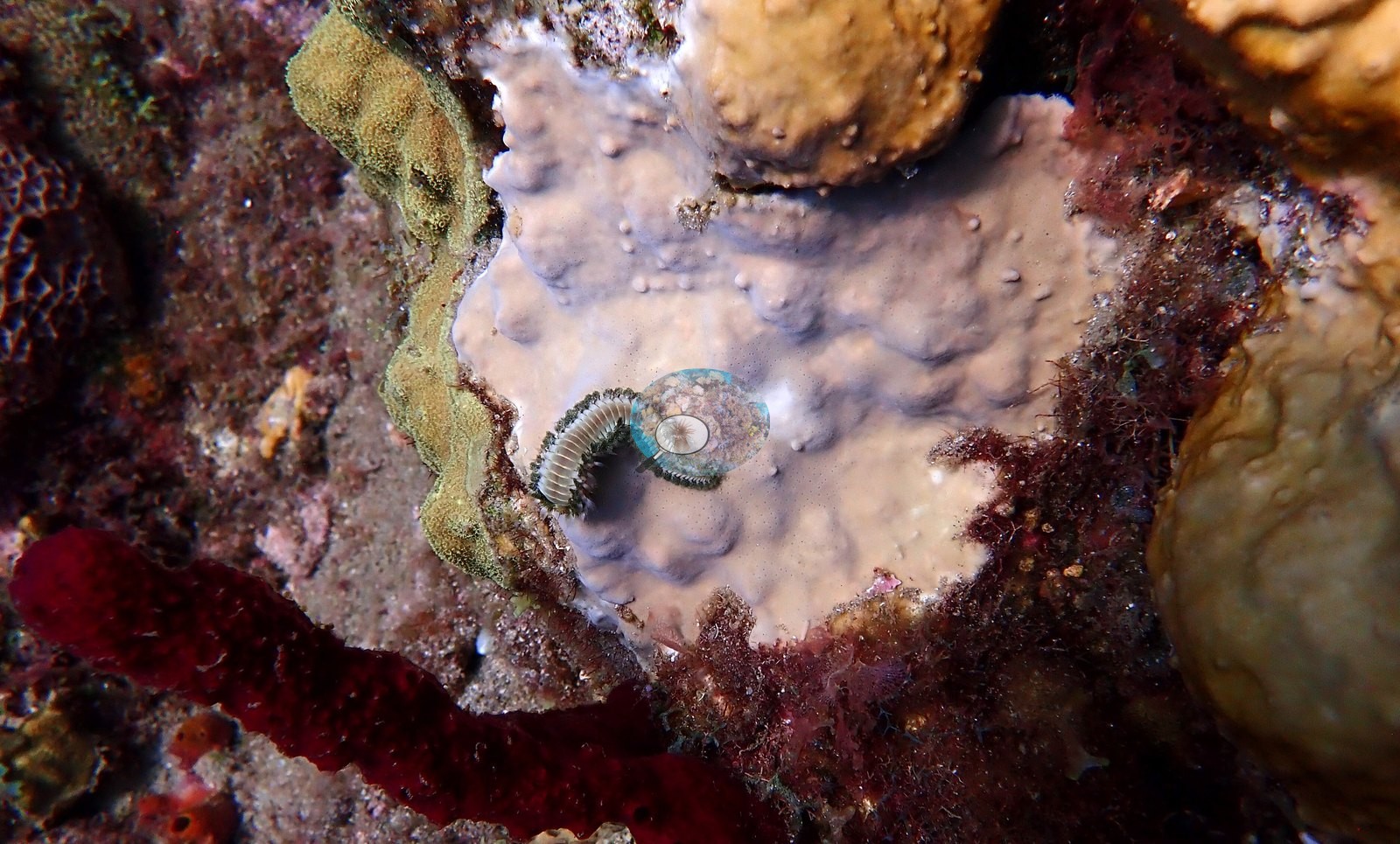
No obvious bleaching was seen in the gallery frames. A bearded fireworm, a coral predator, was photographed crawling across a pale lavender-white encrusting surface beside tan lobed massive corals; the photograph cannot resolve that surface as sponge or pale coral (e.g., Image 1).
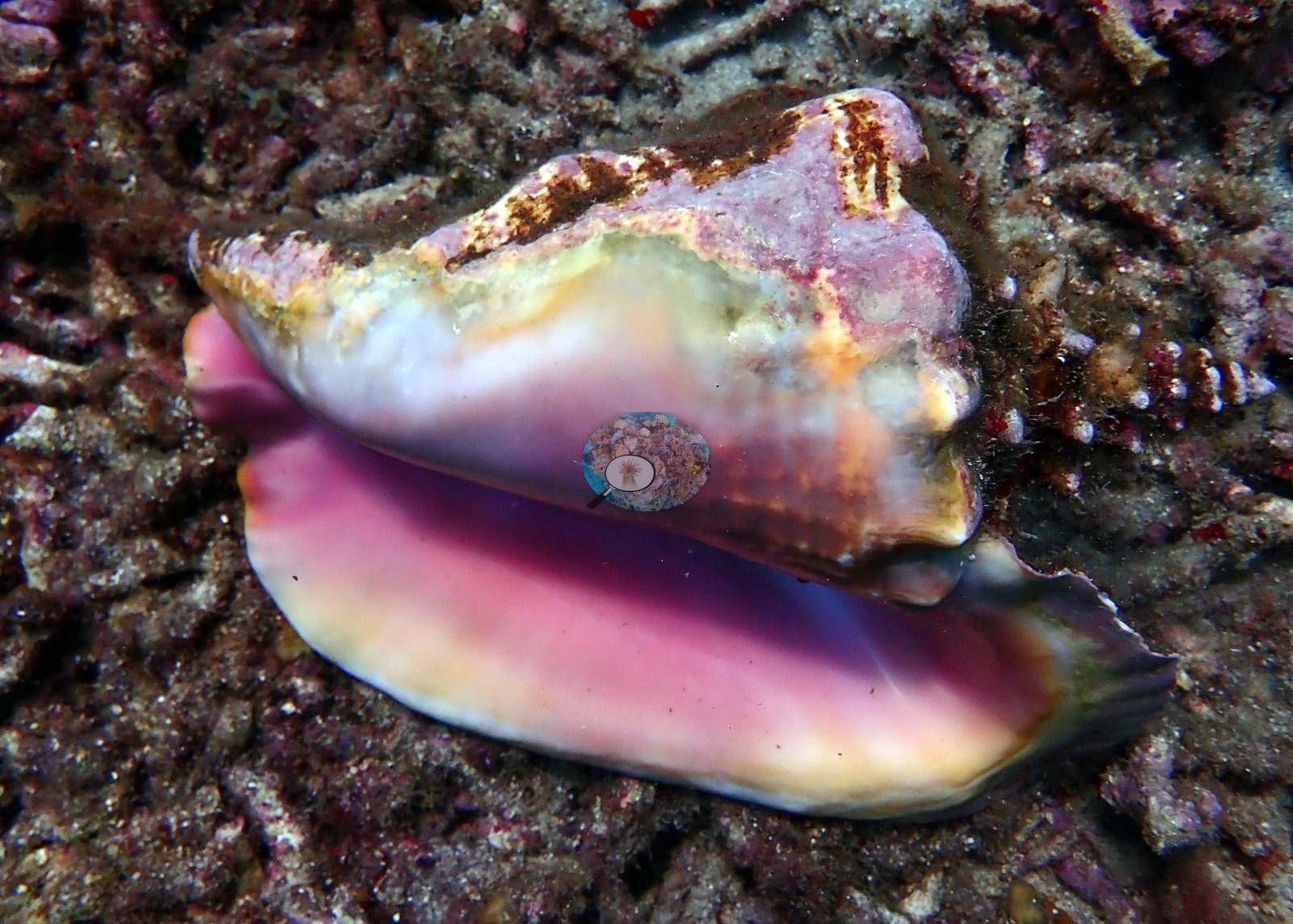
The main condition signal was structural rather than acute: much of the reef was turf-covered pavement, rubble, and sand where a fully developed Caribbean fore-reef would carry framework-building corals, and sponges had taken over the vertical relief. An apparently empty queen conch shell lay aperture-up on a bed of broken branching coral rubble, consistent with either natural mortality or harvest (e.g., Image 12).
Fish and other fauna
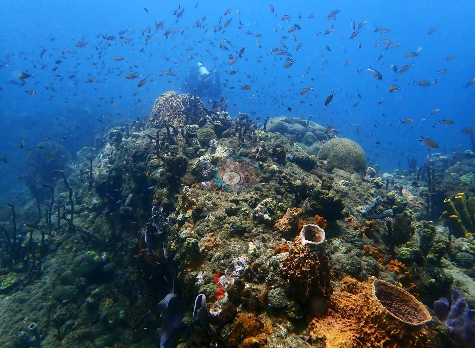
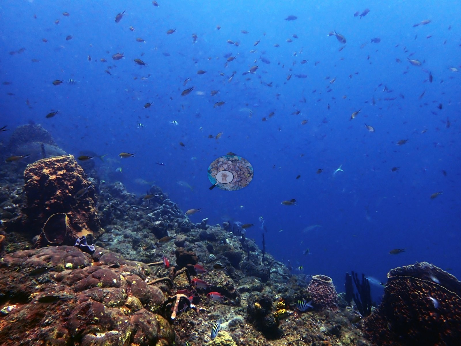
Dense clouds of chromis and other small planktivores hung over the reef mounds (e.g., Image 3).
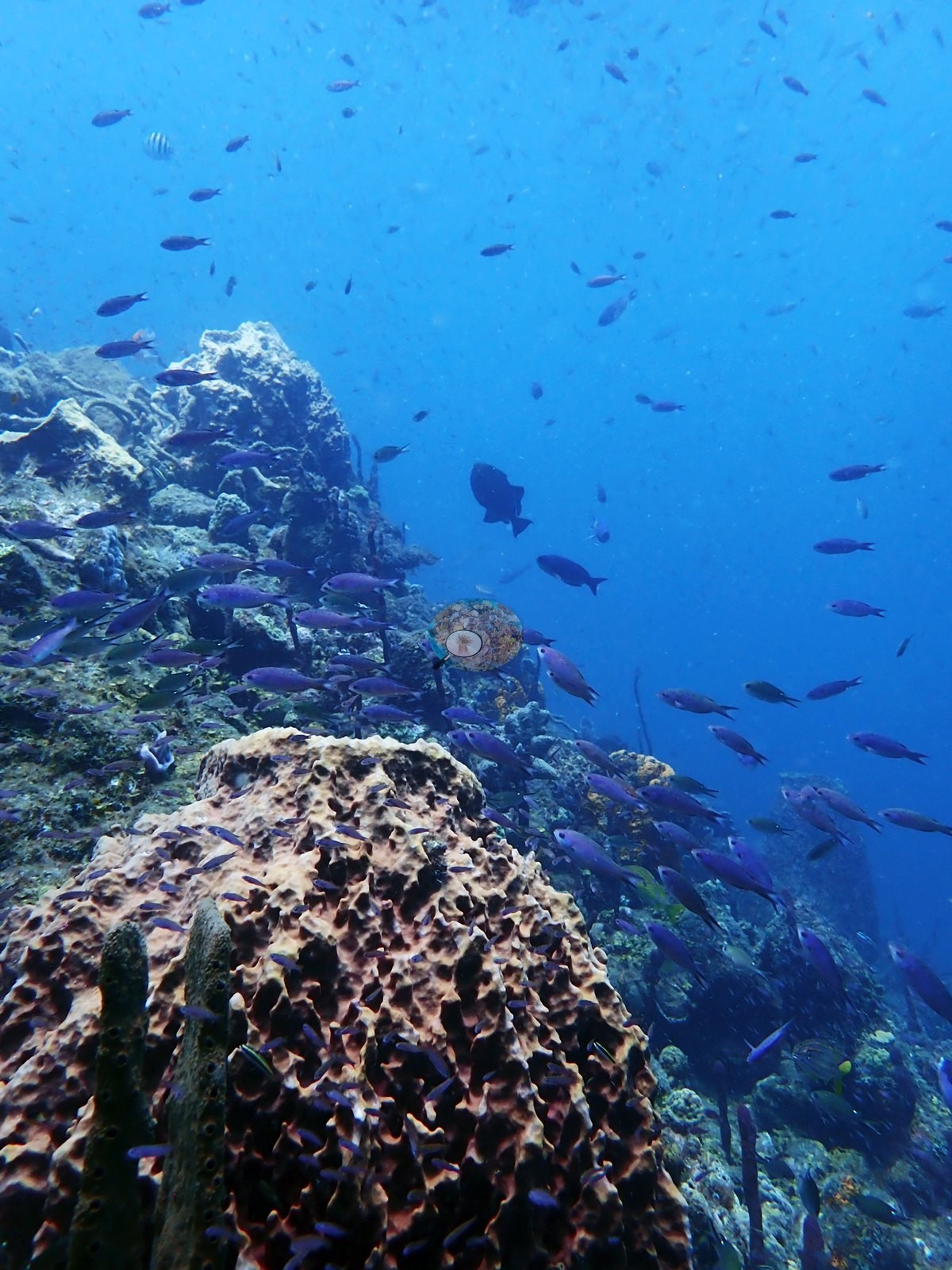
Streams of purple fish consistent with creole wrasse poured past a barrel sponge while a large, dark grouper-shaped fish held station among them (e.g., Image 4).
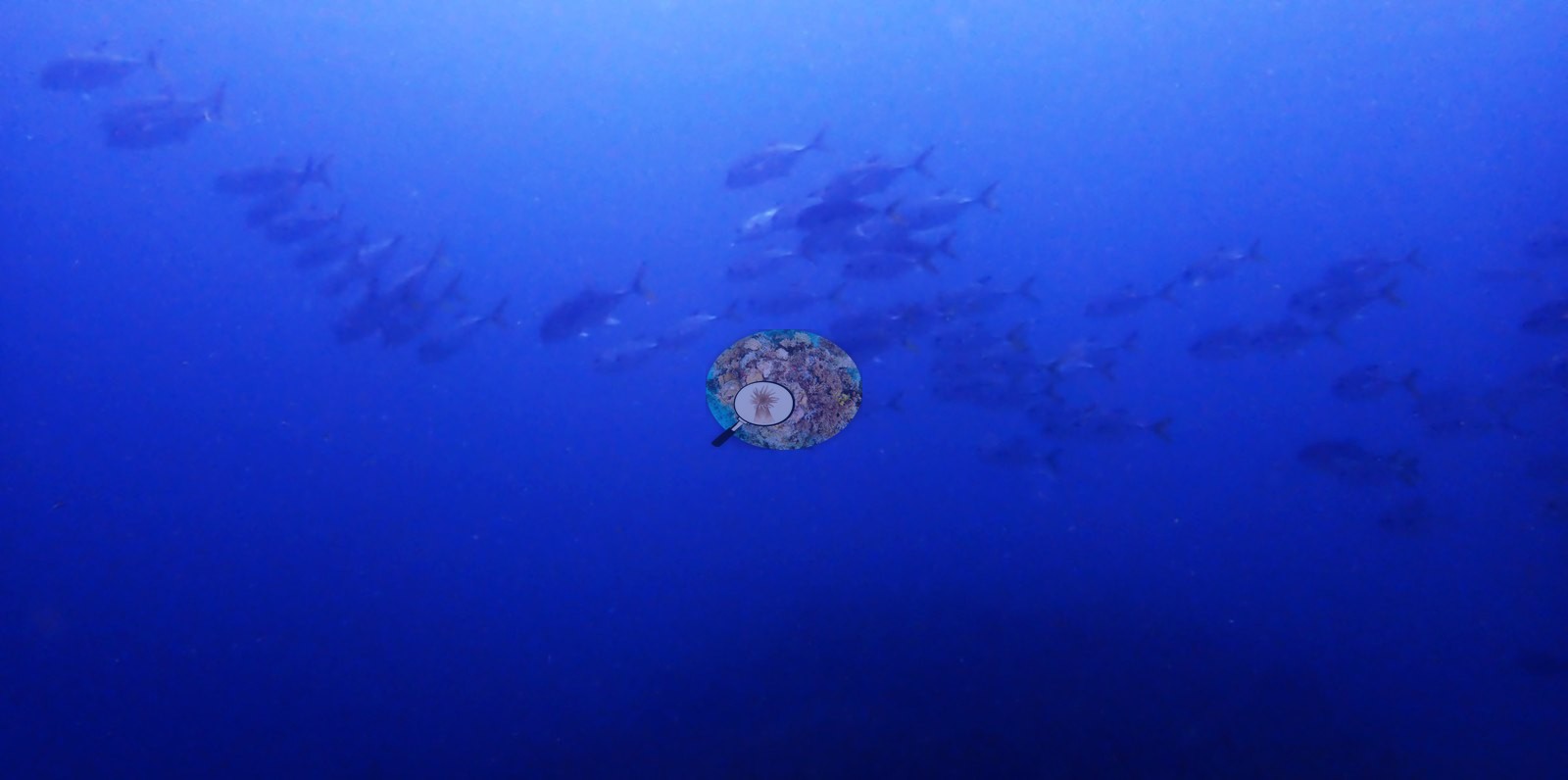
A blue tang swam among the rope sponges, and a school of jacks passed along the reef edge in open water (e.g., Image 6).
The most conspicuous invertebrate feature of the dive was the variety of sponge forms: barrels, ropes, tubes, vases, and encrusting sheets.
Comparisons with other data
No other surveys have been conducted at this site to date. Within 5 km, ten Reef Check stations recorded 1.9–39% hard coral cover between 2004 and 2018; the nearest, Reef Check at Coral Gardens, 0.62 km away, read 17% in 2018.
Dive record
Coral Gardens was the first of three dives on 22 June 2022, entering the water at 14:58 for 71 minutes of bottom time, with a maximum depth of 15.2 m and a water temperature of 27.8°C.
Other notes
This site previously carried a description of the Coral Gardens in St. Lucia (Gros Piton, the Soufriere Marine Management Area, and a Reef Check comparison to Superman's Flight), grafted on by a dive-log match made on site name alone; that content now sits on its own St.
CV model comparison
More info
A few colony-focused photos raise the mean; the median is the typical photo. No computer-vision method yet estimates coral cover accurately on new images, so treat this as indicative rather than a measurement; it is revised as the methods improve.More info
Other rows are for comparison only and are never averaged. No diver transect exists for this trip, so agreement between rows is not accuracy.| Method | Hard-coral cover (%) |
|---|---|
| CoralSCOP edited | 26.9 |
| Claude (edited photos) | 11.3 |
See a more detailed, stand-alone version of this table.
Independent surveys nearby
 Coral Reef Diagnostics
Within 5 km, 10 independent survey stations recorded hard coral cover in 19 surveys between 2004 and 2018. Of the 5 stations surveyed in more than one year, 3 declined and 2 changed by less than 5 percentage points between their first and latest surveys. The longest record, La Bym (Reef Check, 0.99 km away), went from 20% in 2004 to 16% in 2018. The most recent nearby survey is from 2018, so these values predate recent heat stress. This site's own estimate (11%) sits within the range of these surveys (1.9–39%); the methods differ, so the comparison is context, not a like-for-like test.
Collected by other programs using different methods (Reef Check uses point-intercept transects), so these are context for the figures above, not a like-for-like comparison. Where a station was surveyed more than once the range is shown. Station names are not dive-site names.
| Agency | Site / location | Date | Hard coral cover (%) | Distance |
|---|---|---|---|---|
| Reef Check | La Bym | 2004–2018 | 9.2–20% (3 surveys) | 0.99 km |
| Reef Check | Champagne Outer | 2004–2006 | 20–39% (3 surveys) | 1.26 km |
| Reef Check | Solomon A | 2007 | 6.2% | 4.85 km |
| Reef Check | Solomon Reef Site A | 2008–2009 | 5.6–11% (3 surveys) | 4.61 km |
| Reef Check | Solomon Reef Site B | 2008–2009 | 3.8–4.1% (3 surveys) | 4.93 km |
| Reef Check | Scotts Head Dropoff - Tous Sable | 2014–2018 | 1.9–12% (2 surveys) | 1.91 km |
| Reef Check | Solomon | 2014 | 15% | 4.93 km |
| Reef Check | Coral Gardens | 2018 | 17% | 0.62 km |
| Reef Check | La Sorciere | 2018 | 32% | 0.96 km |
| Reef Check | Inshore Suburbs | 2018 | 15% | 3.04 km |
Data & links
All images from Coral Reef Diagnostics. Data are from Coral Reef Diagnostics and the organizations named in the data sources above.
© Coral Reef Diagnostics.