
Belcher Barge (Key Biscayne)
Part of the regional summary: USA - Florida
More info
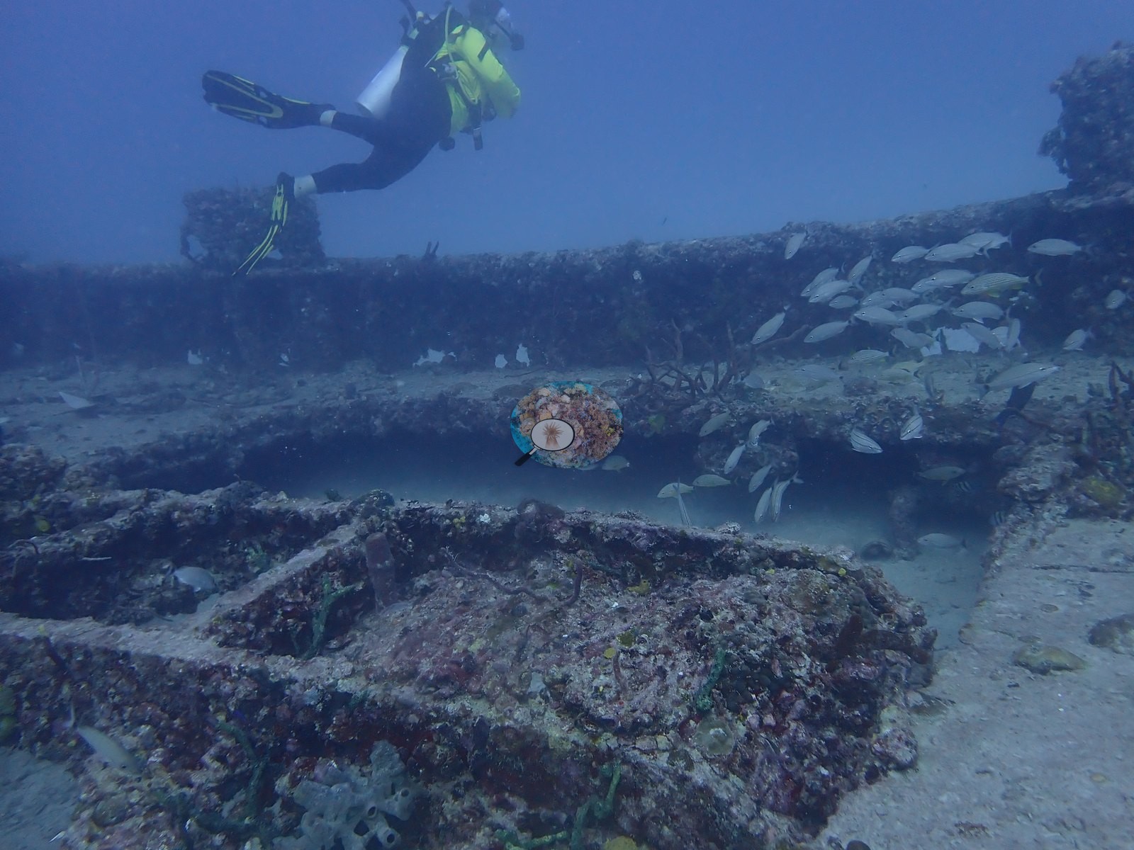
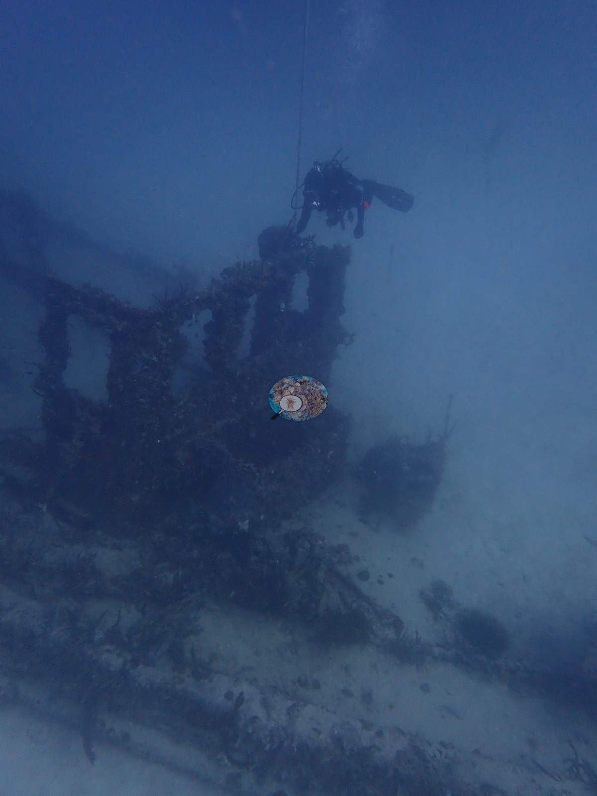
Southeast Florida (NOAA CRW virtual station)The Belcher Barge site off Key Biscayne is a scatter of sunken barge hulls and steel framework on flat sand, with low natural rock between the pieces. Every edge is fouled with coralline, sponges, and sea rods, stony corals are only small scattered recruits (a few showing white patches), and dense schools of grunts and snapper pack against the tallest hull section. Wreck: a 195 ft steel barge scuttled off Key Biscayne in 1985 (the dive covered the Belcher Barge area wrecks). On a wreck, low coral cover is expected.
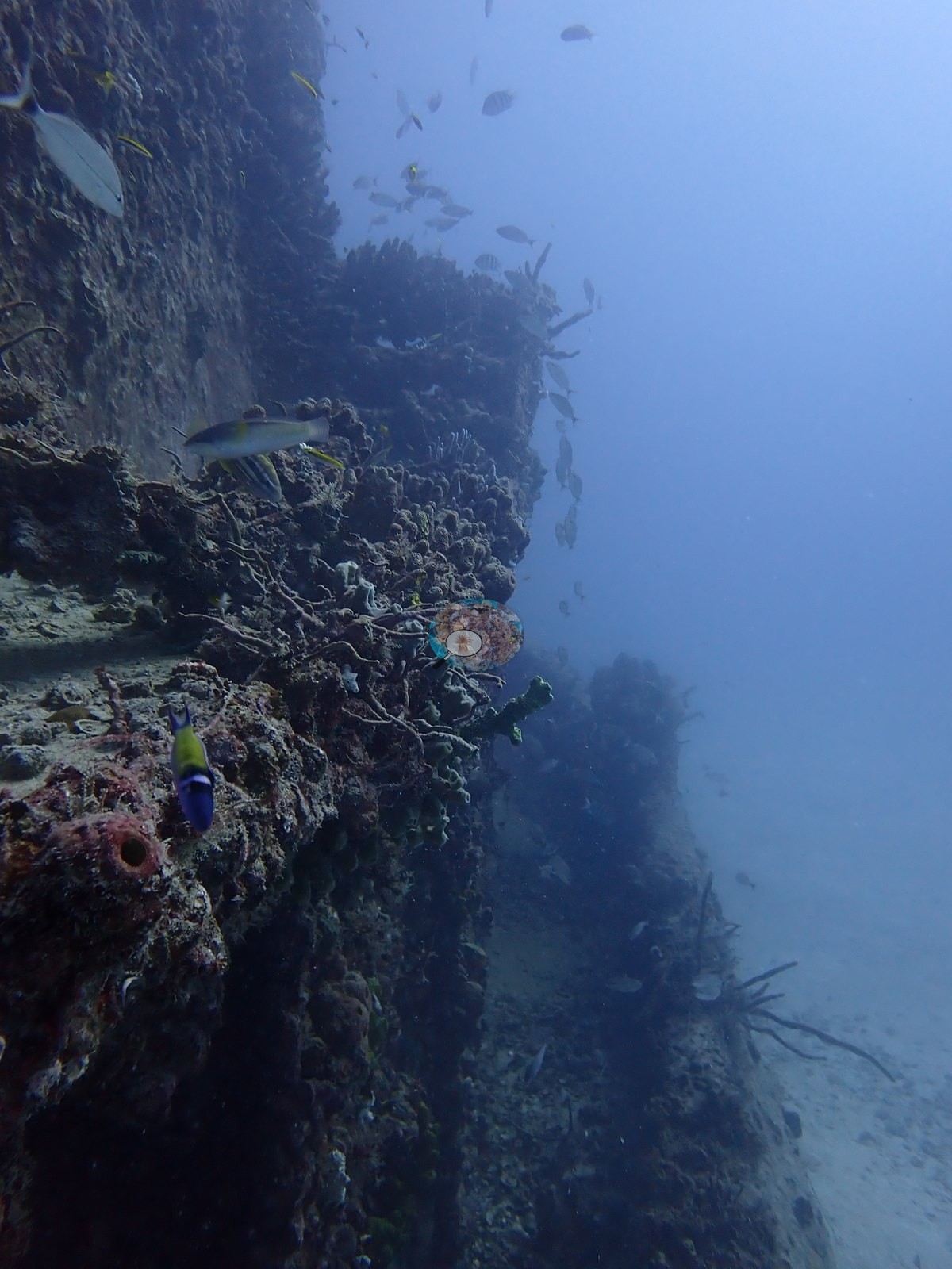
Eighteen independent survey stations shown with the program’s logo — click one to see how far it is from this site.
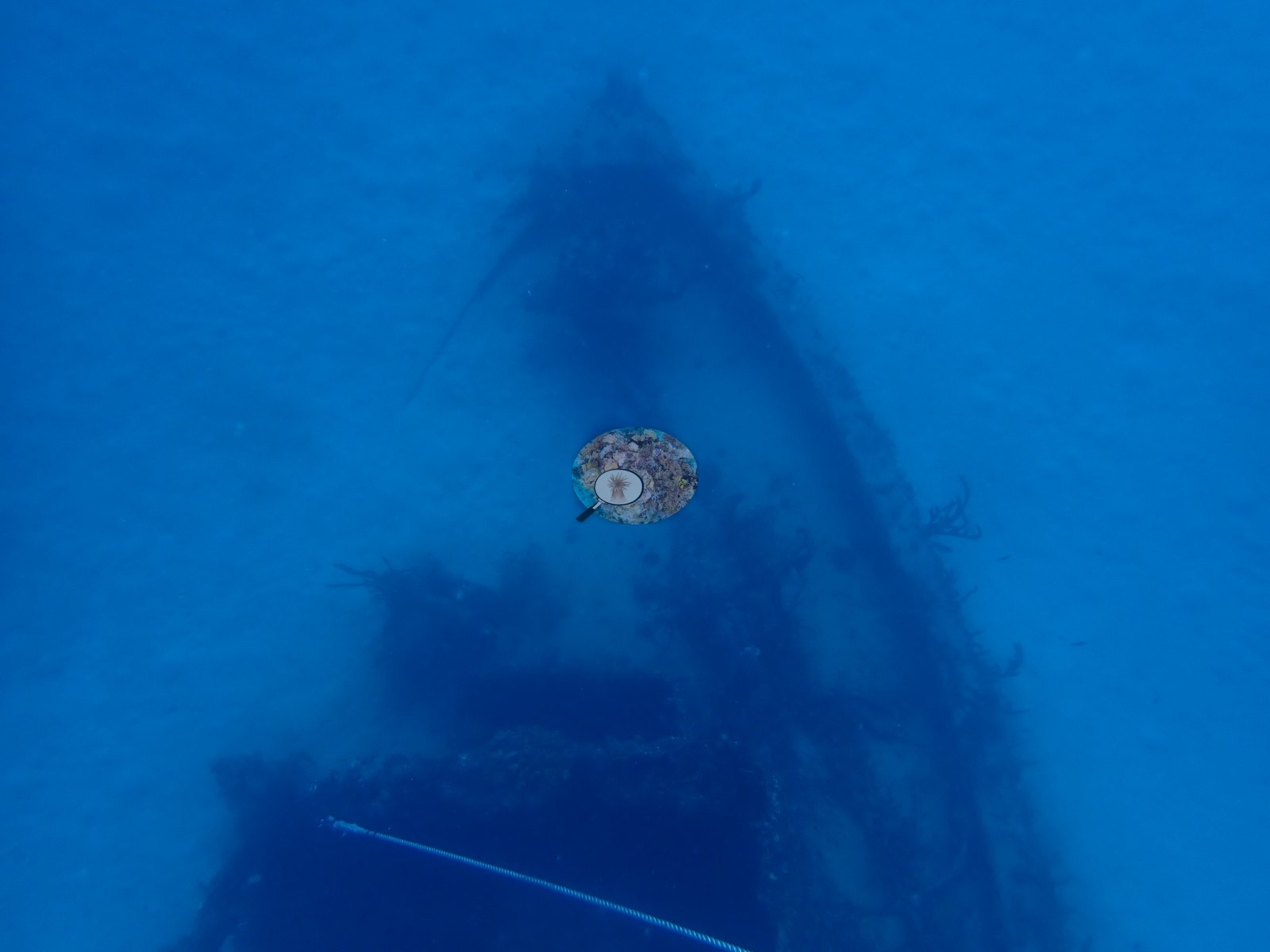
Five other CRD dive sites with their own pages within 5 km shown in orange — click a marker to open its page.
This page shows 69 of the 87 photographs from this site, including every one the text cites.
Site description
Setting
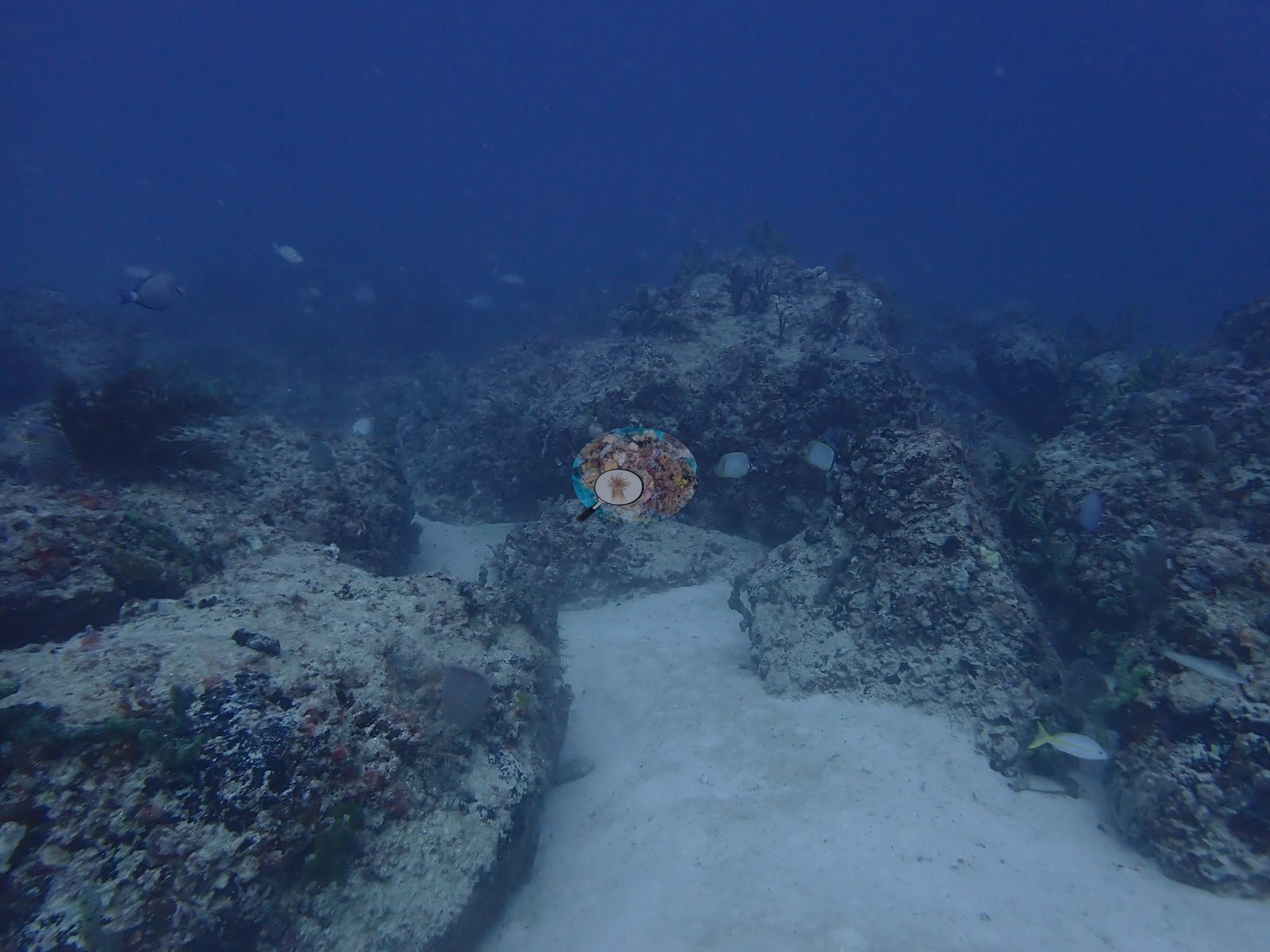
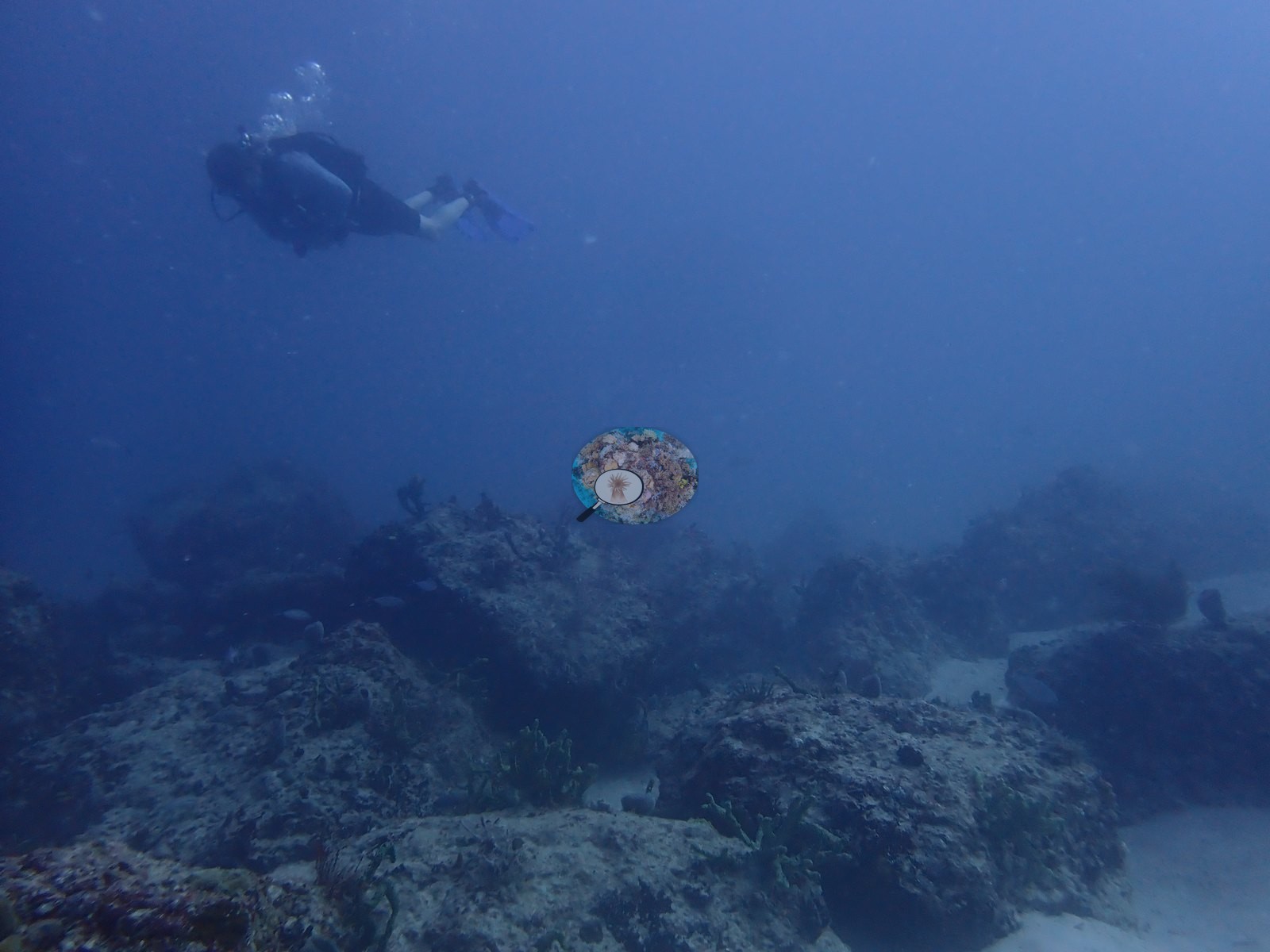
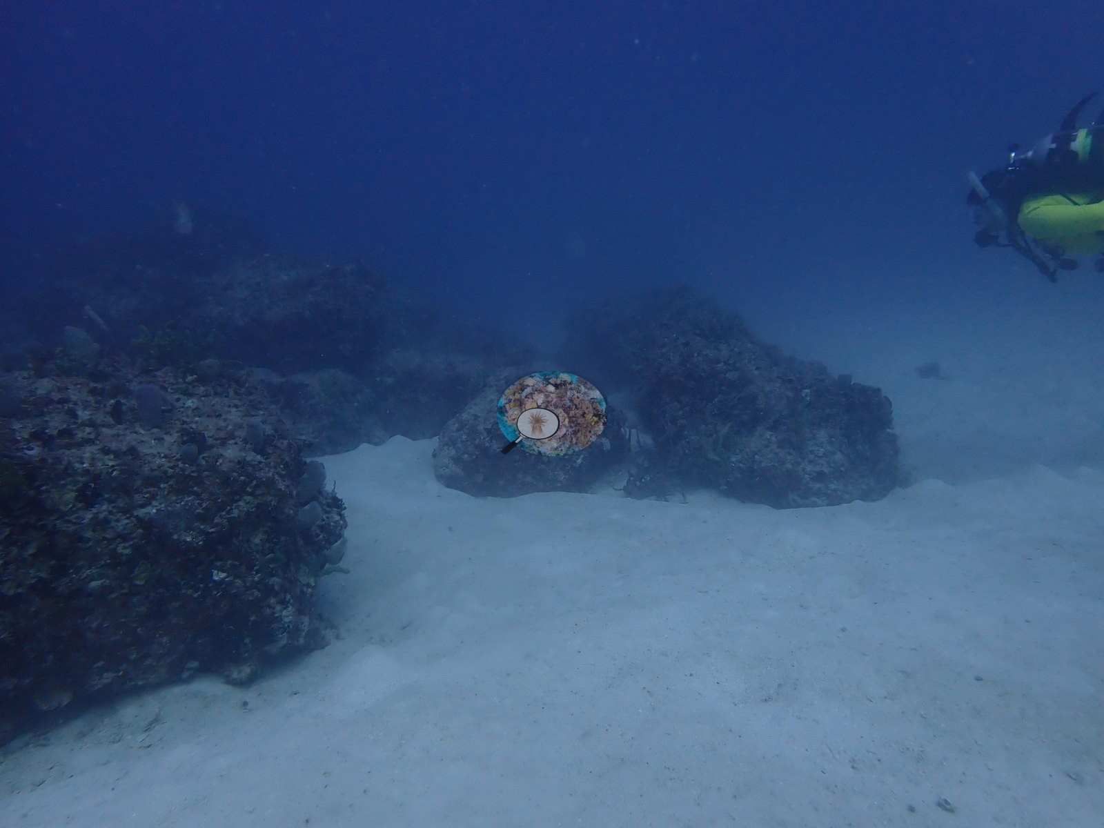
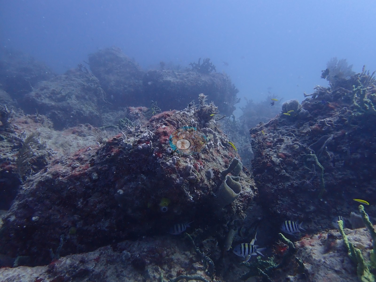
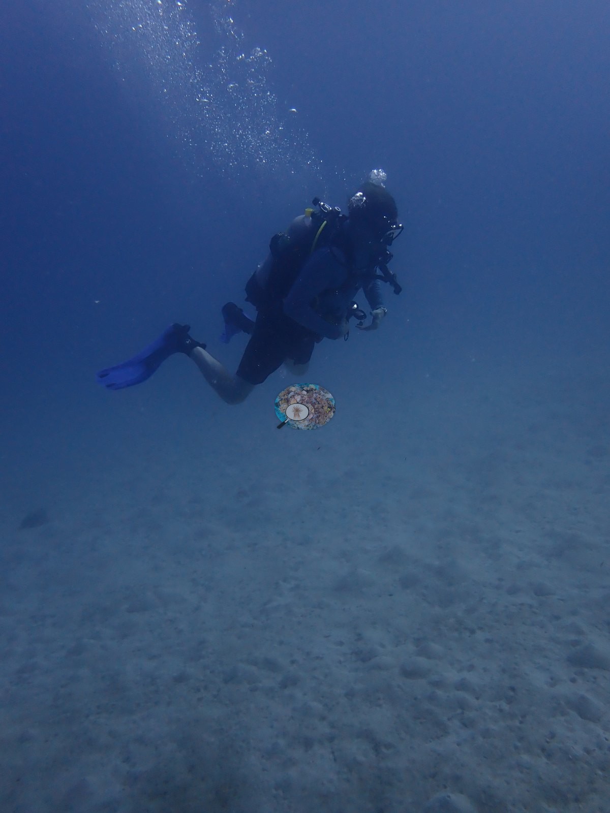
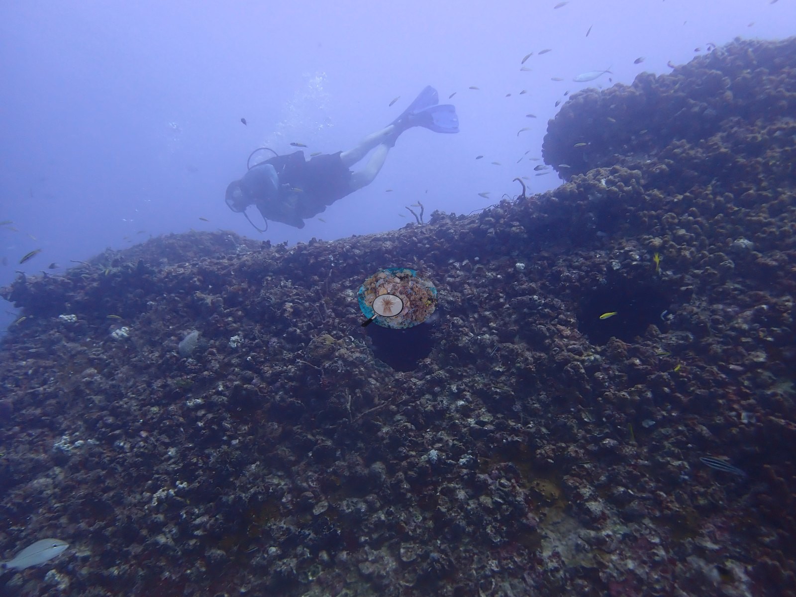
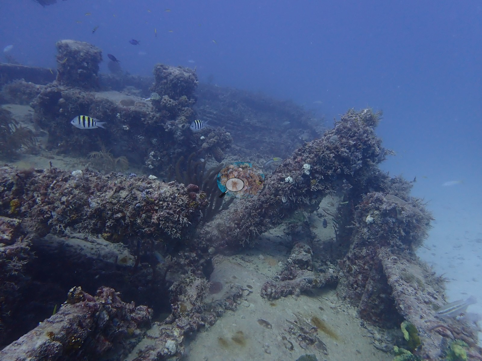
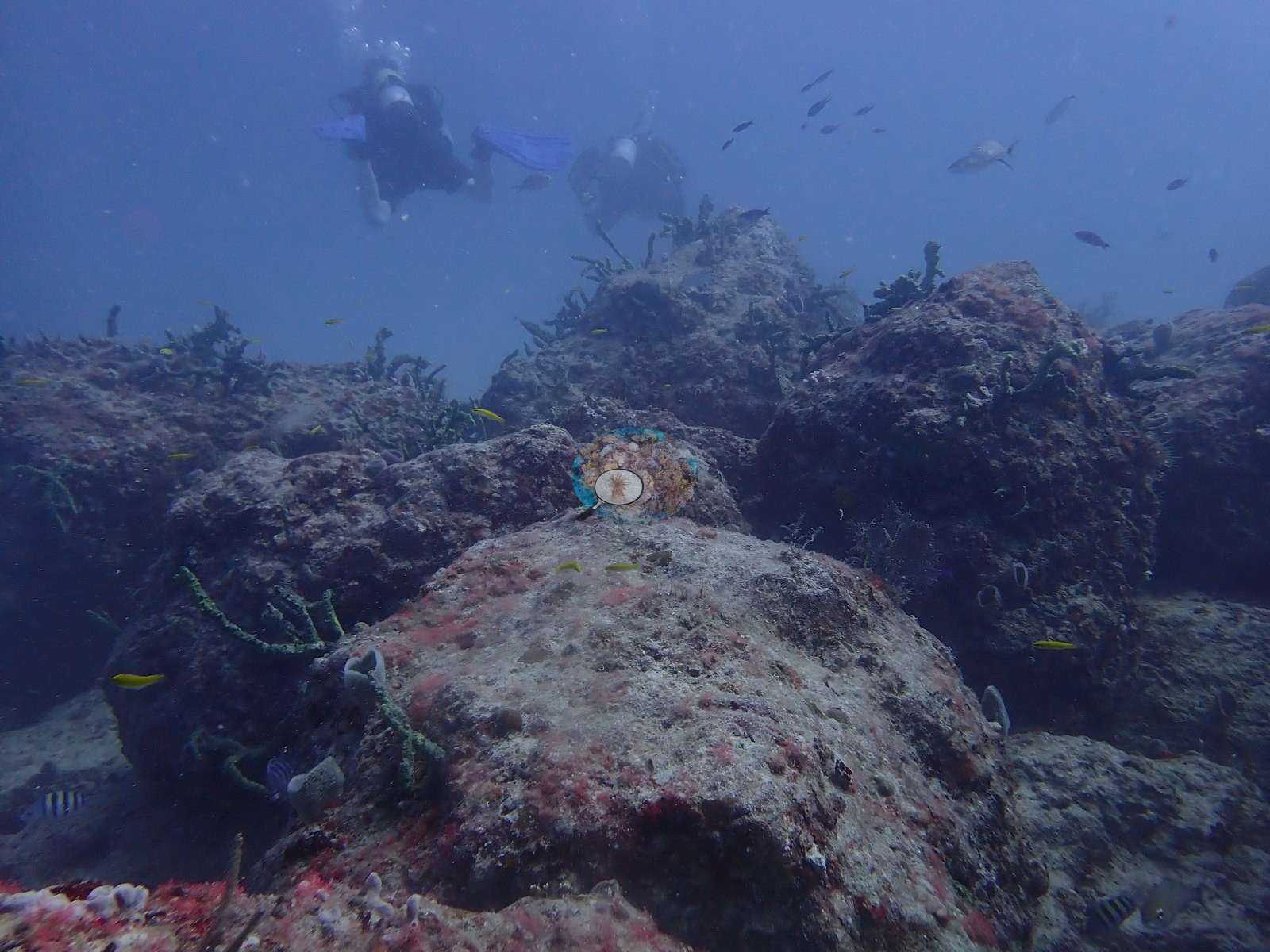
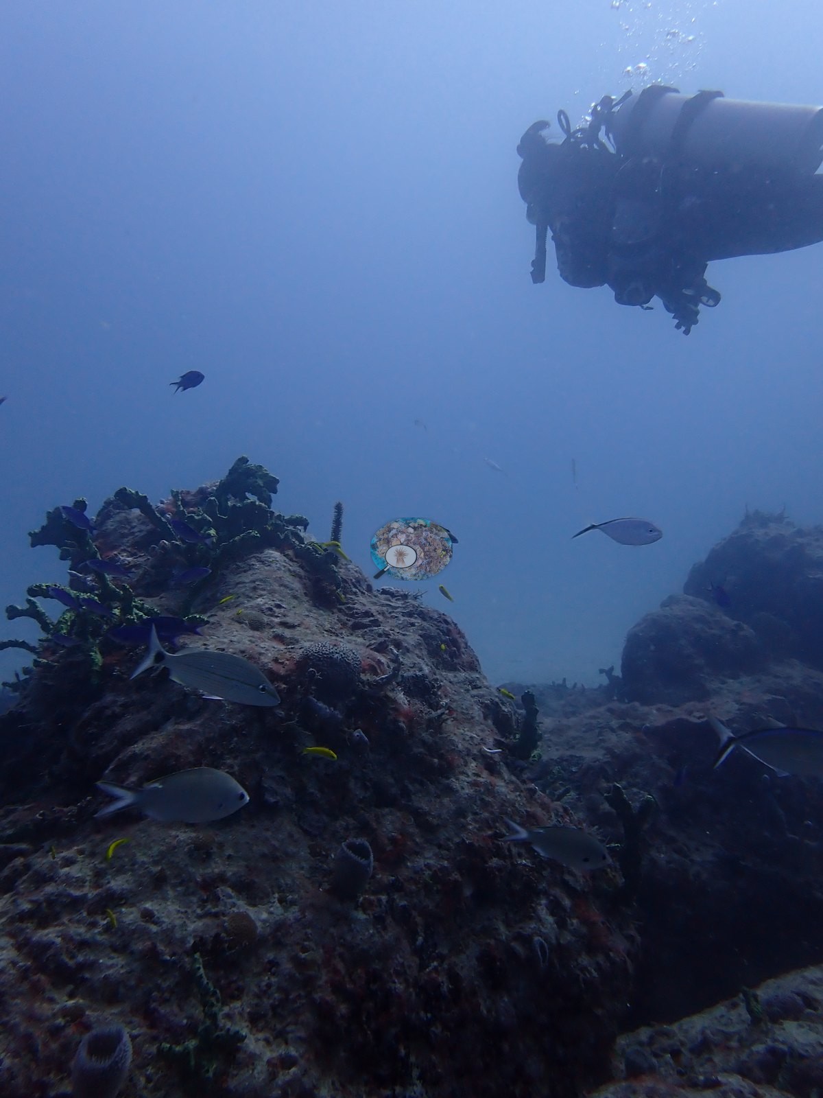
Anderson's field label is "Belcher Barge area wrecks" — plural — and the frames bear that out: this is not one hull but a scatter of sunken barge and steel-framework material lying on an otherwise flat sand plain, plus patches of low natural hardbottom between the pieces. Nothing here should be read as reef. A meaningful minority of frames are not structure at all but adjacent natural low-relief hardbottom and open sand: sand channels between low encrusted limestone ledges (e.g., Image 66, Image 67), scattered low rock or block outcrops on sand with a diver above (e.g., Image 65, Image 26), a hazy low-relief bottom (e.g., Image 69, Image 78), and a broad open sand plain with a diver over it (e.g., Image 6).
General benthic features
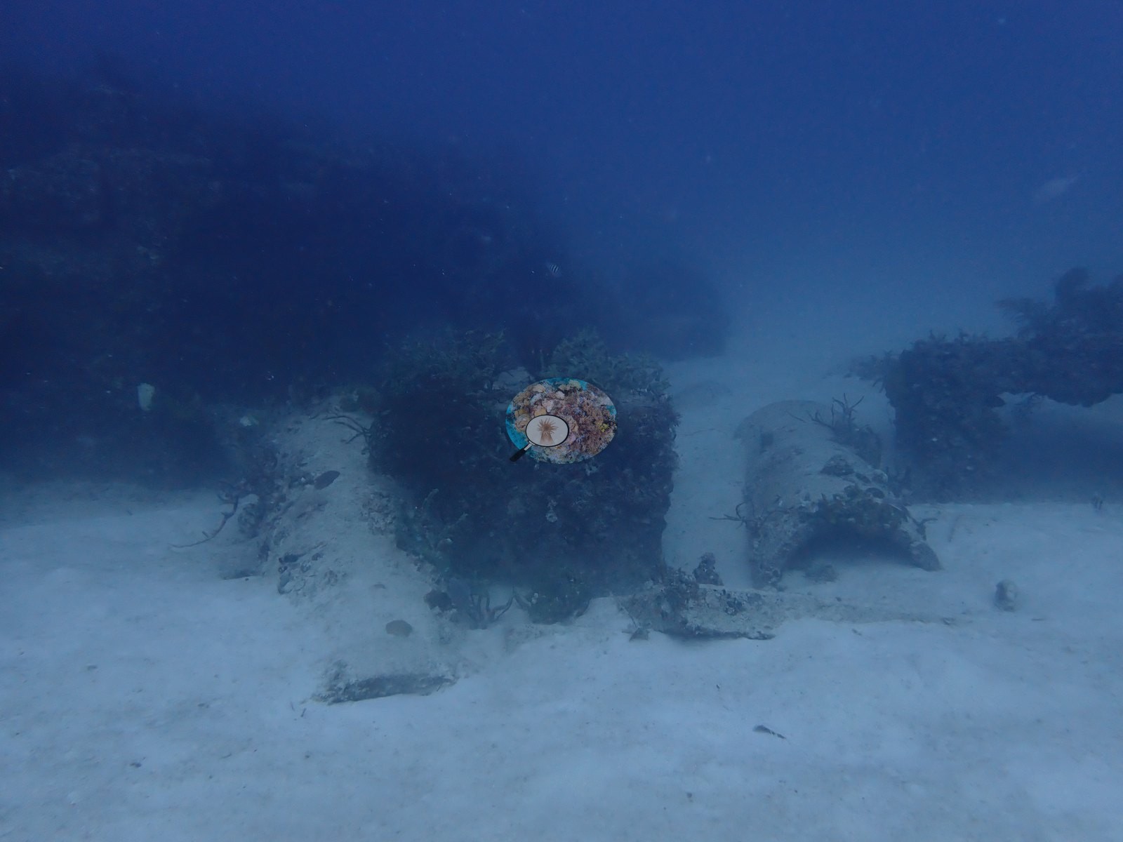
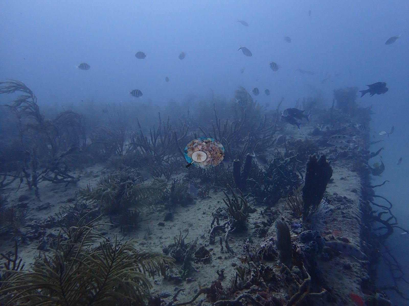
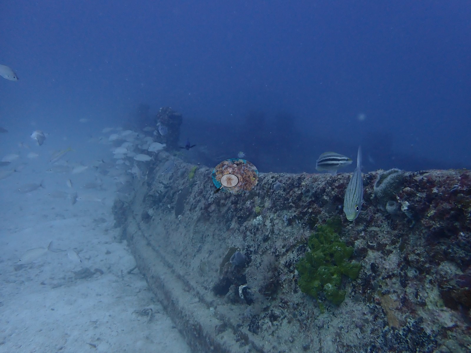
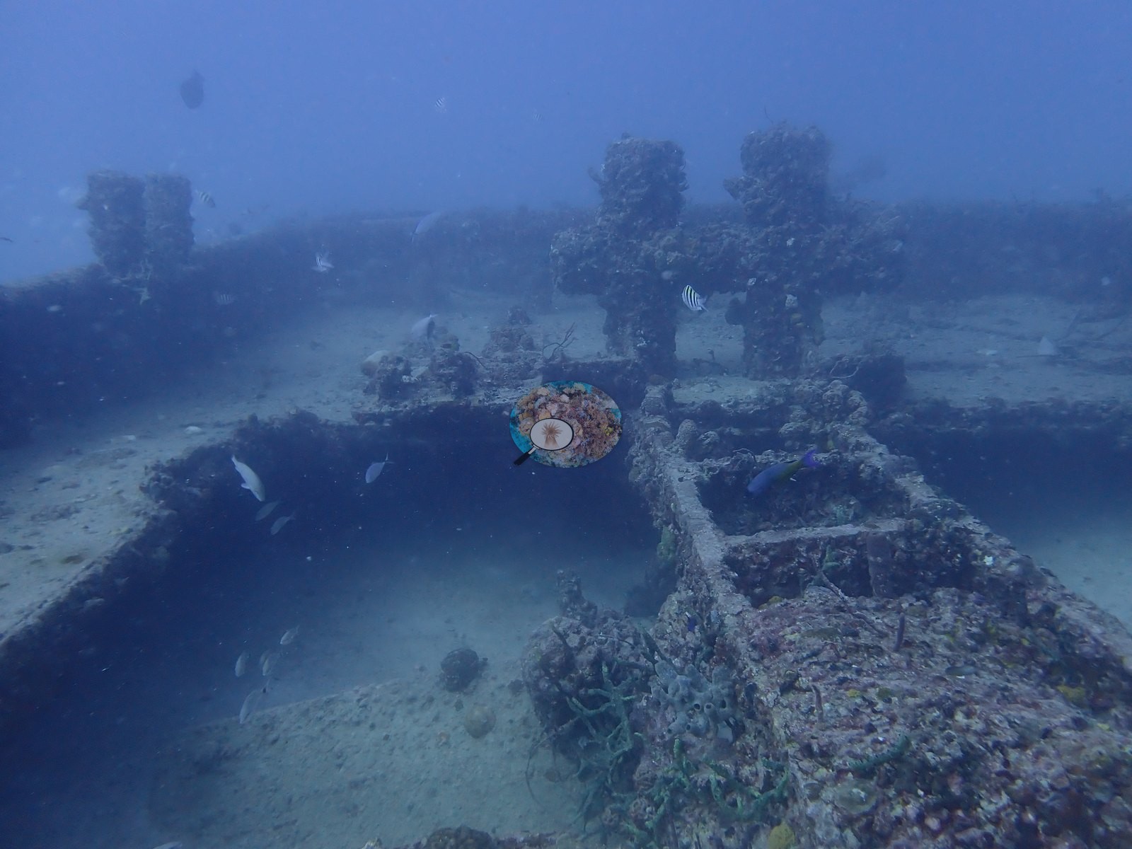
The structures themselves take three recognizable forms across the sheets. First, a large flat-decked barge: long straight gunwale runs disappearing into haze with regularly spaced upright posts along them (e.g., Image 41, Image 52, Image 53, Image 55, Image 59, Image 82, Image 83), flat deck plating pierced by circular openings (e.g., Image 42, Image 46), and an overview frame in which the whole rectangular frame with its internal cross-members is visible on the sand (e.g., Image 54).
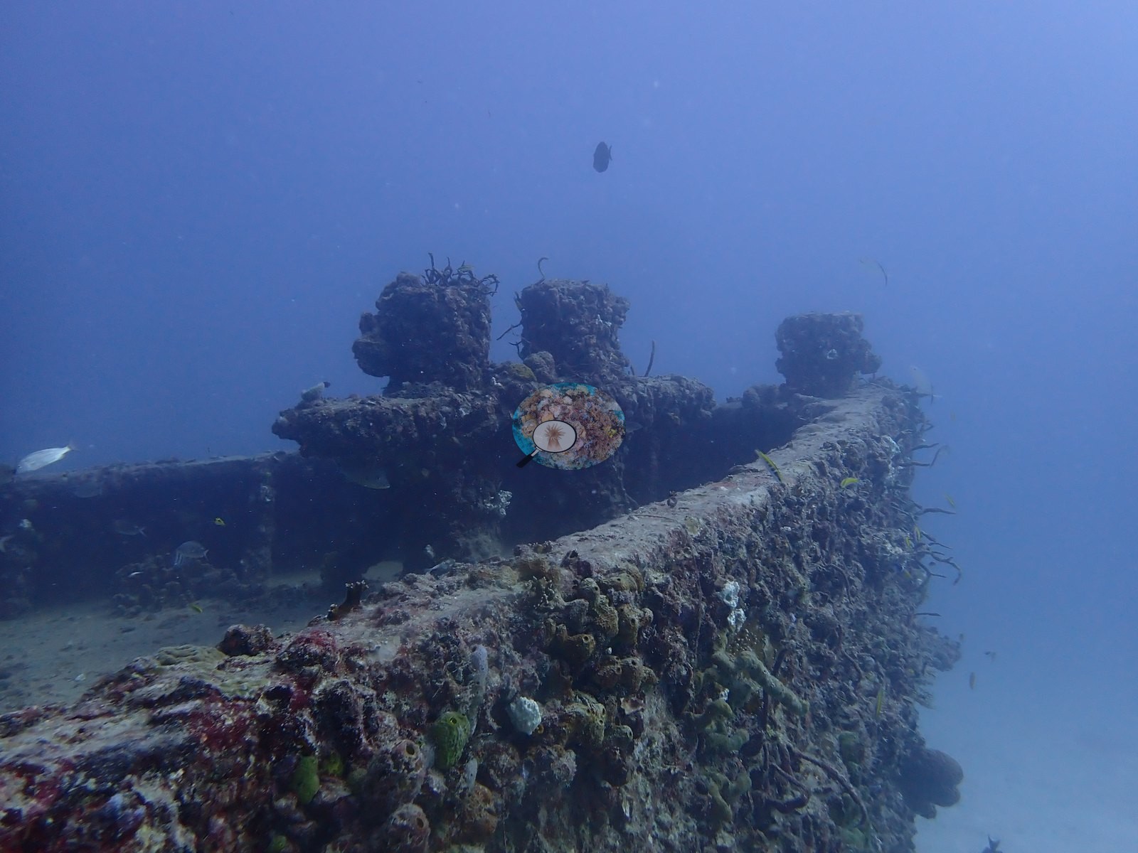
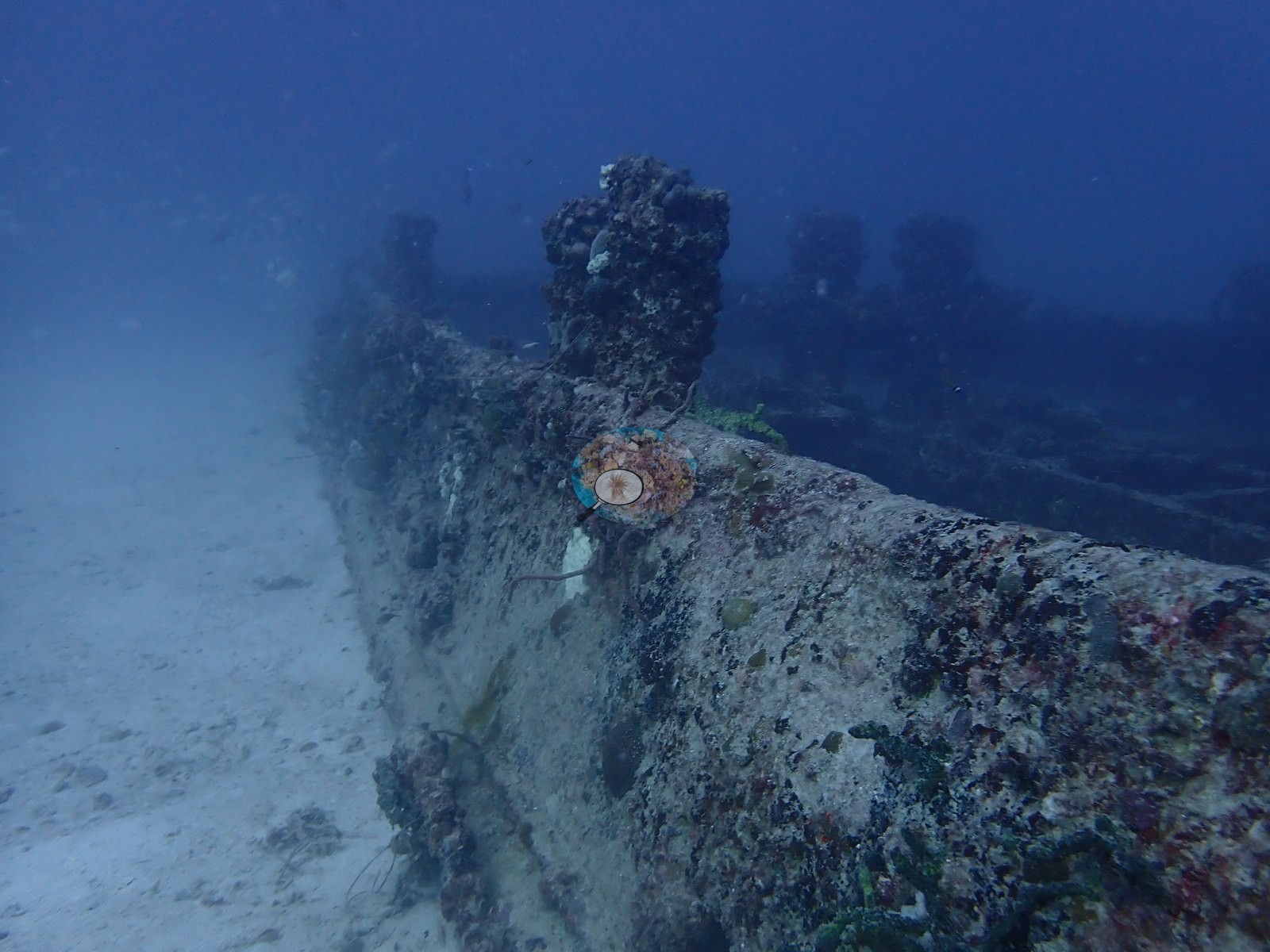
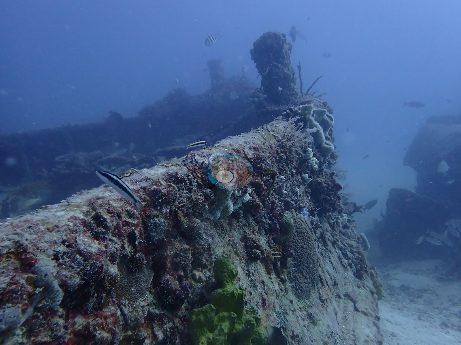
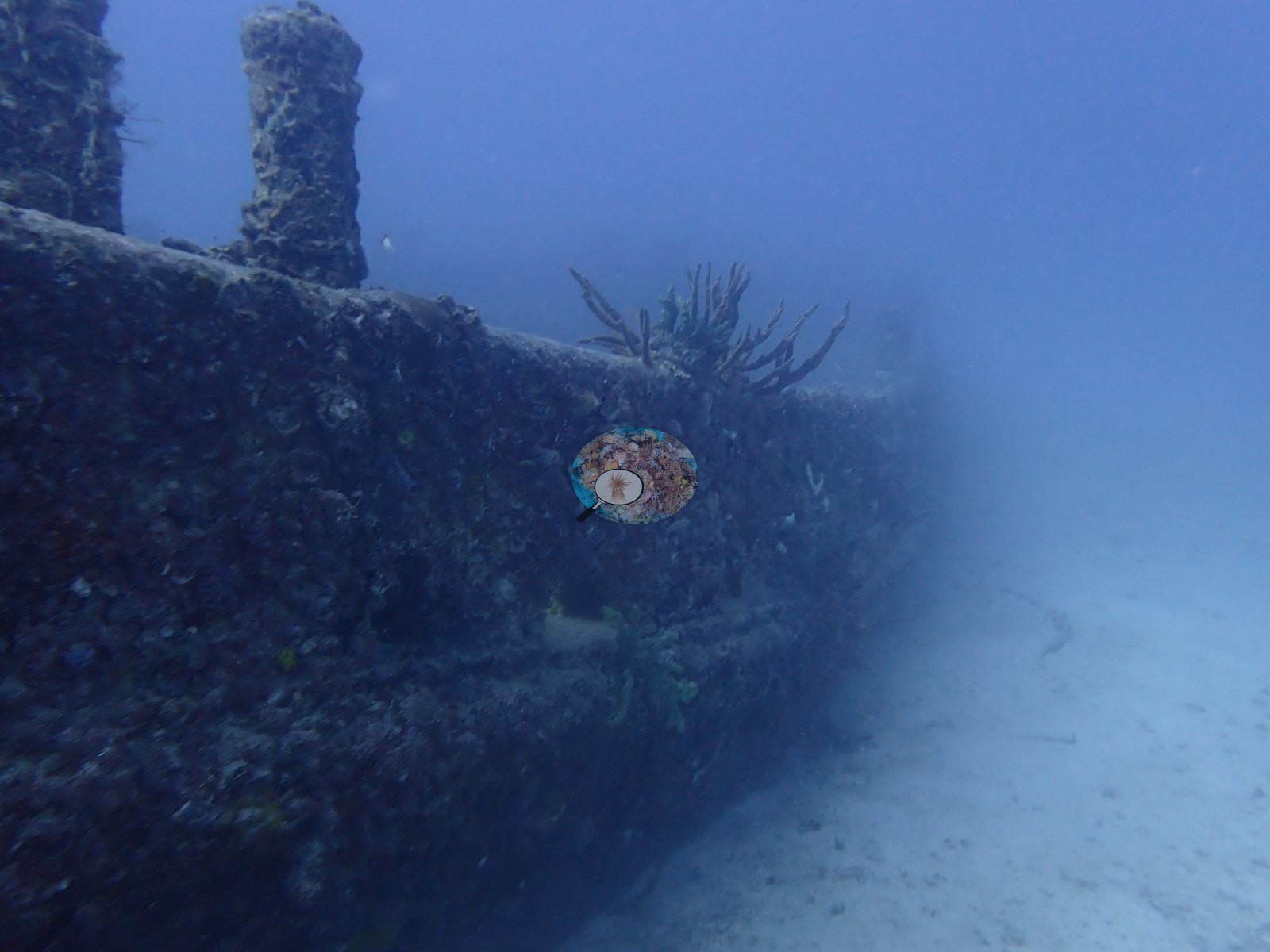
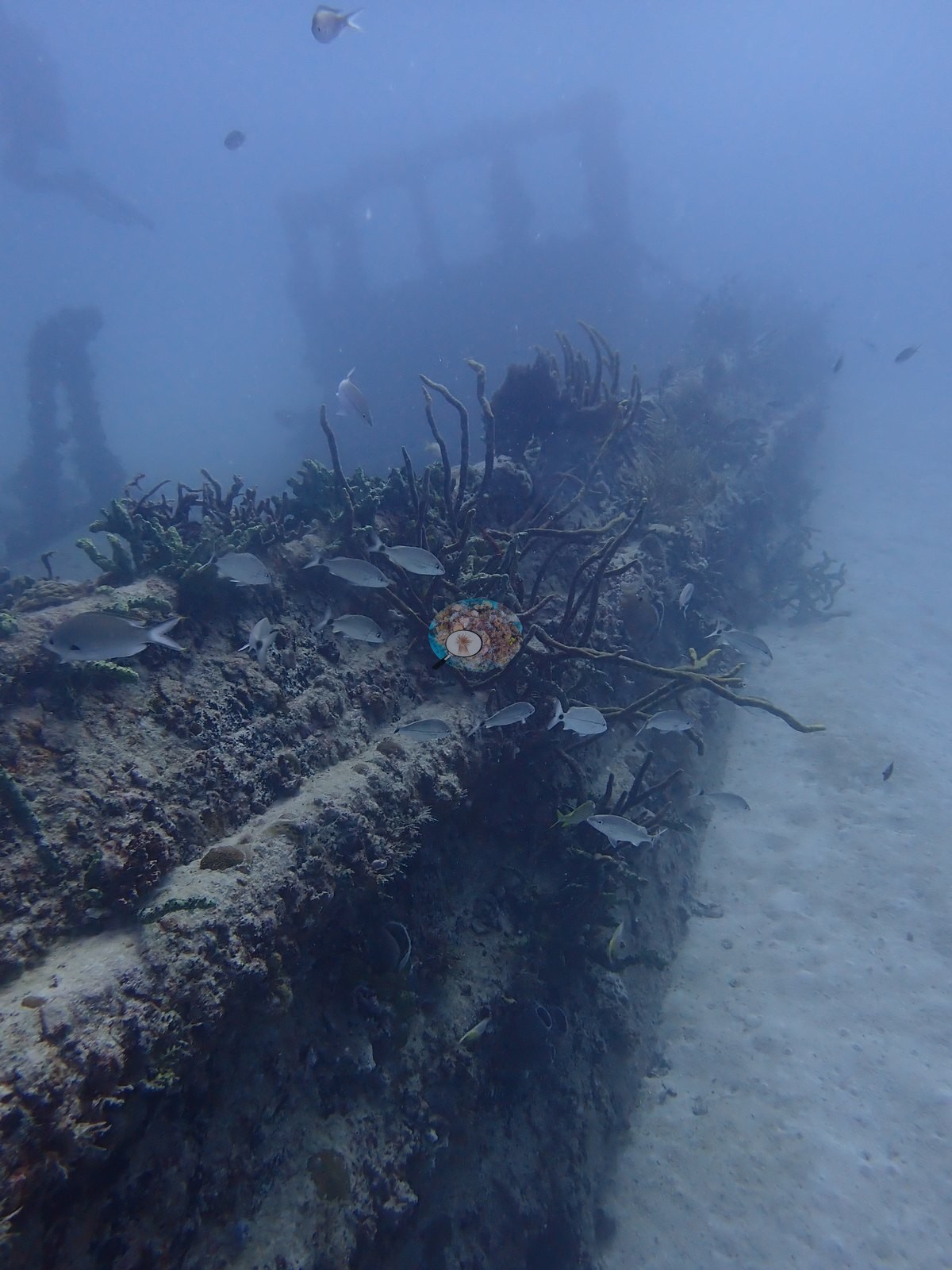
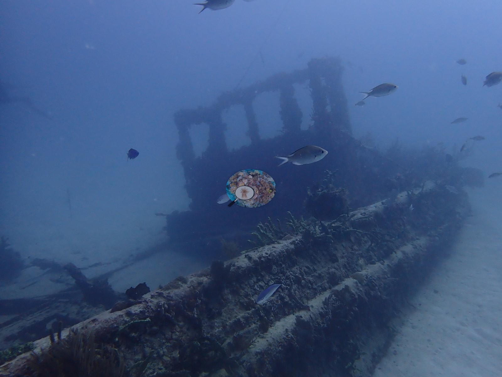
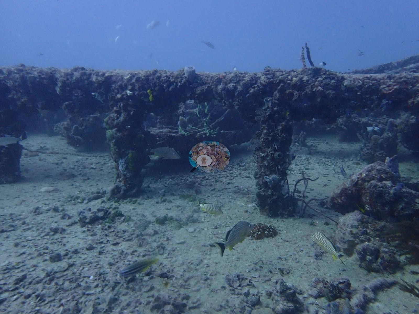
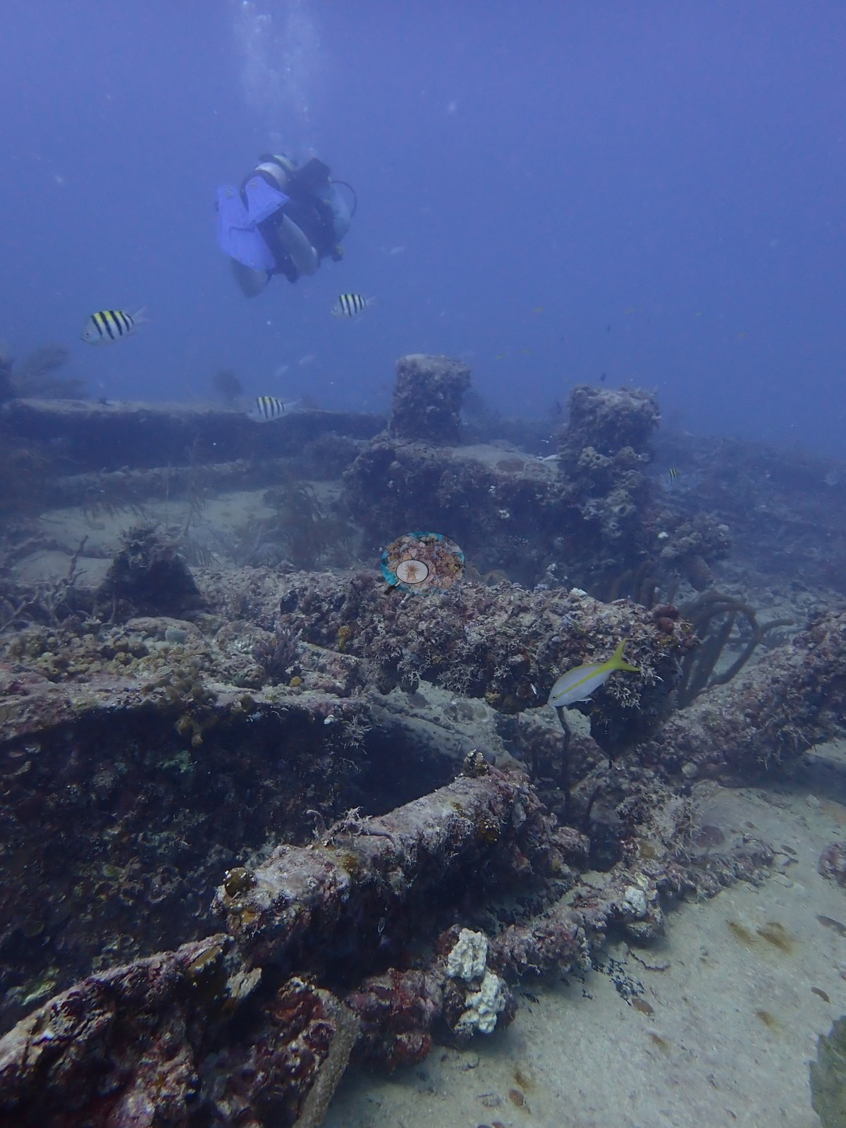
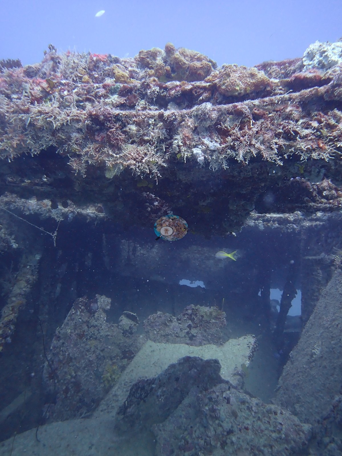
Second, open steel framework and girder work — a table-like beam carried on two posts with sand and fish underneath (e.g., Image 63), collapsed and tangled framing (e.g., Image 15, Image 16), vertical framing members and a dark interior void (e.g., Image 75), and box- or cabin-like remains (e.g., Image 35, Image 85).
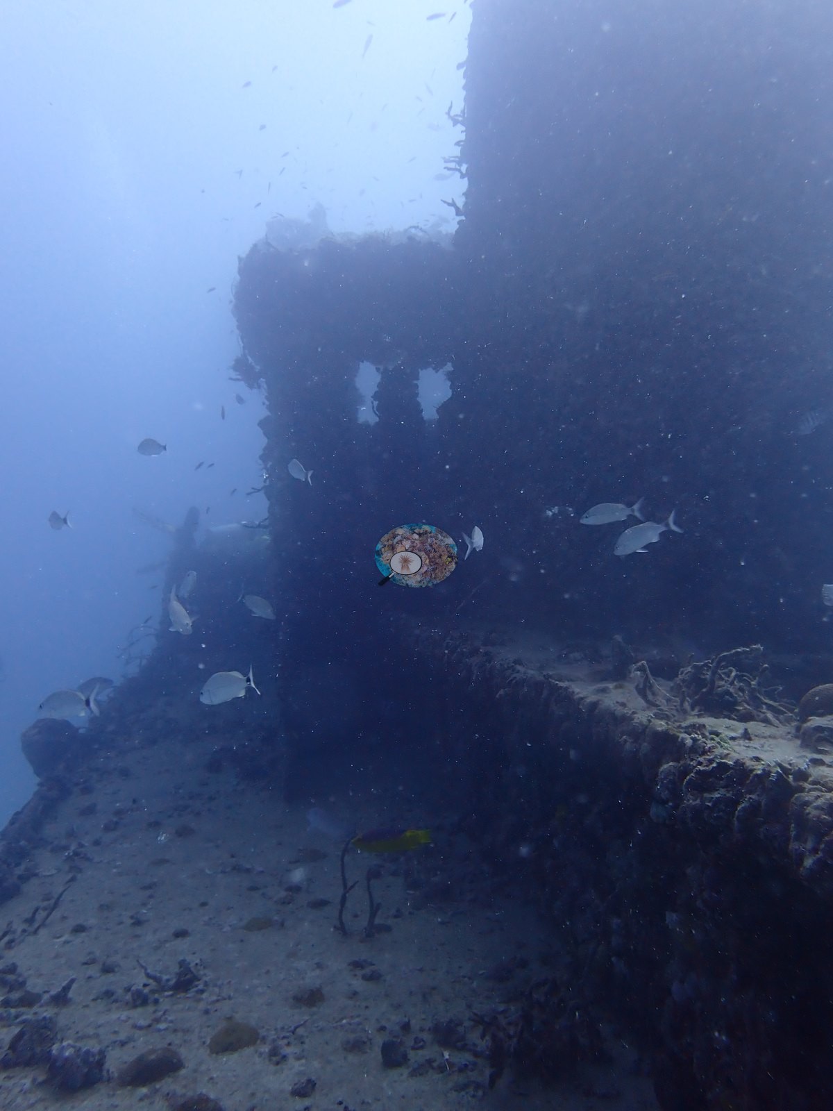
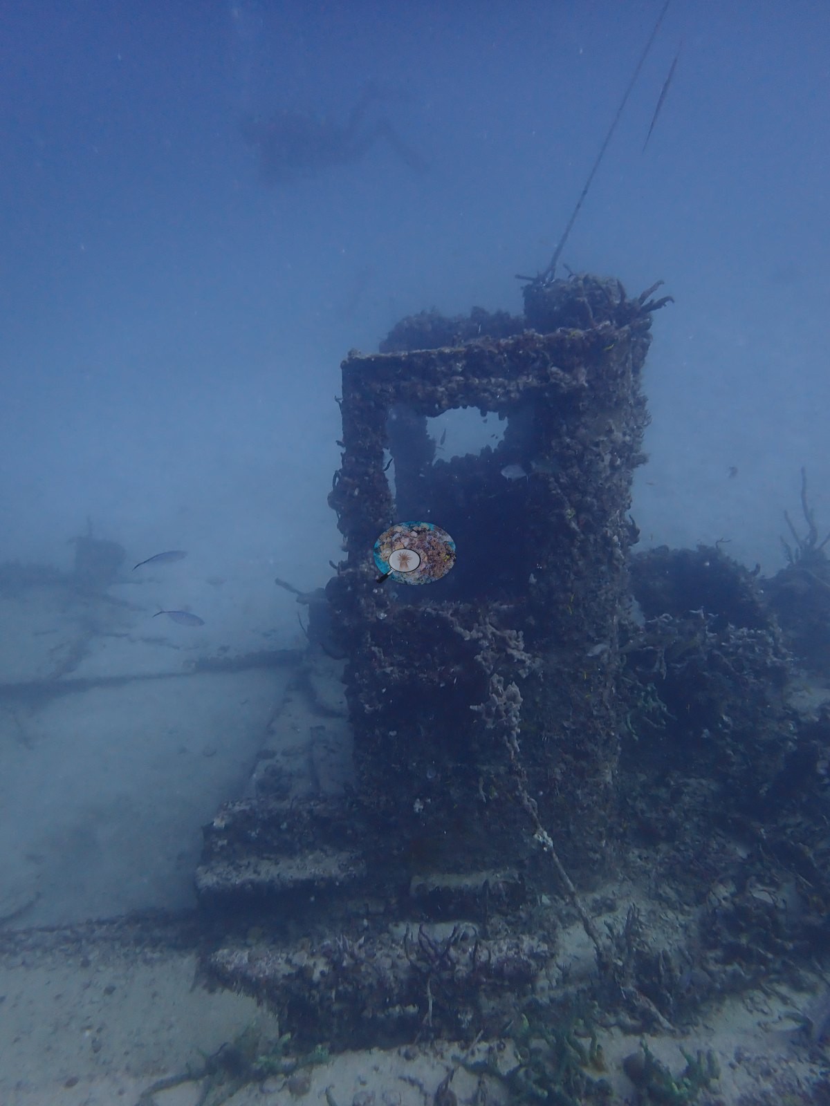
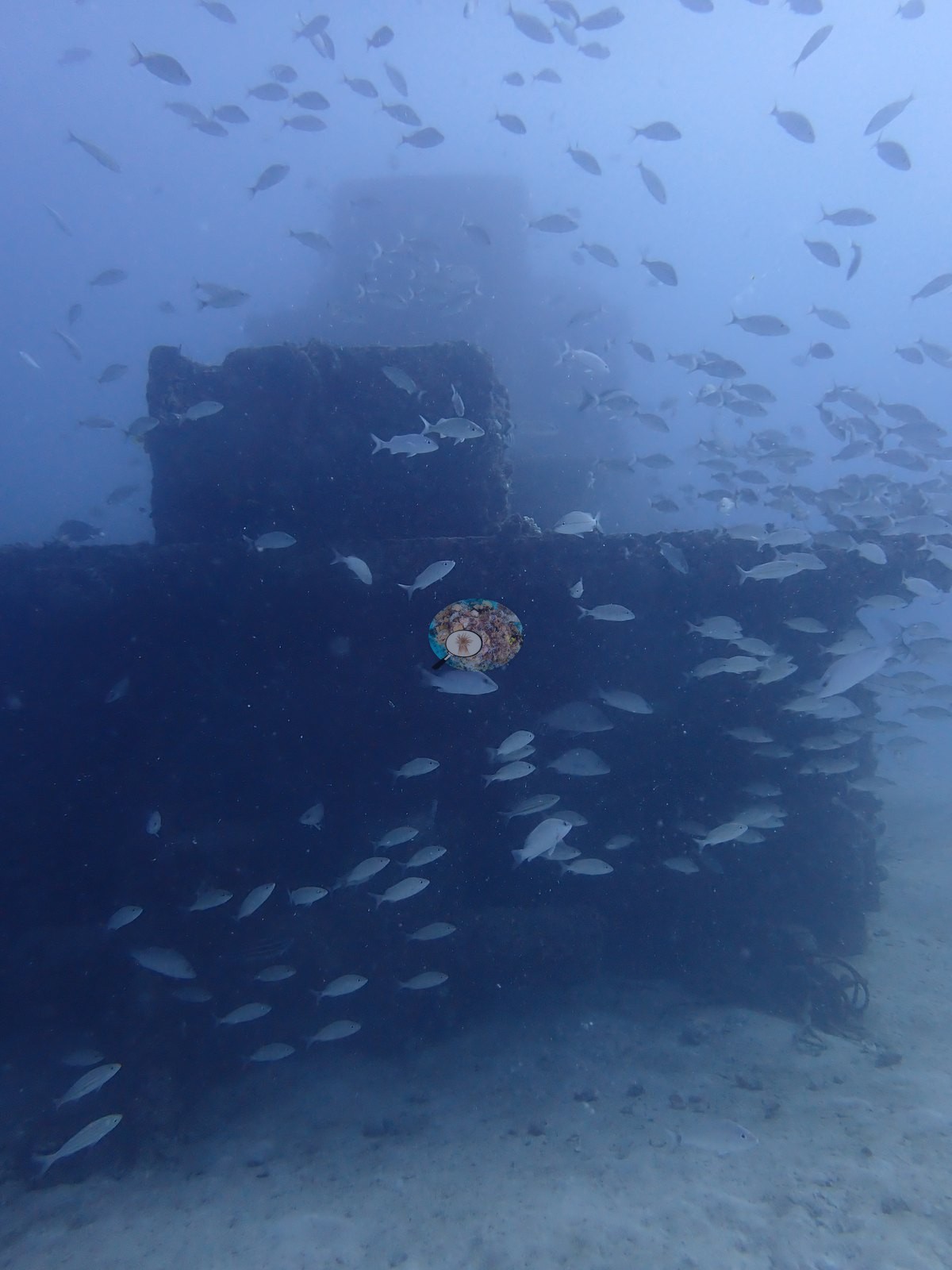
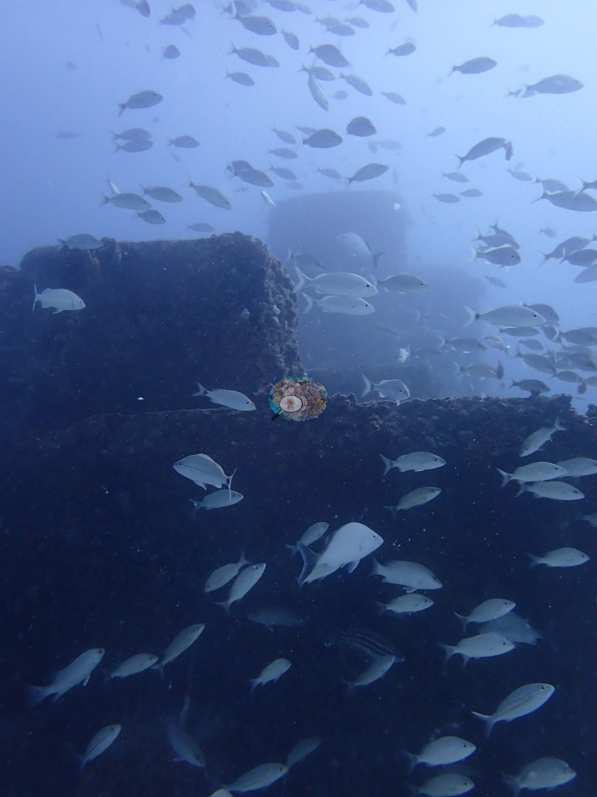
Third, a taller boxy hull section with a squared corner and openings, the piece that holds the fish (e.g., Image 29, Image 30, Image 50, Image 36).
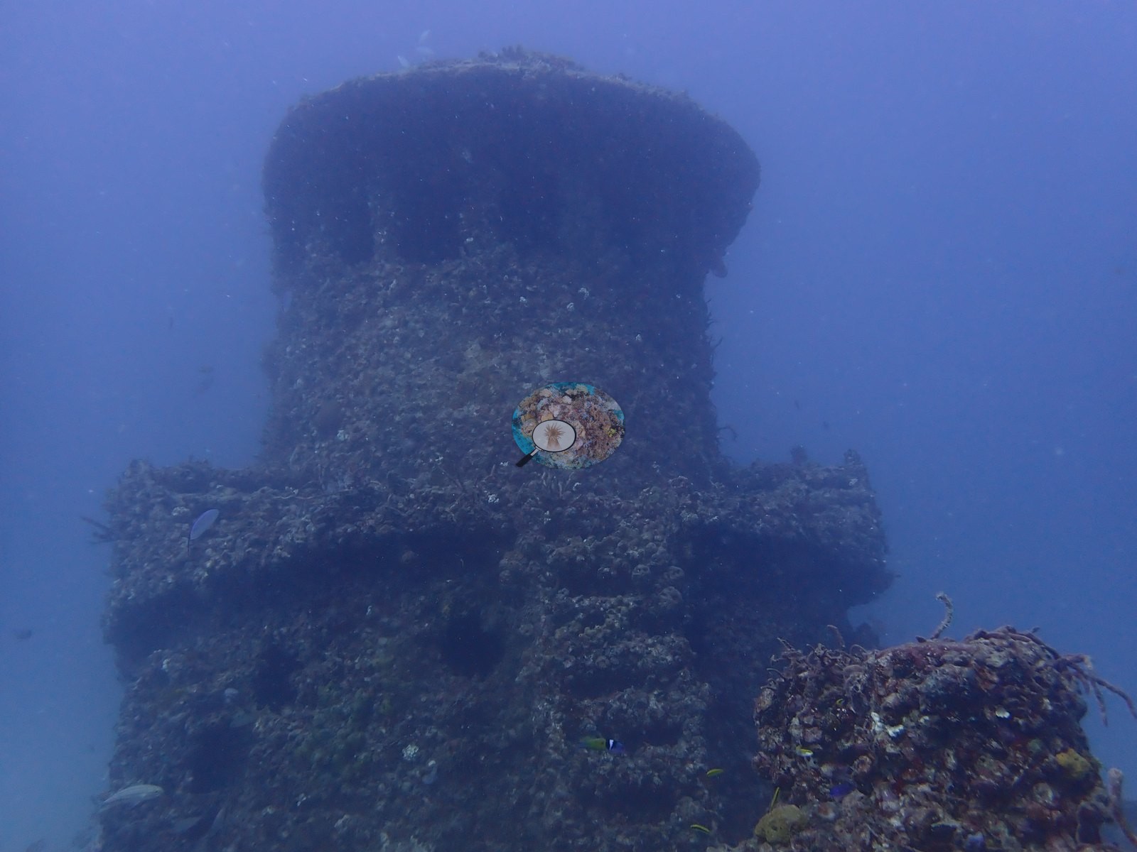
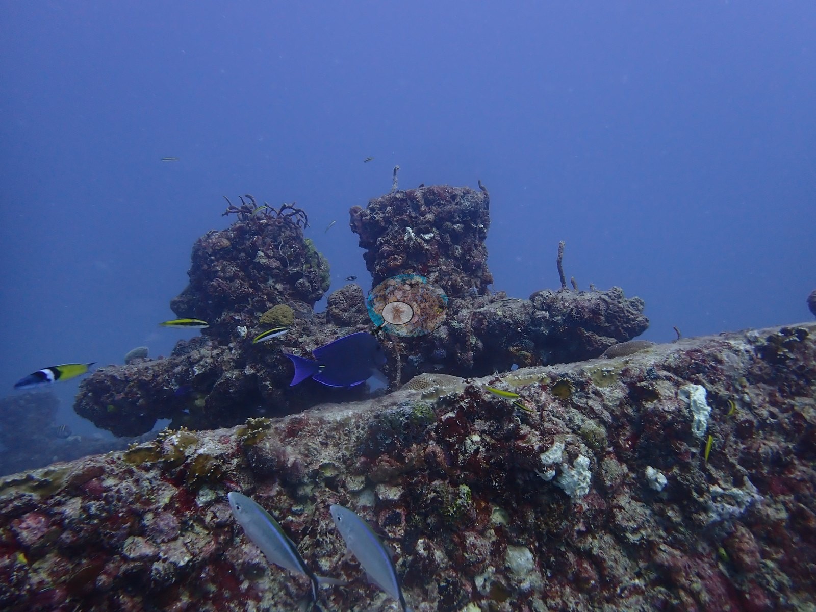
A turret-like encrusted column, most likely a bollard or winch housing, stands proud of the deck in Image 38.
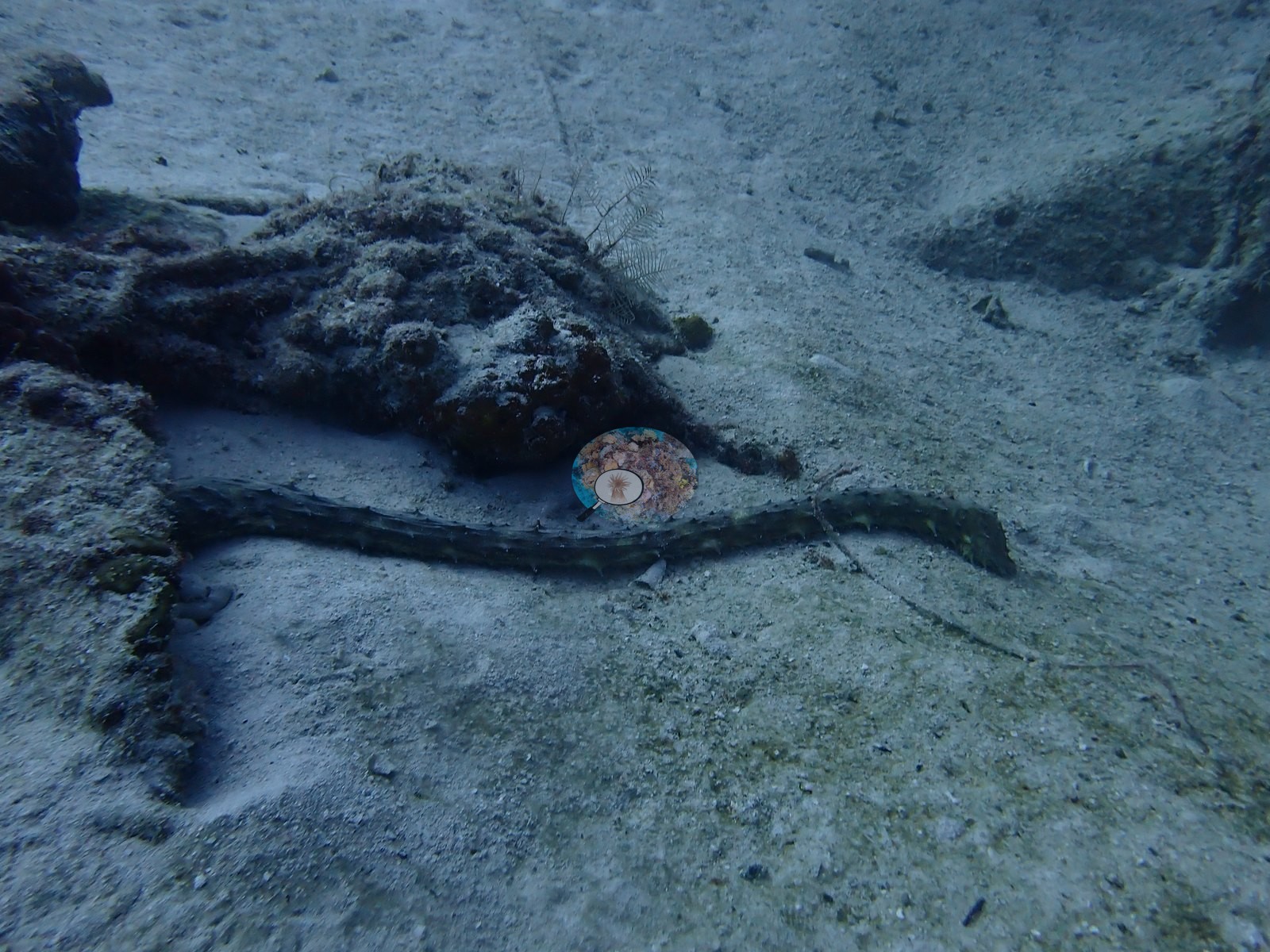
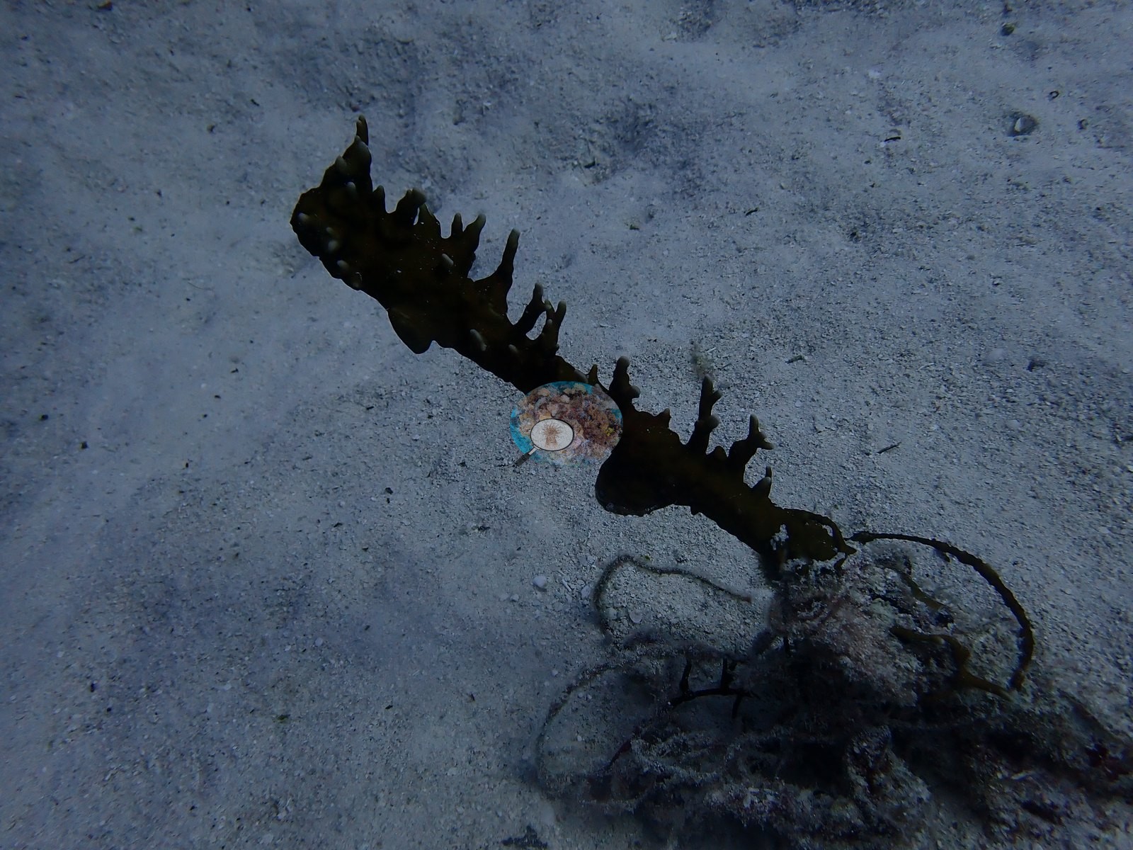
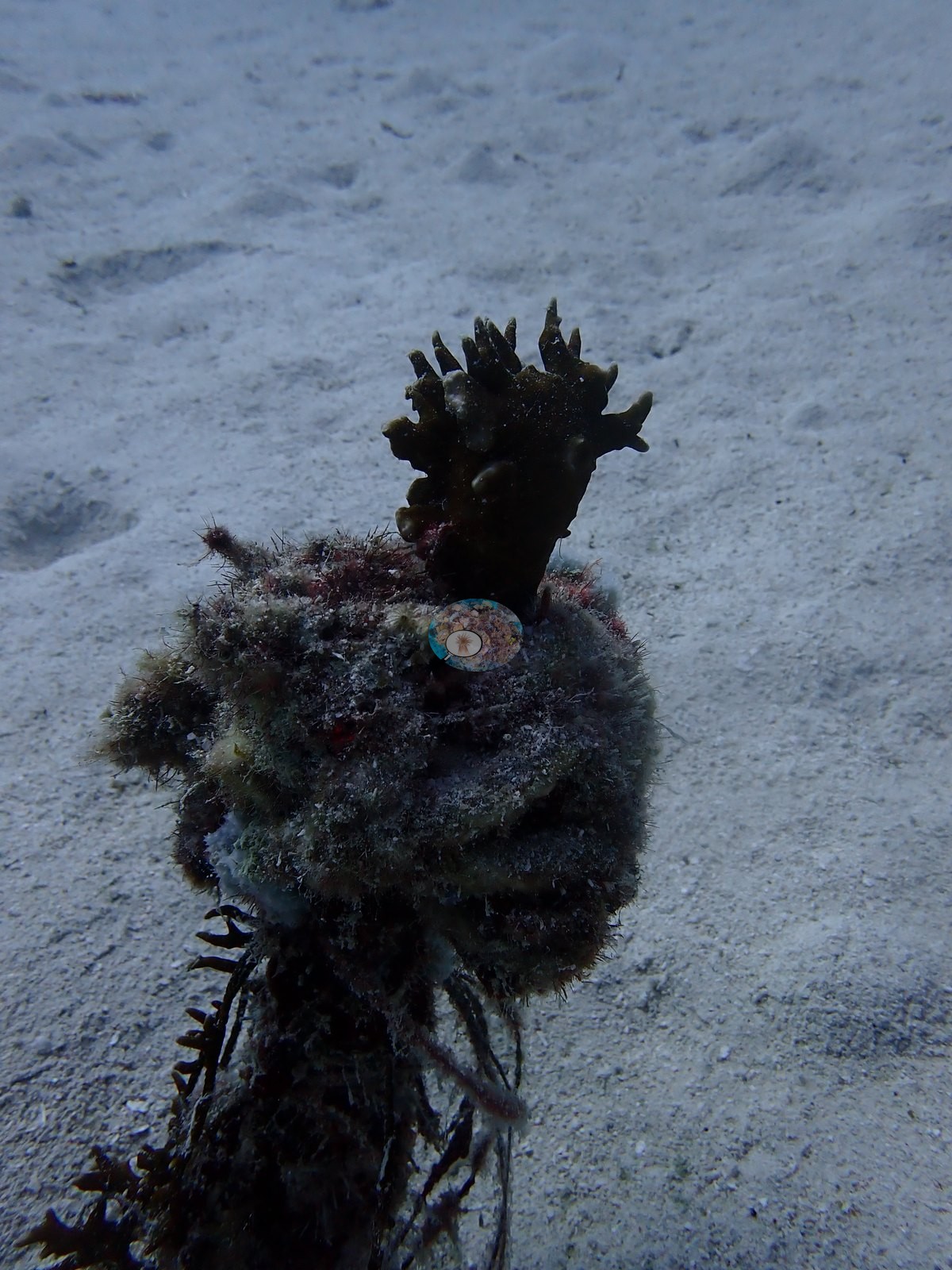
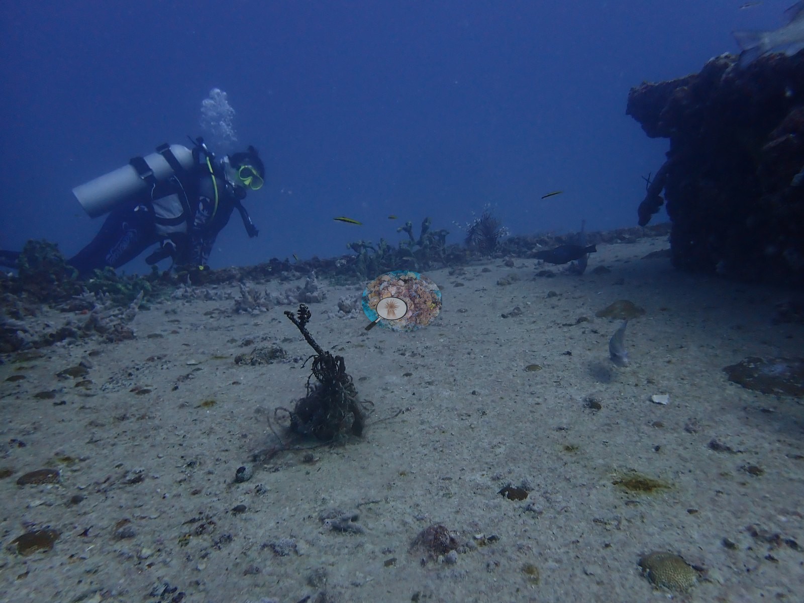
Loose debris is on the sand around it all: dark spars and cable in Image 57, a rope-tangled branching object in Image 23, a detached gorgonian or sea-rod fragment lying loose in Image 22, and a small gorgonian rooted directly in open sediment in Image 33.
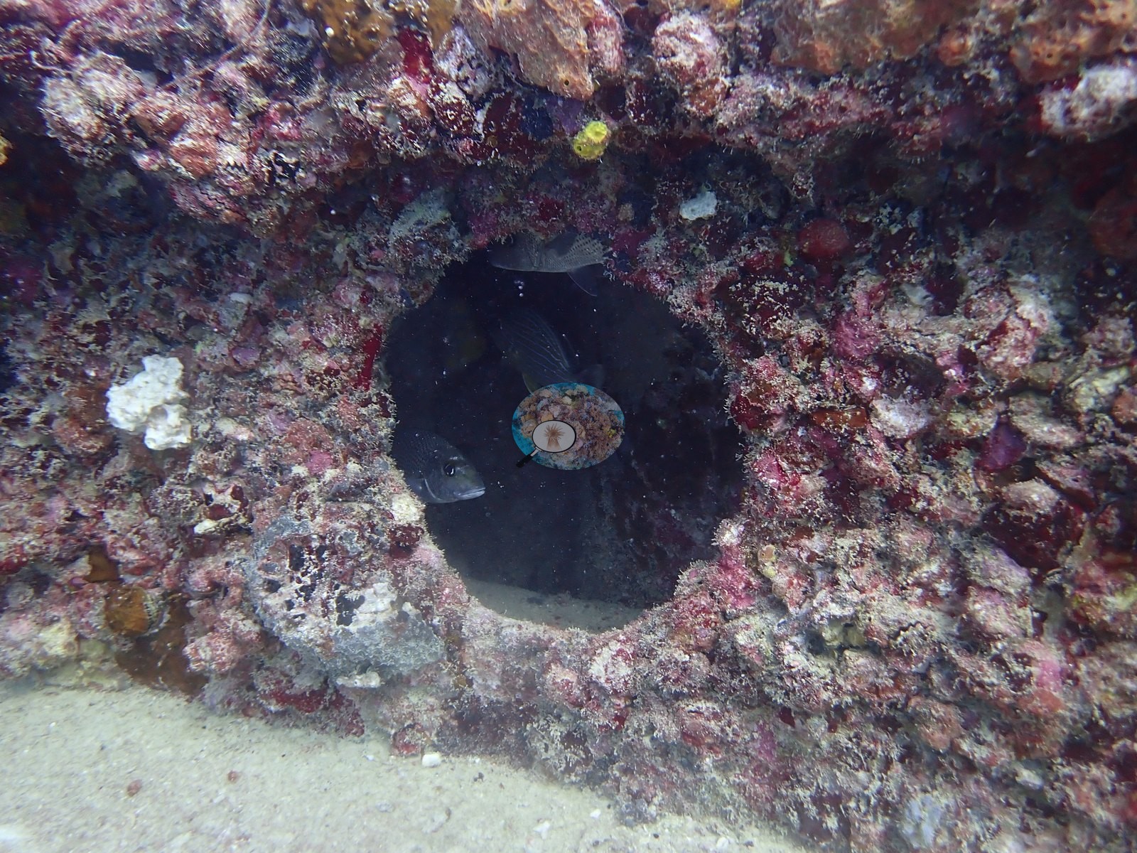
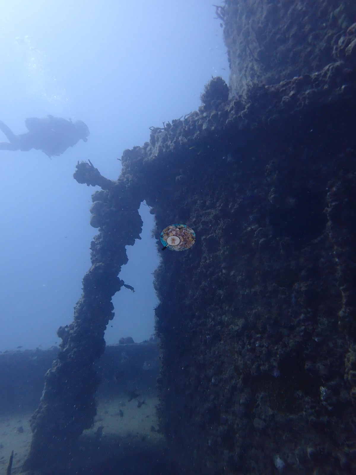
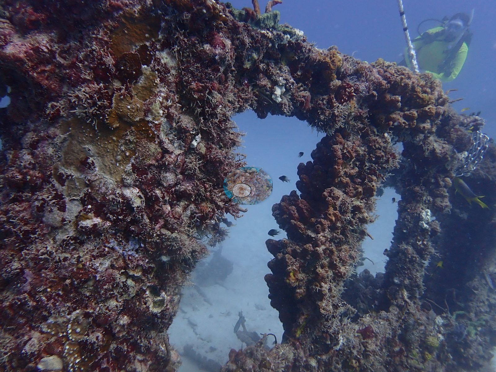
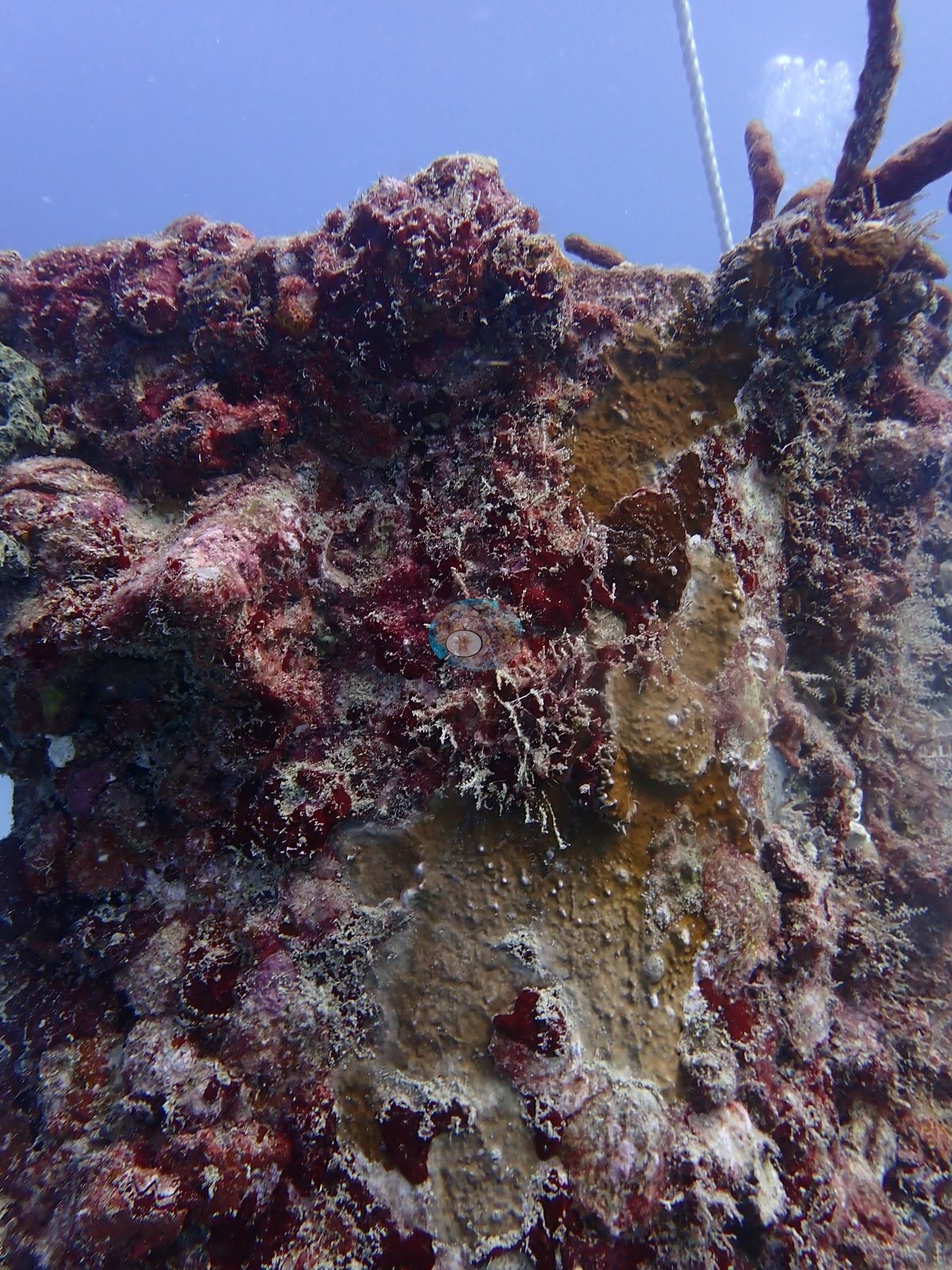
The recruited community on the structure is a fouling assemblage — crustose coralline, turf and filamentous algae, sponges, gorgonians, and scattered small stony-coral recruits — and it is thickest exactly where the relief is: on edges, lips, overhangs, and vertical faces. The close-in frames show this best. Image 1 is an encrusted structural member forming an arch or window opening, its whole surface carpeted in turf and pink/red coralline with a gorgonian rooted on it; Image 2 is a tight close-up of the same kind of surface, red coralline and tan encrusting growth with gorgonian branches crossing the frame; Image 46 is a circular hull opening whose rim is ringed in heavy red and pink coralline, turf, and small sponges.
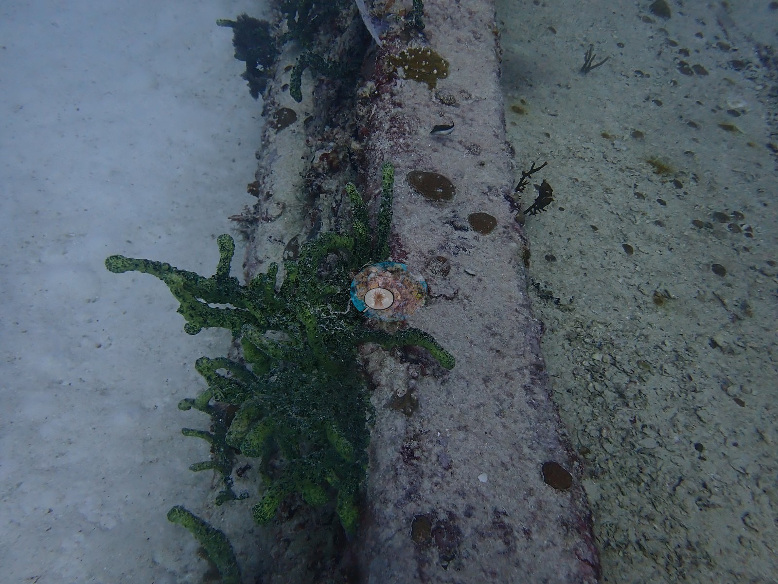
Green branching/calcareous algae is a recurring element on and beside the metal (e.g., Image 9, Image 14, Image 20, Image 24, Image 34, Image 59, Image 70); small tube and vase sponges and a knobby cluster appear in Image 24, Image 25, and Image 77, and Image 14 shows a white colony, possibly the zoanthid Palythoa.
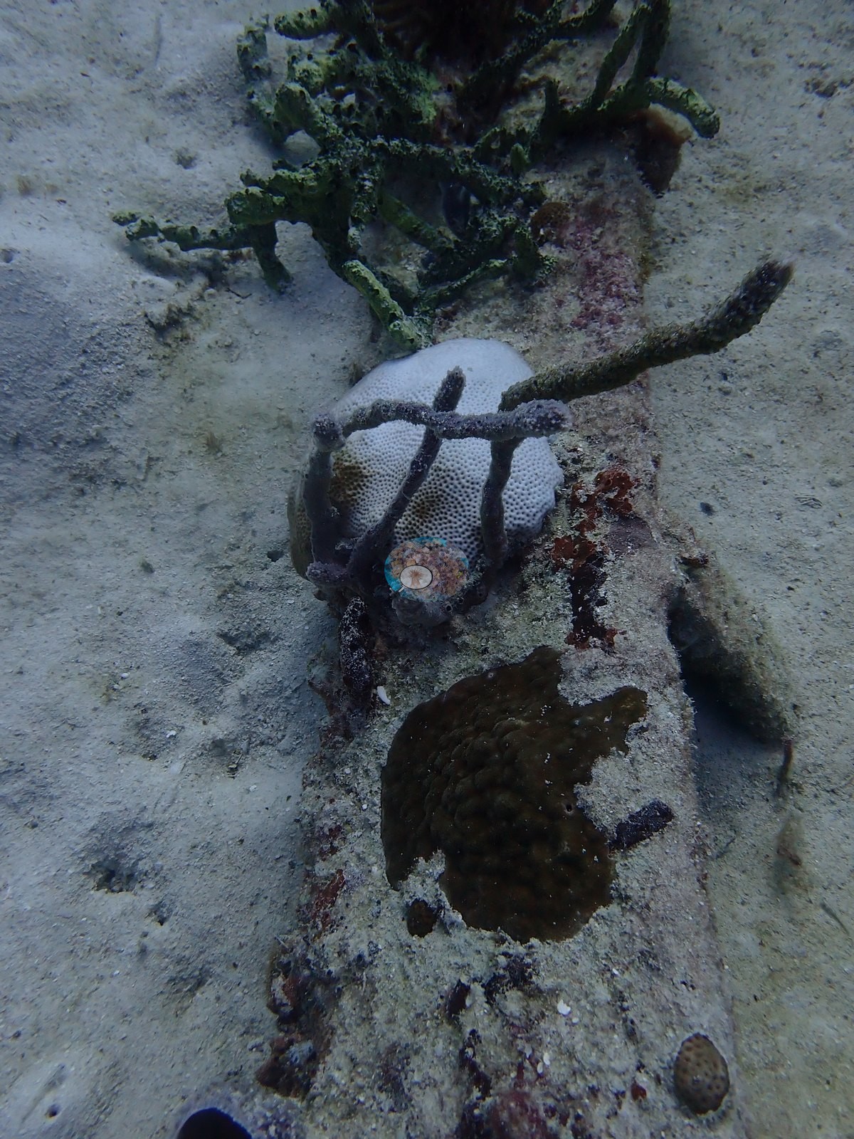
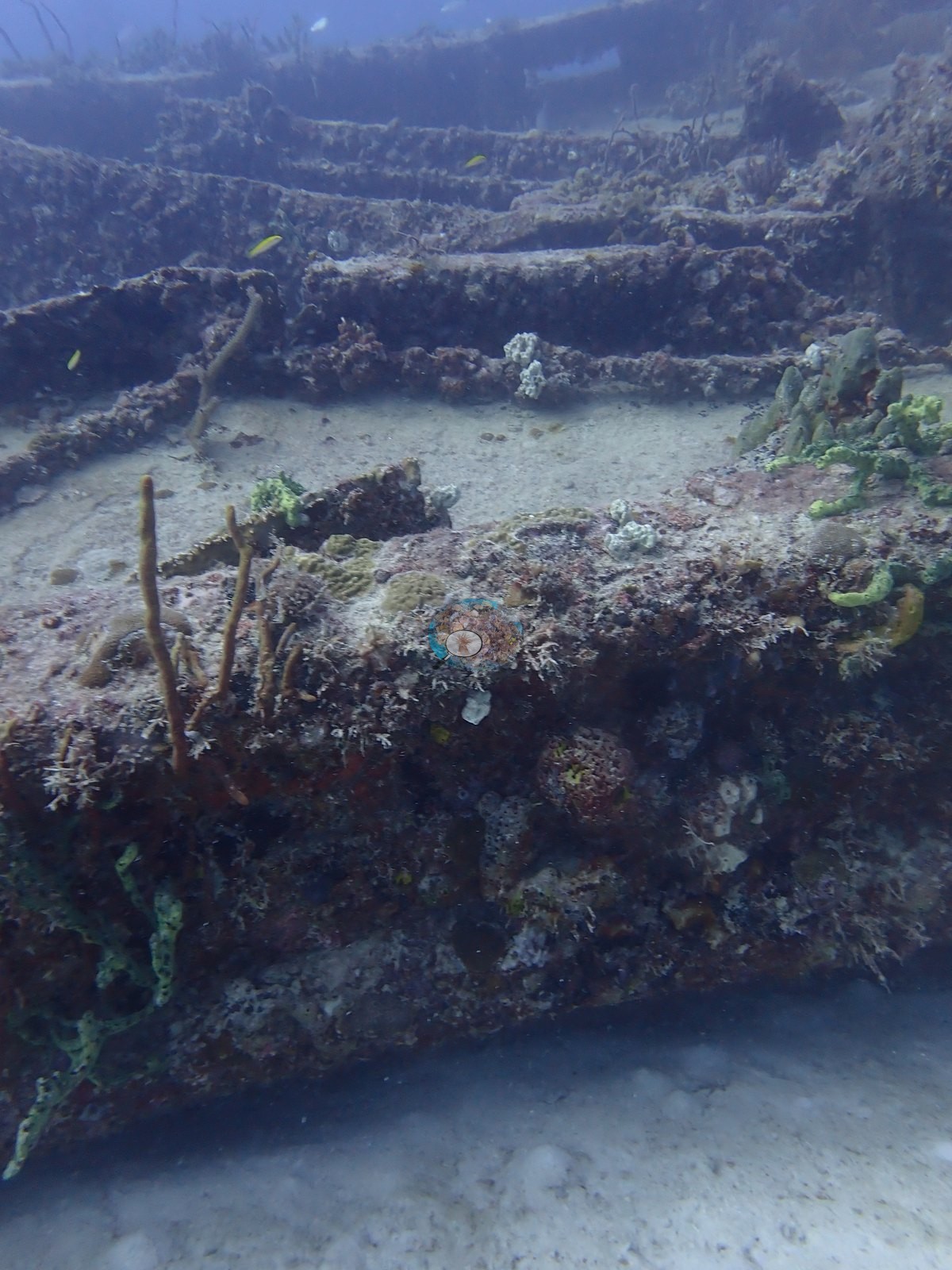
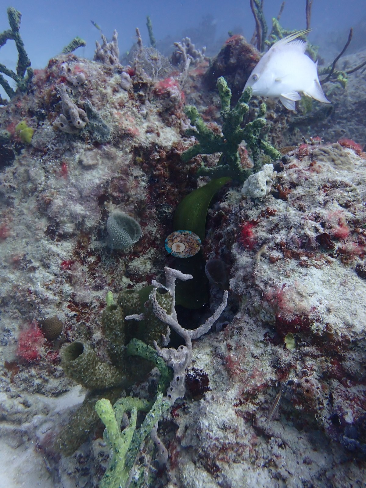
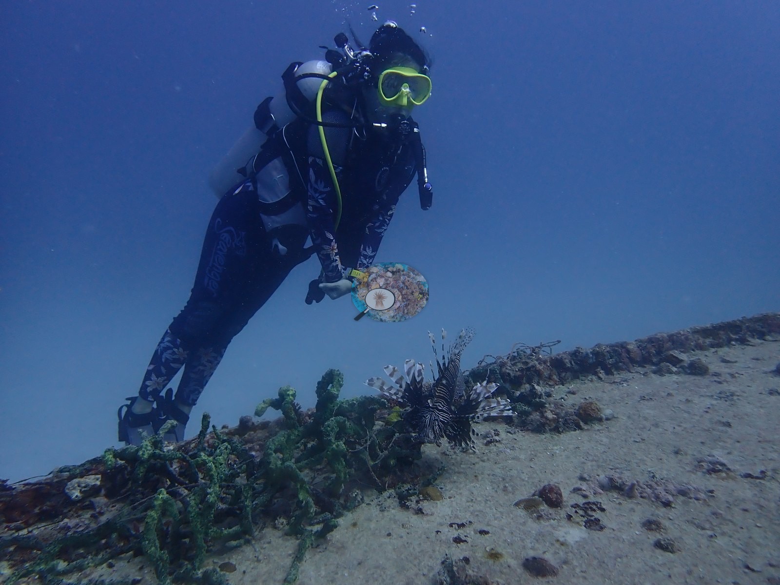
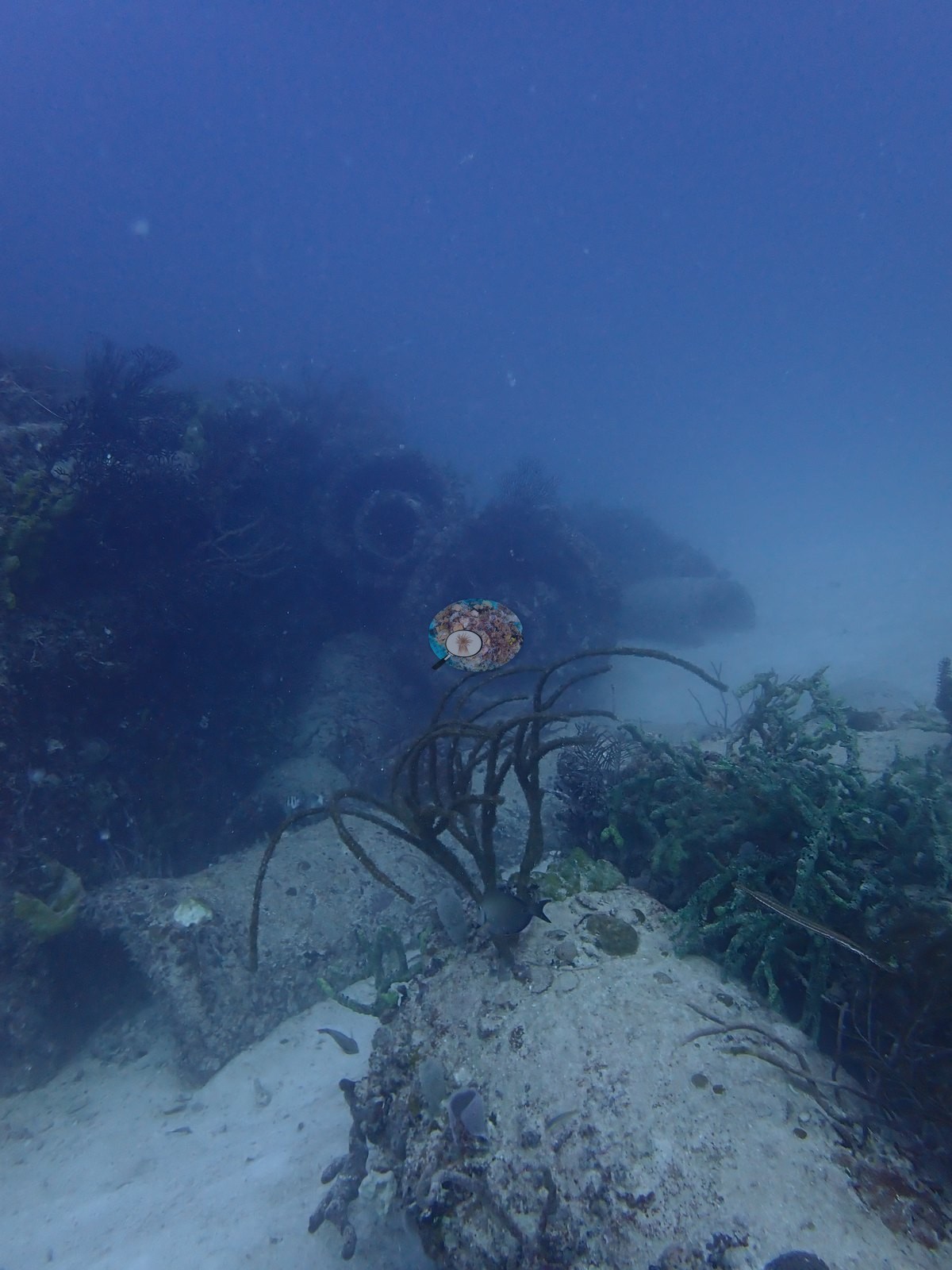
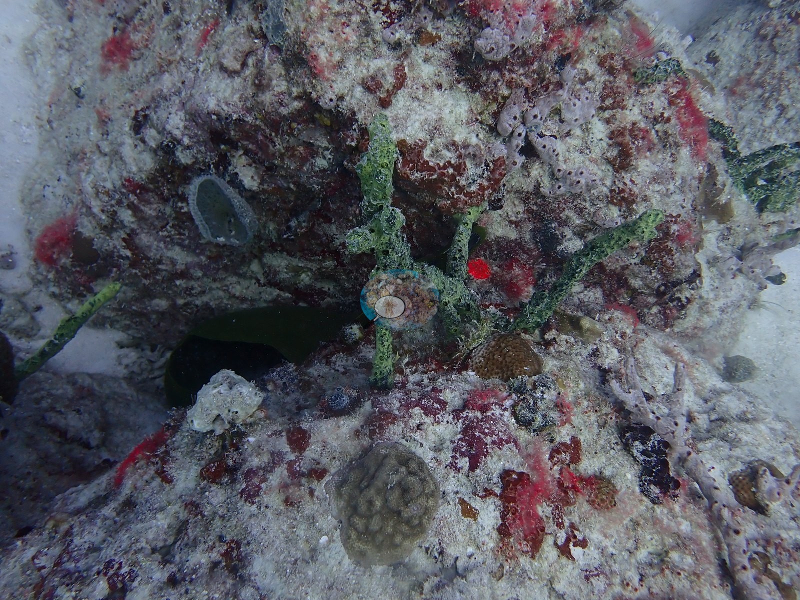
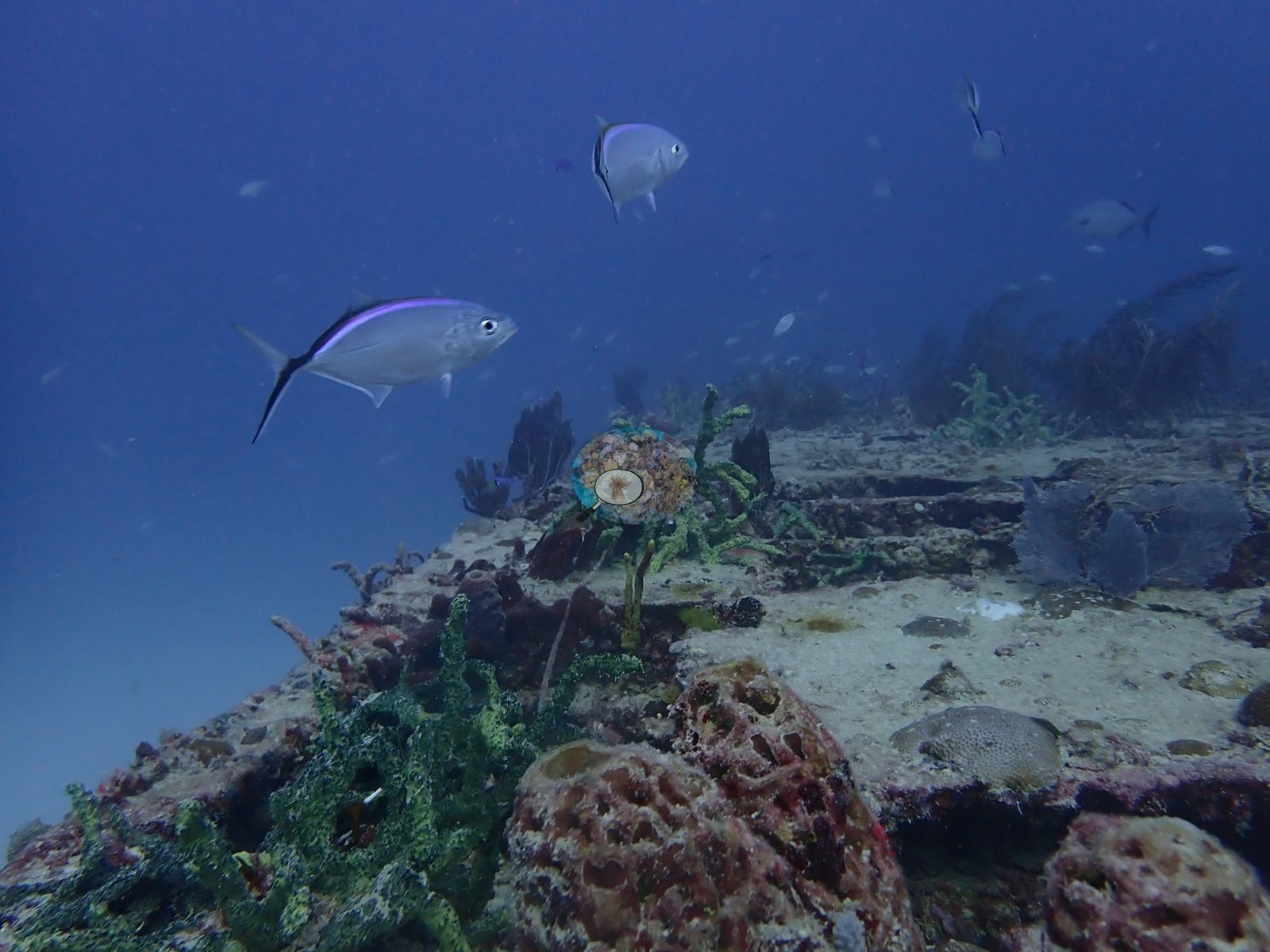
Gorgonians are the most conspicuous single element on the upper surfaces: sea rods and plumes fringing deck edges and ledge tops in Image 5, Image 19, Image 53, Image 71, Image 72, Image 73, Image 74, Image 76, and Image 82, and in Image 79 hanging in a dense fringe from the underside of an overhang above a silhouetted diver.
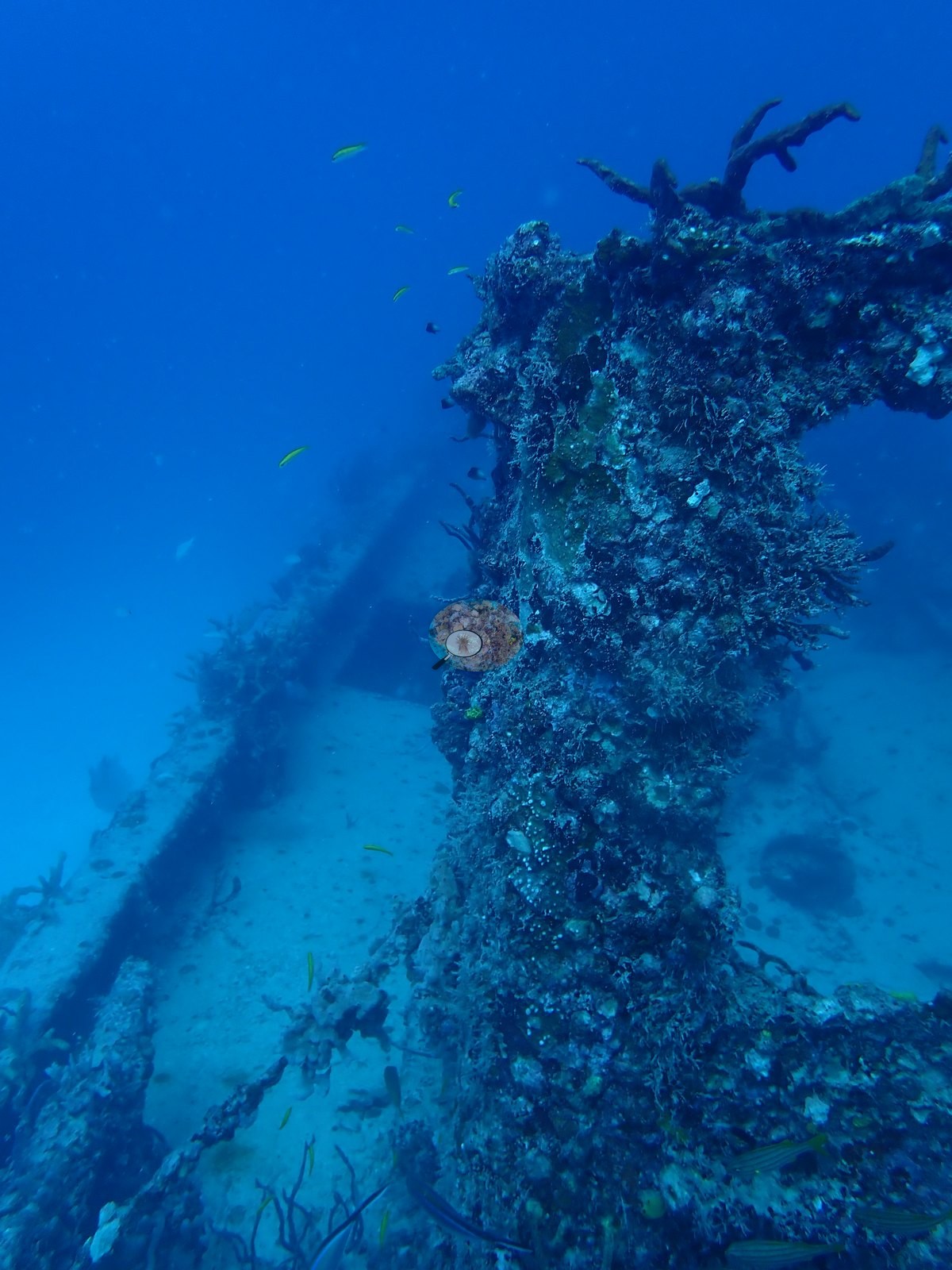
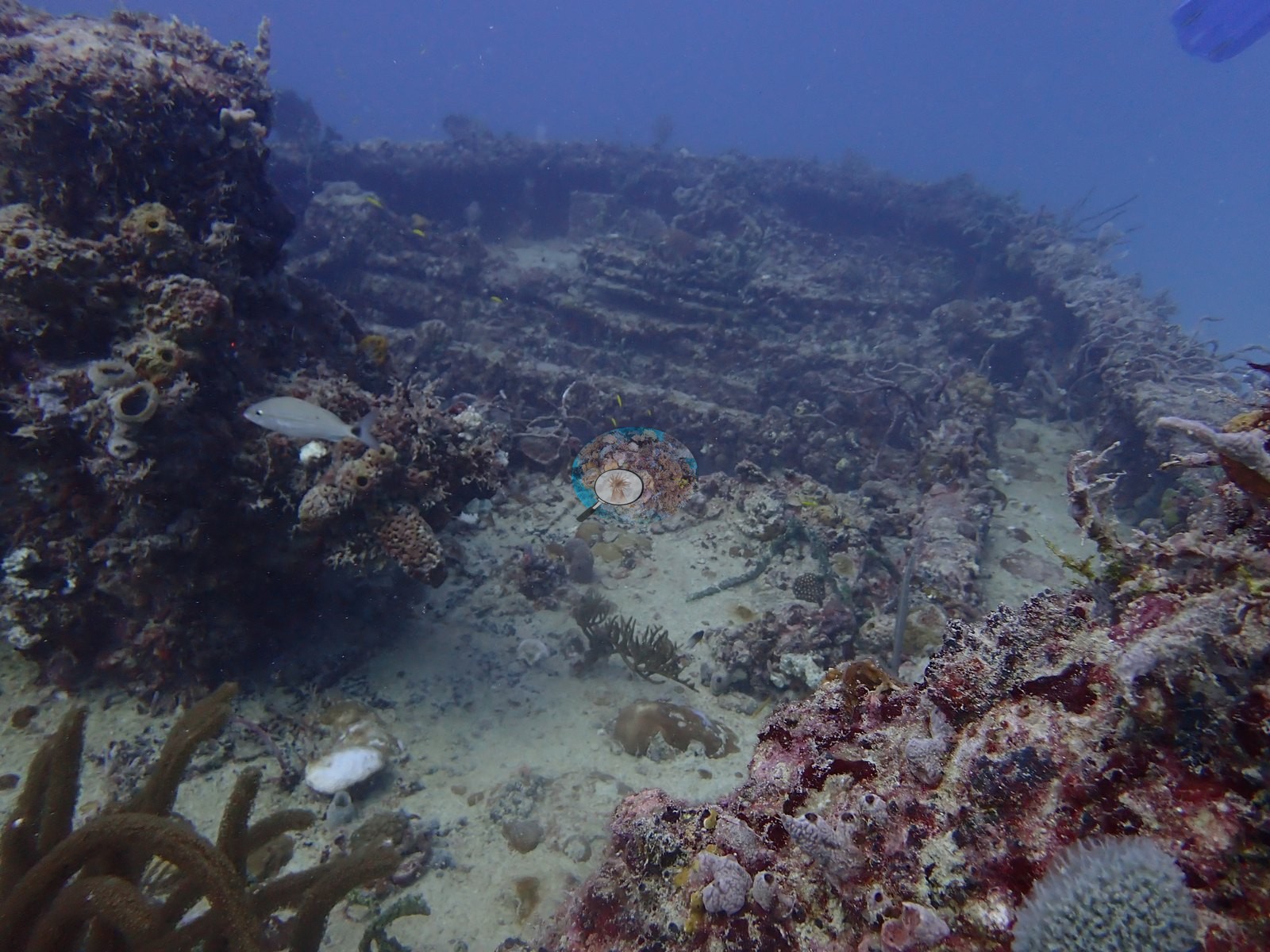
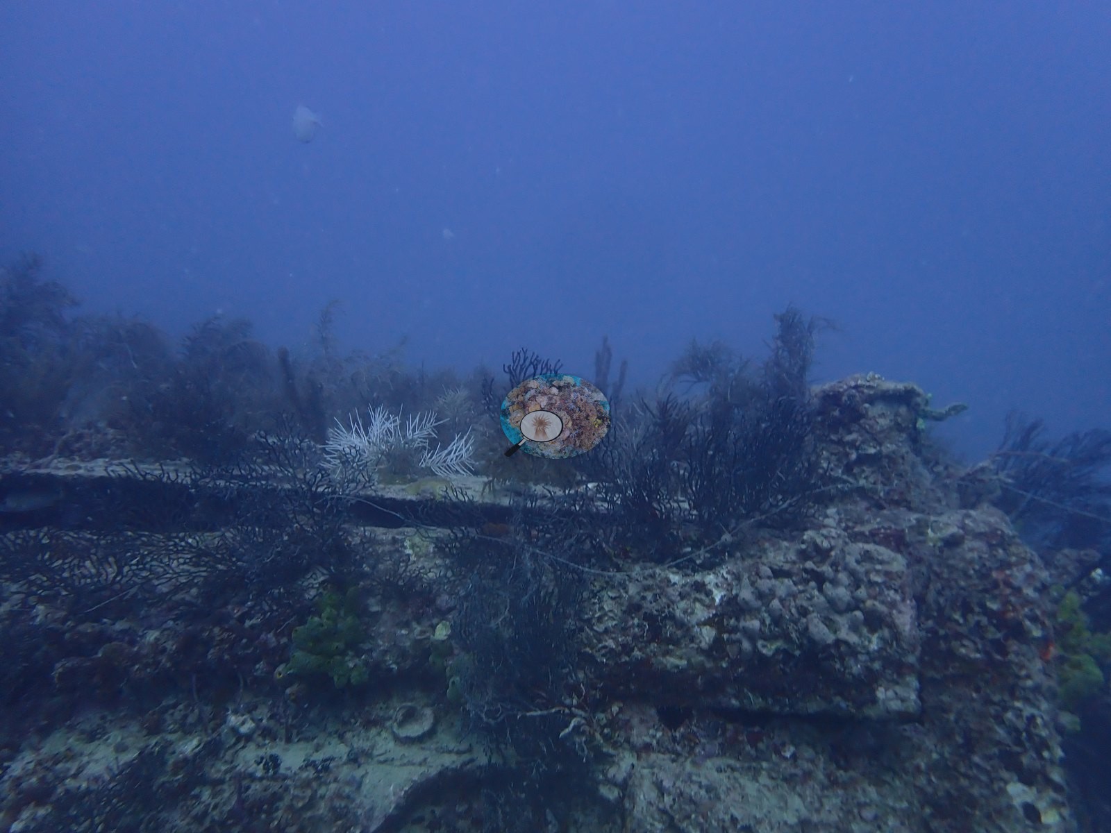
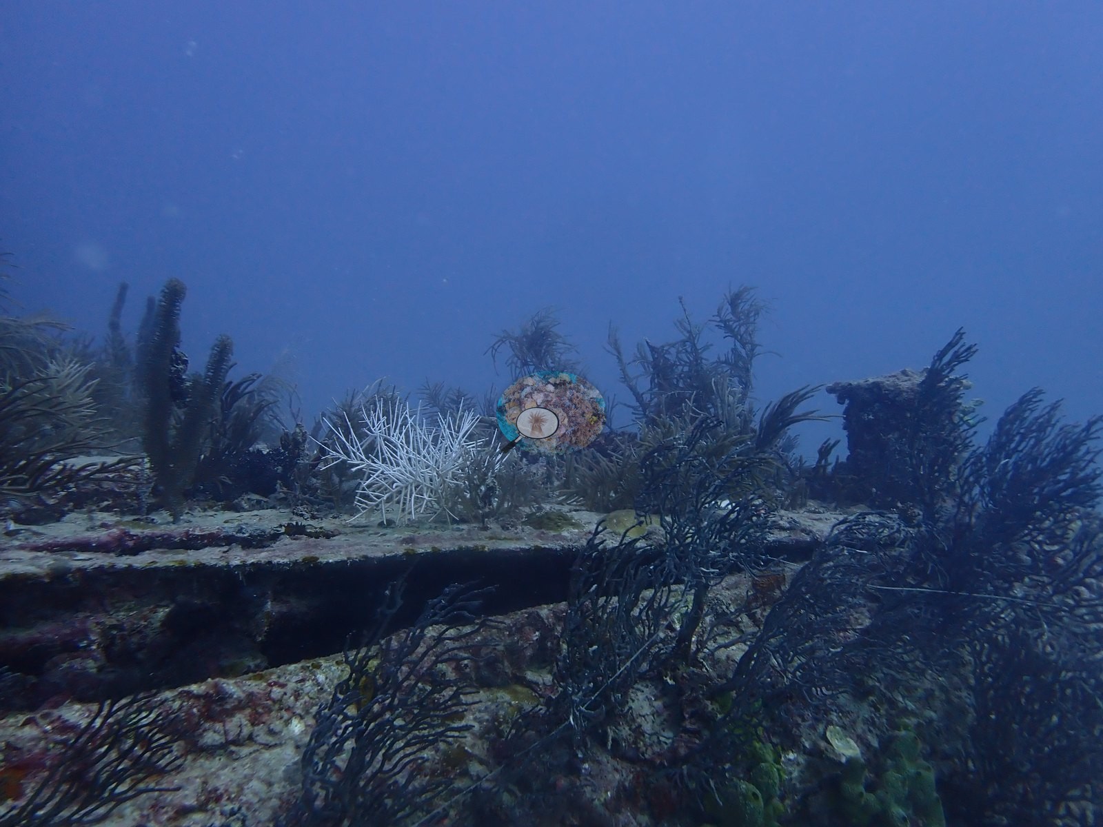
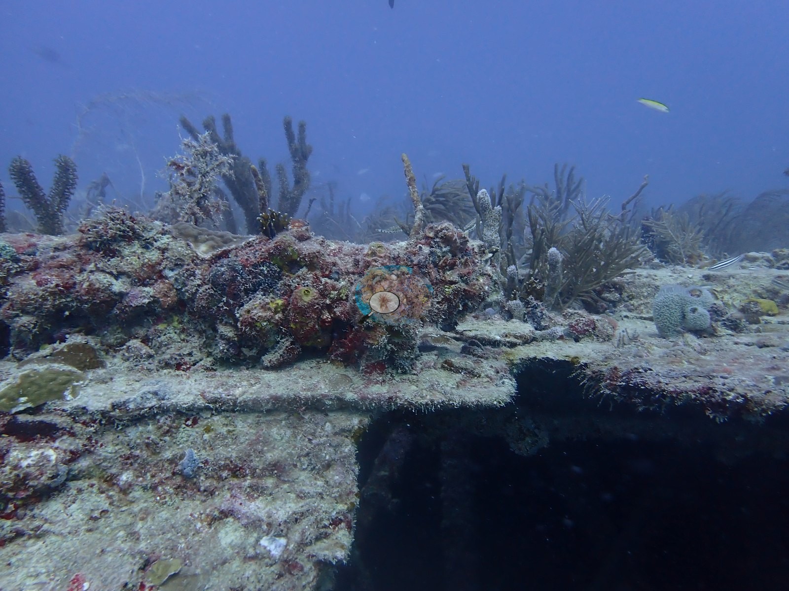
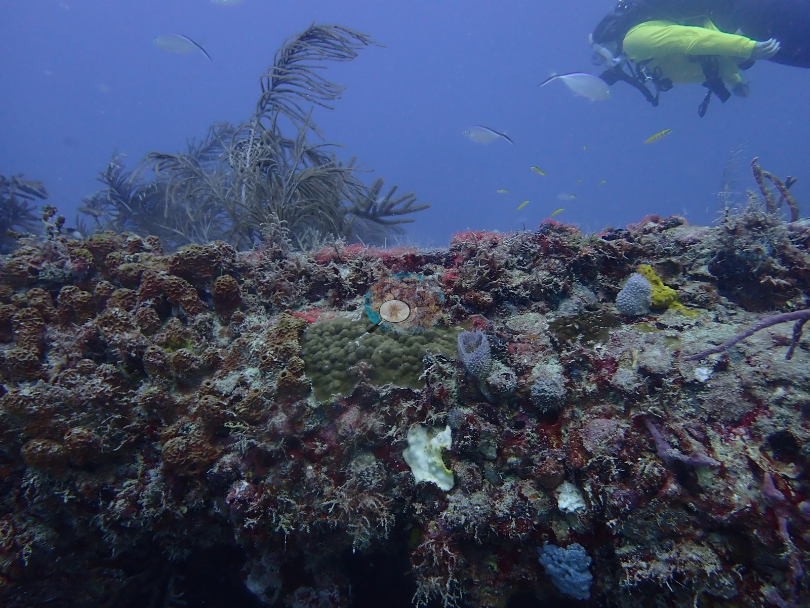
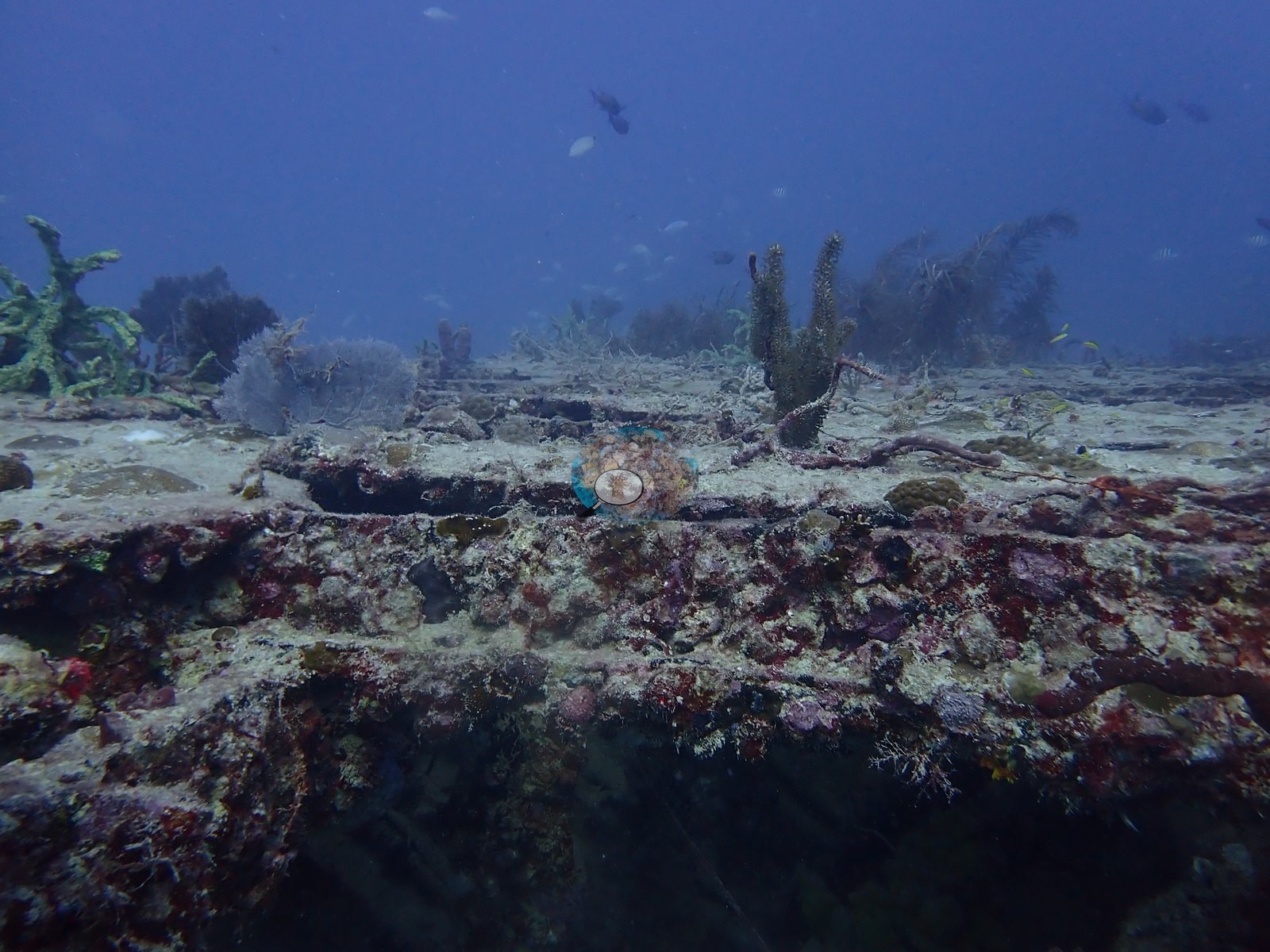
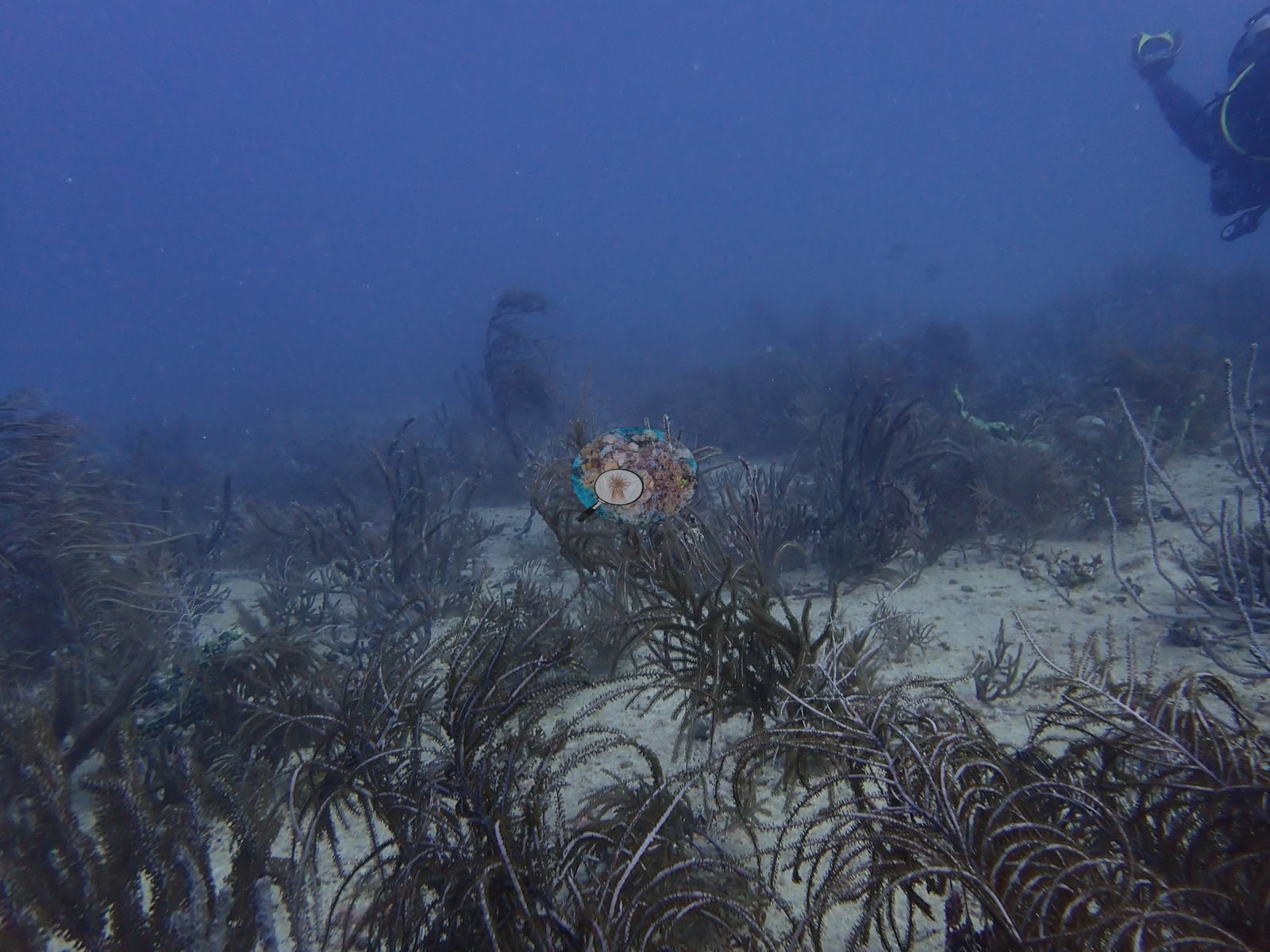
Stony corals are present as small, discrete, individually countable recruits rather than as any continuous veneer. Image 11 is the clearest evidence: a sediment-veneered flat pavement or deck plate carrying several dozen separate colonies, nearly all under about 5 cm, spread across it as isolated dots — most are cerioid domes consistent with Siderastrea spp.
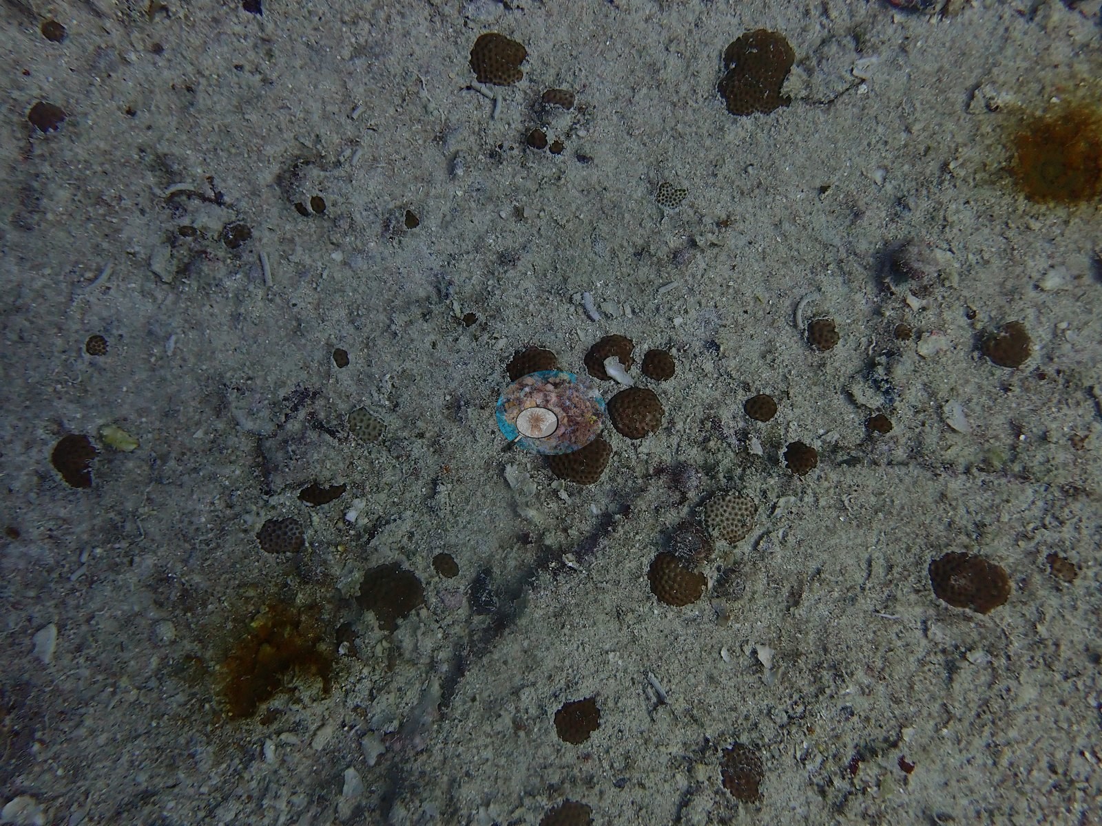
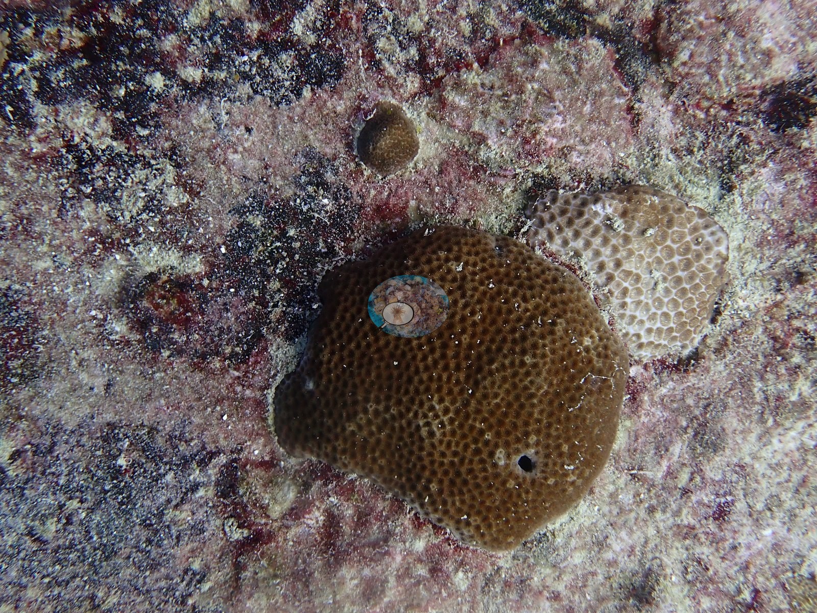
The same recruit field, at wider angle, is Image 47 and Image 49. Image 48 is a full-resolution close-up of the largest of them: a rounded brown dome roughly a hand's width across, with fine, densely packed, dark-centered corallites, consistent with Siderastrea siderea; the paler colony immediately beside it has larger, thick-walled polygonal corallites and much of its surface is bleached white. Image 51 is a dark olive colony on encrusted deck plating with raised, cup-like, evenly spaced corallites, most consistent with Montastraea cavernosa though Orbicella is not ruled out by imagery alone, with a bright yellow-green encrusting sponge cluster growing directly above it. Image 62 is a pavement patch carrying two olive-green mounds with clear meandering ridges and valleys — brain corals, Pseudodiploria — alongside smaller cerioid domes; two colonies in that frame carry conspicuous bleached white patches, and a small colony at upper right is bleached white overall.
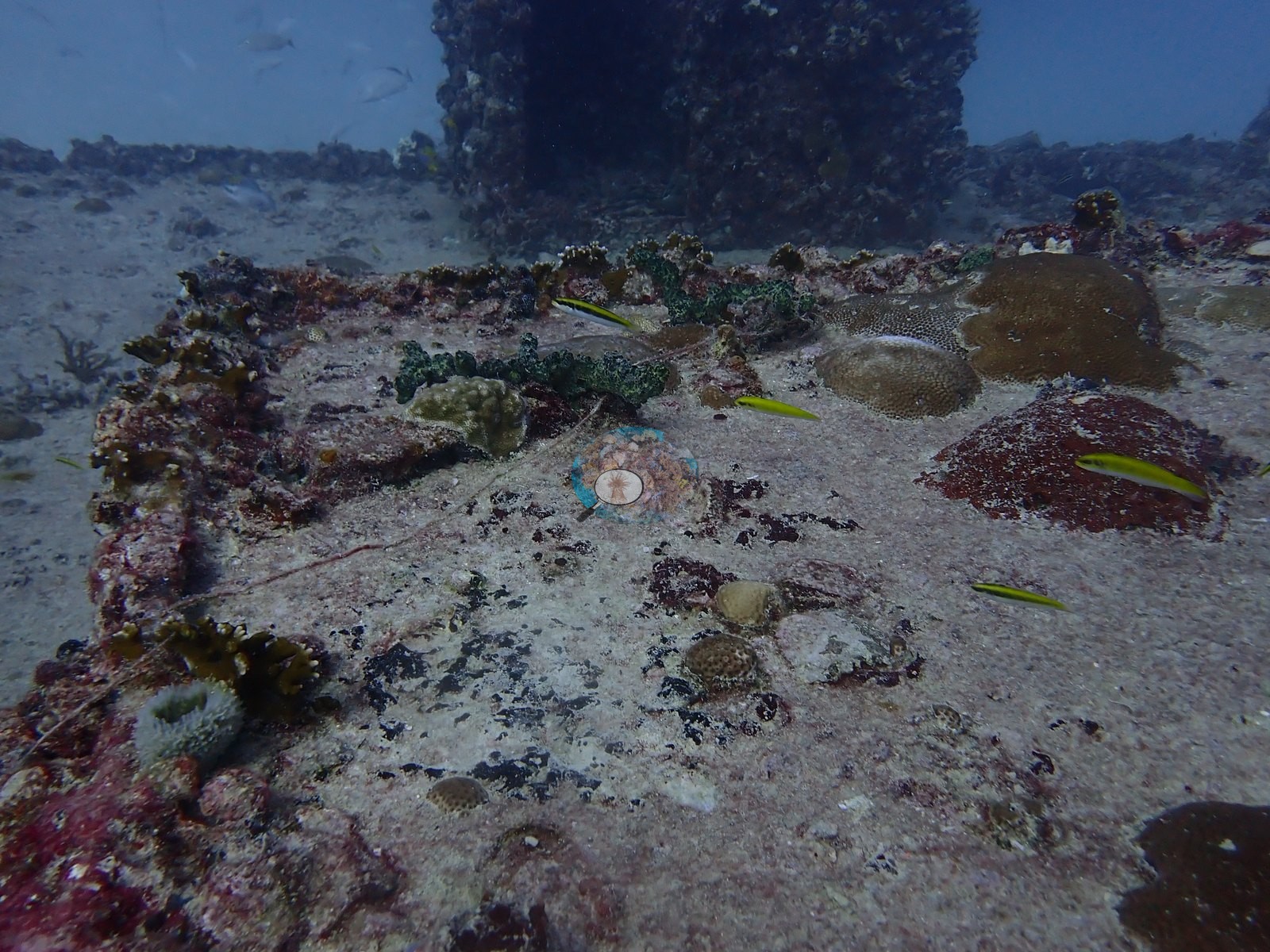
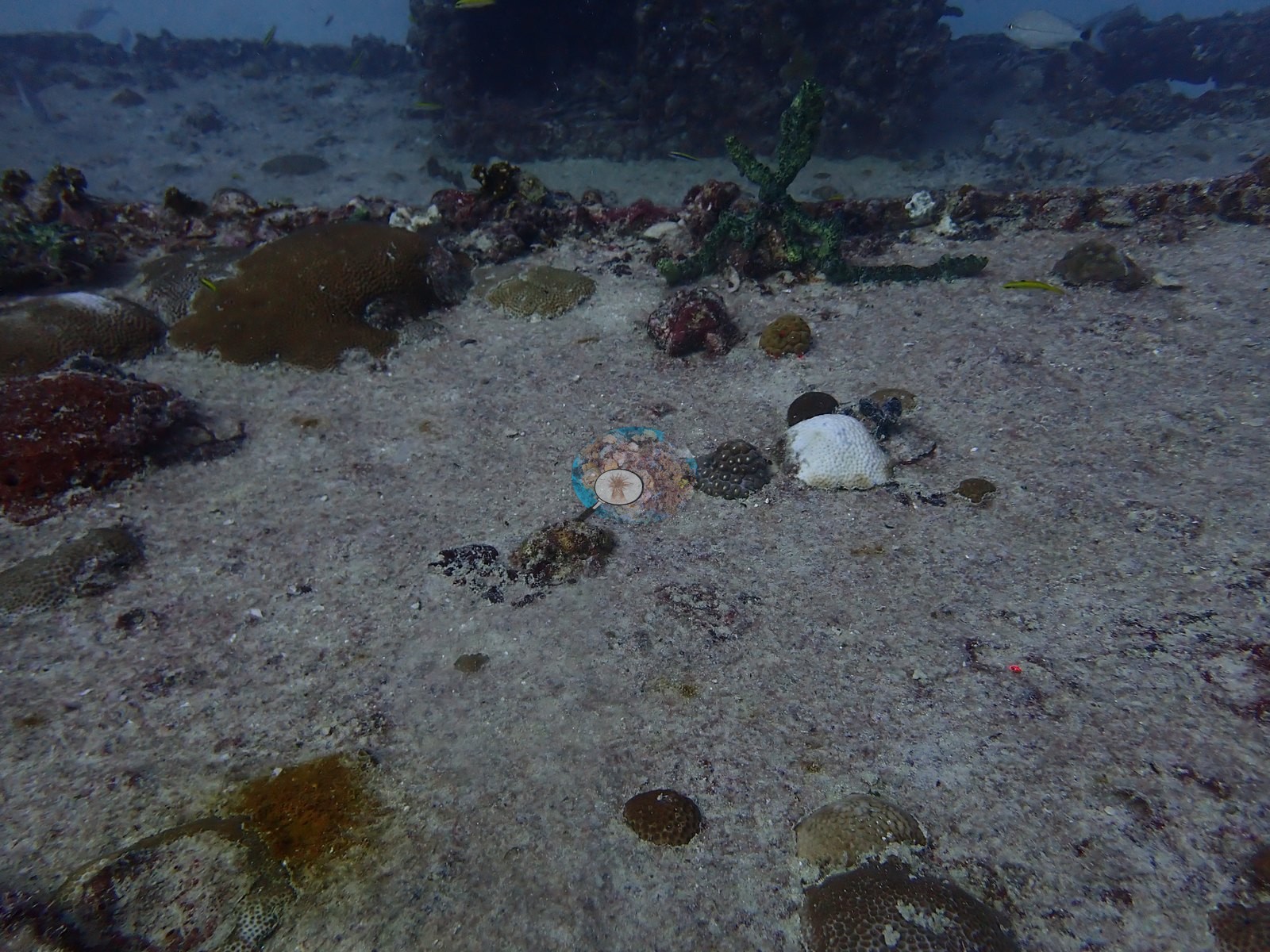
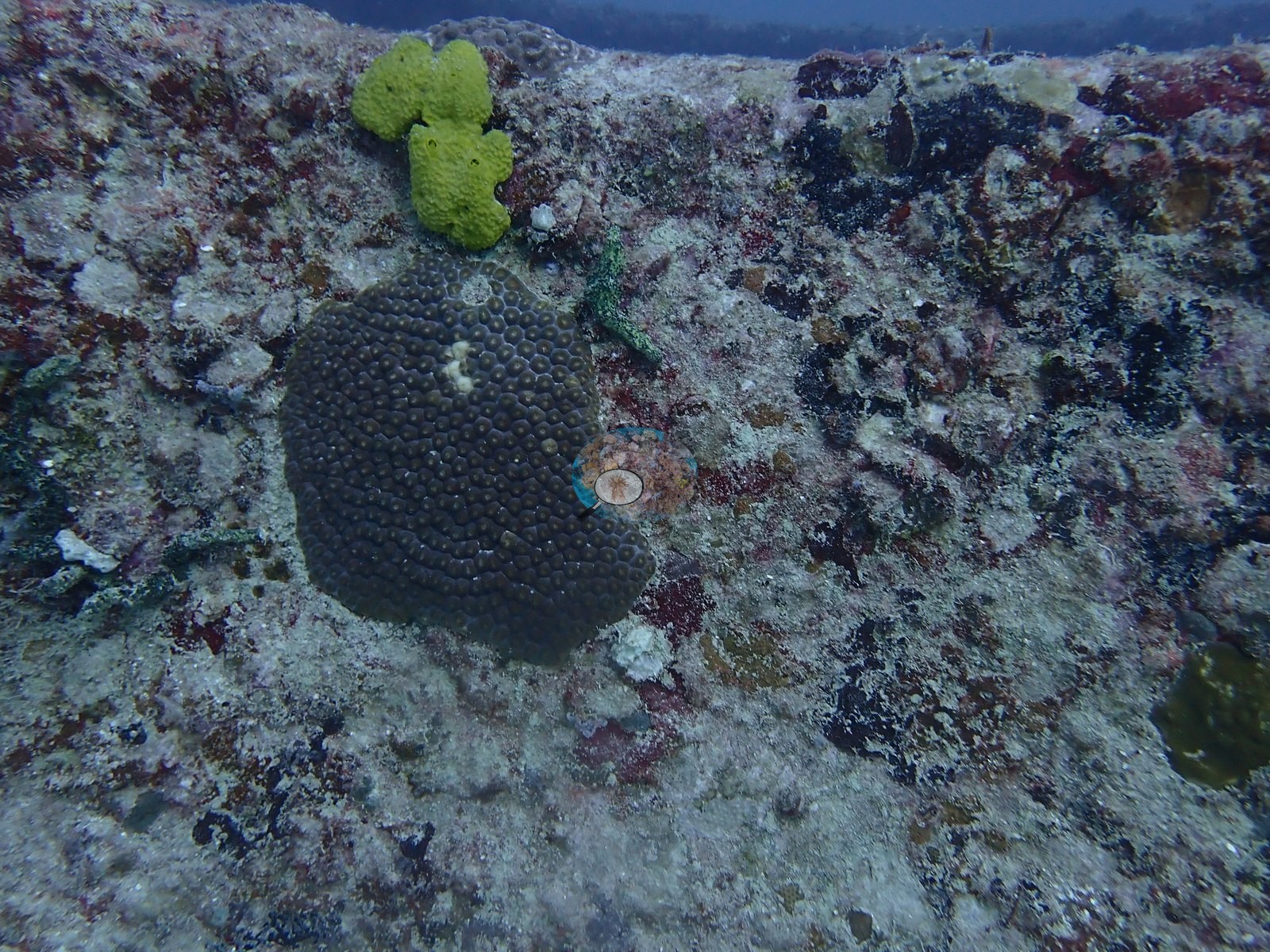
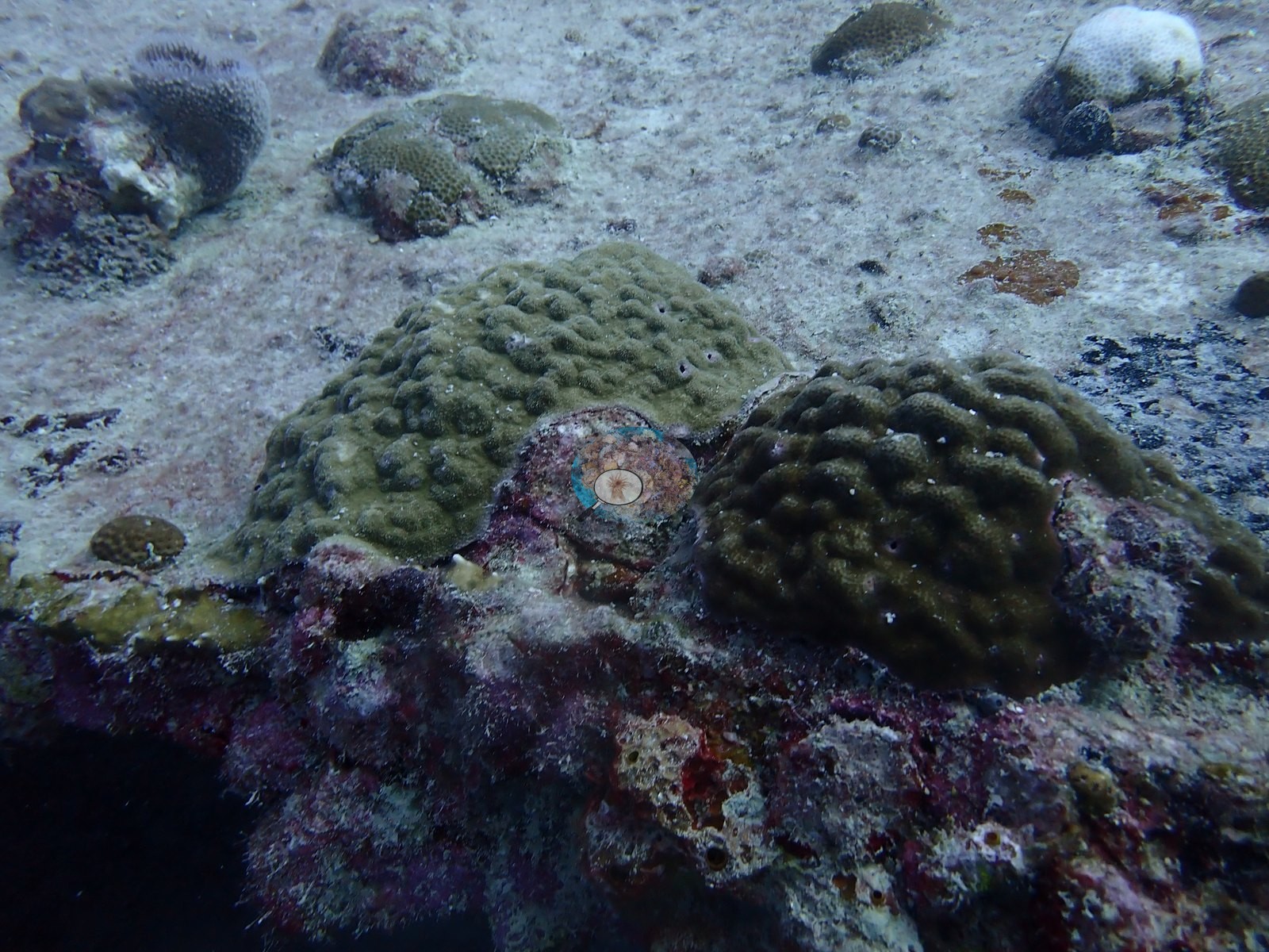
What the frames do support qualitatively is a set of high-relief artificial structures on sand carrying a mature fouling community — coralline, turf, sponges, and abundant gorgonians on every exposed edge — with stony corals present only as scattered small recruits, and a large resident fish aggregation drawn to the relief.
Coral cover
- Reference: Claude CV point count (this site's photos)
- Coral cover: 1.4% — a blind Claude computer-vision point count of 74 of Anderson's unedited photographs (20 points per photo; water, fish, and obstructions excluded). Other computer-vision methods are listed in the method table. On a wreck, low coral cover is expected.
Stressors
One sea rod in Image 72 is bleached white against its pigmented neighbors. That is the extent of what the frames show on condition: a few bleached stony colonies (e.g., Image 48, Image 62) and one bleached sea rod, described as seen, with no percentage put on them. No corallivores were evident.
Fish and other fauna
Fish aggregation around relief is the strongest biological signal of the dive. Four consecutive frames (e.g., Image 29, Image 30, Image 31, Image 32) are close to wall-to-wall fish: dense mixed schools of grunt- and snapper-type fish stacked against the flat vertical face of the boxy hull and streaming along an encrusted horizontal beam, with a jack cutting through in Image 31.
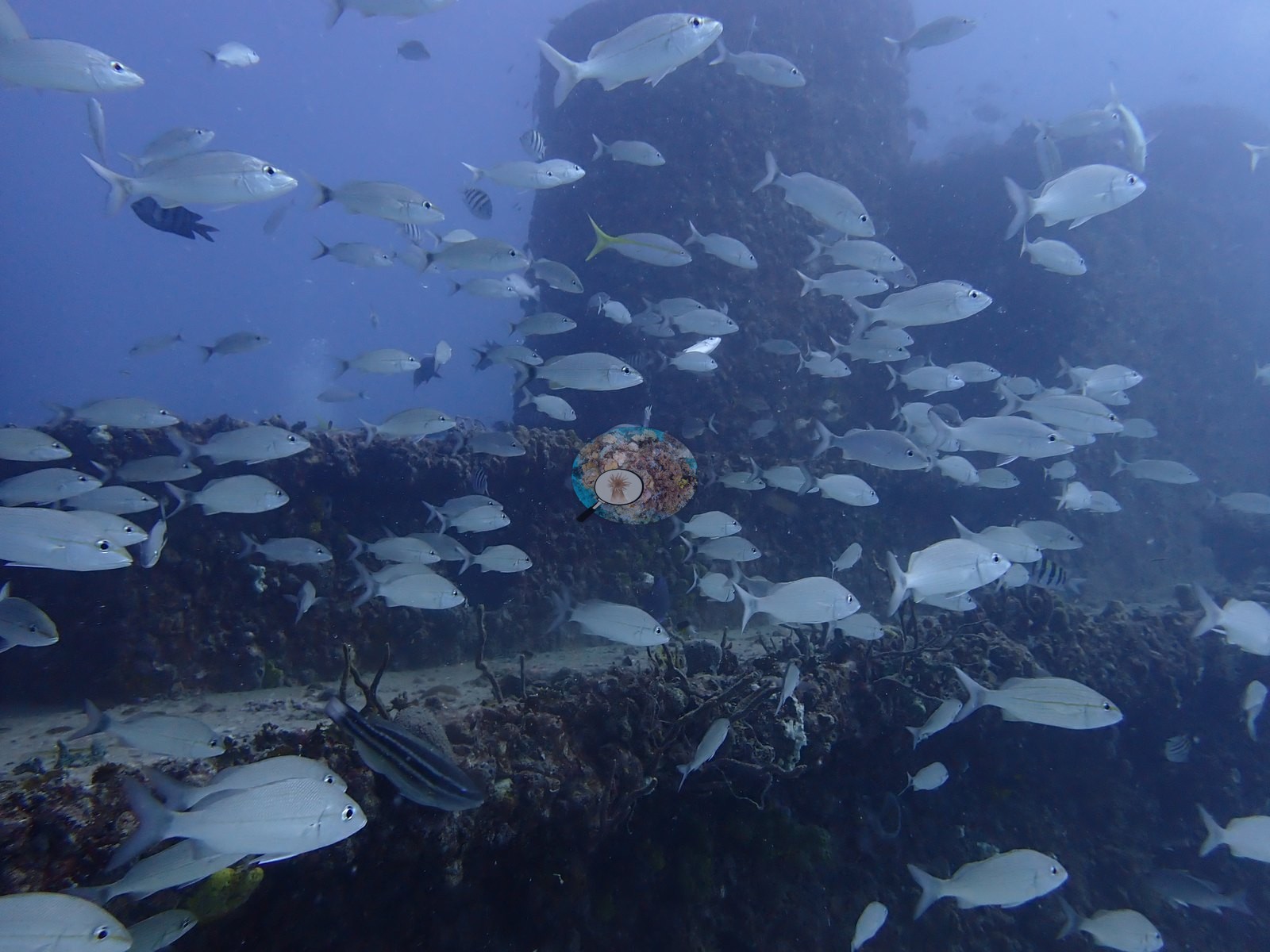
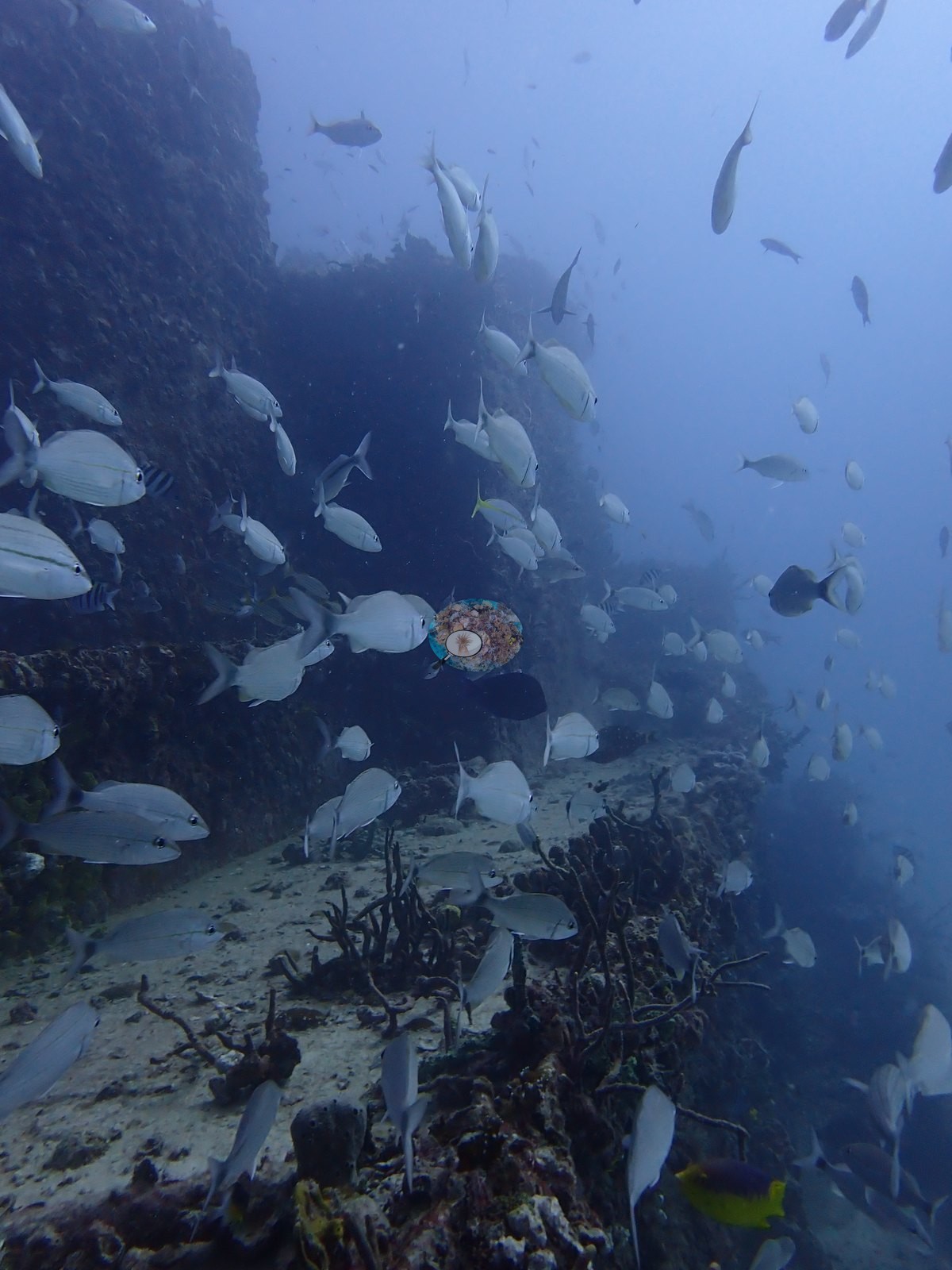
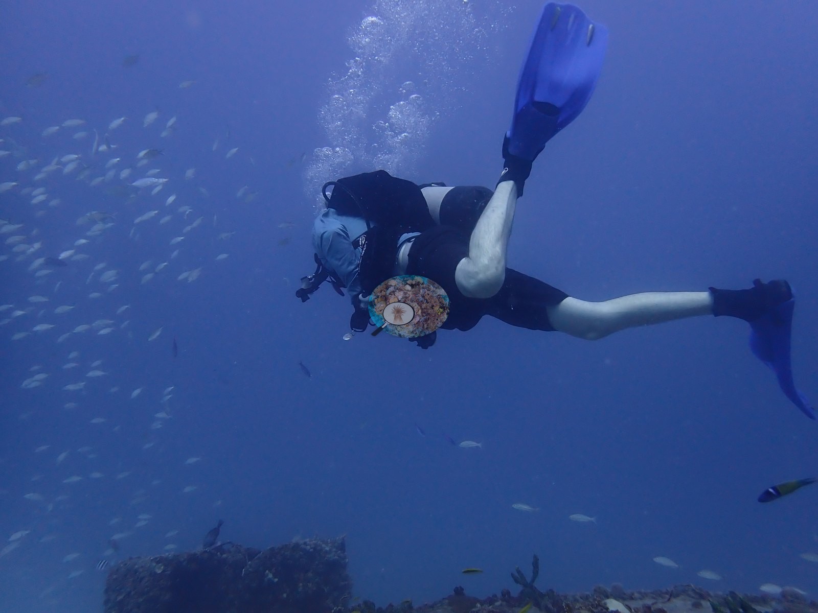
Further schooling around vertical posts and framing appears in Image 43, Image 45 (a diver inside a cloud of baitfish), and Image 61.
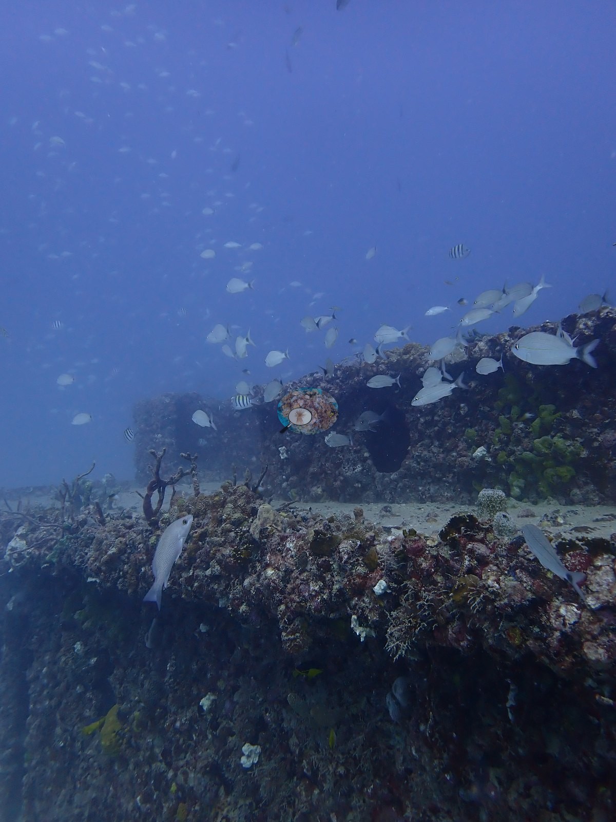
Smaller resident fish are on the structure throughout: sergeant majors and butterflyfish-type fish over the collapsed framing (e.g., Image 15, Image 16), a blue tang on a deck edge (e.g., Image 39), grunts and a wrasse around encrusted mounds (e.g., Image 27, Image 28), a jack and small planktivores over a sponge-covered mound (e.g., Image 77), fish sheltering under the beam in Image 63 and in the overhang in Image 44.
Comparisons with other data
NOAA NCRMP Florida surveyed a nearby station (FLK PSU 1287-1), 0.38 km from the pin; we could not confirm that it is the same reef. Within 5 km, eighteen independent stations recorded station-year means of 0.0–5.0% hard coral cover between 2004 and 2024; the nearest, NOAA NCRMP Florida at FLK PSU 1287-1, 0.38 km away, read 2.0% in 2024.
Dive record
This was dive 1 of two on 2025-11-22 off Key Biscayne (dive 2 the same day was Flamingo Reef).
Other notes
The dive opens topside at the marina and on the dive boat, then descends to the first sight of a large dark angular mass looming out of the blue in Image 12, a line running to it.
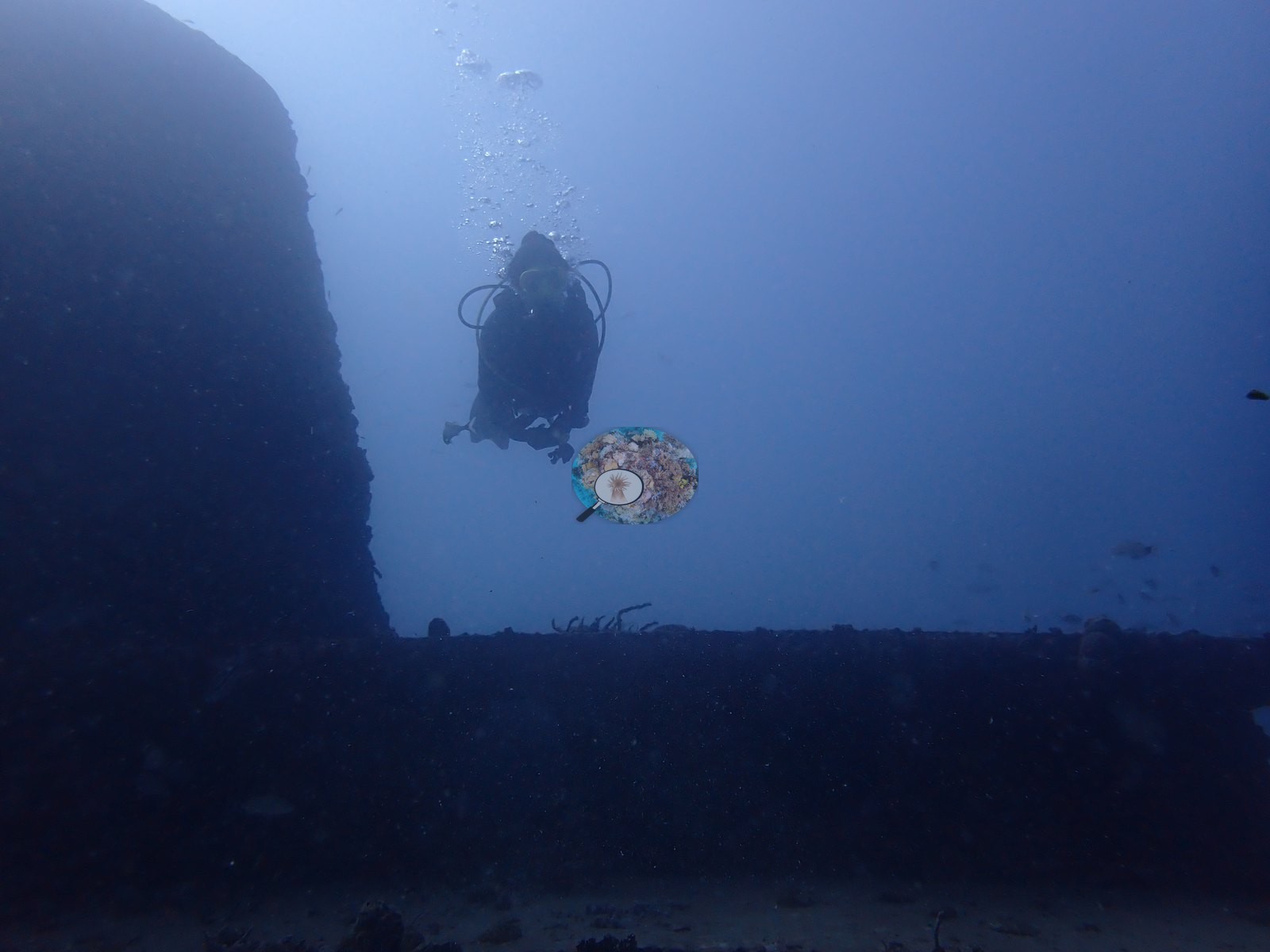
Several frames sit ambiguously between the two — encrusted mounds in Image 26 and Image 27 could equally be concrete blocks or natural rock, and the frames do not settle it. Divers and dive logistics account for a further block of the set (e.g., Image 6, Image 18, Image 33, Image 34, Image 42, Image 45, Image 50, Image 84, Image 86), ending with the ascent up the line.
CV model comparison
More info
A few colony-focused photos raise the mean; the median is the typical photo. No computer-vision method yet estimates coral cover accurately on new images, so treat this as indicative rather than a measurement; it is revised as the methods improve.More info
Other rows are for comparison only and are never averaged. No diver transect exists for these photos, so agreement between rows is not accuracy.| Method | Hard coral cover (%) | Photos (n) ± SE |
|---|---|---|
| CoralSCOP unedited | 14.4 | n = 76 |
| Claude | 1.4 | n = 74 · SE 0.5 |
CoralSCOP (unedited photos) reads 14.4%, 13.0 pp above Claude's blind point count (1.4%); the headline stays Claude's blind point count because no transect or manual count exists here.
See a more detailed, stand-alone version of this table.
Independent surveys nearby
| Agency / program | Year(s) | Stations / distance | Link |
|---|---|---|---|
| FWC CREMP (Southeast Florida, SECREMP) | 2010–2024 | 8 stations, 2.72–3.70 km | Records ↓ |
| Lirman et al. (2007) | 2004 | 1 station, 2.25 km | Records ↓ |
| NOAA NCRMP | 2016 | 1 station, 4.13 km | Records ↓ |
| NOAA NCRMP Florida | 2024 | 8 stations, 0.38–3.95 km | Records ↓ |
 Coral Reef DiagnosticsYear-average (illustrative only, programs differ)
Within 5 km, 18 independent survey stations recorded hard coral cover in 118 records between 2004 and 2024. Of the 8 stations surveyed in more than one year, 6 declined (by 0.2–1.6 points) and 2 increased (by 0.2–0.5 points) between their first and latest surveys. Four stations share the longest span (2010–2024); one, Dade County 4 #991 (FWC CREMP (Southeast Florida, SECREMP), 2.72 km away), went from 0.9% in 2010 to 1.1% in 2024. Since 2021, station-year means average 1.2% (range 0.0–5.0%; n = 40 station-years from 40 records). This site's own estimate (1.4%) sits 0.6 points below the recent range of station-year means up to 2 km away (2.0–3.0%), inside the 7-point method-noise floor (inconclusive); the methods differ, so the comparison is context, not a like-for-like test.
Collected by other programs using different methods (NOAA rows come from NOAA monitoring programs (NCRMP, PIFSC, NCCOS), and each row's method is in its hover text; FWC-FWRI uses fixed-station point counts), so these are context for the figures above, not a like-for-like comparison. Where a station was surveyed more than once, the cell shows either the range of its values or, as a single value, the mean of surveys made in one year. Station names are not dive-site names.
Show all 118 independent survey records
| Agency | Site / location | Date | Hard coral cover (%) | Distance | Link |
|---|---|---|---|---|---|
| Lirman et al. (2007) | Key Biscayne | 2004 | 1.4% | 2.25 km | doi:10.1007/s10661-006-9239-0 |
| FWC CREMP (Southeast Florida, SECREMP) | Dade County 4 #991 | 2010–2024 | 0.5–1.9% (15 surveys) | 2.72 km | — |
| FWC CREMP (Southeast Florida, SECREMP) | Dade County 4 #992 | 2010–2024 | 0.5–1.5% (15 surveys) | 2.72 km | — |
| FWC CREMP (Southeast Florida, SECREMP) | Dade County 4 #993 | 2010–2024 | 1.1–3.0% (15 surveys) | 2.72 km | — |
| FWC CREMP (Southeast Florida, SECREMP) | Dade County 4 #994 | 2010–2024 | 0.2–1.9% (15 surveys) | 2.72 km | — |
| FWC CREMP (Southeast Florida, SECREMP) | Dade County 8 #61 | 2013–2024 | 1.2–3.1% (12 surveys) | 3.70 km | — |
| FWC CREMP (Southeast Florida, SECREMP) | Dade County 8 #62 | 2013–2024 | 0.4–1.0% (12 surveys) | 3.70 km | — |
| FWC CREMP (Southeast Florida, SECREMP) | Dade County 8 #63 | 2013–2024 | 0.1–2.4% (12 surveys) | 3.70 km | — |
| FWC CREMP (Southeast Florida, SECREMP) | Dade County 8 #64 | 2013–2024 | 0.2–1.1% (12 surveys) | 3.70 km | — |
| NOAA NCRMP | FLK-408 | 2016 | 3.0% | 4.13 km | — |
| NOAA NCRMP Florida | FLK PSU 1287-1 | 2024 | 2.0% | 0.38 km | NCEI 0306238 |
| NOAA NCRMP Florida | FLK PSU 1177-1 | 2024 | 3.0% | 1.47 km | NCEI 0306238 |
| NOAA NCRMP Florida | FLK PSU 1246-1 | 2024 | 3.0% | 2.92 km | NCEI 0306238 |
| NOAA NCRMP Florida | FLK PSU 1233-1 | 2024 | 4.0% | 3.25 km | NCEI 0306238 |
| NOAA NCRMP Florida | FLK PSU 1180-1 | 2024 | 5.0% | 3.42 km | NCEI 0306238 |
| NOAA NCRMP Florida | FLK PSU 1010-1 | 2024 | 0.0% | 3.62 km | NCEI 0306238 |
| NOAA NCRMP Florida | FLK PSU 1148-1 | 2024 | 1.0% | 3.64 km | NCEI 0306238 |
| NOAA NCRMP Florida | FLK PSU 1803-1 | 2024 | 1.0% | 3.95 km | NCEI 0306238 |
Data & links
All images from Coral Reef Diagnostics. Data are from Coral Reef Diagnostics and the organizations named in the data sources above.
© Coral Reef Diagnostics.