

Atauro - Compass Reef snorkel

Part of the regional summary: Timor-Leste
2024-02-01
More info
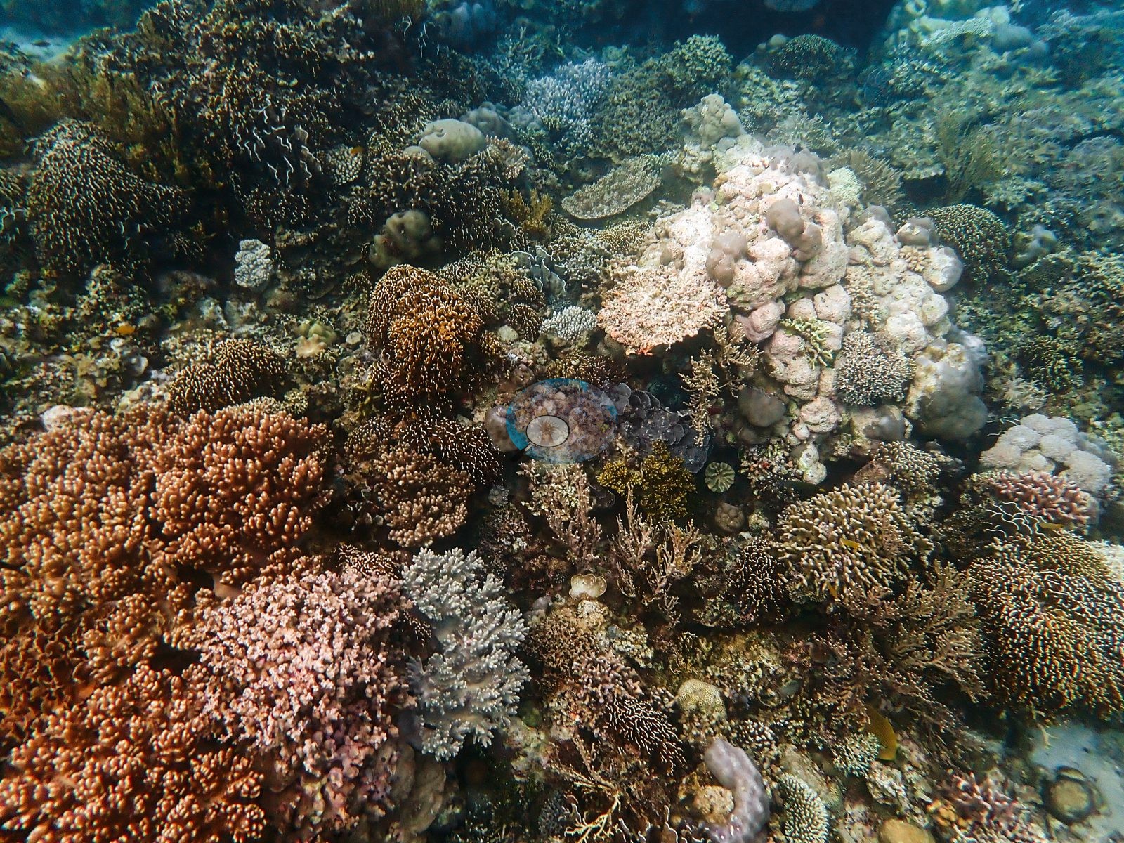
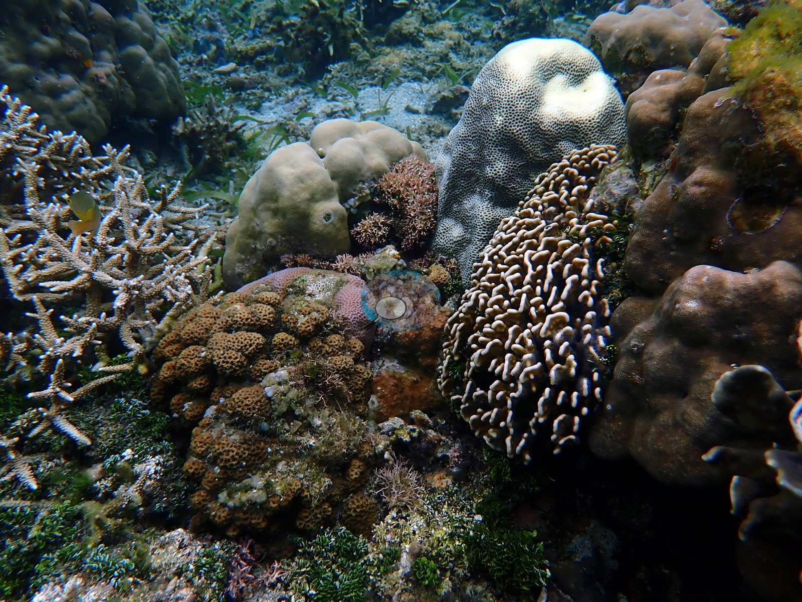
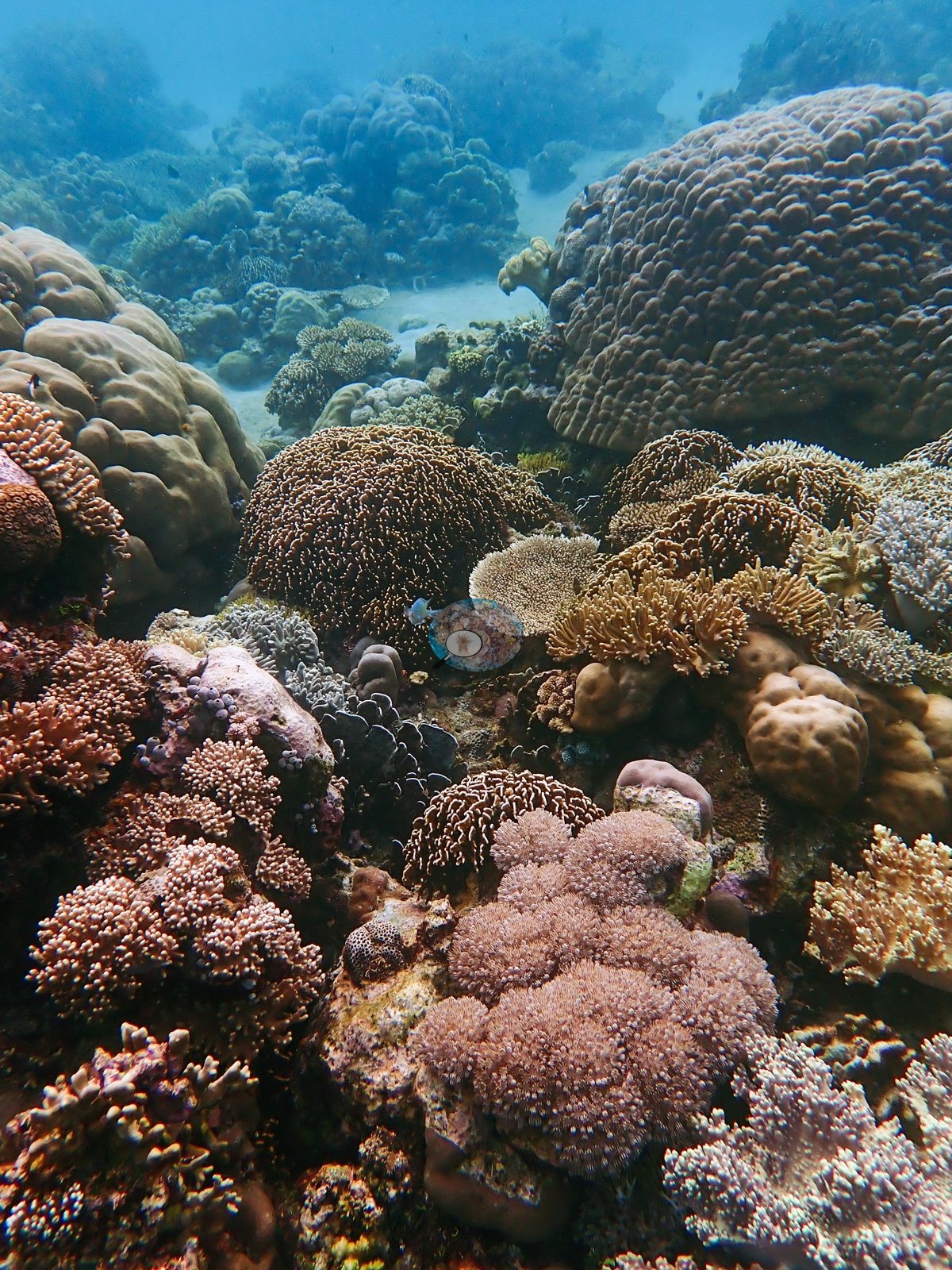
Timor-Leste (NOAA CRW virtual station) · Lesser Sunda ecoregion mean=6.9°C-heating weeksA shallow Atauro garden snorkeled in about 2 m of water, including the densest frame of this set: pink, orange, and cream colonies packed edge to edge with almost no bare rock. One pale gray-white branching colony stands out among its pigmented neighbors, though a photograph cannot say whether it is bleaching.
Eleven independent survey stations shown with the program’s logo — click one to see how far it is from this site.
Six other CRD dive sites within 5 km shown in orange — click a marker to open its page.
Site description
General benthic features
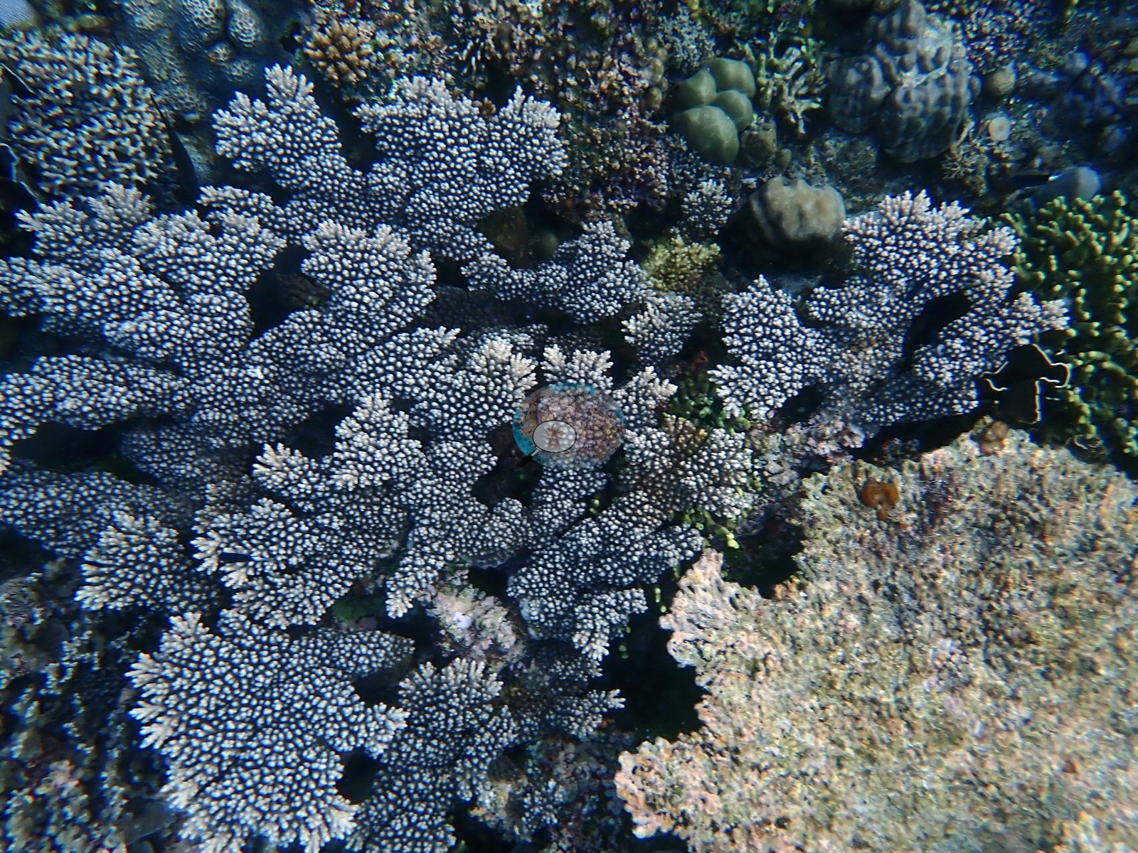
The South frames show a shallow garden of remarkable density. One is filled by a single large pale blue-gray corymbose Acropora colony, its plates interlocking above dark shadowed voids, with olive-green branching colonies, small gray lobate Porites, and a honeycomb faviid crowding in from the edges and green algal tufts in the gaps (e.g., Image 1).
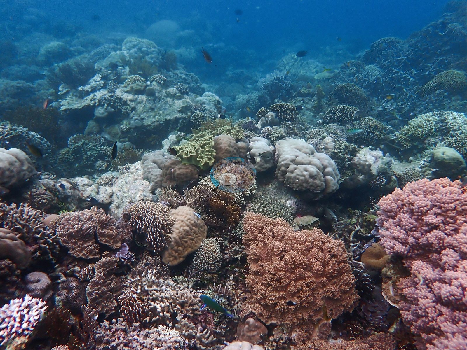
A second is a wide view over big salmon-pink corymbose Pocillopora-like domes, mauve-pink plating colonies, a tan maze-patterned brain coral, gray-lavender lobate Porites heads, a pale yellow-green foliose colony, and background thickets of tabulate and staghorn Acropora, with a bright teal parrotfish and several damselfishes passing through (e.g., Image 2).
A third is the densest frame in the whole queue: orange-brown, pink-mauve, and cream corymbose colonies, purple encrusting plates, fine branching thickets, mushroom corals, and knobby pale Porites packed edge to edge with almost no bare substrate — and one distinctly pale gray-white branching colony among pigmented neighbors, which from a photograph alone cannot be separated into pale pigment, bleaching, or recent mortality (e.g., Image 3).
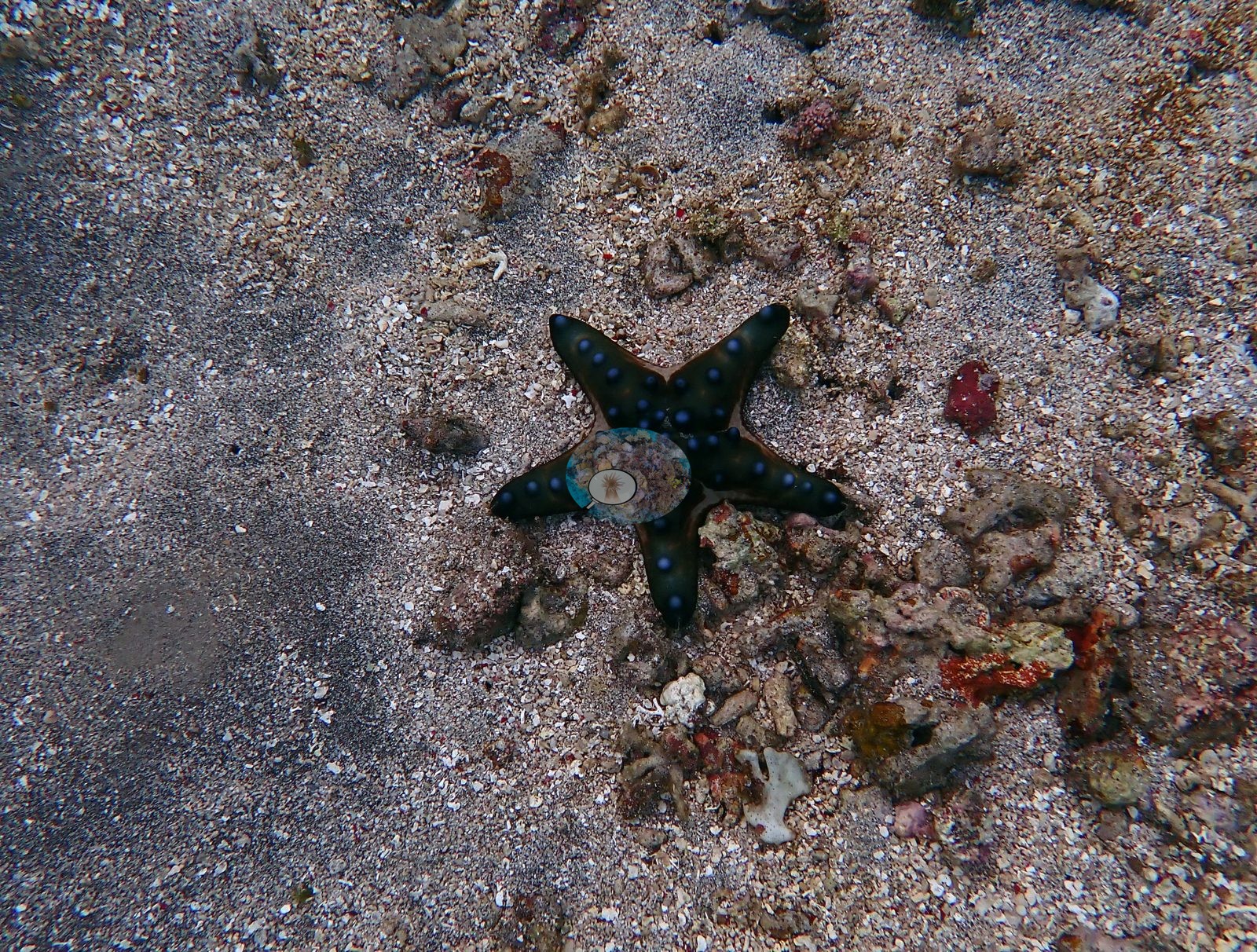
The fourth South frame is the counterpoint: a coarse coral-shell sand plain with red and orange encrusting sponges on scattered rubble, no live coral, and a dark knobbed sea star with blue tubercles (a Protoreaster-type) crossing it (e.g., Image 4).
The house-reef frames are shallower and flatter. One is again a dense, high-diversity garden — cream domes of massive Porites, a textured Hydnophora-like mound with sinuous white ridges, a small pale table Acropora, pink corymbose colonies, pale honeycomb faviids, and dark plating colonies (e.g., Image 7).
The other three show the flat's real character: small massive, lobate, and cerioid colonies scattered across pale sediment-veneered pavement and rubble, with green algal turf, branching coralline tufts, small pale Acropora colonies, and genuine seagrass shoots on the sand between them (e.g., Image 6, Image 8).
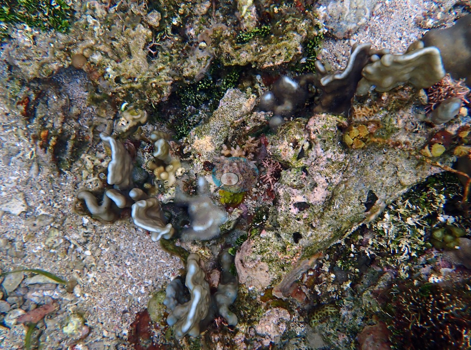
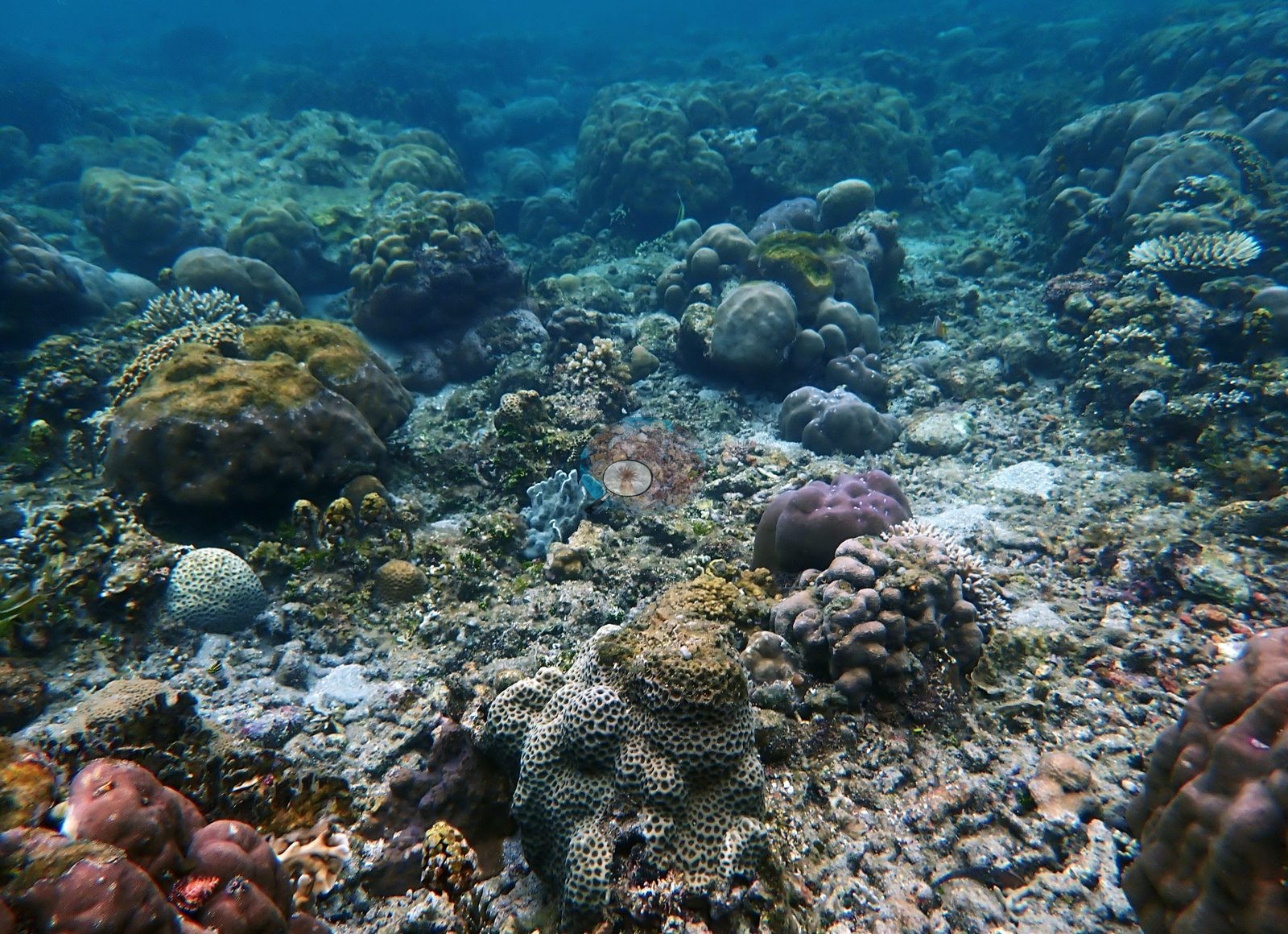
Living cover here is patchy and massive-dominated rather than continuous.
Coral cover
Coral cover: 38% — a blind Claude computer-vision point count of 99 of Anderson's edited photographs (20 points per photo; water, fish, and obstructions excluded). Other computer-vision methods are listed in the method table. CoralNet will be used for confirmation.
Stressors
No crown-of-thorns starfish (COTS) or other corallivores evident.
Comparisons with other data
Also on record for this site: Two dives at this location; the individual accounts are on the markers below. Different growth forms are tightly interleaved in many frames, producing strong fine-scale structural complexity (e.g., Image 5).
Sea stars are conspicuous mobile invertebrates, including a black species with blue-tipped tubercles and an orange-and-black knobbed individual; a blue Linckia-type sea star has been reported for this snorkel but was not clearly captured among the reviewed frames. No uniform, reef-wide bleaching signal is apparent, but "local pale areas" understates the extent of partial mortality visible on these two specimens.
Dive record
Snorkeled twice, on 31 January and 1 February 2024, in about 2 m of water — and the photographs come from two spots, four frames at Compass Reef South and four on the Compass house reef.
CV model comparison
More info
DINOv3 and CoralSCOP were run on the same photos and are listed for comparison. Coralscapes v2 and v1 were also run but are not shown: Anderson does not consider Coralscapes reliable for these photos. No diver transect exists for this trip, so agreement between the rows is not accuracy, and as of September 2026 no computer-vision method estimates coral cover accurately on new images; treat every row as indicative.| Method | Hard-coral cover (%) |
|---|---|
| In-house DINOv3 | 30.5 |
| CoralSCOP edited | 48.9 |
| Claude (edited photos) | 38.0 |
Dive history
| Date | Time in | Max depth (m) | Bottom time (min) |
|---|---|---|---|
| 2024-01-31 | — | 2.0 | — |
| 2024-02-01 | — | 2.0 | — |
Independent surveys nearby
| Agency / program | Year(s) | Stations / distance | Link |
|---|---|---|---|
| Coral Triangle Center (CTC) | 2017 | 3 stations, 0.53–2.49 km | Records ↓ |
| Reef Check | 2004–2017 | 6 stations, 0.42–4.34 km | Records ↓ |
| XL Catlin Seaview Survey | 2014 | 2 stations, 0.46–2.37 km | Records ↓ |
 Dr. Coral (CRD)Year-average (no detectable trend)
Within 5 km, 11 independent survey stations recorded hard coral cover in 29 records between 2004 and 2017. The most recent nearby survey is from 2017, so these values predate recent heat stress. This site's own estimate (38%) sits within the range of these surveys (17–65%); the methods differ, so the comparison is context, not a like-for-like test.
Collected by other programs using different methods (Reef Check uses point-intercept transects; the XL Catlin Seaview Survey uses photo-transects with automated image annotation), so these are context for the figures above, not a like-for-like comparison. Where a station was surveyed more than once the range is shown. Station names are not dive-site names.
Show all 11 independent survey records
| Agency | Site / location | Date | Hard coral cover (%) | Distance | Link |
|---|---|---|---|---|---|
| Reef Check | South of Tanjung Reta | 2004 | 33% (2 surveys) | 3.90 km | — |
| XL Catlin Seaview Survey | transect 30015 | 2014 | 21% | 0.46 km | — |
| XL Catlin Seaview Survey | transect 30014 | 2014 | 17% | 2.37 km | — |
| Reef Check | Rai keta tungu | 2017 | 65% | 0.42 km | — |
| Coral Triangle Center (CTC) | Beloi (10) | 2017 | 49% (8 surveys) | 0.53 km | Currier K, Marine P, Welly M. 2017. Atauro Island MPA. MERMAID |
| Reef Check | Watu ai | 2017 | 49% | 1.00 km | — |
| Reef Check | Rai keta rala | 2017 | 39% | 1.01 km | — |
| Reef Check | Haru ina | 2017 | 53% (2 surveys) | 1.34 km | — |
| Coral Triangle Center (CTC) | Outer Reef (09) | 2017 | 41% (7 surveys) | 1.42 km | Currier K, Marine P, Welly M. 2017. Atauro Island MPA. MERMAID |
| Coral Triangle Center (CTC) | Vila (11) | 2017 | 36% (2 surveys) | 2.49 km | Currier K, Marine P, Welly M. 2017. Atauro Island MPA. MERMAID |
| Reef Check | Vila South | 2017 | 25% (3 surveys) | 4.34 km | — |
Data & links
- Site info: Photo gallery ↗
- HeatCRD database ↗
- (reference) ↗
- Photo portfolio ↗
- Coral Reef Diagnostics page for this area ↗
All images from Coral Reef Diagnostics. Data are from Coral Reef Diagnostics and the organizations named in the data-sources table above.
© Coral Reef Diagnostics.