
Artificial Reef (Bahrain)
More info
Bahrain (NOAA CRW virtual station) · Arabian (Persian) Gulf ecoregion mean=9.8°C-heating weeksThis artificial reef off Bahrain's northeast coast is a set of concrete domes on sand, so thickly felted in reddish-brown algal turf in the murky water that the structures underneath are hidden. A resident grouper, damselfish, and a lone small coral colony use the domes, with a sand dollar and sea cucumber on the surrounding bottom.
أربع صور صالحة تحت الماء، التُقطت على عمق نحو 8 م في مياه من العكارة بحيث صارت الغطسة نفسها هي الشيء الرئيسي الذي توثّقه.
ترجمة هذا الملخص بالذكاء الاصطناعي؛ النص الإنجليزي هو المعتمد. Translated from the site’s shorter map summary.
One other CRD dive site within 5 km shown in orange — click a marker to open its page.
13 of these 22 photographs are shown beside the text that discusses them under "Site description" below.

Site description
Setting
Four usable in-water frames, shot at around 8 m in water so turbid that the dive itself is the main thing they document.
General benthic features
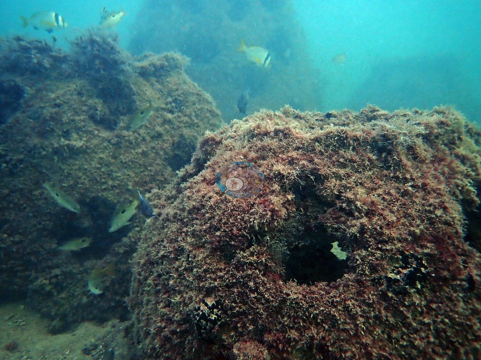
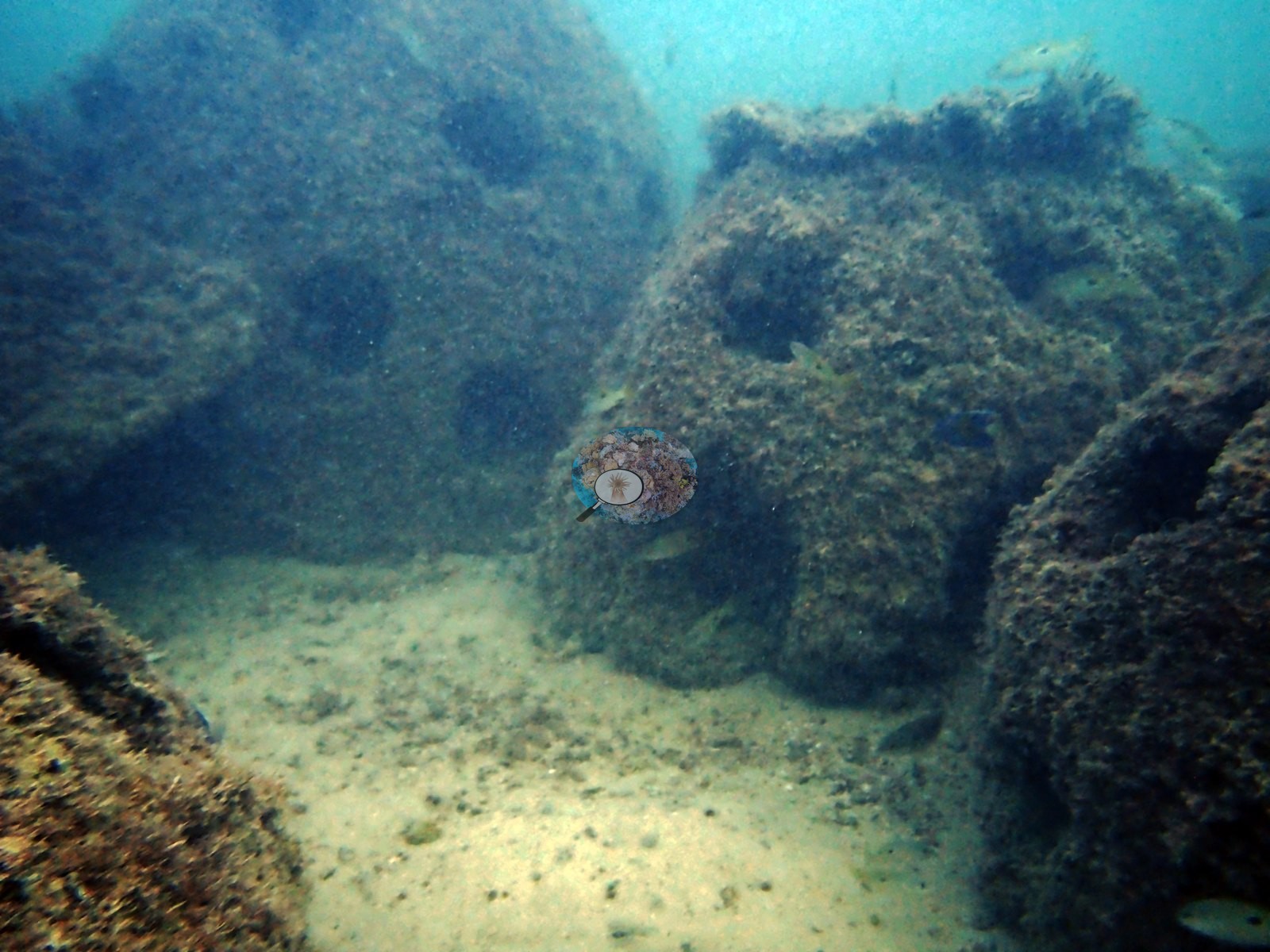
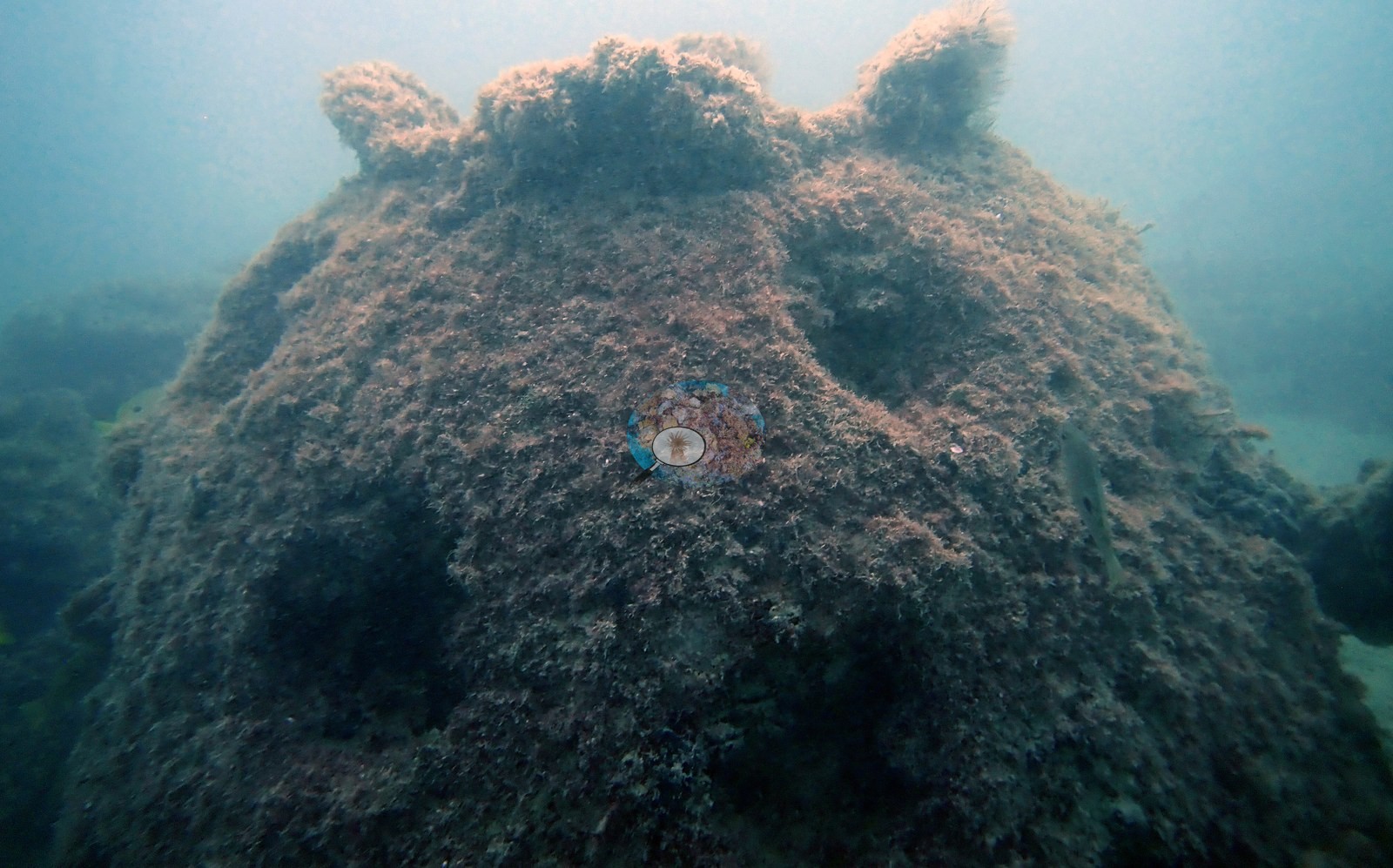
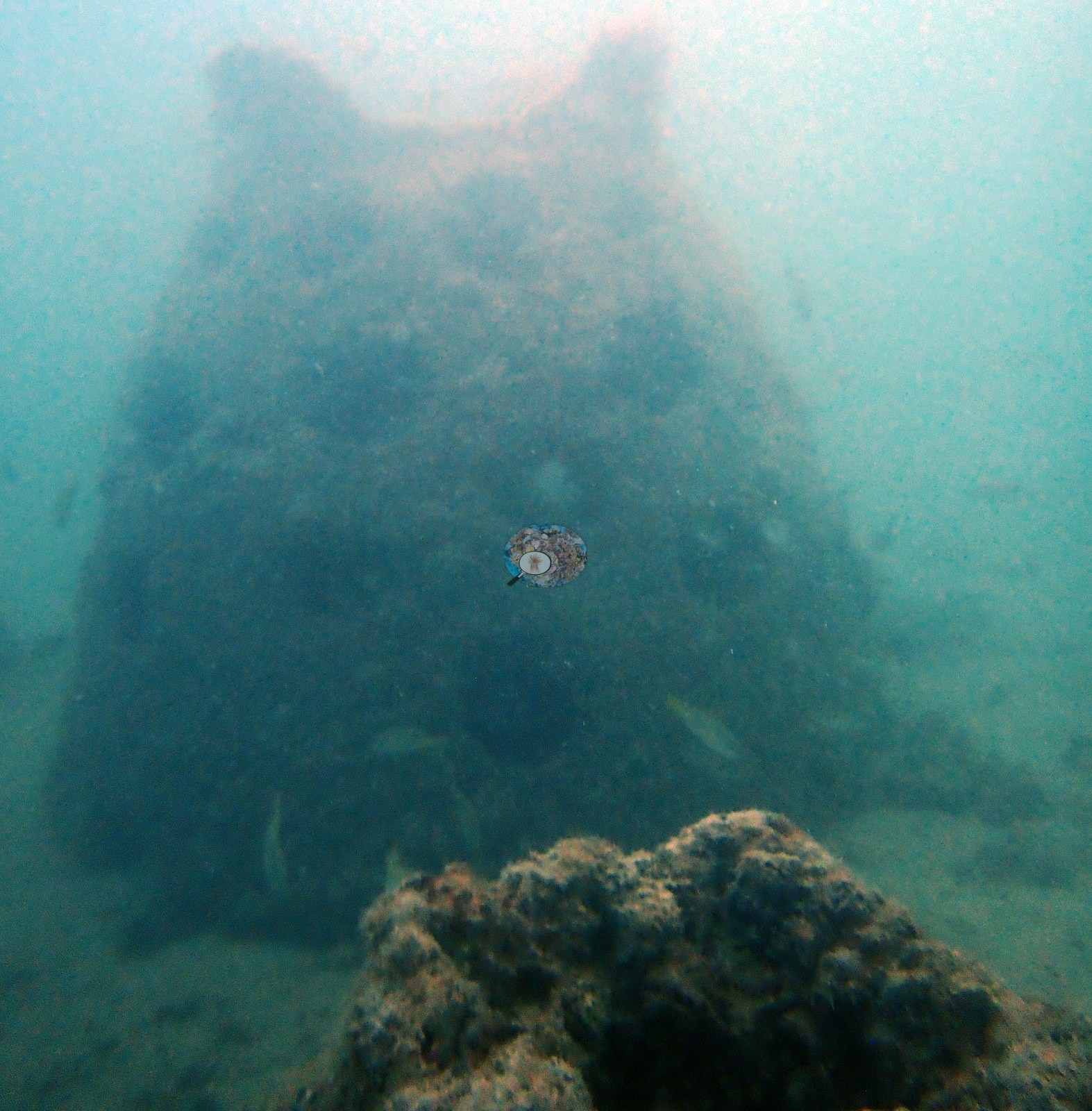
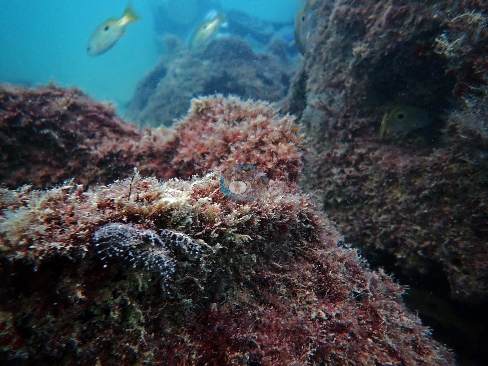
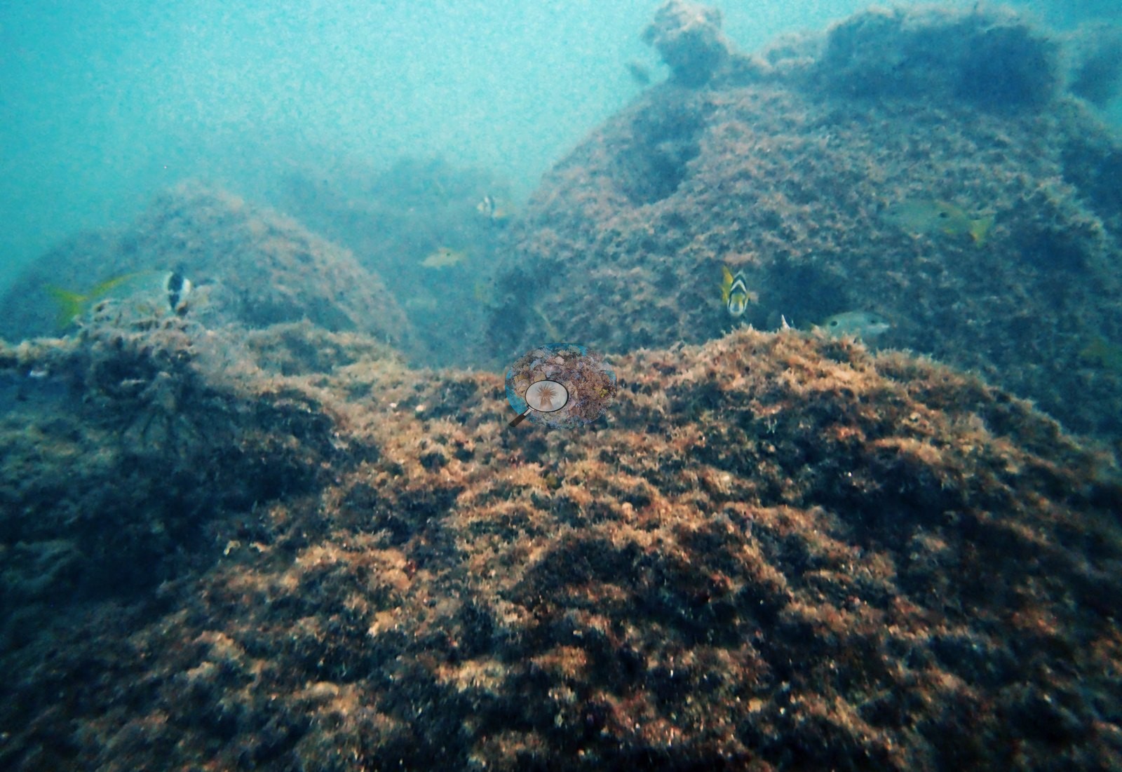
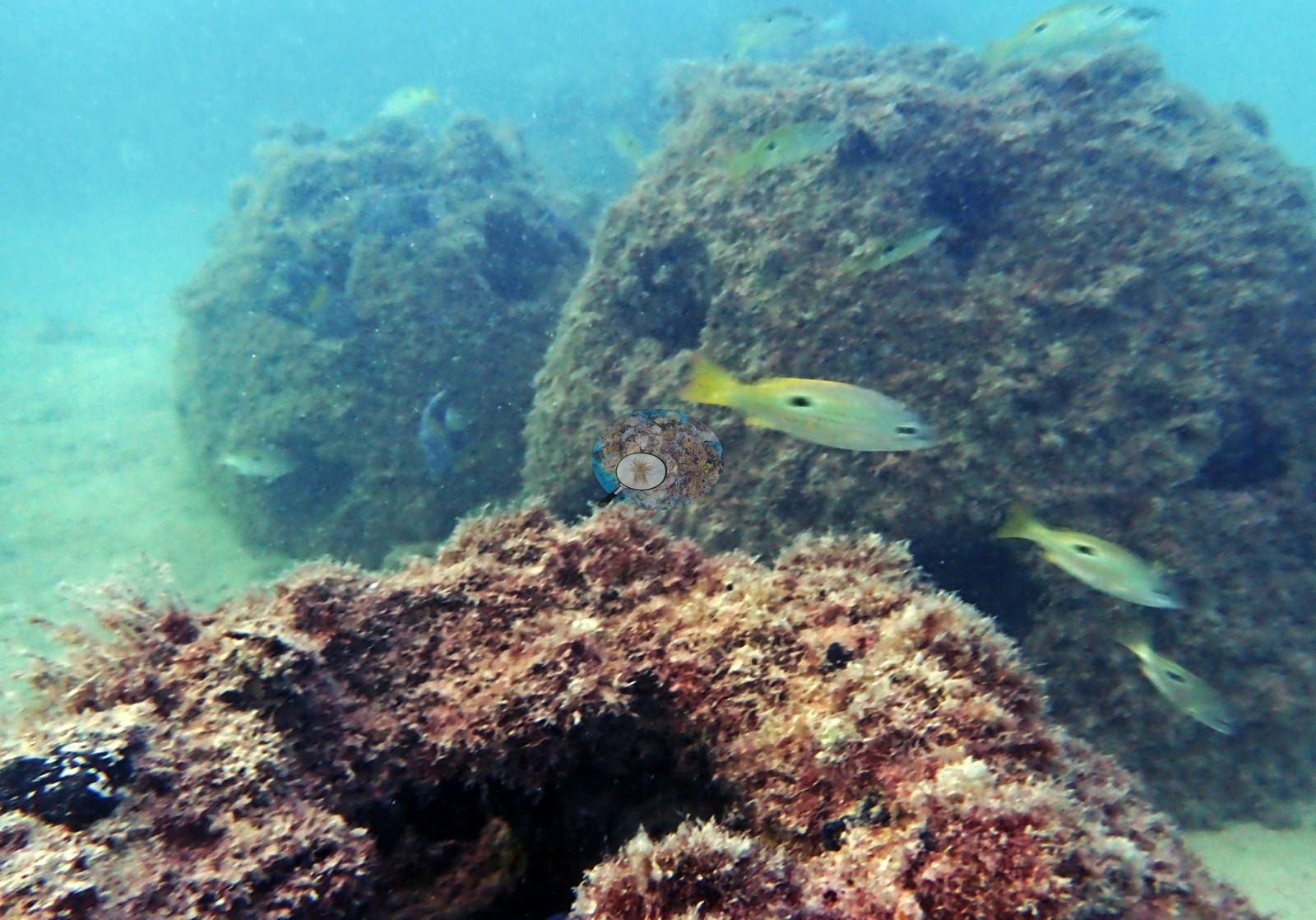
Frames 2 and 5 are the deployed structures: rounded dome-shaped units with knobby protrusions on top, sitting on sand and so completely sheathed in dense reddish-brown filamentous turf that the concrete beneath is invisible and any openings in it unreadable (e.g., Image 8, Image 11, Image 13).
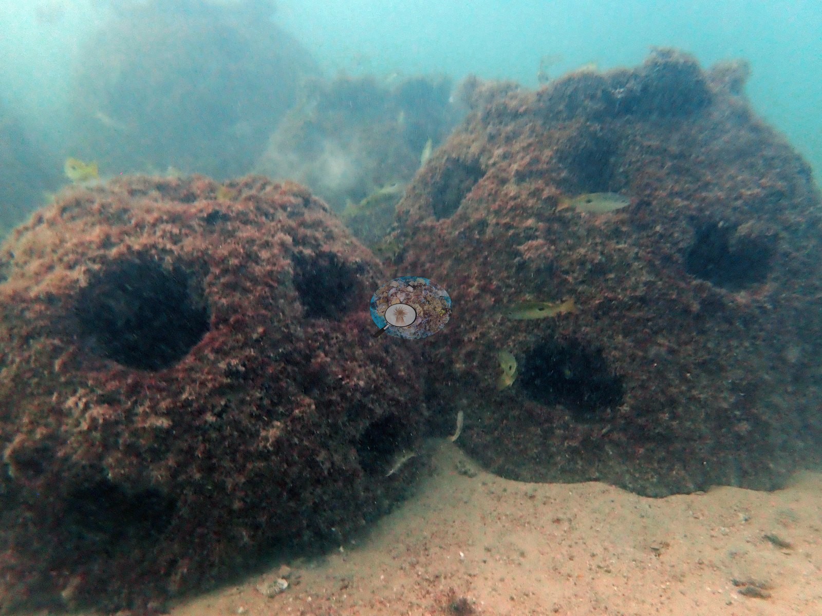
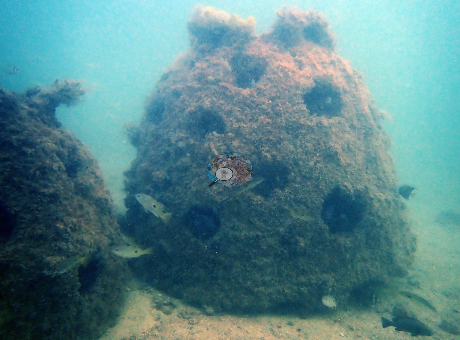

In frame 5 one dome looms out of green haze with a dark undercut at its base and a few small elongate fish holding station beside it; in frame 2 the same kind of structure fills the frame at close range, its whole surface a felted algal mat with one small fish at the margin (e.g., Image 2, Image 5).
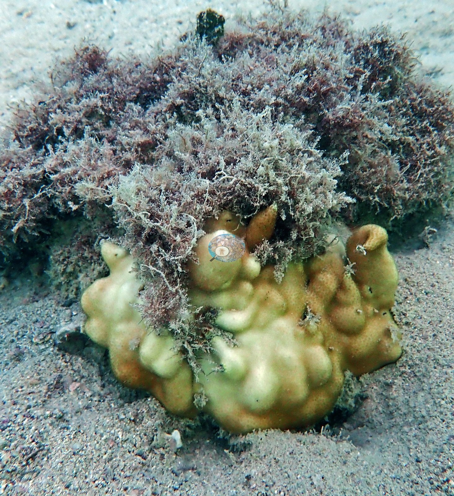
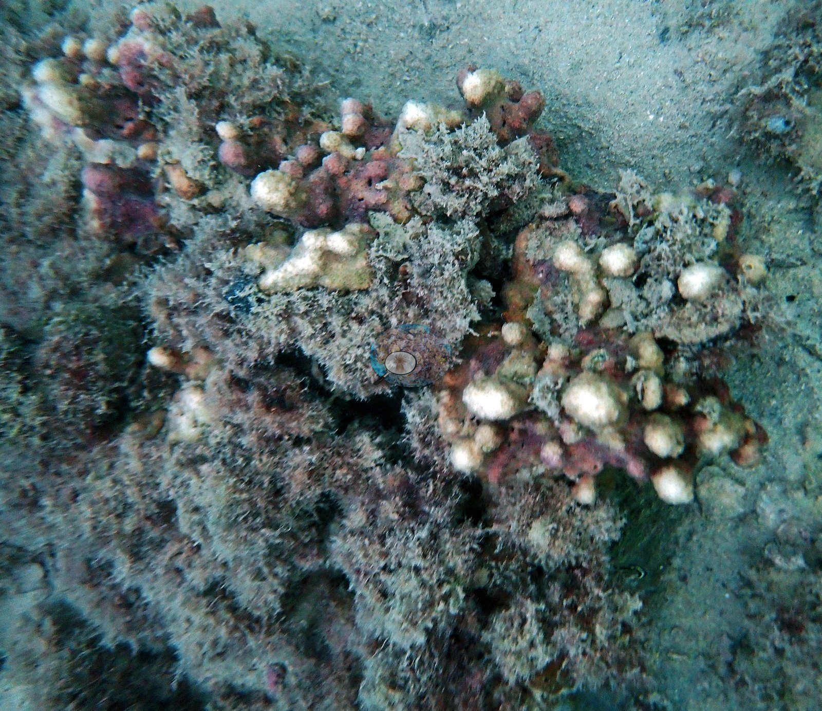
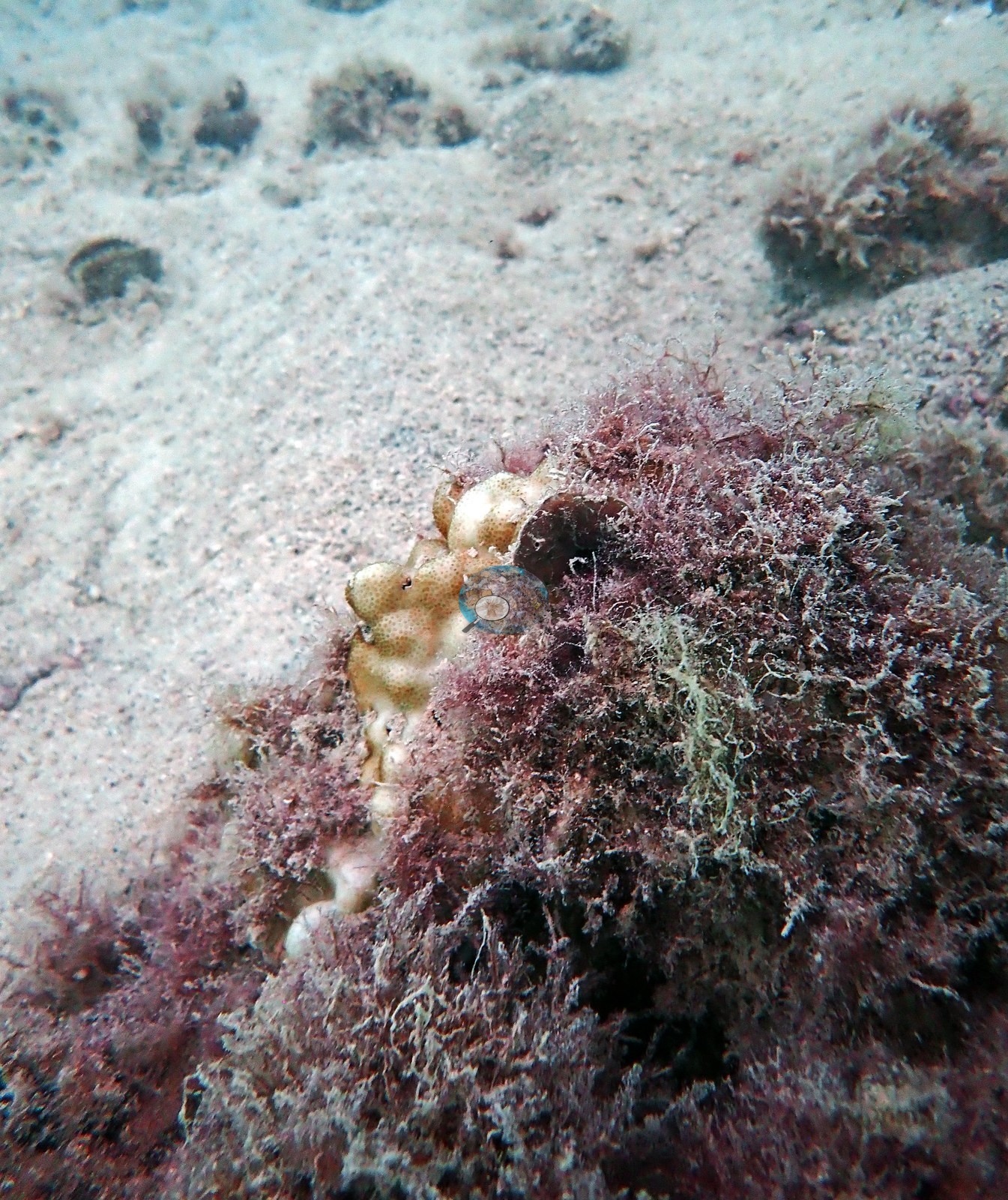
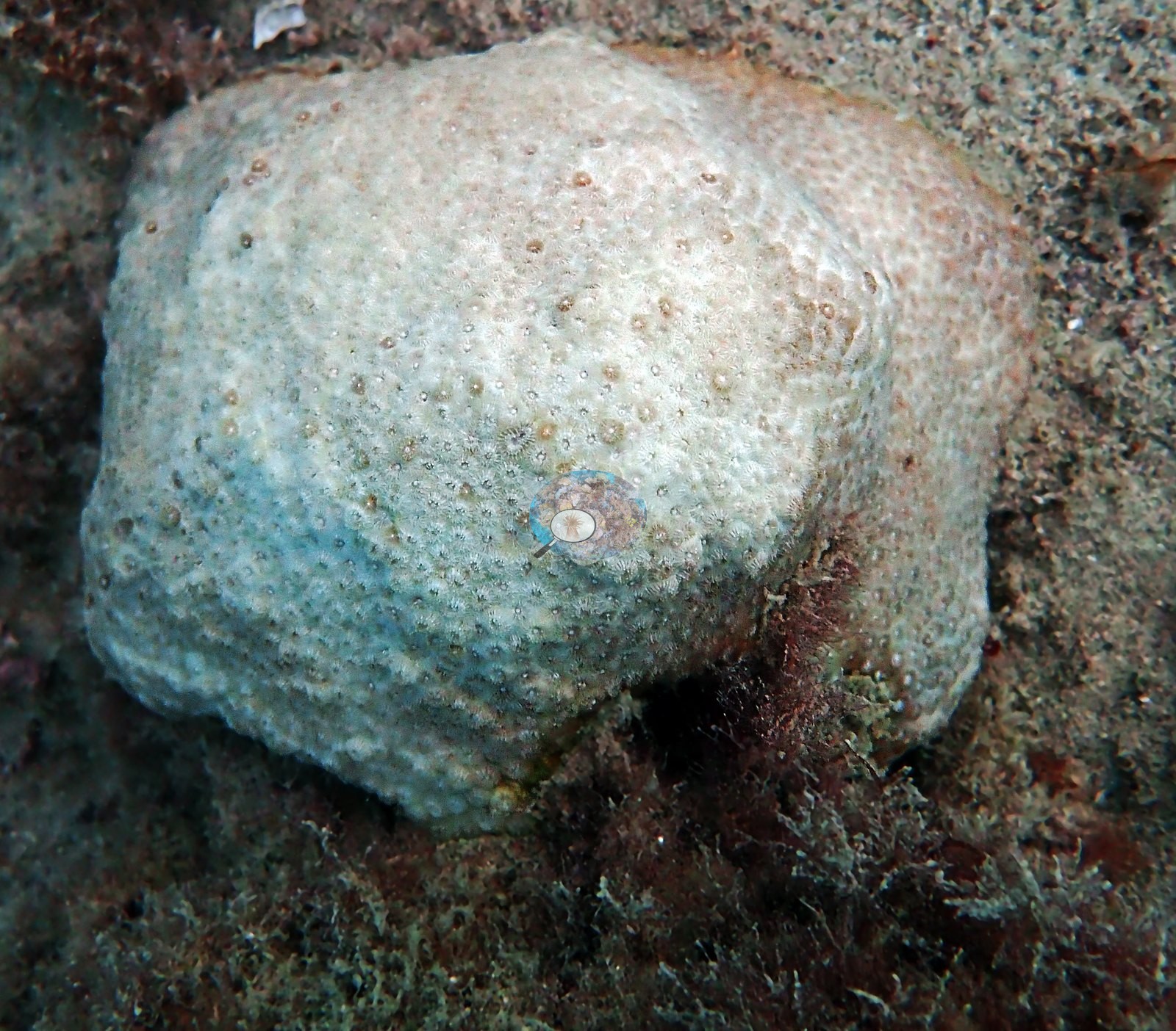
Frame 3 is the closest thing in the set to a coral record: a low mound of maroon and gray filamentous turf rising off pale shelly sand, with a single small cream-tan knobby colony — visible corallites, most likely Porites — clinging to its edge and already half-overgrown, one dark bivalve shell cemented in beside it (e.g., Image 3).
Turf and sediment, not coral, are what these structures carry (e.g., Image 14, Image 16).
Coral cover
No coral-cover figure is published for this site. Nothing on the map attaches a cover measurement to this site, and no computer vision pass has been run on these frames; a value will be added if transect data, a nearby independent survey, or a CV pass on Anderson's own photographs becomes available. No cover should be inferred from the photographs above.
Stressors
No crown-of-thorns starfish (COTS) or other corallivores evident.
Fish and other fauna
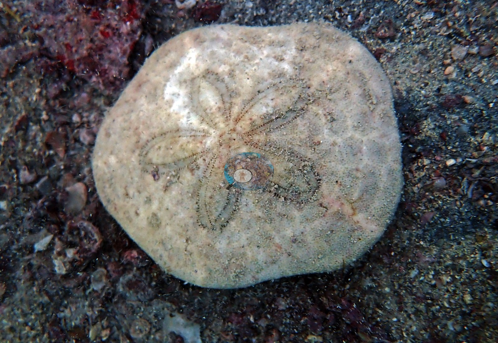
Frame 4 is a sand dollar, its five-petalled test lying on coarse shell hash and dark red algae (e.g., Image 4).
Comparisons with other data
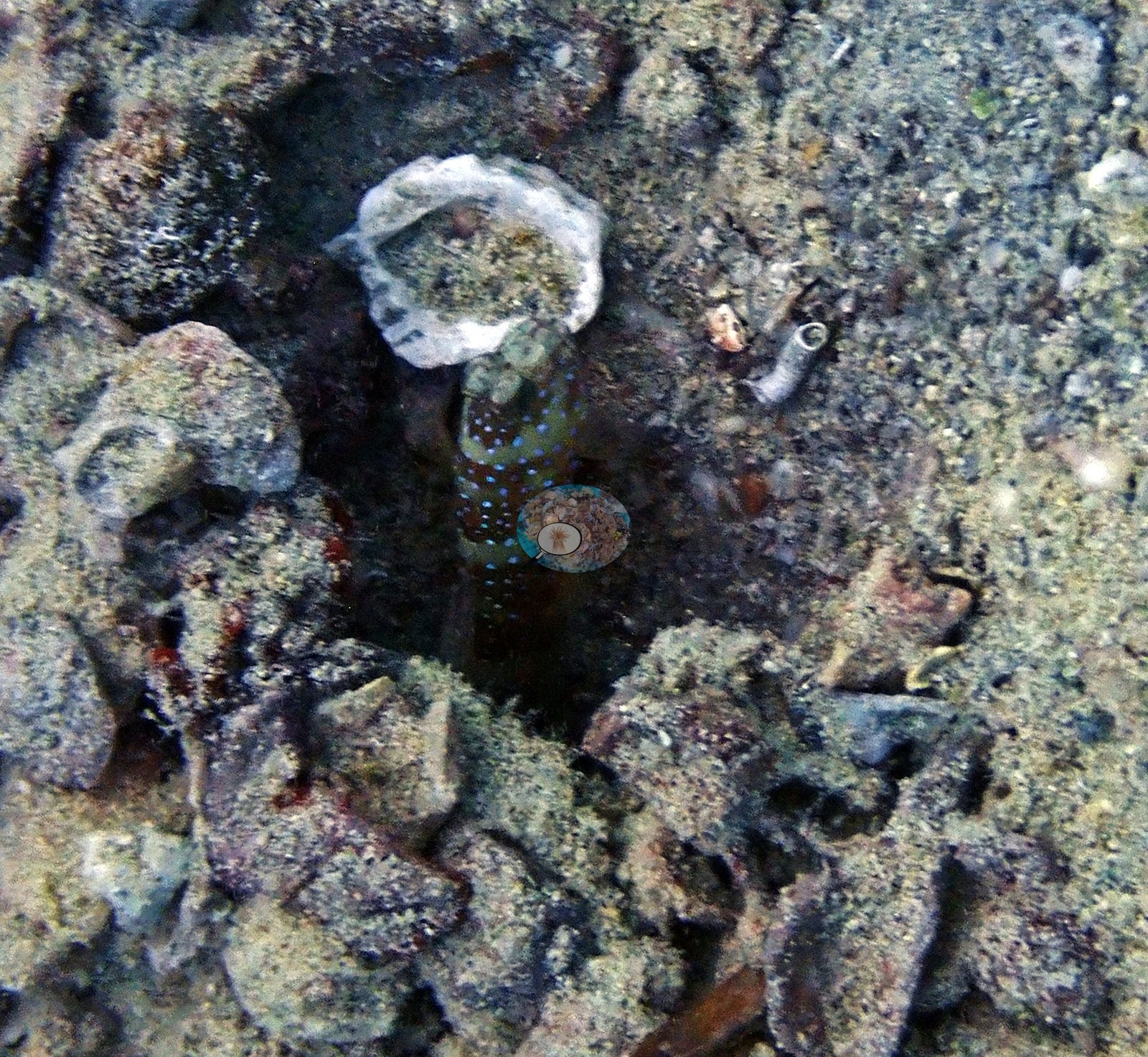
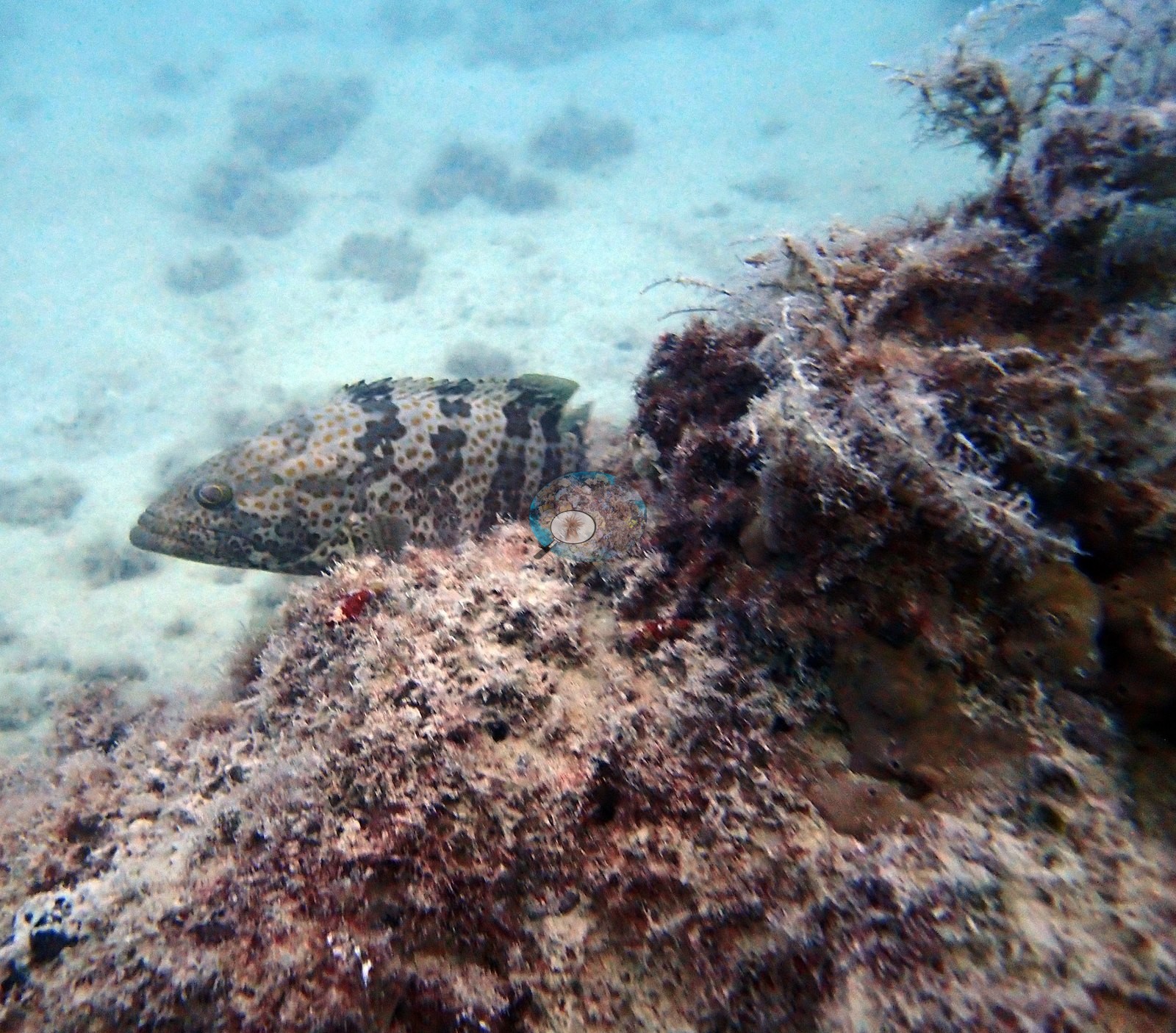
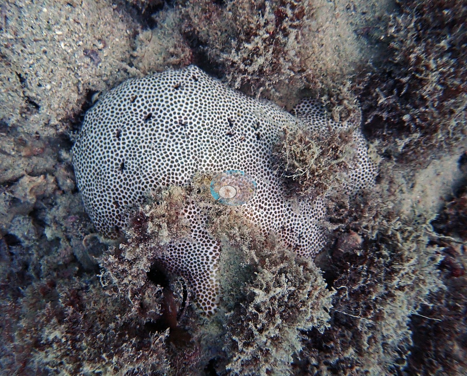
Also on record for this site: Artificial reef site off Bahrain's northeast coast, dived 23 Sep 2023 (second dive of the day, near Dilmunia Rock). A resident grouper, damselfish, and a lone black-and-white encrusting coral colony occupy the structure, with a sand dollar and sea cucumber on the surrounding sandy bottom (e.g., Image 7, Image 12, Image 19, Image 21).
Gulf ecoregion).
Other notes
For context: Arabian Gulf reefs are naturally low in coral diversity and live through summer water in the mid-30s C — the most thermally tolerant reef corals known — so a species-poor assemblage here is the regional baseline, not by itself evidence of decline.
Data & links
All images from Coral Reef Diagnostics.
© Coral Reef Diagnostics.