
Alor - Umapura

Part of the regional summary: Indonesia - Alor
More info
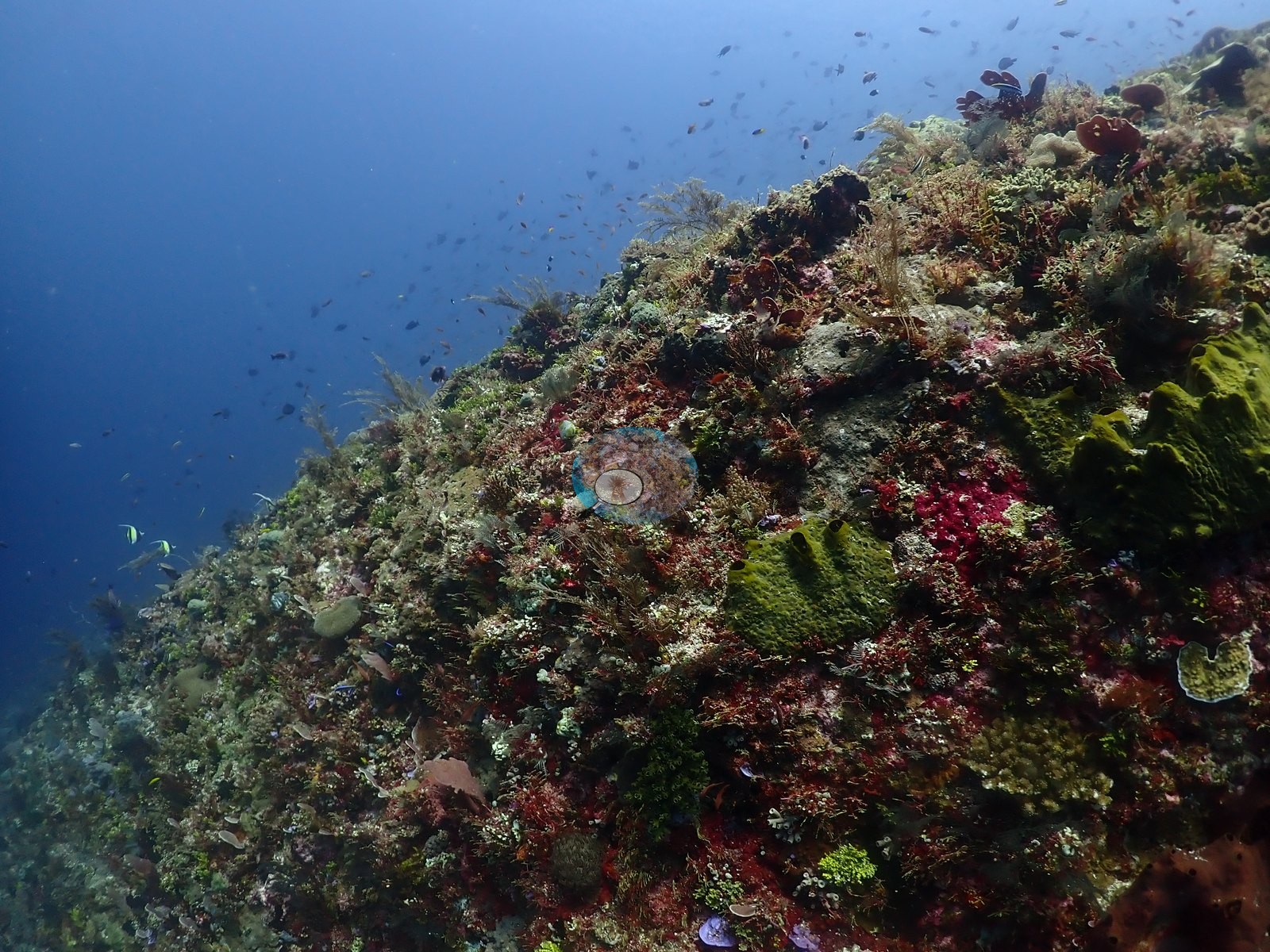
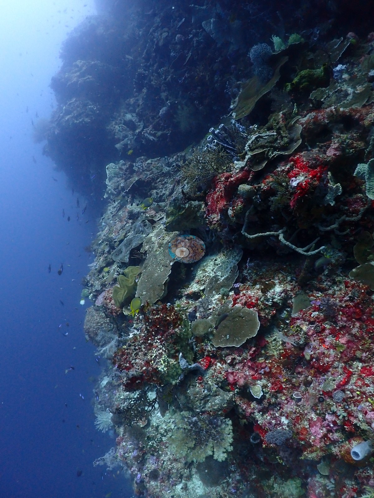
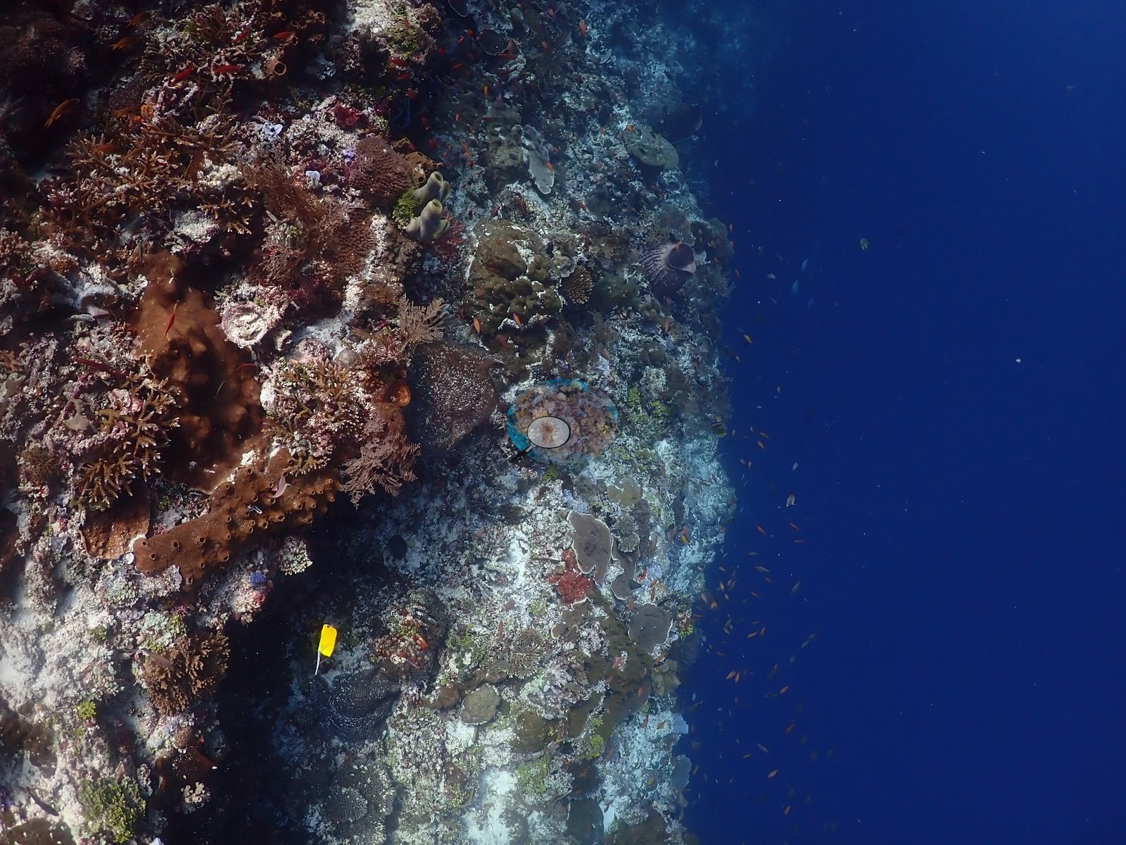
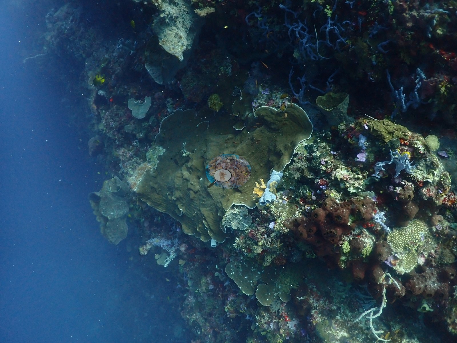
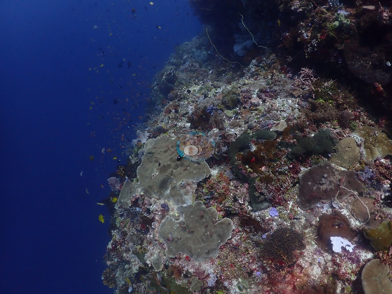
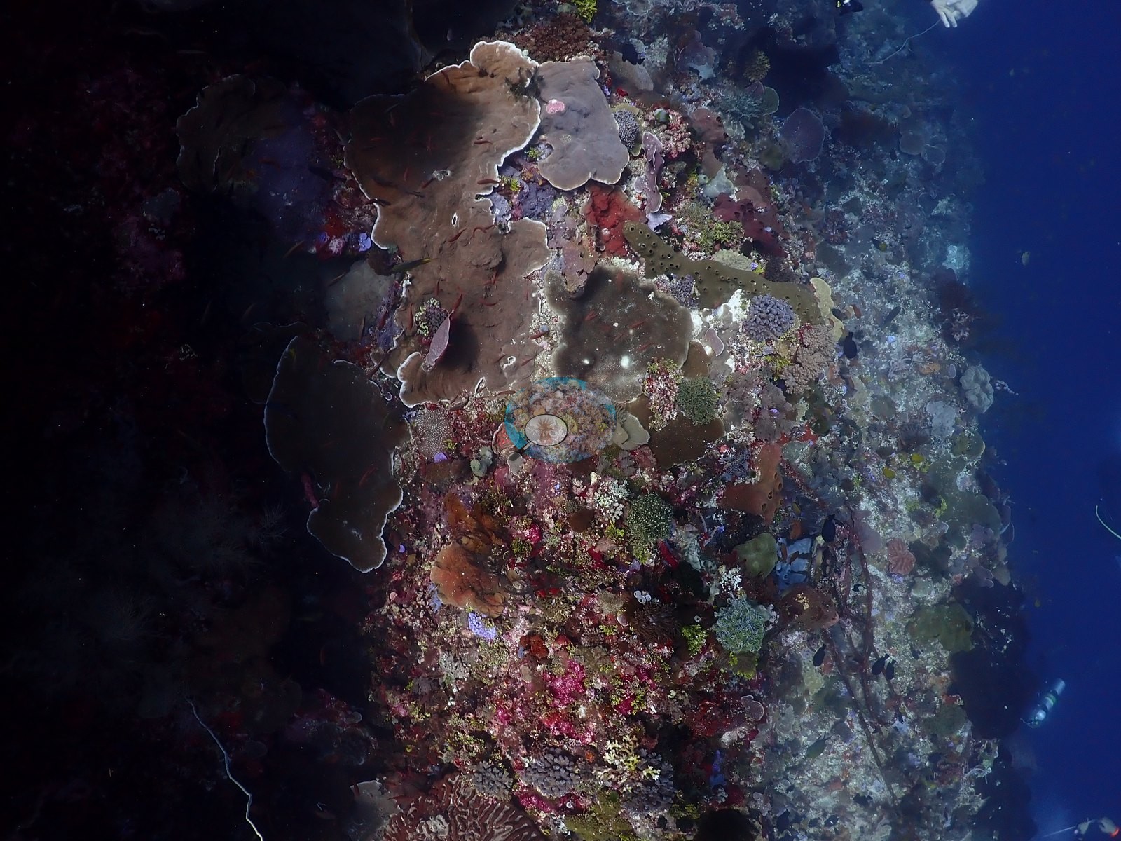
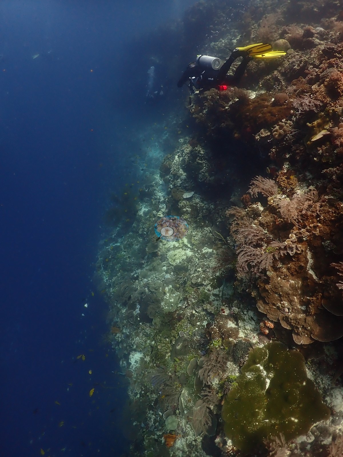
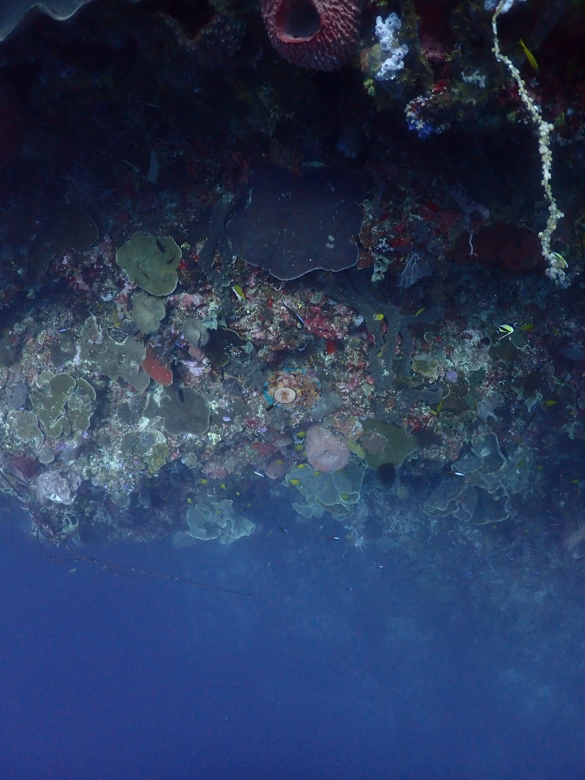
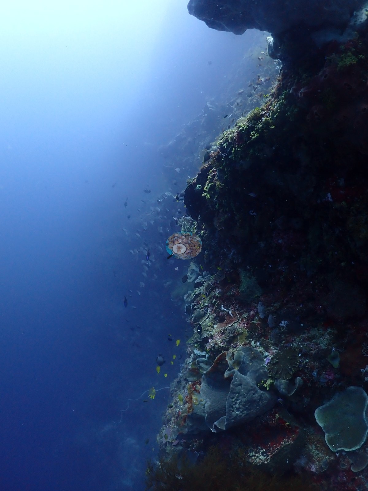
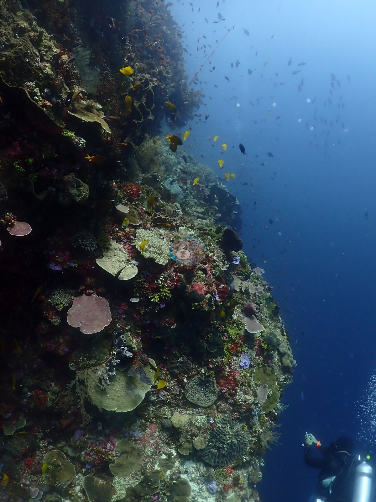
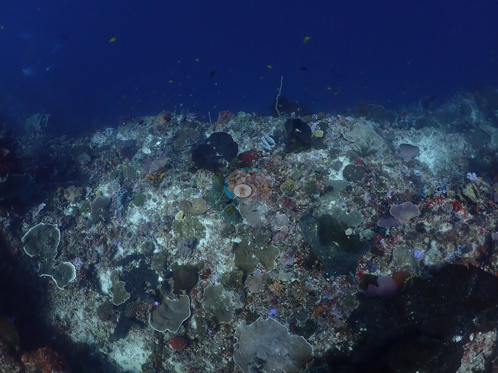
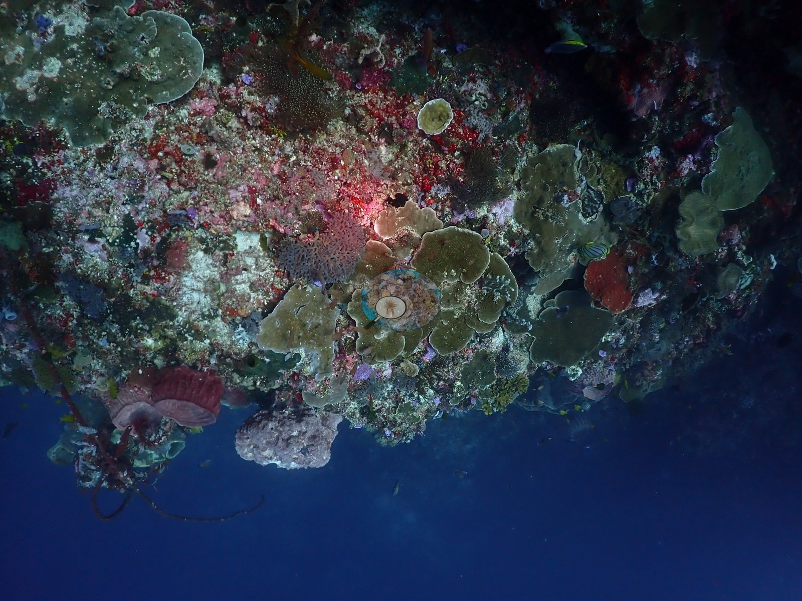
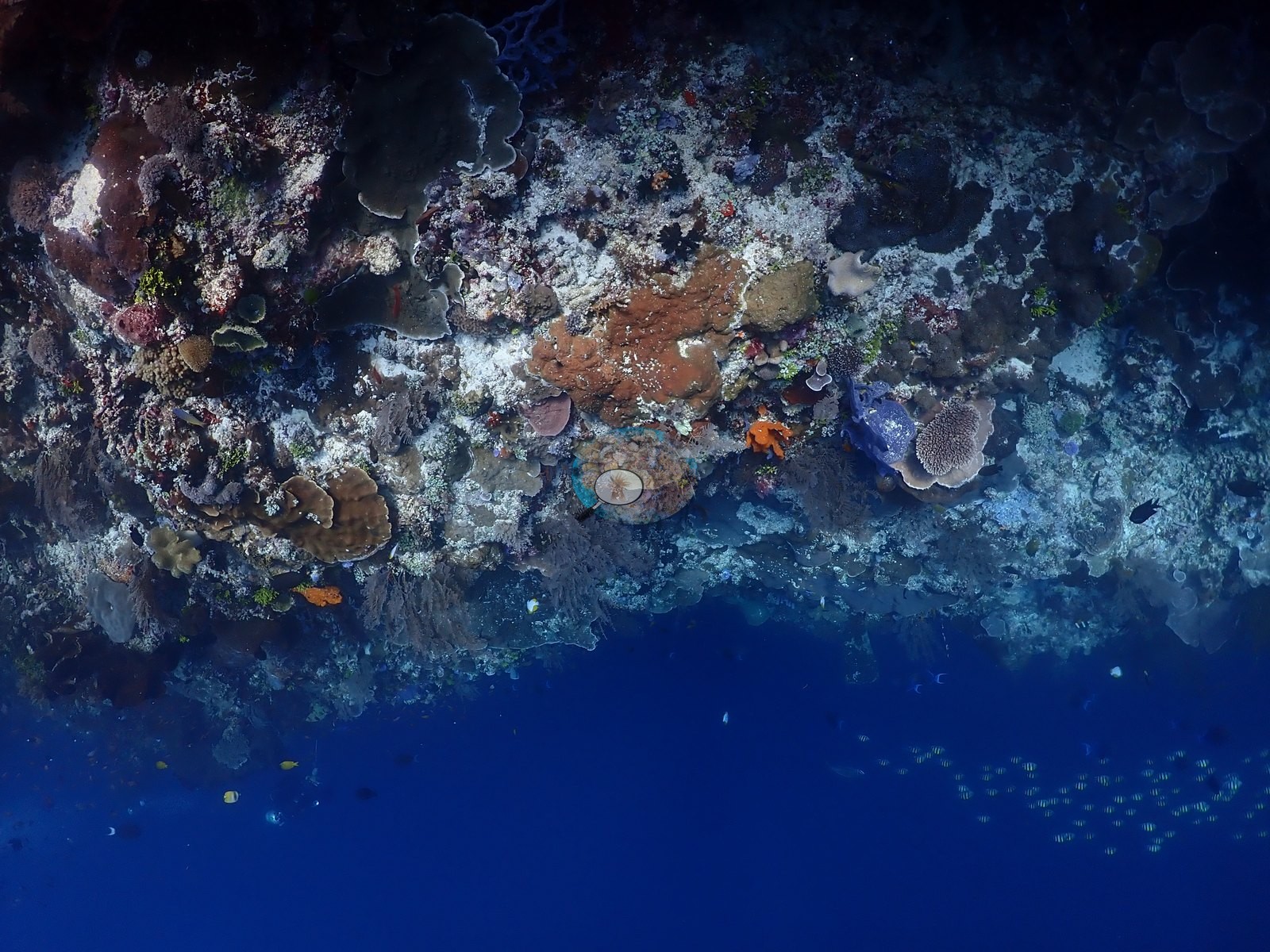
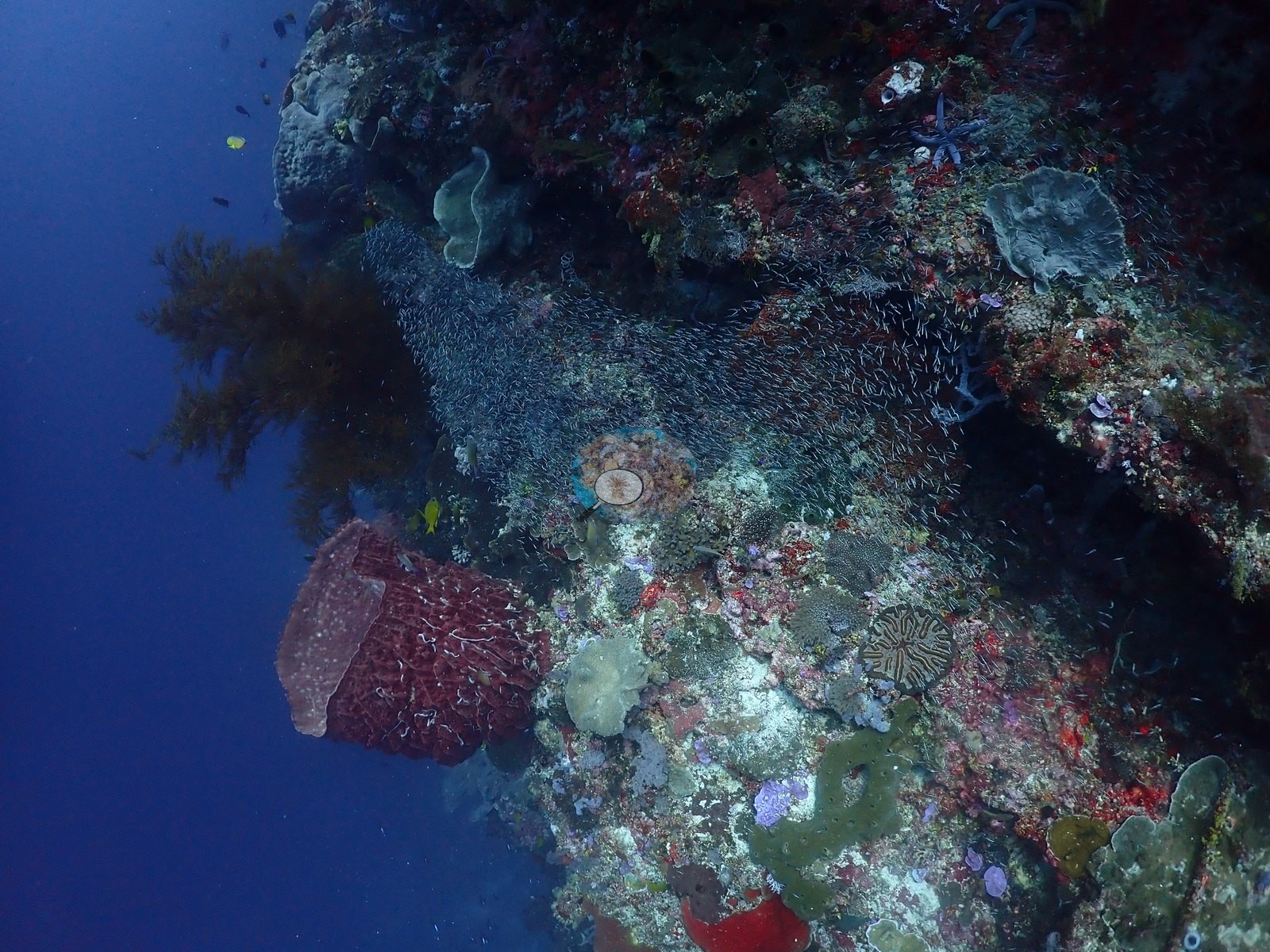
East Nusa Tenggara (NOAA CRW virtual station) · Lesser Sunda ecoregion mean=6.9°C-heating weeks Alor and the Pantar Strait sit in a zone of exceptionally strong upwelling, which holds these reefs several degrees cooler than NOAA’s satellite-derived figures imply. Read the heat-stress numbers here as a regional-scale indication, not as this reef’s own temperature history.A near-vertical wall on the west side of Ternate Island in the Pantar Strait's tidal flow, its overhangs covered more by sponges, sea fans, black coral, and feather stars than by reef-building corals, with schools of silversides and fusiliers off the drop. Higher up the profile shallows onto a different habitat of meter-wide Acropora tables and dense branching coral.
Dinding nyaris tegak lurus di sisi barat Pulau Ternate dalam aliran pasang surut Selat Pantar, ceruk-ceruknya lebih banyak tertutup spons, kipas laut, karang hitam, dan lili laut daripada karang pembentuk terumbu, dengan gerombolan ikan teri dan ikan ekor kuning di luar tubir. Lebih ke atas, profilnya mendangkal menjadi habitat berbeda berupa meja Acropora selebar satu meter dan karang bercabang yang rapat.
Terjemahan ringkasan ini oleh AI; versi bahasa Inggris yang berlaku.
Two independent survey stations shown with the program’s logo — click one to see how far it is from this site.
Two other CRD dive sites within 5 km shown in orange — click a marker to open its page.
23 of these 54 photographs are shown beside the text that discusses them under "Site description" below.
Site description
Setting
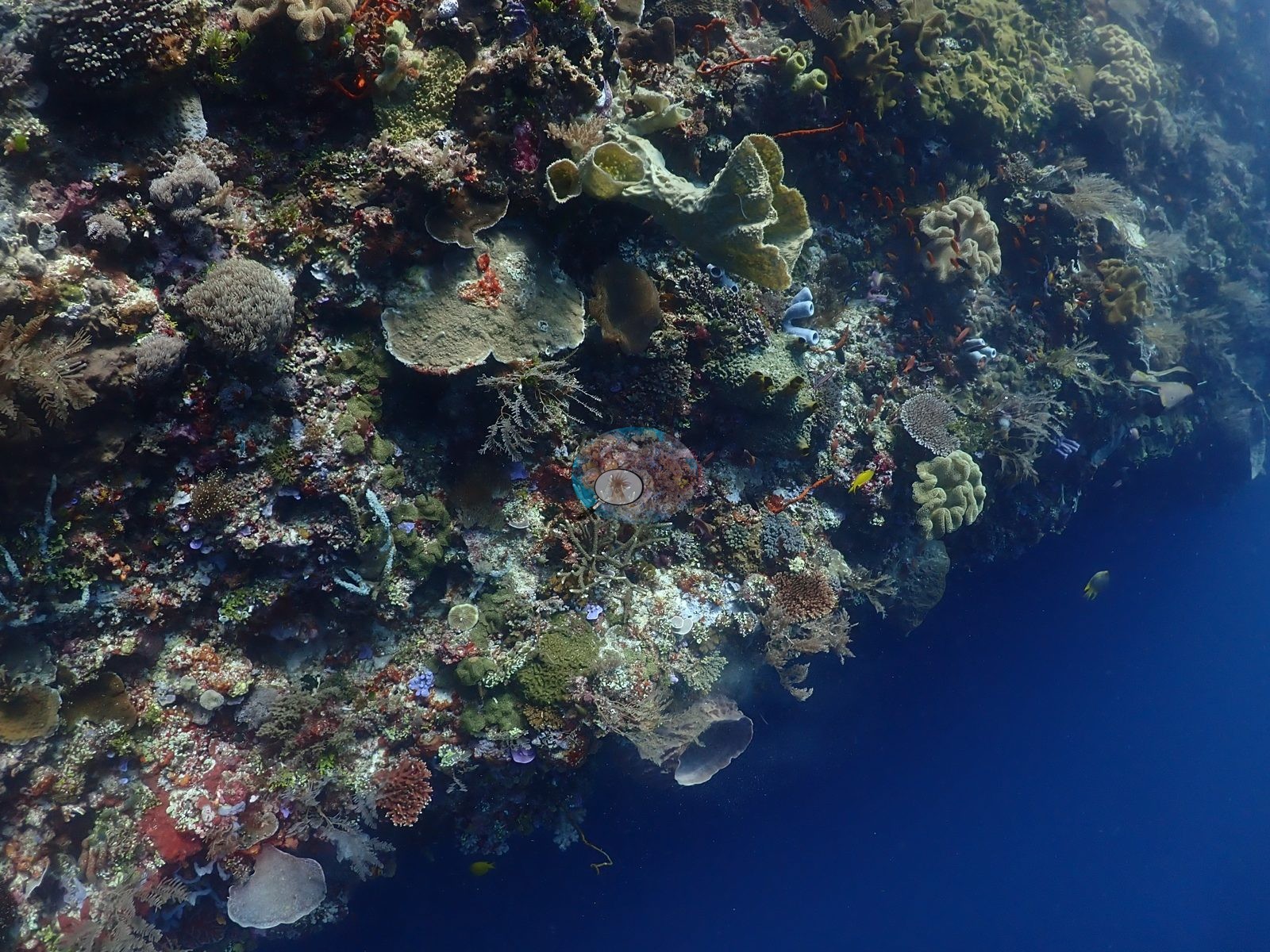
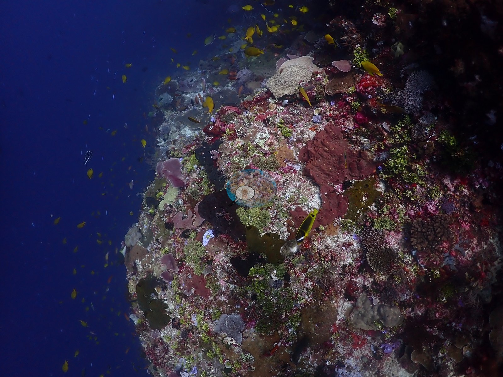
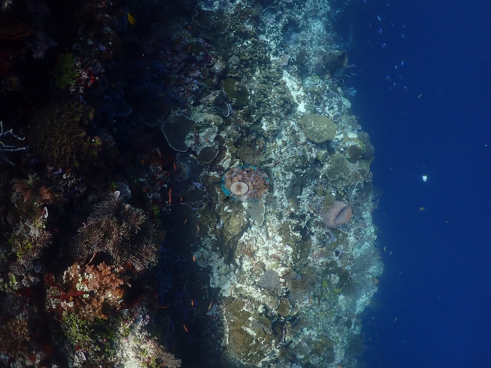
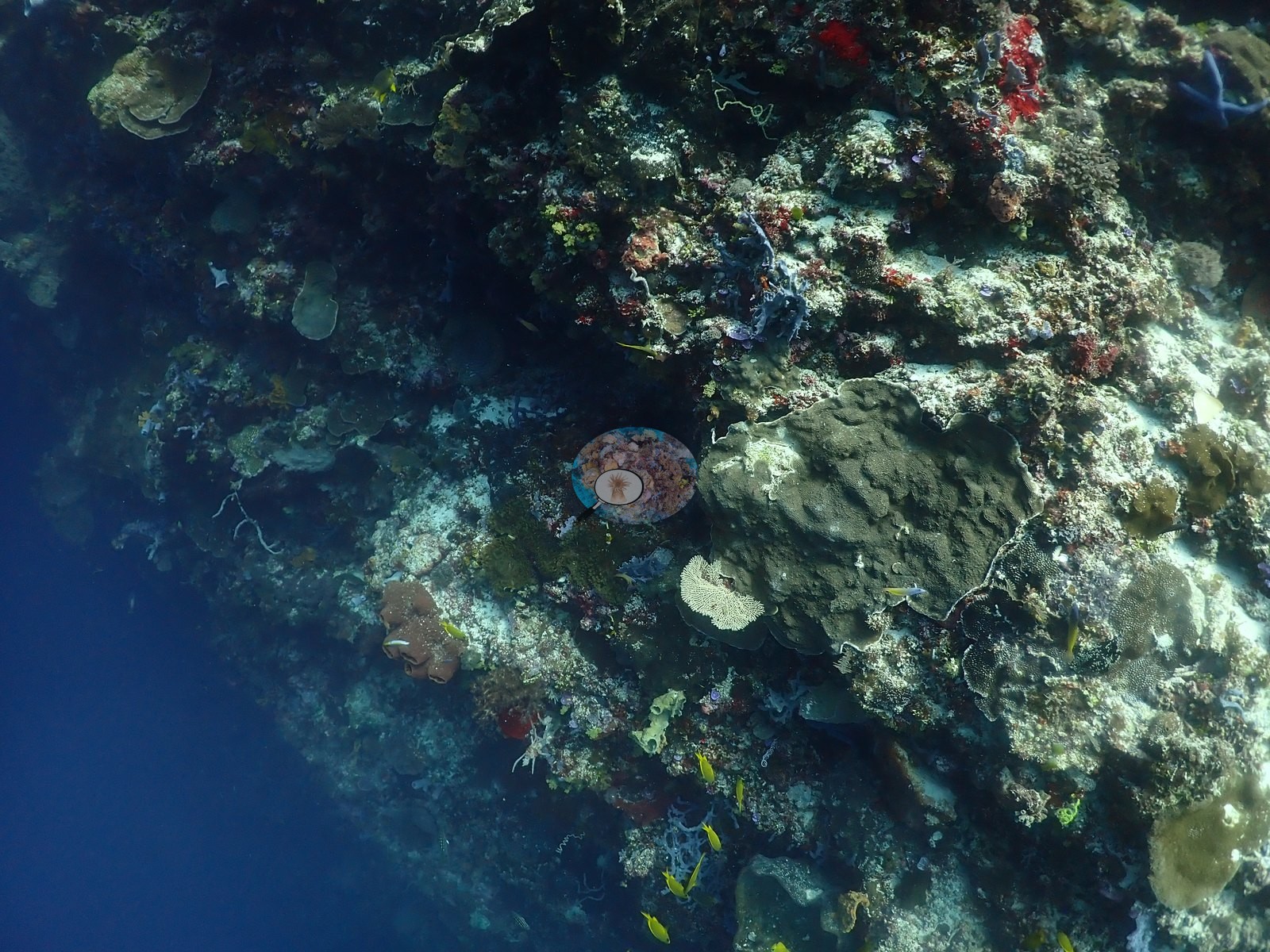
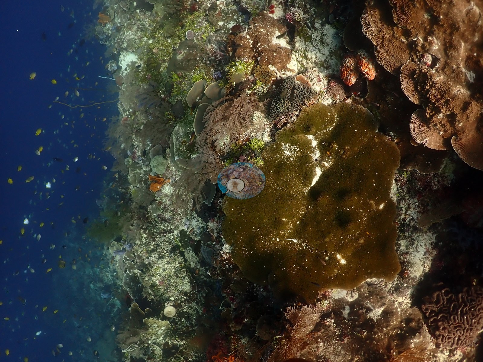
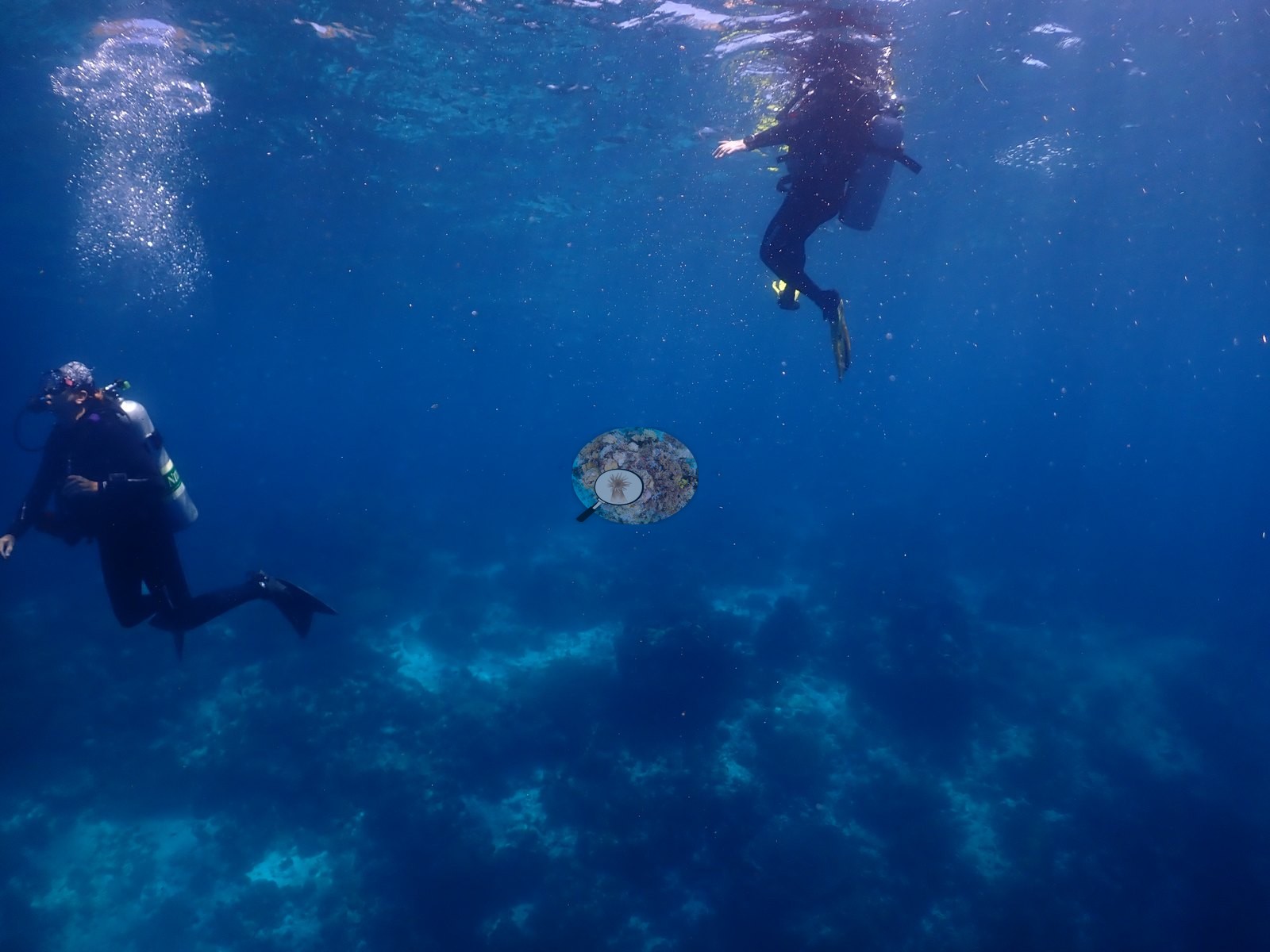
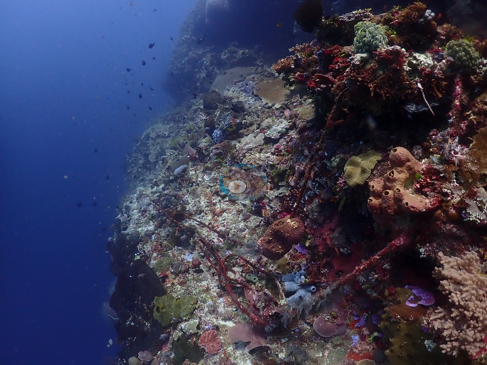
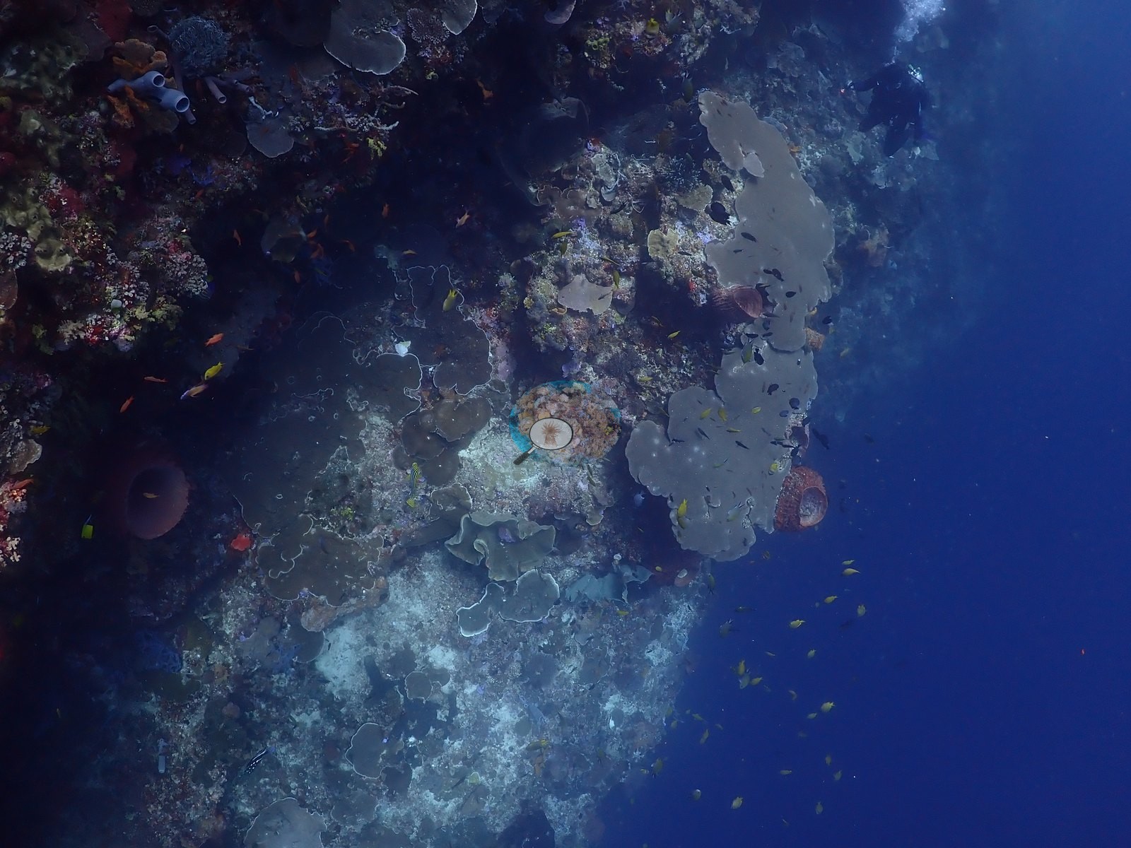
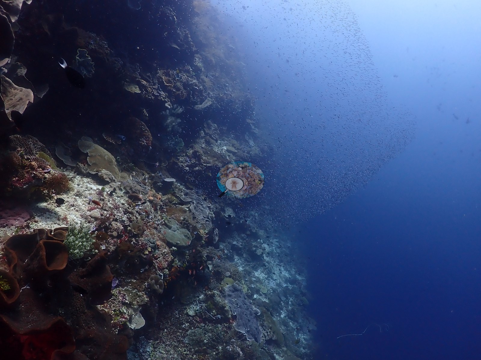
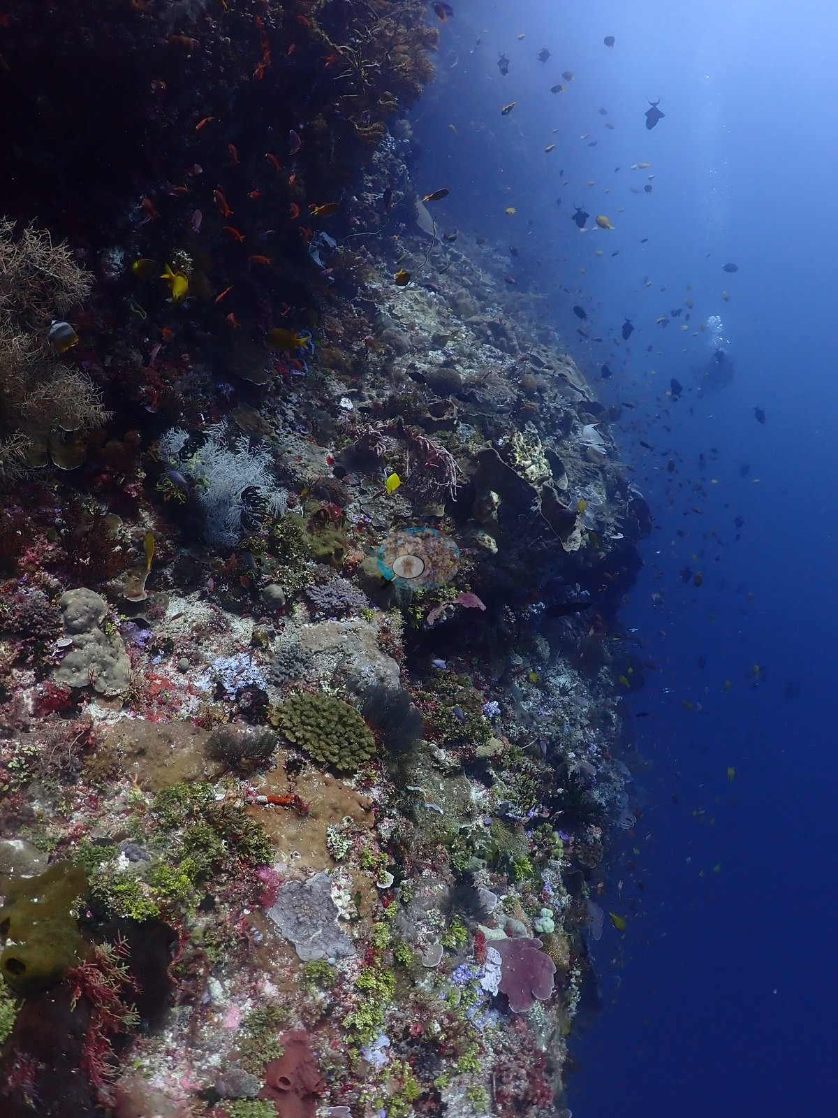
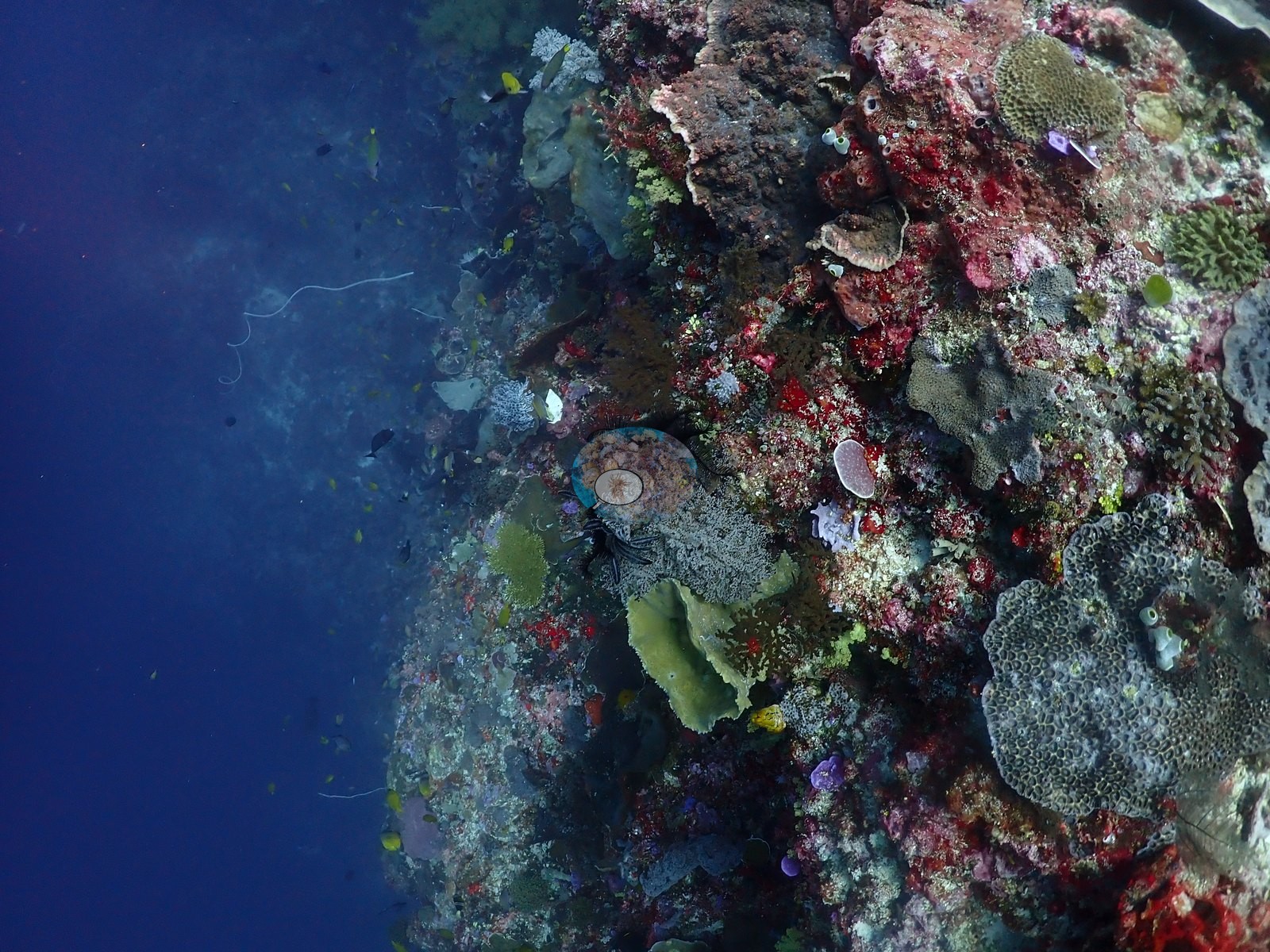
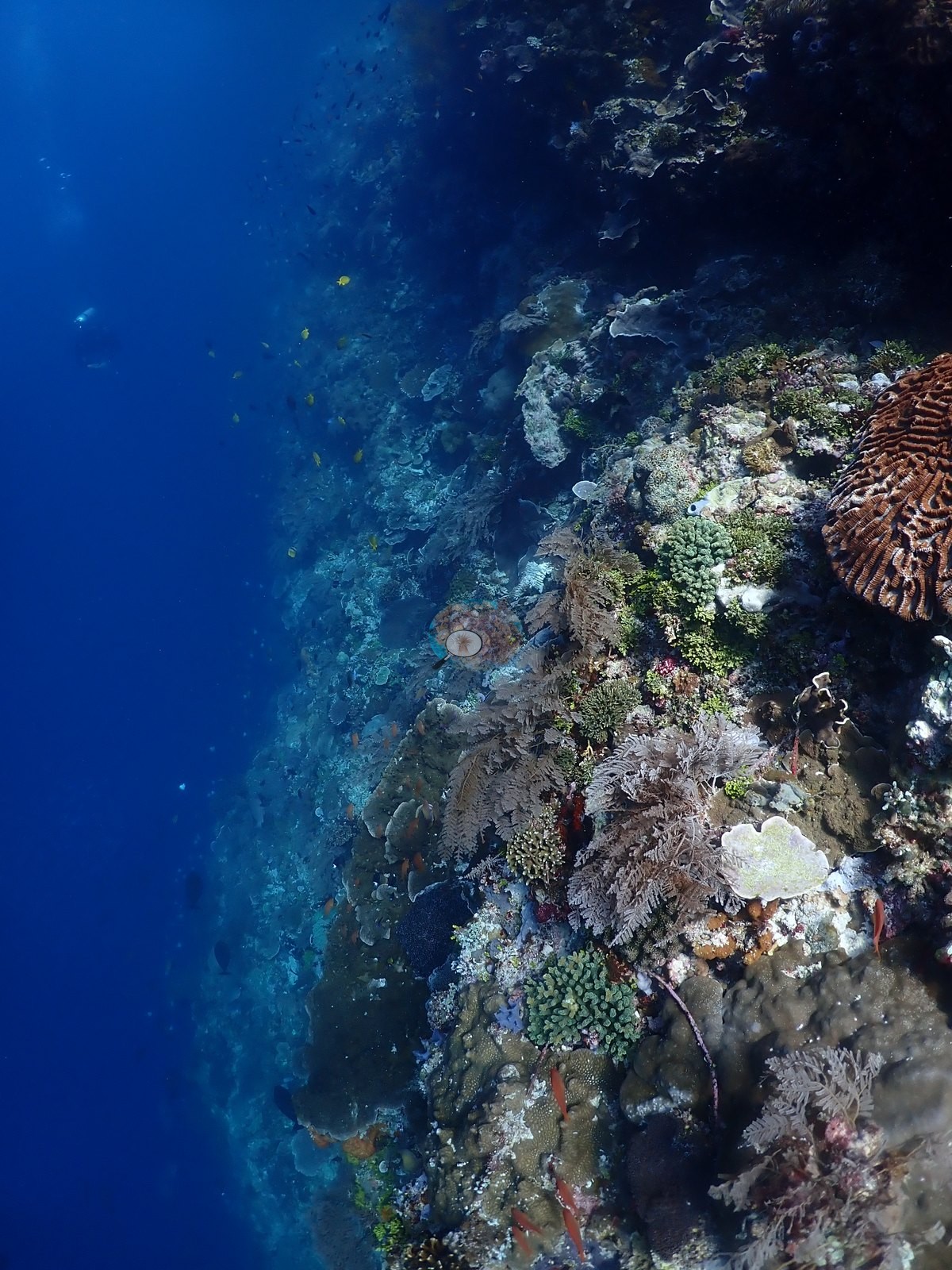
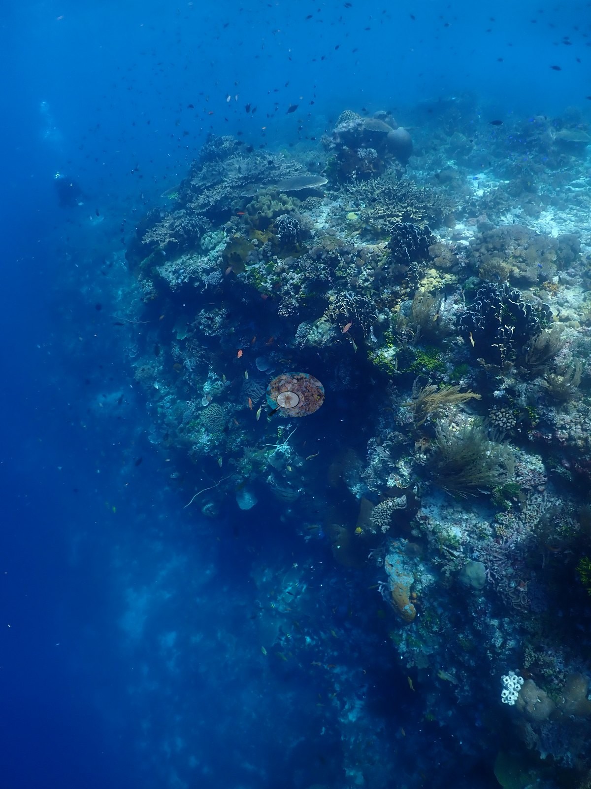
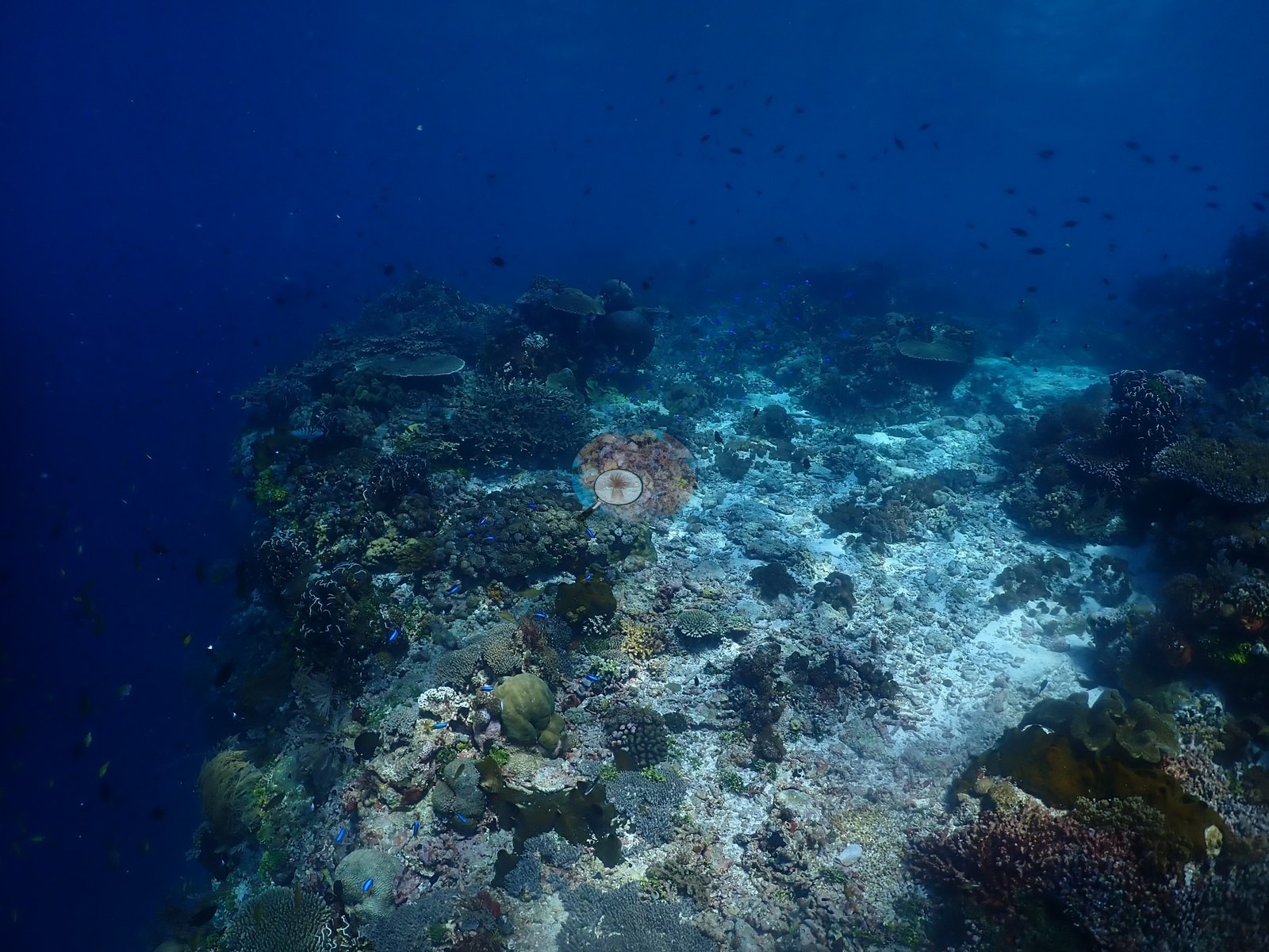
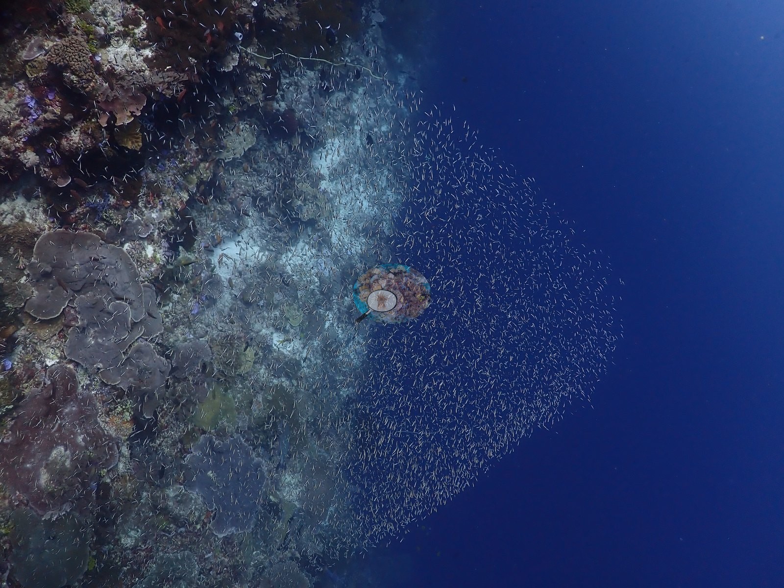
The set opens topside - boat, black volcanic shoreline, village, shallow reef flat - then drops onto a near-vertical wall on the west side of Ternate Island, in the tidal flow of the Pantar Strait. The deep half is wall, not slope: overhanging faces and undercut lips shot from below against open blue, and the encrusting community rather than the reef-building corals does most of the covering there (e.g., Image 6, Image 11, Image 22).
General benthic features
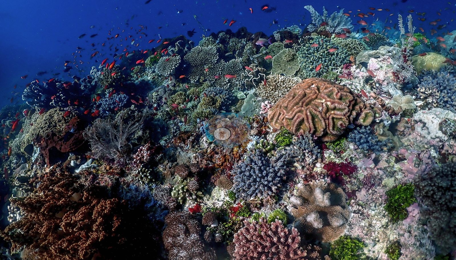
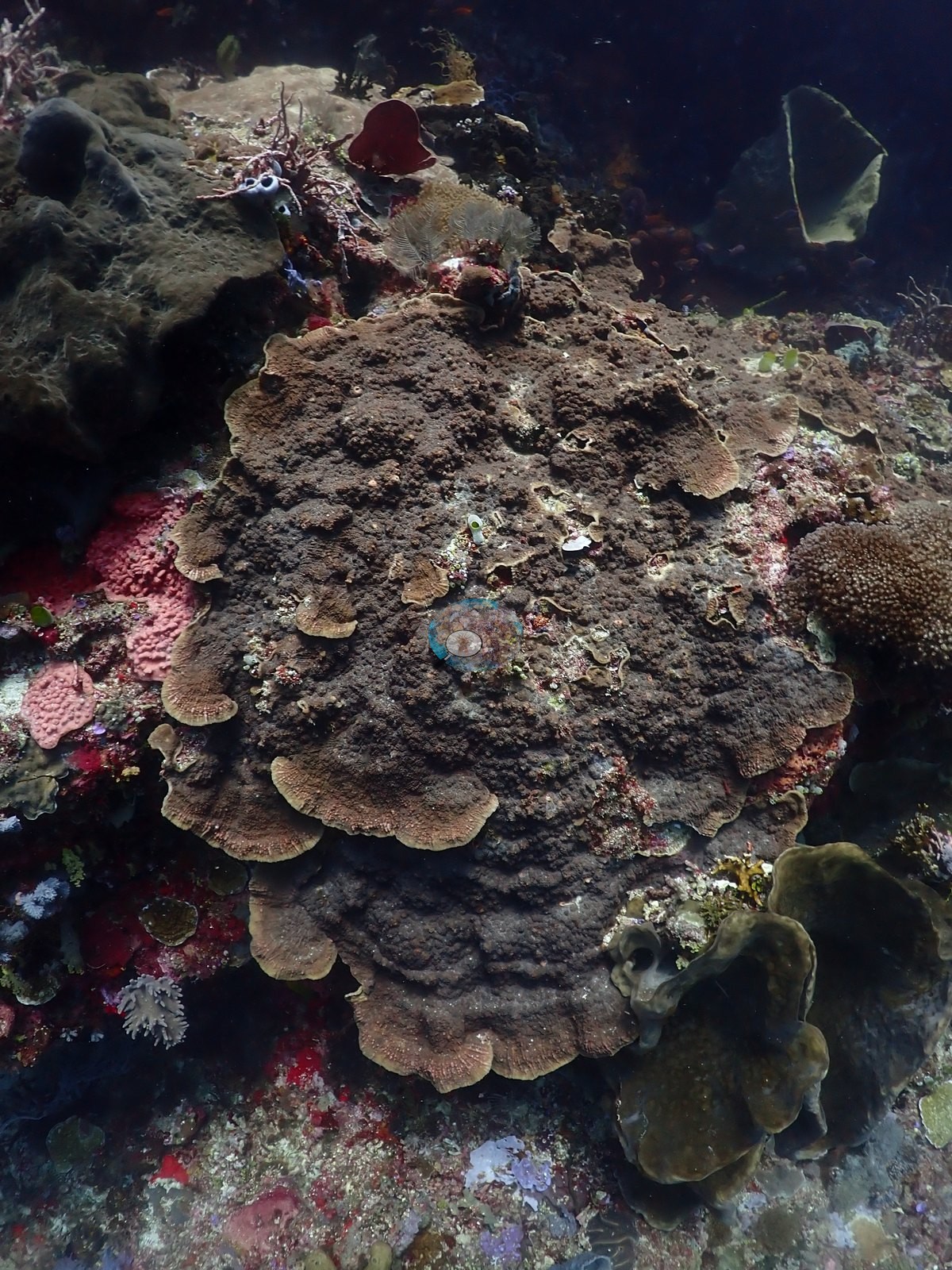
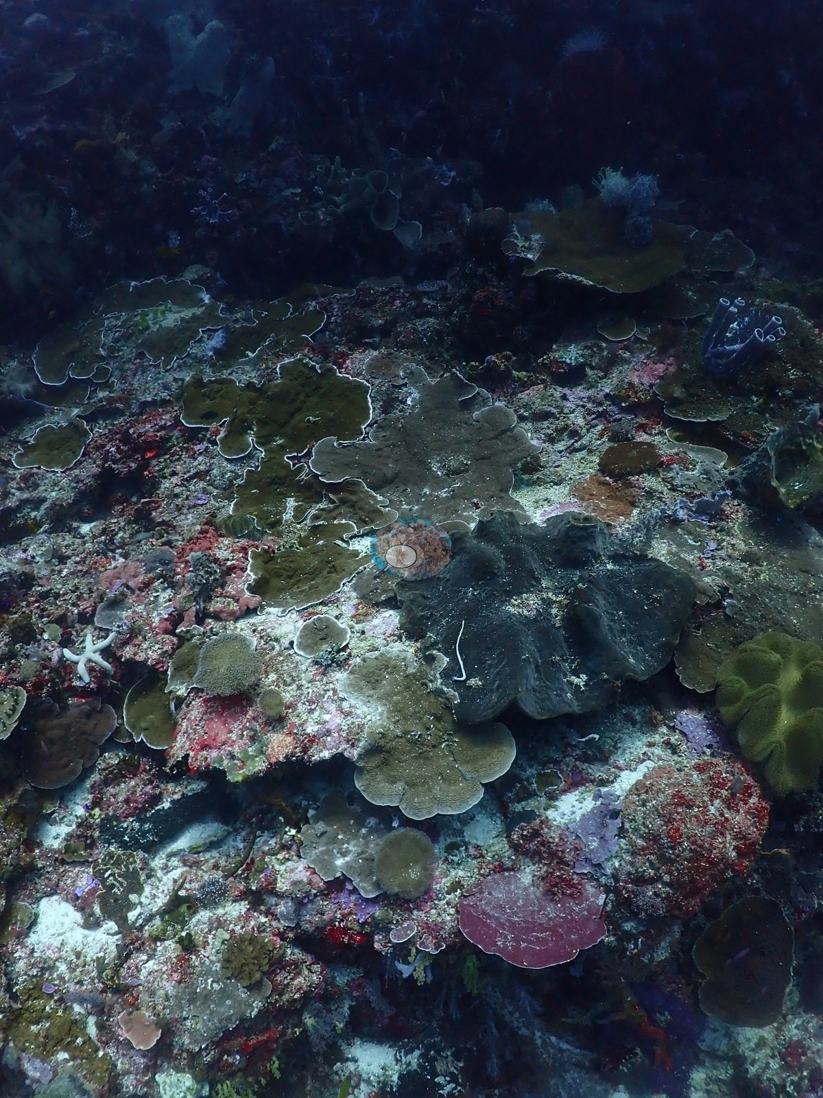
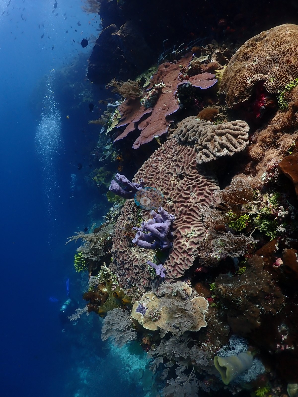
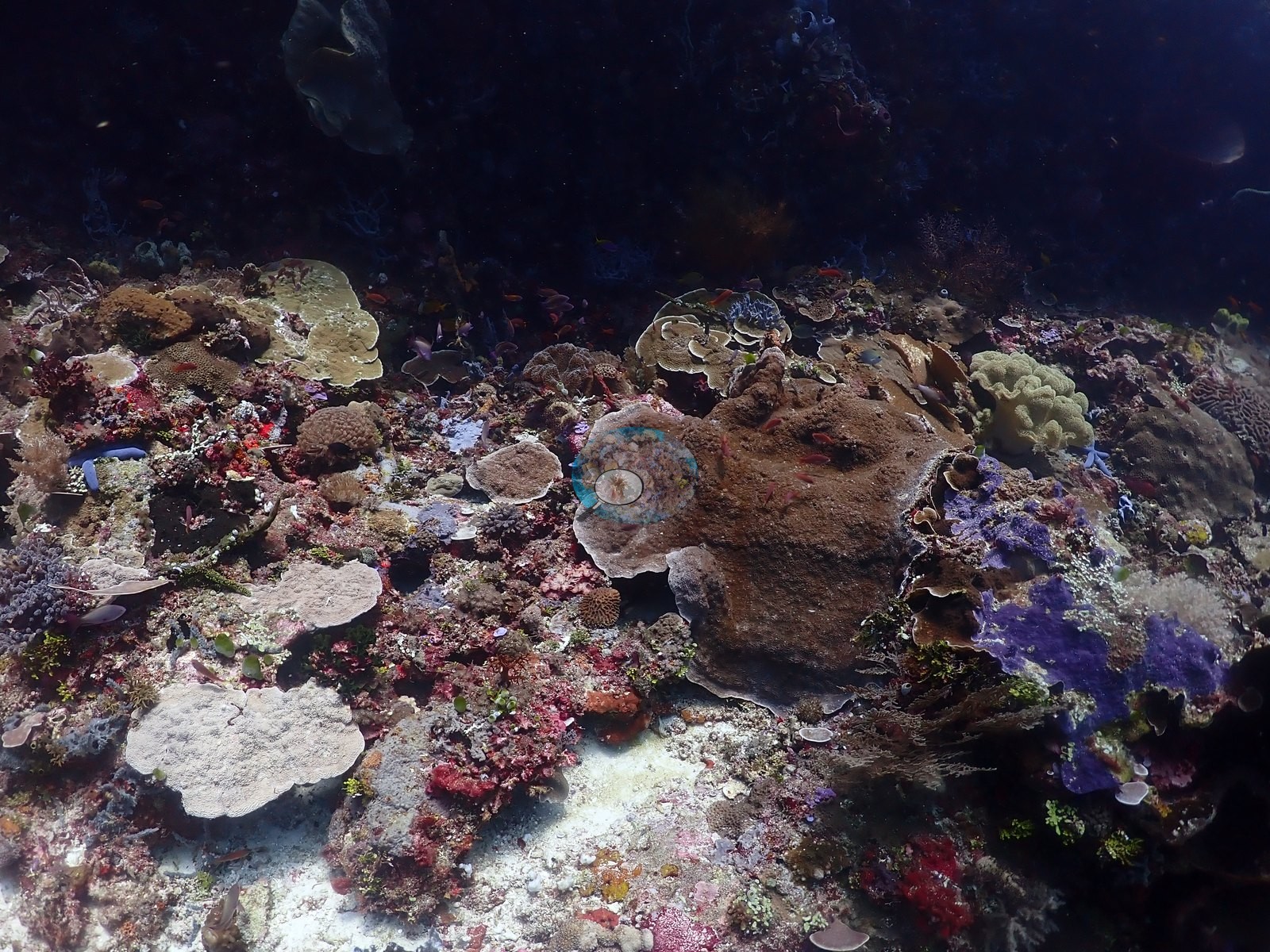
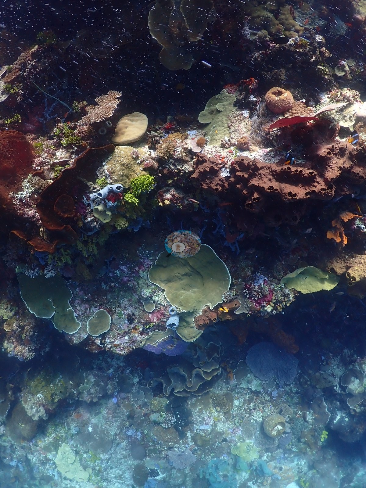
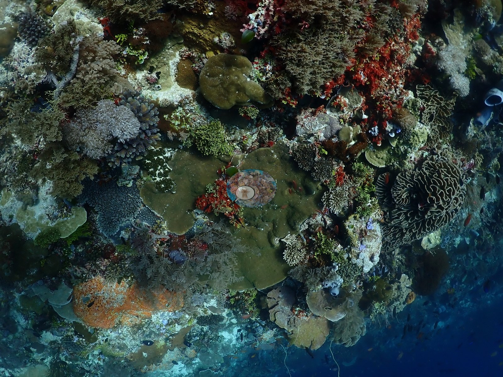
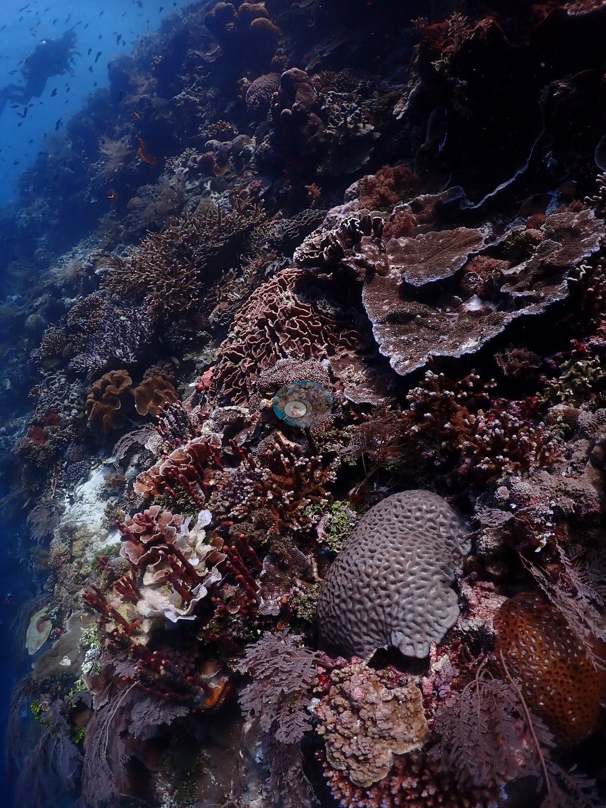
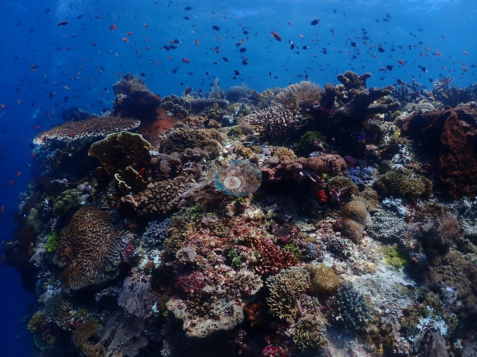
Pink crustose coralline algae, red, orange, yellow, and lilac encrusting sponges, tunicates, and turf fill the rock between overlapping plates and whorls compatible with Pachyseris, Montipora, Echinopora, and Turbinaria, with small hemispherical merulinids of Platygyra/Dipsastraea form and meandering Lobophyllia/Symphyllia heads (e.g., Image 2, Image 8, Image 19, Image 36).
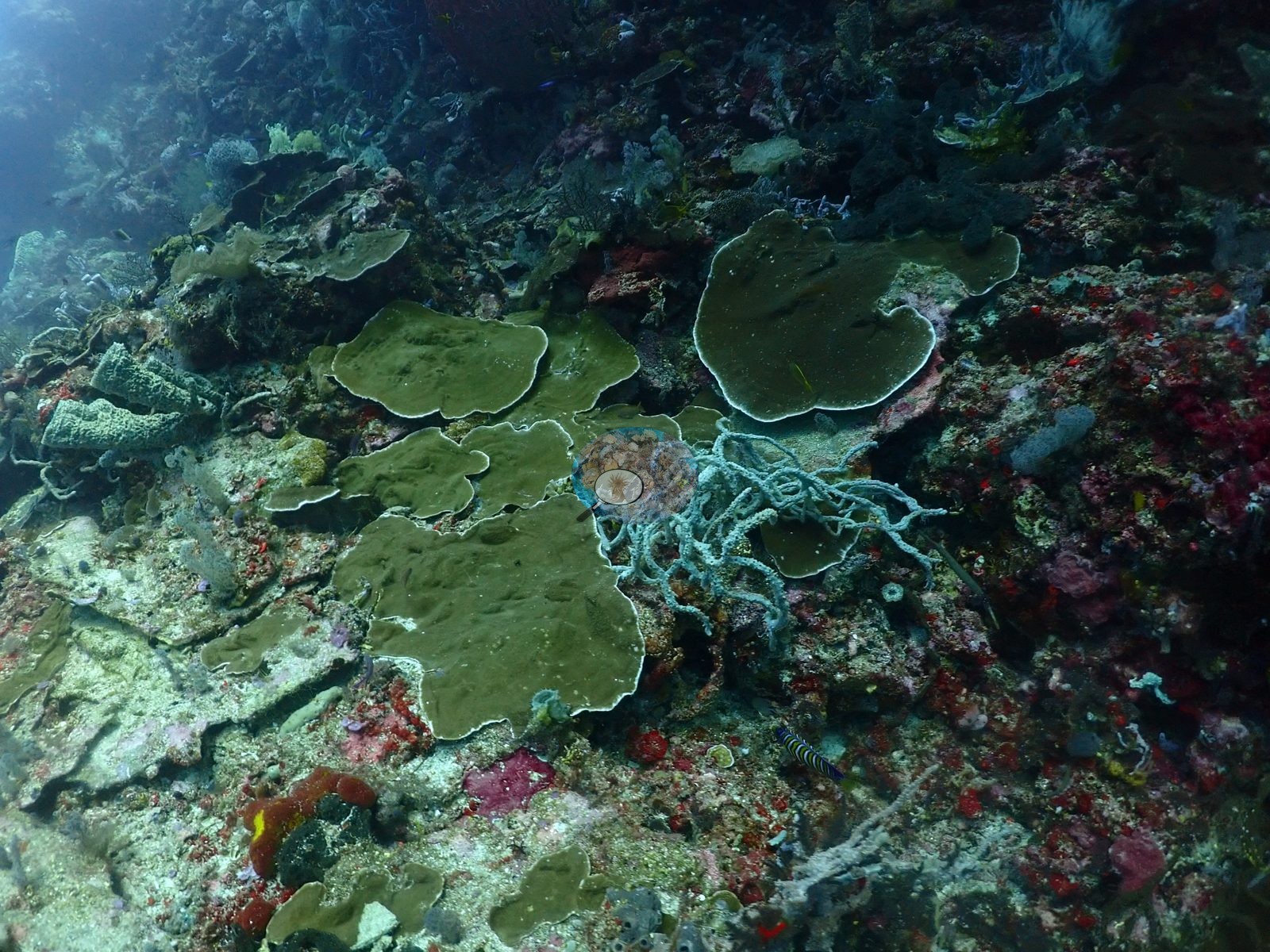
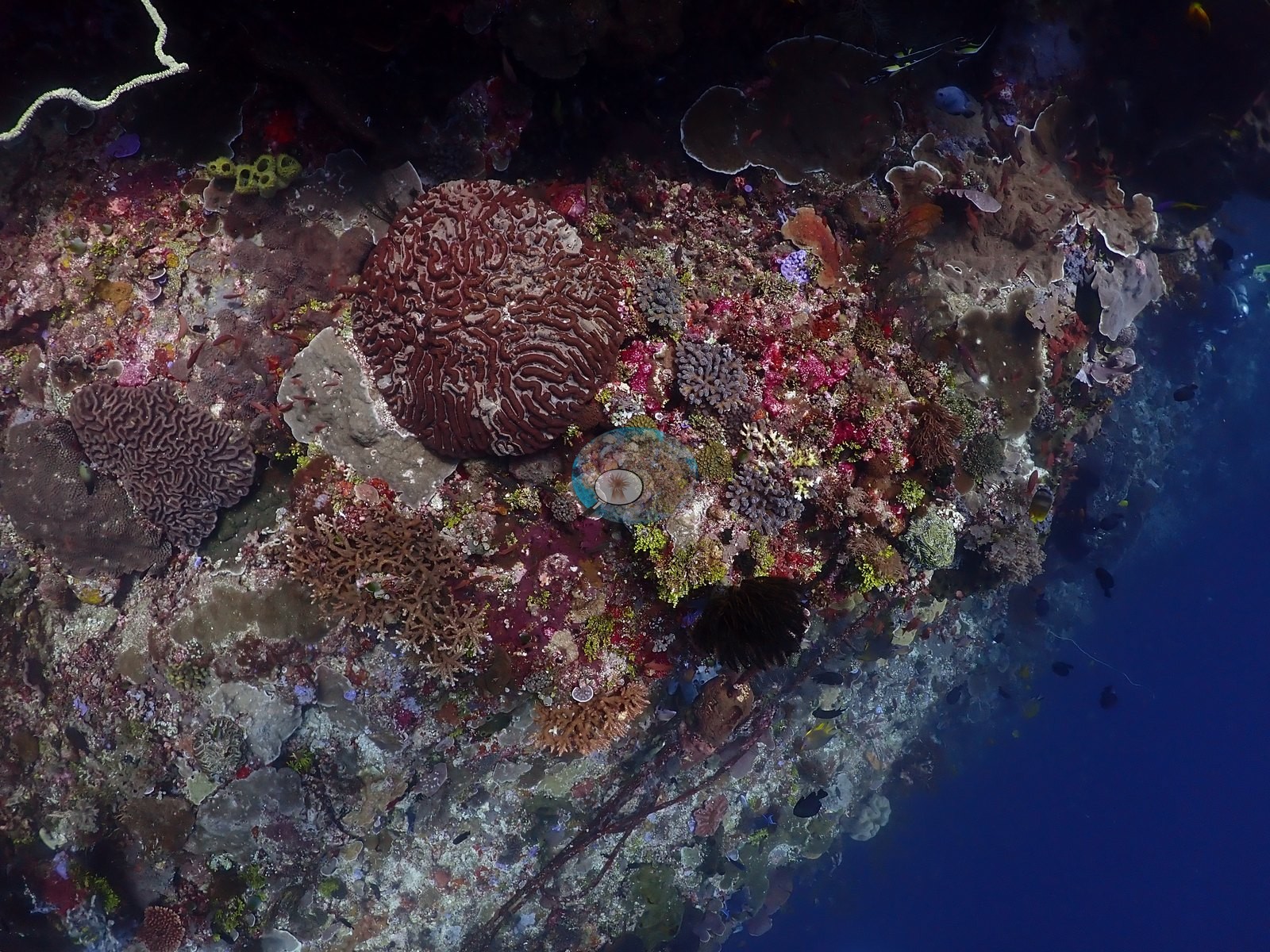
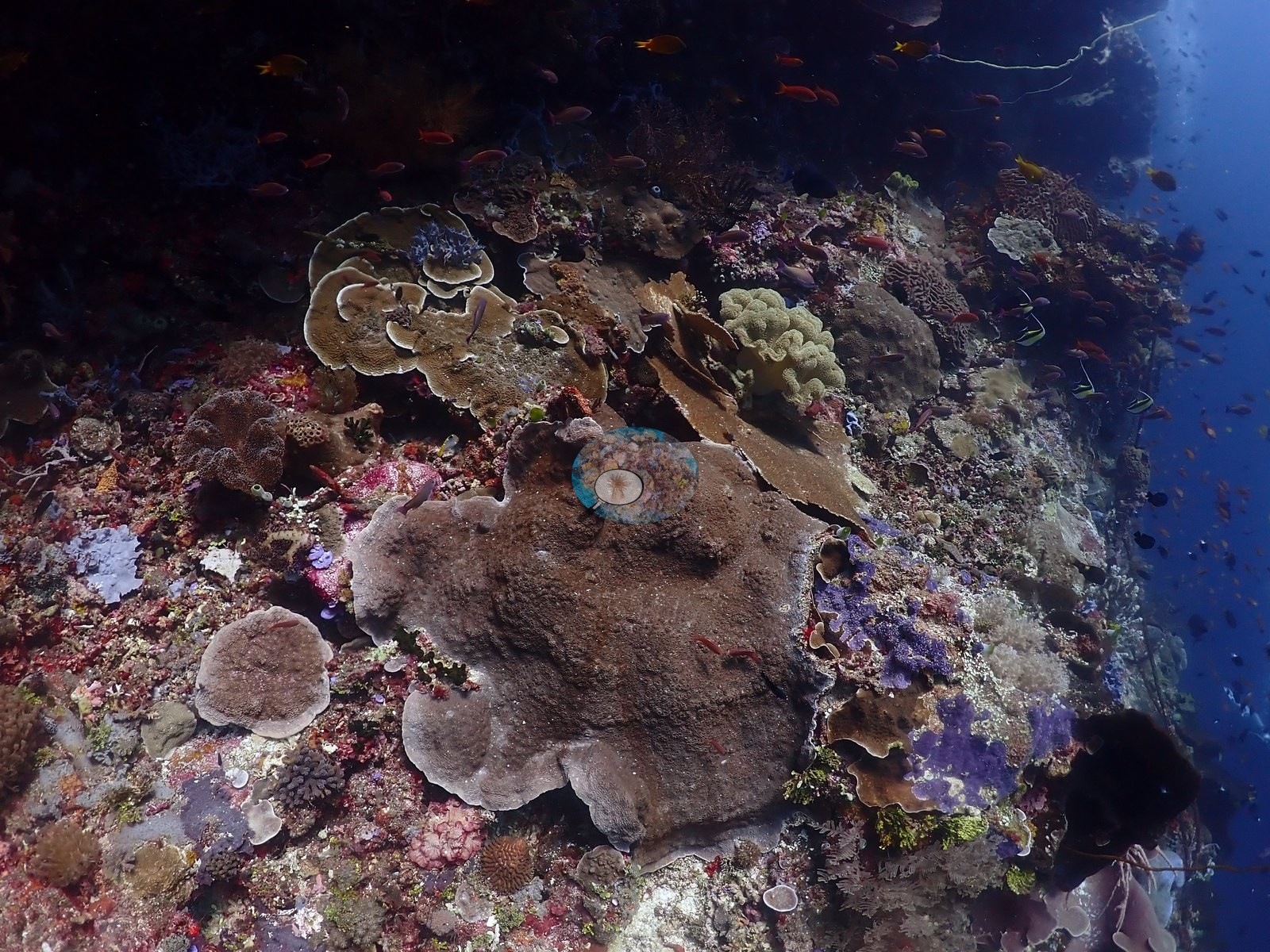
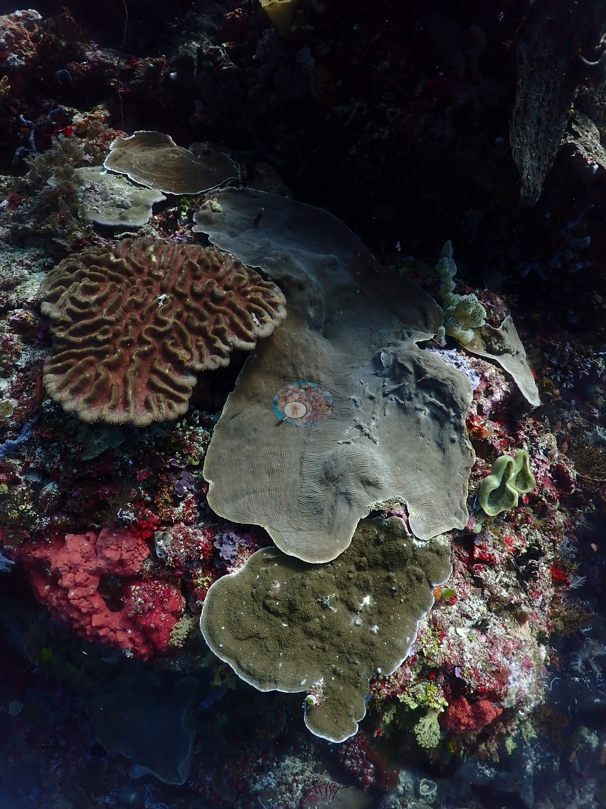
Filter feeders dominate: maroon barrel sponges of Xestospongia form, gray elephant-ear and vase sponges, blue and purple tube sponges, coiled wire and whip corals, black-coral bushes, gorgonian fans, and feather stars in every crevice (e.g., Image 24, Image 39, Image 46, Image 47).
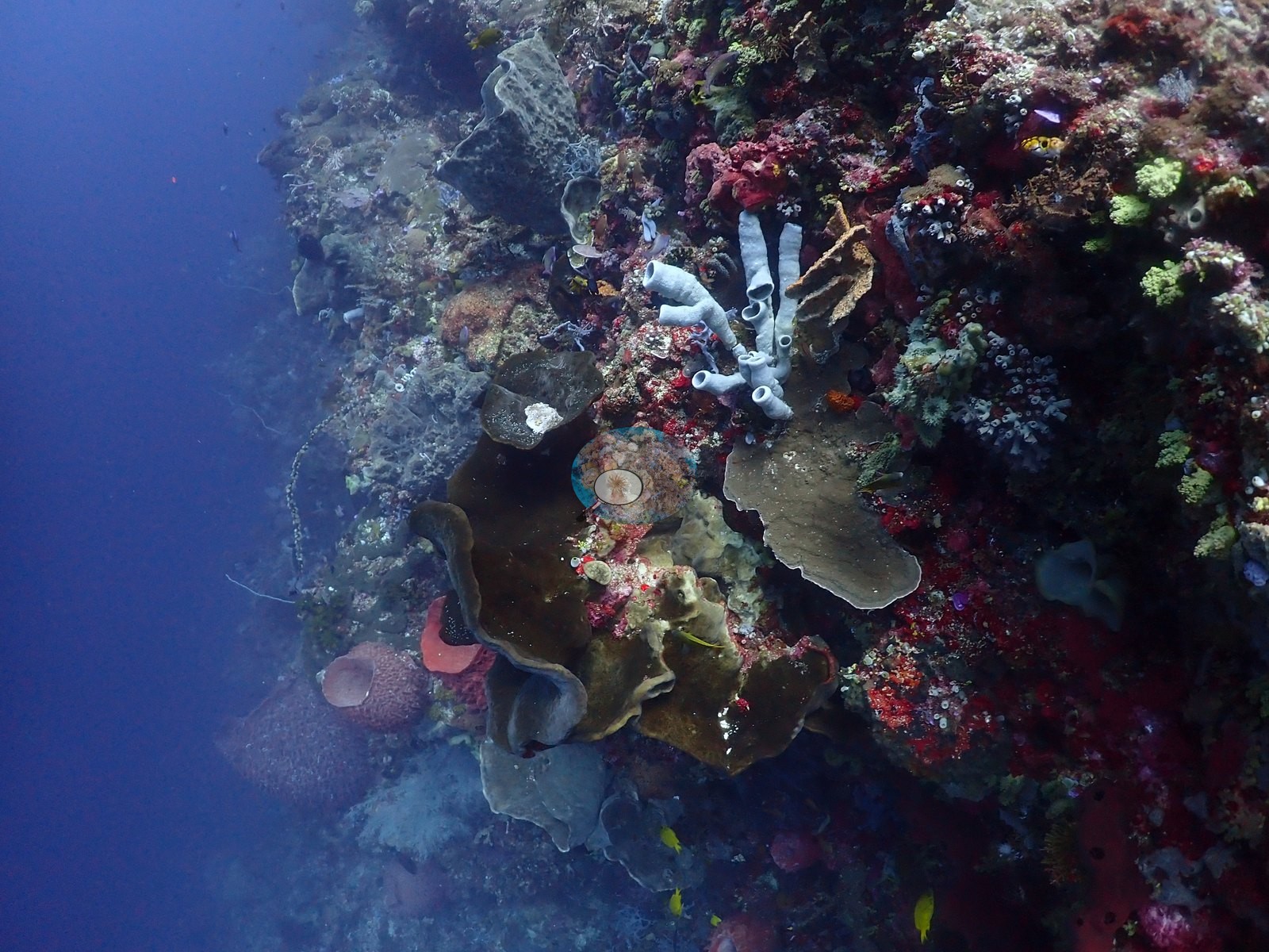
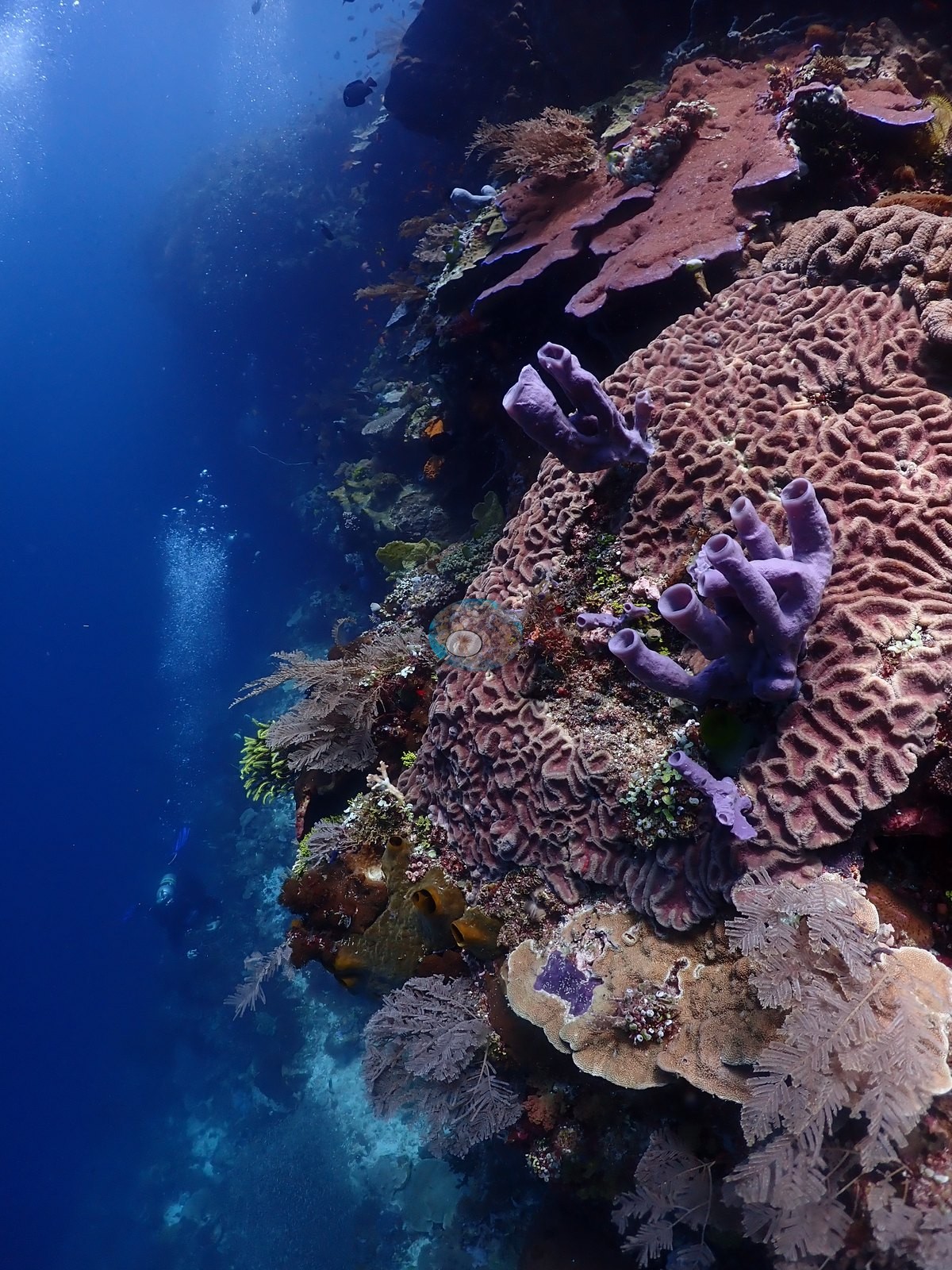
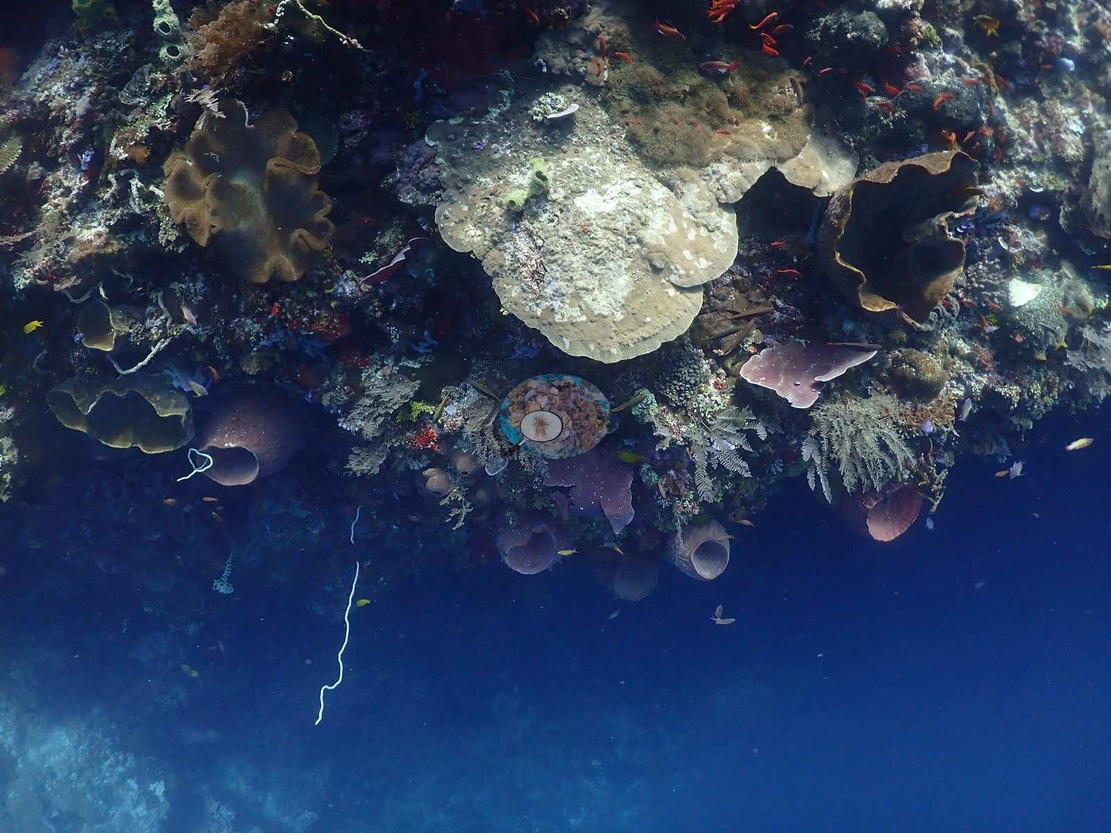
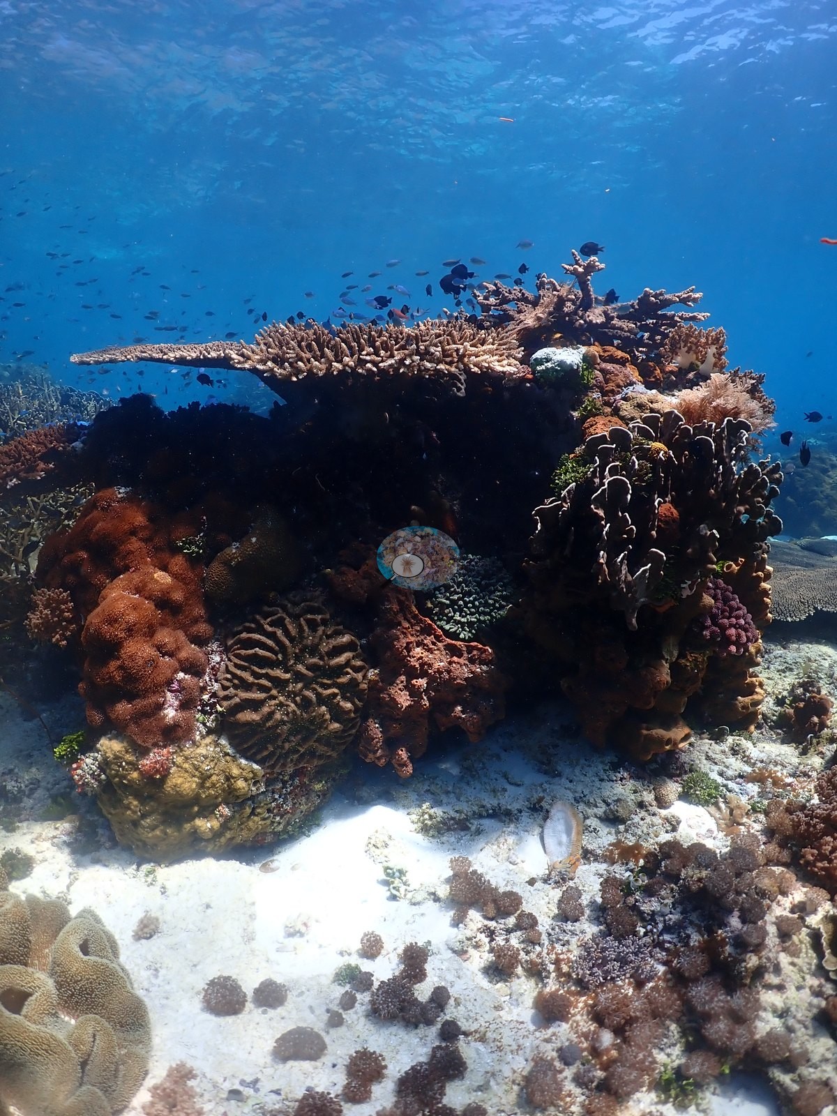
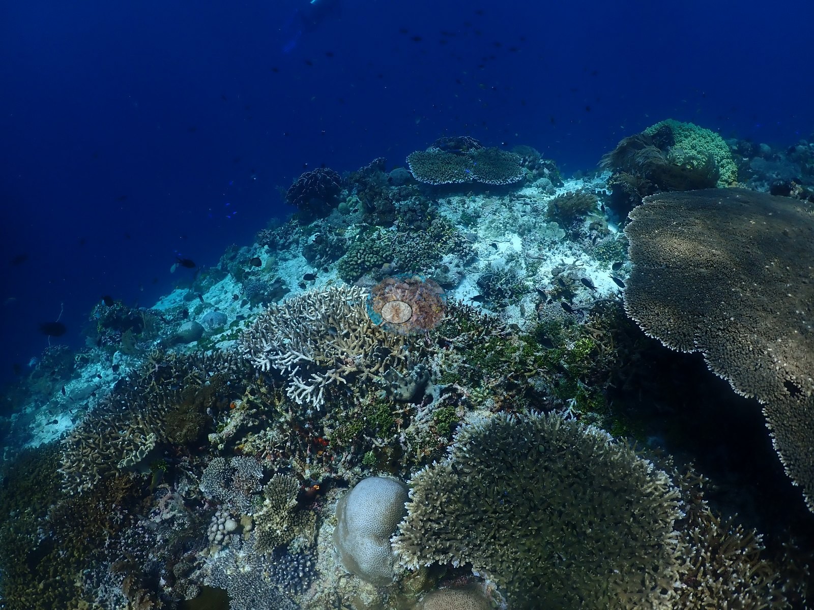
Two thirds through, the profile shallows onto a different habitat: tabulate Acropora tables a meter and more across, dense corymbose and staghorn Acropora, Pocillopora, encrusting and foliose Montipora, massive Porites, a close-up domed Dipsastraea with corallites intact, and open fields of Sarcophyton, Lobophytum, Sinularia, and pink Dendronephthya-type soft coral (e.g., Image 31, Image 34, Image 40, Image 49, Image 50).
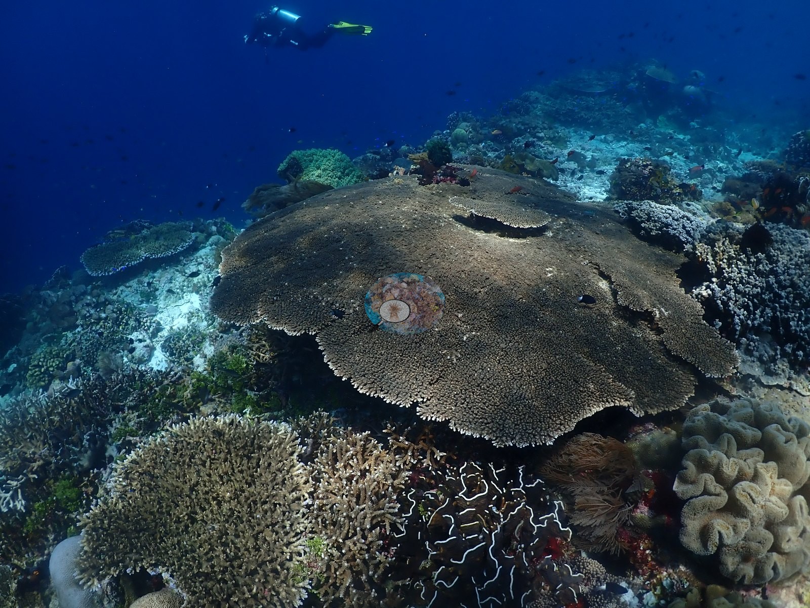
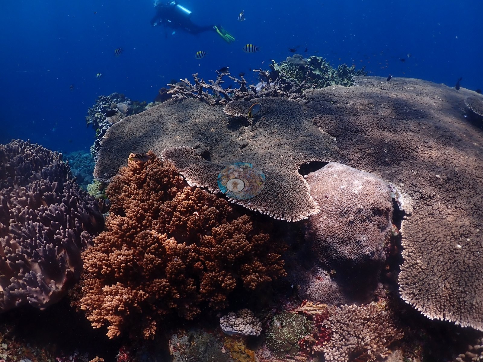
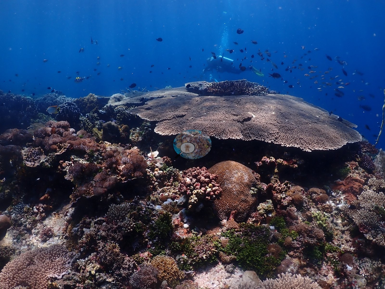
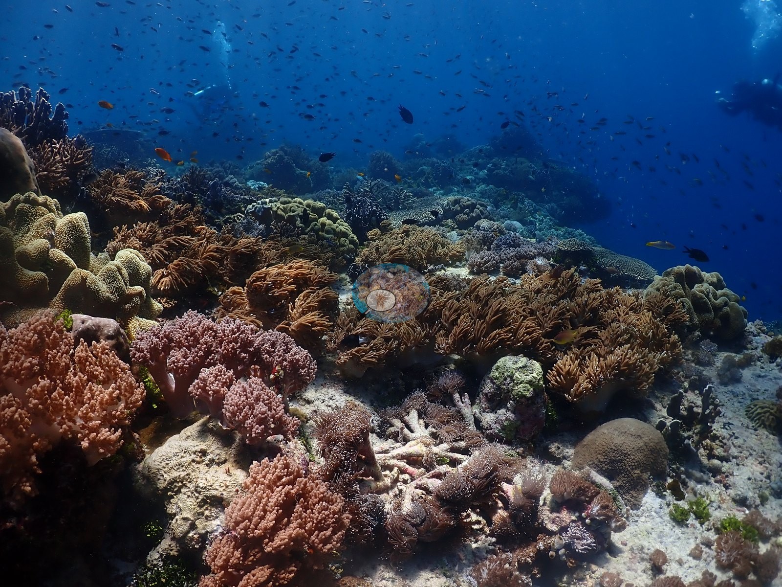
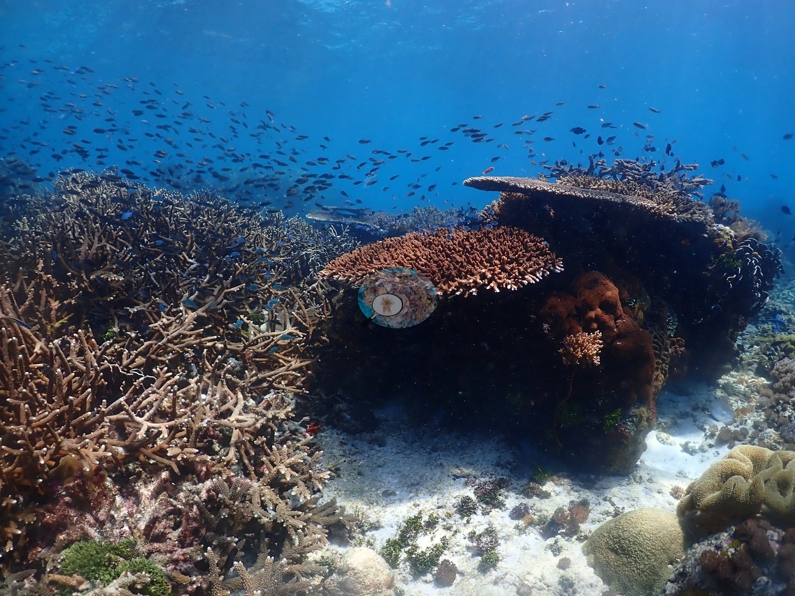
Live coral is patchy, separated by wide pale sand-and-rubble aprons and older dead framework (e.g., Image 35, Image 38).
Coral cover
Coral cover: 18% — a blind Claude computer-vision point count of 197 of Anderson's unedited photographs (20 points per photo; water, fish, and obstructions excluded). Other computer-vision methods are listed in the method table.
Stressors
No widespread bleaching - a few individually pale colonies, occasional grazing scars - and the only man-made object besides dive gear is a thin white monofilament line draped over the reef in several frames. No crown-of-thorns starfish (COTS) or other corallivores evident.
Fish and other fauna
One frame holds a lionfish (Pterois); others a blue Linckia laevigata, red sea whips, and a large angelfish. Anthias, chromis, black-and-yellow bannerfish, butterflyfishes, and cloud-like schools of silversides and fusiliers hang off the drop-off (e.g., Image 4, Image 21).
Comparisons with other data
Also on record for this site: A high-relief wall and slope with numerous ledges and overhangs (e.g., Image 29, Image 43).
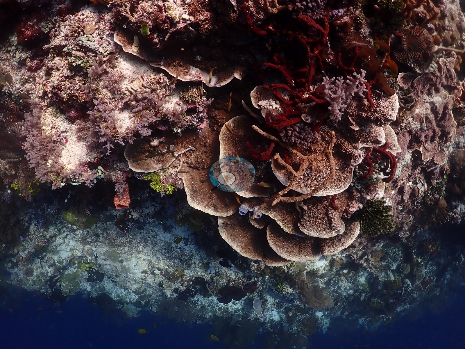
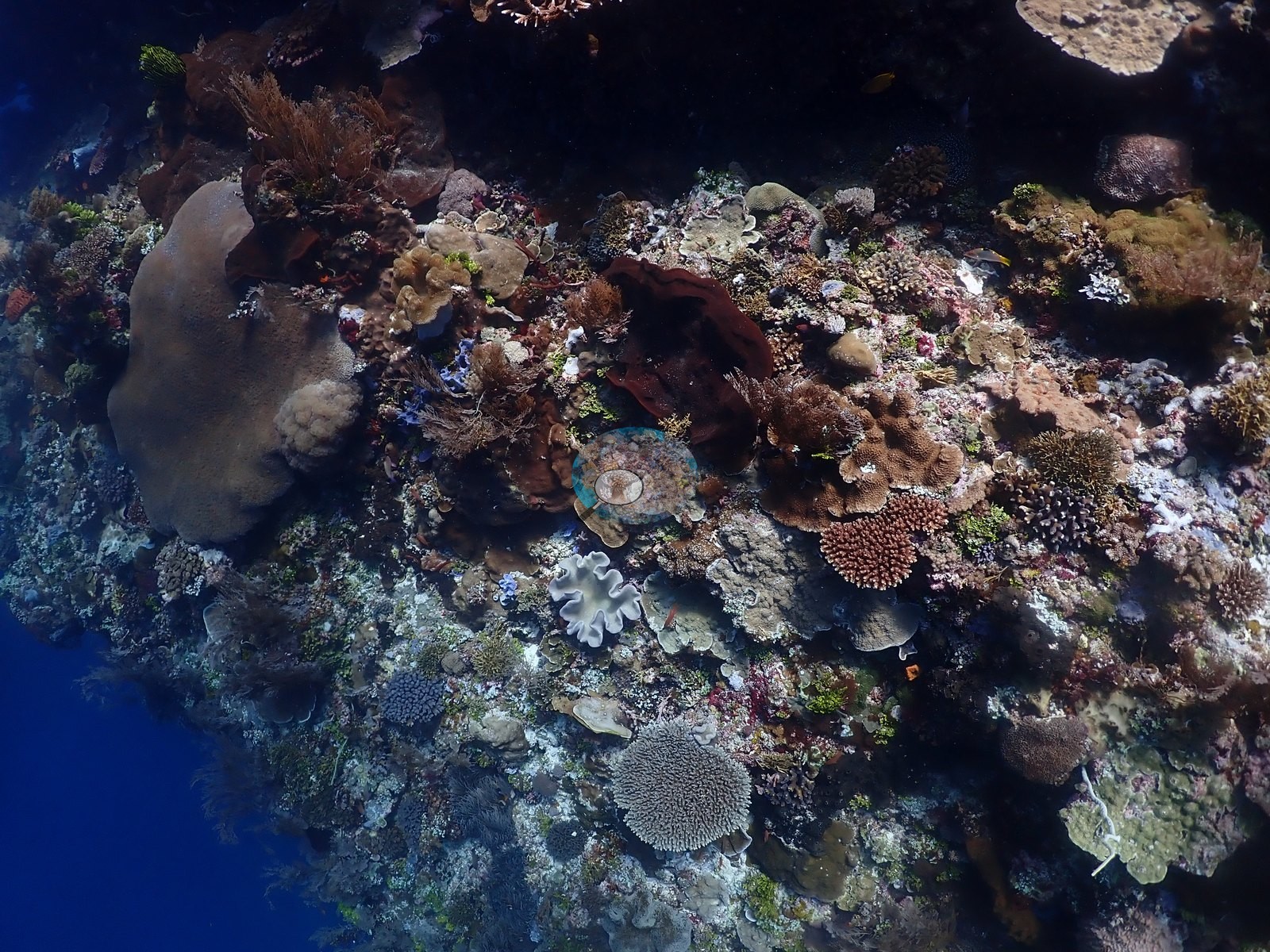
Live cover was moderate to locally high and became more continuous on parts of the upper reef; the large pelagics reported from the site were not dominant in this image set (e.g., Image 1).
Other notes
Also on record for this site: A high-relief wall and slope with numerous ledges and overhangs (e.g., Image 29, Image 43).
CV model comparison
More info
DINOv3 and CoralSCOP were run on the same photos and are listed for comparison. Coralscapes v2 and v1 were also run but are not shown: Anderson does not consider Coralscapes reliable for these photos. No diver transect exists for this trip, so agreement between the rows is not accuracy, and as of September 2026 no computer-vision method estimates coral cover accurately on new images; treat every row as indicative.| Method | Hard-coral cover (%) |
|---|---|
| In-house DINOv3 | 28.7 |
| CoralSCOP unedited | 17.5 |
| Claude | 17.7 |
Independent surveys nearby
| Agency / program | Year(s) | Stations / distance | Link |
|---|---|---|---|
| WCS Indonesia via MERMAID | 2025 | 1 station, 0.52 km | Records ↓ |
| WWF-US / WWF-Indonesia | 2014 | 1 station, 2.32 km | Records ↓ |
 Dr. Coral (CRD)
Within 5 km, 2 independent survey stations recorded hard coral cover in 6 records between 2014 and 2025. Surveys since 2021 average 0.0% (range 0.0%, n=2). This site's own estimate (18%) sits 17.7 points above the recent range (0.0%); the methods differ, so the comparison is context, not a like-for-like test.
Collected by other programs using different methods (MERMAID is a data platform: each MERMAID row names the organization that did the survey, and its method is in the row's hover text), so these are context for the figures above, not a like-for-like comparison. Where a station was surveyed more than once the range is shown. Station names are not dive-site names.
| Agency | Site / location | Date | Hard coral cover (%) | Distance | Link |
|---|---|---|---|---|---|
| WWF-US / WWF-Indonesia | 5004 | 2014 | 53% (3 surveys) | 2.32 km | Amkieltiela, Abdillah T, Amkieltiela A, Andradi-Brown D, Lazuardi E. 2015. MBD 2014 & 2015. MERMAID |
| WCS Indonesia via MERMAID | 1001 | 2025 | 0.0% (3 images) | 0.52 km | Nurhayati. 2025. Ikan aya. MERMAID |
Data & links
All images from Coral Reef Diagnostics. Data are from Coral Reef Diagnostics and the organizations named in the data-sources table above.
© Coral Reef Diagnostics.