
Alor - The Arch

Part of the regional summary: Indonesia - Alor
More info
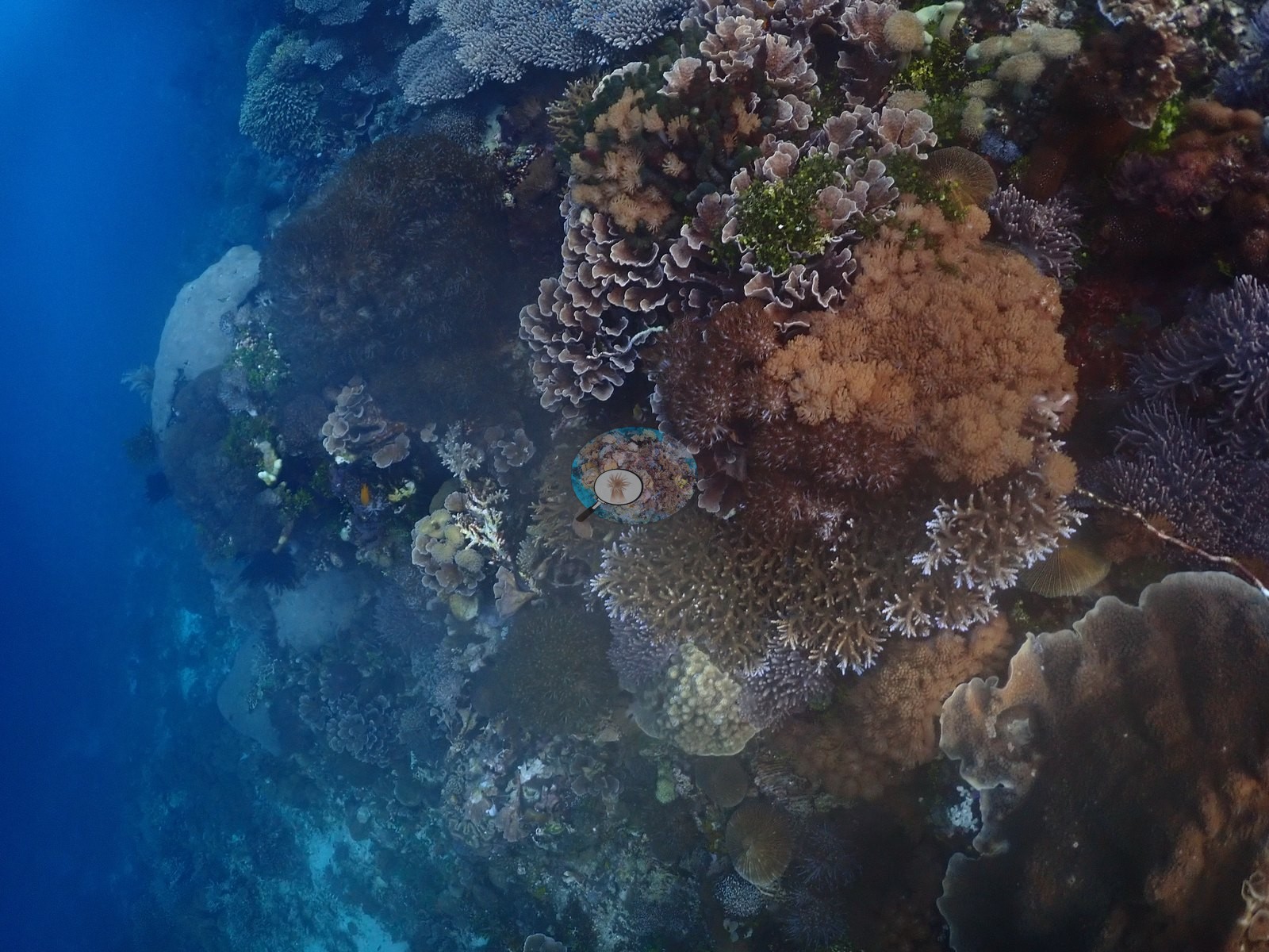
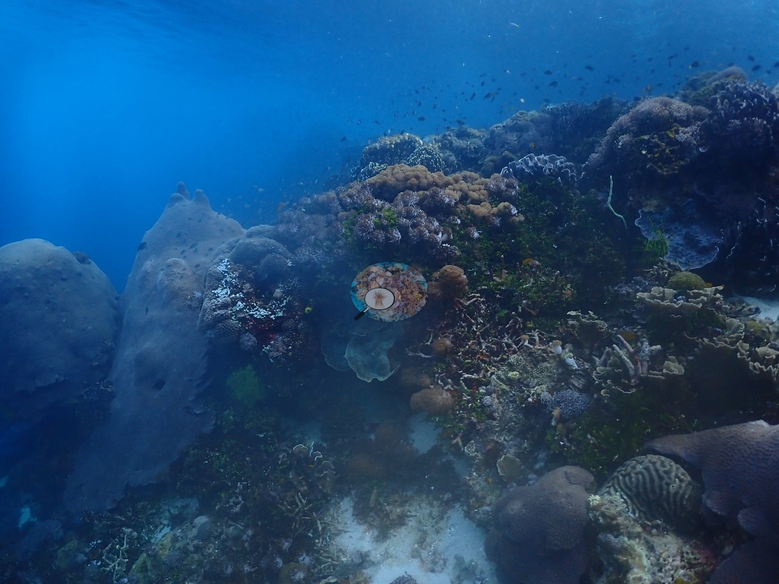
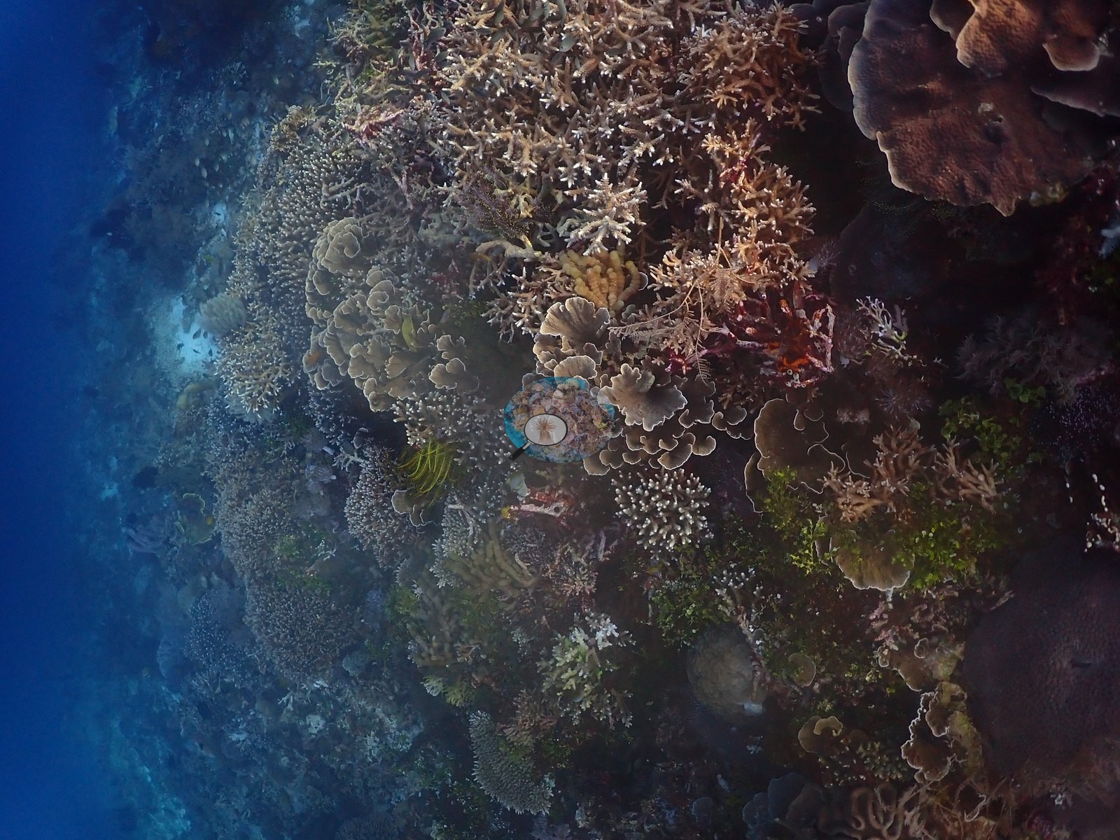
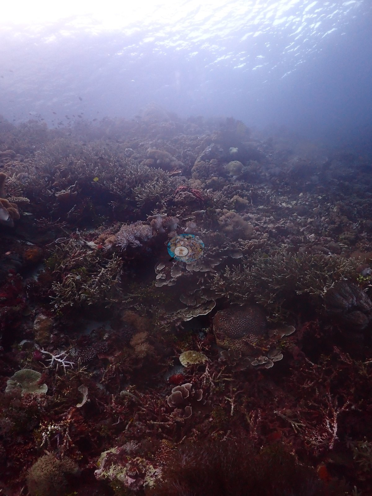
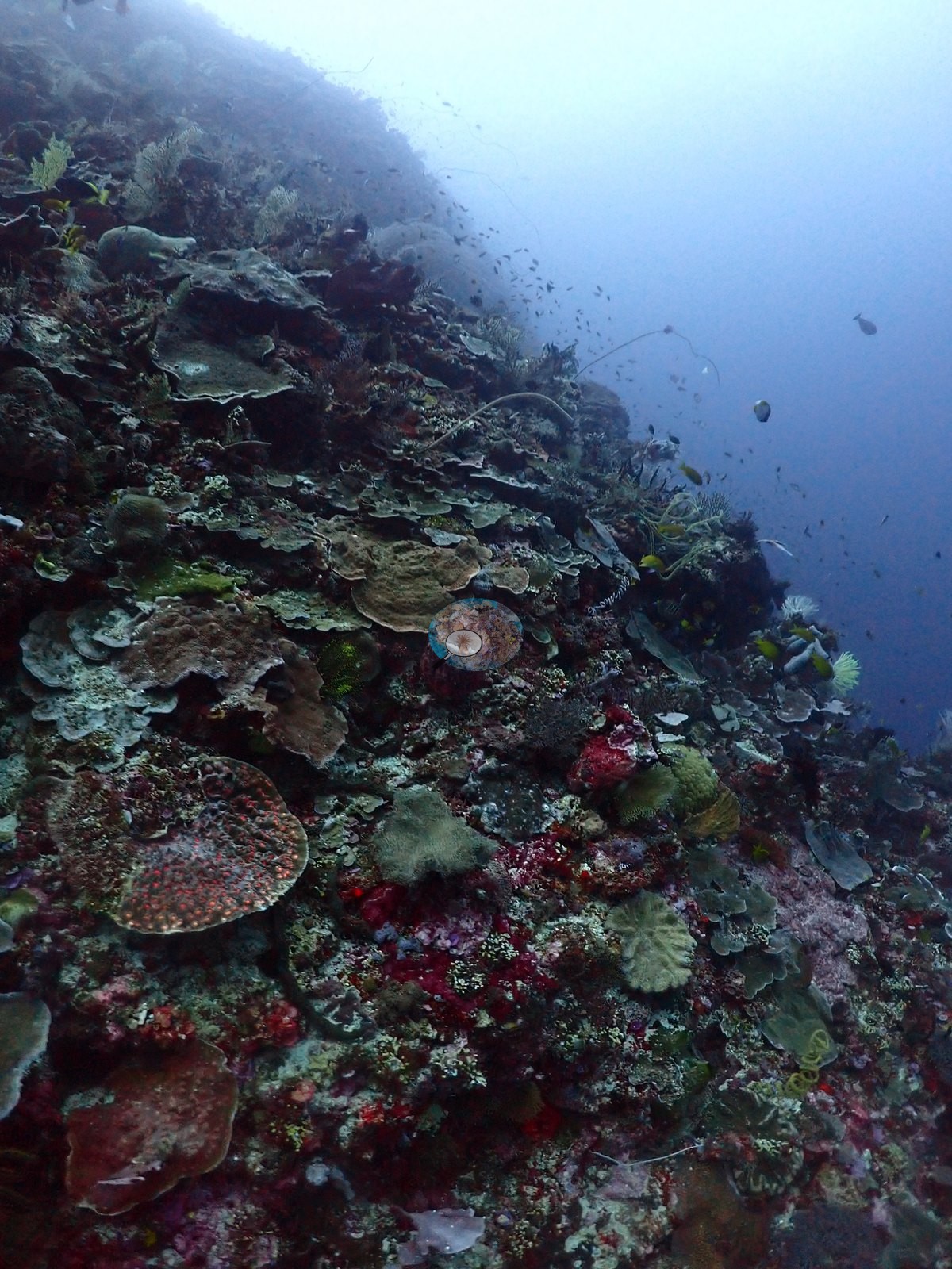
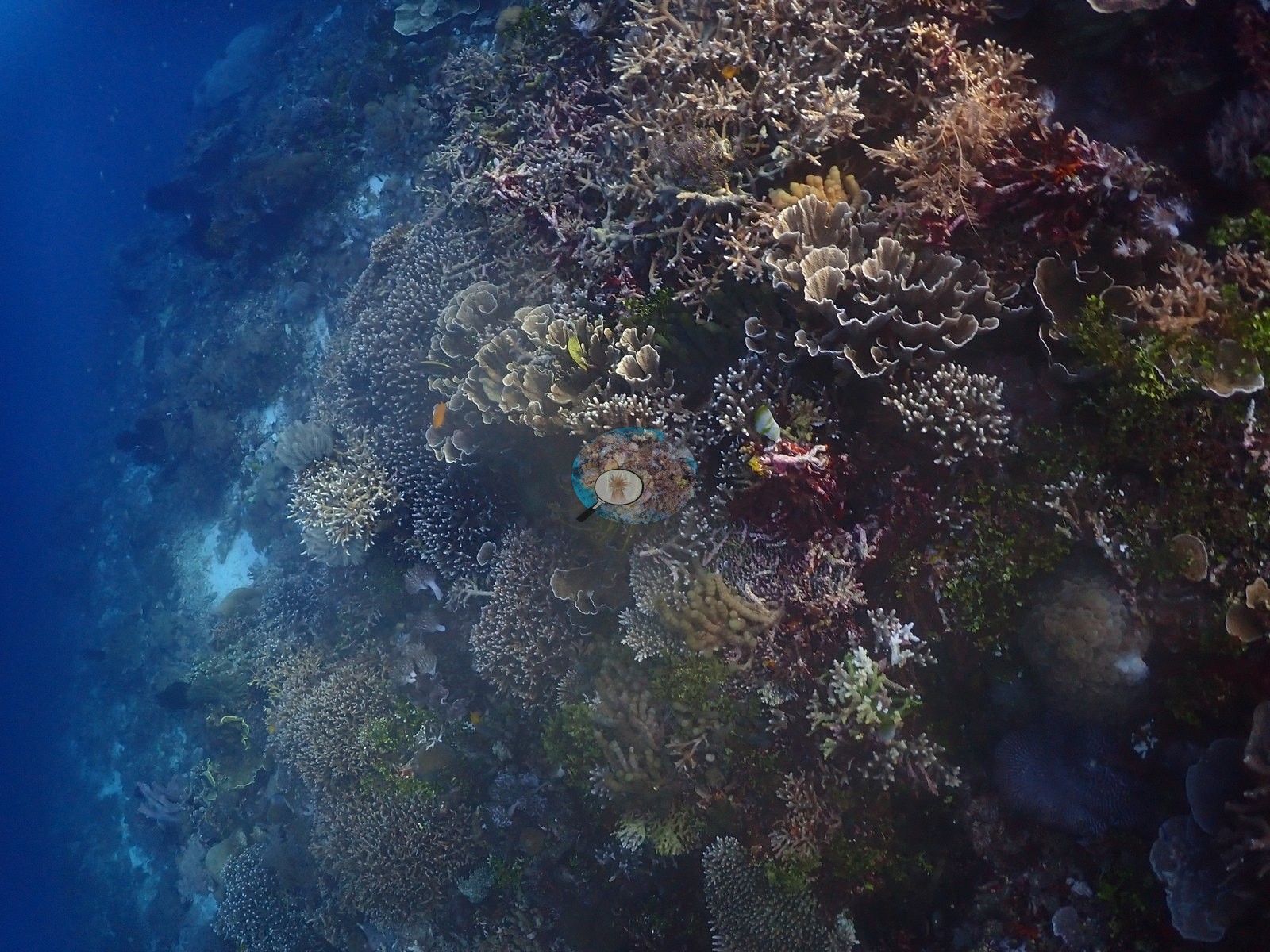
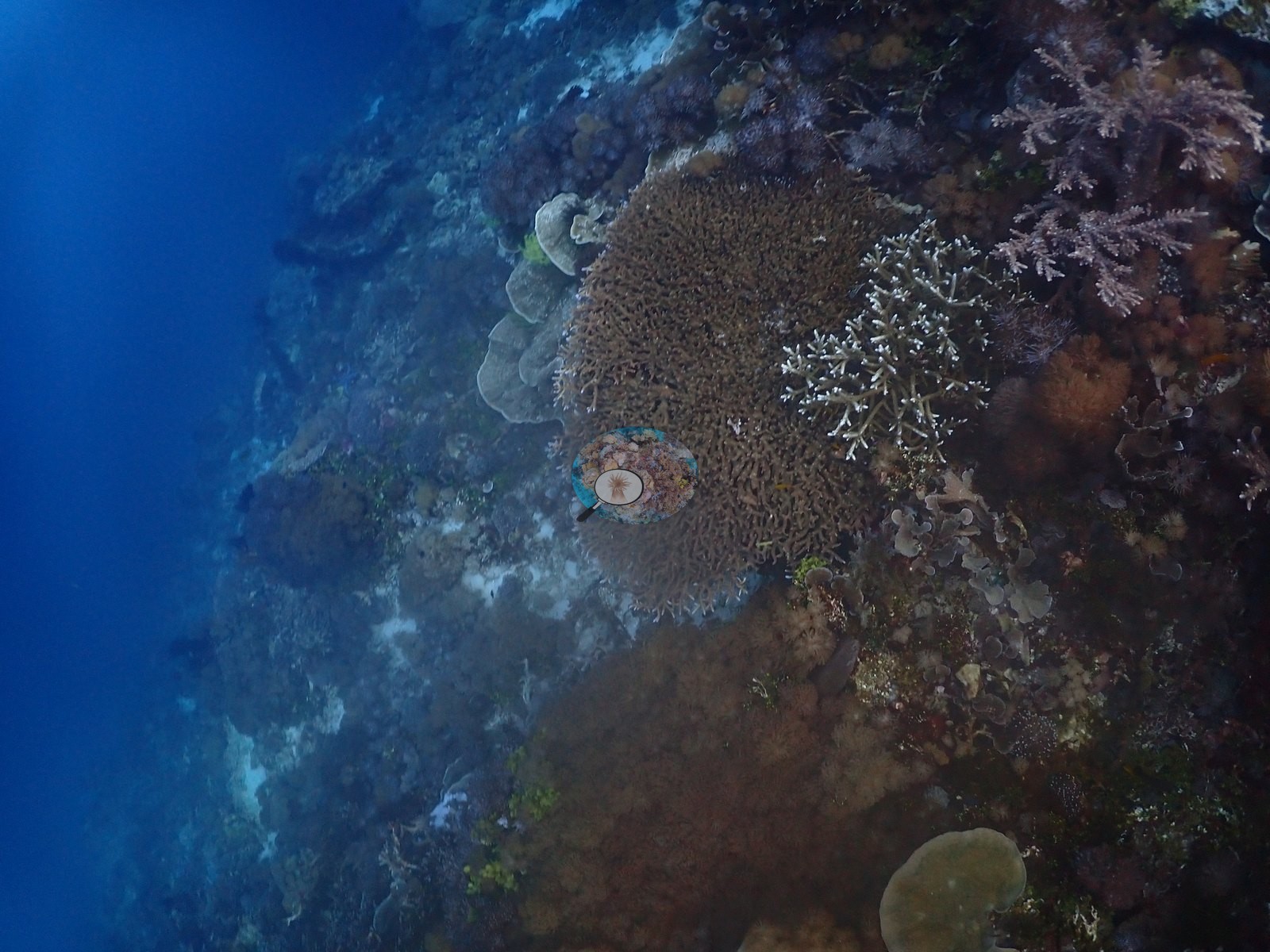
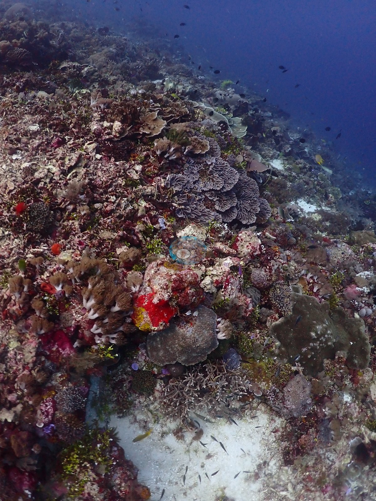
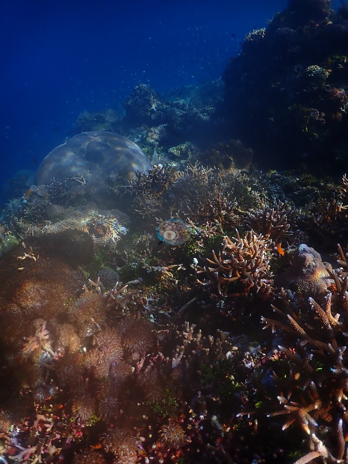
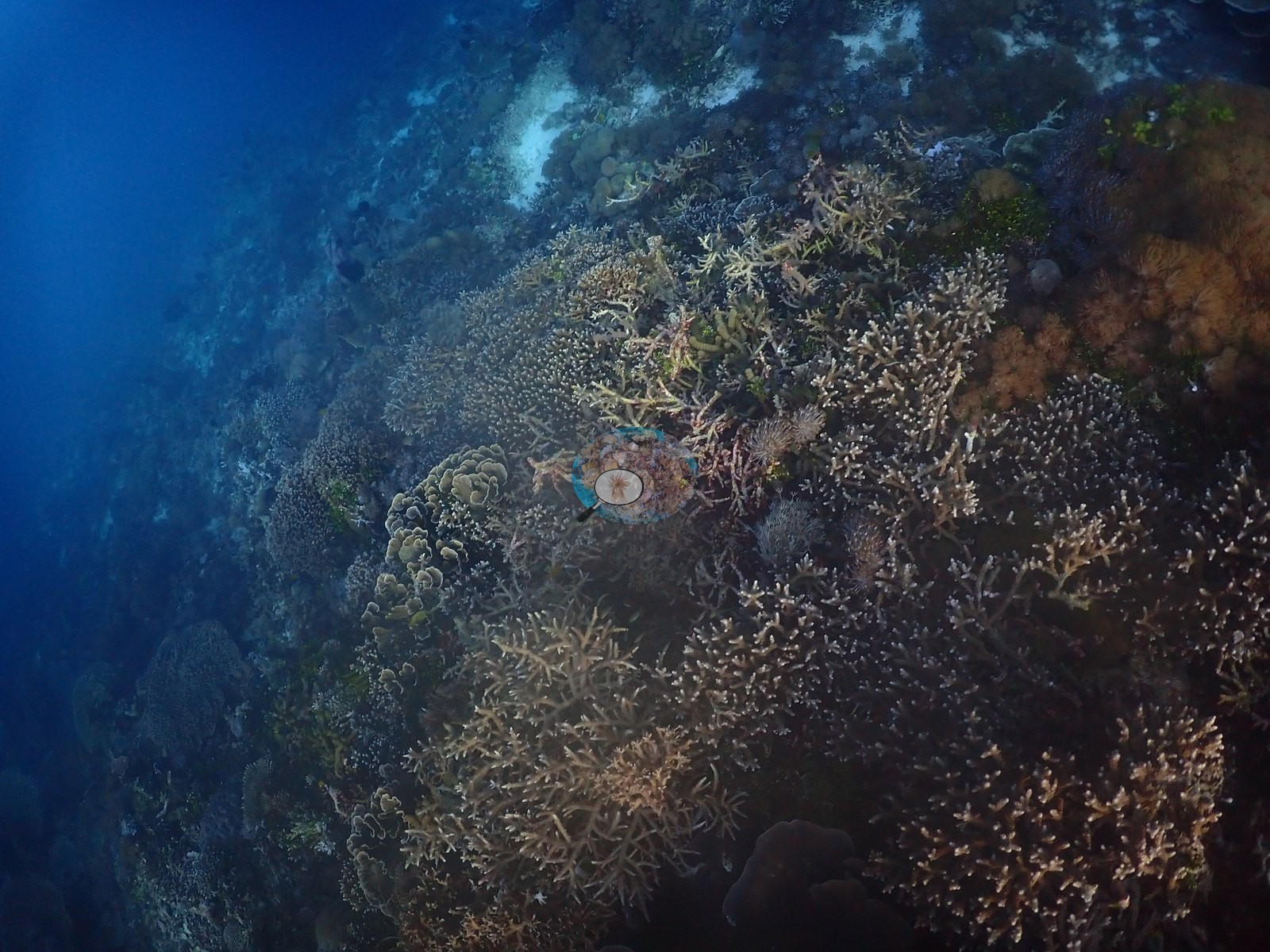
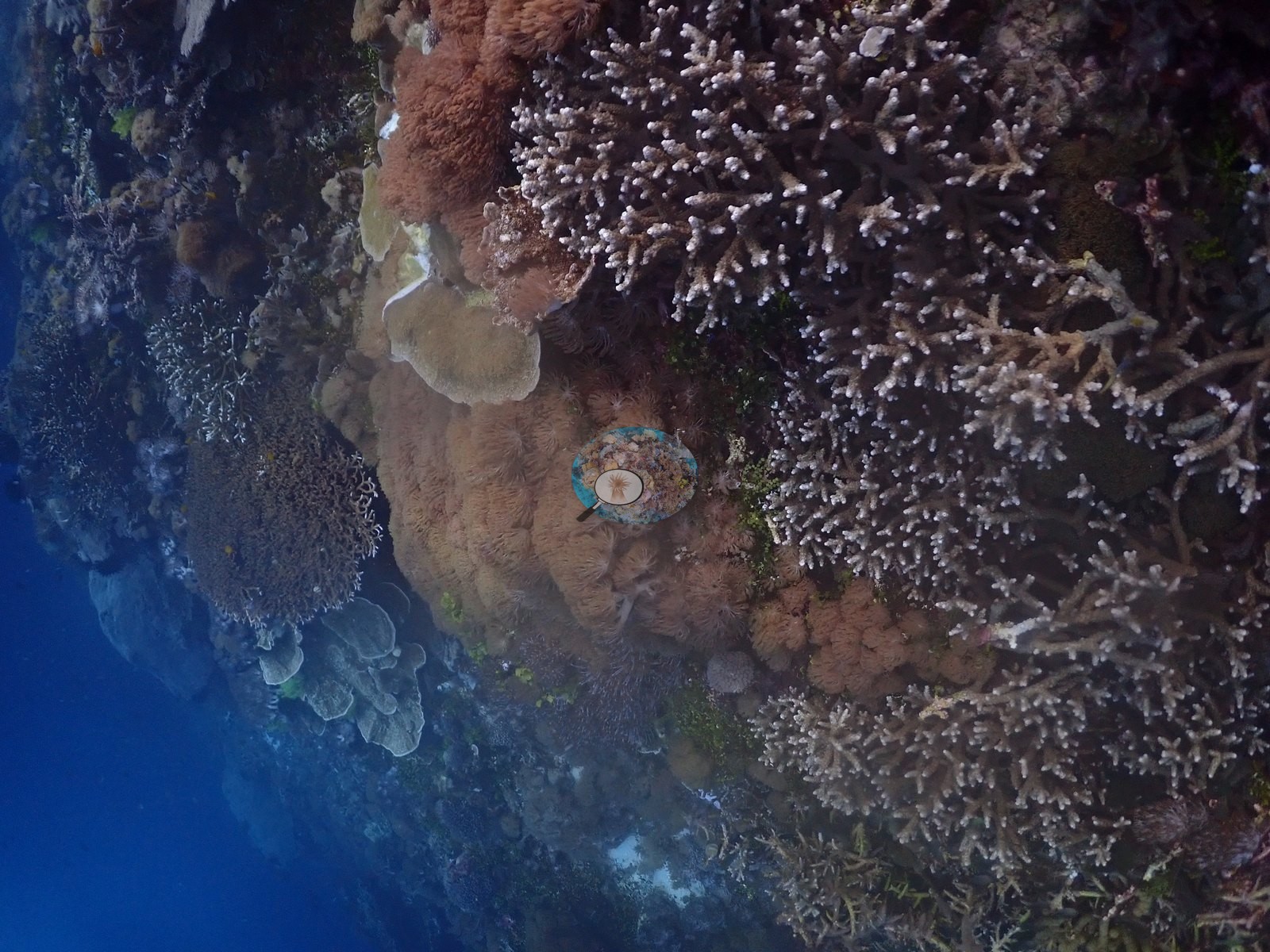
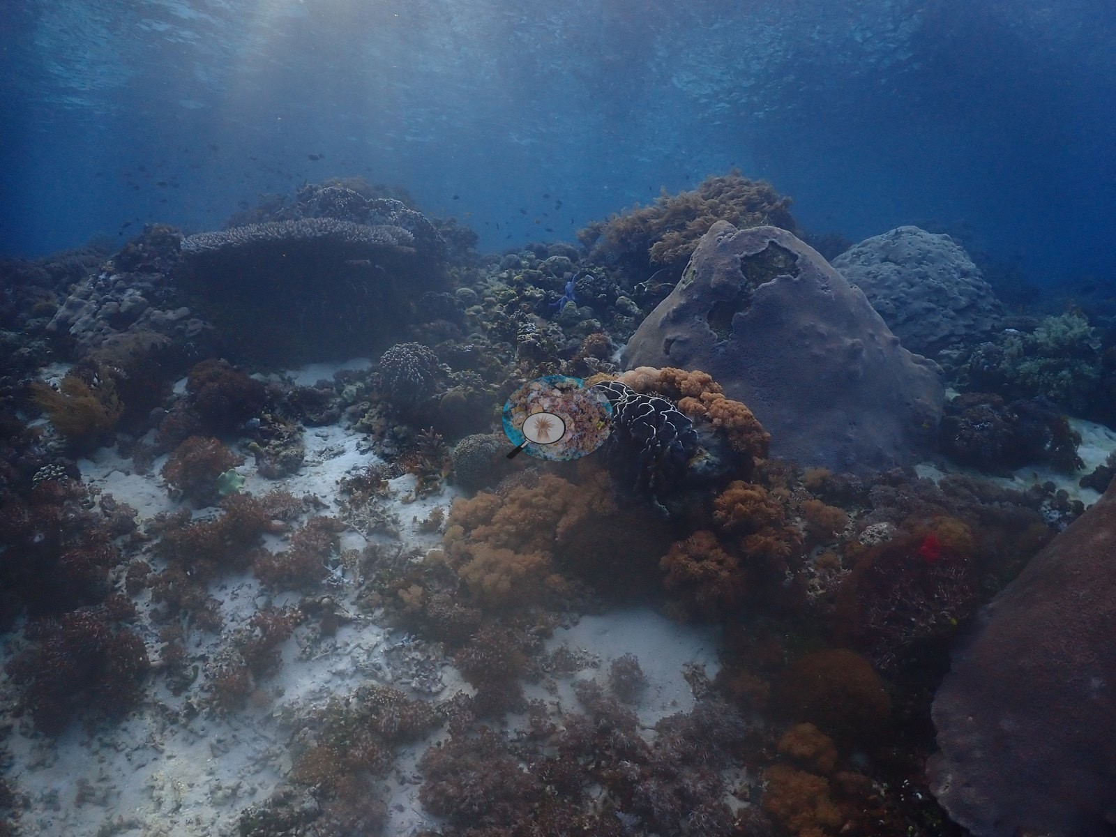
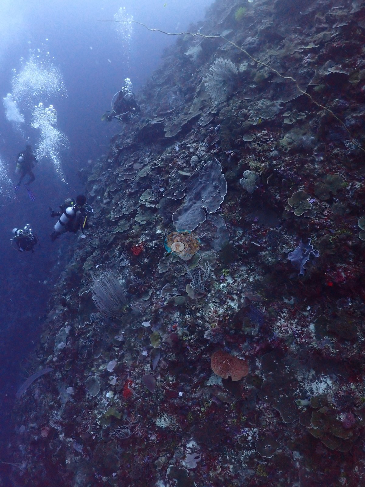
East Nusa Tenggara (NOAA CRW virtual station) · Lesser Sunda ecoregion mean=6.9°C-heating weeks Alor and the Pantar Strait sit in a zone of exceptionally strong upwelling, which holds these reefs several degrees cooler than NOAA’s satellite-derived figures imply. Read the heat-stress numbers here as a regional-scale indication, not as this reef’s own temperature history.A wall dive off West Ternate Island in Alor with ledges of plating corals, massive Porites boulders capped by mushroom-shaped overhangs, and a brain coral more than a meter across. The shallower reef is a near-continuous canopy of staghorn and cauliflower Acropora lit by sunbeams, with feather stars perched on the coral heads.
Penyelaman dinding di lepas Pulau Ternate Barat di Alor, dengan undakan karang lembaran, bongkahan Porites masif yang dimahkotai ceruk berbentuk jamur, dan karang otak berukuran lebih dari satu meter. Terumbu yang lebih dangkal merupakan kanopi hampir menyambung dari Acropora bercabang dan bertipe kembang kol yang disinari berkas matahari, dengan lili laut bertengger di atas koloni-koloni karang.
Terjemahan ringkasan ini oleh AI; versi bahasa Inggris yang berlaku.
Two independent survey stations shown with the program’s logo — click one to see how far it is from this site.
Two other CRD dive sites within 5 km shown in orange — click a marker to open its page.
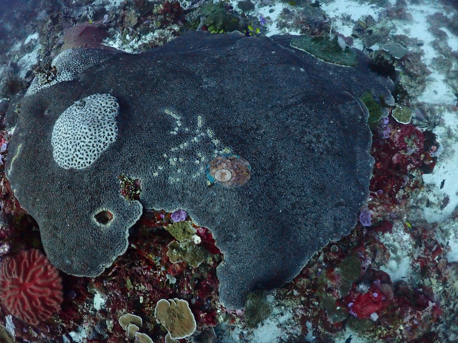
25 of these 54 photographs are shown beside the text that discusses them under "Site description" below.
Site description
Setting
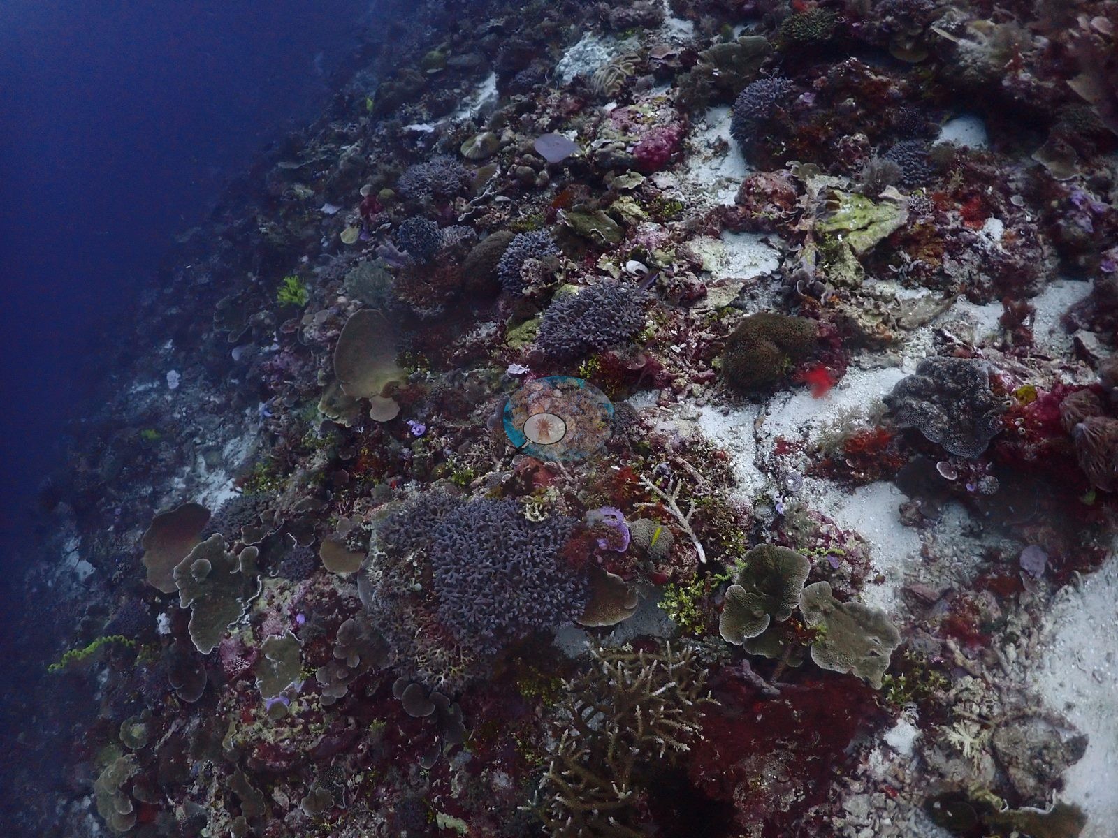
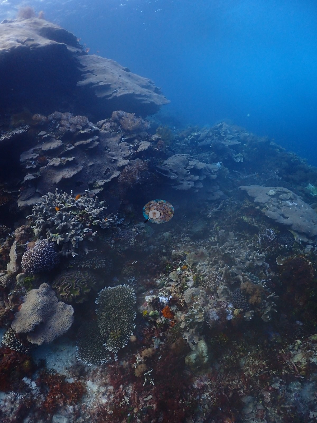
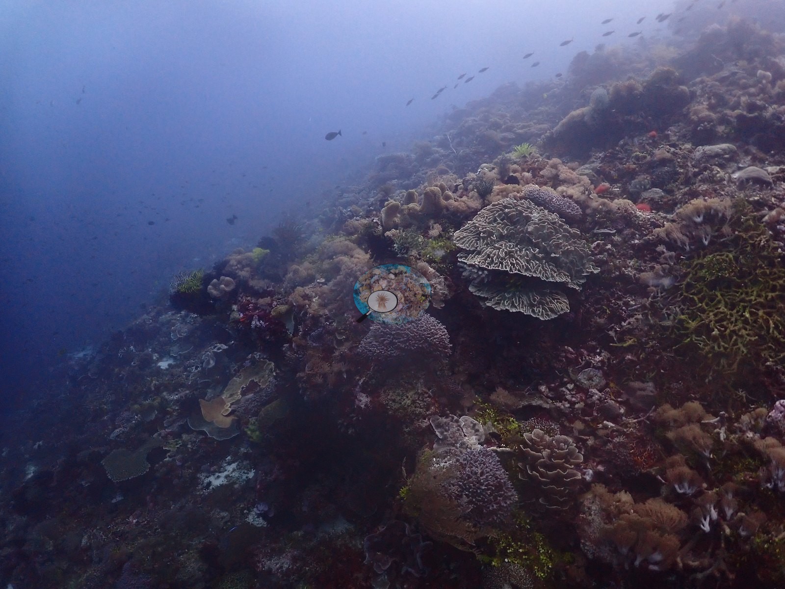
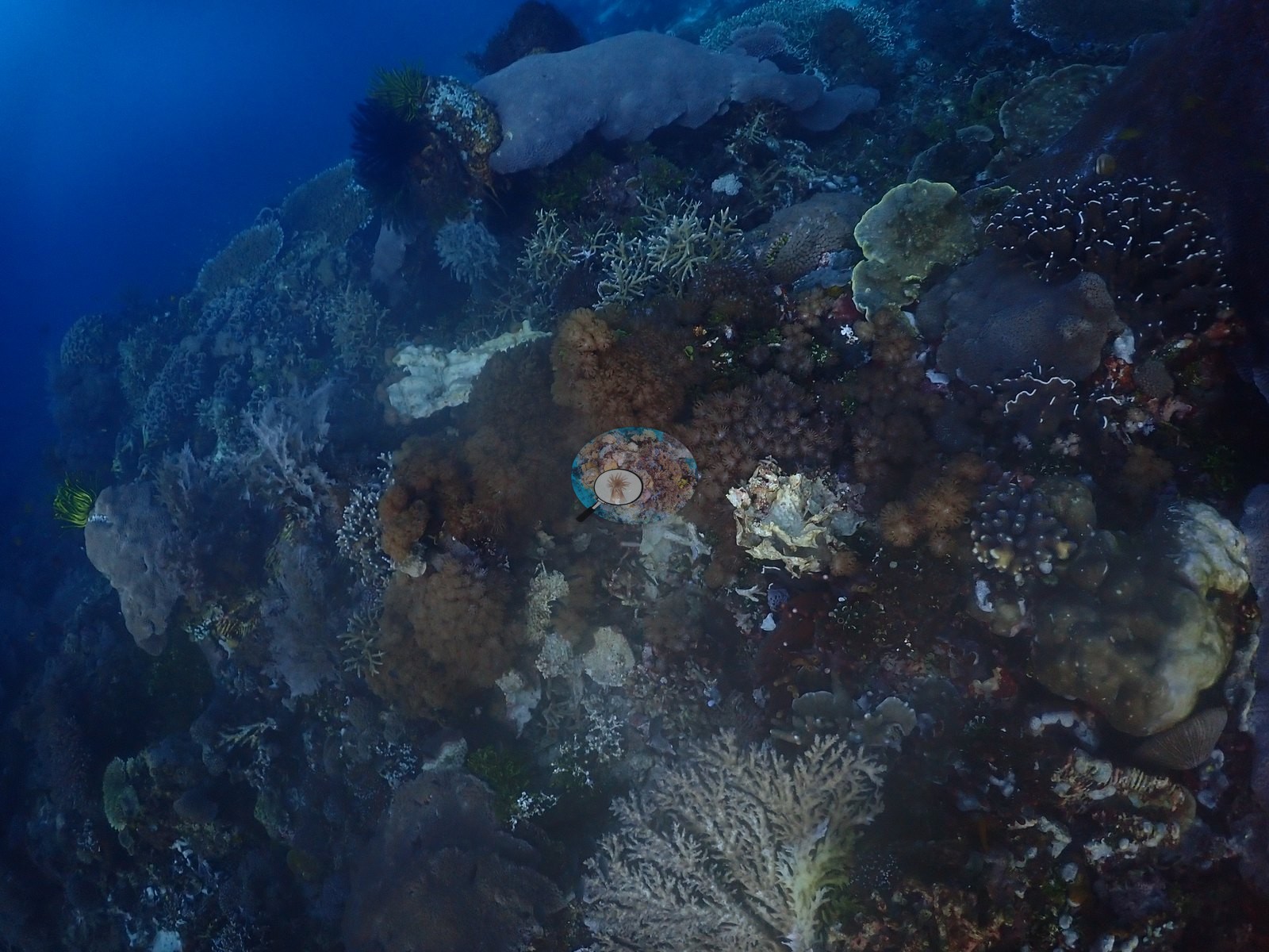
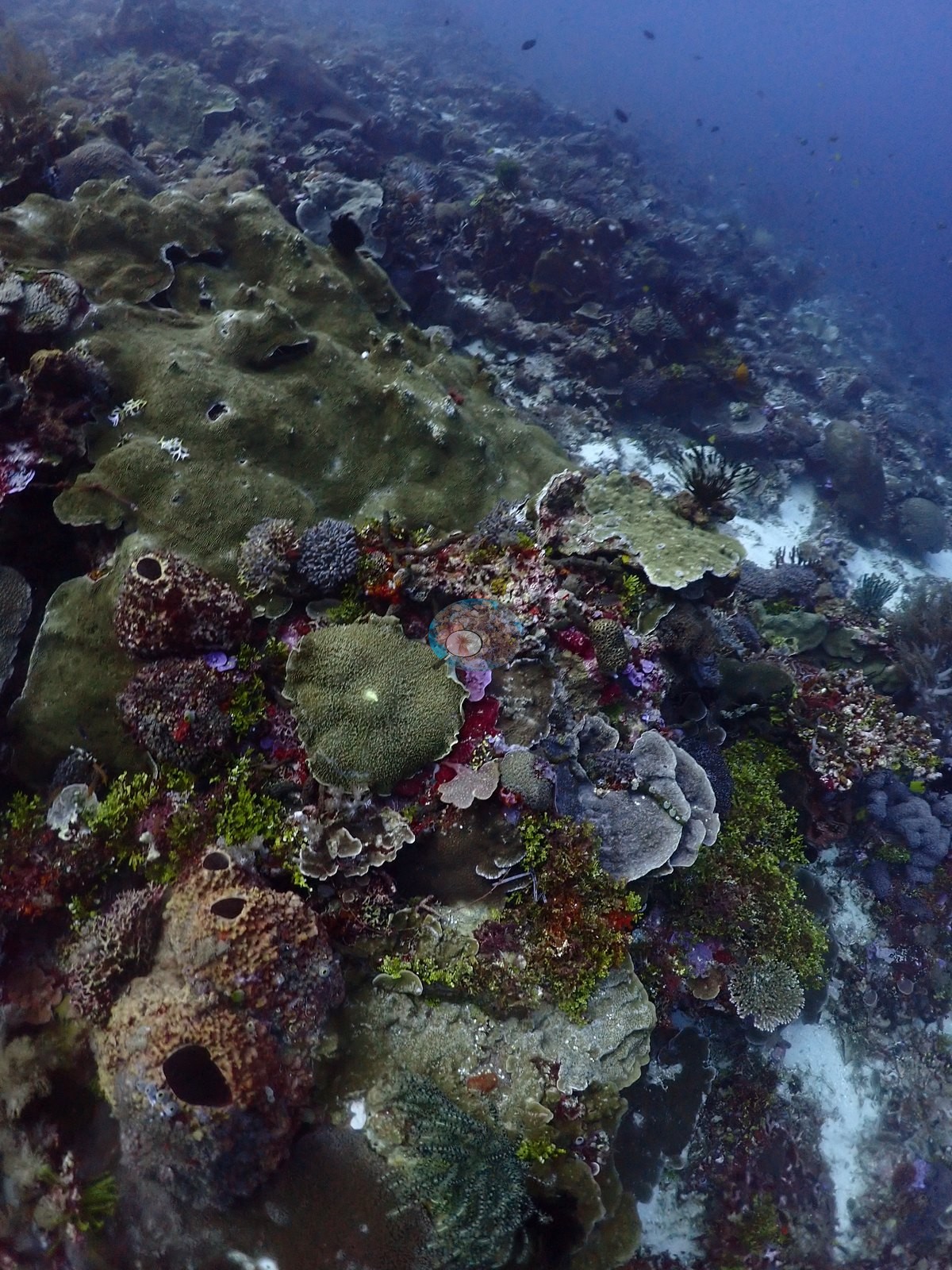
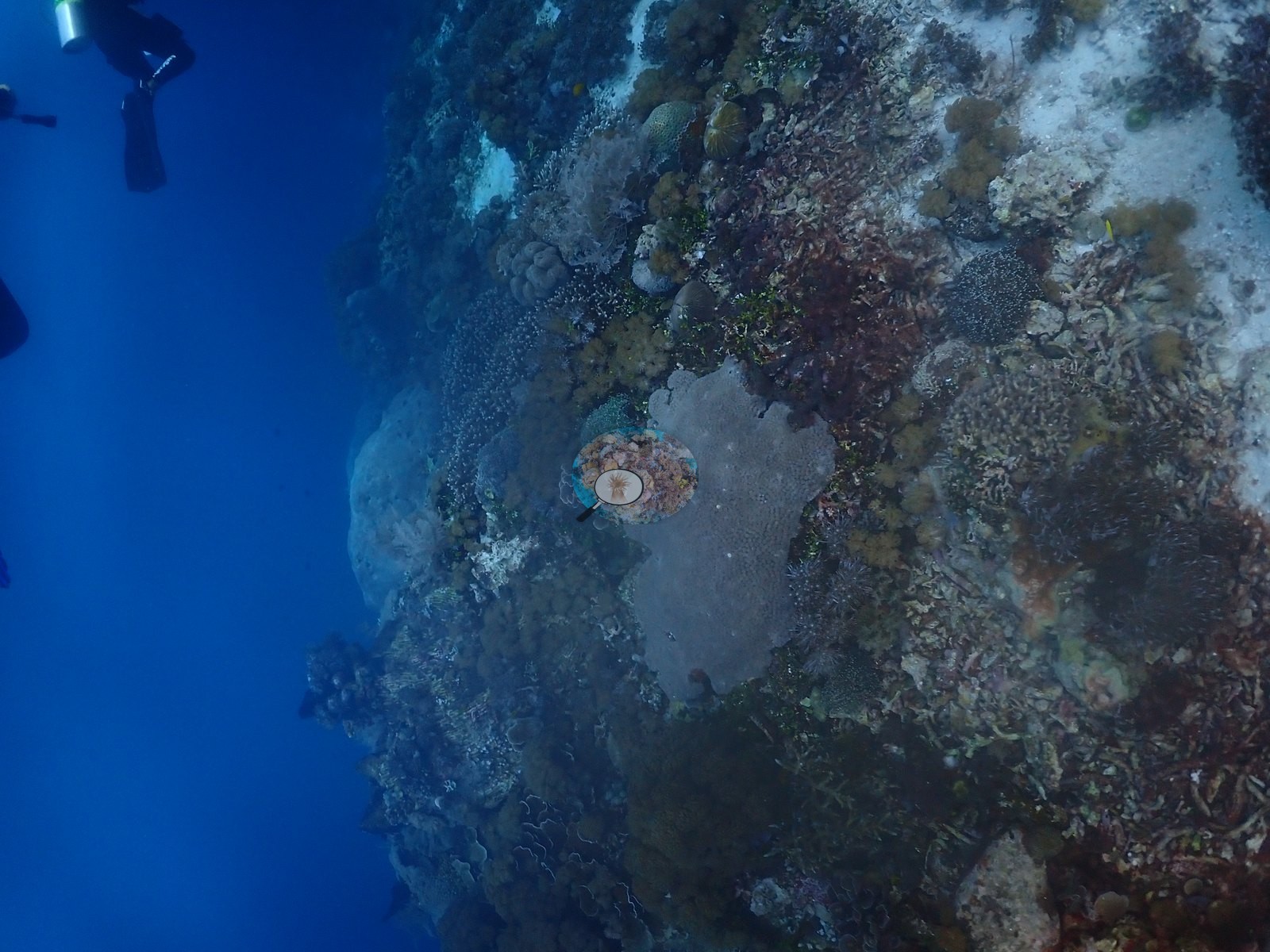
Alor, The Arch (West Ternate Island) — a wall/drop-off dive with dense, structurally varied coral cover throughout the sampled frames (e.g., Image 3, Image 29).
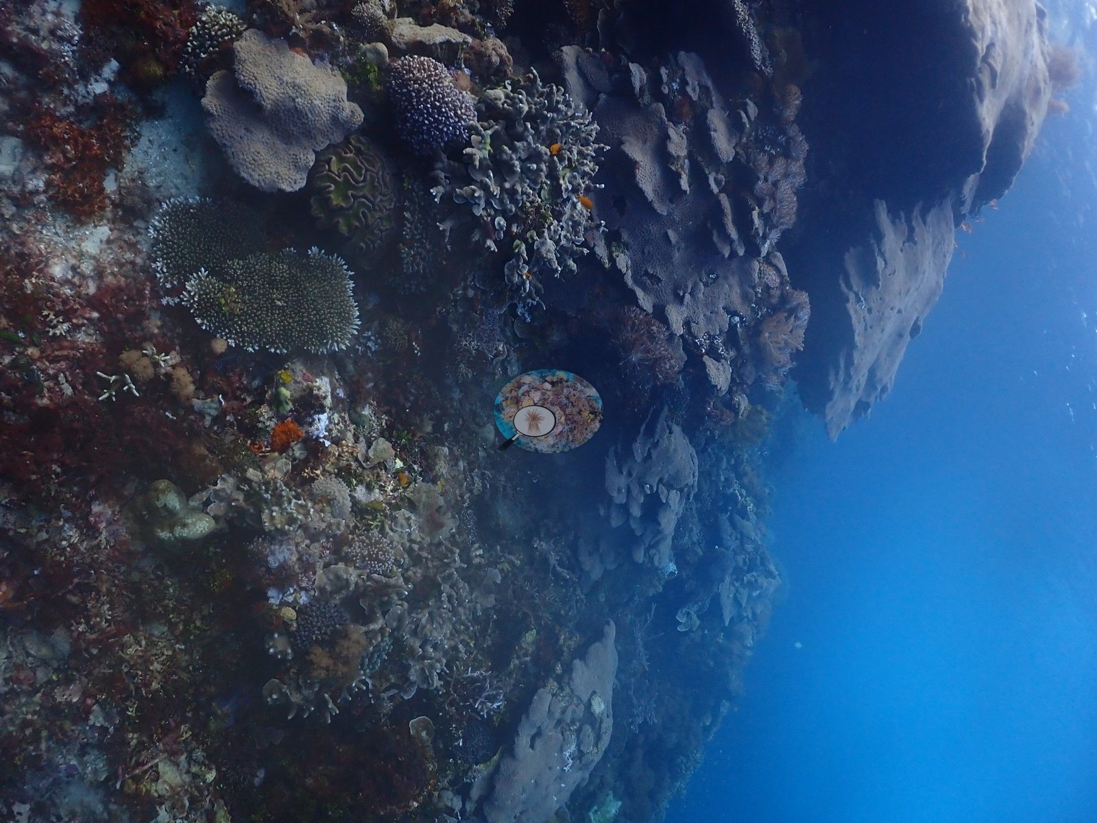
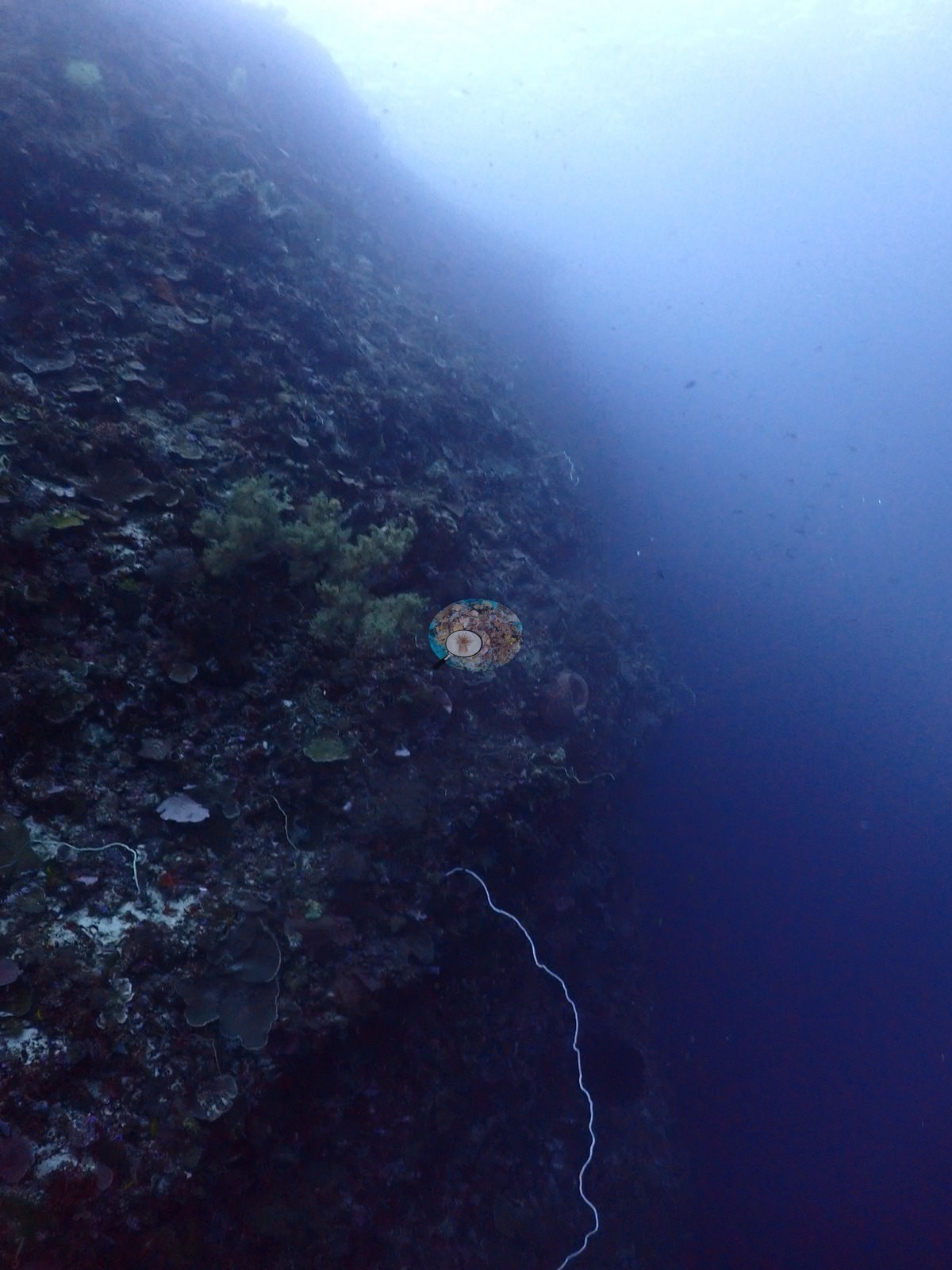
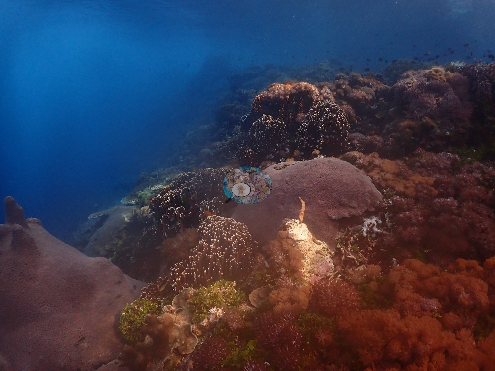
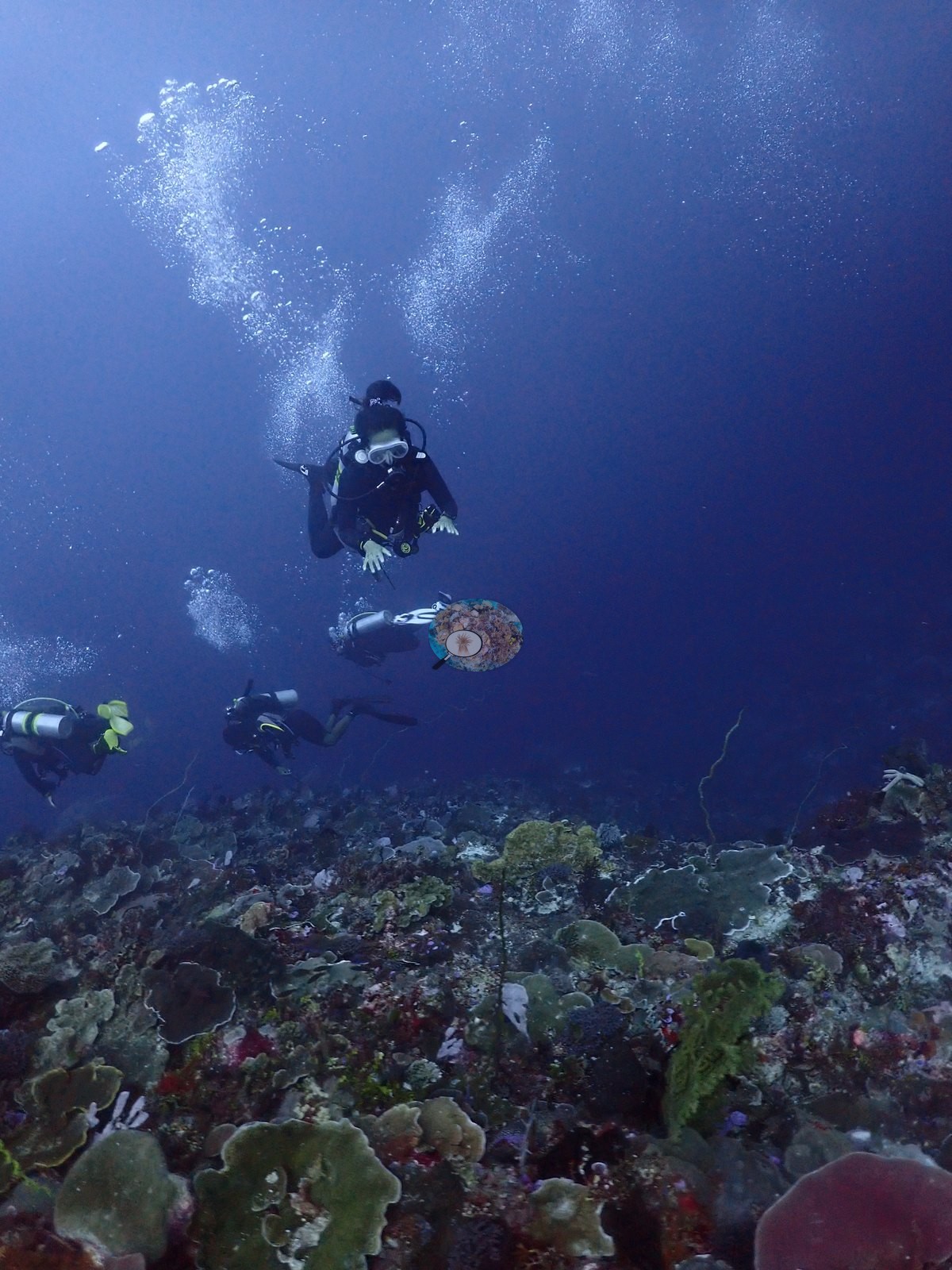
Visibility ranged from a hazy blue mid-water background on the wall to clear, sunlit close-range framing in the shallows; no wreck, mooring, tag, or transect gear appeared in any reviewed frame.
General benthic features
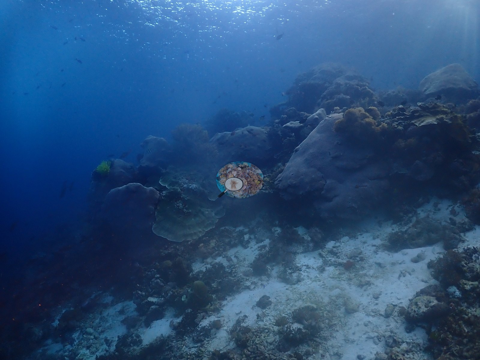
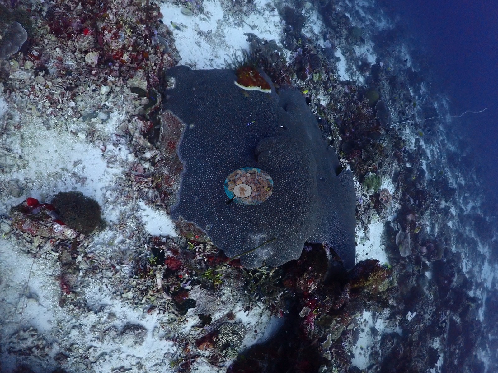
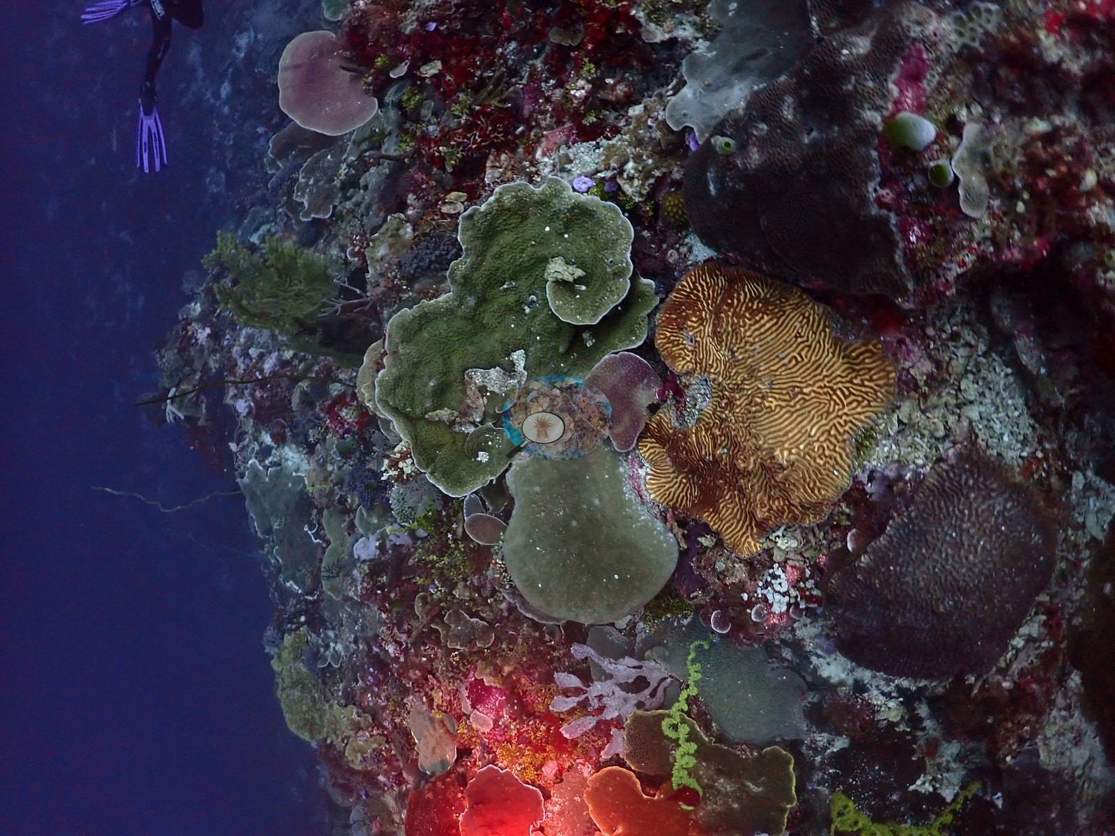
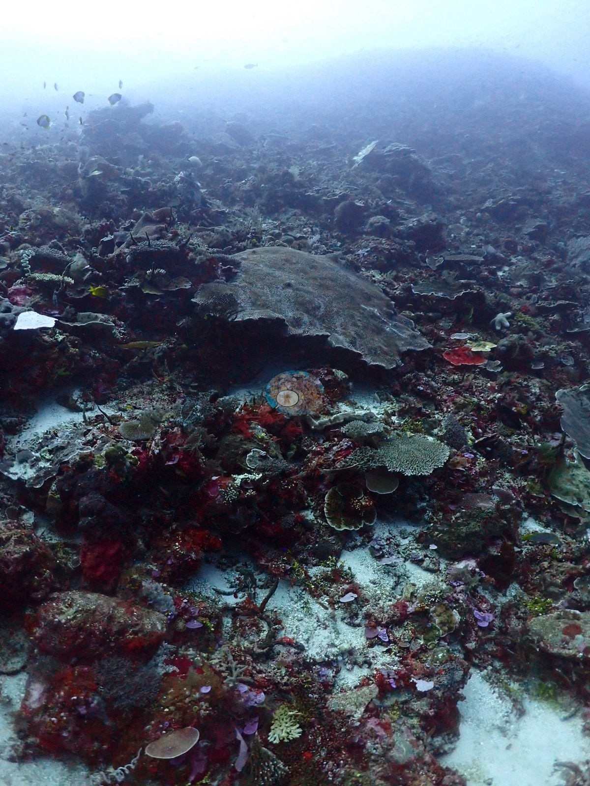
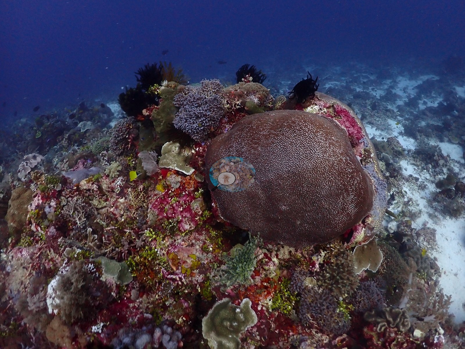
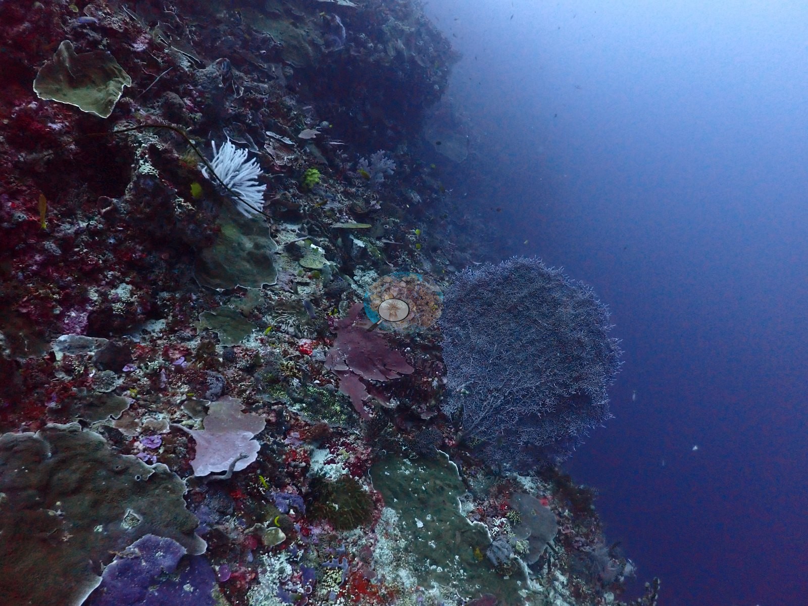
The wall face and ledges carry large massive boulder corals (consistent with Porites), several capped by mushroom-shaped overhangs that create shaded arch-like recesses even where the site's namesake arch is not itself in frame, and a very large meandroid brain coral (consistent with Platygyra or a related merulinid) more than a meter across (e.g., Image 11, Image 36, Image 37, Image 44).
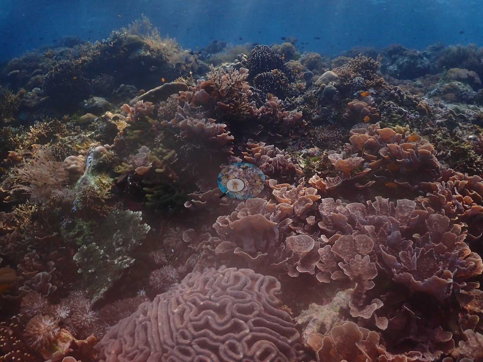
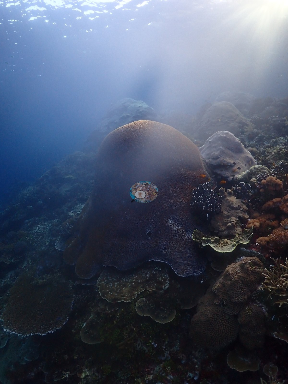
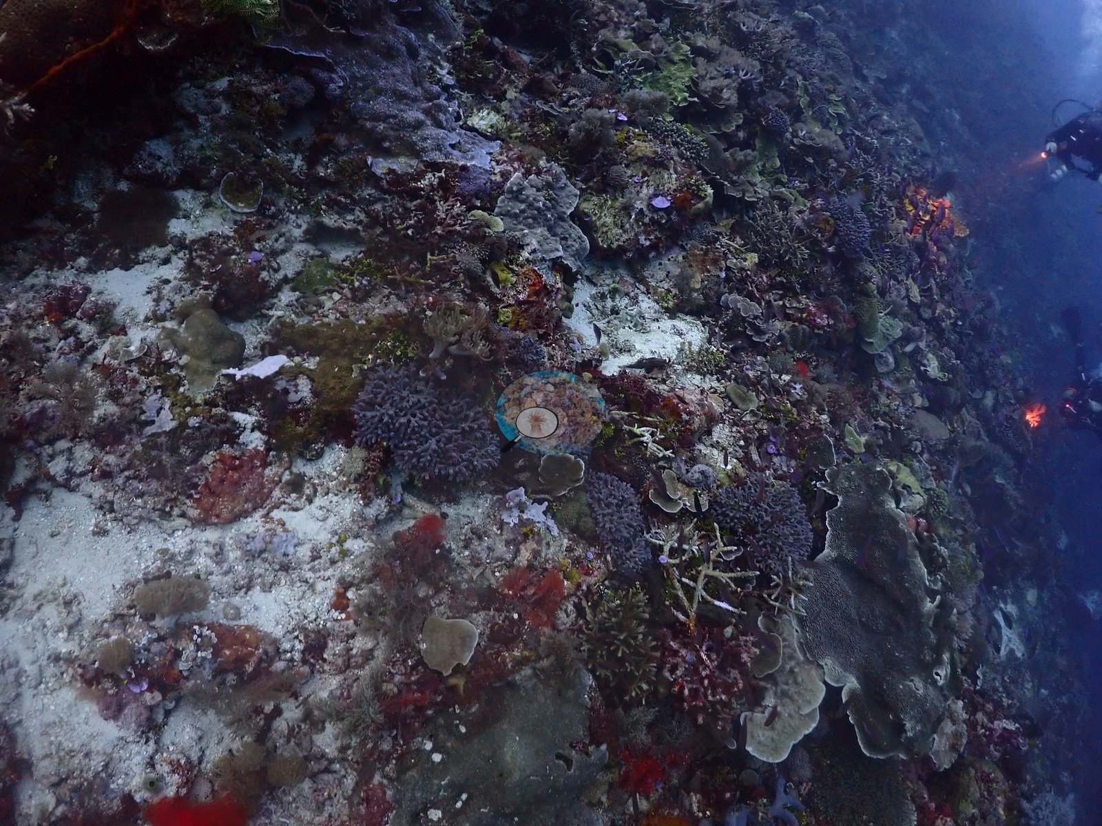
Foliose/plate corals (Montipora or Pachyseris-type) form shelf-like ledges in several frames, often purple-pink or pale gray in tone — natural pigmentation and coralline-algae staining rather than bleaching (e.g., Image 7, Image 19, Image 43).
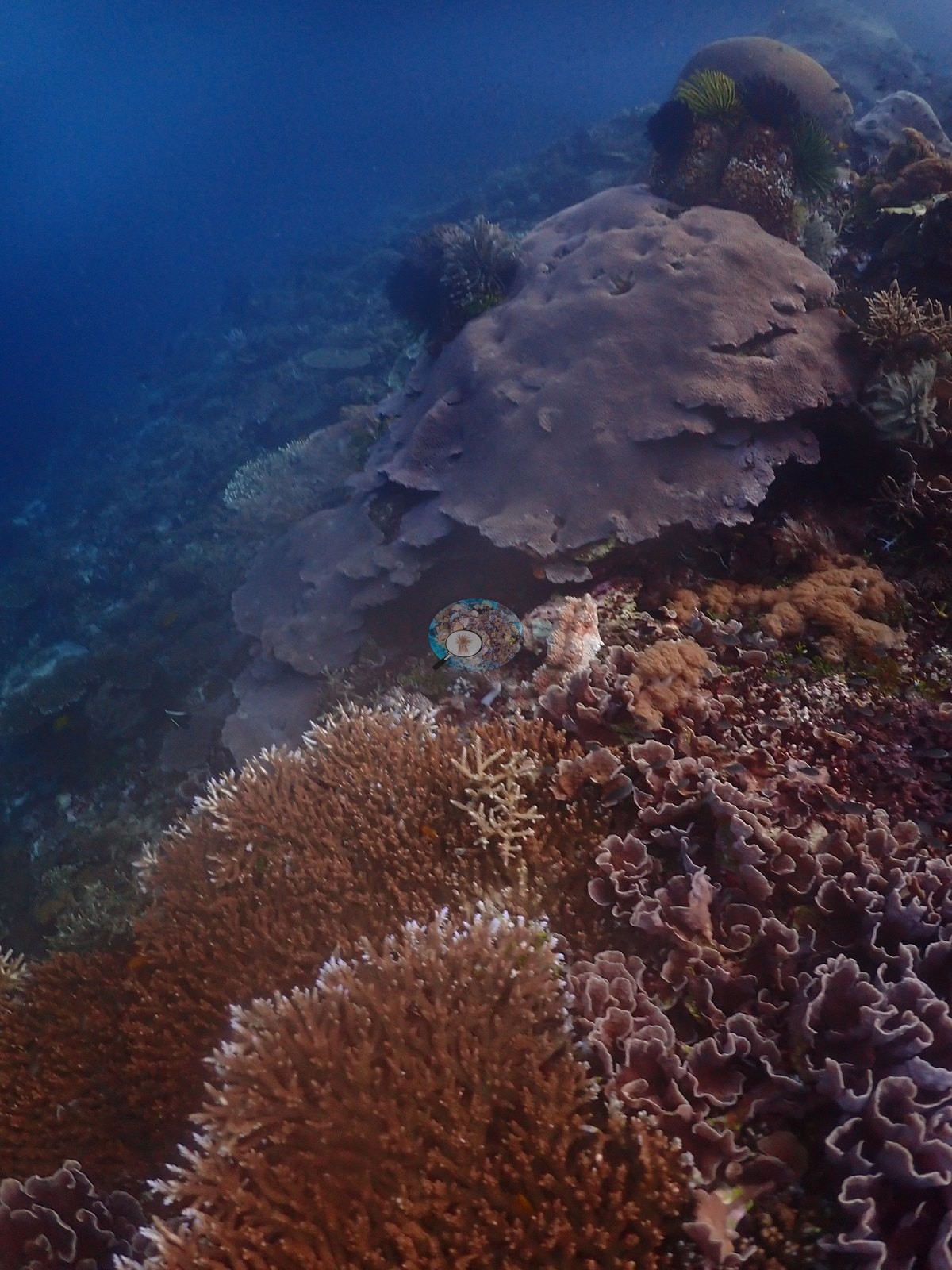
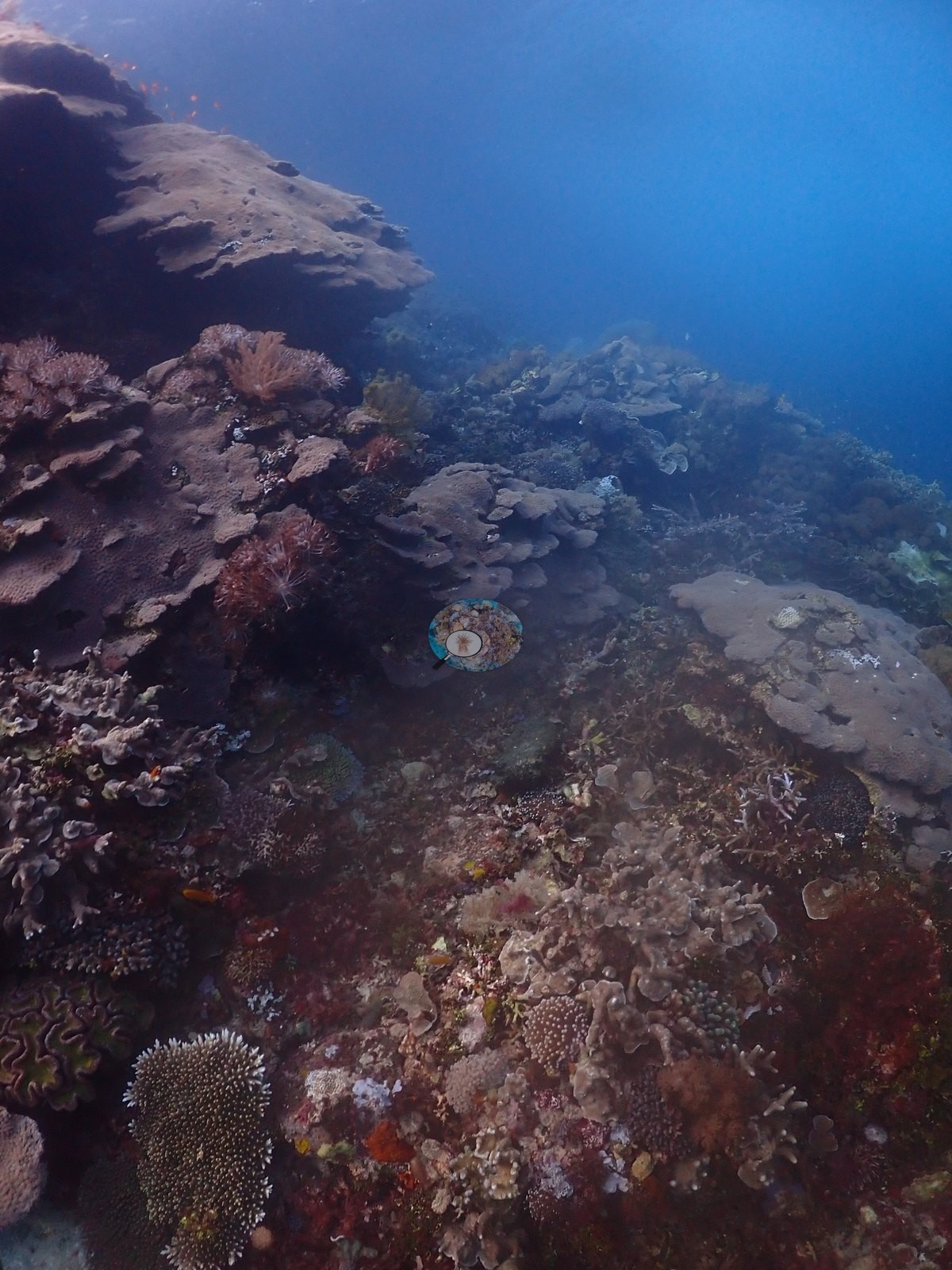
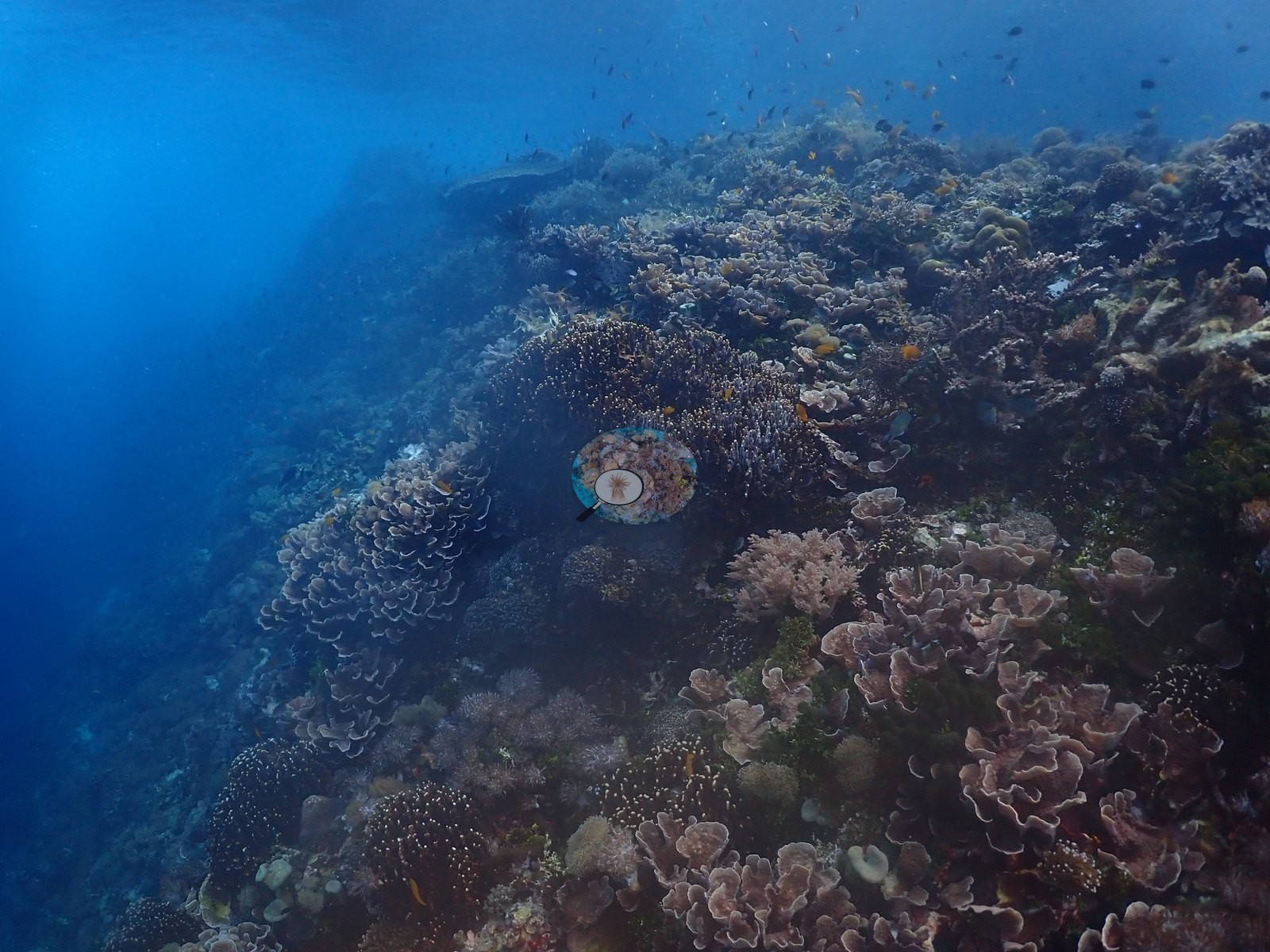
Cauliflower Pocillopora clumps in gray-purple tones and tabular Acropora plates recur through the mid-depth sections (e.g., Image 21, Image 23).
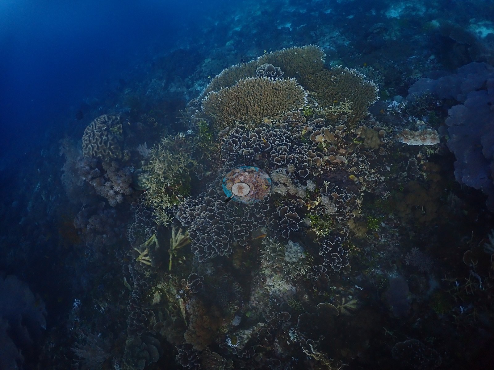
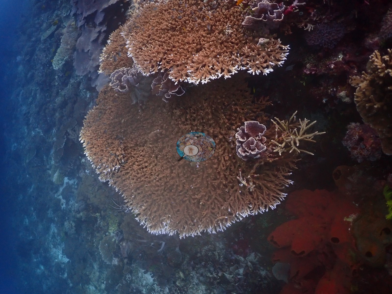
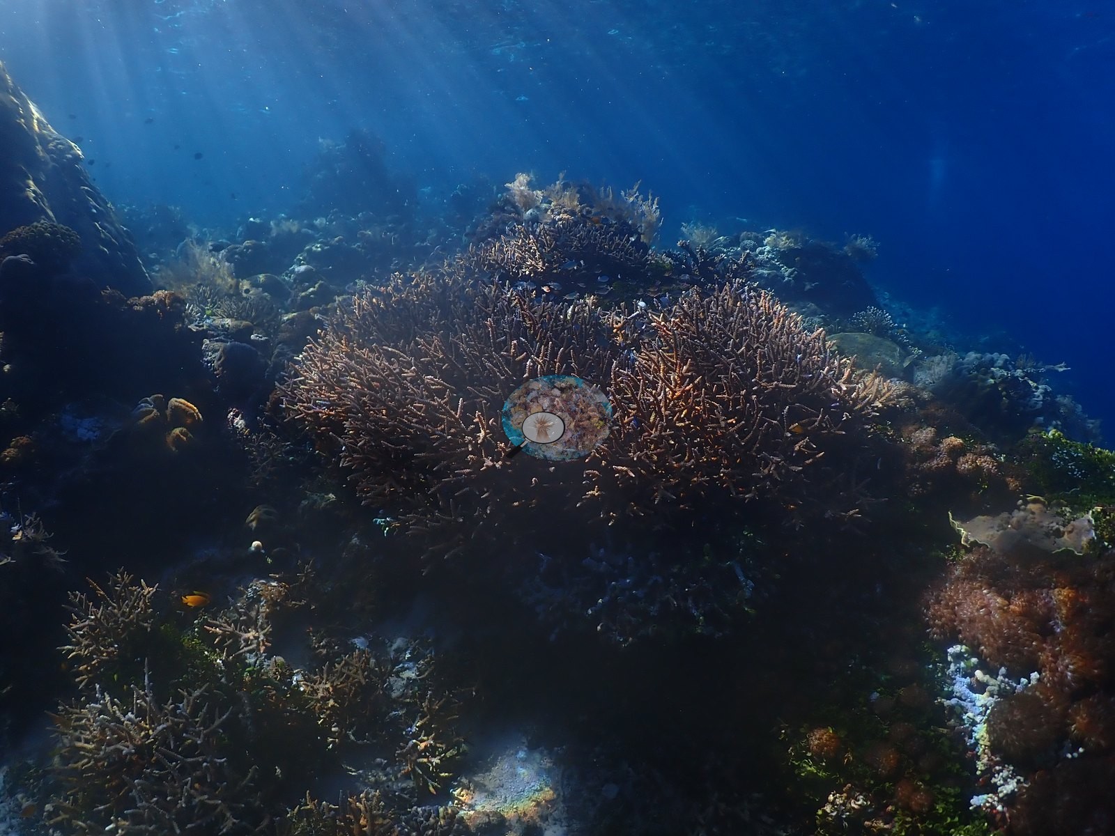
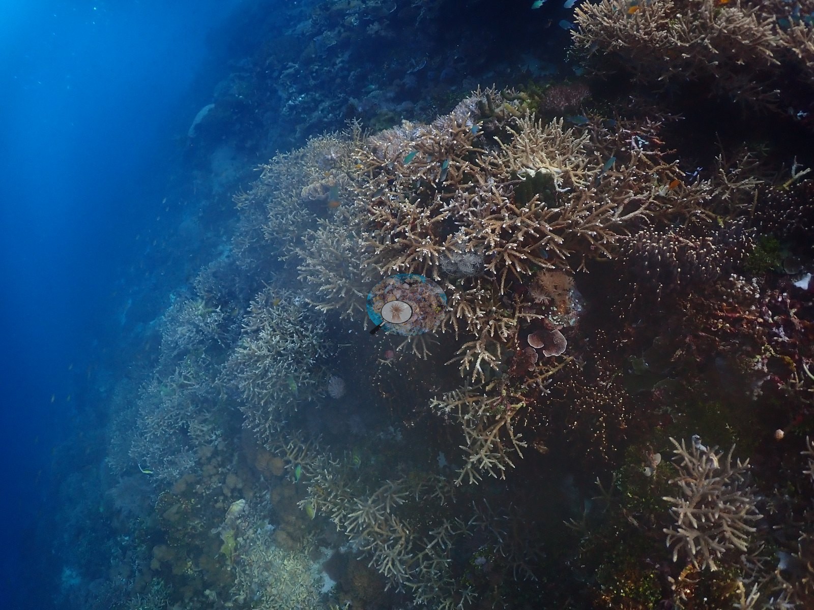
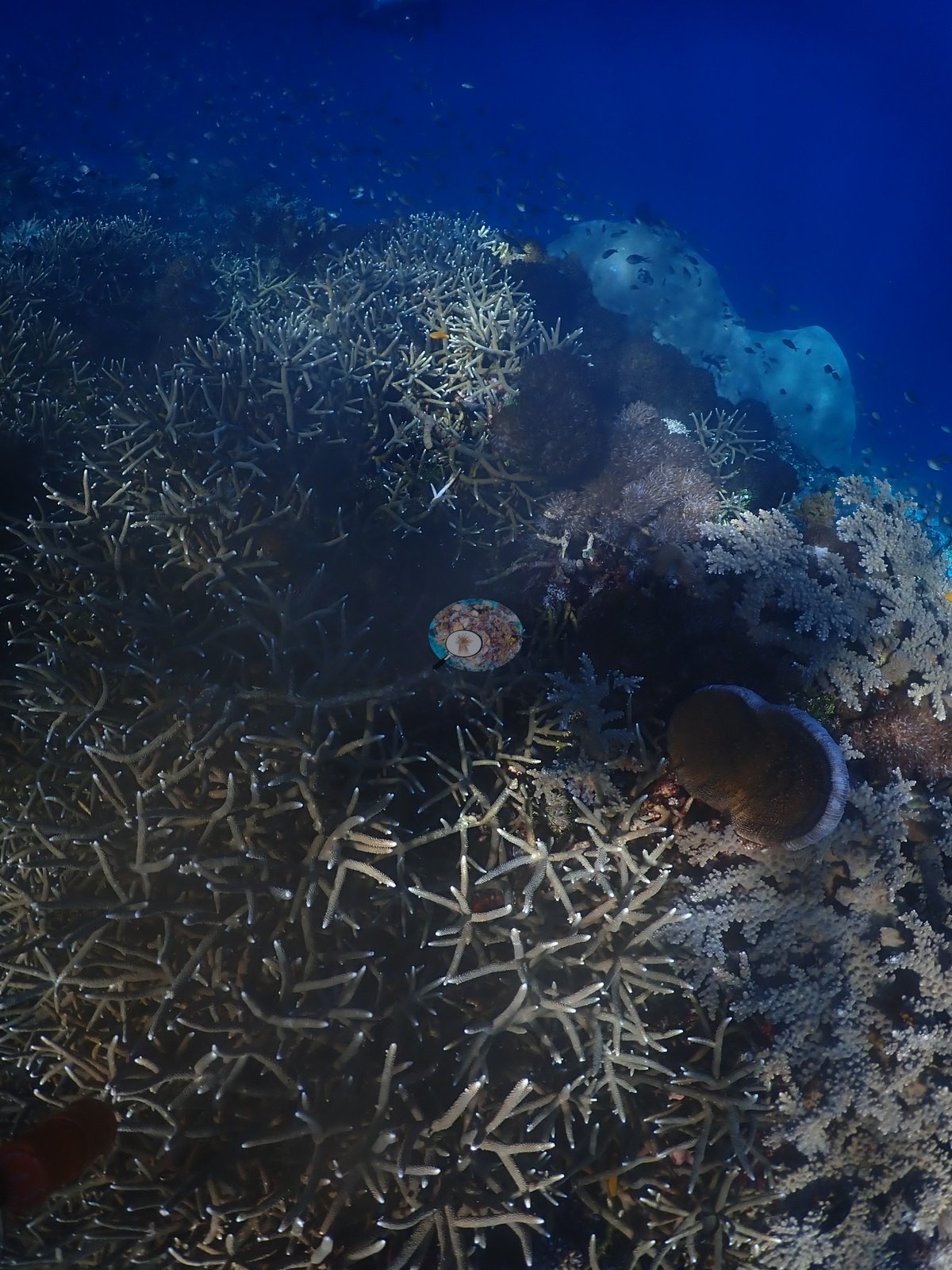
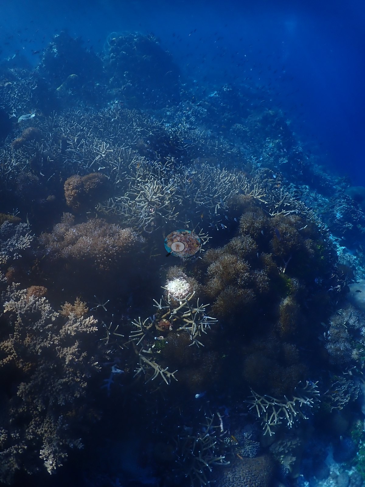
The shallower part of the dive is dominated by extensive dense staghorn/cauliflower Acropora thickets forming a near-continuous low canopy, several frames lit by strong sunbeams filtering down from the surface; one thicket includes a cluster of pale-tipped branches that reads as normal pale growing tips against otherwise healthy brown tissue rather than bleaching, called out here rather than assumed either way (e.g., Image 4, Image 15, Image 25, Image 41, Image 45).
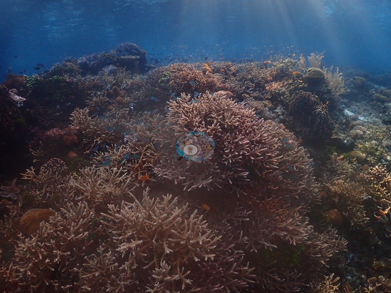
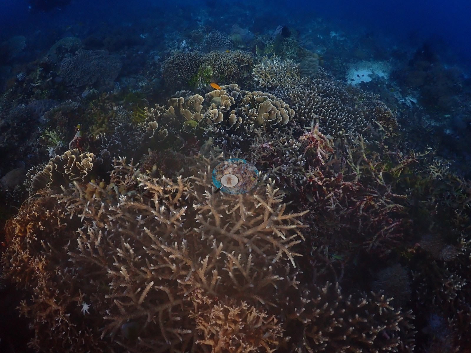
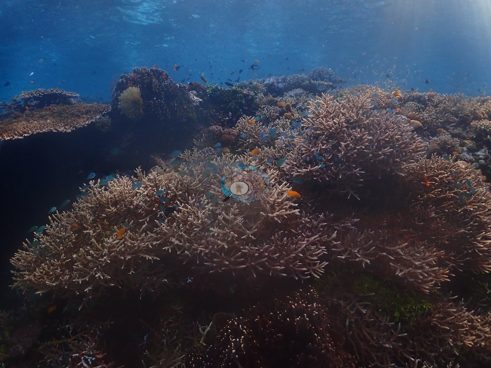
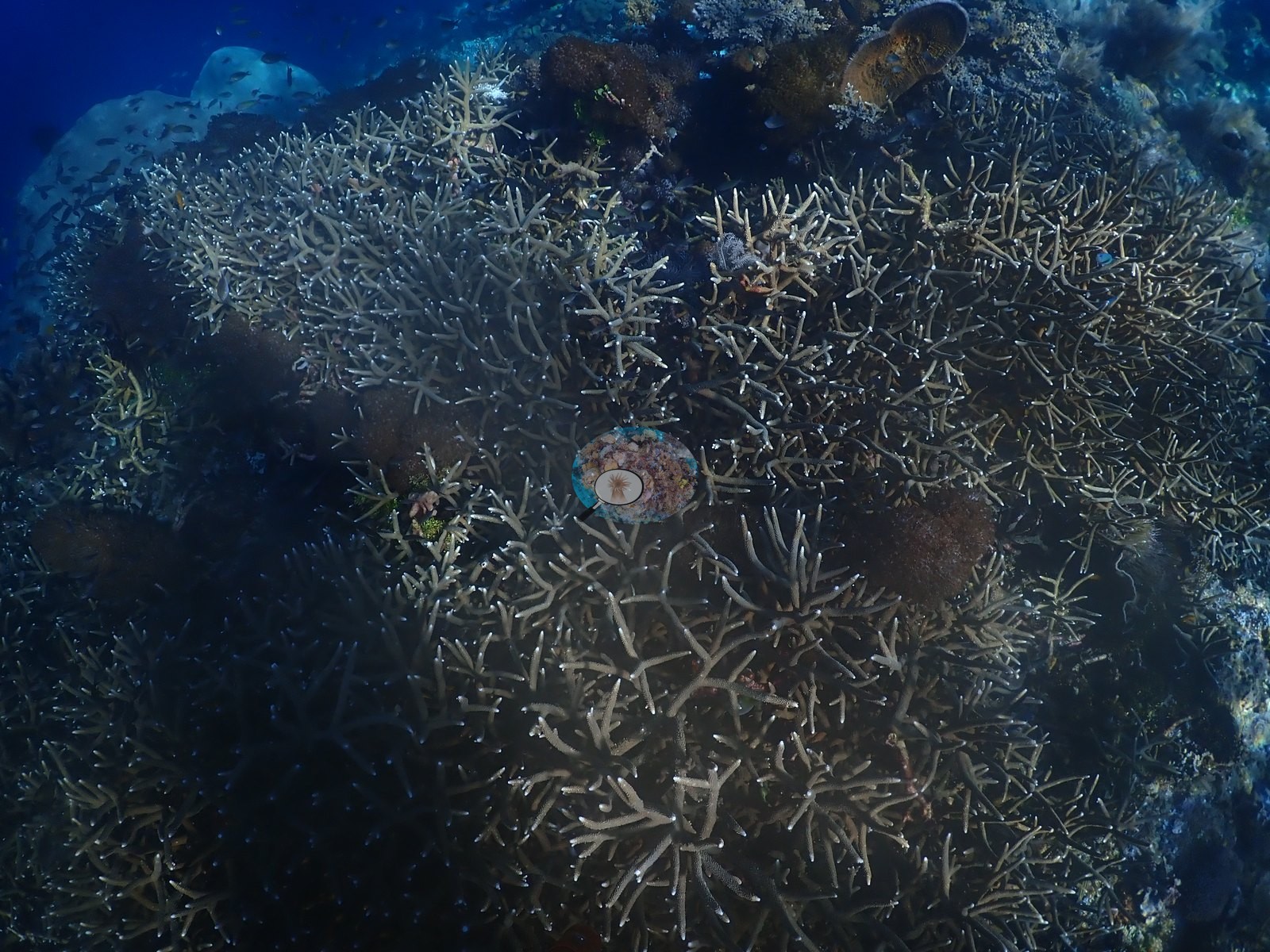
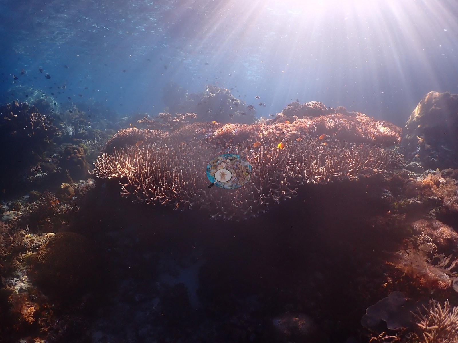
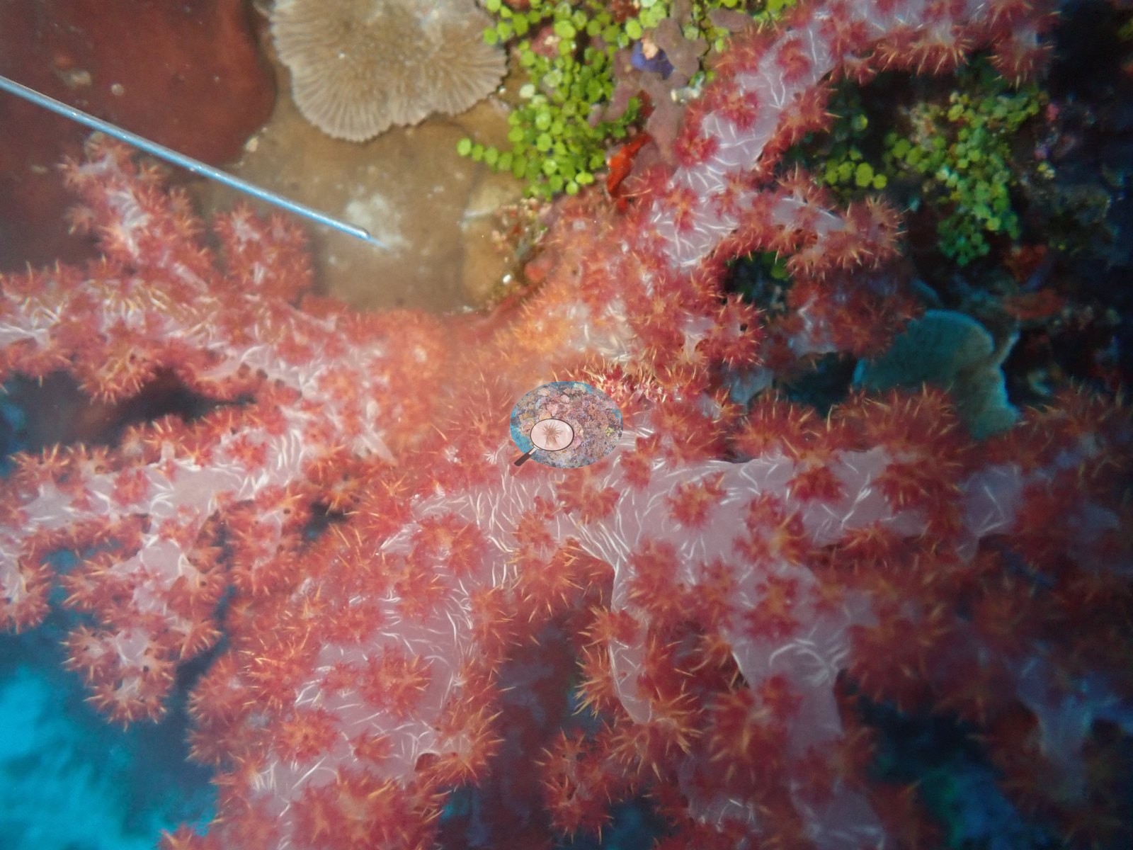
Crinoids (feather stars) perch on several coral heads, and red-orange encrusting sponge crusts and small dark ball sponges occupy shaded crevices between colonies (e.g., Image 49).
Coral cover
Coral cover: 23% — a blind Claude computer-vision point count of 155 of Anderson's unedited photographs (20 points per photo; water, fish, and obstructions excluded). Other computer-vision methods are listed in the method table.
Stressors
No crown-of-thorns predation, disease, or widespread bleaching was seen in the sample.
Fish and other fauna
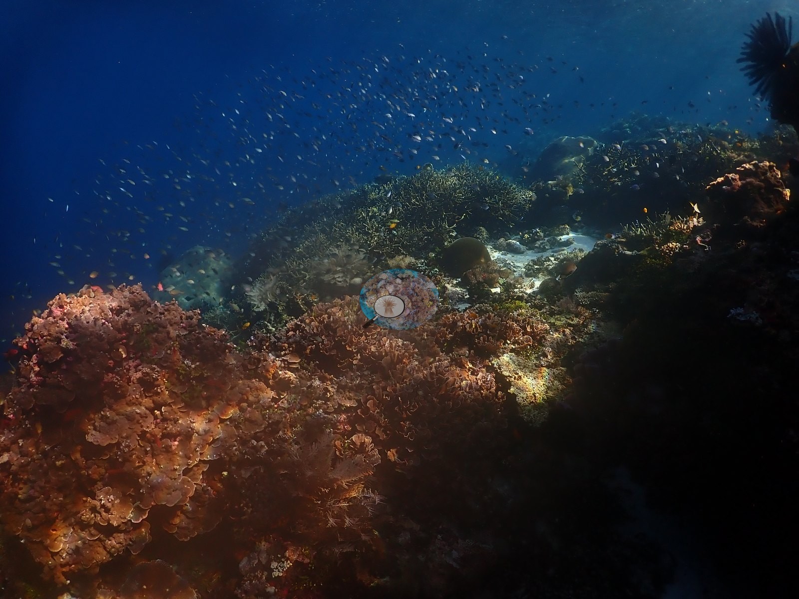
Reef fish include schooling fusiliers and small planktivores in blue water off the wall, damselfish and anthias among the branching thickets, and a pair of butterflyfish over one Acropora patch (e.g., Image 51).
Comparisons with other data
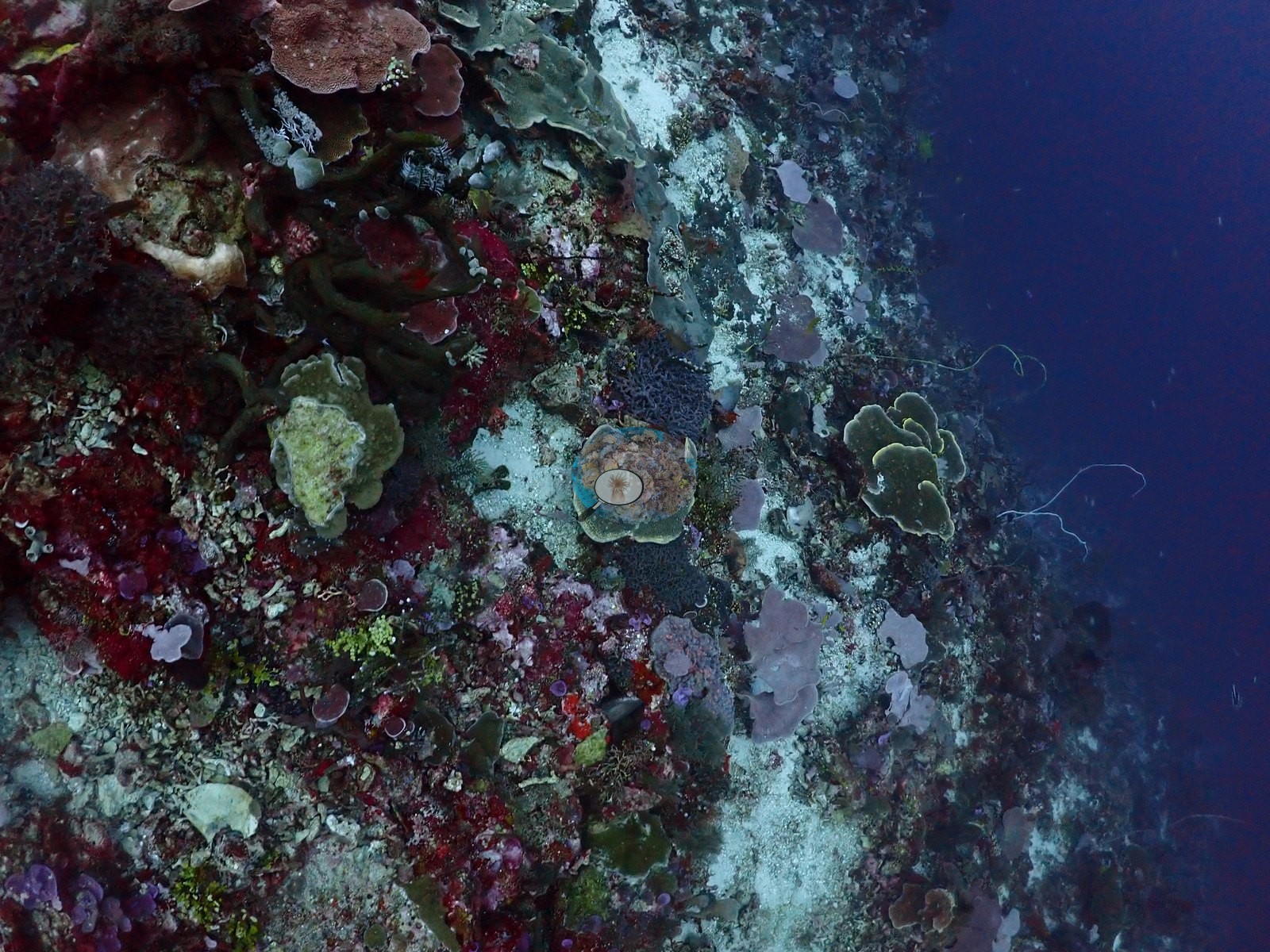
Also on record for this site: A steep wall and open-water drop-off combined with shallower mixed coral habitat (e.g., Image 16, Image 50).
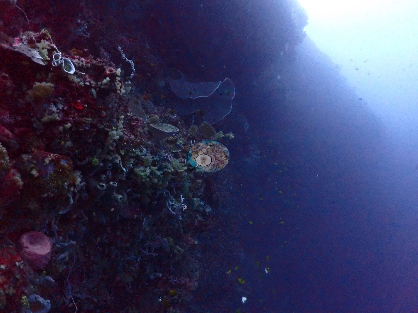
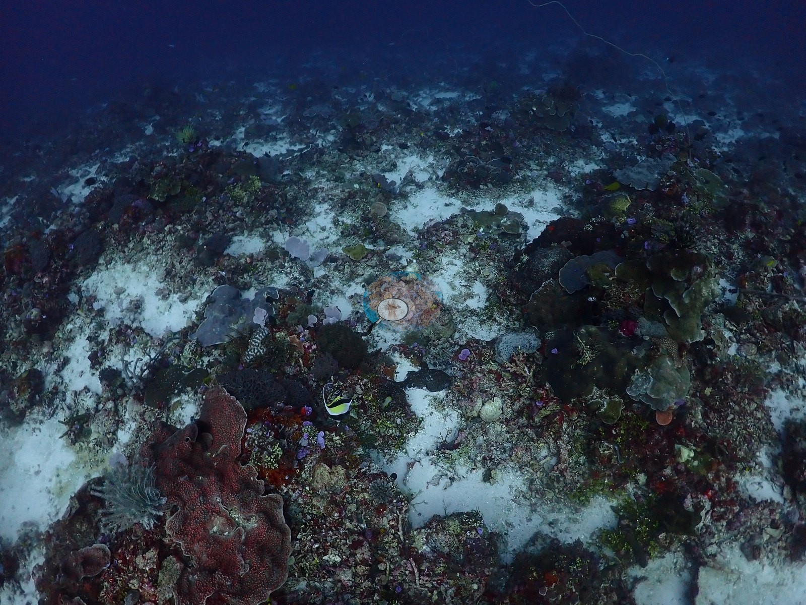
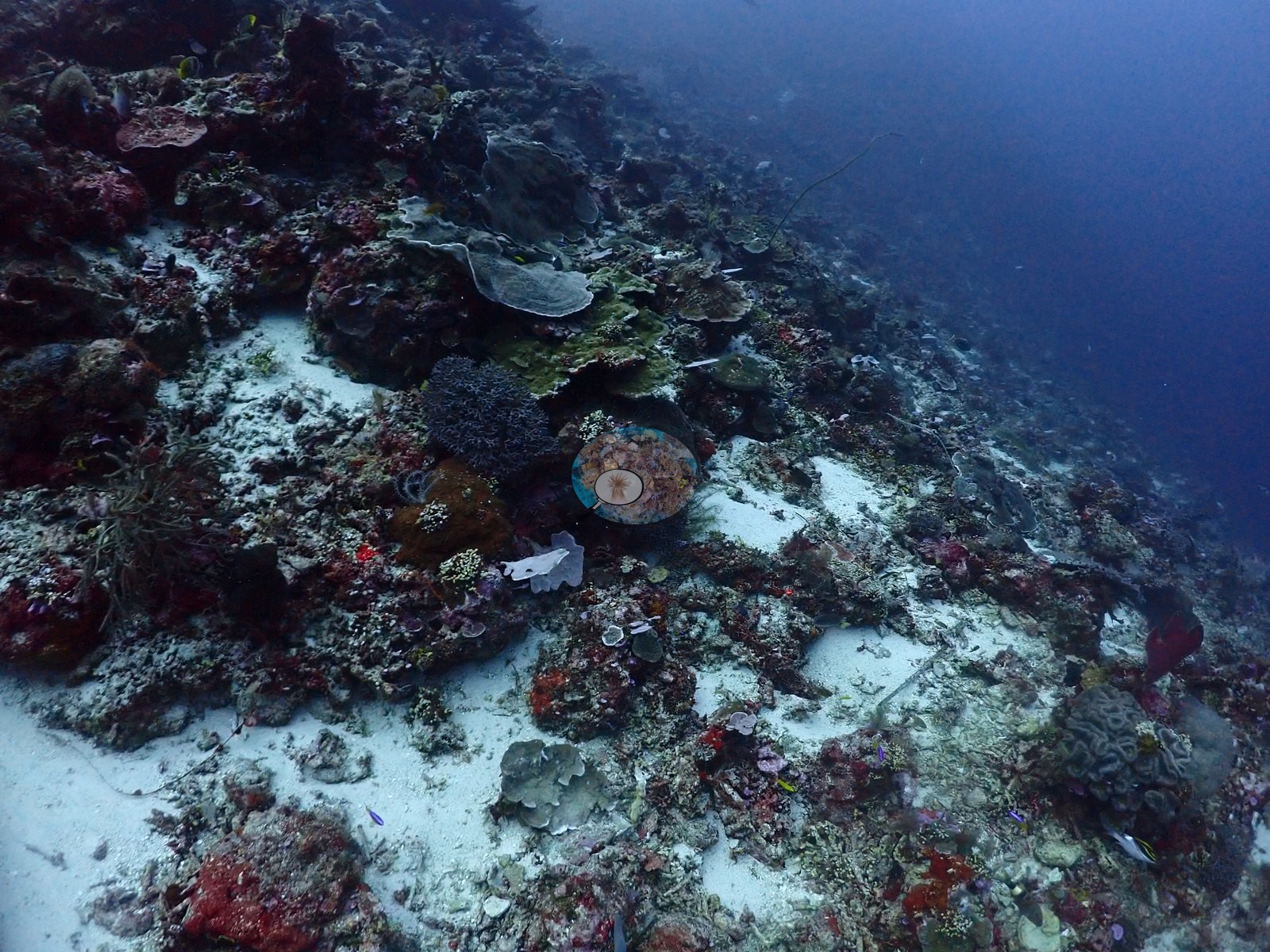
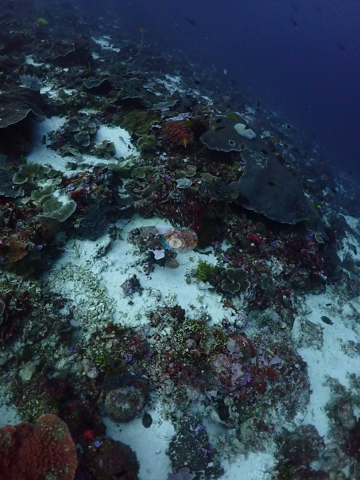
Sand and exposed framework interrupted living cover; overhangs and strong light transitions carry the arch-and-wall character even where the arch itself is not in frame (e.g., Image 9, Image 14, Image 53).
Other notes
Divers are visible at a distance in two frames but are not the subject (e.g., Image 13, Image 54).
CV model comparison
More info
DINOv3 and CoralSCOP were run on the same photos and are listed for comparison. Coralscapes v2 and v1 were also run but are not shown: Anderson does not consider Coralscapes reliable for these photos. No diver transect exists for this trip, so agreement between the rows is not accuracy, and as of September 2026 no computer-vision method estimates coral cover accurately on new images; treat every row as indicative.| Method | Hard-coral cover (%) |
|---|---|
| In-house DINOv3 | 23.2 |
| CoralSCOP unedited | 18.9 |
| Claude | 22.7 |
Independent surveys nearby
| Agency / program | Year(s) | Stations / distance | Link |
|---|---|---|---|
| WCS Indonesia via MERMAID | 2025 | 1 station, 2.21 km | Records ↓ |
| WWF-US / WWF-Indonesia | 2014 | 1 station, 0.72 km | Records ↓ |
 Dr. Coral (CRD)
Within 5 km, 2 independent survey stations recorded hard coral cover in 6 records between 2014 and 2025. Surveys since 2021 average 0.0% (range 0.0%, n=2). This site's own estimate (23%) sits 22.7 points above the recent range (0.0%); the methods differ, so the comparison is context, not a like-for-like test.
Collected by other programs using different methods (MERMAID is a data platform: each MERMAID row names the organization that did the survey, and its method is in the row's hover text), so these are context for the figures above, not a like-for-like comparison. Where a station was surveyed more than once the range is shown. Station names are not dive-site names.
| Agency | Site / location | Date | Hard coral cover (%) | Distance | Link |
|---|---|---|---|---|---|
| WWF-US / WWF-Indonesia | 5004 | 2014 | 53% (3 surveys) | 0.72 km | Amkieltiela, Abdillah T, Amkieltiela A, Andradi-Brown D, Lazuardi E. 2015. MBD 2014 & 2015. MERMAID |
| WCS Indonesia via MERMAID | 1001 | 2025 | 0.0% (3 images) | 2.21 km | Nurhayati. 2025. Ikan aya. MERMAID |
Data & links
All images from Coral Reef Diagnostics. Data are from Coral Reef Diagnostics and the organizations named in the data-sources table above.
© Coral Reef Diagnostics.