
Alor - Motonglang (Cathedral)

Part of the regional summary: Indonesia - Alor
More info
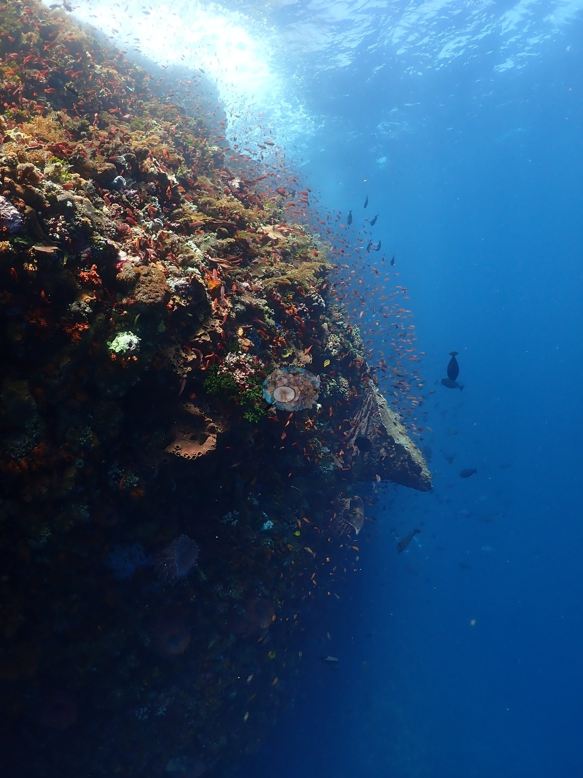
East Nusa Tenggara (NOAA CRW virtual station) · Lesser Sunda ecoregion mean=6.9°C-heating weeks Alor and the Pantar Strait sit in a zone of exceptionally strong upwelling, which holds these reefs several degrees cooler than NOAA’s satellite-derived figures imply. Read the heat-stress numbers here as a regional-scale indication, not as this reef’s own temperature history.Motonglang, yang dikenal para penyelam sebagai Cathedral, adalah dinding karang terjal di Alor yang dipenuhi lengkungan batu, lorong tembus (swim-through), dan ruang menyerupai gua, tempat berkas cahaya matahari menembus air biru. Tebing dan permukaan luarnya ditumbuhi beragam karang keras, mulai dari karang lembaran tipe Montipora/Pachyseris dan Turbinaria hingga Porites masif dan Acropora bercabang, di antara spons merah, spons tong, dan karang hitam, dan seekor pari marmer berukuran sangat besar (Taeniurops meyeni) tercatat dalam penyelaman ini.
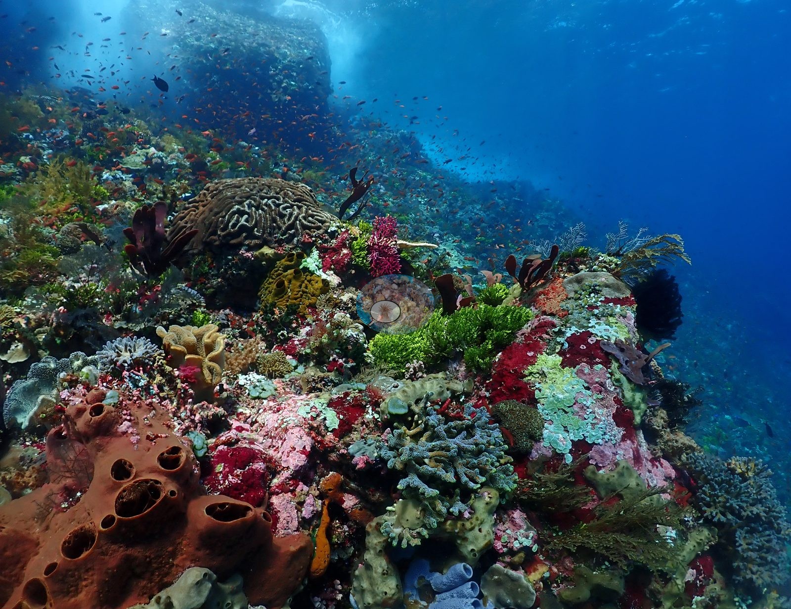
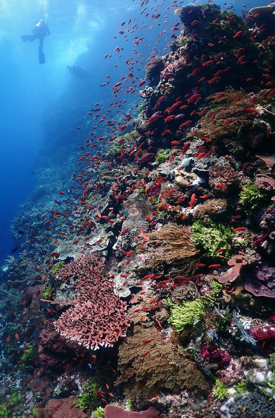
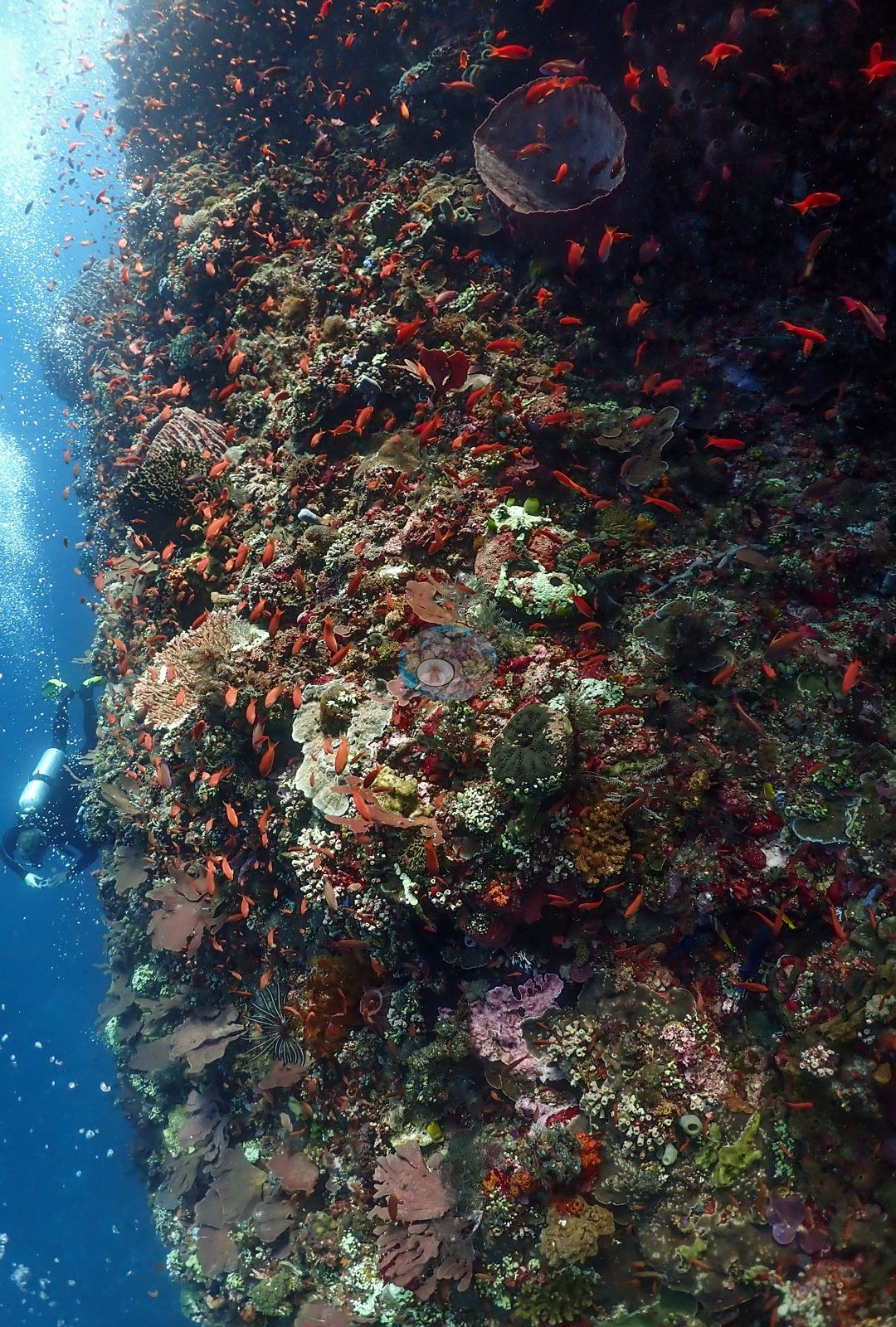
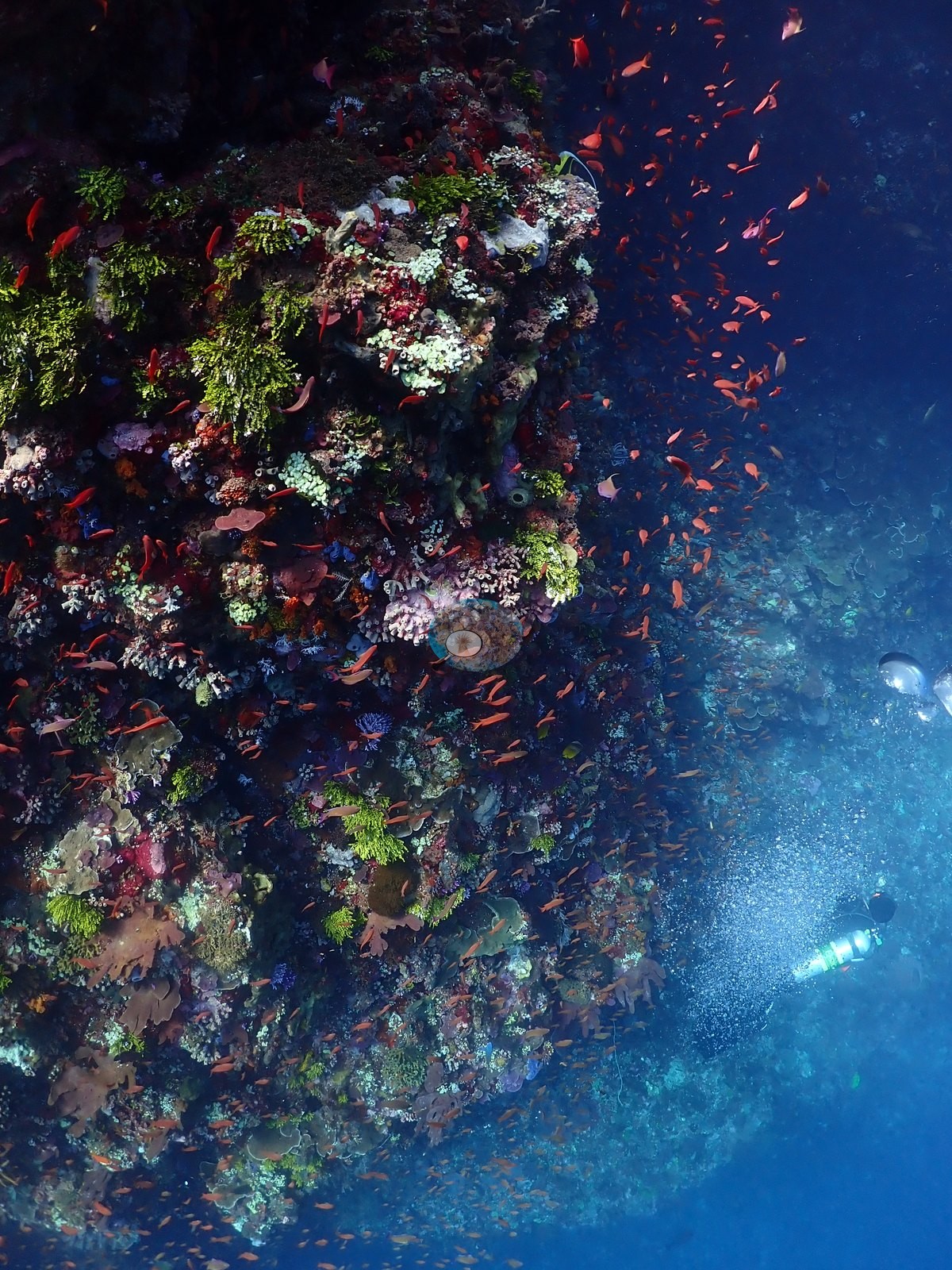
Motonglang, known to divers as Cathedral, is a steep Alor wall cut with arches, swim-throughs, and cave-like chambers where shafts of sunlight fall into the blue. Its ledges and outer faces carry a diverse mix of hard corals, from Montipora/Pachyseris-type plates and Turbinaria to massive Porites and branching Acropora, among red sponges, barrel sponges, and black coral, and a very large marbled ray (Taeniurops meyeni) was logged on the dive.
One independent survey station shown with the program’s logo — click one to see how far it is from this site.
Three other CRD dive sites within 5 km shown in orange — click a marker to open its page.
21 of these 53 photographs are shown beside the text that discusses them under "Site description" below.
Site description
Setting
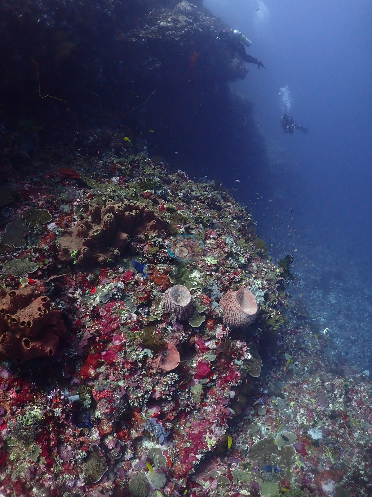
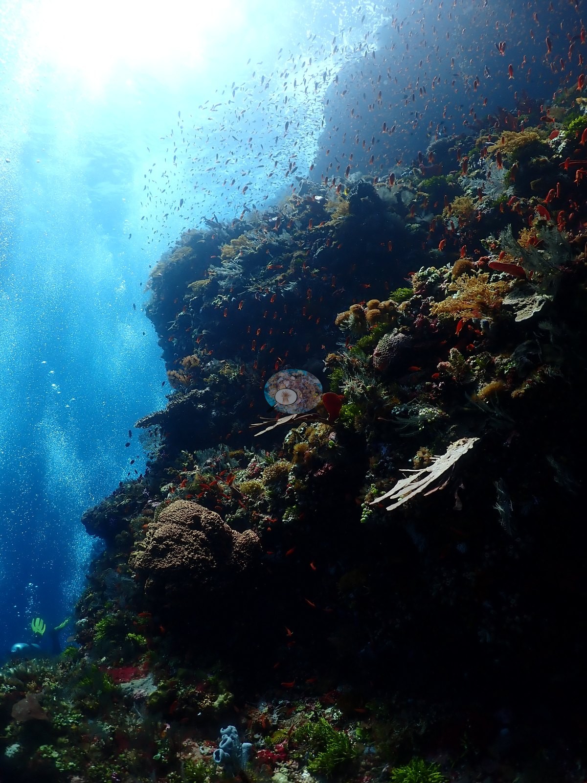
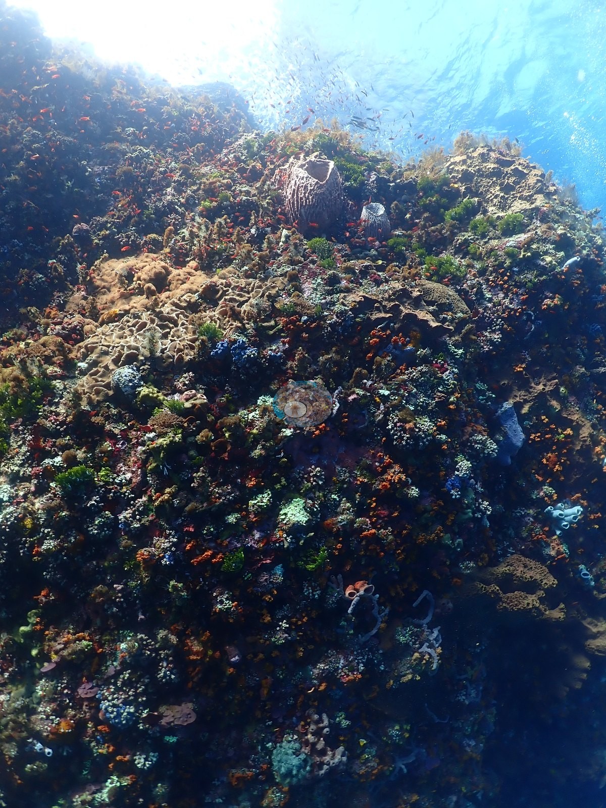
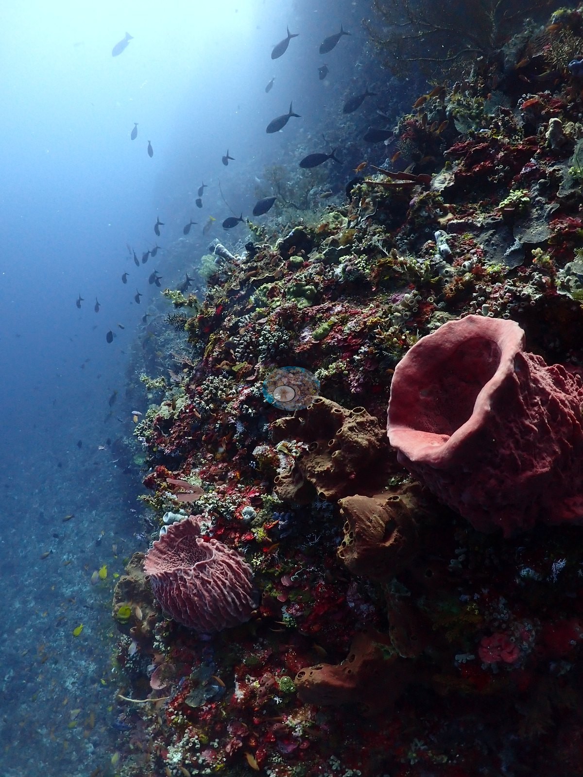
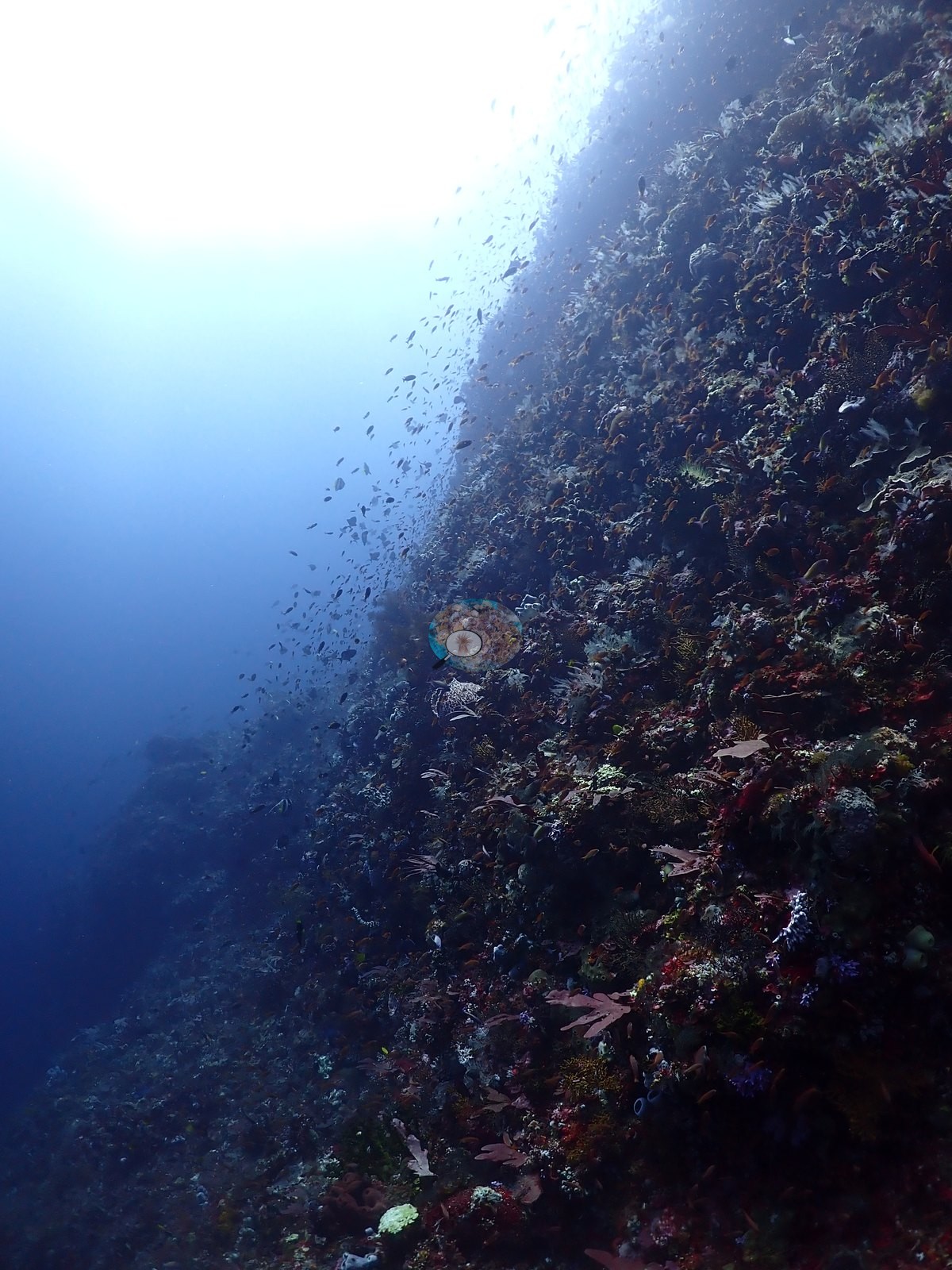
A steep, heavily overgrown wall and pinnacle system consistent with the site's "Cathedral" name: one frame shows a narrow, vertical keyhole-shaped swim-through/arch cut through the rock, its walls dark with encrusting growth and two barrel-shaped sponges flanking the opening, small fish silhouetted against the blue beyond (e.g., Image 47).
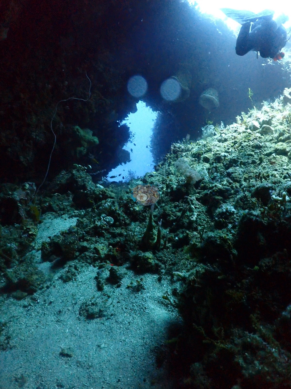
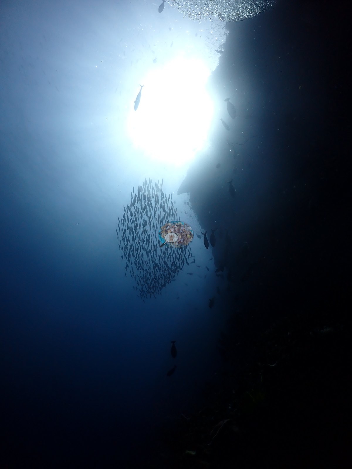
Visibility is good on the open-water/blue frames and more turbid/particulate close to the wall, consistent with a wall site with upwelling or current.
General benthic features
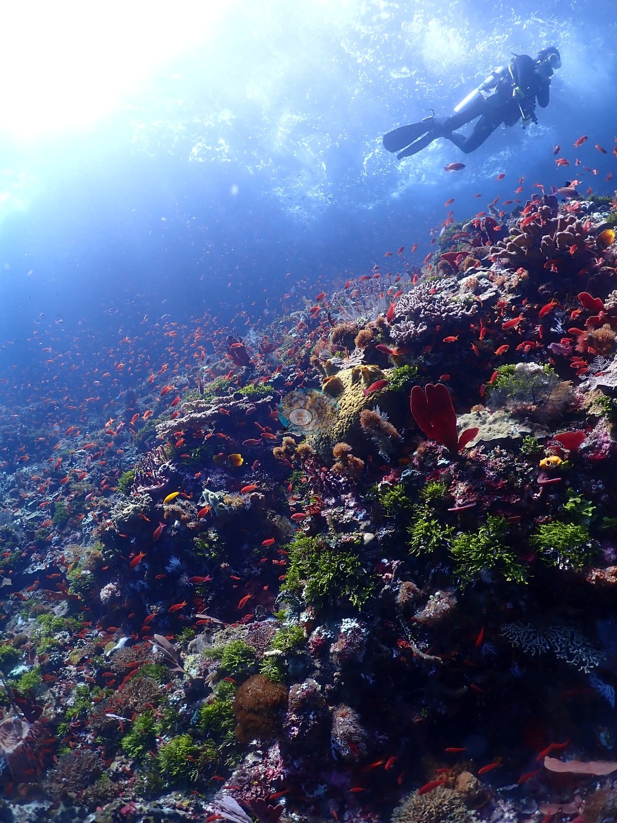
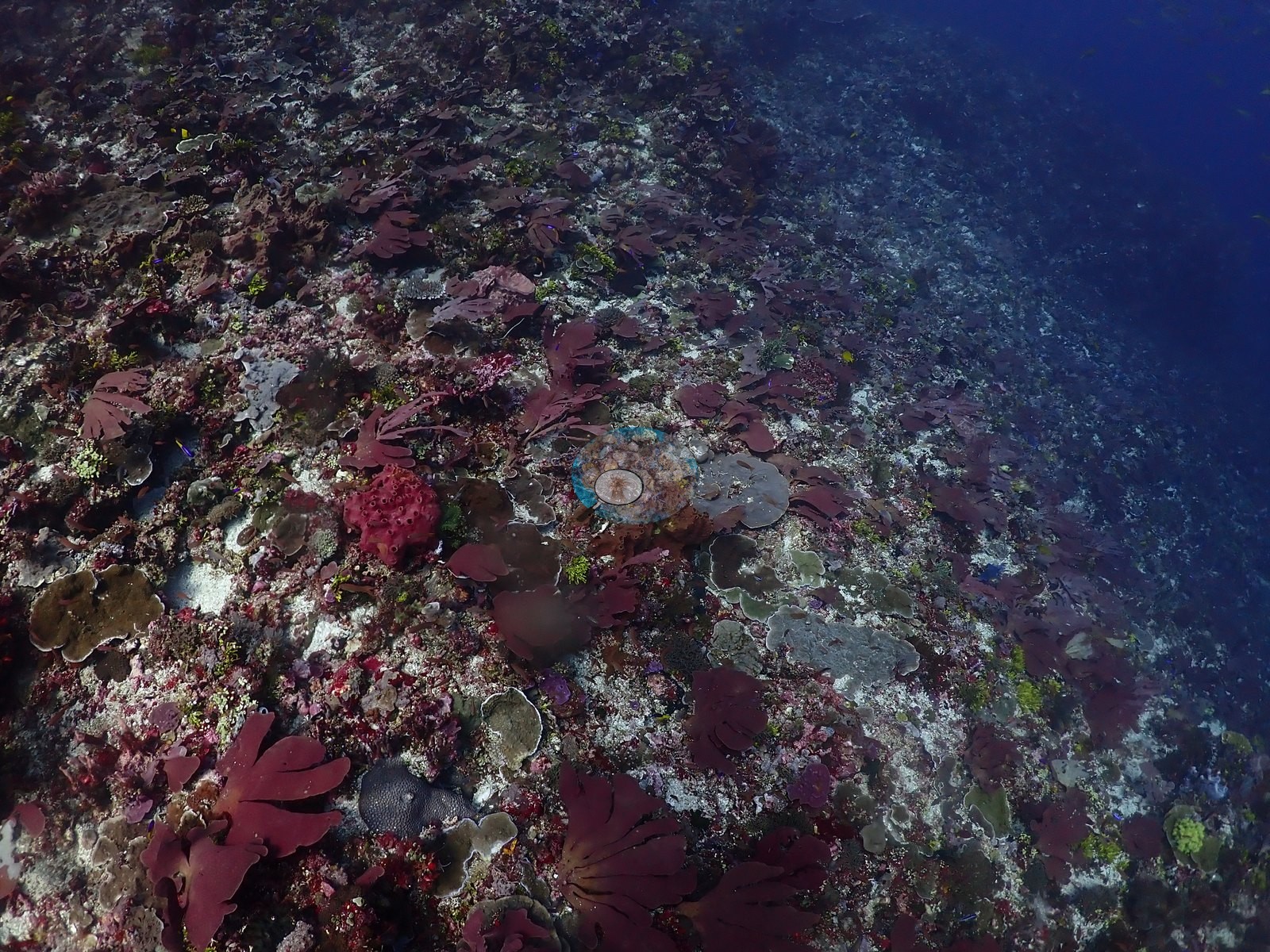
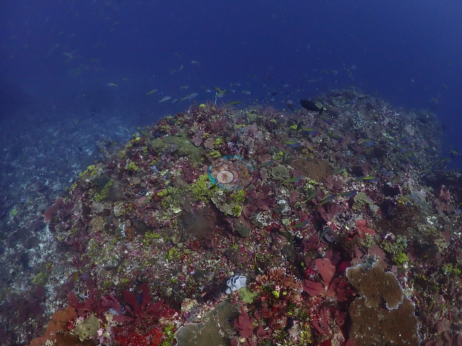
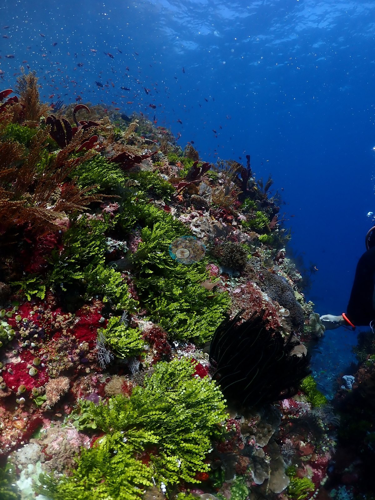
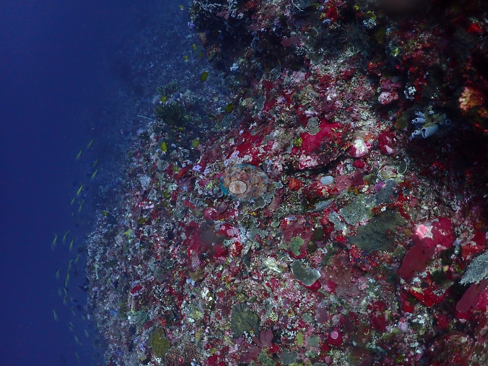
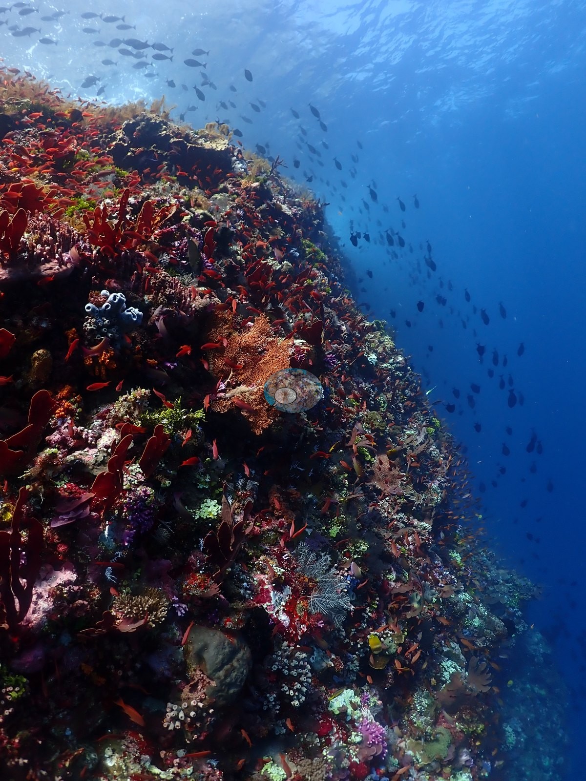
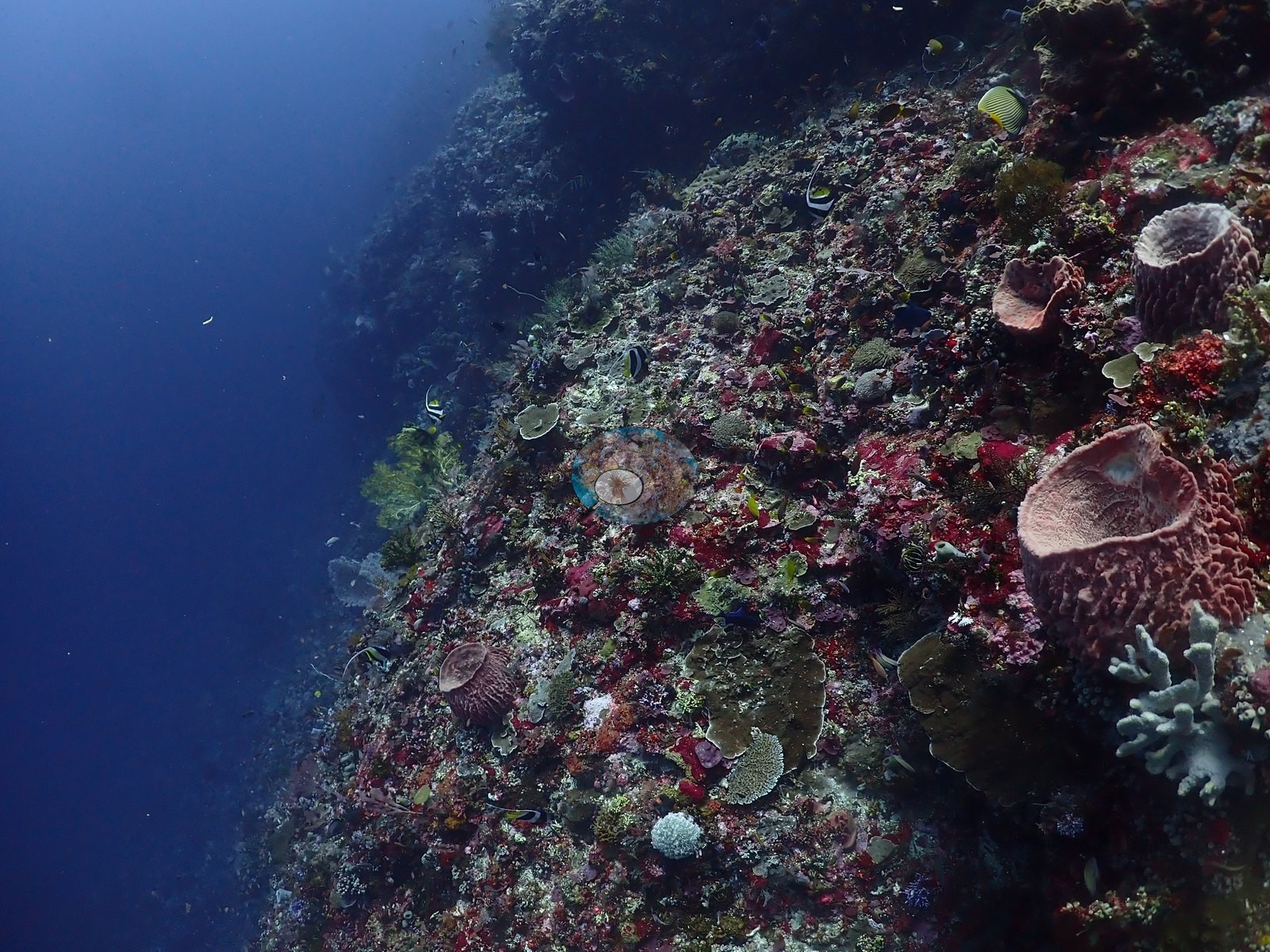
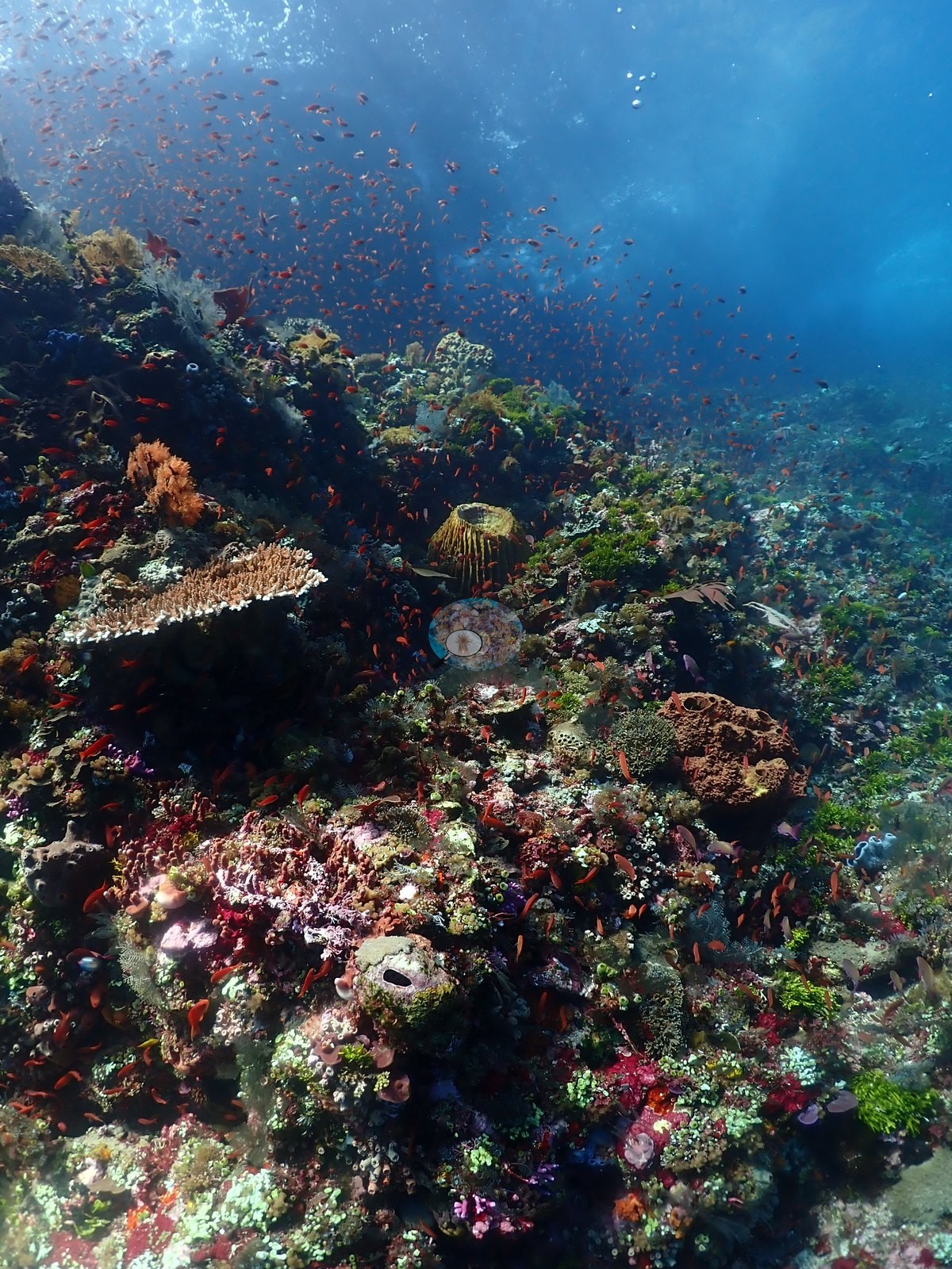
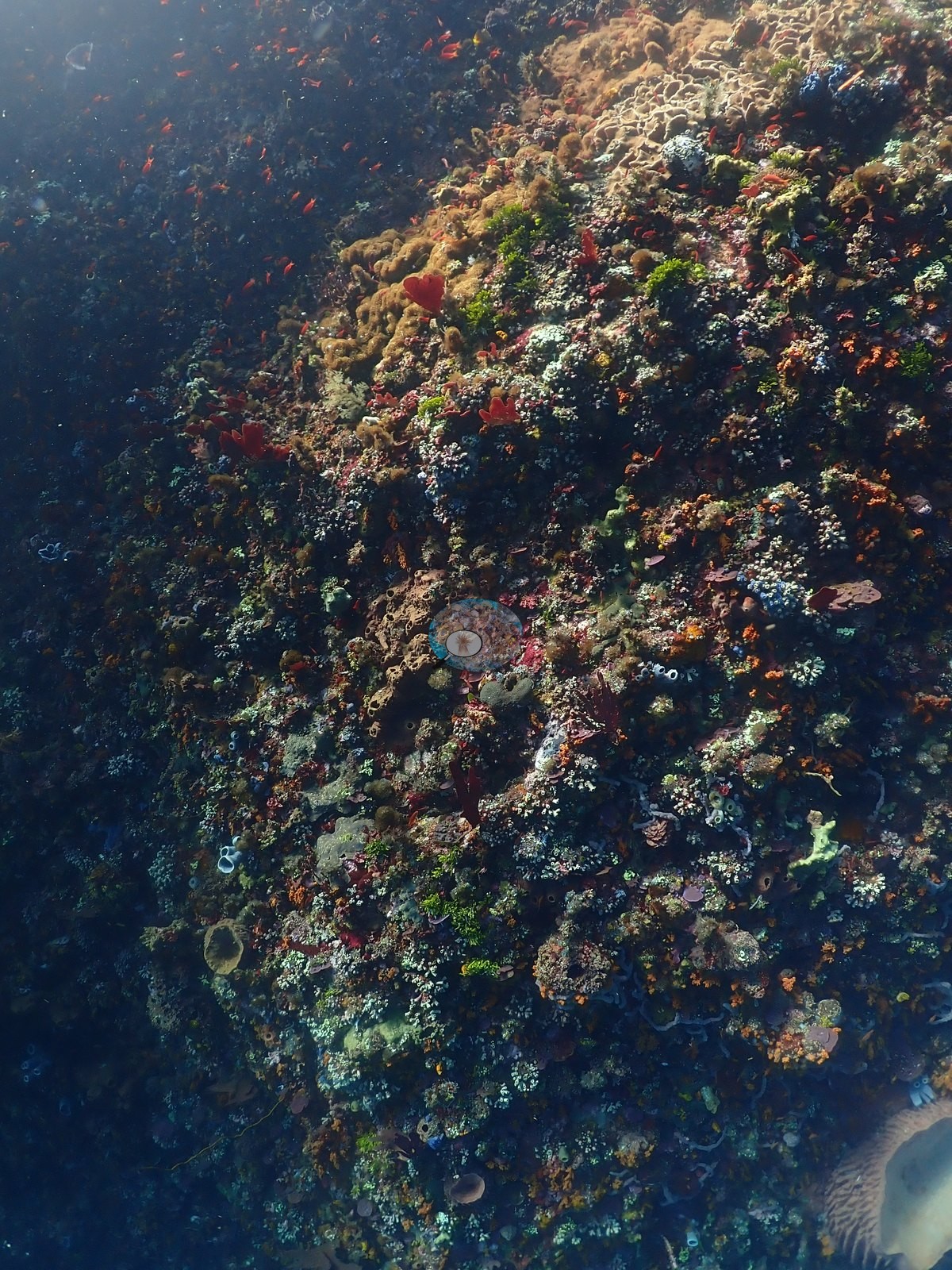
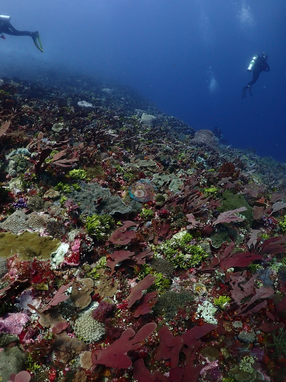
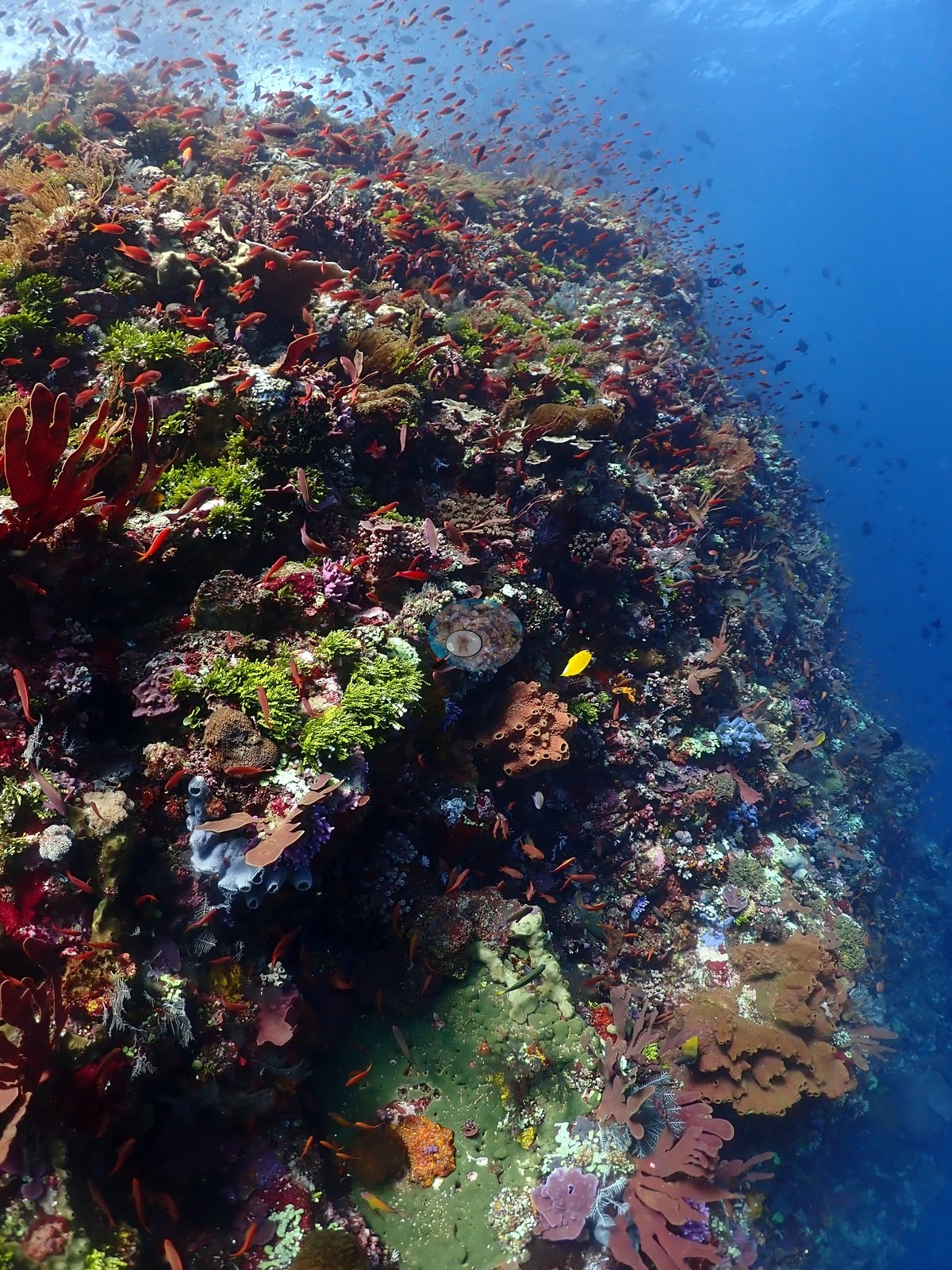
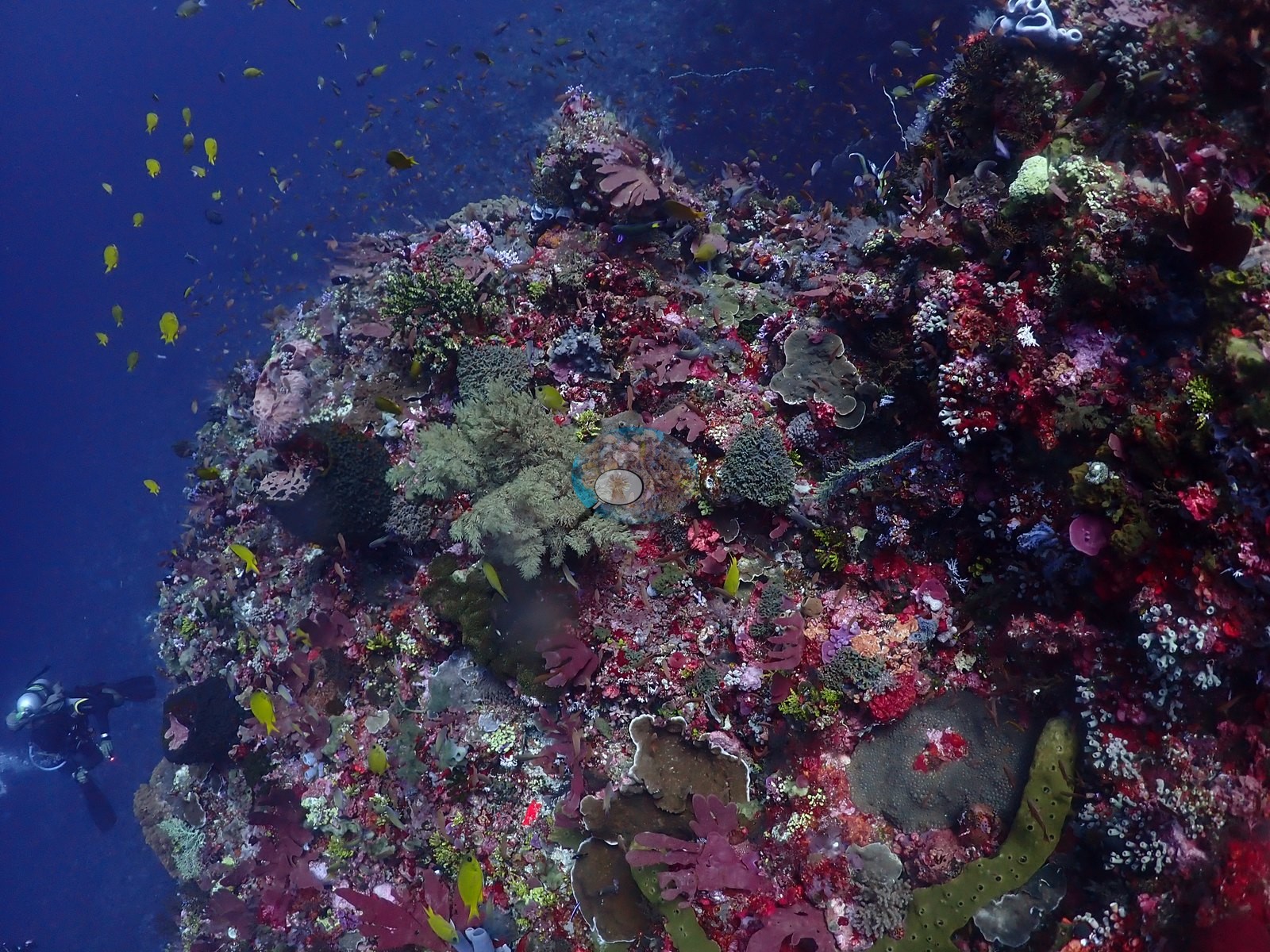
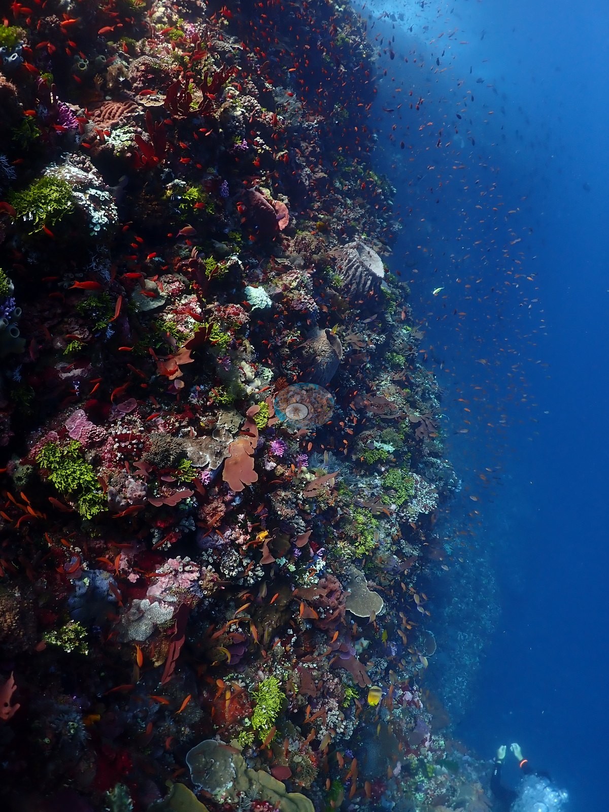
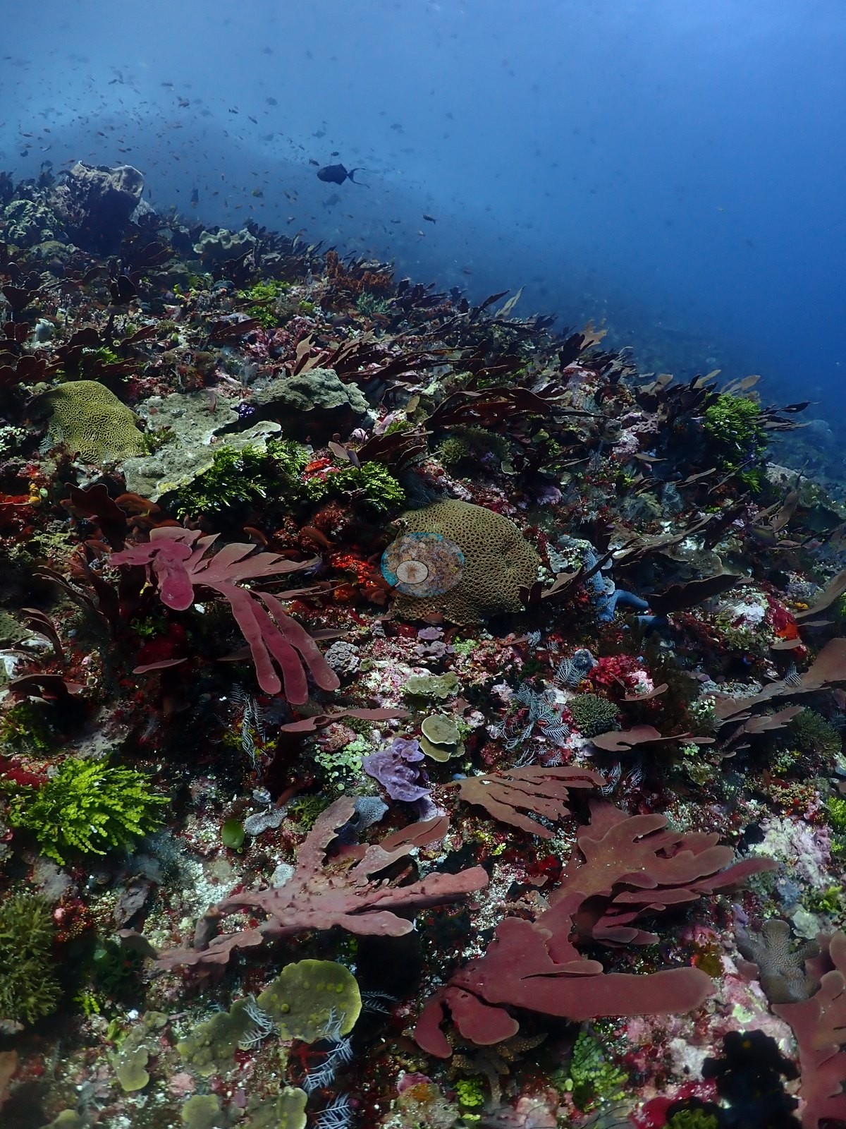
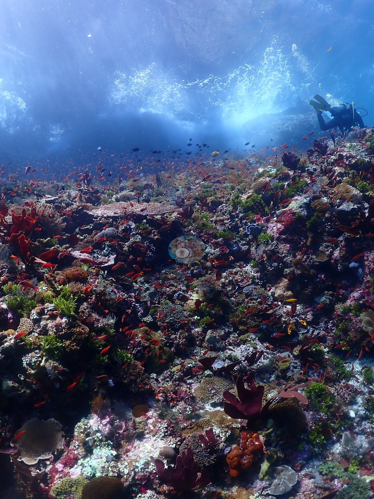
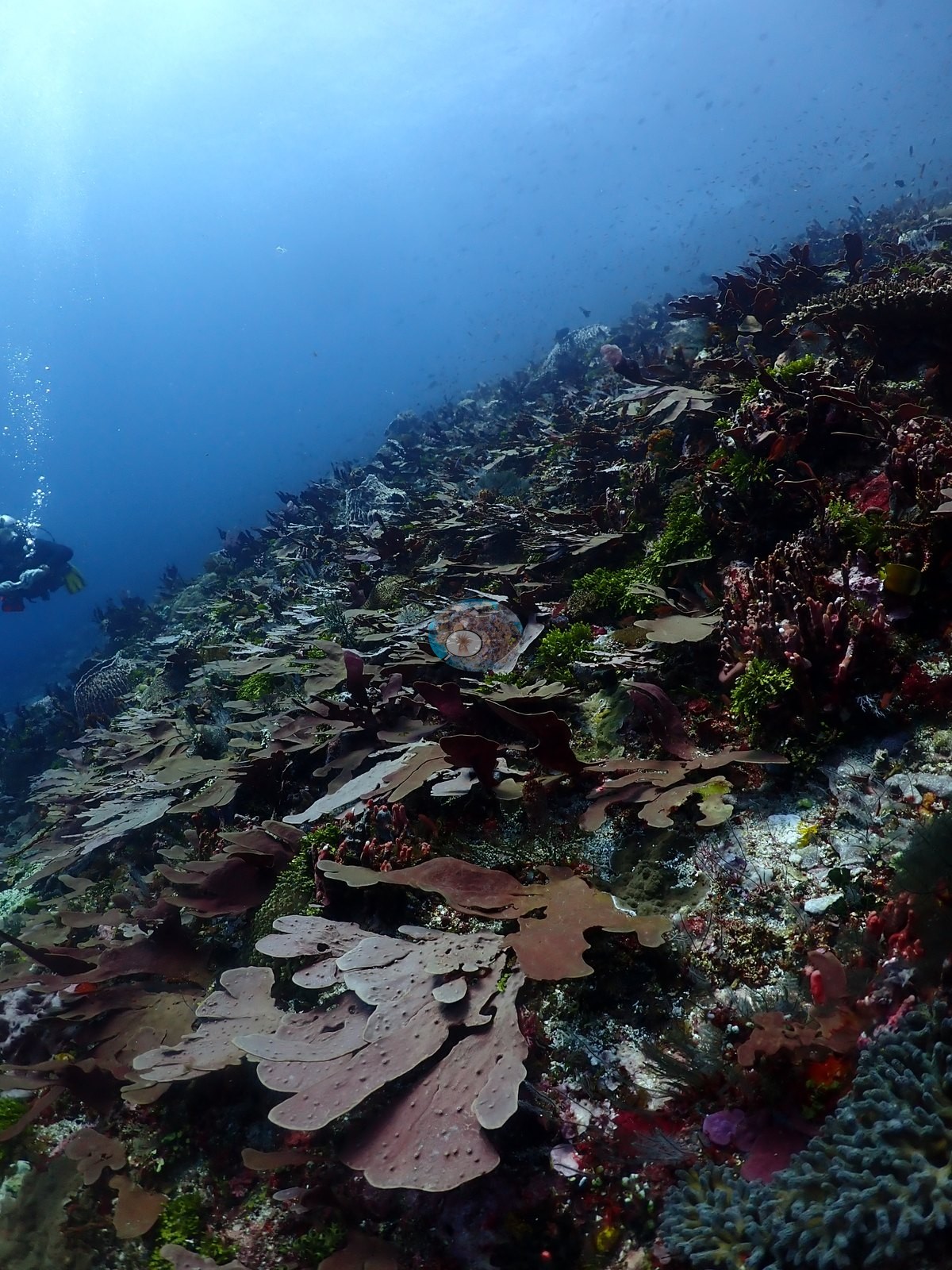
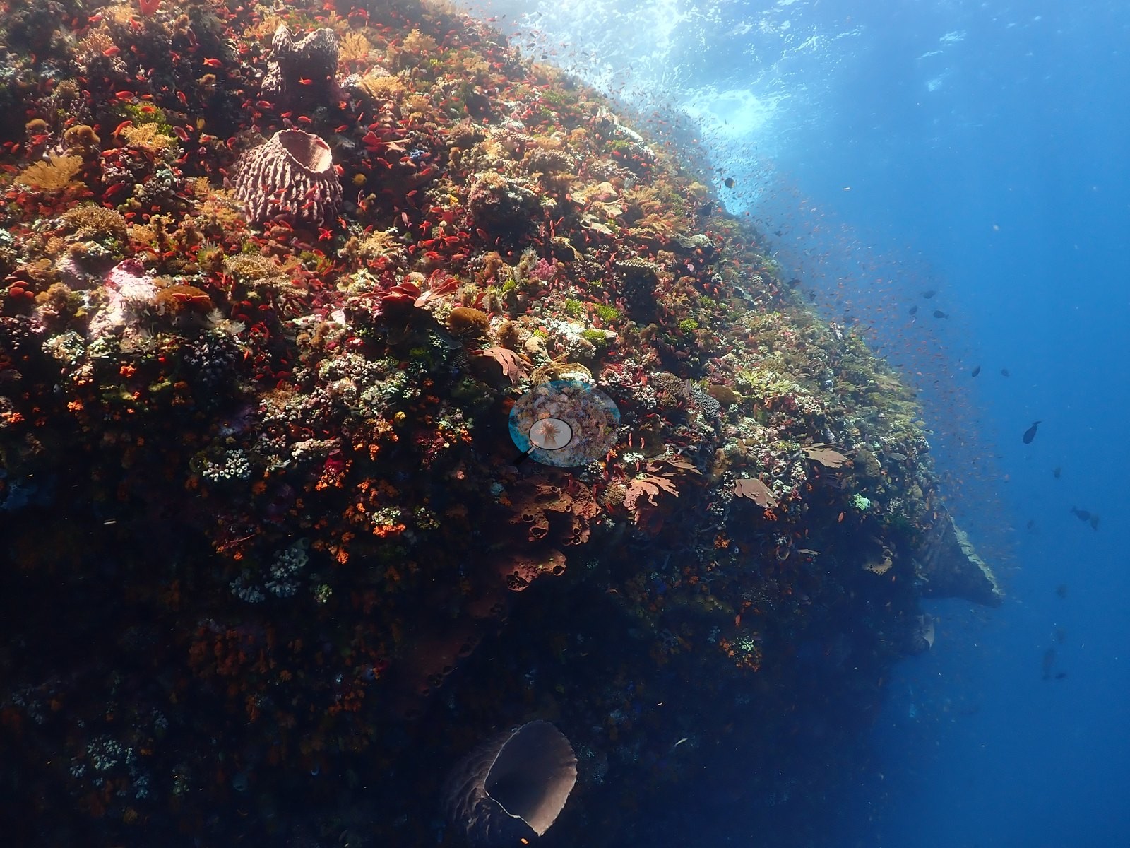
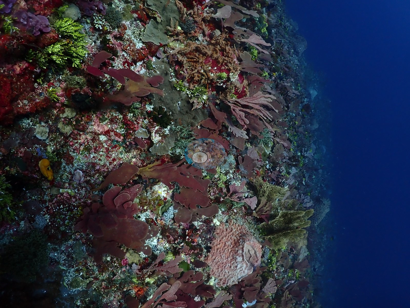
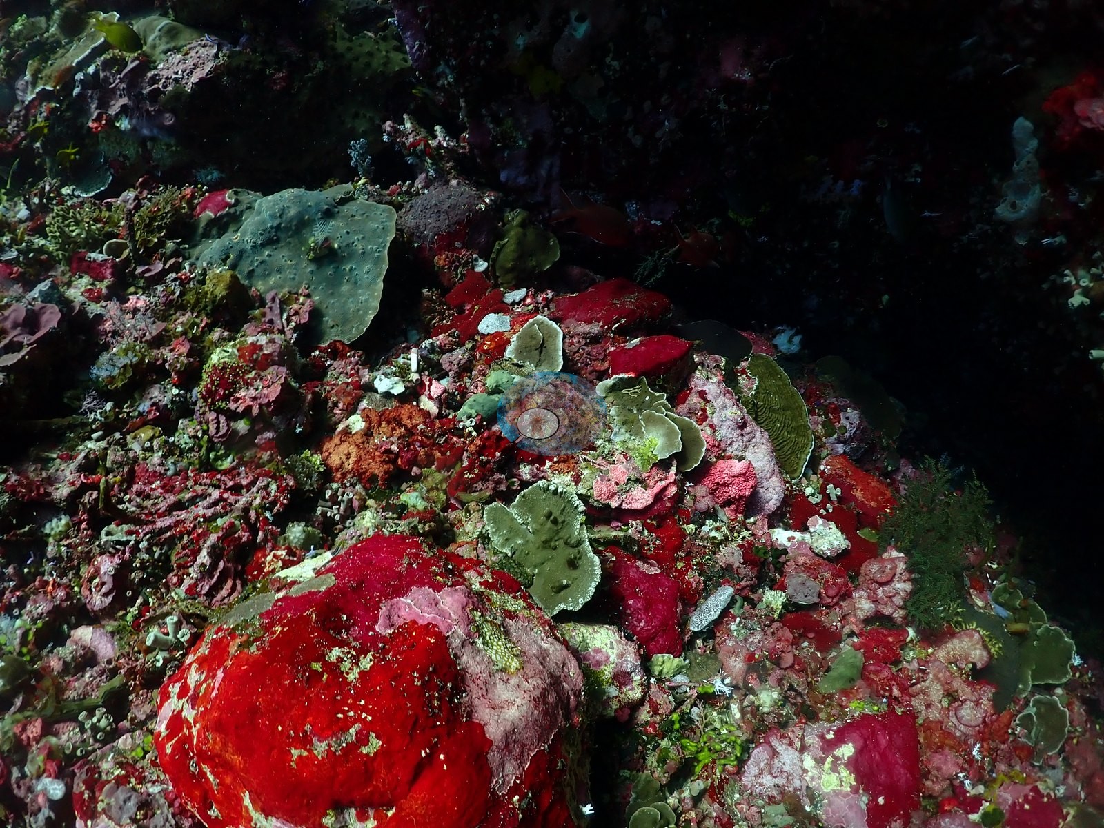
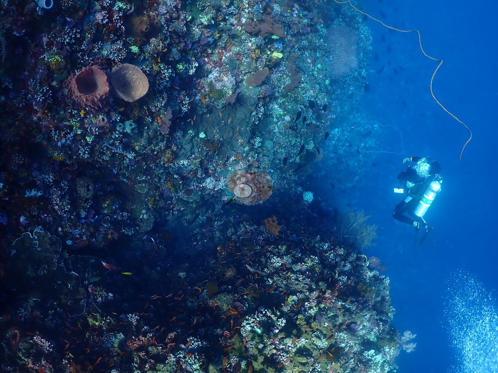
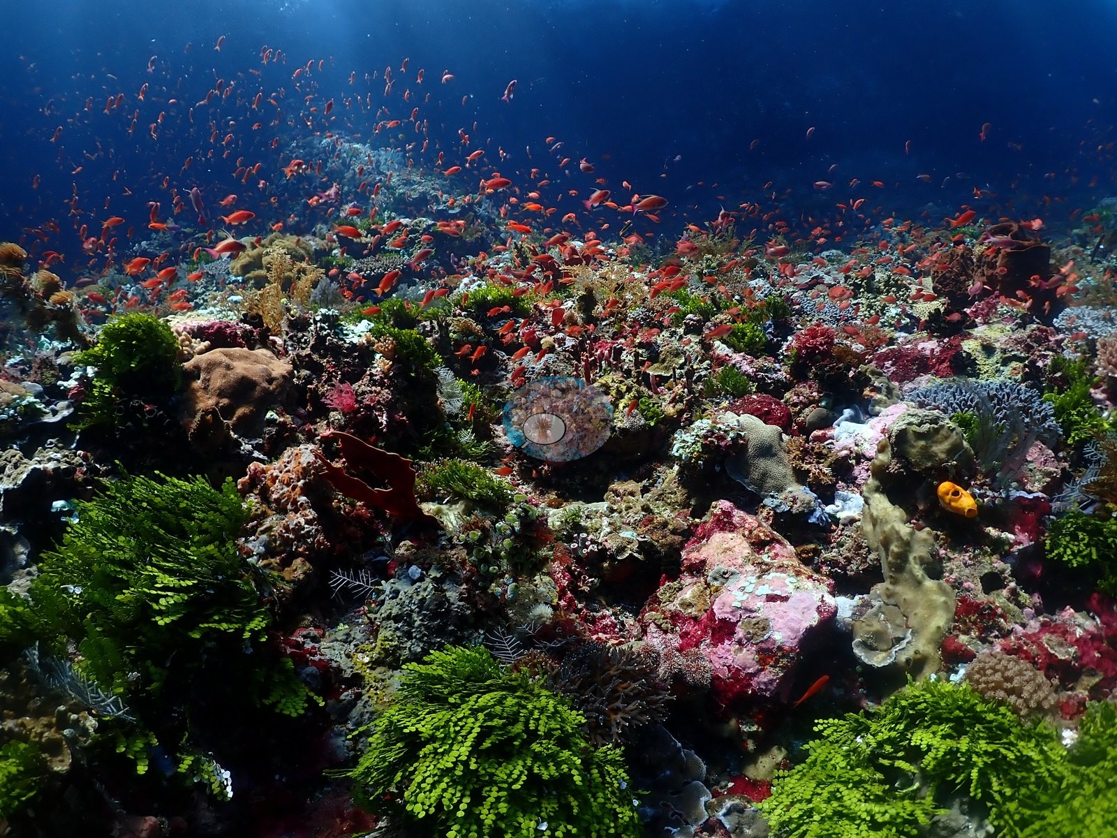
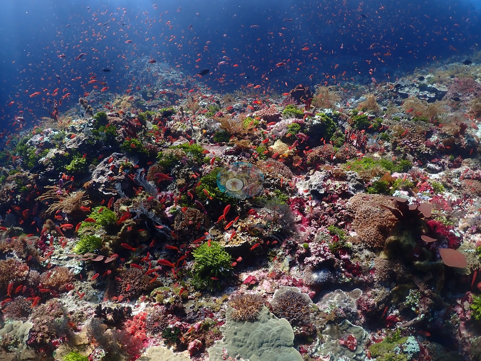
Elsewhere the wall face is essentially wall-to-wall encrusting cover rather than open rock: dense mats of red/maroon and pink encrusting sponge and coralline algae, interspersed with patches of green Halimeda-type algae, form a mosaic backdrop punctuated by discrete coral colonies - a round tan brain/faviid-type coral head, small plating colonies with pale growing margins, low mounding colonies with pin-cushion polyps, and a spiky orange soft coral or gorgonian (e.g., Image 20, Image 23, Image 34, Image 44).
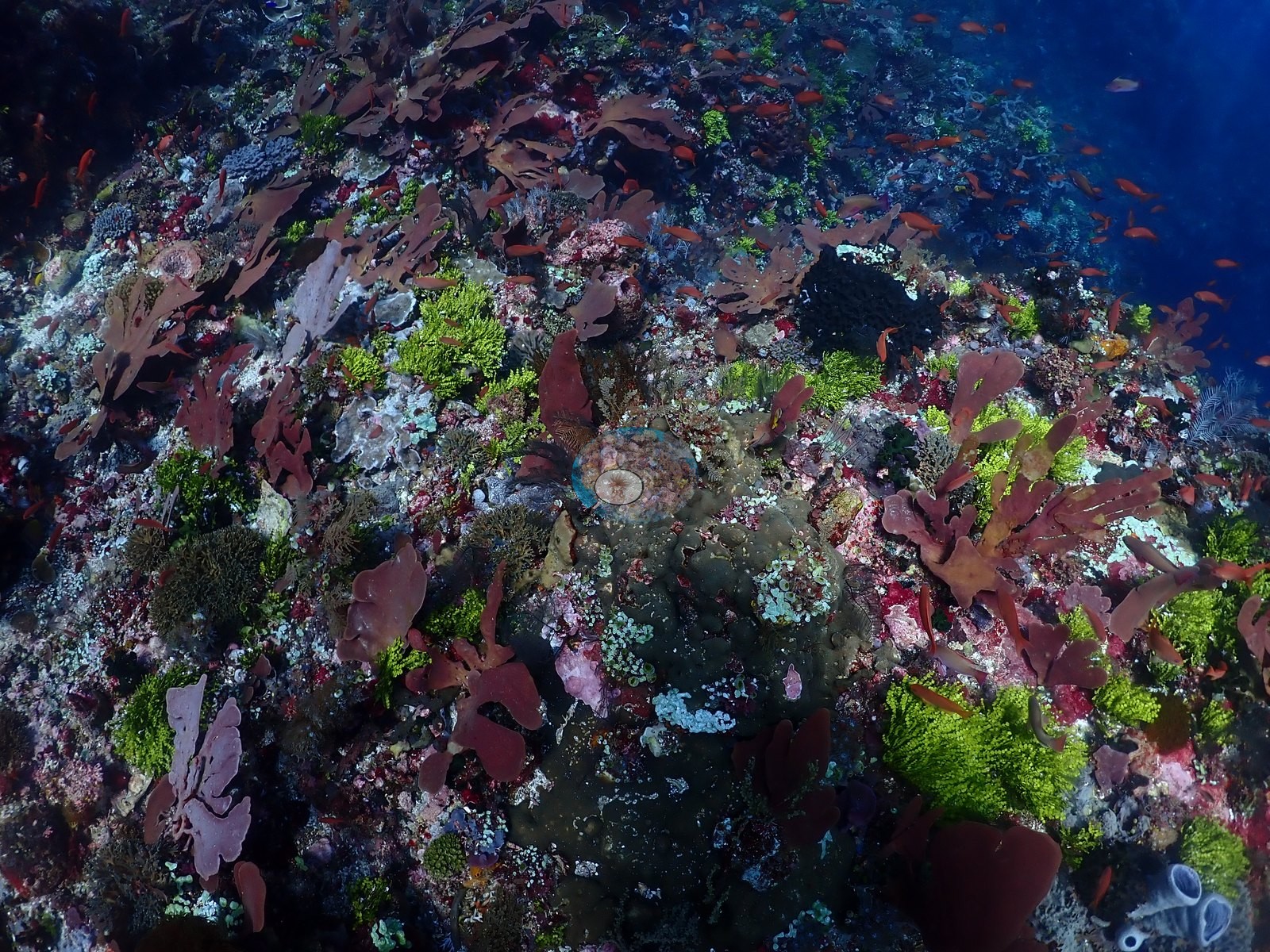
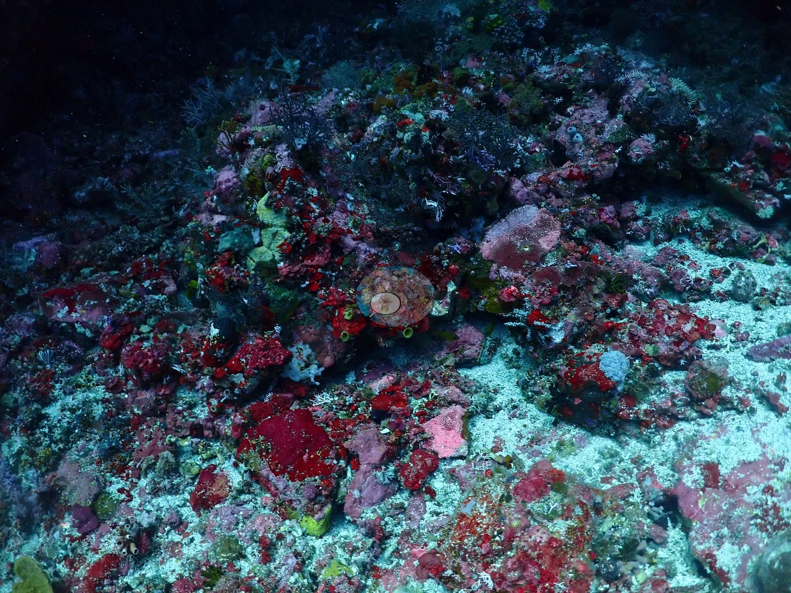
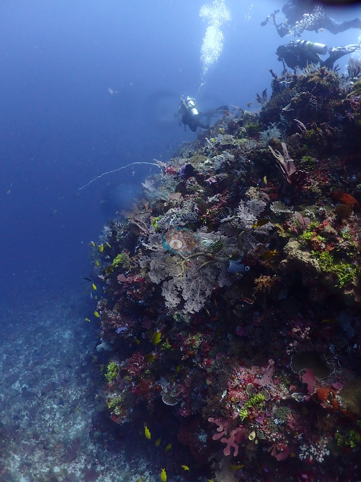
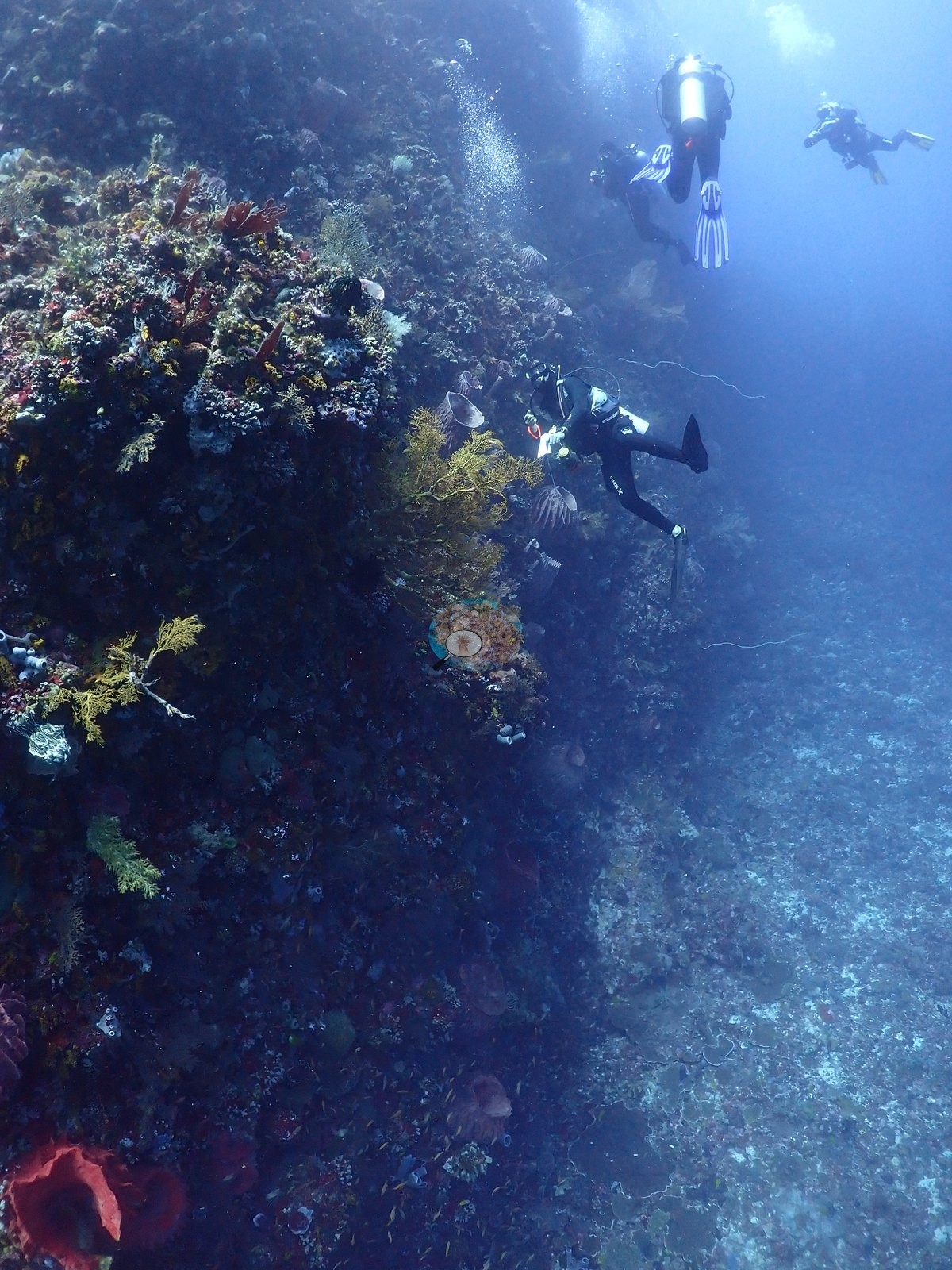
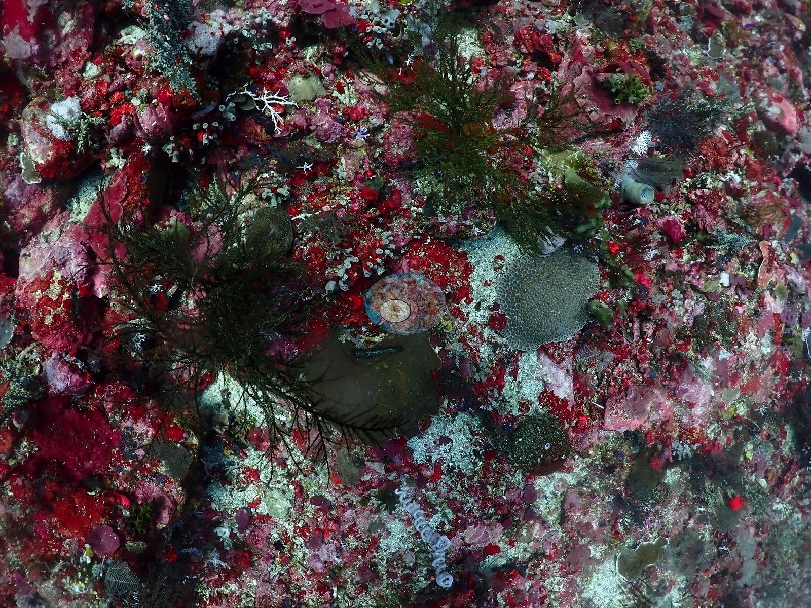
Black bushy growth (consistent with black coral, Antipatharia) recurs on shaded faces alongside a delicate white fan-shaped gorgonian sea fan (e.g., Image 48).
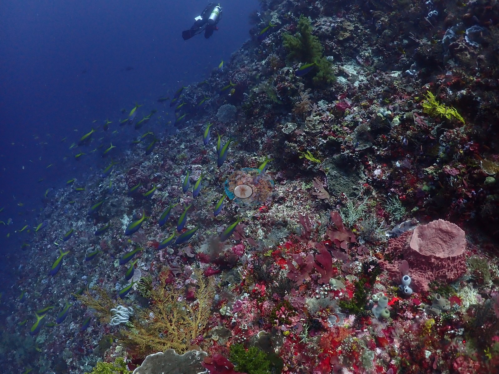
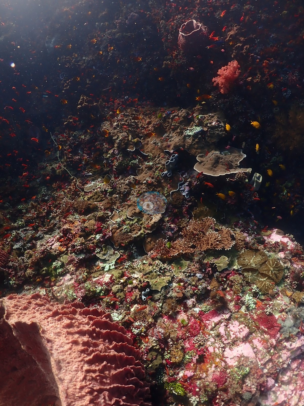
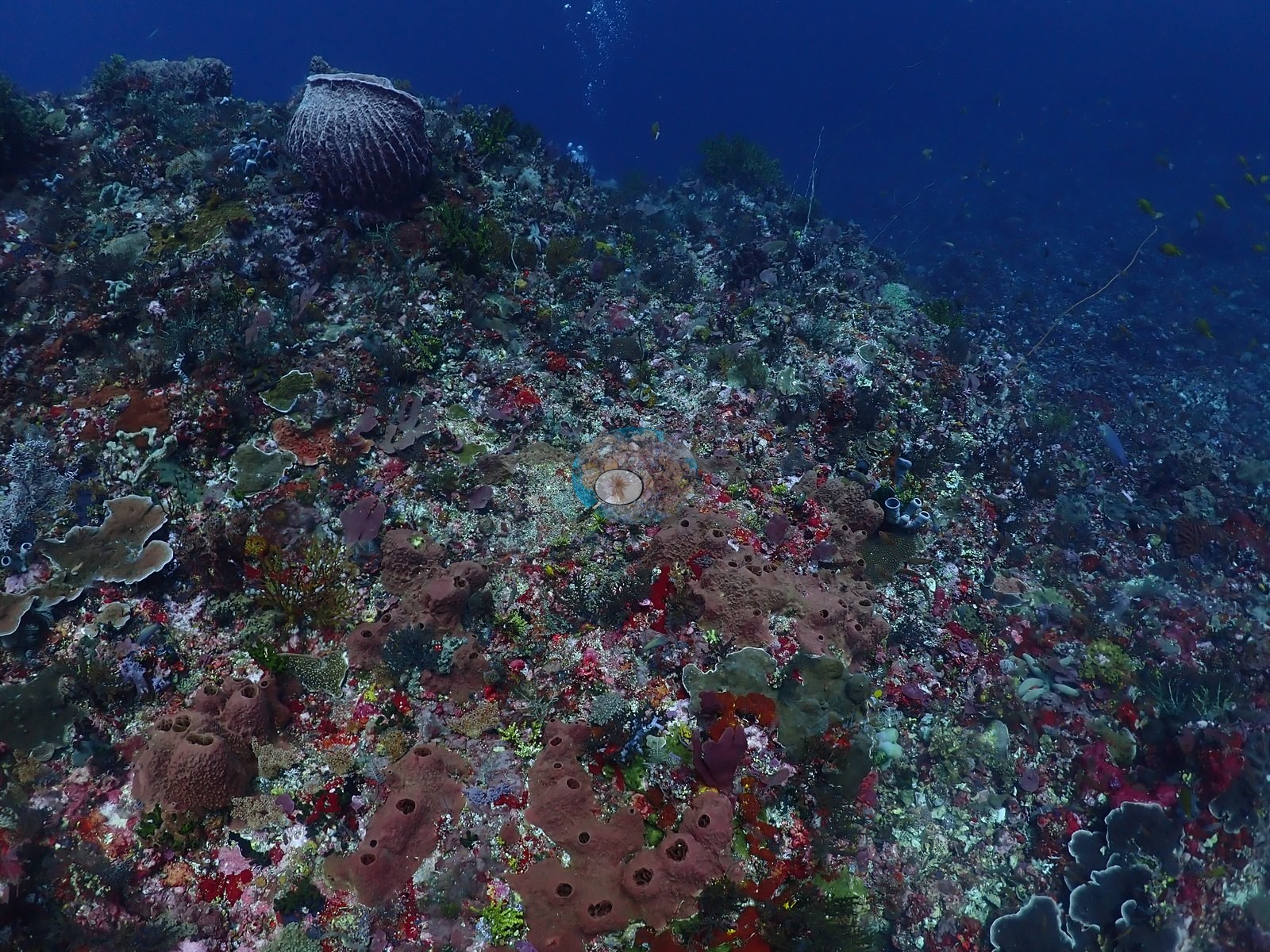
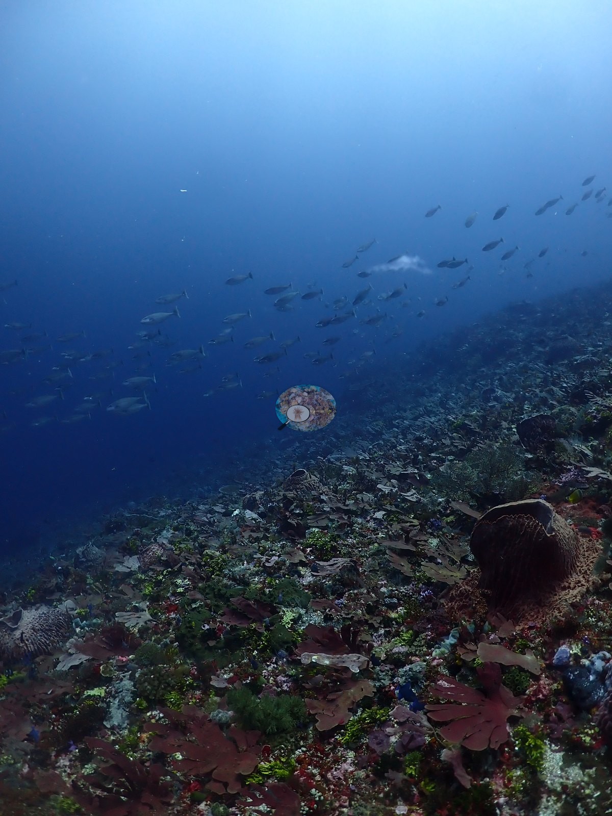
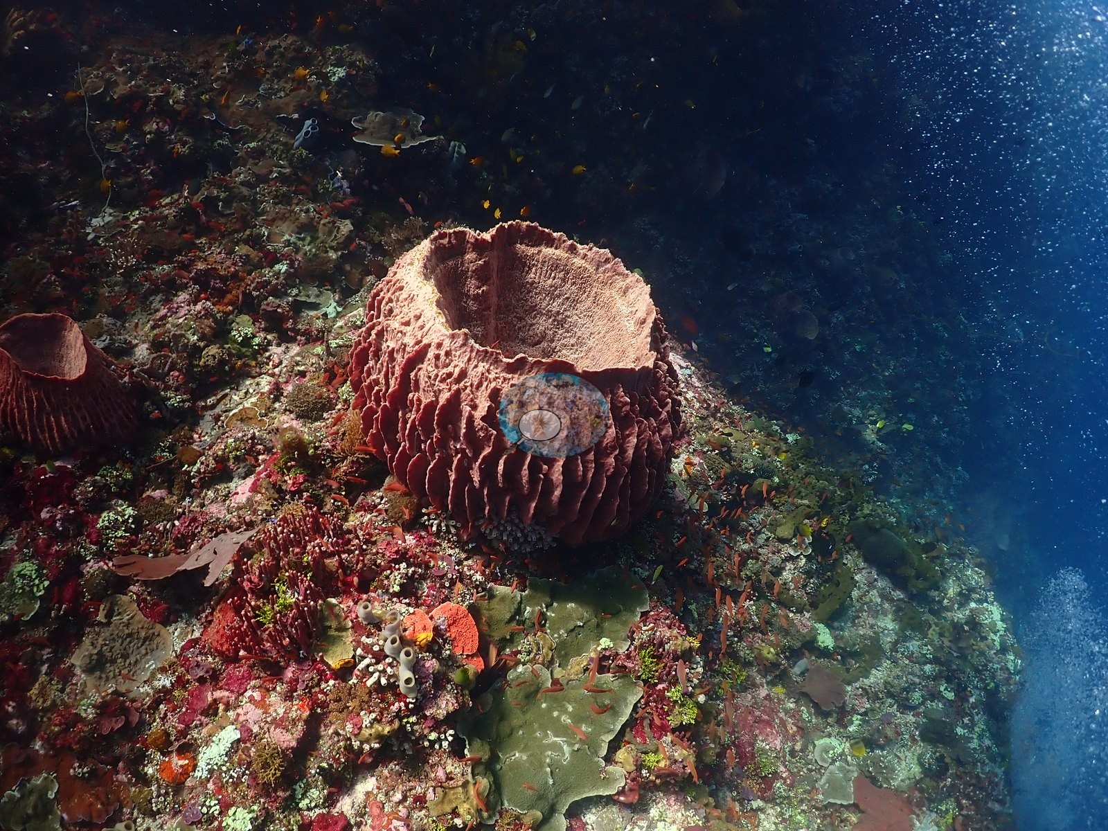
Large barrel sponges (one prominent ribbed individual over a meter across) and cratered gray sponge colonies with multiple oscula project from the wall in several frames (e.g., Image 3, Image 4, Image 39).
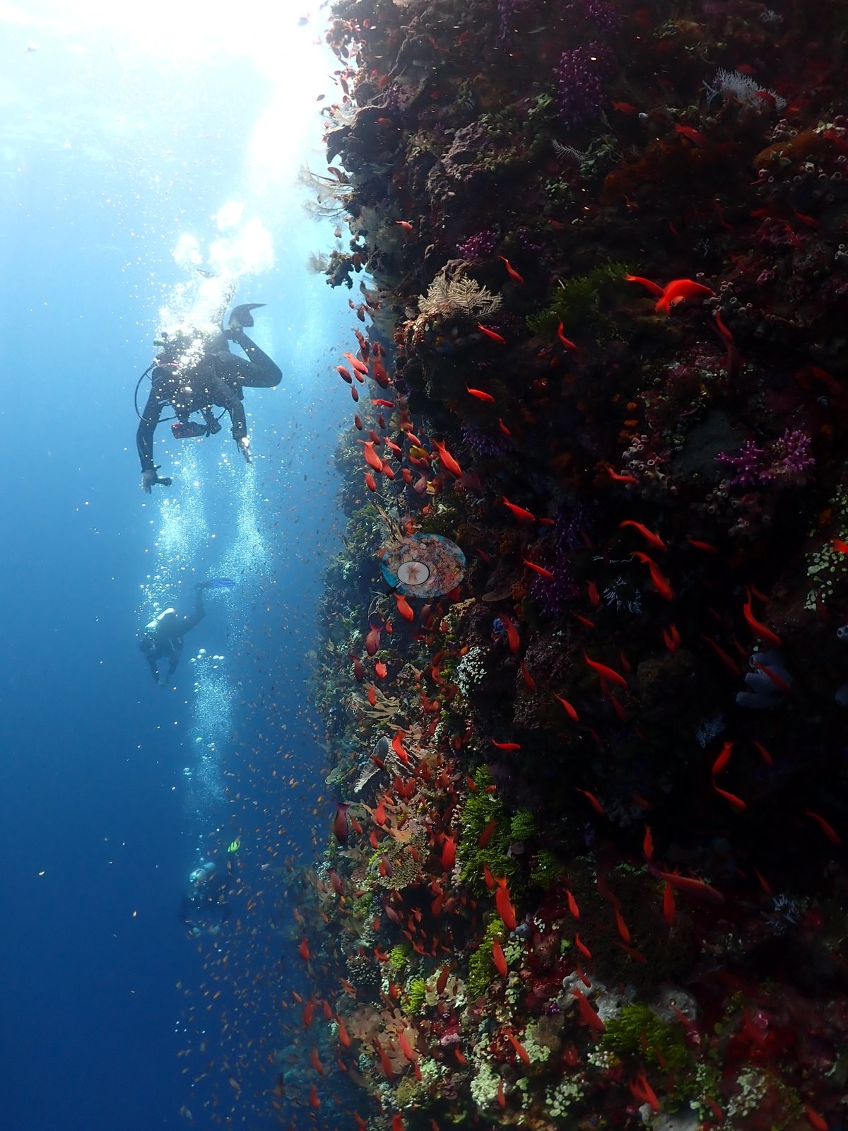
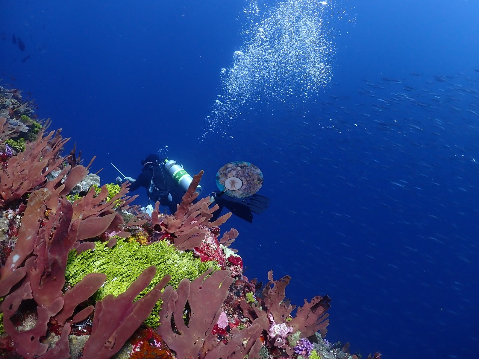
On the more open, current-swept sections the substrate turns to low-relief rock and rubble with scattered small coral heads, schooling fusiliers and other silvery planktivores streaming past in blue water, and at least three divers with slates/pointers visible working the wall — one frame is a topside boat shot of divers gearing up before entry, included in the folder but not reef content (e.g., Image 26, Image 41, Image 46).
Coral cover
Coral cover: 5.8% — a blind Claude computer-vision point count of 132 of Anderson's unedited photographs (20 points per photo; water, fish, and obstructions excluded). Other computer-vision methods are listed in the method table.
Stressors
No bleaching, disease, or physical damage is visible on any coral colony reviewed; no man-made objects besides diver gear and a thin white line (likely a reef hook or safety line) appear. No crown-of-thorns starfish (COTS) or other corallivores evident.
Fish and other fauna
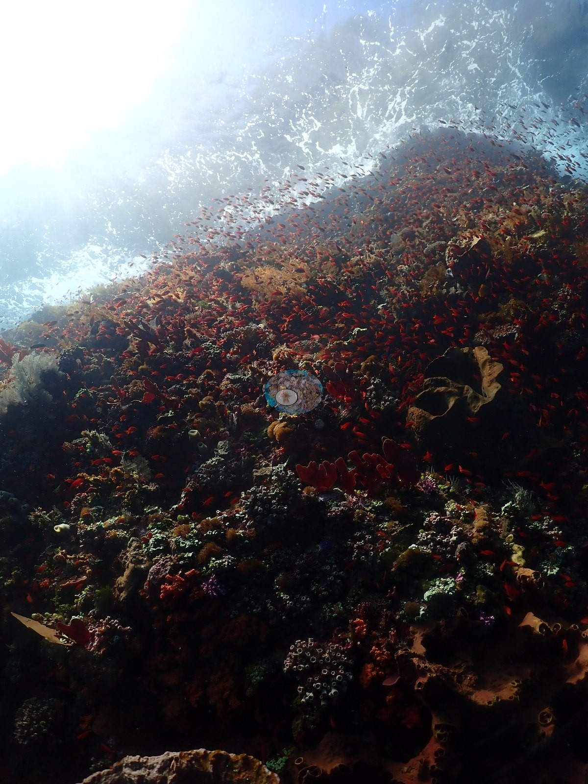
Reef fish recorded directly include small yellow damsels/butterflyfish, anthias, and a lined/striped fish resembling a lionfish tucked in the reef in one lower-wall frame (not confirmed with confidence) (e.g., Image 45, Image 50).
Comparisons with other data
Also on record for this site: A steep wall with large openings, swim-throughs, and chamber-like spaces (e.g., Image 6, Image 35).
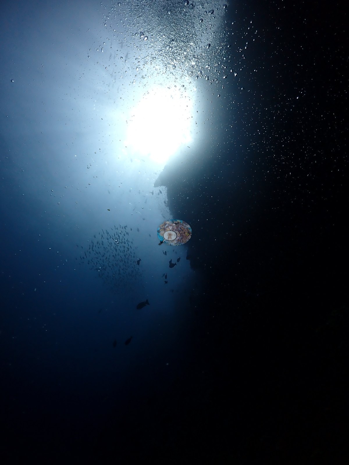
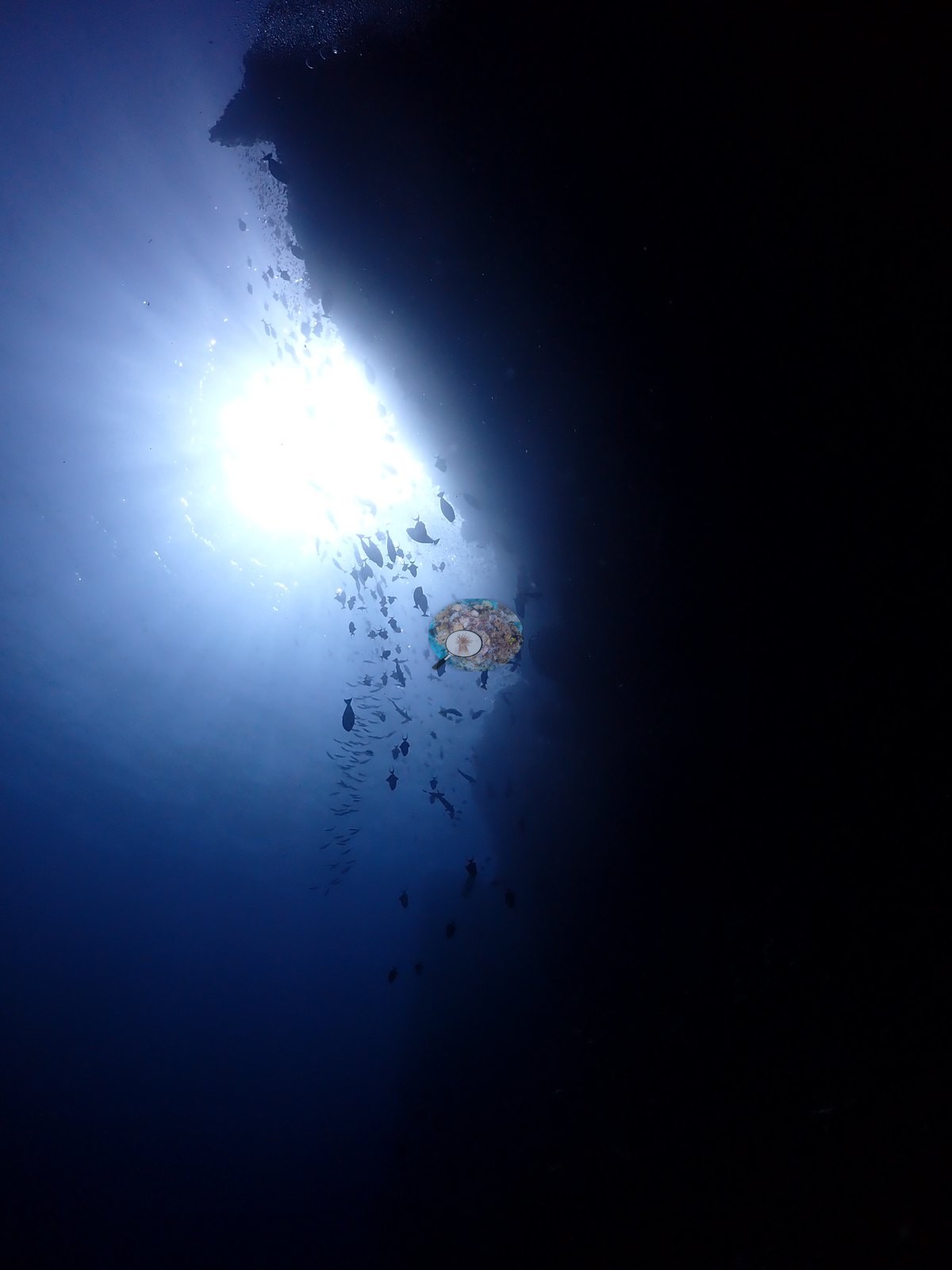
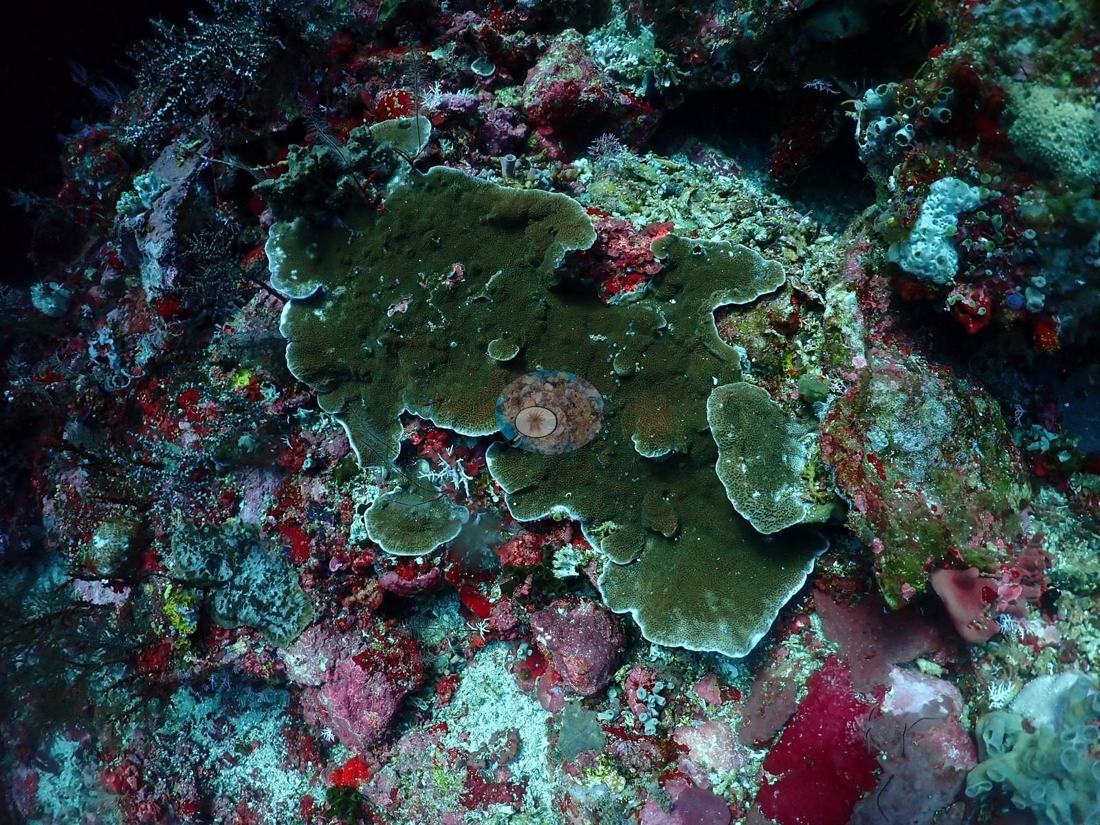
Hard corals were discontinuous but diverse, with Montipora/Pachyseris-type plates, Turbinaria, massive Porites, scattered branching Acropora, fungiids, and merulinid brain corals on illuminated ledges and outer wall surfaces (e.g., Image 14, Image 51, Image 52).
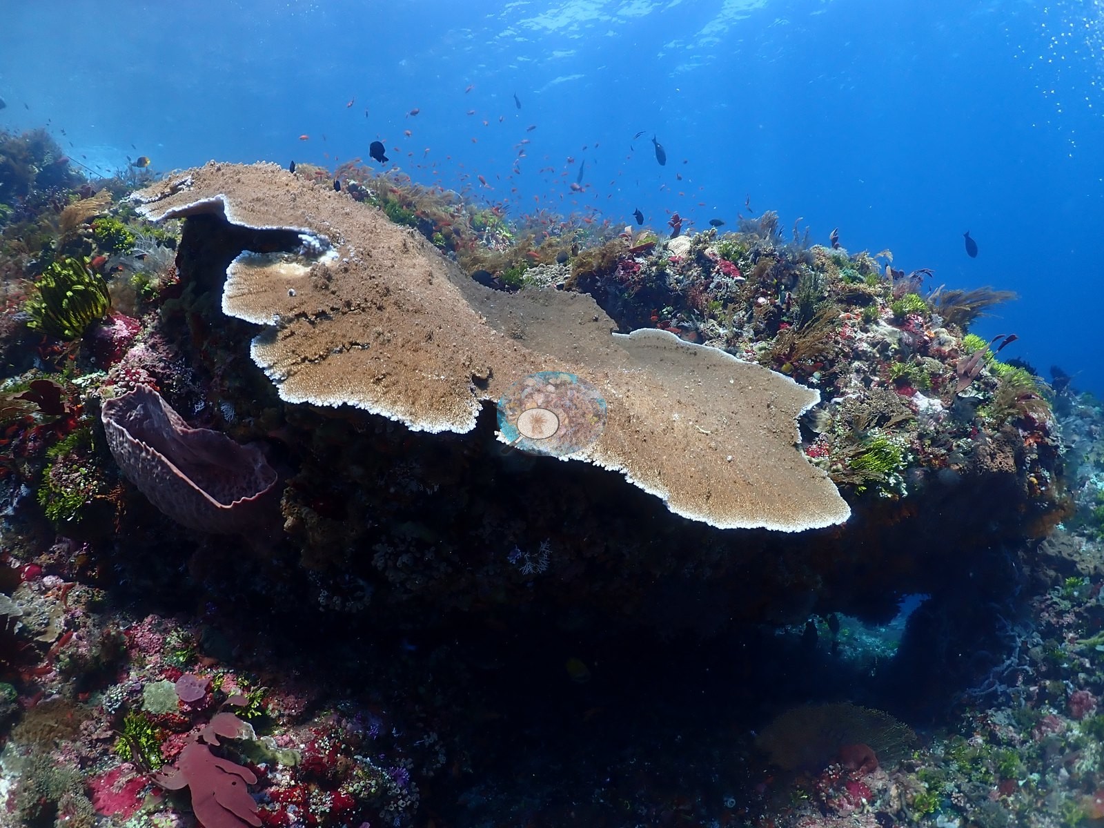
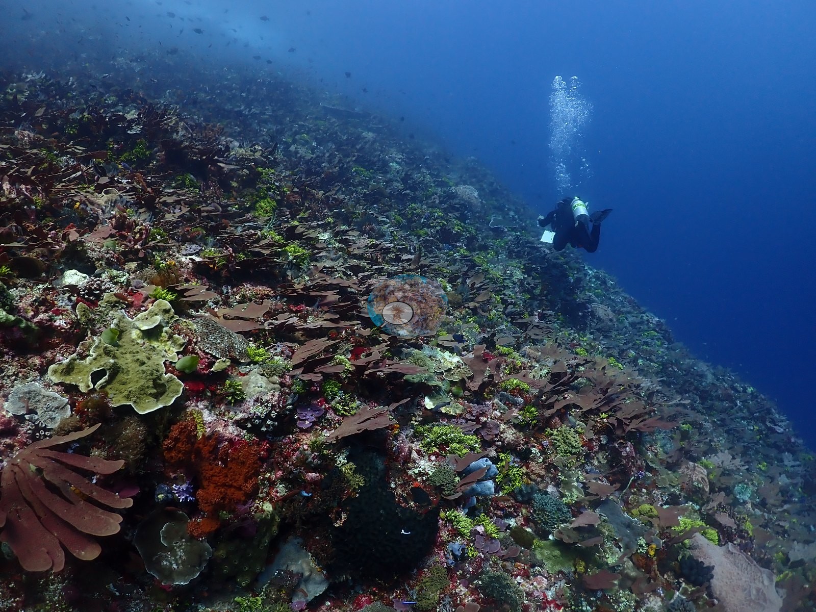
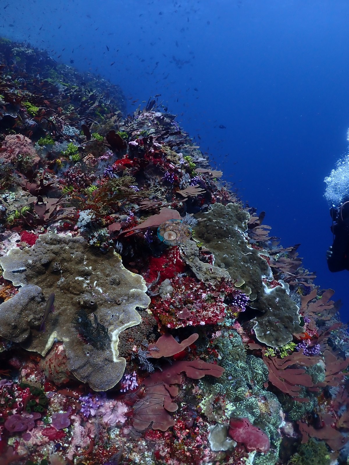
A very large marbled ray (Taeniurops meyeni) is recorded in the dive log. Light shafts and abrupt sheltered-to-exposed transitions define a wall-and-cave system rather than a uniform coral slope (e.g., Image 19, Image 27).
CV model comparison
More info
Dr. Coral's in situ estimate was closer to 40-50% across most depths; interpret results with caution.More info
DINOv3 and CoralSCOP were run on the same photos and are listed for comparison. Coralscapes v2 and v1 were also run but are not shown: Anderson does not consider Coralscapes reliable for these photos. No diver transect exists for this trip, so agreement between the rows is not accuracy, and as of September 2026 no computer-vision method estimates coral cover accurately on new images; treat every row as indicative.| Method | Hard-coral cover (%) |
|---|---|
| In-house DINOv3 | 27.8 |
| CoralSCOP unedited | 7.6 |
| Claude | 5.8 |
Independent surveys nearby
Within 5 km, 1 independent survey station recorded hard coral cover in 2014. The most recent nearby survey is from 2014, so these values predate recent heat stress. This site's own estimate (5.8%) is indistinguishable from the range of these surveys (8.0%): the 2.2-point gap is inside the ±7 percentage-point noise between methods; the methods differ, so the comparison is context, not a like-for-like test.
Collected by other programs using different methods, so these are context for the figures above, not a like-for-like comparison. Where a station was surveyed more than once the range is shown. Station names are not dive-site names.
| Agency | Site / location | Date | Hard coral cover (%) | Distance | Link |
|---|---|---|---|---|---|
| WWF-US / WWF-Indonesia | 5002 | 2014 | 8.0% (4 surveys) | 4.07 km | Amkieltiela, Abdillah T, Amkieltiela A, Andradi-Brown D, Lazuardi E. 2015. MBD 2014 & 2015. MERMAID |
Data & links
All images from Coral Reef Diagnostics. Data are from Coral Reef Diagnostics and the organizations named in the data-sources table above.
© Coral Reef Diagnostics.