
Alor - Limarahing (Black Sands)

Part of the regional summary: Indonesia - Alor
More info
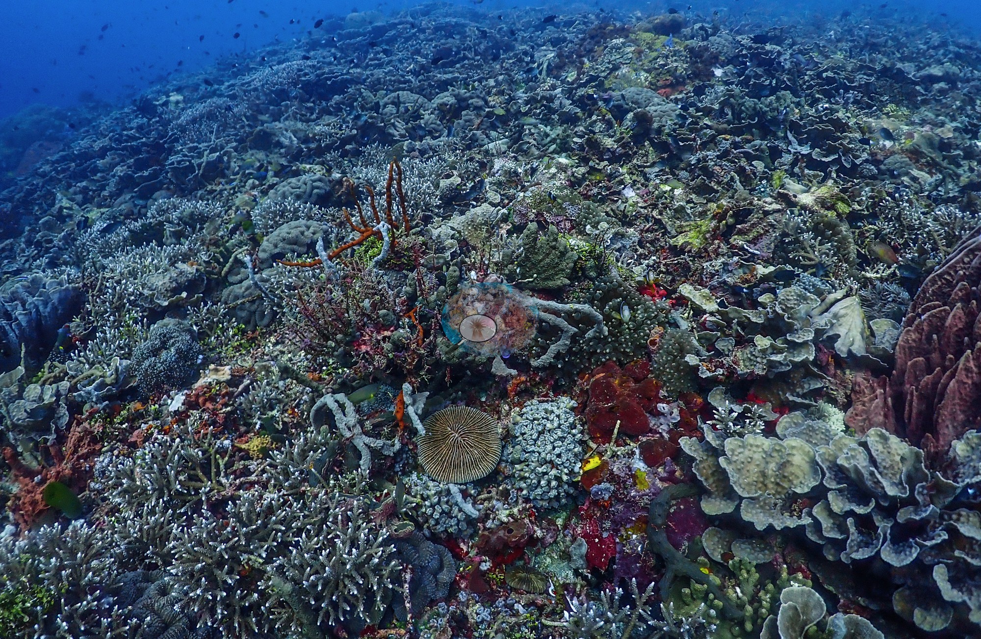
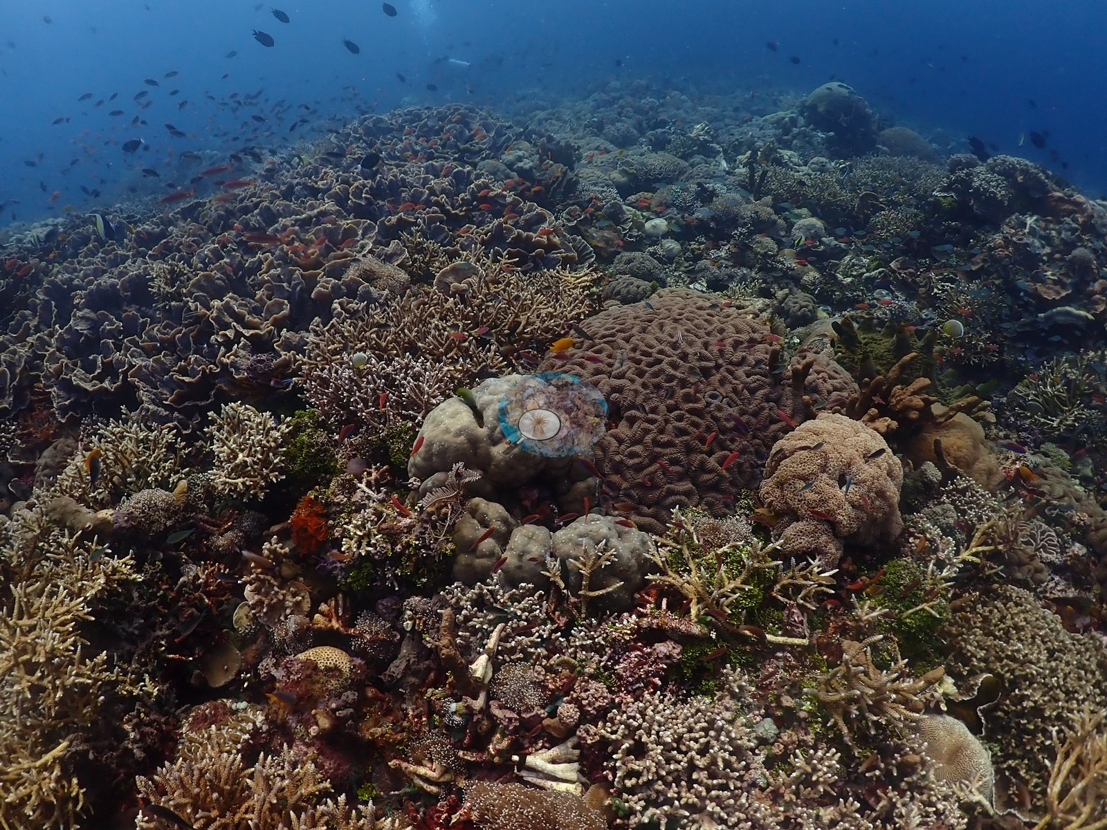
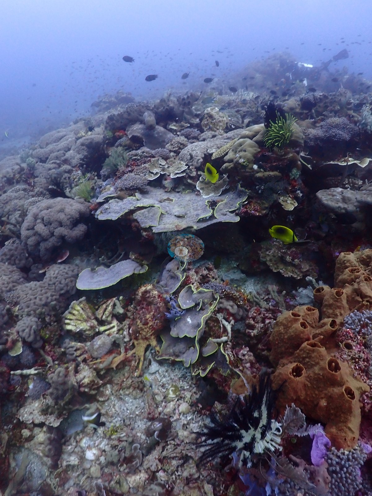
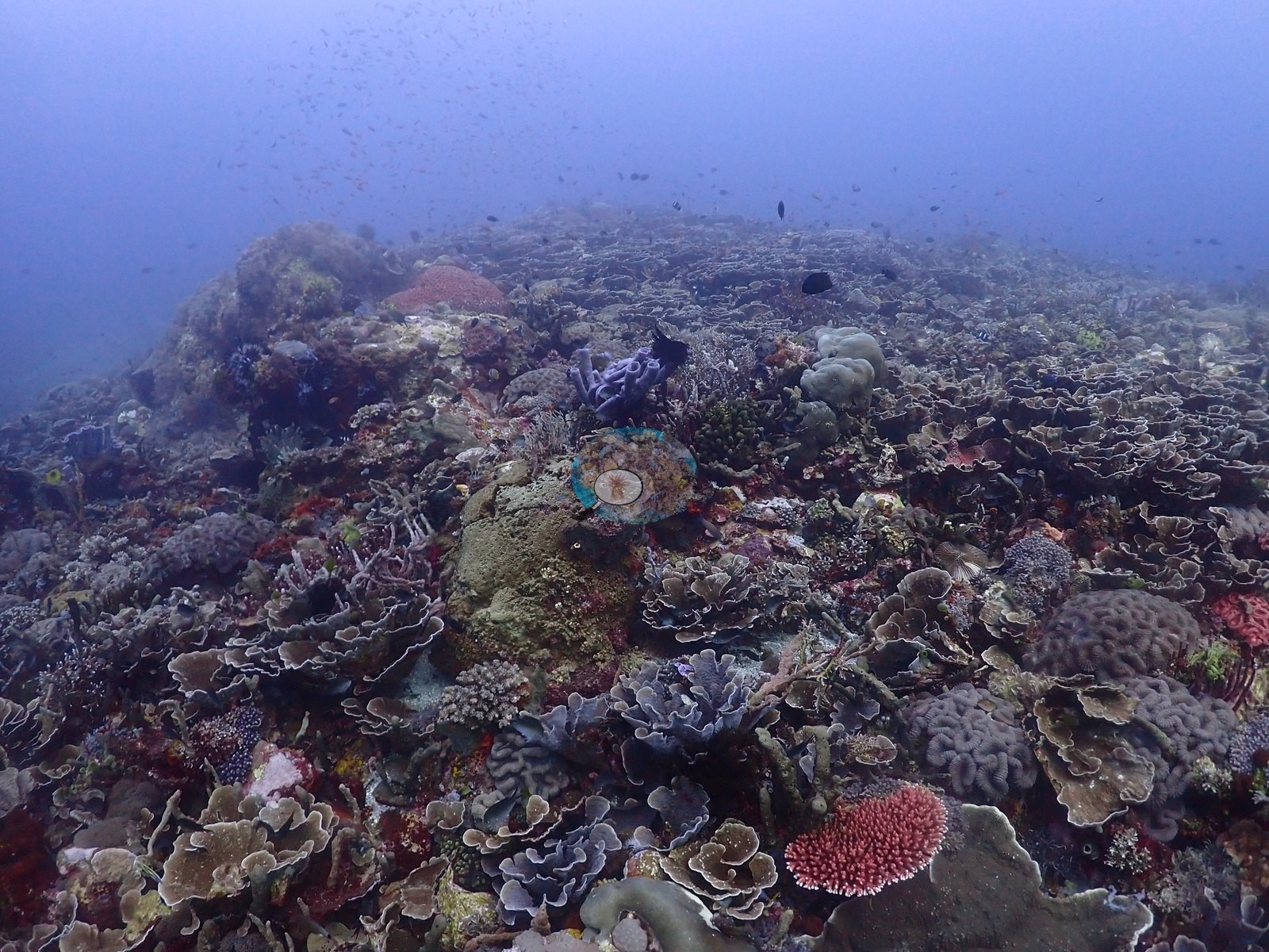
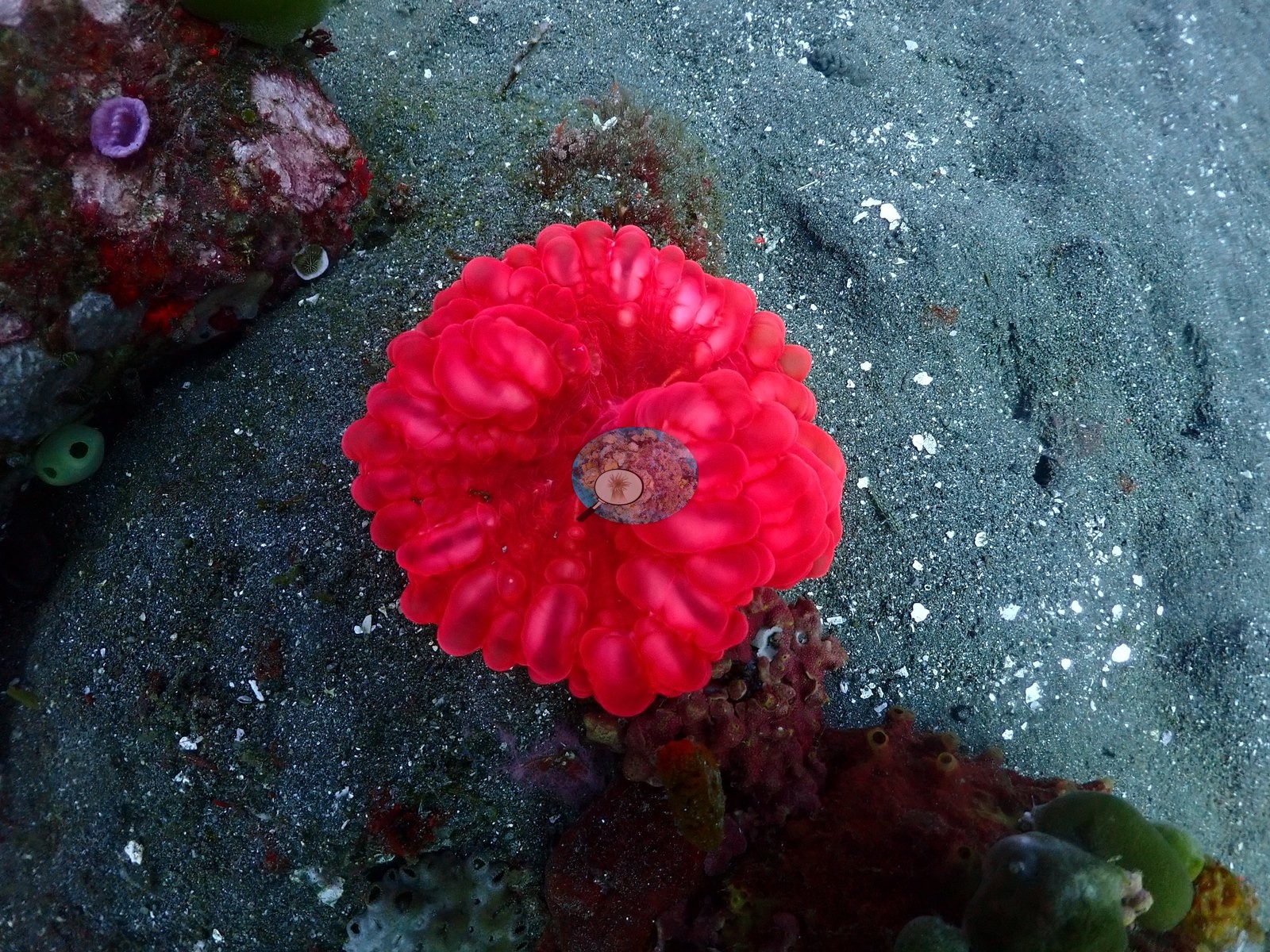
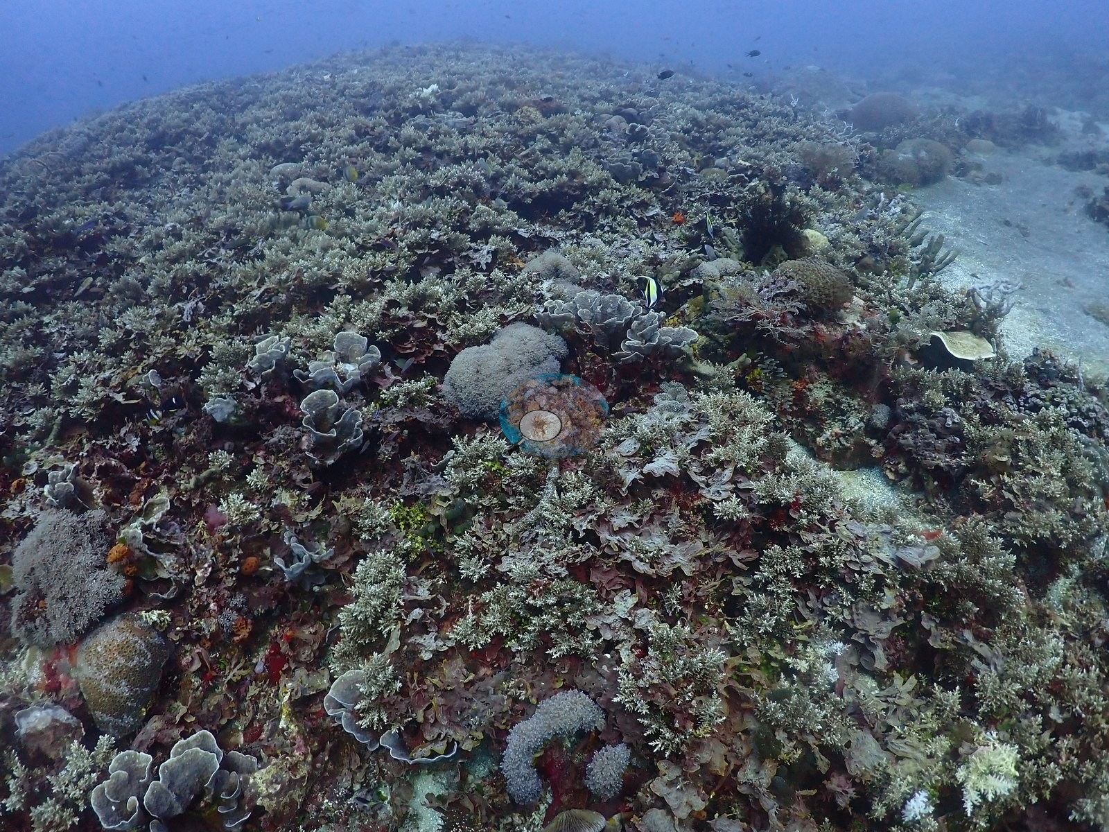
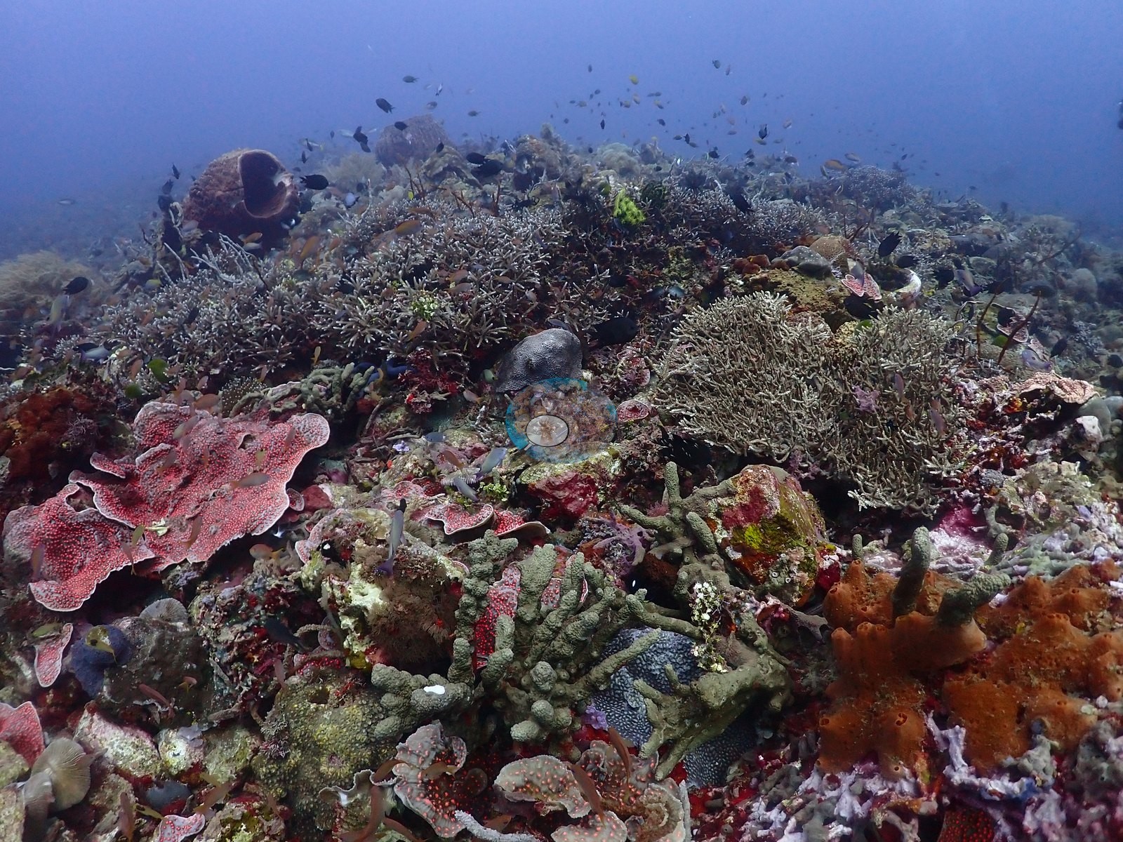
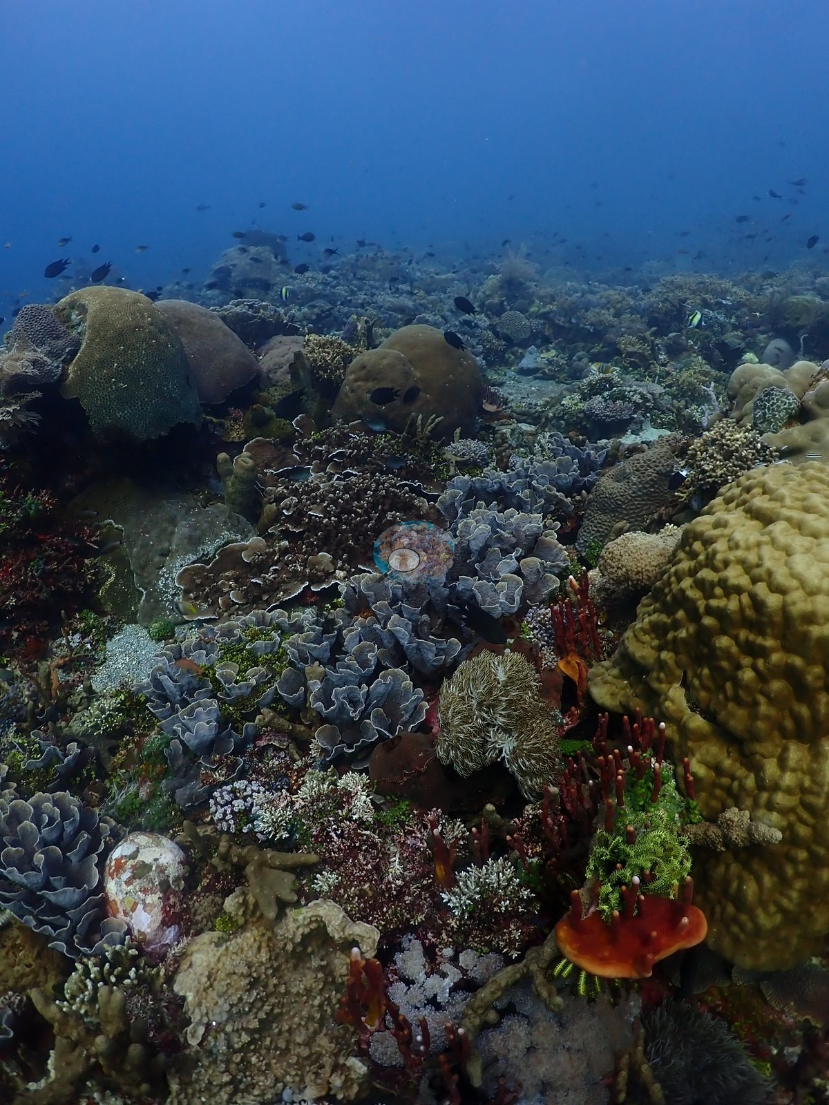
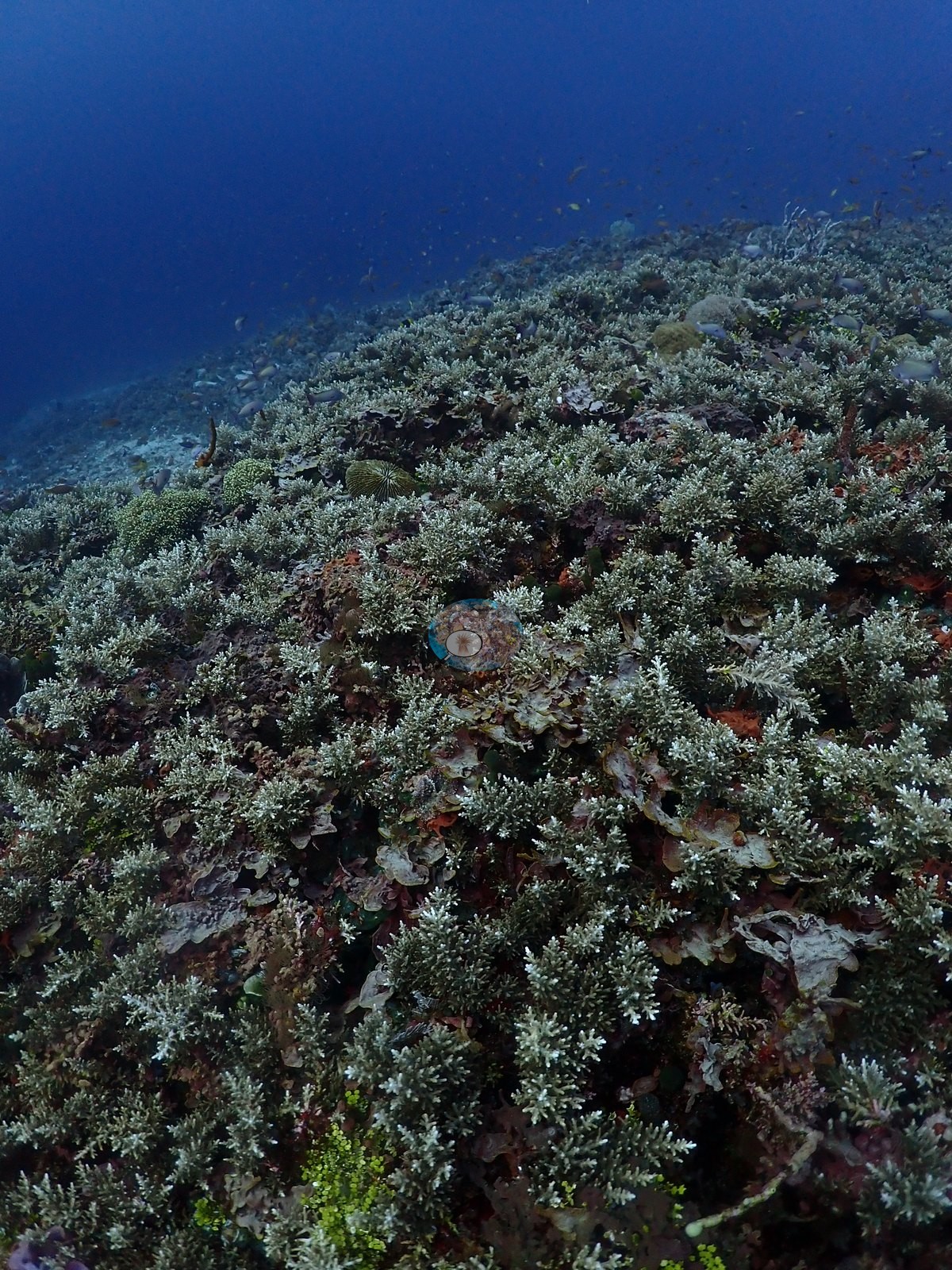
East Nusa Tenggara (NOAA CRW virtual station) · Lesser Sunda ecoregion mean=6.9°C-heating weeks Alor and the Pantar Strait sit in a zone of exceptionally strong upwelling, which holds these reefs several degrees cooler than NOAA’s satellite-derived figures imply. Read the heat-stress numbers here as a regional-scale indication, not as this reef’s own temperature history.An Alor site with a sharp gradient from a dense, low-relief coral garden with near-total cover in places down to a flat plain of dark volcanic sand dotted with isolated coral heads and sponges. Schooling anthias, butterflyfish, a basket star, and an anemone with a pair of clownfish were photographed.
Lokasi di Alor dengan gradien tajam, dari taman karang rapat berelief rendah yang di beberapa bagian nyaris tertutup penuh, menurun ke dataran datar berpasir vulkanik gelap yang bertaburan koloni karang dan spons yang terpisah-pisah. Terfoto gerombolan anthias, ikan kepe-kepe, bintang keranjang, dan sebuah anemon dengan sepasang ikan badut.
Terjemahan ringkasan ini oleh AI; versi bahasa Inggris yang berlaku.
Two independent survey stations shown with the program’s logo — click one to see how far it is from this site.
Five other CRD dive sites within 5 km shown in orange — click a marker to open its page.
19 of these 54 photographs are shown beside the text that discusses them under "Site description" below.
Site description
Setting
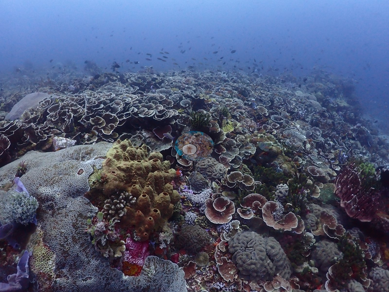
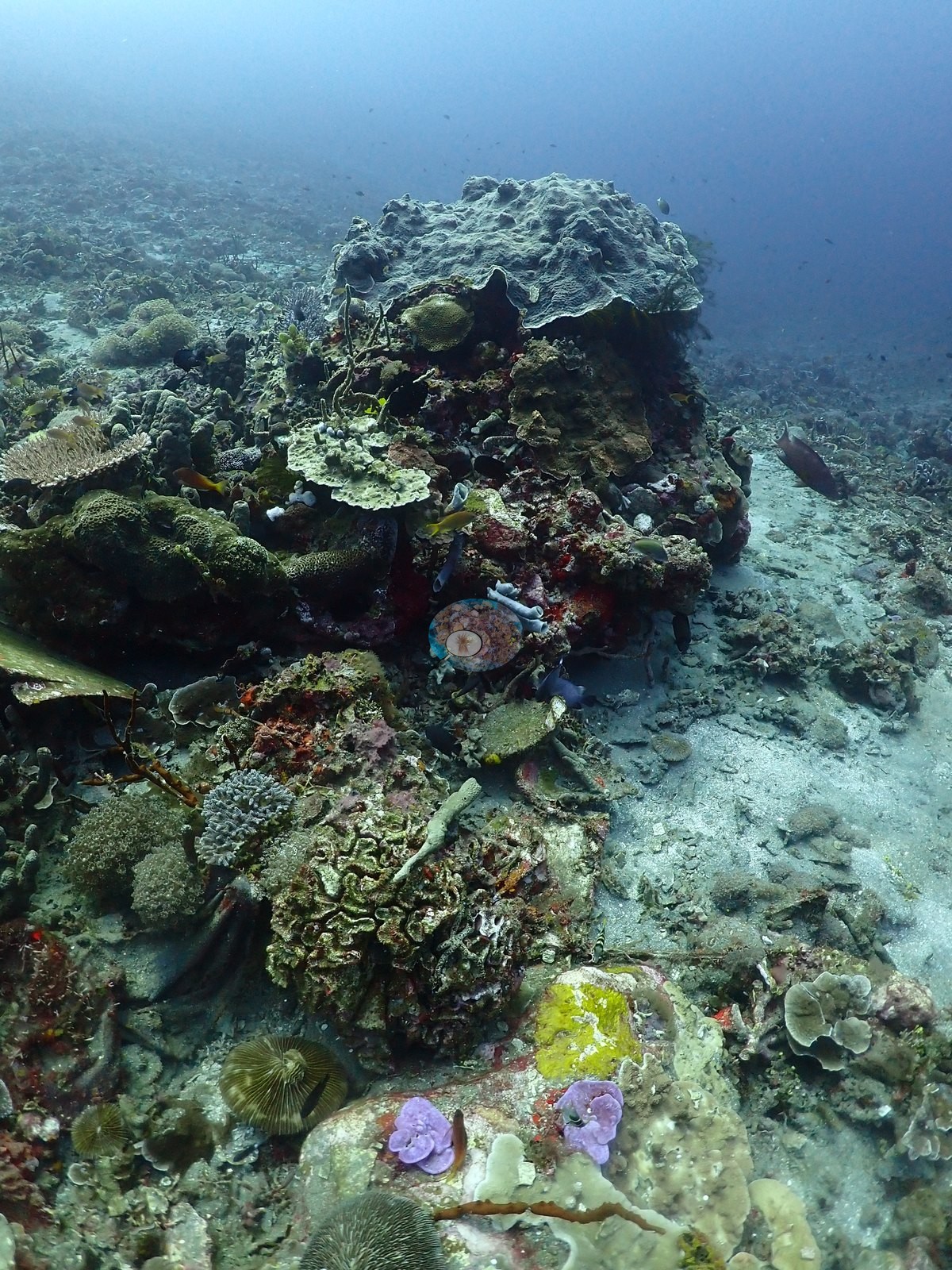
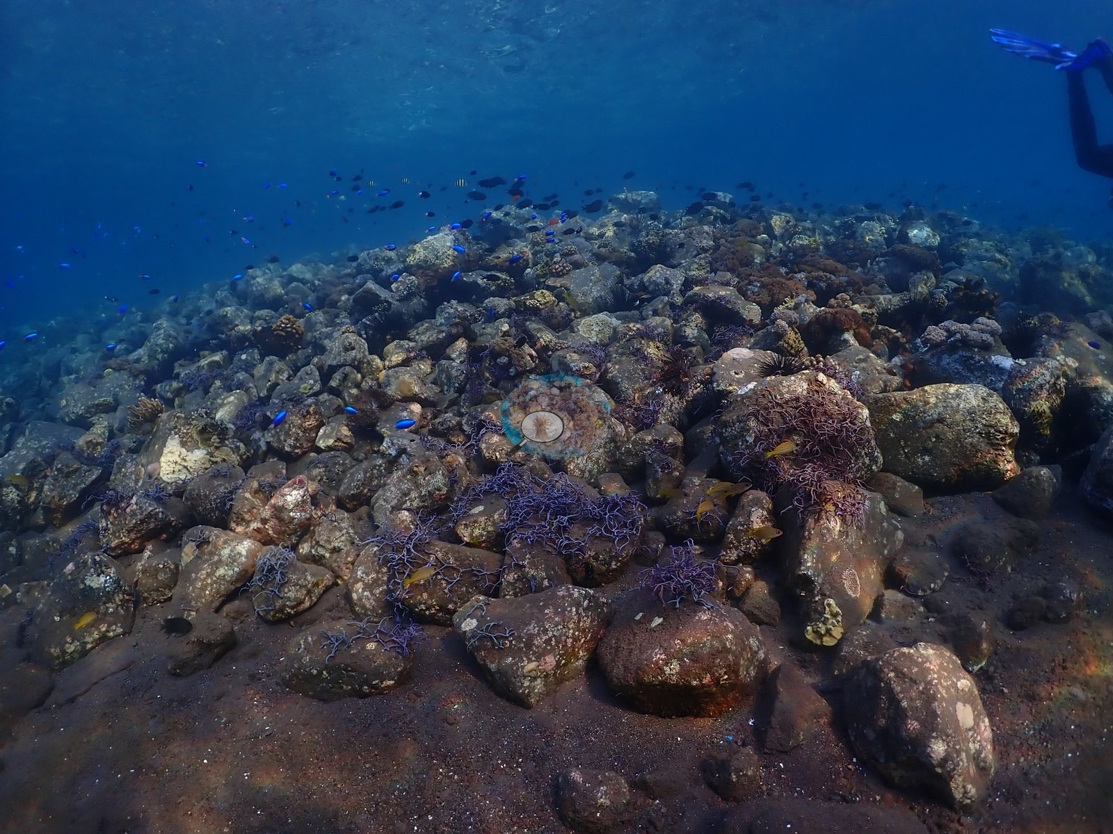
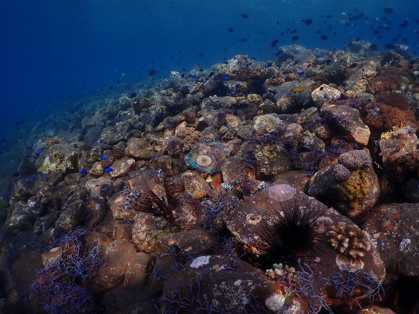
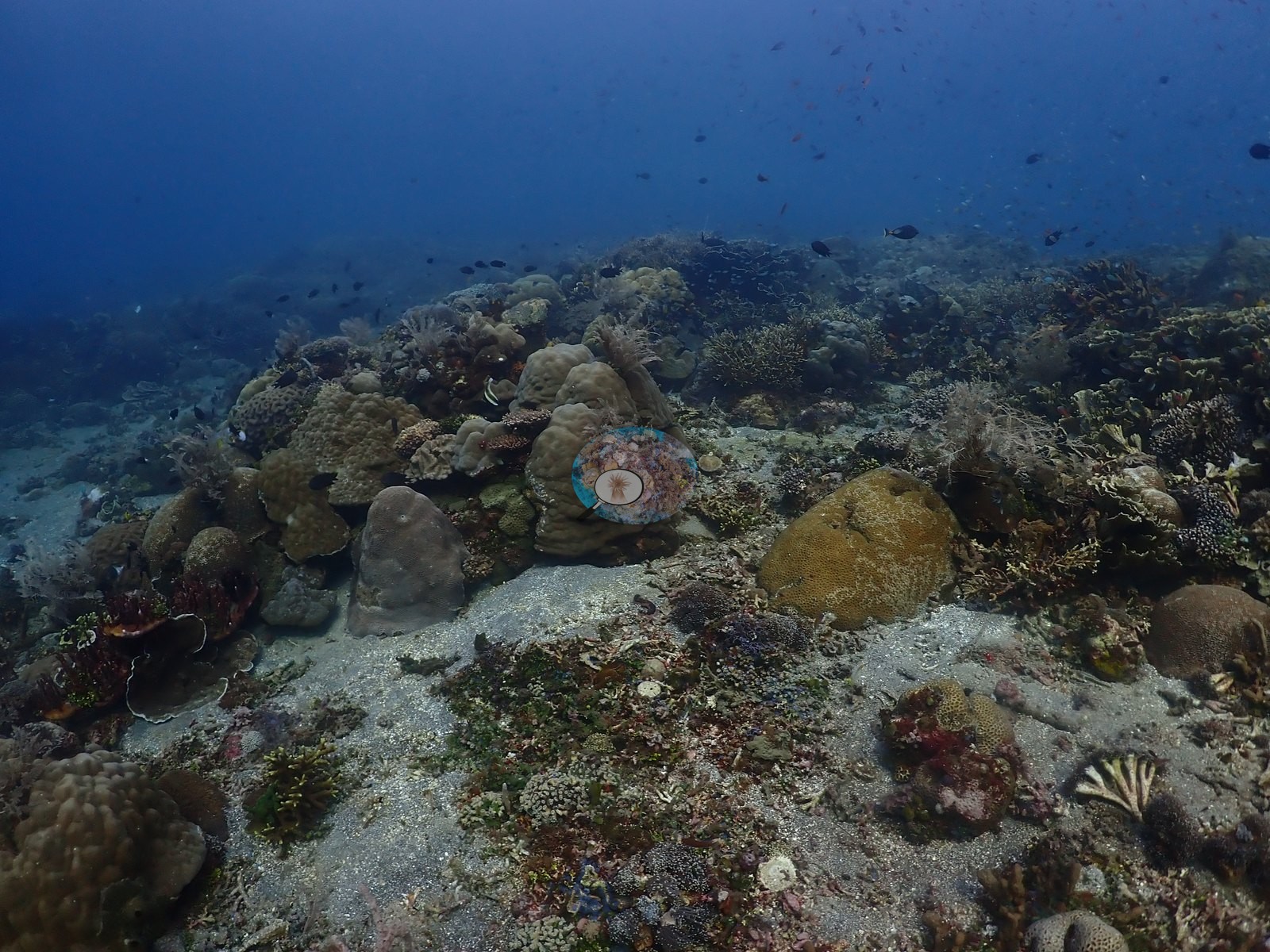
A pronounced gradient from a dense coral garden down to flat dark volcanic sand, exactly matching the existing site name (e.g., Image 18, Image 39).
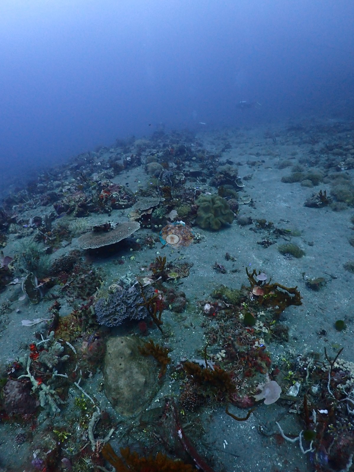
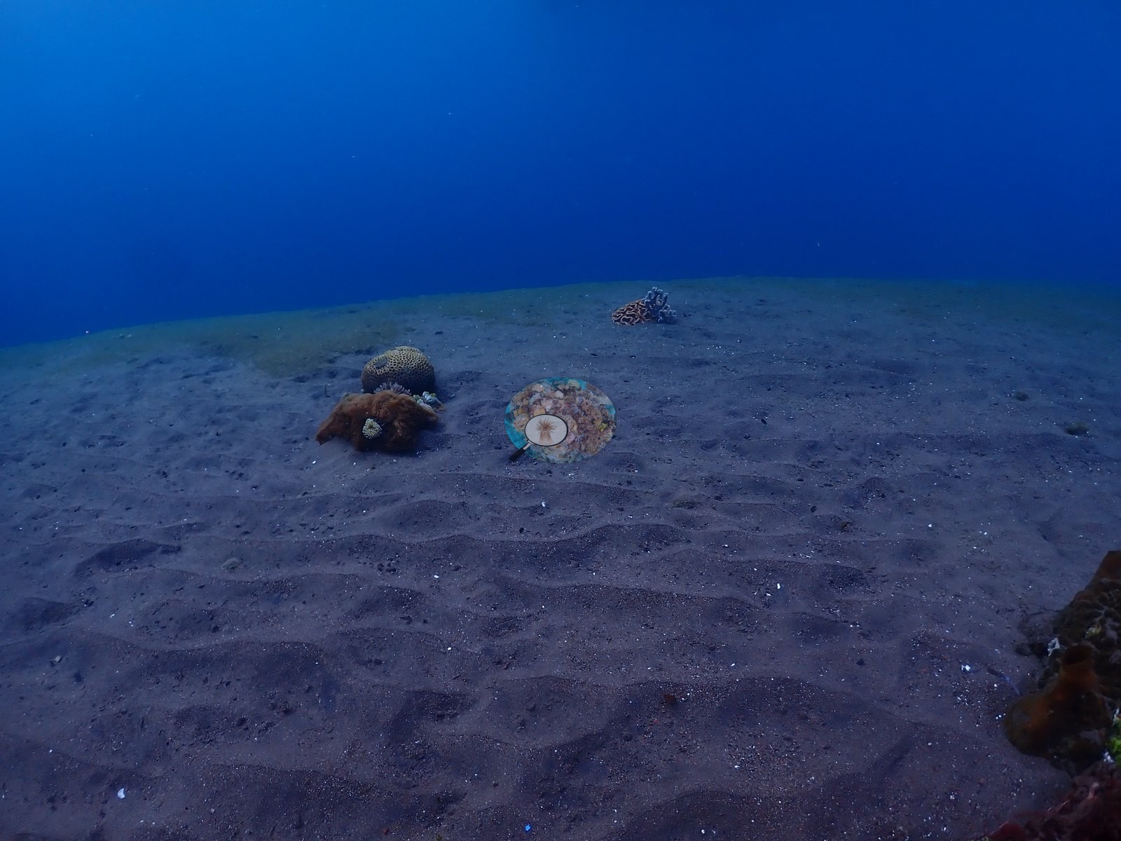
Visibility is good throughout with strong ambient light in the shallower coral-garden frames and murkier/greener tones over the open sand.
General benthic features
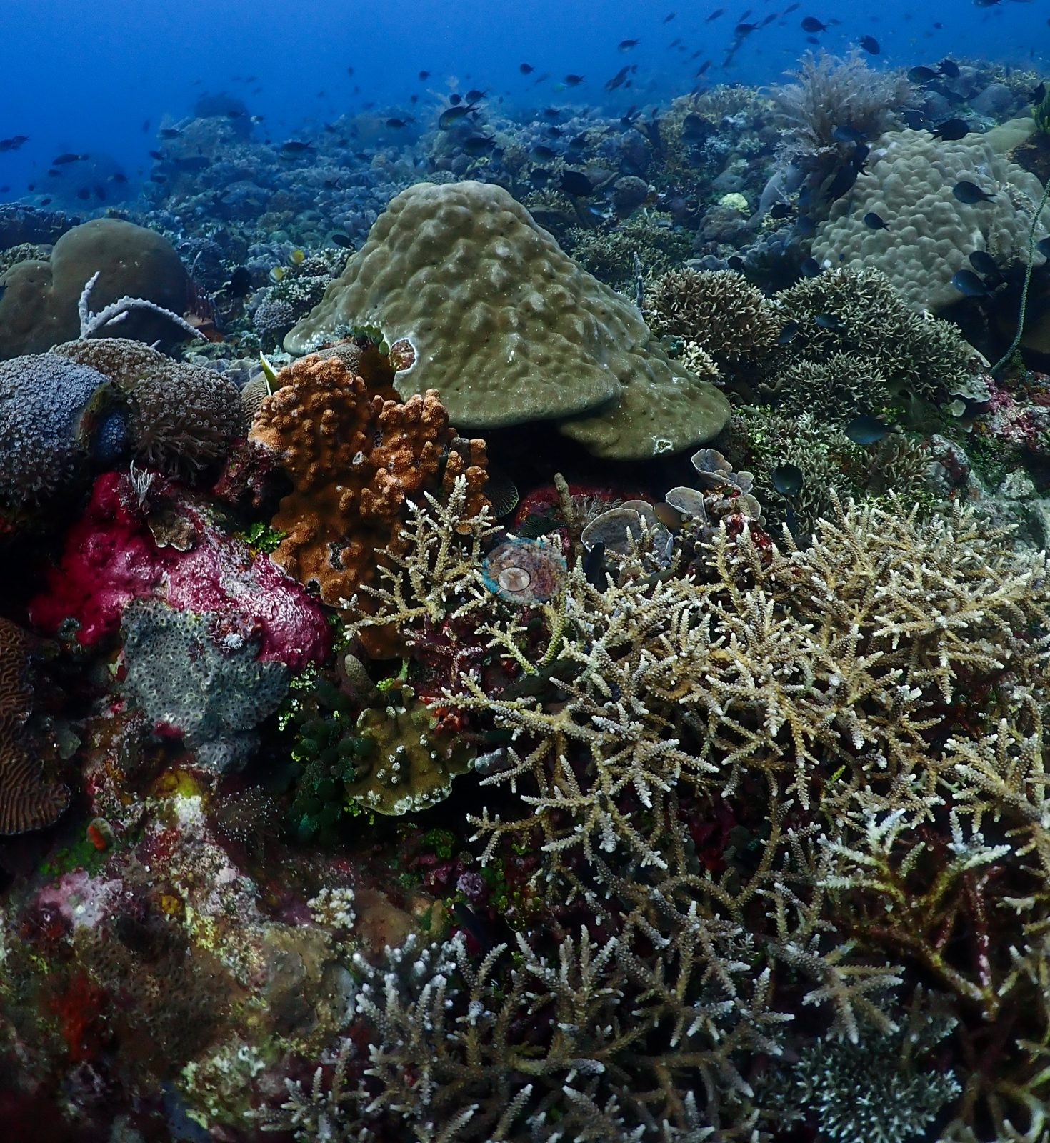
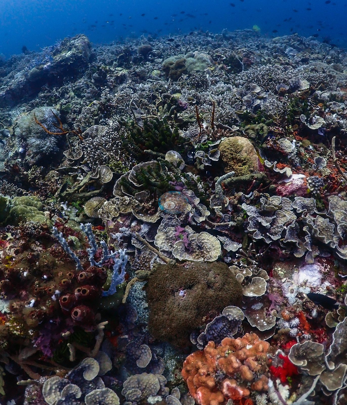
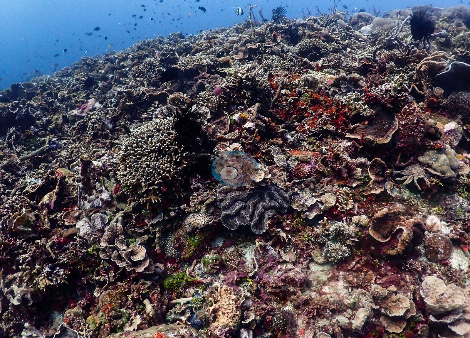
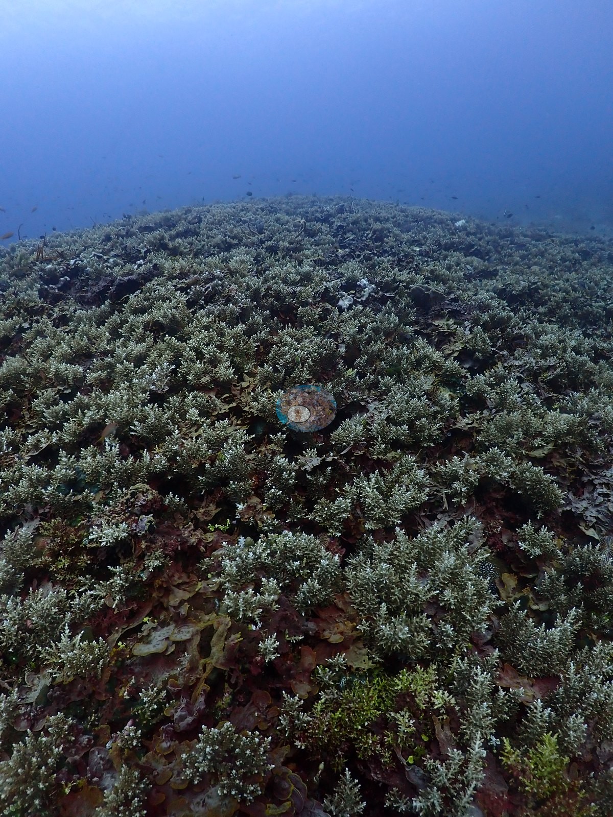
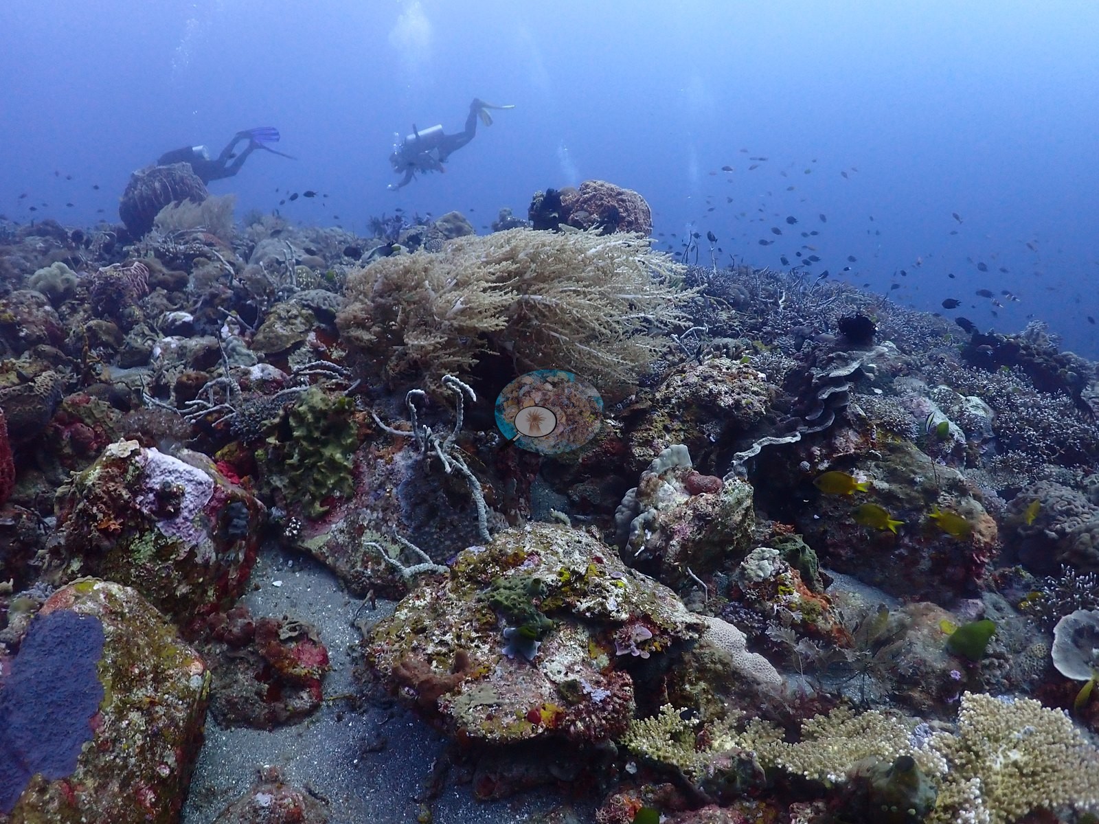
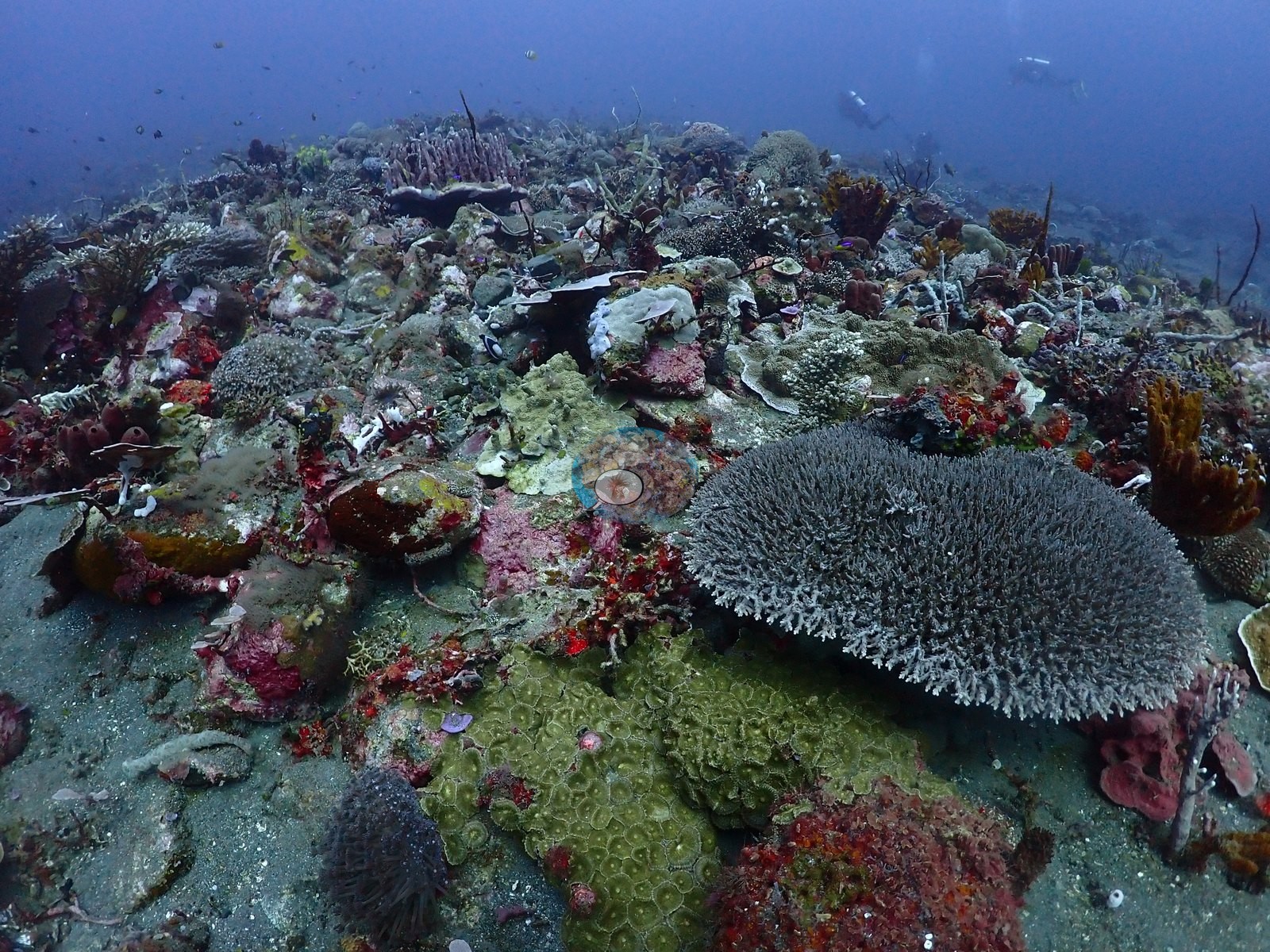
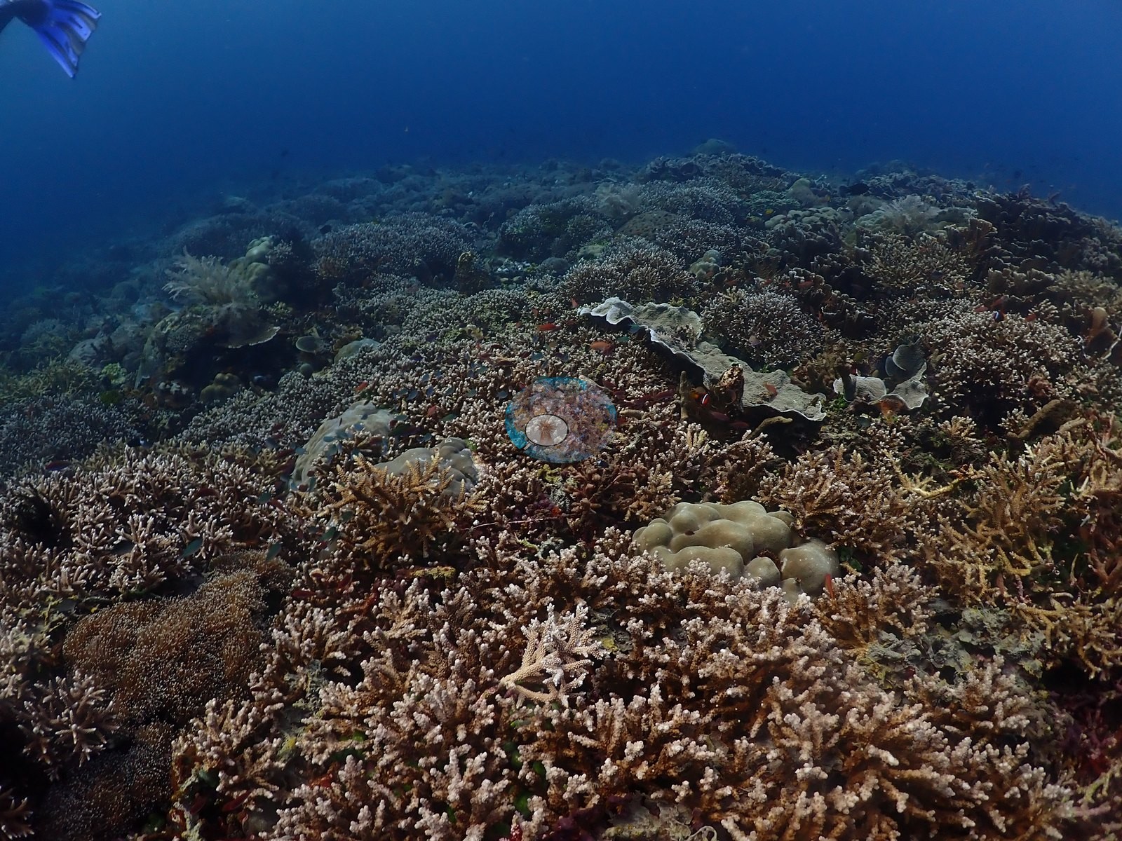
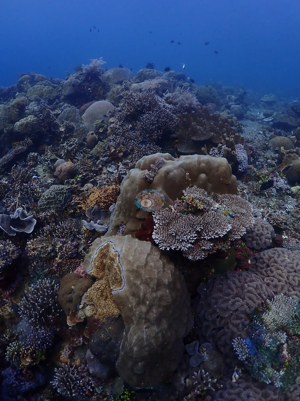
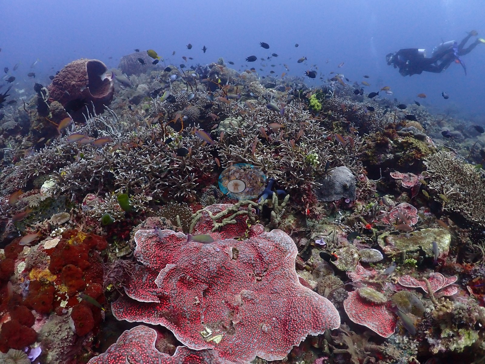
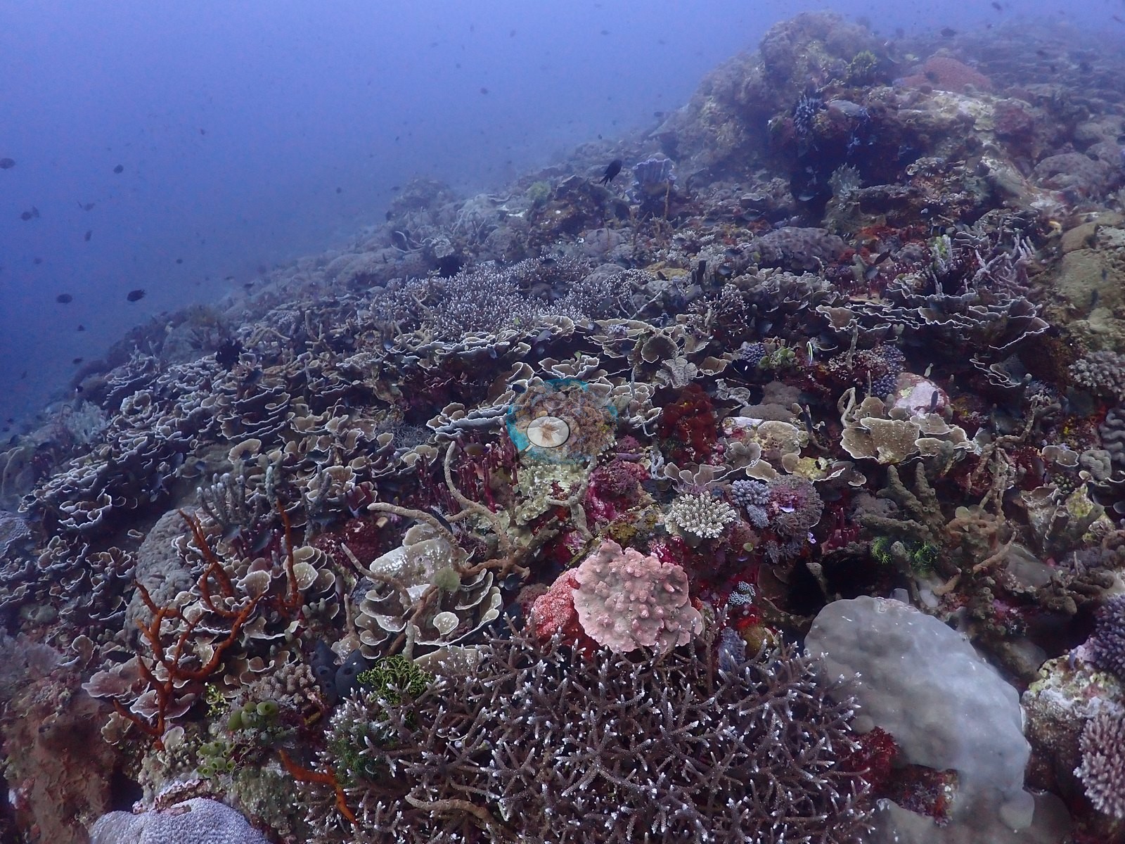
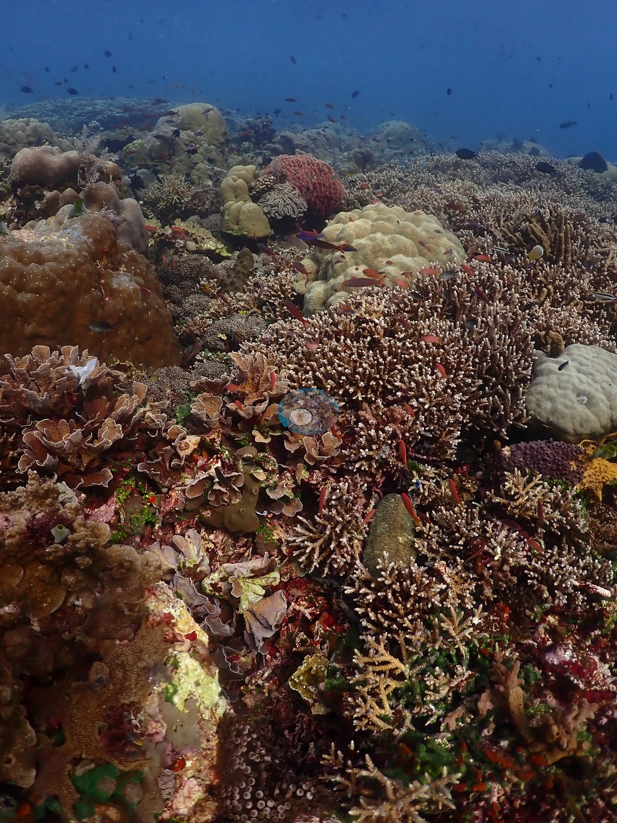
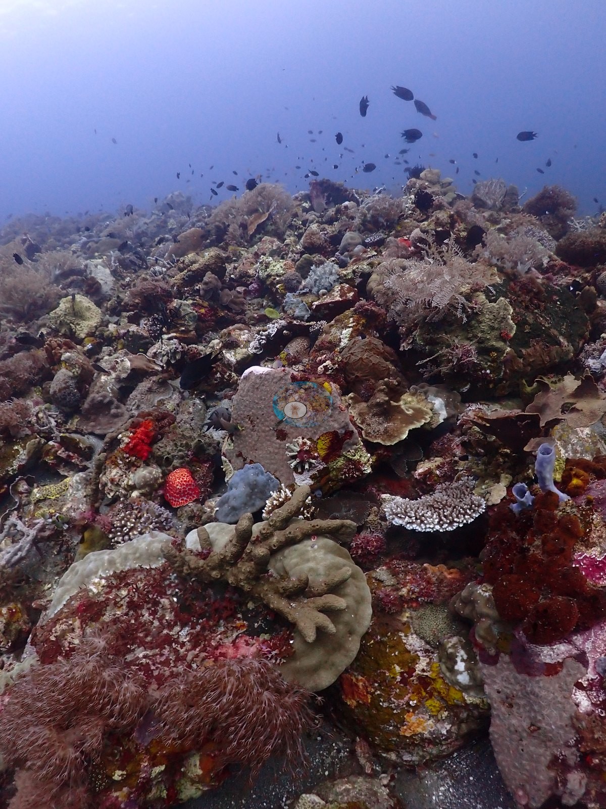
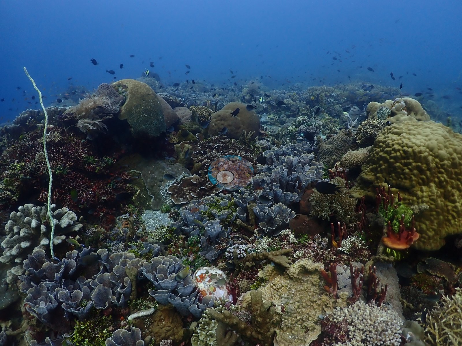
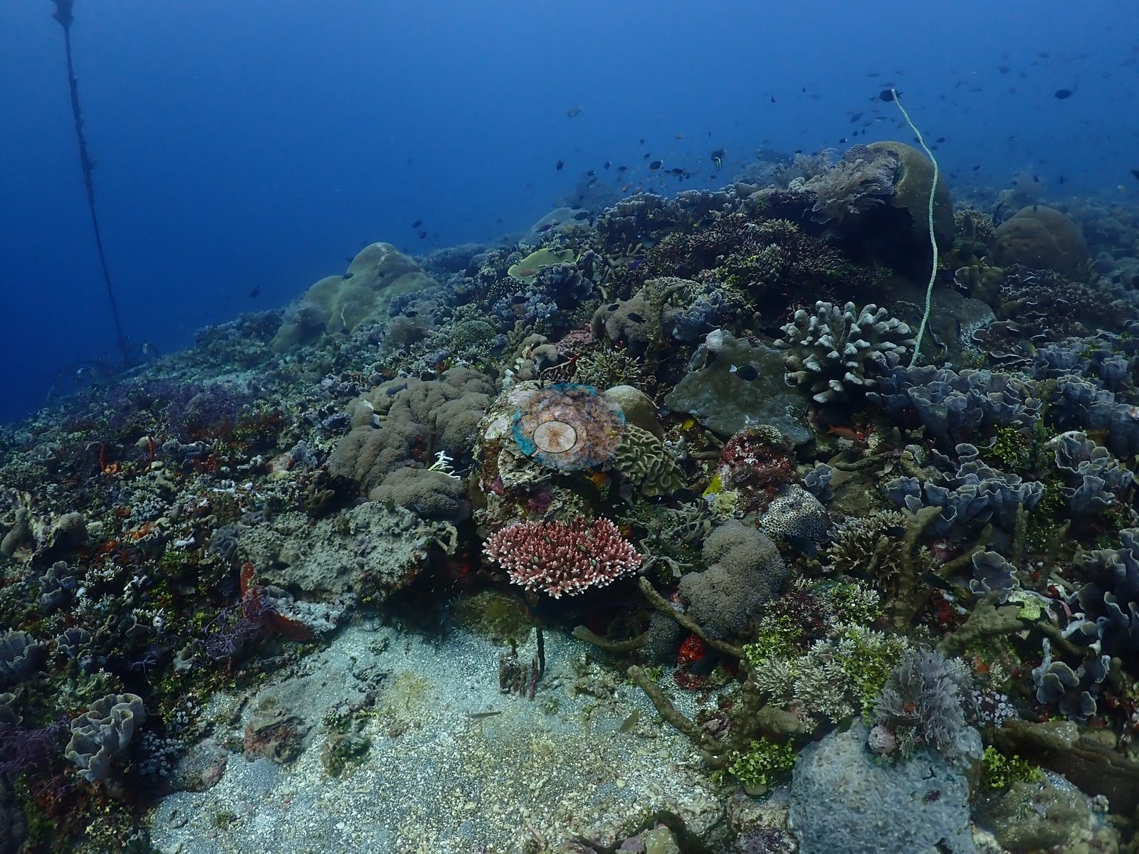
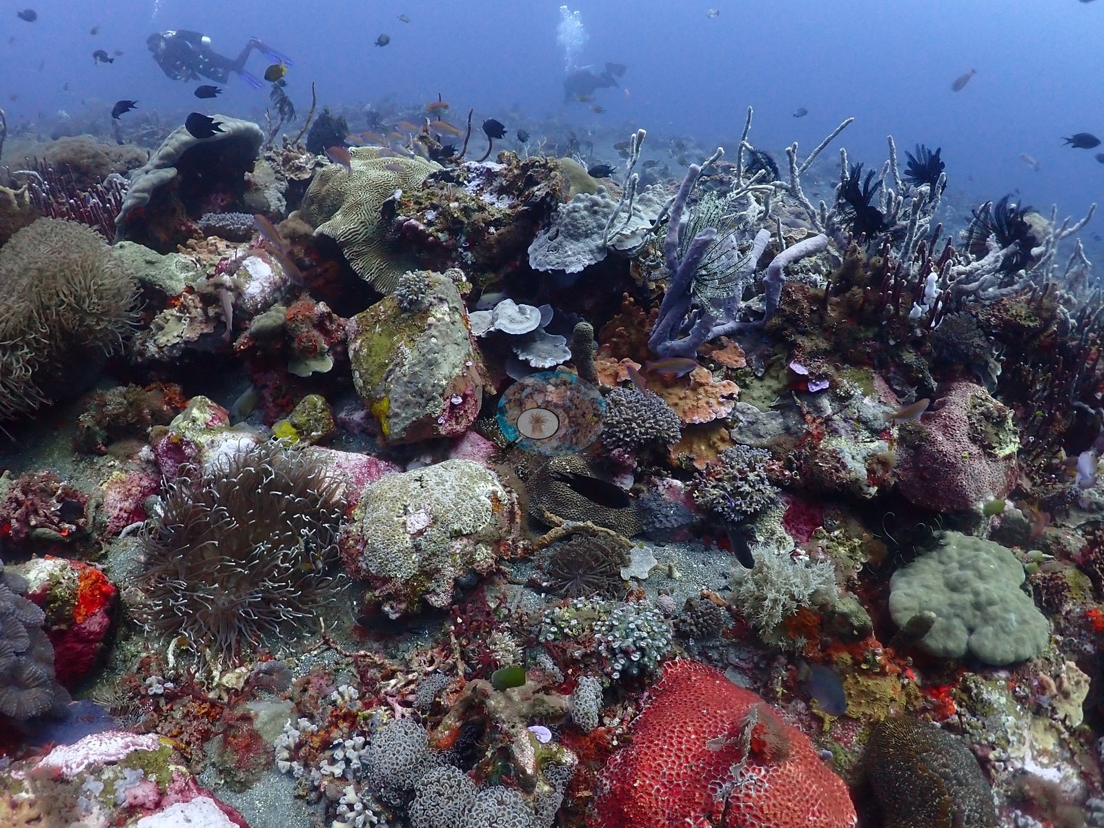
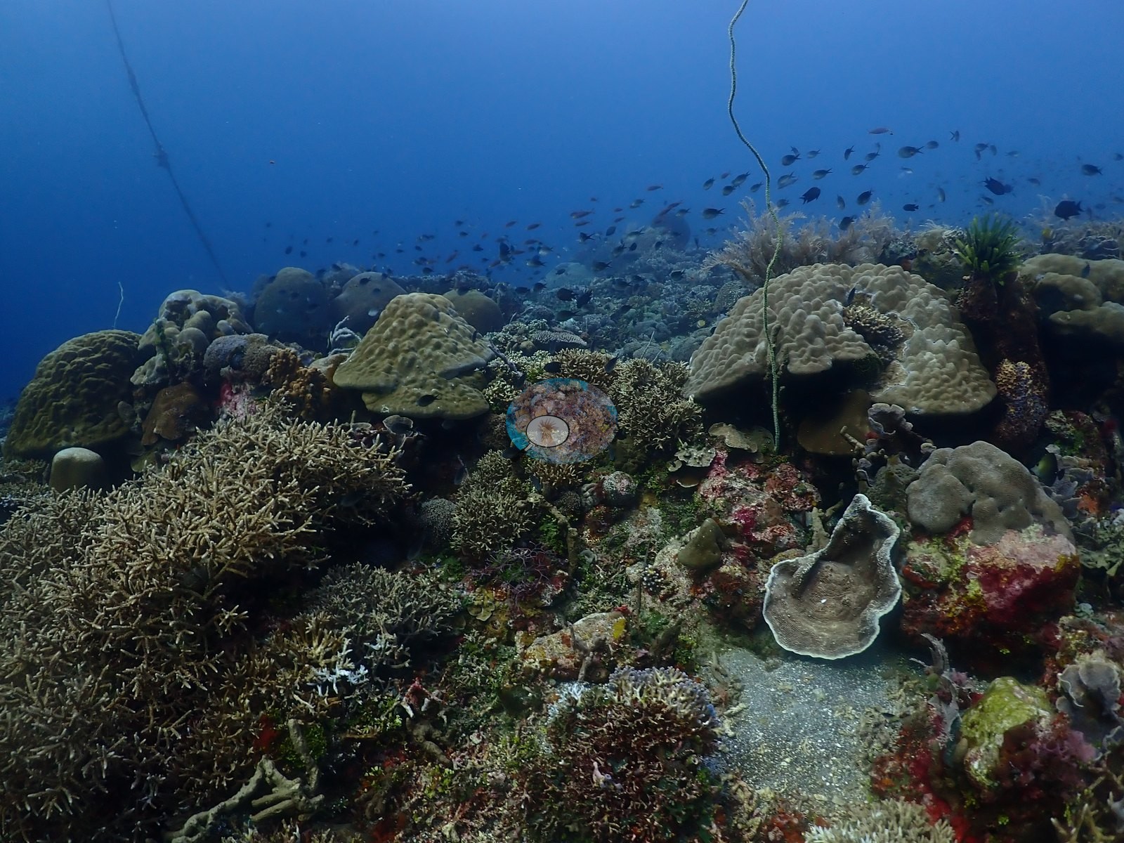
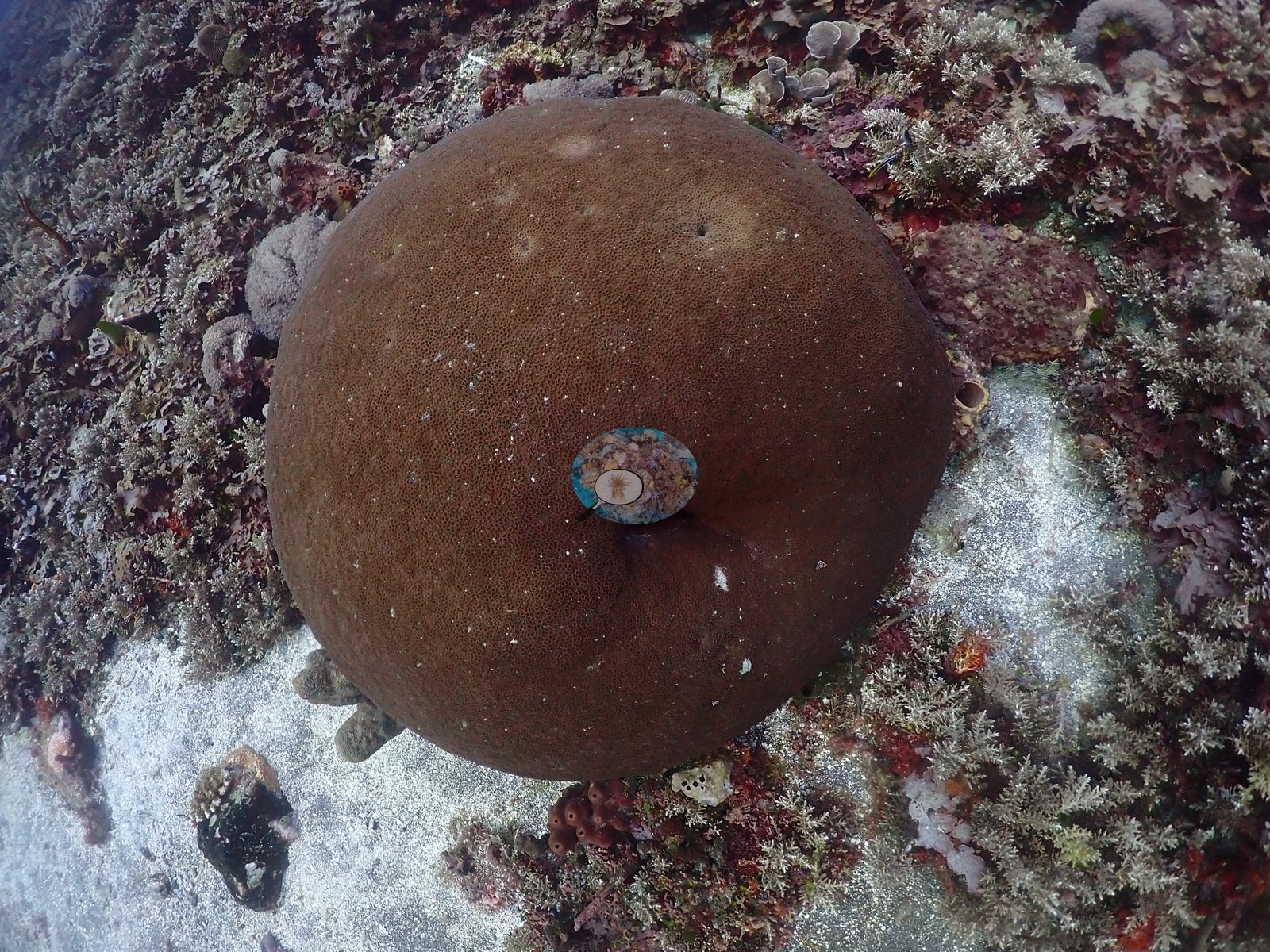
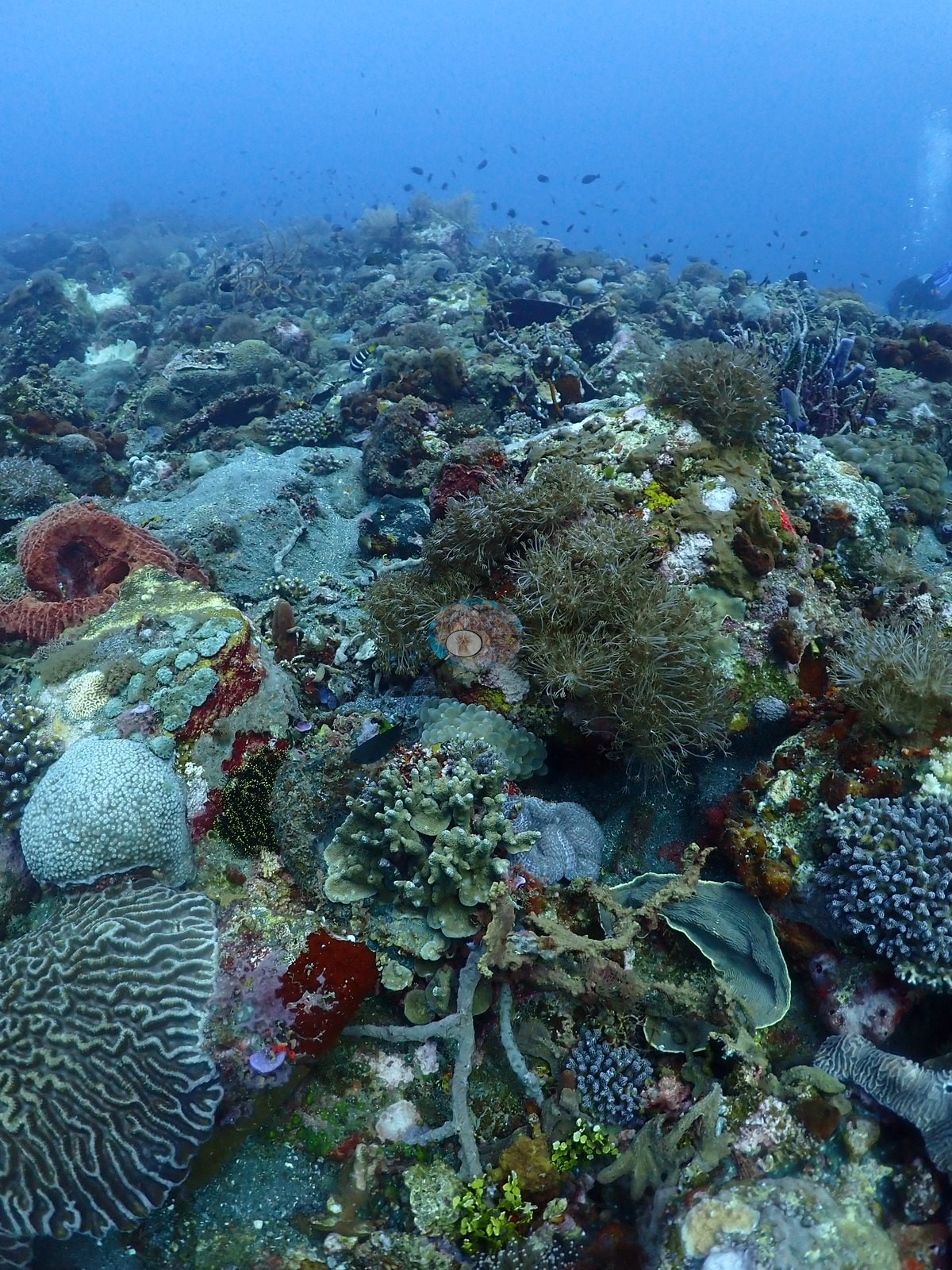
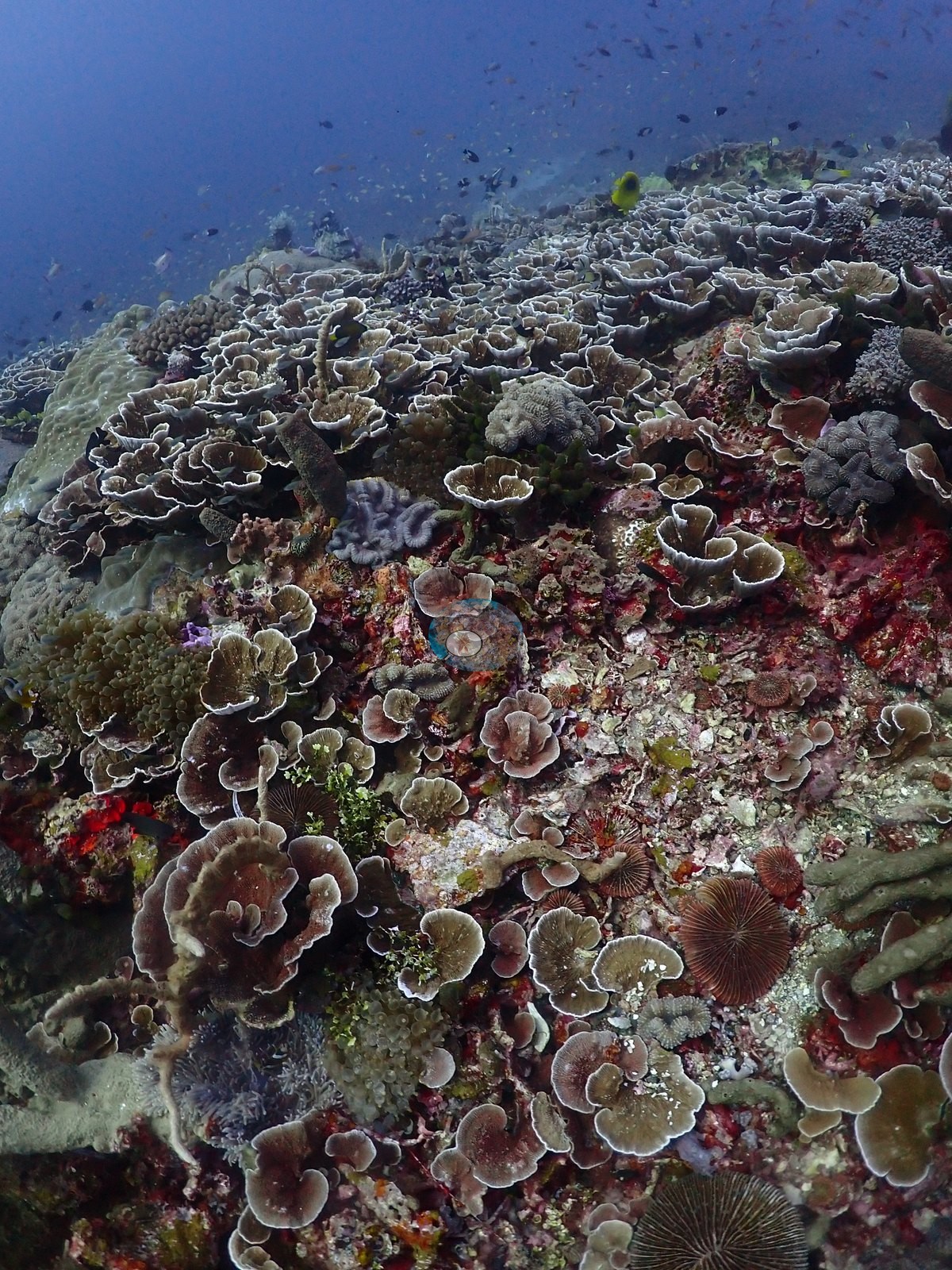
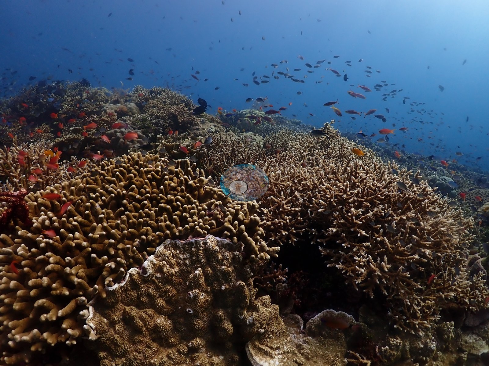
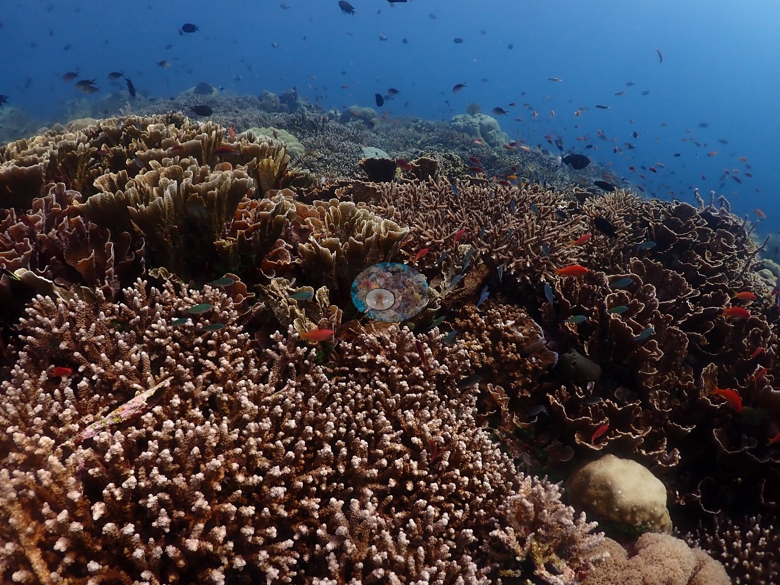
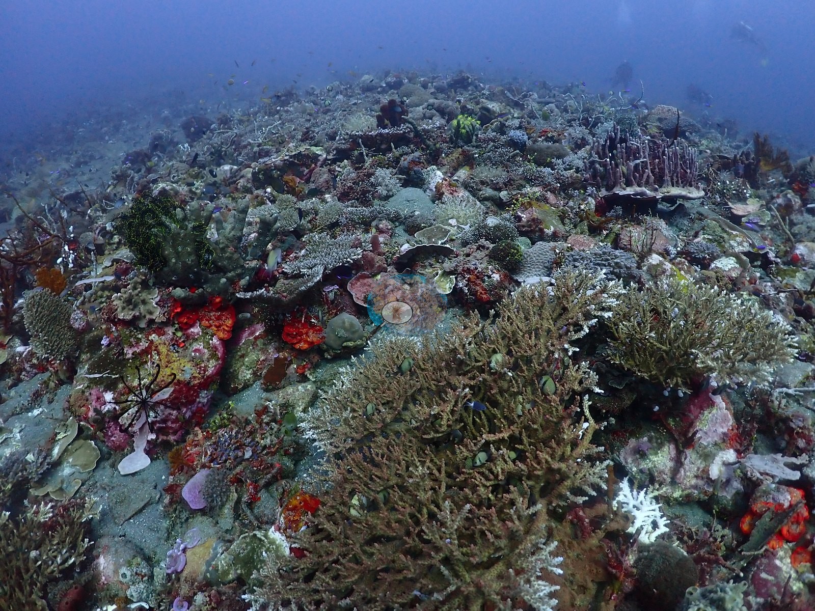
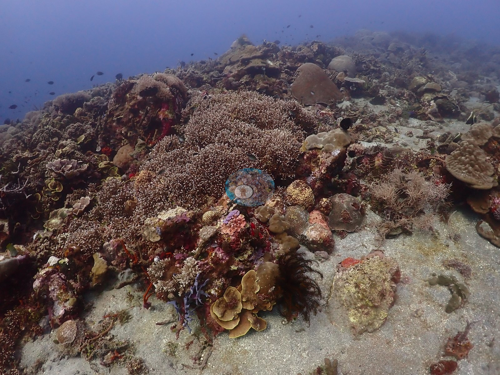
In the coral-rich sections, the substrate is essentially wall-to-wall low-relief coral: extensive fields of foliose/cup-shaped colonies with pale growing margins (cf. Pachyseris/Echinopora), dense mounds of digitate/knobby coral, and several large mounding faviid/brain corals (one with a sharply defined maze pattern) sit alongside massive Porites-type boulders (e.g., Image 2, Image 5, Image 17, Image 33, Image 44).
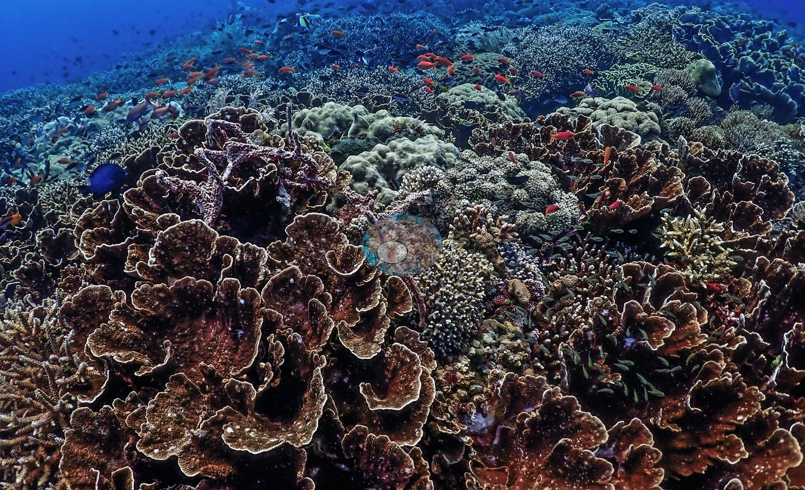
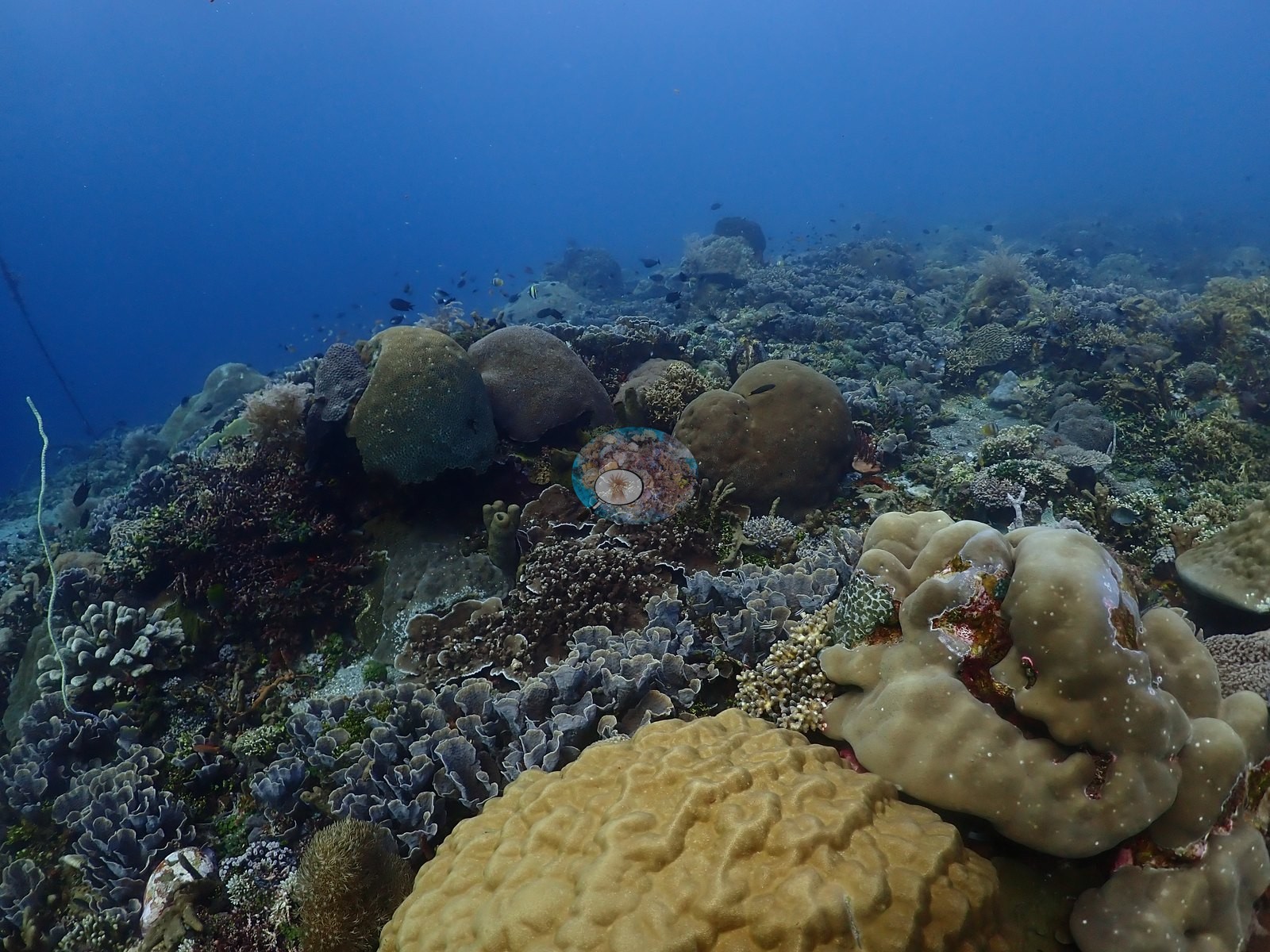
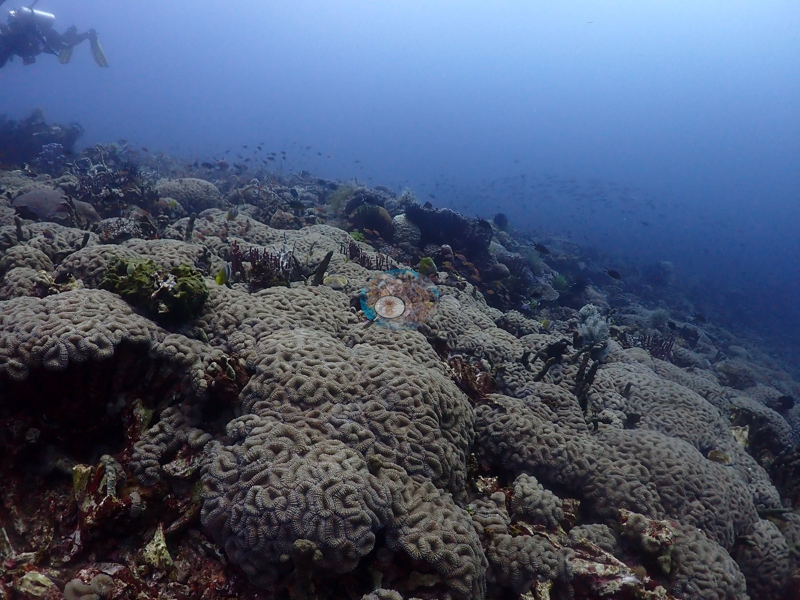
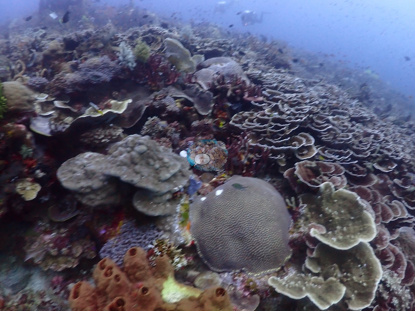
One wide frame shows near-total coral cover from foreground to the reef crest with schooling anthias and damselfish overhead; another shows a comparably dense, slightly different-colored (browner) coral carpet with butterflyfish and a diver's exhaust bubbles visible top-right (e.g., Image 24, Image 27, Image 43).
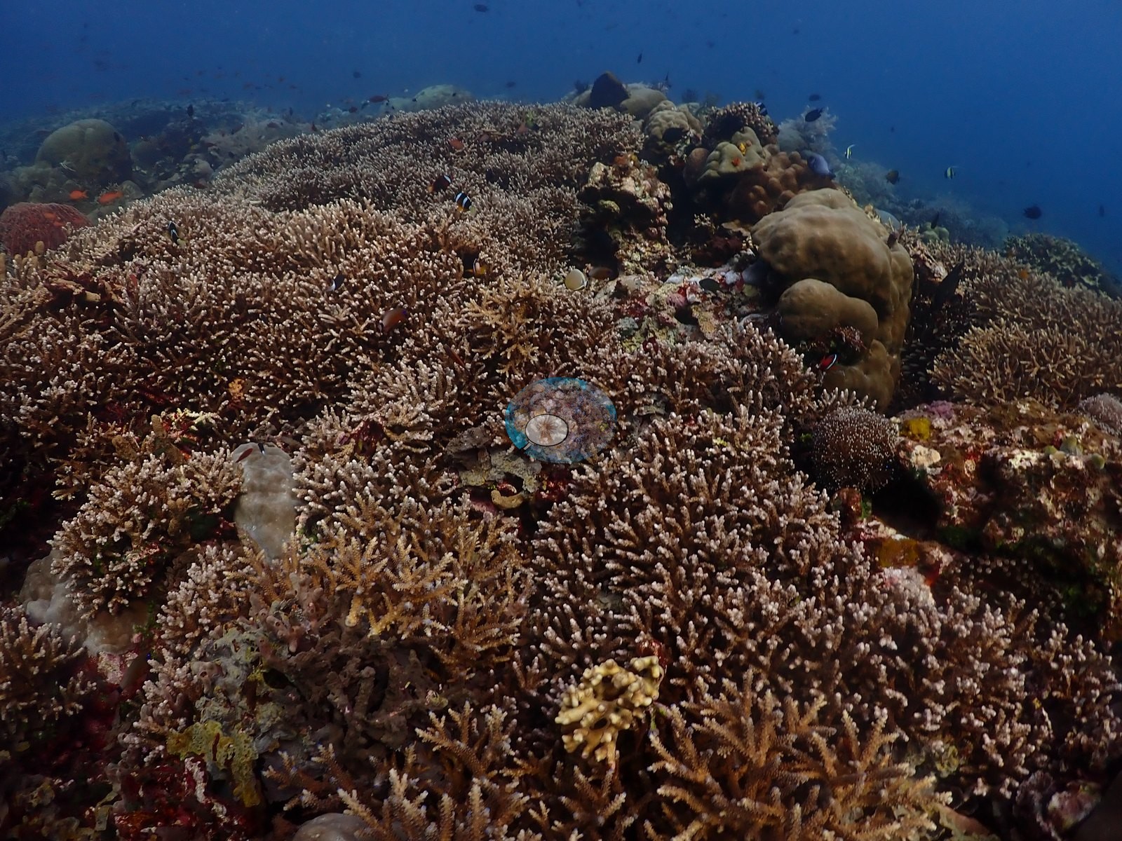
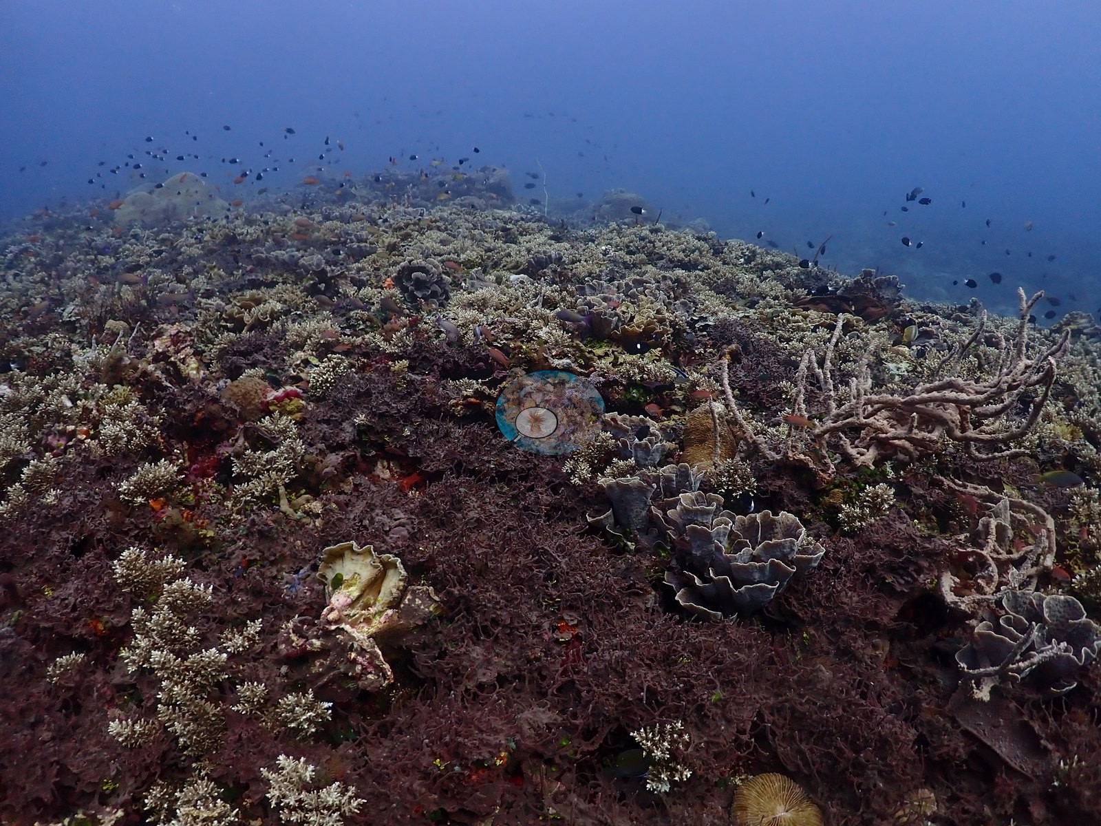
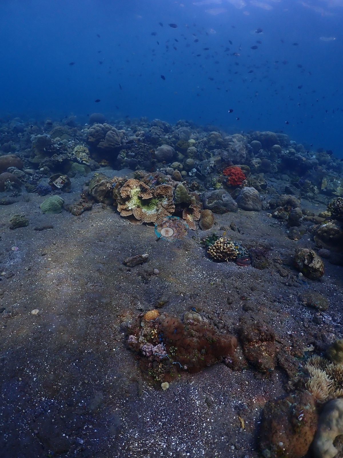
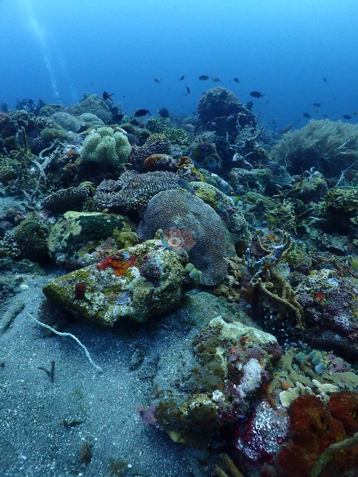
As the reef grades onto open sand, colonies become scattered and isolated: individual coral heads, a soft white lettuce/cauliflower-form colony, sponges (an orange branching sponge, a red encrusting patch, a green barrel form), and small gorgonian sea-fan fragments dot an otherwise bare gray-black sand plain (e.g., Image 20, Image 22, Image 32, Image 38).
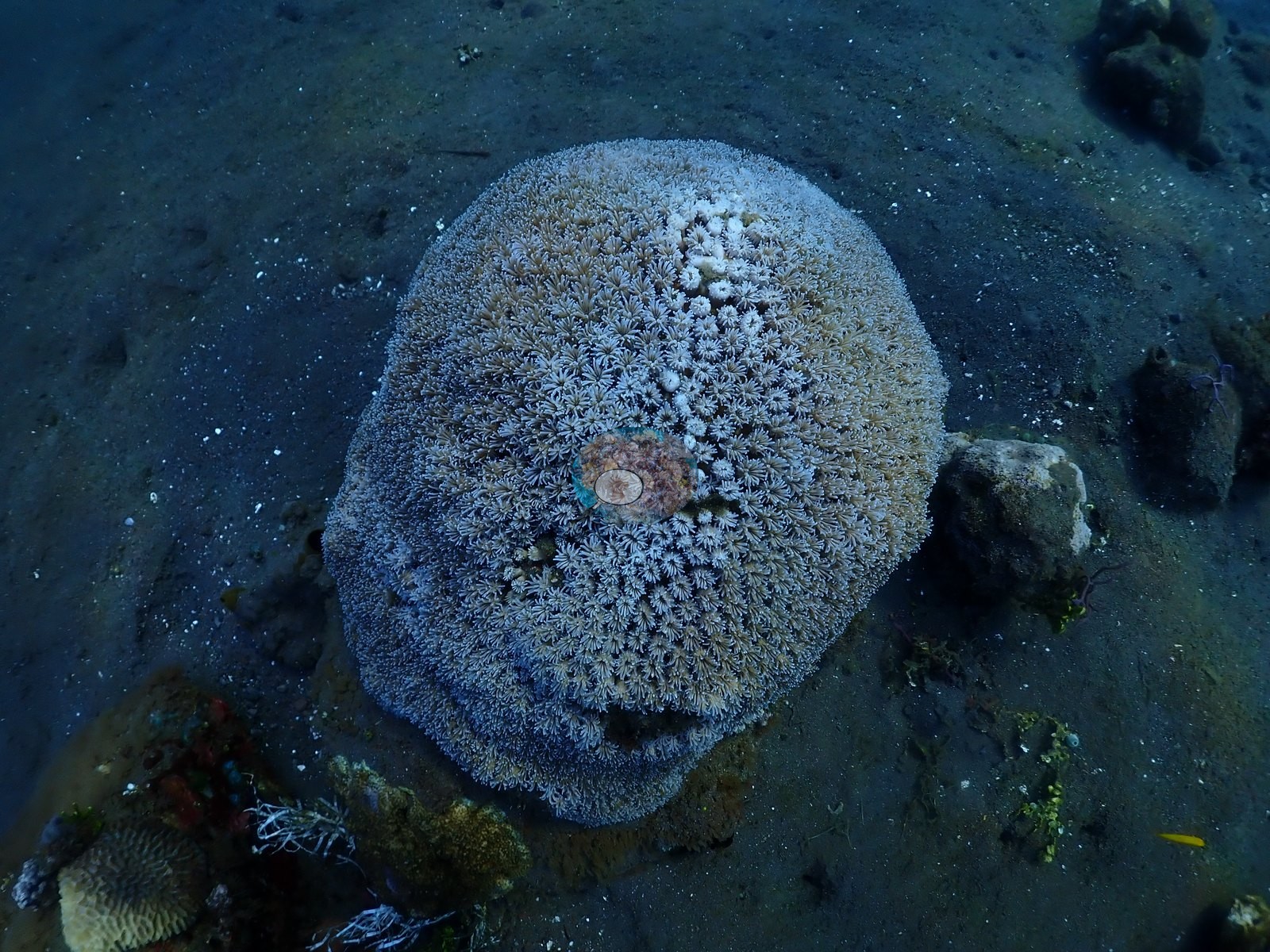
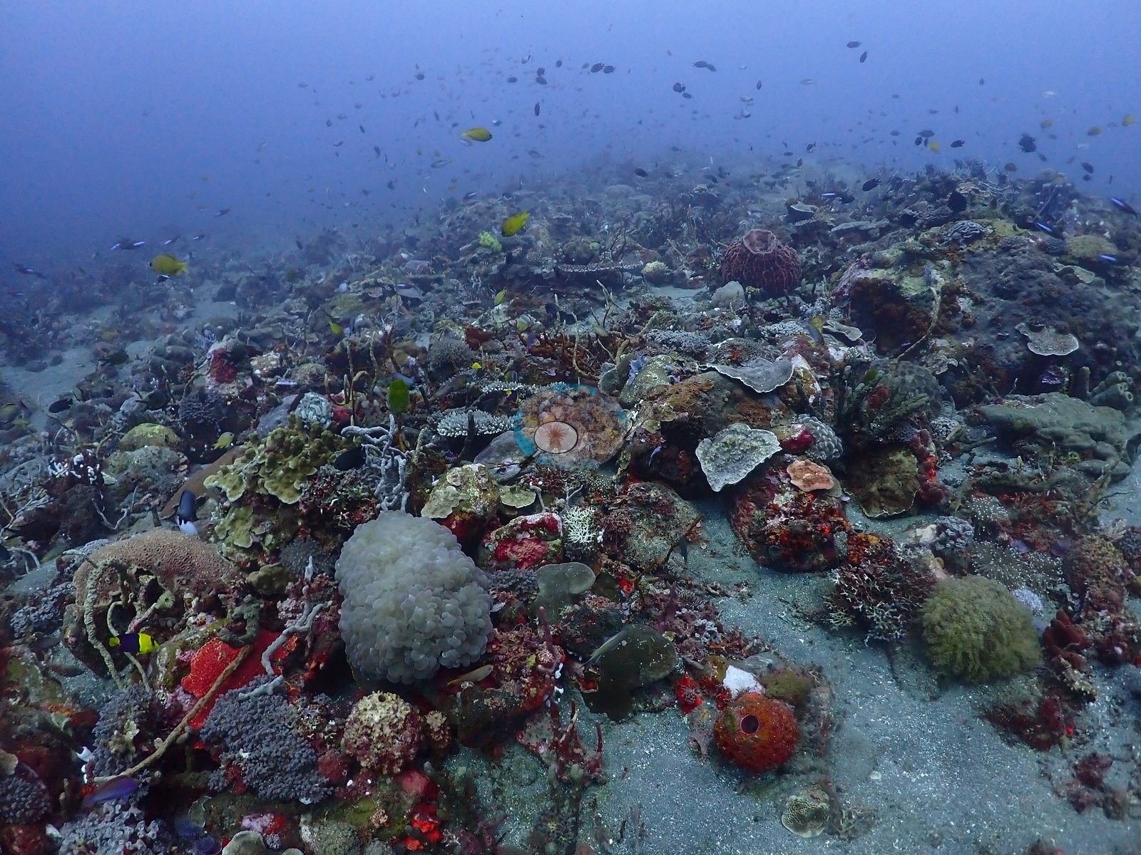
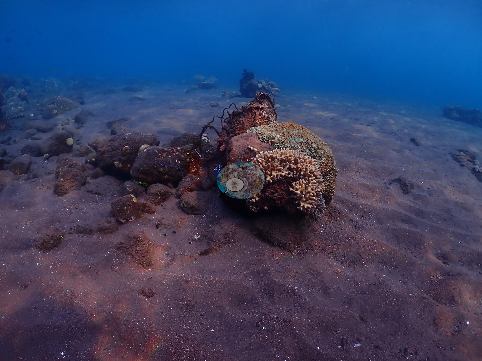
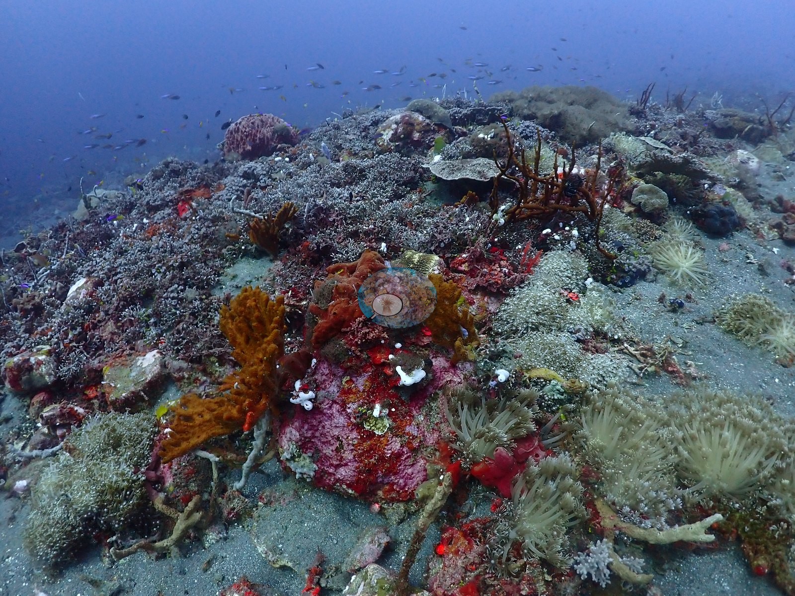
On the sand flat itself, isolated coral clusters (staghorn-type branching, encrusting patches) persist alongside more sponges and soft corals, with a garden-eel-style burrow field implied by scattered holes in one lower-relief frame (e.g., Image 34, Image 35).
Coral cover
Coral cover: 29% — a blind Claude computer-vision point count of 162 of Anderson's unedited photographs (20 points per photo; water, fish, and obstructions excluded). Other computer-vision methods are listed in the method table.
Stressors
No bleaching or disease is visible on any photographed coral; all colonies show normal brown/tan/olive pigmentation. No man-made objects appear in this sample. No crown-of-thorns starfish (COTS) or other corallivores evident.
Fish and other fauna
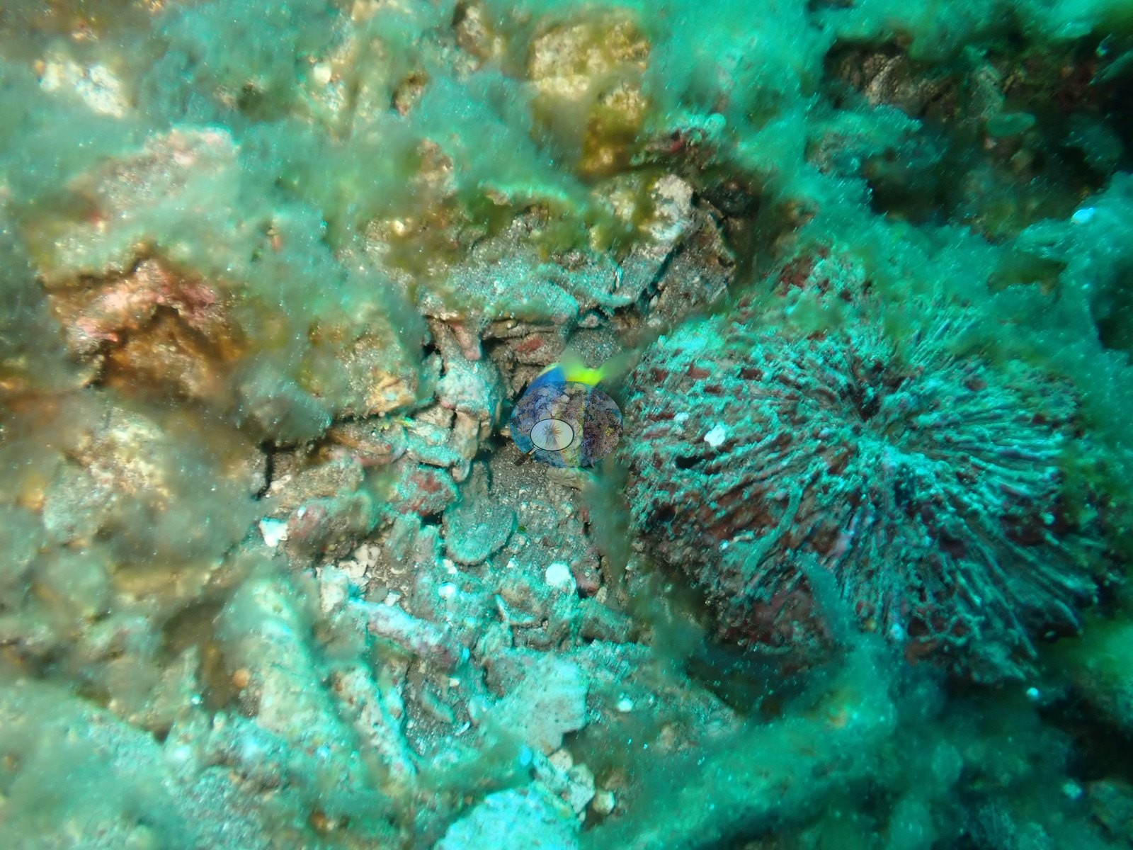
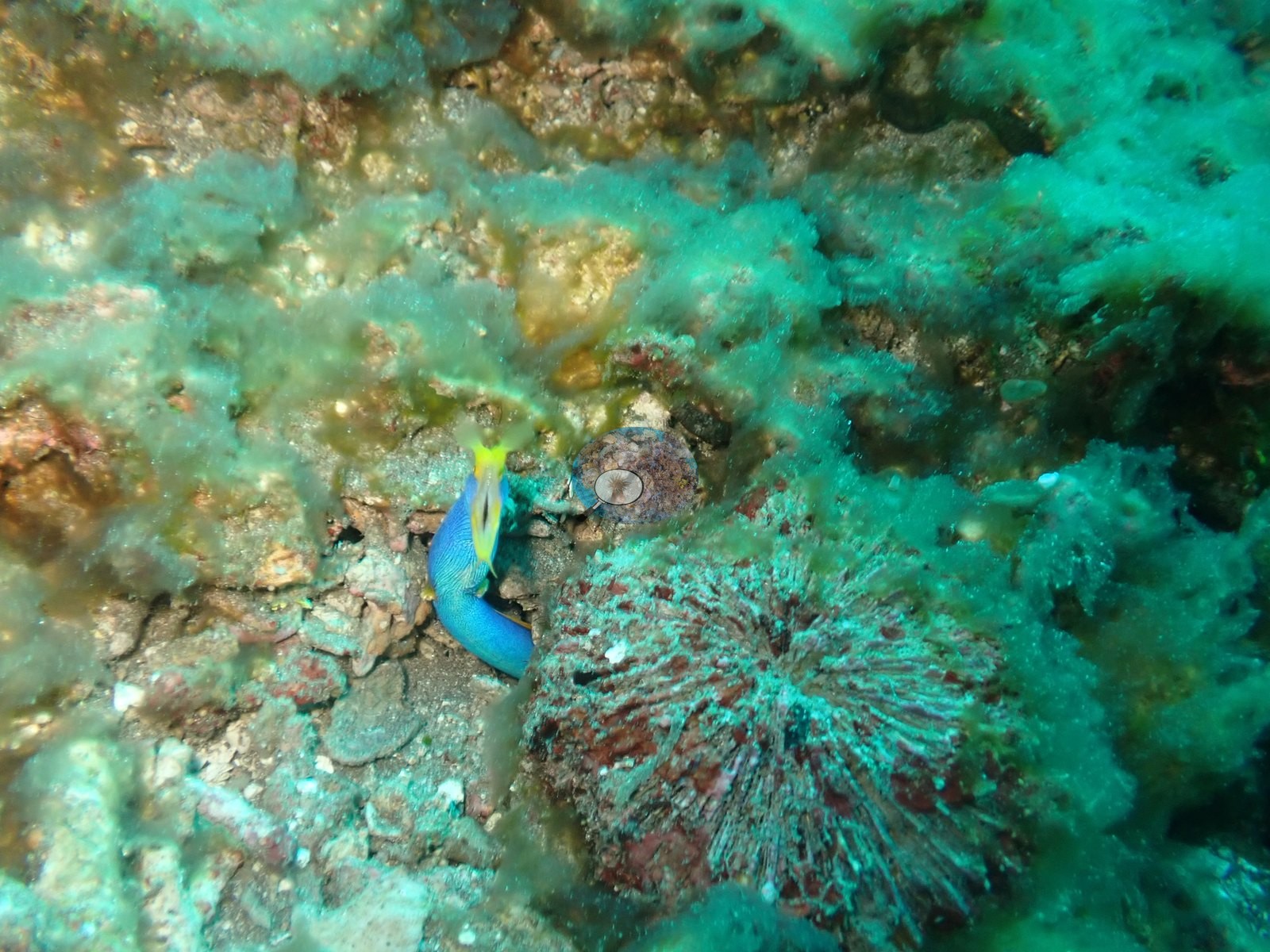
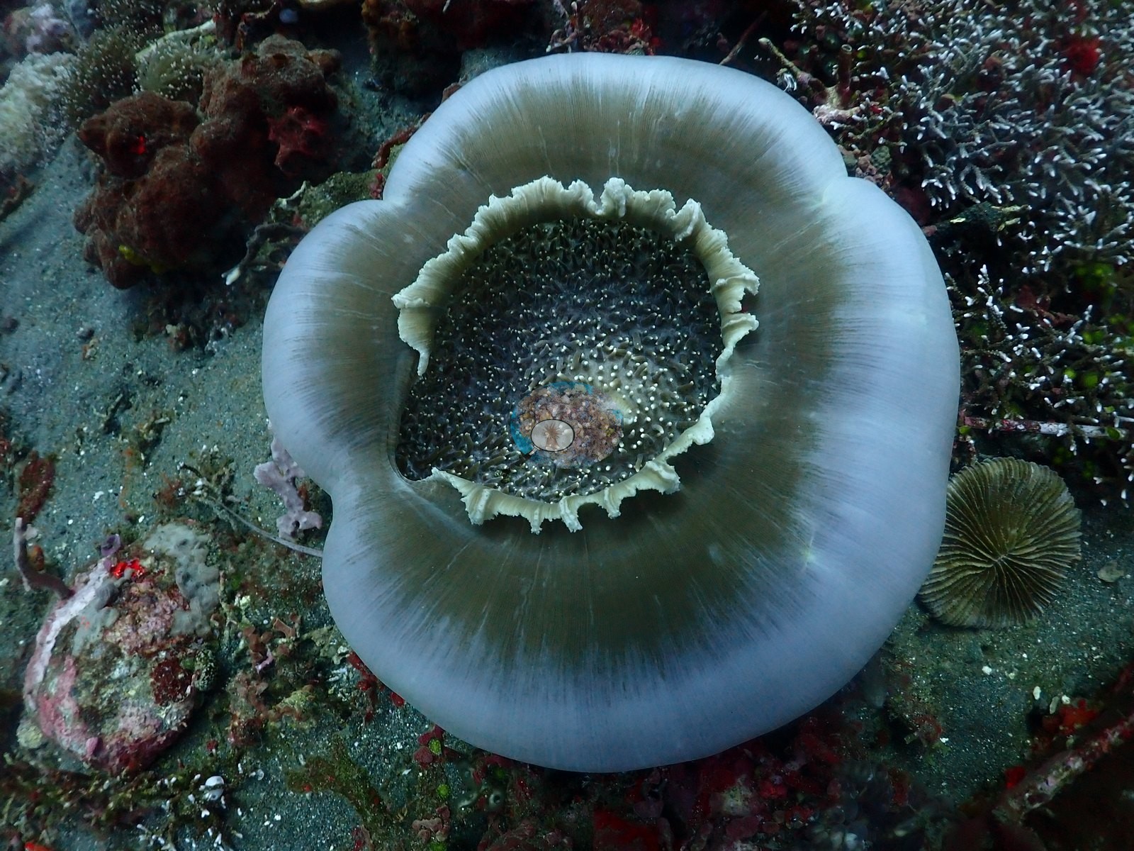
Reef fauna include a red-and-white basket/brittle star draped across dead coral rubble, a blue Linckia-type sea star on sand, small pink and purple encrusting sponges, and an anemone with a pair of small clownfish.
Comparisons with other data
Also on record for this site: A coral-rich slope grading into flatter dark volcanic sand (e.g., Image 36, Image 41).
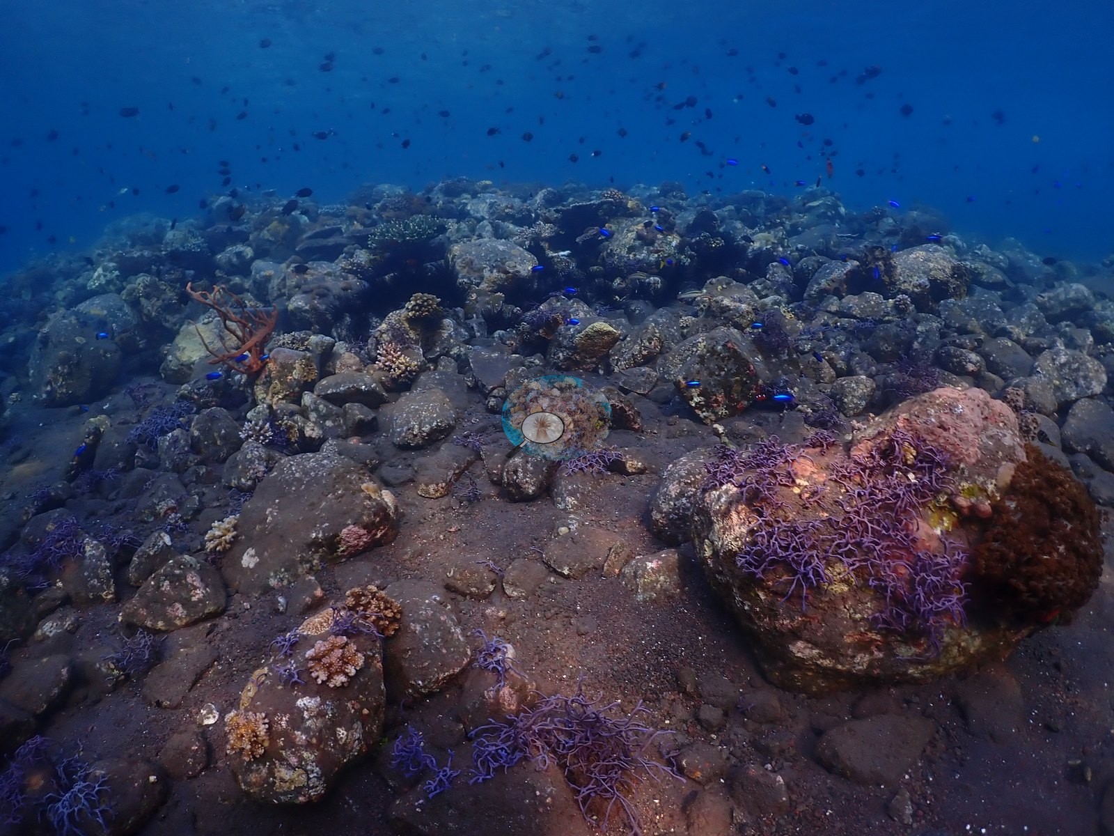
This reef-to-sand gradient accommodates both coral-associated fishes and cryptic volcanic-sand macrofauna; coral cover was locally high but not continuous (e.g., Image 10).
CV model comparison
More info
DINOv3 and CoralSCOP were run on the same photos and are listed for comparison. Coralscapes v2 and v1 were also run but are not shown: Anderson does not consider Coralscapes reliable for these photos. No diver transect exists for this trip, so agreement between the rows is not accuracy, and as of September 2026 no computer-vision method estimates coral cover accurately on new images; treat every row as indicative.| Method | Hard-coral cover (%) |
|---|---|
| In-house DINOv3 | 31.6 |
| CoralSCOP unedited | 18.2 |
| Claude | 28.9 |
Independent surveys nearby
Within 5 km, 2 independent survey stations recorded hard coral cover in 2014. The most recent nearby survey is from 2014, so these values predate recent heat stress. This site's own estimate (29%) is indistinguishable from the range of these surveys (8.0–24%): the 5.4-point gap is inside the ±7 percentage-point noise between methods; the methods differ, so the comparison is context, not a like-for-like test.
Collected by other programs using different methods, so these are context for the figures above, not a like-for-like comparison. Where a station was surveyed more than once the range is shown. Station names are not dive-site names.
| Agency | Site / location | Date | Hard coral cover (%) | Distance | Link |
|---|---|---|---|---|---|
| WWF-US / WWF-Indonesia | 5003 | 2014 | 24% (2 surveys) | 3.07 km | Amkieltiela, Abdillah T, Amkieltiela A, Andradi-Brown D, Lazuardi E. 2015. MBD 2014 & 2015. MERMAID |
| WWF-US / WWF-Indonesia | 5002 | 2014 | 8.0% (4 surveys) | 4.31 km | Amkieltiela, Abdillah T, Amkieltiela A, Andradi-Brown D, Lazuardi E. 2015. MBD 2014 & 2015. MERMAID |
Data & links
All images from Coral Reef Diagnostics. Data are from Coral Reef Diagnostics and the organizations named in the data-sources table above.
© Coral Reef Diagnostics.