
Alor - Harilolong (School's Out)

Part of the regional summary: Indonesia - Alor
More info
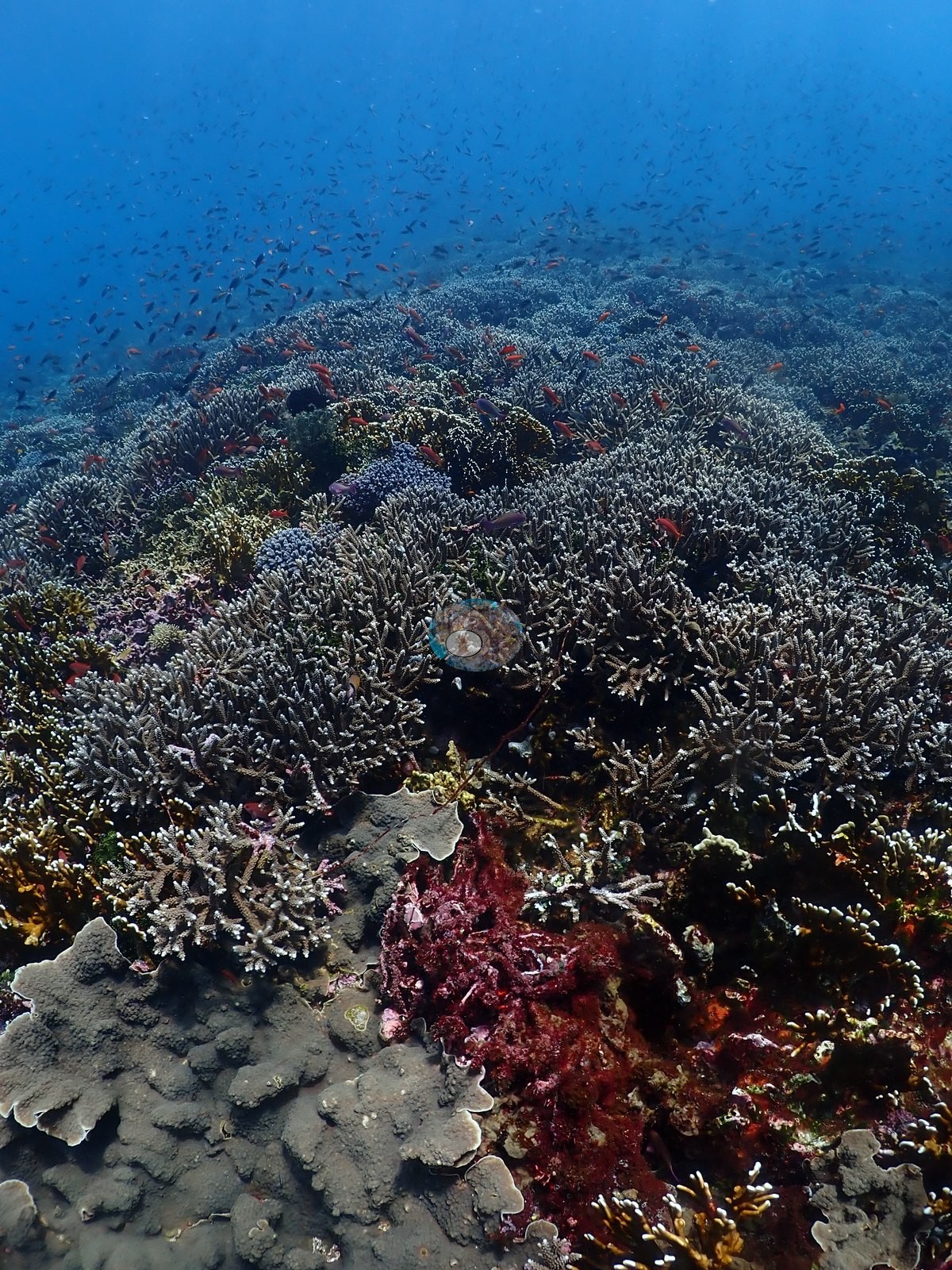
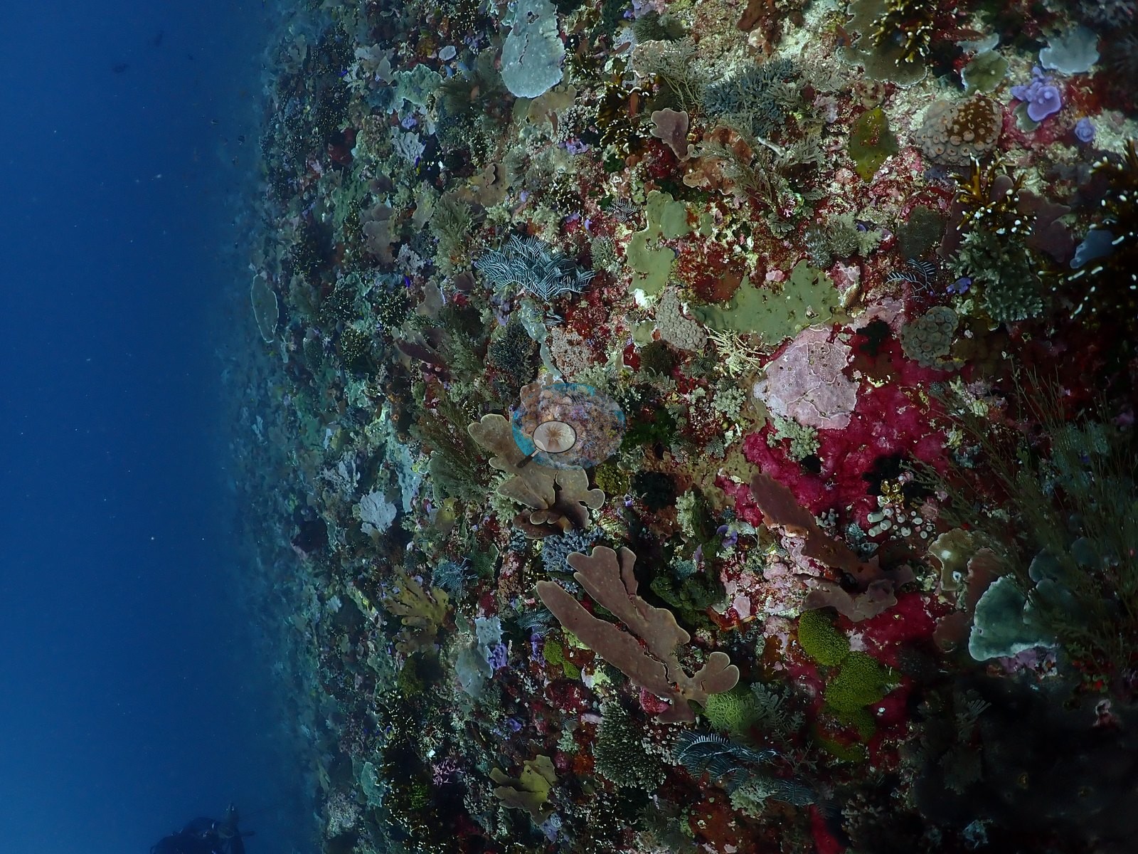
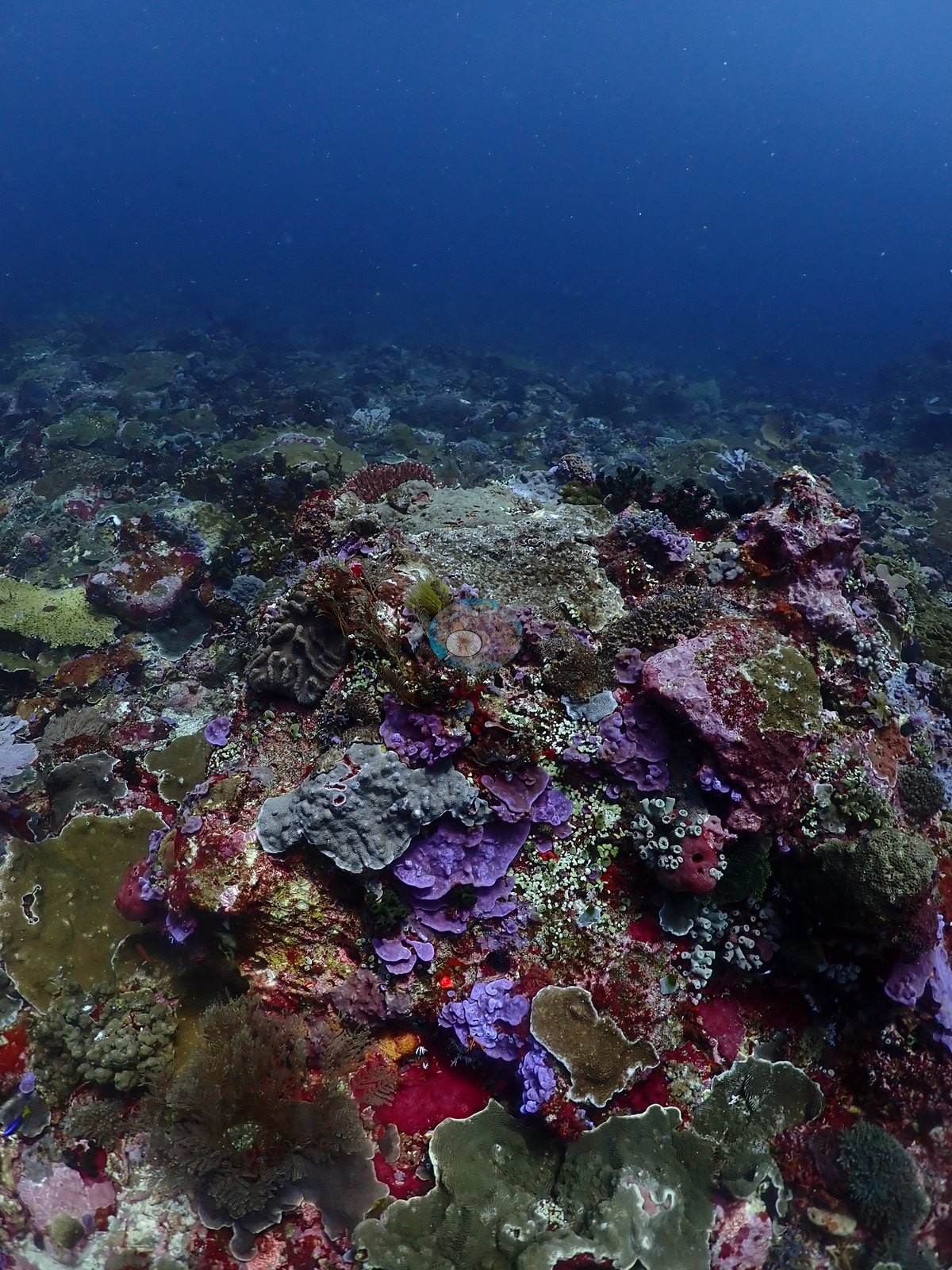
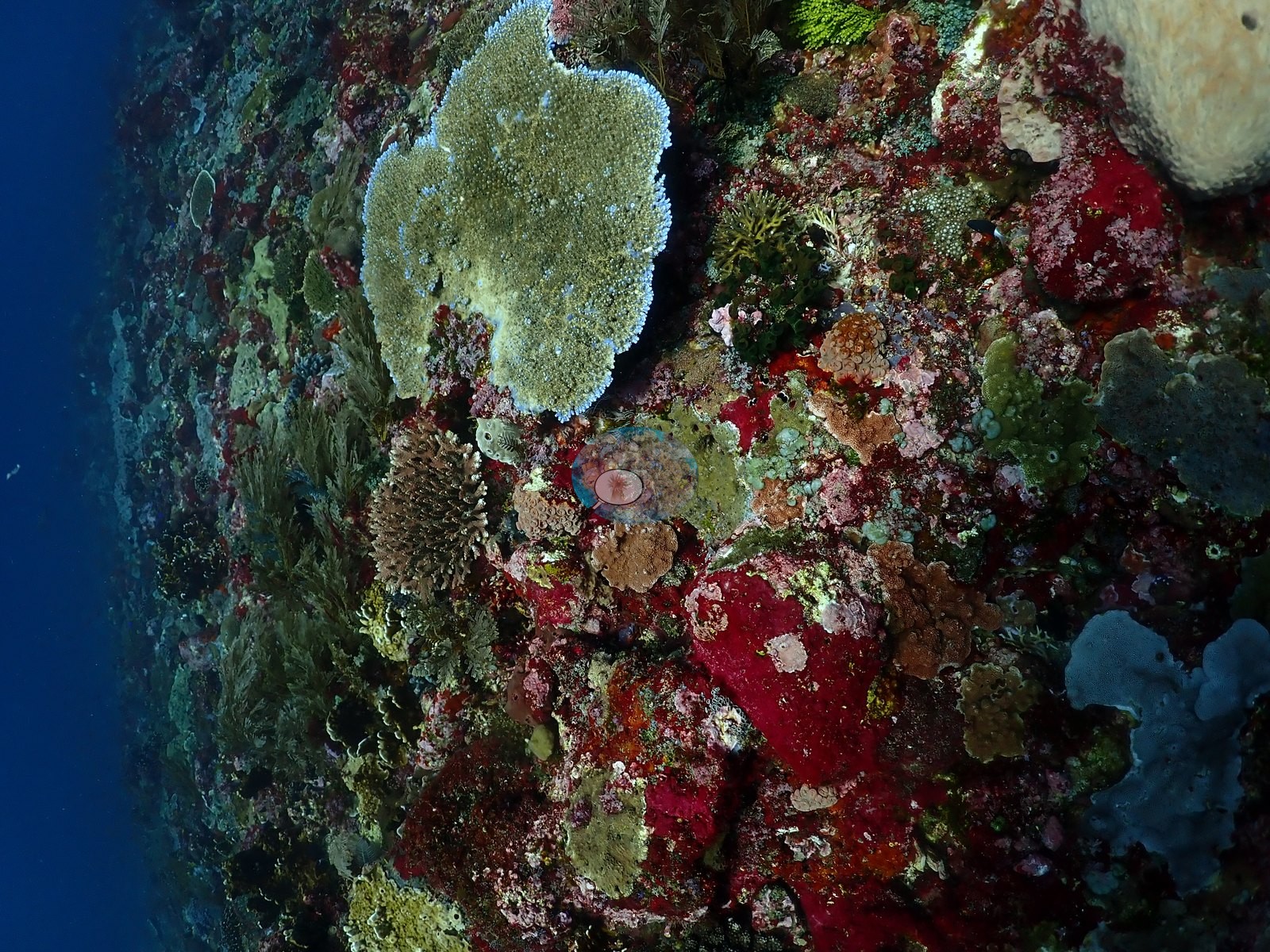
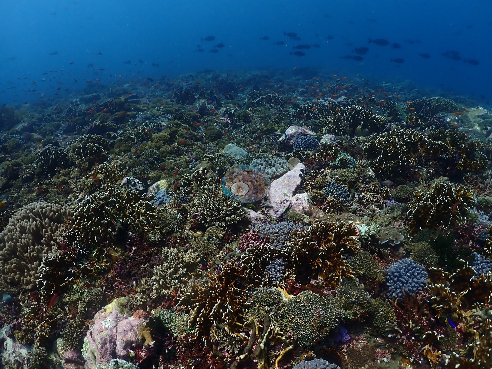
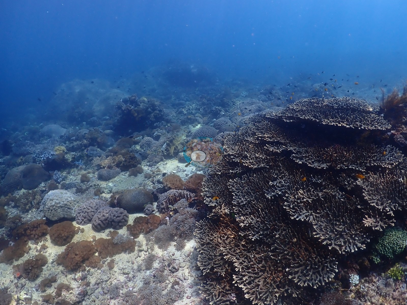
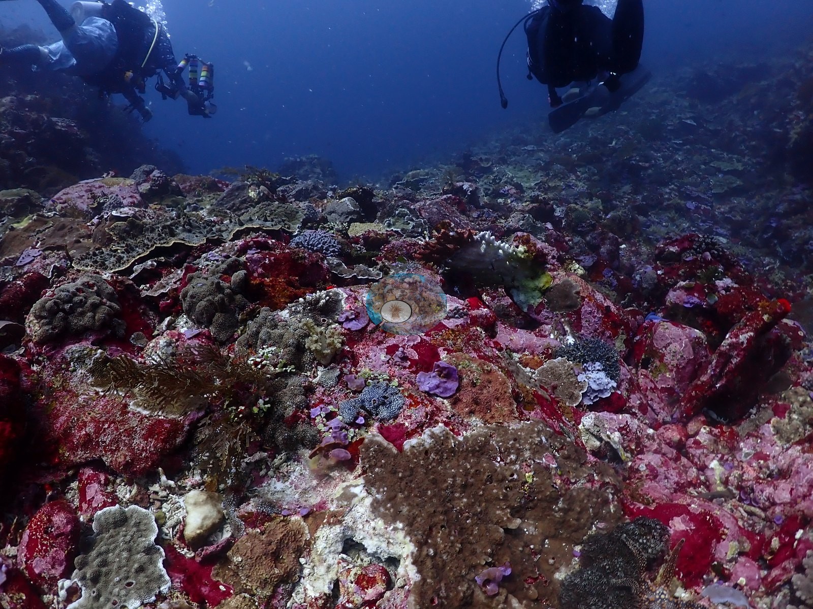
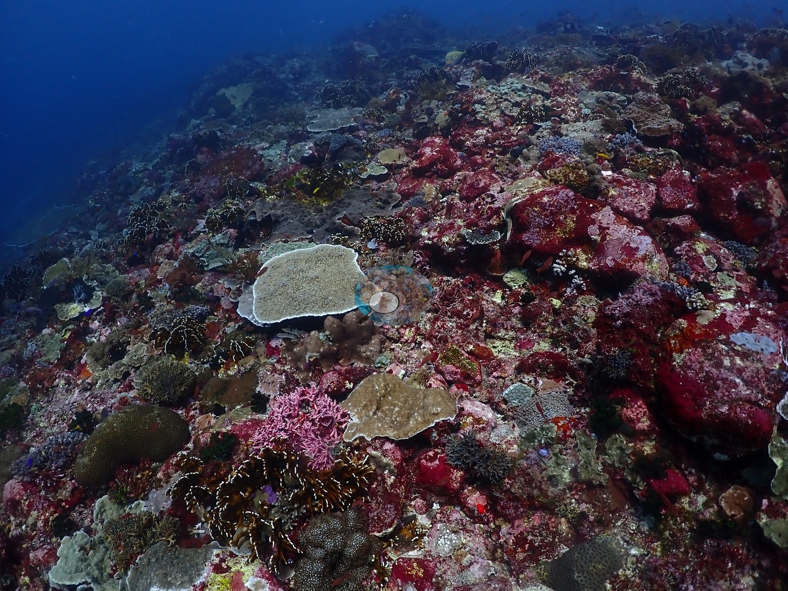
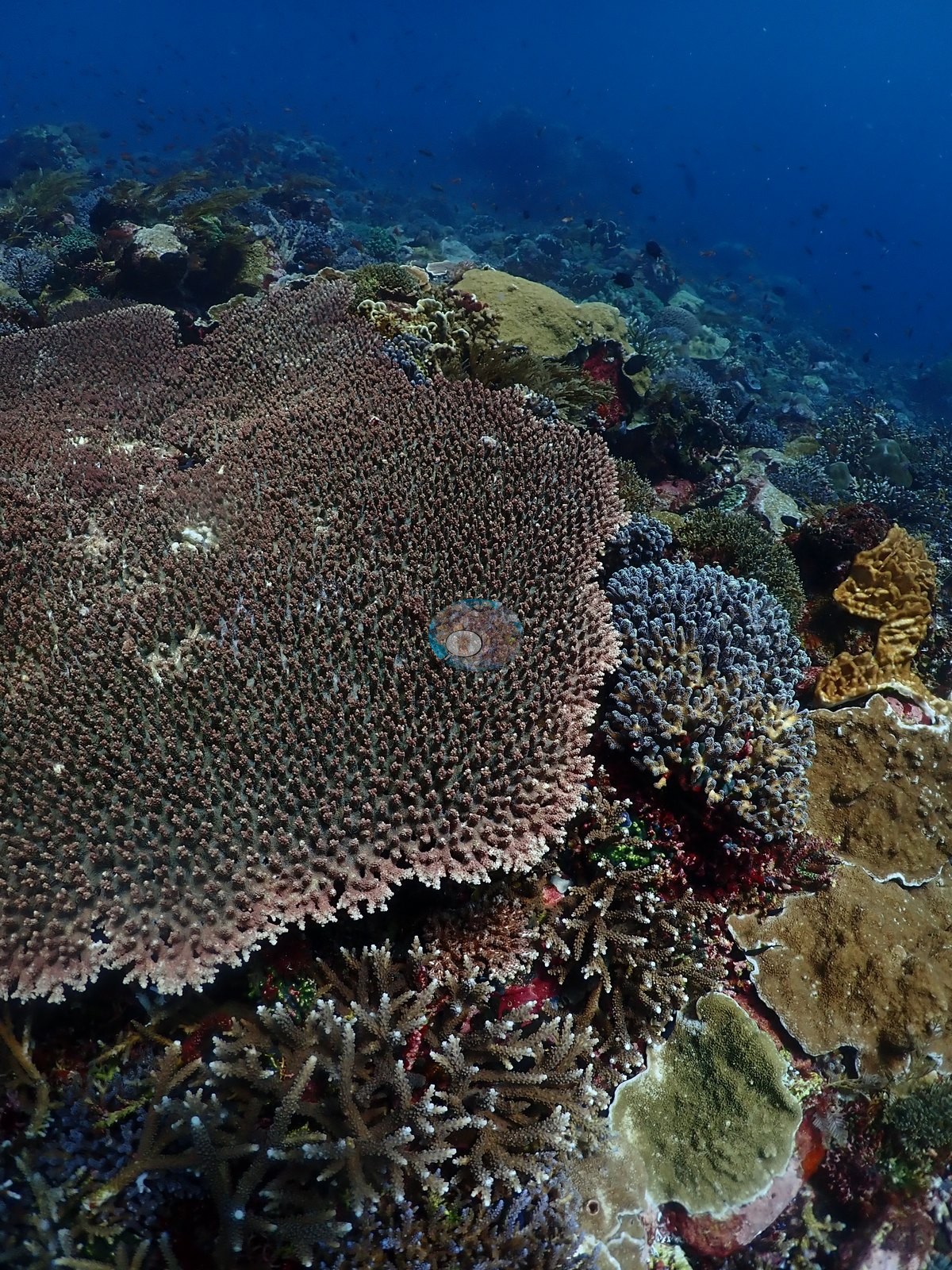
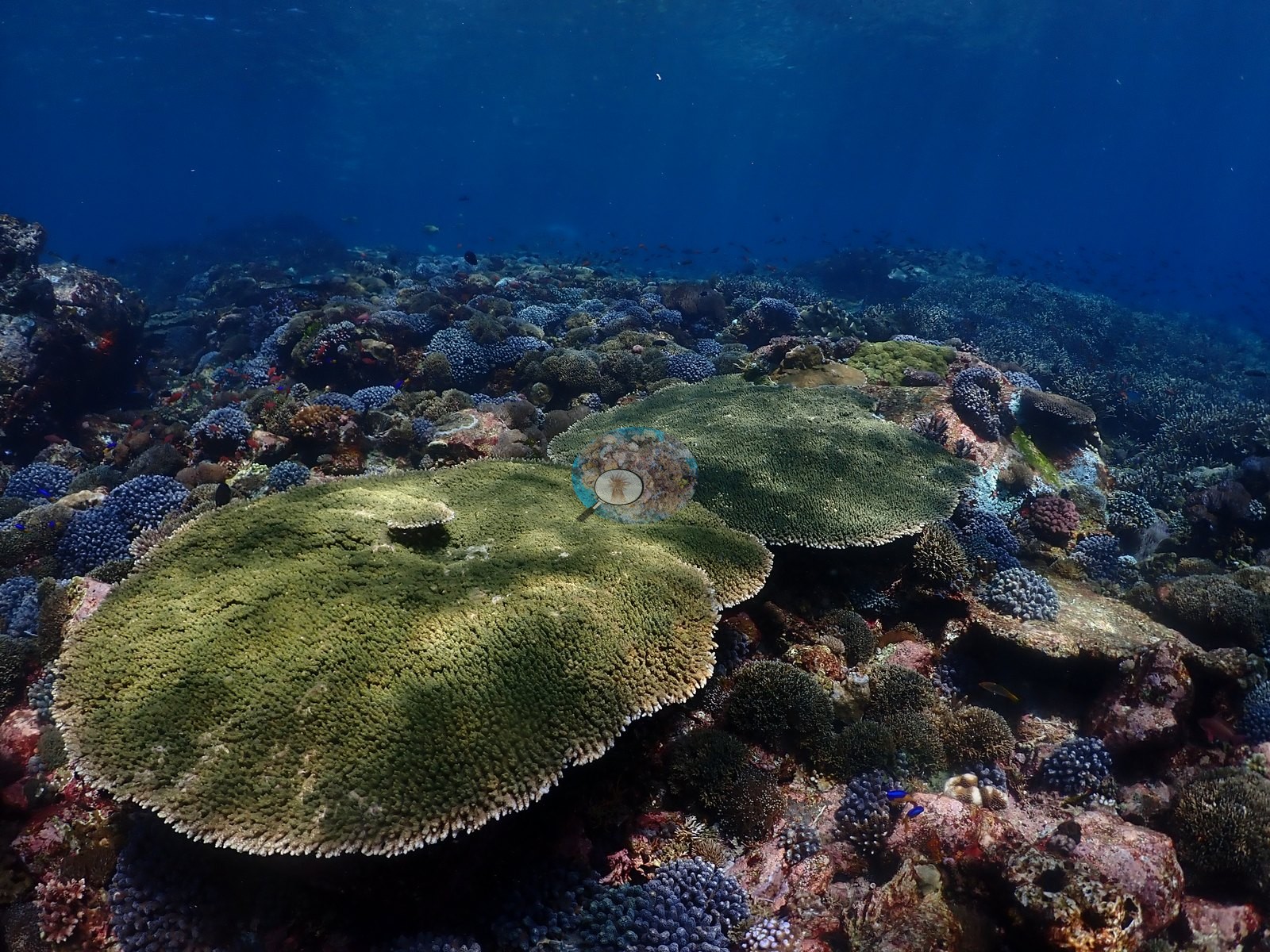
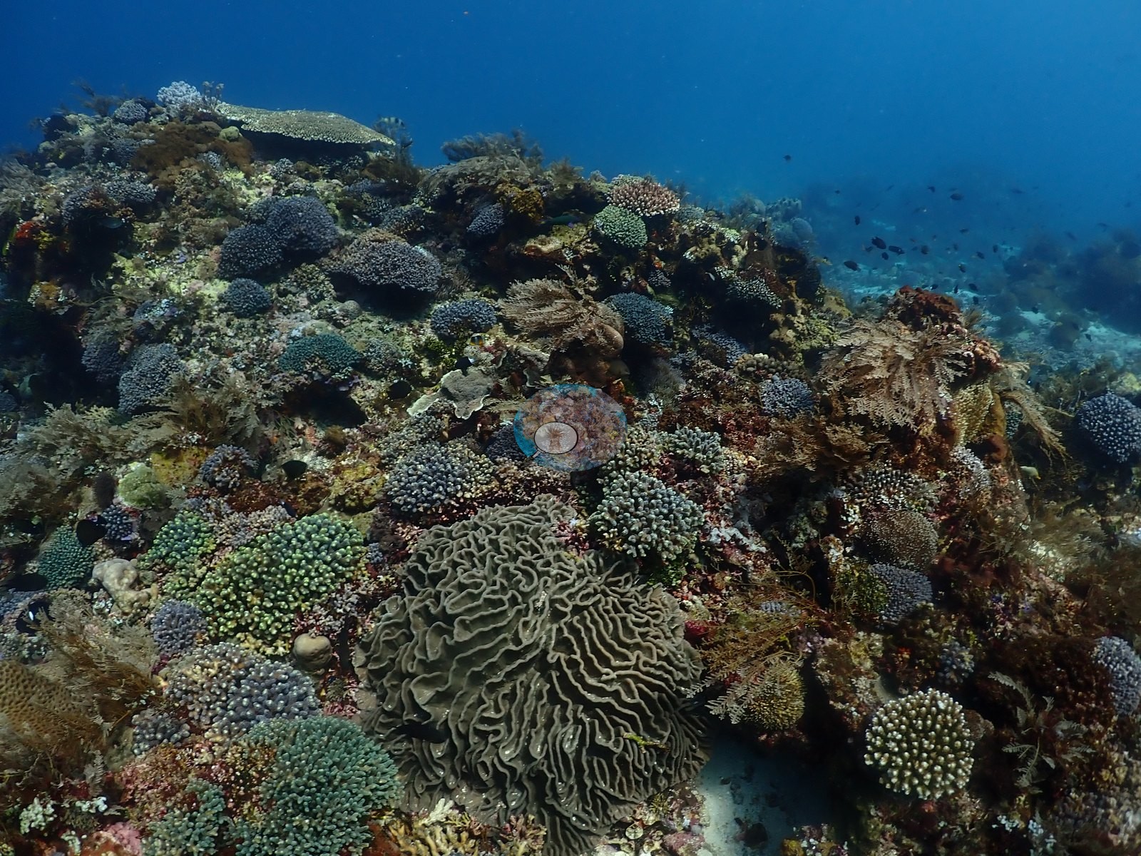
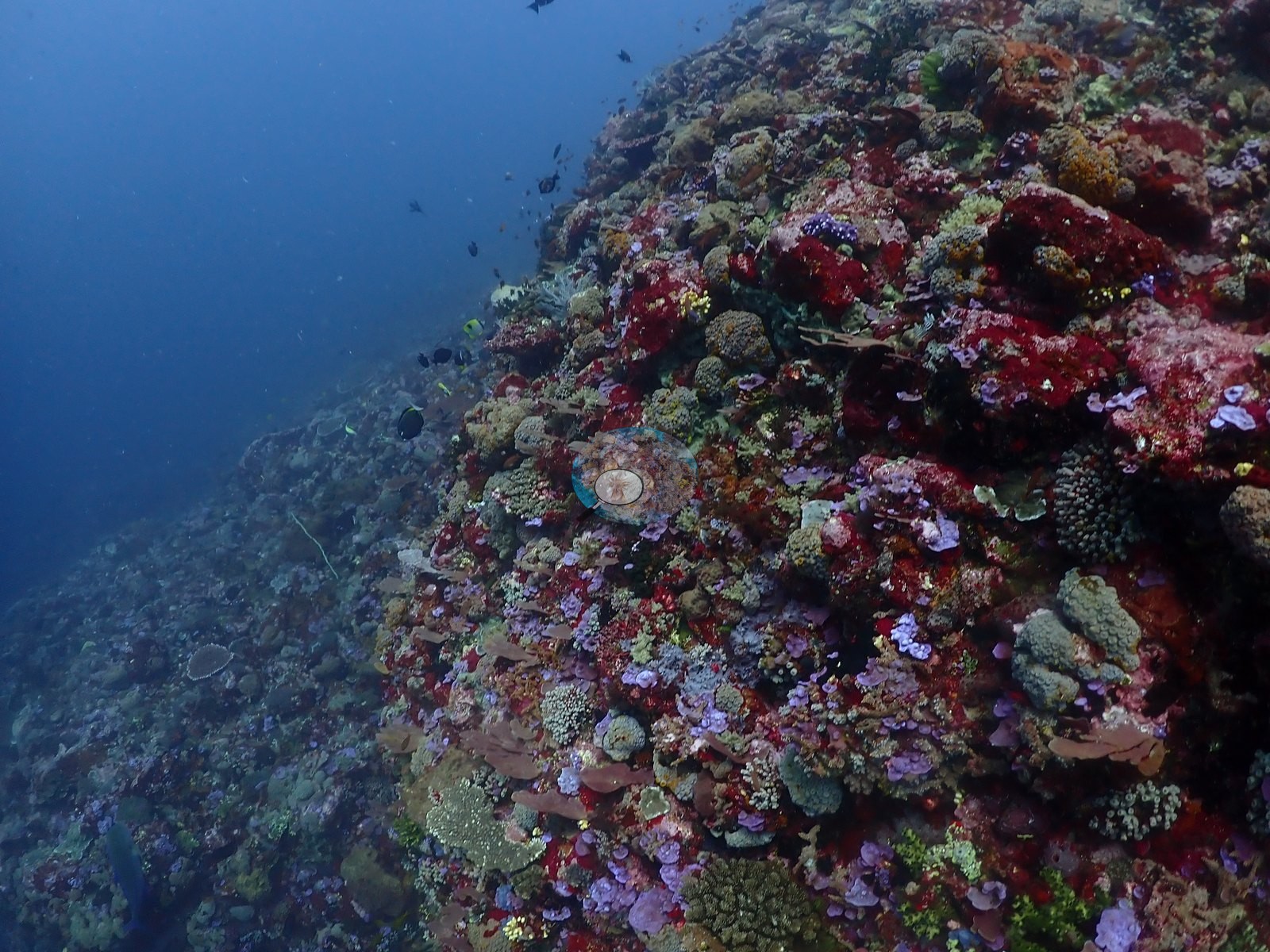
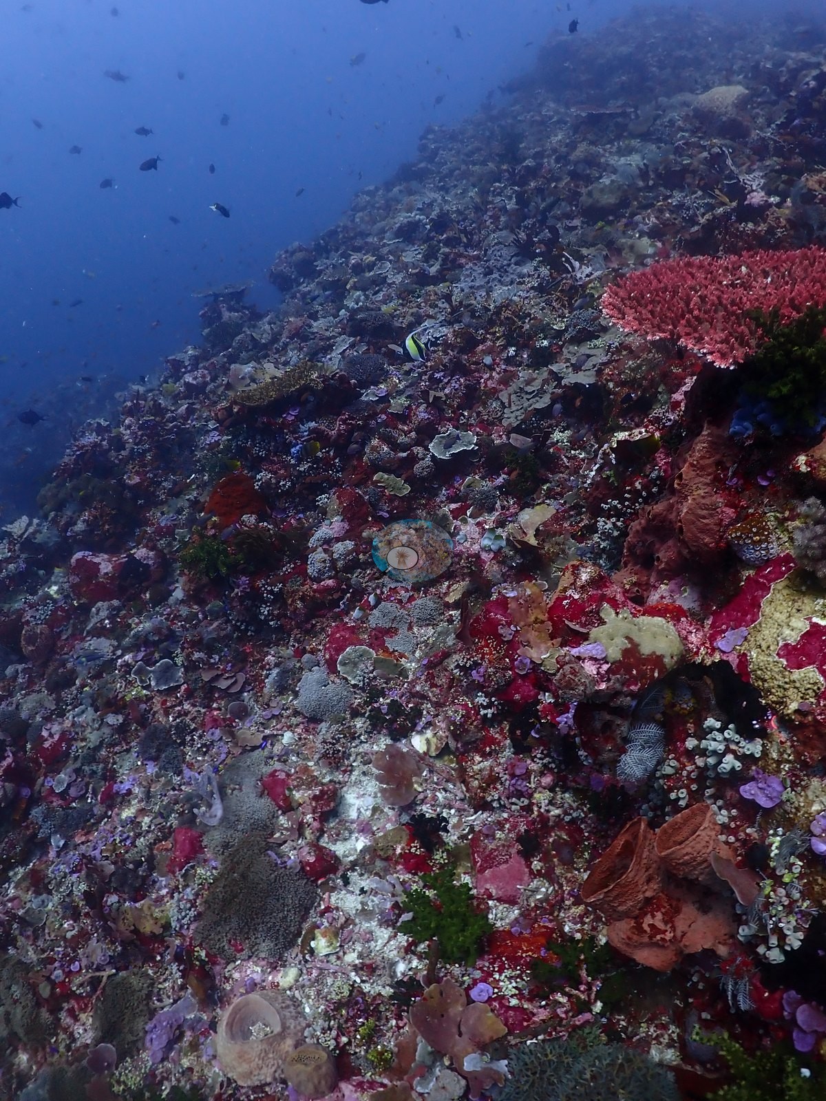
East Nusa Tenggara (NOAA CRW virtual station) · Lesser Sunda ecoregion mean=6.9°C-heating weeks Alor and the Pantar Strait sit in a zone of exceptionally strong upwelling, which holds these reefs several degrees cooler than NOAA’s satellite-derived figures imply. Read the heat-stress numbers here as a regional-scale indication, not as this reef’s own temperature history.An exposed, current-swept Alor slope whose edge drops into open blue where dense shoals of planktivores hang, fitting its nickname. The pavement is veneered in brilliant magenta coralline algae under plating corals, meter-plus Acropora tables with electric-blue growing edges, and a wide mix of brain and mushroom corals.
Lereng Alor yang terbuka dan tersapu arus, yang tepinya menurun ke laut lepas tempat gerombolan padat ikan pemakan plankton bergantung — sesuai dengan julukannya. Hamparan batuannya berlapis alga koralin magenta cemerlang di bawah karang lembaran, meja Acropora berukuran lebih dari satu meter dengan tepi tumbuh berwarna biru listrik, serta campuran luas karang otak dan karang jamur.
Terjemahan ringkasan ini oleh AI; versi bahasa Inggris yang berlaku.
One independent survey station shown with the program’s logo — click one to see how far it is from this site.
Five other CRD dive sites within 5 km shown in orange — click a marker to open its page.
23 of these 54 photographs are shown beside the text that discusses them under "Site description" below.
Site description
Setting
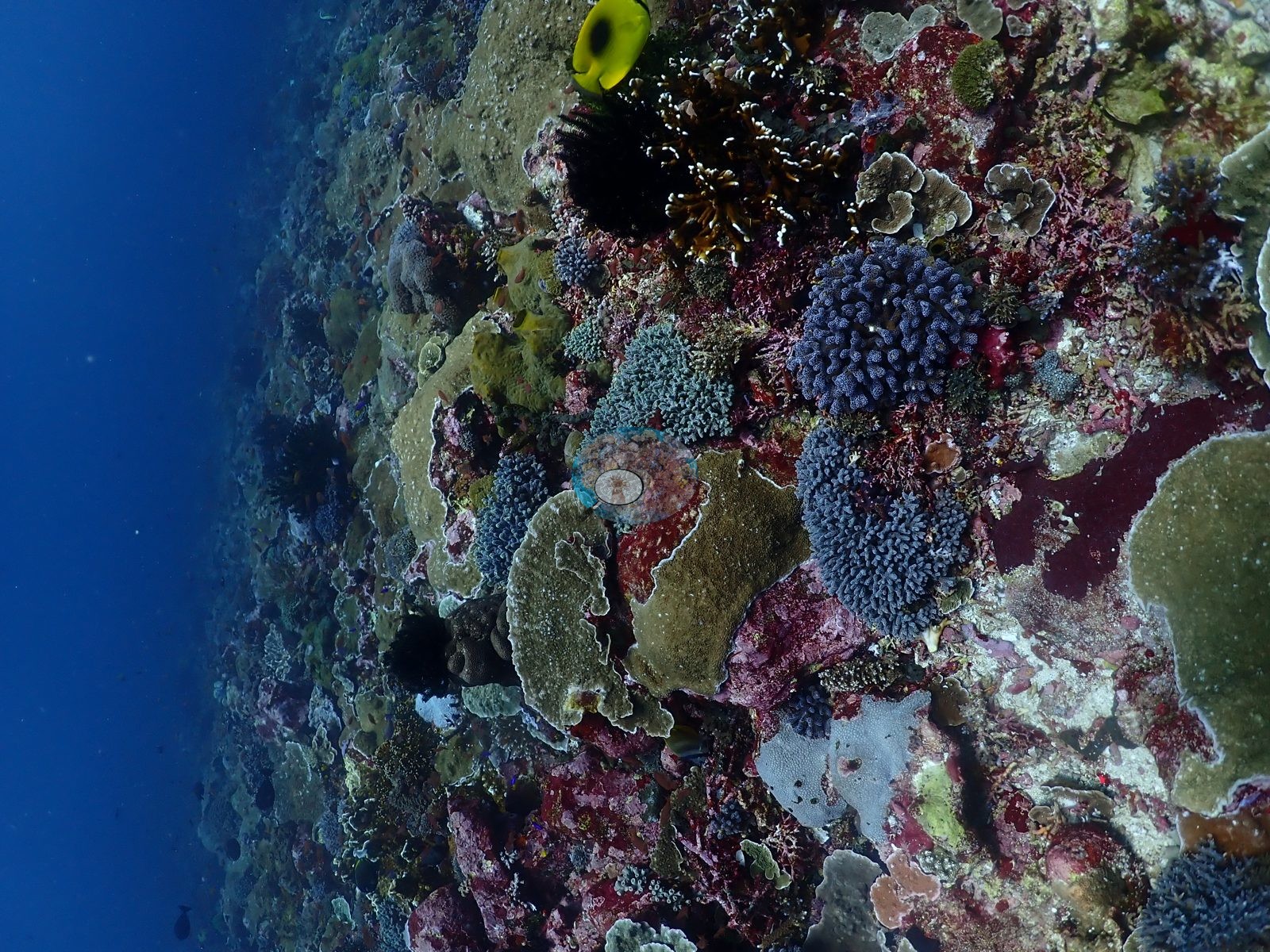
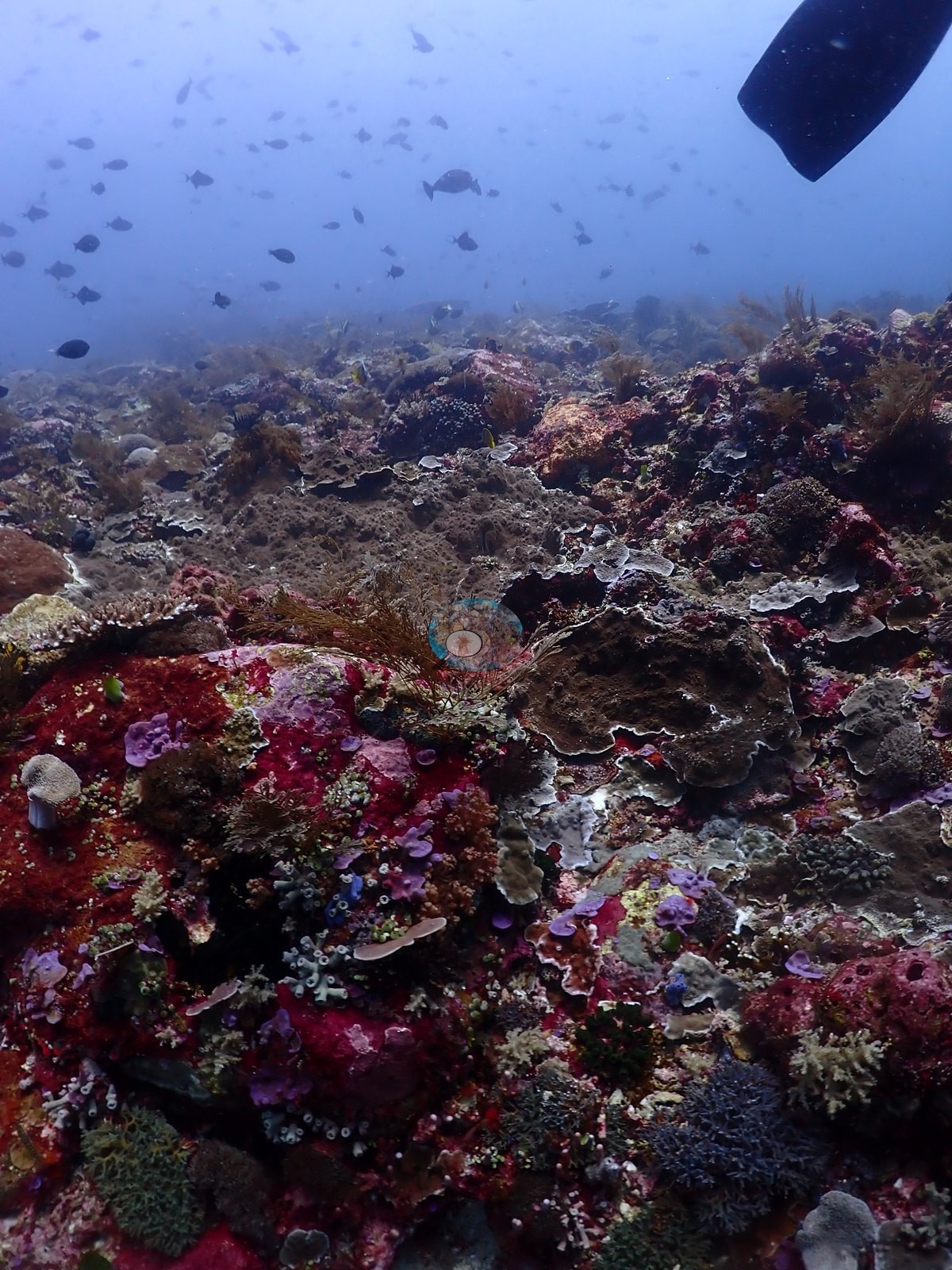
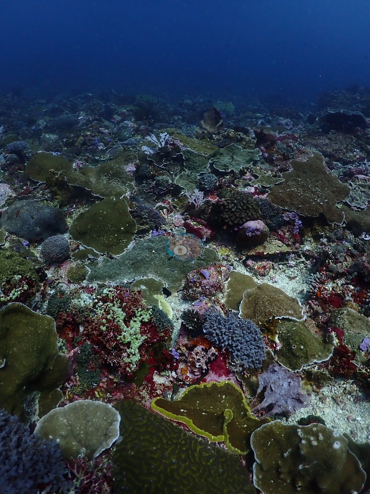
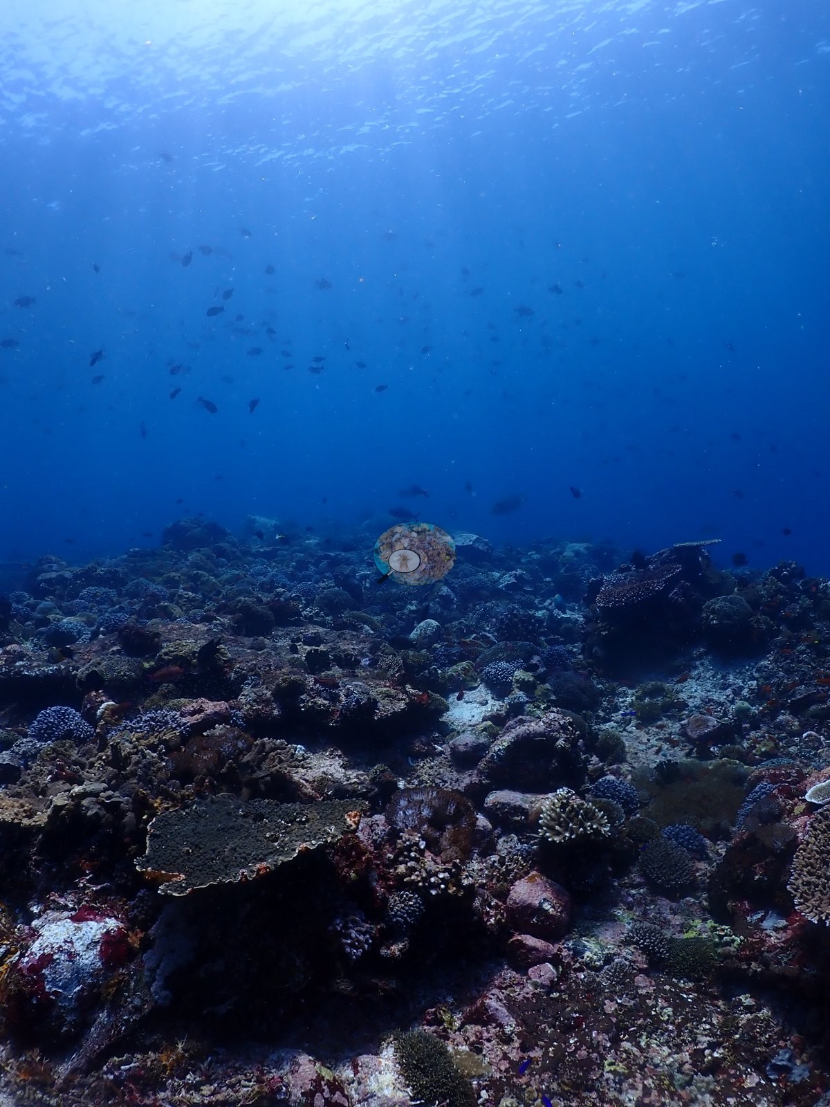
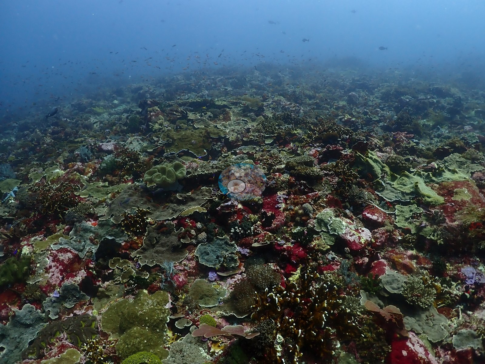
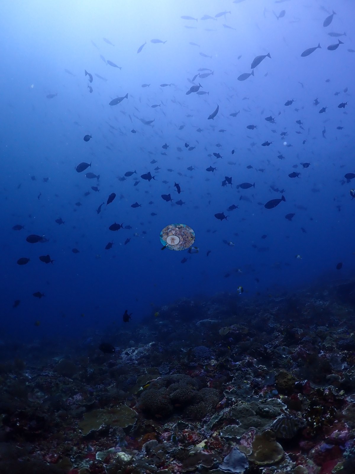
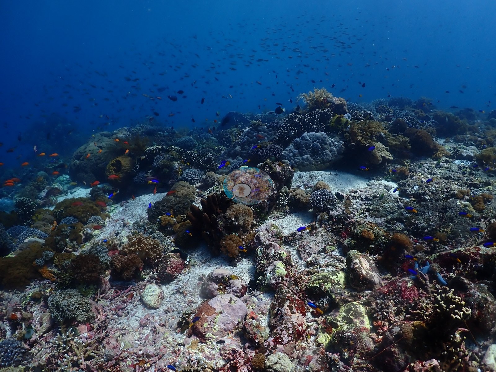
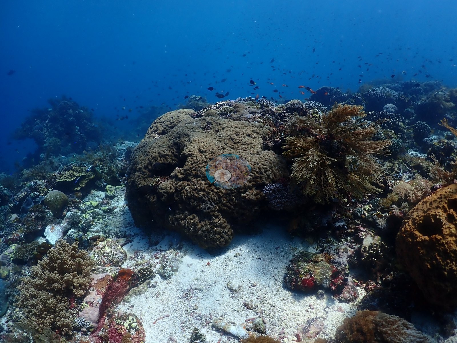
An exposed, current-swept slope whose upper edge falls away into open blue - the frames repeatedly look off the lip into dark water, and dense open-water shoals of fusilier- and surgeonfish-shaped planktivores hang there, which fits the site's nickname (e.g., Image 38, Image 52).
General benthic features
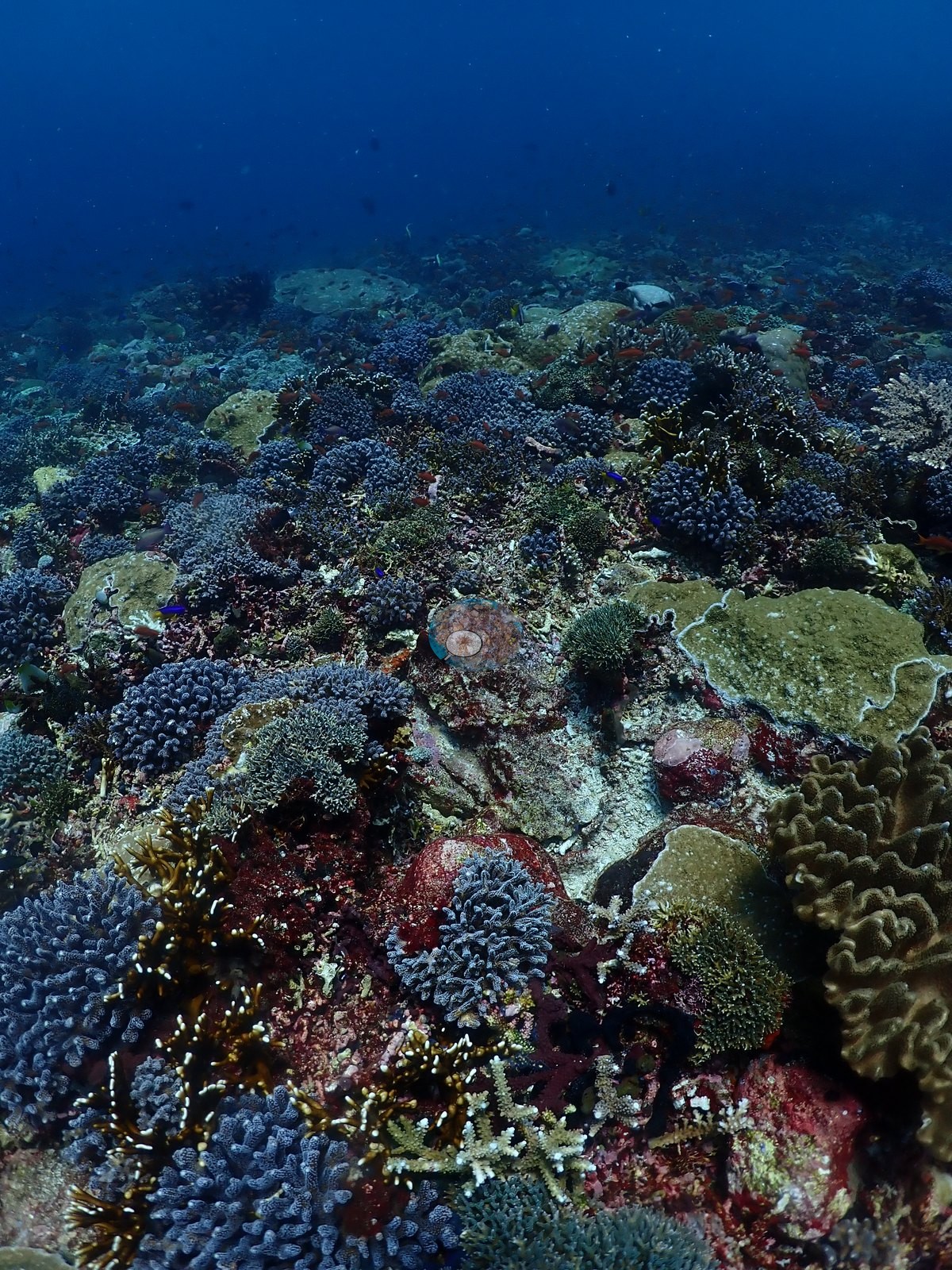
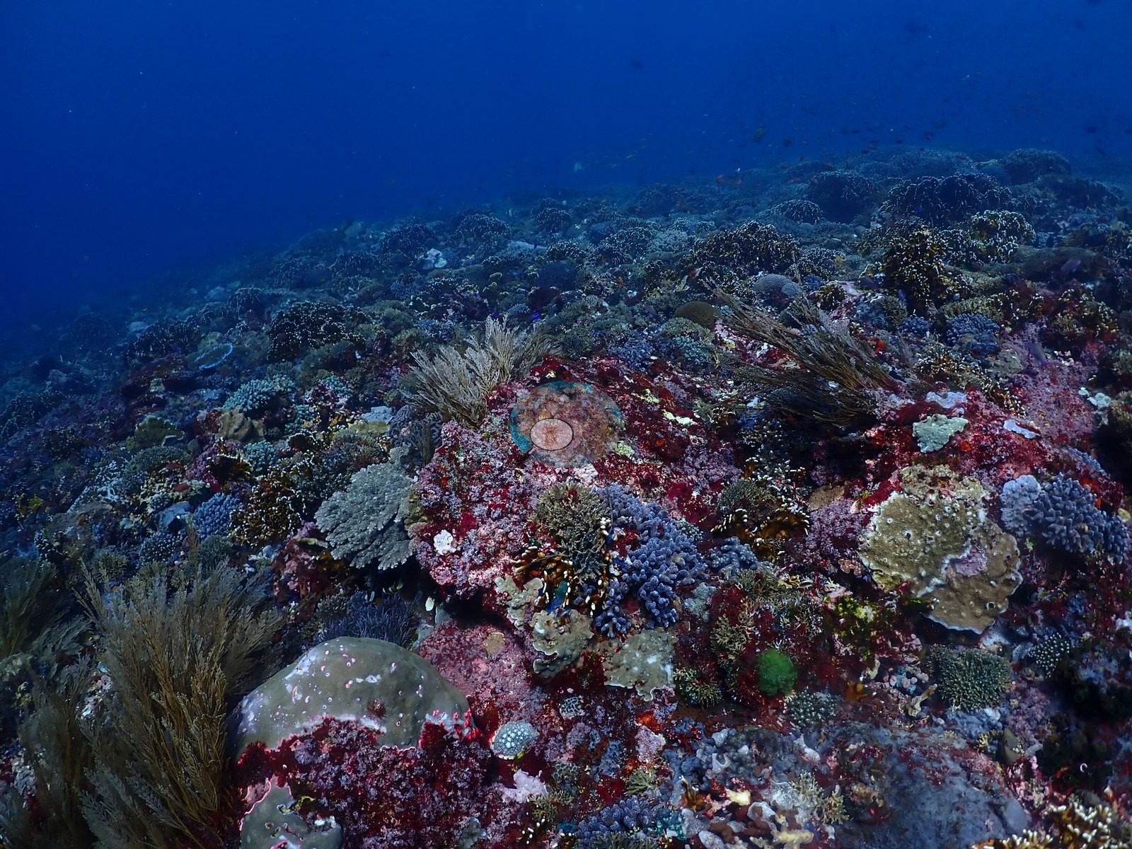
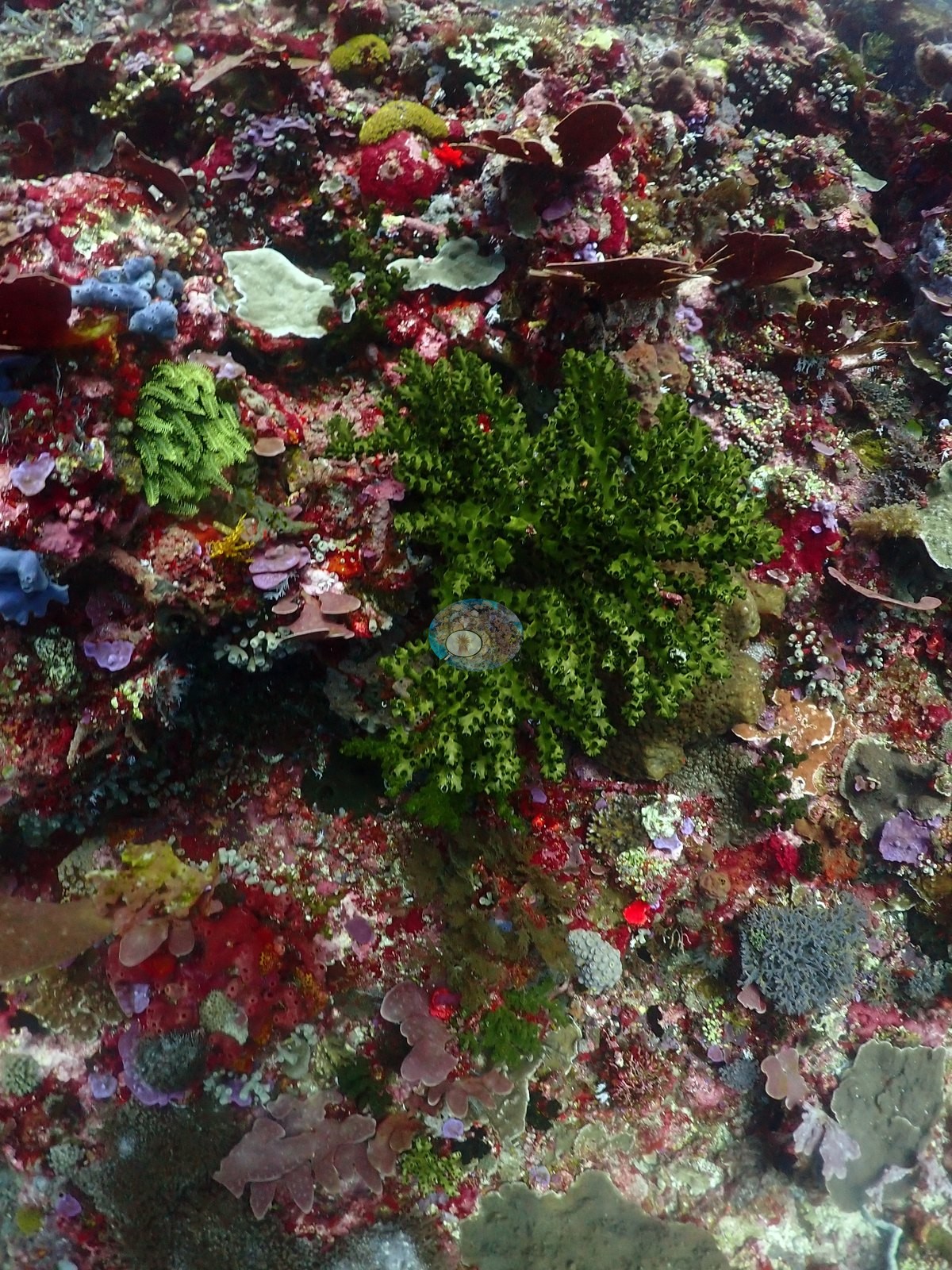
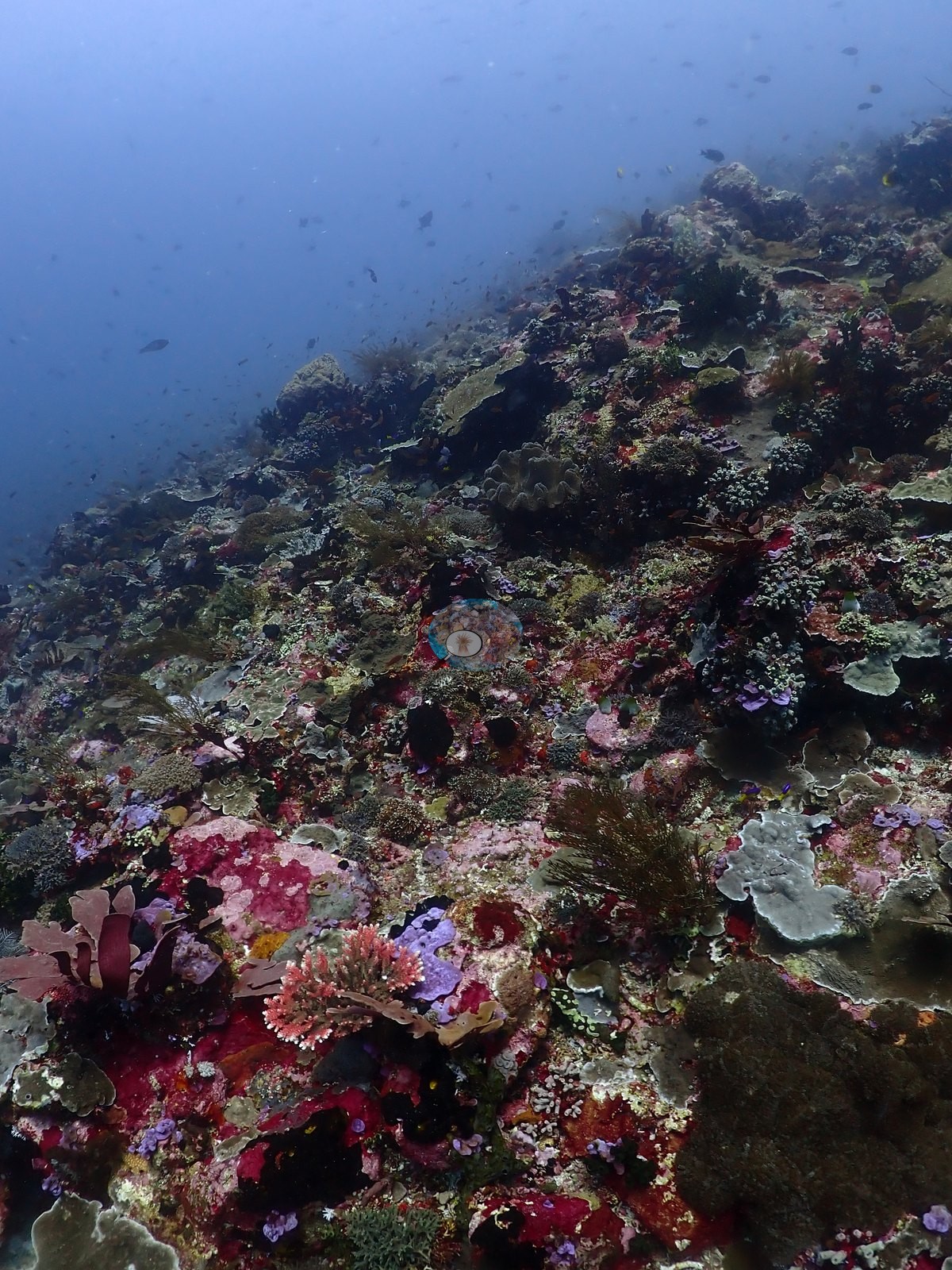
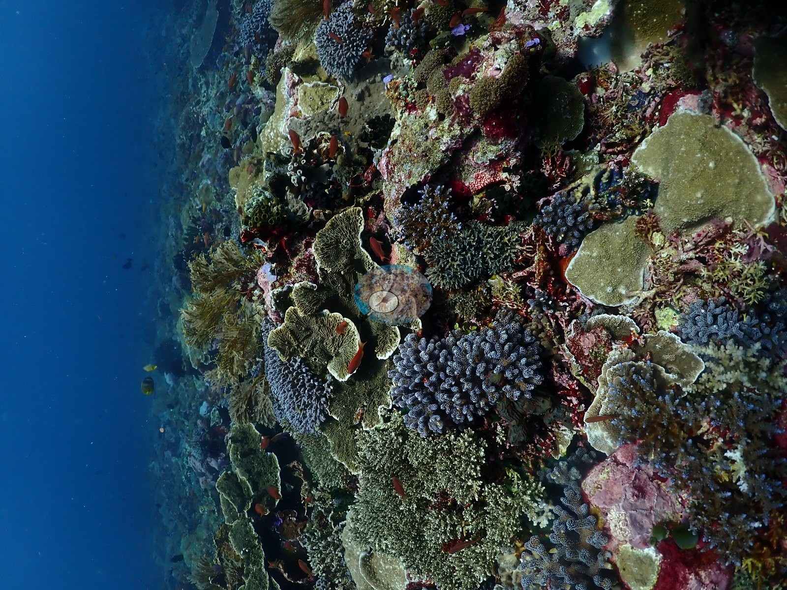
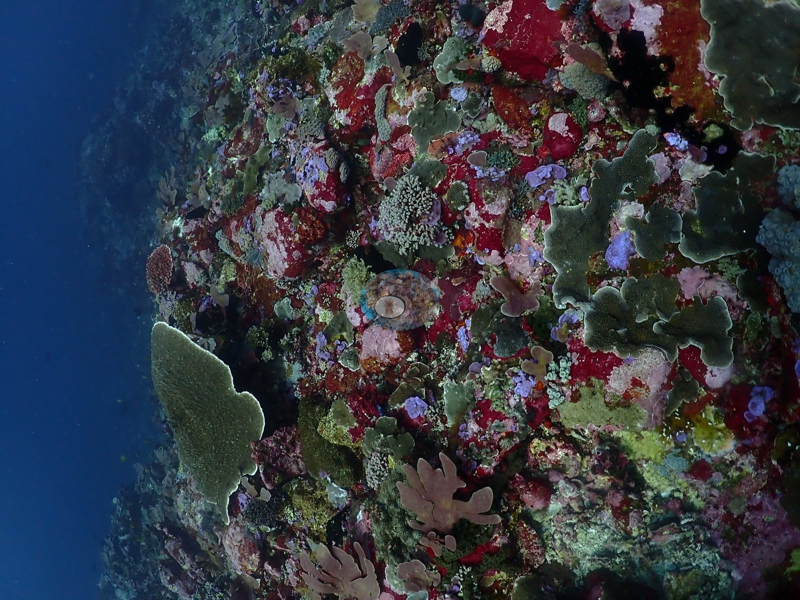
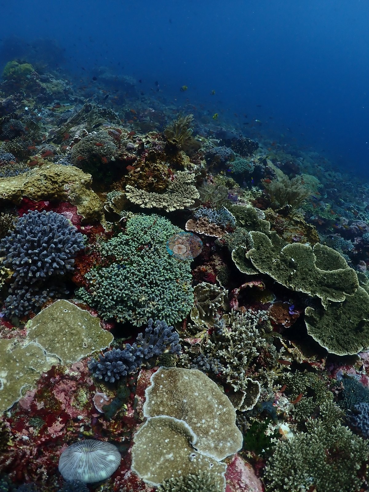
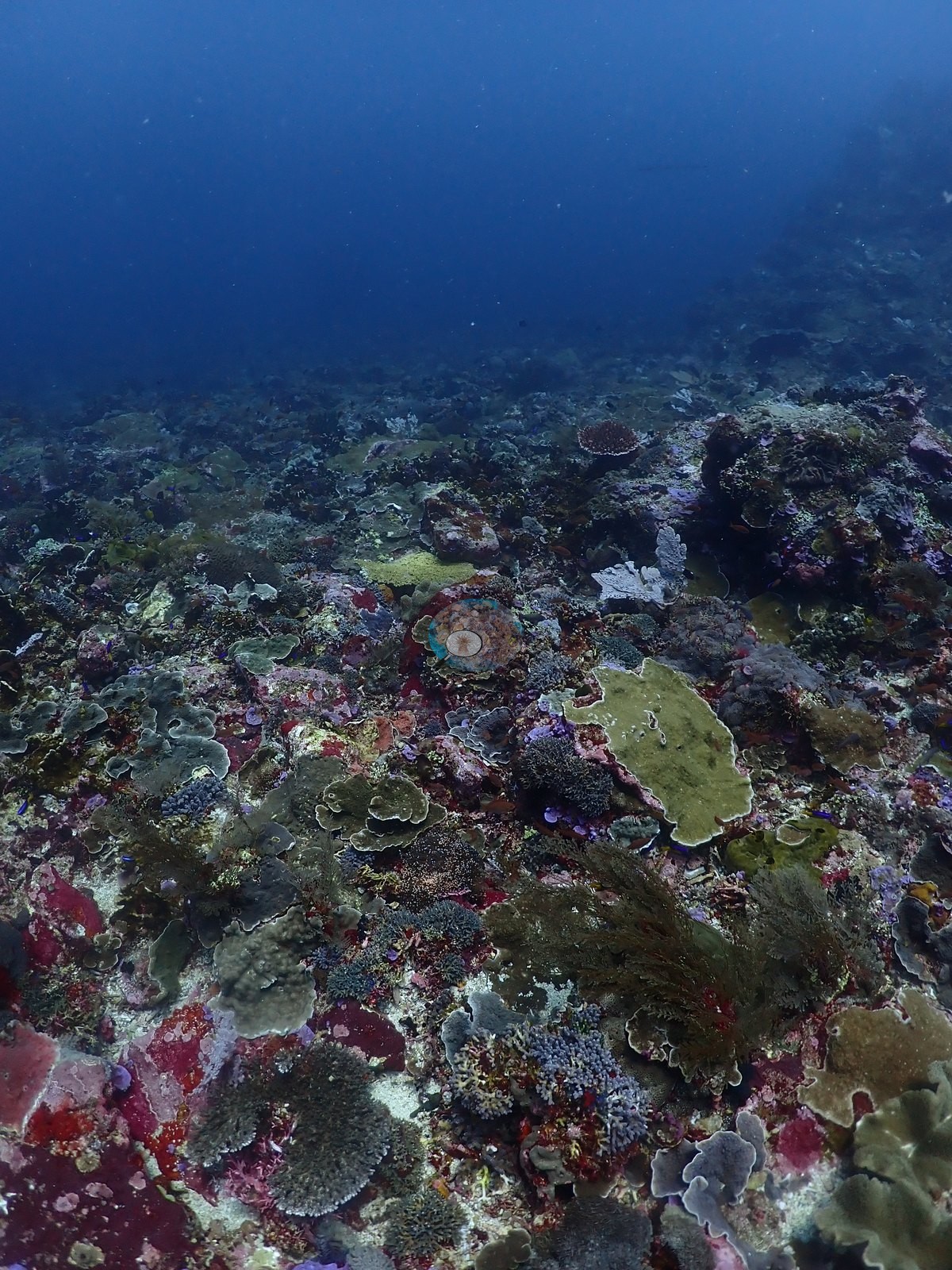
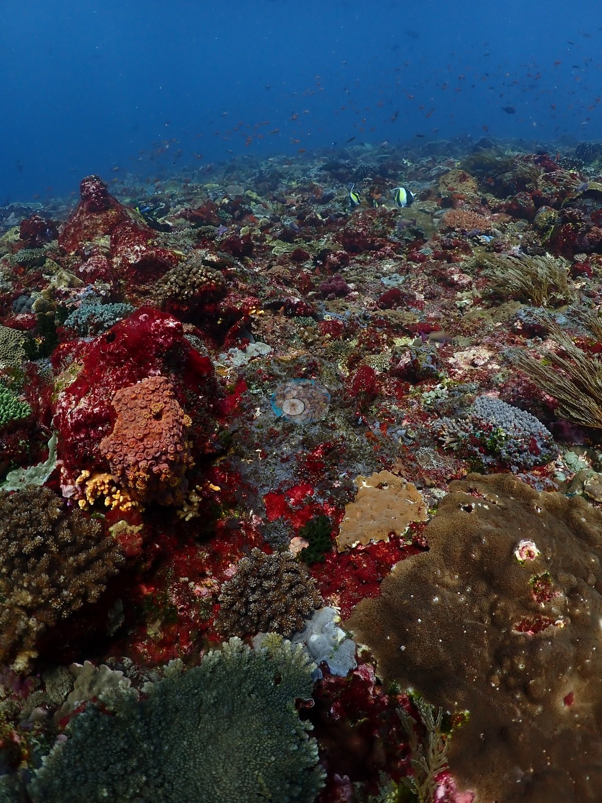
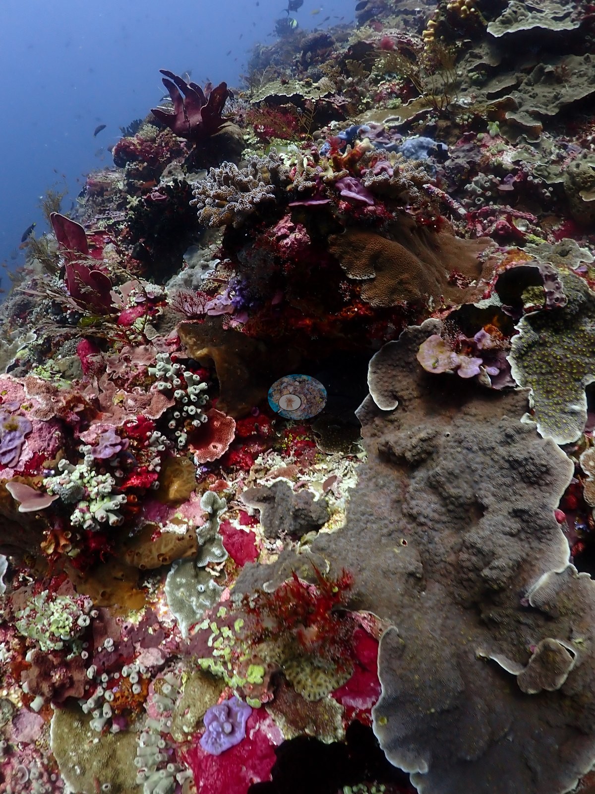
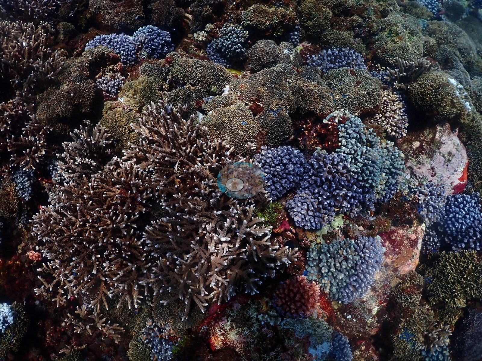
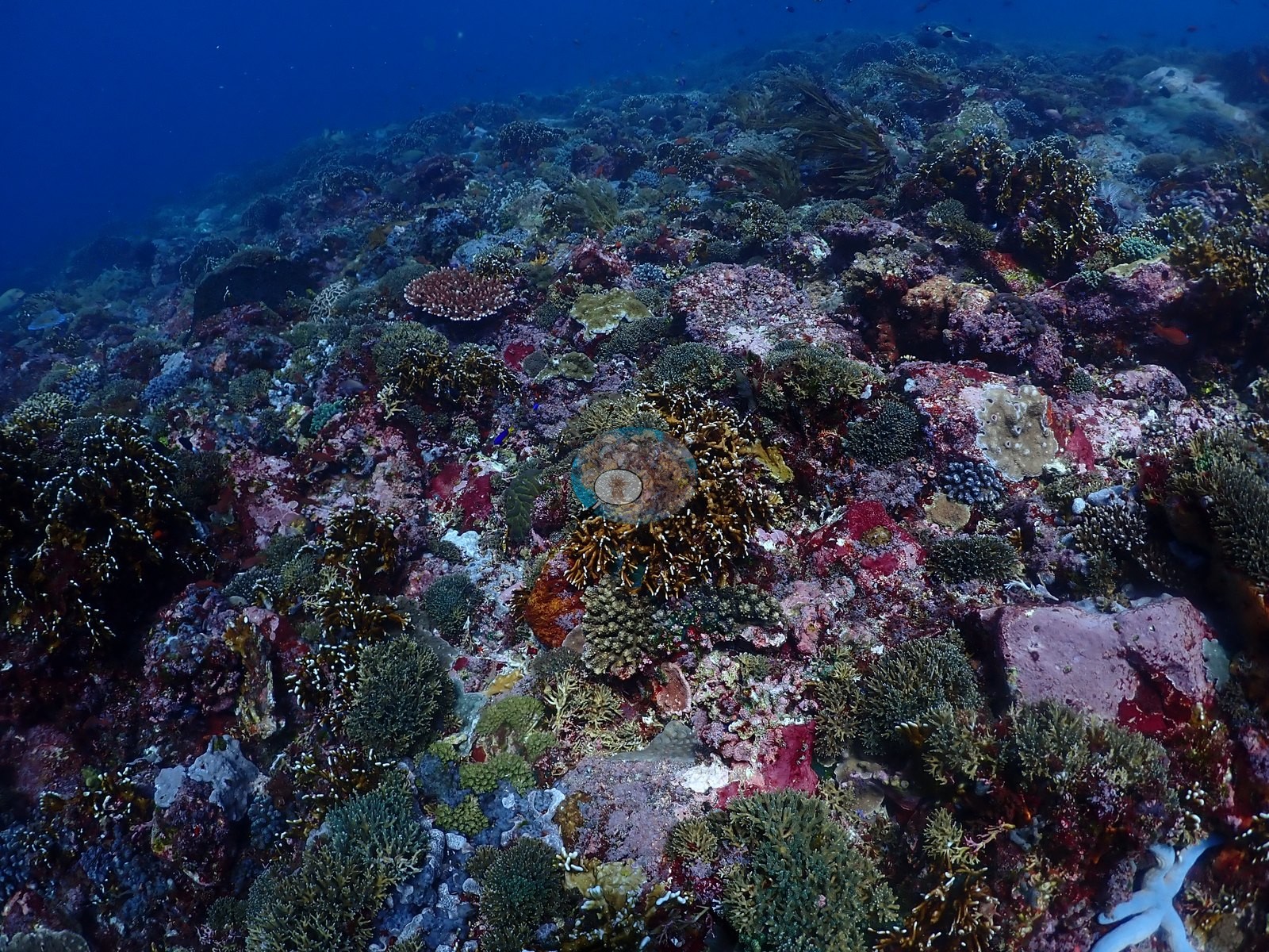
The dominant substrate is a low-relief pavement almost completely veneered in brilliant magenta and red crustose coralline algae, with the coral community growing as encrusting and plating sheets on top: lavender and olive Montipora plates, green and gray Turbinaria, Pachyseris, Echinopora, and large concentric plating colonies with pale growing margins (e.g., Image 8, Image 22, Image 25, Image 28).
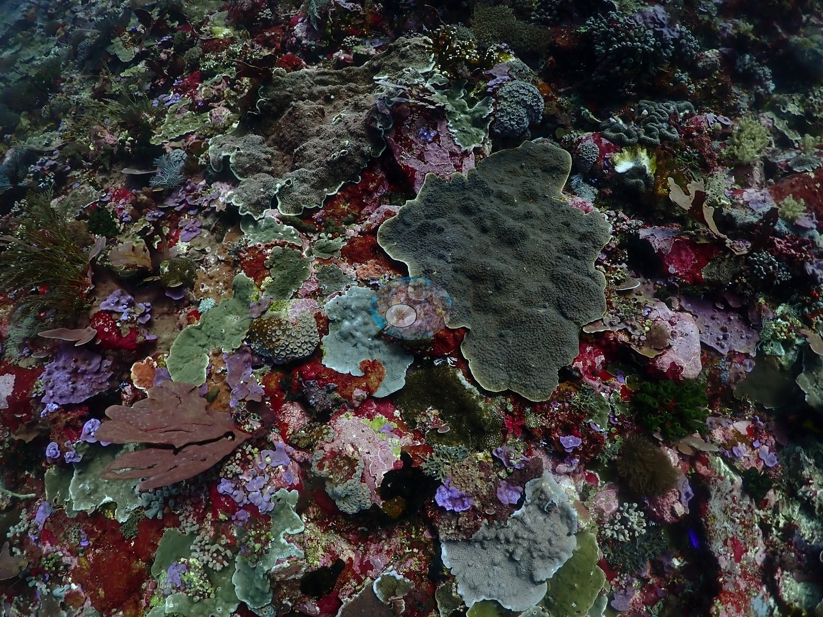
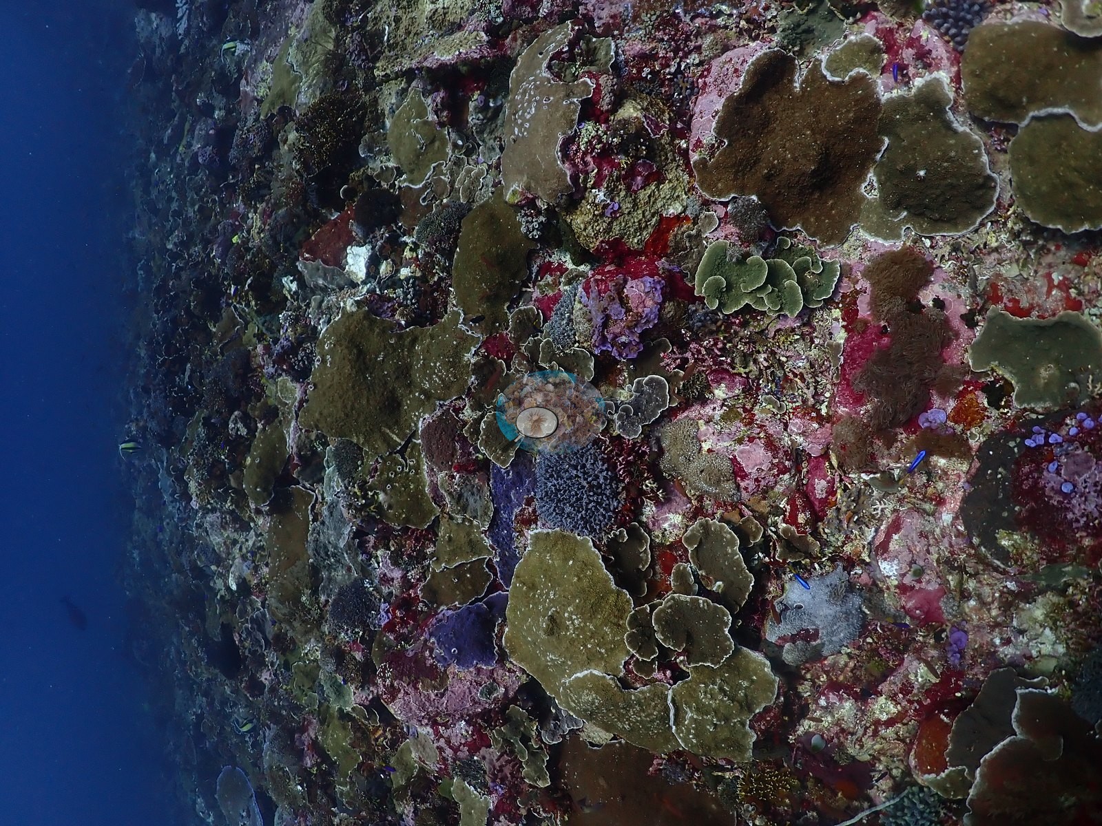
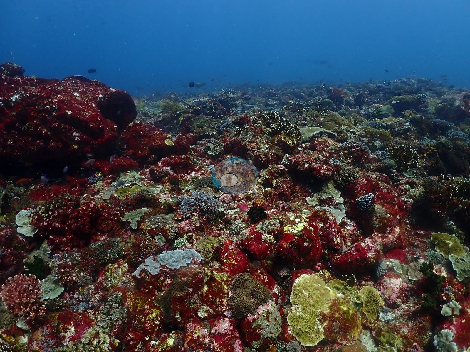
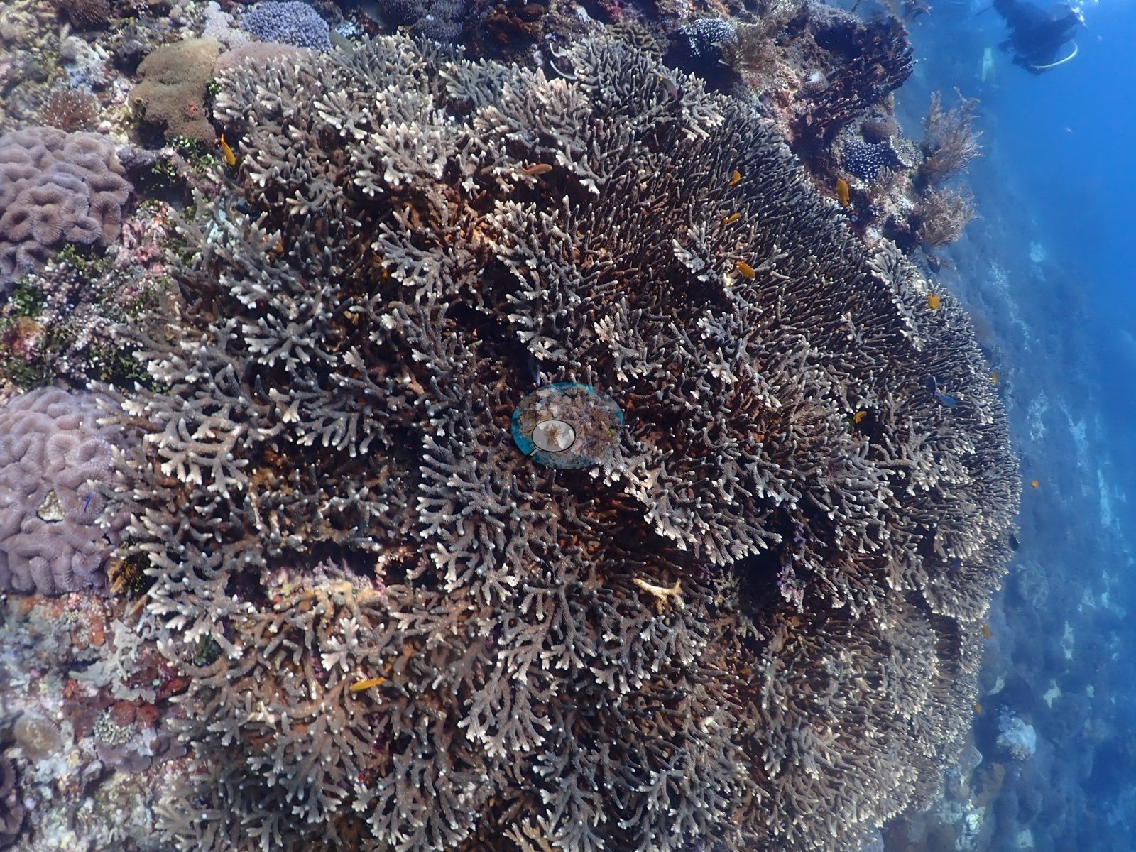
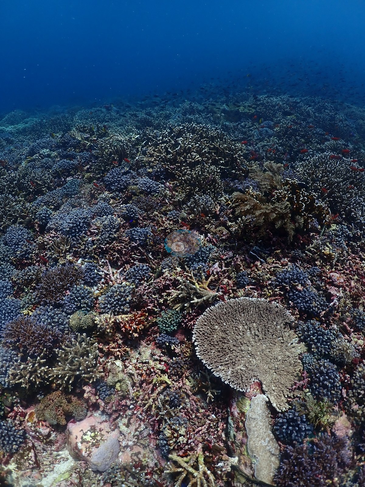
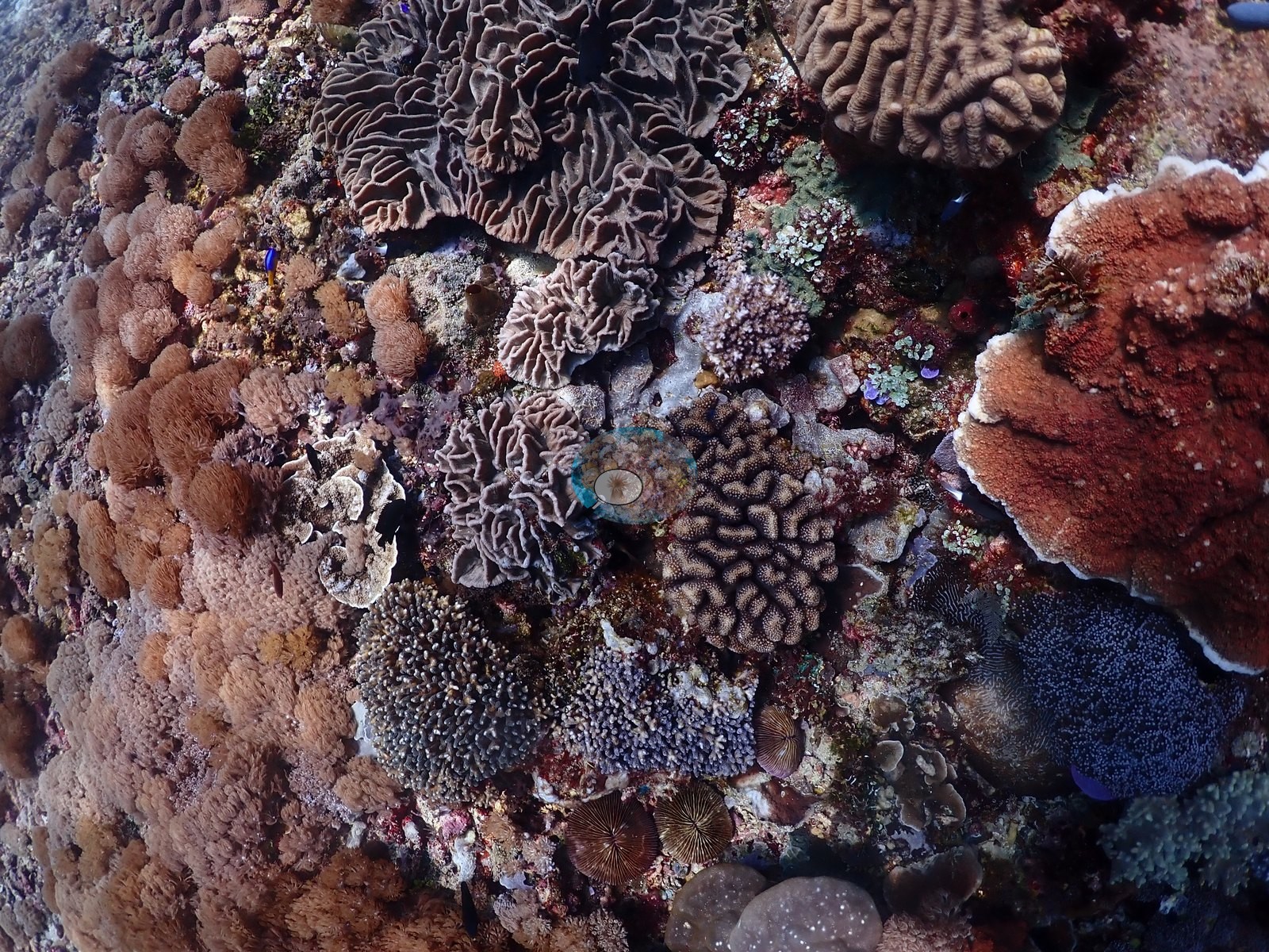
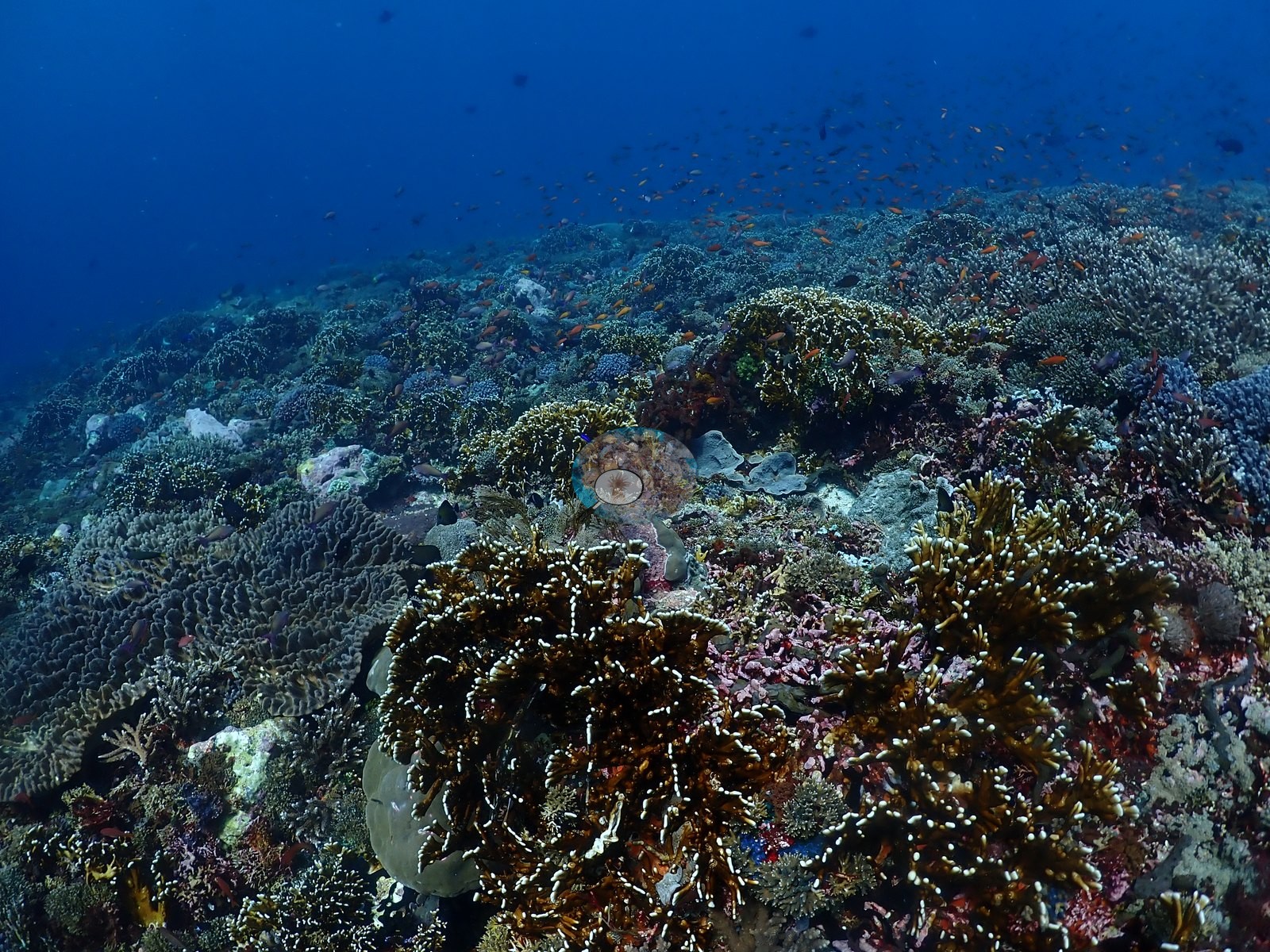
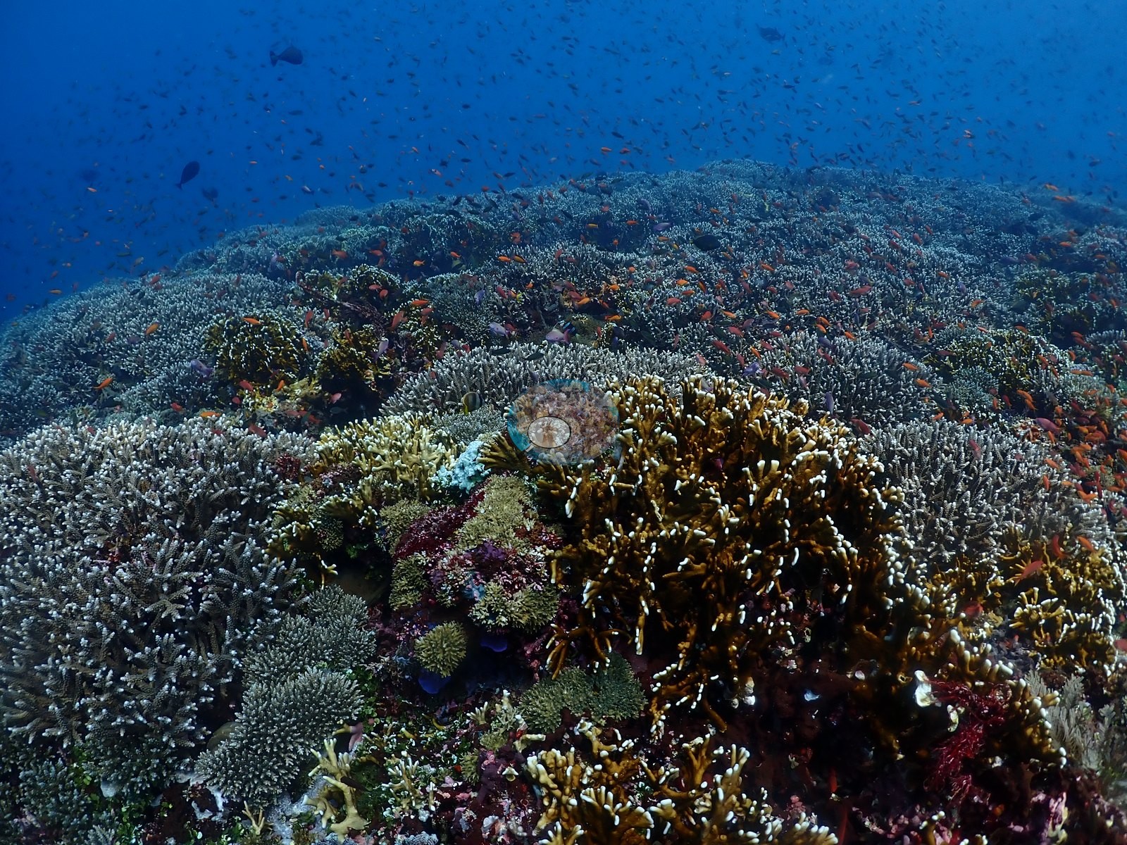
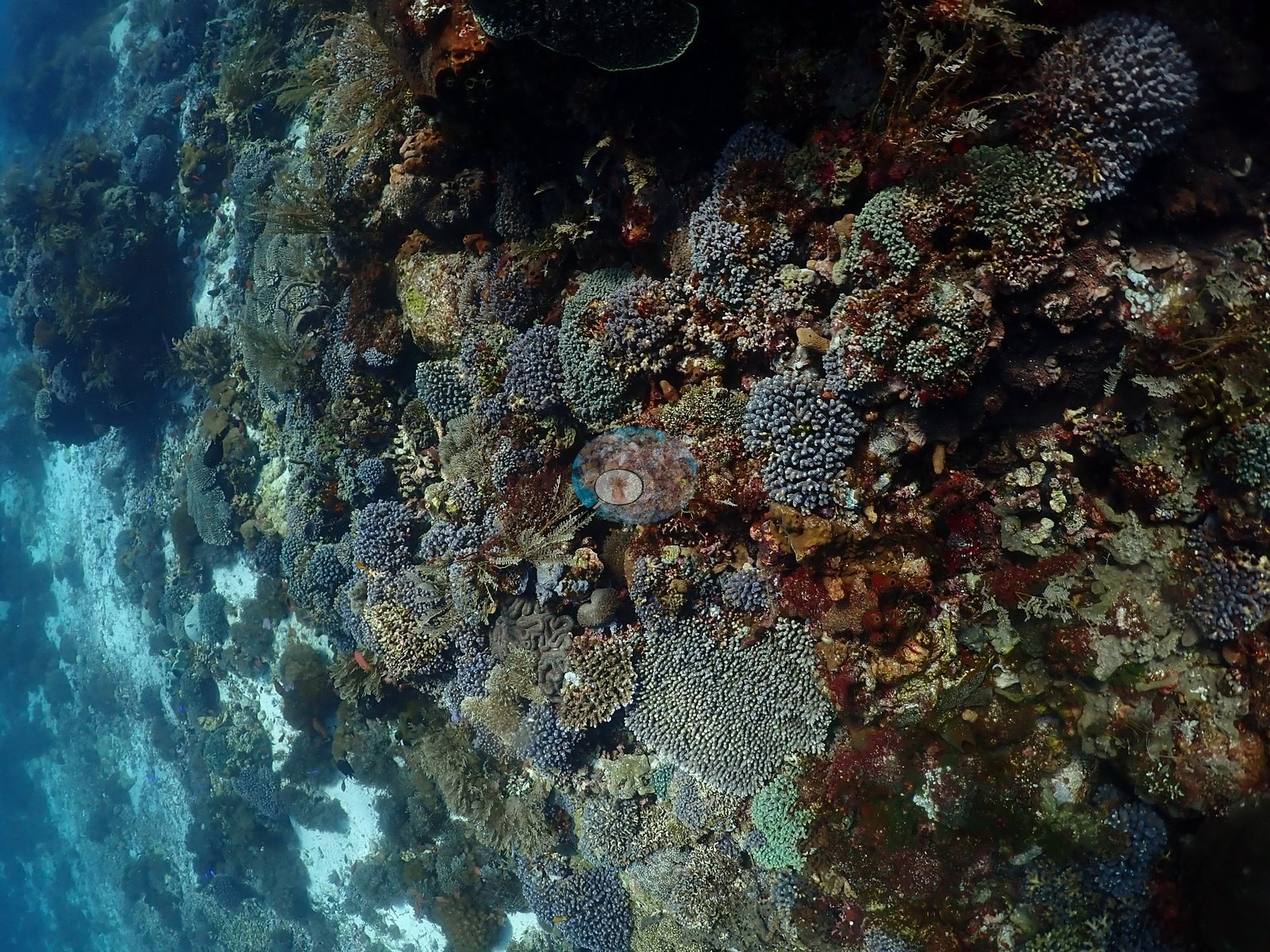
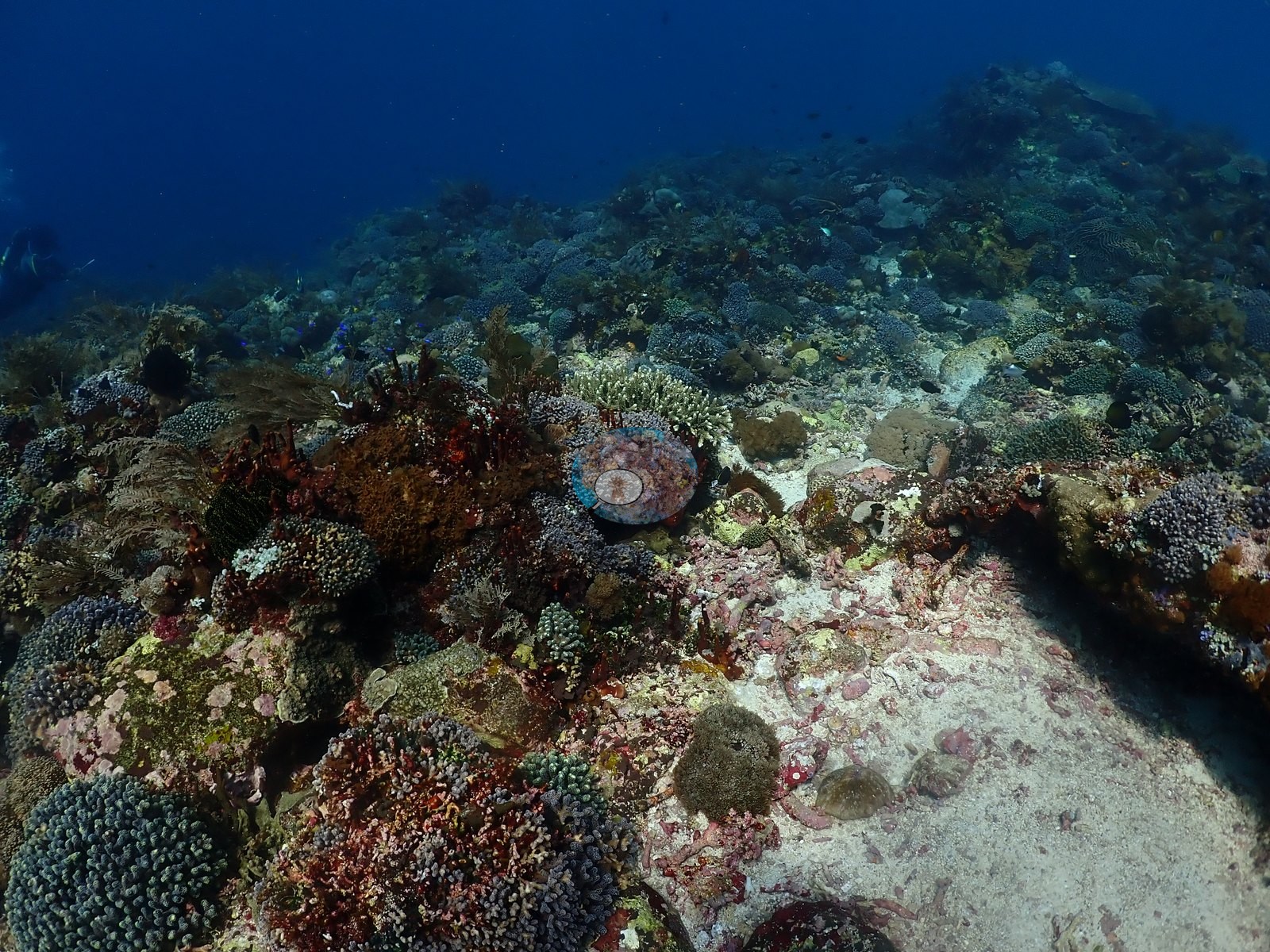
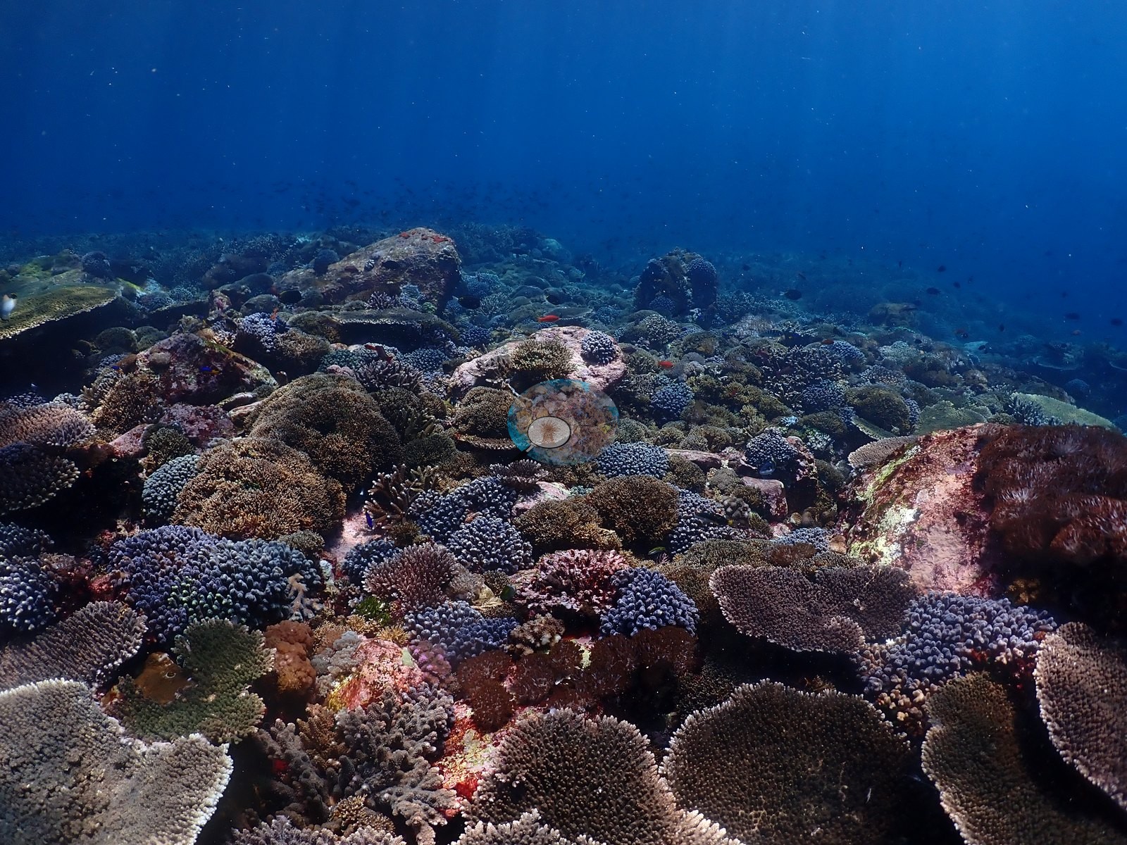
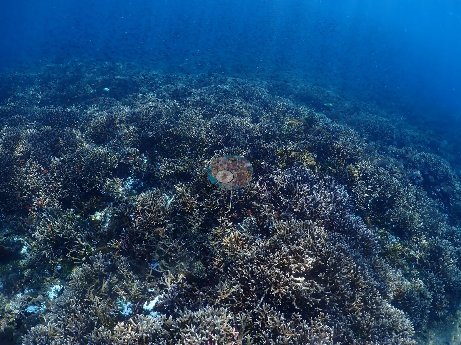
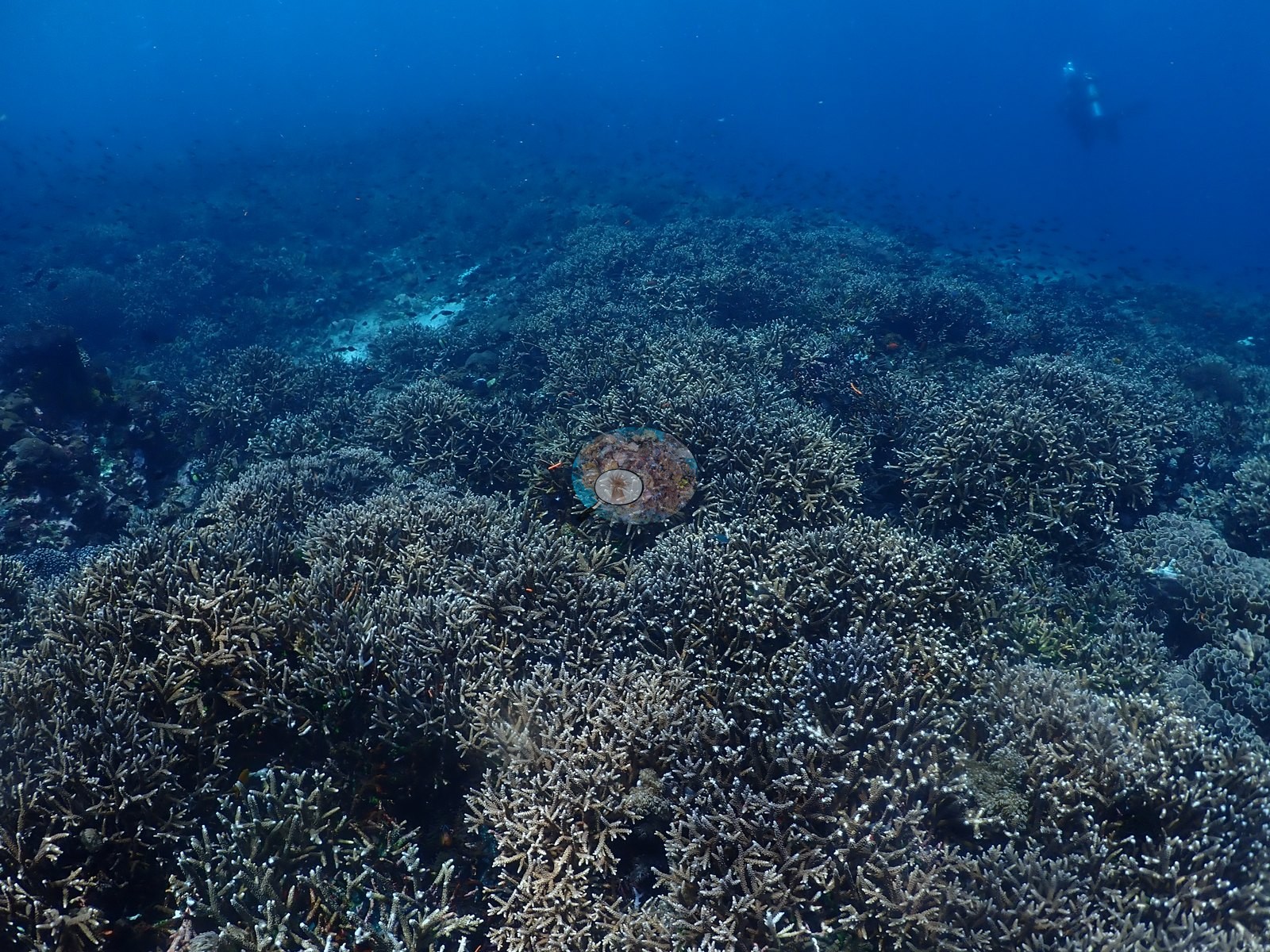
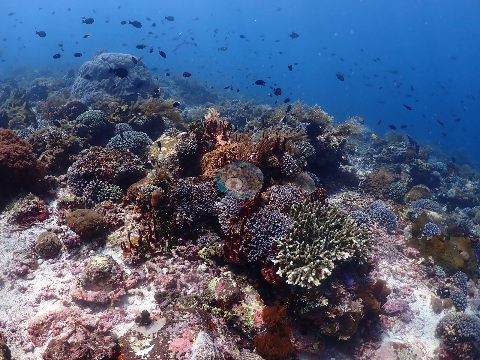
Interspersed are meter-plus tabulate Acropora tables with white or electric-blue growth edges, dense mounds of blue-lavender digitate Acropora, Pocillopora, and Stylophora, cream Porites cylindrica-type fingers, hemispherical Porites domes, brown and vivid green Lobophyllia/Symphyllia, Platygyra, a well-photographed Merulina ampliata, and Fungia (e.g., Image 15, Image 20, Image 24, Image 27, Image 29).
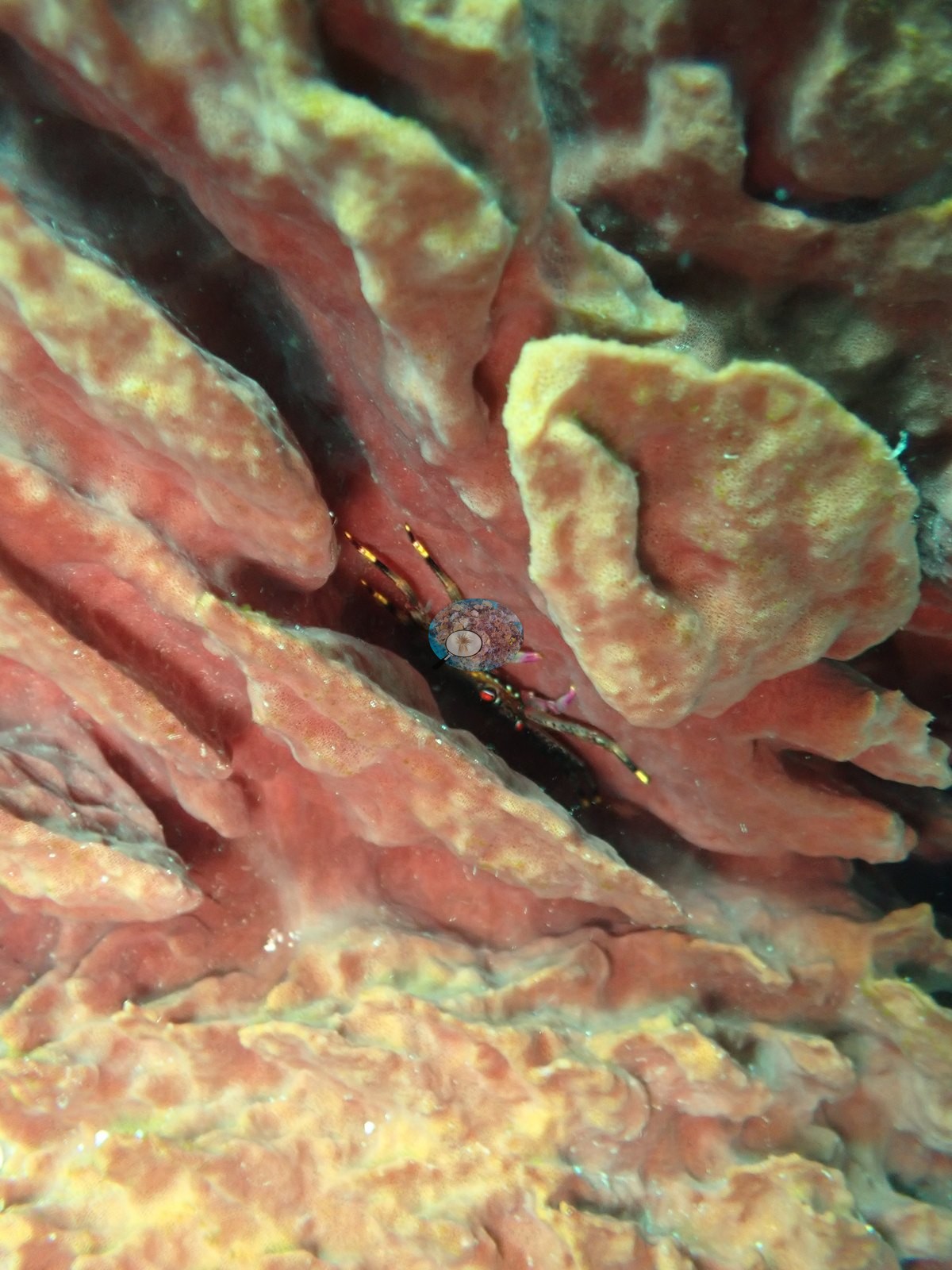
Cryptic-community close-ups show purple didemnid tunicates, green Halimeda, and red, orange, and blue encrusting sponges. Sponge fauna includes red, pink, and brown barrels, yellow tube clusters, and one macro frame of a small commensal shrimp inside a pink barrel (e.g., Image 43).
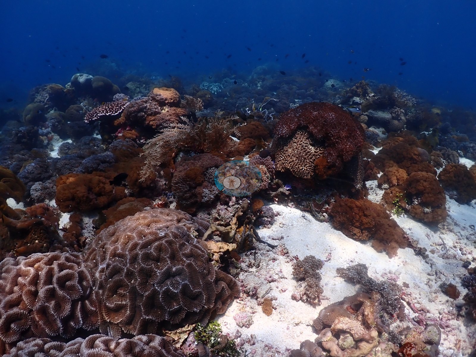
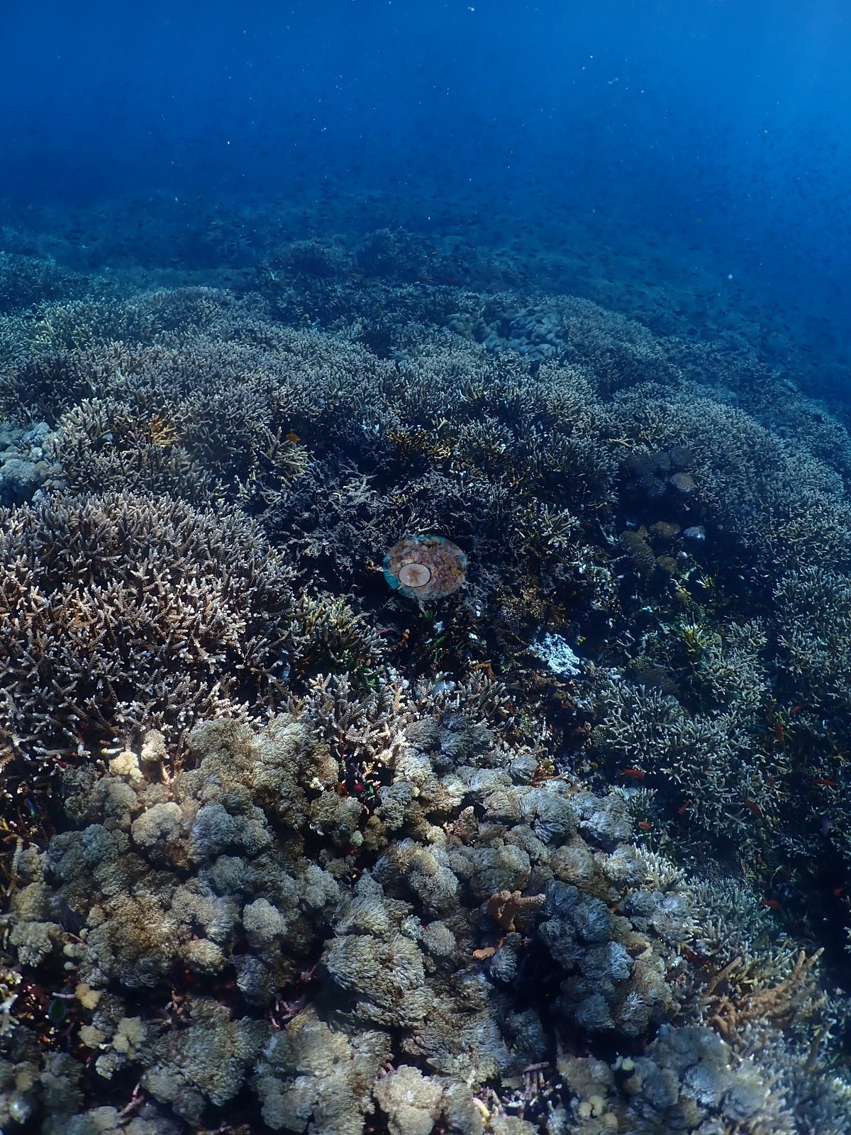
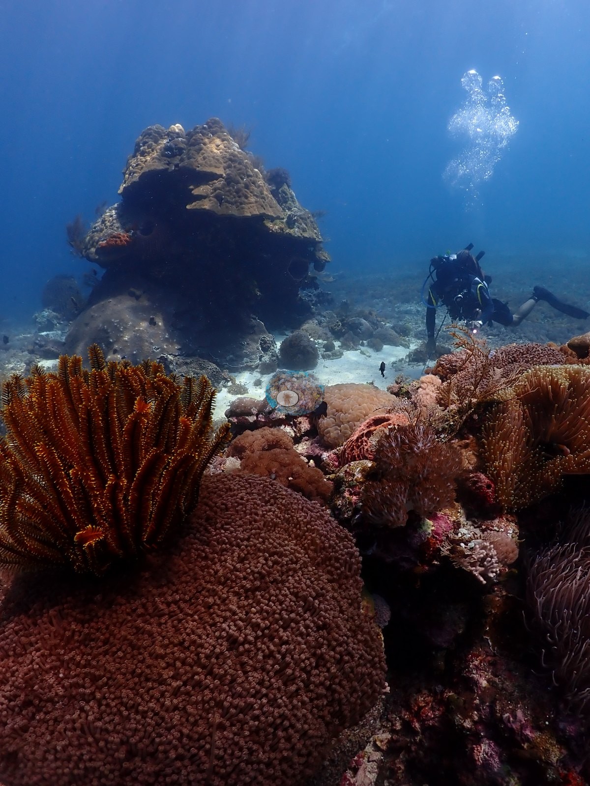
Sand-floored pockets carry fields of pink-brown Dendronephthya-type soft coral, Sinularia, and Sarcophyton, and isolated bommies stand on white sand (e.g., Image 14, Image 34).
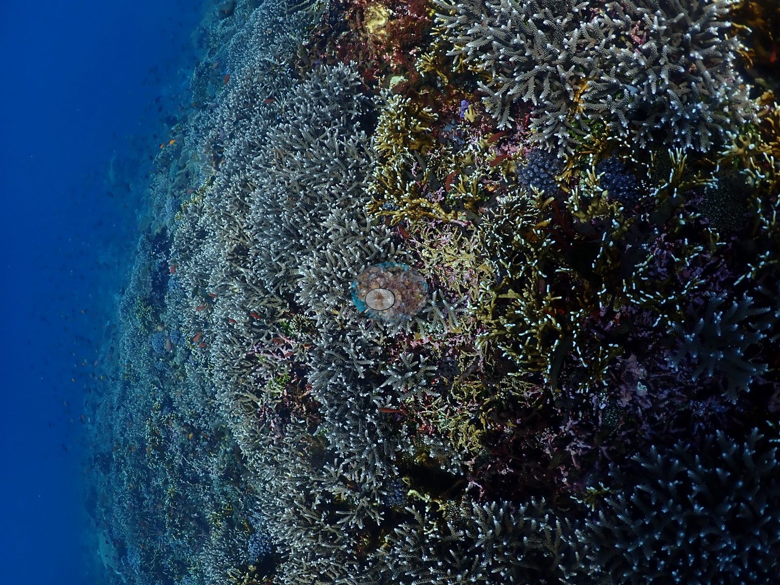
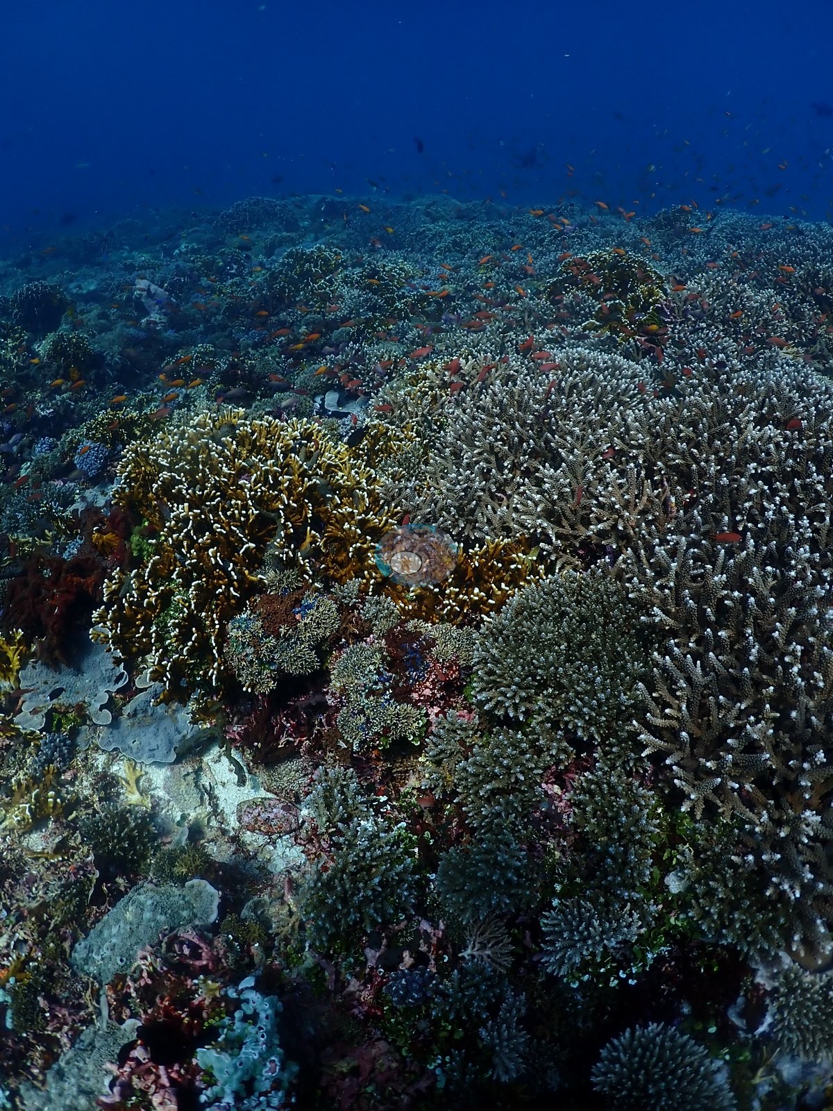
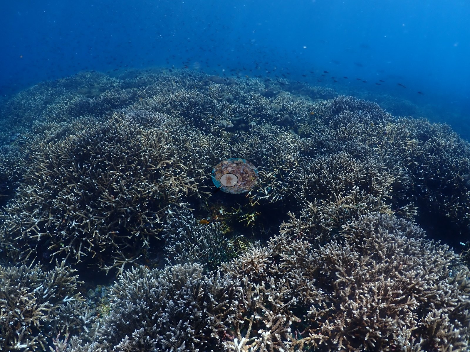
The final third is the standout: near-continuous staghorn and corymbose Acropora thicket over the whole reef top, tens of meters across, with clouds of dark planktivores above (e.g., Image 4, Image 10, Image 19, Image 45).
Coral cover
Coral cover: 36% — a blind Claude computer-vision point count of 275 of Anderson's unedited photographs (20 points per photo; water, fish, and obstructions excluded). Other computer-vision methods are listed in the method table.
Stressors
Condition is good - no widespread bleaching, only small patches of exposed skeleton on a few plate colonies and normal grazing scars. No crown-of-thorns starfish (COTS) or other corallivores evident.
Fish and other fauna
Feather stars (black, yellow, cream), gorgonians, hydroid plumes, and a blue Linckia laevigata recur (e.g., Image 9, Image 26).
A banded sea krait (Laticauda-type) crosses an encrusting colony in one frame - the only reptile in the set. Fish include anthias in the thousands, Heniochus bannerfish pairs, butterflyfishes, damselfishes, and blue-green chromis.
Comparisons with other data
Also on record for this site: A long exposed slope with open-water access and highly variable benthic cover (e.g., Image 16, Image 51).
Anthias, chromis, and fusilier-like planktivores formed numerous small-to-moderate schools, with surgeonfishes, butterflyfishes, and parrotfishes also present; the very large pelagic aggregations the site is known for were not consistently captured (e.g., Image 31).
CV model comparison
More info
DINOv3 and CoralSCOP were run on the same photos and are listed for comparison. Coralscapes v2 and v1 were also run but are not shown: Anderson does not consider Coralscapes reliable for these photos. No diver transect exists for this trip, so agreement between the rows is not accuracy, and as of September 2026 no computer-vision method estimates coral cover accurately on new images; treat every row as indicative.| Method | Hard-coral cover (%) |
|---|---|
| In-house DINOv3 | 30.6 |
| CoralSCOP unedited | 21.0 |
| Claude | 36.2 |
Independent surveys nearby
Within 5 km, 1 independent survey station recorded hard coral cover in 2014. The most recent nearby survey is from 2014, so these values predate recent heat stress. This site's own estimate (36%) sits 28.2 points above the range of these surveys (8.0%); the methods differ, so the comparison is context, not a like-for-like test.
Collected by other programs using different methods, so these are context for the figures above, not a like-for-like comparison. Where a station was surveyed more than once the range is shown. Station names are not dive-site names.
| Agency | Site / location | Date | Hard coral cover (%) | Distance | Link |
|---|---|---|---|---|---|
| WWF-US / WWF-Indonesia | 5002 | 2014 | 8.0% (4 surveys) | 1.64 km | Amkieltiela, Abdillah T, Amkieltiela A, Andradi-Brown D, Lazuardi E. 2015. MBD 2014 & 2015. MERMAID |
Data & links
All images from Coral Reef Diagnostics. Data are from Coral Reef Diagnostics and the organizations named in the data-sources table above.
© Coral Reef Diagnostics.