
Alor - Bama Wall

Part of the regional summary: Indonesia - Alor
More info
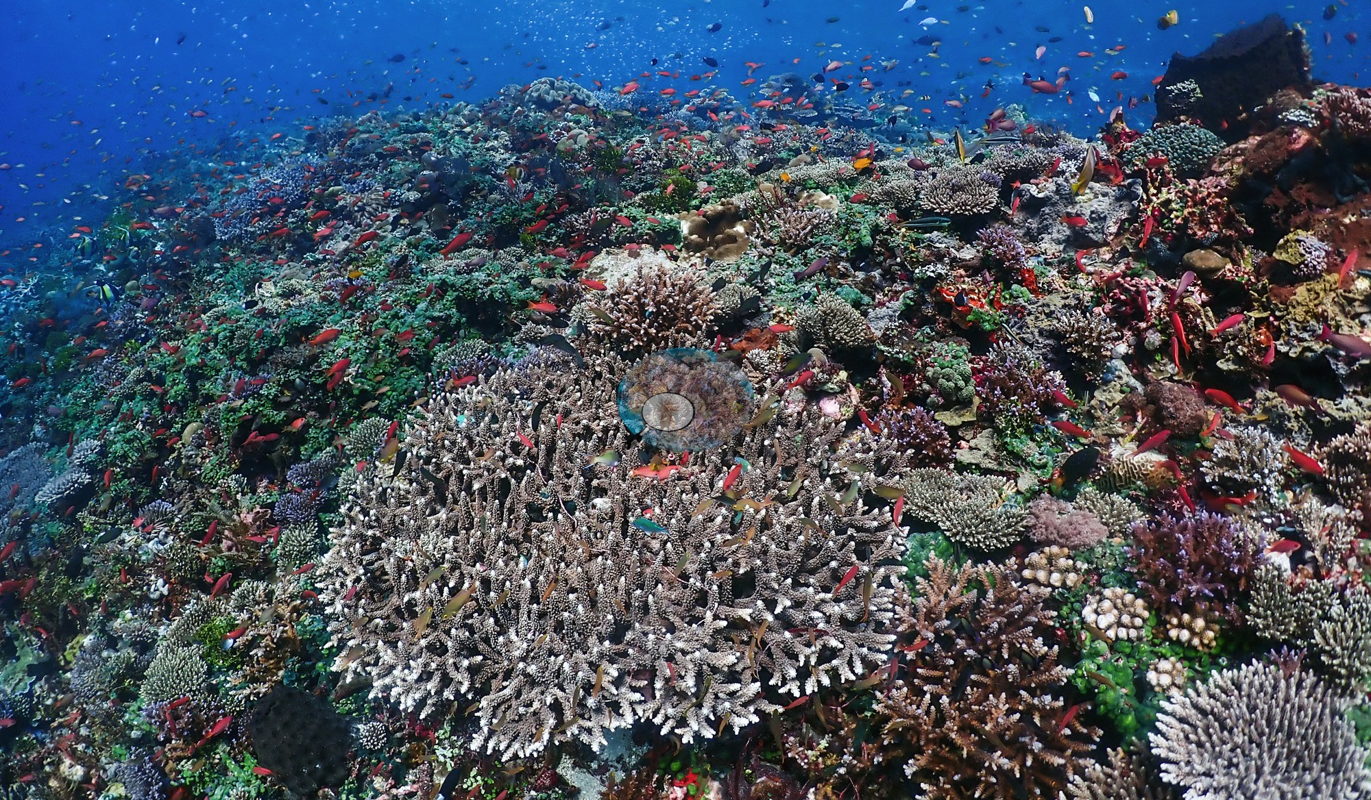
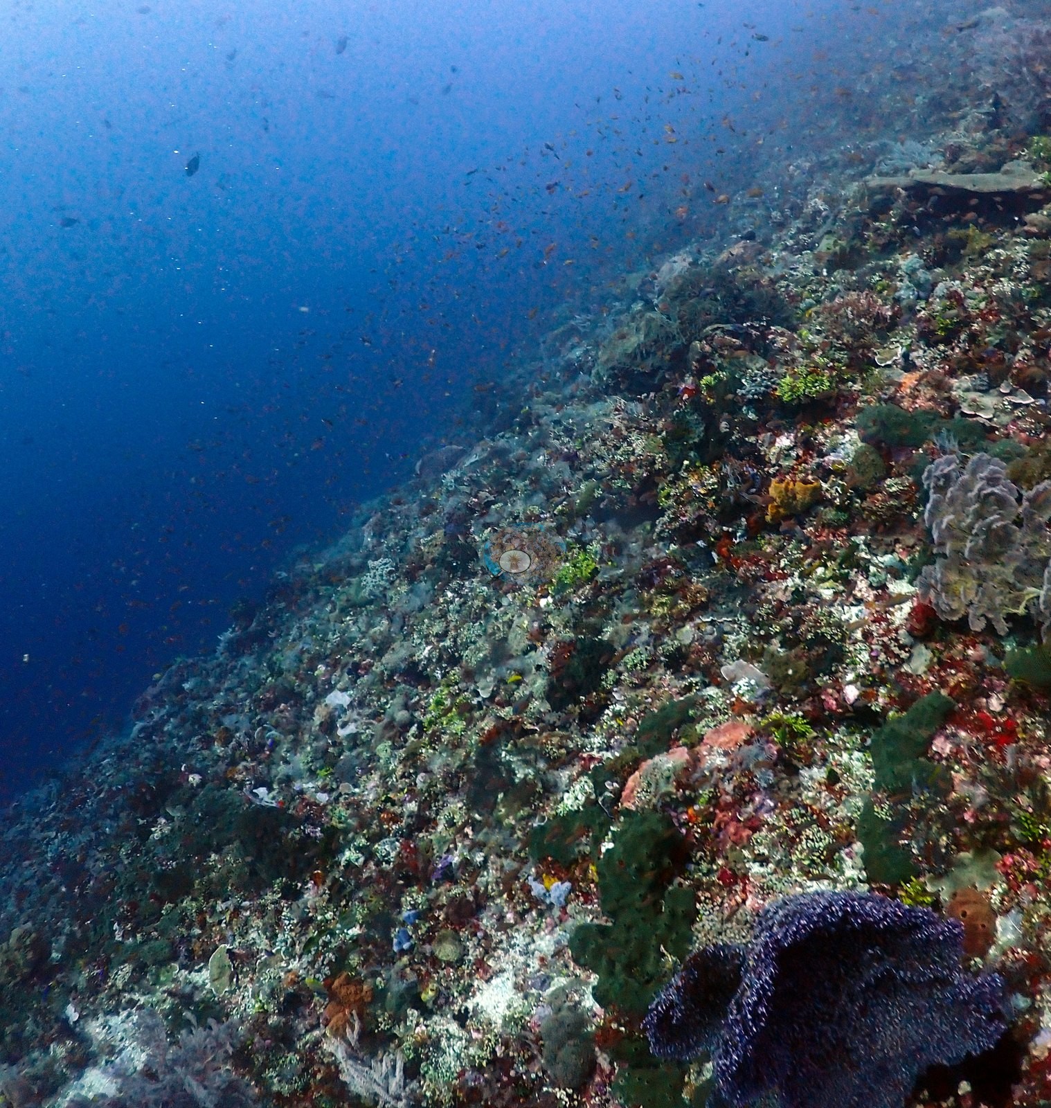
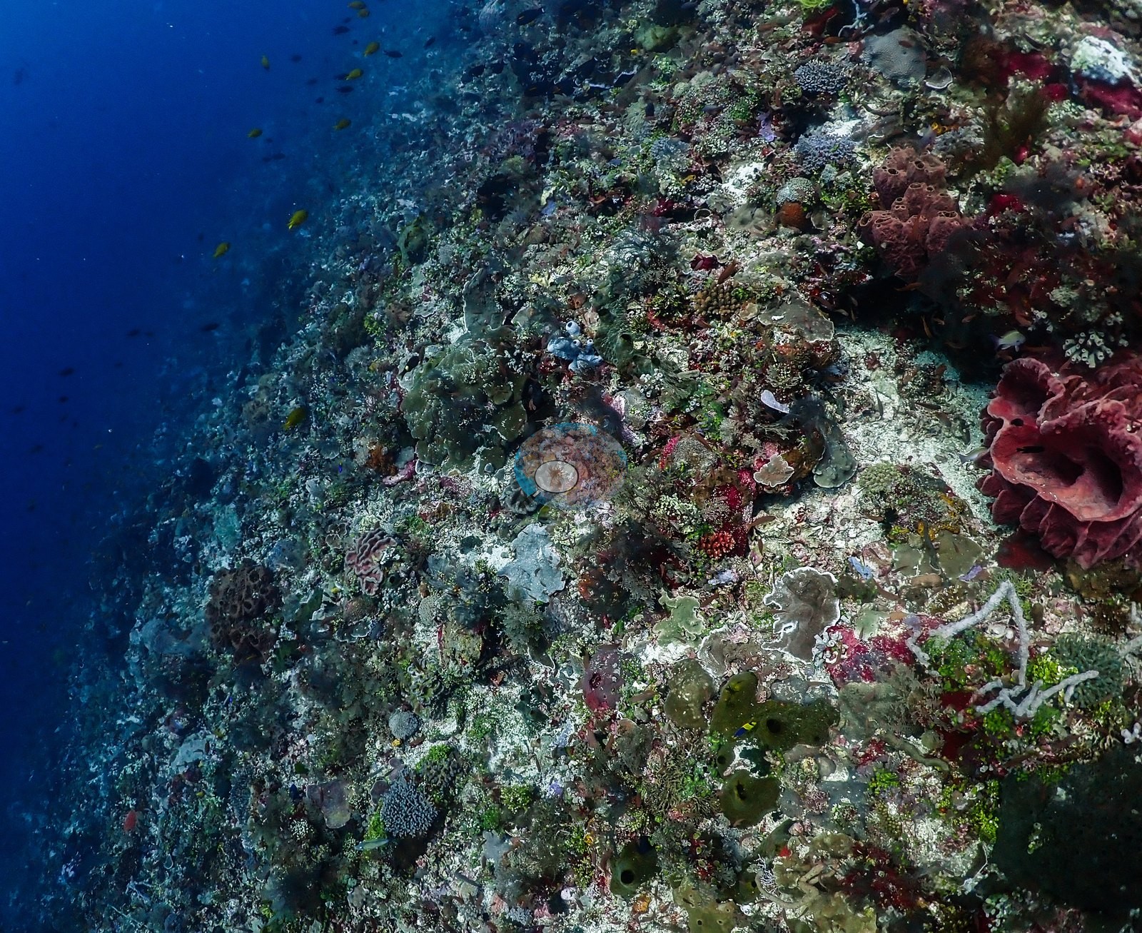
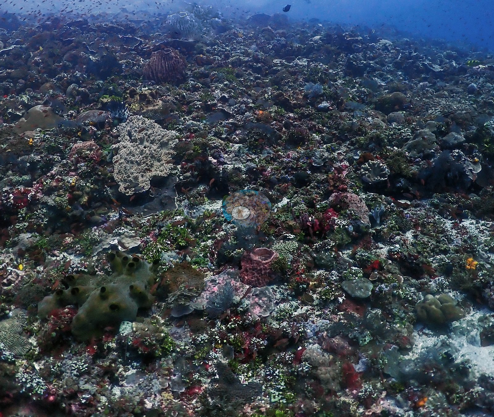
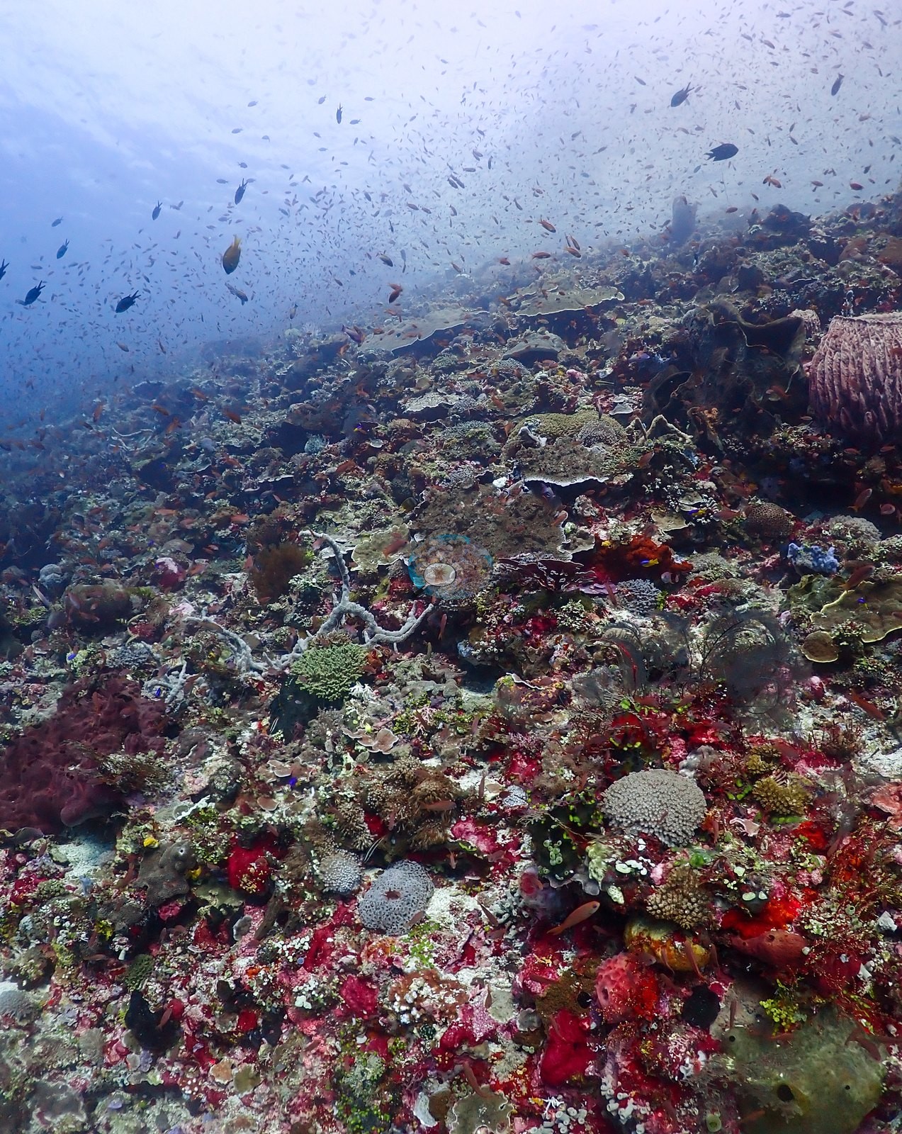
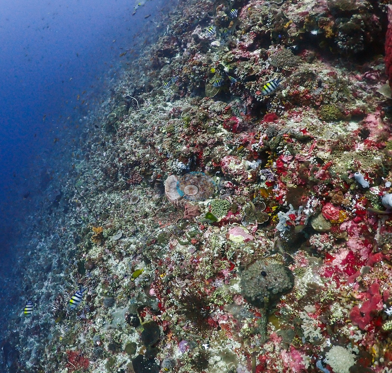
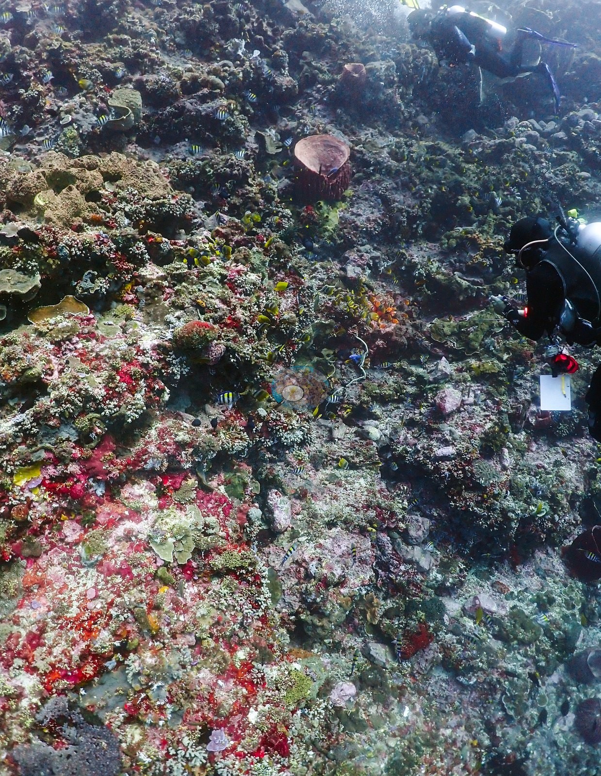
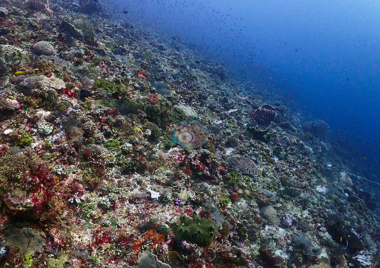
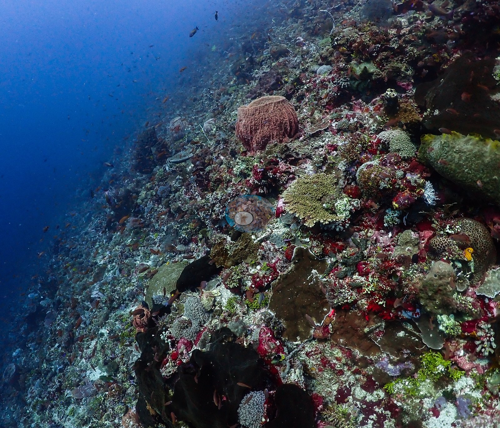
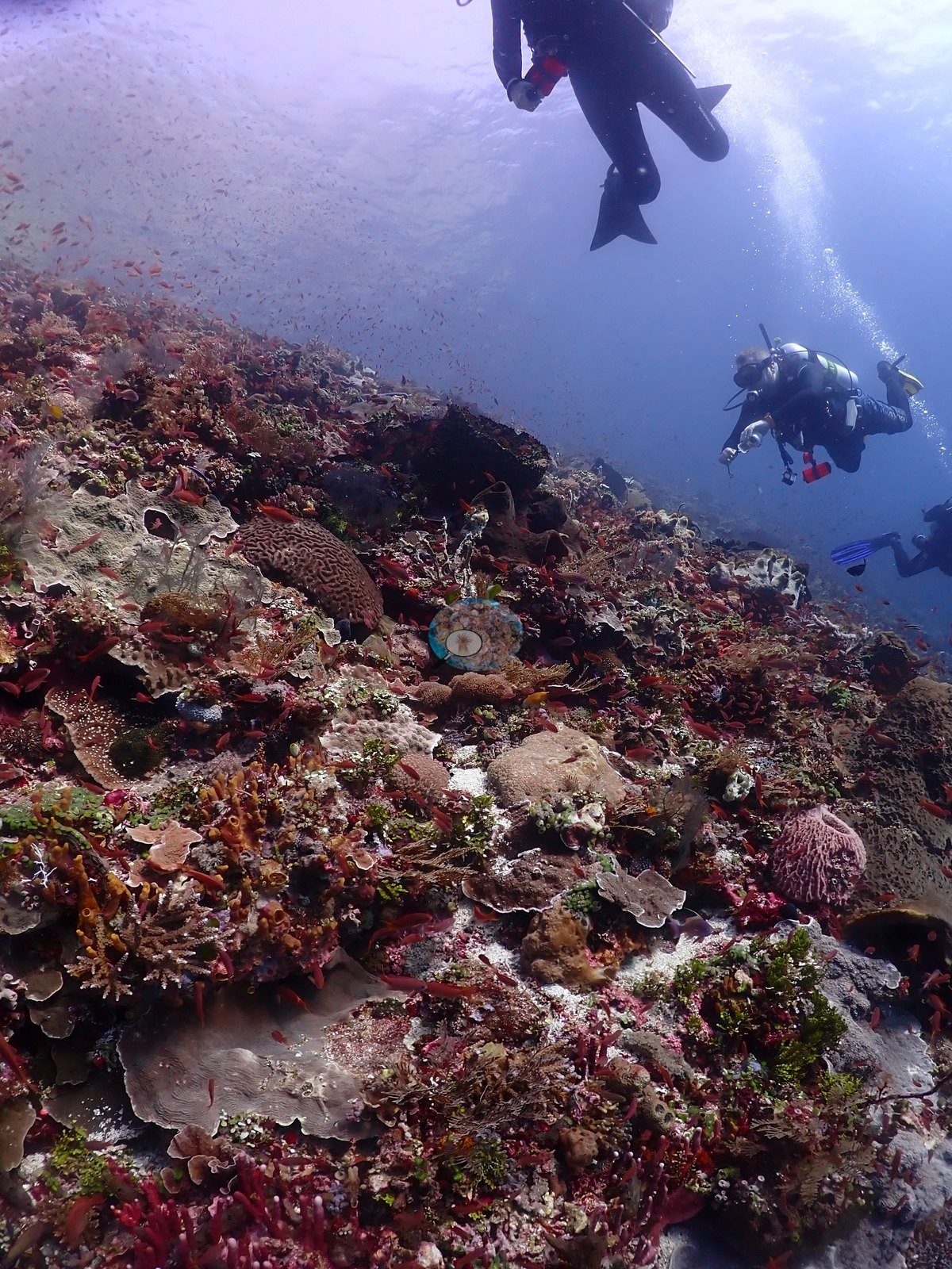
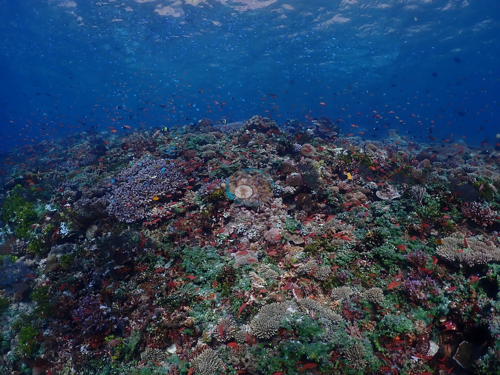
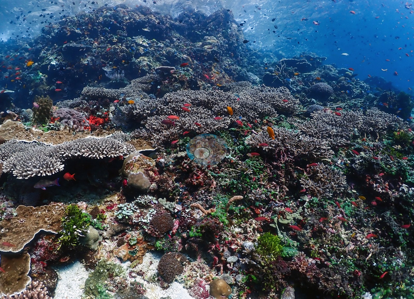
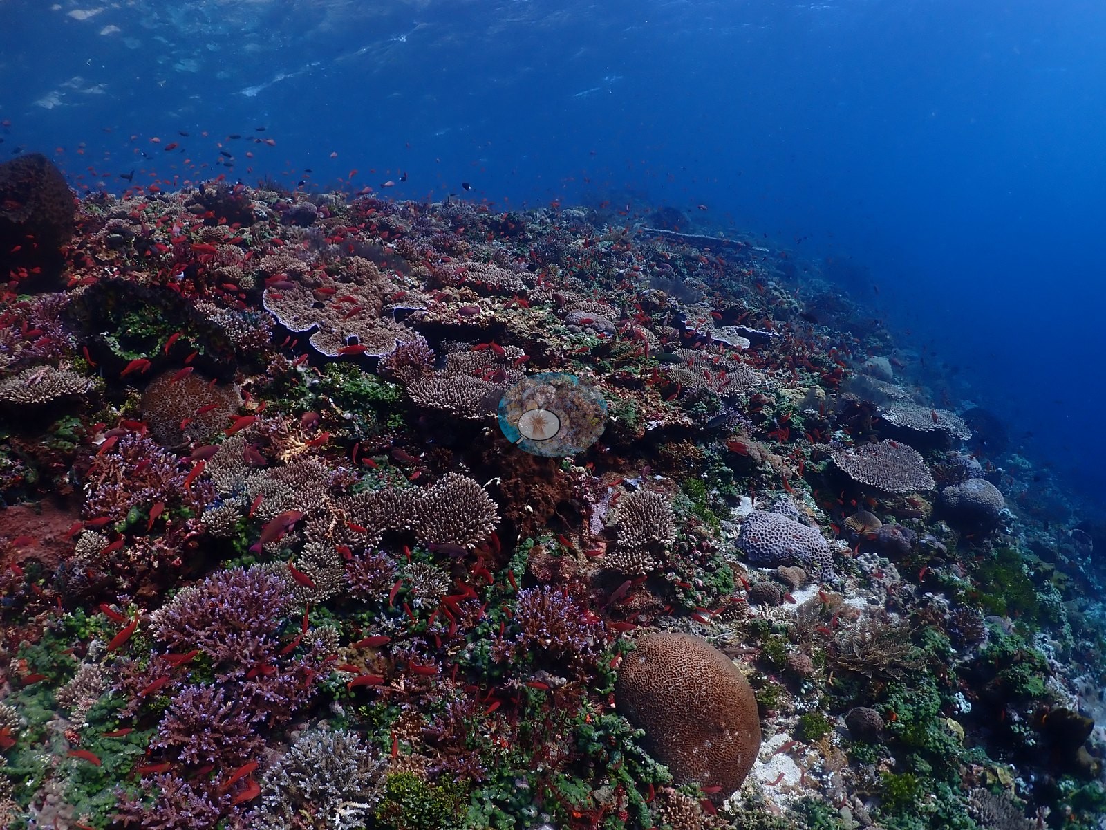
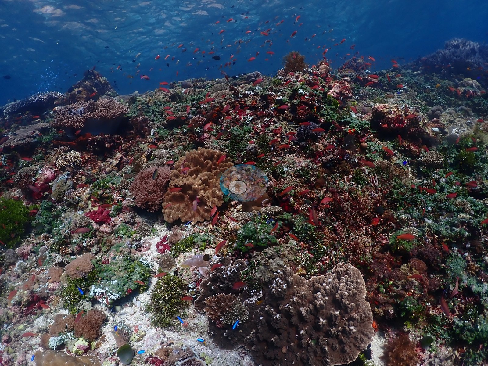
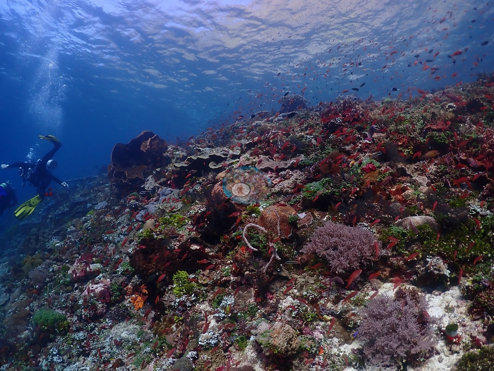
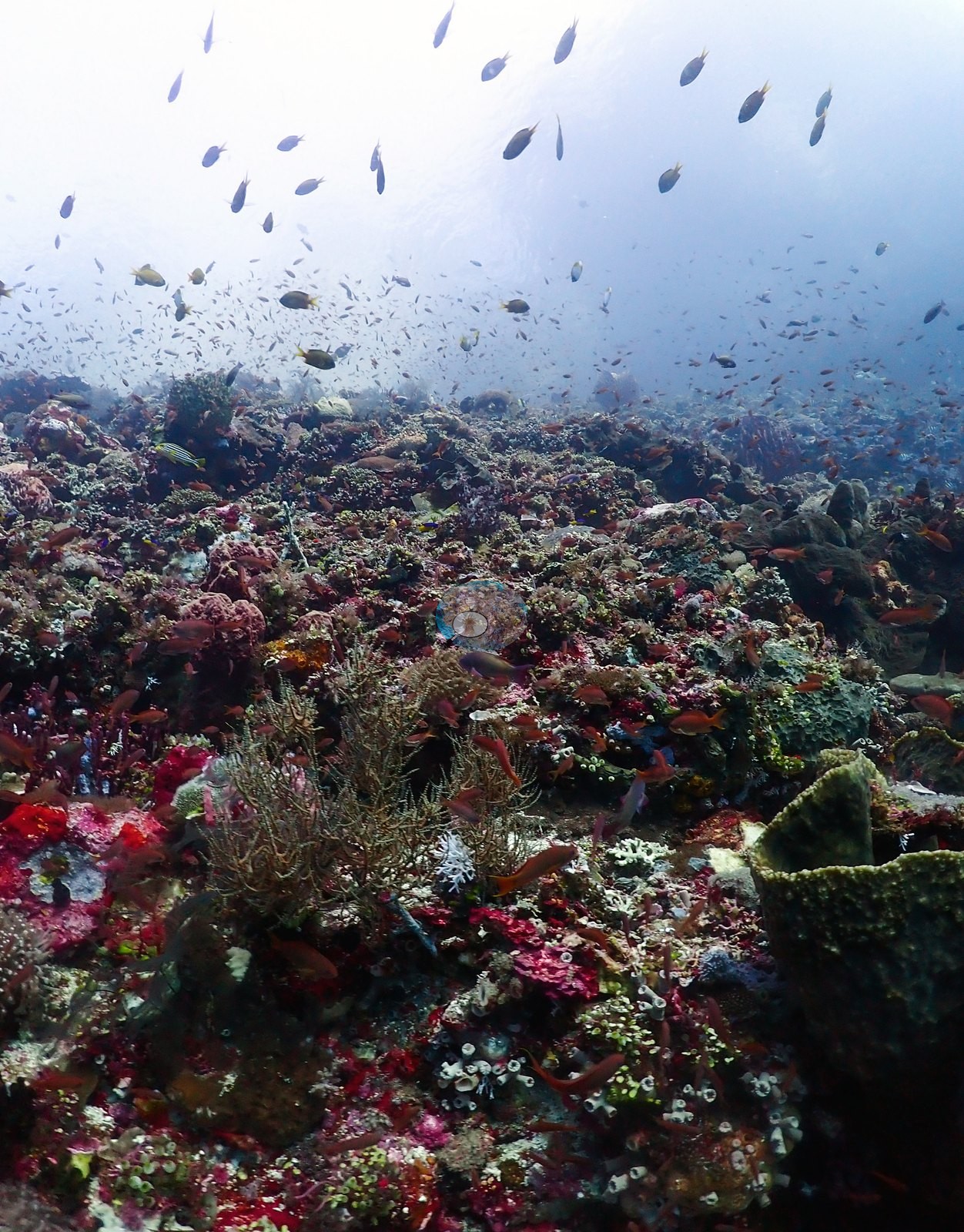
East Nusa Tenggara (NOAA CRW virtual station) · Lesser Sunda ecoregion mean=6.9°C-heating weeks Alor and the Pantar Strait sit in a zone of exceptionally strong upwelling, which holds these reefs several degrees cooler than NOAA’s satellite-derived figures imply. Read the heat-stress numbers here as a regional-scale indication, not as this reef’s own temperature history.A spectacular, fish-rich reef top and upper wall in Alor where clouds of orange and purple anthias are thick enough to hide the reef behind them, over plate and staghorn Acropora, brain-coral boulders, a giant clam, and bushy black coral. A banded sea krait was photographed crossing a sandy patch, and visibility was excellent throughout.
Puncak terumbu dan dinding atas di Alor yang menakjubkan dan kaya ikan, tempat kerumunan anthias jingga dan ungu begitu tebal hingga menutupi terumbu di belakangnya, di atas Acropora lembaran dan bercabang, bongkahan karang otak, kima raksasa, dan karang hitam yang rimbun. Seekor ular laut belang terfoto menyeberangi hamparan pasir, dan jarak pandang sangat baik sepanjang penyelaman.
Terjemahan ringkasan ini oleh AI; versi bahasa Inggris yang berlaku.
One independent survey station shown with the program’s logo — click one to see how far it is from this site.
Four other CRD dive sites within 5 km shown in orange — click a marker to open its page.
19 of these 52 photographs are shown beside the text that discusses them under "Site description" below.
Site description
Setting
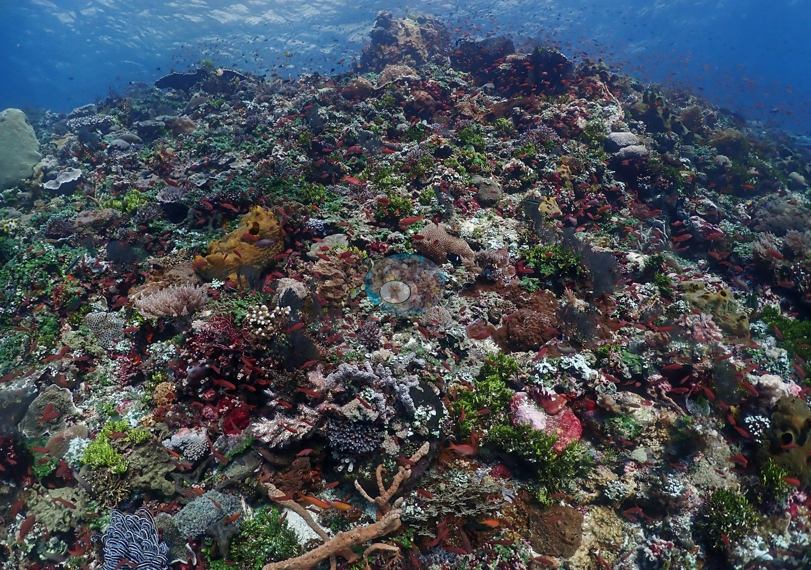
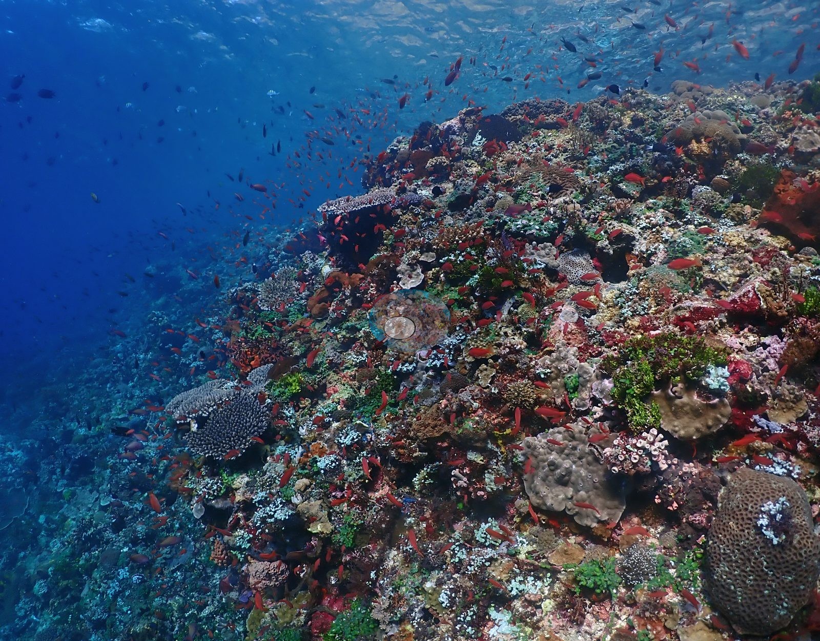
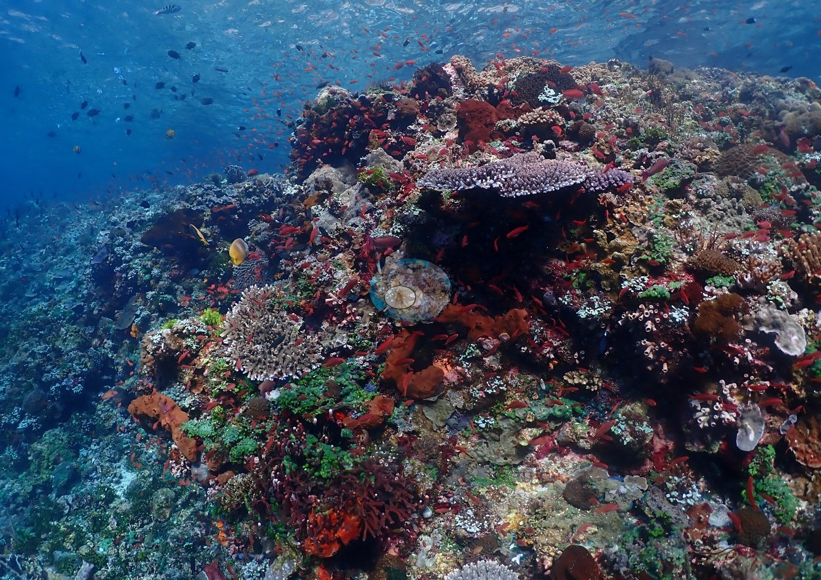
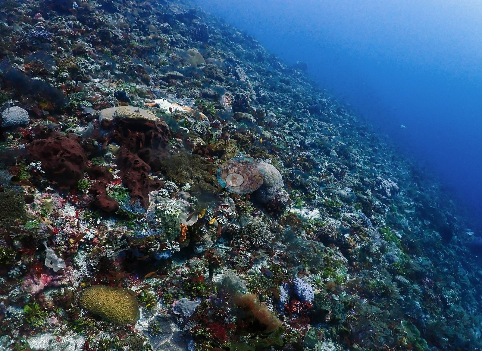
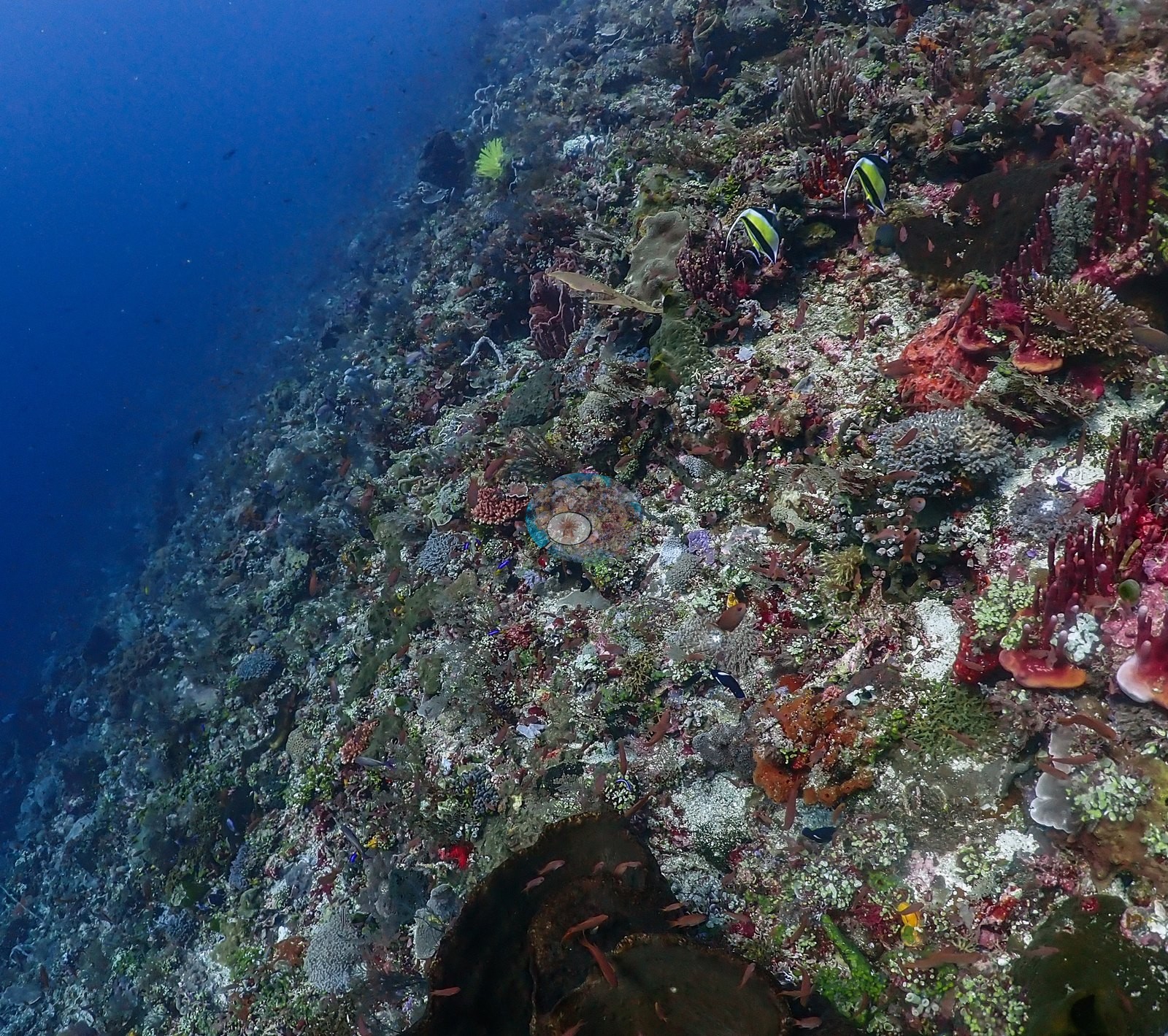
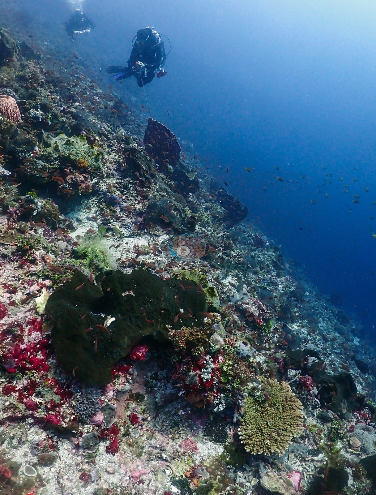
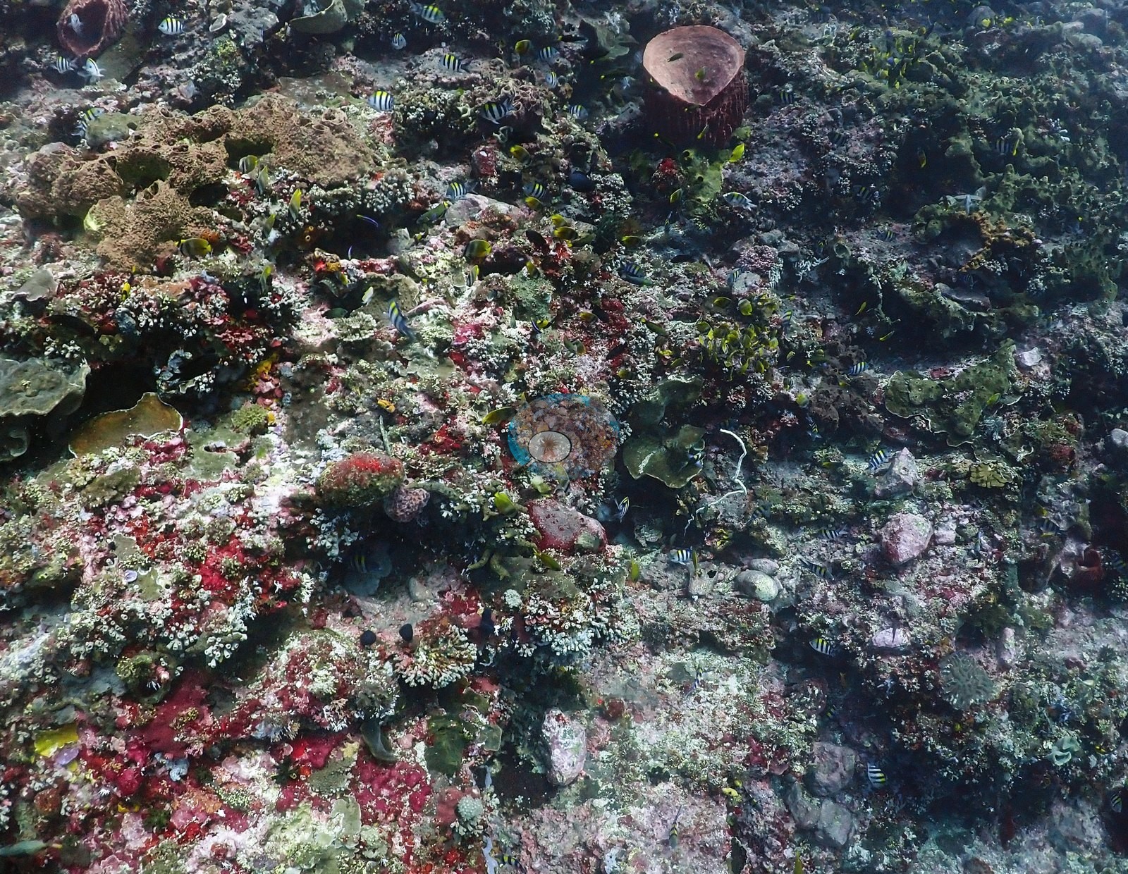
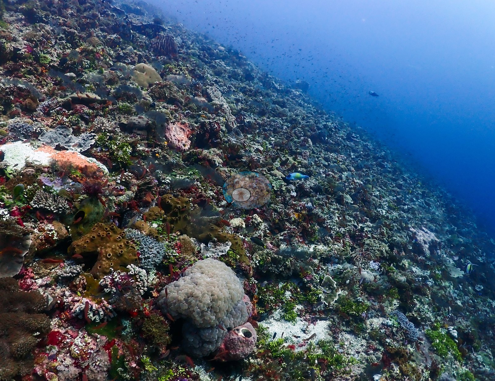
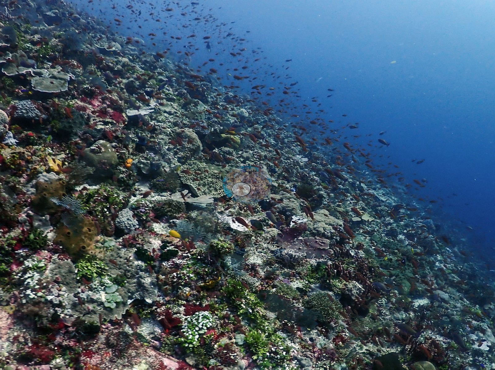
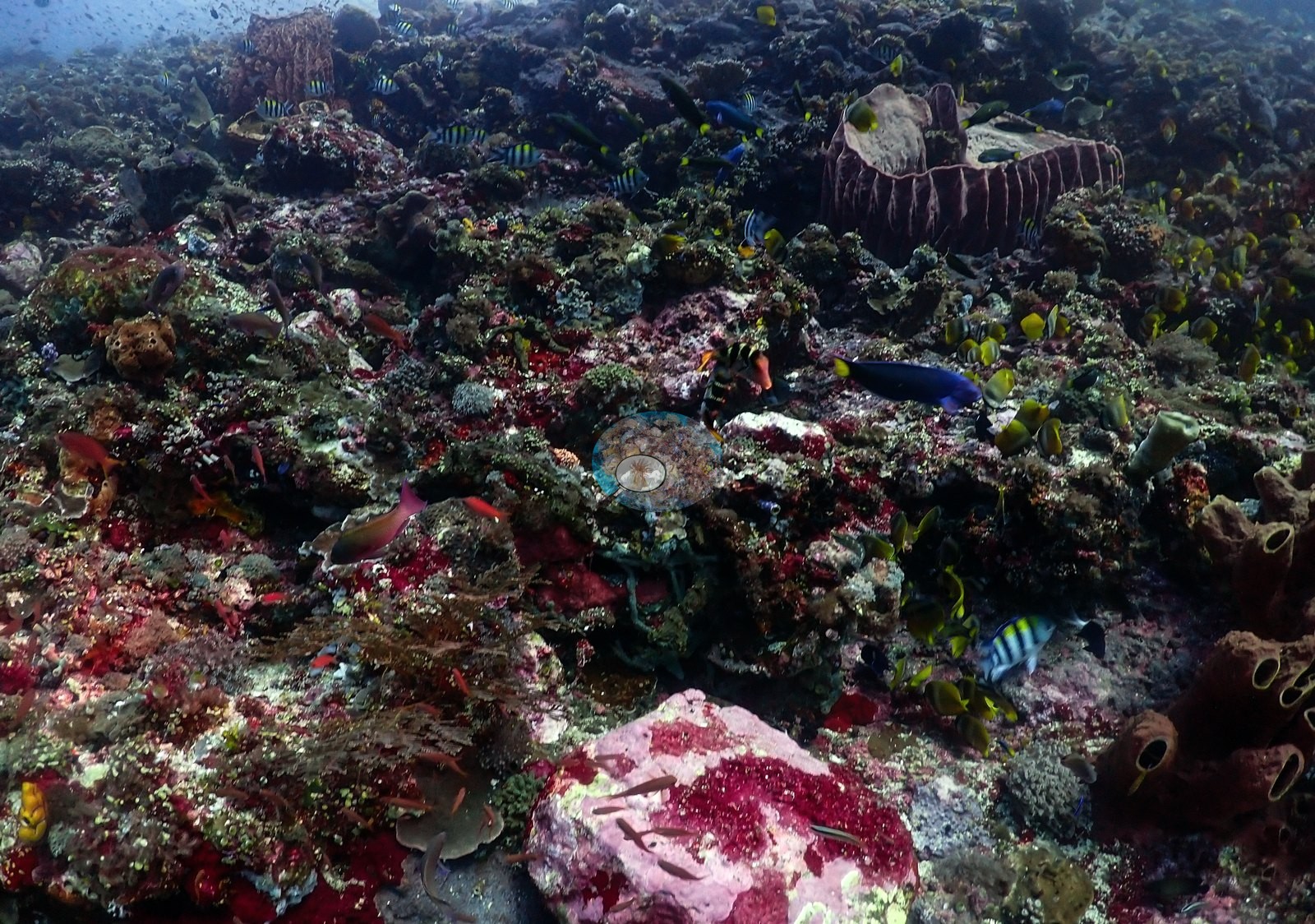
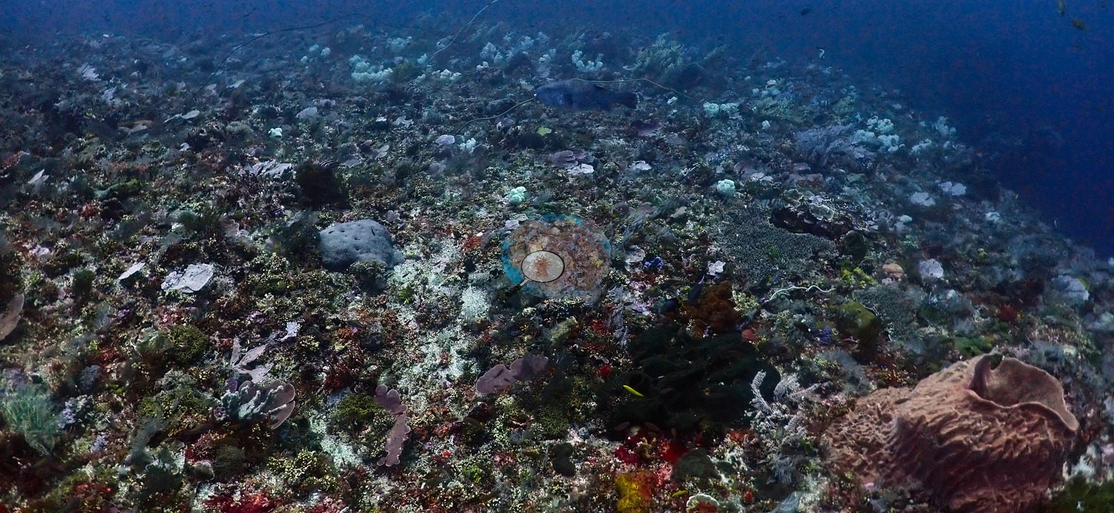
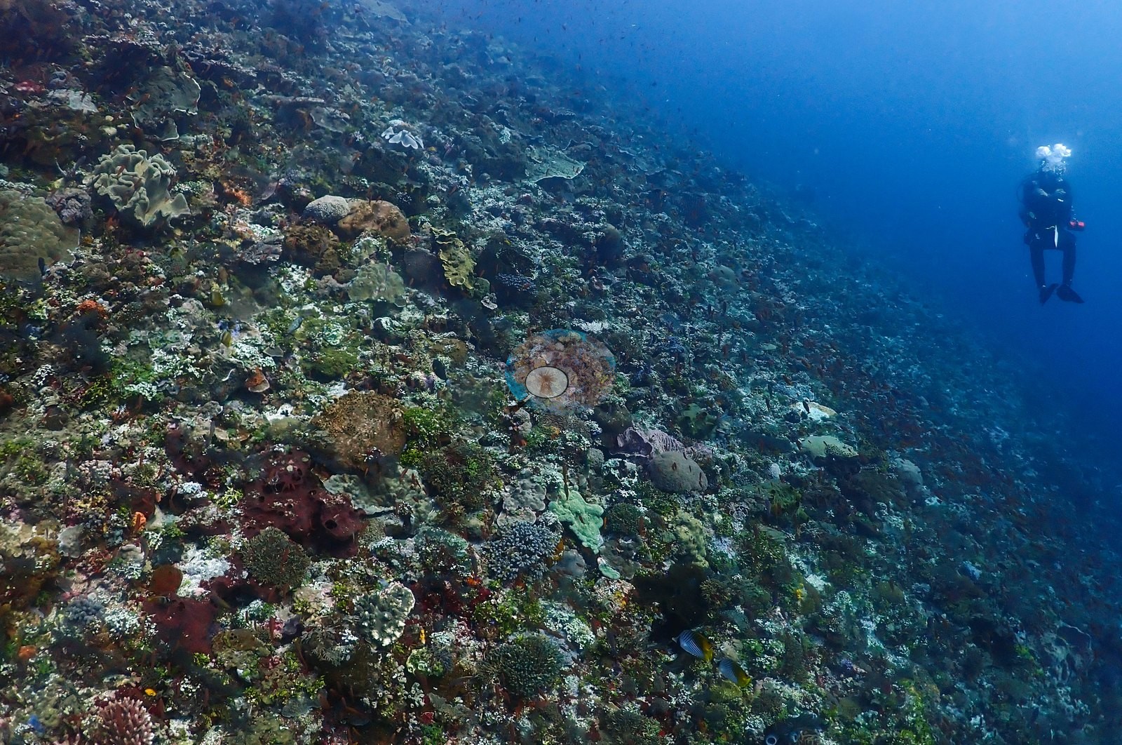
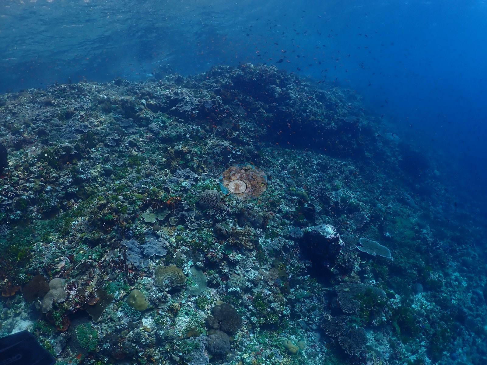
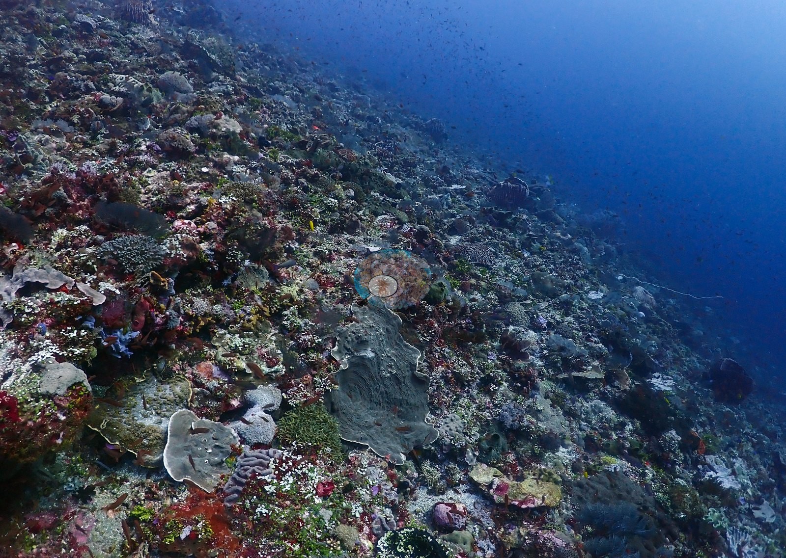
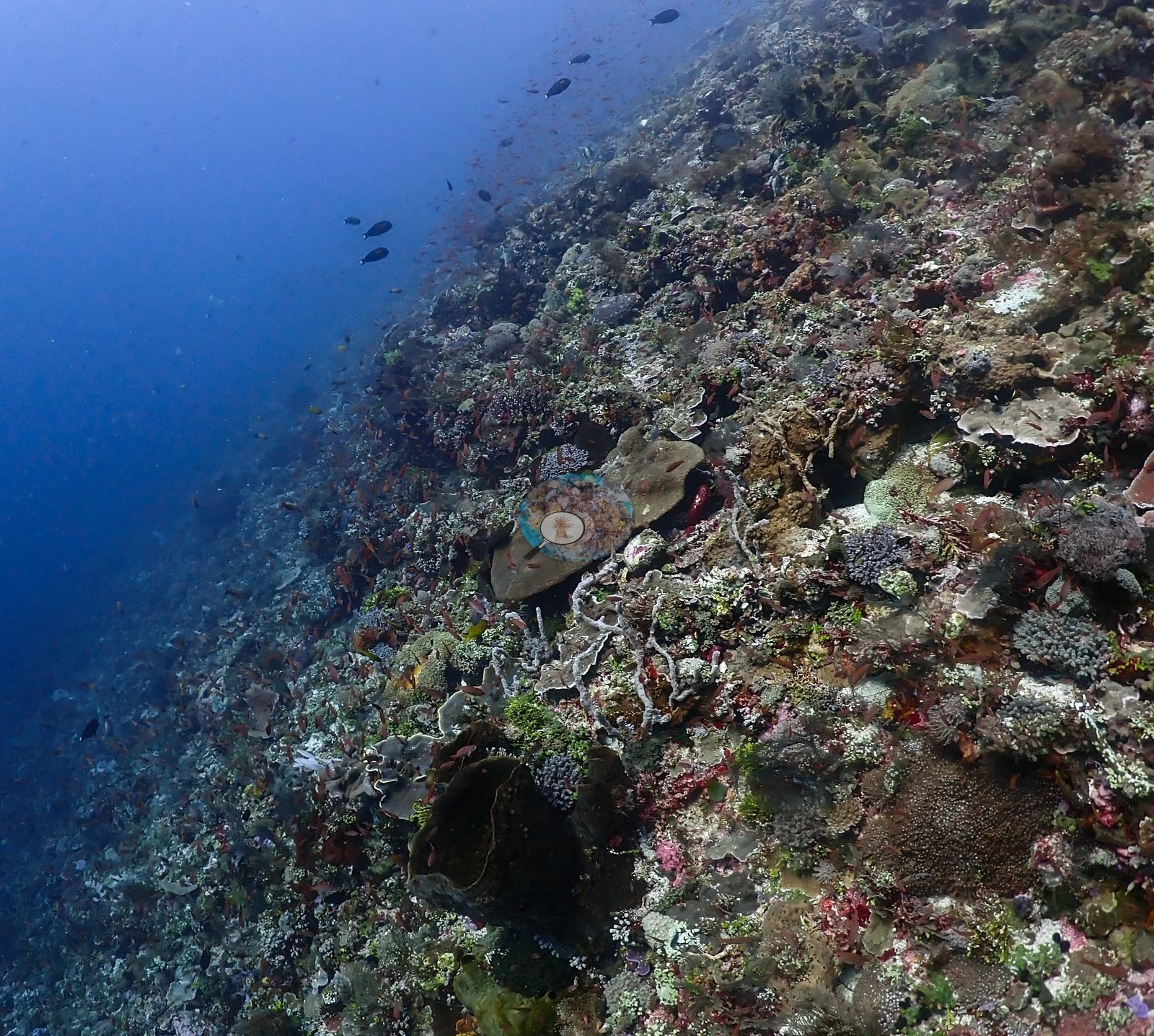
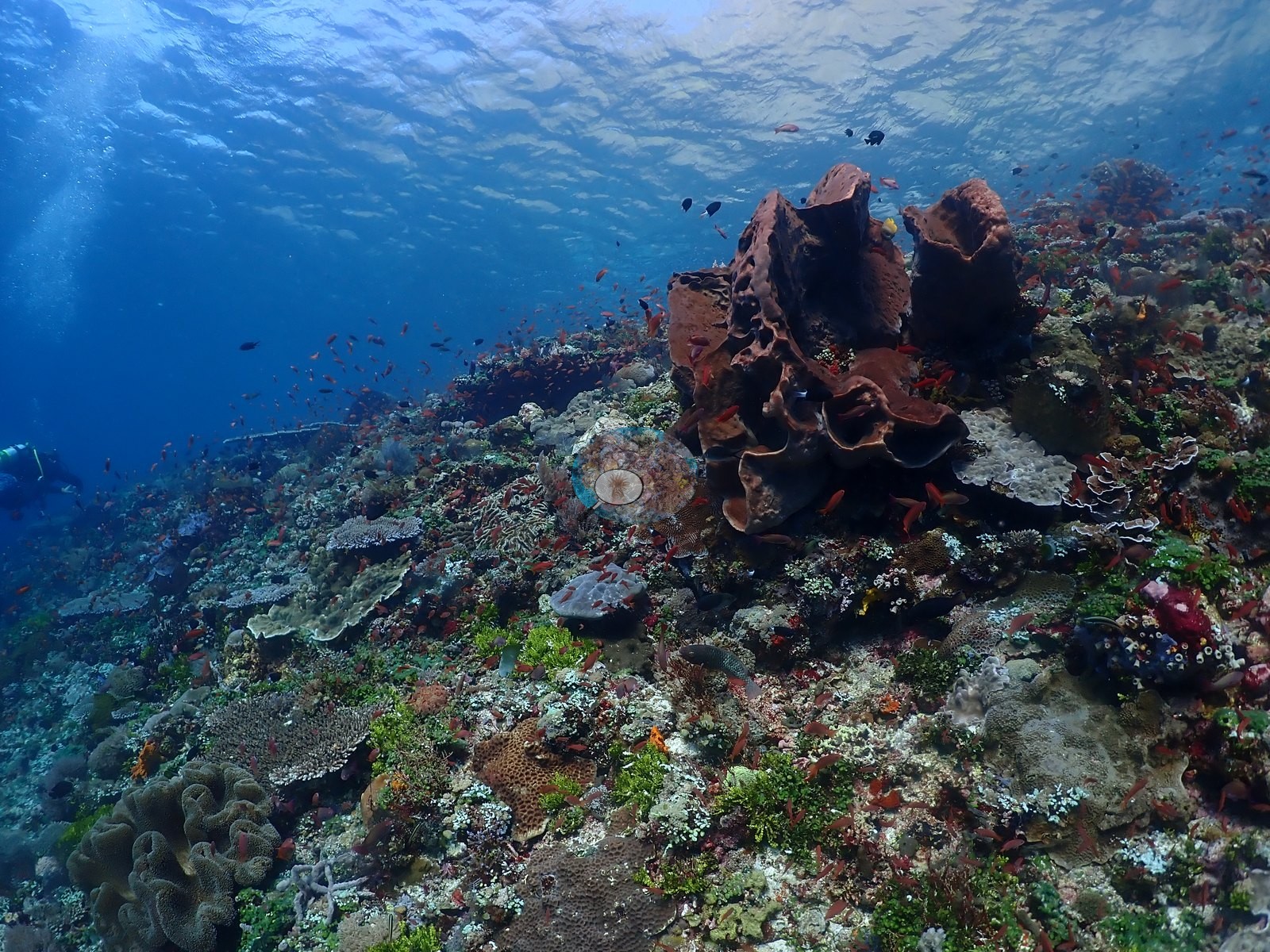
A spectacular, exceptionally fish-rich reef top and upper wall with dense, near-continuous coral cover across most of the frames reviewed (e.g., Image 38, Image 53).
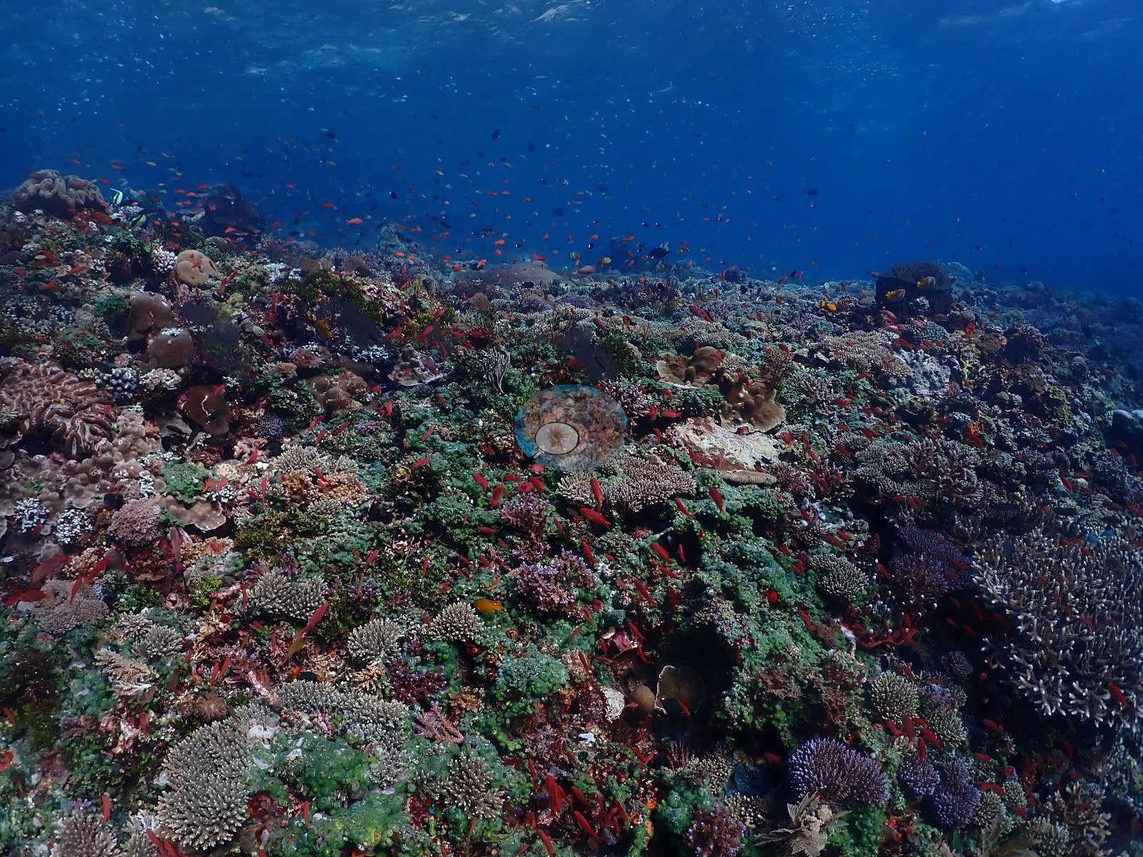
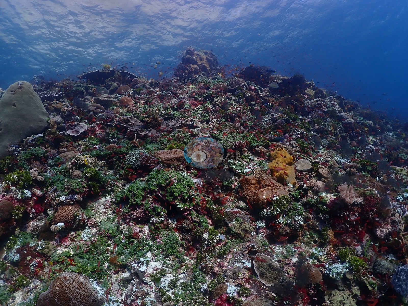
Visibility is excellent throughout with strong, even ambient light.
General benthic features
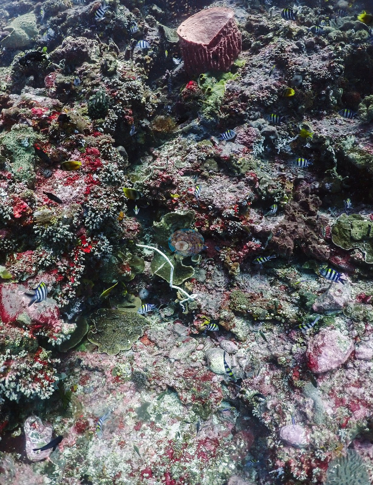
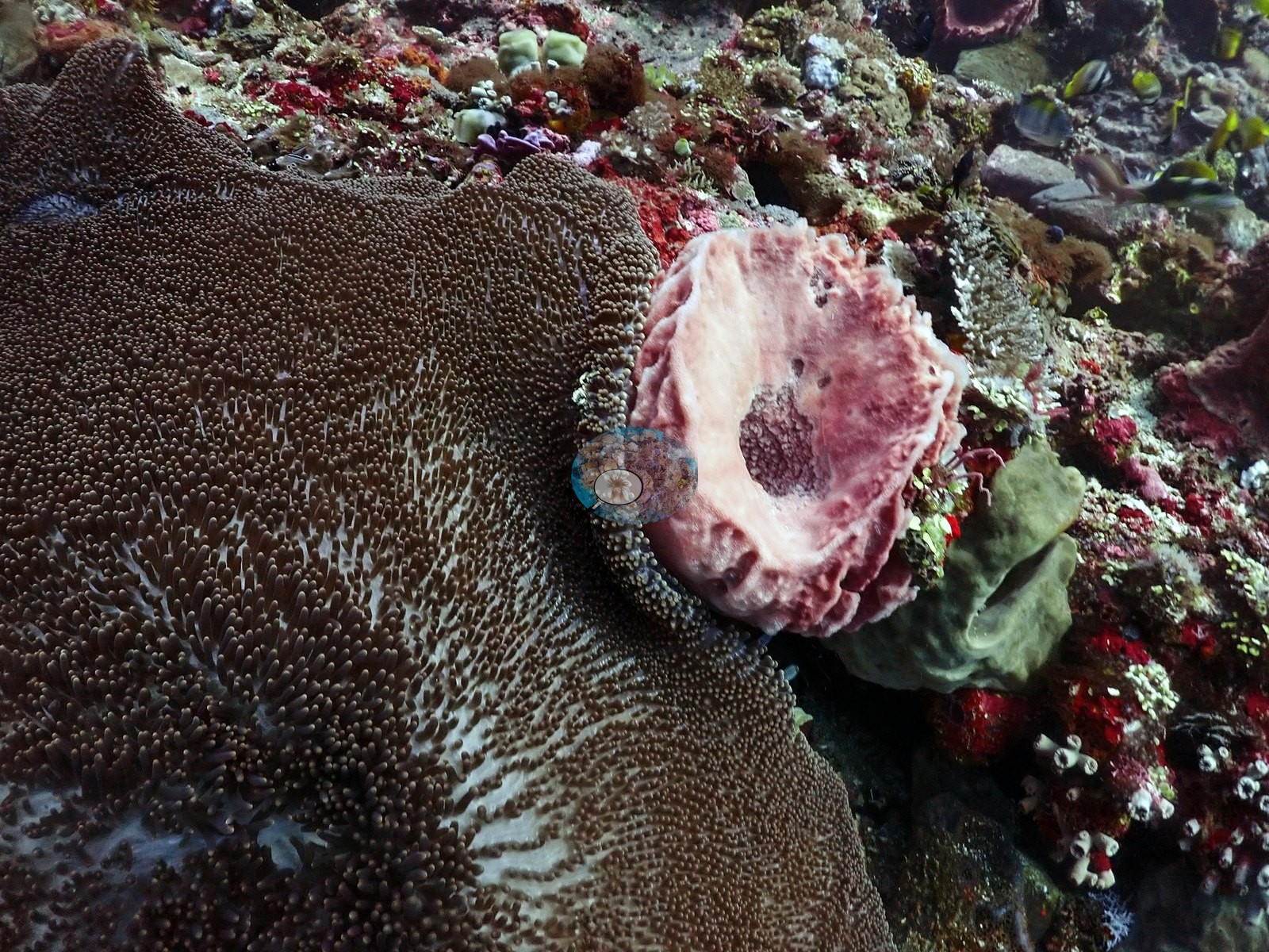
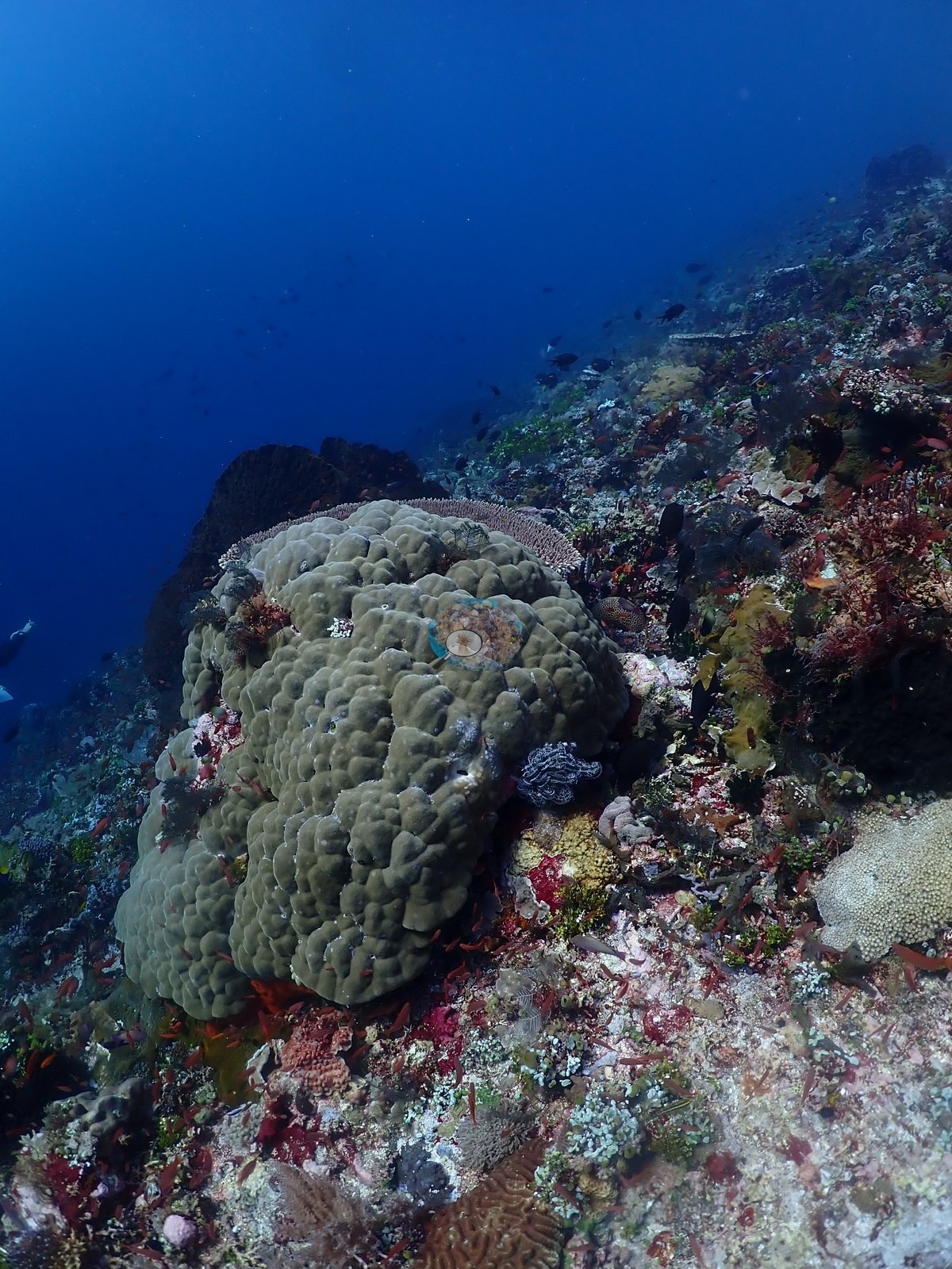
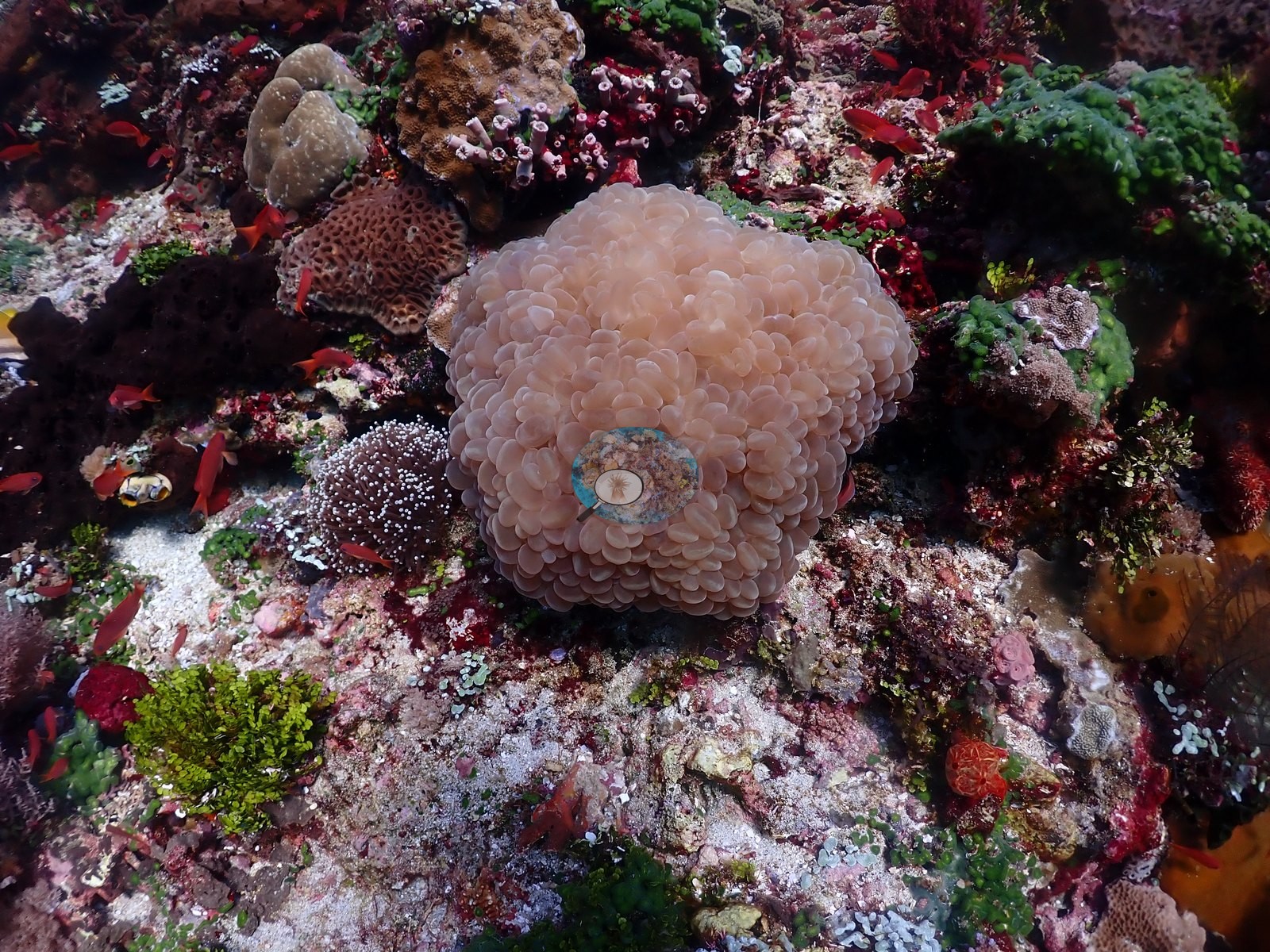
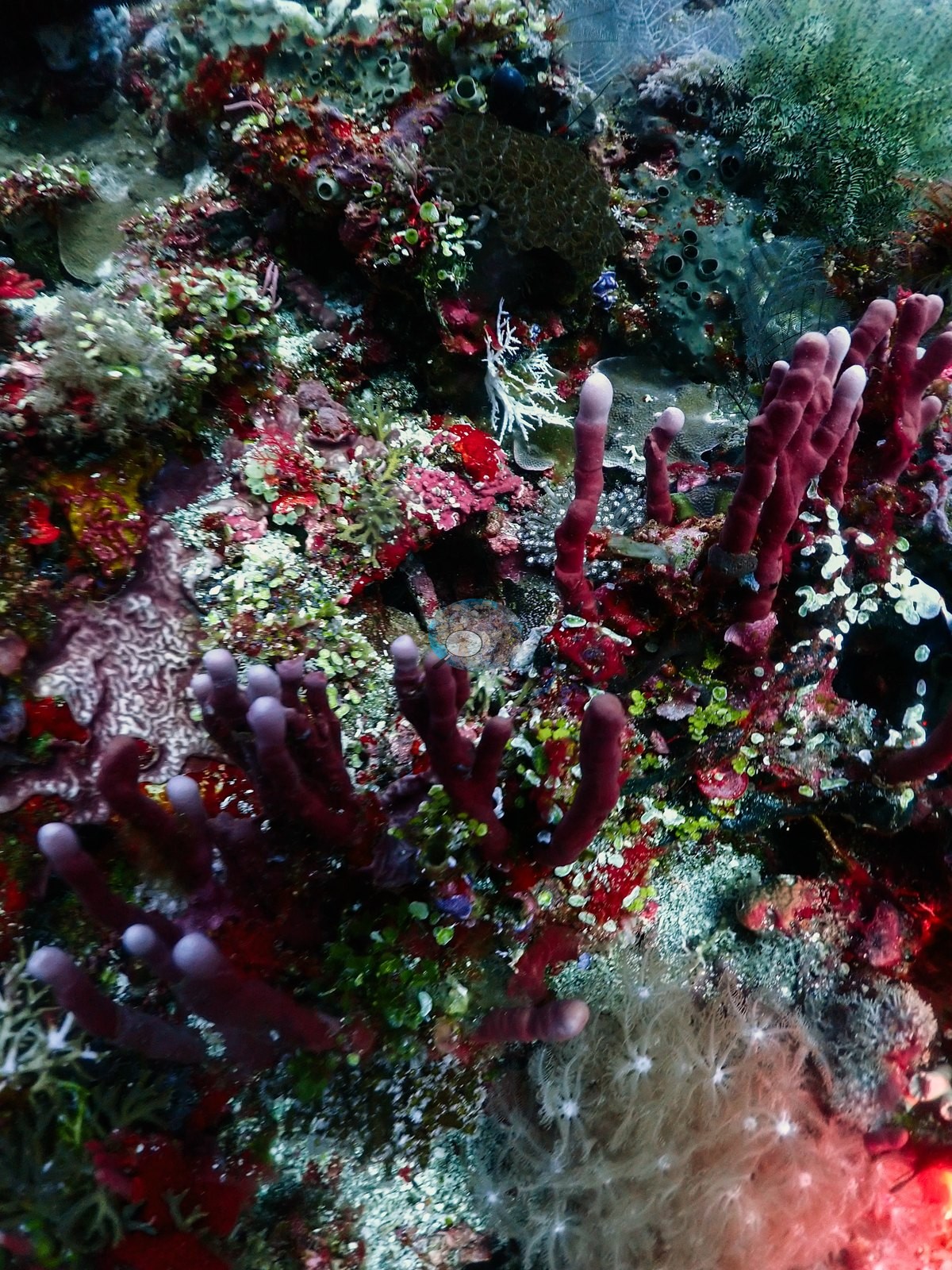
Coral growth forms are diverse: large plating/table Acropora colonies (one pair of overlapping brown plates hosting dozens of anthias), extensive fields of staghorn/digitate Acropora thickets in pale cream and pink-brown color morphs, massive Porites and faviid/brain coral boulders (several with visible oscula-like holes, one meandroid brain coral with sharp ridges), a large fluted giant clam (Tridacna) with a gray-brown mantle wedged in the reef structure, and scattered purple, pink, and orange encrusting sponges alongside dark bushy black coral (e.g., Image 31, Image 44, Image 50).
Coral cover
Coral cover: 11% — a blind Claude computer-vision point count of 233 of Anderson's unedited photographs (20 points per photo; water, fish, and obstructions excluded). Other computer-vision methods are listed in the method table.
Stressors
No bleaching or disease is visible on any of the massive or plating corals reviewed; all colonies show normal pigmentation (browns, tans, pinks). No man-made objects beyond diver gear appear in this sample. No crown-of-thorns starfish (COTS) or other corallivores evident.
Fish and other fauna
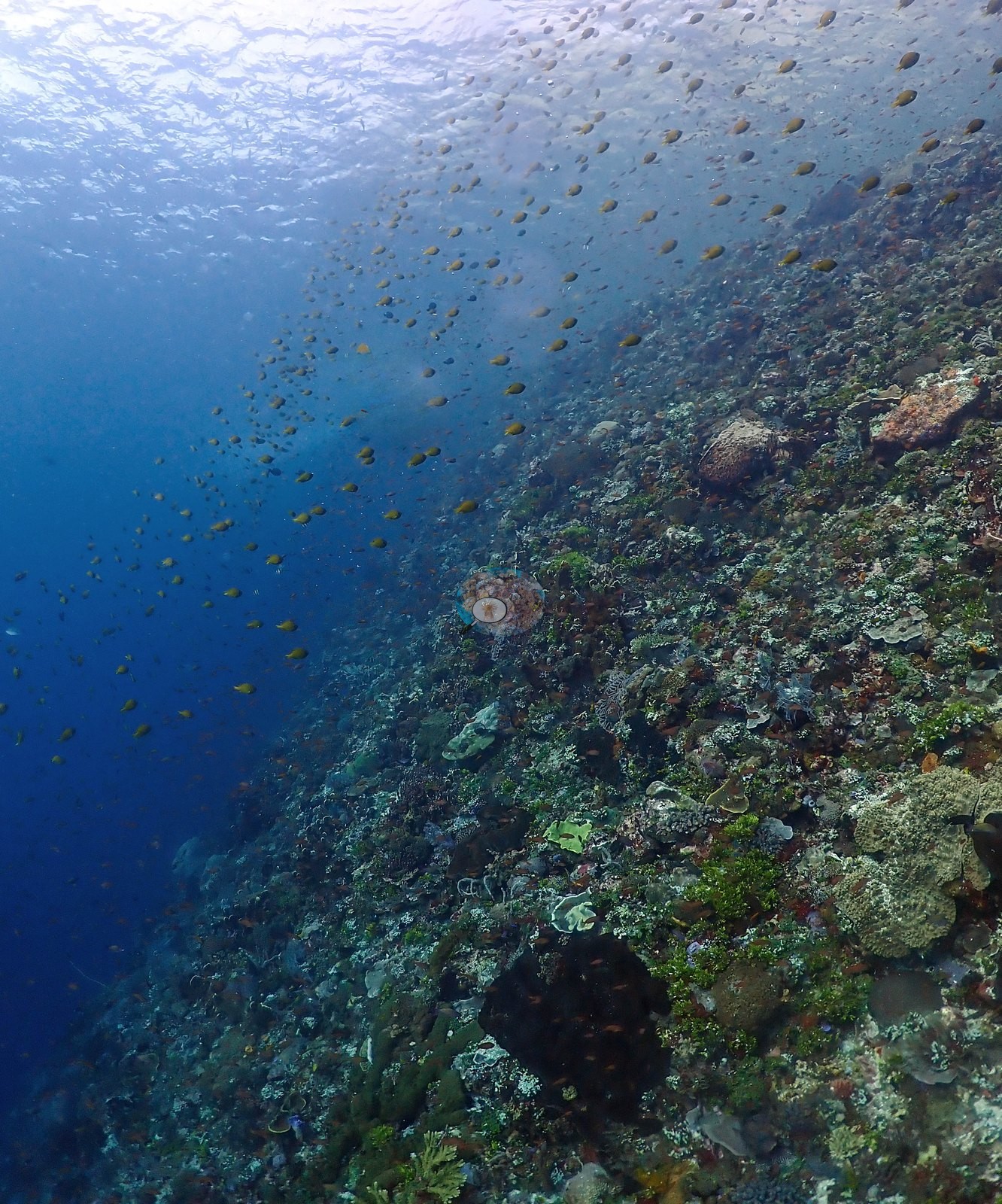
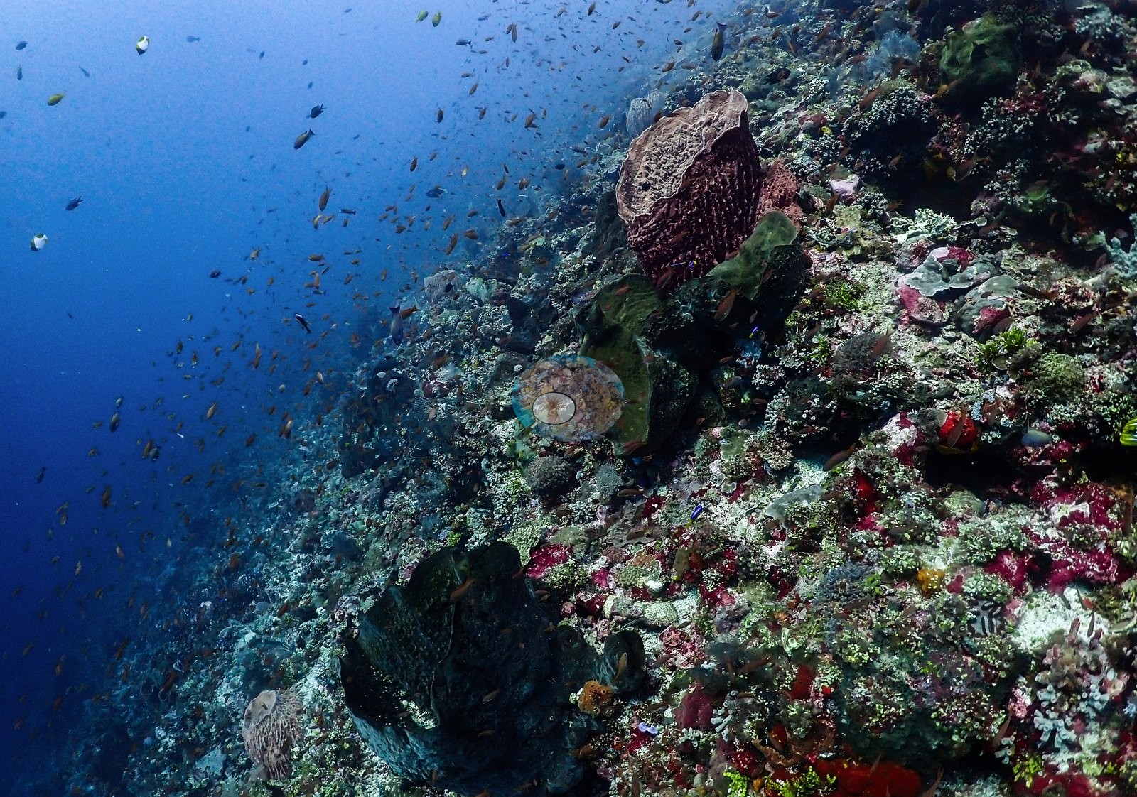
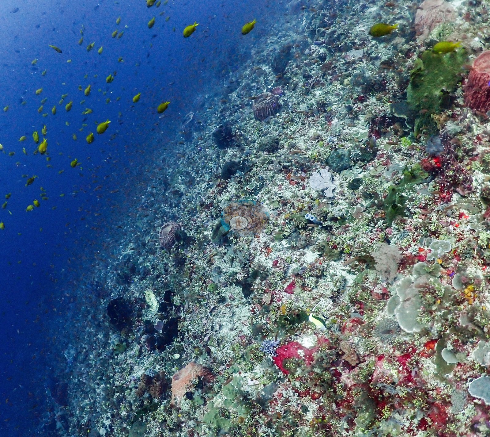
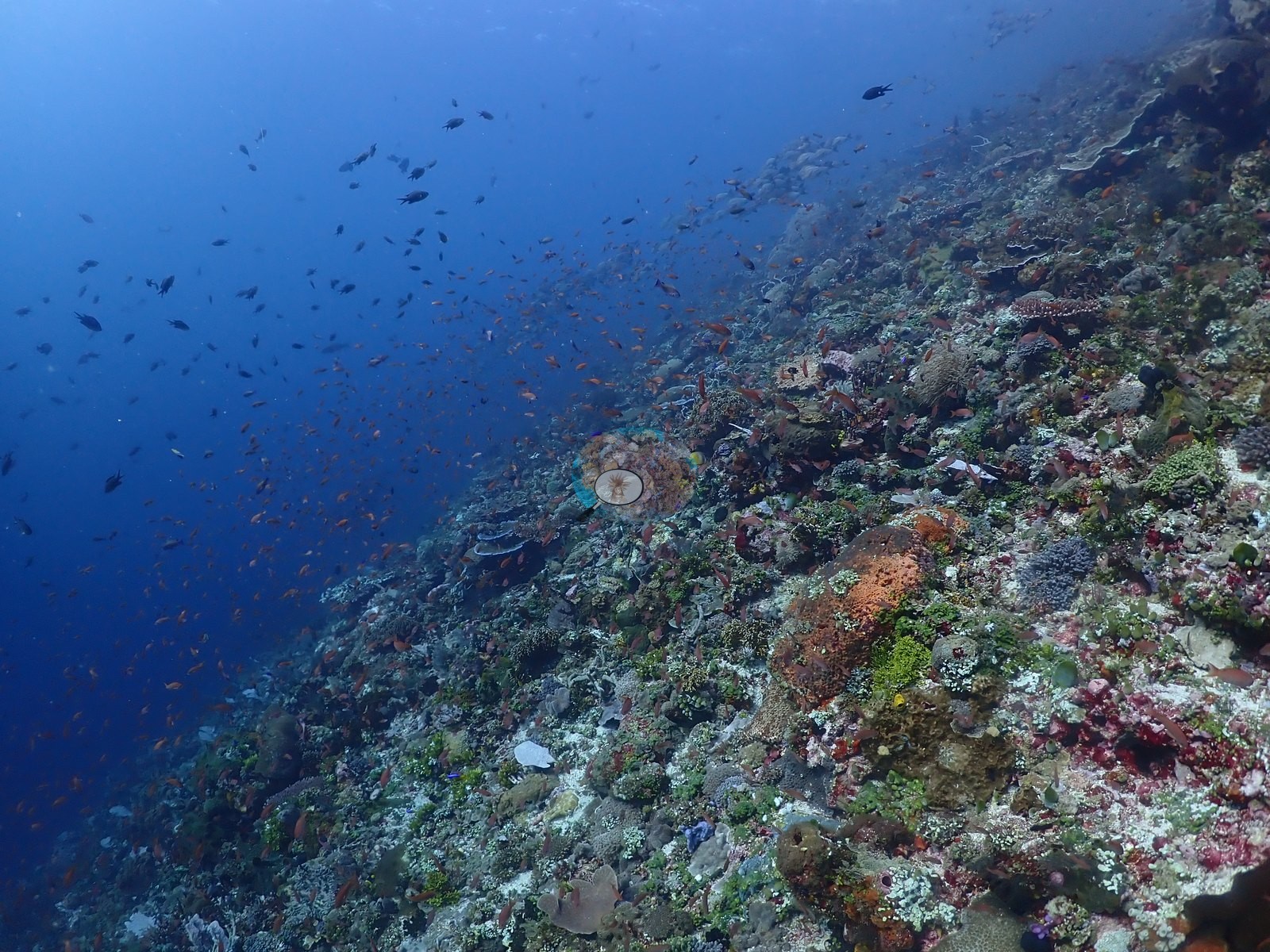
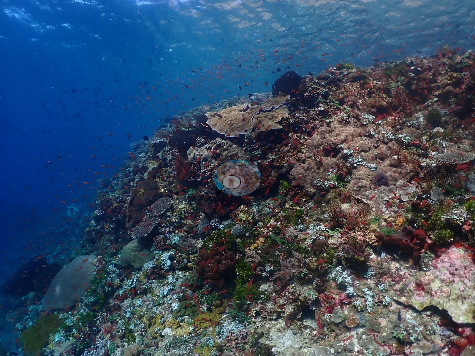
Massive clouds of anthias (orange and purple) and smaller planktivores stream over the reef crest in nearly every wide shot, thick enough in places to obscure the substrate behind them (e.g., Image 39, Image 40).
A banded sea krait (black-and-pale-blue bands) is visible undulating across a sandy patch strewn with coral rubble and isolated small coral clumps in one frame — a notable and confidently identified sighting. A small blue Linckia sea star sits on the reef in one frame.
Comparisons with other data
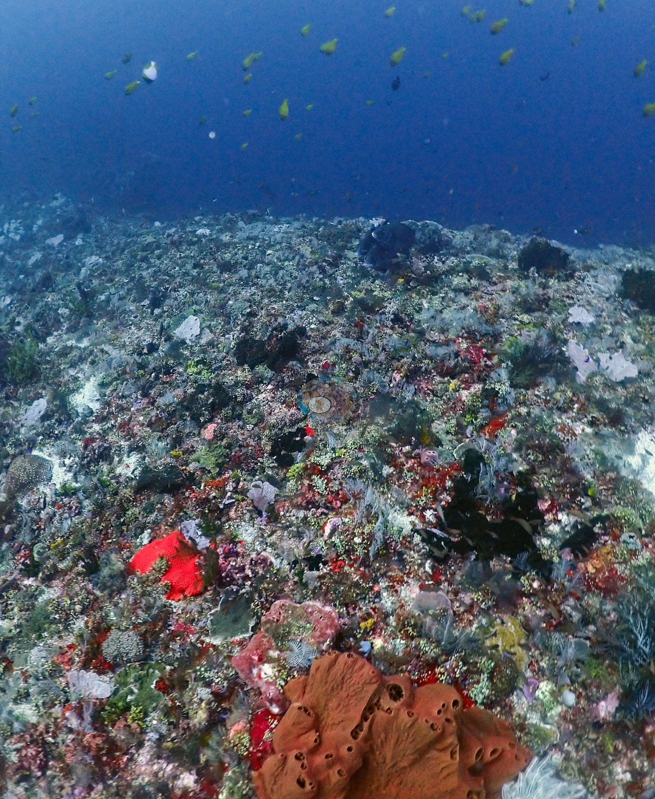
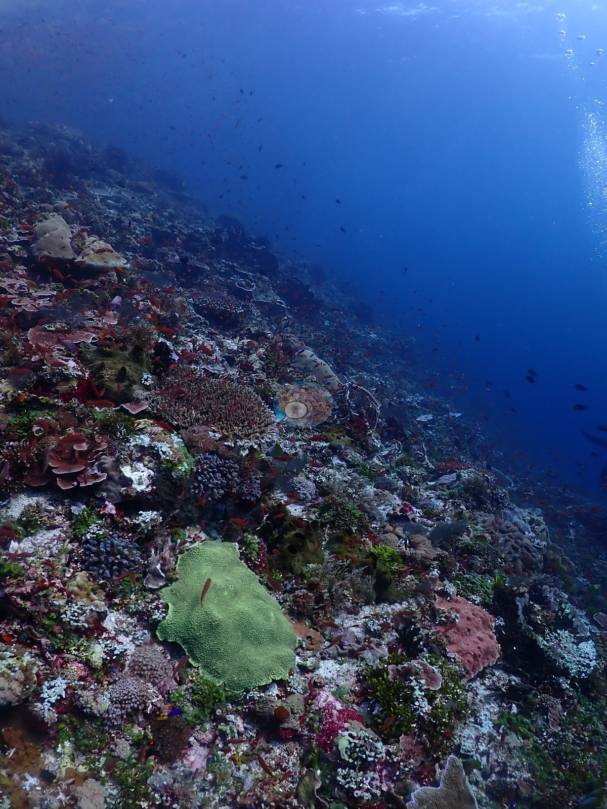
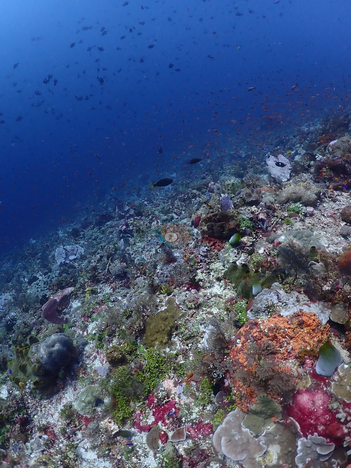
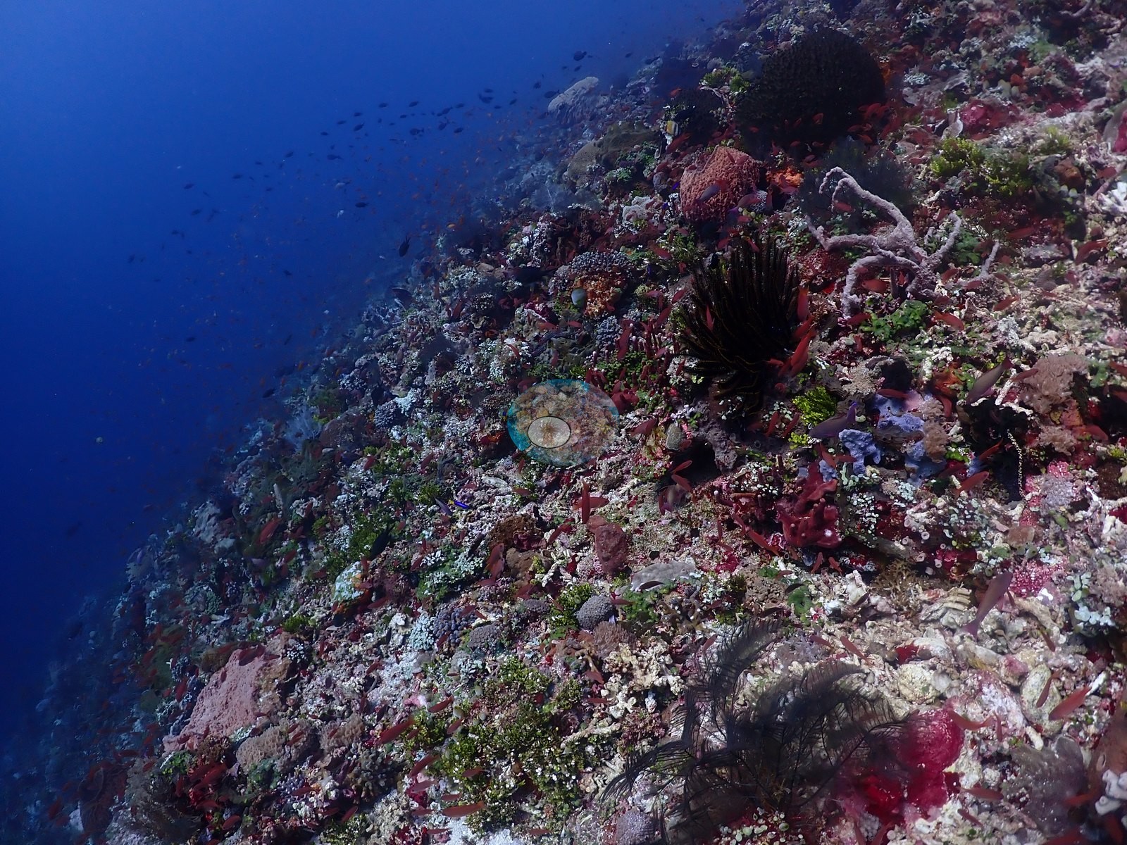
Also on record for this site: A steep to near-vertical reef face with substantial relief and open-water exposure (e.g., Image 5, Image 9, Image 29).
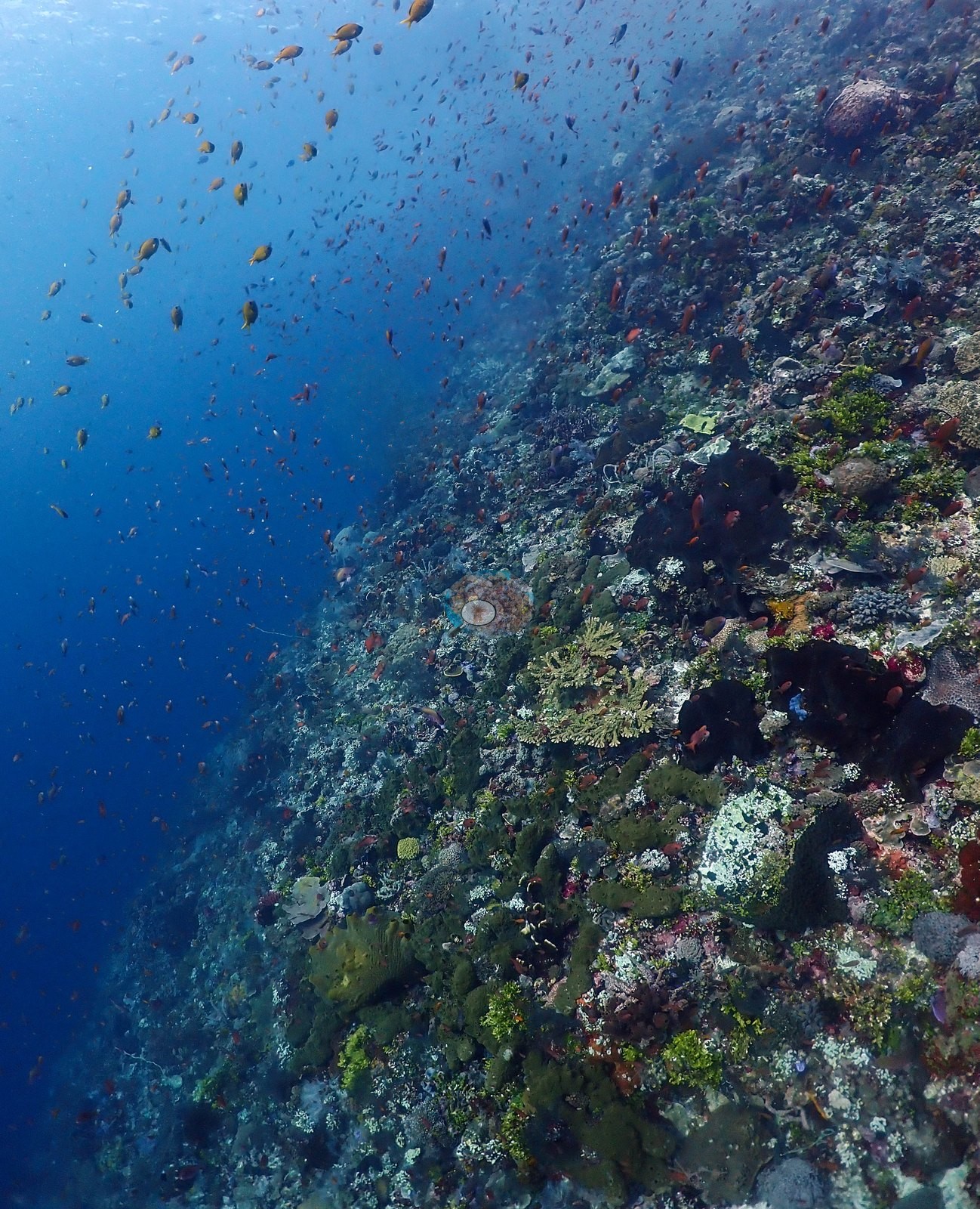
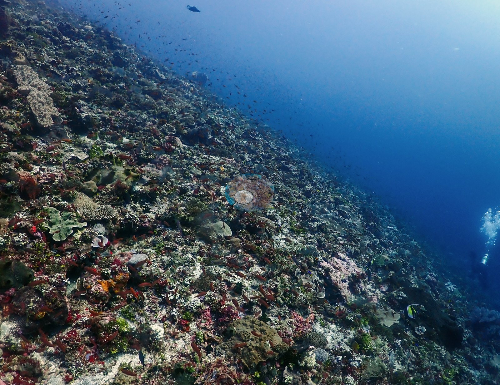
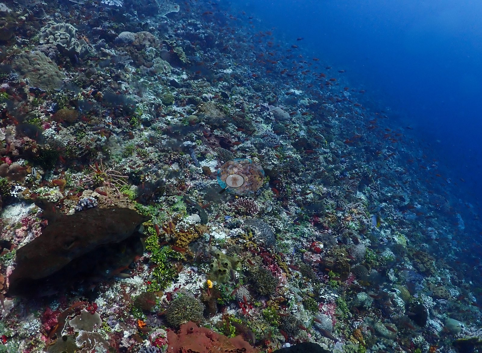
Plating and foliose colonies compatible with Montipora, Pachyseris, and Turbinaria were prominent, alongside massive Porites, scattered branching or tabular Acropora, fungiids, and massive brain coral forms; live cover varied around bare framework and sediment pockets on the less vertical ledges (e.g., Image 18, Image 23, Image 41).
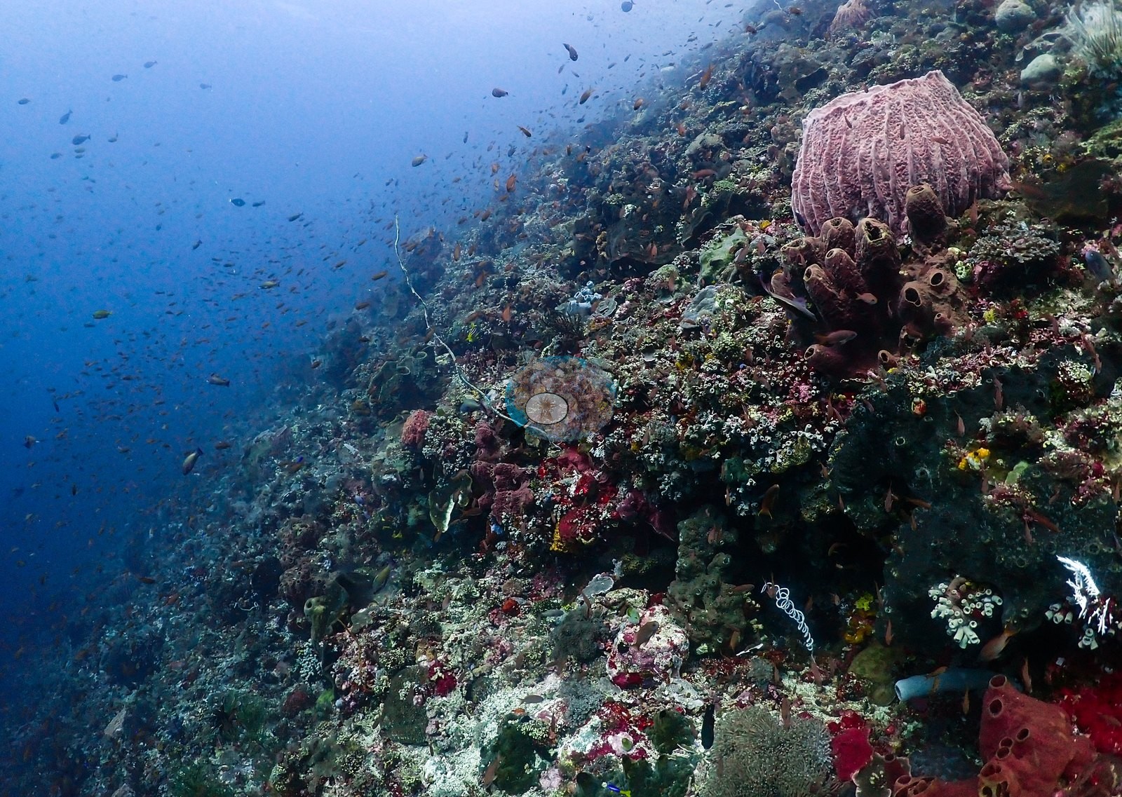
Barrel and tube sponges, gorgonians, whip corals, and crinoids diversified the wall, with anthias, chromis, butterflyfishes, and surgeonfishes along the face (e.g., Image 4, Image 17, Image 43, Image 46).
Other notes
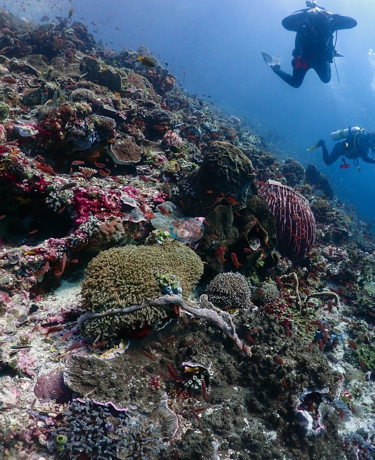
Two frames show divers with camera rigs working the reef top; one wide shot looking up at the surface shows the reef silhouetted against sunlit water with a large school of dark surgeonfish/unicornfish overhead (e.g., Image 14, Image 34).
CV model comparison
More info
DINOv3 and CoralSCOP were run on the same photos and are listed for comparison. Coralscapes v2 and v1 were also run but are not shown: Anderson does not consider Coralscapes reliable for these photos. No diver transect exists for this trip, so agreement between the rows is not accuracy, and as of September 2026 no computer-vision method estimates coral cover accurately on new images; treat every row as indicative.| Method | Hard-coral cover (%) |
|---|---|
| In-house DINOv3 | 27.4 |
| CoralSCOP unedited | 9.0 |
| Claude | 10.9 |
Independent surveys nearby
Within 5 km, 1 independent survey station recorded hard coral cover in 2014. The most recent nearby survey is from 2014, so these values predate recent heat stress. This site's own estimate (11%) sits 12.6 points below the range of these surveys (24%); the methods differ, so the comparison is context, not a like-for-like test.
Collected by other programs using different methods, so these are context for the figures above, not a like-for-like comparison. Where a station was surveyed more than once the range is shown. Station names are not dive-site names.
| Agency | Site / location | Date | Hard coral cover (%) | Distance | Link |
|---|---|---|---|---|---|
| WWF-US / WWF-Indonesia | 5003 | 2014 | 24% (2 surveys) | 2.55 km | Amkieltiela, Abdillah T, Amkieltiela A, Andradi-Brown D, Lazuardi E. 2015. MBD 2014 & 2015. MERMAID |
Data & links
All images from Coral Reef Diagnostics. Data are from Coral Reef Diagnostics and the organizations named in the data-sources table above.
© Coral Reef Diagnostics.