
Alor - Bakalang Jetty

Part of the regional summary: Indonesia - Alor
More info
East Nusa Tenggara (NOAA CRW virtual station) · Lesser Sunda ecoregion mean=6.9°C-heating weeks Alor and the Pantar Strait sit in a zone of exceptionally strong upwelling, which holds these reefs several degrees cooler than NOAA’s satellite-derived figures imply. Read the heat-stress numbers here as a regional-scale indication, not as this reef’s own temperature history.A muck and jetty site over dark volcanic sand in Alor, where old wooden pilings are sheathed top to bottom in orange, red, and cream sponges, black coral, and white sea fans. Between the pilings, branching coral hosts damselfish, and macro finds include a spectacular black-and-orange Chromodoris-type nudibranch and an anemone shrimp on a tube anemone.
Lokasi muck dan dermaga di atas pasir vulkanik gelap di Alor, tempat tiang-tiang kayu tua terbungkus dari atas hingga bawah oleh spons jingga, merah, dan krem, karang hitam, serta kipas laut putih. Di antara tiang-tiang itu, karang bercabang menjadi rumah ikan betok laut, dan temuan makro mencakup nudibranch bertipe Chromodoris berwarna hitam-jingga yang menawan serta udang anemon pada anemon tabung.
Terjemahan ringkasan ini oleh AI; versi bahasa Inggris yang berlaku.
One independent survey station shown with the program’s logo — click one to see how far it is from this site.
Three other CRD dive sites within 5 km shown in orange — click a marker to open its page.
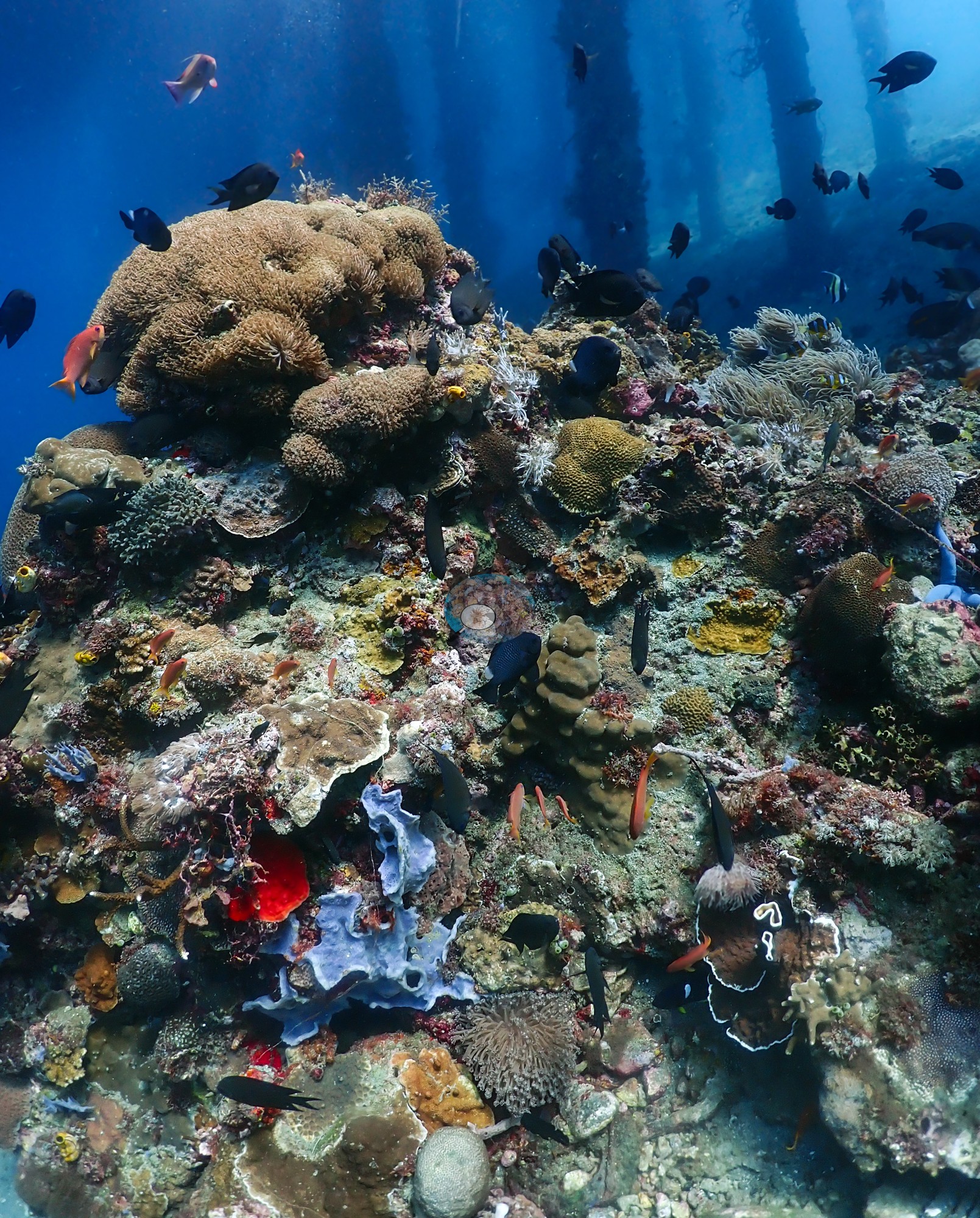
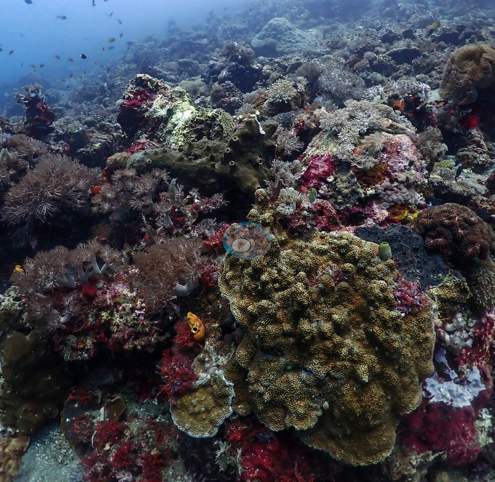
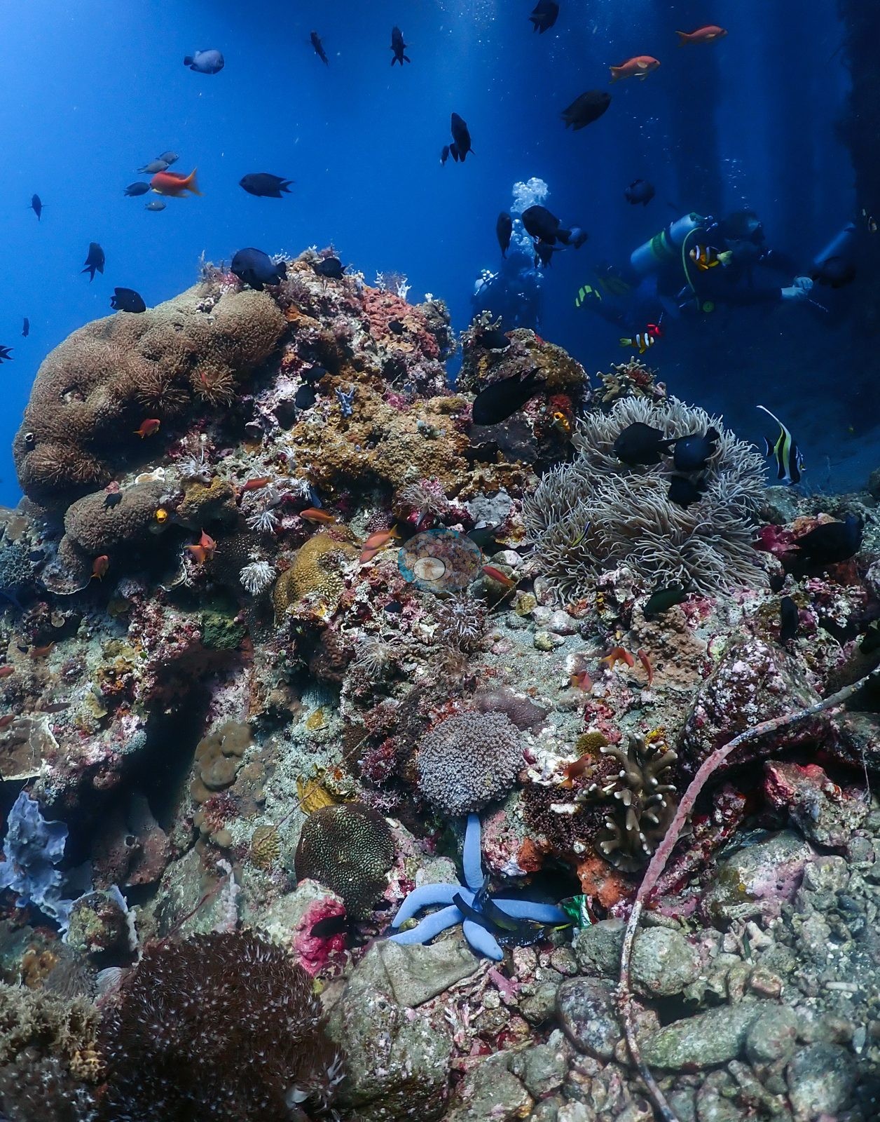
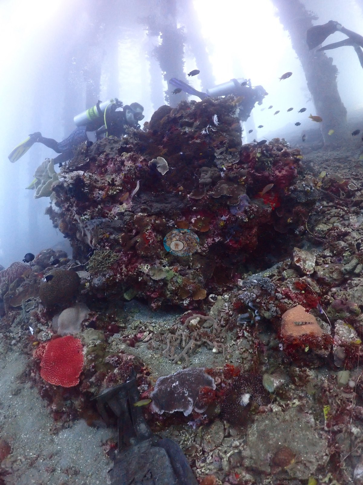
18 of these 50 photographs are shown beside the text that discusses them under "Site description" below.
Site description
Setting
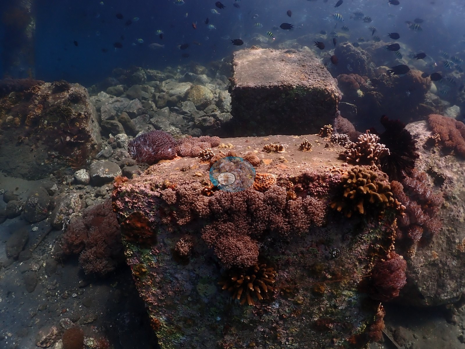
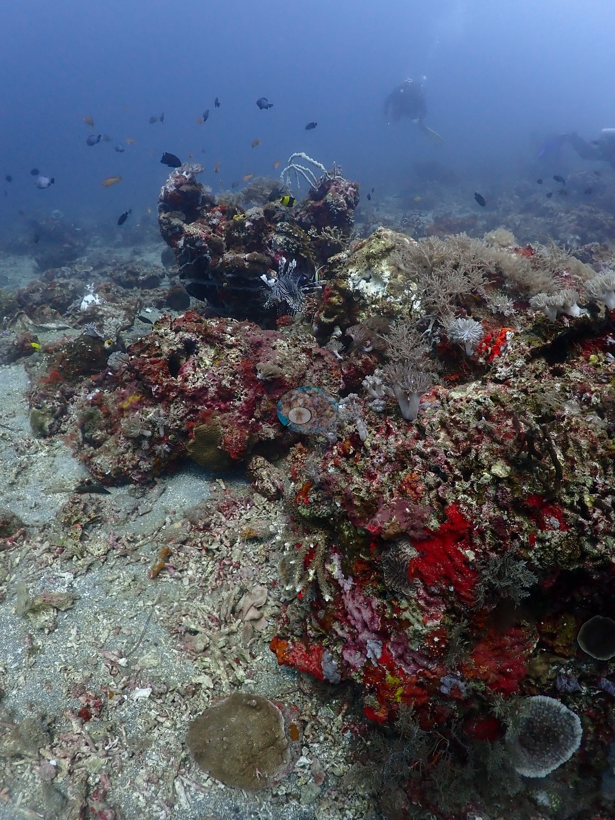
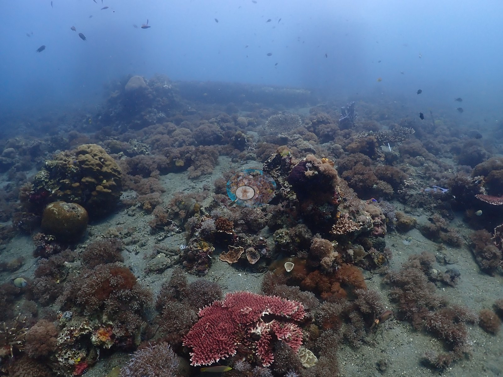
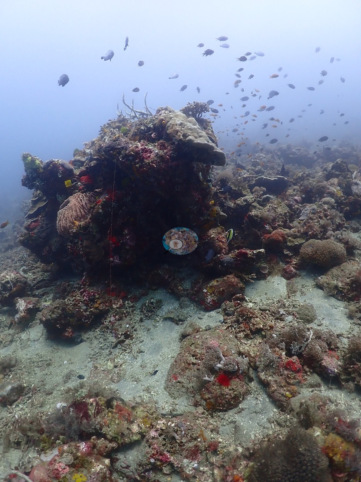
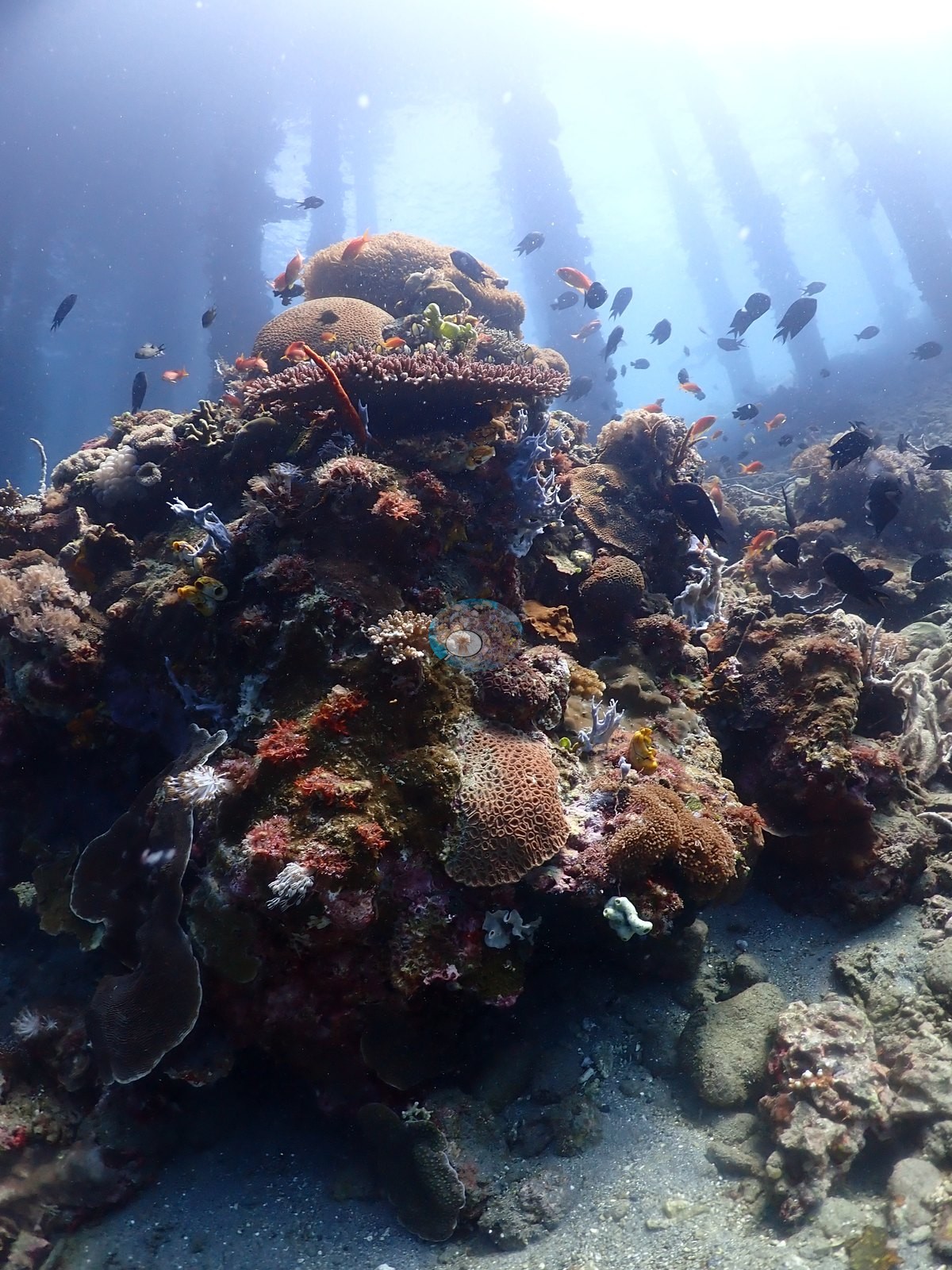
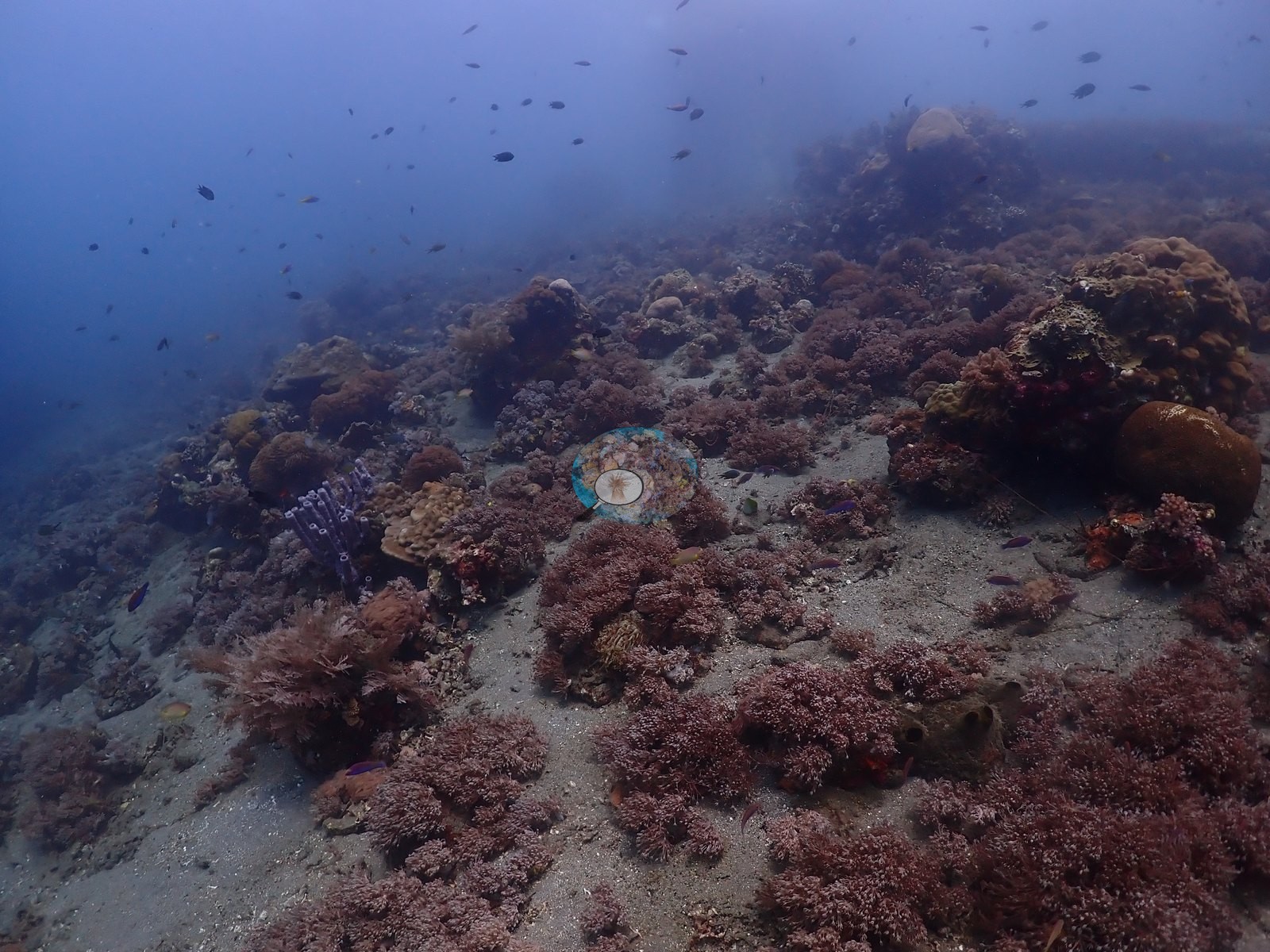
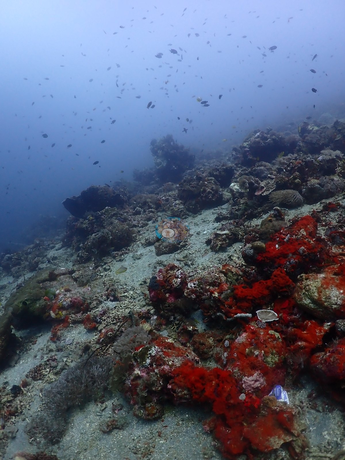
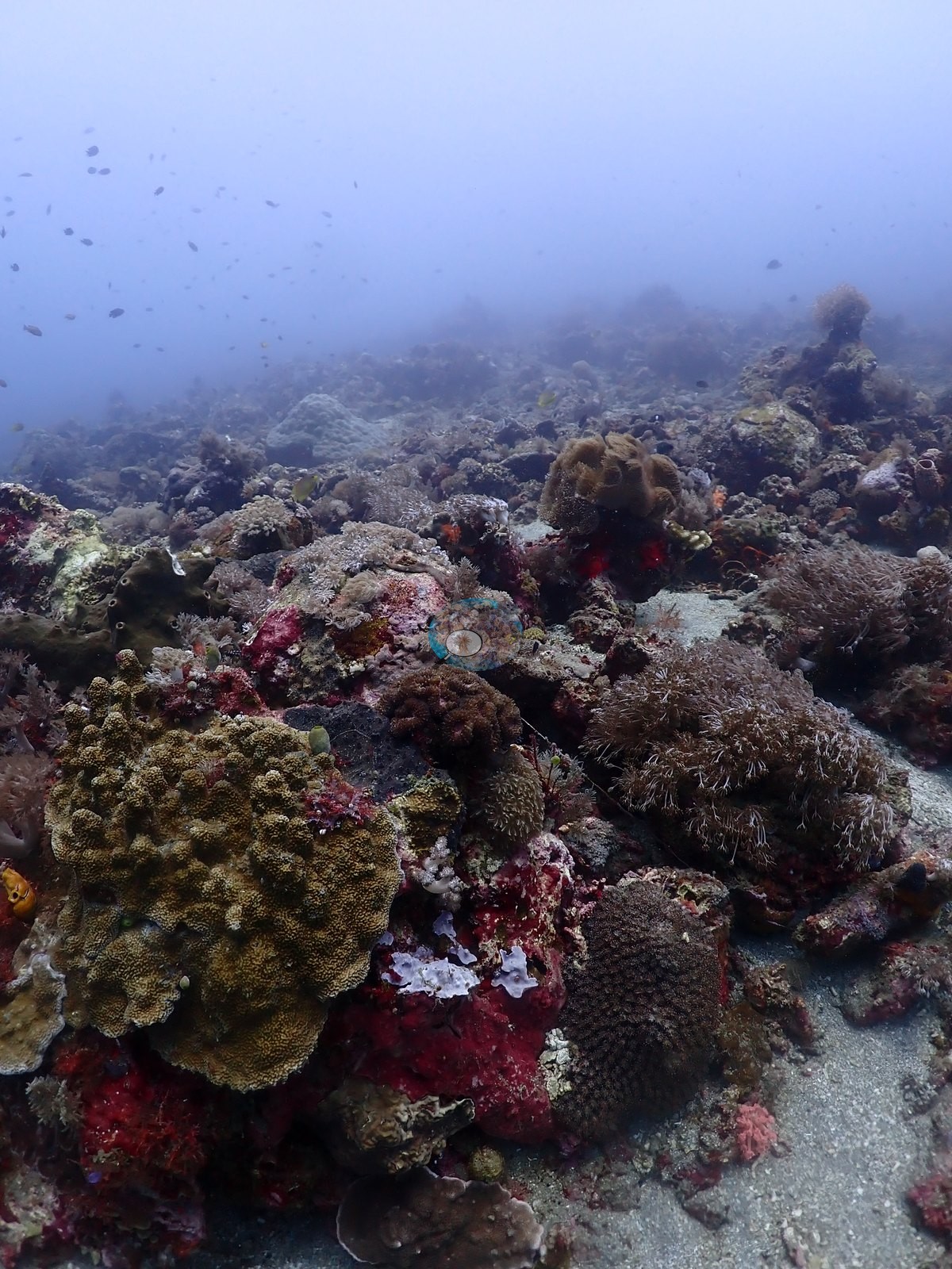
A muck/jetty site over dark volcanic sand and rubble with old wooden pilings, matching the existing site name and dive_type (e.g., Image 3, Image 15).
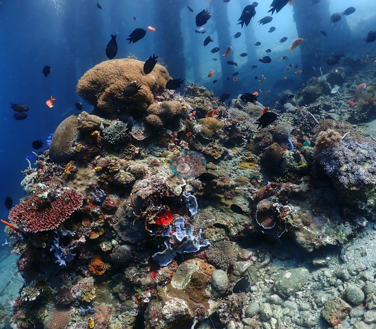
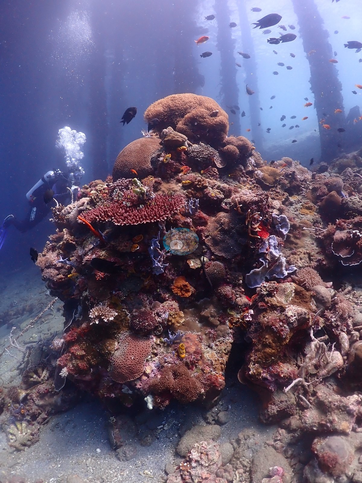
Apparent depth is moderate based on residual color and strobe use throughout.
General benthic features
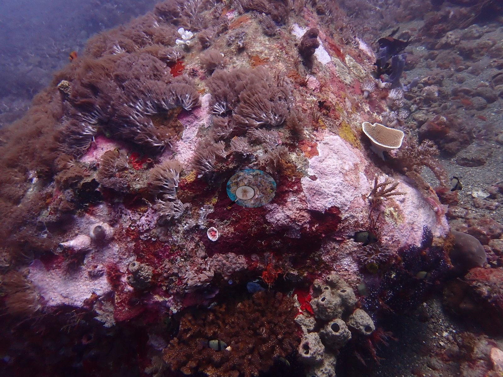
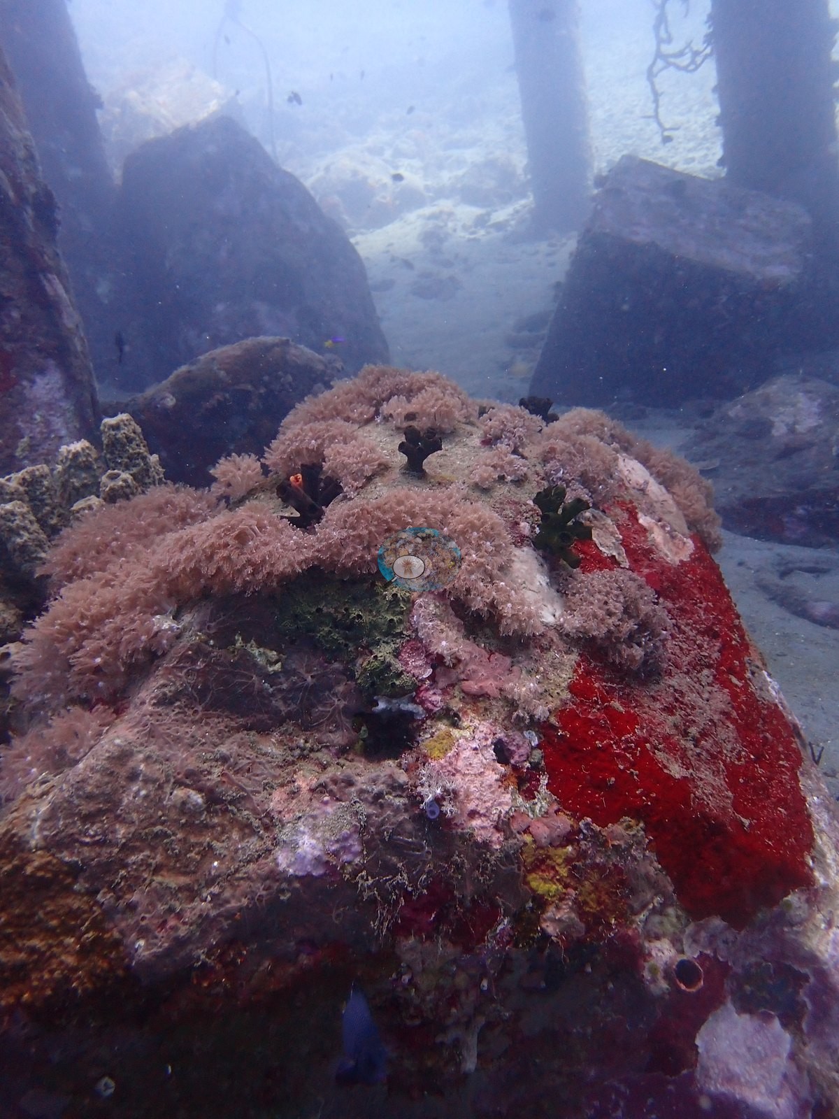
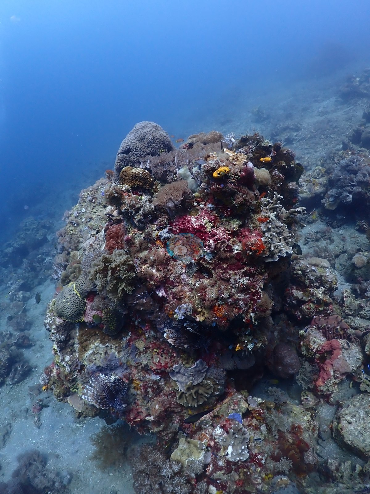
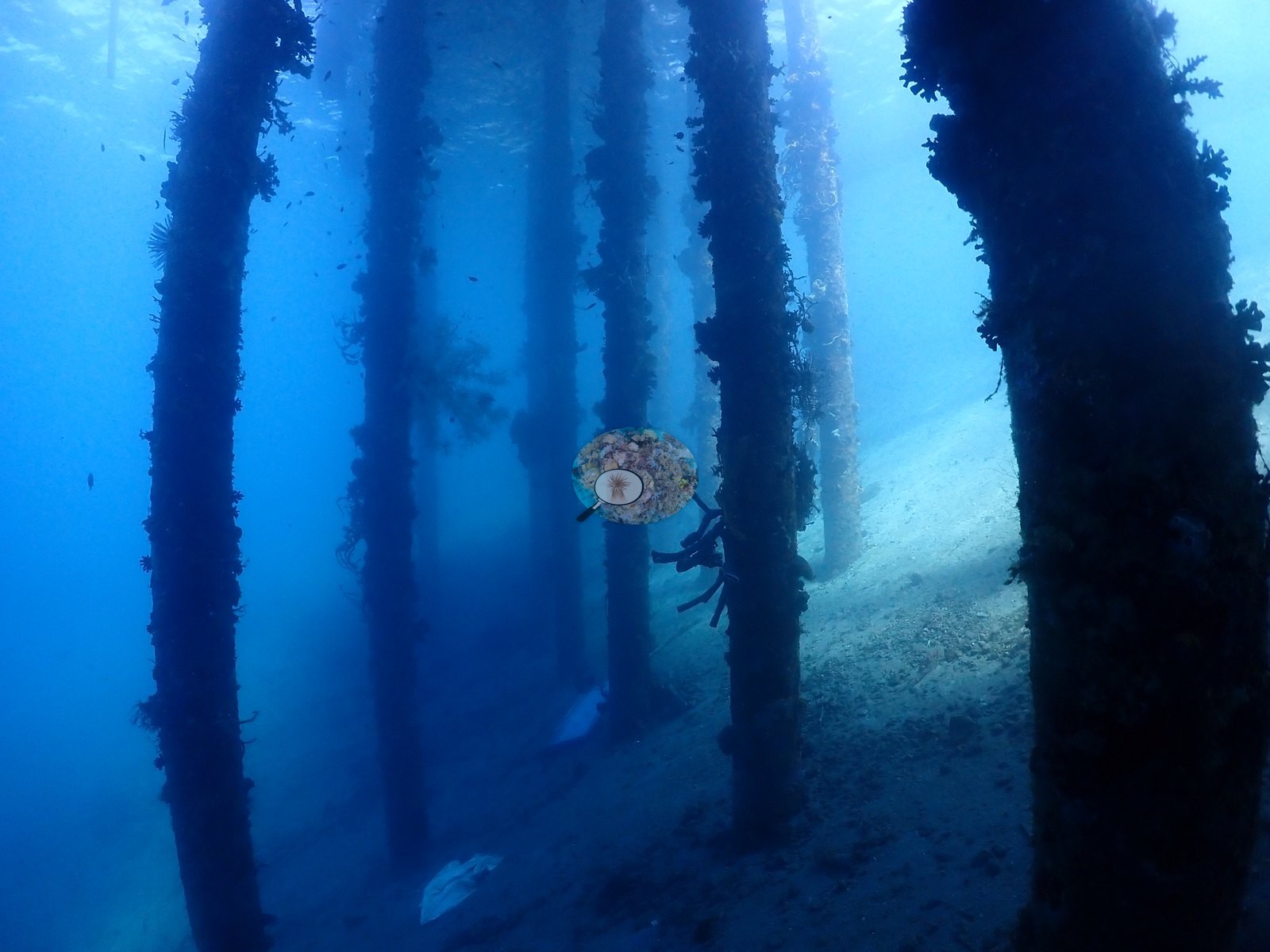
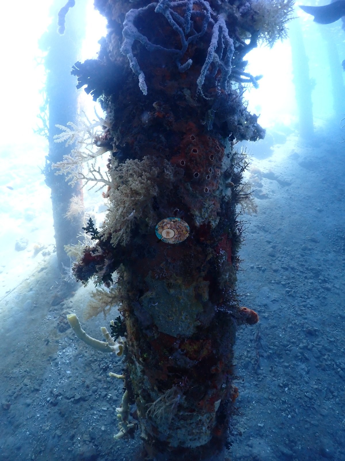
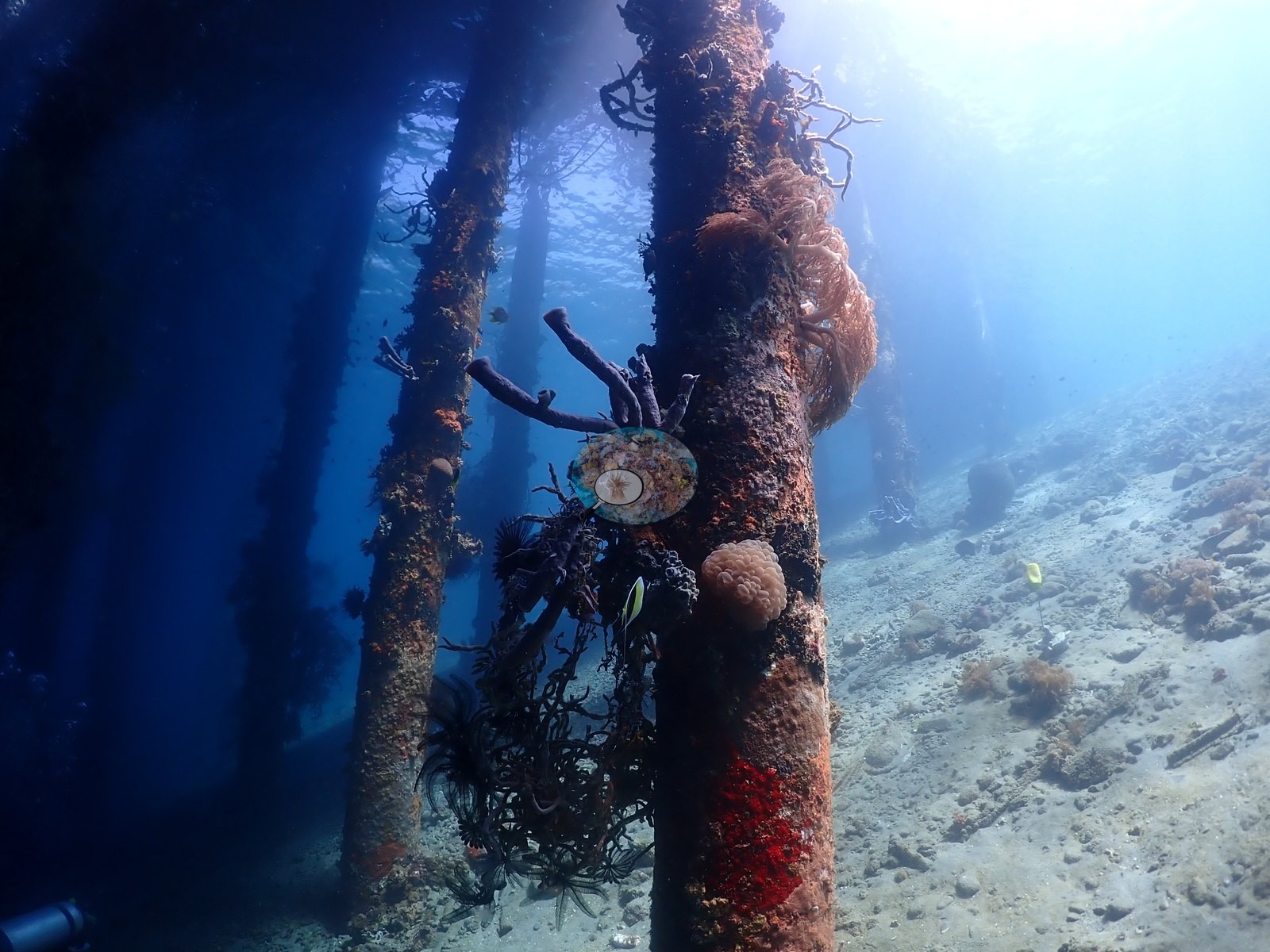
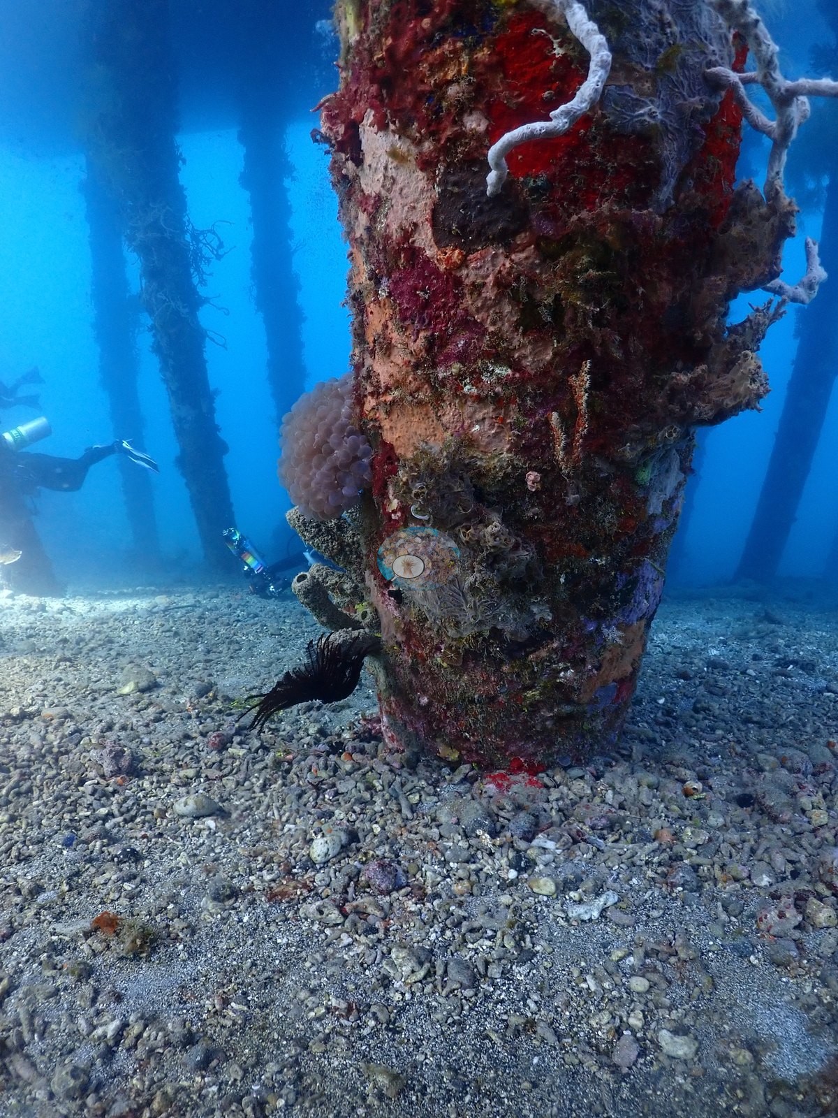
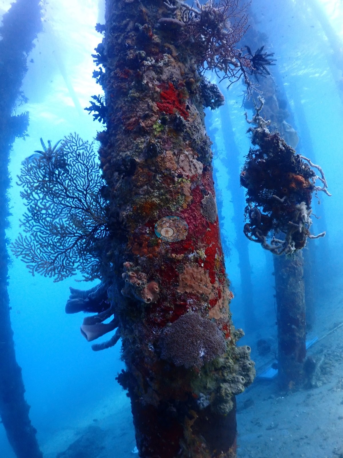
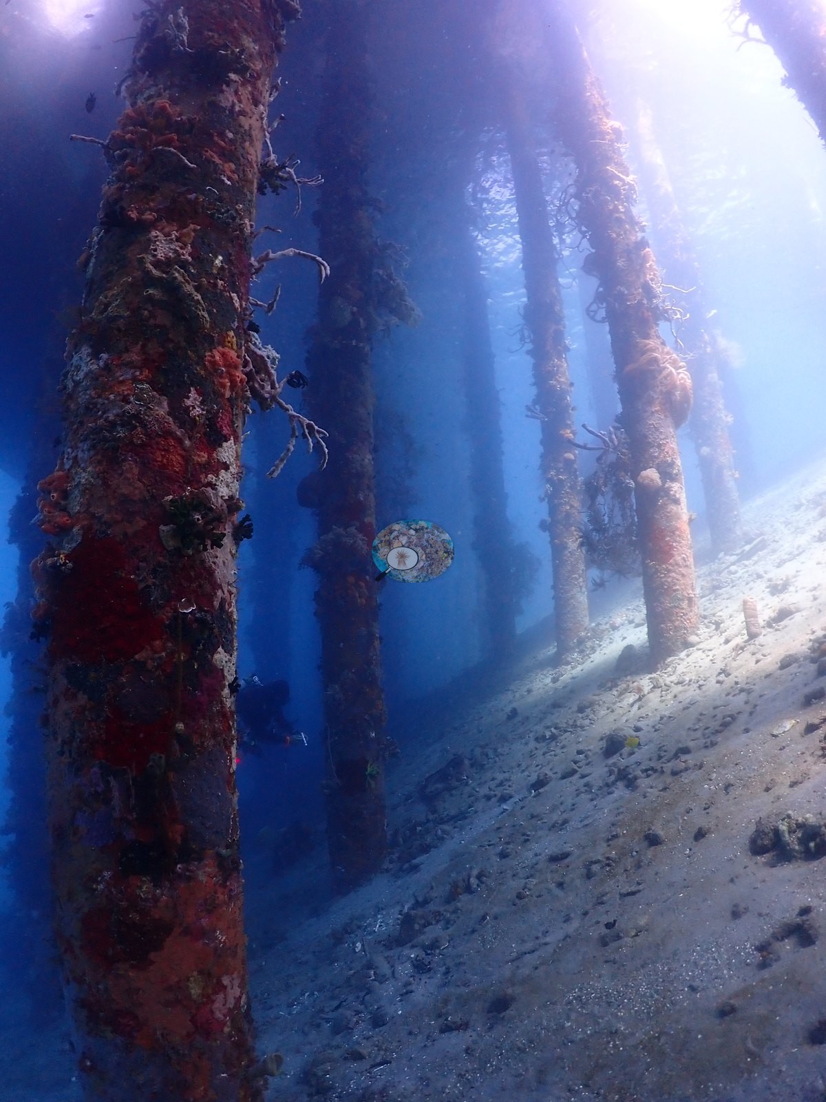
Two frames show the pilings themselves, encrusted top to bottom in orange, red, and cream tube/encrusting sponges, with a black bushy growth (consistent with black coral, Antipatharia), a translucent lavender ball-cluster of eggs or a colonial ascidian, a delicate white gorgonian sea fan hanging below one crossbeam, and a diver with a slate/pointer working the structure; visibility in these frames is workable but hazy/particulate, typical of a silty muck site (e.g., Image 21, Image 27, Image 46, Image 48).
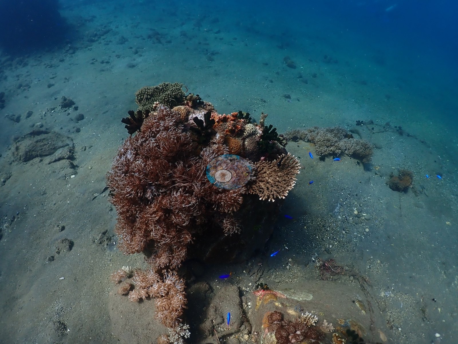
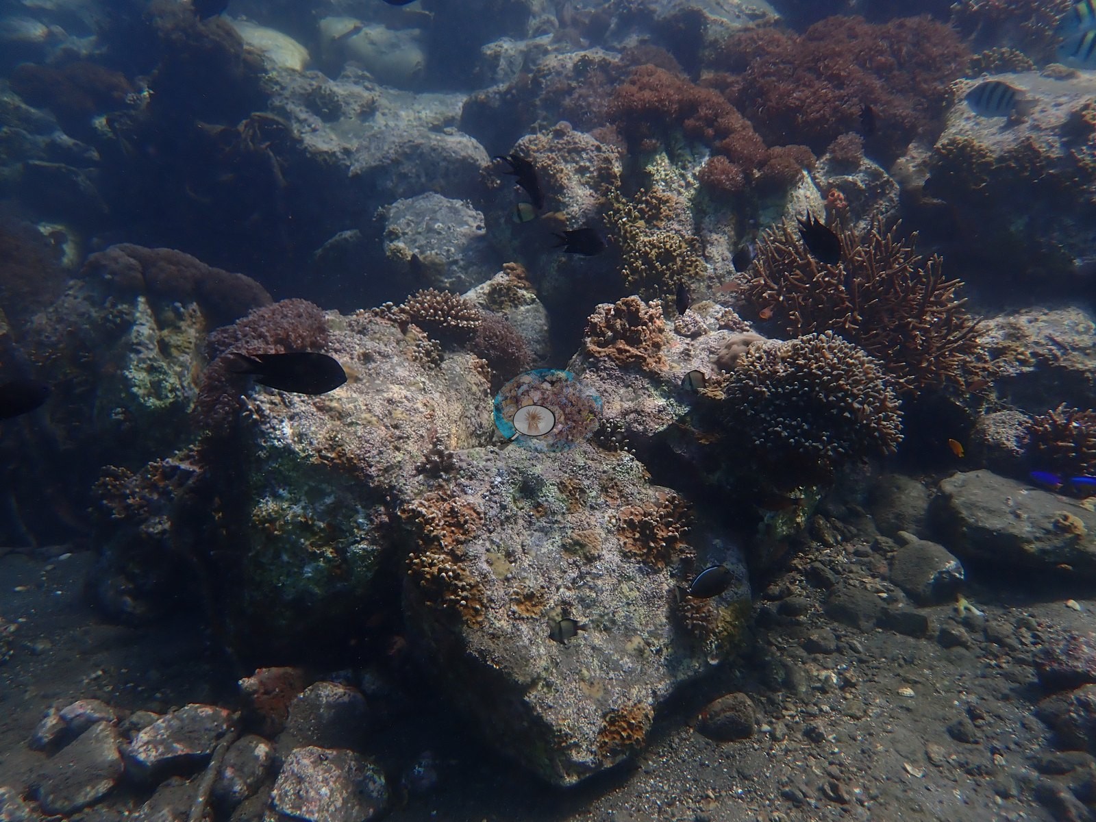
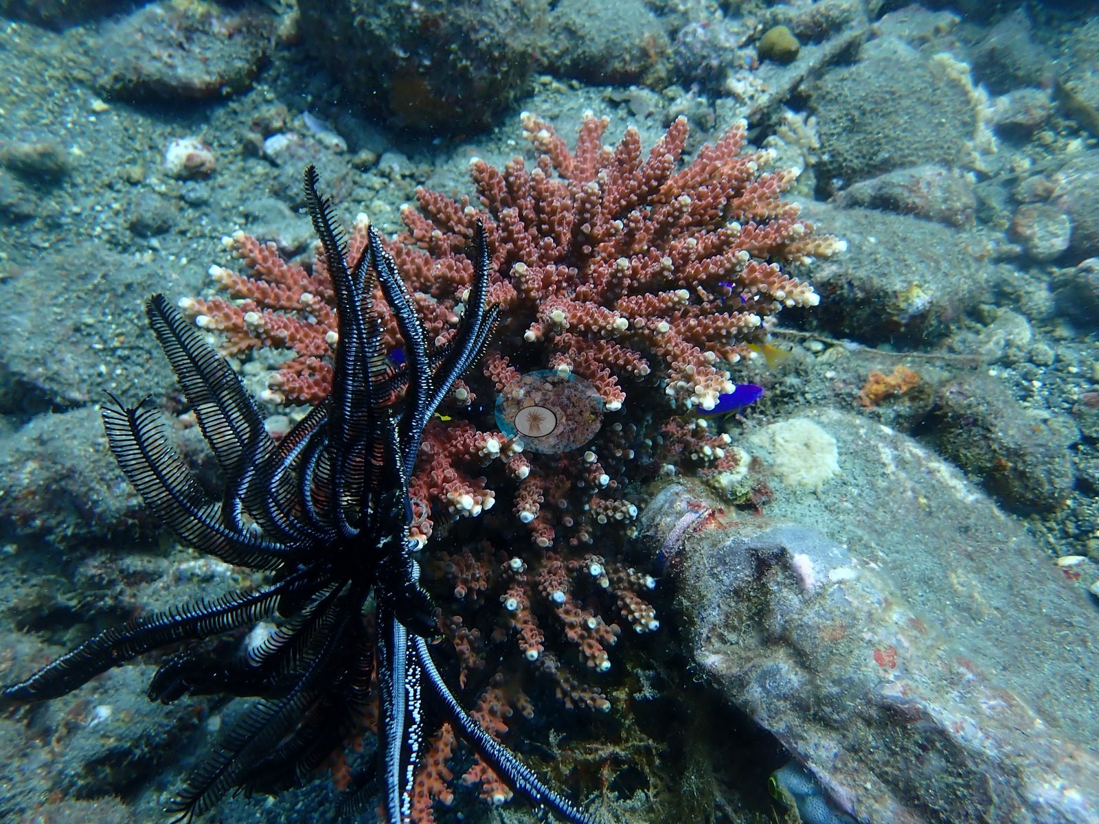
On the sand/rubble bottom between pilings, branching thickets (cf. Acropora) host small blue-and-yellow damselfish, alongside a dense low mound of finger-like beige coral with purple-tipped branches (possibly a diseased or naturally pale Acropora/Seriatopora colony) and a separate low staghorn-type cluster (e.g., Image 13, Image 54).
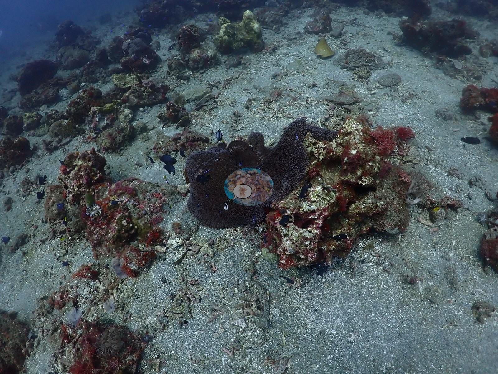
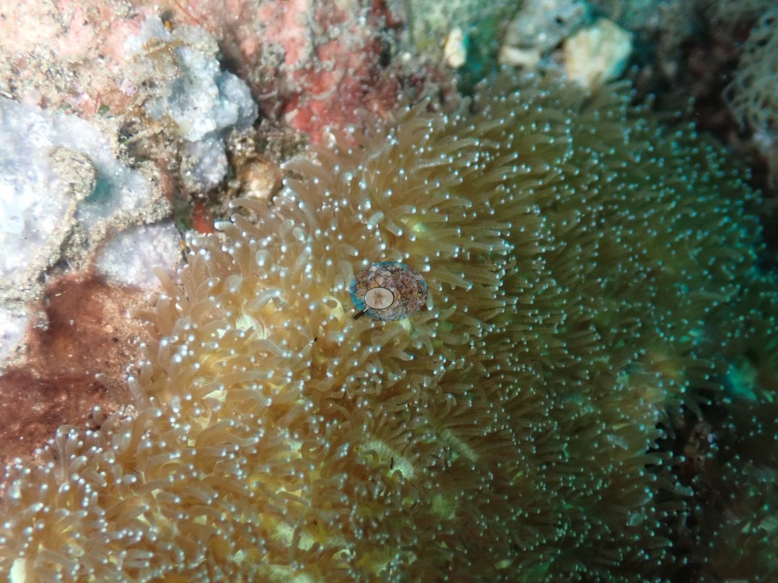
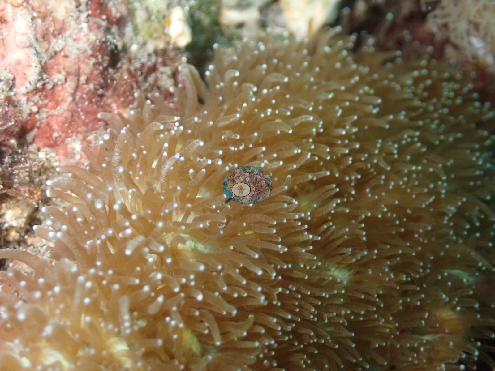
A large soft, leathery anemone with short beige tentacles hosts a pair of small clownfish/anemonefish-type fish.
Coral cover
Coral cover: 7.6% — a blind Claude computer-vision point count of 51 of Anderson's unedited photographs (20 points per photo; water, fish, and obstructions excluded). Other computer-vision methods are listed in the method table.
Stressors
No overt disease, bleaching, or physical damage is visible on any coral colony in this sample; the pale finger-coral cluster is worth a second look (see flags).
Fish and other fauna
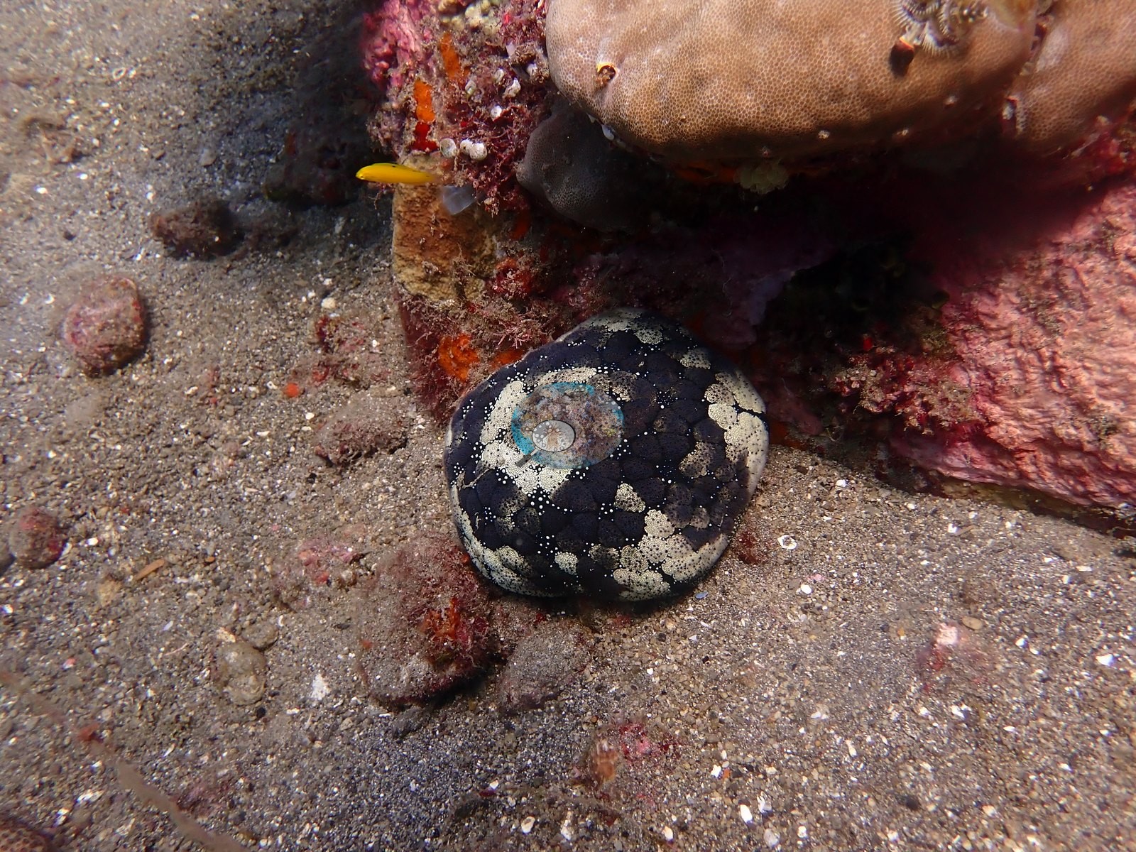
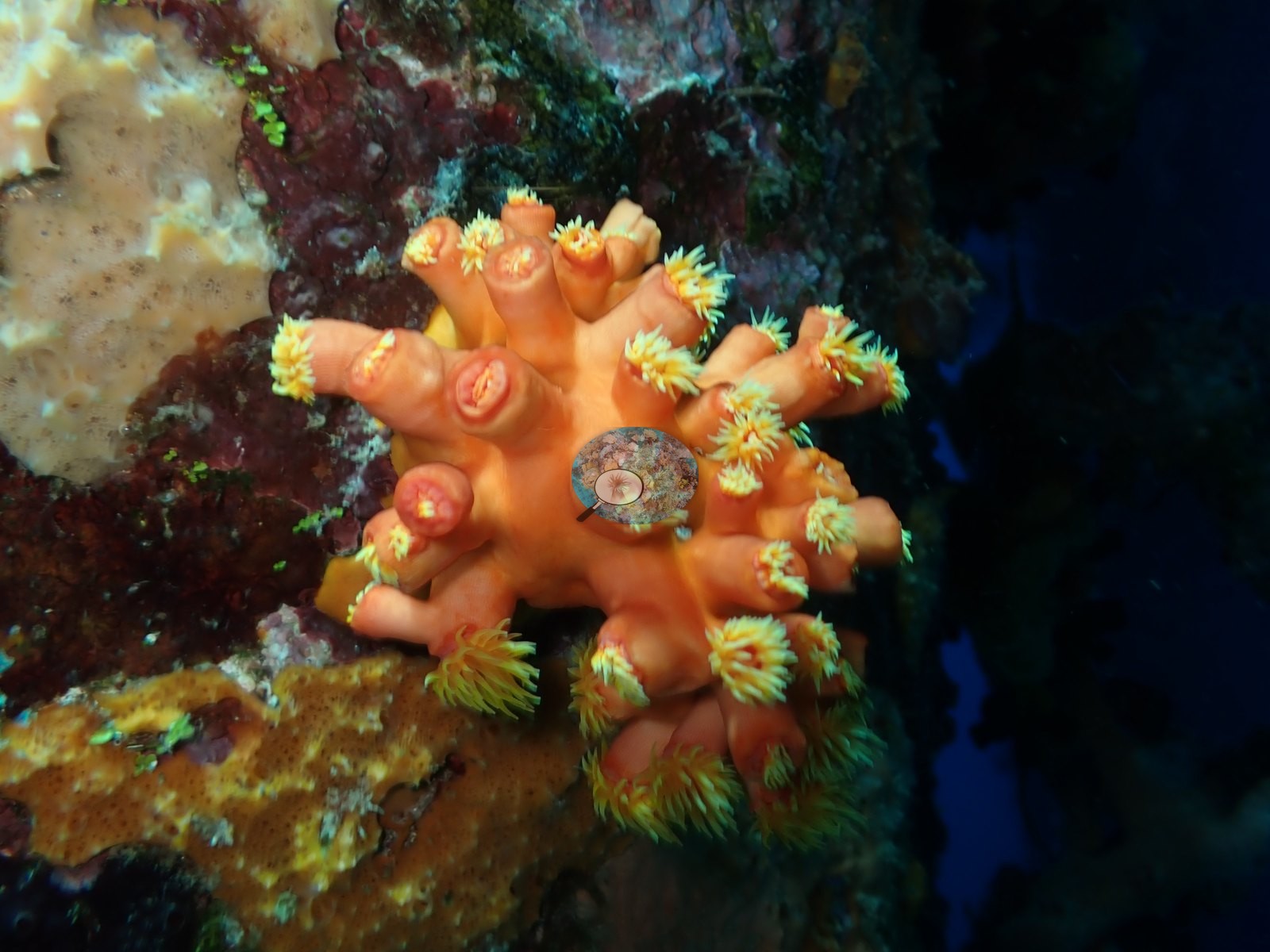
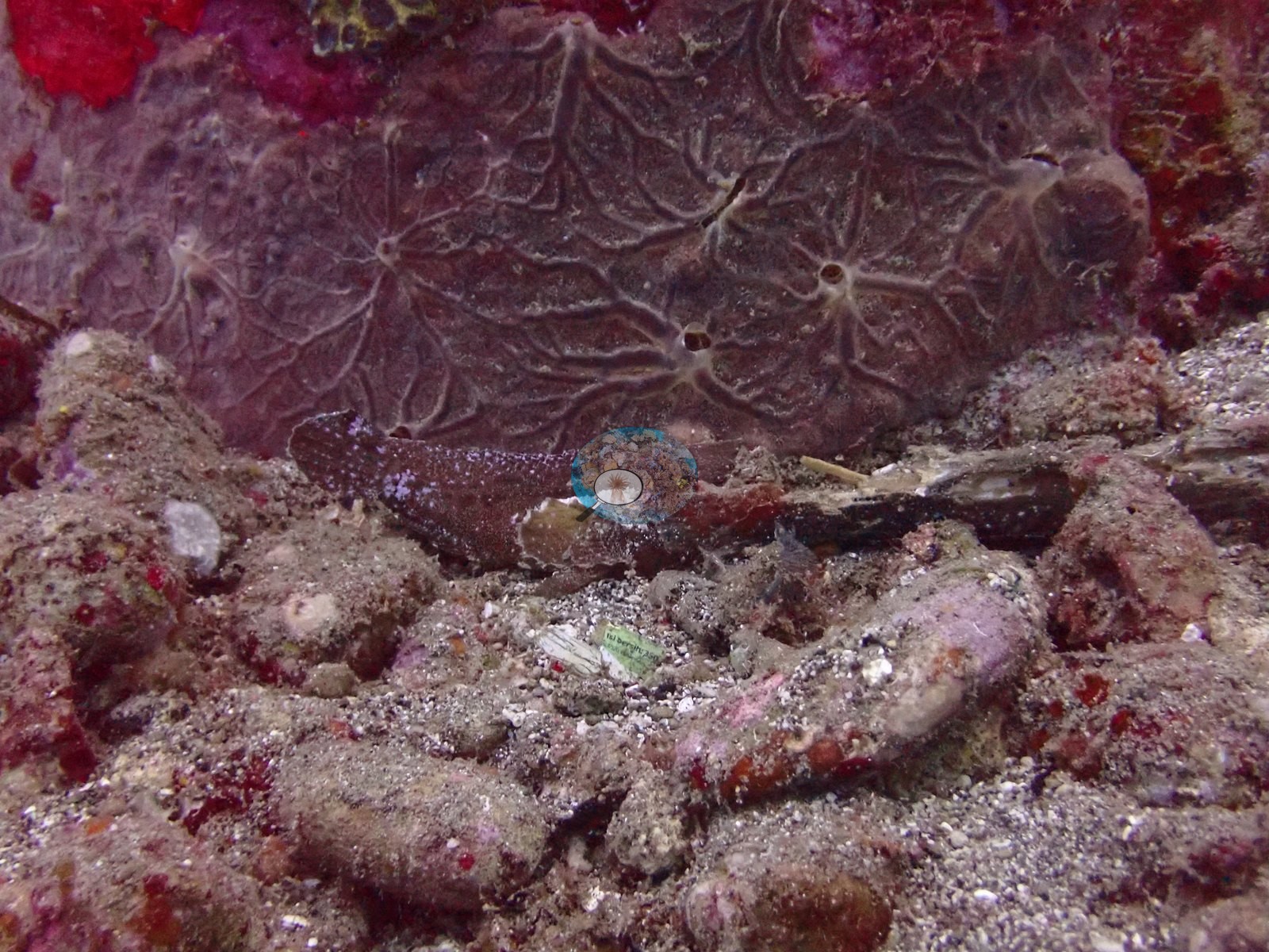
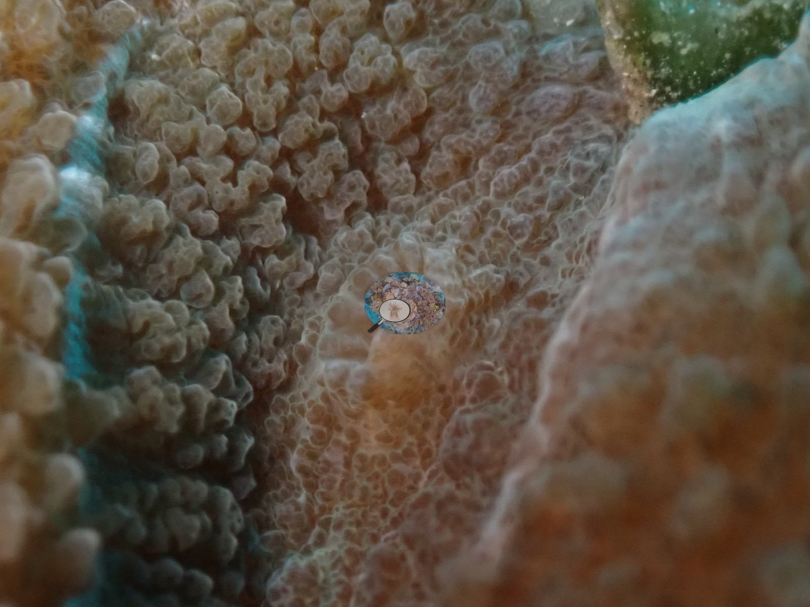
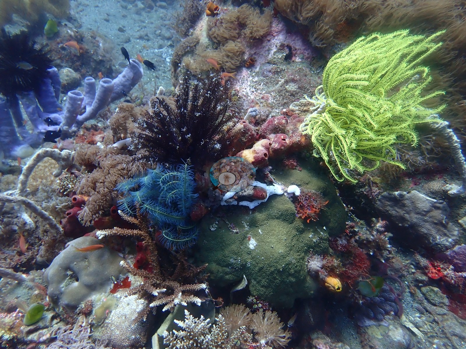
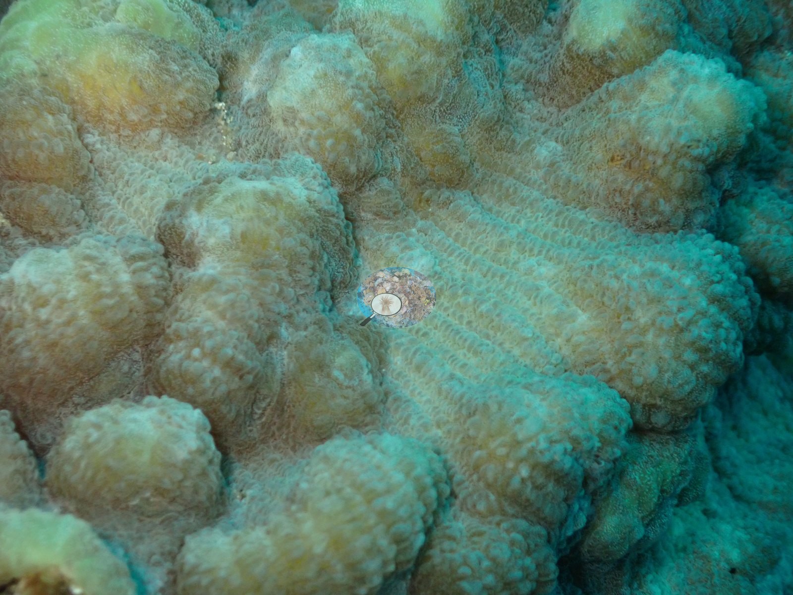
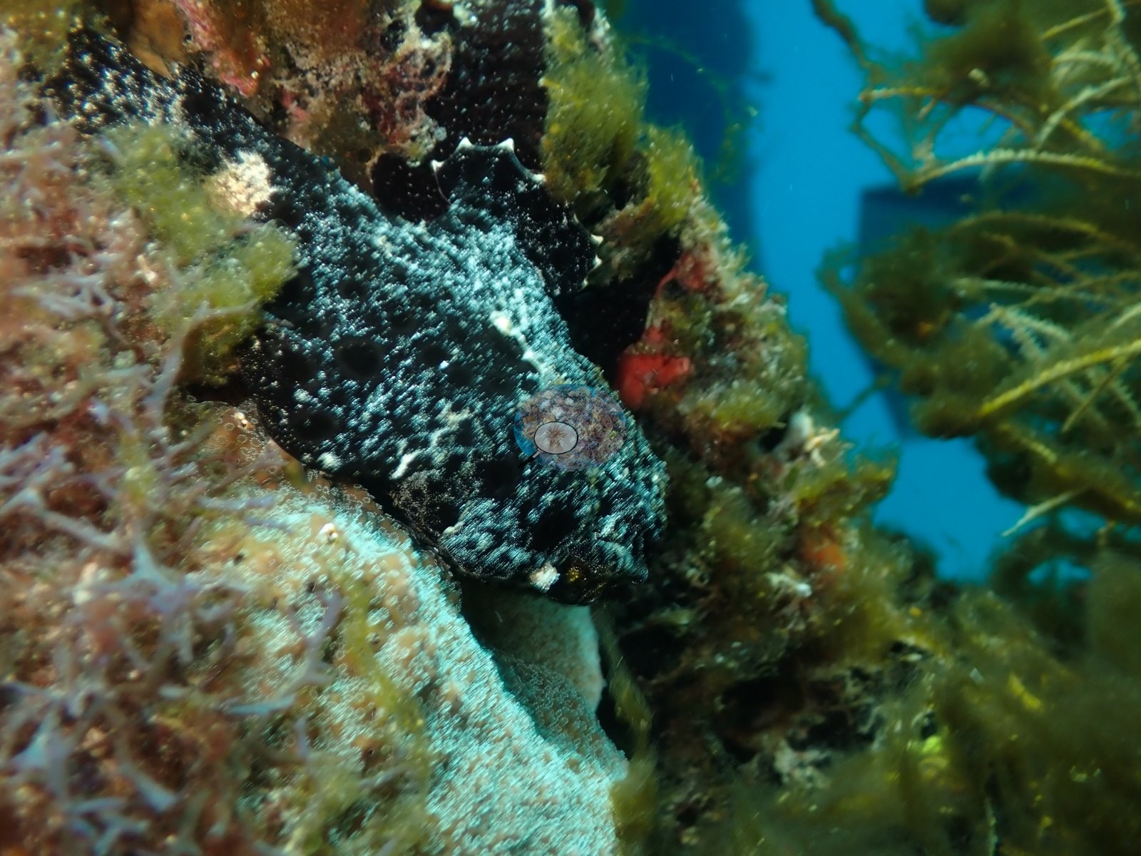
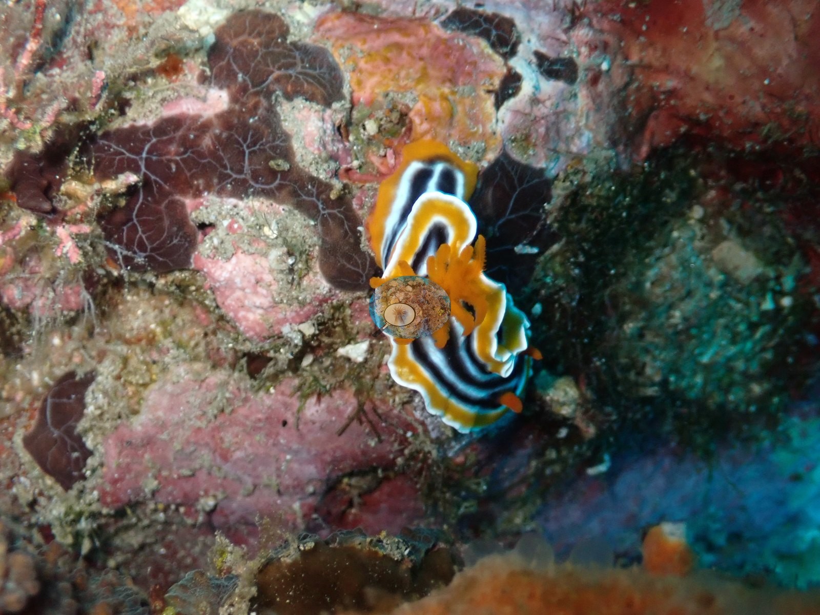
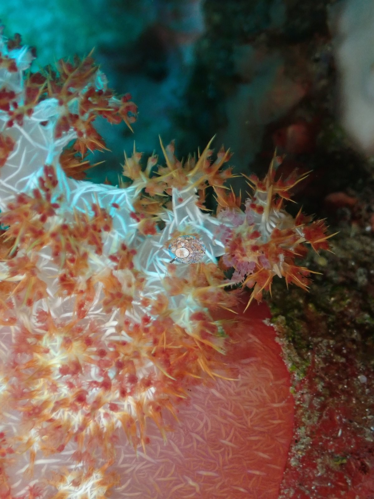
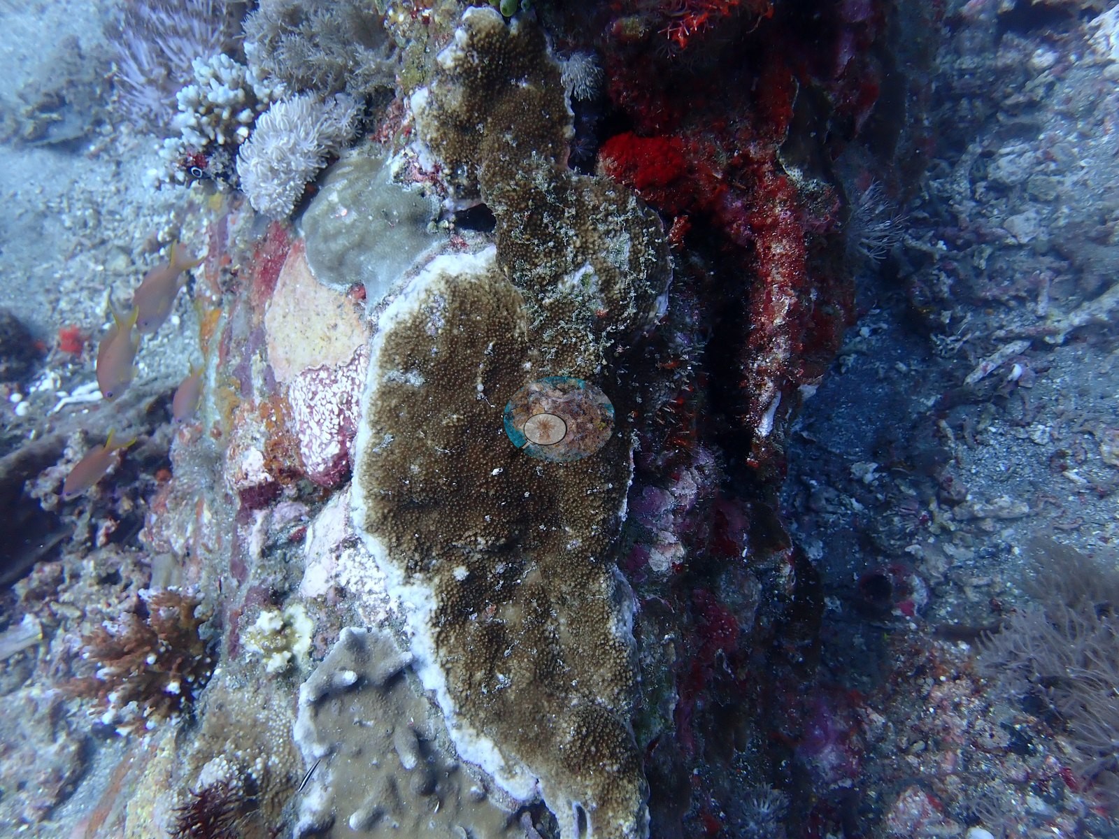
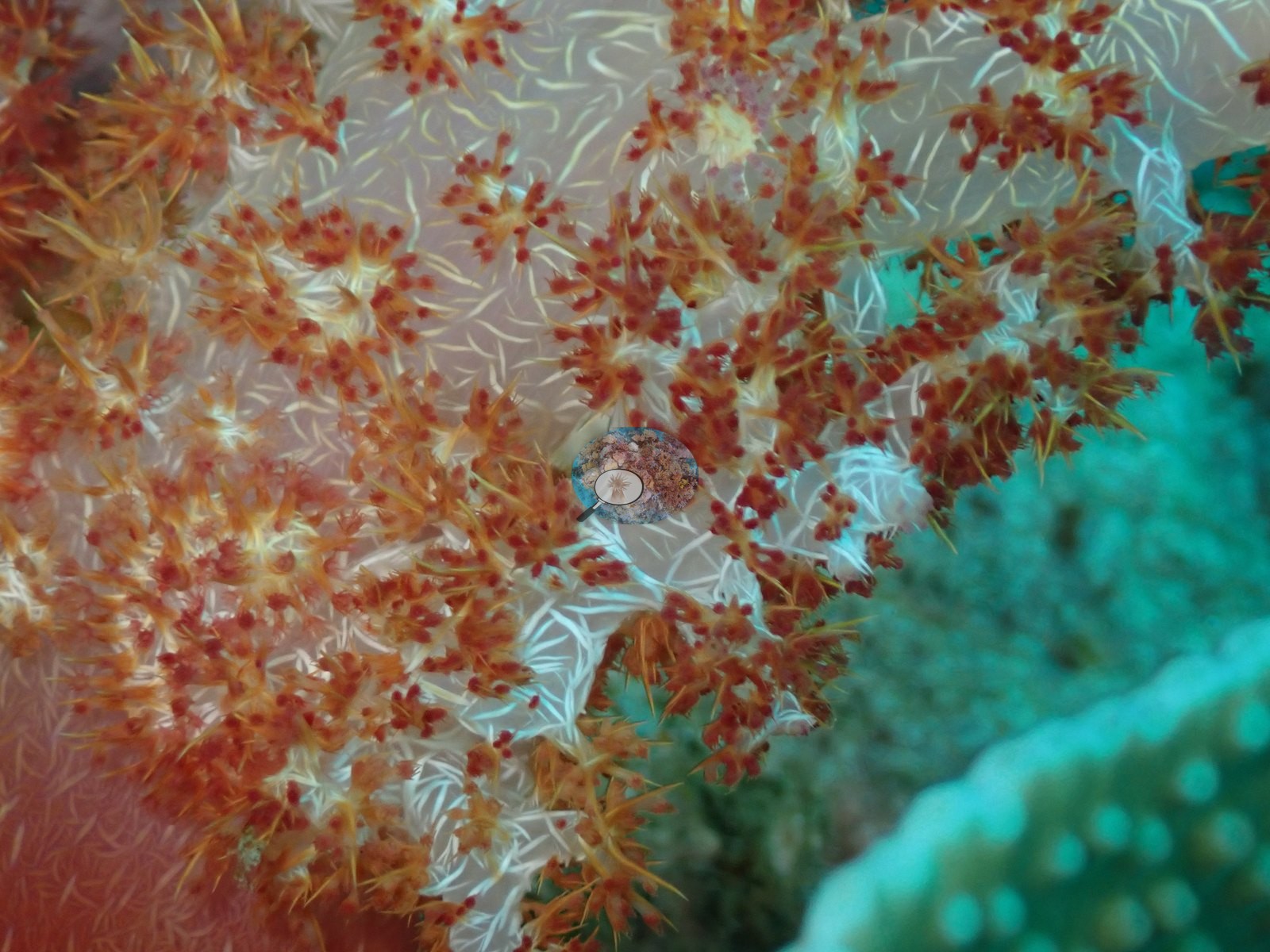
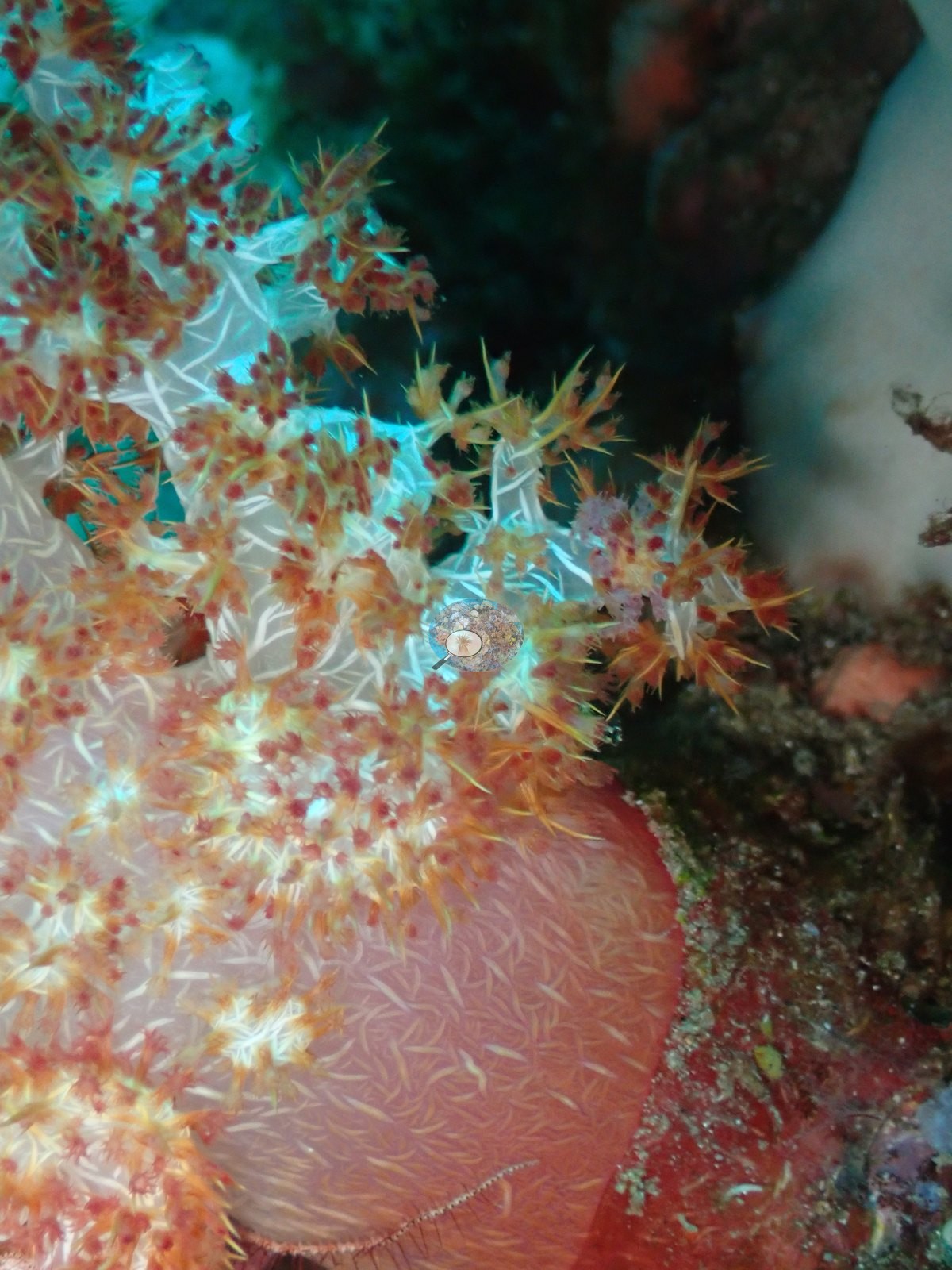
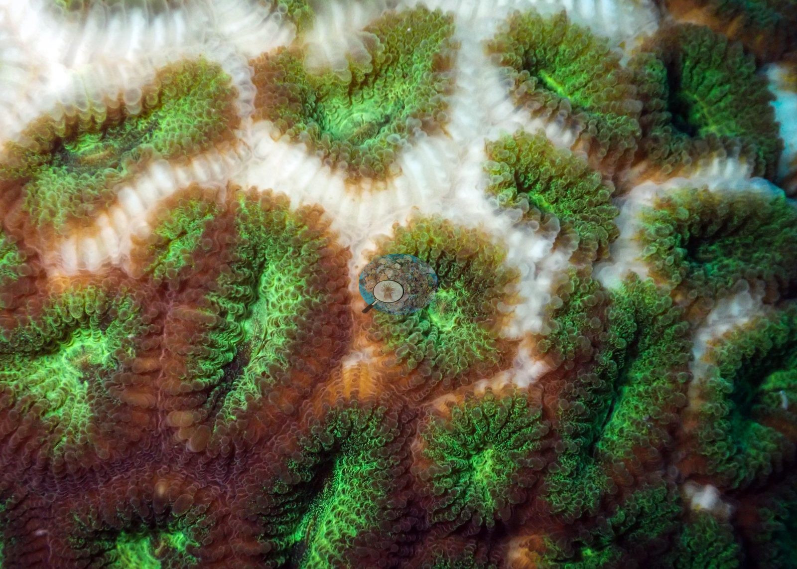
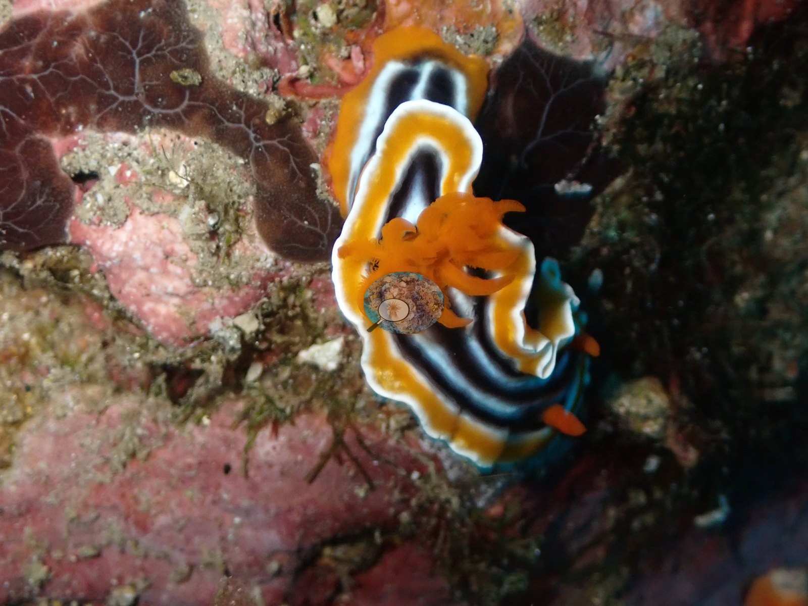
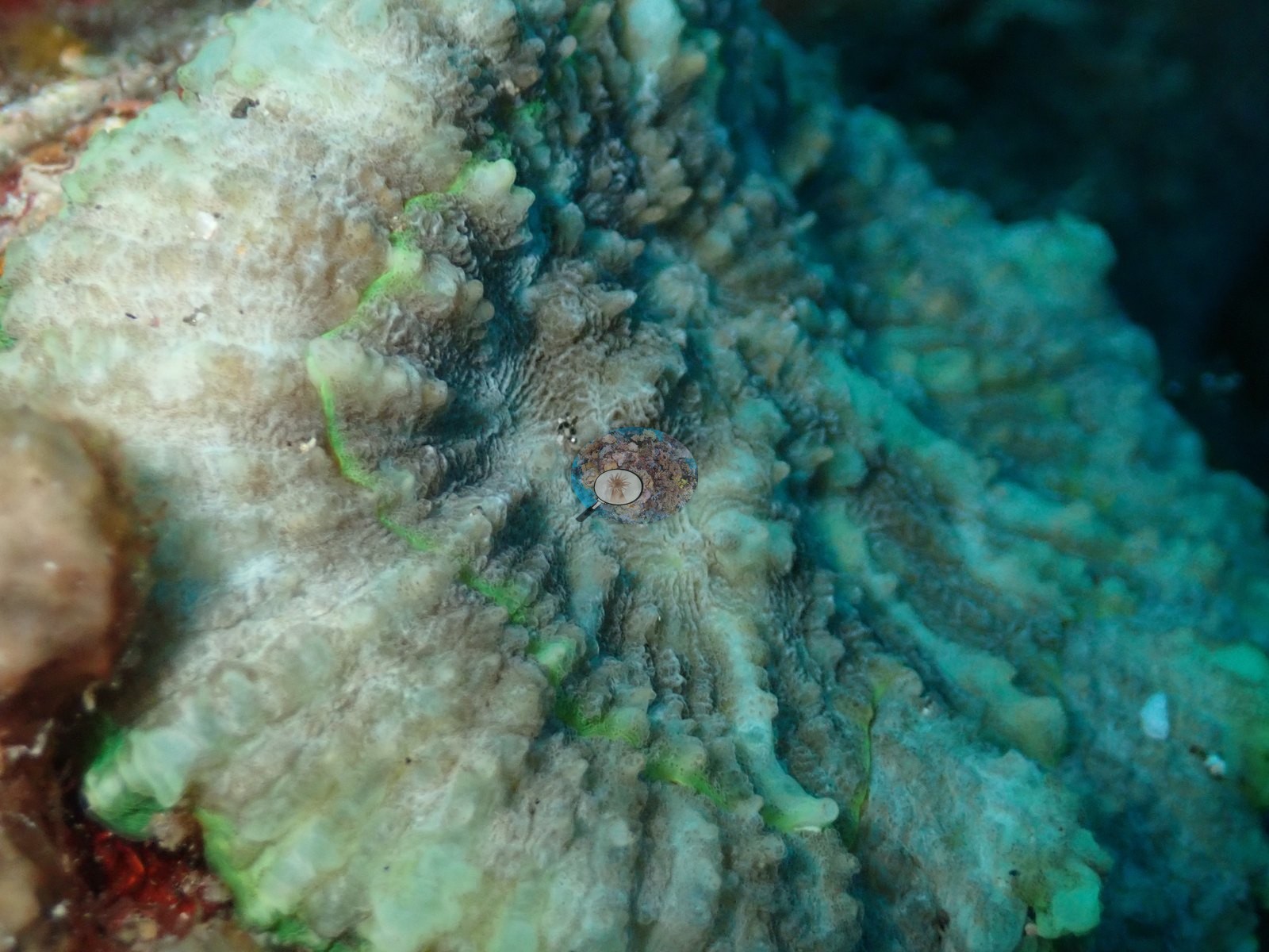
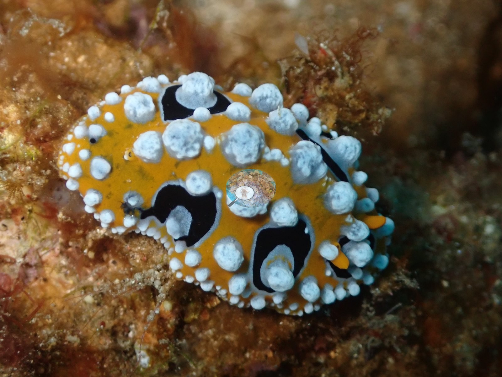
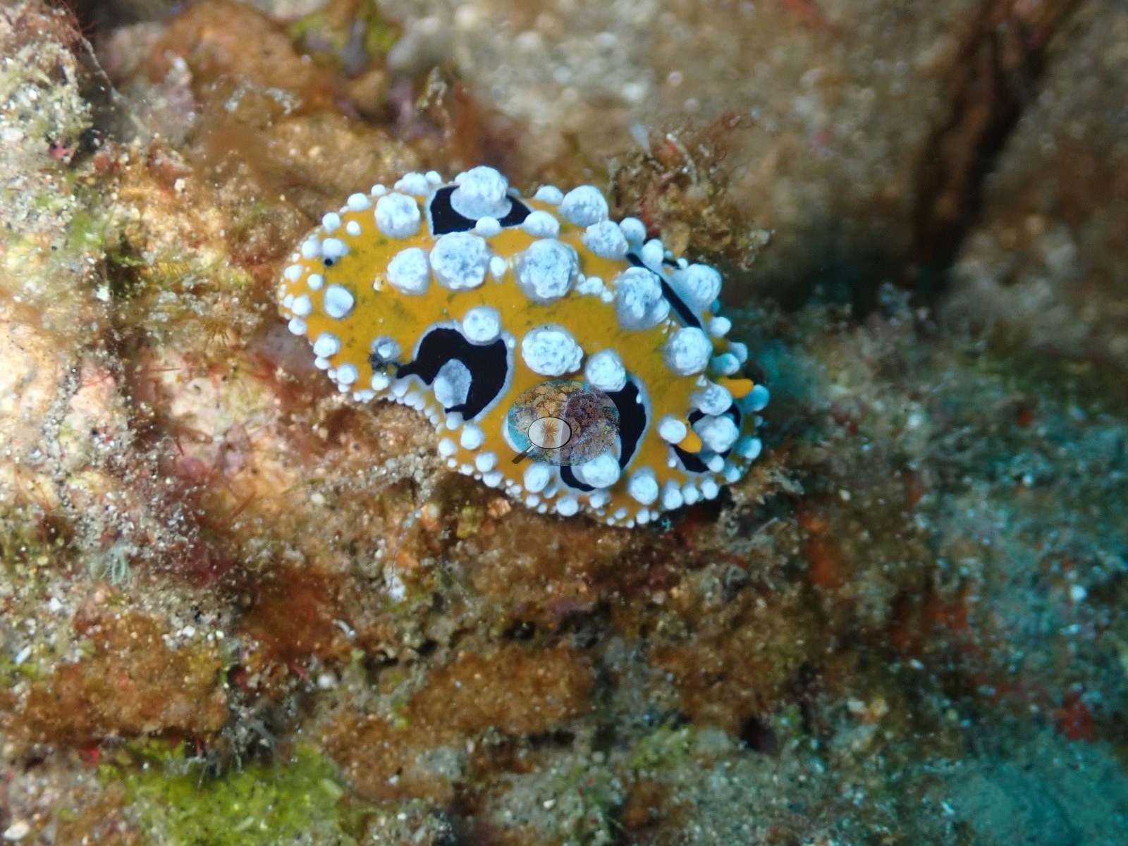
Close macro frames show: a spectacular Chromodoris-type nudibranch (black body, orange-rimmed white-and-black banded mantle, orange gill plume) on pink encrusting sponge/coralline rock; a burrowing/feather-duster-type tube anemone with pale tentacles fringed in maroon dots around a dark mouth; a colorful anemone shrimp (red-and-white banded) clinging to a burrowing cerianthid's tube alongside pale green branching coral tips; a dark, elongated sea cucumber lying across rubble next to a small green dive-slip tag on the sand (man-made, likely a site/frame label, not litter); and two macro shots of massive faviid/brain-type coral surface detail, one closeup with a distinct grass-green polyp coloration and the other pale cream-green with visible septal ridges, neither showing bleached white tissue or lesions (e.g., Image 2, Image 20, Image 38).
Comparisons with other data
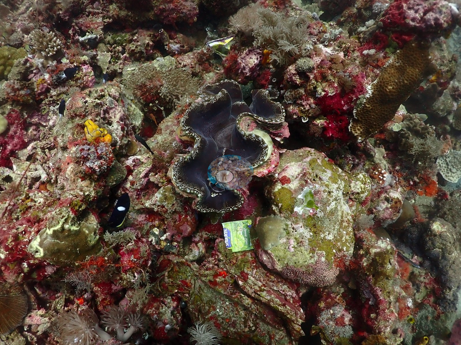
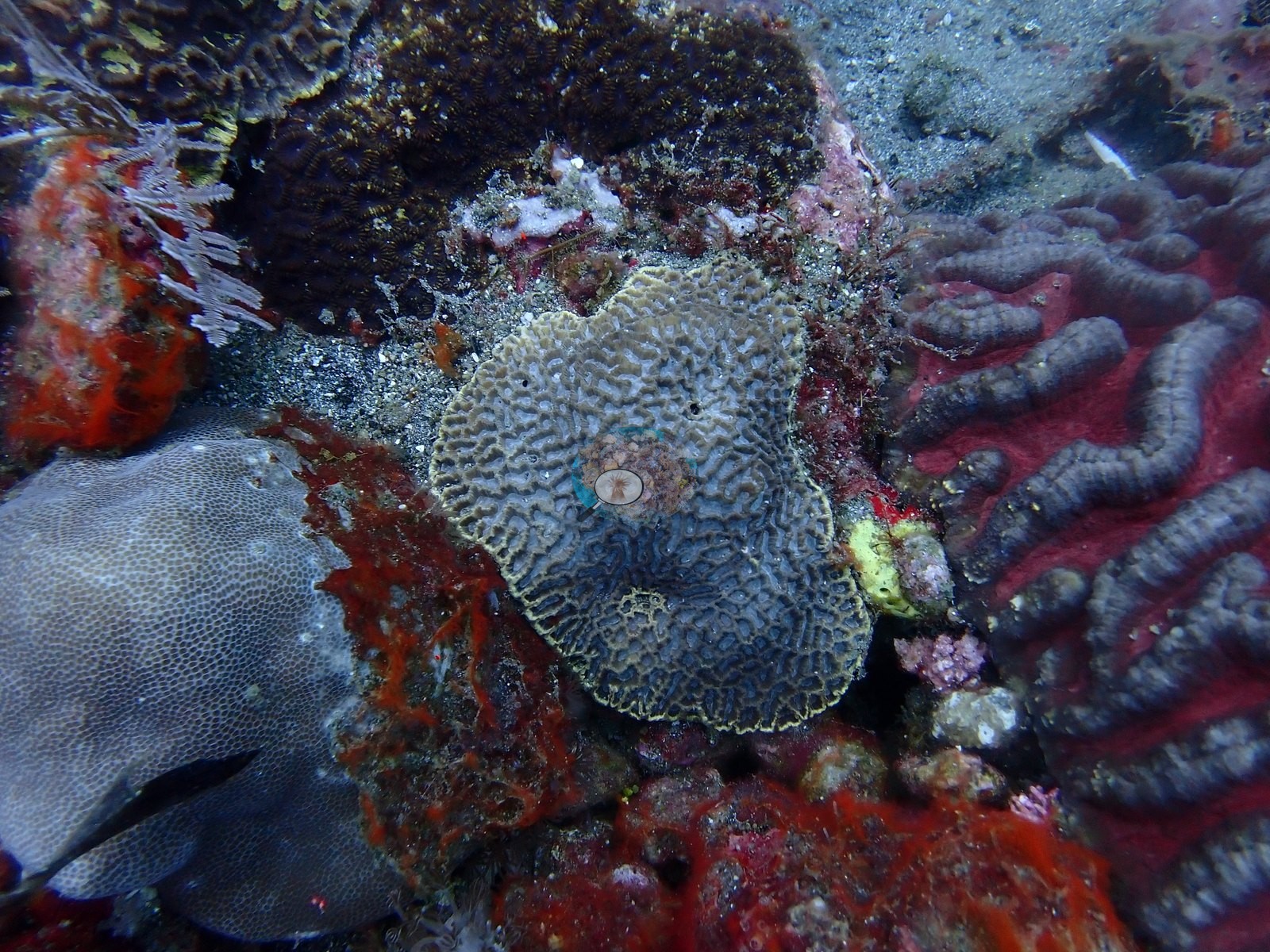
Also on record for this site: Scattered hard corals included branching Acropora, massive Porites, fungiids, merulinid brain corals, and large-polyp forms compatible with Euphyllia/Physogyra (e.g., Image 39, Image 50, Image 53).
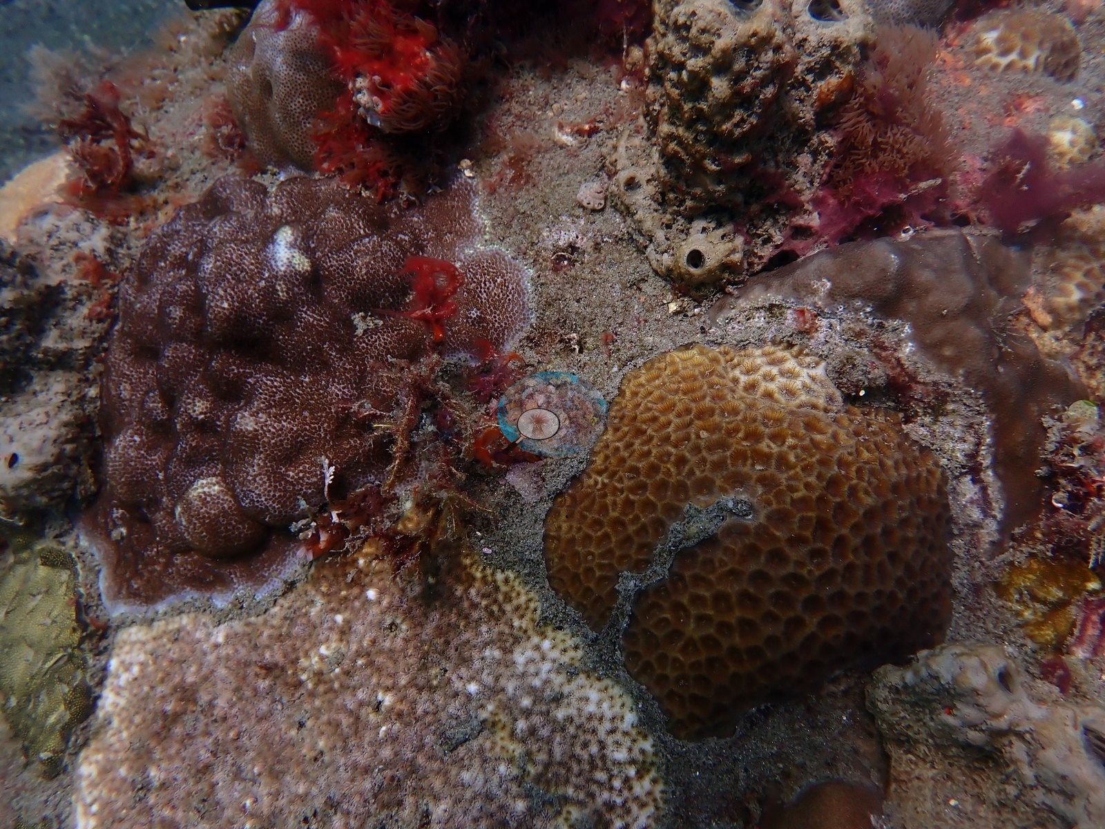
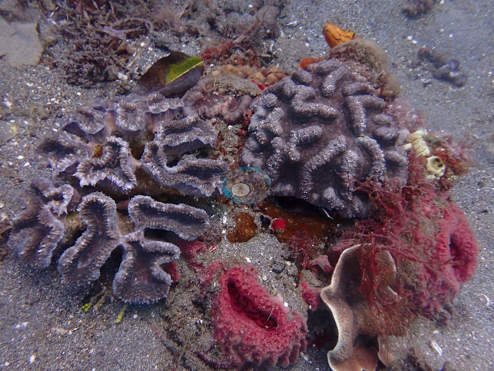
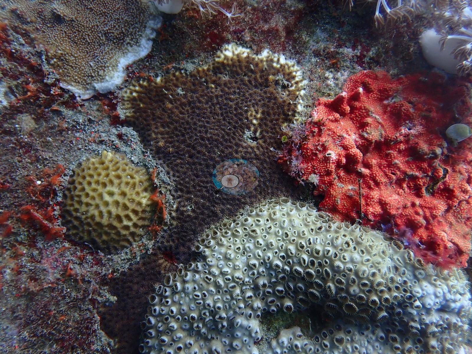
The pilings were heavily colonized by orange, red, and blue sponges, hydroids, crinoids, and soft corals, creating vertical habitat above sand and rubble (e.g., Image 23).
Macro subjects included conspicuous chromodorid and phyllidiid nudibranchs, among them a Phyllidia varicosa-type form, plus anemones and small cryptic fishes (e.g., Image 17, Image 33, Image 35).
CV model comparison
More info
DINOv3 and CoralSCOP were run on the same photos and are listed for comparison. Coralscapes v2 and v1 were also run but are not shown: Anderson does not consider Coralscapes reliable for these photos. No diver transect exists for this trip, so agreement between the rows is not accuracy, and as of September 2026 no computer-vision method estimates coral cover accurately on new images; treat every row as indicative.| Method | Hard-coral cover (%) |
|---|---|
| In-house DINOv3 | 15.8 |
| CoralSCOP unedited | 18.1 |
| Claude | 7.6 |
Independent surveys nearby
Within 5 km, 1 independent survey station recorded hard coral cover in 2014. The most recent nearby survey is from 2014, so these values predate recent heat stress. This site's own estimate (7.6%) sits 15.9 points below the range of these surveys (24%); the methods differ, so the comparison is context, not a like-for-like test.
Collected by other programs using different methods, so these are context for the figures above, not a like-for-like comparison. Where a station was surveyed more than once the range is shown. Station names are not dive-site names.
| Agency | Site / location | Date | Hard coral cover (%) | Distance | Link |
|---|---|---|---|---|---|
| WWF-US / WWF-Indonesia | 5003 | 2014 | 24% (2 surveys) | 3.41 km | Amkieltiela, Abdillah T, Amkieltiela A, Andradi-Brown D, Lazuardi E. 2015. MBD 2014 & 2015. MERMAID |
Data & links
All images from Coral Reef Diagnostics. Data are from Coral Reef Diagnostics and the organizations named in the data-sources table above.
© Coral Reef Diagnostics.