
Alor - Babylon

Part of the regional summary: Indonesia - Alor
2026-08-02
More info
East Nusa Tenggara (NOAA CRW virtual station) · Lesser Sunda ecoregion mean=6.9°C-heating weeks Alor and the Pantar Strait sit in a zone of exceptionally strong upwelling, which holds these reefs several degrees cooler than NOAA’s satellite-derived figures imply. Read the heat-stress numbers here as a regional-scale indication, not as this reef’s own temperature history.An Alor site of wall plus complex coral outcrops separated by sand and rubble, dived on two days that covered different ground. The second dive crossed exceptionally dense branching thickets forming a near-continuous low canopy, while elsewhere barrel sponges, sea fans, soft corals, and anthias fill a patchier reef.
Lokasi di Alor berupa dinding ditambah singkapan karang yang rumit, dipisahkan oleh pasir dan pecahan karang, diselami pada dua hari yang mencakup area berbeda. Penyelaman kedua melintasi rumpun bercabang yang luar biasa rapat hingga membentuk kanopi rendah yang hampir menyambung, sementara di tempat lain spons tong, kipas laut, karang lunak, dan anthias mengisi terumbu yang lebih berbercak.
Terjemahan ringkasan ini oleh AI; versi bahasa Inggris yang berlaku.
Two independent survey stations shown with the program’s logo — click one to see how far it is from this site.
Two other CRD dive sites within 5 km shown in orange — click a marker to open its page.
17 of these 54 photographs are shown beside the text that discusses them under "Site description" below.
Site description
Setting
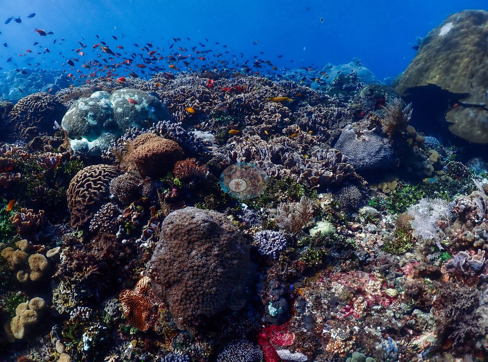
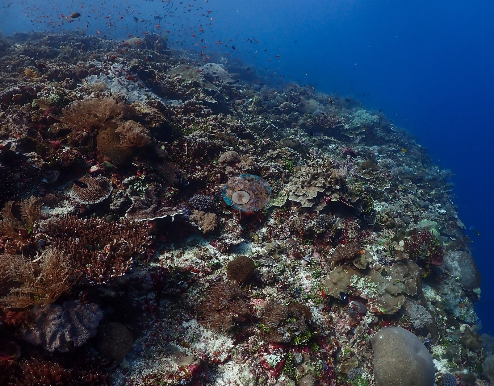
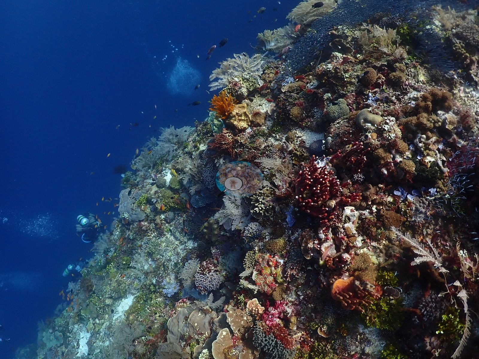
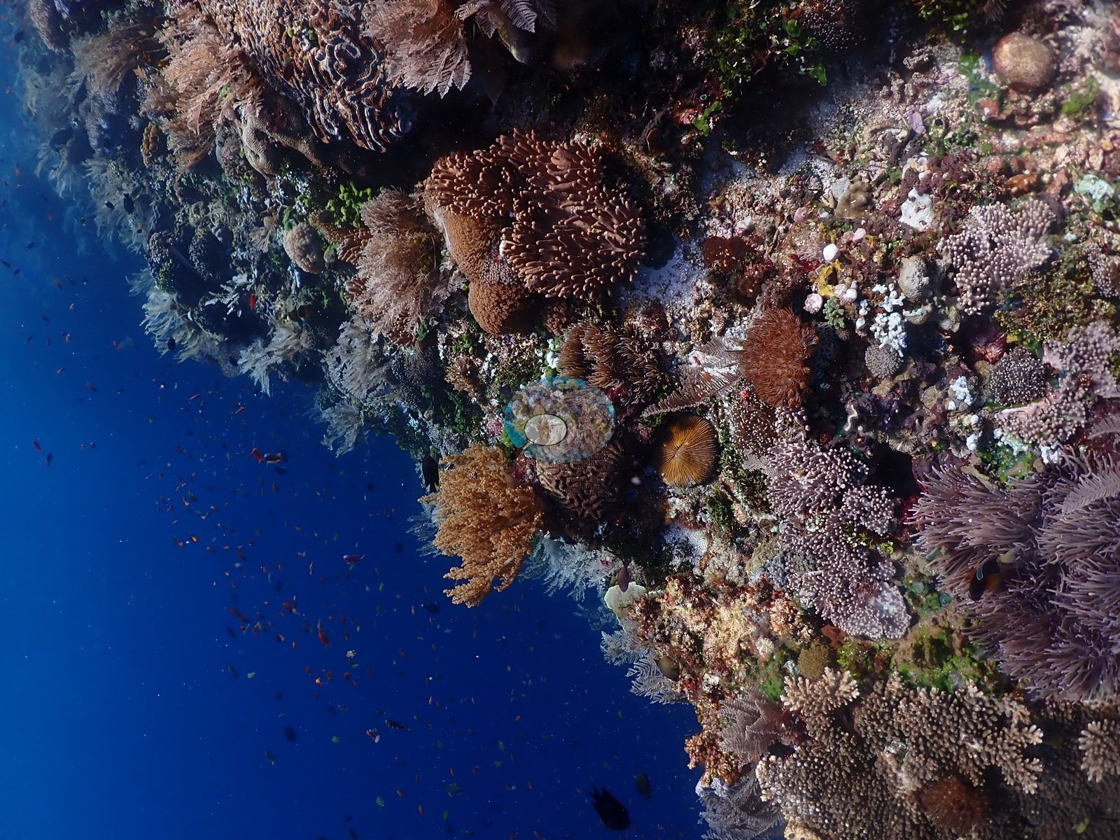
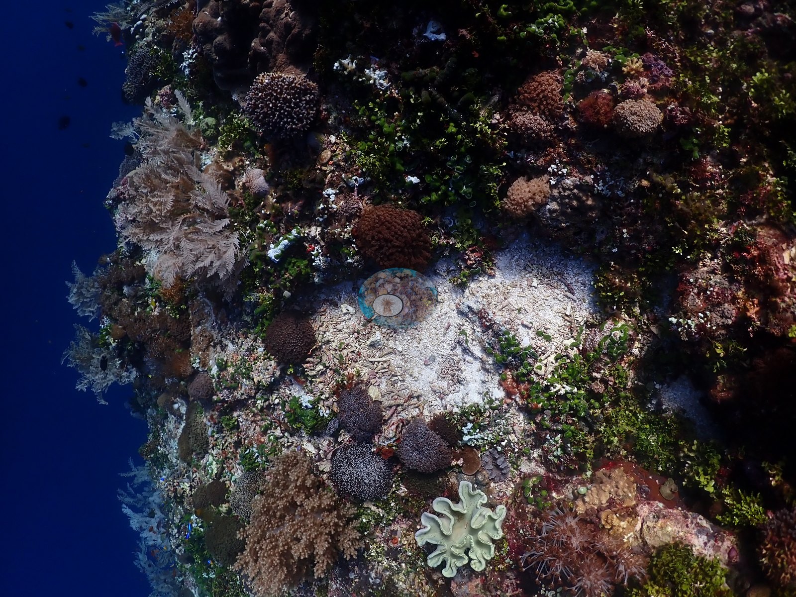
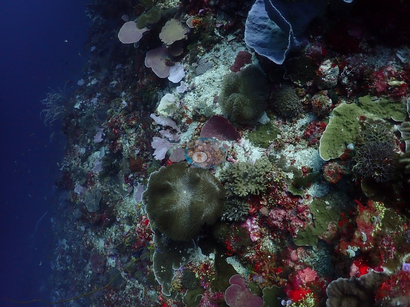
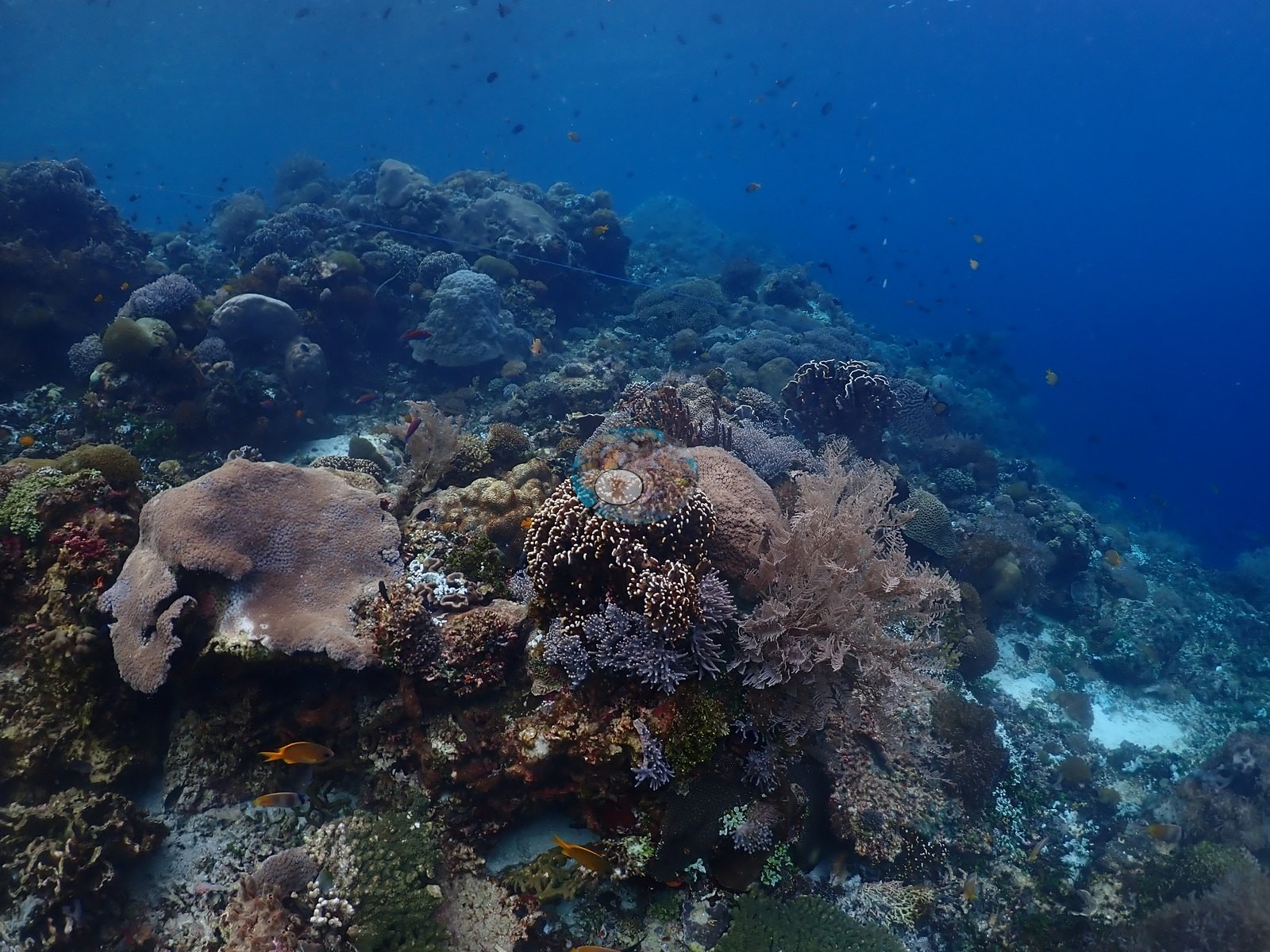
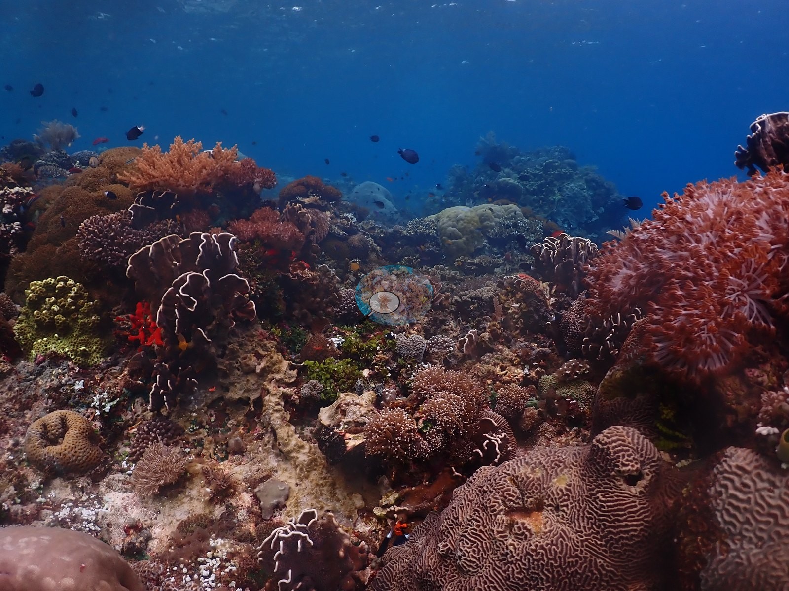
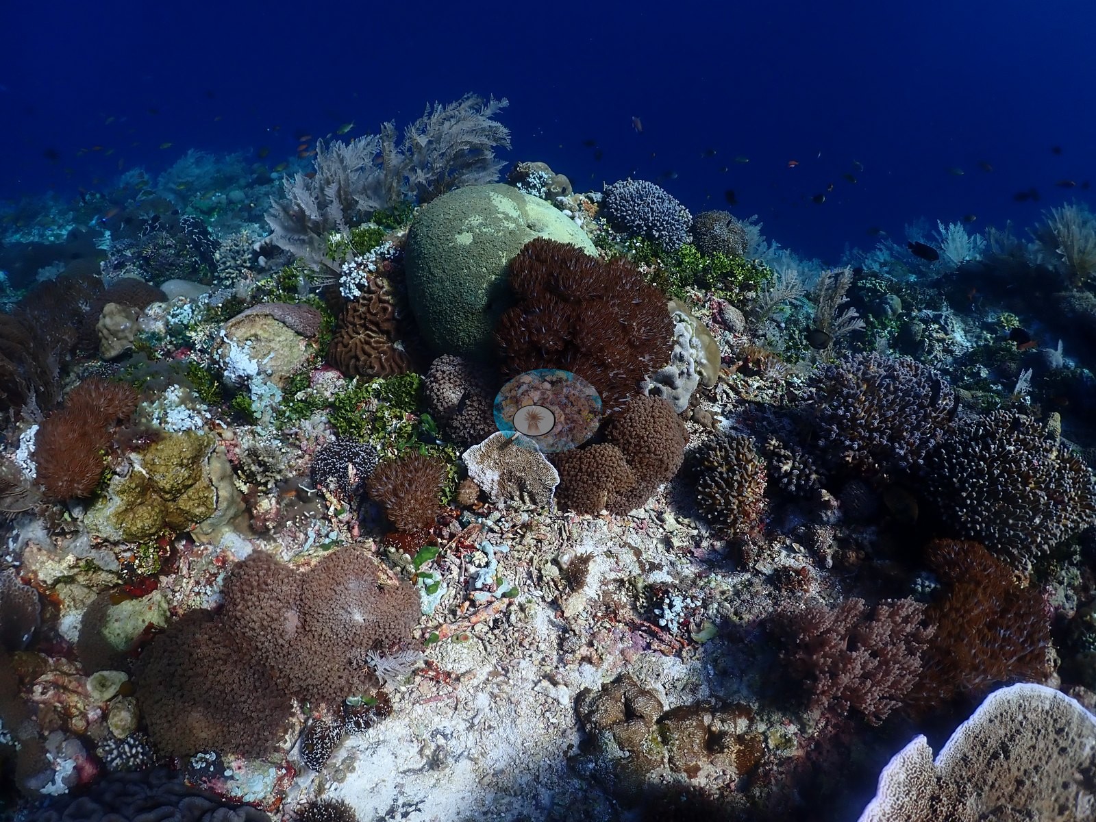
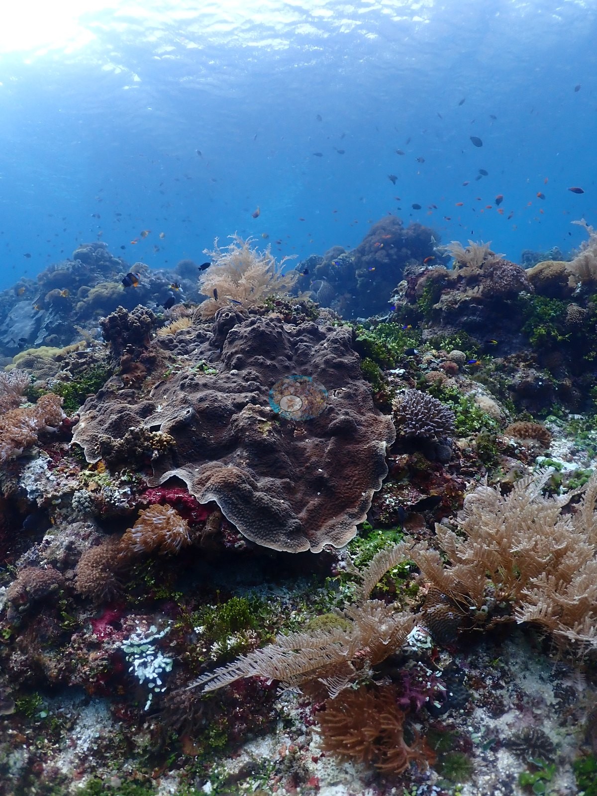
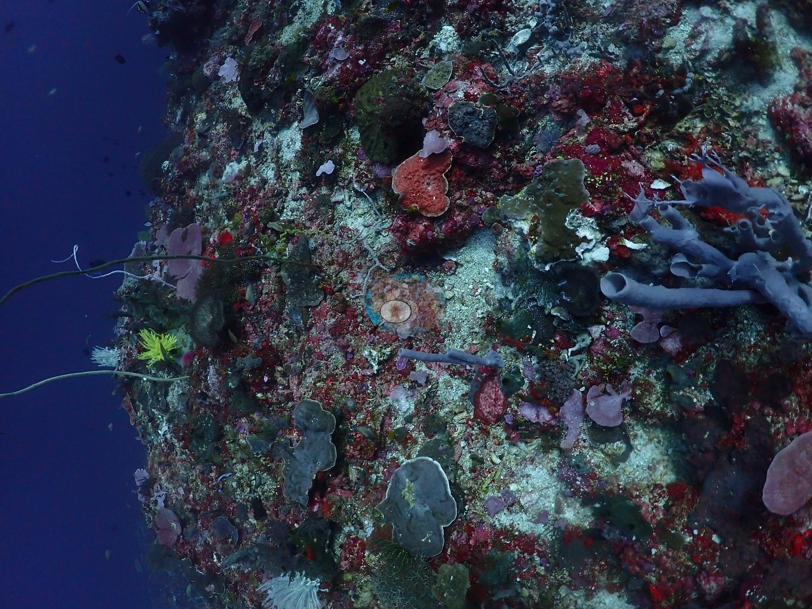
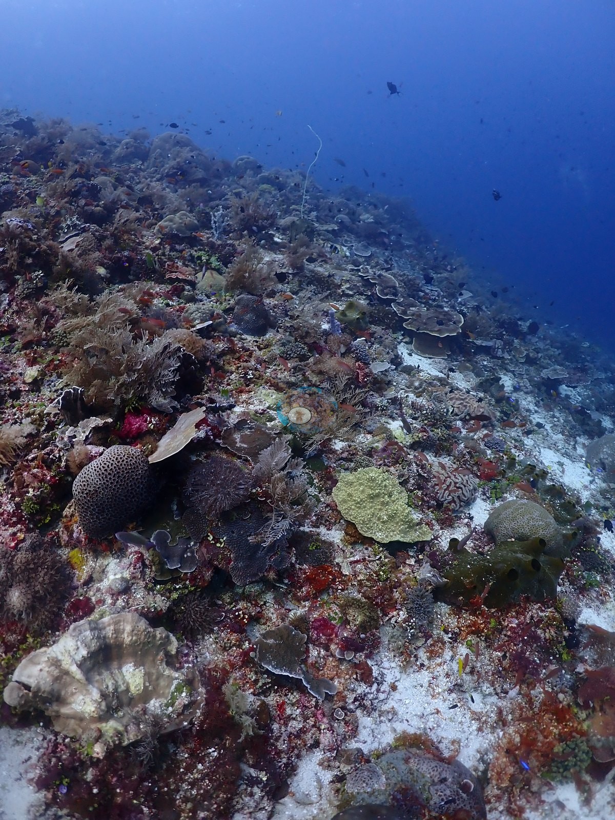
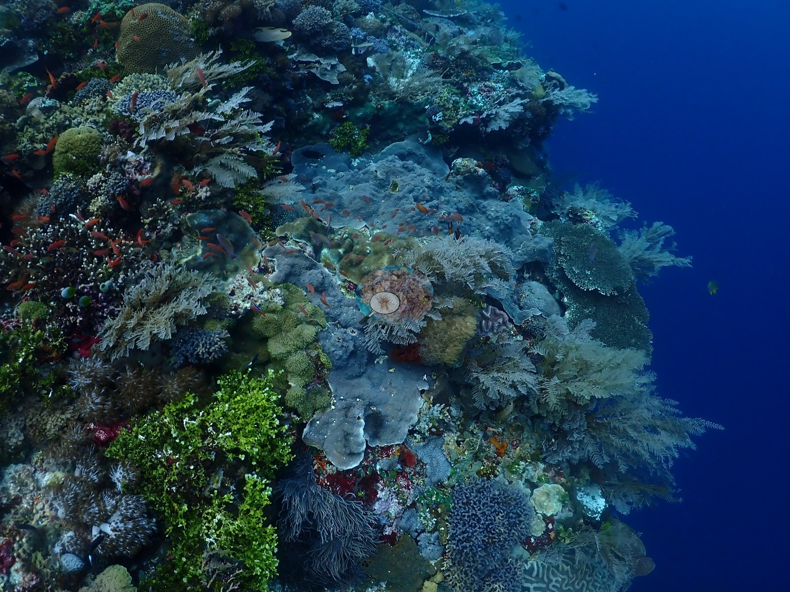
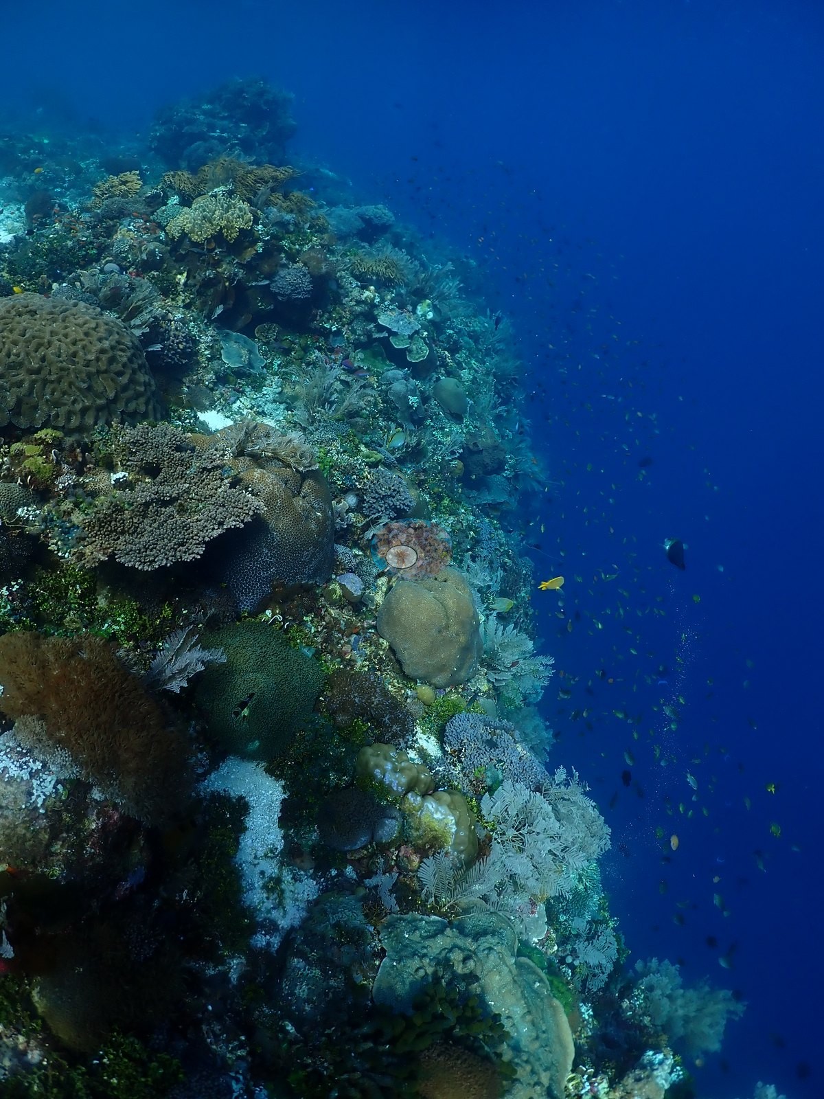
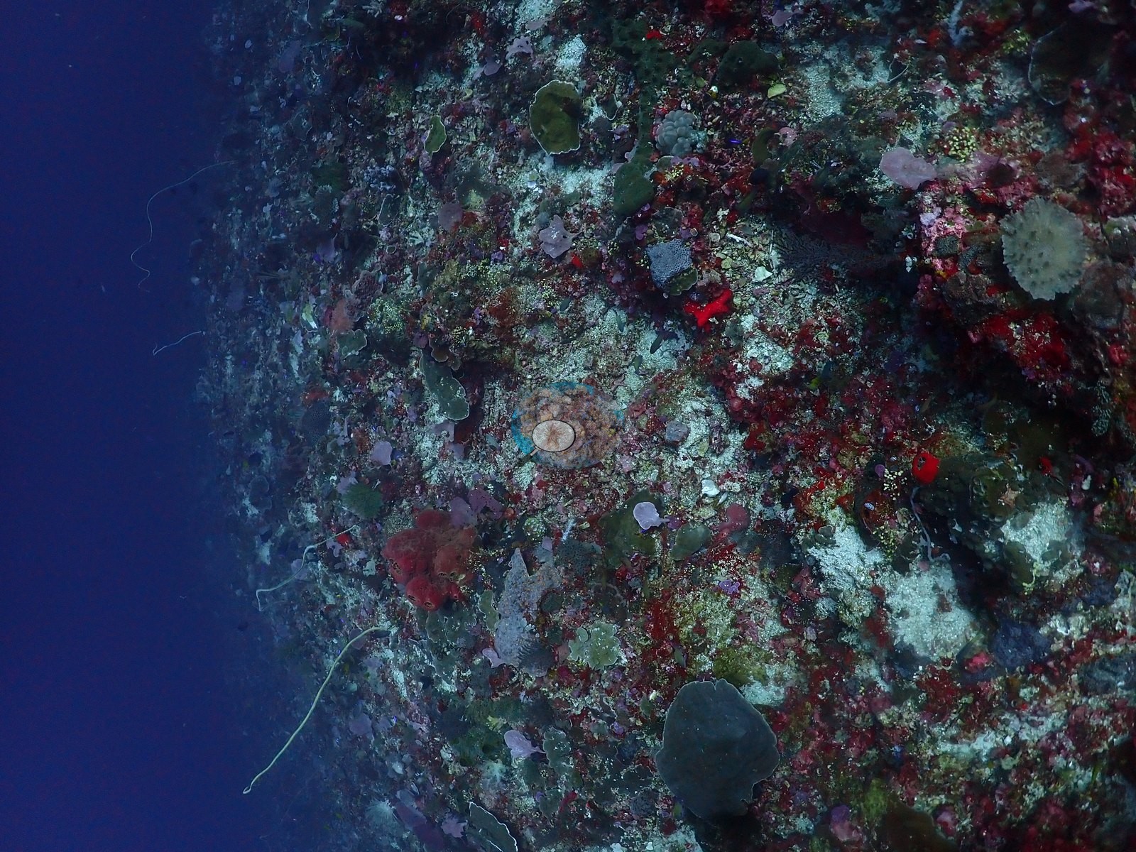
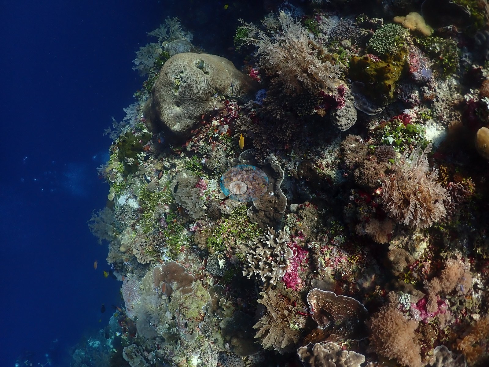
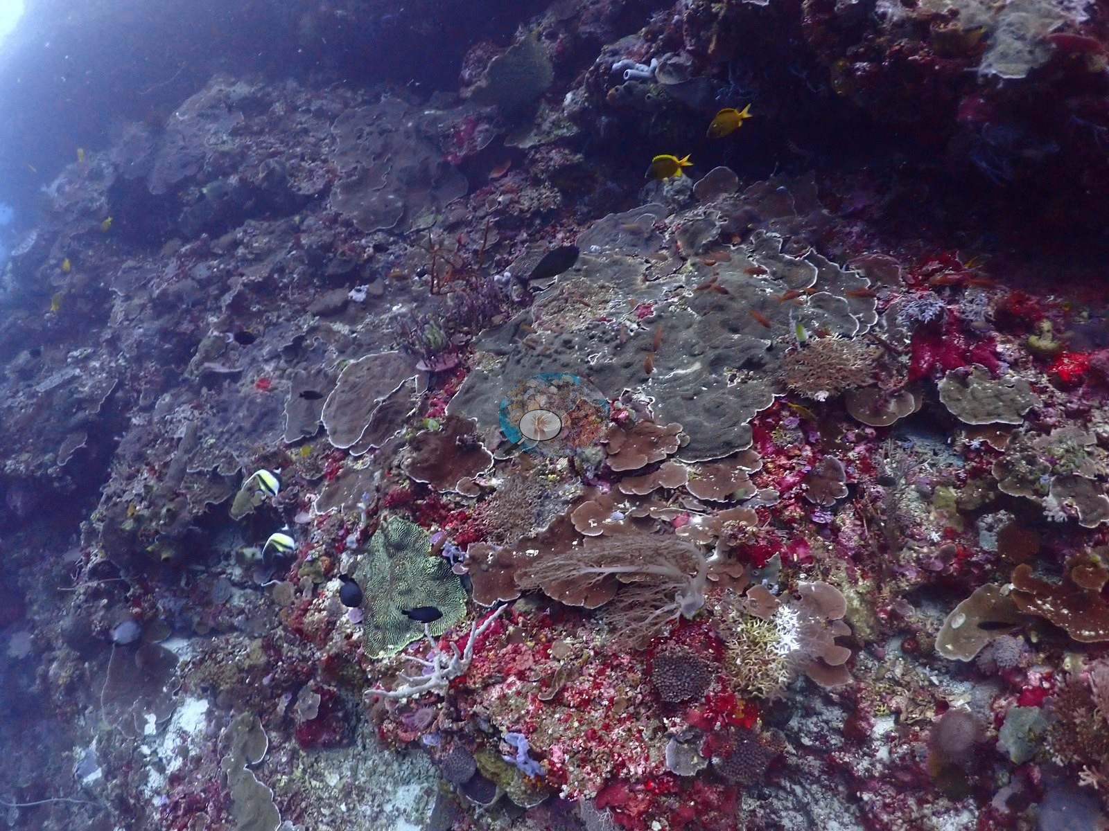
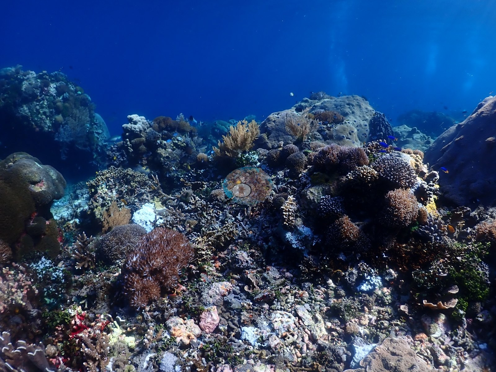
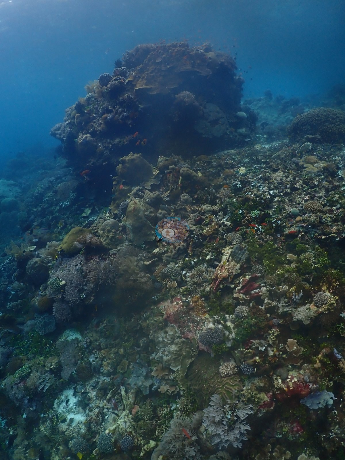
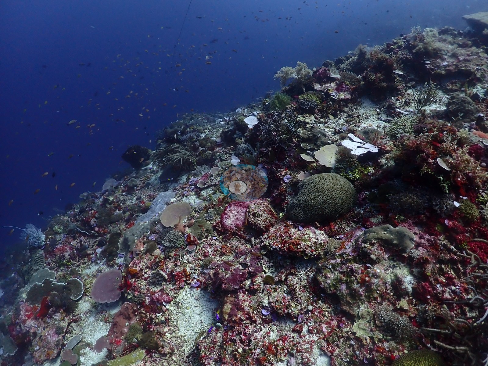
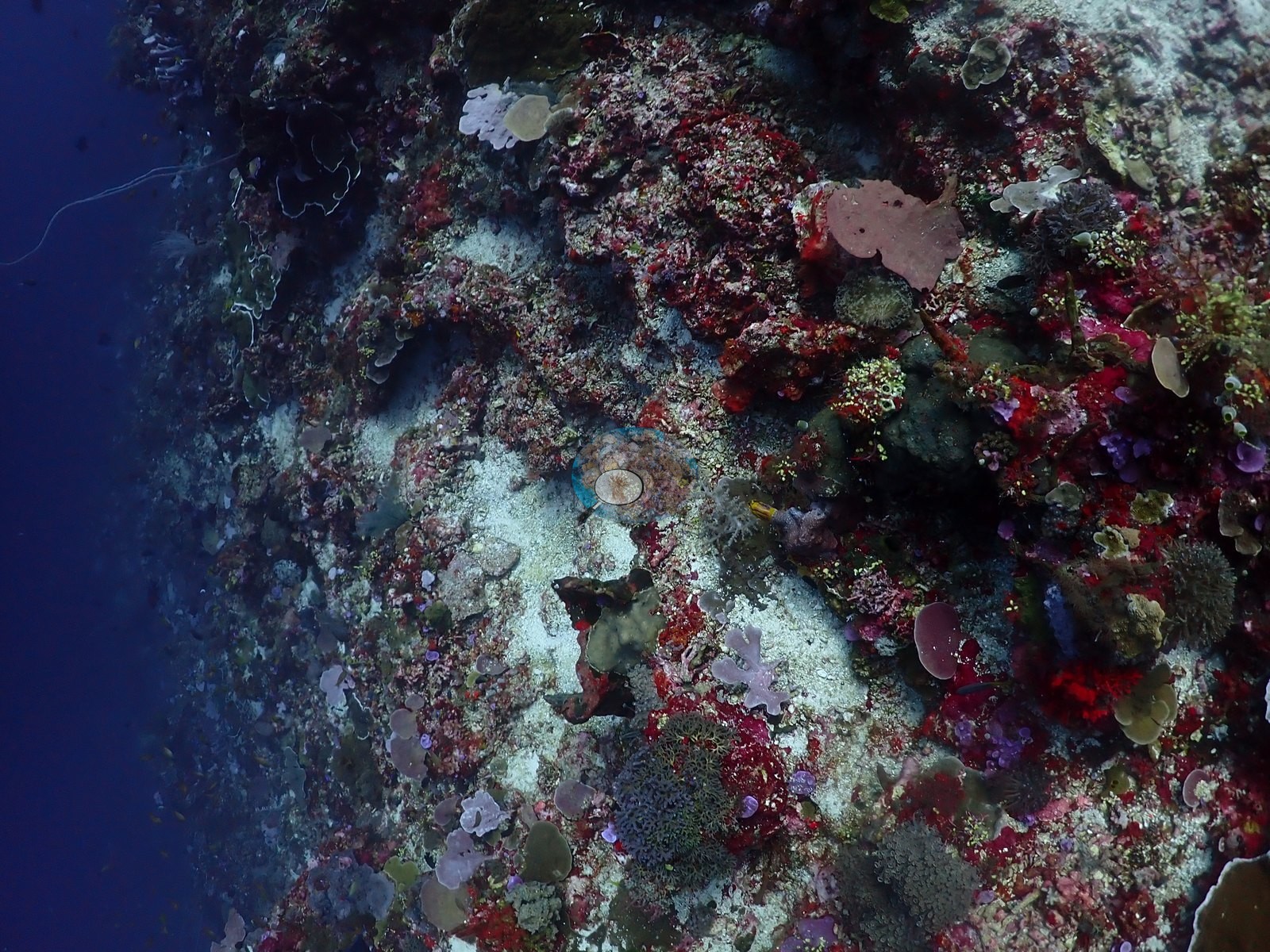
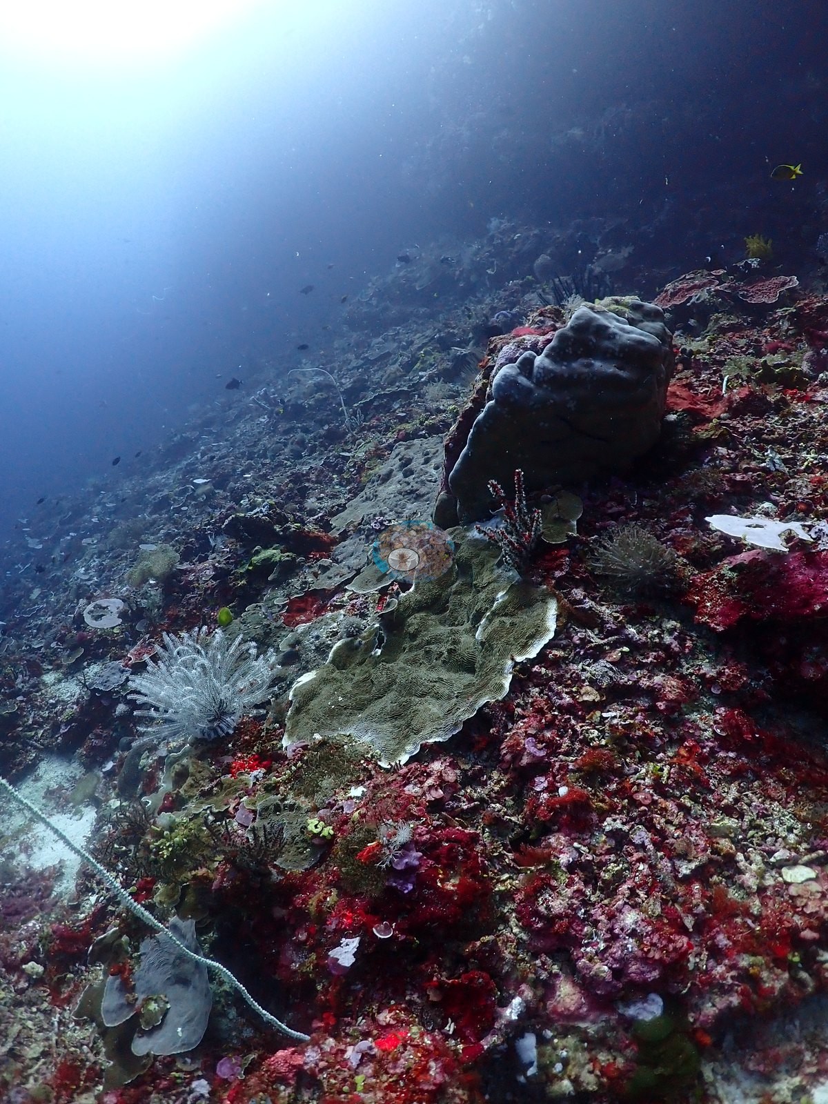
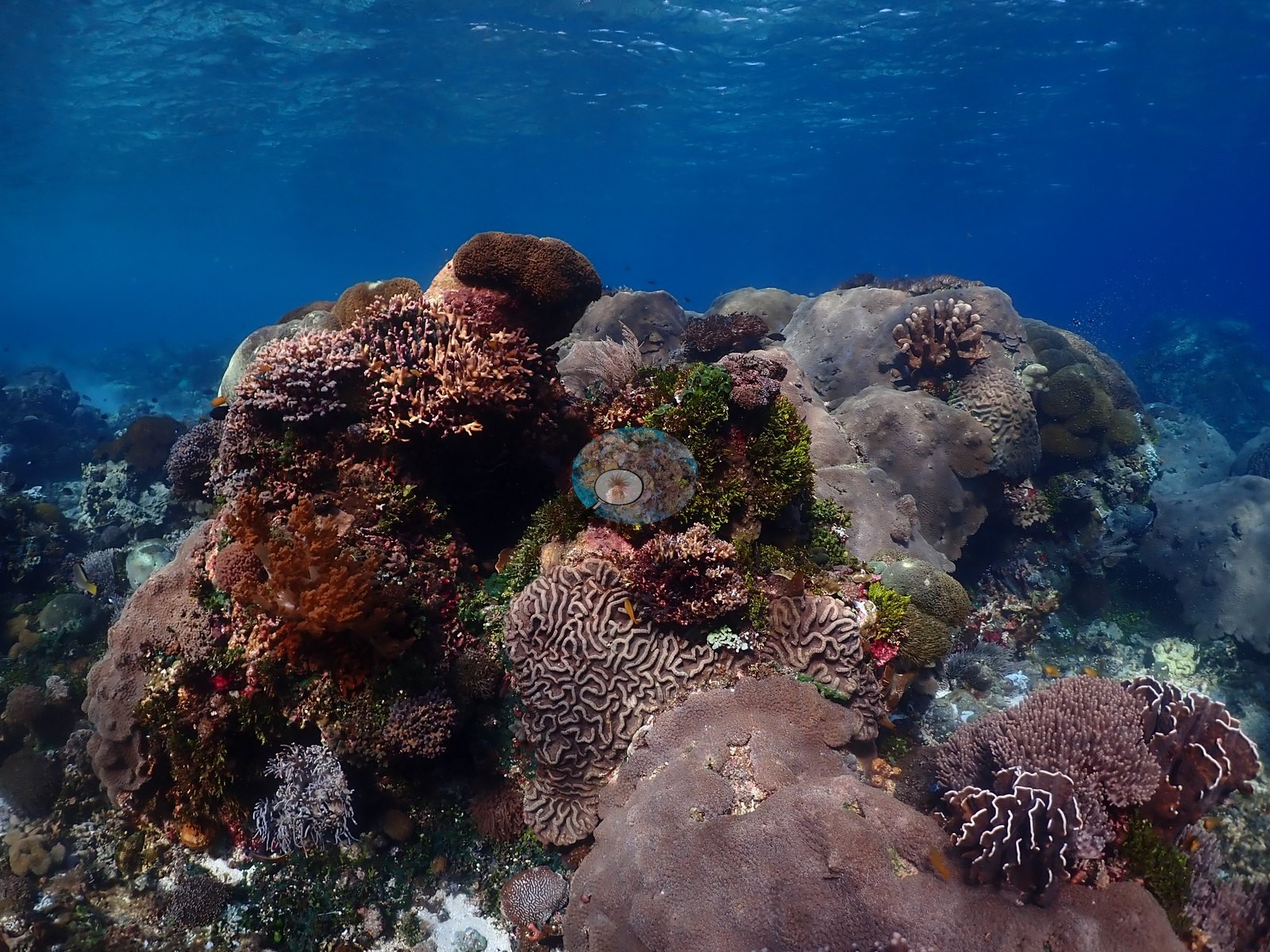
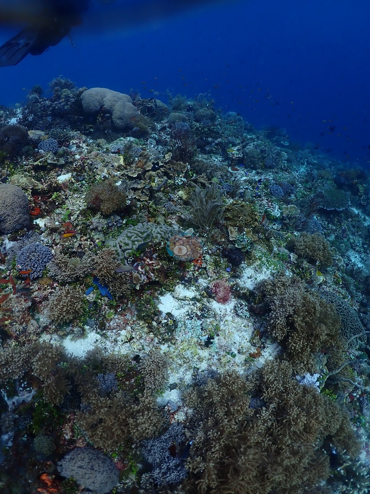
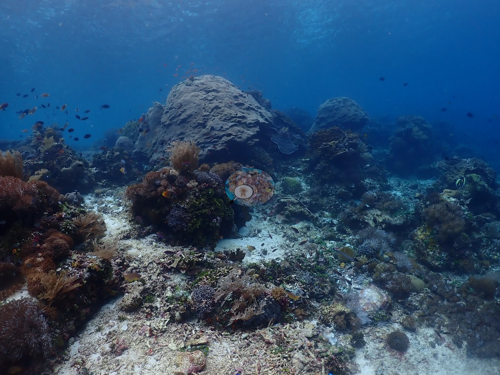
Dive 1 (2026-08-01): The first of two dives here, on the wall and the complex coral outcrops separated by sand and rubble (e.g., Image 1, Image 4, Image 32, Image 36).
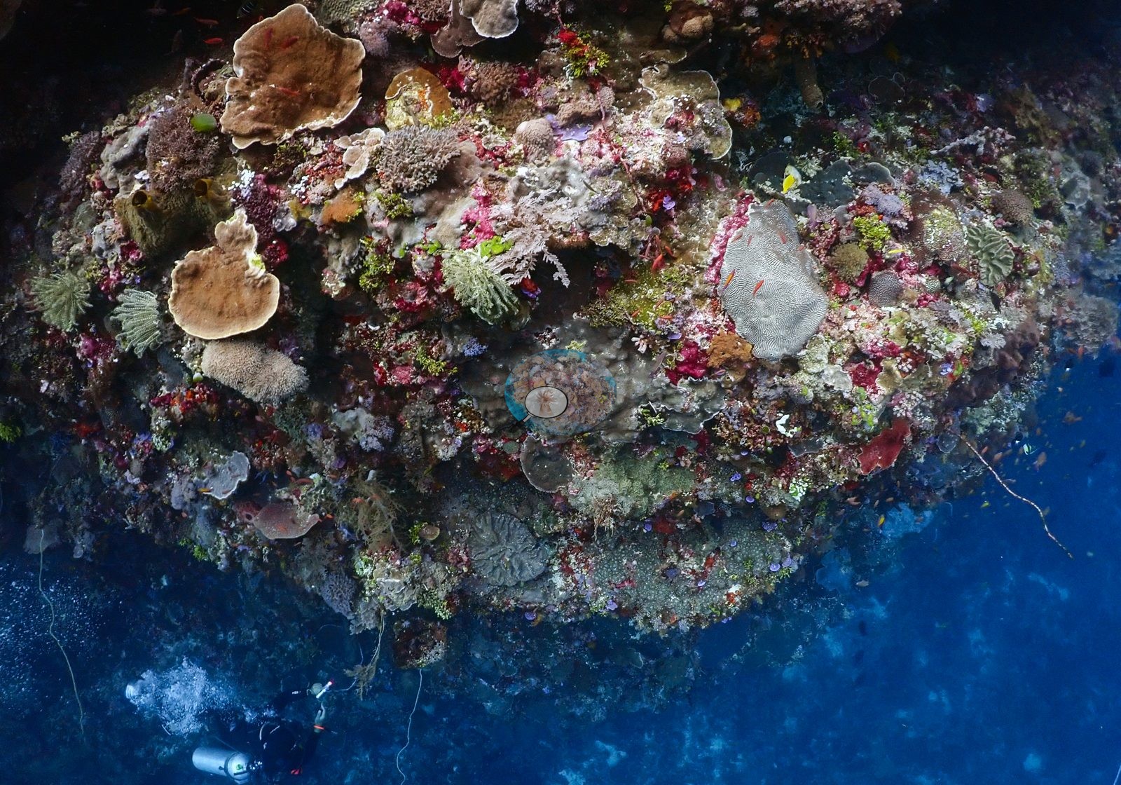
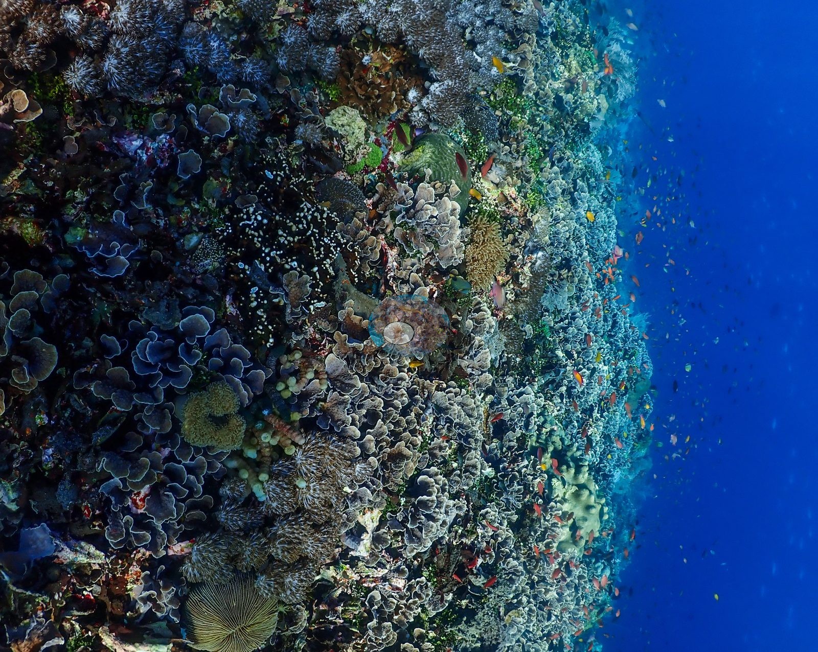
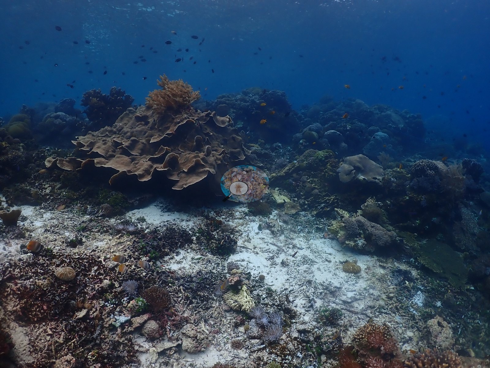
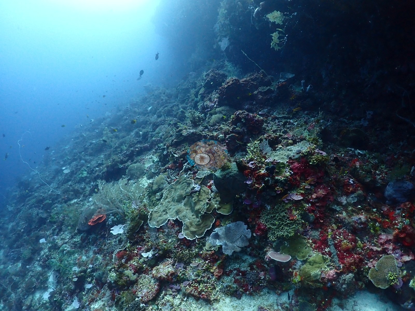
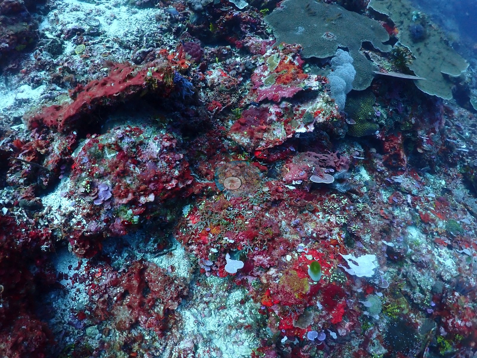
Dive 2 (2026-08-02): The second visit covered a longer progression and a visibly different part of the site.
General benthic features
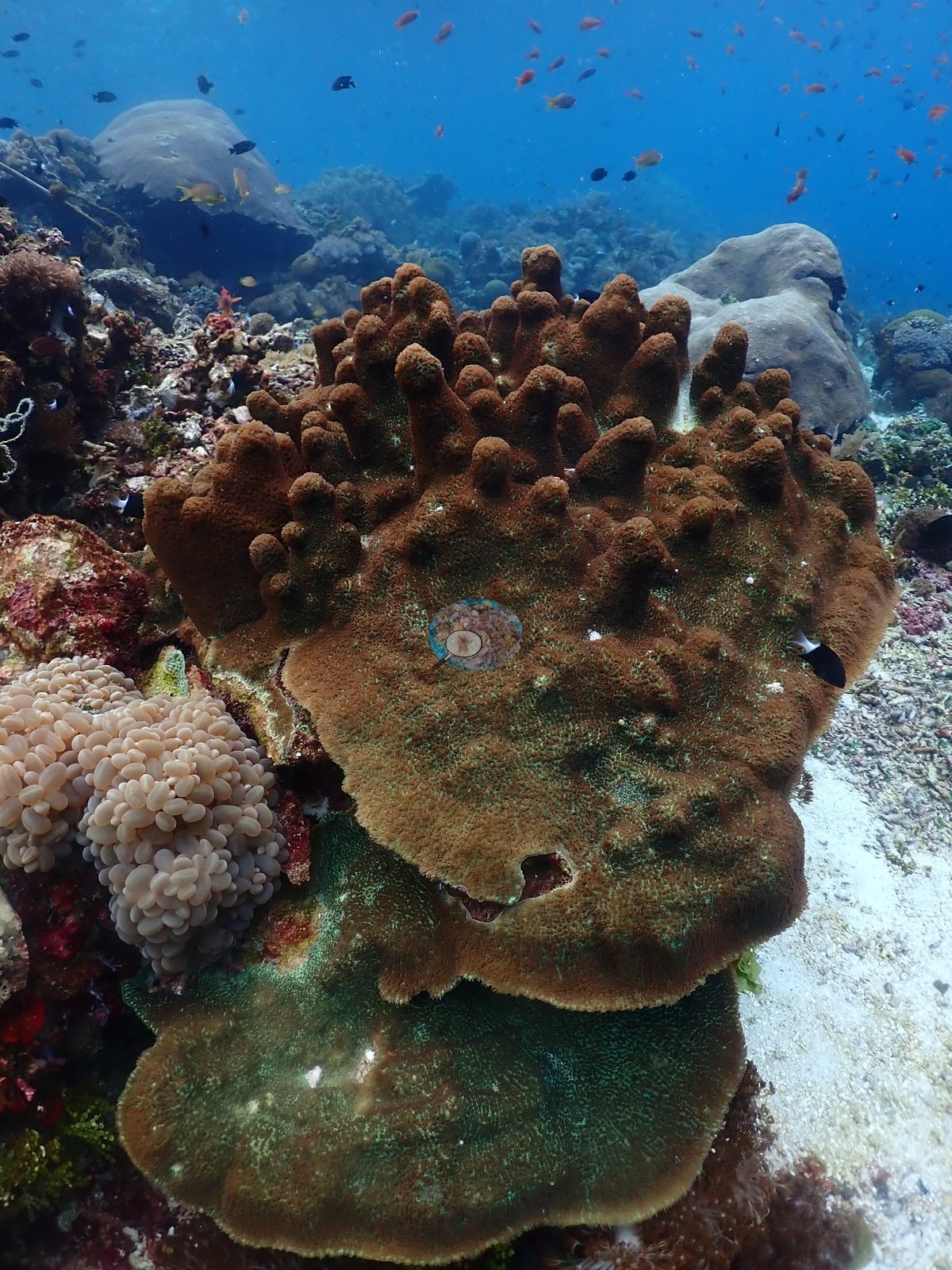
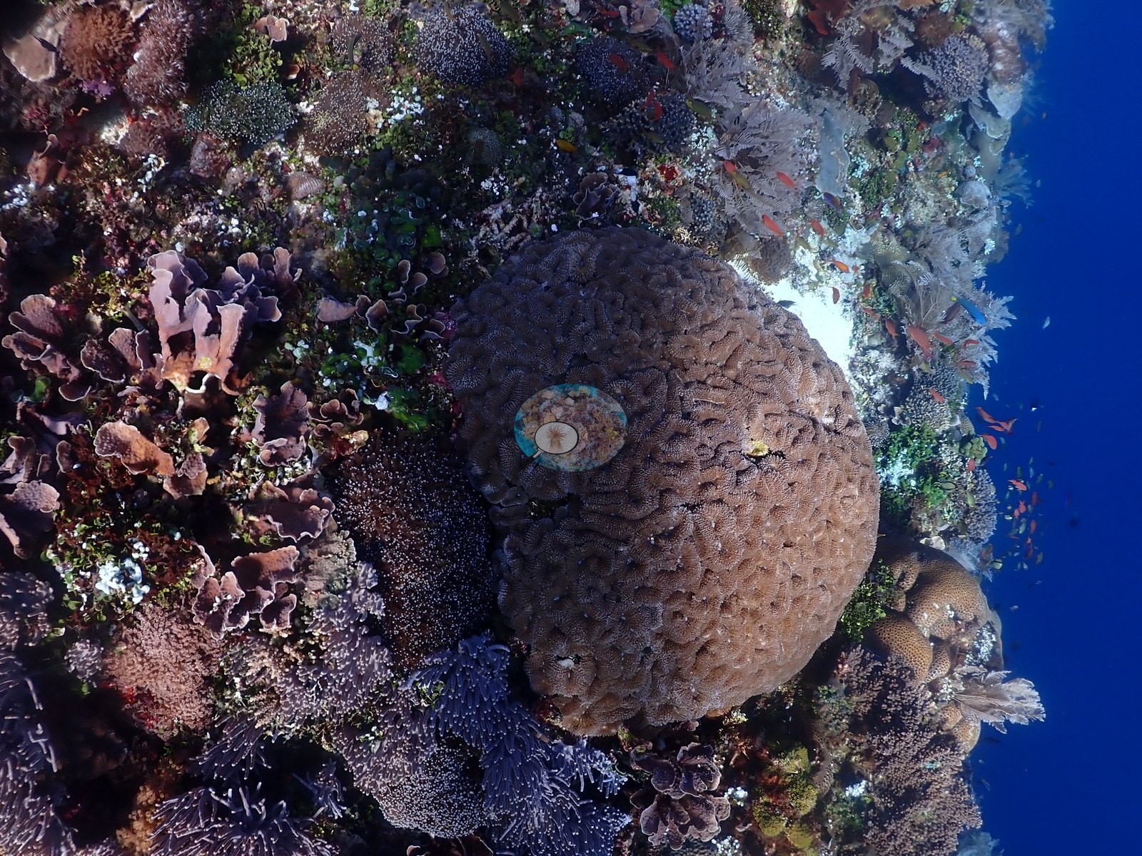
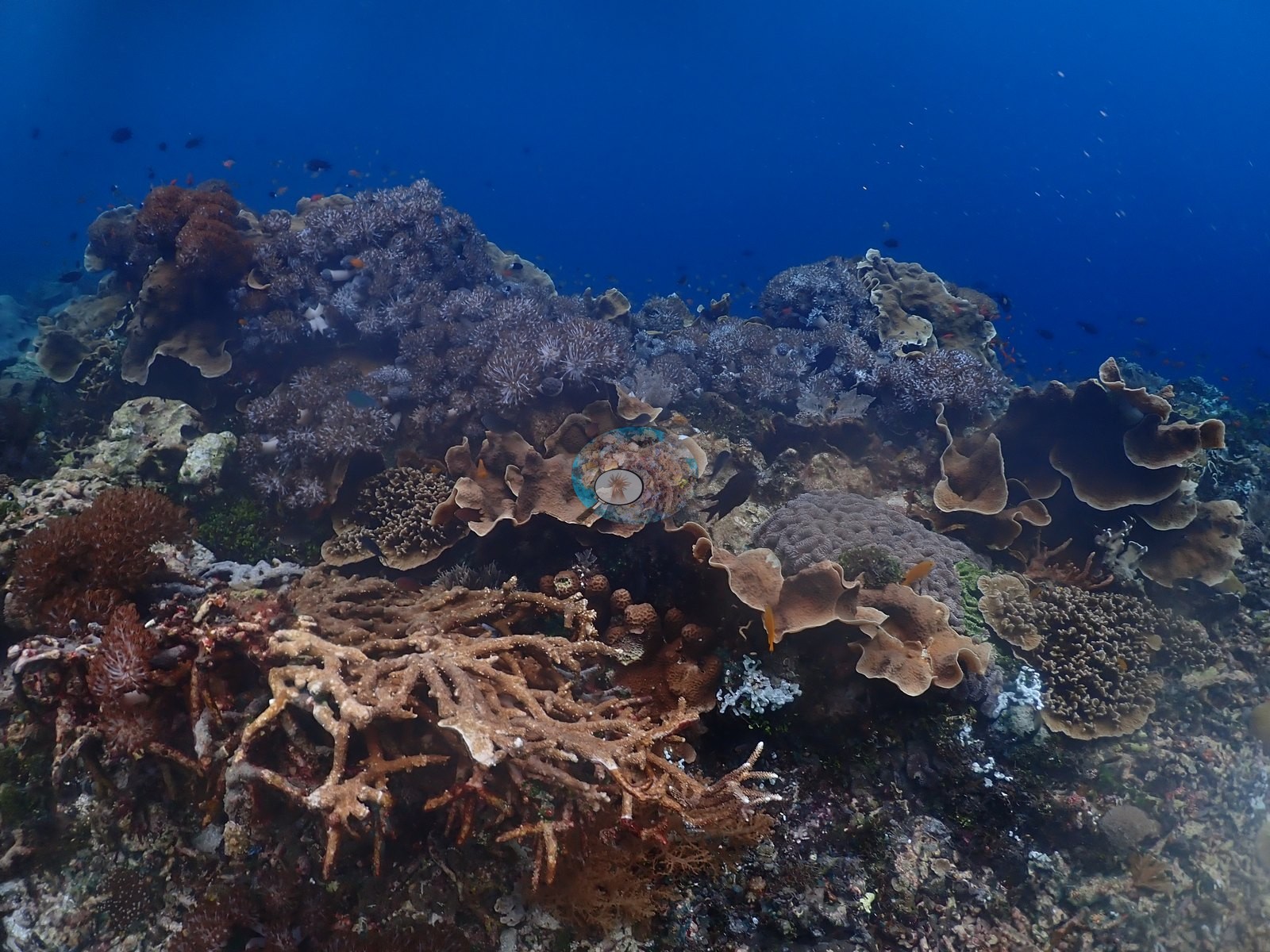
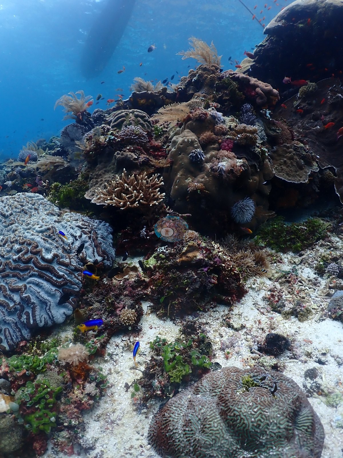
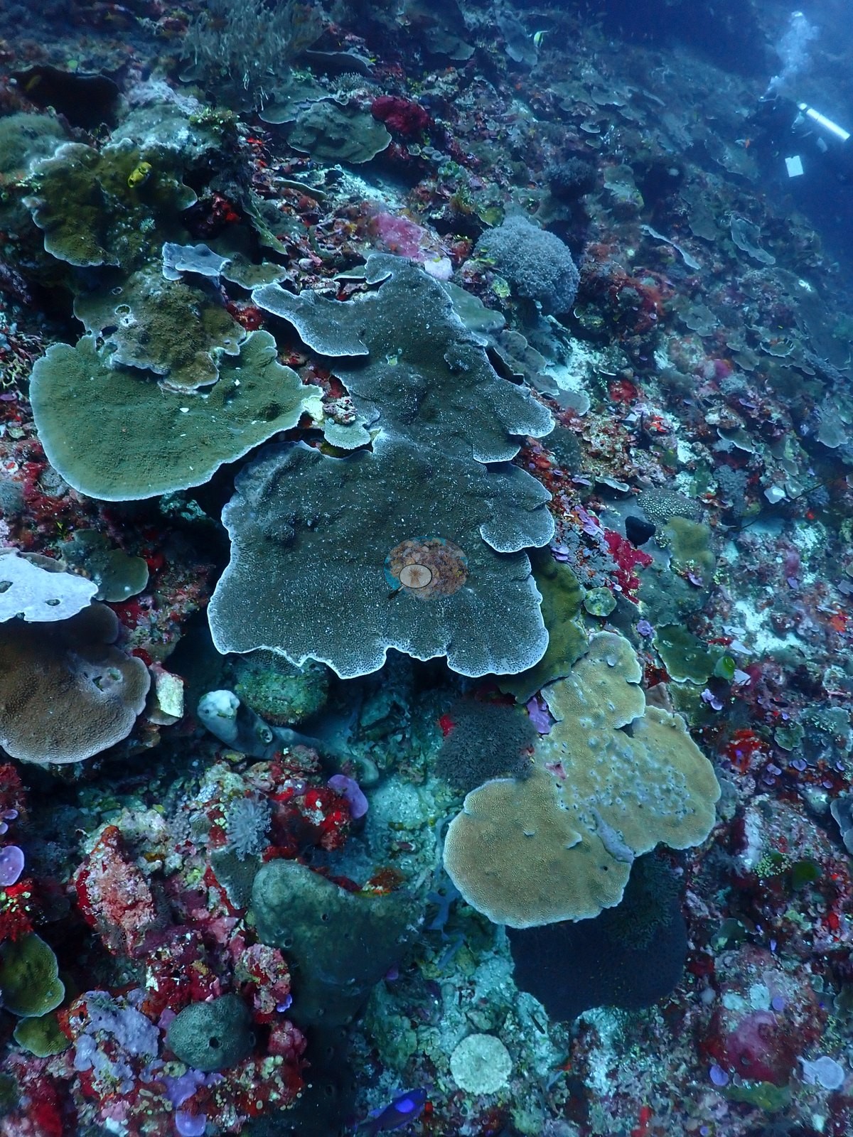
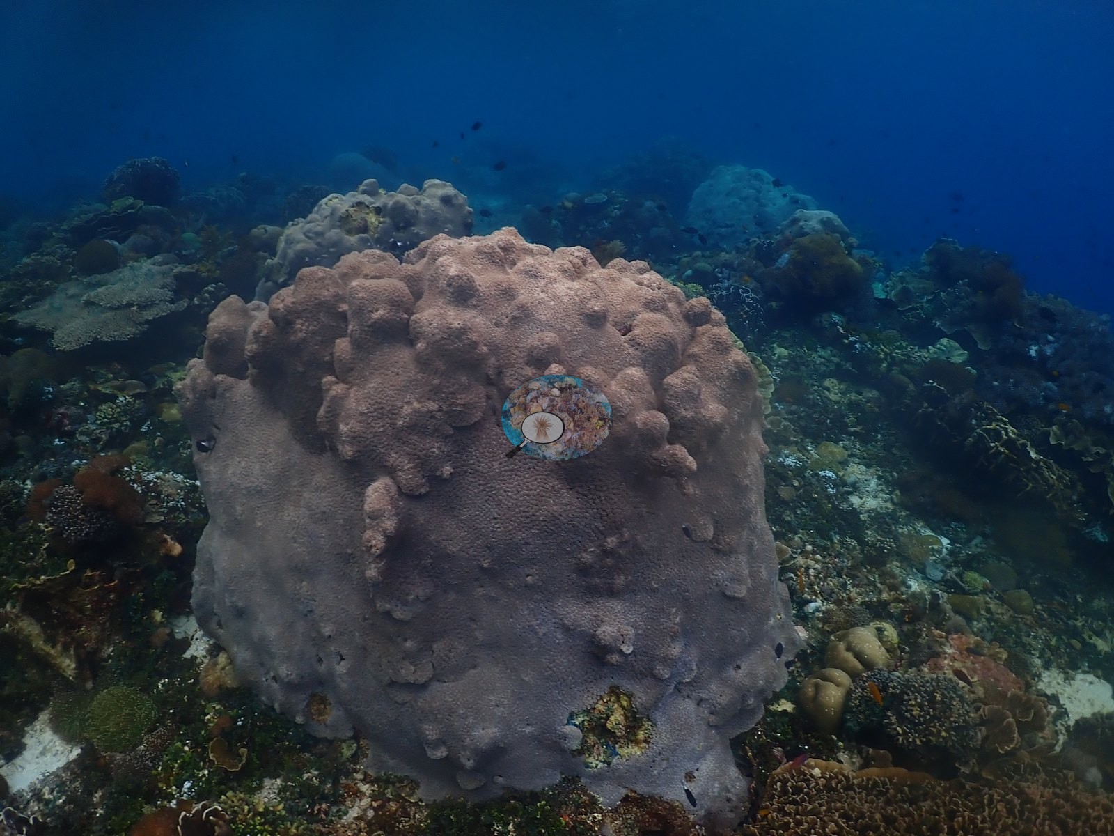
Hard corals included branching and tabular Acropora, Pocillopora, foliose, and encrusting Montipora, massive Porites, Turbinaria, fungiids, and merulinid brain corals (e.g., Image 13, Image 29, Image 38, Image 50).
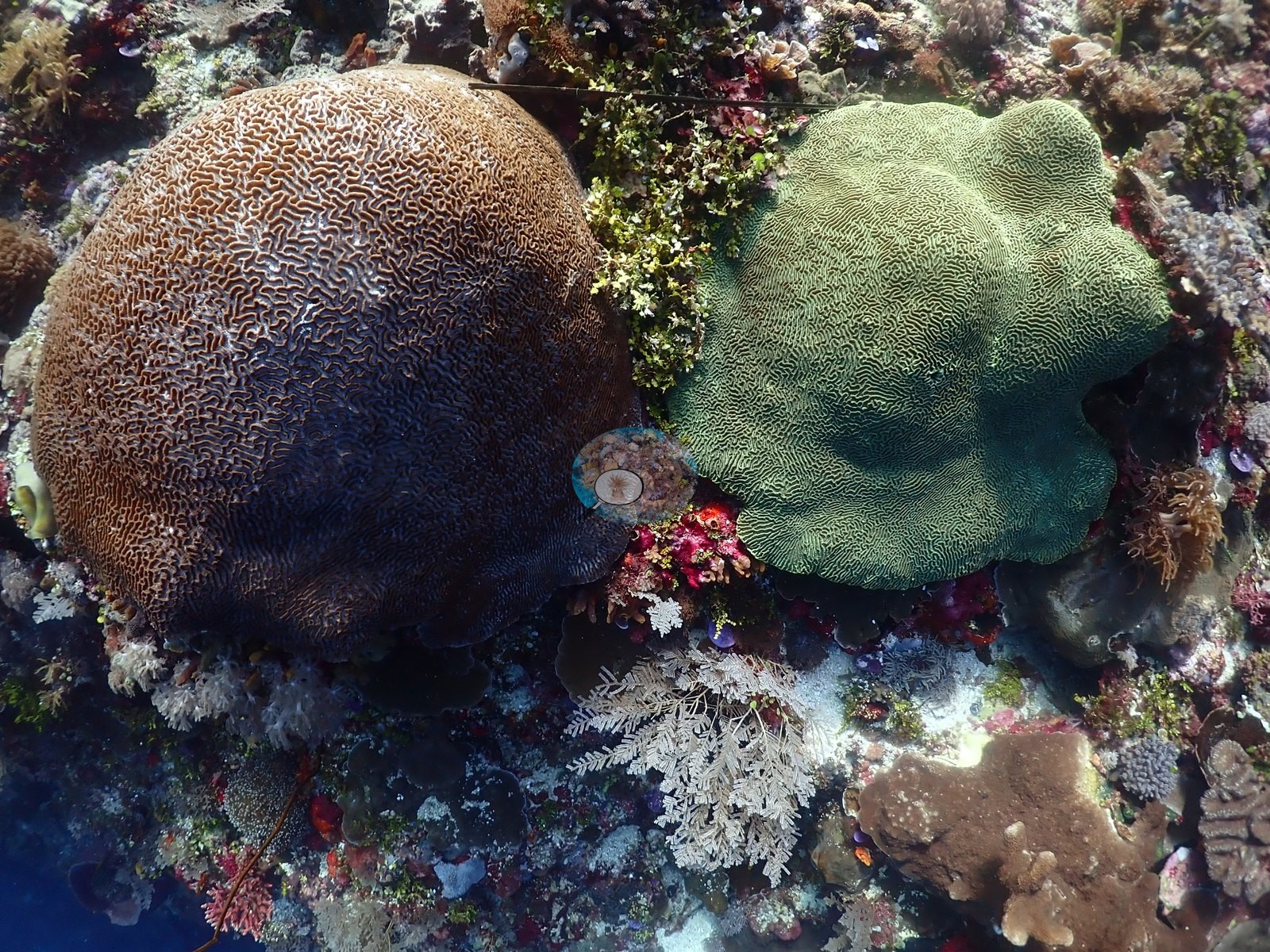
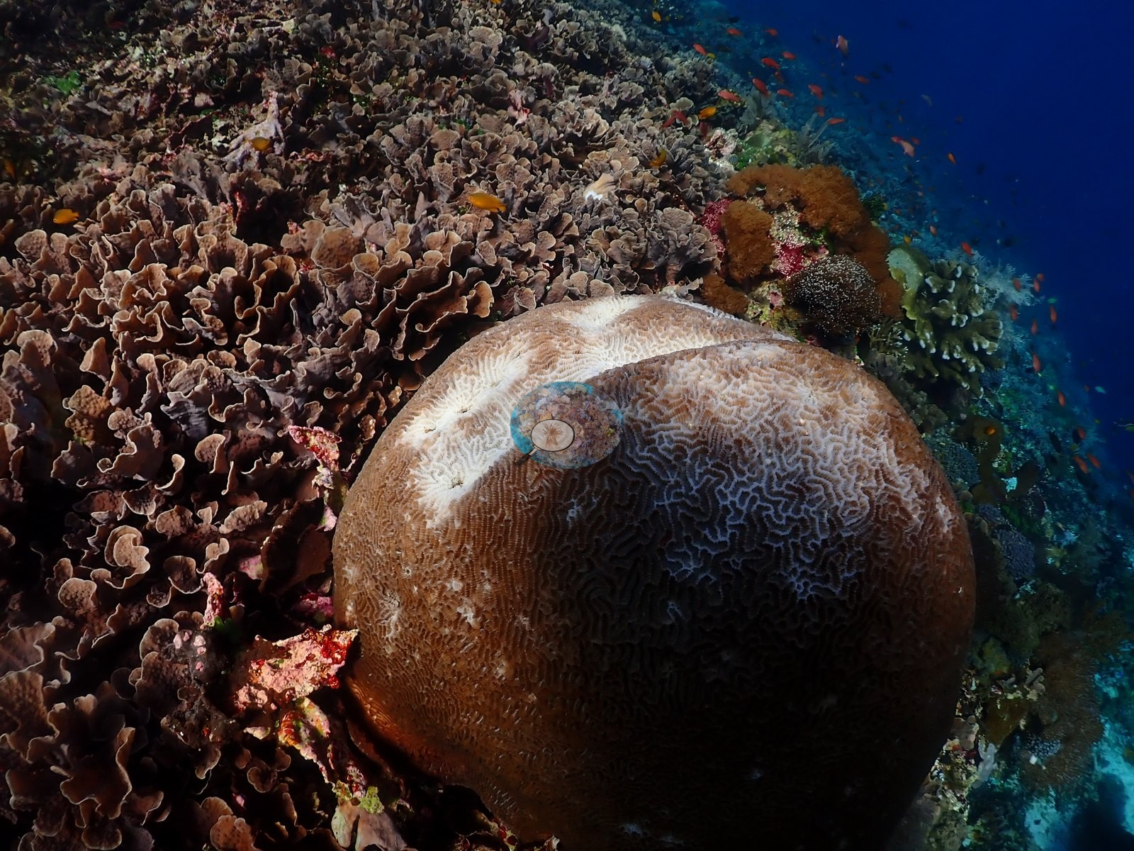
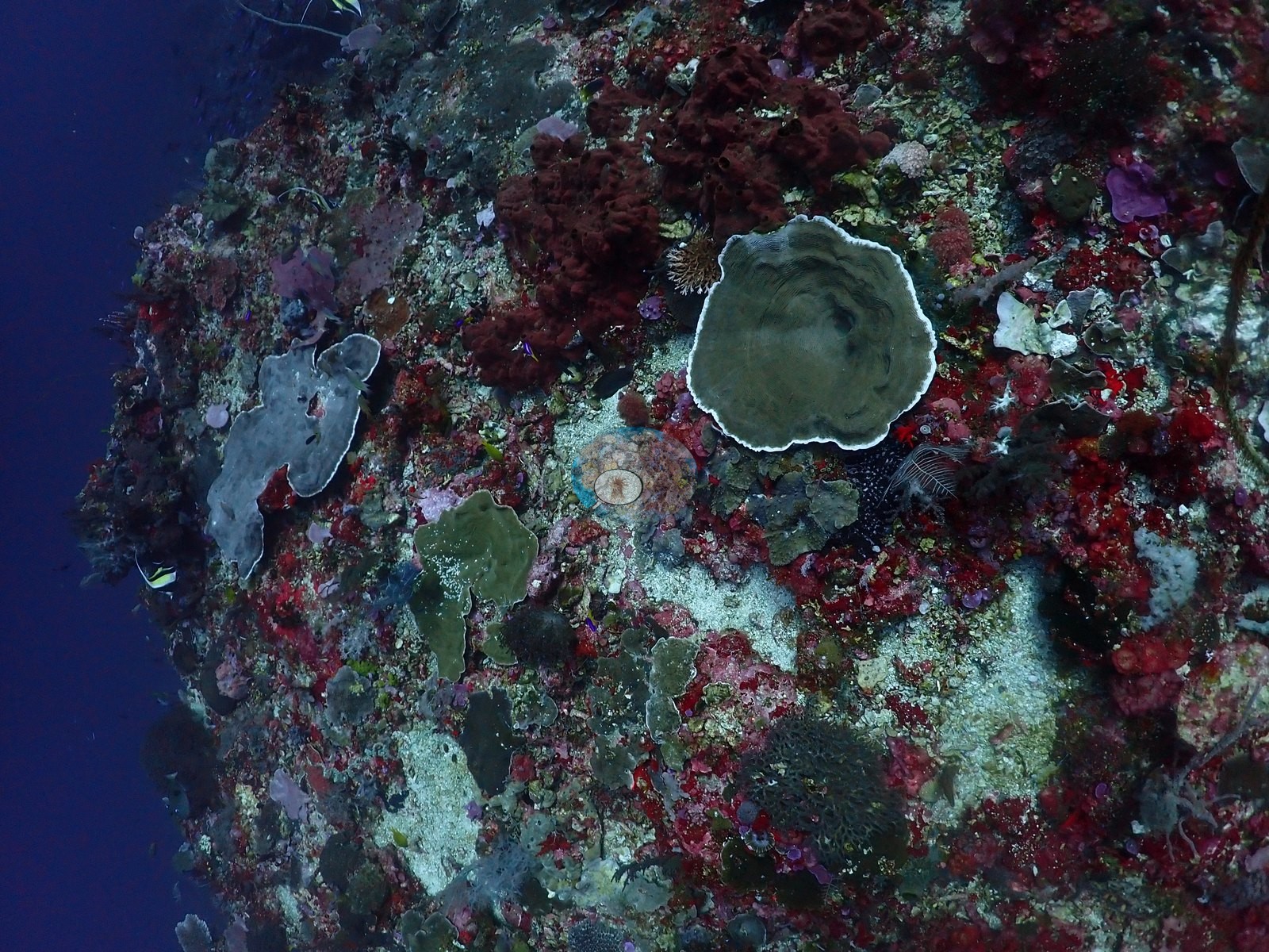
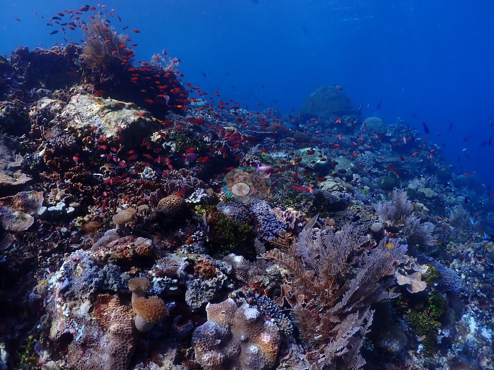
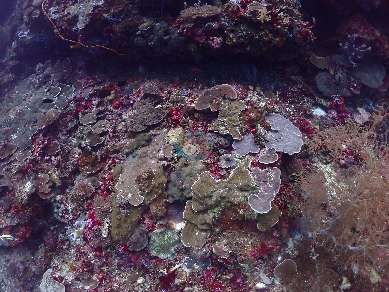
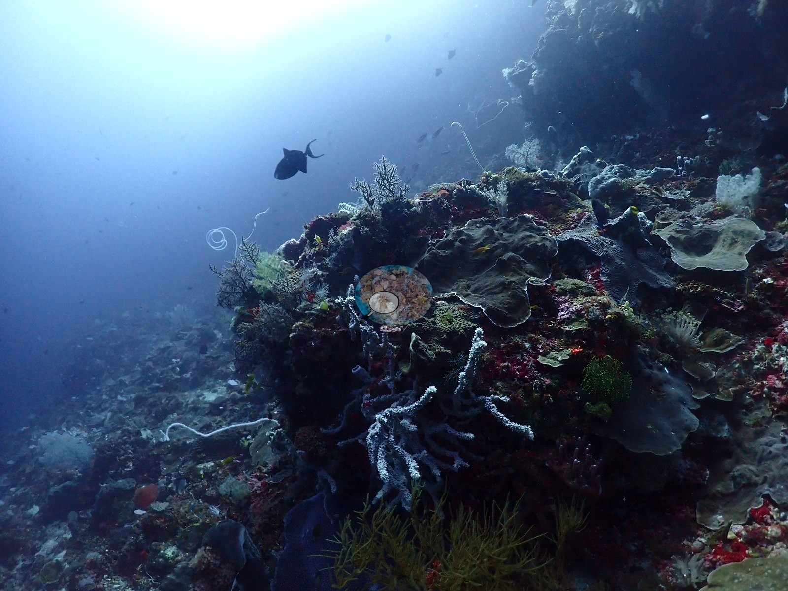
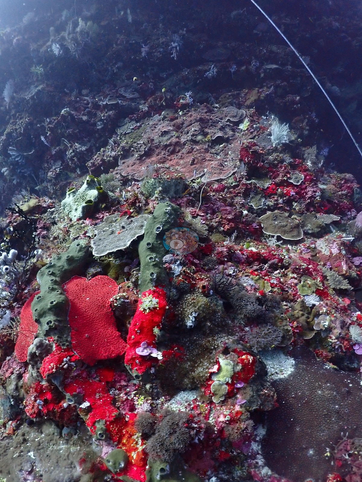
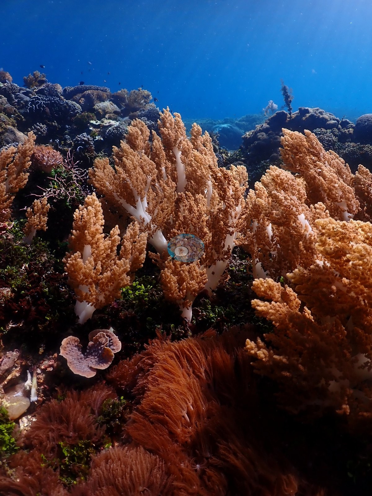
Large barrel sponges, leather and other soft corals, gorgonians, crinoids, and red coralline or sponge-like encrusting growth occupied the wall faces and the spaces between colonies (e.g., Image 8, Image 11, Image 14, Image 41).
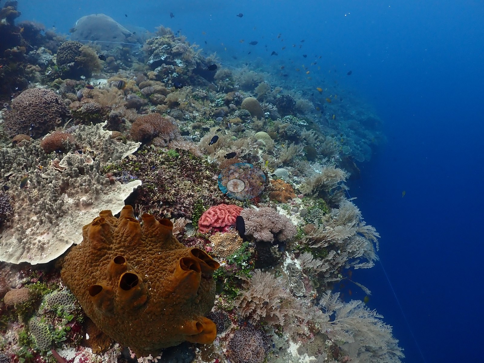
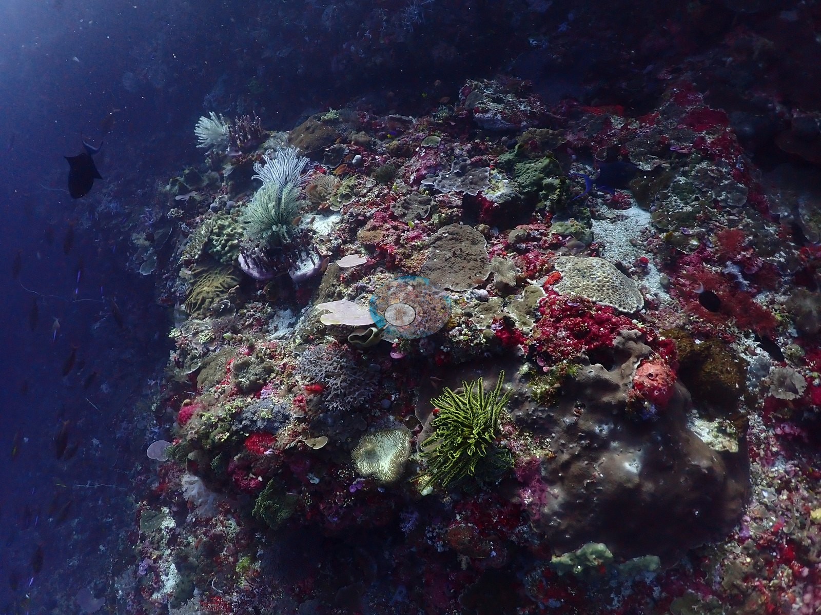
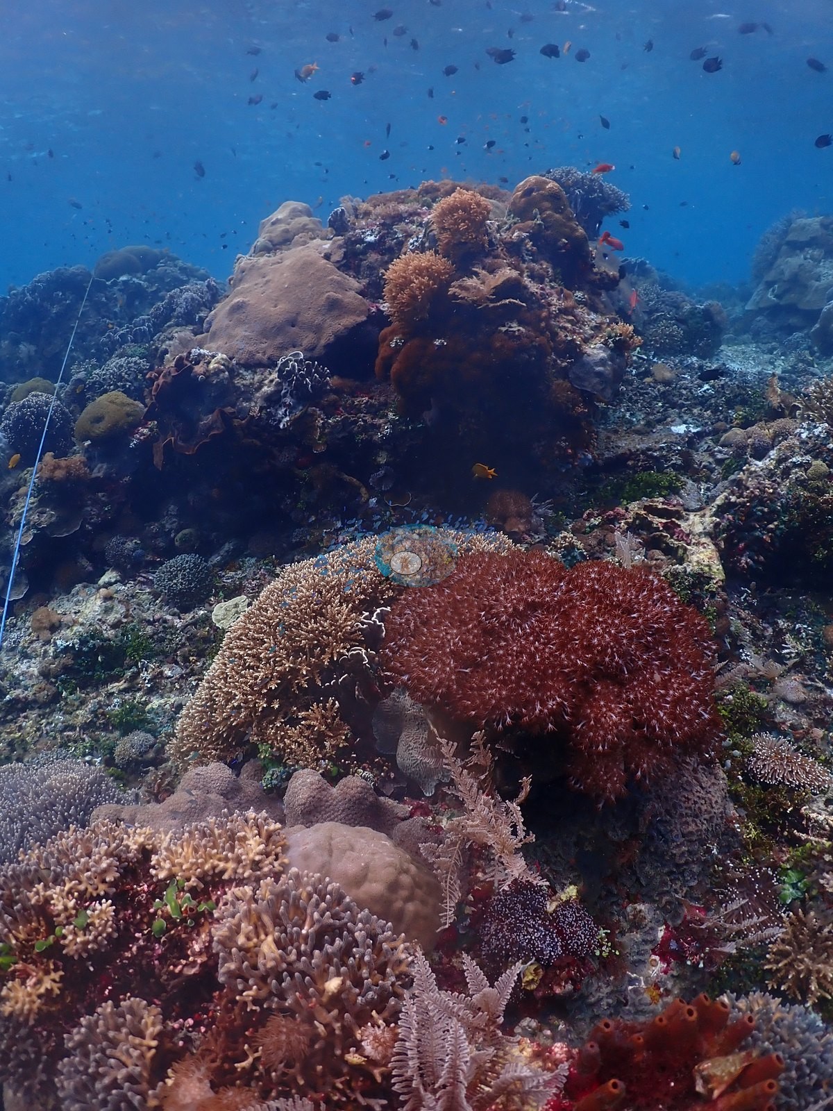
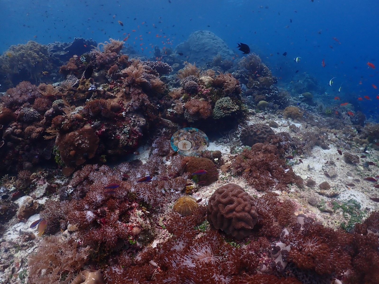
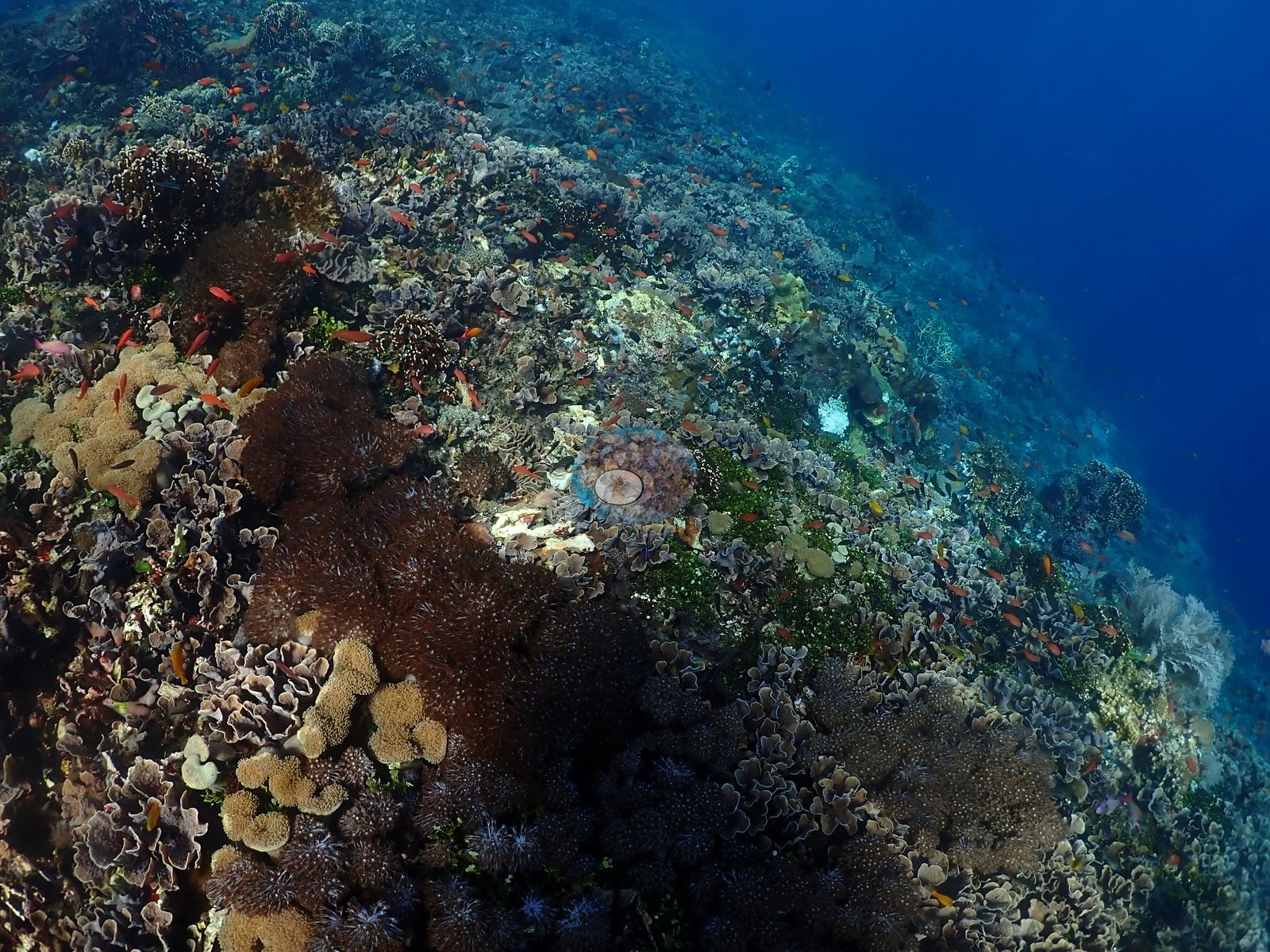
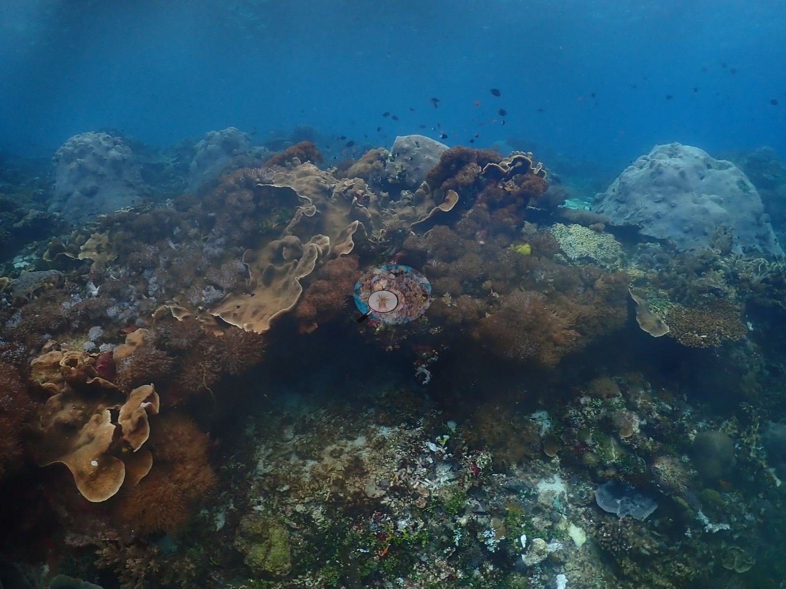
Structural complexity and coral cover increased locally toward denser shallow gardens but remained spatially discontinuous. Wall and outcrop habitat again held massive Porites, Montipora/Pachyseris plates, Turbinaria, fungiids, and merulinids with barrel sponges, crinoids, gorgonians, and soft corals — but large later sections crossed exceptionally dense branching thickets compatible with Acropora and locally Porites cylindrica-type growth, forming a low, nearly continuous canopy before returning to mixed bommies and rubble (e.g., Image 15, Image 16, Image 21, Image 49).
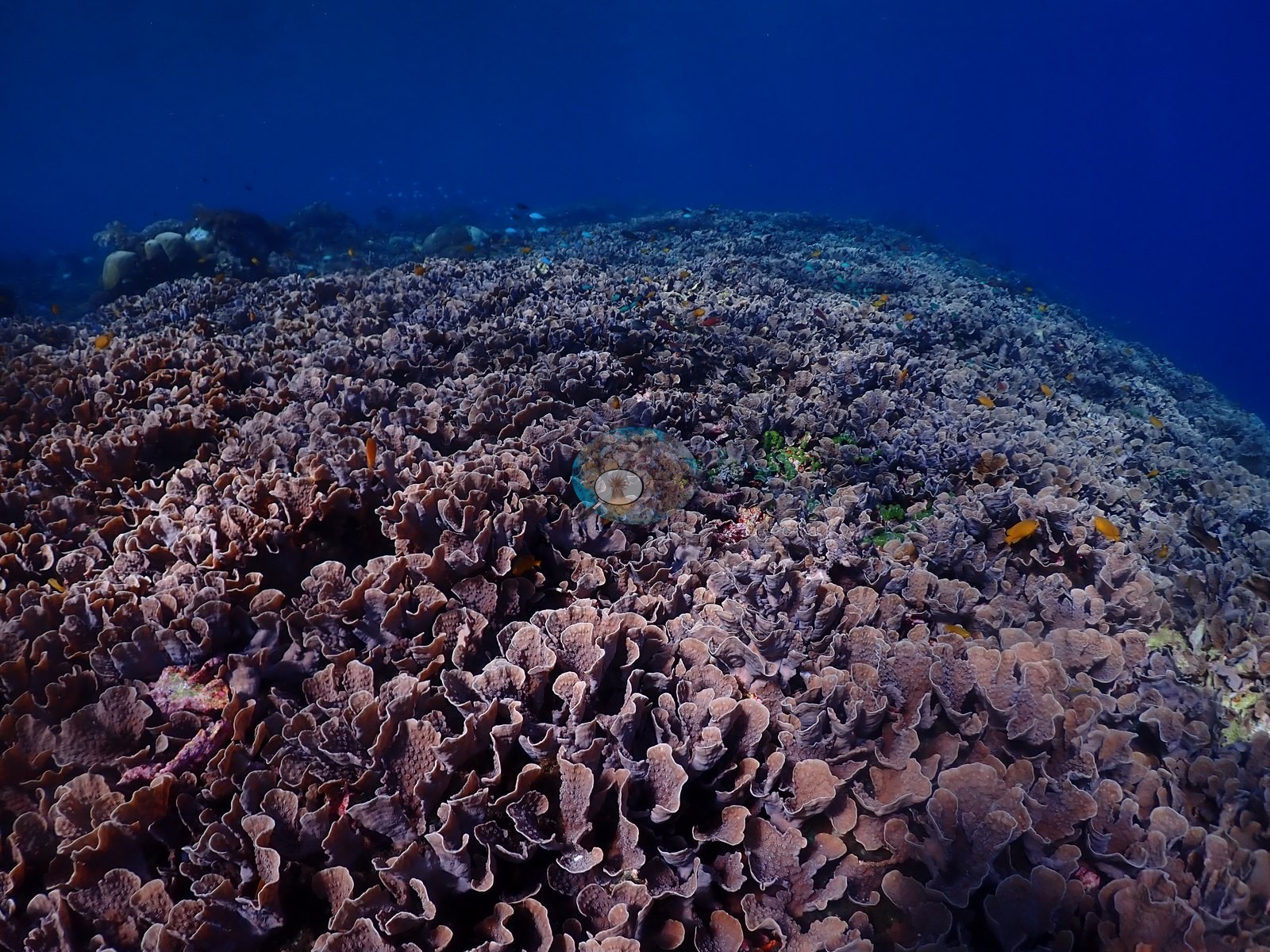
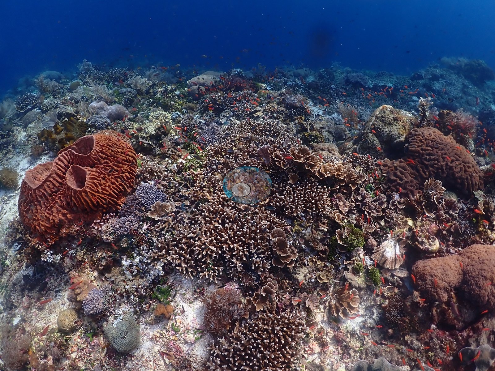
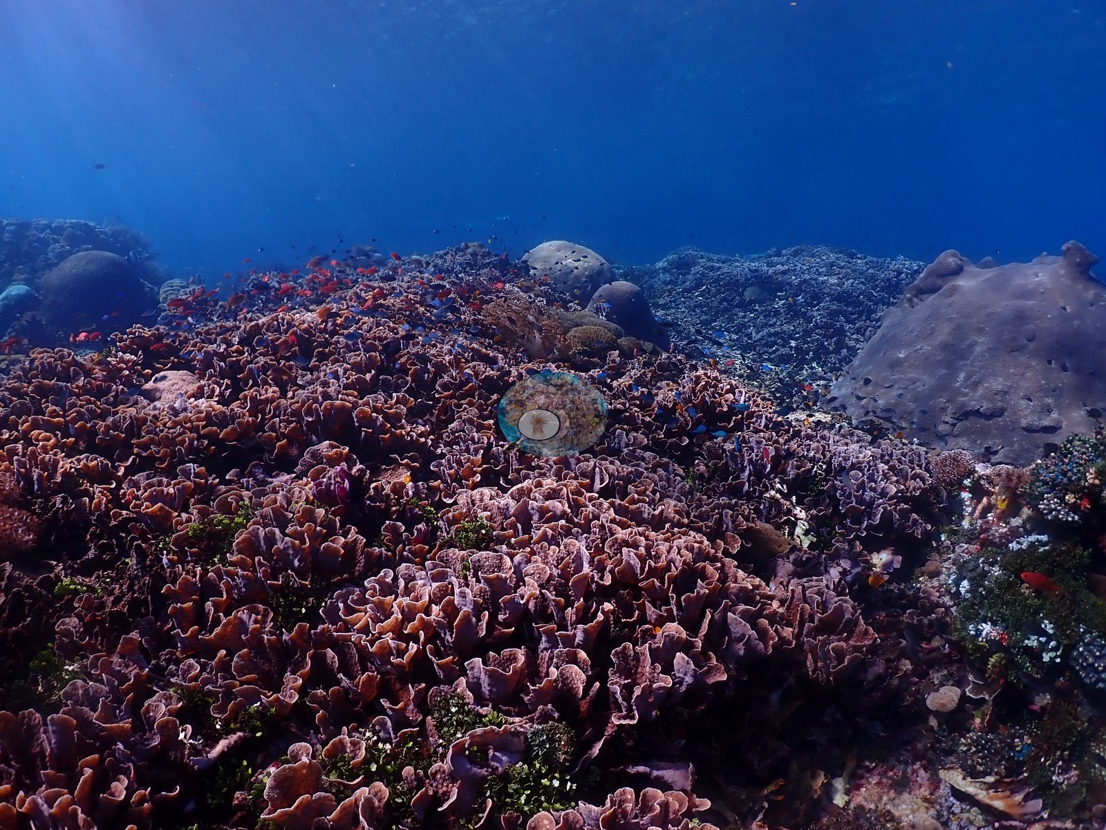
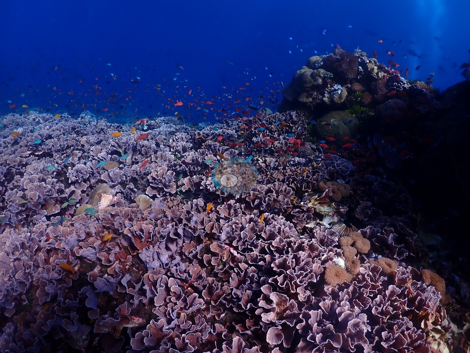
This is the most extensive branching-coral habitat photographed anywhere on the trip, and the reason the two Babylon dives are worth separating: the second is a markedly higher-cover dive than the first.
Coral cover
Coral cover: 30% — a blind Claude computer-vision point count of 415 of Anderson's unedited photographs (20 points per photo; water, fish, and obstructions excluded). Other computer-vision methods are listed in the method table.
Fish and other fauna
Anthias, chromis, other damselfishes, butterflyfishes, and surgeonfishes were the most conspicuous fish groups (e.g., Image 3).
Comparisons with other data
No independent survey was made at this exact site; the nearest ones are listed in the table below.
Dive record
Two dives were made here on separate occasions; the per-dive accounts are on each visit below.
CV model comparison
More info
DINOv3 and CoralSCOP were run on the same photos and are listed for comparison. Coralscapes v2 and v1 were also run but are not shown: Anderson does not consider Coralscapes reliable for these photos. No diver transect exists for this trip, so agreement between the rows is not accuracy, and as of September 2026 no computer-vision method estimates coral cover accurately on new images; treat every row as indicative.| Method | Hard-coral cover (%) |
|---|---|
| In-house DINOv3 | 30.5 |
| CoralSCOP unedited | 20.6 |
| Claude | 30.0 |
Dive history
| Date | Time in | Max depth (m) | Bottom time (min) |
|---|---|---|---|
| 2026-08-01 | 15:20 | 26.9 | 61 |
| 2026-08-02 | 14:19 | 30.1 | 63 |
Independent surveys nearby
| Agency / program | Year(s) | Stations / distance | Link |
|---|---|---|---|
| WCS Indonesia via MERMAID | 2025 | 1 station, 1.93 km | Records ↓ |
| WWF-US / WWF-Indonesia | 2014 | 1 station, 0.24 km | Records ↓ |
 Dr. Coral (CRD)
Within 5 km, 2 independent survey stations recorded hard coral cover in 6 records between 2014 and 2025. Surveys since 2021 average 0.0% (range 0.0%, n=2). This site's own estimate (30%) sits 30.0 points above the recent range (0.0%); the methods differ, so the comparison is context, not a like-for-like test.
Collected by other programs using different methods (MERMAID is a data platform: each MERMAID row names the organization that did the survey, and its method is in the row's hover text), so these are context for the figures above, not a like-for-like comparison. Where a station was surveyed more than once the range is shown. Station names are not dive-site names.
| Agency | Site / location | Date | Hard coral cover (%) | Distance | Link |
|---|---|---|---|---|---|
| WWF-US / WWF-Indonesia | 5004 | 2014 | 53% (3 surveys) | 0.24 km | Amkieltiela, Abdillah T, Amkieltiela A, Andradi-Brown D, Lazuardi E. 2015. MBD 2014 & 2015. MERMAID |
| WCS Indonesia via MERMAID | 1001 | 2025 | 0.0% (3 images) | 1.93 km | Nurhayati. 2025. Ikan aya. MERMAID |
Data & links
All images from Coral Reef Diagnostics. Data are from Coral Reef Diagnostics and the organizations named in the data-sources table above.
© Coral Reef Diagnostics.