
Alor - Apuri Bay

Part of the regional summary: Indonesia - Alor
More info
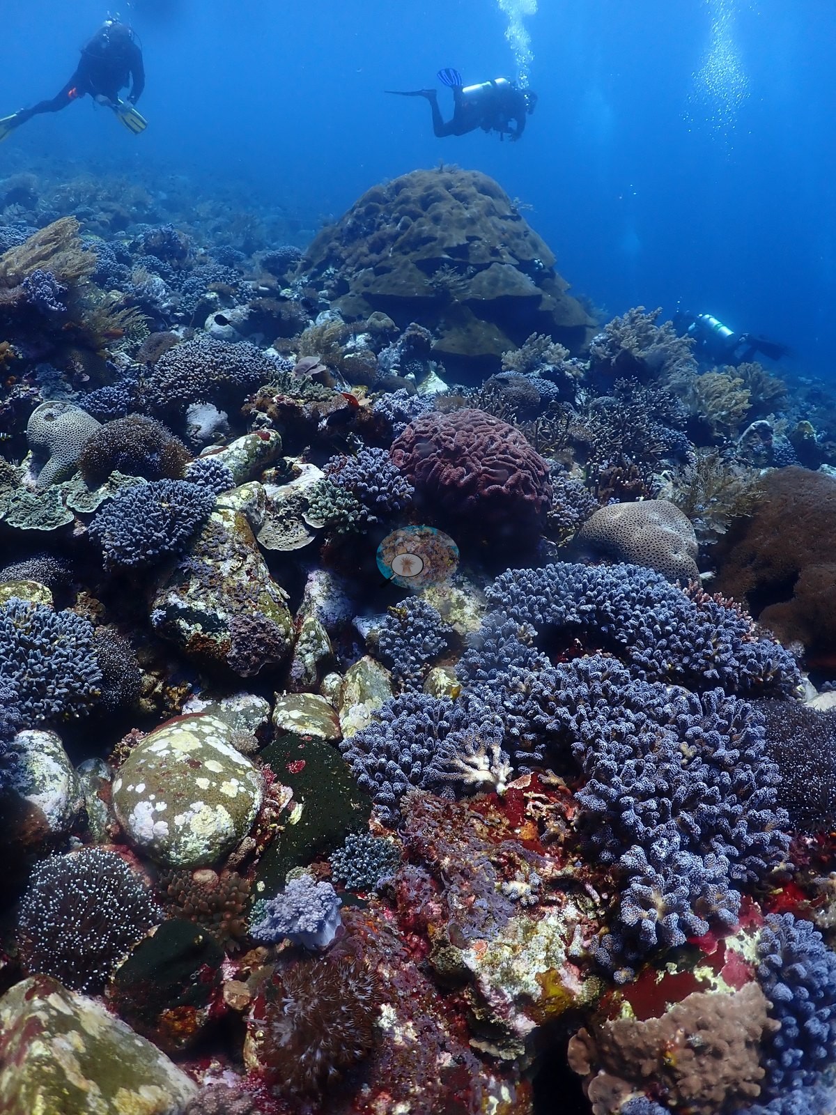
East Nusa Tenggara (NOAA CRW virtual station) · Lesser Sunda ecoregion mean=6.9°C-heating weeks Alor and the Pantar Strait sit in a zone of exceptionally strong upwelling, which holds these reefs several degrees cooler than NOAA’s satellite-derived figures imply. Read the heat-stress numbers here as a regional-scale indication, not as this reef’s own temperature history.The highest-cover site of the Alor dives, with dense mixed coral gardens and low staghorn thickets on a current-influenced slope. Its centerpiece is a single massive Porites head at least 2-3 m across that dwarfs a diver, with bamboo-and-mesh cages, possibly fish traps or a coral nursery, sitting on the sand nearby.
Lokasi dengan tutupan tertinggi di antara penyelaman Alor, dengan taman karang campuran yang rapat dan rumpun bercabang rendah pada lereng yang dipengaruhi arus. Pusat perhatiannya adalah satu koloni Porites masif berukuran sedikitnya 2-3 m yang membuat penyelam tampak kecil, dengan keramba bambu dan jaring — mungkin bubu ikan atau kebun bibit karang — tergeletak di pasir di dekatnya.
Terjemahan ringkasan ini oleh AI; versi bahasa Inggris yang berlaku.
One independent survey station shown with the program’s logo — click one to see how far it is from this site.
Five other CRD dive sites within 5 km shown in orange — click a marker to open its page.
19 of these 54 photographs are shown beside the text that discusses them under "Site description" below.


Site description
Setting
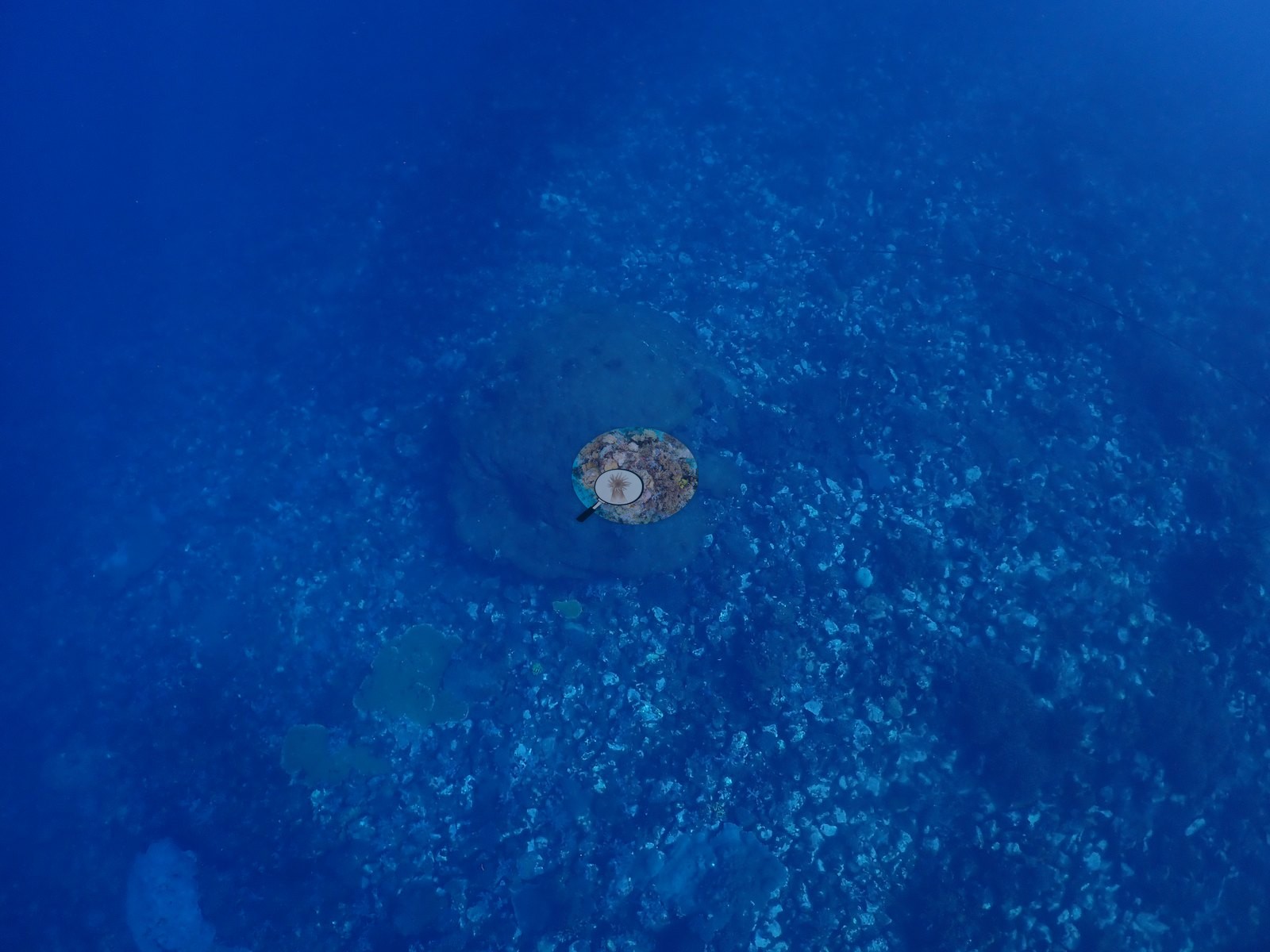
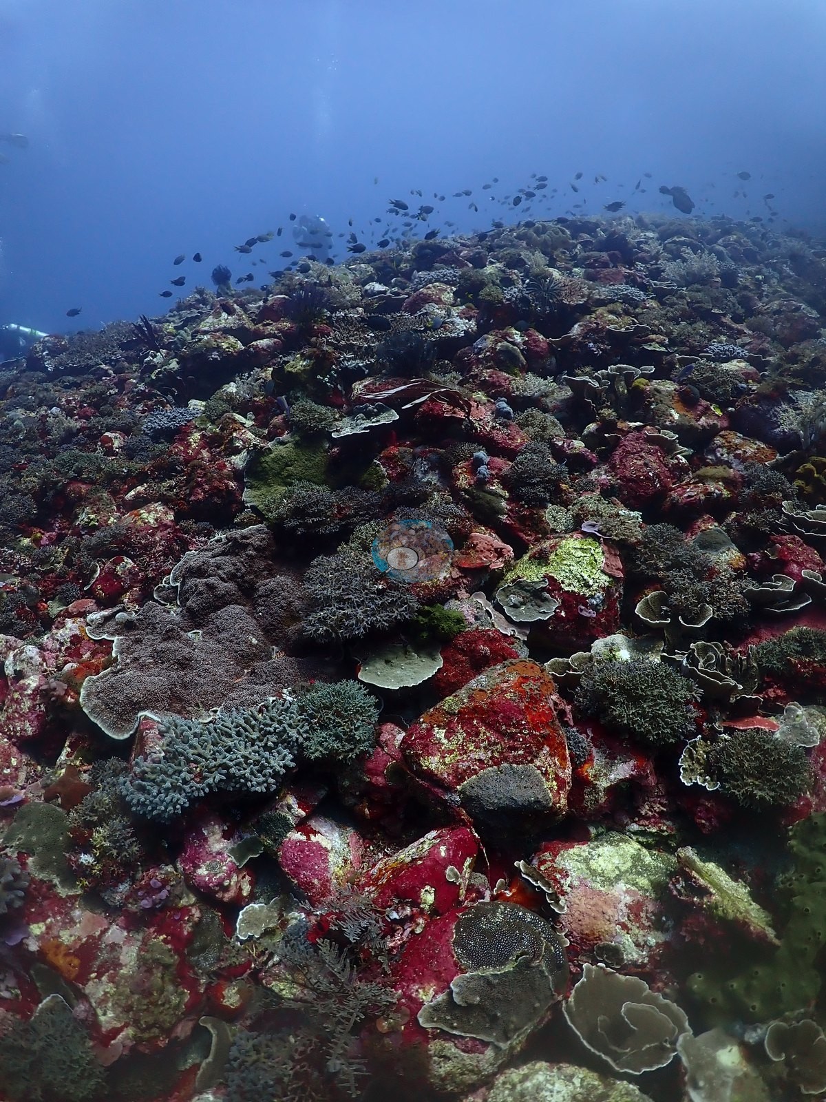
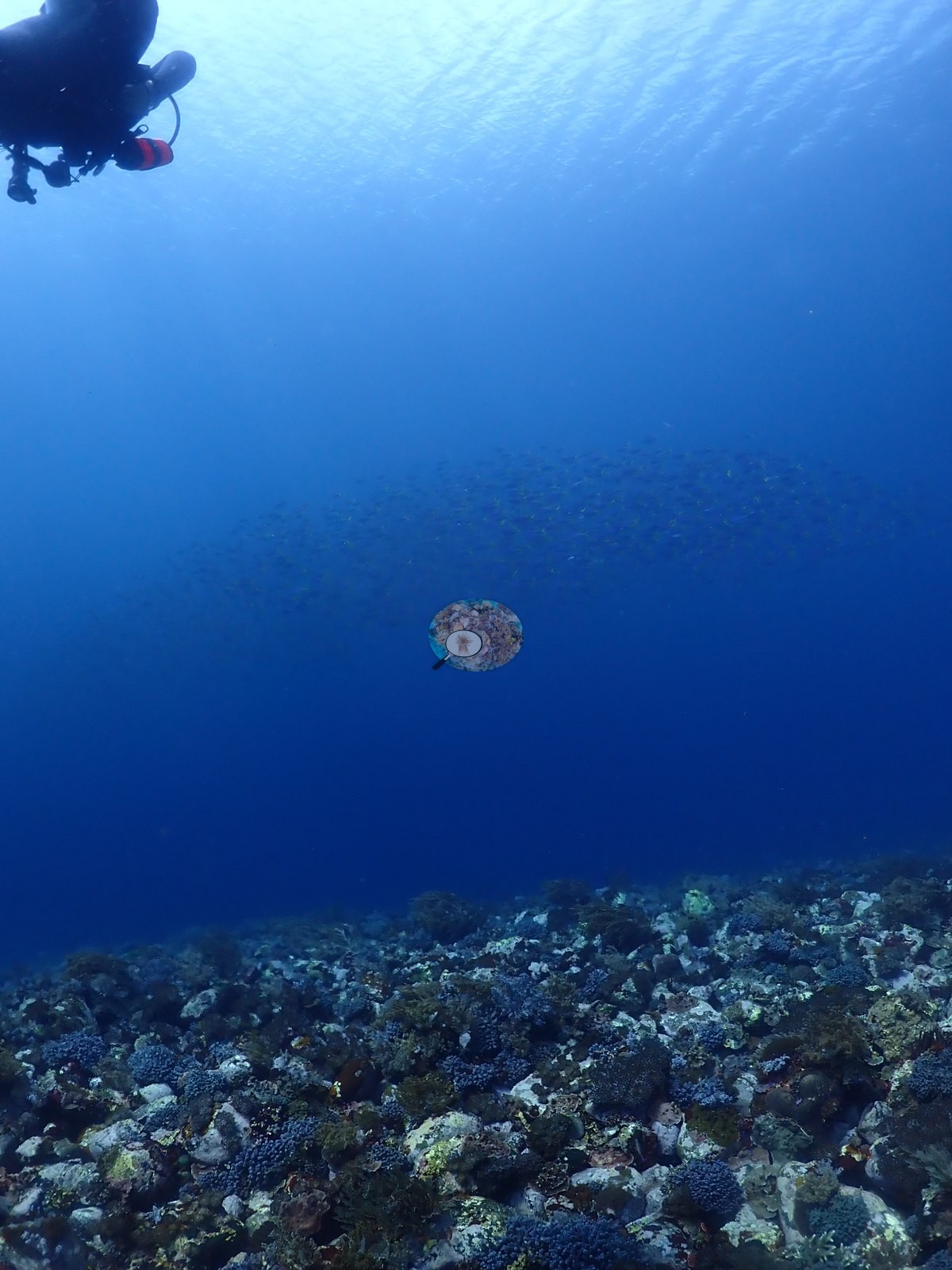
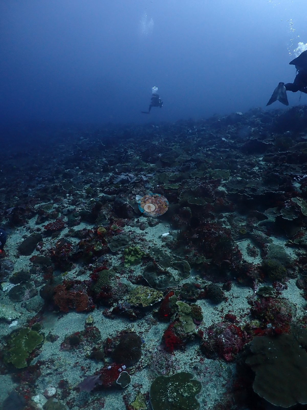
Visibility is good in most frames, with one frame showing localized turbidity/silt haze around a rock outcrop.
General benthic features
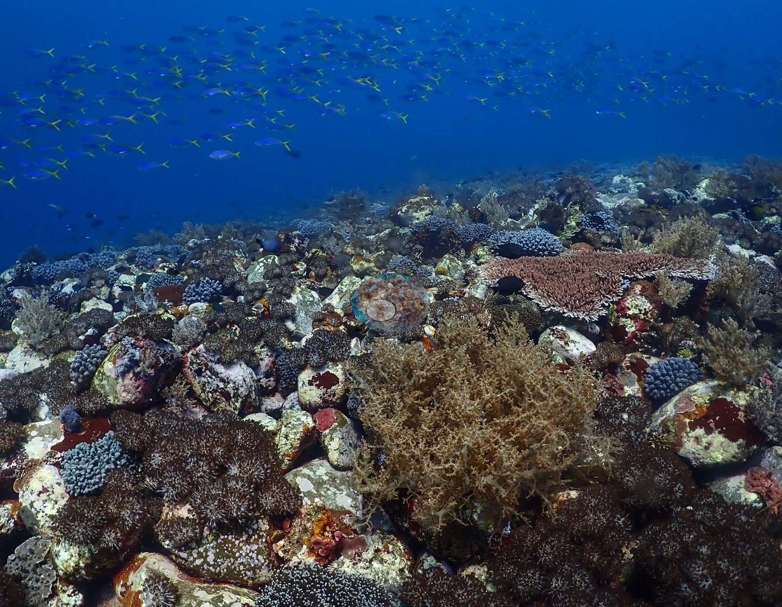
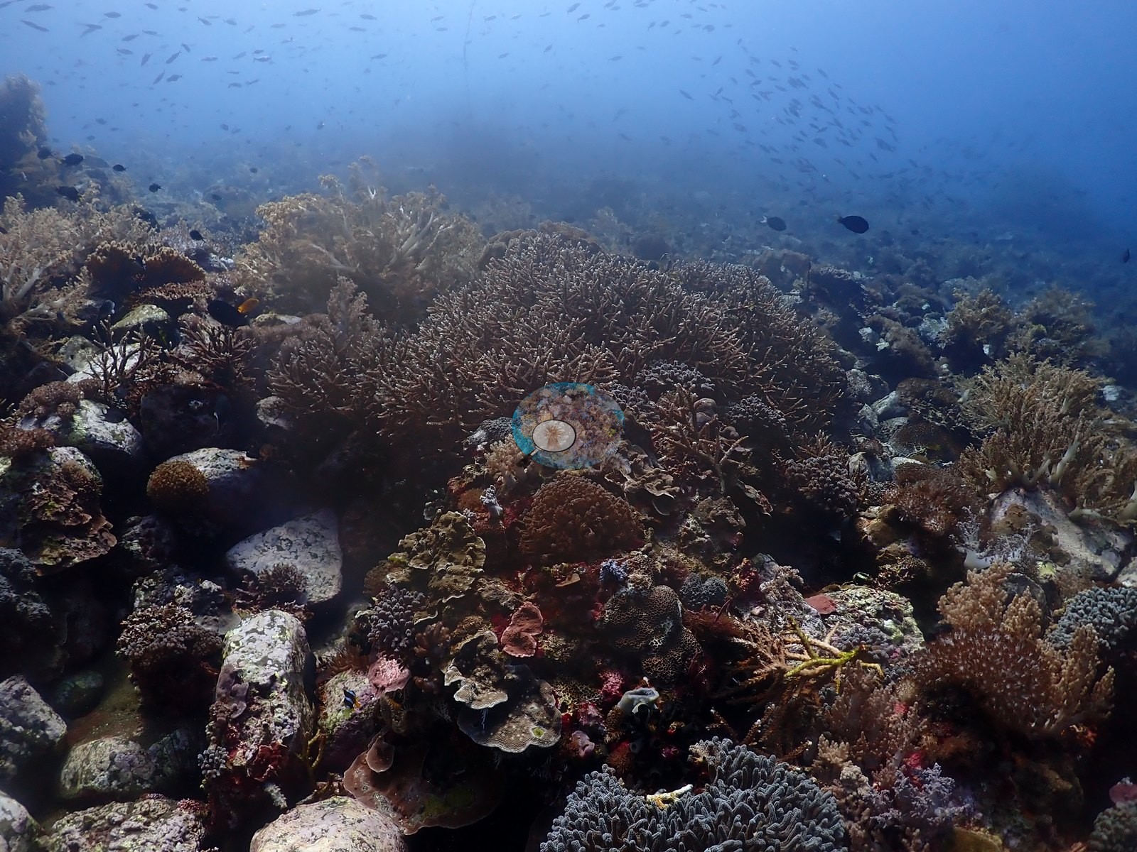
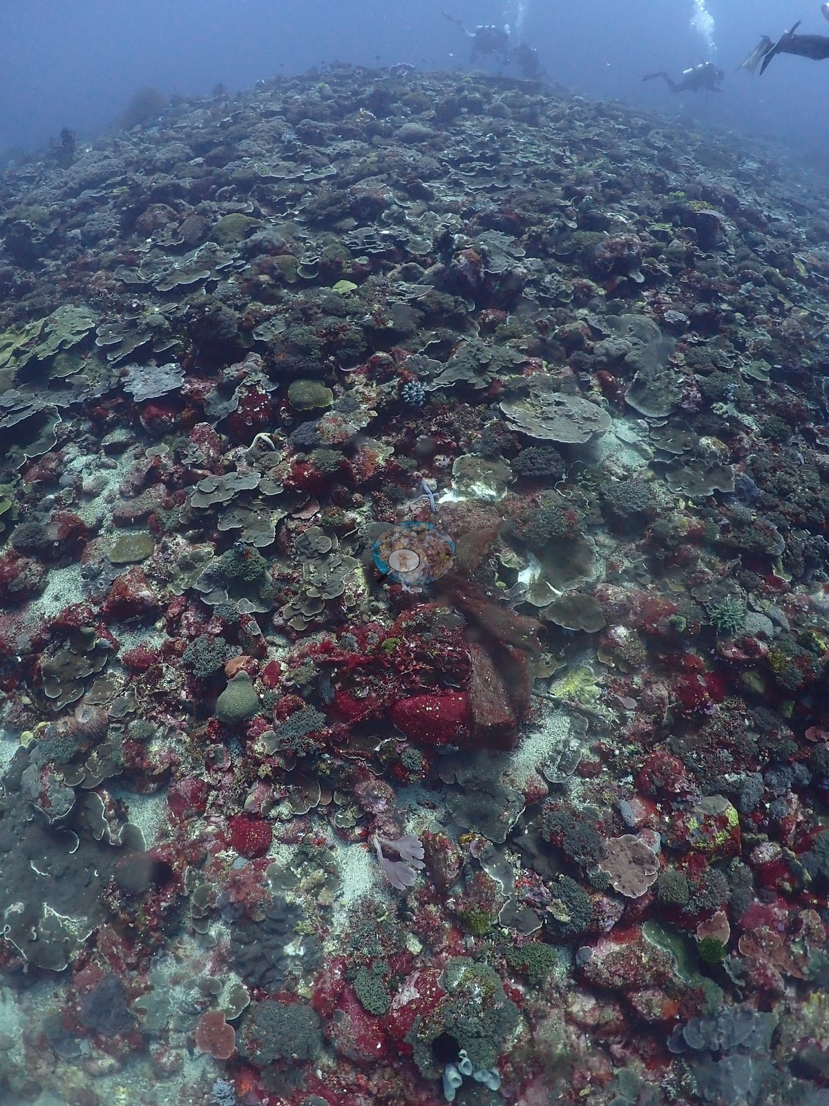
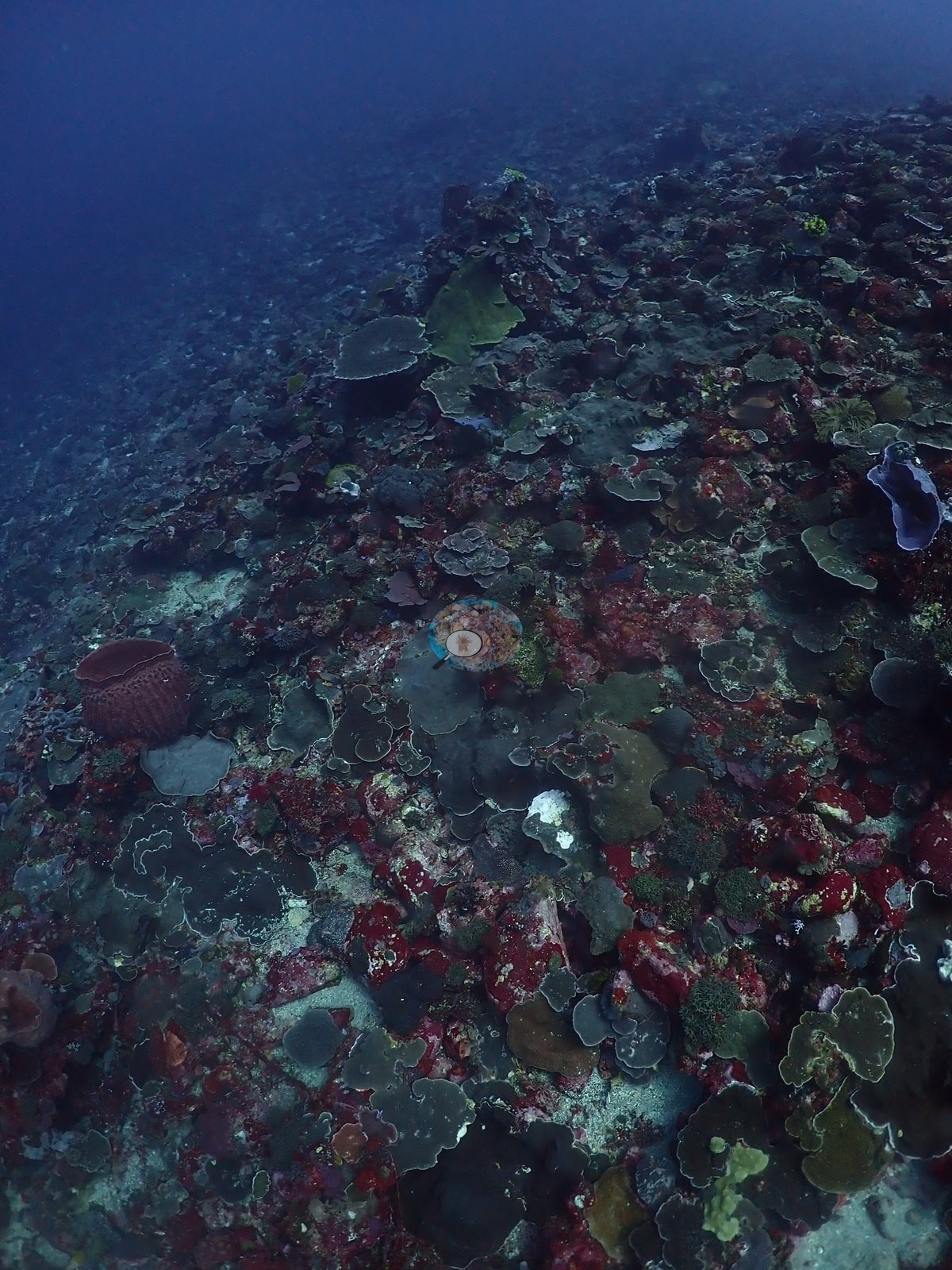
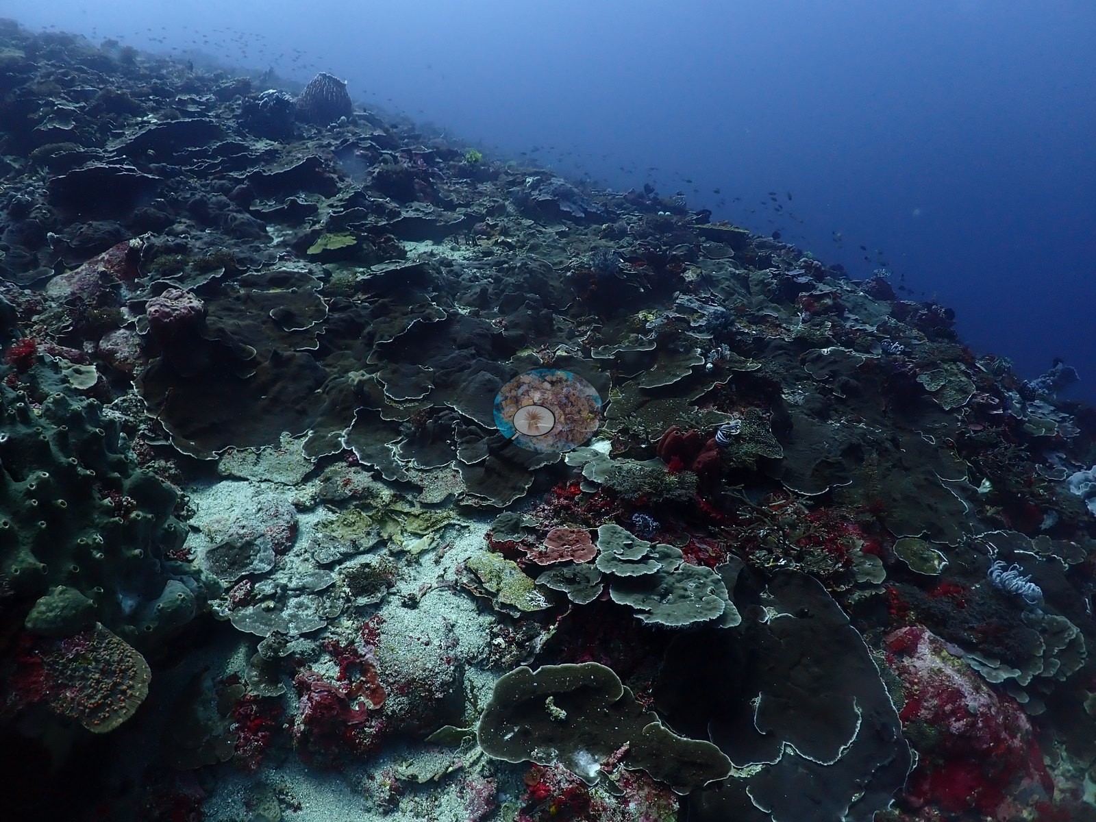
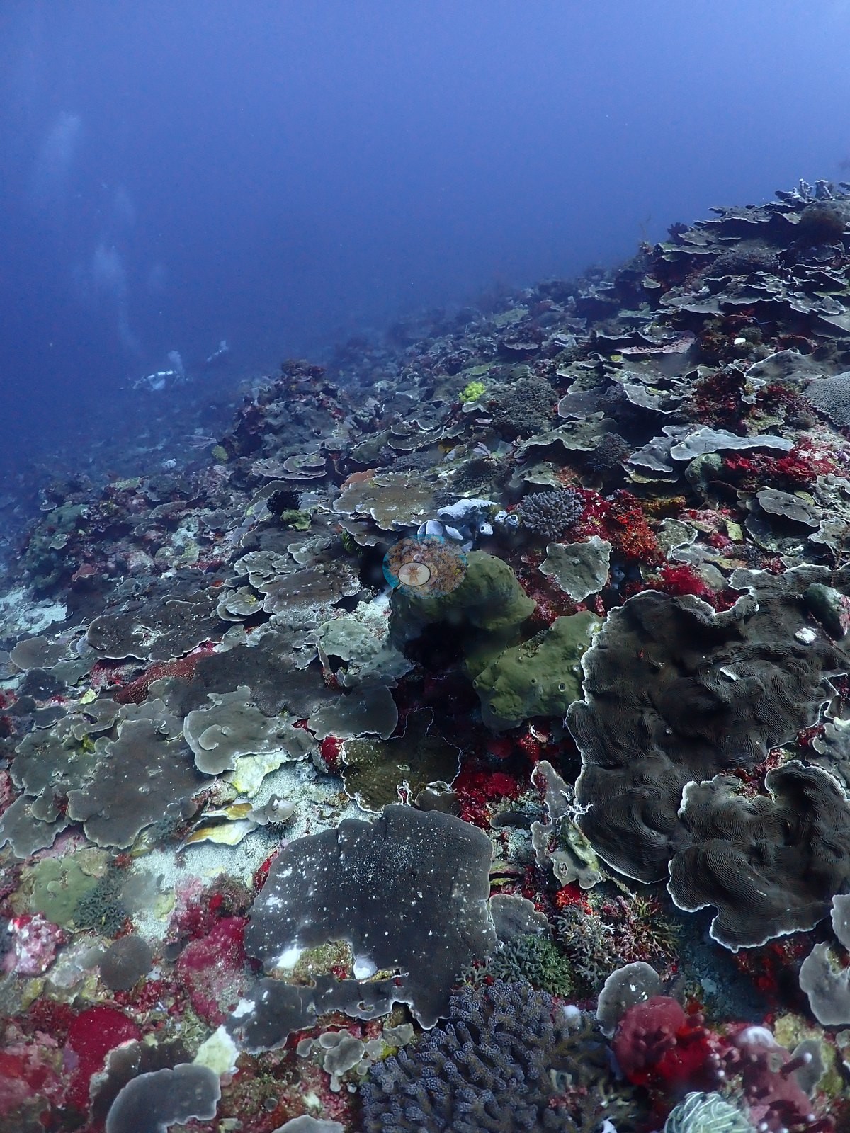
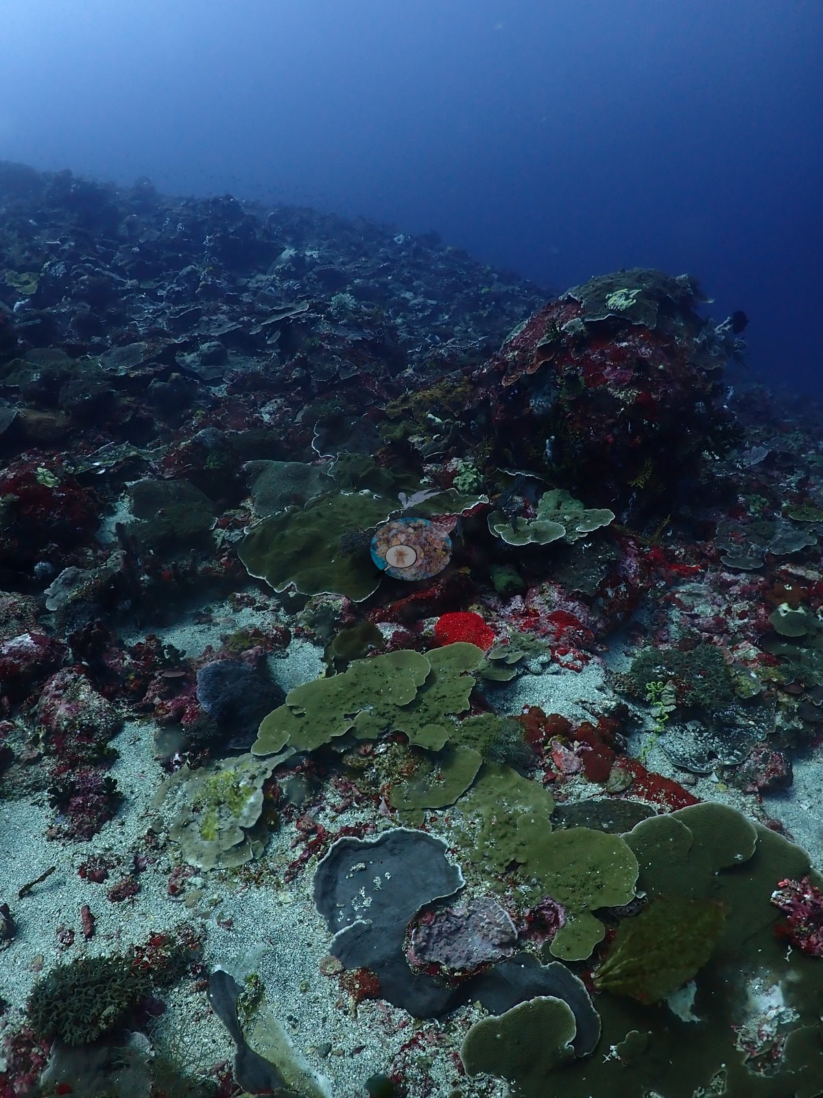
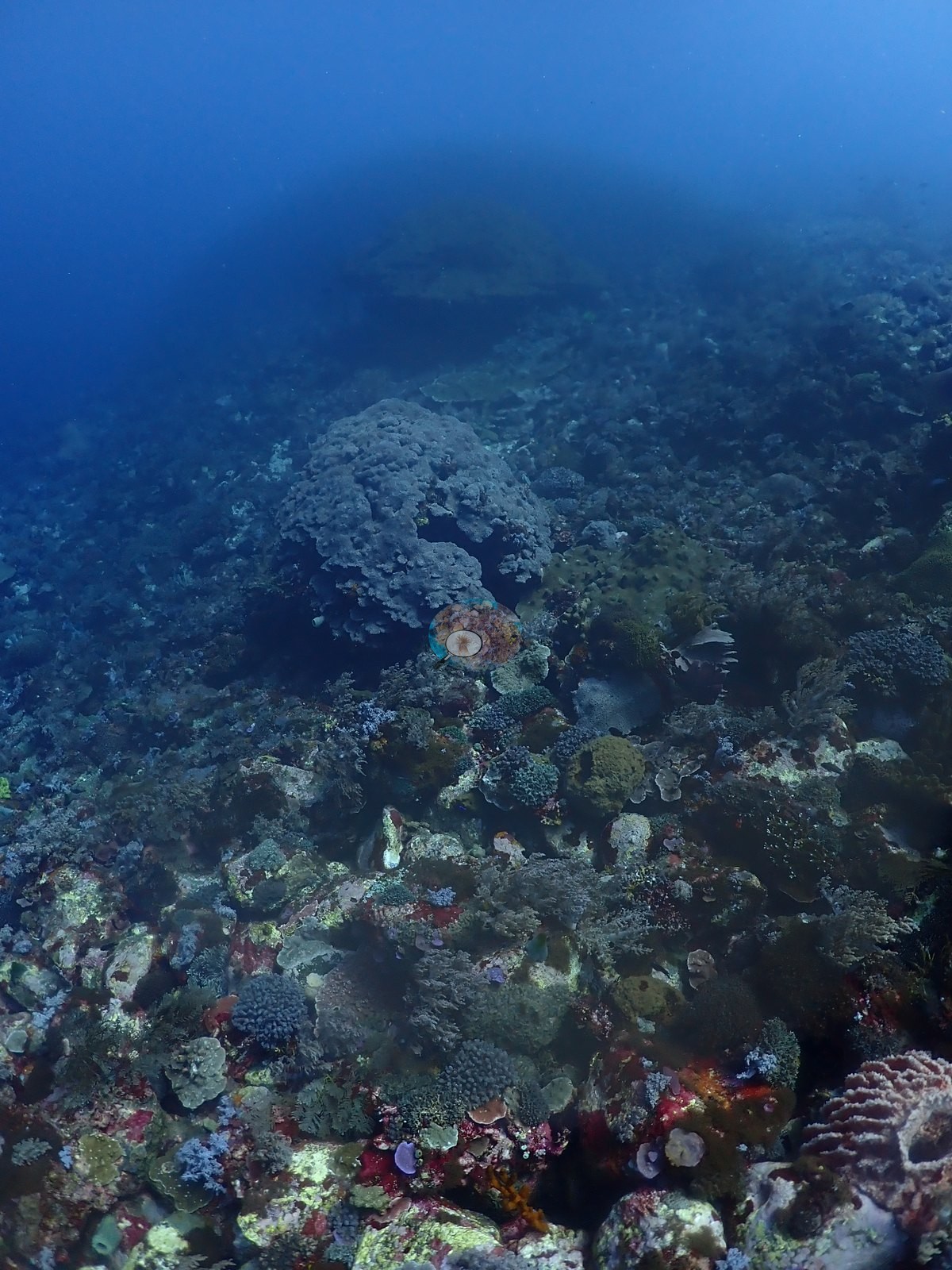
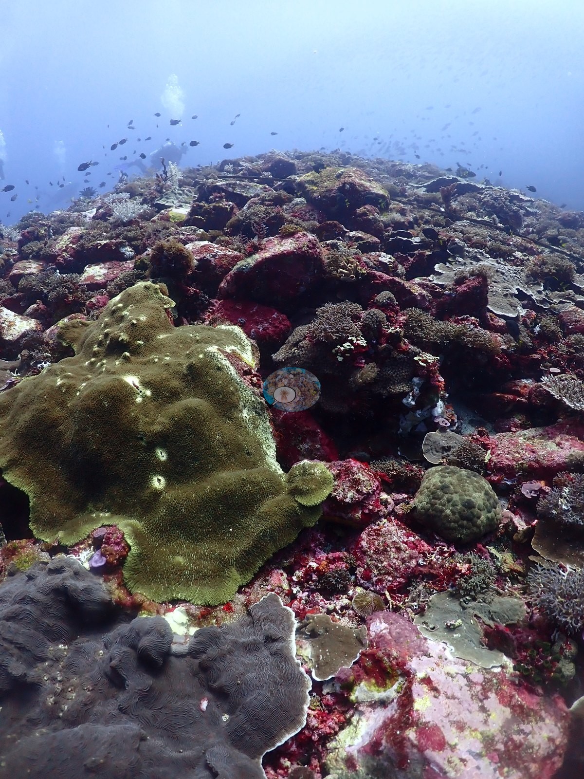
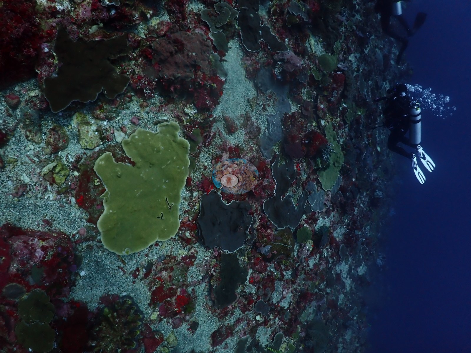
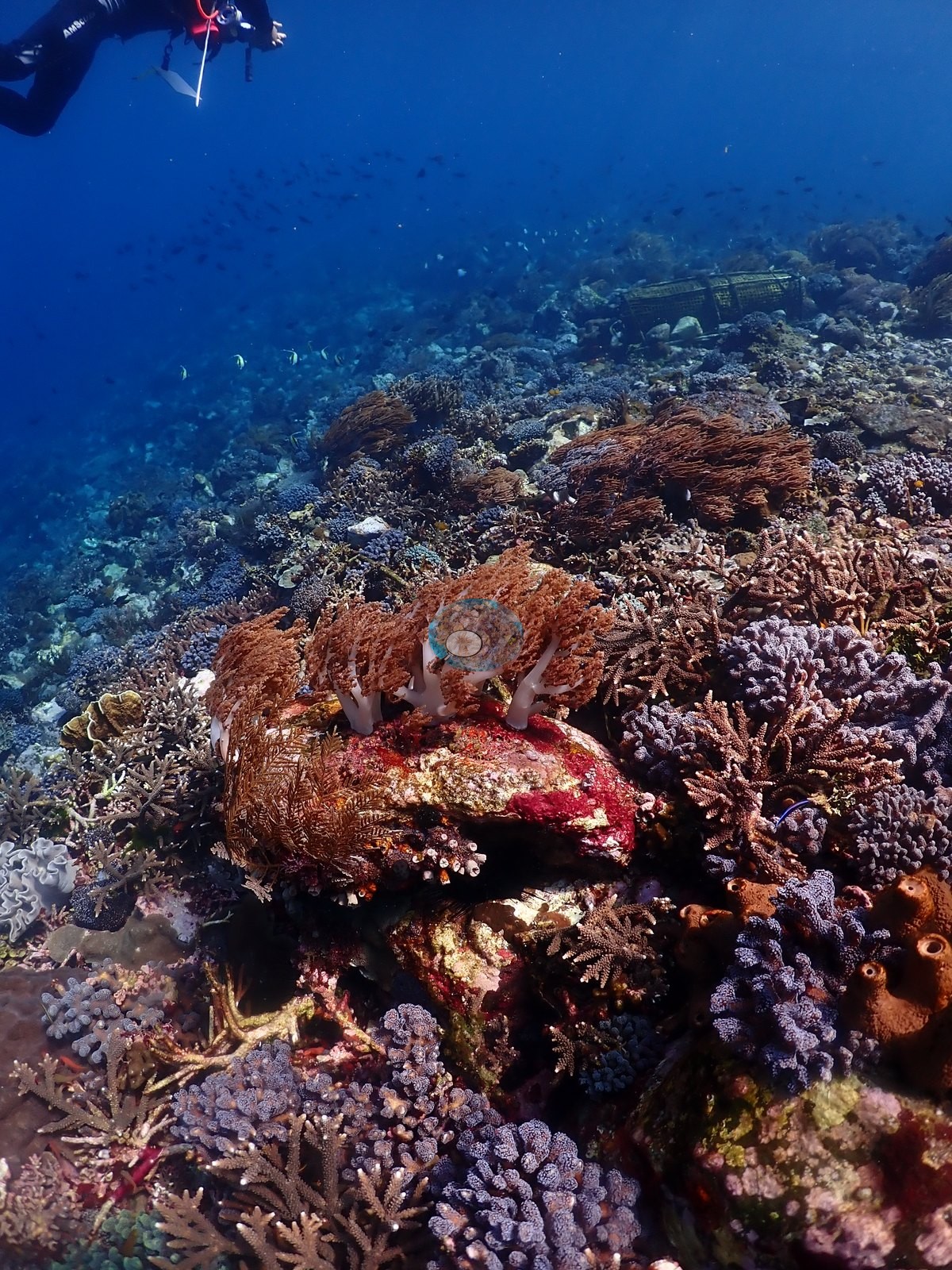
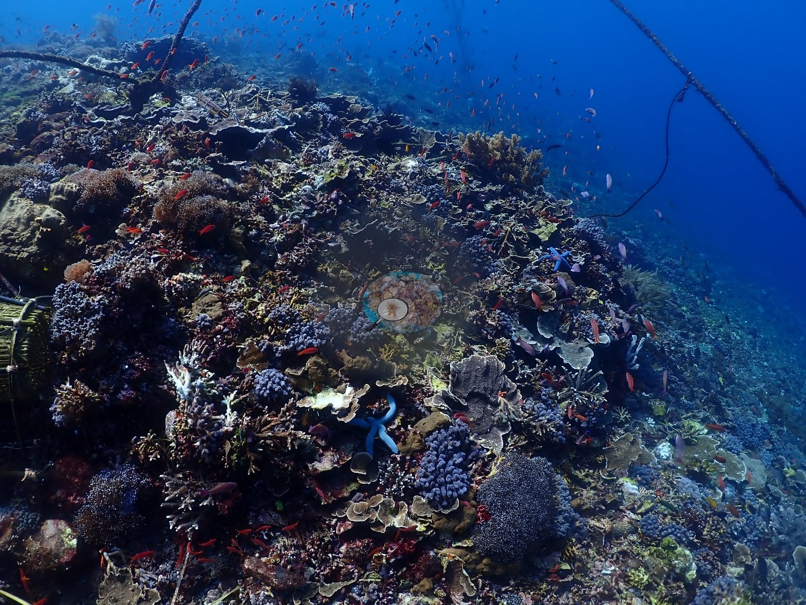
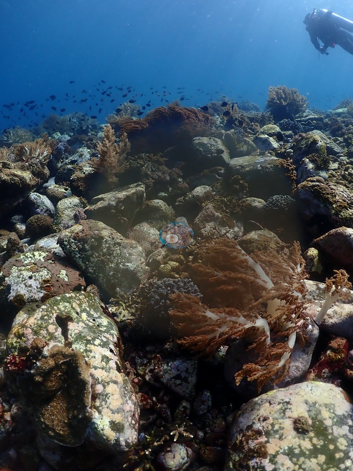
A reef with a very large massive Porites boulder colony as its centerpiece: one frame shows a diver dwarfed beside a single lobed, brain-textured Porites head at least 2-3 m across, its surface pocked with small dead/bleached-white patches and colonized at the base by encrusting purple zoanthids and a maroon foliose alga; bamboo-and-mesh cage structures (consistent with fish traps, or possibly a coral nursery/restoration frame) sit on the sand immediately behind it, strung along a guideline/rope running through the site (e.g., Image 25, Image 44).
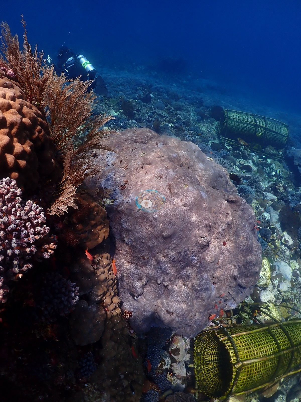
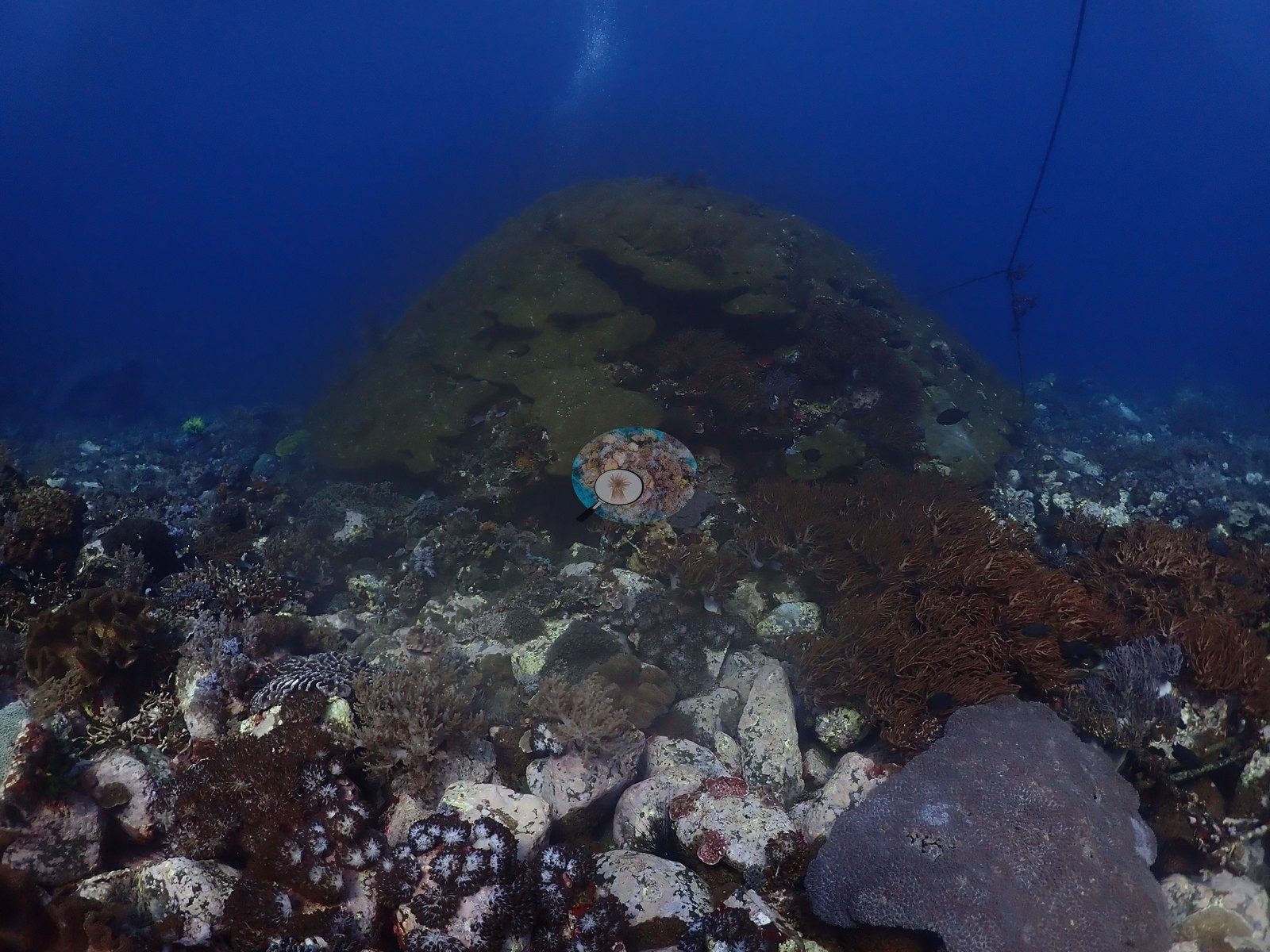
A second wide frame at a different point on the reef shows more of these bamboo cages beside more coral (e.g., Image 13, Image 26).
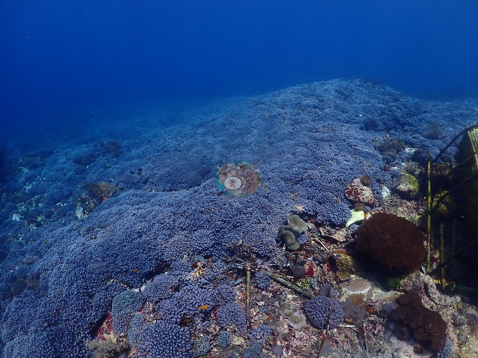
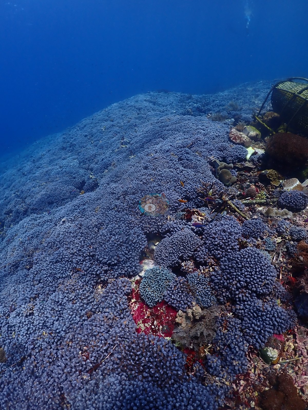
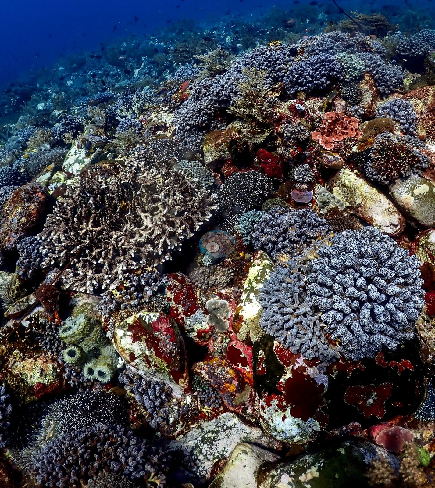
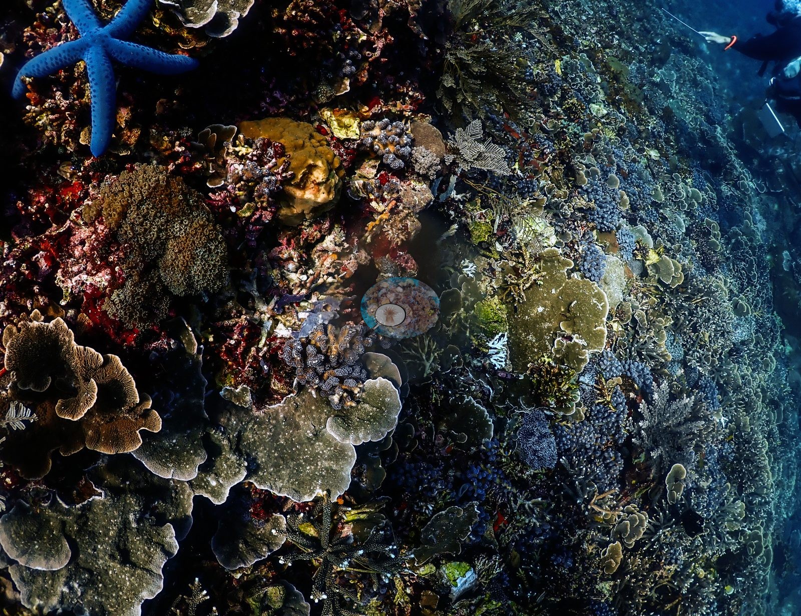
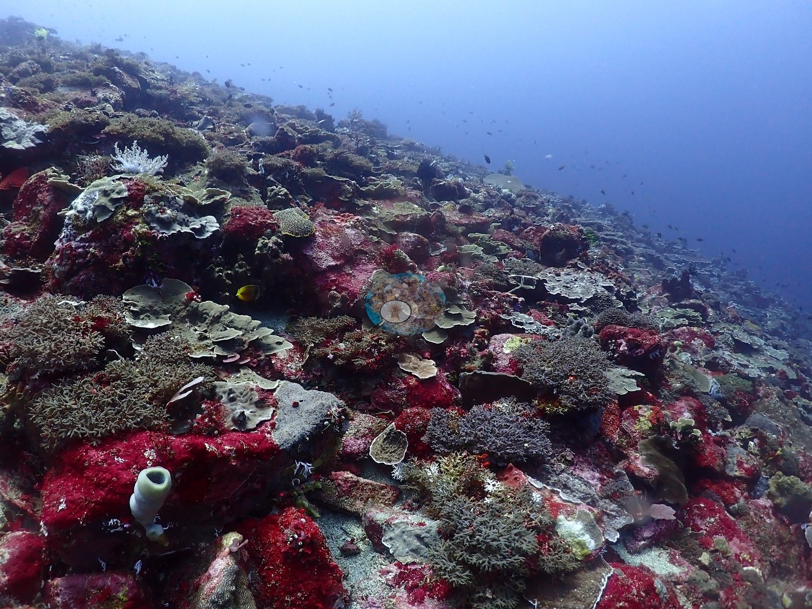
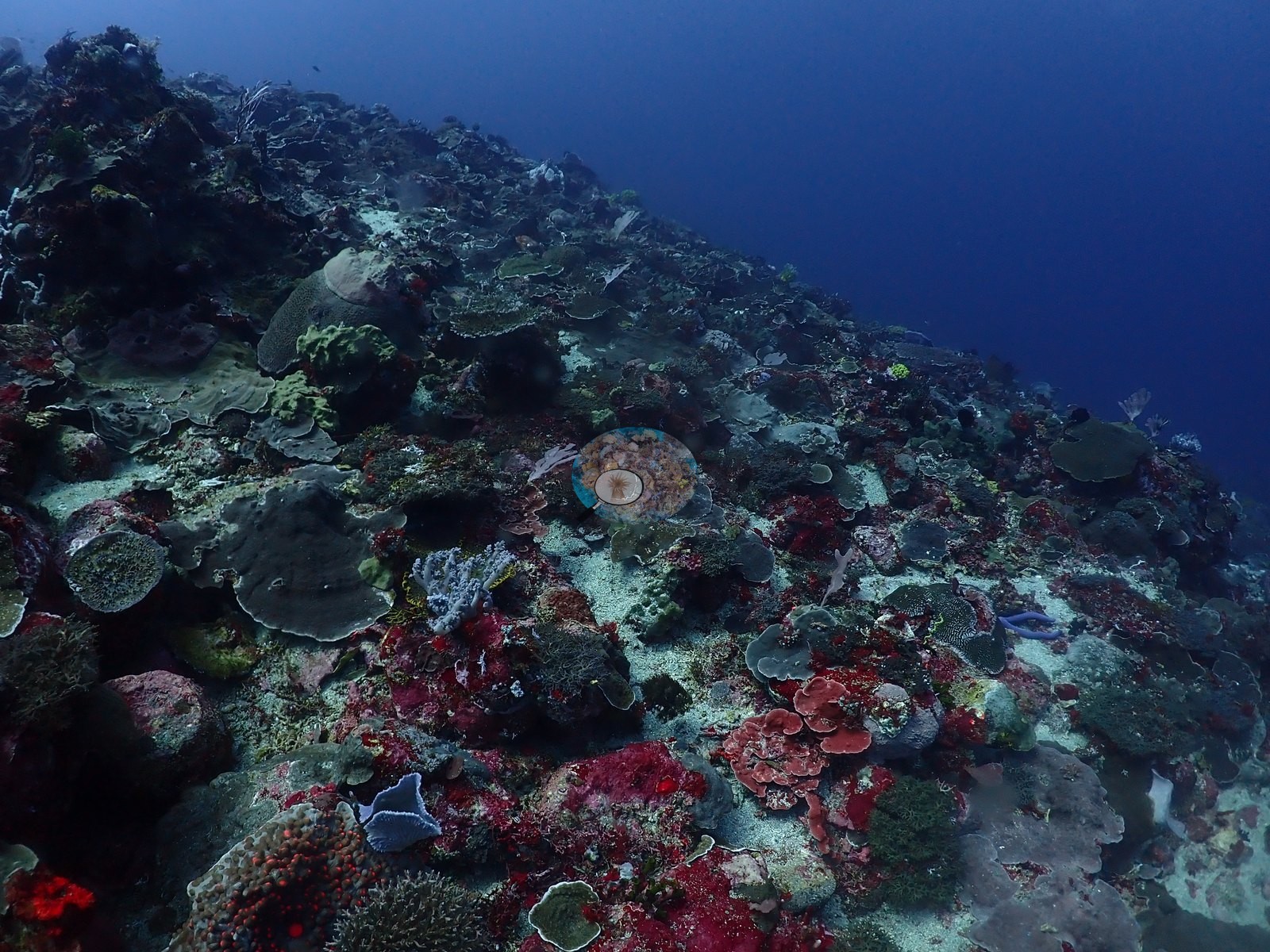
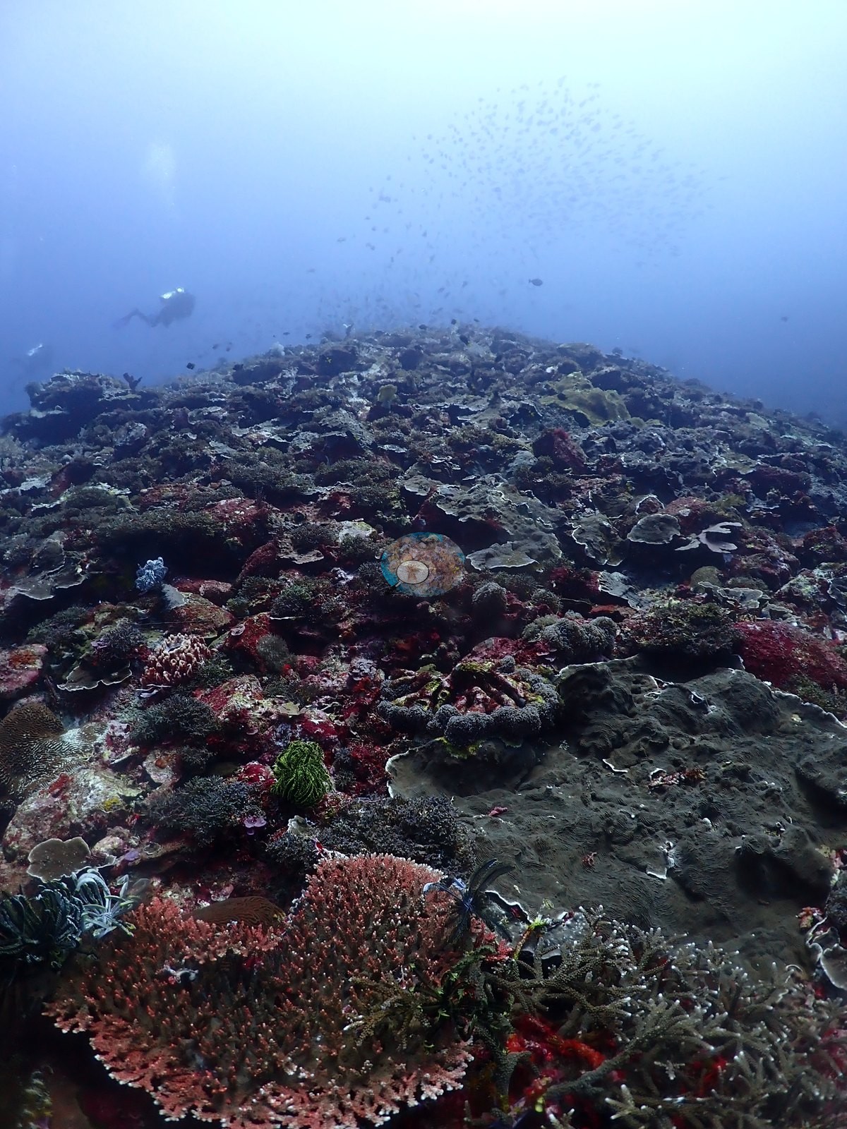
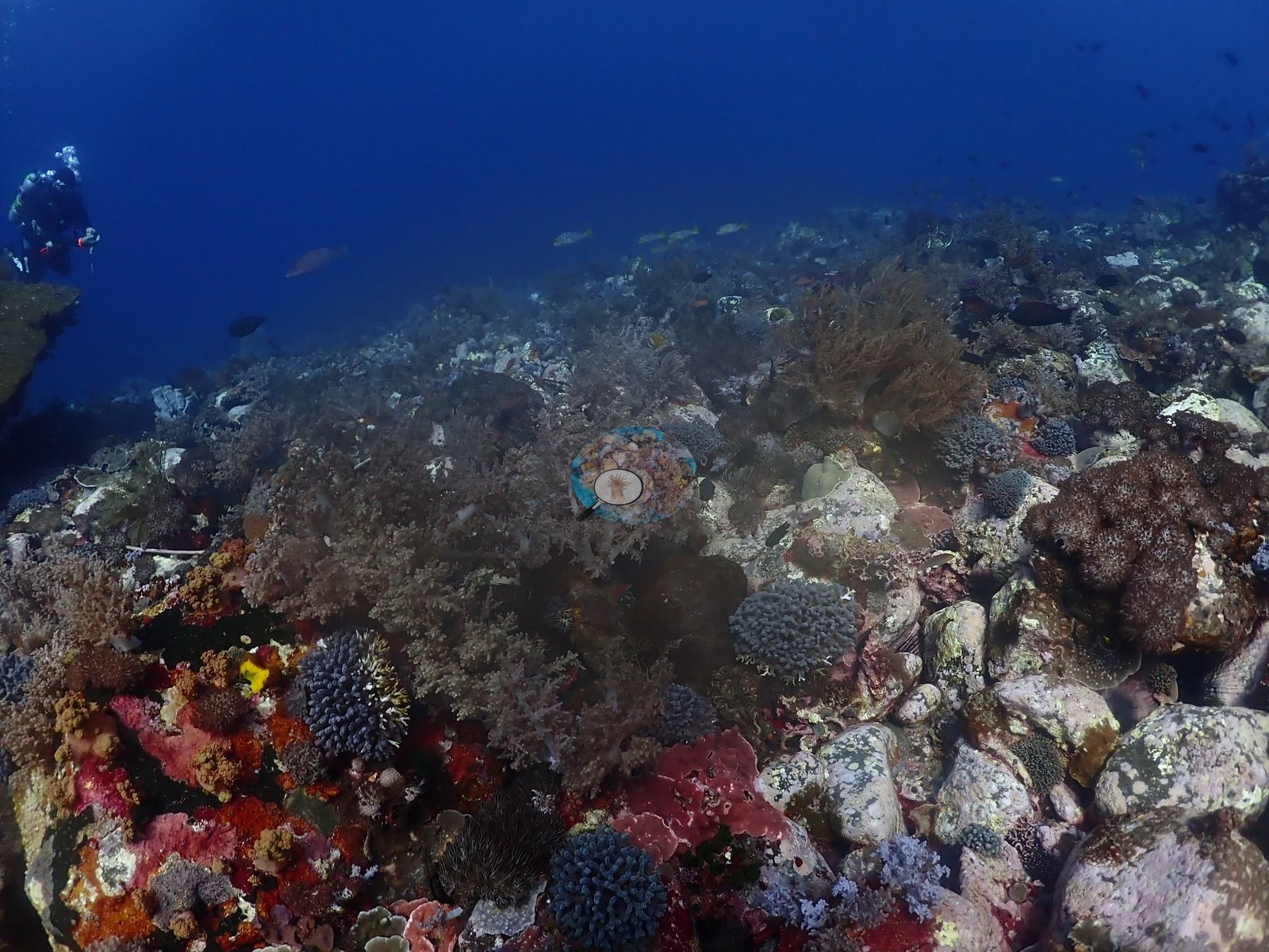
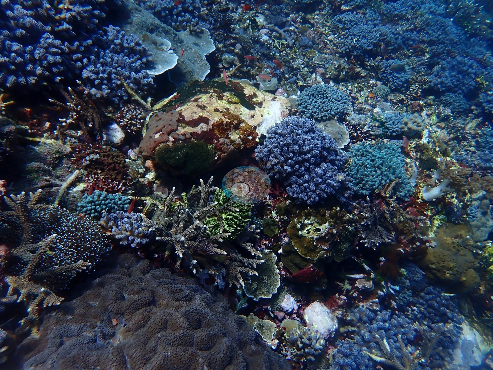
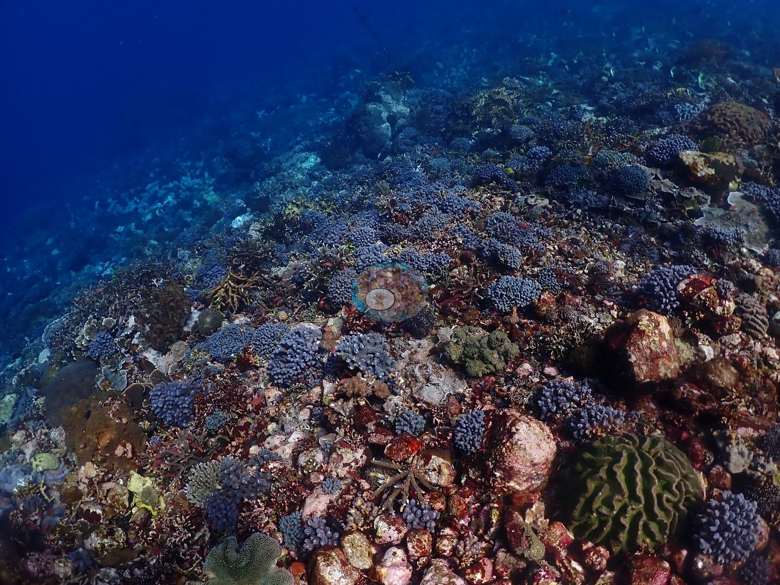
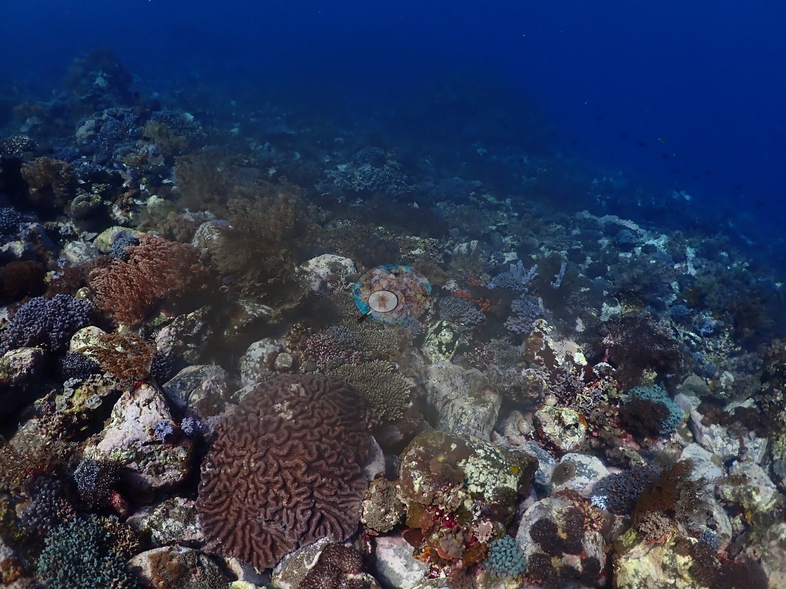
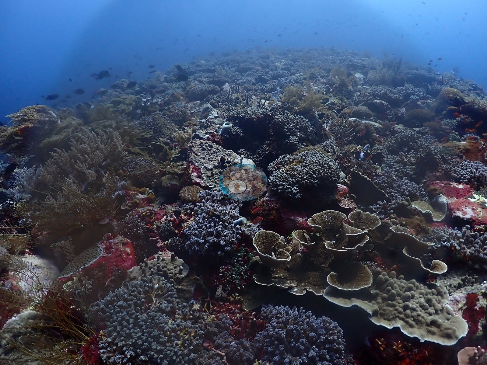
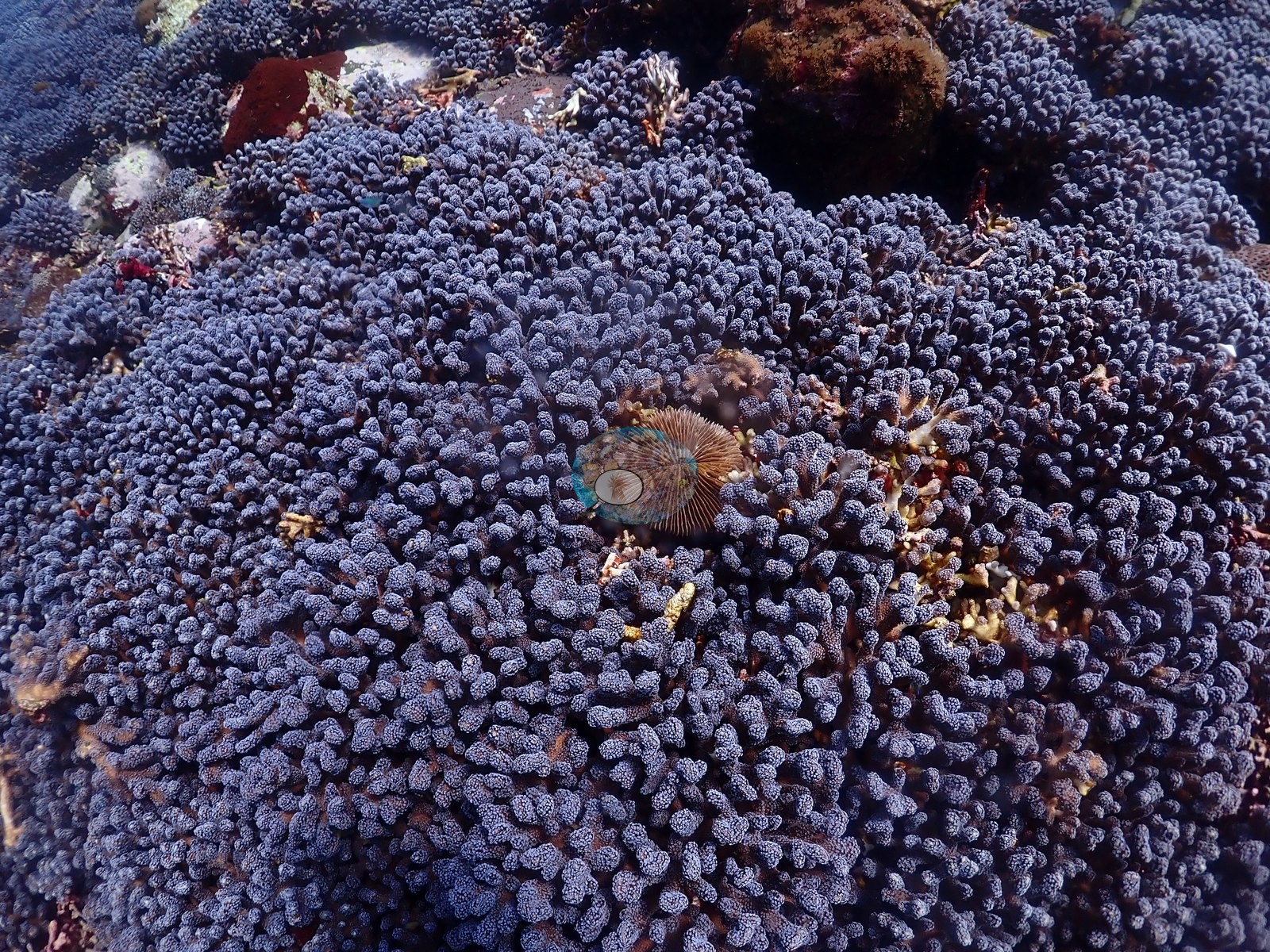
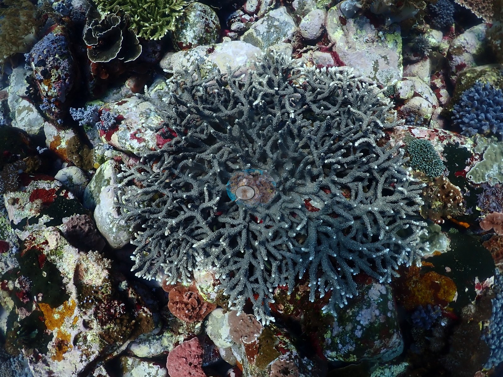
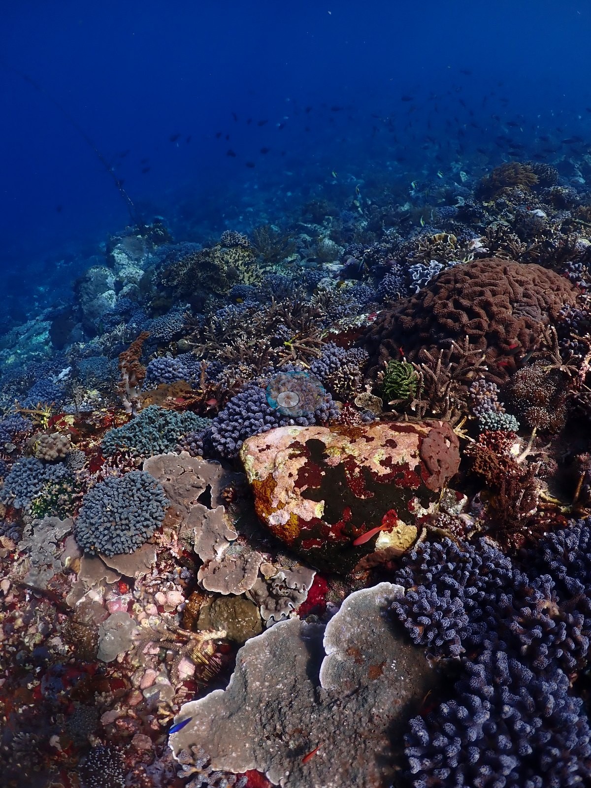
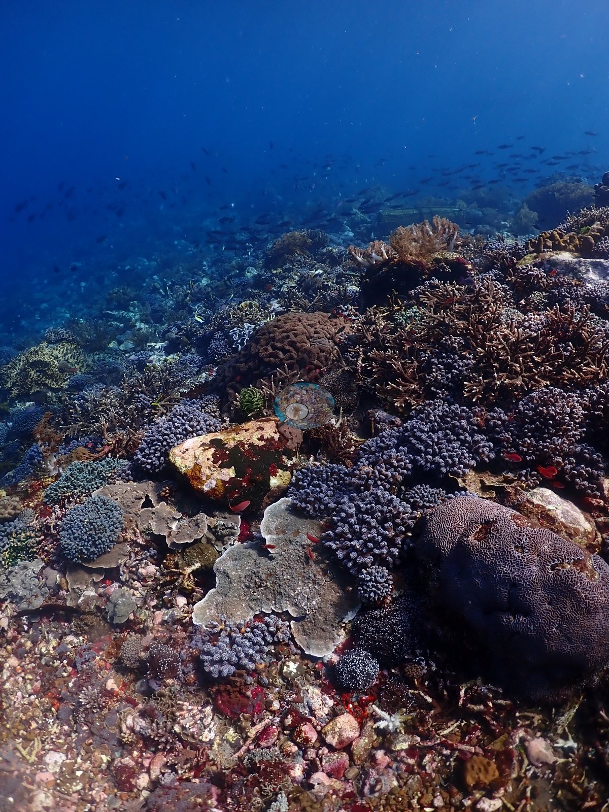
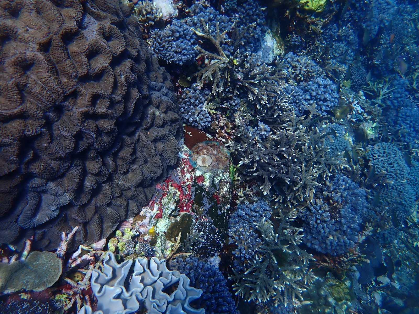
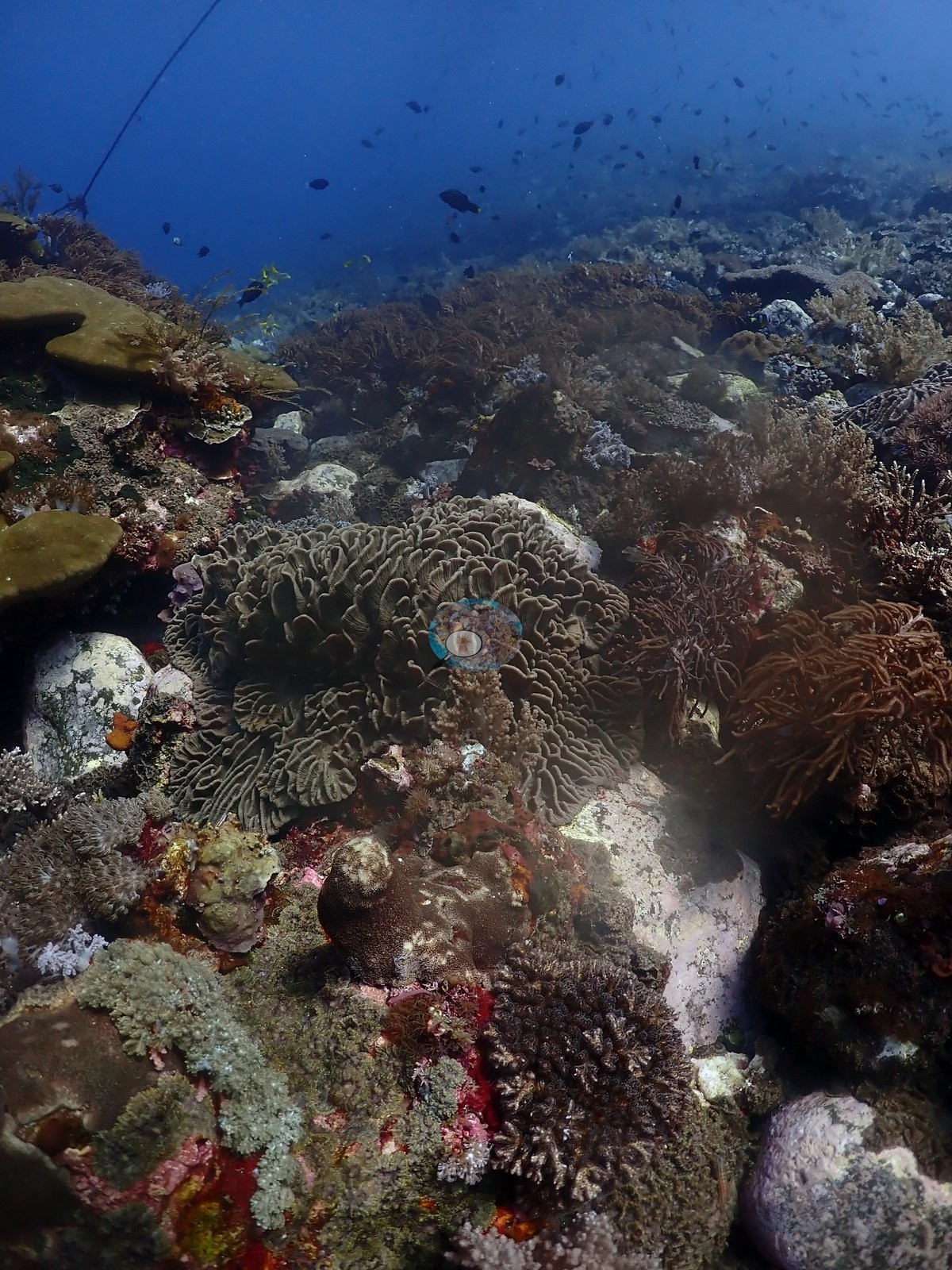
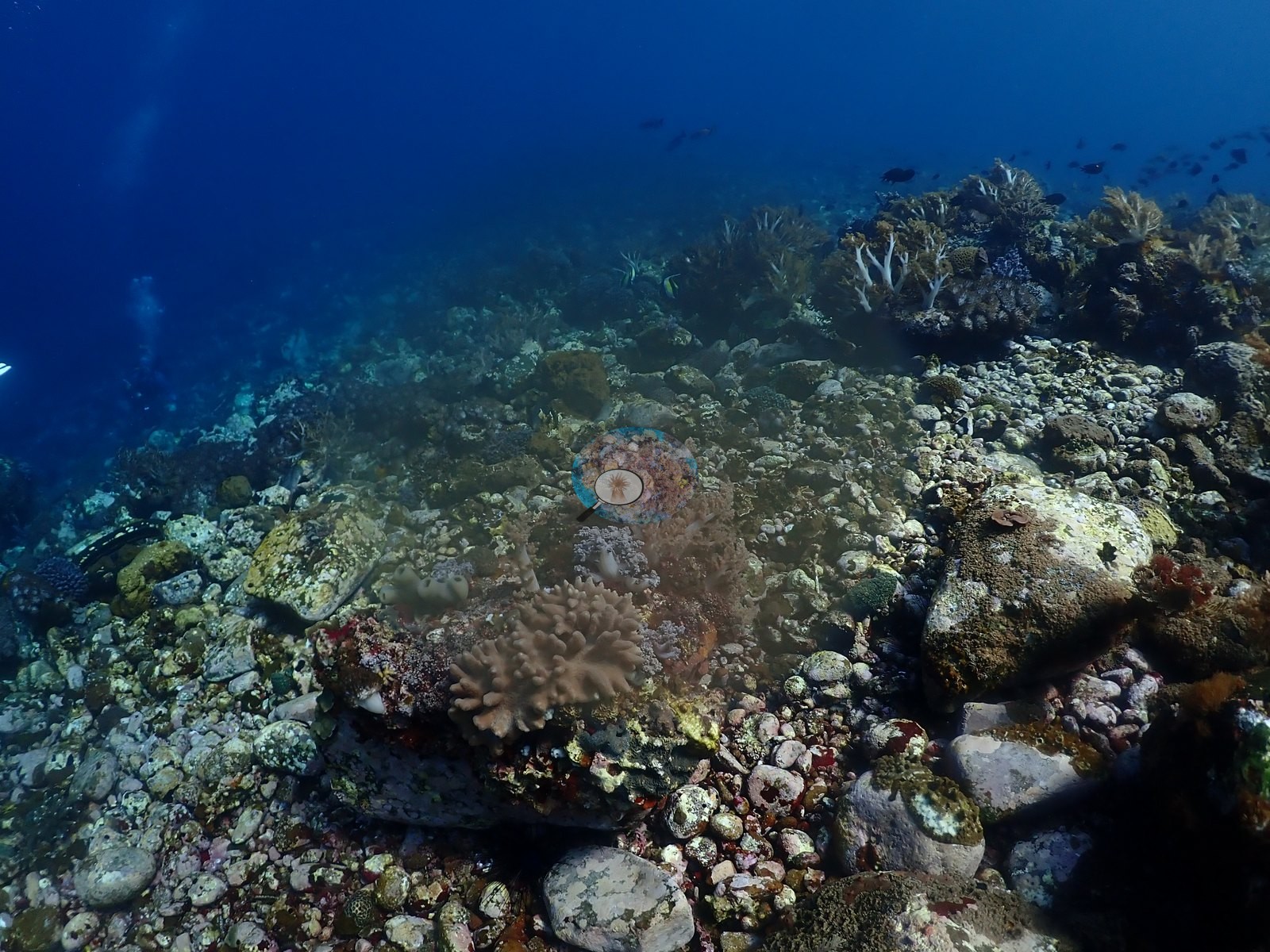
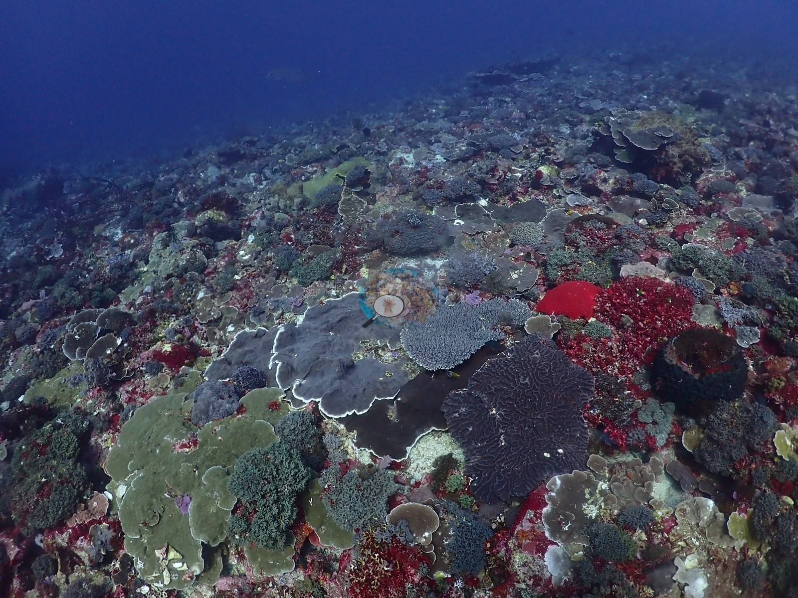
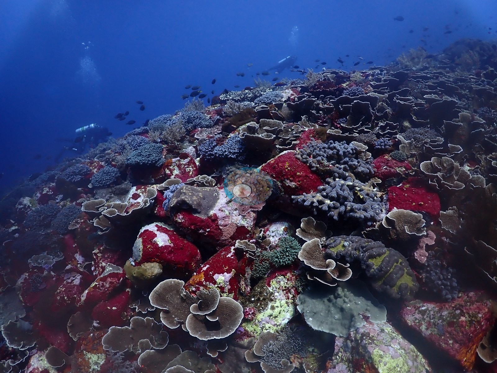
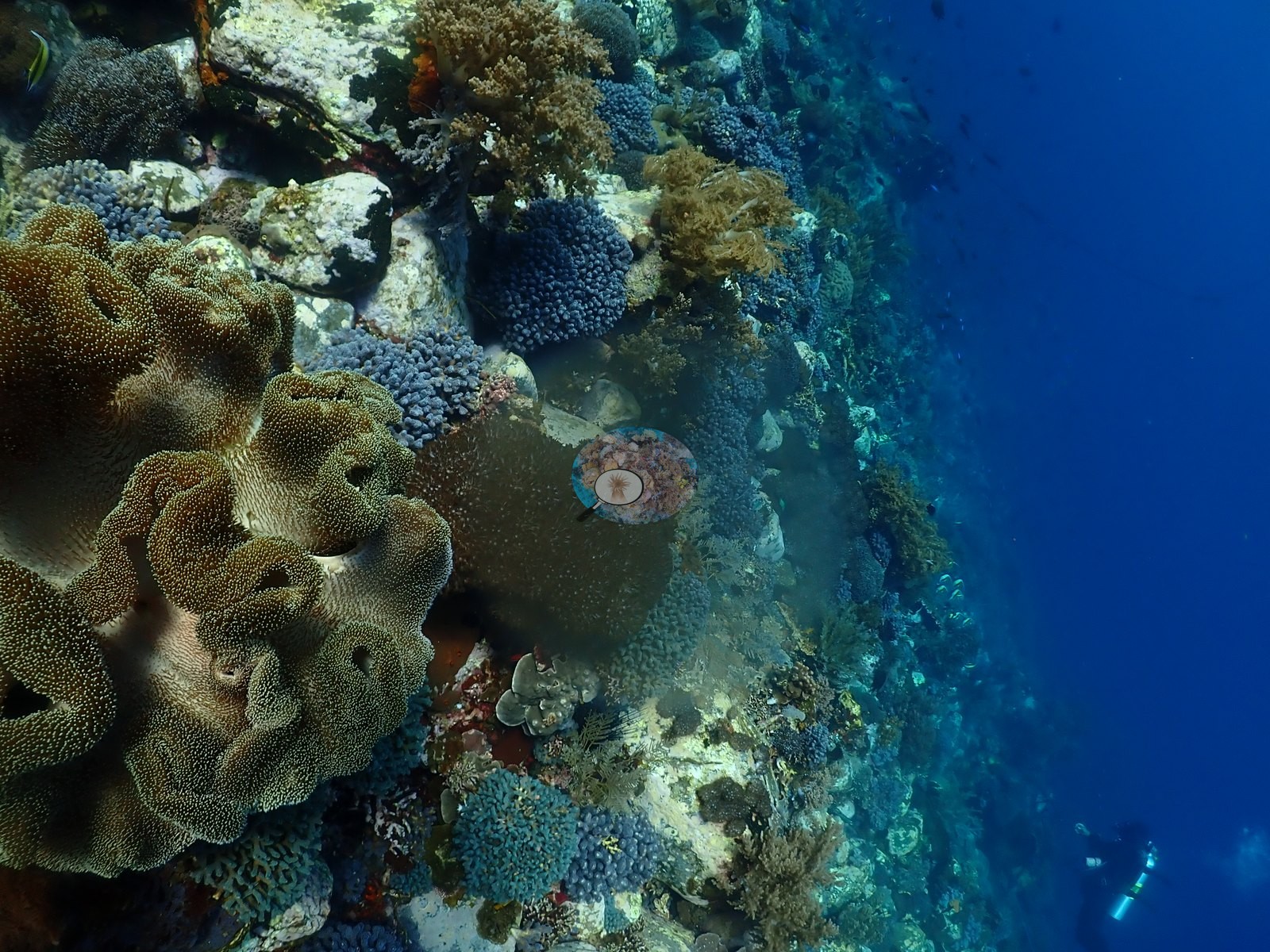
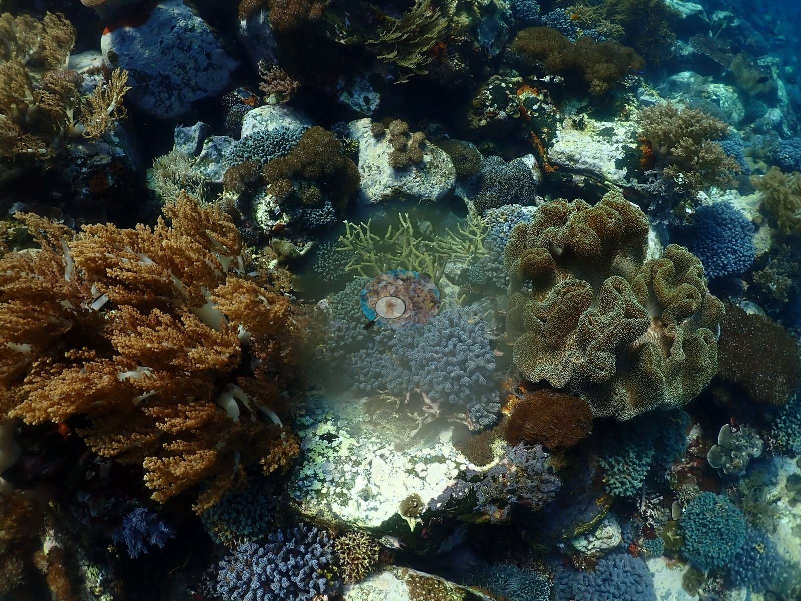
Elsewhere the reef is a fine-grained mosaic of low mounding and plating colonies (gray-brown Porites/faviid heads, pale plating corals with white growing edges, one vivid green plating colony) interspersed with red encrusting sponge/algae, a lilac soft coral, and open rubble, transitioning in other frames to dense low staghorn-type Acropora thickets over rubble (e.g., Image 5, Image 21, Image 22, Image 28, Image 49).
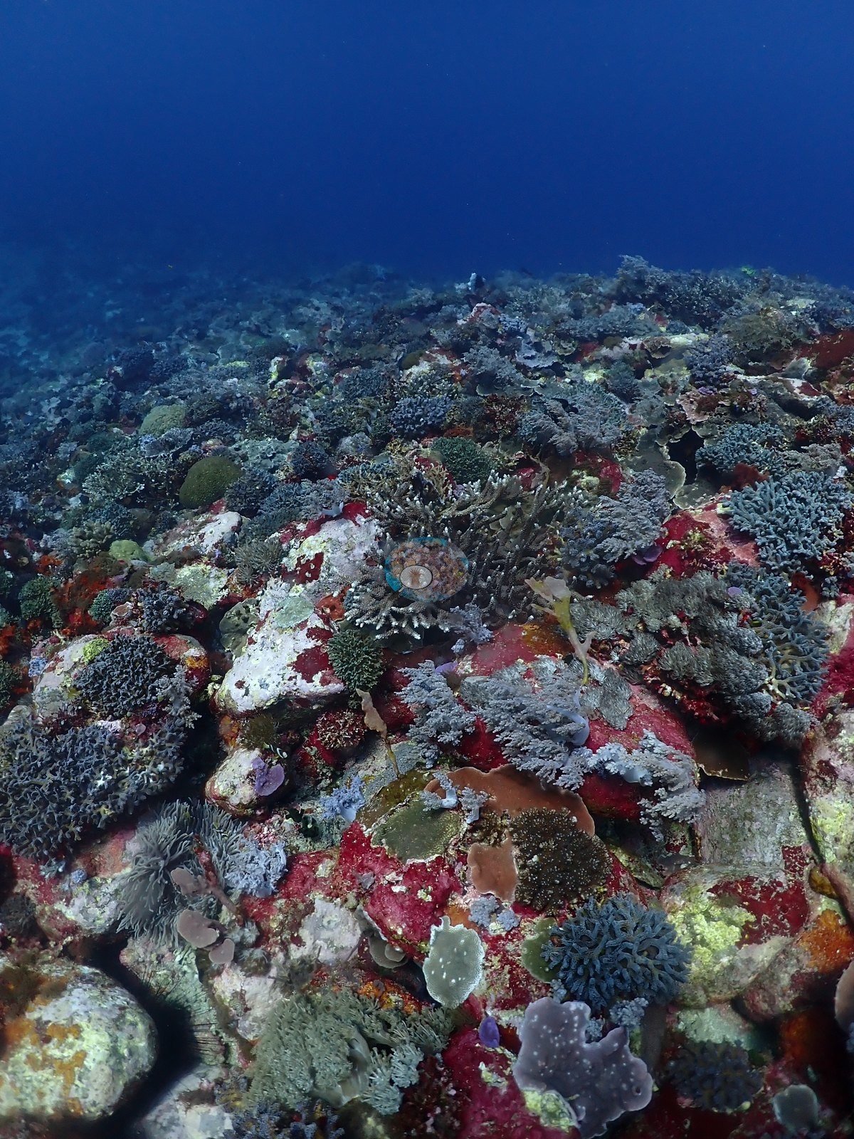
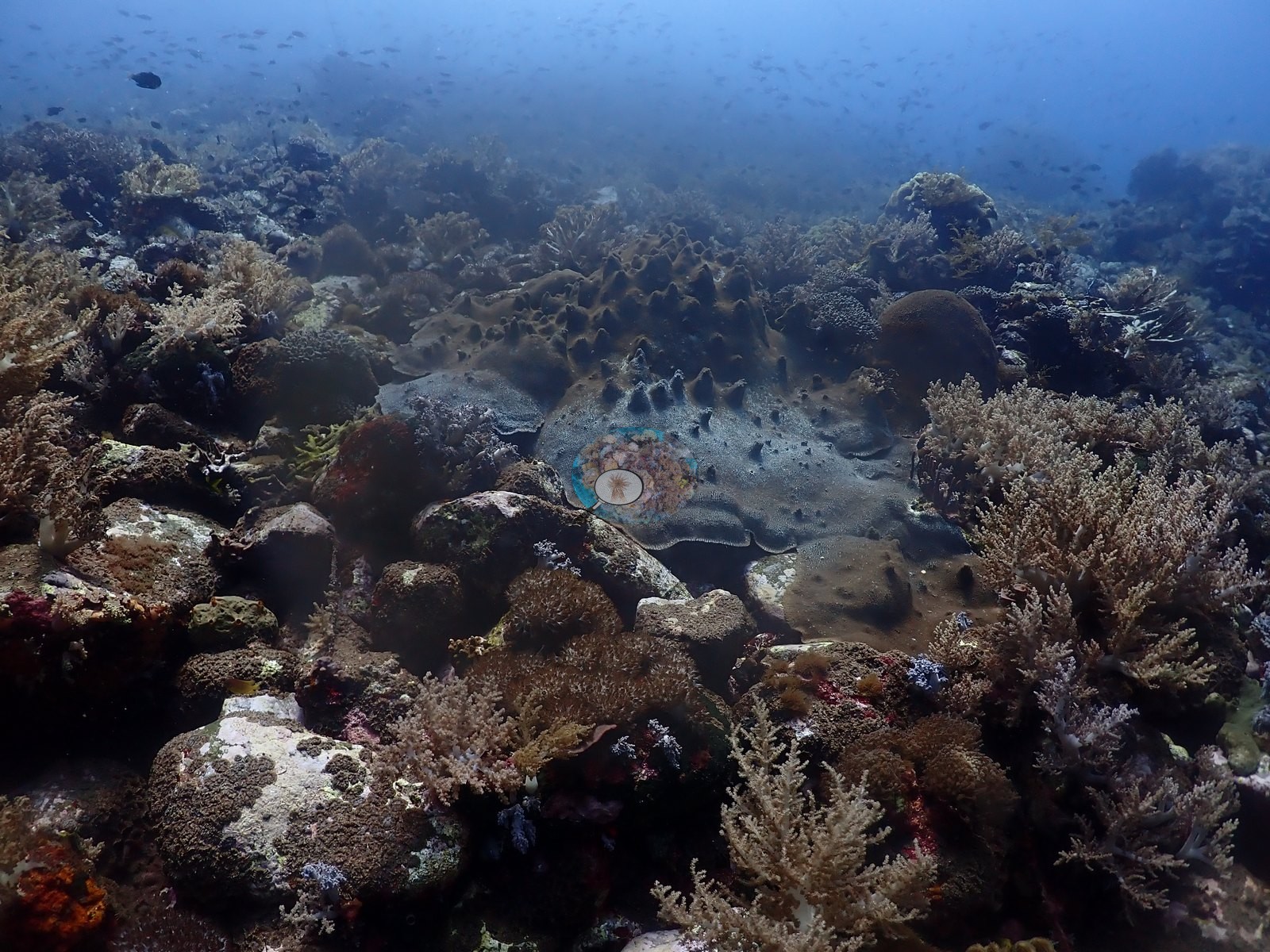
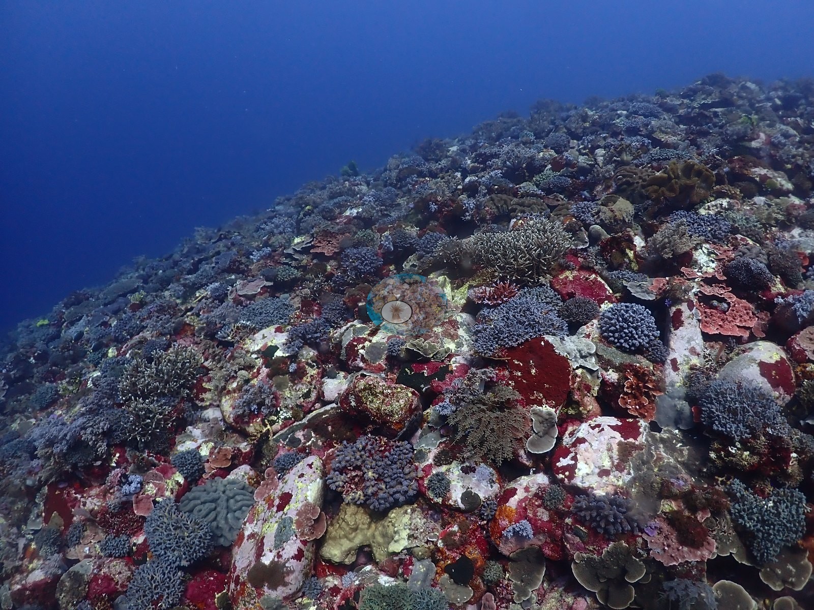
Coral cover
Coral cover: 29% — a blind Claude computer-vision point count of 208 of Anderson's unedited photographs (20 points per photo; water, fish, and obstructions excluded). Other computer-vision methods are listed in the method table.
Stressors
No bleaching of live tissue is visible on any coral aside from small dead/algae-covered patches on the giant Porites head, which read as old lesions or partial mortality rather than active bleaching; no other disease or fresh physical damage is visible. No crown-of-thorns starfish (COTS) or other corallivores evident.
Fish and other fauna
A school of dozens of small silvery fish is visible mid-water off the reef edge in one frame (e.g., Image 3).
Comparisons with other data
Also on record for this site: A current-influenced slope whose coral cover ranged from exposed framework and rubble to dense mixed gardens (e.g., Image 15, Image 51, Image 52).
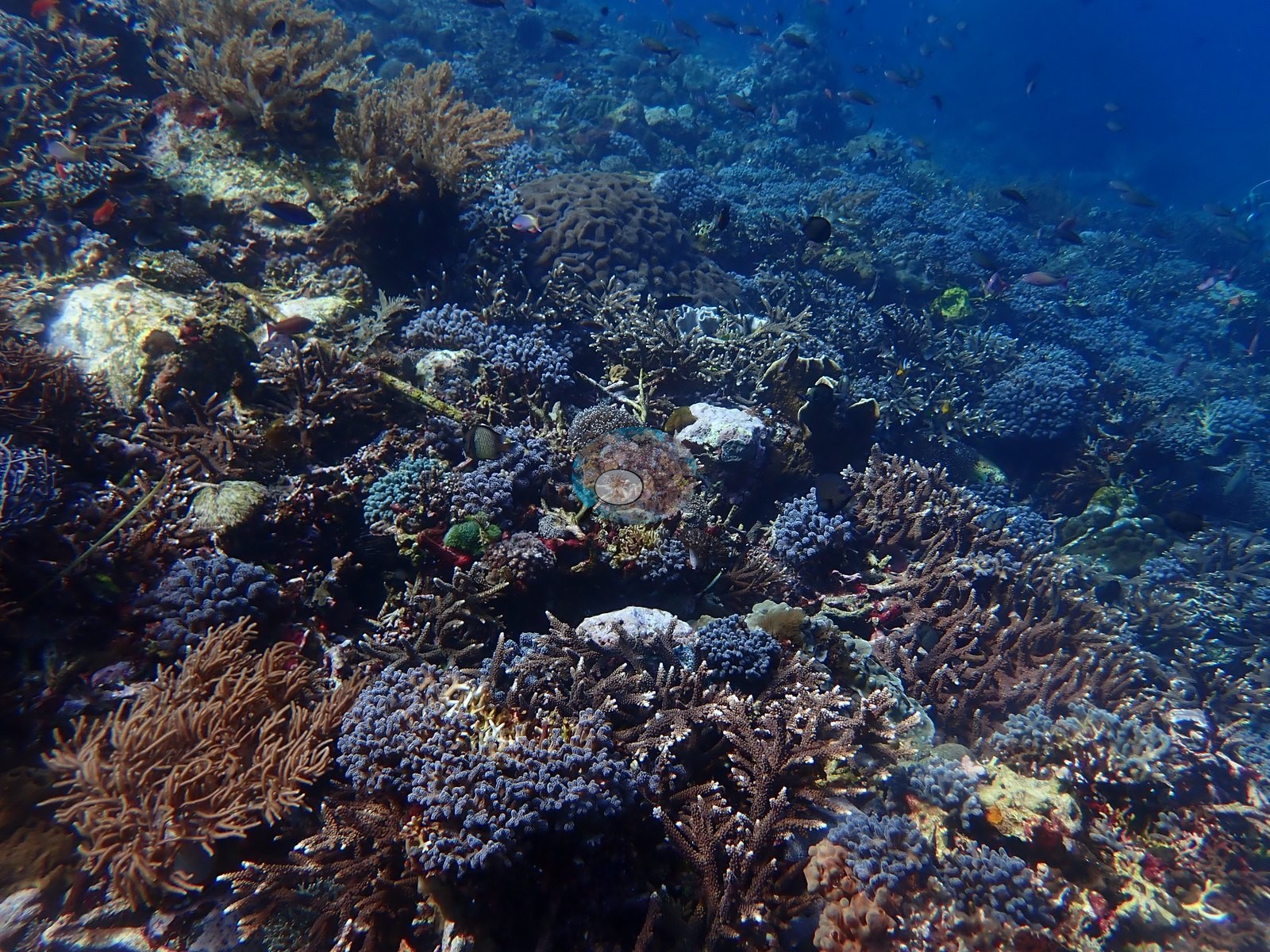
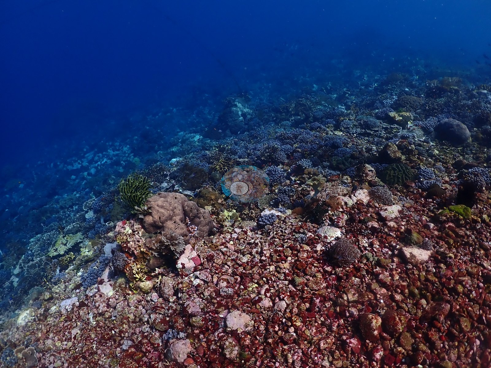
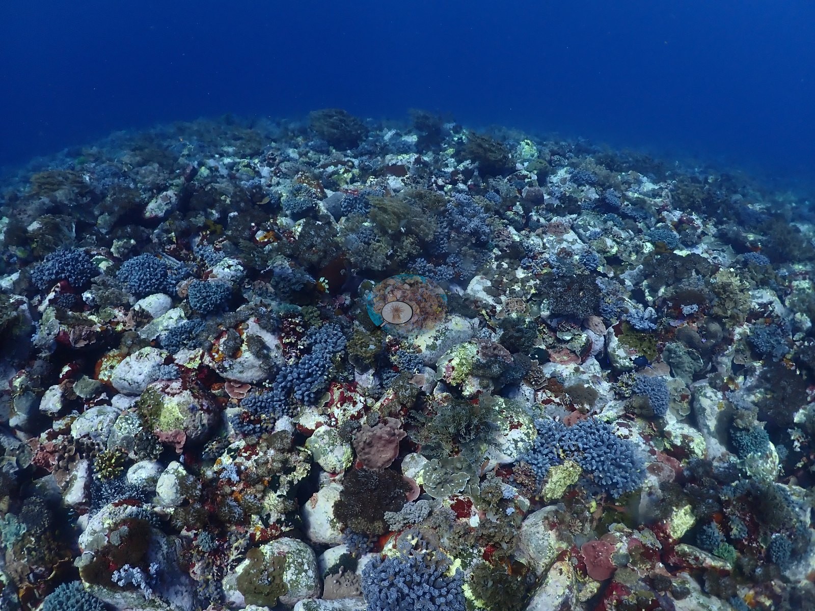
Recognizable groups included branching and tabular Acropora, Pocillopora, foliose Montipora, massive Porites, Pavona/Pachyseris and Turbinaria plates, fungiids, and fleshy or brain-like merulinids, possibly including Diploastrea (e.g., Image 1, Image 29).
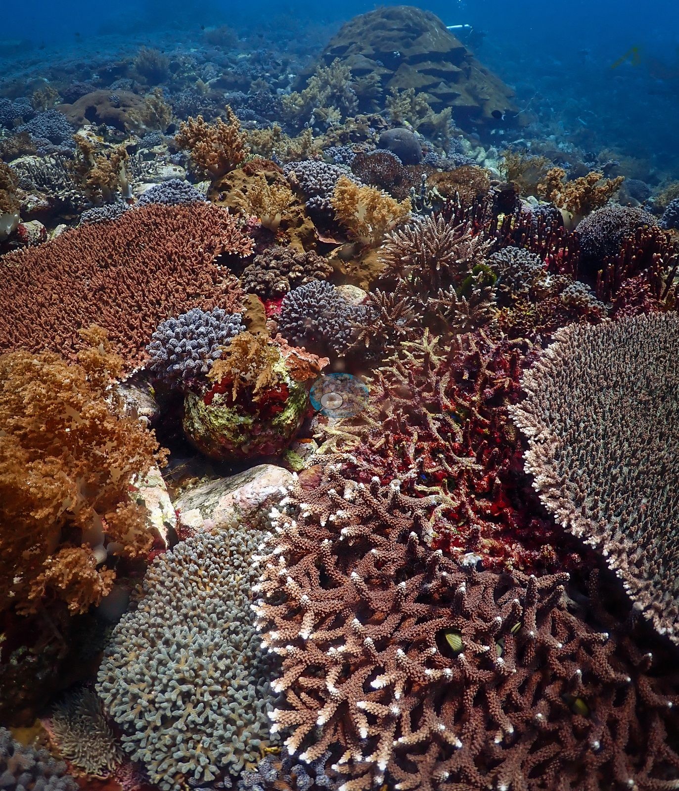
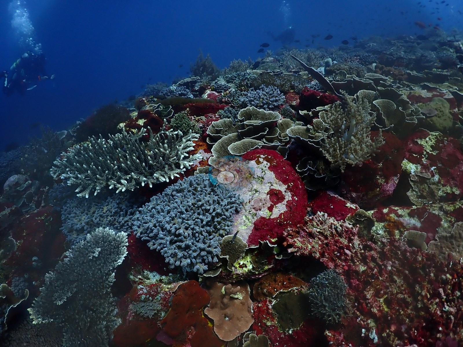
Barrel sponges, gorgonians, crinoids, and leather corals completed the benthic mosaic, with anthias, chromis, butterflyfishes, and surgeonfishes above the reef (e.g., Image 11, Image 16, Image 53).
The exceptional 17-24°C logged range is consistent with strong upwelling. No widespread bleaching apparent, though cover and condition varied markedly along the route.
Dive record
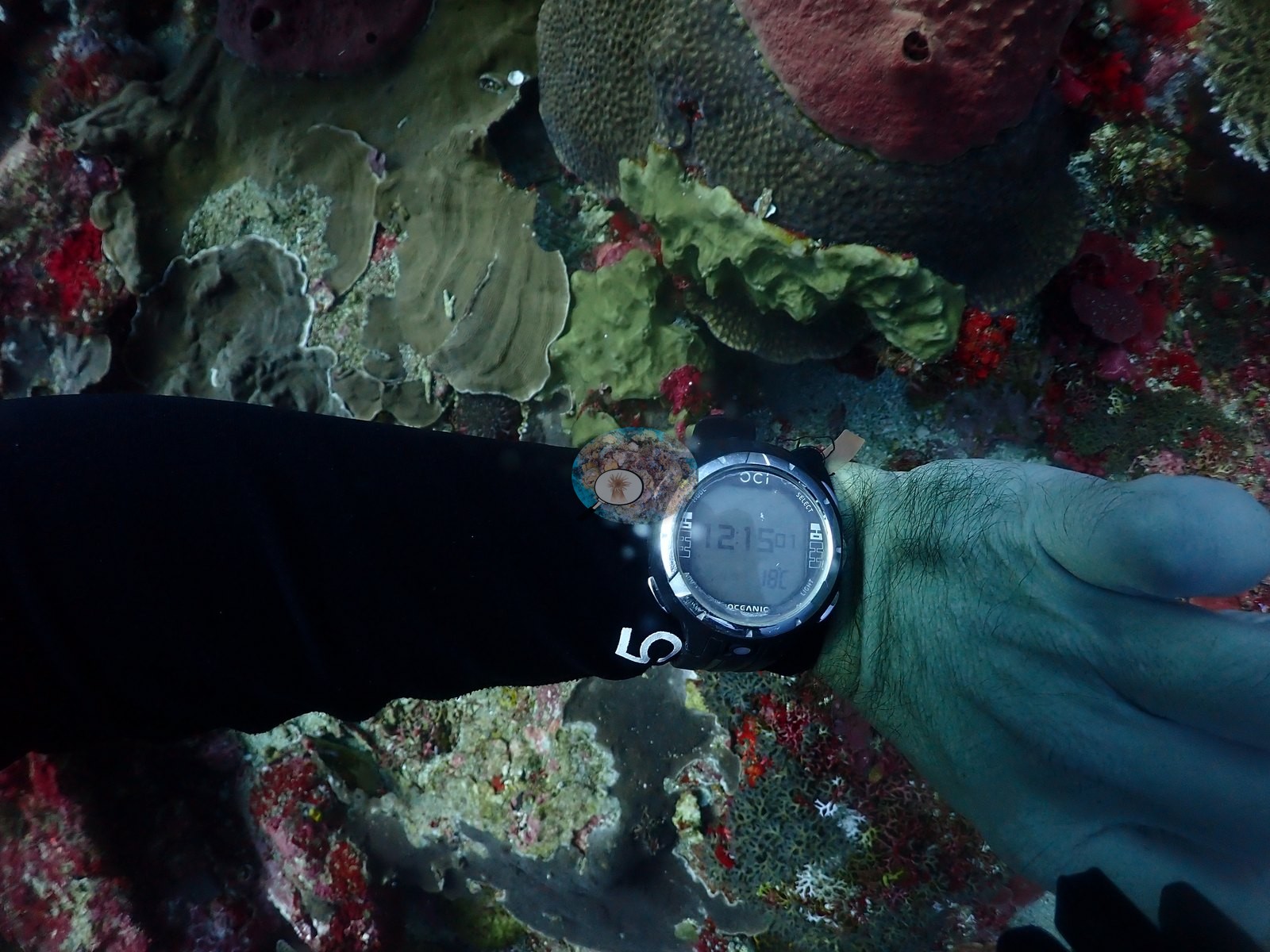
A dive computer readout is visible in one macro frame (29.1 m depth, 20 minutes into the dive, on GAS-1 nitrox), giving a reliable in situ depth reference against a backdrop of red encrusting sponge and a pale plating coral (e.g., Image 19).
Other notes
The bamboo cages and the guideline are the clearest man-made objects in this sample.
CV model comparison
More info
DINOv3 and CoralSCOP were run on the same photos and are listed for comparison. Coralscapes v2 and v1 were also run but are not shown: Anderson does not consider Coralscapes reliable for these photos. No diver transect exists for this trip, so agreement between the rows is not accuracy, and as of September 2026 no computer-vision method estimates coral cover accurately on new images; treat every row as indicative.| Method | Hard-coral cover (%) |
|---|---|
| In-house DINOv3 | 28.3 |
| CoralSCOP unedited | 20.2 |
| Claude | 28.7 |
Independent surveys nearby
Within 5 km, 1 independent survey station recorded hard coral cover in 2014. The most recent nearby survey is from 2014, so these values predate recent heat stress. This site's own estimate (29%) sits 20.7 points above the range of these surveys (8.0%); the methods differ, so the comparison is context, not a like-for-like test.
Collected by other programs using different methods, so these are context for the figures above, not a like-for-like comparison. Where a station was surveyed more than once the range is shown. Station names are not dive-site names.
| Agency | Site / location | Date | Hard coral cover (%) | Distance | Link |
|---|---|---|---|---|---|
| WWF-US / WWF-Indonesia | 5002 | 2014 | 8.0% (4 surveys) | 0.63 km | Amkieltiela, Abdillah T, Amkieltiela A, Andradi-Brown D, Lazuardi E. 2015. MBD 2014 & 2015. MERMAID |
Data & links
All images from Coral Reef Diagnostics. Data are from Coral Reef Diagnostics and the organizations named in the data-sources table above.
© Coral Reef Diagnostics.